Refuge Bagargui to Source d’Marmitou
Distance Forward: 38km
Today was AWESOME
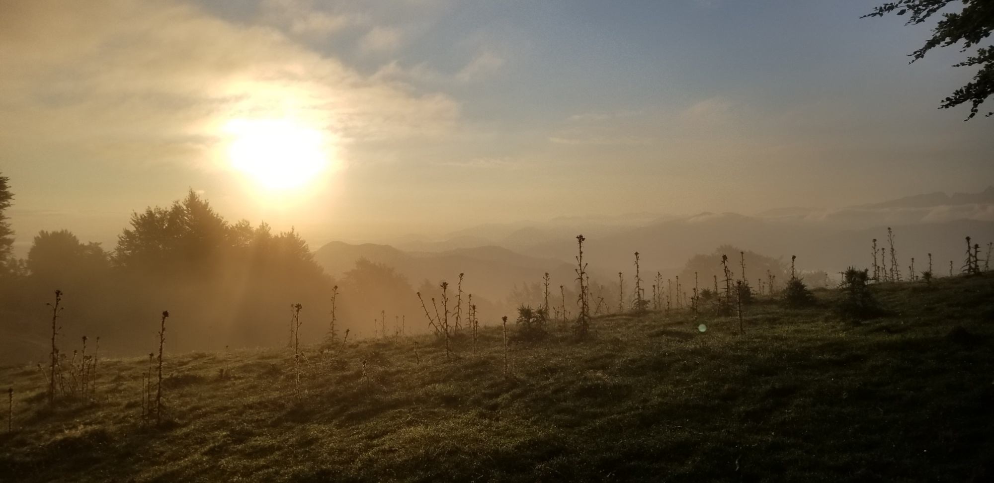
I woke up bright and early at 6am, packed up my pack explosion, made a cup of coffee, and hit the trail by 7.
I wanted to spend all day on trail today, as I was aiming to make it 35km, over the monstrous Pic d’Orhy and along the frontier ridge to the source d’Marmitou, just below Pic d’Anie, which the HRP guidebook describes as “a fine place to pitch a tent.”
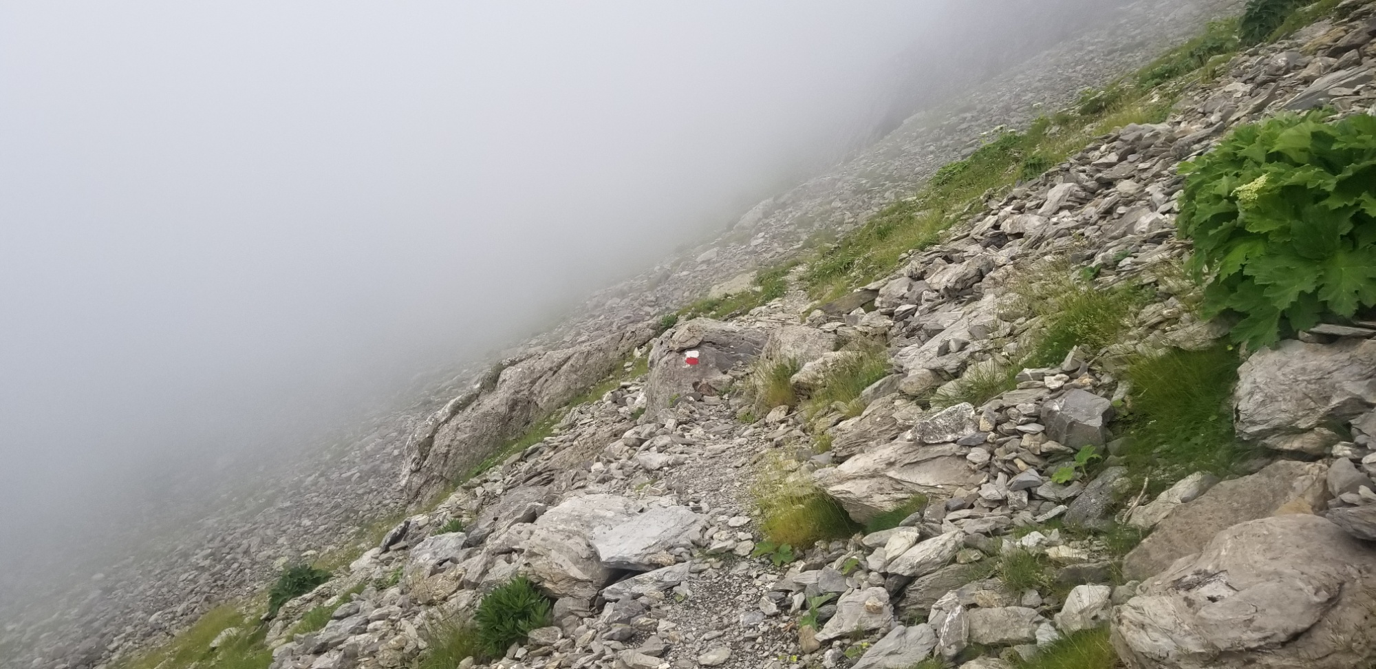
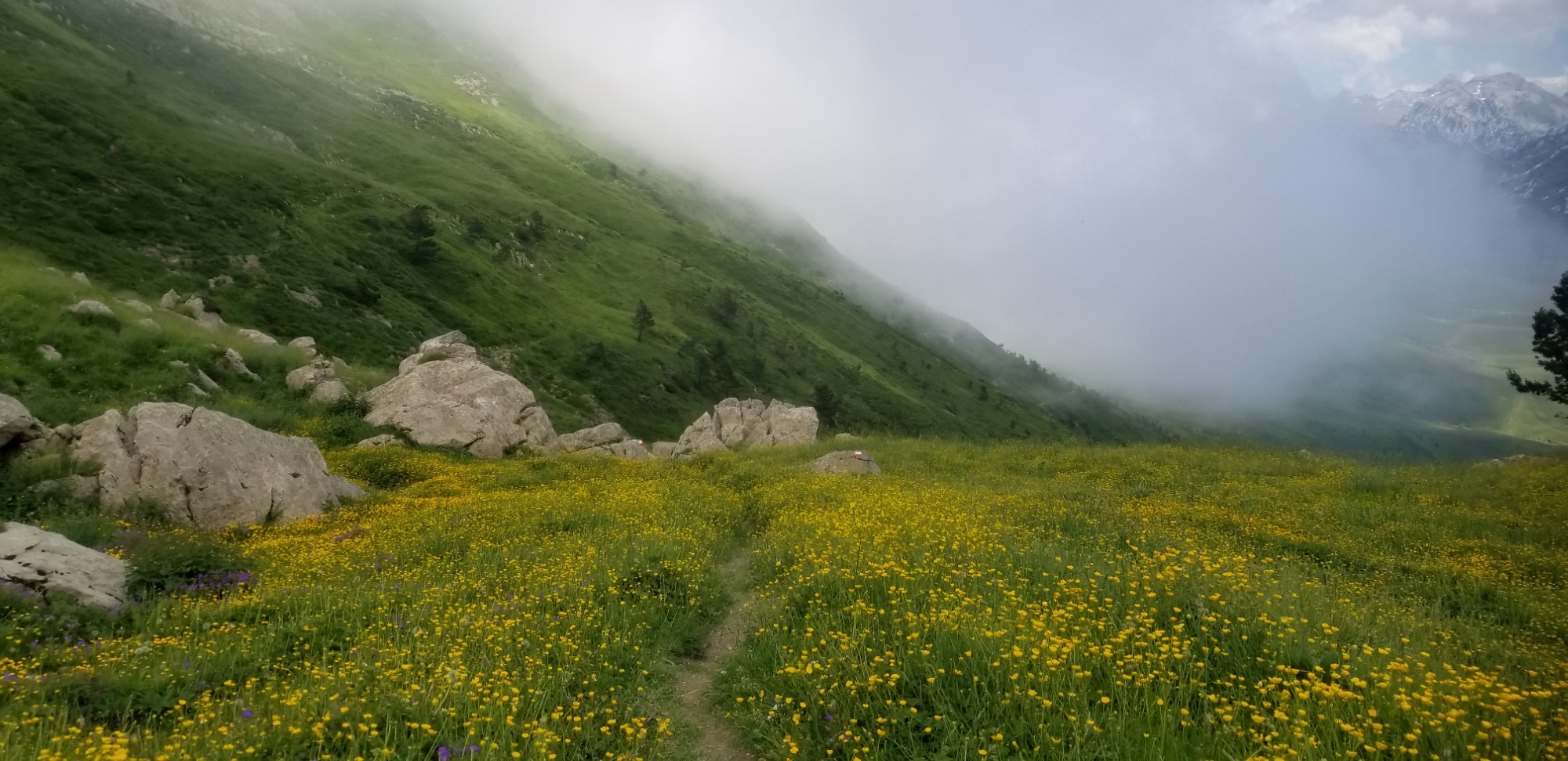
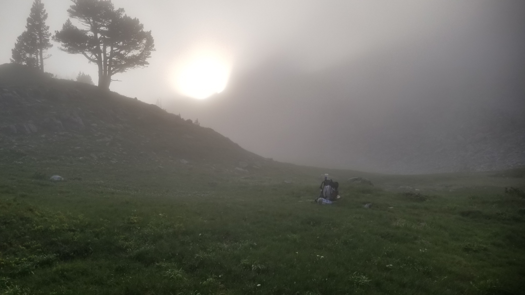
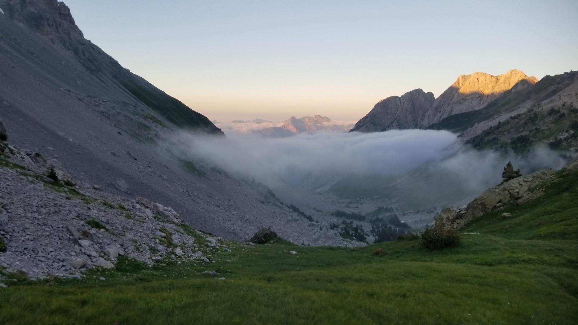
The morning started off with the usual fog, but it quickly cleared as the sun hit it, and I had perfect visibility after 8am.
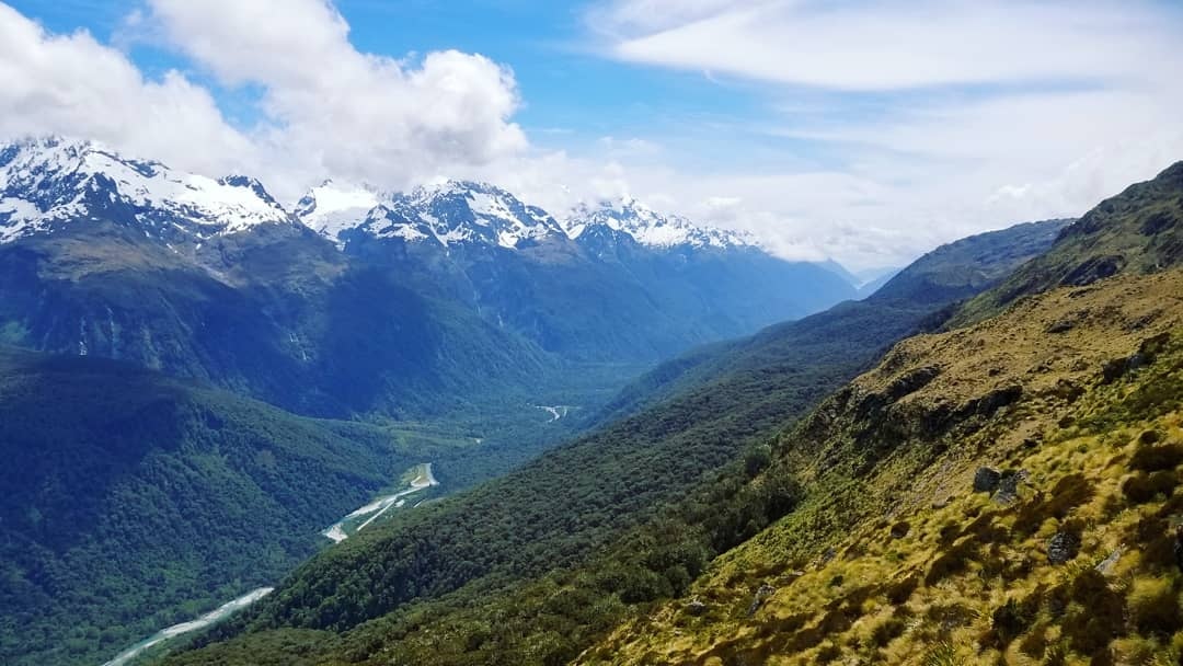
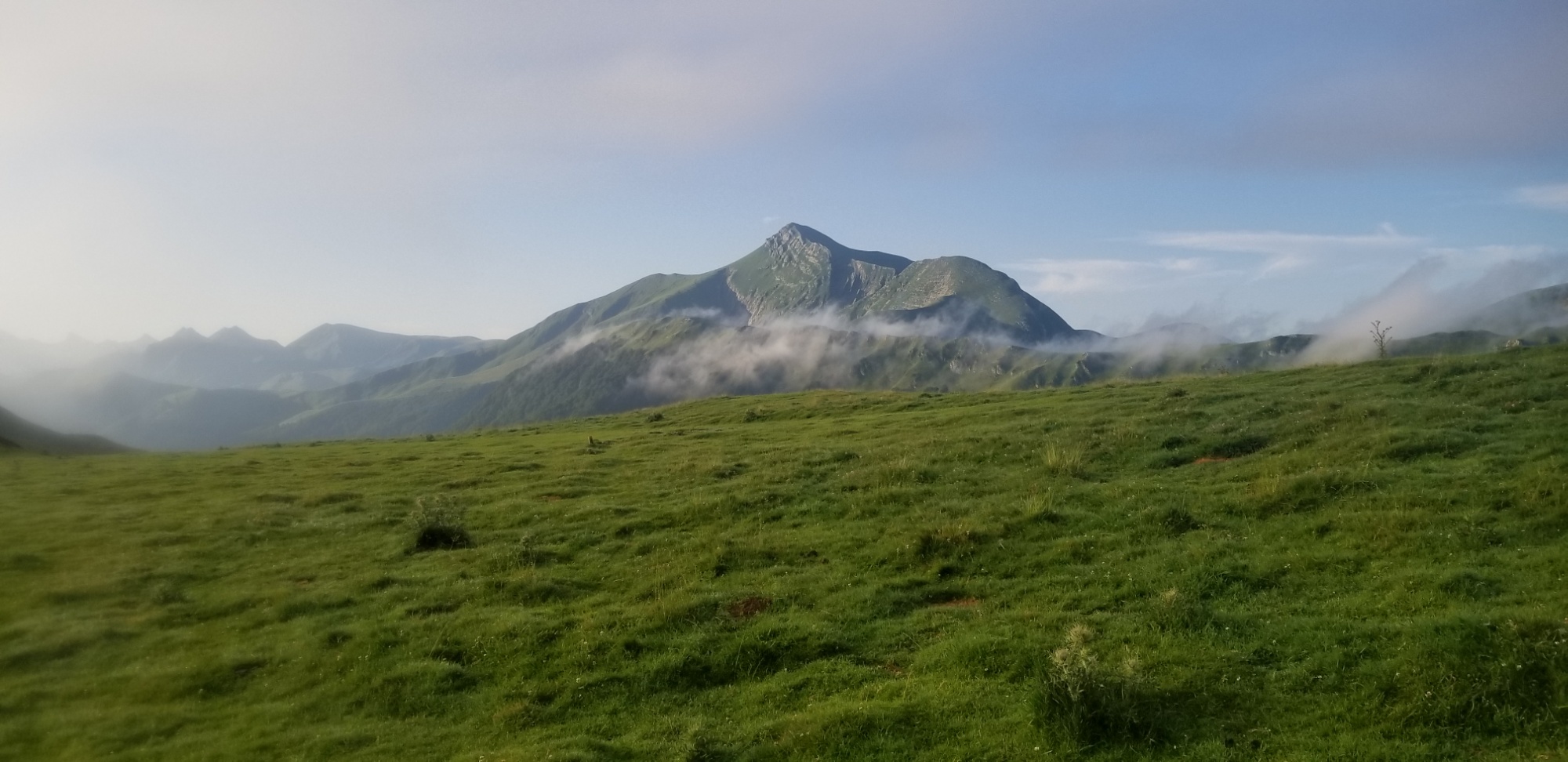
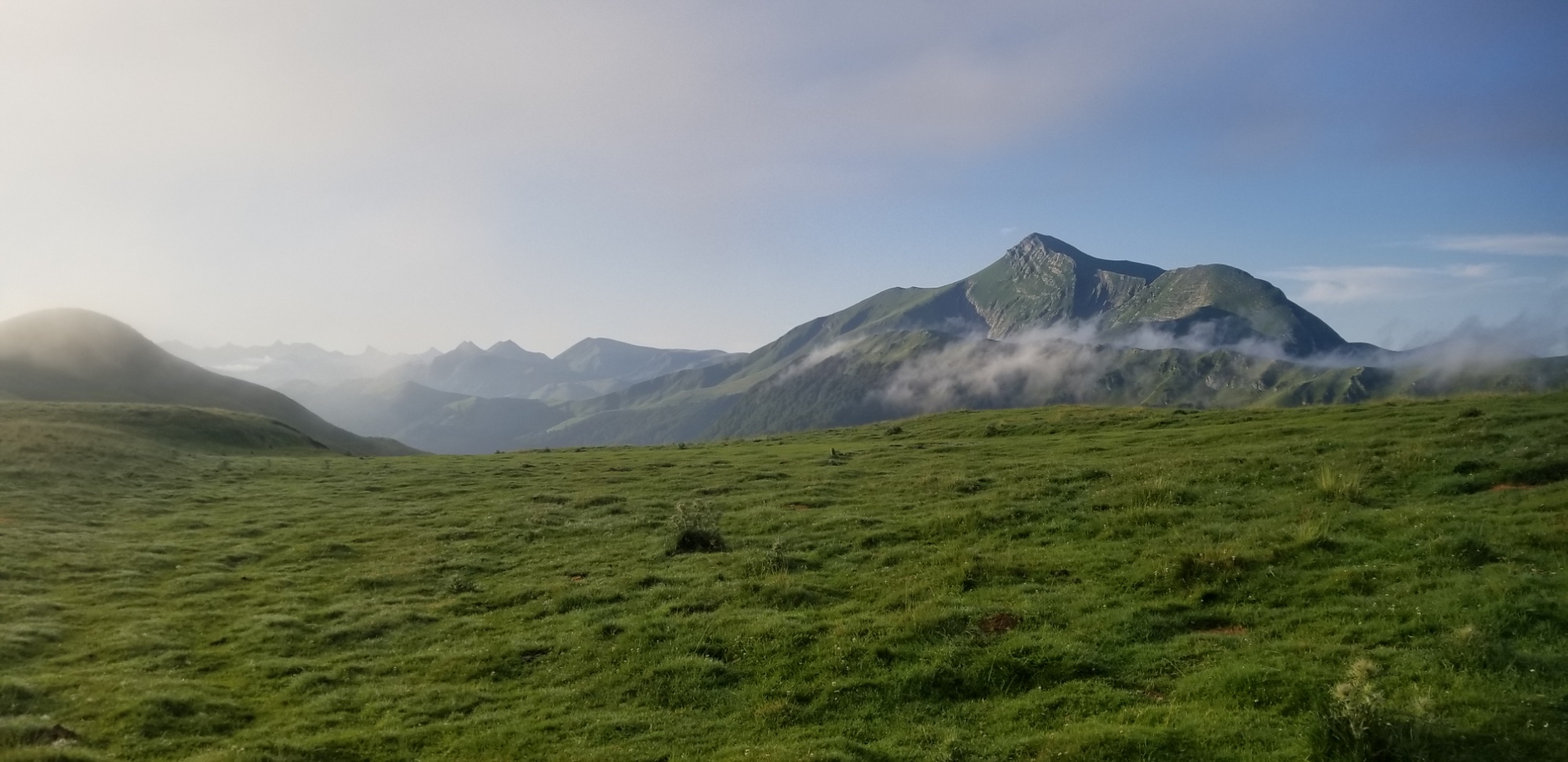
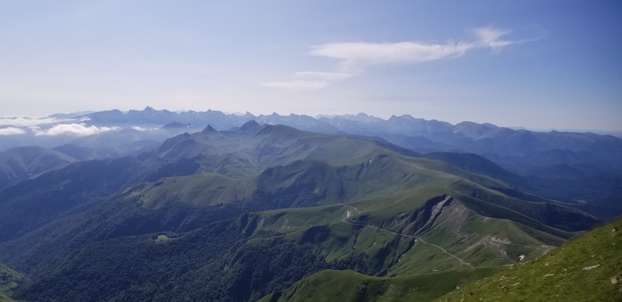
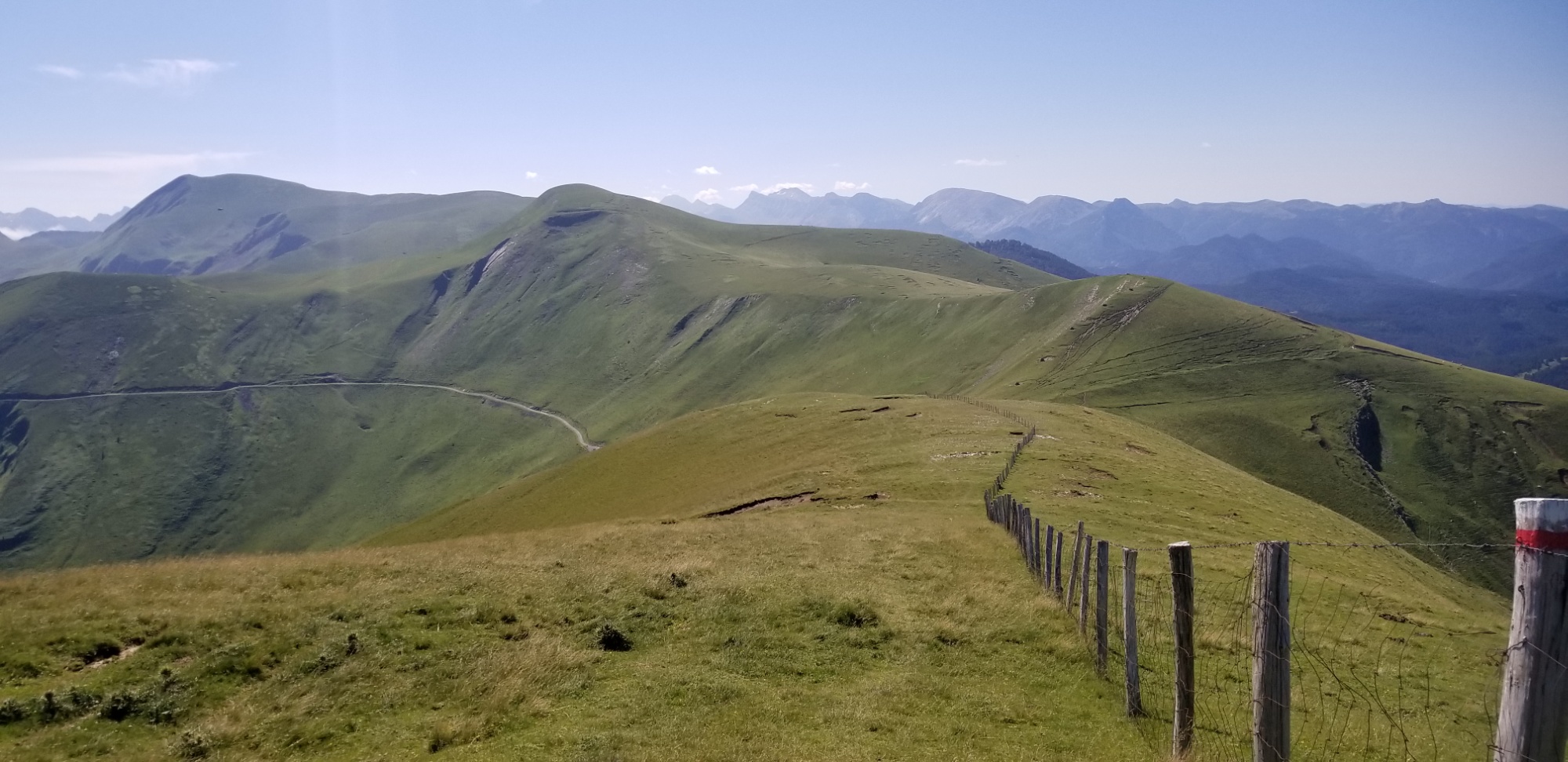
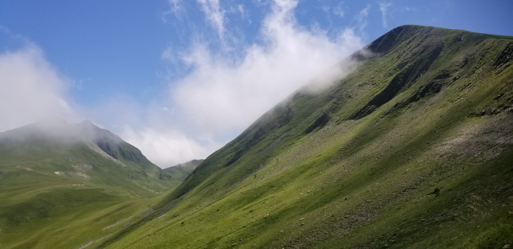
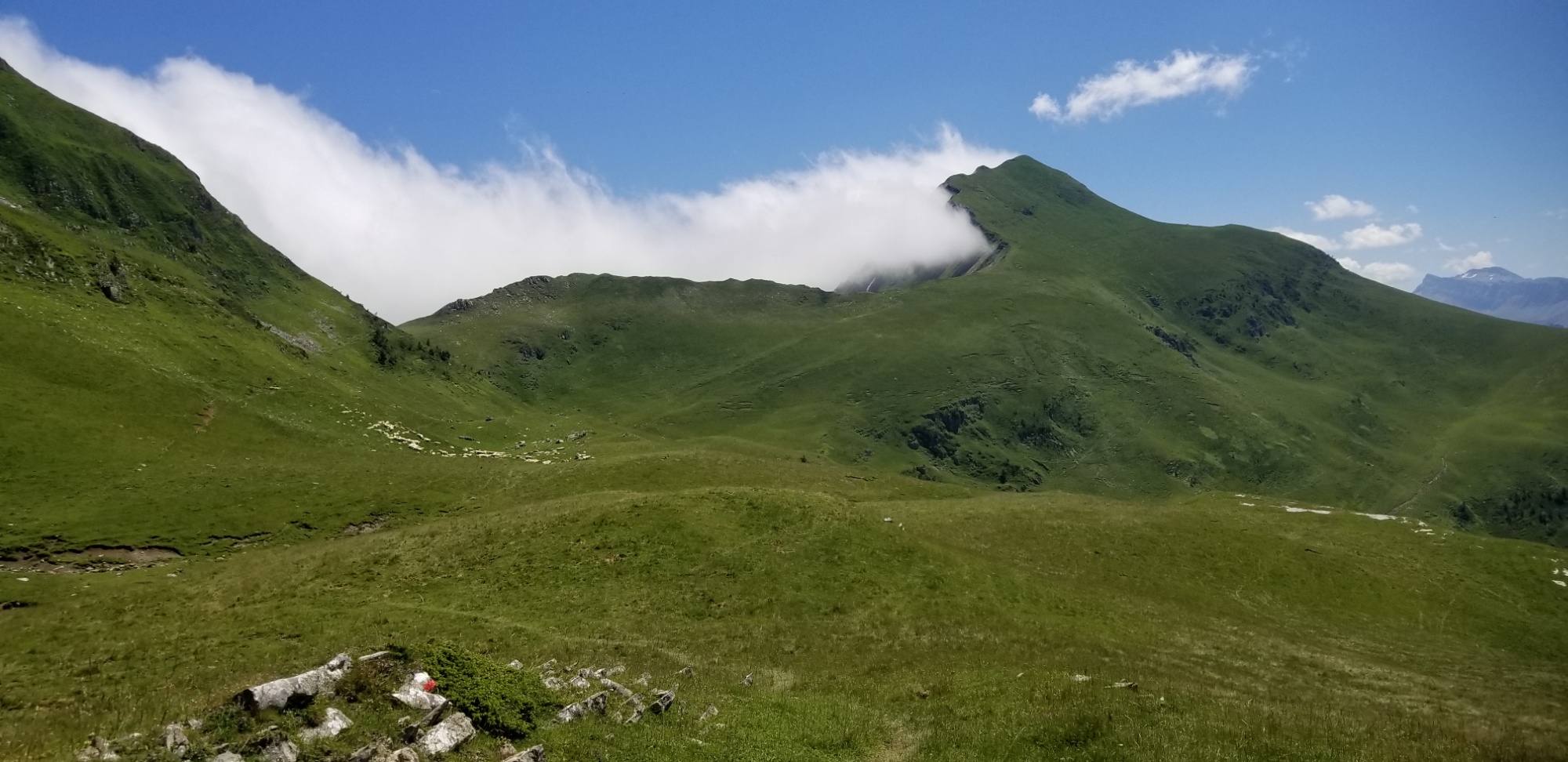
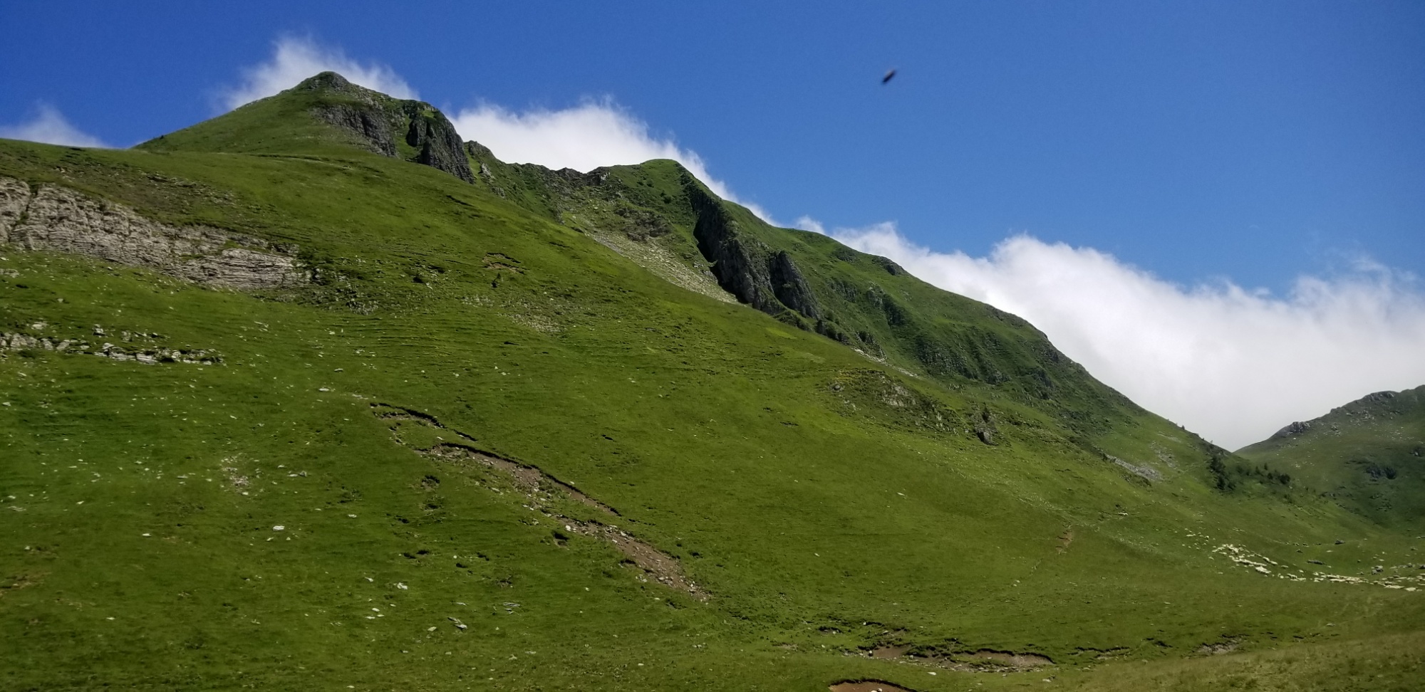
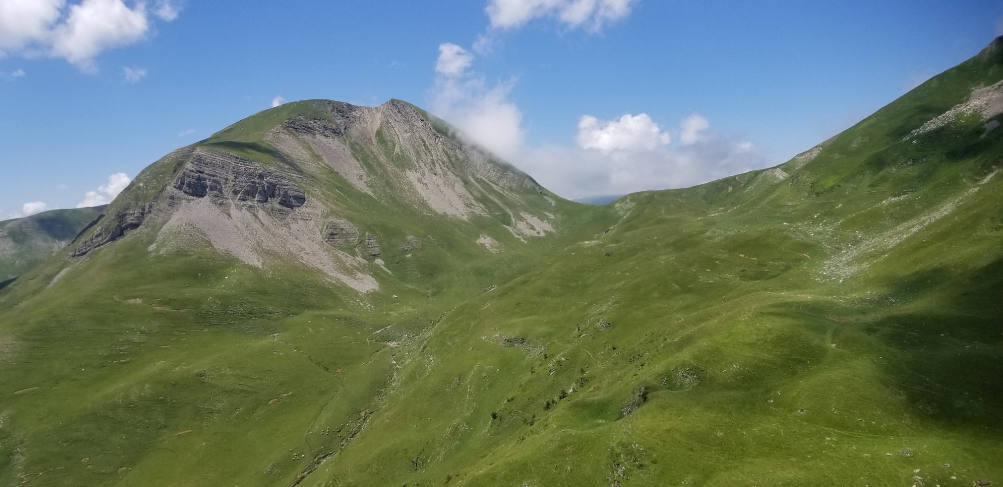
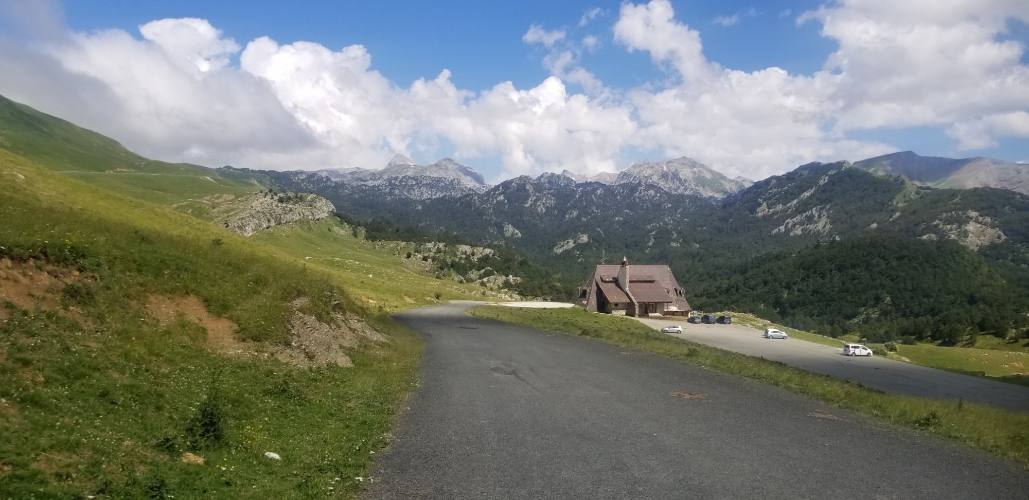
The trail follows the highest ridgeline of the Pyrenees today, called the frontier ridge. That means, badass views, all day.
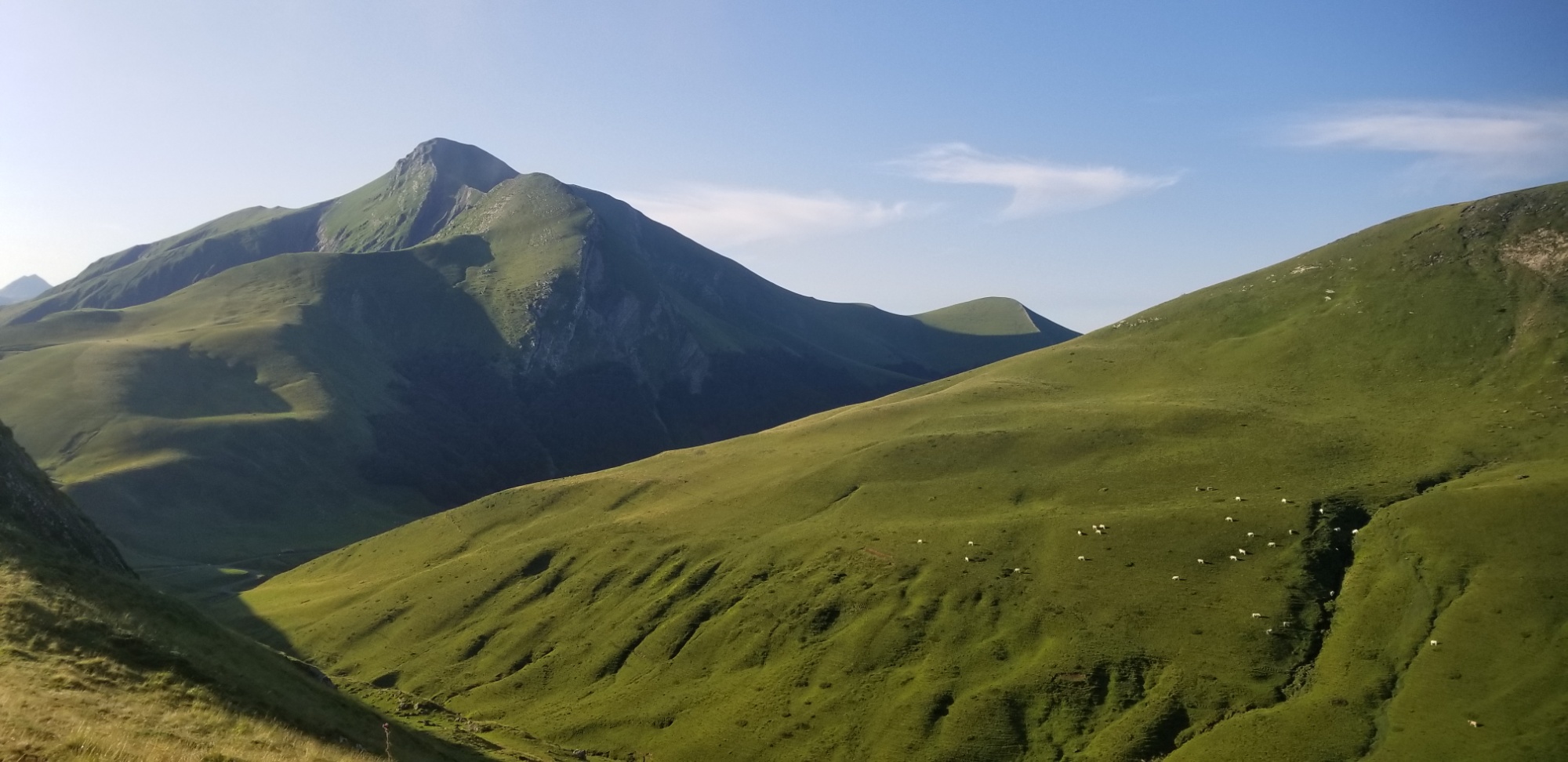
I set out towards Pic Orhy and wove my way through numerous small valleys on the side of the ridge before reaching the trail at the crest. It was easy enough, until you get close to Pic Orhy, and then you reach a stairway kicked into the dirt, that ascends about 1,000ft of the way up.
Then, you reach the crest of Orhy’s Ridge, a narrow, Angel’s Landing kind of trail, where you have about 3 feet of trail on the Crest, and then cliffs on either side of you, sheerly dropping down 500ft or more.
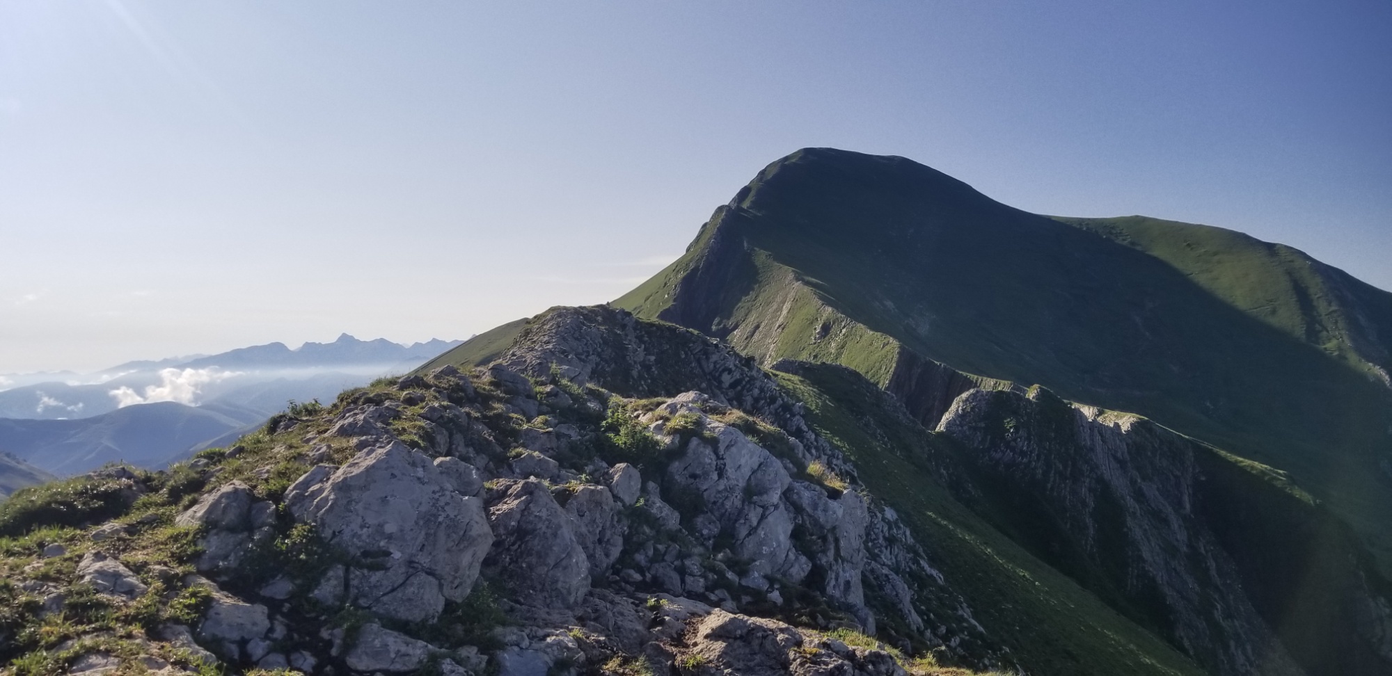
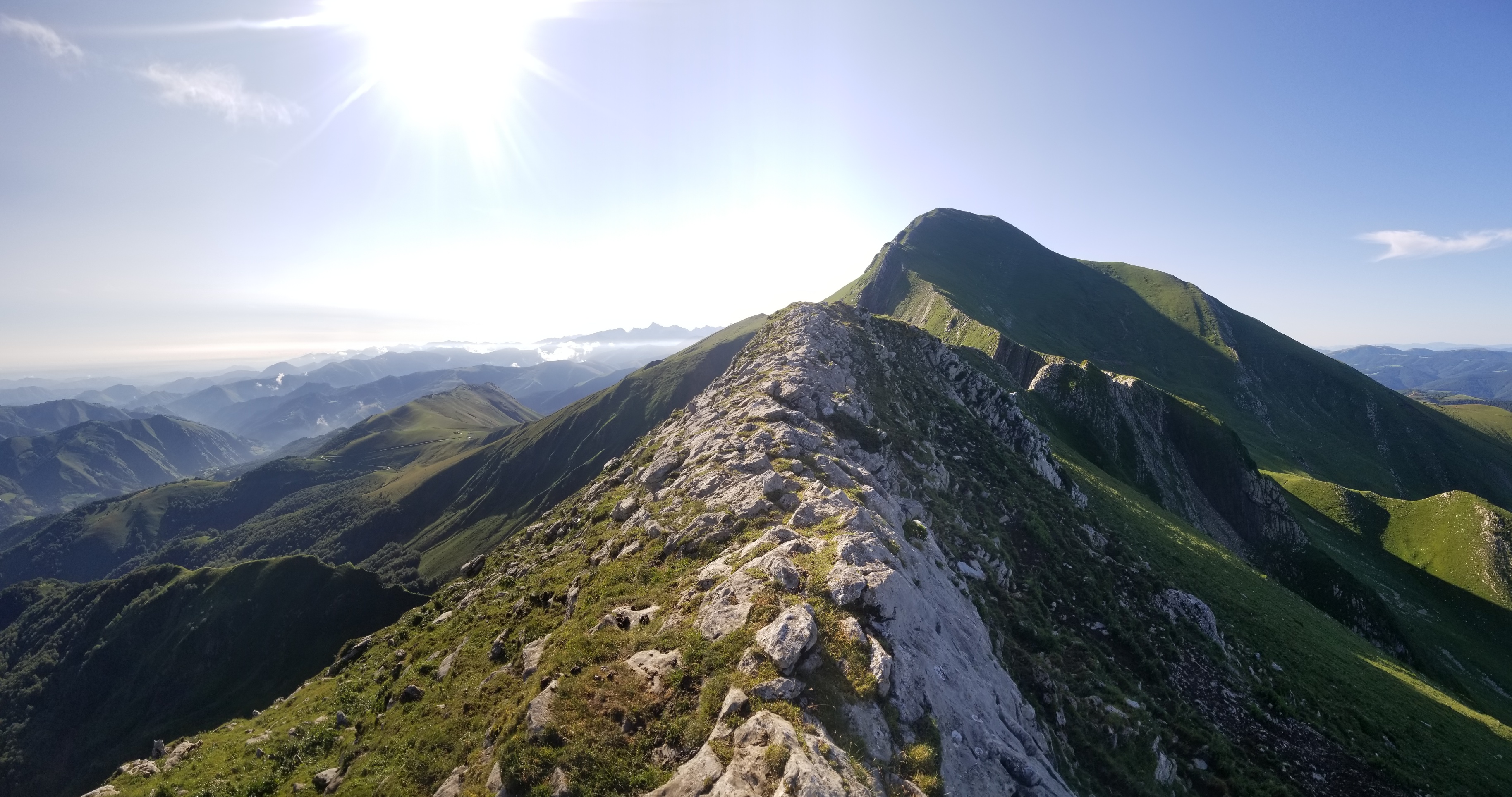
Once you navigate that, it’s pretty easy to climb to the peak.
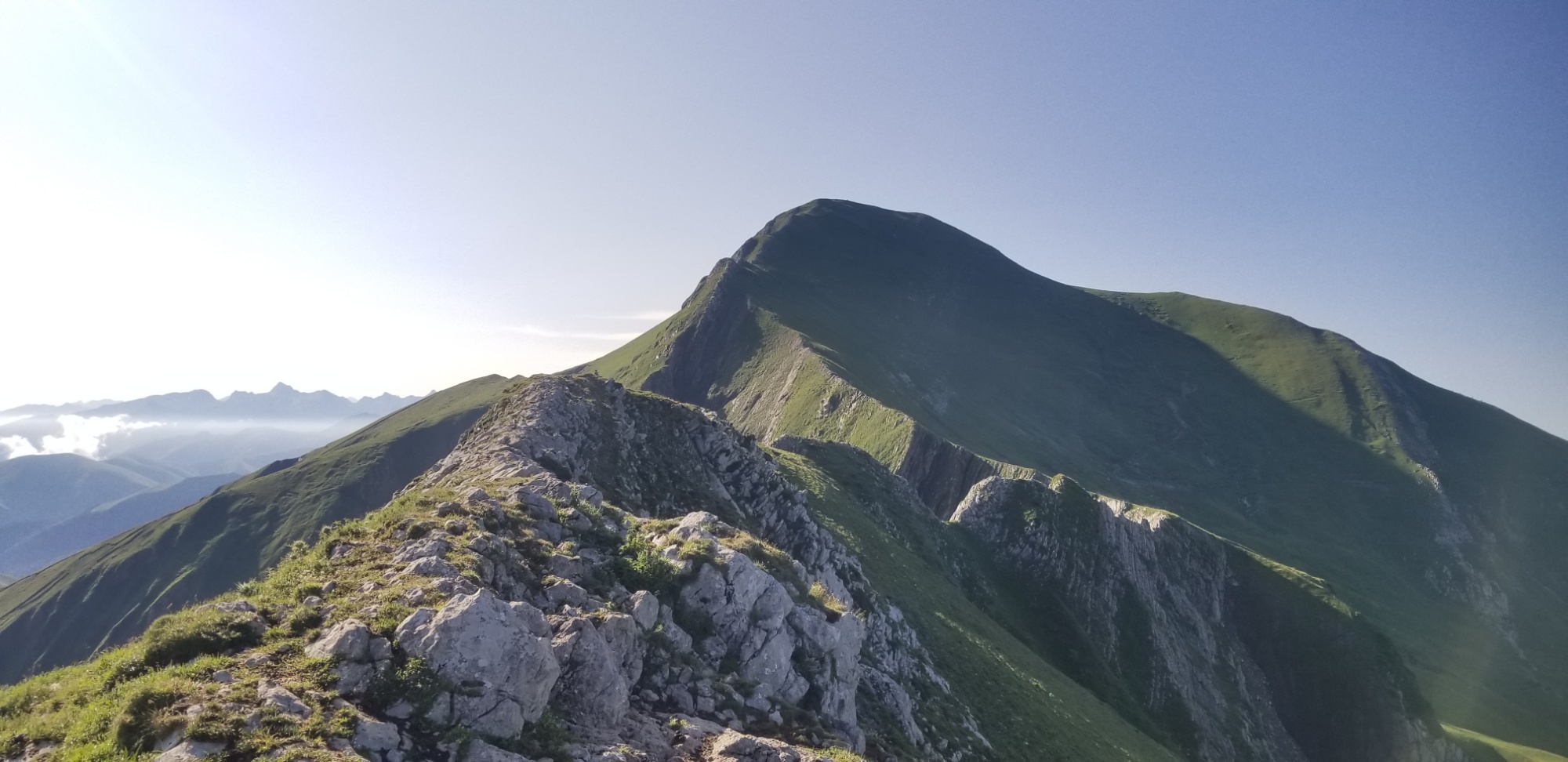
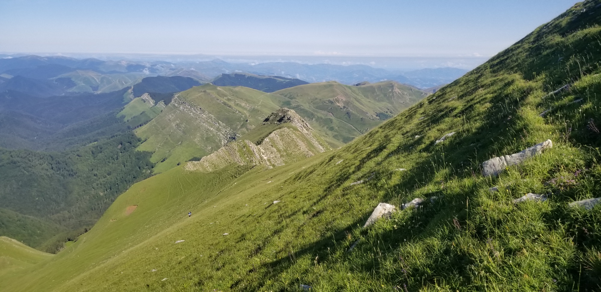
But of course, I missed a part where the trail curves off of the ridge to dodge this Shark’s Fin looking stretch of ridge just before the easy walk to the top. The trail comes to a single point, a razor’s edge, and I felt totally uncomfortable even attempting it with a heavy backpack on.
So I slid down one face of the 60° slope to that trail that dodges this last hard part of the Orhy Spine, and took the trail up to the mountain itself. Of course, now they put up a safety rope.
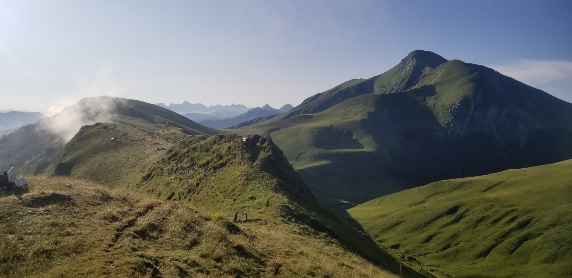
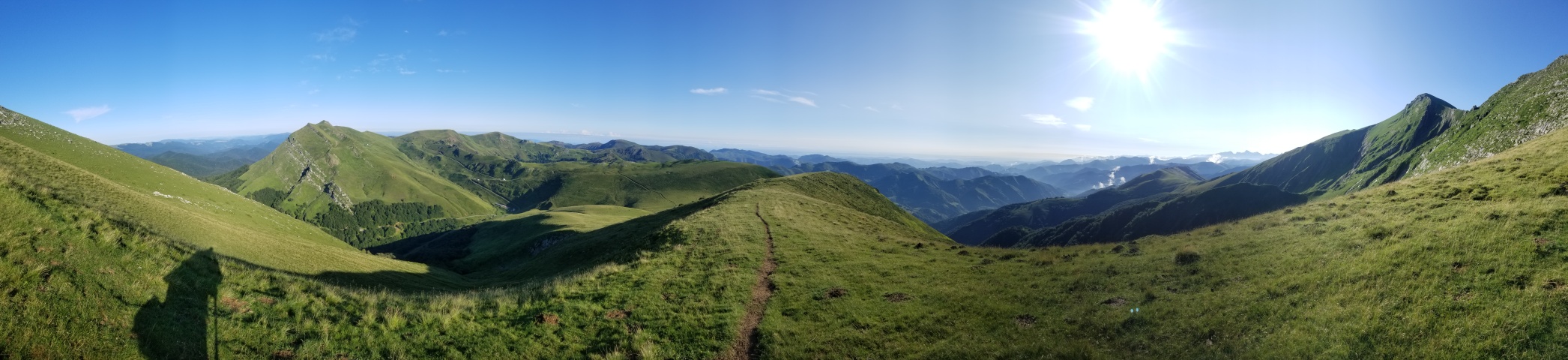
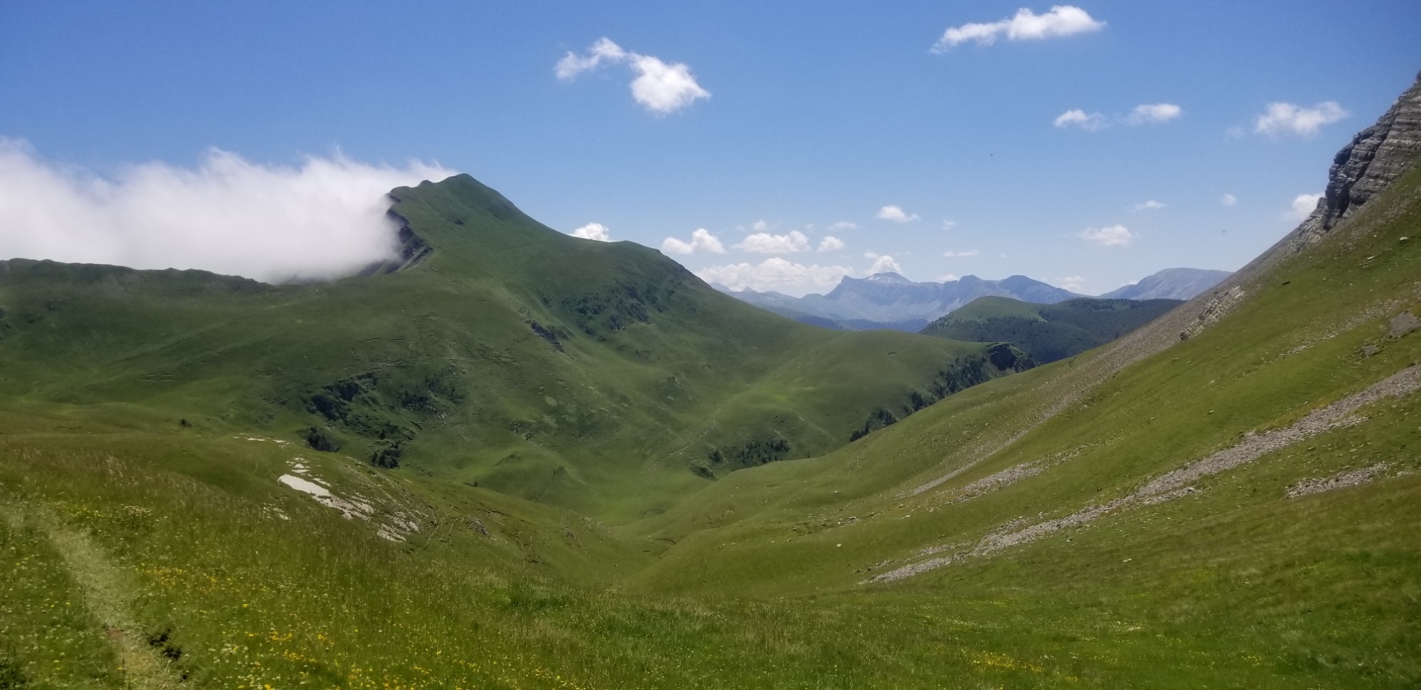
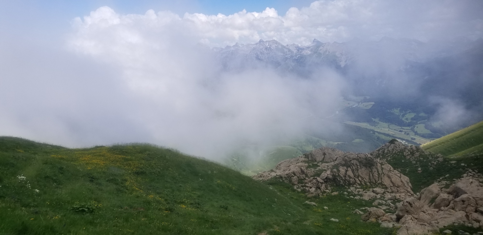
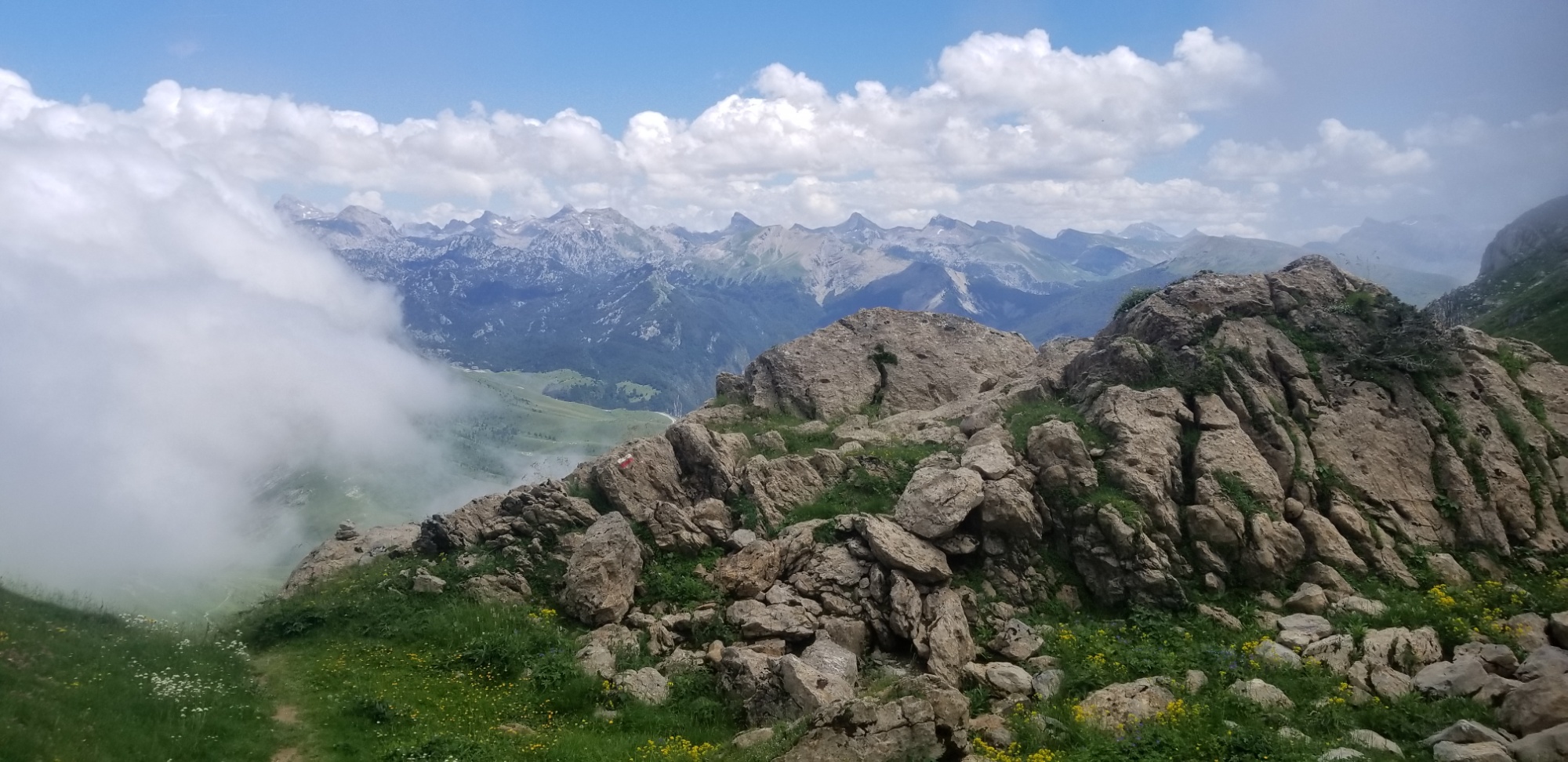
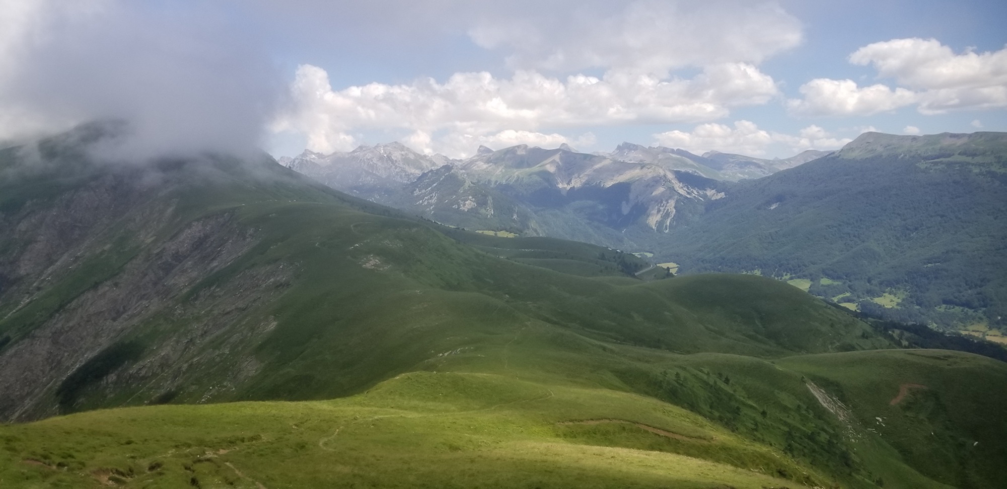
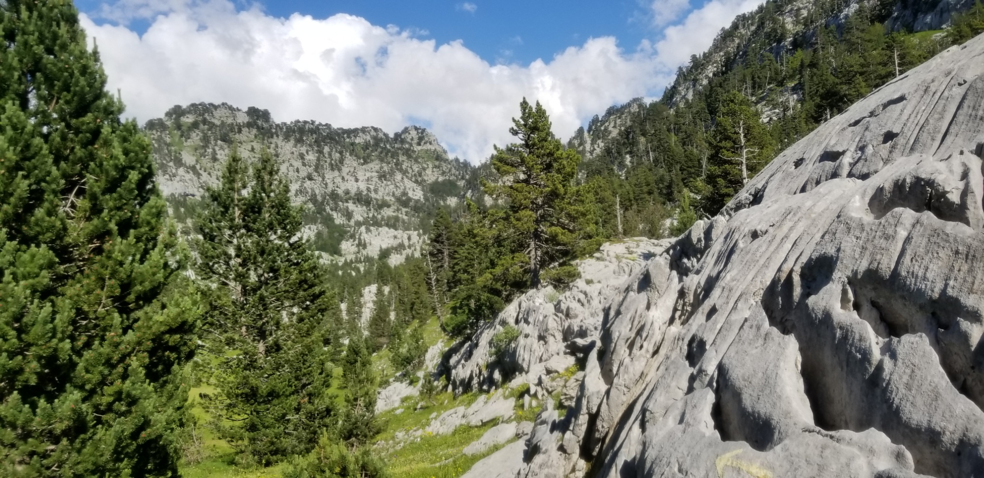
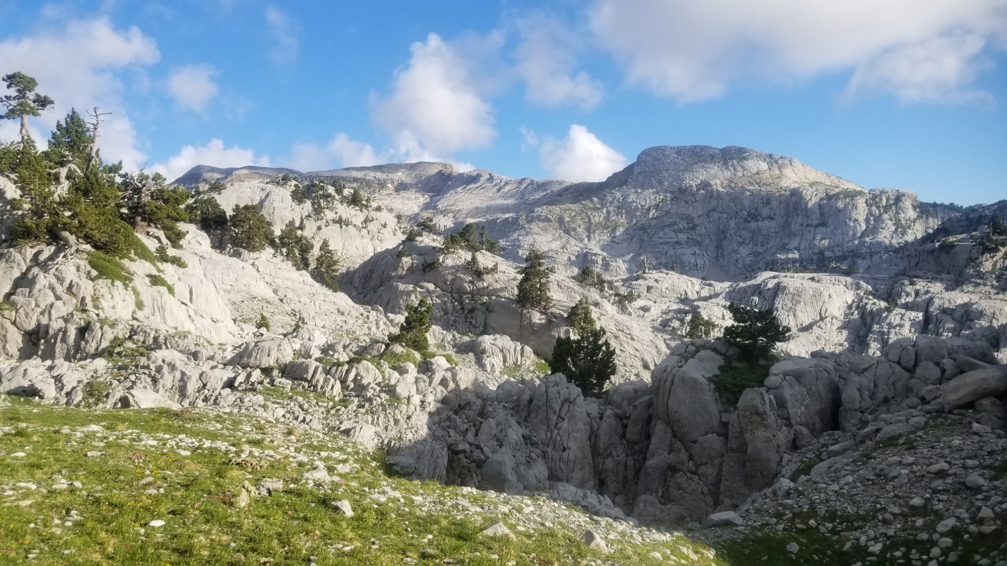
The peak itself was spectacular! Here are views:
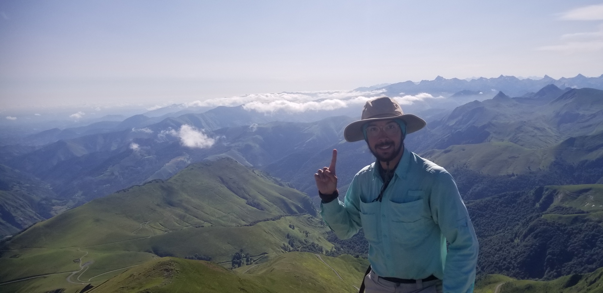
I also met another HRP hiker who is doing a big chunk of the trail, named Clemon. We leap frogged each other a few times throughout the day.
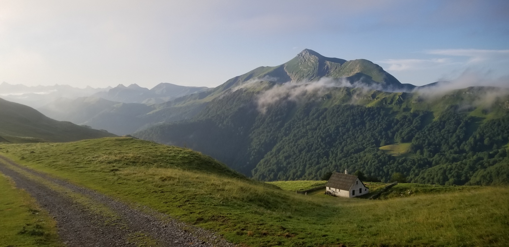
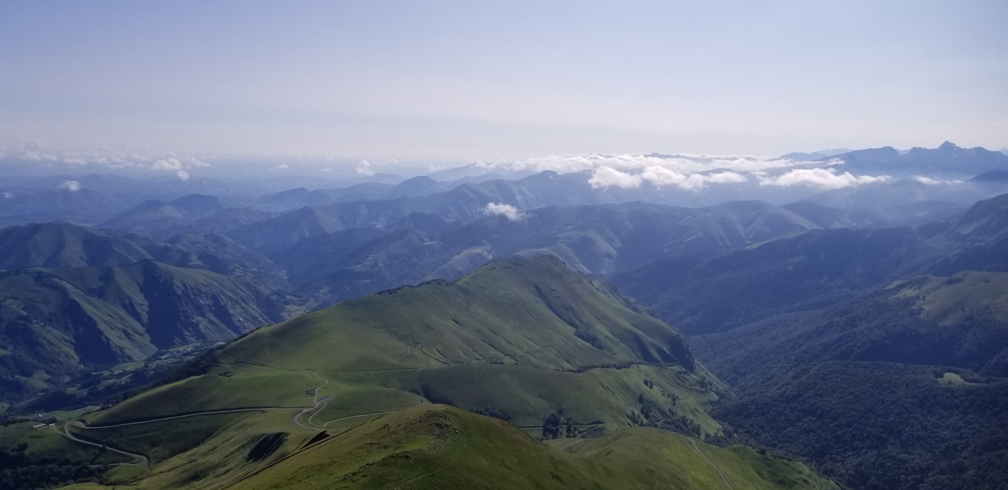
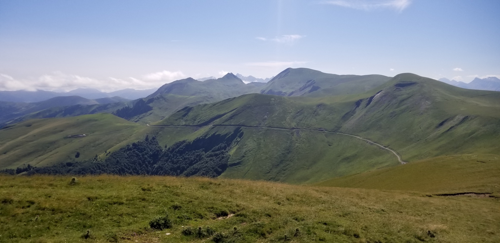
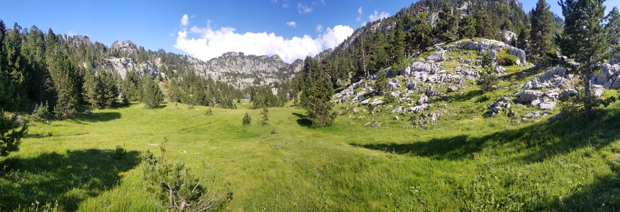
After the Pic, the trail was a refreshing ridge walk through scenic valleys and out of the grips of civilization.
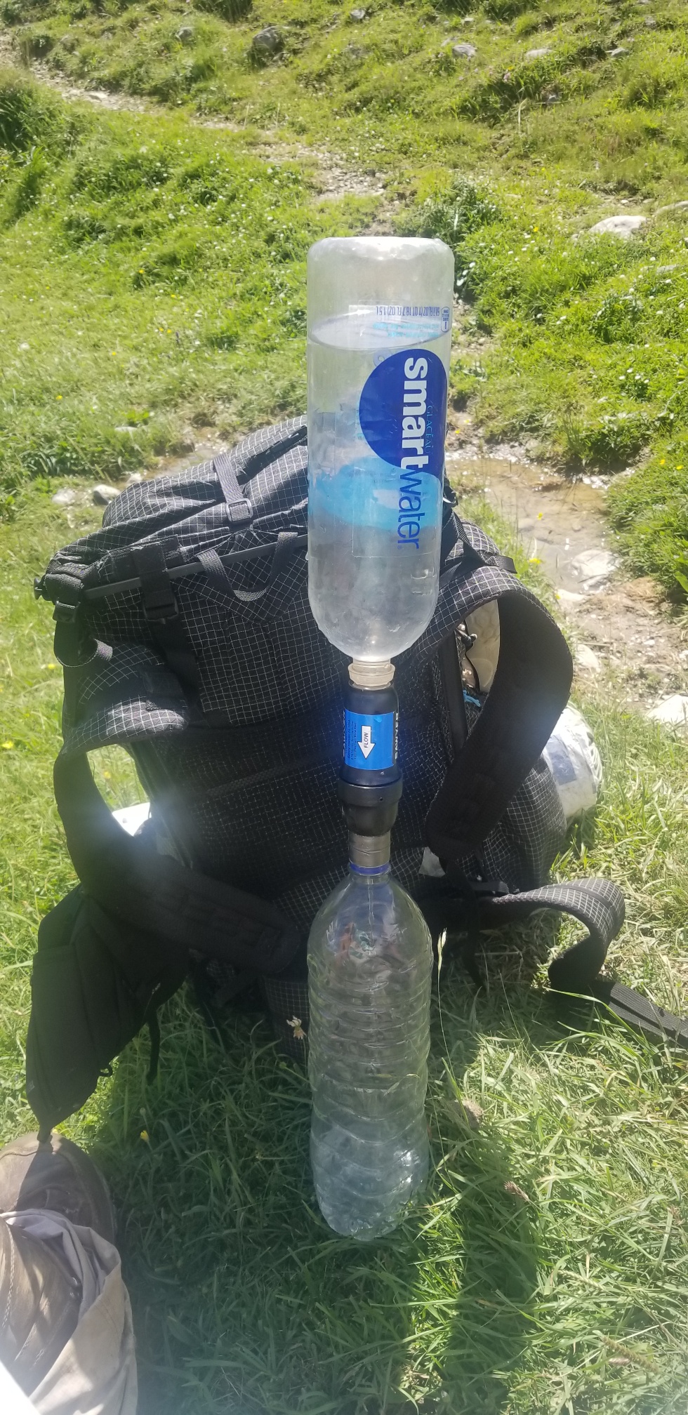
I walked 20km and finally found water! There is a spring nestled in a glacial mountain, and it seemed a perfect place to take lunch. Mmm, chicken soup, chips, and almond chocolate from New Zealand (thanks Robin!)
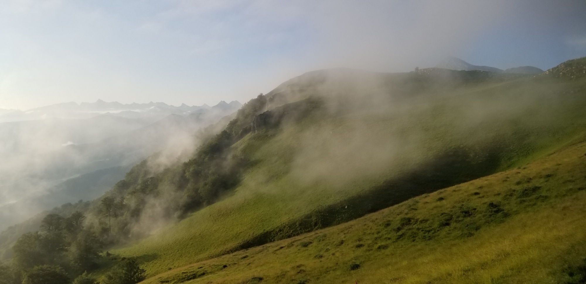
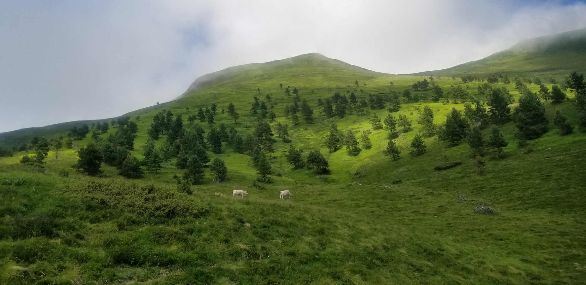
I hiked on, and found fog on the dark side of a big mountain. I ran into three backpackers who said something to me in Spanish, but I didn’t know what. I just nodded and said “yep!”
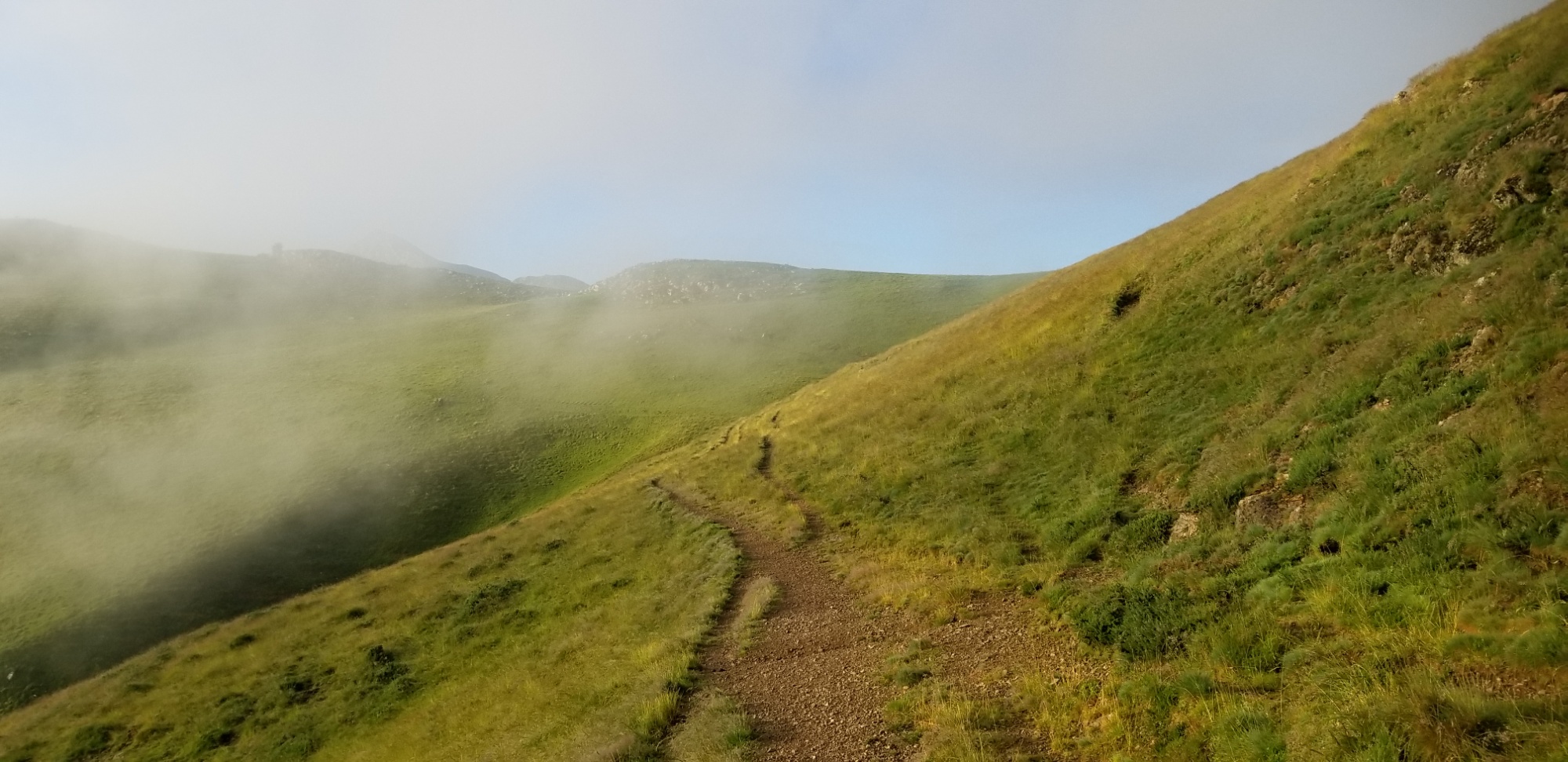
Then, after a hard hike up to a col, I ran into a big group of young kids, who looked like scouts, or something similar. Apparently they were spending the day hiking up that big foggy mountain! I think that’s great and that more people should nurture a love for nature in children from a young age.
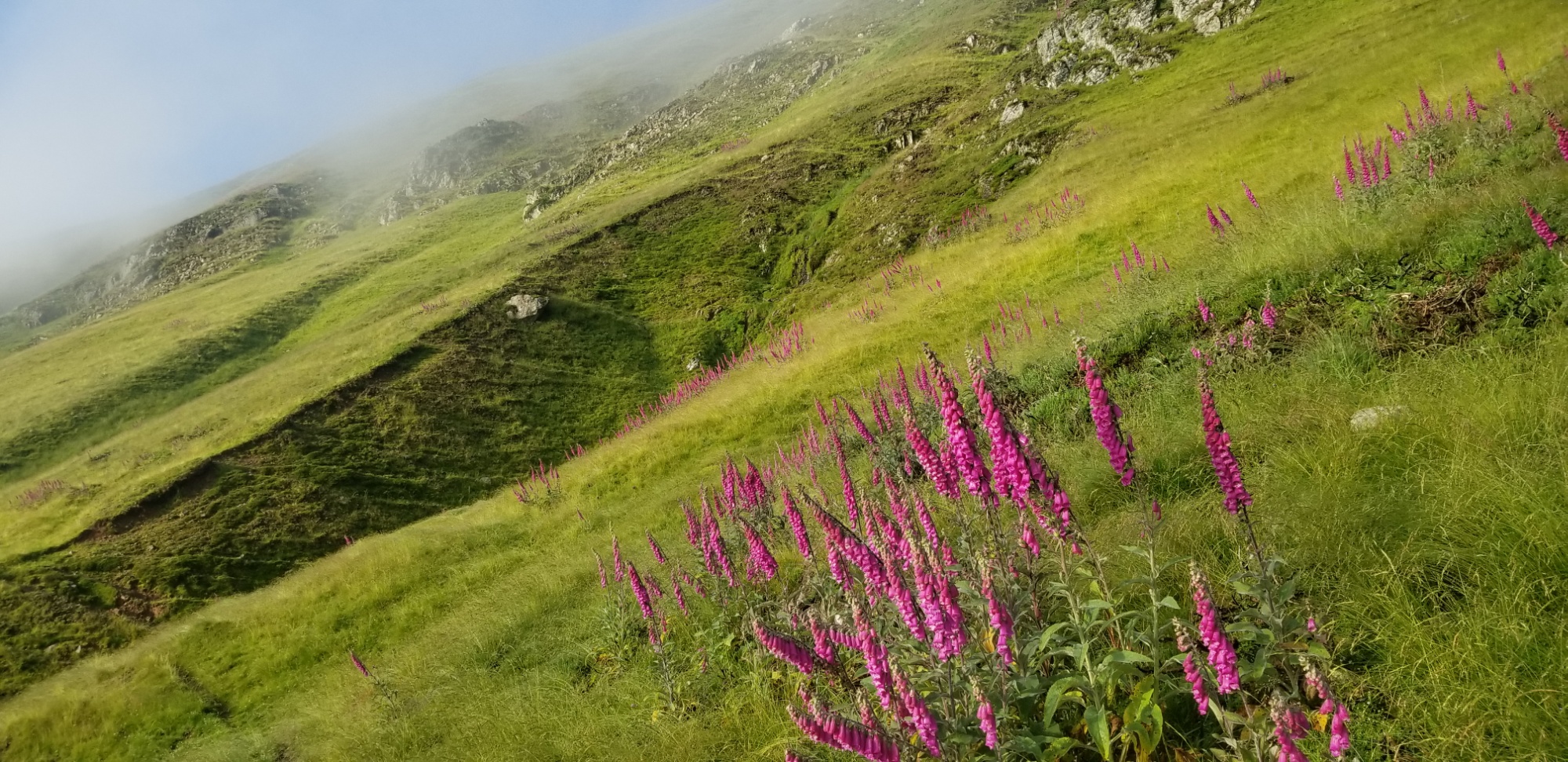
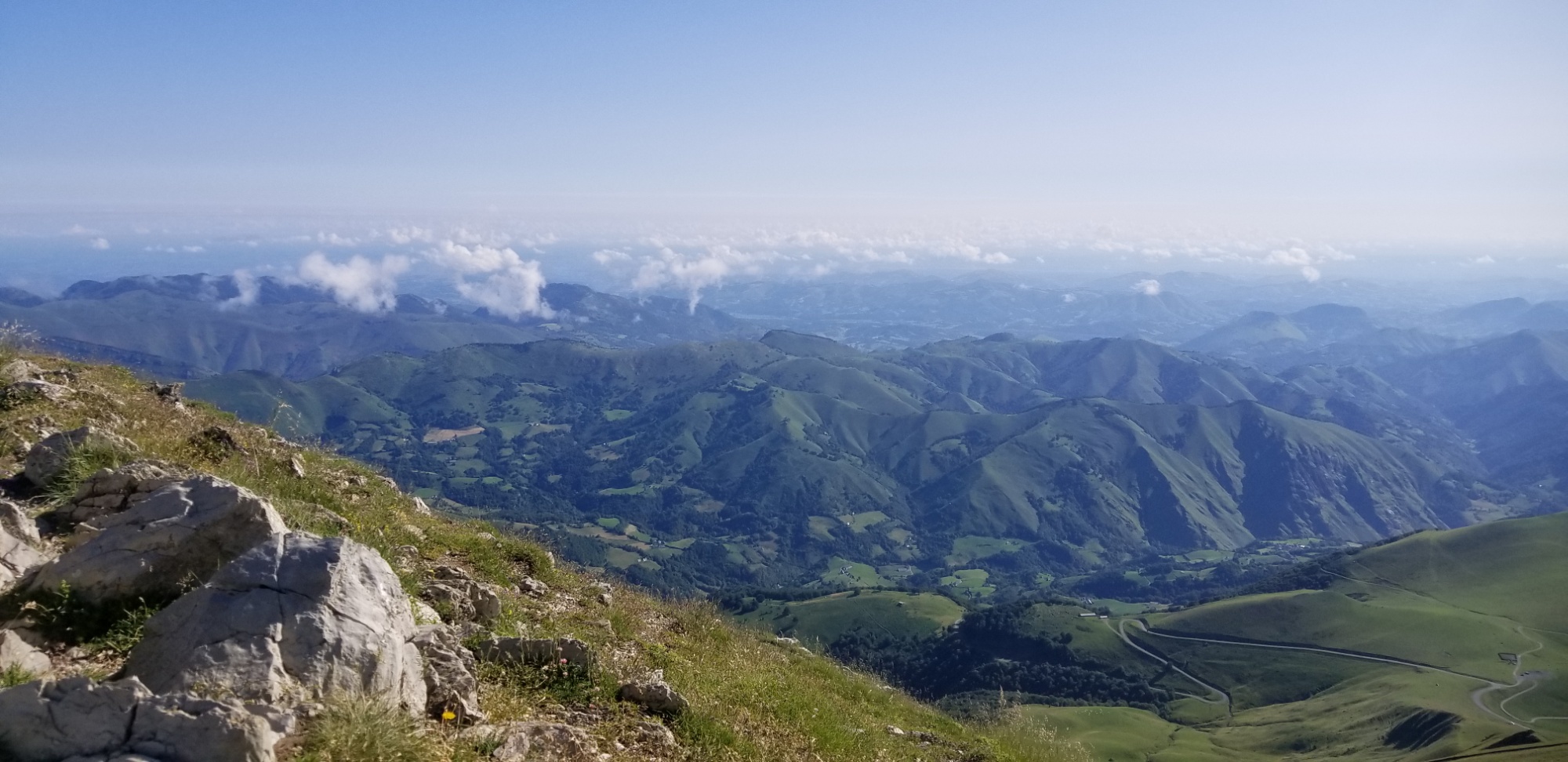
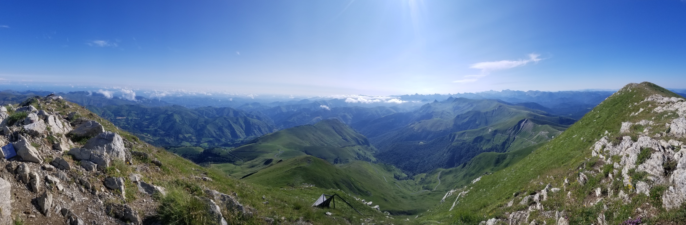
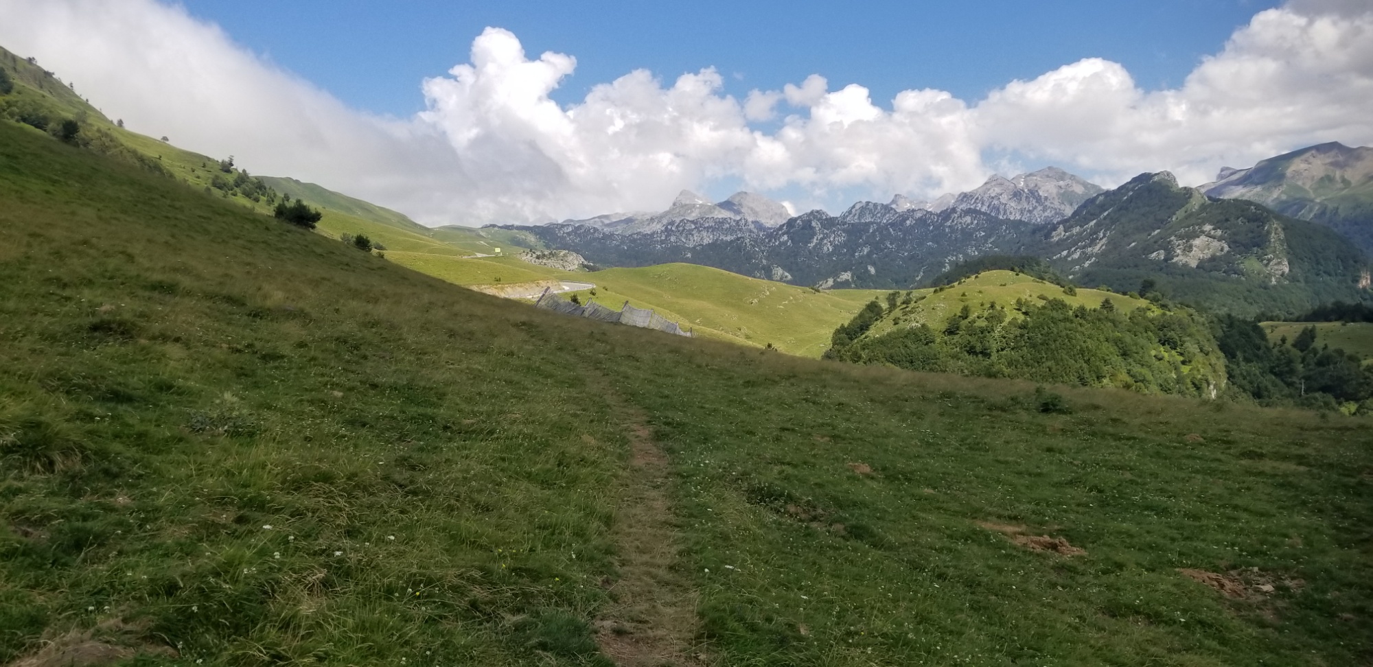
After that, there was a long downhill with sweeping views of the barren limestone mountain range I was headed into in an hour or so. Of course, the wildflowers were off the charts.
After a while, I walked past an old run down refugio, got 2 litres of water at the last stream I knew of (there is no water in the limestone canyon up ahead, for about 10km), and headed into an old forest.
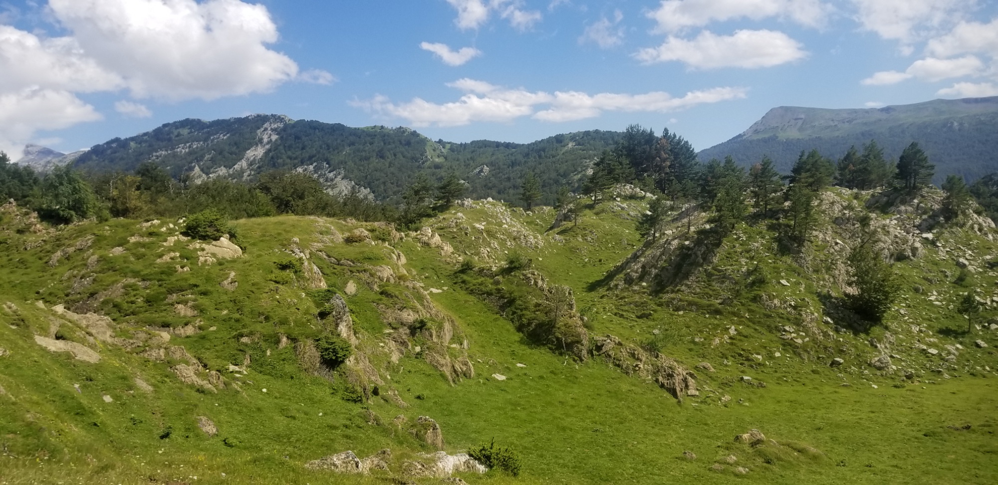
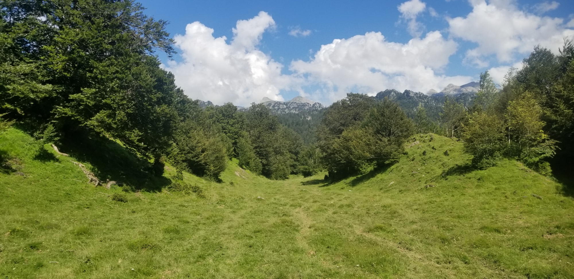
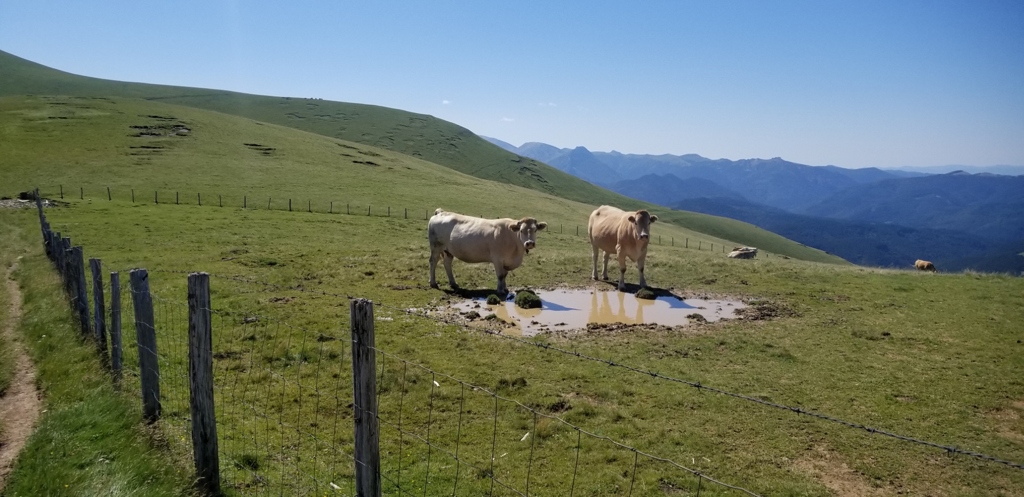
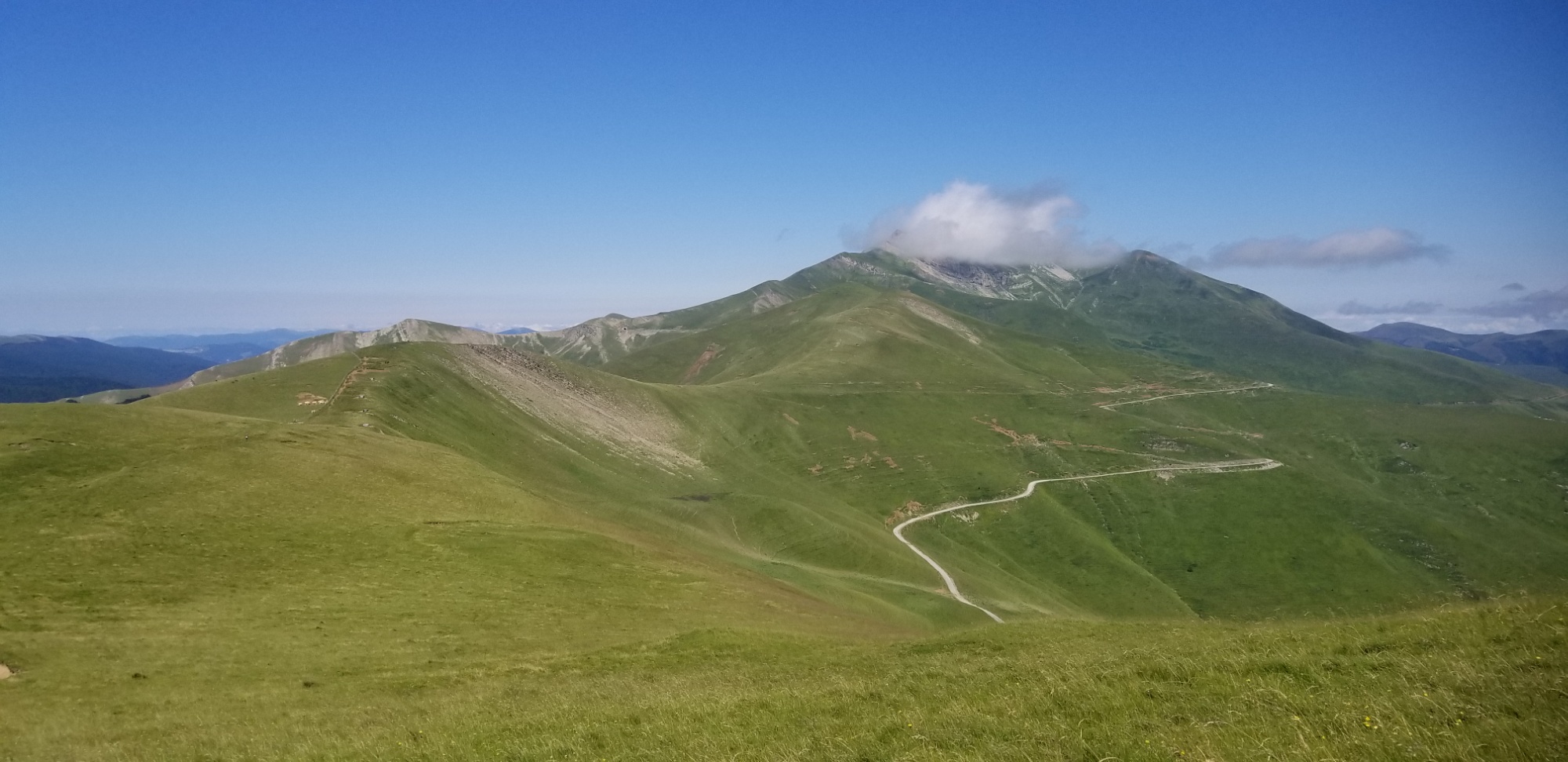
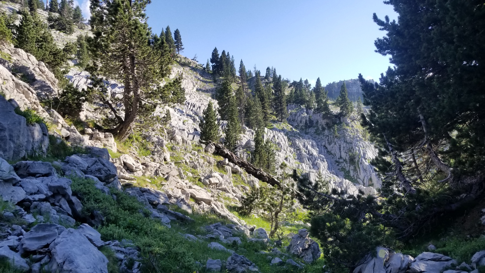
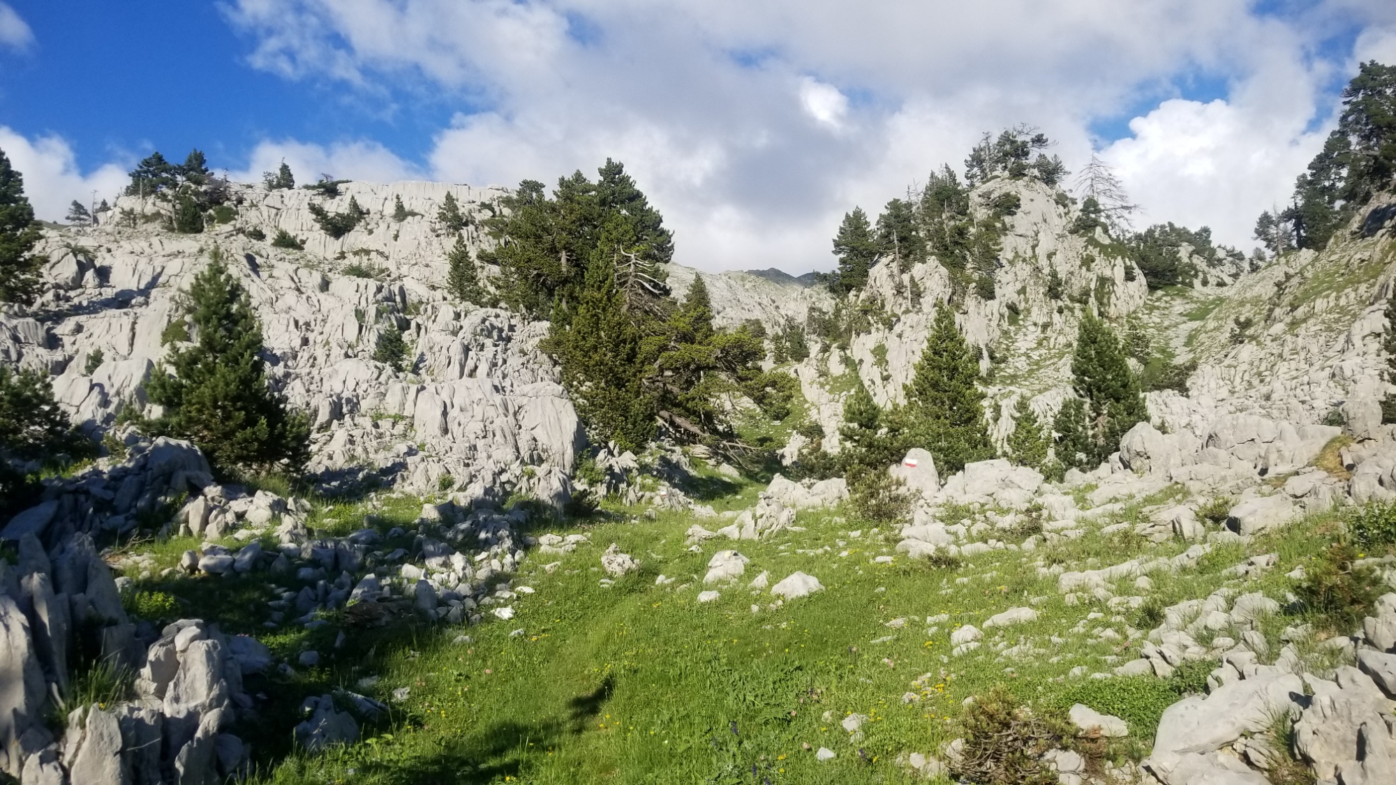
It was pretty bad at first–livestock had turned the trail here into a sopping muddy mess. After 3km through the forest, I finally reached a pass and got views of the bizarre limestone canyon that leads up to peak d’Anie! It was otherworldly. Felt like another planet altogether. Not to mention I was exhausted from the 32km I had just done. This last uphill 6km would be a real test of my endurance.
I made first dinner under a tree, and the flies were awful! I almost set up my tent just for some reprieve from their tyranny. They would not leave me alone until I got to camp later in the night. Beef strogranof mountain house and tuna with mayo and crackers, mmmm.

I ran out of water about 2km from where I was to camp, and I swear I started hallucinating due to sheer exhaustion. I thought I saw a face that was speaking to me, in the sunlight that was hitting a face of rock. “Is this what you wanted?” It asked.
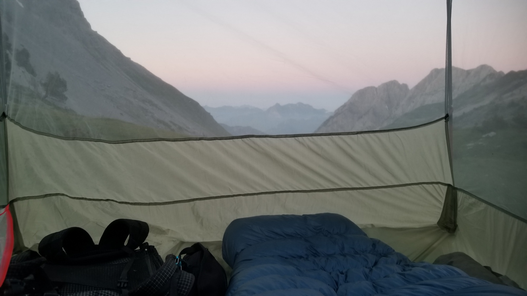
I didn’t really know how to respond to that, and besides, the flies were bothering me, so I threw my pack back on and kept a good pace all the way to the Pass d’Anaye, where the source d’Marmitou begins. Water at last!
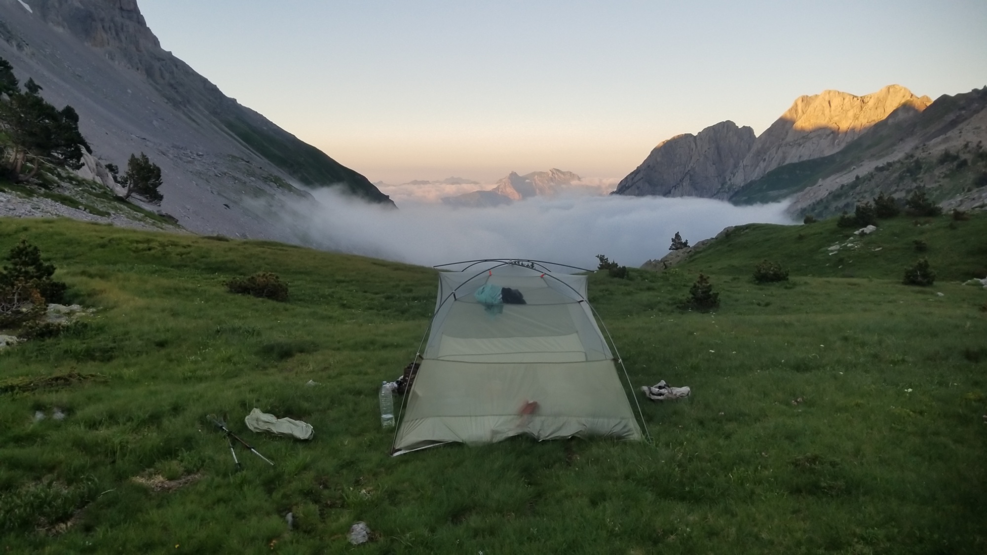
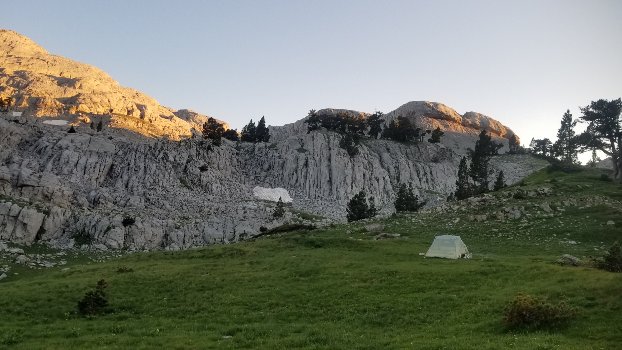
The sunset view was superb. I’m loving having these epic campsites every night!
I’m definitely sleeping in after all that. 38km (24 miles) and 2,000m ascent and 2,000m descent, 12,000 feet of combined elevation change. My legs are feeling it.
Tomorrow is just 9km to the village of Lescun, where I will resupply for the week journey to the beautiful Cirque du Gavernie, and take a rest day. 200km down, 500 to go on the HRP!