On my way out of Hanmer Springs on Saturday morning, the hostel manager at Jack in the Green where I was staying was nice enough to offer me a ride down to the highway intersection that leads off towards Boyle Village, where the trail picks up.
From there, I stuck out my thumb and got a ride with an older fella and his dog who were headed to a little close knit music festival where he was going to play some banjo. The dog was adorable and had his head in my lap the whole 40km ride.
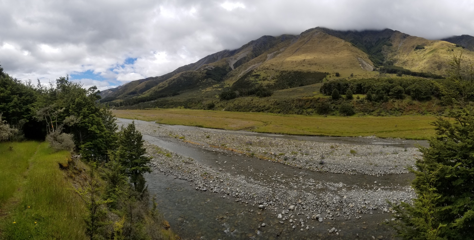
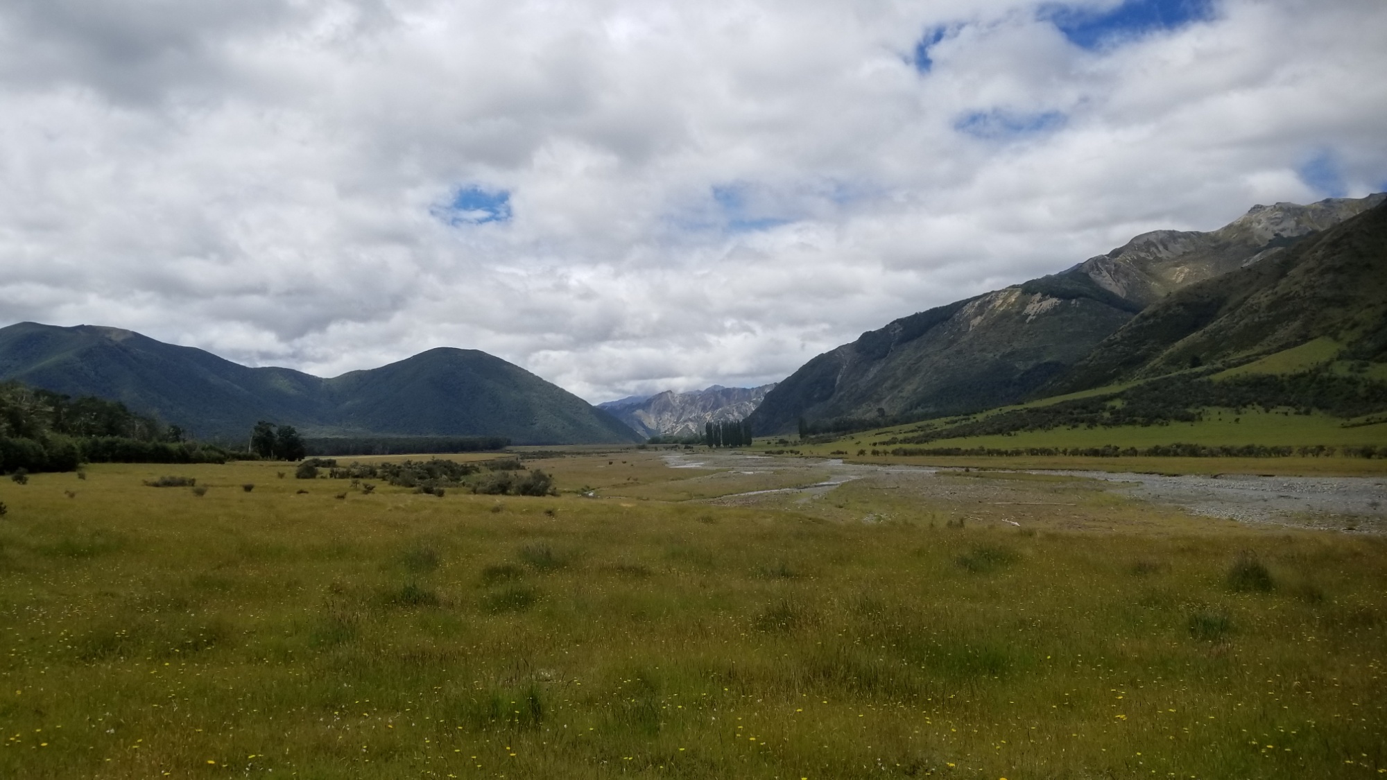
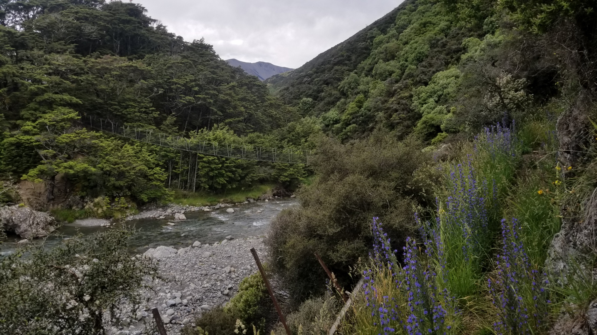
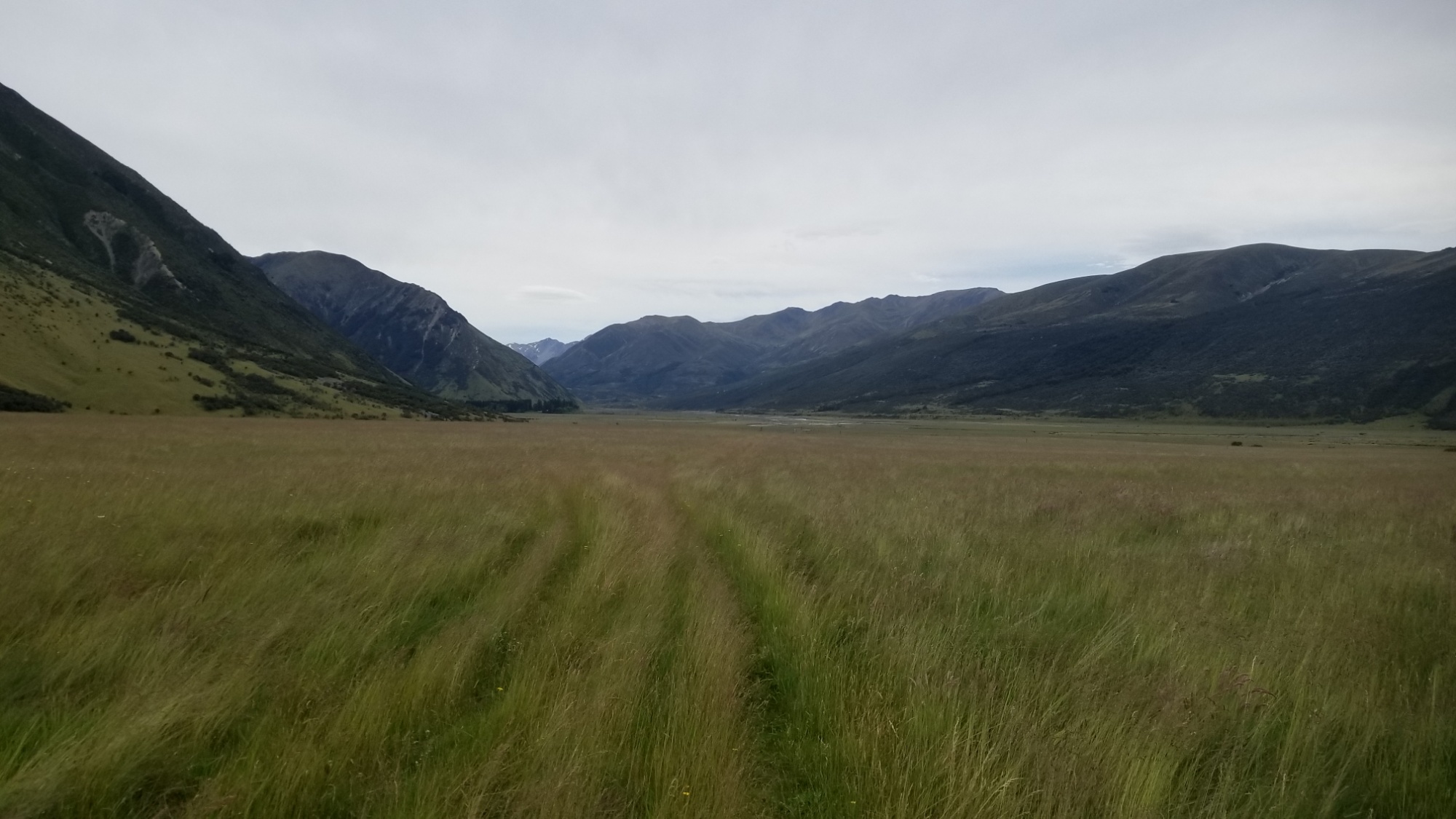
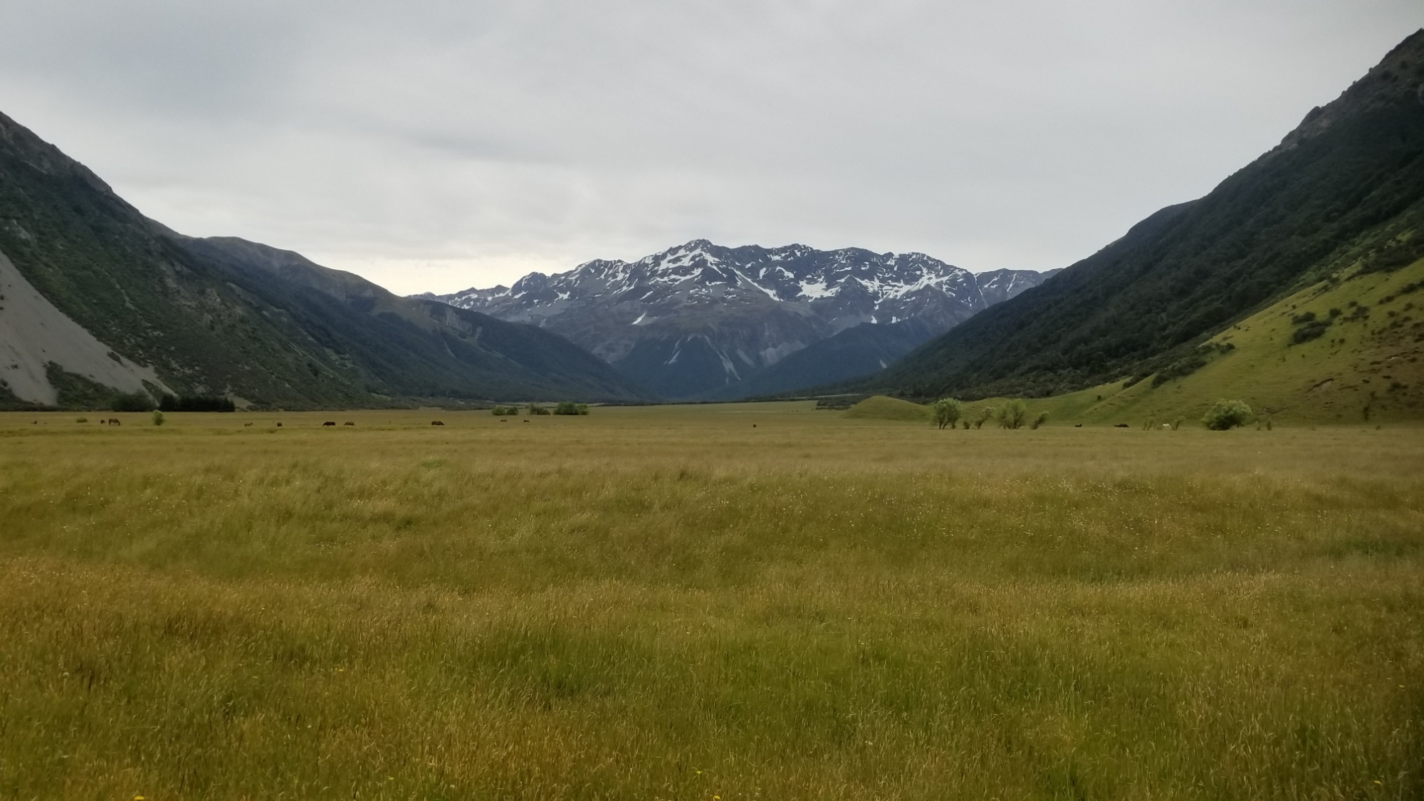
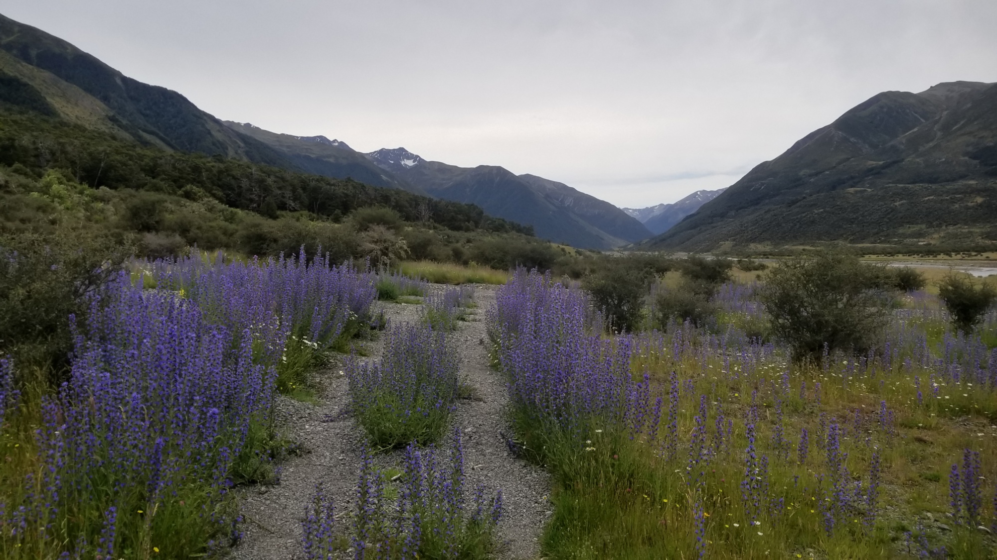
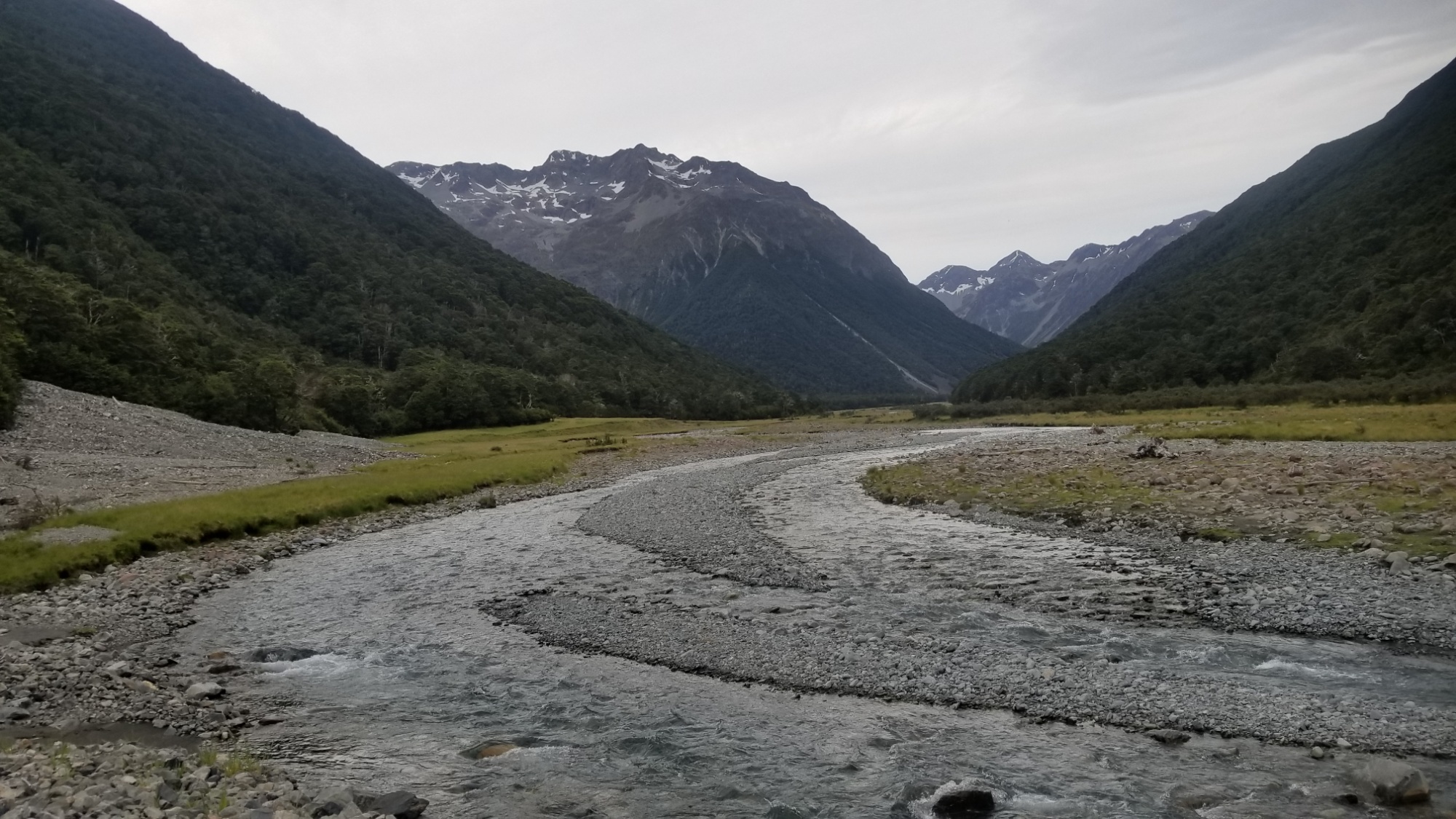
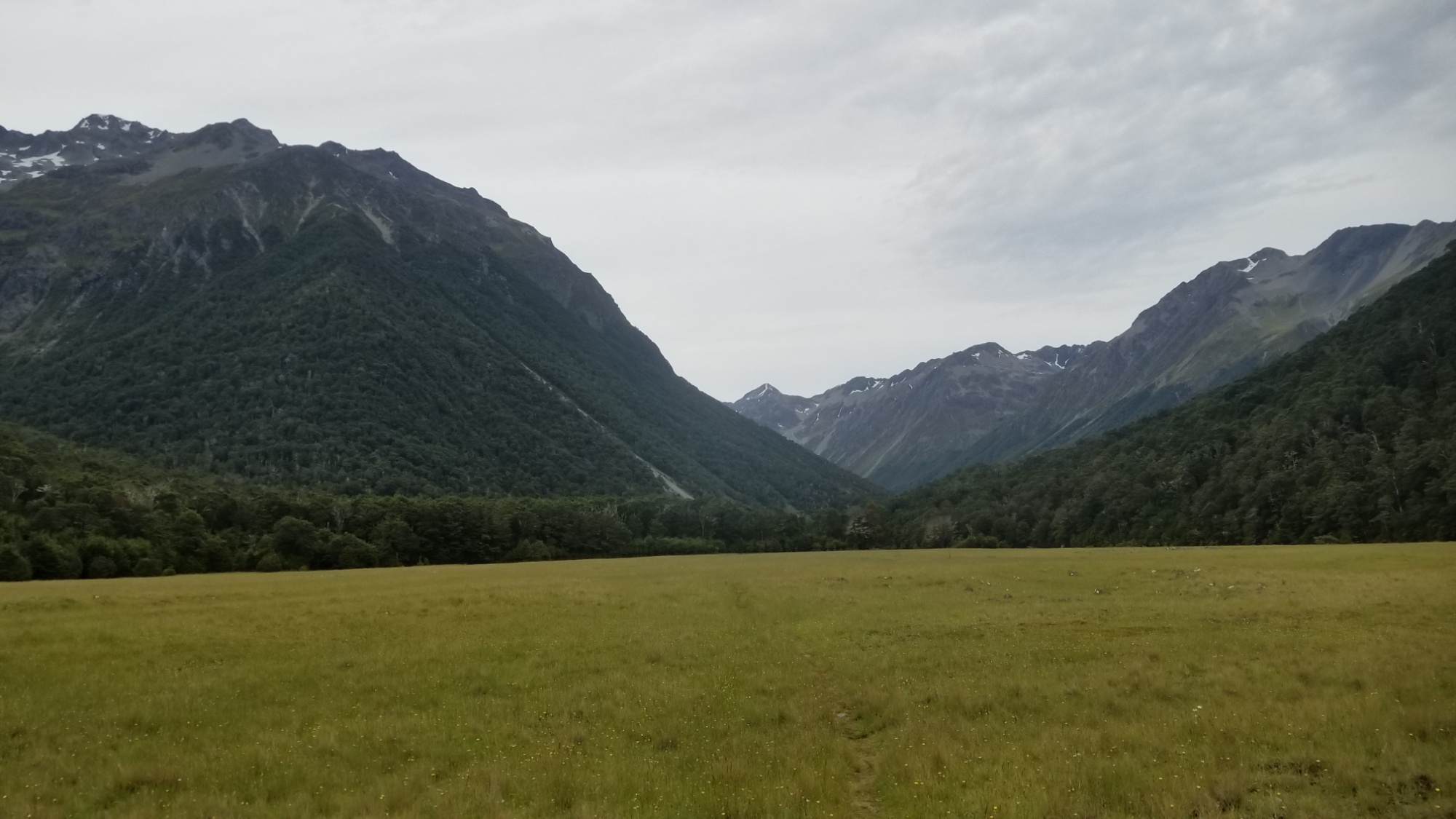
They dropped me off just outside of Boyle Village. We wished each other well, and went our separate ways. My route led 30km up the Boyle valley, over the Anne Saddle, and down another valley to the picturesque Anne Hut. I met up with my NOBO friend Nora there again, and pitched the tent outside since it was pretty crowded in the hut.
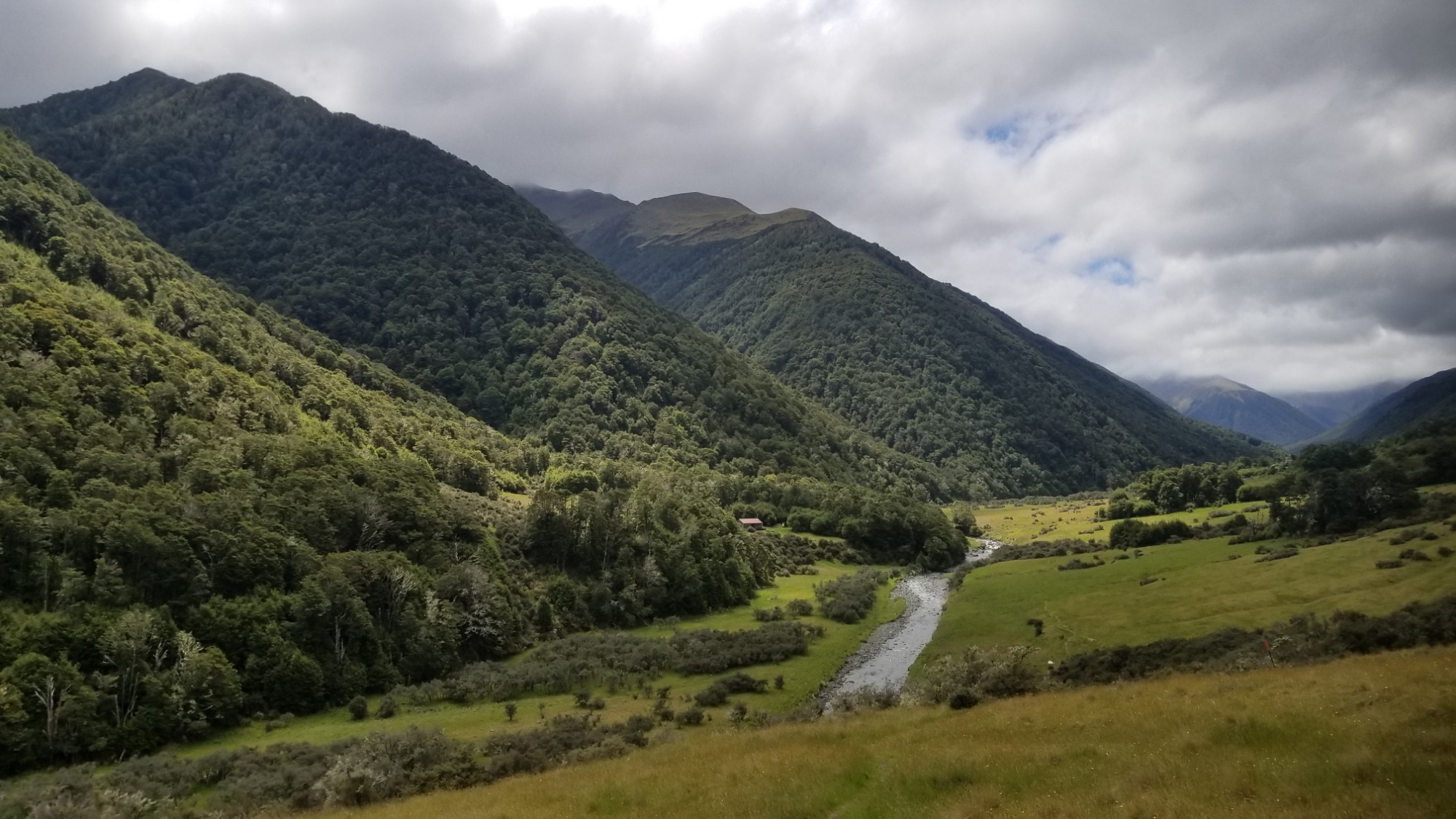
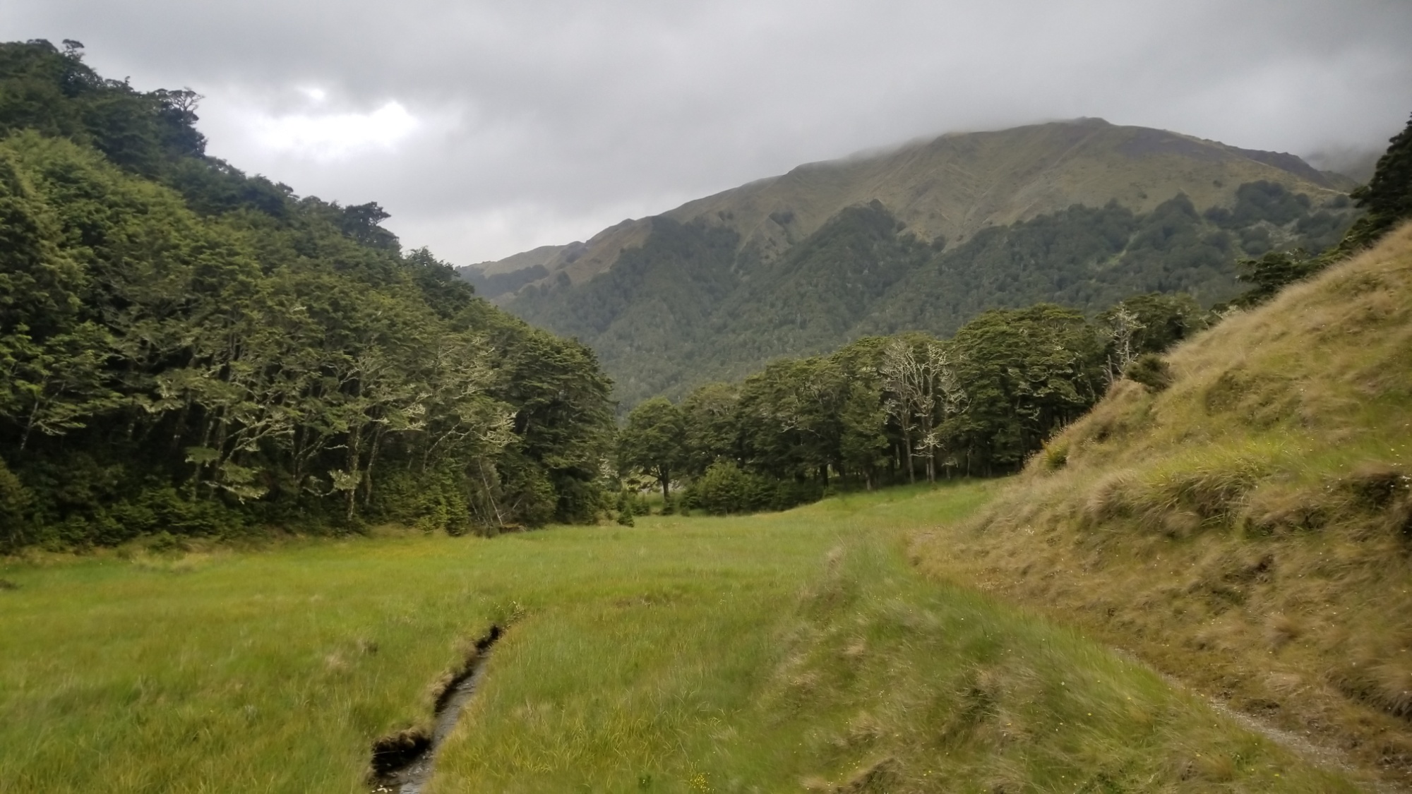
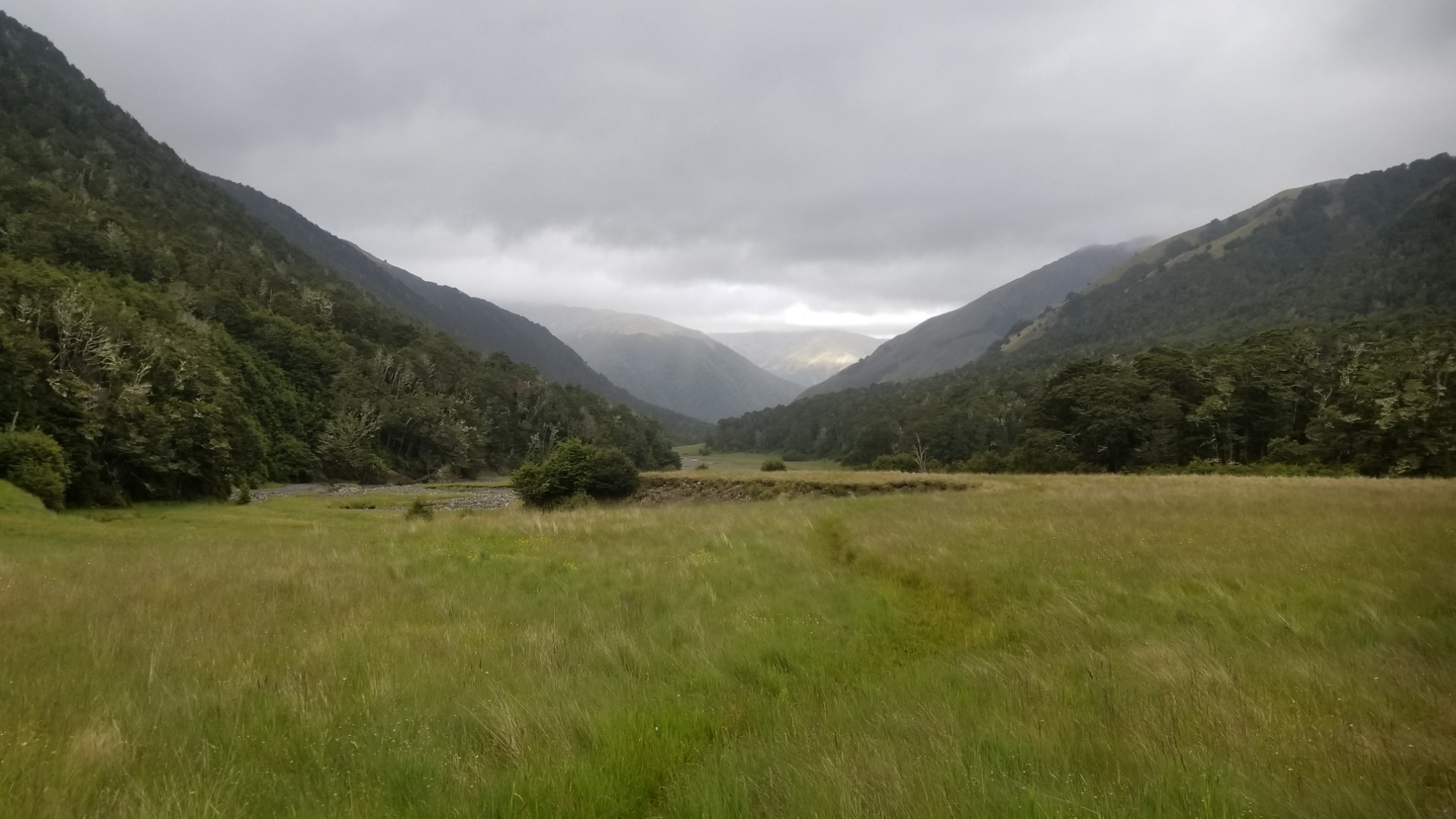
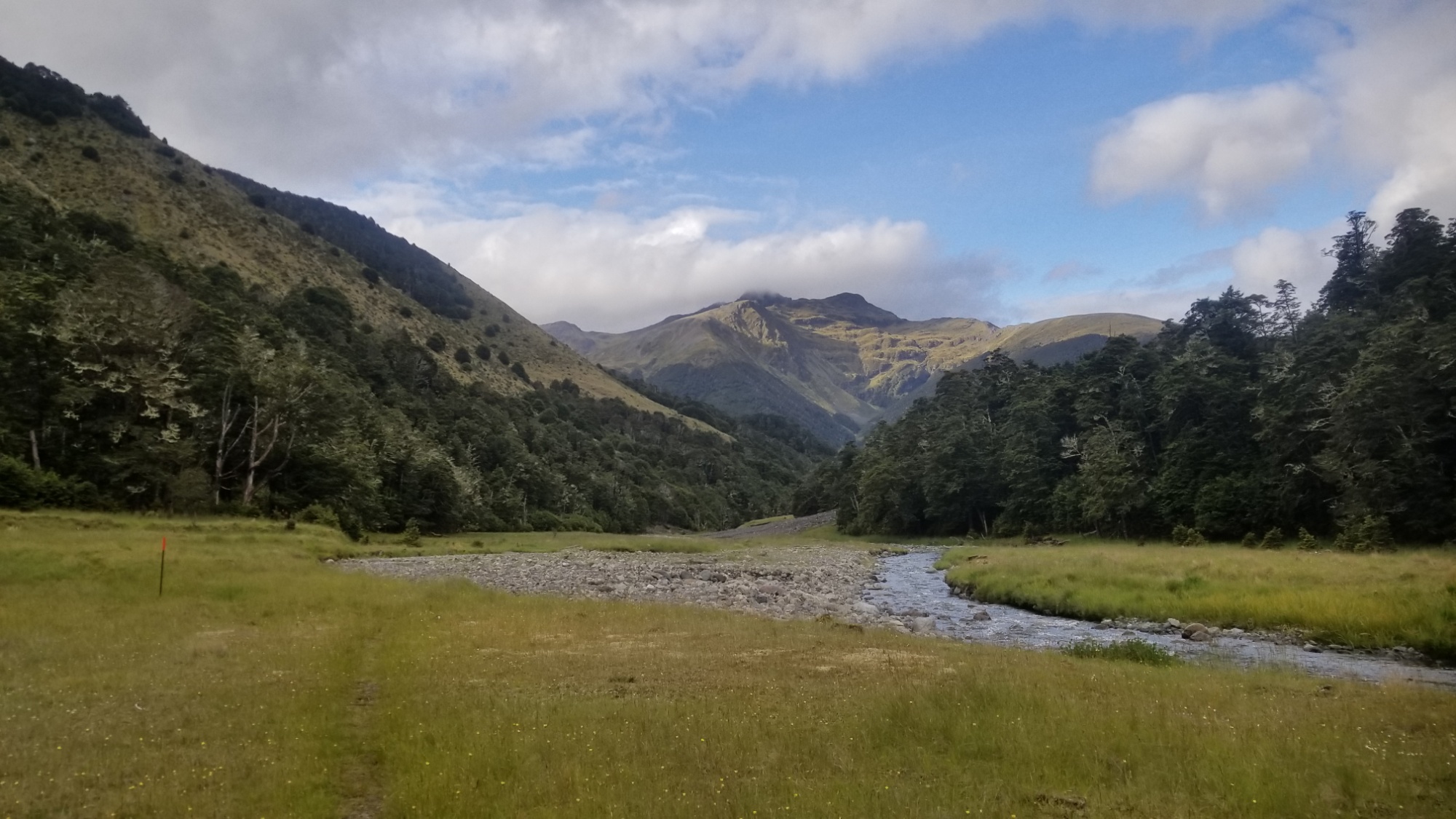
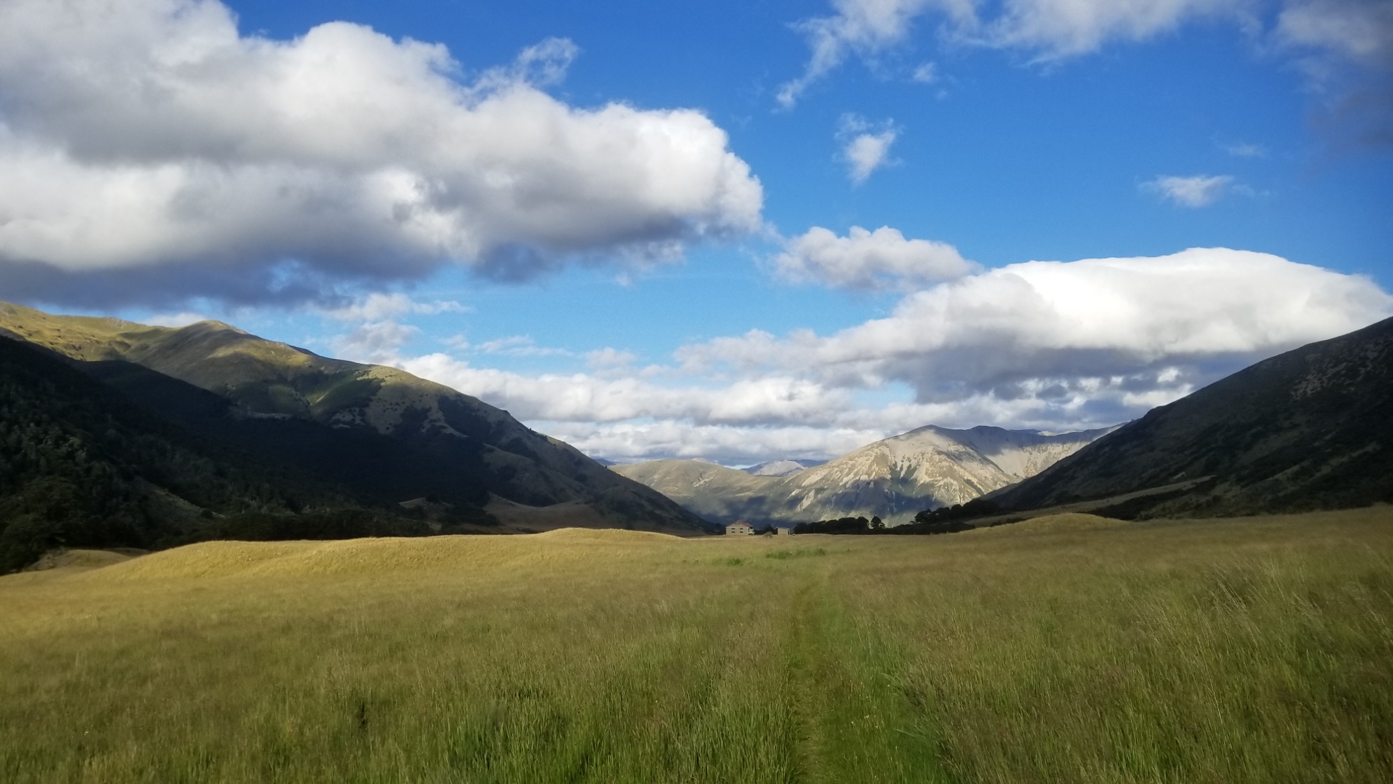
Oh yeah, and I lost my titanium spoon! Noooooo! We had been through so much together… it must have fallen out at some point when I took out my snack pack. Damn. This is why we do the idiot check every time we stop, Daniel! Well anyways, I borrowed Nora’s spoon, and used a stick to eat the next two nights. Haha.
The next day, I was the last to get up, and everyone had left when I went inside the hut for a morning coffee.
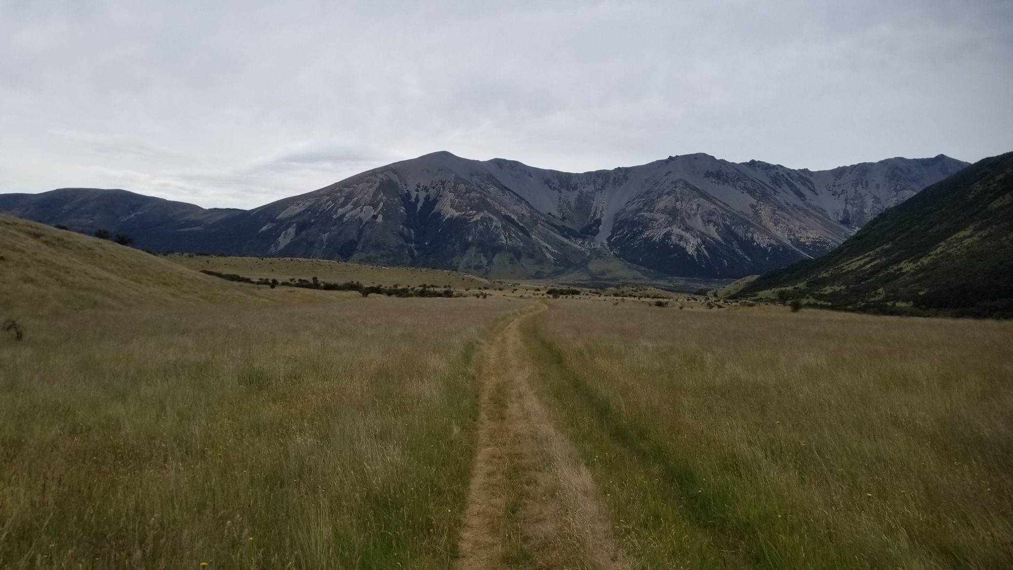
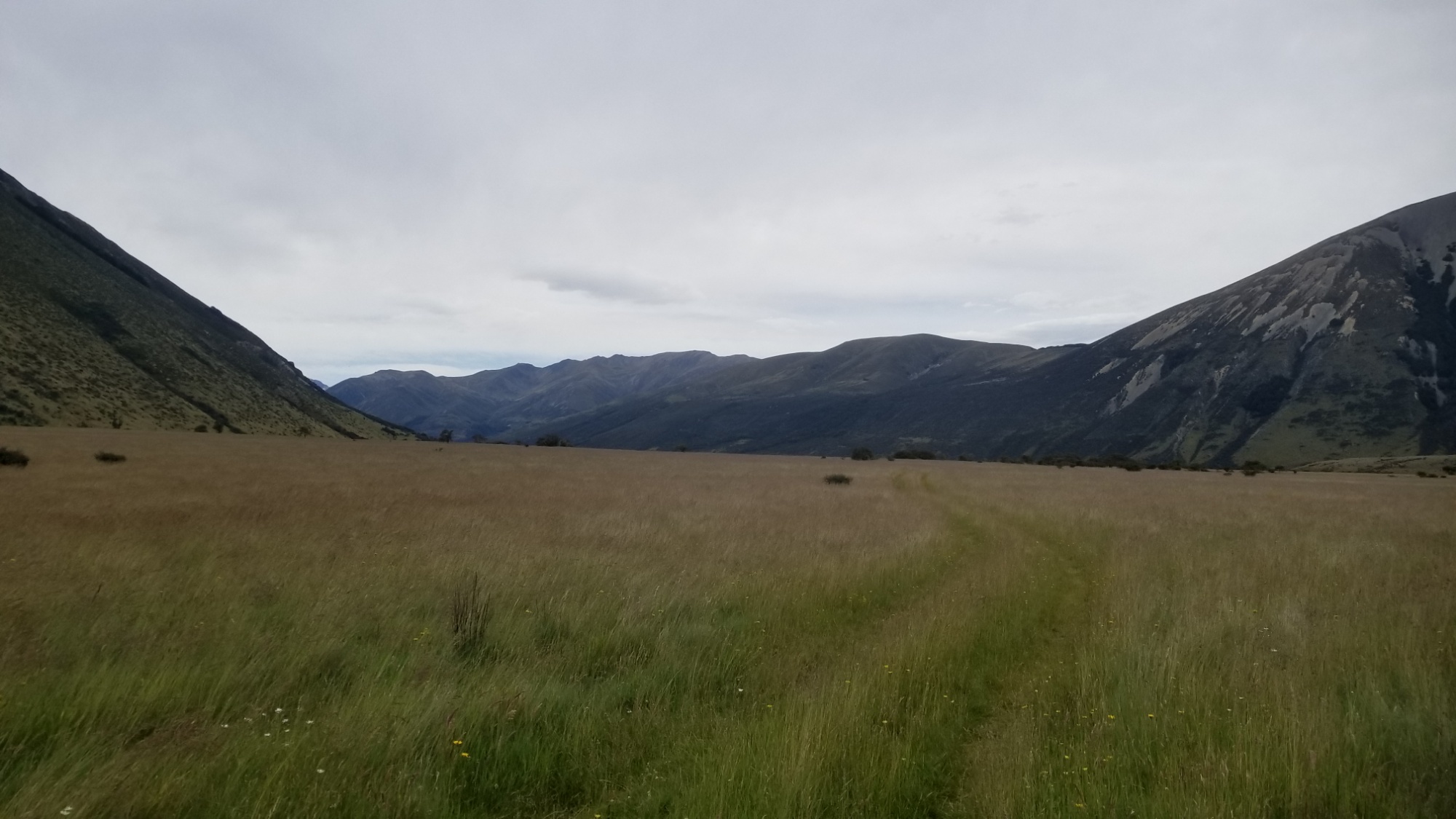
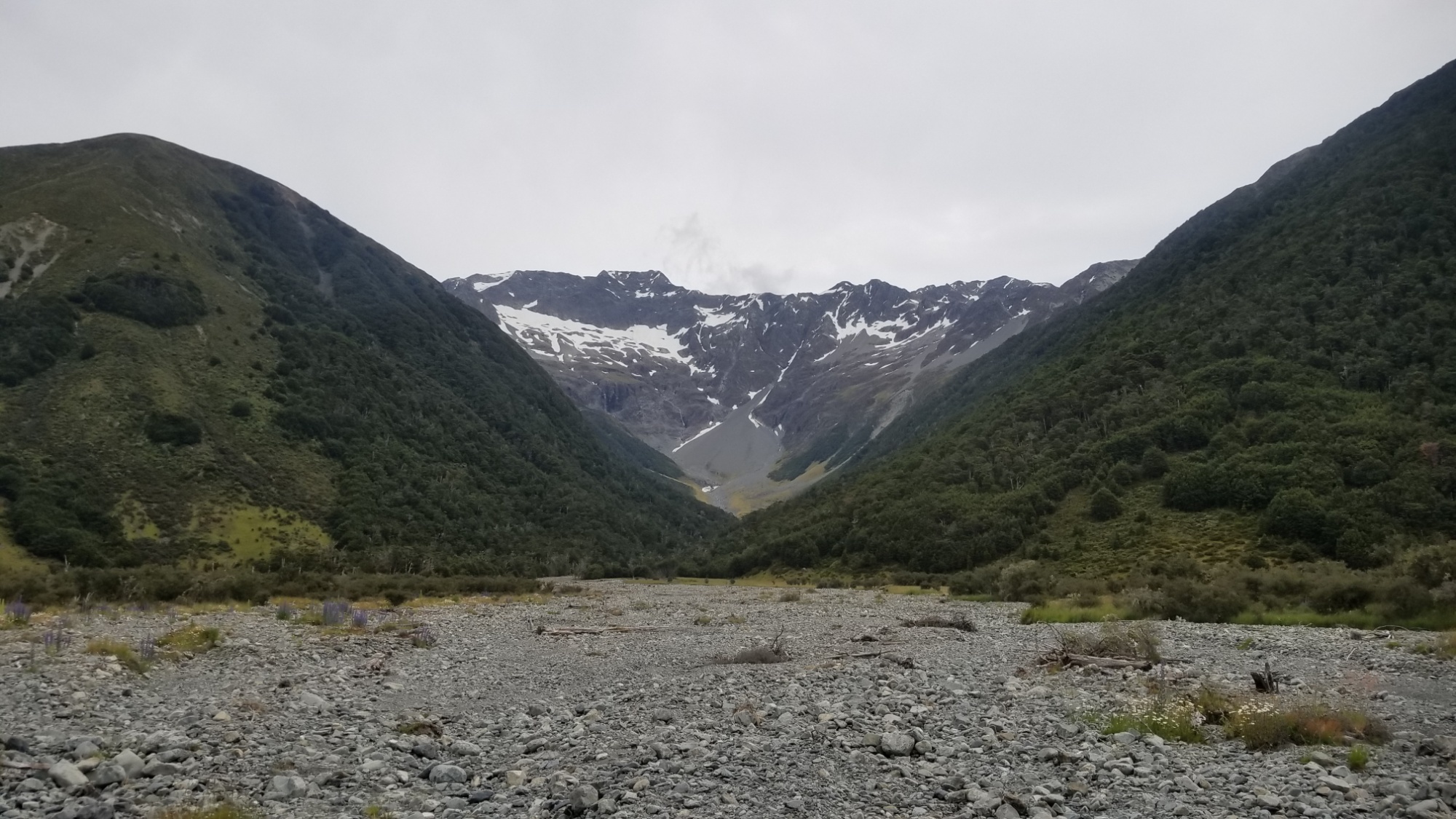
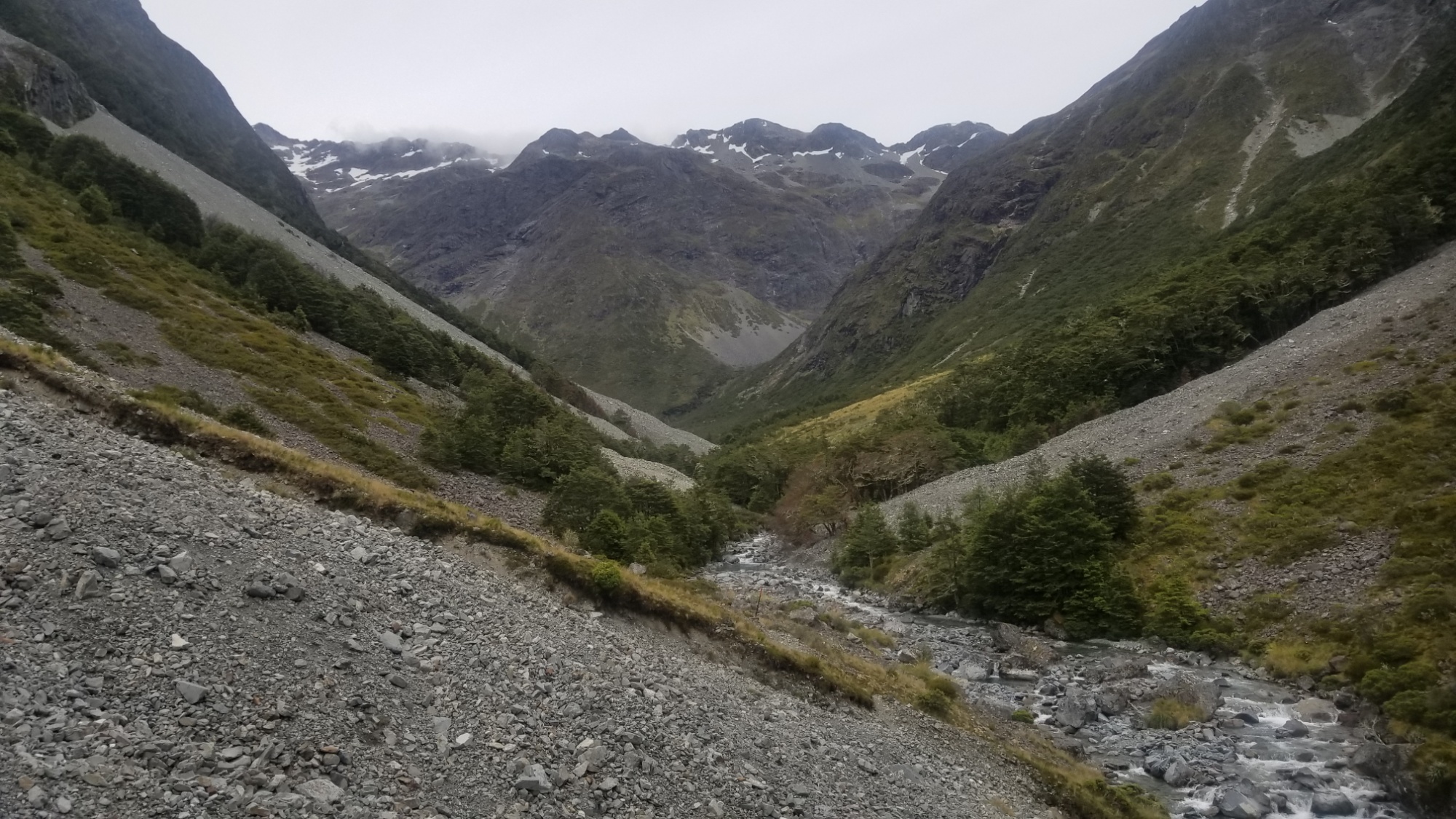
Then, the rest of the day was spent walking 30km up the Waiau valley to a campsite just below Waiau Pass, one of the steepest and most challenging alpine traverses of the whole Te Araroa.
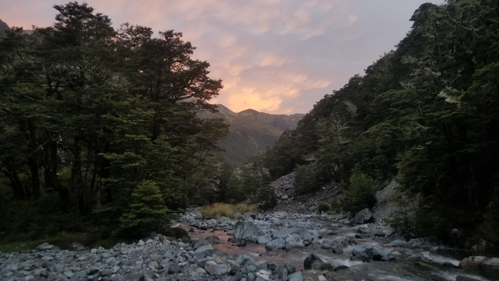
Nora and I had a roaring fire going at the campsite, and she was sewing the shoulder strap back onto her pack while I ate my dinner with a nice stick I found. It was like the perfect poster image for the quote, “Life is Hard.”
Embrace the Brutality as we always said on the Continental Divide Trail.
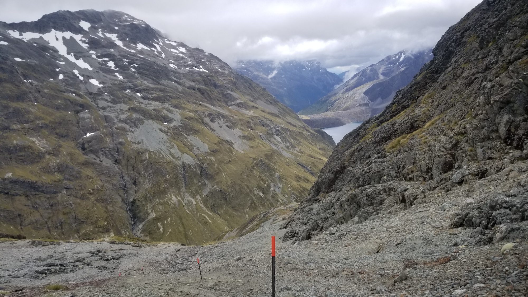
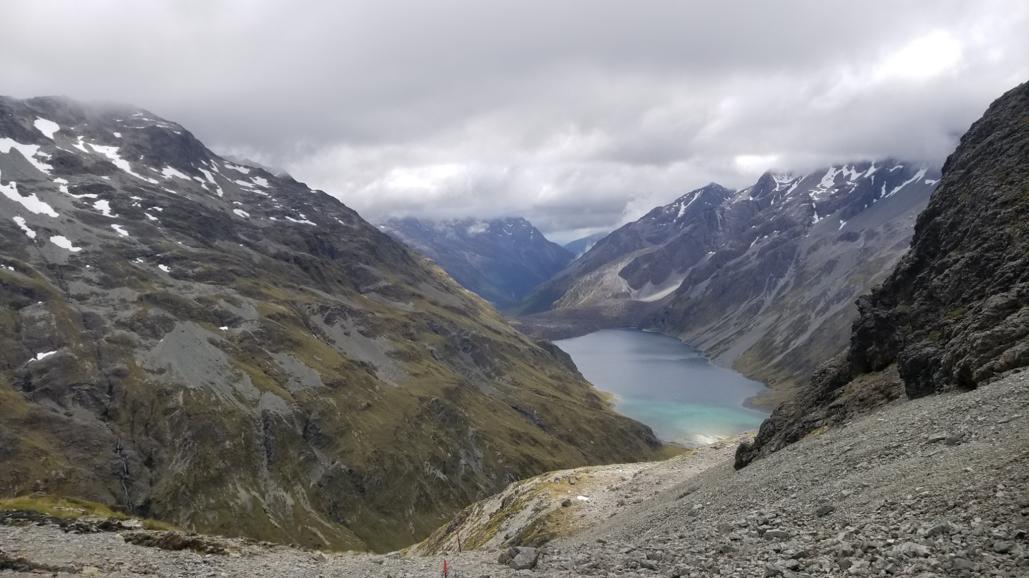
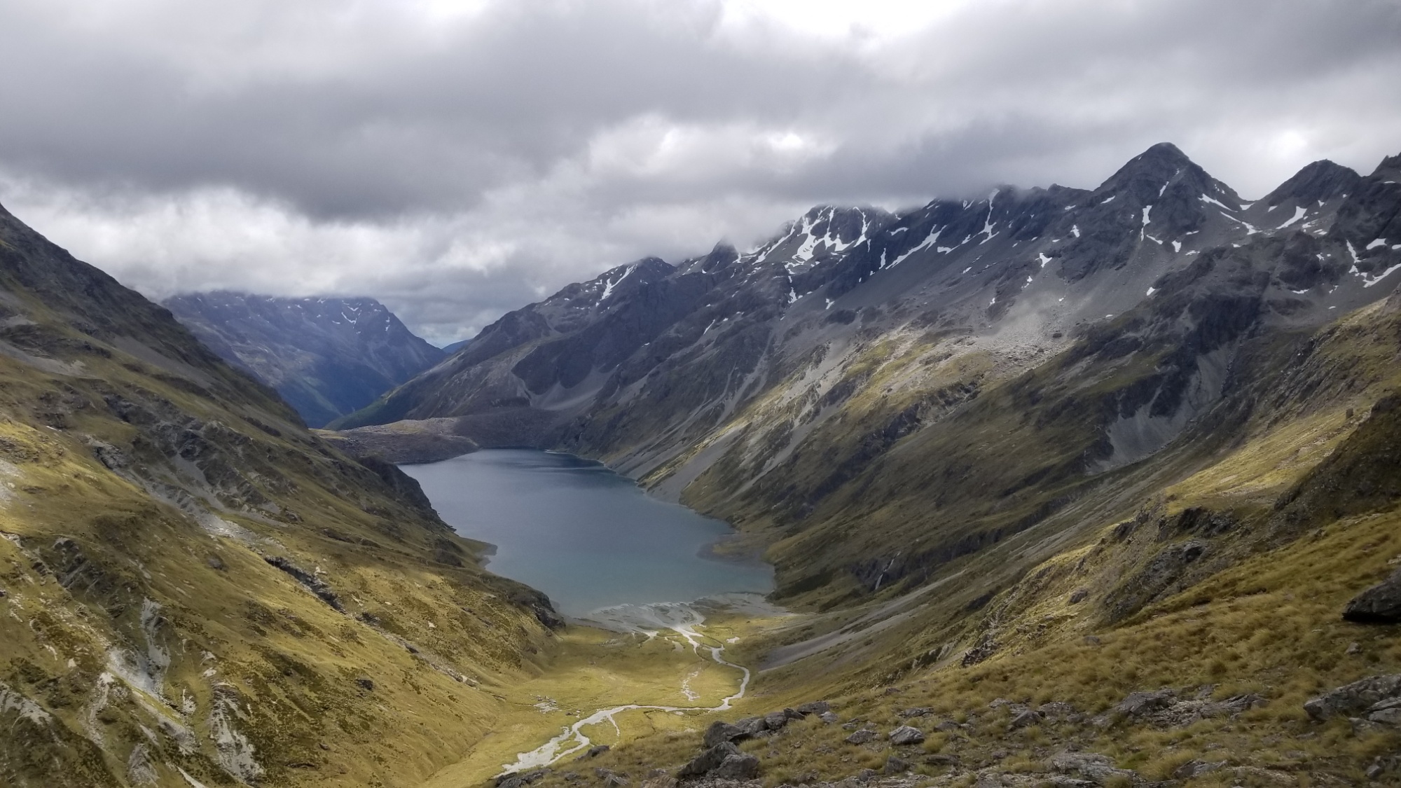
The next day saw a steep 500 meter ascent over the Waiau pass, with gorgeous views of Lake Constance. It looked like rain early, but became a beautiful day afterwards. Beyond the pass, there was an equally steep descent down to the lake, and then a little hike up and around a large spire jutting out from the lakeside. Then, a cozy walk down to the sacred Blue Lake and its hut.
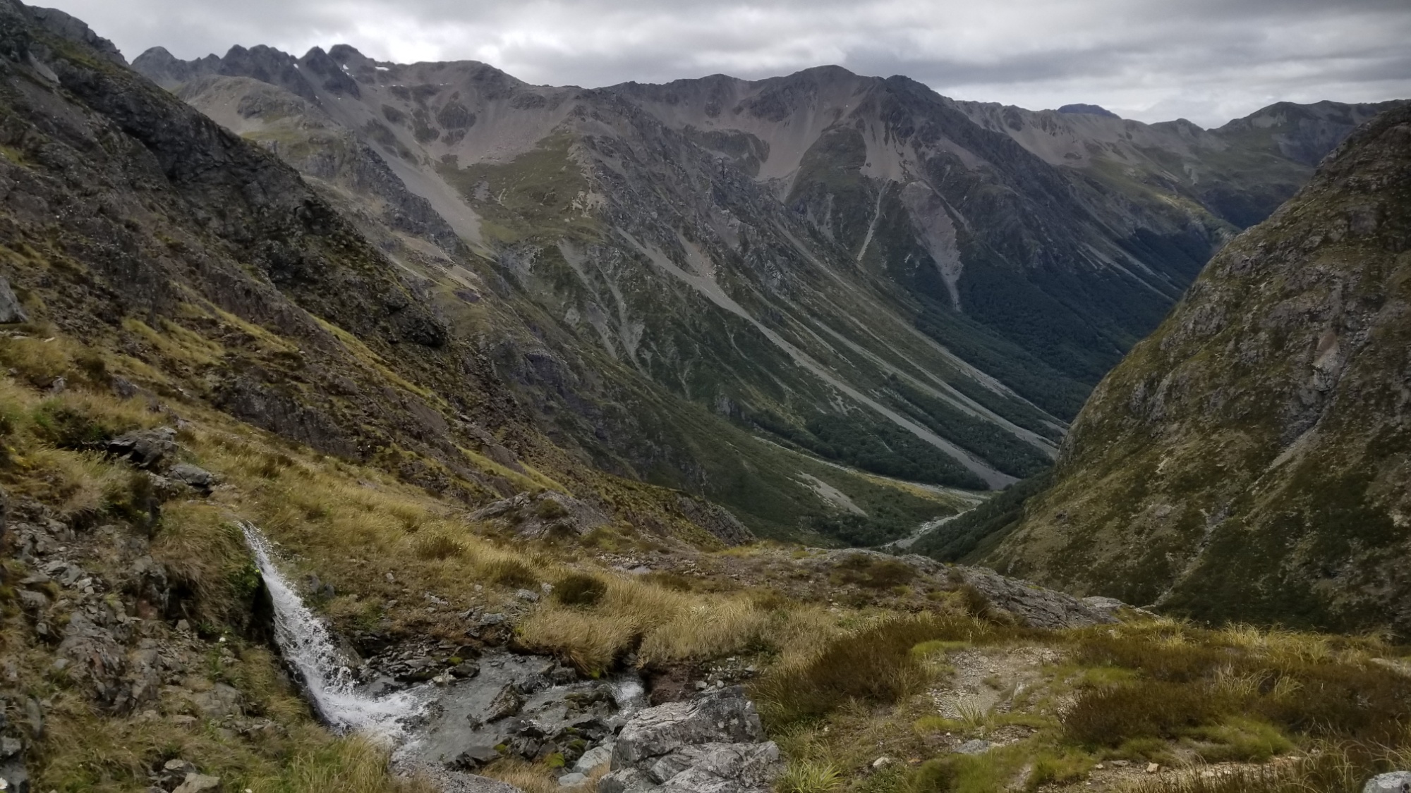
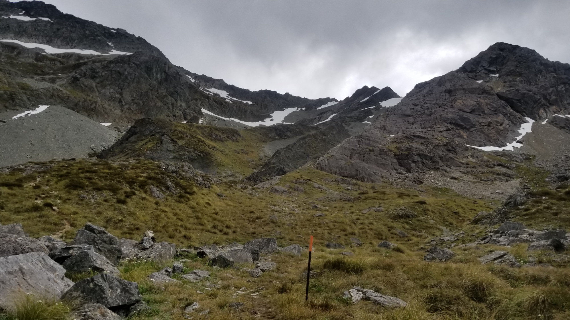
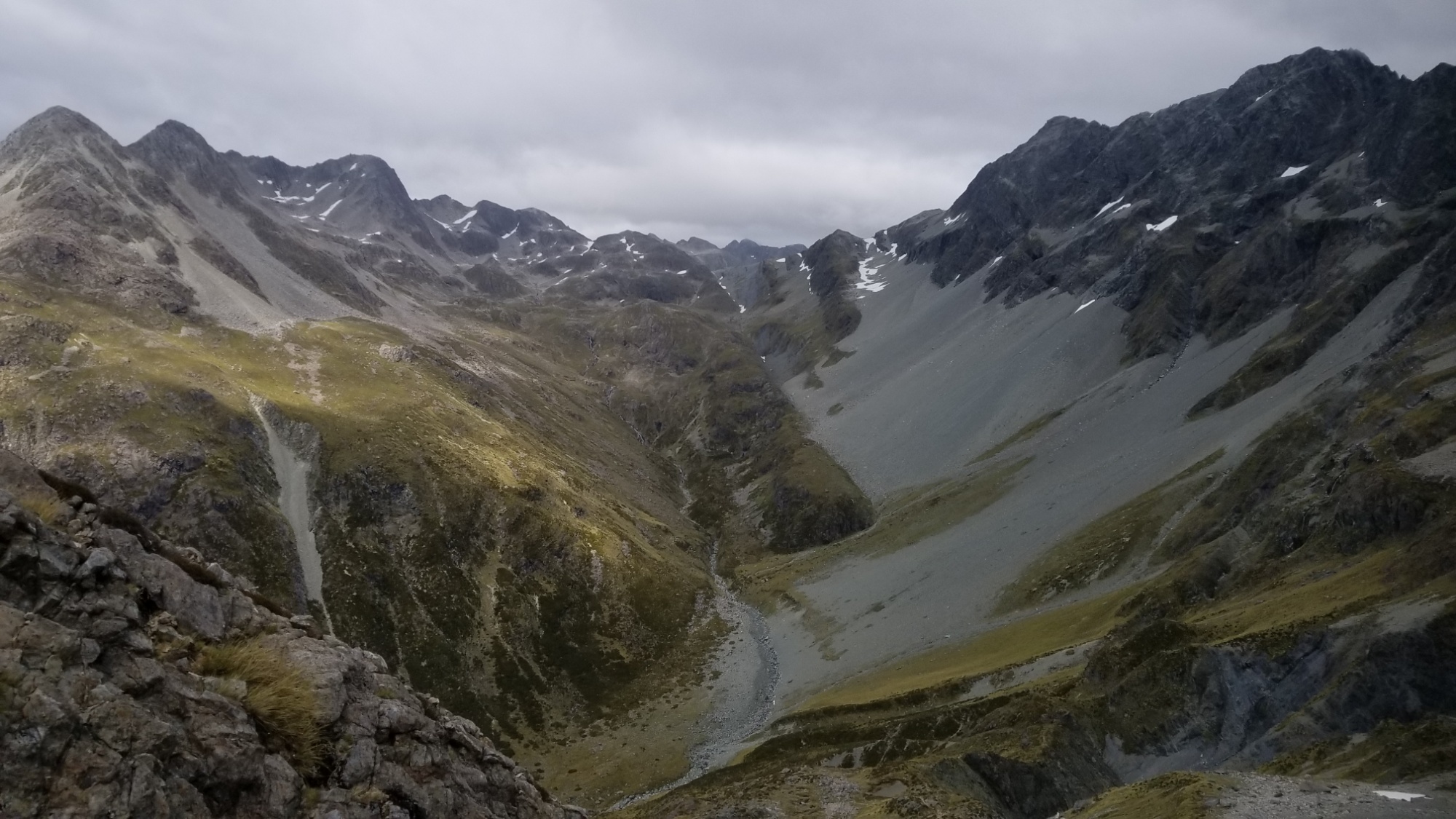
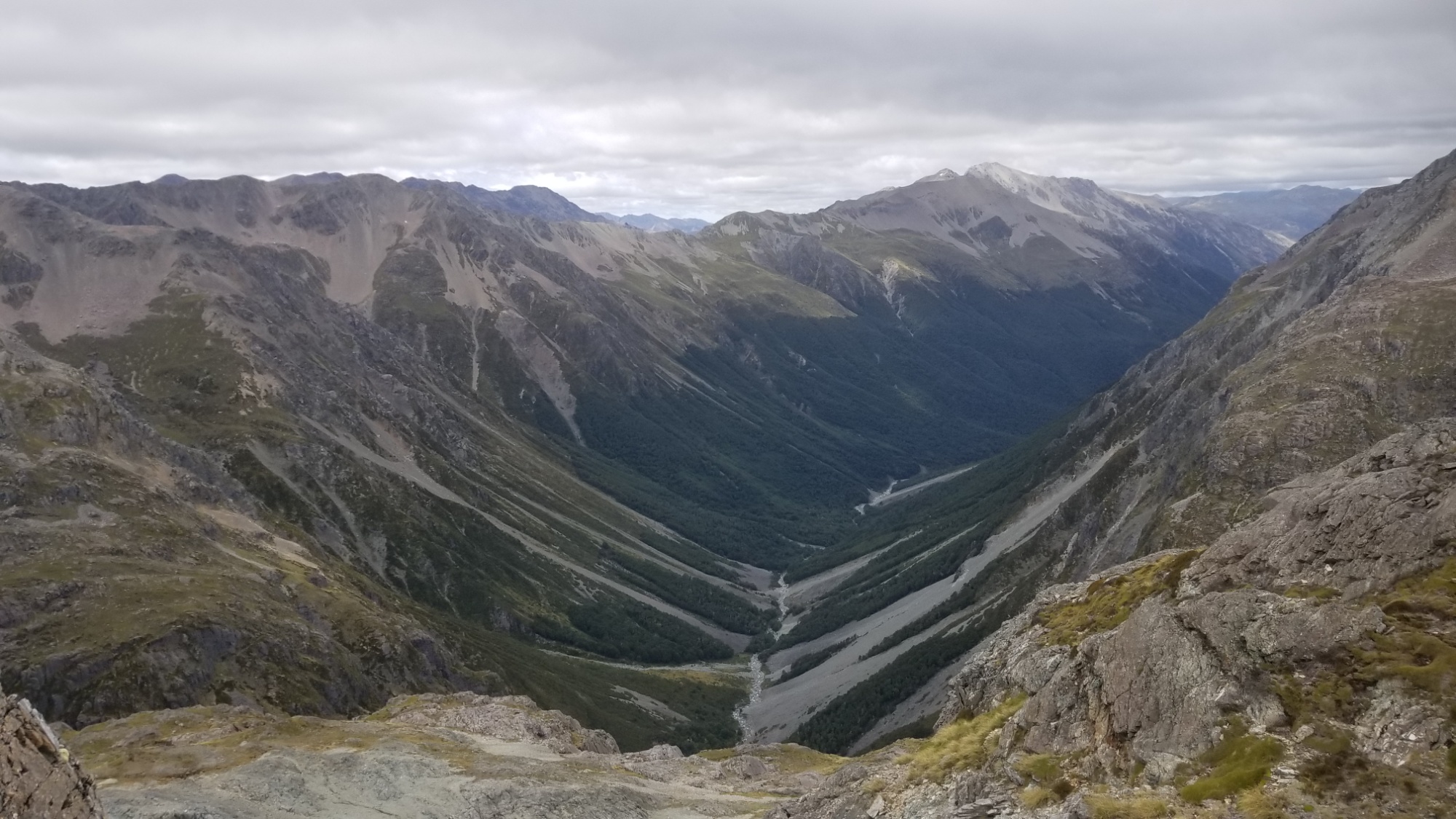
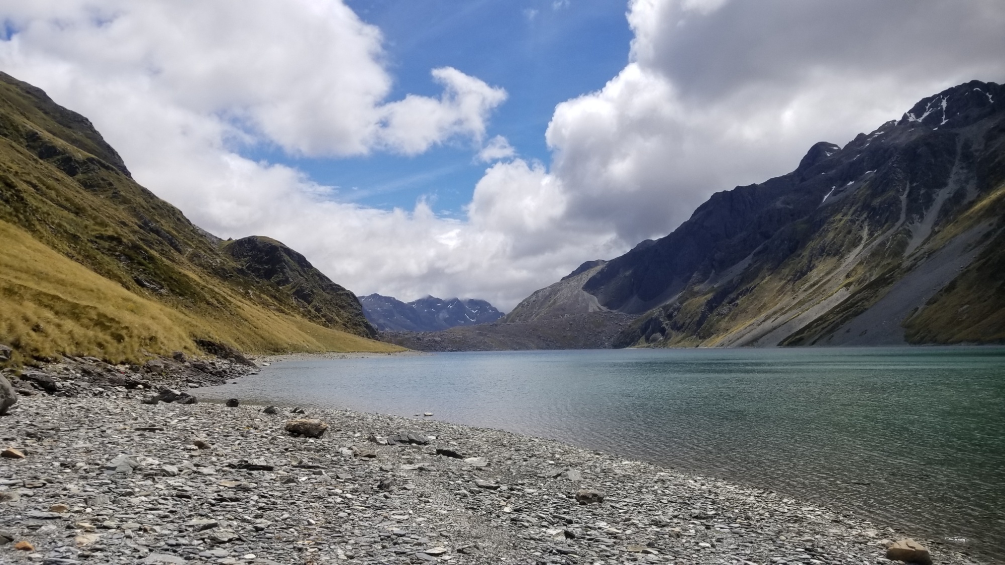
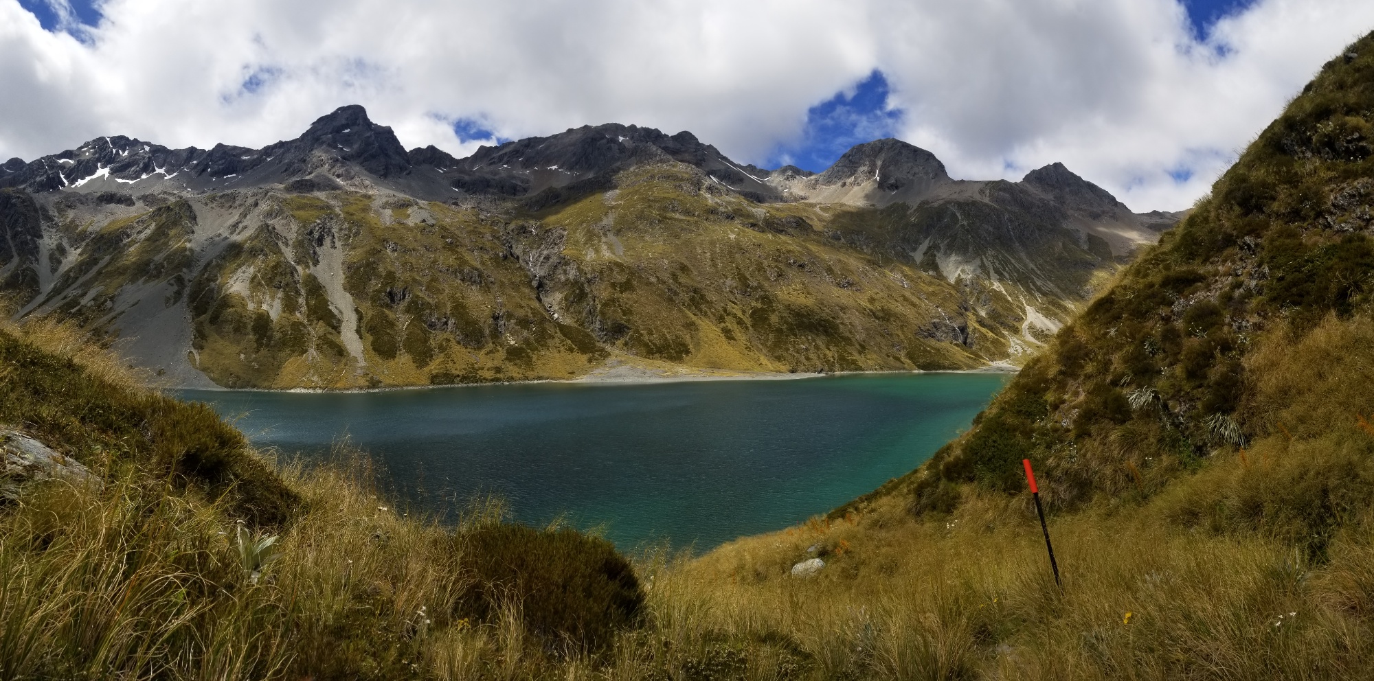
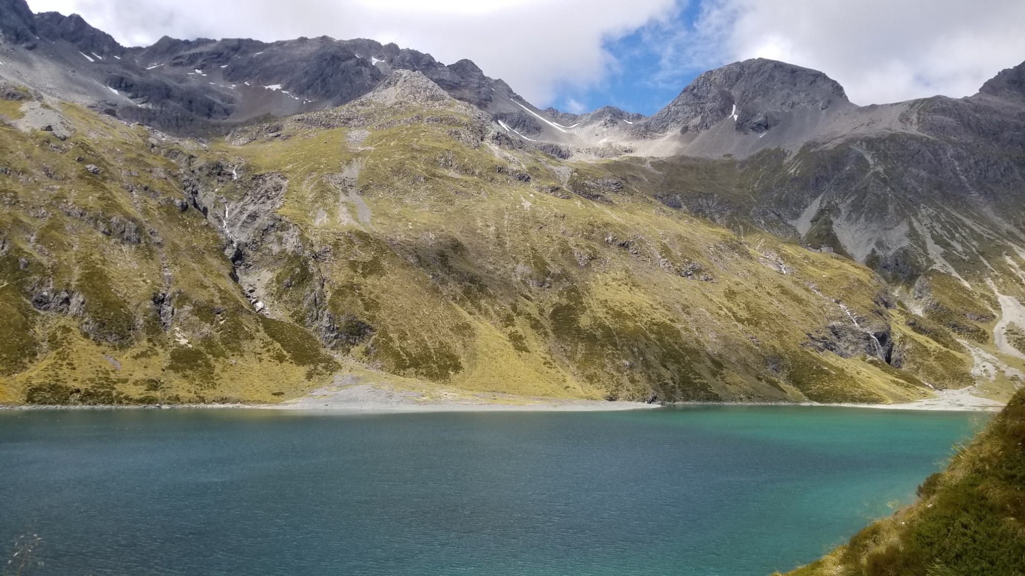
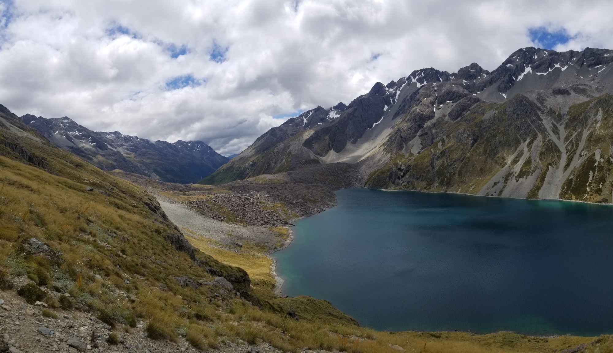
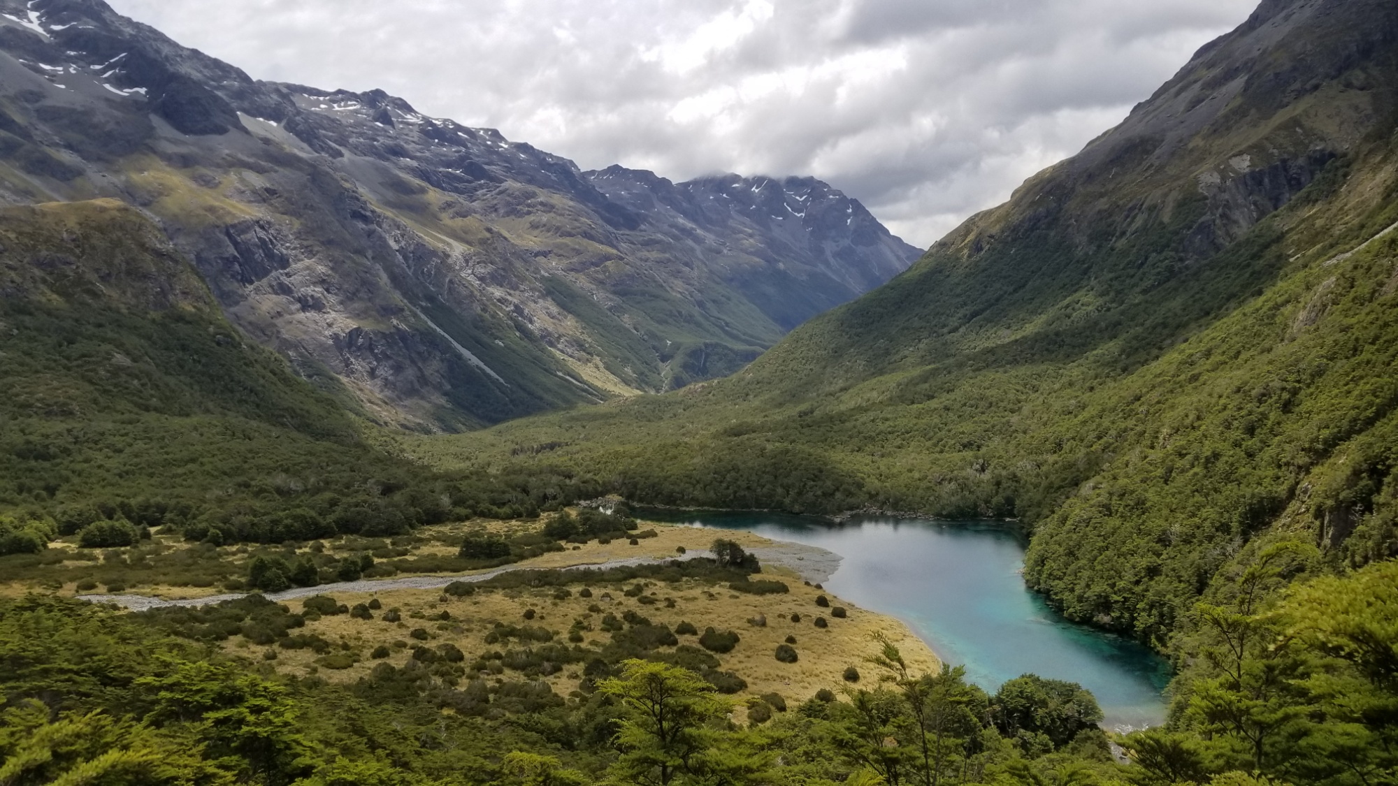
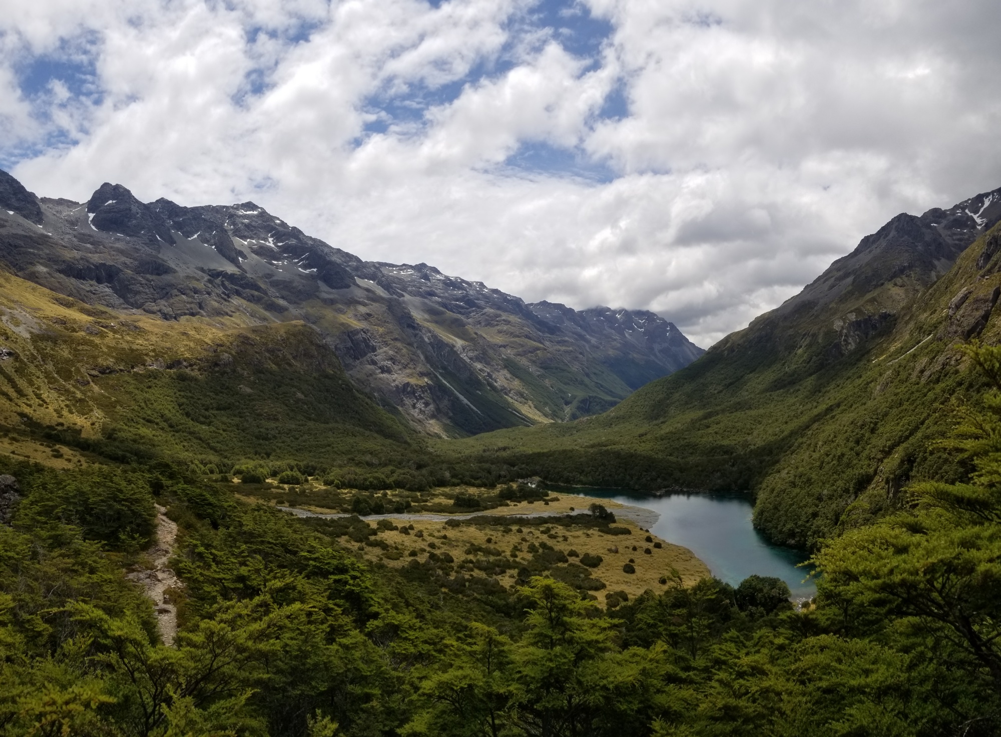
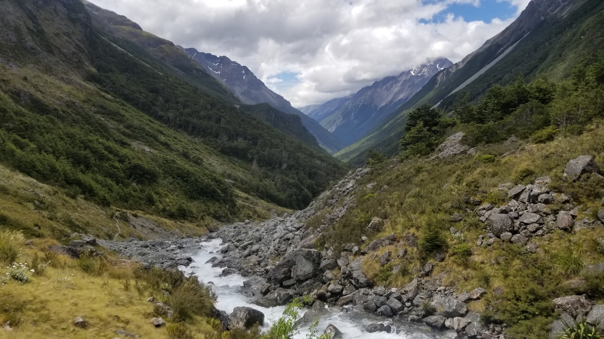
I stopped here for lunch, but didn’t take long since it was so stifling hot inside. From there, there was a pleasant walk down the headwaters of the Sabine River to West Sabine Hut, where everyone seemed to be excited for the New Year happening that evening (we got it here first in New Zealand).
I happened to run into my friend Ashton there too, whom I had met when he saw my backpack from outside the Wendy’s, way back in Auckland and asked if I was doing the TA. “It looks like a thru-hikers pack,” he said.
We had a great reunion and played lots of cards between the 4 of us. I learned his trail name was two spoons, and this was hilarious because I had no spoons! I told him I had been eating with a stick for a couple nights, and he was kind enough to give me his 2nd long-handle titanium spoon! What a stand up guy! “I hope it brings you much joy and benefit in your travels,” he said. Damn, Ashton. Thank you so much!
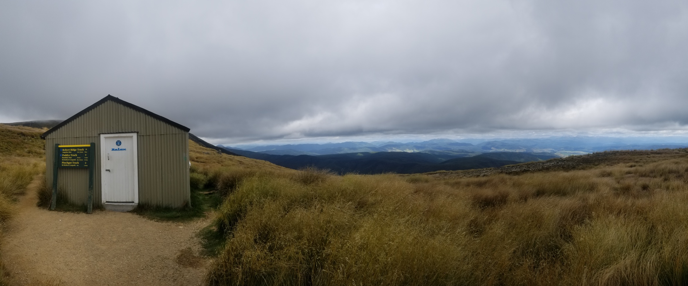
The next day, I parted ways with Nora–she was taking the official TA over Travers saddle, while I was keen to do the Robert Ridge Route and Angelus Hut, which I had heard about from the instagram of my friend TimeRider107 who flew down the trail a month ahead of me.
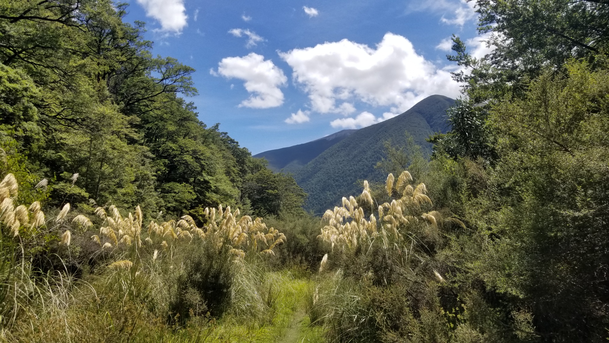
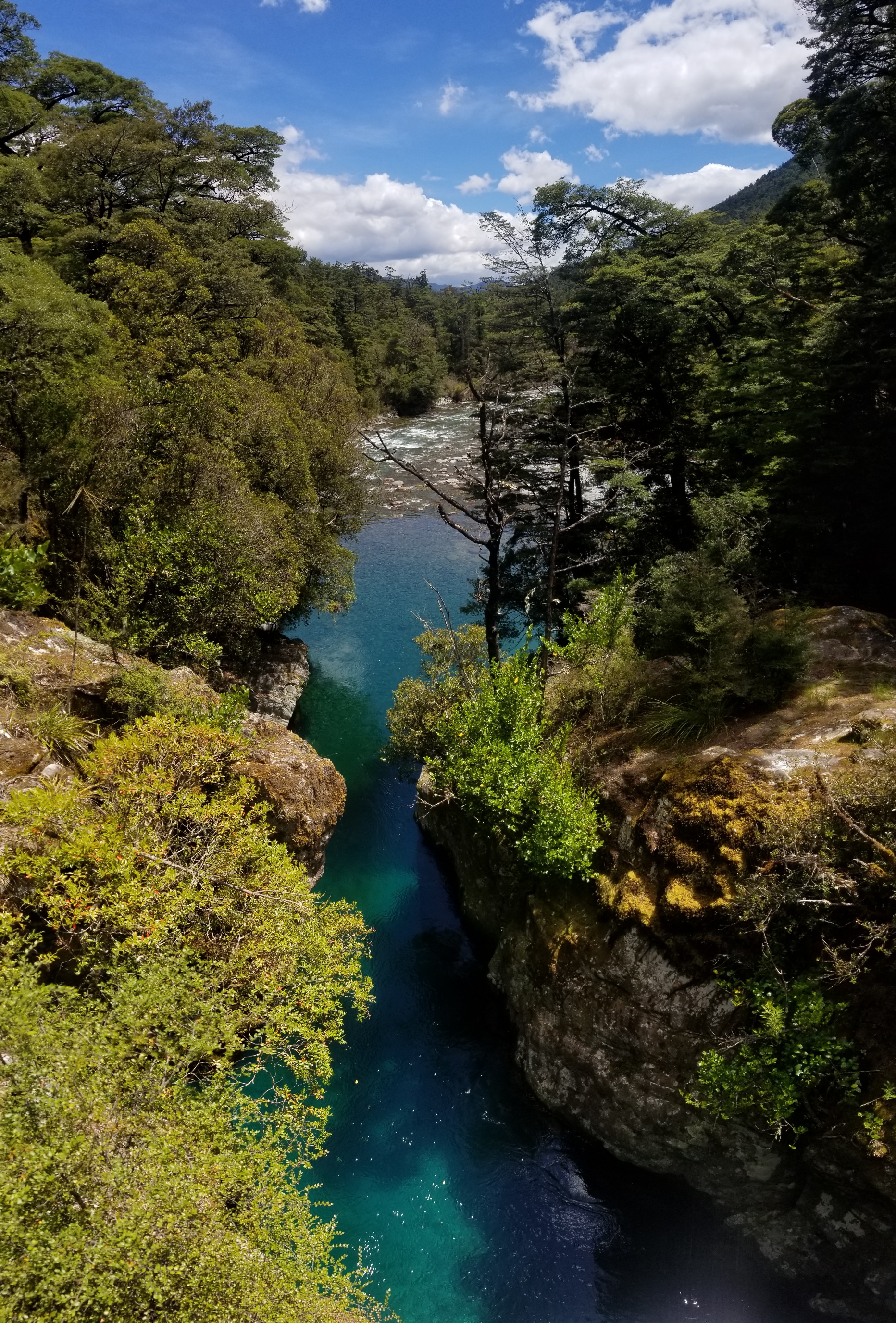
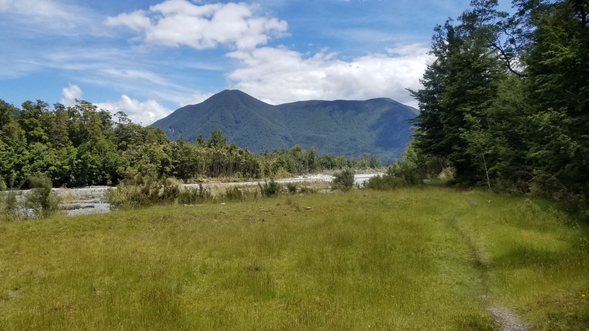
I set off down the Sabine river to Sabine hut, where I met a couple of older guys out for the new year. Then, a grueling climb around 2pm, up 1,400m on the Mt. Cedric Route. The track was okay enough, but it probably averaged 33-50% gradient, so it was a real ankle-buster, and had me stopping every 100m of ascent for a breather.
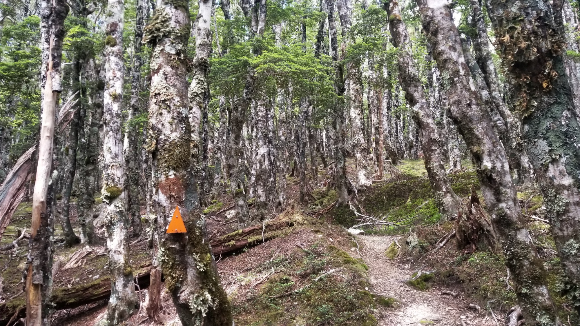
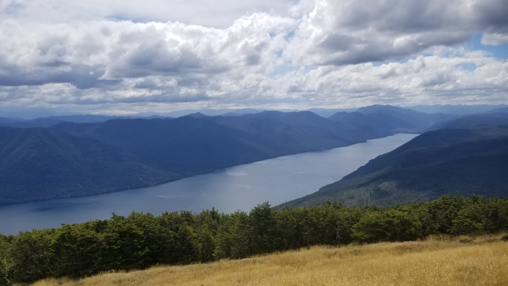
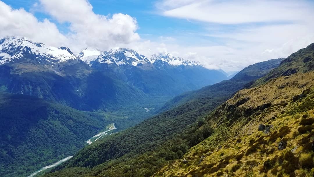
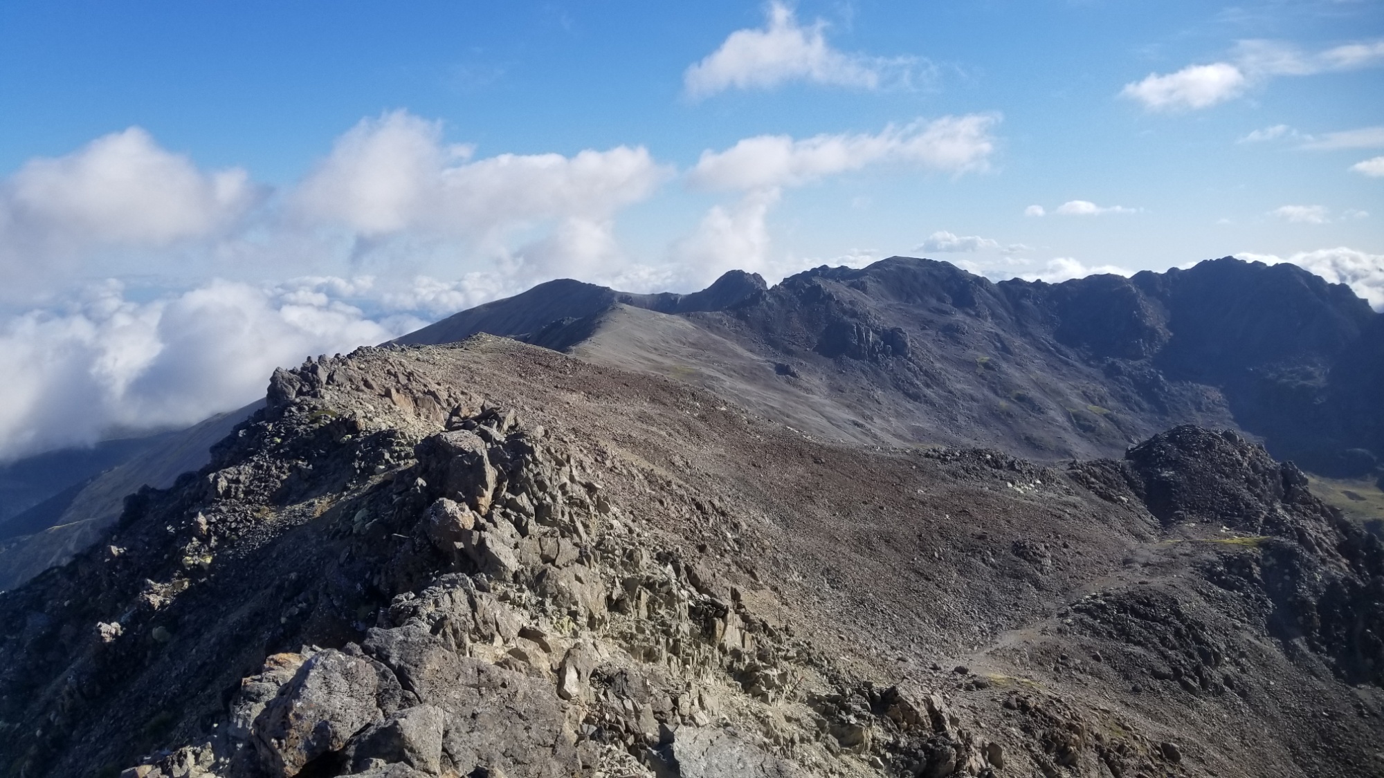
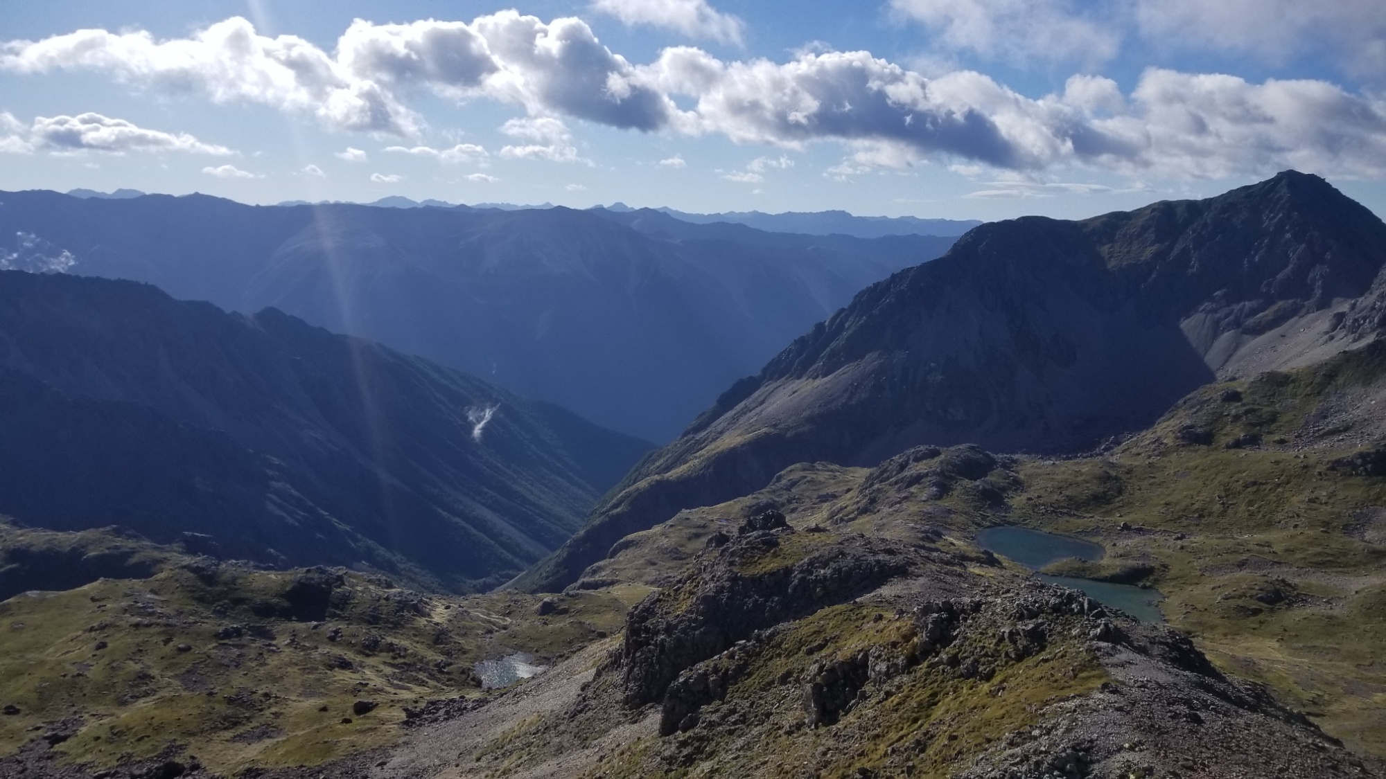
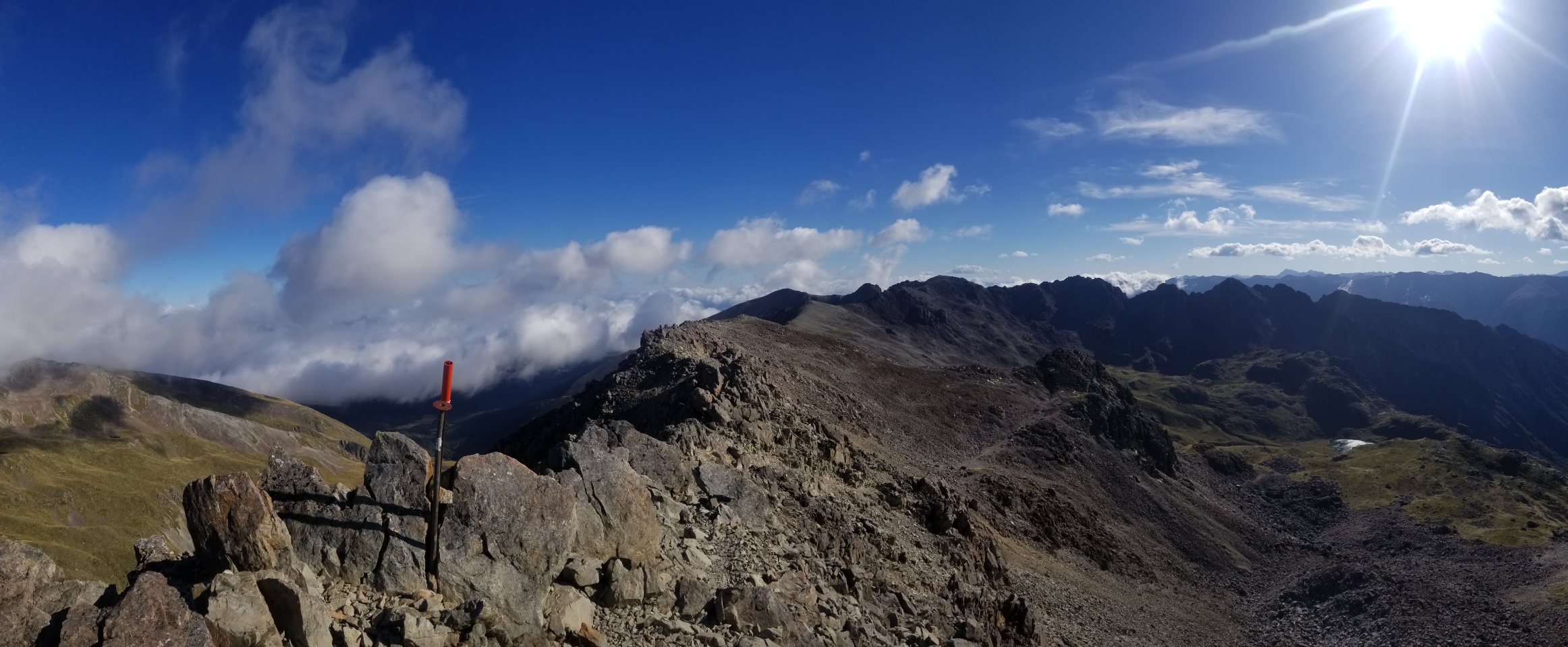
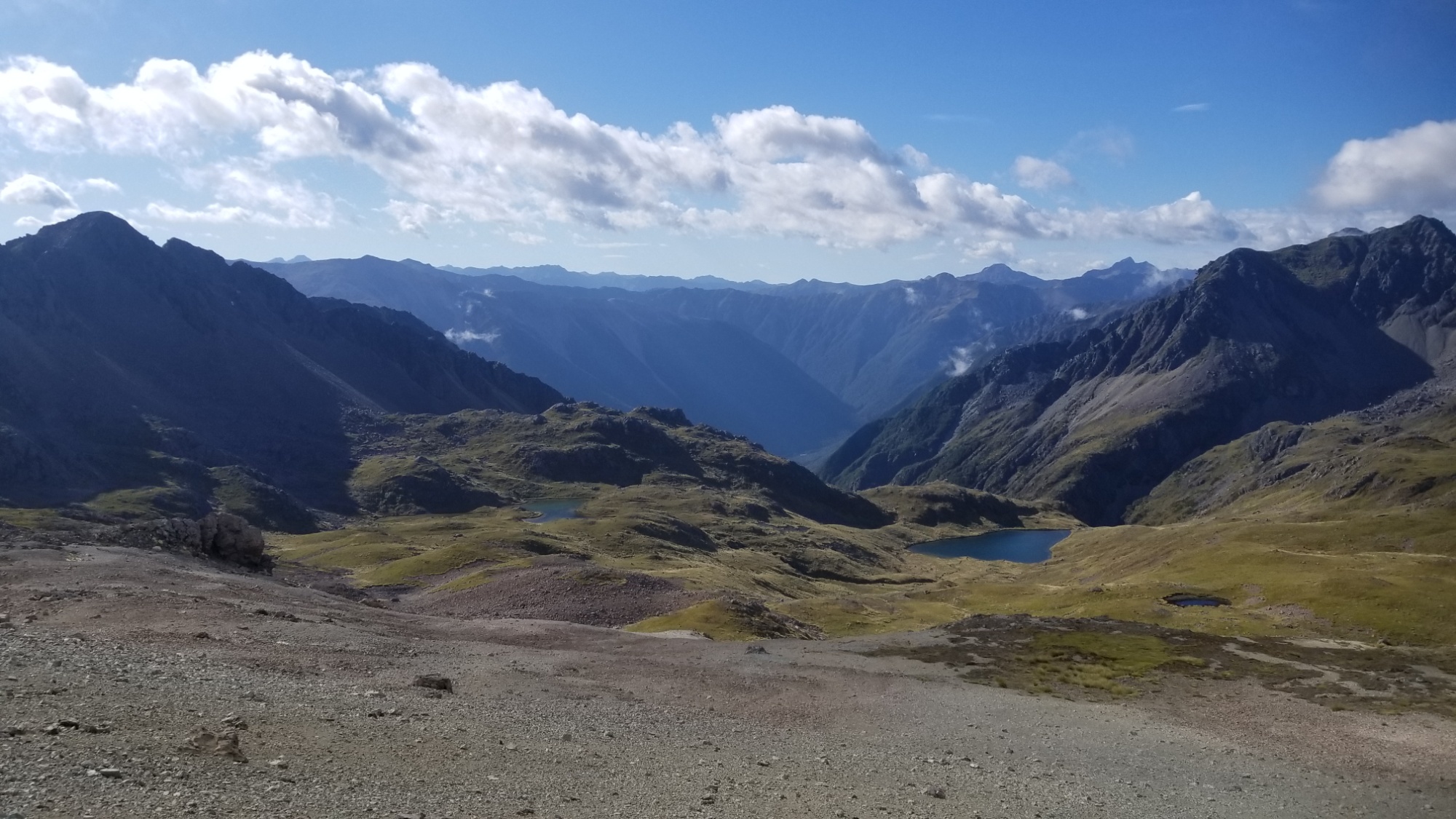
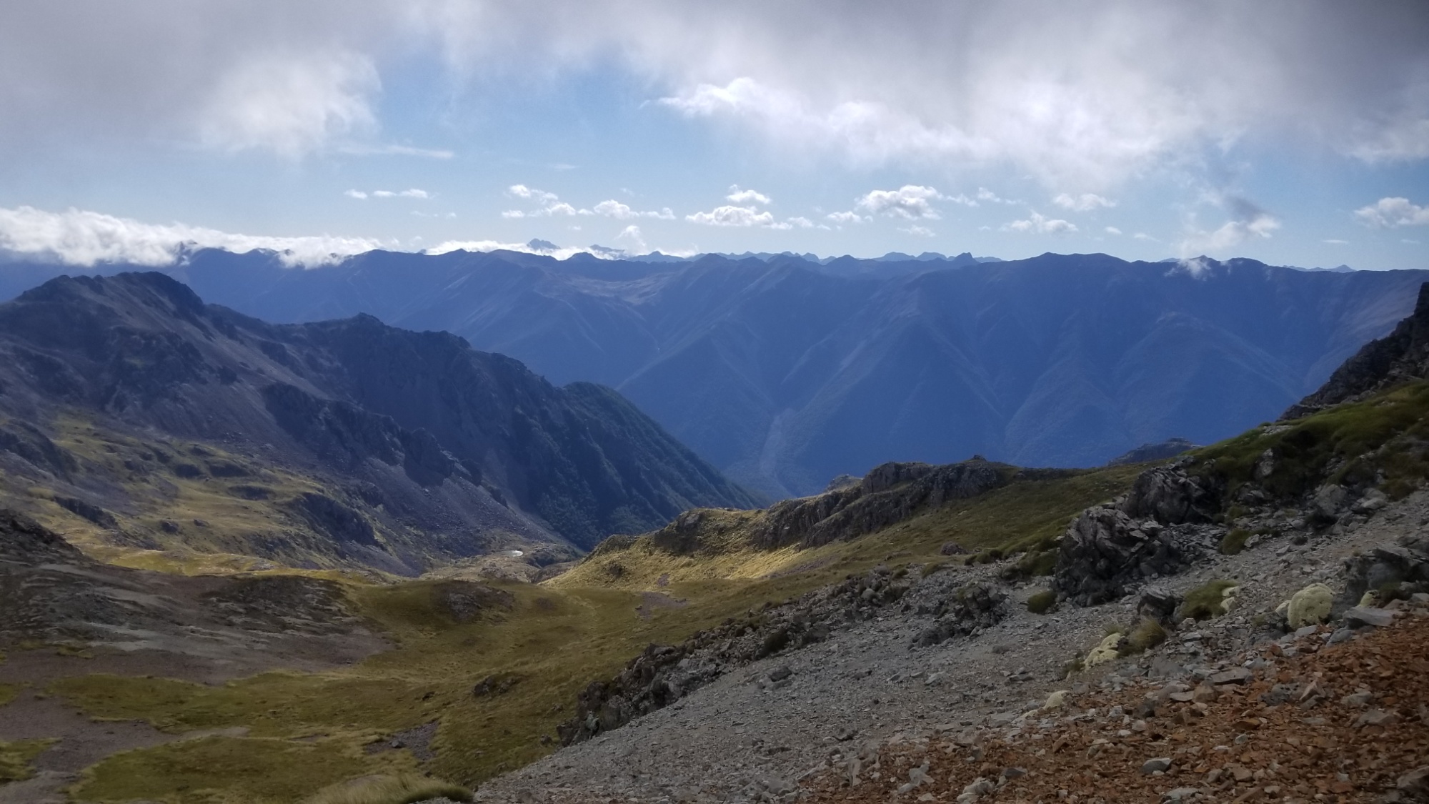
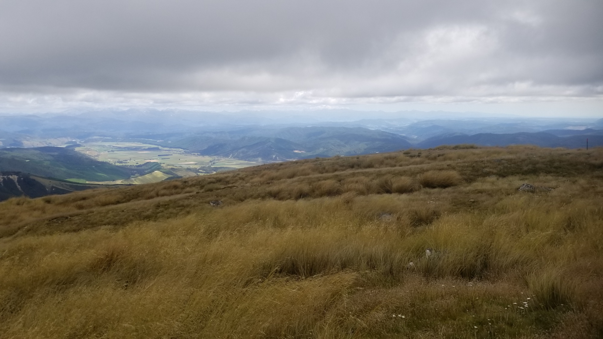
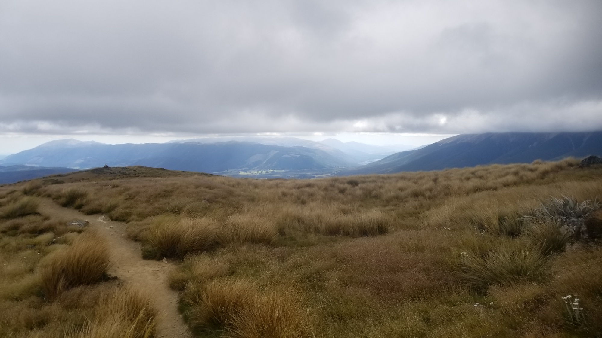
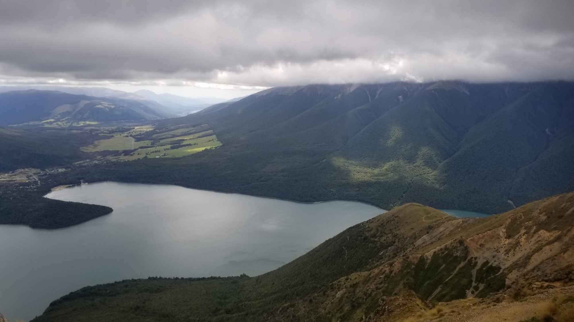
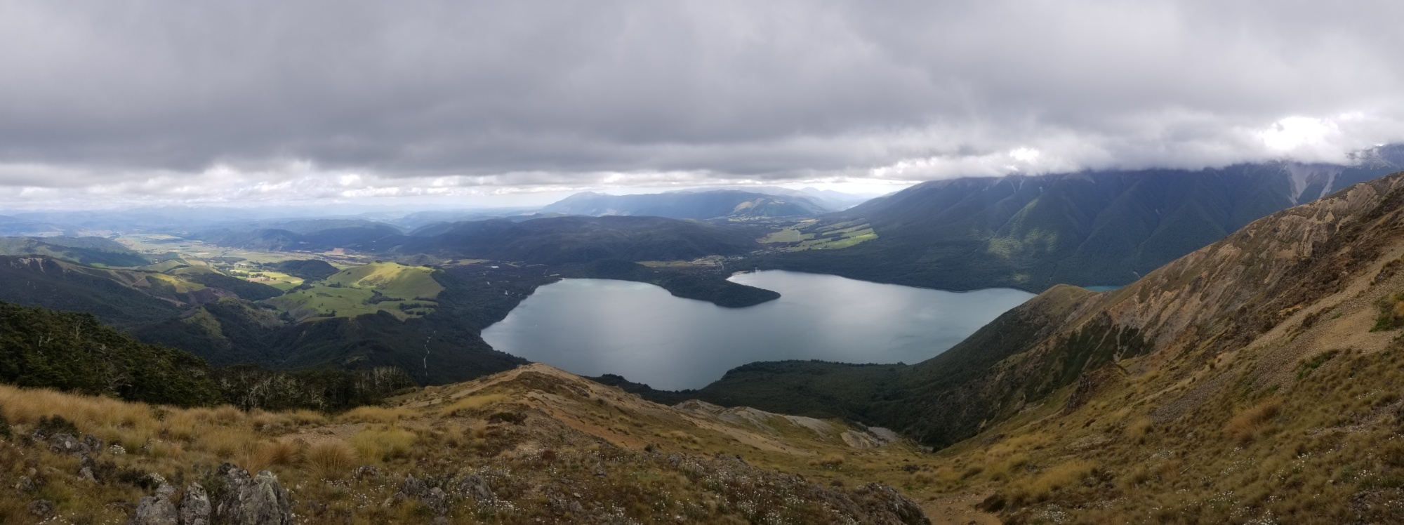
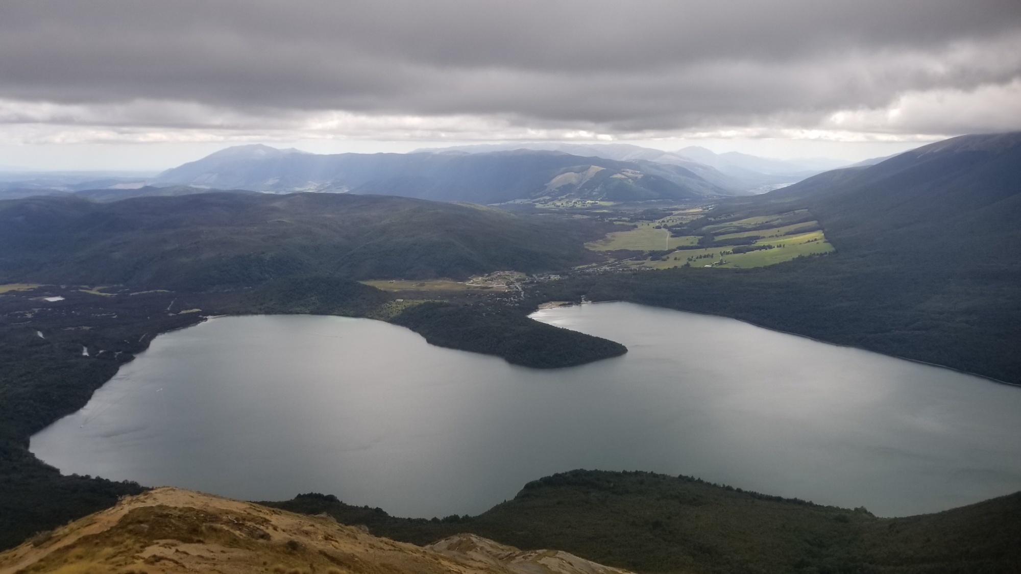
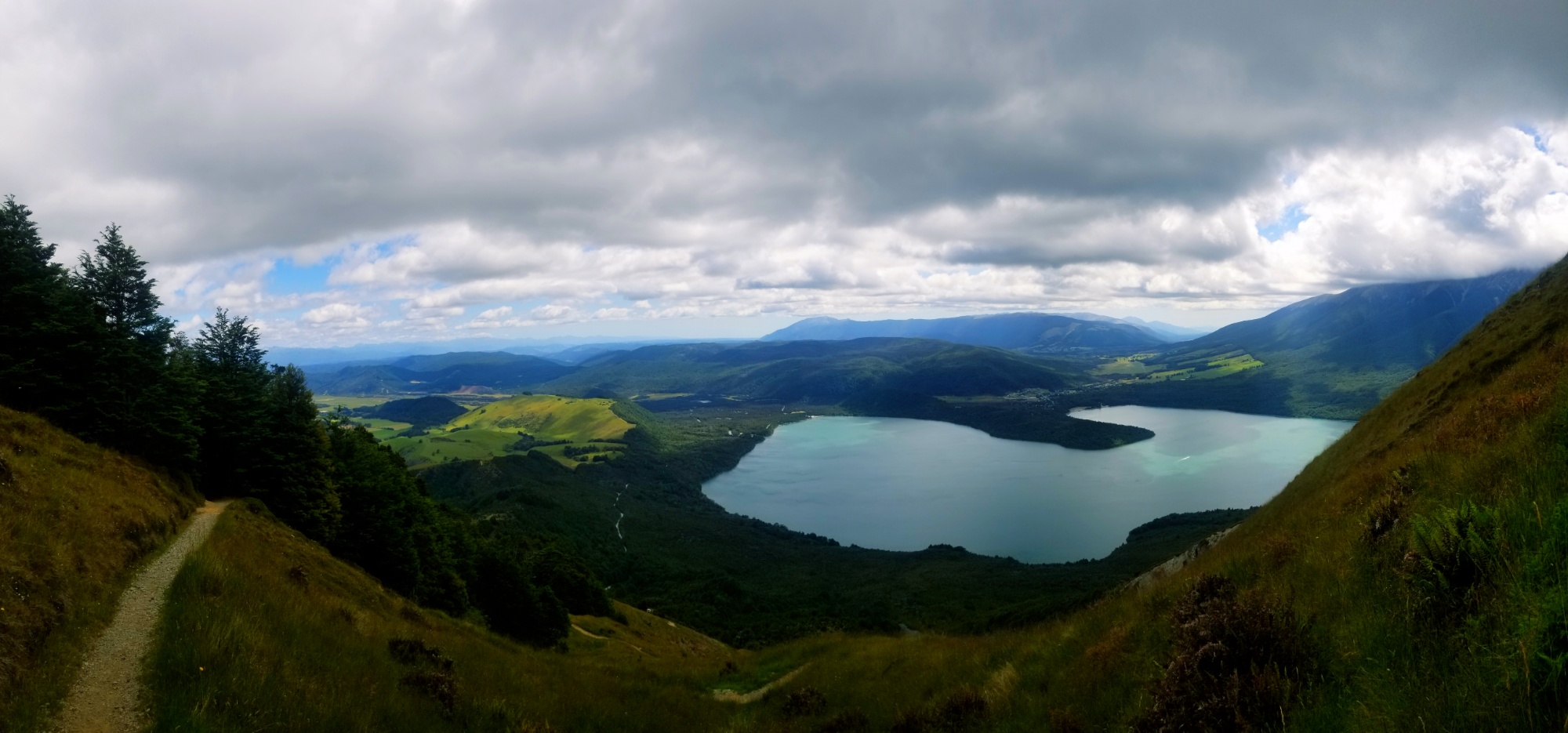
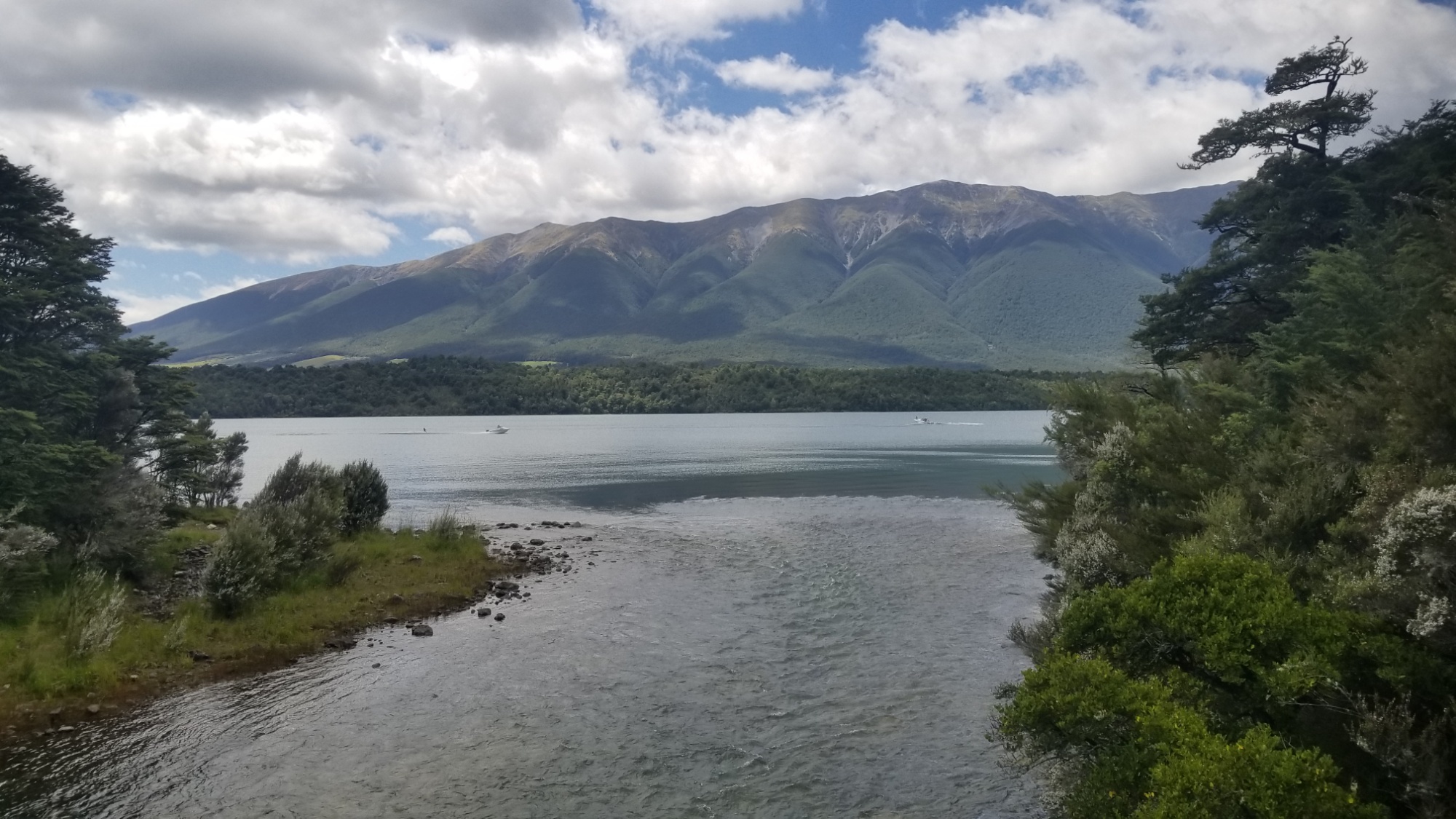
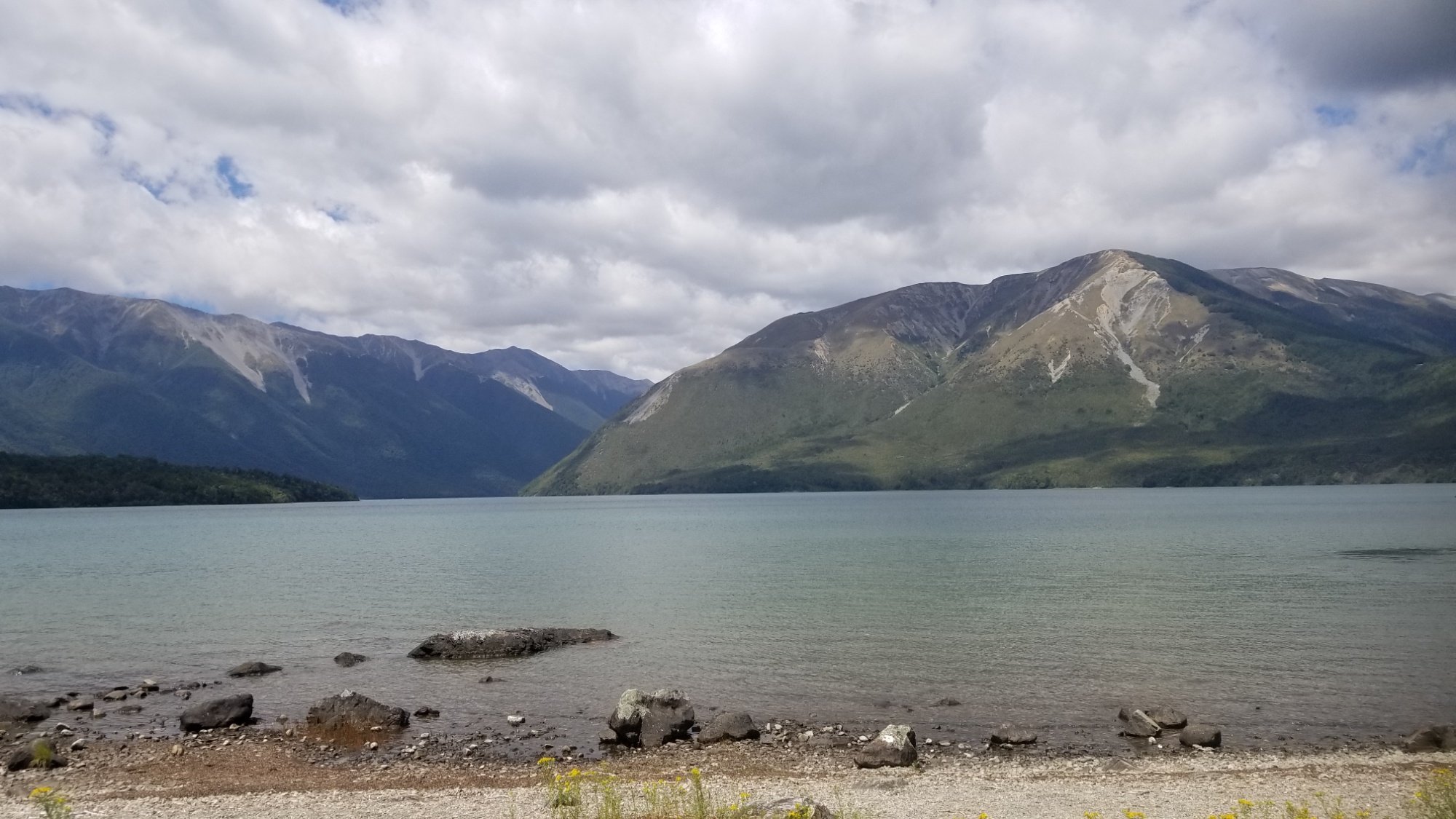
Finally, I reached the treeline and it all paid off. The views on this route were spectacular, and I was glad I didn’t give up. I was rewarded by an incredible panoramic ridge walk with views out over the Nelson lakes and back up the Sabine valley to Waiau pass.
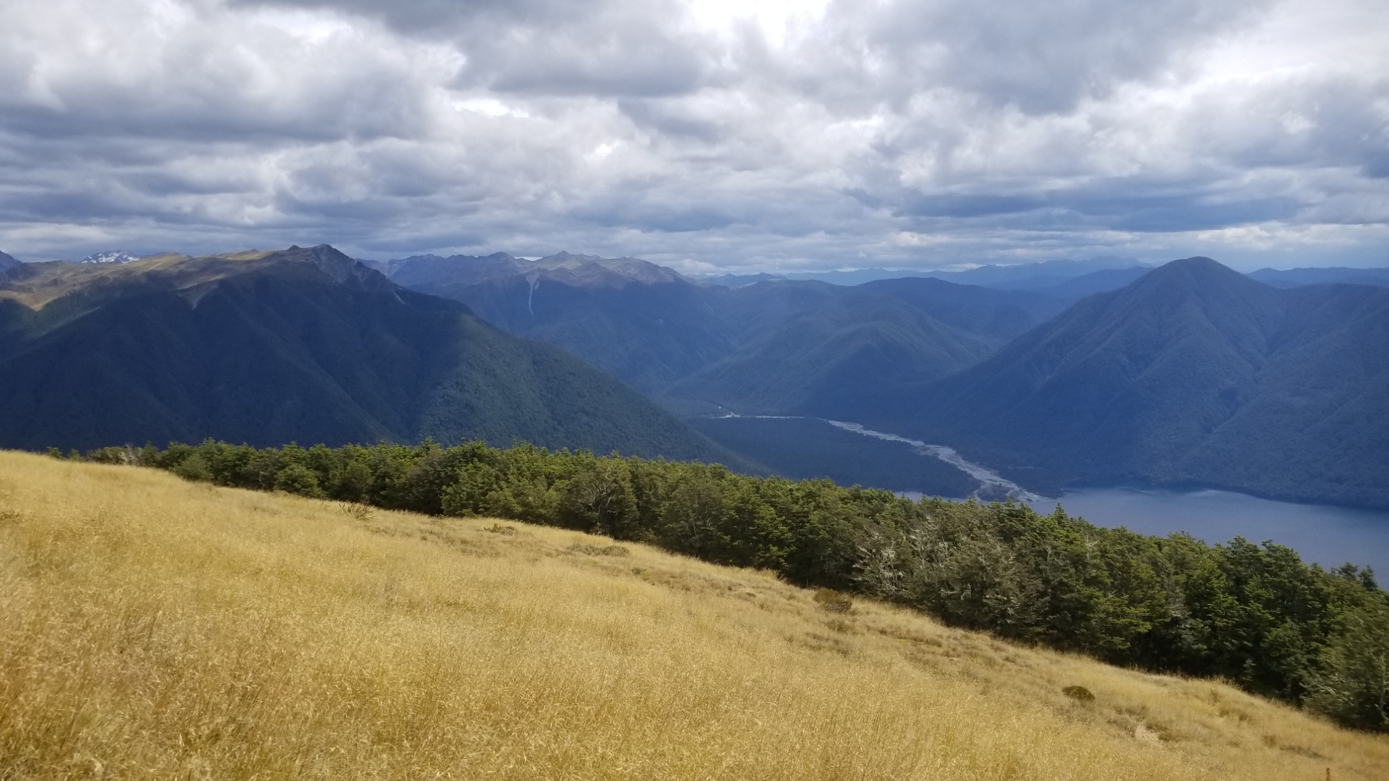
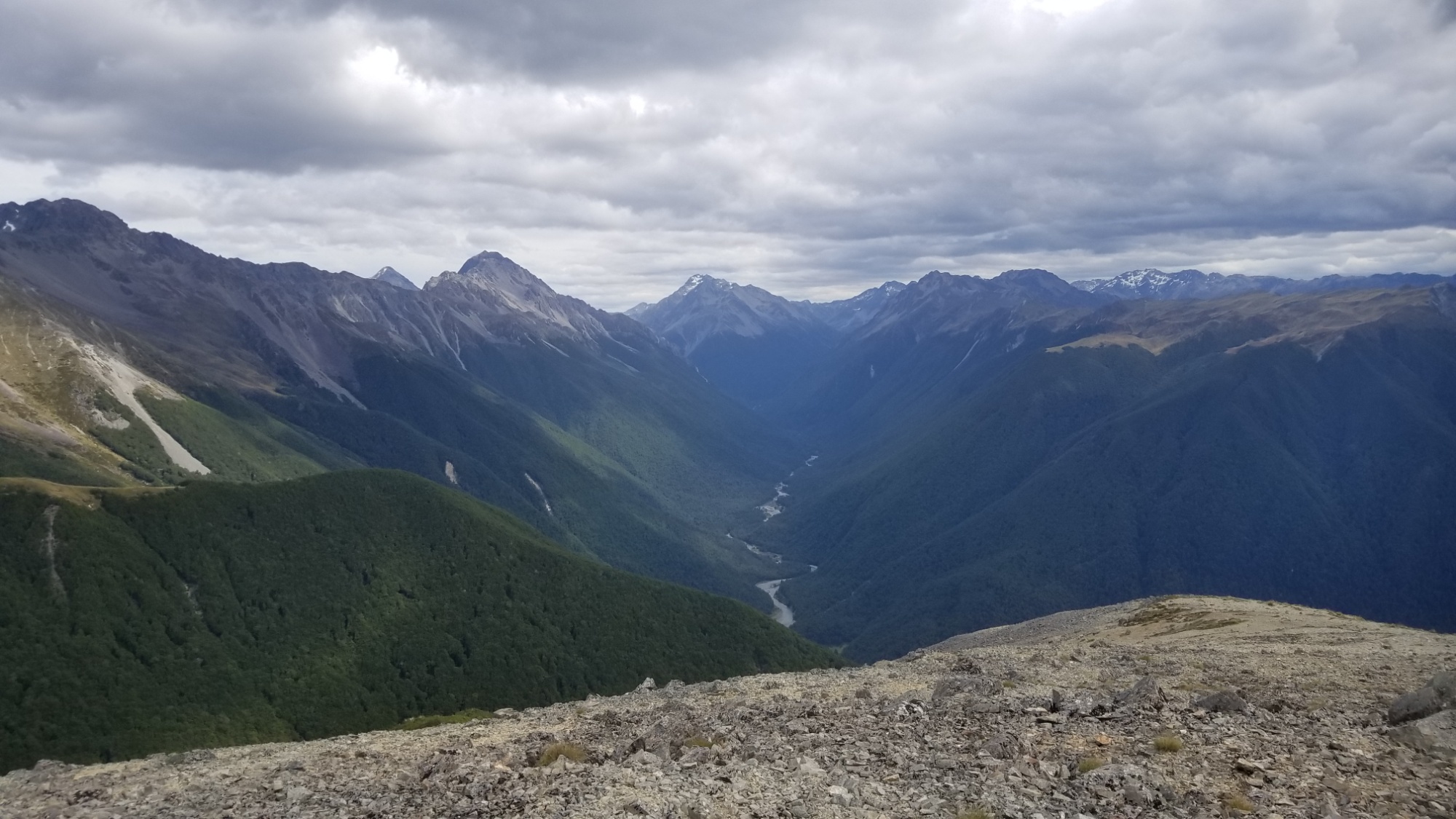
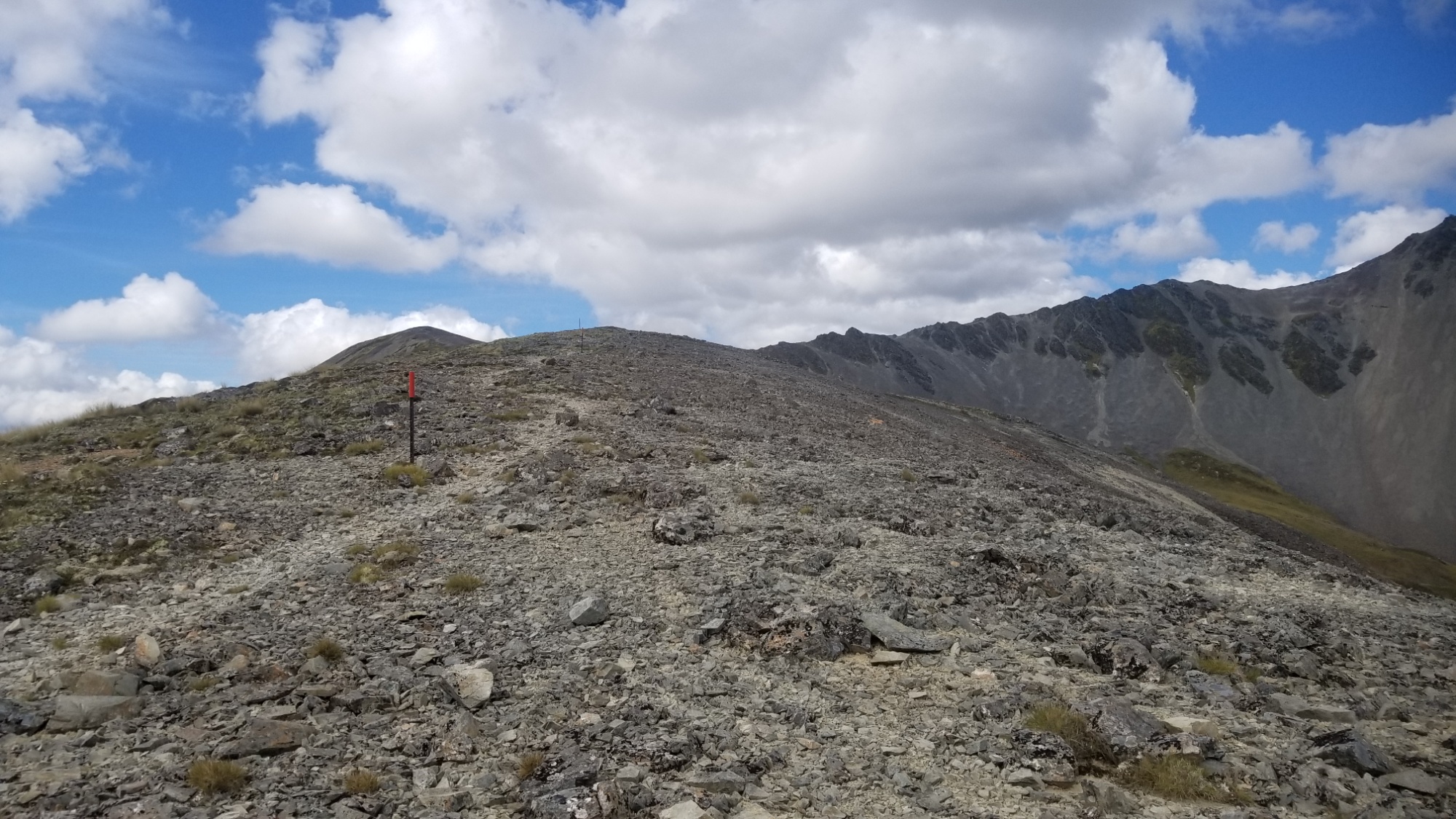
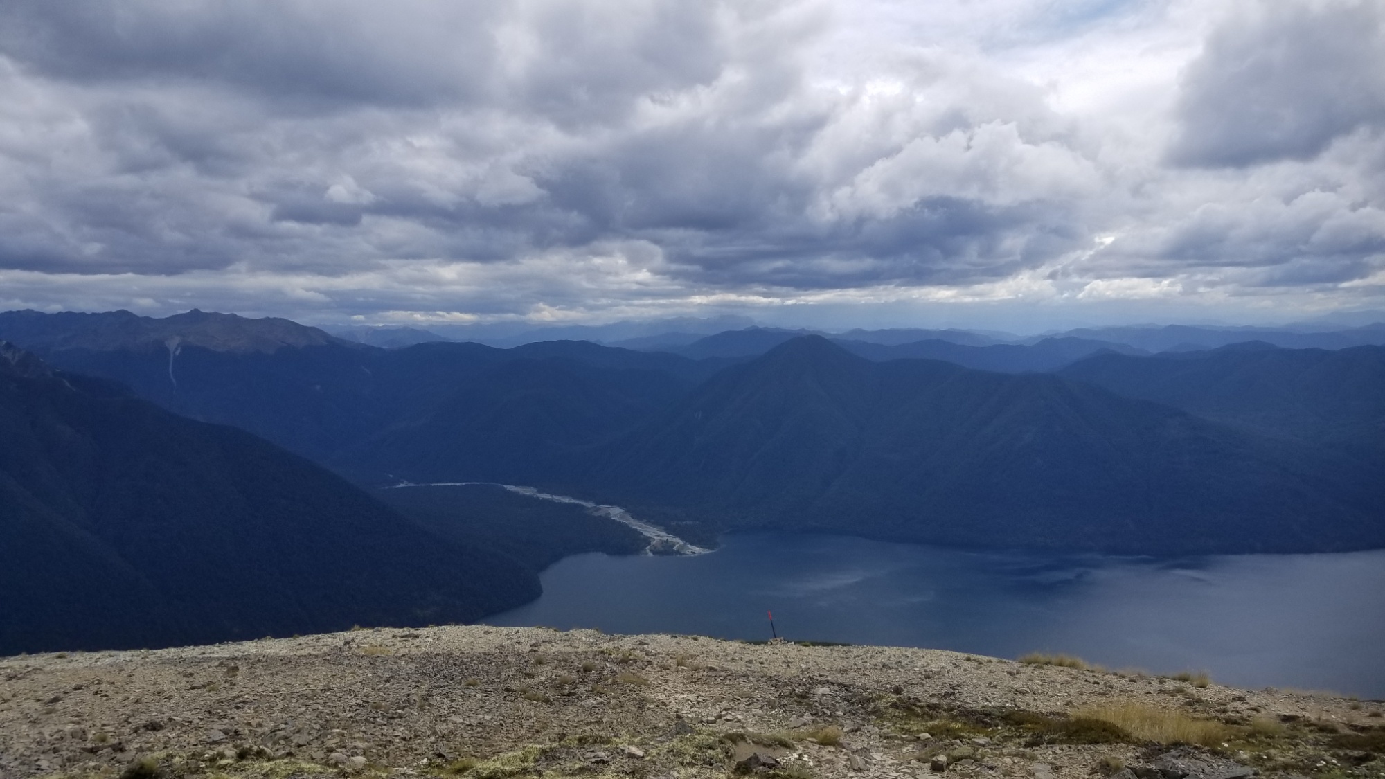
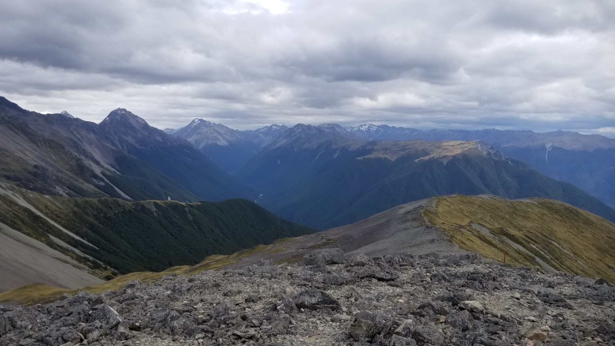
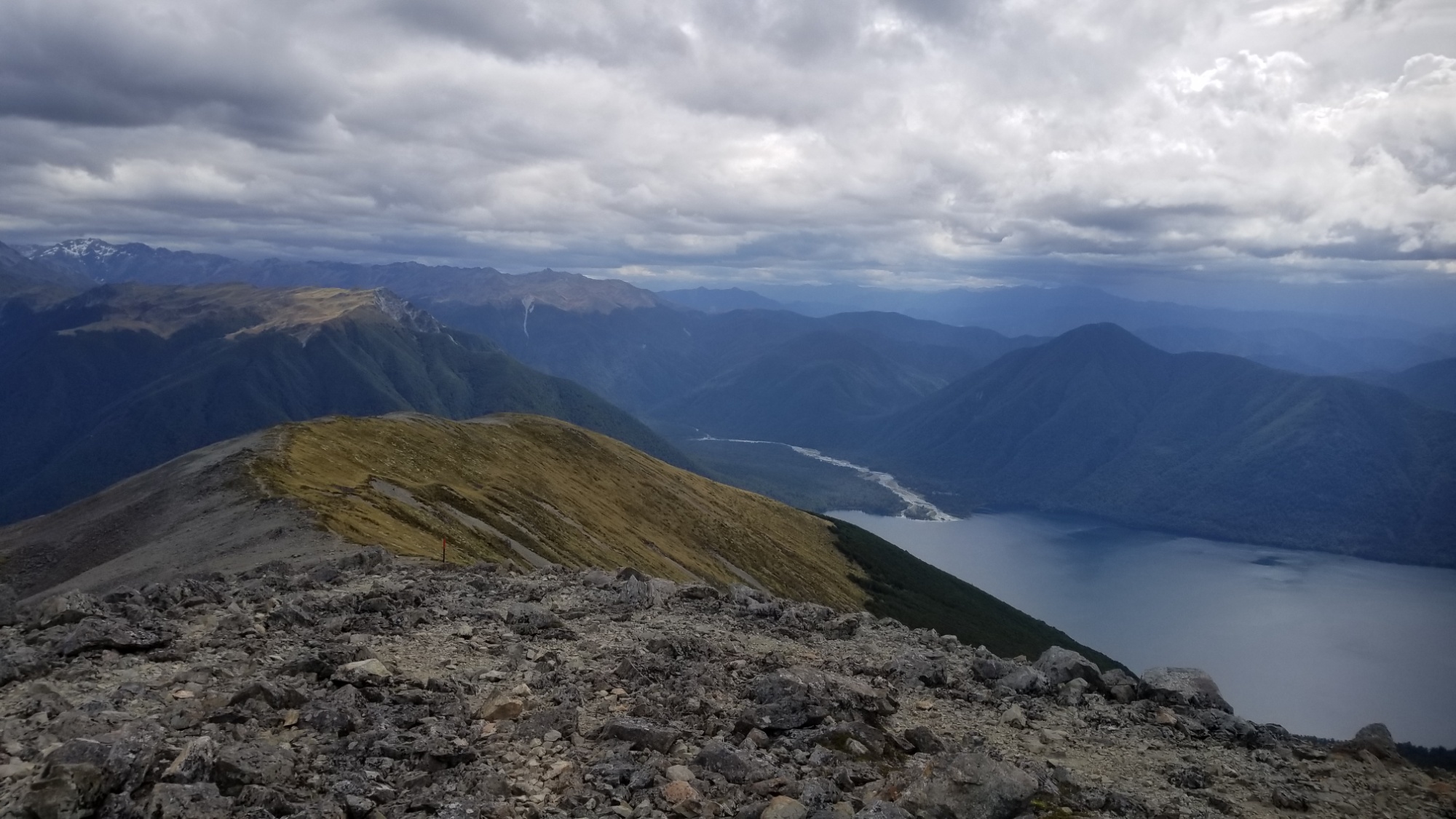
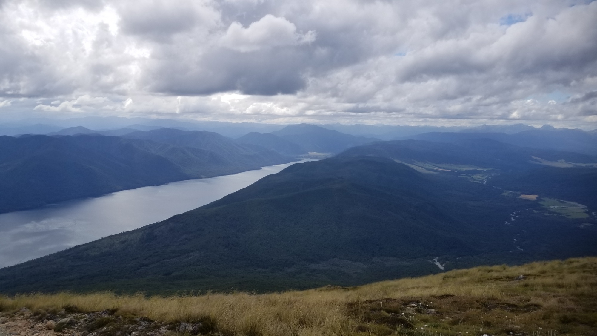

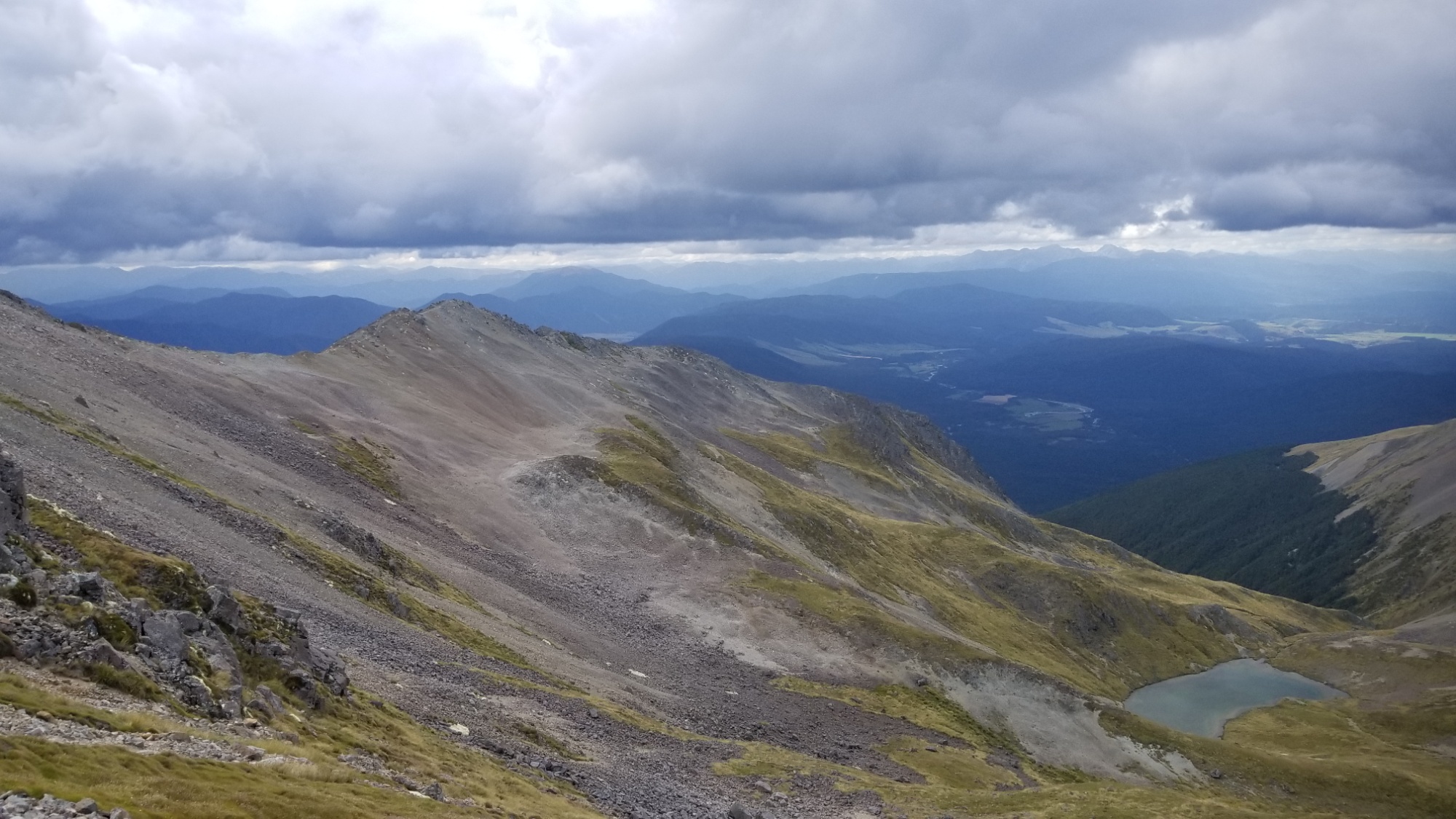
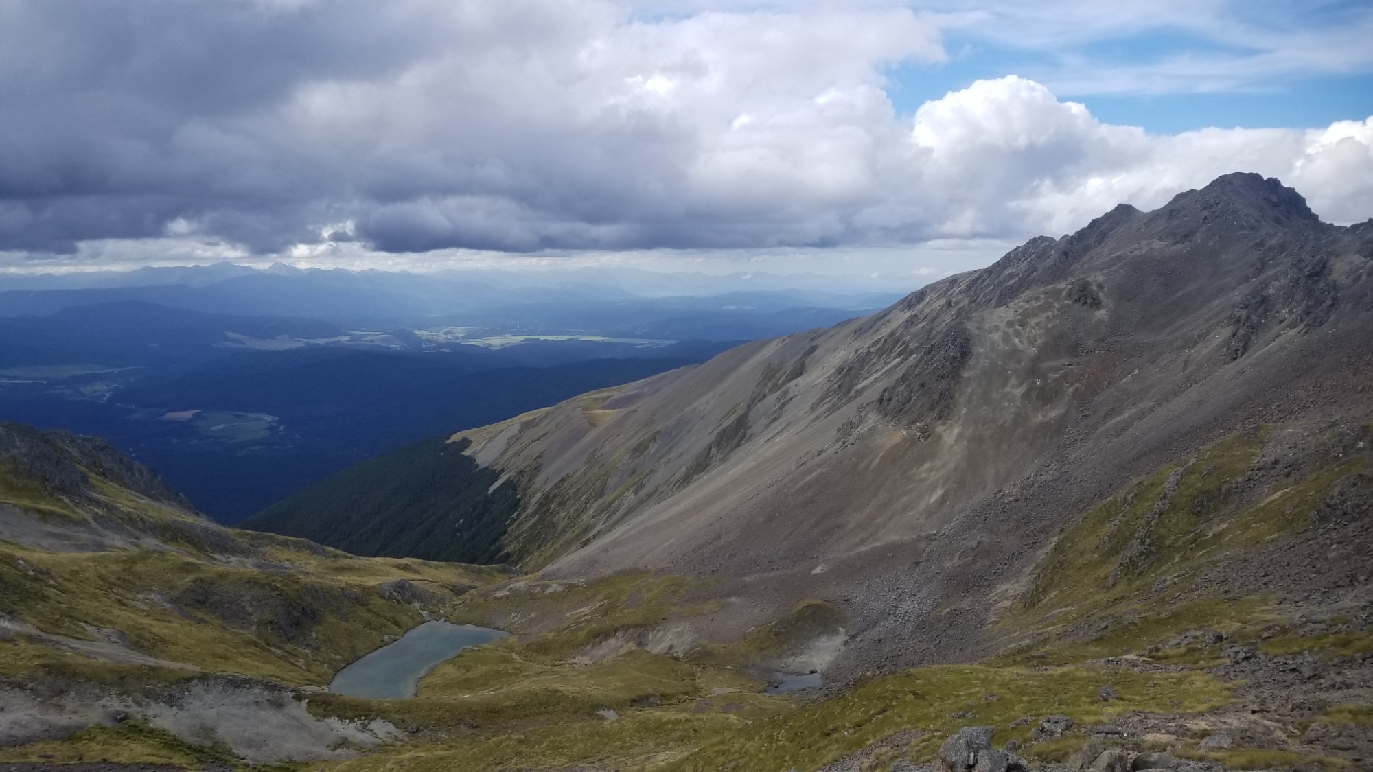
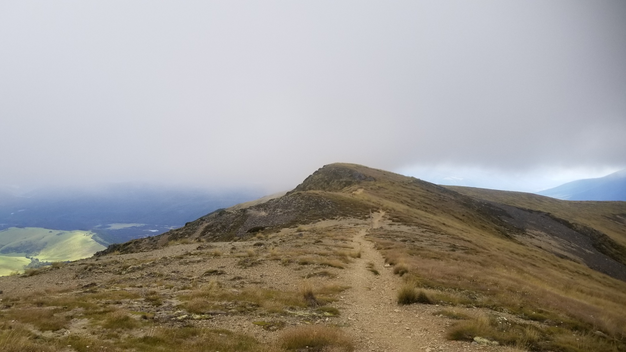
There was an obvious storm brewing about 15 miles west of me, with rain visible near the horizon. I didn’t want to wait and see what it was going to do when it reached me. I made a swift pace up the ridgeline to a high point around 1,700m, and then descended to a couple of glacial tarns just west of Angelus hut. A few minutes later, and a storm began drizzling water all over my tent that I had pitched just in time. Visibility reduced to zero as a fog rolled in. I was worried I might miss the best views of the ridge walk, but i would find out tomorrow.
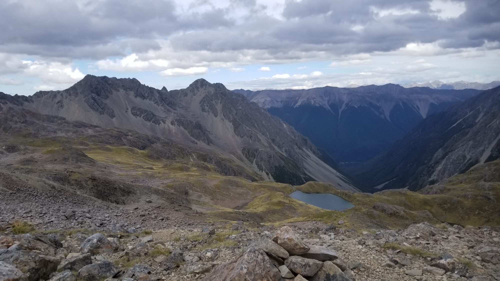
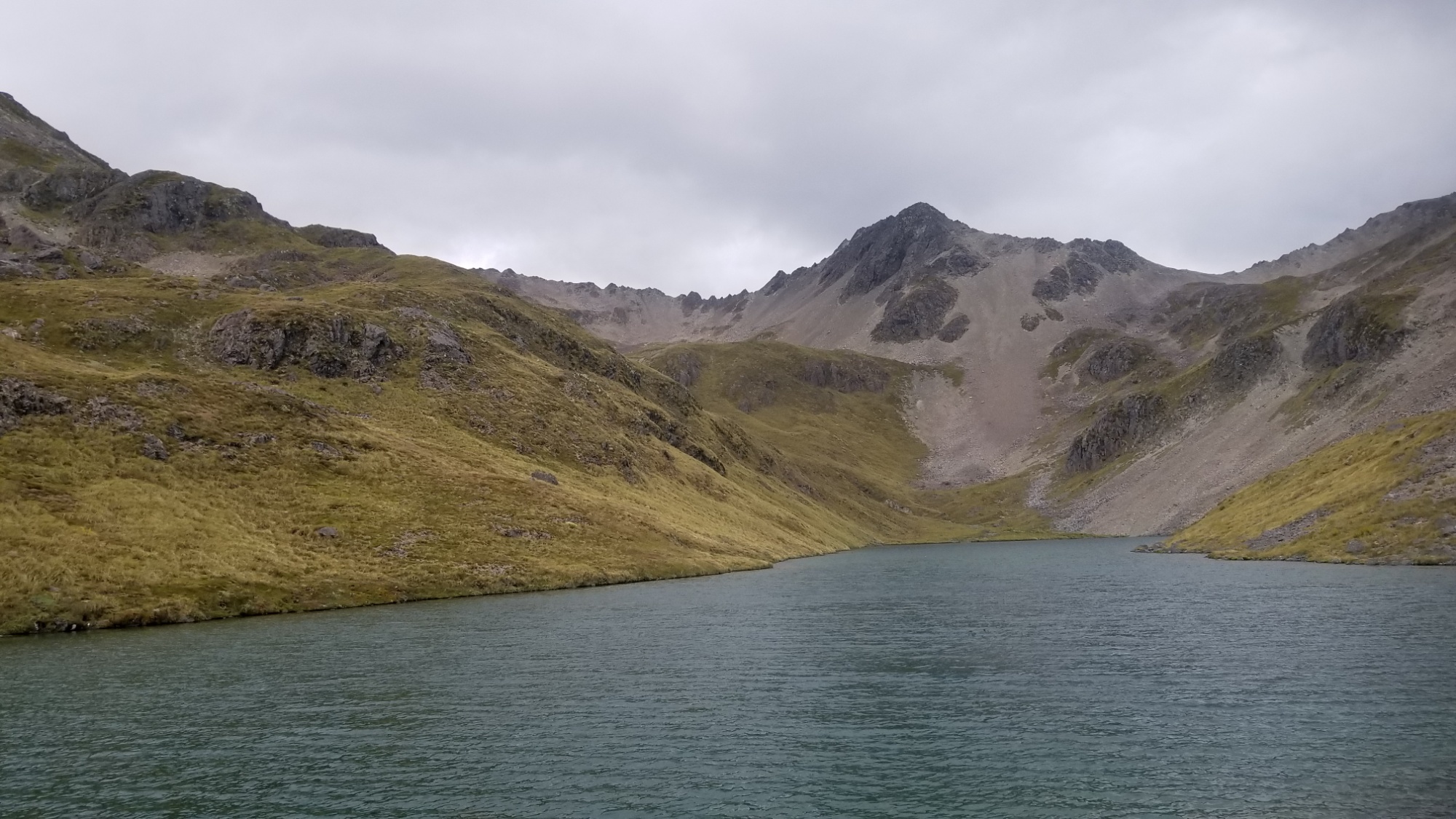
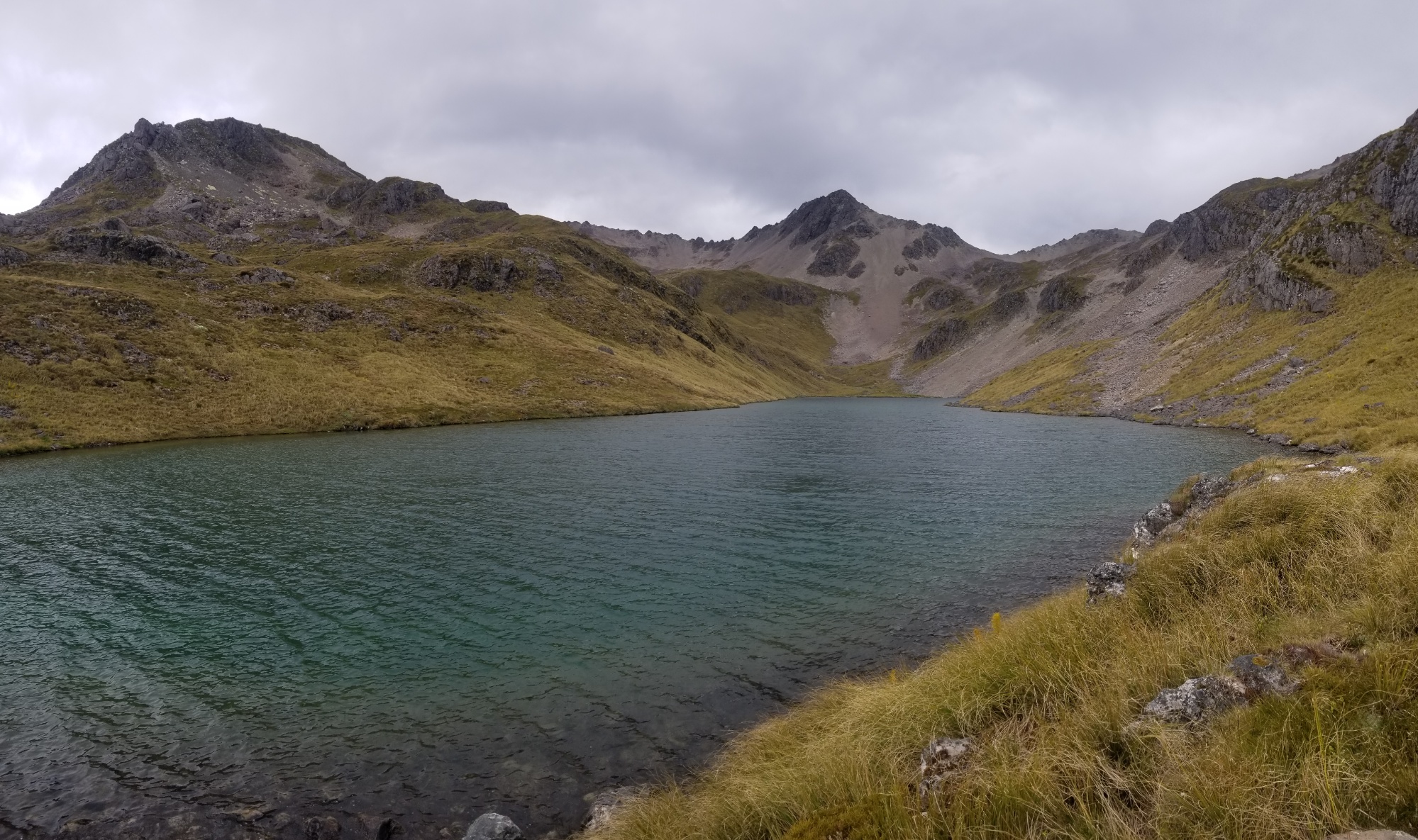
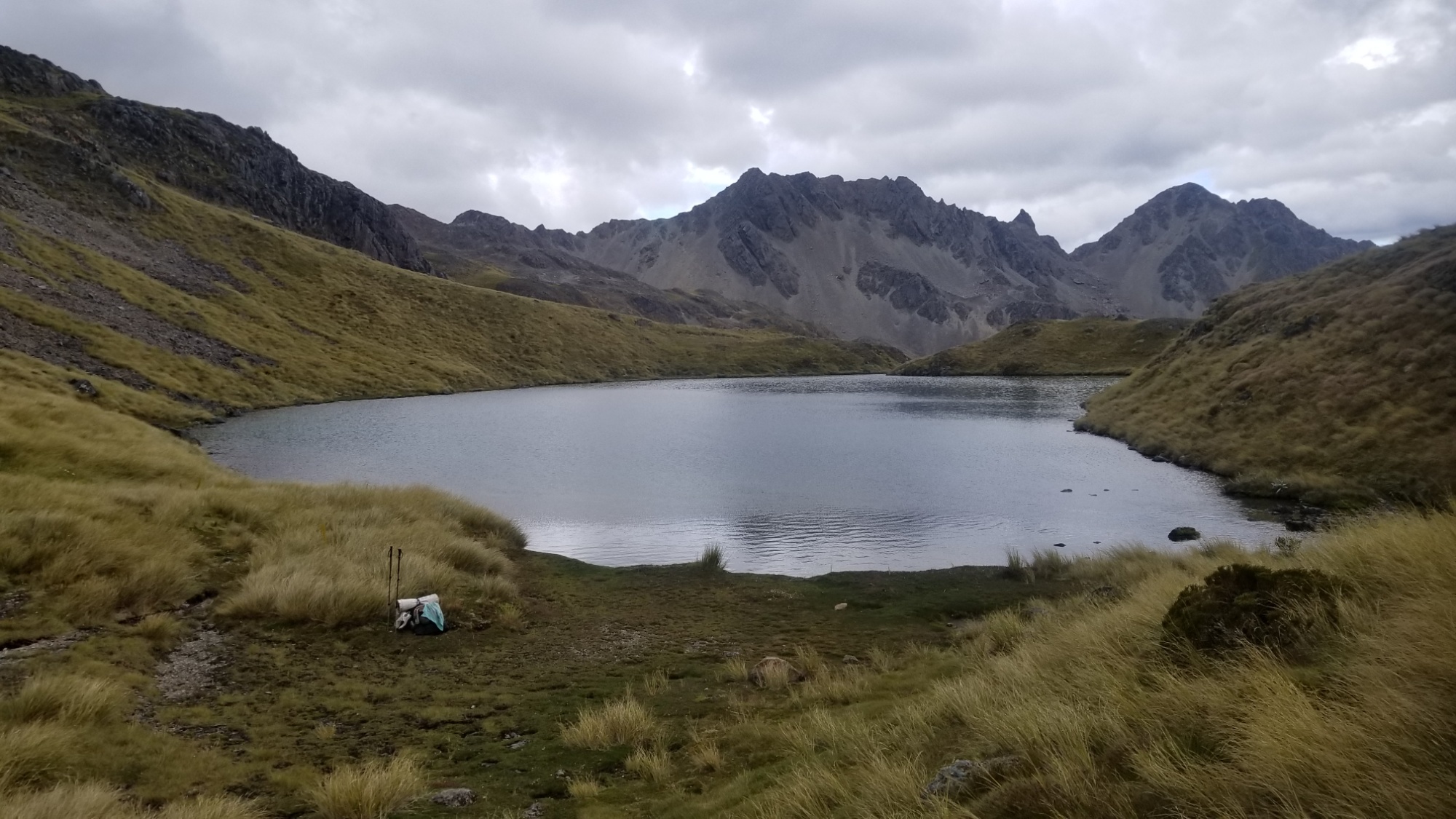
The next day, the sun hit my tent early, and I was up and at ’em in time to have a light breakfast at Angelus Hut by 8am.
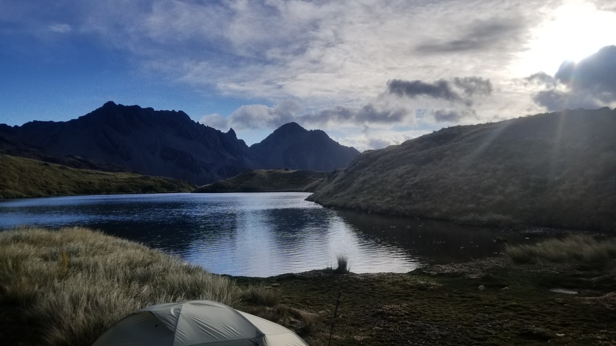
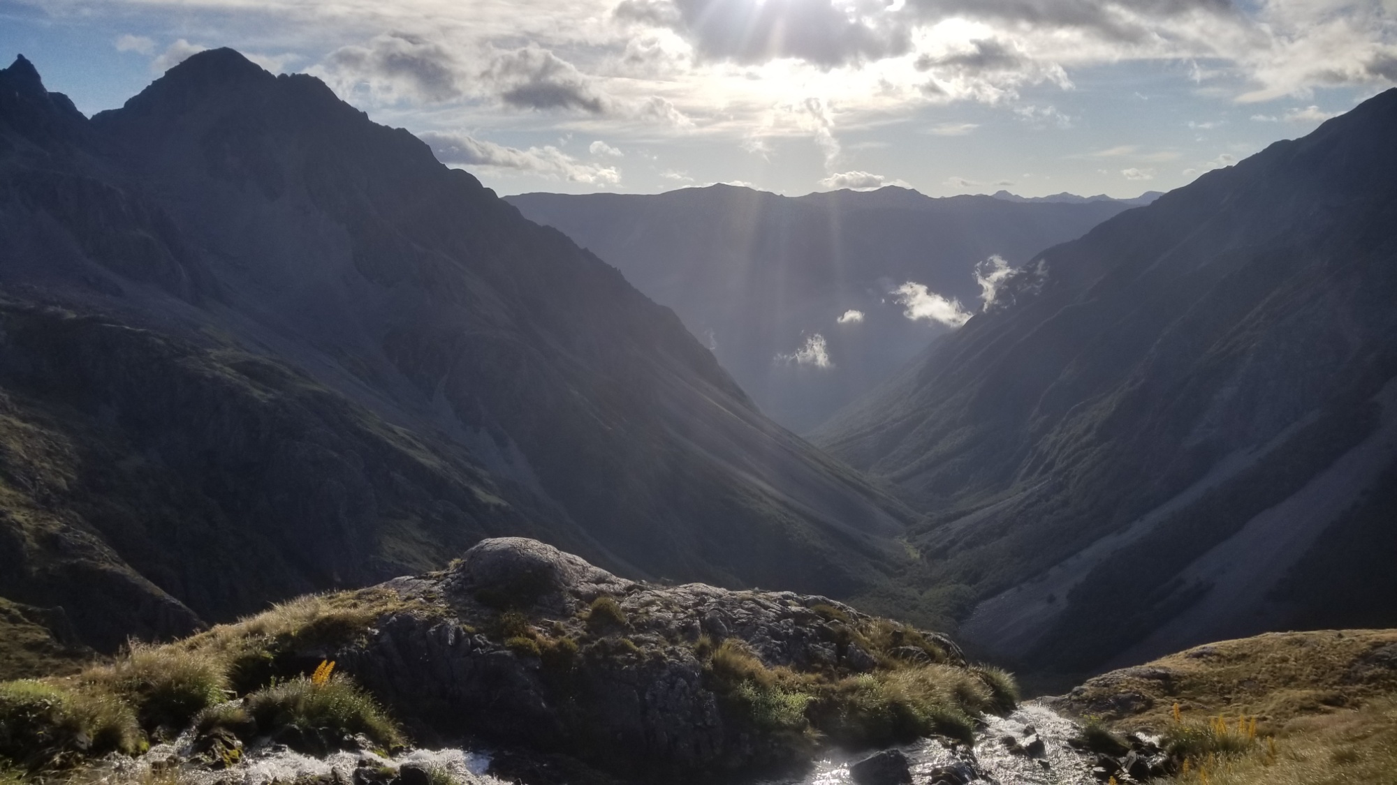
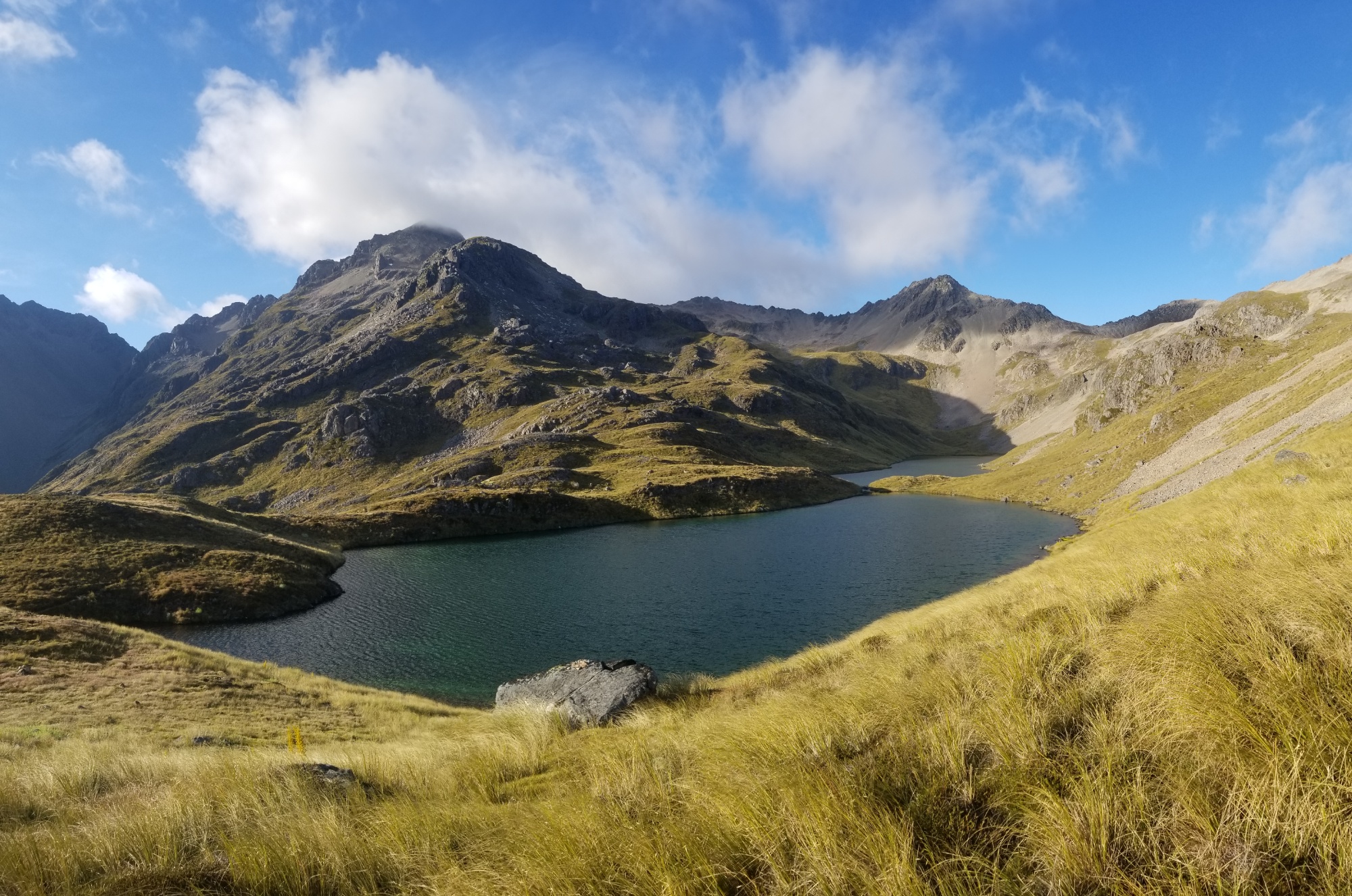
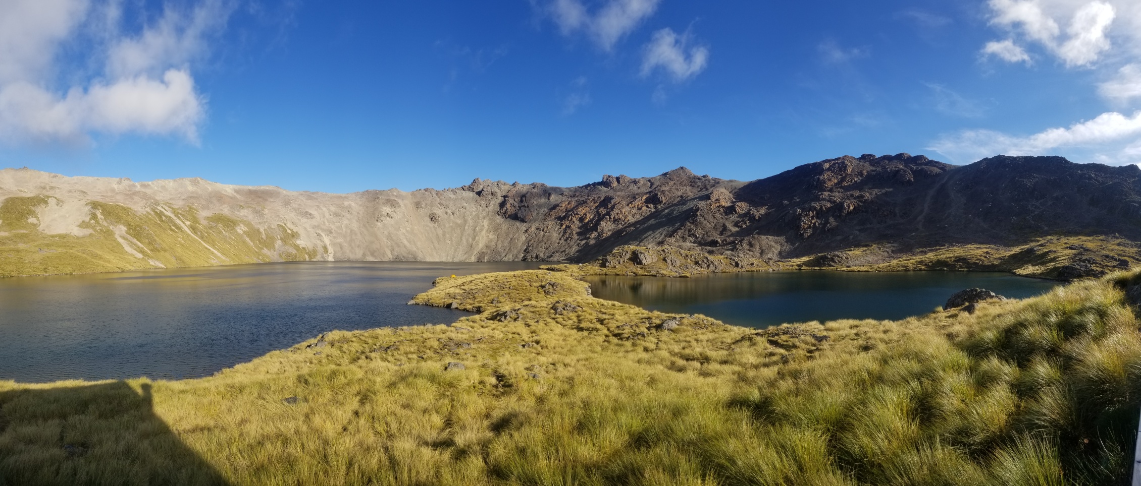

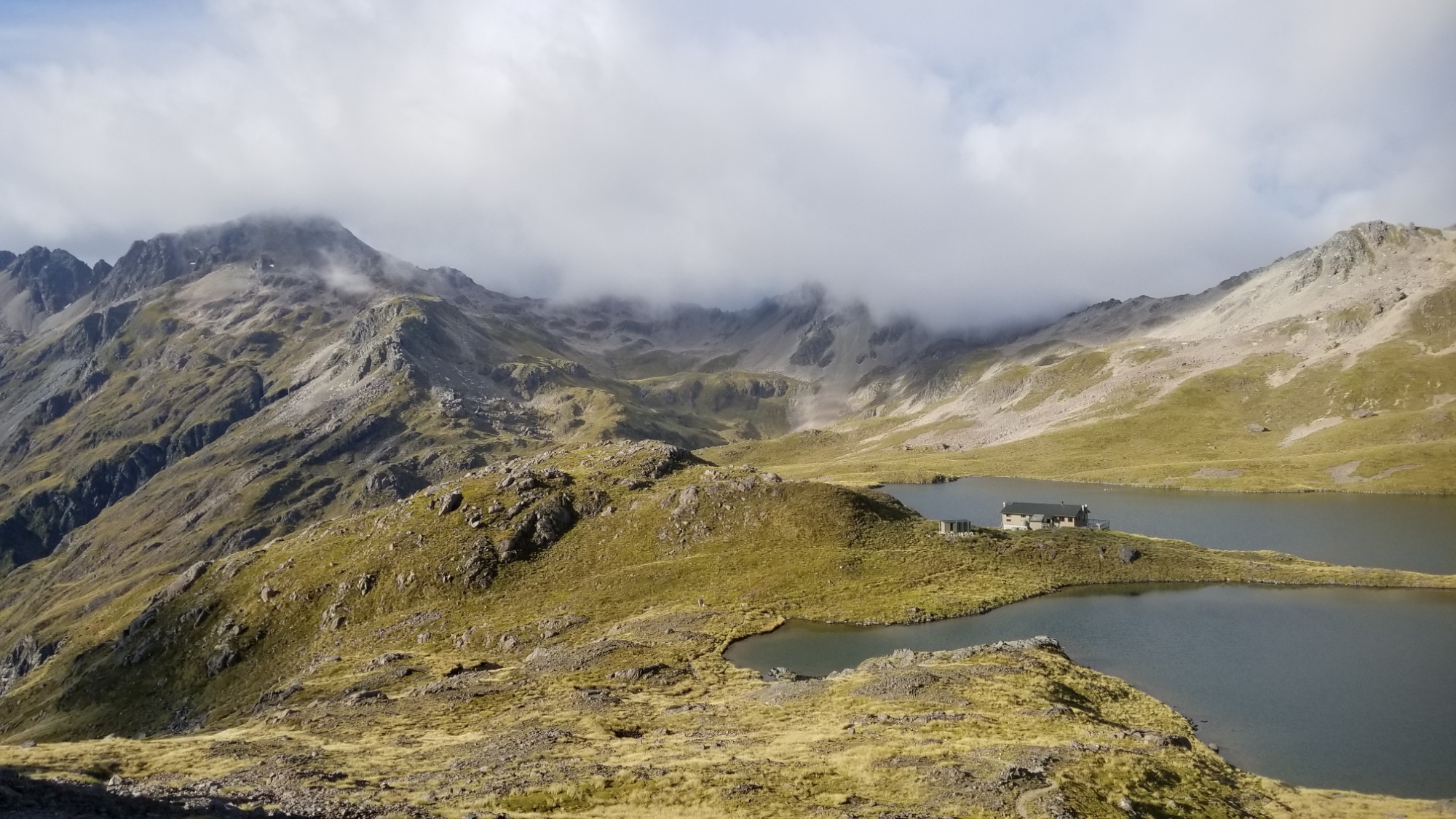
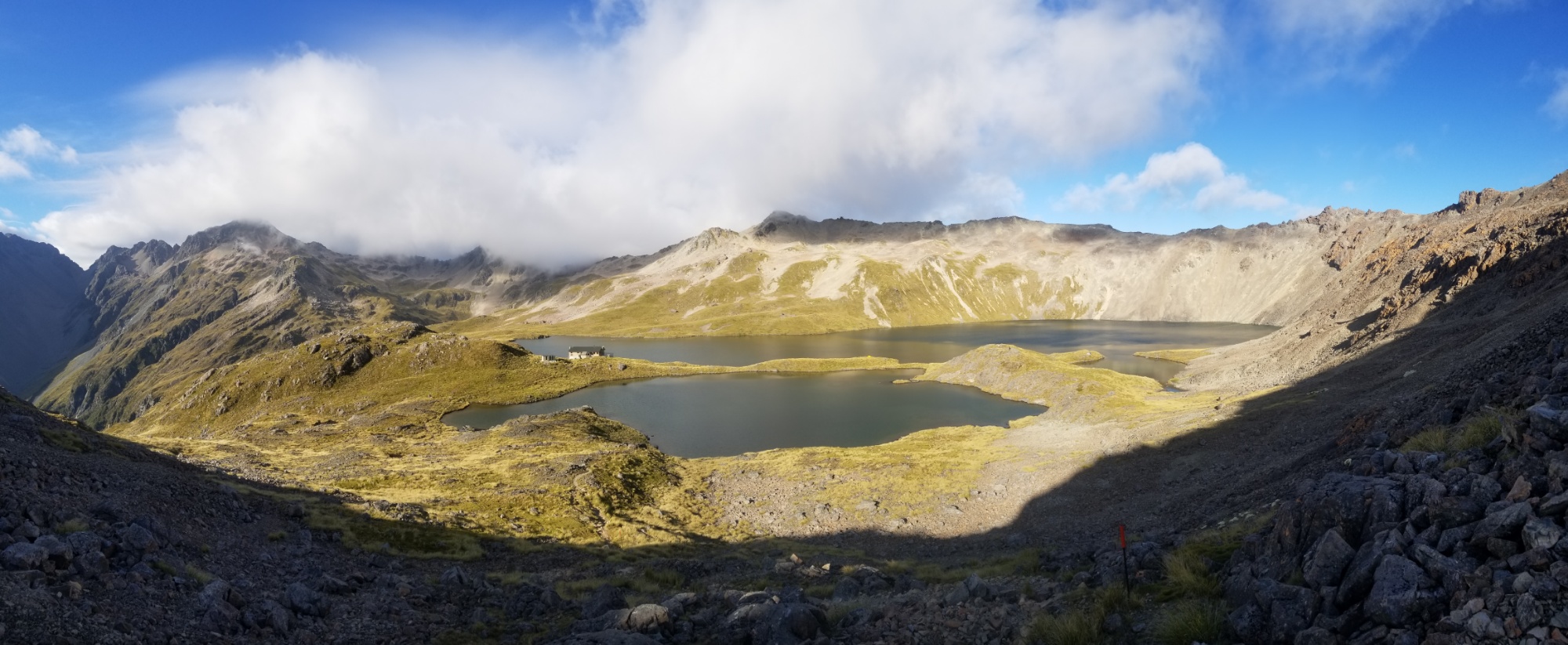
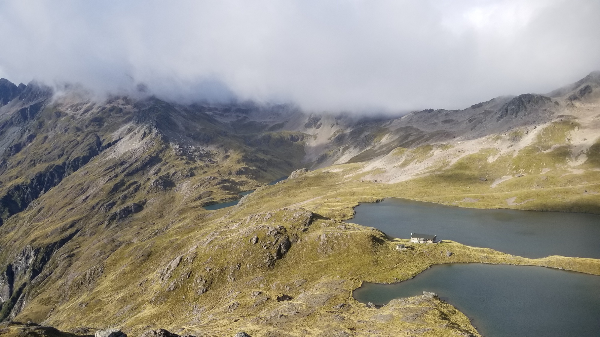
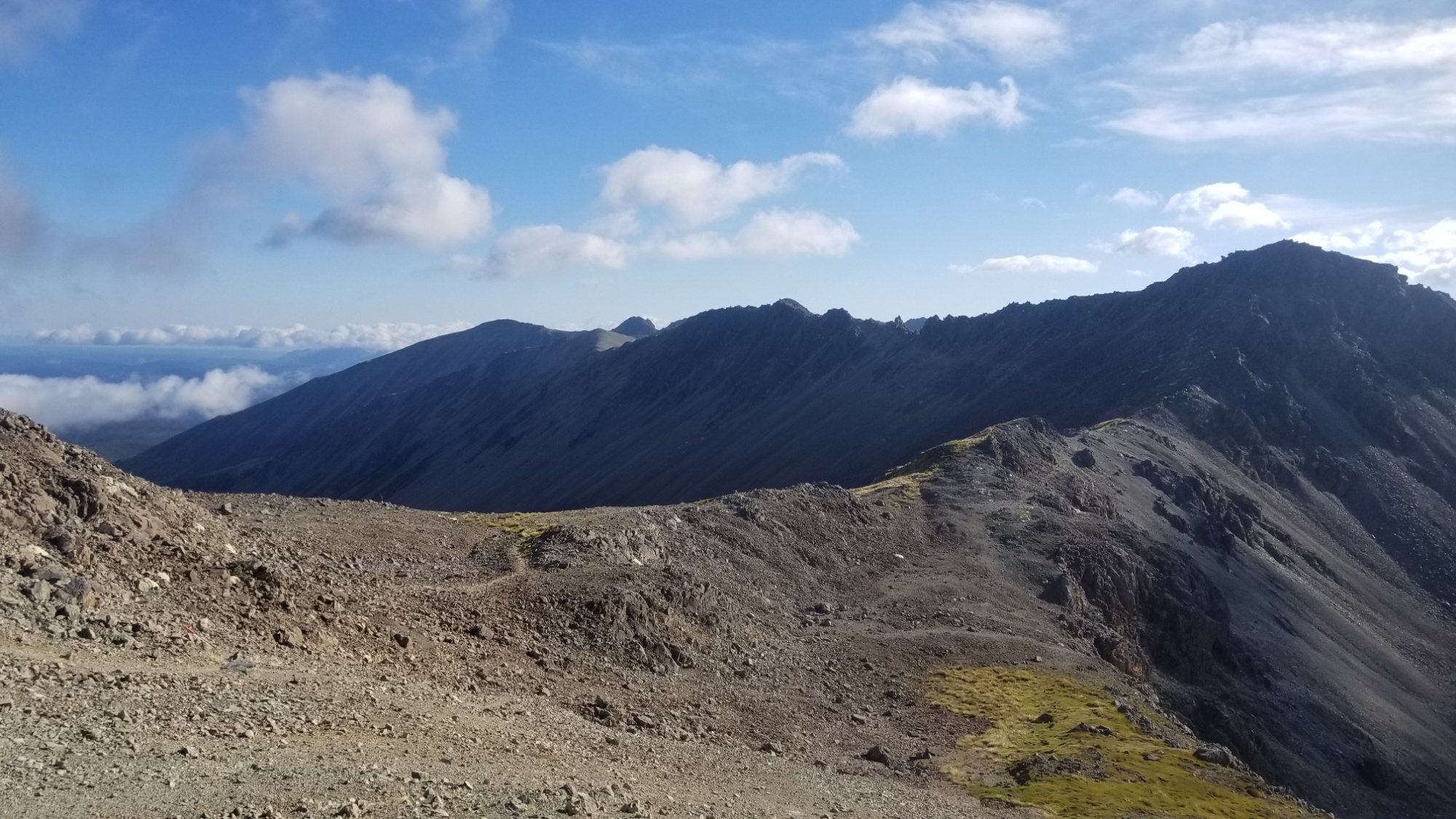
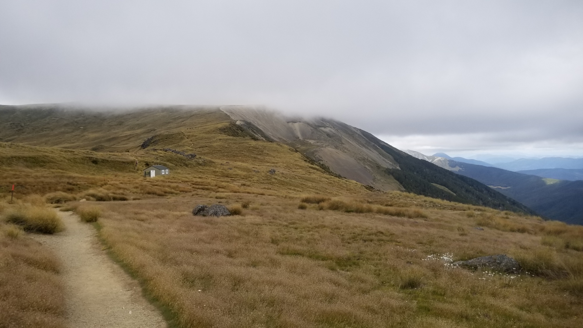
Then, a cruisy 11km ridge walk along the Robert Ridge Walk, and finally, a 1,000m descent to the town of St. Arnaud. All in all, this was one of the most spectacular sections of the whole Te Araroa adventure, although it is an alternate, higher level route.
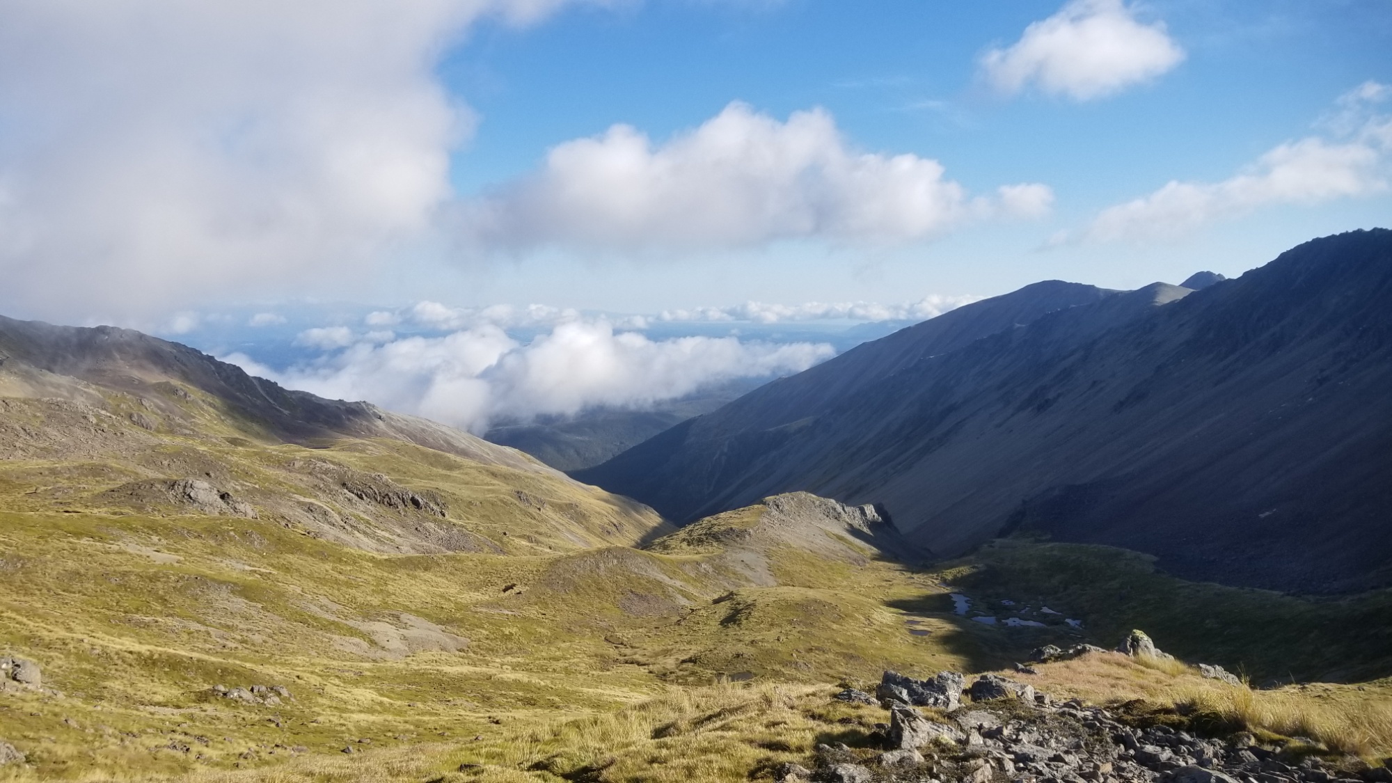
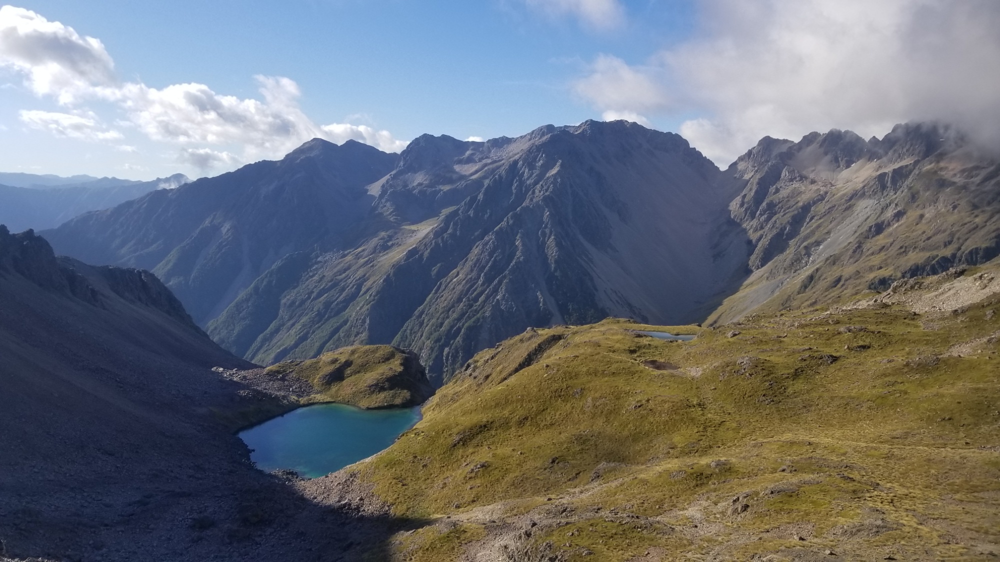
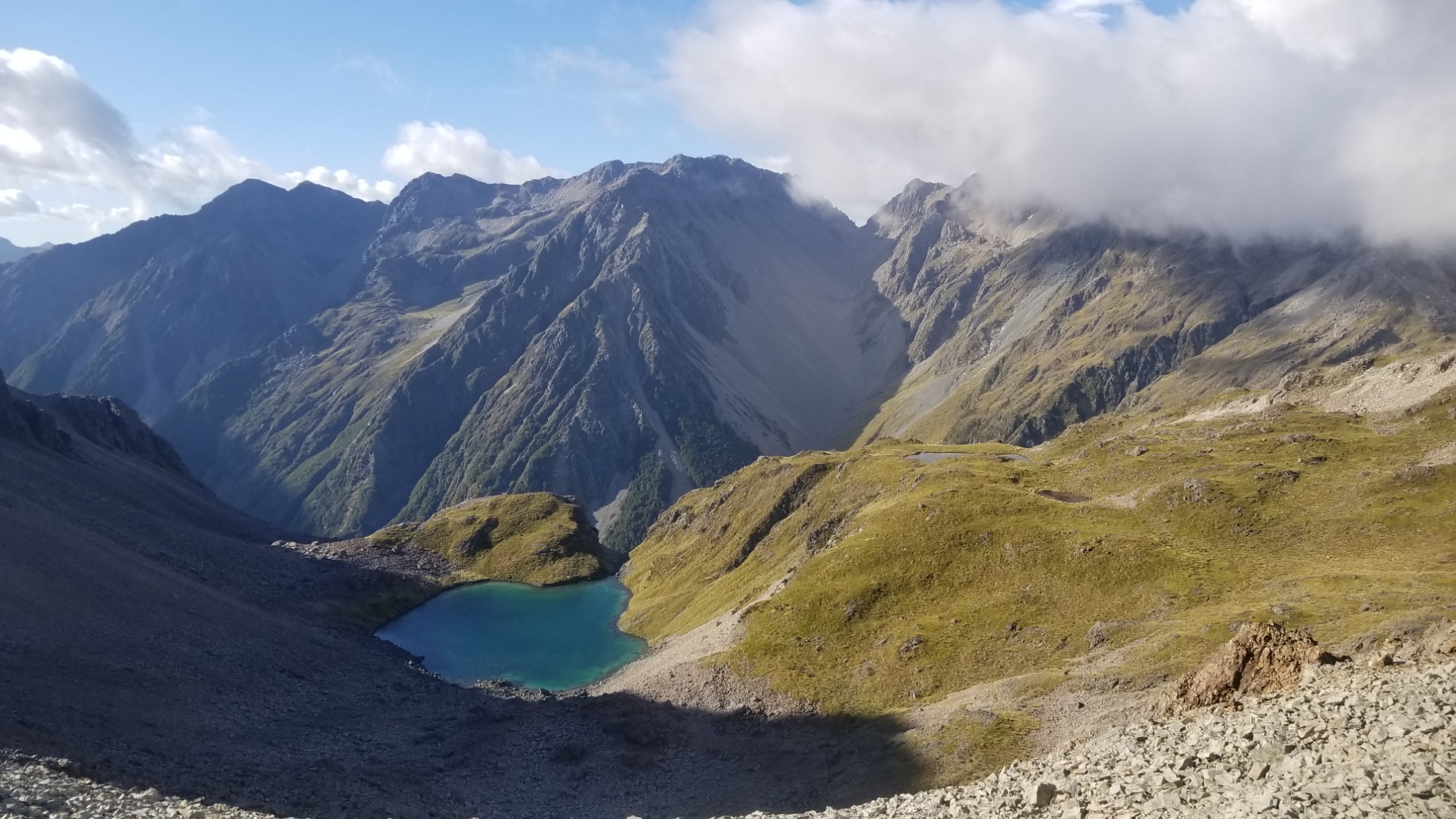
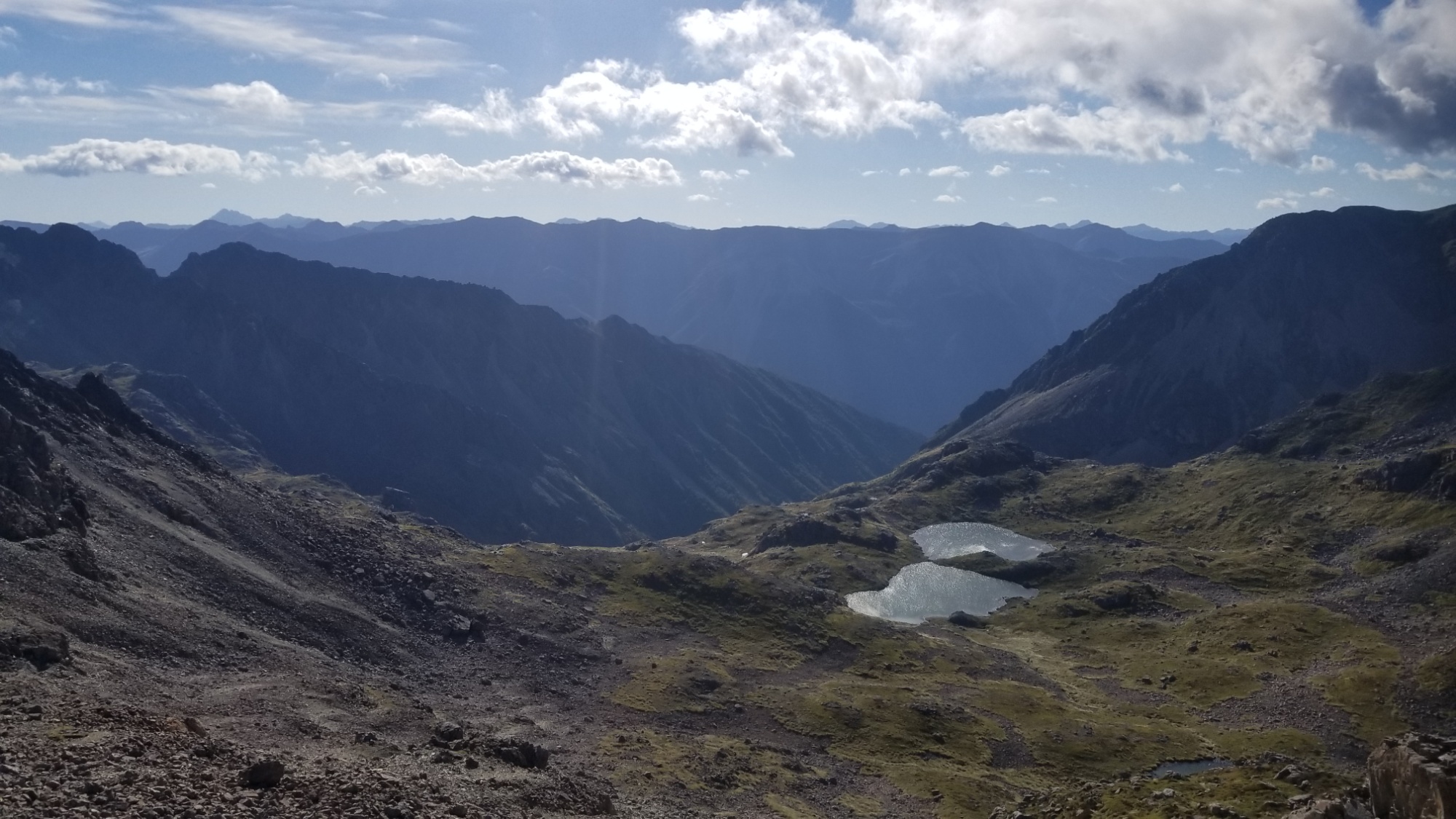
Now for some well deserved rest at the Alpine Lodge Backpackers, and grabbing my resupply box for the next 6 day stretch through the Richmond Ranges and on into Nelson! Good night!
