Wow. I’ve been looking forward to today for a while.
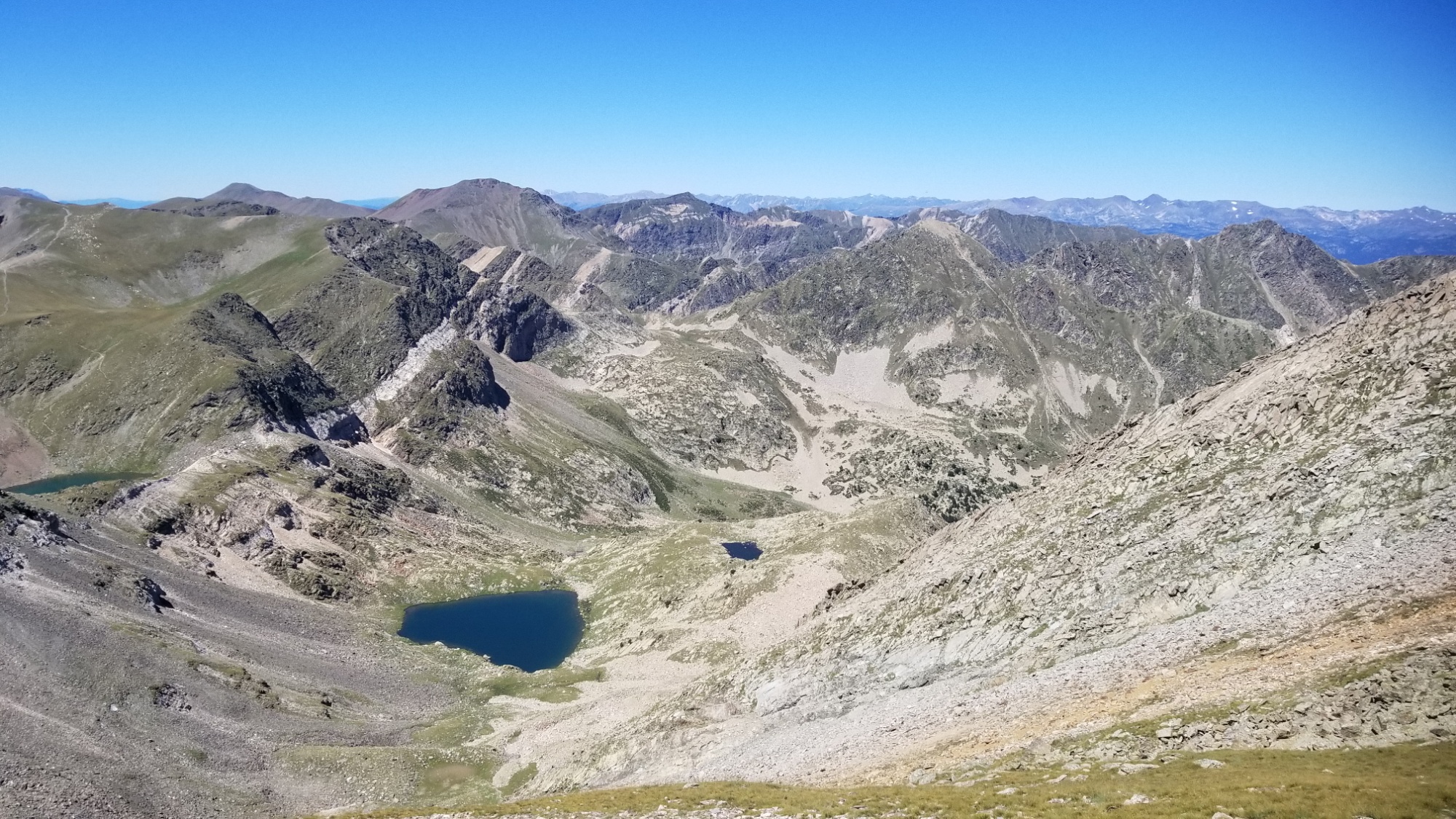
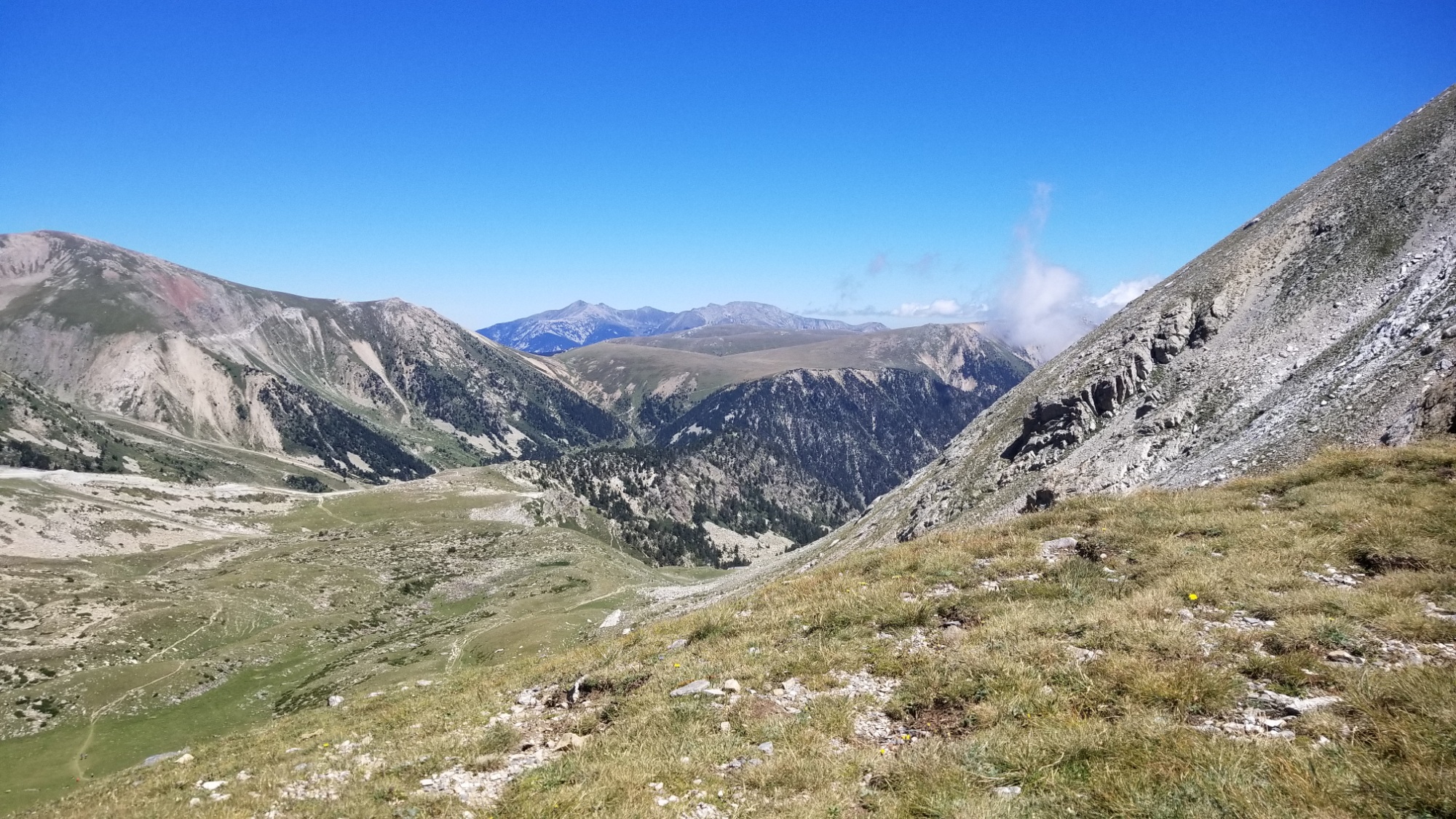
Starting from the valley of Eyne, I climbed up 400m to the frontier ridge, which makes up the border of France and Spain.
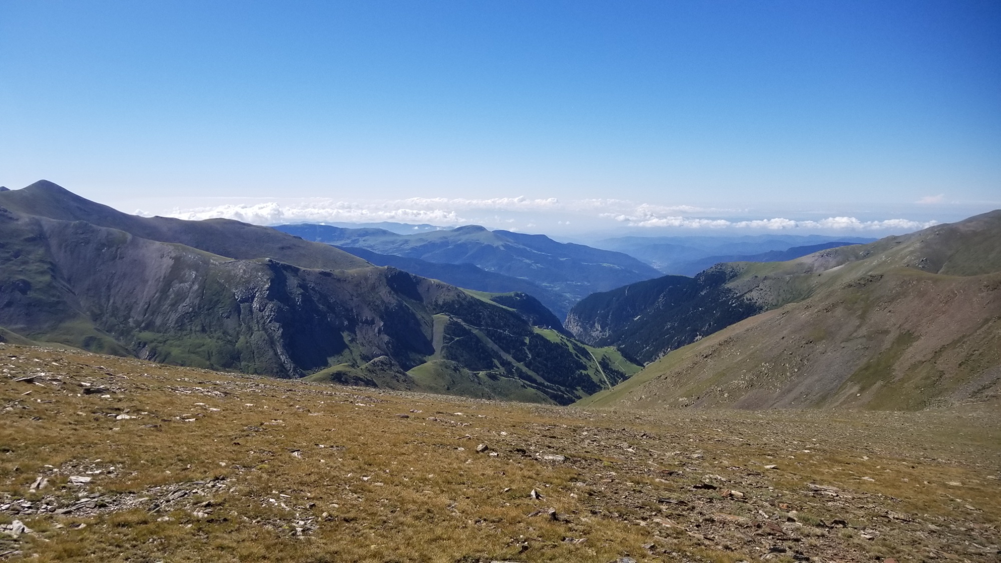
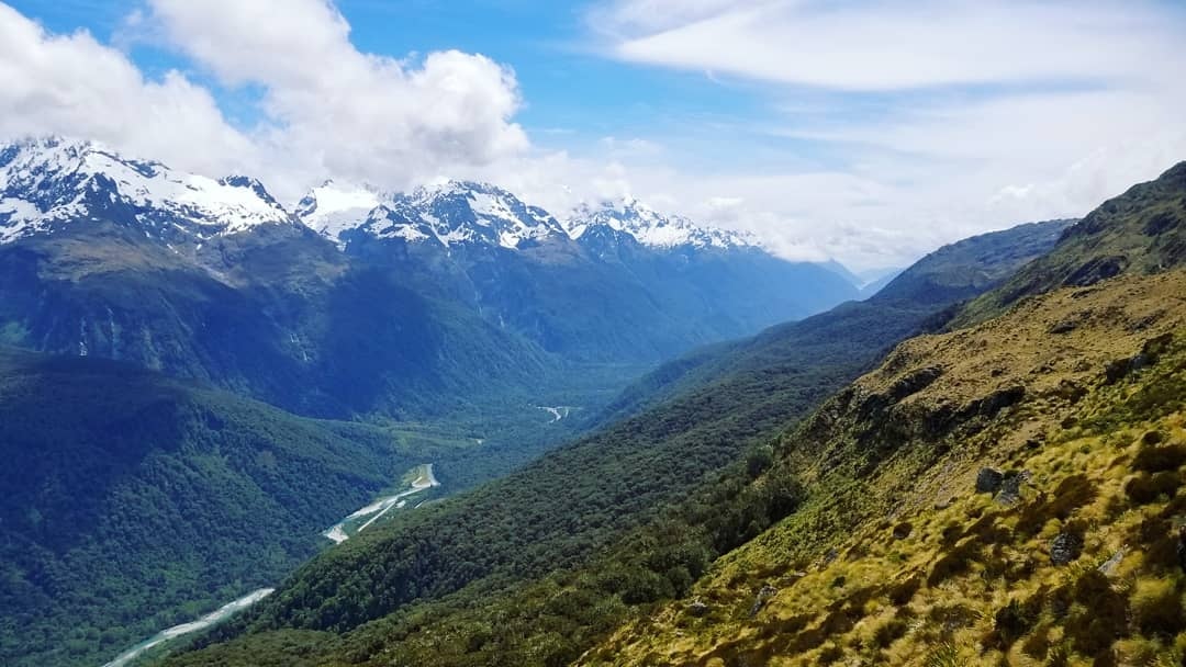
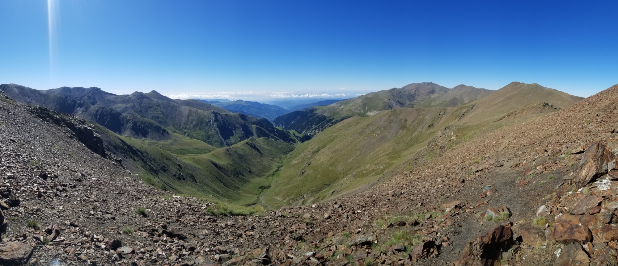
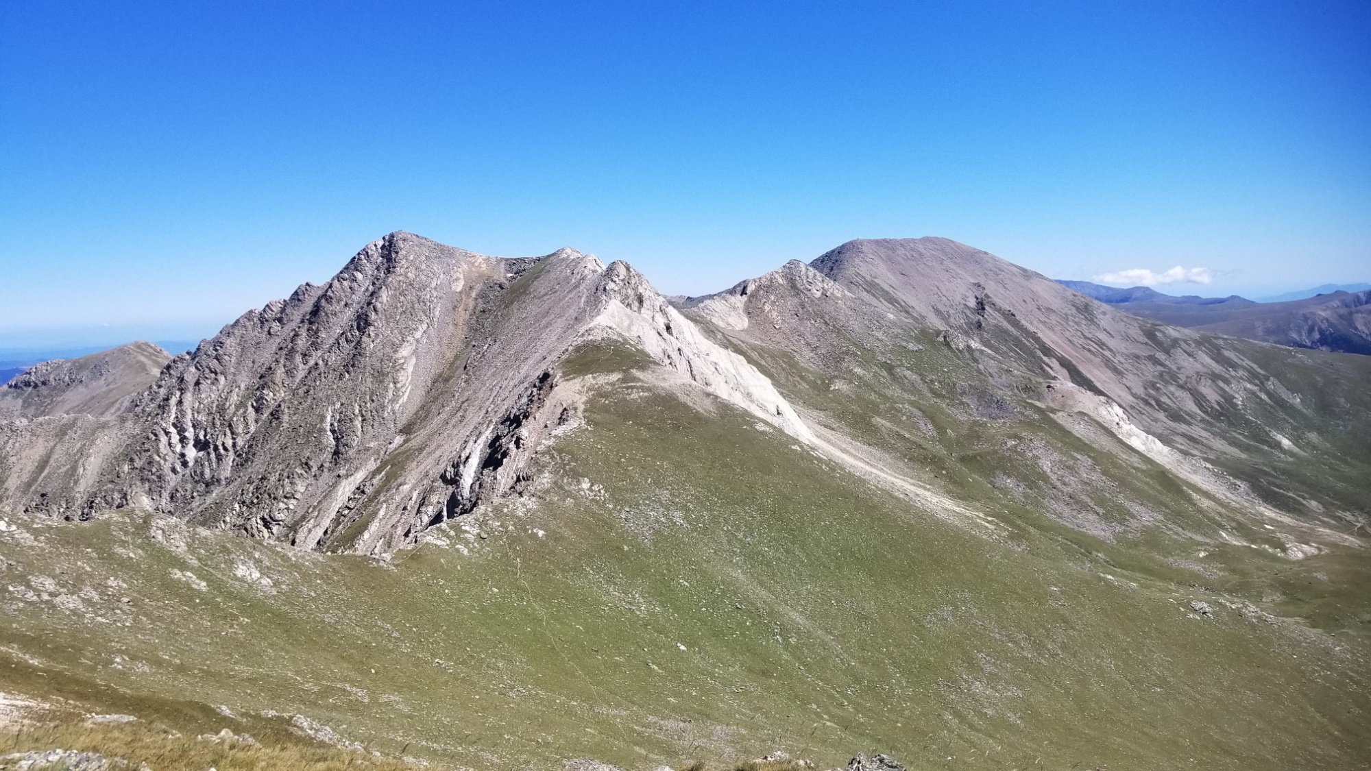
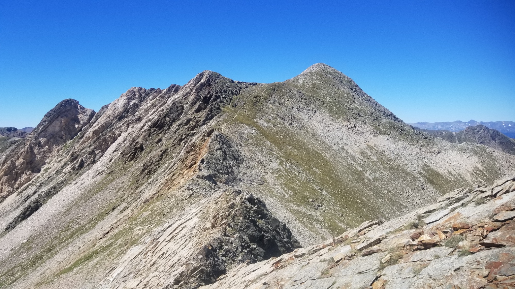
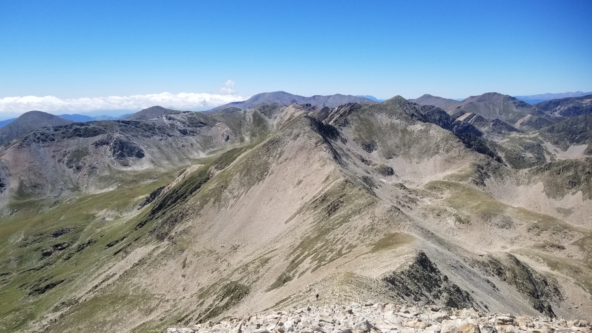
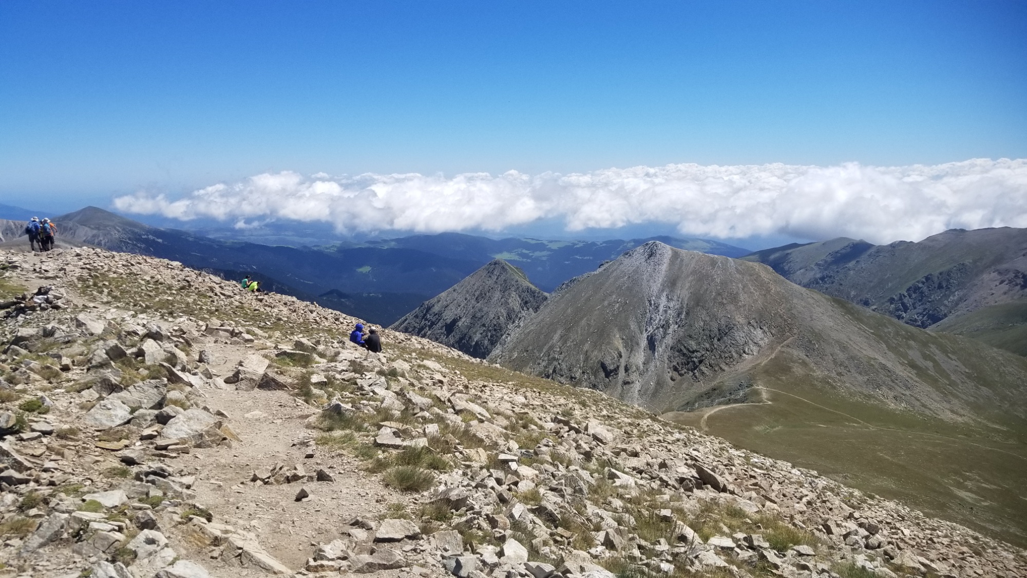
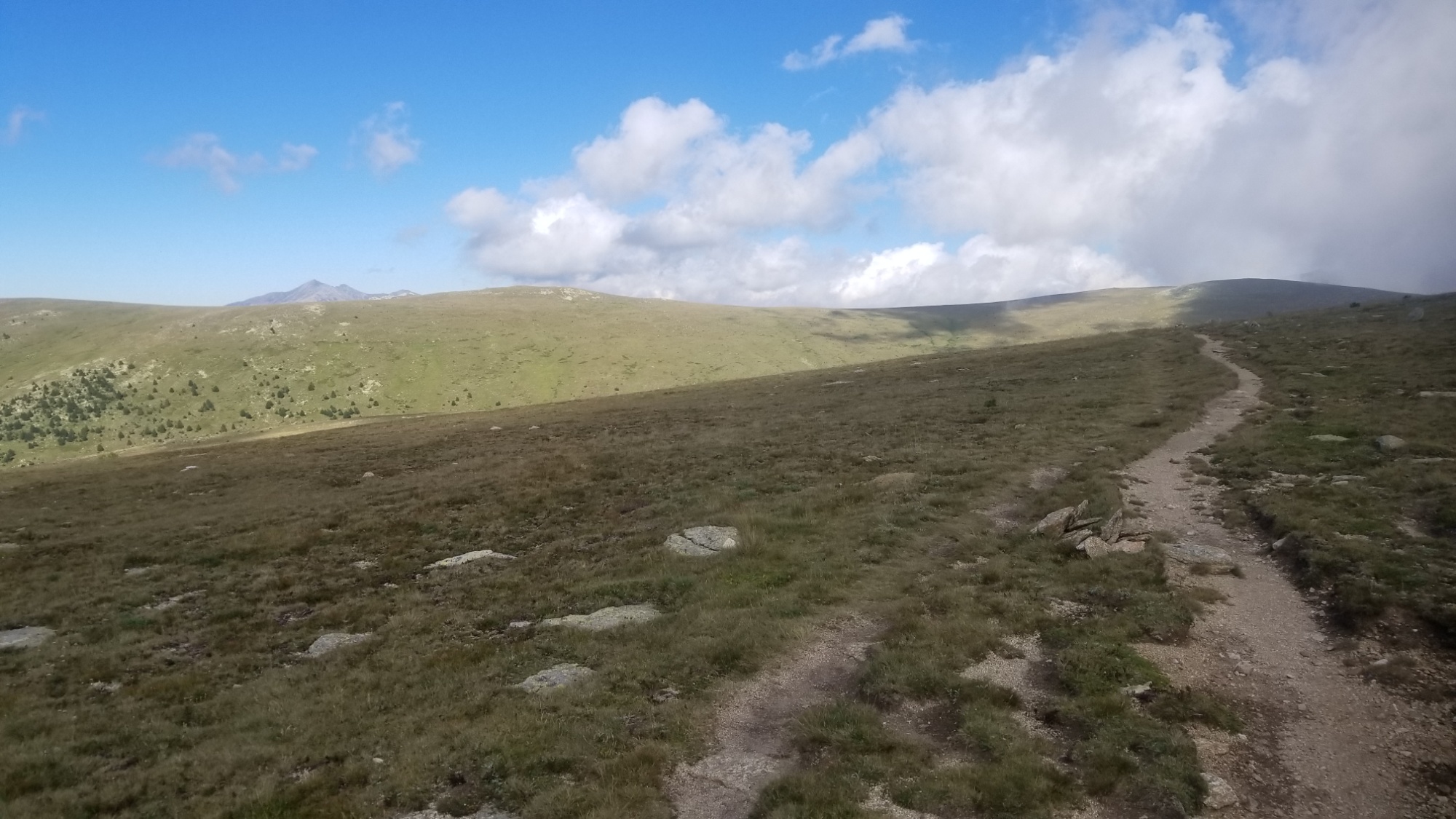
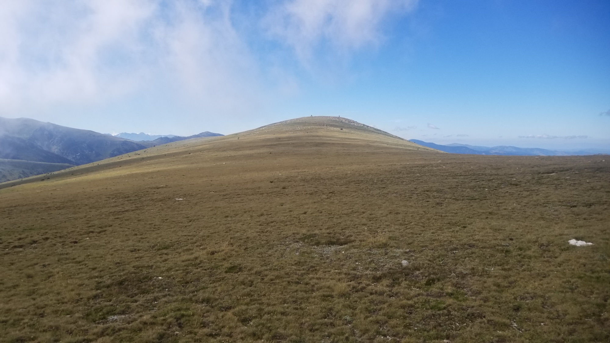
Then I hiked along that ridge 20km, almost all day! I met one of the HRP thru-hikers who I saw 20 days ago, who was interested in the CDT patch on my backpack. We talked for a bit when I caught up to him on one of the peaks. He had carried a soft drink up from town, and I was super jealous. He said he doesn’t do any drugs, except Coca-cola. Hah! Then I told him I’d see him at the Mediterranean and continued on.
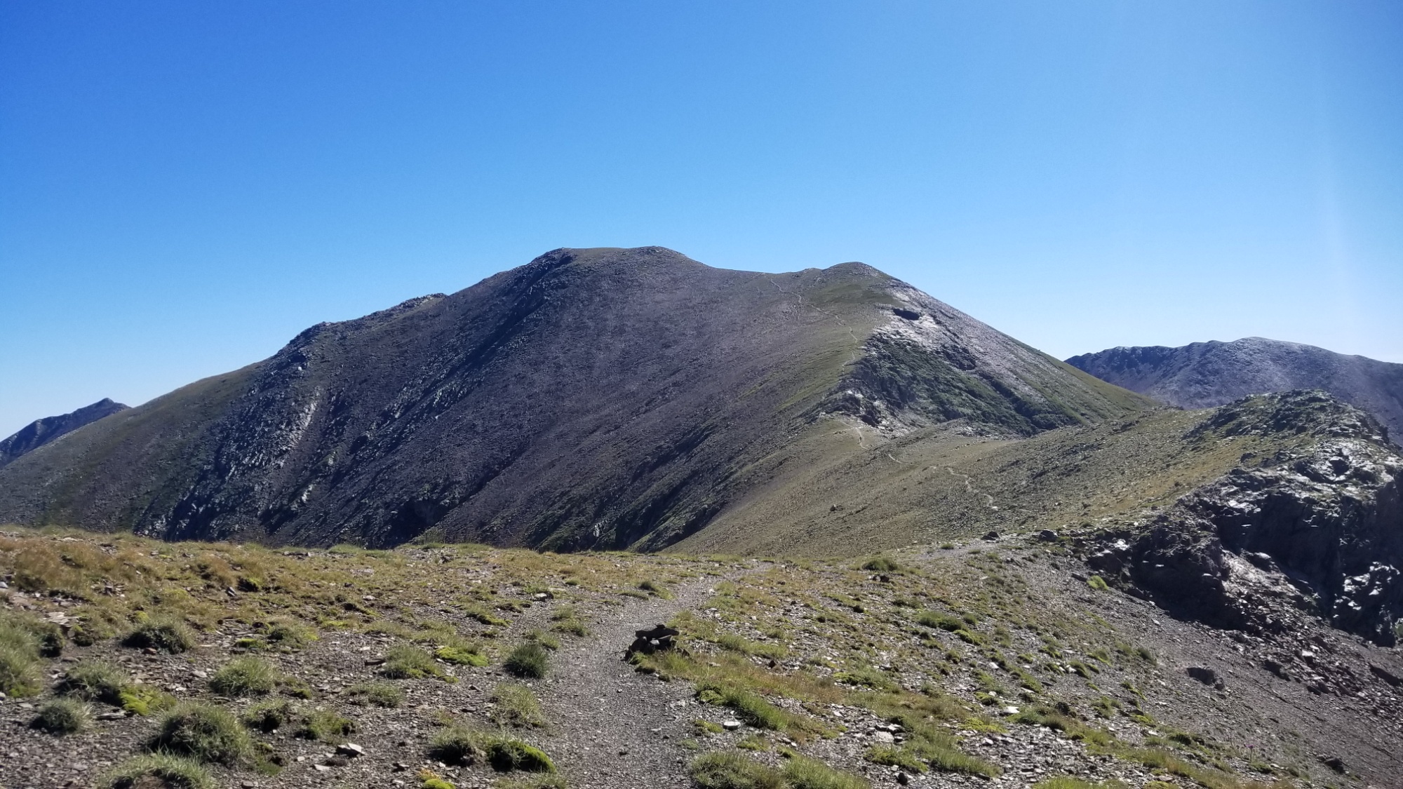
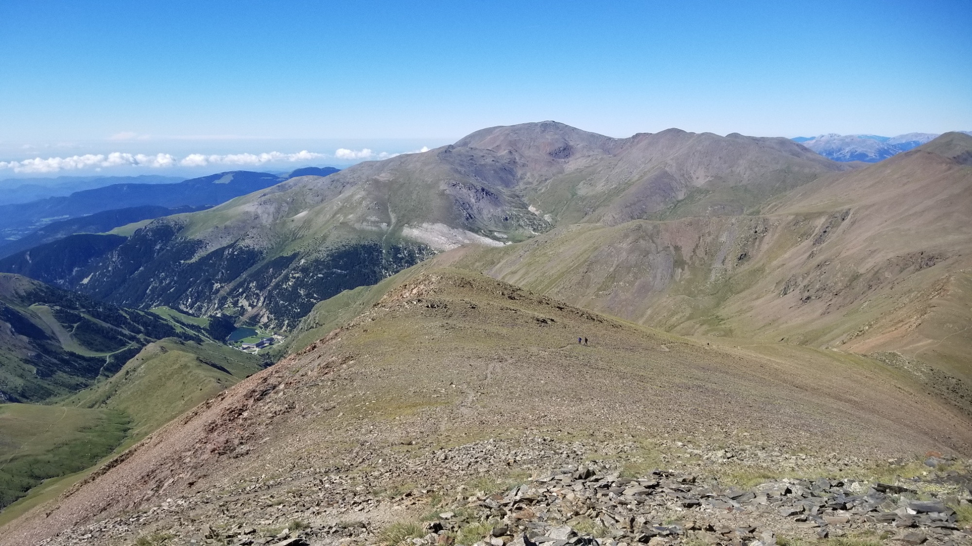
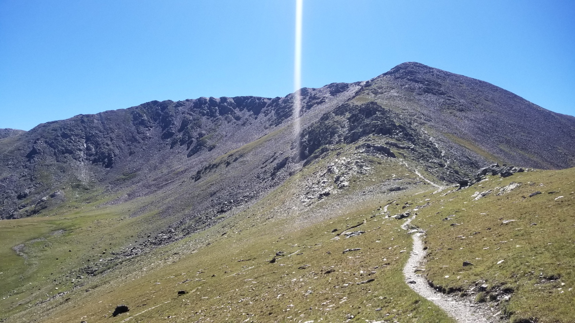
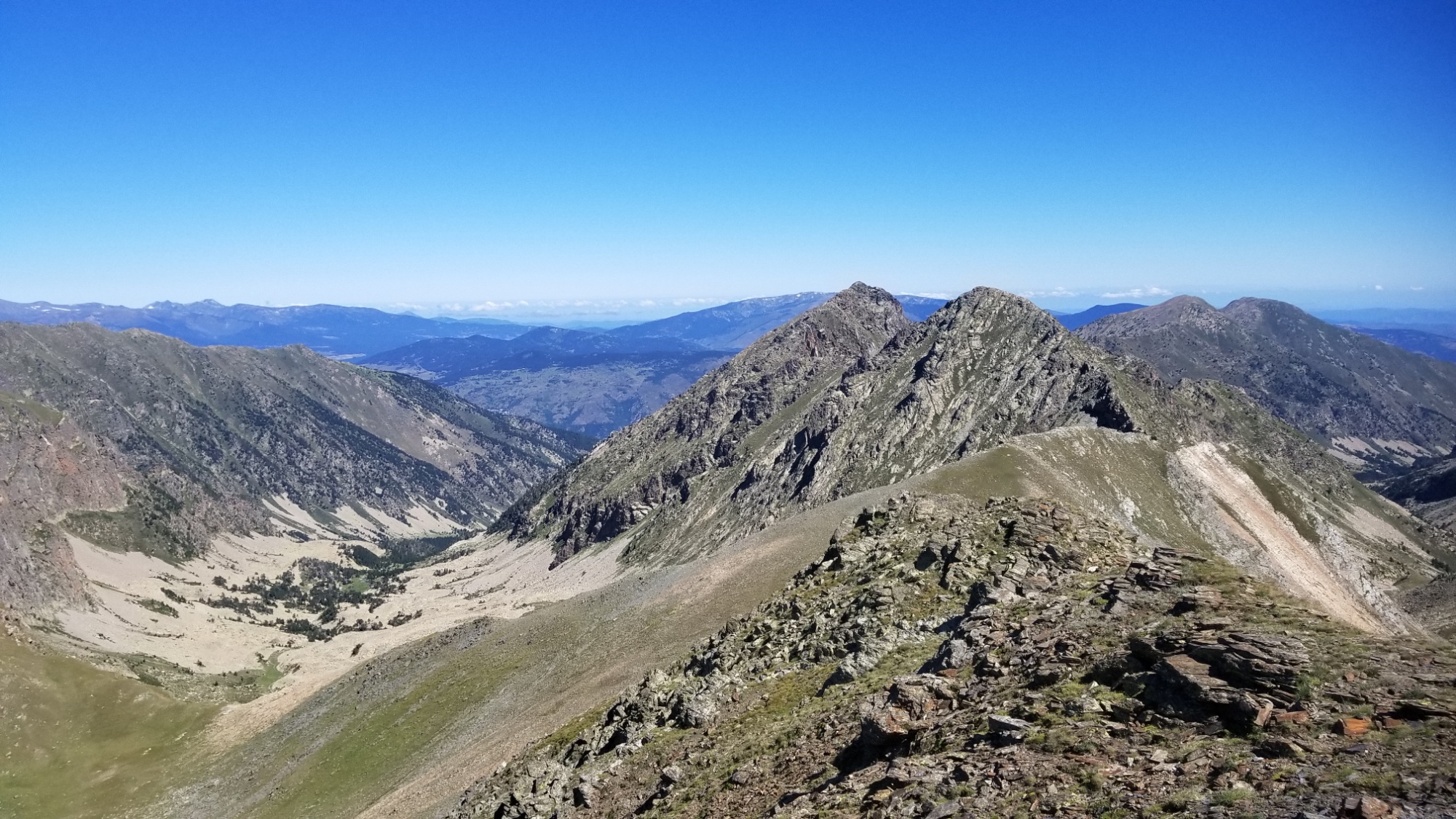
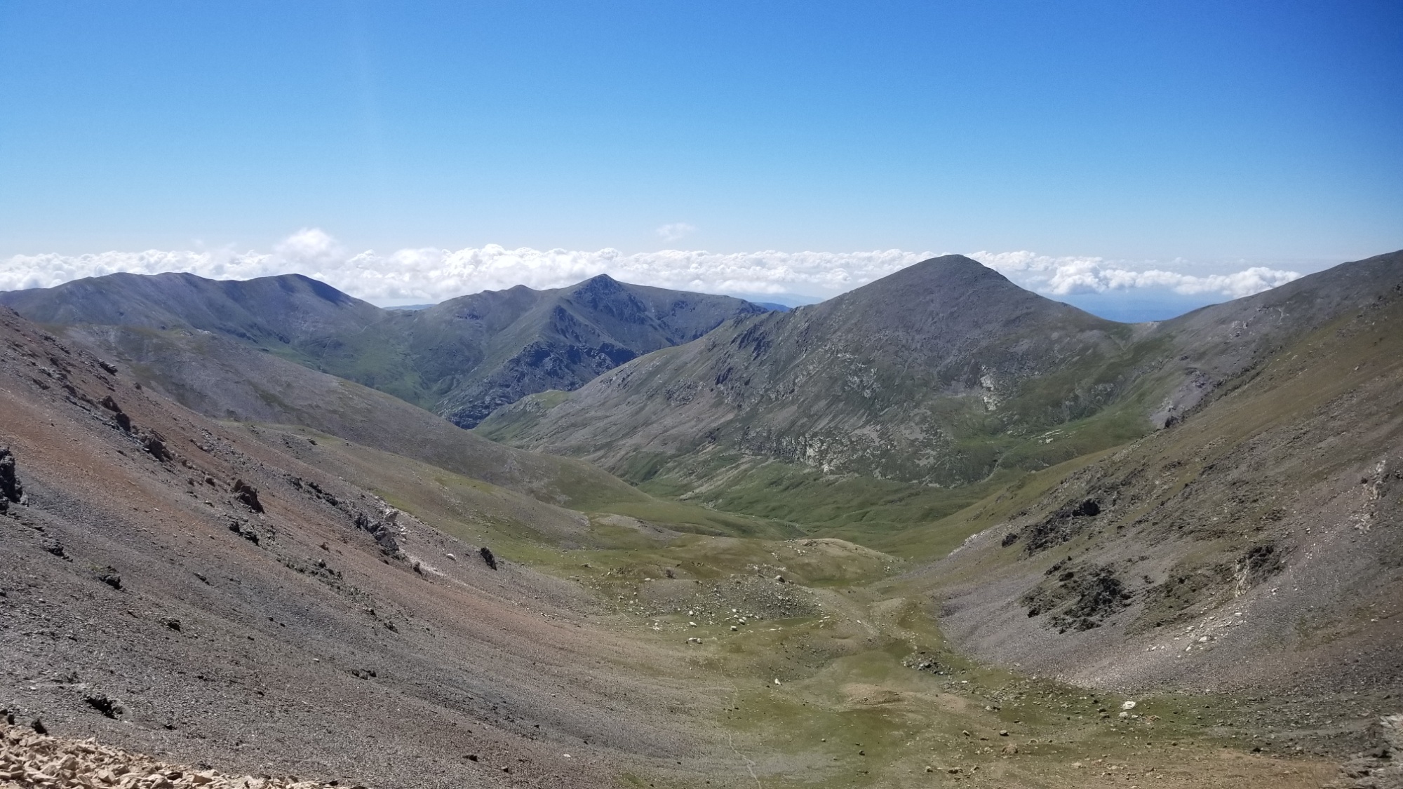
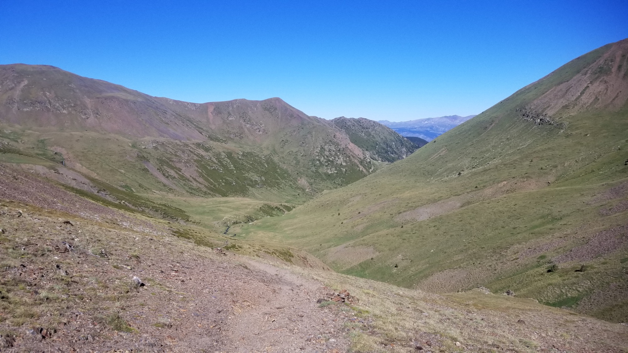
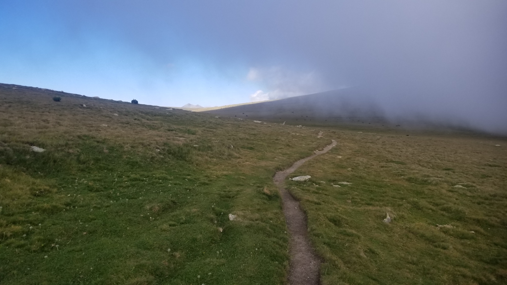
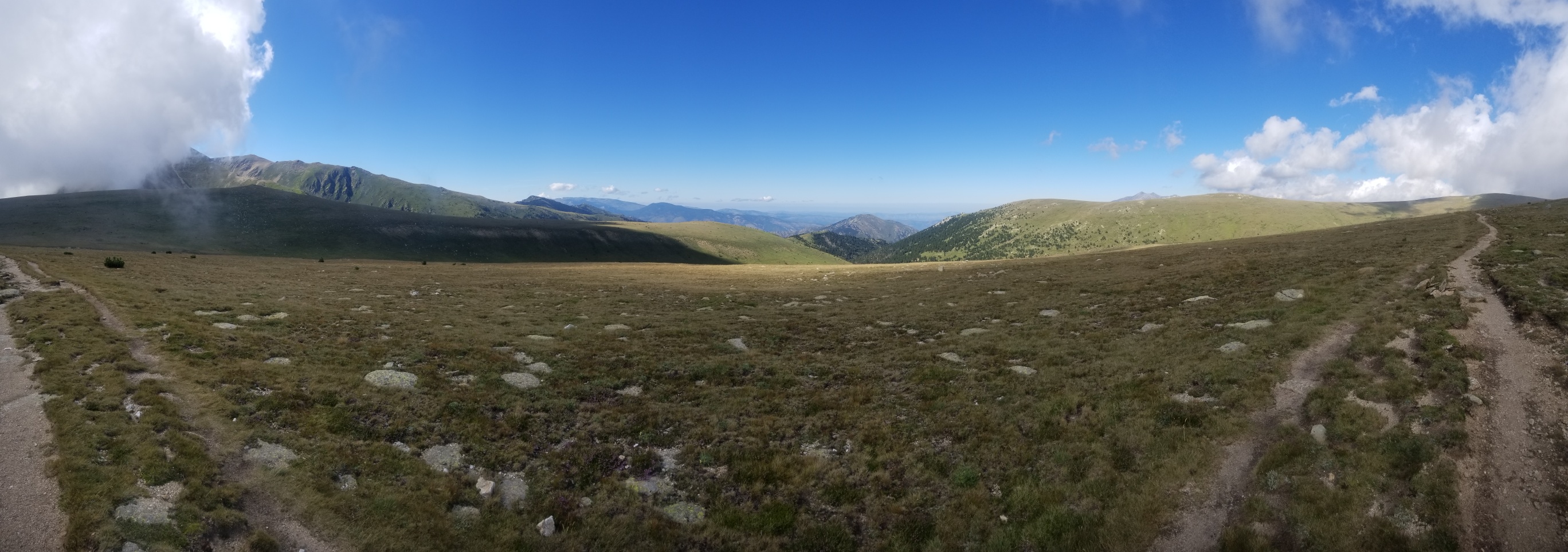
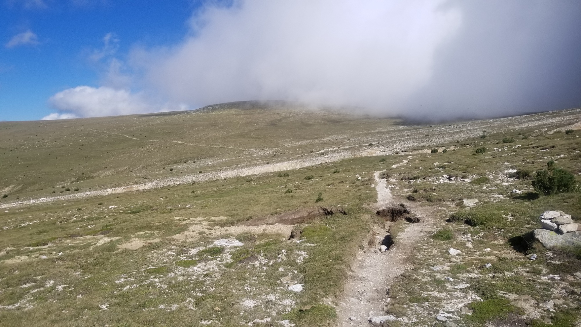
I came to a place on the ridge where the guidebook wants you to go down in a valley to a refuge. However, I could see on my maps that there was definitely a kind of route that follows the frontier ridge on the north side of that valley.
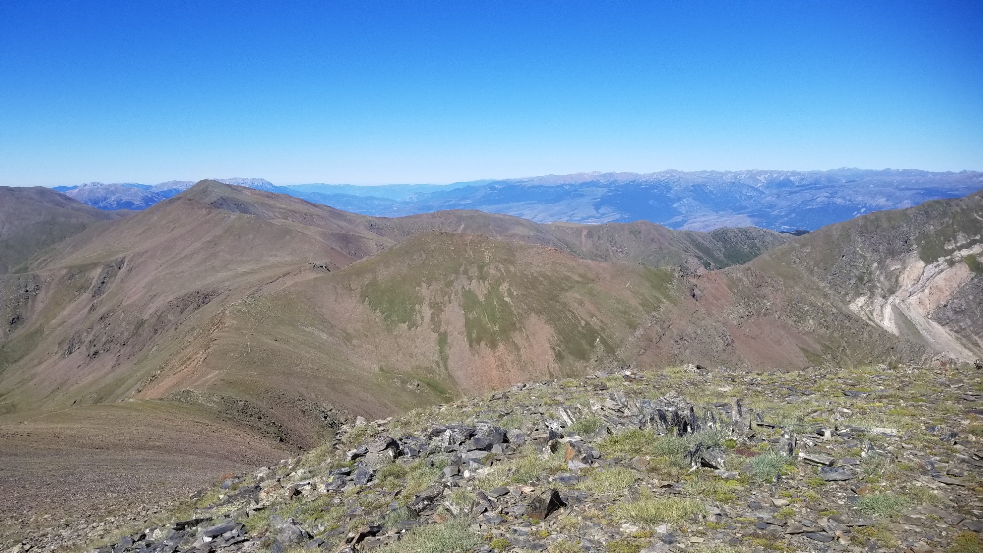
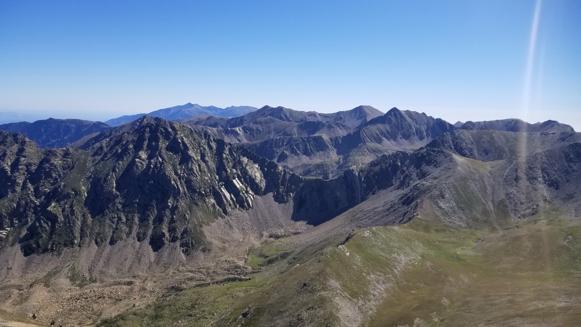
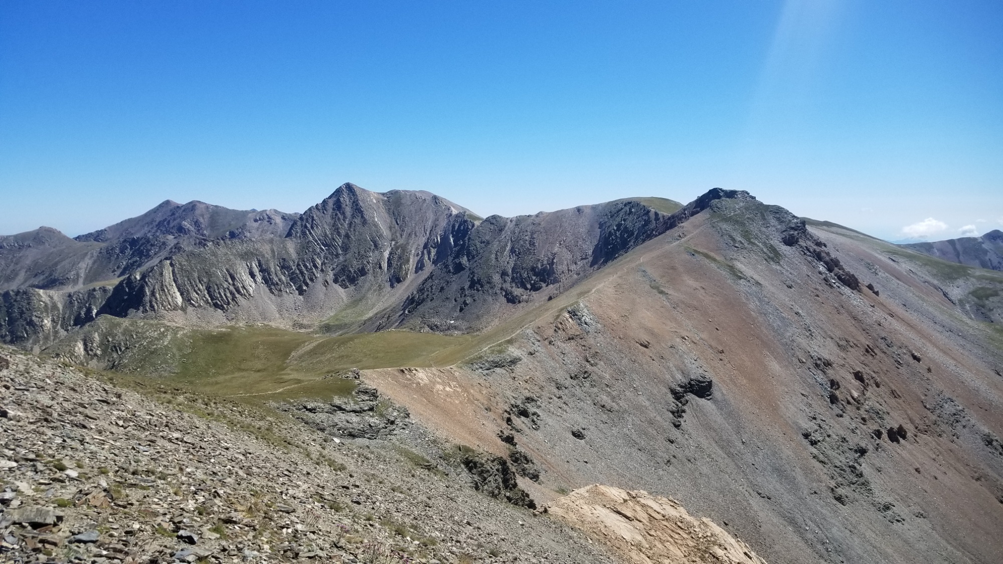
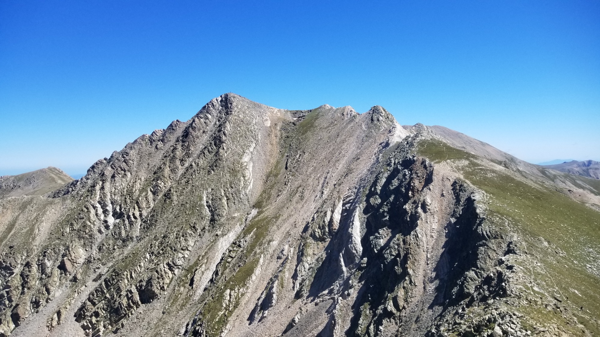
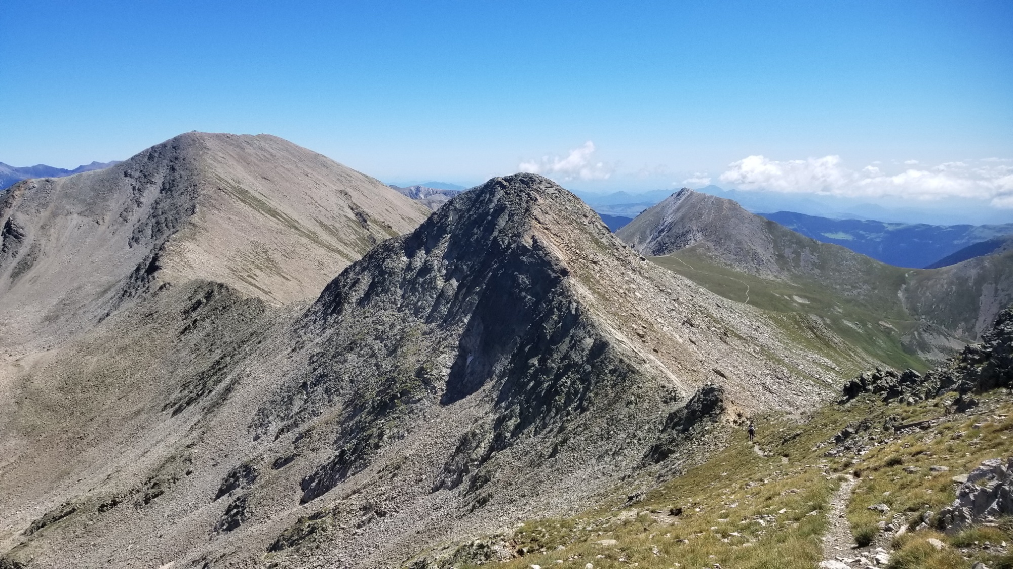
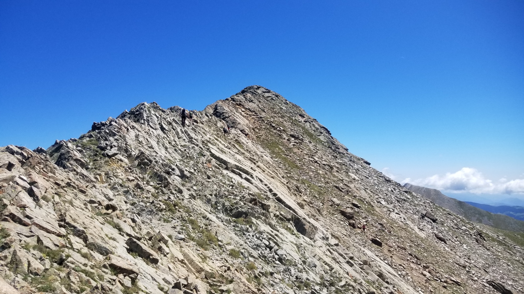
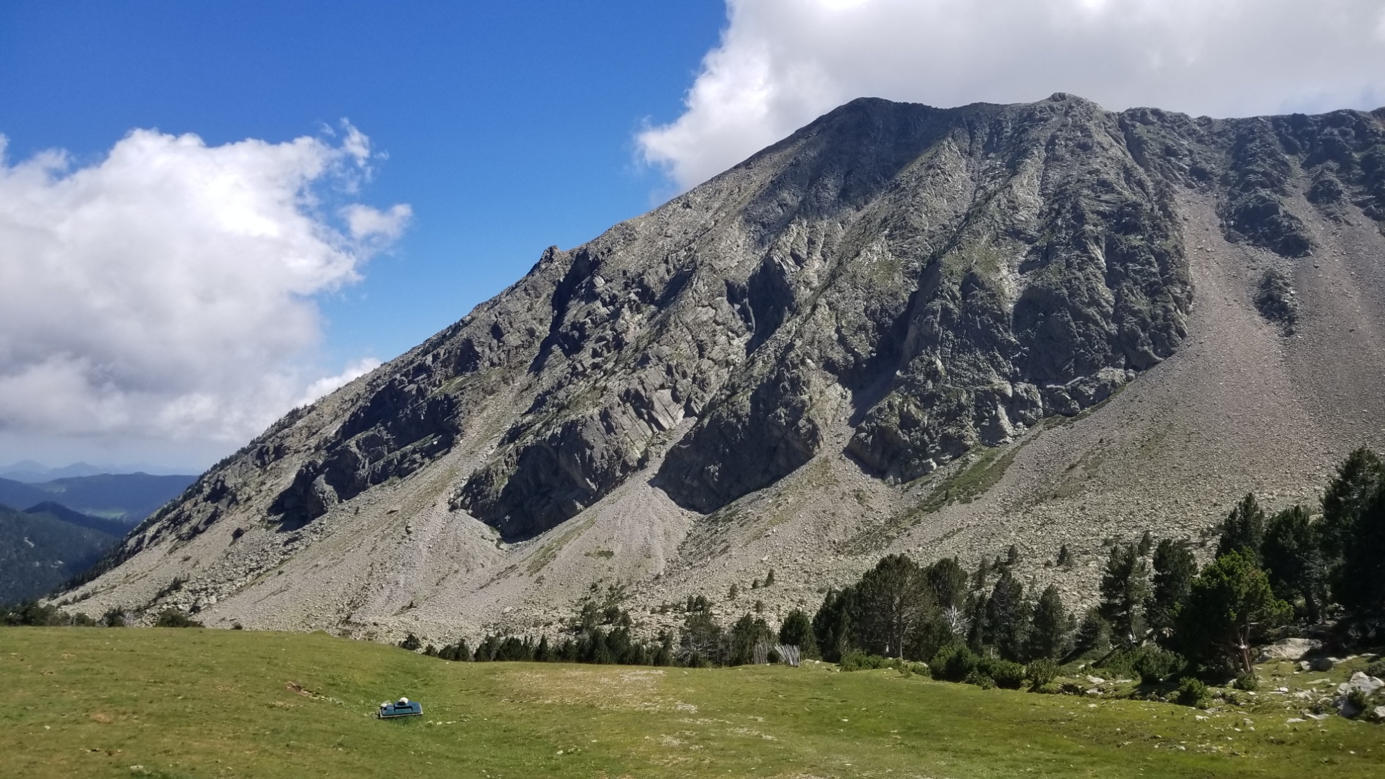
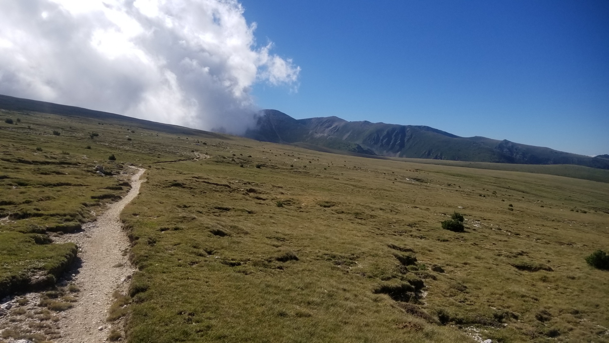
So, I decided to throw my guidebook in the fire and keep on the frontier ridge. It was a risky decision, not knowing what I may encounter on this route, but I felt confident I could handle it. And what a route it was! It reminded me of the Argentine spine section of the CDT. There were a few sections that were a little sketchy, requiring the use of hands and climbing up boulder/screefields, but all in all nothing too bad.
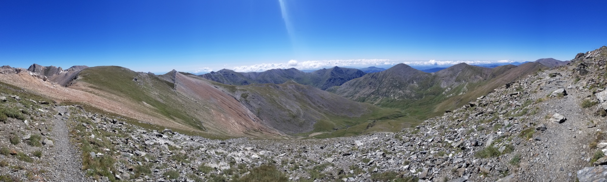
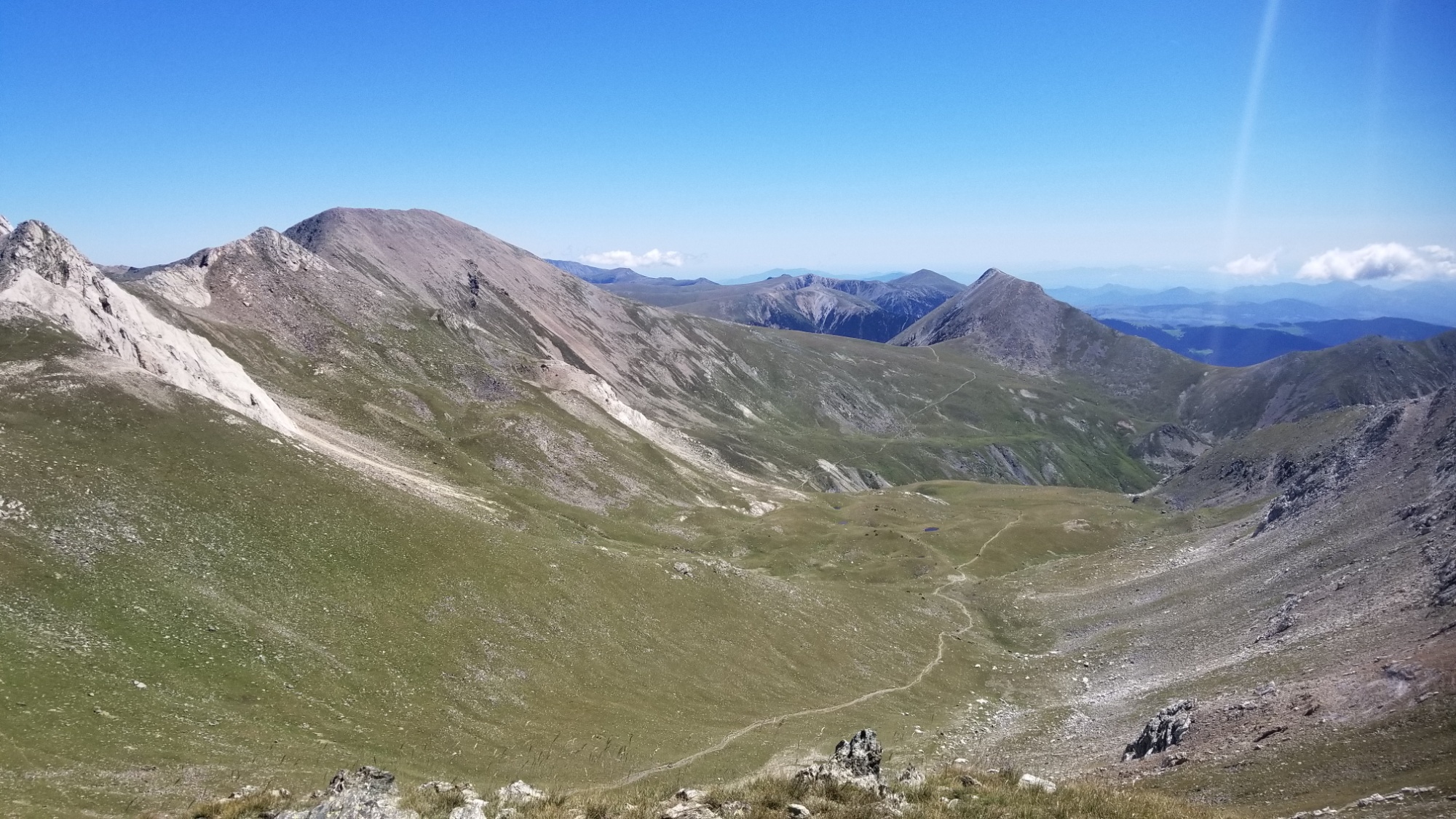
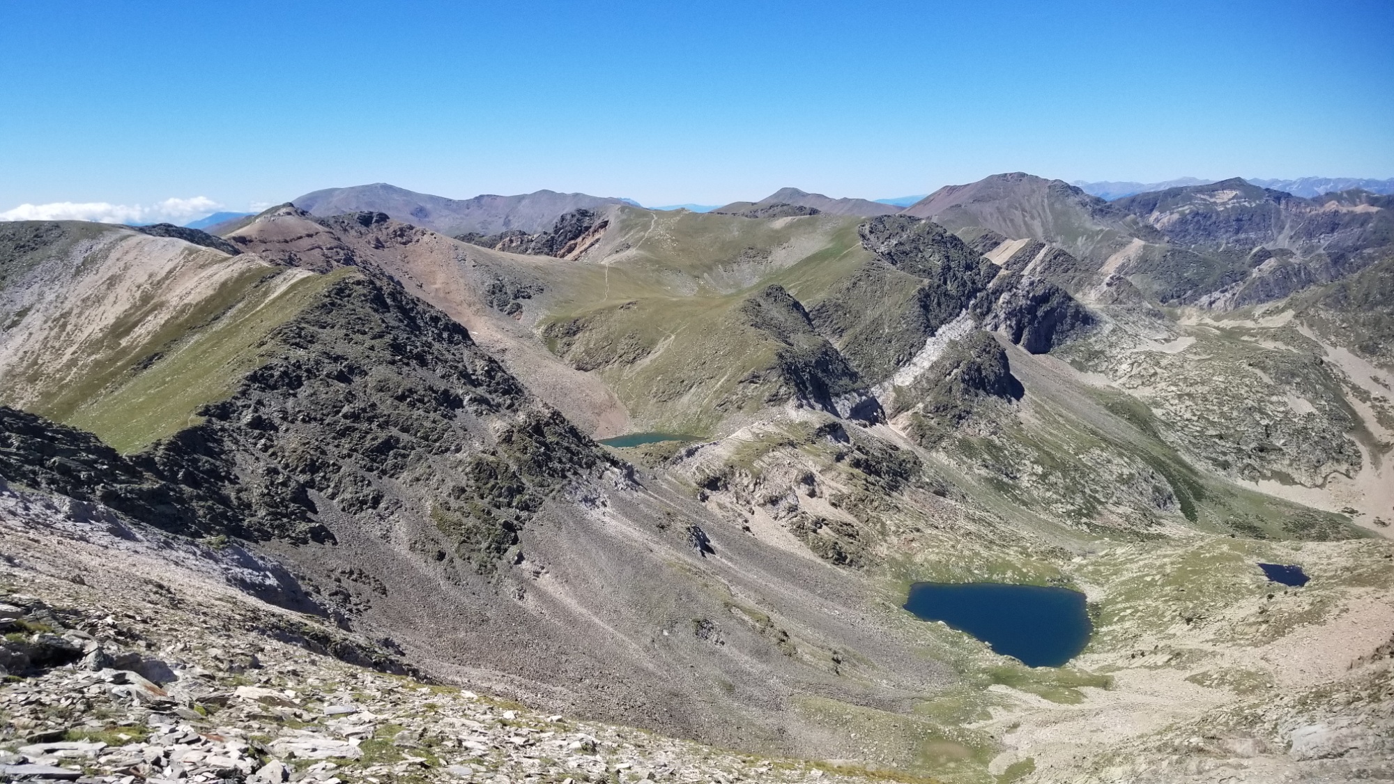
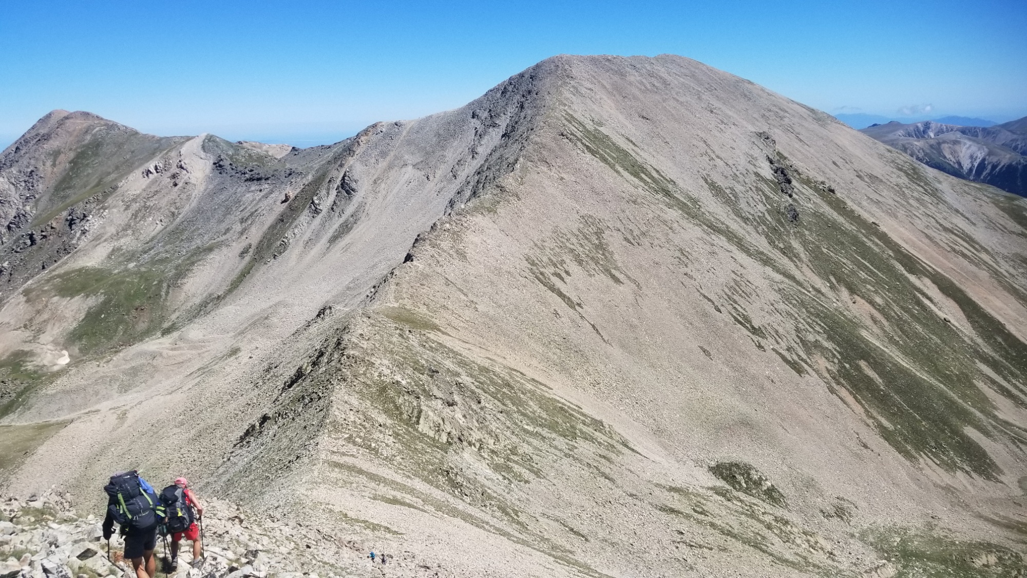
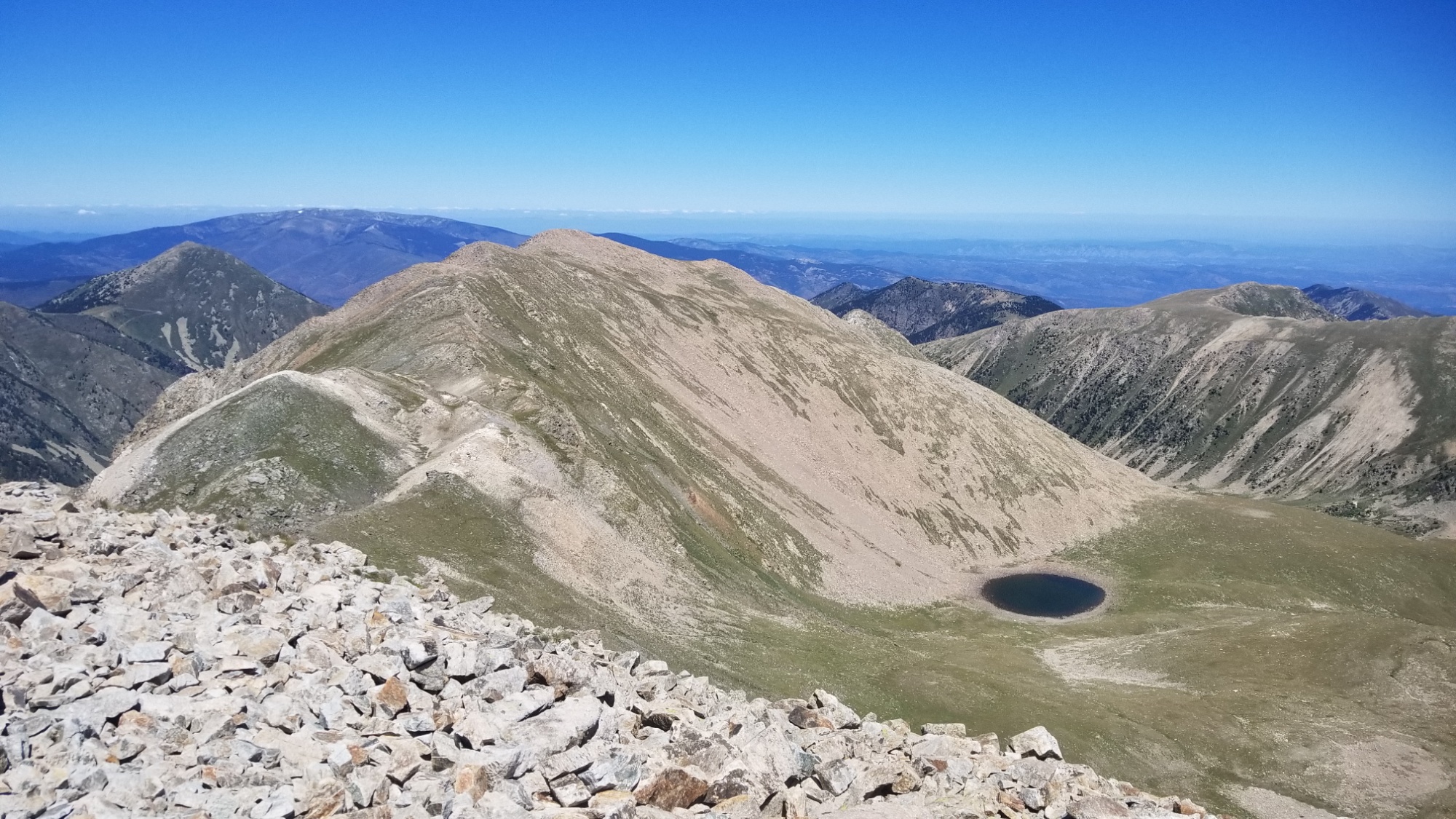

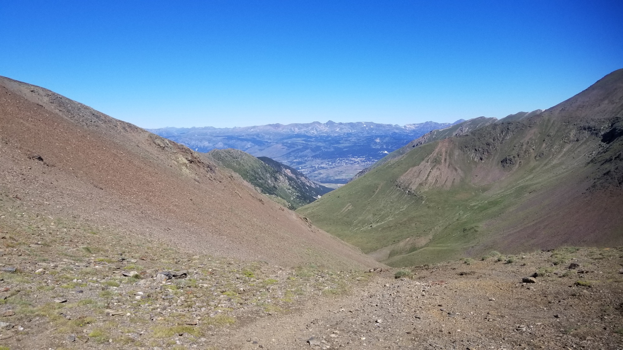
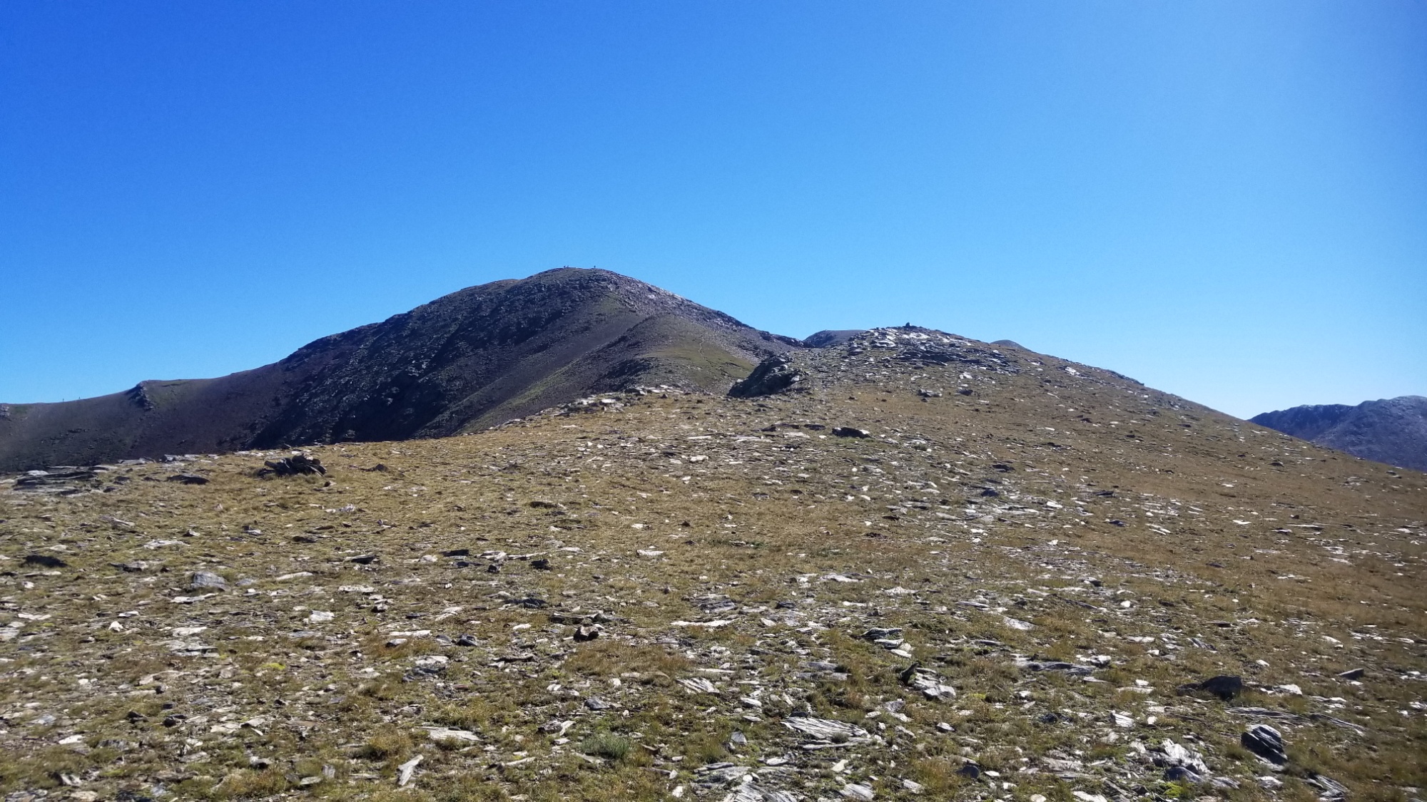
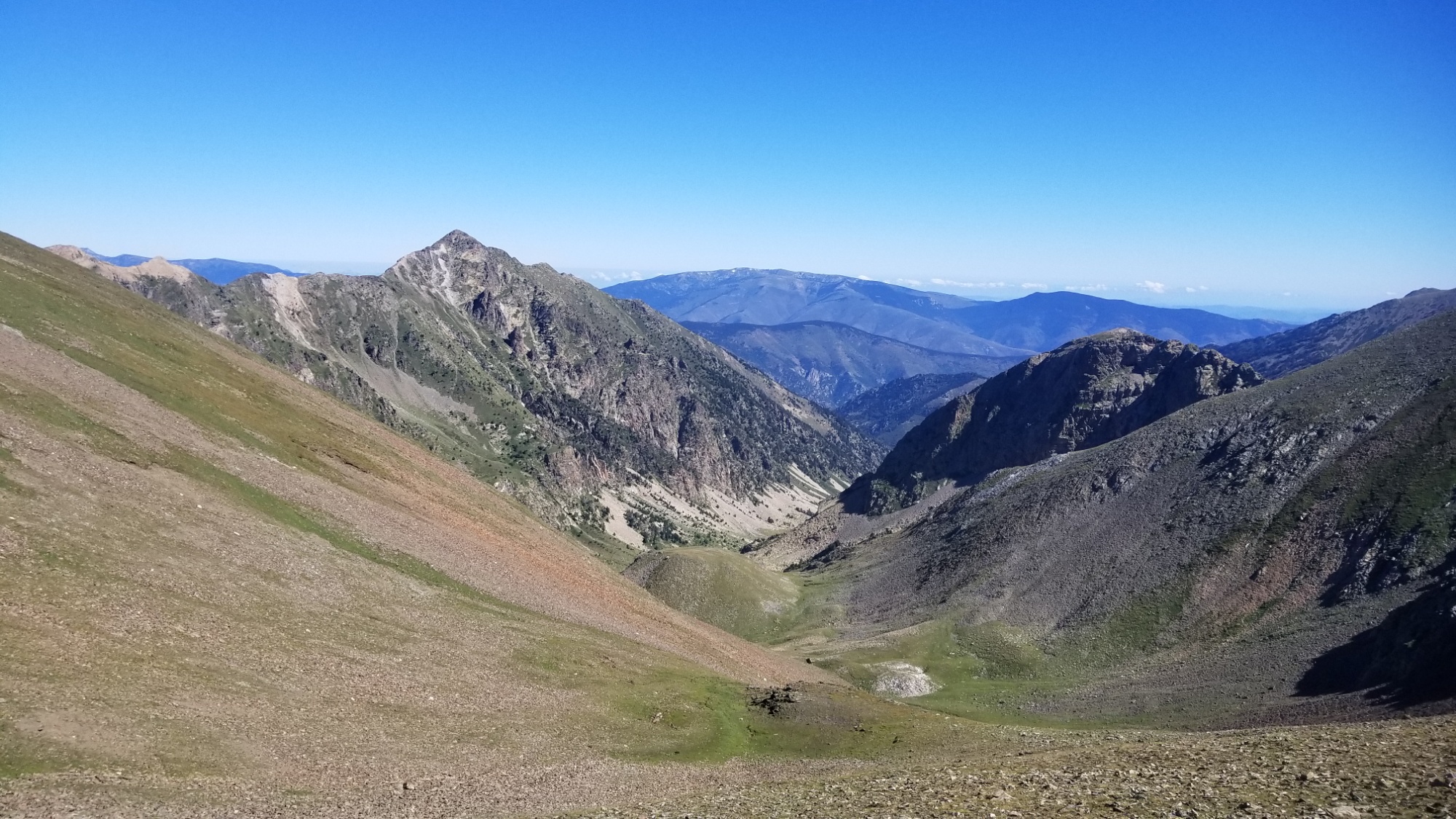
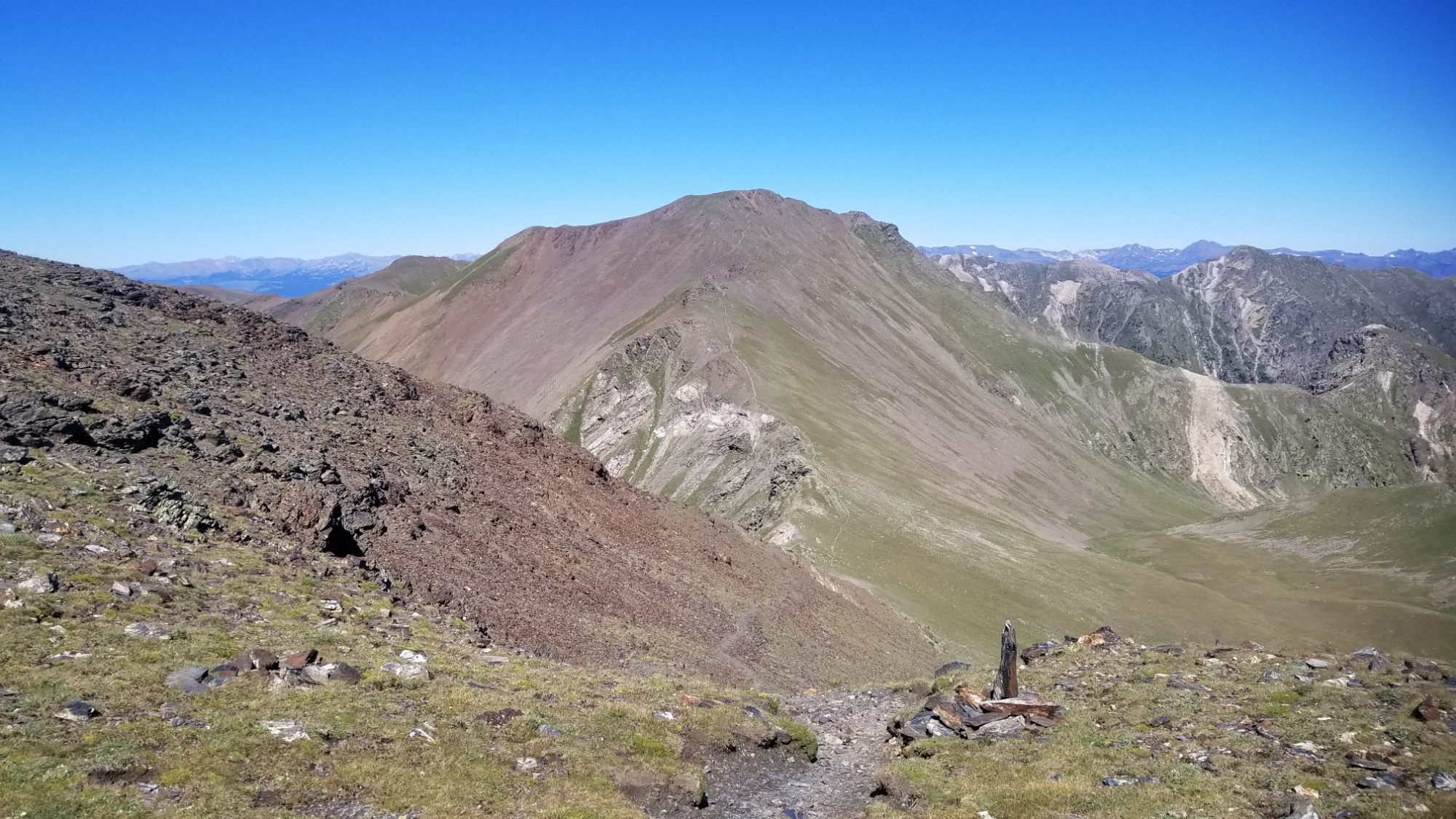
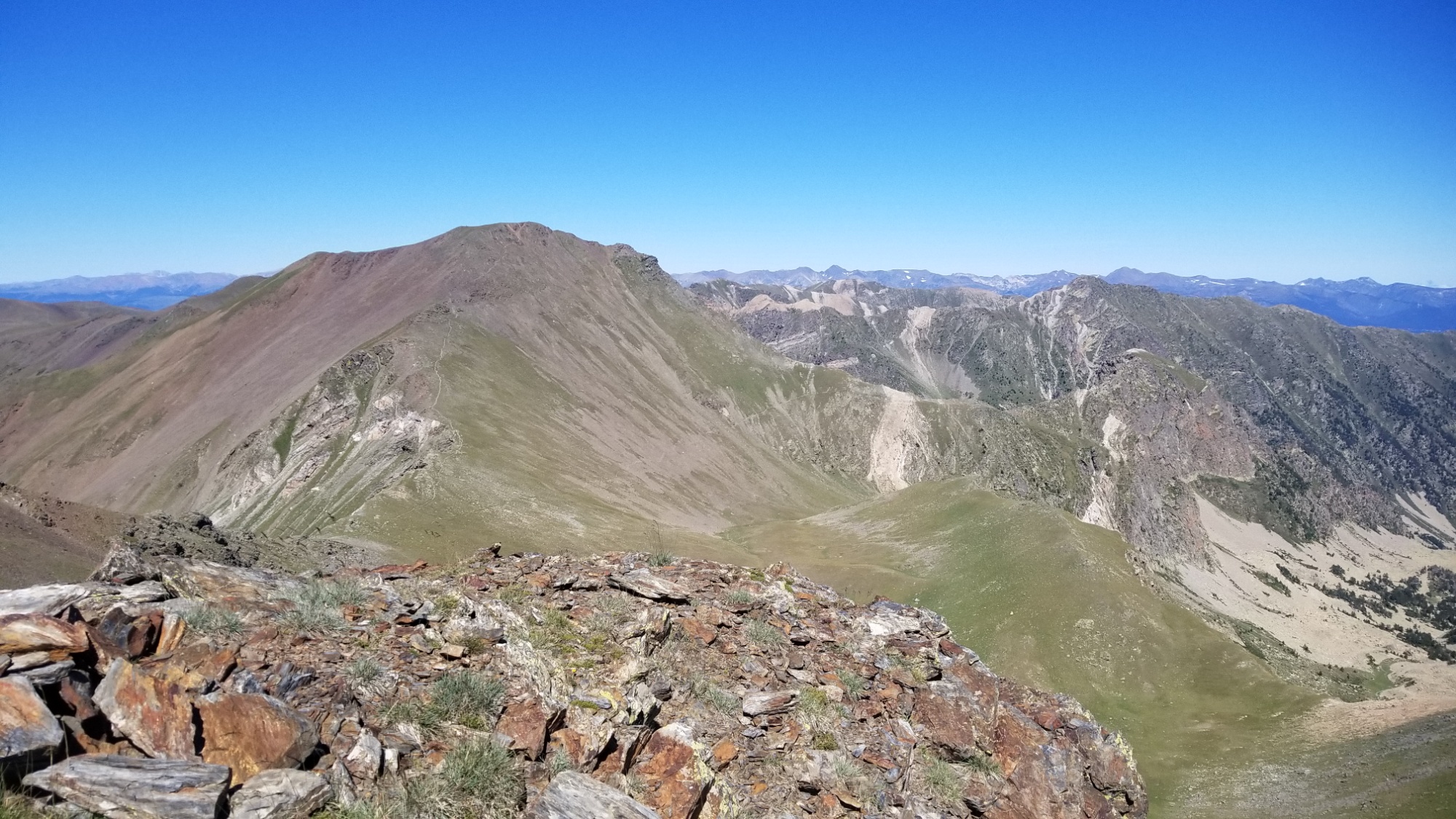
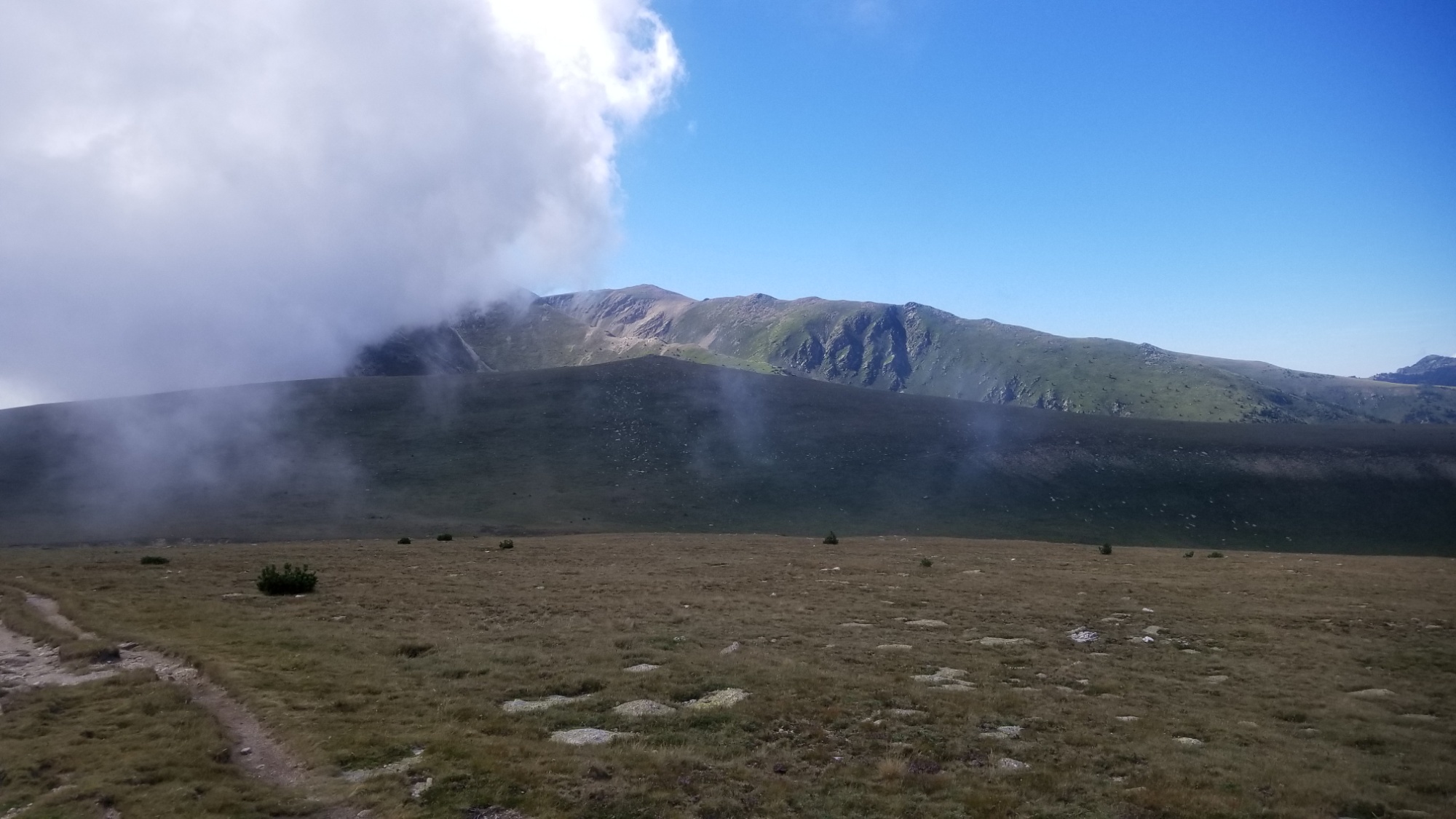
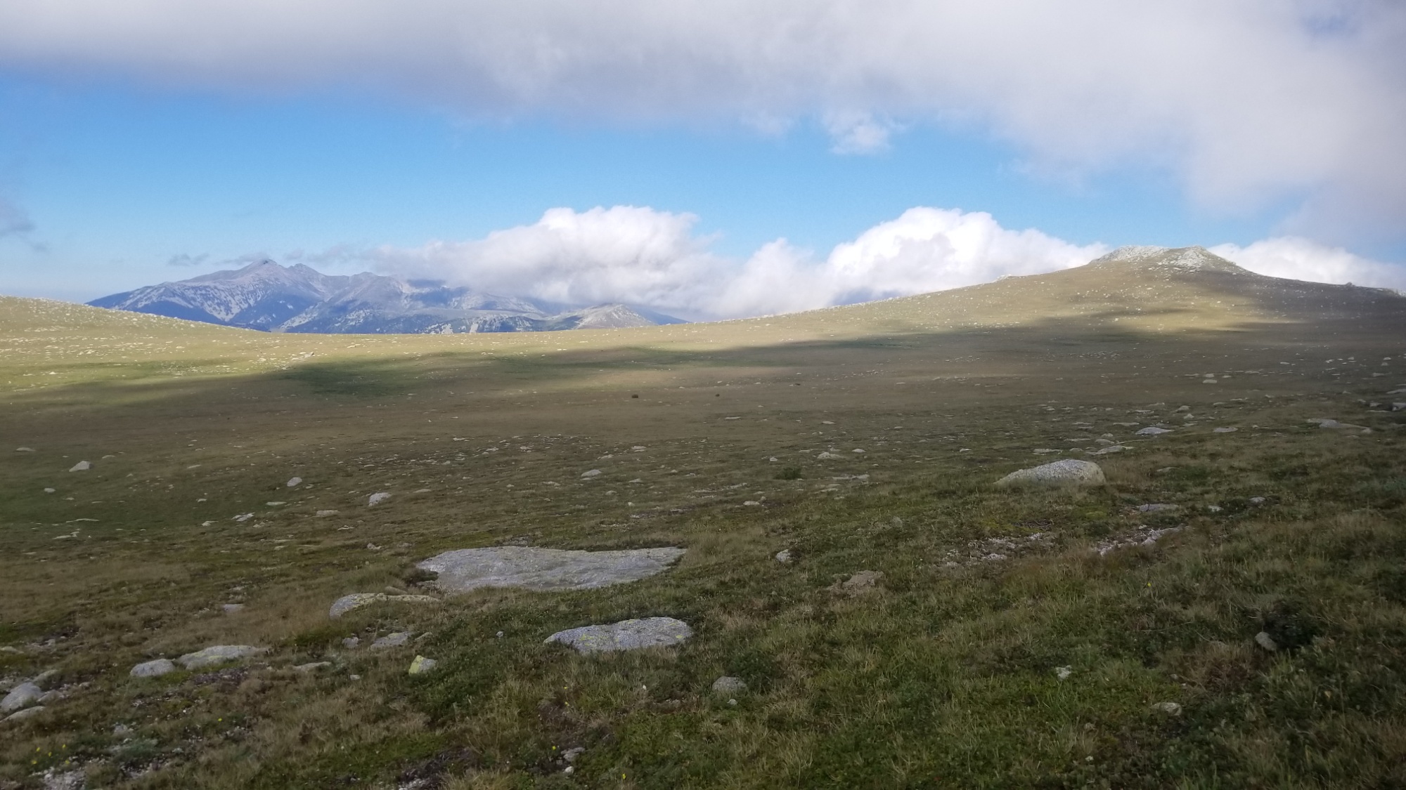
I was going to follow the ridge all the way, but I accidentally went down to the wrong col from the last high peak I had climbed up!
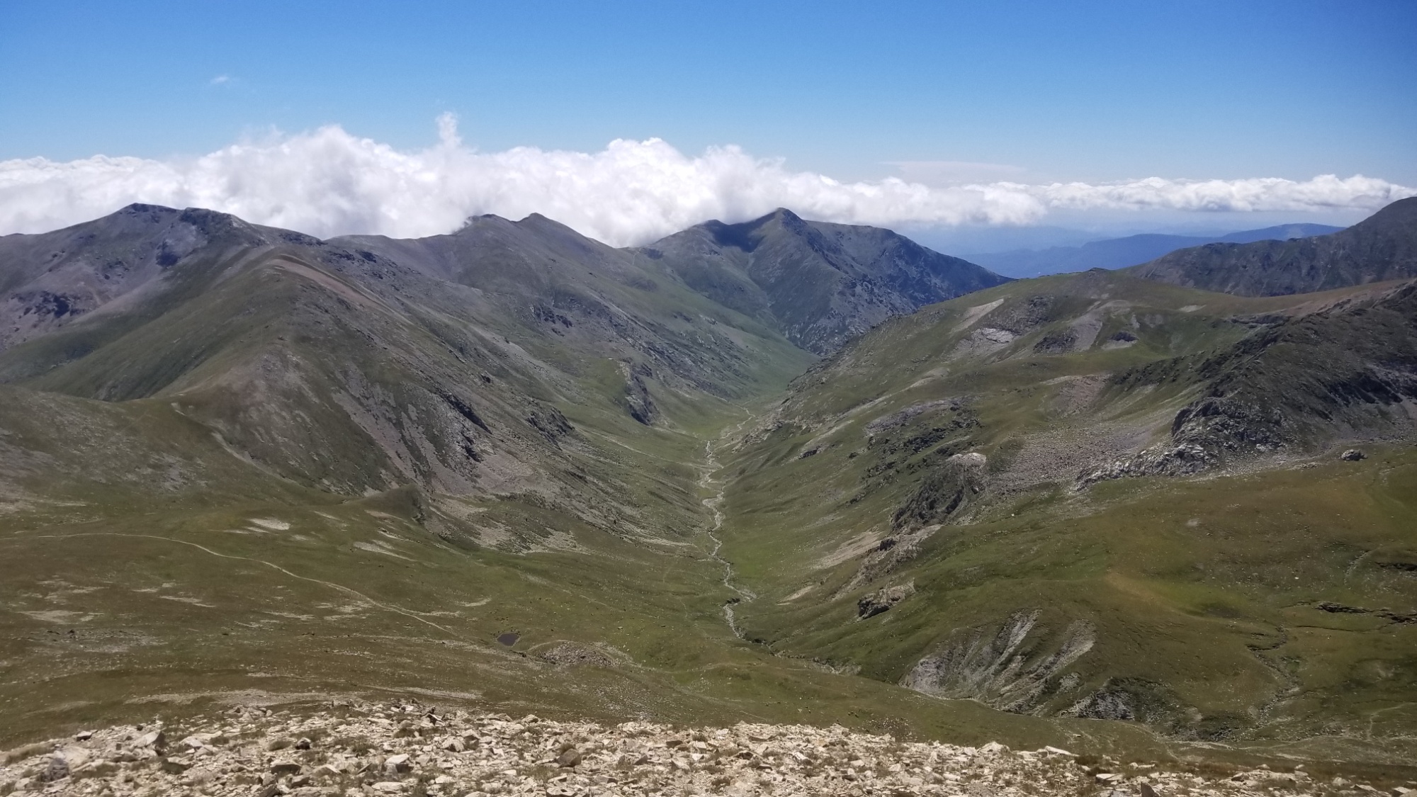
Oh well. I laid there in the grass at the col and let my legs rest for half an hour. The alternate route had really worn me out with all the ups and downs.
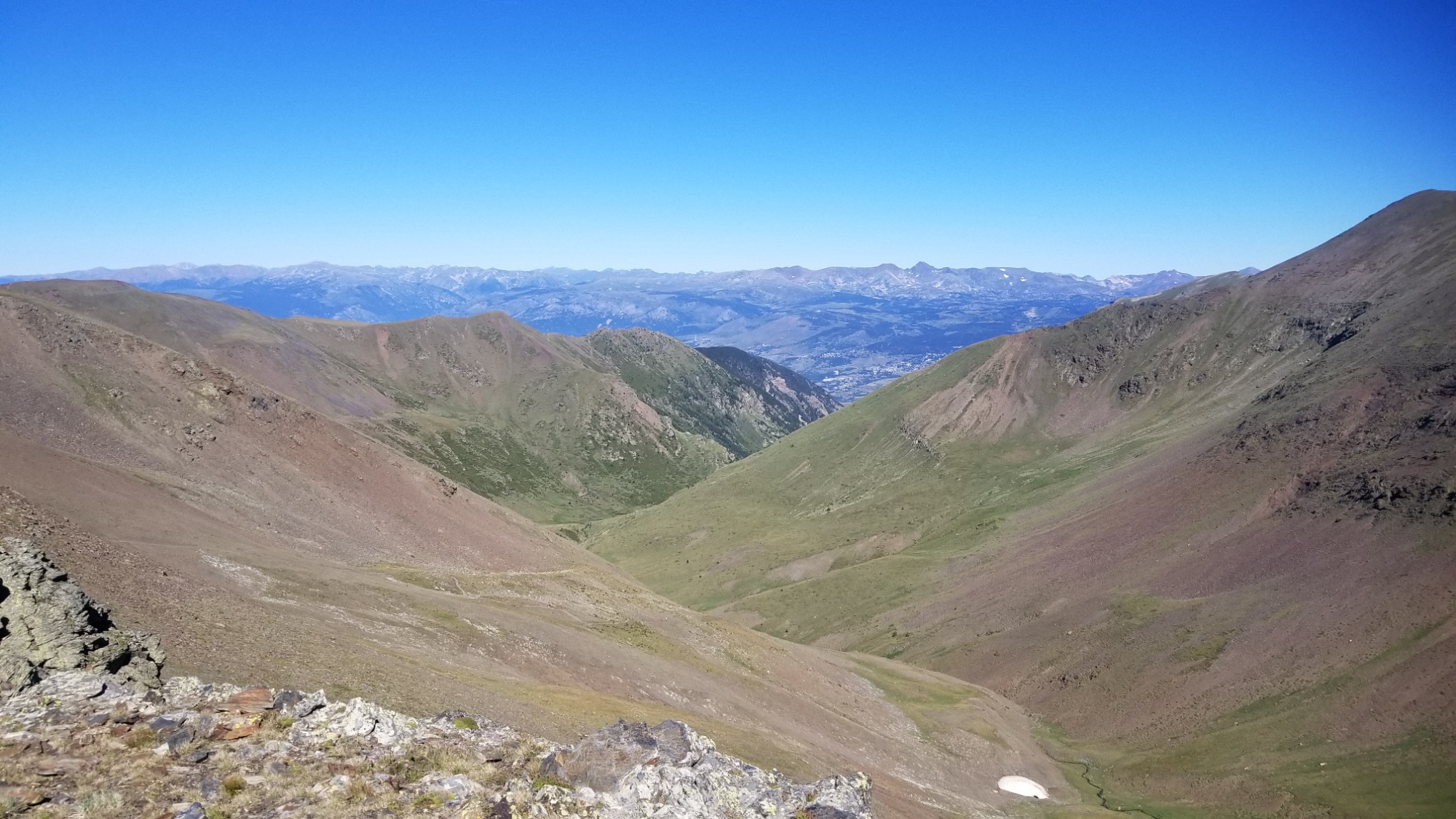
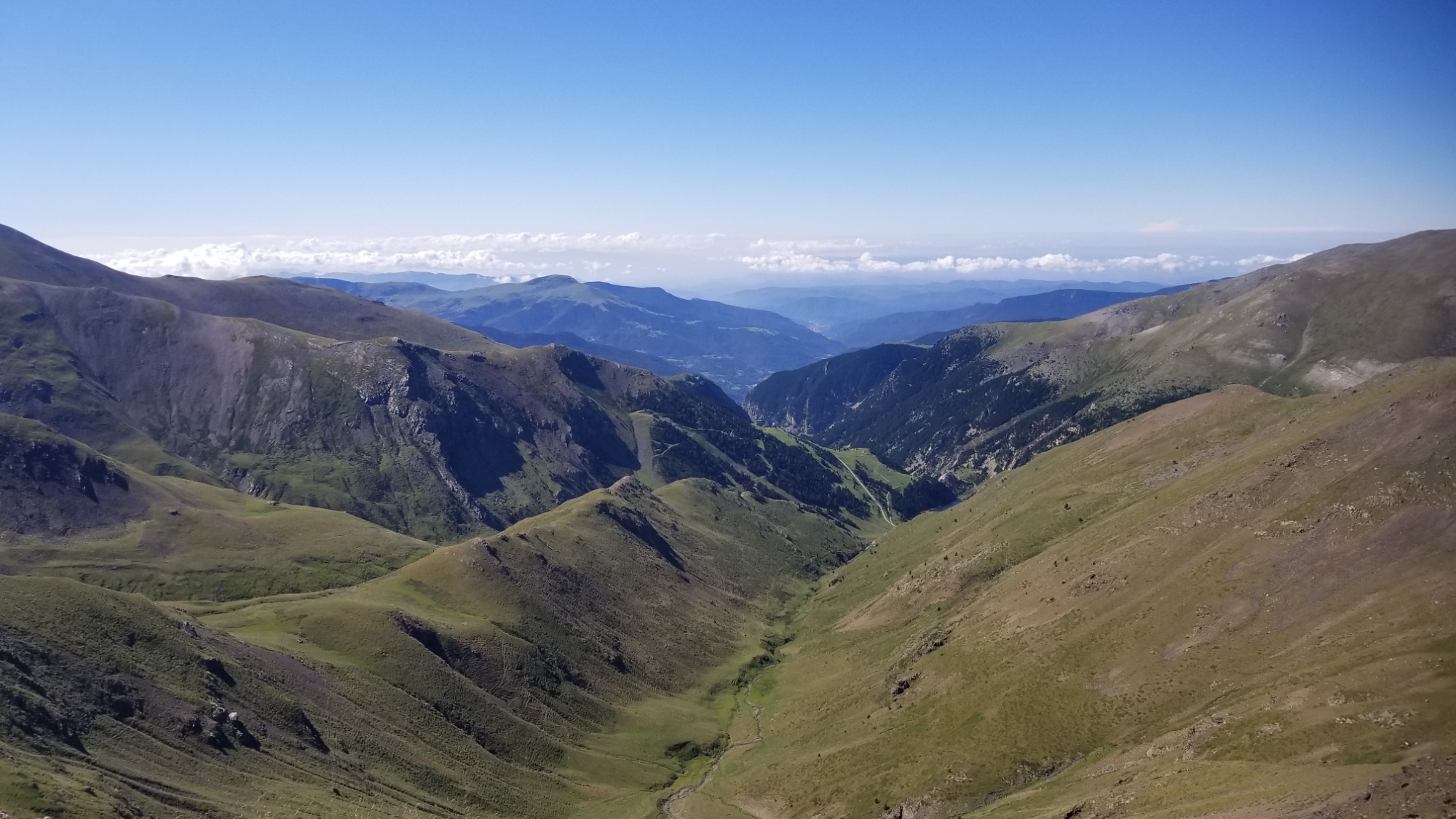
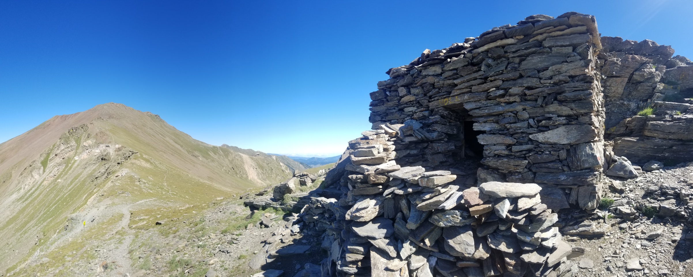
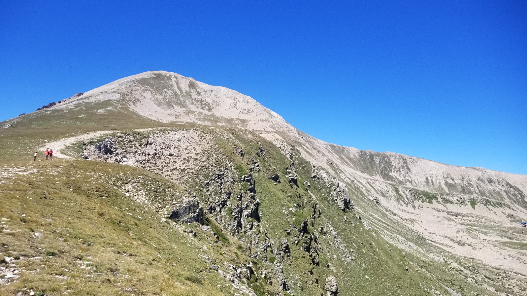
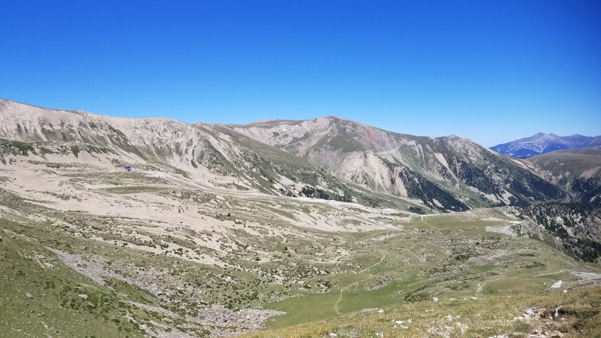
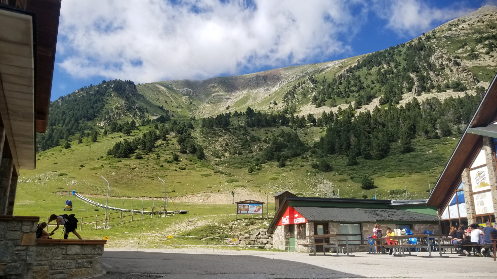
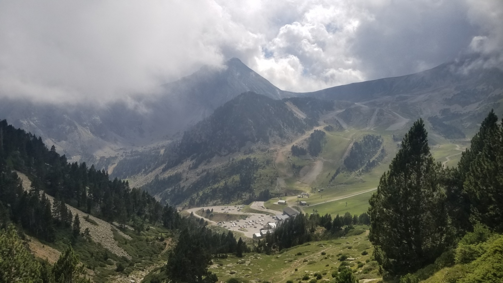
I took the GR11 trail down to a refuge, and then onto a little ski area, where they were serving food and drinks! I got myself a coke and felt in high heaven. They had wifi, so I was able to catch up with my friends and family and get some photos posted as well.
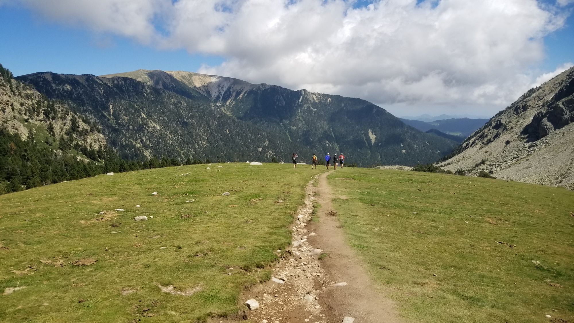
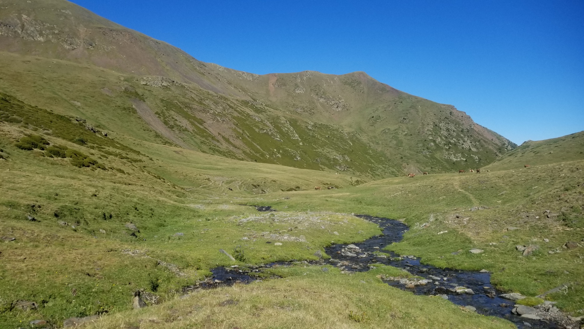
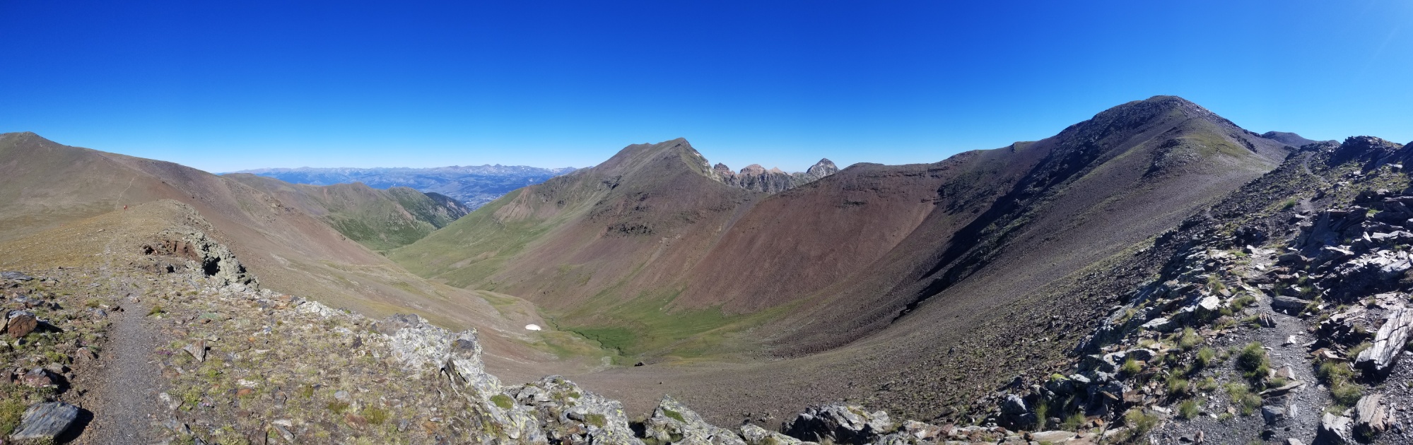
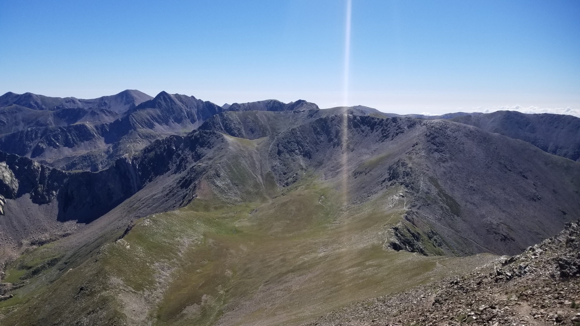
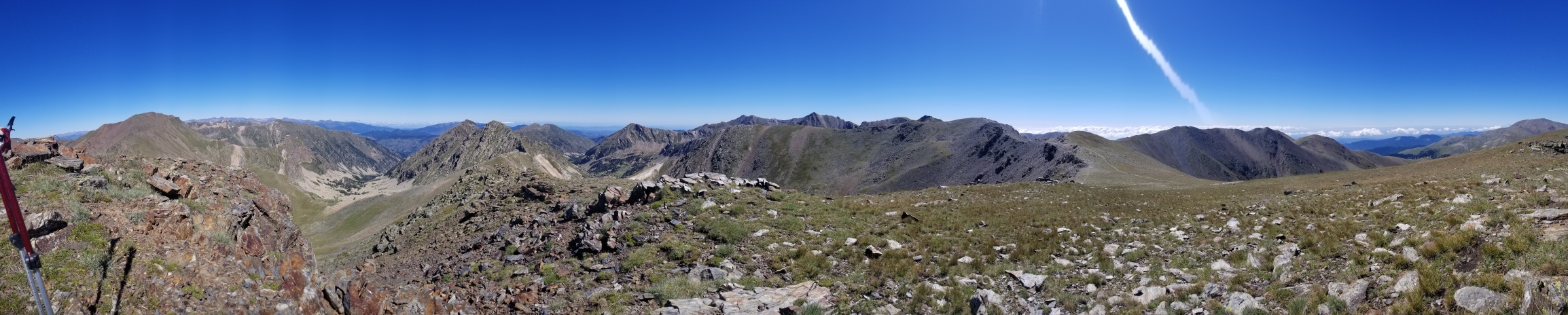
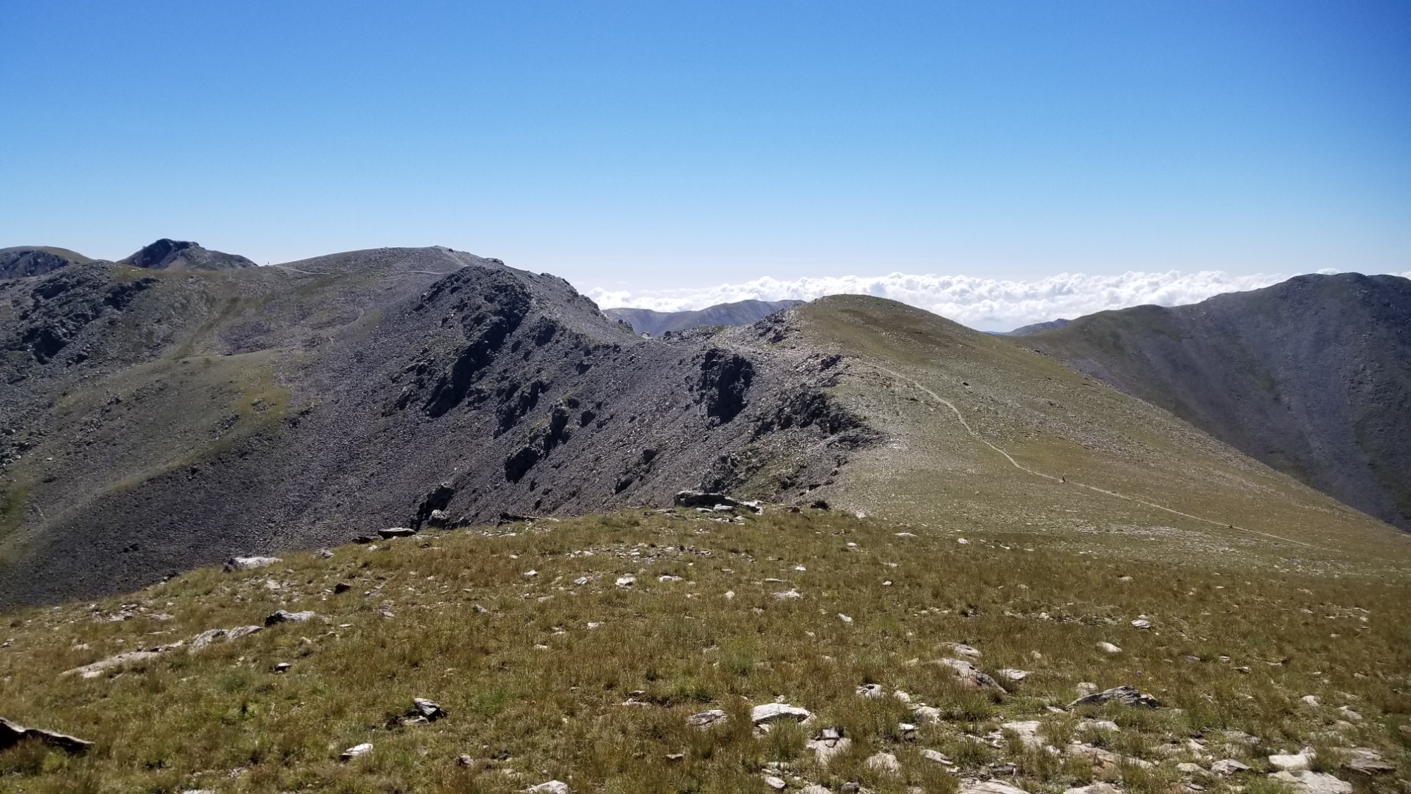
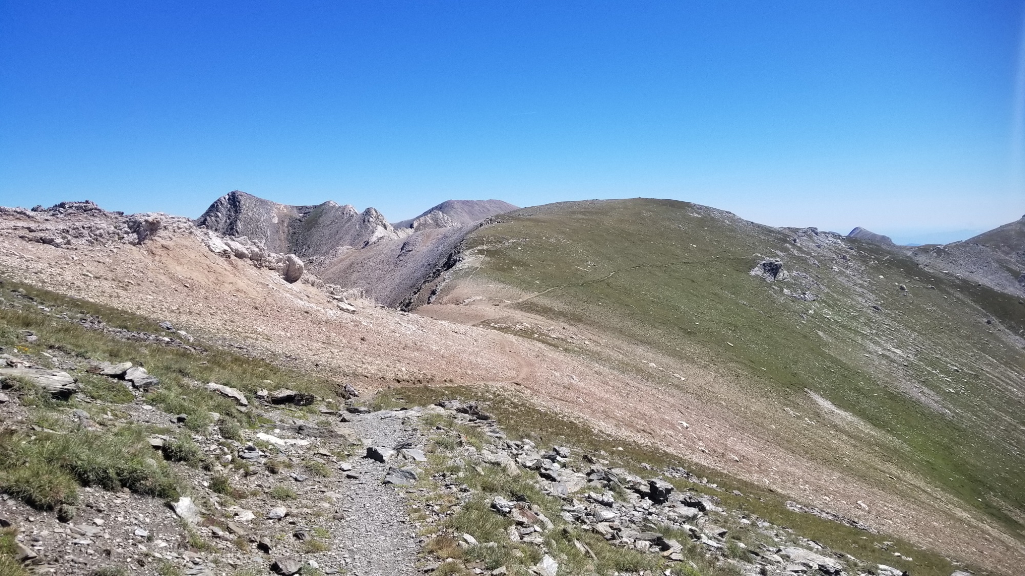
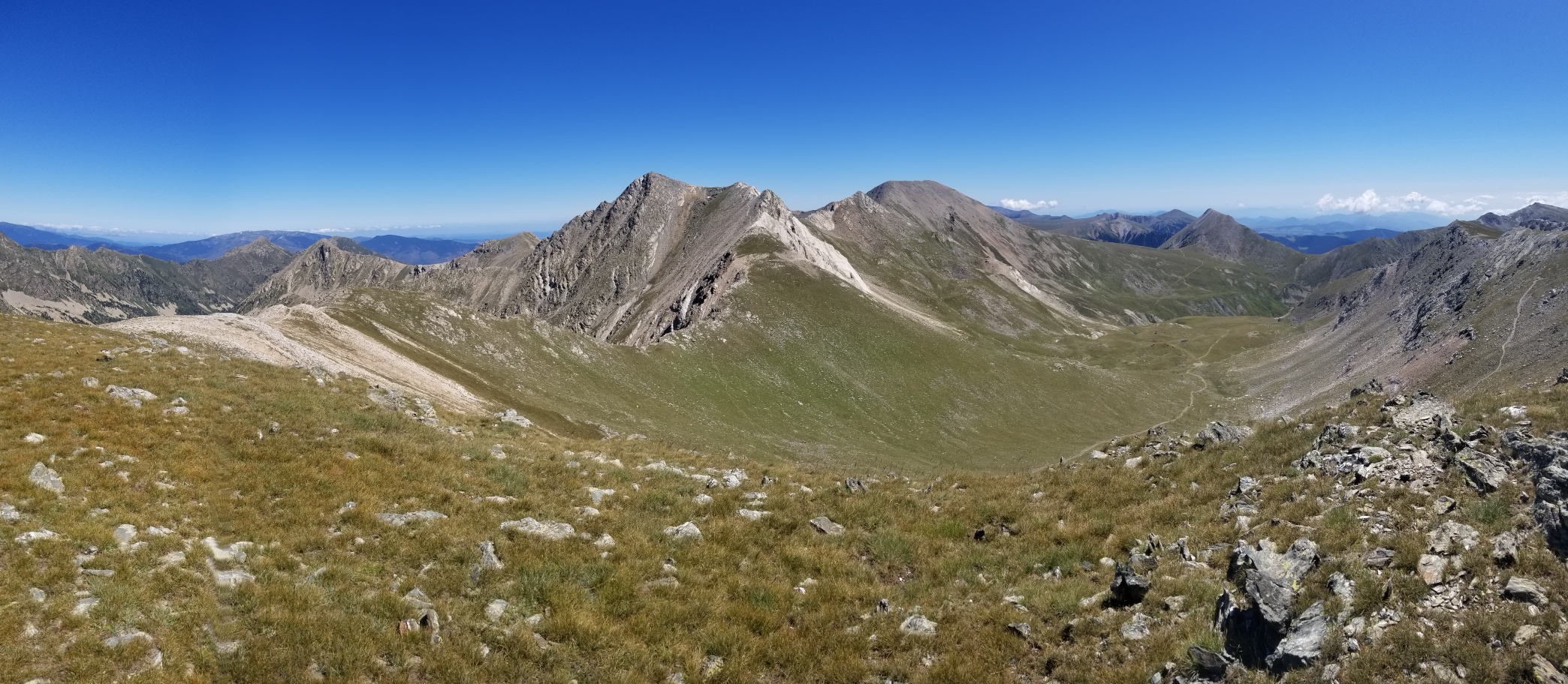
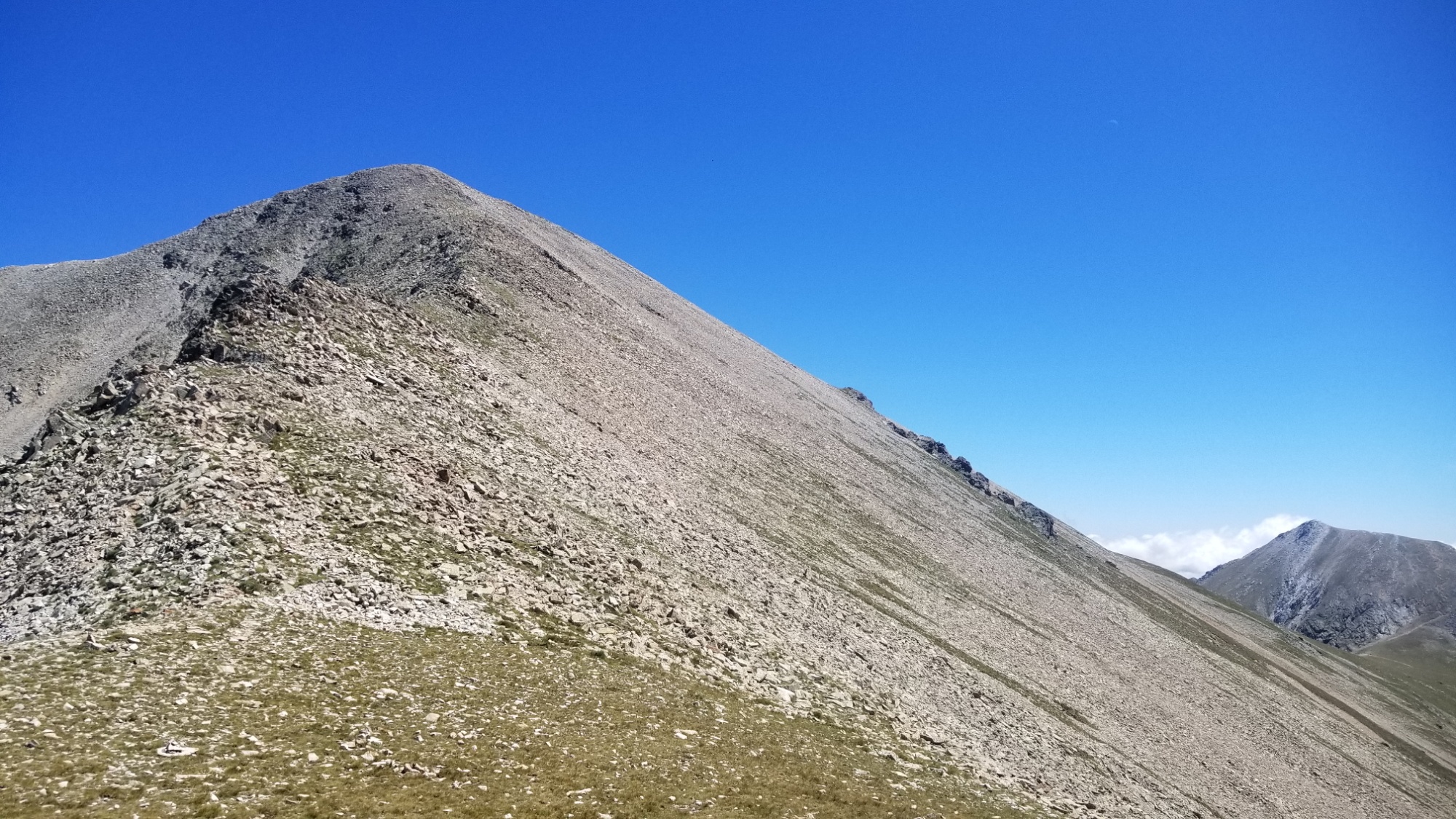
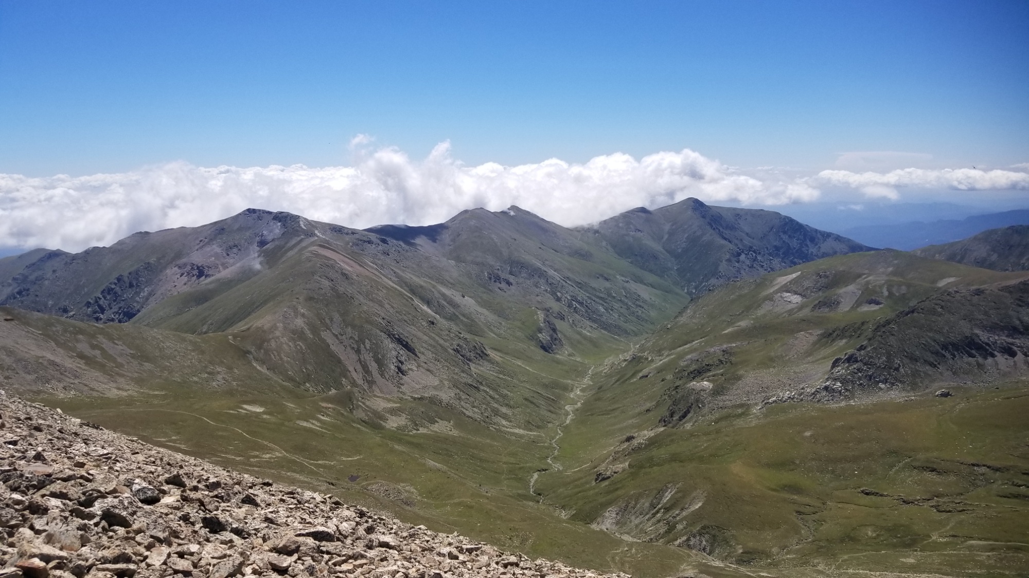
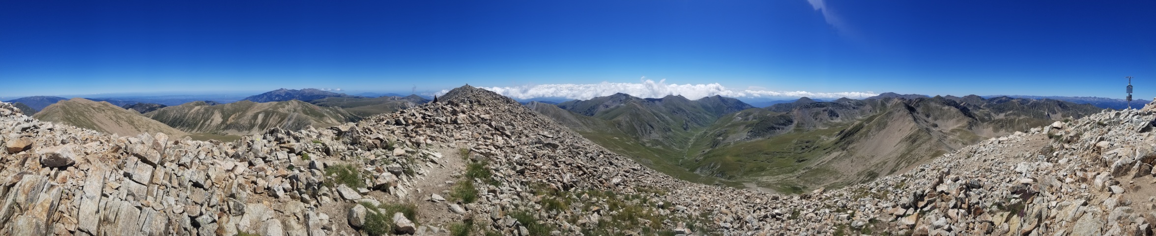
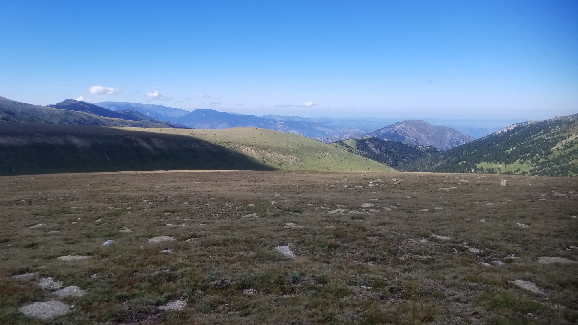
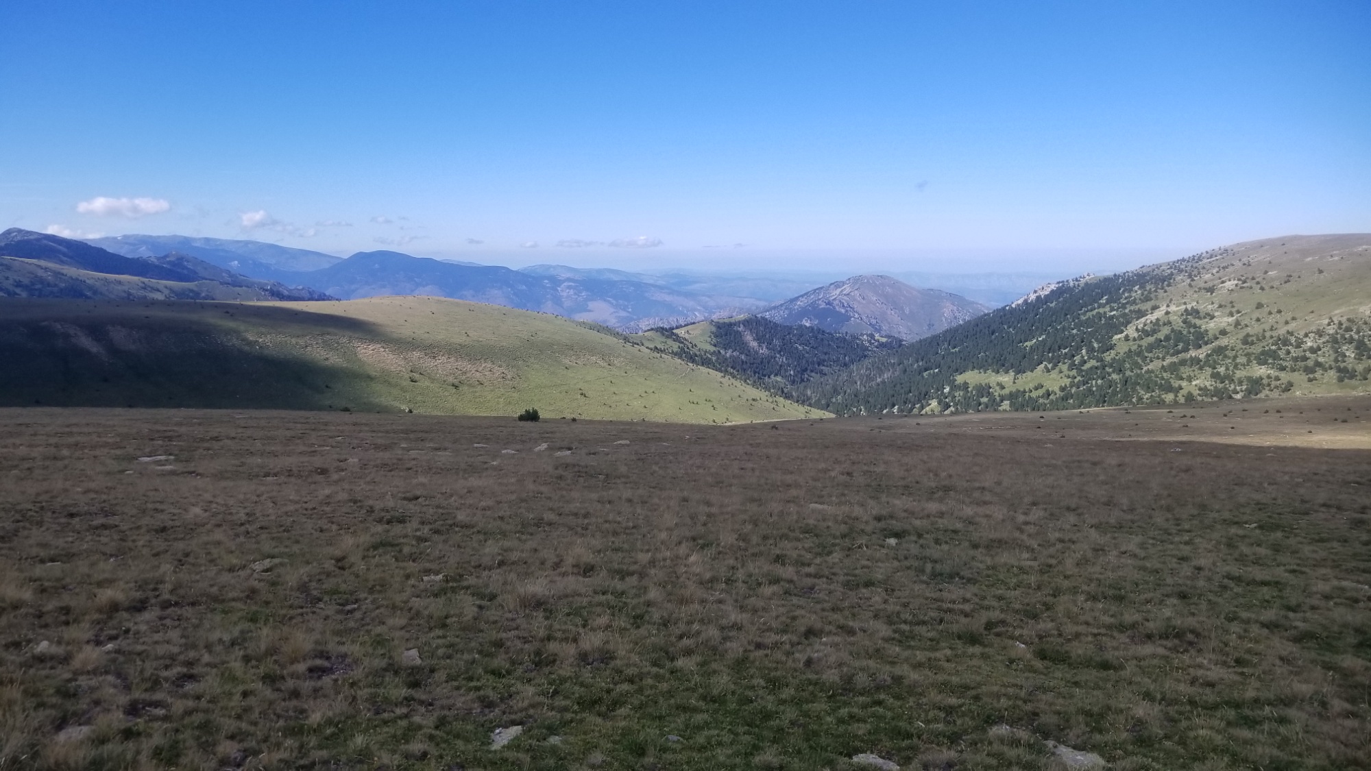
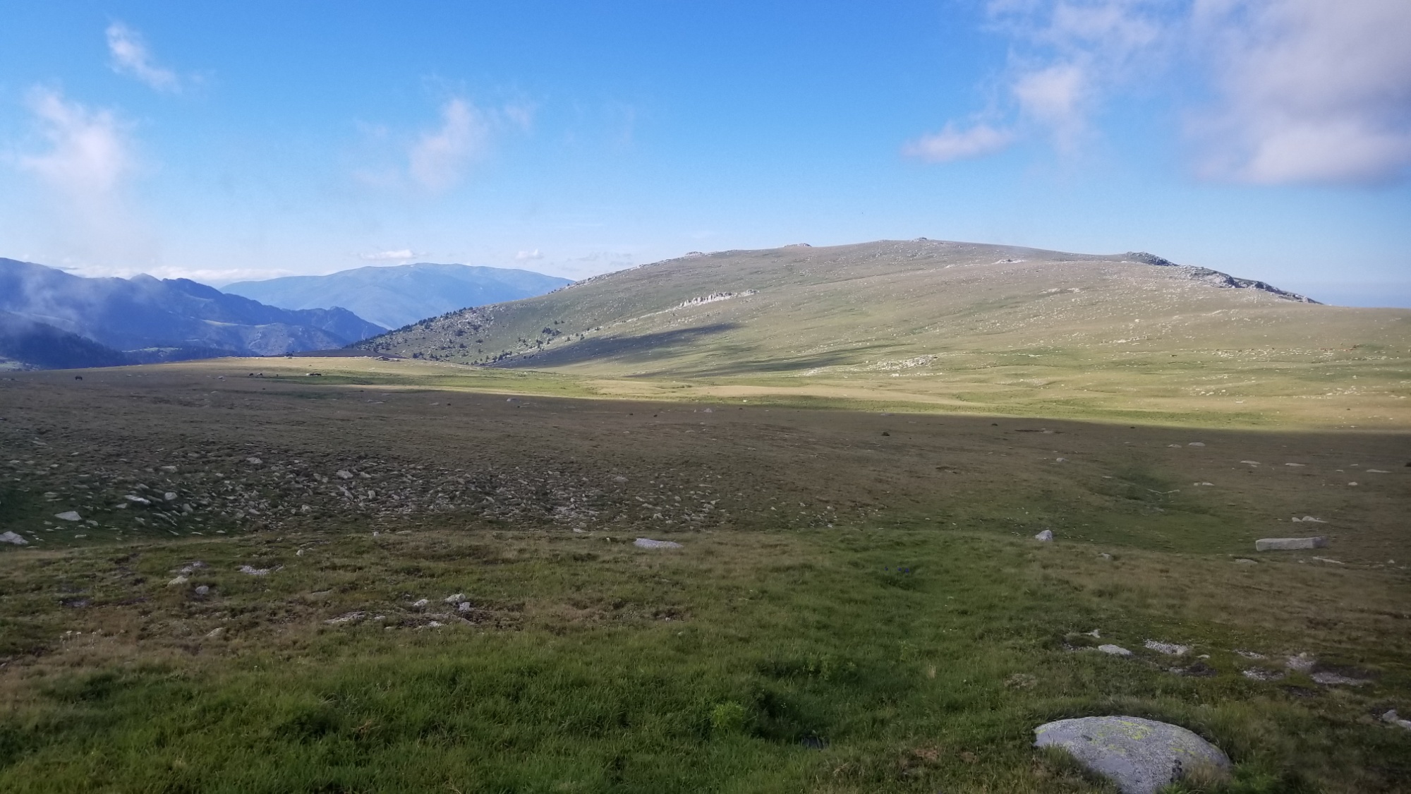
From there, there was a brief 200m climb back up to the frontier ridge, where I came to one of my favorite ridge walks yet. Almost 20km of sweet, sweeping meadows of grass and wildflowers.
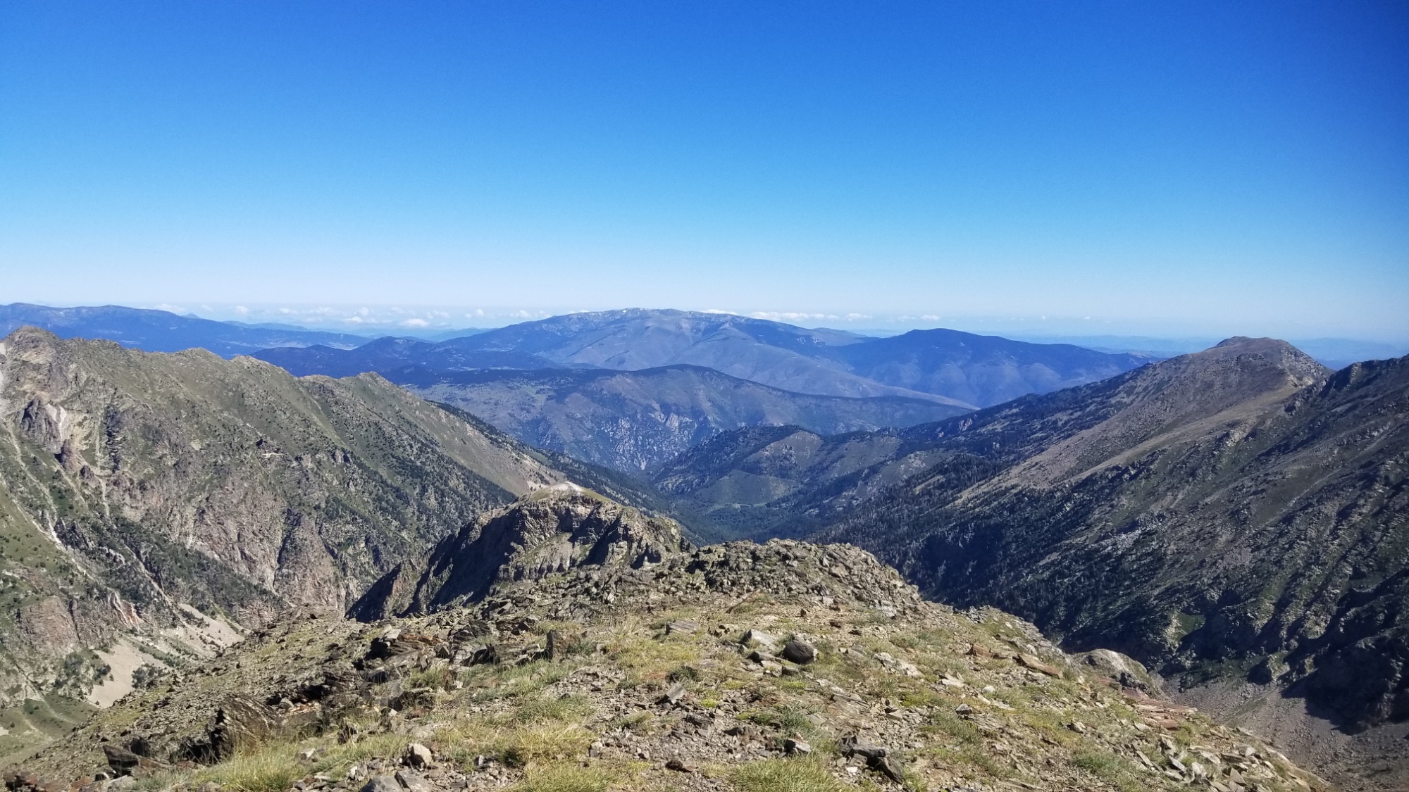
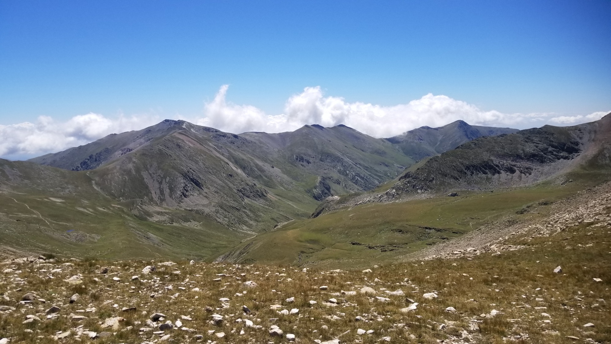
Eventually find a nice freshwater spring coming out of the side of the mountain, and made dinner there. It’s hard to source water here on the frontier ridge, as any viable water source usually starts 200+ meters below you. Pitched the tent just down below it, since it was too good of a place to pass up. What a day! So many pictures! Hope you enjoy.
Good night!