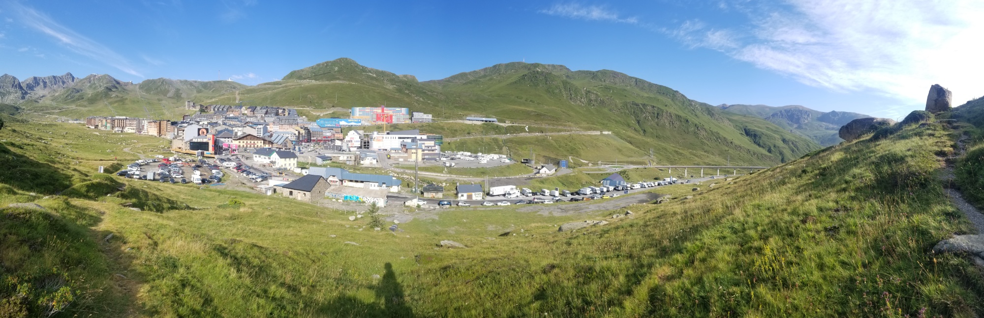
I woke up early and had a wonderful breakfast at the Hotel La Casada, and then set off around 9:30.
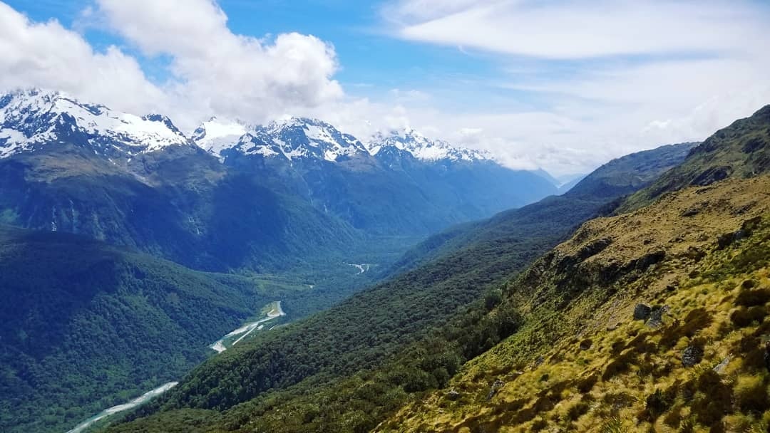
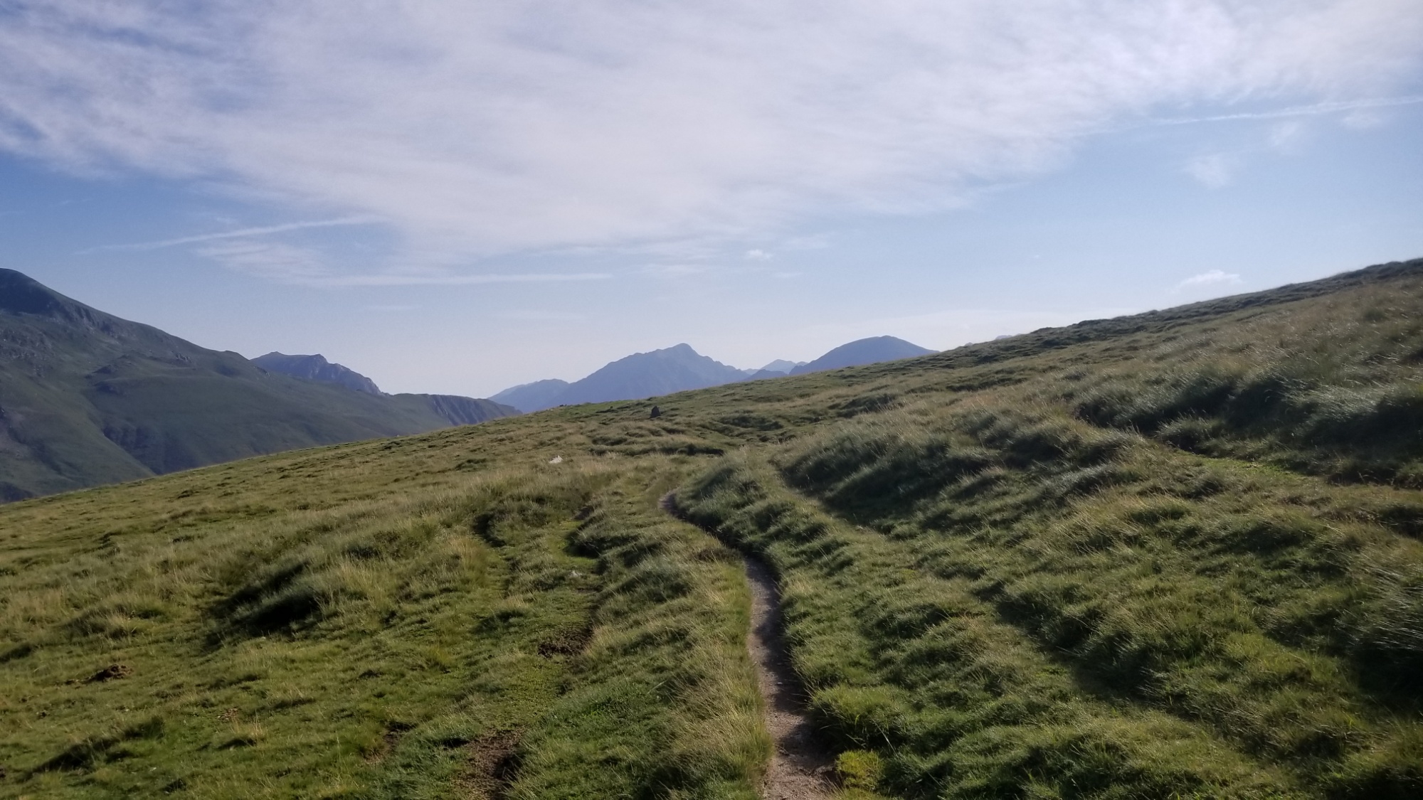
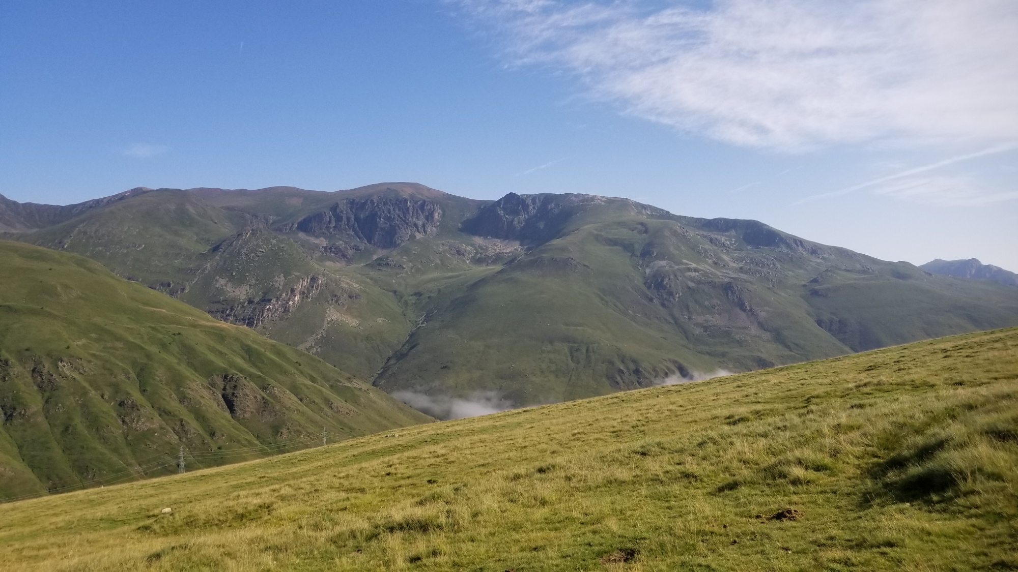
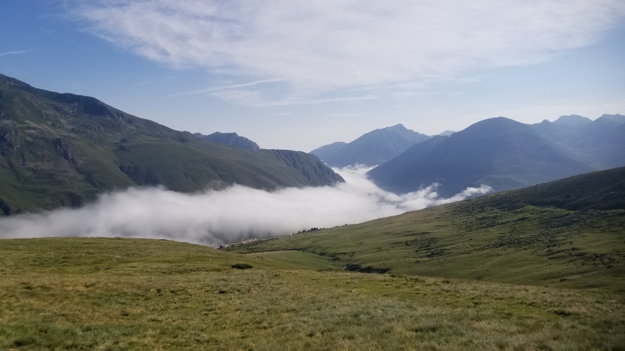
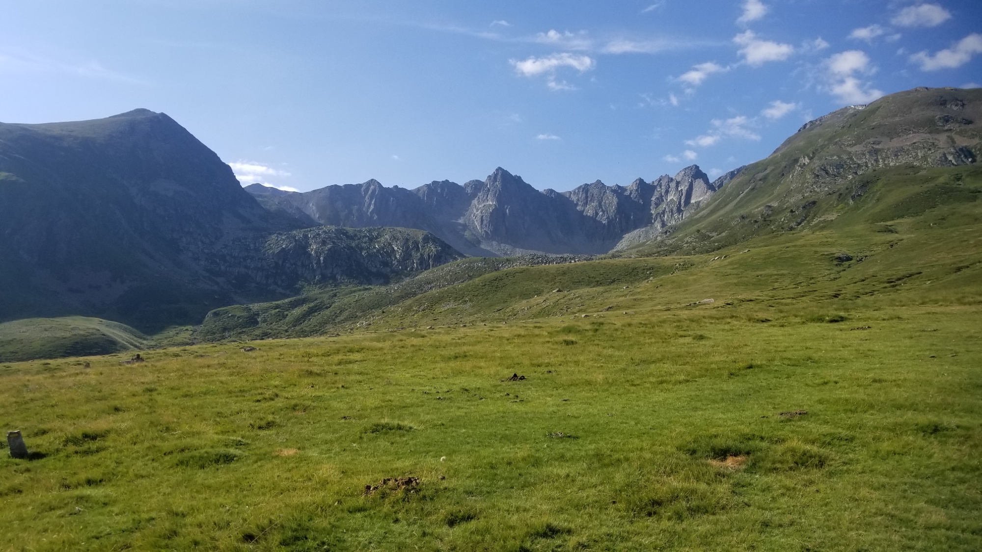
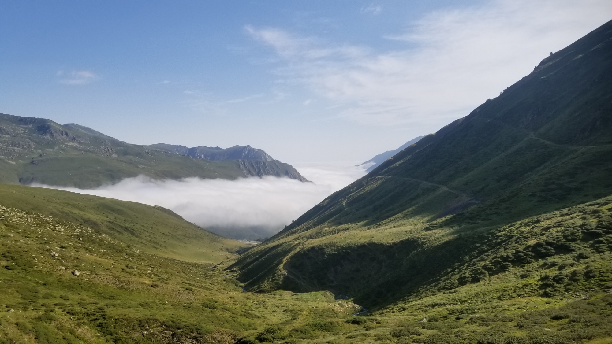
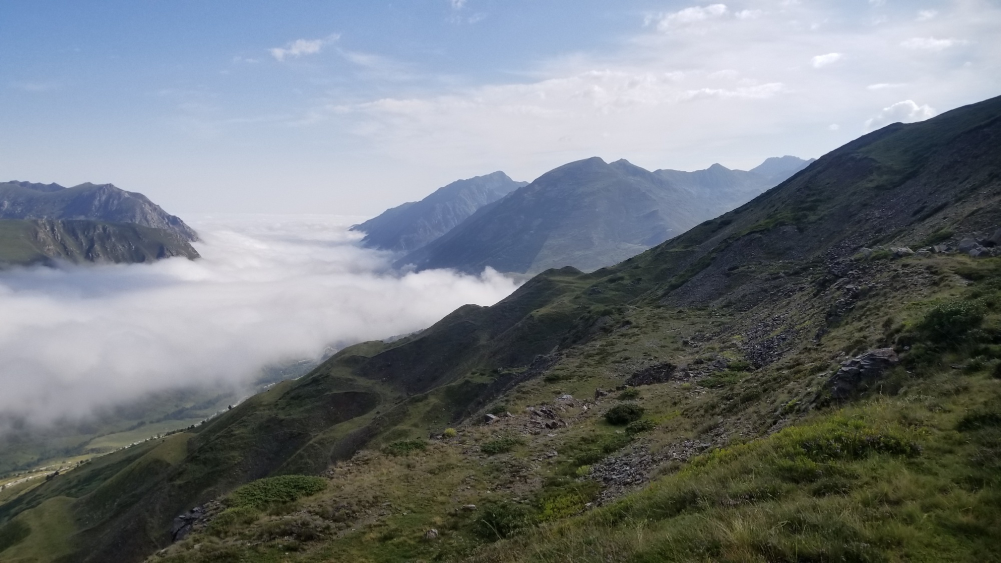
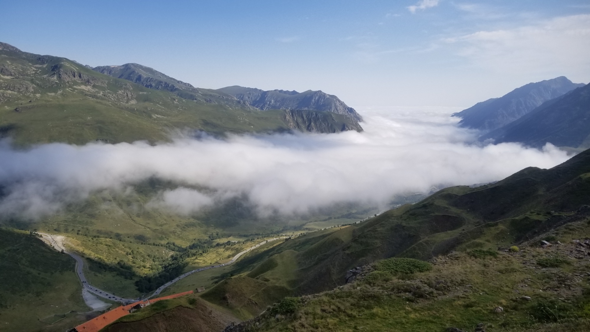
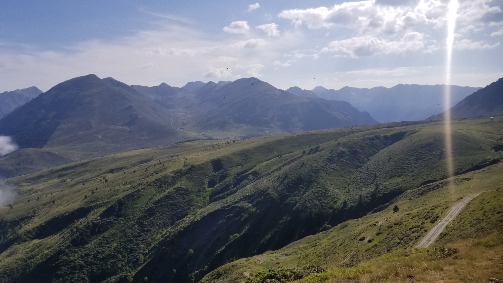
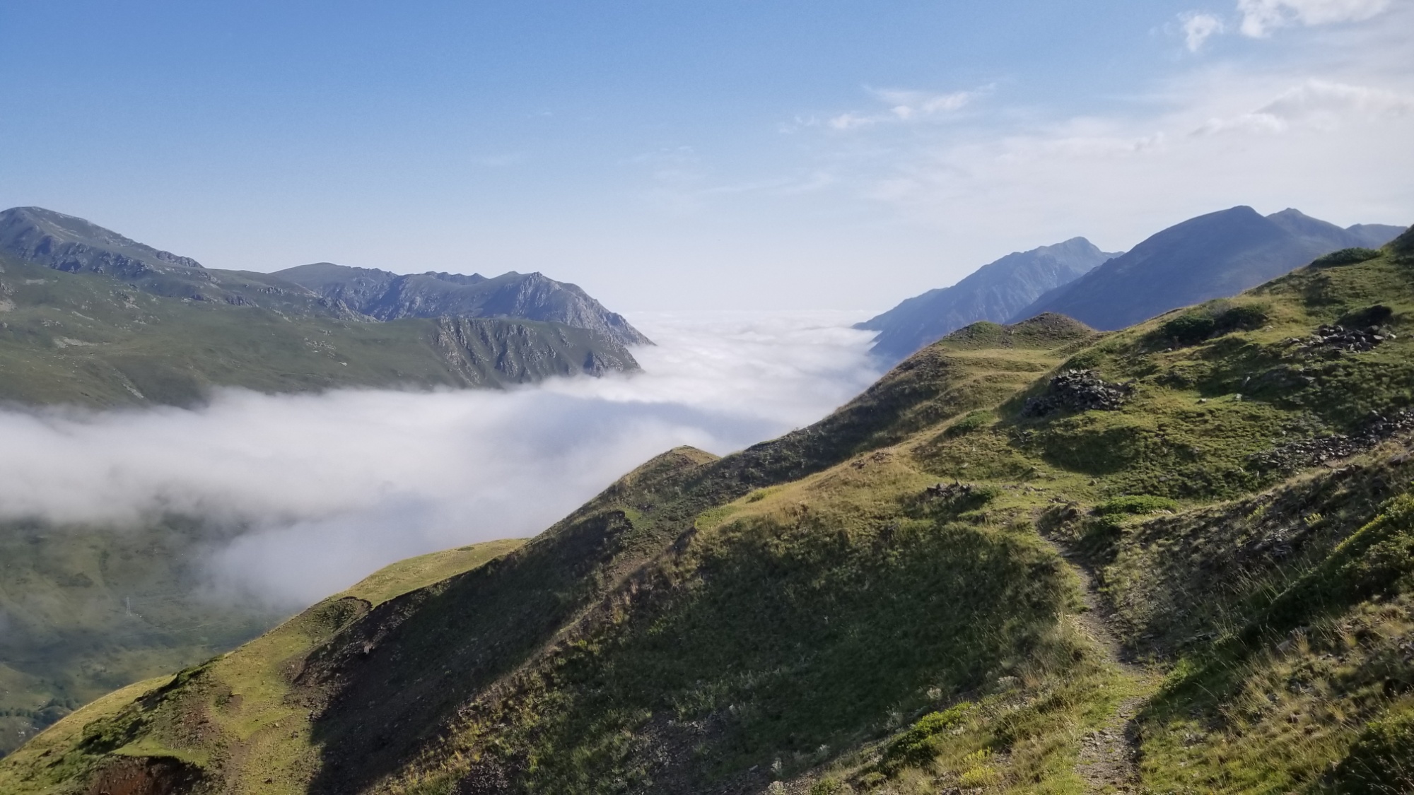
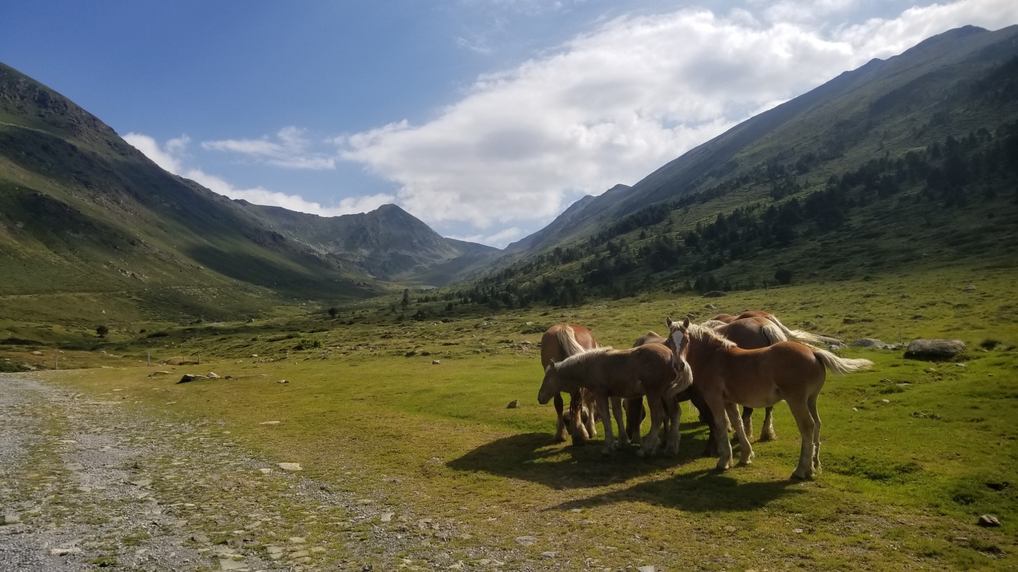
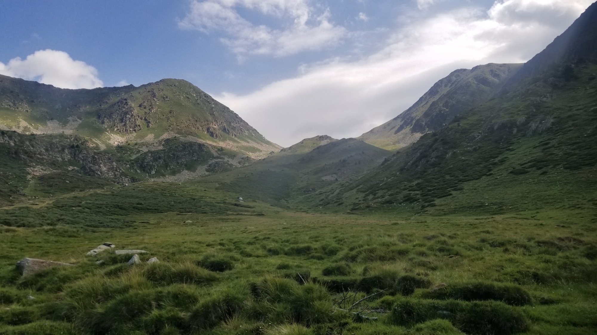
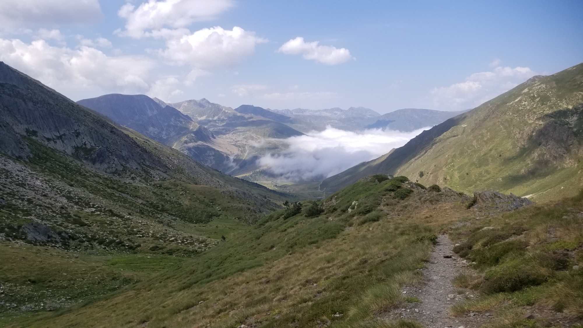
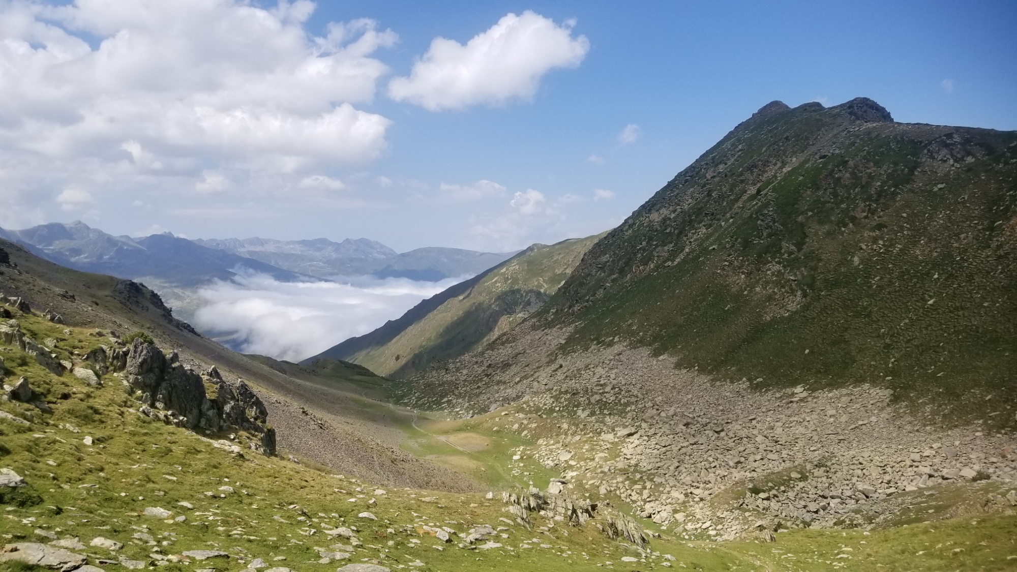
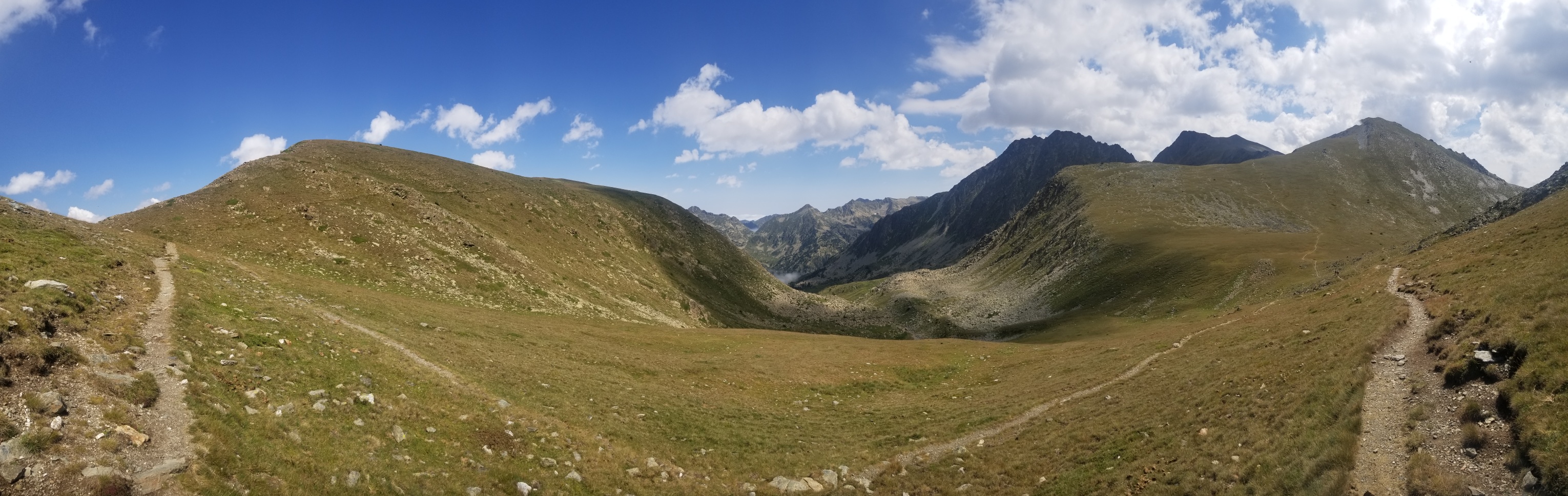
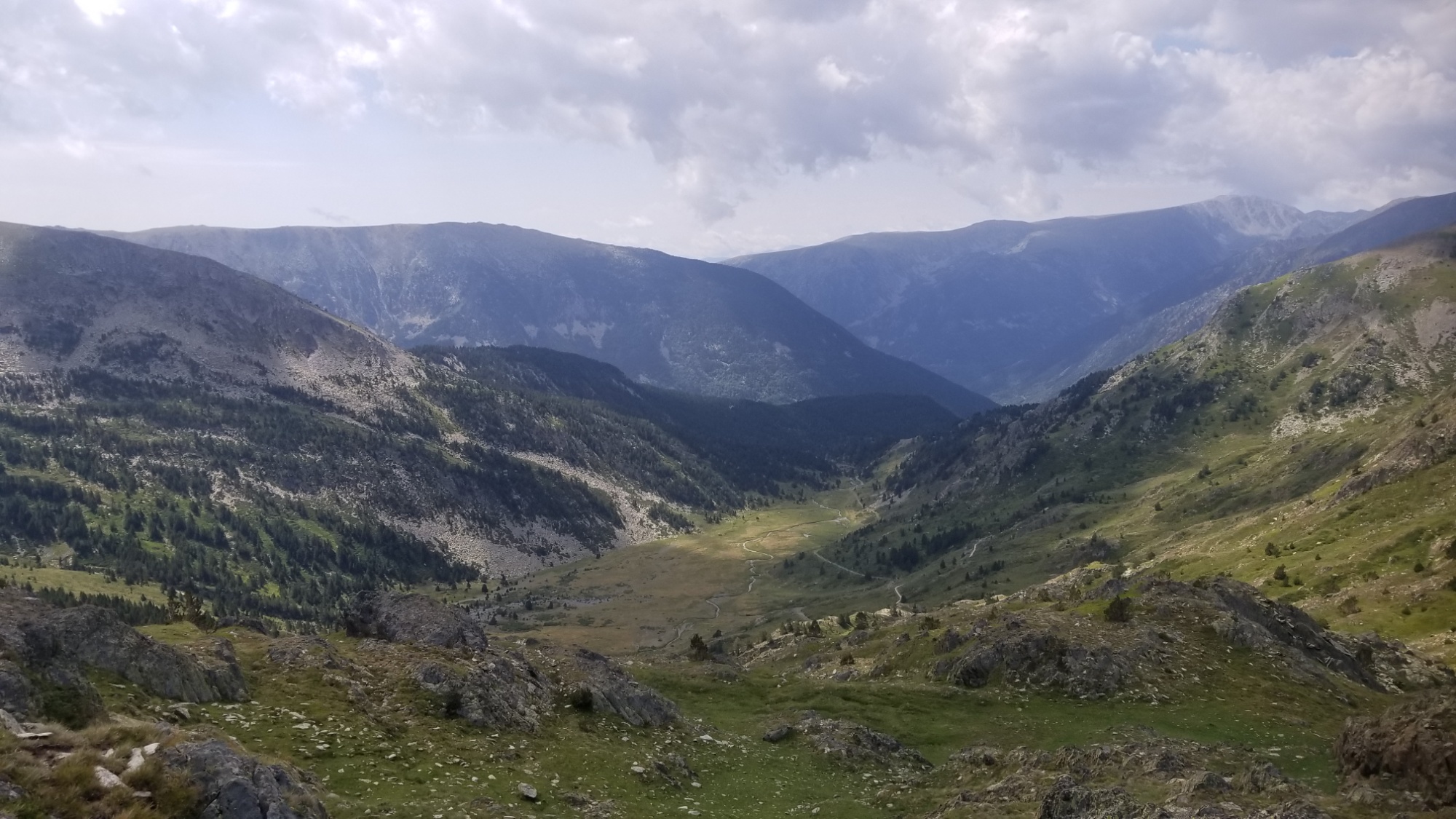
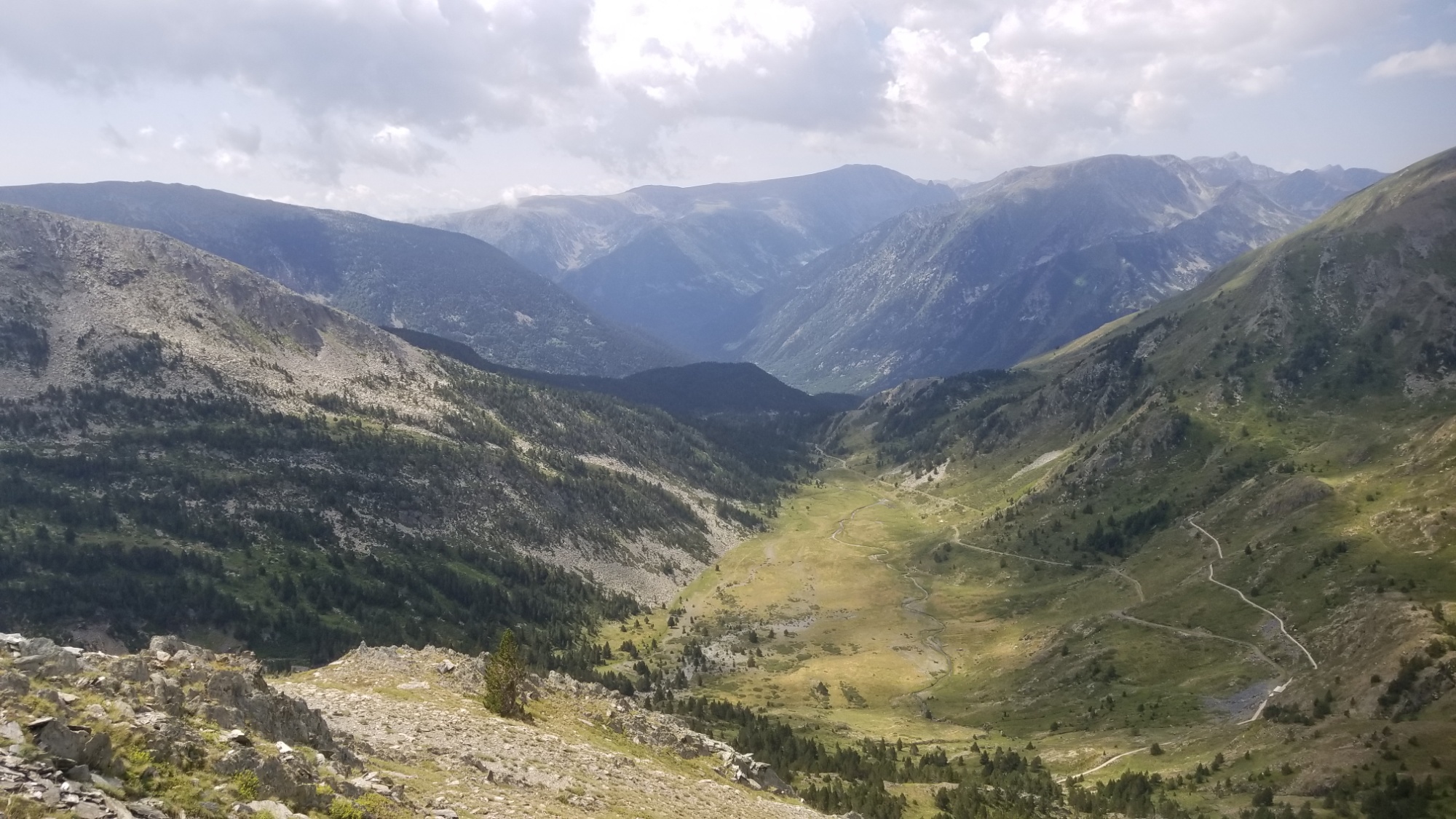
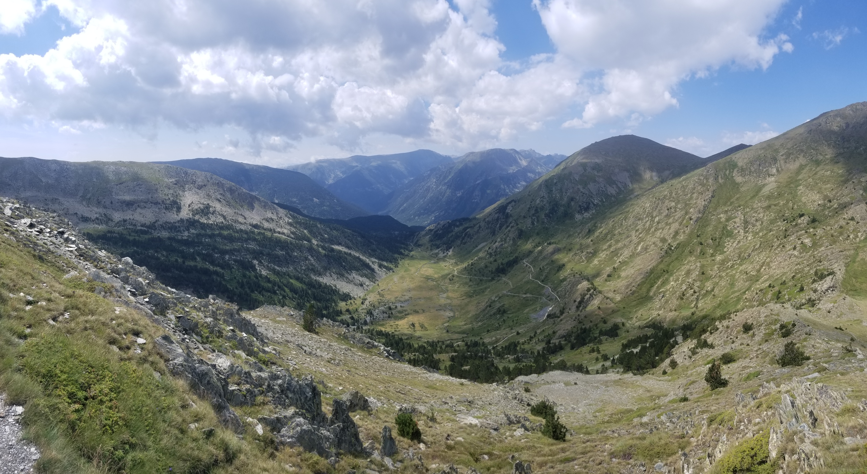
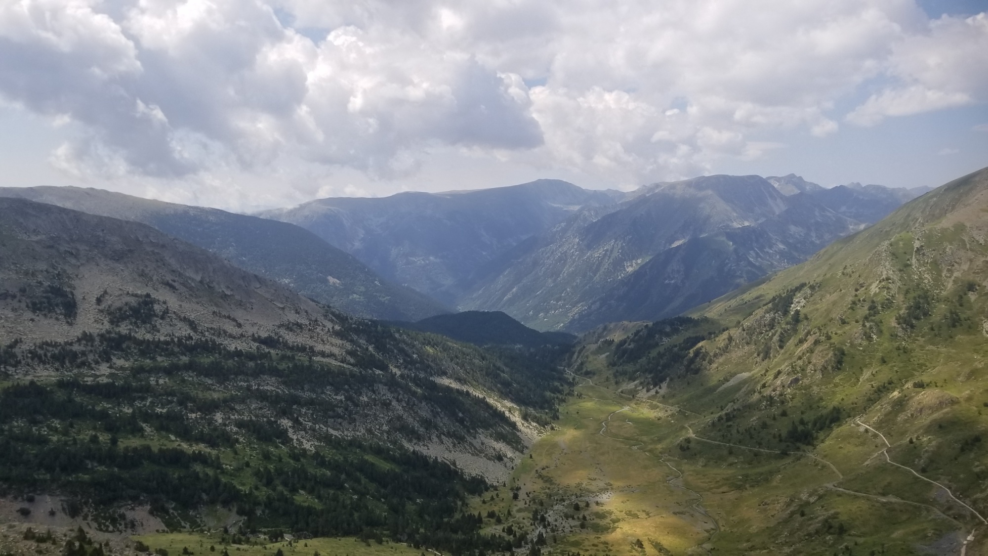
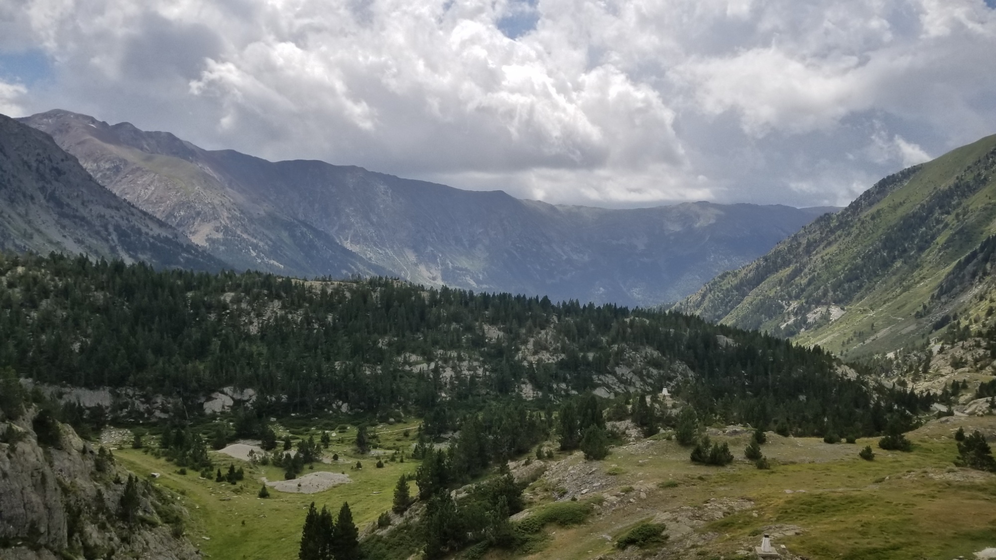
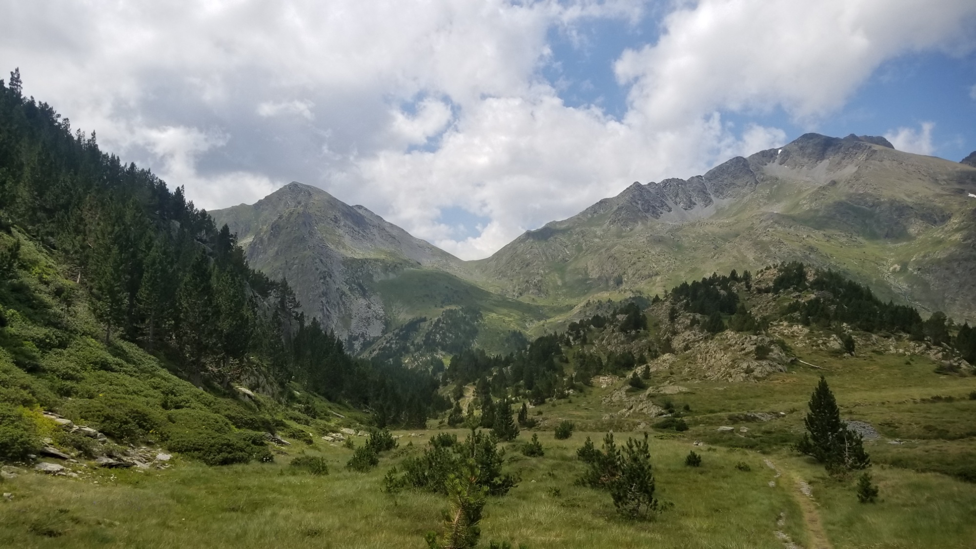
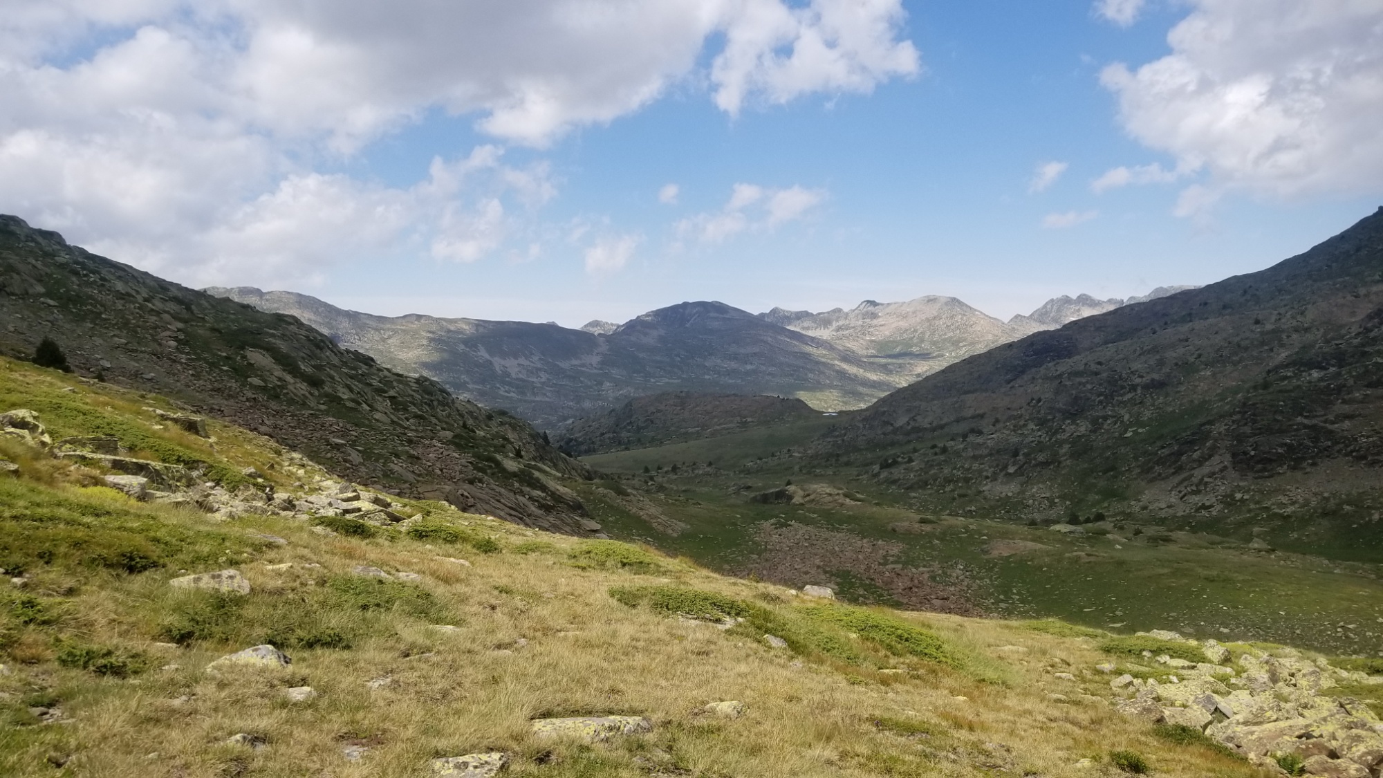
The trail was a total cruiser this morning! It was almost a level ridge walk, high above the fog-laden valley below, for about 10km. Then there was about a 500m climb to a pass in a wild valley.
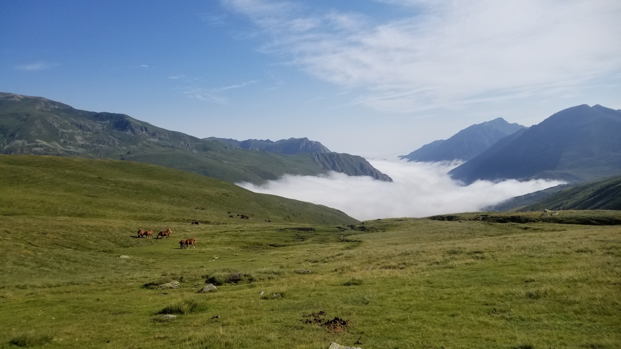
Ah, the wilderness. Las montañas. A place where you can pee as freely as the river flows, in the valley of its own creation.
I once took a trip with a friend to one of my favorite swimming holes at Martha’s Falls in Little River Canyon.
Upon arriving, there was quite a crowd, as the locals love this place.
A guy approached and he asked me: “Are you one of those “conservists” ?”
“What do you mean?” I asked him, a little confused by this vocabulary.
“I mean I’ve seen people who look like you who come and tell everyone that there’s pee in the water.”
“Well, wouldn’t you want to know if there was?”
“But all water is pee!” He exclaimed matter-of-factly.
I found it difficult to argue with that statement.
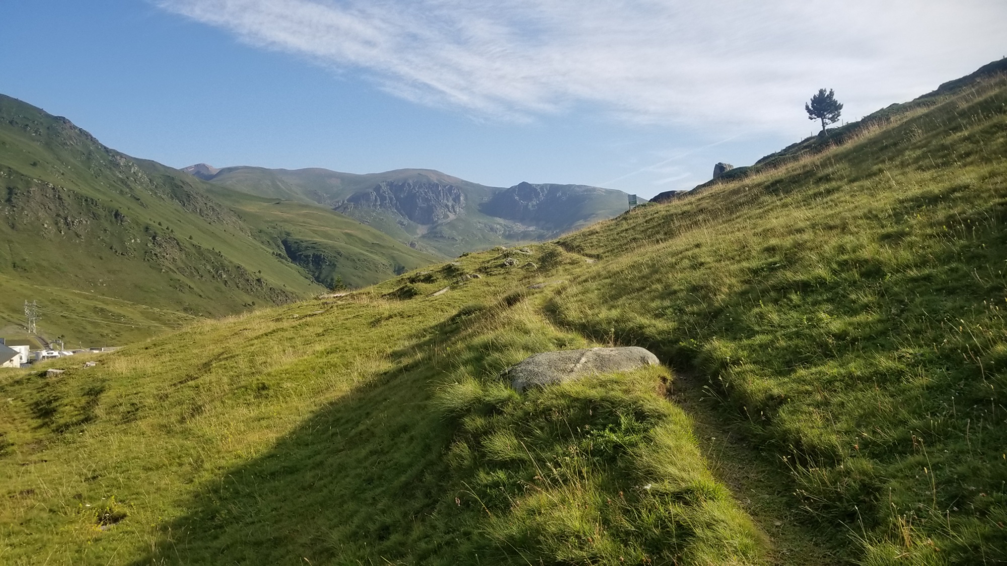
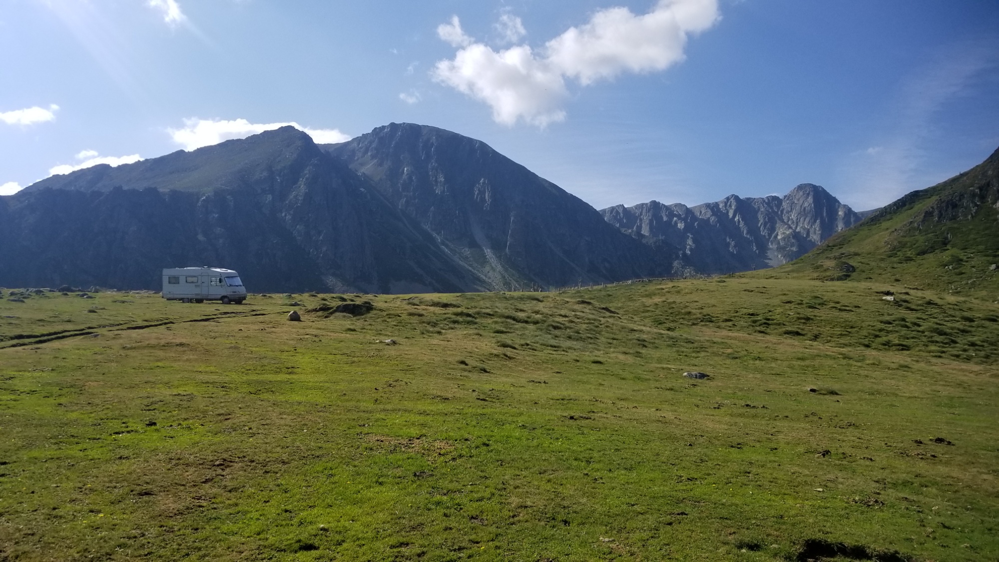
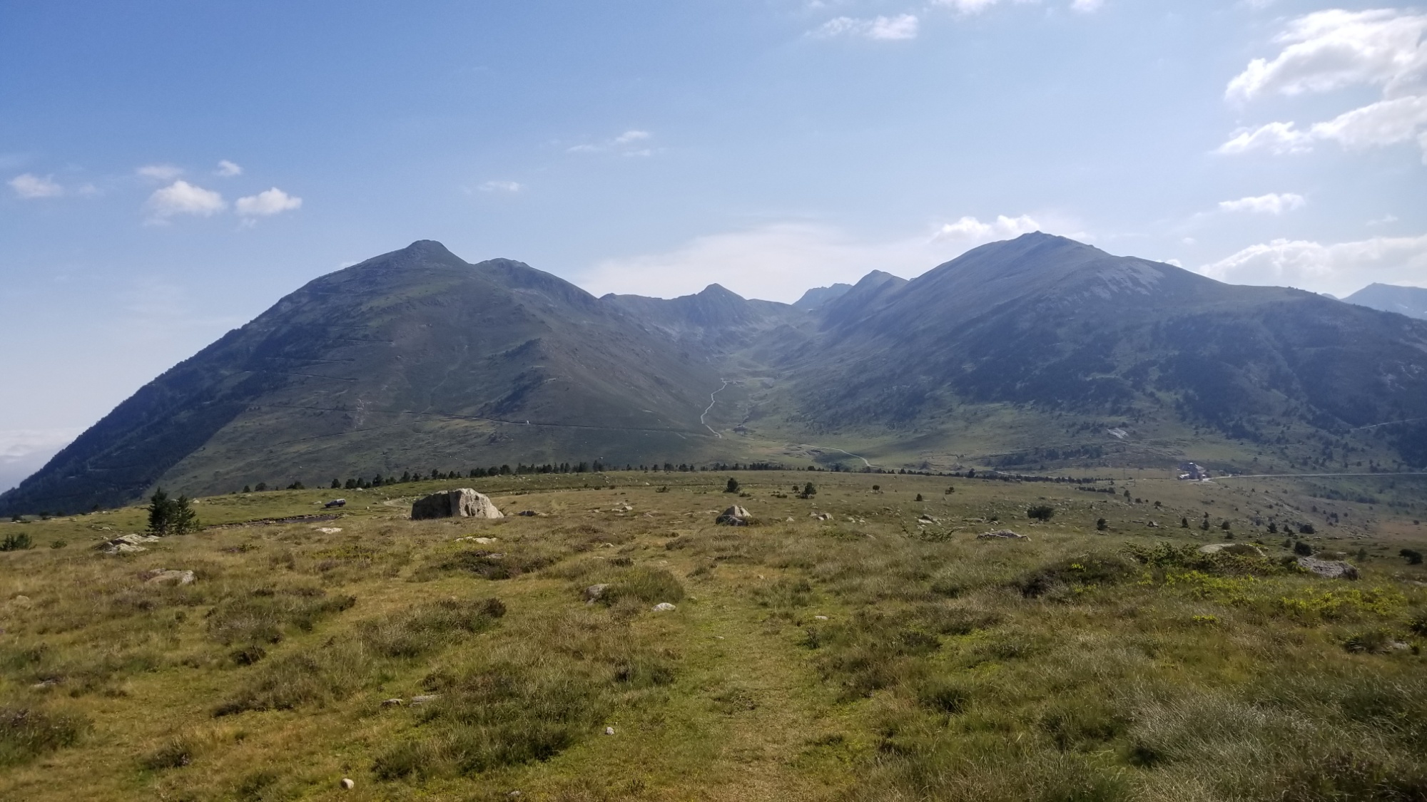
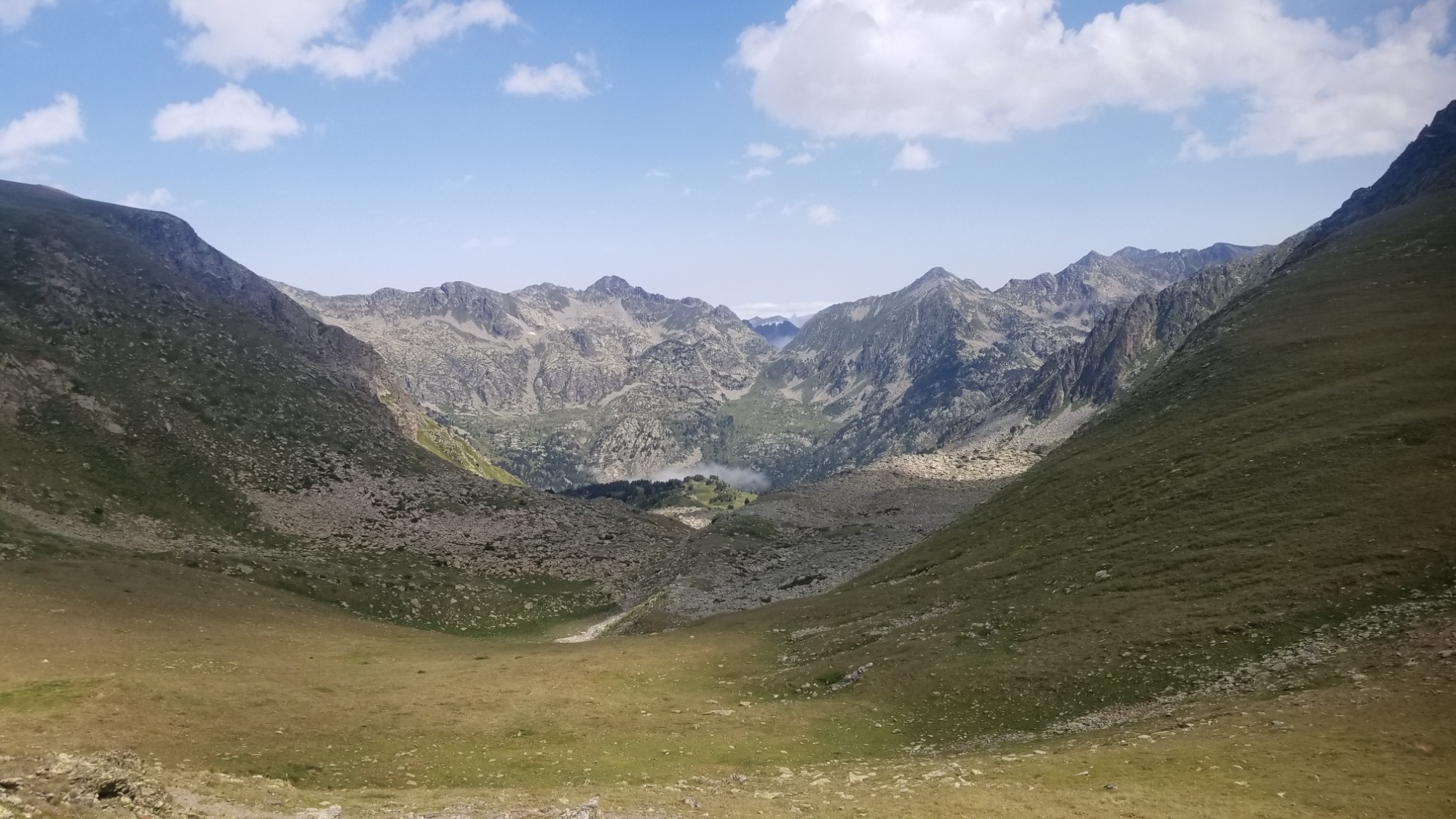
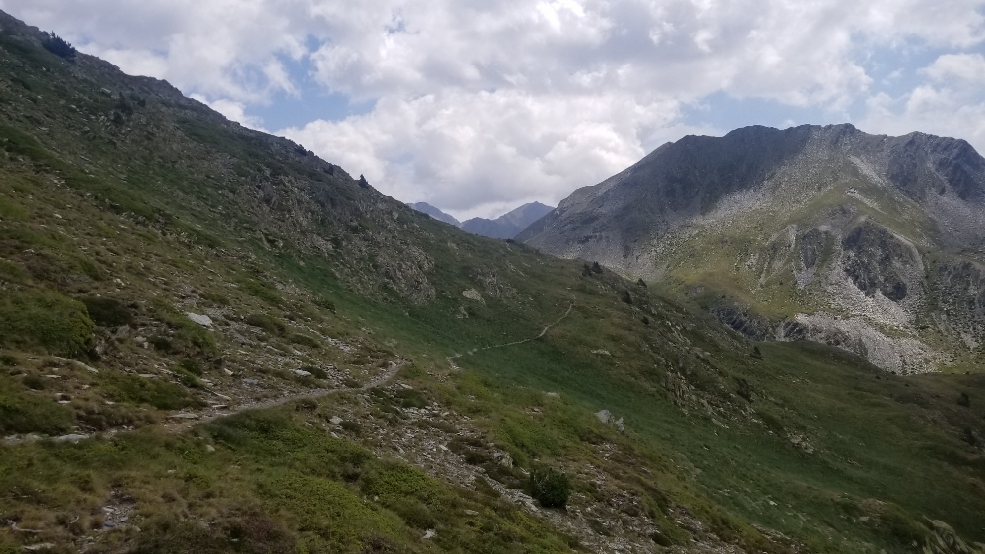
Well hell. While I was trans-coding that there story, I went and walked up the wrong dang valley!
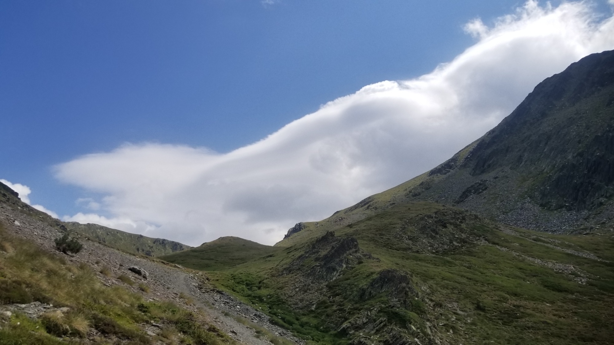
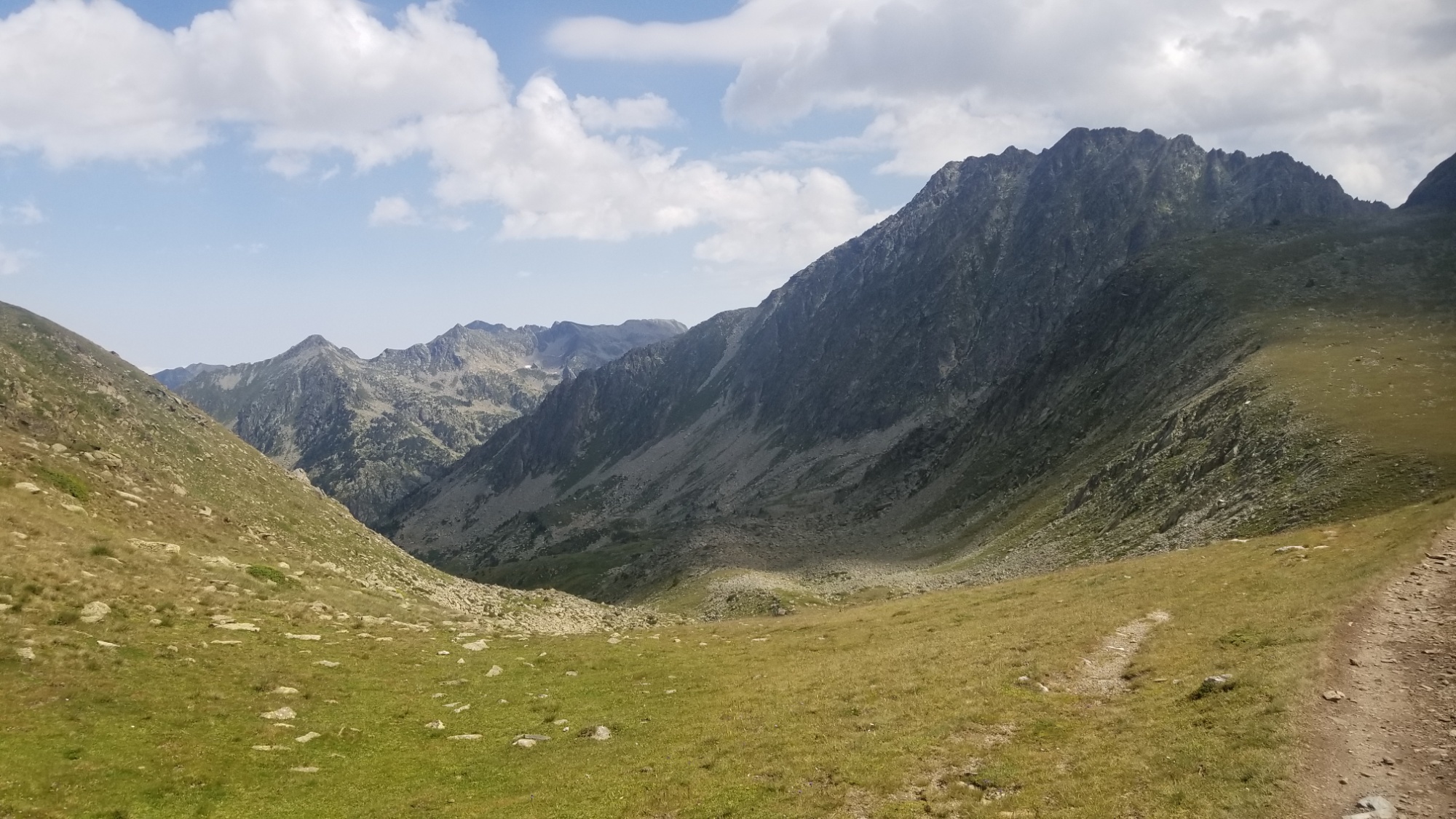
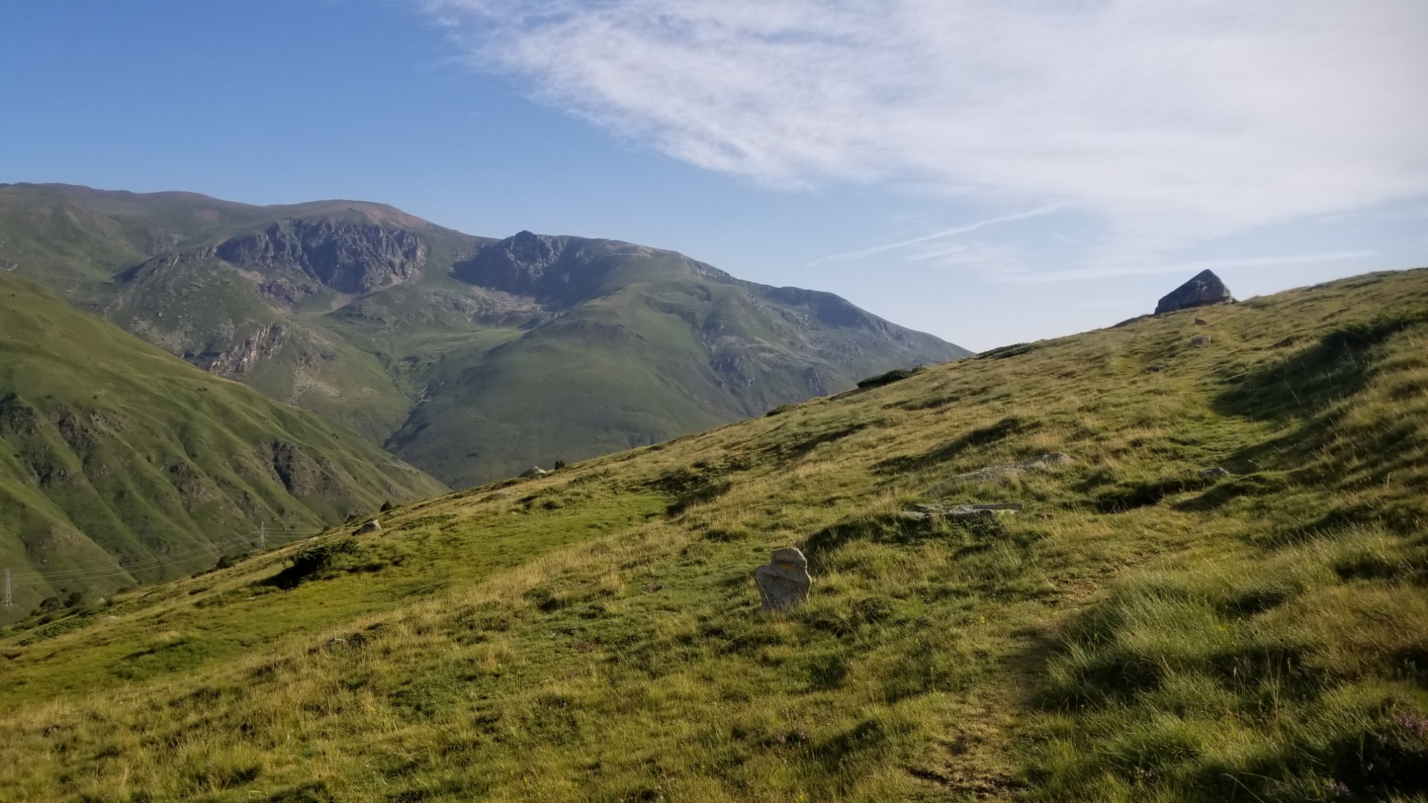
It’s a good thing my maps show so many alternate trails. I found one that crosses a Col easternly to the right valley and then has a badass ridge walk to the Col that leads to the valley of the peak Carlit! Two valleys for the price of one! Hell yea. I’ll take it.
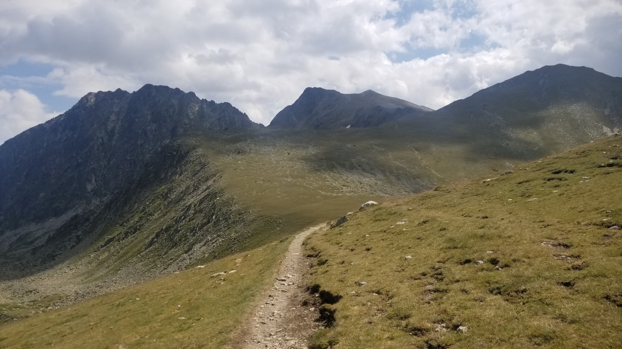
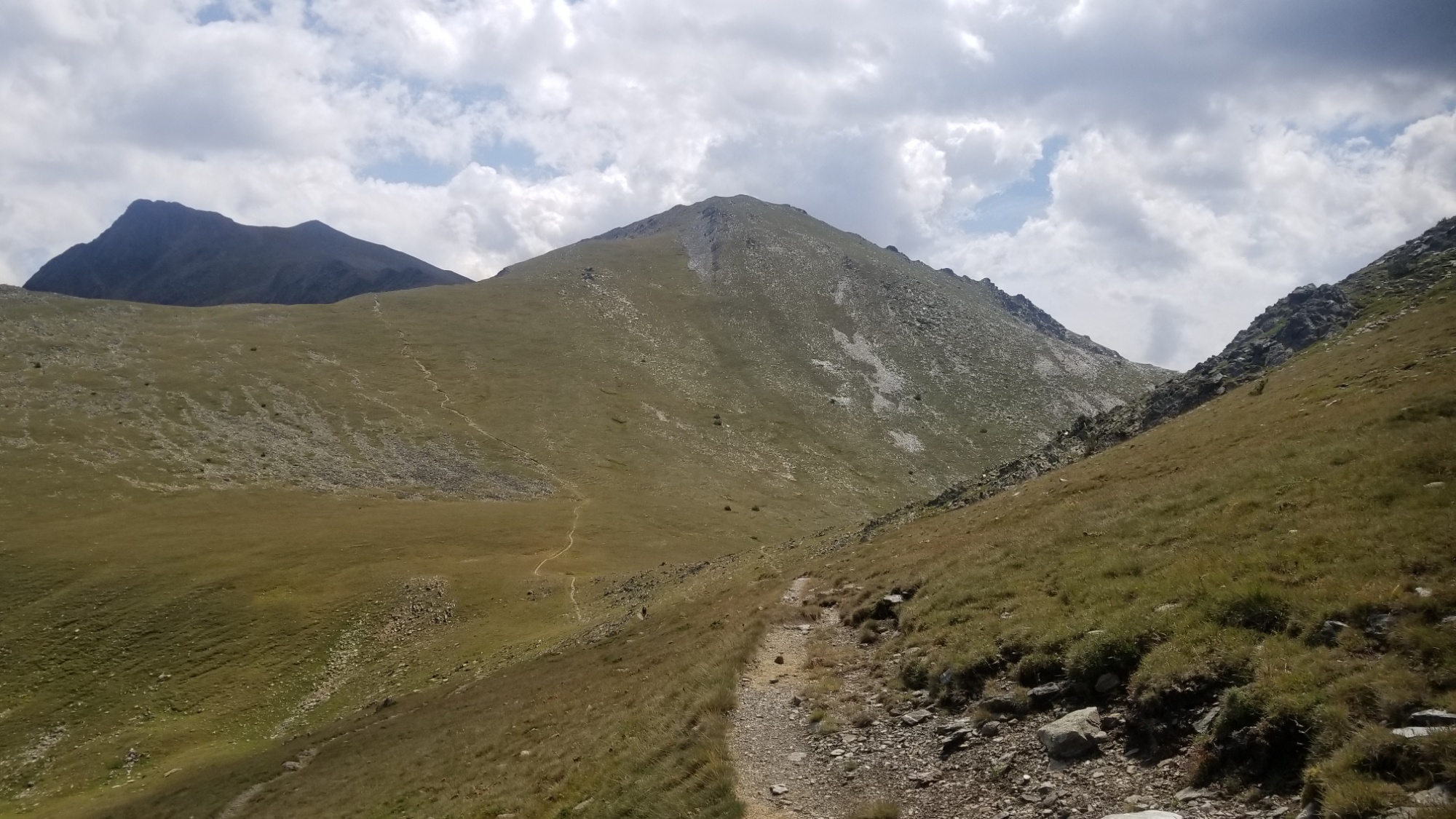
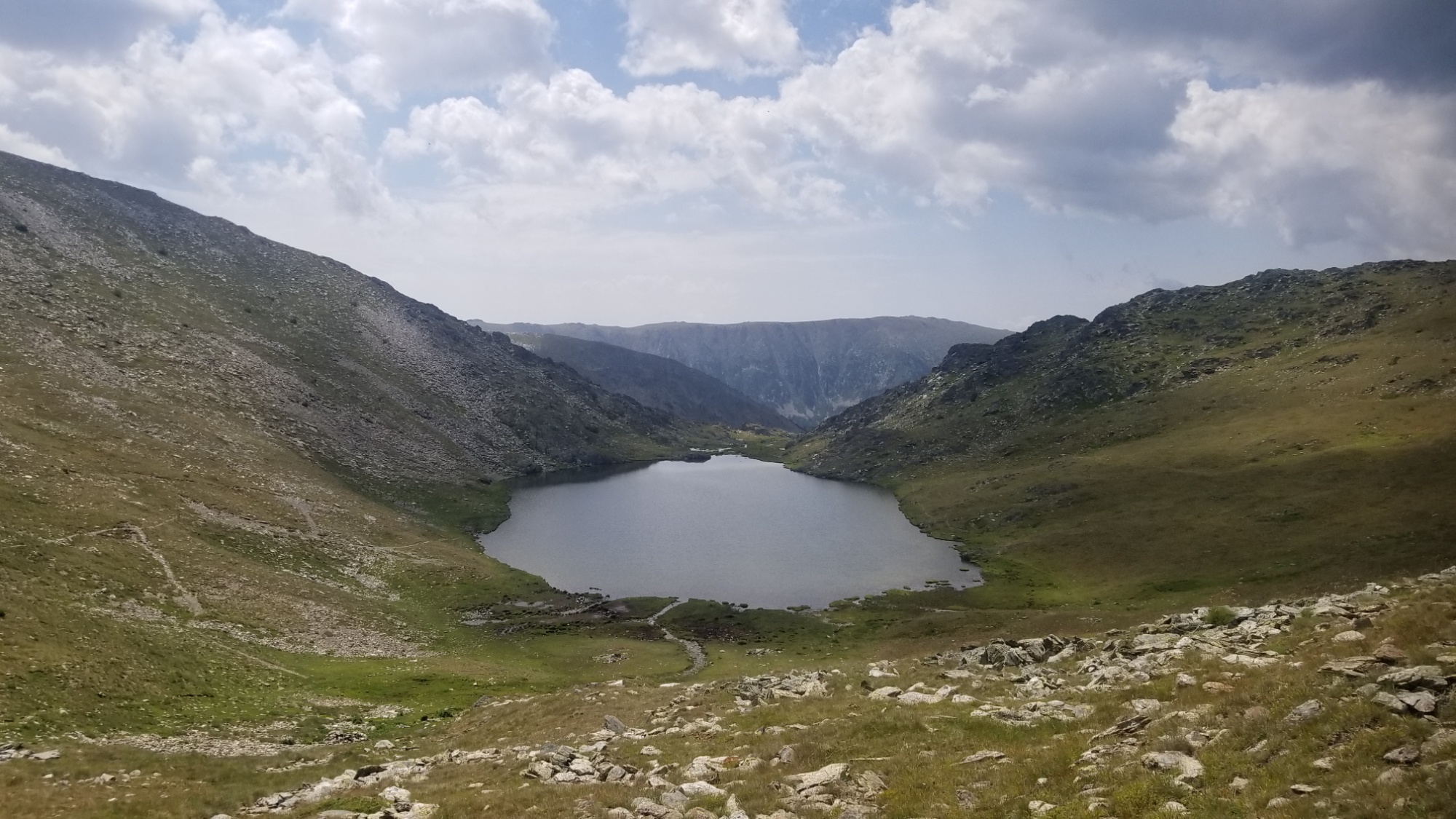
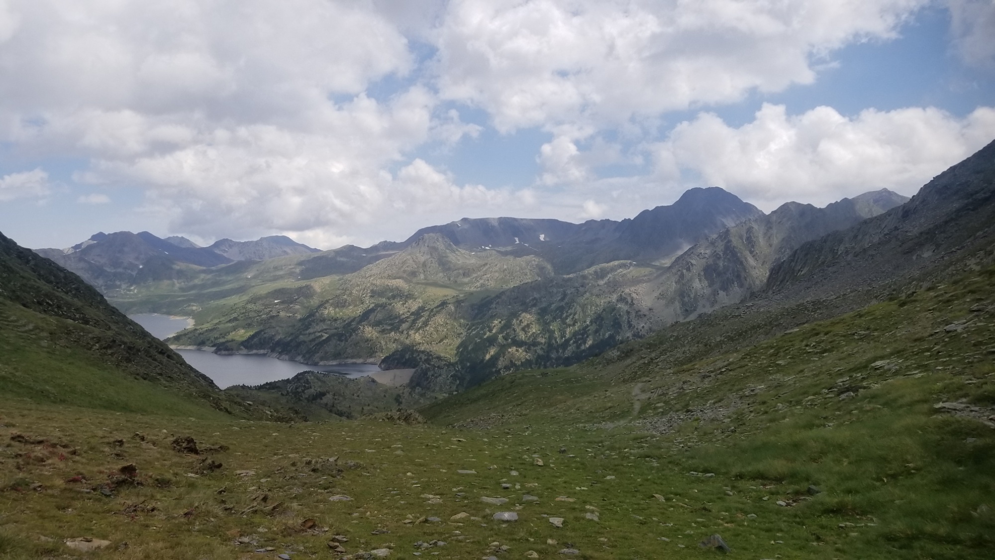
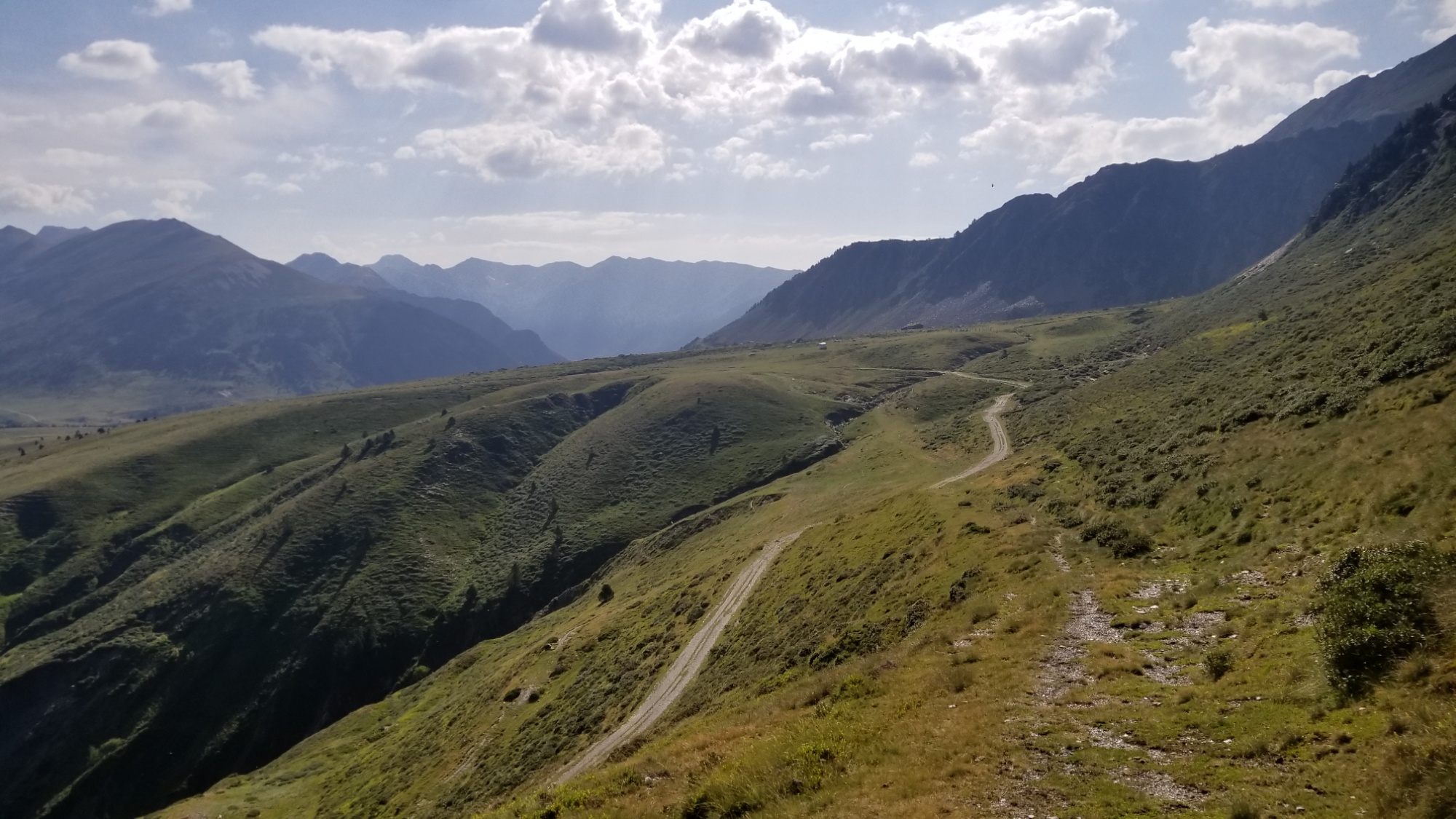
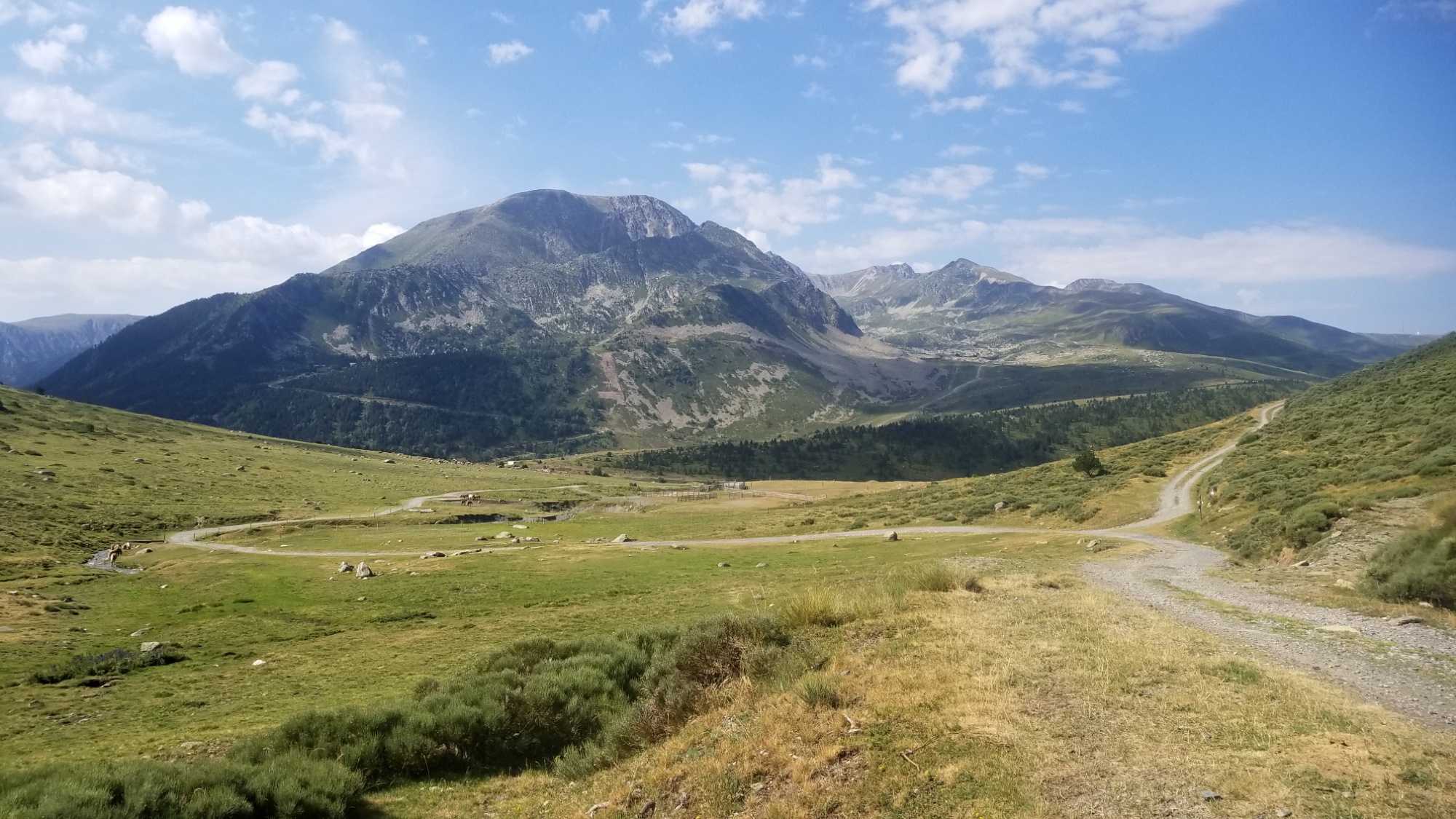
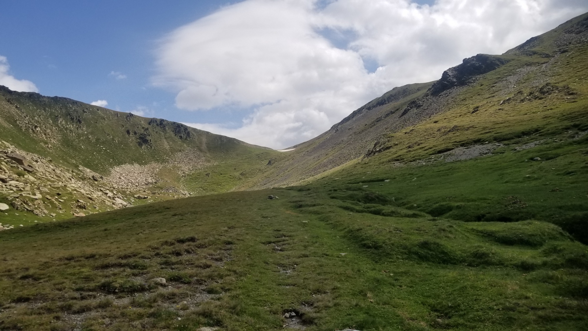
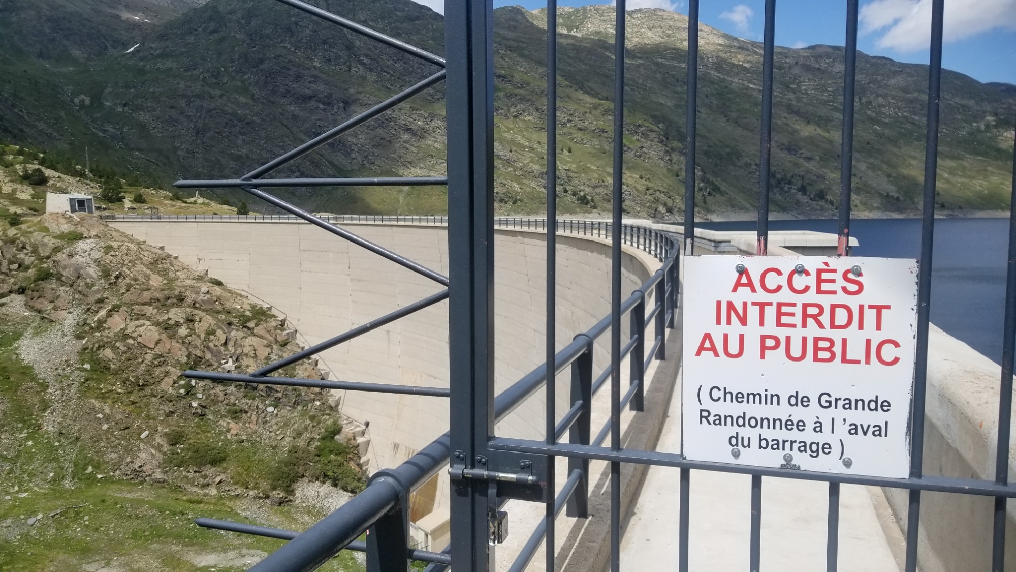
I make my way down the valley below pic Carlit to the Lac de Carol, and cross the barrage to the other side (although I later translated the sign which said you’re supposed to walk down and around the dam, like whatever!) And began the ascent to the peak.
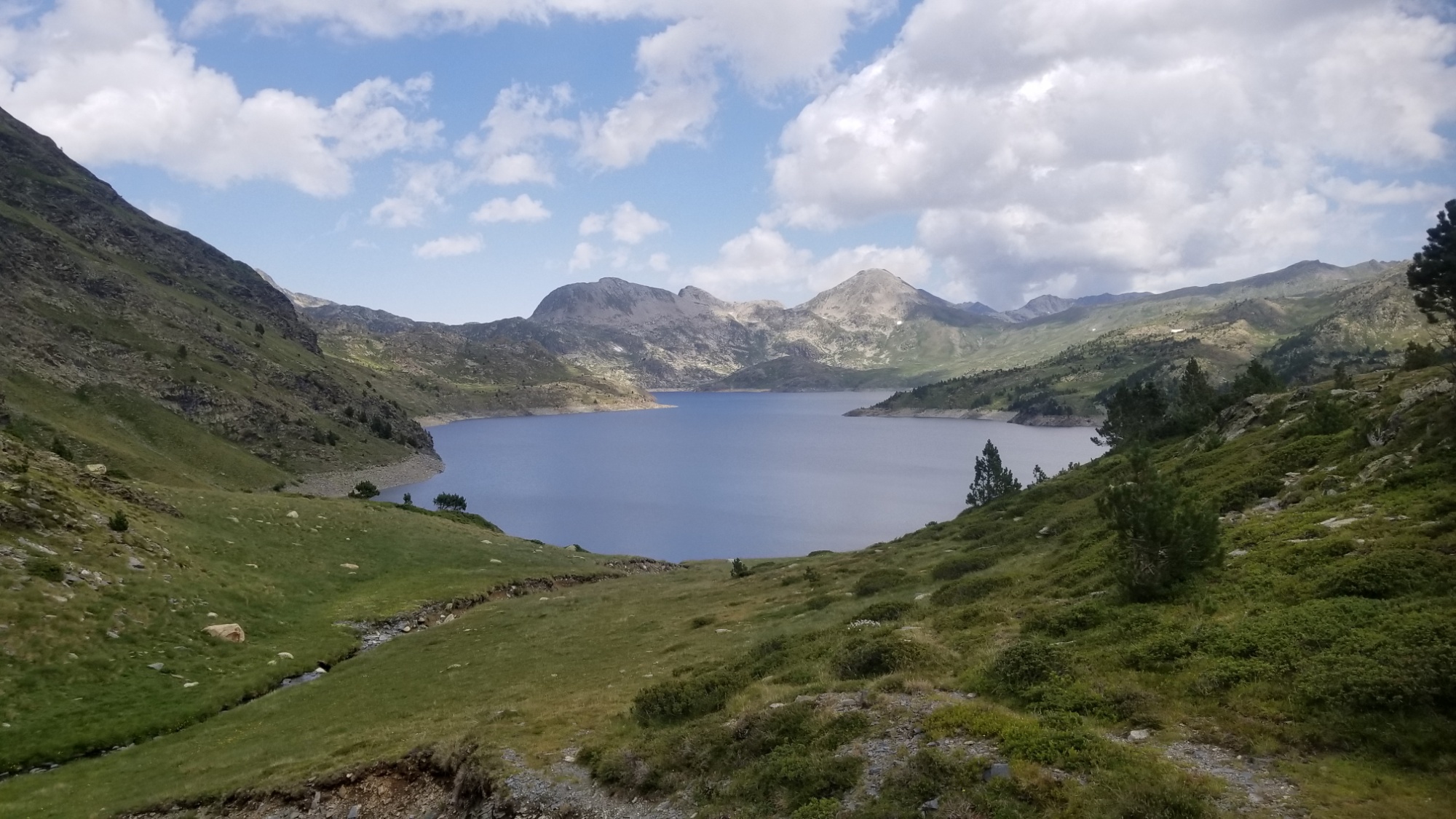
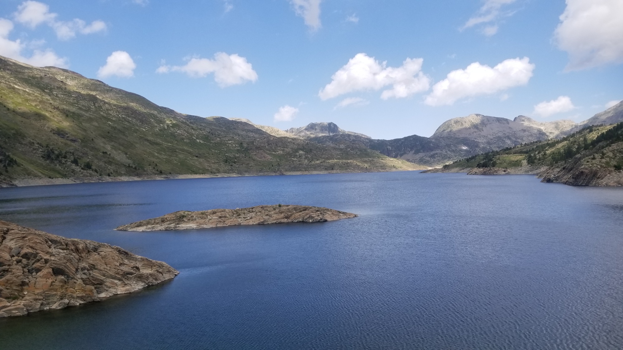
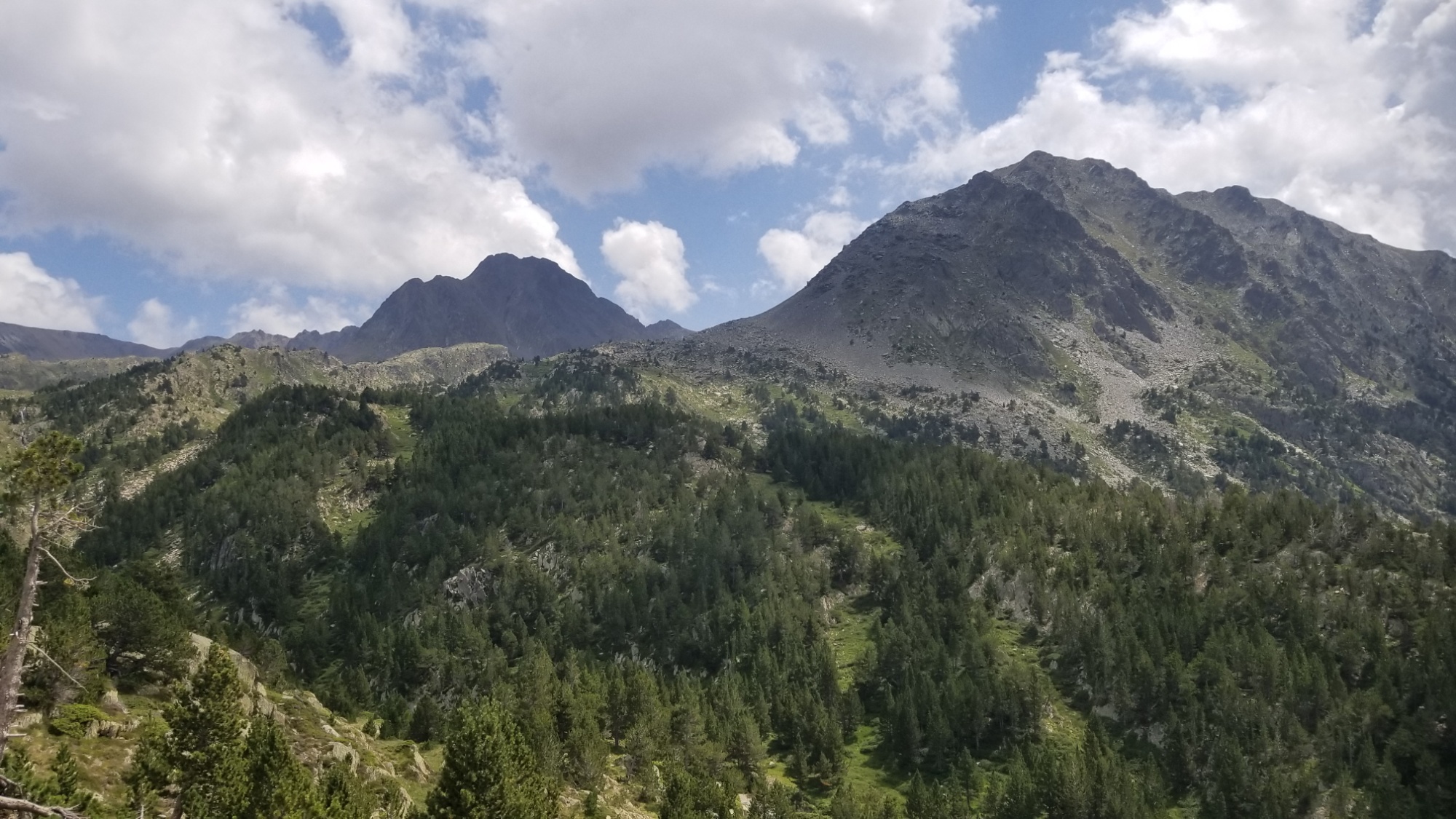
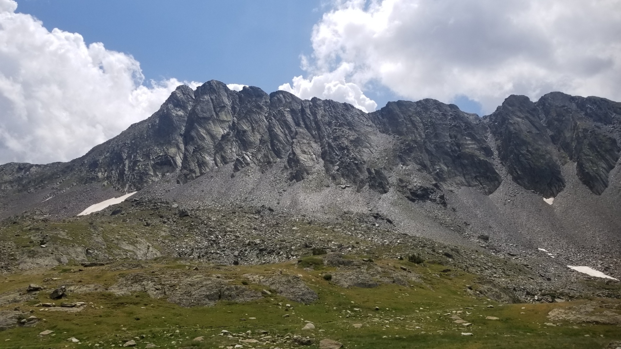
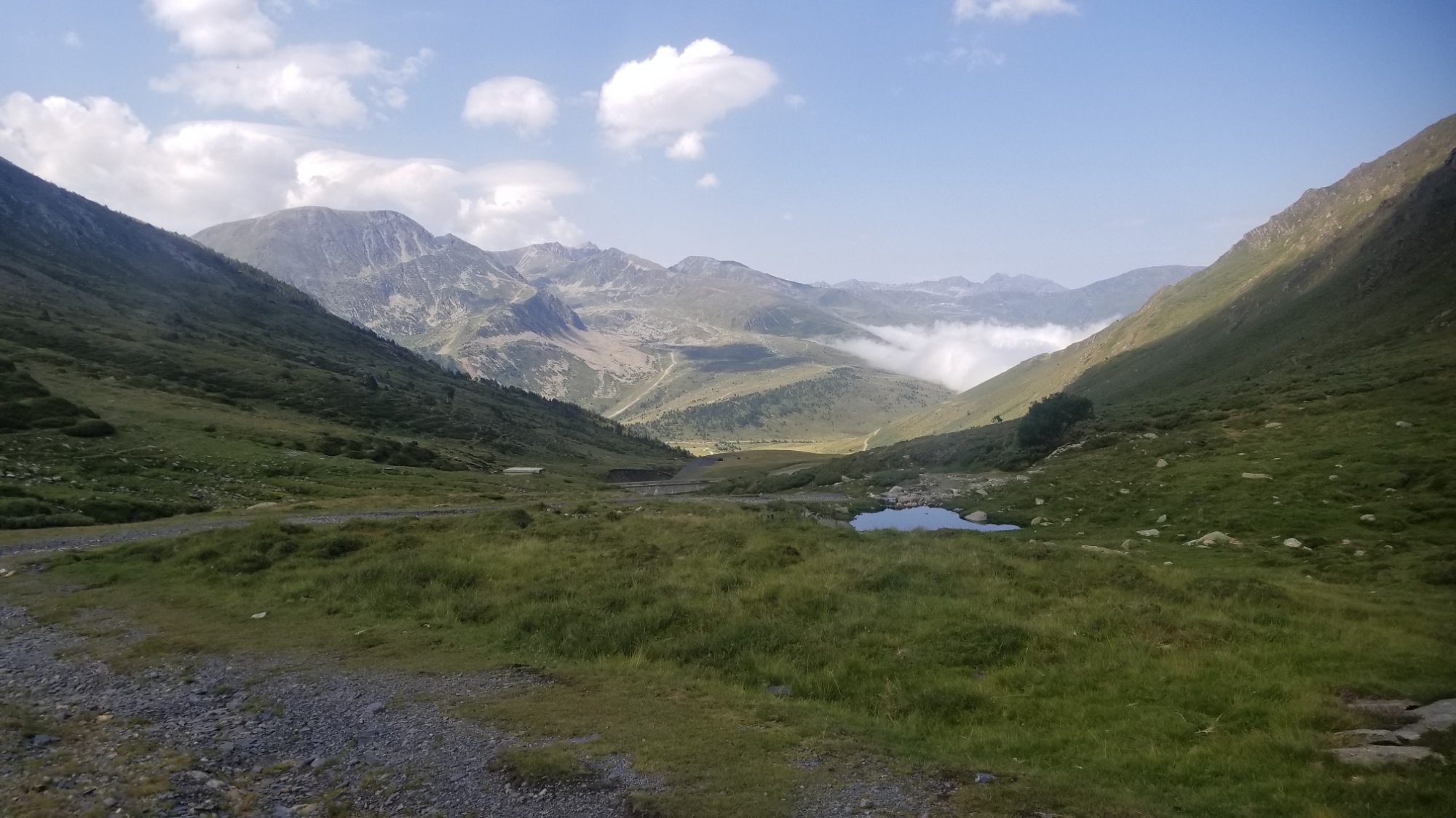
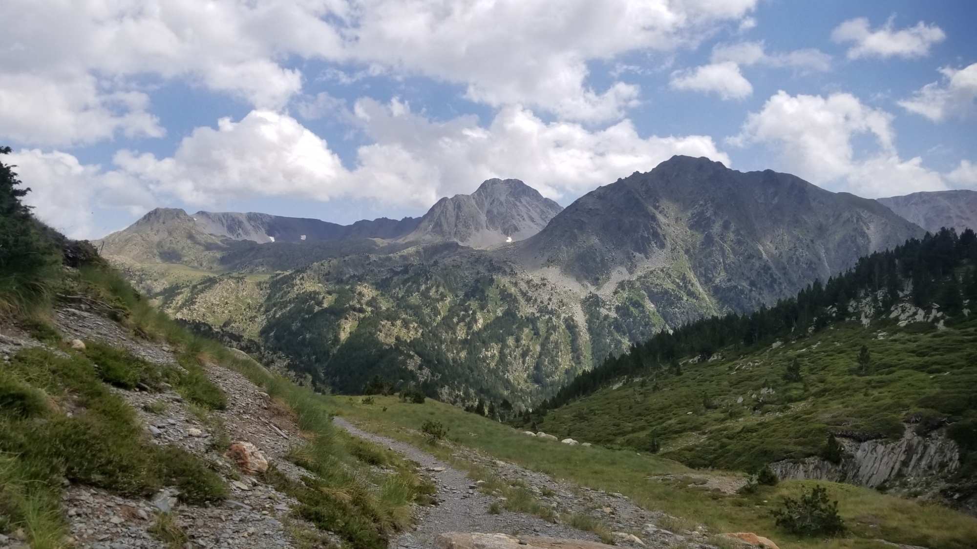
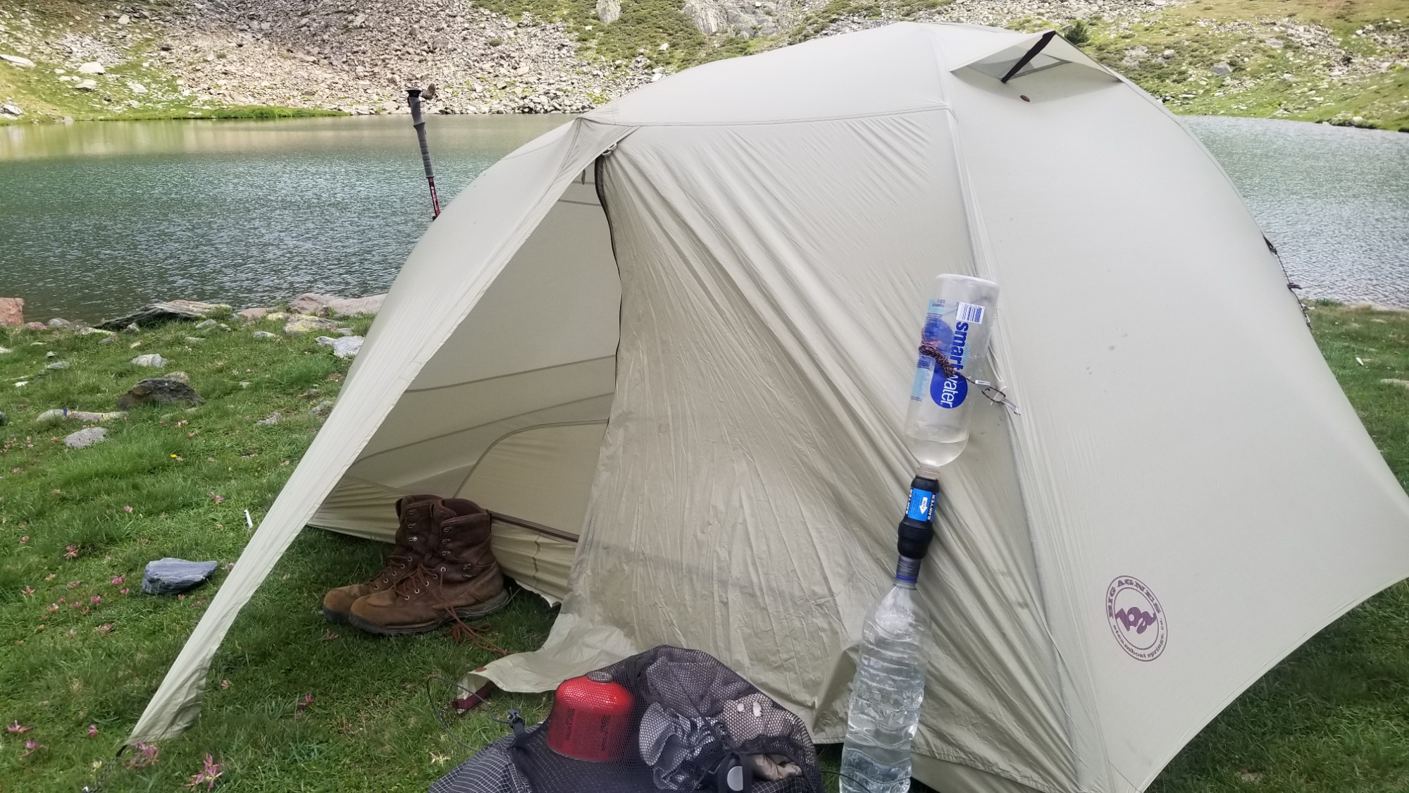
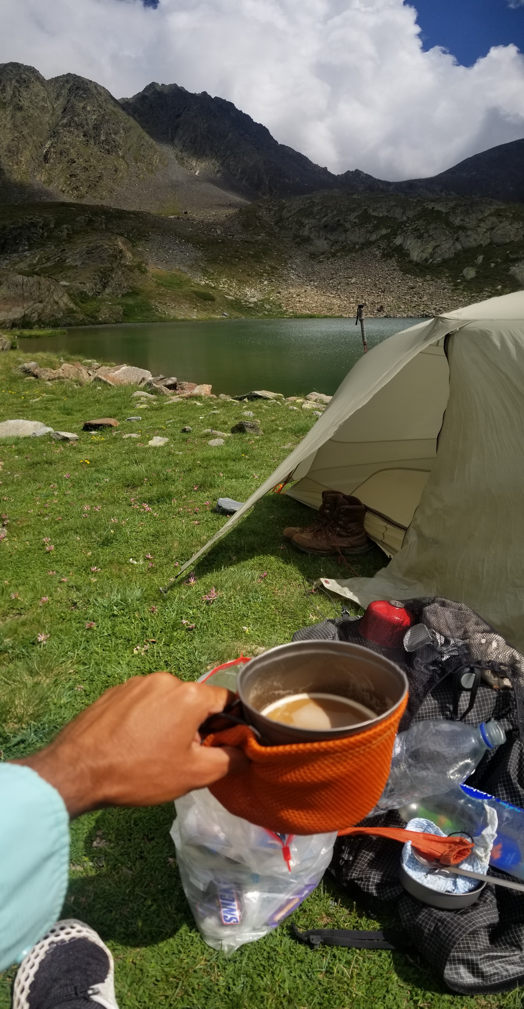
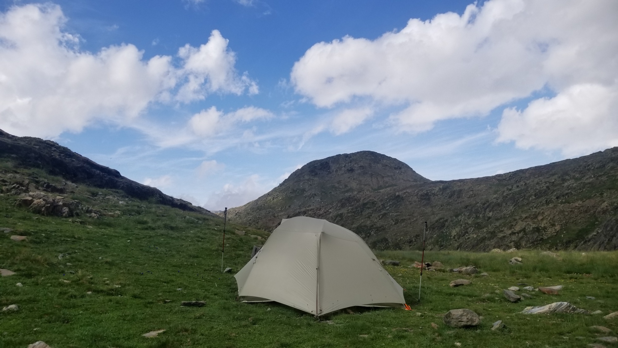
I decided to stop at the Estany de Fourats for the day, having already made 23km at about 3pm. I had read the weather report, which said thunderstorms would start around this time, and the sky did not disagree with that fact, which meant it was not exactly the most opportune moment to summit the highest mountain in the region. And I was tired. I’m not in a rush to finish this trail either! So, I pitched the tent by the lake and made a nice cup of afternoon coffee, soaking in the views of Carlit, the lake, and the surrounding valley, while watching the clouds grow ever darker.
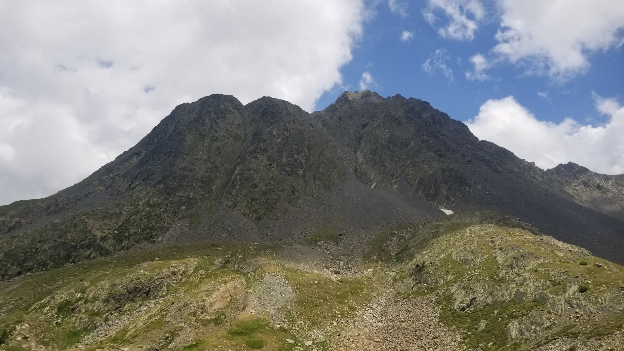
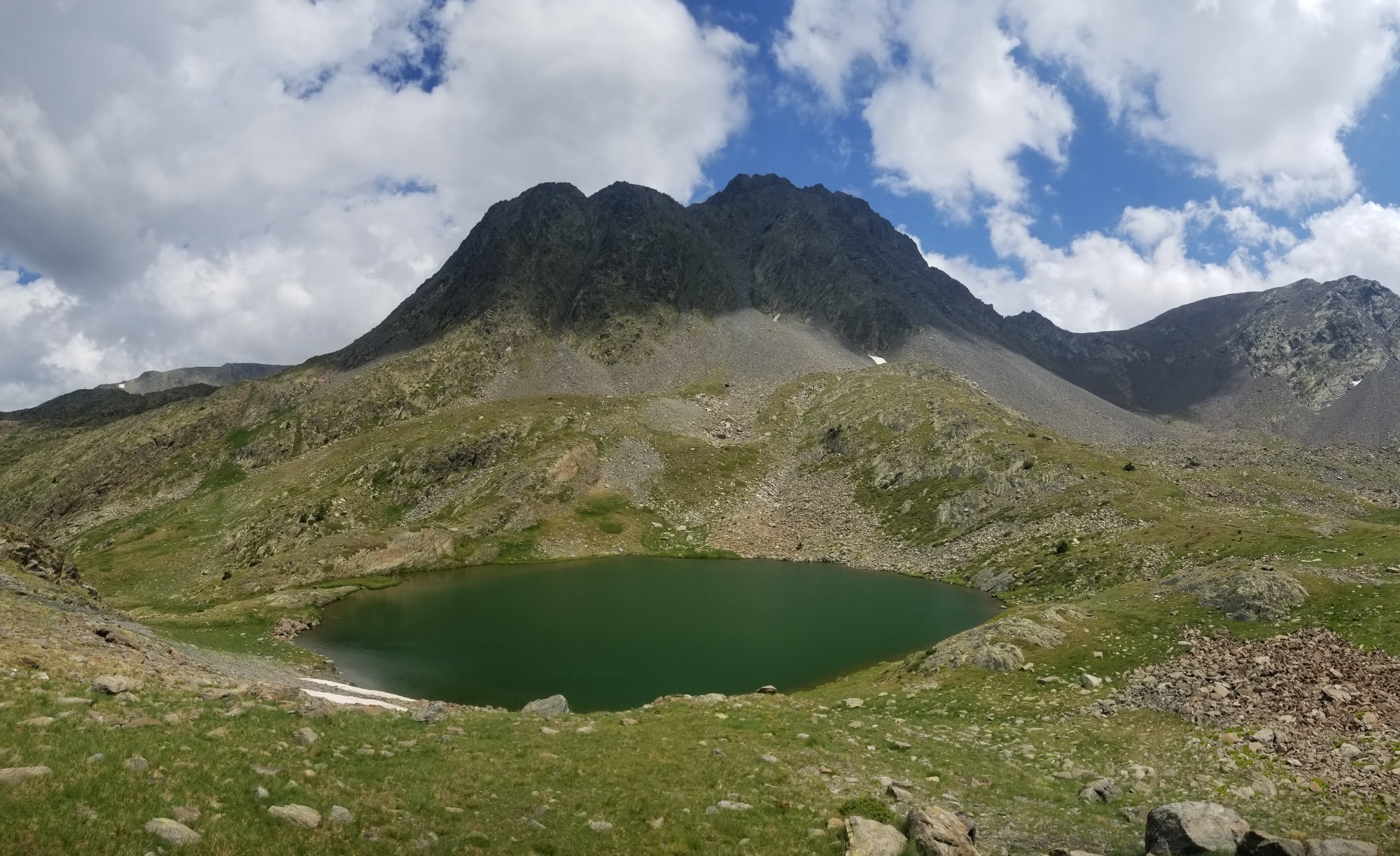
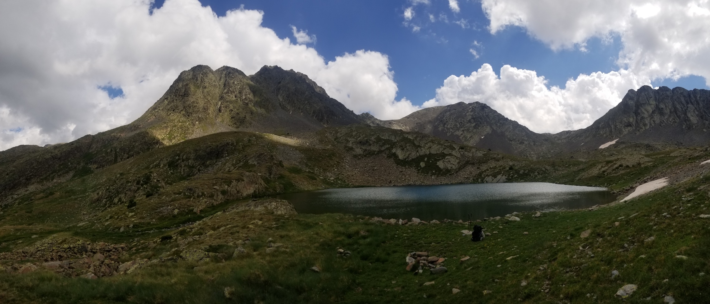
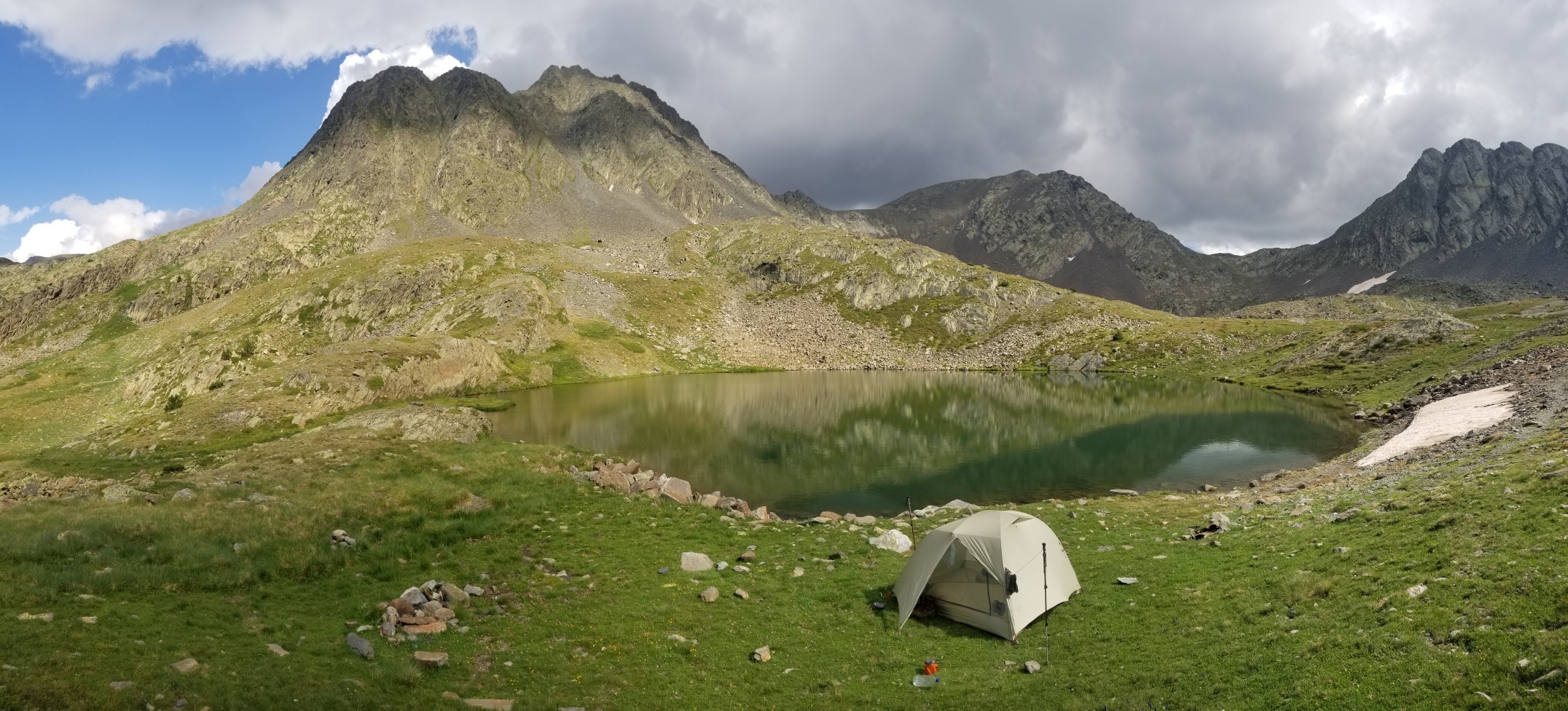
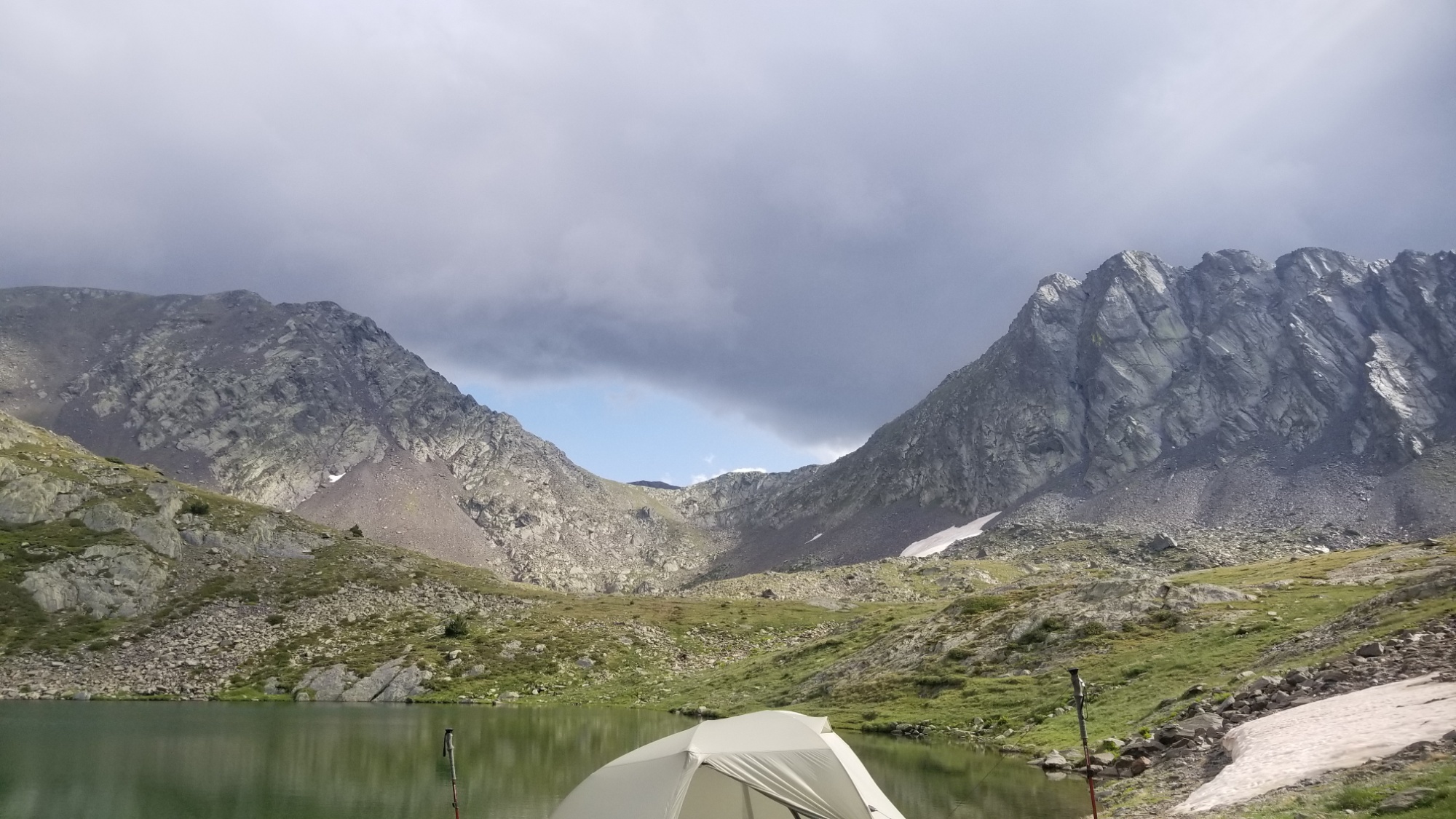
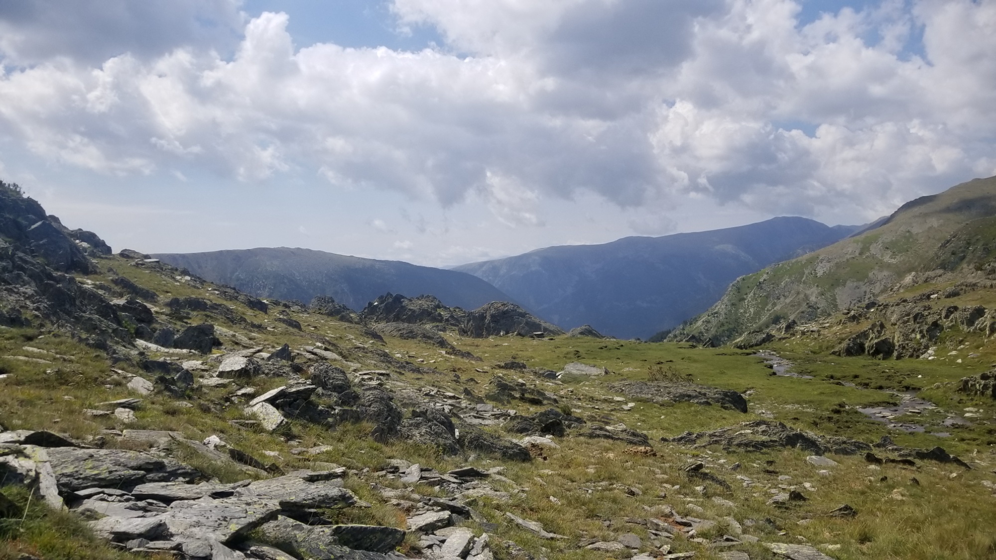
The rain never came! It was quite a spectacle to see how much Pic Carlit acts as a weather barrier. On the south side, there were dark, mean looking rain clouds, and on the north side, the sky was as blue as a sun-struck glacial lake. There was a line right above my head where the storm and calm met. Very strange.
Well, I got some reading done on aquaponics, and went back and organized a few old Continental Divide Trail photos, and mostly laid around enjoying the views. Tomorrow, I will bag the summit bright and early, and make it to the village of Bolquere for lunch. Bring it on, future! Good night!