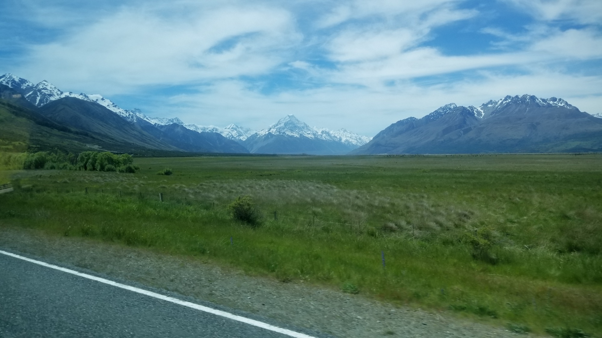
I wake up early at the hostel, have a cup, and hit the road with a pack full of 7 days of supplies. My destination is Twizel, the gateway to Mt. Cook, the highest peak in all of New Zealand.
I set my pack down next to the highway leading out of Wanaka, stick out my thumb, and within 20 minutes, I’ve caught a ride to Lake Hawea with an older guy driving out to help with the tear-down of a community festival that he is a part of.
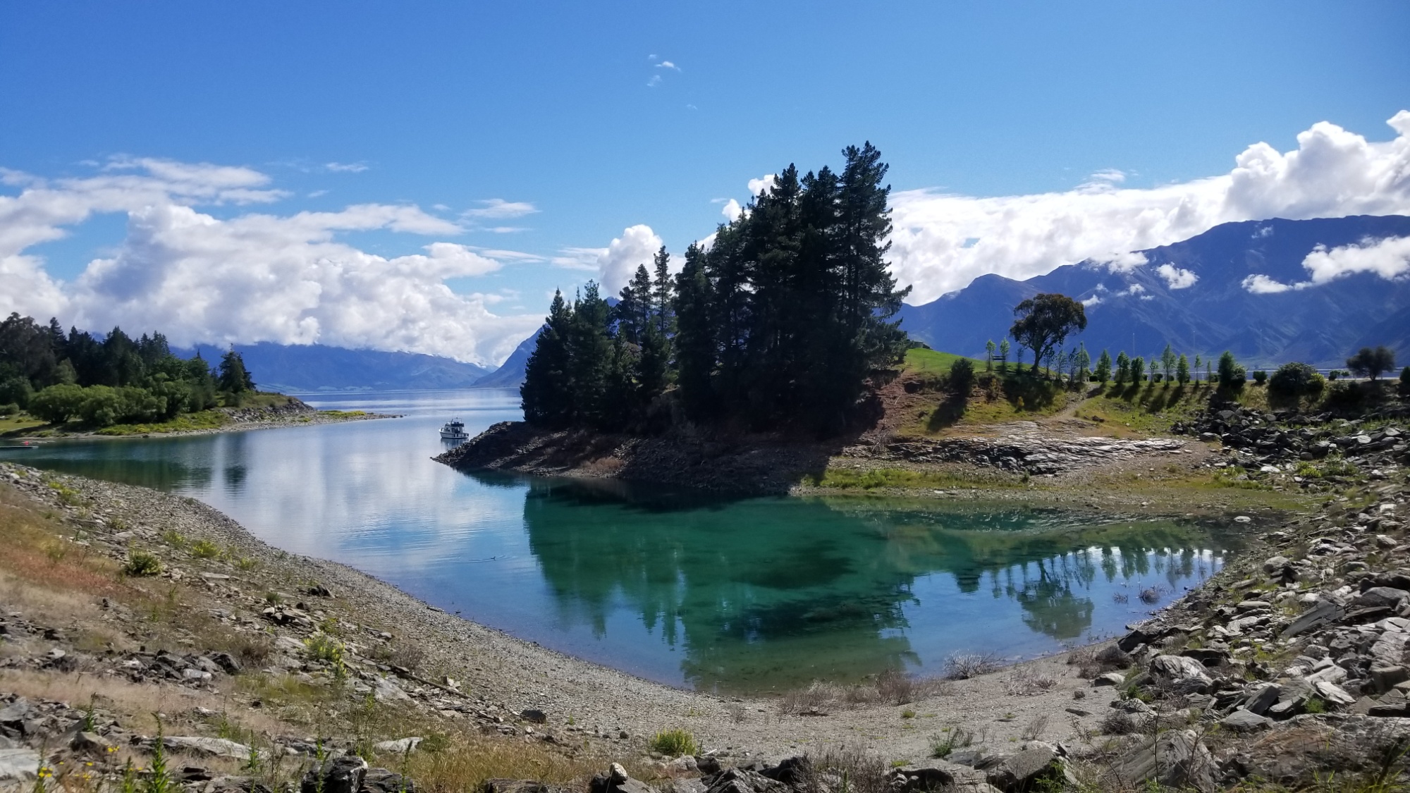
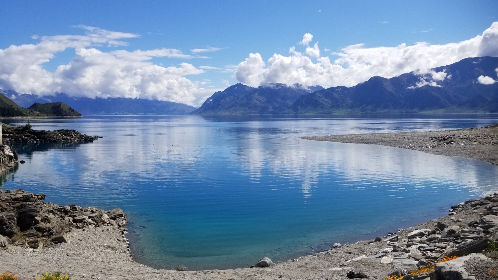
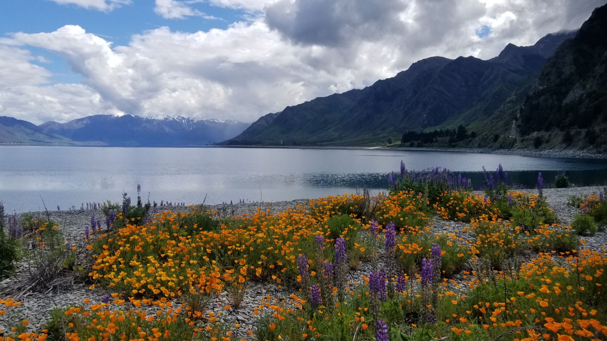
He drops me off just outside of Hawea, and the hike along the lakeside is to die for! The water is as clear and blue as any of the pristine lakes I saw up in the highest reaches of the Pyréneés or the Alps.
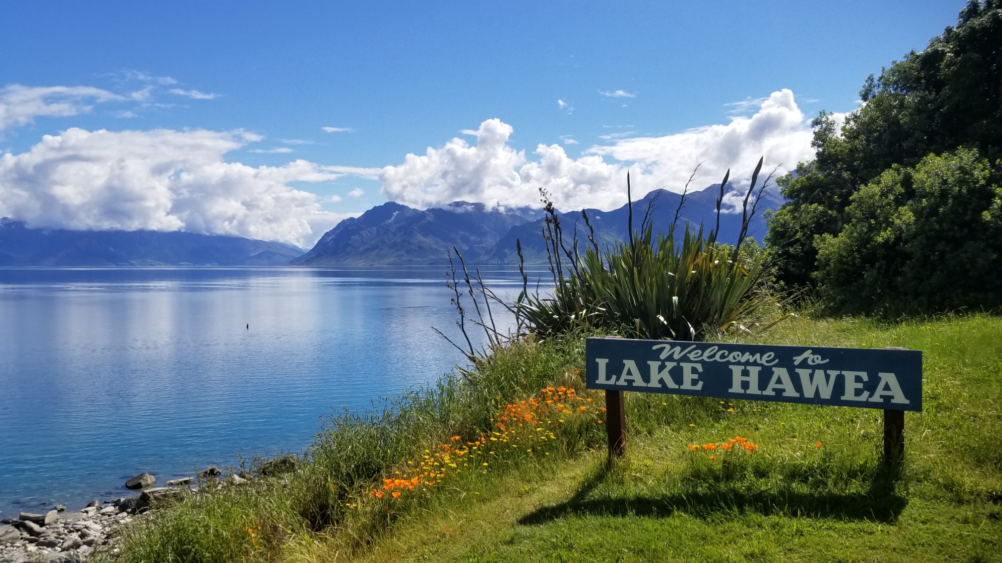
At the end of the lake, I find myself surrounded by wildflowers of orange and purple, vibrant and standing in stark contrast of the clouds covering the mountains ahead.
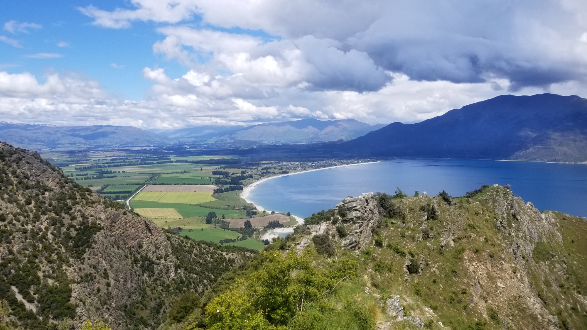
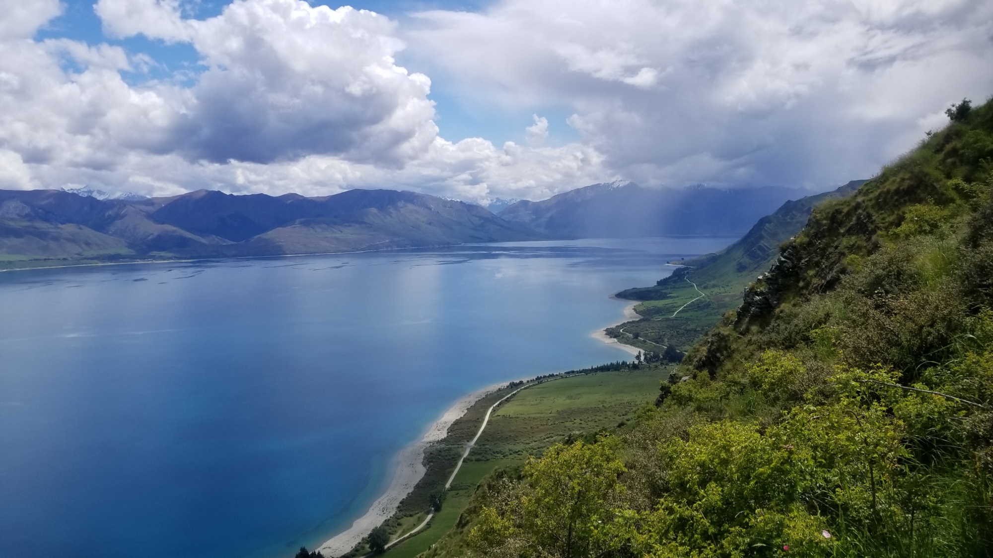
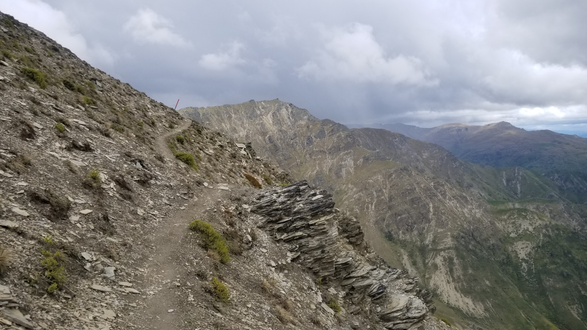
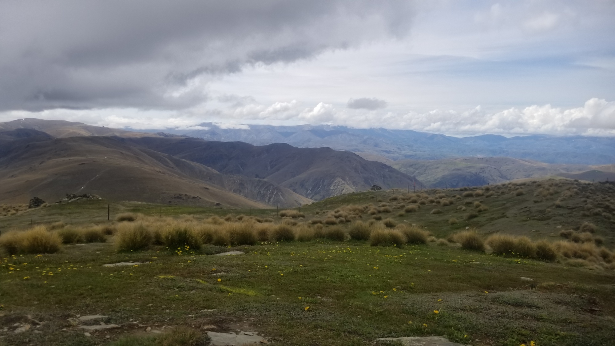
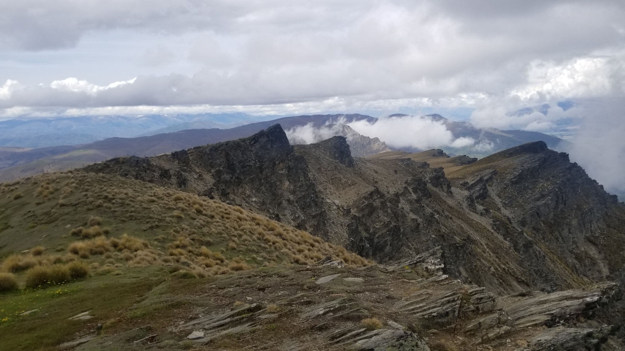
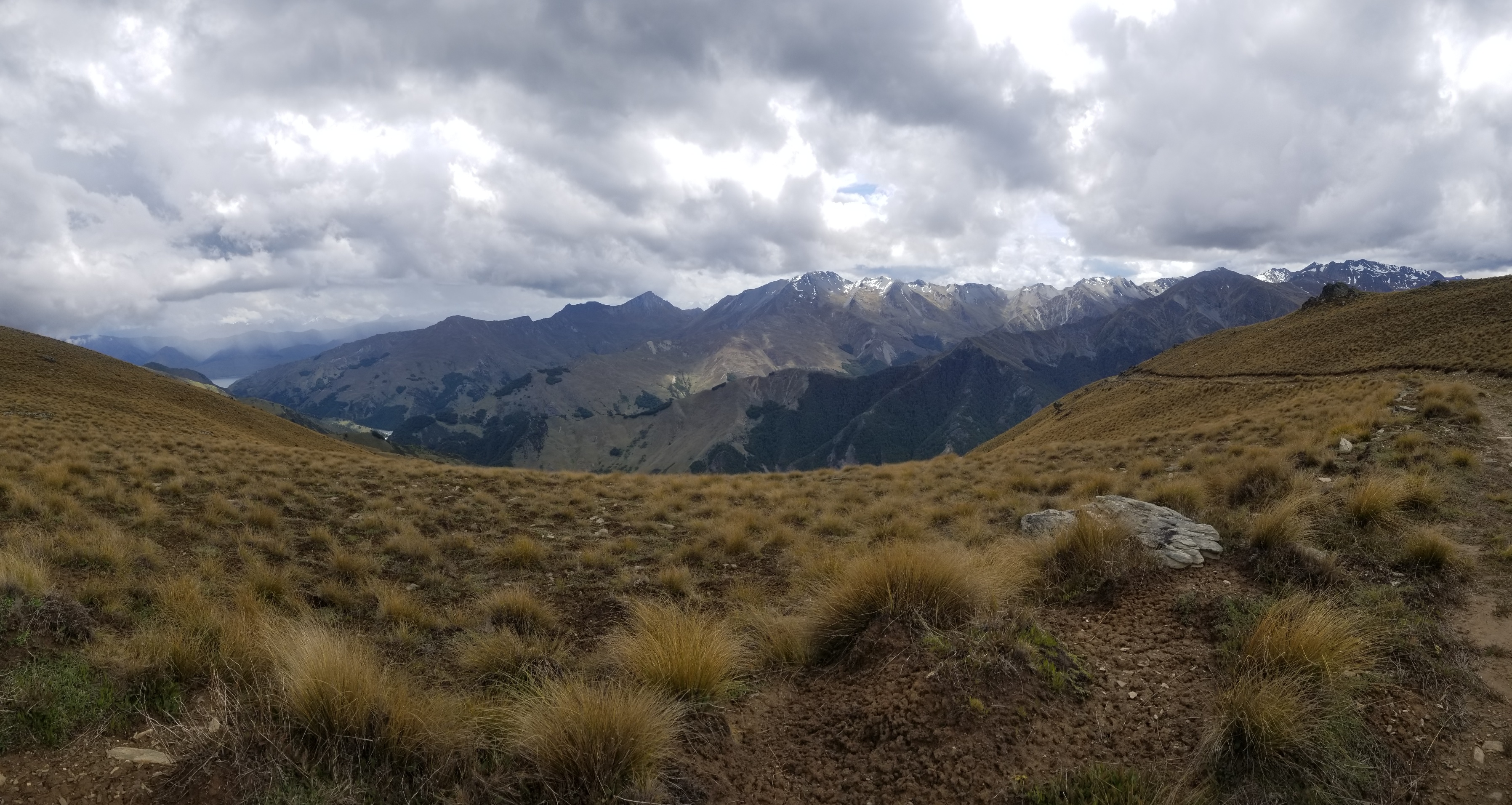
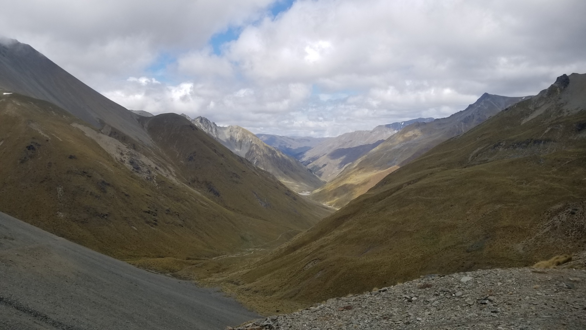
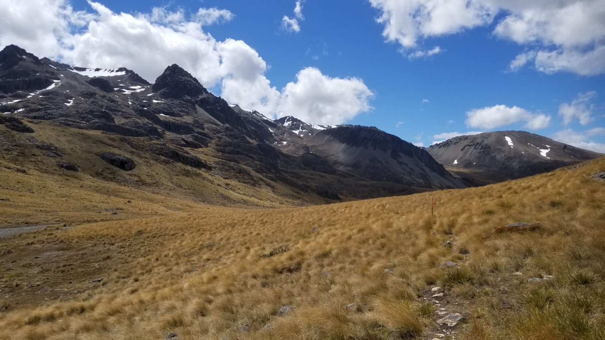
In a short time, I reach the Breast Hill track, which leads up very steeply on a 30% grade straight up the mountain side and up a sidle (side arm of a major mountain range), with some of the best views of the whole trail along the way.
I reach the pass, 1,000 meters above where I started, and find the Pakituhi hut just on the other side. There I decide to stay the night, and enjoy a pleasant evening of reading: 1.) the Silmarillion, 2.) a repair manual for a 1988 Toyota Truck, and 3.) working hard on my vocabulaire Francaise.
A couple of locals dropped into the hut for the night besides me, and we had a pleasant evening of tea and storytelling and all that good stuff.
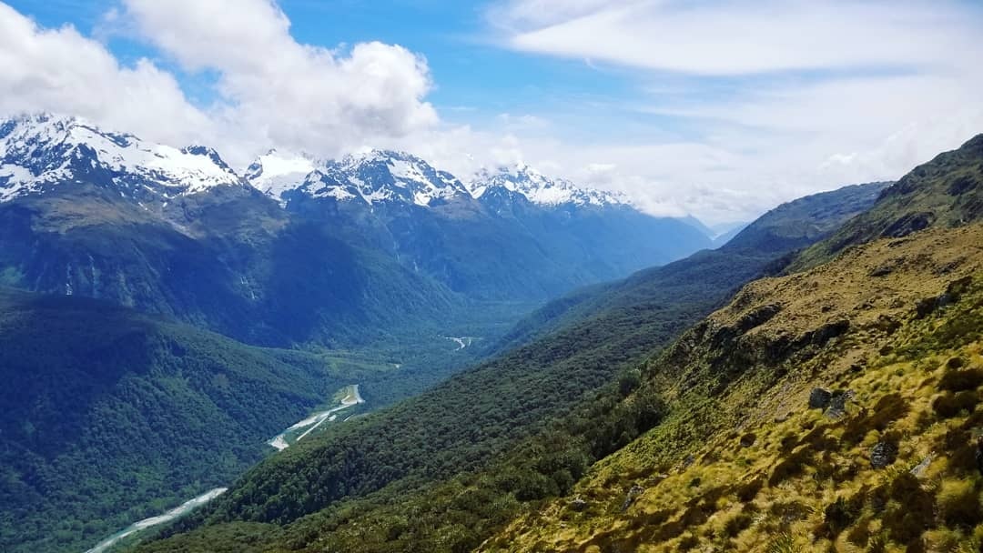
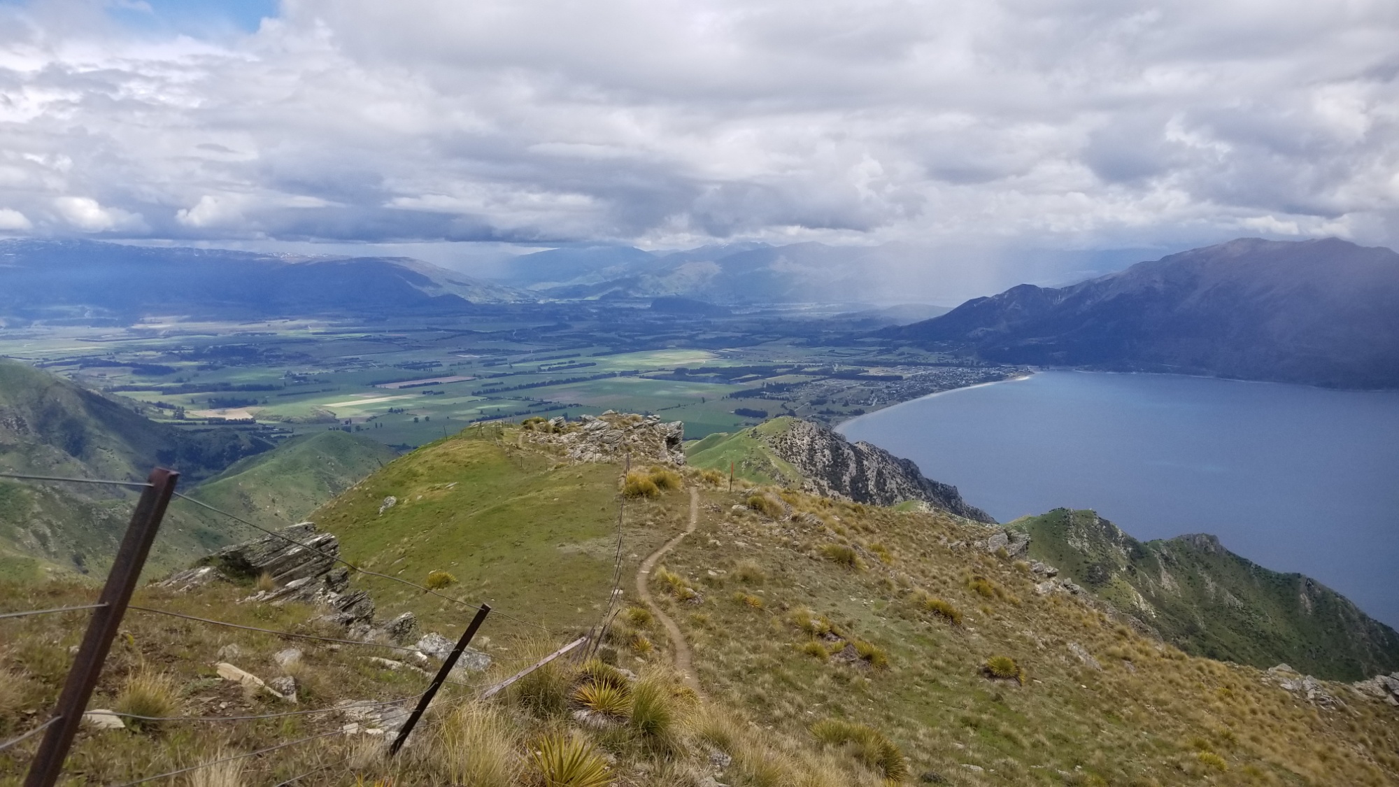
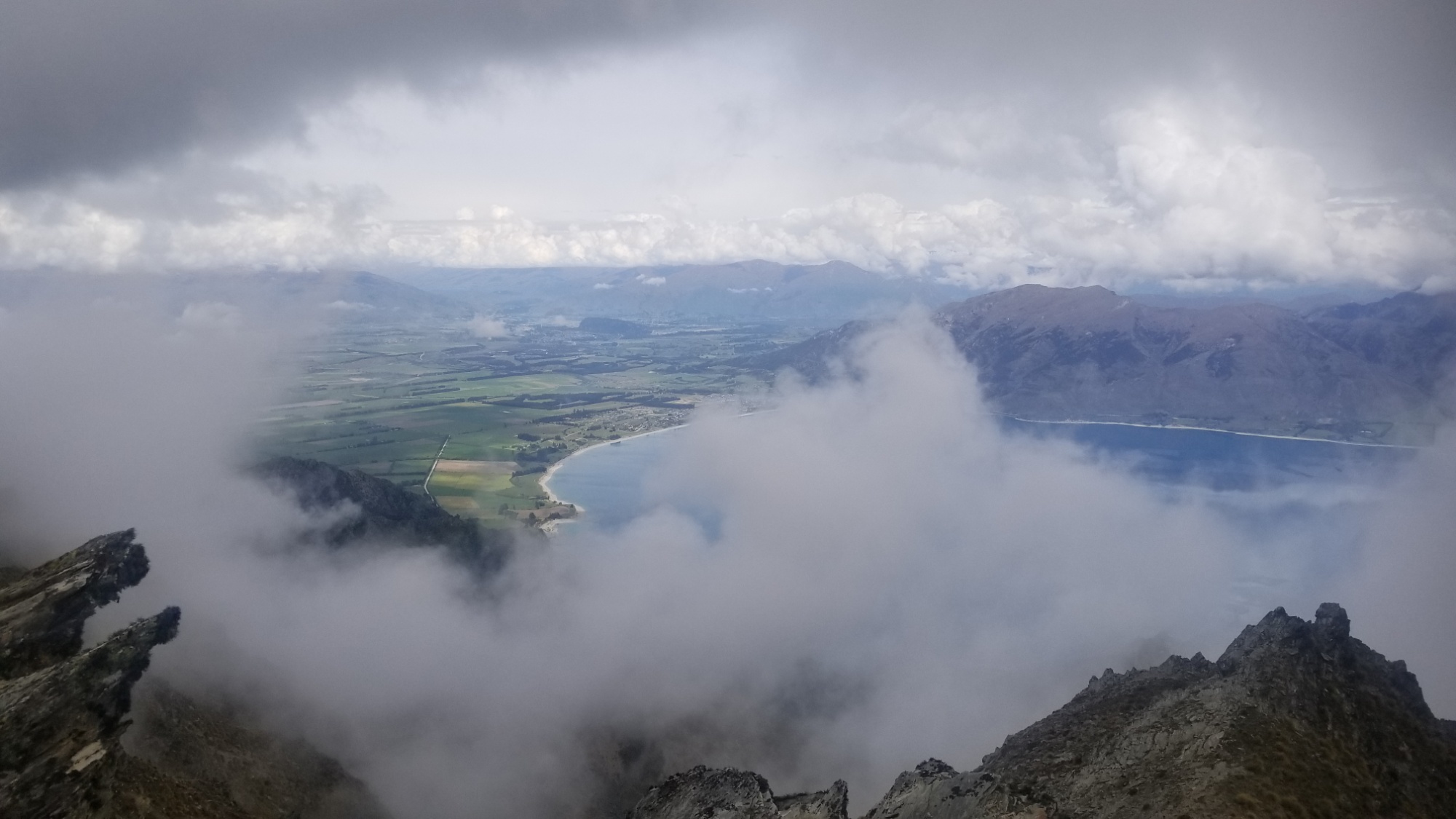
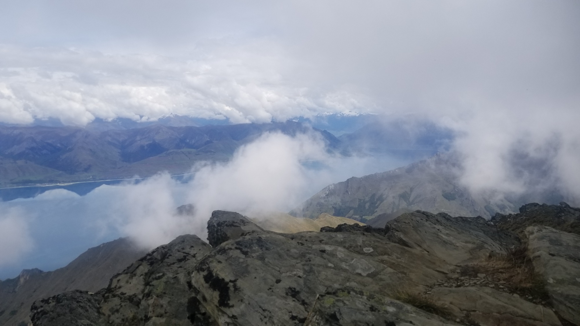
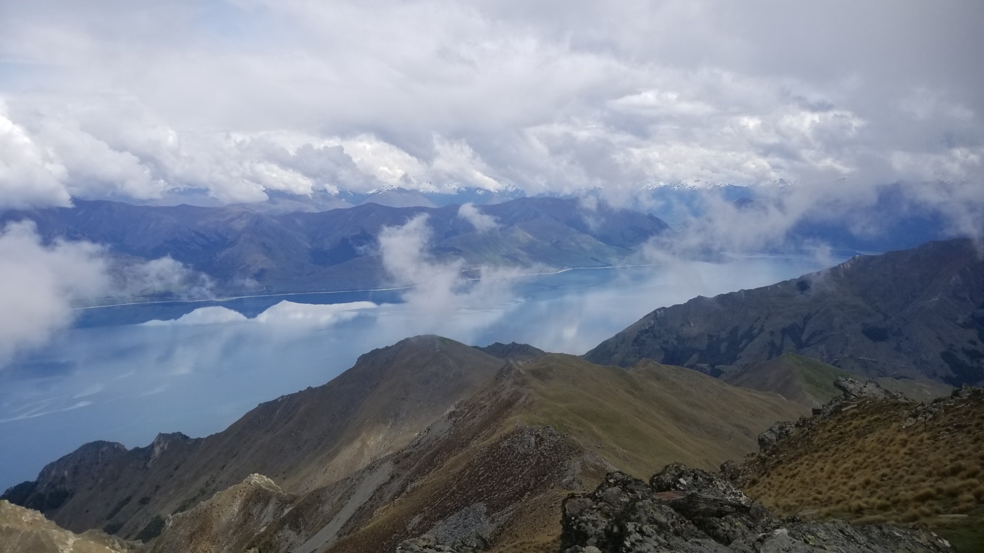
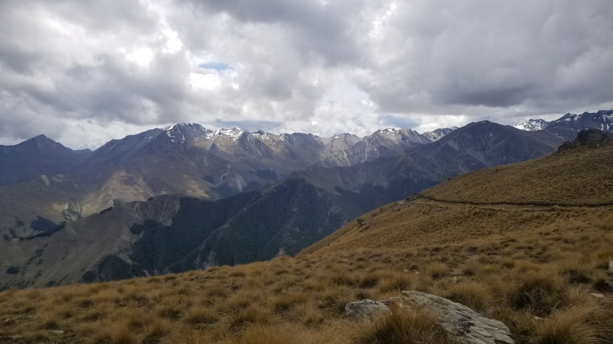
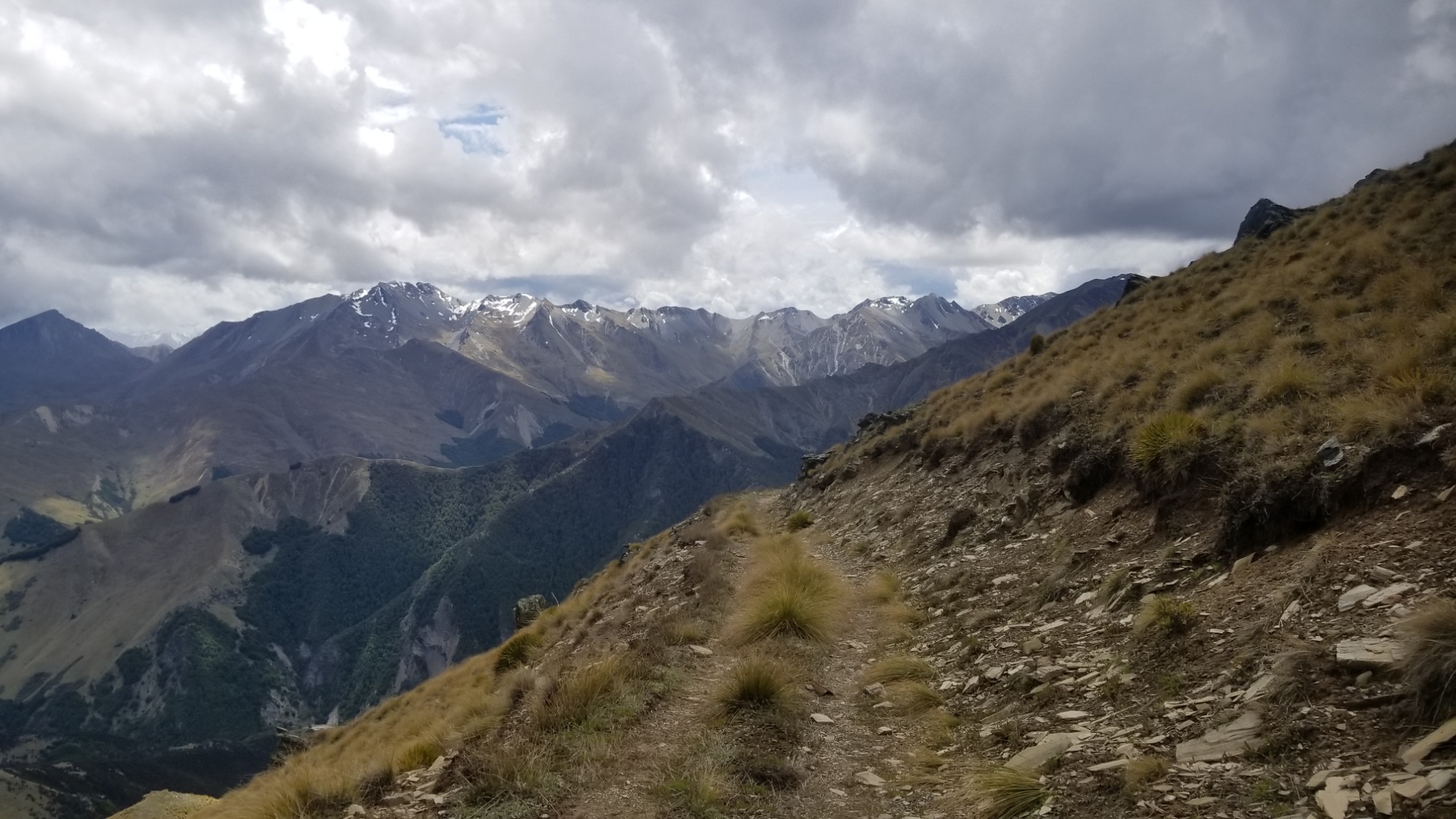
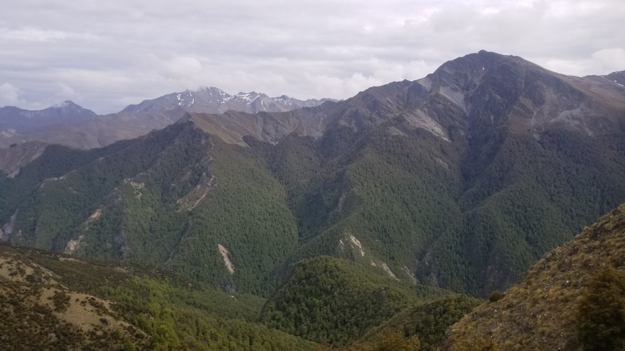
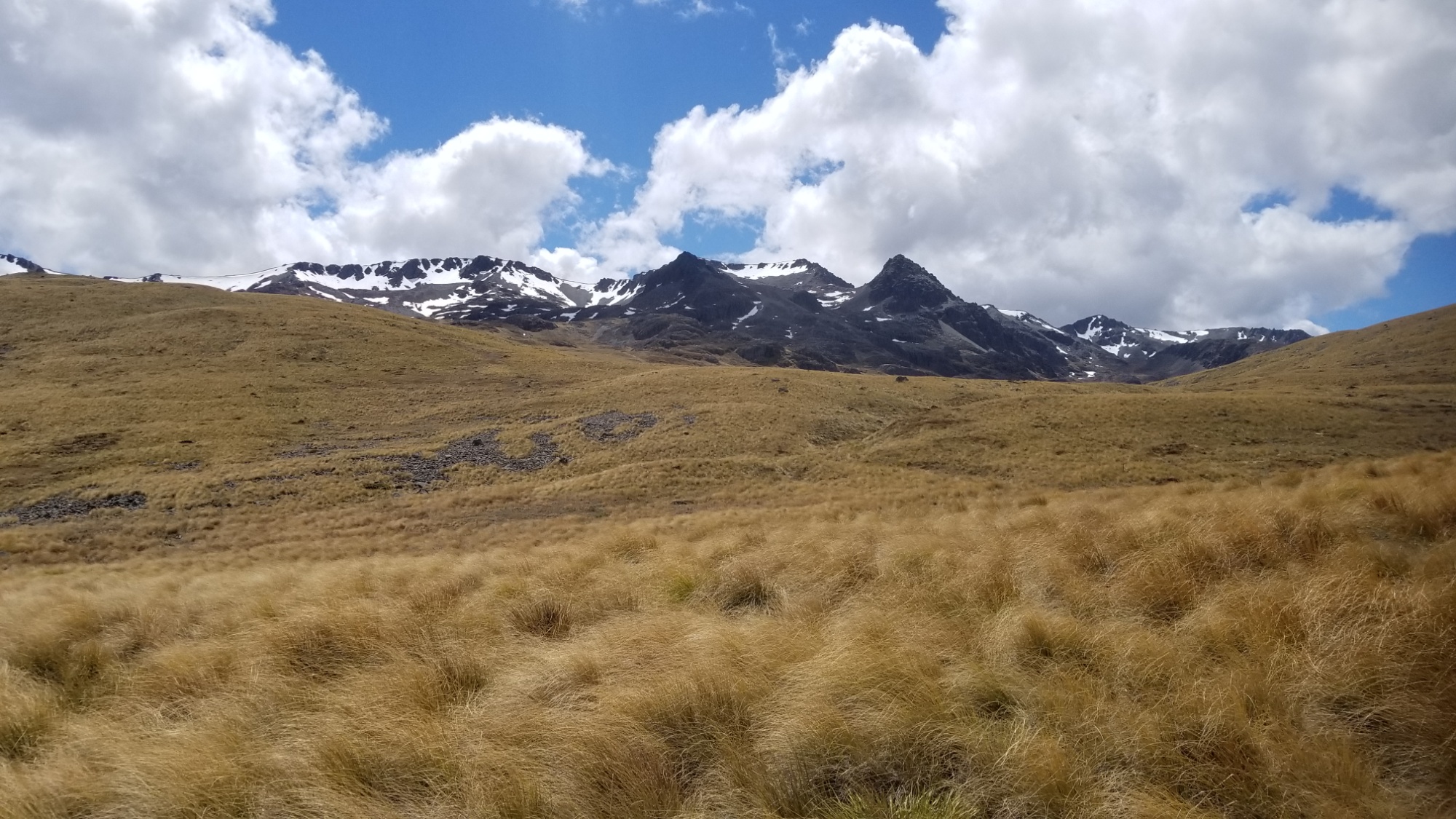
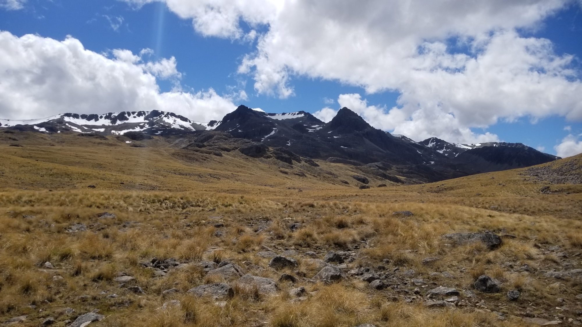
The next day, the trail follows a ridge for about 13km to Stody’s Hut. By far the highlight of the day was the view from Breast Hill, towering 1,600m above Lake Hawea. I don’t stay too long, as the forecast called for thunderstorms, and I could already see them forming all around me, the sneaky buggars.
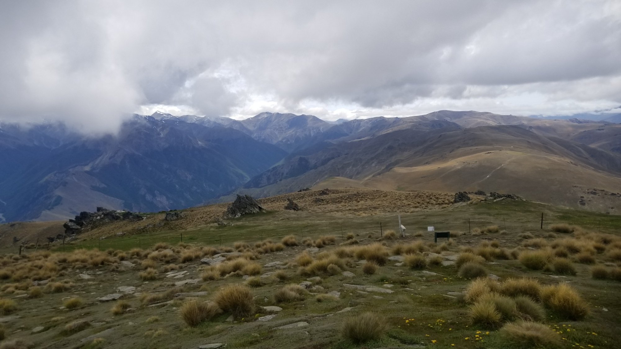
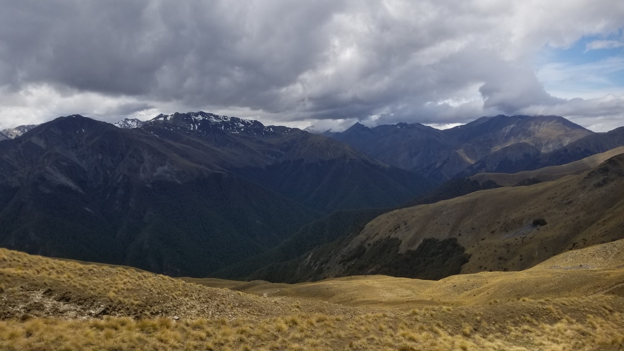
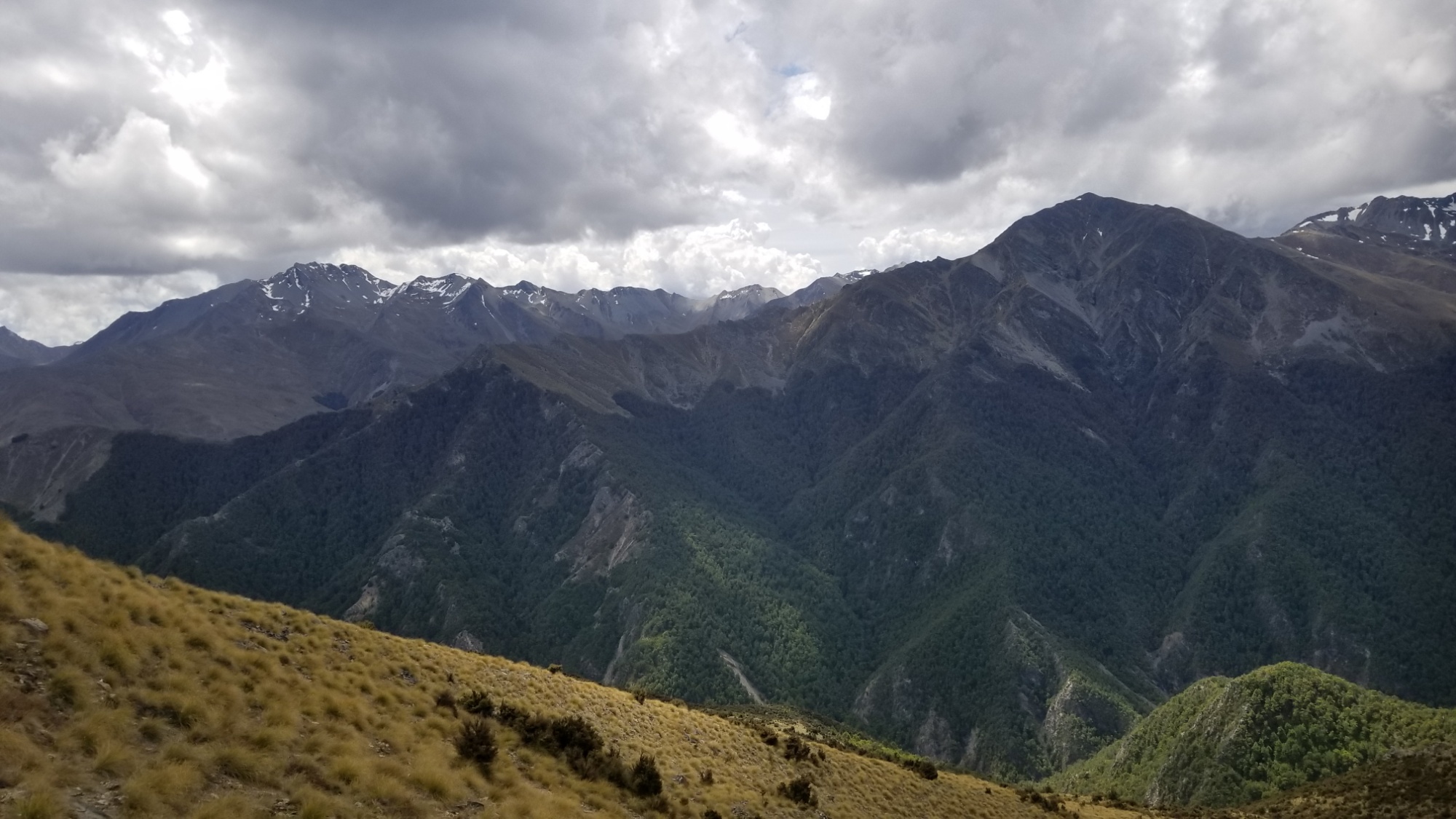
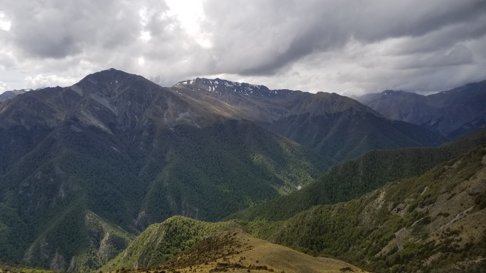
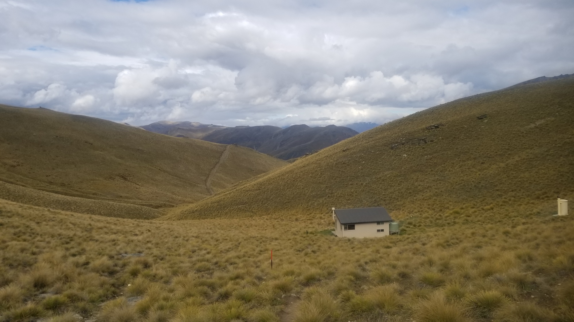
It takes about 2 hours of pleasant ridge walking to arrive at Stody’s Hut, a seemingly 100 year old hut that was used by “musterers,” apparently people who work together to herd sheep out of the hills and down into a group for collection.
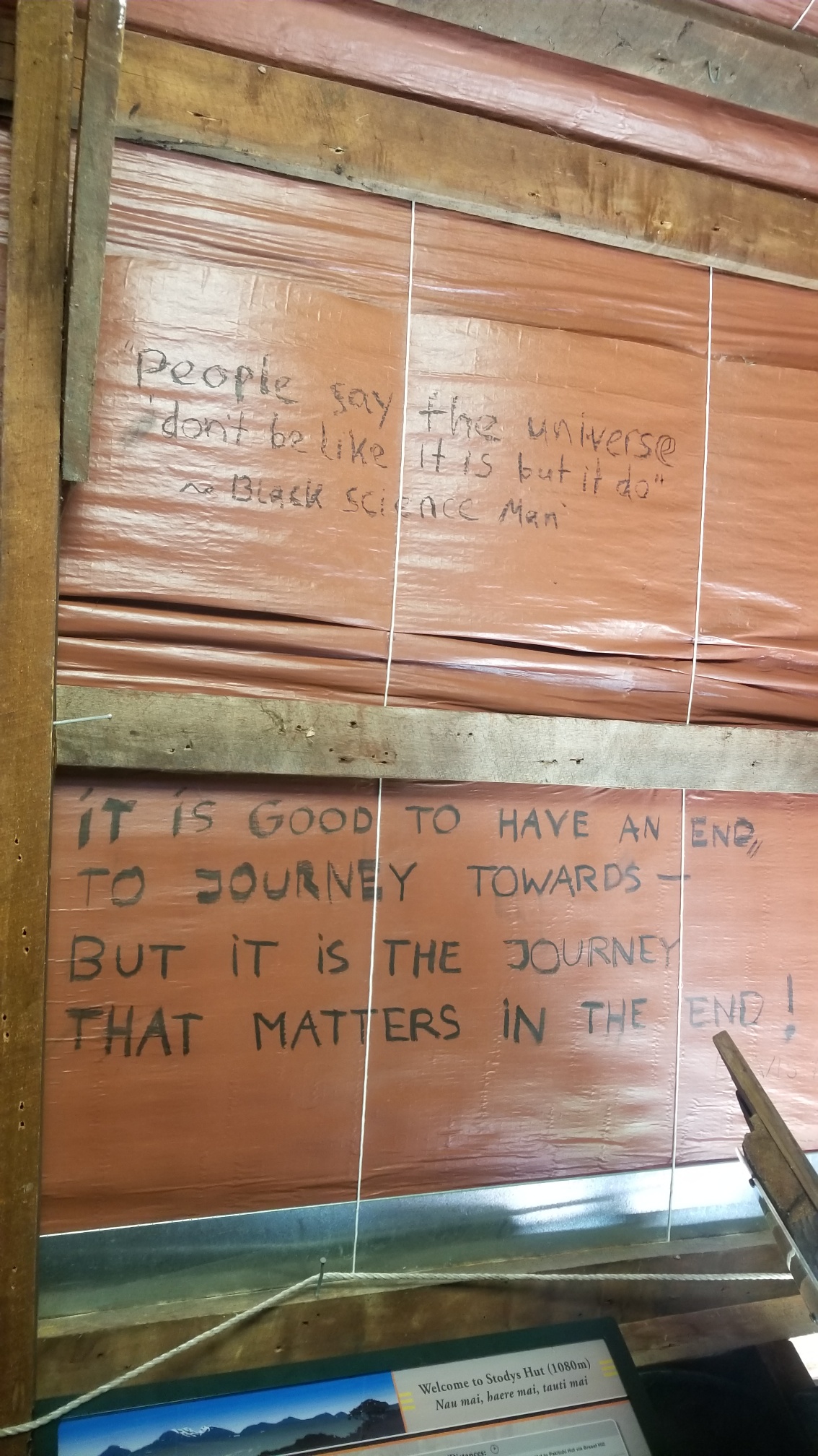
The timing of arrival at the hut was ideal, as moments later, the skies burst and a deluge of rain slammed into the tin roof of the hut. At first I was thinking about continuing on, but that storm made me change my mind pretty quick. I have the whole 6 bunk hut to myself for the night, which always makes for a peaceful and relaxing nights sleep.
_______________________
I have been thinking at length about what computer scientists call “the singularity,” a point whence our progress of computer intelligence begets such a powerful network of processors that it would render the thought power of the human brain as little more than our consideration of the mental acuity of a bacterium.
Such an evolutionary leap of intelligence would deliver us from our hard, fleeting lives of ignorance and pain. No longer should we fear death, for the human spirit and all of our collective recorded histories will live on til the death throes of our Sun, 5 billion years hence, in the macro-cosmic system of information that we will create in the next few decades.
Think of all the ways our civilization and our tenure on Earth could be improved, all our fears reconciled, all our hopes and dreams achieved in due time, should we choose to back-up all of our intellect, every switch that makes up our mind, into a computational, digital form, rather than a biological one.
Computer Daniel does not require food or water–merely a simple source of electricity, a small solar cell perhaps. A small resource cost compared to the thousands of tonnes of resources he would consume during a typical anthropo-mammalian life on Earth.
He can traverse the stars at the speed of light without the weight of the human form to slow him, as a simple stream of information transmitted via Radio perhaps, or some other suitable EM frequency emanated from our Earthly sphere, downloaded by a receiver in another star system a few light years hence (after all, years are nothing to a computer-based life form with an indefinite lifespan and thus an unlimited amount of patience), and bam! Dan Morriss is there, orbiting that star, performing experiments and observations of its satellites and planets, on an extremely efficient space probe with no baggage needed, no food, no life support, no radiation shields, none of the encumbering hindrances of his Earthly body. Sending word of the findings back to his home planet. Maybe existing in both places simultaneously, as clones or simple copy/pastes of my intellectual “file” into various different processors.
Then there will be evolutionary branches of one’s own intelligence, as the AI version of oneself which she uploads at a specific moment, will have different experiences as the person herself, and so they will slowly drift and become uniquely different beings with different experience bases.
____________________________
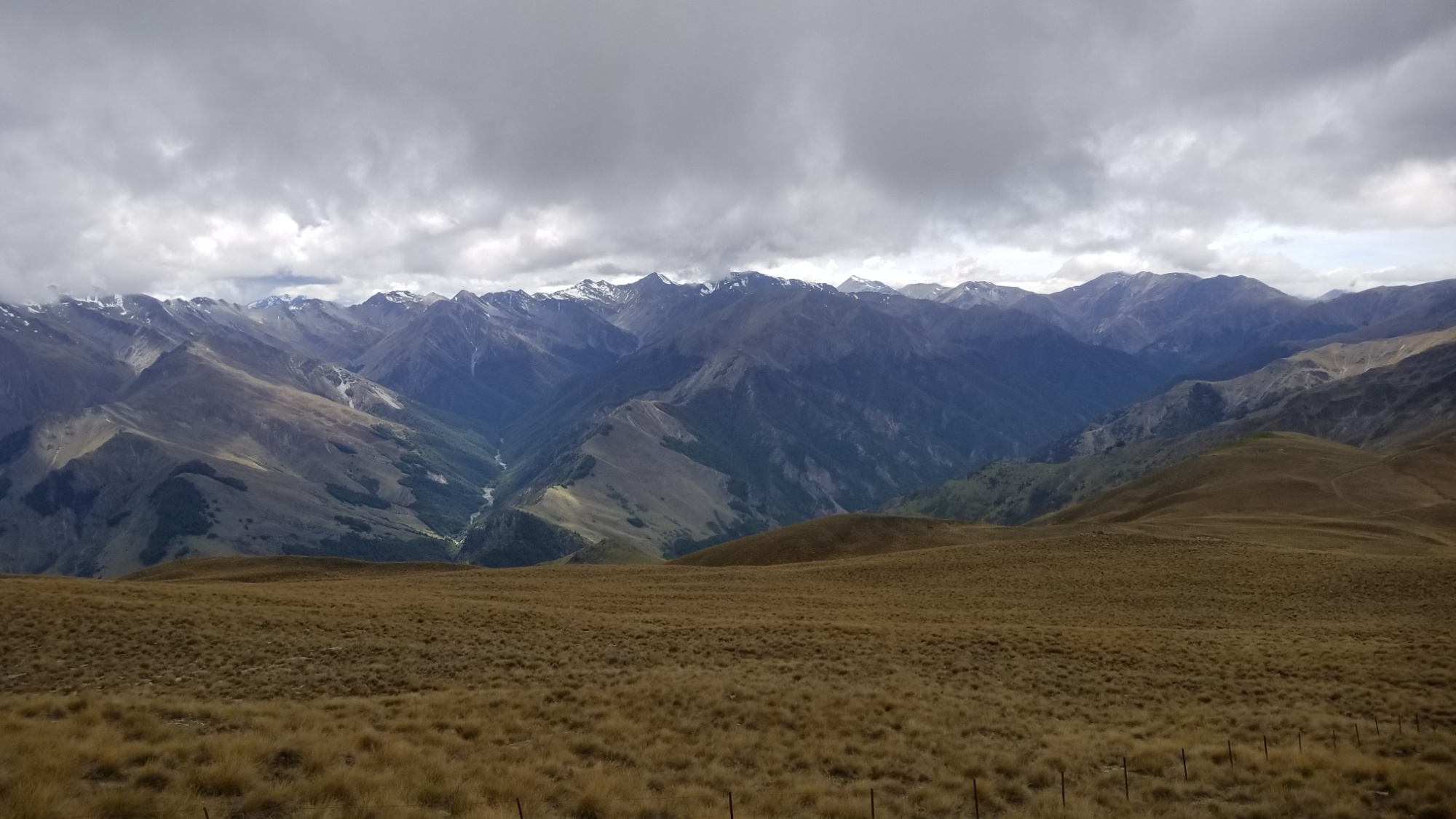
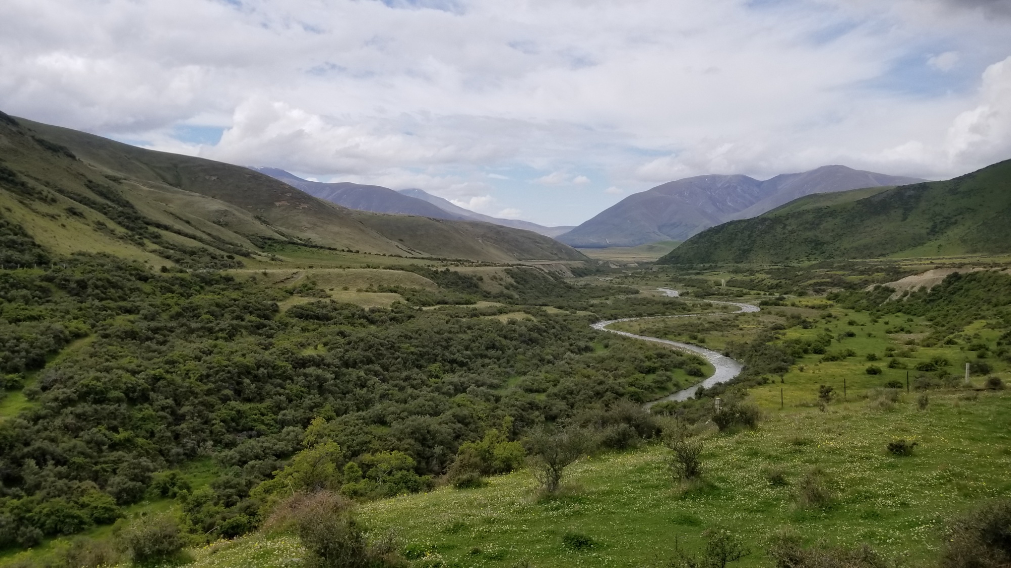
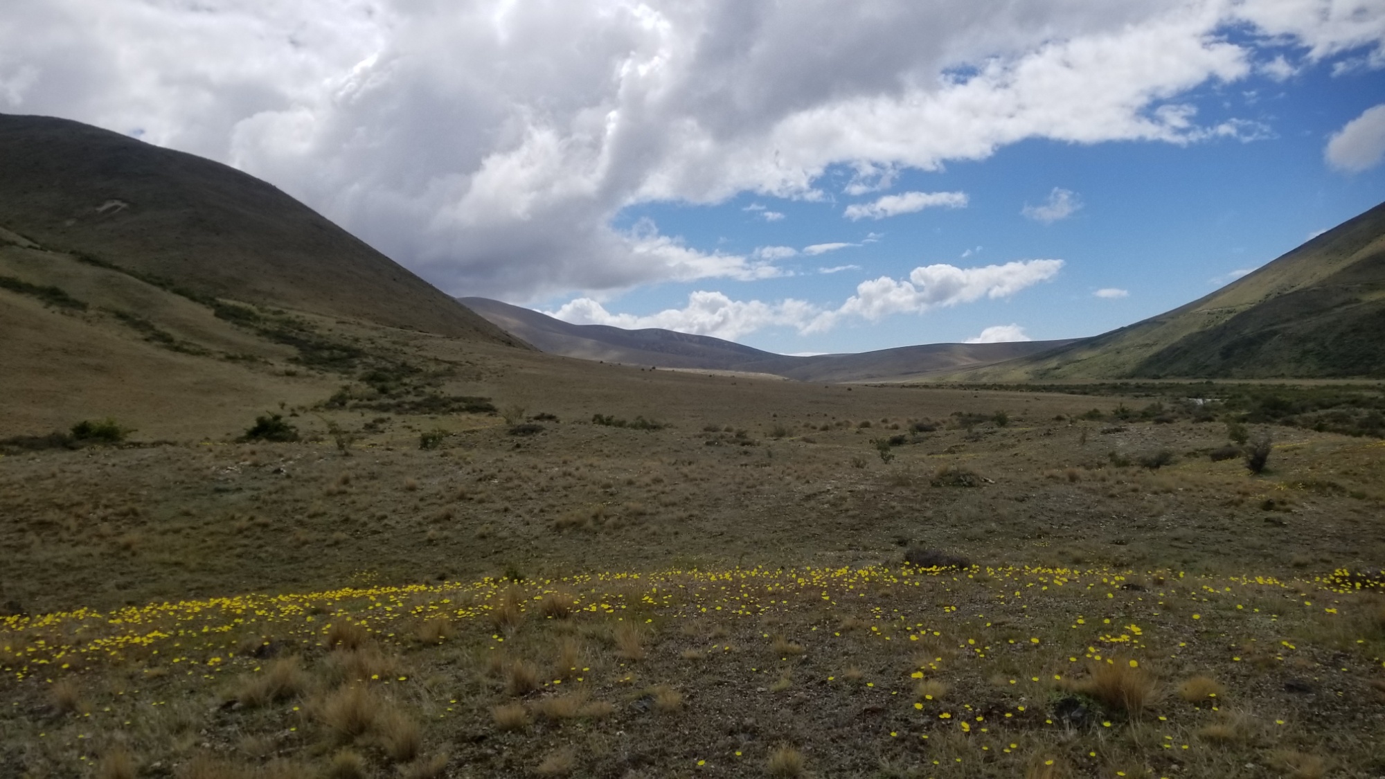
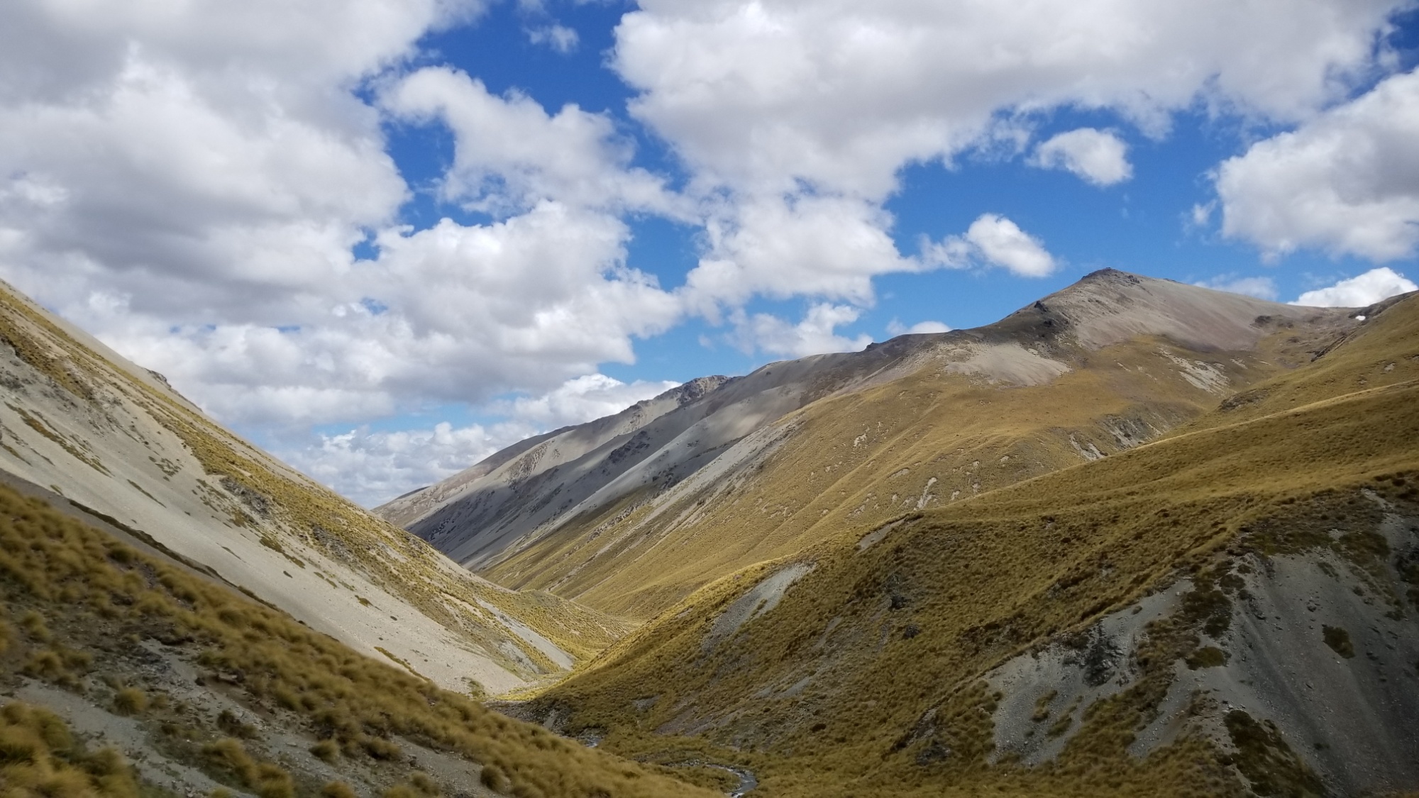
The next day, I get to look forward to ten crossings of the Timaru River (more of a stream, but hey), as well as a trail that zig and zags up and down the mountain valley up the river, seemingly randomly, but also to avoid some of the very steep precipices of the canyon sometimes formed by the river below.
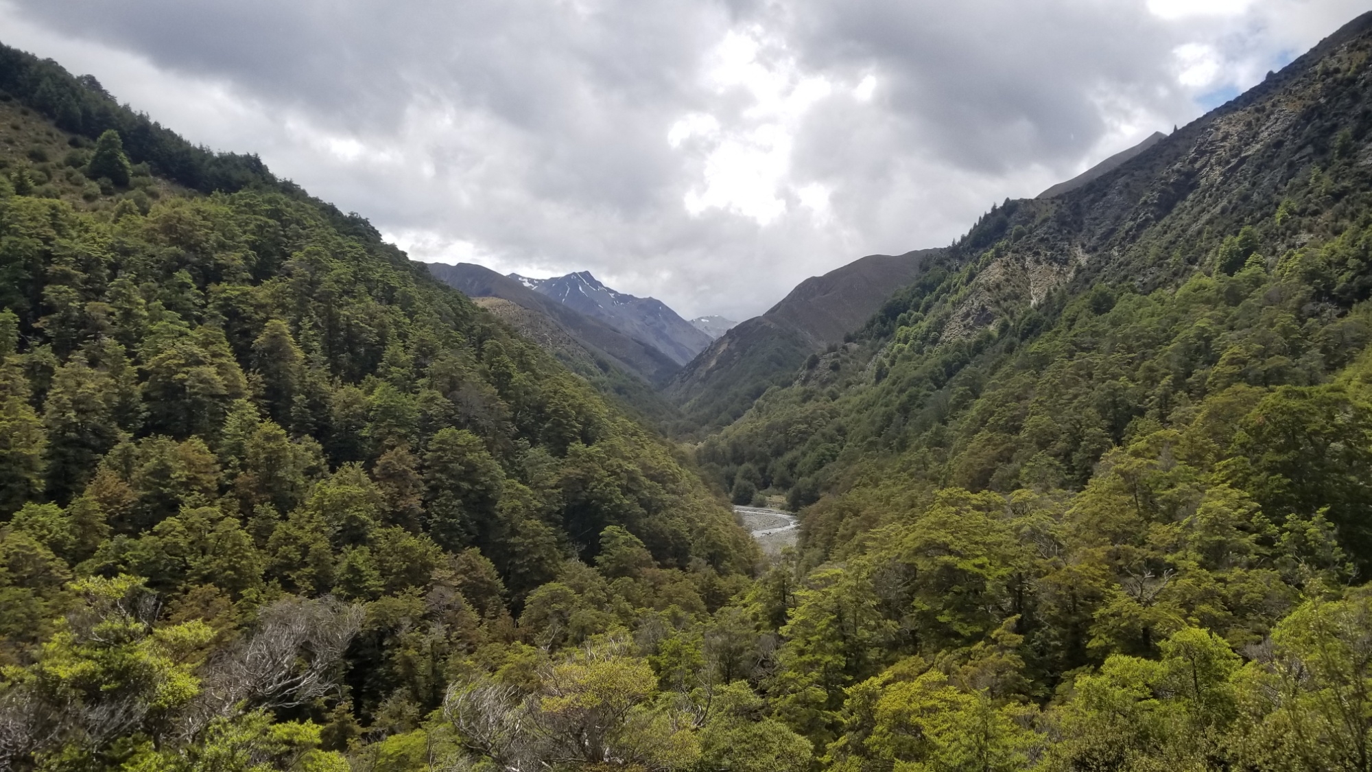
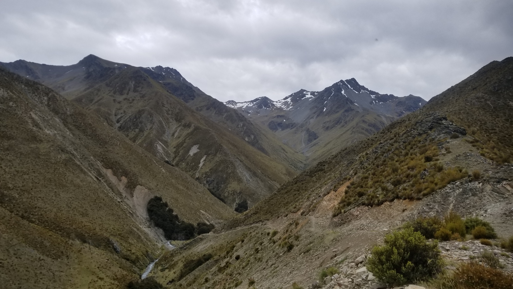
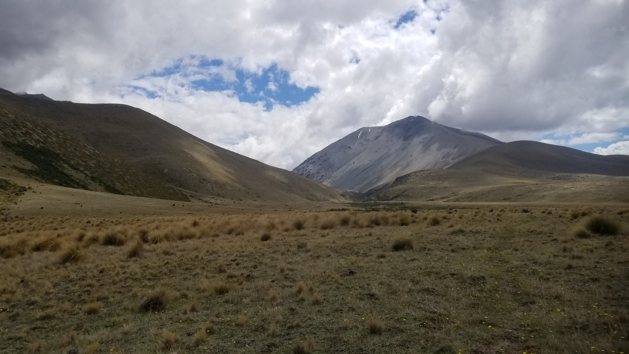
About 5 hours later, I arrive at the Top Timaru Hut, another of my favorite backcountry huts so far. The mountain scenery all around was divine.
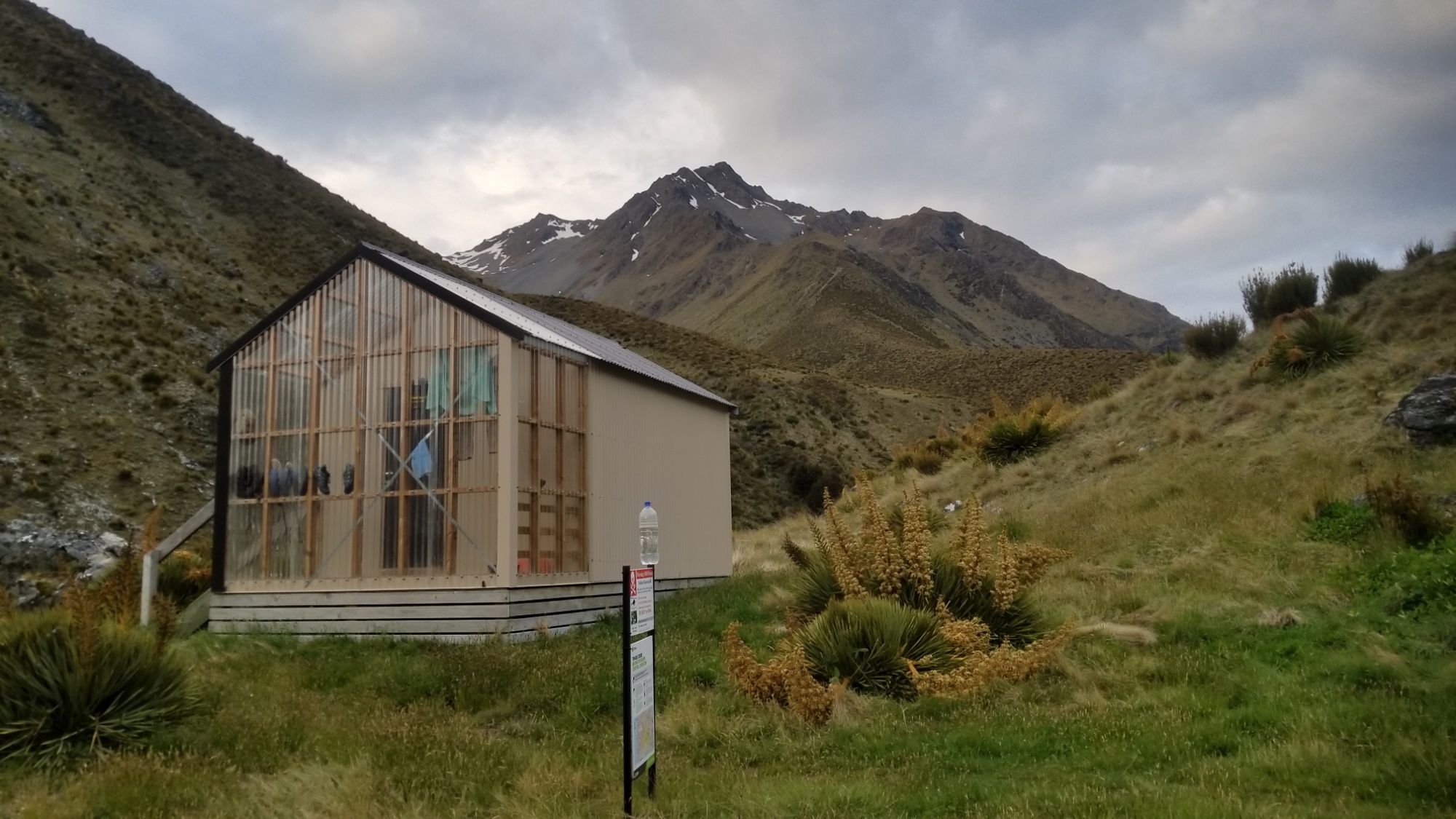

I call it a day and kick my feet up with a good book, and a hot meal. It’s been nice carrying 7 days of food on this leg, as I really get to take my time and enjoy the scenery. It takes a little more effort at the start carrying all that weight, but by day 2 or 3, the load is diminished and it feels great to be hiking 12-15 hard fought miles, as well as ending up at a hut with plenty of time to do other things rather than hiking, such as studying another language and reading up on Middle Earth and house framing techniques.
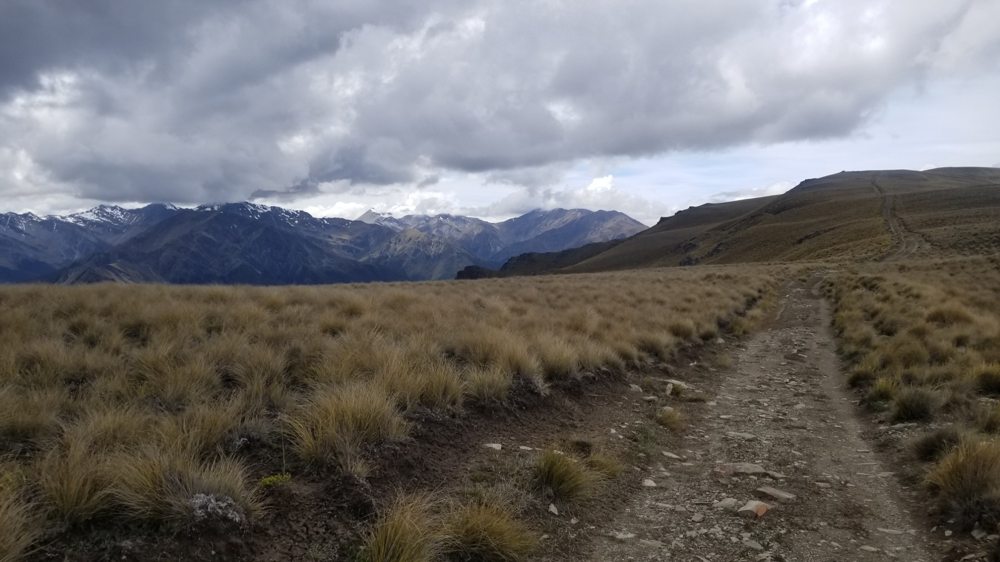
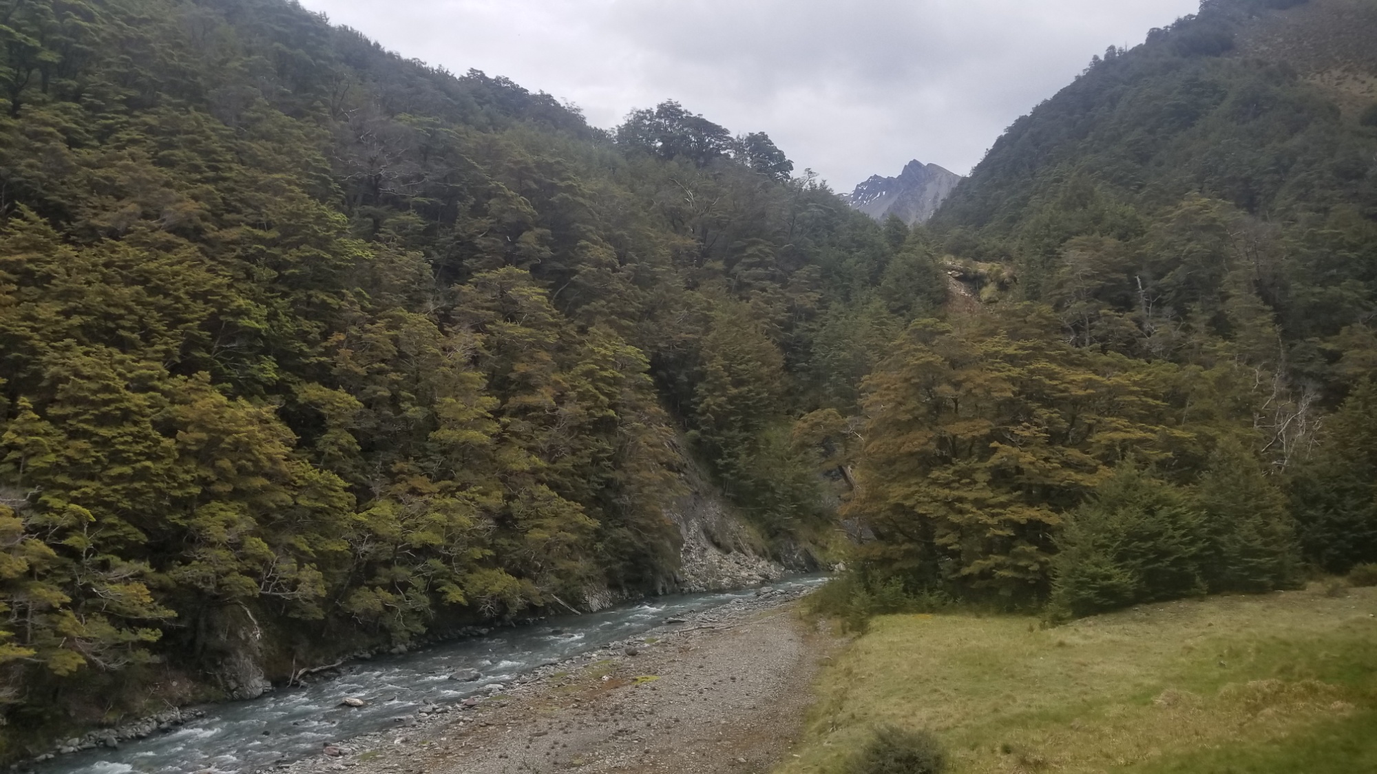
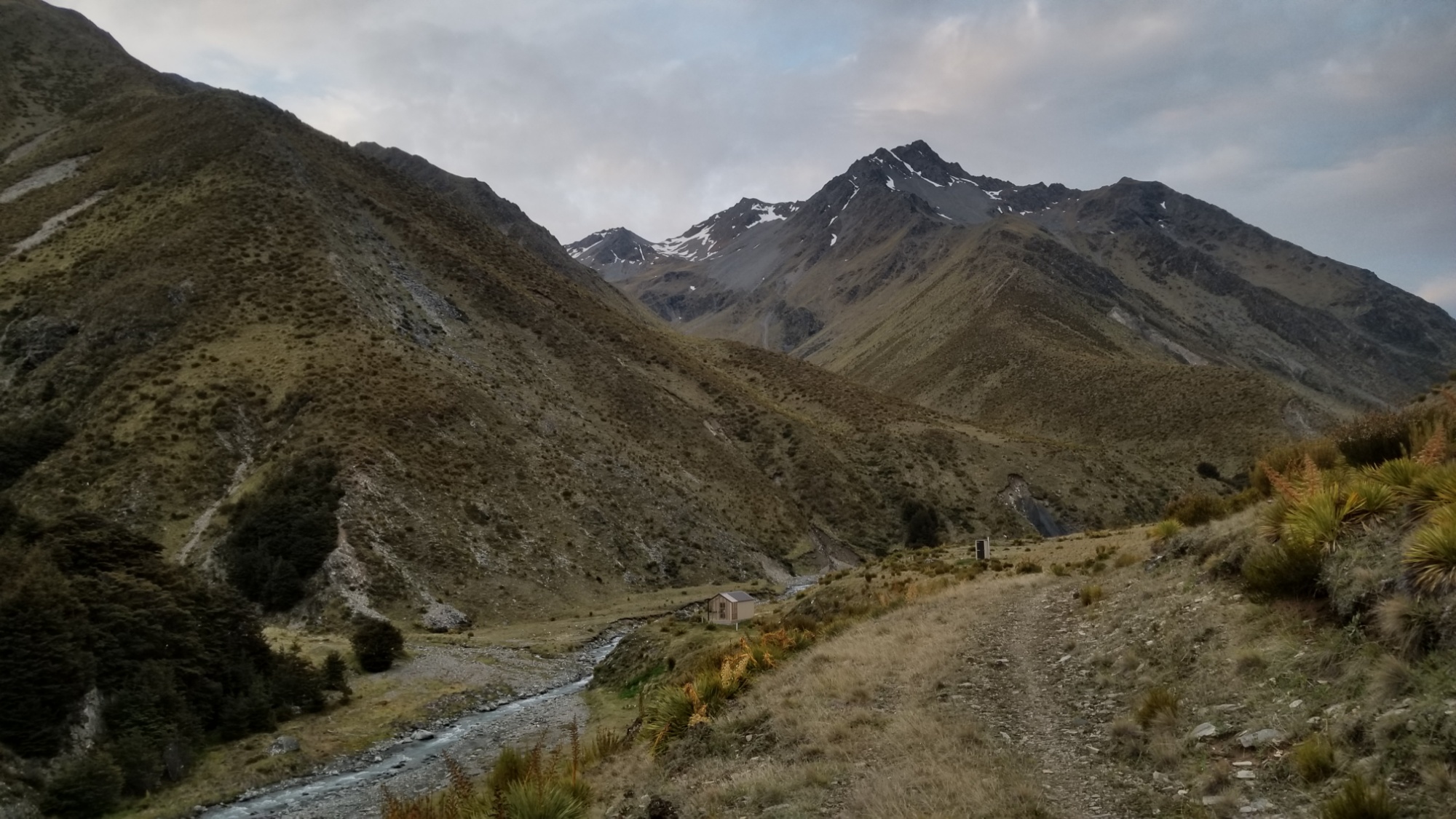
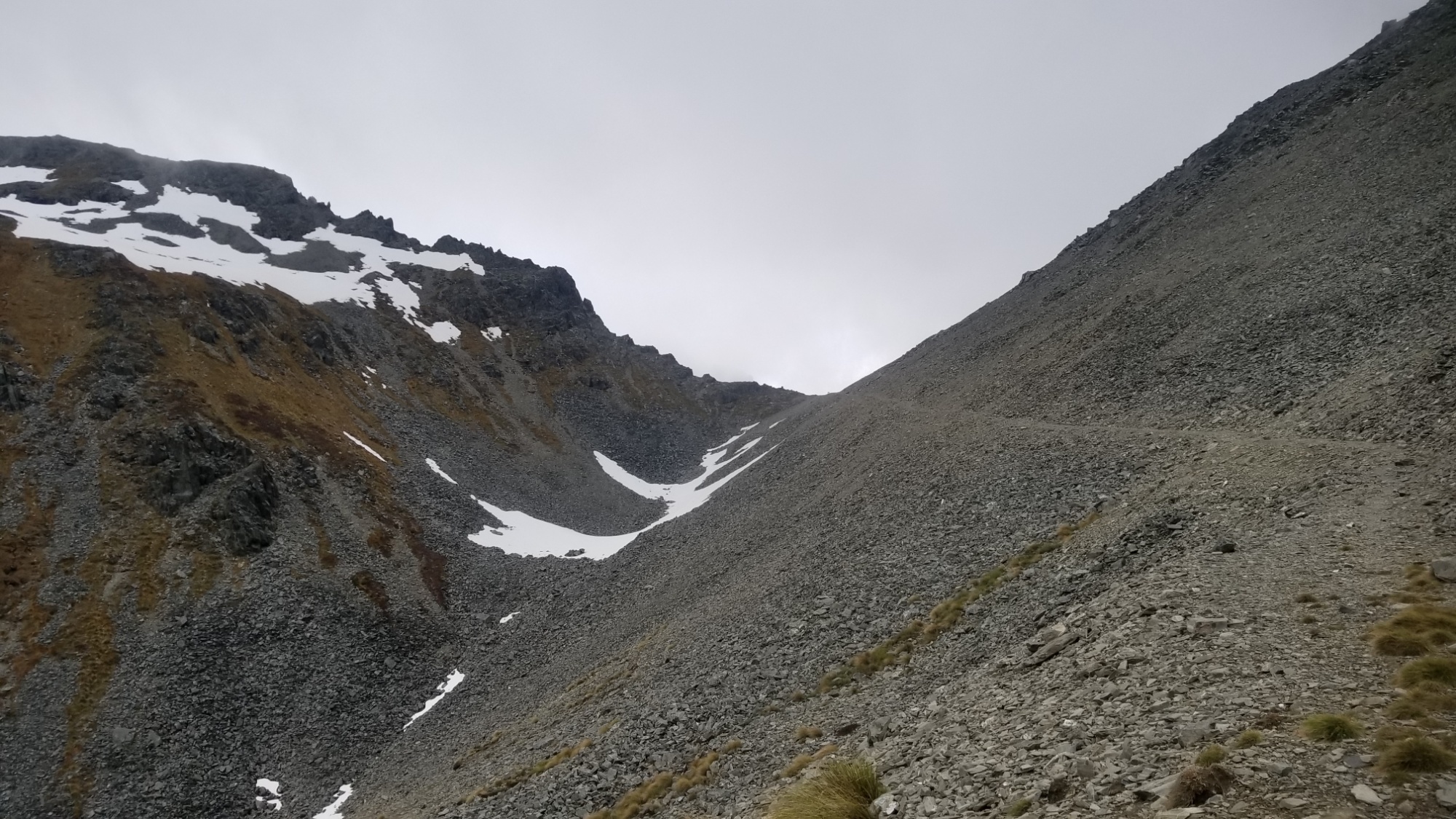
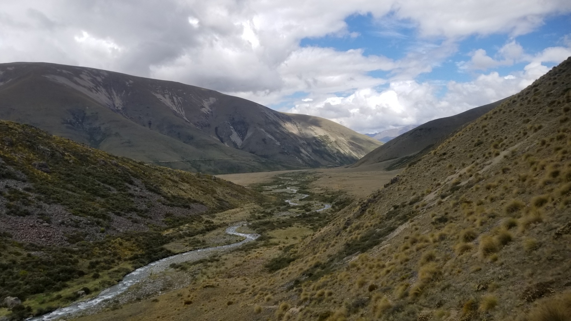
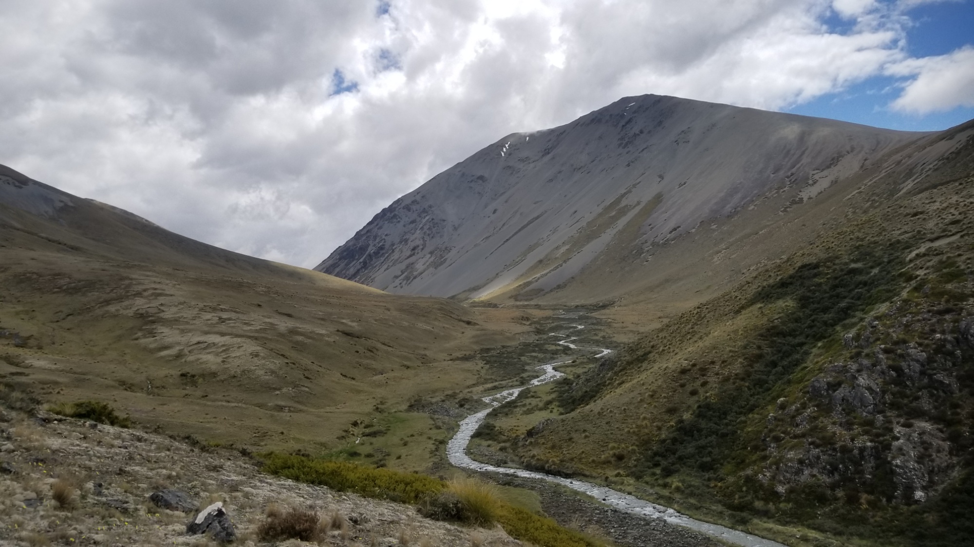
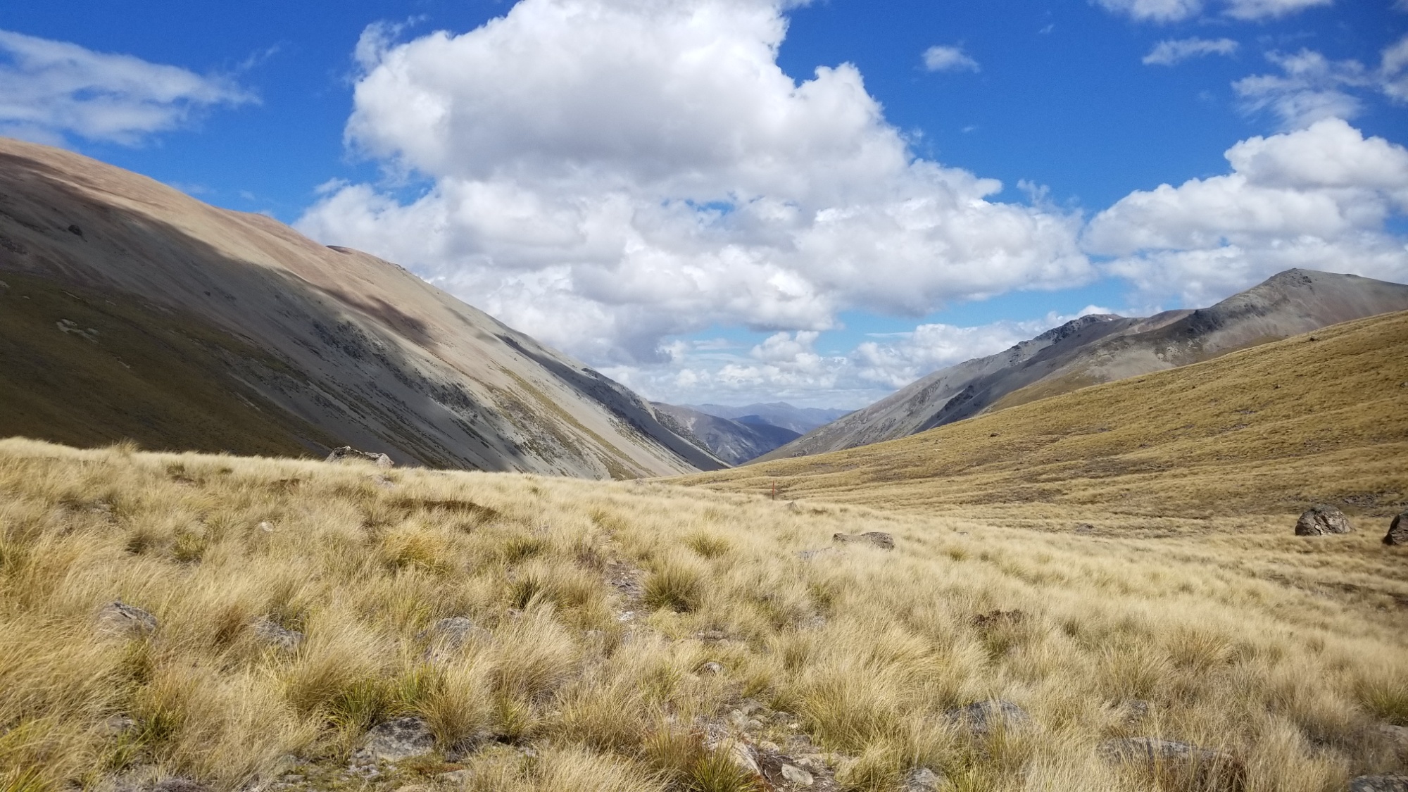
The next day, I have a nice climb on an old gravel track, up and over Martha’s Pass at 1,680m. Then, a long walk down the next valley, to a small hut used by shepherds and opened for use by TA hikers as well.
When I went to open the outhouse, a bird flew out as I lifted up the toilet seat. What the heck! Poor guy! Who knows how long he was trapped in there…
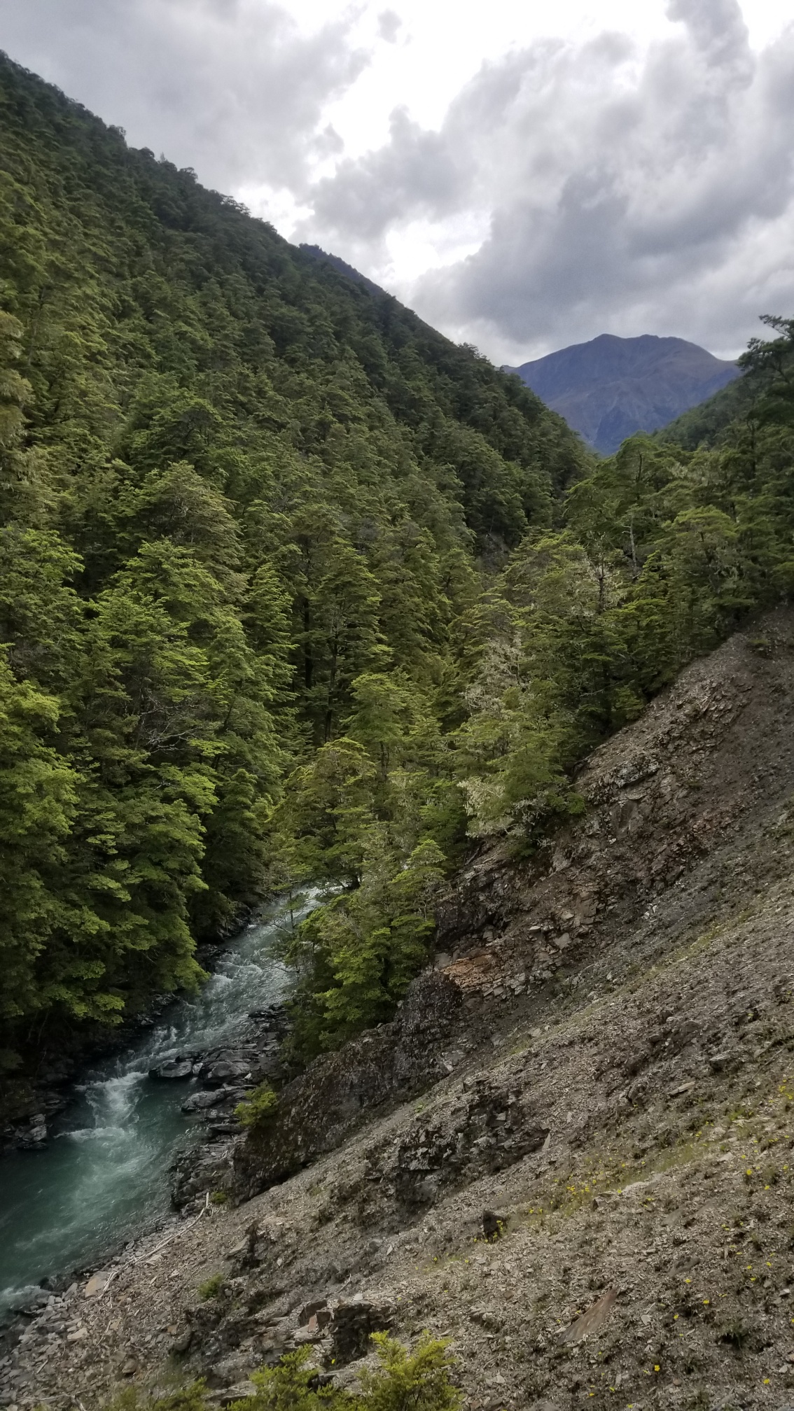
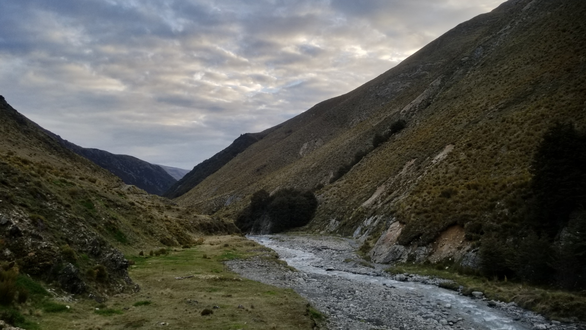
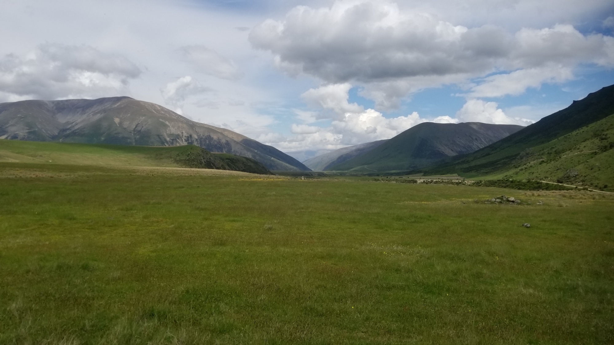
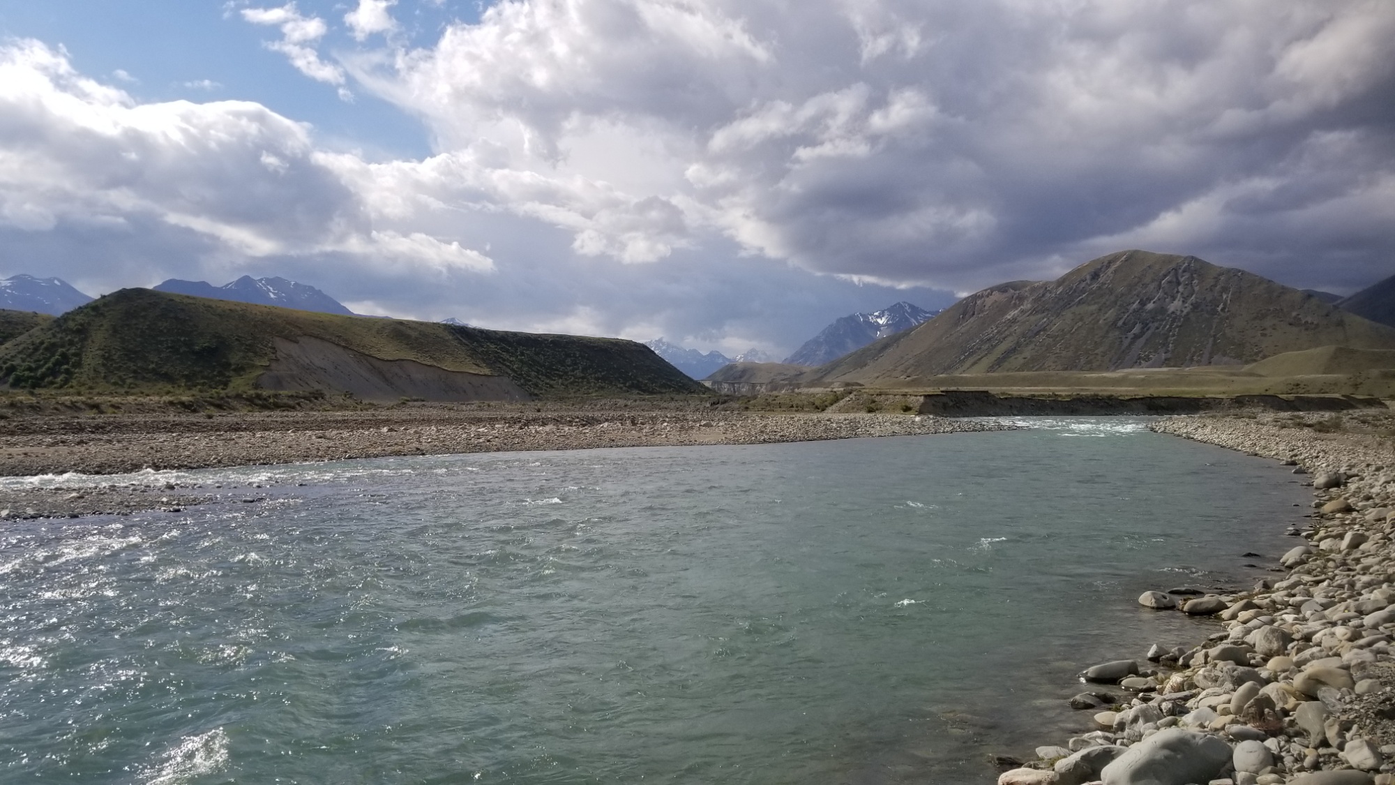
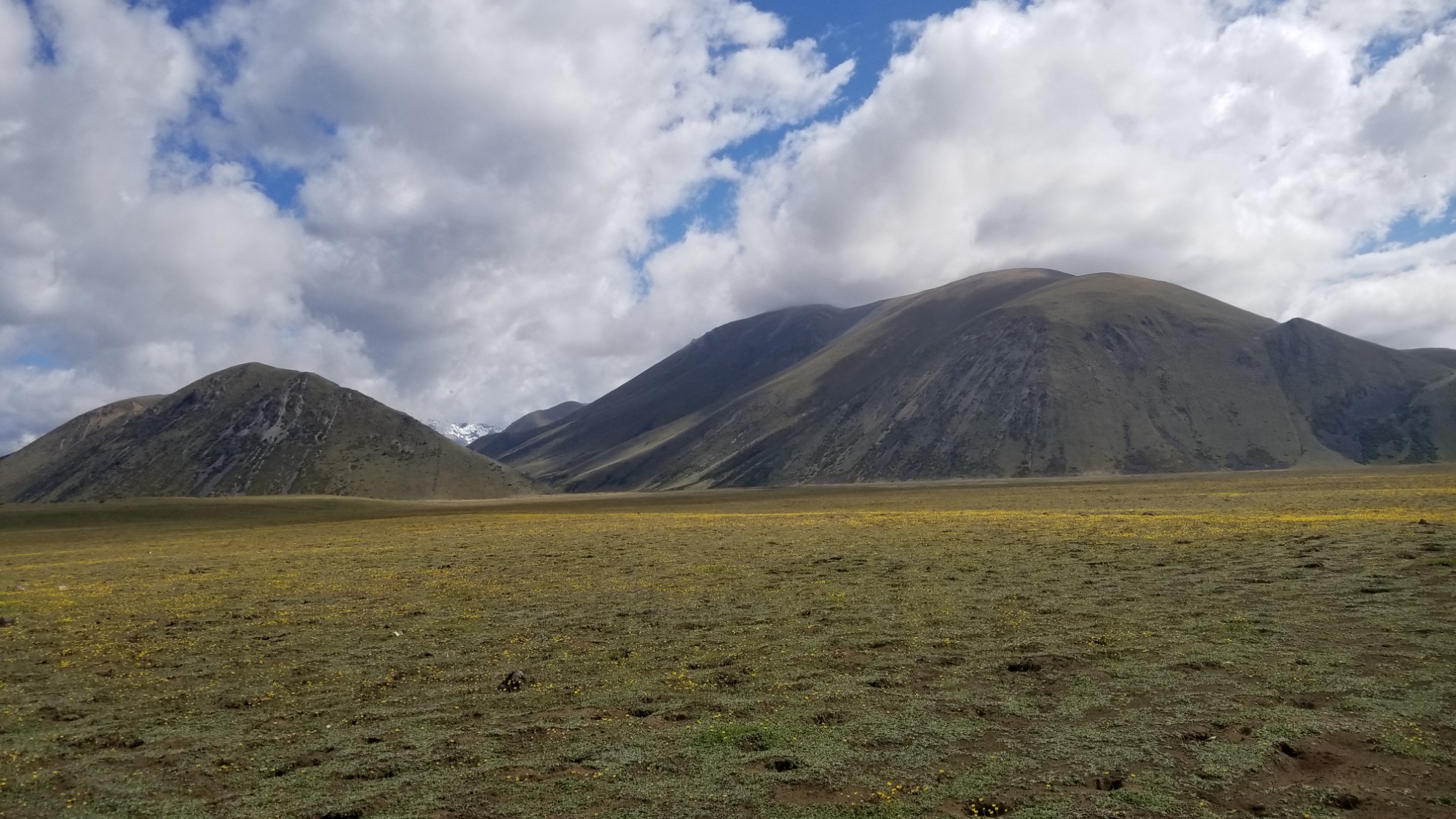
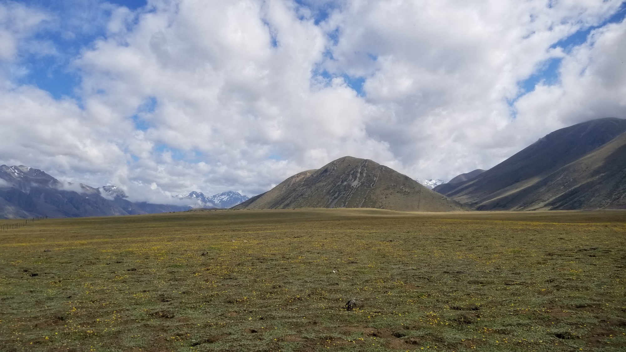
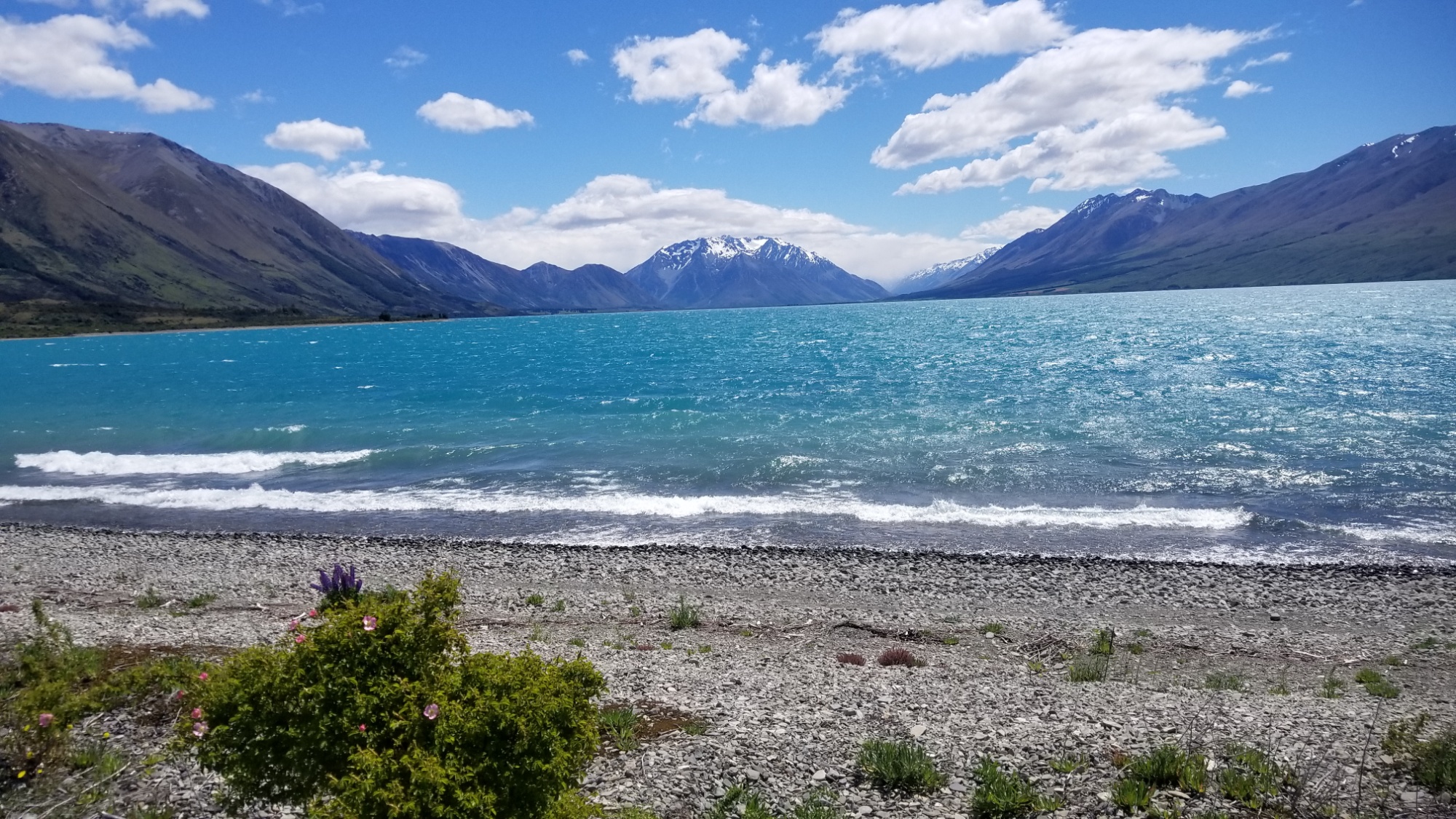
The road continues on down the valley, then the track crosses the Avon Stream a few times, and finally comes out to a huge grassy meadow, the valley of the Ahuriri River, a true river which, you guessed it, I have to cross to proceed.
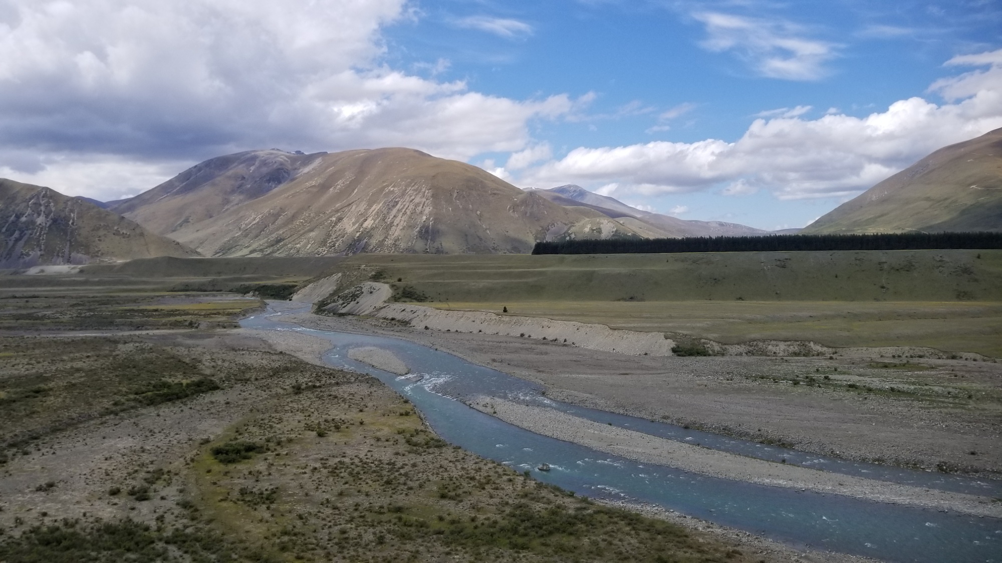
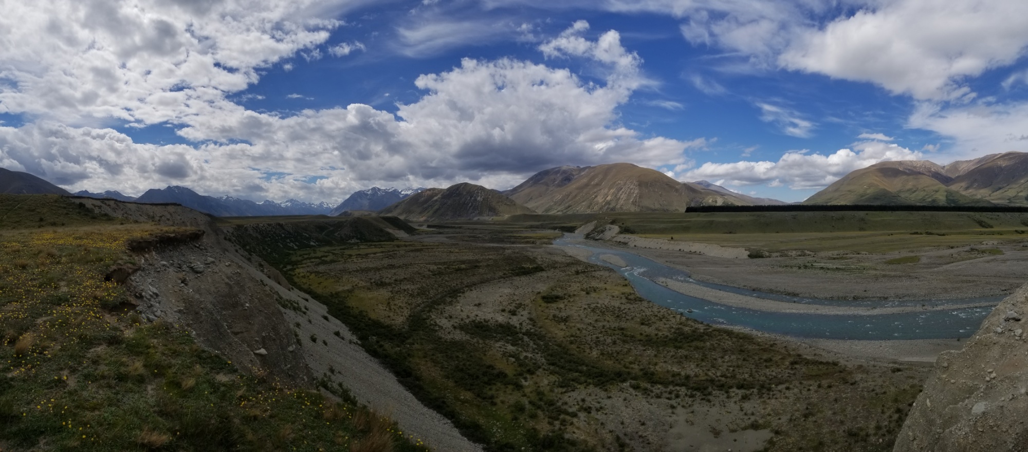
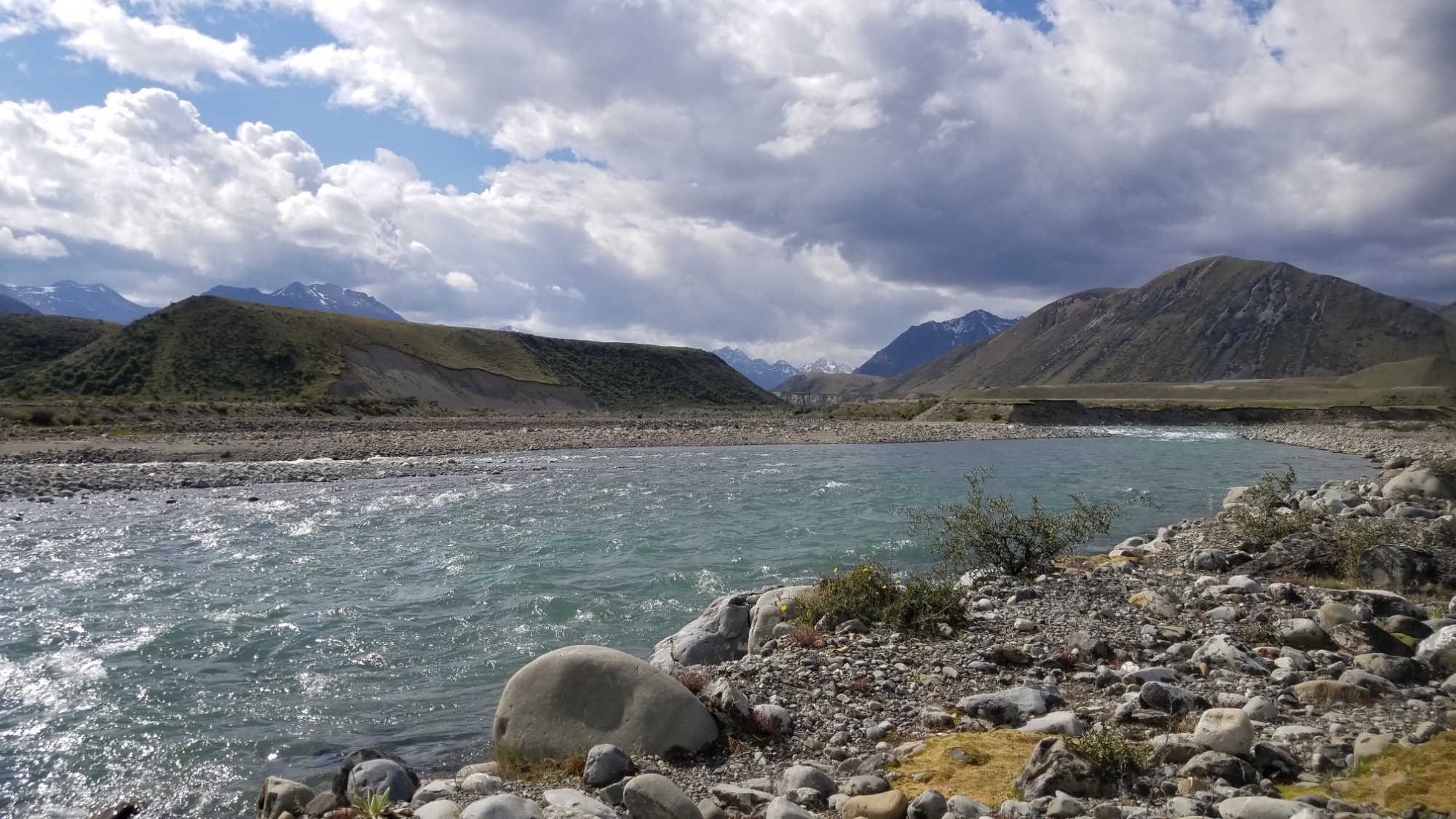
I make my way across the meadow and down a steep canyon, and come to the banks of the river. It’s about 20m wide in places, and varies between shallow but forceful rapids, and deep but gentle flows. I decide to go for the middle ground, crossing it in two stretches. The first part I crossed was easy, but the further on I got on the second part, the deeper and stronger was the current pushing against me. I turn back to the rocky sand bar dividing these two parts of the river, and walk downstream a bit to see how the flow changes. Not much different, but it does widen a little further, meaning the water is more spread out and less hitting you all at once. The going is good at first, but I am approaching where the river makes a turn to the right, meaning the deepest and strongest part of the river is at the end of this crossing. I get to a point where I can barely move my legs forward, and begin to risk a slip and fall and float down the river. I look back, but there’s no way I could turn around here without falling over–the river is up to just above my waist, and the current is strong. Just as I consider making a jump and swim for the shore just a few meters away, my foot finds it’s way forward, and then the next, and finally I break through the grips of the current and come out on the opposing shoreline.
I give a stark ROAR at the cool thing that I just completed, happy that I did not fall or give up and use the road bridge that would have been a 10km detour downstream. Slowly, I walk up the banks of the river, with respect for its power and beauty. I sit down in the sun and take off my sopping boots and socks, letting them dry out a bit now that all the wet parts are done.
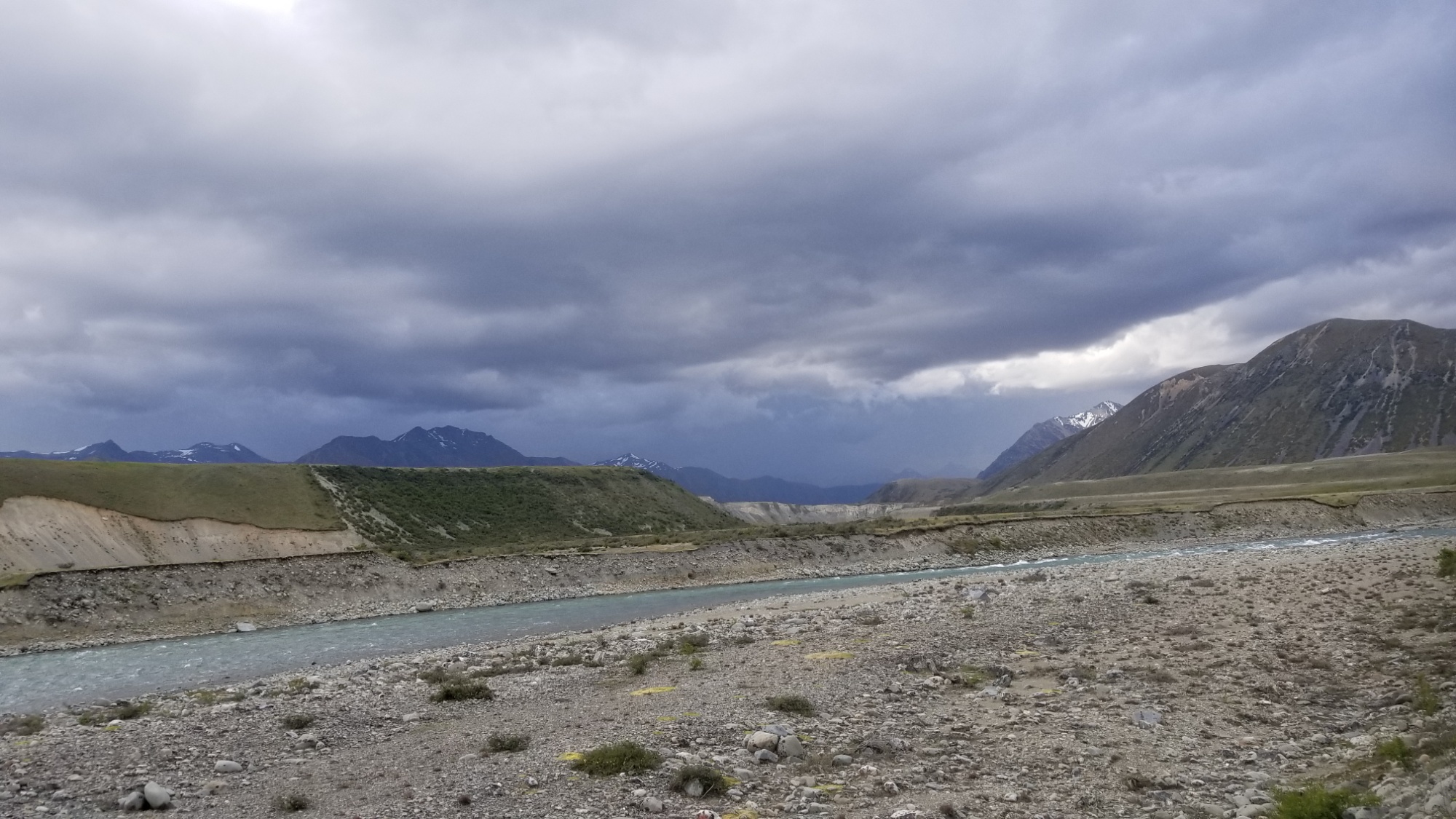
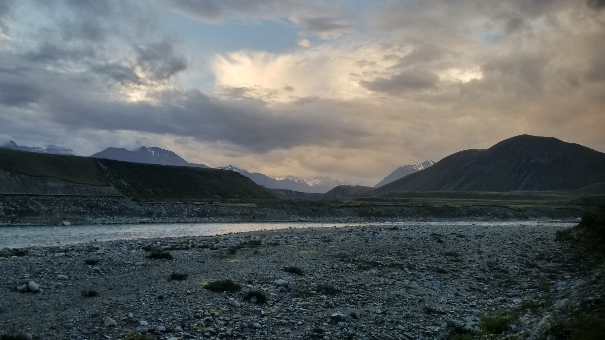
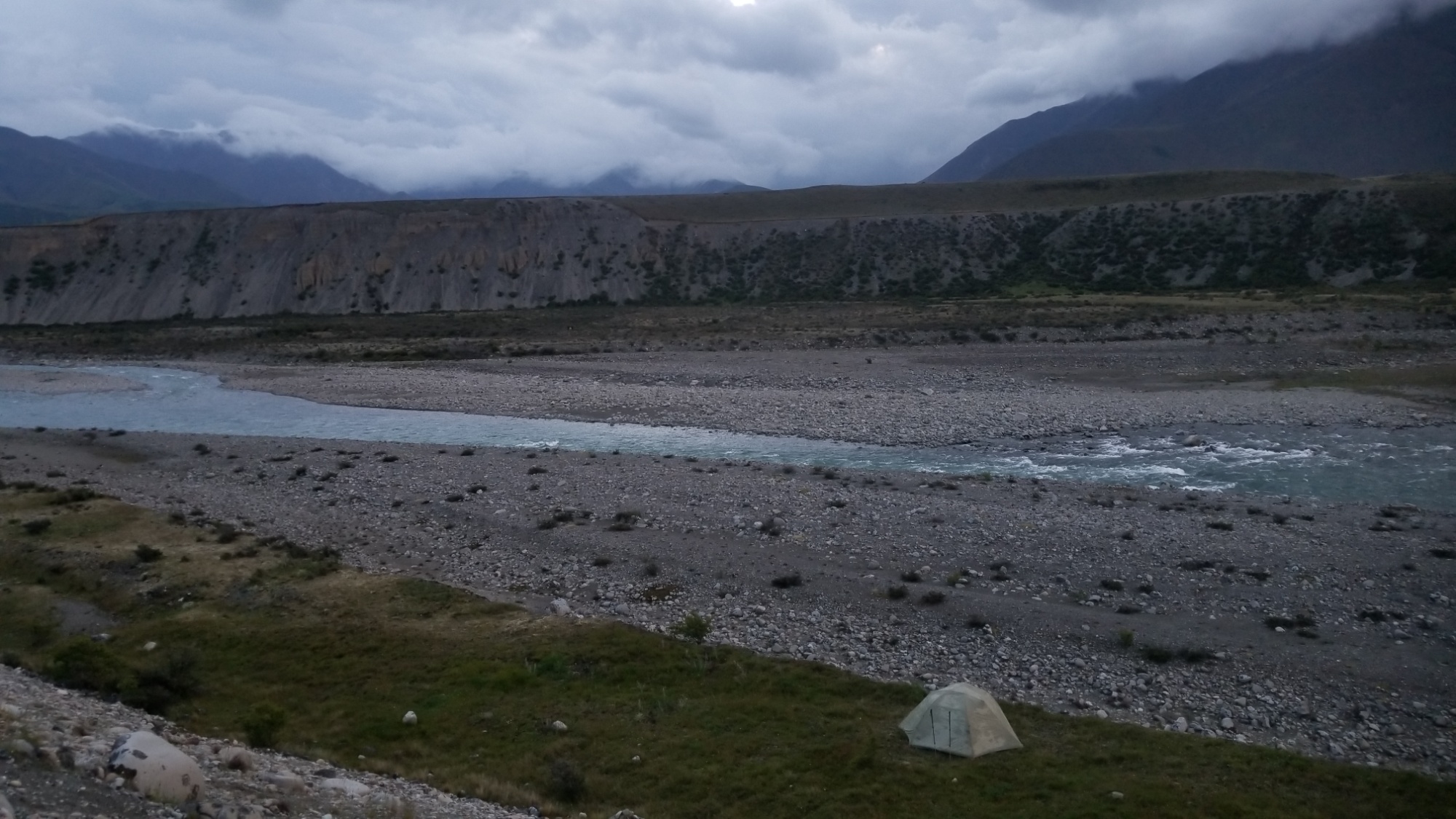
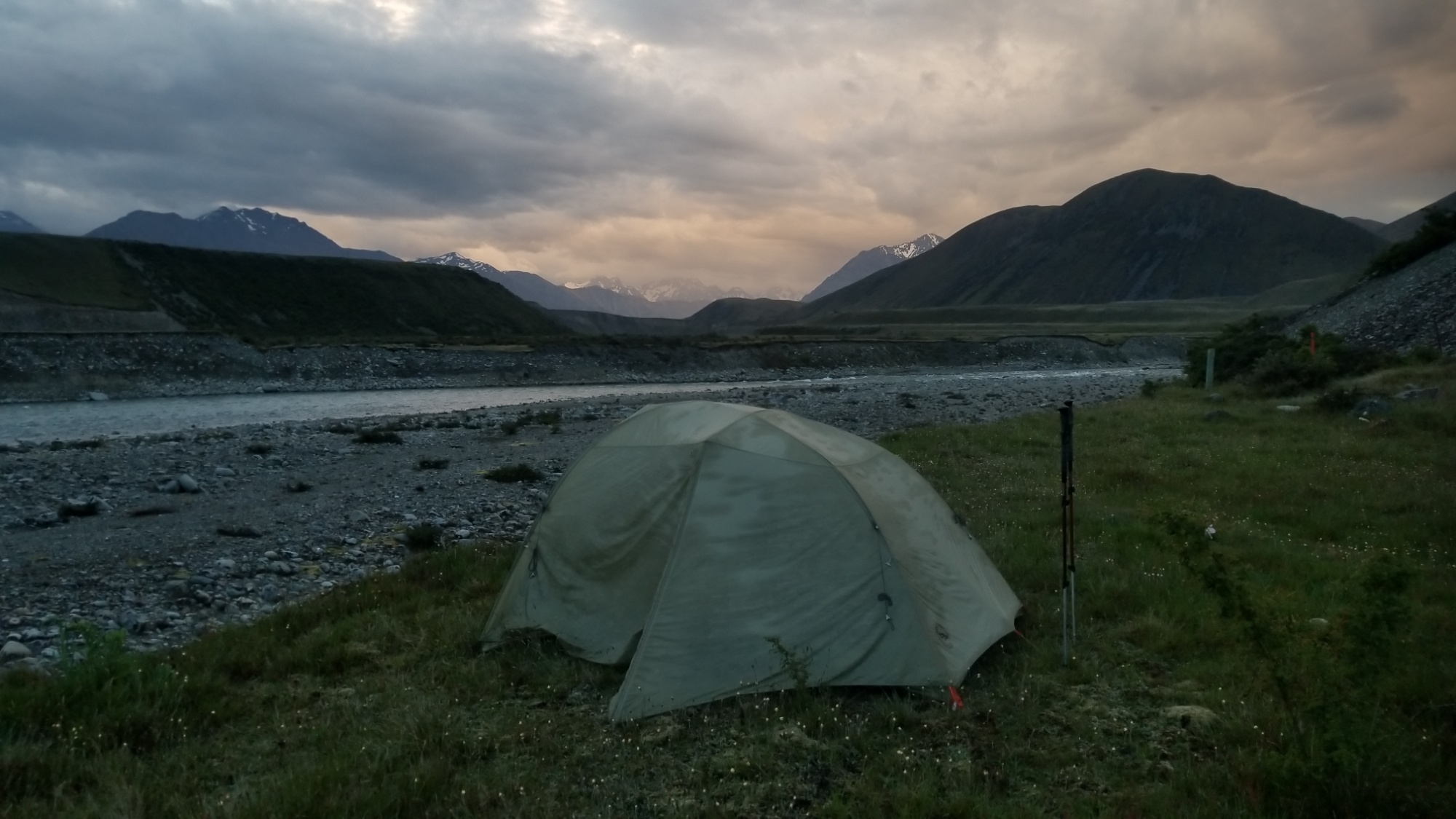
Later, I decide to camp out just above the banks of the river, as I can’t imagine a more fair or satisfying view at the moment.
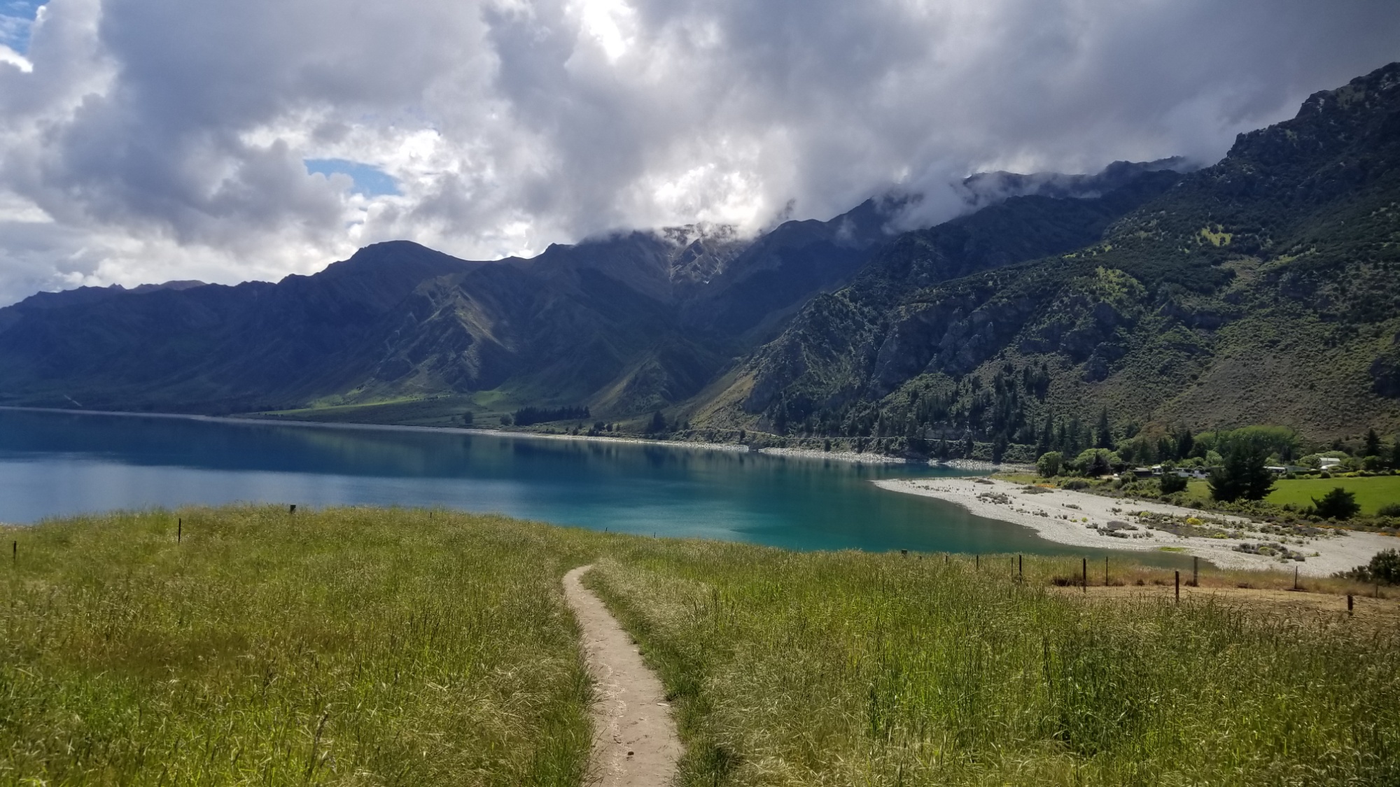
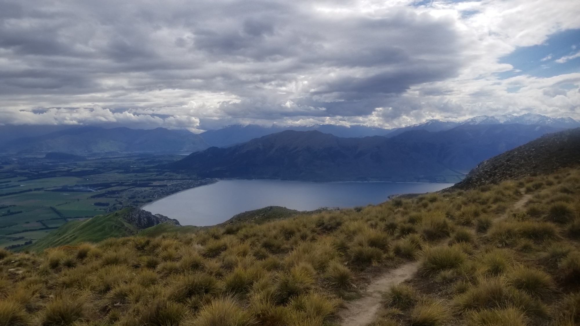
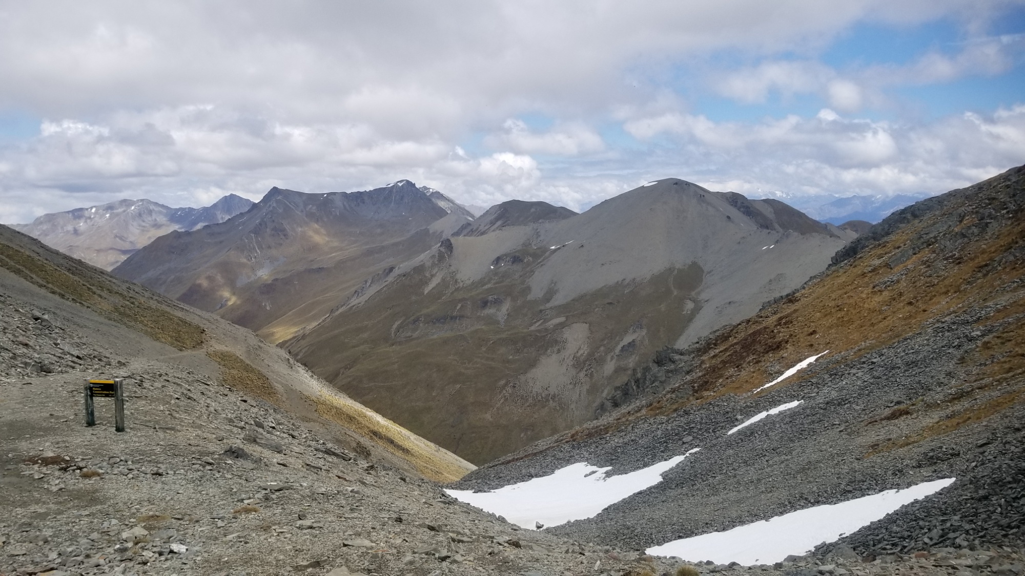
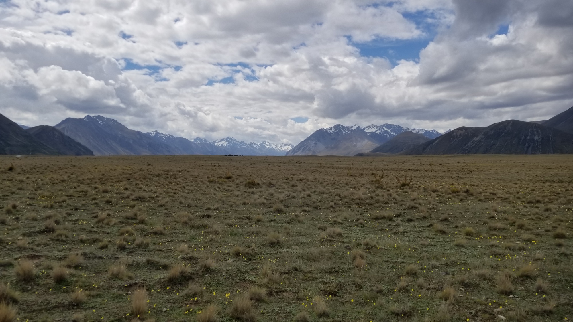
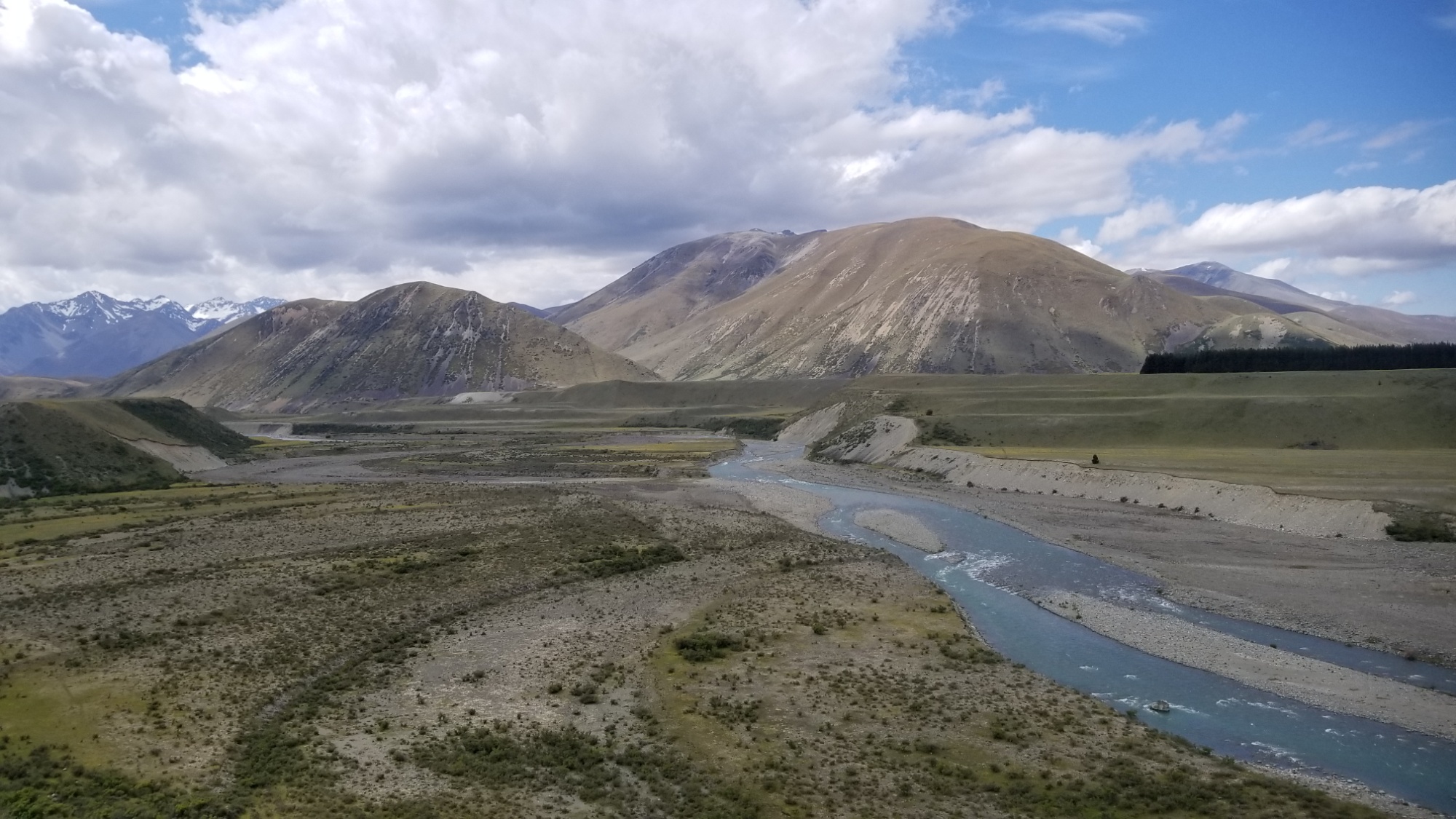
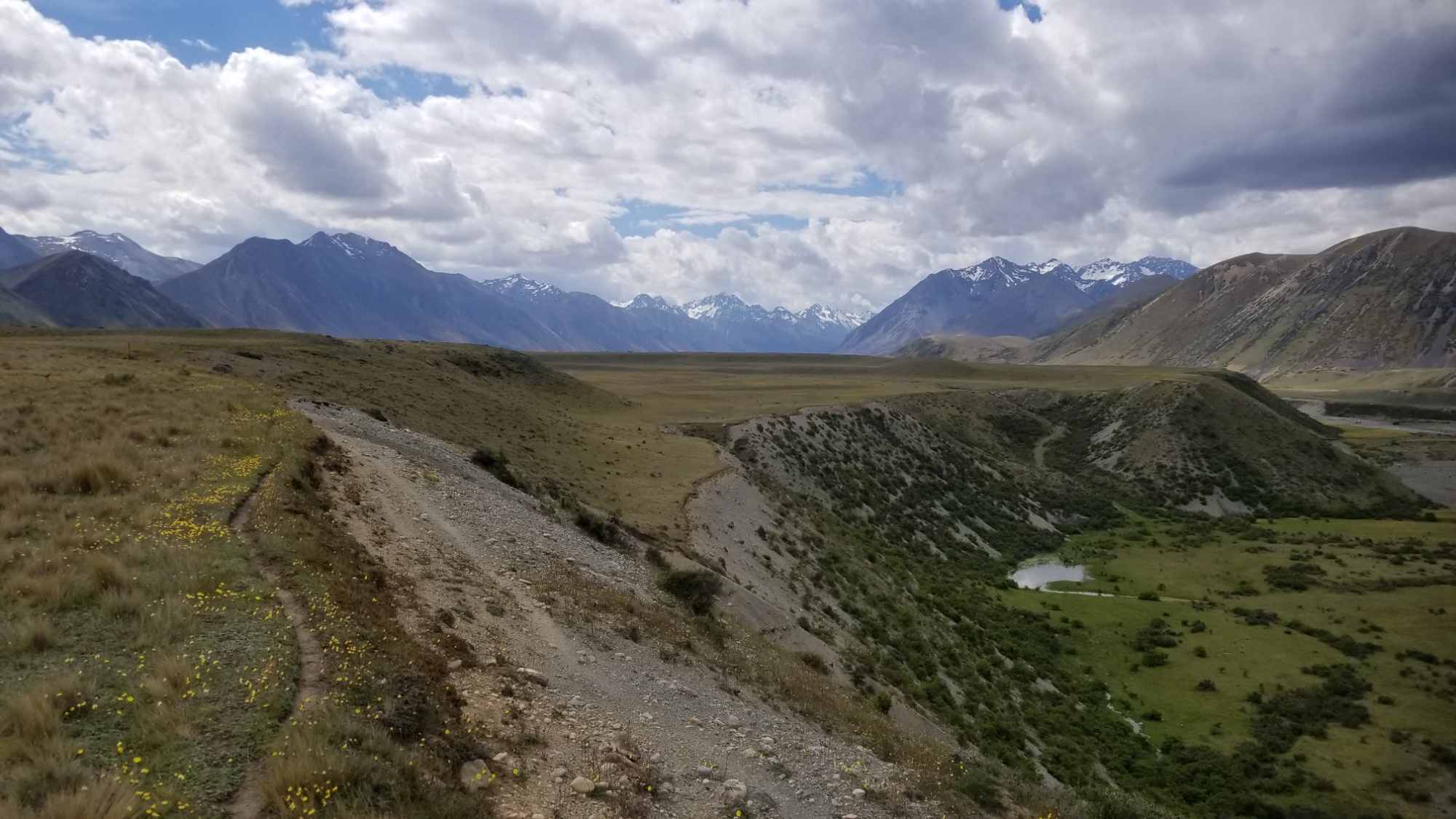
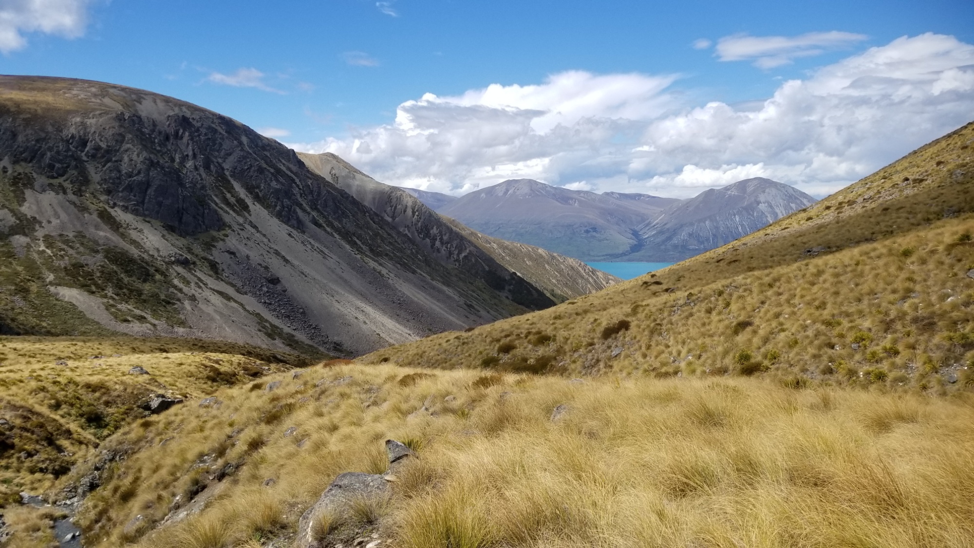
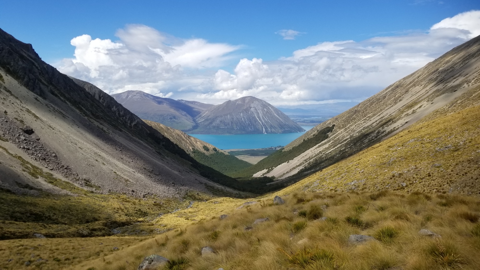
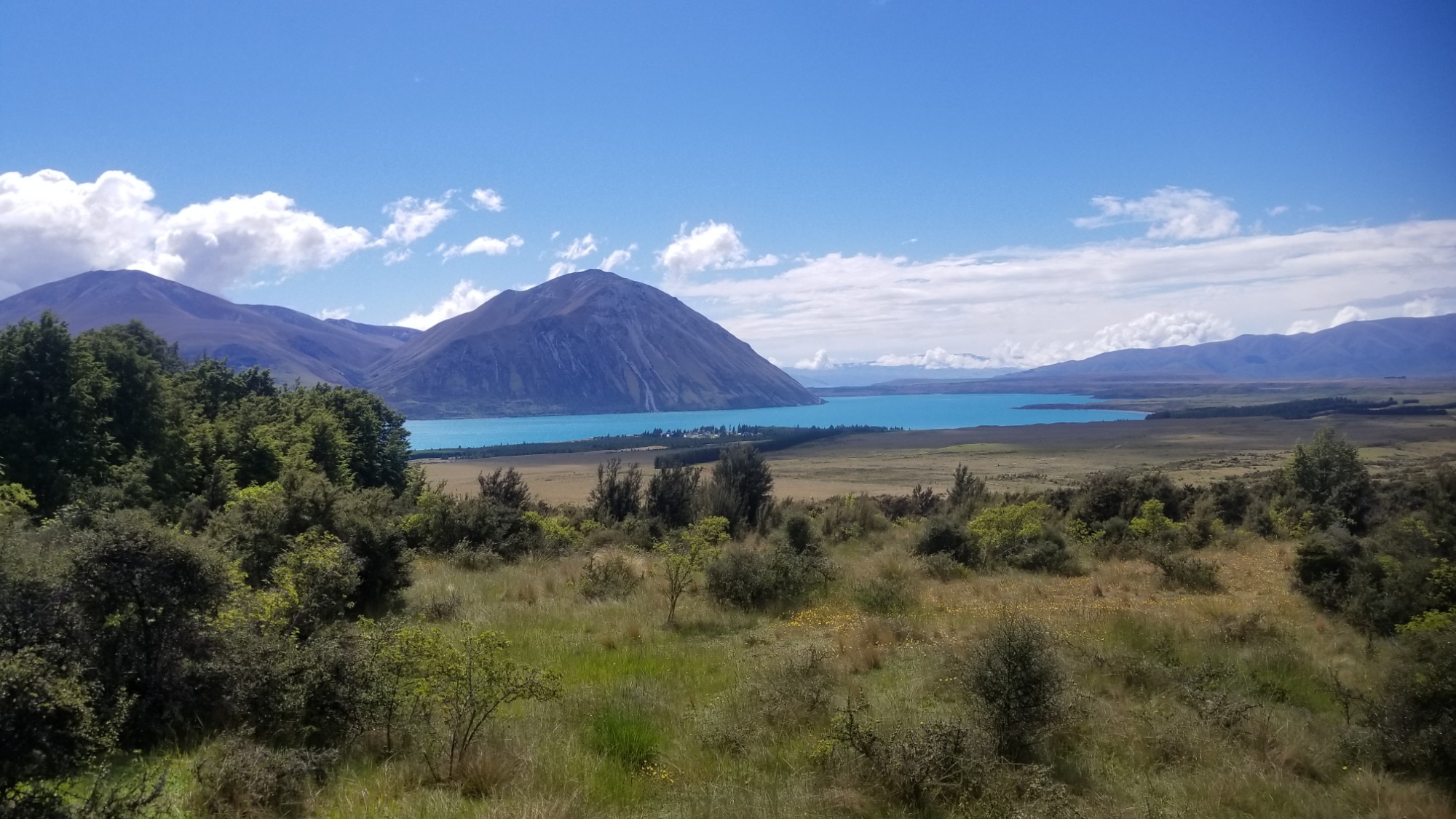
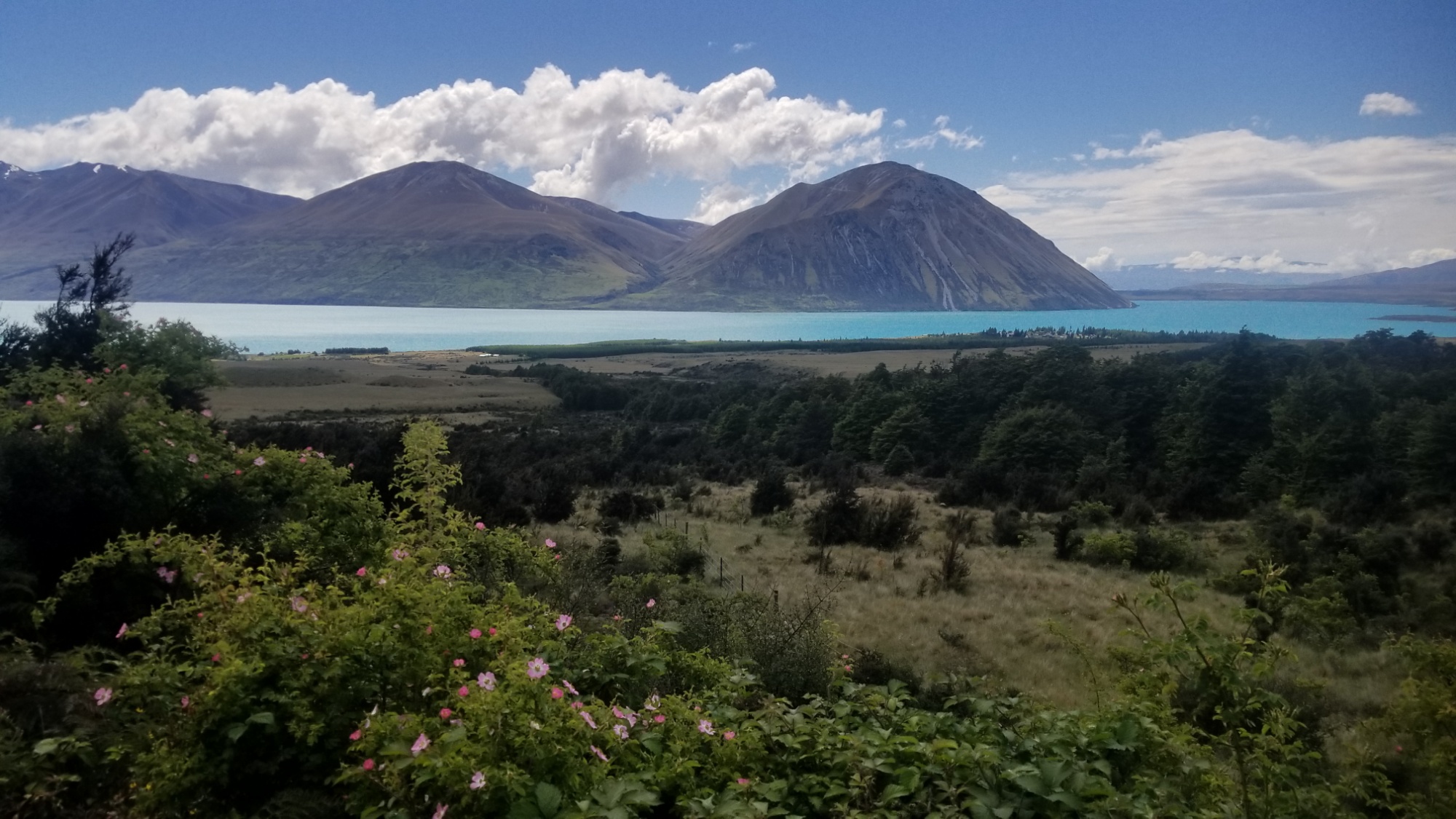
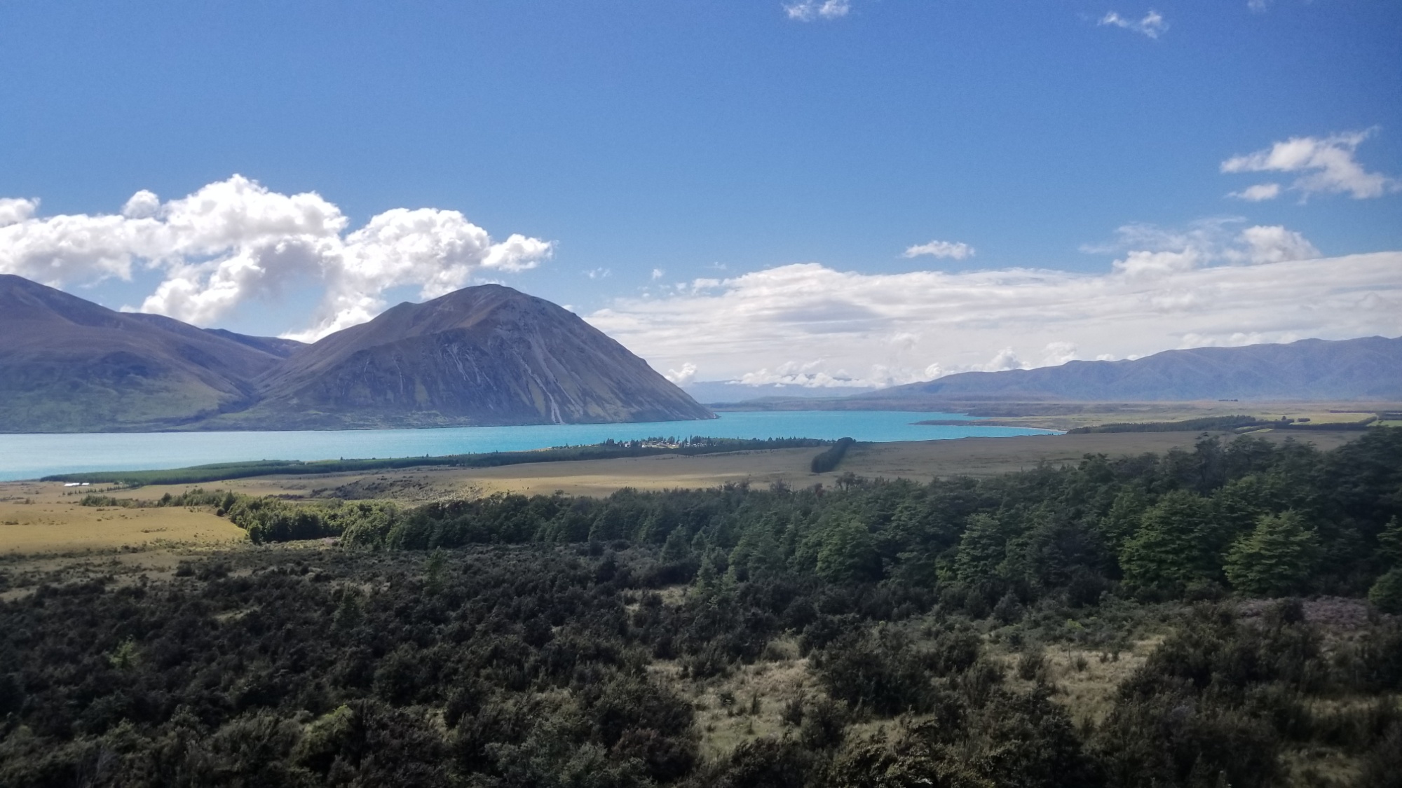
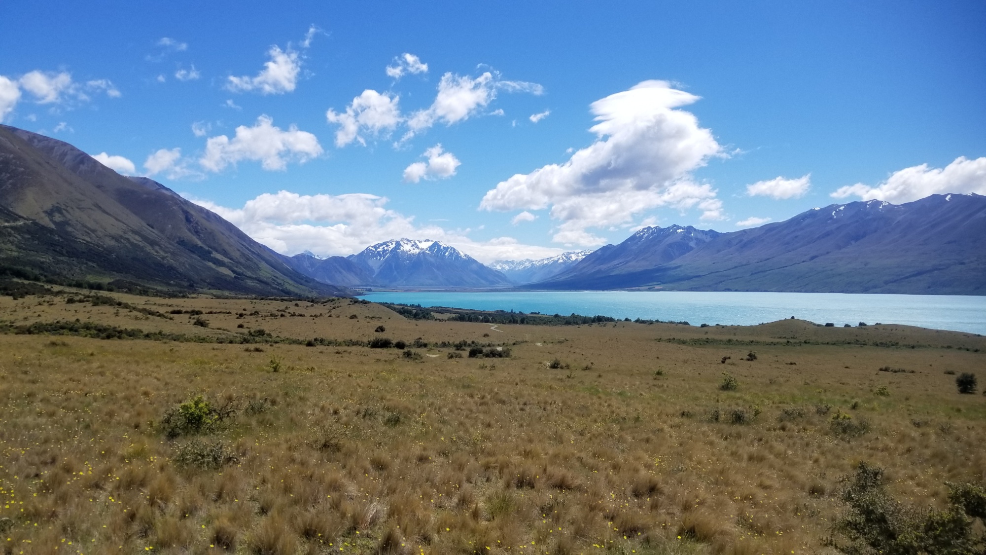
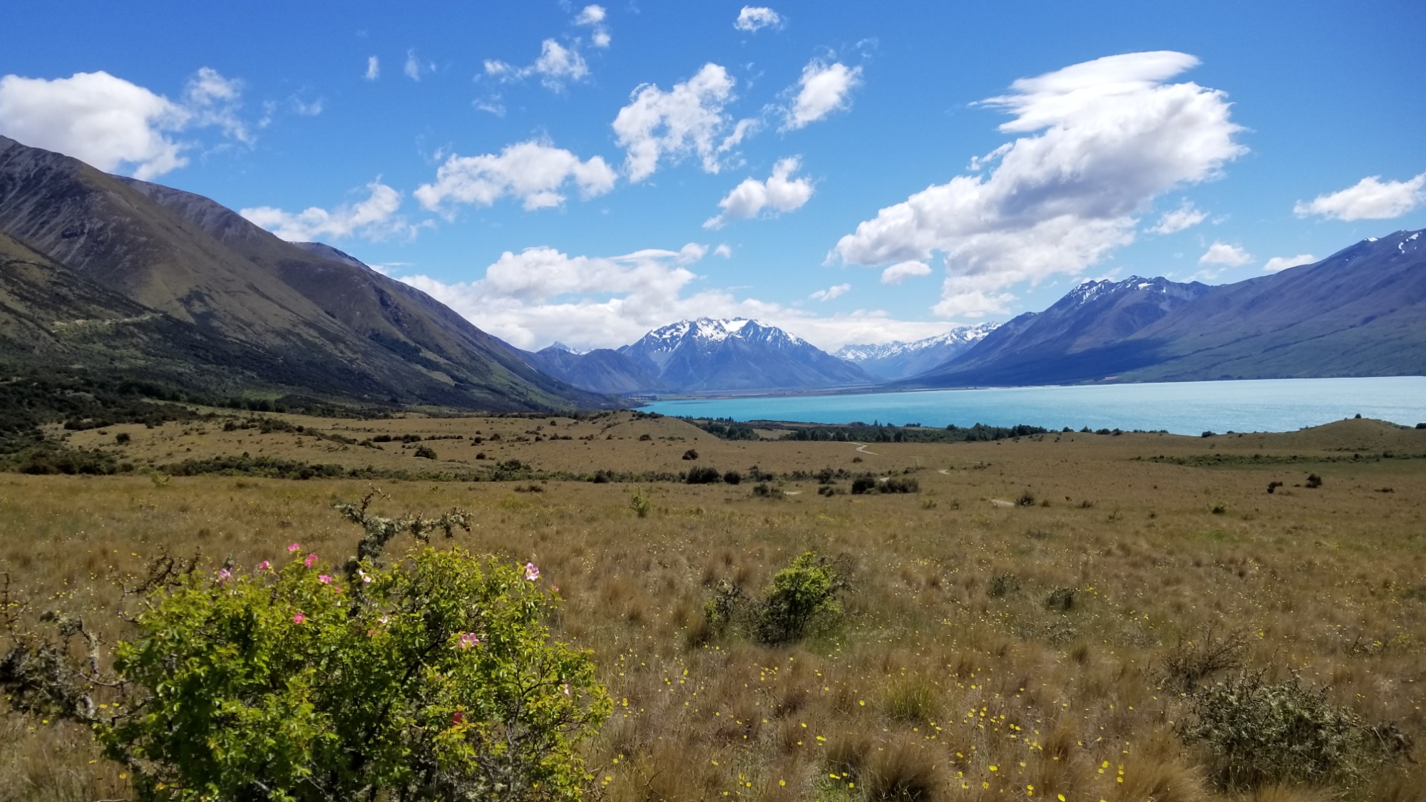
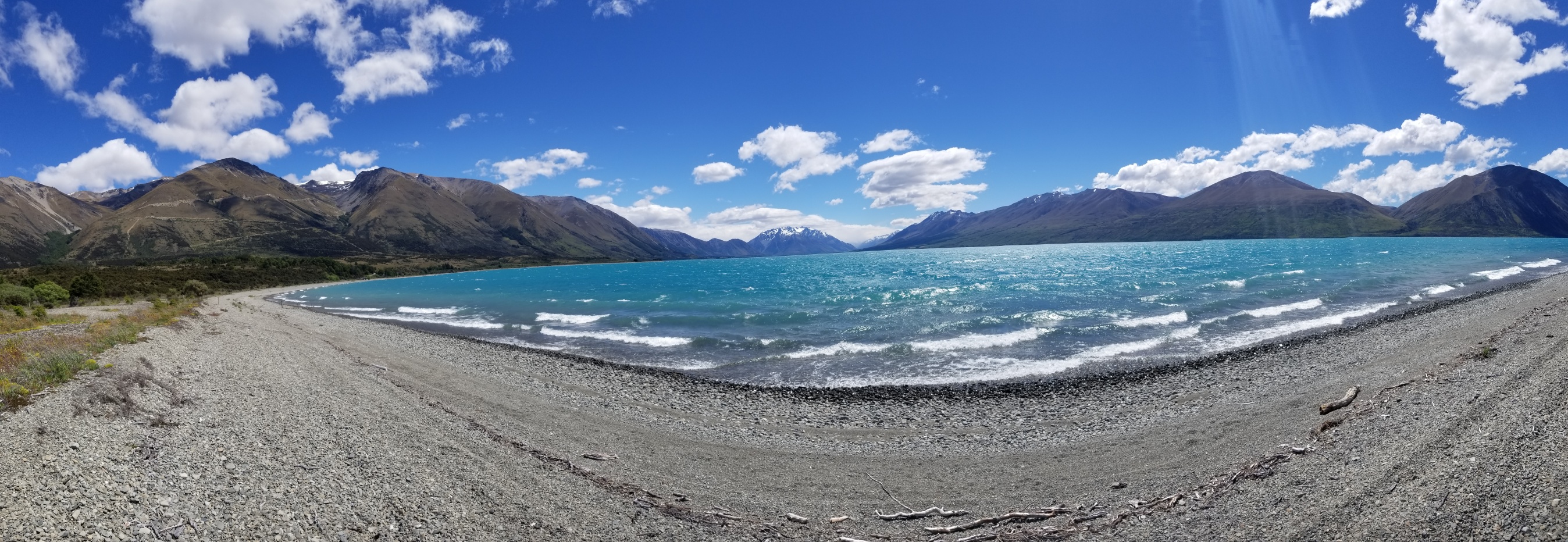
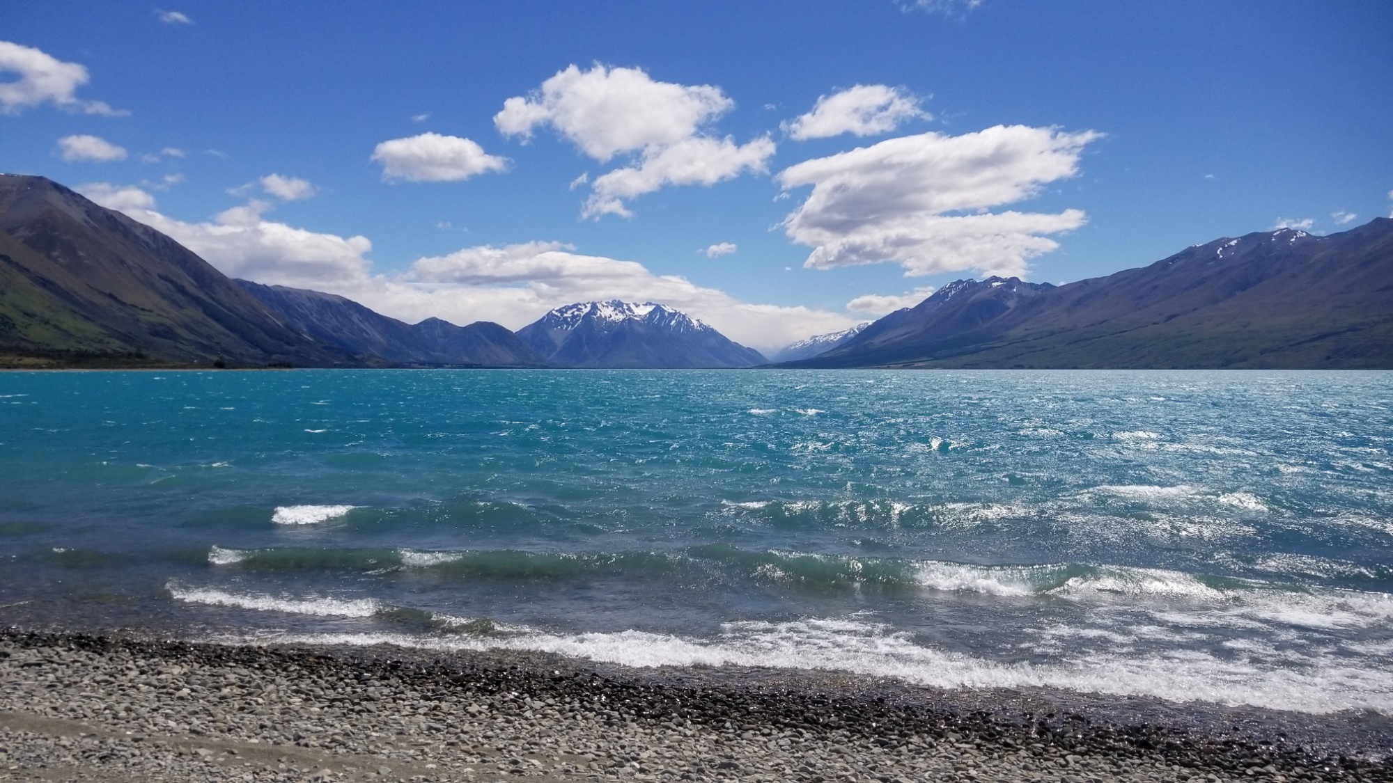
The next couple of days fly by, as I climb through a valley away from the Ahuriri, crossing a glacial tributary a few times on the way up, eventually coming to a pass, after which I can make out the stark, aqua blue waters of Lake Hawea down below.
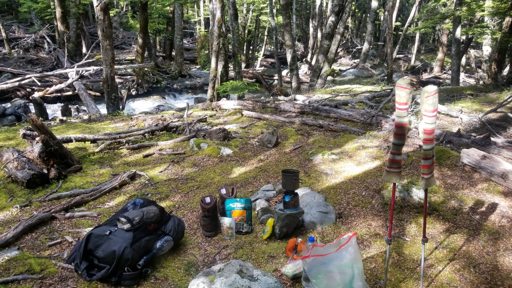
I hurry down the other side of the hill, coming quickly to a forested valley besides a stream, and find a suitable place to rest for the night.
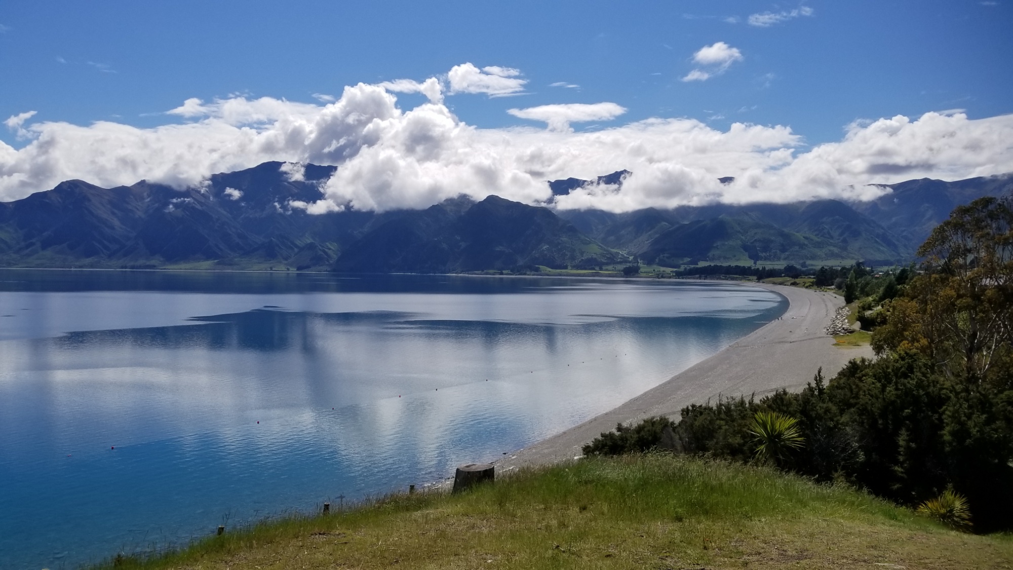
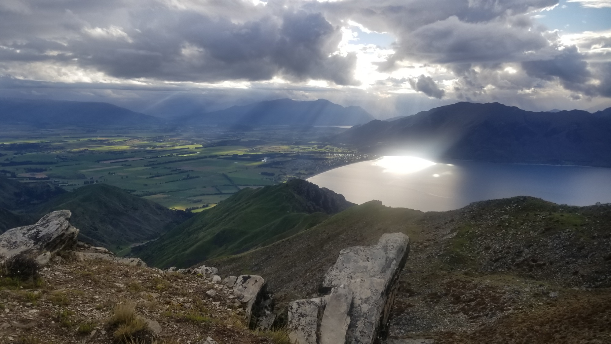
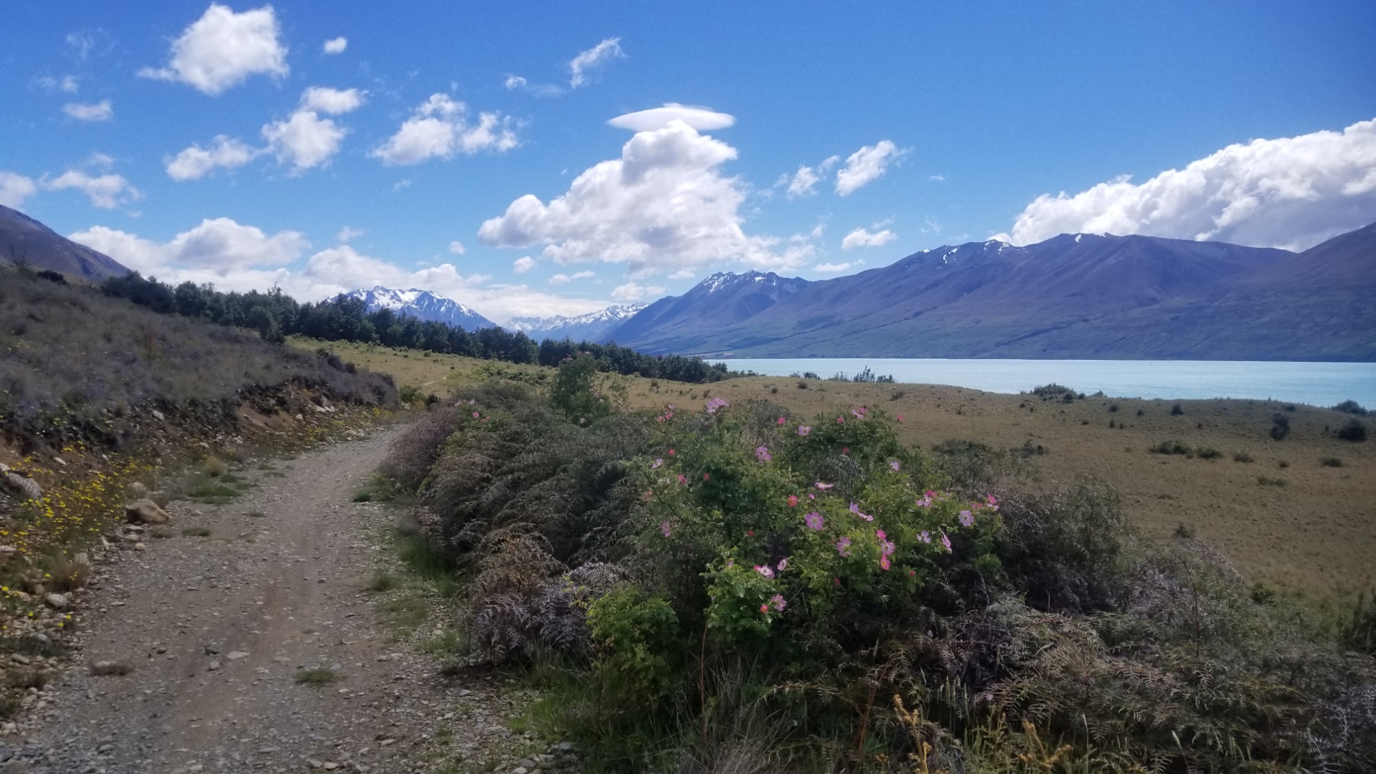
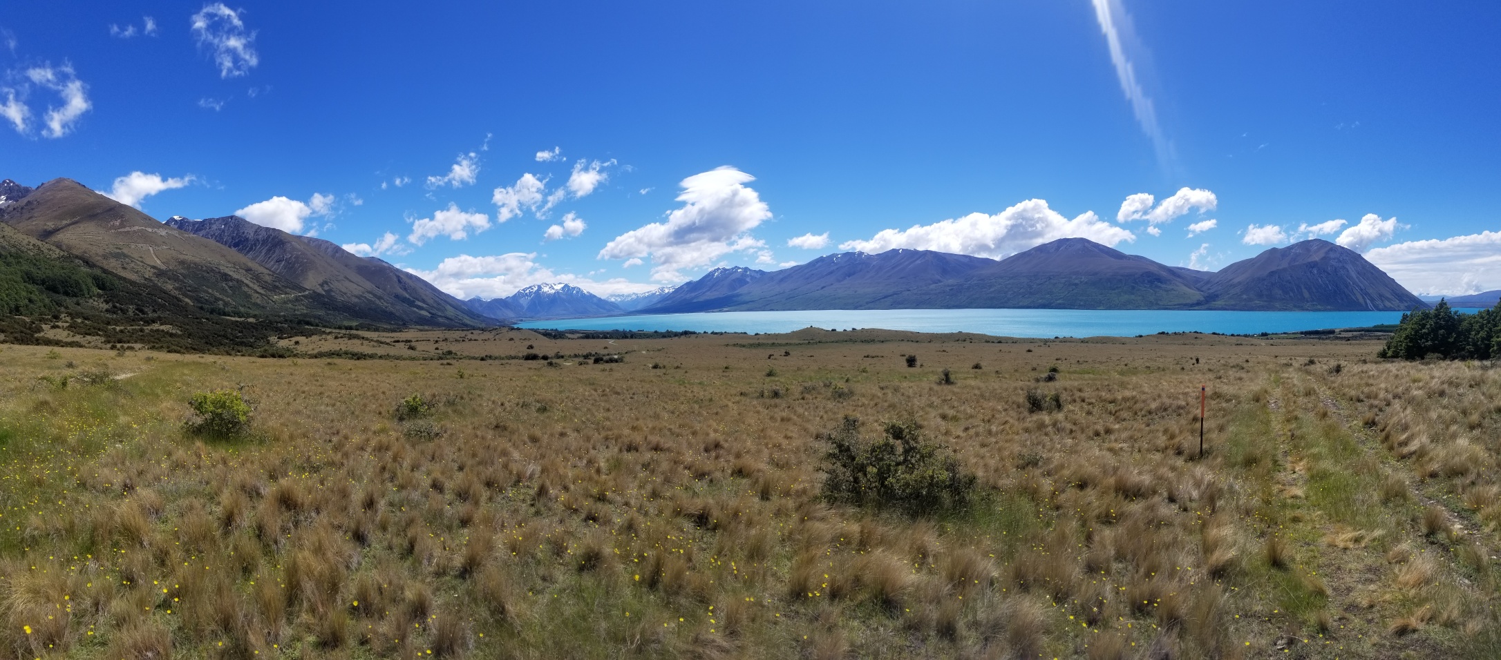
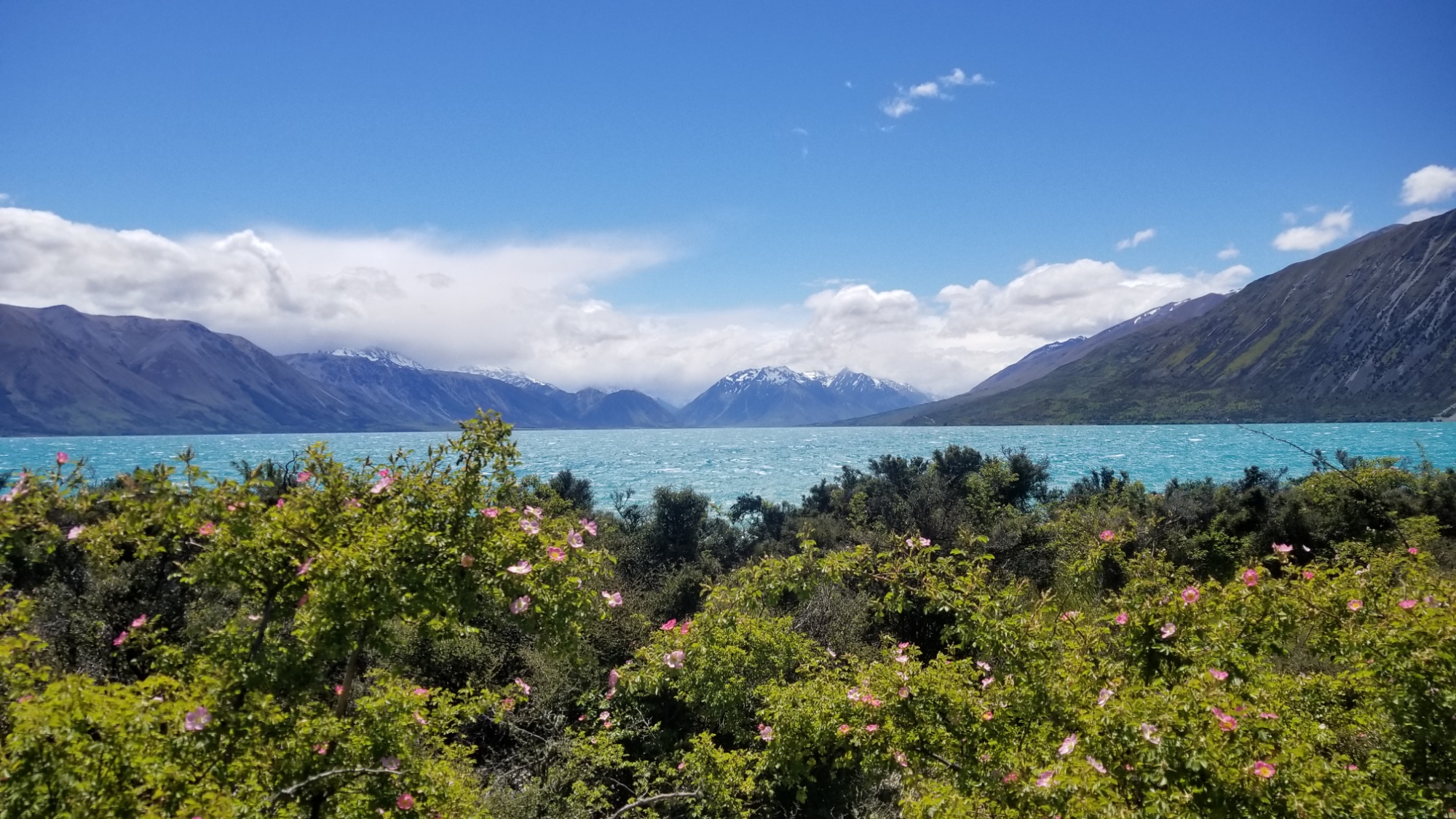
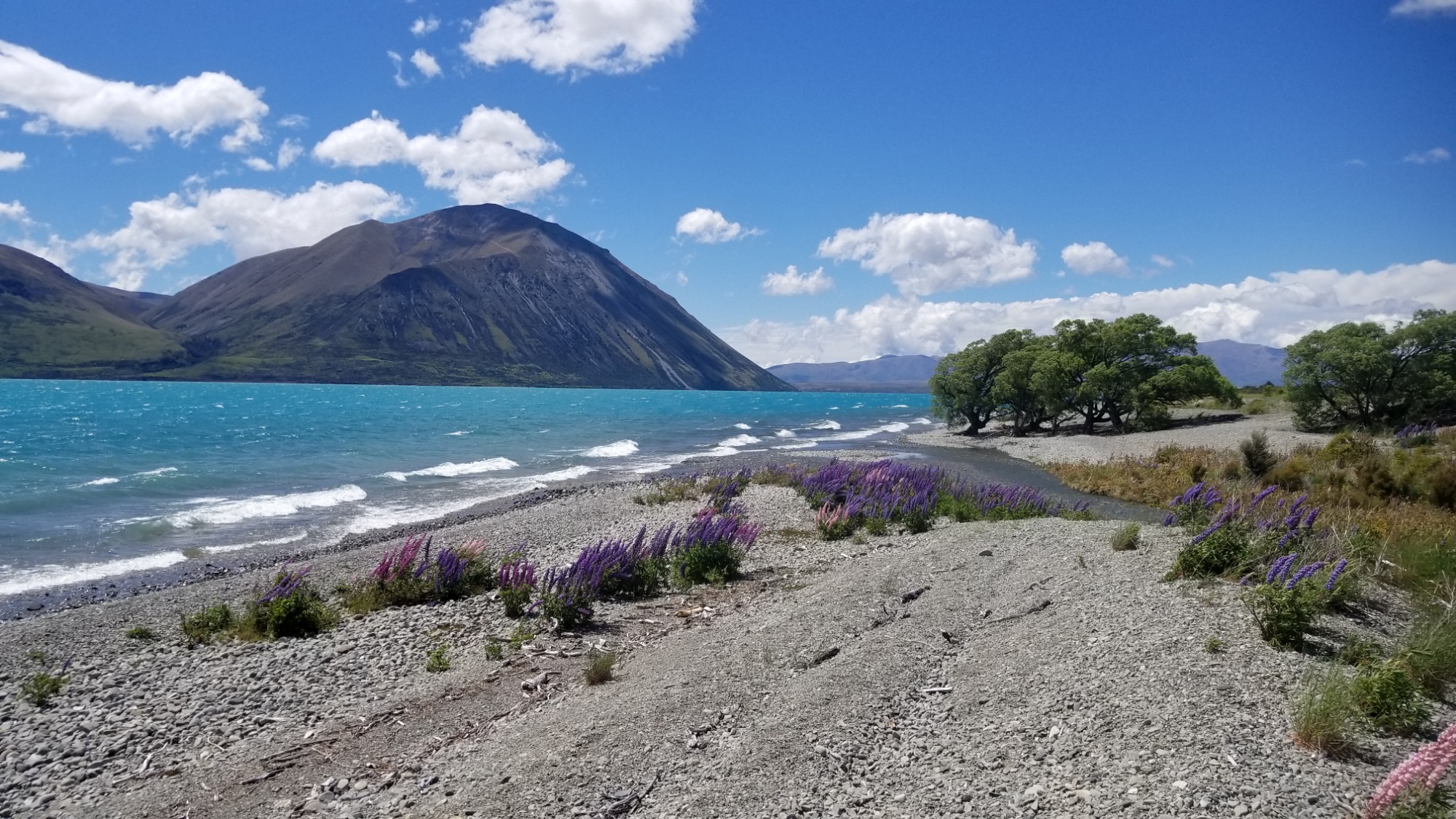
The next day, I come immediately out of the forest and down to Lake Hawea. I spend some time at the campground at Lake Middleton there before continuing along the lakeside trail, a nice wide track of gravel intended mostly for Alps to Ocean Trail cyclists.
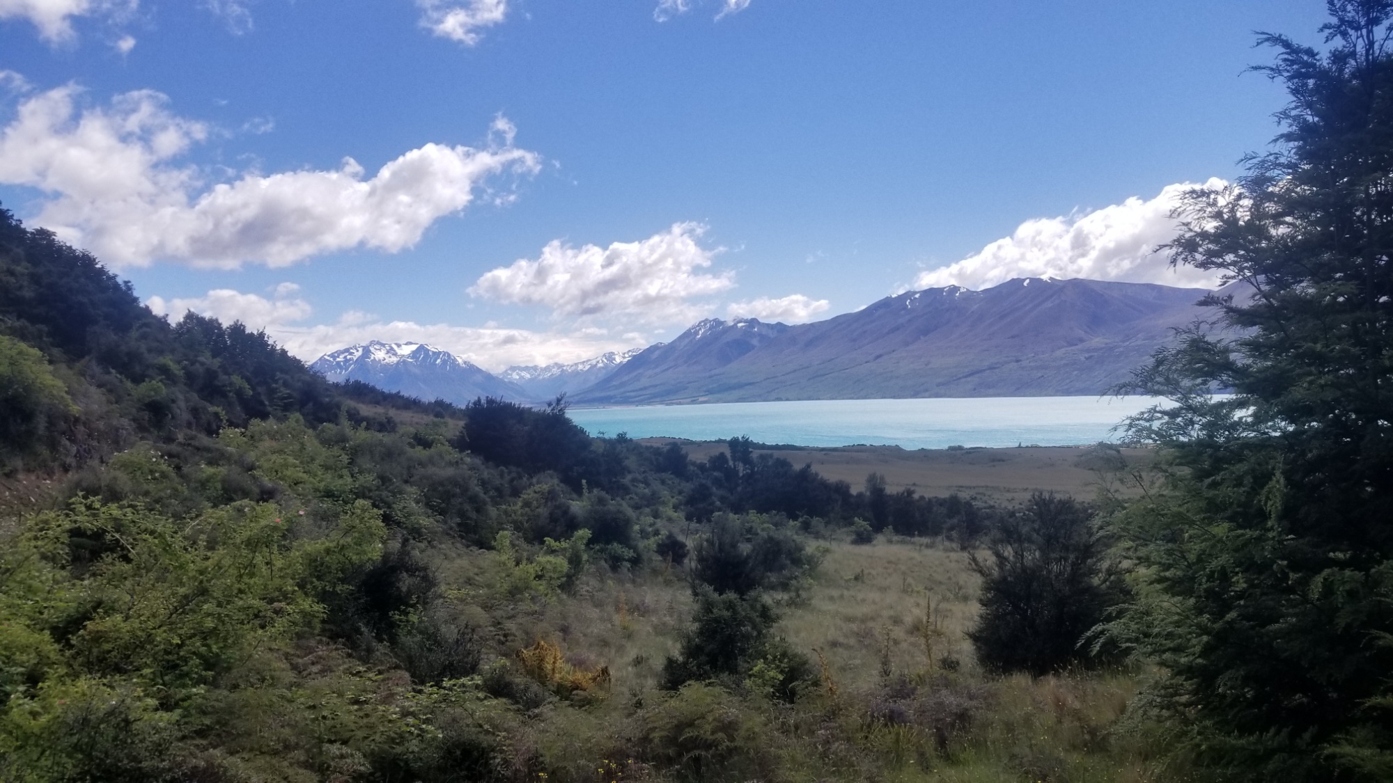
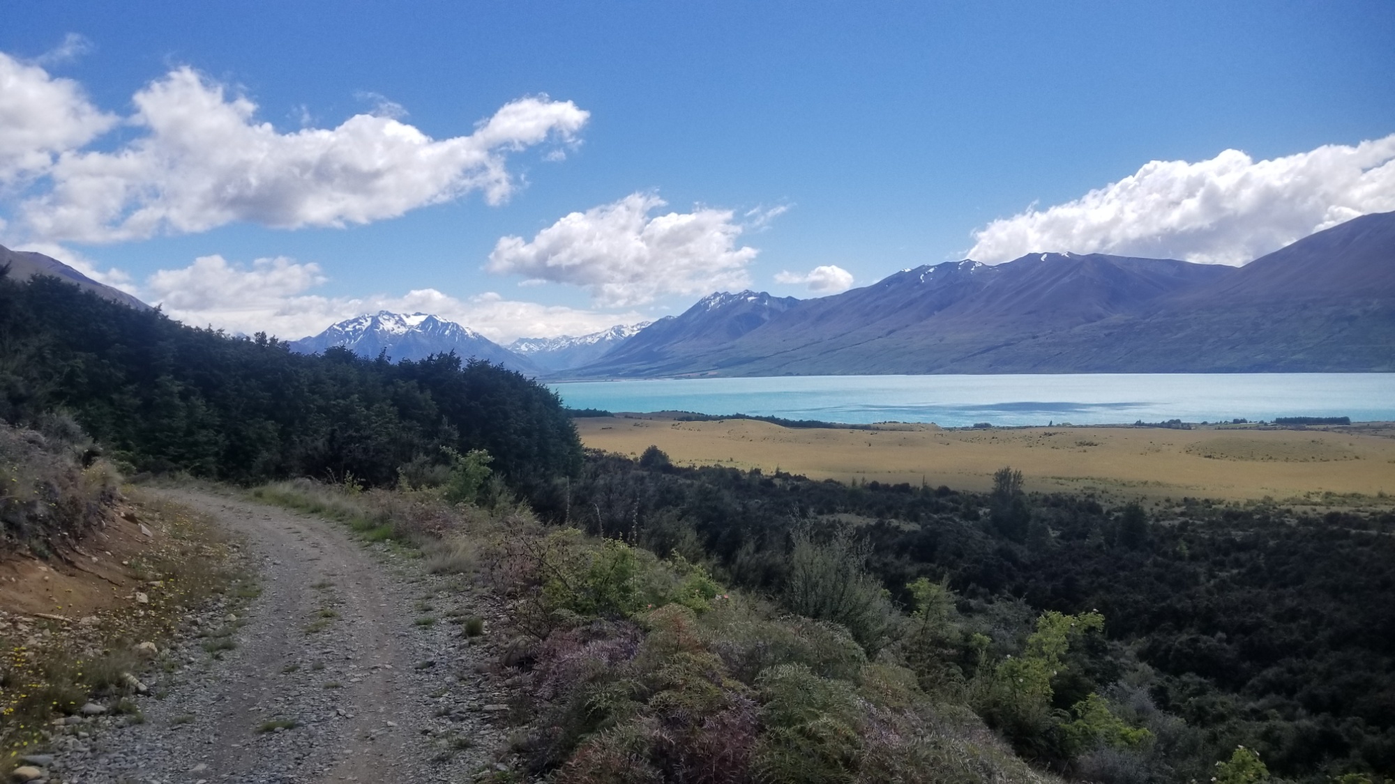
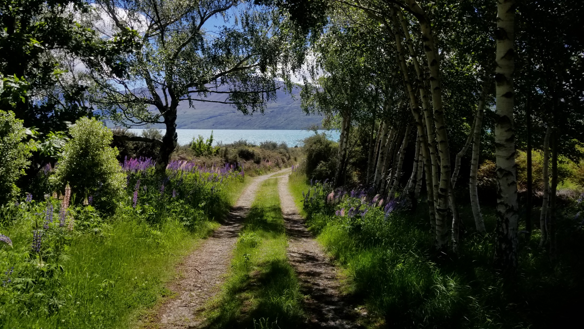
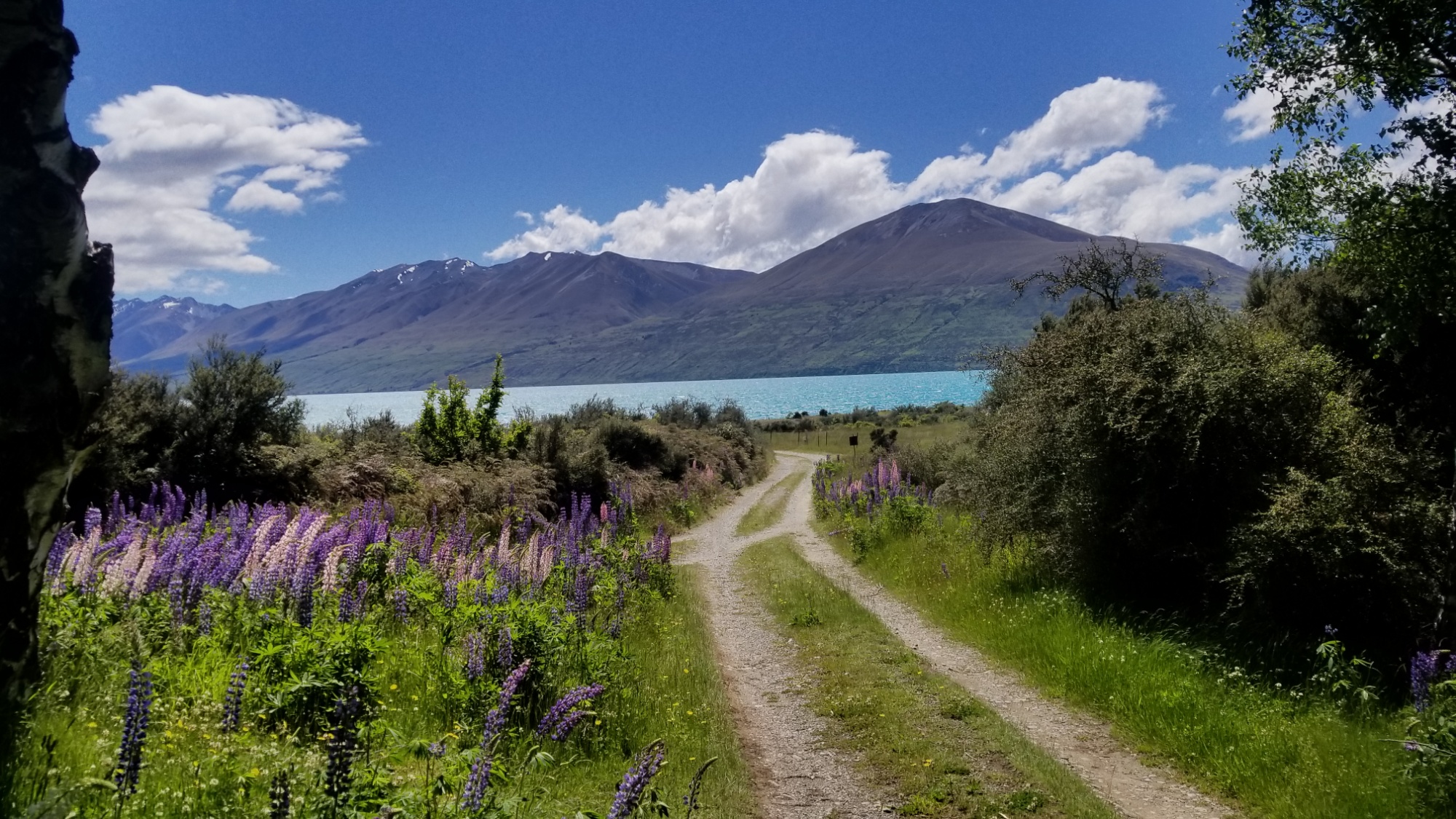
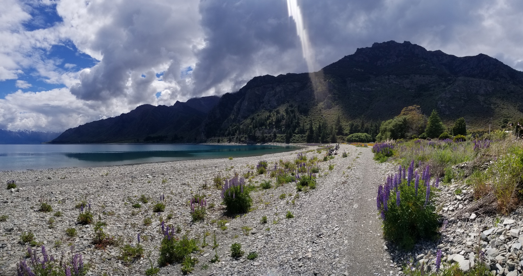
This trail leads to the Ohau River, which I follow for another 10 kilometers to a other at its mouth. Along the way, the skies become darker and dreary, and slowly unleash an onslaught of cold rain upon me. I don a cloak over myself and my pack and carry on through the showers. Upon seeing a row of green trees, I decide to shelter under them for some time, waiting out the worst of the Springtime storm.
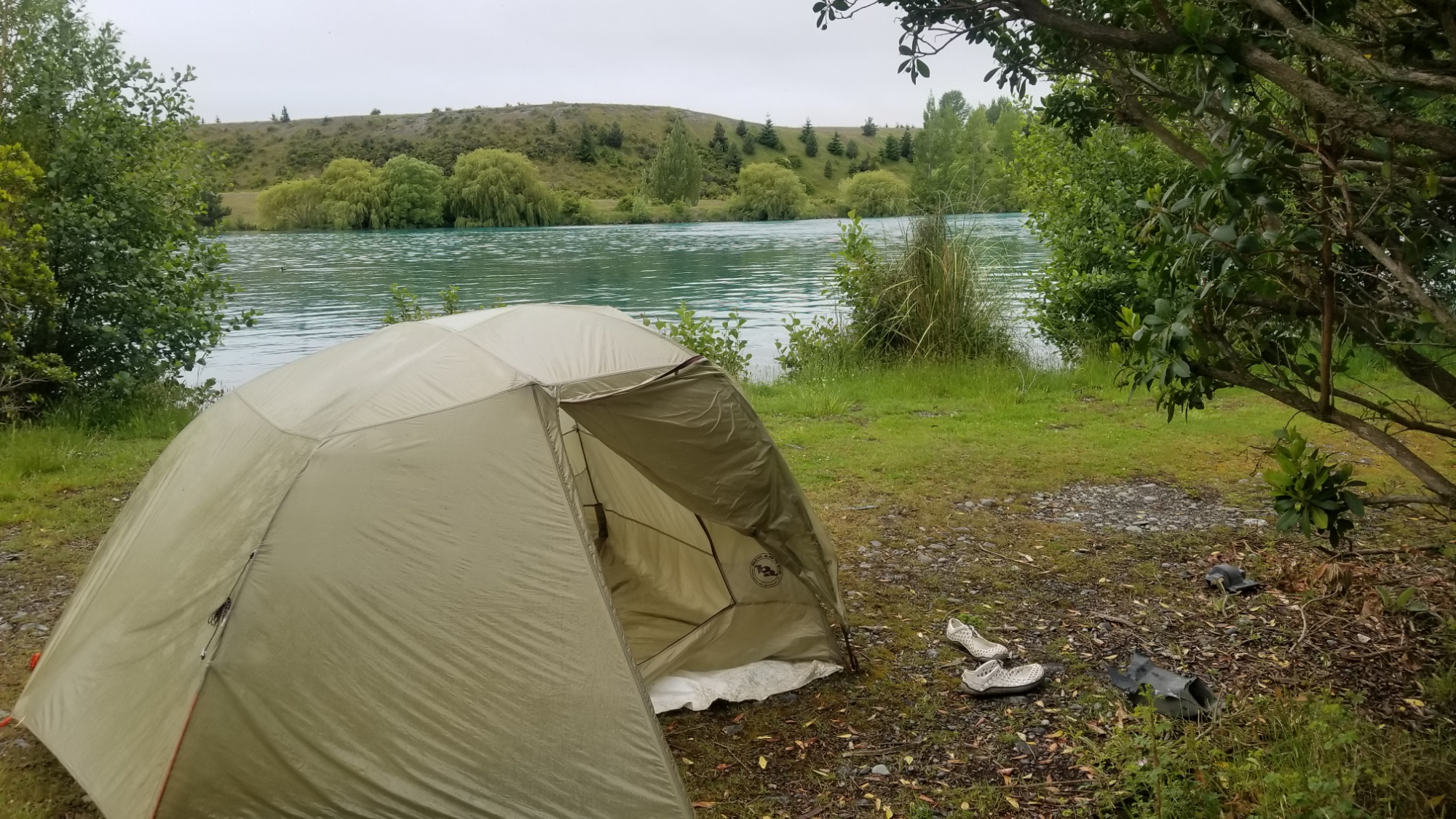
At last, the flies become so annoying that I get up and make another few kilometers down the gravel road. Then, the rain stops, and with only a few kilometers left to go until the town of Twizel, the end of this leg of trail, I follow a gently used 4×4 track out onto a peninsula jutting out parallel with the lake there, and find an ideal flat spot to spend the night, allowing for an early entry to the town tomorrow with no rush to secure food or lodging.
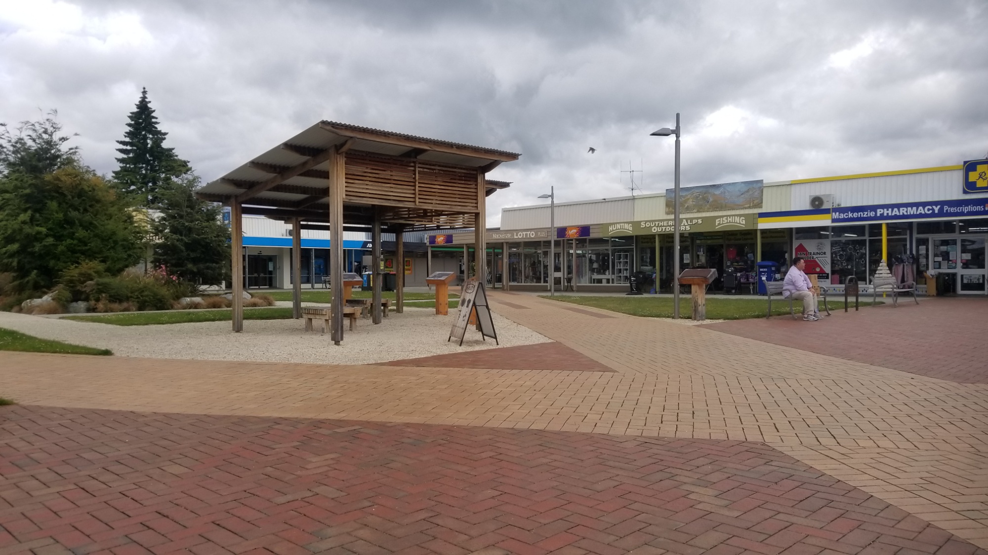
The next day, I easily make it into Twizel, a small town created to house the workers of the huge hydroelectric project in this area in the 50s, which explains all the huge canals and the large lakes. They claim to generate around 40% of New Zealand’s power from this area.
I grab lunch at the supermarket and then book a couple nights at the local holiday park, officially kicking my feet up after a respectable 7-day stint in the New Zealand bush.
Next, onto the coveted Mt. Cook National Park for some much needed rest and relaxation! But we both know I’m not capable of sitting still for long. You can count on another set of great adventures from there, and onwards NOBO on the Te Araroa trail! Still to come, the crossing of the Richmond Range and the Rangitata River, also known as the valley of Rohan from LOTR, a hitch (or three) into Christchurch, then Arthur’s Pass to Hanmer Hot Springs, across Waiau Pass and Angelus Hut of the Nelson Lakes National Park, into St. Arnaud, another few days to Nelson, and then the Abel Tasman beach trail! That’s the plan anywho! We’ll see how it all turns out! Stay tuned!