Today was magnificent! That’s not to say that it was not difficult, but it was rewarding for all its challenges and I am proud to say that I met its every trial.
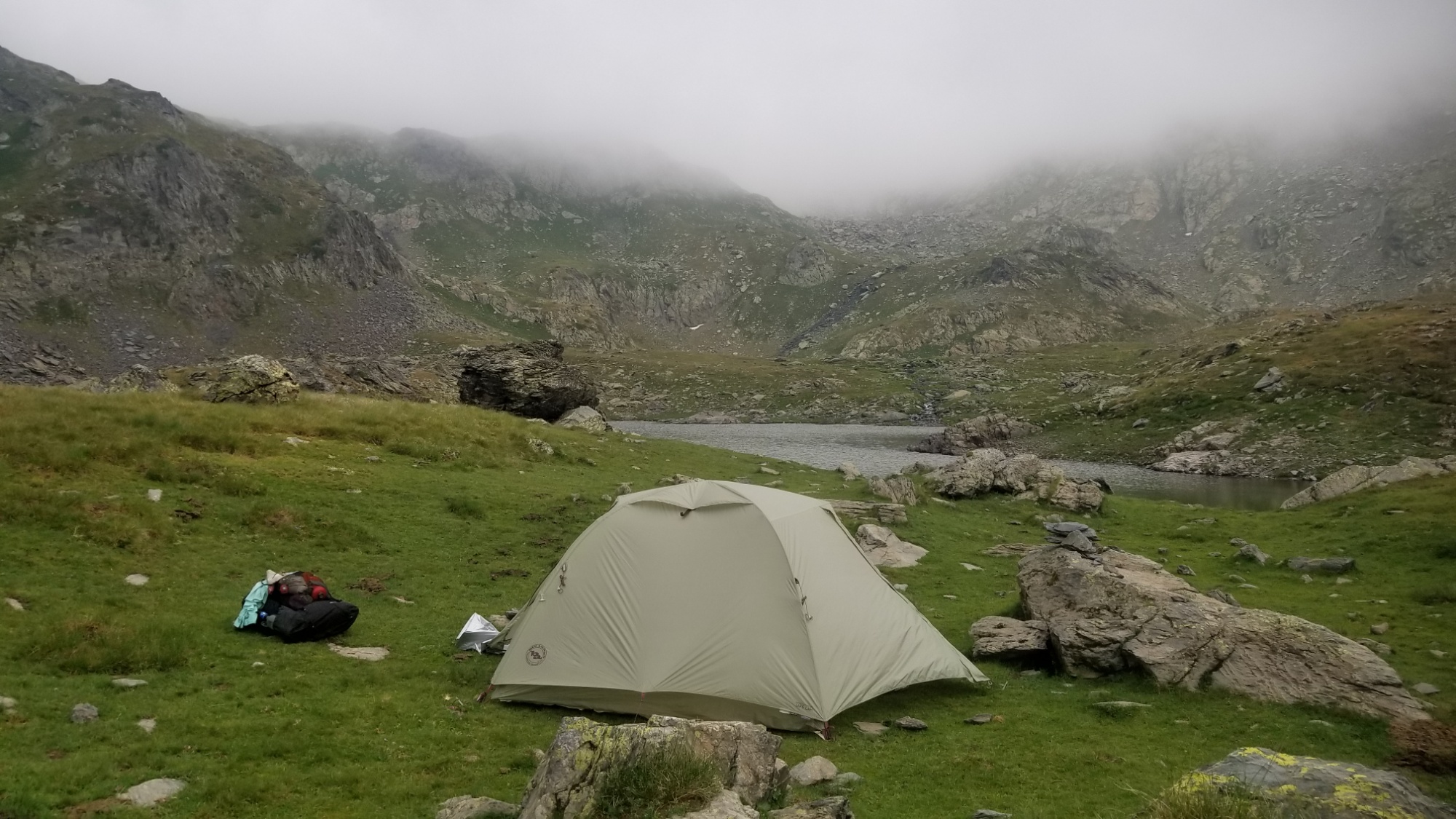
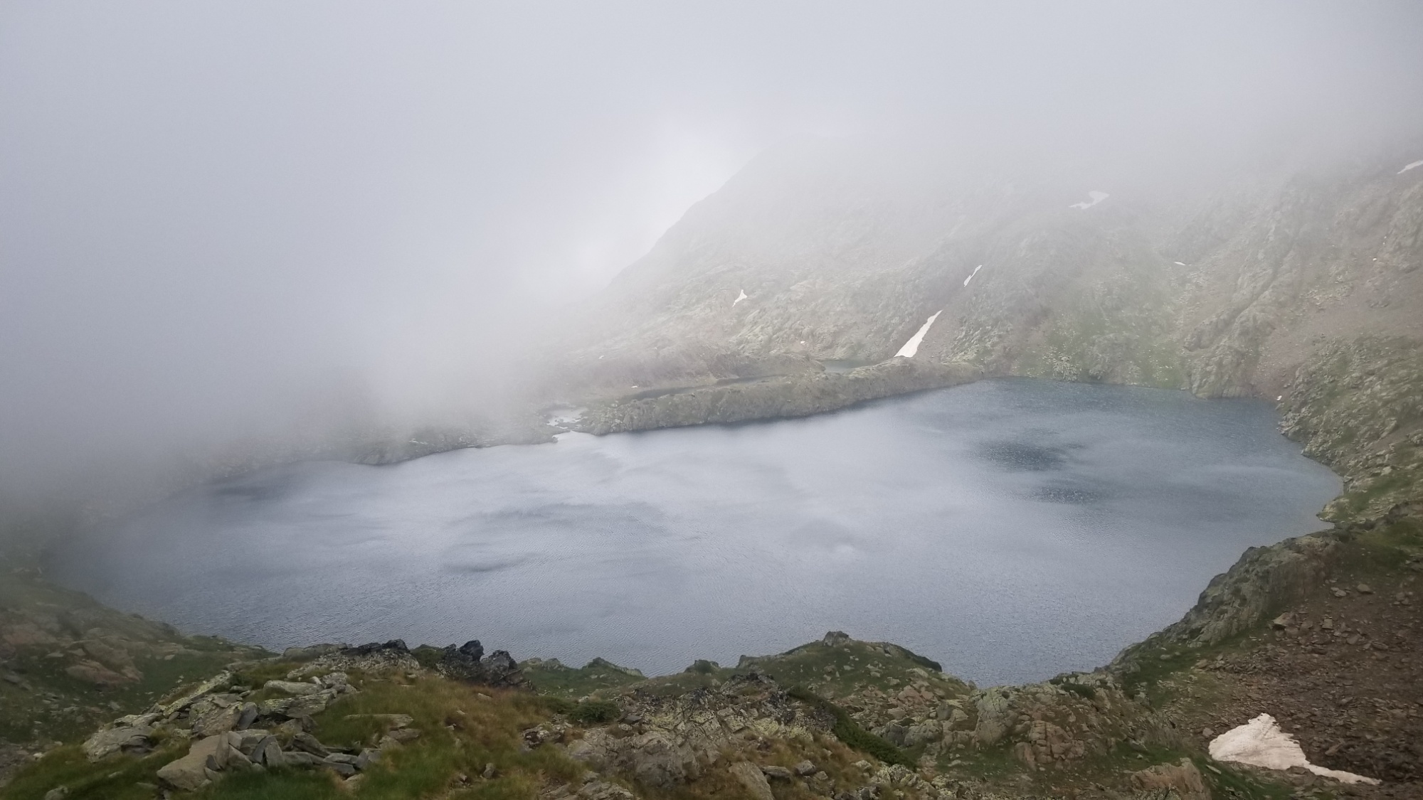
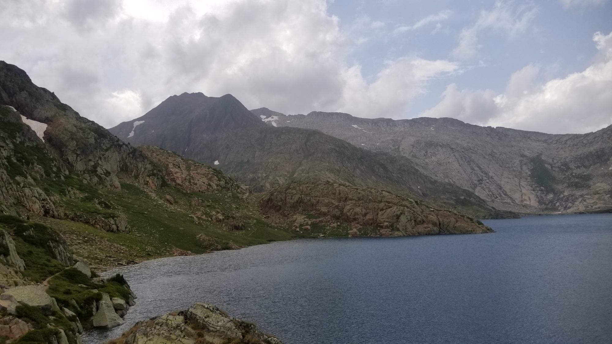
I awoke at my lakeside campsite to a roof of fog a few hundred meters above, just near the top of the peaks around me at 2,700m. Also, it’s always a good day when the wind blow-dries your tent before you wake up!
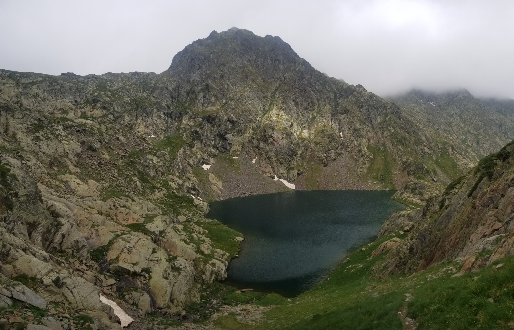
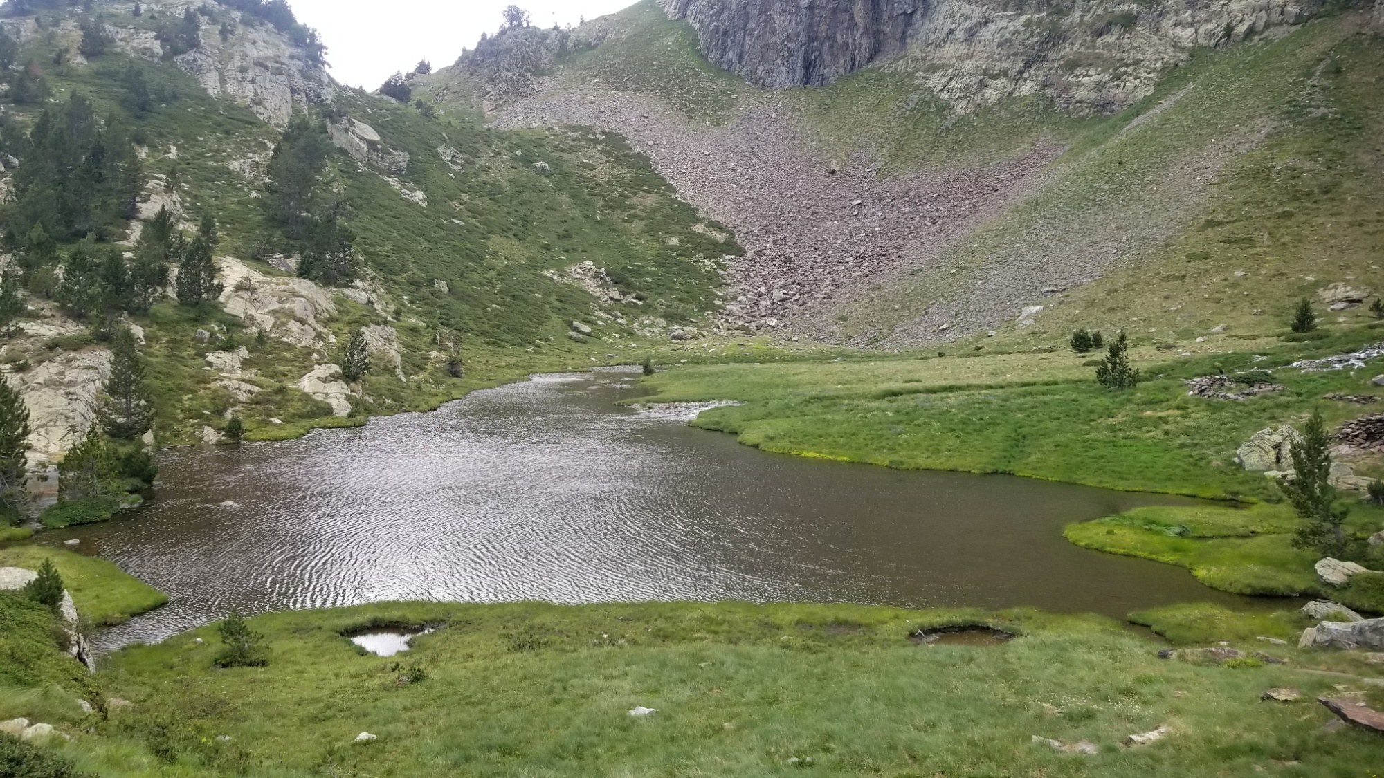
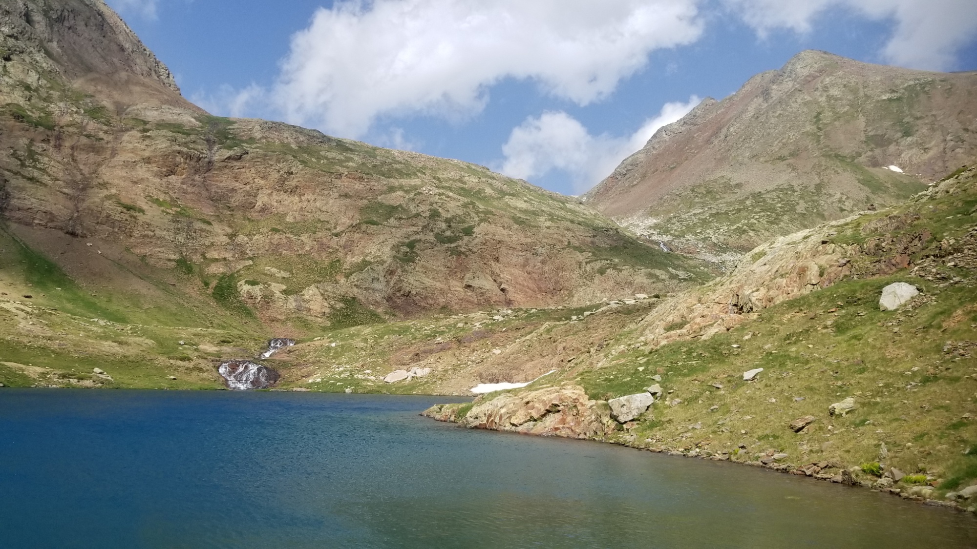
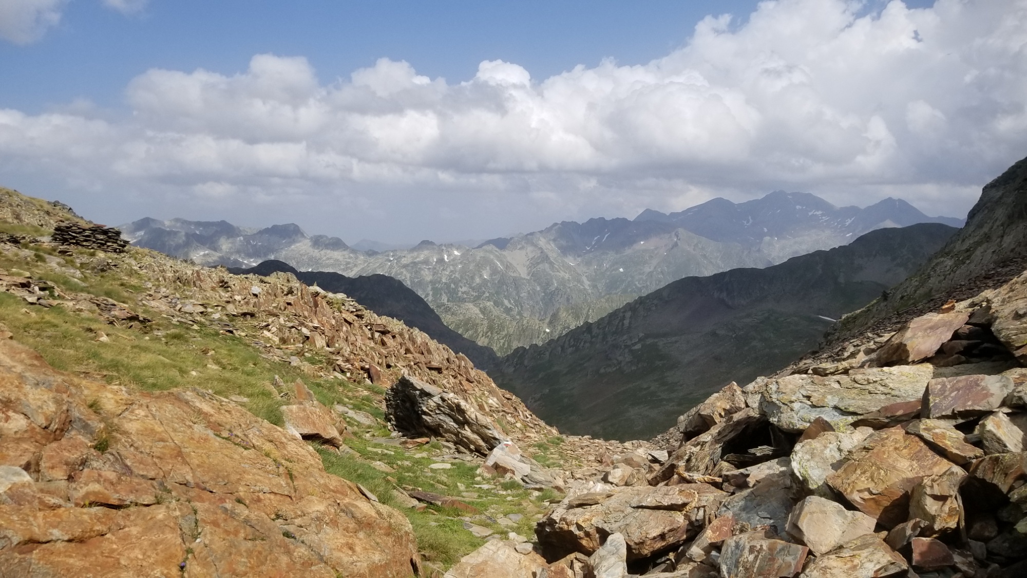
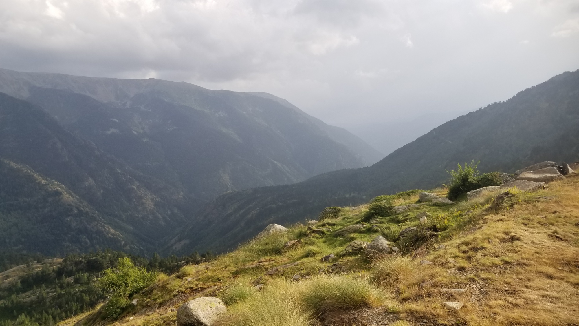
I got going and traversed the first col of the day, an easy 200m climb. The trail led around the mountainside to another pristine lake. From there, I climbed up and over a second col, another 200m climb.
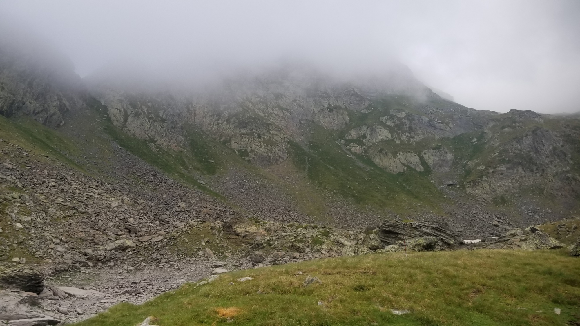
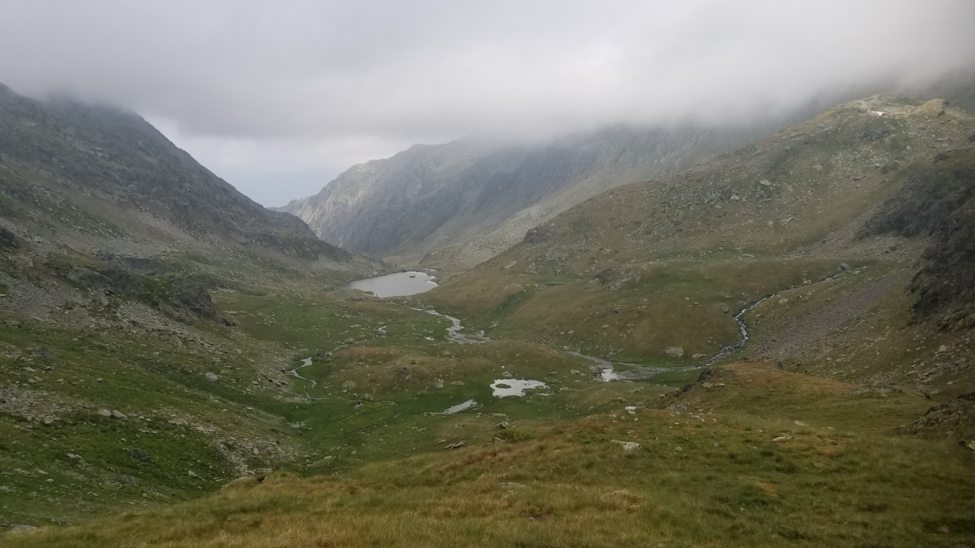
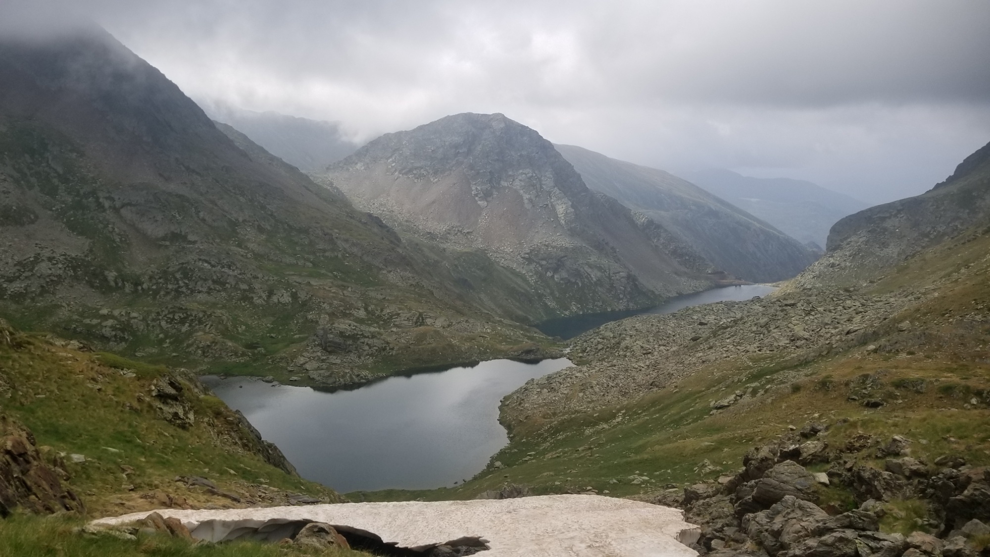
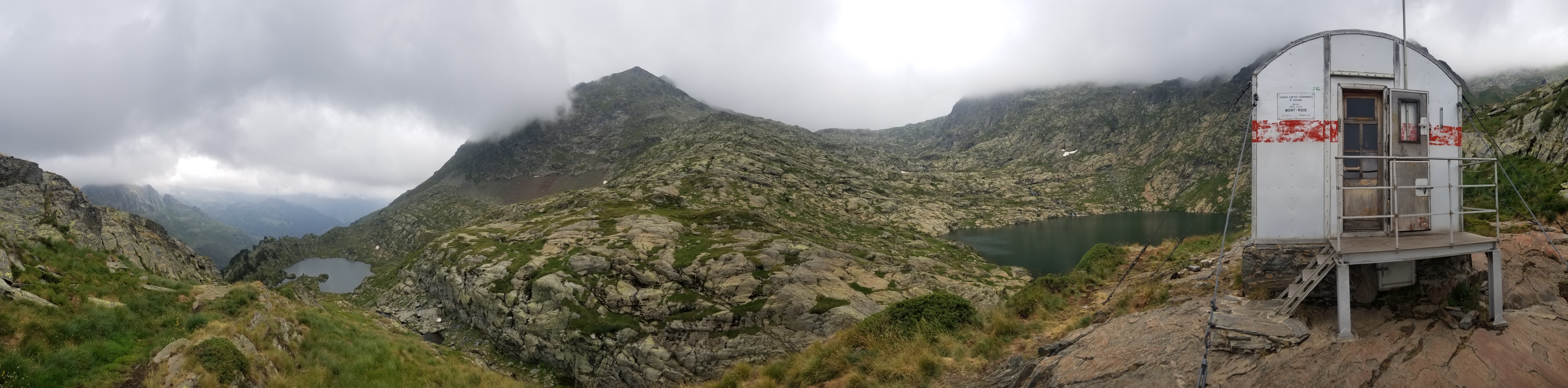
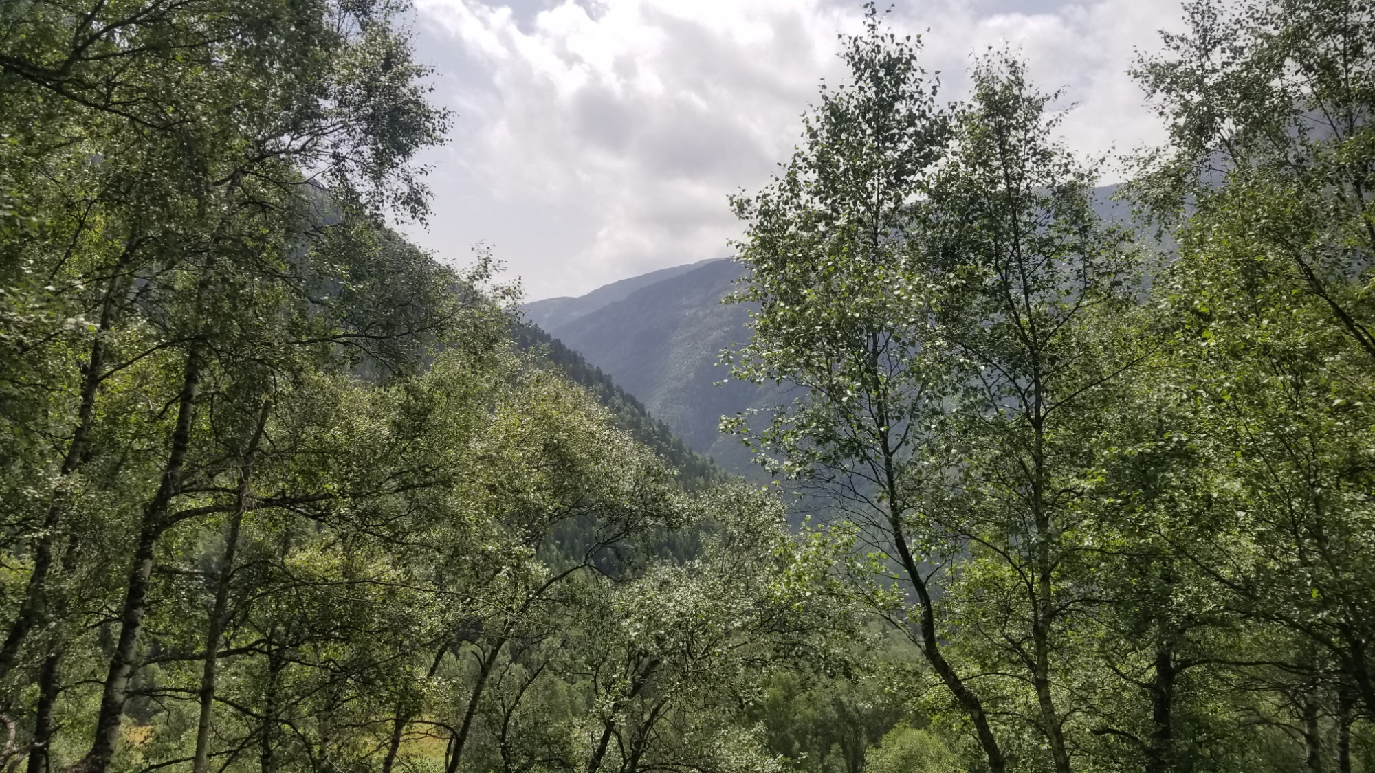
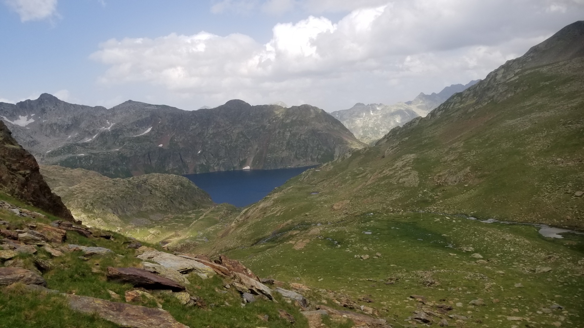
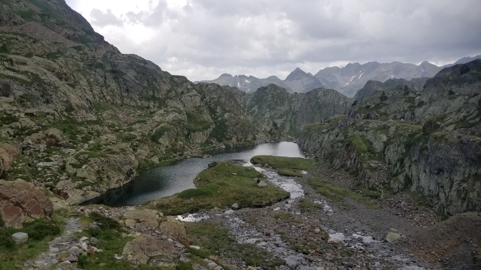
From there, I was just at the level of the fog ceiling, but I could make out the next round of lakes down below.
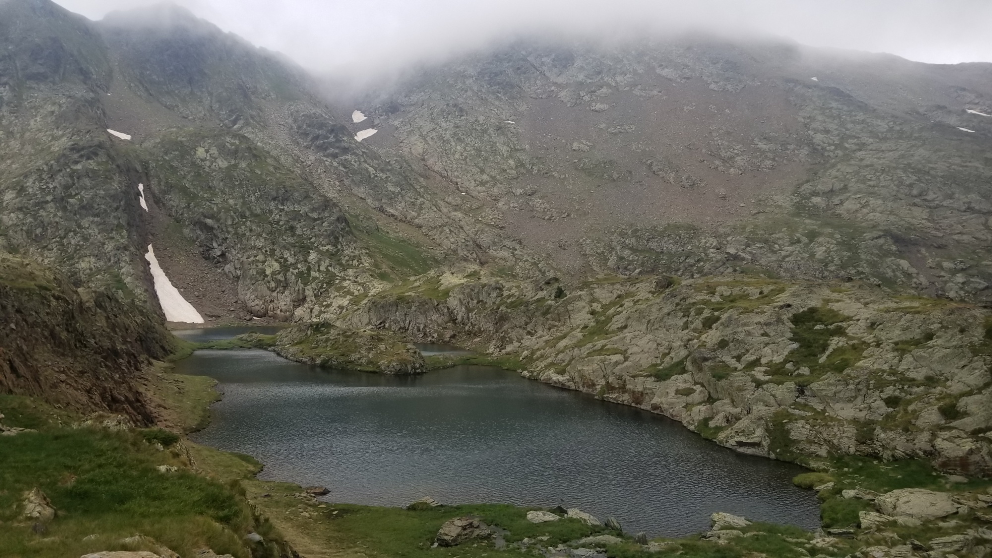
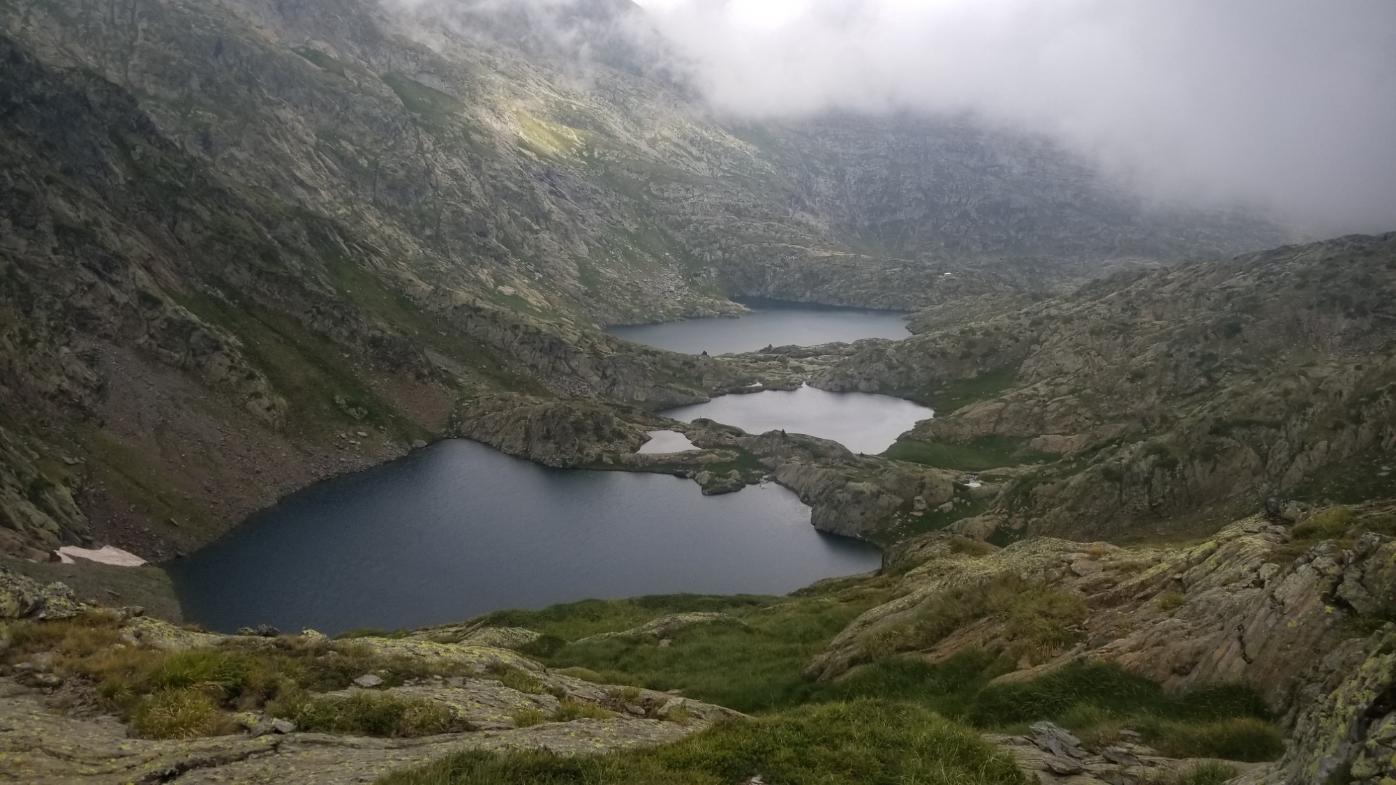
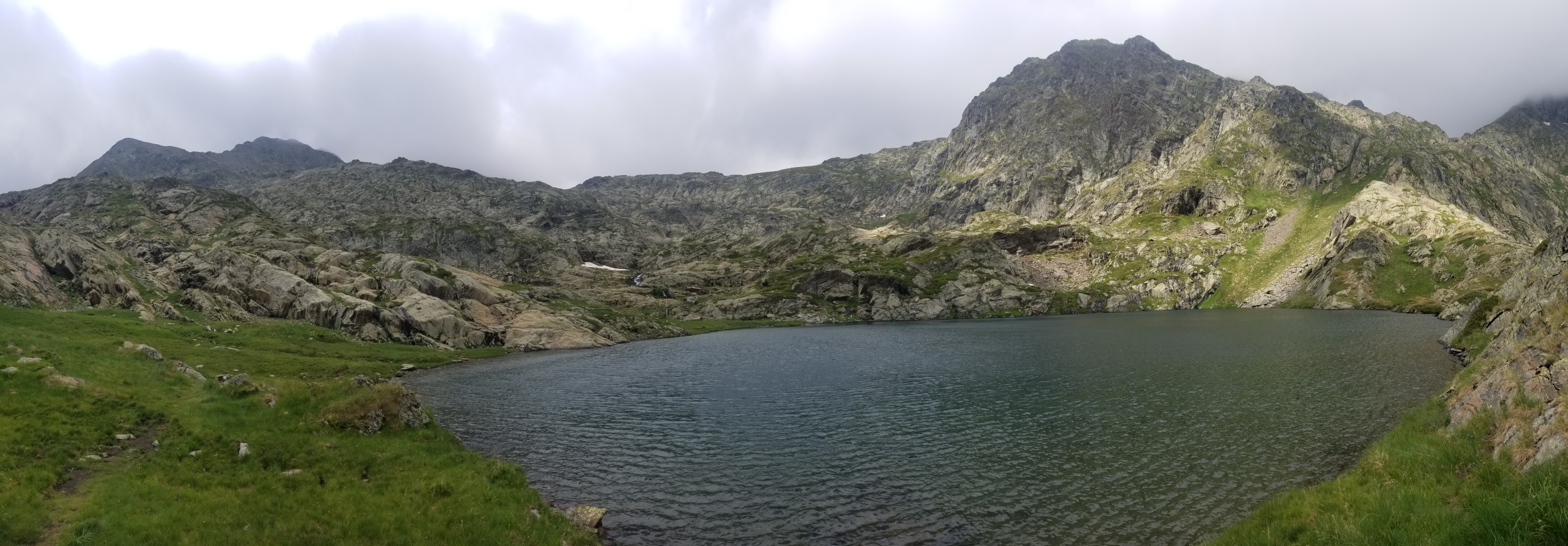
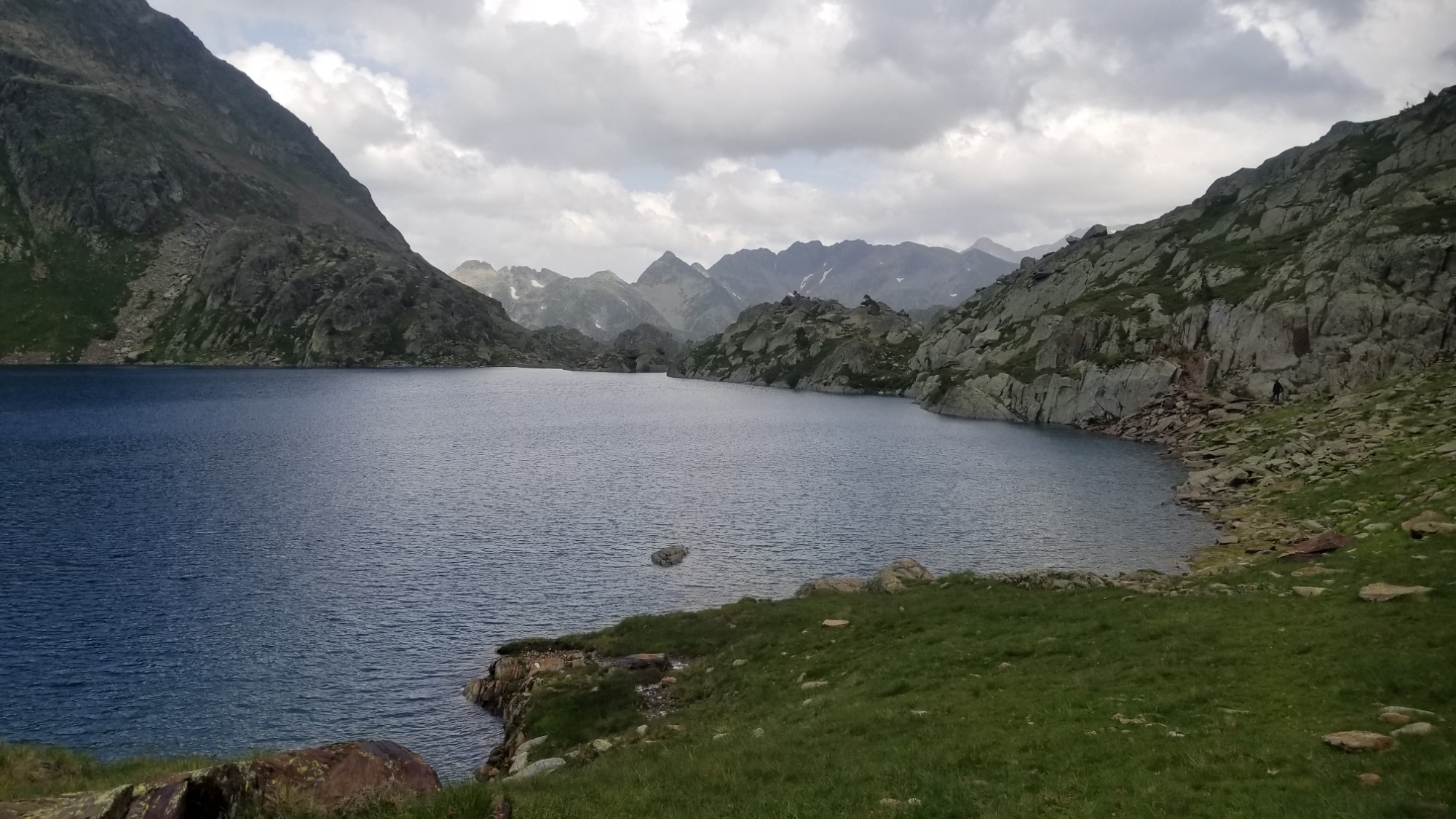
I set out towards them and made a few zig zags down through large rockfields and taiga grassland. All in, there were about 6 lakes in a row on this descent! I’m rich! Ha. If only wealth was measured by how many bodies of water you saw in your life.
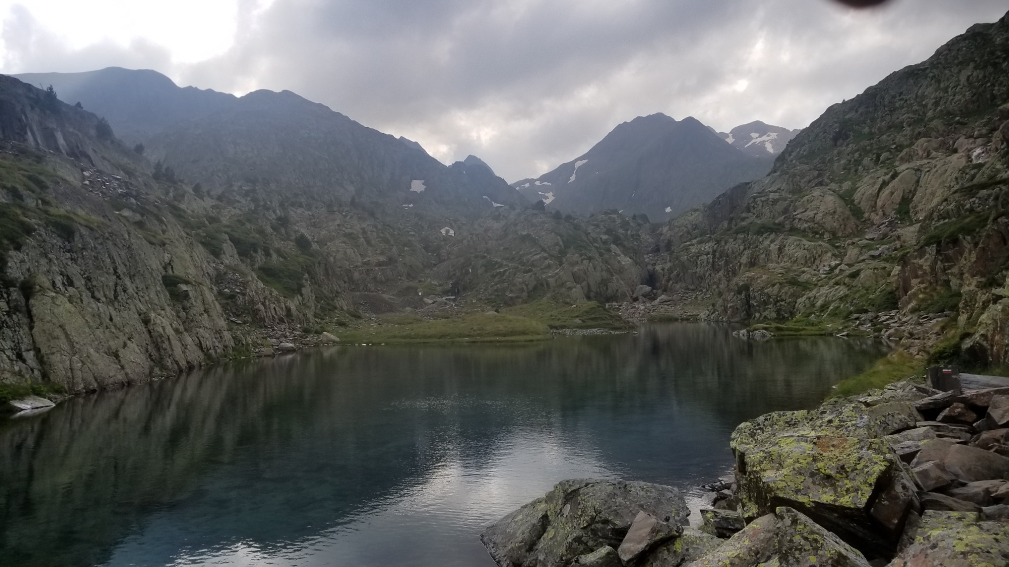
I made it down to the Refuge Enric Puloji, and I took a peak inside. Swanky! 9 bunks and a little eating area. I wish we had more things like this in the U.S.. I’d be glad to stay in such a shelter during a blizzard/hailstorm/monsoon.
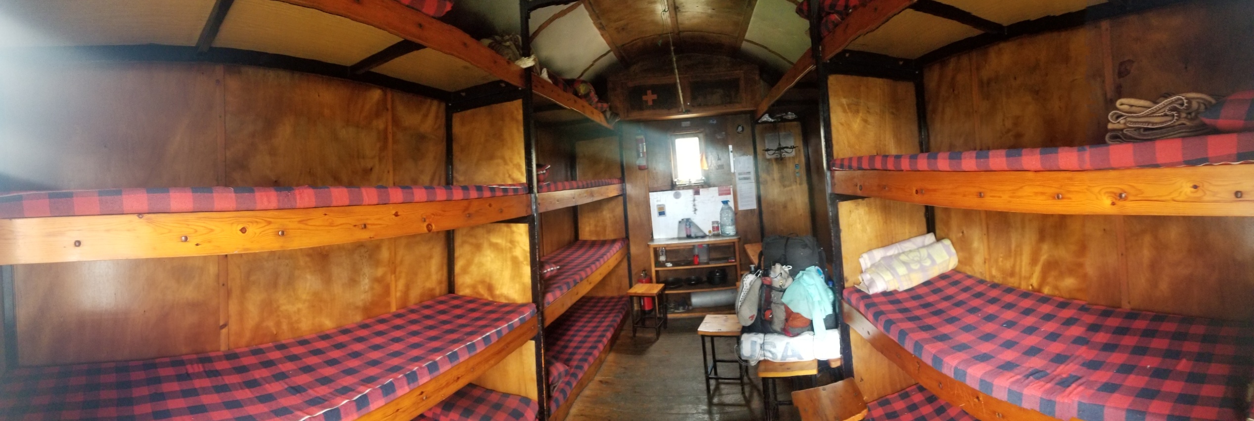
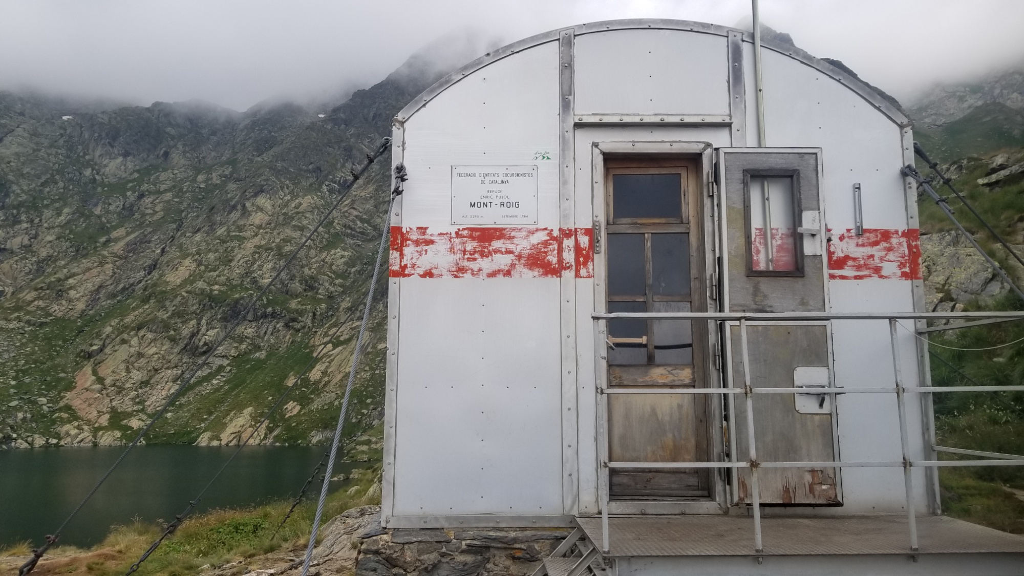
Anyways, it was about 11am and I had the place all to myself, so I made a nice cup of coffee inside at the table. Ah, I feel so civilized all of a sudden! What a luxury are tables and chairs and a roof over your head. But the day was young, so I had to finish my cup and set off down the trail.
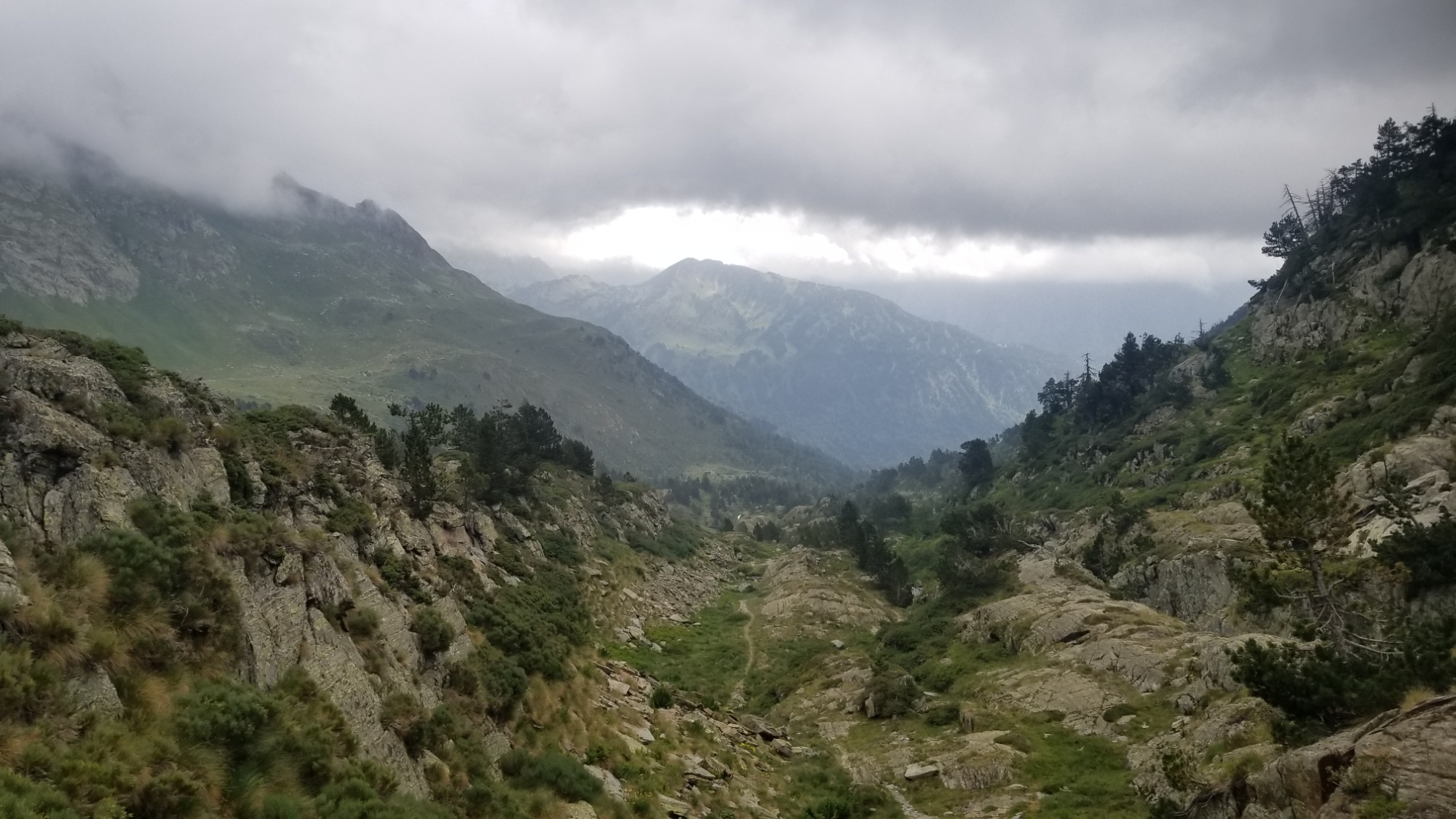
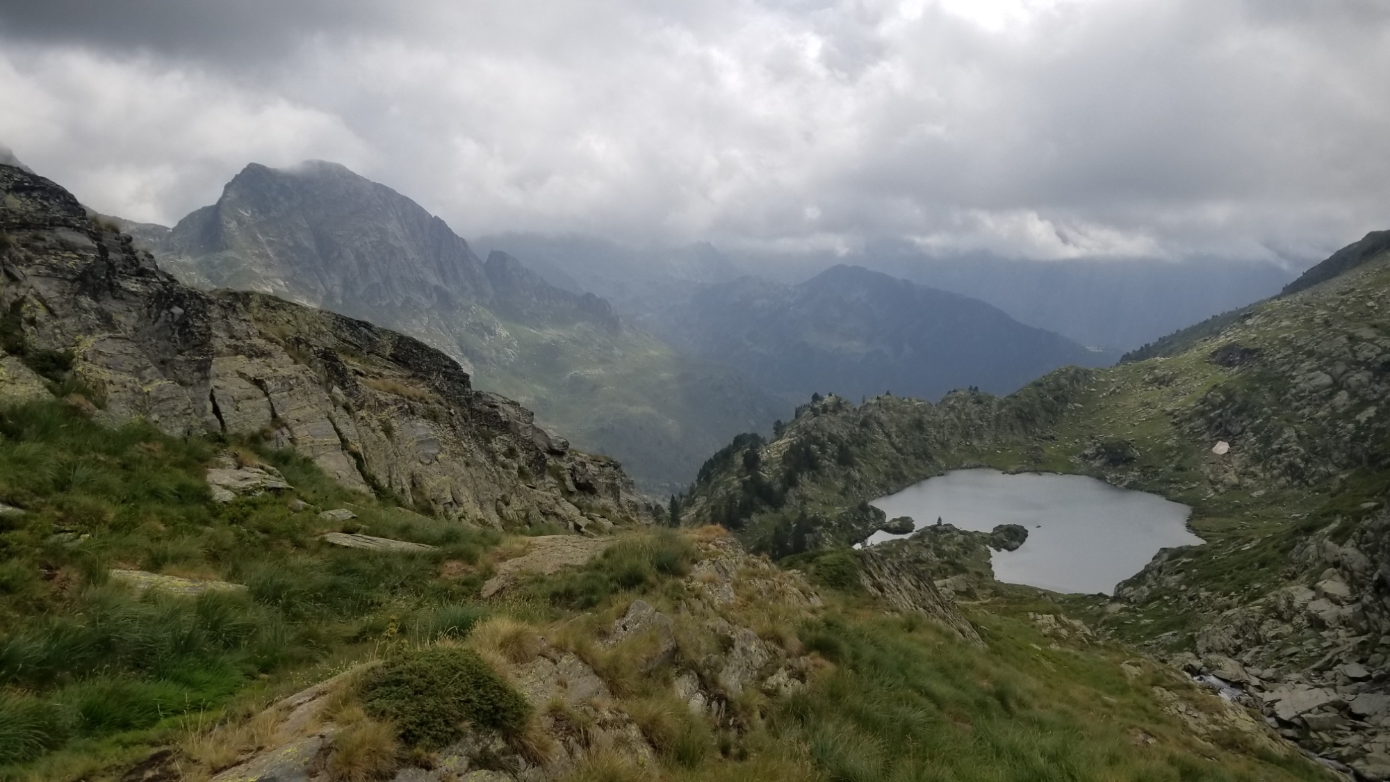
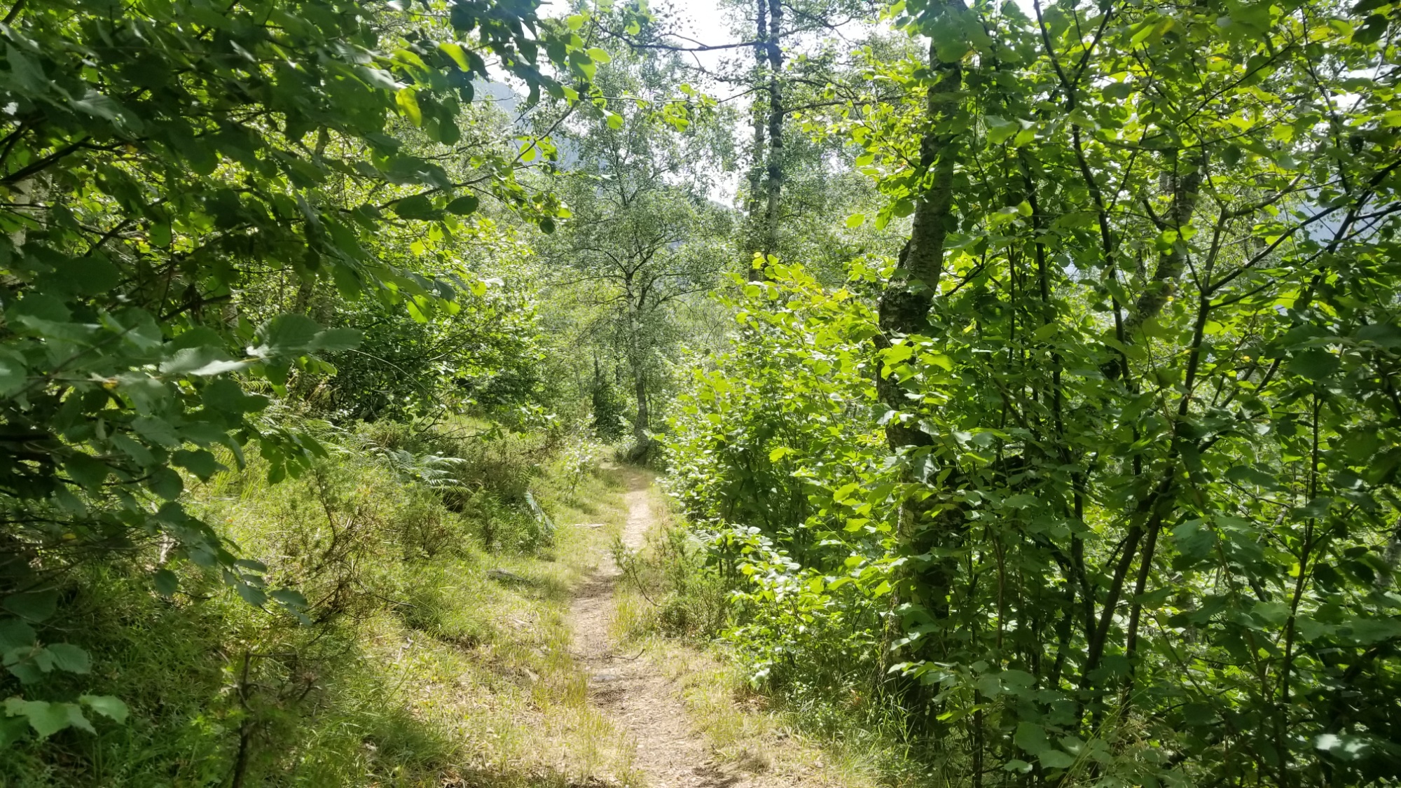
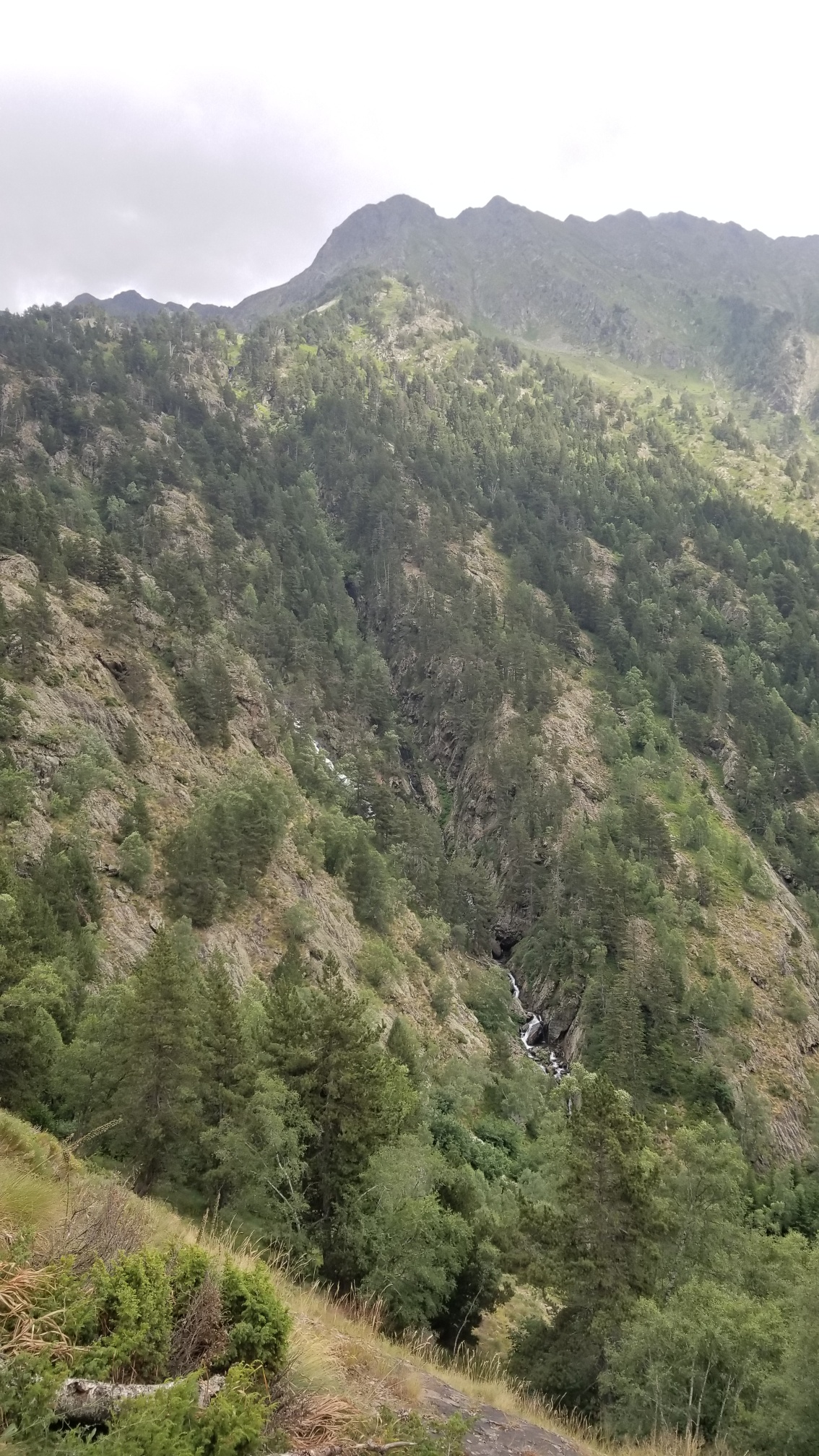
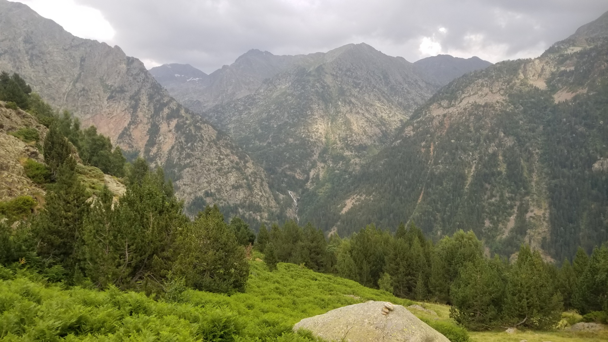
I passed another lake and followed the outflowing stream from the lakes down the valley, past shepherds huts and through some forestland.

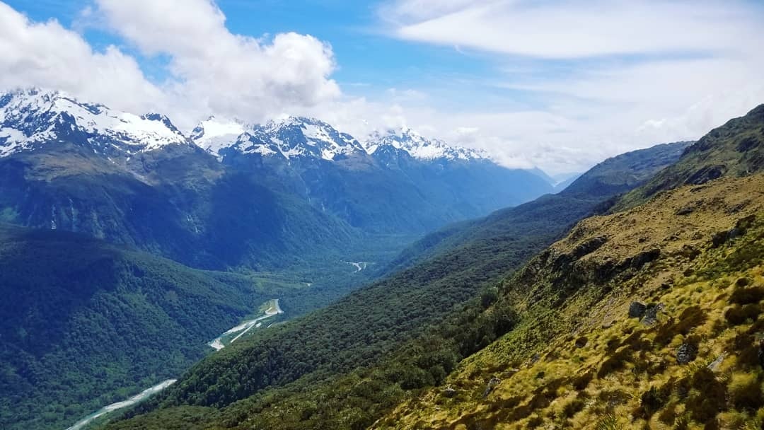
And there’s a TRAIL today! Imagine that! What a difference from yesterday’s soggy bushwhack. The trail was visibly treaded and well marked with cairns and Red-White blazes. I saw a few other hikers headed up to the refuge or just out for the day. I couldn’t say, as I rarely speak to anyone out here. I assume most of them don’t speak English. Maybe that’s a self-defeating attitude, but I’m also not out here to be social. I’m here to hike and photograph the highest crest of the Pyrenees mountains, from the Atlantic to the Mediterranean. I’m sure I’ll have plenty to talk about when I get home to my friends and family.
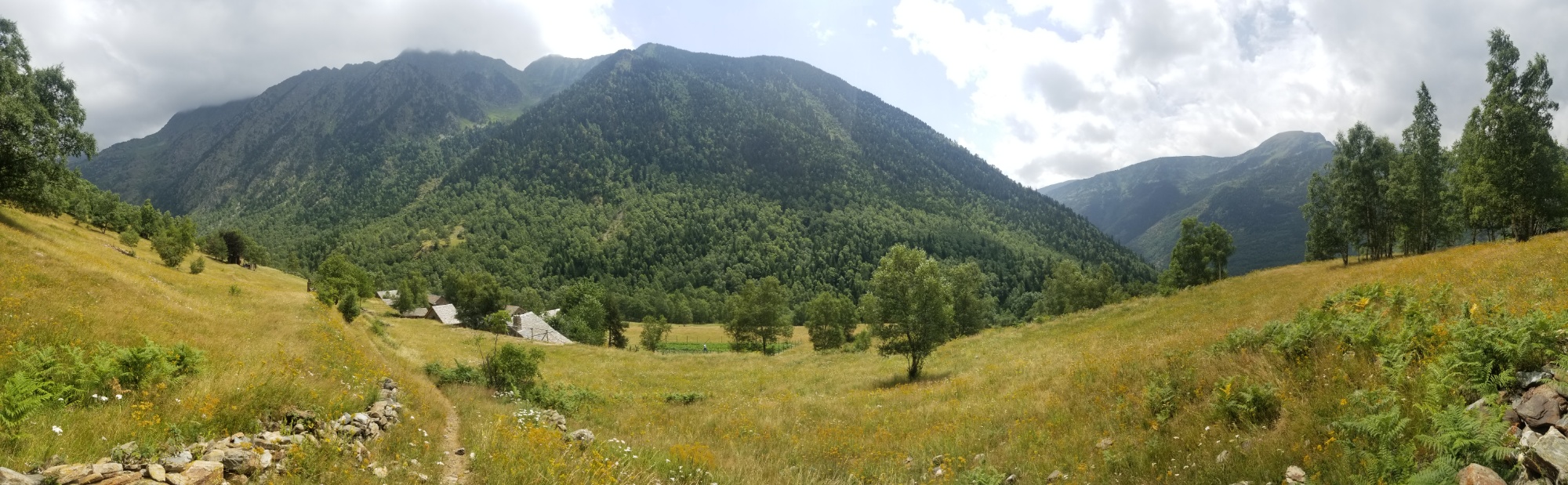
The trail continued on, crossed a bridge, and led on to a small little community called Noarre. I walked by just as a big family was outside of their house. Ahhh, the looks I get walking past people. It’s like they’ve never seen a backpacker before! Really can’t say I’ve seen many true backpackers out here. Mostly dayhikers and refuge-hoppers, both of whom carry very little and rely on others for their food and shelter.
Contrarily, I like to have all my food sorted myself, and I carry my home on my back. That’s my secret to spending as little as possible while traveling: learn to cook your own meals and enjoy sleeping in a tent.
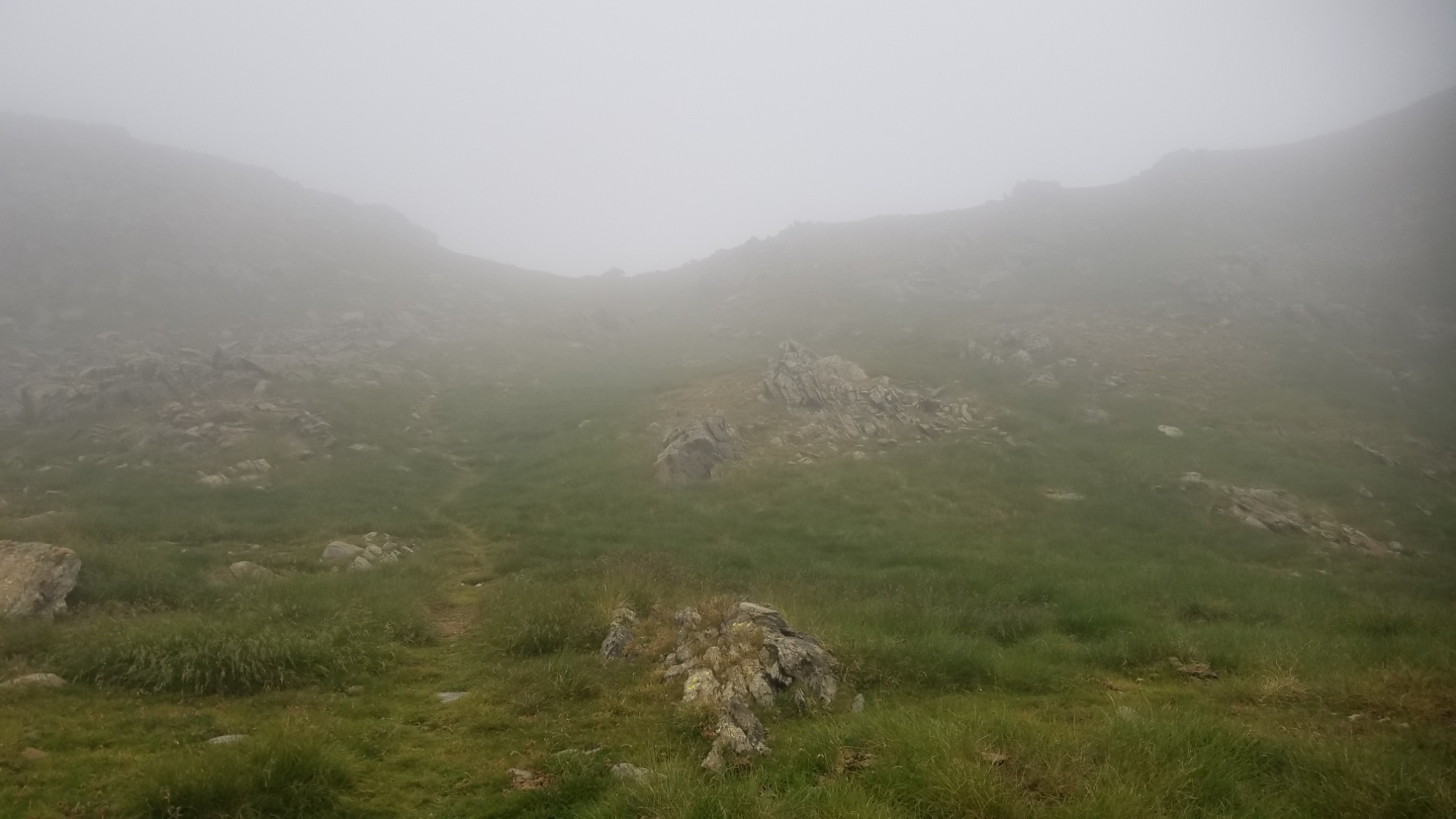
I passed the hamlet and went down to the river, but I checked the maps and it was the wrong way! Dog gone. I had to climb back up through a big grassy field to the right trail. My way was going 1,000m up and over another high mountain pass, not a leisurely stroll down a pretty river valley. Such is the high route.
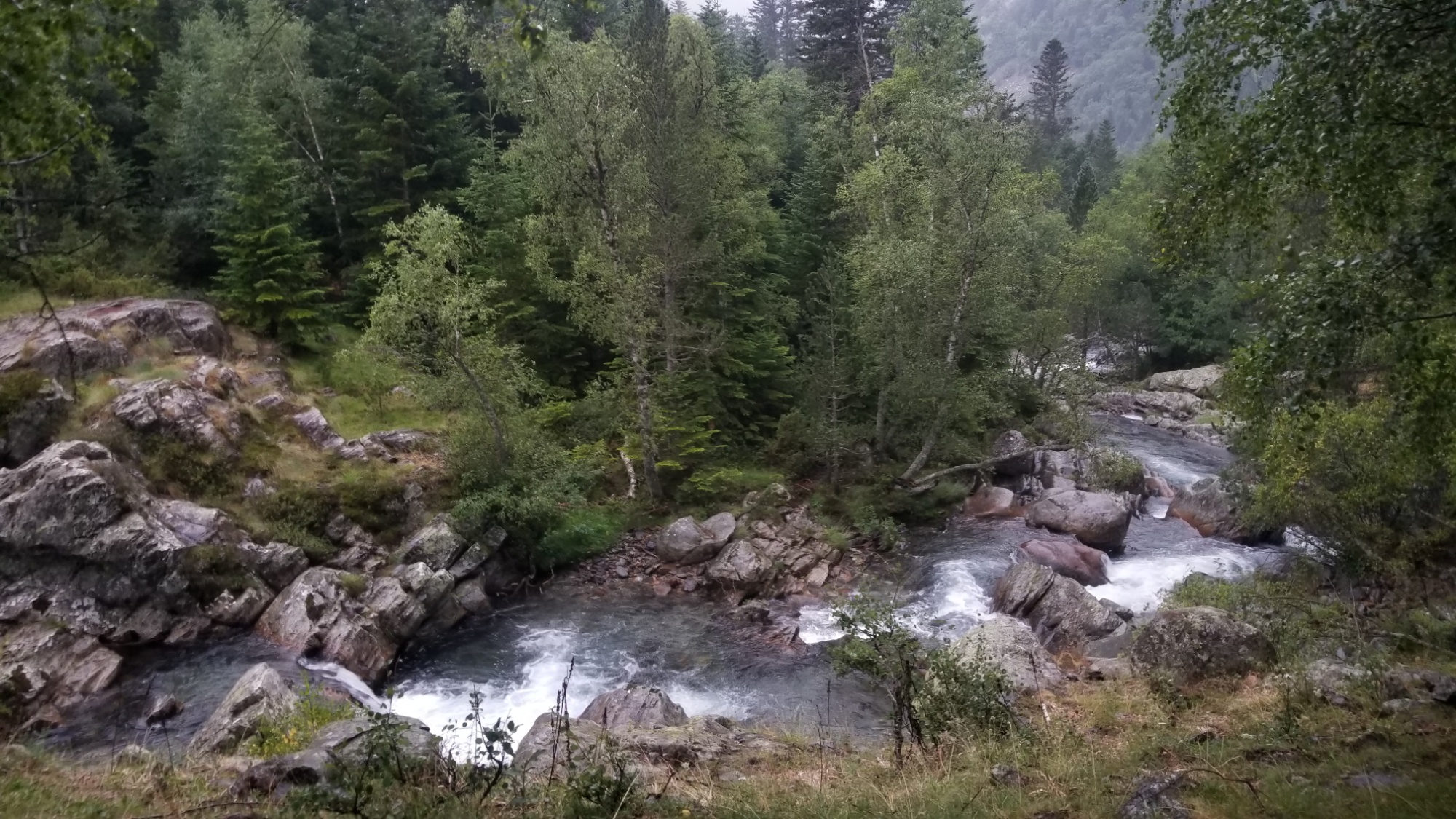
I began the climbing through a gorgeous forest of Aspen trees, and stopped at a waterfall 300m up to make a delicious tomato soup to help provide the energy for the climb.
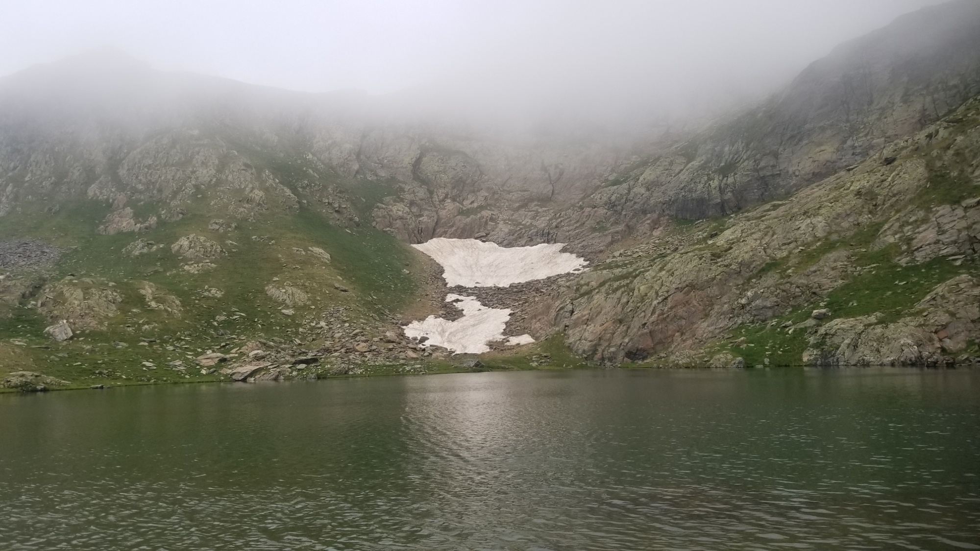
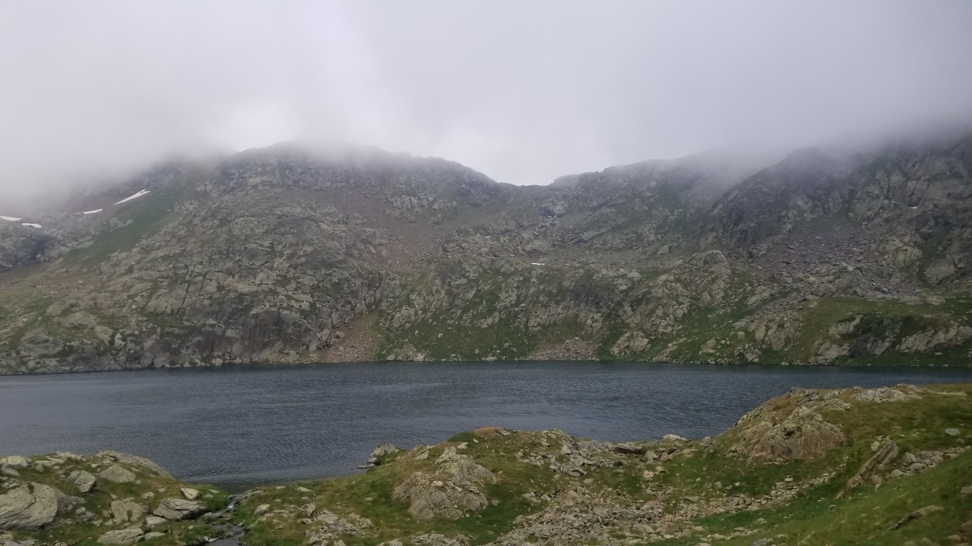
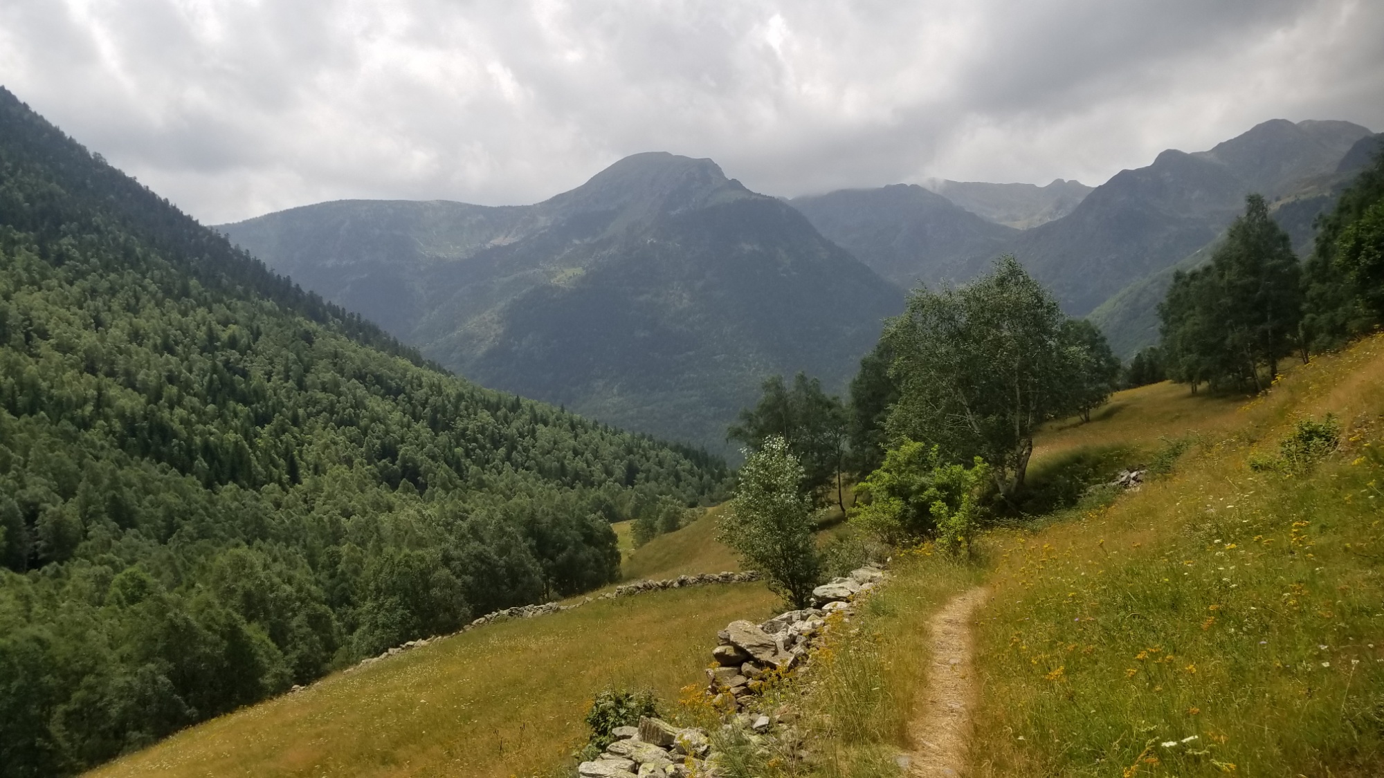
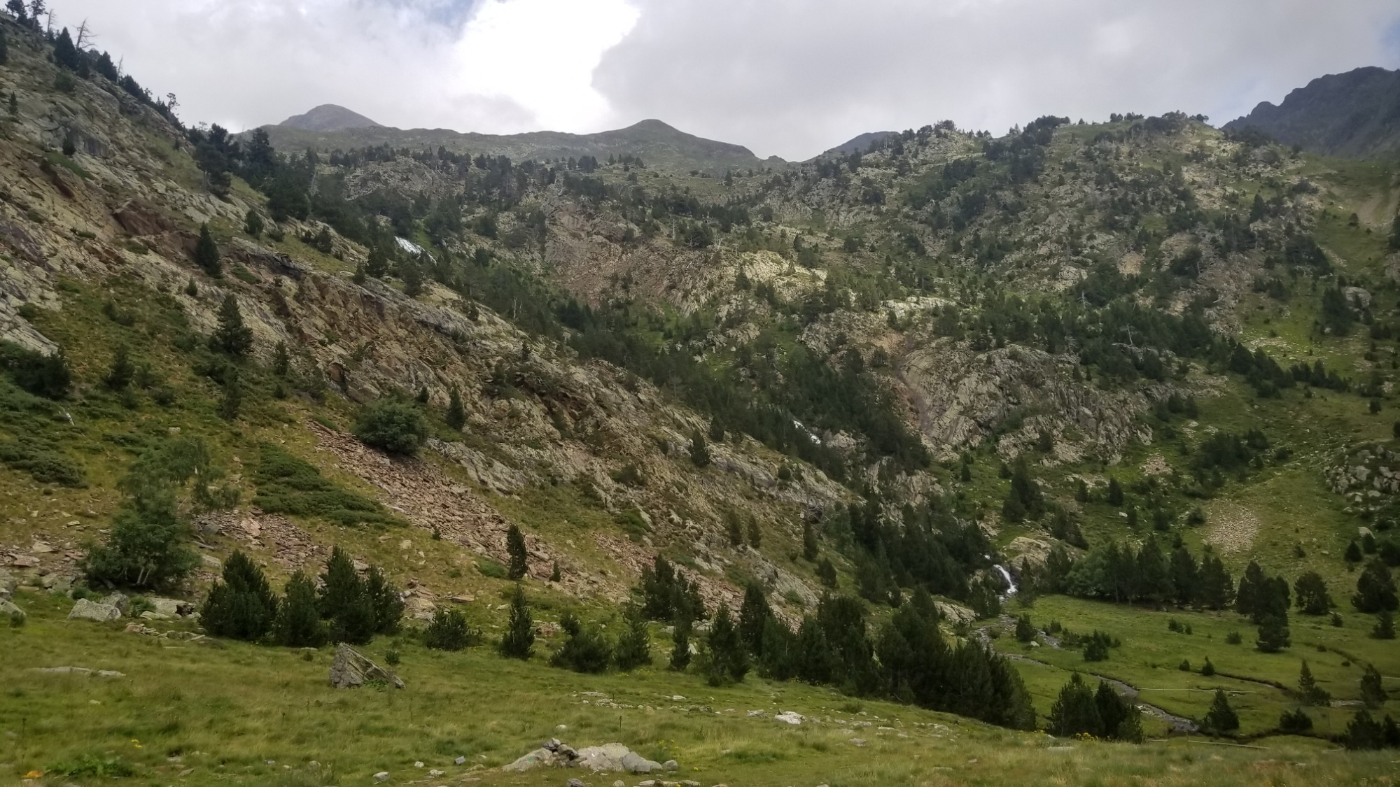
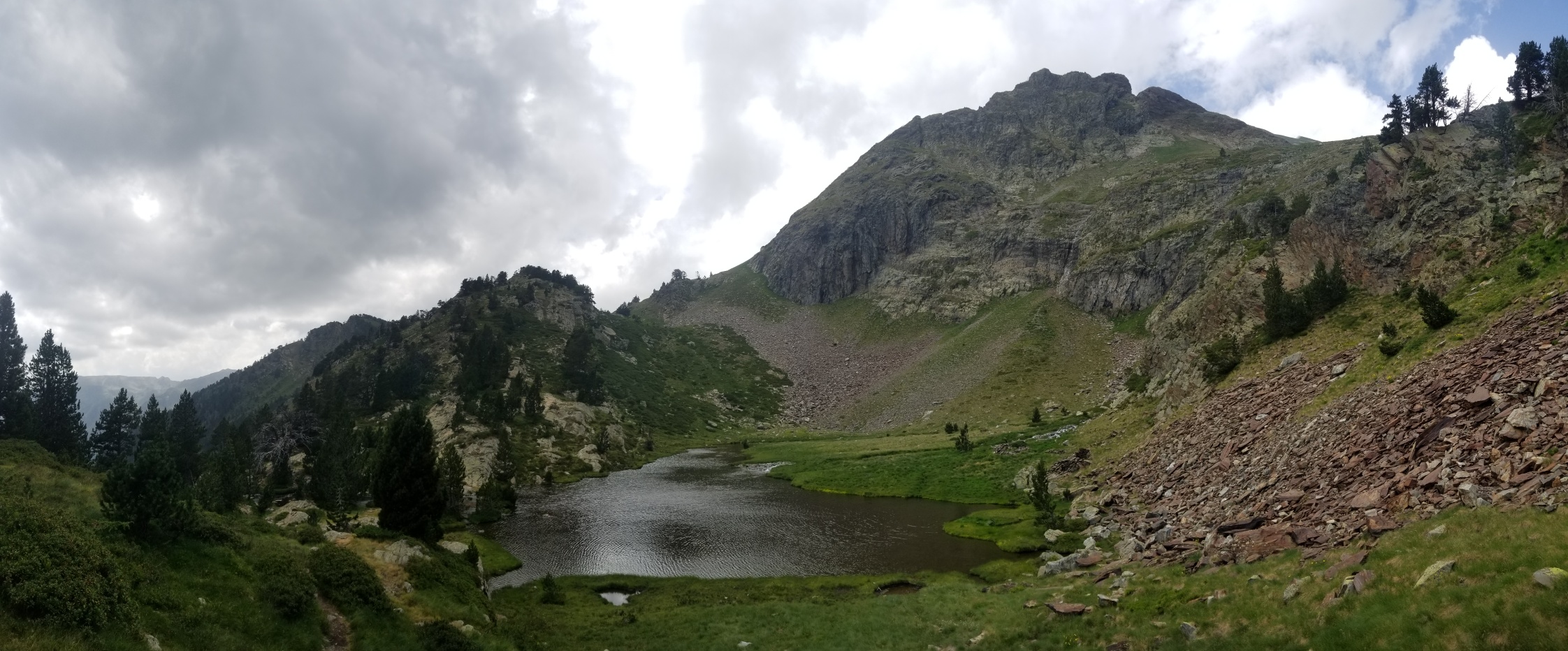
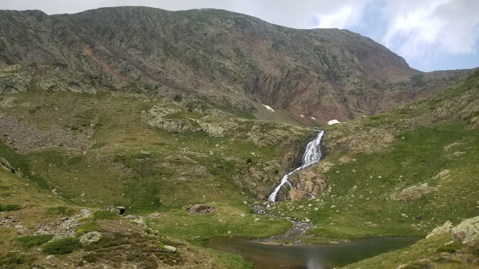
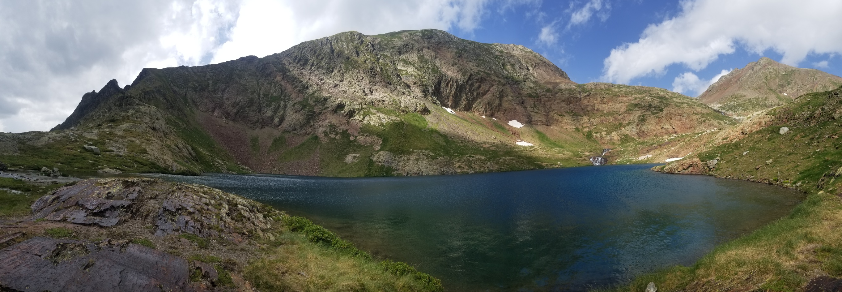
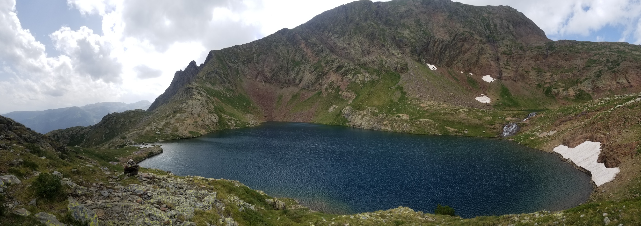
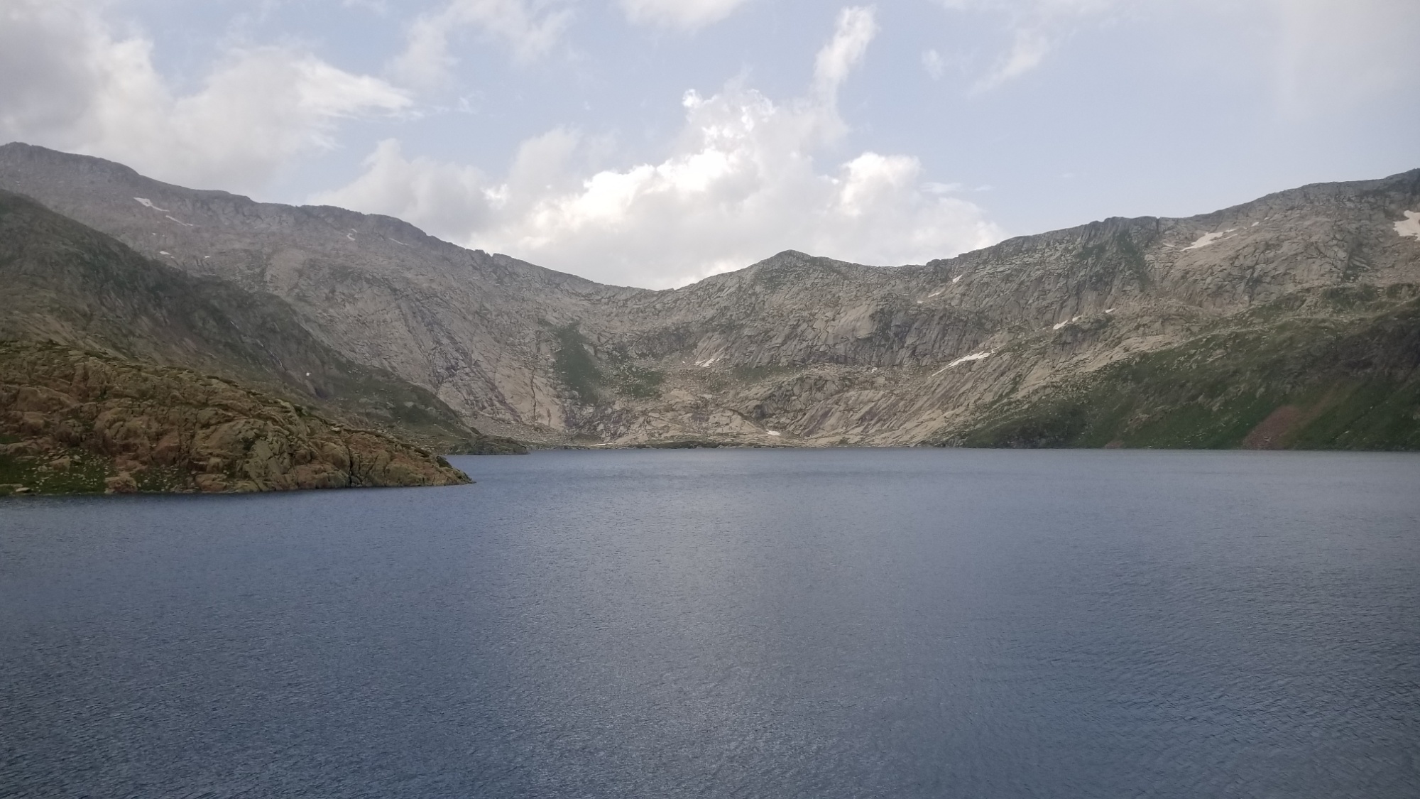
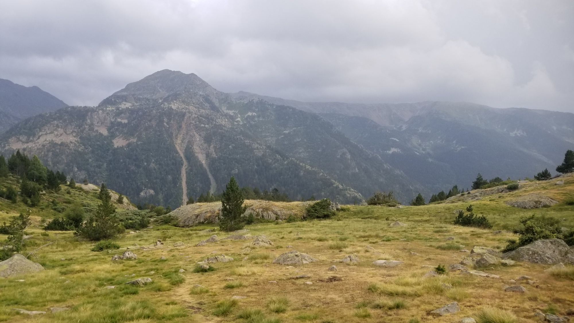
Then, up, up, up, switchbacks and all that. They eventually led to a large open grassy bowl in the valley with multiple waterfalls contributing. I climbed up to the left of one of them, and finally came to the lakes that I had been looking for. First a small one, then a larger one near the Col de Certescan. From the high lake, I had another 300m climb up and over the col.
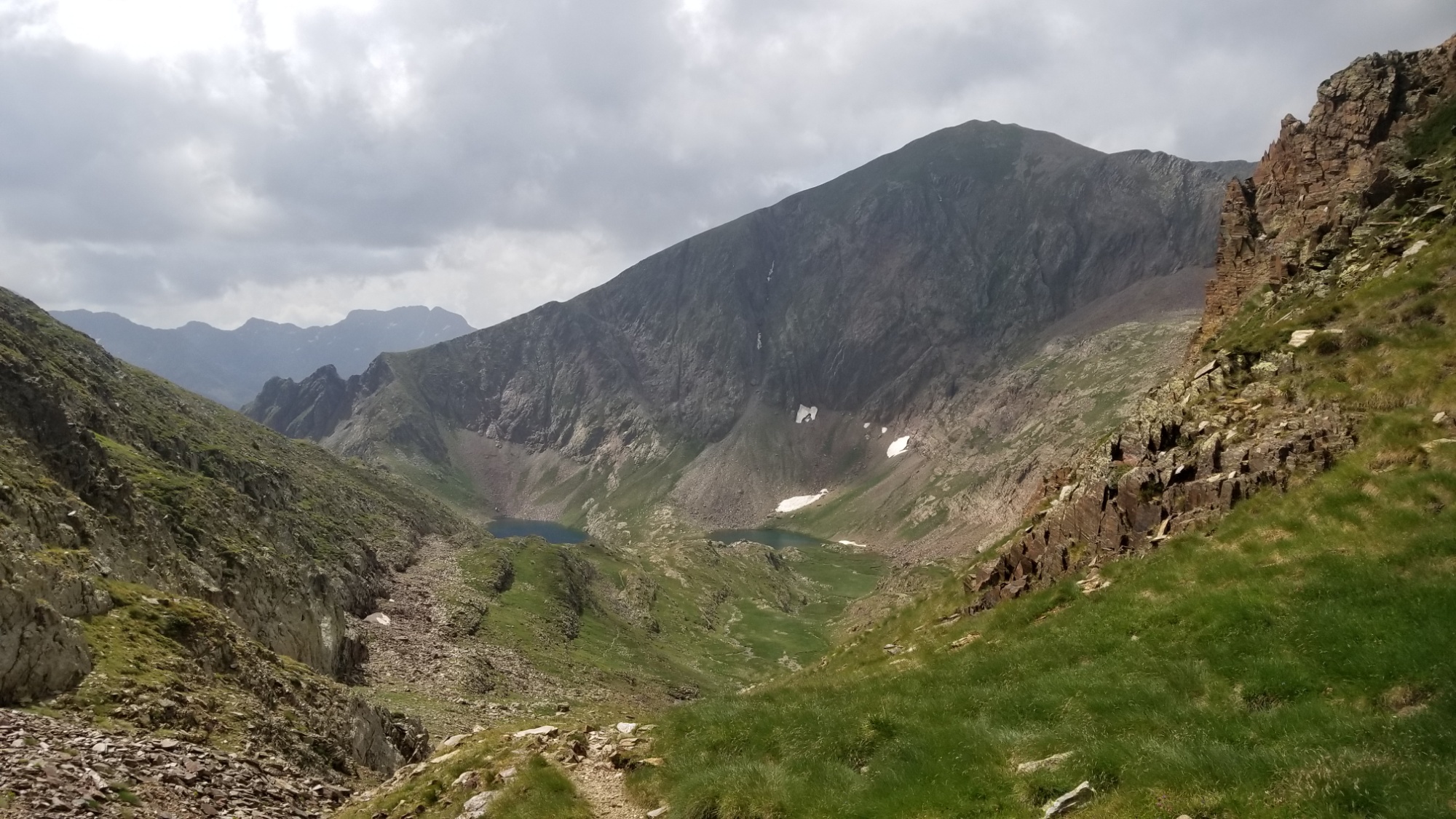
Then, I ran into some icy snow patches! They were supposed to be melted by now.. oh well. I took the opportunity to glissade, but it was so icy that I found it hard to stop, and lost control a bit. I made it to the bottom, skidding a little bit on the gravel, and caught my breath before I realized that something was missing… oh! I dropped one of my trekking poles halfway up the sheet of ice. I’m laughing at myself now. I had to kick steps in and climb up a precarious 20m to retrieve it, before glissading down a second time. Also, I could see from the bottom that I could’ve avoided the ice entirely by taking a scree field descent! Oh well, too late now.
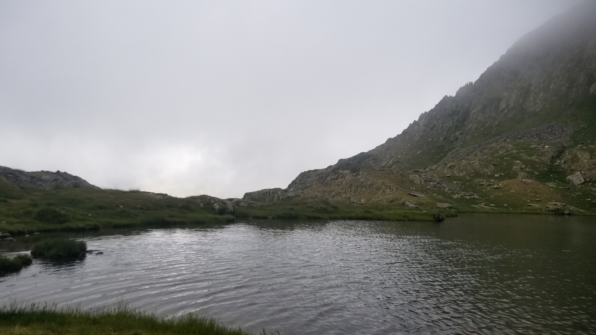
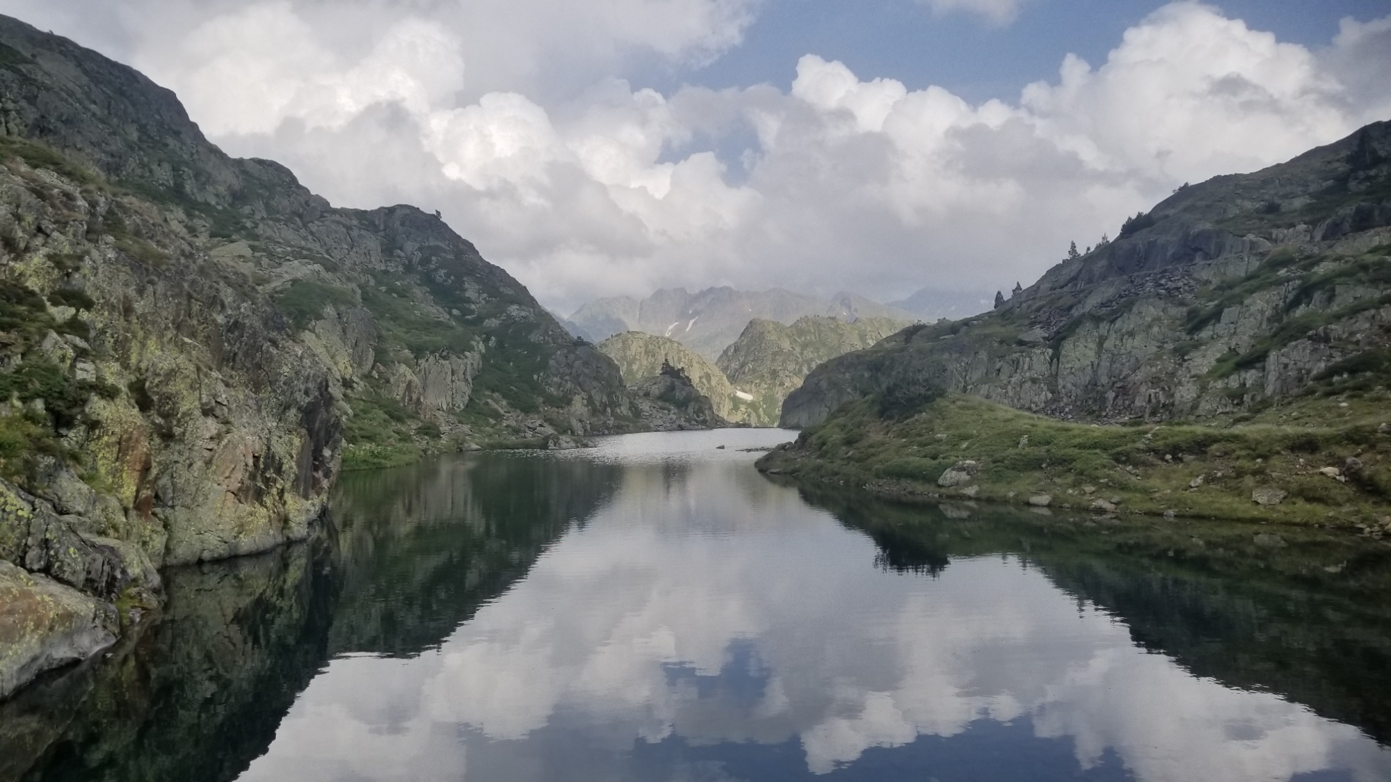
I was in the fast track down the valley. There was a a refuge at the other end of this lake I walk towards, but I wasn’t really interested in spending money, as I have enough supplies already. Plus, it was only 6pm! I can make great miles in the cool temperatures from 6-8pm.
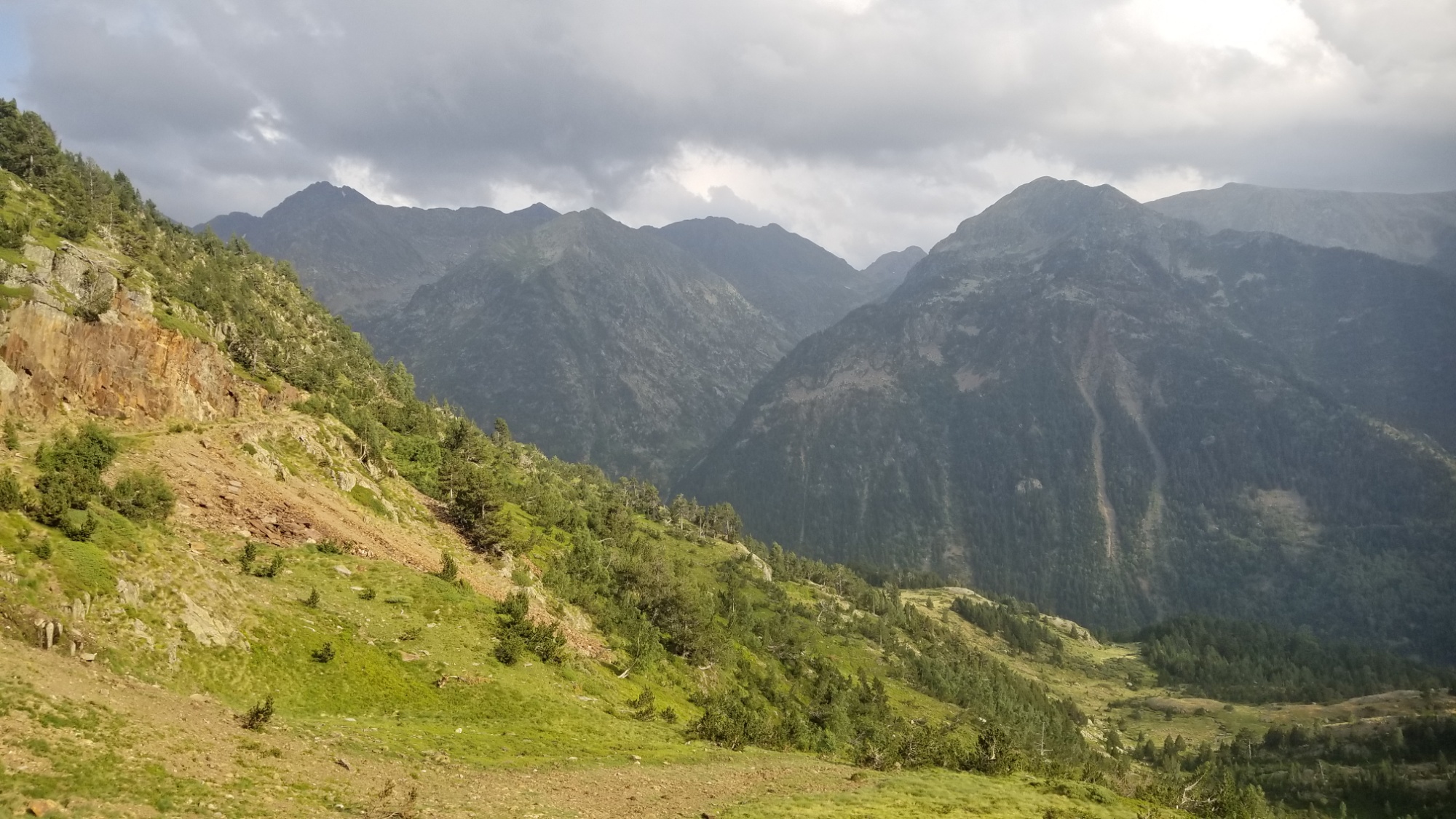
Ah, that’s another thing that made today a great hiking day! It was overcast and partly sunny for much of the day, so it never really got super hot, and I was in the shade of clouds or forests during the hottest part of the day. It made a huge difference in how I felt. Plus, there was an awesome wind that would blow through every 5-15 minutes and totally dry off all the water from my clothes! And it was probably a pleasant 60°, perfect for long walks in the mountains.
I carried on down the trail past the refuge, and stopped at a lower lake to make dinner. Instant noodles, tuna with mayo, and a chocolate bar with almonds or hazelnuts. That’s been my go to the last few days.
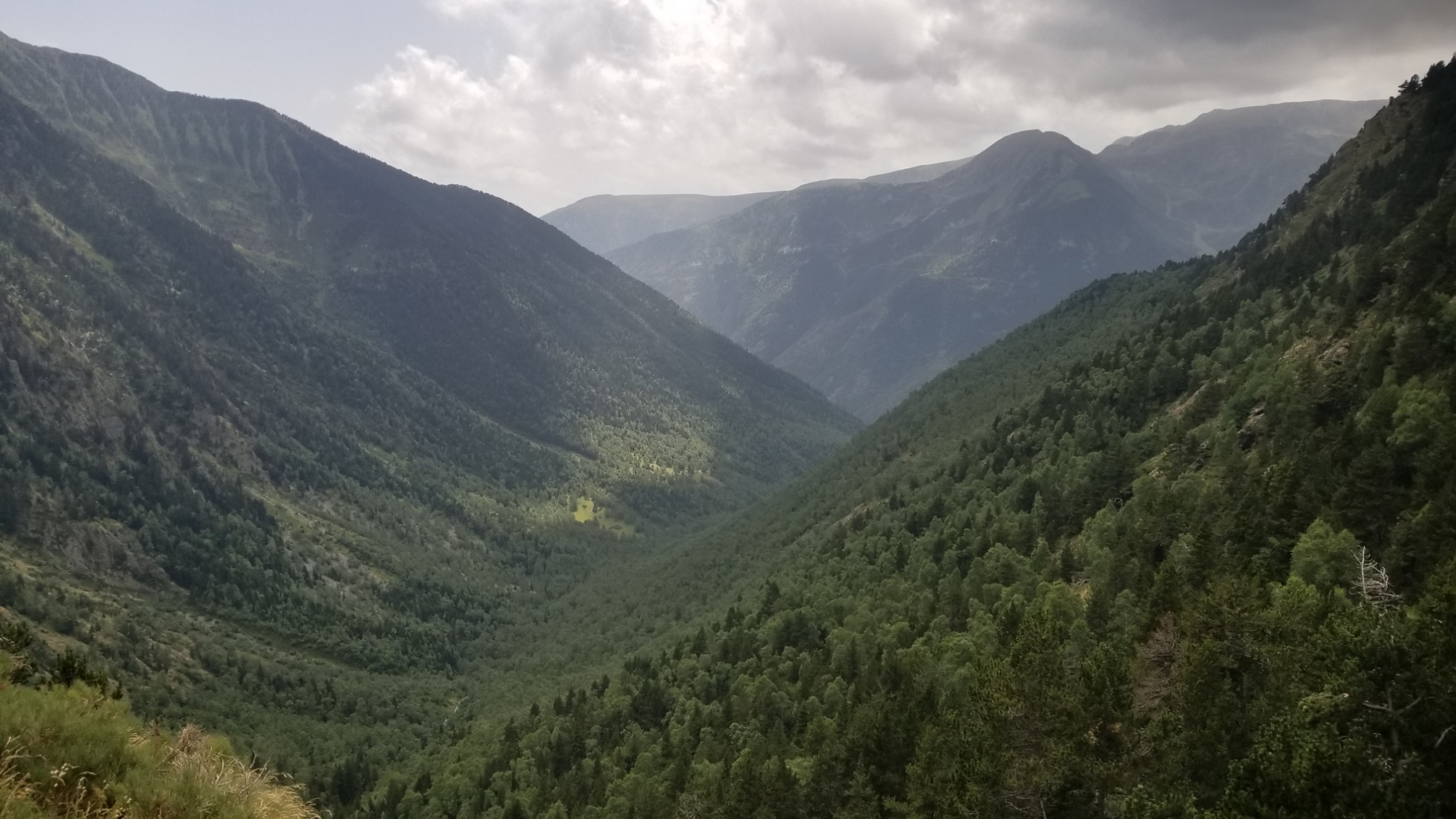
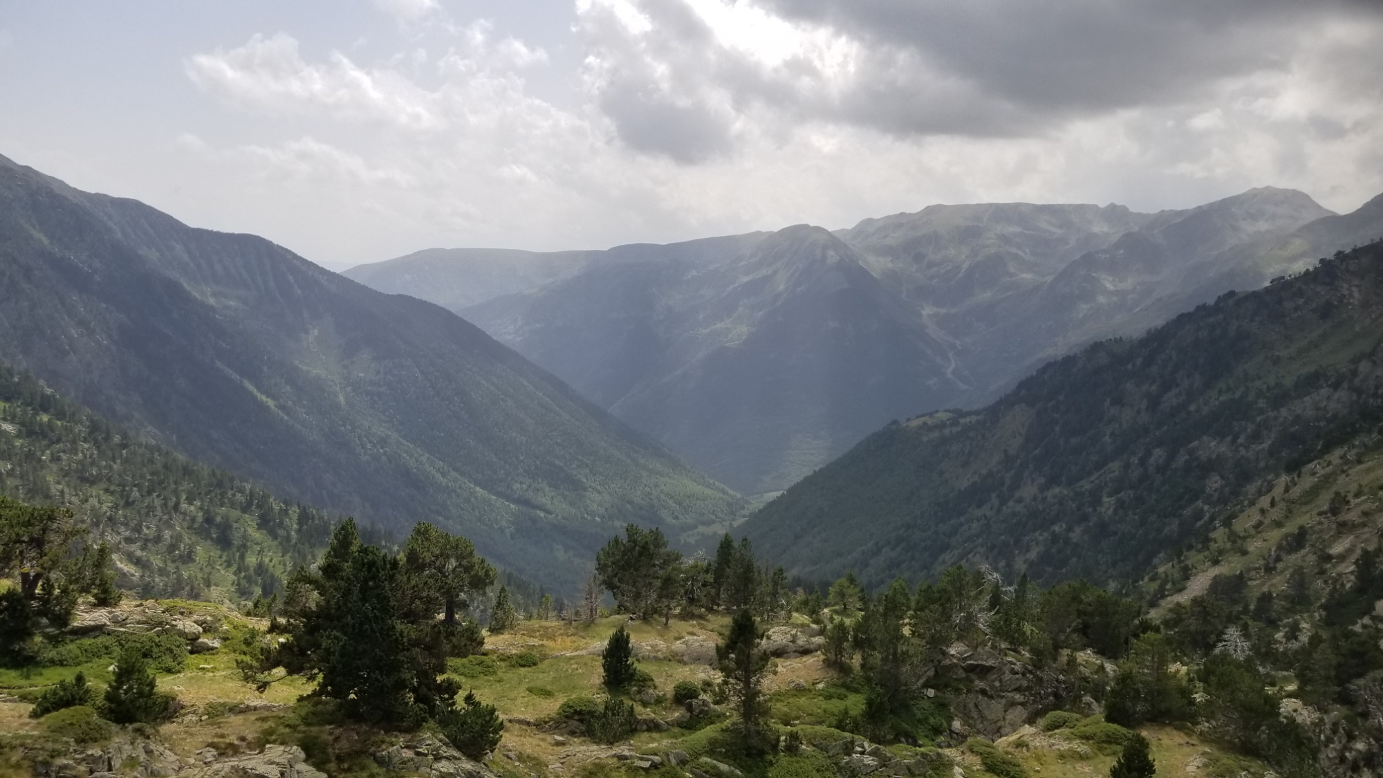
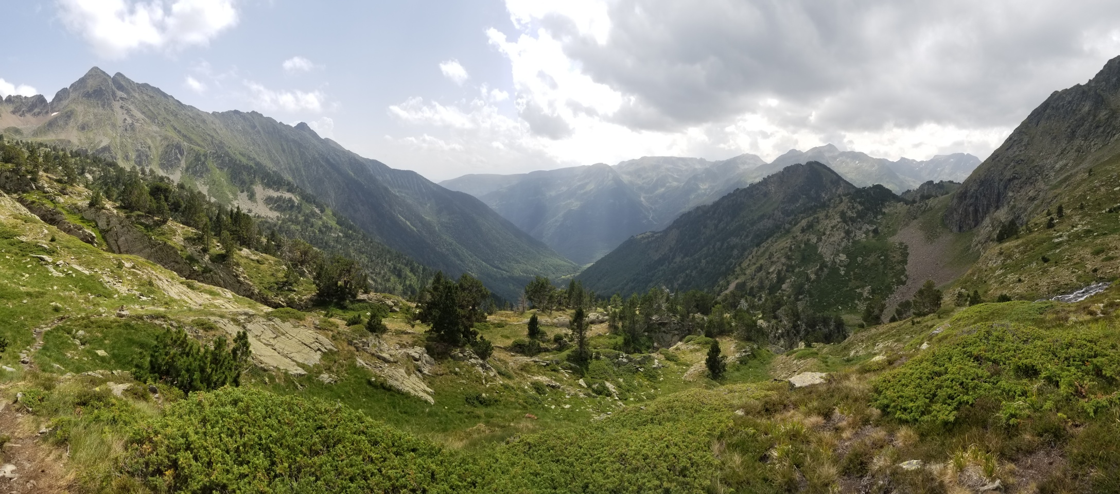
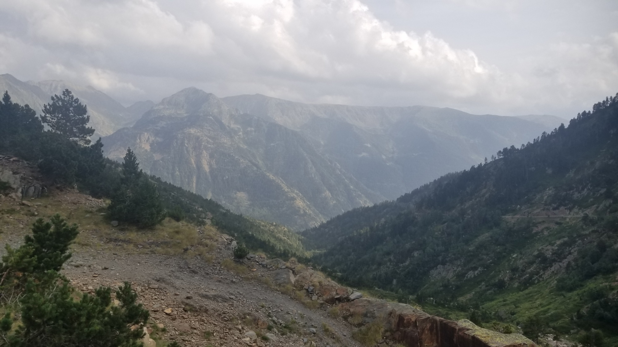
Then, on down the trail and into another picturesque valley. I’m really getting sick of how beautiful everything is here! The trail led on to a dirt road, which I took for a km before rejoining with another trail. It was a well-made road, blown into the side of a cliff for use by whoever manages the dams in this area.
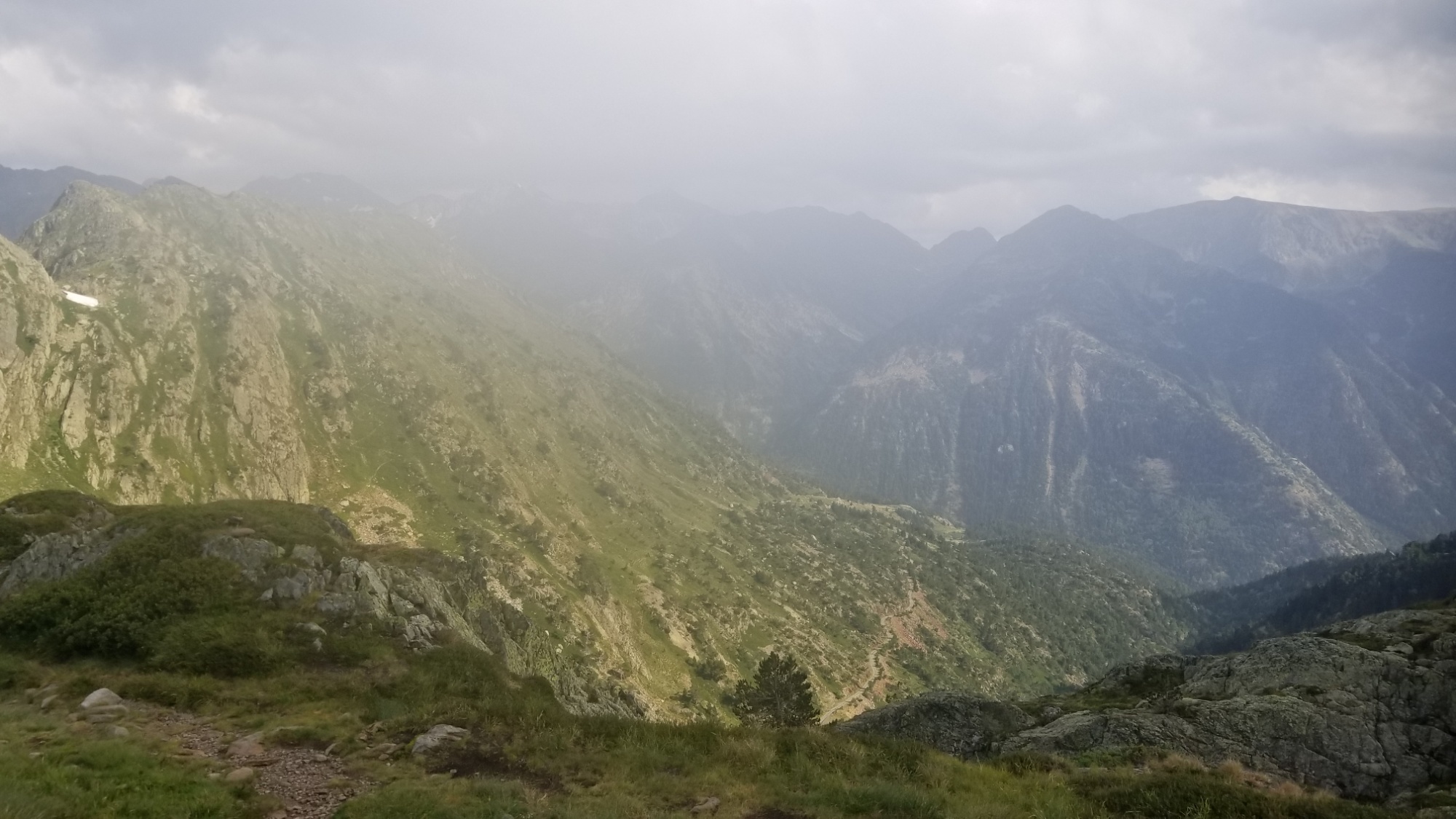
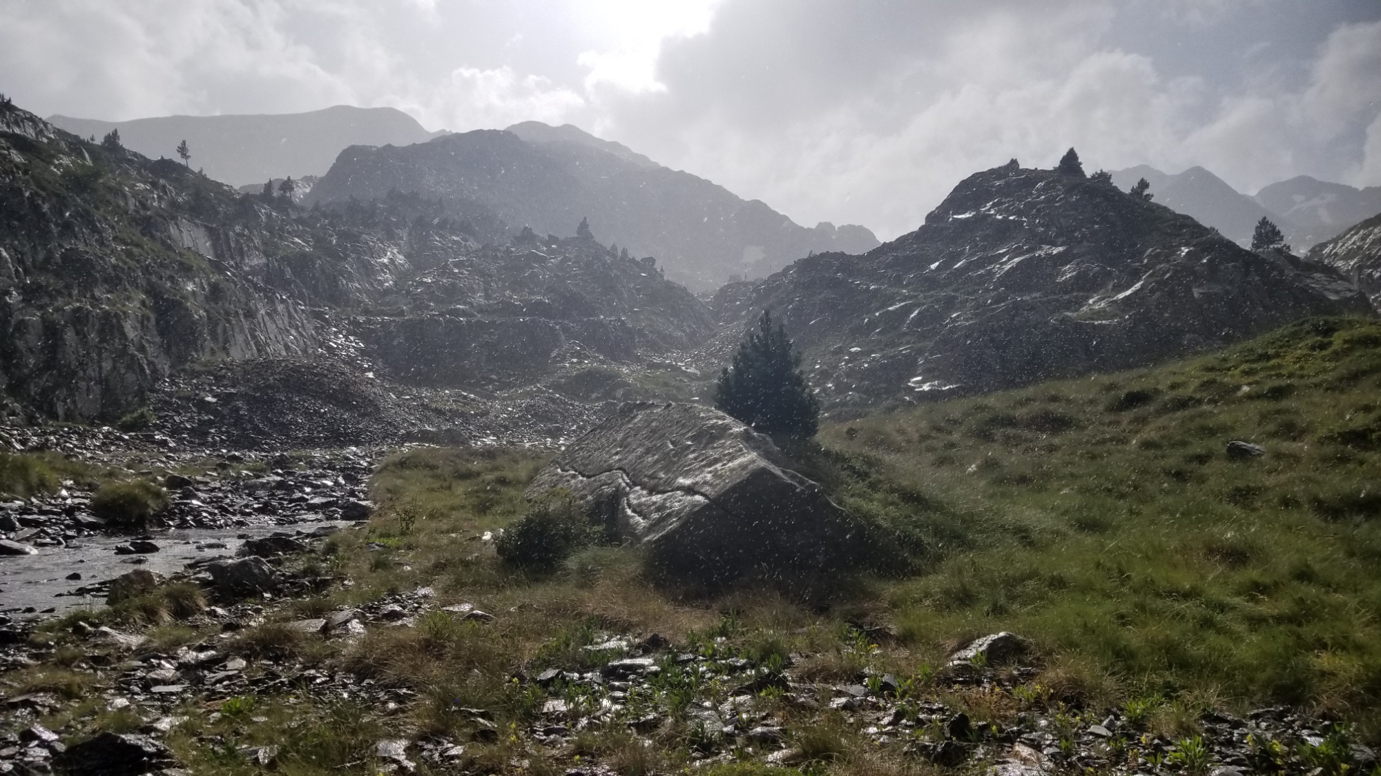
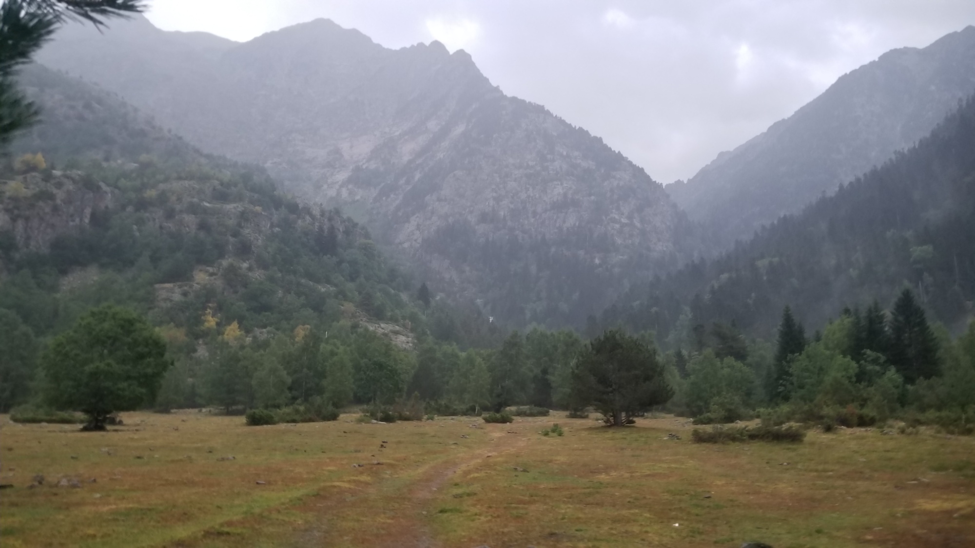
Then the trail went down, down, 1,000m down to the Plains de Boavi. Along the way, there was thunder booming in the distance. When I was about 100m from the bottom, the skies opened up and the deluge began. I donned a poncho and carried on, with extra caution since all the rocks were slippery now.
At the bottom, I followed an old road along the river for a couple km, eventually coming to a big open field. Halfway across it and I see a flash and hear the crack of lightning up above! I jumped. I am lucky that the lightning usually strikes high peaks rather than hitting down in the valley. It was a little unnerving nonetheless.
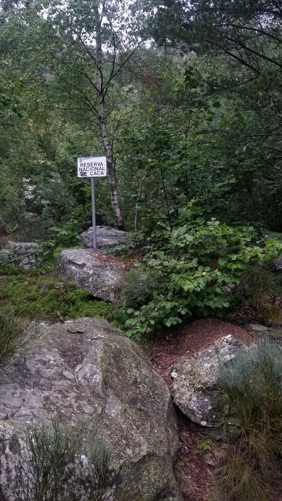
I followed the road until it became a trail through the “Reserva Nacional de Caca” (I laughed)
and I made it to a bridge (thank the stars) over the raging, rain-swollen river below.
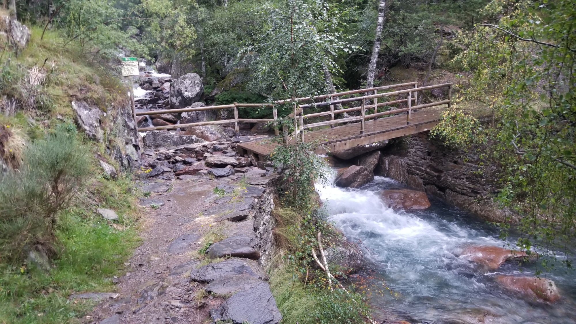
On the other side, I went down into the woods and found a perfect flat patch of grass to pitch the tent, in a calm moment before the rain picked up again.
Wow, what a day! I loved having good trail all day. I was able to make 25km despite the intense ups and downs.
The storm returned in force around 9:30, with powerful lightning and thunder all around, and a 30 minute deluge of water. I wouldn’t be so concerned, if I wasn’t camping in a historic floodplain. I know how the water level of rivers can rise up over the course of a few hours, and that is one of my fears. Being consumed by torrential floodwaters in the night. It’s just one of those things that you cant help thinking about in times like this. I hope the dams don’t break open, many years too soon.
Okay, good night!