Wow. Today knocked me out. It was at times dangerous, but constantly beautiful.
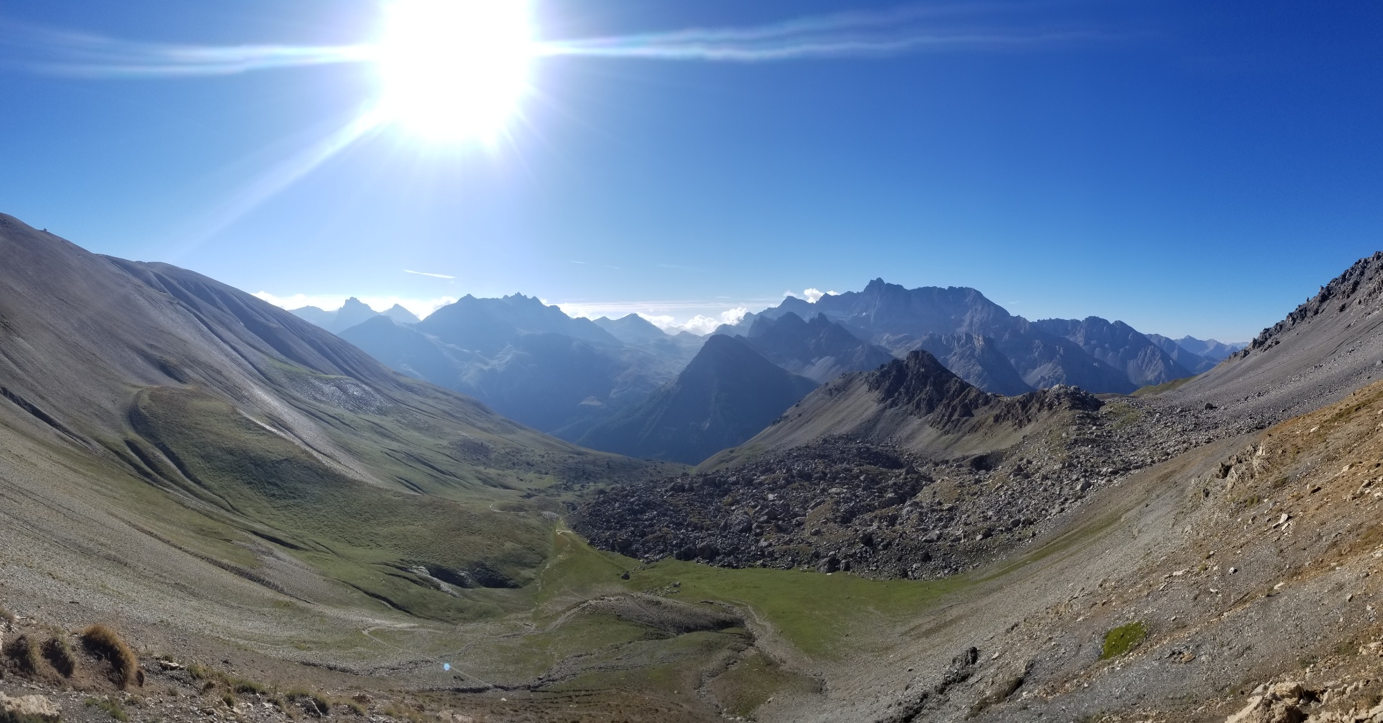
It began around 9 as I left my campsite and climbed 300m up to a col around 2,700m.
Leaving Lac Saint Anne
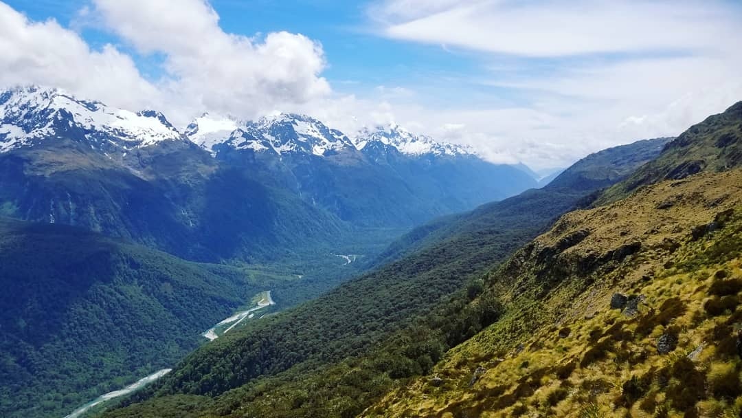
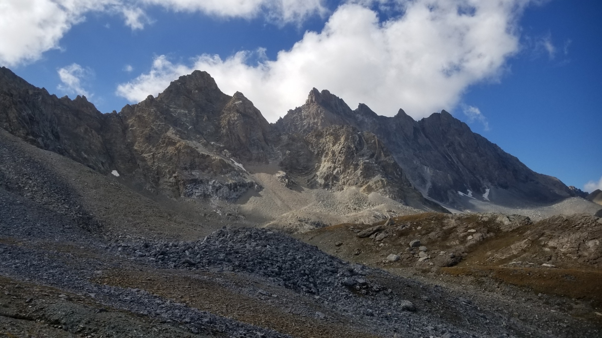
Pretty sweet looking mountains!
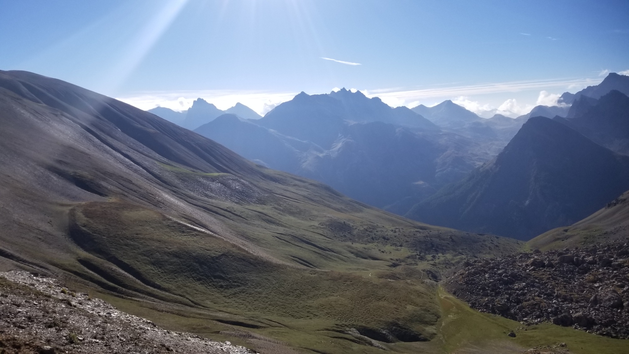
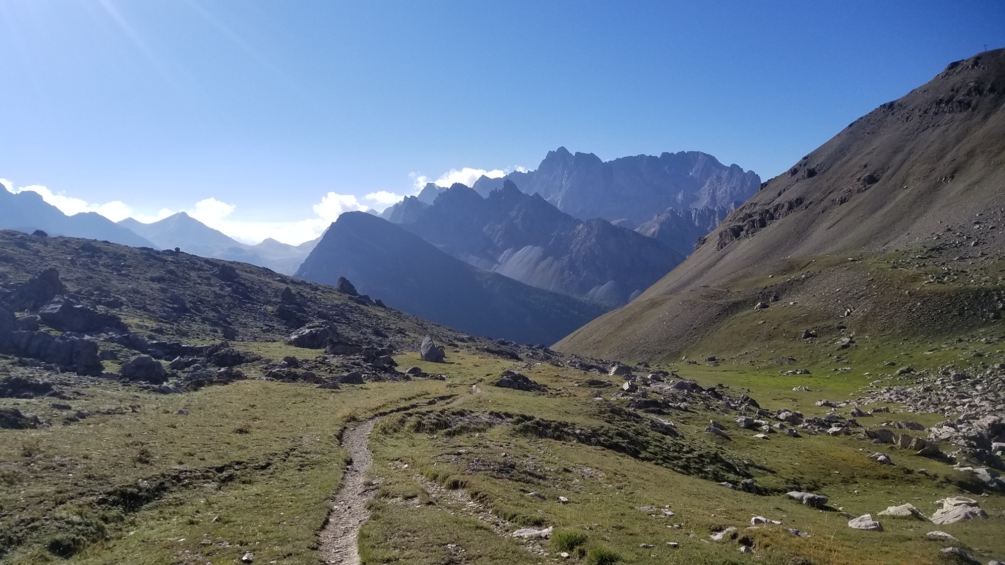
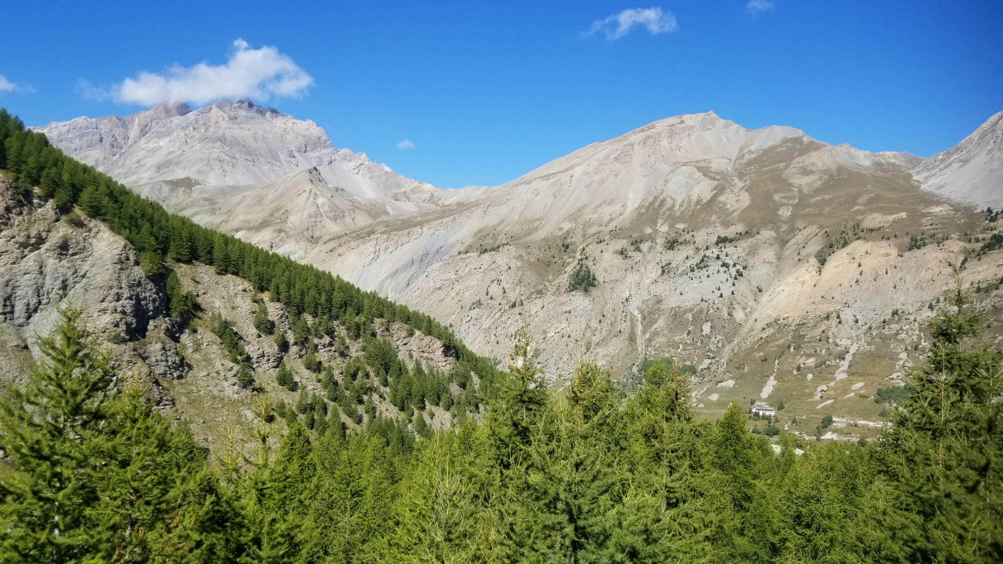
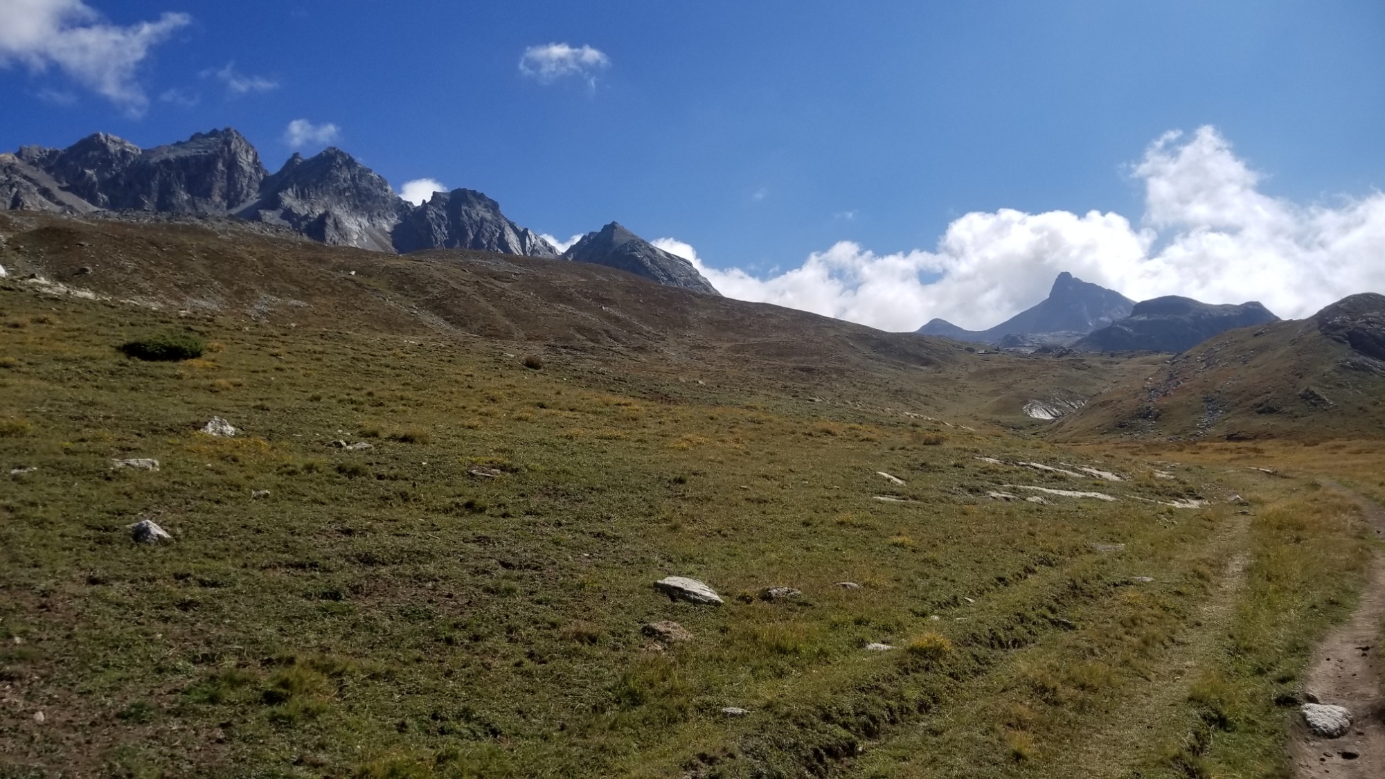
On the other side were some very intriguing and steep looking mountains.
However, the official trail avoids this mountain range entirely, instead taking a 20km booooring road walk to the nothing village of Foullouse.
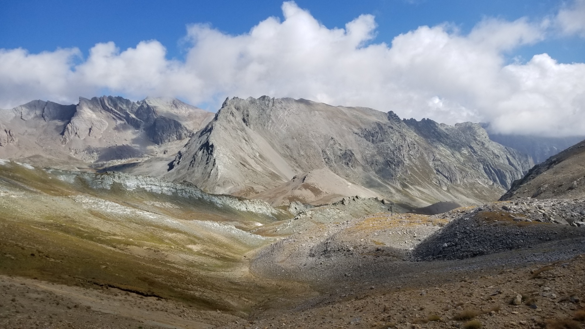
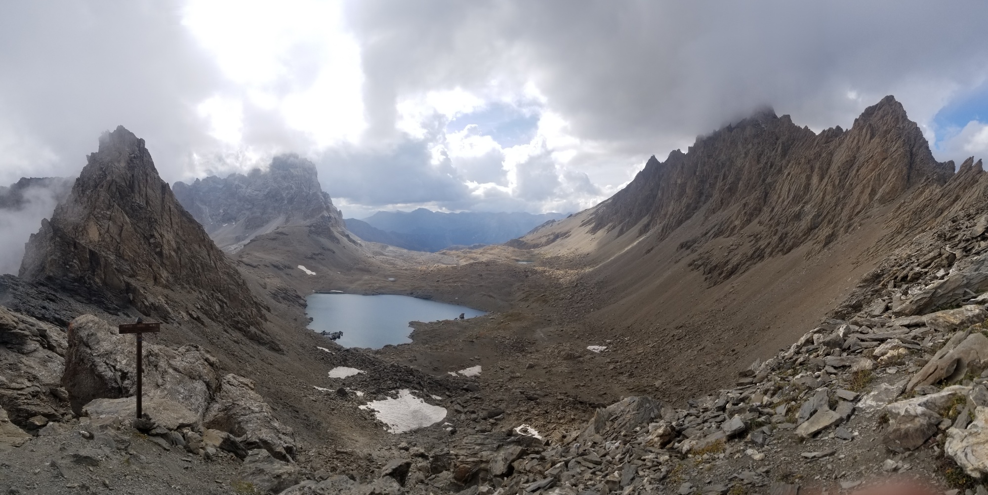
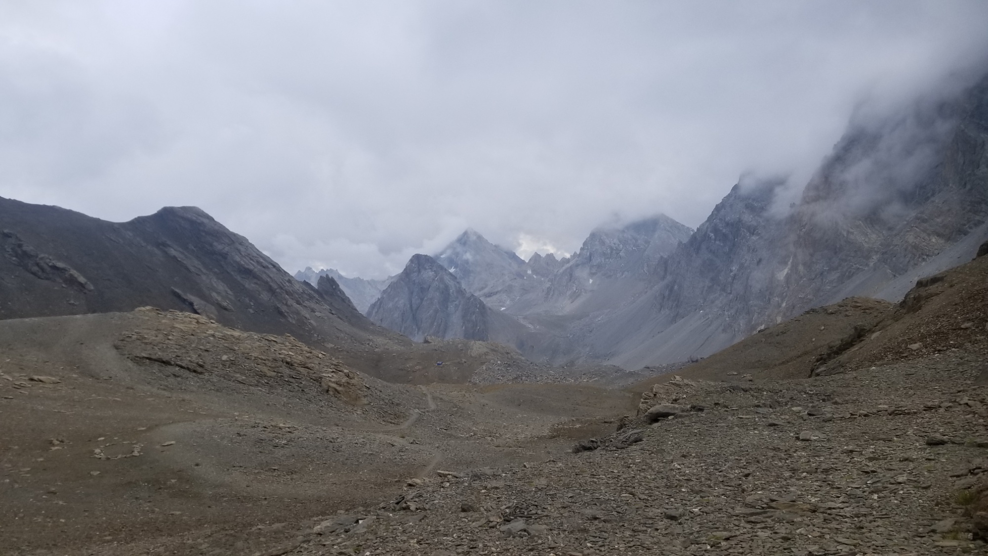
The “official” trail runs through this valley
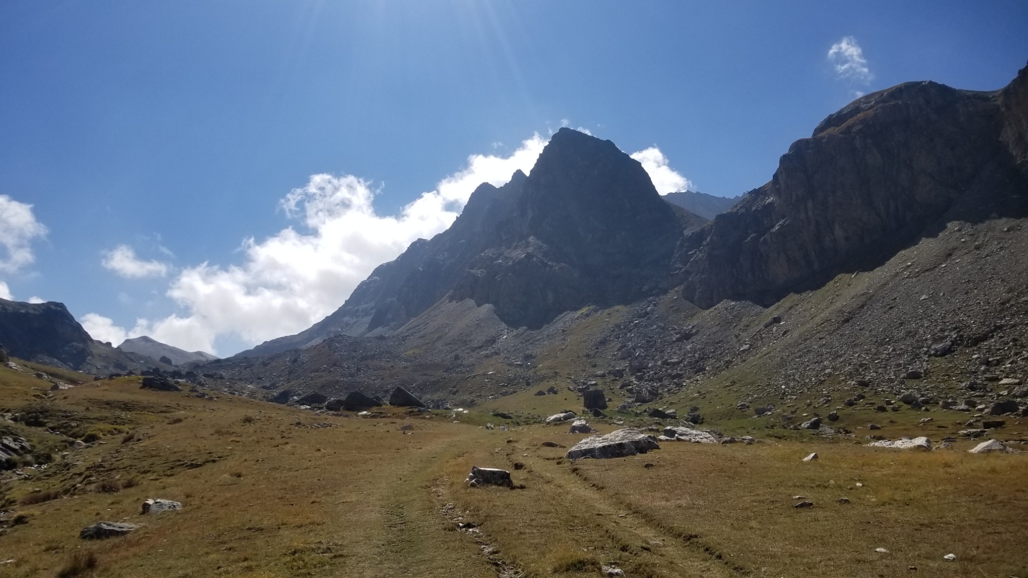
So, I decided to make up my own route, and cross those steep mountains I saw in front of me.
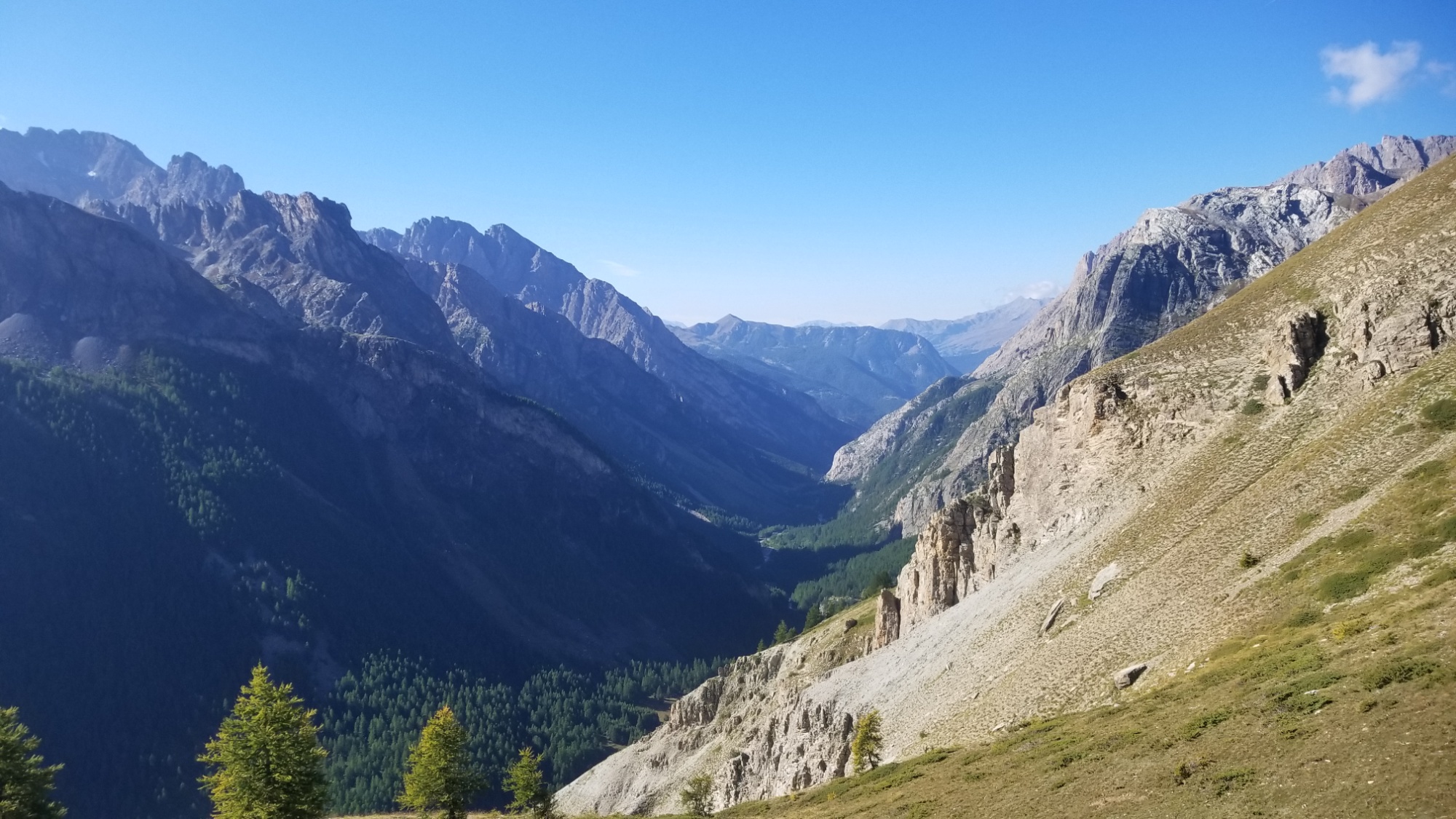
I climbed down 800m from the col, with great views of the valley below.
At the bottom, I walked through the village of Maljasset, and came to a river, where I stopped and had coffee.
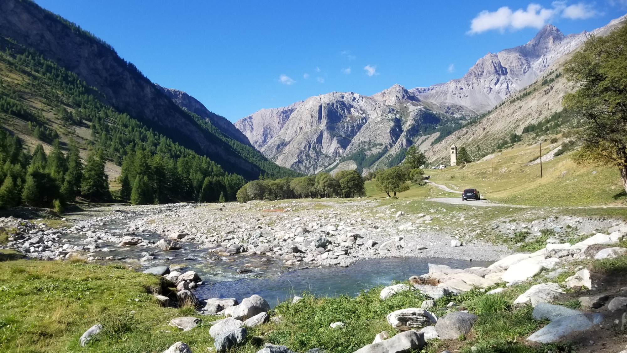
Coffee time
Then, a long climb up a valley to enter that mountain range I had seen. I passed a flock of sheep, making sure to skirt around them so the sheep dogs didn’t kill me.
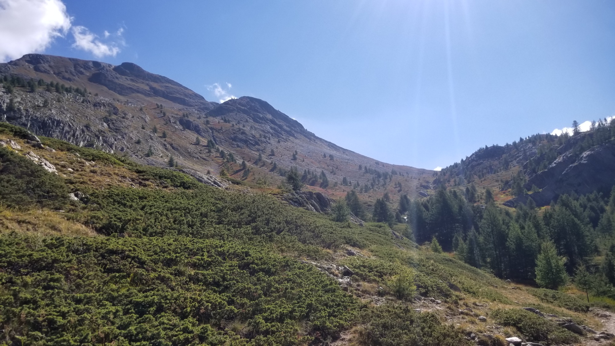
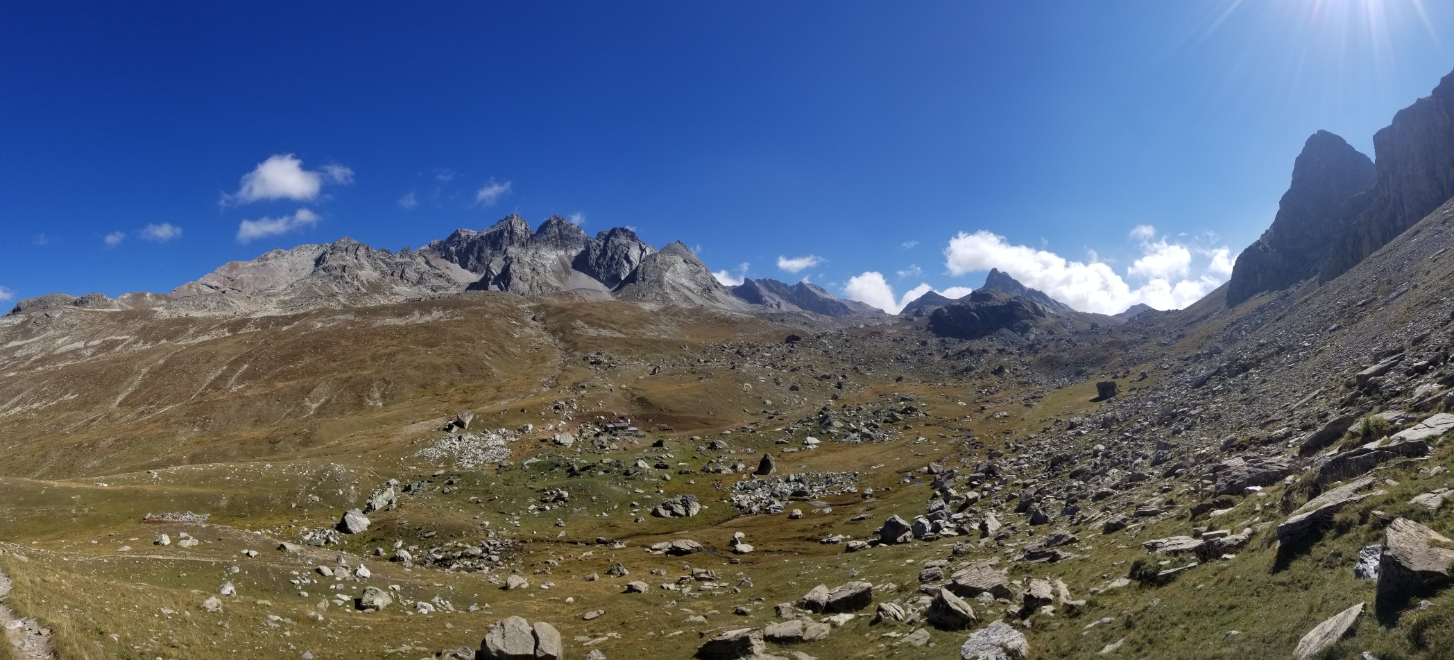
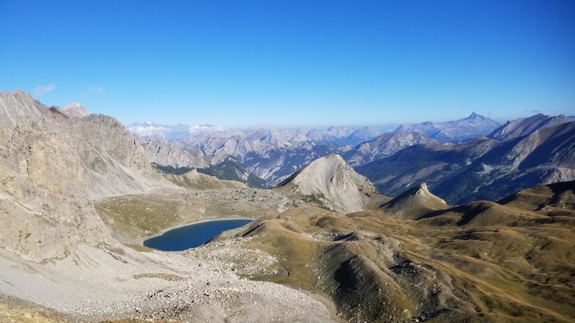
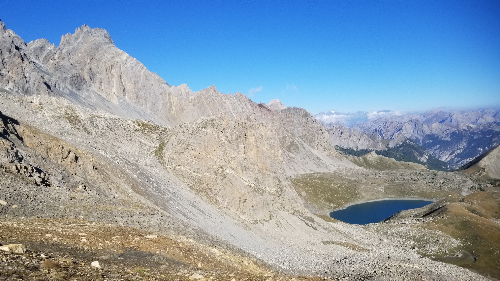
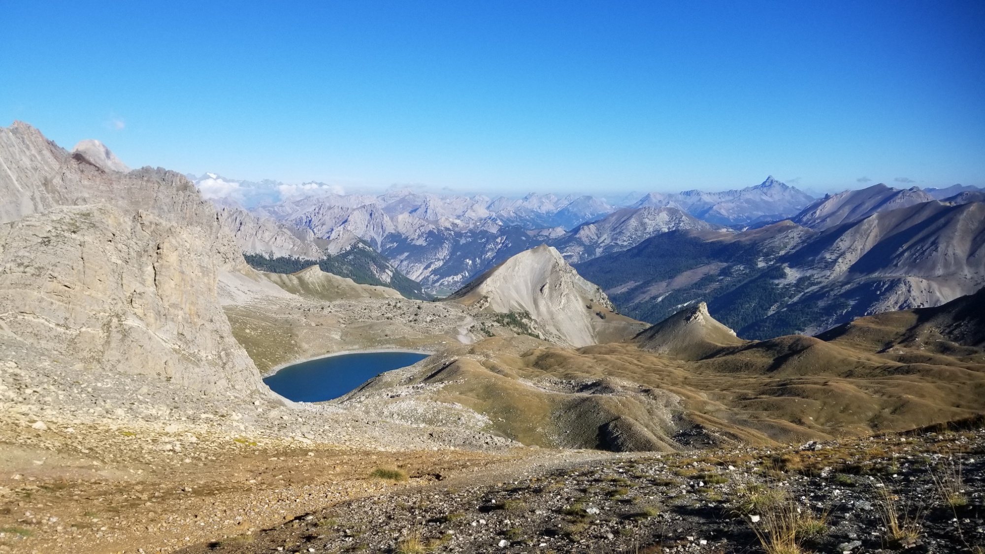
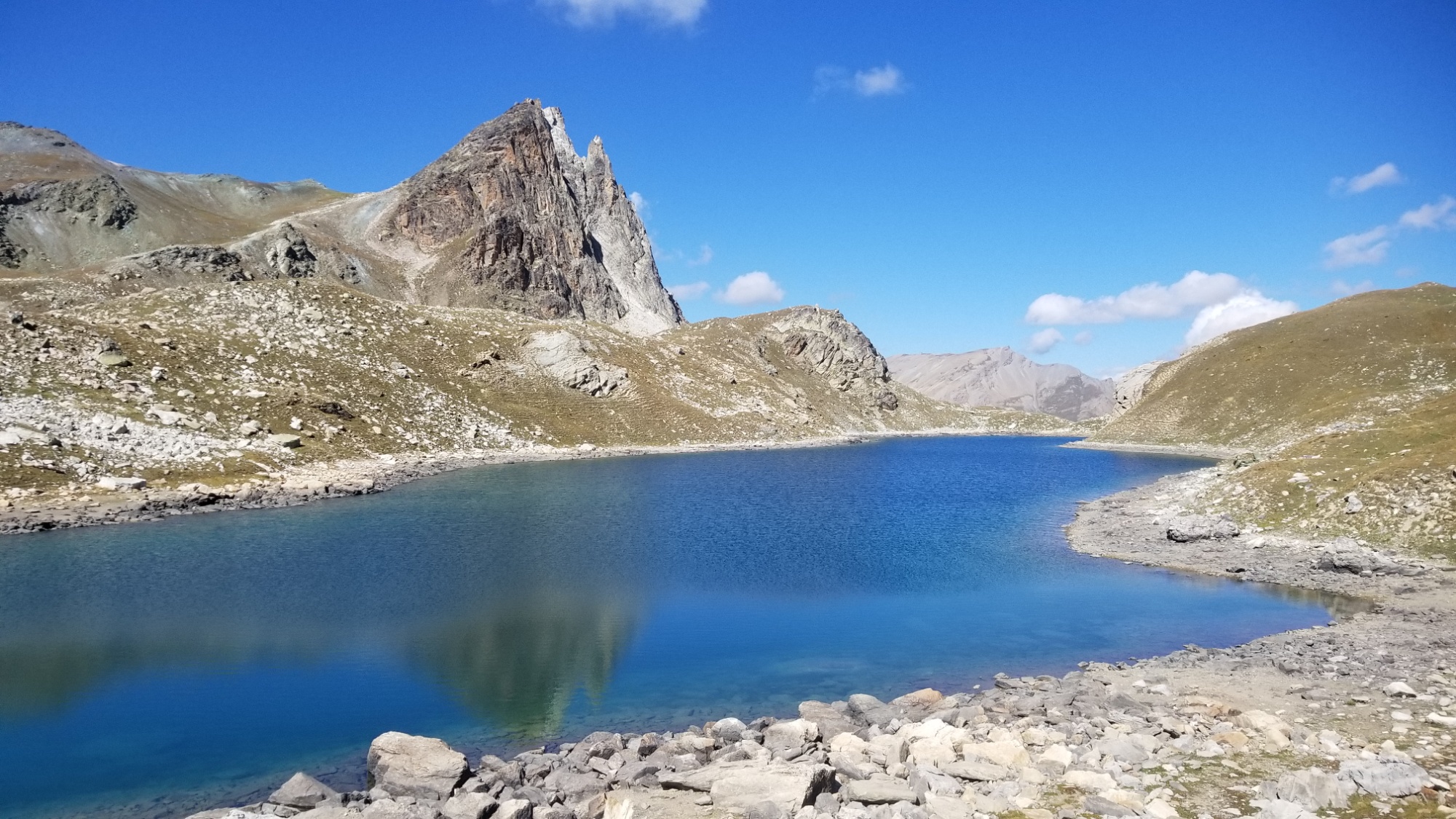
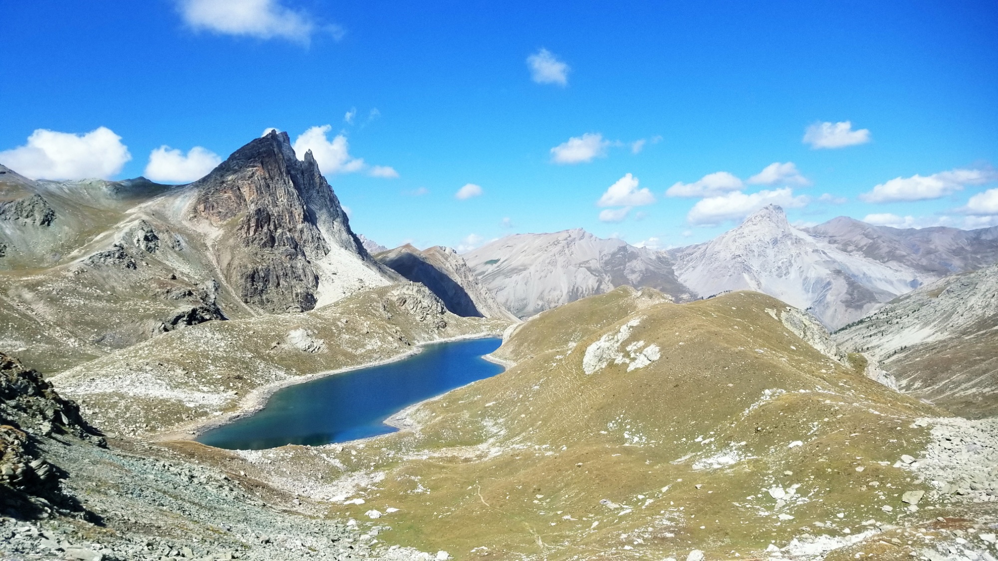
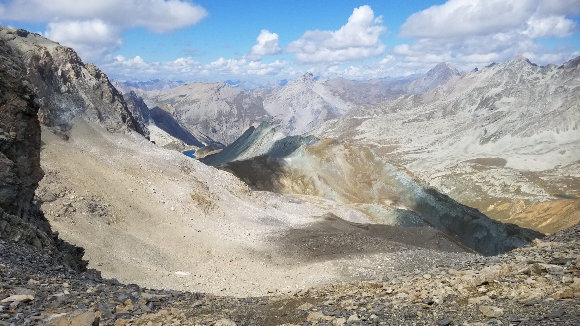
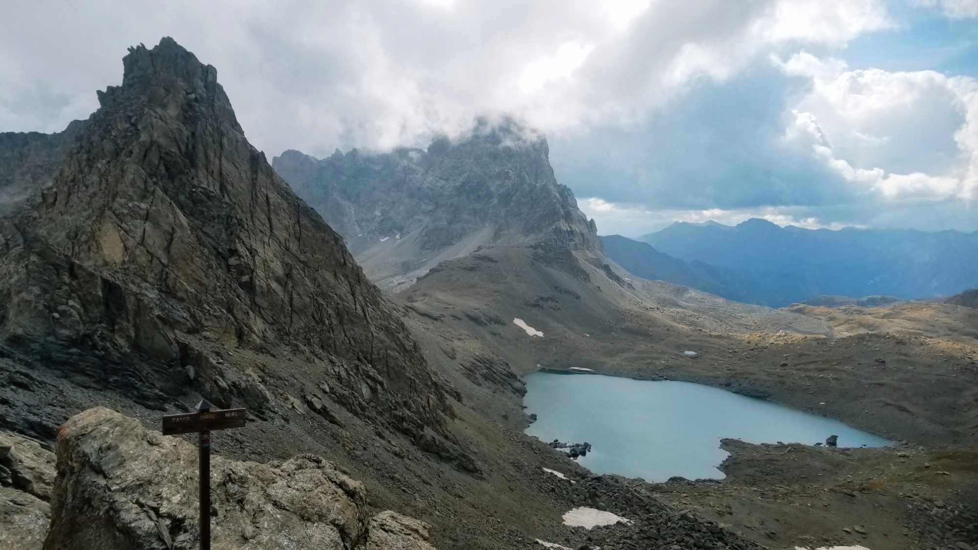
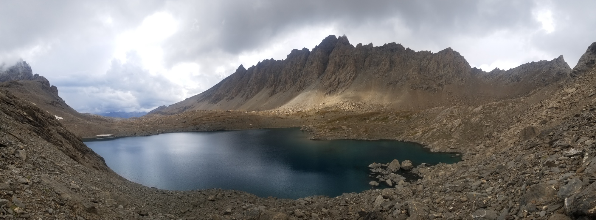
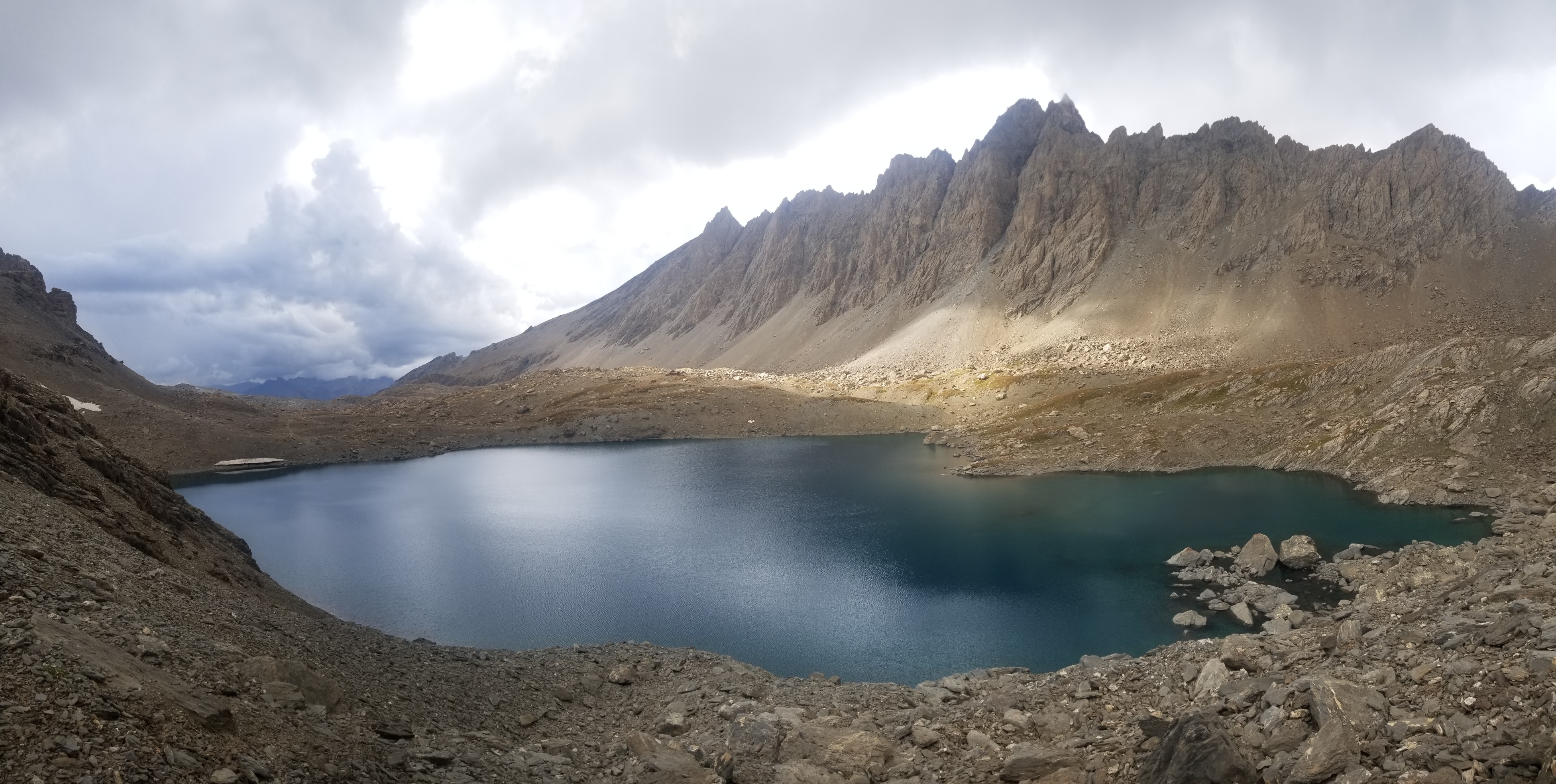
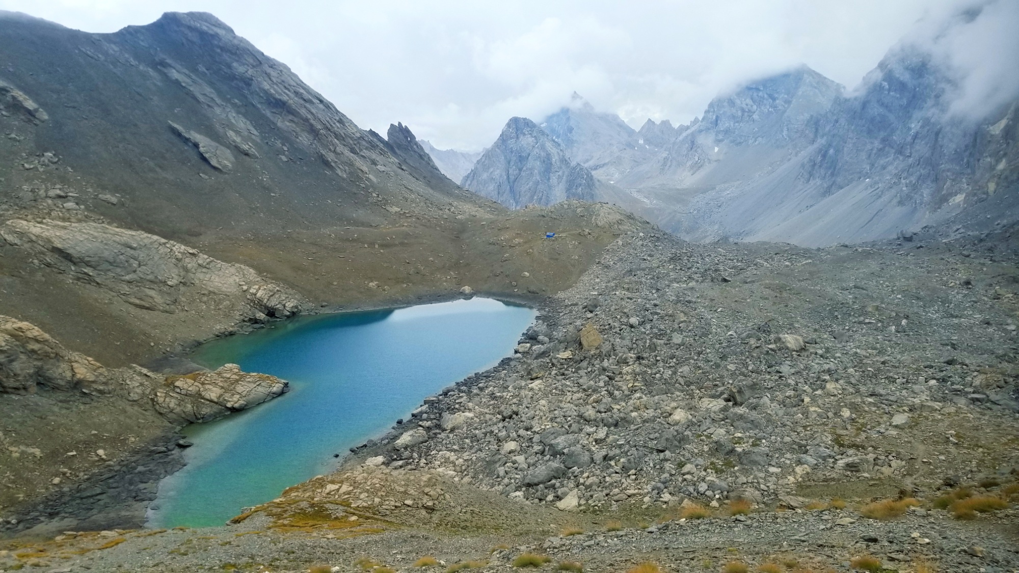
Then, the trail led up through a small col, and onto a couple of beautiful glacial lakes.
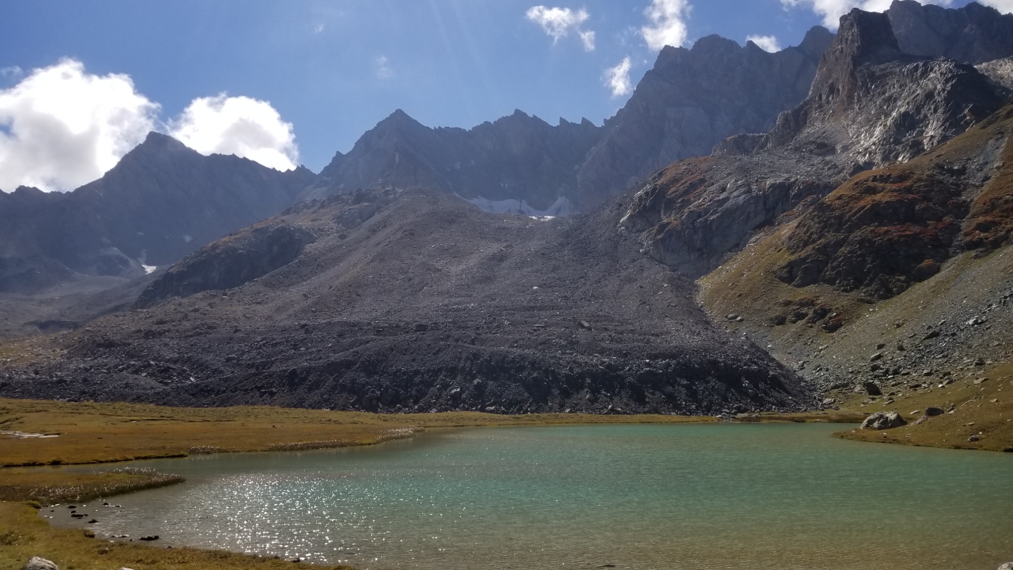
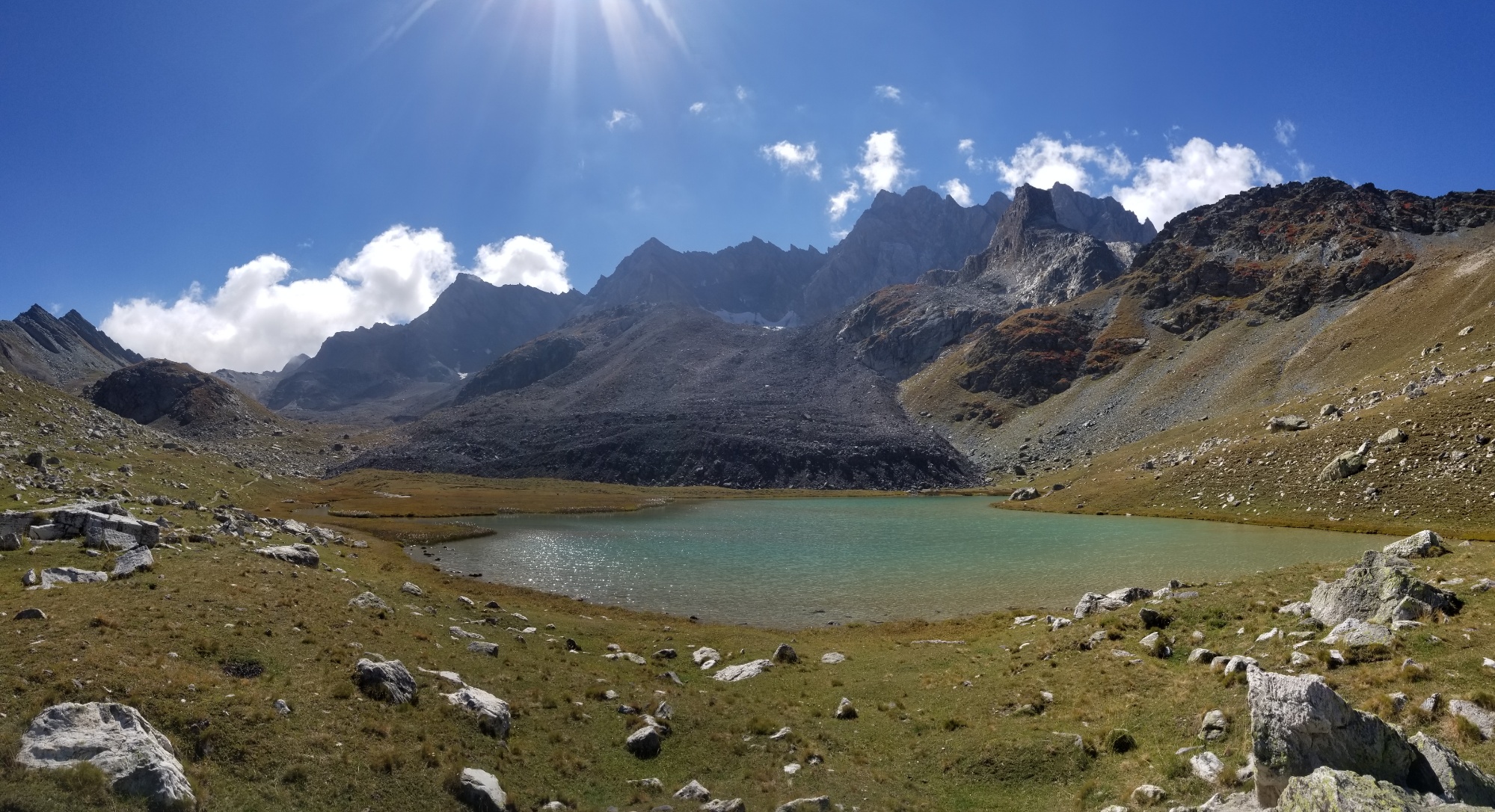
Prettyyyy
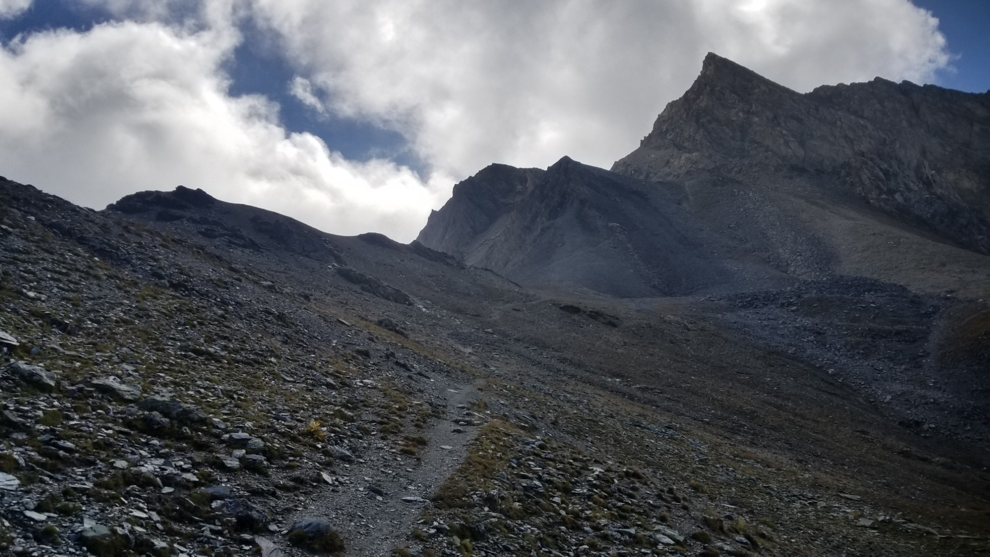
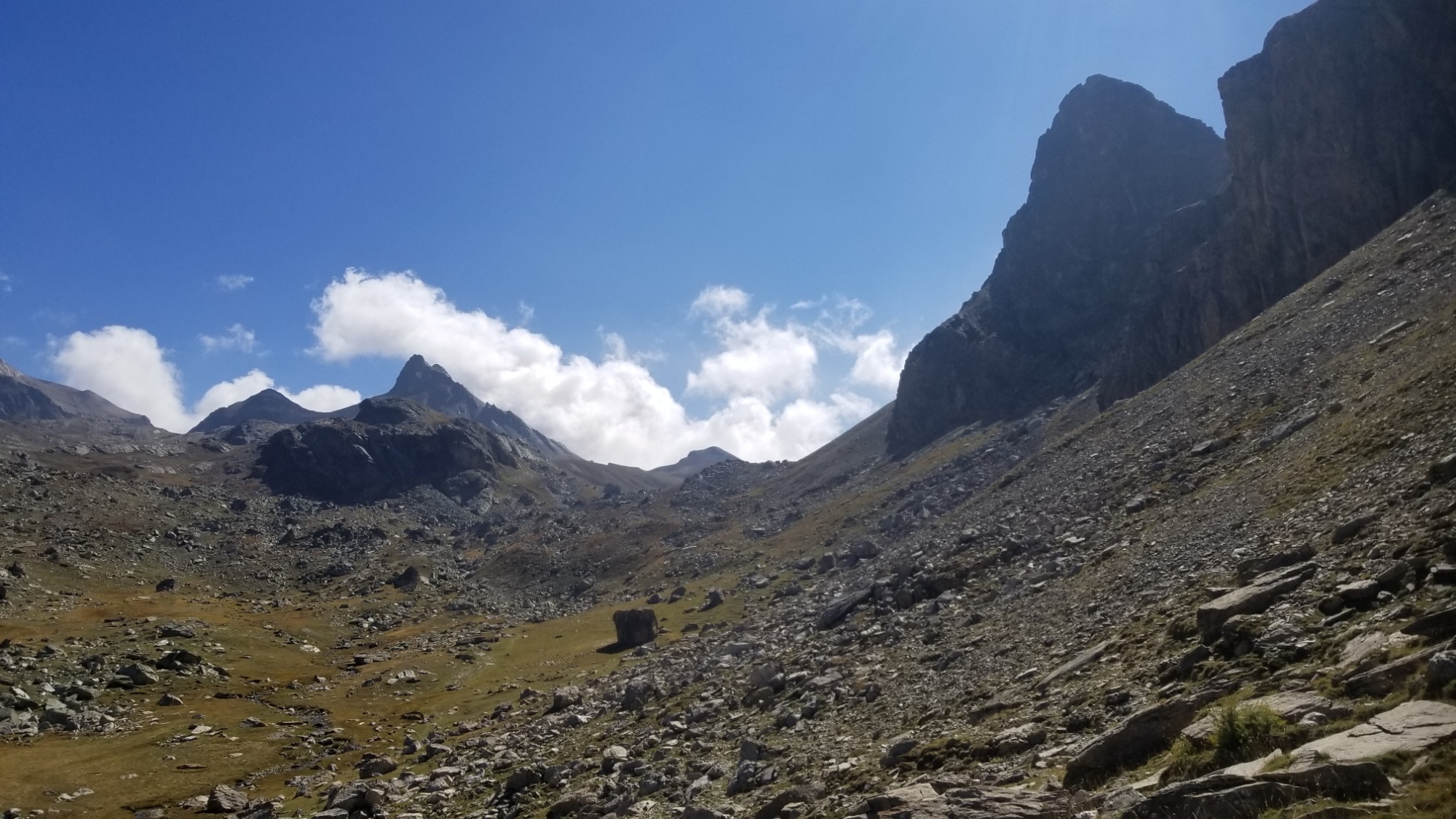
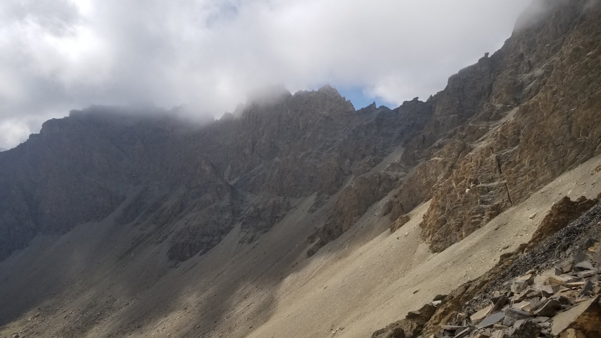
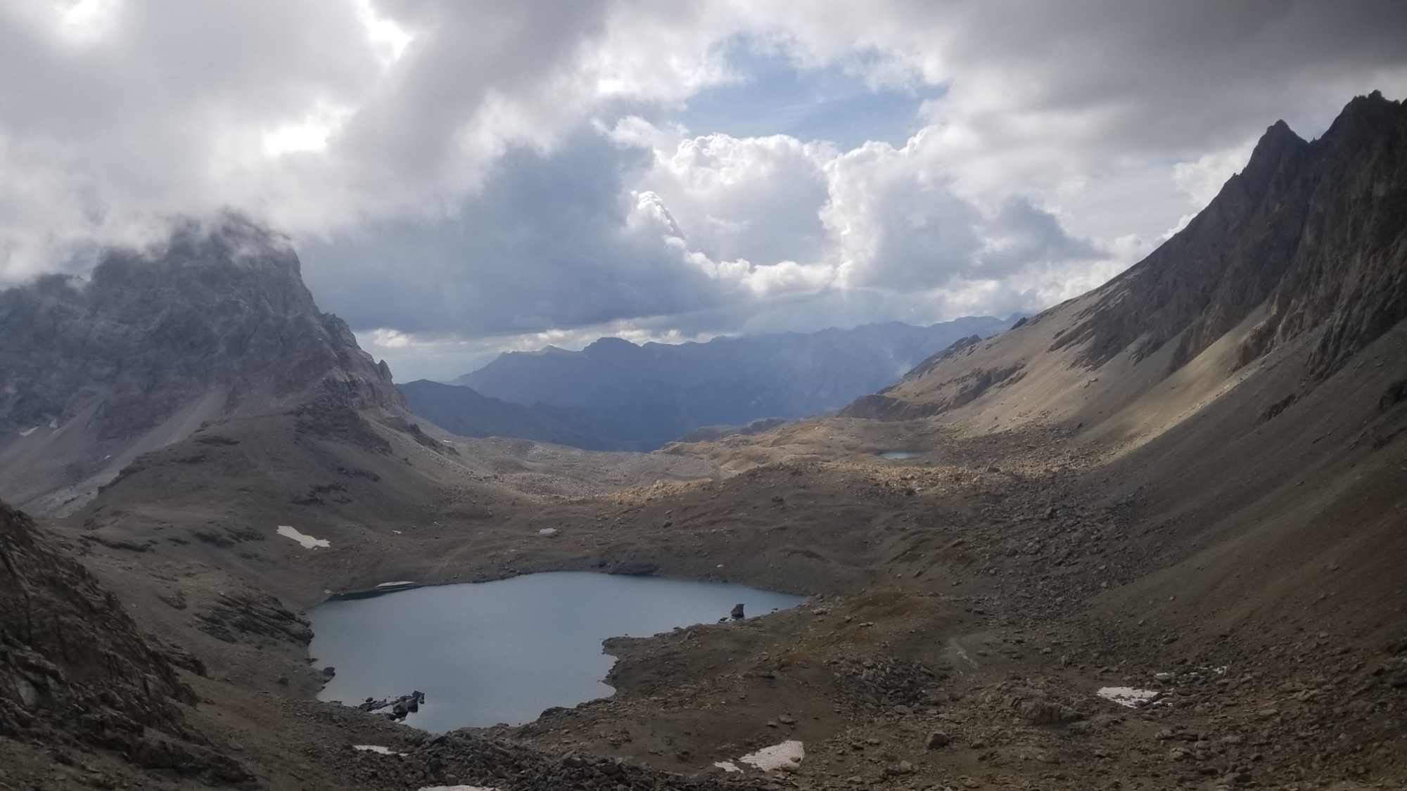
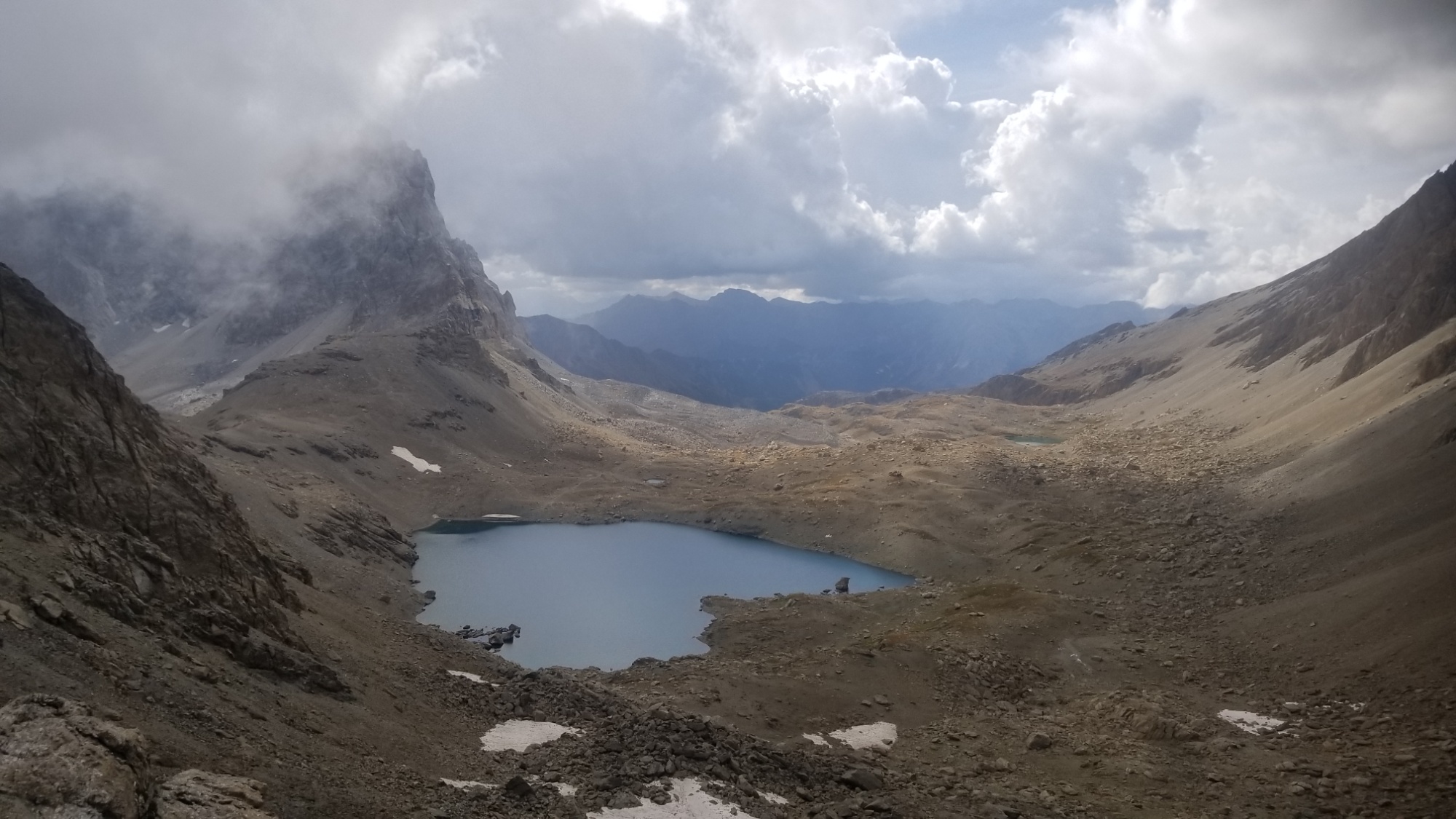
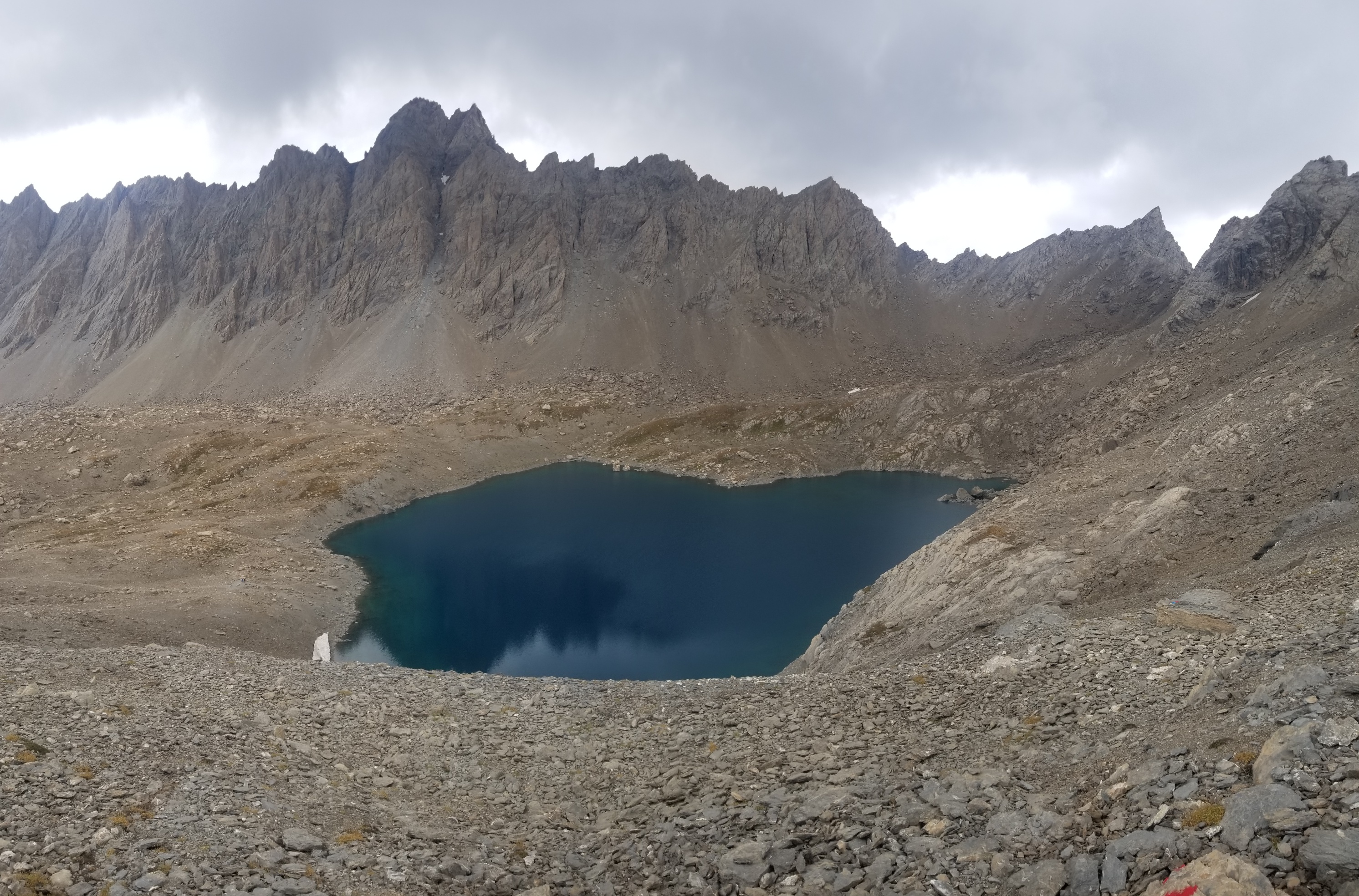
Those clouds usually mean rain
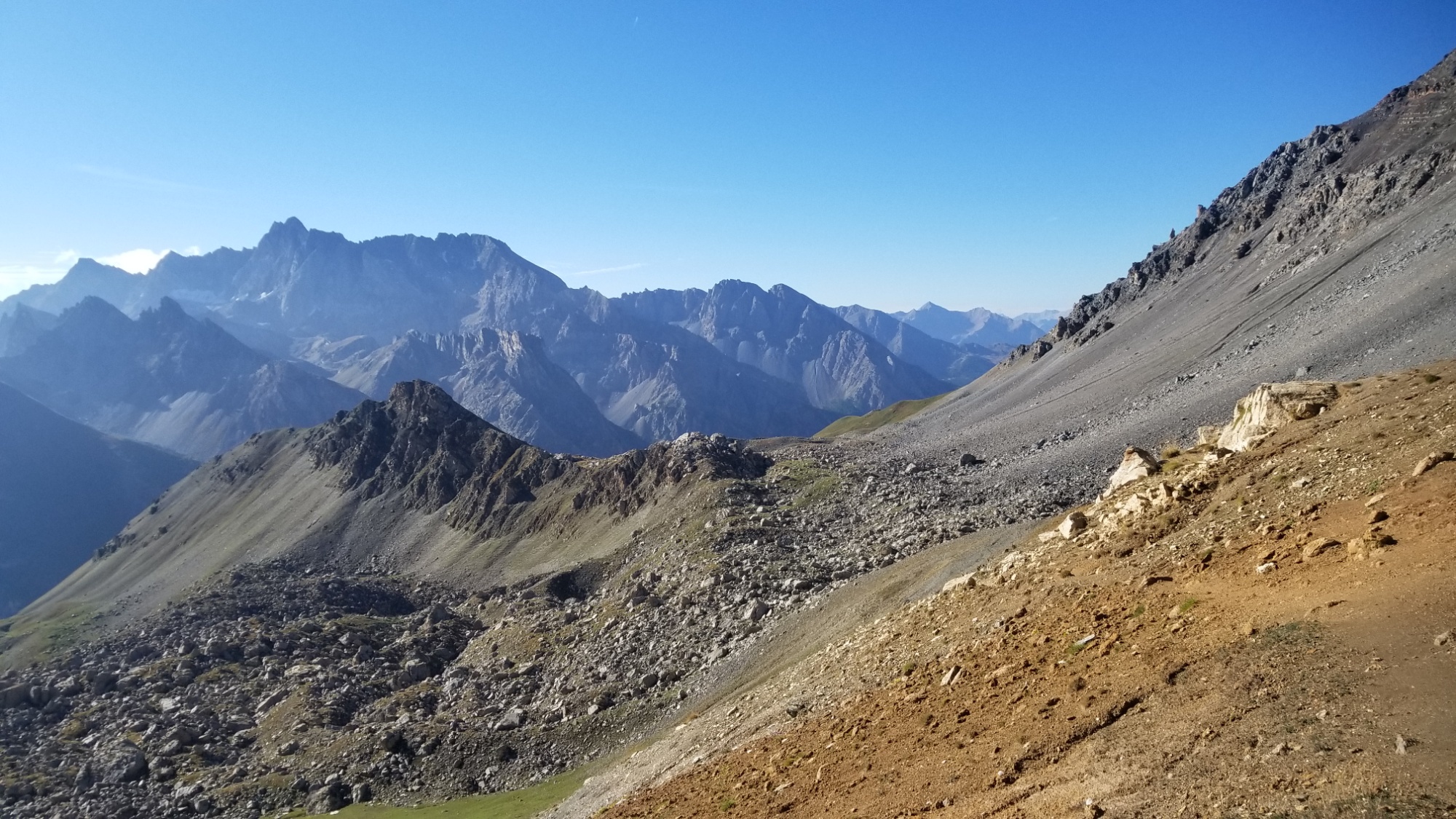
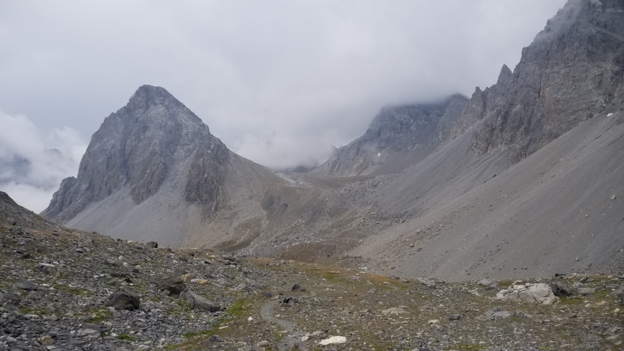
Climbing further, and the sky was becoming more and more gray and cloudy. Rain looked imminent later on.
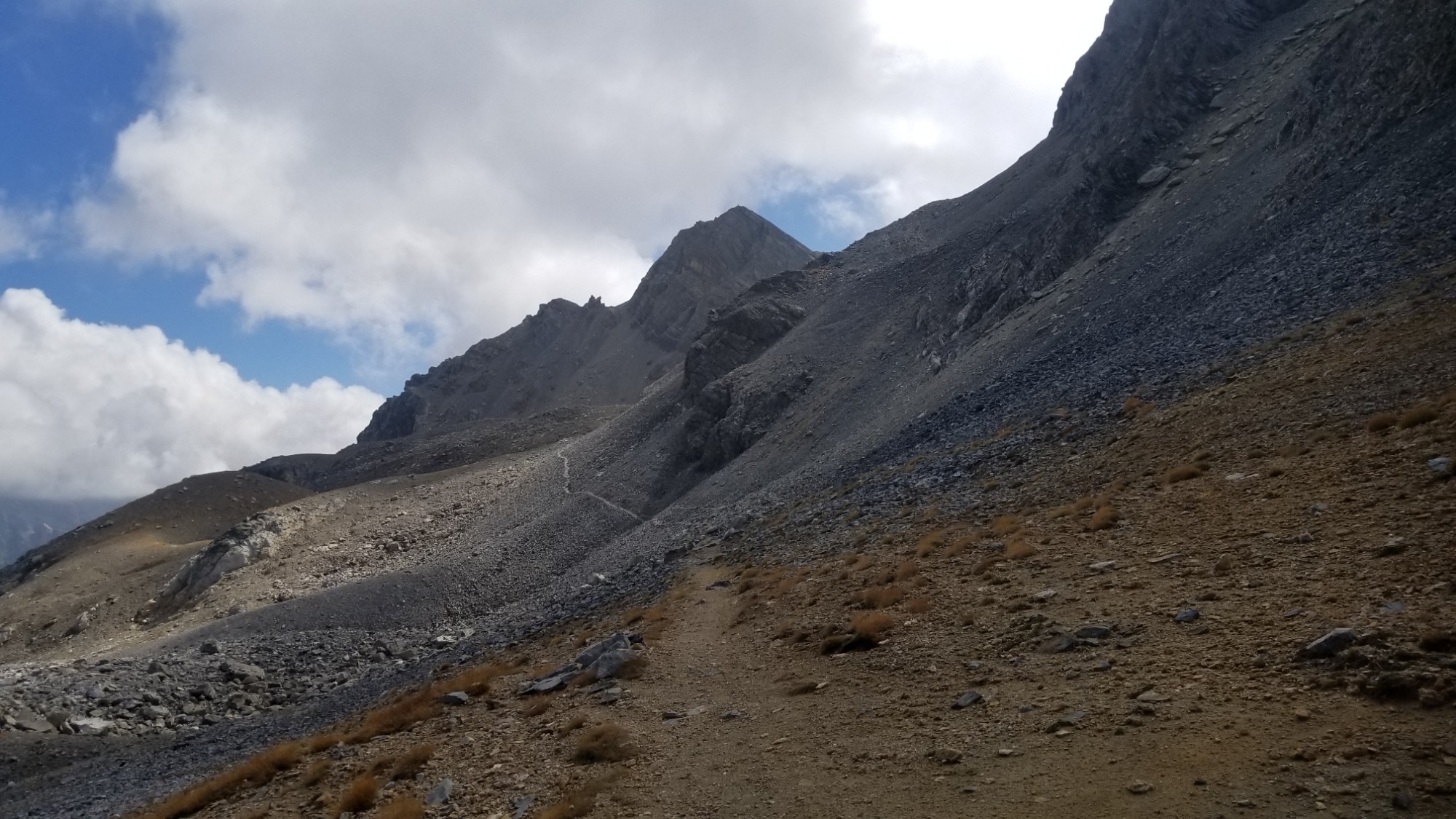
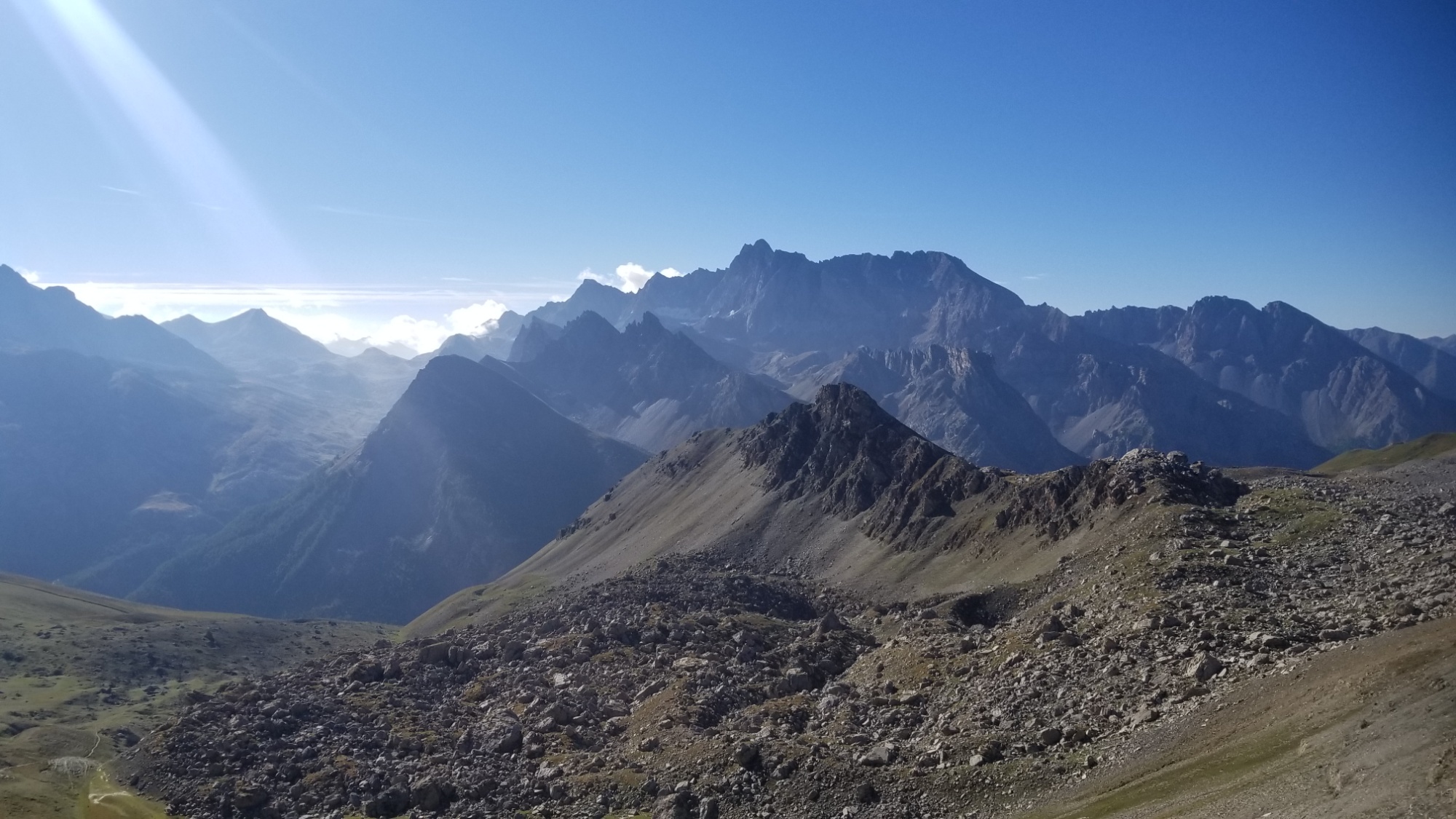
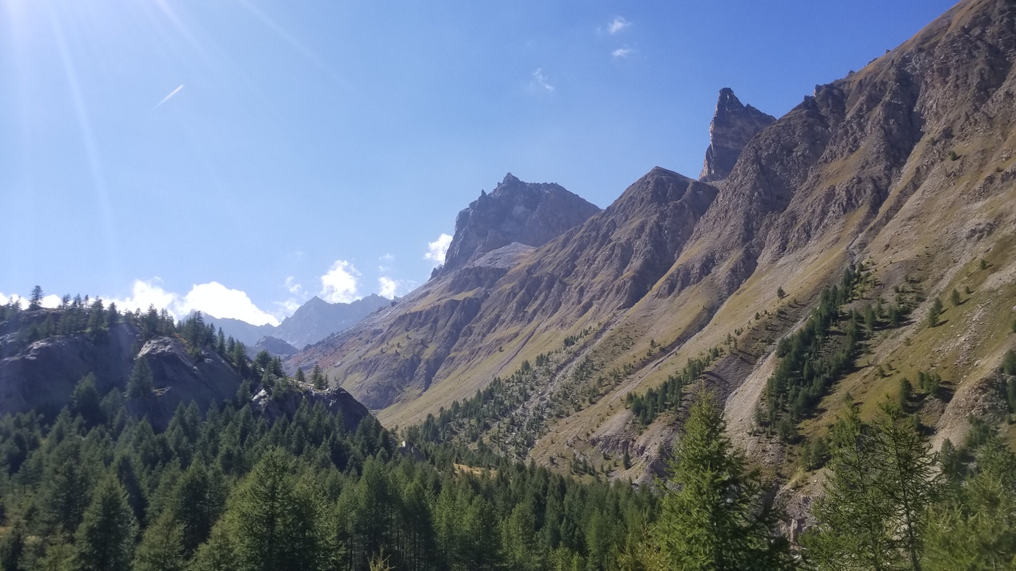
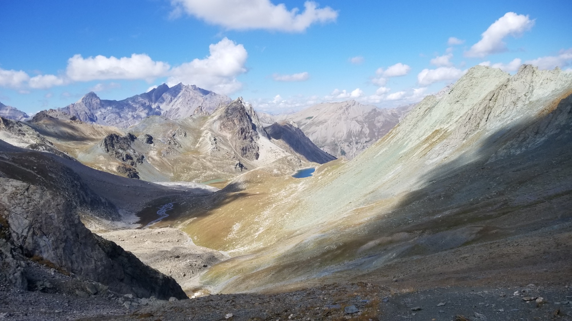
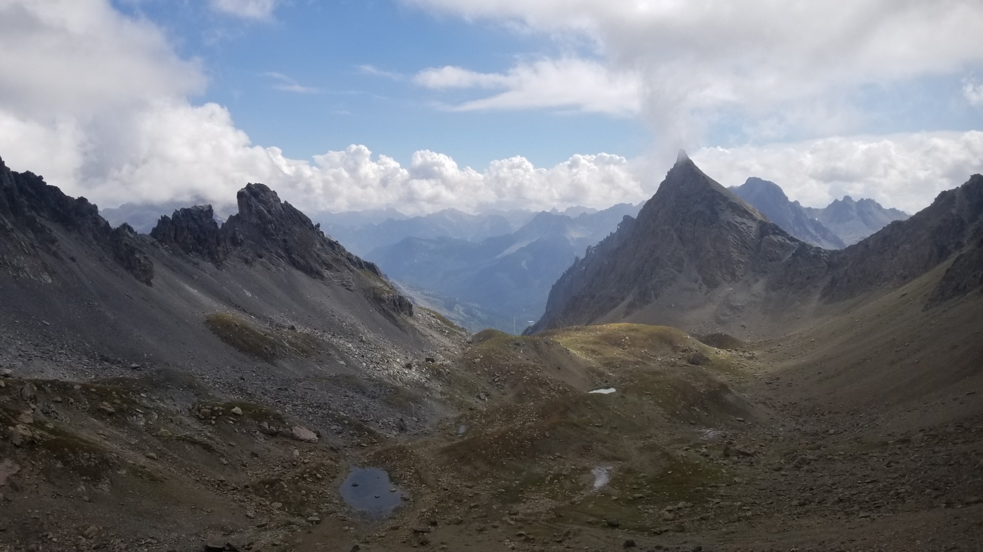
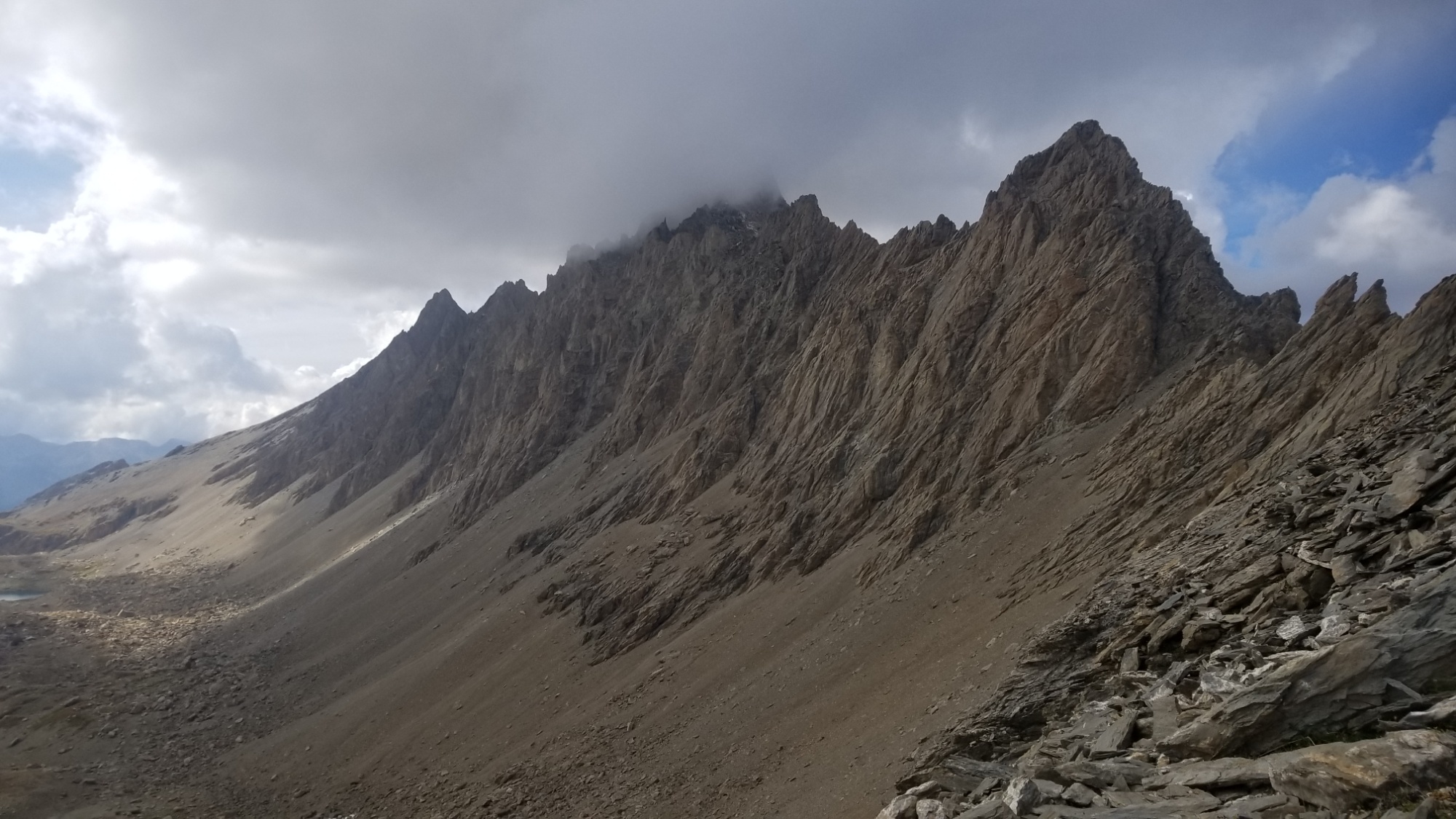
I came to another small col around 2,800m, and then the trail went straight up a big wall of scree to another col near 3,000m.
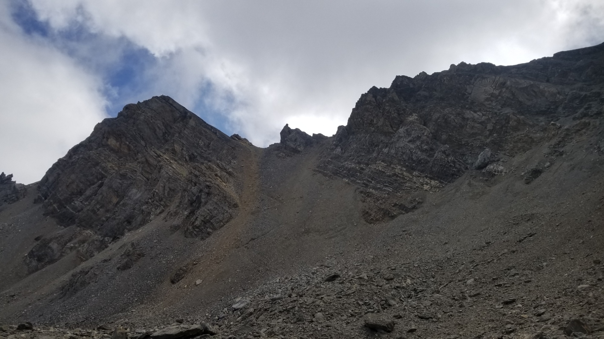
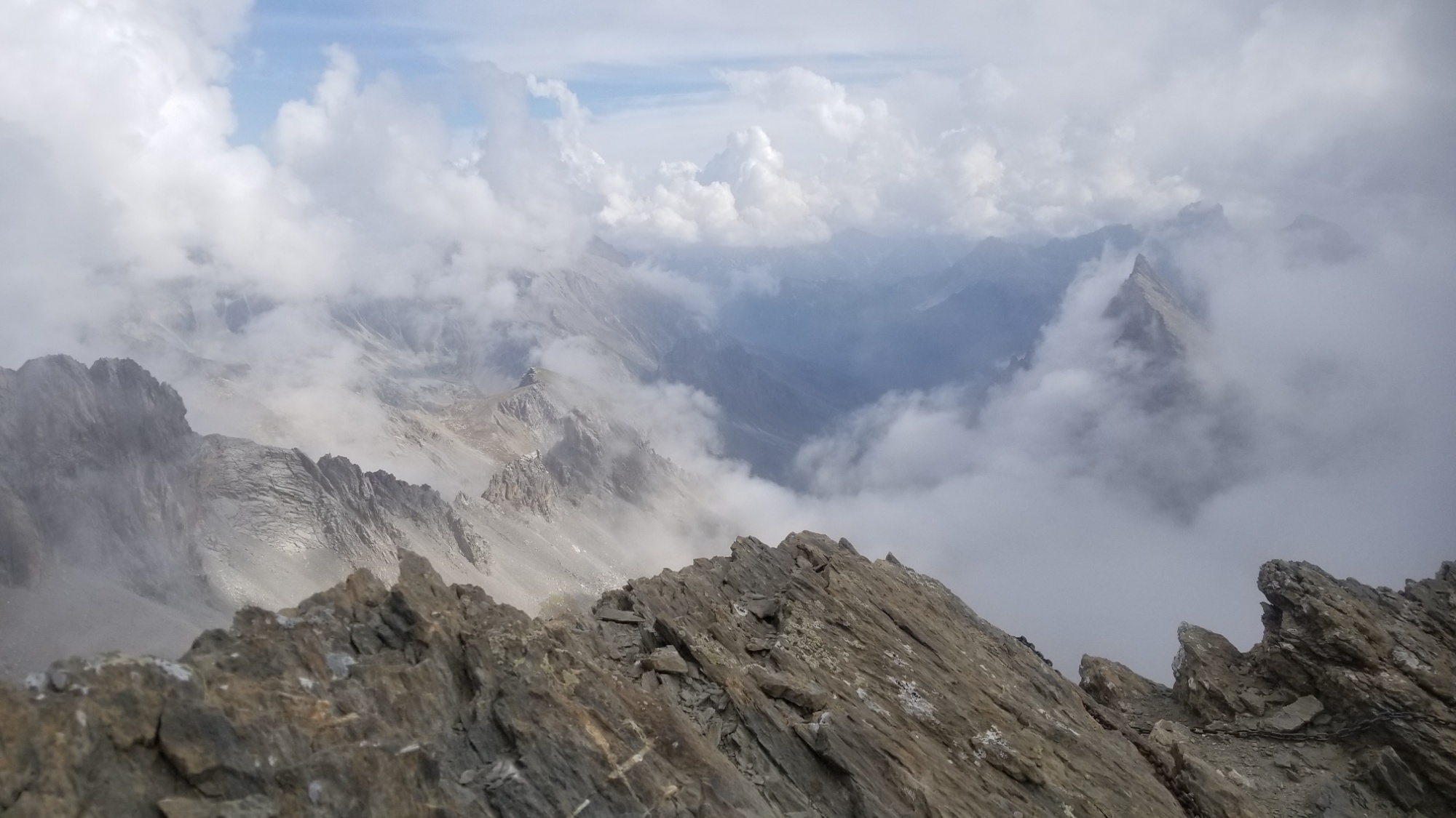
From that col, I could tell that I may have made a mistake in my route planning. Lines on maps often don’t prepare you for what a traverse really looks like on the ground.
From the col, my next target was another col just to the west, but the col looked like a sheer rock face! I didn’t know how the trail was gonna cross that, but I figured I would follow the trail as long as I could and see what happens.
At one point on the way up to the col, I lost the markings, and kept going up this scree channel that seemed to be getting steeper and steeper. I should’ve known better, but I must have climbed 200m beyond where the trail crosses the col, and frankly, I felt endangered and uncomfortable being where I was. So, I went back down to the last trail mark I saw, sliding and scrambling down on scree and boulders, and oh.
That’s why I lost the trail.
There is a frickin CHAIN going straight up this SHEER ROCK FACE in front of me. Well okay, it was like a good 70° angle rock face at first.
But I decided to give it a try. I climbed up first about 50m, and then the chain trail turned left, and basically traversed a little 2 foot wide trail, with a 200m drop, if one were to fall.
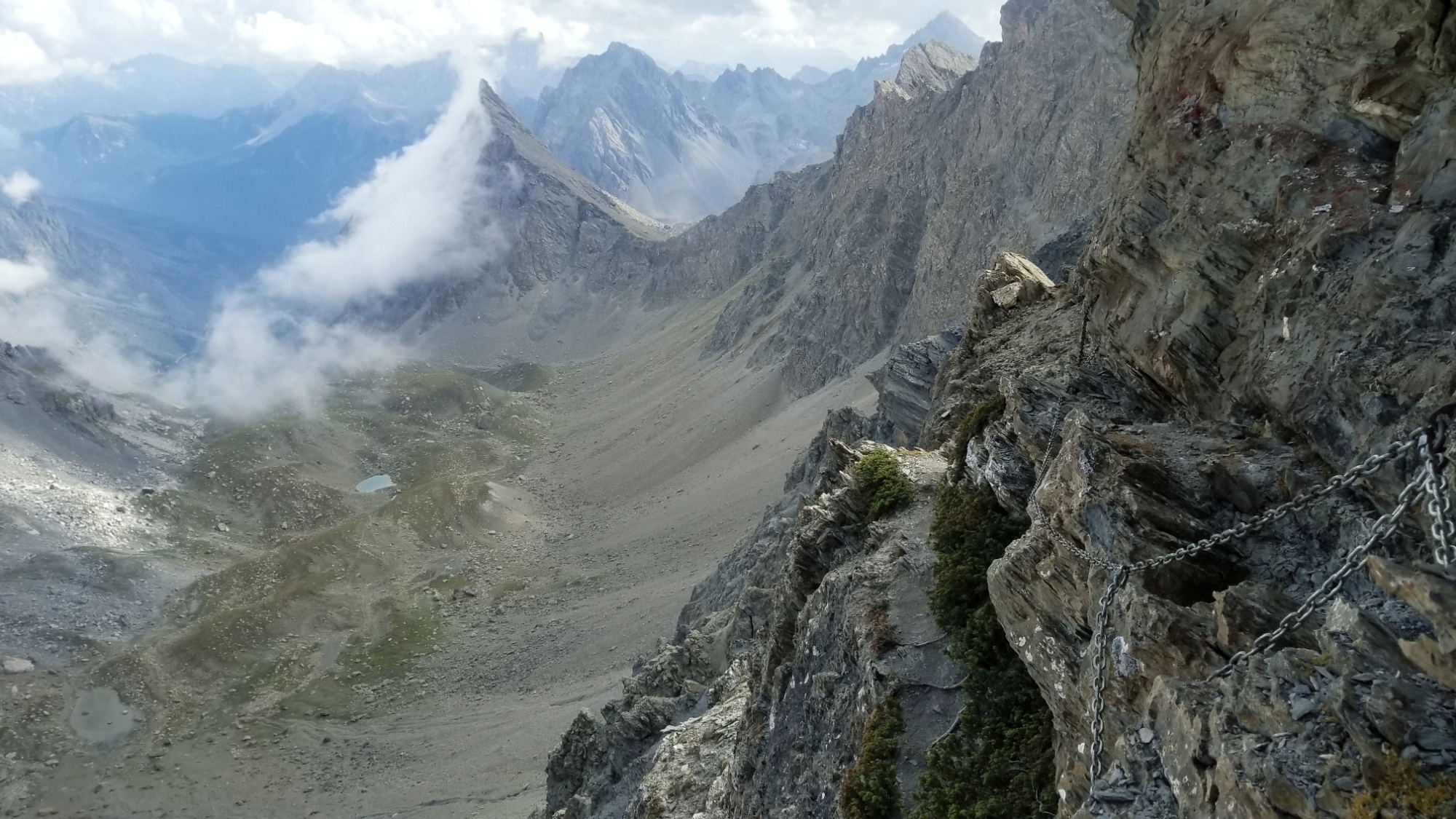
It’s been a while since I’ve felt adrenaline like that. Wow. Glad the chain and anchors held out. I made it along the cliff trail, slowly and carefully, holding onto the chain for dear life. After about 100m forward, it leveled out, and FINALLY! I had reached the col!! I sat right there and took a while to regain the strength in my legs, and to just think about what had just gone down.
So worth it
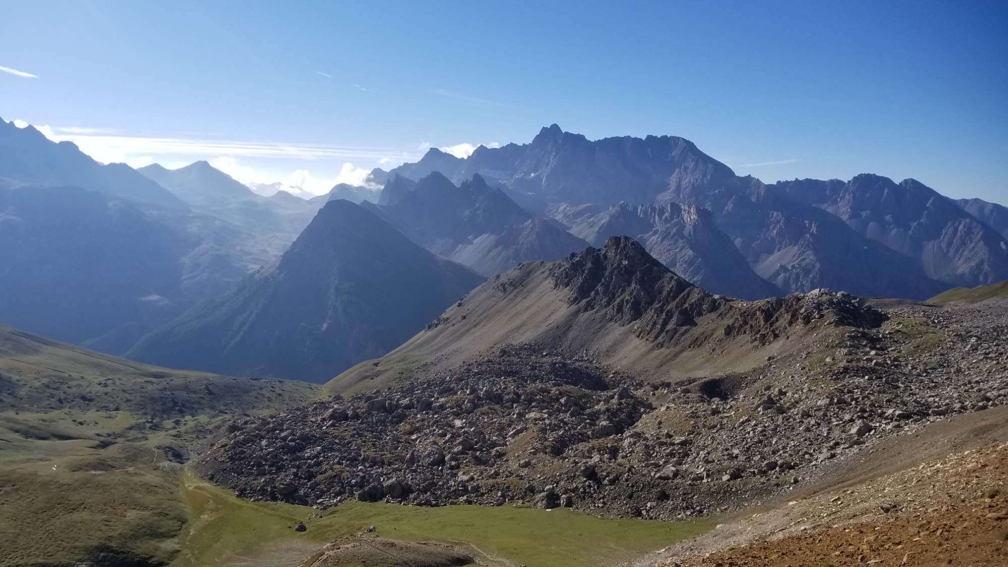
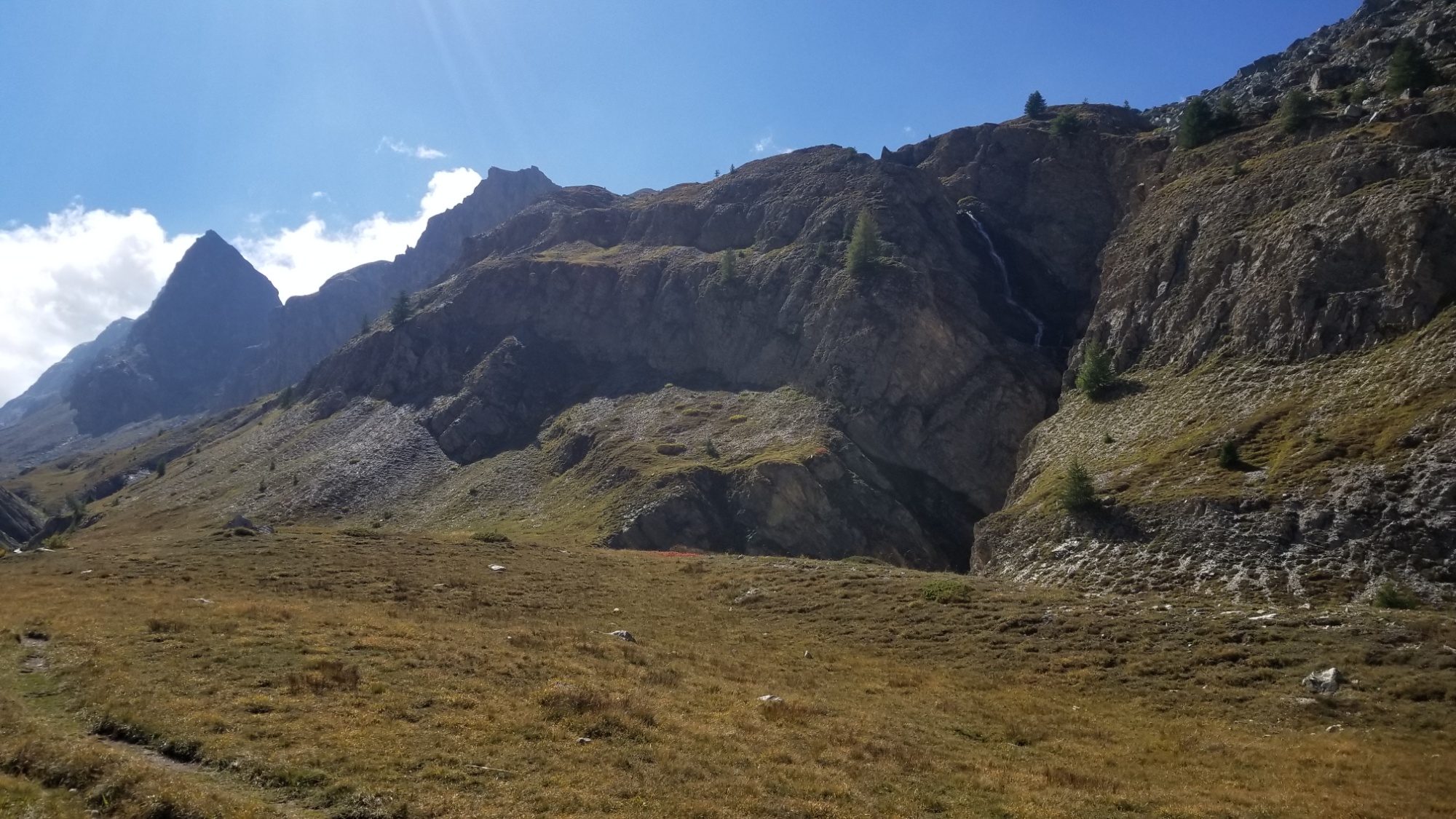
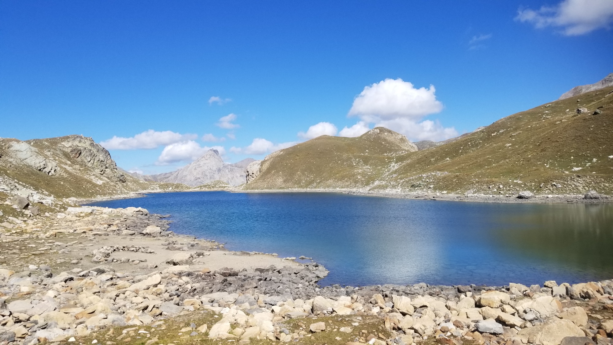
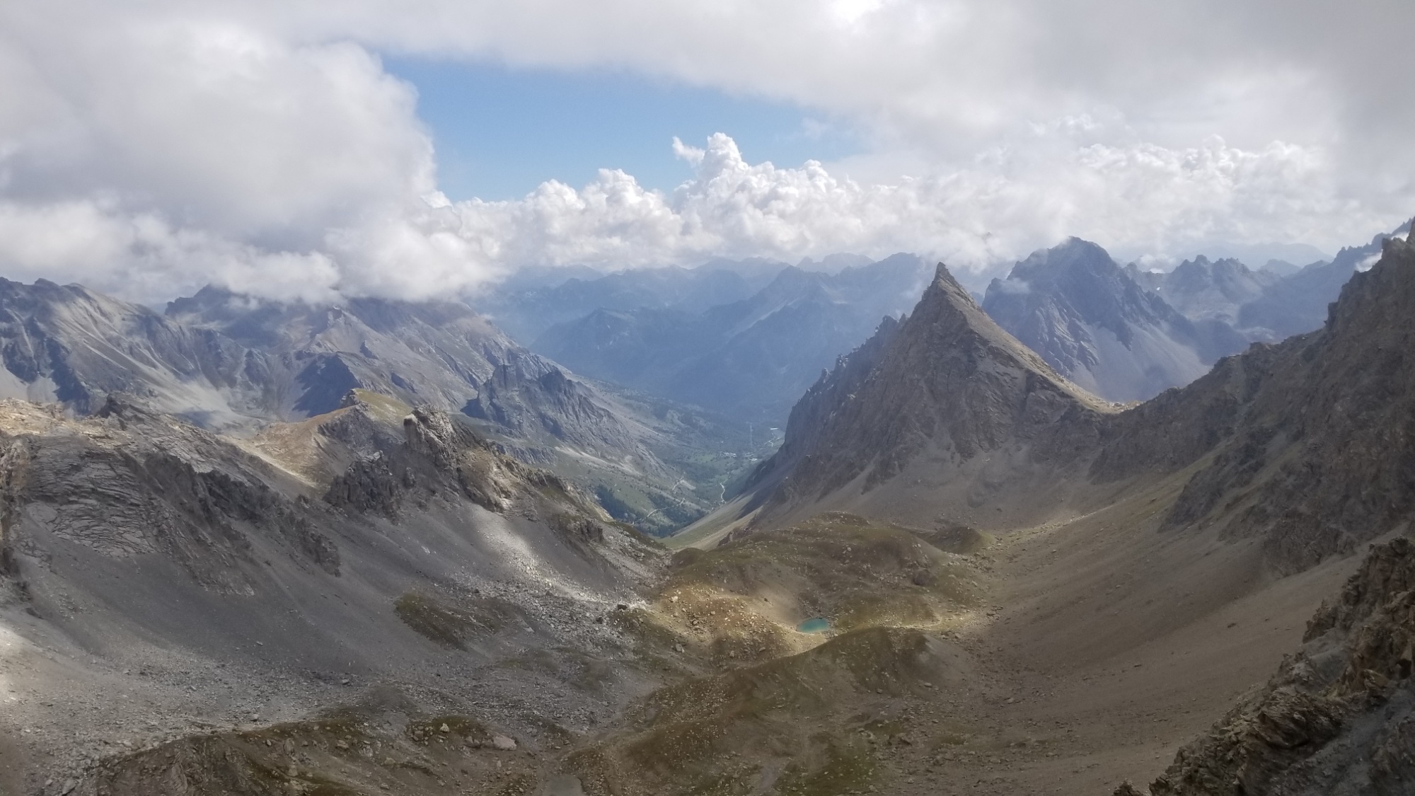
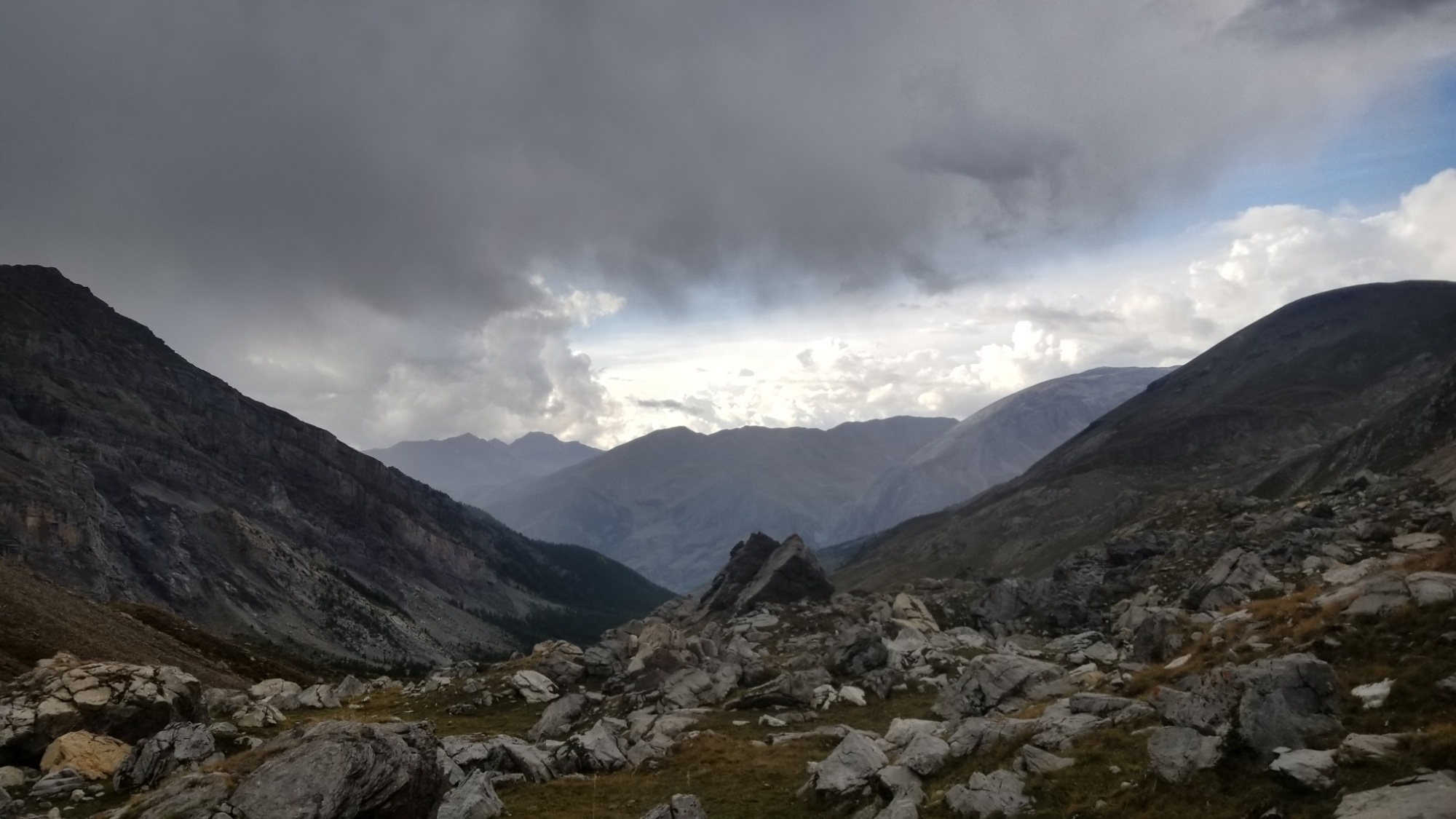
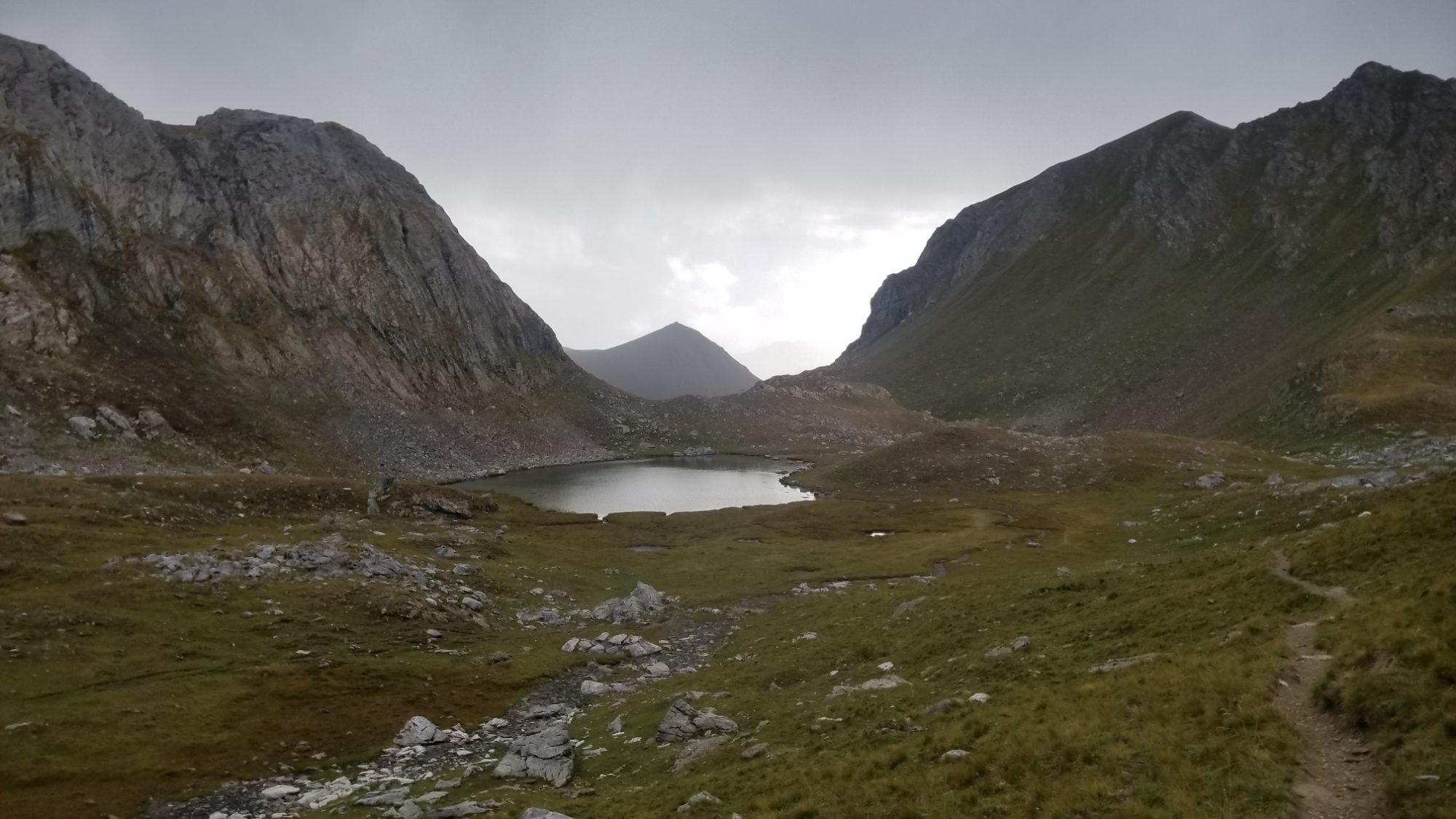
The trail from here was easy sailing, passing the lake, and crossing another col into Italy again. I walked down a valley with huge sheer rock faces on either side ( they do make a great national border ), and finally, the rain began to come.
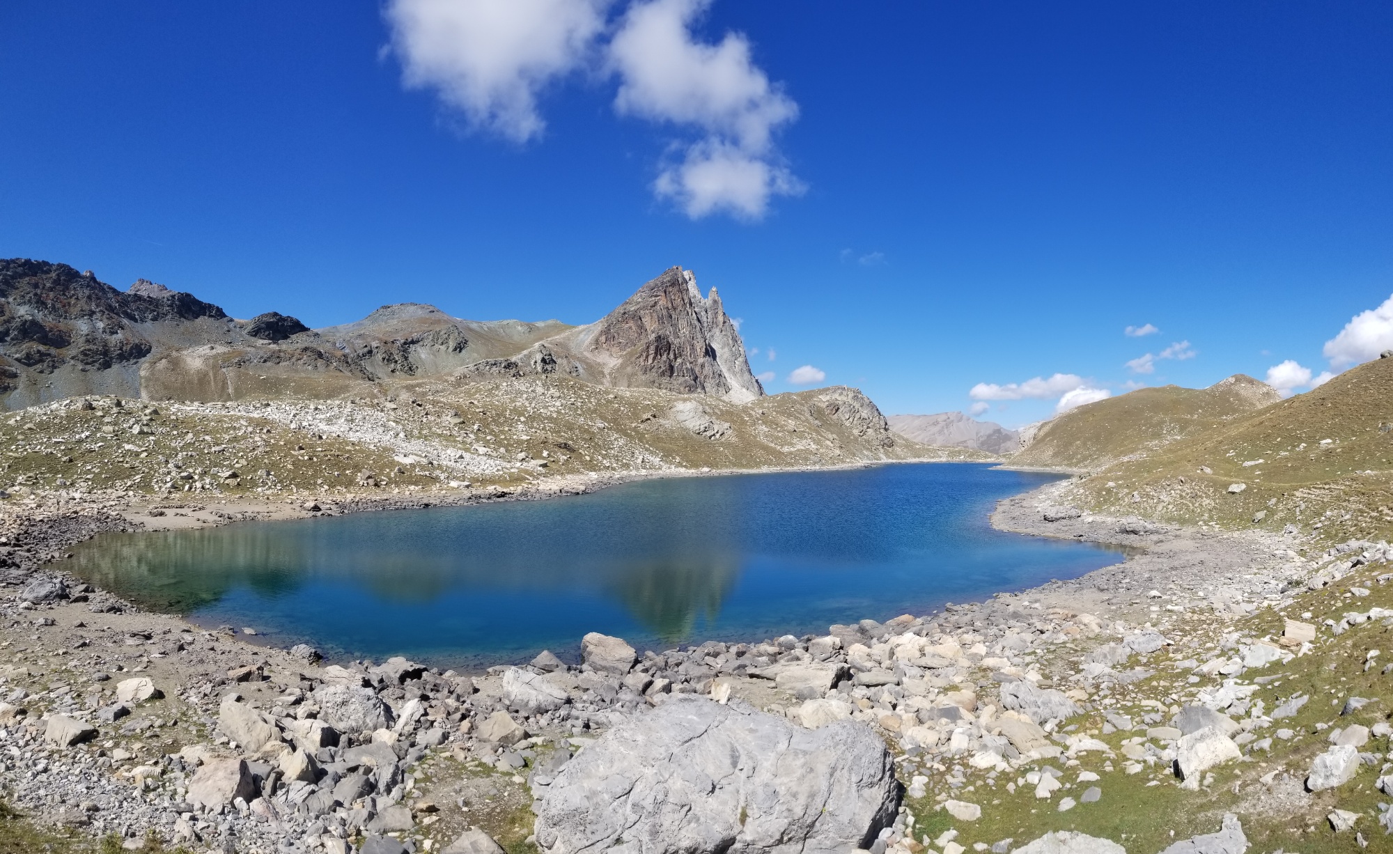
I decided to hoof it over the last col of the day and back into France, where I found a great place to pitch the tent right next to a gorgeous lake.
Of course, as soon as I unpacked the tent and started setting it up, the rain fell harder, so it’s a little wet inside.. man, I really chose “hard mode” today with this alternate. Well, I’m happy to be alive and warm in my sleeping bag, relaying this tale to you.
What a day. No more chain cliff trails, I hope.
Good night!