Day 91 – 101 – Lake Taupo, Rotorua, Tauruanga, Whangimata, Coromandel, and Fin

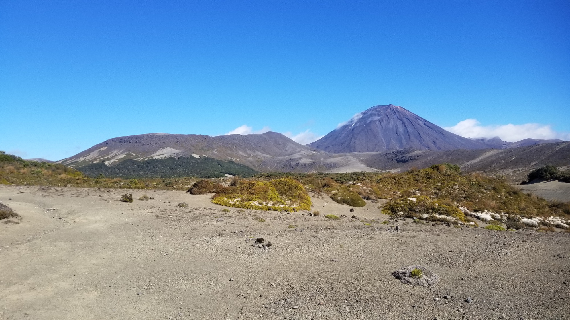
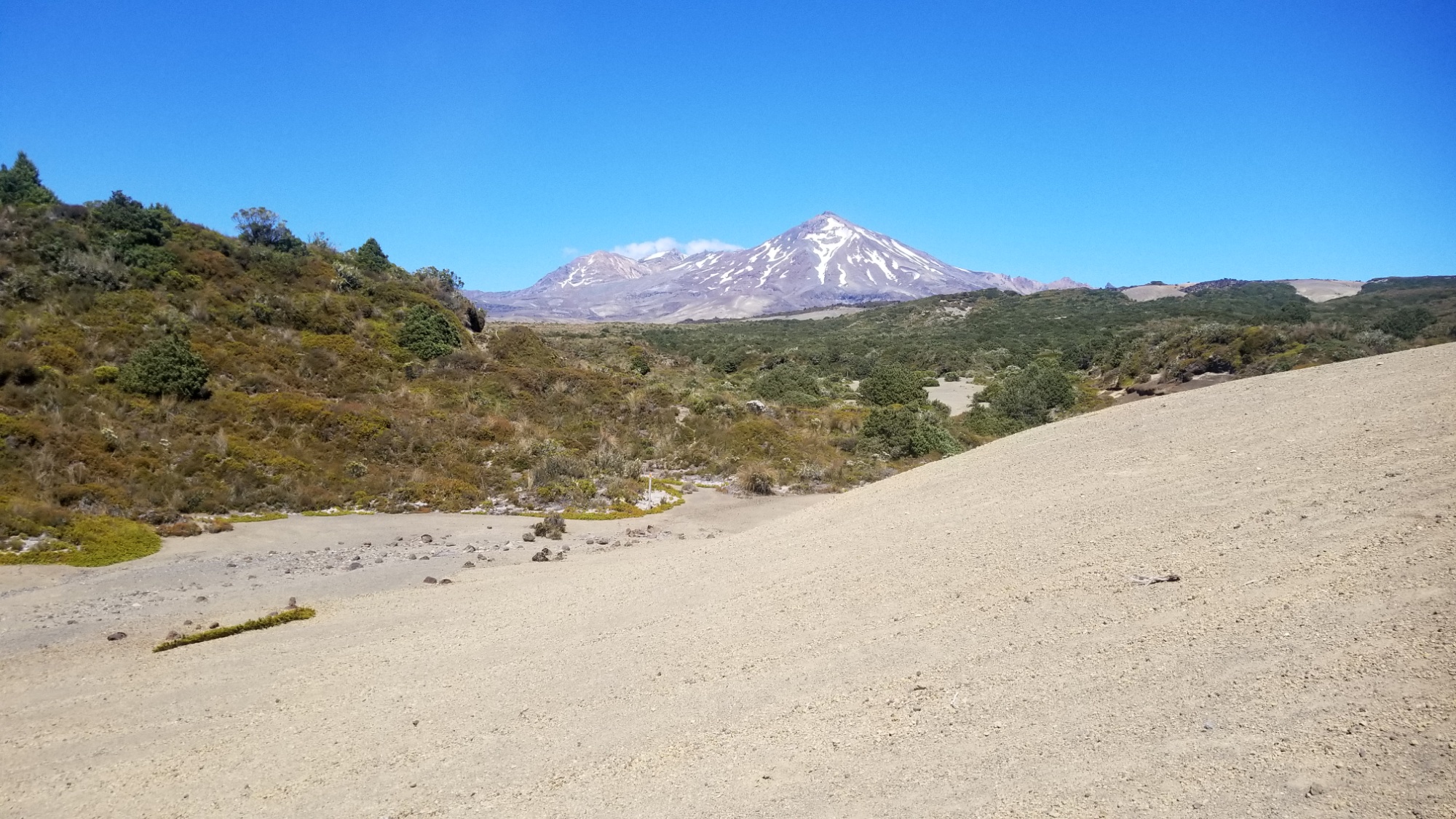
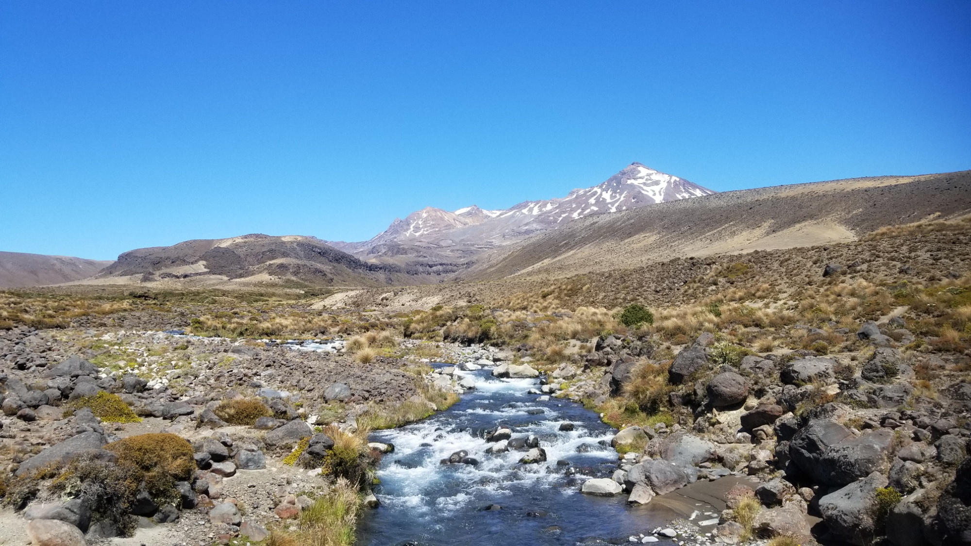
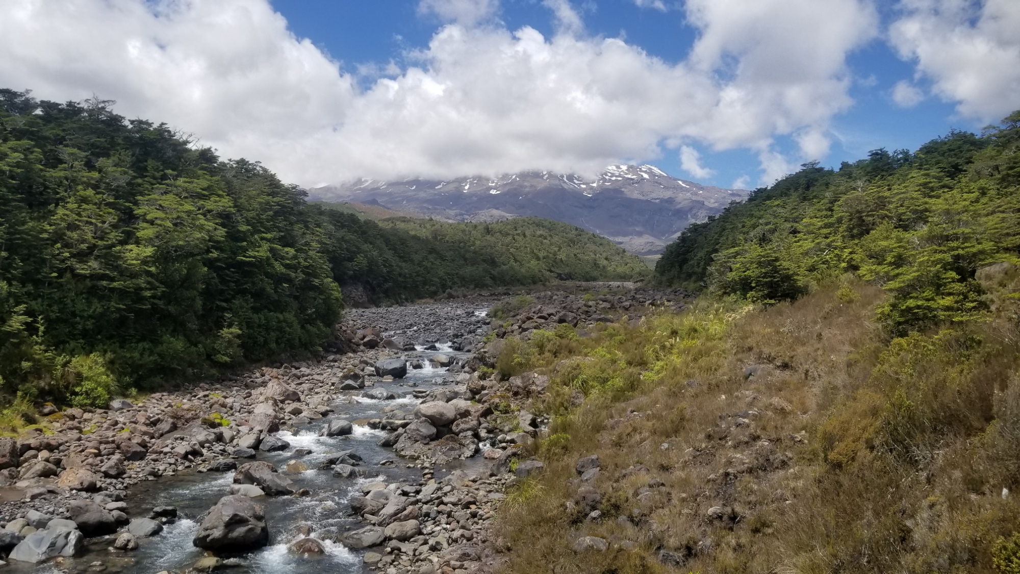
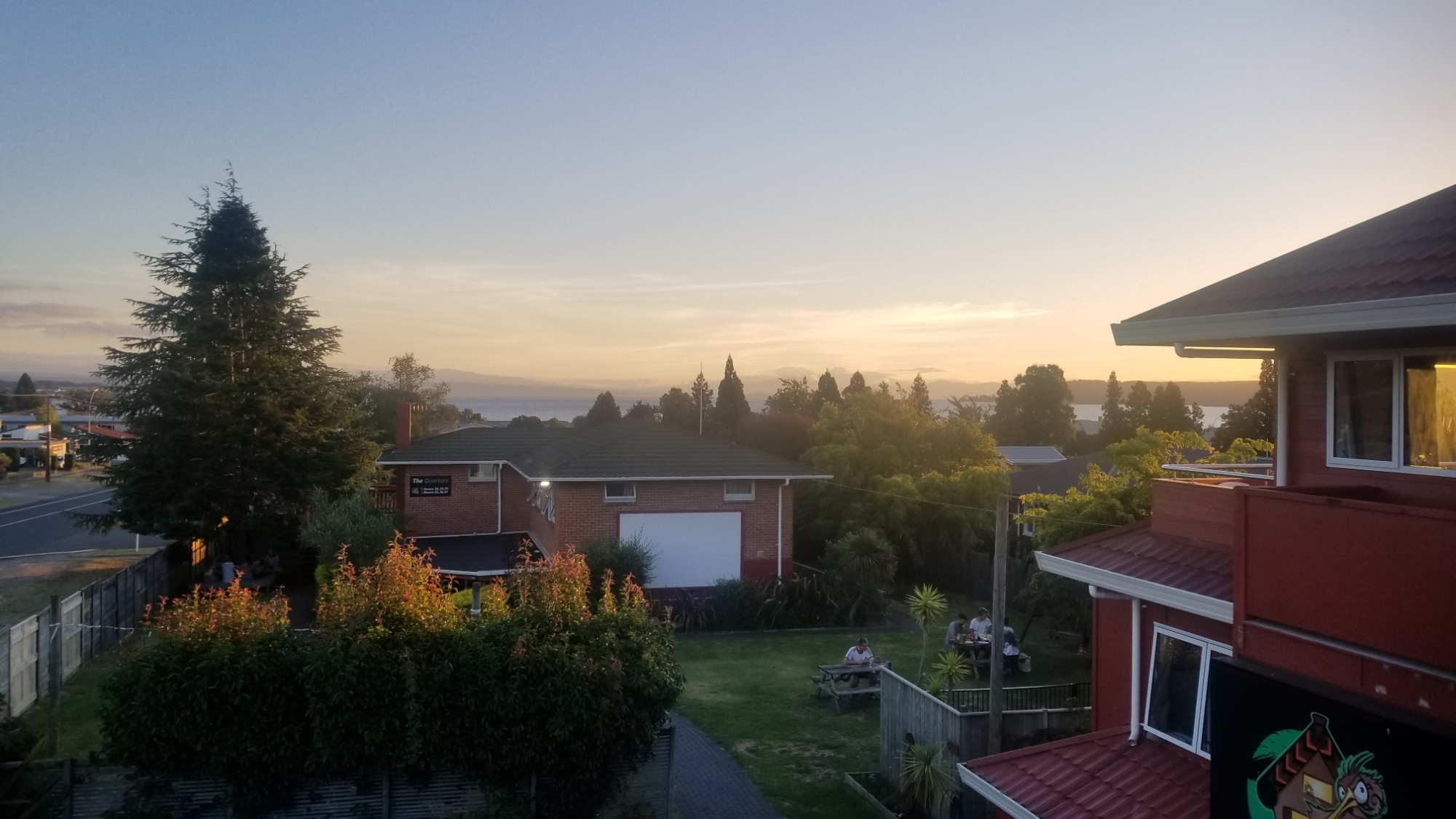
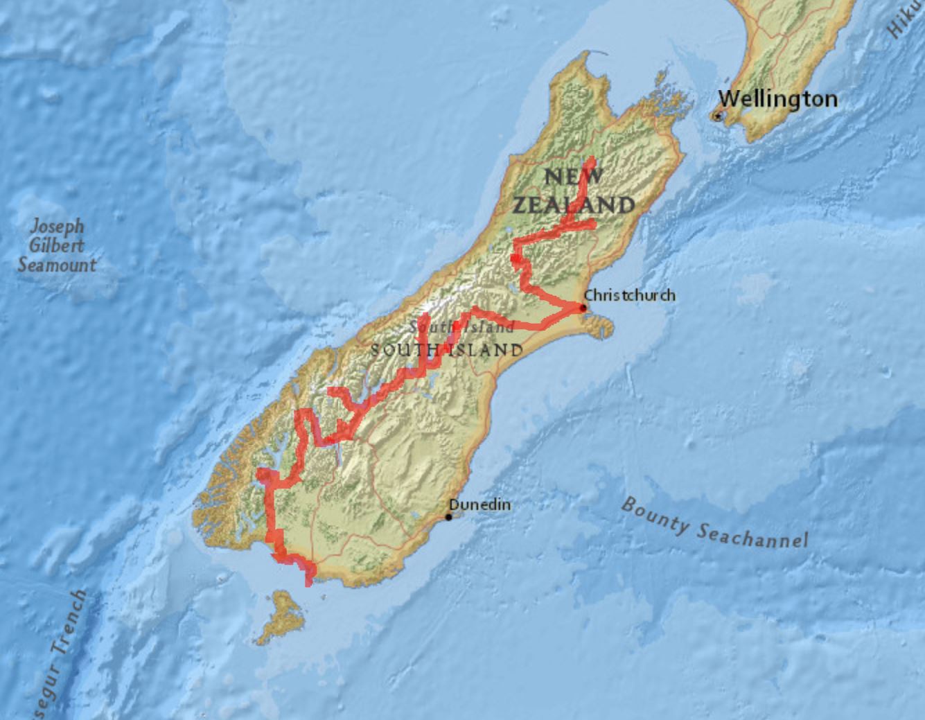
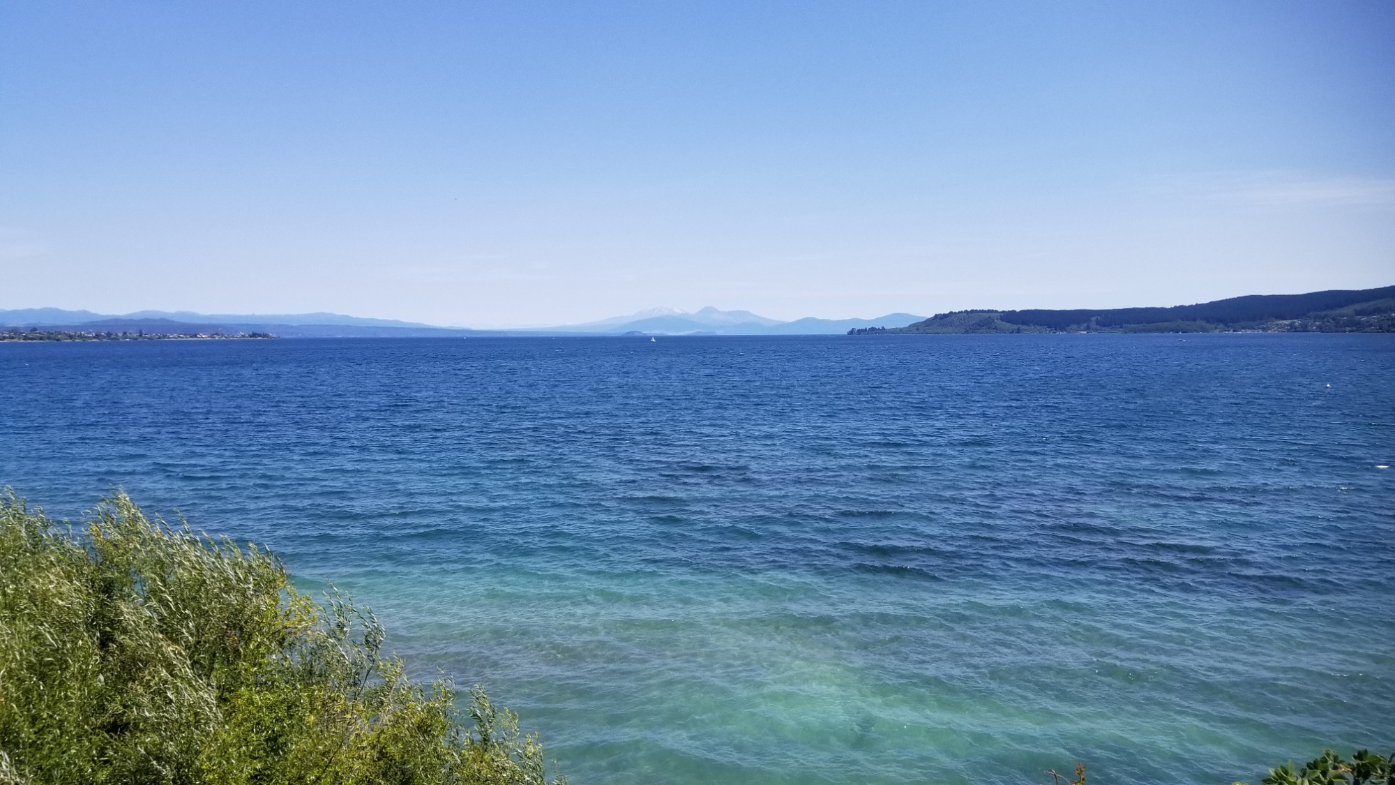
After saying goodbye to Nora, I spent a couple days camping in Turangi, then caught a hitch to Lake Taupo with a cool Mauri guy. He dropped me off on the main promenade along the lake, and I booked a few nights at the Haka Lodge hostel.

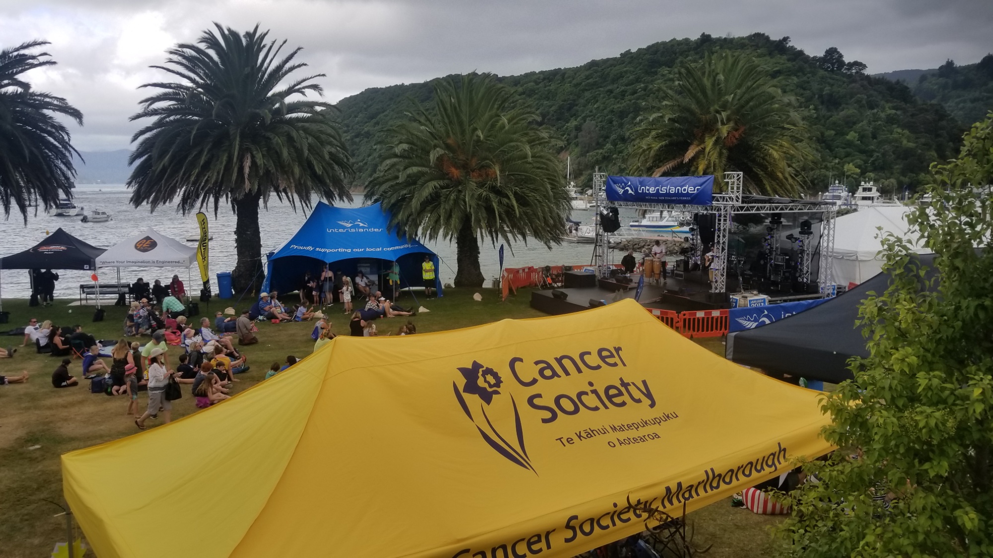
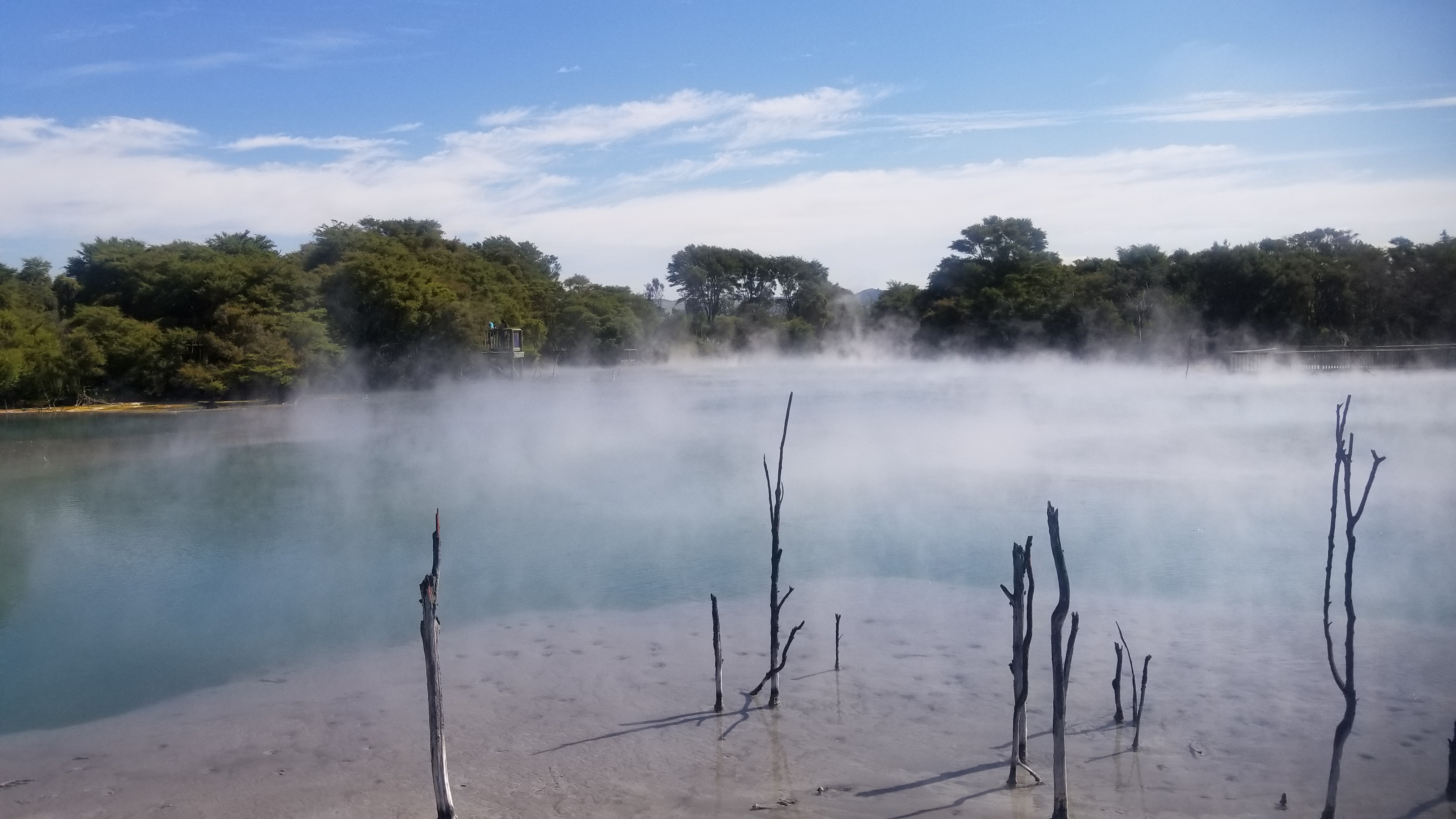
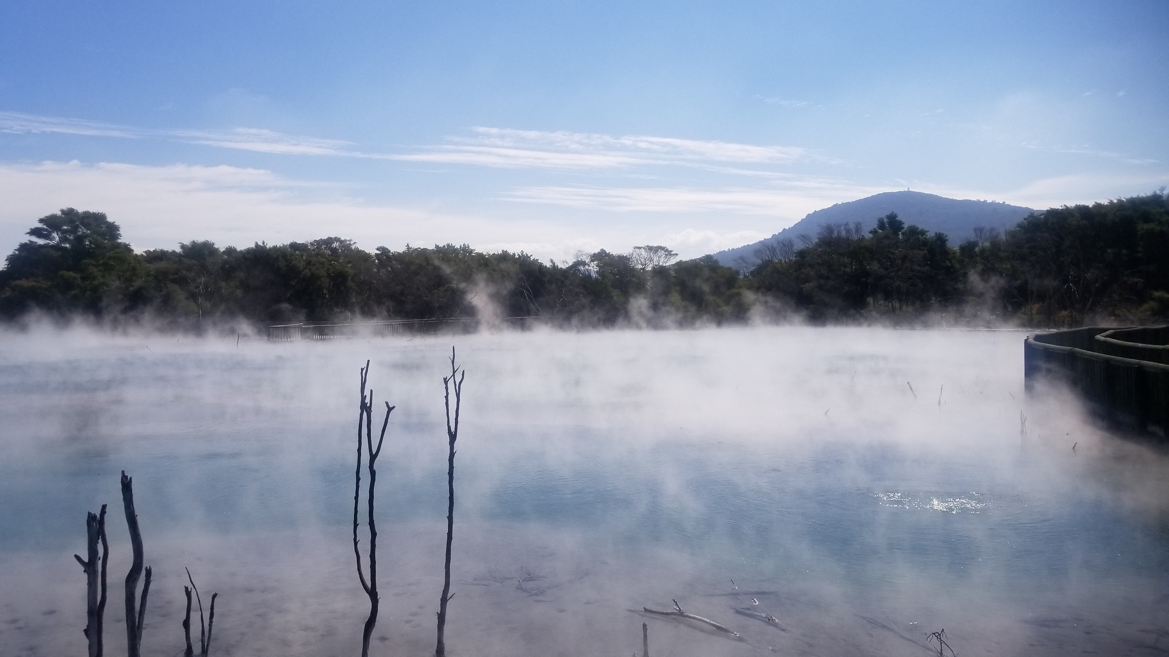
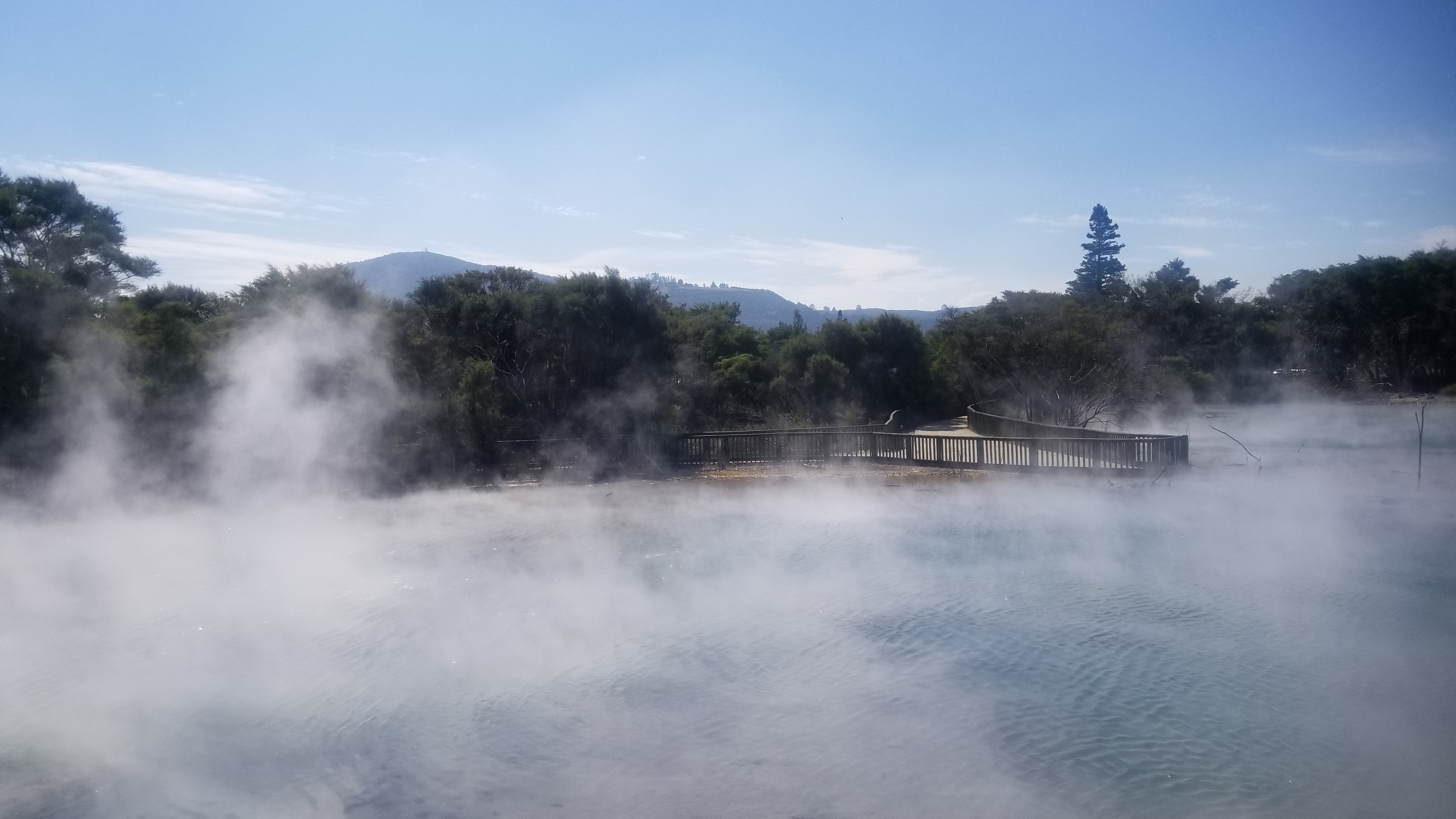
Then I took the bus as far north as I could go, and caught a hitch with a nice woman into another small volcanic lake town of Rotorua, famous for all its hot springs. She was a Jehovas Witness, and it was fun hearing about what she believes.

From there, I booked a room at the Funky Green hostel, hit the supermarket for some fresh food, and went there to crash into bed for some more R&R.

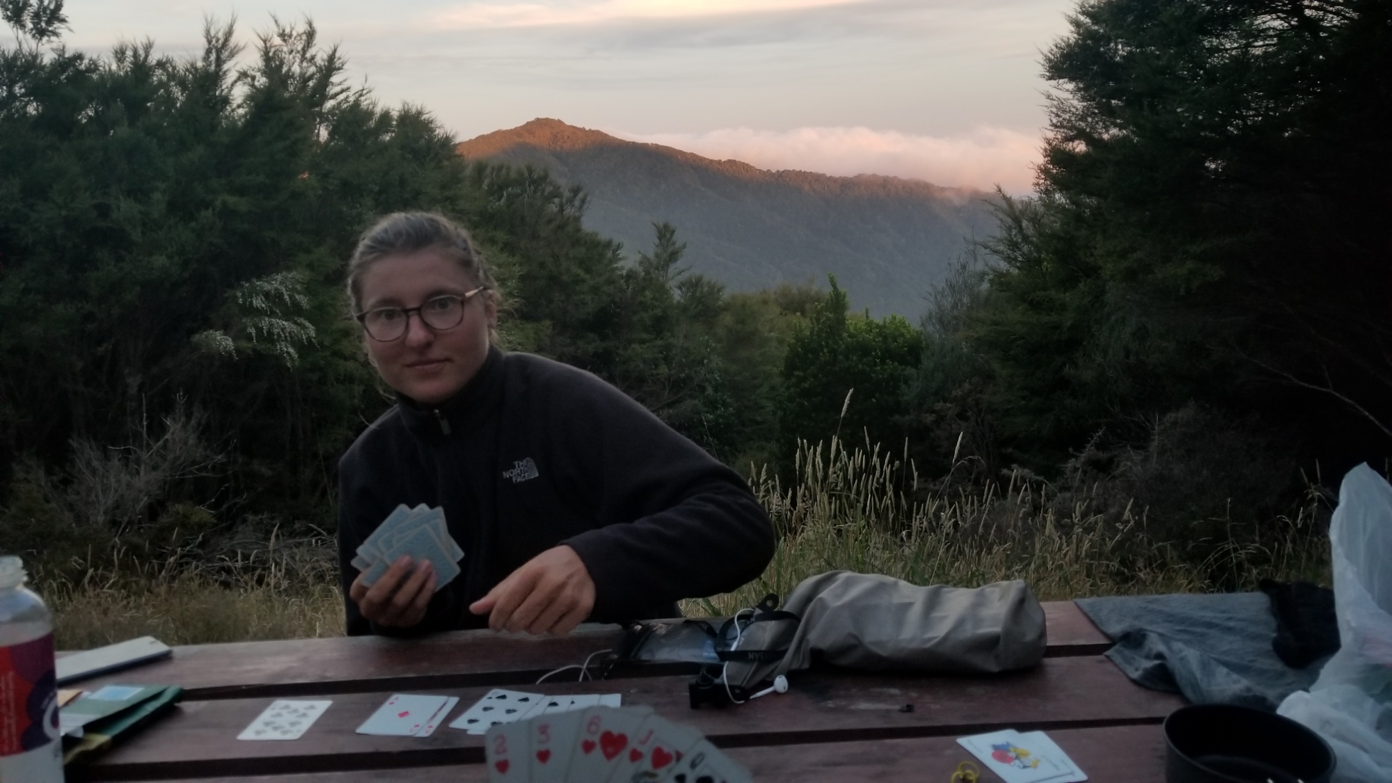
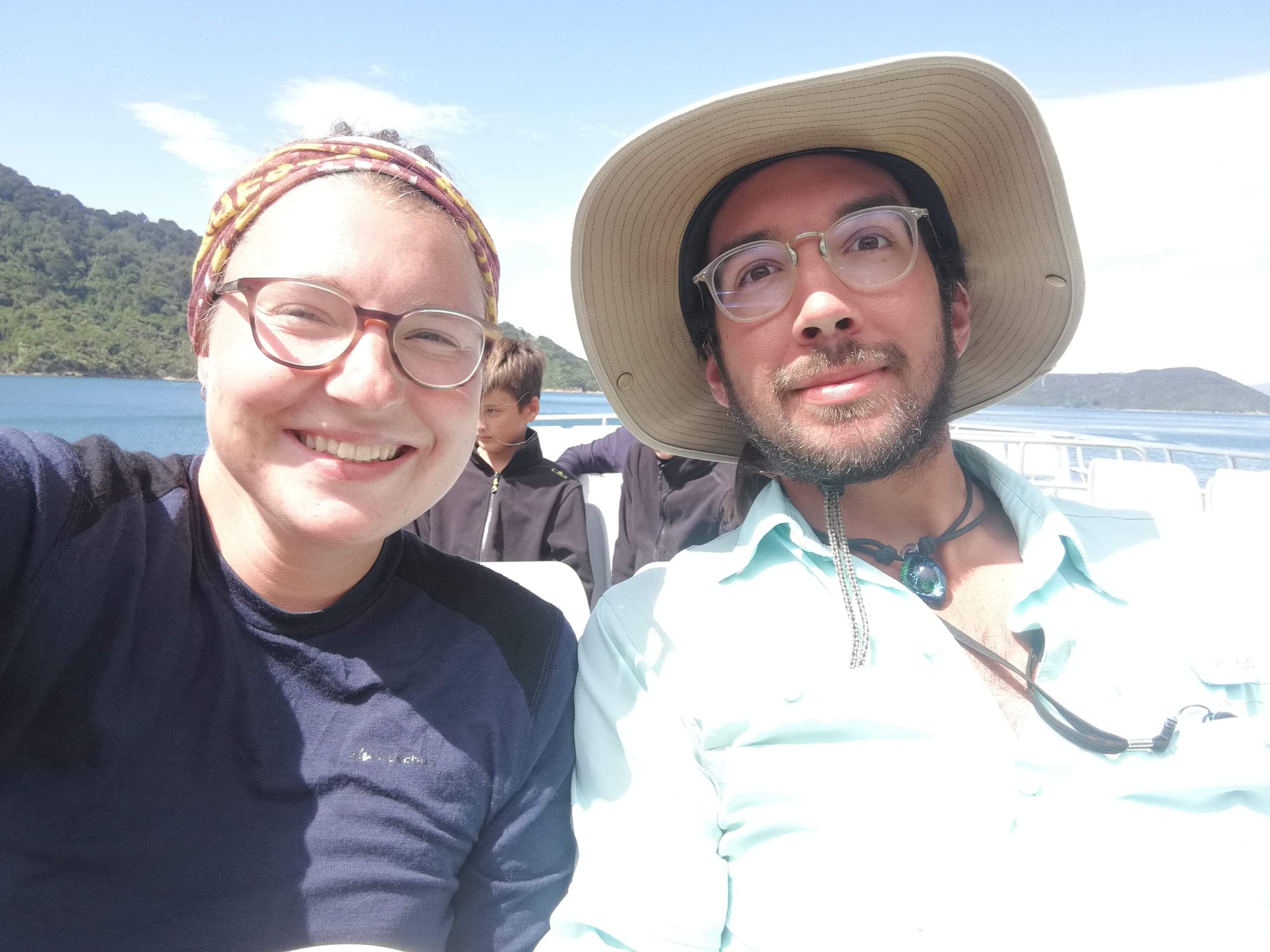
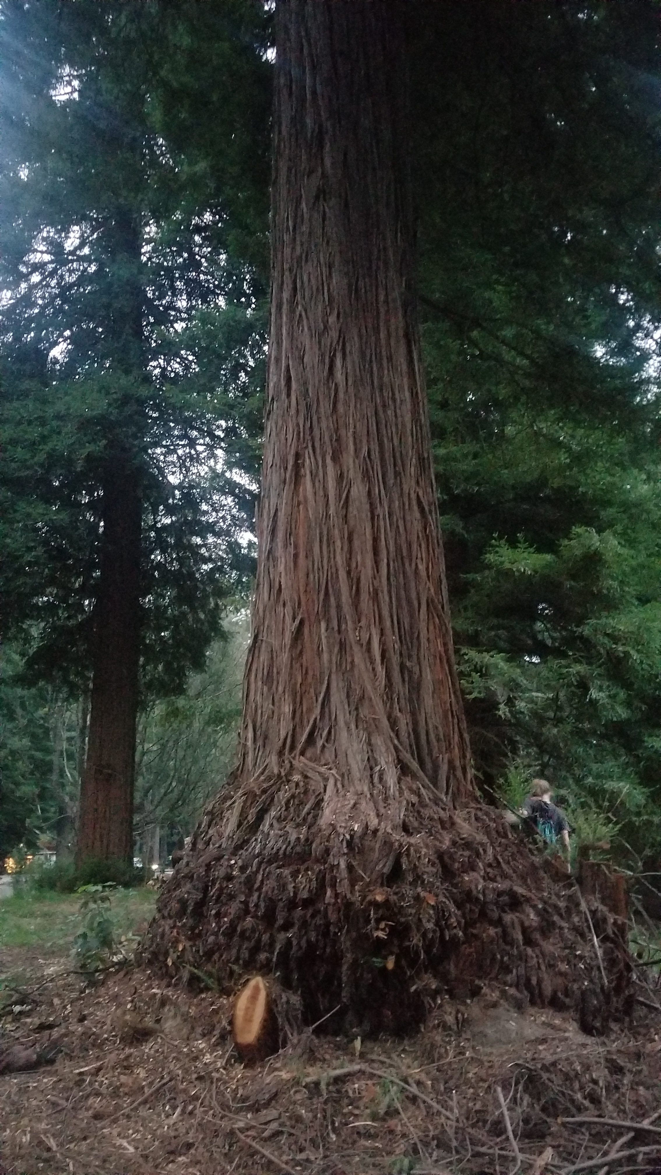
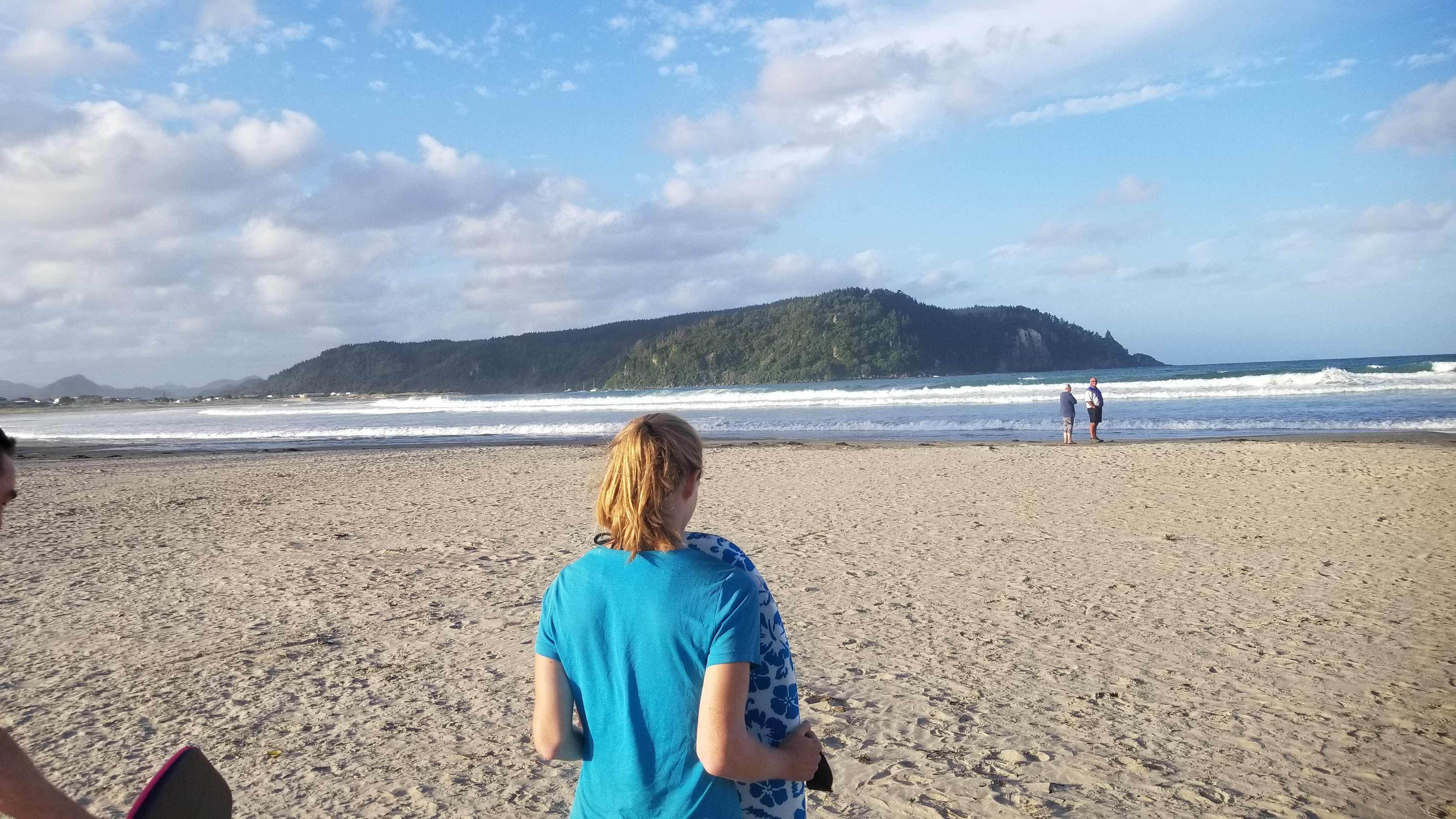
While there, I met a girl named Maureen who had just finished the Appalachian trail in November, and had been in Hawaii for 2 months. She had just arrived in New Zealand before heading back to the states to hike the PCT in April. We decided to partner up and go do the Terawera trail to Hot Water Beach on Terawera Lake. We spent an evening with Aaron and his family, who she had been traveling with since arriving in the country a week ago. Together, we visited the Redwood forest in Rotorua, and then stayed up late talking about everything under the sun. Aaron was a lawyer in Tillamook, Oregon, and it was nice to talk with someone who knew about my old home.

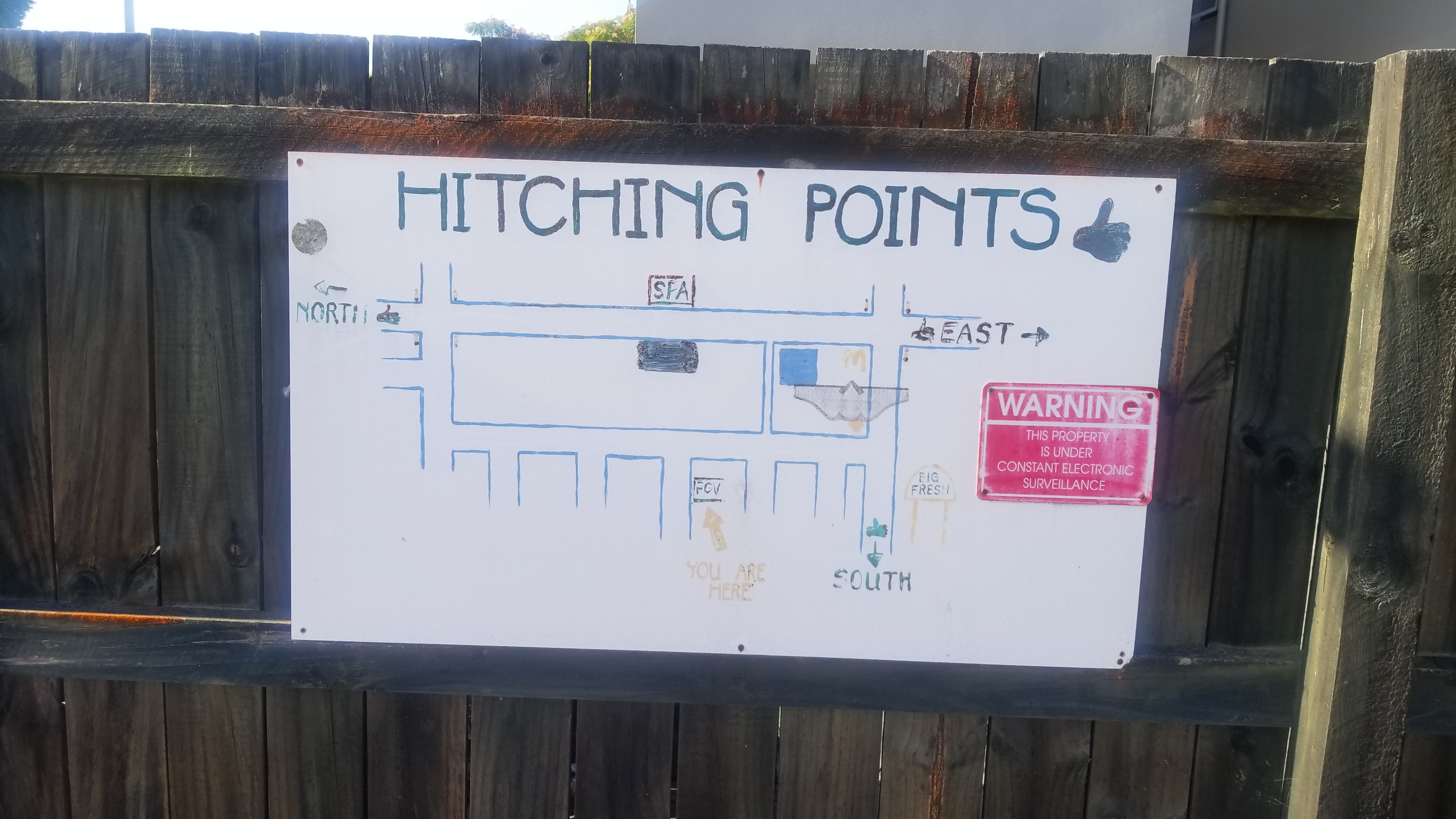
The next day, Maureen and I would’ve caught the bus a few kilometers out of Rotorua, but it swerved past us without stopping, so we just walked to the road to the Trailhead instead. An old fella on a bike gave us the tip to walk into the woods and pick up a nice walking trail off the highway. Once there, we got an immediate hitch in the camper van of this guy from South Africa, who was living in the Terawera village with his wife there.

He took us all the way to the trailhead. Along the way, we passed a hitchhiker that was just a hundred meters up from us. We laughed, because we probably took his ride, hah! I’m sure he ended up making it.

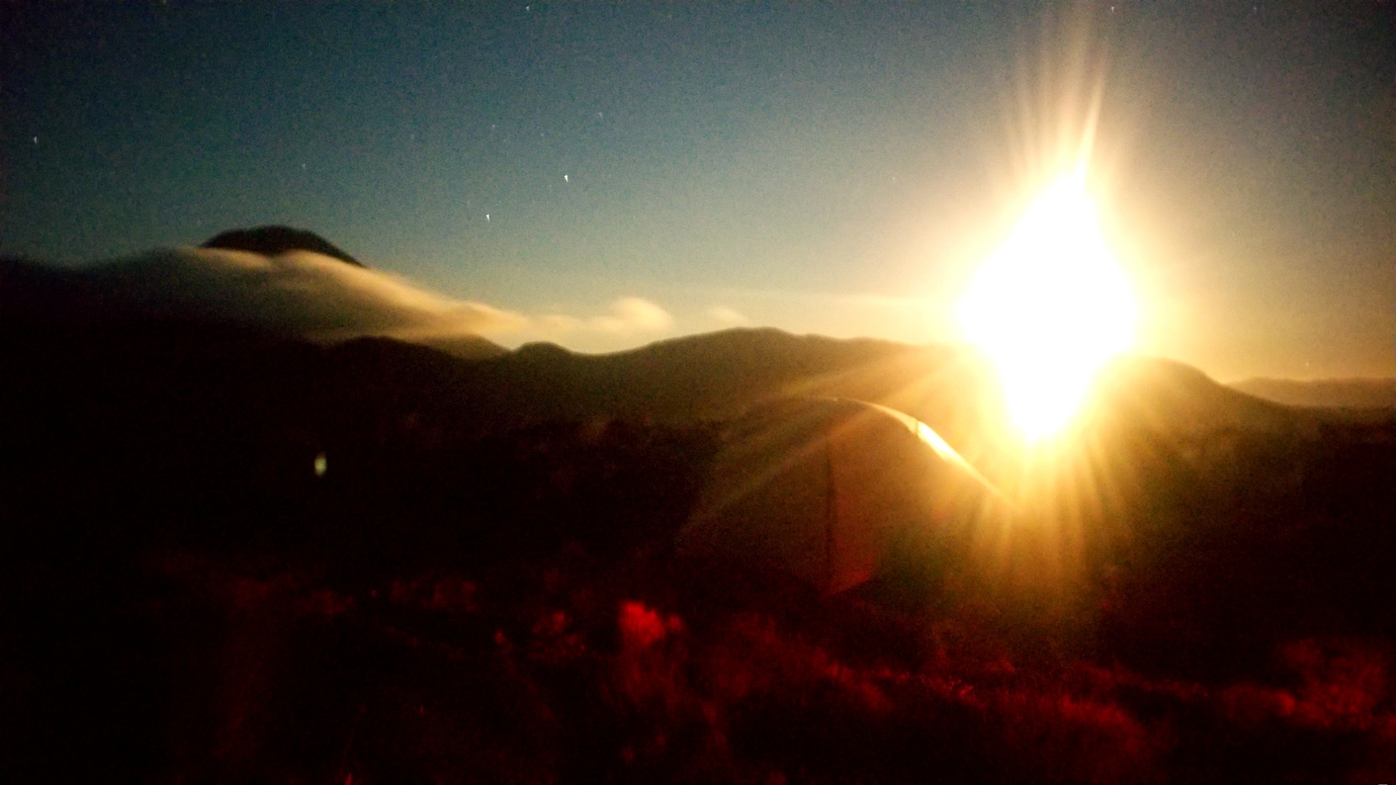
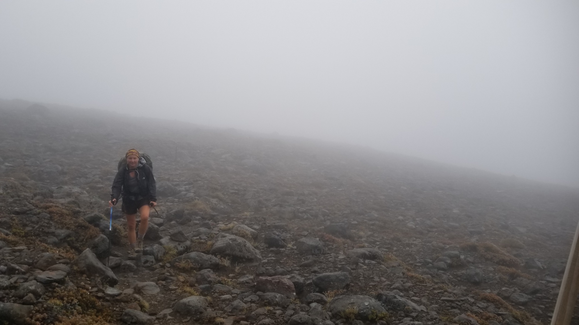
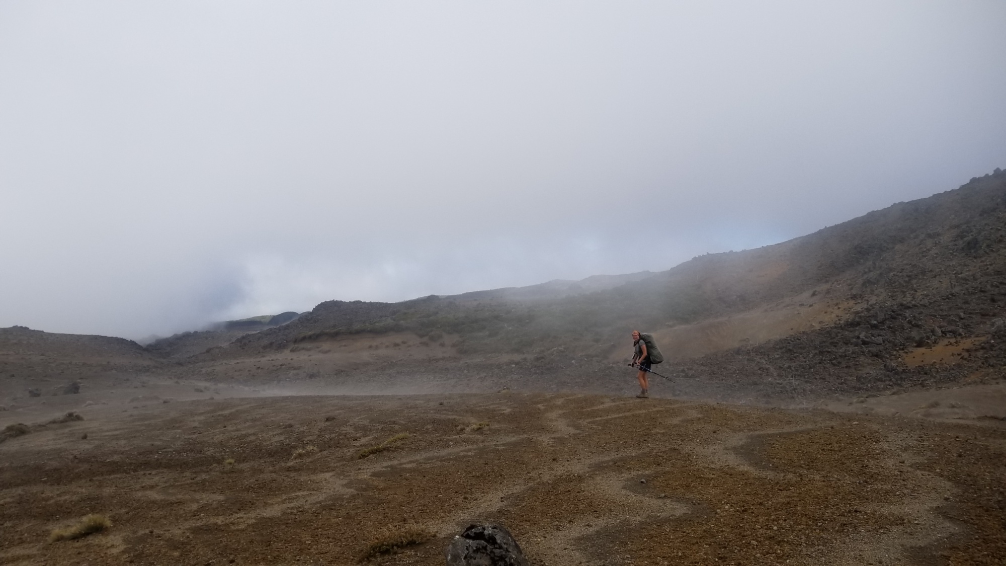
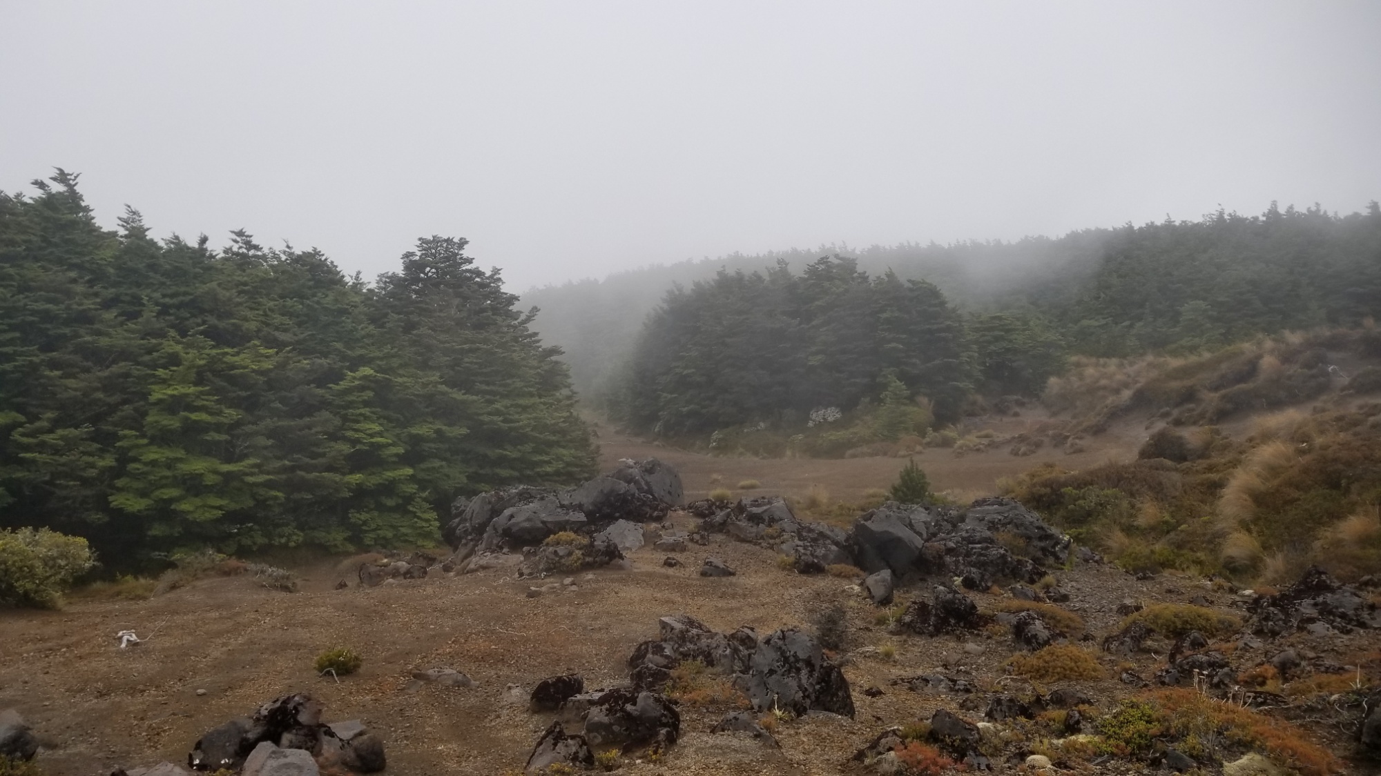
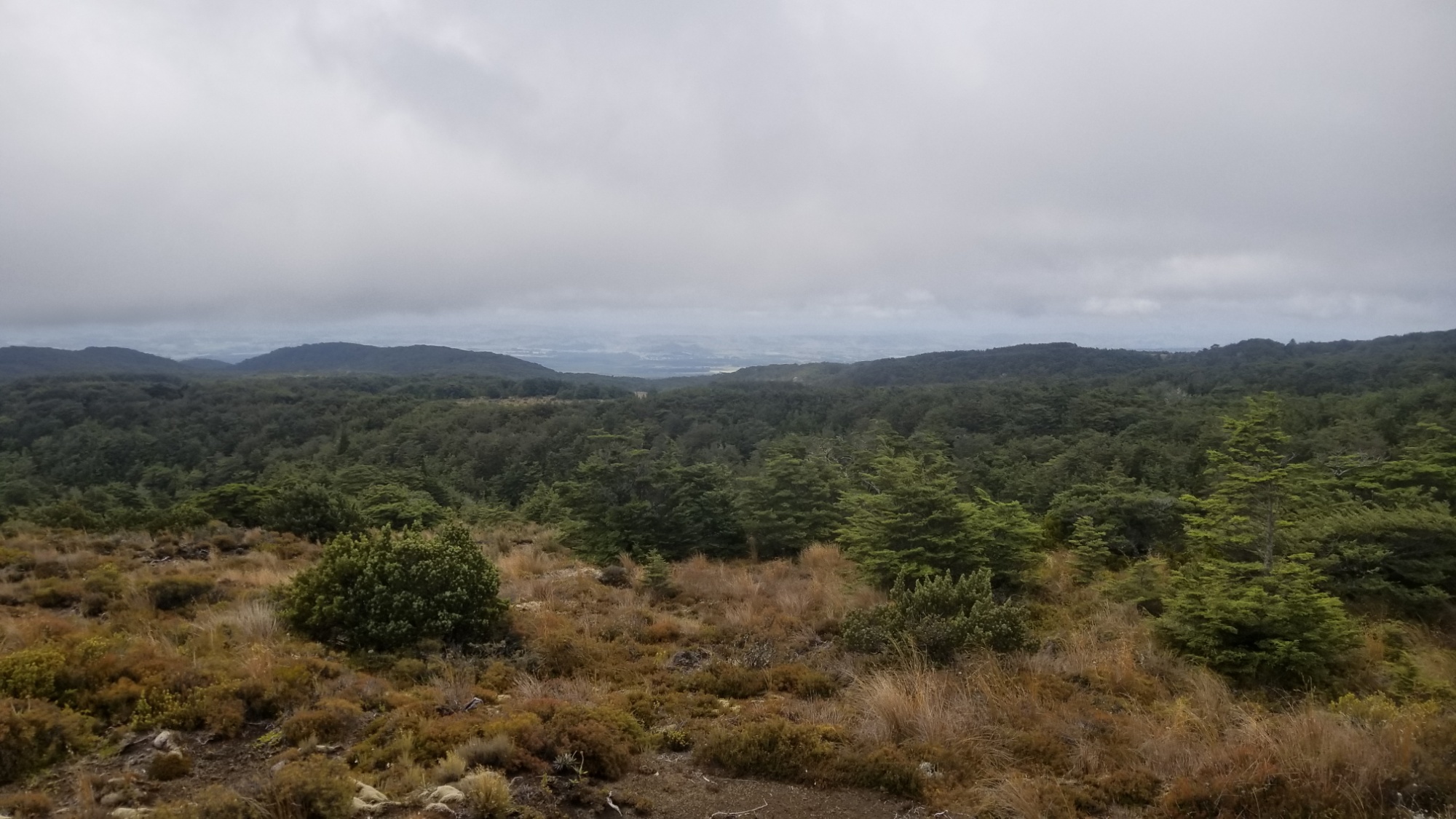
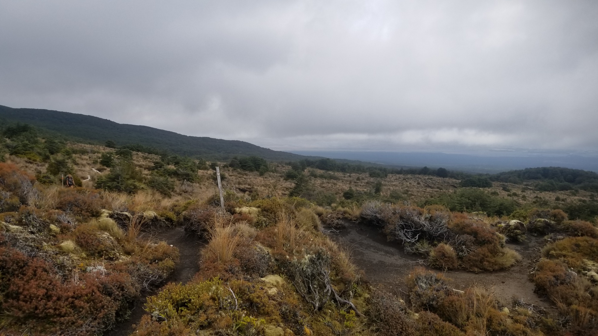
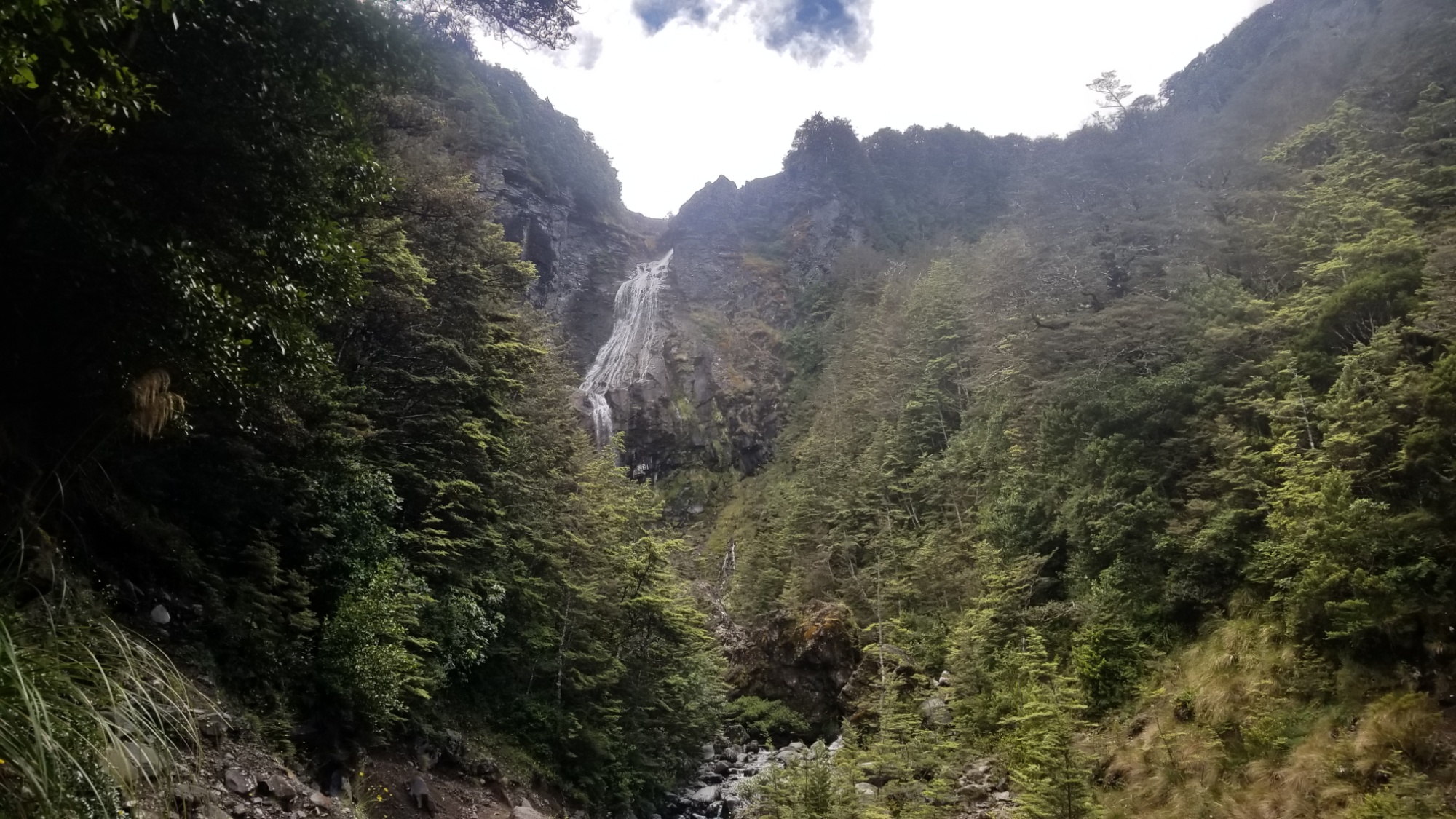
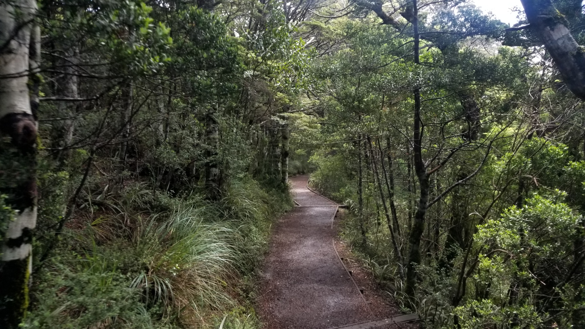
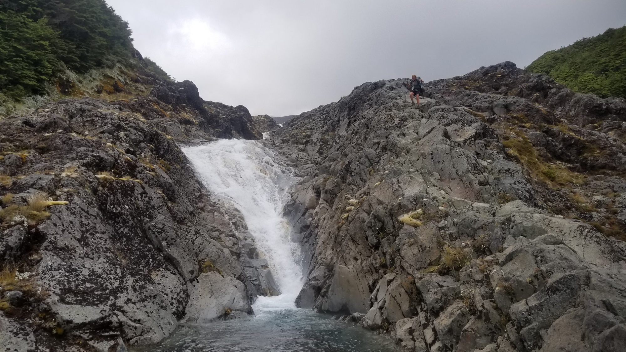
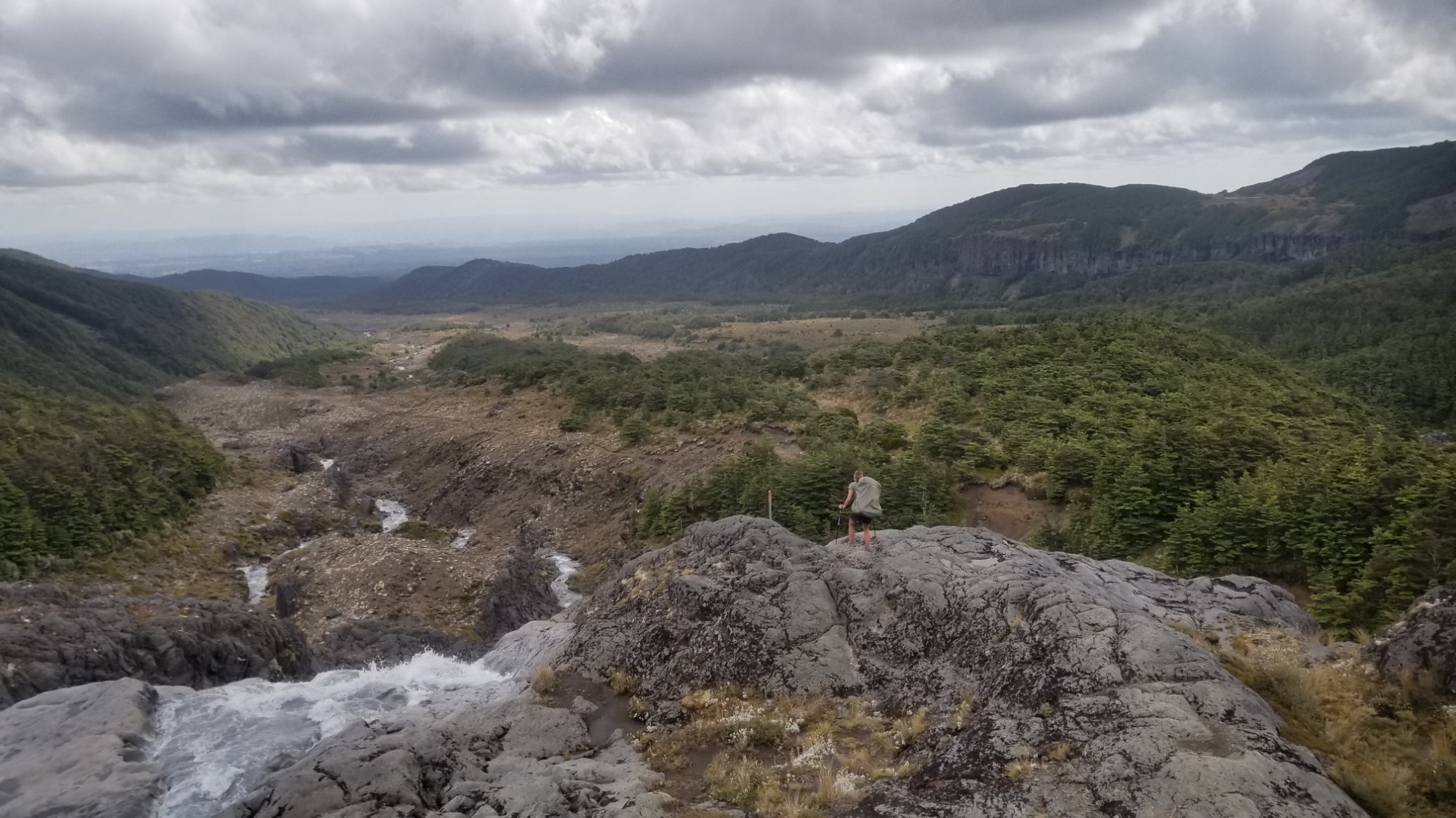
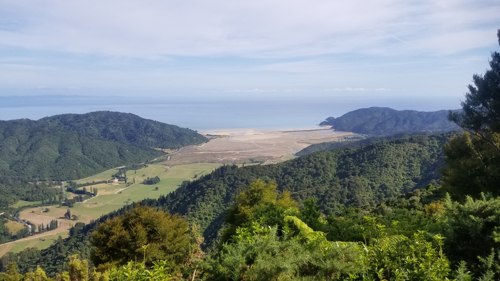
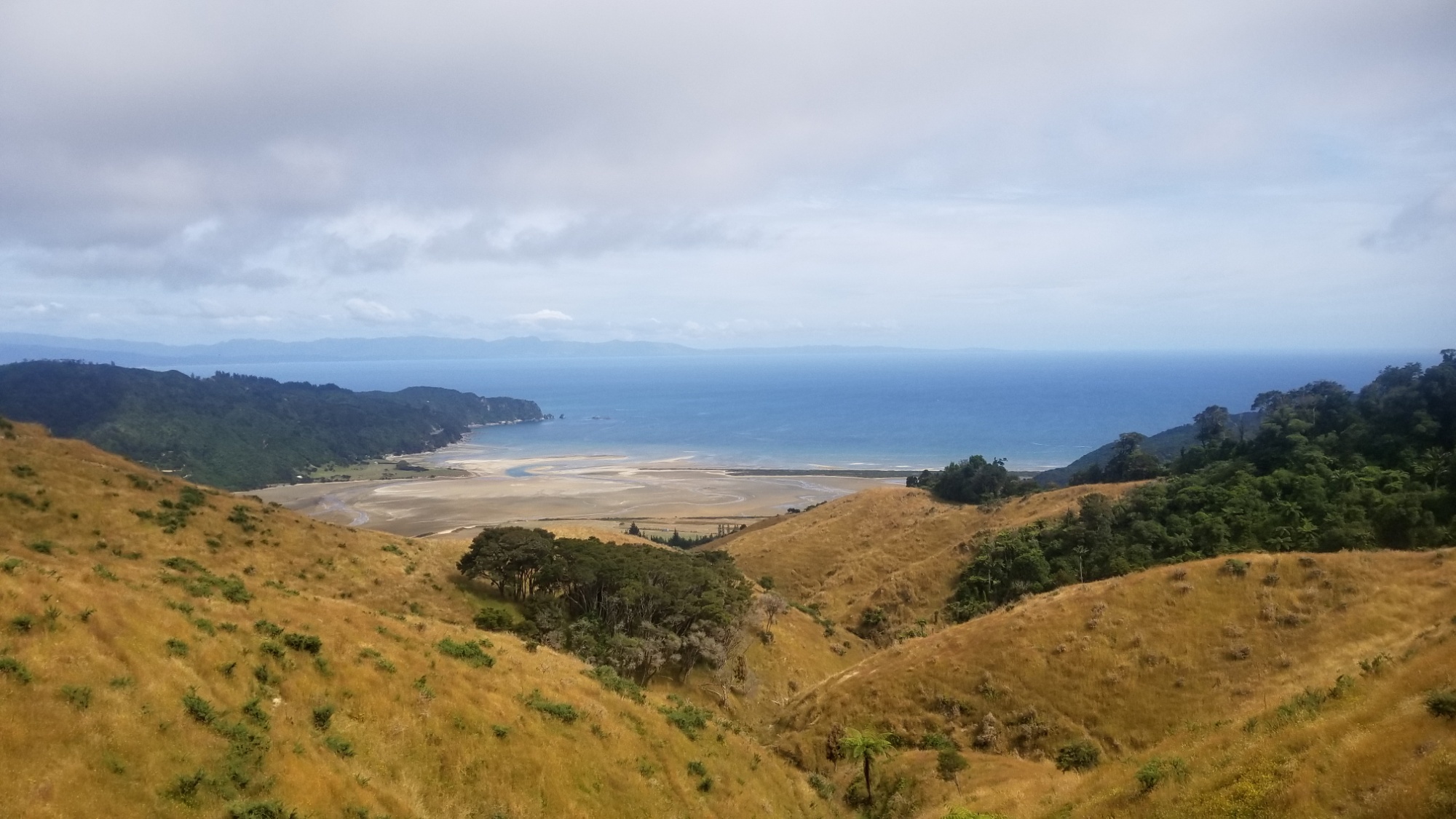
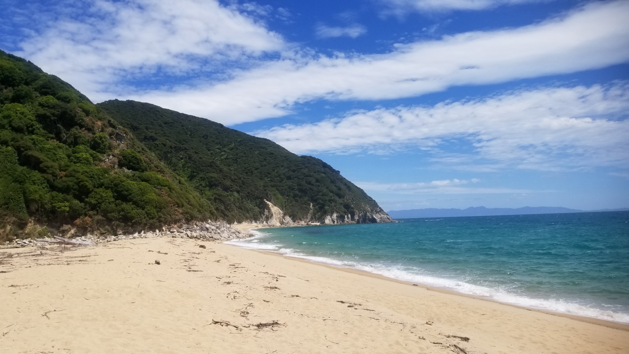
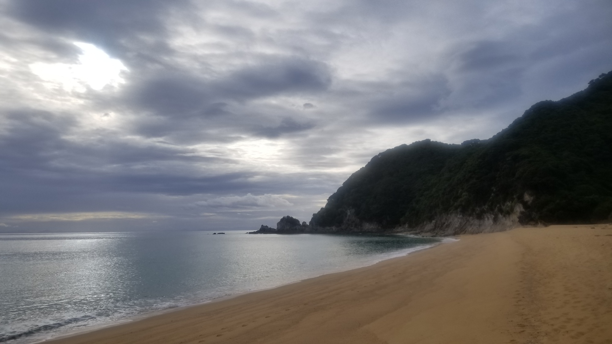
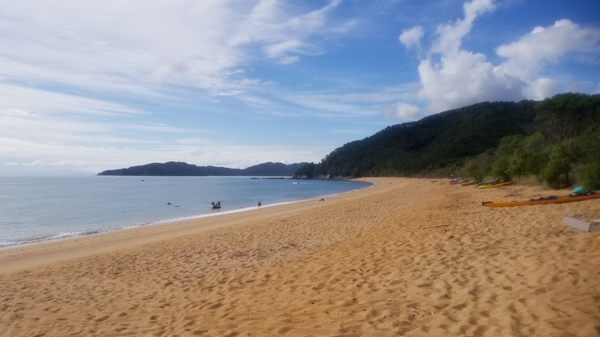
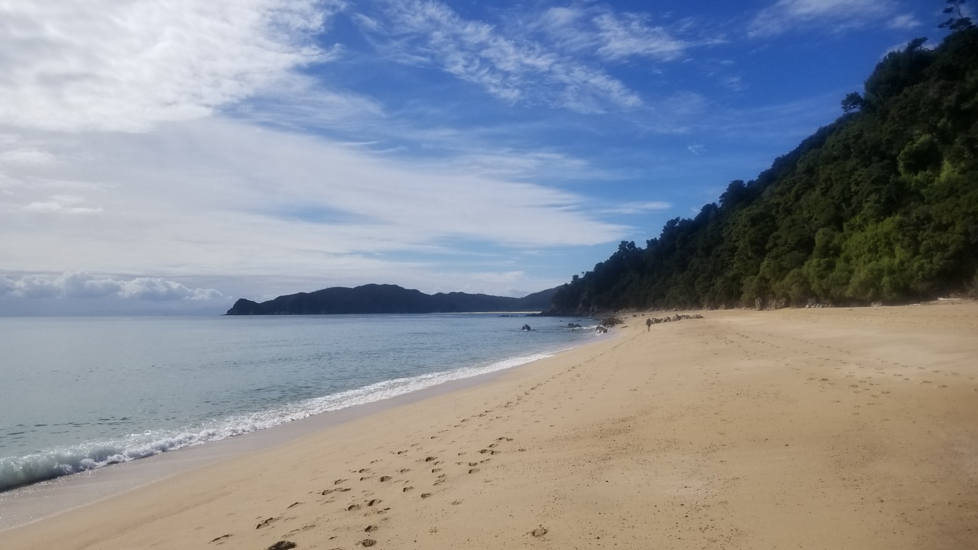
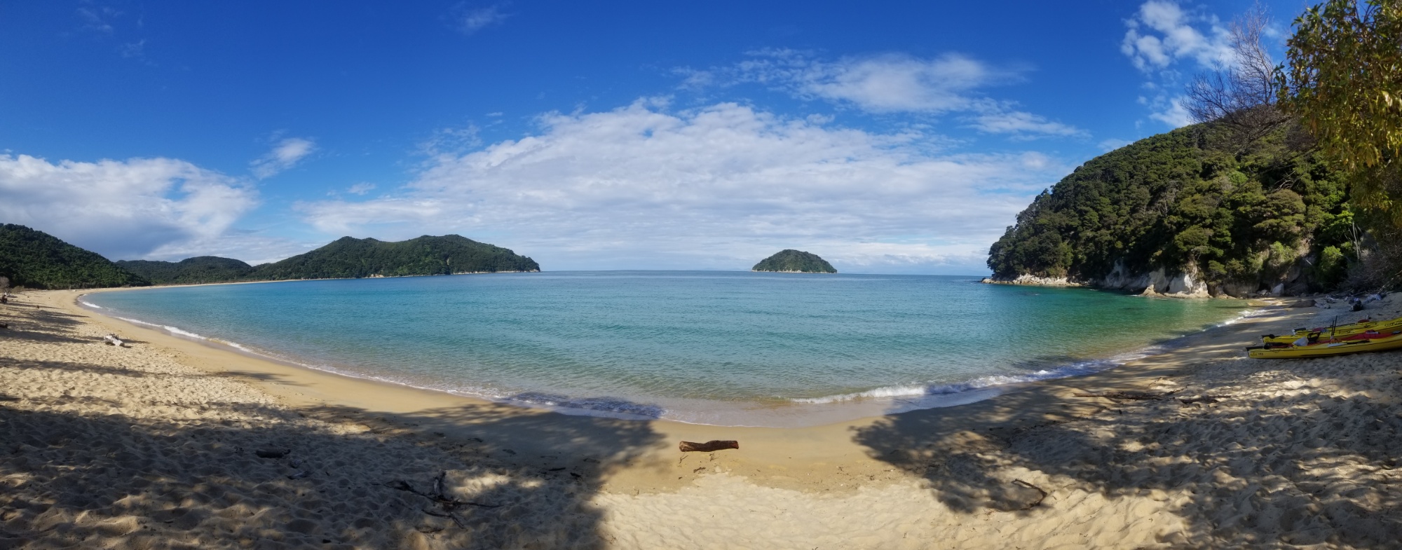
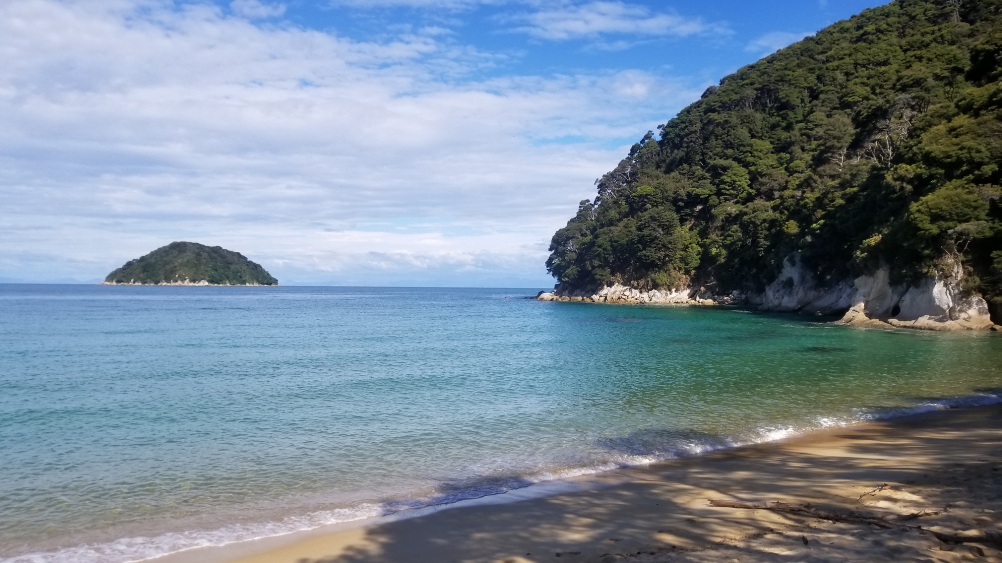
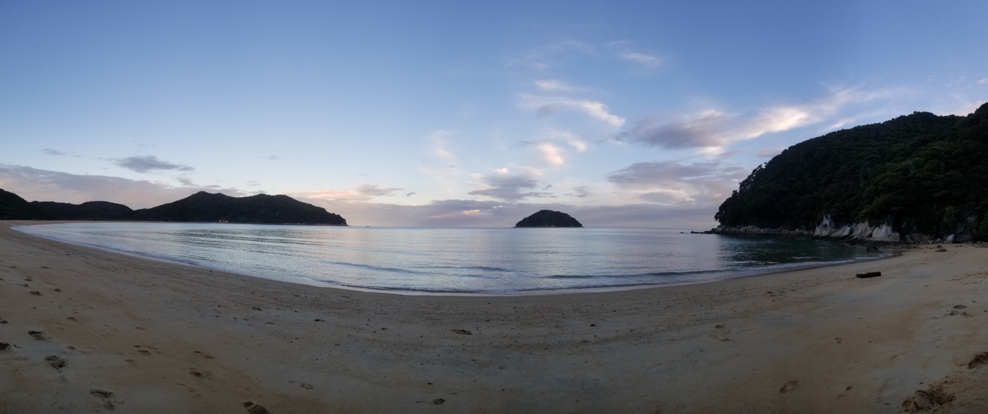
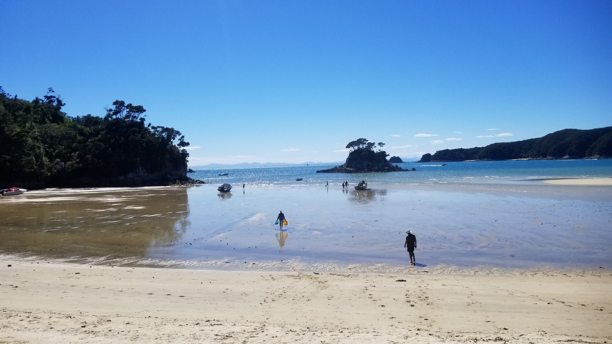
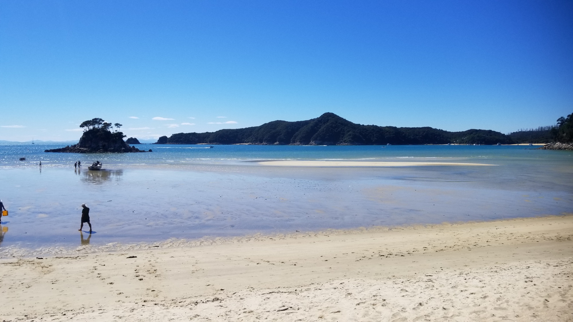
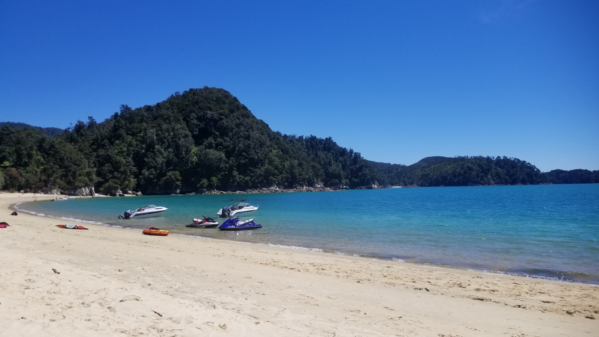
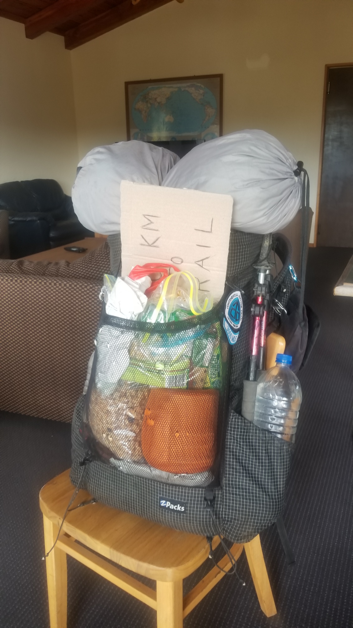
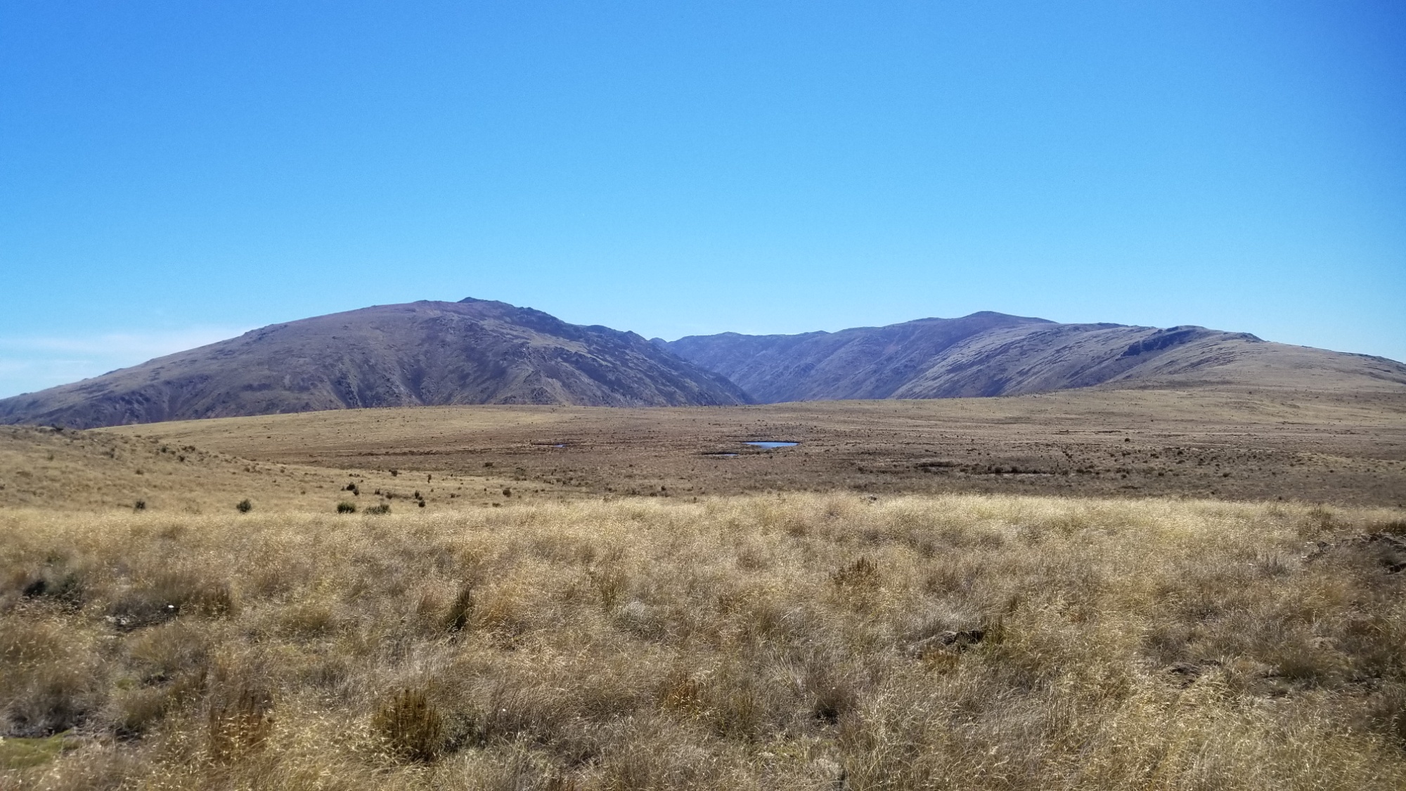
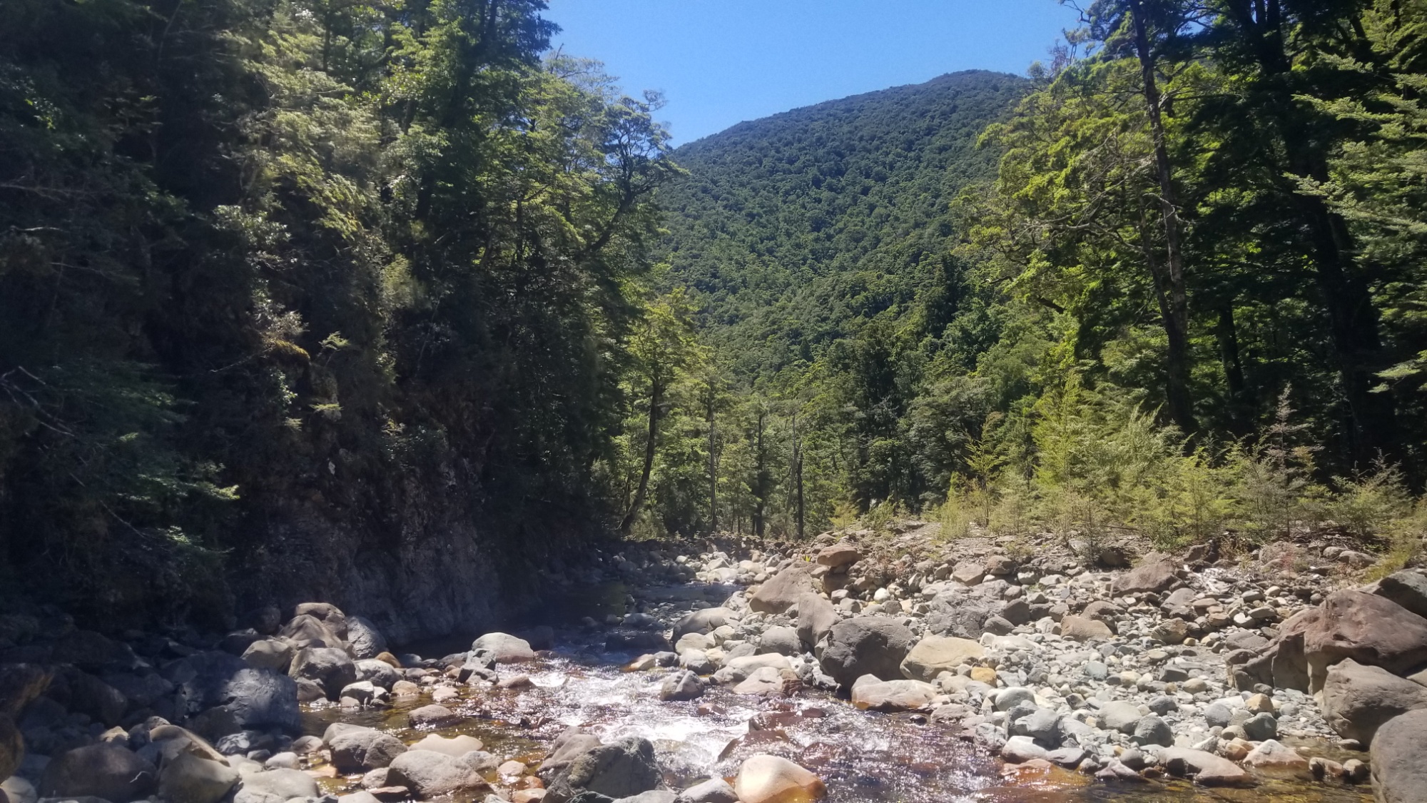
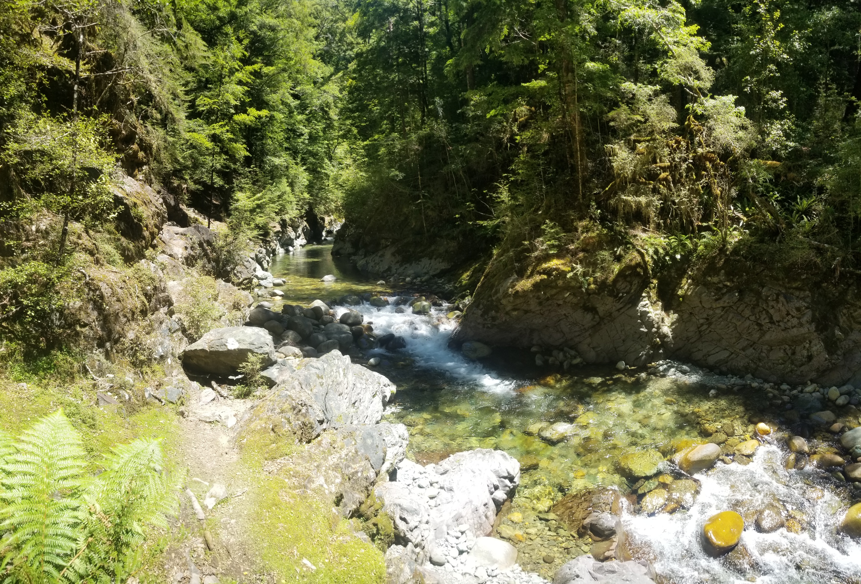
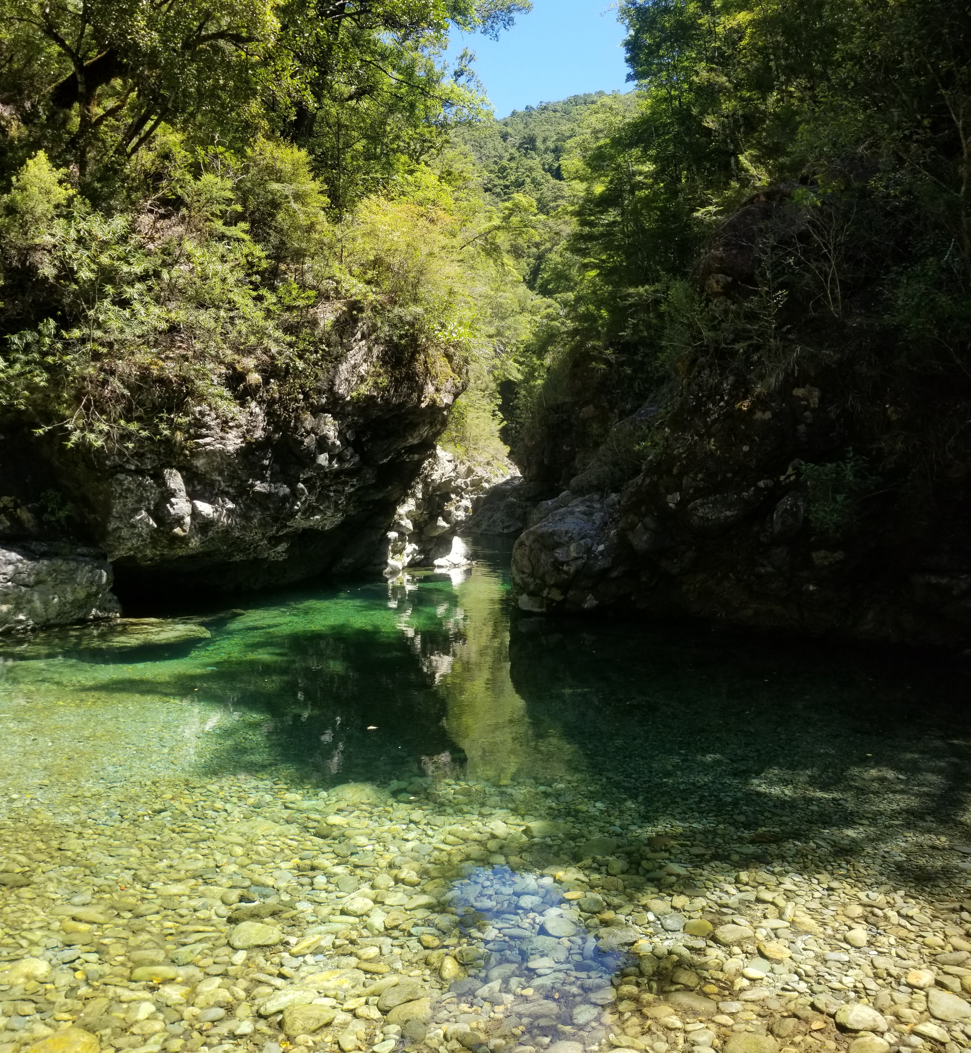
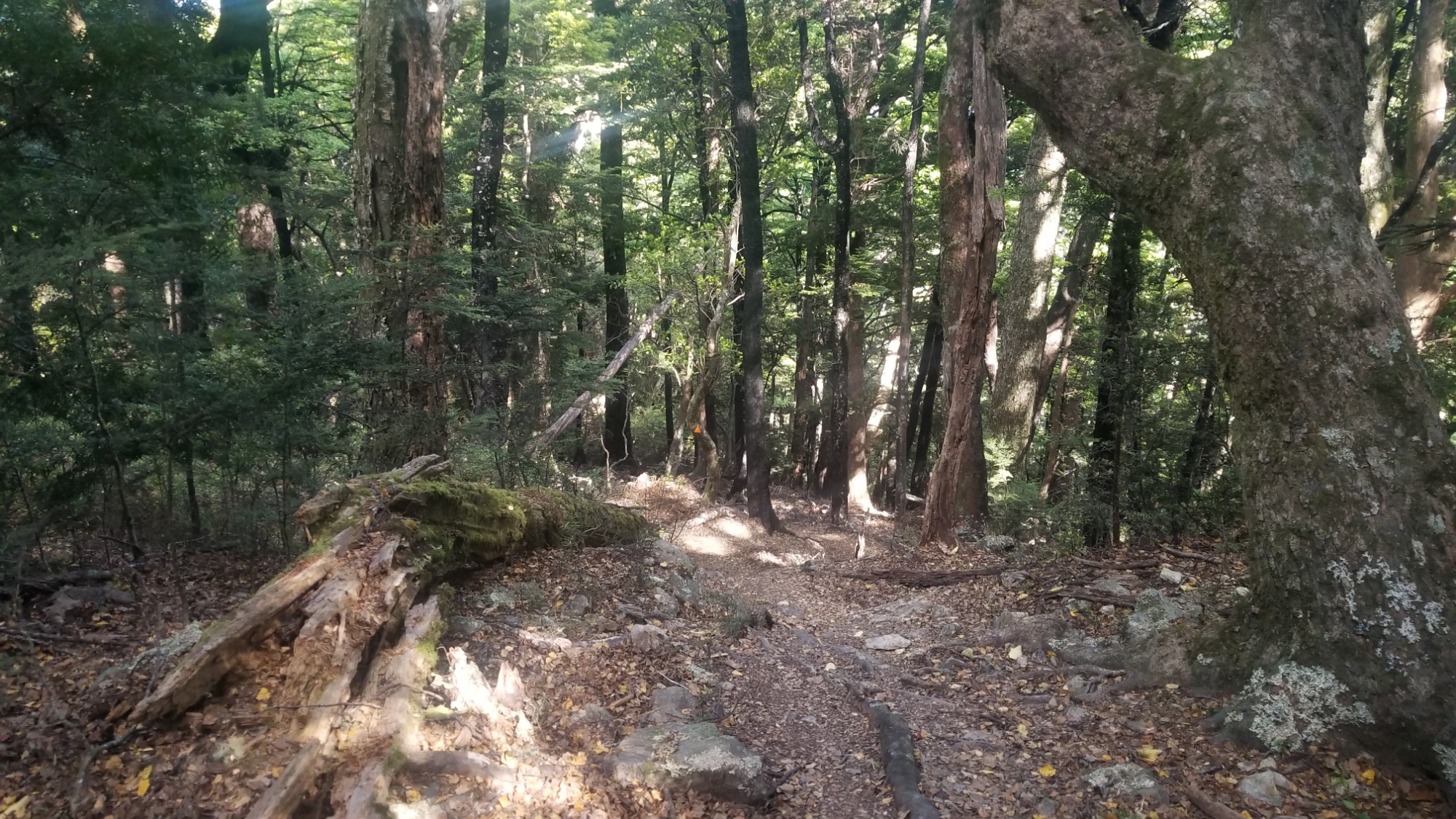
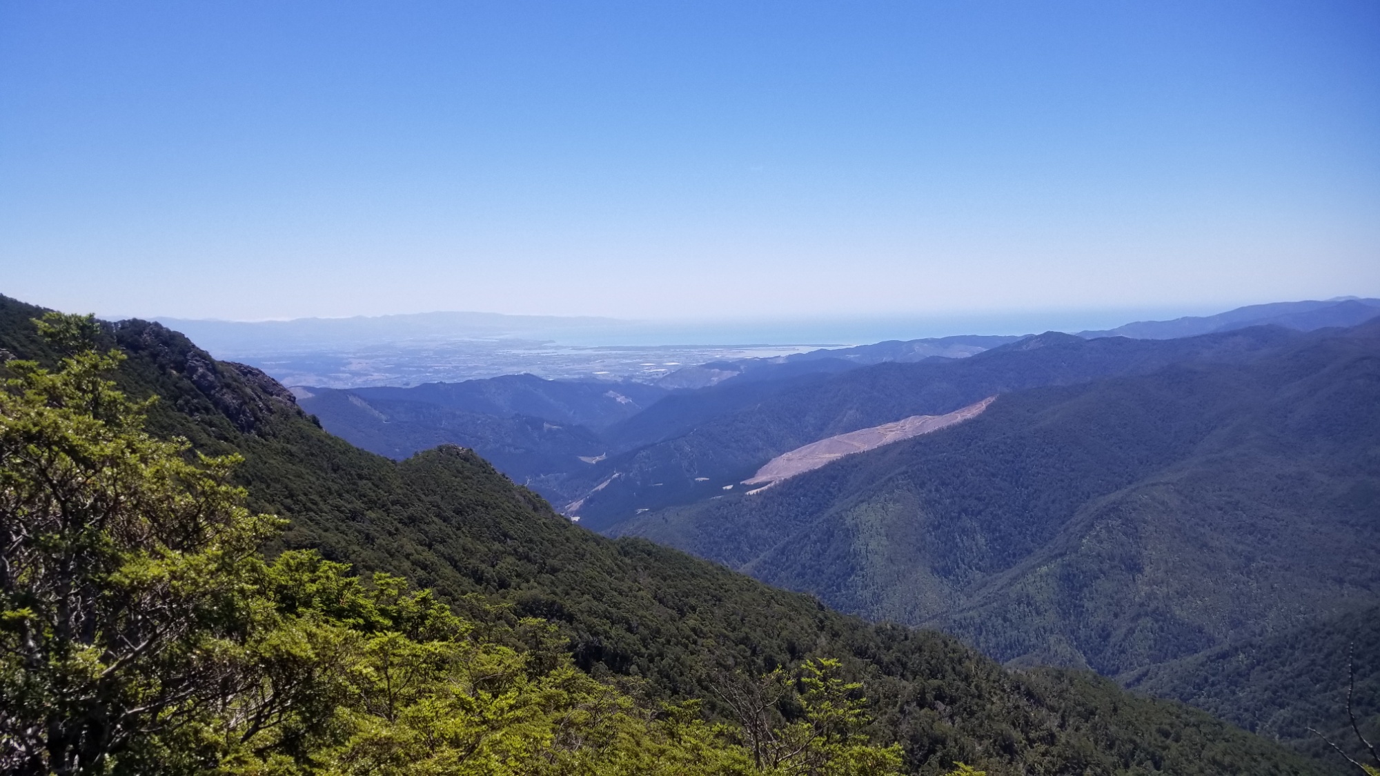
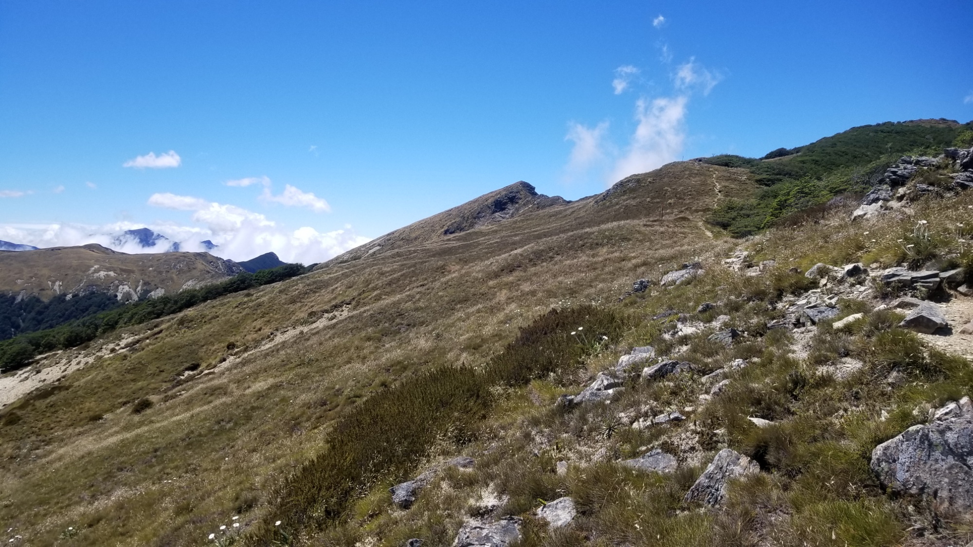
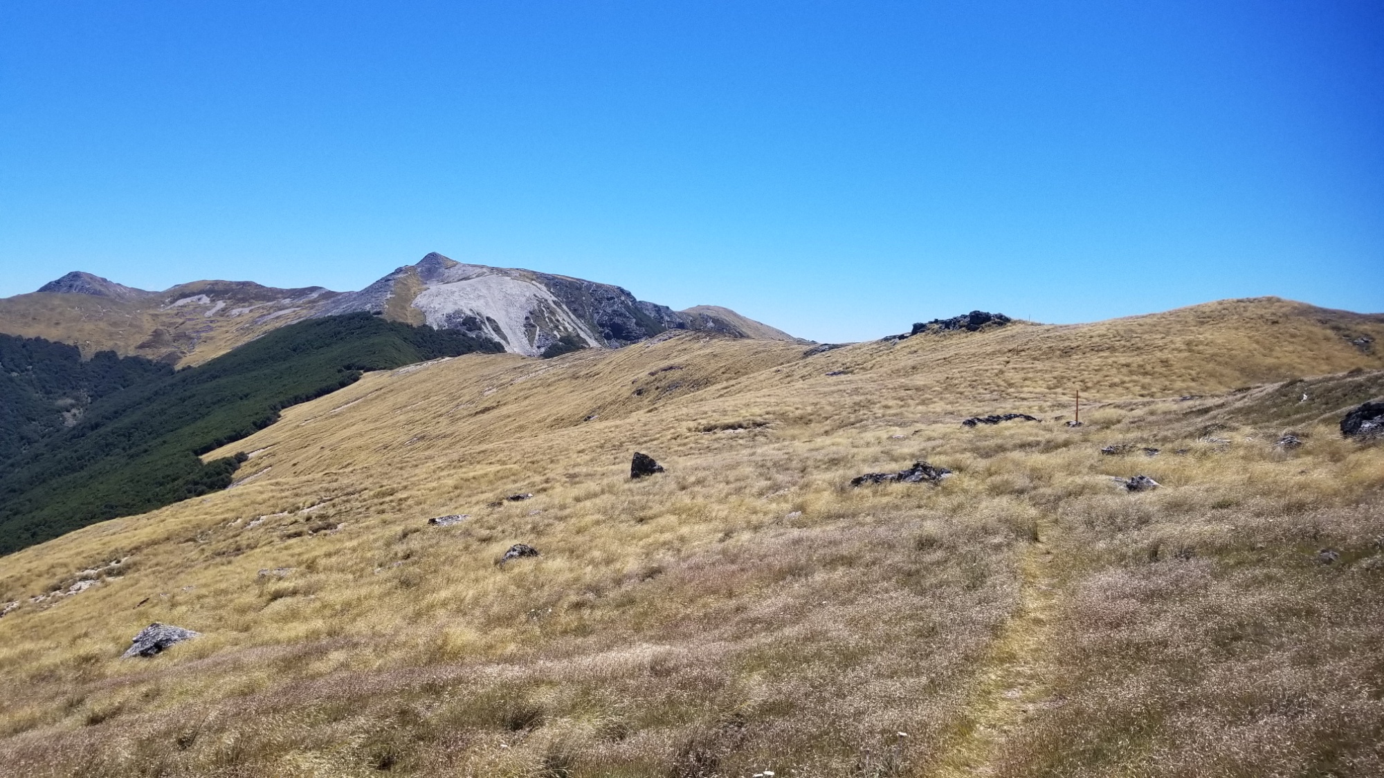
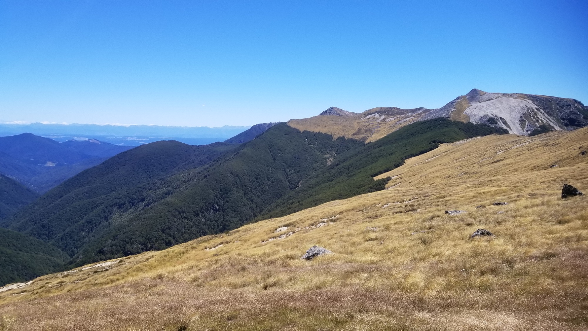
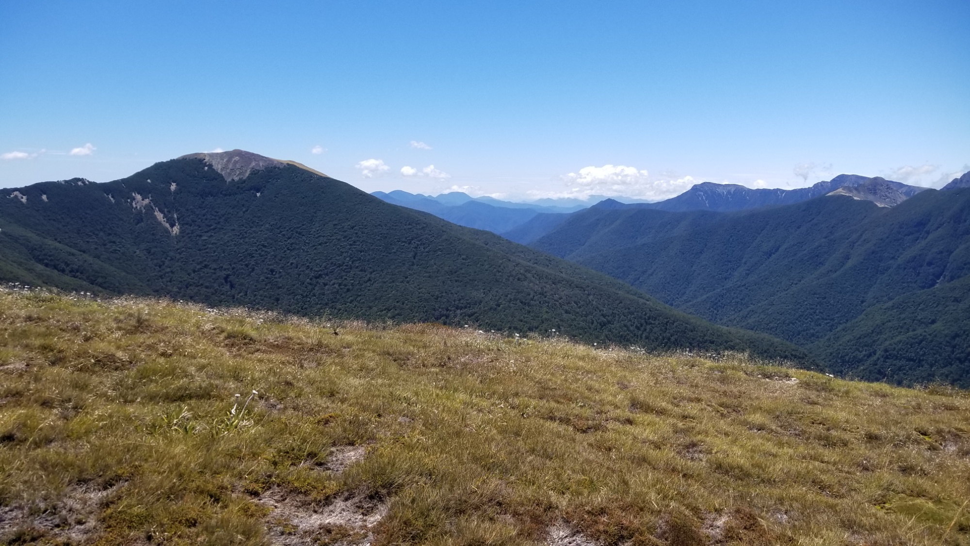
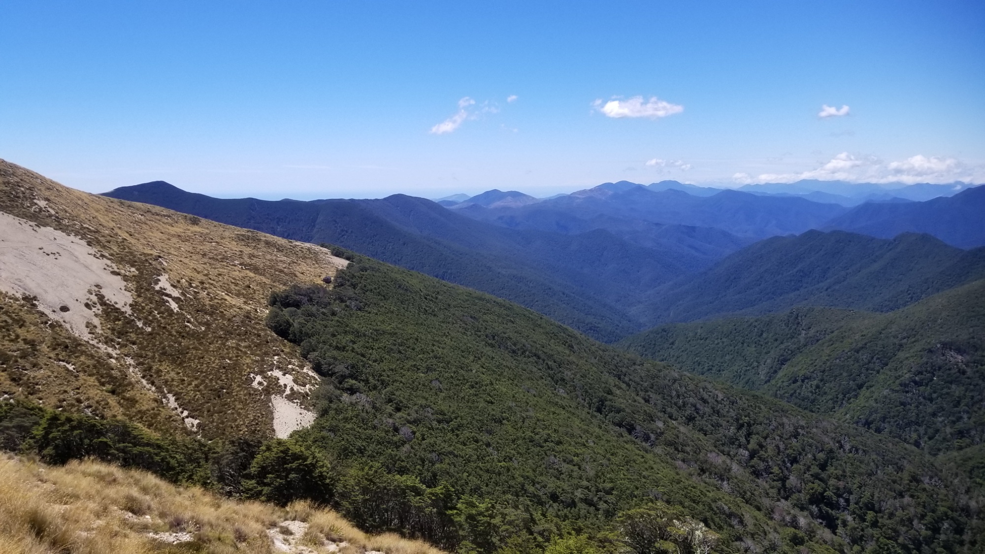
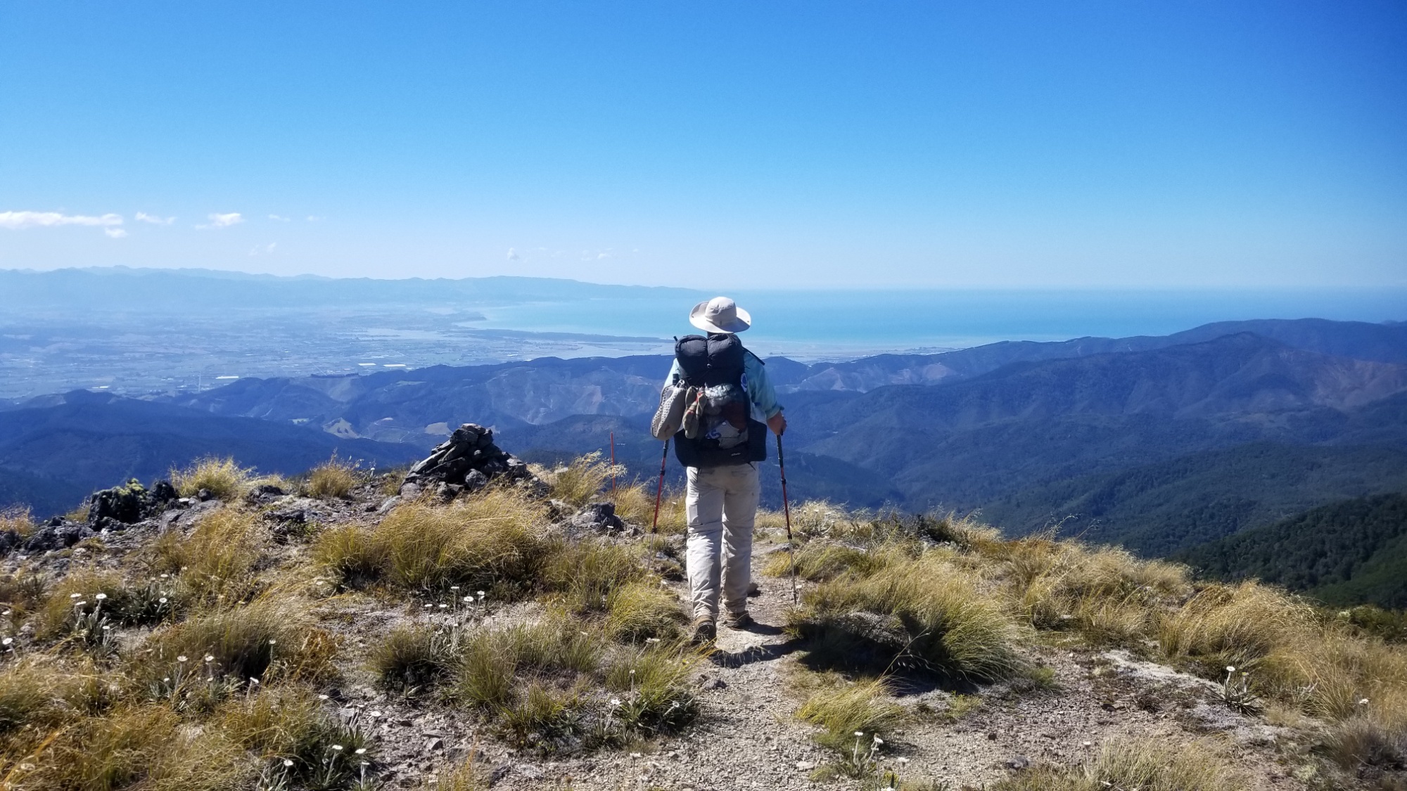
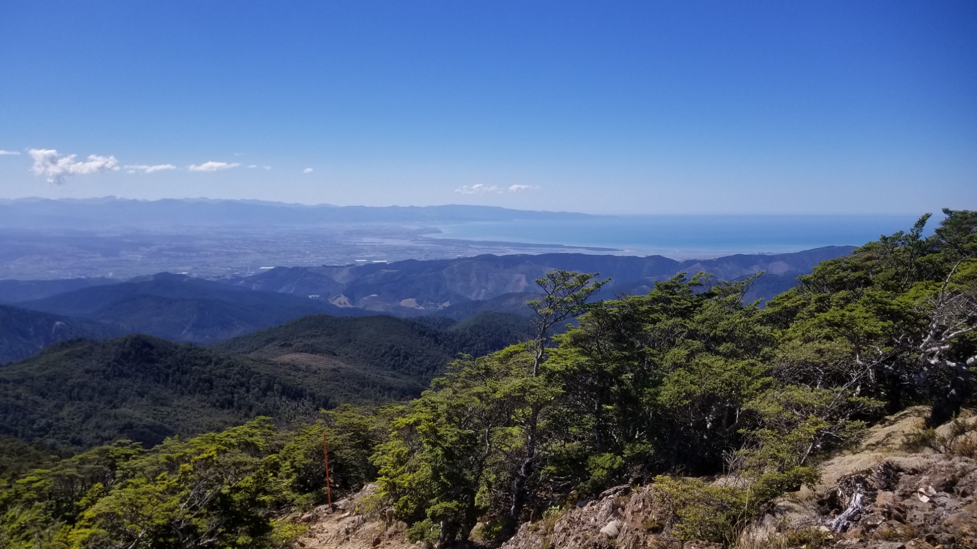
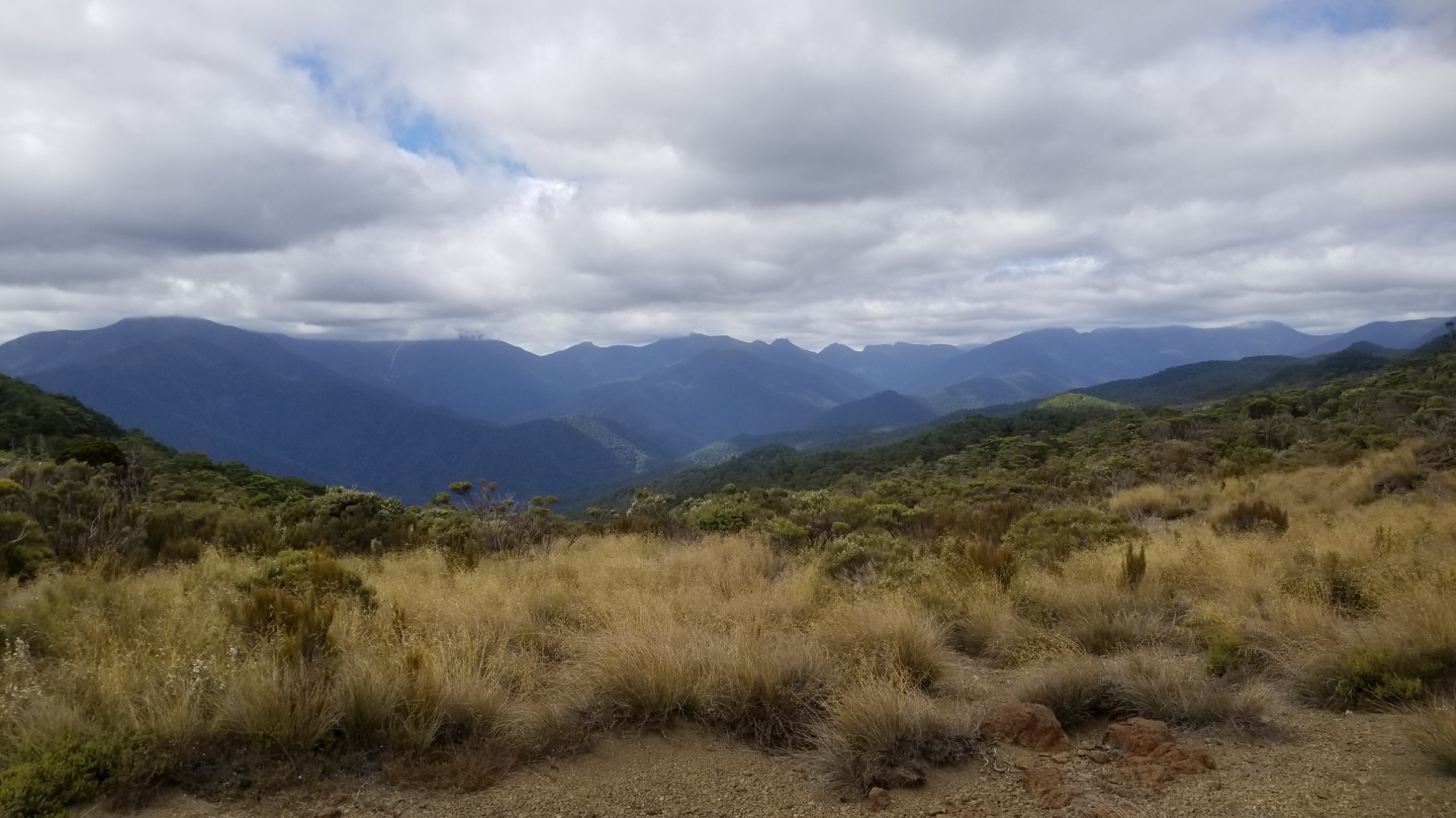
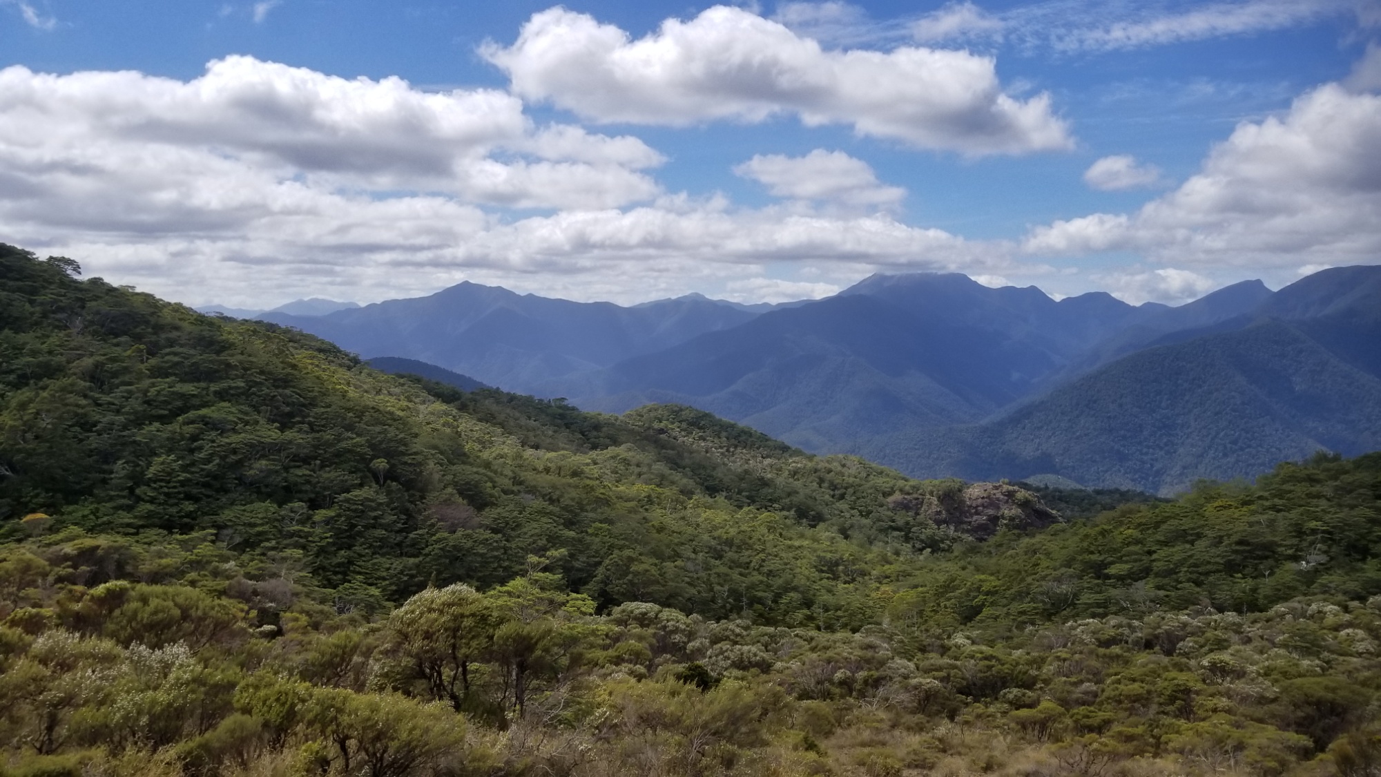
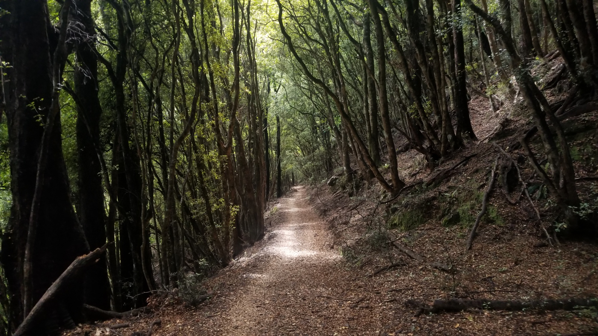
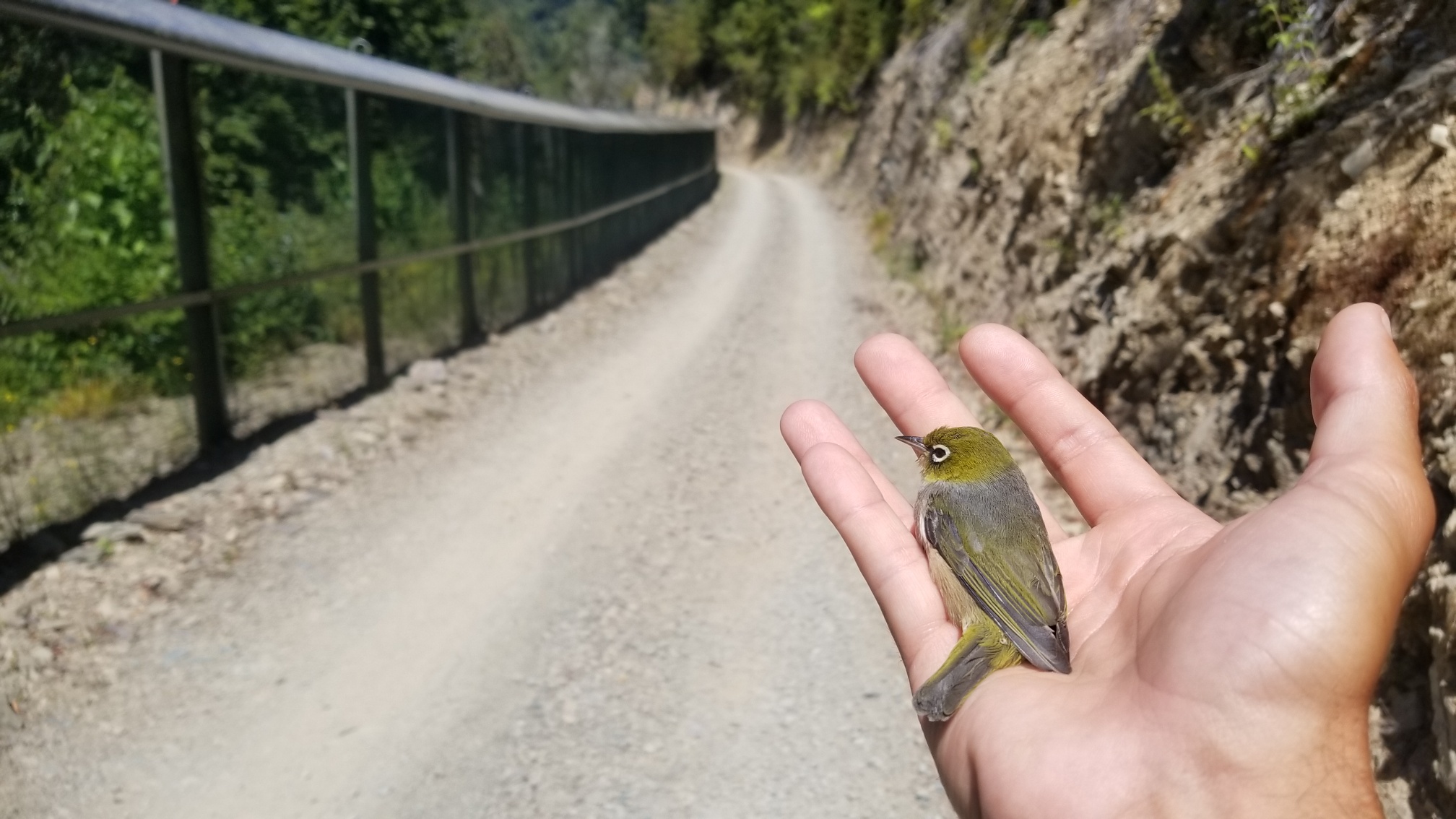
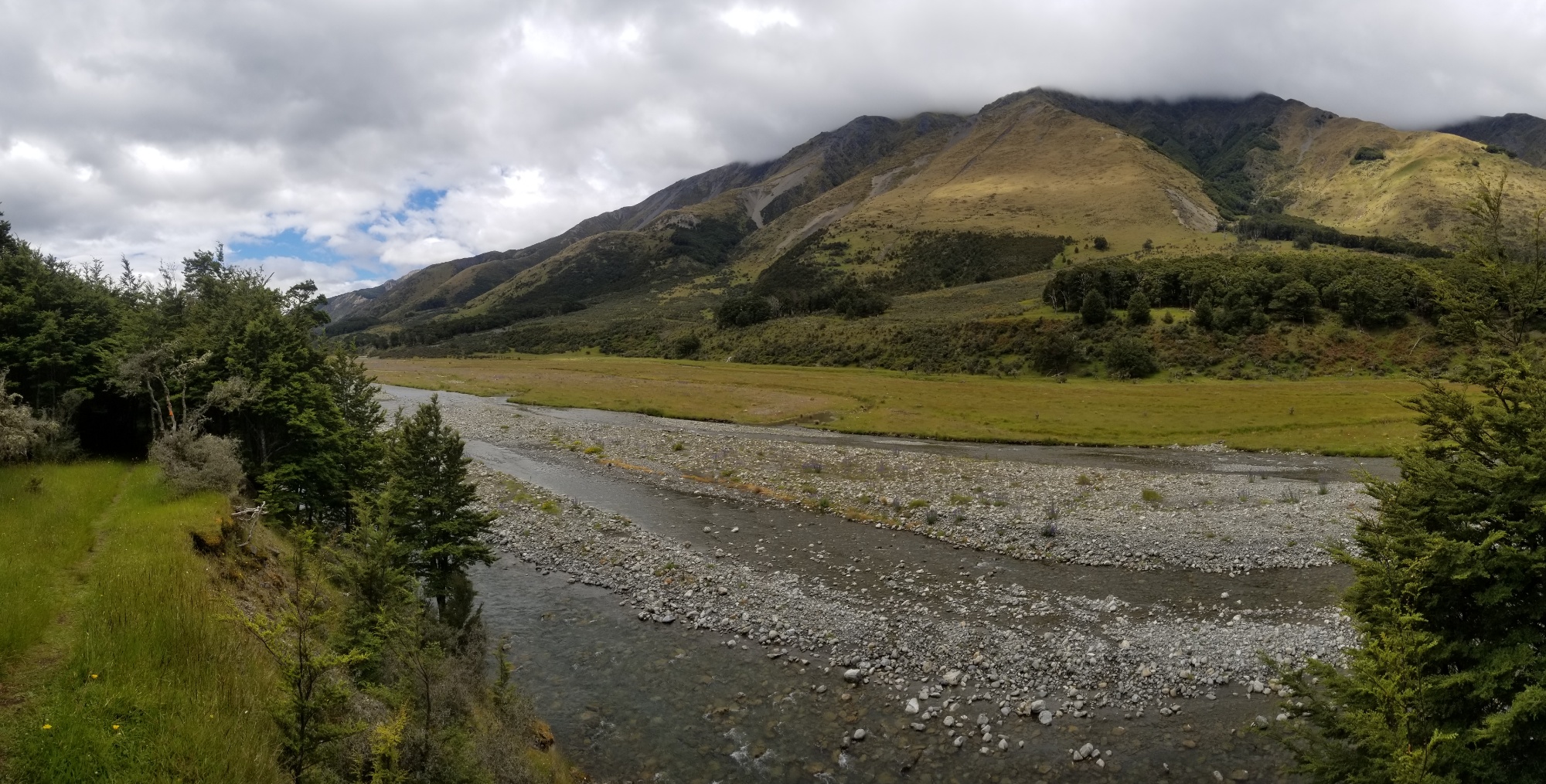
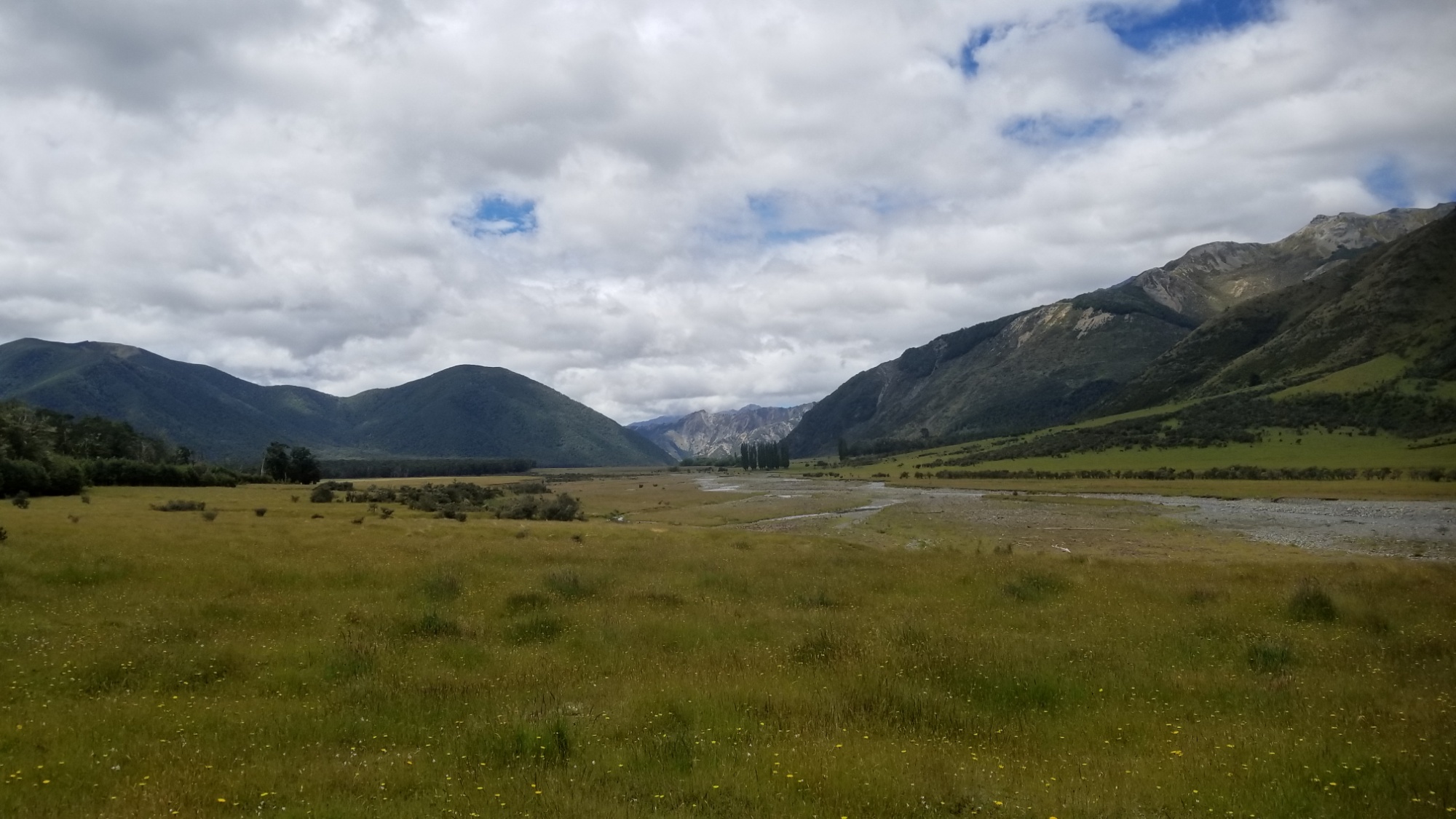
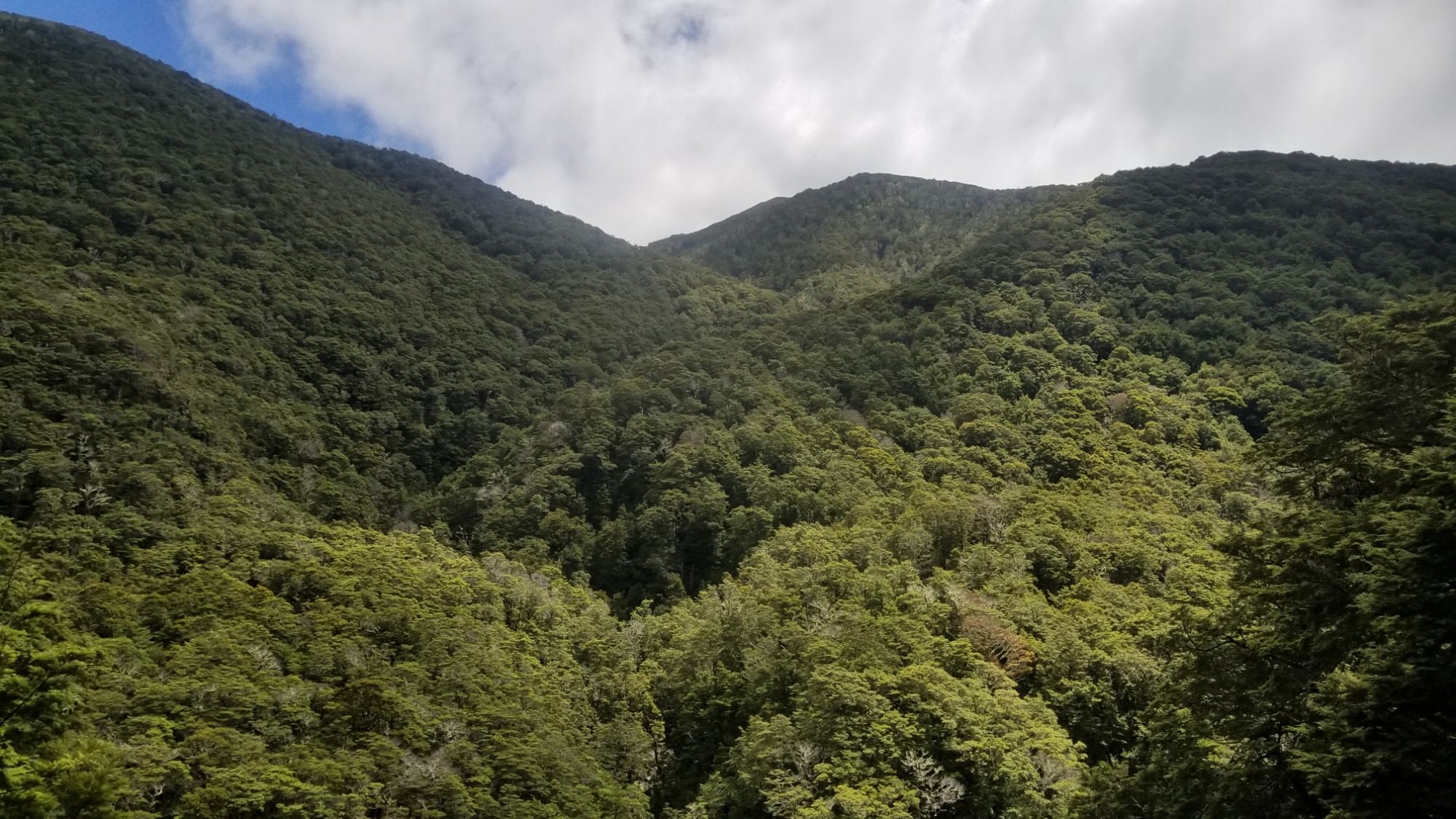
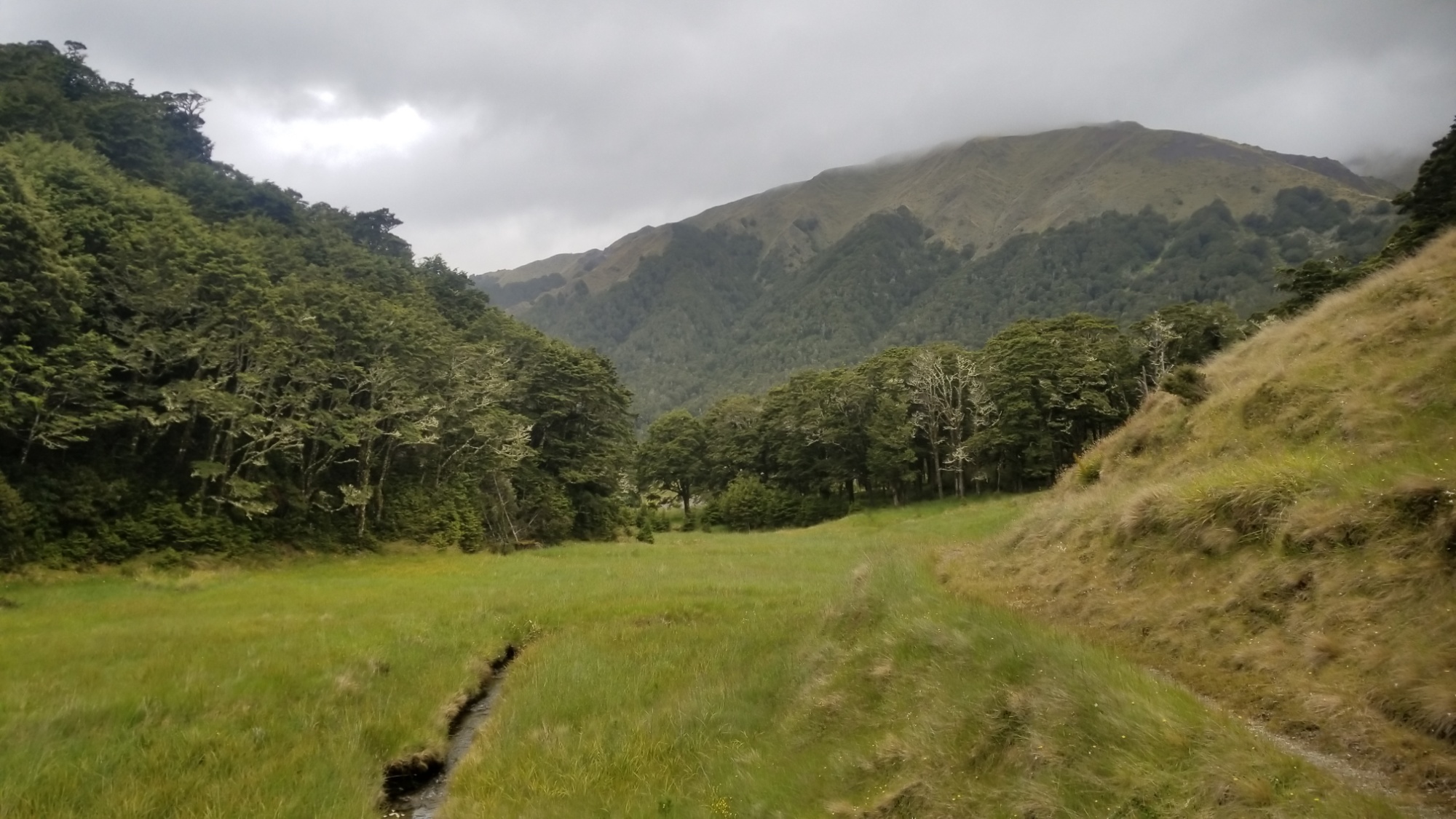
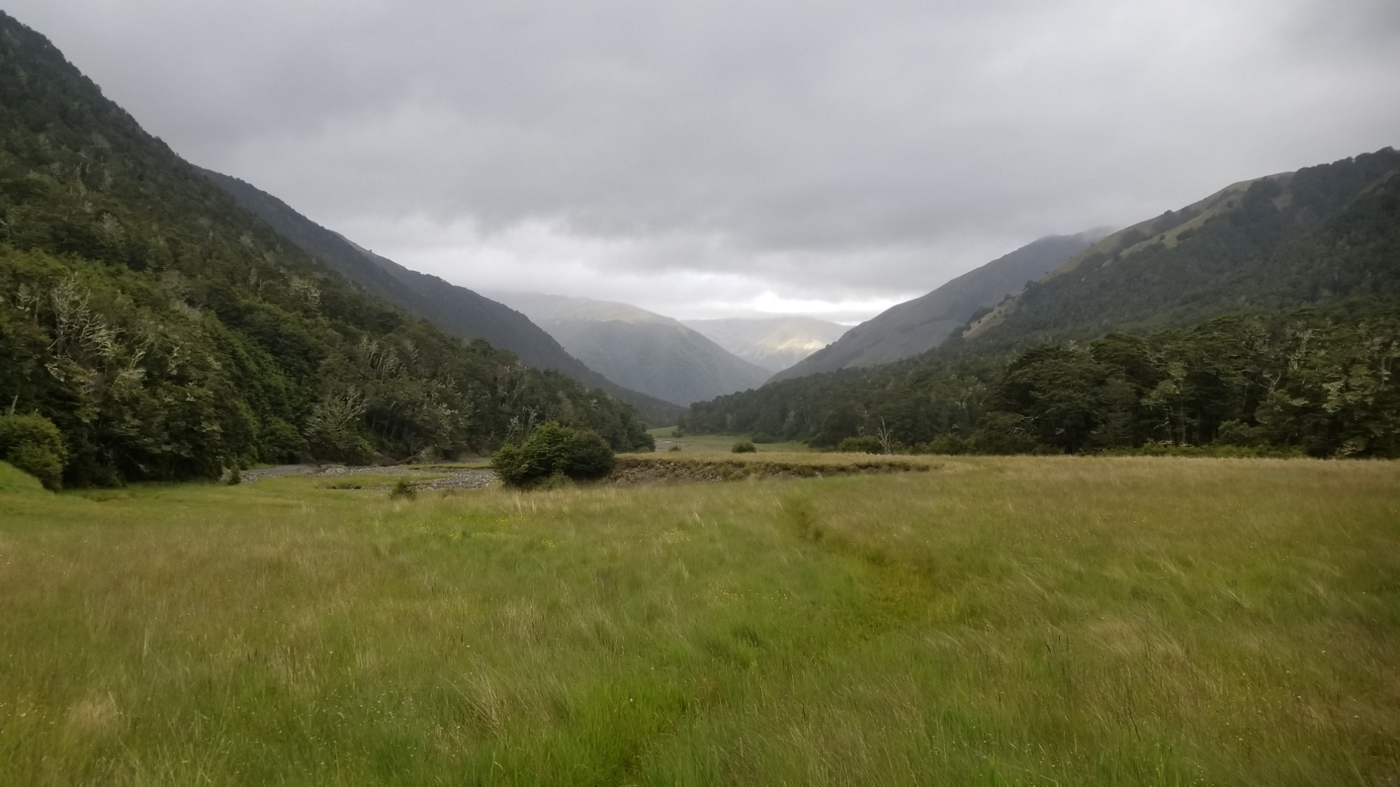
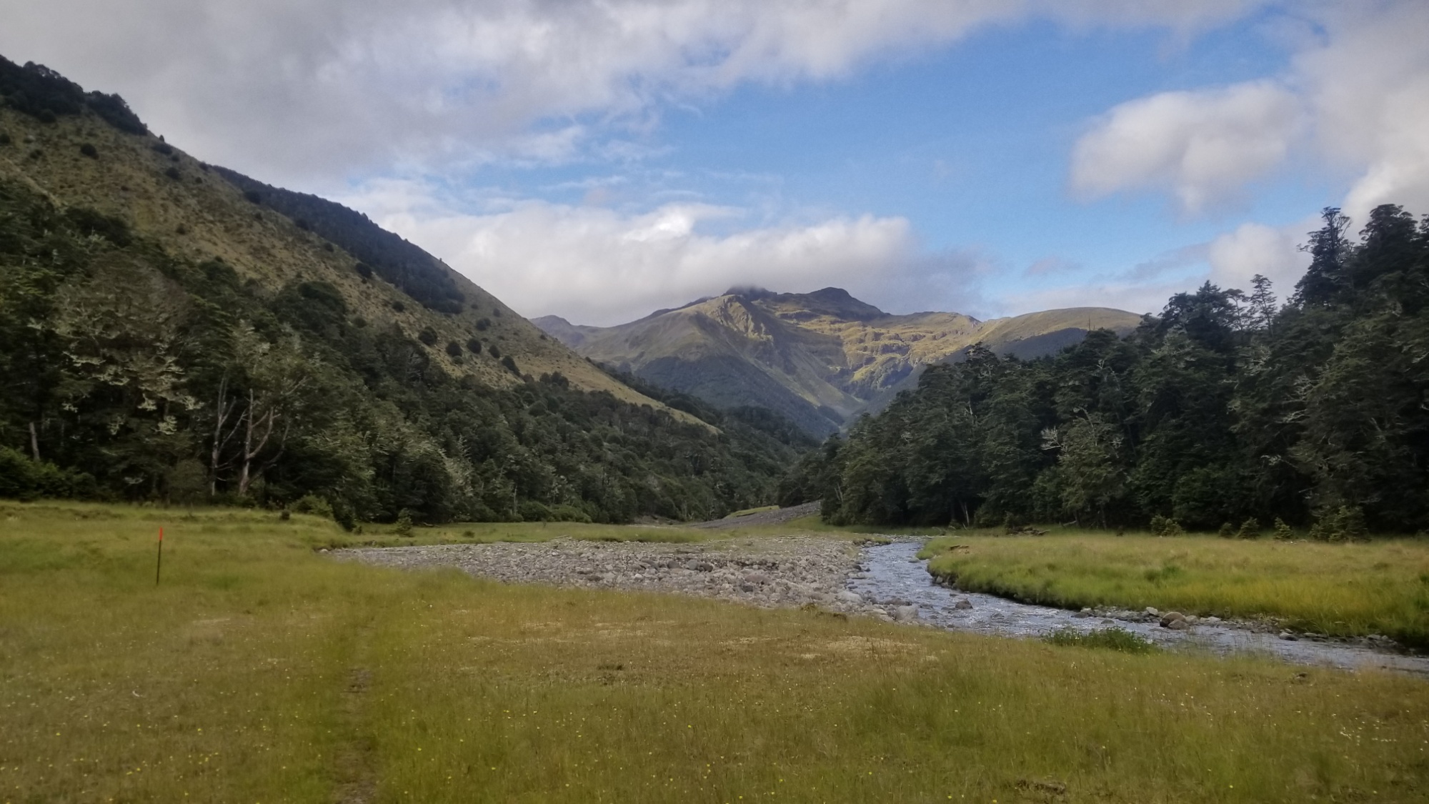
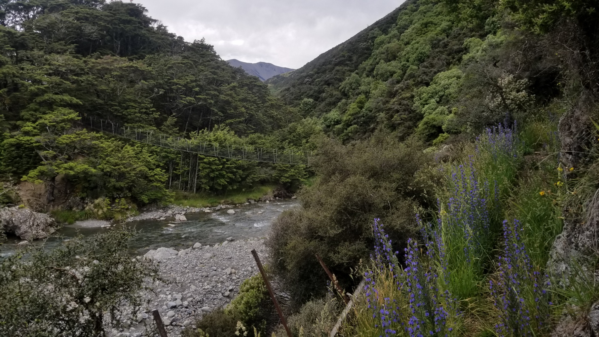
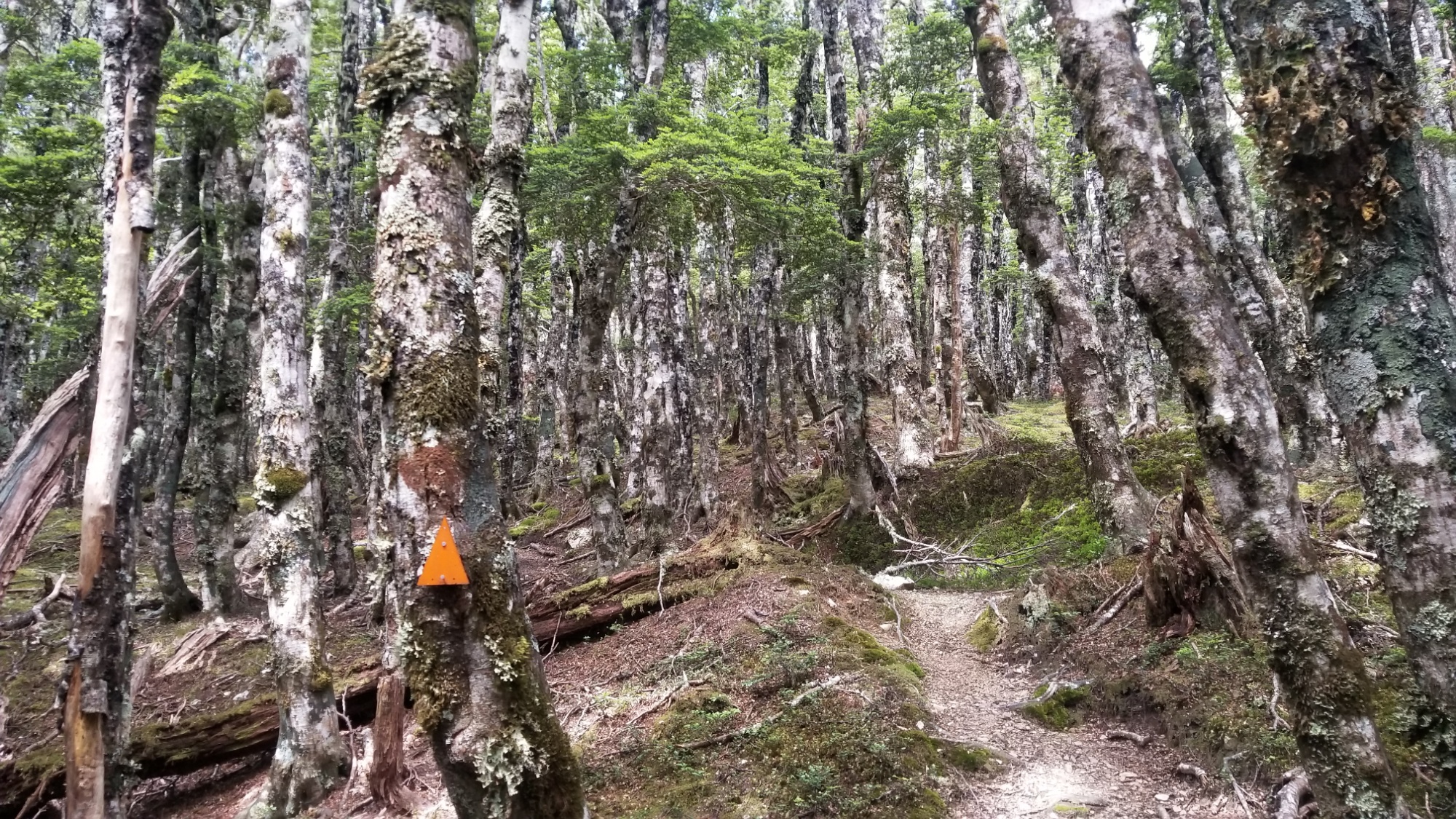
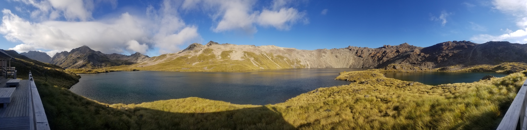
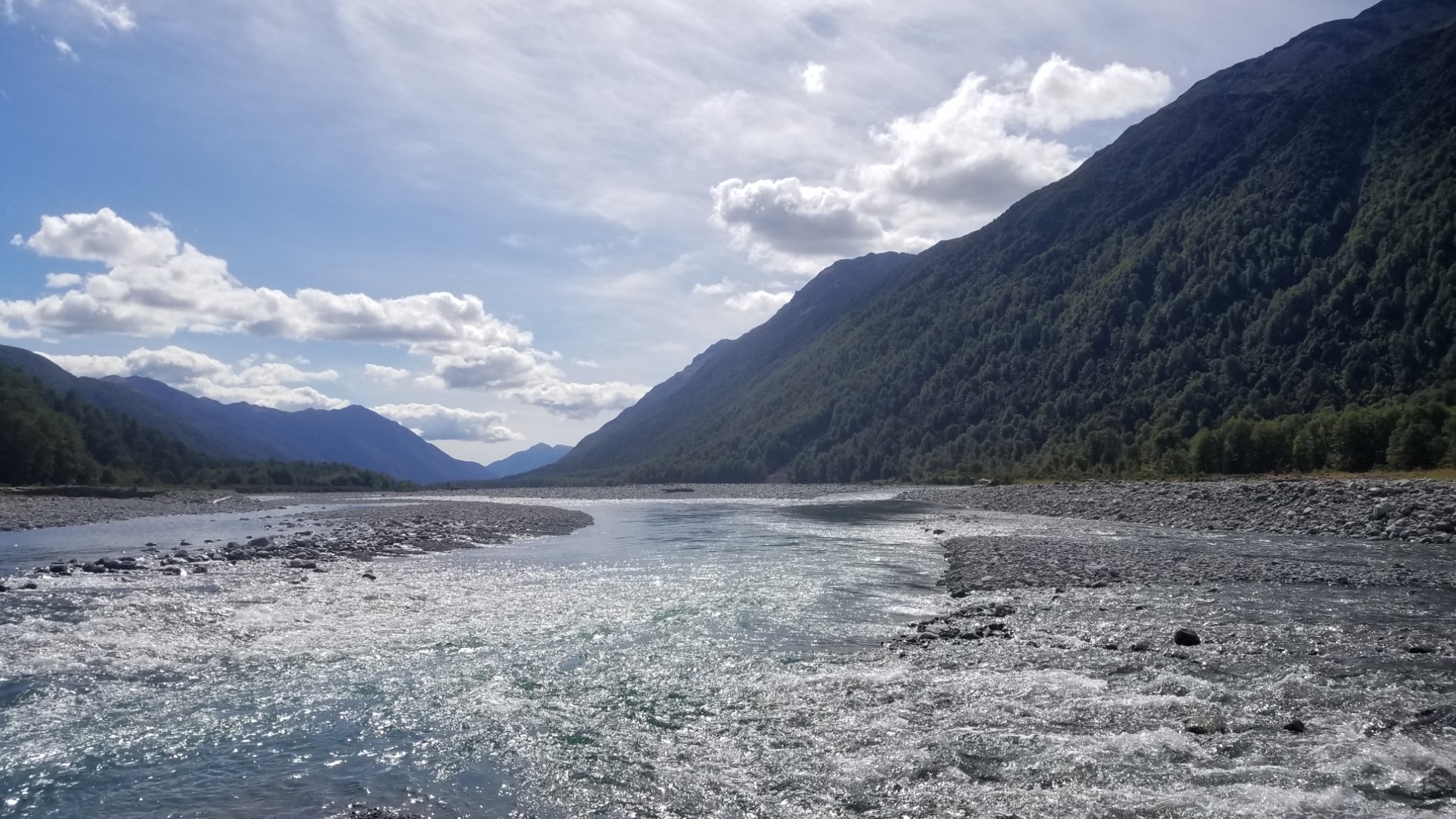
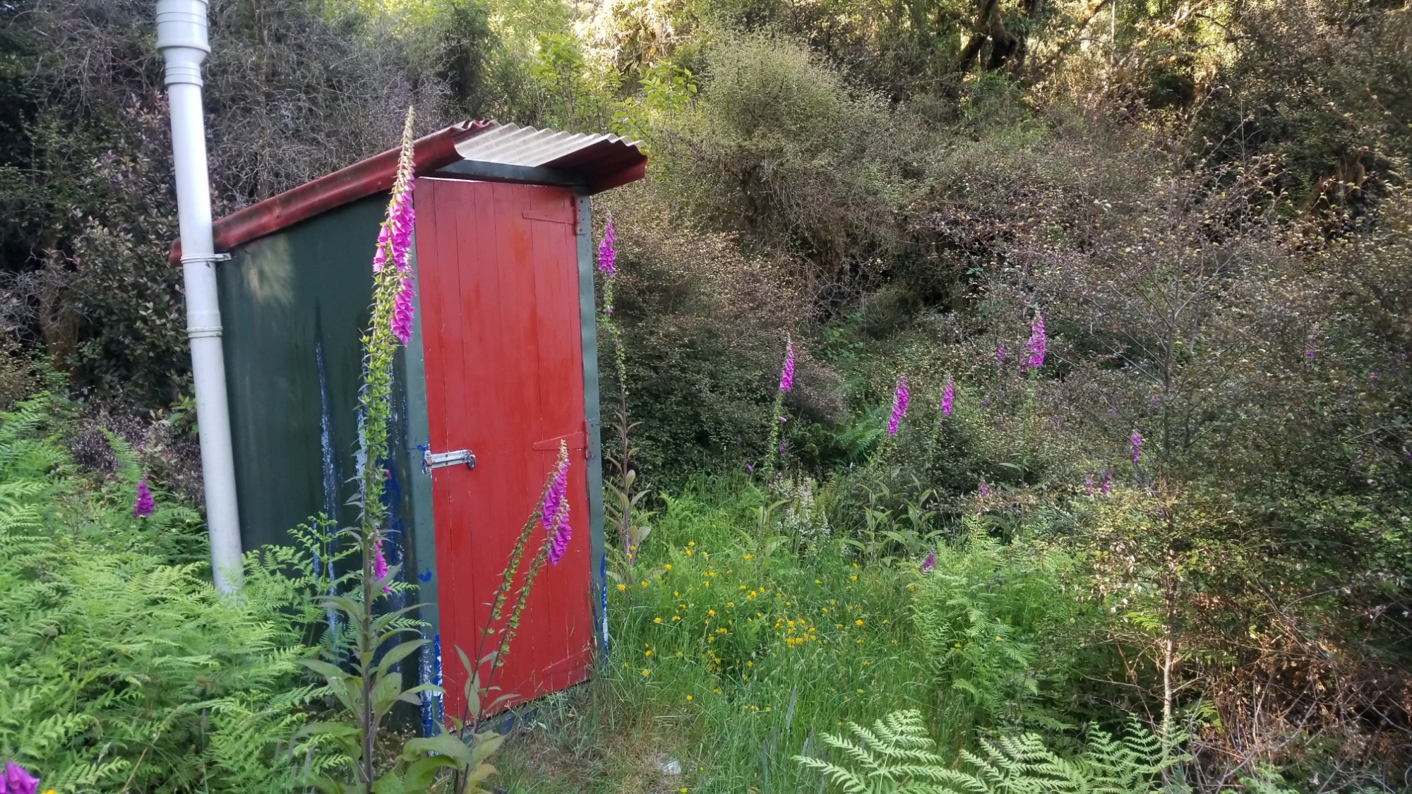
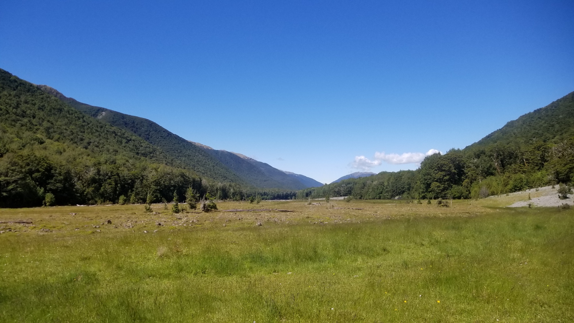
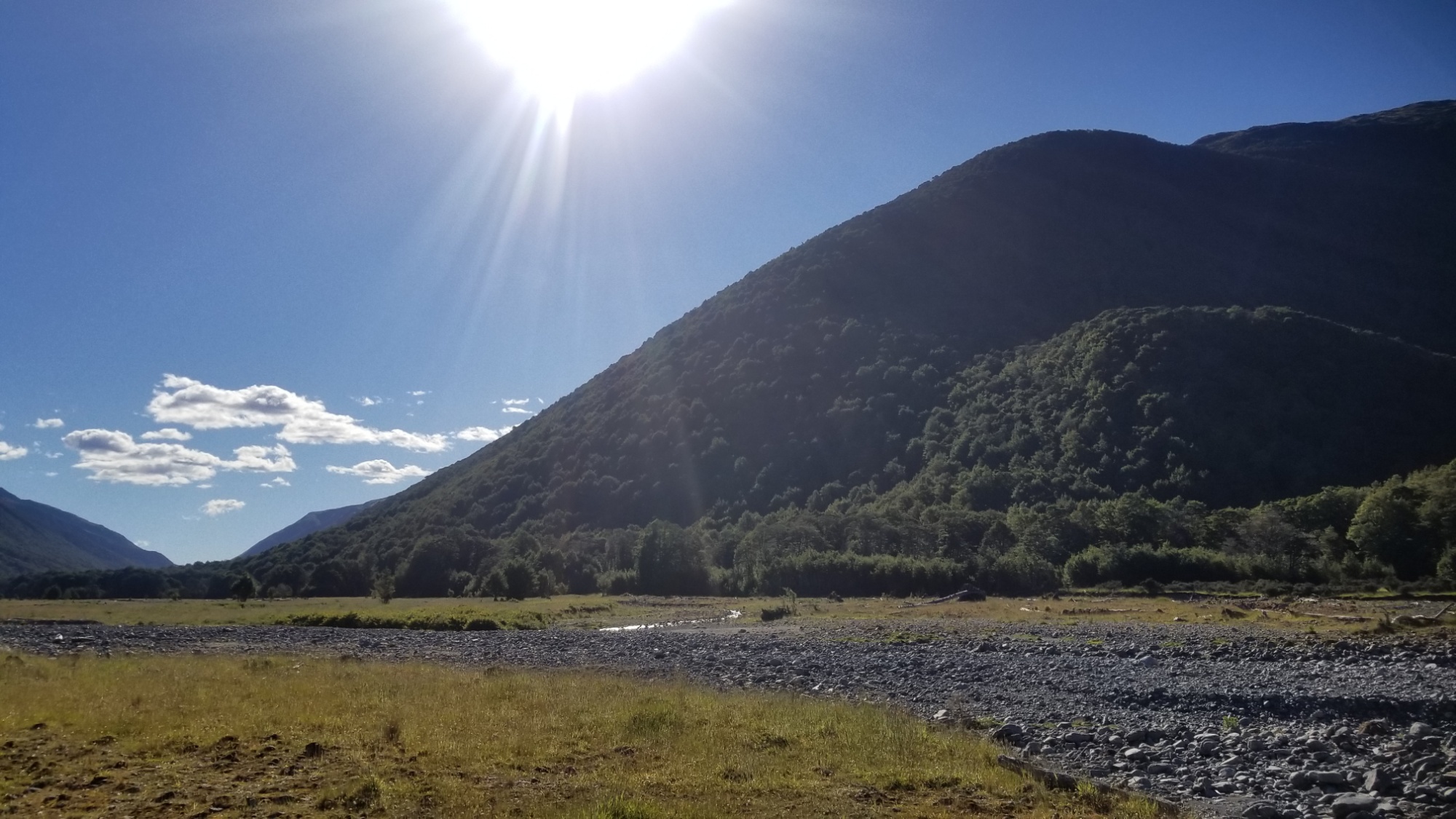
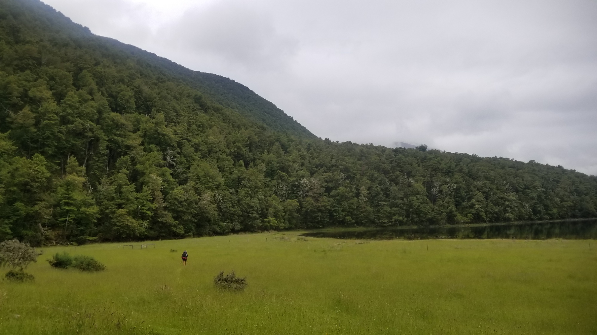
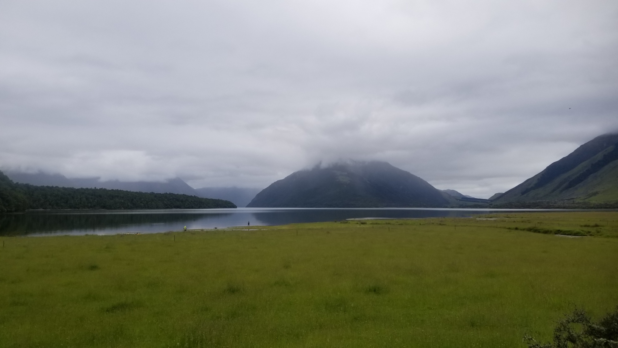
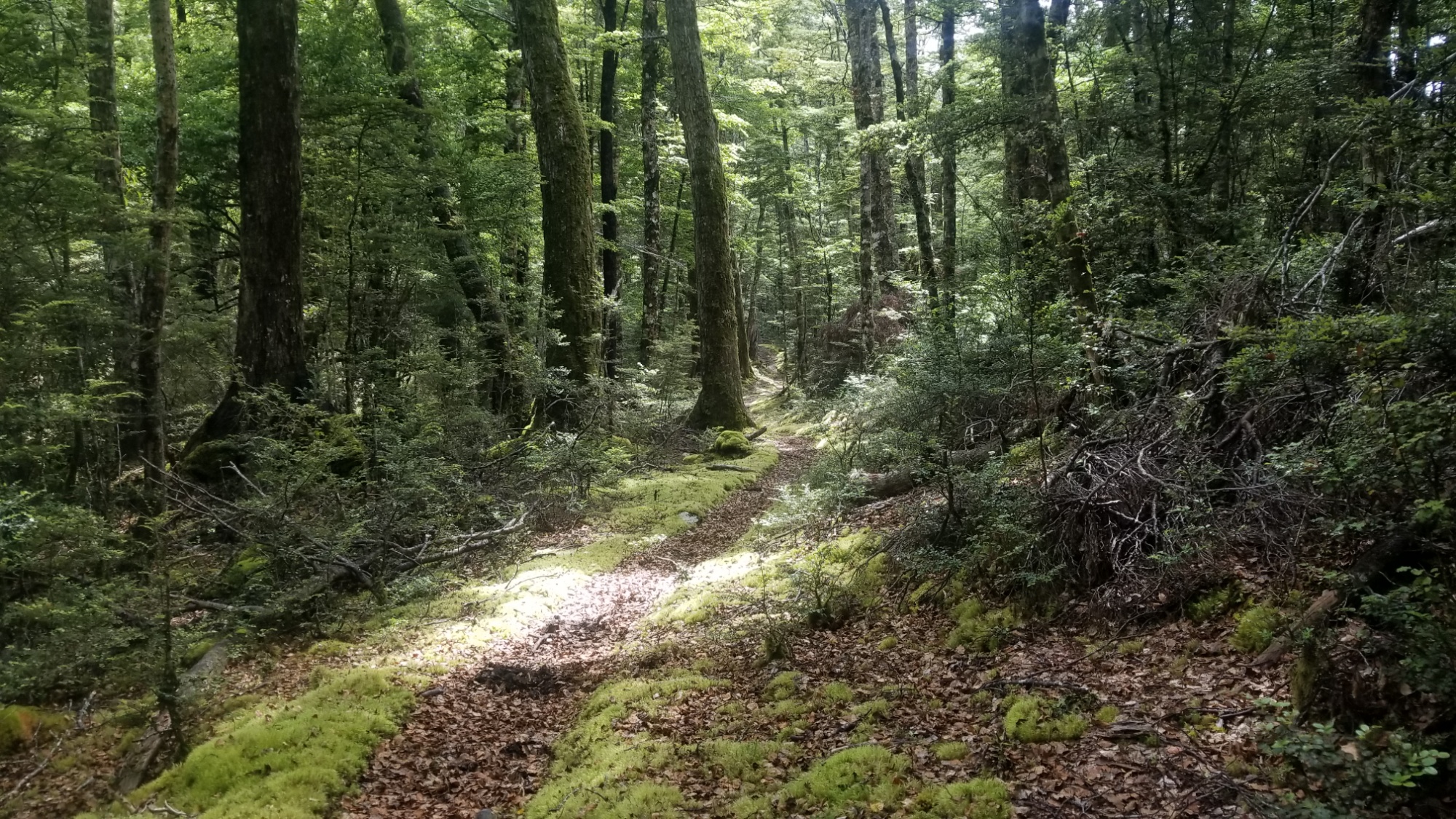
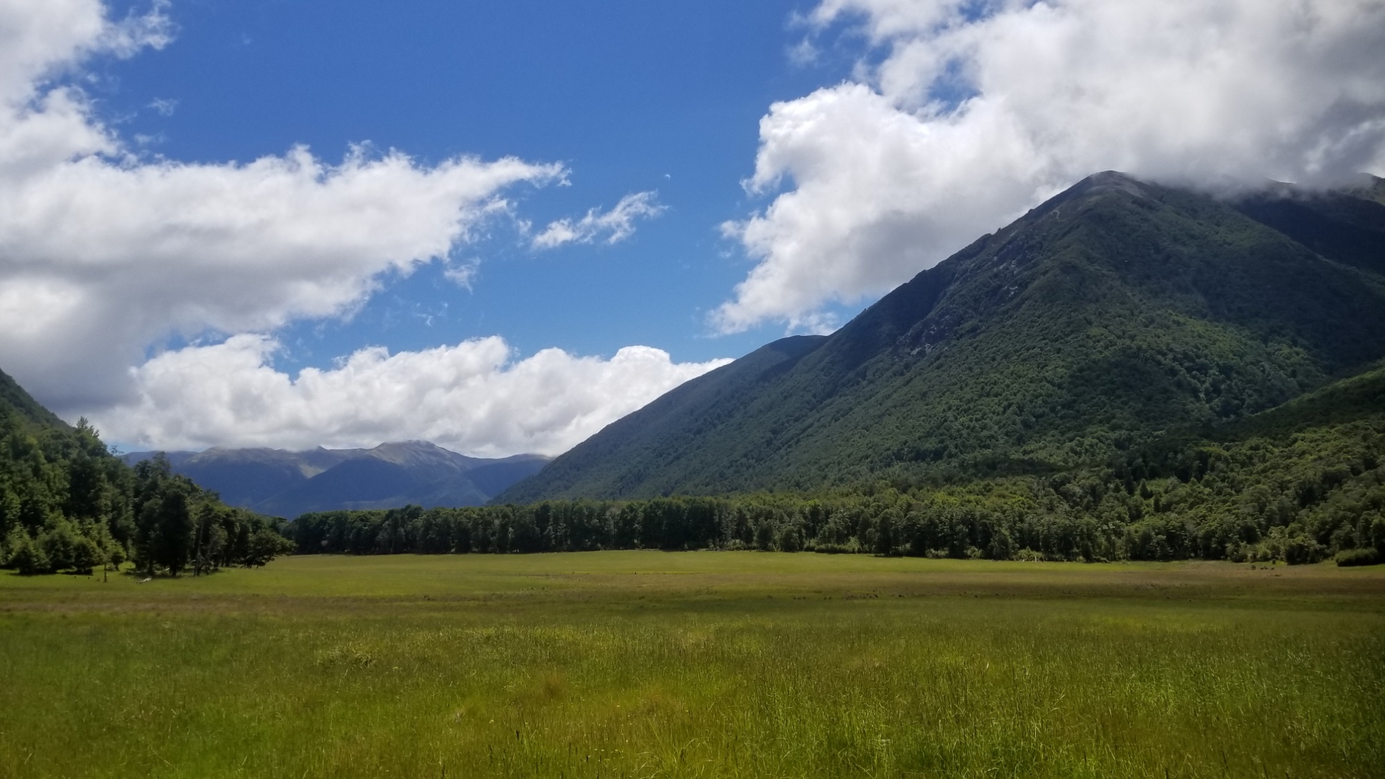
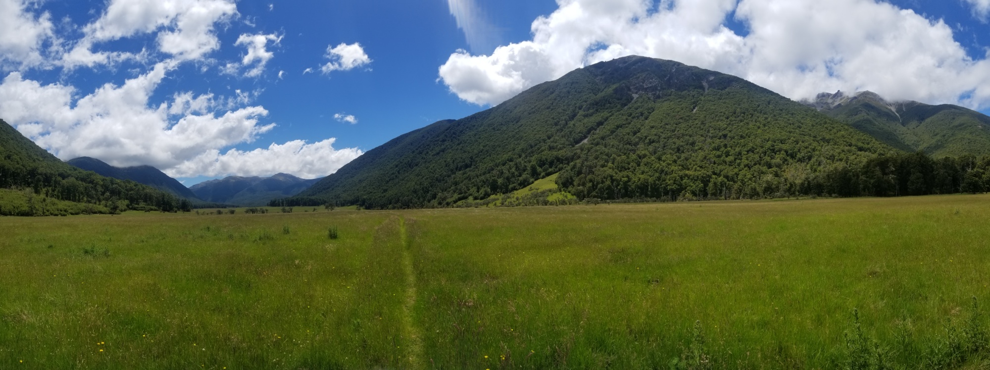
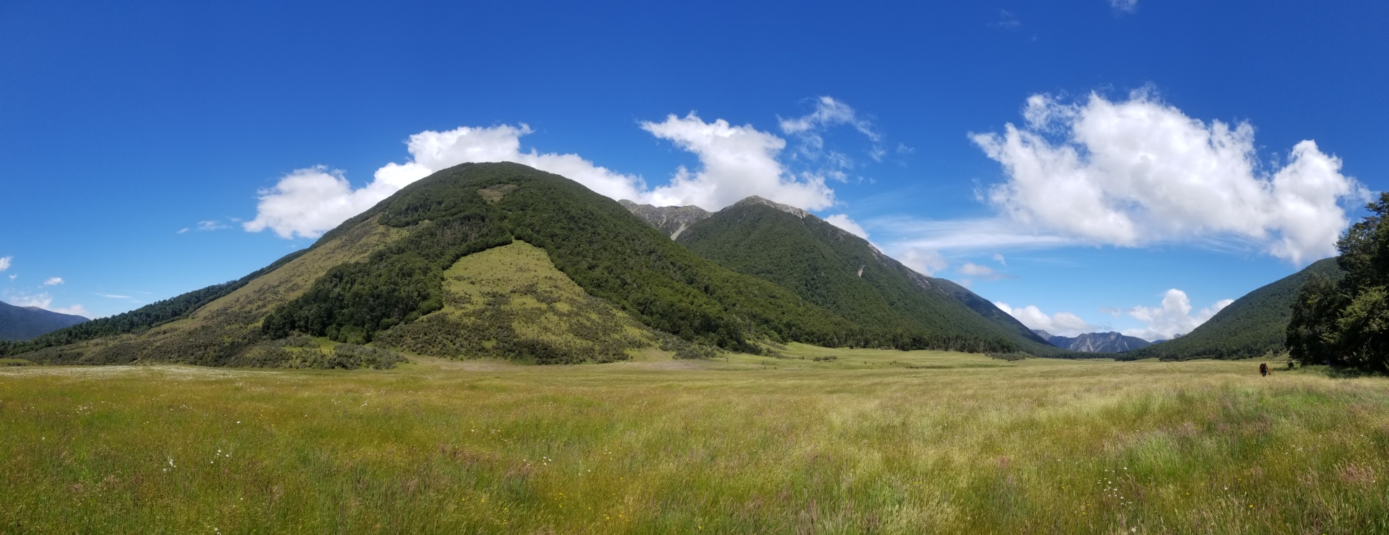
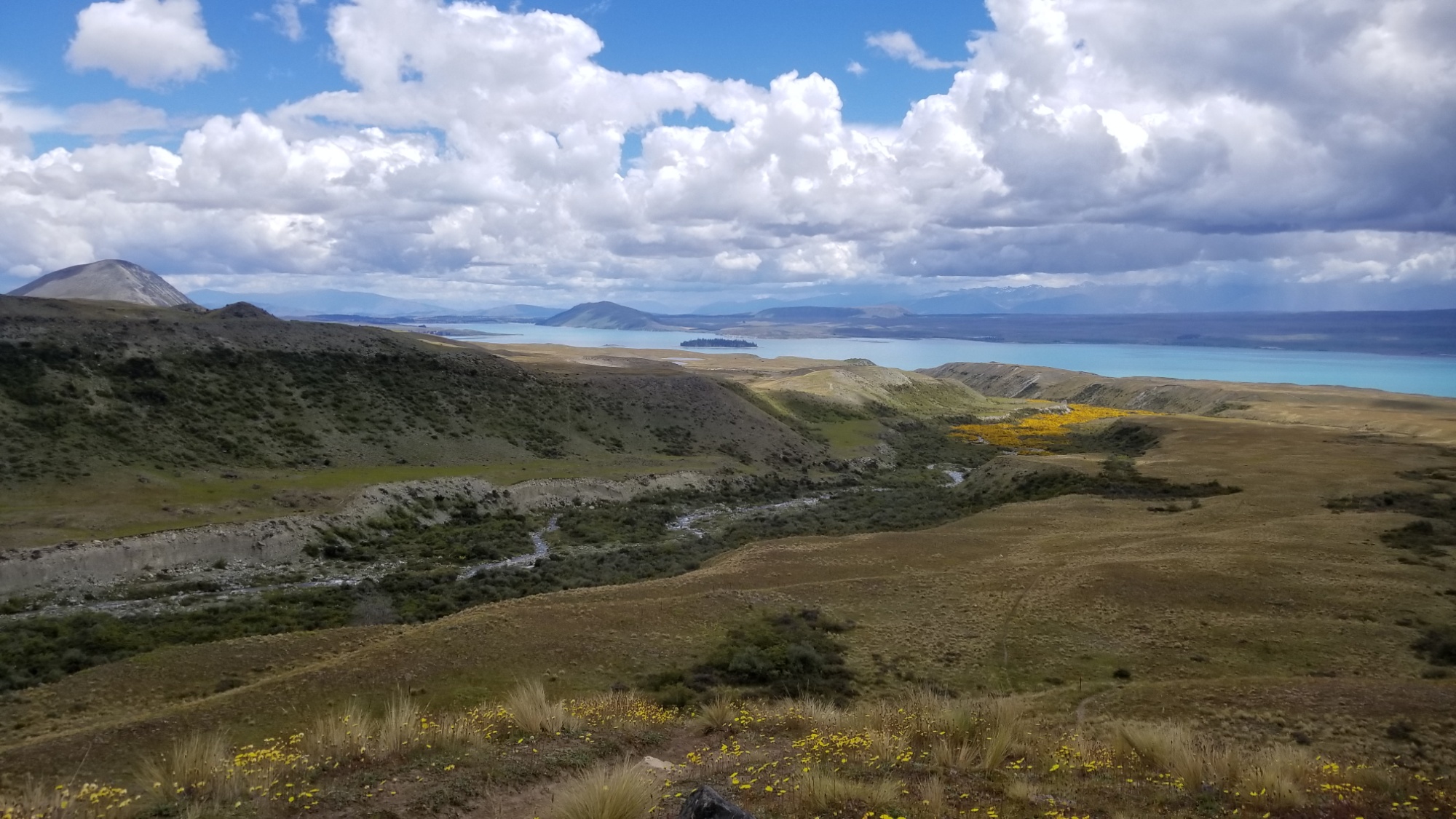
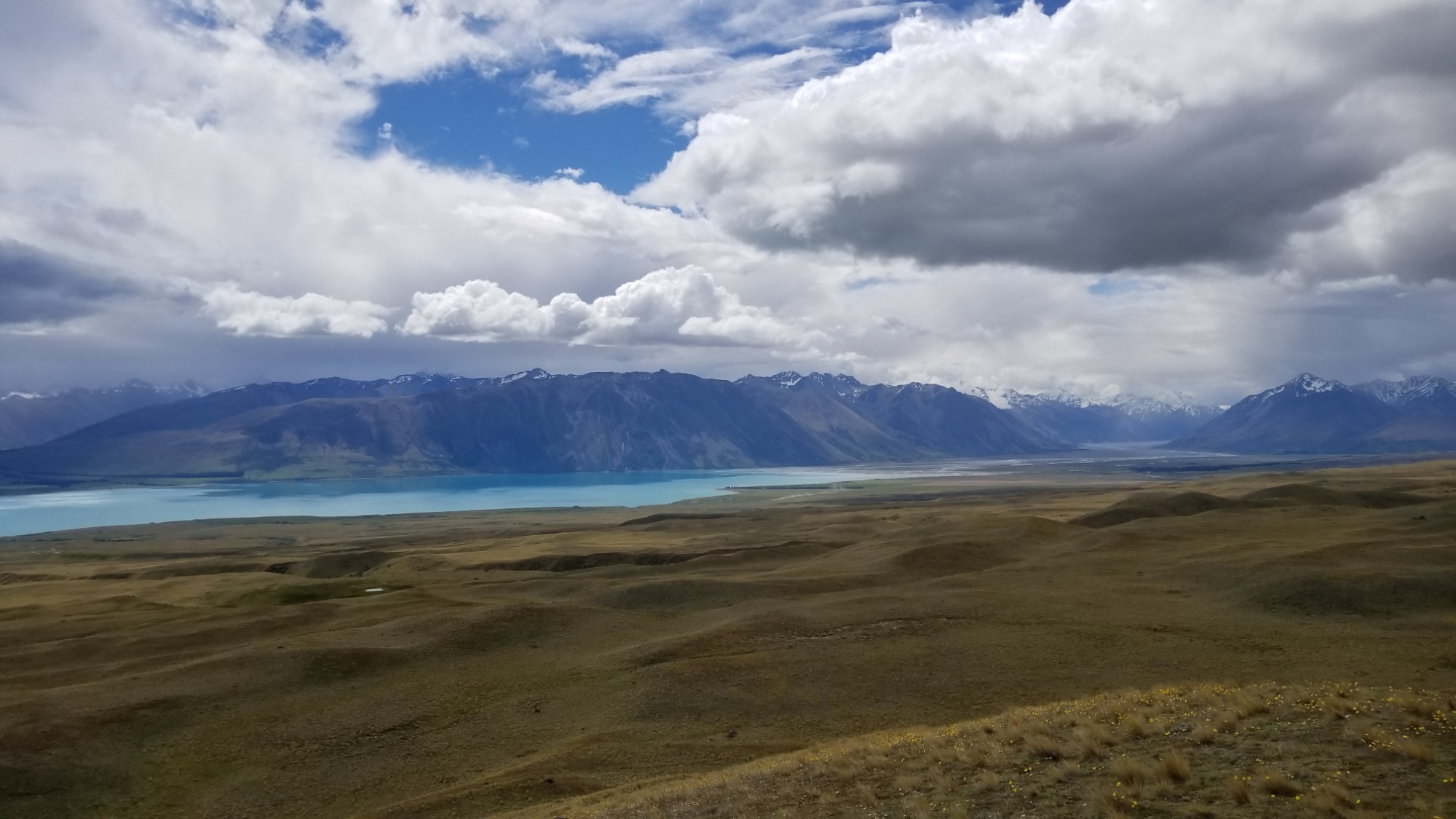
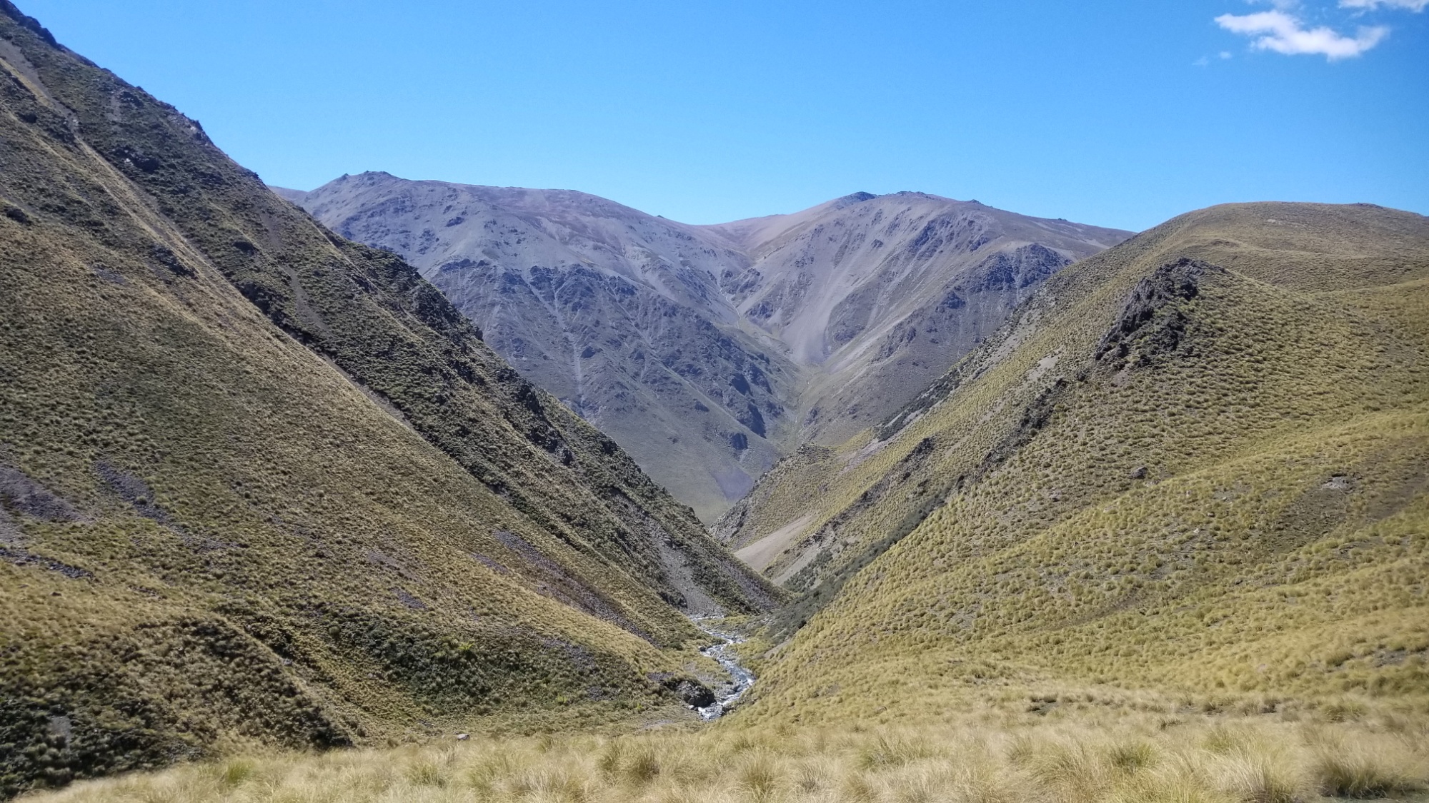
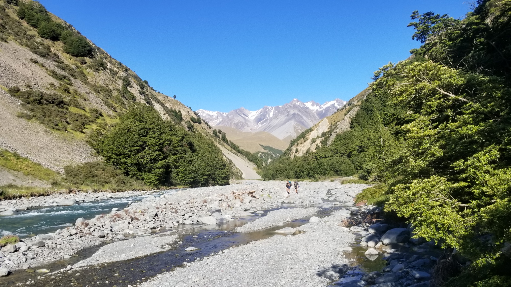
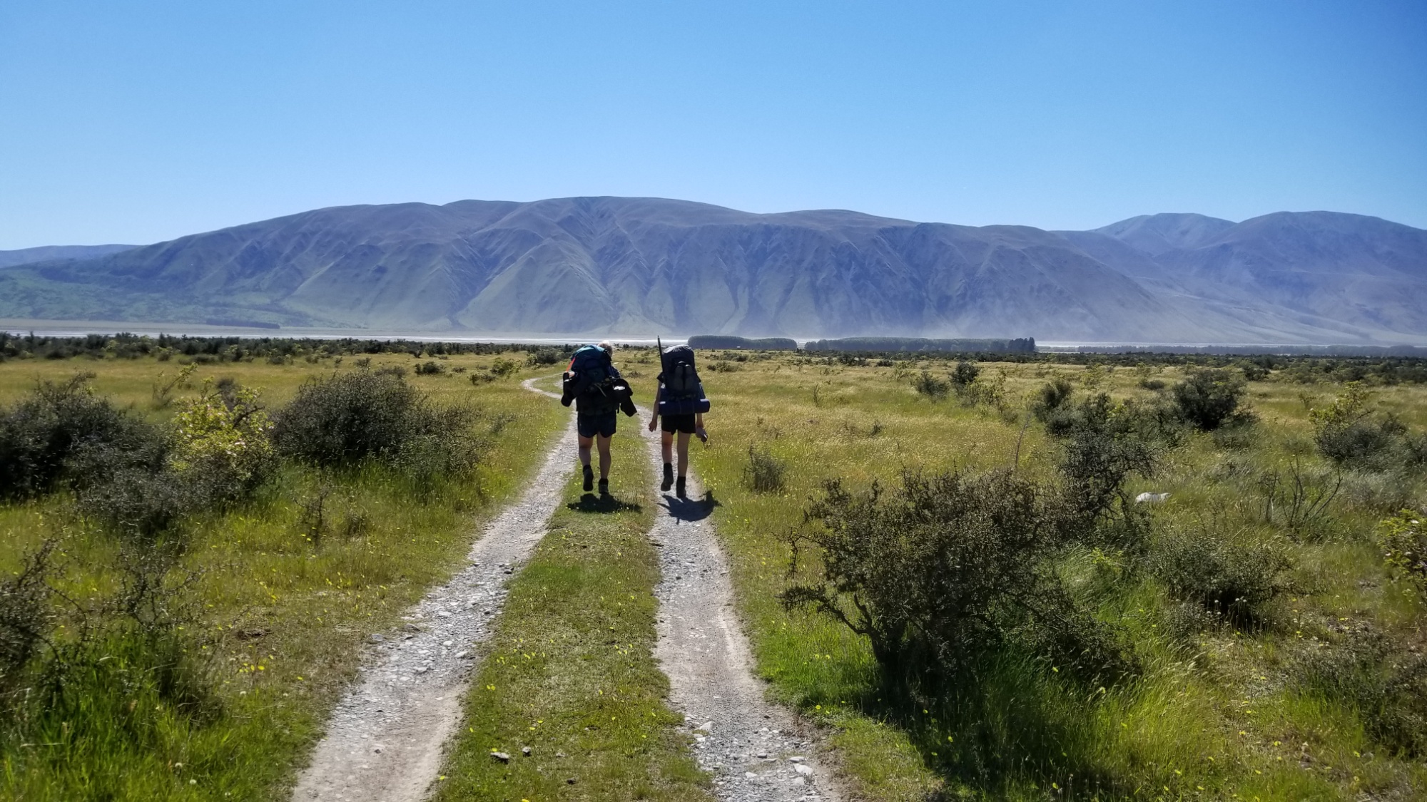
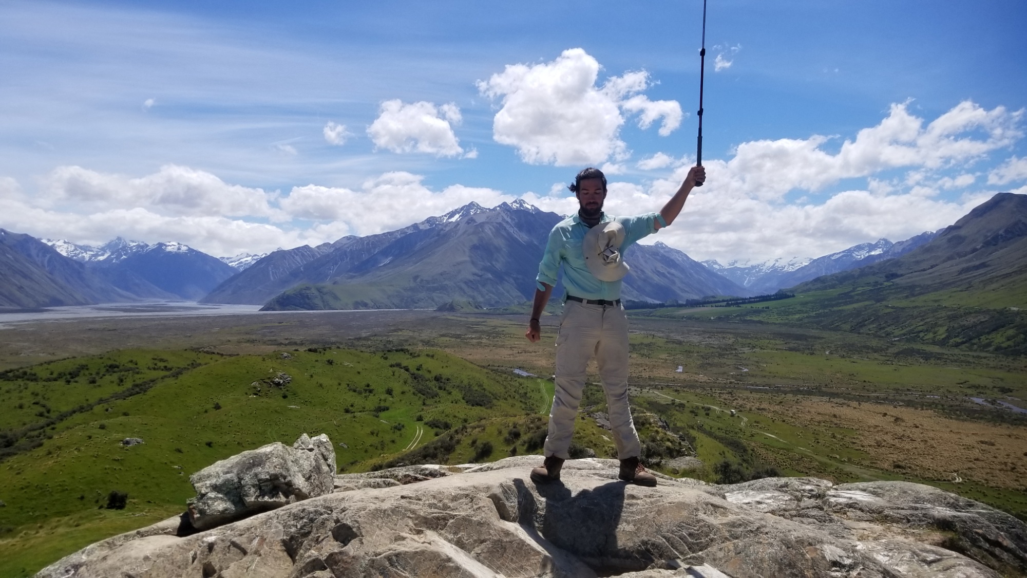
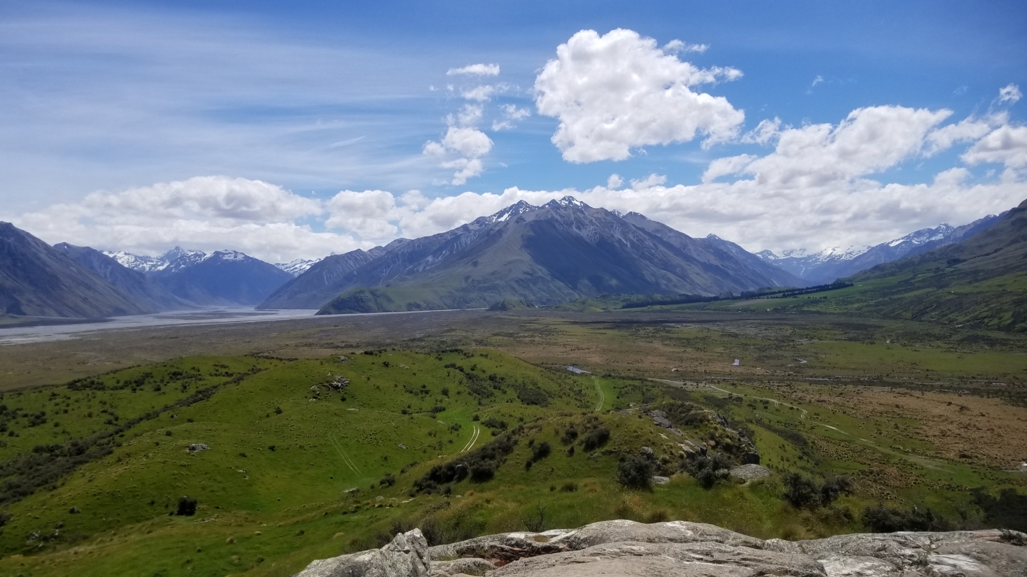
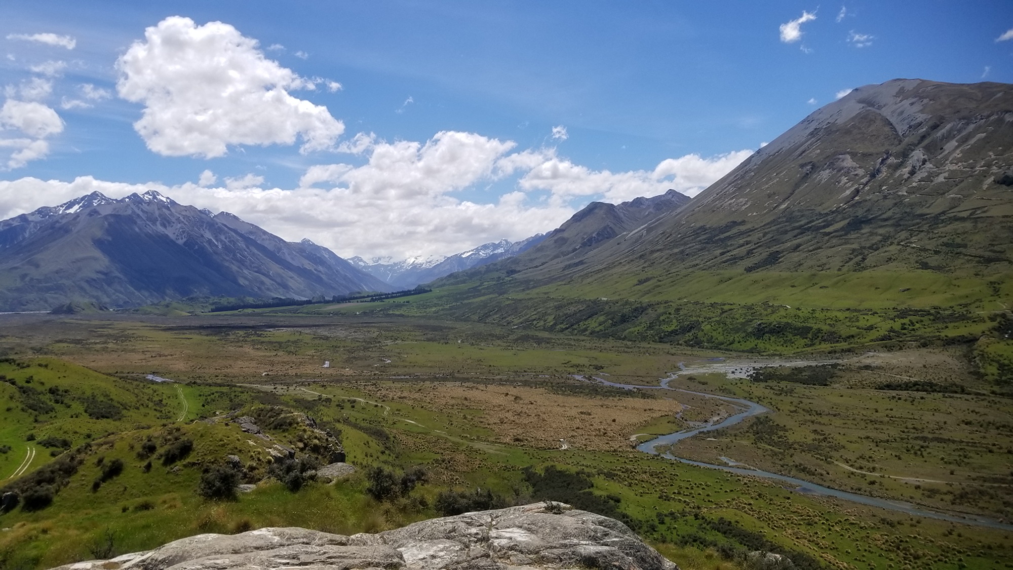
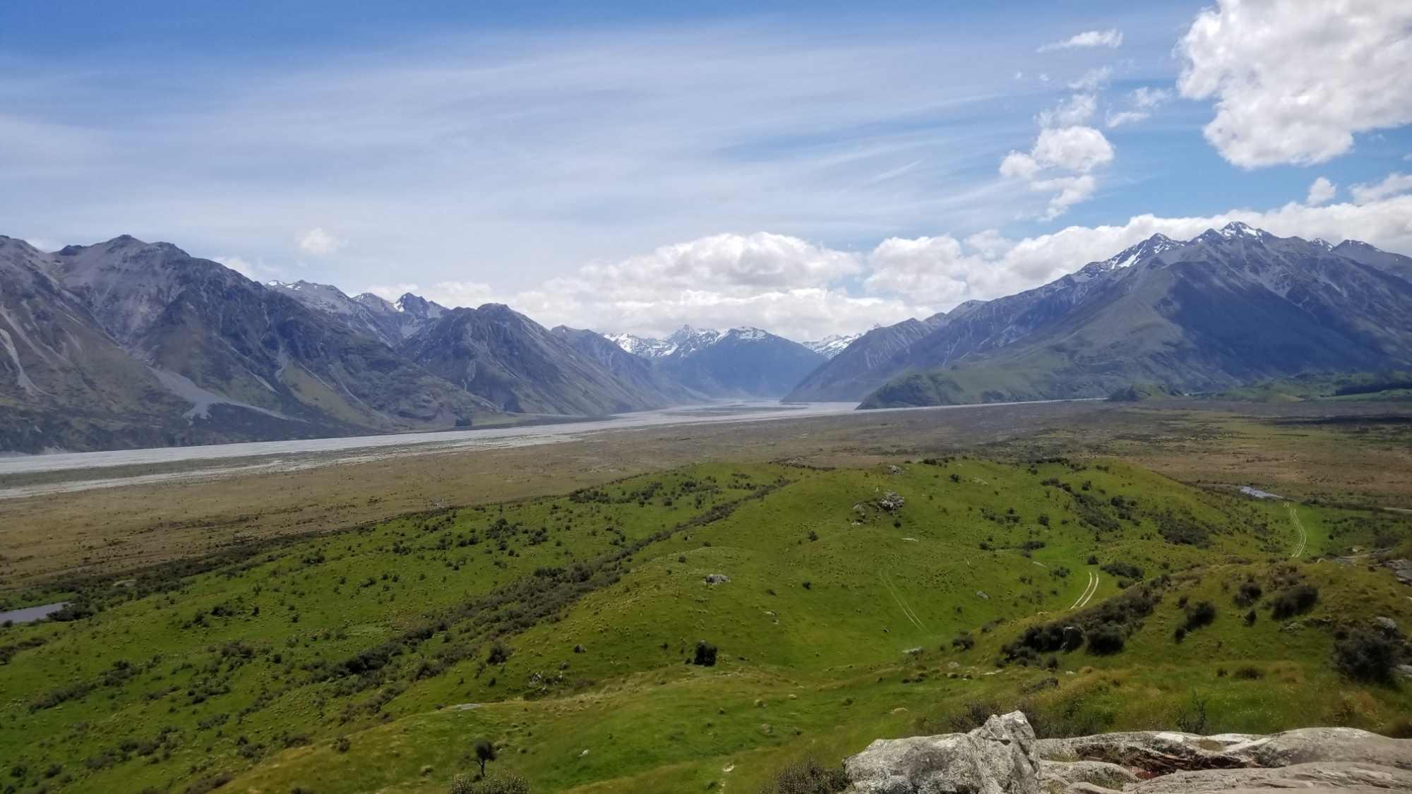
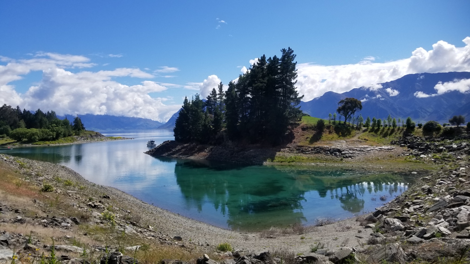
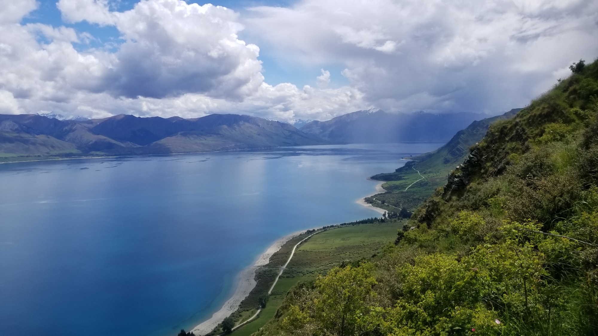
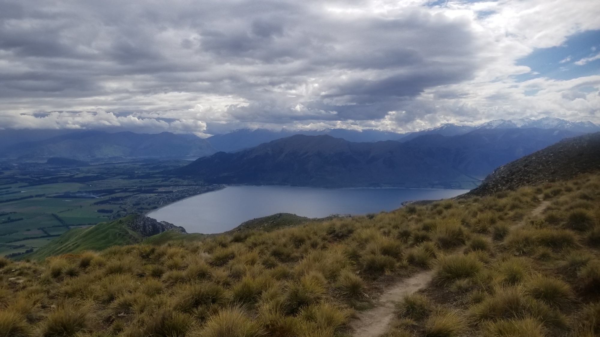
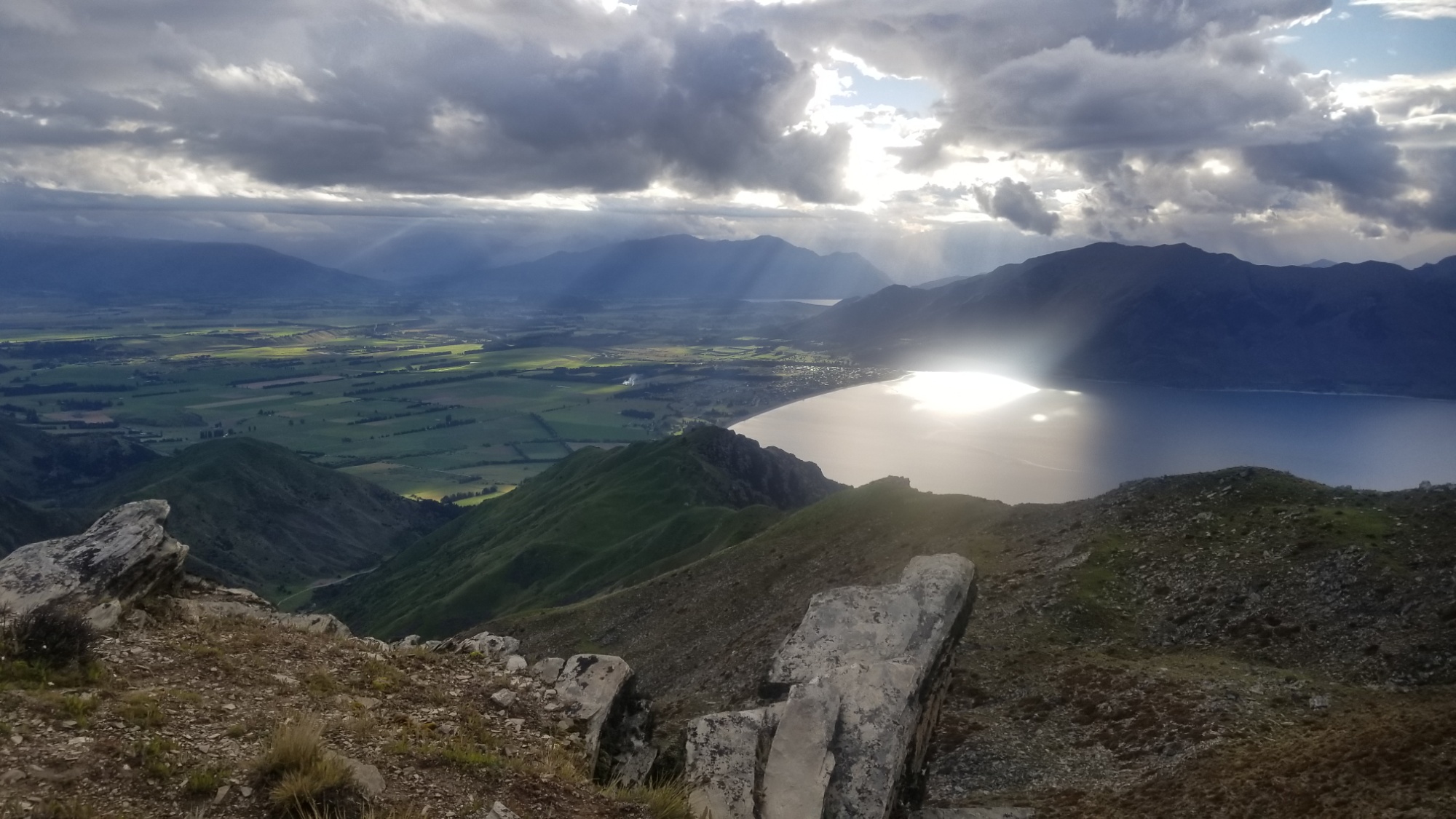
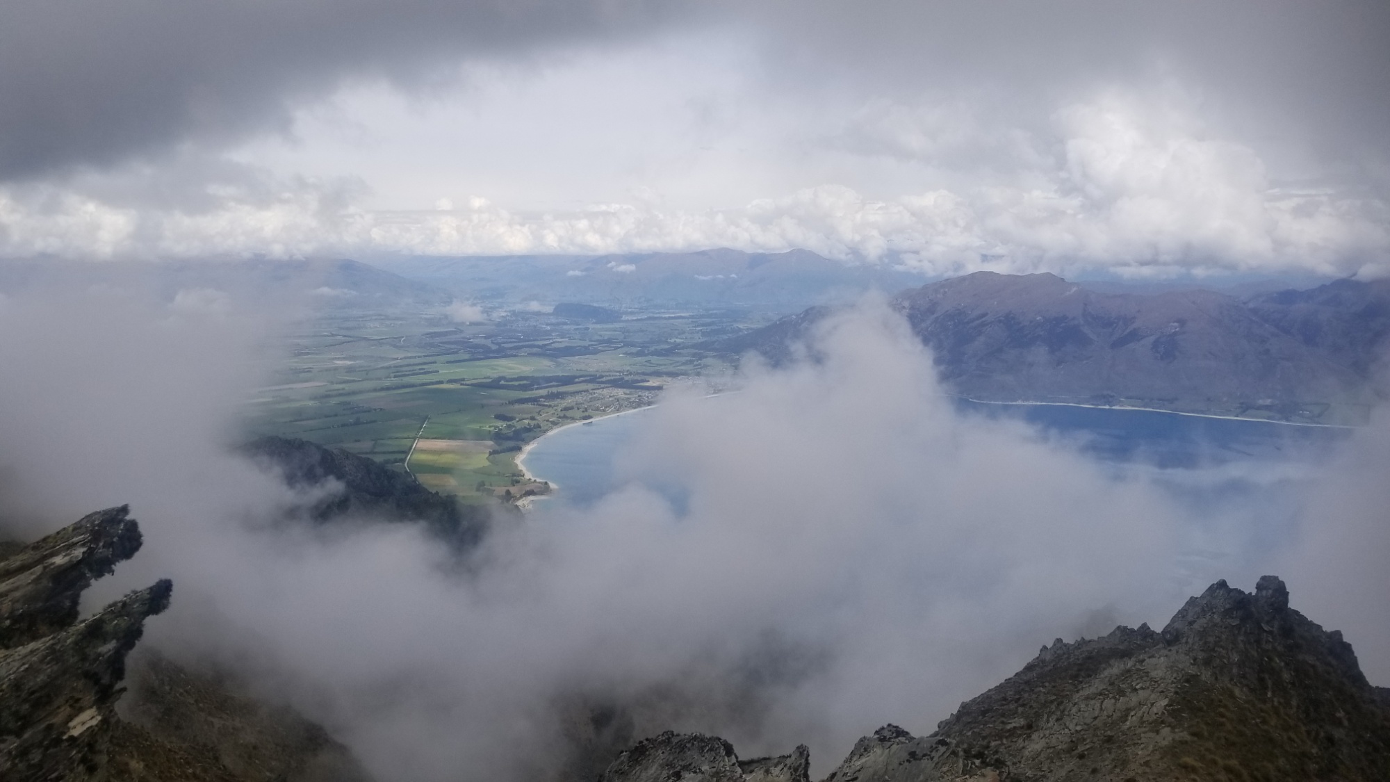
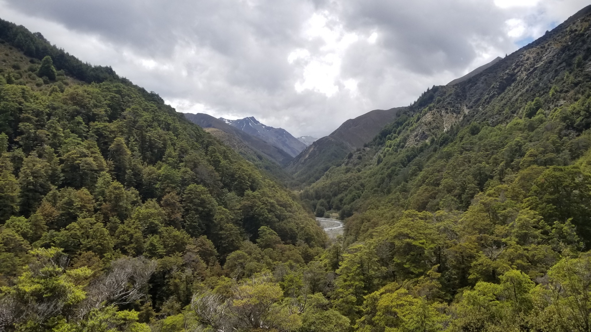
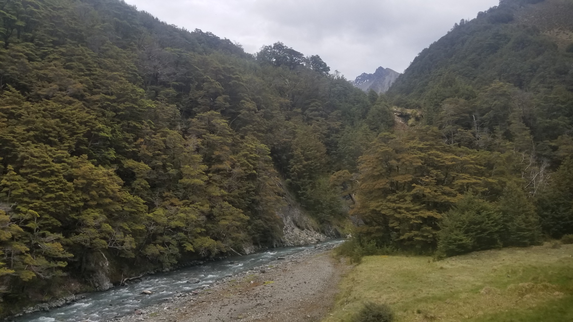
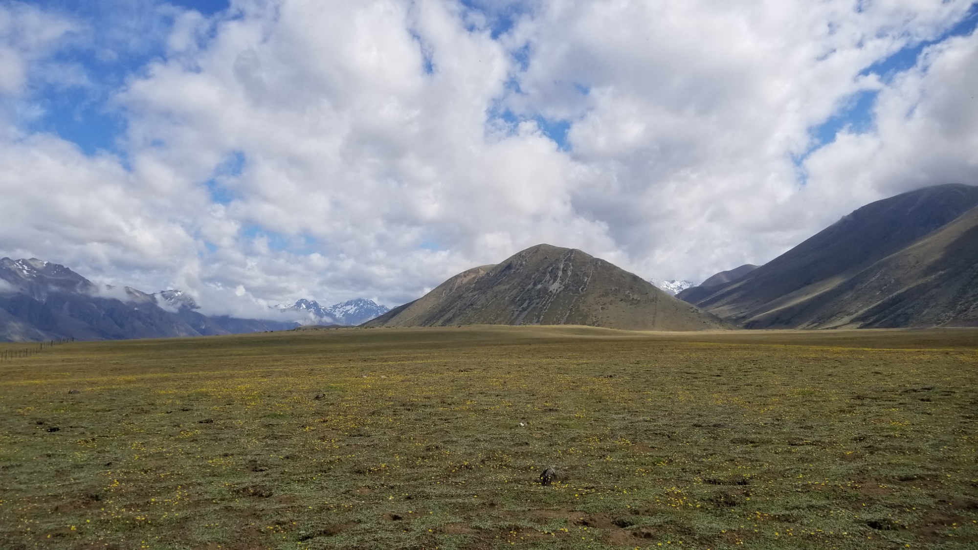
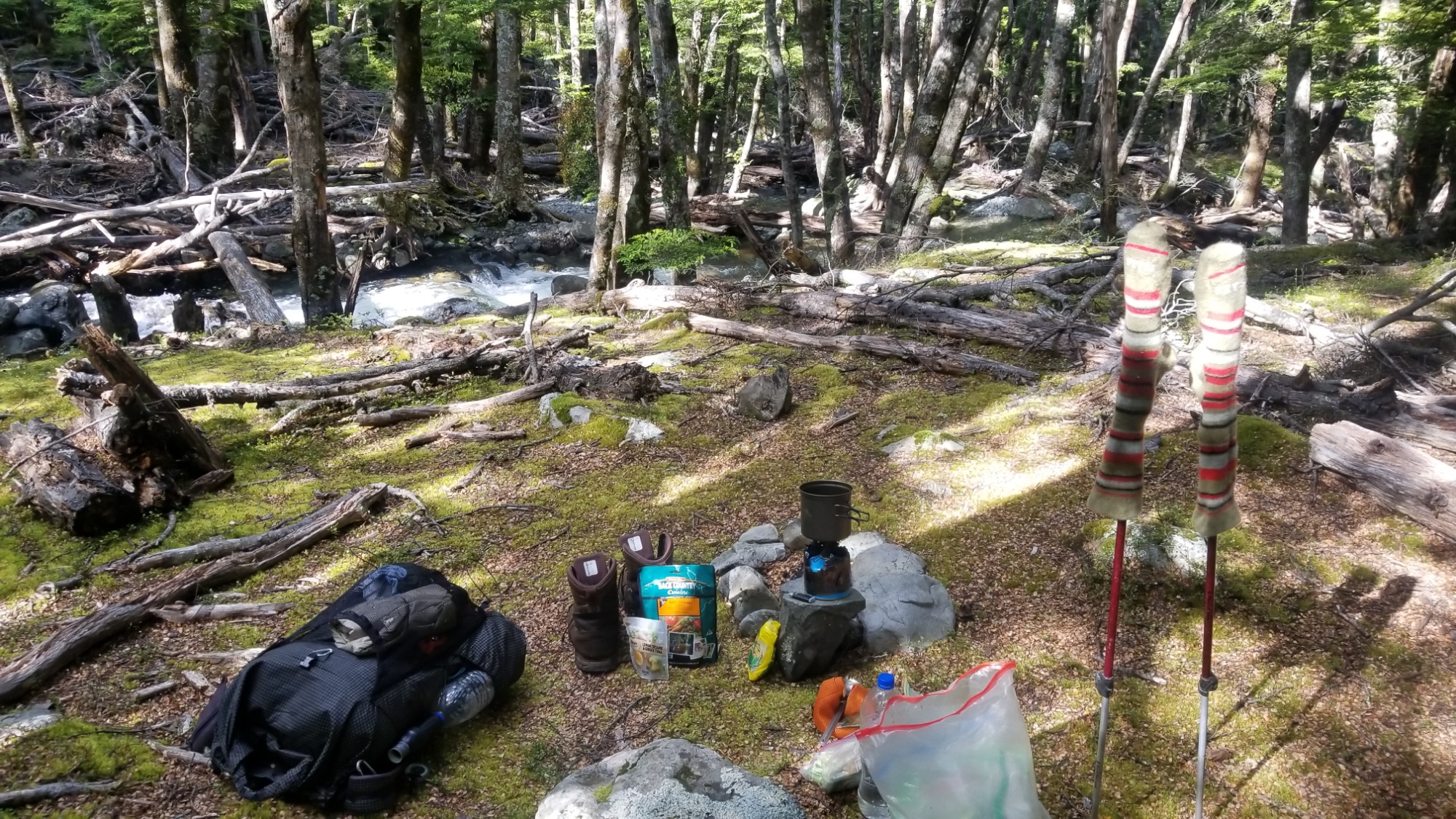
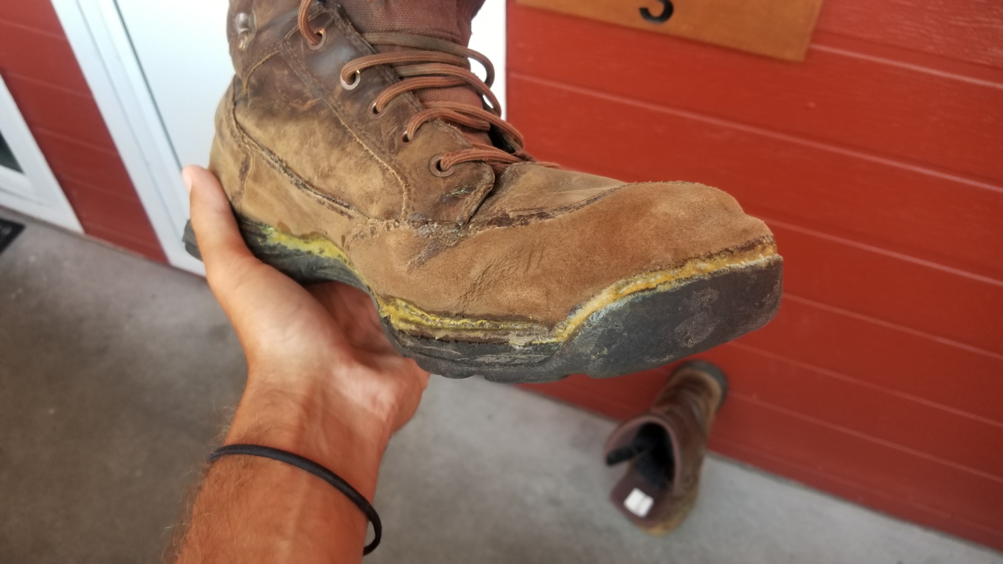
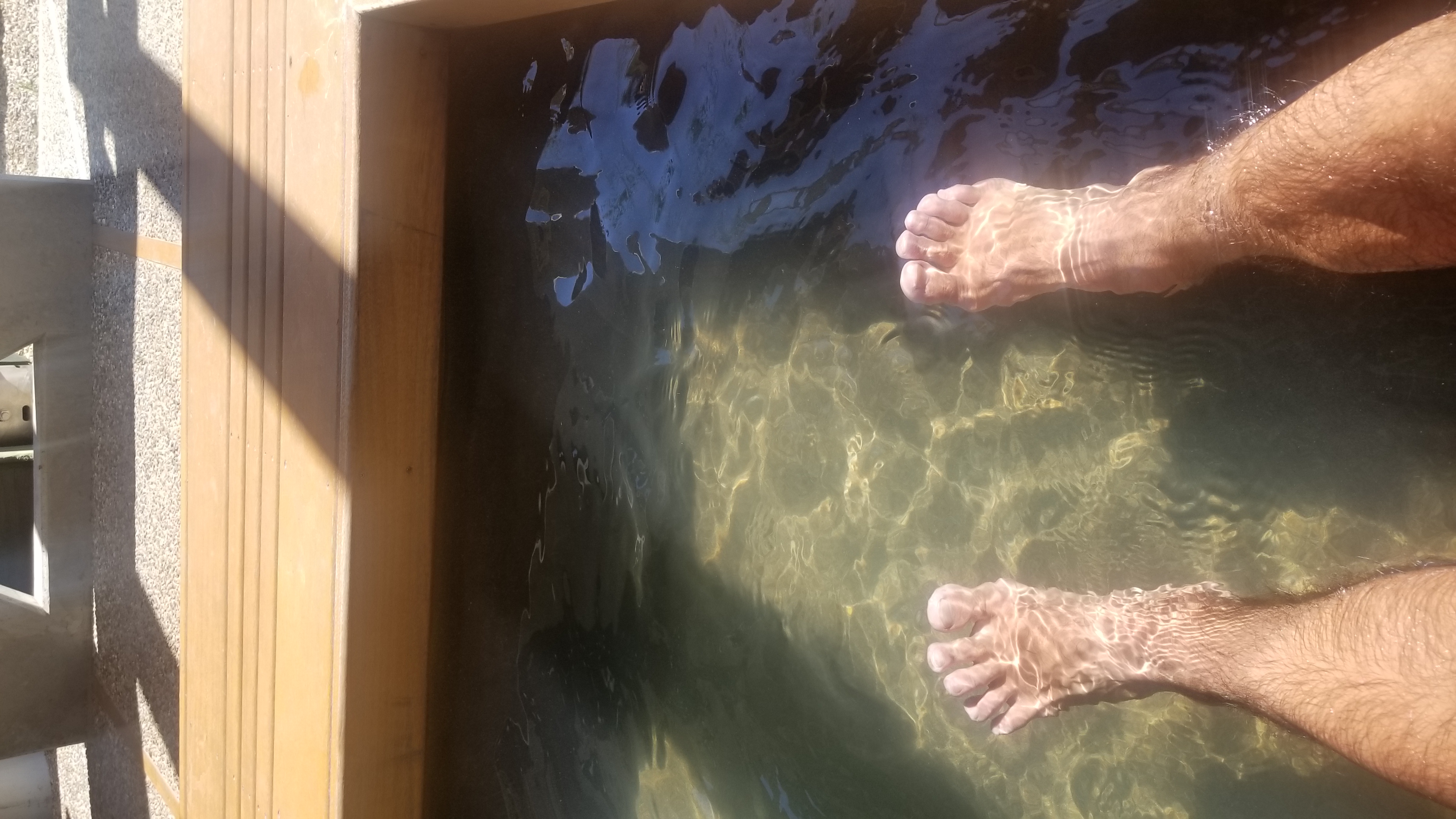
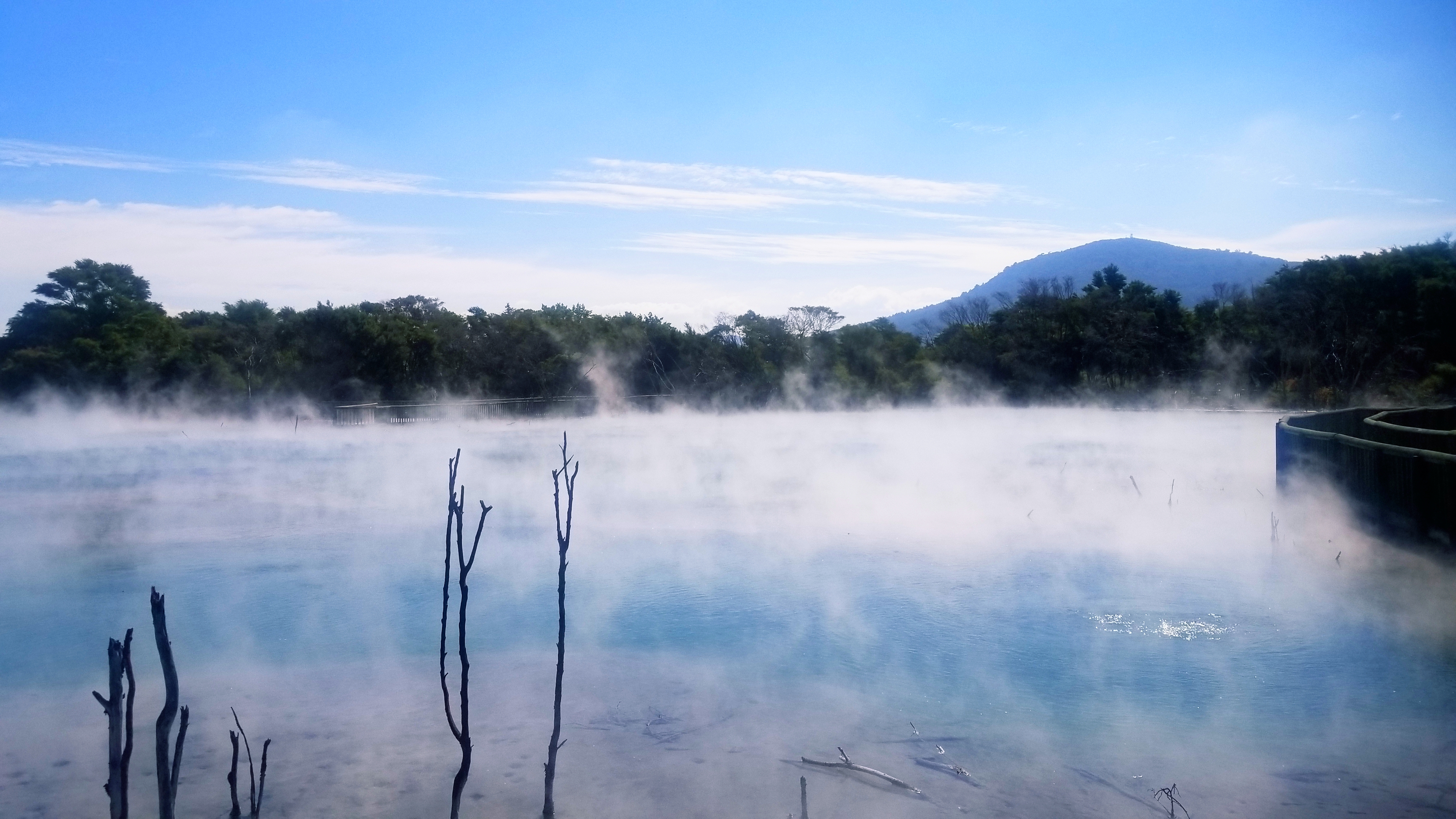
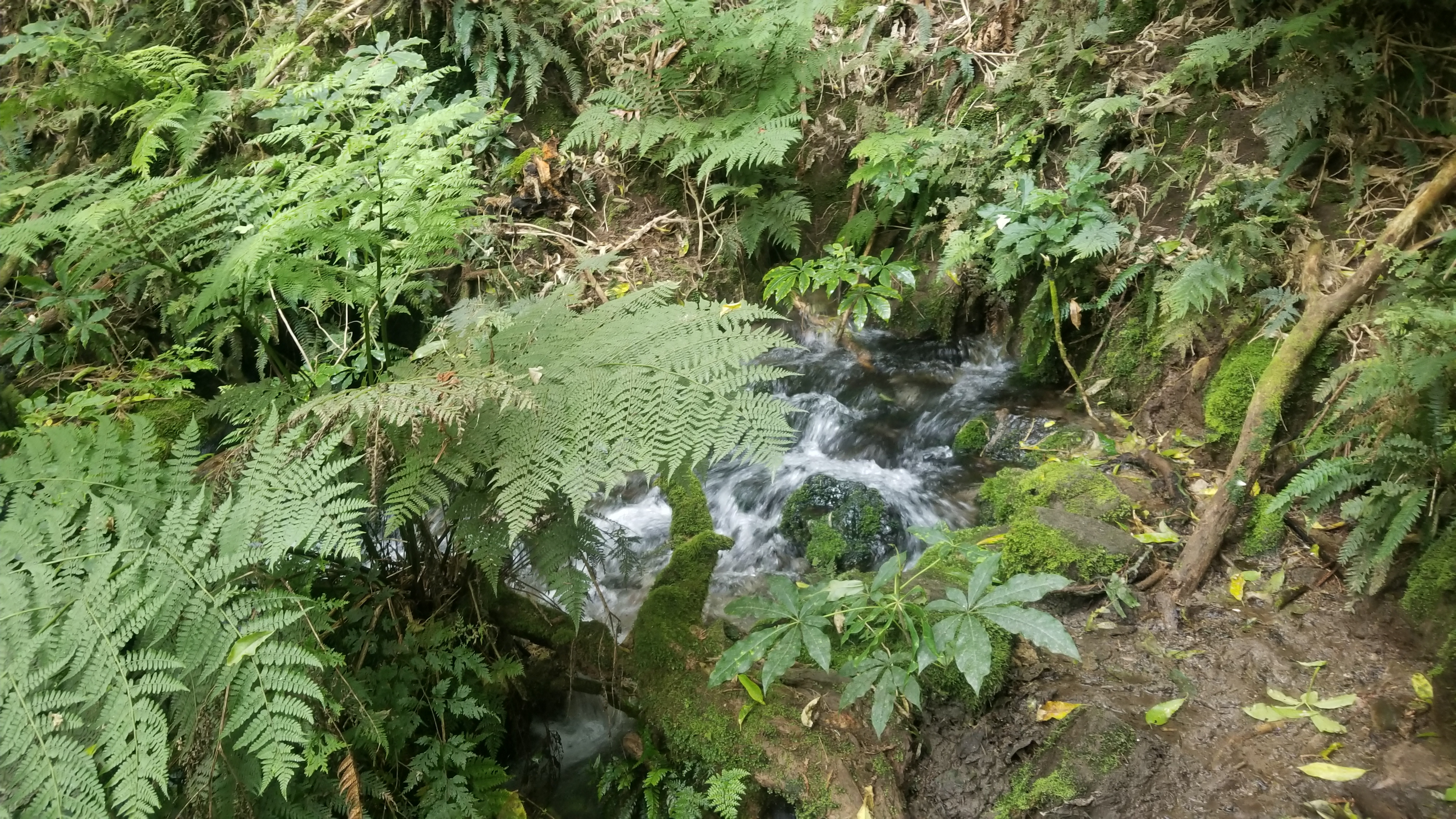
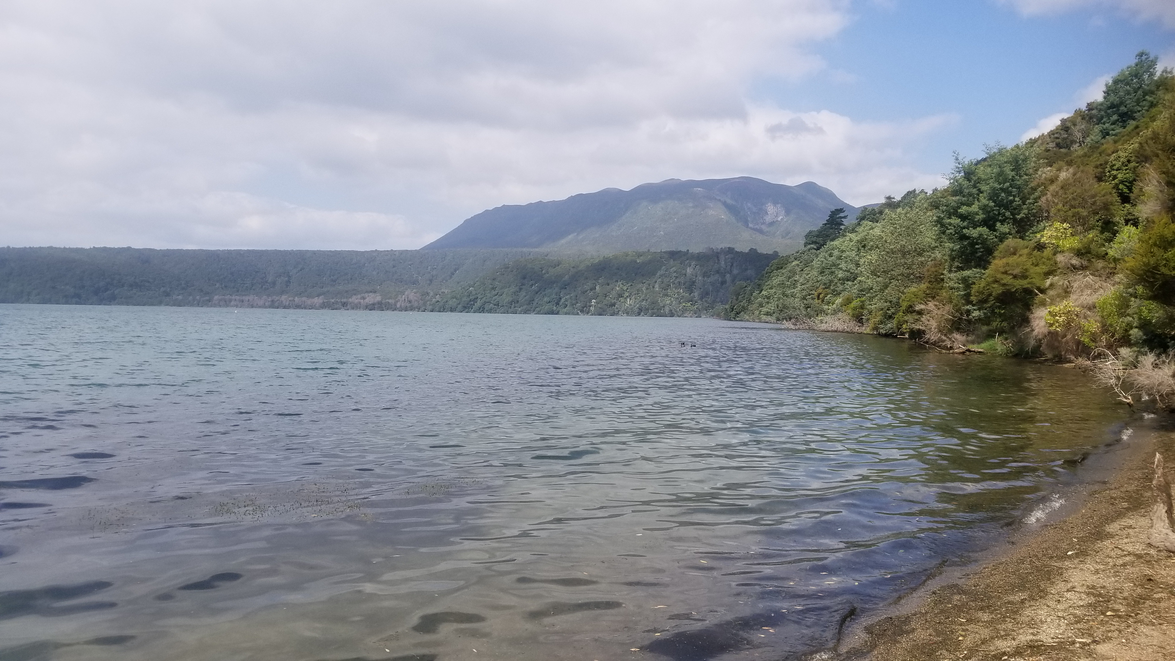
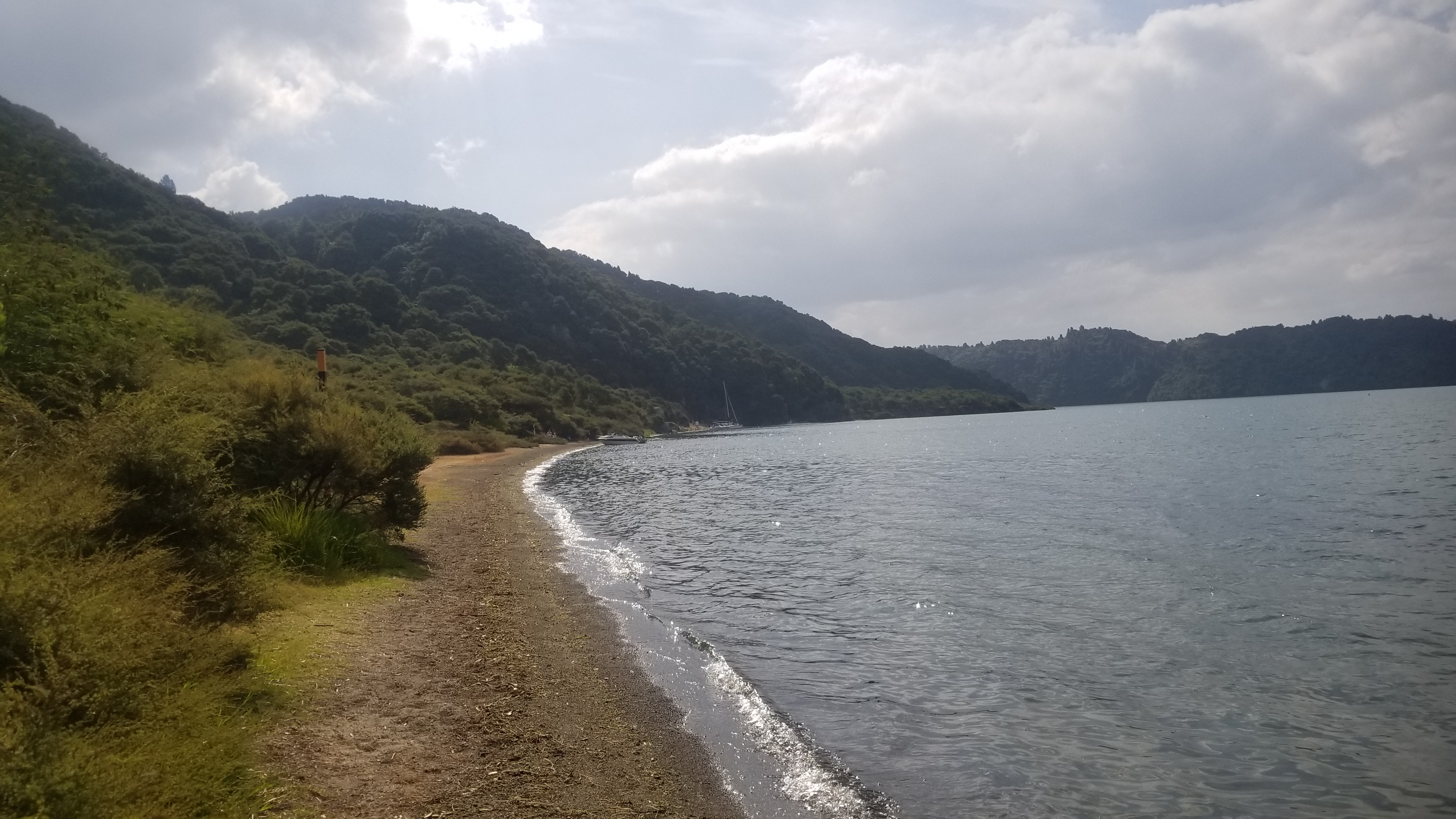
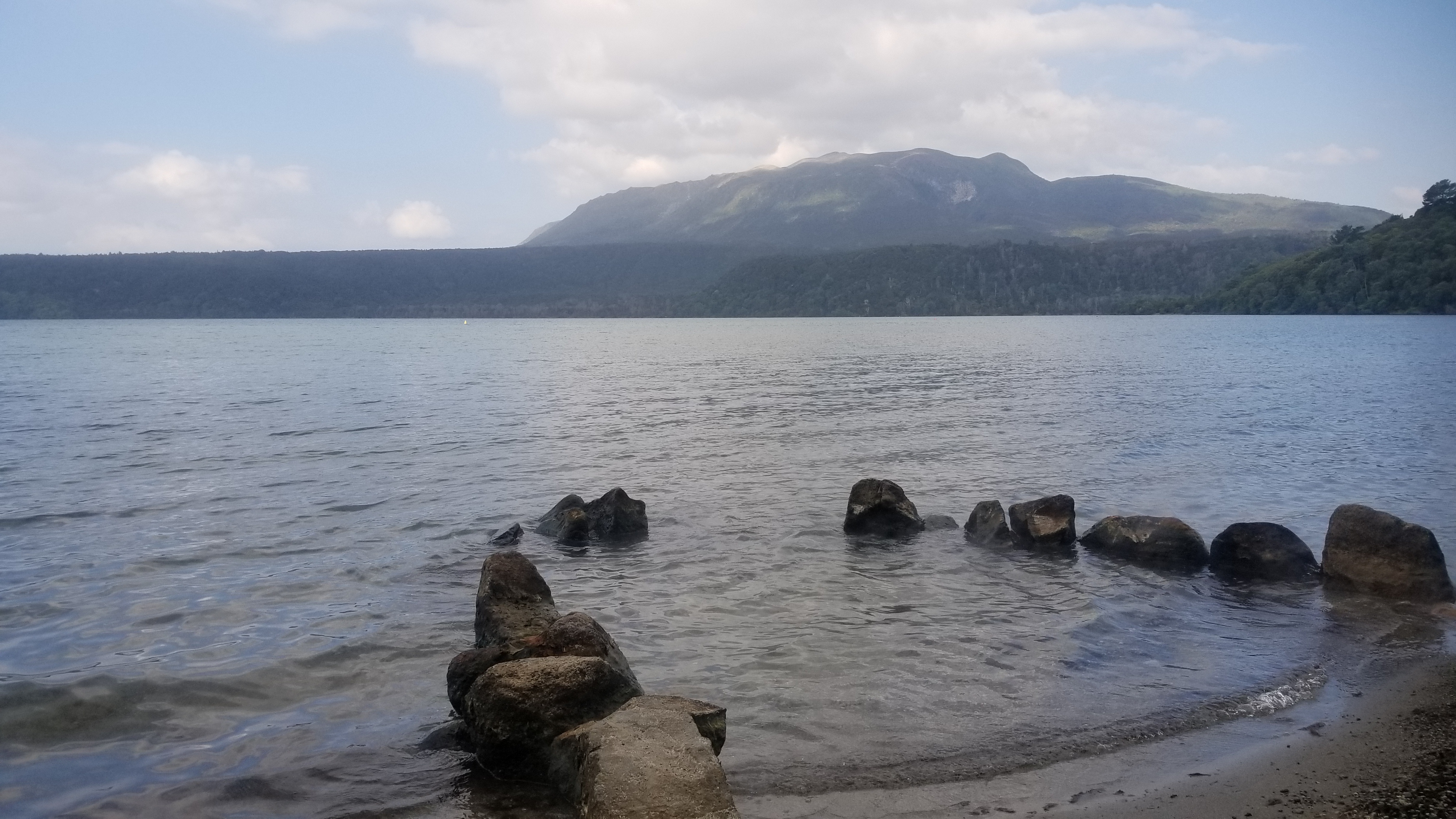
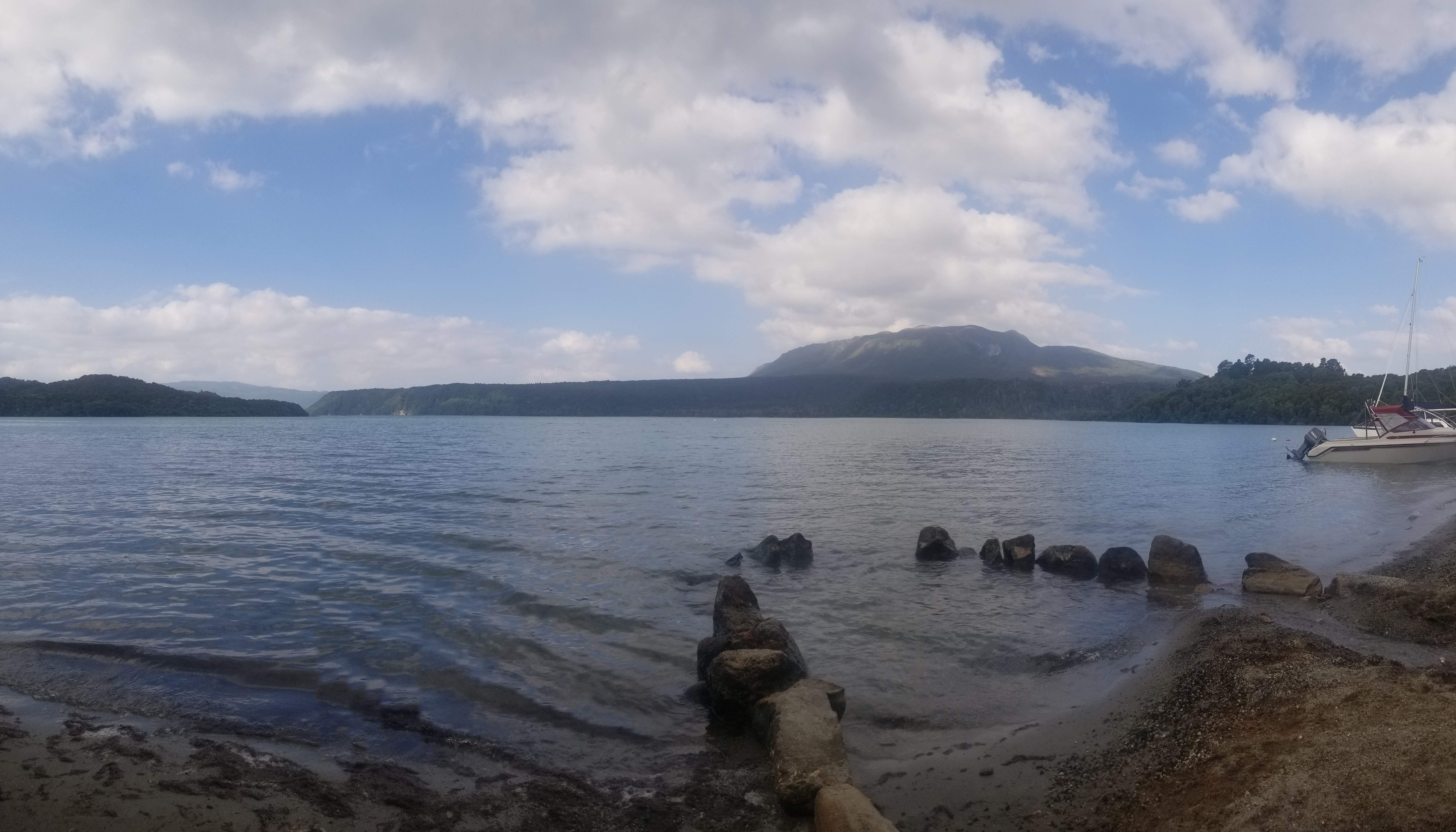
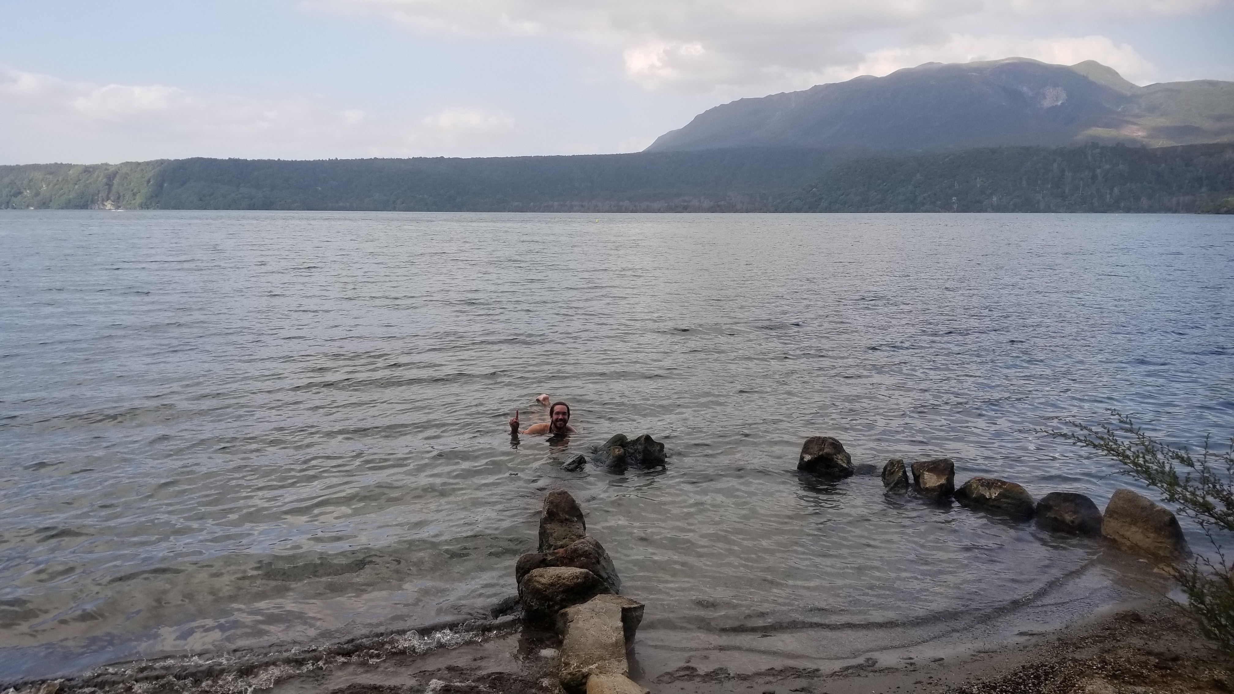
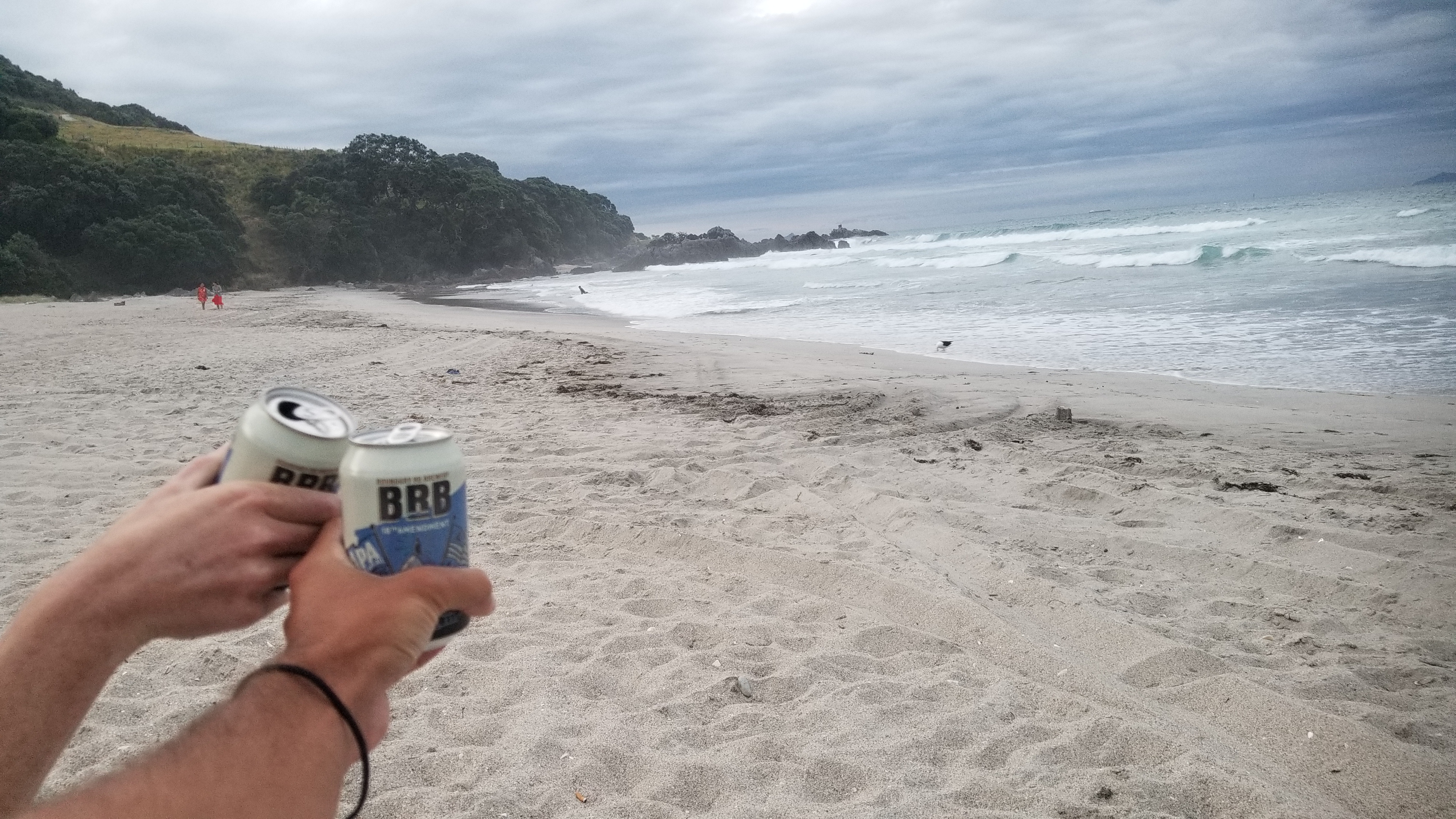
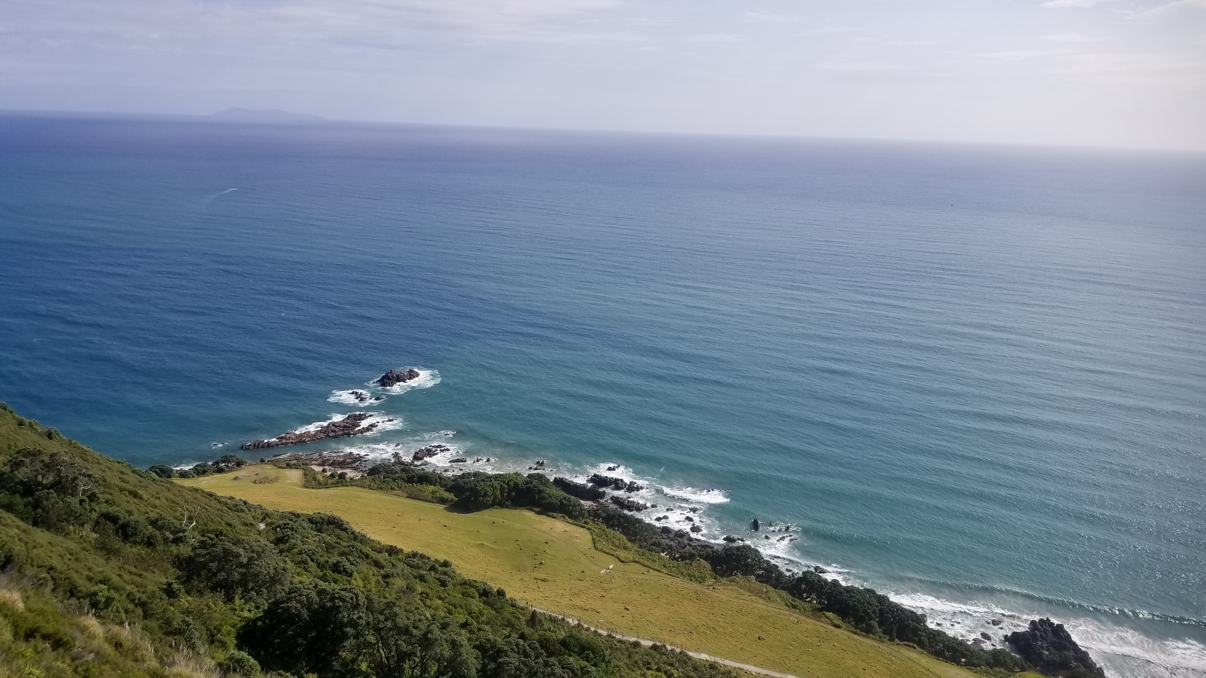
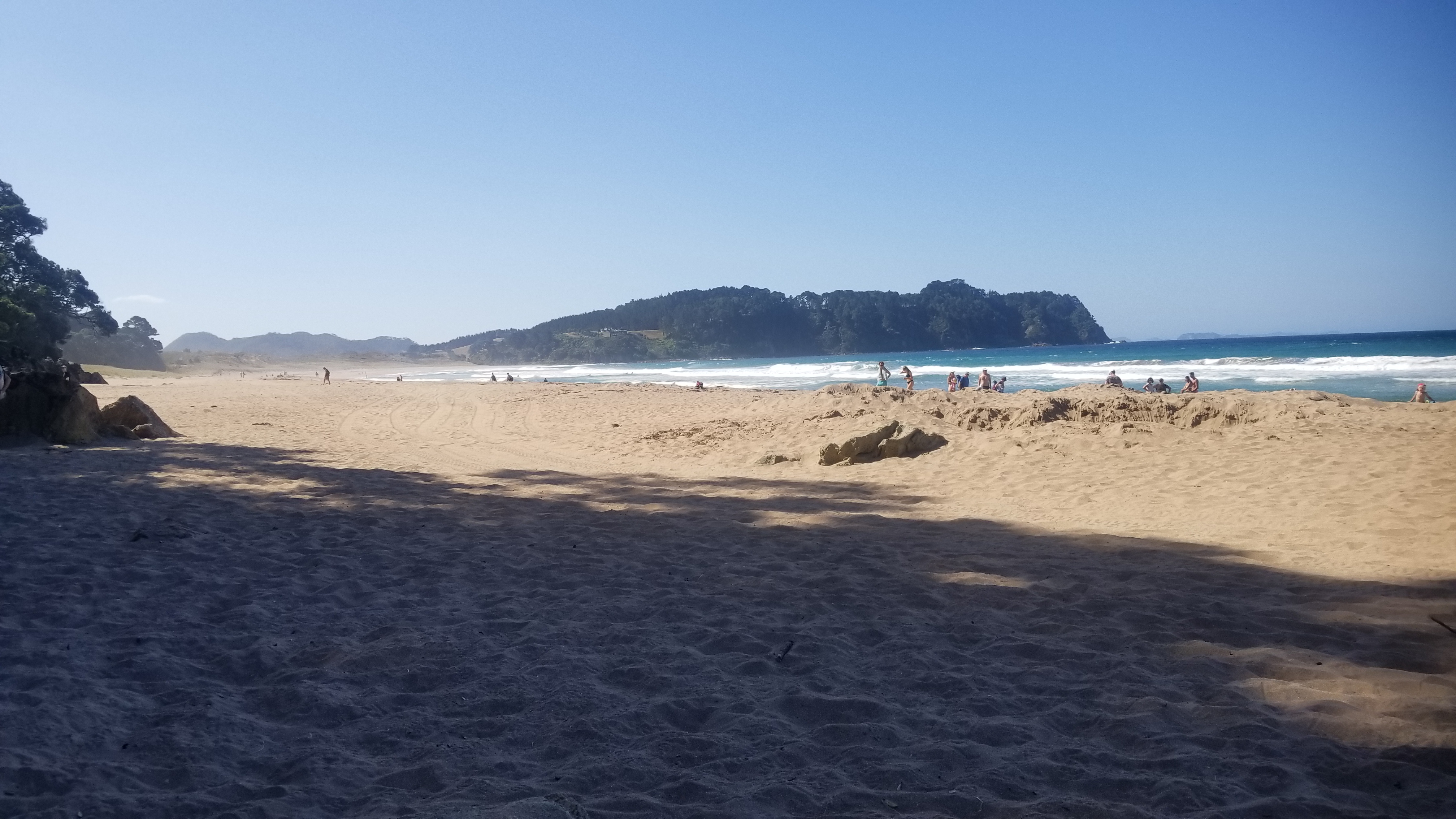
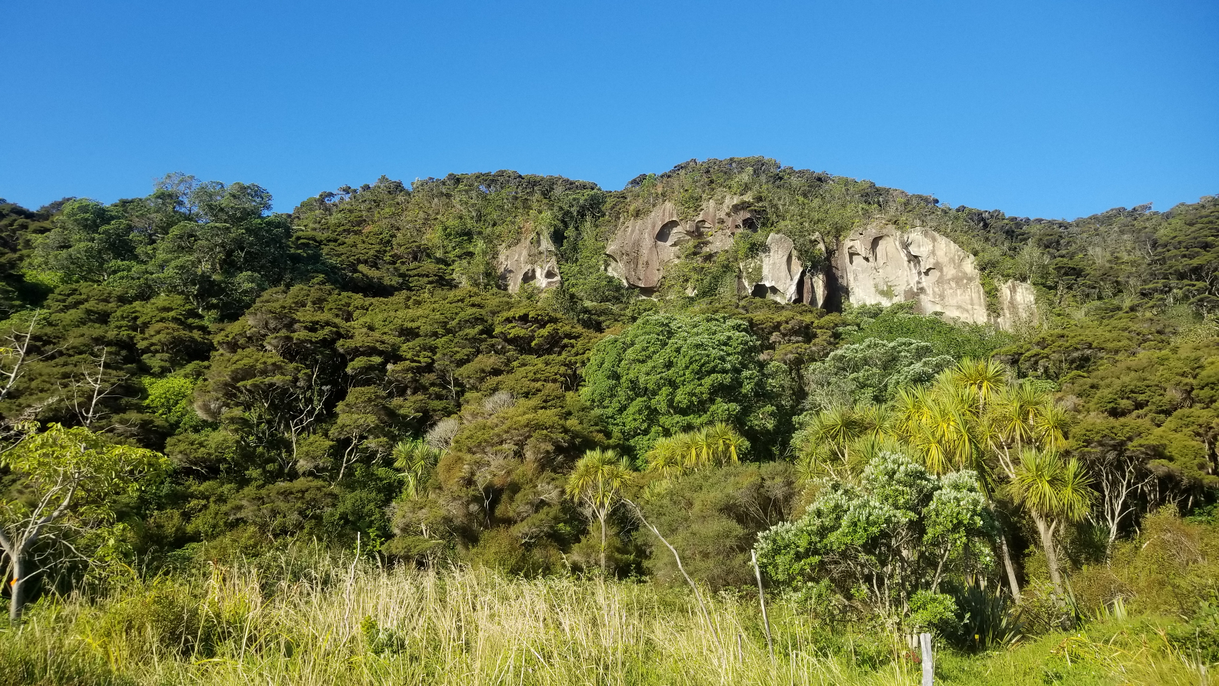
We had lunch and then set out on the 15km Terawera Trail to Hot Water Beach. A few hours of nice smooth forest walking and we were there, with our feet in the springs. There were two streams flowing into the lake that were practically boiling, at around 70 and 80 degrees Celsius. This makes for incredibly enjoyable swimming, as there are little pockets of hot and cold water all about the shore, that you can mix and meander around to find the temperature pocket of your liking.

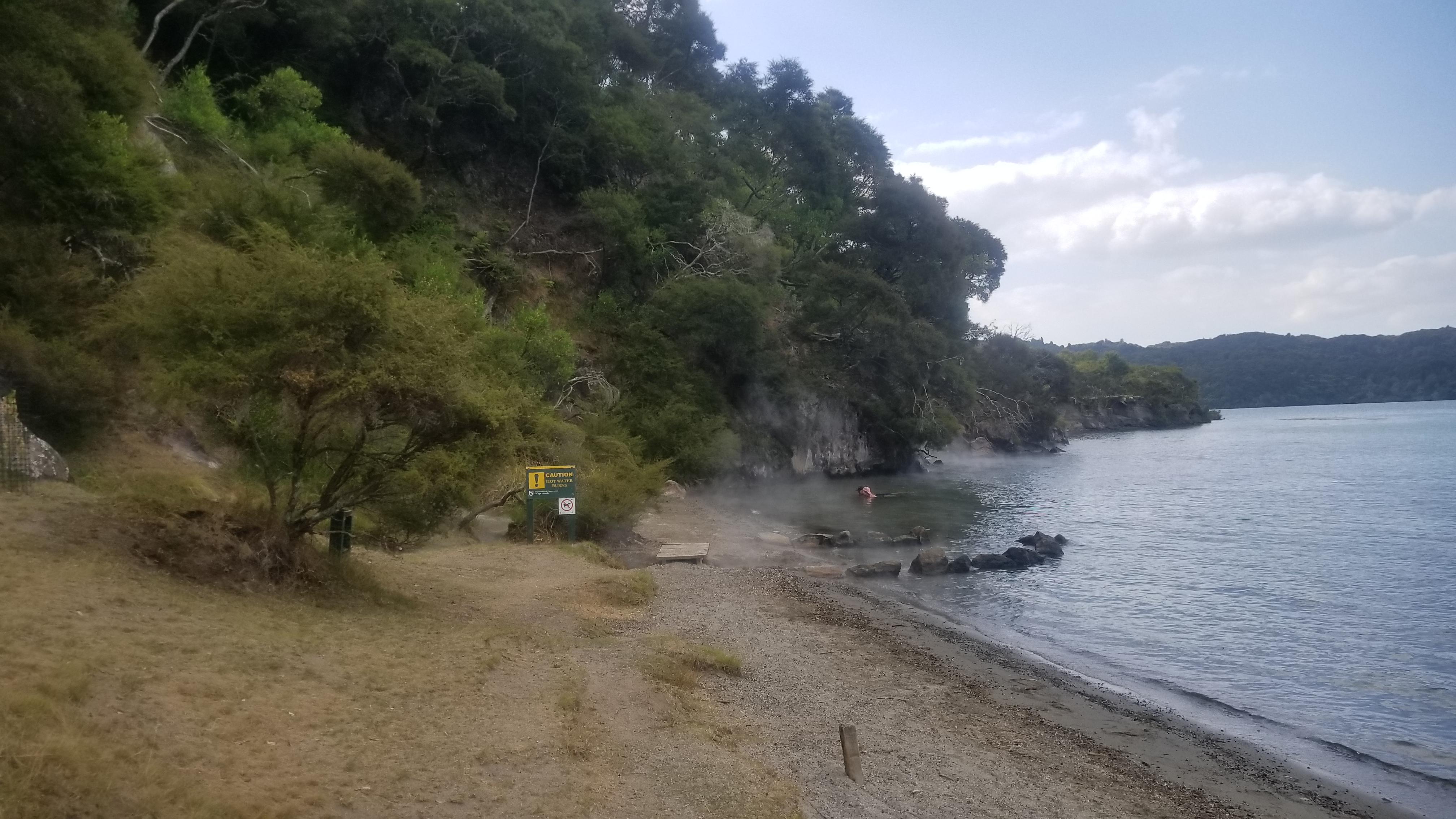
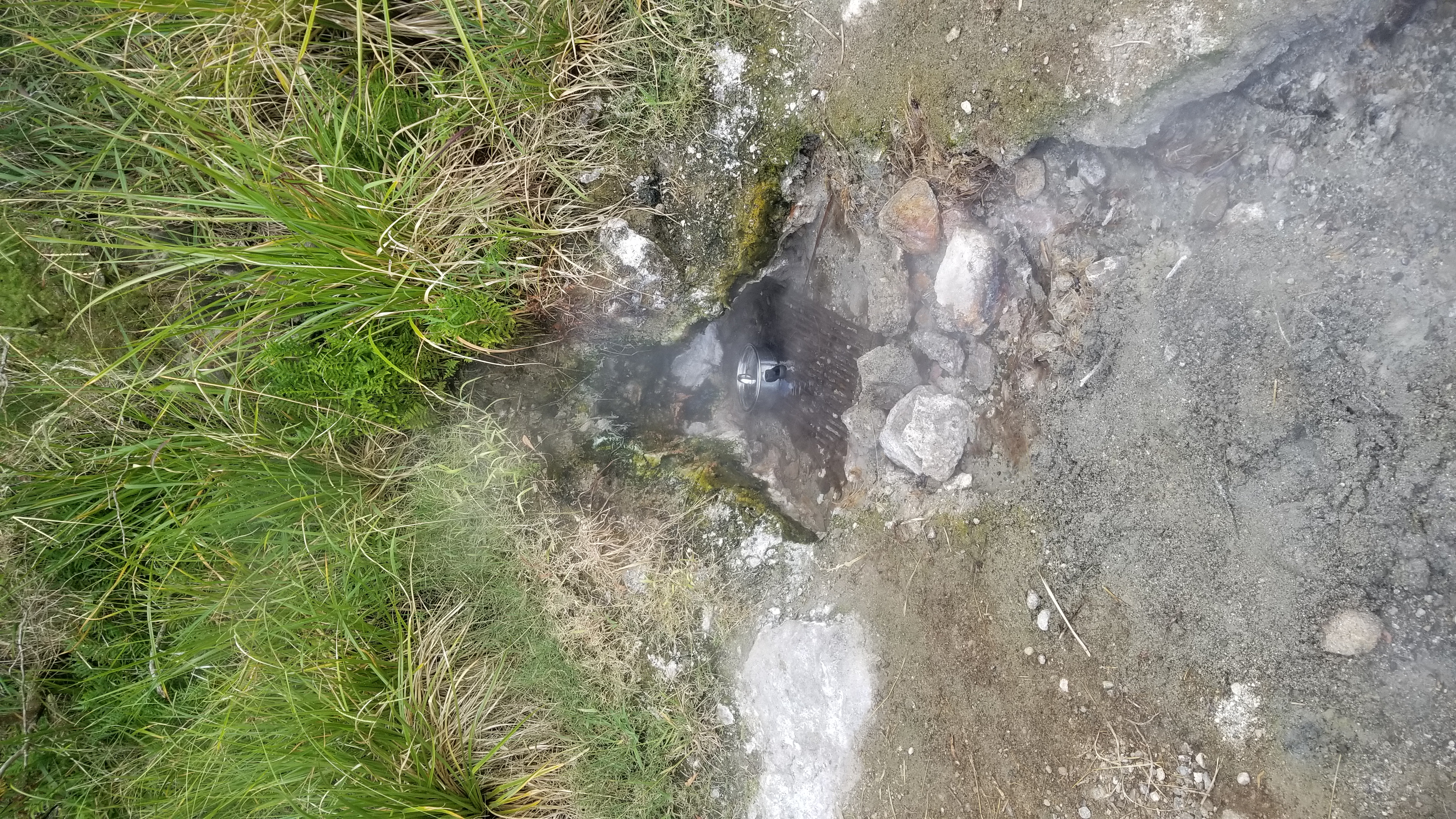
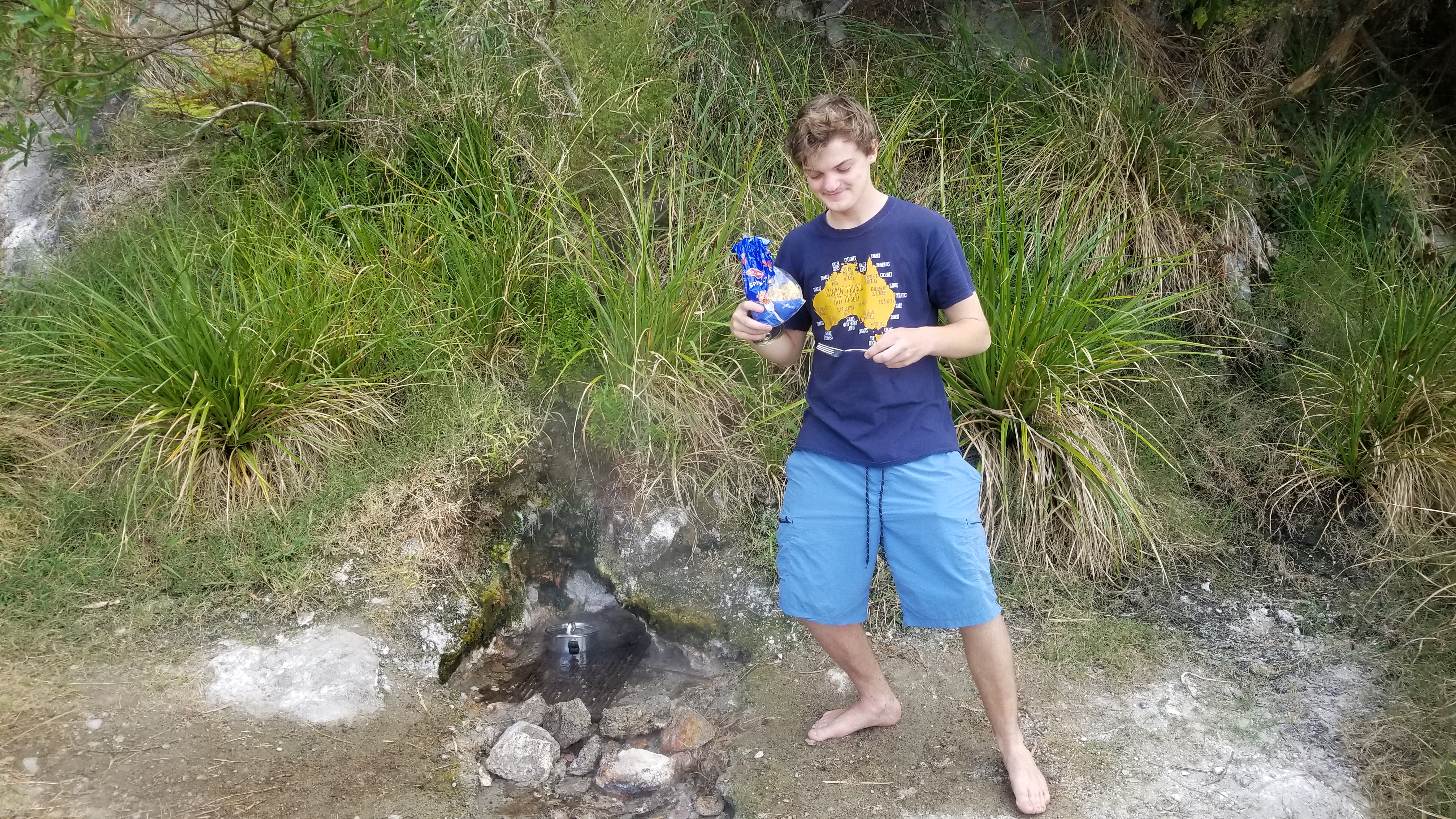
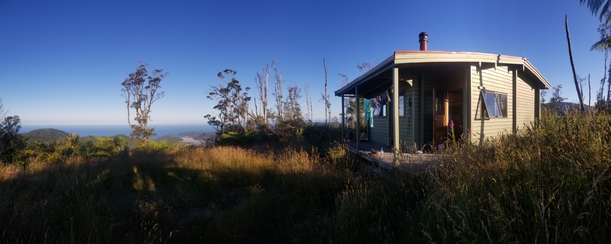
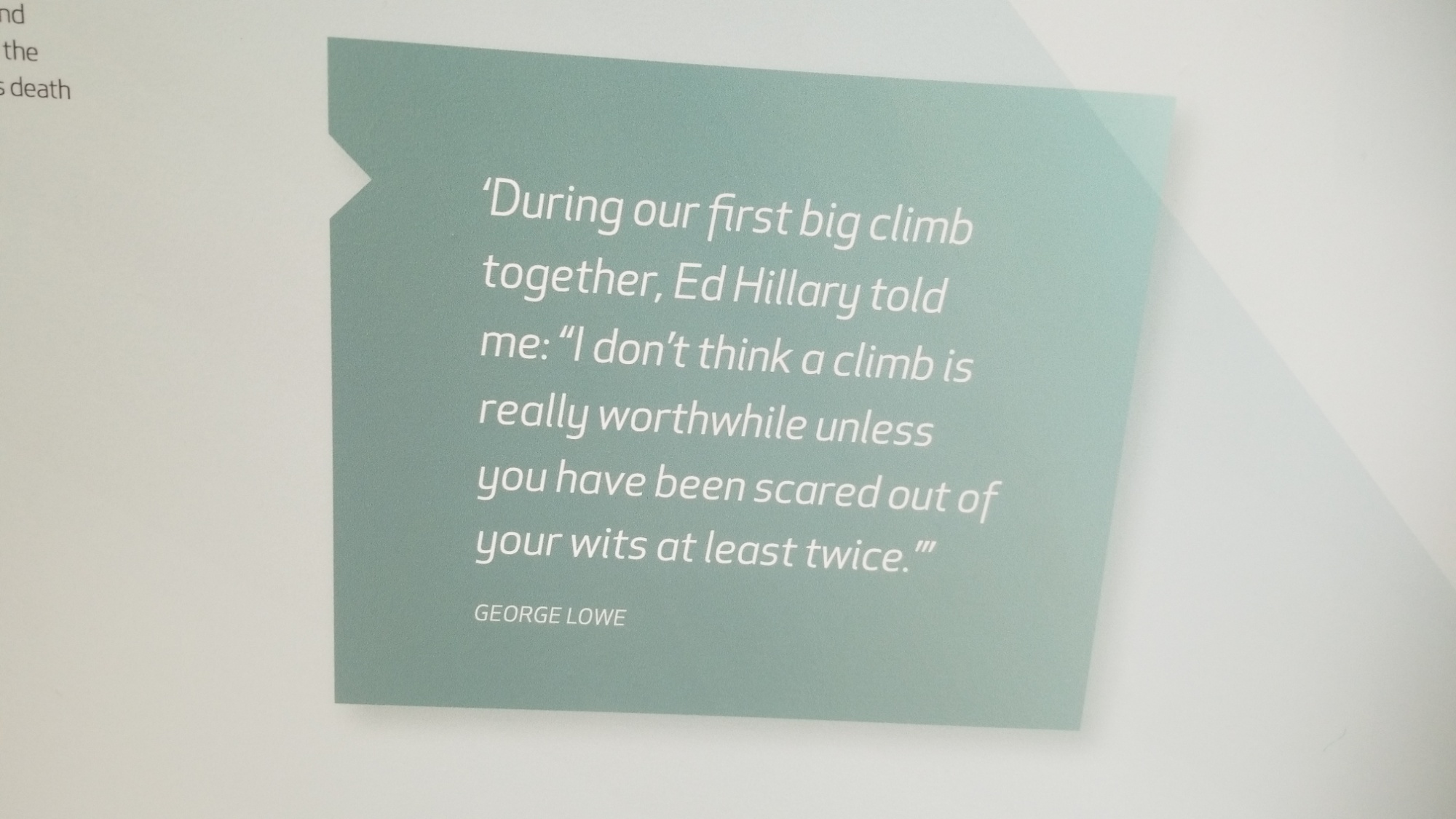
We met the fella that had been hitch hiking ahead of us as well, his name was Joe, an 18yo student from England who had just finished high school. It was fun watching him cook his pasta dinner in the boiling stream. The camp warden, Jason, was super talkative. He told us he often slow cooks roasts at the spring over the course of 12 to 24 hours. He lives on a boat there at the hot water beach, which sounds like paradise.

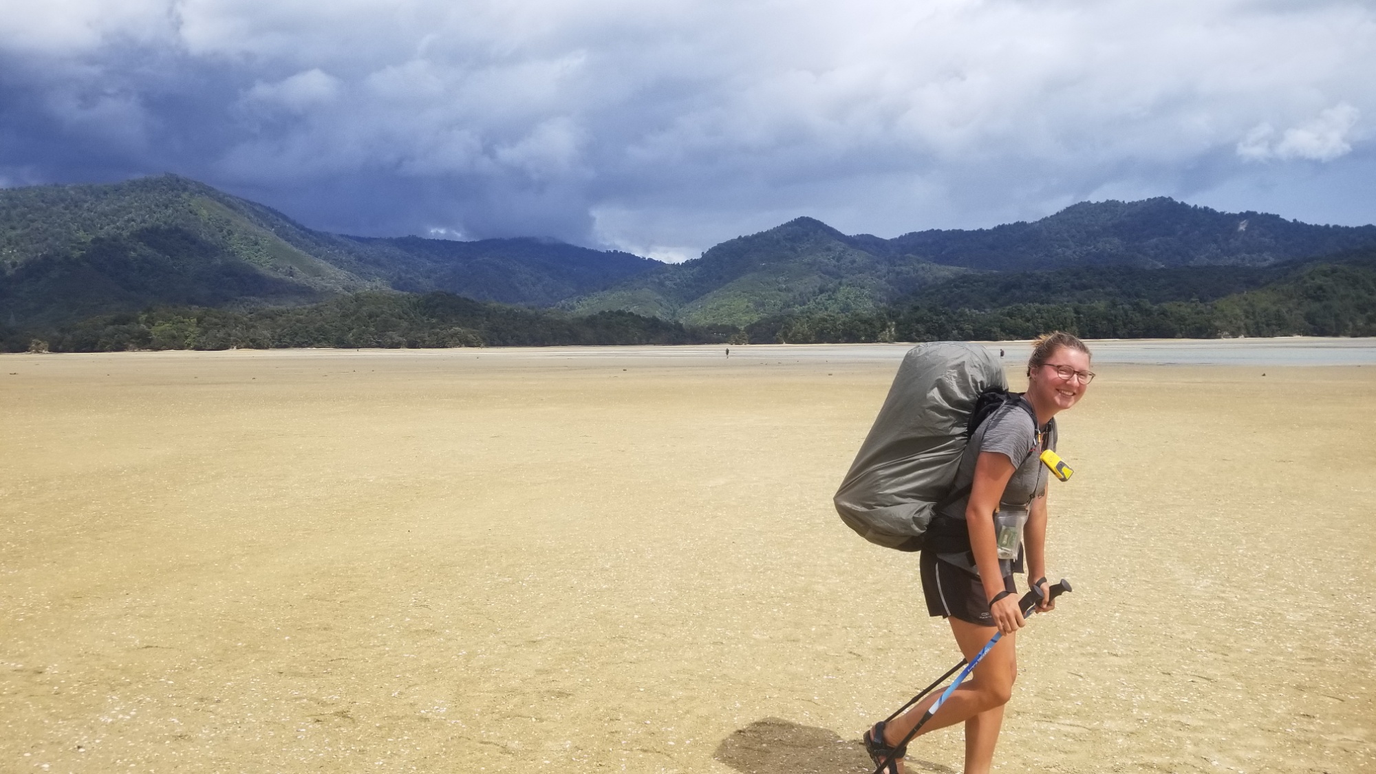
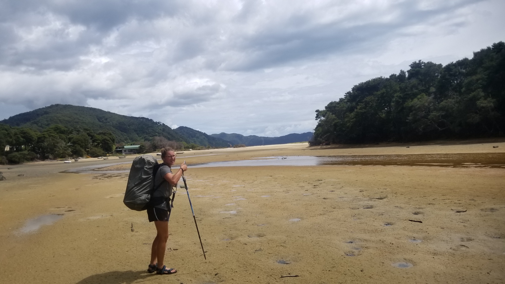
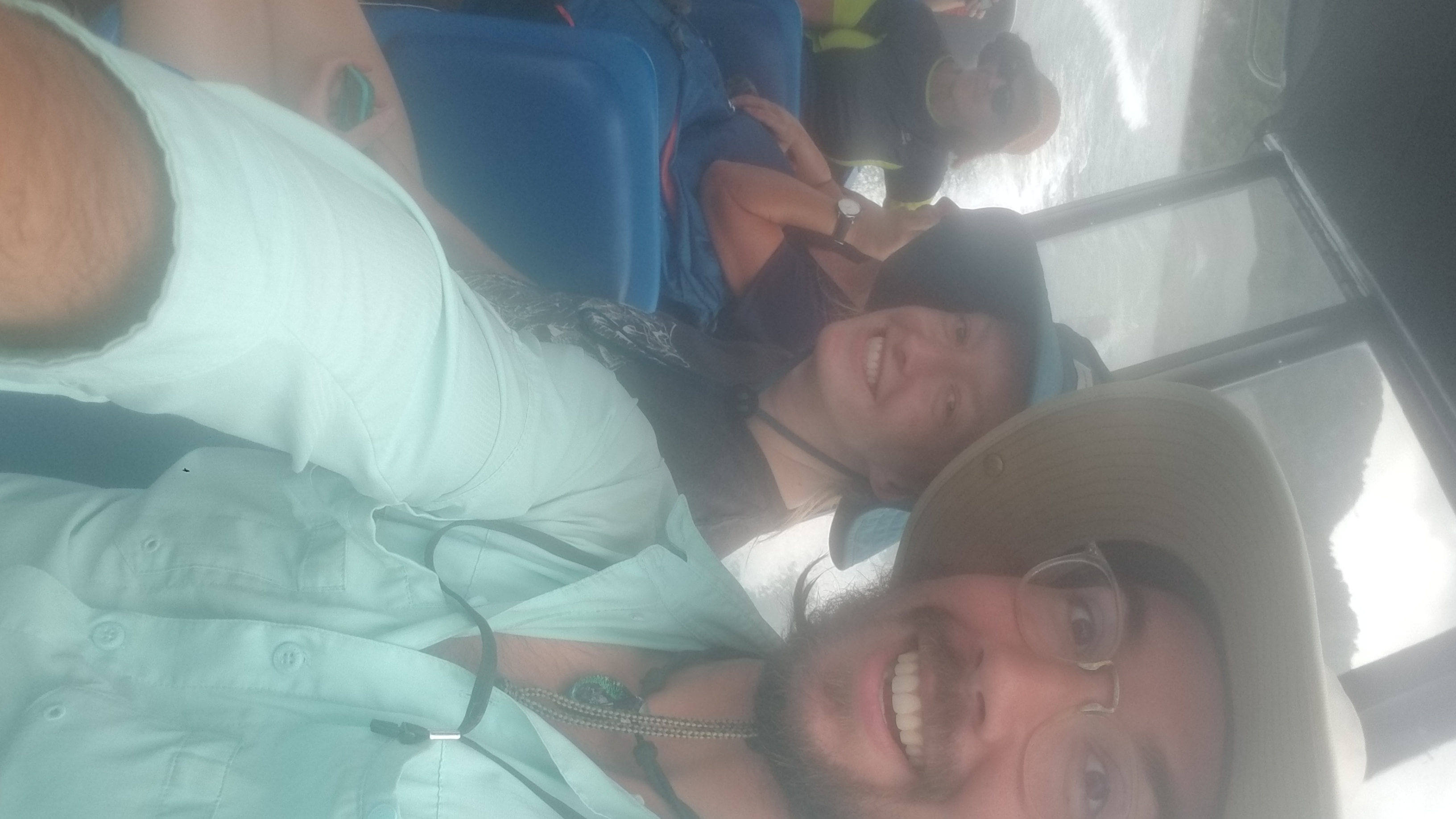
The next day, we took a shuttle boat back to Terawera trailhead, and an older woman was nice enough to give us a ride all the way back into Rotorua. Maureen, Joe, and I bought some food and drinks at the supermarket, and then walked down the road to the bus stop, where we said goodbye to Joe. Maureen and I took the bus as far North out of town as we could go, and then we stuck out our thumbs, looking for a ride an hour north to the lovely beach town of Tauranga.

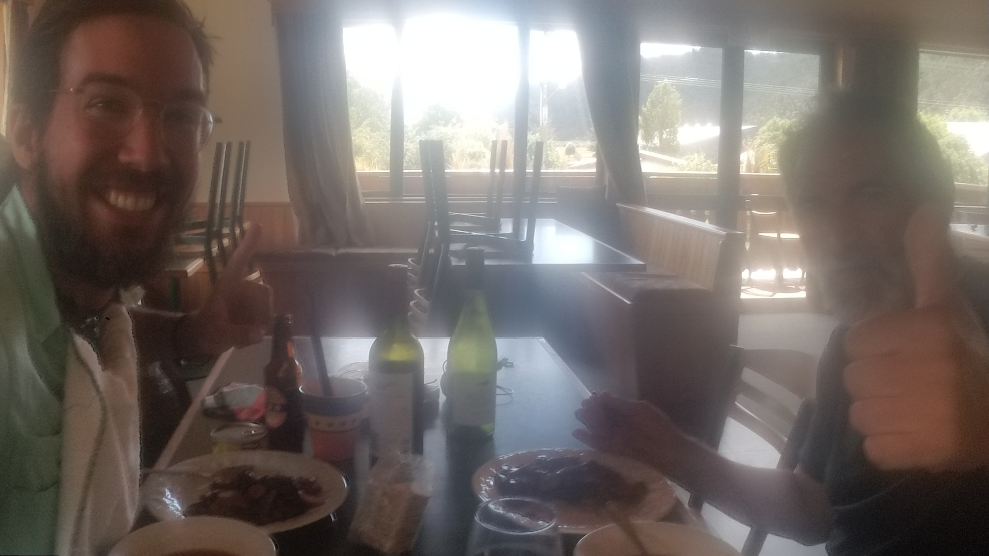
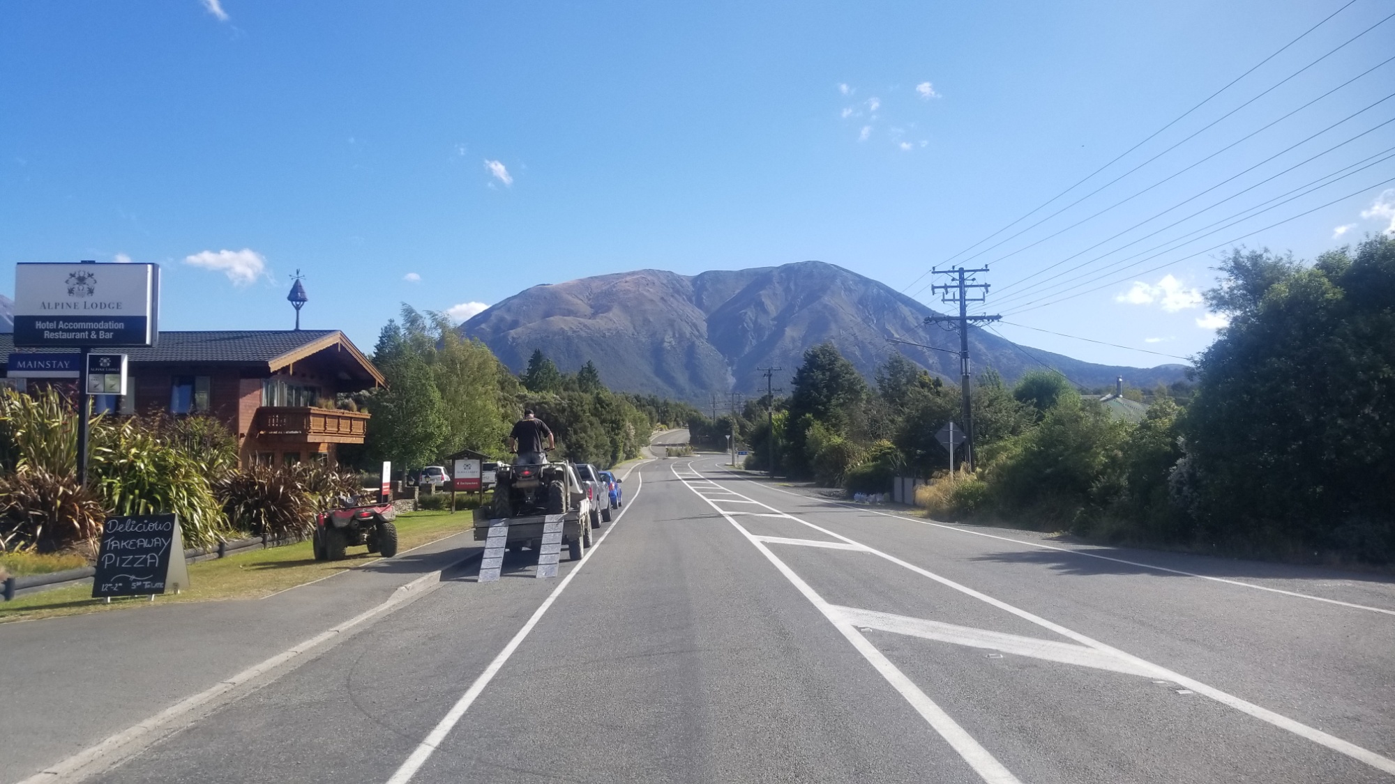
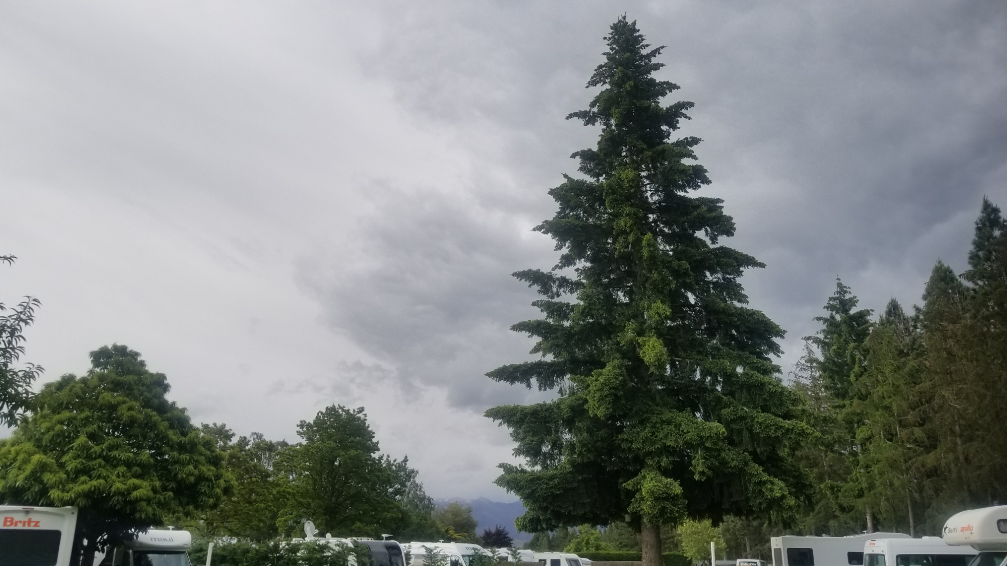
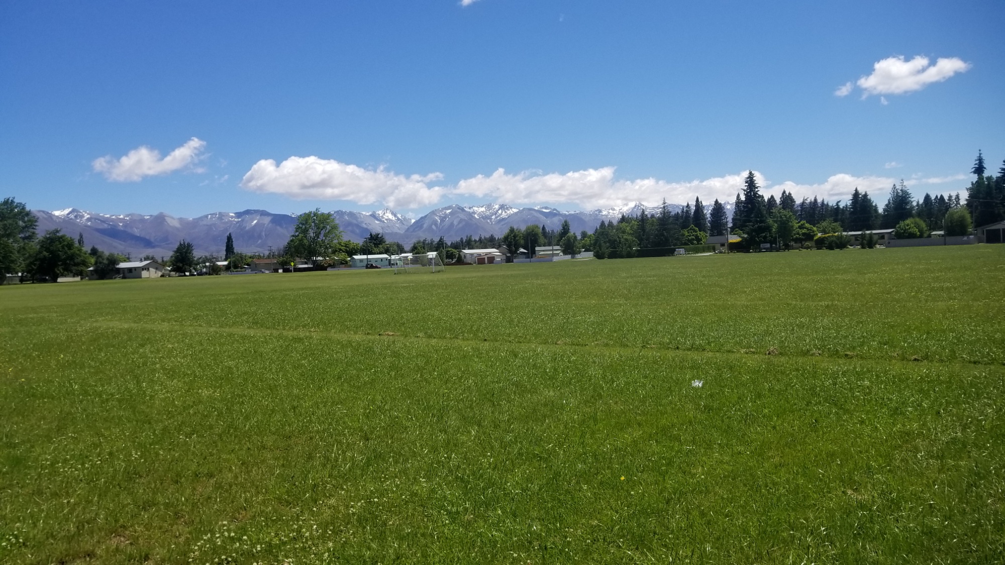
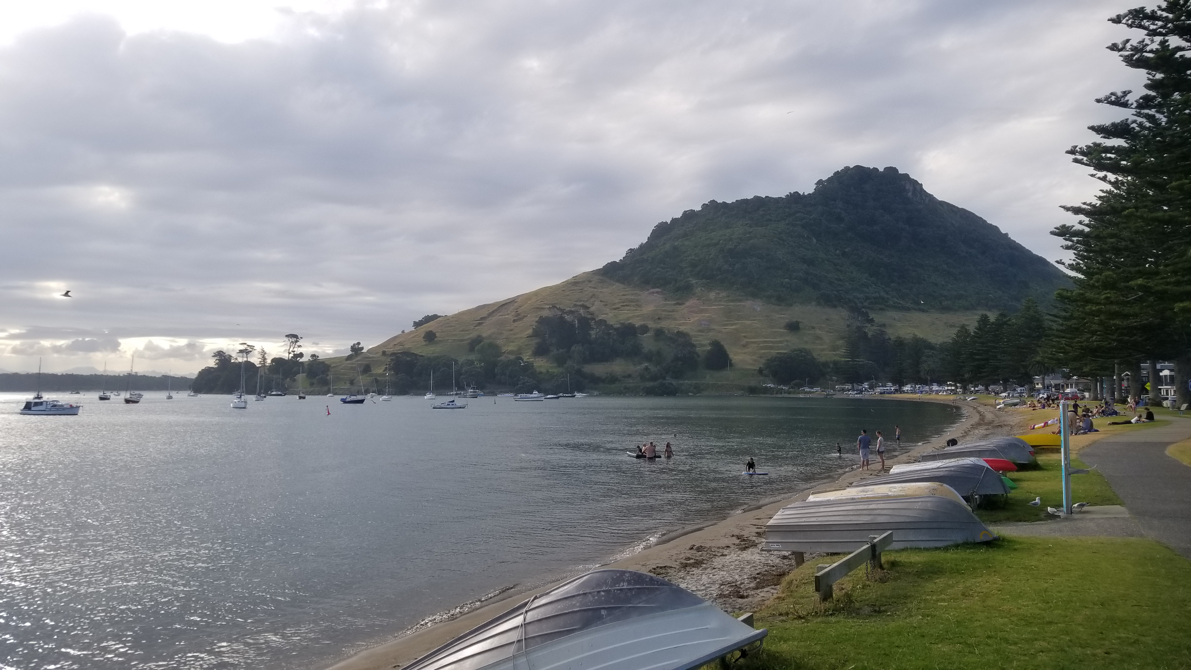
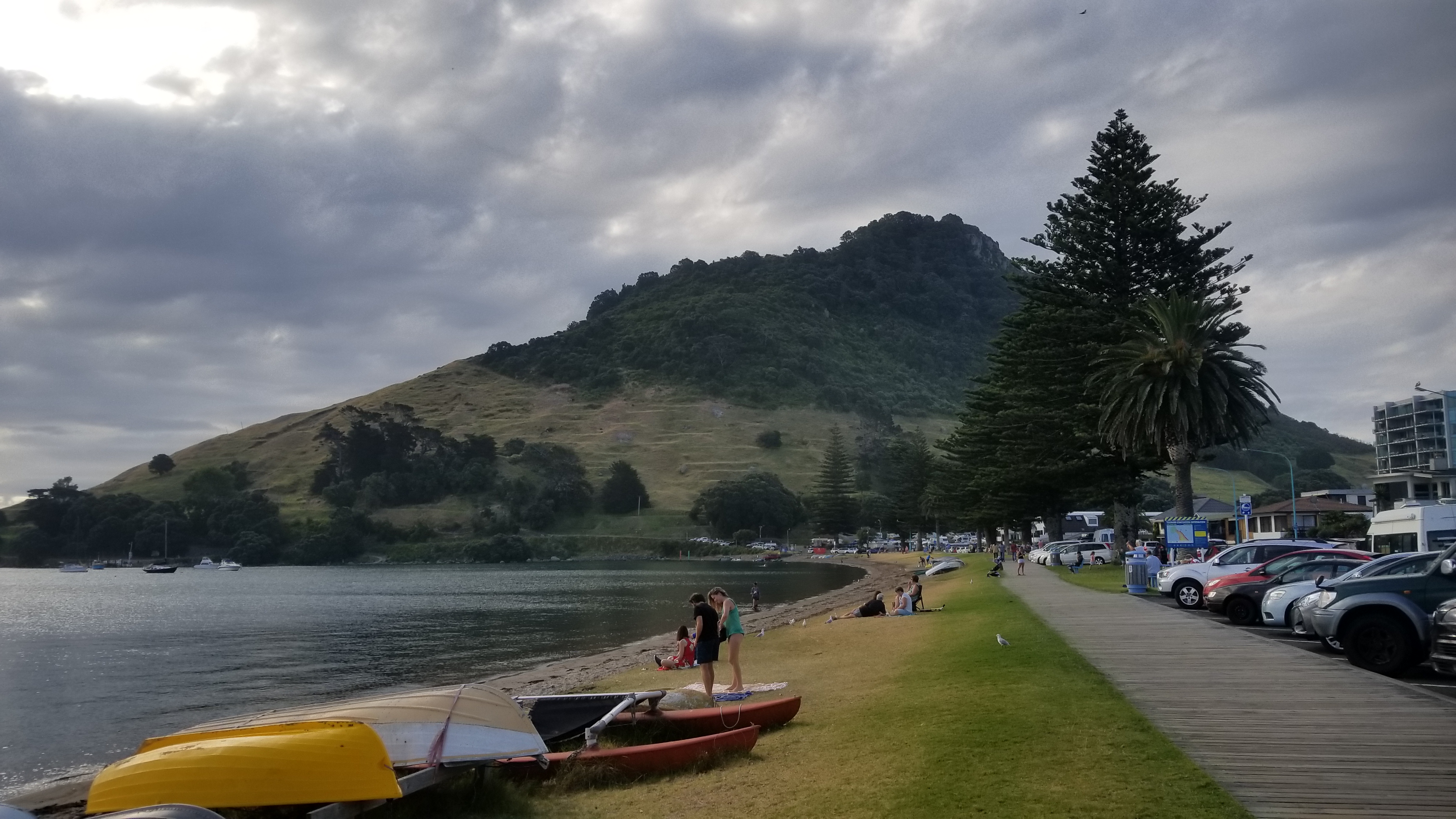
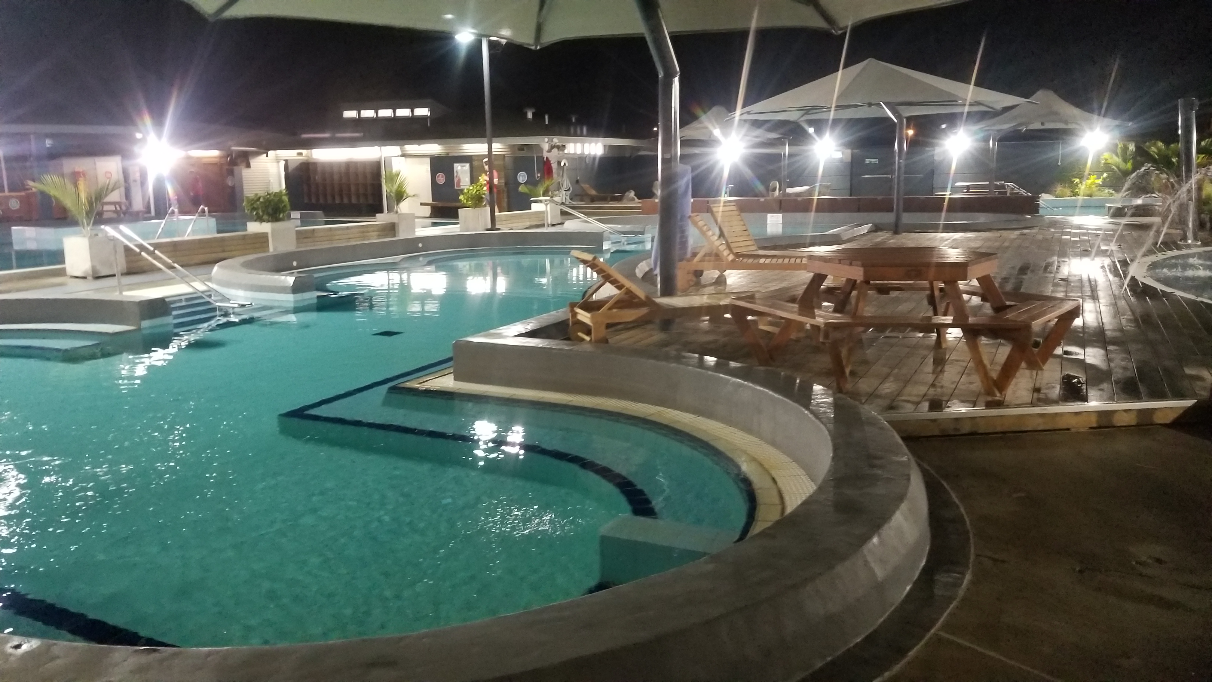
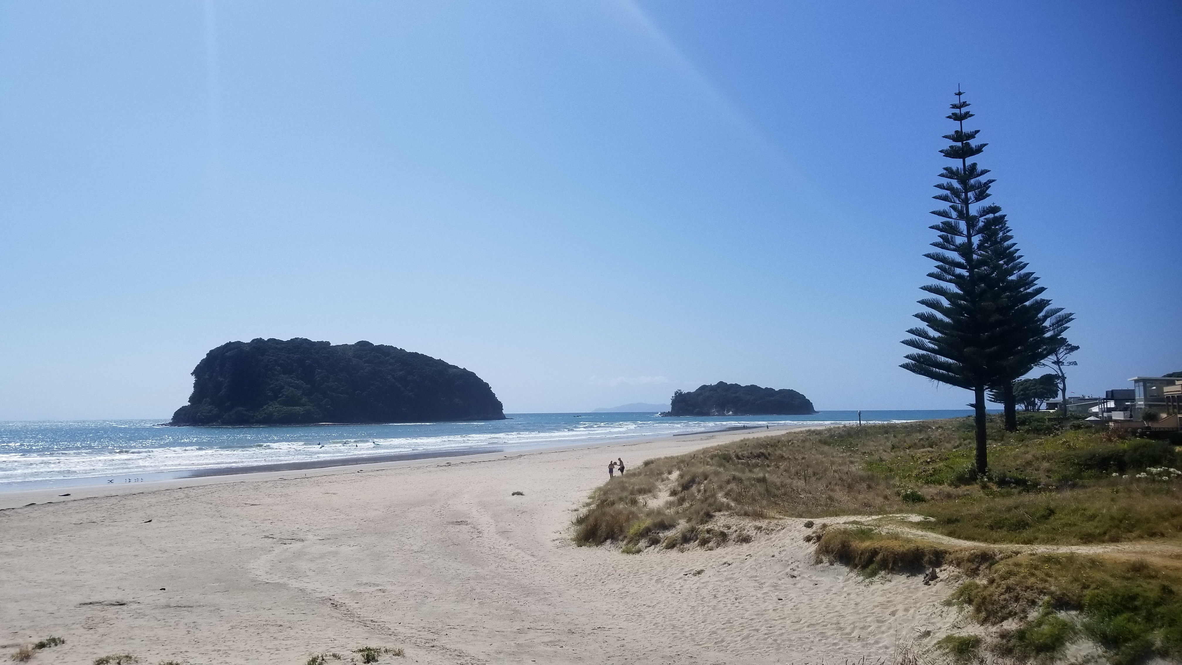
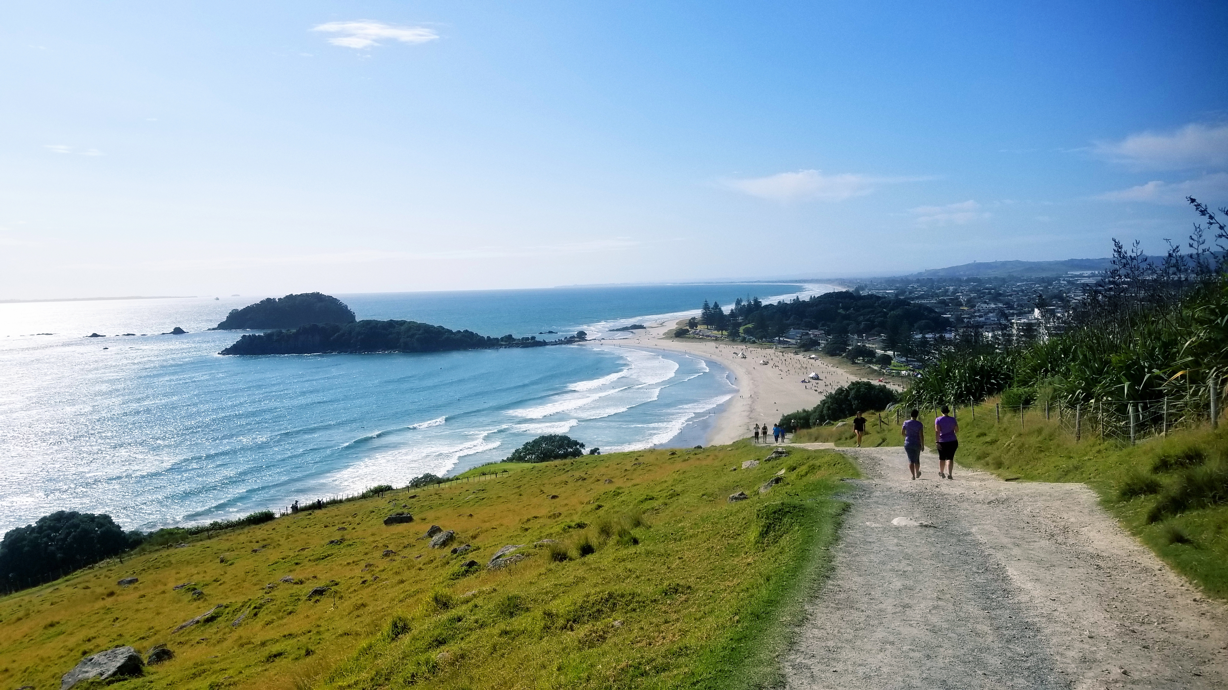
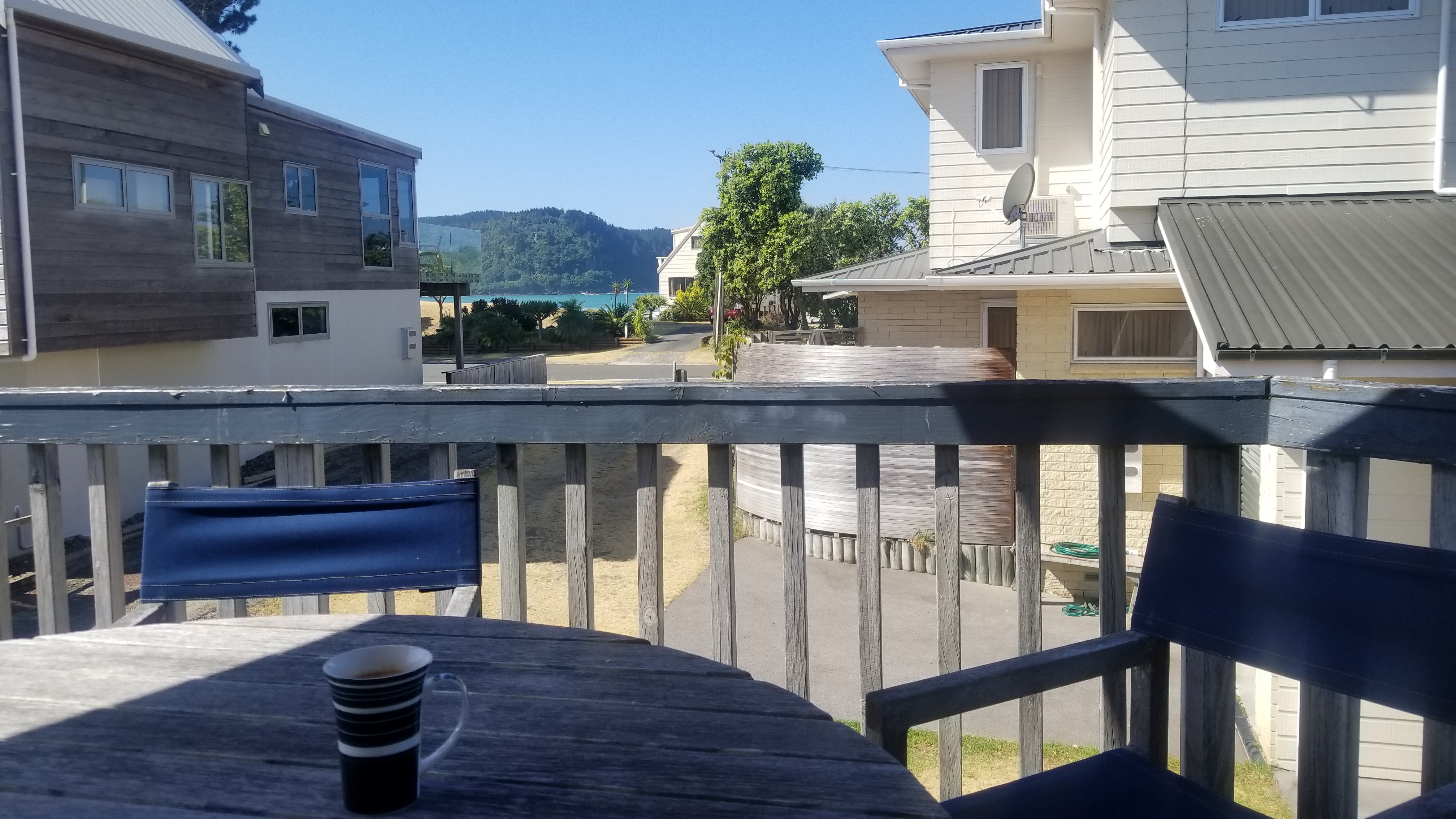
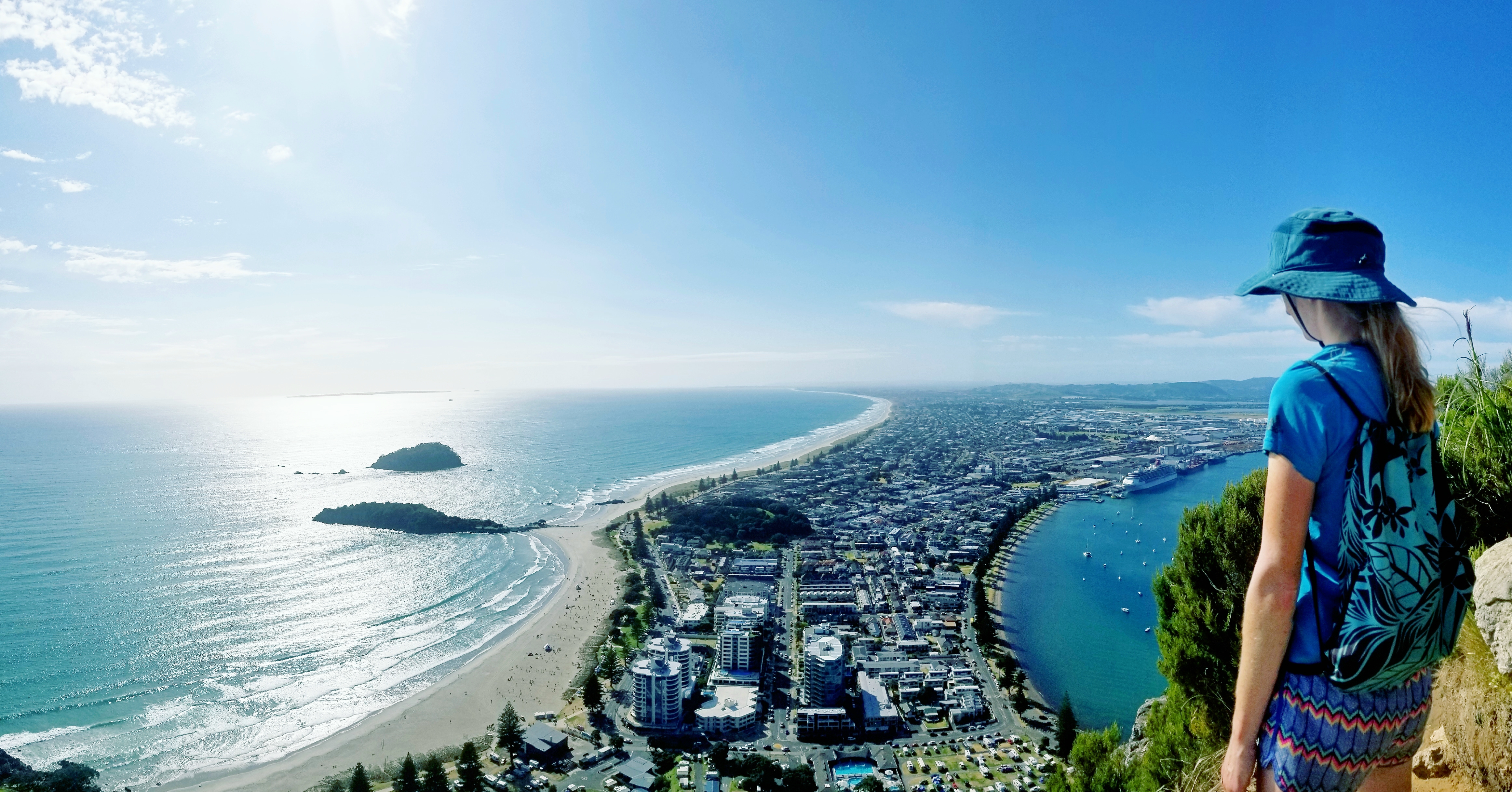
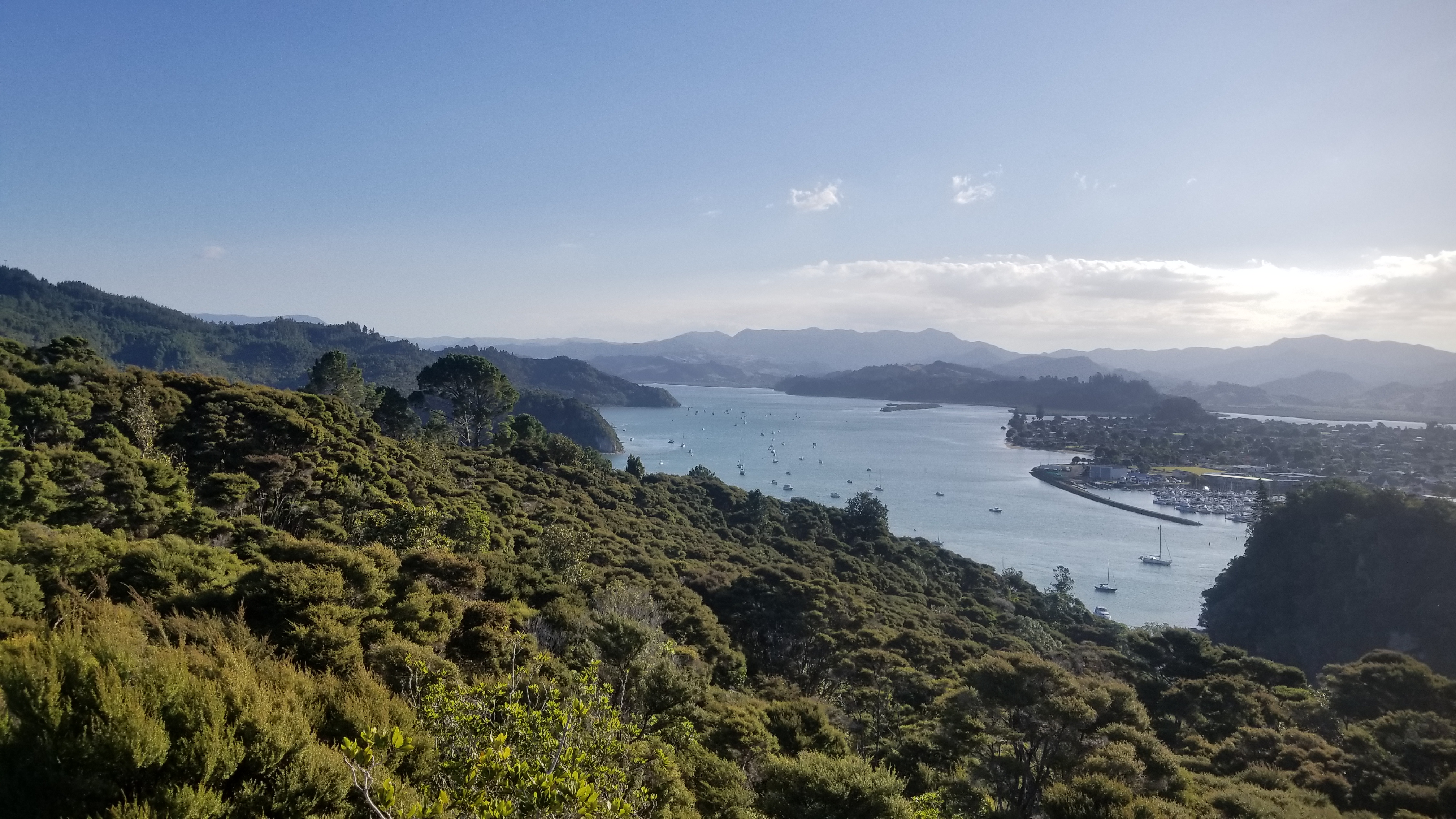
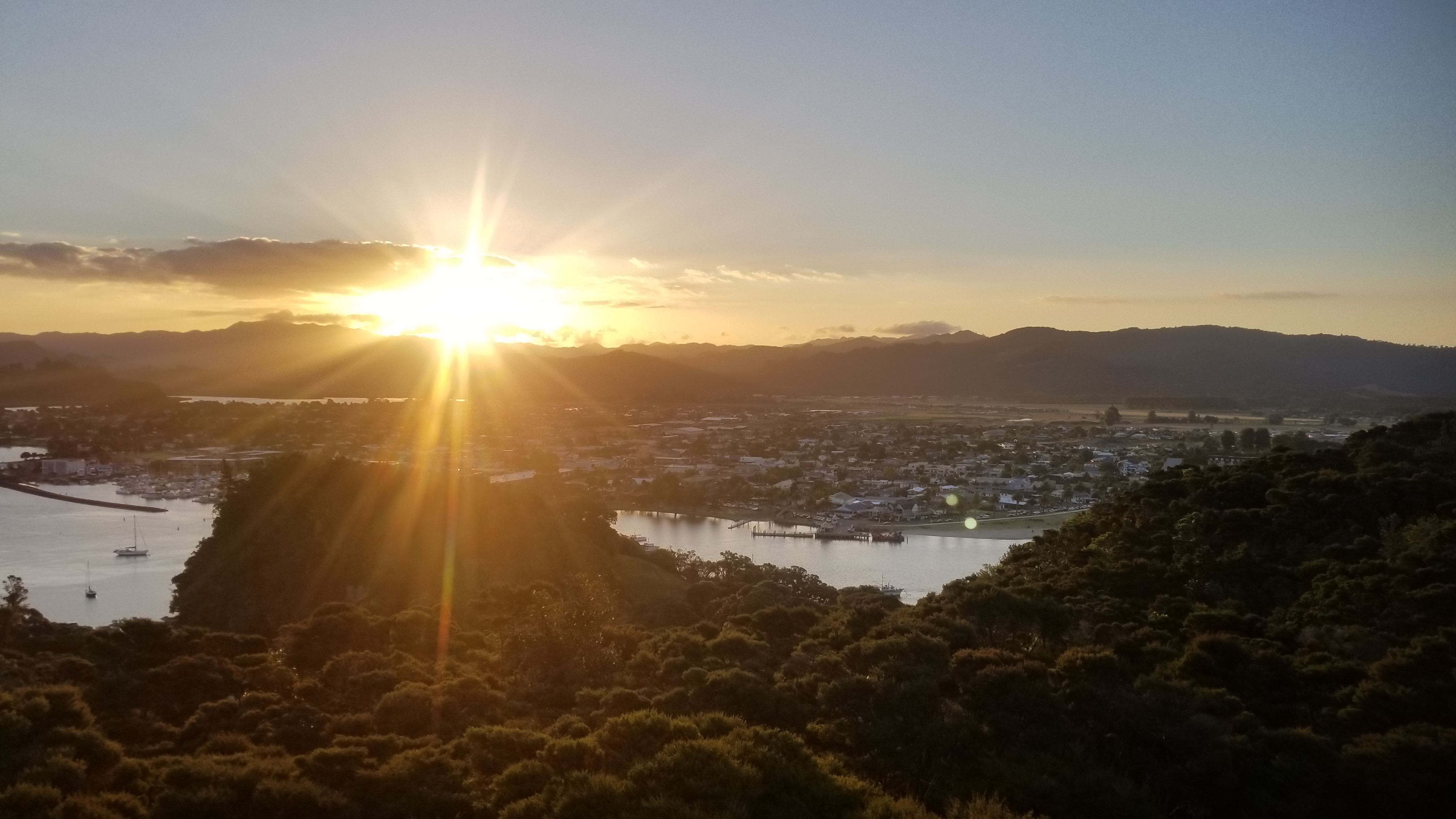
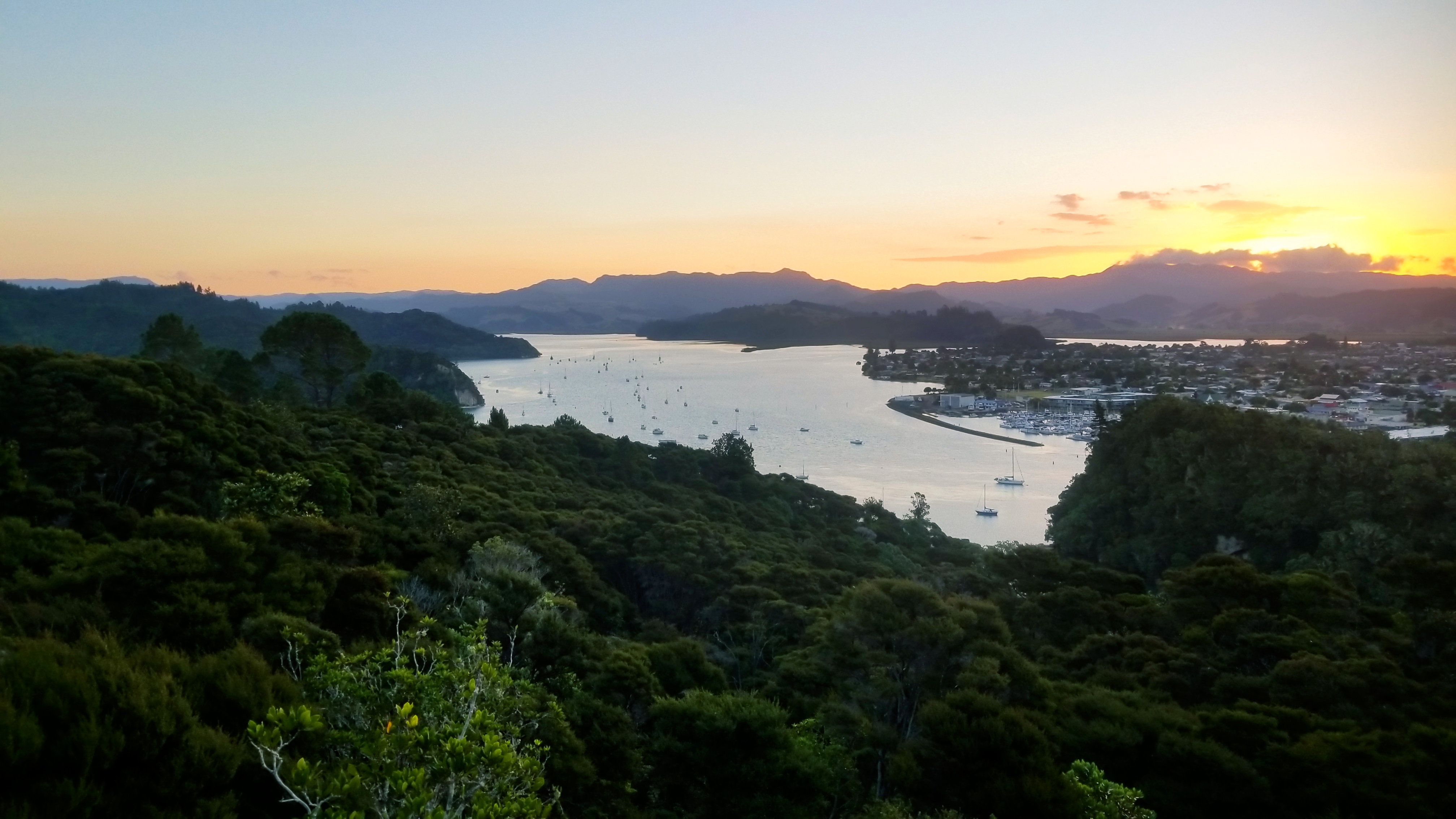
Within ten minutes, a big ol dirty logging/landscaping rig pulled off the road. The two guys inside, Ben and his boss Tony, were nice enough to give us a ride right into town. Ben was a younger guy who was super into motocross and dreamed of competing in the american league, despiite that he had broken some 16 bones in his practice of the sport. What dedication! Or maybe stupidity! Oh well, you often can’t tell the difference in the aftermath. Tony had moved to New Zealand from Mexico some 30 years ago, and had just started his own arborist company. They were both super nice, and Ben even gave us some drinks on the road. We were dropped off right in the middle of Tauranga, and hopped on the bus to the beach below Mt. Maunganui, the most commanding mountain in this region at about 1,000 feet above the ocean below. We booked a night at the holiday park there (we probably got the worst possible spot and it was super expensive) and then we had some drinks at the beach, before jumping in the hot pools right next door to our camp for the following 2 hours.

As I said, the pitch was not ideal for campers, as we were put right next to basically a big air conditioning unit that was literally running allllll night. It sucked. I was hardly able to catch a few hours of sleep with earplugs despite the noise.

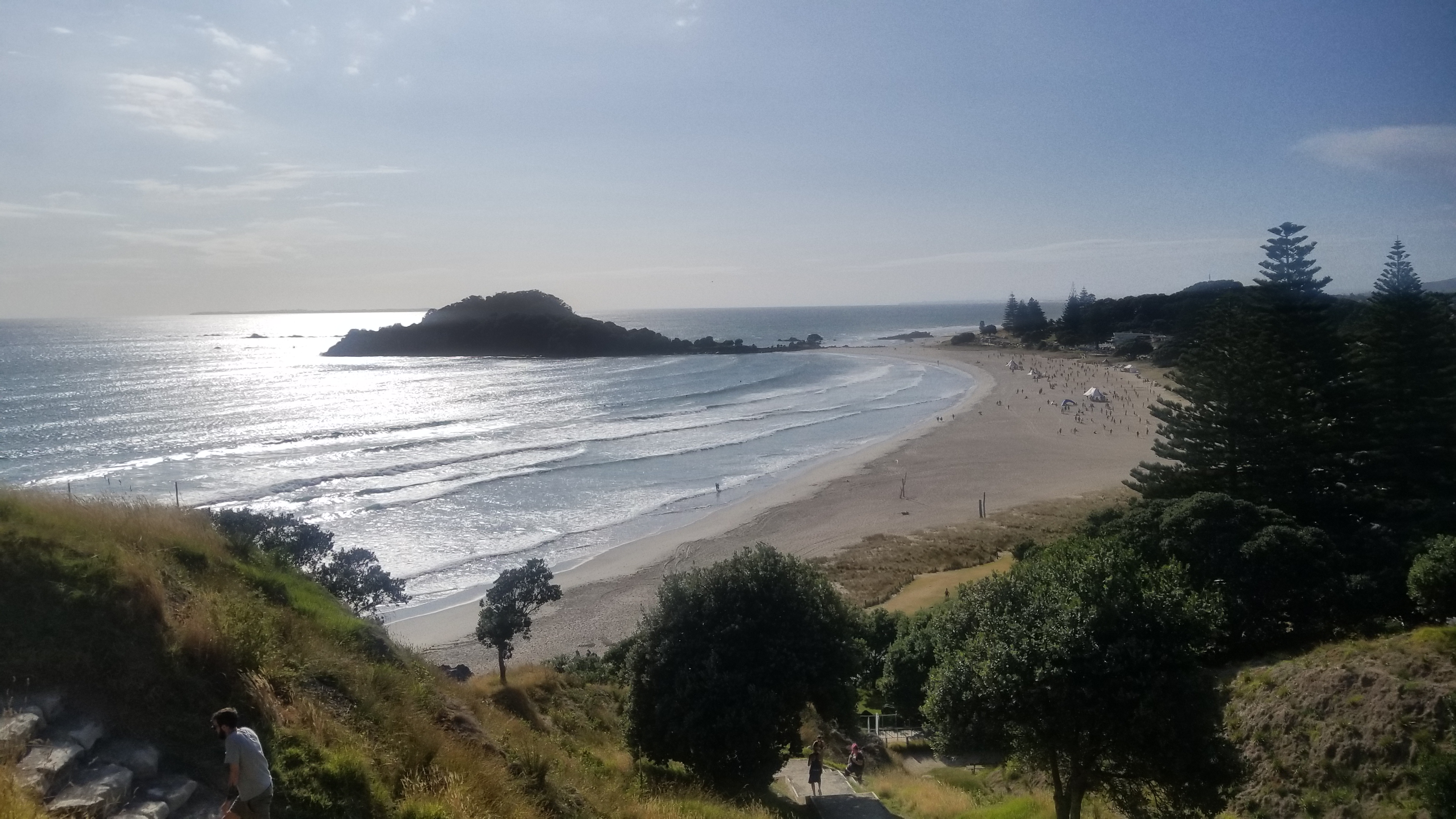
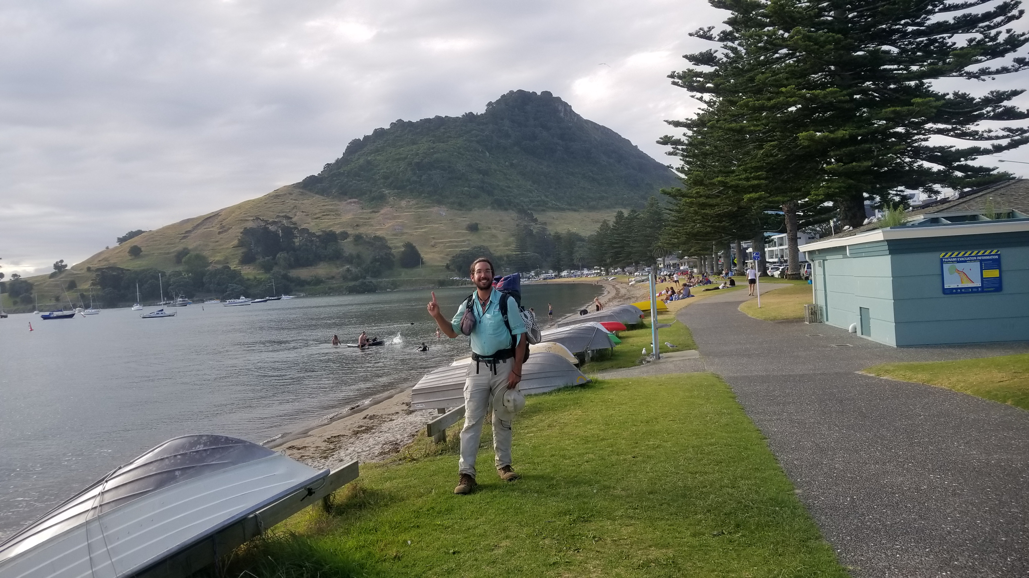
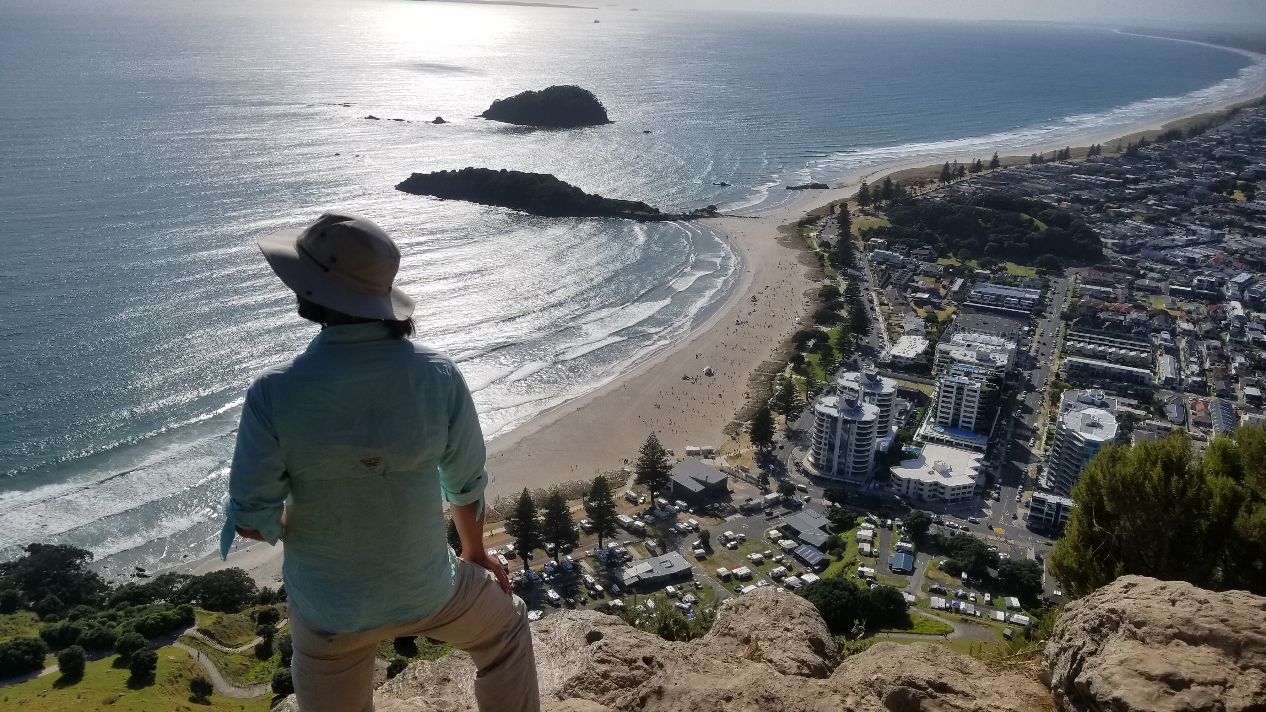
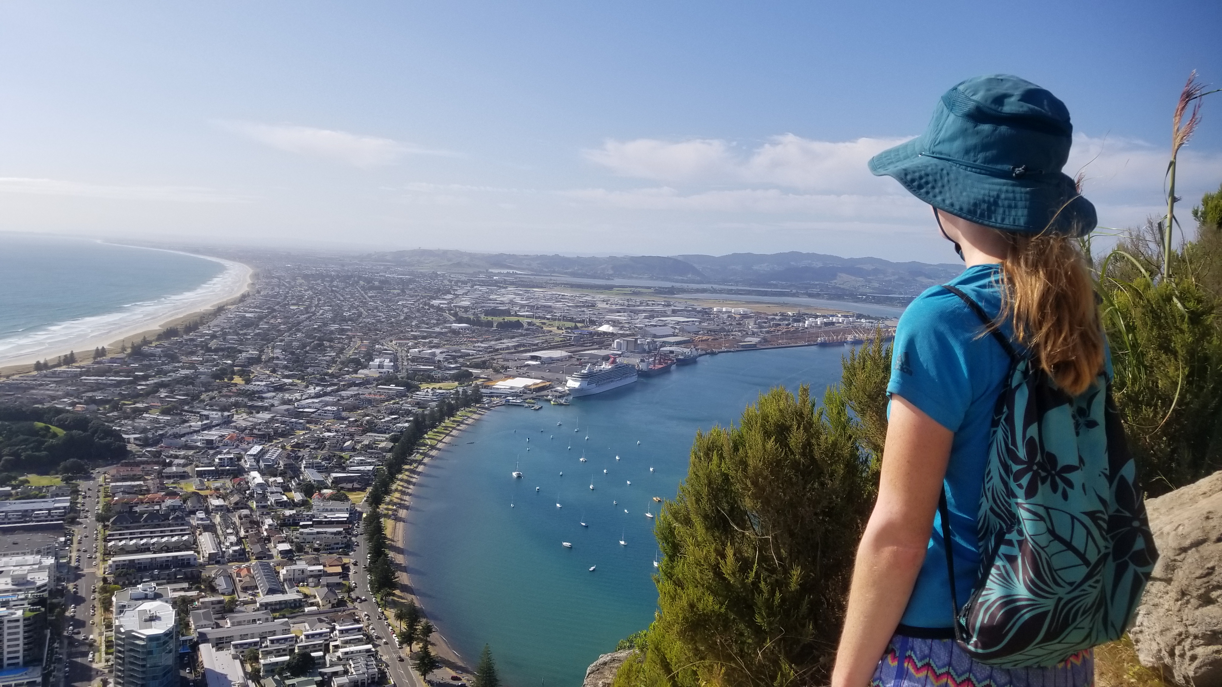
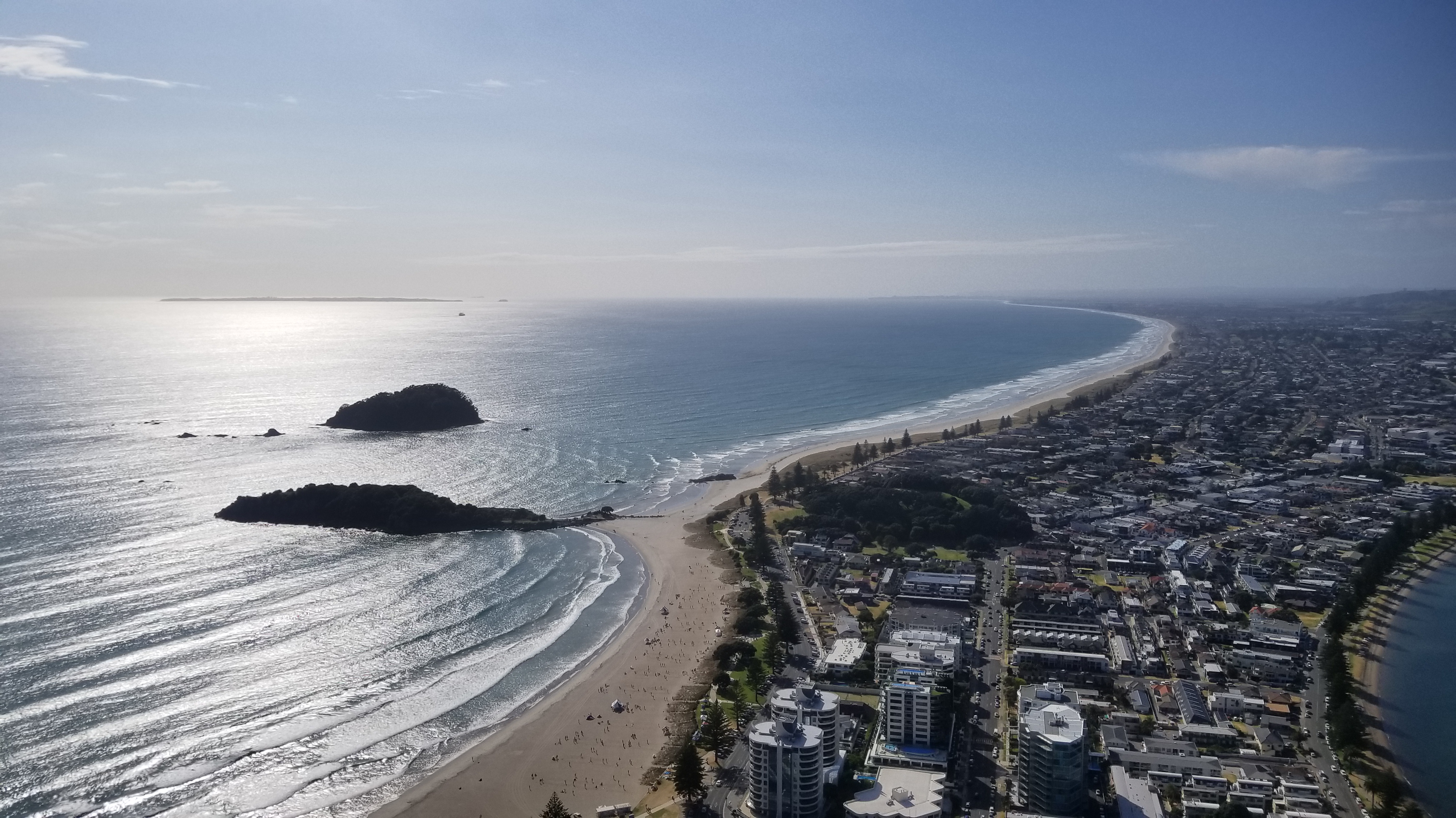
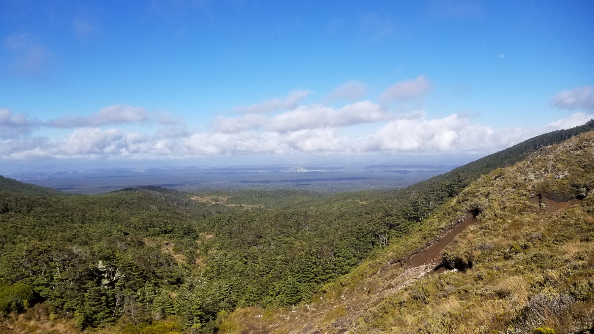
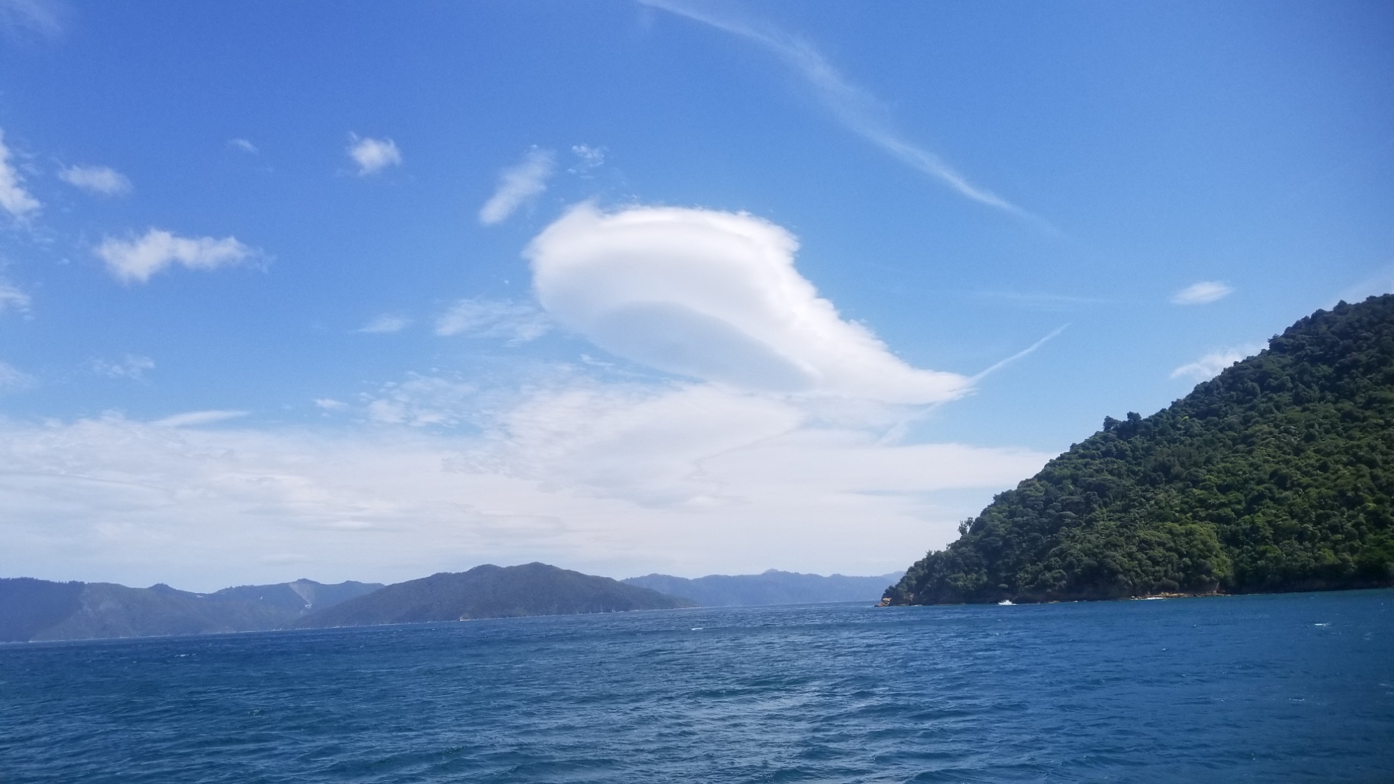
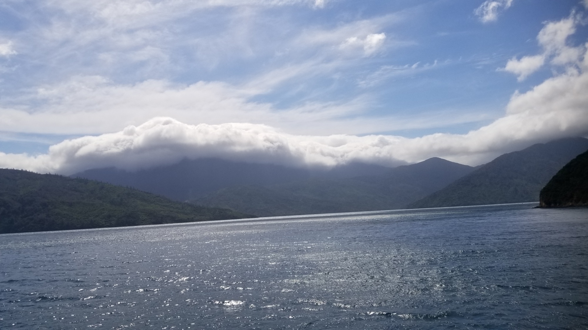
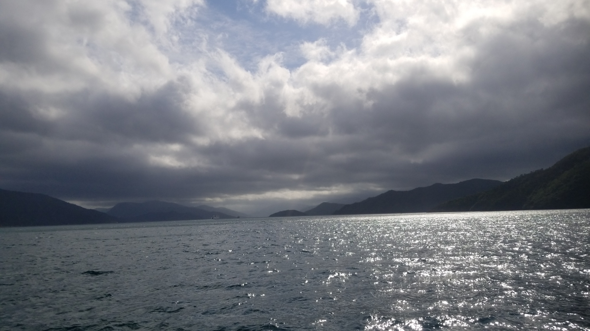
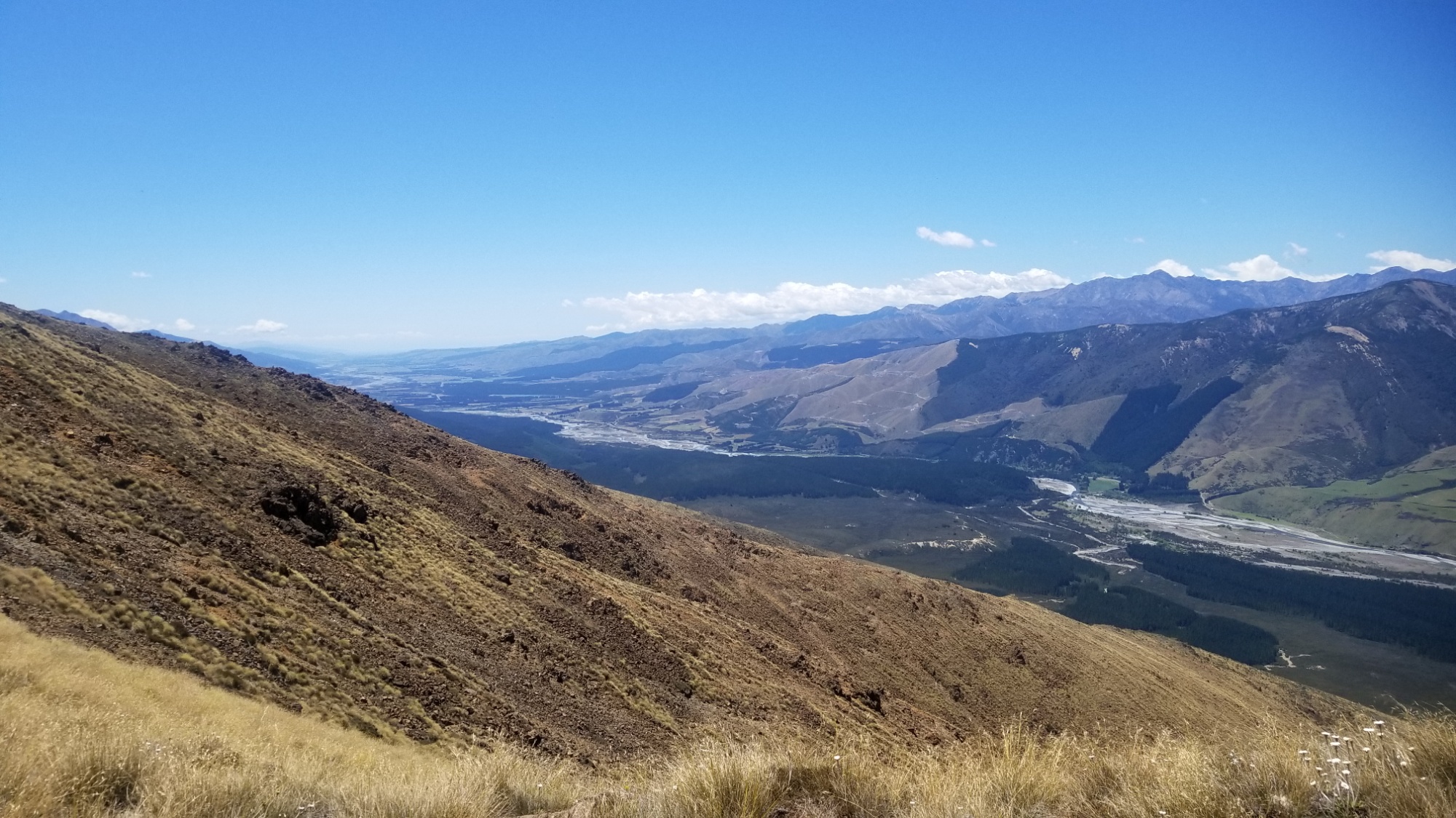
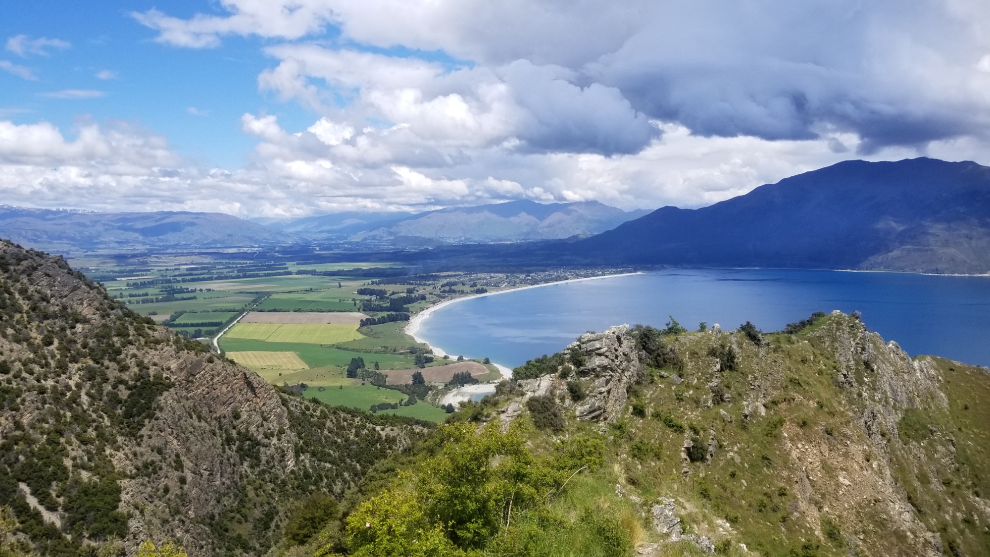
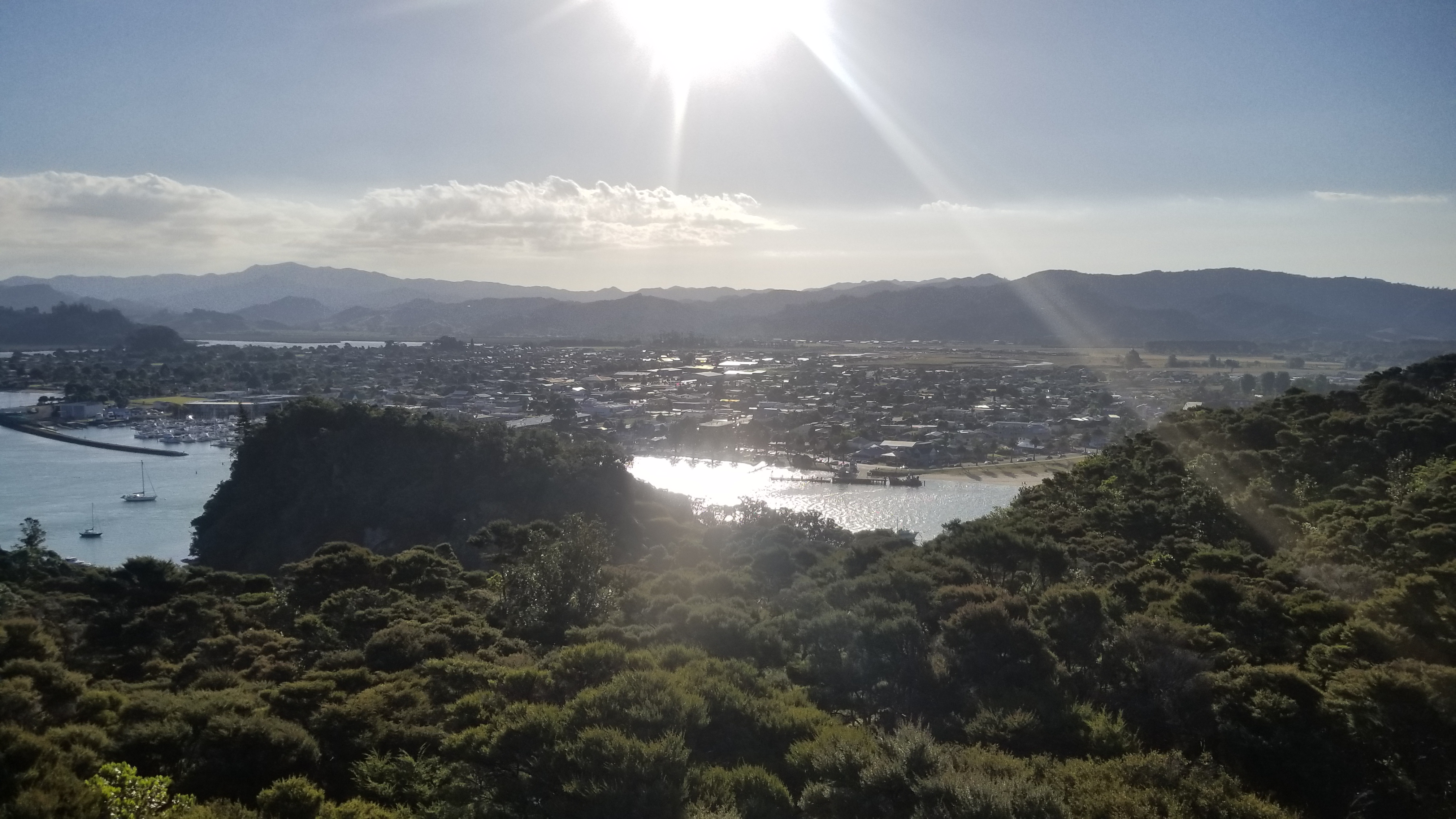
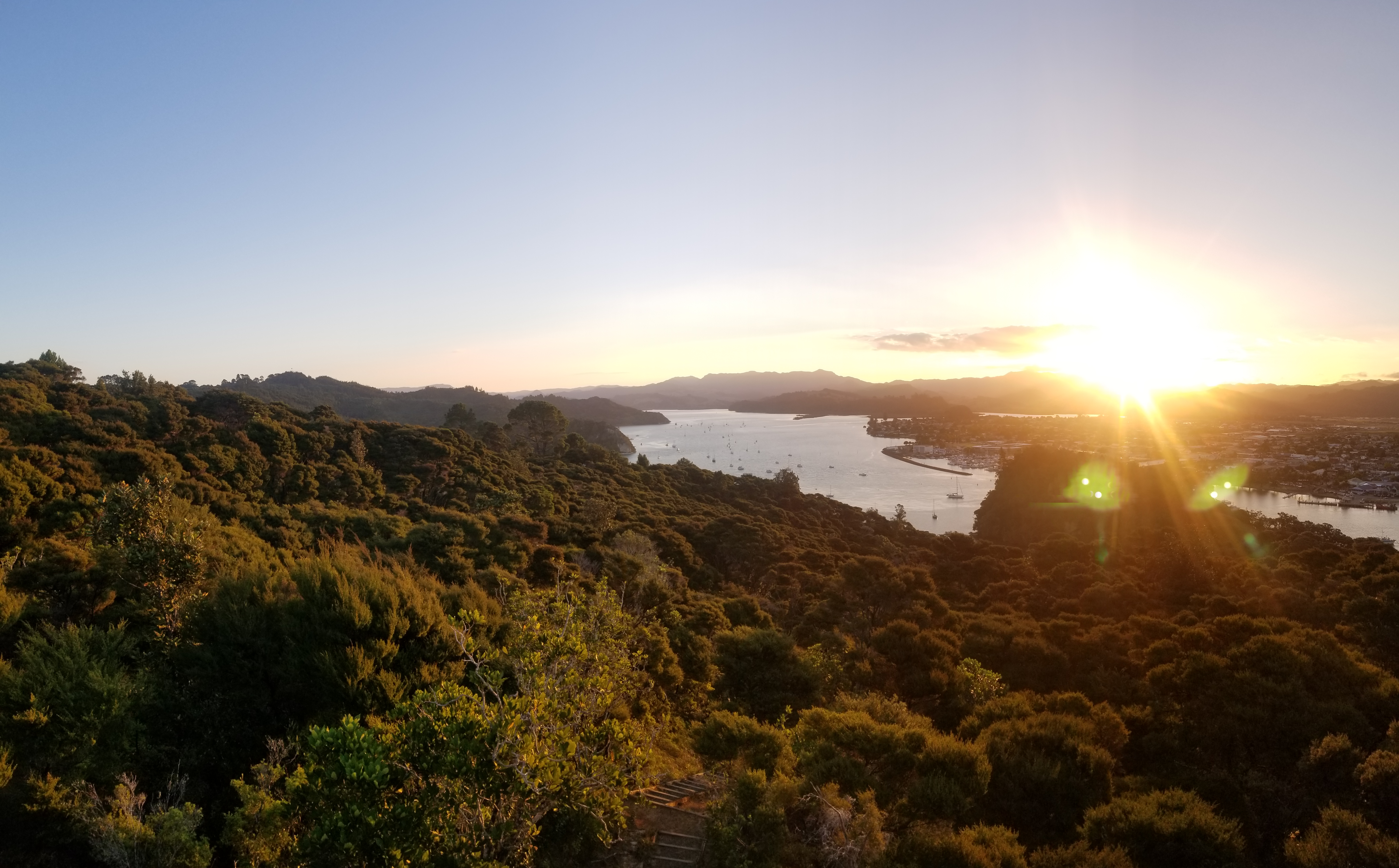
The next day, we ran up Mt. Maunganui and got all the great views, and then ran back down to camp and packed up. We hopped on a couple of buses to make it most of the way out of Tauranga, and then within a few moments of walking down the highway to hitchhike, a car pulls over and beckons us on! We weren’t even hitchhiking yet, and we already got a ride, haha, what! The guy and his girlfriend who picked us up said they loved hitchhikers, and they were headed to Auckland after a pleasant evening taking their car to a “skid” meeting, where apparently people try to get the best skids. I don’t pretend to understand the appeal of burning up your tires, but hey, I can’t complain about the ride! They helped us all the way to Waihi, the beginning of the Coramandel Peninsula, a beautiful section of the North Island complete with beautiful coastal mountains, forest, beaches, hot springs, and all the other stuff that hikers like us love.

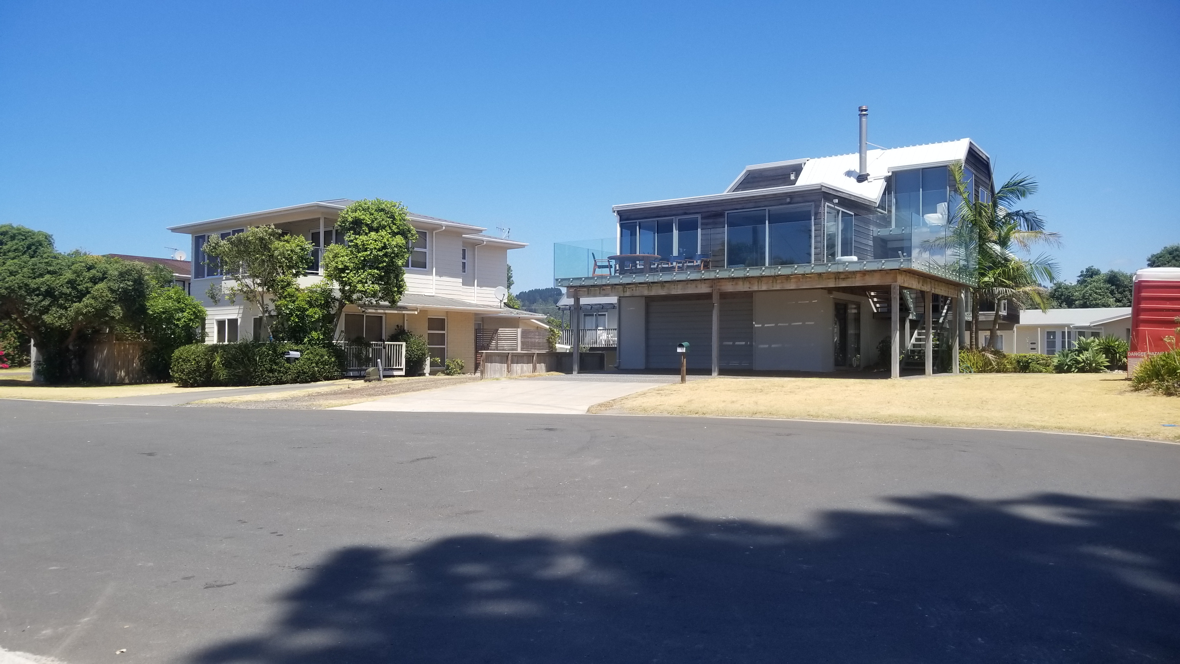
In Waihi, we waited about an hour for a ride on the scenic coastal highway, and then took a break for lunch in the gas station there. The second time we tried, we walked farther down the road out of town to the East, and after a half an hour, an older man circled back around and offered to take us to Whangamata! I was super sleepy during the ride, but apparently Maureen was interesting enough in talking to the old guy, and he offered to let us stay at his beach house in town for a couple nights! I was skeptical at first, but he turned out to be a really nice guy who had retired from a life working Logistics for Old Spice in Auckland. He lives at this beach house with his wife Sue and son, Jeremy. Oh, and when he wanted to say “a lot!” he would say “Choccalocca!” Lol!

We had a splendid time meeting them and really soaking in the relaxation on the Whangamata beach, going swimming and body boarding through the waves. They took us out for dinner, and their son really impressed us with his extensive knowledge on every possible topic. He seemed to have a photographic memory.

Finally, Jeremy offered us a ride all the way an hour north along the peninsula to Hot Water Beach, our next target destination. We really couldn’t thank them enough for their hospitality and kindness towards these two absolute strangers that they picked up on the highway.

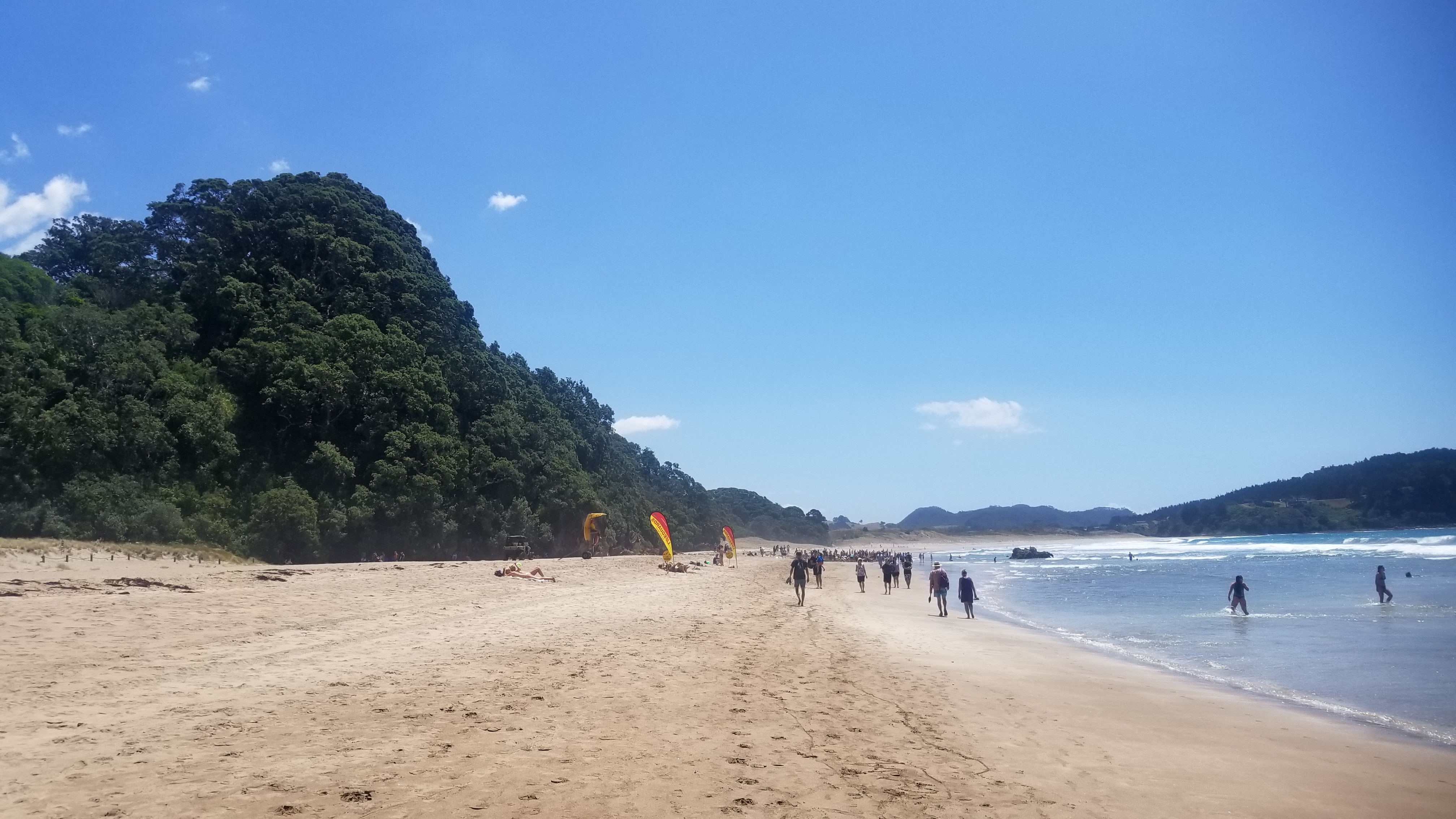
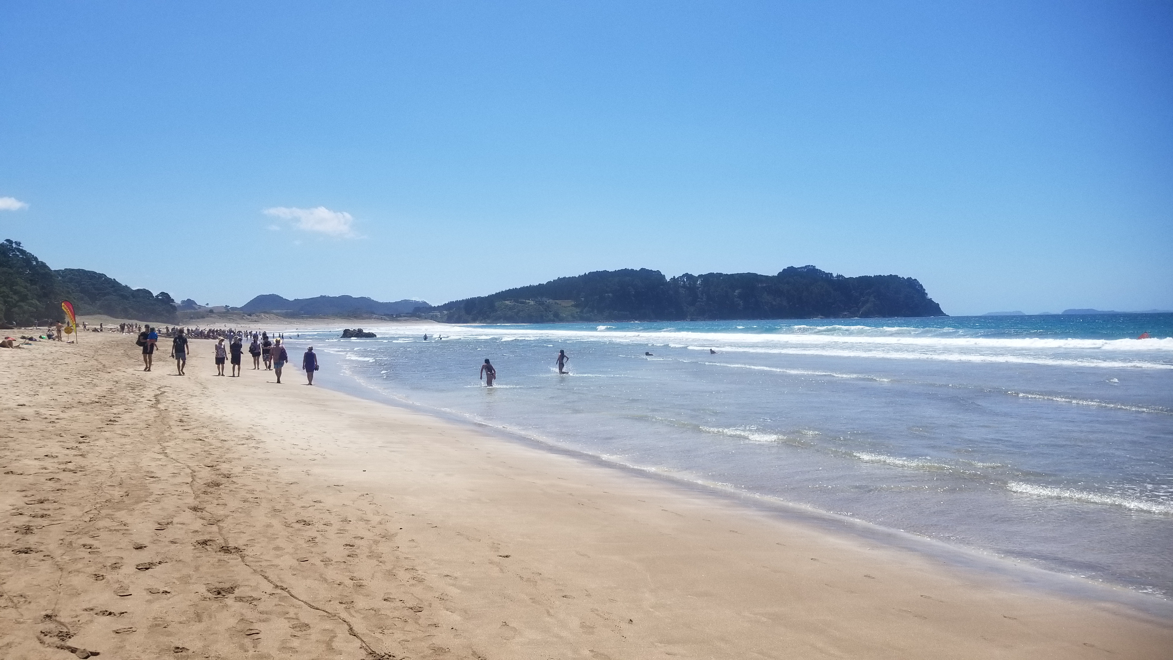
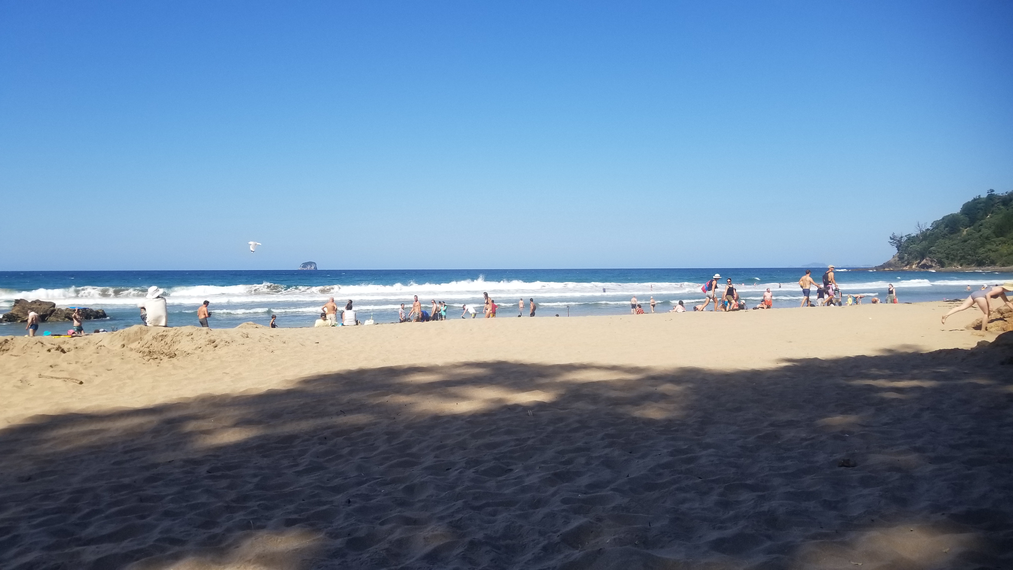
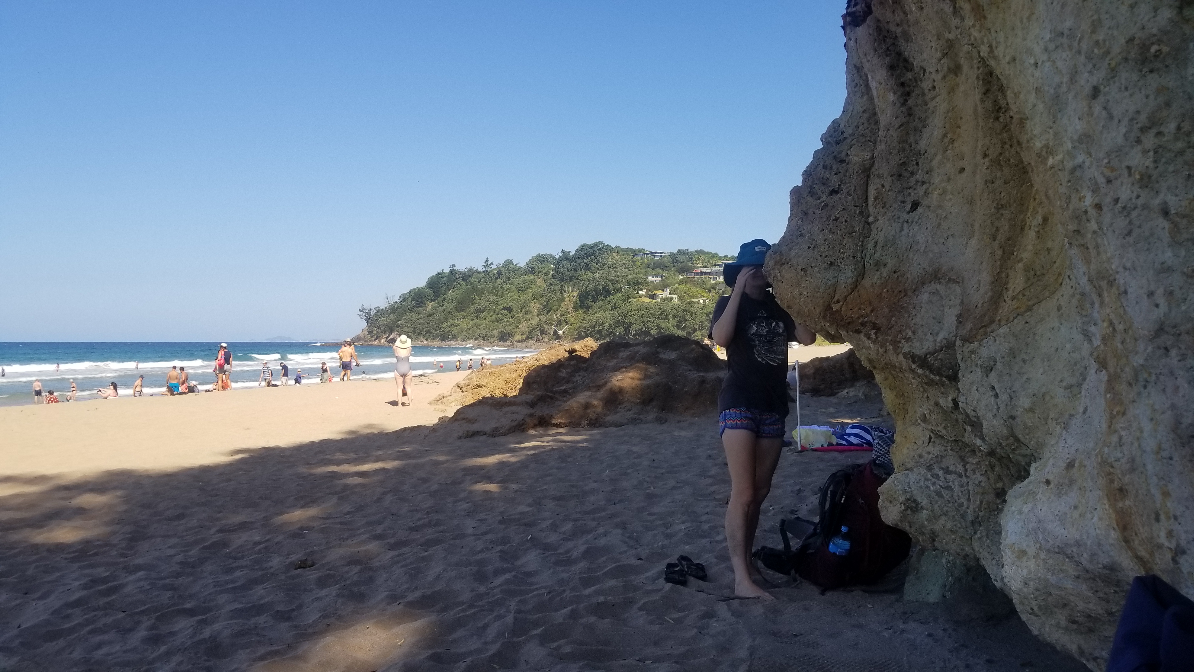
At Hot Water Beach, we walked along the beach and found the spot where everyone was digging holes to try to make enough hot water come in to make a spa bath. It seemed like a lost cause in many of their cases, much like the gold rush, haha. A lot of people were digging in the wrong places, or all their hard work was washed away by the tide. A few people had some really nice pools going, but it seemed unworth the effort, and Maureen and I were content just watching and comandeering some of the abandoned pools dug by others. Of course, the shovel rental business was booming there!

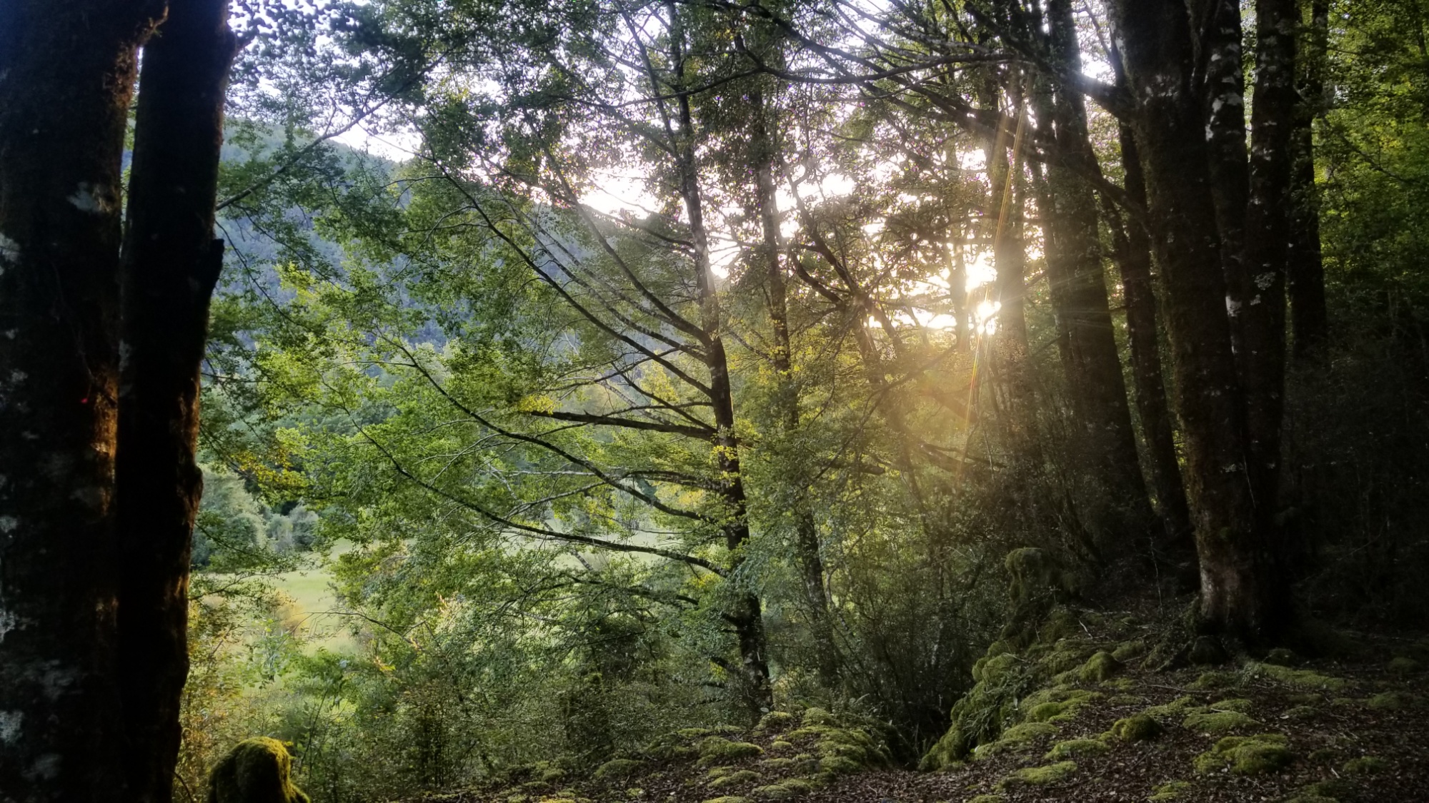
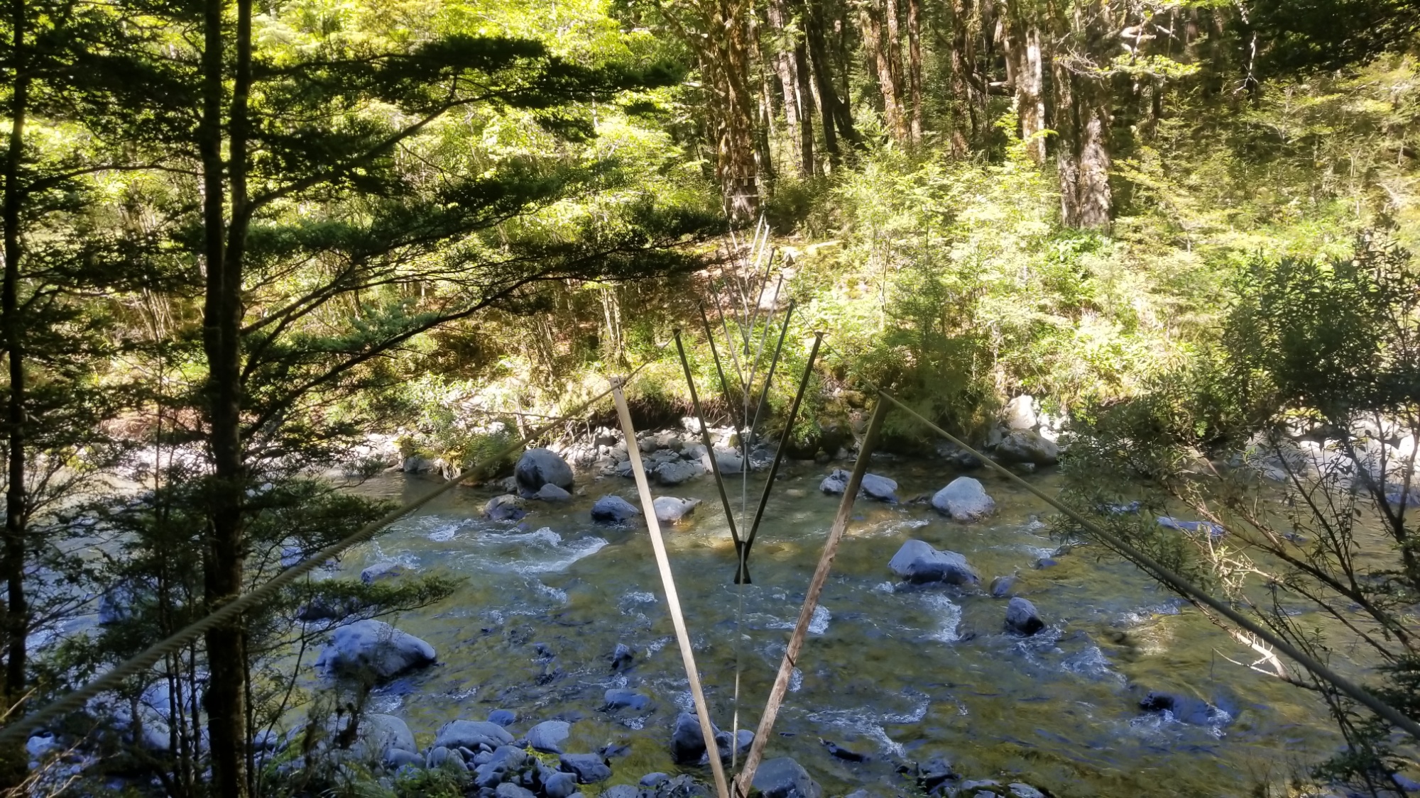
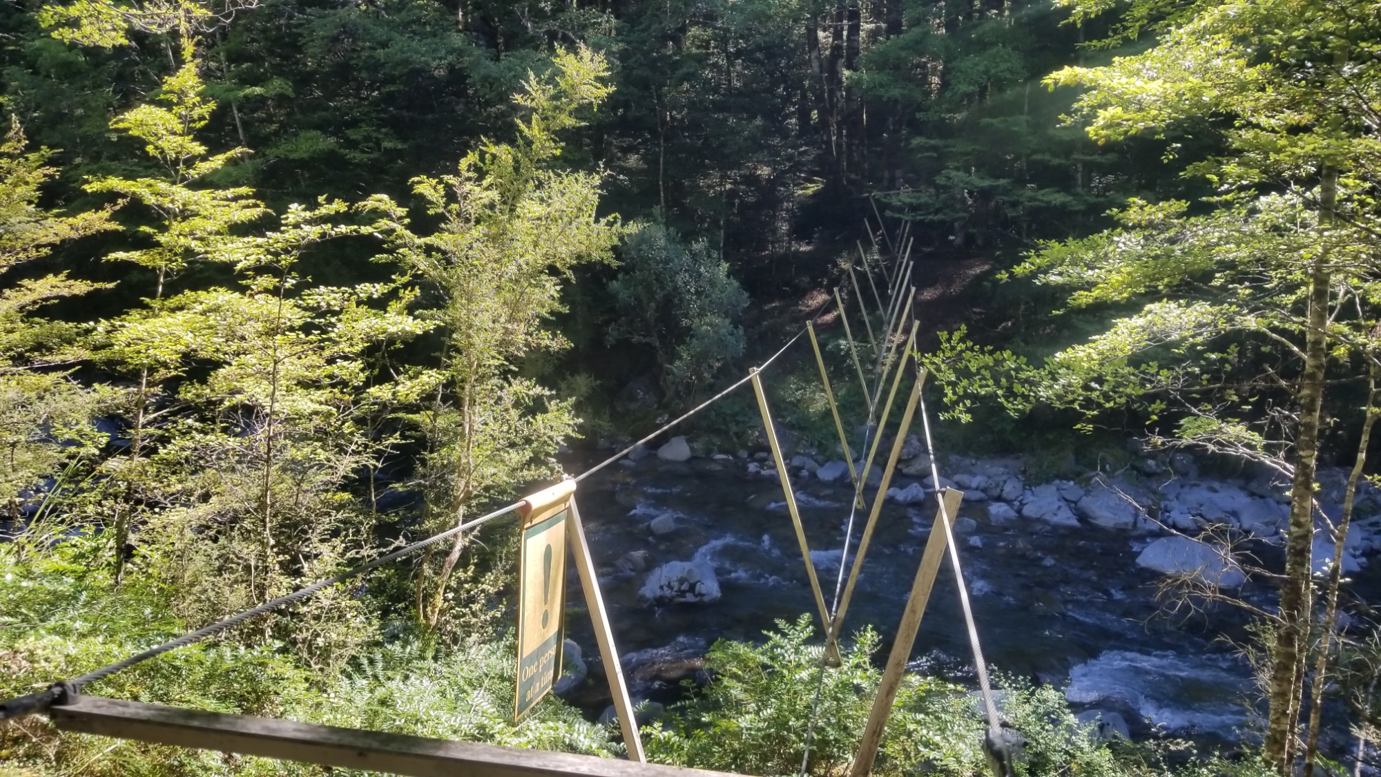
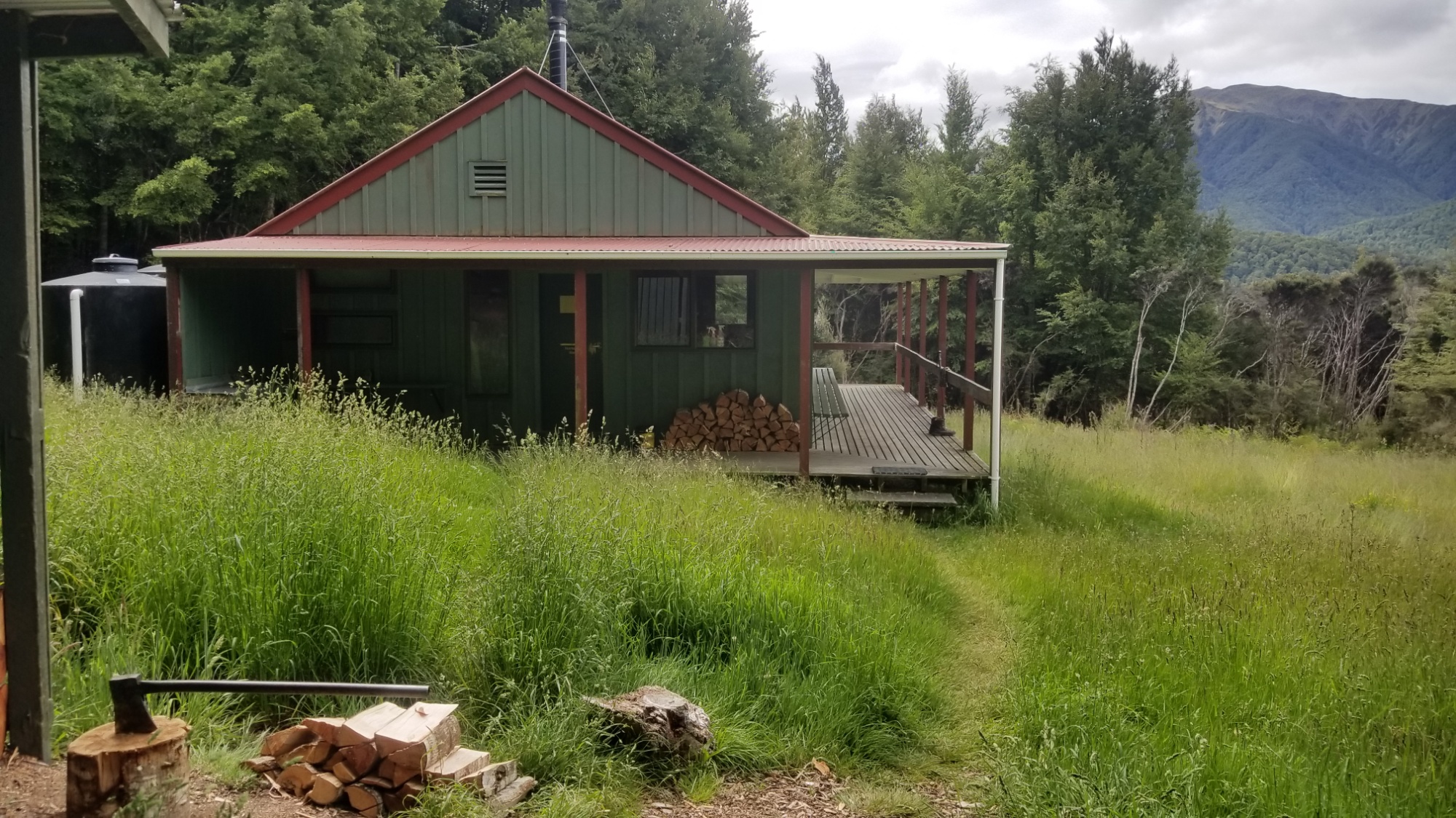
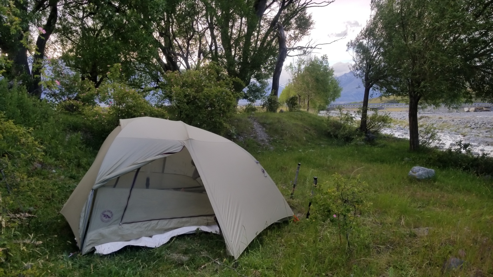
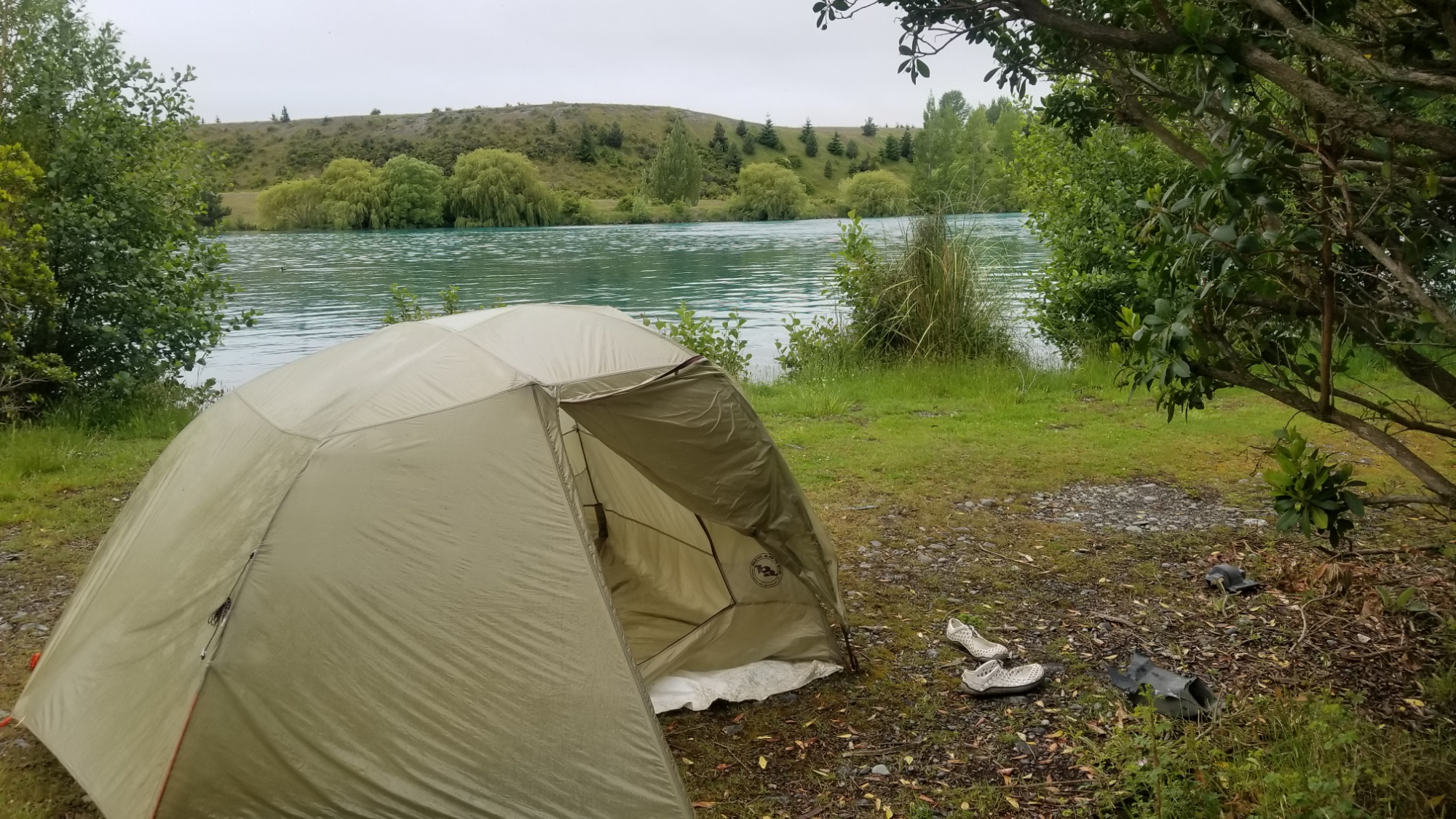
Later that evening, we caught the beach bus further up the Peninsula to the Ferry Landing, where a short ferry takes you across the river to the town of Whitianga. Of course, the camping rates were outrageous ($20 per person to camp) so Maureen and I decided to hike up a nice trail on the forested side of the river, and we ended up finding a perfect place to stealth camp.

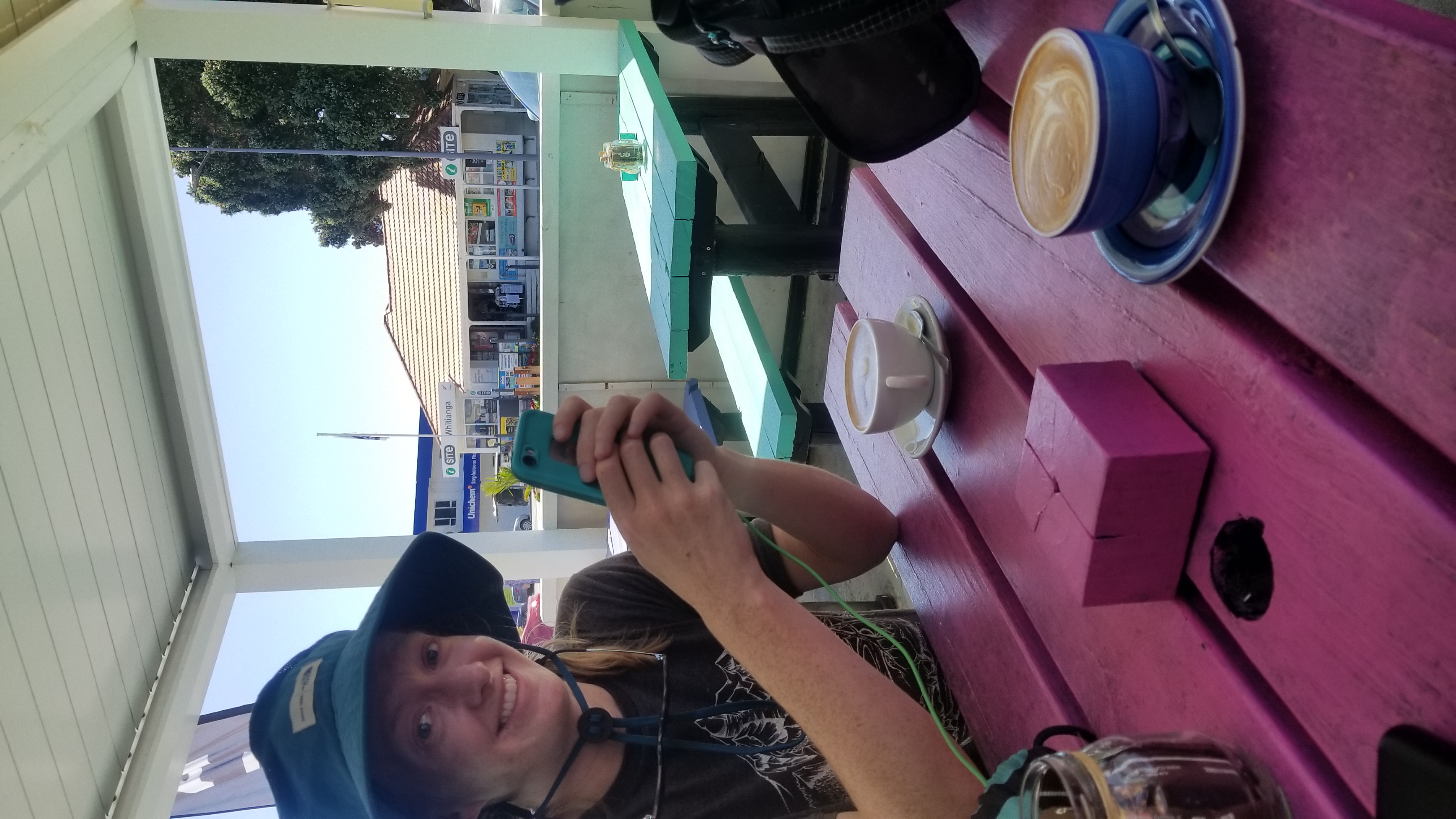
The next day, we caught the ferry and spent lunch in Whitianga. Around 2pm, we walked out of town and caught a ride with a fella going to Coromandel, the principle touristy town of the peninsula and the gateway to the gravel roads that lead to the most unspoiled of the natural resources on the Peninsula.

We booked a room at the Tui Hostel there, and us splitting the private double room actually cost less than individually buying a bunk in the 8 bed dorms! Score! There’s definitely a host of benefits of traveling with a partner or two, especially if you’re trying to travel budgetwise.

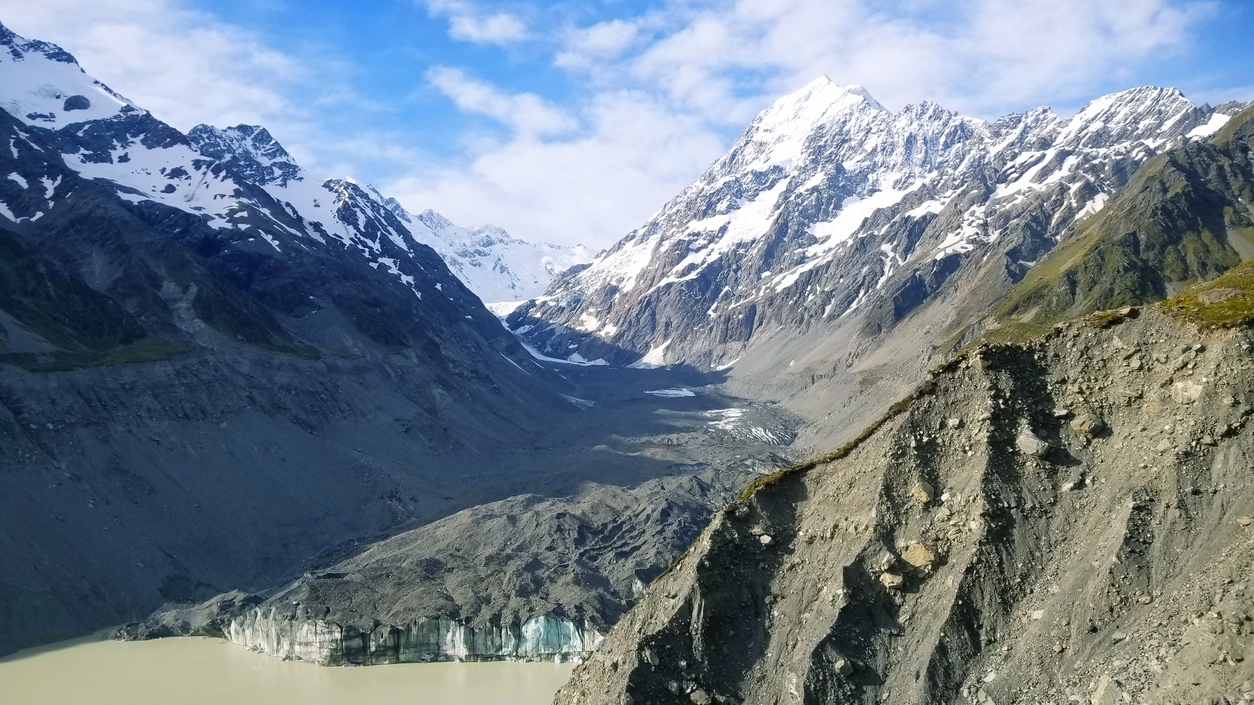
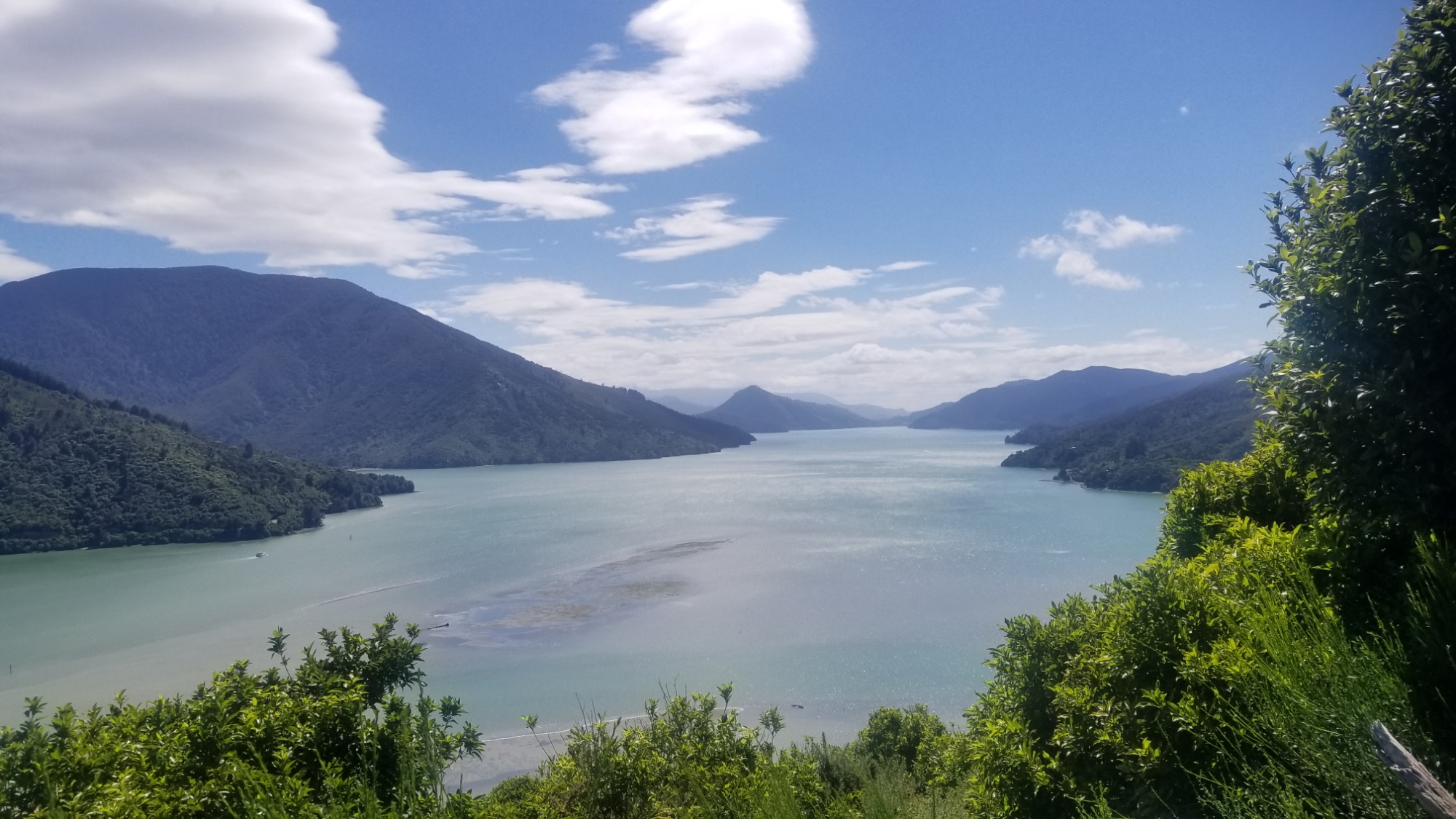
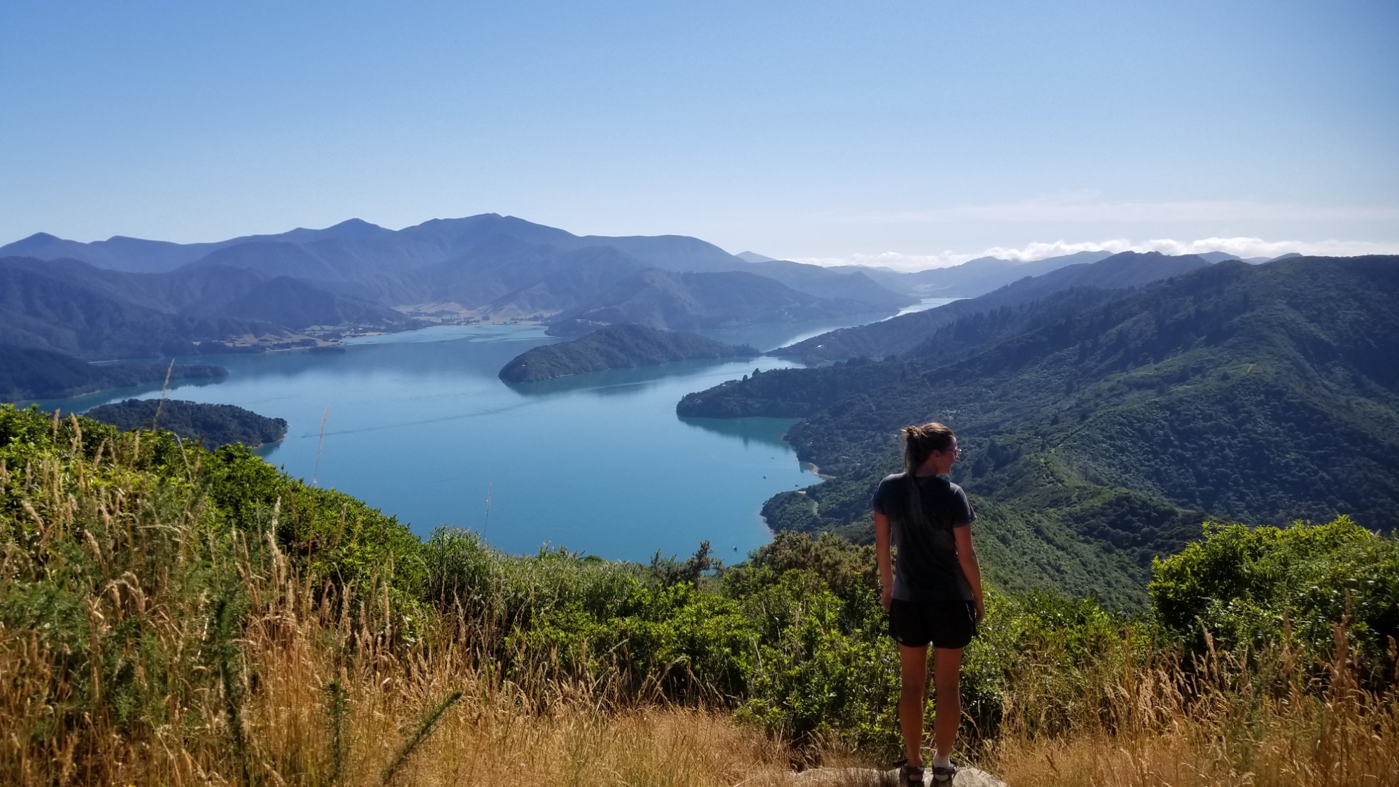
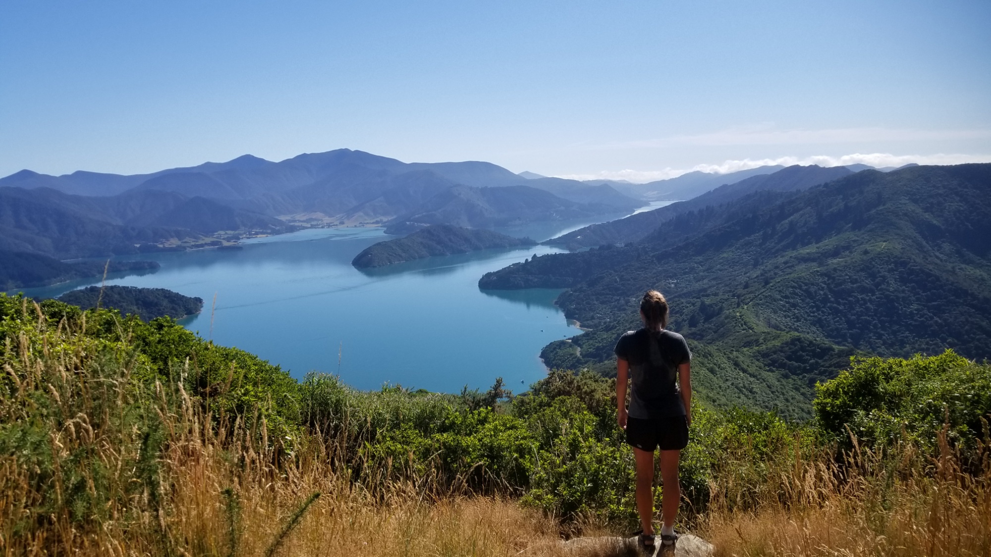
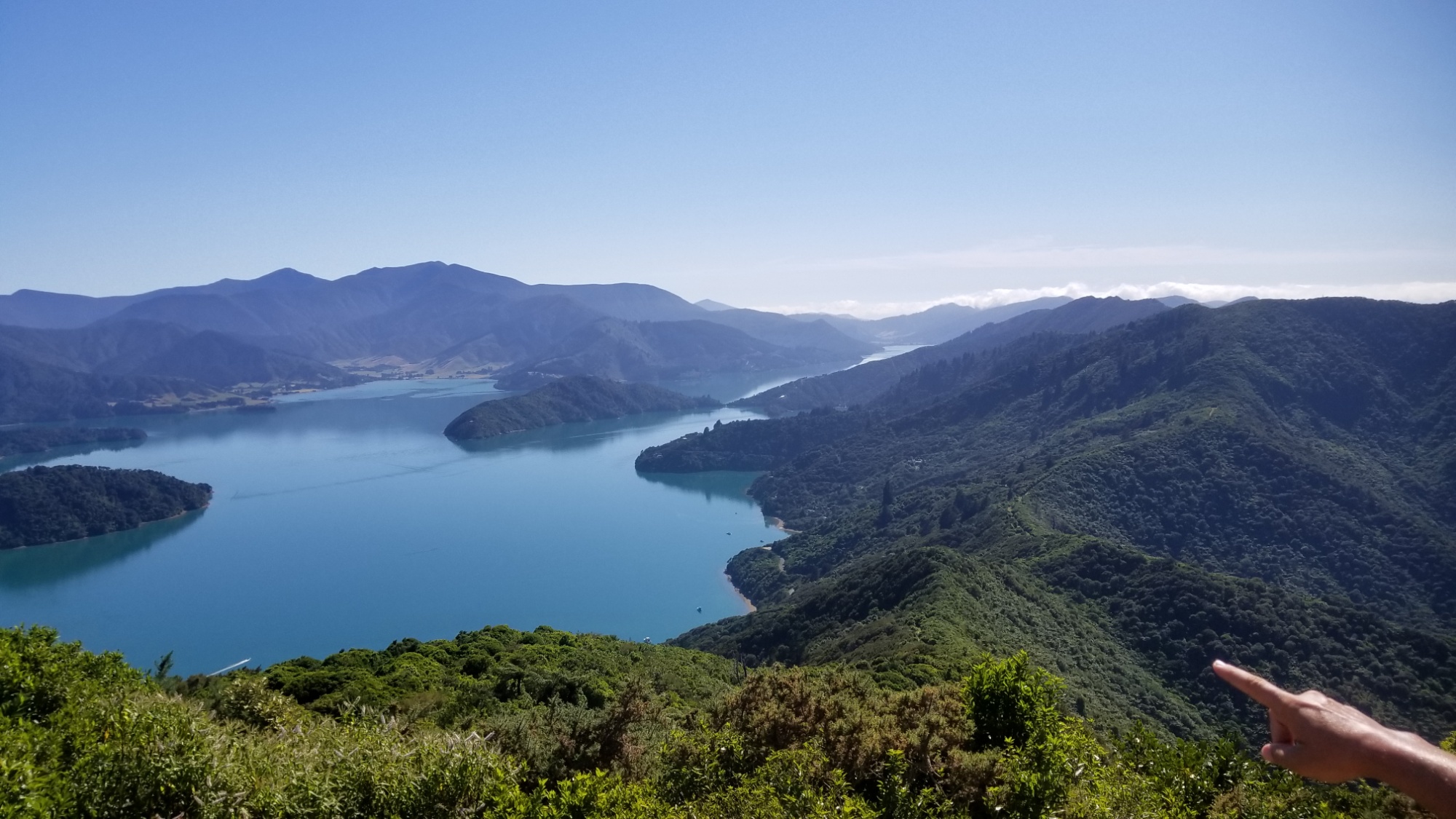
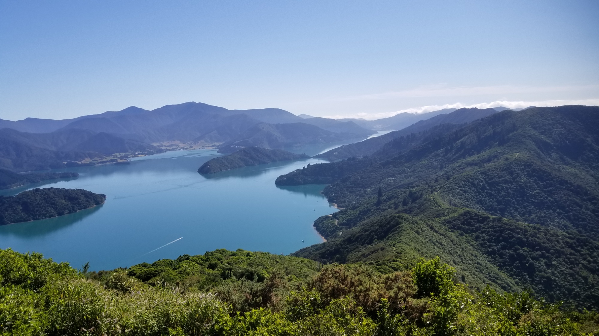
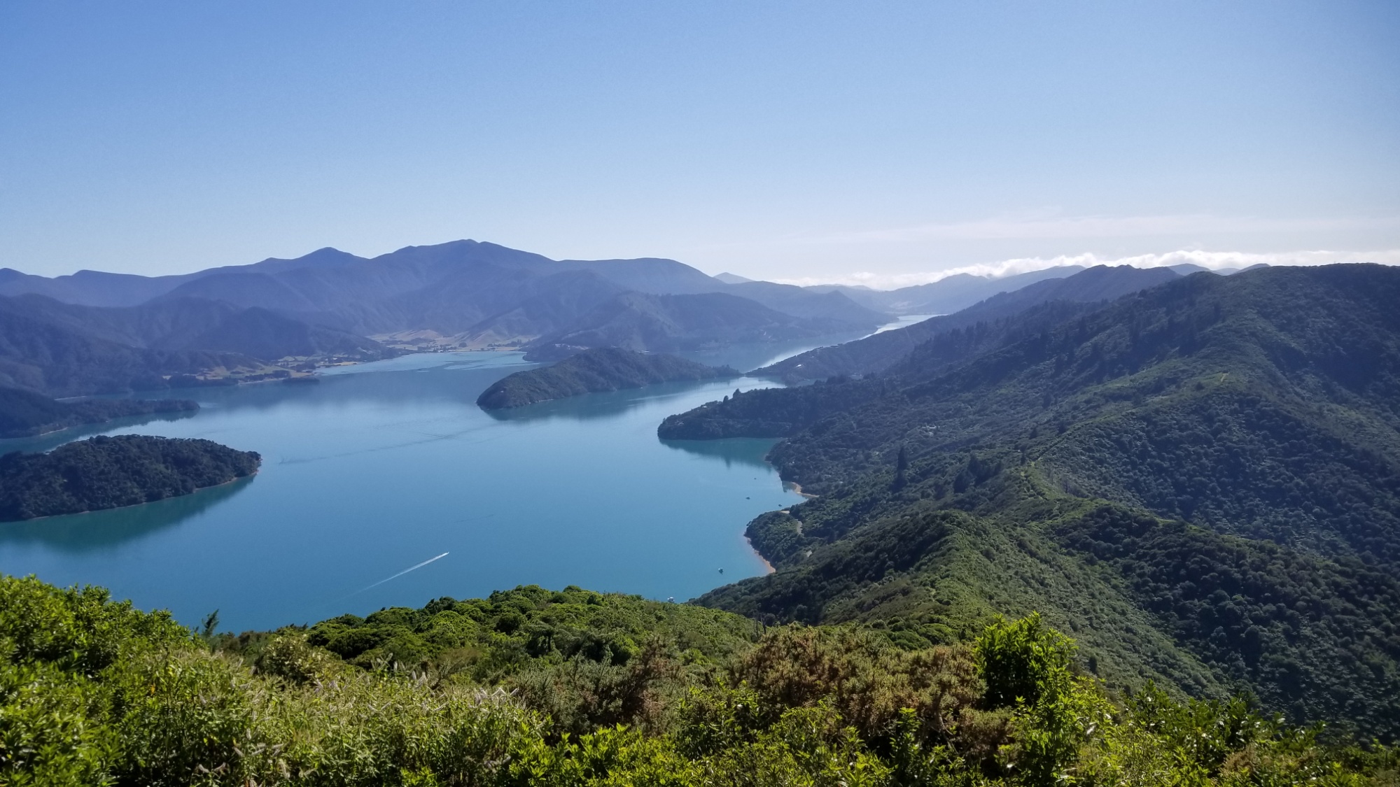
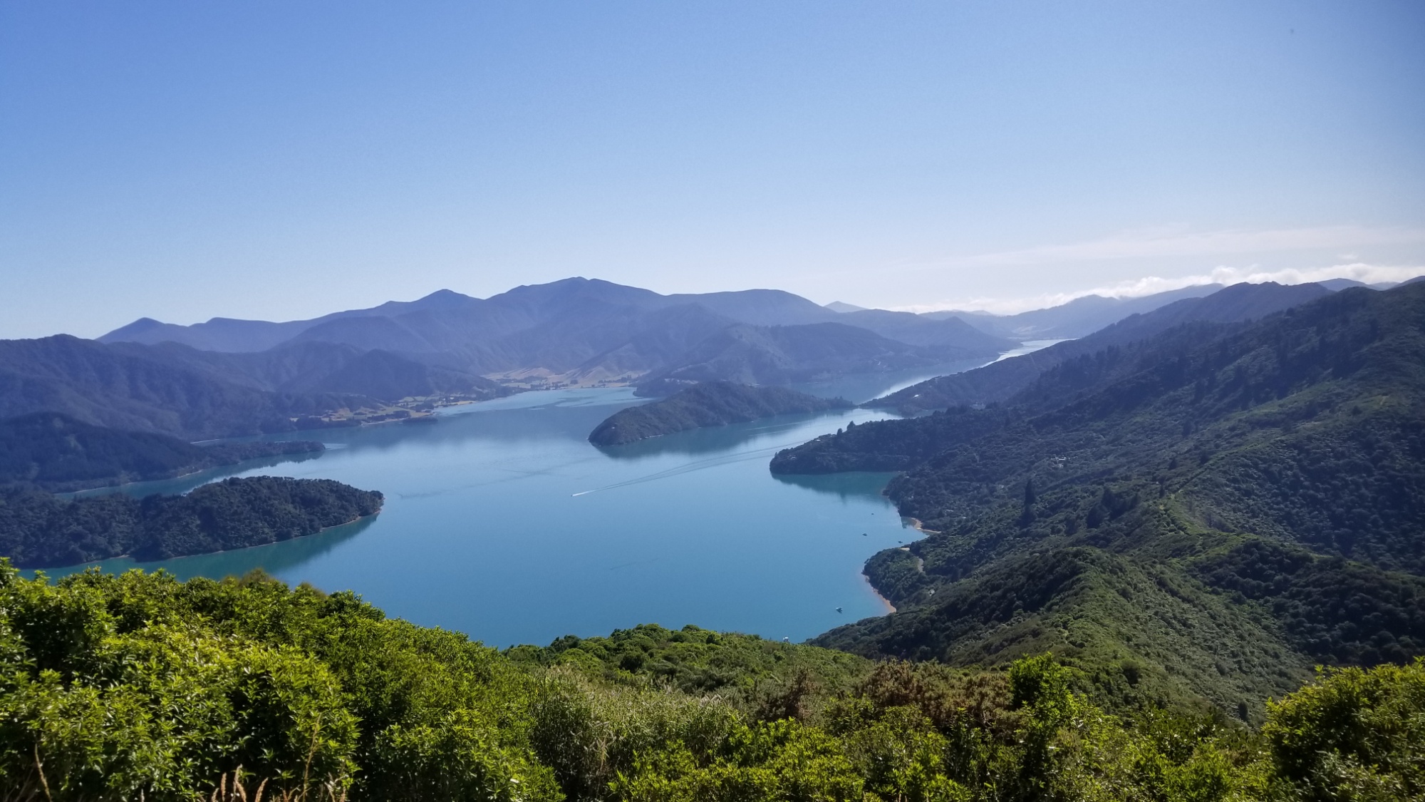
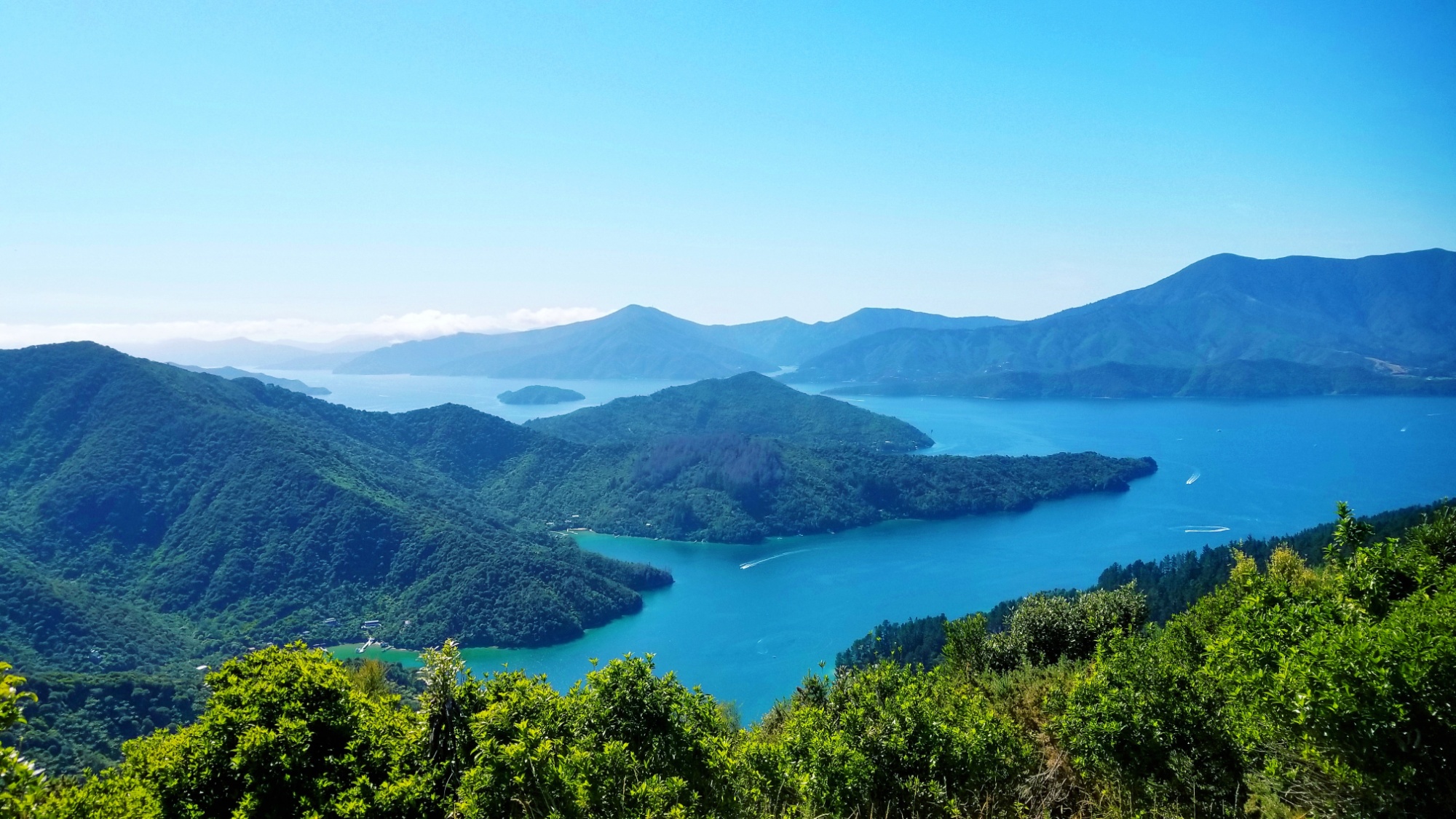
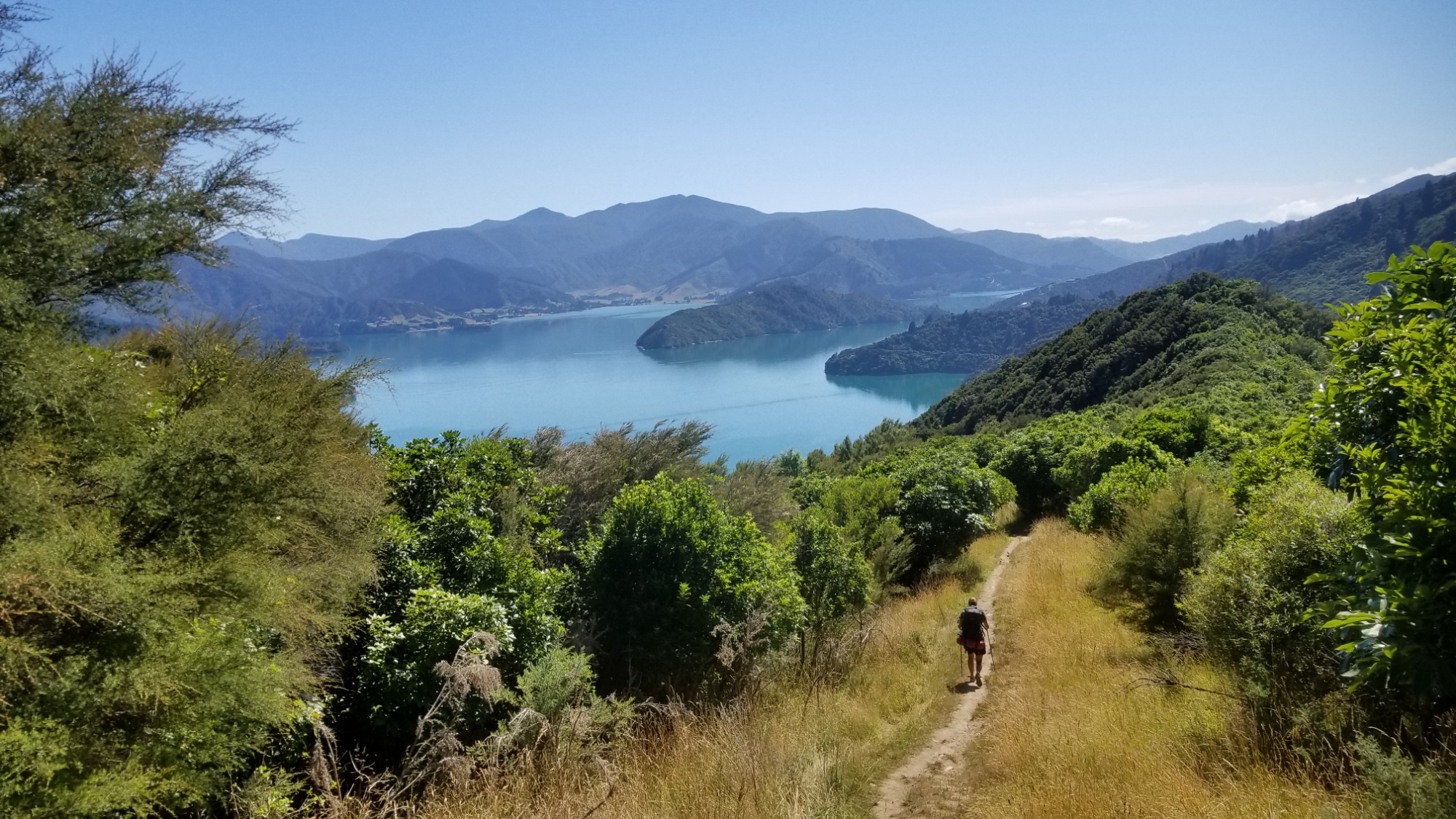
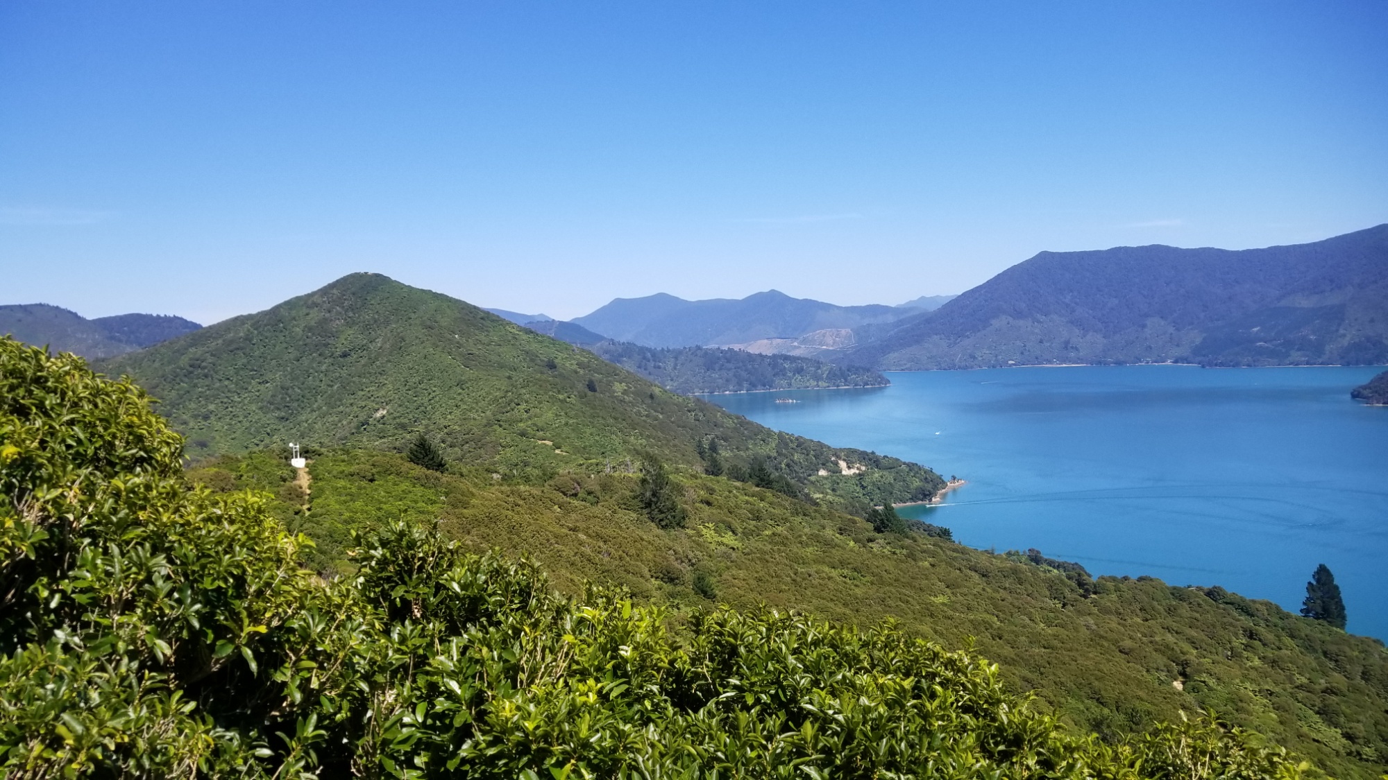
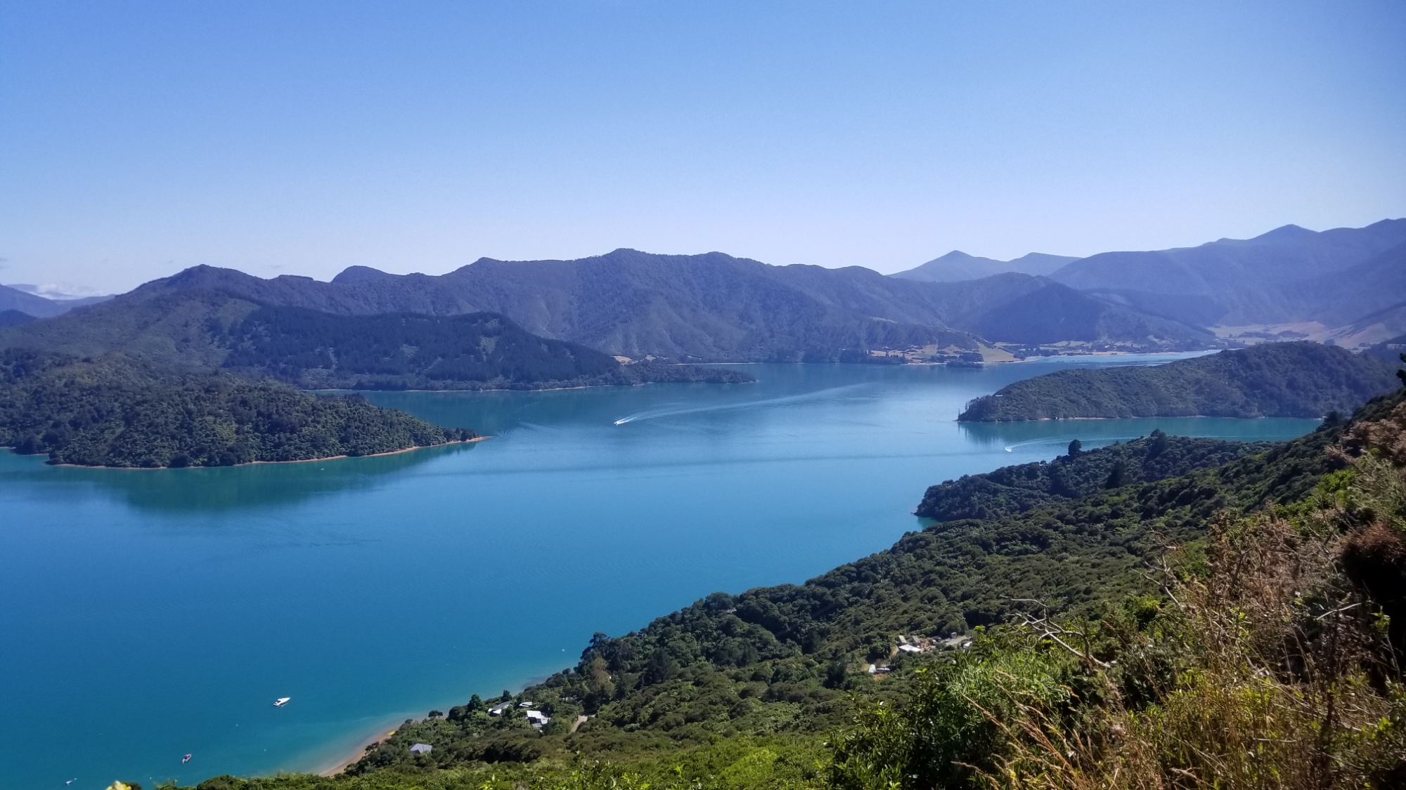
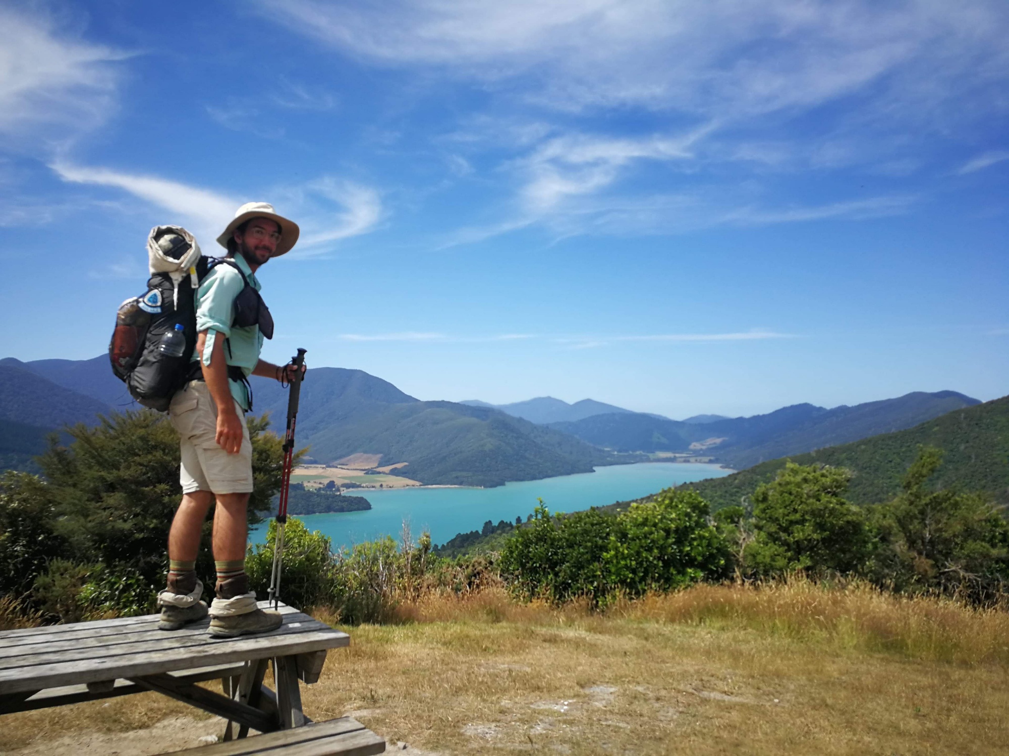
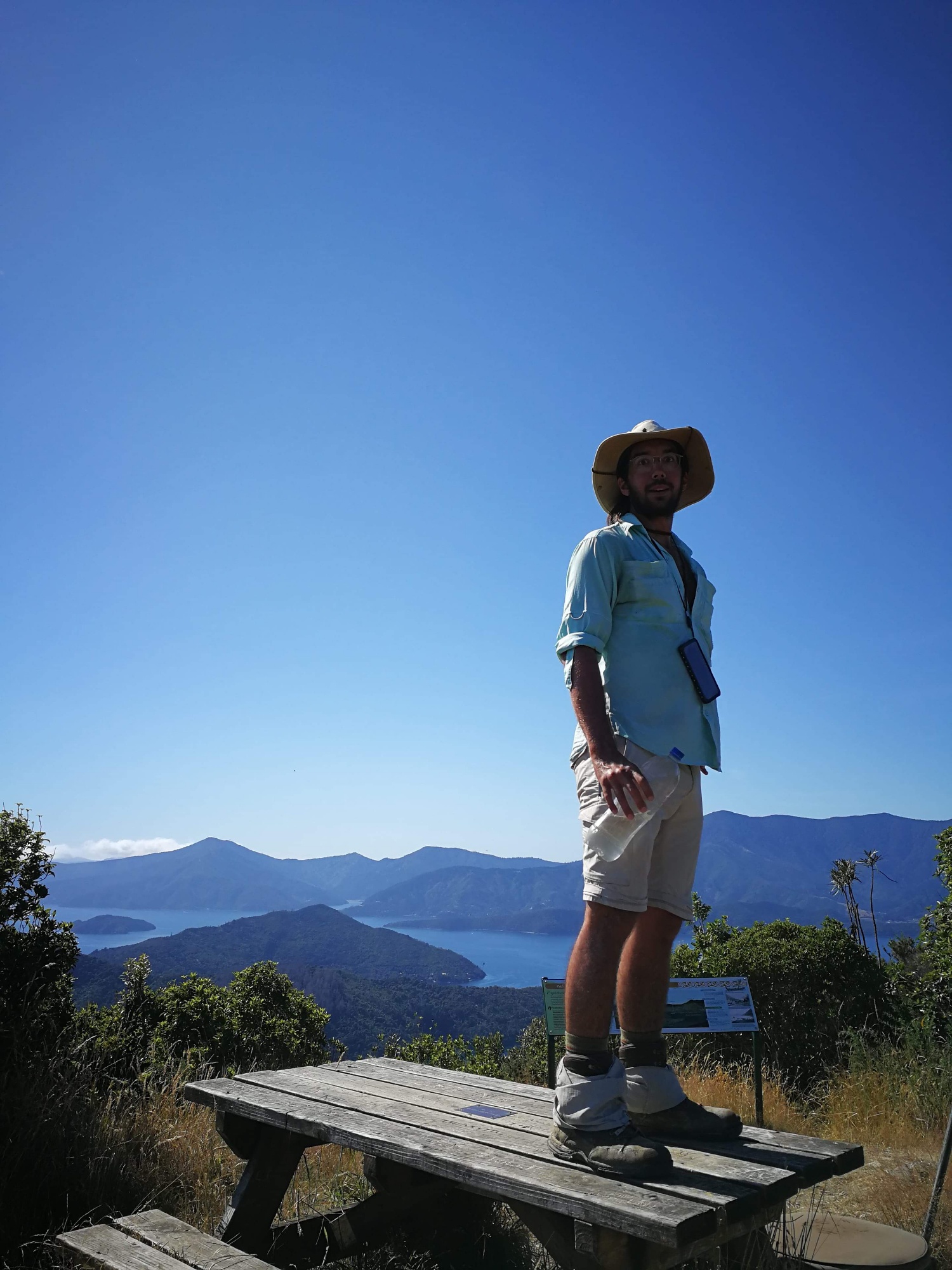
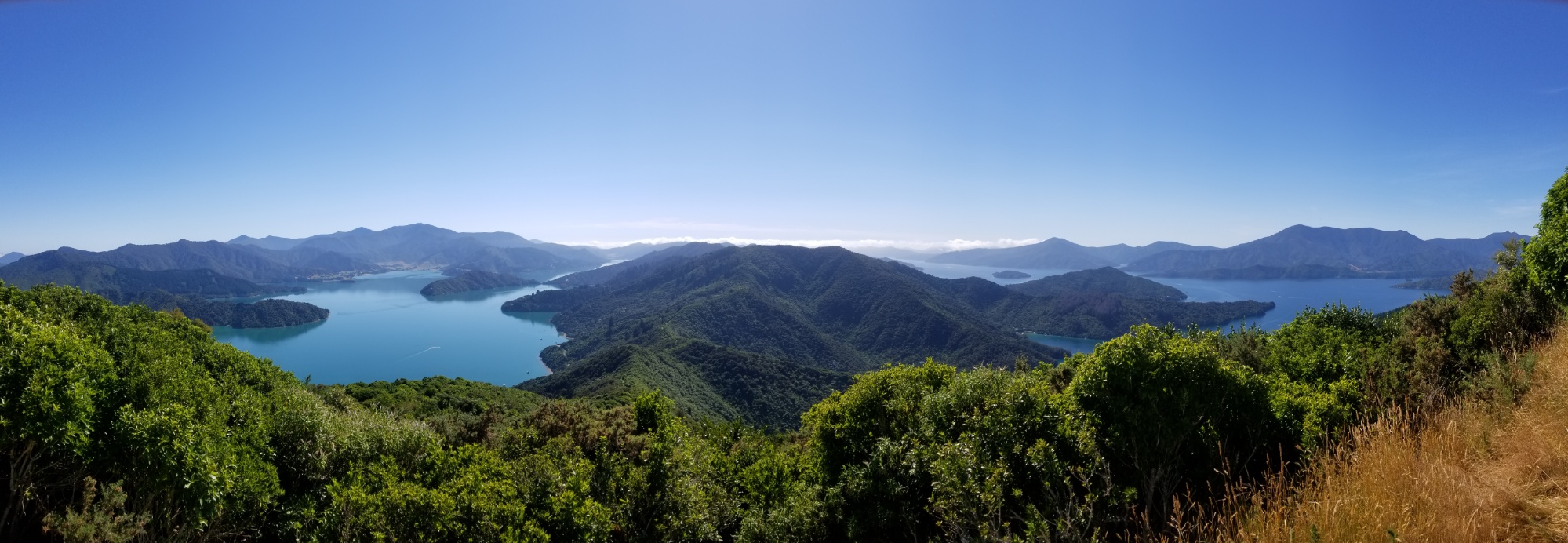
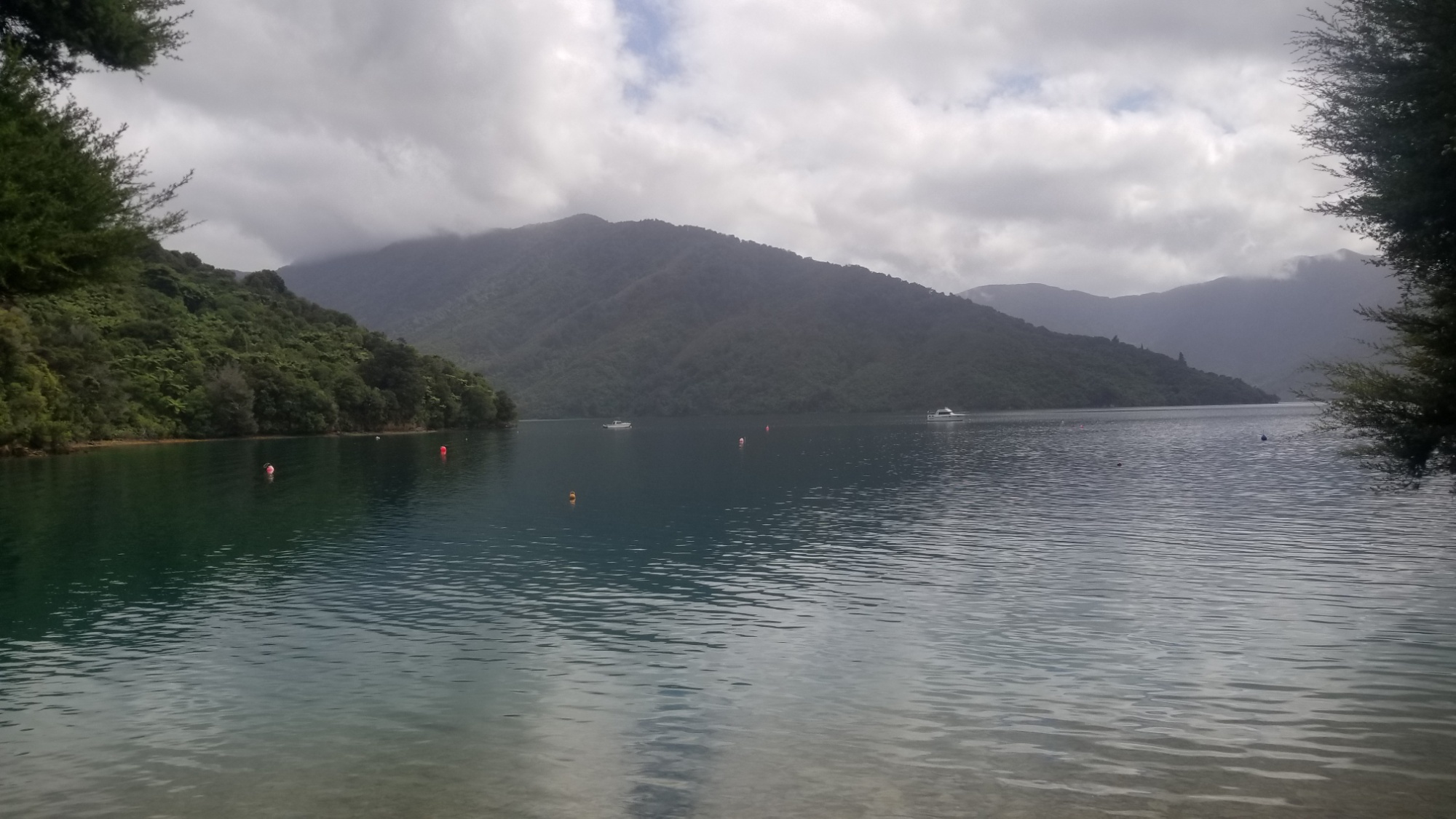
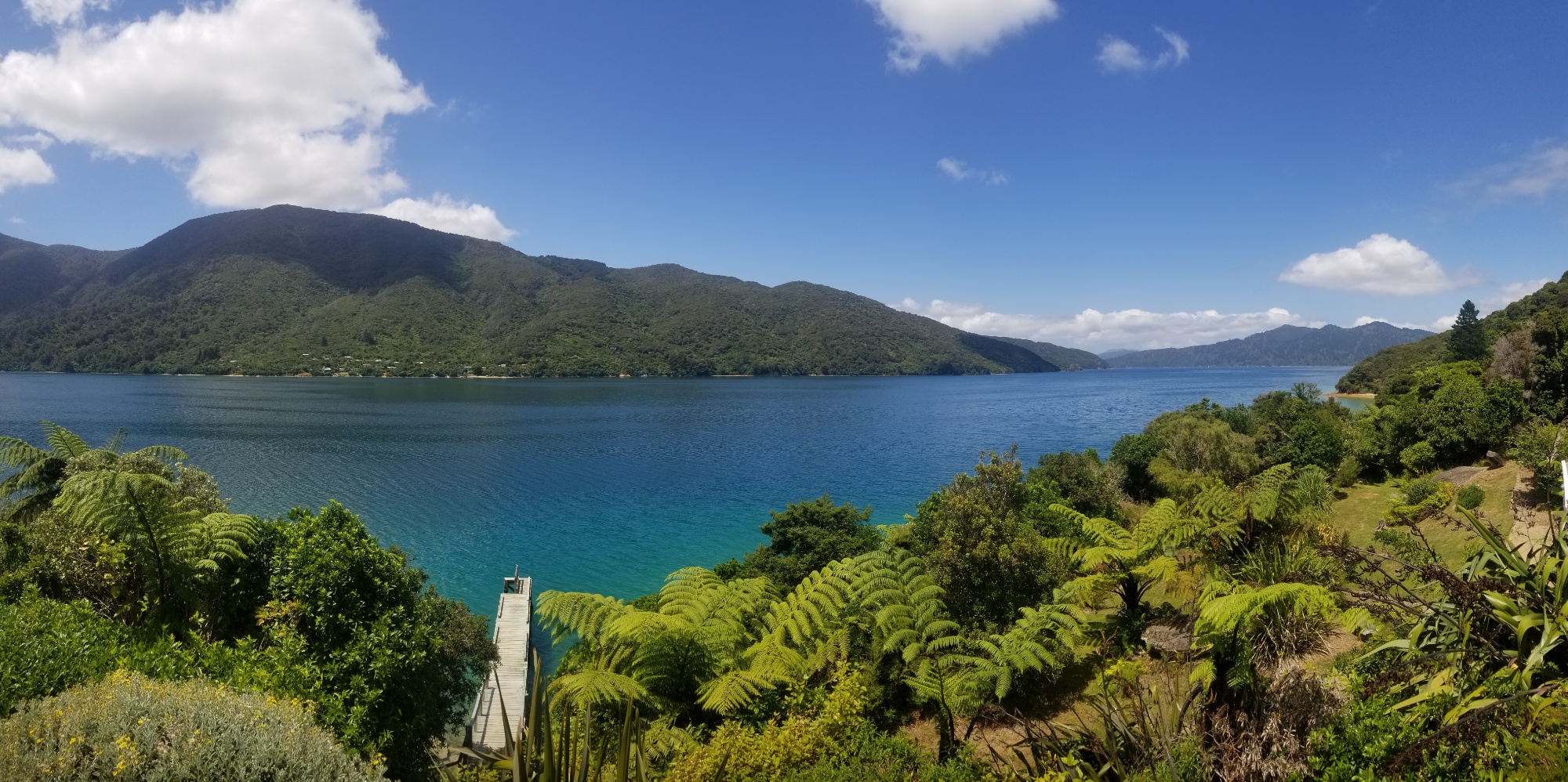
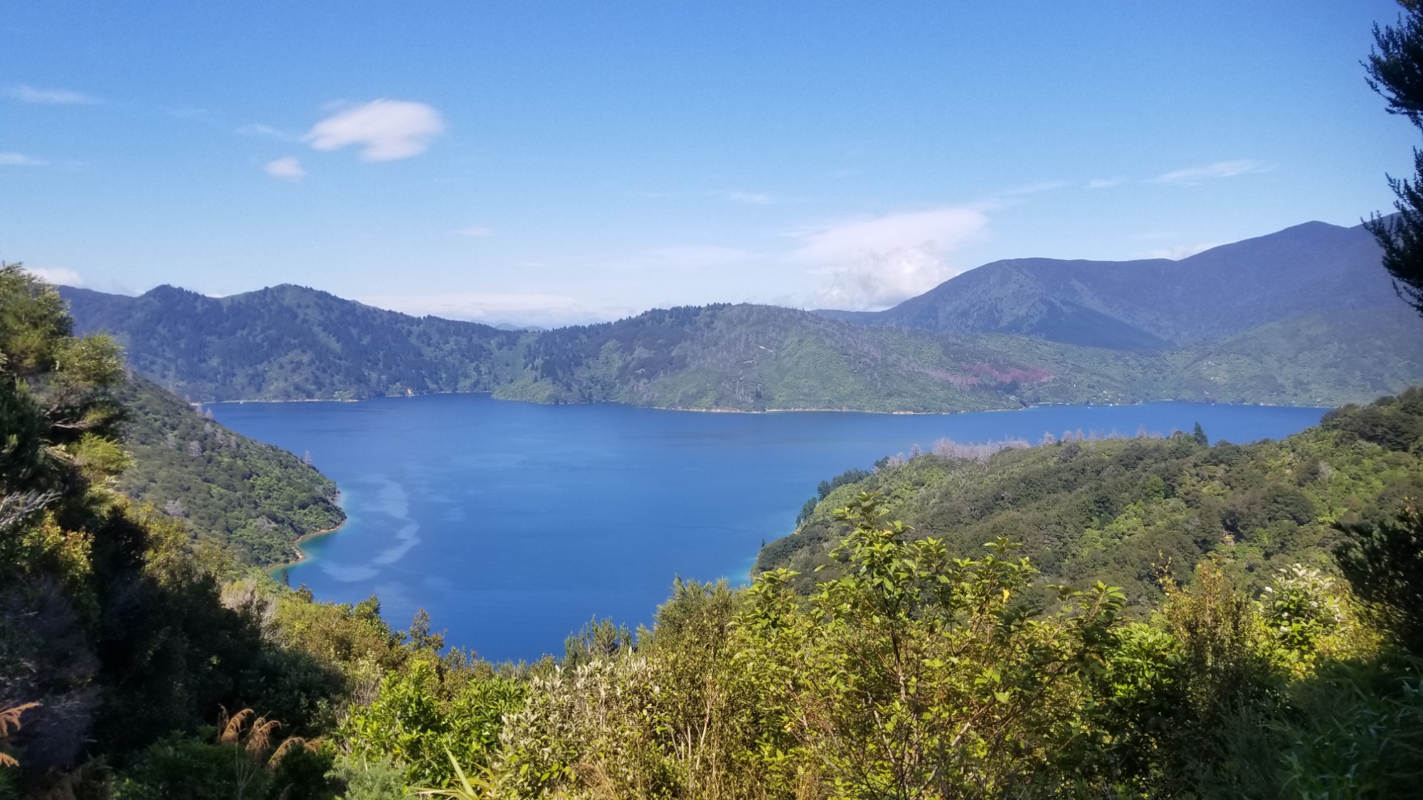
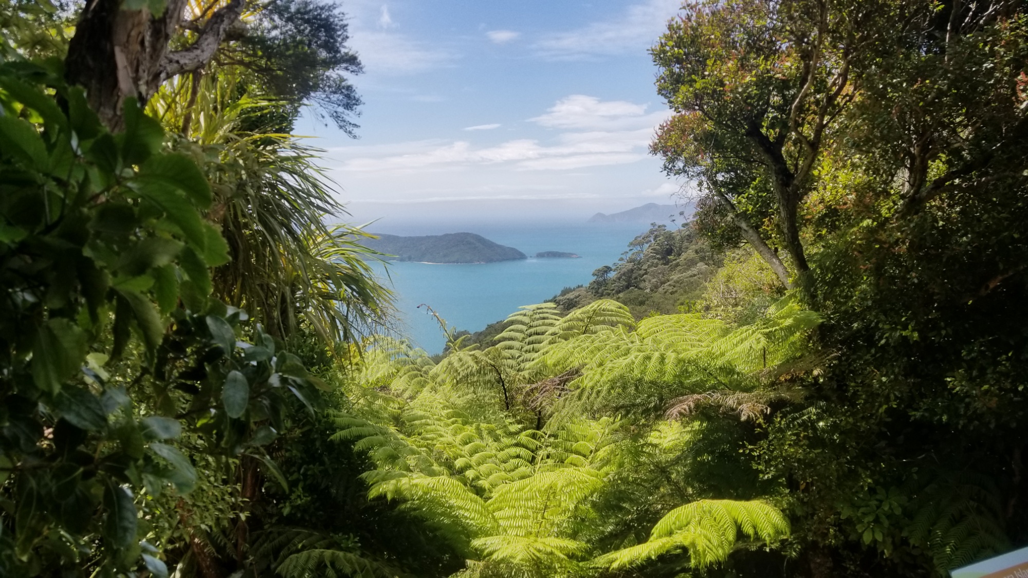
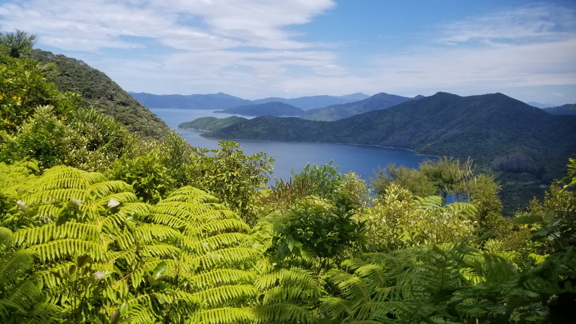
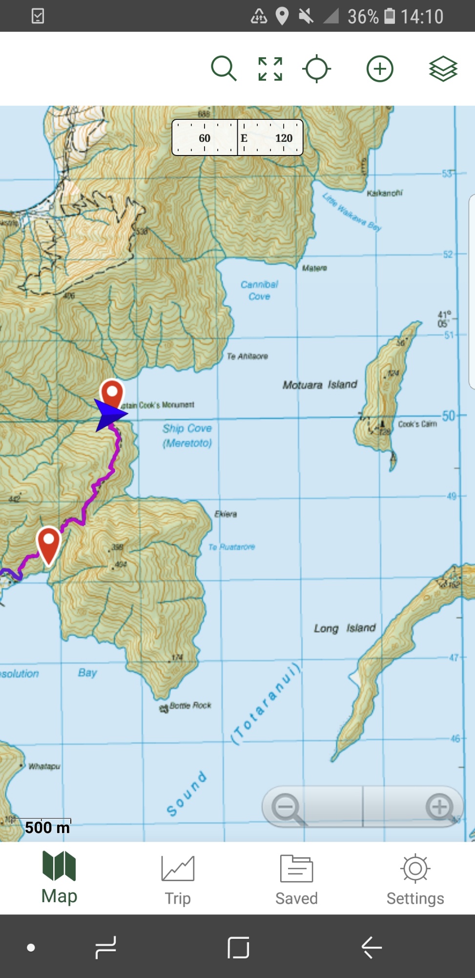
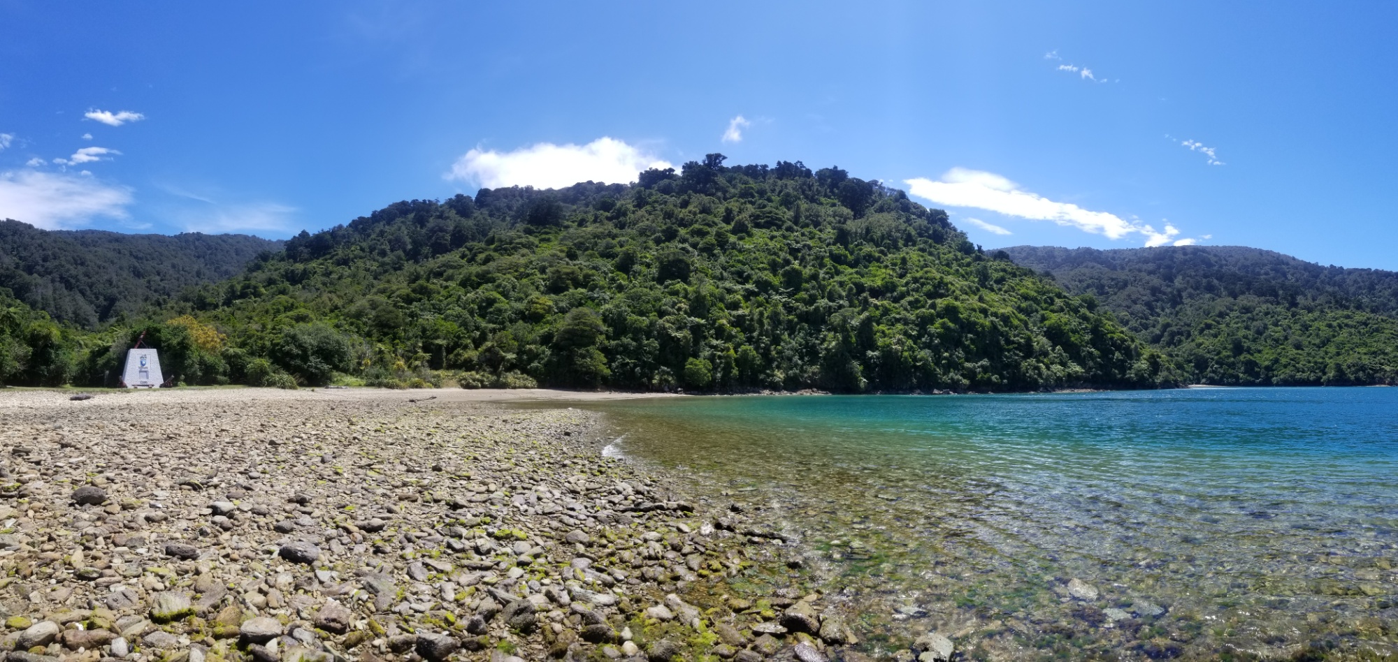
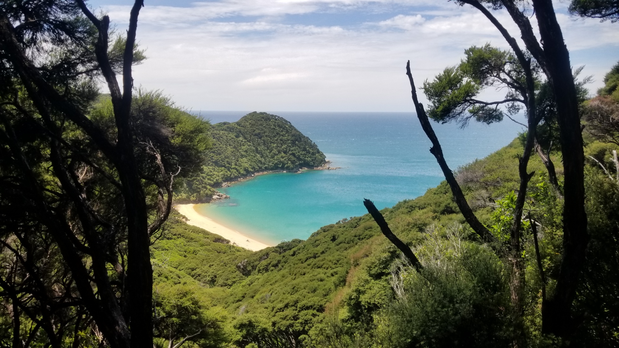
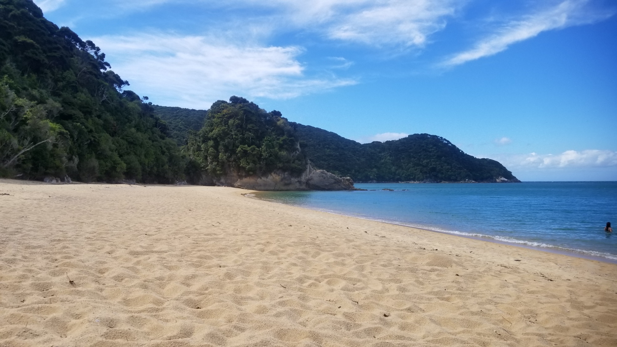
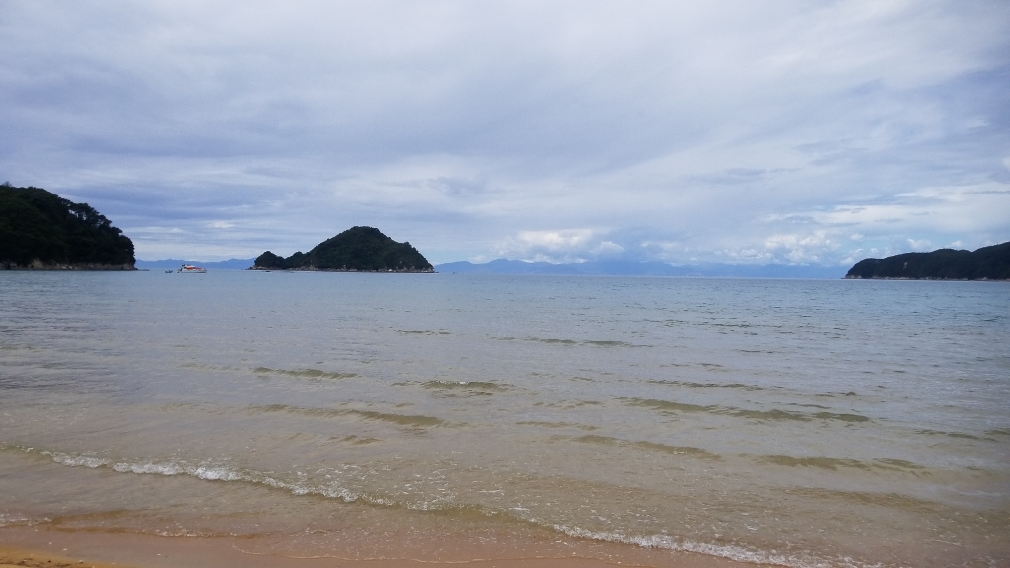
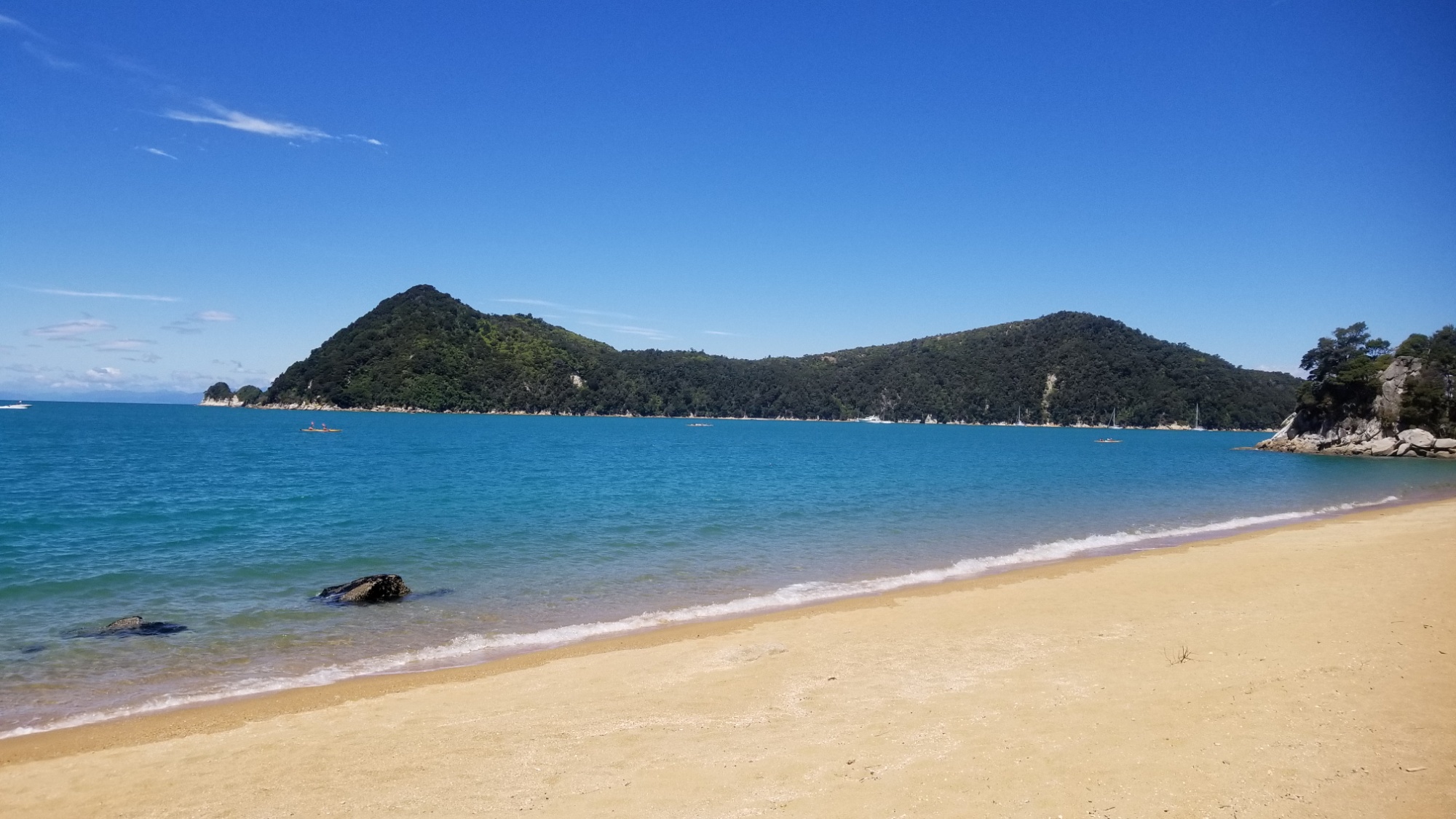
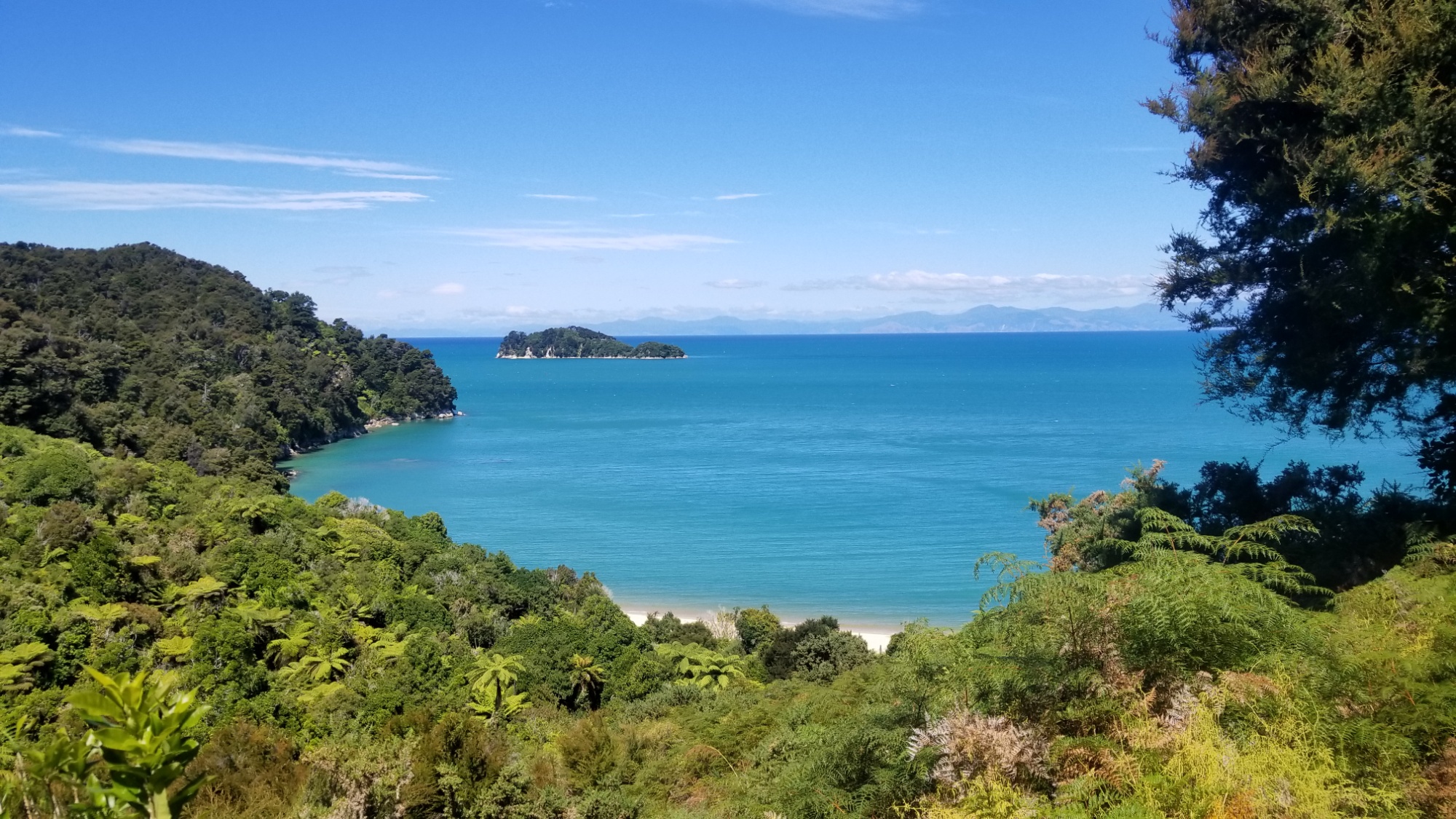
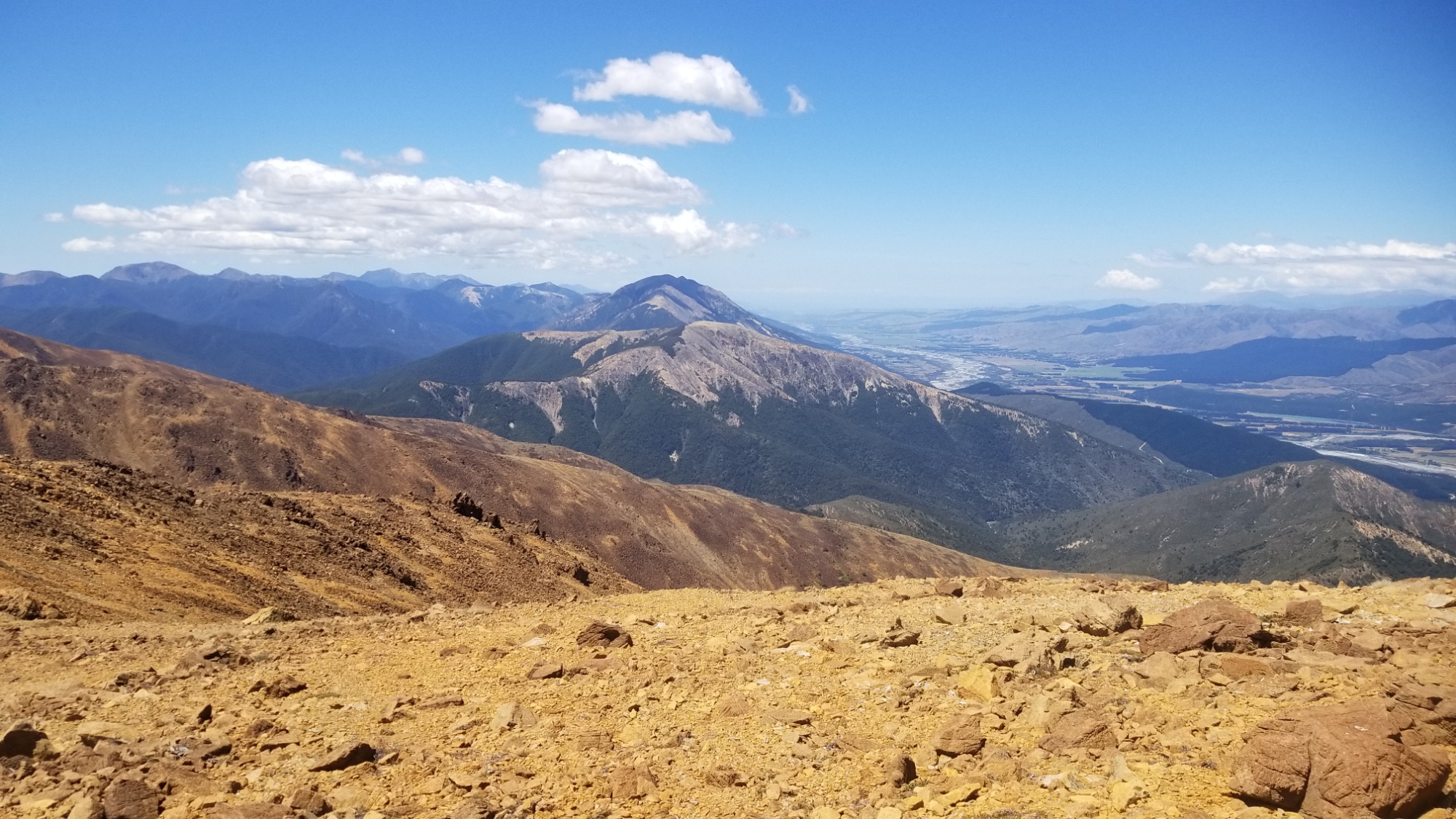
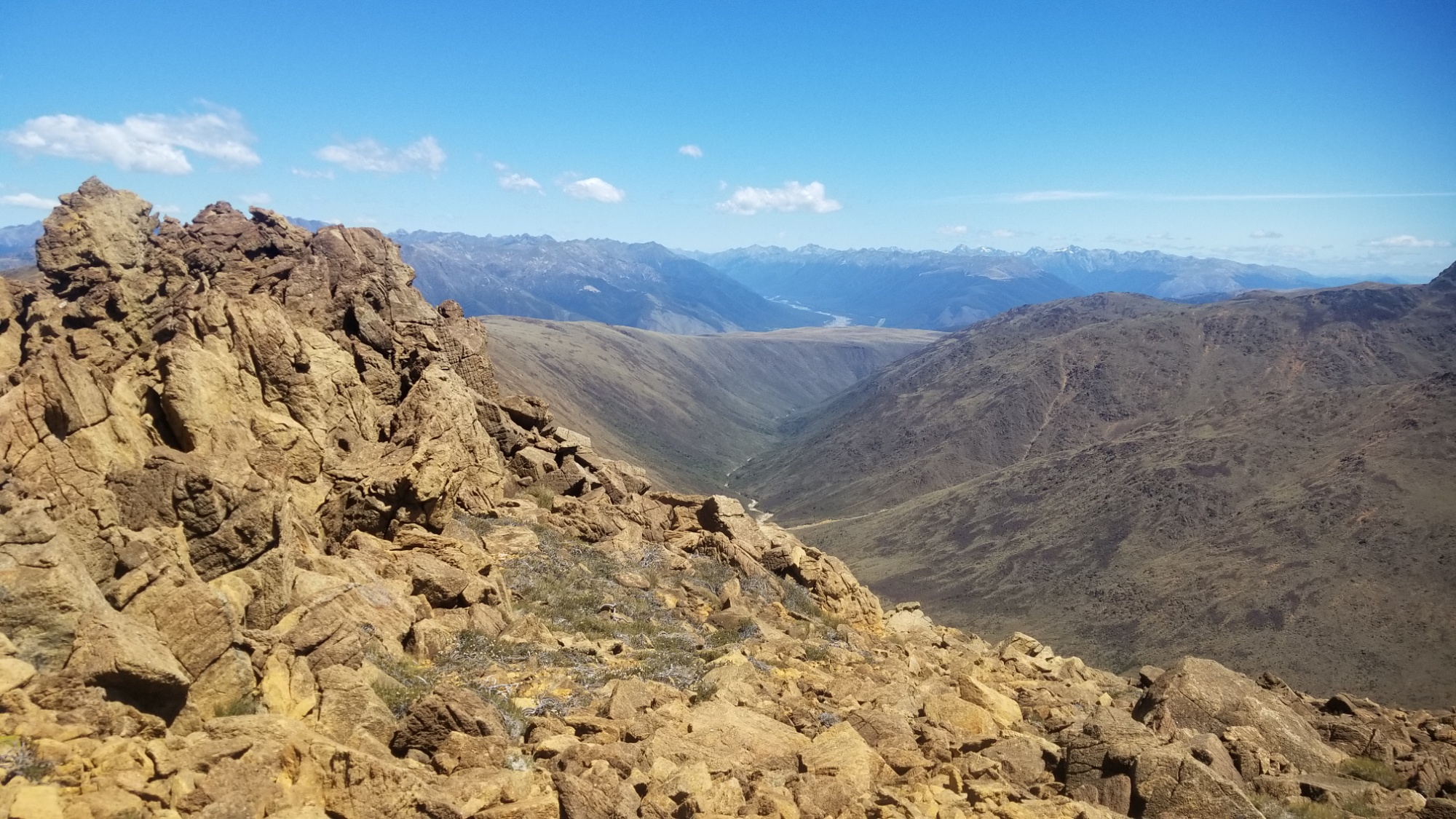
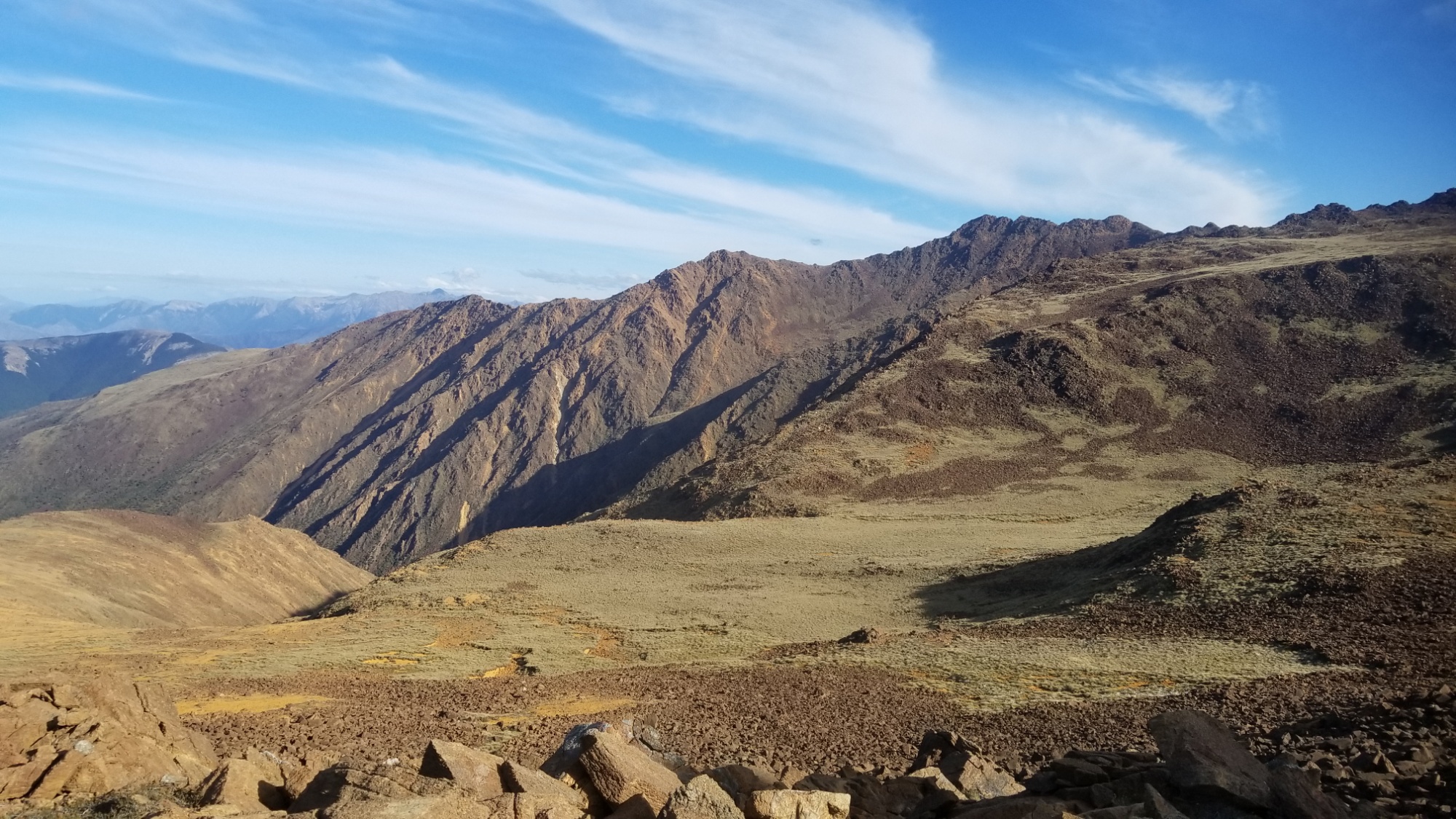
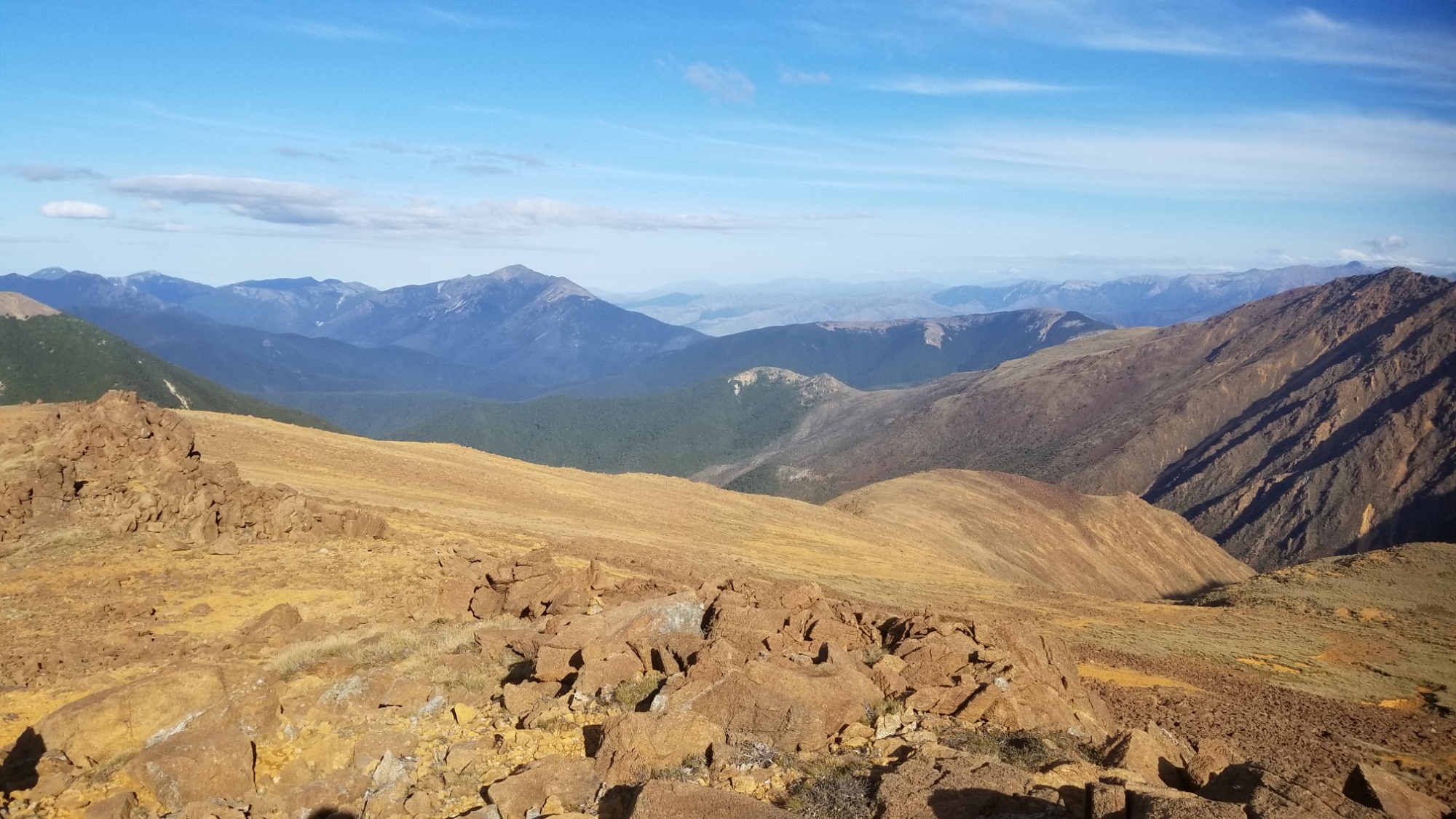
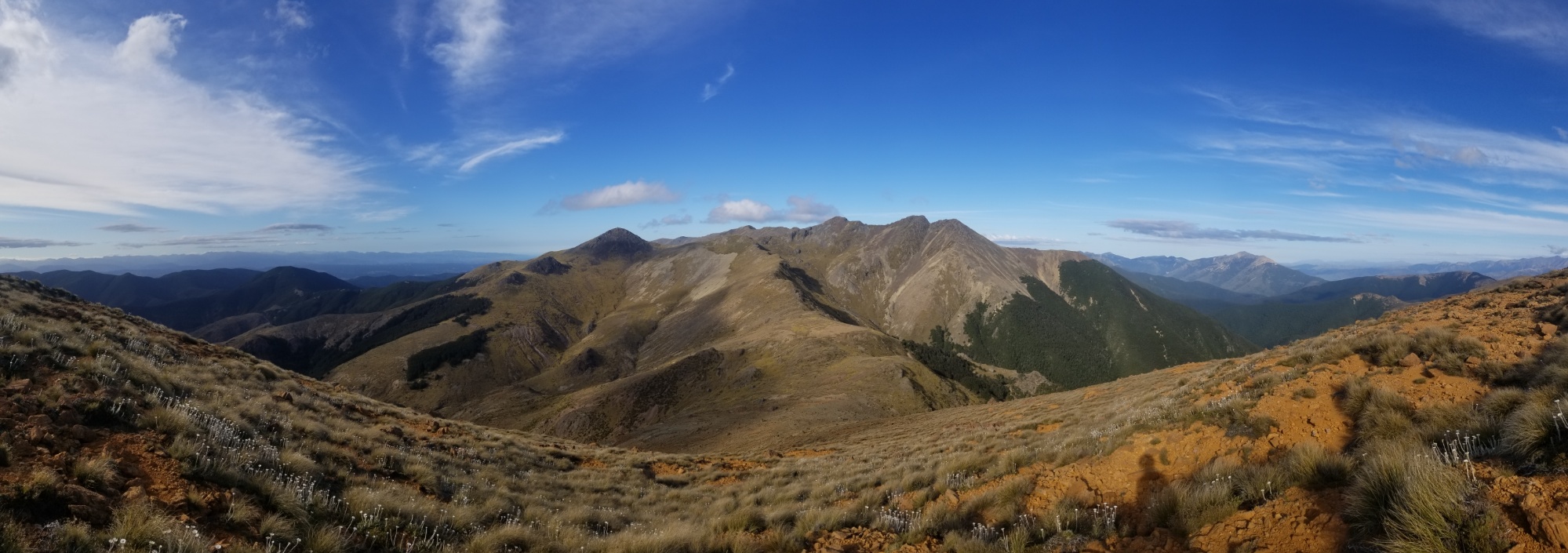
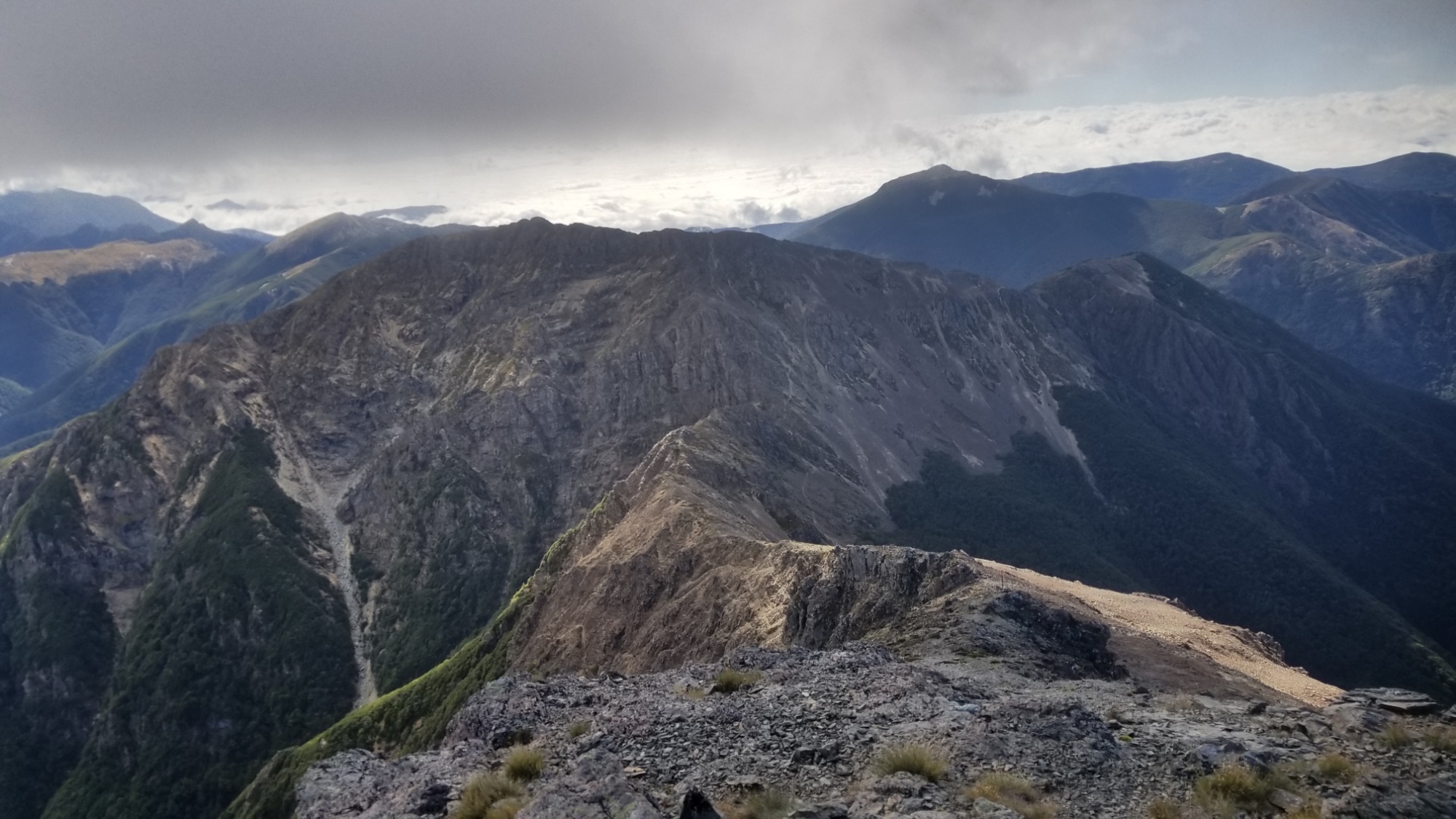
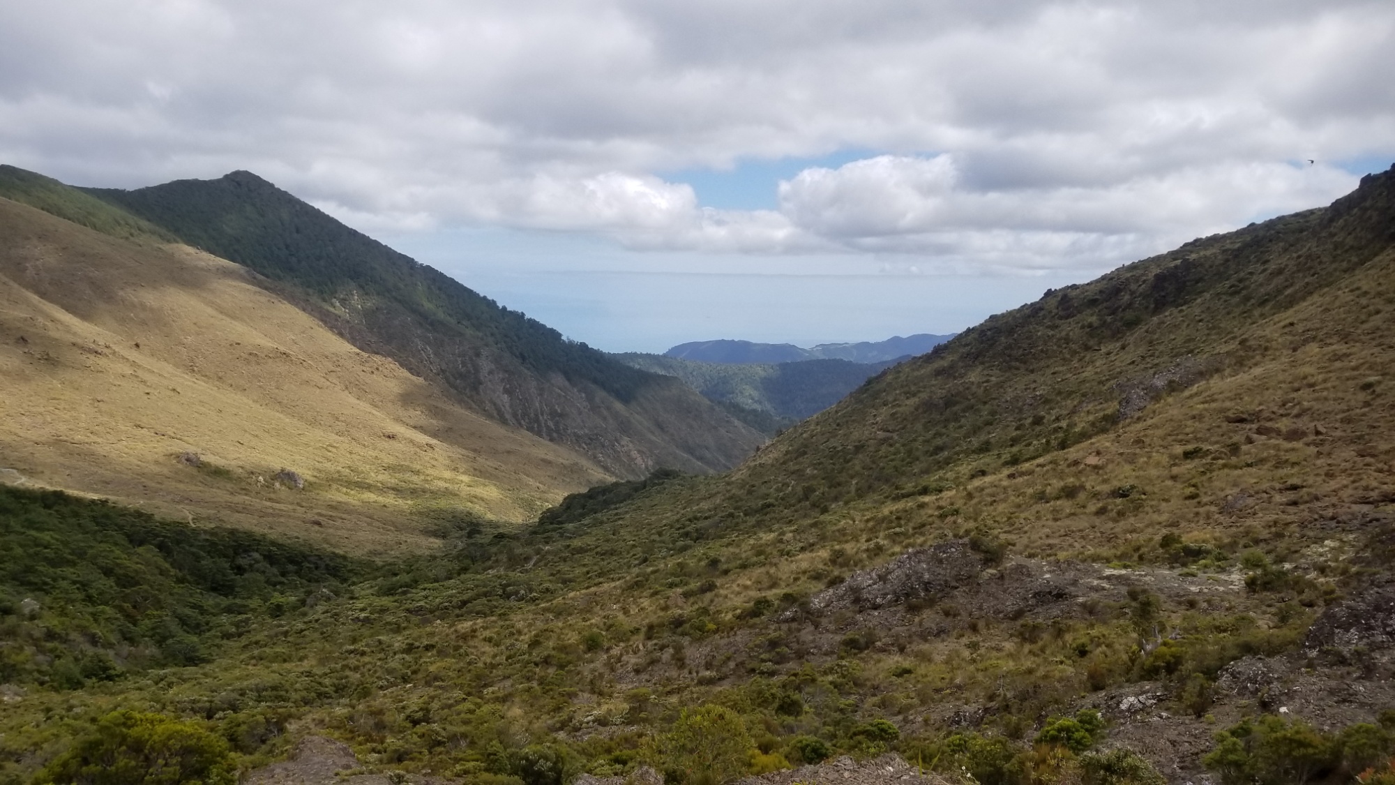
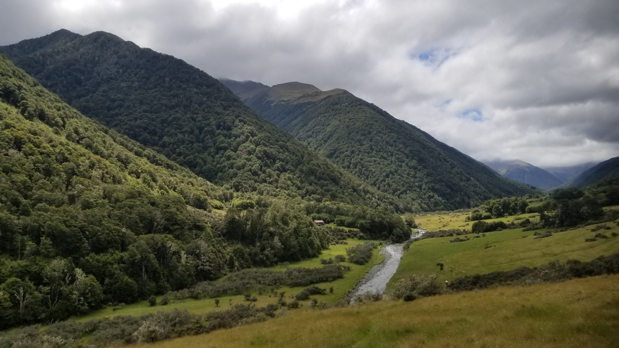
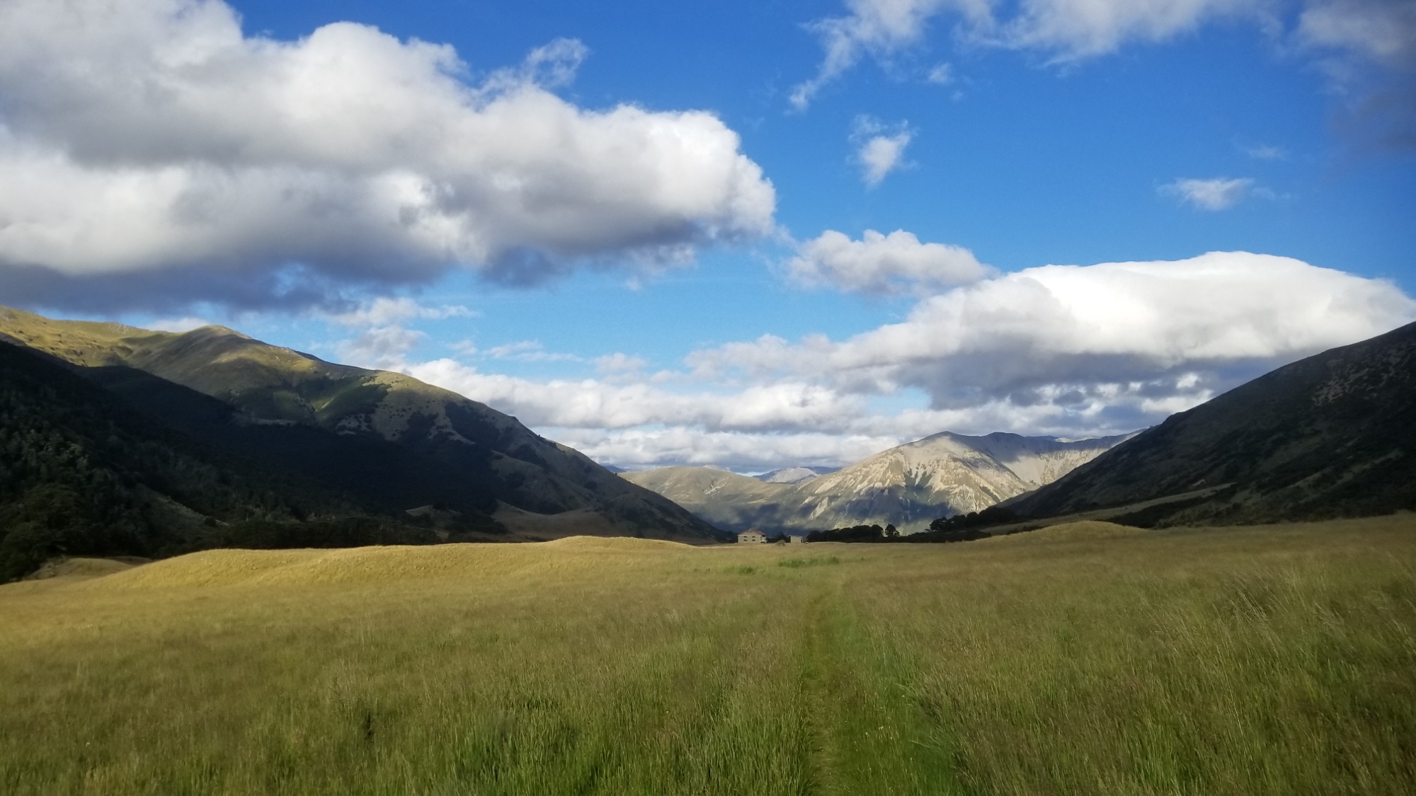
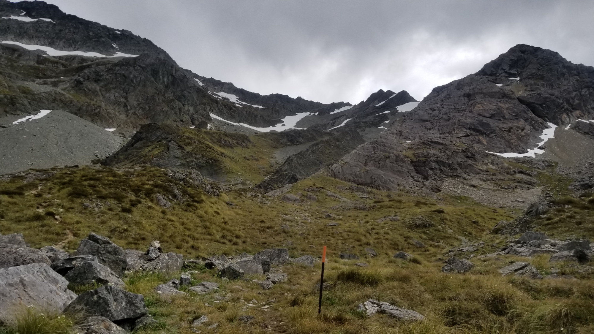
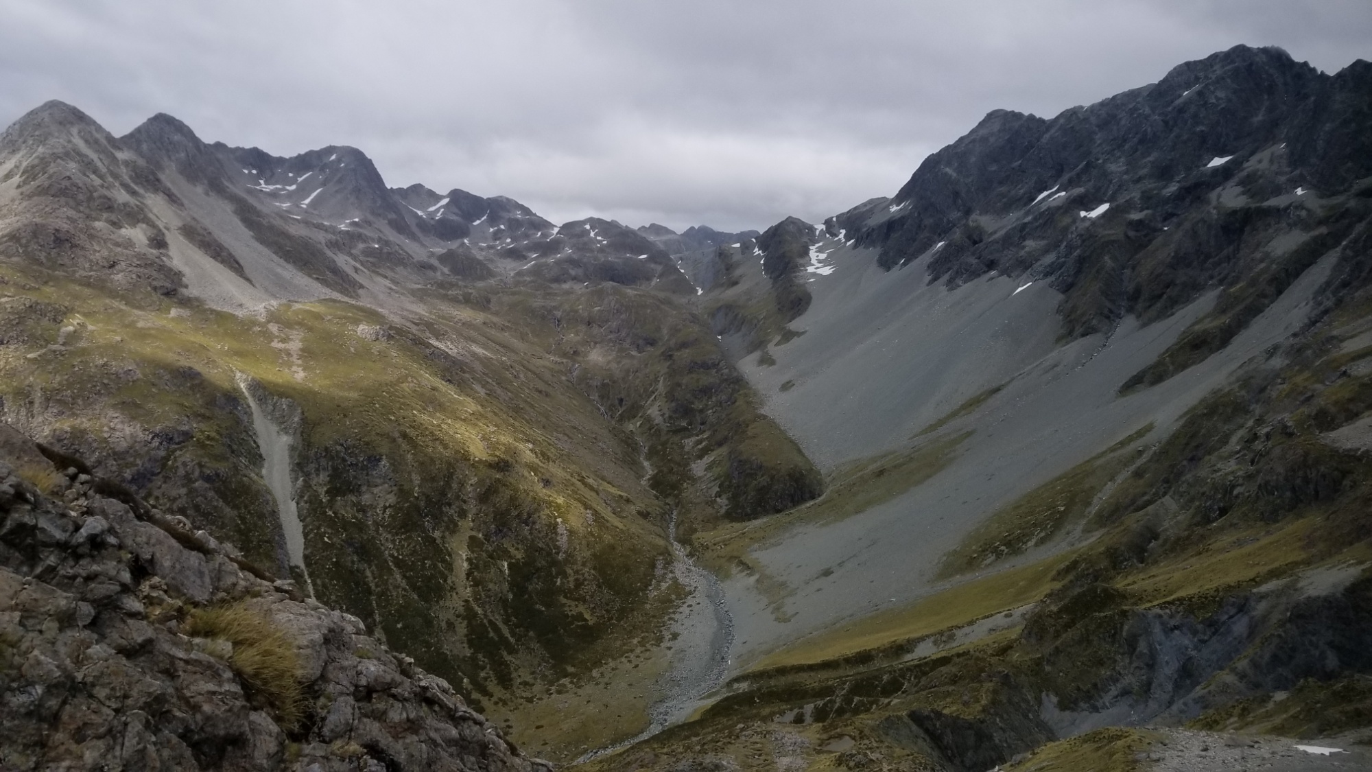
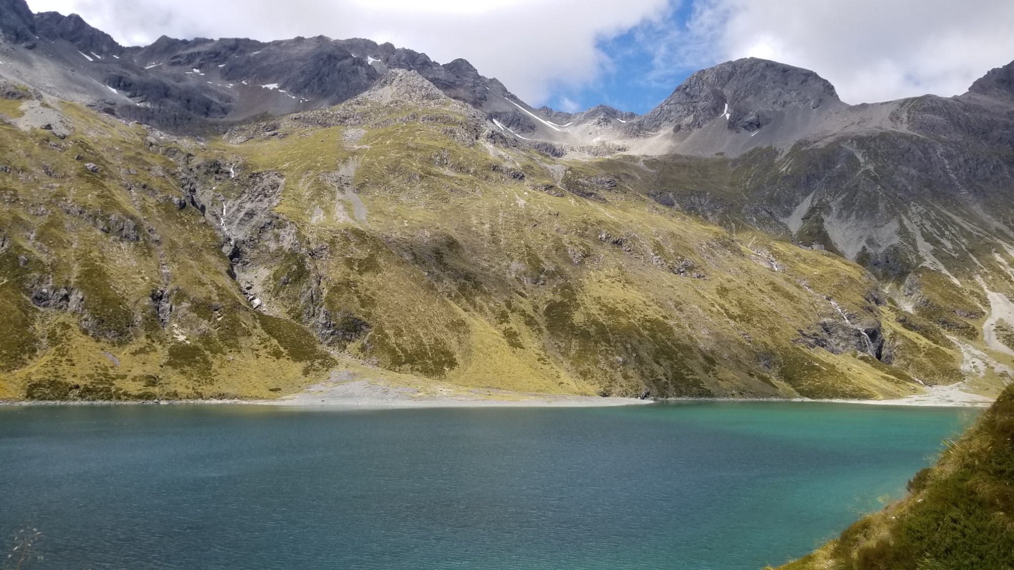
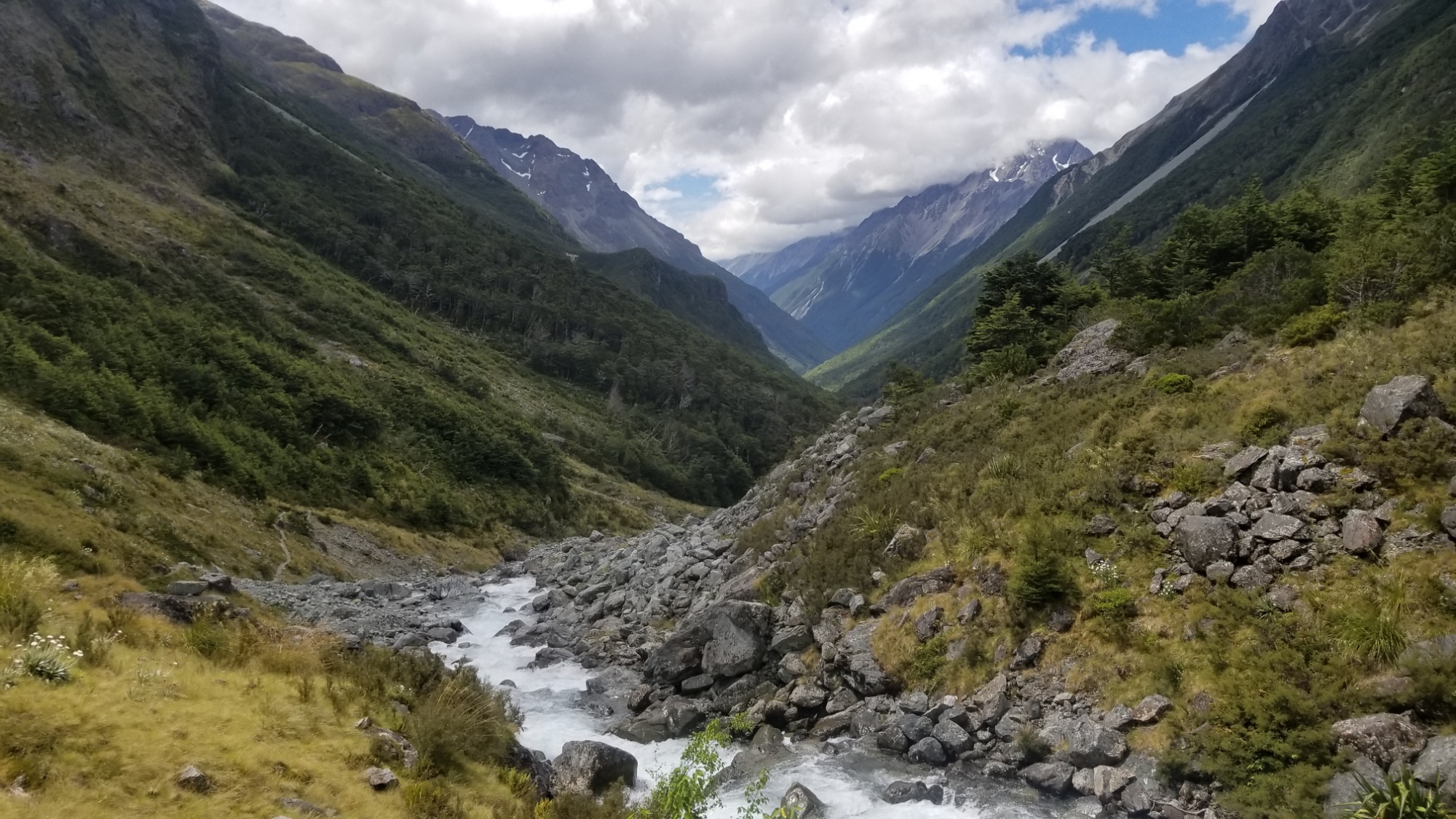
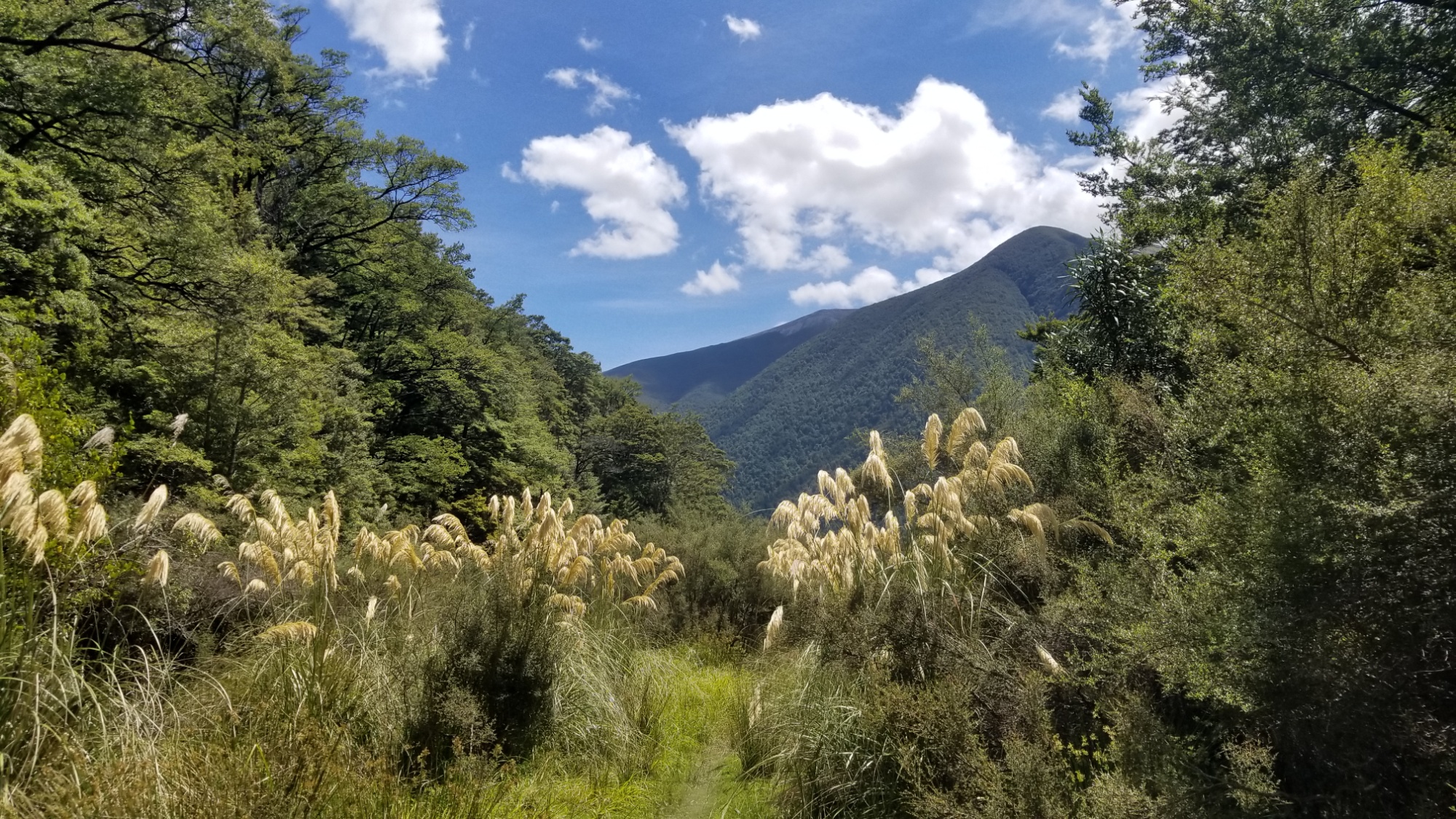
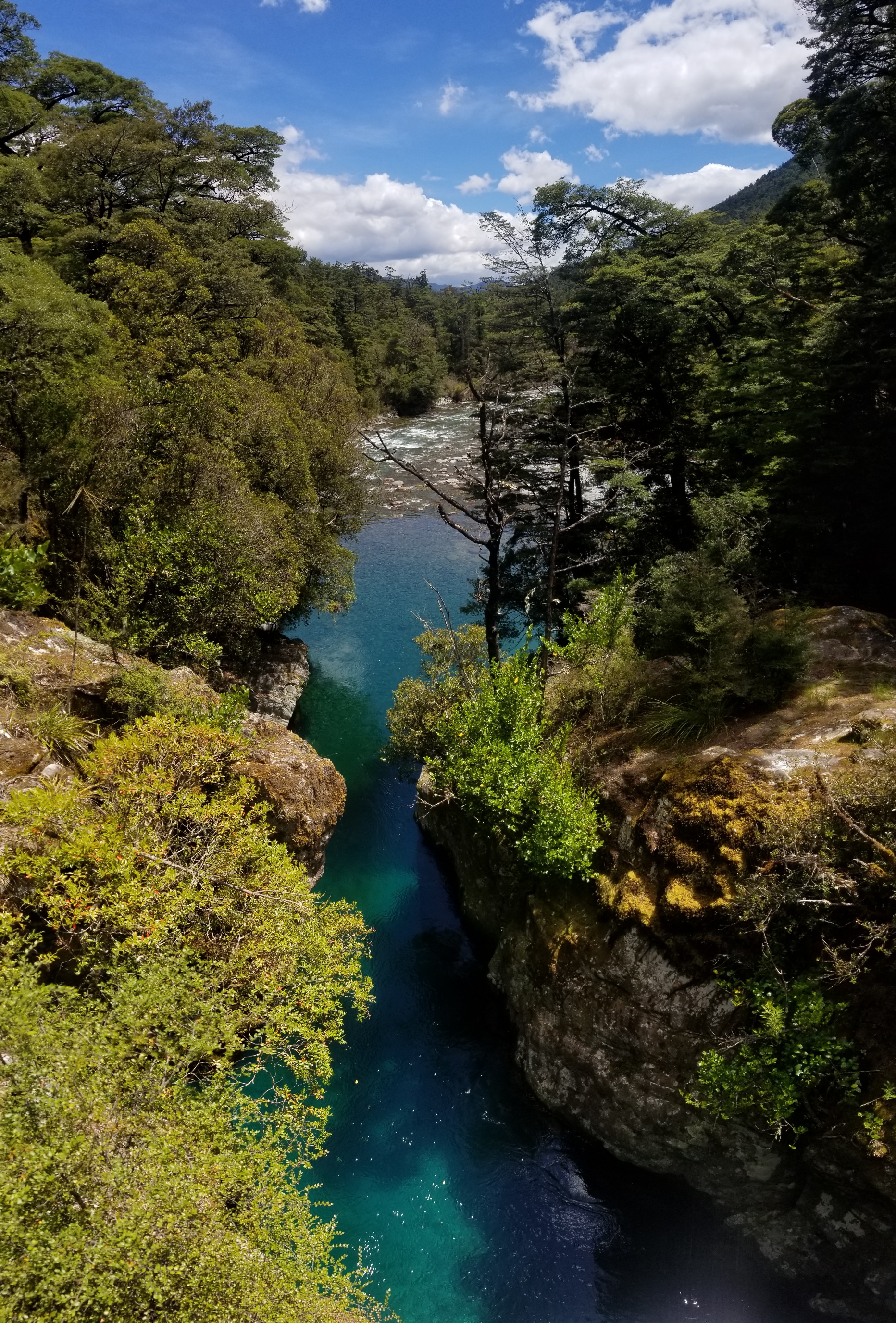
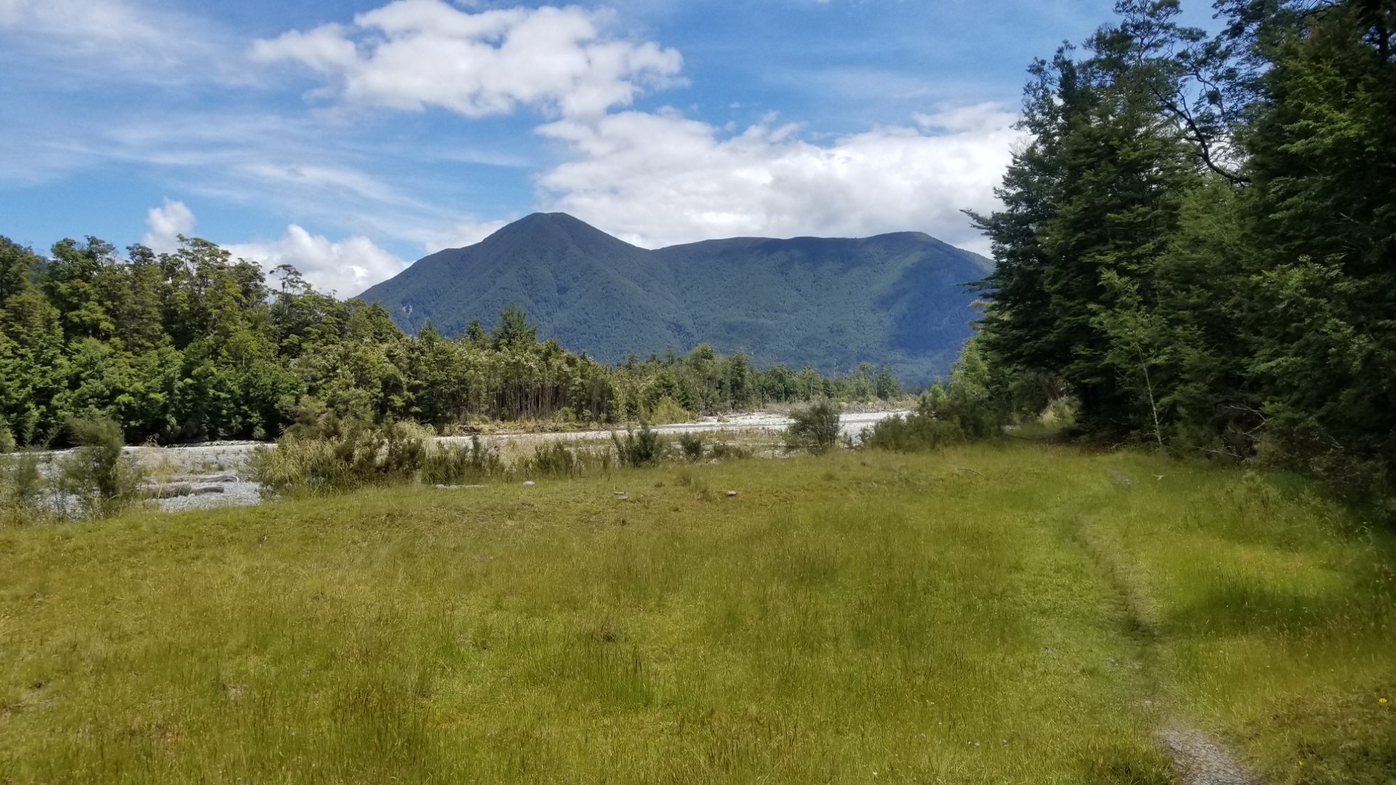
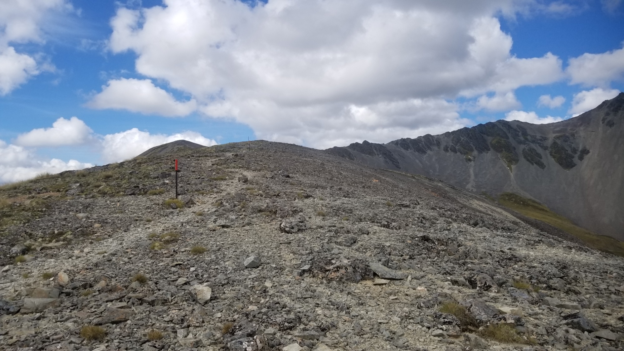
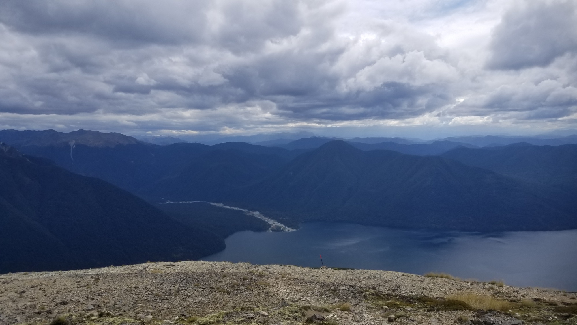
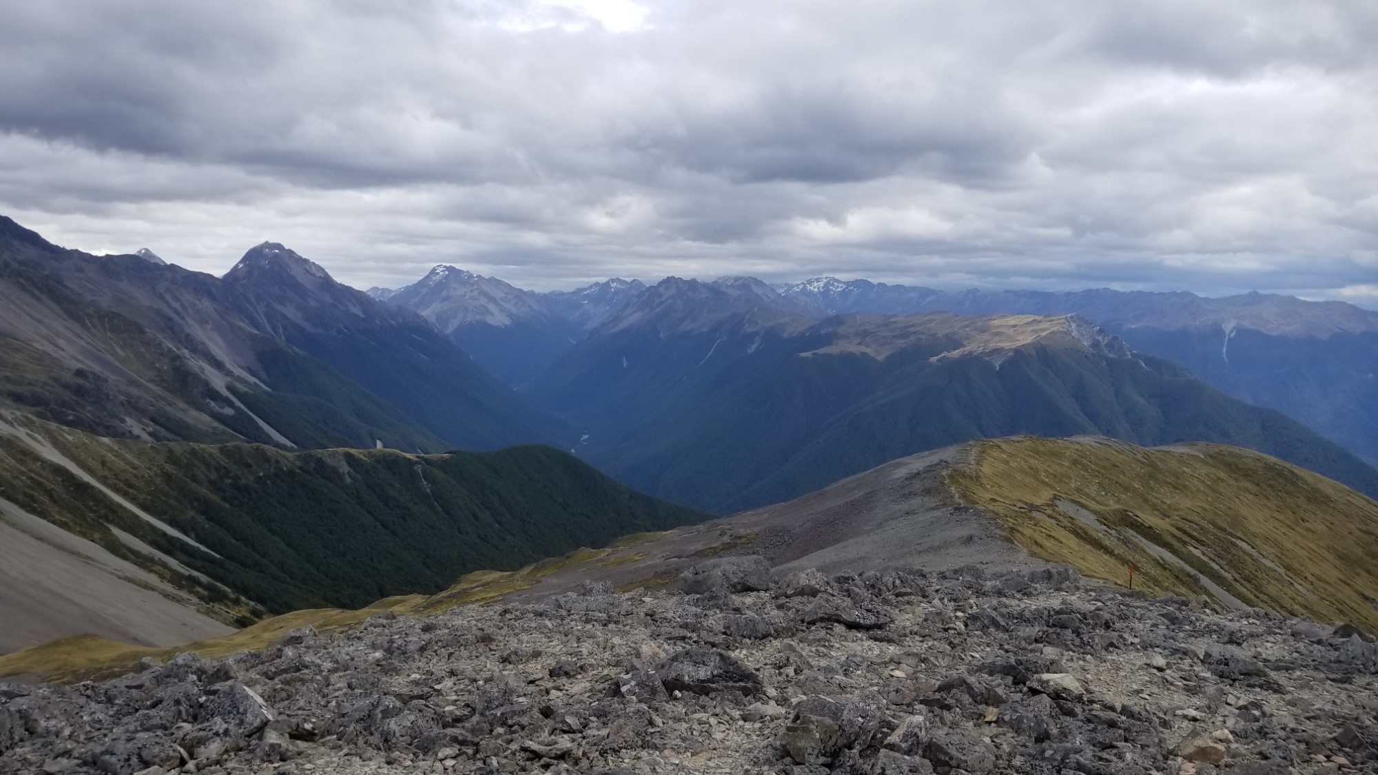
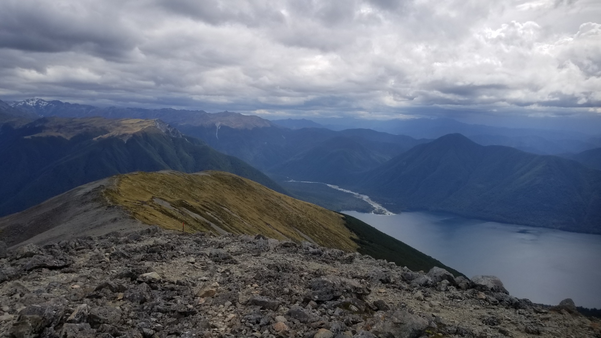
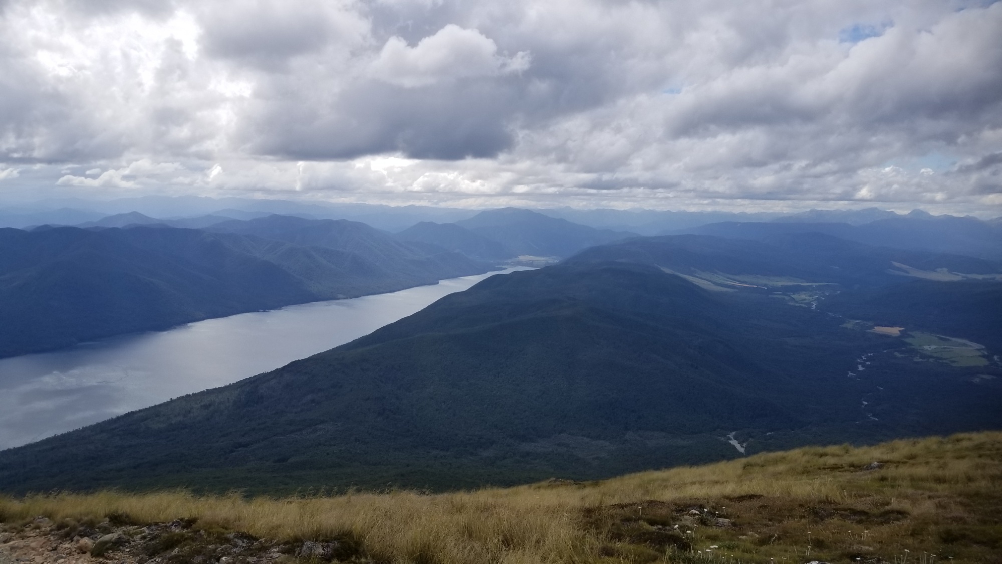
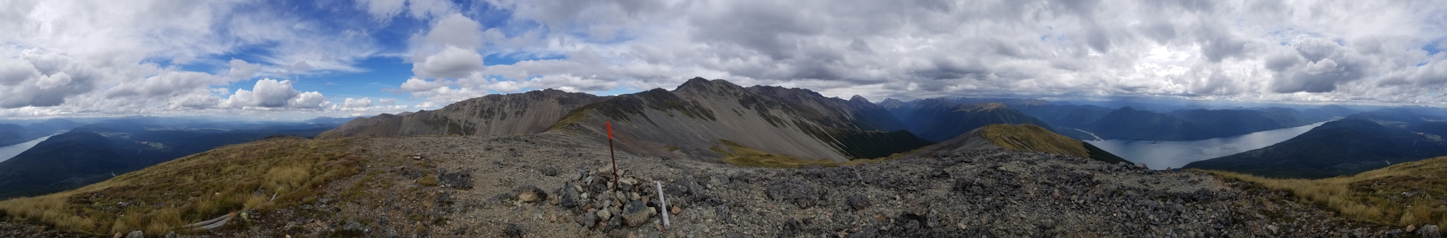
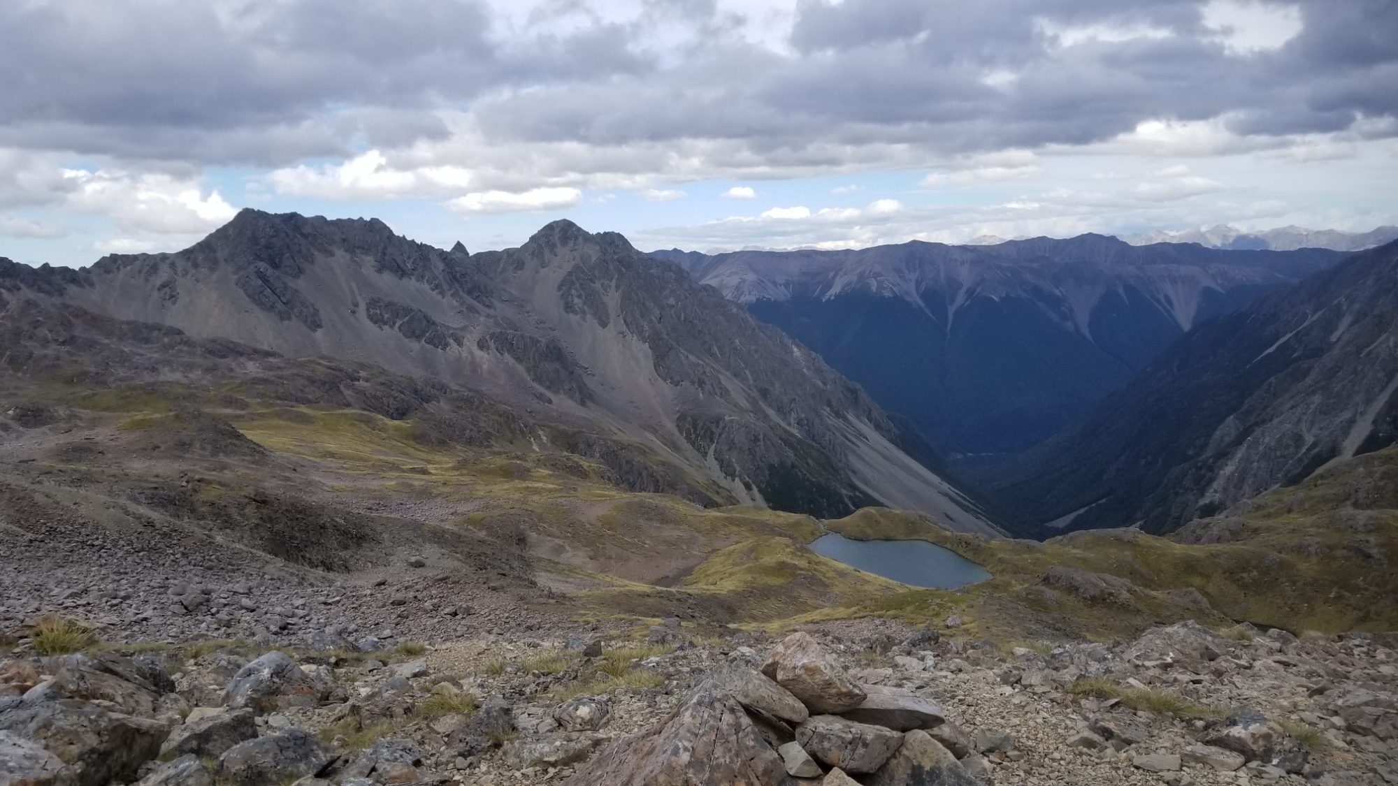
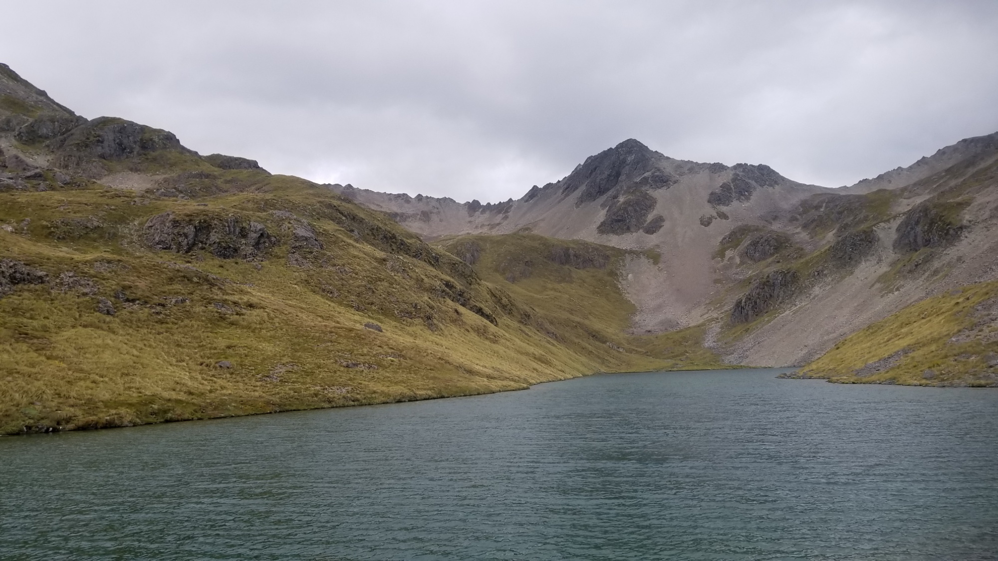
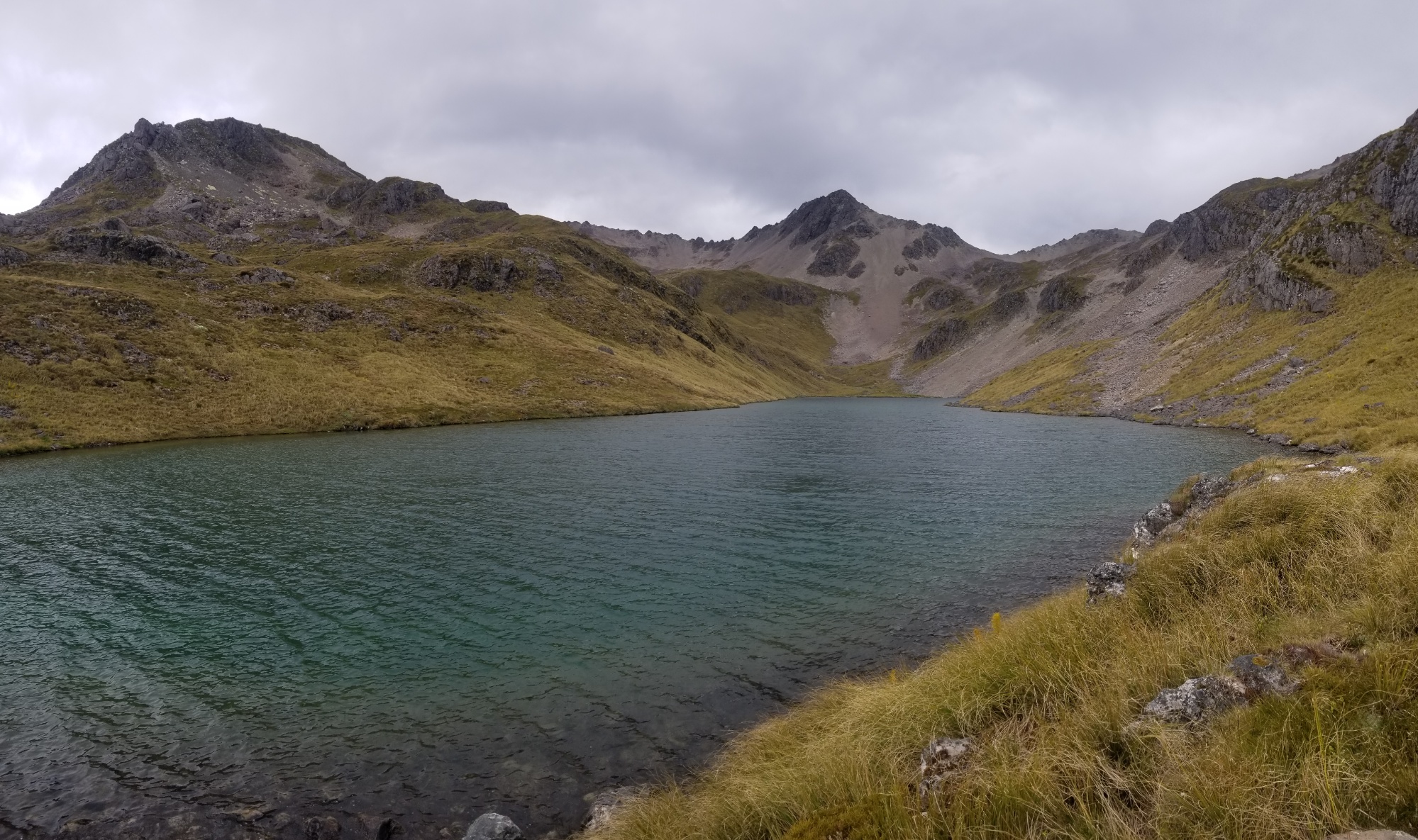
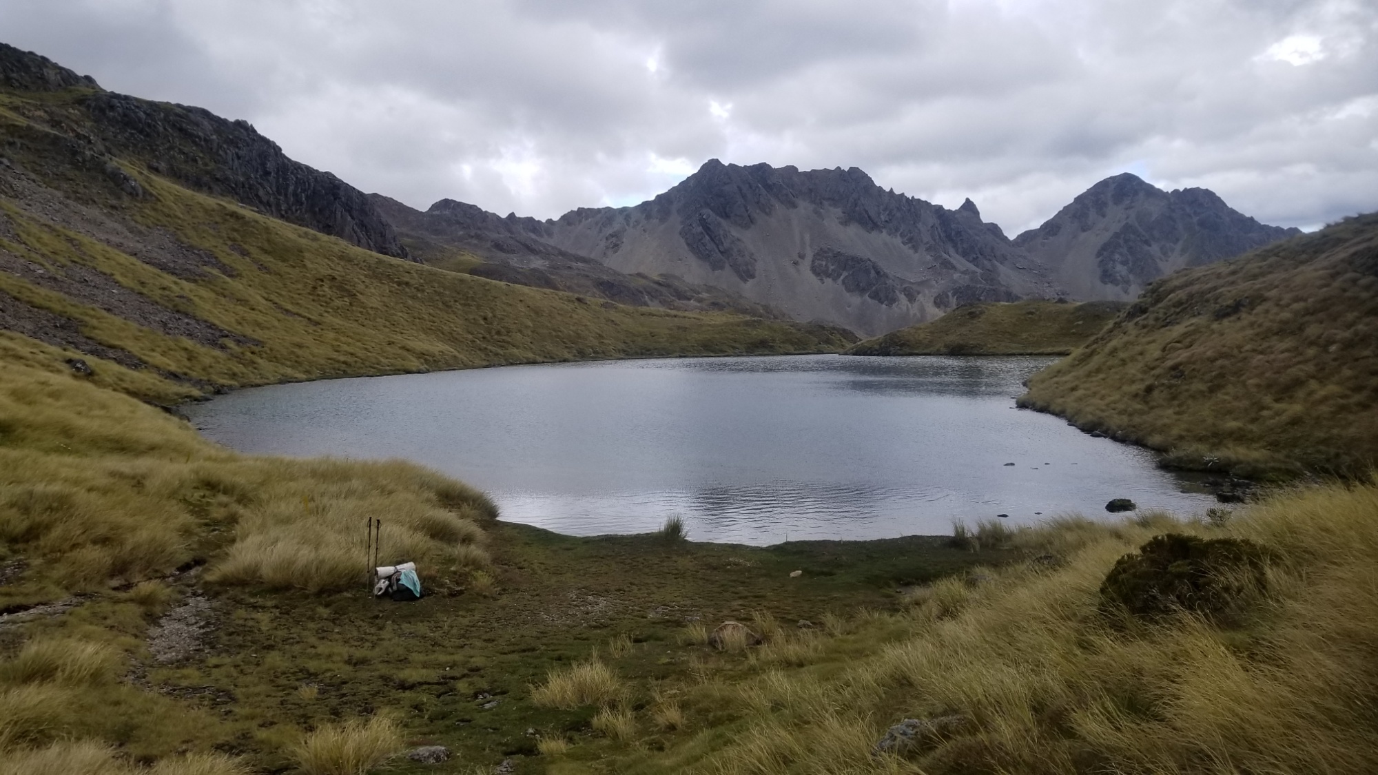
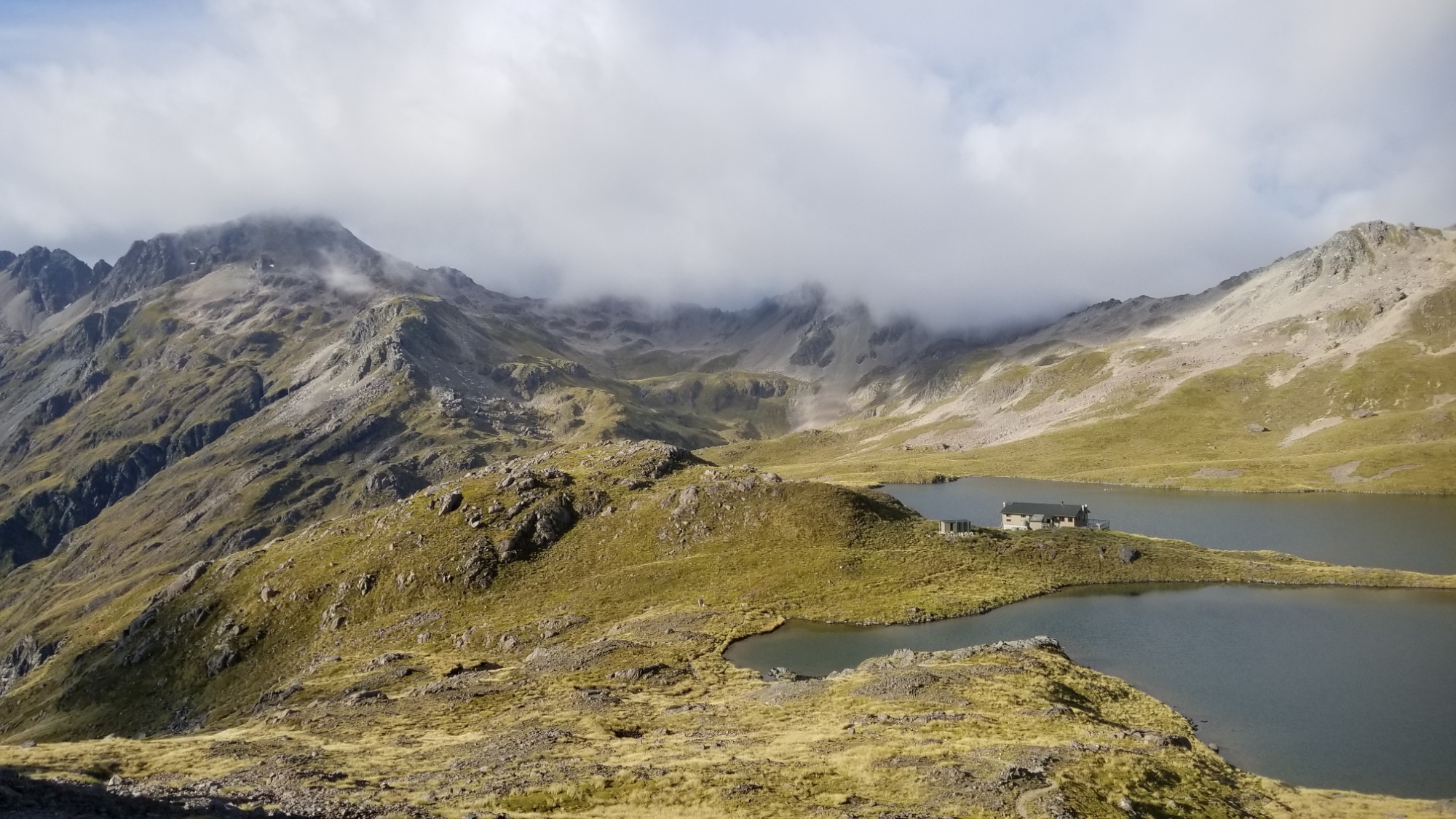
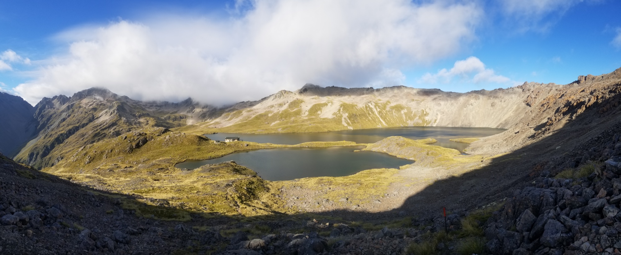
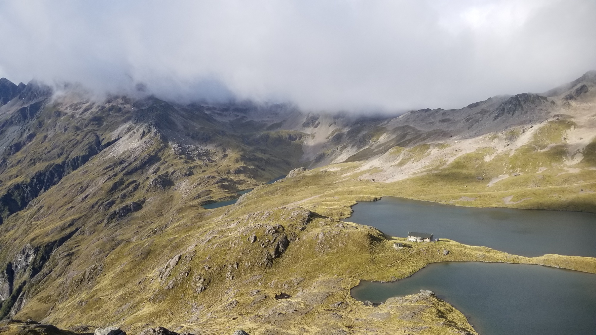
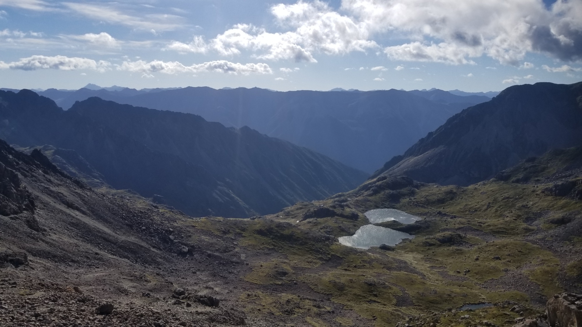
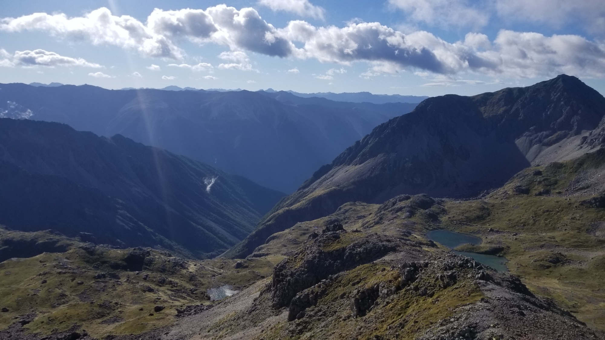
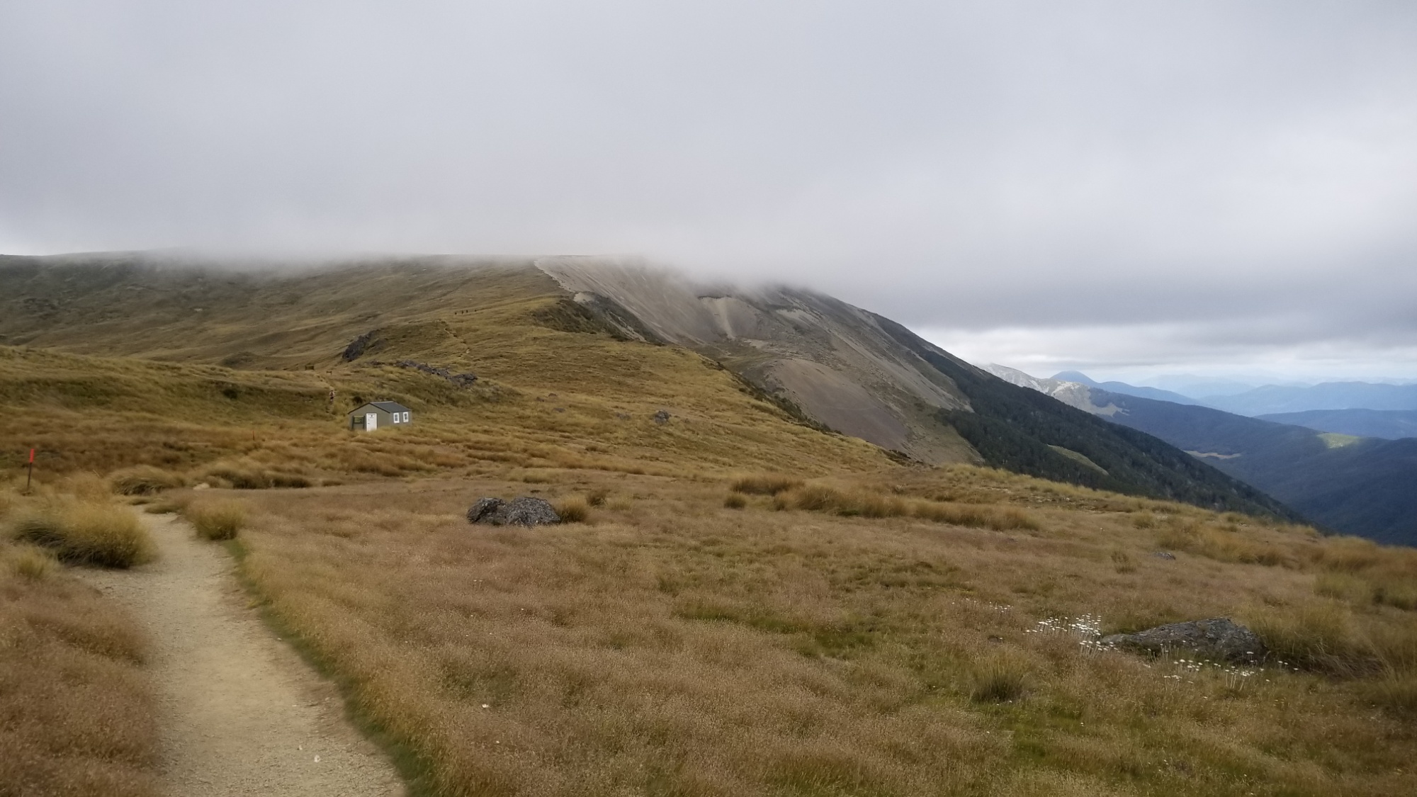
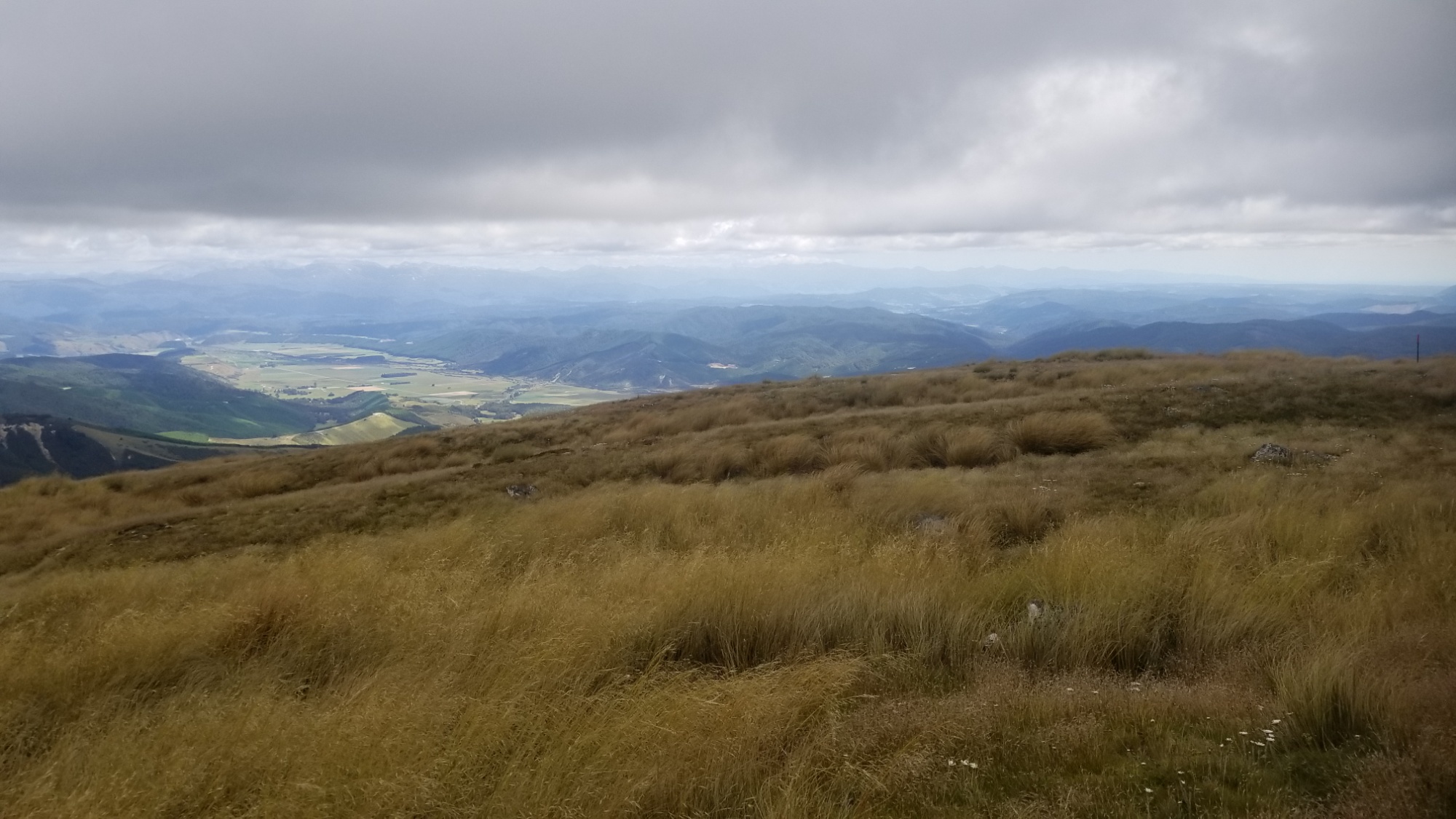
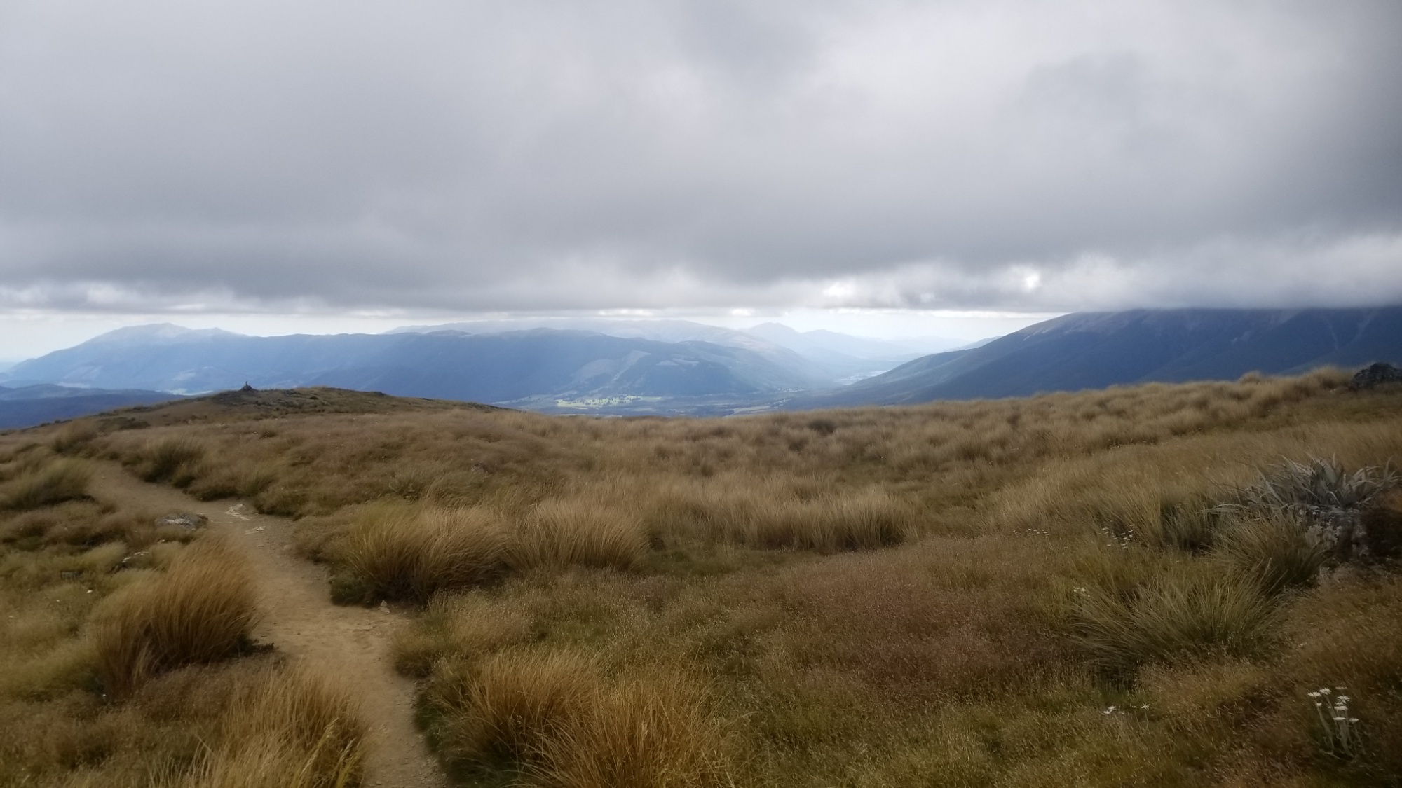
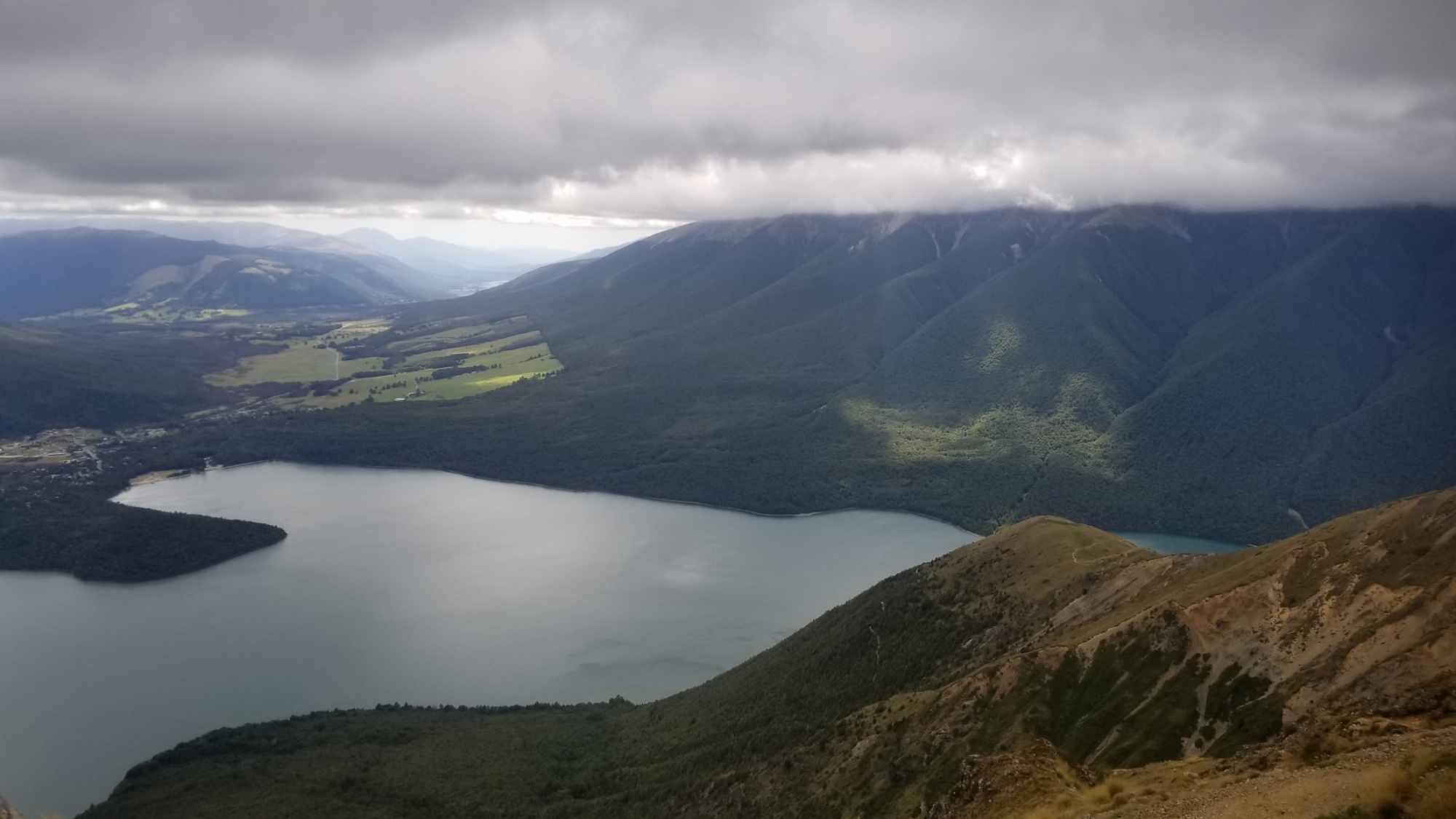
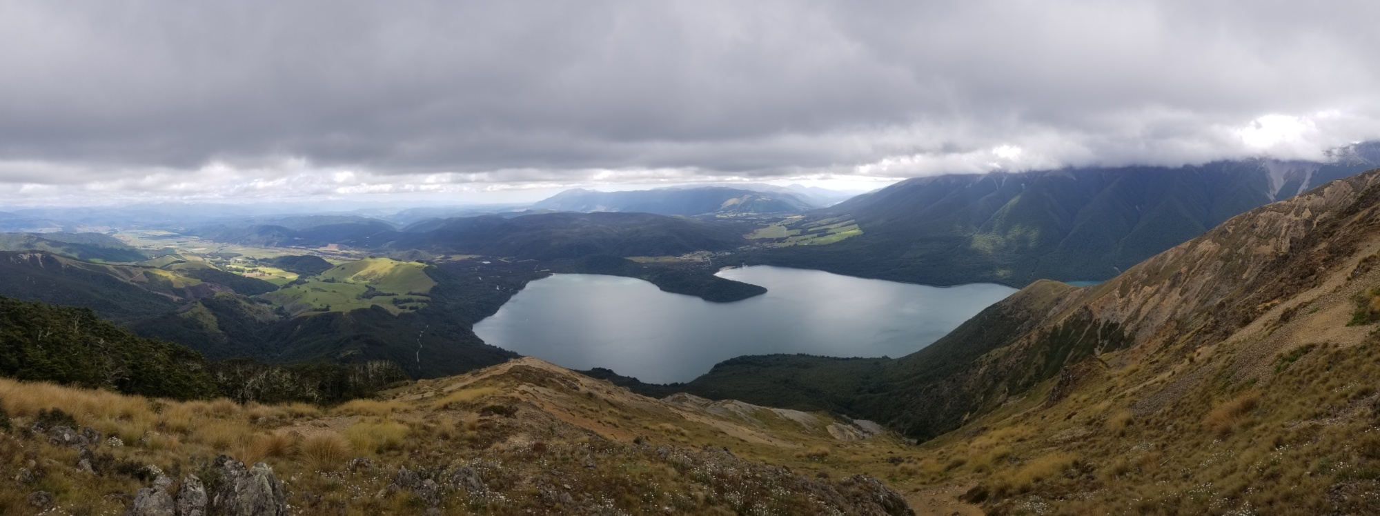
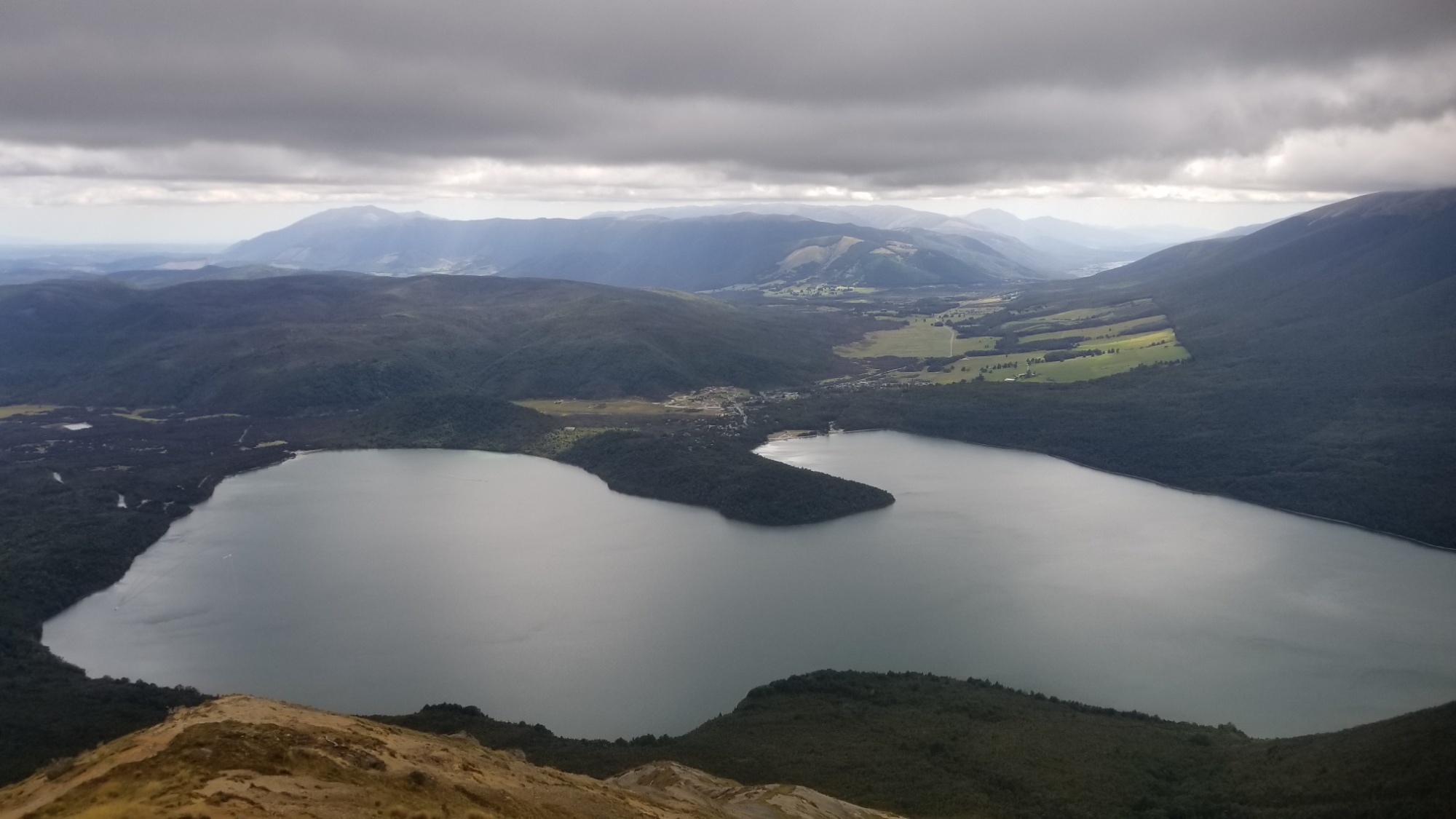
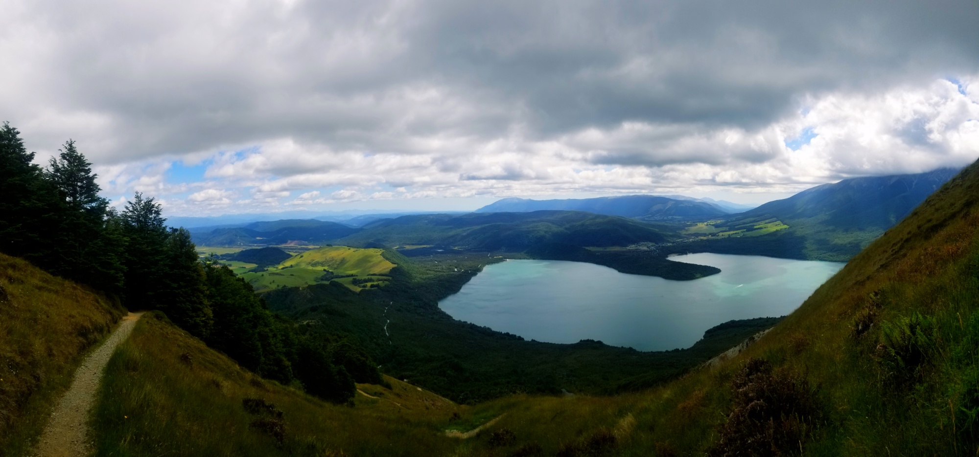
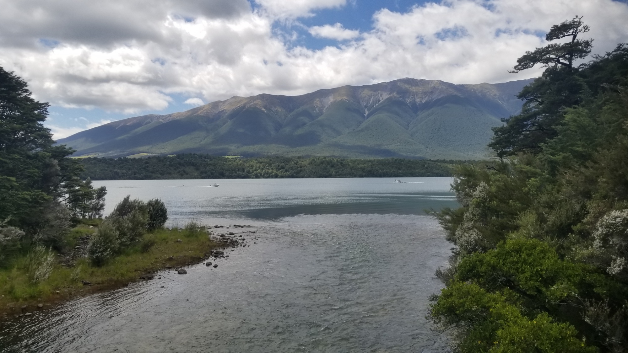
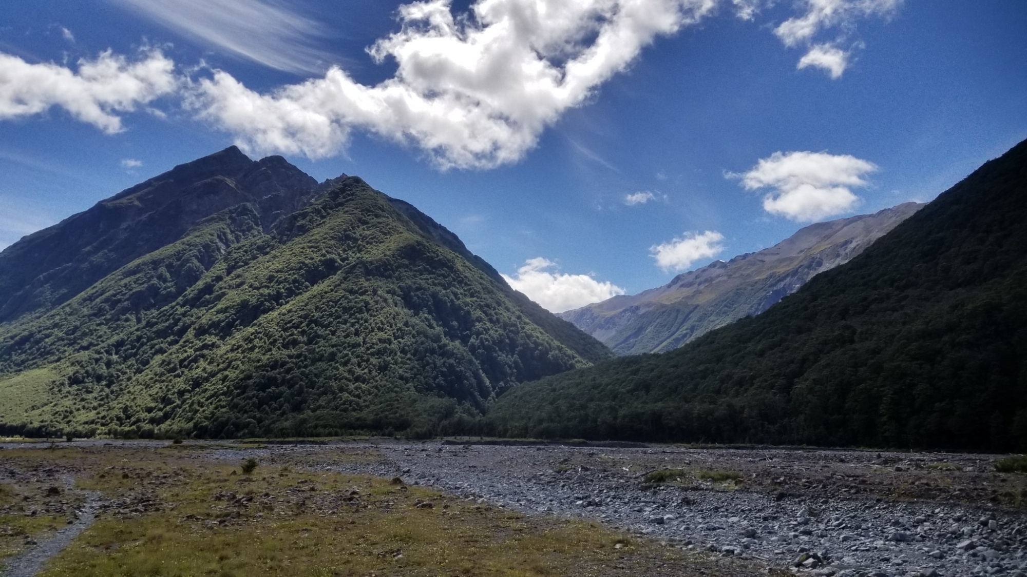
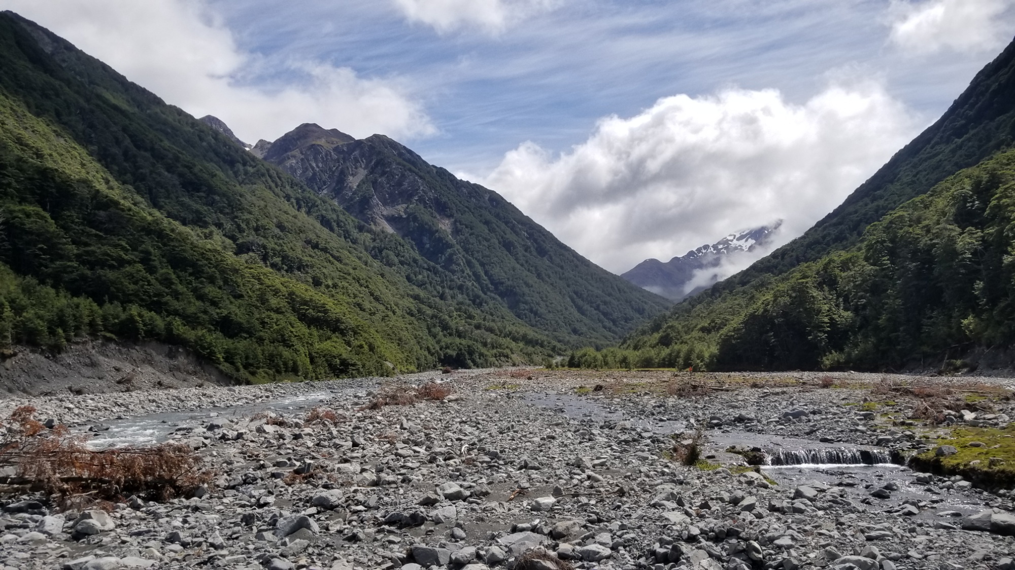
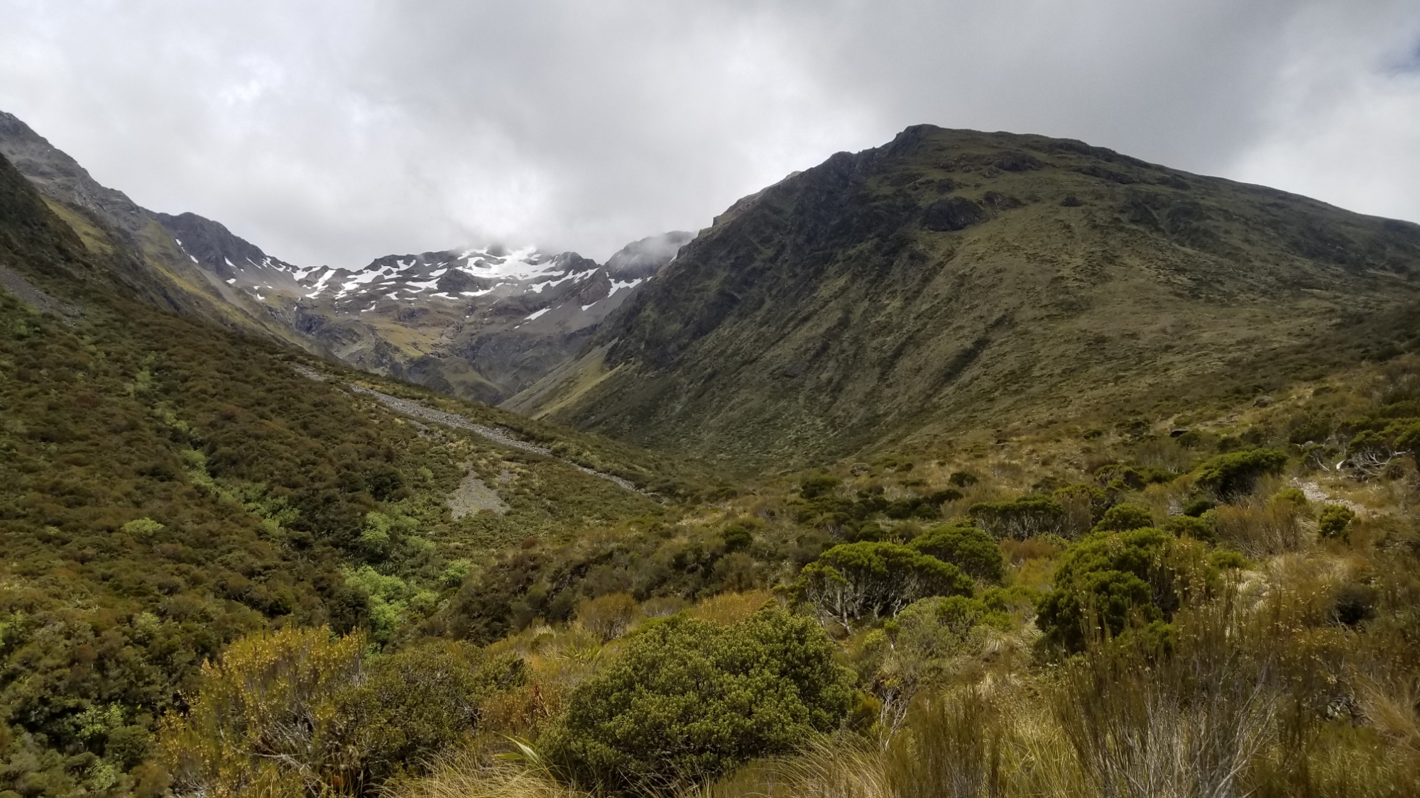
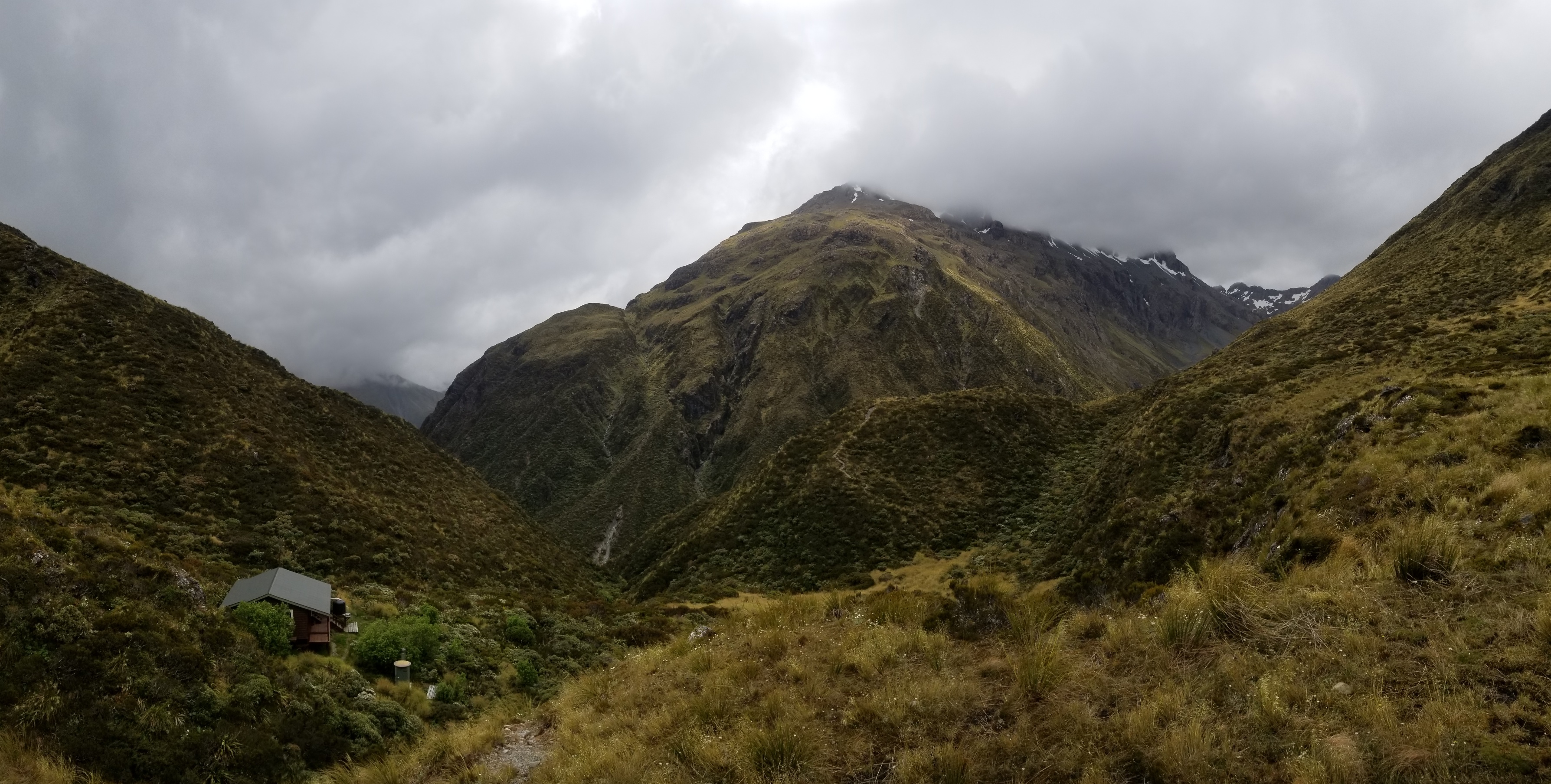
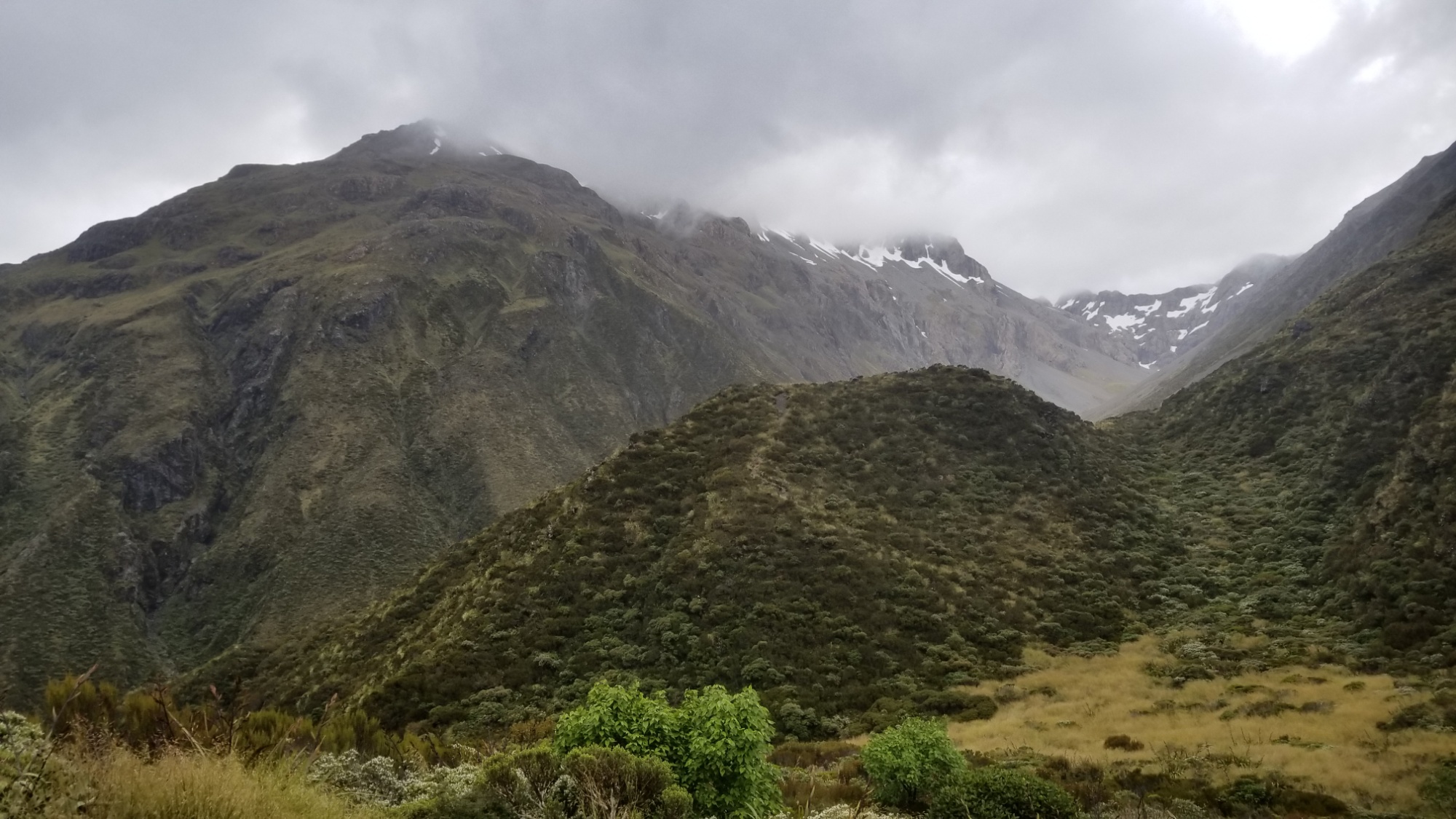
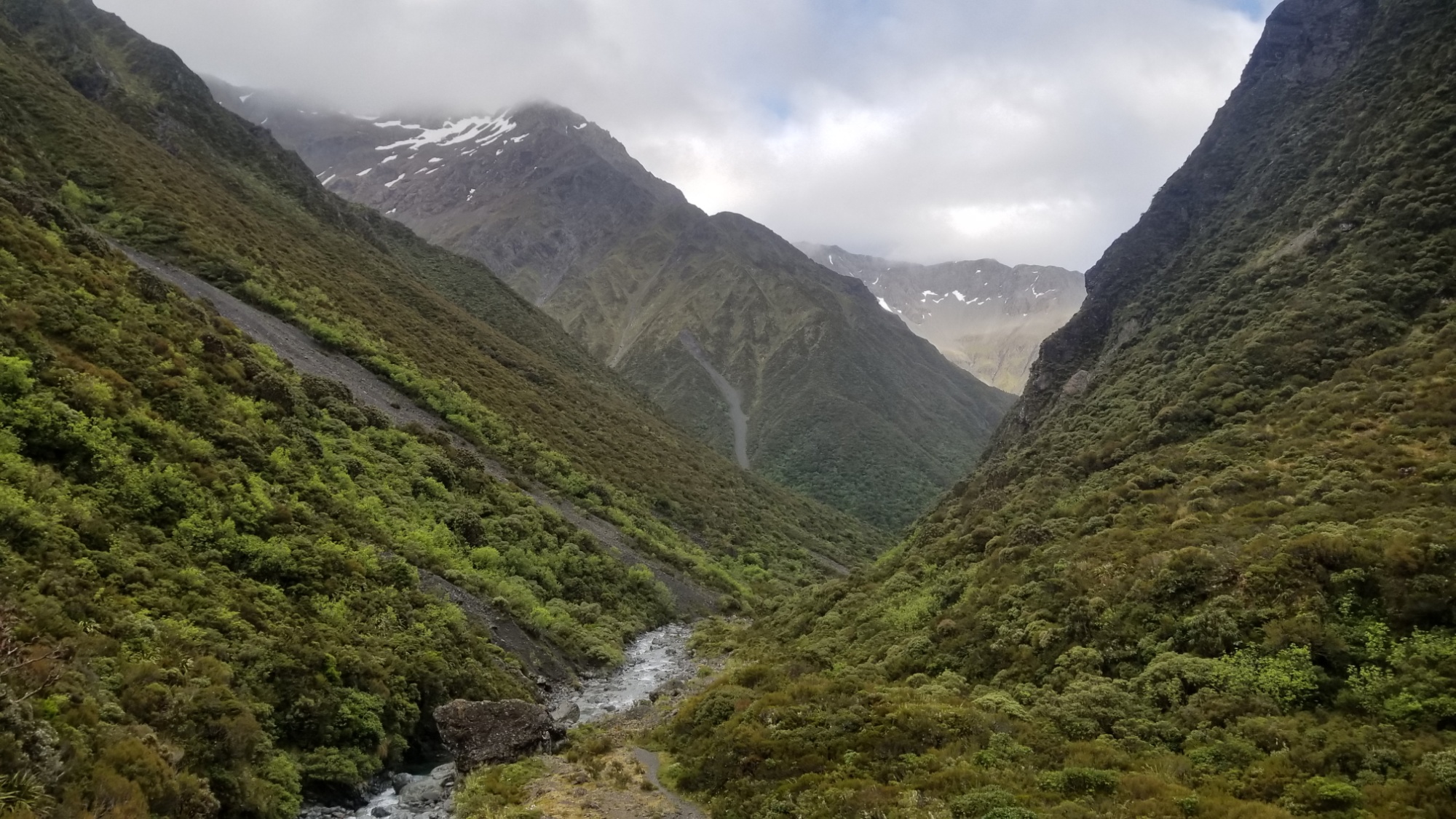
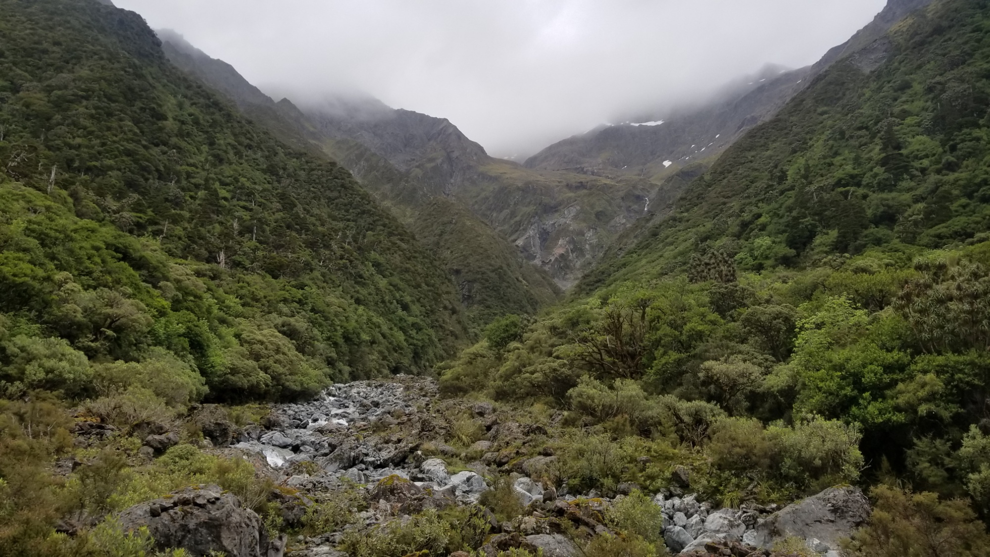
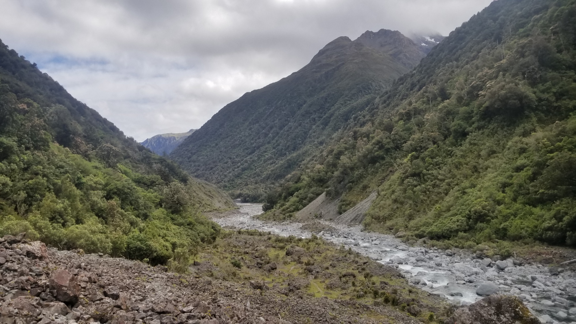
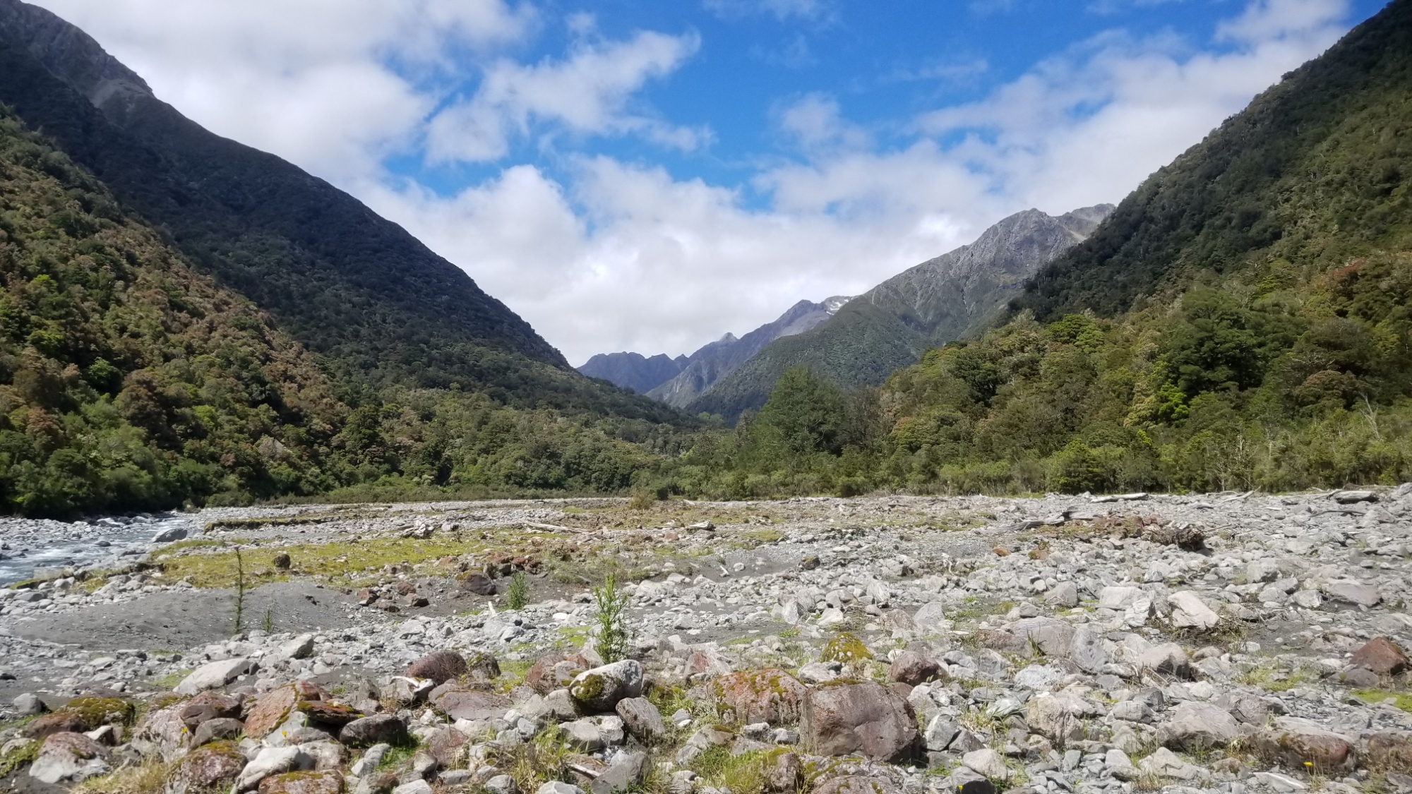
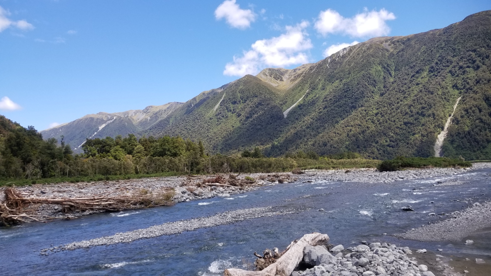
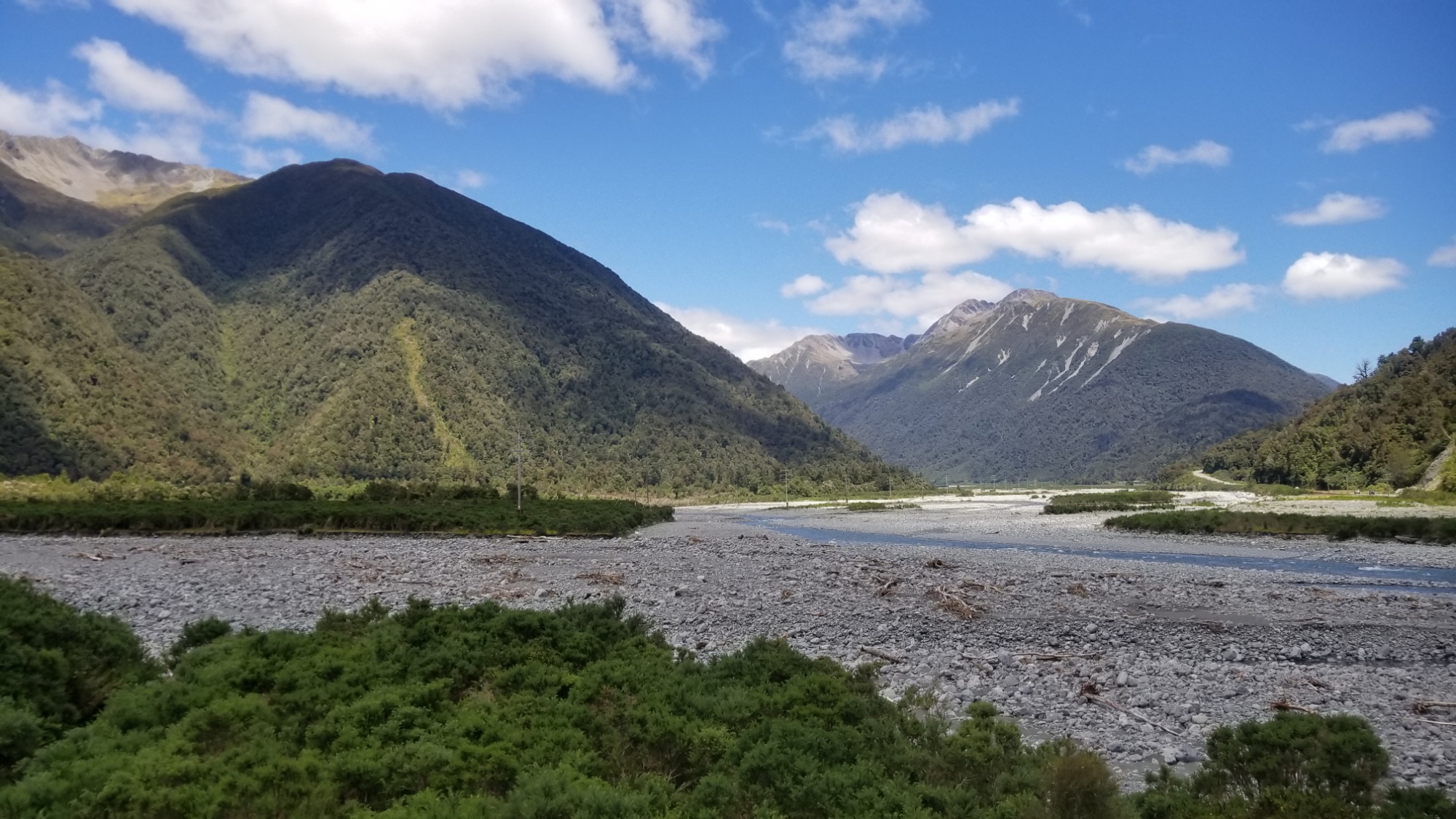
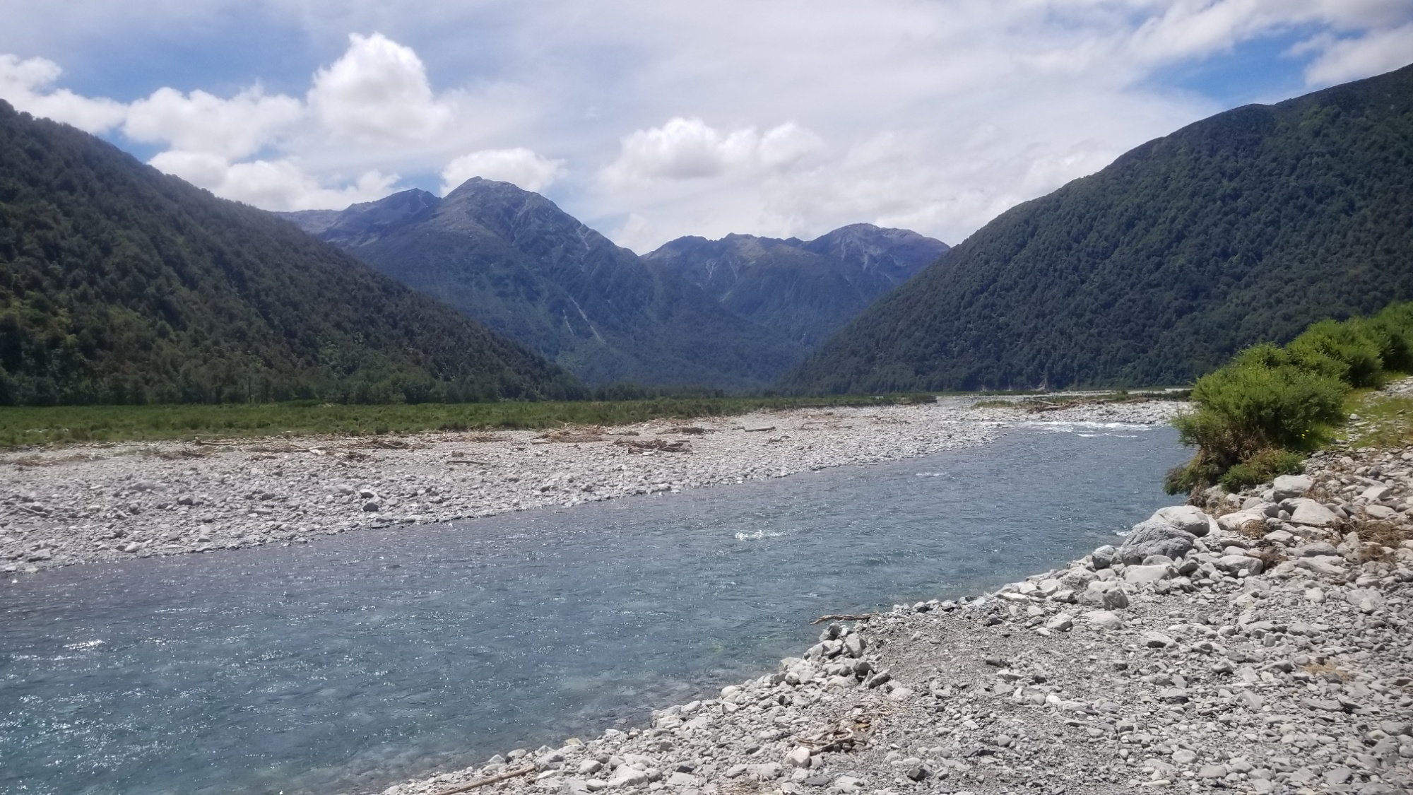
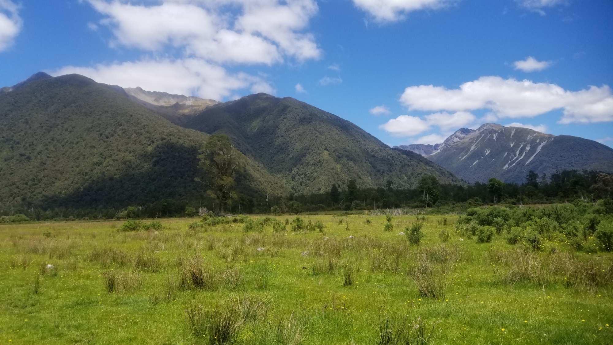
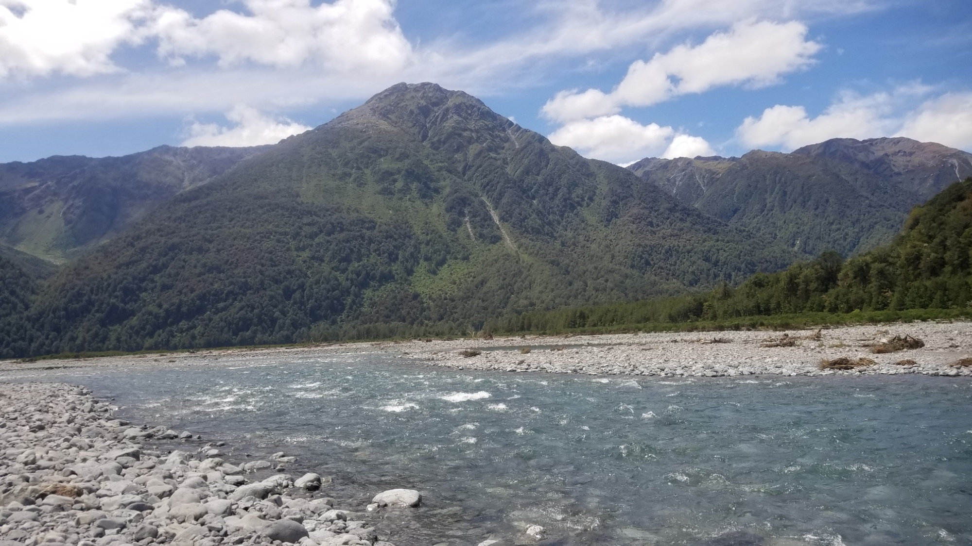
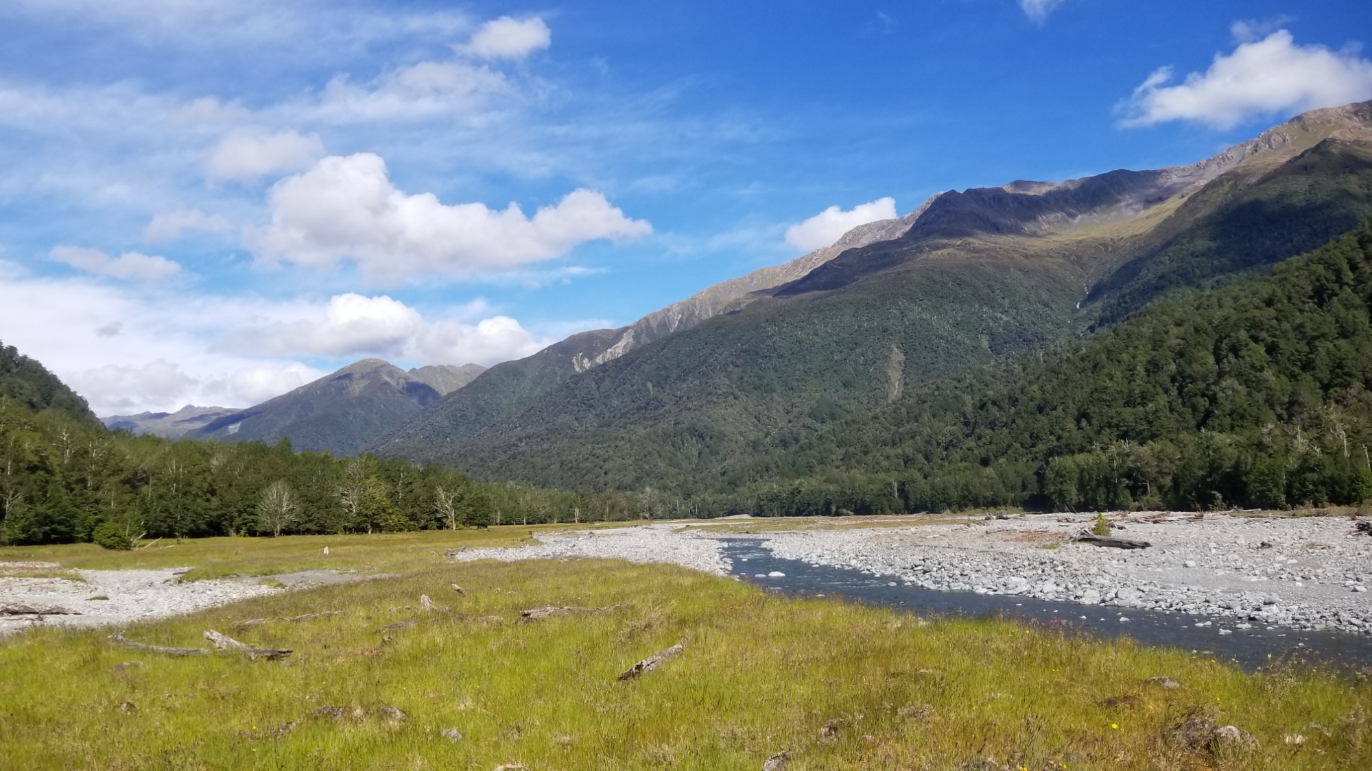
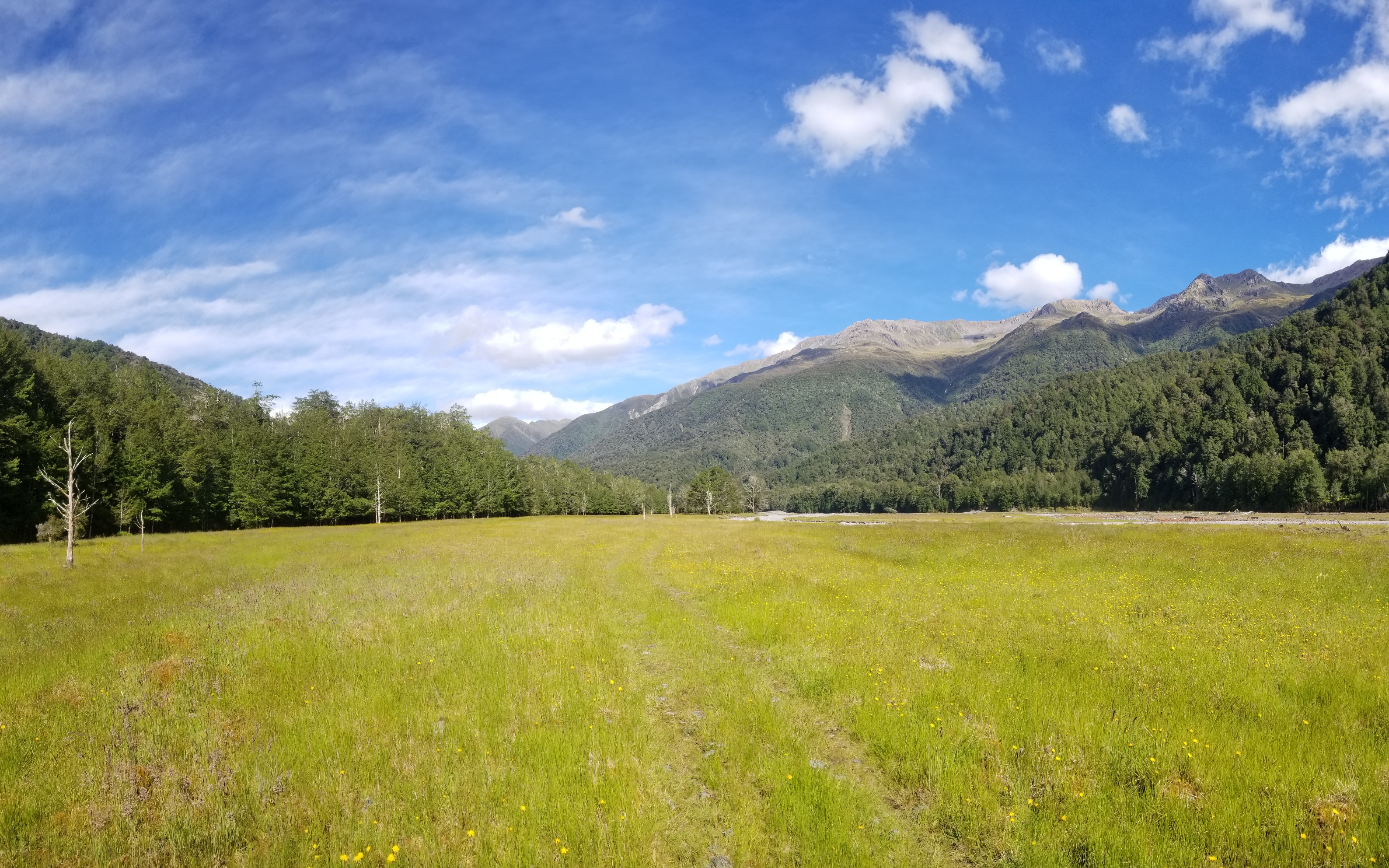
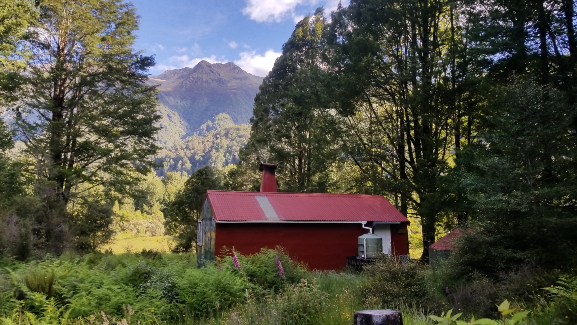
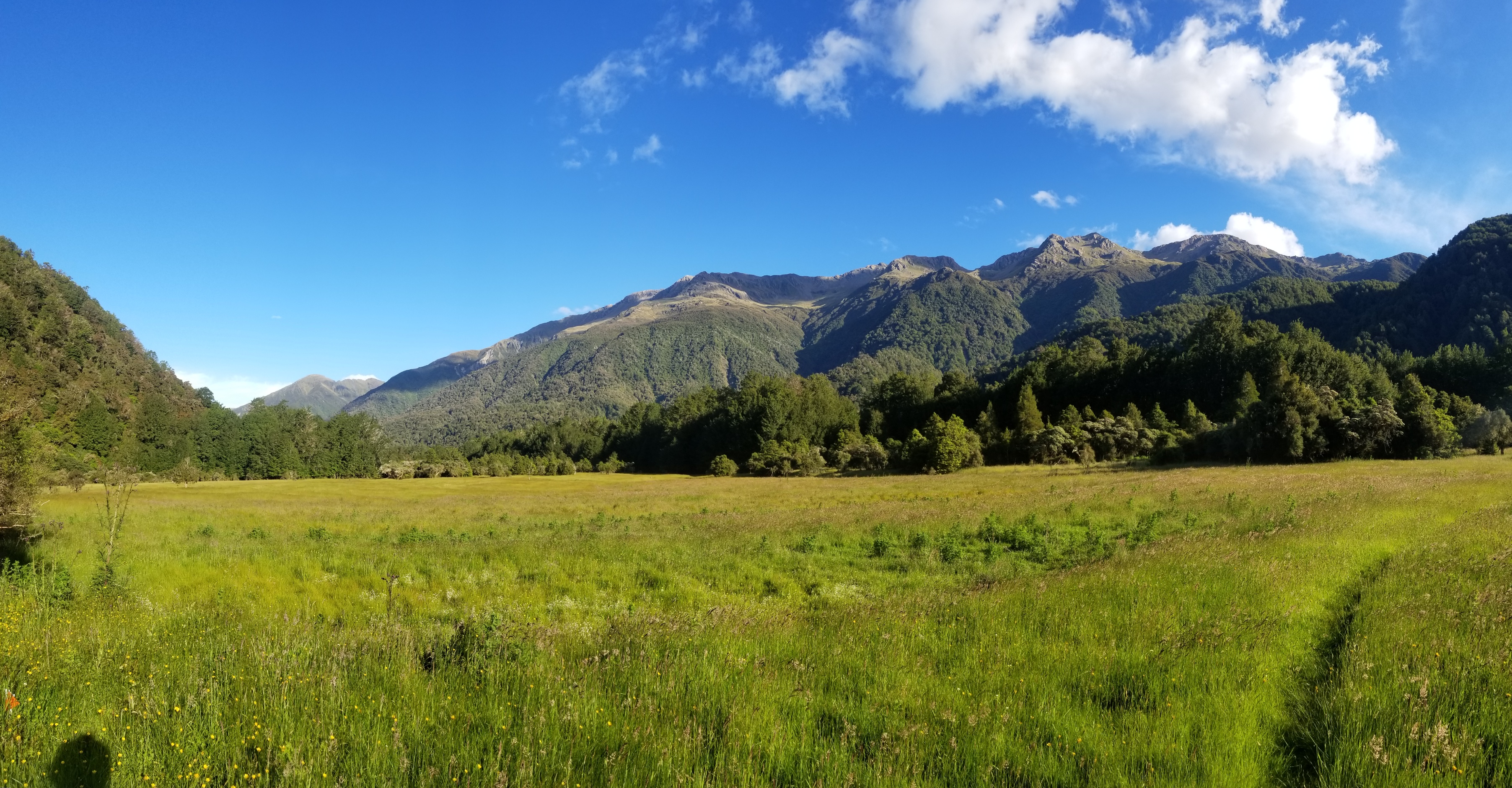
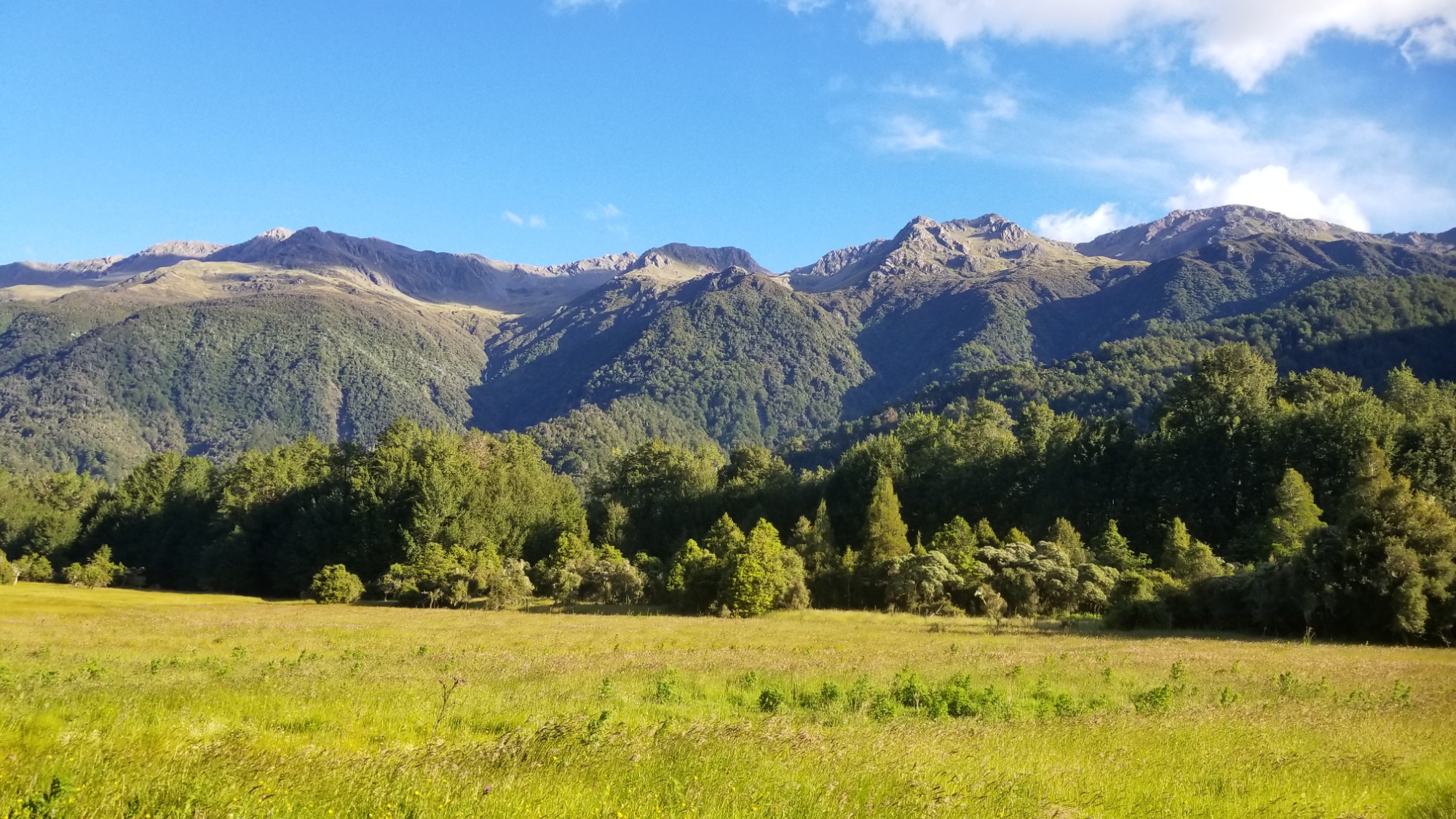
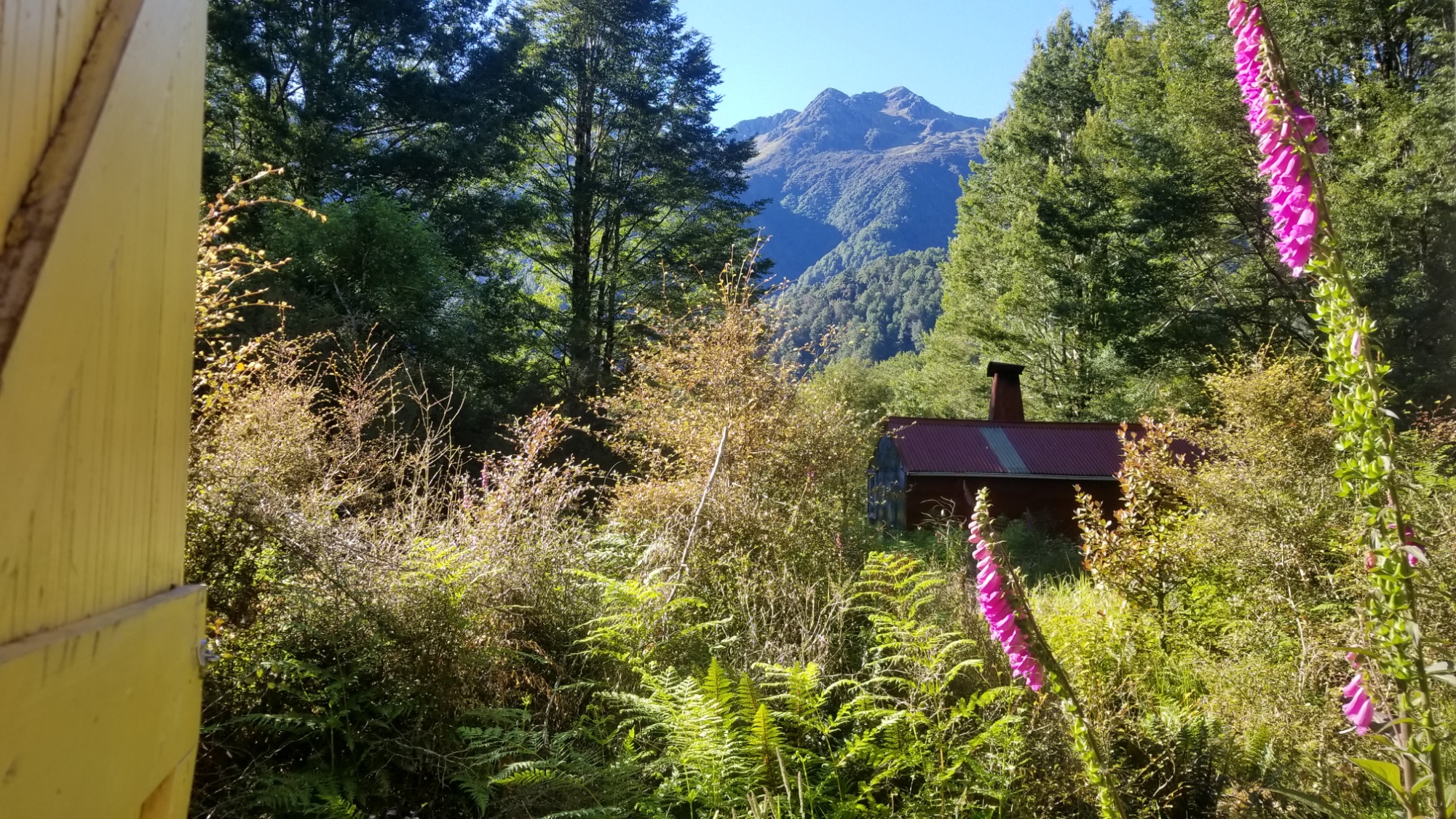
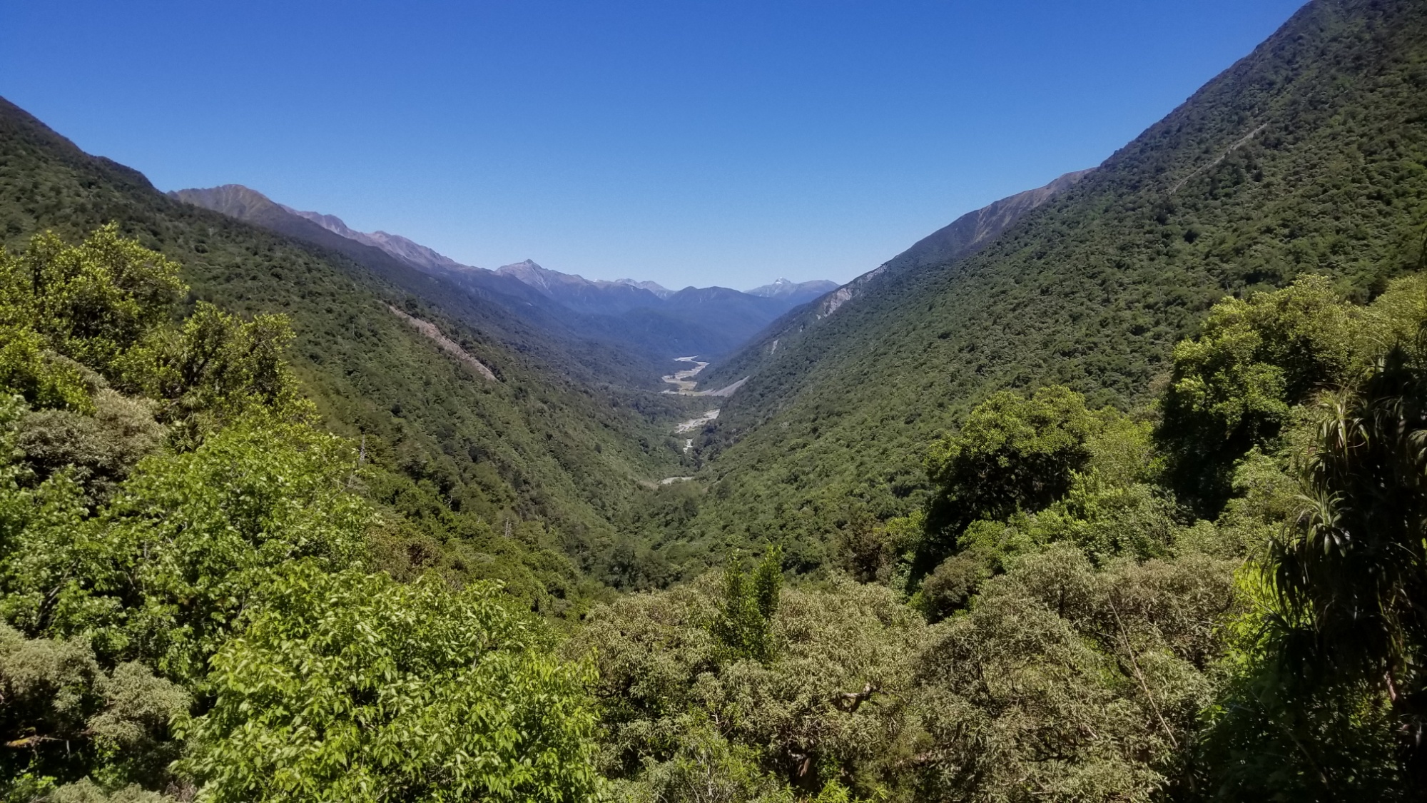
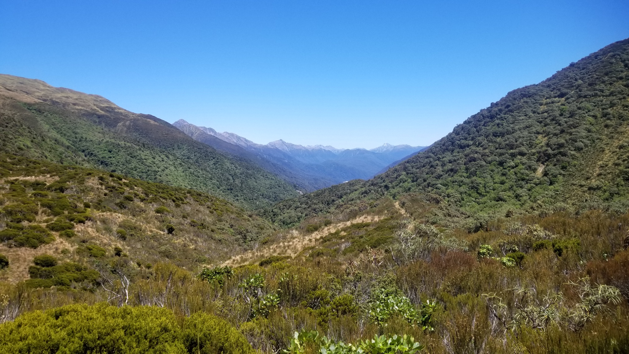
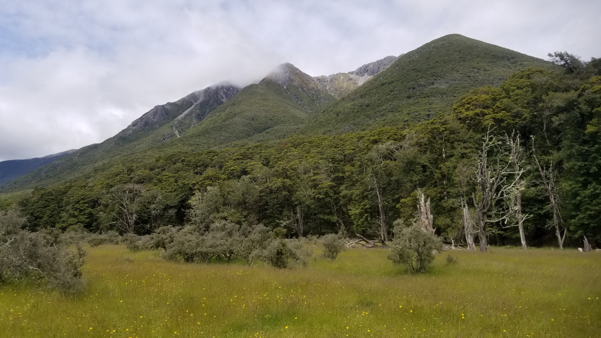
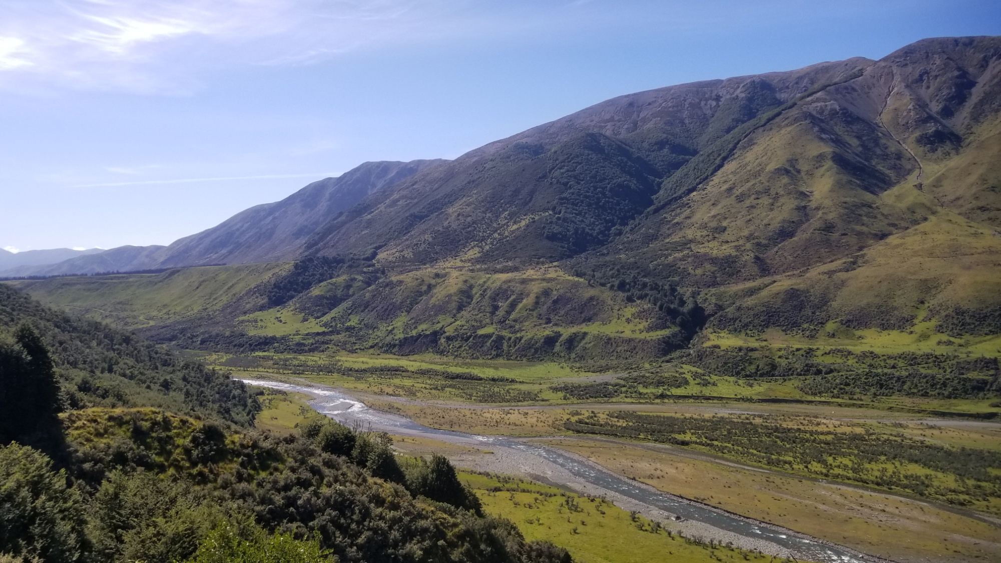
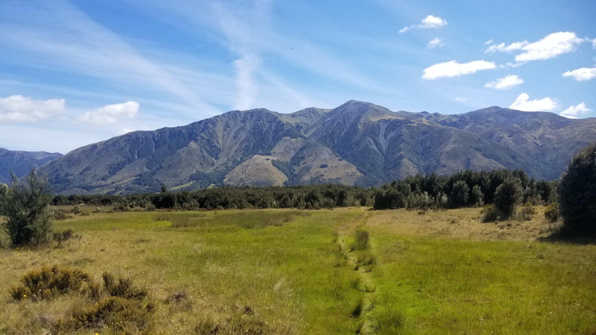
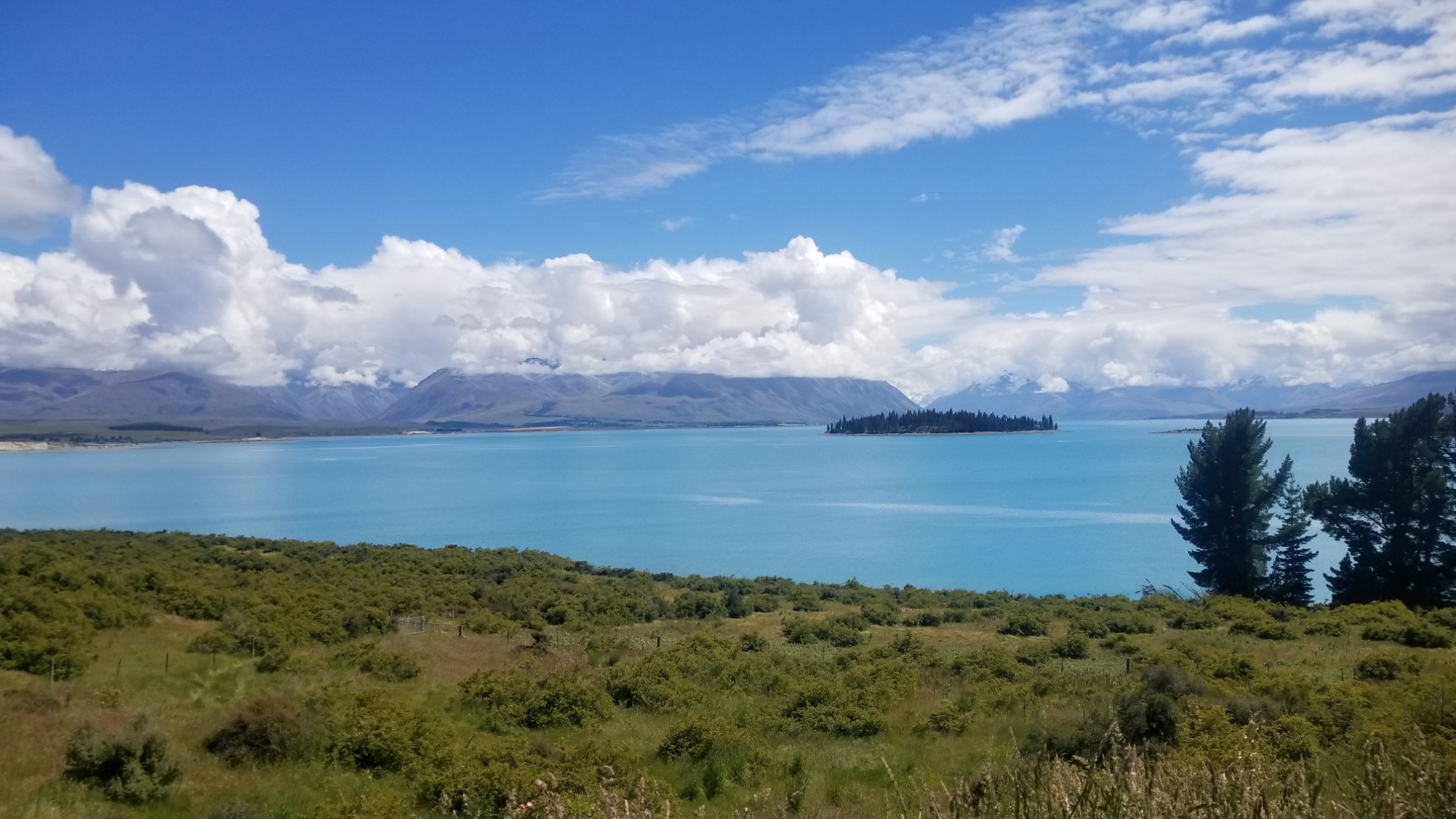
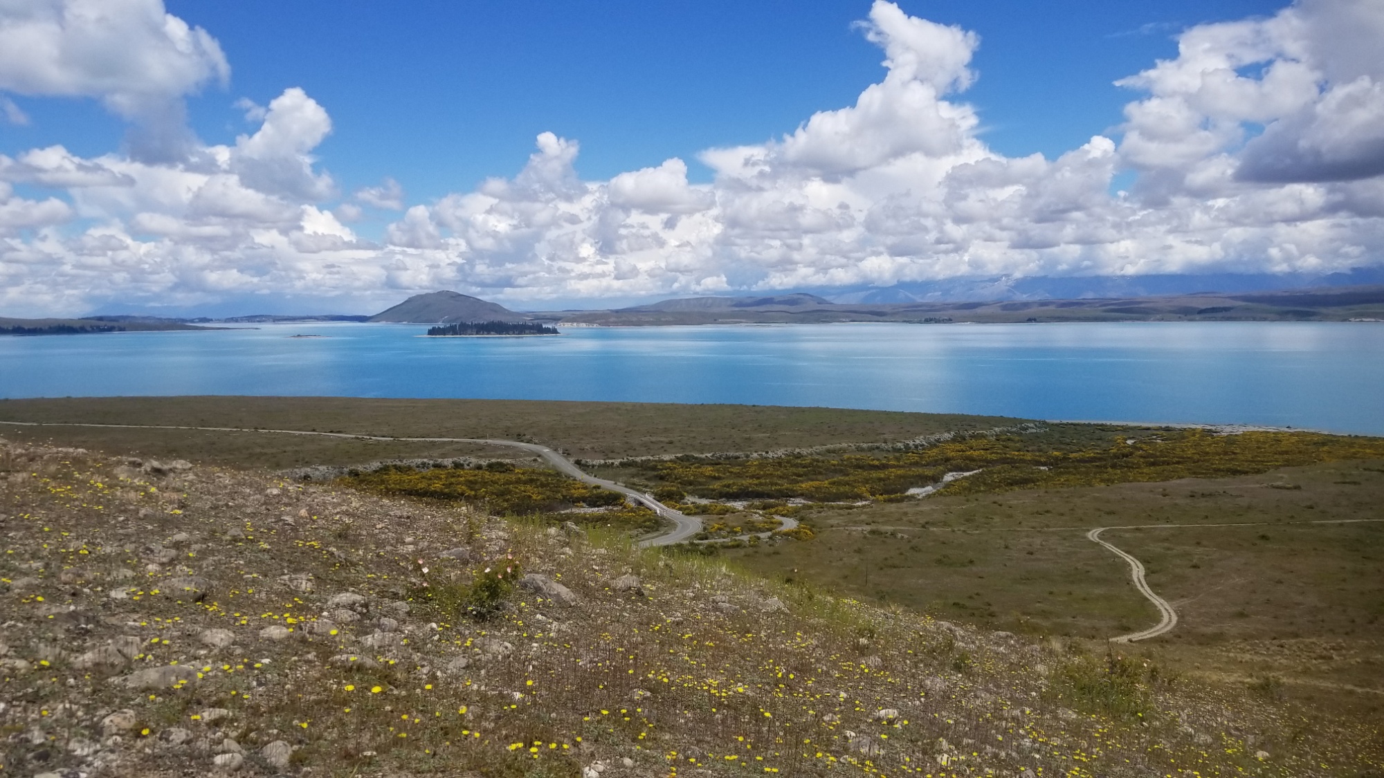
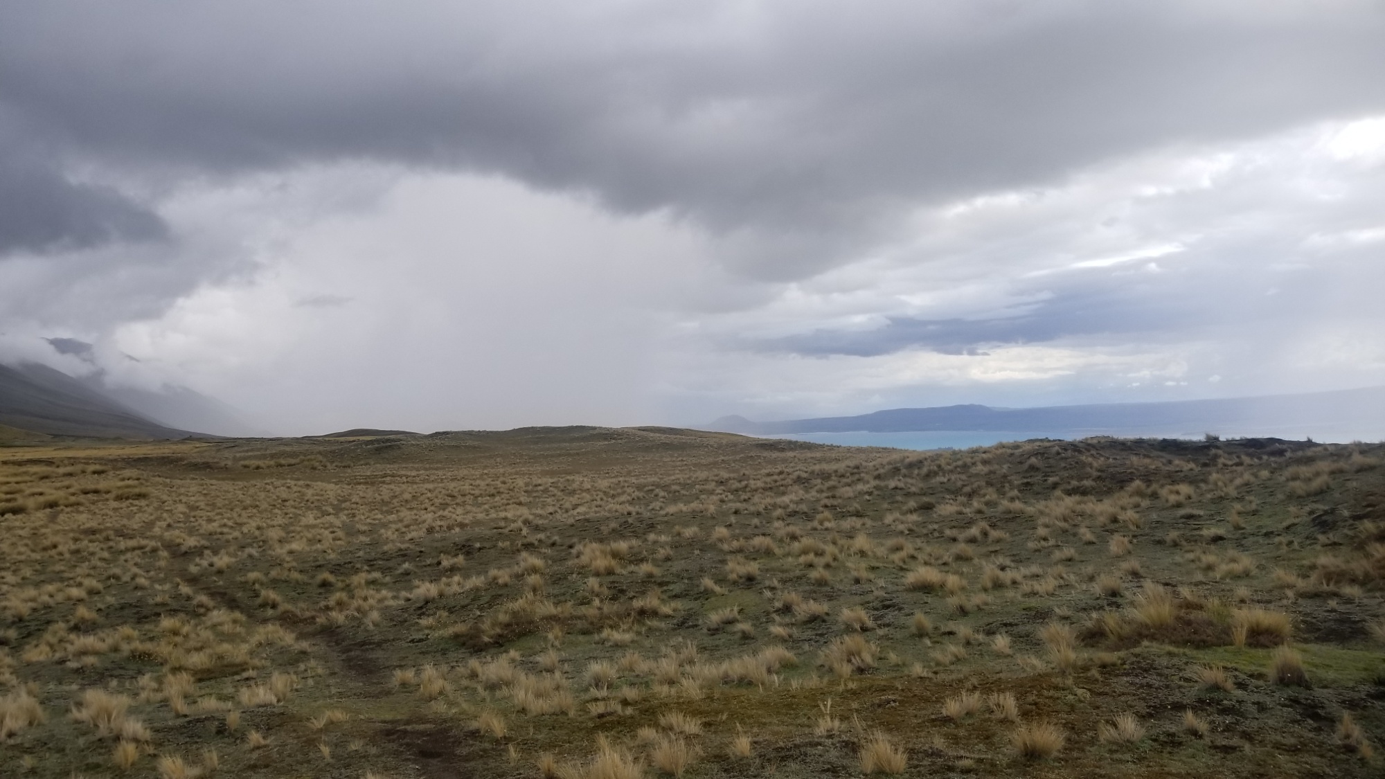
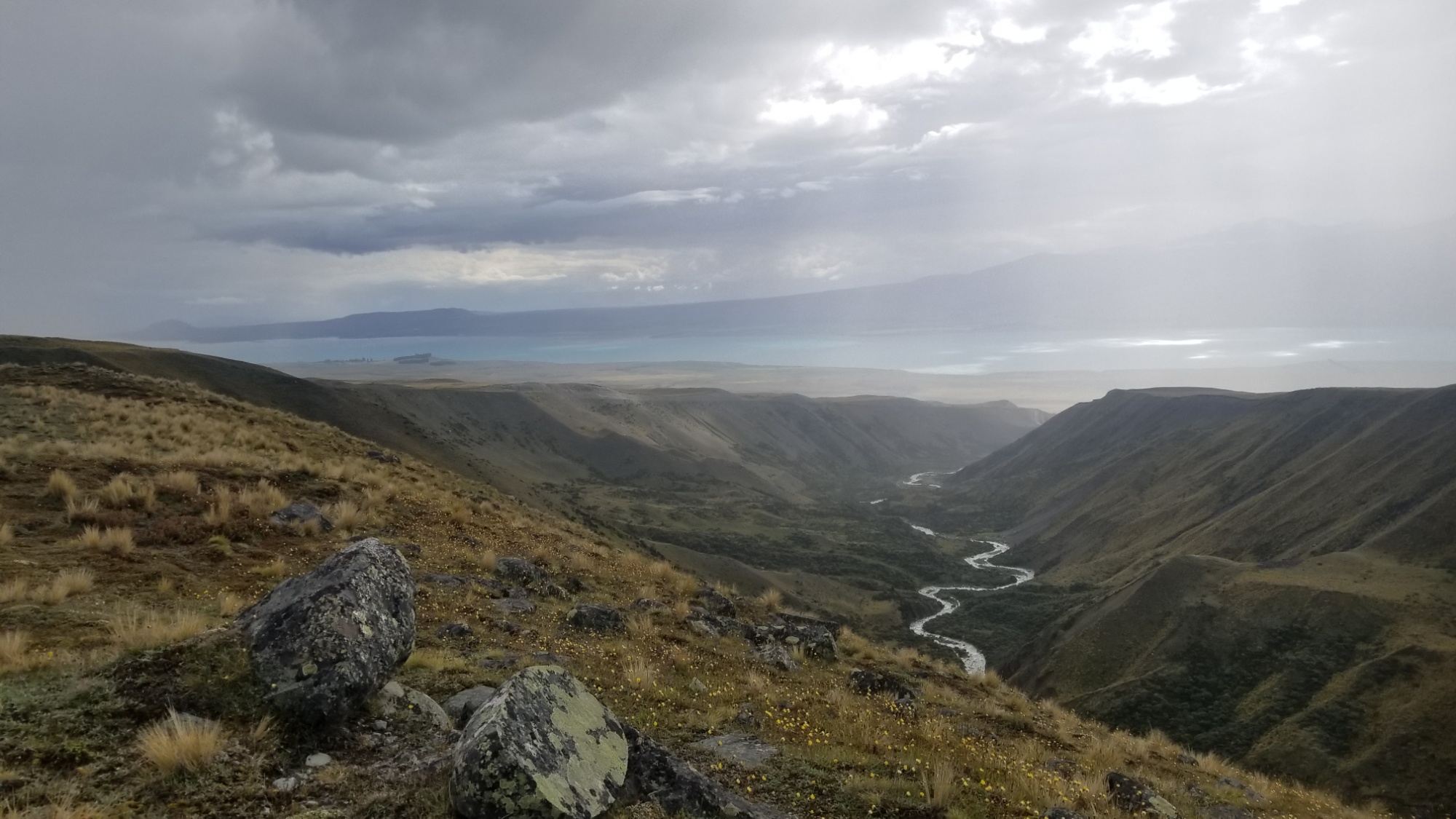
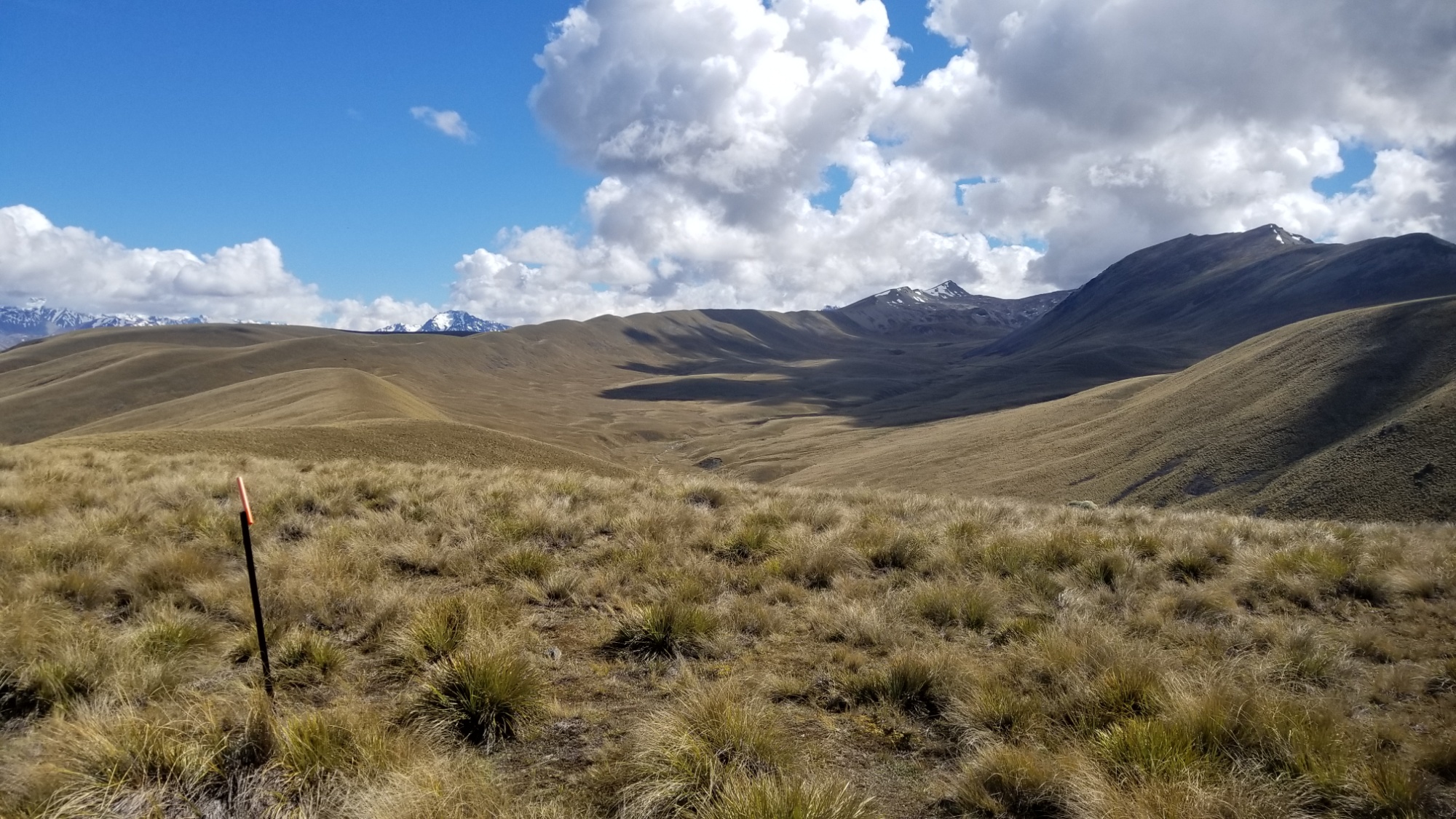
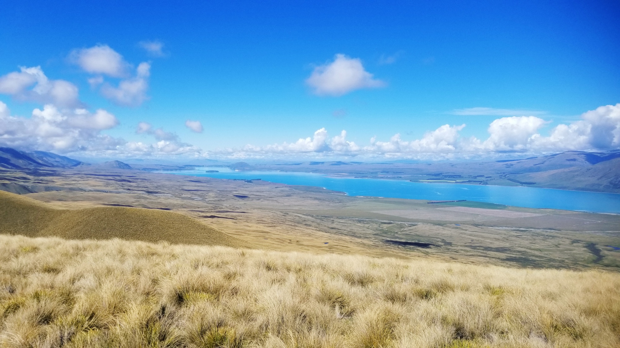
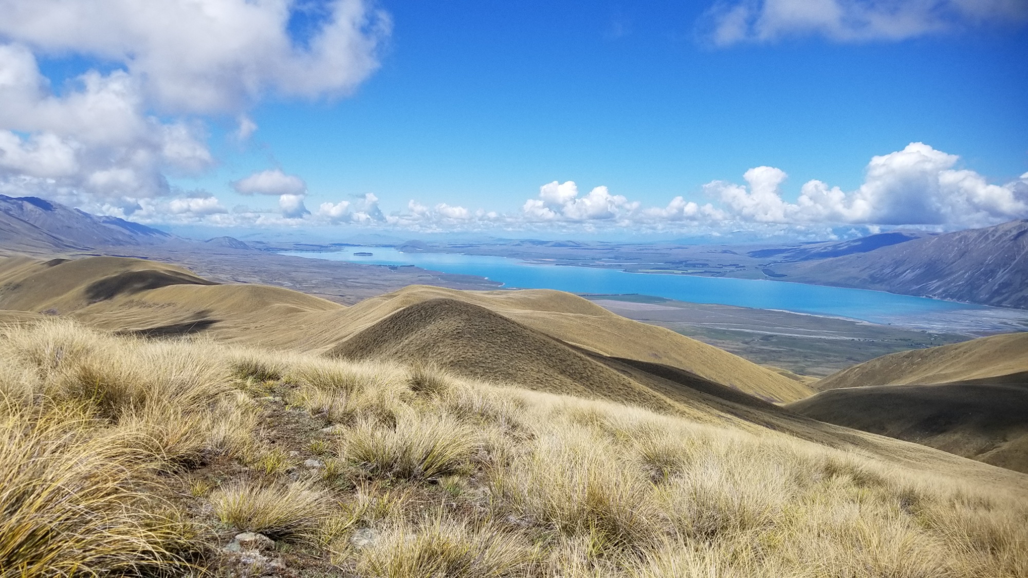
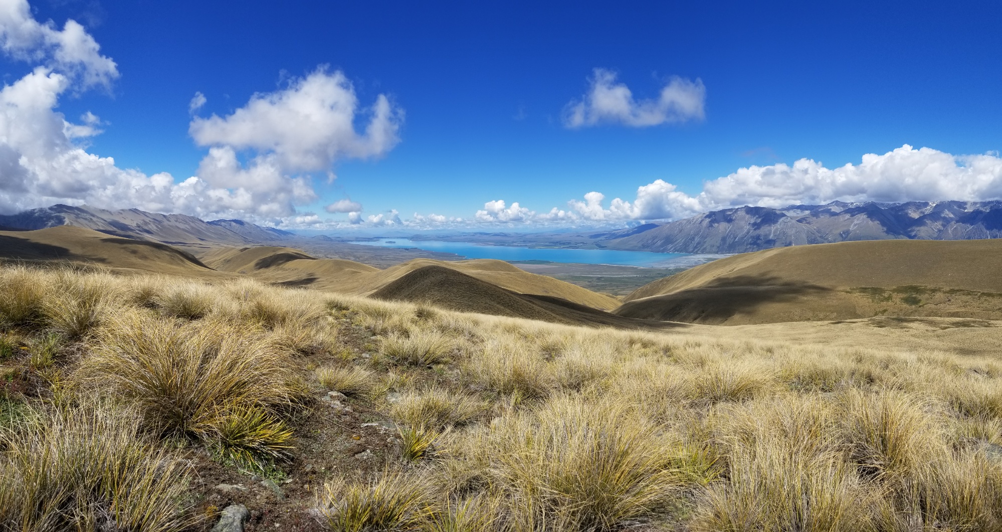
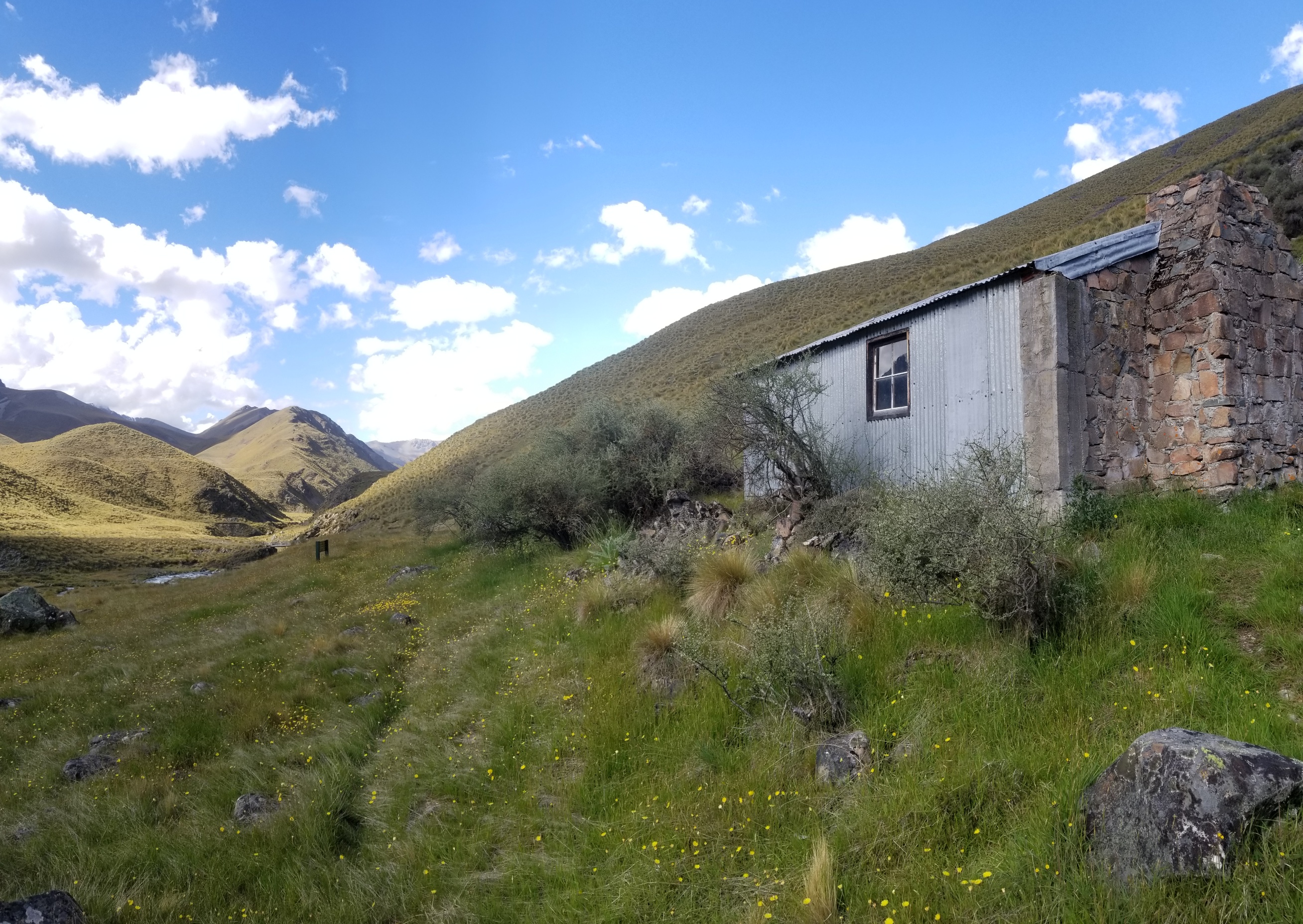
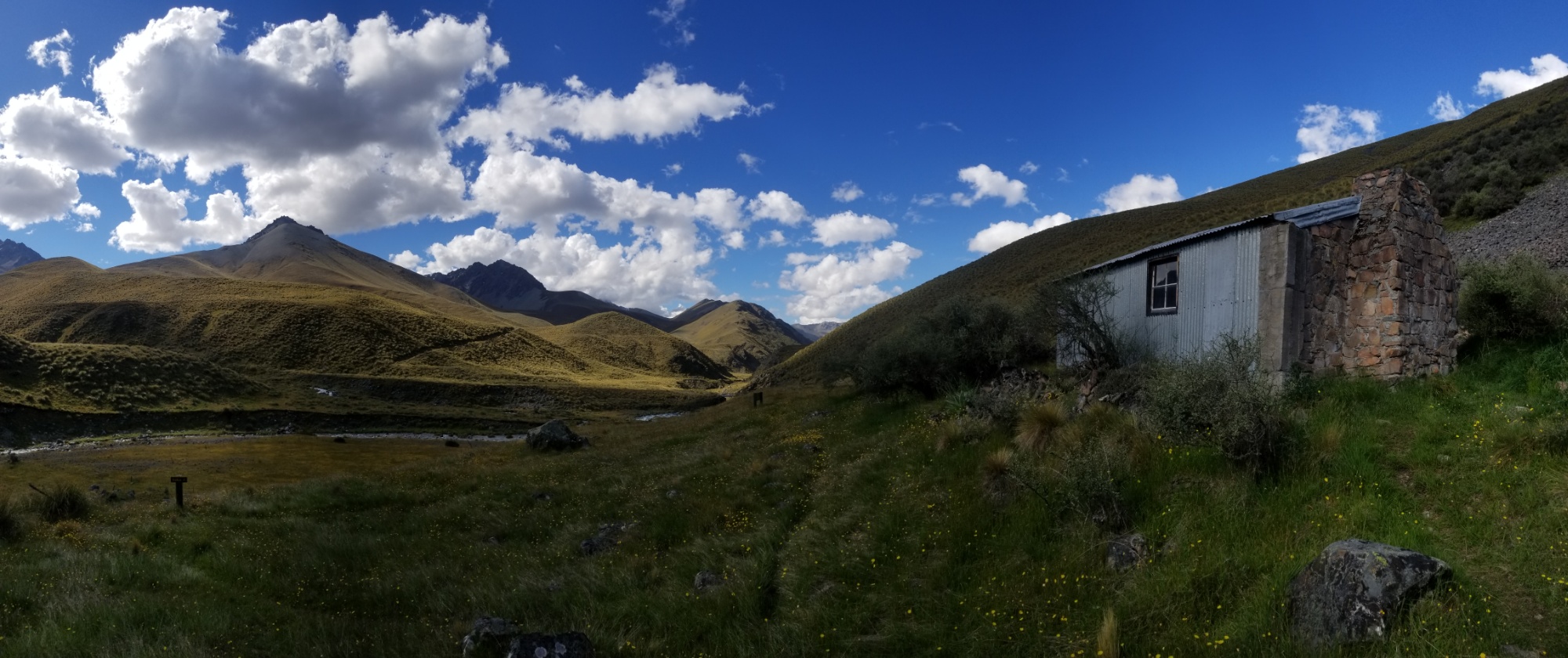
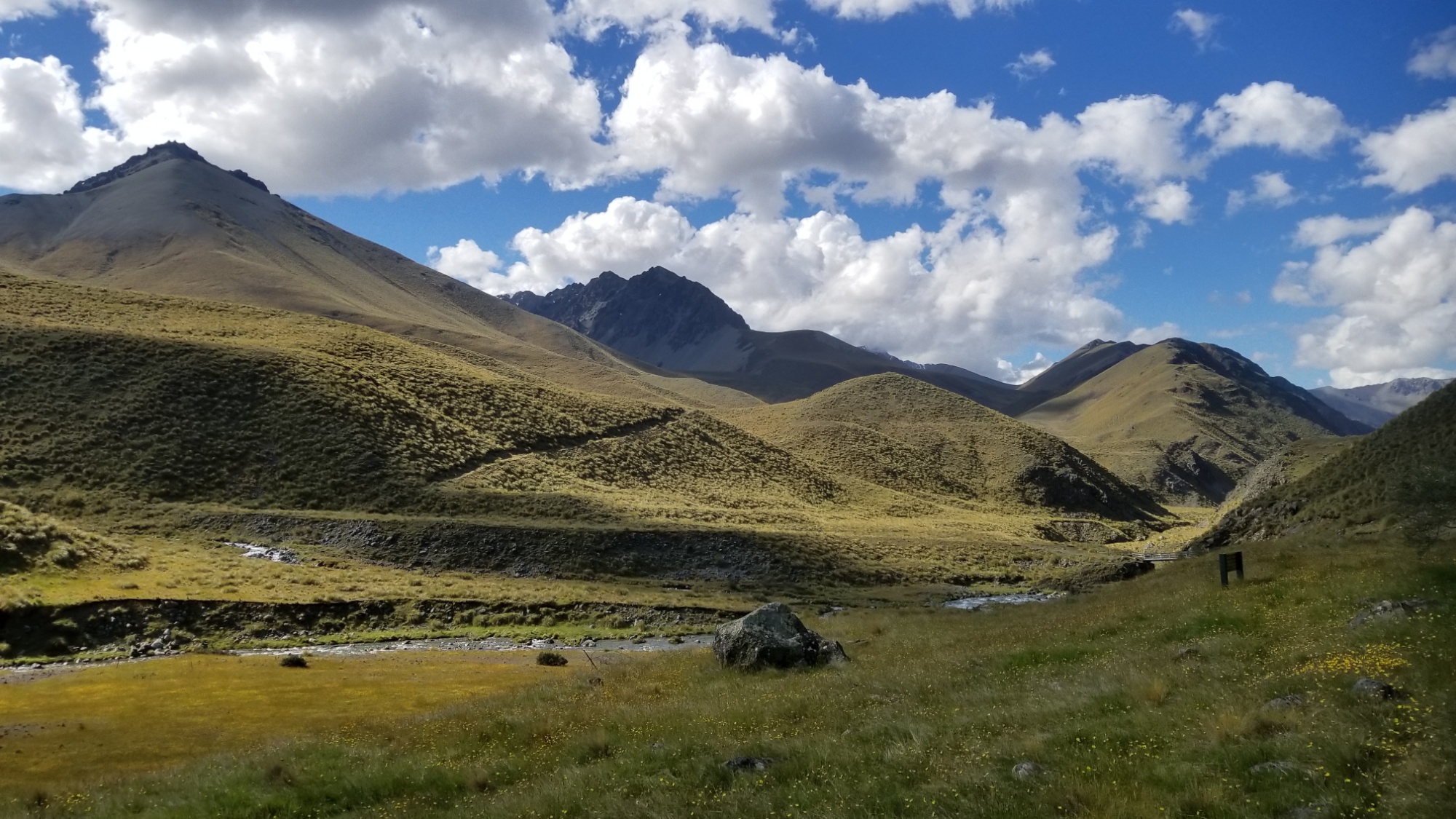
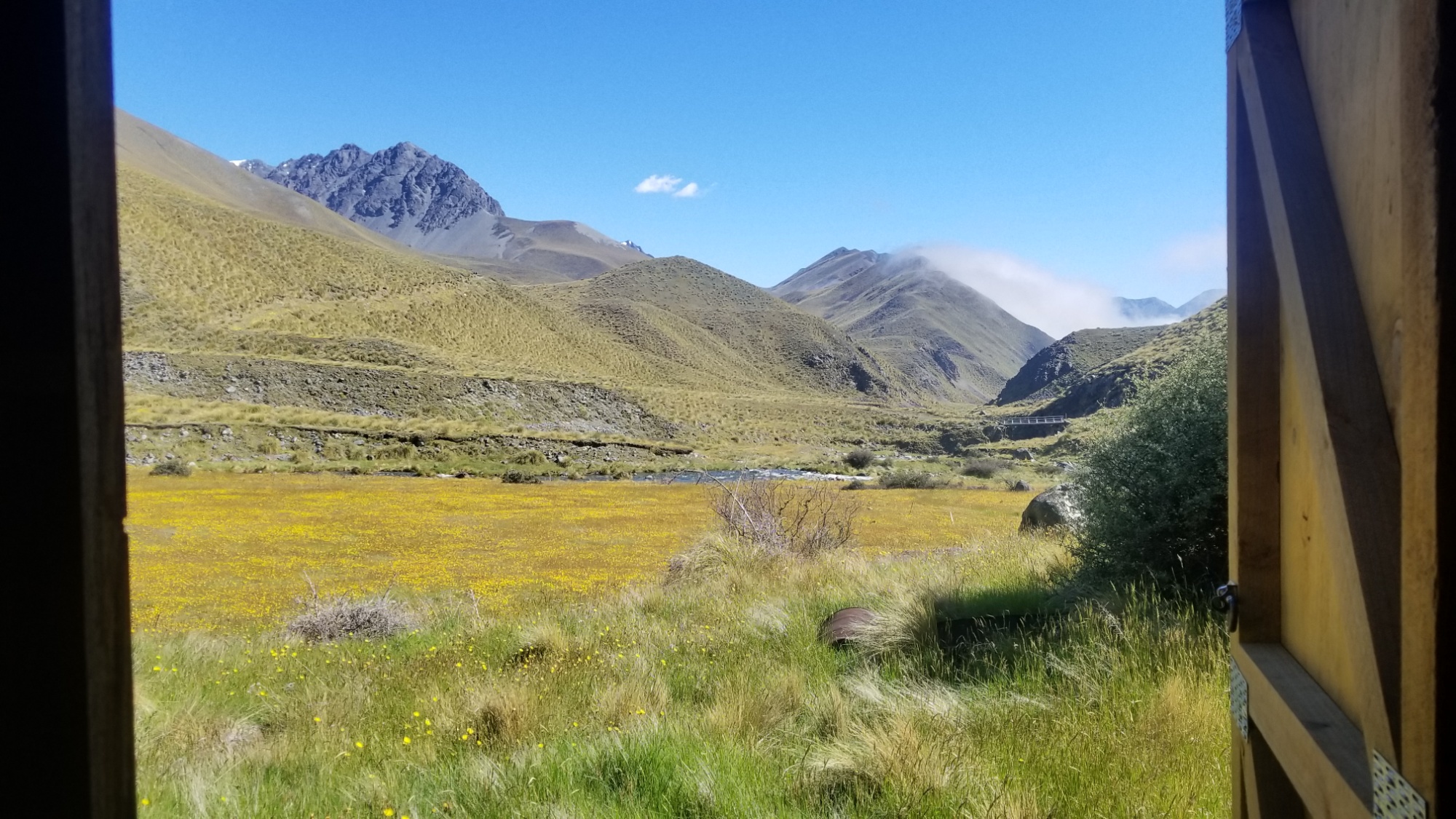
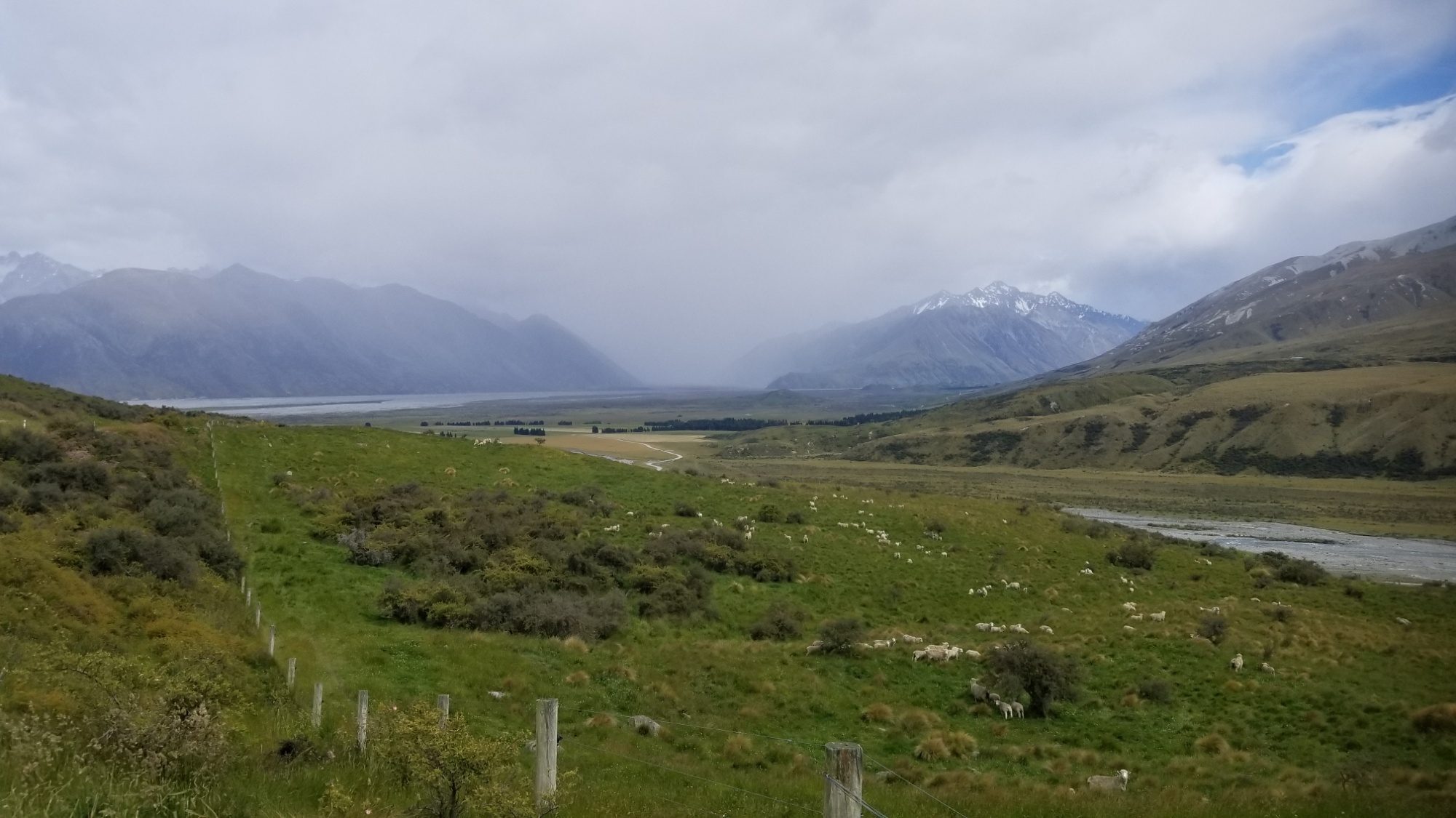
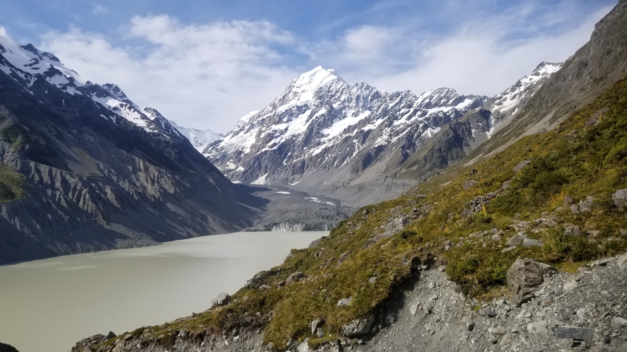
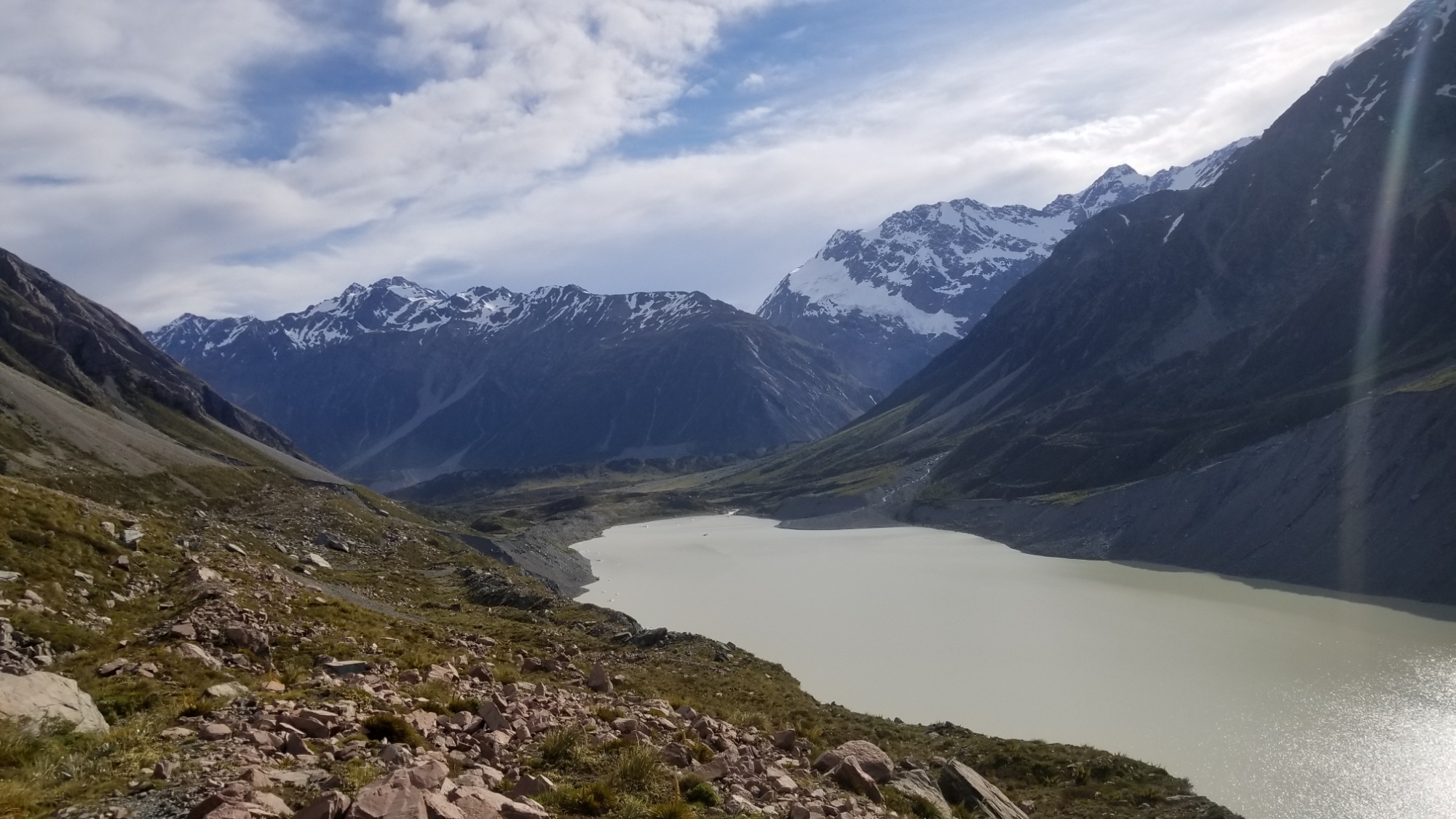
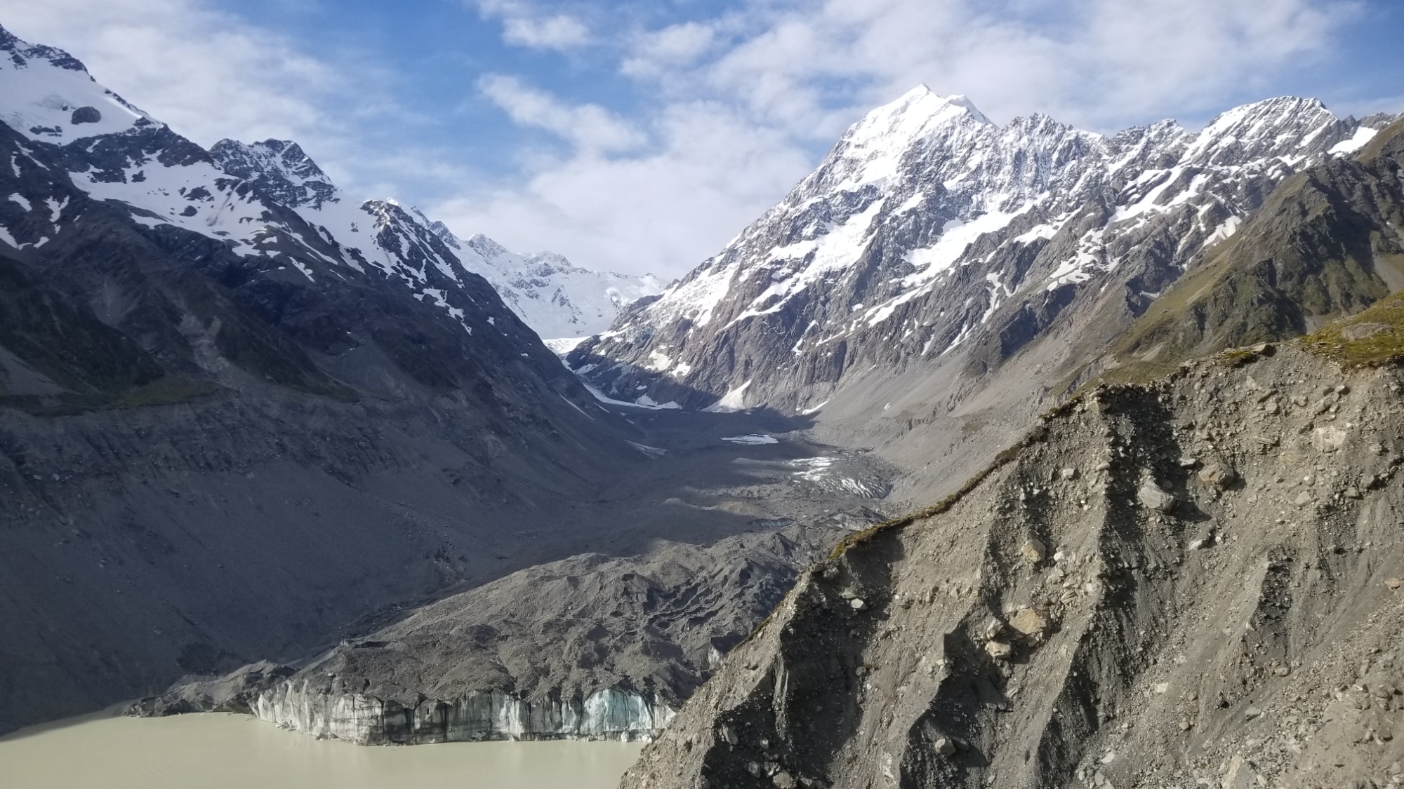
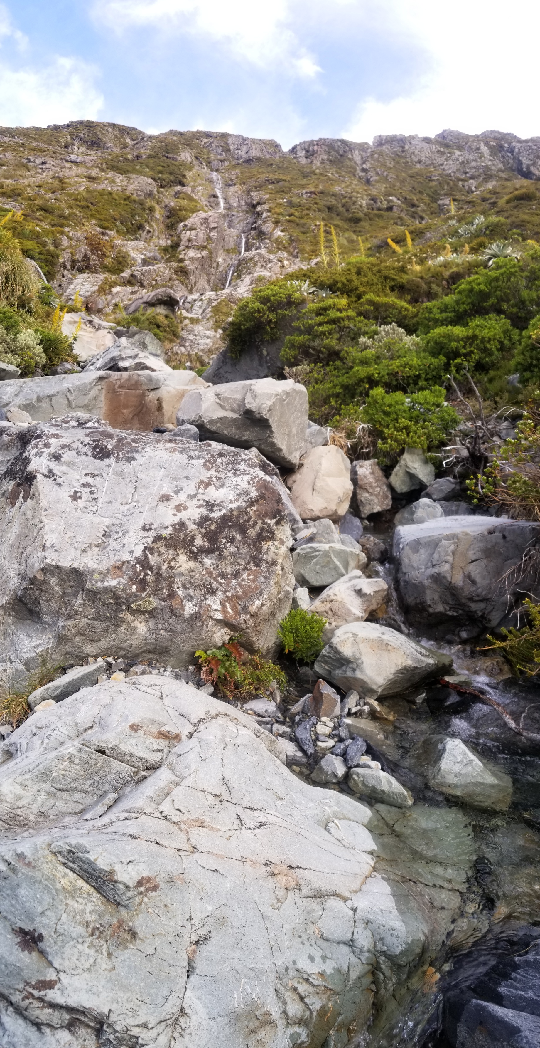
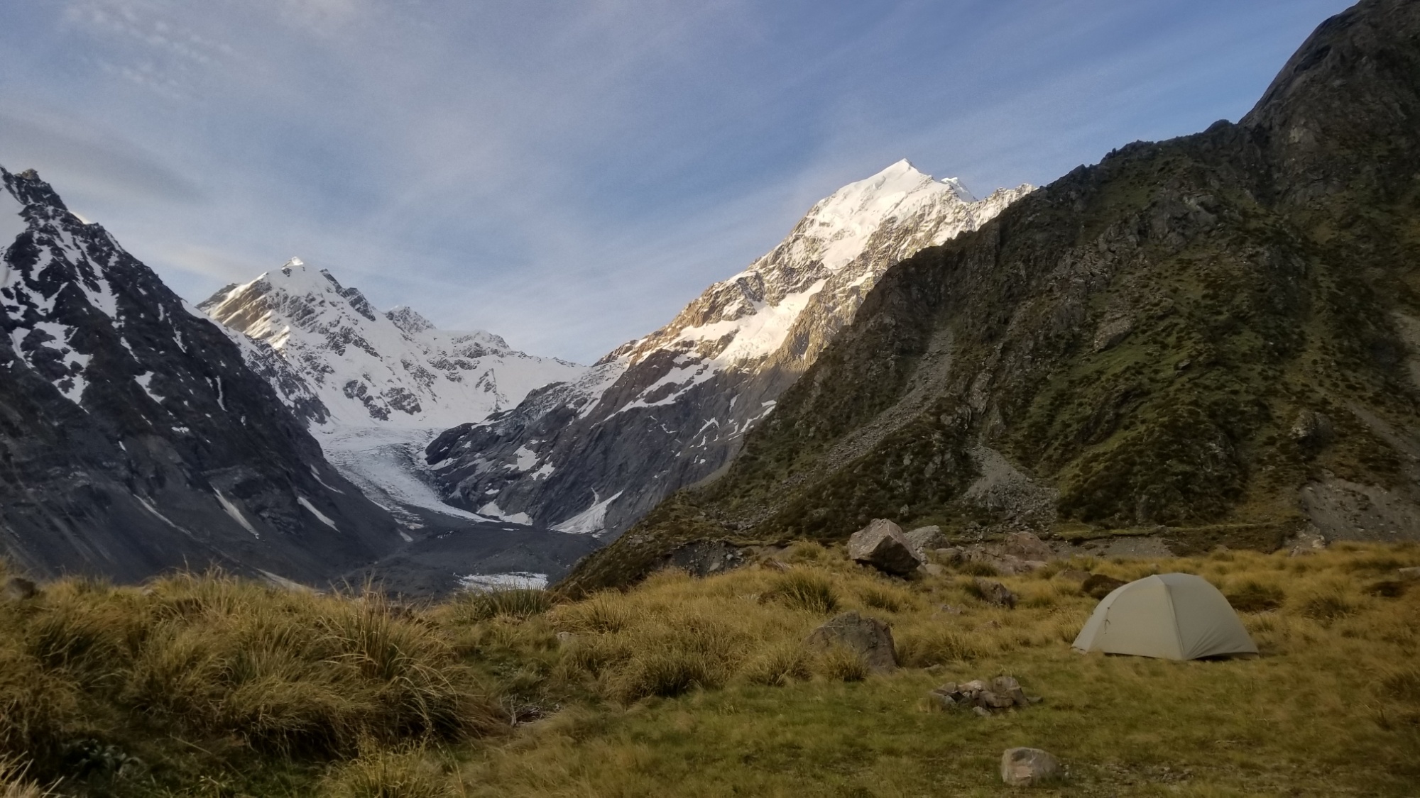
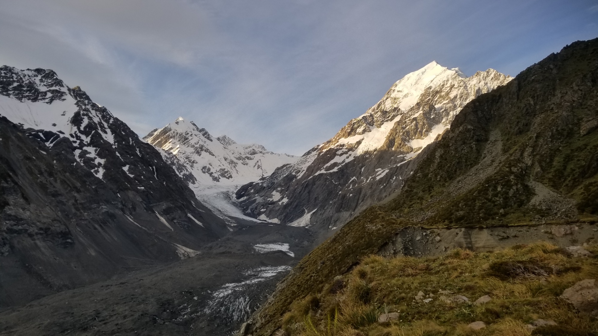
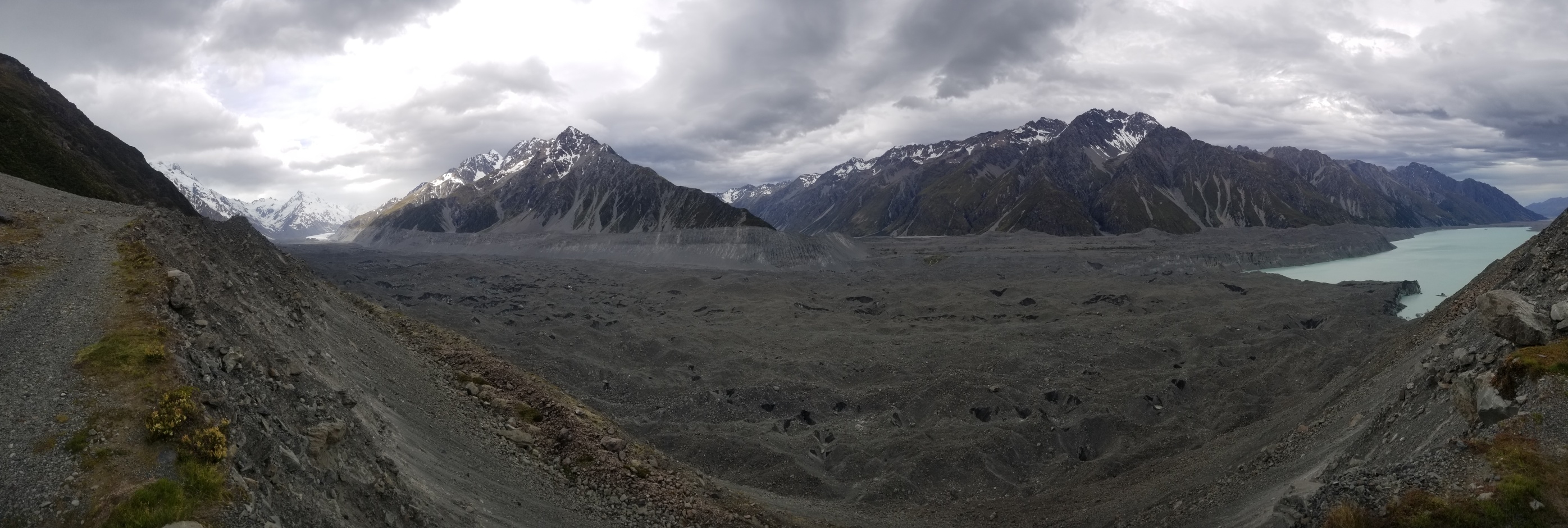
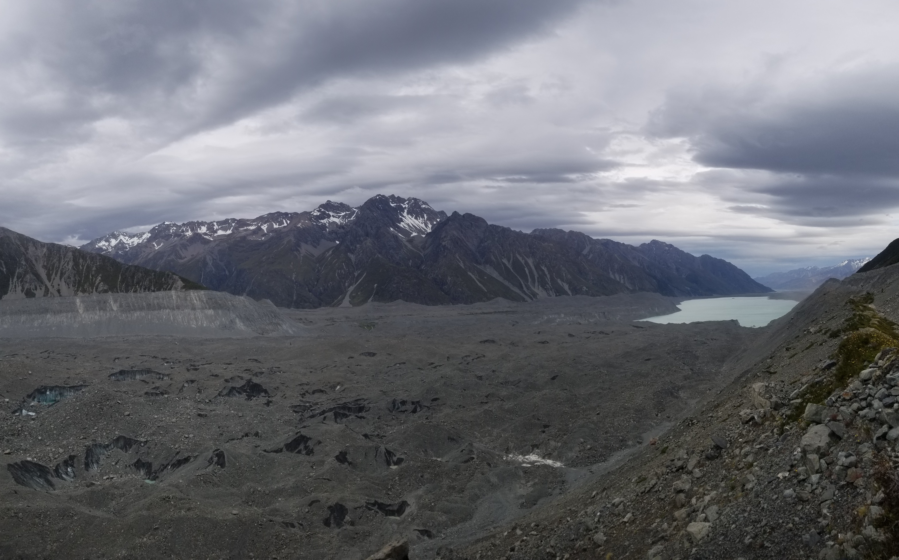
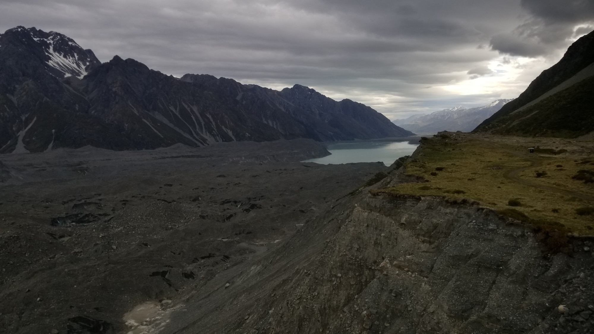
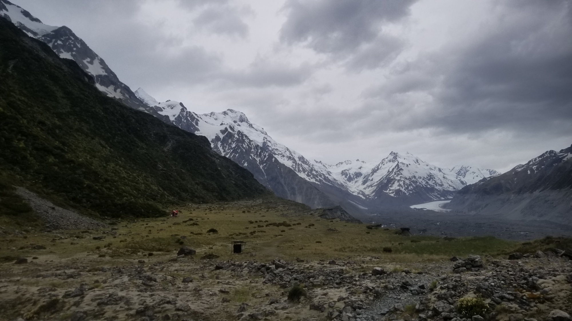
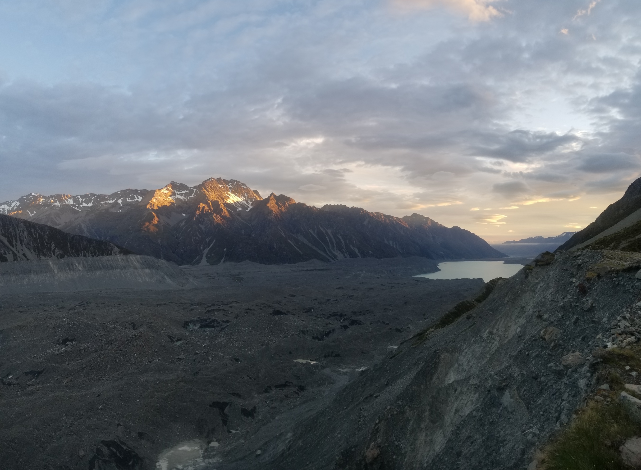
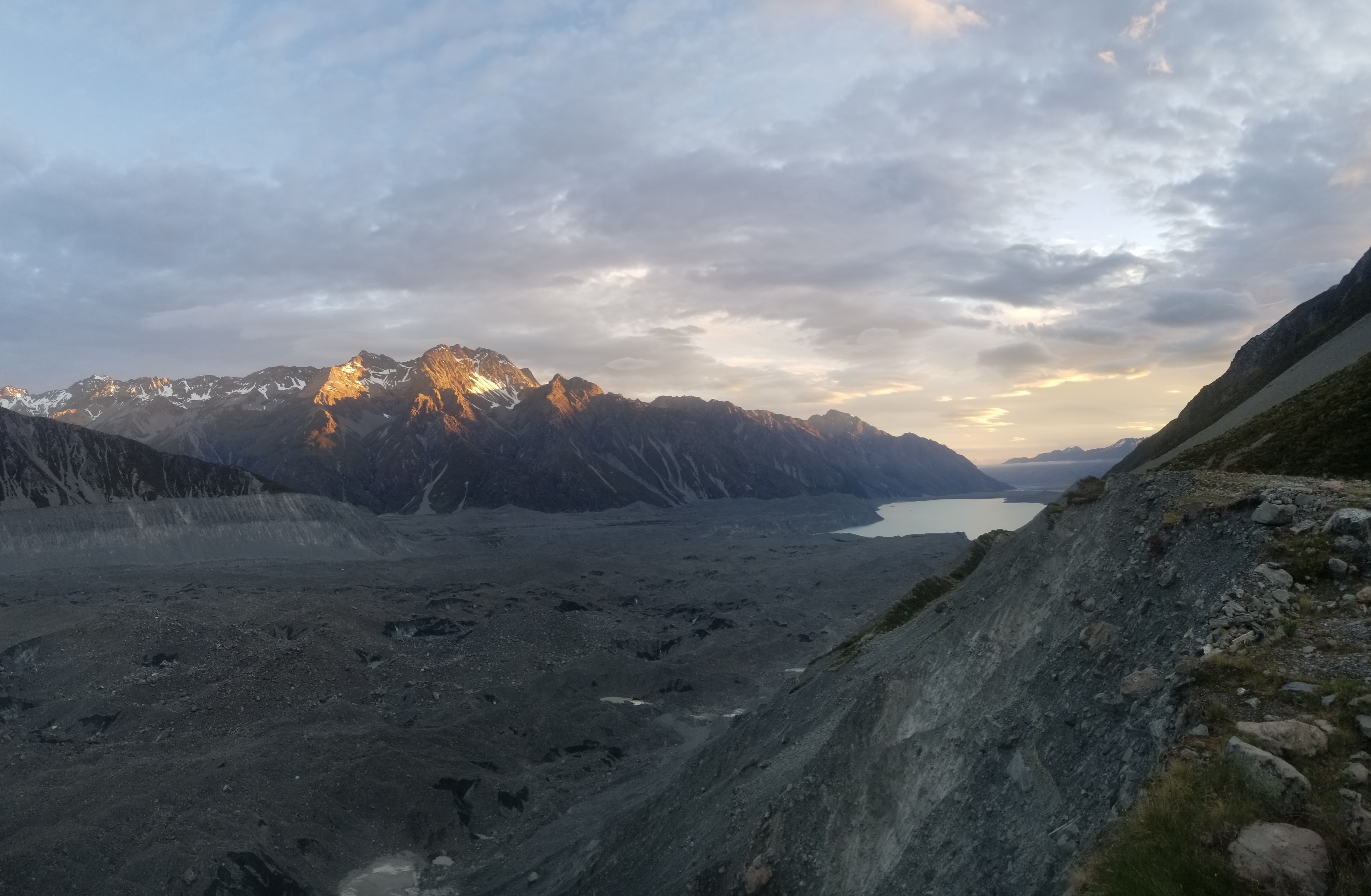
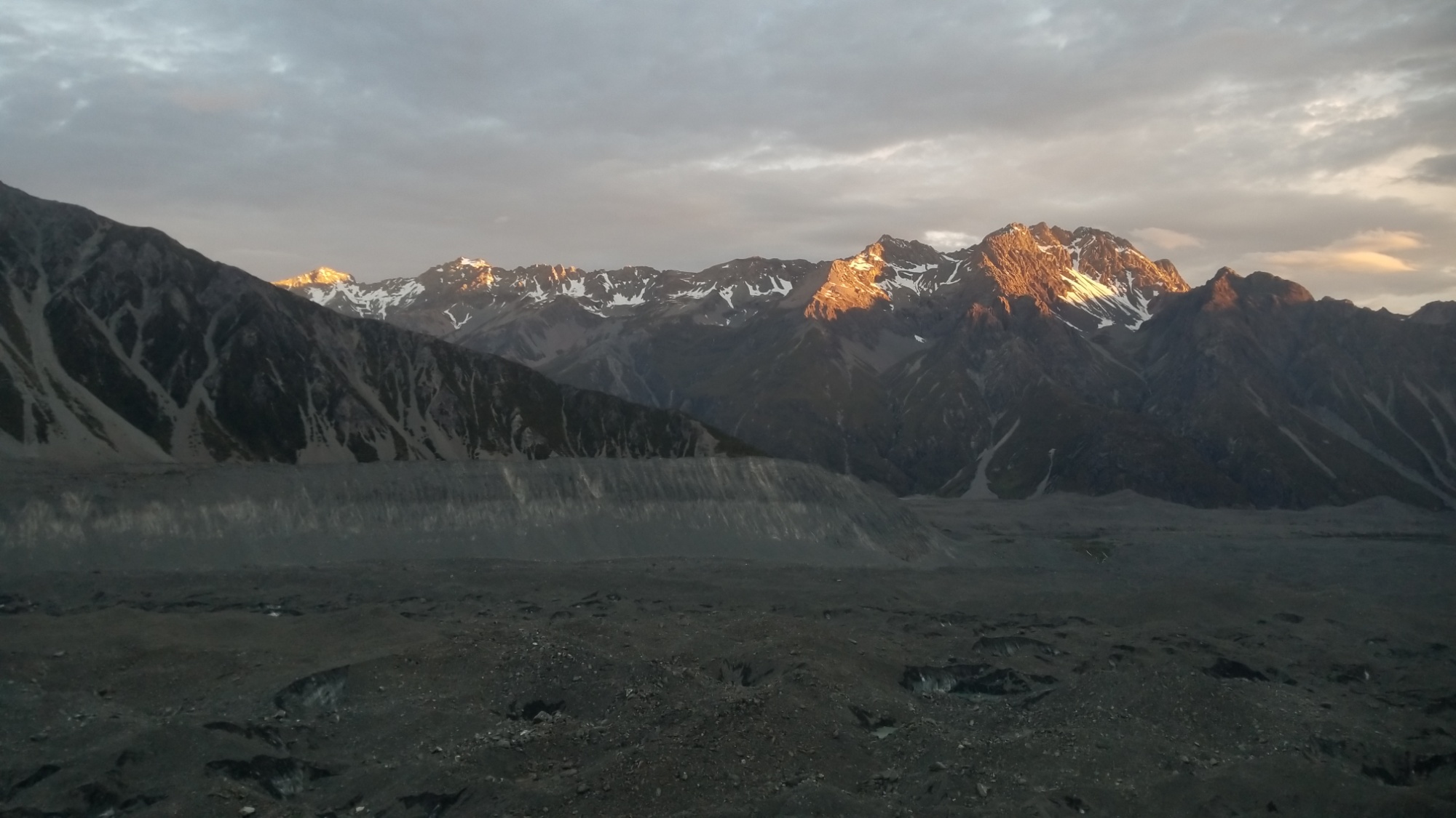
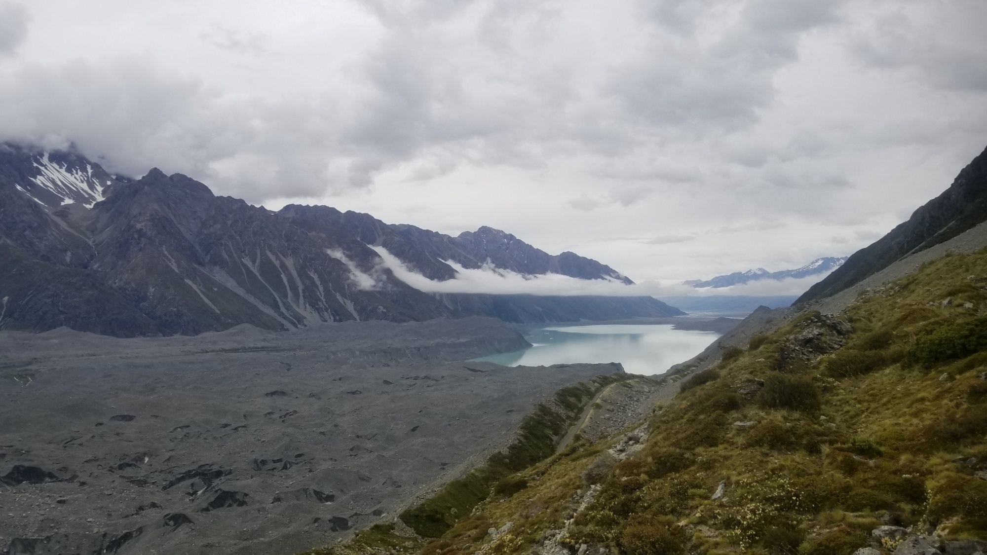
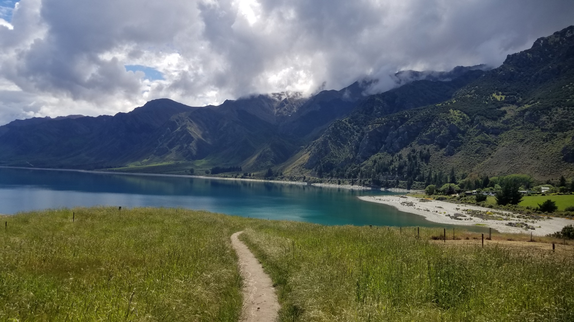
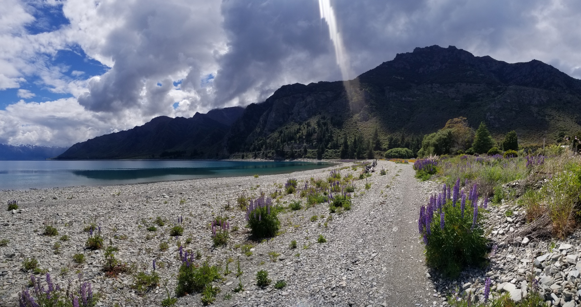
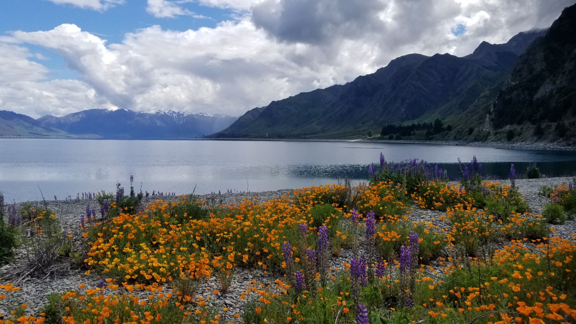
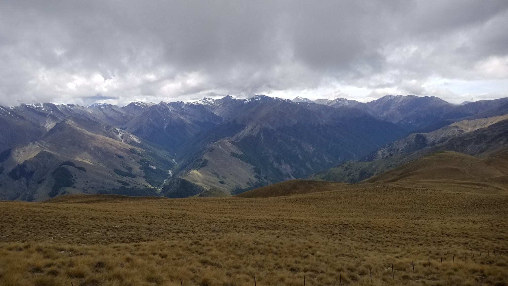
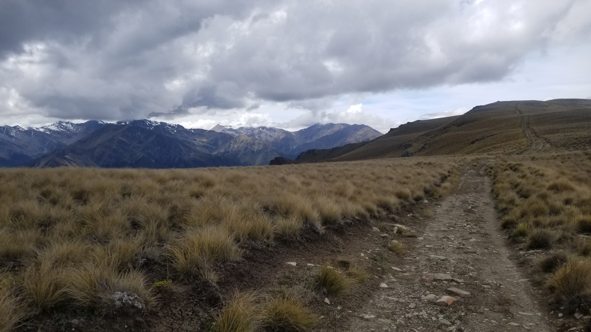
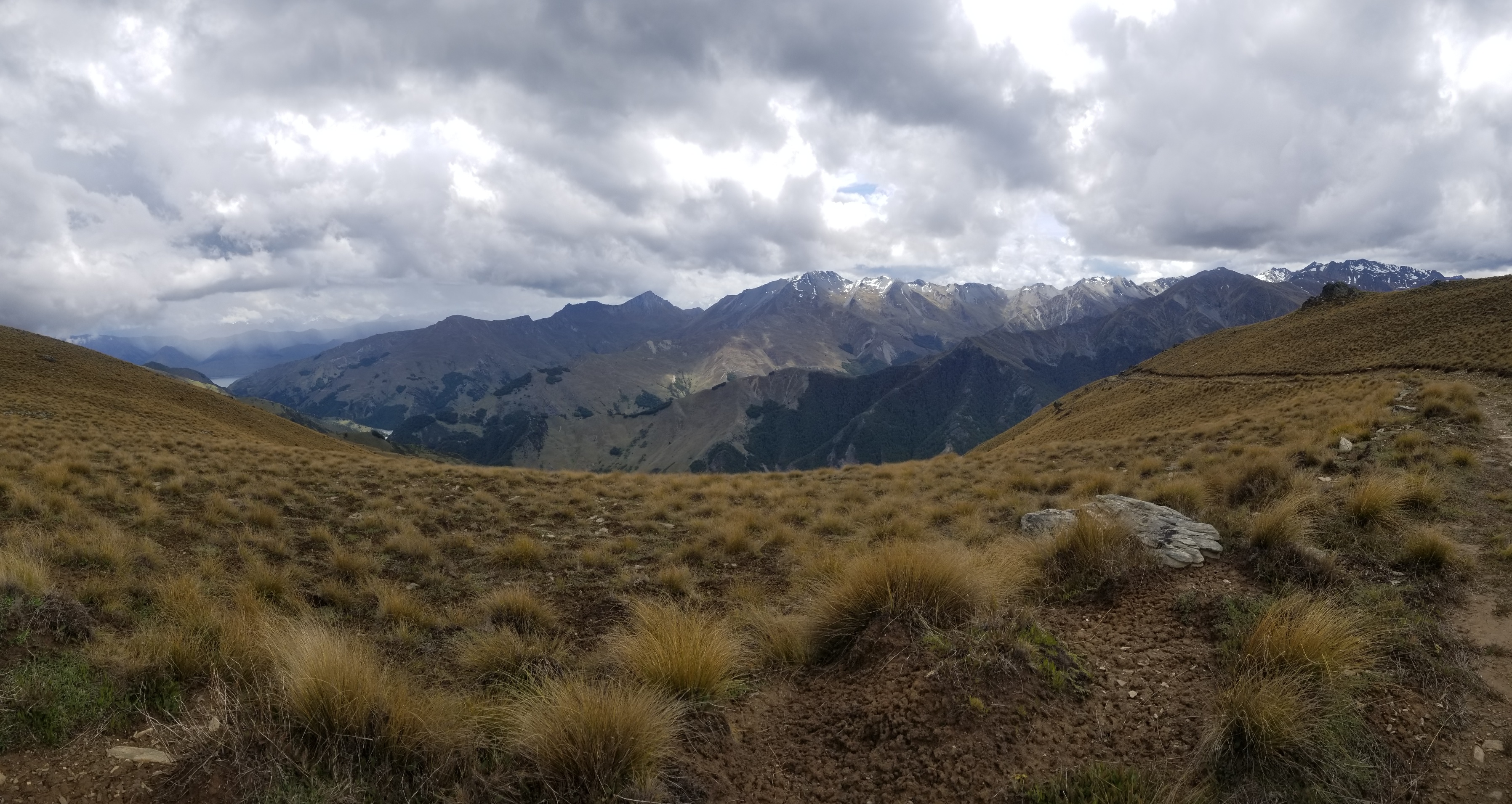
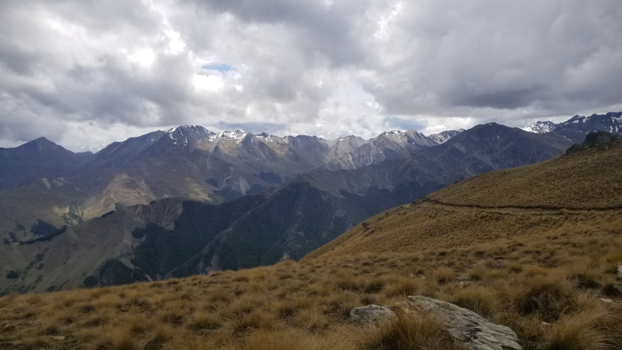
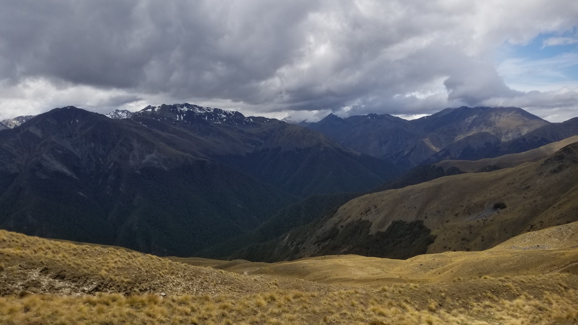
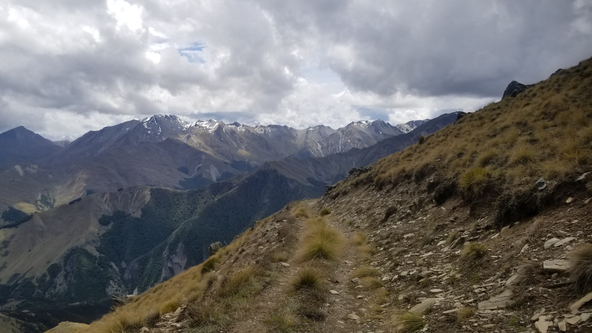
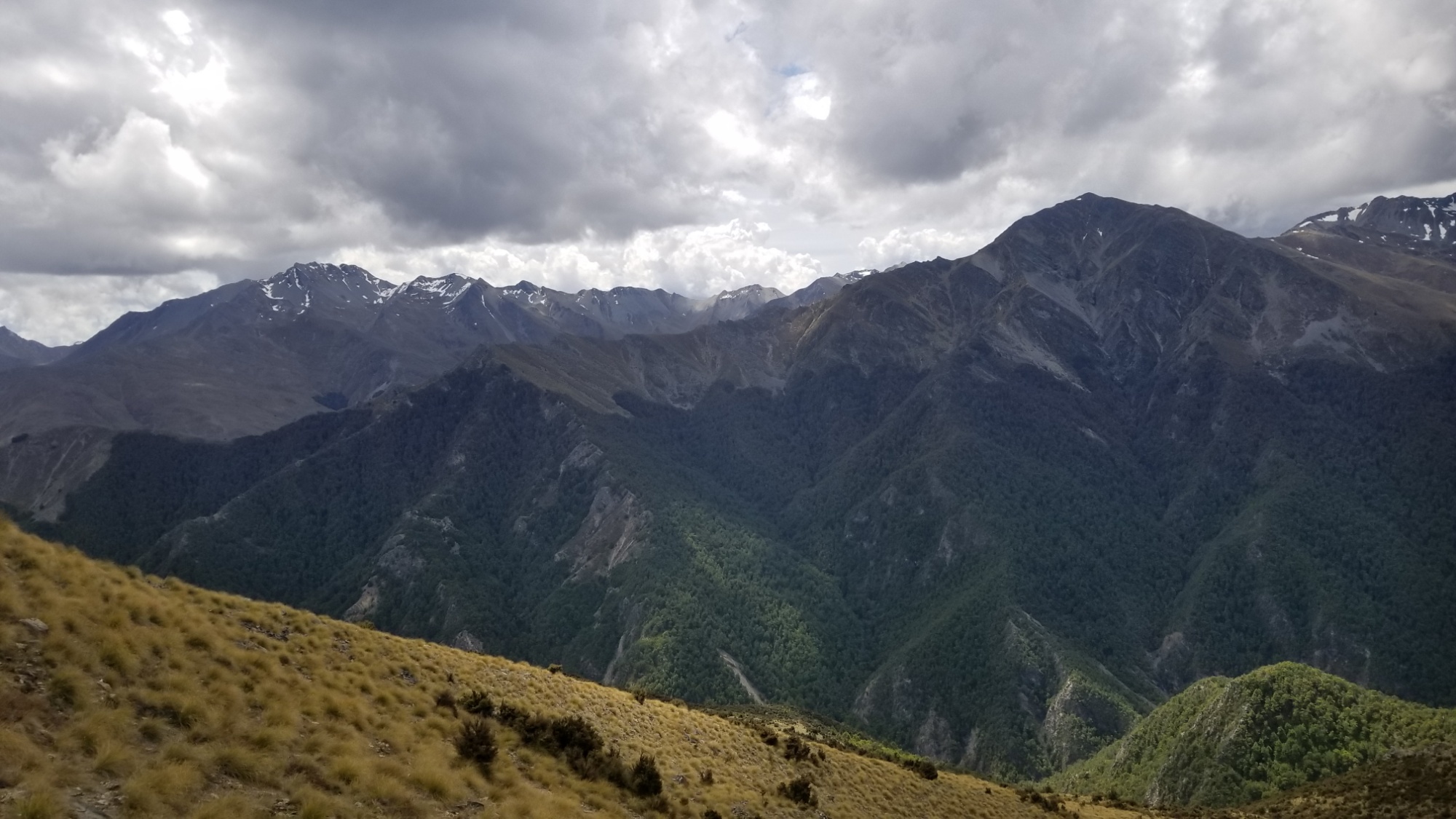
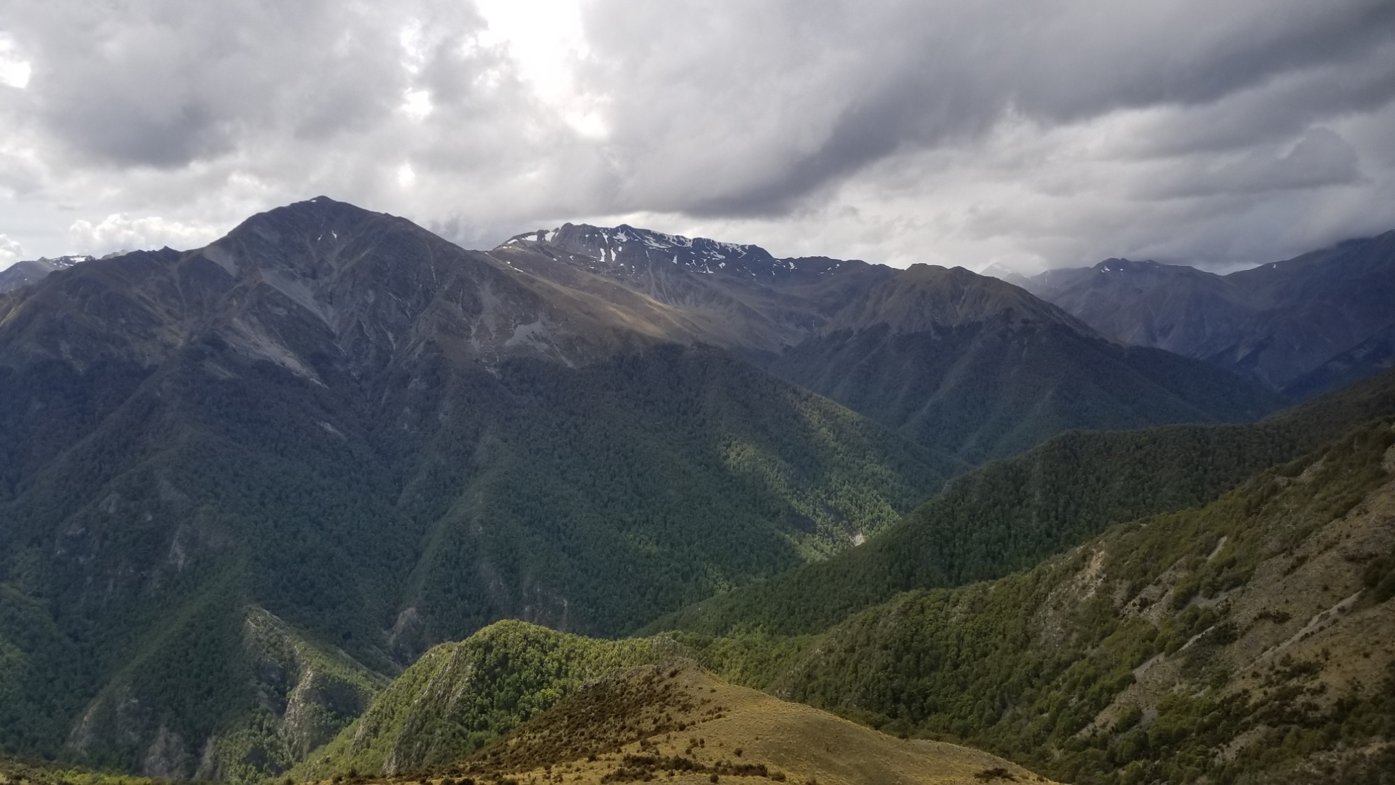
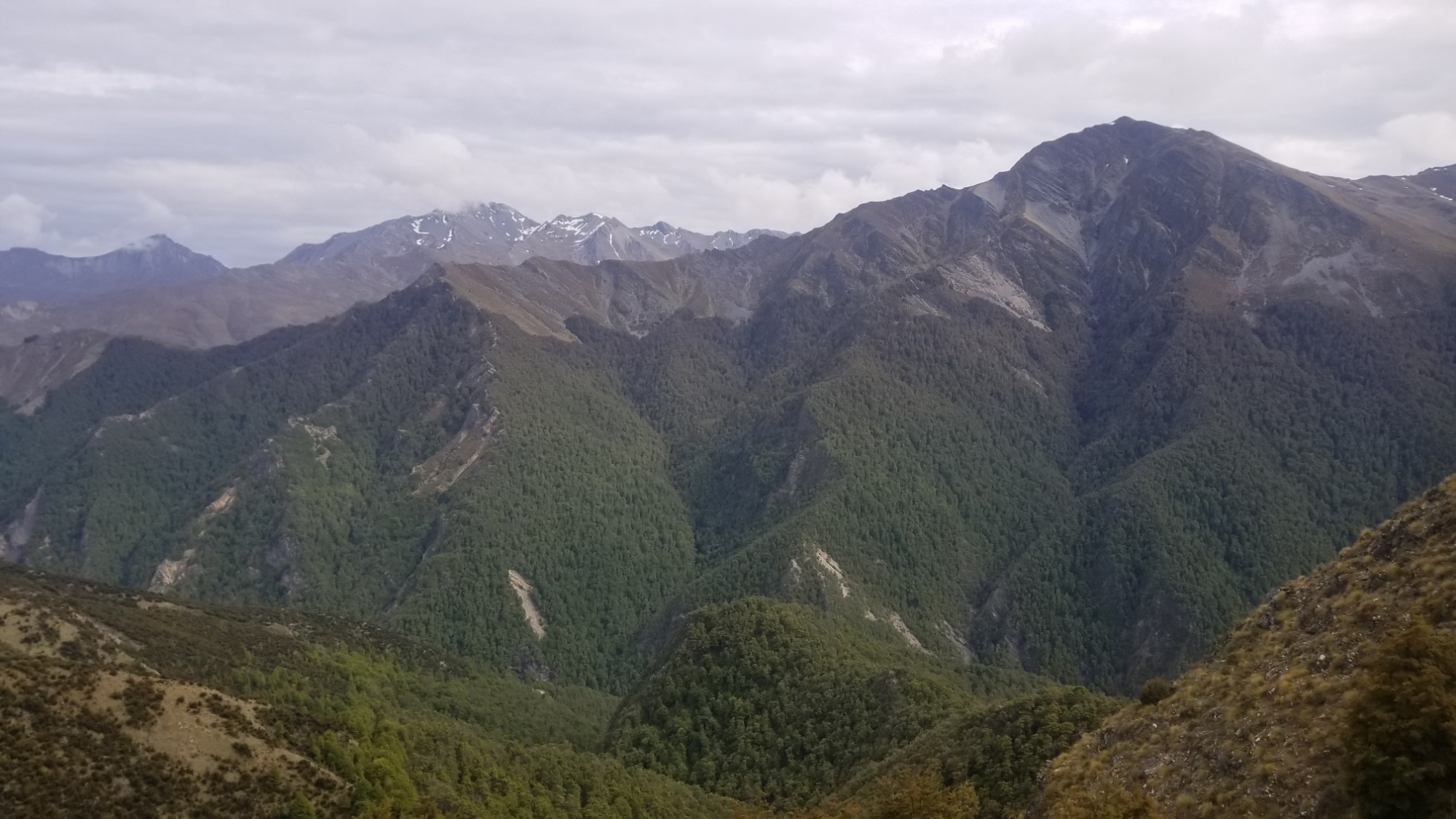
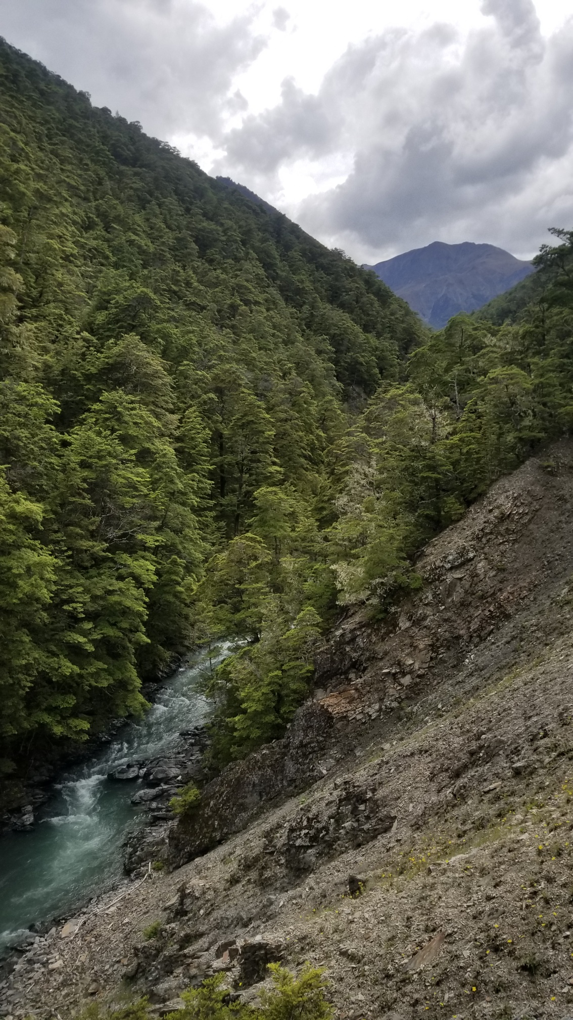
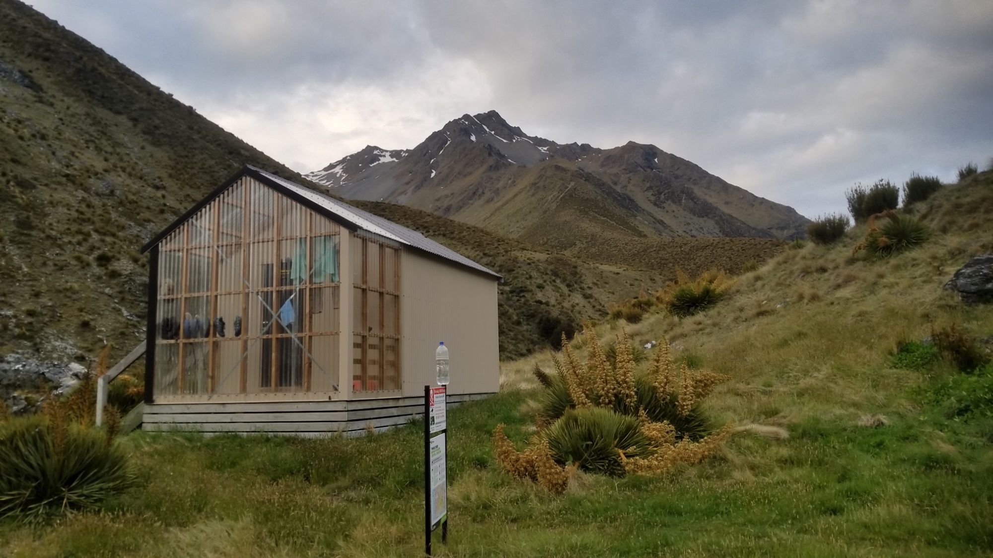
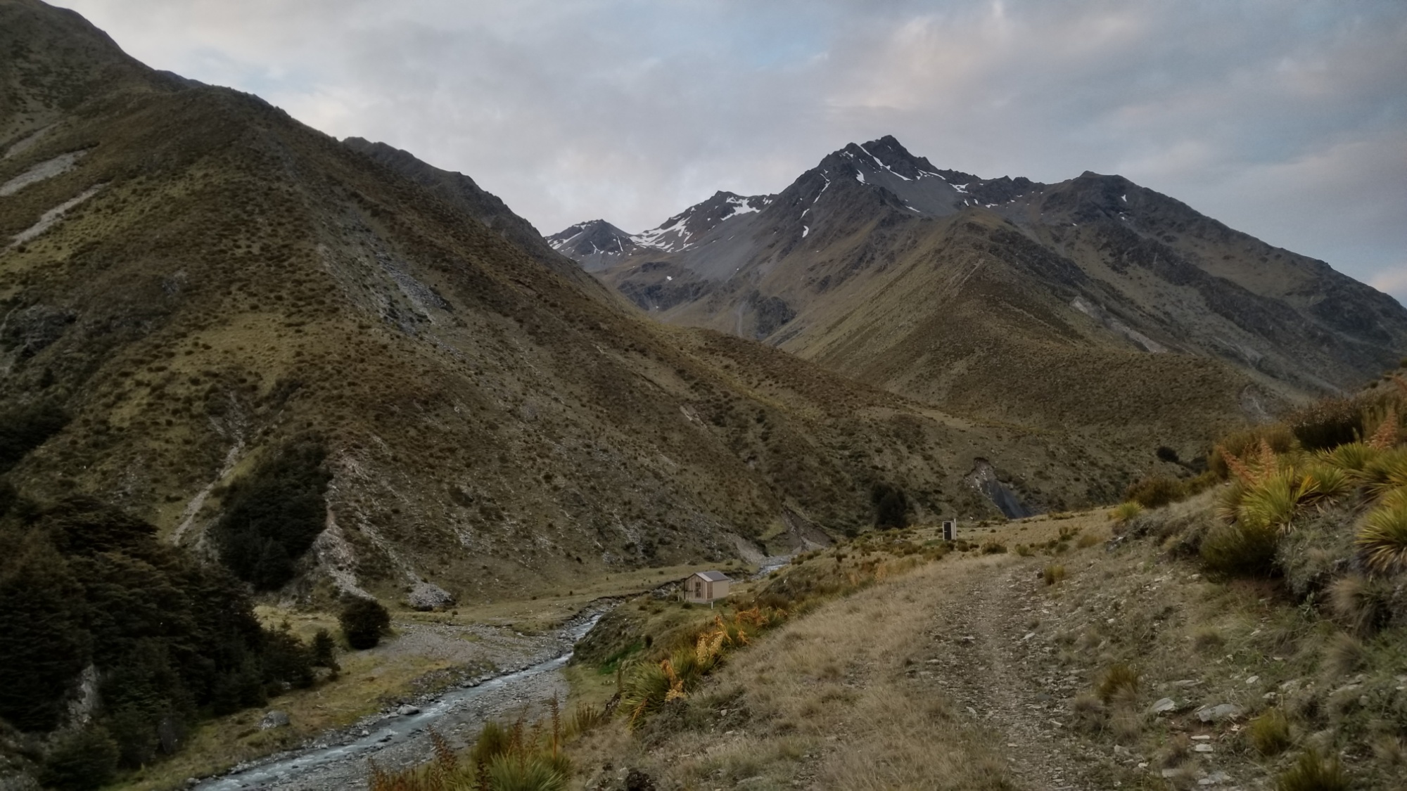
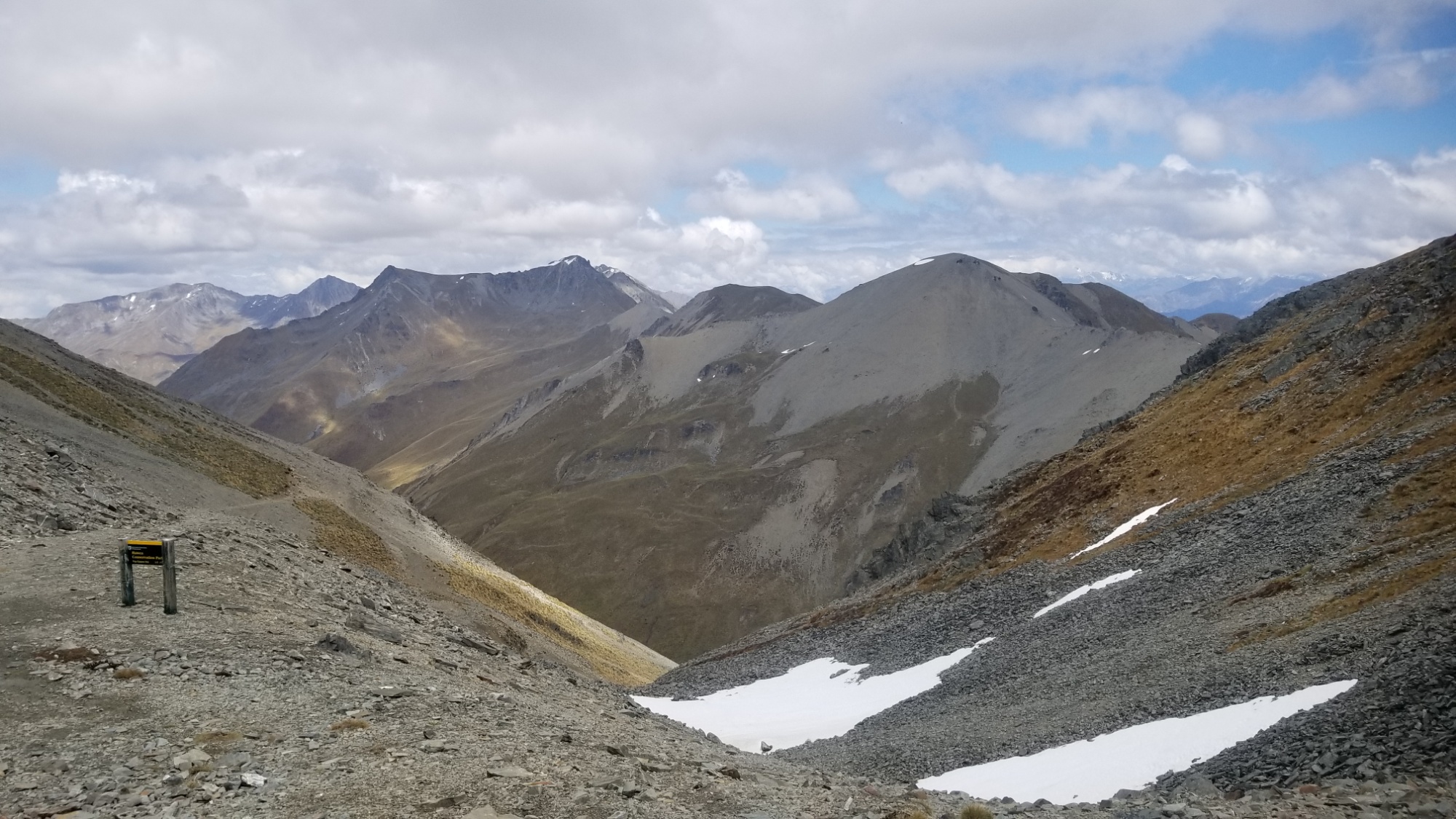
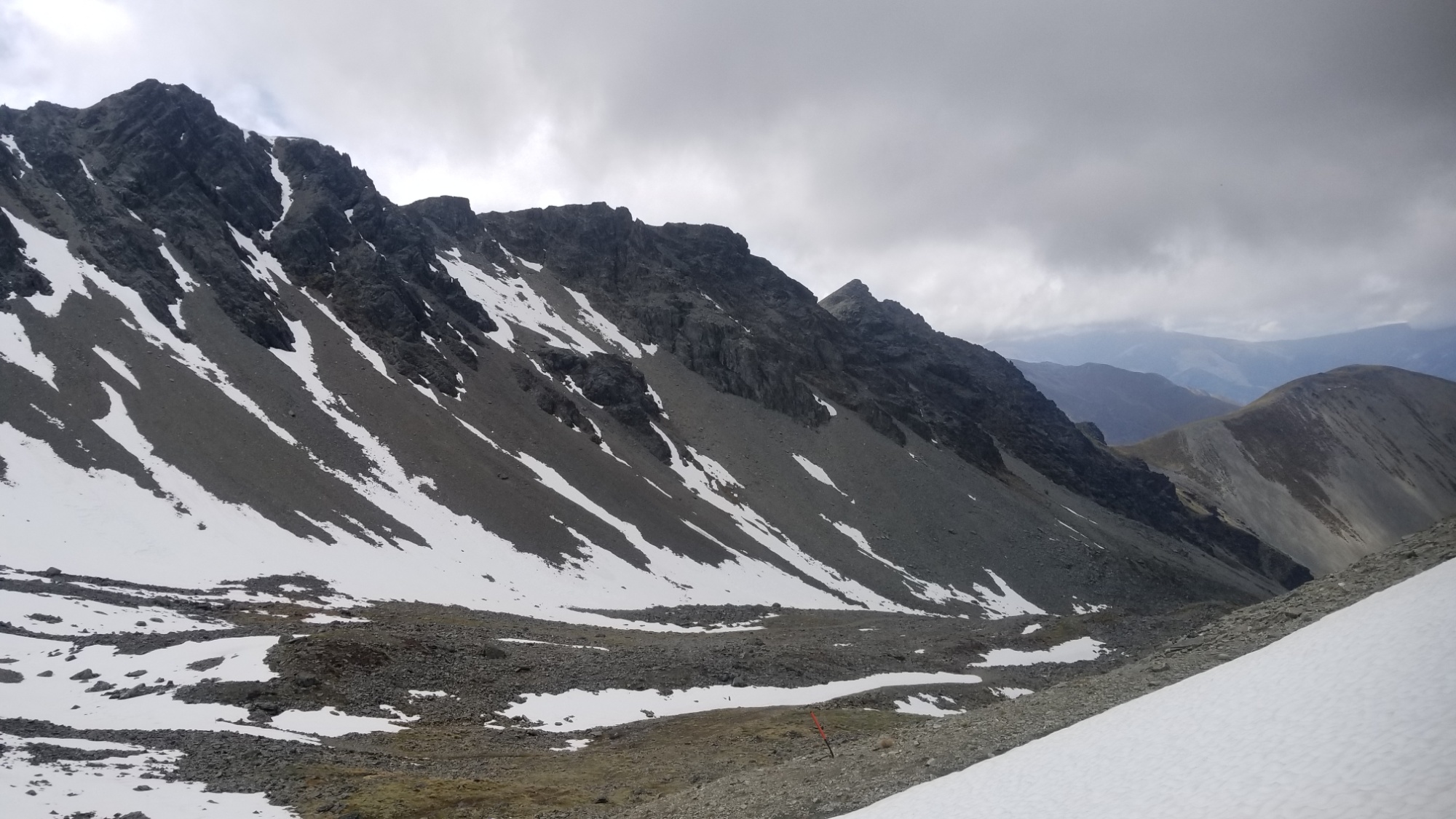
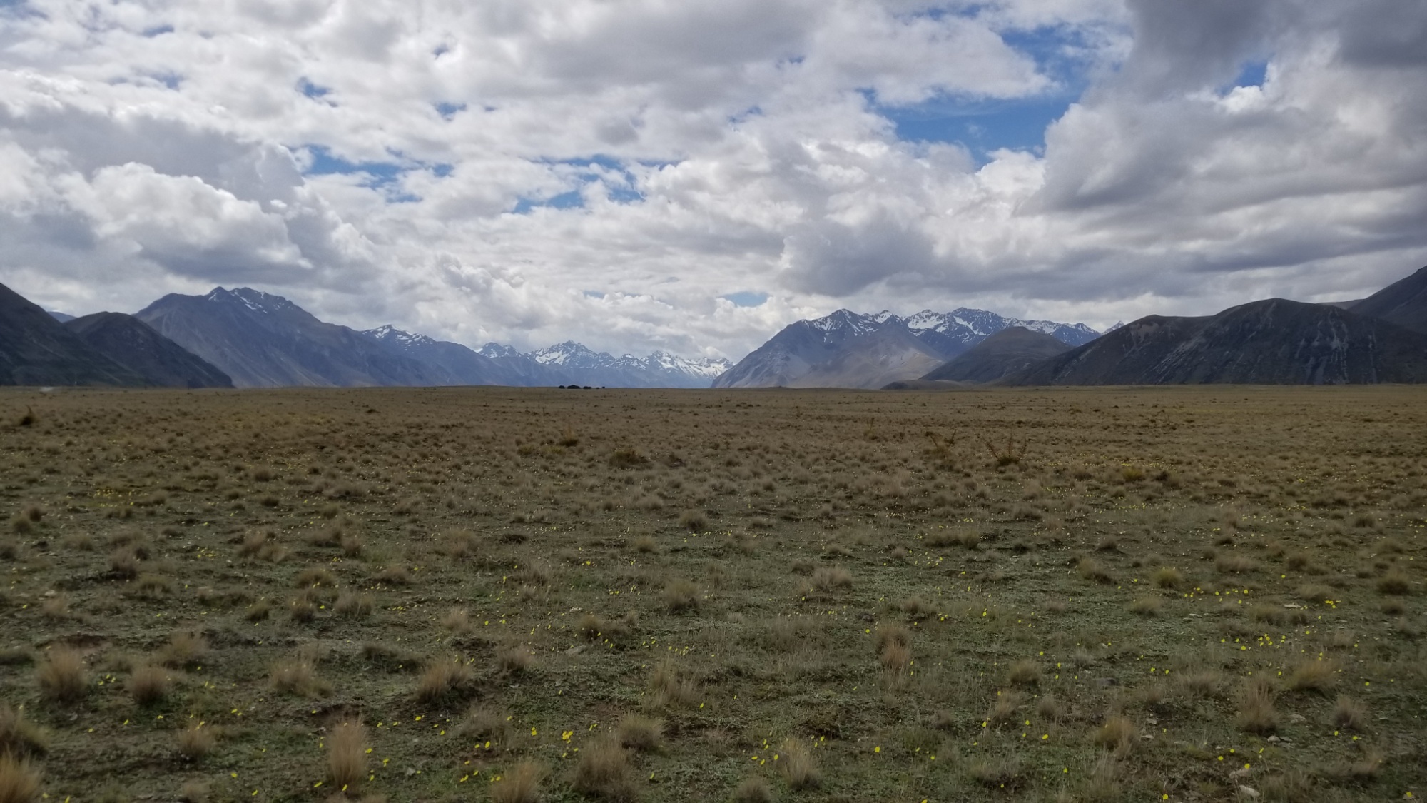
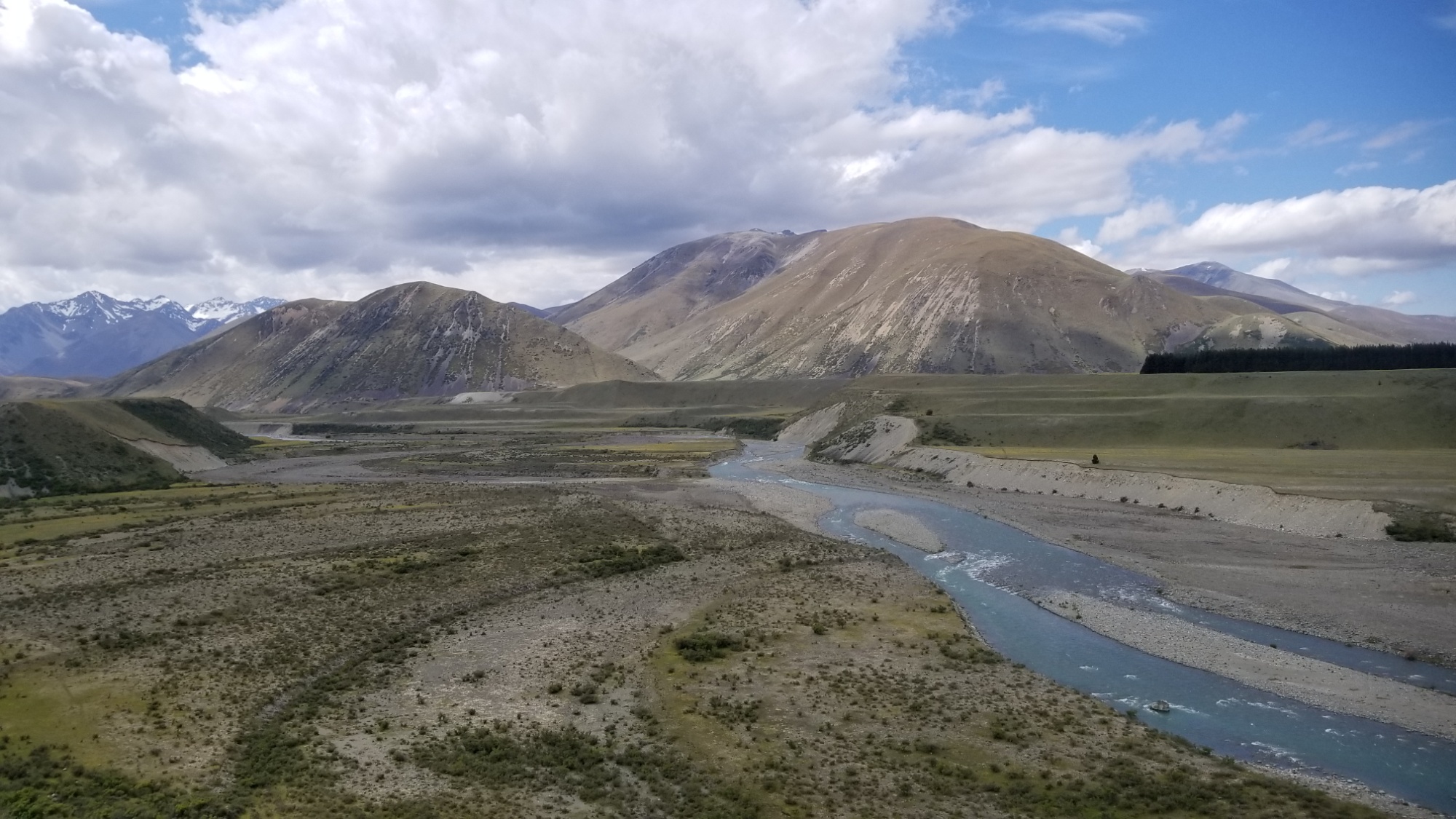
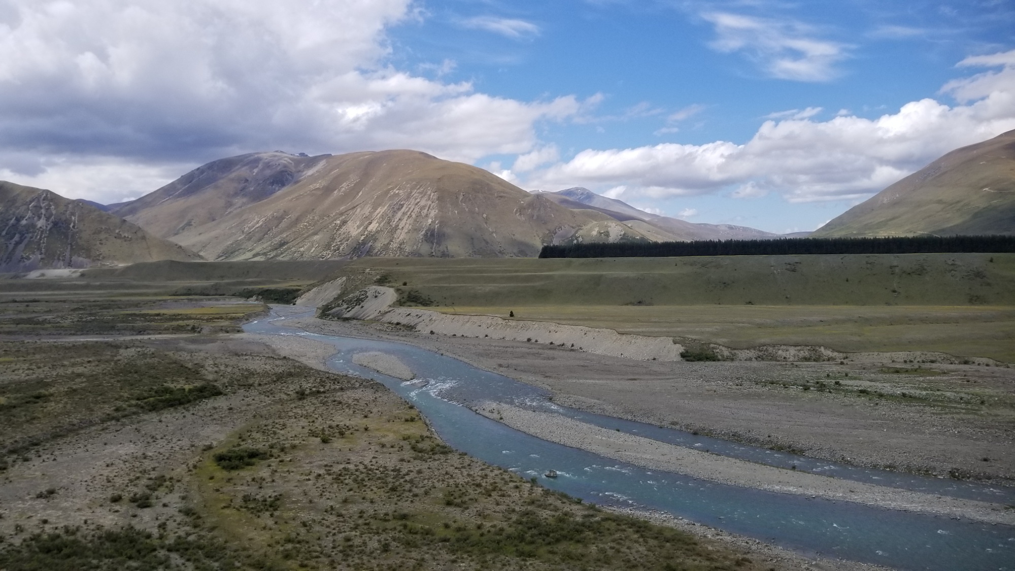
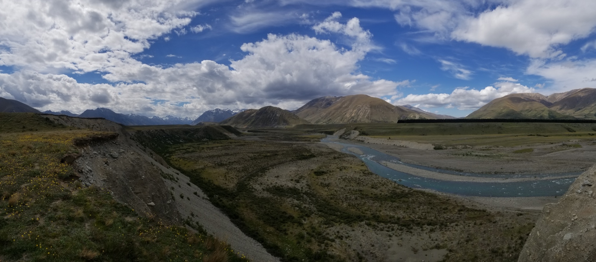
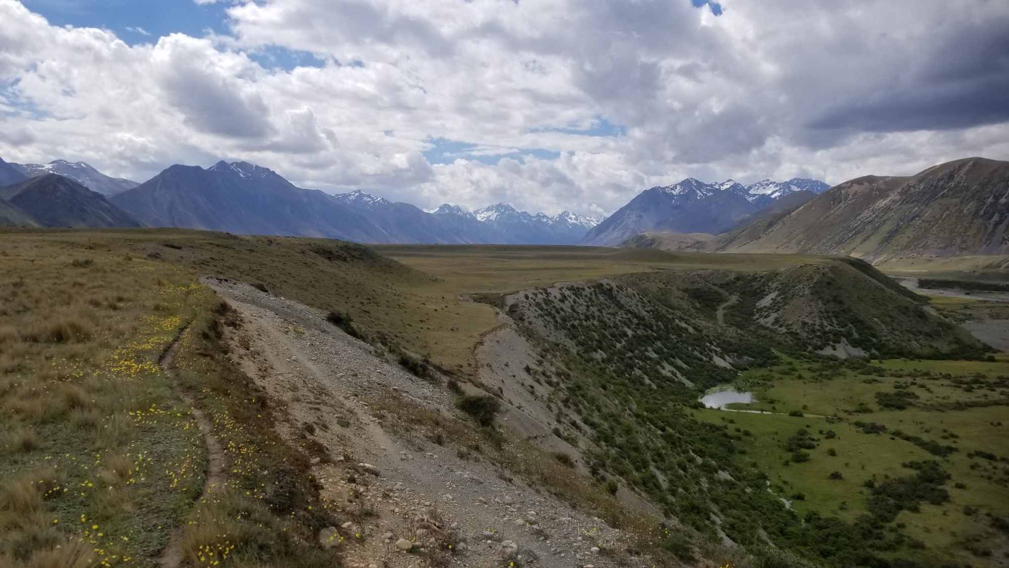
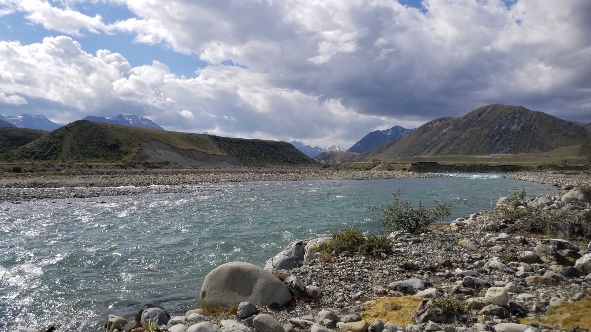
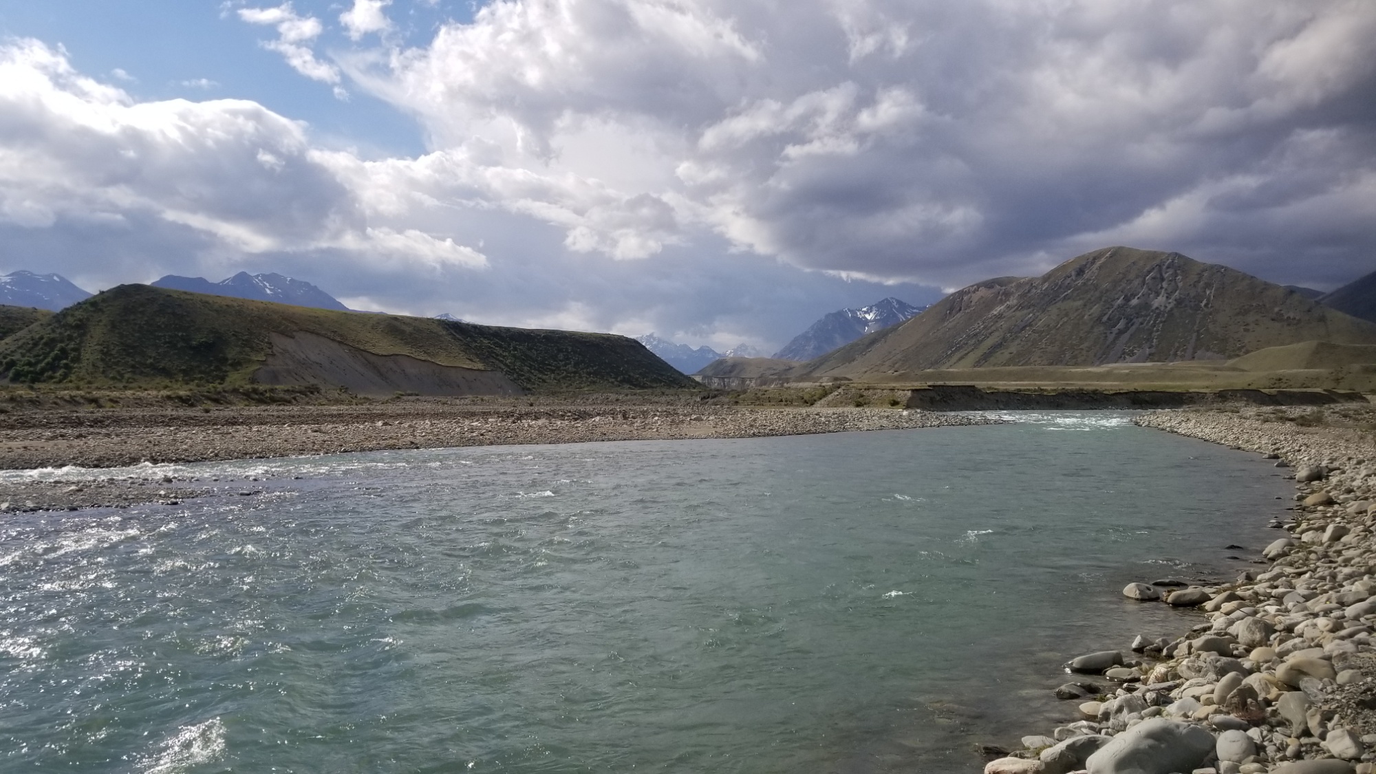
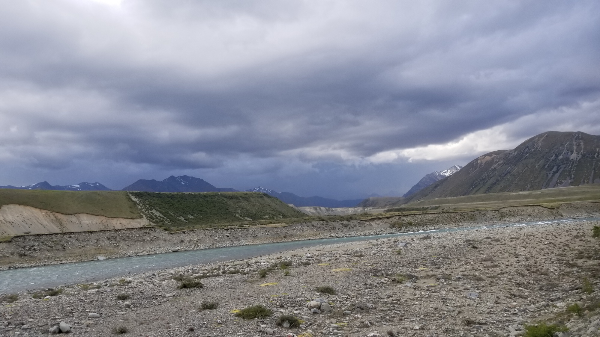
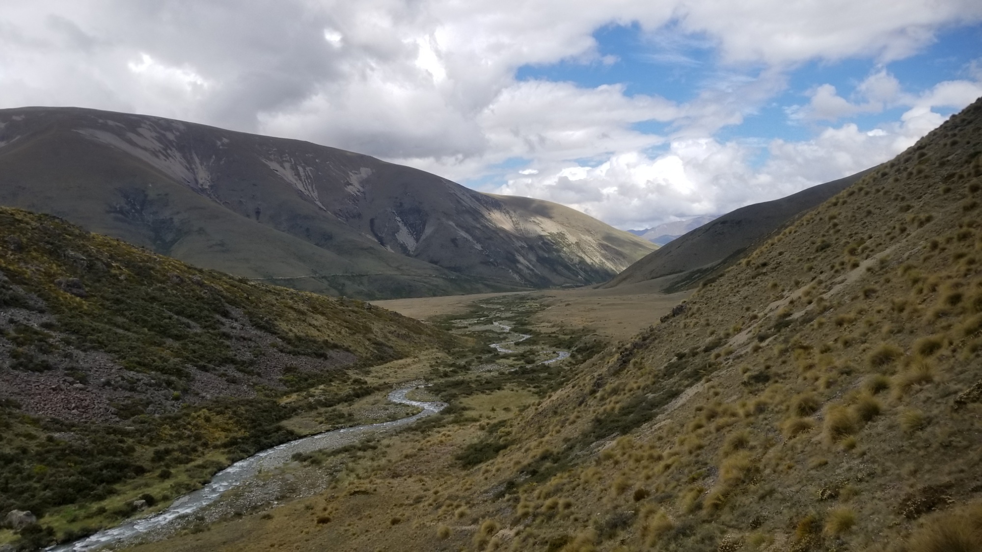
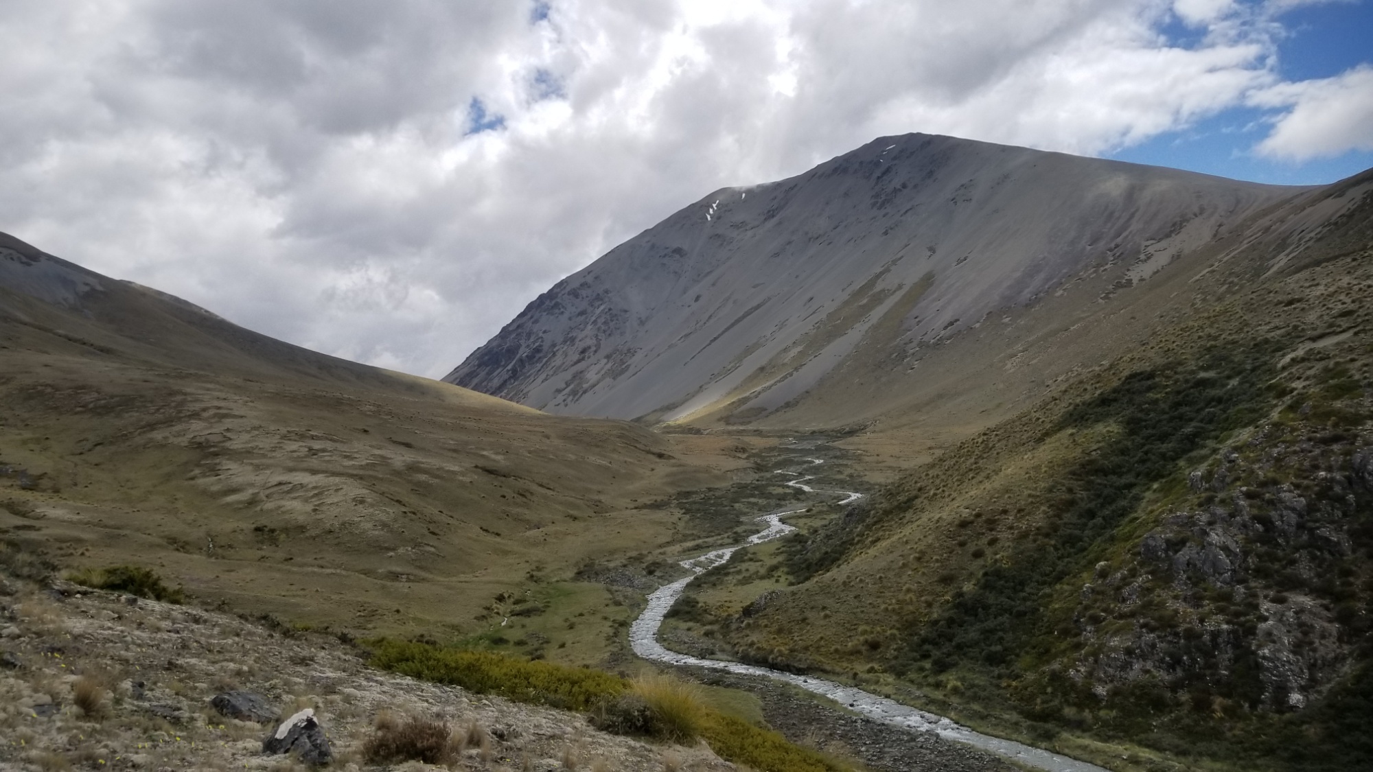
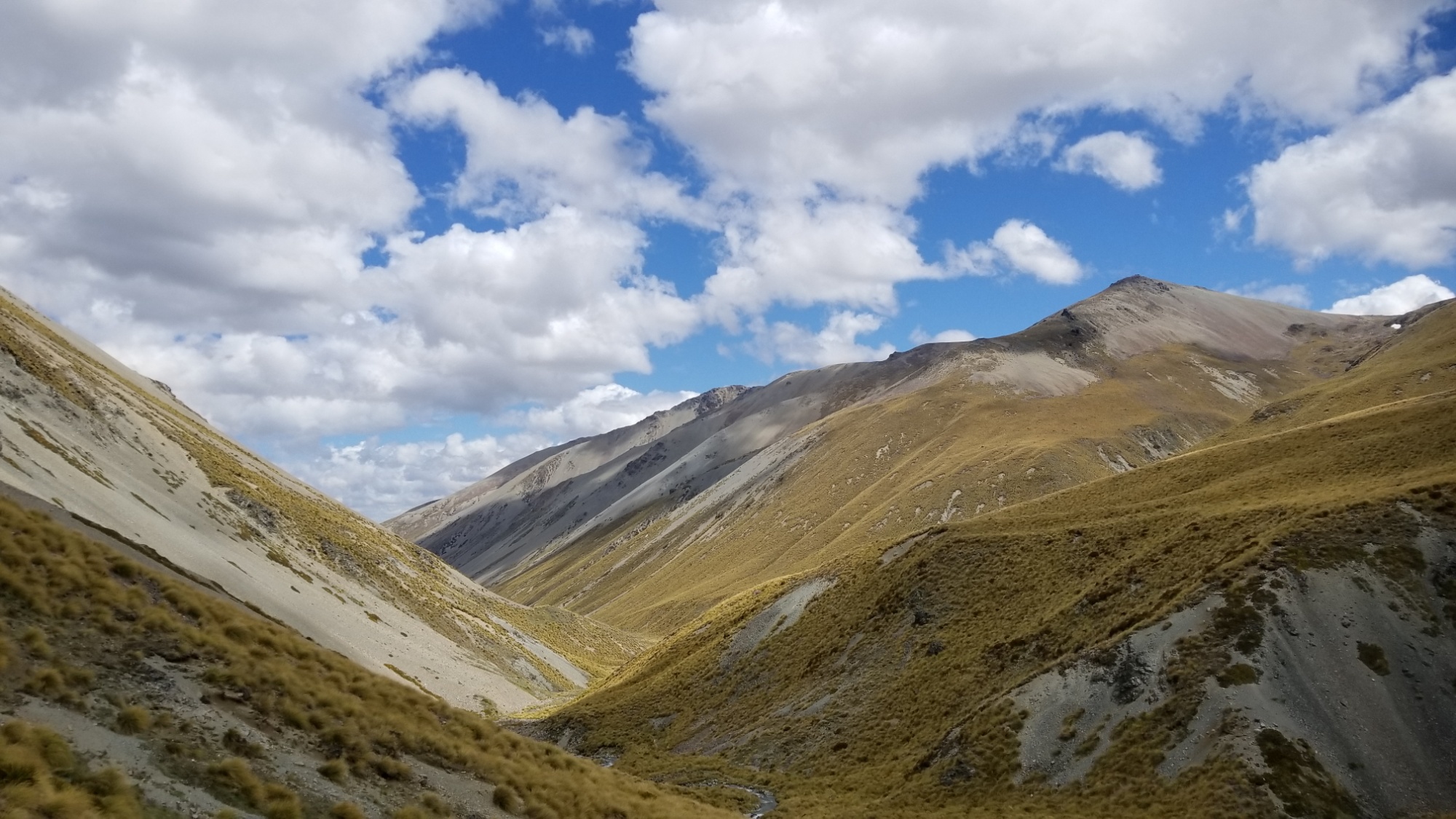
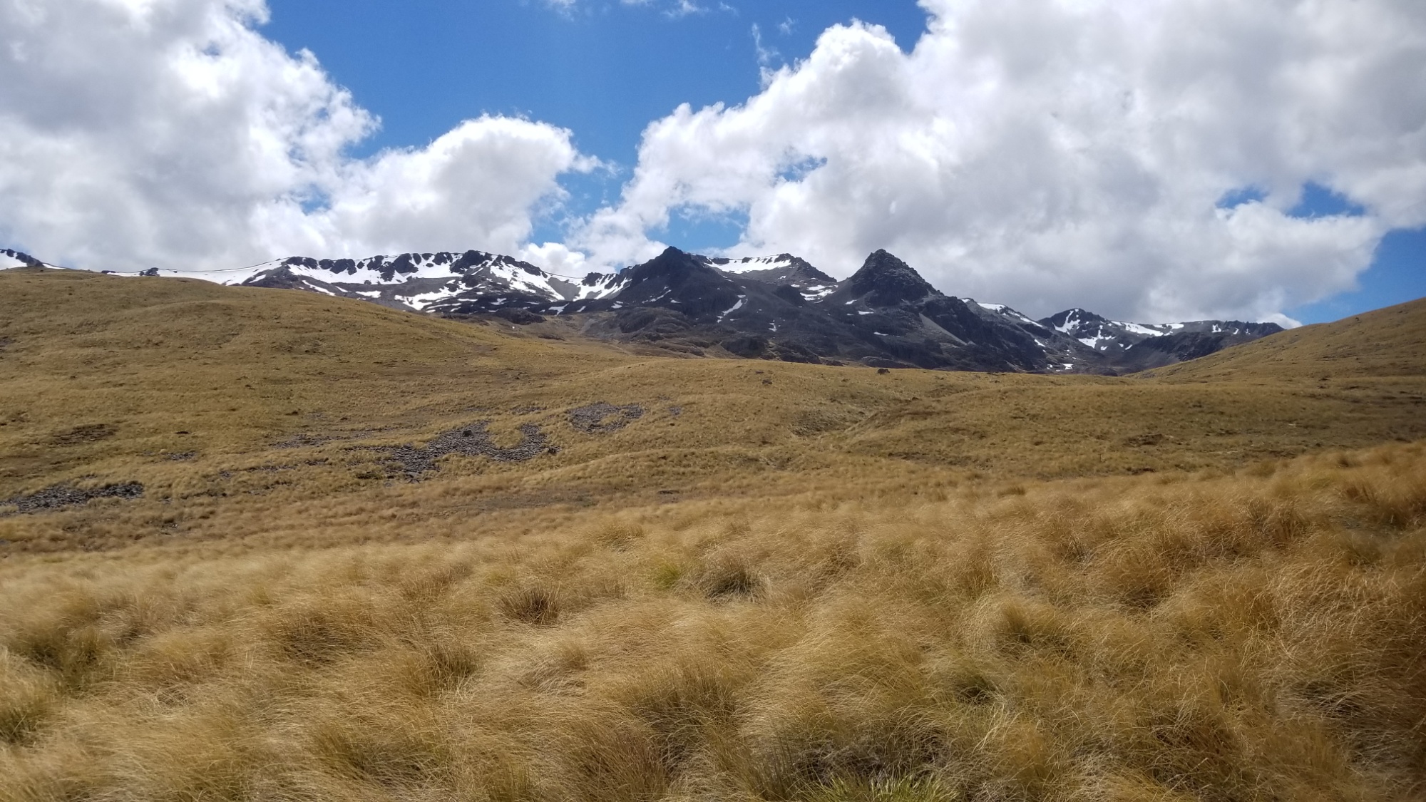
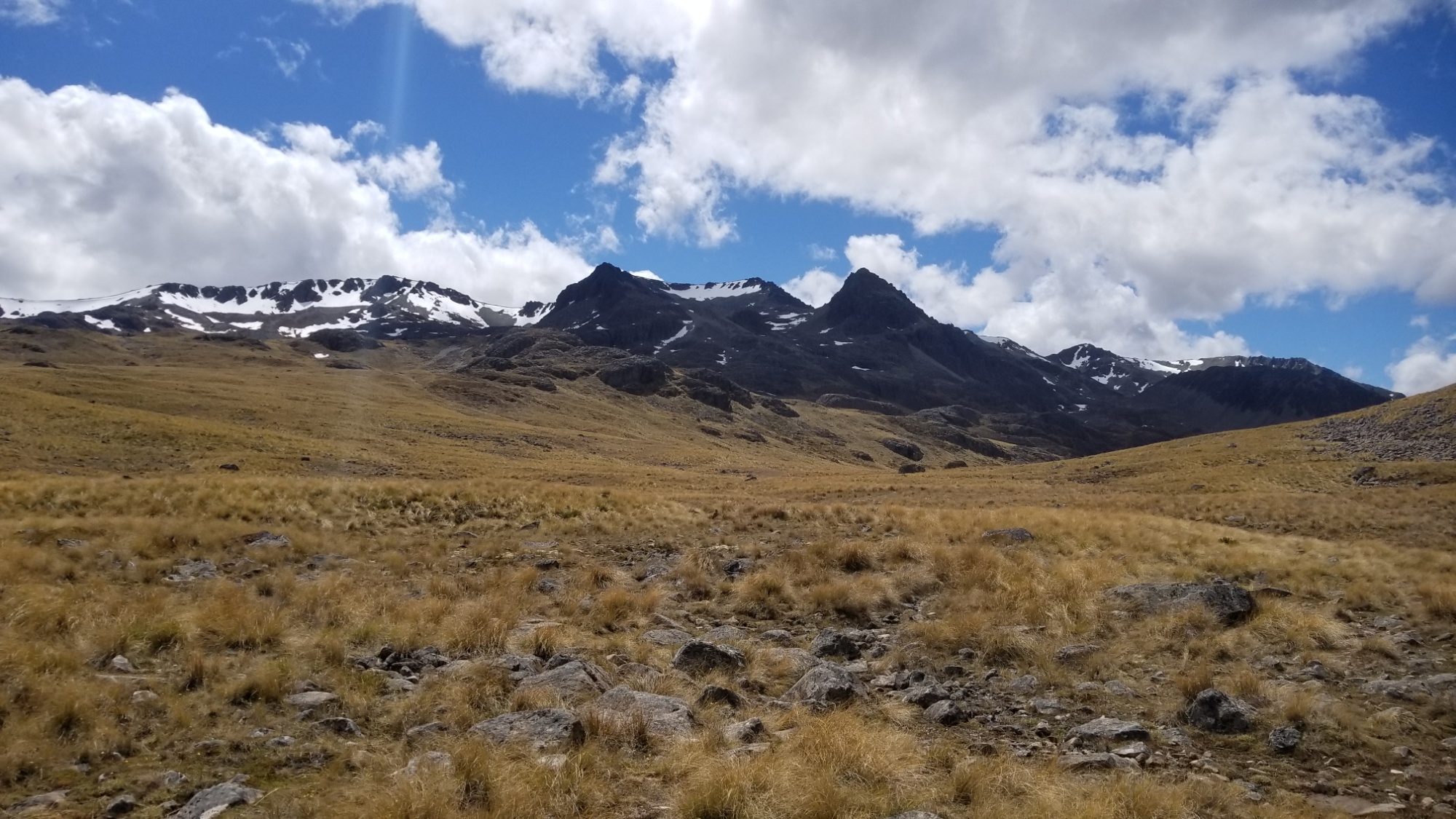
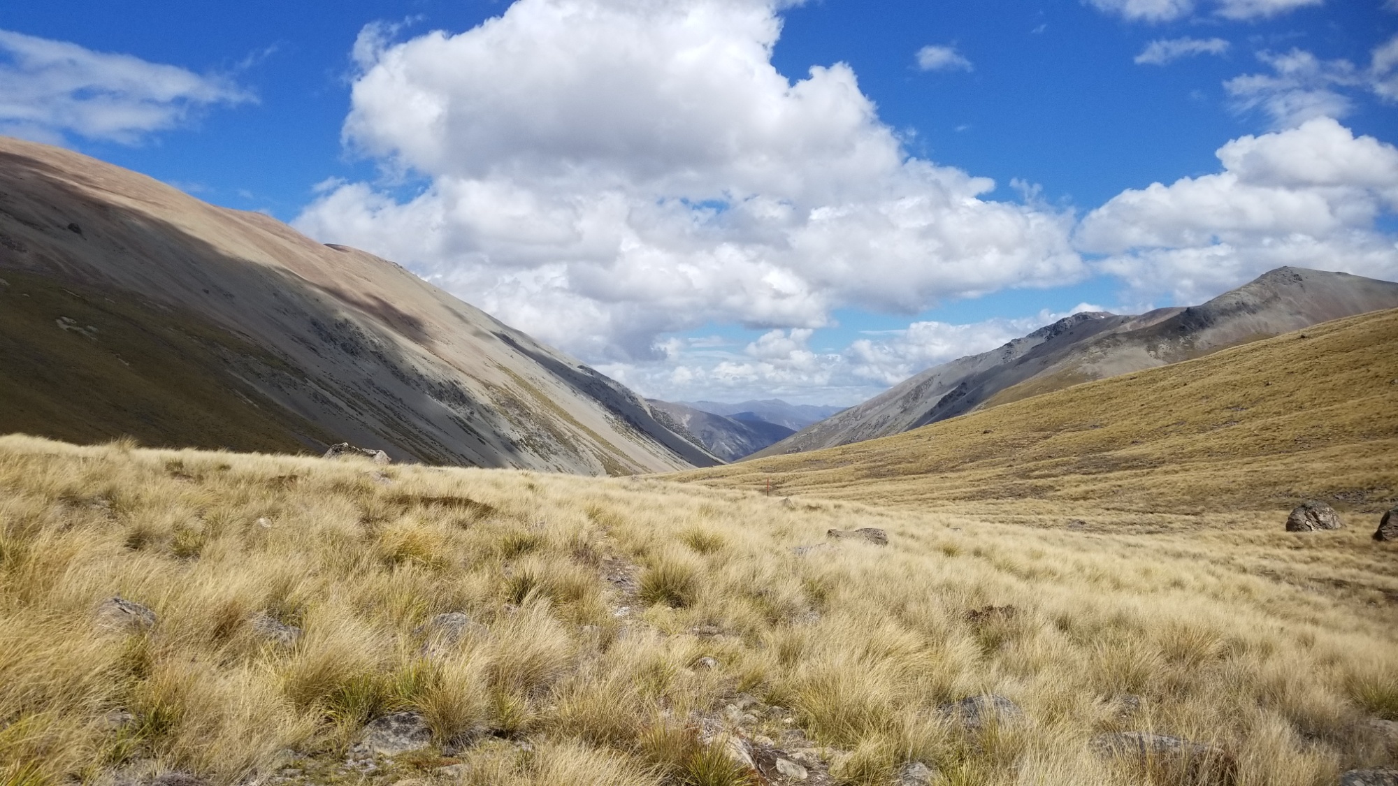
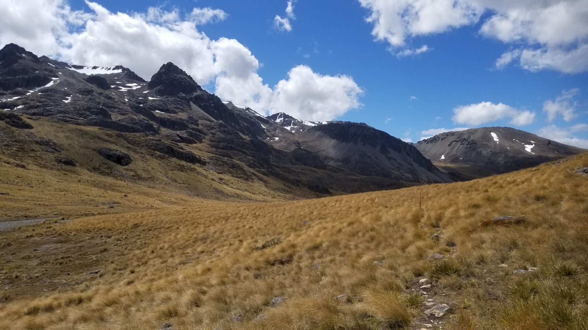
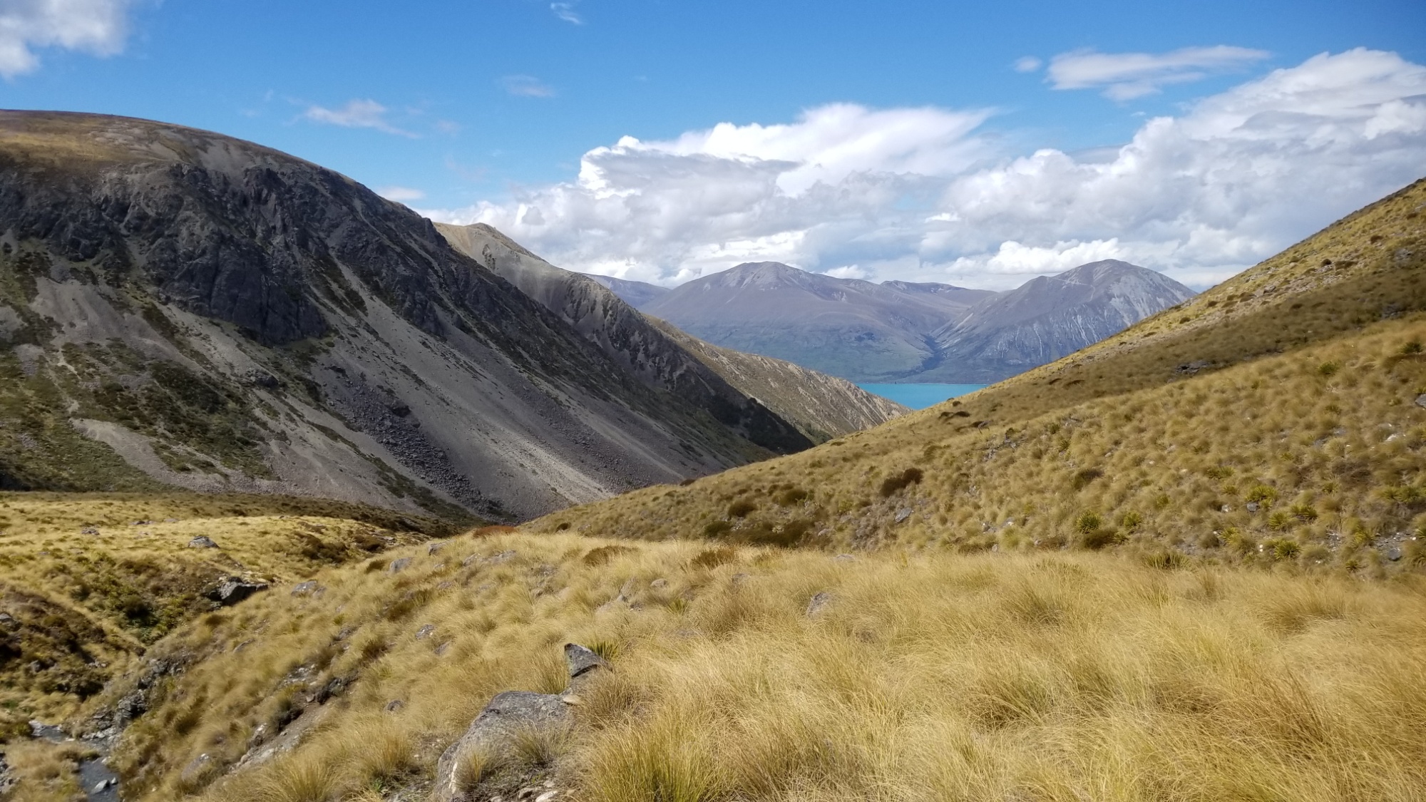
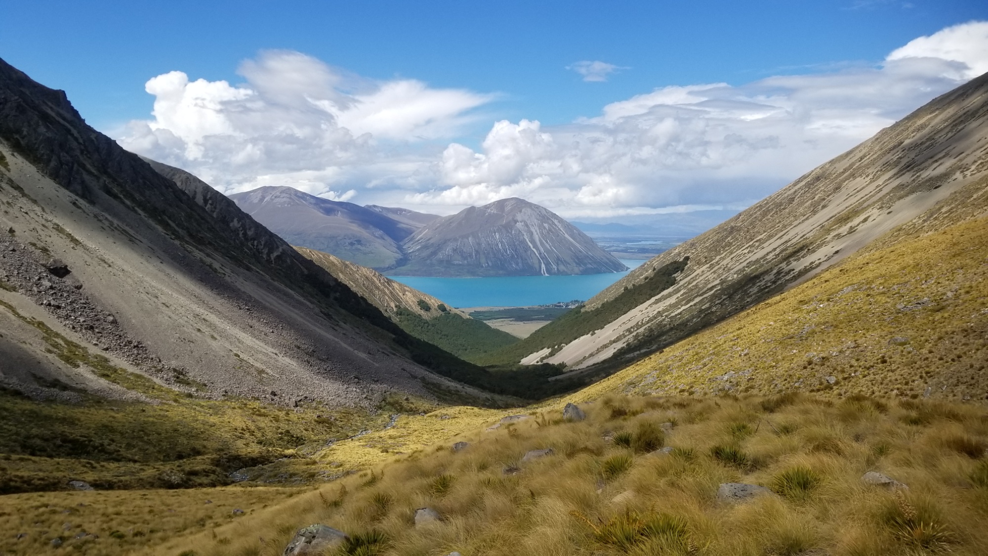
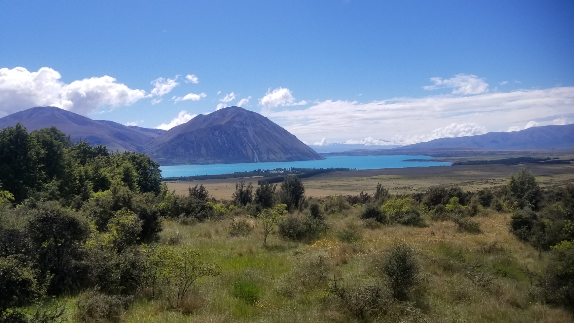
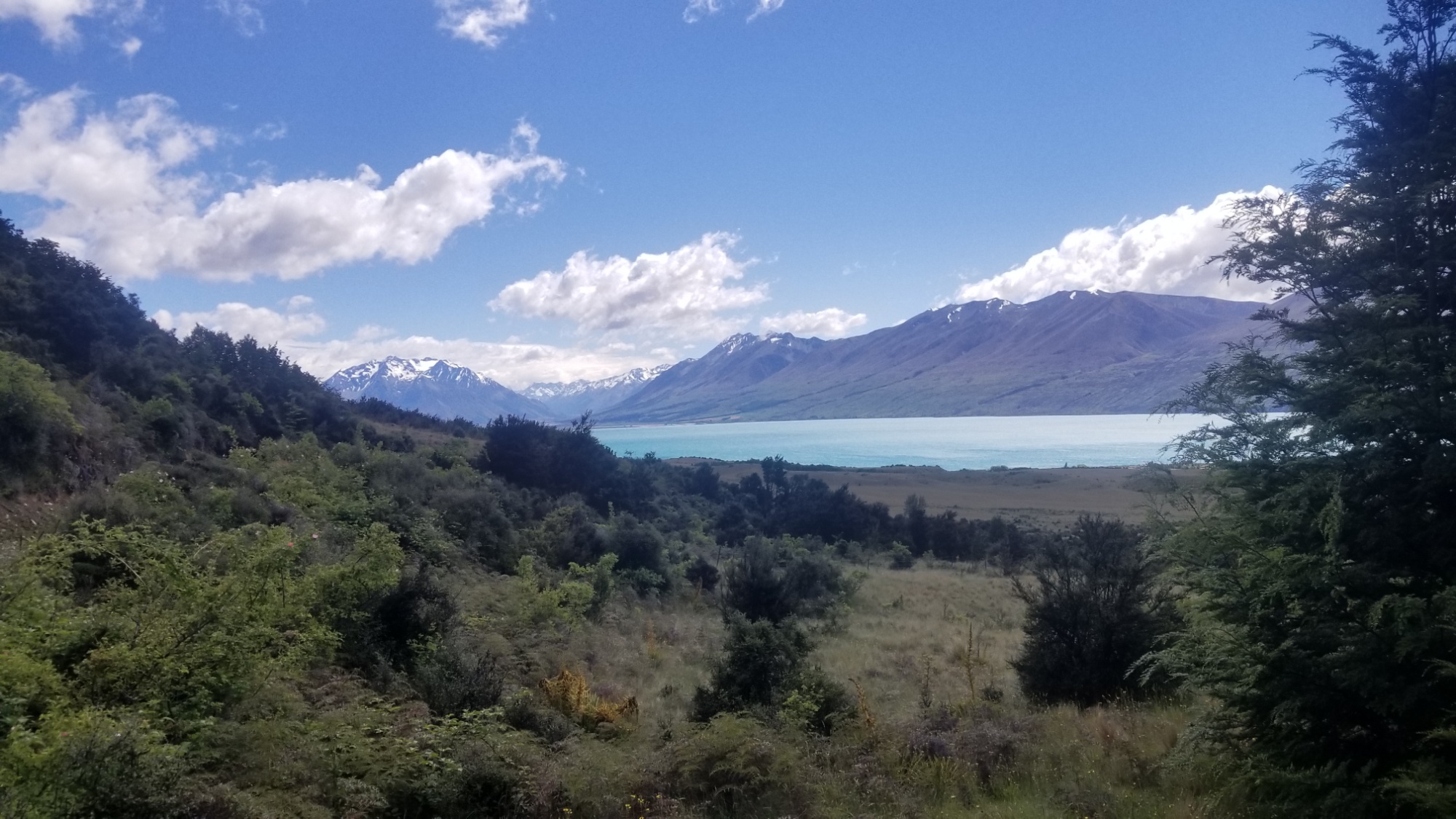
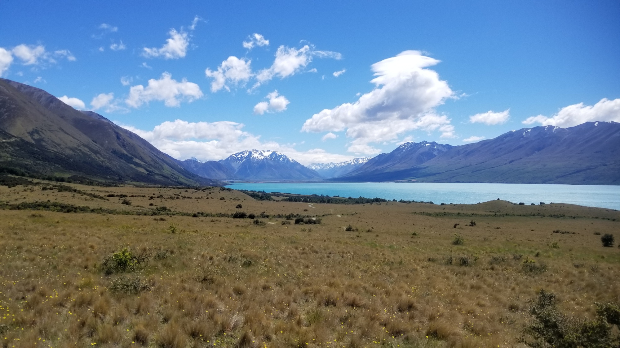
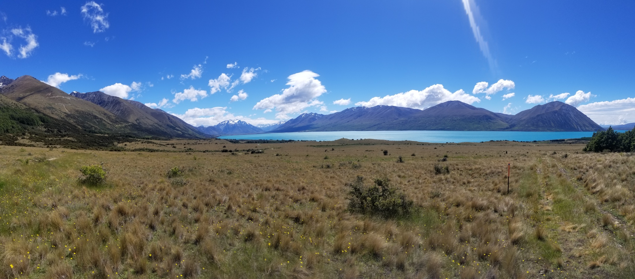
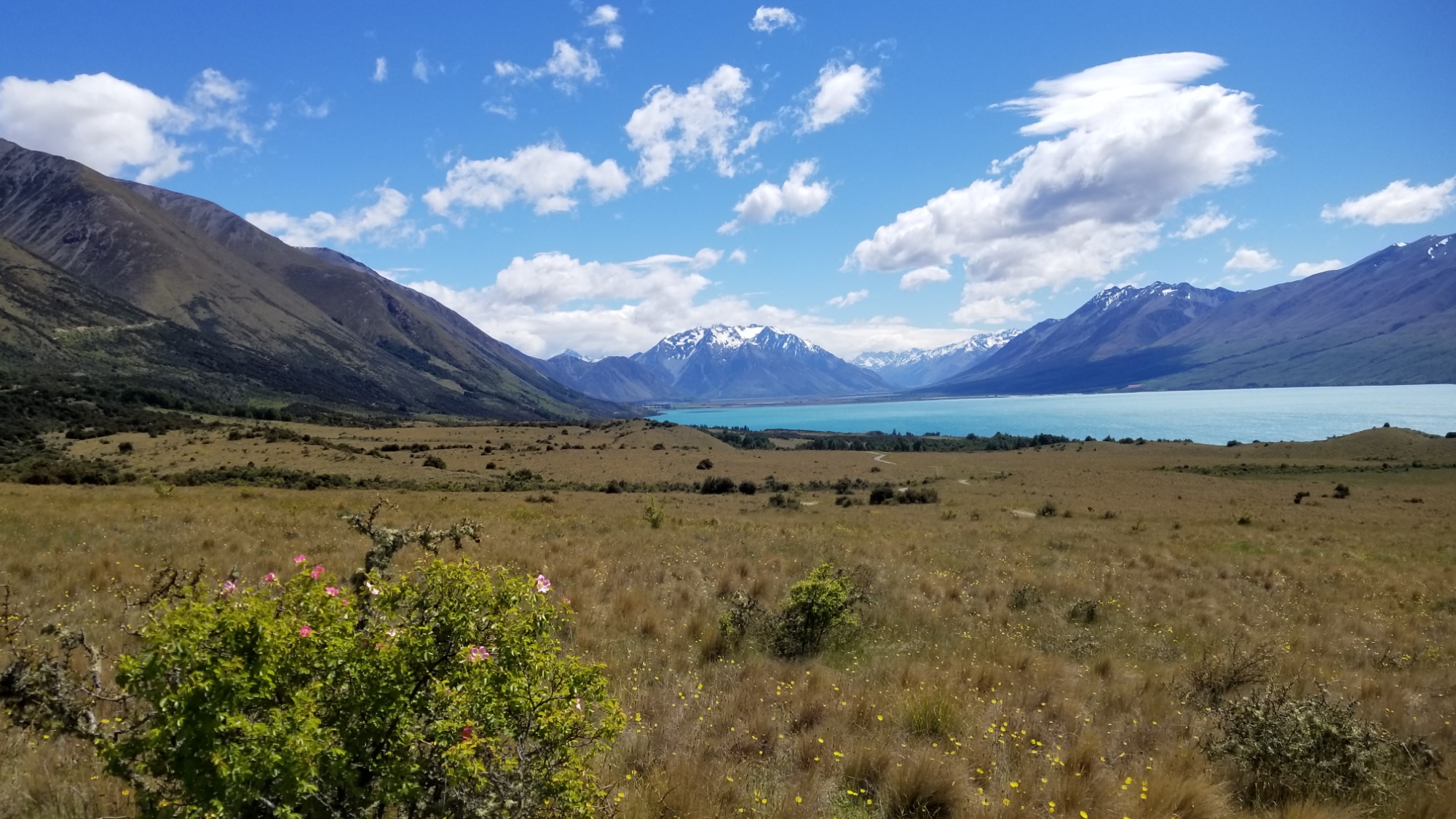
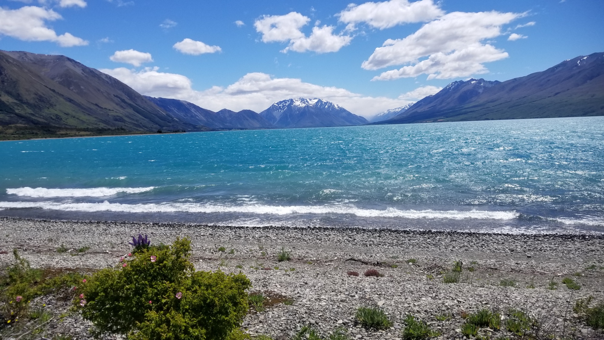
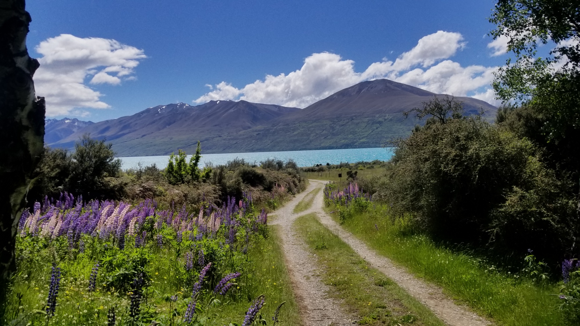
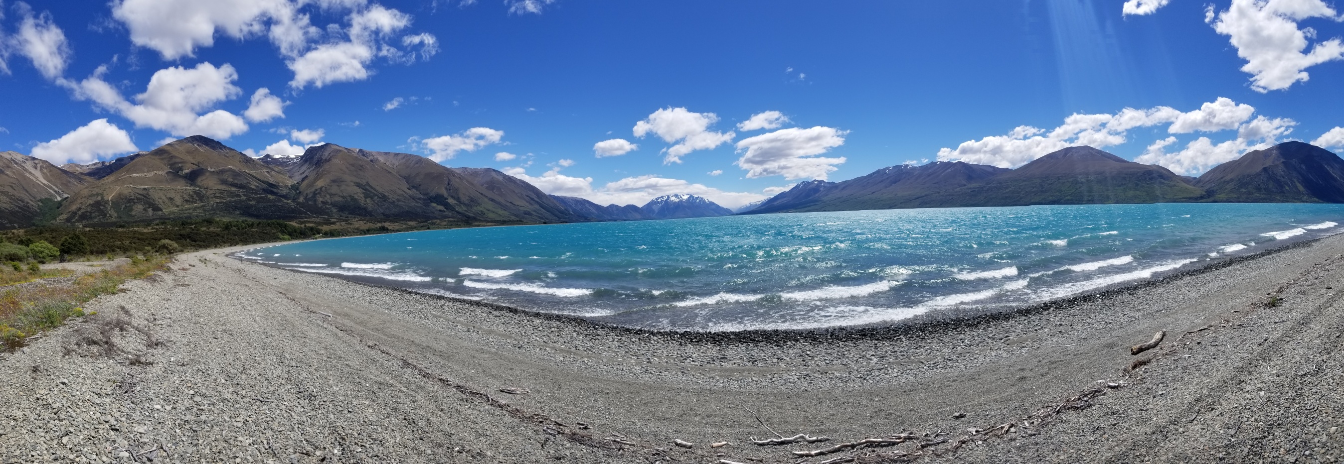
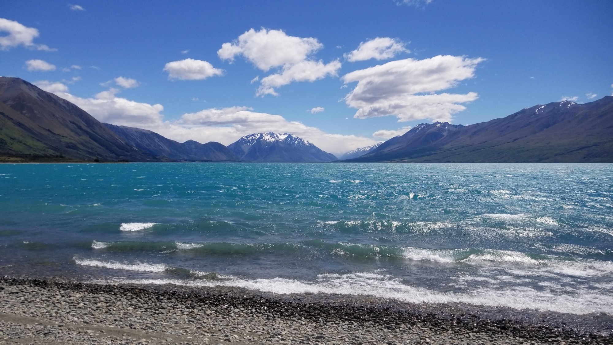
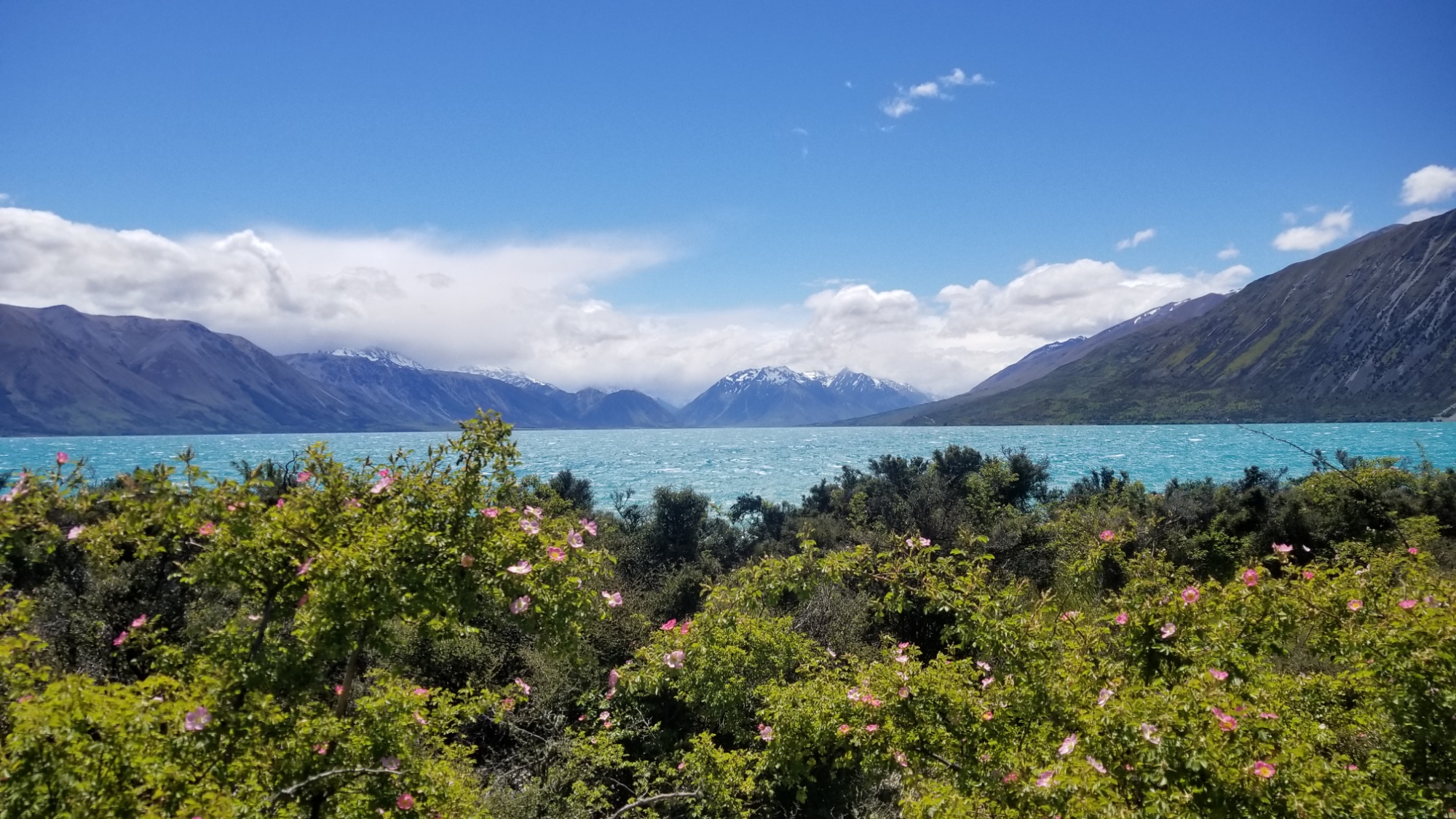
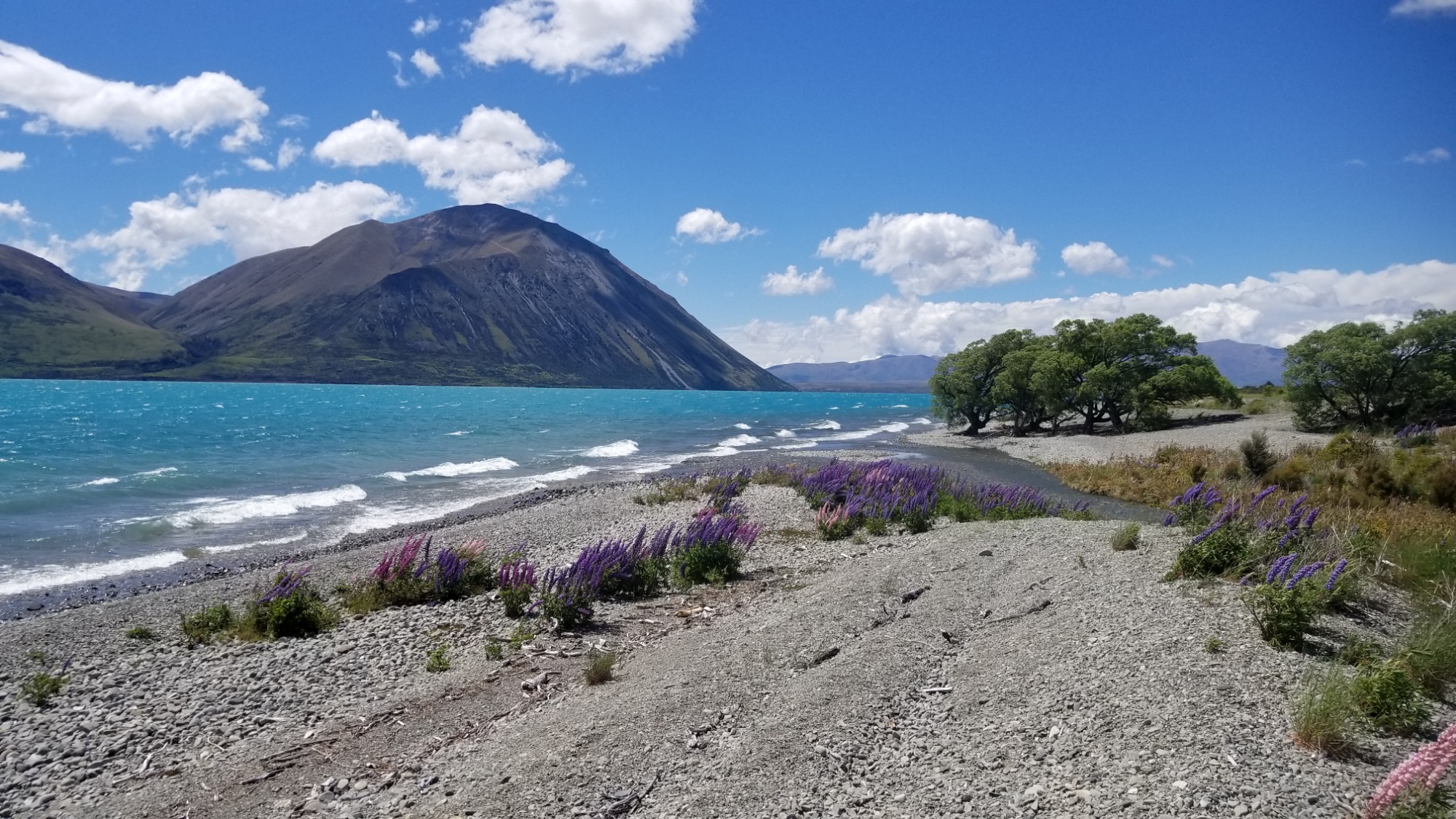
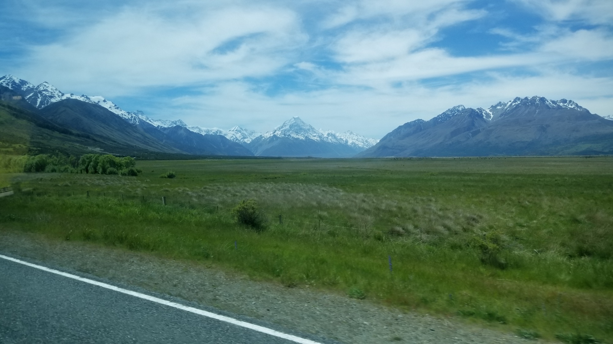
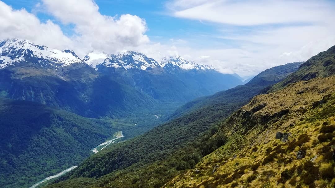
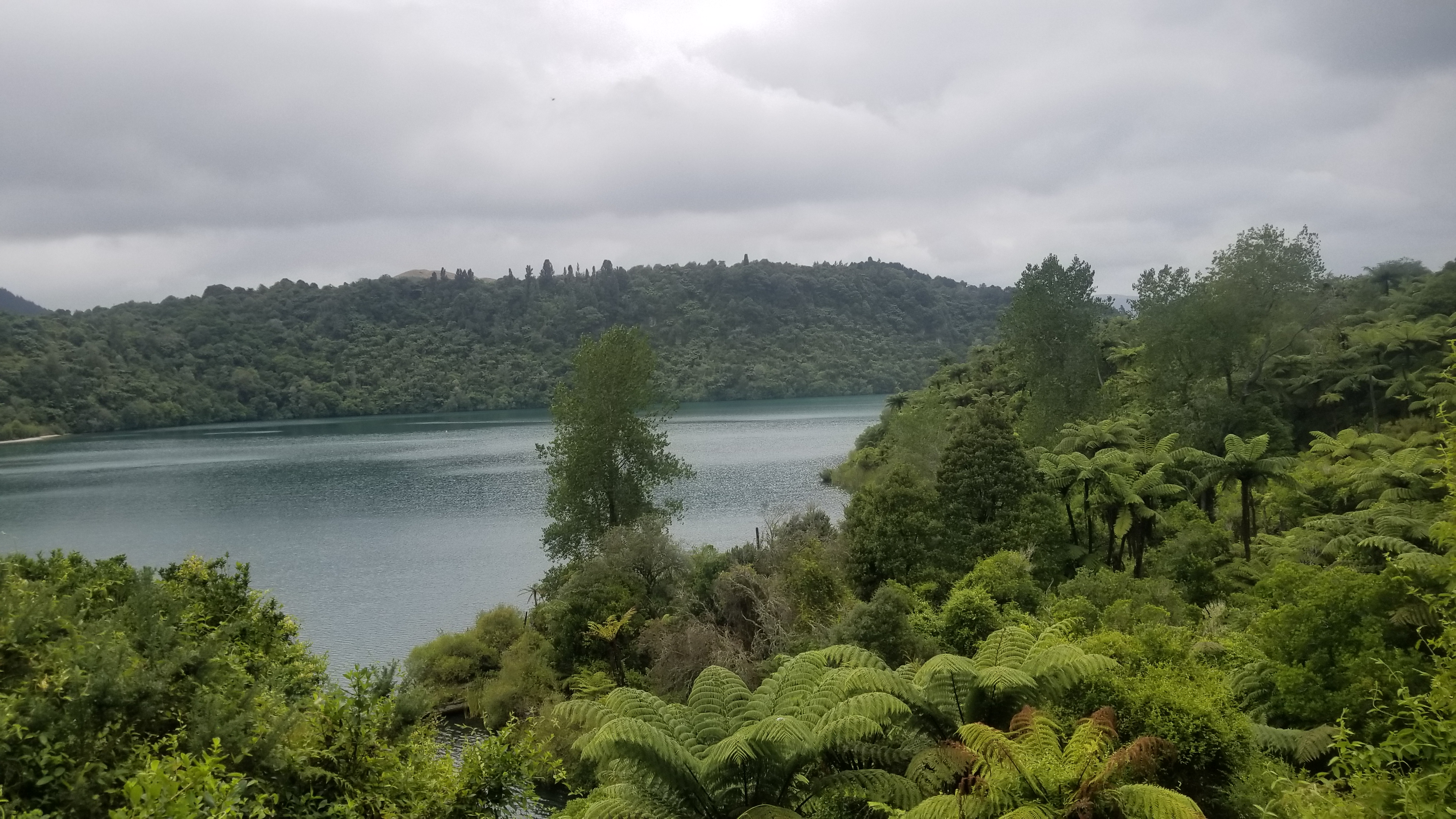
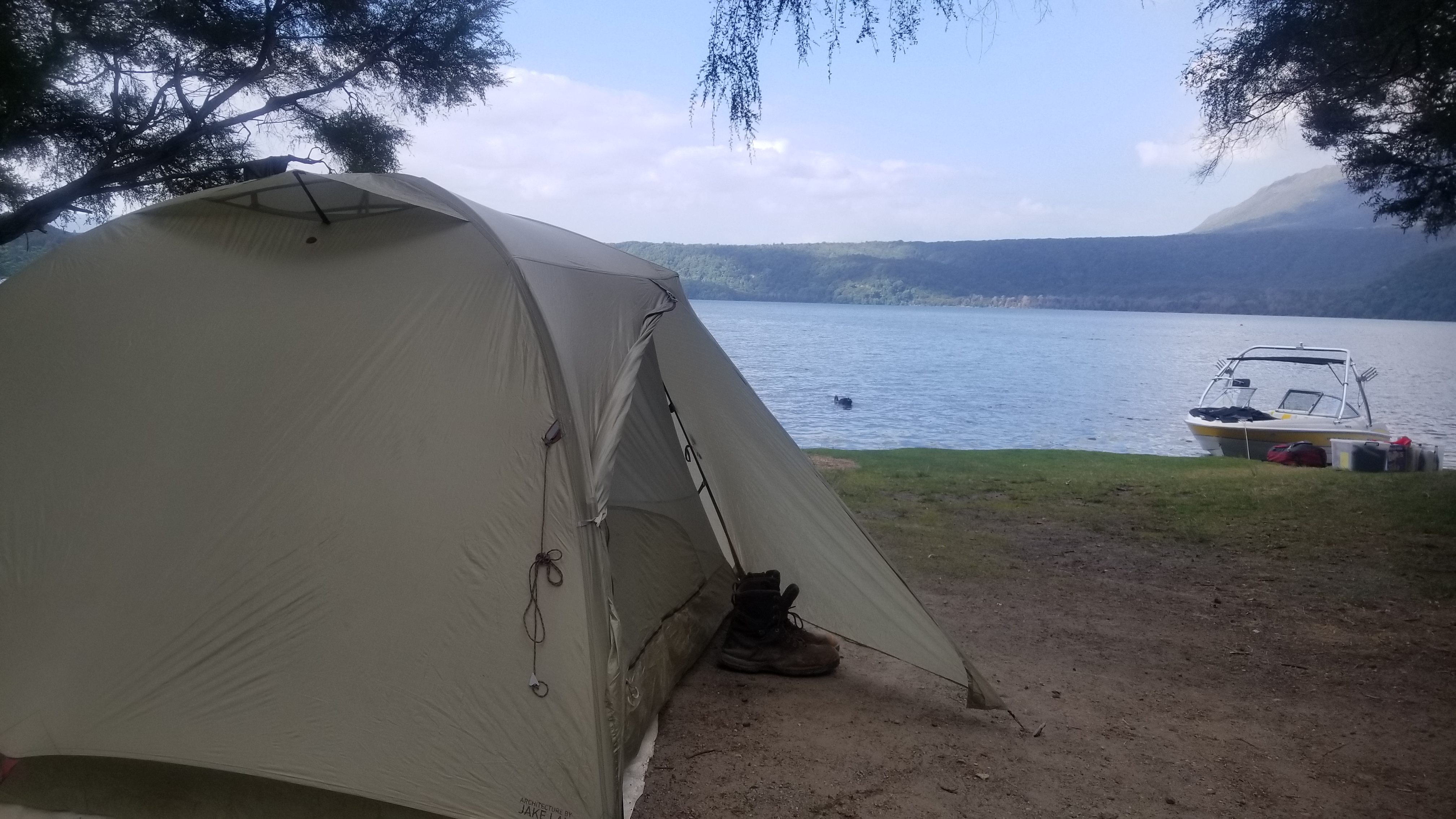
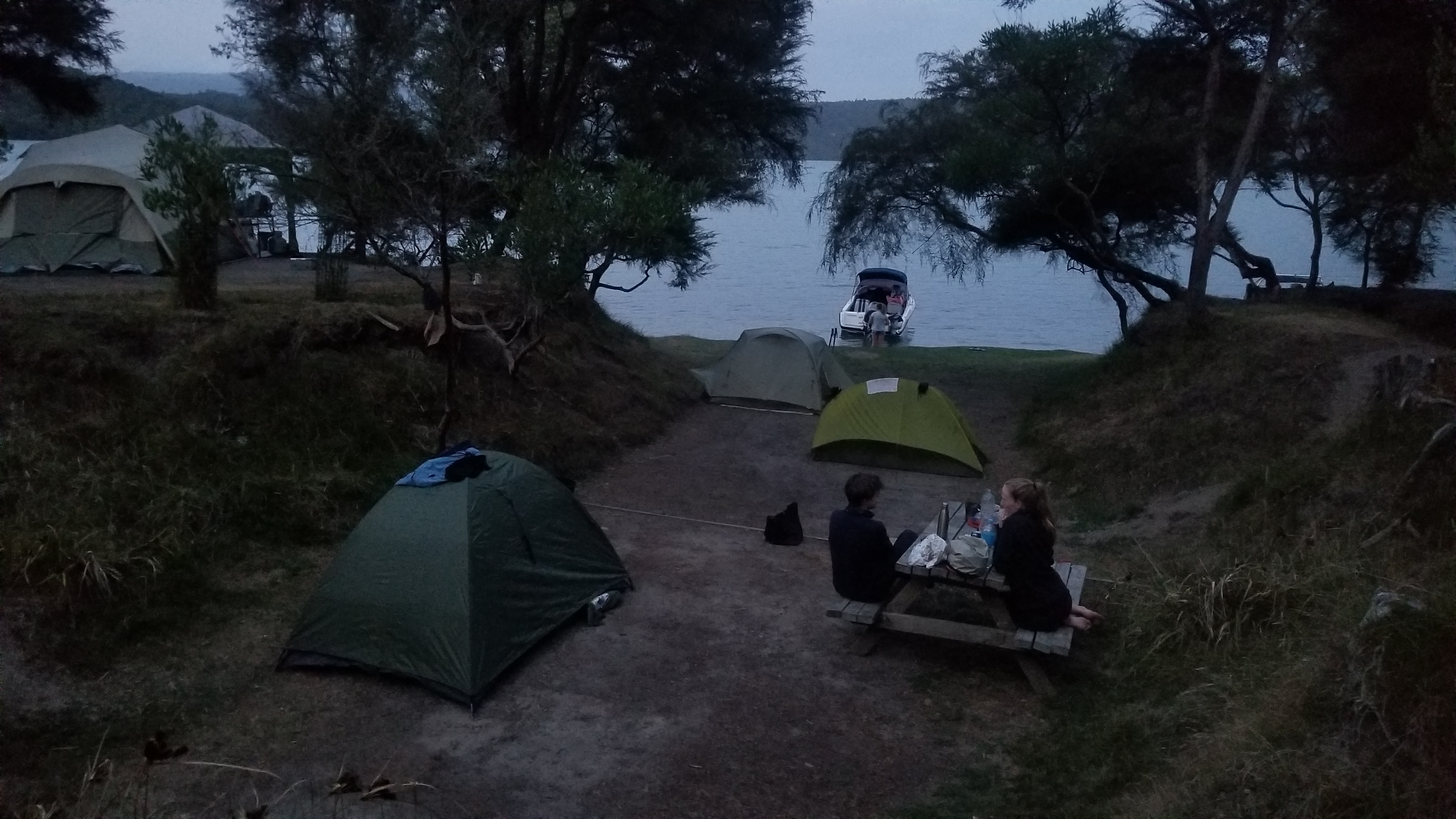
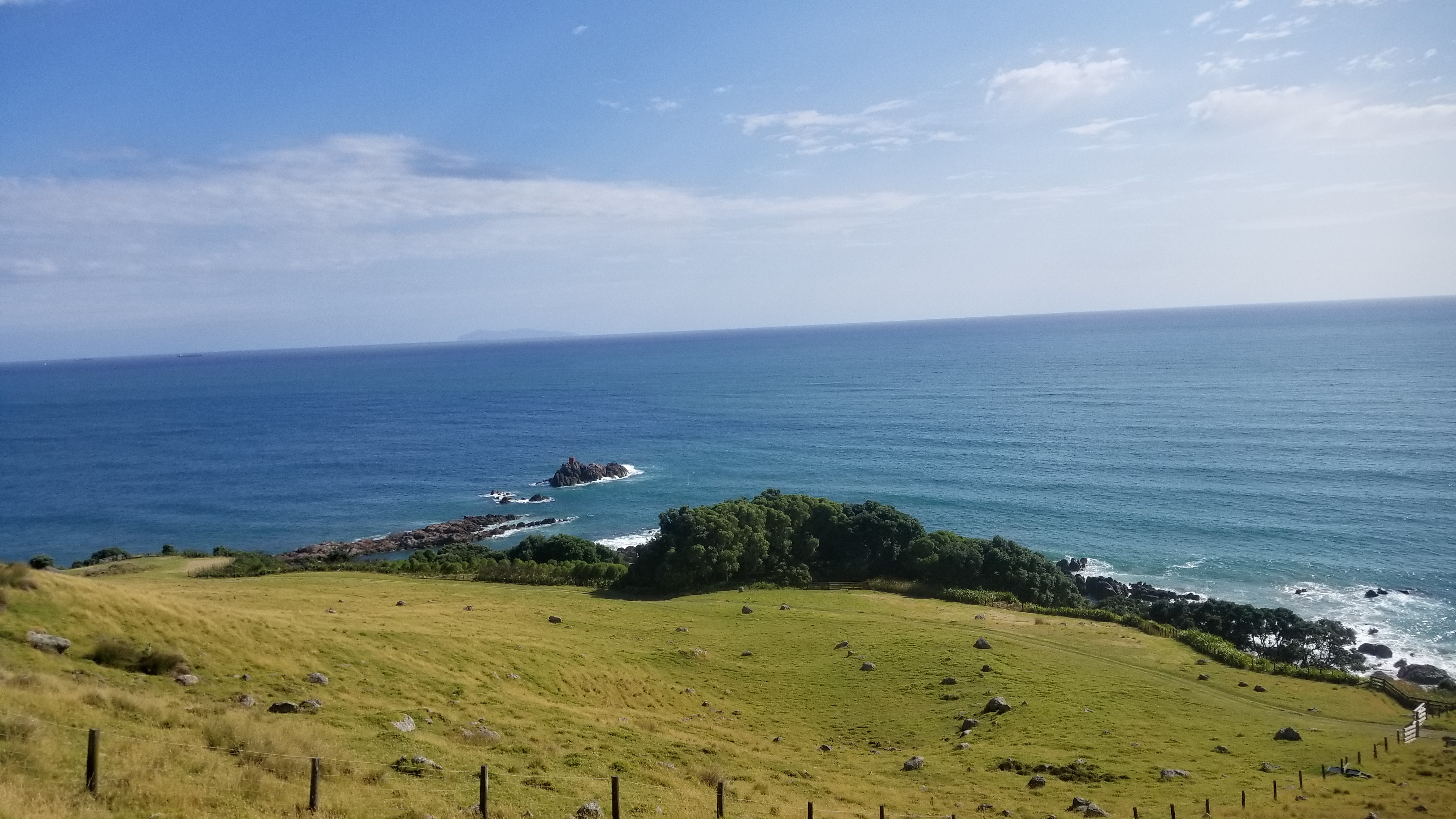
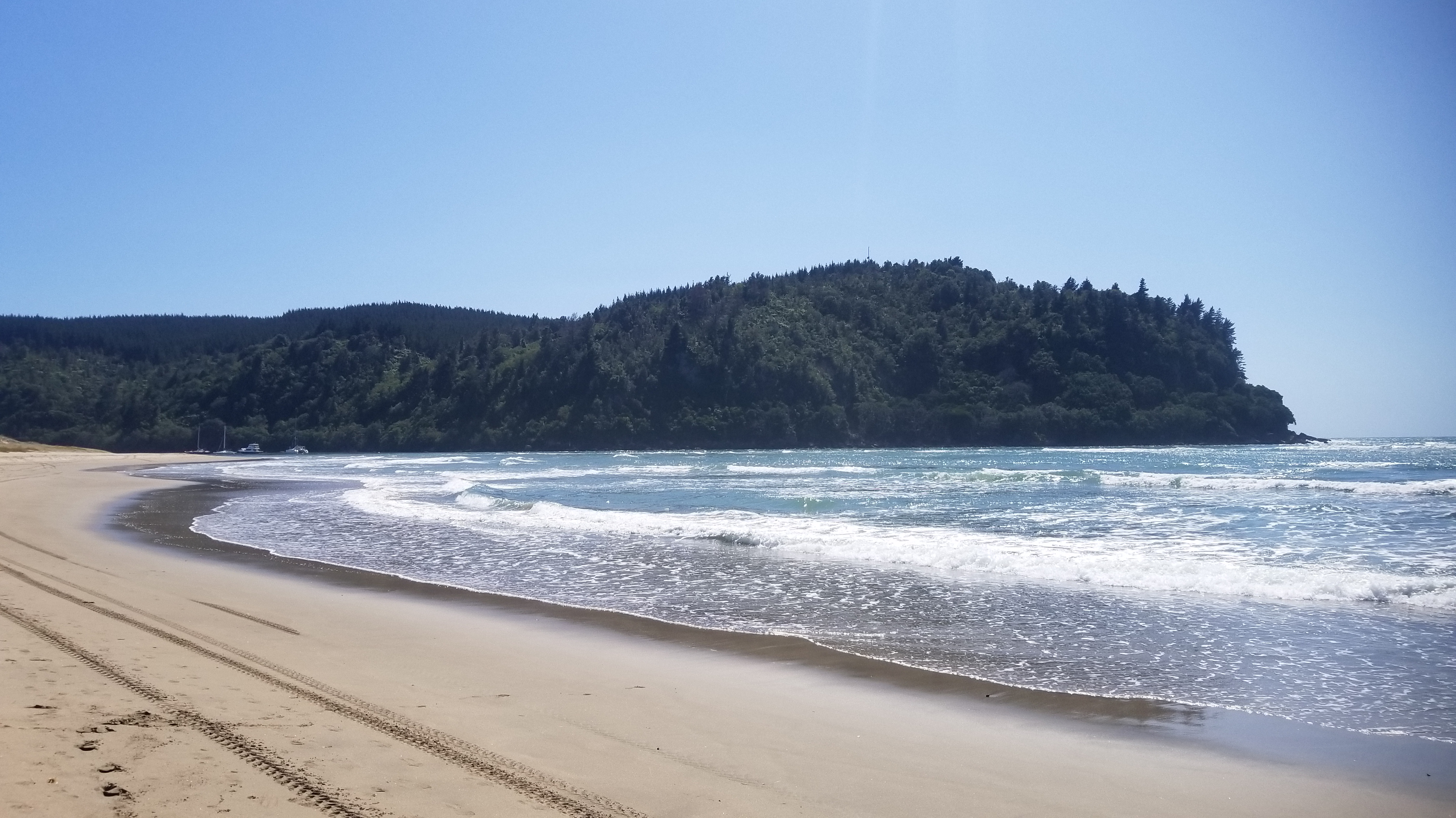
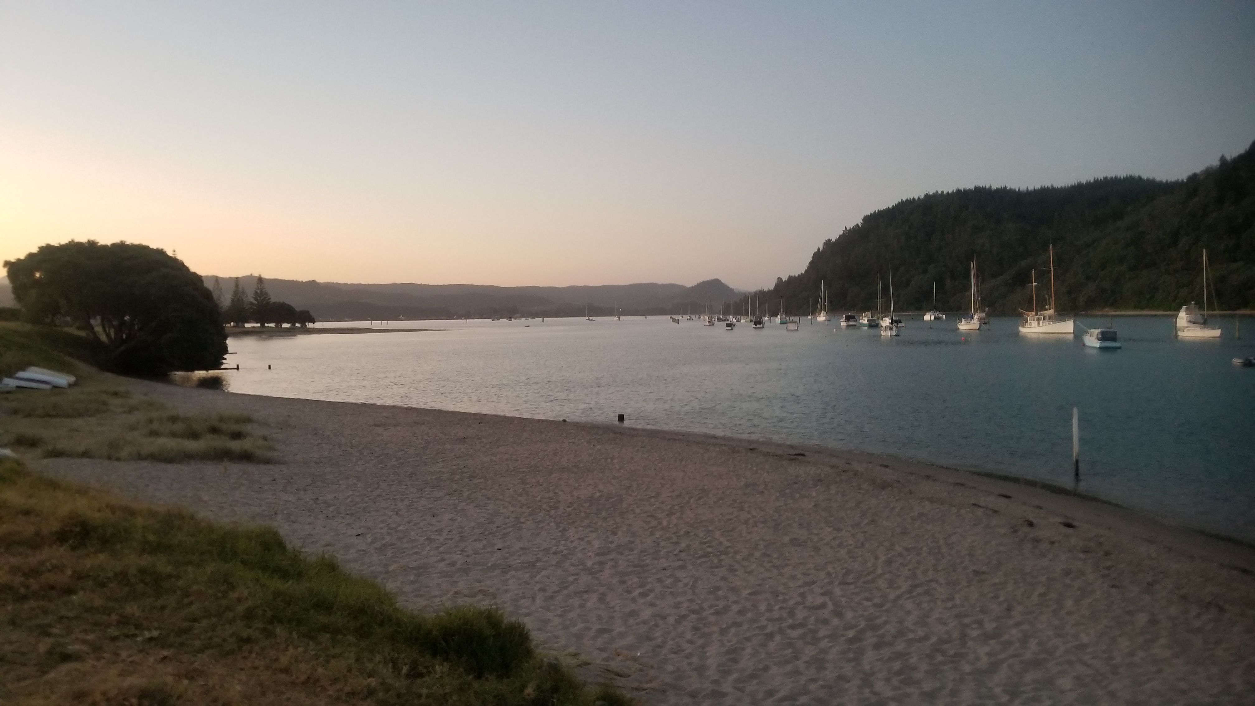
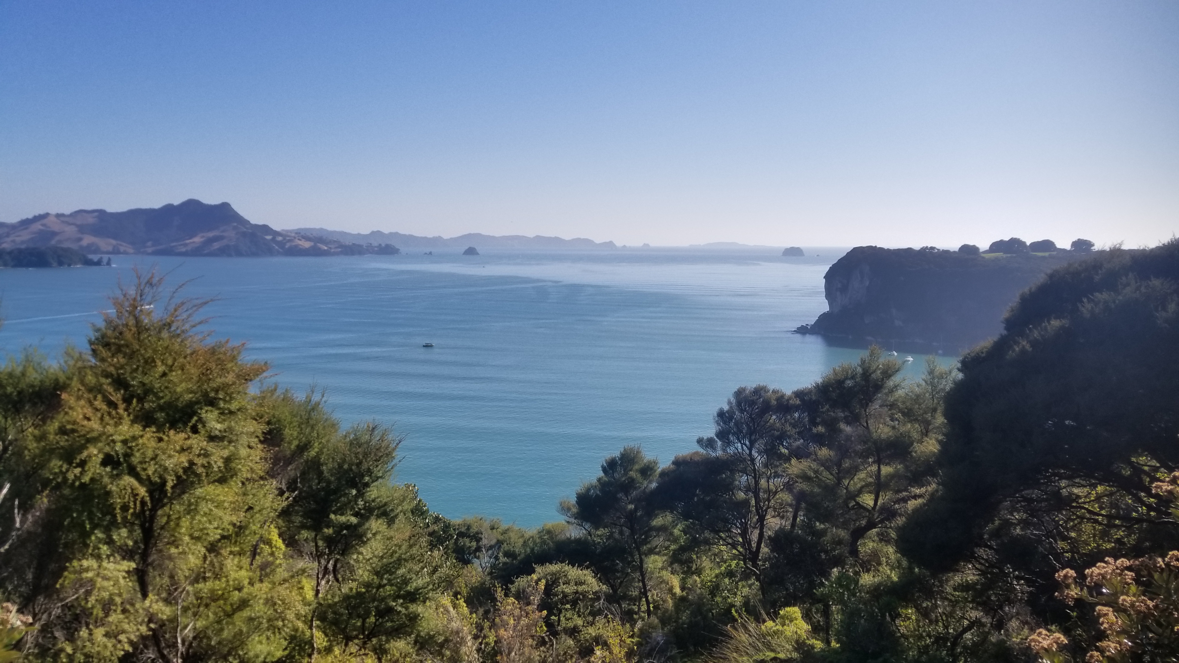
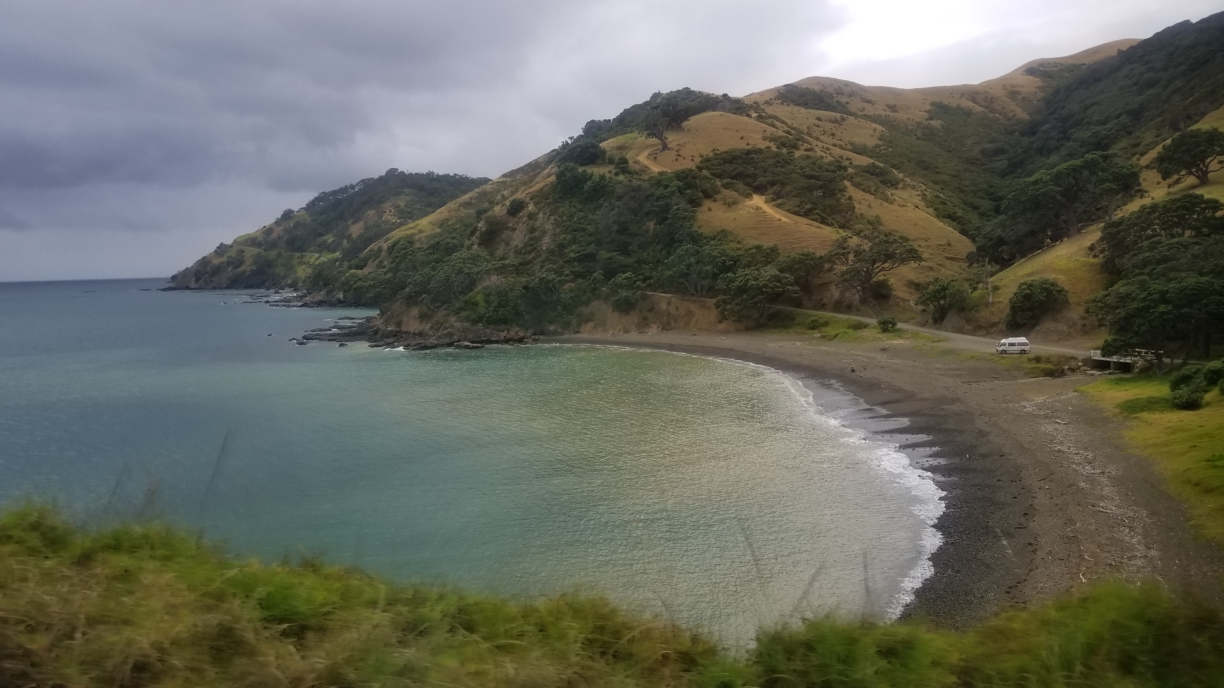
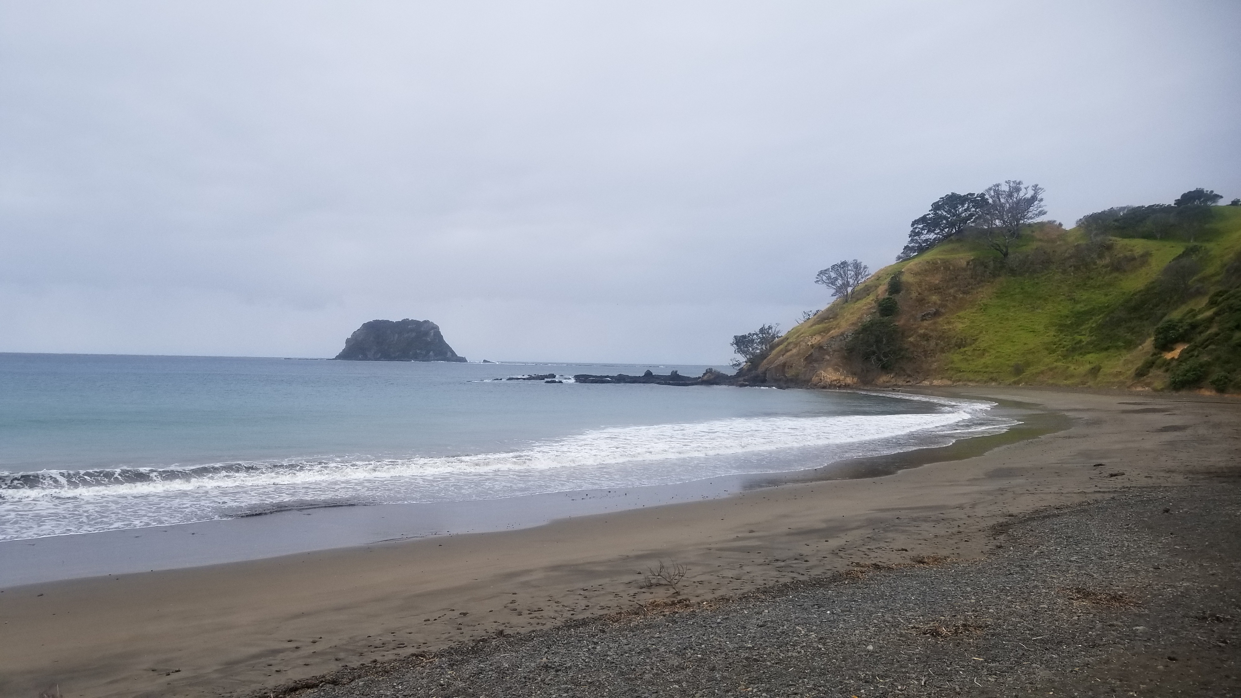
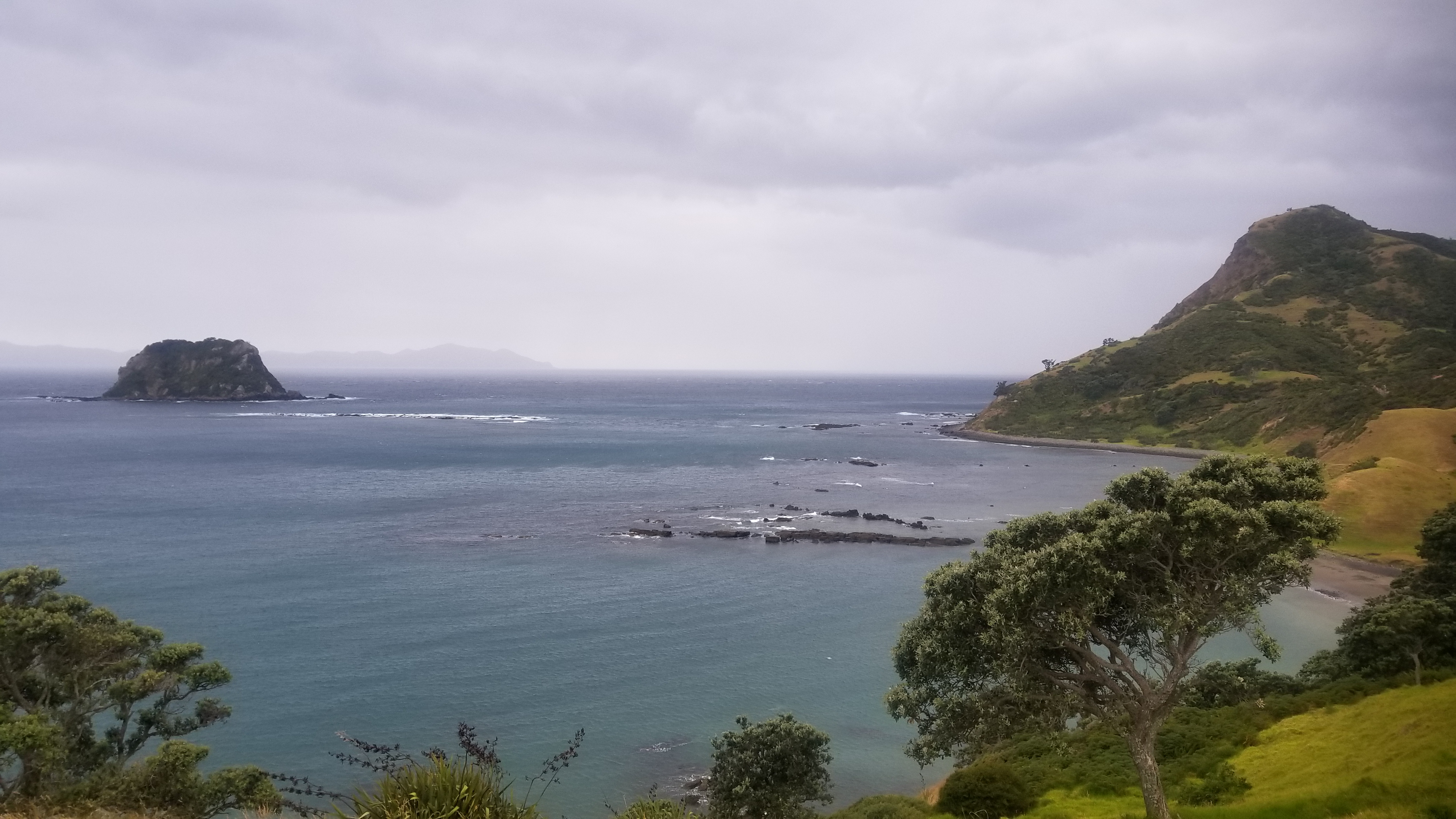
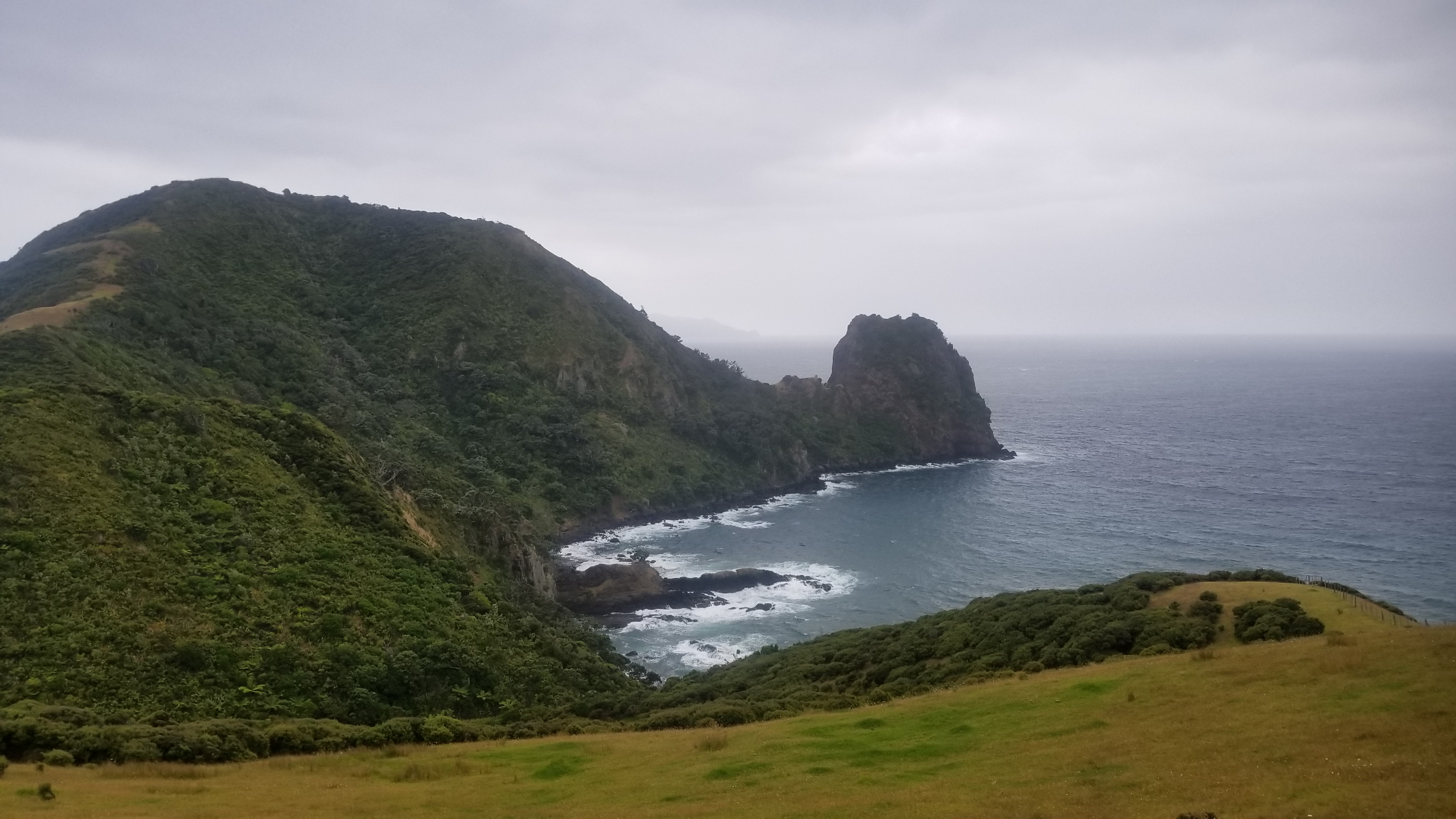
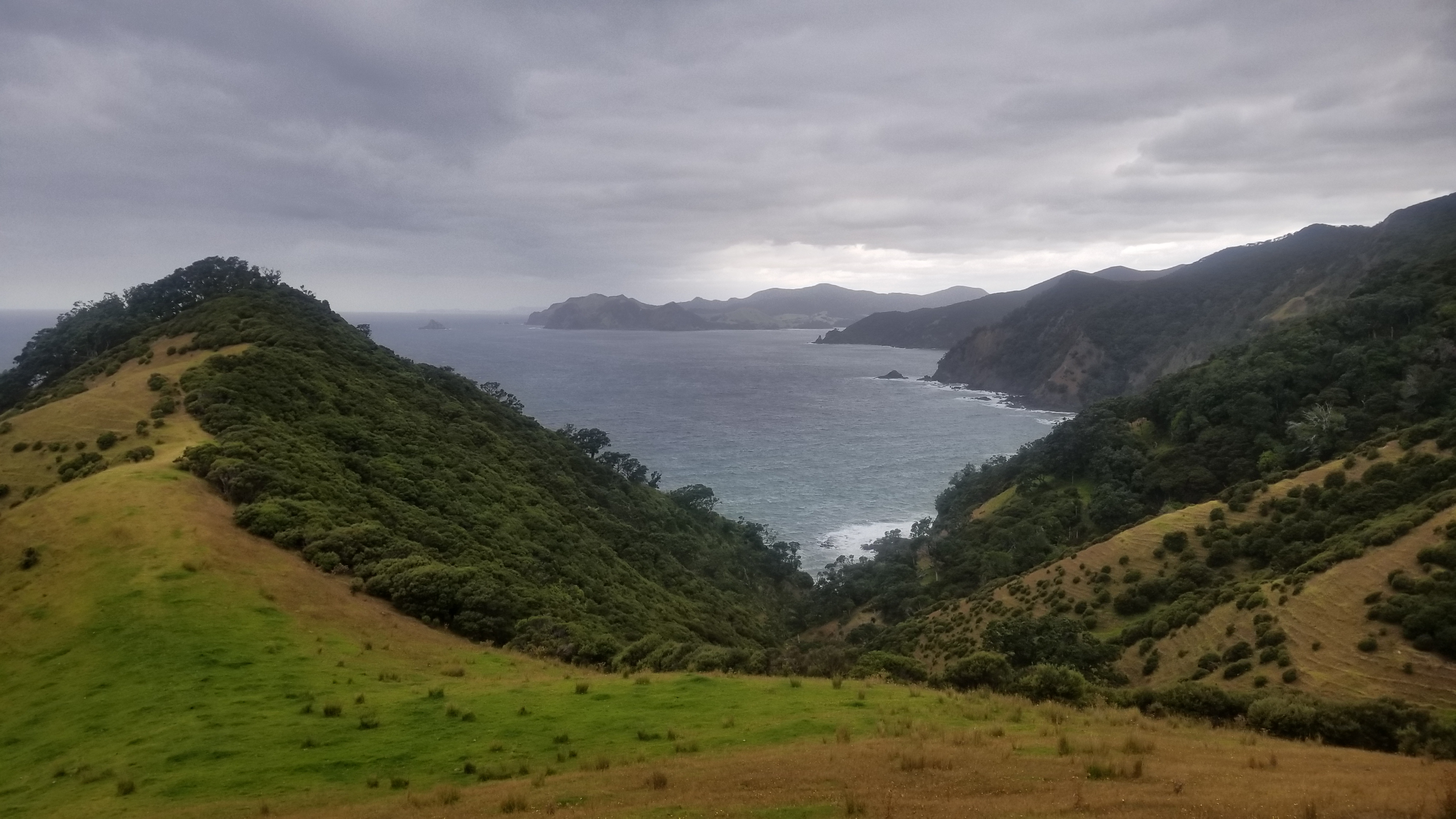
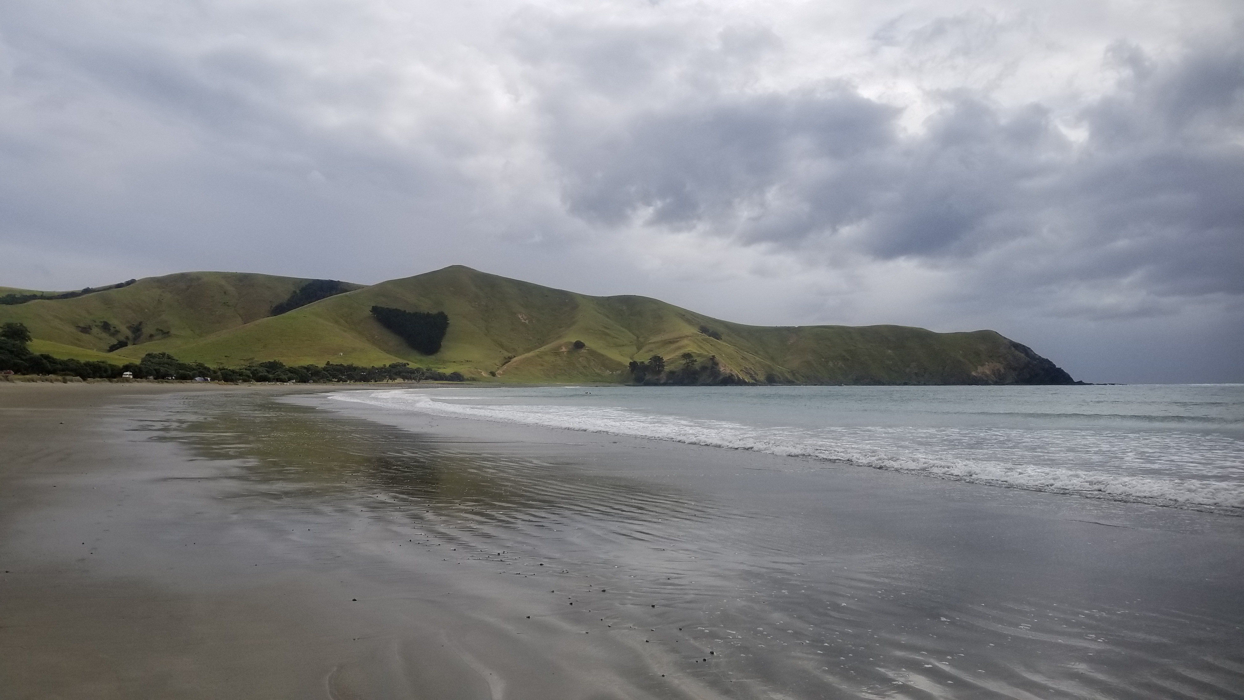
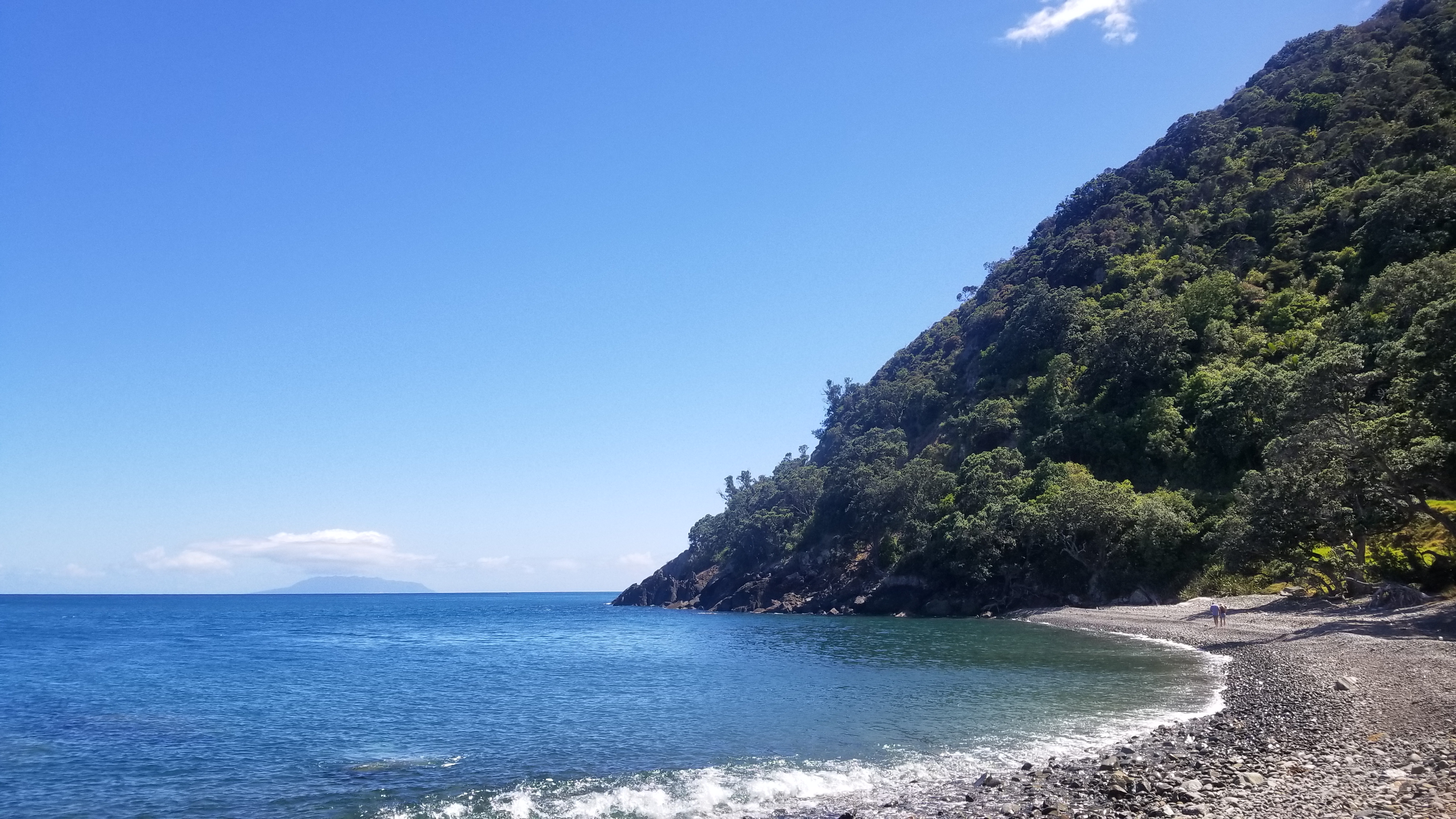
At the hostel, we met an older guy named Reg, who invited us to ride with him up the dirt roads to the tip of the Coromandel peninsula, where the greatest beauties of this region lie. So we joined up with him, and spent the next few days driving up the Peninsula, walking the Coromandel Trail, and camping at Port Jackson, a gorgeous campsite straddling a beach (our site was just a few meters from the ocean at high tide), with views of New Zealand’s Barrier Islands looming in the distance.

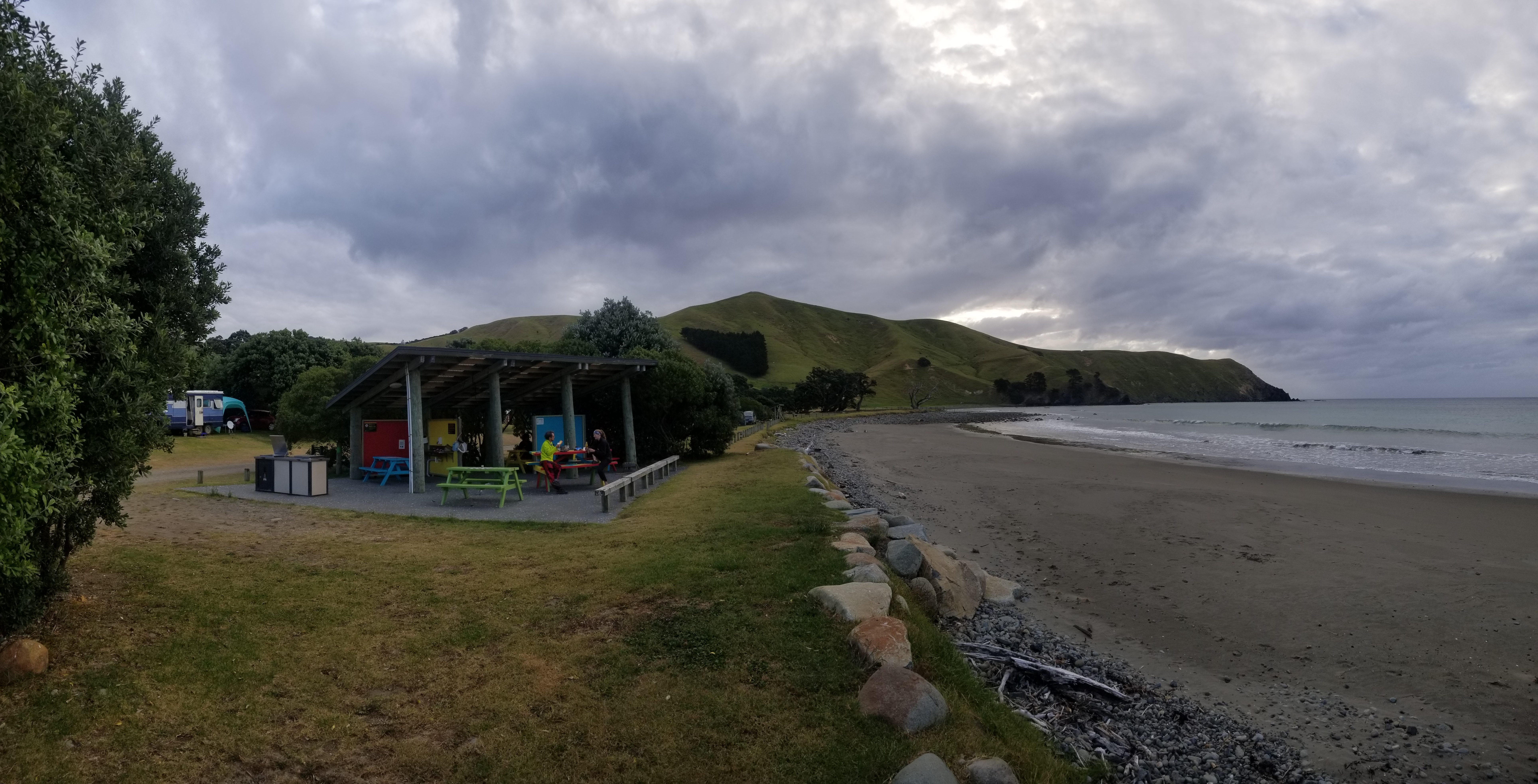
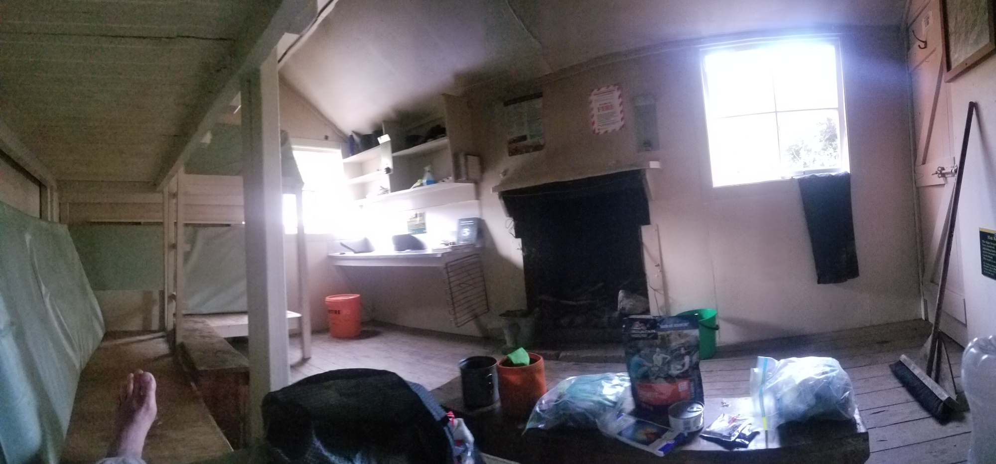
Finally, we drove back to Coromandel, and then an hour south to the town of Thames. We thought about doing the hike to the Pinnacles, but it seemed a little overblown for tourists and we decided rather to spend a pleasant evening after dinner in town at the Dickson’s Holiday Park, where we had some beers and played cards (Gin Rummy, Delicious Barbeque, etc) until late.

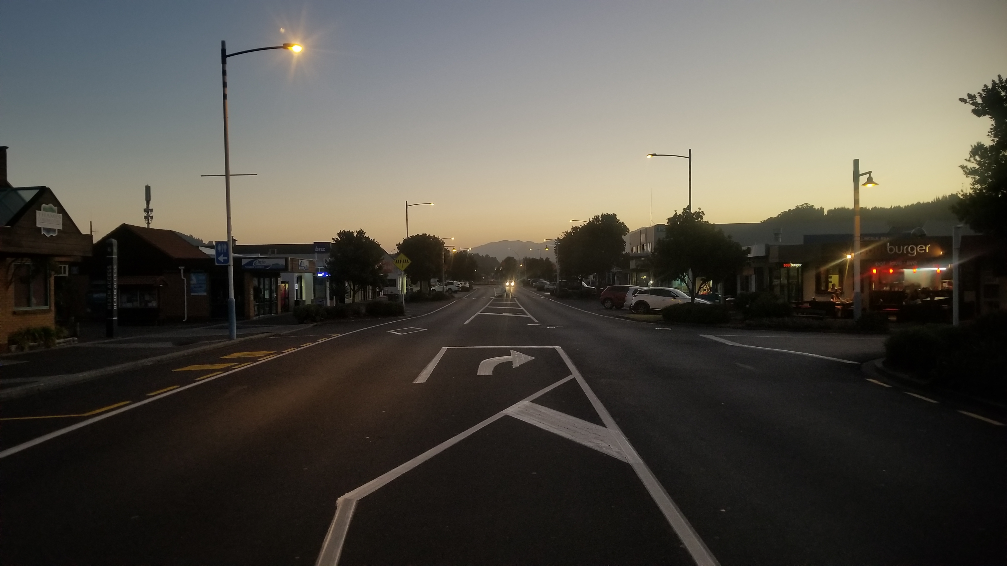
The next day, we ran into Thames and enjoyed their Saturday street market, and then said goodbye to Reg, as he dropped us off in Kopu on the highway to Auckland, before he headed down to Tauranga for a week of Woofing before going to pick up his son for holiday.

Within 10 minutes, we got a ride from a local Auckland farmer and industrial real estate guy, who drove us as far as 35km outside of the city center.

Then, within a few moments of sticking out our thumbs, a Tongan fella named Steven pulled off out of his way and gave us a ride all the way into downtown Auckland, while giving us history lessons on the Tongan islands and telling us about his business carving whale bones. He even bought us drinks and wouldn’t accept gas money. I was really blown away by his kindness and his genuinely nice personality.

Back in Auckland, Maureen and I spent one night at the BK Hostel before she caught a plane down to the South Island in Queenstown, to start the real part of her New Zealand adventures.

And as for me, I spent another night at the hostel before catching a bus to the Auckland Airport, from where I have typed this last blog post. I said it best on Social Media, so here’s an excerpt from there:

Flying back to the States tomorrow. Goodbye to everyone I met along the way, you all made the journey more memorable, fun, bearable. Farewell to the Pyrénées, the Alps, and the South Island, where pieces of my heart will forever remain. So long to all the storms of lightning and thunder, the snow, hail, and driving winds, the freezing rain and the intense sun, you showed me some of what a water-based Earthling can endure. Au revoir to all the surging river crossings of New Zealand and the glacier-laden alpine cols of France, you thrilled and adrenalized and pushed me well beyond my hiking comfort zone. Each strife was rewarded in turn by the most spectacular scenery I have ever borne witness to. I’ll never forget the kindnesses of strangers, the sunsets, the sound of the ocean, finding happiness with relationships, friendships, and experiences, rather than material goods. This is the end.

Day 83 – 90 – Wellington, Tongariro, Hiking Around Mt. Ruapehu, and Farewells

Having made it safely across the Cook Strait and back to the North Island, Nora and I made our way to a hostel in Wellington. We had a couple of pretty weird nights at really trashy hostels, pretty much the worst I’ve ever been in, but I don’t feel the need to recount that to all of you! Wellington certainly made up for this faux pas by being all around charming in every other way.

The next day, got some delicious Thai food (fried rice, mm!) and then we took a trip to the New Zealand Museum and checked out the WWI exhibit on the ANZAC troops who fought against the Turks in Africa. It was a brutally senseless battle with massive casualties on both sides and no strategic gains of any kind. Otherwise, we enjoyed checking out all the other facets of New Zealand history, from the Maori culture, the colonization, and the ongoing exploits of current day kiwis.

After a healthy dose of culturization, we swung by the supermarket, grabbed a couple bottles of wine, and went down to the waterfront to hang out for a bit and enjoy the wonderful weather.

The next day, after a particularly terrible stay at the Rosemere Hostel, we hopped on a train as far out of town as we could make it, for about $8 a piece. Having made it the first hour of the way, we then took to sticking out our thumbs to cover the rest of the distance. Our target, about 4 hours distant, was the Tongariro National Park, where we were all resupplied and ready to do the 70km “Round the Mountain” trail. You might recognize some of it, it’s where they shot the Mt. Doom scenes from Lord of the Rings.

So, soon after touching down in Paraparaumu, we walked down the highway and got just about the first car to stop and offer us a ride! The driver was a younger guy in his early 20s, with an unmistakably rural character. His use of slurs and slang was such that you might only see it once in some movie of what country New Zealand people talk about.

Despite the fact that his car almost ran out of gas (“C’mon you’re a Honda! You should be able to run on an oily rag!!” and who could forget– ” Row! ROW!!!”), told us about his time in jail after he robbed his ex-boss of money that he was owed, AND toted us along to a less-than-legal rendez-vous with a purveyor of plants, he did finally get us to the highway on the far side of Levin. We said our goodbyes, and Nora and I had a good laugh about all of the crazy BS that we had just gone through, while simultaneously thanking the stars that we were alive and free again.

There was another girl who showed up just after us, who was hitchhiking as well! It’s always nice to have some camraderie when hitching. She hitched up the road from us and got a ride pretty quick, and we were almost jealous, but just then, a huge semi truck pulled off and beckoned us in! Score! Who knows if he would’ve stopped had the girl not gotten the first car that passed by.

The fella behind the wheel of the truck was a true intellectual, seriously curious and wanting, craving to learn about so many different things. He was really a joy to ride with, and got us a good 2 hours more down the road, all the way to Waiouru. From here, we split ways, and it was about 2pm in the afternoon. We were making pretty good time, and we were already within eye-sight of the magnificent Mt. Ruapehu, the huge volcanic mountain that we would spend the next few days hiking around.

From here, we got a quick ride with a woman driving to her lifestyle block farm in Ohakune, and finally, a dad and his two young sons stopped and drove us all the way up the mountain to Whakapapa (pronounced “FAKAPAPA”)! Joyous day!

It was about 5PM, and after a fair amount of kicking around, we got started on the first leg around Mt. Ruapehu.

Mt. Doom in the distance

Finally, with the sun going down, we decided to camp right in the shadow of Mt. Doom, about 100m off trail so that no one would see us (you may or may not have had to pre-book campsites, but whatever! This is the wilderness, damnit. Get your pencil-pushing rules outta here!)

I spent a solid hour running up and down a big canyon near our camp looking for some trace of water, and finally made it back to Nora just before total darkness, with enough time to get my tent up before pulling out the headlamp. We made dinner, and enjoyed the rising of the Super Blood Wolf Moon! Badass!

Mt. Doom!
This hut was used over a hundred years ago by cross country skiers and hikers.
This is the chic modern version of that old red hut above

The eastern face of Mt. Ruapehu features the featureless Rangipo Desert!
We spent a lovely afternoon and evening enjoying Rangipo Hut. We had the whole place to ourselves, there wasnt a soul for miles!

The next morning was dominated by a rolling fog and mist around the south face of the volcanic mountain

The west face of the mountain had a short climb up an asphalt road, and tons of waterfalls, a few of which we had to cross

Camping outside the Mangaturuturu Hut

Finally, we made it back to the highway we came in on. The 70 mile Round the Mountain Trail was done! We quickly caught a ride with a couple from America who were there vacationing.

They dropped us of in Turangi, where Nora and I stopped into a steakhouse for a burger dinner.

At last, it was time for us to say goodbye. Nora and I had been hiking together for over a month, so it was definitely an emotional moment. We had shared so many struggles and accomplishments and beautiful miles of trail! And now I had to make my own decisions! Damn!

We hugged, she put her old beat up boots in the trash at the countdown supermarket, and we parted ways. I immediately started walking towards the local campground, and she waved from her hitchhike’s car as they drove past.

Day 78 – 83 – Queen Charlotte Track, the Marlborough Sounds, Ship Cove, and Picton (Fin, Te Araroa)

With four days of food in our packs and a healthy 16 hours of town time behind us, Nora and I walked a couple kilometers from the hostel to the main highway North towards Havelock, and we stuck out our thumbs. I laughed as a big rig passed us, thinking it was impossible to get a ride with one of them, but lo and behold! A huge double-long 18-wheeler stopped and beckoned us in. The driver was headed all the way to Picton for the ferry to Wellington, and we were happy to have our one ride to pick the trail back up. And when we finally made it to Havelock, there was a girl trying to hitchhike the same way as the truck. “Send her on over, I’ll take her” said the truck driver. She was also hiking the Te Araroa, and was grateful for the ride into Glenham to resupply.

So just like that, we picked the trail back up, walking a nicely graded bike trail up and around the mountains, with great views of the sounds that we were about to hike into.

We trekked right through Anakiwa, where the Queen Charlotte Track picks up. The views of the clear blue ocean water filling the valleys of this mountain range were extravagant and unforgettable. We stayed the first night camped at a eco-holiday park called Mistletoe Bay. We drank one of our beers and some wine that we had toted to celebrate our final days on the South Island Te Araroa trail.

The next day was a pretty hot one. We walked up to the Onahau lookout, one of the more scenic points at 1,200 feet above the water below.

Then we made a small detour down to Cowshed Campground to collect some water and have lunch. There was a chance the next two ridgeline camps were out of water, so we carried a few liters to be sure.

Then, back up to the trail for some more cruisy kilometers to Black Rock Camp, and finally on into the shelter and Bay of Many Coves Campground. The view from here was great, and Nora and I spent the sunset hours drinking beer and wine, making dinner, and playing cards on our luxurious picnic table.

We had a pretty short walk the next day to Madsen’s camp, where we were excited to lay in the hammocks provided at the site and soak up some sun next to the sounds. We stopped into a little resort for some strawberry milkshakes around lunchtime, then knocked out the last kilometers to Madsen’s Camp.

Madsen was nice enough to lend us his kayaks, and also cooked up a few of the mussels that we had collected from the nearby rocky outcrops. Lastly, he let us try some of the liquor that he makes and distills on site. It was delicious! One, a whiskey, and the other, a coffee liquor. A great place to visit for our last campsite on the Te Araroa.

The last day, we hiked the last 18km to Ship Cove, the Northern terminus of the South Island Te Araroa trail. We were reluctant to get there, and joked about possibly turning around and just resuming the hike going the opposite direction, southbound.

But then we arrived, and it would’ve been impossible to dampen our good spirits. We caught the 3 o’clock mailboat ferry tour back into Picton, where we had a great feast with all the things we had been craving on the trail. Finally, we ended the evening with a soak in the cedar hot tub at our hostel, paired with some delicious mimosas. What a way to end the trail! I was glad I had someone to share the finish with.

Now, we will catch the ferry to Wellington, and then hitchhike 350km up to Tongariro National Park to do the trek around Mt. Ruapehu. Stay tuned!

Day 73 – 77 – Abel Tasman Coastal Trail

After a couple lovely nights at the Honeysuckle House Hostel in Nelson, I hitched a ride with my friend Nora to Marahau, the start of the Abel Tasman Great Walk, which meanders along some of the best beaches in all of New Zealand.

The first day, we knocked out most of the inland trail, part of the 90km loop that we were doing to see all of the AT National Park. There was about 1,000m of climbing this first day on decent trail, although it was a bit dull as there were not really any views and the trail was very coarse, with roots and rocks jutting out under just about every step. We passed the Castle Rocks hut for lunch, then onto the Moa Park shelter, and finally, we made it to Awapoto Hut in time for dinner. This place made the day’s hardships all worth it, as it had extraordinary views up and down the coast and of the sunset, being about 2,000 feet above the Pacific ocean below. And we had the whole 16 bunk hut to ourselves, which is always nice.

The next day, we had a pleasant stroll downhill to the Whariwharangi hut and beach, where we took lunch and met back up with the cruisy Abel Tasman trail, which was as smooth as any footpath I’ve ever been on.

We rode this another few kilometers to Mutton Cove, our camp for the night, on a little bluff just above the beach right up against the calm ocean. We had a nice time laying out on the beach, swimming, and playing cards with some guys names Liam and Rick who were also camping there that night. We played on a picnic table that we moved under a big cedar tree, which made adequate shelter from the big rainfall happening at the moment.

The next day, we made the short walk to Oretihuti beach and were there by 2 or 3 in the afternoon.

Finally, the last day, we walked back to the trailhead at Marahau and hitched back into town. I lost Nora after I left in the morning and we apparently both spent the whole day not sure if we were supposed to be waiting for or trying to catch up with each other.

In any case, I made it to Anchorage Beach for lunch, checked out the Cleopatra pool and rock water slide, and walked out to the town around 5pm.

I got a pretty quick hitch with a group of blokes from the UK who were here on vacation, though they had spent much of their time working on winery farms and couldn’t say enough bad things about the laborious days they suffered. We had some great music on the ride back to Nelson, and I was thankful to get dropped off just a block away from my favorite hostel in NZ, the Honeysuckle House. I arrived, walked through the house, and sat in the back yard, before seeing Nora in the bedroom and having a great reunion catching up on our super different and similar adventures that day. Later, we went out for dinner, and picked up some beer and wine for the celebration of finishing the Abel Tasman trail. All in all a pretty sweet diversion and distraction from ending the Te Araroa.

From here, we will hitch to Havelock and pick up the Queen Charlotte Track through the Marlborough Sounds, 90km to Ship Cove, the Northern Terminus of our South Island Te Araroa adventure. Stay tuned!

Day 66 – 72 – Red Hills Ridge Route and the Richmond Ranges, rrrr!

I’ll keep this post short and leave it to the pictures to do most of the talking. I packed up 7 days of food for the Richmond Ranges and said goodbye to beautiful St. Arnaud. I stuck out my thumb and the first truck that drove by gave me a ride down the highway 11km to the trailhead. 6km of hiking later, I made it to Red Hills Hut, where I was going to hike the Red Hills Ridge, an unmarked Bush-and-boulder bashing route up to the highest point of the Richmond Ranges (1,790m). There were a couple guys there who said I could not possibly do the hike in less than 14 hours, and then I did it in 8 and a half, lol. It was super brutal, the route was mostly tussock and boulder hopping without any markers, and the rocks were all corroded and as sharp as knives or cheese graters.

At the basin below Red “Hill”, I descended to the valley and walked the rest of the way up to the pass that led to Top Wairoa Hut. I got there around 7pm and had the whole place to myself. Really an extraordinary hike but I would not recommend it to non-masochistic hikers, lol.

The next day, Nora and Jake caught up and we had lunch at the hut and then walked down the Wairoa river to MidWairoa hut. We played some cards all afternoon with another section hiker.

The next day, there was a 1,000m climb up to a nice ridge, and then a walk along it to the Rintoul hut just below one of the hardest sections of the Te Araroa. We stayed the night there.

The following day was an amazing collage of ridge walking, climbing up down and around at least 5 different summits, all above treeline with views of the Tasman Bay in the distance. The best view was certainly just before the descent to Starveall Hut, where the three of us had the whole beautiful place to ourselves.

The next day, I walked down to Hacket Hut (-1,000m) and then back up to the ridge at Rock’s Hut (+700m). Again, I had the hut all to myself, as I was gonna walk out to Nelson 20km tomorrow on the Dunn Mountain trail, while my friends carried on to Pelorus Bridge on the official TA route and then hitched to town.

Finally, the 6th day out of St. Arnaud, the track was a nice graded cycle trail on the ridge of Dunn Mountain, originally a rail track for mining operations. It was really cruisy and I made it to the incredible Honeysuckle house hostel by 3pm.

Now, Nora and I prepare to take on the incredible Abel Tasman beach great walk / inland trail loop. More to come, stay tuned!

Day 59 – 65 – Waiau Pass and the Robert Ridge Route

On my way out of Hanmer Springs on Saturday morning, the hostel manager at Jack in the Green where I was staying was nice enough to offer me a ride down to the highway intersection that leads off towards Boyle Village, where the trail picks up.

From there, I stuck out my thumb and got a ride with an older fella and his dog who were headed to a little close knit music festival where he was going to play some banjo. The dog was adorable and had his head in my lap the whole 40km ride.

They dropped me off just outside of Boyle Village. We wished each other well, and went our separate ways. My route led 30km up the Boyle valley, over the Anne Saddle, and down another valley to the picturesque Anne Hut. I met up with my NOBO friend Nora there again, and pitched the tent outside since it was pretty crowded in the hut.

Oh yeah, and I lost my titanium spoon! Noooooo! We had been through so much together… it must have fallen out at some point when I took out my snack pack. Damn. This is why we do the idiot check every time we stop, Daniel! Well anyways, I borrowed Nora’s spoon, and used a stick to eat the next two nights. Haha.

The next day, I was the last to get up, and everyone had left when I went inside the hut for a morning coffee.

Then, the rest of the day was spent walking 30km up the Waiau valley to a campsite just below Waiau Pass, one of the steepest and most challenging alpine traverses of the whole Te Araroa.

Nora and I had a roaring fire going at the campsite, and she was sewing the shoulder strap back onto her pack while I ate my dinner with a nice stick I found. It was like the perfect poster image for the quote, “Life is Hard.”

Embrace the Brutality as we always said on the Continental Divide Trail.

The next day saw a steep 500 meter ascent over the Waiau pass, with gorgeous views of Lake Constance. It looked like rain early, but became a beautiful day afterwards. Beyond the pass, there was an equally steep descent down to the lake, and then a little hike up and around a large spire jutting out from the lakeside. Then, a cozy walk down to the sacred Blue Lake and its hut.

I stopped here for lunch, but didn’t take long since it was so stifling hot inside. From there, there was a pleasant walk down the headwaters of the Sabine River to West Sabine Hut, where everyone seemed to be excited for the New Year happening that evening (we got it here first in New Zealand).

I happened to run into my friend Ashton there too, whom I had met when he saw my backpack from outside the Wendy’s, way back in Auckland and asked if I was doing the TA. “It looks like a thru-hikers pack,” he said.

We had a great reunion and played lots of cards between the 4 of us. I learned his trail name was two spoons, and this was hilarious because I had no spoons! I told him I had been eating with a stick for a couple nights, and he was kind enough to give me his 2nd long-handle titanium spoon! What a stand up guy! “I hope it brings you much joy and benefit in your travels,” he said. Damn, Ashton. Thank you so much!

The next day, I parted ways with Nora–she was taking the official TA over Travers saddle, while I was keen to do the Robert Ridge Route and Angelus Hut, which I had heard about from the instagram of my friend TimeRider107 who flew down the trail a month ahead of me.

I set off down the Sabine river to Sabine hut, where I met a couple of older guys out for the new year. Then, a grueling climb around 2pm, up 1,400m on the Mt. Cedric Route. The track was okay enough, but it probably averaged 33-50% gradient, so it was a real ankle-buster, and had me stopping every 100m of ascent for a breather.

Finally, I reached the treeline and it all paid off. The views on this route were spectacular, and I was glad I didn’t give up. I was rewarded by an incredible panoramic ridge walk with views out over the Nelson lakes and back up the Sabine valley to Waiau pass.

There was an obvious storm brewing about 15 miles west of me, with rain visible near the horizon. I didn’t want to wait and see what it was going to do when it reached me. I made a swift pace up the ridgeline to a high point around 1,700m, and then descended to a couple of glacial tarns just west of Angelus hut. A few minutes later, and a storm began drizzling water all over my tent that I had pitched just in time. Visibility reduced to zero as a fog rolled in. I was worried I might miss the best views of the ridge walk, but i would find out tomorrow.

The next day, the sun hit my tent early, and I was up and at ’em in time to have a light breakfast at Angelus Hut by 8am.

Then, a cruisy 11km ridge walk along the Robert Ridge Walk, and finally, a 1,000m descent to the town of St. Arnaud. All in all, this was one of the most spectacular sections of the whole Te Araroa adventure, although it is an alternate, higher level route.

Now for some well deserved rest at the Alpine Lodge Backpackers, and grabbing my resupply box for the next 6 day stretch through the Richmond Ranges and on into Nelson! Good night!

Day 51 – 58 – Deception River, Harper Pass, Hurunui River, and Hanmer Springs

Around 2.15pm on Friday, Dragon picked up the West Coast Shuttle to Arthur’s Pass, arriving around 5pm just as the shop and visitor center were closing. He would have to wait until tomorrow to collect the resupply package with 5 days of food waiting at the local DOC office. That was no problem, though, because Dragon was quite excited to reunite with Nora from Germany, another TA NOBO whom I joined in hiking the Kepler Track down in Te Anau! We had not seen each other since, and so had a month and a half of trail journeys to catch up on.

We had fun sharing our trail stories at the Sanctuary backpacker’s house in Arthur’s Pass, and then I went to the Wobbly Kea Cafe for a huge Hawaiian pizza and ice cream! Perfect way to start another 5 day leg of the trail.

Later, I camped out at the DOC Campground just across from the Visitor Center. It was pretty rainy, but I got up early, picked up my resupply package, and met Nora and her friend Mitch at the Arthur’s Pass Store for a delicious Chai Latte before we all set out towards Hanmer Springs.

After packing up all the 5 days of food I had shipped myself 2 months before, I took a short warmup hike to the Temple Basin. I had thought of trying to cross the Temple Col, a shorter higher route to the Goat Pass the TA leads to today, but the pass looked too steep, wet, and snowy to safely navigate by one lonesome hiker.

So I walked back to town, and again ran into this nice older fella (who offered me a place to stay the night before) at the post office. He offered me a ride the 6km down the highway to the official start of the TA up the Mingha River Valley, which I gladly accepted. He said he always offered to let hikers stay with him on his property when all the other stuff in town is booked up, which I thought was a mighty kind habit.

Once we drove down the highway, I thanked him as he dropped me off at the trailhead, and knocked out the 12km or so of trail for the day. It generally meandered up the Mingha River to Goat Pass at 970m.

We stayed at the Goat Hut just below the pass and before the Deception River traverse (Dragon, Nora, and Kaden, NOBOs, and Mitch, a SOBO doing this stretch down the river with us).

The next day was pretty tough, requiring a lot of scrambling over big boulders and crossing the Deception River some 20 times. It took about 5 hrs to do this 12km, although it was a really nice valley to walk through! I really enjoy all the river crossings too, it’s the perfect way to cool off and wash off some of the sweat on a hot day of hiking.

After a nice lunch at the Morrisson Footbridge, I continued on the official trail before deciding to just walk down the Oreti River since the trail was so awful. It required crossing the Oreti a couple times, but this was nothing considering the numerous other crossings of the day.

After this, and 8km up and across the Taramakau River, and I came to the lovely Kiwi Hut. It’s probably one of my favorite huts to stay at so far, as it just felt so much like home. Everything there was well maintained and thought out, and the location was just gorgeous.

The next day, the three adventurers (Dragon, Kaden, & Nora) set off early and arrived at the Loche Stream Hut, 8km up the Taramakau Valley, just after 9am. They had some snacks and then climbed up a very steep trail to Harper’s Pass at 960m, with beautiful views abound.

Then down the other side and across the headwaters of the Hurunui River to the Harper’s Pass Bivuac, a little 2 bunk hut where they stopped for lunch. Lastly, another 10km down the valley to the Hurunui No.3 Hut.

This hut was very modern, and the first I’ve seen with double wide sleeping pads! Luxury! It had a wood fired stove, which was very nice to warm up the abode. We played cards (Kaboom, Delicious BBQ, knock poker) by candlelight, and Kaden made a drink of warm wine with cloves and cinnamon and sugar that tasted precisely like Christmas. It was Christmas eve after all!

The next day, we slept in a bit and took a pretty short day, 9km to the next Hurunui Hut. Along the way, we stopped at a hot springs pool streaming down the side of the mountain and soaked for a good hour or more.

The Hurunui Hut was very spacious and there were only the three of us and another guy staying there, although it could sleep 16. Dragon chopped a lot of wood with the solid steel axe, to help the next people who needed a roaring inferno after a long cold slog.

The next day looked pretty bleak in the morning, with clouds nestling the peaks of the surrounding mountain ranges. I set off after Nora, and we had about 18km to the Kiwi Hope Lodge. The weather really cleared up by noon, and the trail was a fantastic mix of grassy meadow walking and old growth Beech forest.

The Kiwi Hope Lodge (Hut) was the nicest I’ve seen the entire trail — wood fired stove, sweeping views of meadows in all directions, and two bunk rooms, with separate bunks in the eating room for couches or sleeping for late comers. I took the bunk next to the bunk room door as the two rooms had five hikers each, and so I had the whole common area to my self for sleeping time.

The sixth day, the three of us hiked out early in the morning, 16km down the river valley, and together we got a couple of hitches into Hanmer Springs! Score! We made it in time for lunch, and all picked up some massive burgers from the local takeaway joint.

Day 45 – 50 – Stag Saddle, Bush Creek, the Crossing of the Rangitata, and Mt. Sunday

Dragon awoke at the Holly’s Backpacker hostel in Lake Tekapo, brimming over with excitement for what the next 5 days would bring. He had his rations all packed away, and had a wholesome breakfast (coffee, OJ, granola, blueberry muffins) before setting out on the next section of New Zealand’s Te Araroa trail.

Walking out of town, Dragon was again struck by the stark aquamarine waters of Tekapo Lake. It happened to be his favorite shade of the color blue (although that favoritism was pretty fluid depending on which lake he was currently looking at). He would have the better part of the day to admire the blue water and the vastness of the Mackenzie Valley surrounding him on all sides with mountains, near and distant, like the impenentrable walls of some giant’s stronghold.

For a couple hours, he followed a gravel road leading North along the edge of the lake. Then, there was a climb up the boundary stream to a nice ridge at the base of some steeper peaks, which went on for another 10 kilometers to the Bald Hill Ski Area. Although the day started off with fine weather, there was a respectable looking storm looming over Stag Saddle, dumping water and swelling all the nearby streams with the fresh rain.

Finally, around dinnertime, Dragon descended about 200 meters to the Coal River, and then crossed it at its confluence with the Camp Stream. There was a continuous drizzling mist in the air which caught the sun like a million pieces of gold dust. Dragon wrapped on his cloak and continued: another 3 kilometers or so, for a total of 34 km for the day, and Dragon came to the Camp Stream Hut. There were already a good number of people camping and staying in the hut, along with a flock of four goats. “There’s still a couple of bunks left in the hut. Ah, we saw you walking in on the road,” said an old man. “Were you with the guy about a kilometer behind you?”

Dragon responded by shrugging and thought he must have been thinking about one of the TA southbounders he had passed early on in the day. Armand from France was his name.

In any case, Dragon decided to leave this hut to the people that were already there, and went another 1km across the Camp Stream at the base of the tomorrow’s climb. Here he set his camp (doubletime because of the rain showering down) with the lovely white sound of the stream below to lull him off to dreams.

The next day, awakening by his usual method of being baked alive due to the radiance of the sun and the greenhouse-esque heat retention of the tent, Dragon was glad to see clear blue skies present for the traverse along the high ridge to Stag Saddle. It’s not the kind of route one would want to do in the rain, being highly exposed with no cover on any front.

After a couple hours of intensely scenic climbing, he came to eye level with the high mountain saddle, and cut a traverse across the scree-filled slope of the mountain on the Northern side of the pass. He made out a couple of other hikers up on the saddle just a kilometer up ahead, and felt excitement at the possibility that they could be NOBO TA hikers as well, the first he would’ve seen since he met up with his friend Taya way back in Wanaka!

So, speeding over the saddle, he caught up with the pair, and his guess was right! They were a couple of TA NOBOs like Dragon, headed to the same hut for the night. We spent some time reminiscing about all the fun parts of the trail, and it turns out that they had met Adeleine at Rose’s Hut, the place where I turned around due to the slippery snow on the side of the tussock covered mountains. Apparently she made it through that route despite me, and I was happy to hear of her welfare and learn that these two hikers, Maddie and Jackie, had met her.

In any case, now elated with this pleasant news and the meeting of some fellow thru-hikers, Dragon sped off down the other side of the pass past them, and arrived at the Royal Hut around 2pm. A short while later the two girls arrived, and the three of them hung out and told stories of the trail for a couple hours. It was really nice to talk to people who had been through all the same trials of the trail, and to discover someone to relate with on all the nuances of trail life.

Finally, at 4pm, Dragon left the hut and carried on another two hours to the Stone hut down Bush Creek, an infamous stream known for sweeping hikers off their feet and slapping them into big rocks, which he would have to cross 12 times on the way out of this valley and onto the Rangitata River. In any case, that would wait another 2 days. That evening, Dragon arrived at Stone Hut and had it all to himself for a few hours before a few hunters showed up. But by that point, he was already fast asleep, with a slight headache for whatever reason, and thus had no desire to socialize.

The next day, the hunters left before the sun came up, and Dragon woke up to the sound of two girls approaching the hut. He had partially carried onto this hut knowing that he would sleep in, and so was happy to start the day with them around 9am.

They started out first, with Dragon following half an hour later, down the valley of Bush Creek, and then into a side valley and over a couple of unnamed passes to the Crooked Spur Hut. This little detour from Bush Stream no doubt saved a quite a few tricky river crossings, as the river found itself through the narrow valley and down the gorge that it had carved through millions of years of its labor.

So after a nice lunch at the unnamed pass and a few listens to the LOTR theme, Dragon ran down the scree slope the last 2.5km to the hut below.

This hut was one of the best of the whole trail! The view off the front bow of the mountain down the razor sharp Bush valley and into the massive Rangitata valley in the distance was one of the best scenes of the whole TA thus far. Dragon and his new friends spend the rest of the day laying in the grass, soaking up the sun, telling stories and enjoying their newfound camaraderie.

Oh, and Dragon was able to Macguyver a new O-ring seal for his water filter where it screws onto the dirty water bottle, using a sharp knife and tracing/cutting the foam insert from the cap of a liquor bottle that some scoundrel had left behind at the hut. Well, I guess in this case the littering bastard actually left something that was useful to a future hiker, and in this case I suppose his judgment should be slightly less harsh.

Later in the evening, as Dragon and Co were enjoying dinner, they were joined by a couple of TA Sobos and general adventurers named Pierric and Alan! They had just crossed the Rangitata and come up the Bush Stream that afternoon, the way Dragon and the girls would be heading tomorrow morning.

“Yeah, the last crossing (of 12) was the worst–Pierric got knocked off his feet and went for a swim!” Said Alan.

We were very excited to share beta on the trail that each party had to look forward to–and at that moment, Dragon and Maddie and Jackie decided to partner up for the river crossings, to ensure that they all made it safely through this section of trail, that has gained an infamy for hurting hikers who try to cross alone. So it was settled, the three of them would wake up at 6am and set out together in the morning.

The next day, Dragon, who seldom got out of bed before 9am, awoke to the orange and red hues of the sunrise on the mountains outside the window of the hut. Everyone else was busy at work packing and cooking breakfast and such.

In a characteristic act of ditzyness, Jackie knocked over Dragon’s boiling water for coffee–although she immediately made reparations by giving him some boiling water from their own pot. Dragon couldn’t help but laugh at the events–he was going to be crossing a ferocious stream 12 times while tethered, through life or death, to this girl.

They set out from the hut as the sun was just scraping the ridge of the mountains out front of the hut. Quickly they descended the 250m trail to the first crossing, which the guys had said was the most tricky.

Indeed it was: the first time they tried to cross Bush Stream right where the trail comes out, with the three of them connected by their hands behind the center’s back and grabbing the other’s pack straps, they made it about 5 feet across the 30 ft stream before Jackie lost her balance and said “I’m falling, I can’t go forward or I will fall in.” Maddie said she needed to set down right there in the middle of this rushing stream. Dragon, fearing for his life and imagining the three of them hurdling down the white water rapids for a hundred meters slamming into multiple rocks along the way, pulled them back up, and together they retreated from that first crossing attempt.

Now they got serious–that cold, shadowy morning 7am water bath was their wake up call, and this was a do or die situation. They spent about 15 minutes doing reconnaissance up and down the banks of the stream, testing parts of it with a hiking pole for depth and speed, and finally, they came to the conclusion that the best crossing point was just above the point where they had tried to cross the first time, where the stream was divided into two smaller torrents. It required some climbing and scrambling to get there, but once in position, they linked up, shoulder to shoulder, grasping the others’ pack straps, and they made it across the rushing water, one slow and careful step at a time, with Dragon at the upstream end to break the current.

Once across the first half, the second half of the split stream was a breeze, probably a third as vigorous as the other. They all breathed a sigh of relief on the other side, in awe of the cool feat that they had just finished.

From there, they followed the trail up a steep spur of the mountains, and right back down to the river, a passage that probably saved them a few more river crossings on that rough, rapid stretch where all the water is falling a high distance to come out of the mountains, and down to the flatter area where the trail let them out.

From here, they spent the next 3 hours crossing Bush Stream another 8 times, as it slowly mustered more and more water from its tributaries to its aid– and finally, with the last ford behind them, they motored on to the Bush Stream car park, where they had to say their goodbyes.

For the girls were getting a ride from family to enjoy some Christmas festivities, and Dragon had to cross the Rangitata River and arrive to one of the biggest reasons he had decided to visit New Zealand–Mt. Sunday, the setting for Edoras, the capitol city of Rohan in the Lord of the Rings.

They traded contact information and said their goodbyes, thanking Dragon for partnering up with them for the tricky river crossings.

From here, Dragon walked up the Rangitata River on a gravel track, and then cut through some bush to the proper river. There it was, a massive accumulation of snow and glacier melt, mixed in with some recent rainwater, all making its eternal pilgrimage down to the sea.

It didn’t take long to get right into the middle of the river, as Dragon walked up and down the braided river to find the shallow parts that were more readily crossable. All in all, there were probably 30 different “braids” of this river, each with a respectable amount of water, that needed to be crossed before Dragon was out of the woods. But slowly and steadily, he made it across, and past the vast majority of the water’s confluence, to a big desert of rock and sand that probably became the river when it was in high flood. The very thought of standing here witnessing that event, made Dragon walk a little bit faster over the valley, not wanting to test fate and somehow end up as a witness to such a terrifying event.

The wind was howling and kicking up dust and sand and water from the valley, utterly blasting Dragon, although he was able to continue on as his hat was turned down as a shield on the windward side of his head, protecting his eyes at least from the enslaught.

After a short while, he passed from the sandy rocky riverbed to a greener, more brushy valley floor, and up in front, as the dust cleared, he was able to make out Mt. Sunday, just a couple kilometers distant, a beacon of beauty and adventurous sentiment that Dragon couldn’t quite put into words.

The rest of the day from the moment he stepped onto Mt. Sunday, life felt as a dream. Dragon felt the aimlessness and uncertainty that washes over you in the moment after you’ve accomplished something that you’ve spent your whole life looking forward to.

Should I hitch out?, he thought. No, it’s much too late to get anywhere in time and not feel stressed.

With this in mind, Dragon walked down the gravel road 5km away from the destination of his dreams, and found a beautiful campsite at the Pott’s River trailhead, where the TA picks back up after the Rangitata.

While filled with a flood of emotions, the most torrential of them all was the knowledge that everything would be alright–he would get a hitch to Christchurch the following day and make it in time to check into the hostel he had booked. He felt unease at the possibility that no one would pick him up, or, regardless of his doubt in the charity of strangers, the chance that nobody may even be out on this road in the middle of nowhere. This feeling too, soon washed away. The trail had provided for him up to this point, and it would provide what he needed once again.

The following day, Dragon awoke to the sound of rain showers on the tent roof–always a good sign for a day of hitchhiking. He packed up and decided to make some progress down the gravel road–the further downstream the road he got, the more potential cars would pass by, after all.

After just a kilometer or two, he saw a car pass going towards Mt. Sunday. He paid it no mind, but this was a good sign–at least one other human being was in this valley.

A few minutes later, Dragon heard the sound of tires on gravel rolling up behind him. Could this be the one? Nervously, he stuck out his thumb. It was the same car as before, with a kayak on the roof, and to his surprise, it stopped just in front of him.

“I’m headed to Christchurch to resupply,” Dragon said.

The driver was pretty curious of the whole affair, about where he had been, how long he had been hiking, and what he was doing in the middle of this lonesome valley. Dragon drew out the route with a finger on the guy’s map, and the driver looked back with amazement at what he was told. “You walked here.. from Tekapo?” He asked. “Yepp.”

His curiosity satisfied, the two of them took off down the gravel road at 100kph, a bit better than the 5kph Dragon could average on foot.

Later on, the man let Dragon drive the rest of the way into Christchurch, where he lived. What luck! To get a hitchhike all the way, 150km and 2.5 hours to his final destination, within a few minutes, in one of the most remote valleys in all of NZ.

“Have you ever driven a right-hand drive car?”

“Nope,” Dragon replied.

“Well,” said the man, “This should be fun.”

In any case, Dragon drove the rest of the way perfectly, as if he had been driving on the left side of the road all his life. He certainly didn’t want to get a ticket for driving without a license. All he had to do, was reverse every bit of driving knowledge he had. Easy.

They drove right up to the doors of the hostel Dragon had booked, and it was scarcely 2 in the afternoon. He really couldn’t have hoped for a better case scenario. He offered to pay for gas, but the man refused. “It’s alright, I was going this way anyways.”

Dragon thanked him from the bottom of his heart, and they parted. He checked in to the hostel and spent the next 3 days writing and doing as little as possible. On Friday, December 21st, he would get the bus up to Arthur’s Pass, grab his resupply box at the National Park office, and hike the next 6 days to Hanmer Springs, where he could look forward to a solid day at a hot springs park.

And you’d never believe who he met at the hostel that evening–the two TA SOBO guys from the Crooked Spur Hut, who had given Dragon the info on the Bush Stream crossings! It was a crazy coincidence that they both hitchhiked 3 hours from Tekapo to Christchurch that day after finishing their stretch of trail, and yet here they were. Make of it what you will.

That’s all for now, good night!

Day 38 – 45 – Twizel and Mt. Cook National Park

After a couple nights at the holiday park in Twizel, I hop on a shuttle to Mt. Cook on a Friday afternoon, around 3pm.

The ride to the Mt. Cook National Park takes about an hour, and is laden with scenery on all sides, especially the crystal clear waters of Lake Pukaki. The mountains making up the massif ahead grow larger and larger, until the shuttle driver finally drops me off on the path leading a couple kilometers to the campground. “Not the worst place for a road walk,” I said, and walked off from the bus down a trail next to the road.

However, when I got near to the campground, I decided it was too early to stop, and anyways, I was filled with wonder and energy at the sight of the massive snow covered peaks that now surround me. I take a shortcut trail and end up on the Hooker Valley Track, a well trodden path, jam packed with tourists of all shapes and sizes, passing two white glacial lakes. You might know about green lakes, and blue lakes, but white lakes are the pinnacle of water body baddassery. You know at the sight of one that you are entering into some seriously wild and untamed territory, which was exactly where I was headed.

After an hours walk up the trail, I see a sign pointing off to the left, “-> BALL PASS ROUTE” the sign says. That’s the route I was going to take, although I went into it knowing I may have to turn around due to the snow, with it still being early in the season and this being an expert level alpine “route” (read: not a trail).

In any case, I turn off the superhighway that is the Hooker Valley track, and immediately get lost in the bush just off the track. I though for sure that the route couldn’t have disappeared that quickly, and I was right. I had gone too far East, and so retraced my steps, found a good social trail depressed into the Earth and the grass, and followed it for the next few hours alongside Hooker Lake, at the foot of the Hooker Glacier streaming down off of the majestic Mt. Cook Massif, 3,750 meters up above.

I didn’t see another soul all day, and for good reason–this route was hard work, not only to follow the track itself, but also to dodge all the hazards of an unmaintained trail. It frequently dead ended into brush or into a massive crevasse where the mountainside rocks had given way due to the lack of structural support from the receding glacier, in which case you simply have to climb steeply up the scree moraine slope, cross around the top of the landslide, and then come back down the other side.

There was one slip like this that was particularly gutwrenching, in that it felt as of the earth beneath my feet could give way at any moment and send me barreling down a steep slope along with a few hundred tonnes of loose rocks into the glacial lake a few hundred meters below.

Finally, after a walk that seemed to take much longer than I would have thought, I make it to a flat area known as “the playground,” where the Ball Pass Route begins to climb a thousand meters (to 2,100m) up and over a pass in the Mt. Cook Range of mountains. I make camp here, knowing immediately that I will not be able to continue on the current way, as the steep ravine that I would have had to scramble up is still heavily laden with hard snowpack. Oh well, that’s a problem for tomorrow.

In any case, I pitch my tent here below the towering Massif of the largest mountain in New Zealand. All around, I can hear the sound of falling rocks on the moraine slopes, and of blankets of snow loosing and falling down steep glacial cliffs.

Later on, after I had fallen into sleep, I am awoken by heavy winds pressing in on my tent, nearly flattening it to the ground. It must have been nearly midnight when this came to pass, and the winds would last into the morning hours. The winds were strong enough to rip up the stakes holding my rainfly vestibule out, which then started flapping violently in the gusts.

So I had to get out of my warm sleeping bag and remedy the situation, although I never again found the two stakes that were flung out. I spent half an hour looking for them today. That makes three that I have lost–one in the hell storm while attempting to pitch above a refuge at the French Monts du Cantal region, and two here at the base of Mt. Cook.

I give up on the search and go back to bed, as the winds die down a little and I finally have a peaceful moment. Granted, I did pick a very exposed place to pitch in possibly the most badass area of all of New Zealand, so a little wind should have probably been expected.

The next day, I also find that my tent pole was bent when it was flattened to the ground by the wind. Ah well, it was an easy enough fix–I compared the bent poles to the unbent ones of the opposite side, and grabbed them firmly, bending them slowly back to normal over my thigh.

Having had enough of a beating for one day, I make my way back to the Hooker Valley Track, feeling much relieved at making back into sight of civilization, although as is usual, the relief is short lived. I head back down the track and pitch my tent at the White Horse Hill Campground for the night. I spend the rest of the afternoon and evening reading the Fellowship of the Rings, which is fitting, since I will be soon standing in the valley of the Rangitata River, where Rohan was portrayed in the films.

The next day, I walk 20km to the Ball Hut up the Tasman Valley, home of the largest glacier in all of Austral-asia.

The Ball Hut only has 3 beds and already 4 people have showed up to stay there, so I decide rather to camp out and avoid the high density of snoring and noise that no doubt filled the little 100 square foot hut all night.

I spend another night there mostly hanging around and gawking at the insanely beautiful and mesmerizing mountains and glaciers that seem to have besieged the hut on all fronts.

Finally, I head back to the White Horse Hill campground for one last night before the shuttle to Tekapo. The last day, I spend lurking around the visitor’s center and enjoying all the old displays of mountaineering gear and the stories of all the famous climbers who attempted or successfully climbed Mt. Cook. Spoiler alert: a lot of them ended up getting hurt and needing helicopter rescue. Never underestimate the mountains!

At last, I catch a ride to Lake Tekapo where the Te Araroa picks back up headed over Stag Saddle, the highest point of the whole trail. The lake is one of the prettiest blue colors I’ve ever seen in all of my travels, hopefully I’ll get a good view of it on the way out of town.

I spend the last night there walking up to the Mount John Observatory on a hill beside town. This area is a “dark sky conservation area,” meaning that they work hard to keep light pollution to a bare minimum, so the stars and the whole Milky Way really come out at night.

Tomorrow I’ll set out on the 4-5 day stretch with the end goal of crossing the Rangitata River and arriving at Mt. Sunday on the other side! If you don’t know the significance of that mountain, stay tuned; you shall soon find out how special it is! It has always been a major destination to me throughout all of these trials.

Okay, hope you enjoyed, goodnight!

Day 31 – 37 – Breast Hill, Timaru River, Martha’s Pass, and the Ahuriri River.

I wake up early at the hostel, have a cup, and hit the road with a pack full of 7 days of supplies. My destination is Twizel, the gateway to Mt. Cook, the highest peak in all of New Zealand.

I set my pack down next to the highway leading out of Wanaka, stick out my thumb, and within 20 minutes, I’ve caught a ride to Lake Hawea with an older guy driving out to help with the tear-down of a community festival that he is a part of.

He drops me off just outside of Hawea, and the hike along the lakeside is to die for! The water is as clear and blue as any of the pristine lakes I saw up in the highest reaches of the Pyréneés or the Alps.

At the end of the lake, I find myself surrounded by wildflowers of orange and purple, vibrant and standing in stark contrast of the clouds covering the mountains ahead.

In a short time, I reach the Breast Hill track, which leads up very steeply on a 30% grade straight up the mountain side and up a sidle (side arm of a major mountain range), with some of the best views of the whole trail along the way.

I reach the pass, 1,000 meters above where I started, and find the Pakituhi hut just on the other side. There I decide to stay the night, and enjoy a pleasant evening of reading: 1.) the Silmarillion, 2.) a repair manual for a 1988 Toyota Truck, and 3.) working hard on my vocabulaire Francaise.

A couple of locals dropped into the hut for the night besides me, and we had a pleasant evening of tea and storytelling and all that good stuff.

The next day, the trail follows a ridge for about 13km to Stody’s Hut. By far the highlight of the day was the view from Breast Hill, towering 1,600m above Lake Hawea. I don’t stay too long, as the forecast called for thunderstorms, and I could already see them forming all around me, the sneaky buggars.

It takes about 2 hours of pleasant ridge walking to arrive at Stody’s Hut, a seemingly 100 year old hut that was used by “musterers,” apparently people who work together to herd sheep out of the hills and down into a group for collection.

The timing of arrival at the hut was ideal, as moments later, the skies burst and a deluge of rain slammed into the tin roof of the hut. At first I was thinking about continuing on, but that storm made me change my mind pretty quick. I have the whole 6 bunk hut to myself for the night, which always makes for a peaceful and relaxing nights sleep.

_______________________

I have been thinking at length about what computer scientists call “the singularity,” a point whence our progress of computer intelligence begets such a powerful network of processors that it would render the thought power of the human brain as little more than our consideration of the mental acuity of a bacterium.

Such an evolutionary leap of intelligence would deliver us from our hard, fleeting lives of ignorance and pain. No longer should we fear death, for the human spirit and all of our collective recorded histories will live on til the death throes of our Sun, 5 billion years hence, in the macro-cosmic system of information that we will create in the next few decades.

Think of all the ways our civilization and our tenure on Earth could be improved, all our fears reconciled, all our hopes and dreams achieved in due time, should we choose to back-up all of our intellect, every switch that makes up our mind, into a computational, digital form, rather than a biological one.

Computer Daniel does not require food or water–merely a simple source of electricity, a small solar cell perhaps. A small resource cost compared to the thousands of tonnes of resources he would consume during a typical anthropo-mammalian life on Earth.

He can traverse the stars at the speed of light without the weight of the human form to slow him, as a simple stream of information transmitted via Radio perhaps, or some other suitable EM frequency emanated from our Earthly sphere, downloaded by a receiver in another star system a few light years hence (after all, years are nothing to a computer-based life form with an indefinite lifespan and thus an unlimited amount of patience), and bam! Dan Morriss is there, orbiting that star, performing experiments and observations of its satellites and planets, on an extremely efficient space probe with no baggage needed, no food, no life support, no radiation shields, none of the encumbering hindrances of his Earthly body. Sending word of the findings back to his home planet. Maybe existing in both places simultaneously, as clones or simple copy/pastes of my intellectual “file” into various different processors.

Then there will be evolutionary branches of one’s own intelligence, as the AI version of oneself which she uploads at a specific moment, will have different experiences as the person herself, and so they will slowly drift and become uniquely different beings with different experience bases.

____________________________

The next day, I get to look forward to ten crossings of the Timaru River (more of a stream, but hey), as well as a trail that zig and zags up and down the mountain valley up the river, seemingly randomly, but also to avoid some of the very steep precipices of the canyon sometimes formed by the river below.

About 5 hours later, I arrive at the Top Timaru Hut, another of my favorite backcountry huts so far. The mountain scenery all around was divine.

I call it a day and kick my feet up with a good book, and a hot meal. It’s been nice carrying 7 days of food on this leg, as I really get to take my time and enjoy the scenery. It takes a little more effort at the start carrying all that weight, but by day 2 or 3, the load is diminished and it feels great to be hiking 12-15 hard fought miles, as well as ending up at a hut with plenty of time to do other things rather than hiking, such as studying another language and reading up on Middle Earth and house framing techniques.

The next day, I have a nice climb on an old gravel track, up and over Martha’s Pass at 1,680m. Then, a long walk down the next valley, to a small hut used by shepherds and opened for use by TA hikers as well.

When I went to open the outhouse, a bird flew out as I lifted up the toilet seat. What the heck! Poor guy! Who knows how long he was trapped in there…

The road continues on down the valley, then the track crosses the Avon Stream a few times, and finally comes out to a huge grassy meadow, the valley of the Ahuriri River, a true river which, you guessed it, I have to cross to proceed.

I make my way across the meadow and down a steep canyon, and come to the banks of the river. It’s about 20m wide in places, and varies between shallow but forceful rapids, and deep but gentle flows. I decide to go for the middle ground, crossing it in two stretches. The first part I crossed was easy, but the further on I got on the second part, the deeper and stronger was the current pushing against me. I turn back to the rocky sand bar dividing these two parts of the river, and walk downstream a bit to see how the flow changes. Not much different, but it does widen a little further, meaning the water is more spread out and less hitting you all at once. The going is good at first, but I am approaching where the river makes a turn to the right, meaning the deepest and strongest part of the river is at the end of this crossing. I get to a point where I can barely move my legs forward, and begin to risk a slip and fall and float down the river. I look back, but there’s no way I could turn around here without falling over–the river is up to just above my waist, and the current is strong. Just as I consider making a jump and swim for the shore just a few meters away, my foot finds it’s way forward, and then the next, and finally I break through the grips of the current and come out on the opposing shoreline.

I give a stark ROAR at the cool thing that I just completed, happy that I did not fall or give up and use the road bridge that would have been a 10km detour downstream. Slowly, I walk up the banks of the river, with respect for its power and beauty. I sit down in the sun and take off my sopping boots and socks, letting them dry out a bit now that all the wet parts are done.

Later, I decide to camp out just above the banks of the river, as I can’t imagine a more fair or satisfying view at the moment.

The next couple of days fly by, as I climb through a valley away from the Ahuriri, crossing a glacial tributary a few times on the way up, eventually coming to a pass, after which I can make out the stark, aqua blue waters of Lake Hawea down below.

I hurry down the other side of the hill, coming quickly to a forested valley besides a stream, and find a suitable place to rest for the night.

The next day, I come immediately out of the forest and down to Lake Hawea. I spend some time at the campground at Lake Middleton there before continuing along the lakeside trail, a nice wide track of gravel intended mostly for Alps to Ocean Trail cyclists.

This trail leads to the Ohau River, which I follow for another 10 kilometers to a other at its mouth. Along the way, the skies become darker and dreary, and slowly unleash an onslaught of cold rain upon me. I don a cloak over myself and my pack and carry on through the showers. Upon seeing a row of green trees, I decide to shelter under them for some time, waiting out the worst of the Springtime storm.

At last, the flies become so annoying that I get up and make another few kilometers down the gravel road. Then, the rain stops, and with only a few kilometers left to go until the town of Twizel, the end of this leg of trail, I follow a gently used 4×4 track out onto a peninsula jutting out parallel with the lake there, and find an ideal flat spot to spend the night, allowing for an early entry to the town tomorrow with no rush to secure food or lodging.

The next day, I easily make it into Twizel, a small town created to house the workers of the huge hydroelectric project in this area in the 50s, which explains all the huge canals and the large lakes. They claim to generate around 40% of New Zealand’s power from this area.

I grab lunch at the supermarket and then book a couple nights at the local holiday park, officially kicking my feet up after a respectable 7-day stint in the New Zealand bush.

Next, onto the coveted Mt. Cook National Park for some much needed rest and relaxation! But we both know I’m not capable of sitting still for long. You can count on another set of great adventures from there, and onwards NOBO on the Te Araroa trail! Still to come, the crossing of the Richmond Range and the Rangitata River, also known as the valley of Rohan from LOTR, a hitch (or three) into Christchurch, then Arthur’s Pass to Hanmer Hot Springs, across Waiau Pass and Angelus Hut of the Nelson Lakes National Park, into St. Arnaud, another few days to Nelson, and then the Abel Tasman beach trail! That’s the plan anywho! We’ll see how it all turns out! Stay tuned!