Day 22 – A Nero at Refuge Jean Arlaud

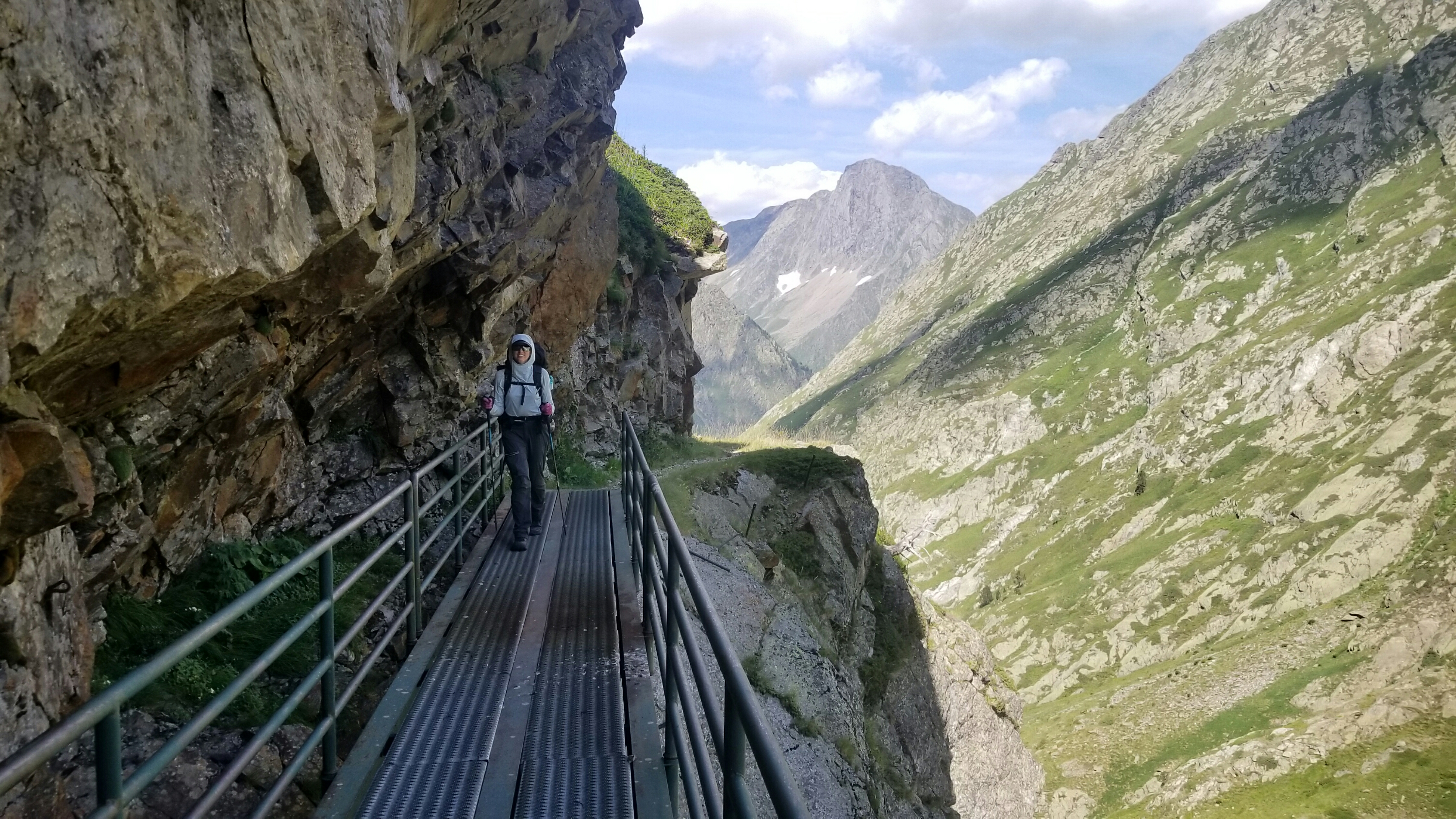
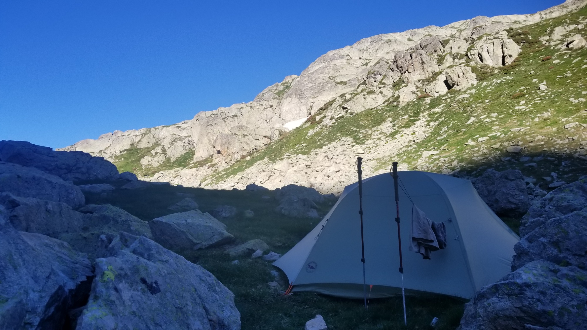
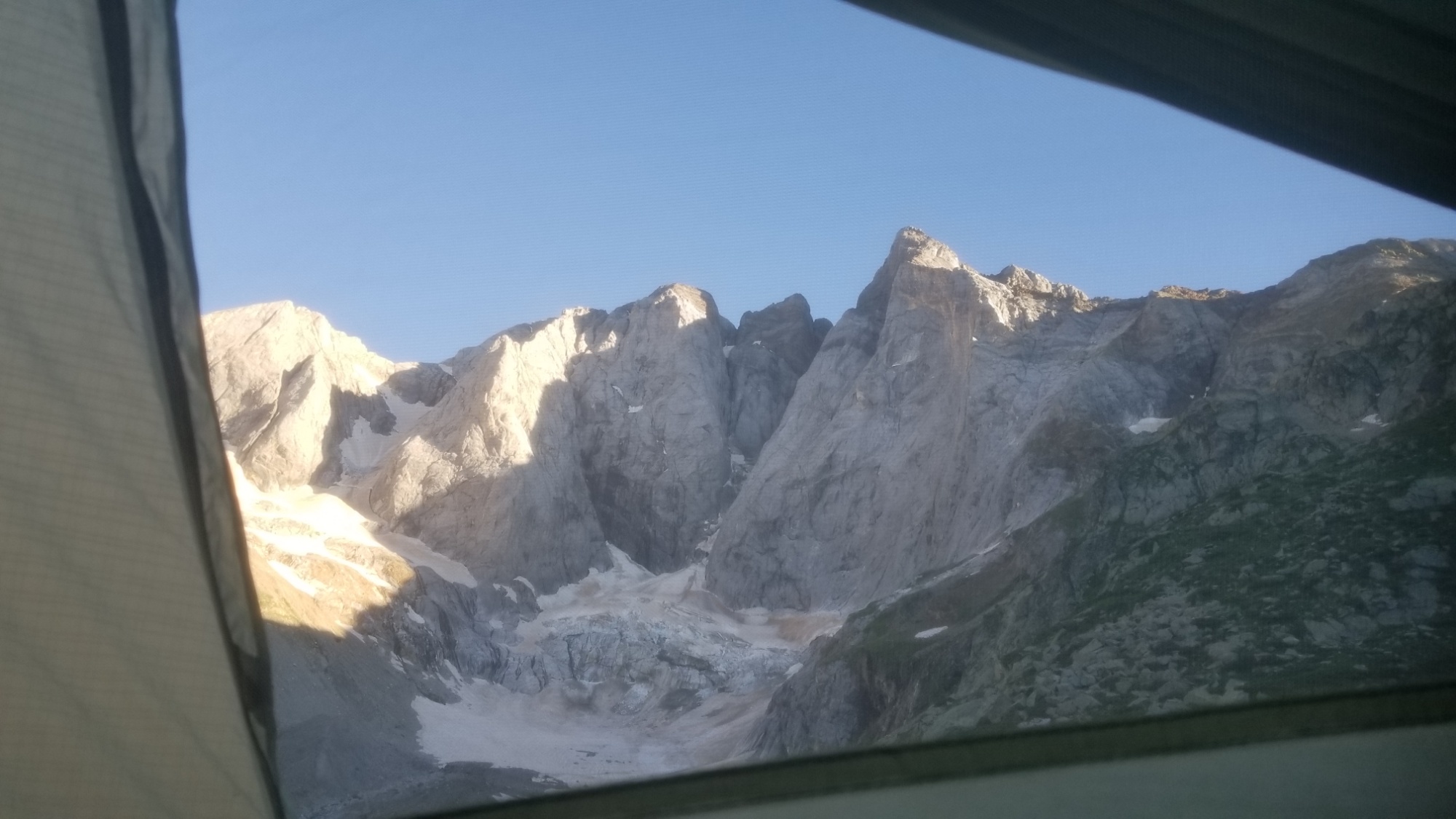
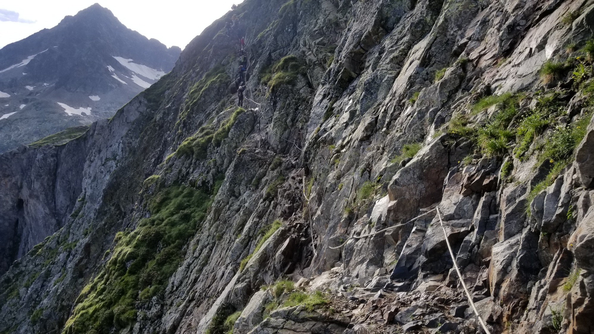
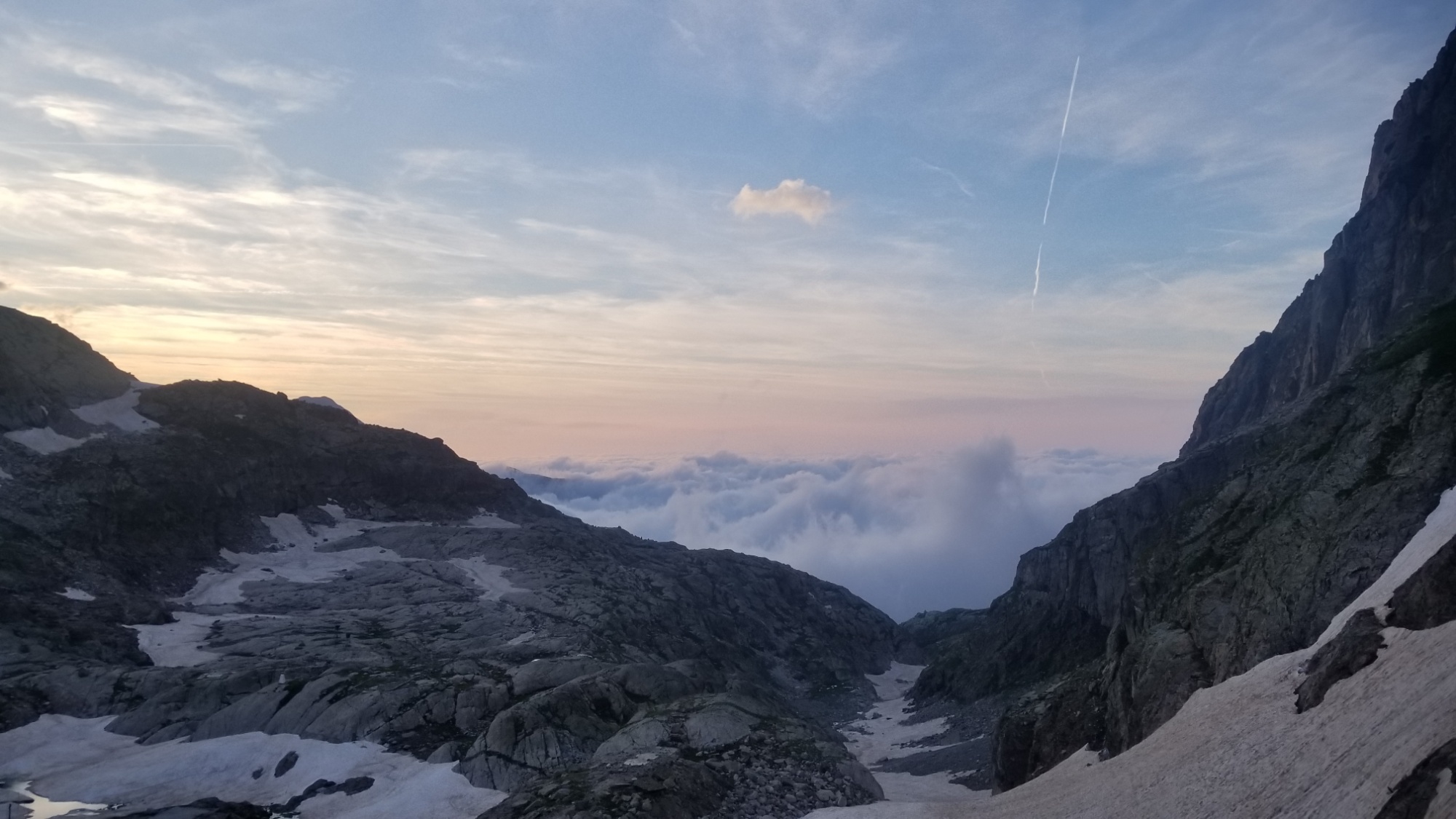
We awoke on the ledge that we had bivuoaced on the night before. Luckily we were still here and hadn’t fallen or been blown off the cliff and into lac Portillon, hah!

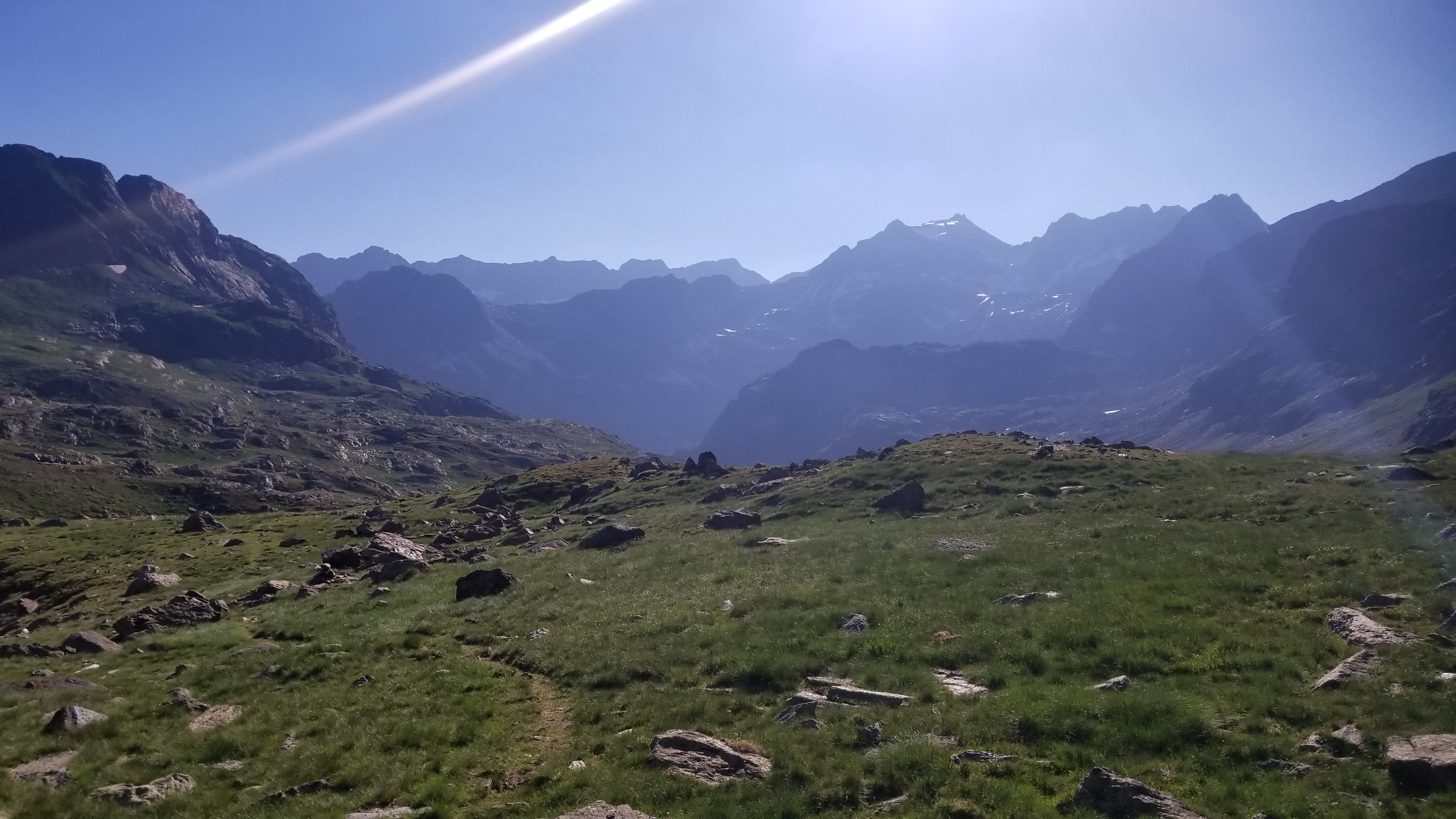
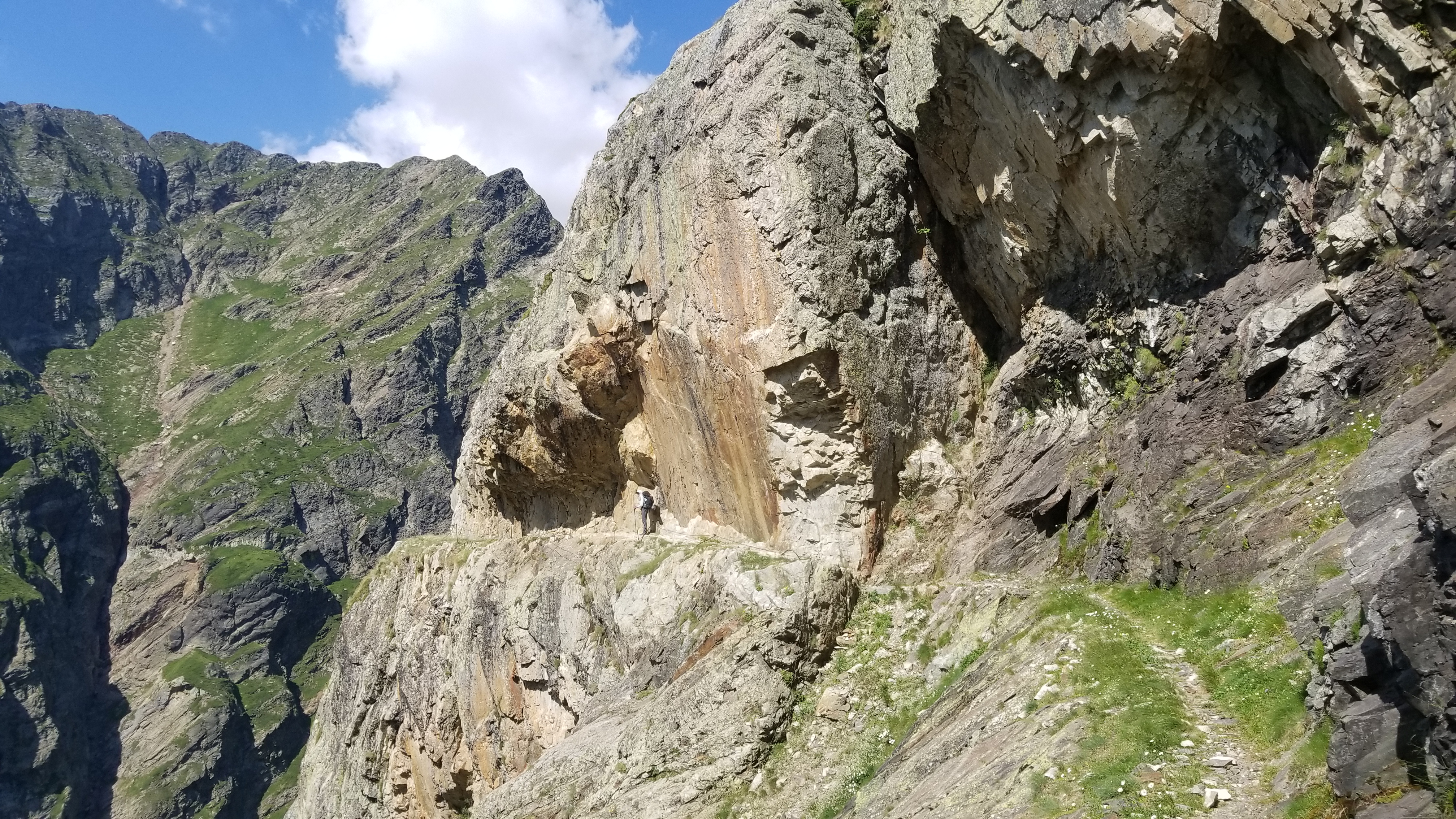
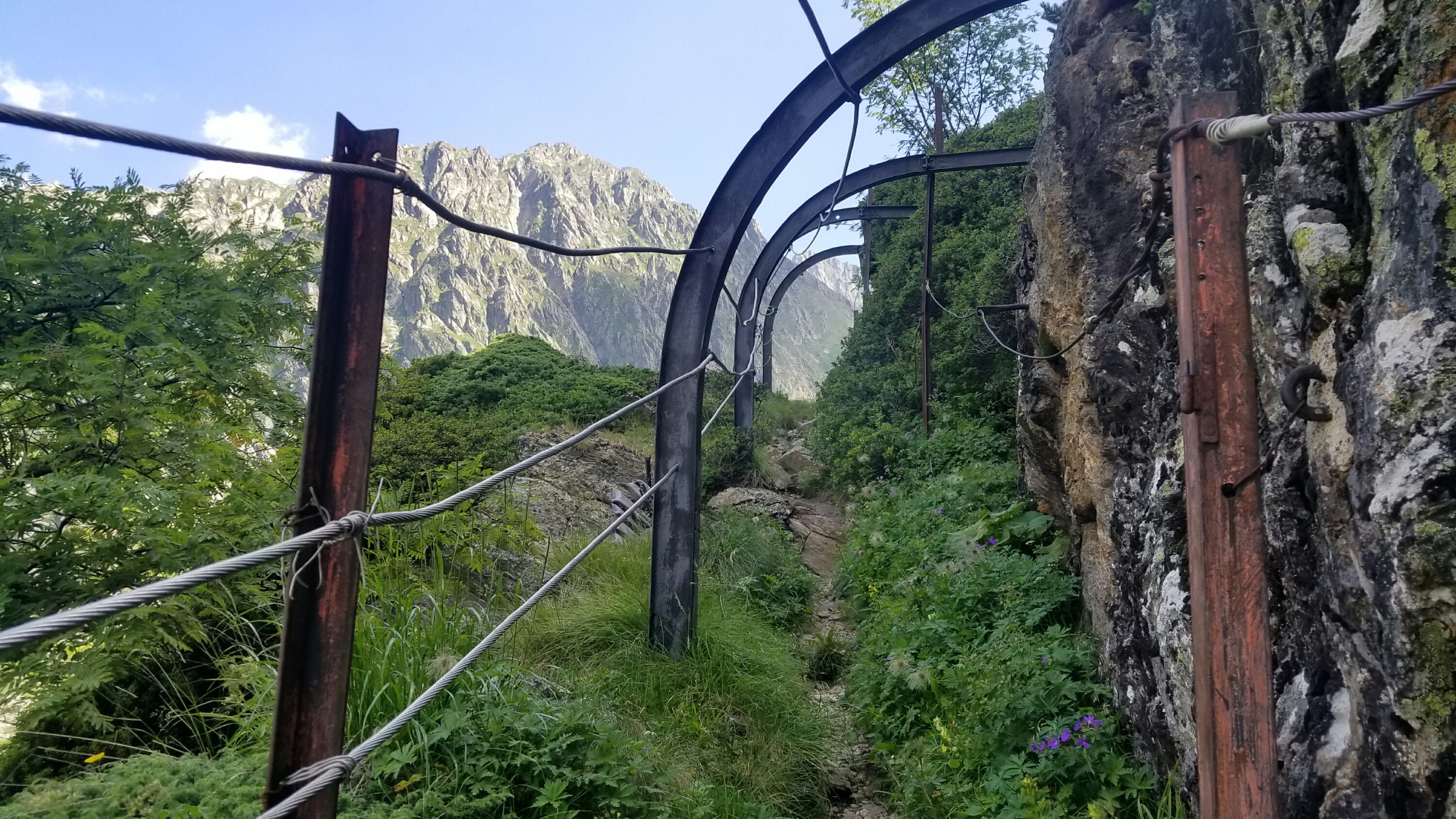
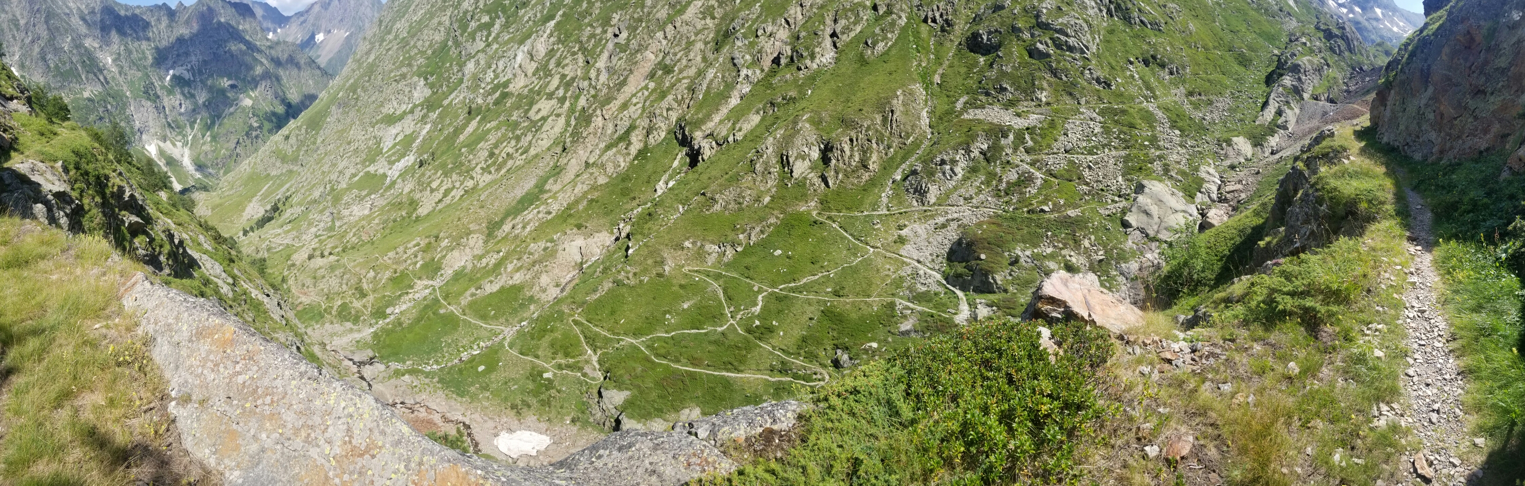
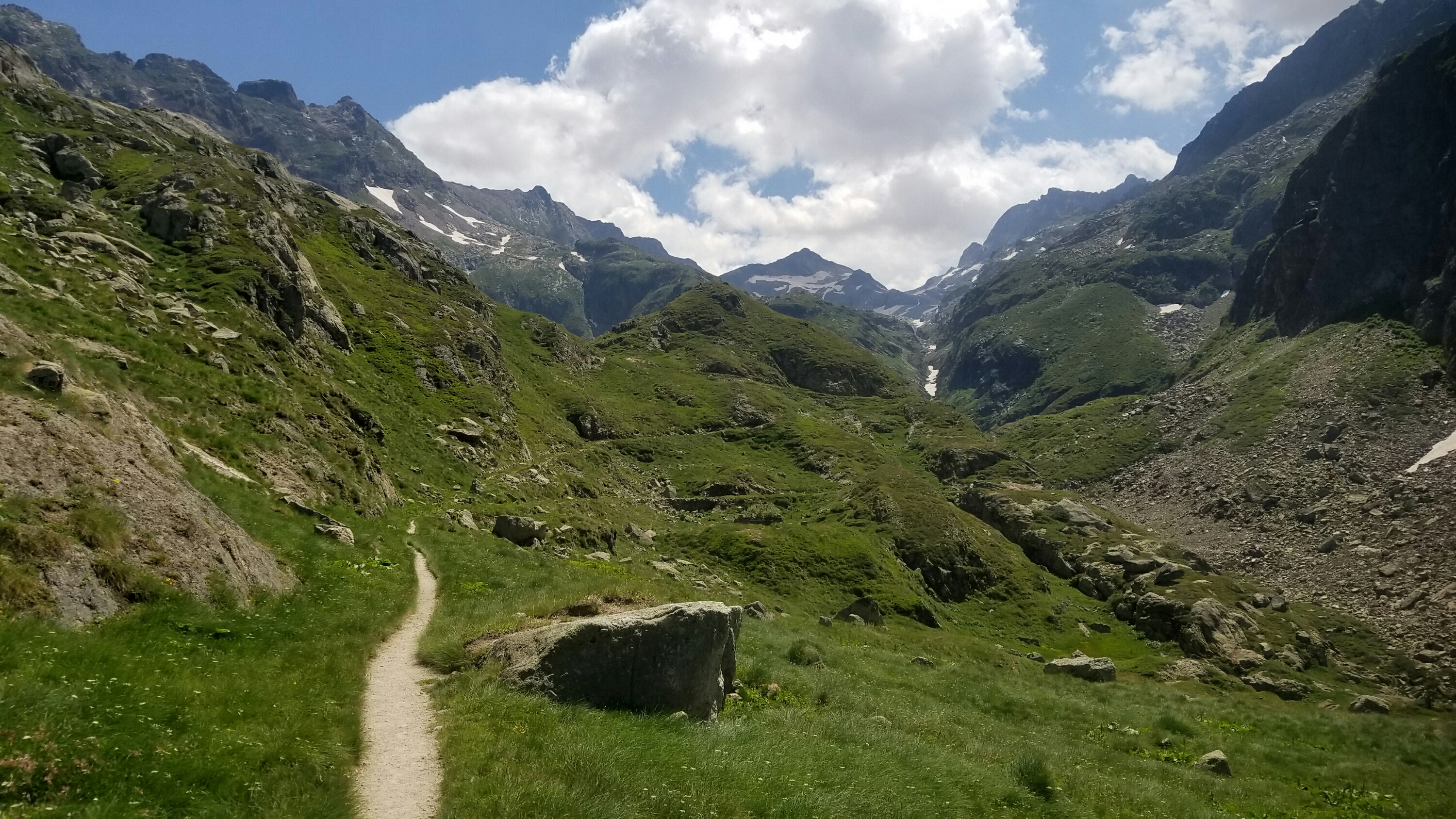
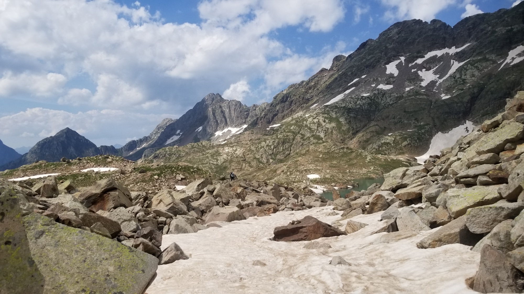
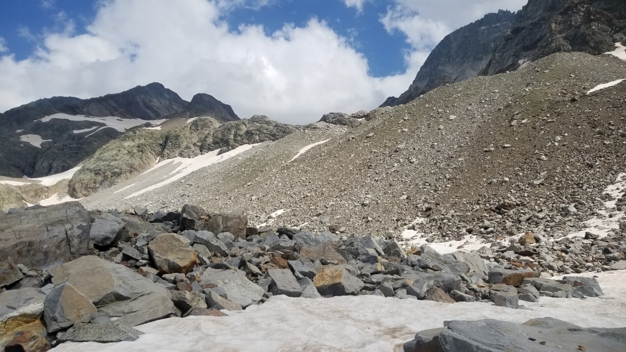
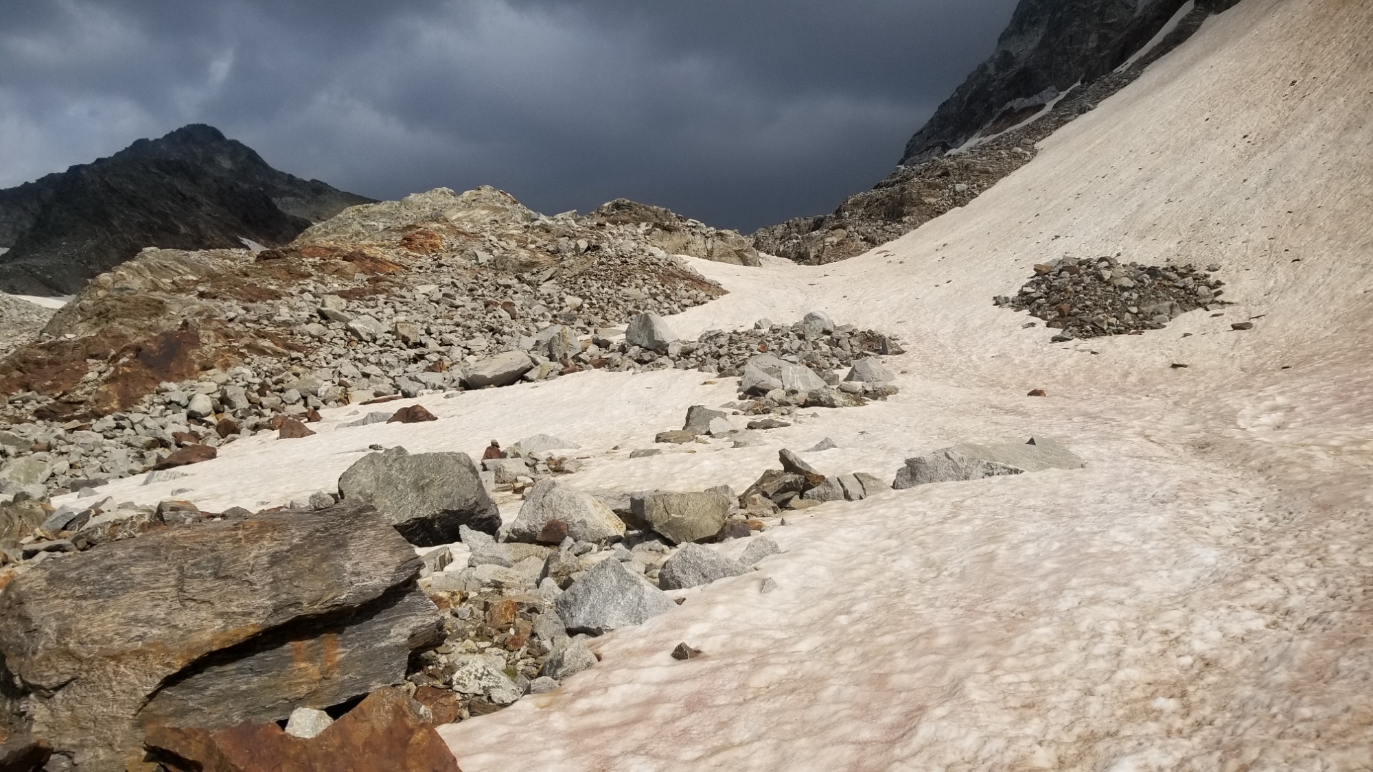
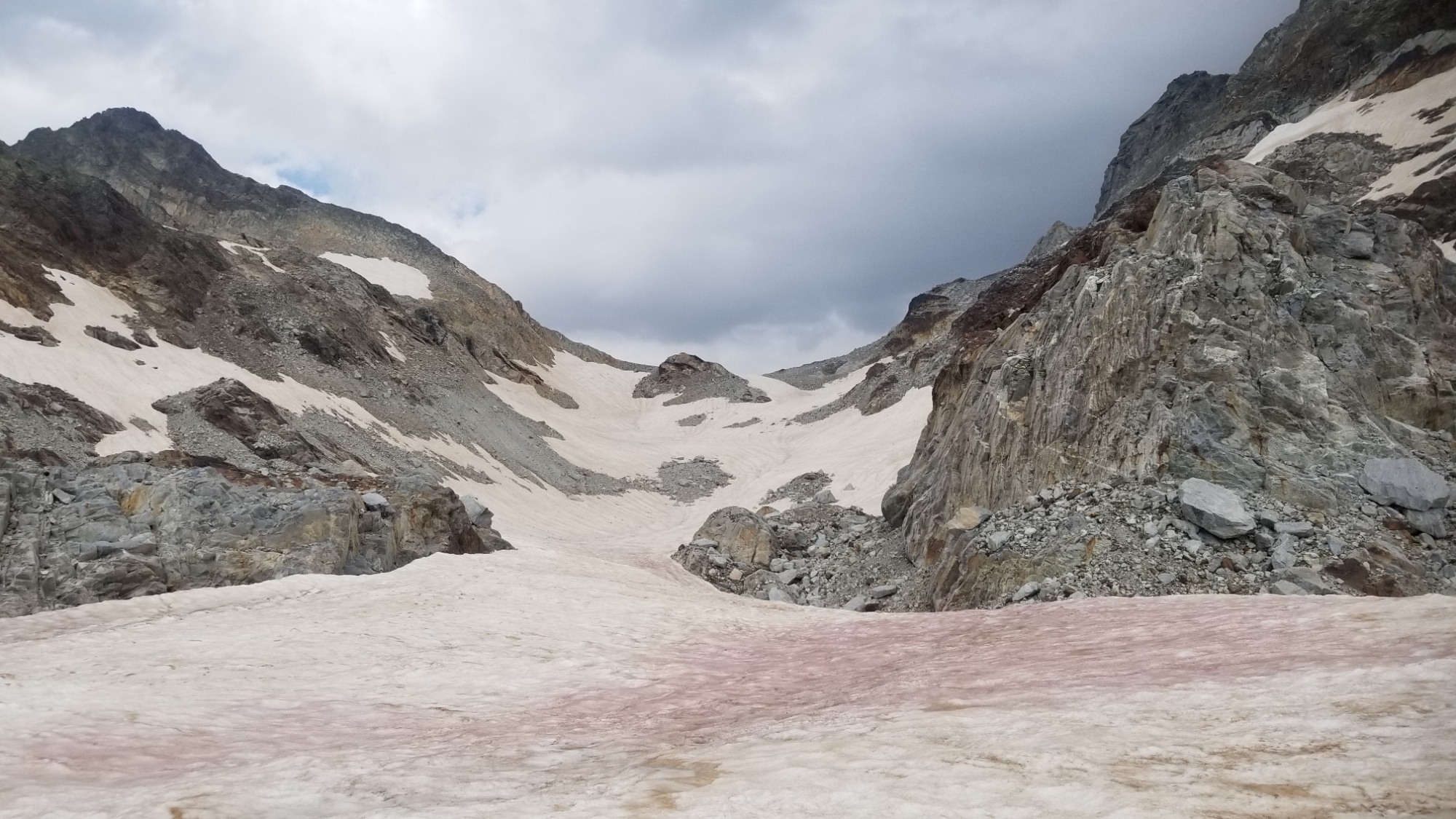
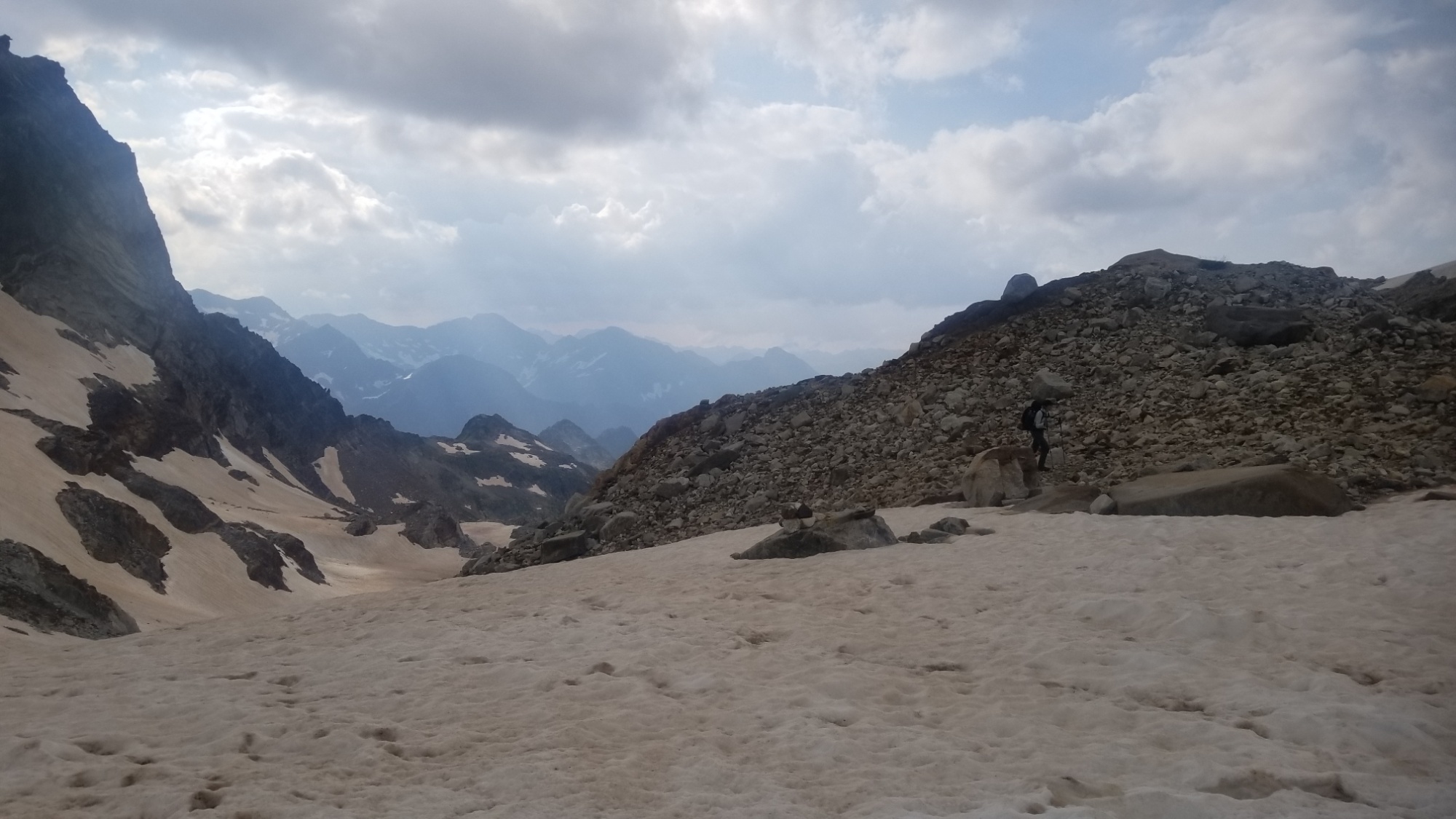
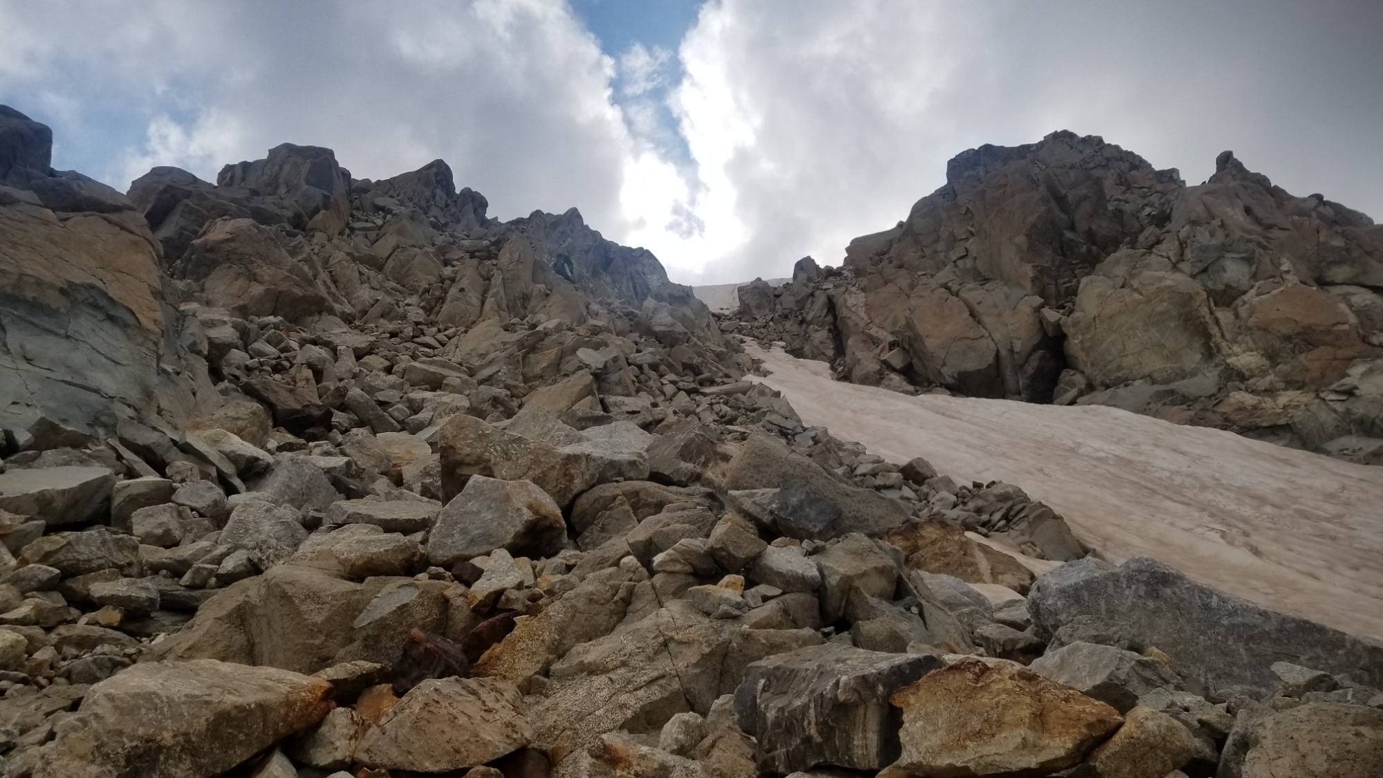
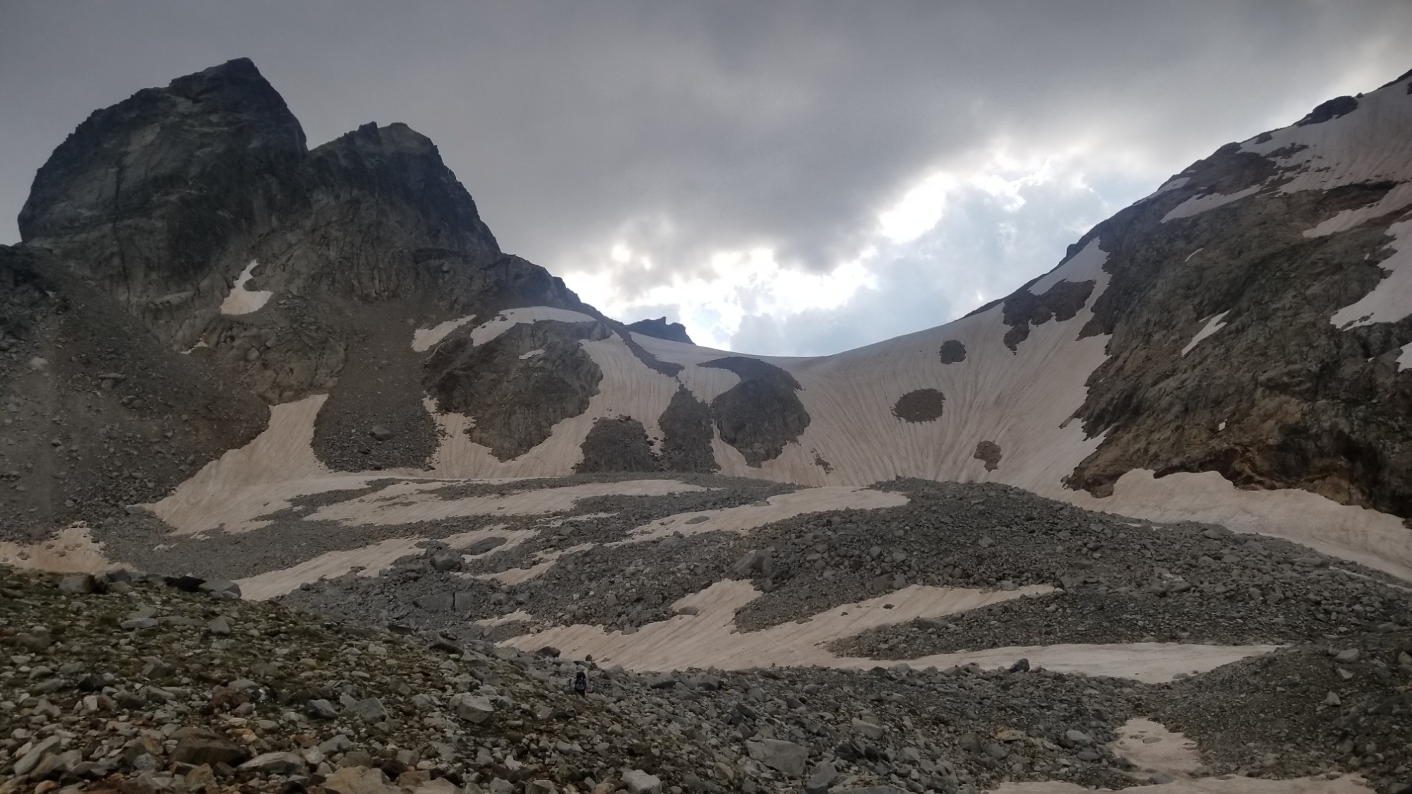
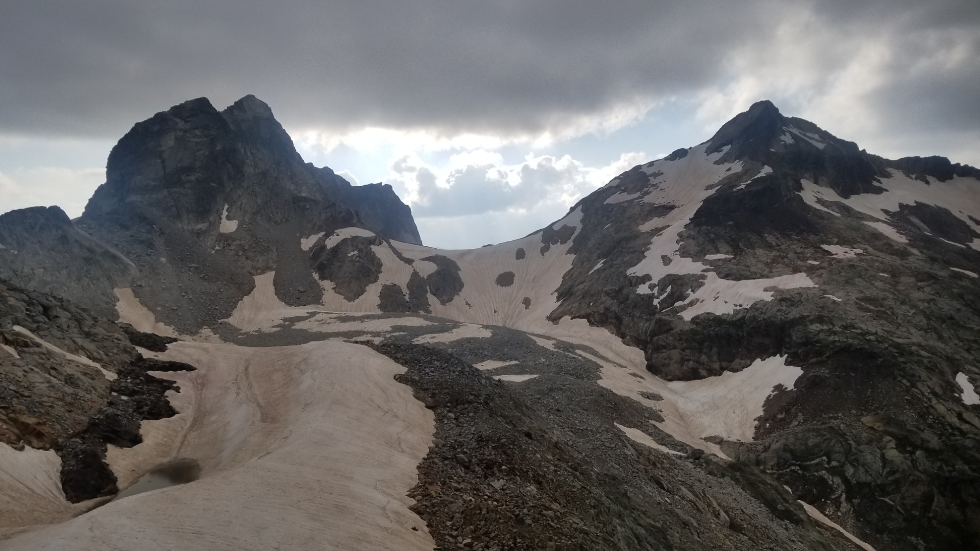
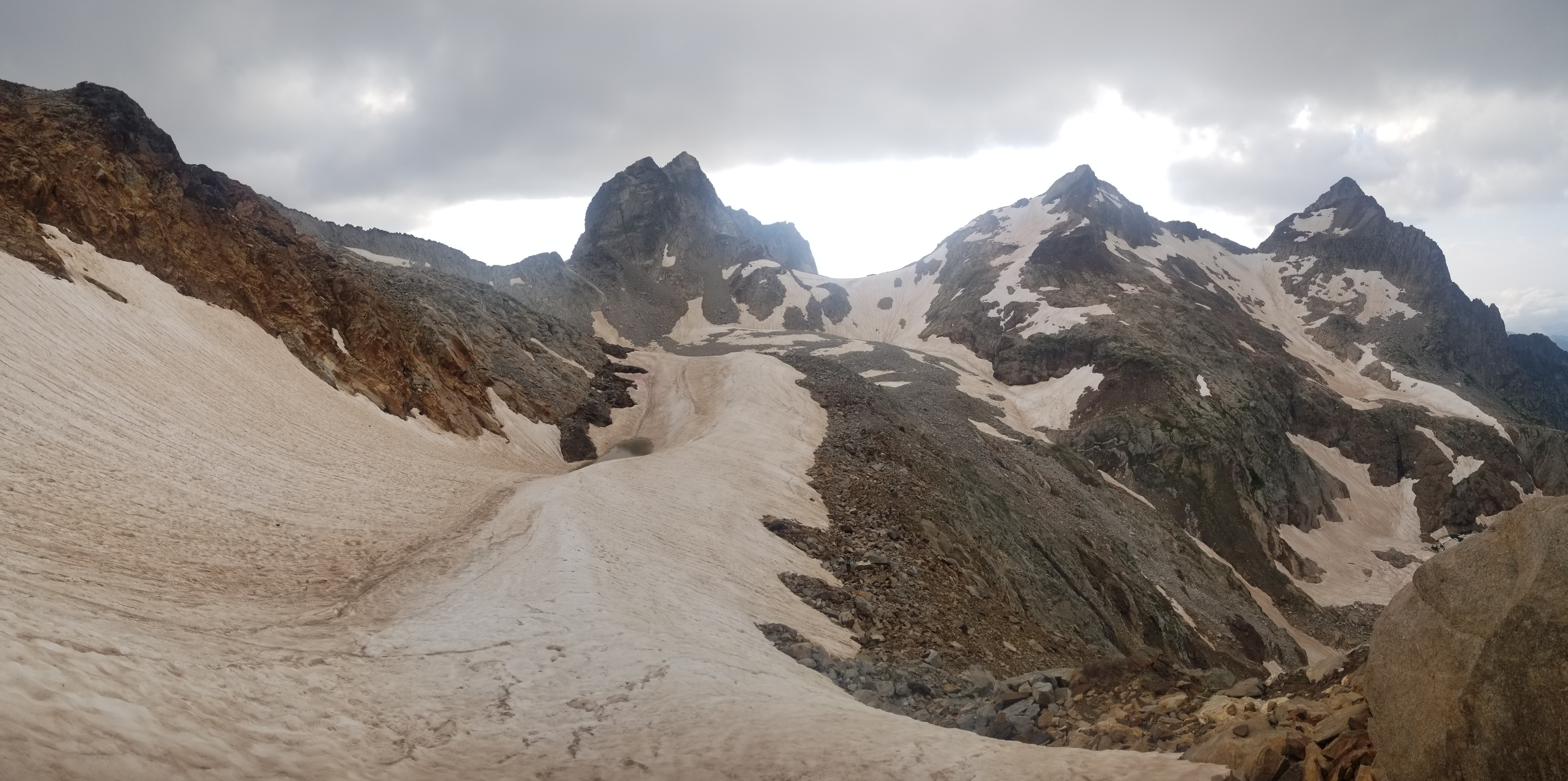
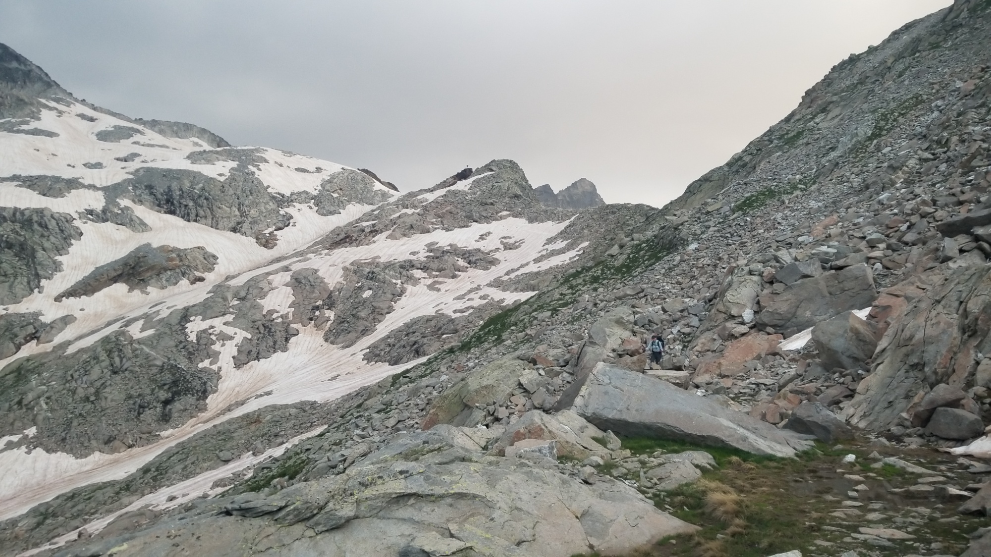
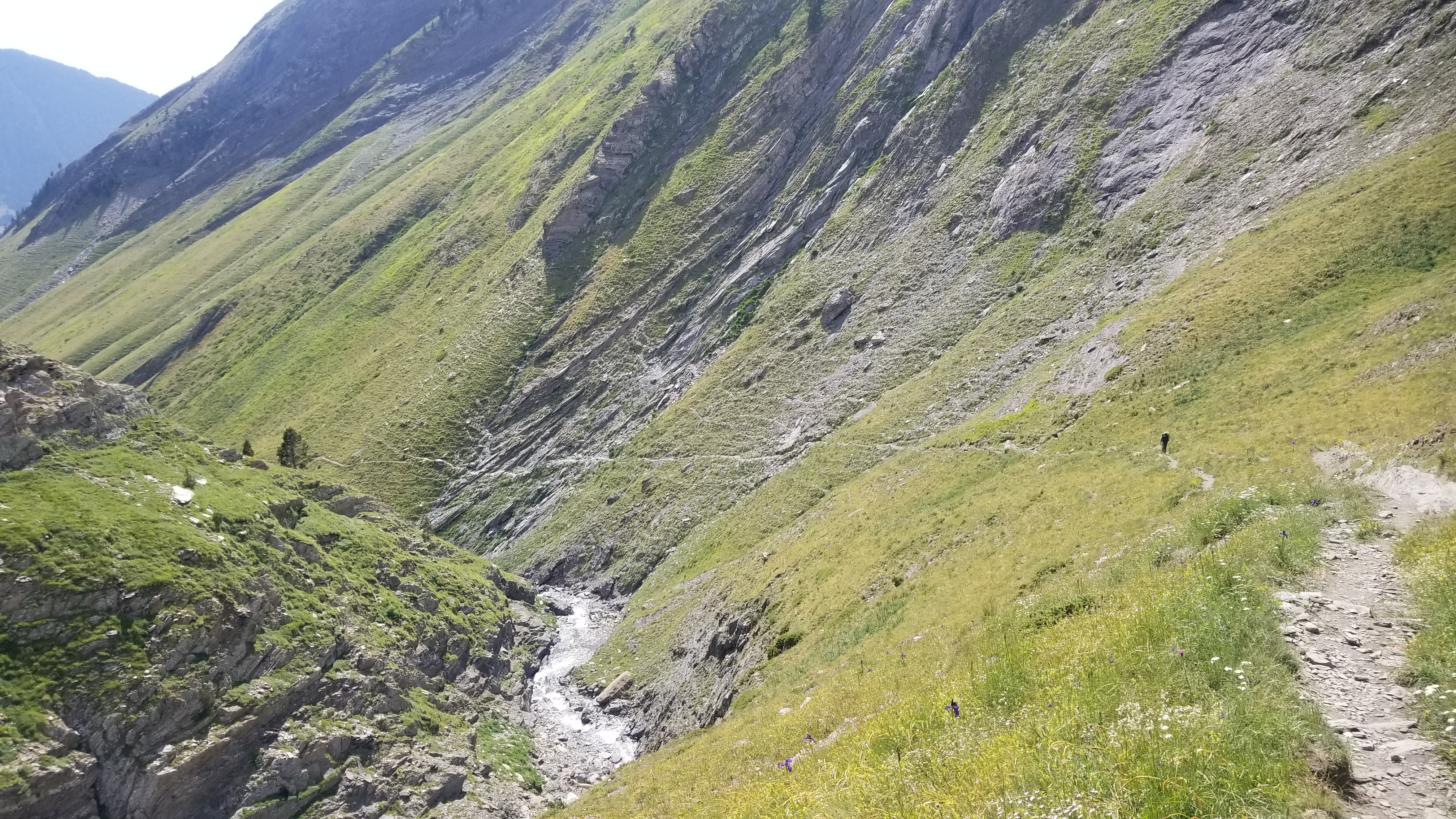
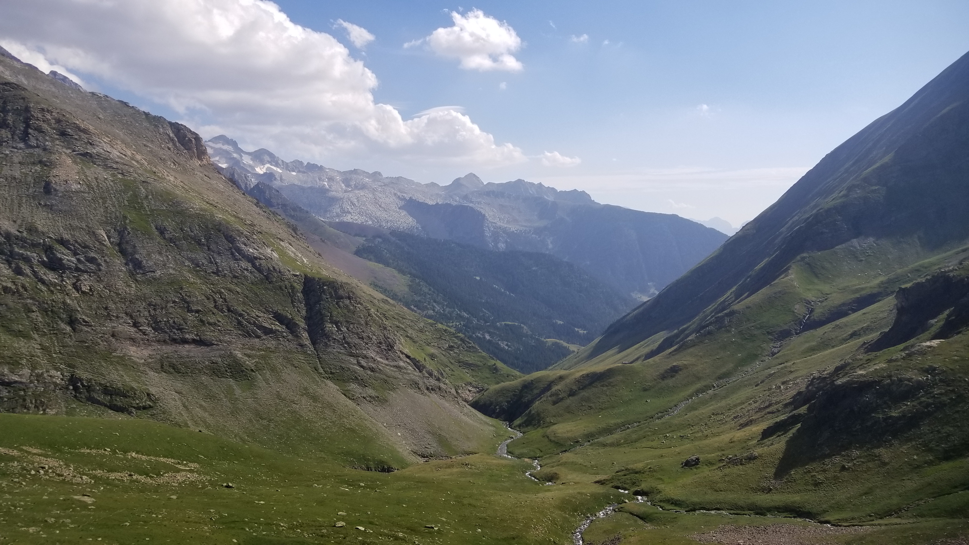
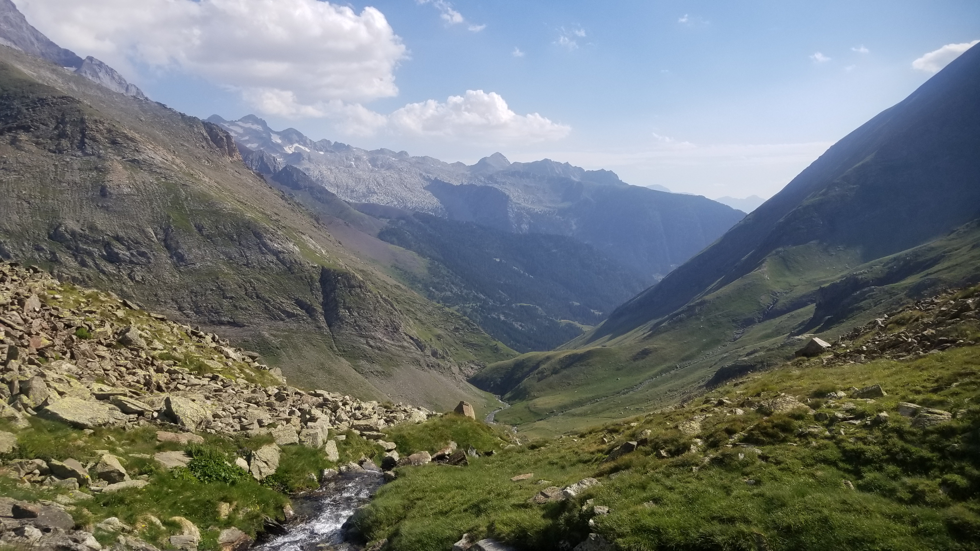
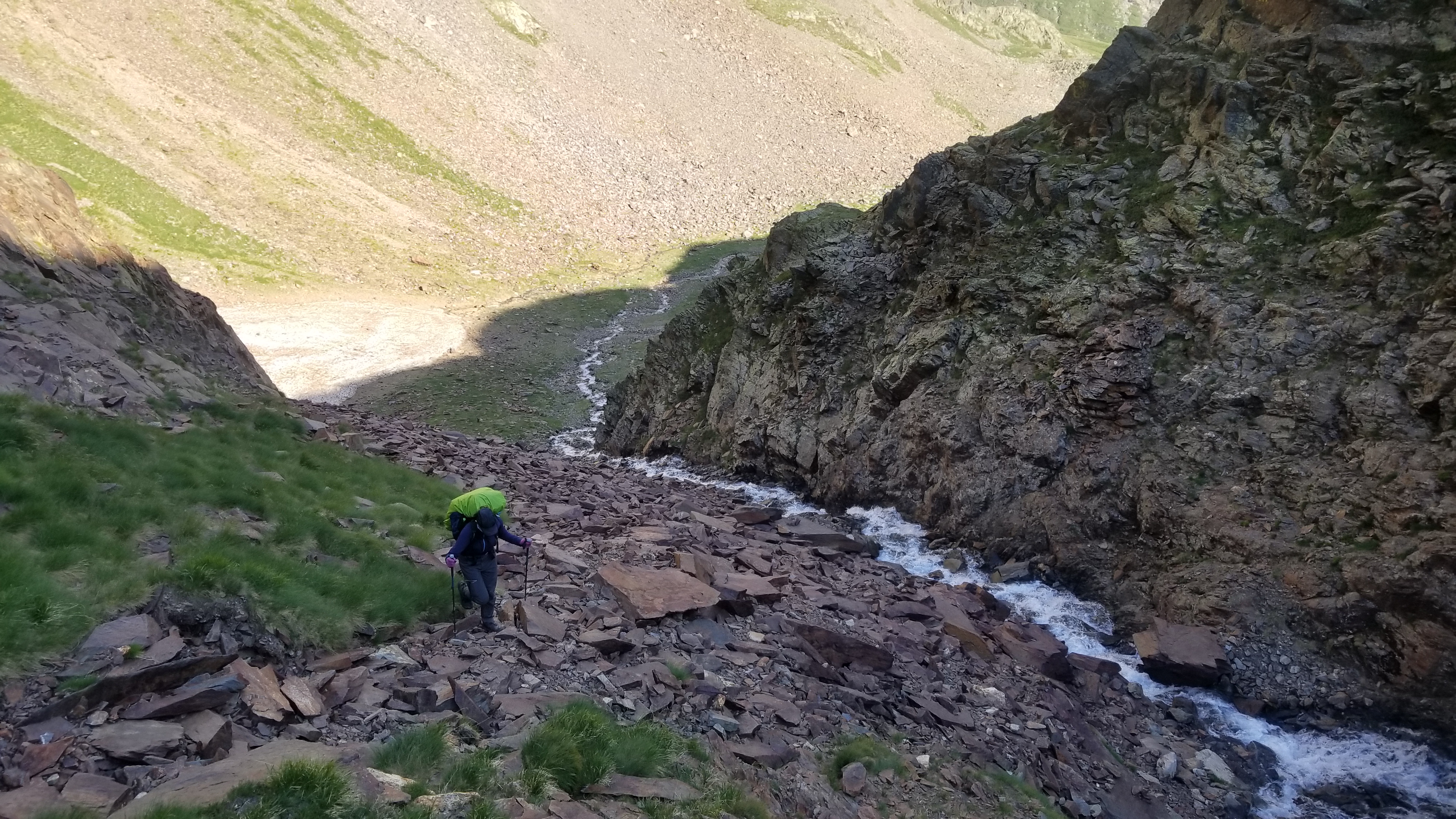
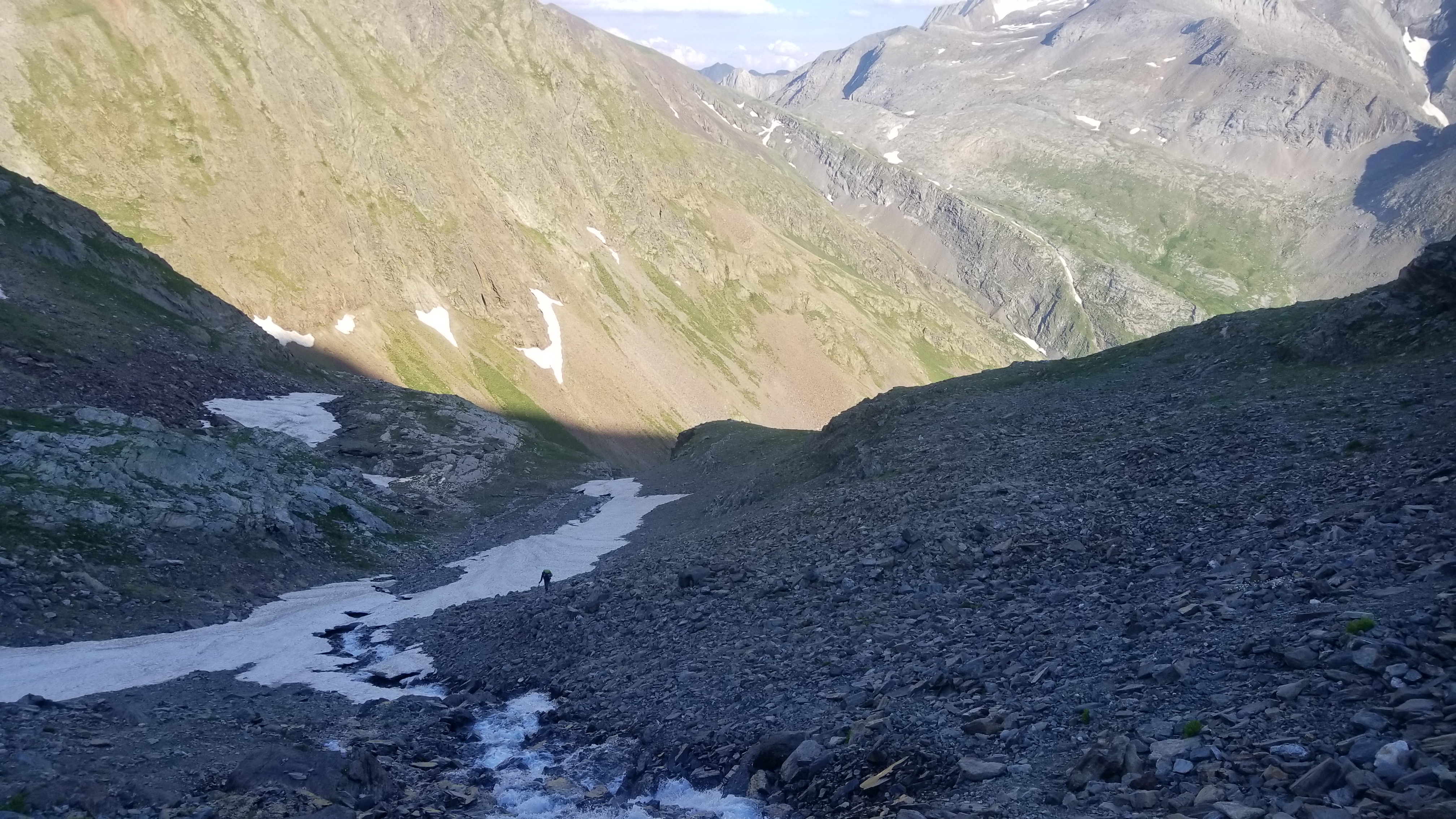
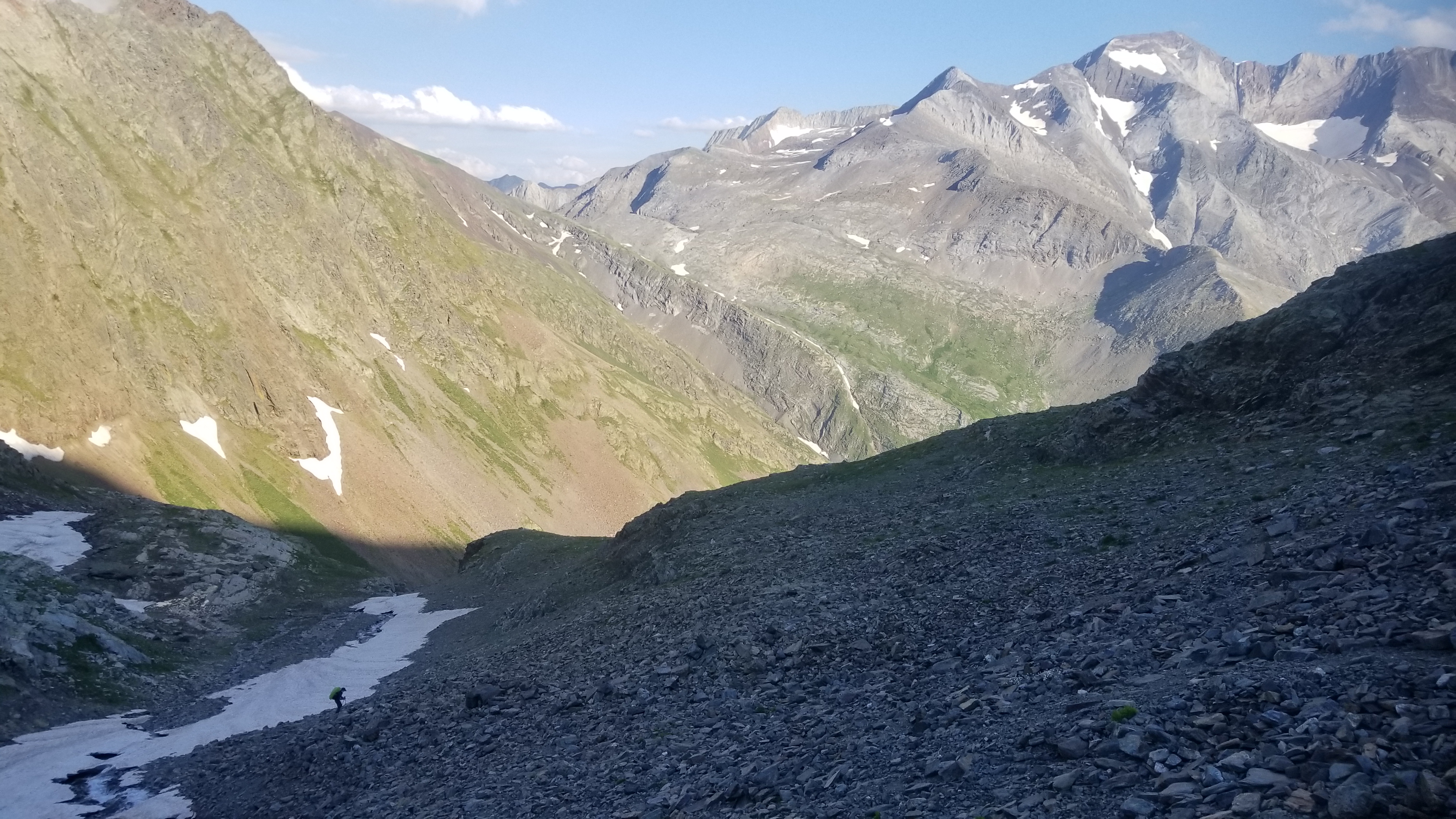
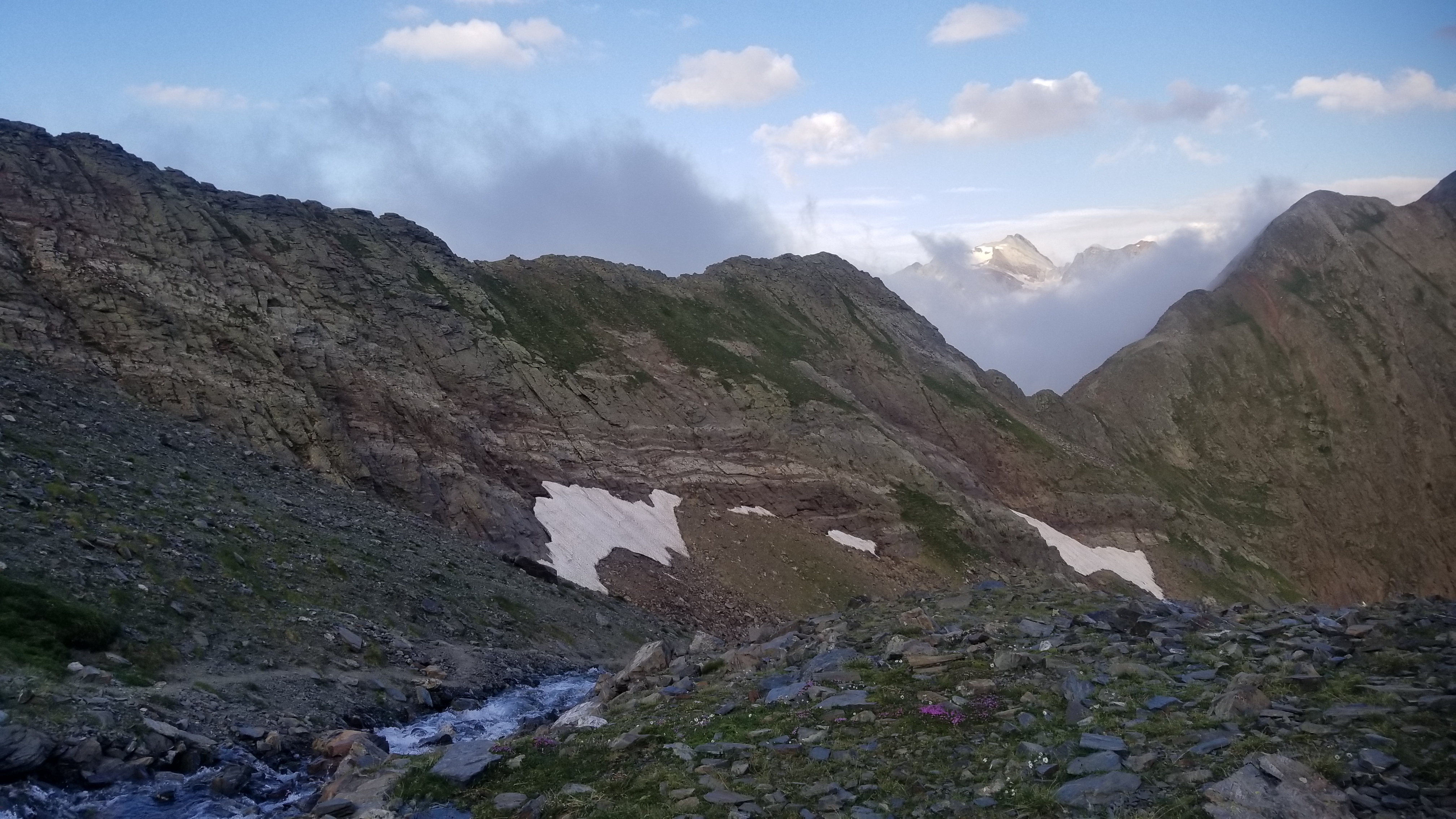
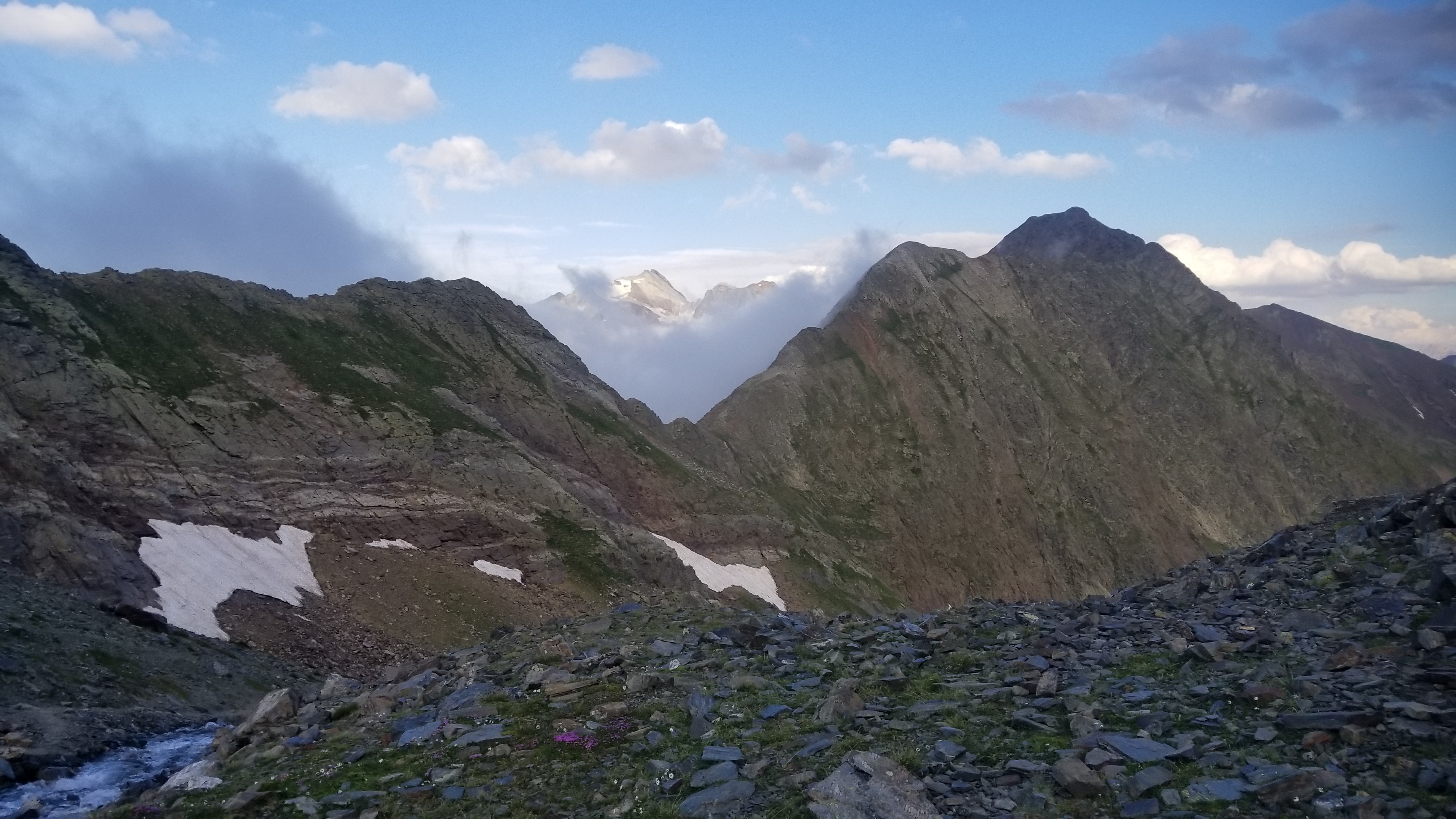
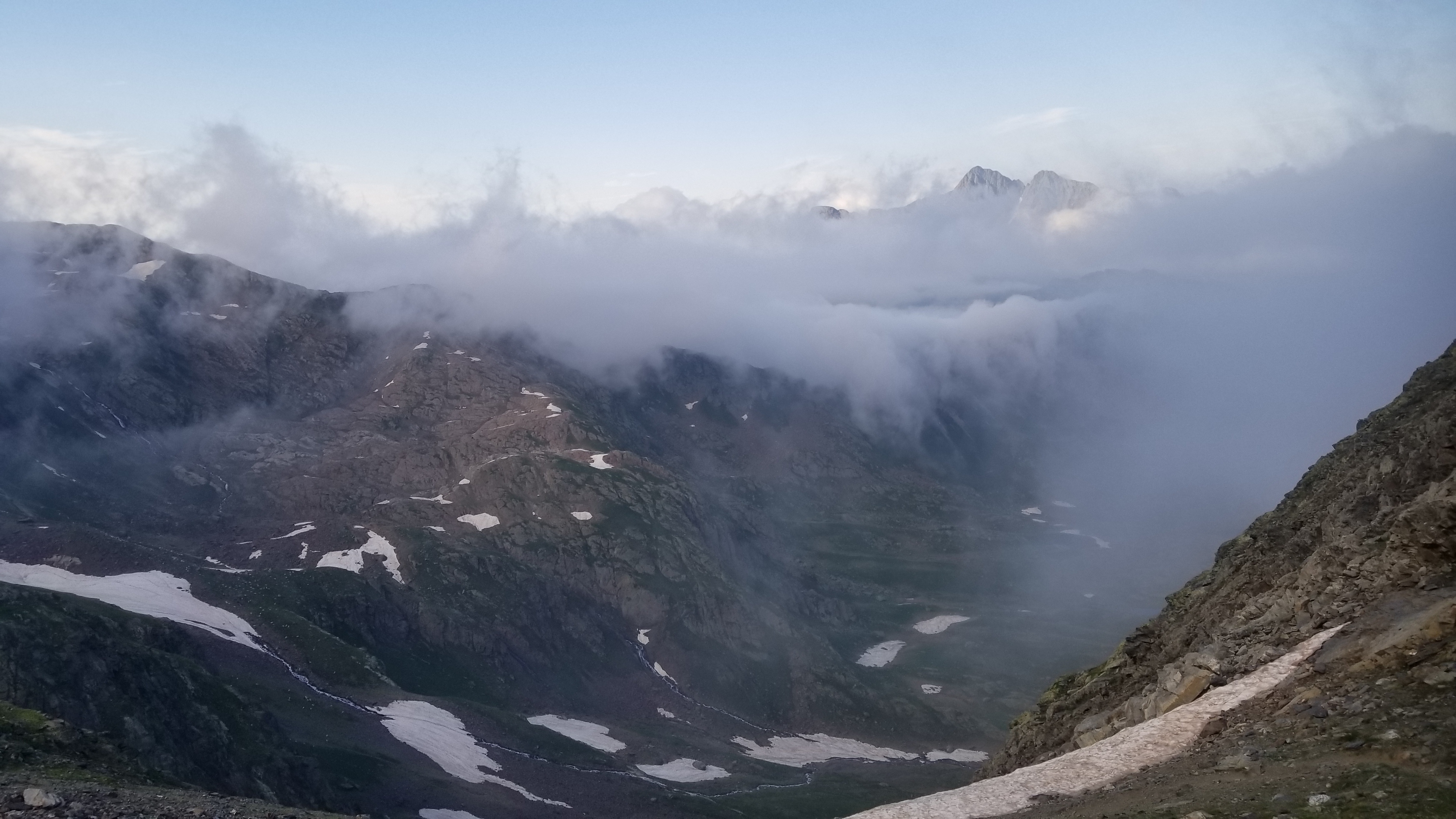
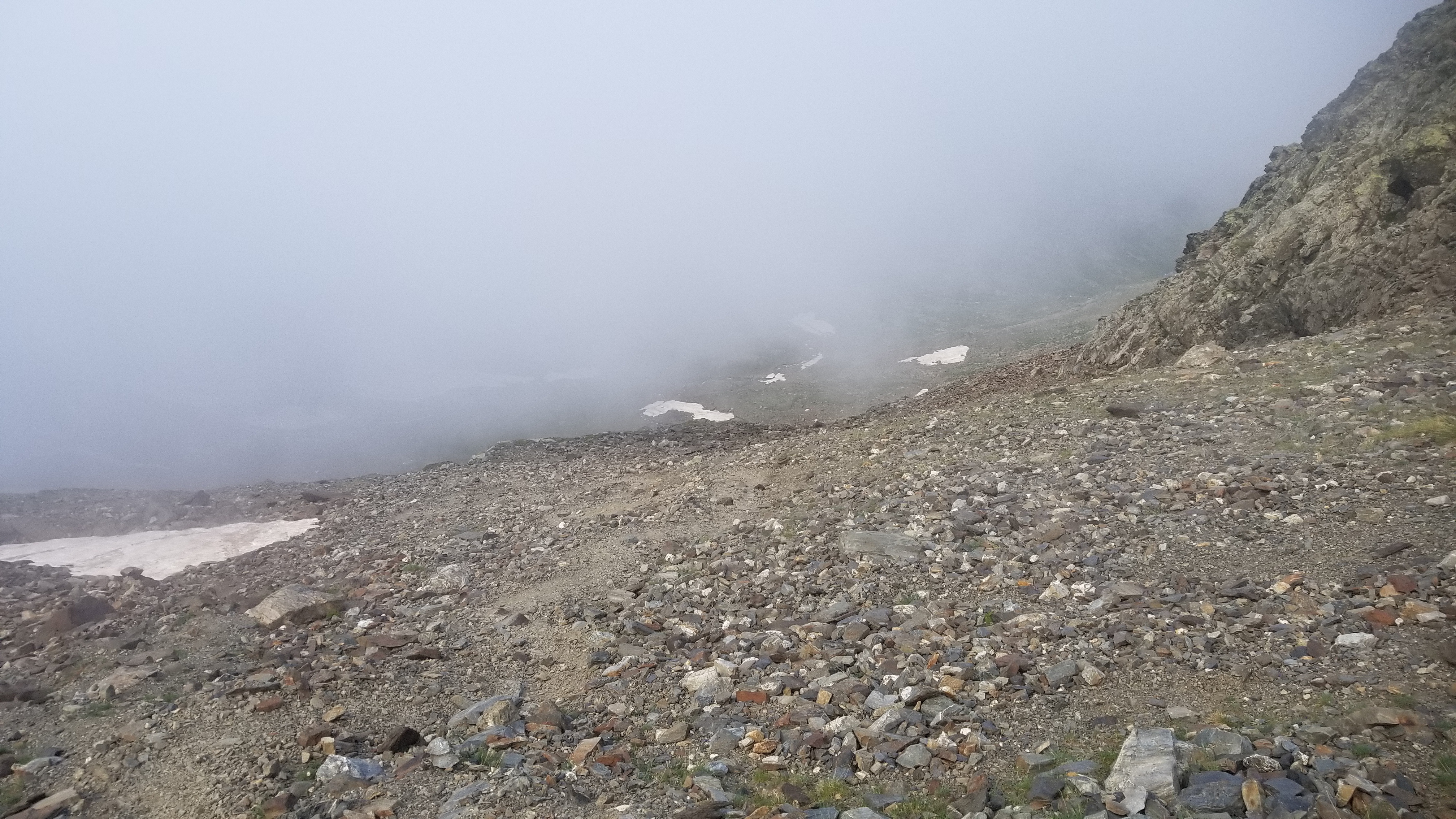
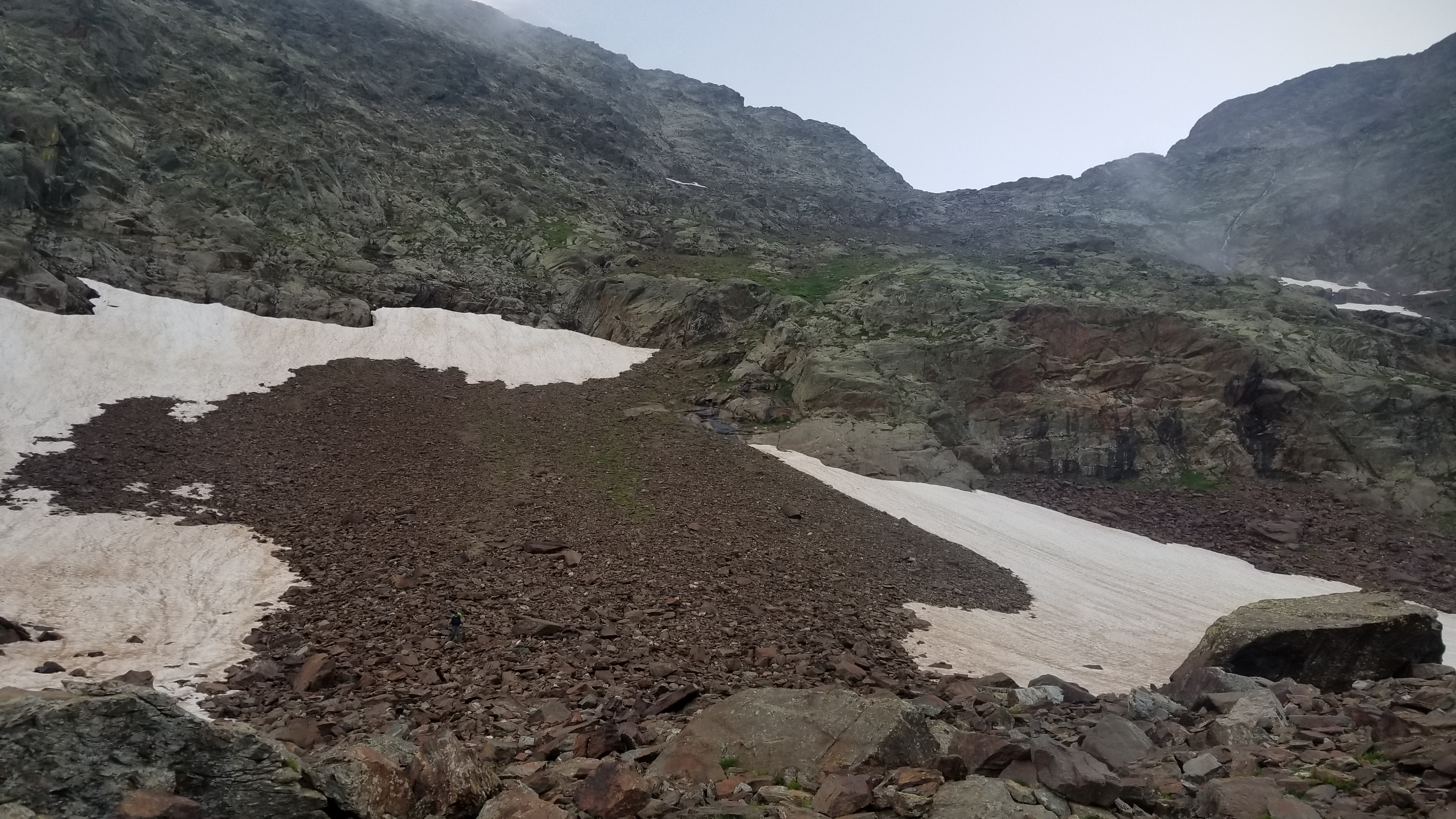
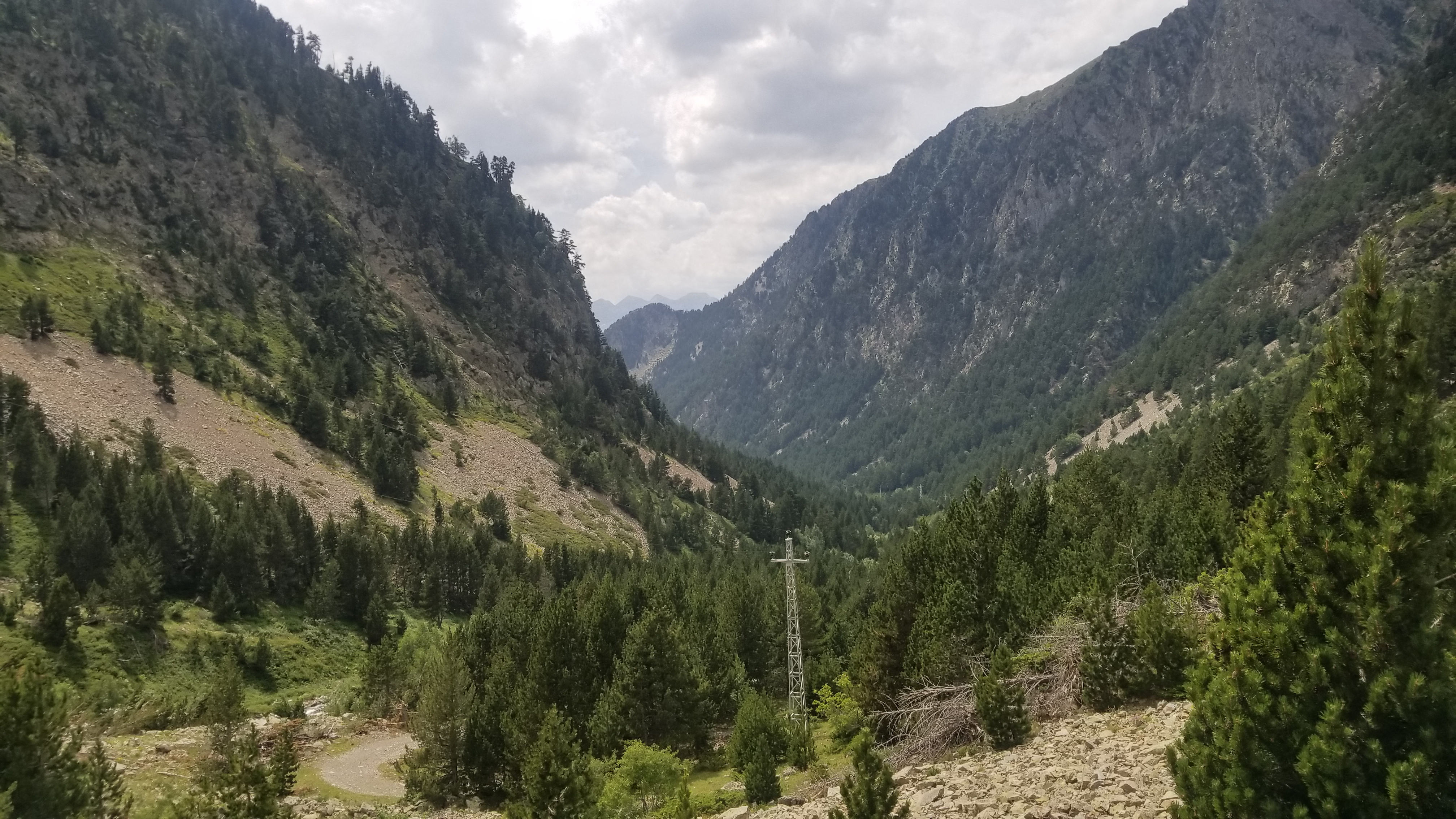
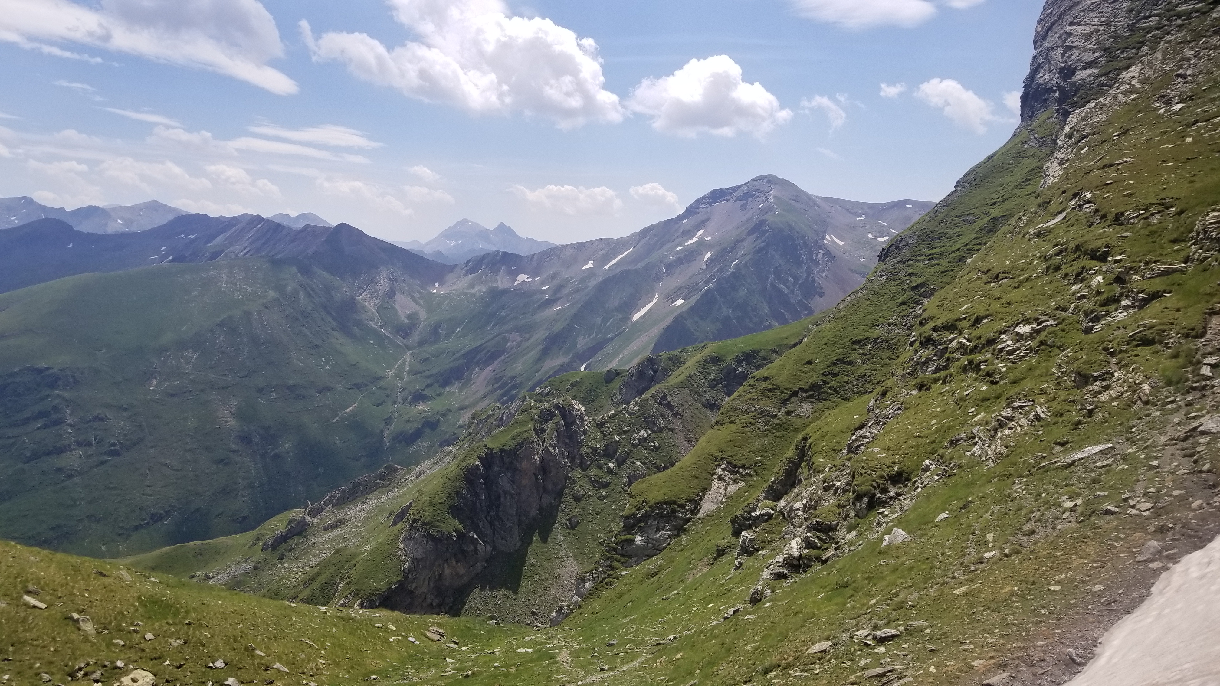
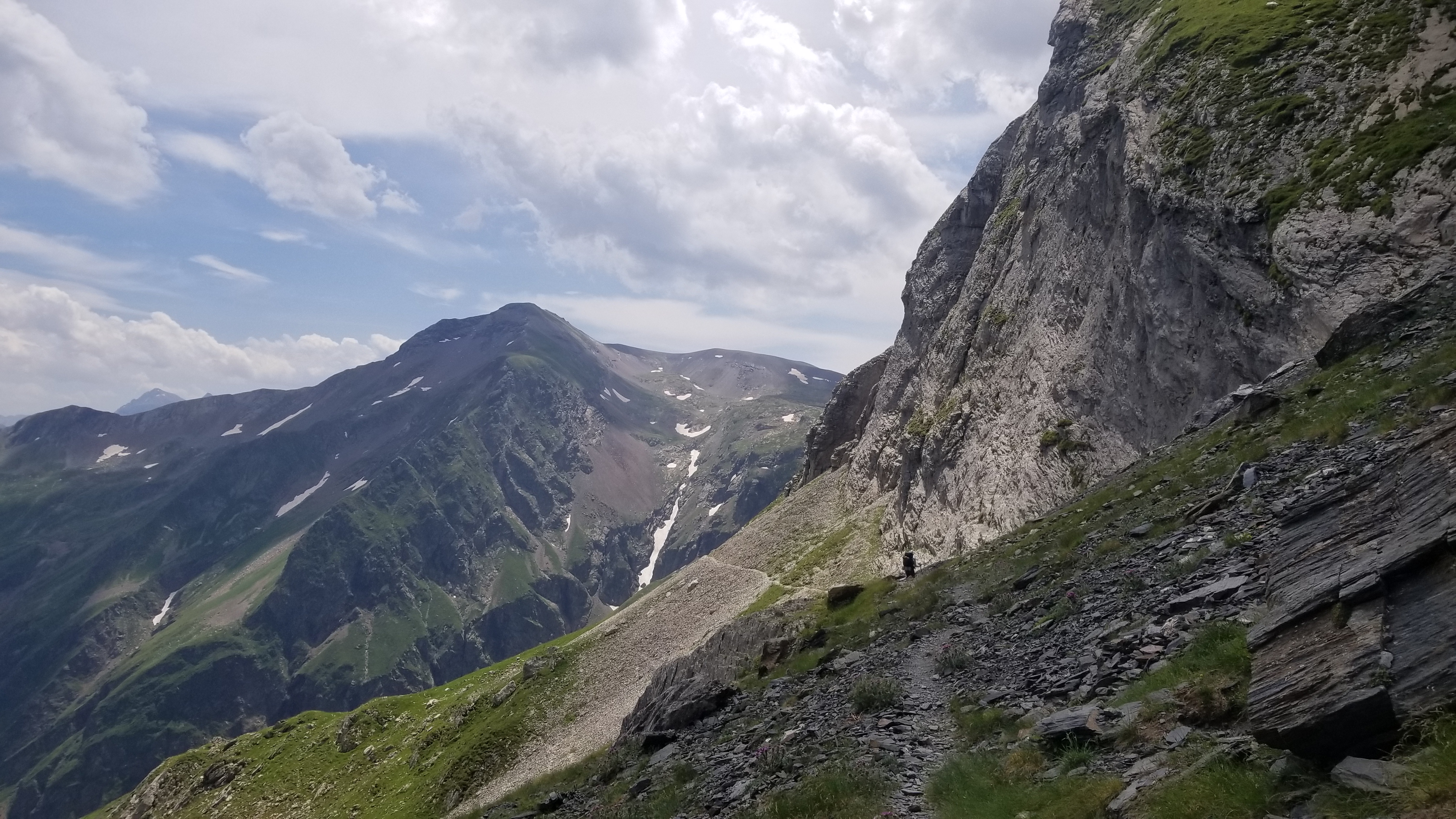
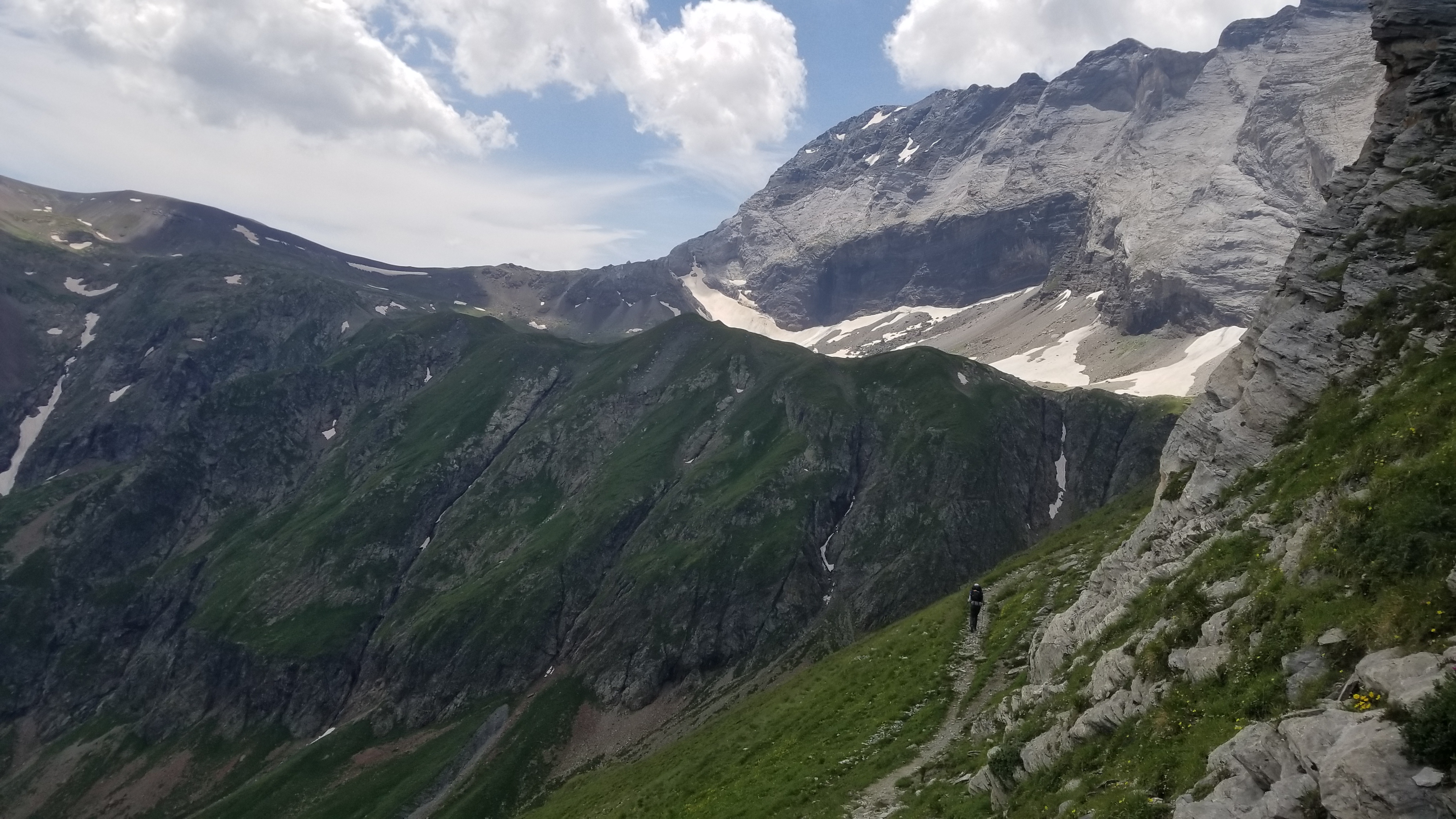
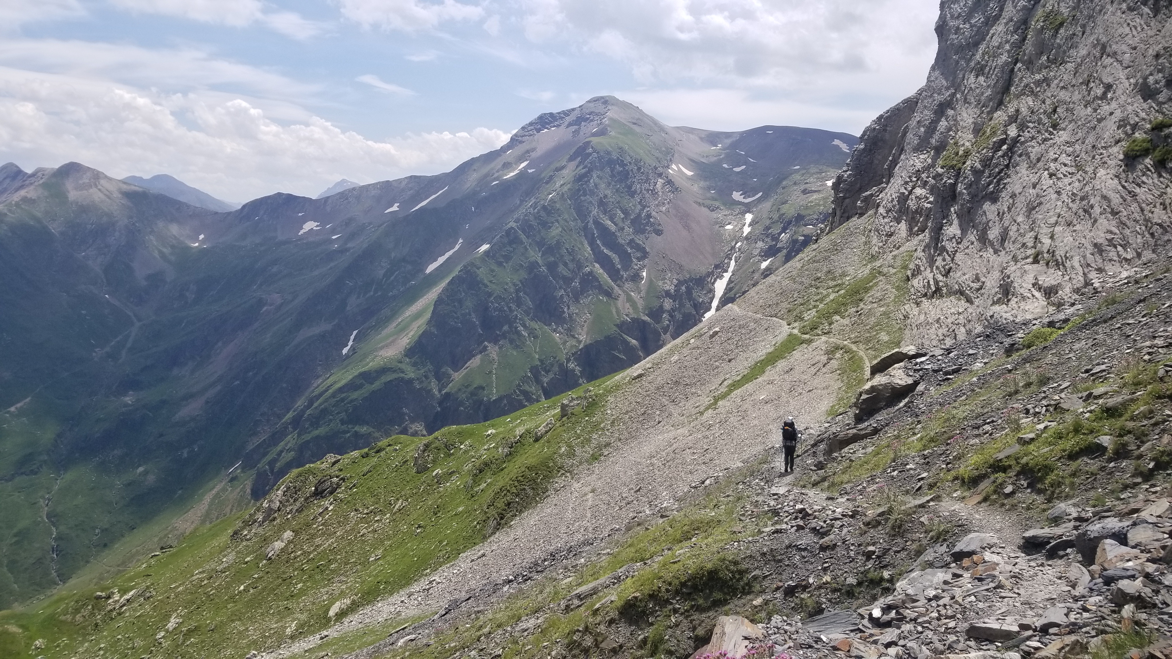
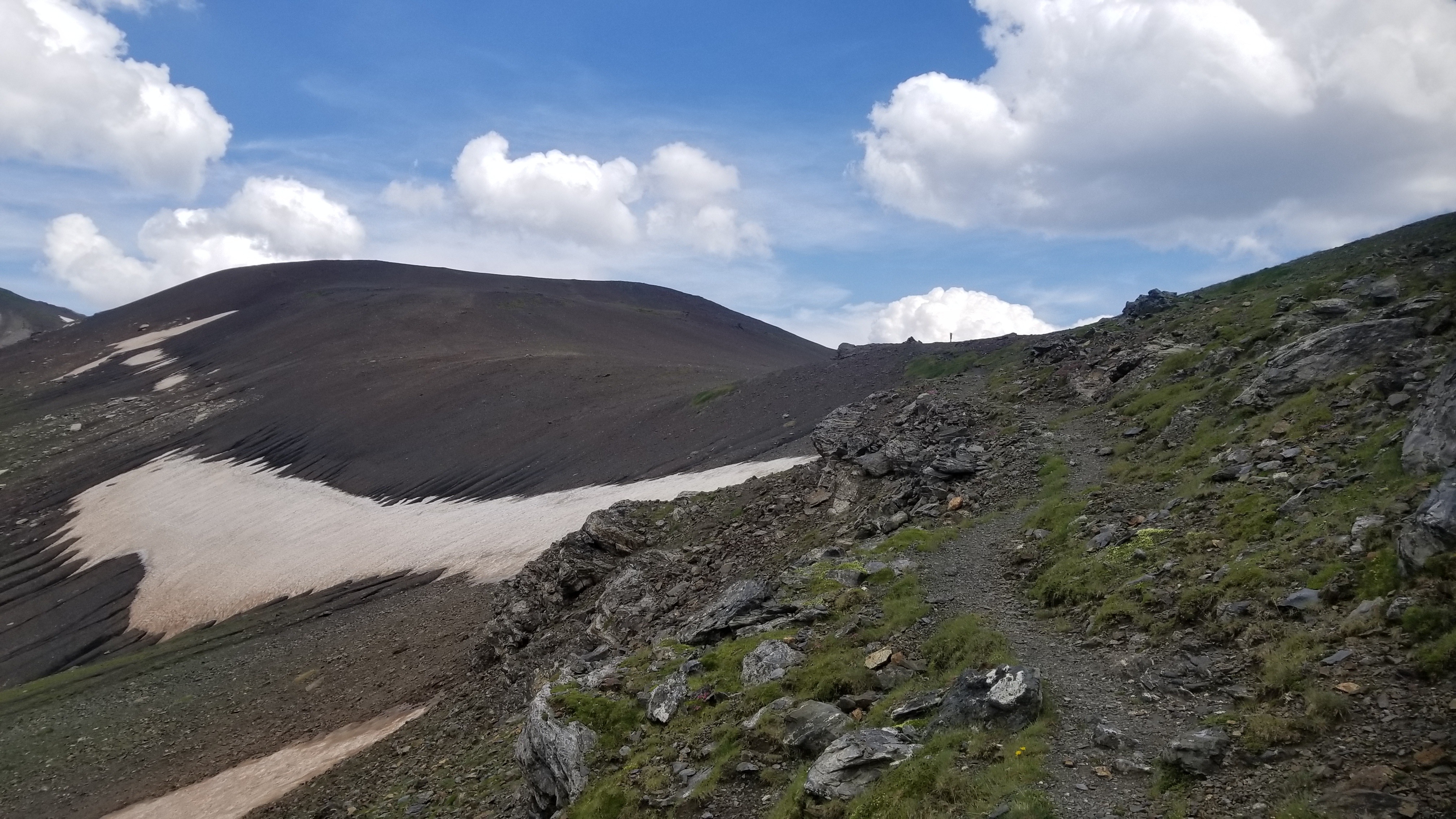
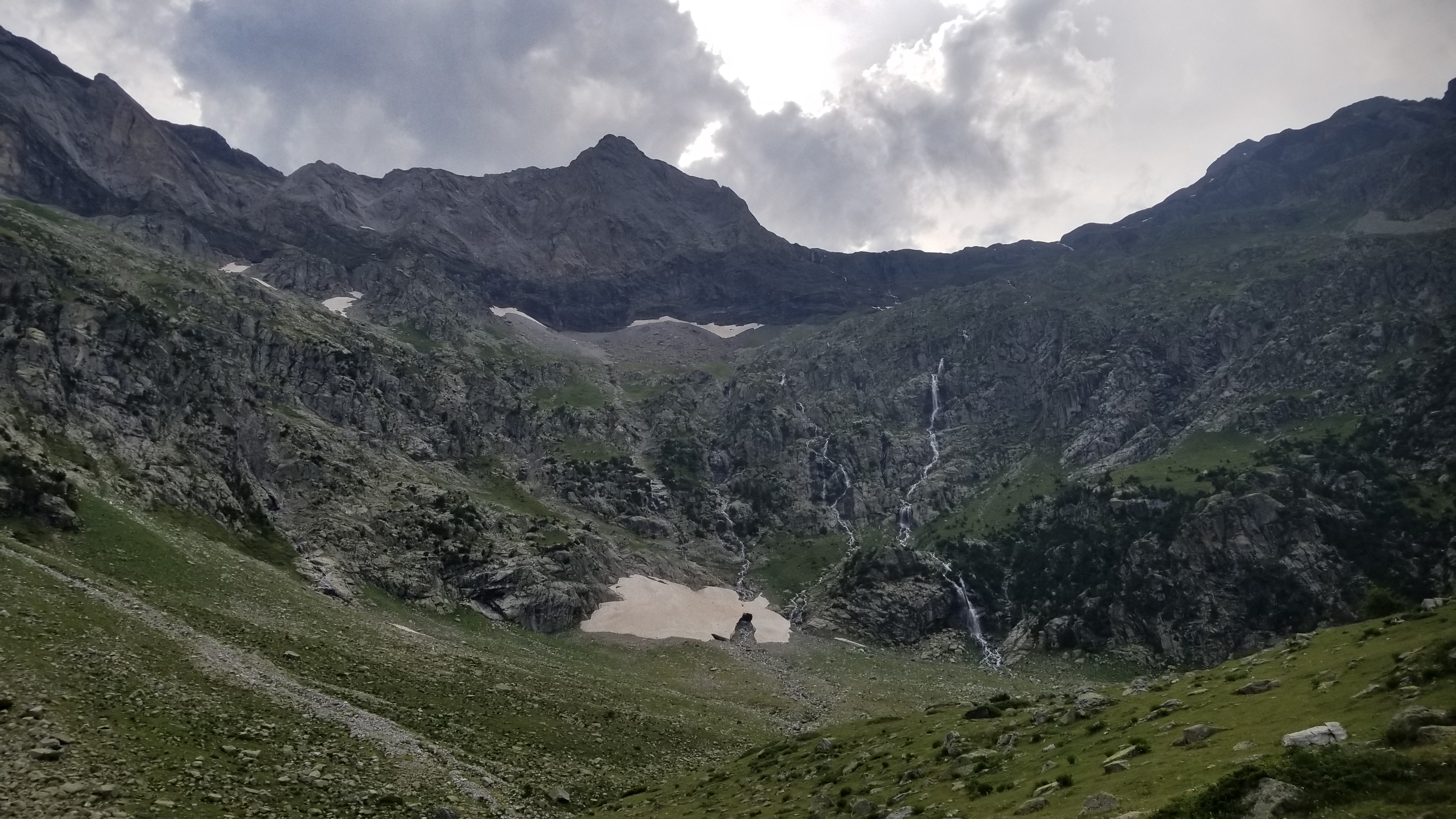
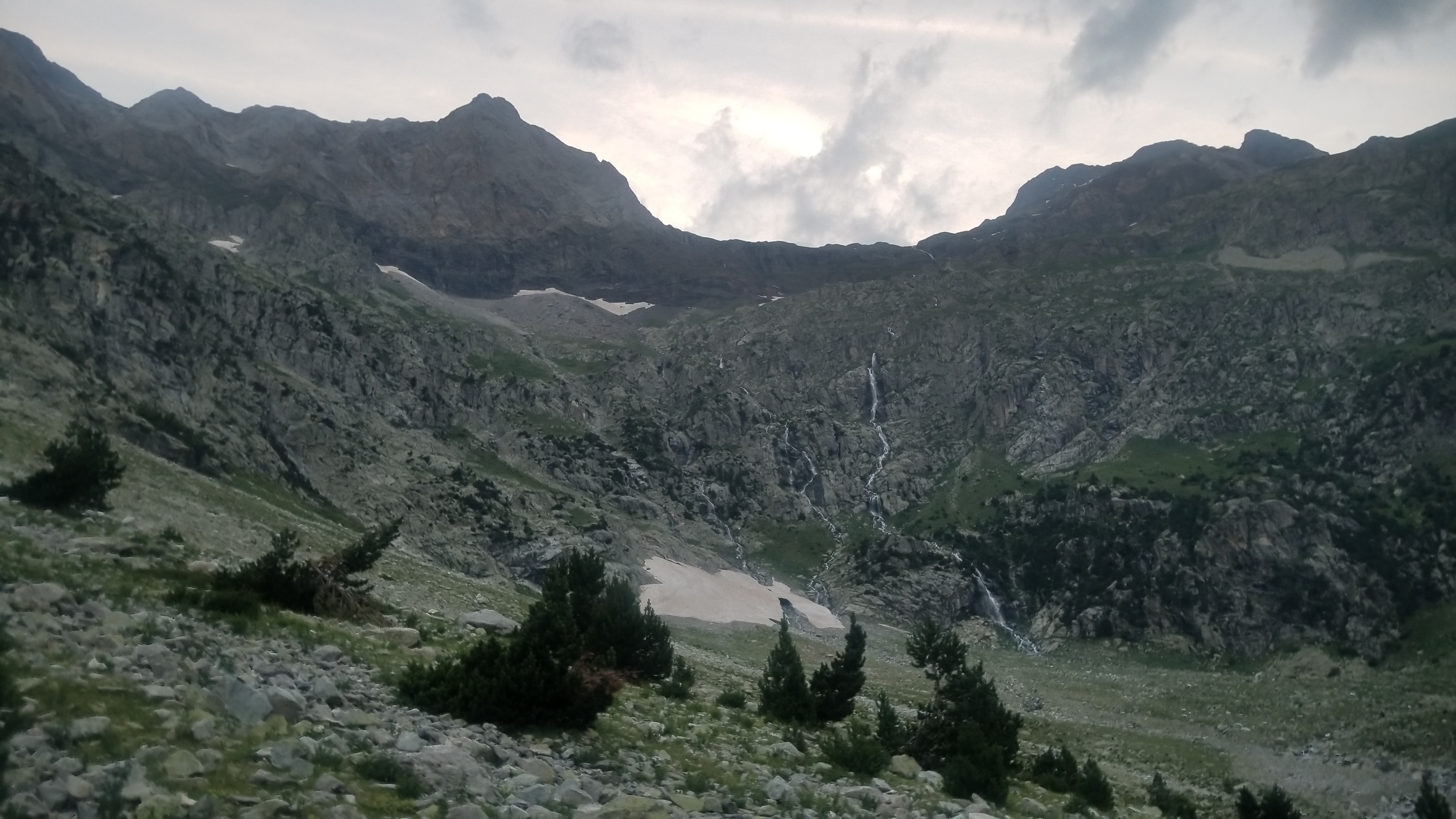
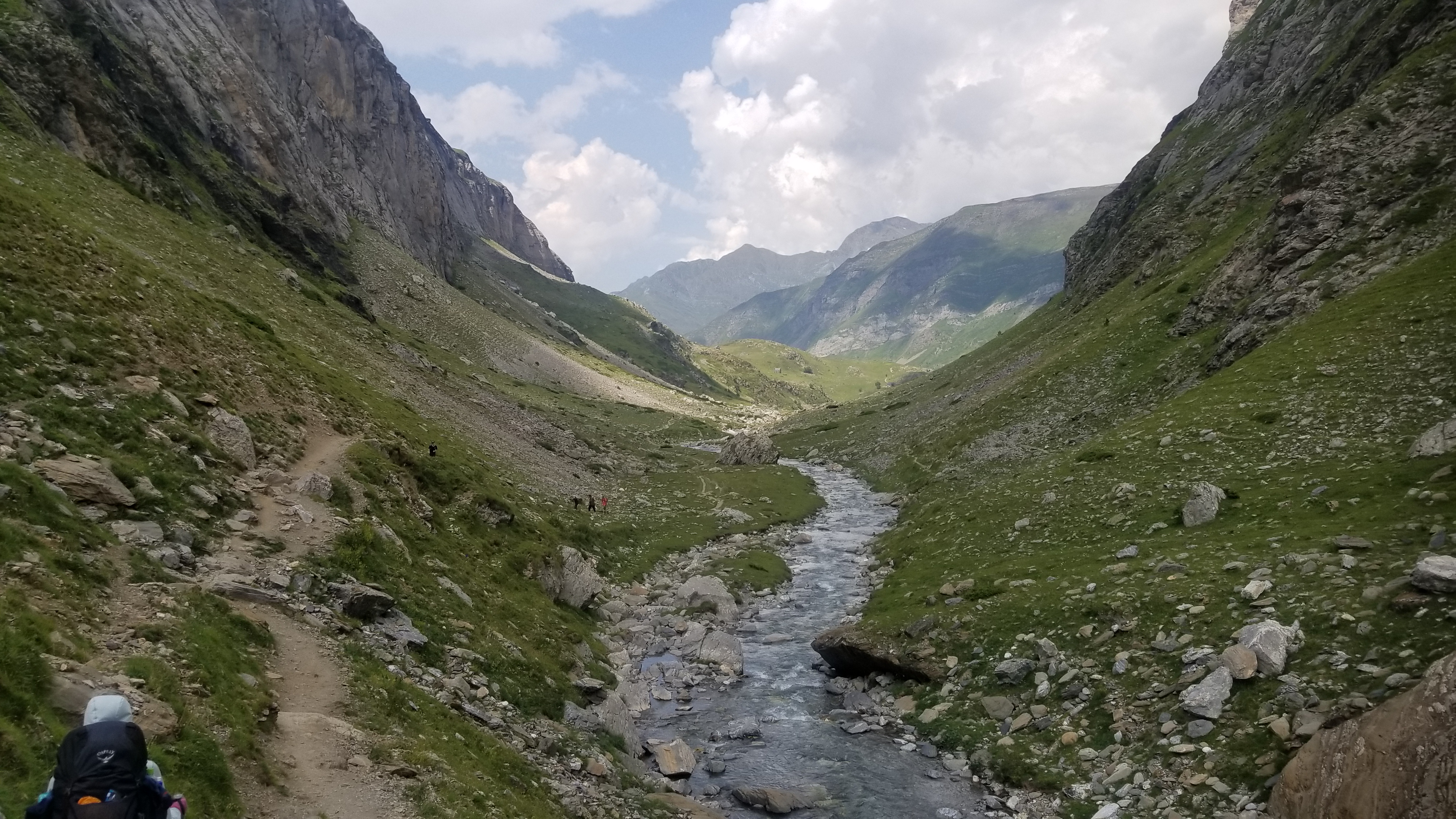
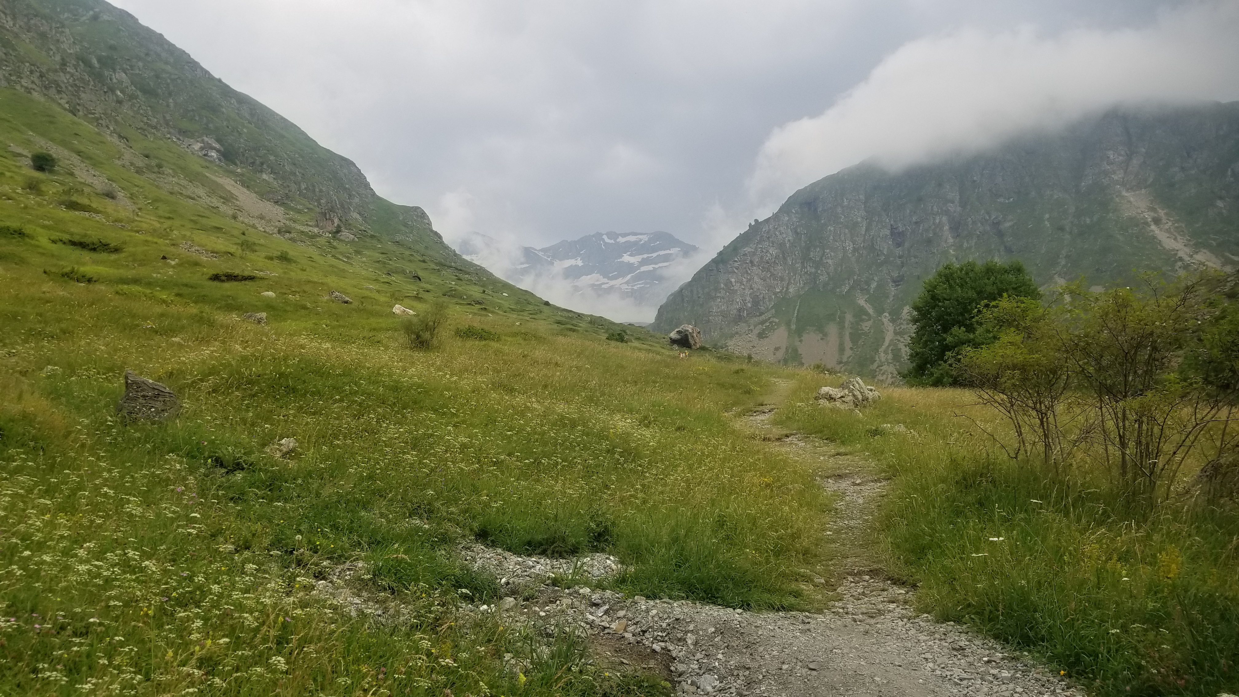
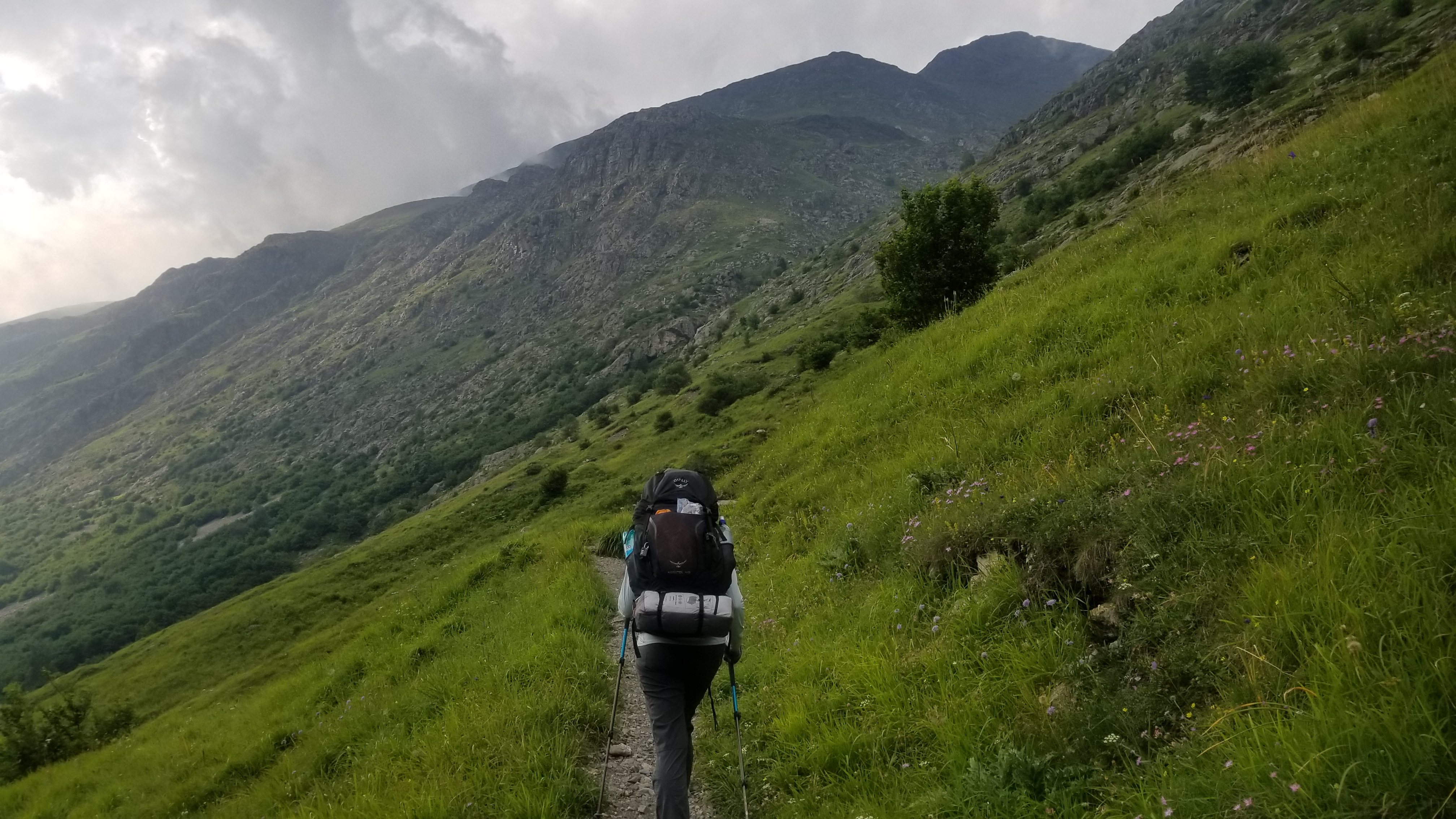
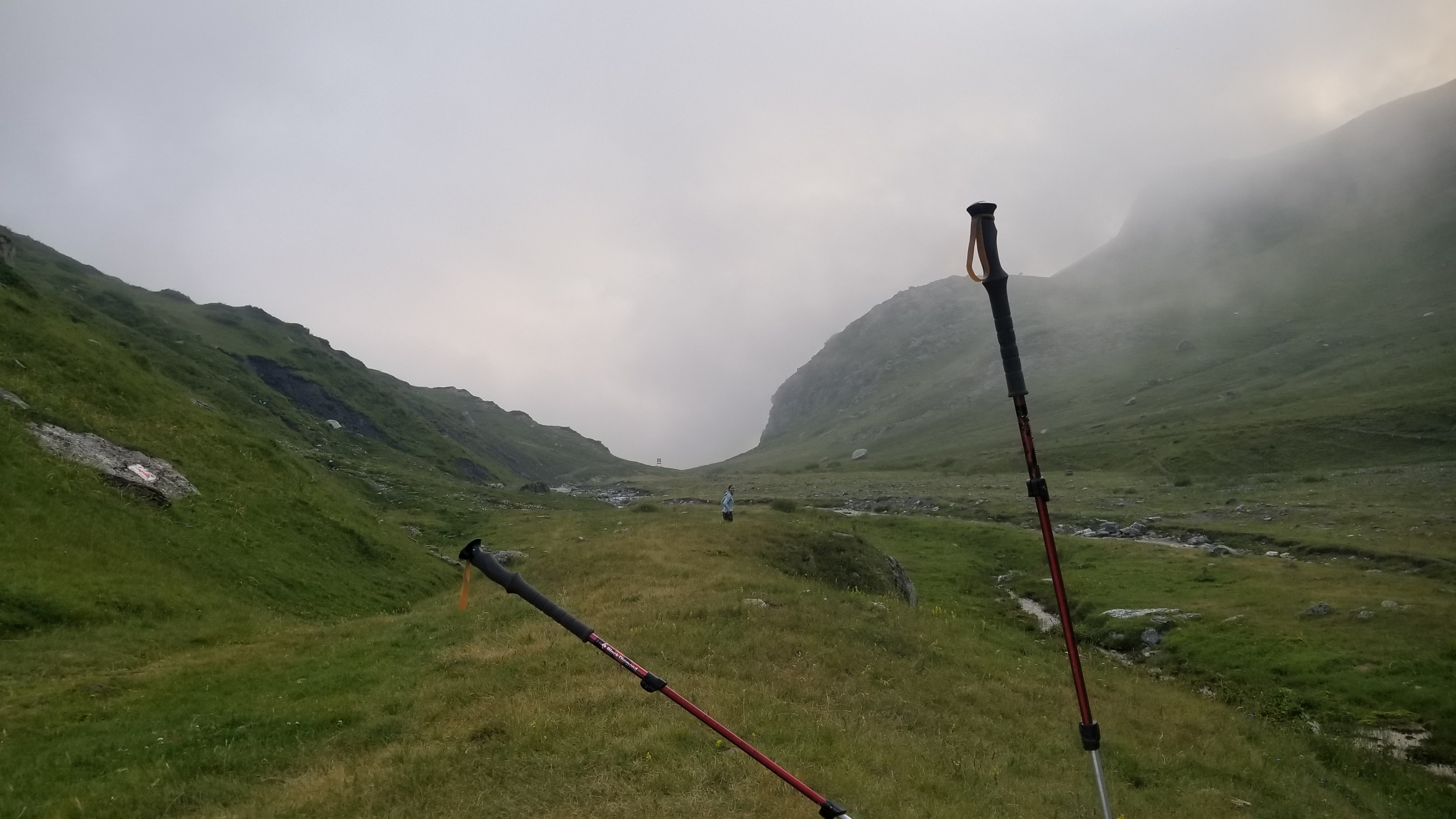
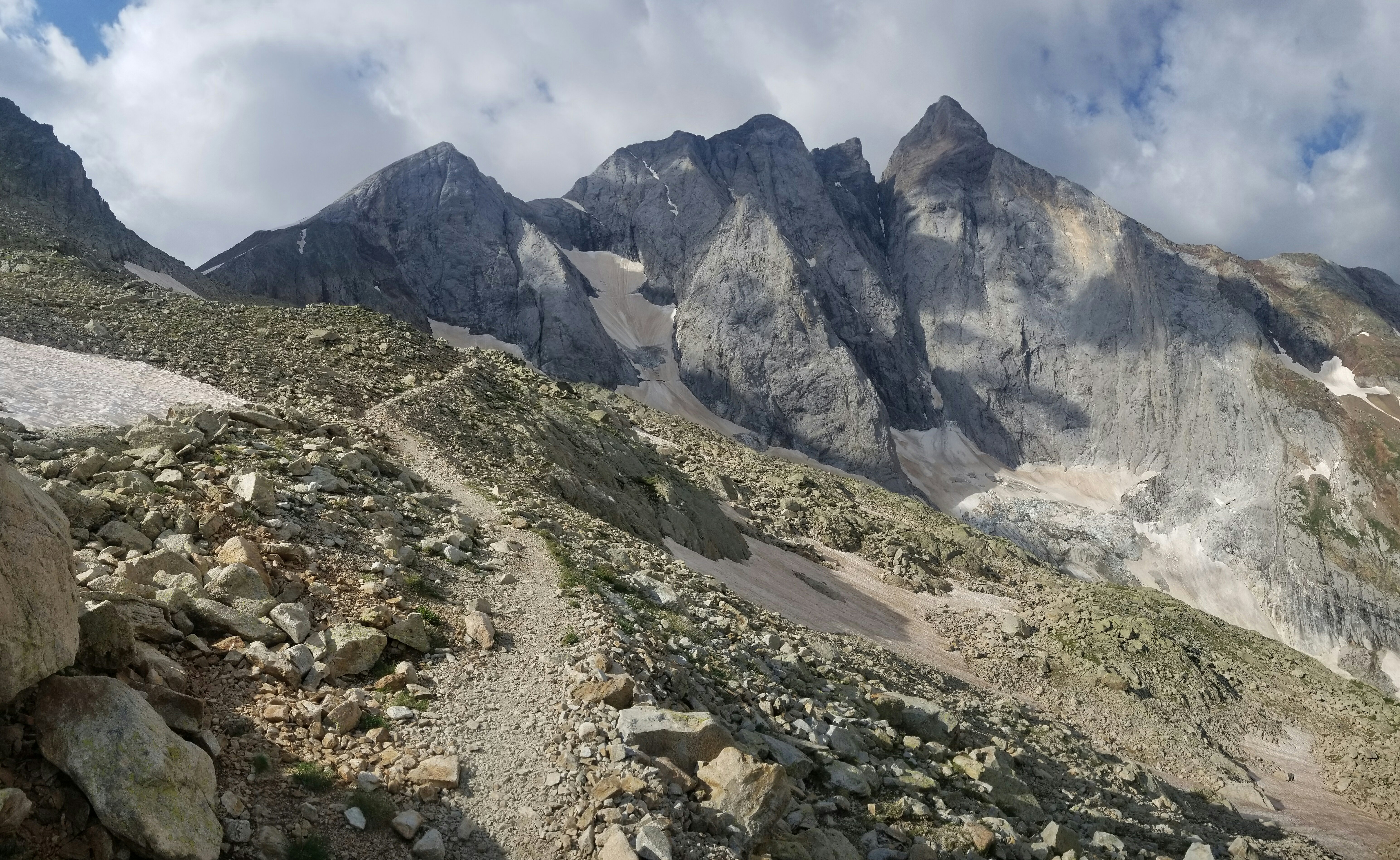
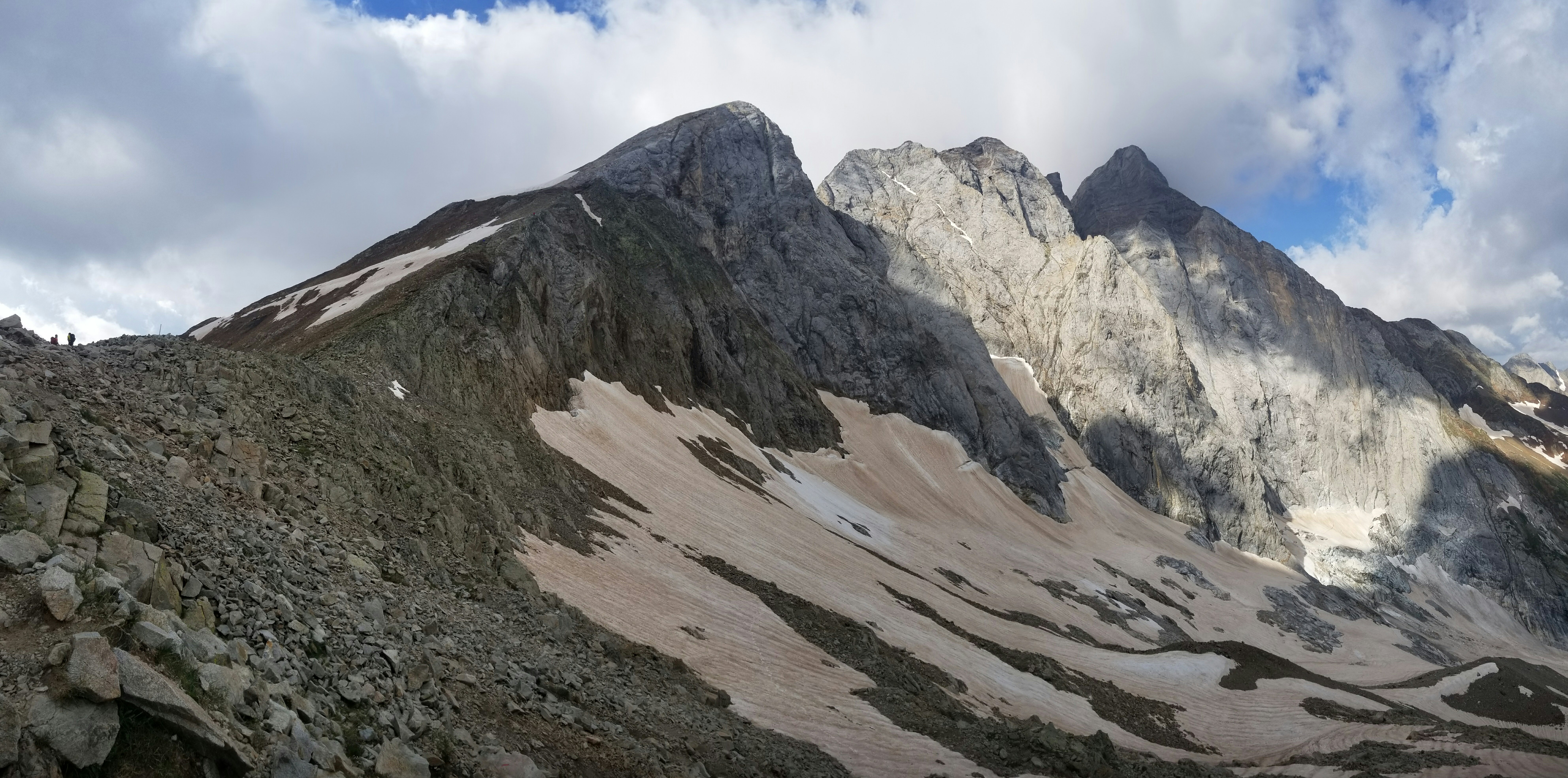
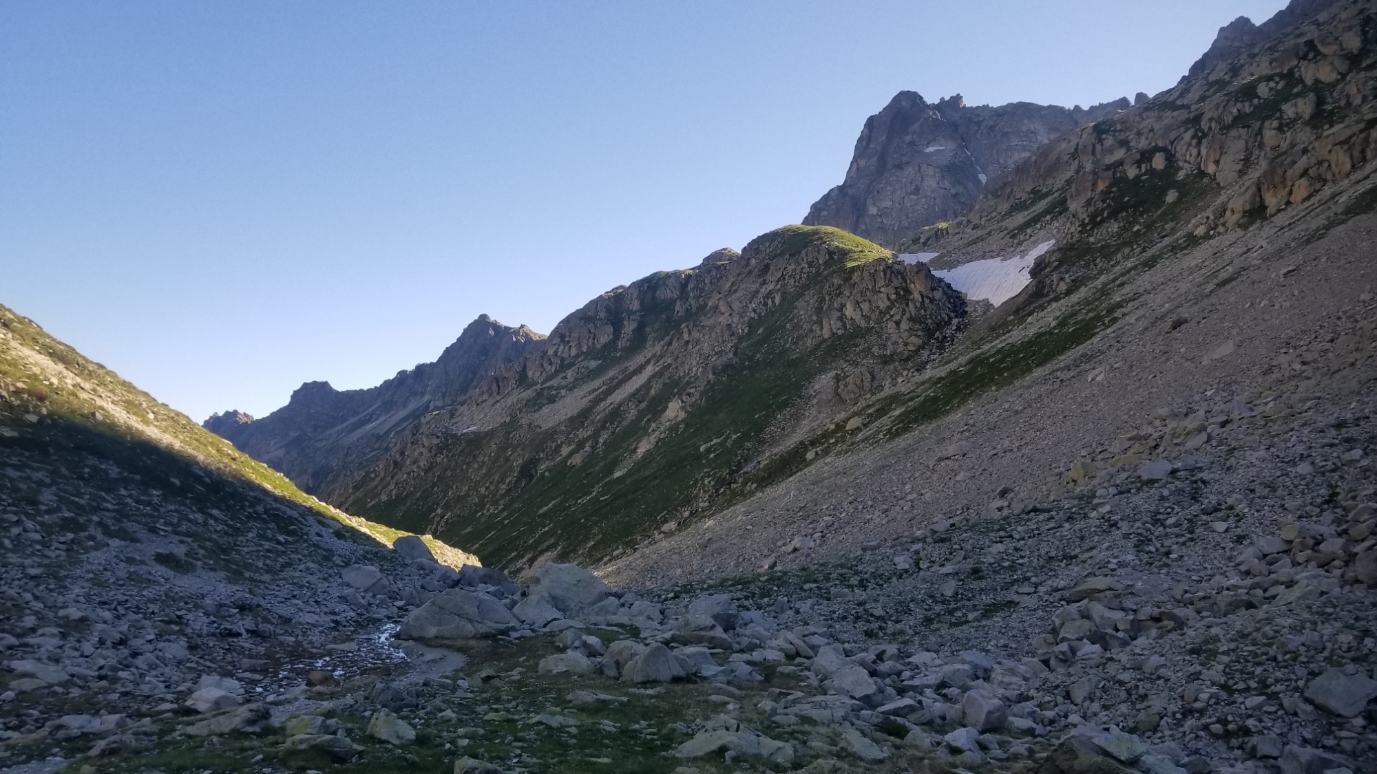
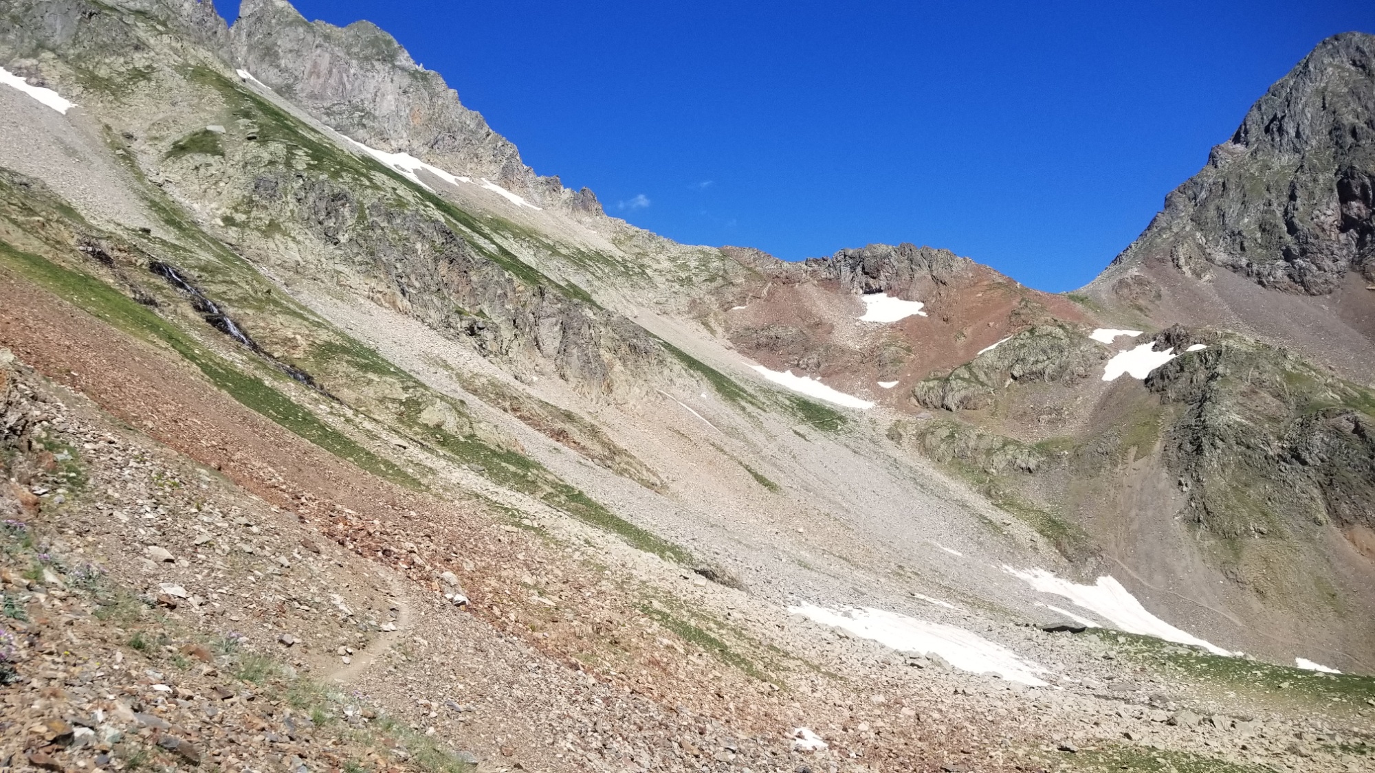
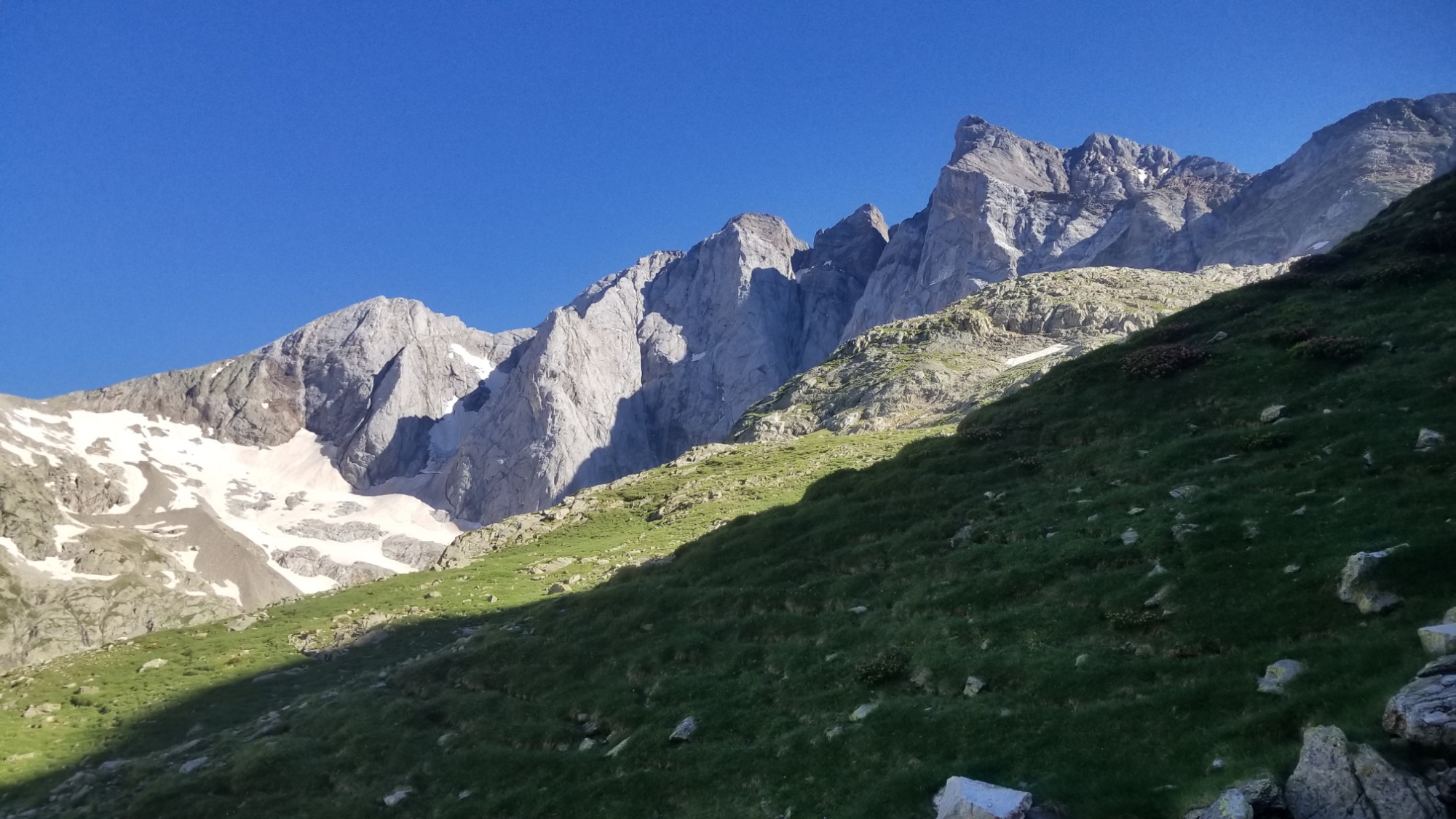
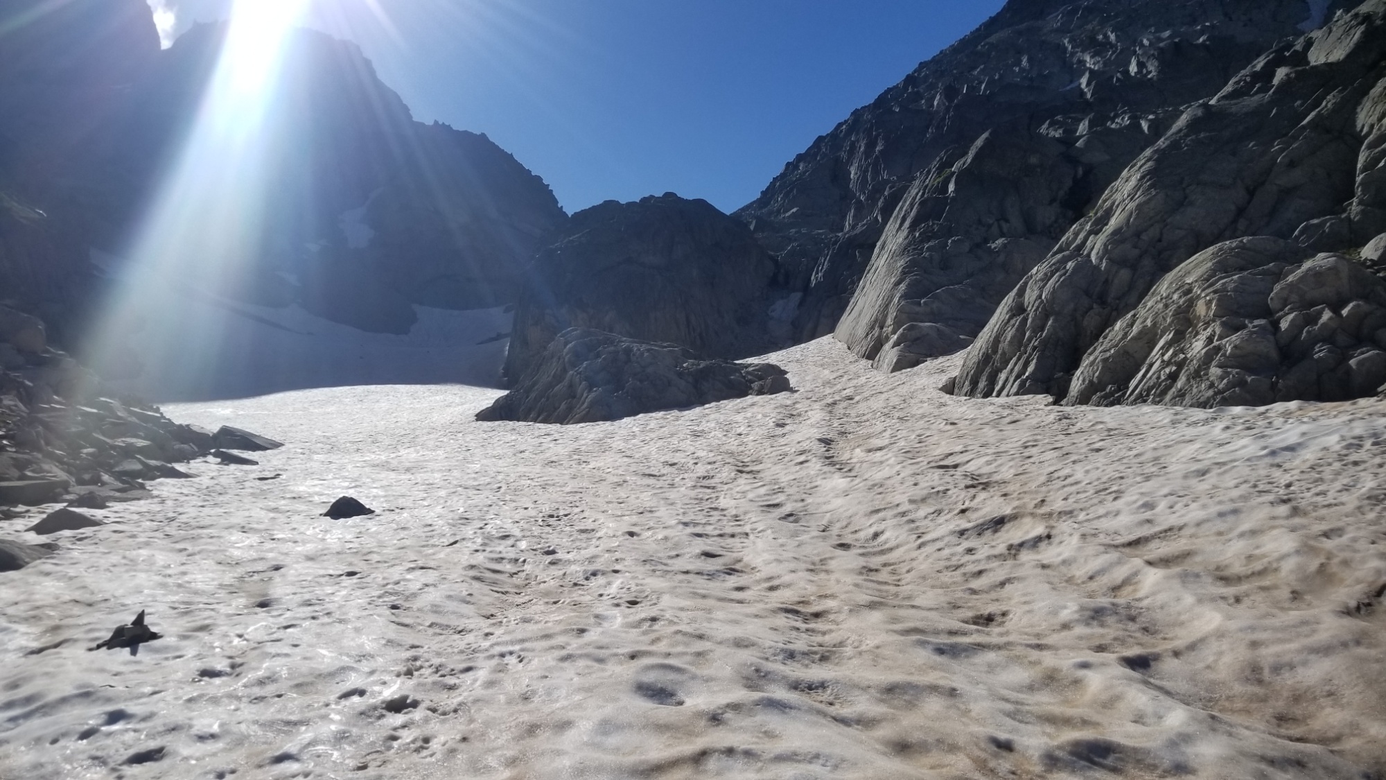
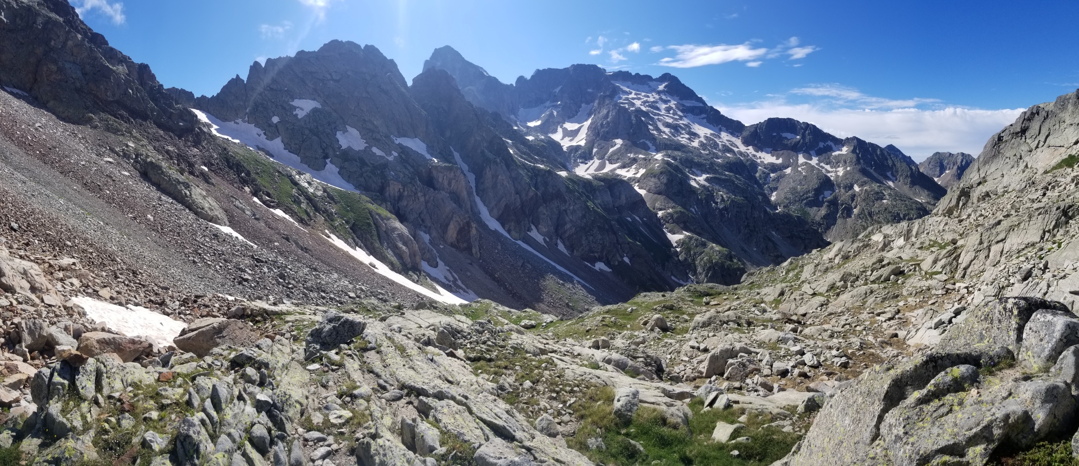
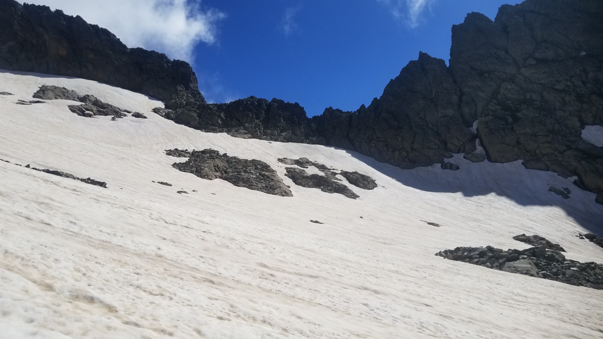
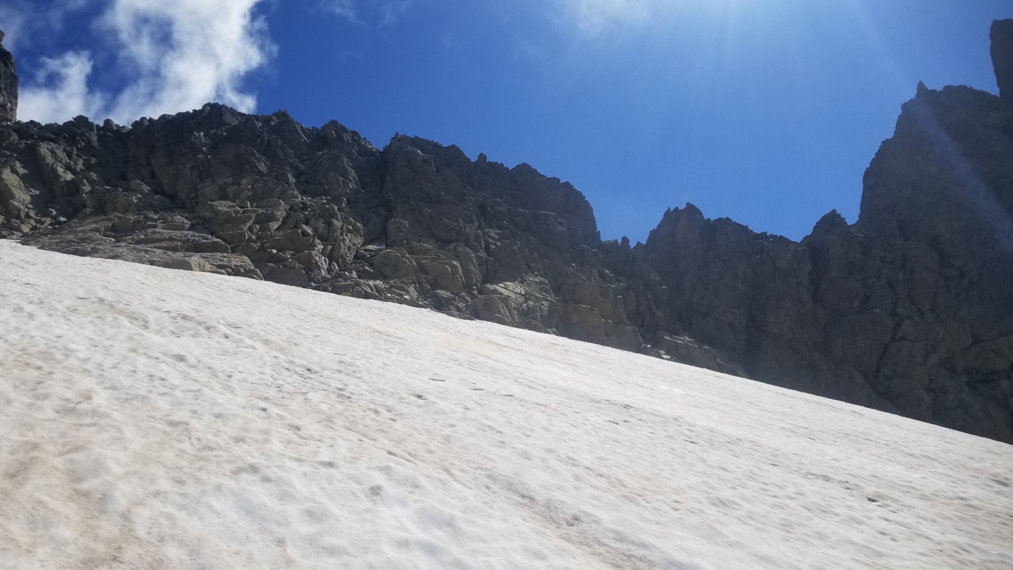
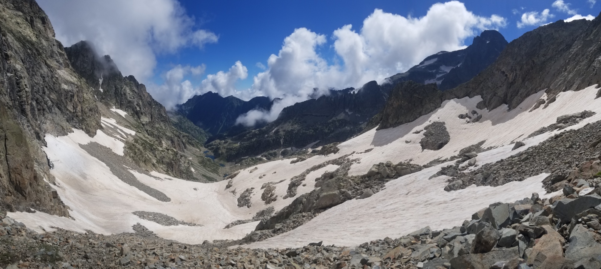
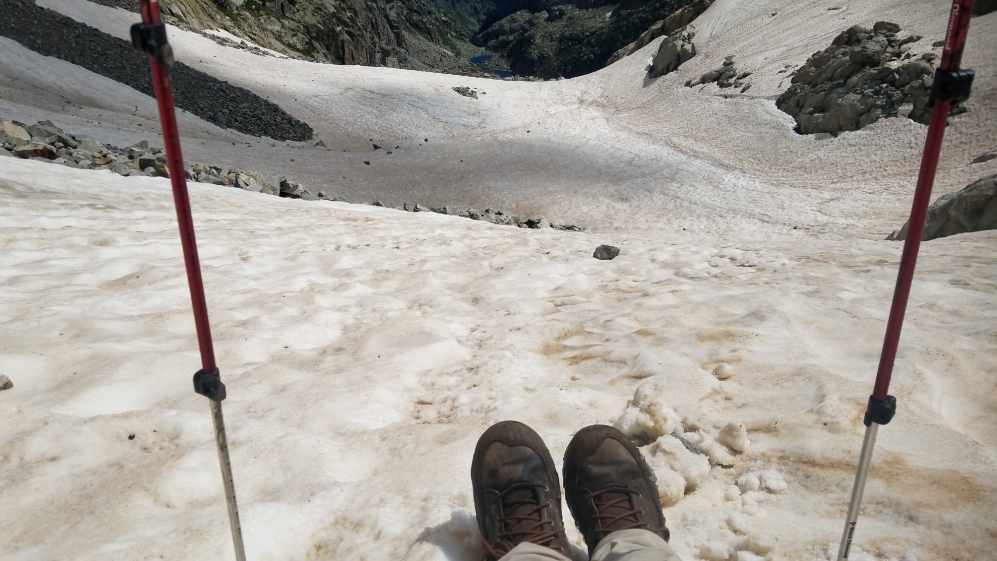
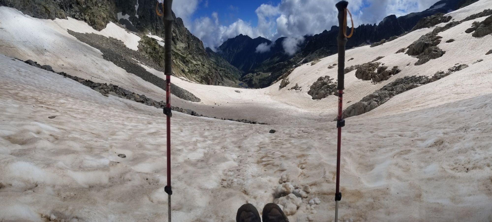
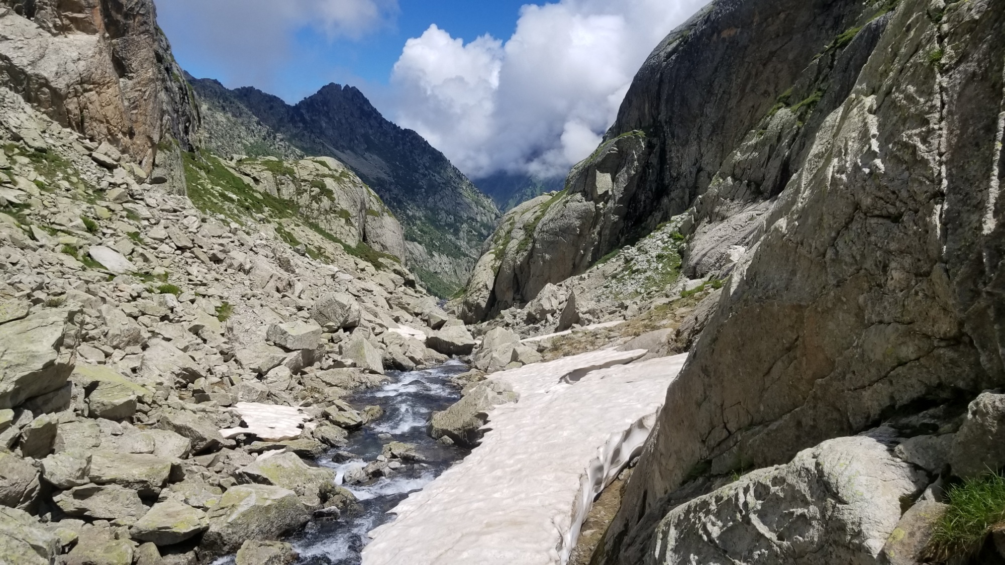
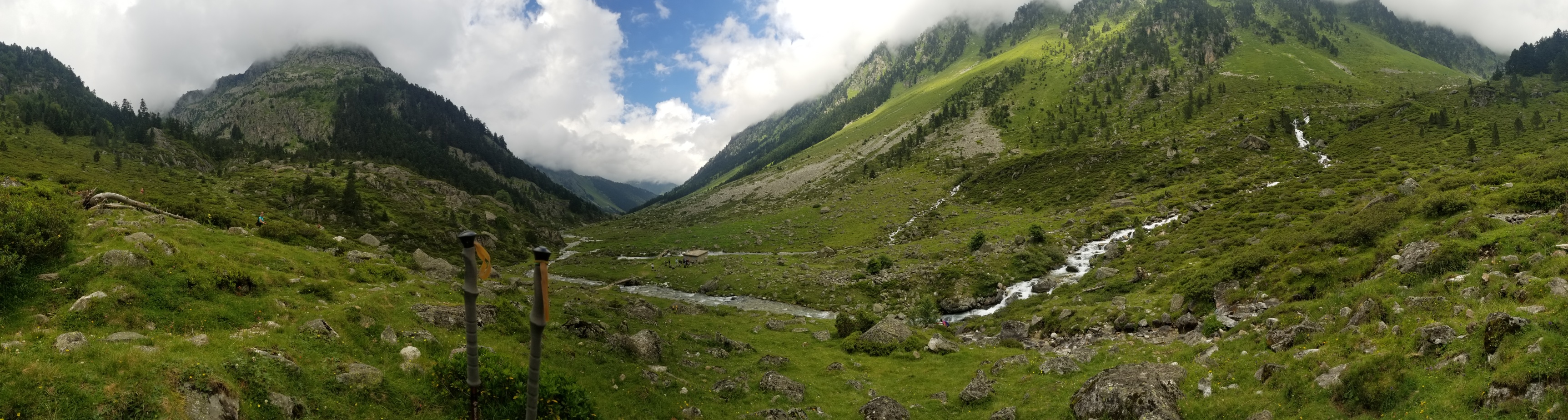
The traverse to the refuge just down below took well over an hour. While it should have only been a 10 minute hike on good trail, there were some massive, steep snowfields blocking the way. They were too icy to safely traverse first thing in the morning. I could barely kick steps into them with my awesome boots, and as soon as I looked down, I knew we had to find a different way. Maybe if we had crampons and ice axe, it would be different. But we don’t, so we had to hike alllll the way up and over it.

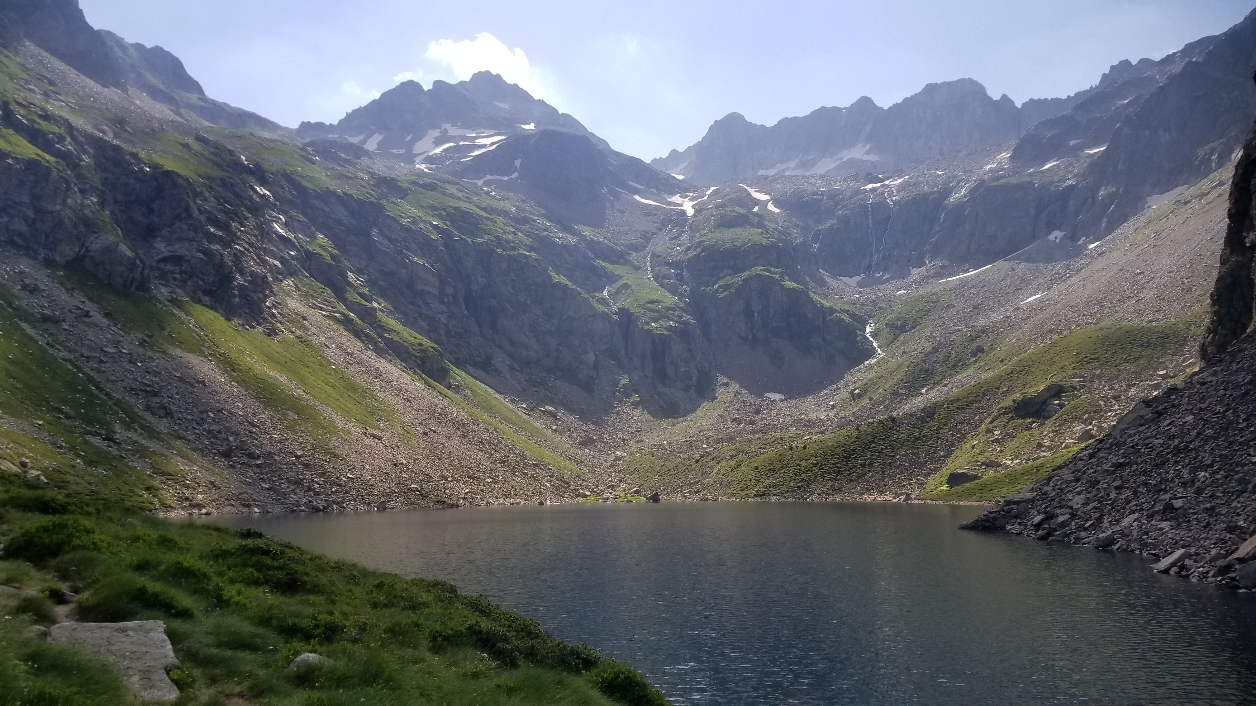
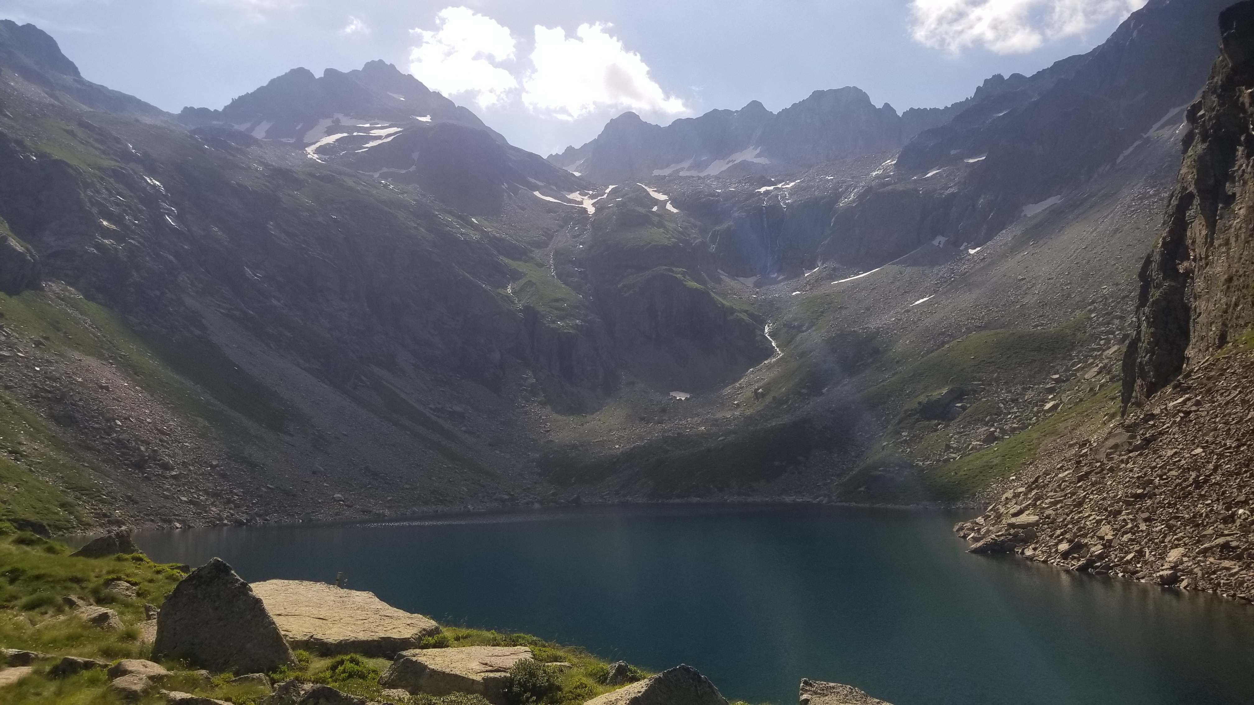
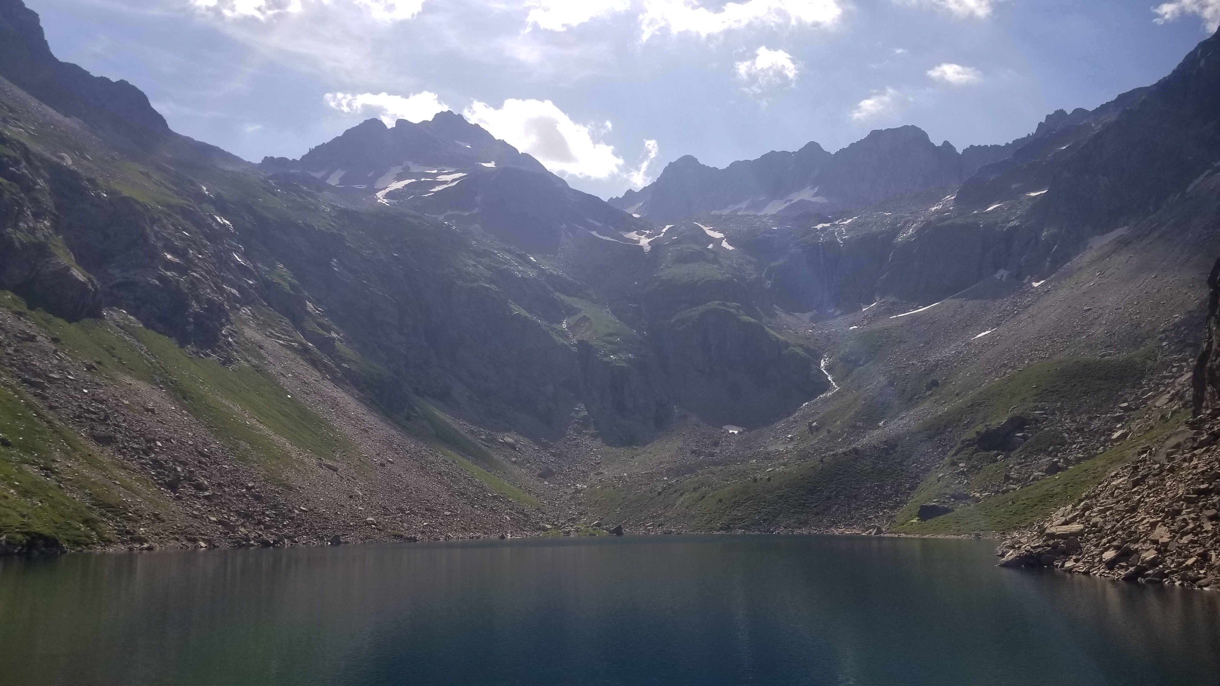
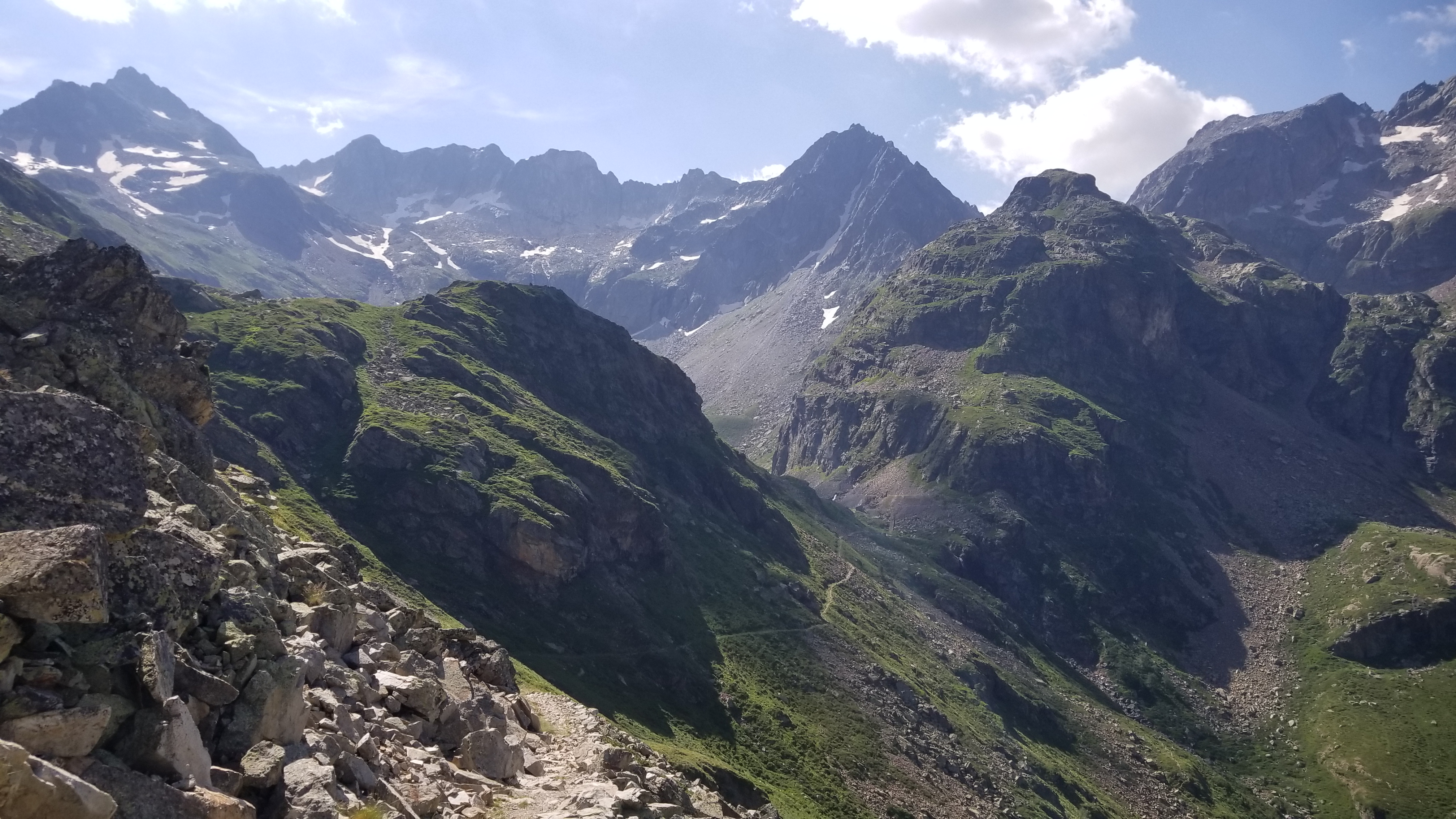
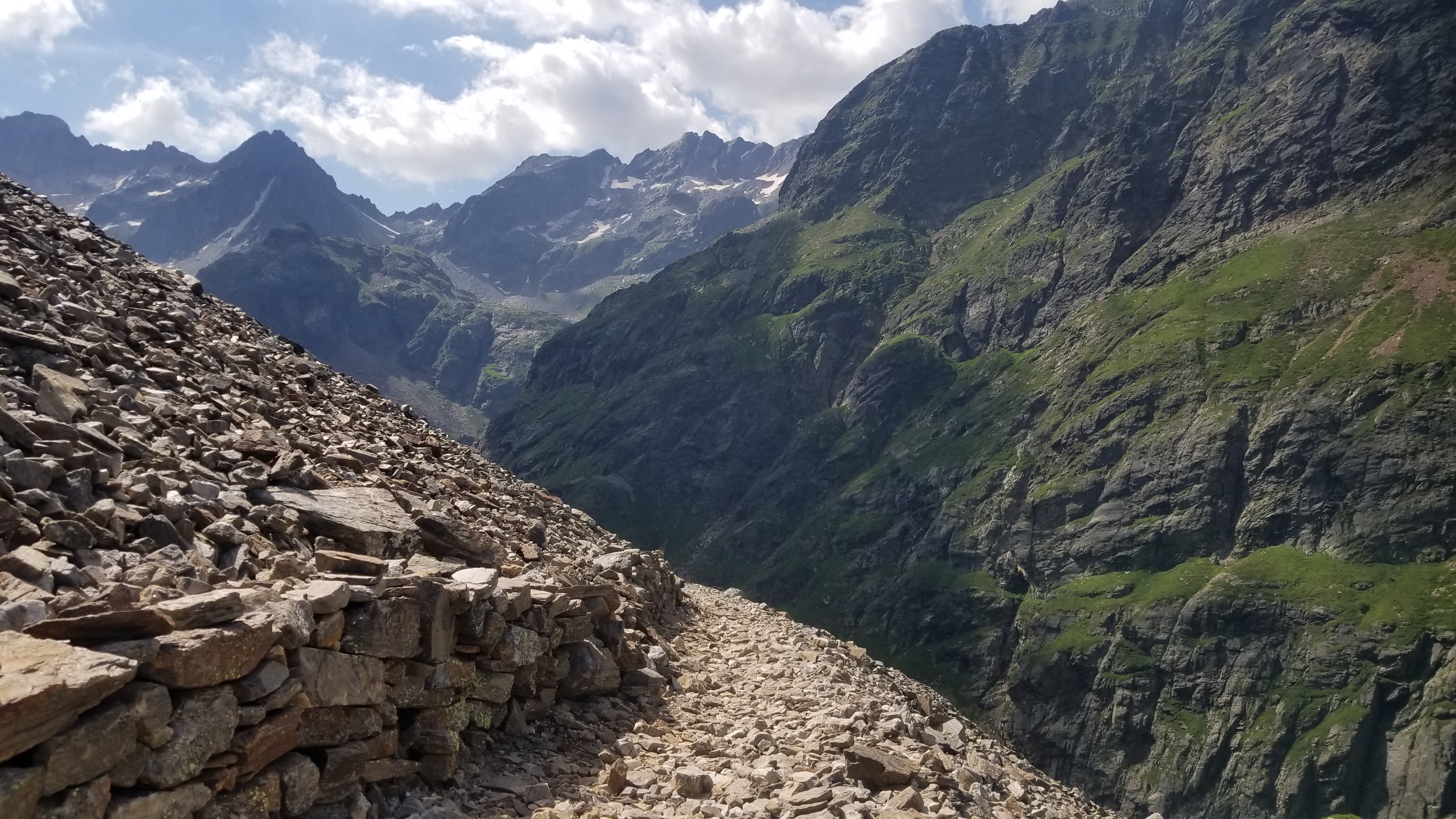
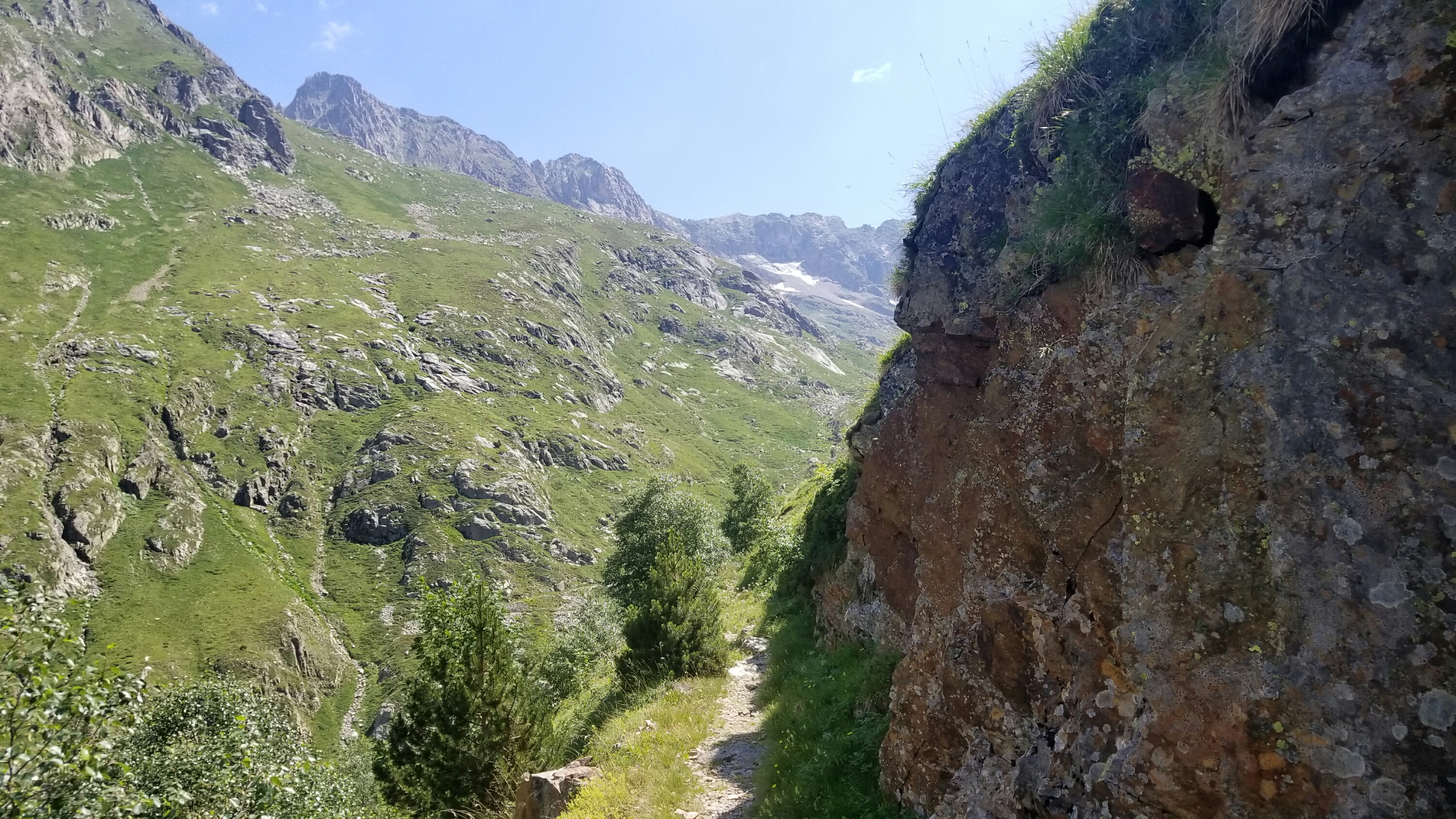
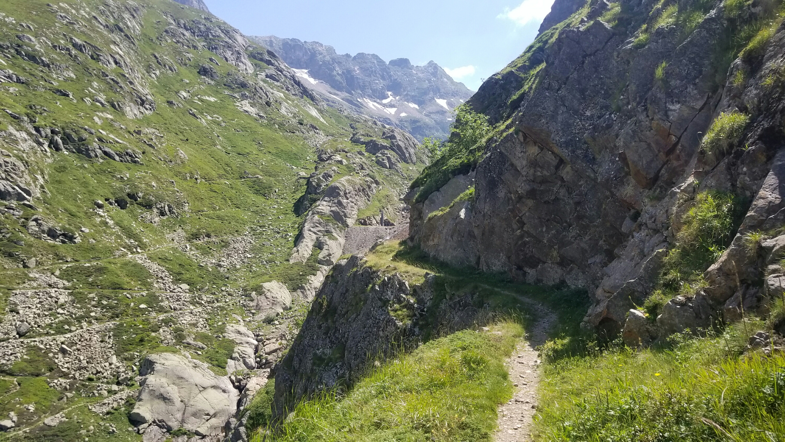
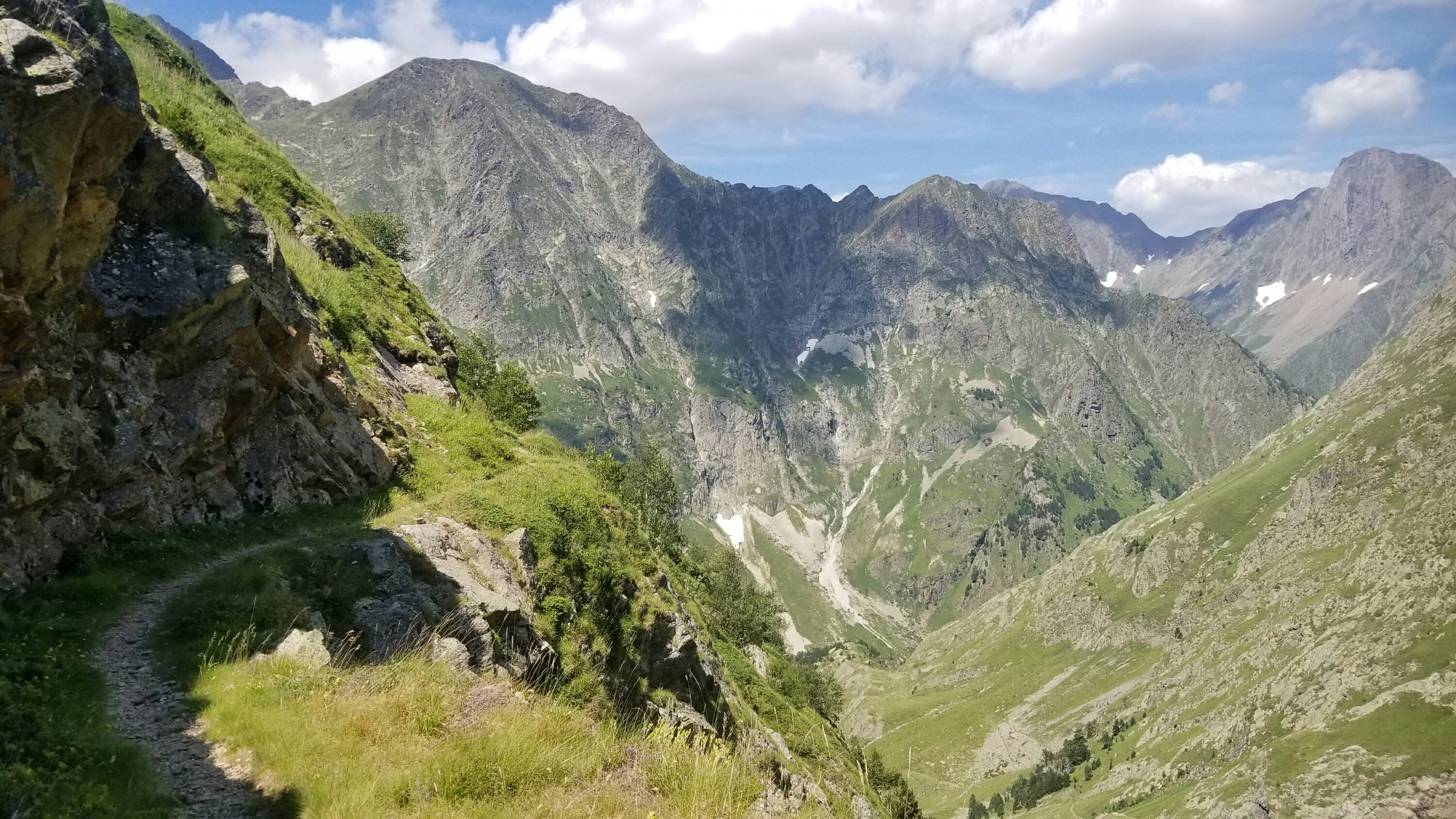
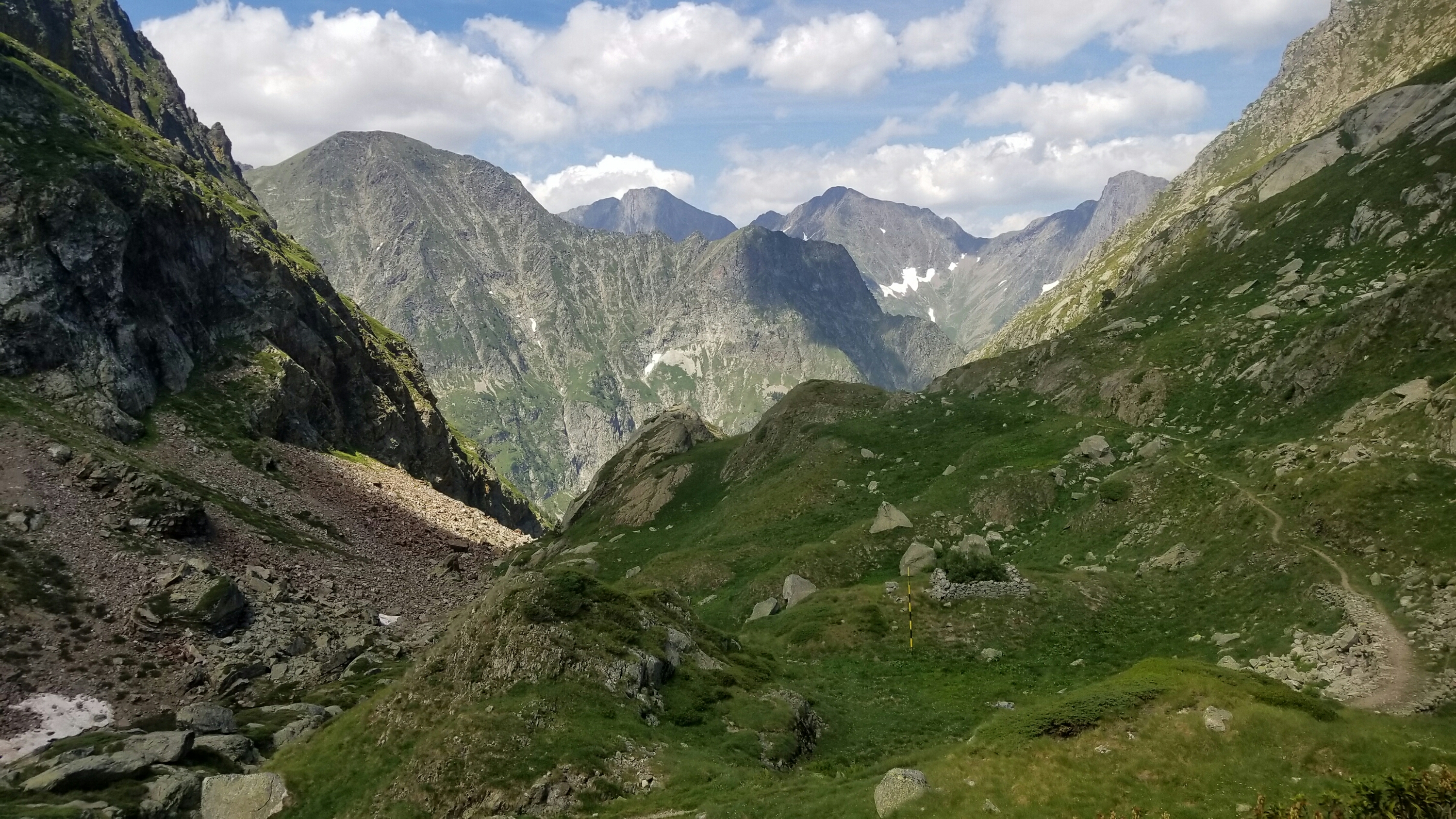
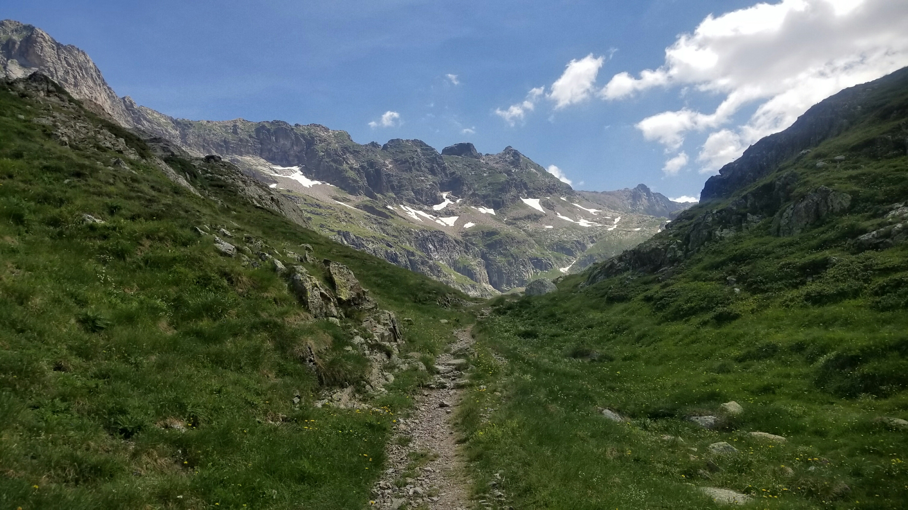
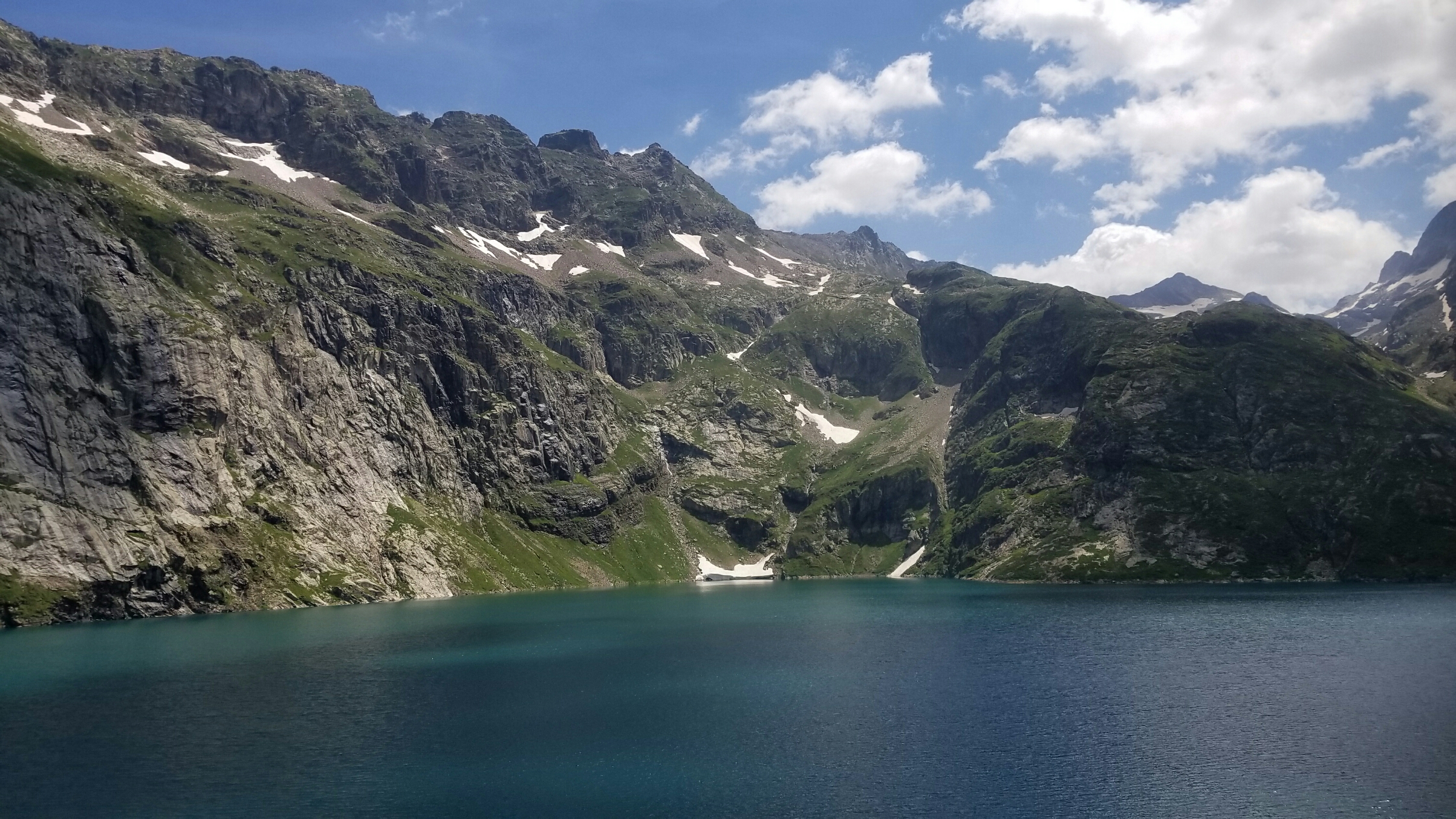
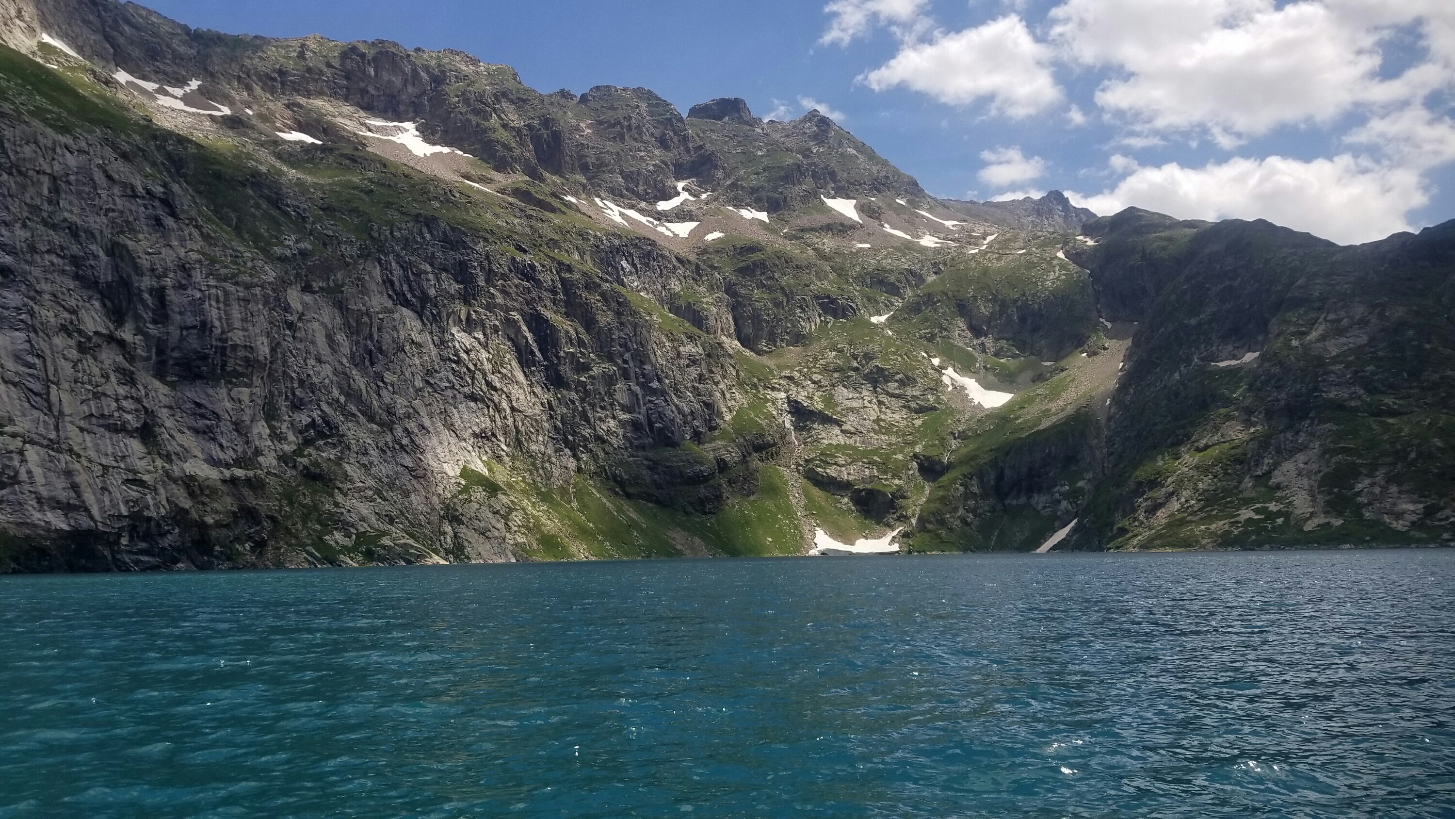
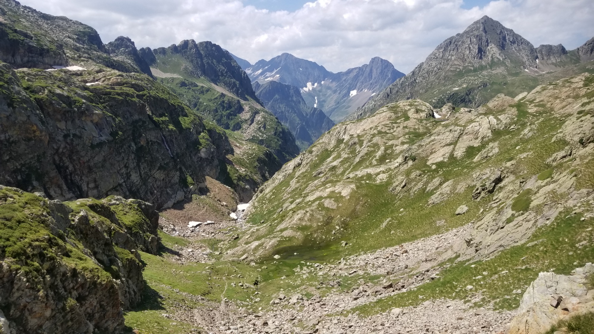
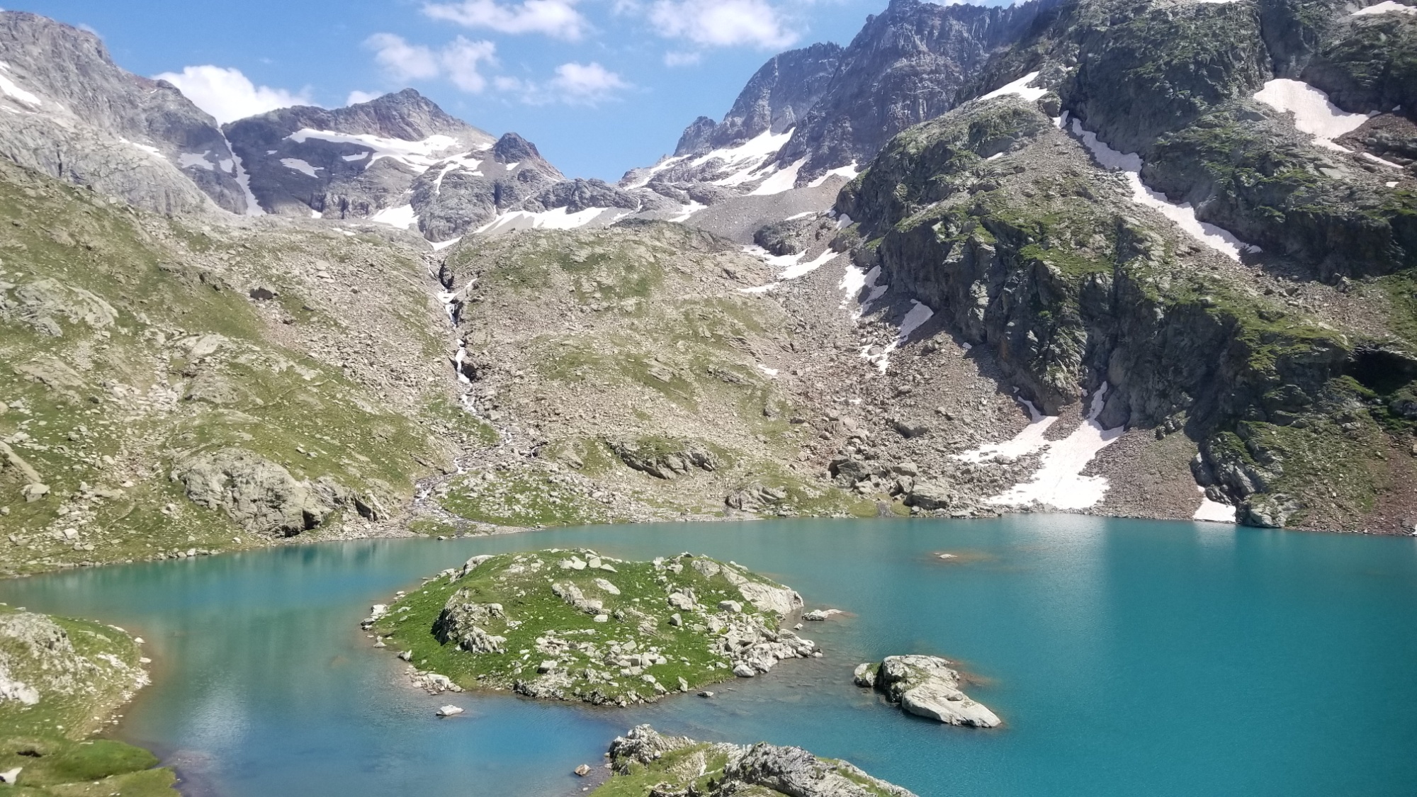
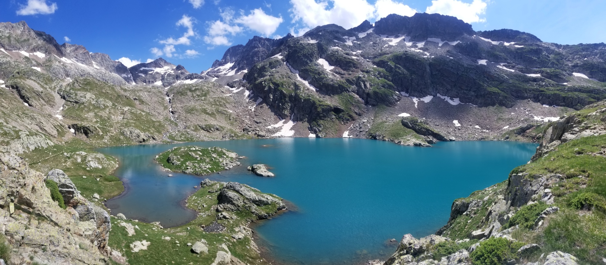
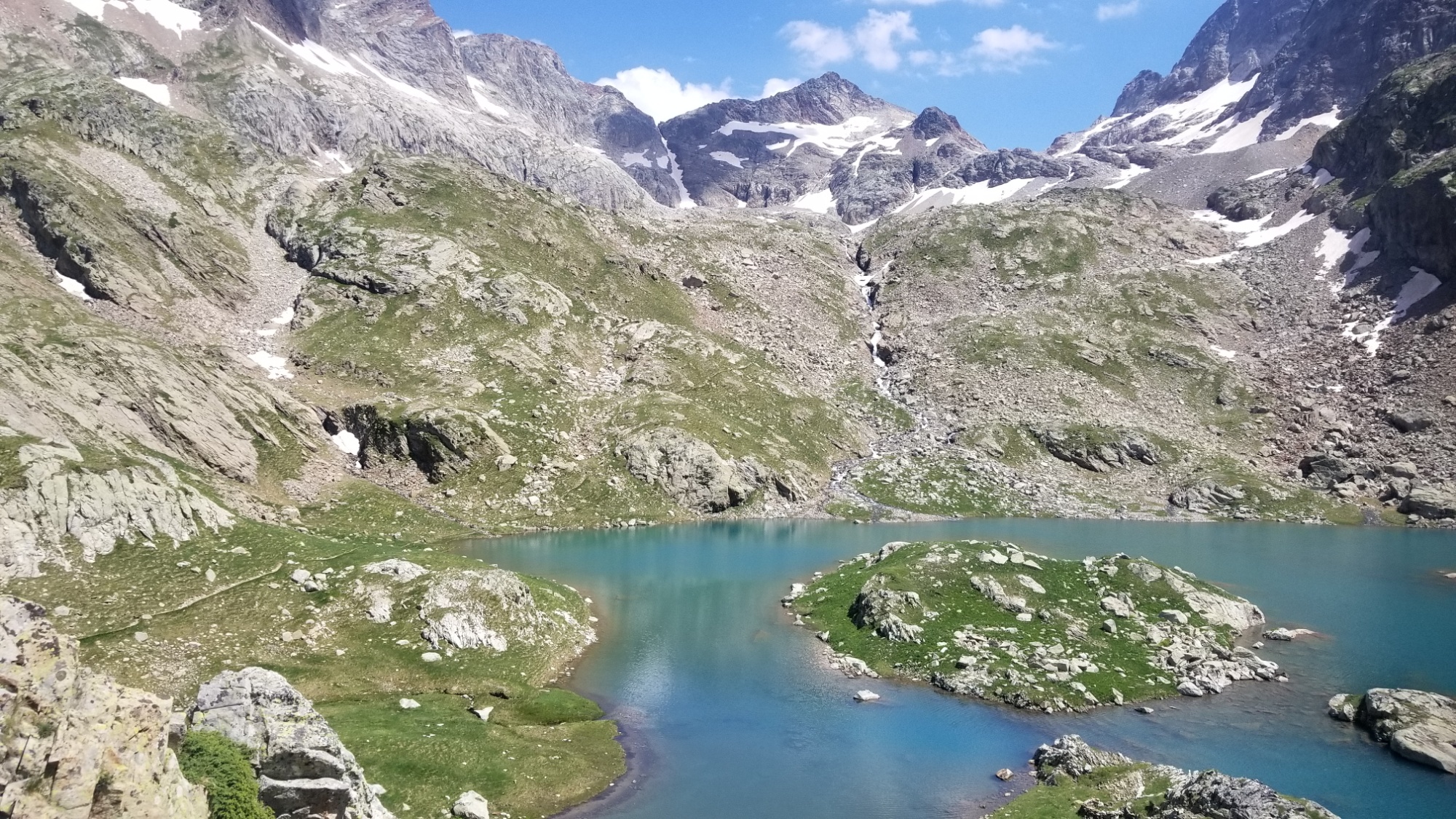
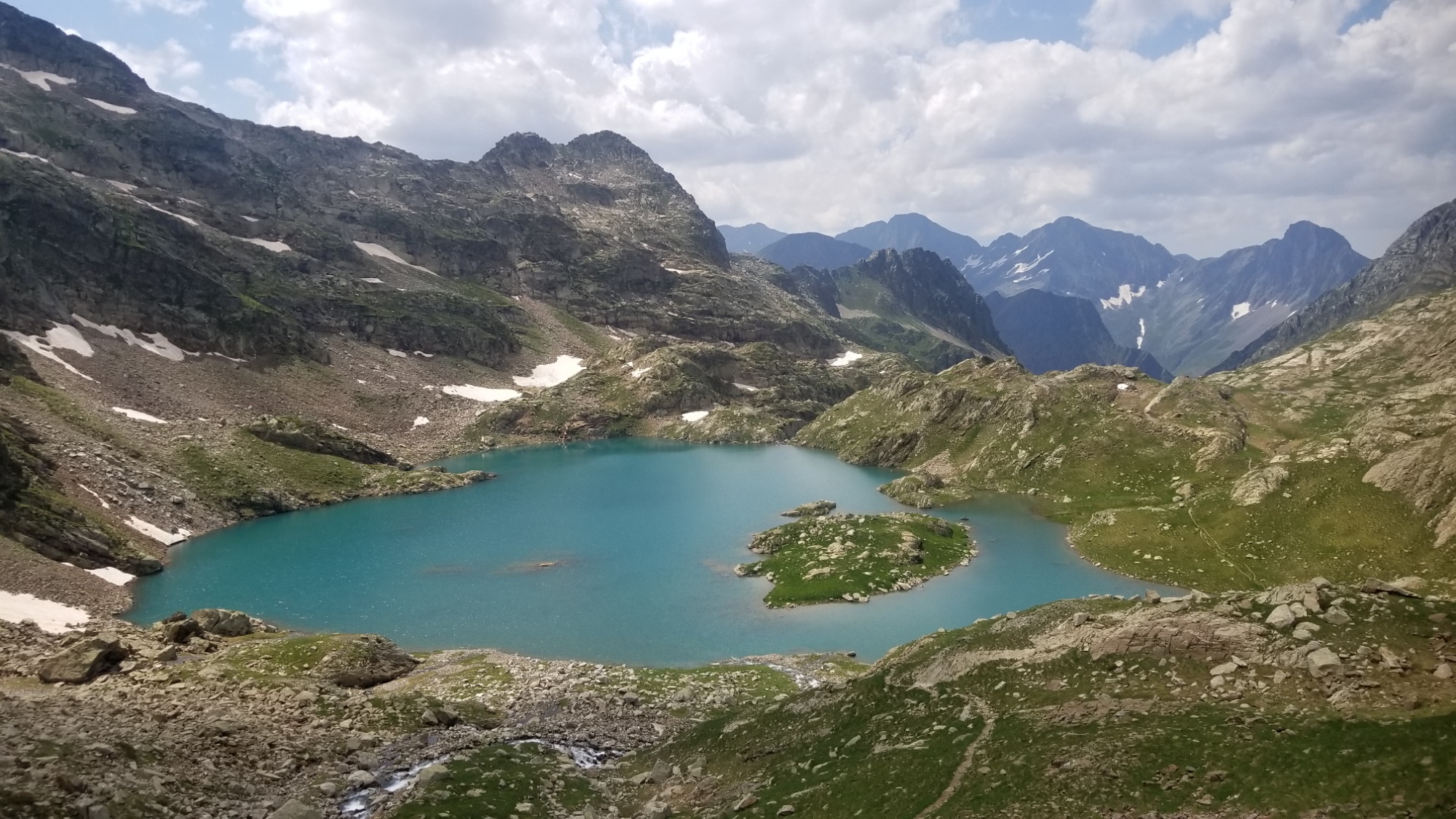
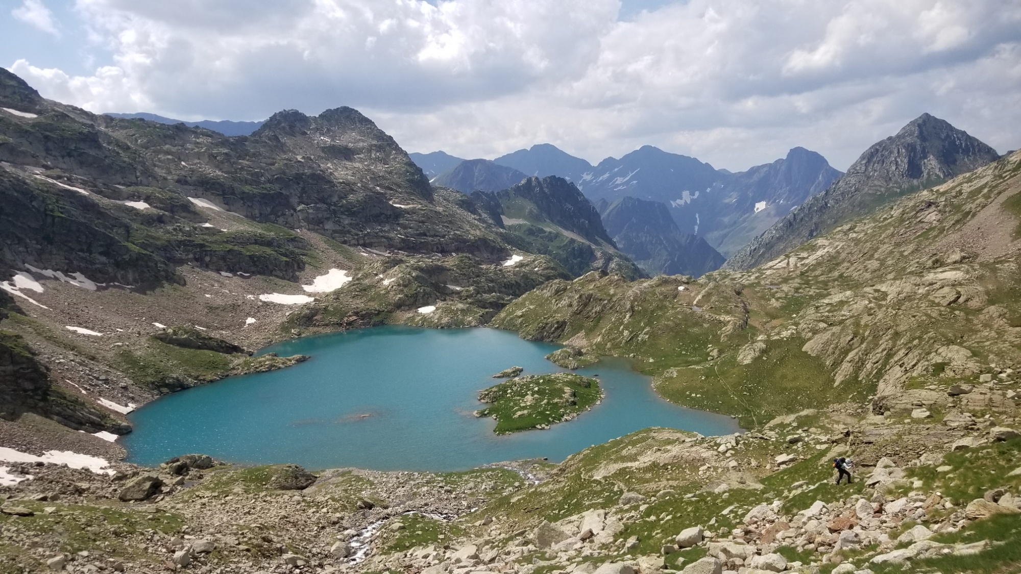
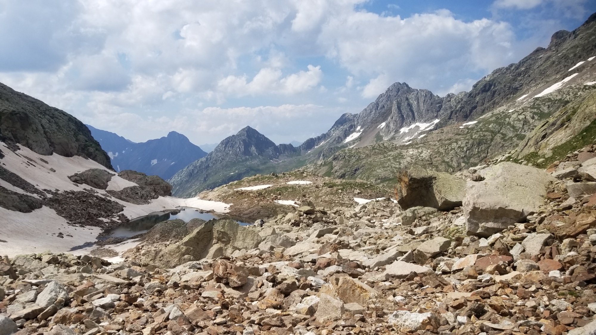
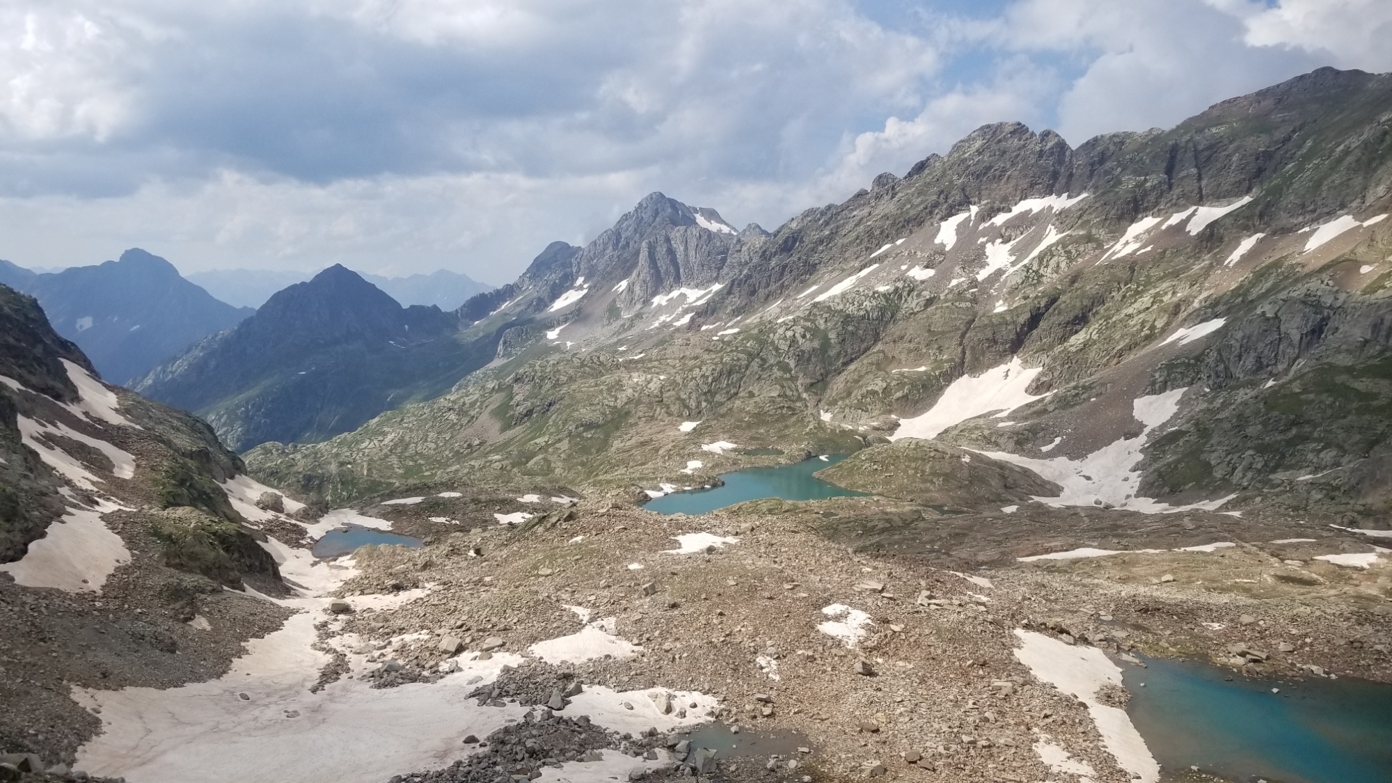
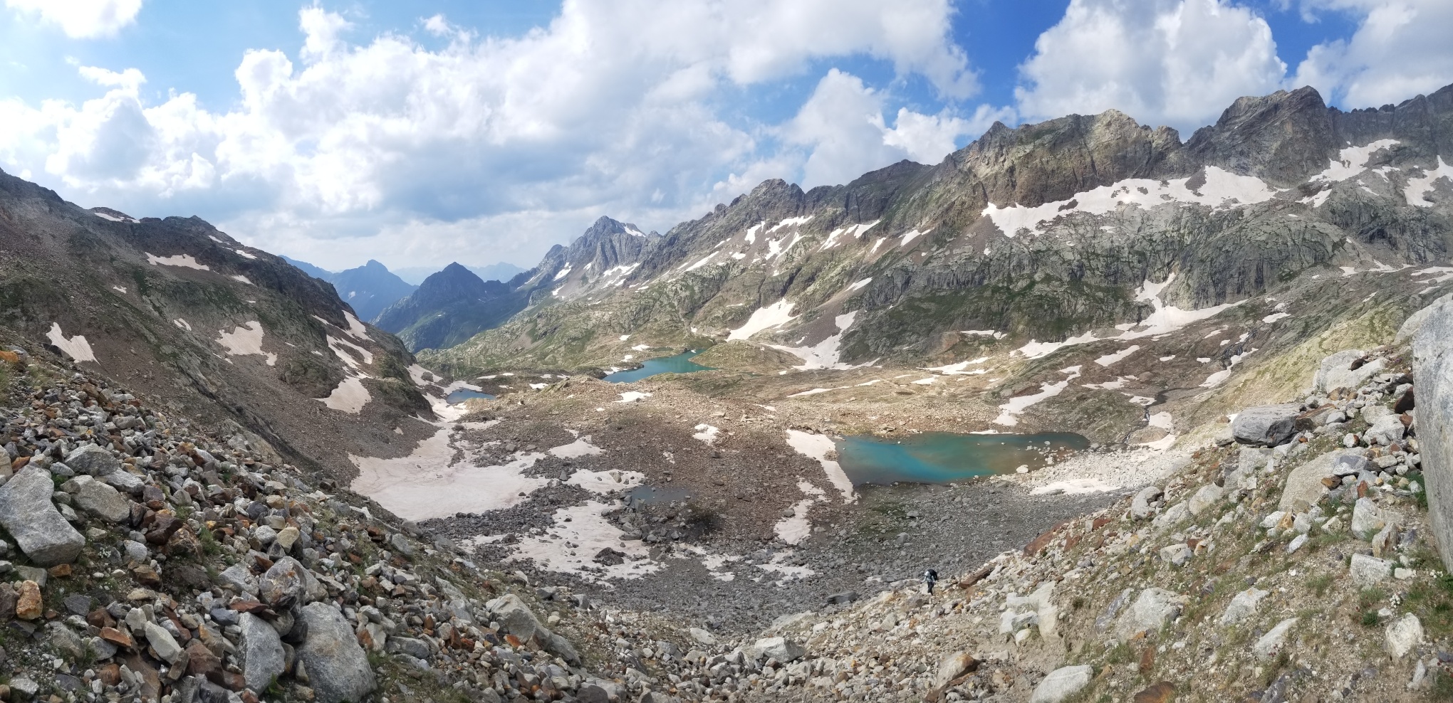
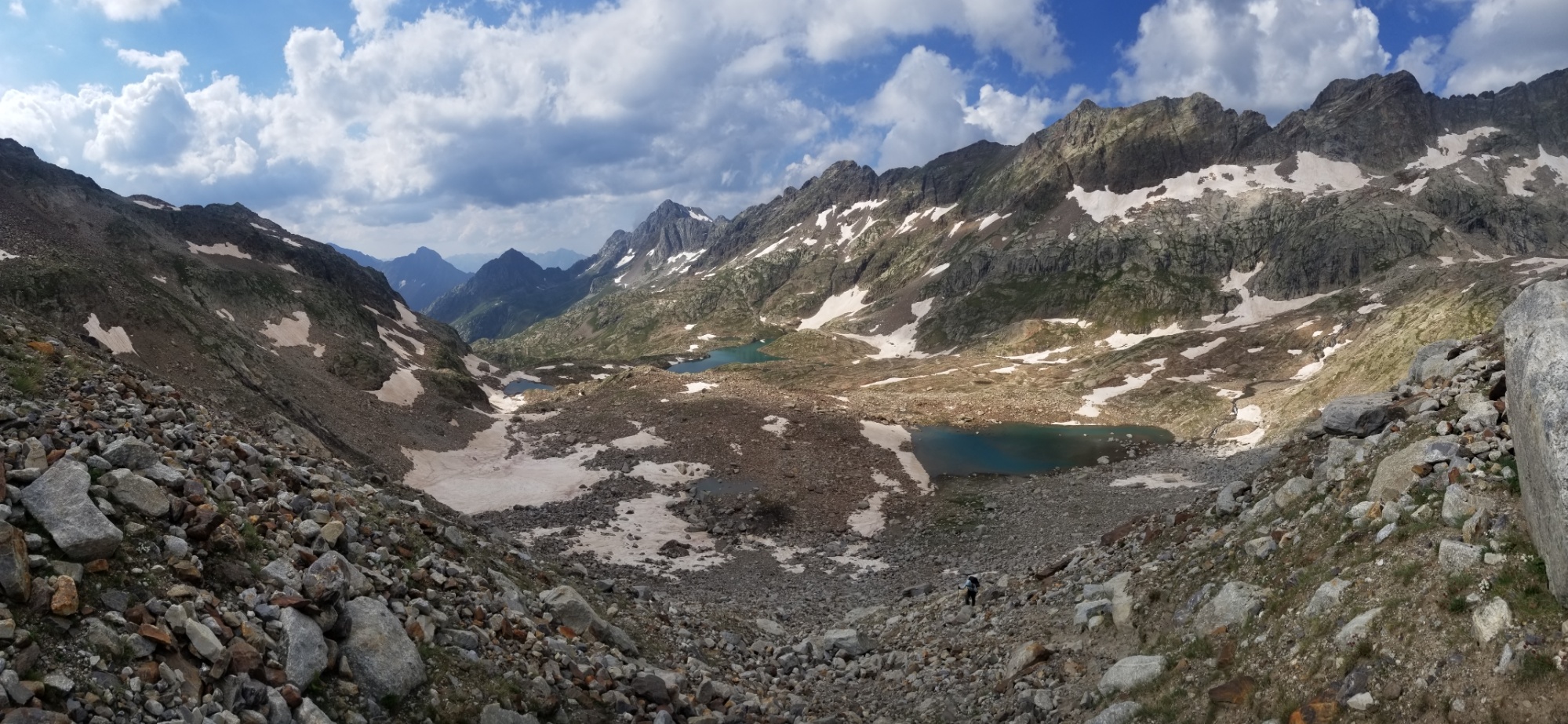
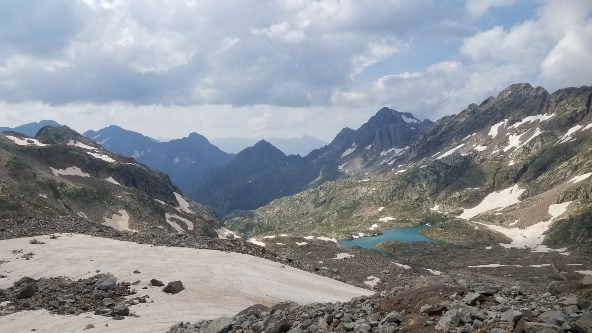
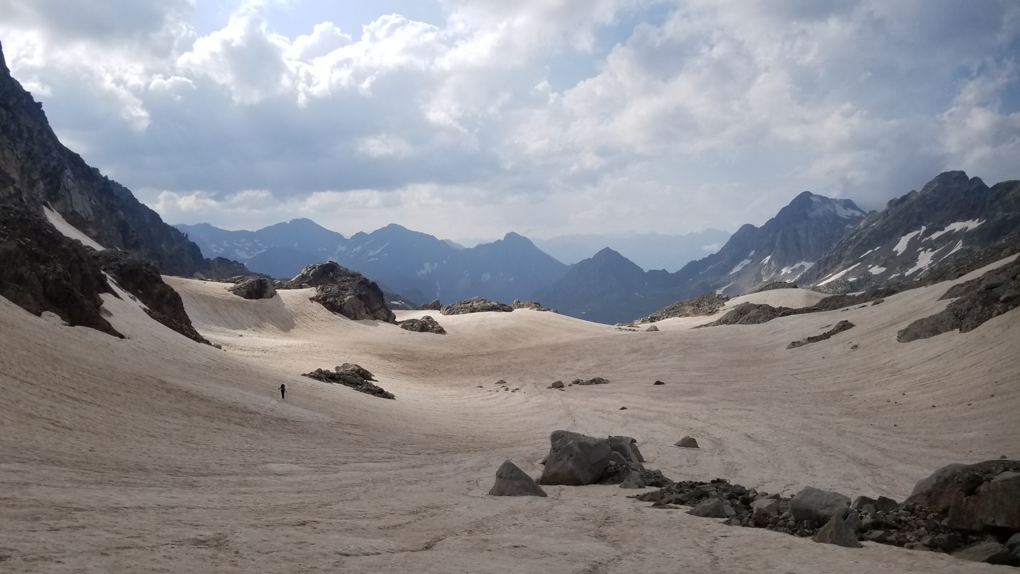
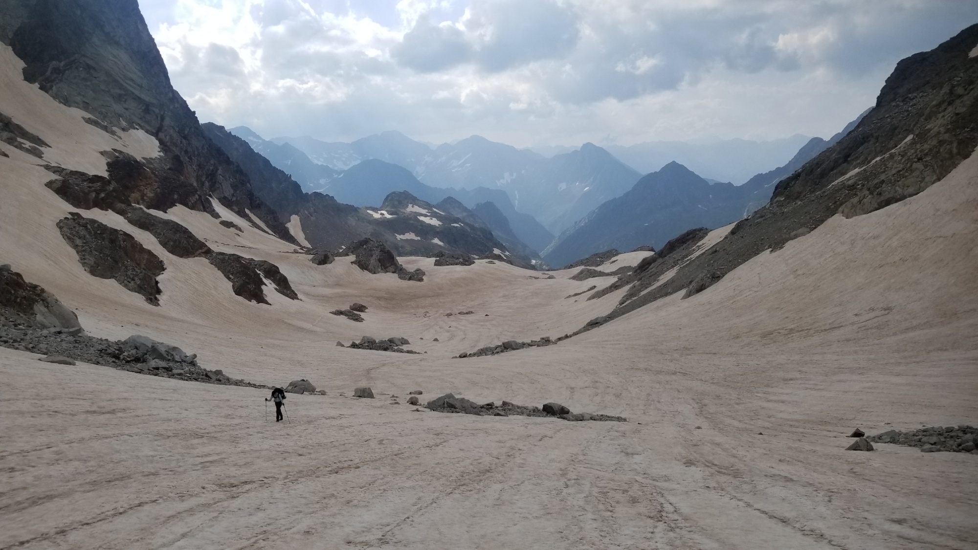
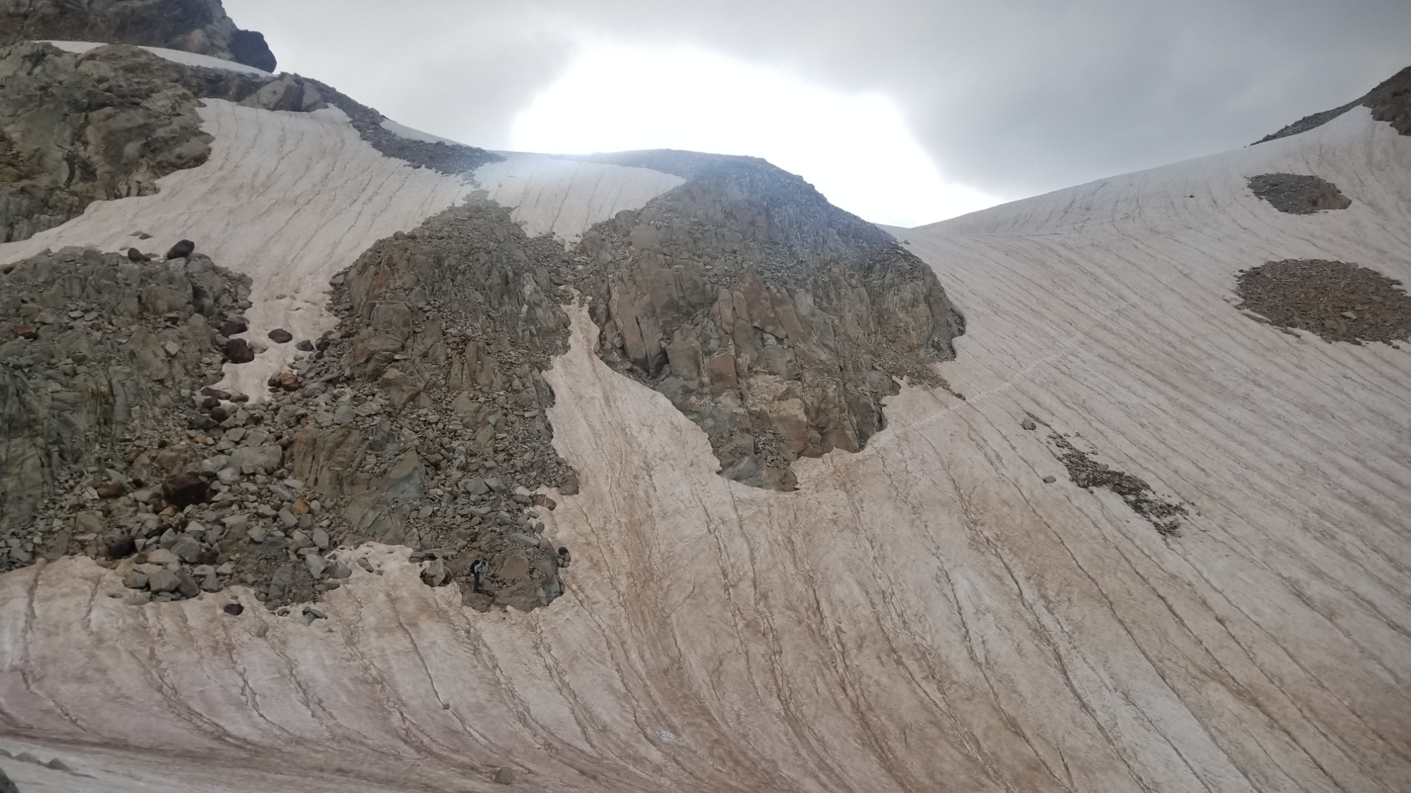
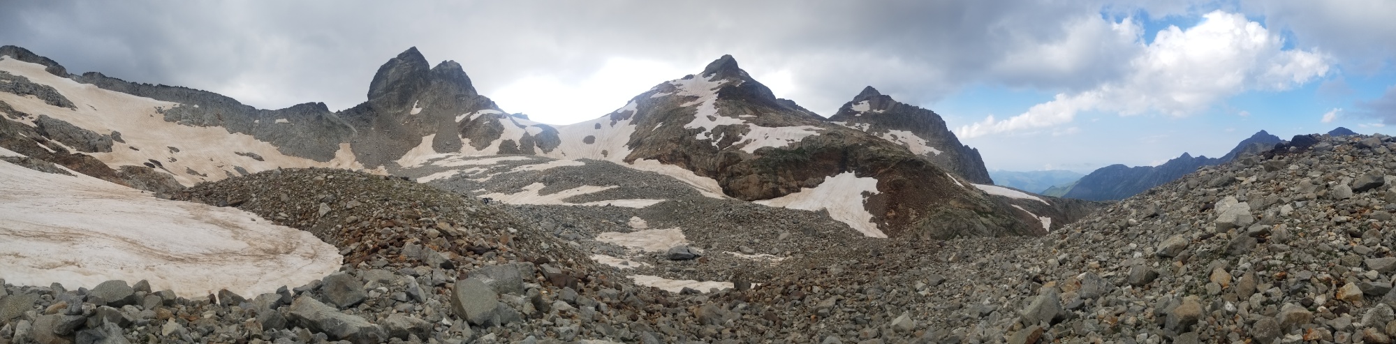
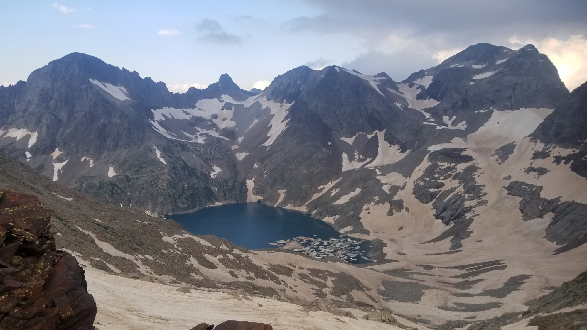
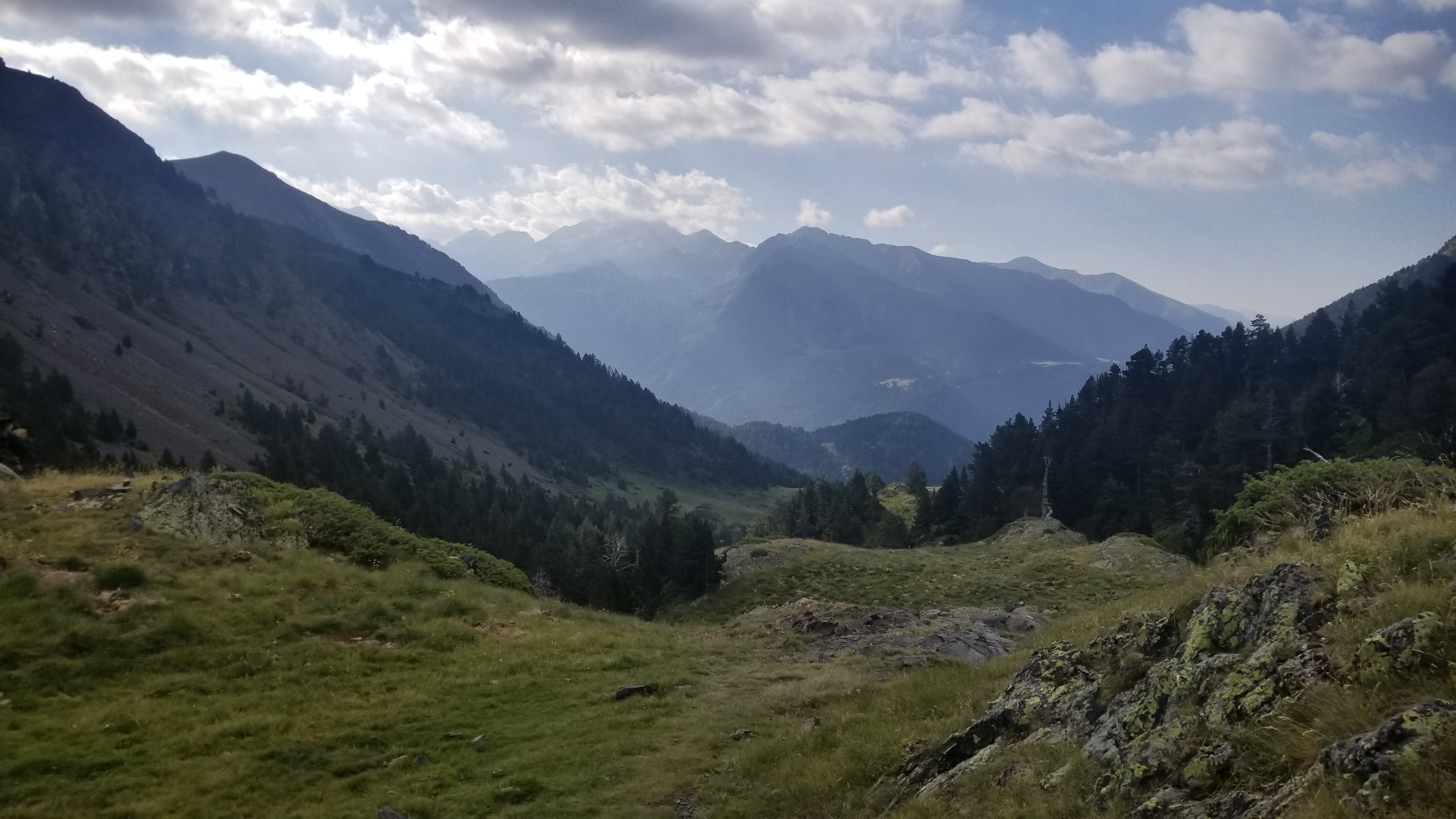
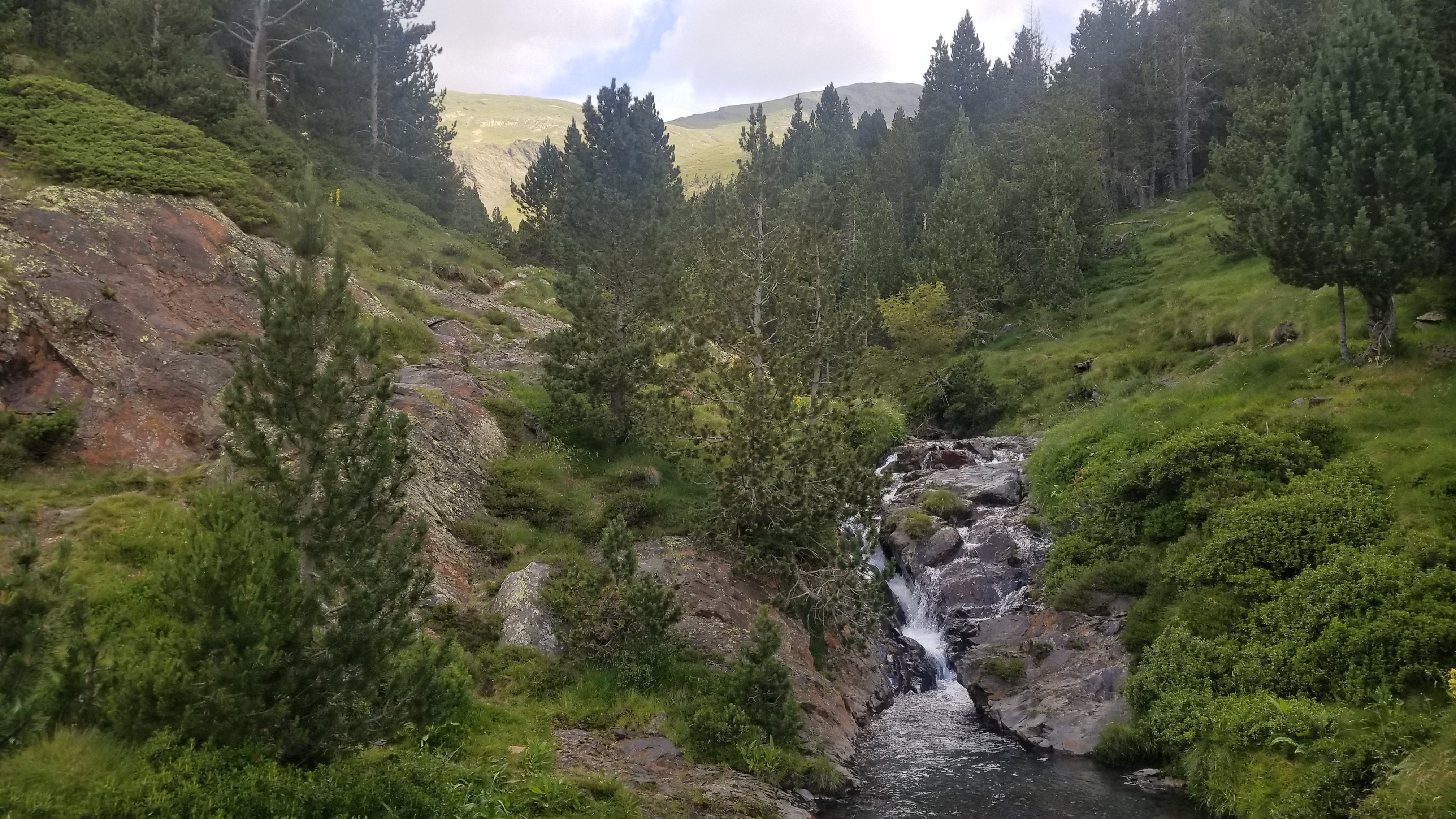
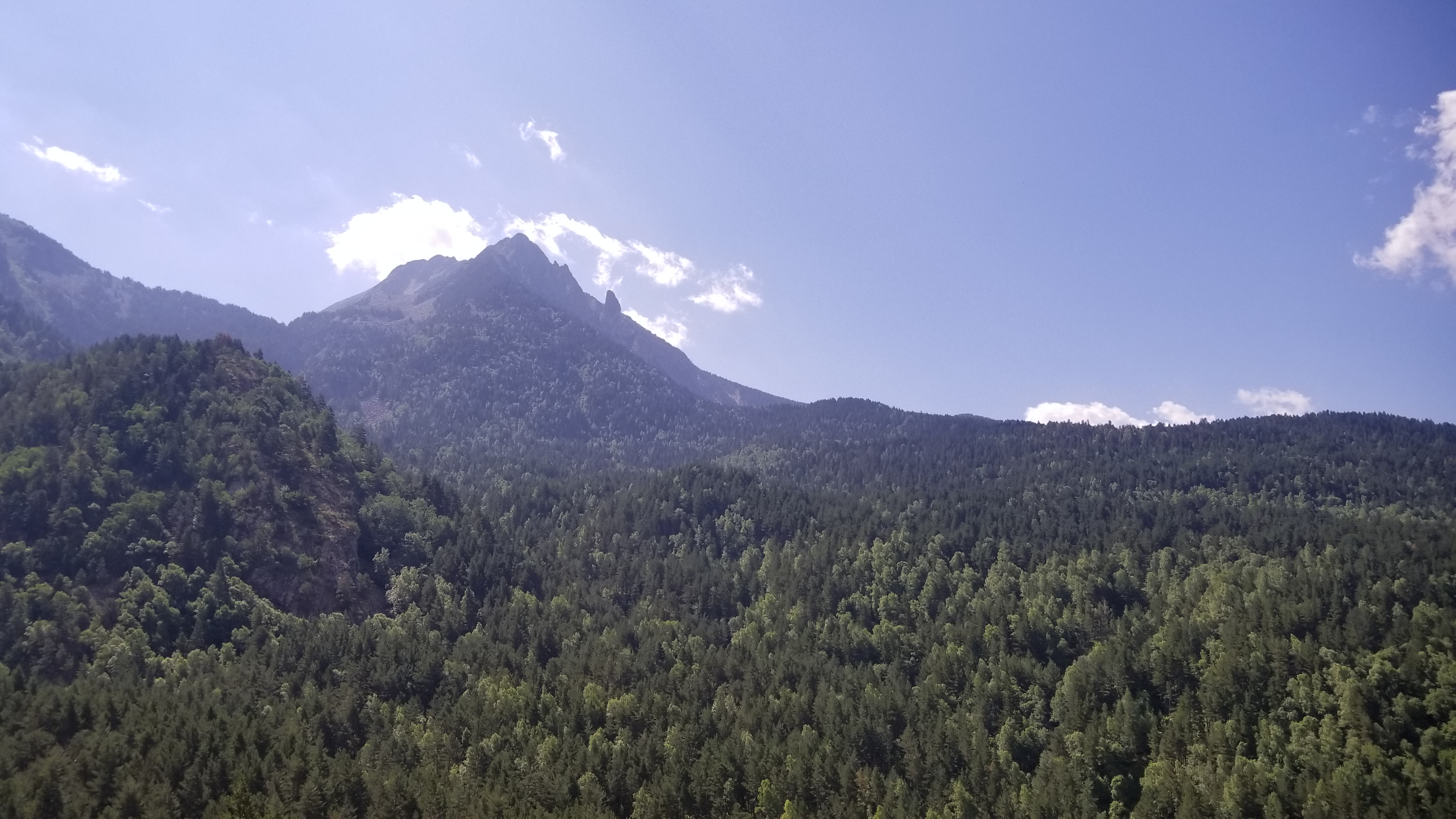
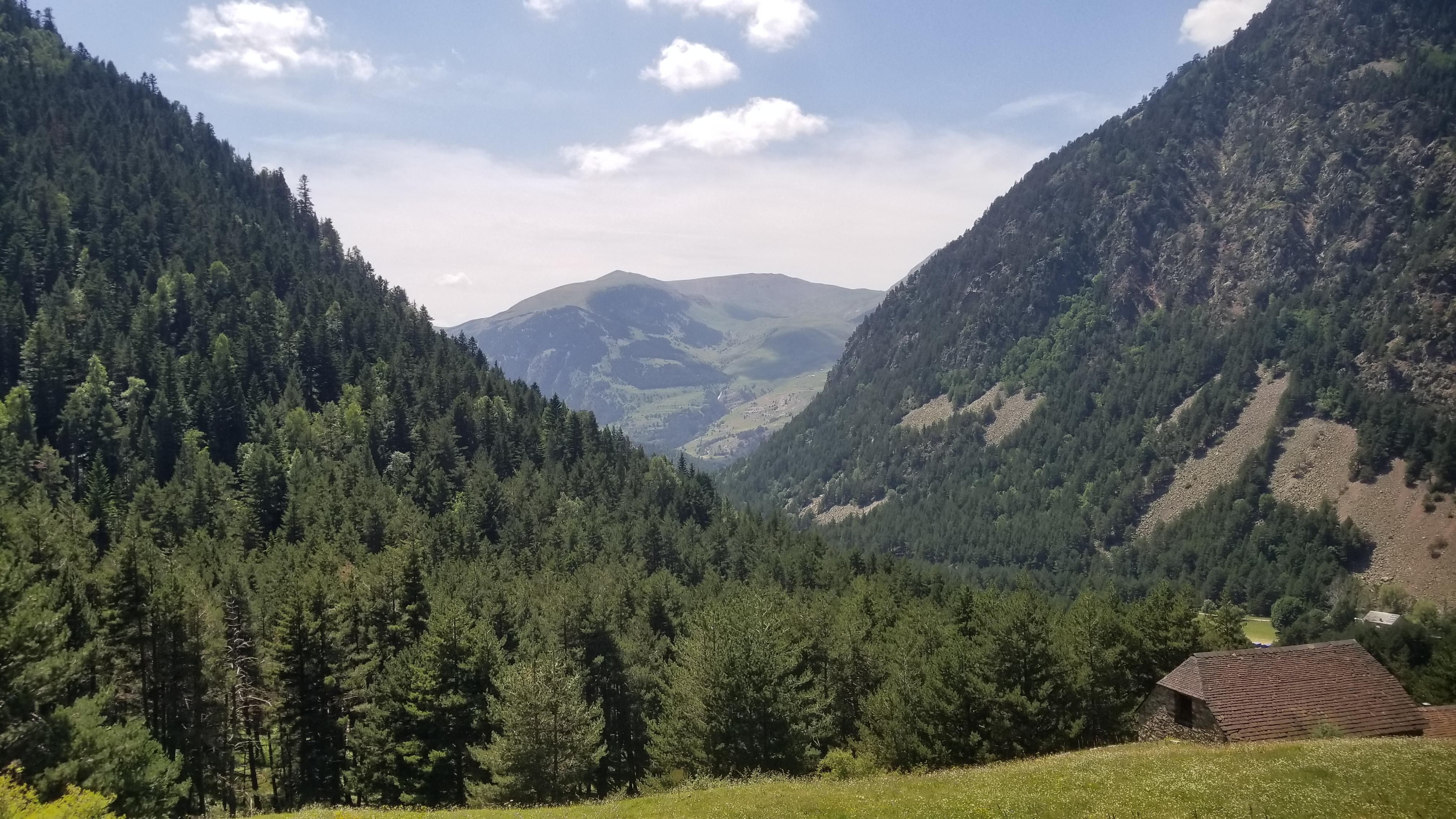
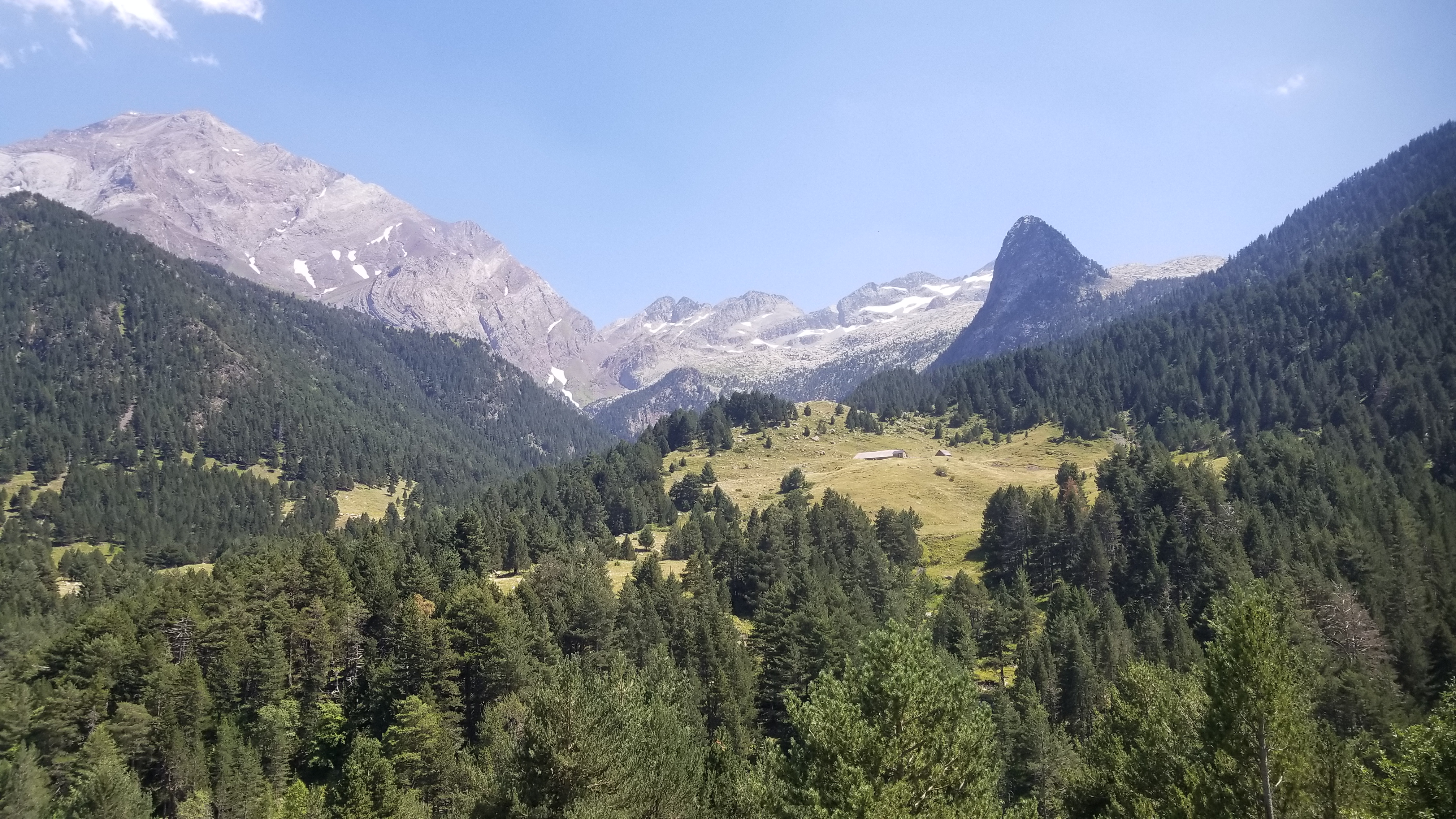
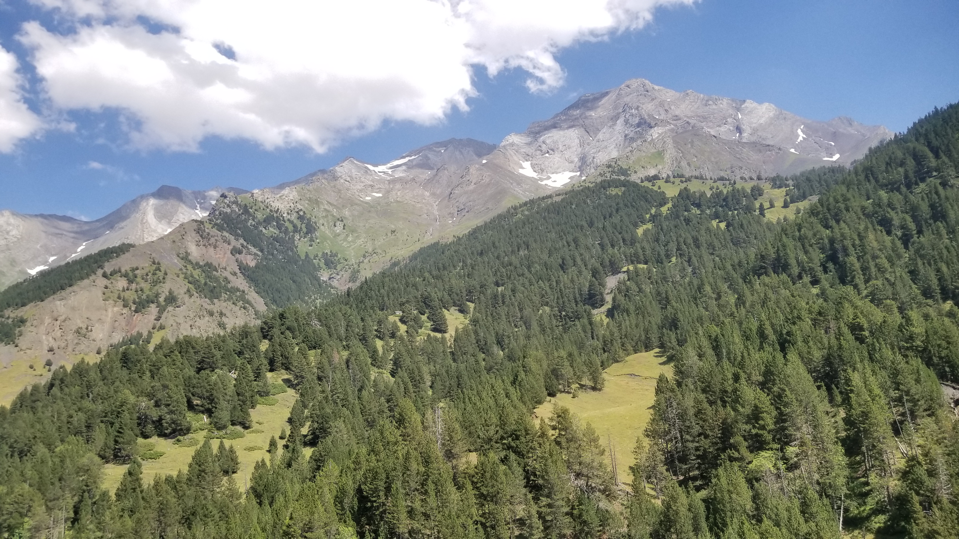
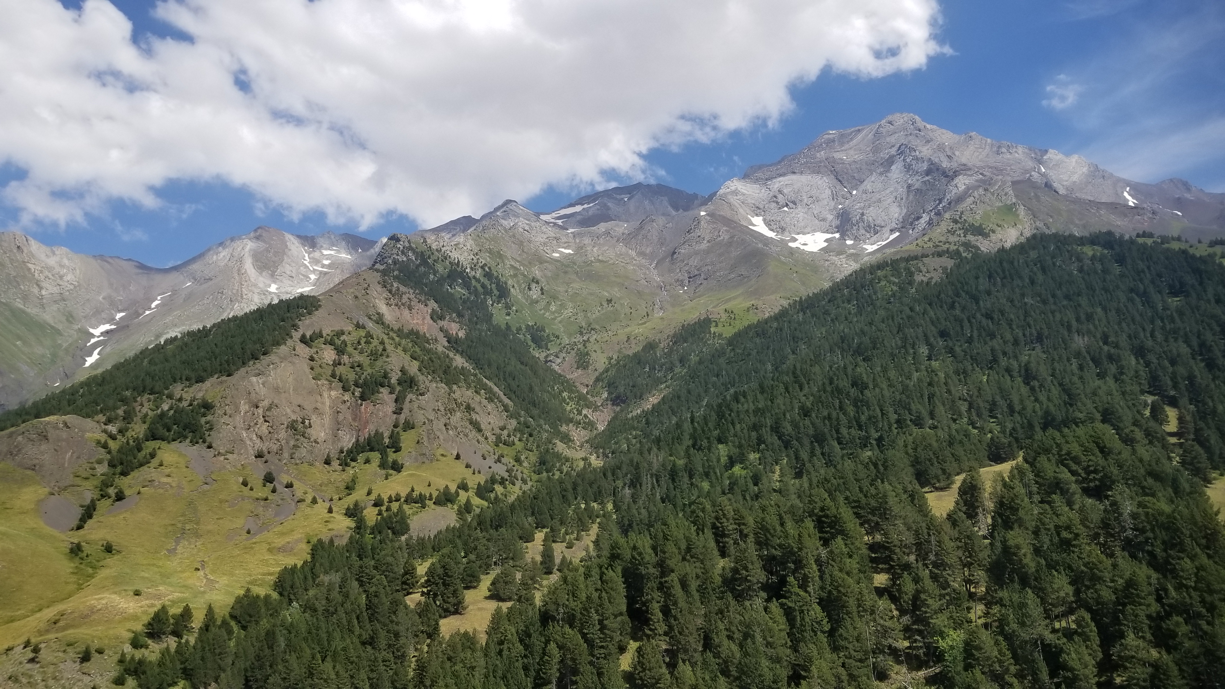
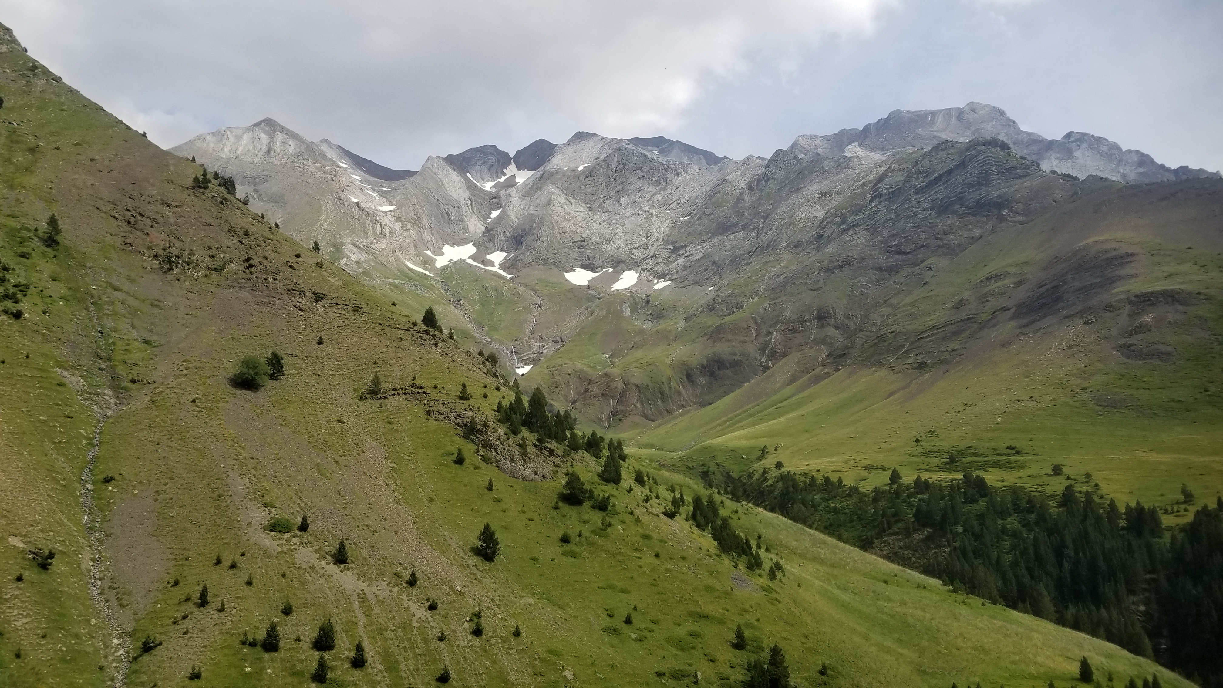
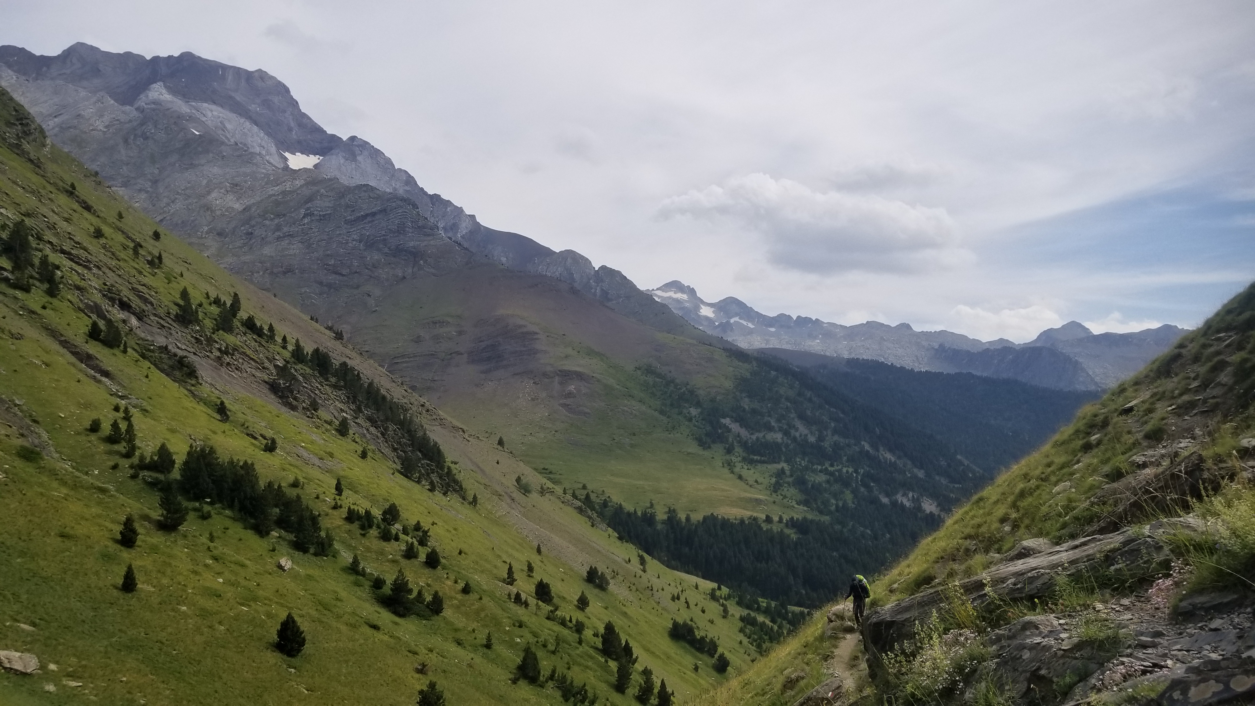
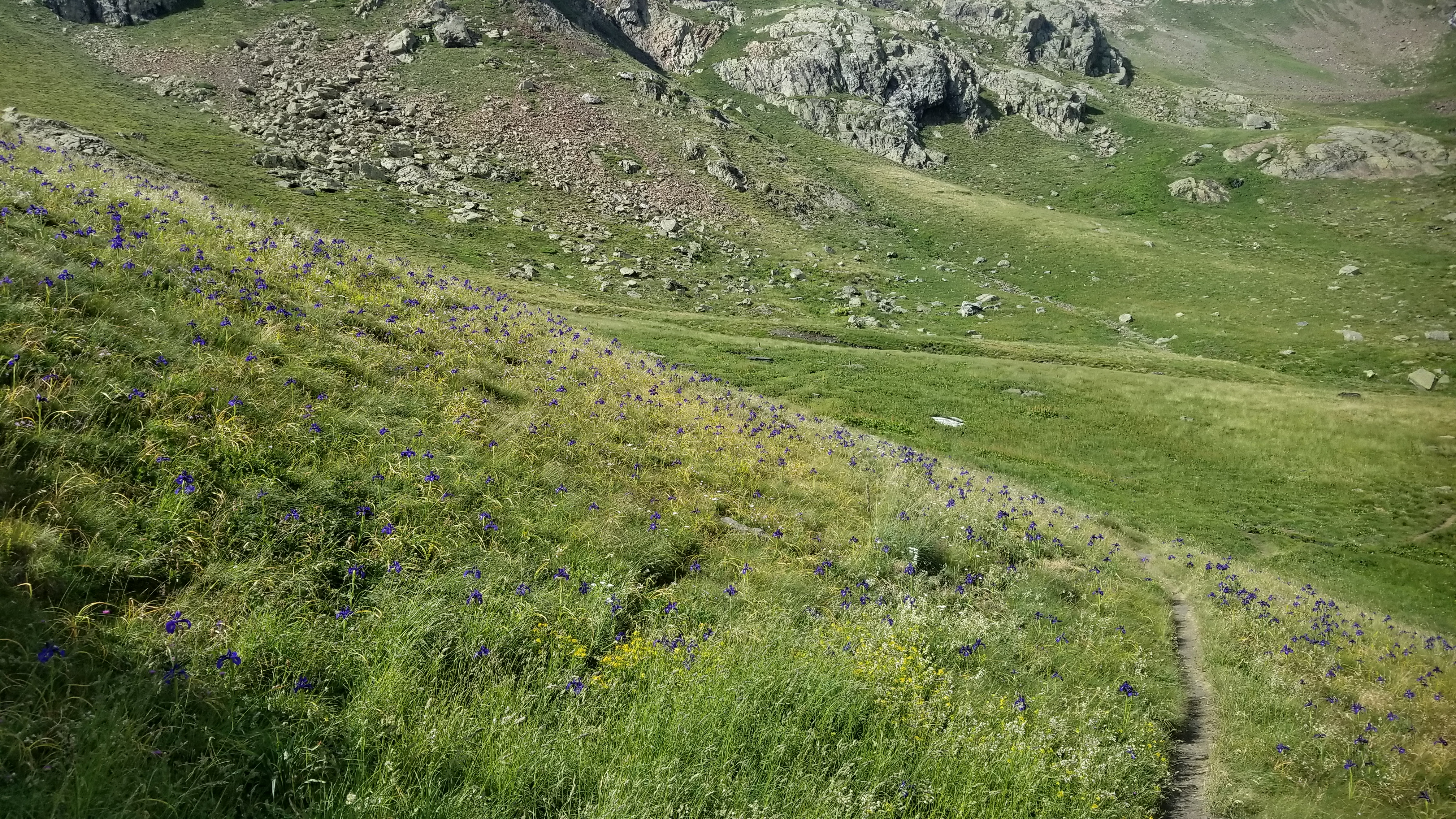
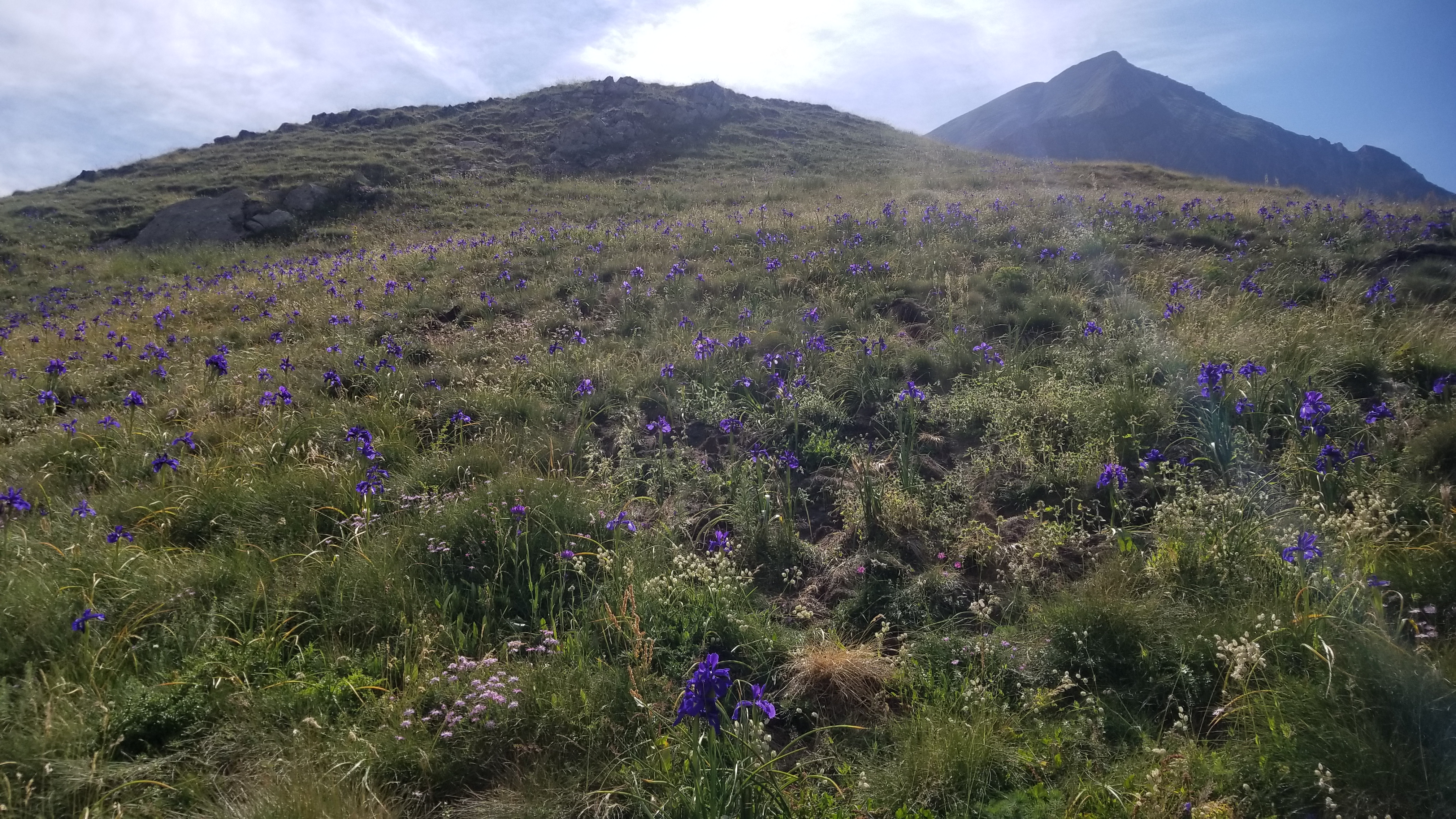
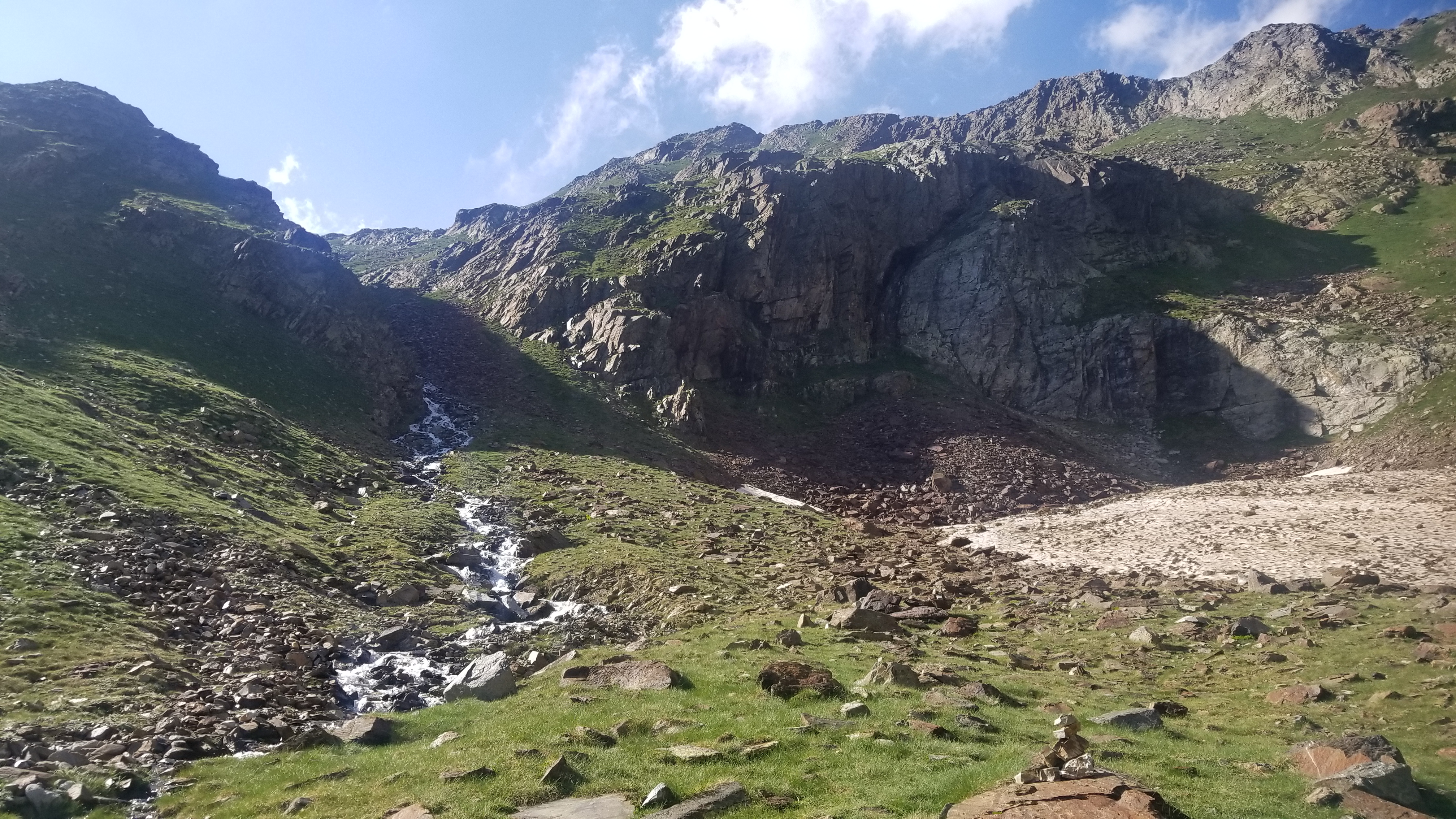
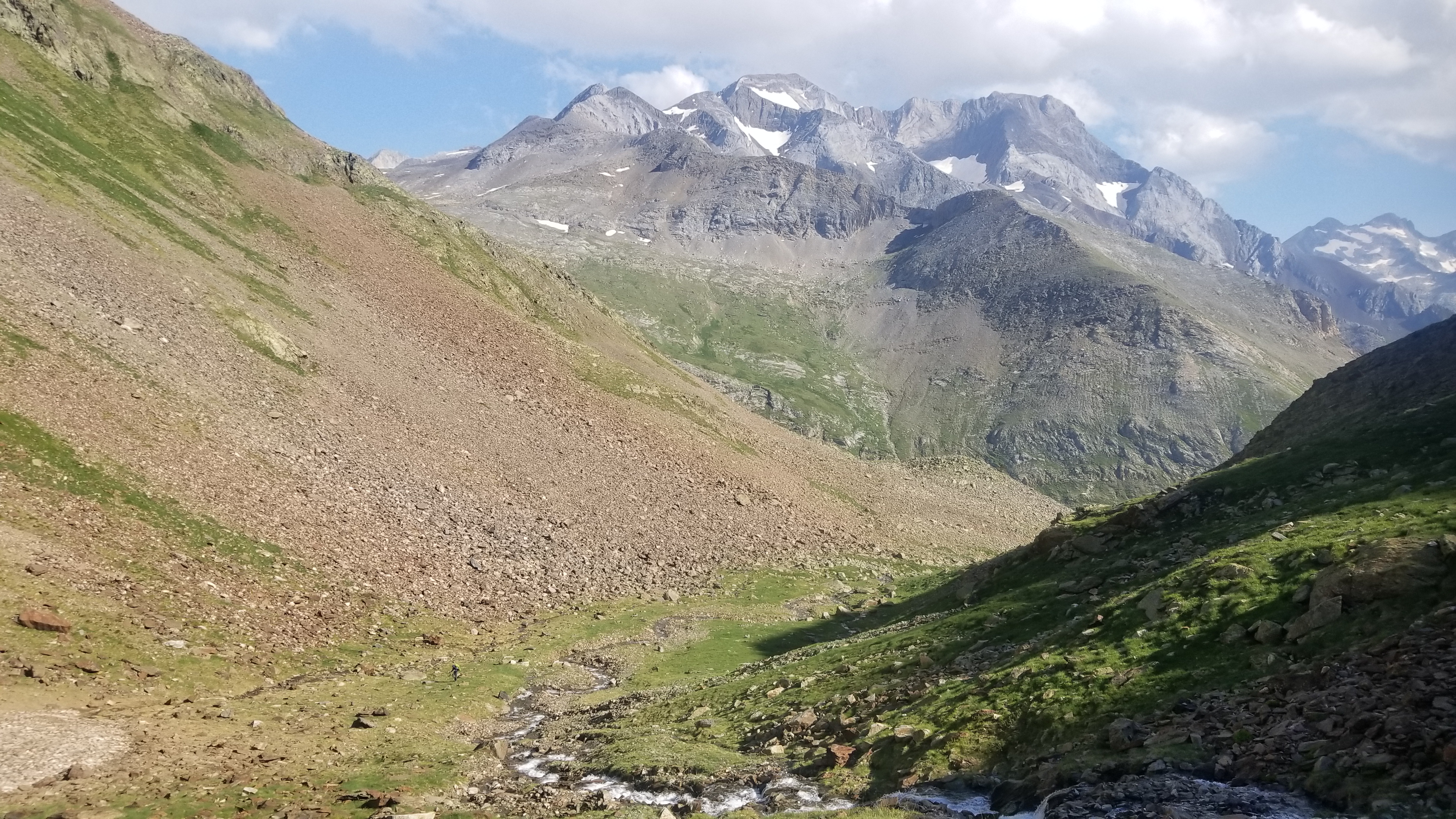
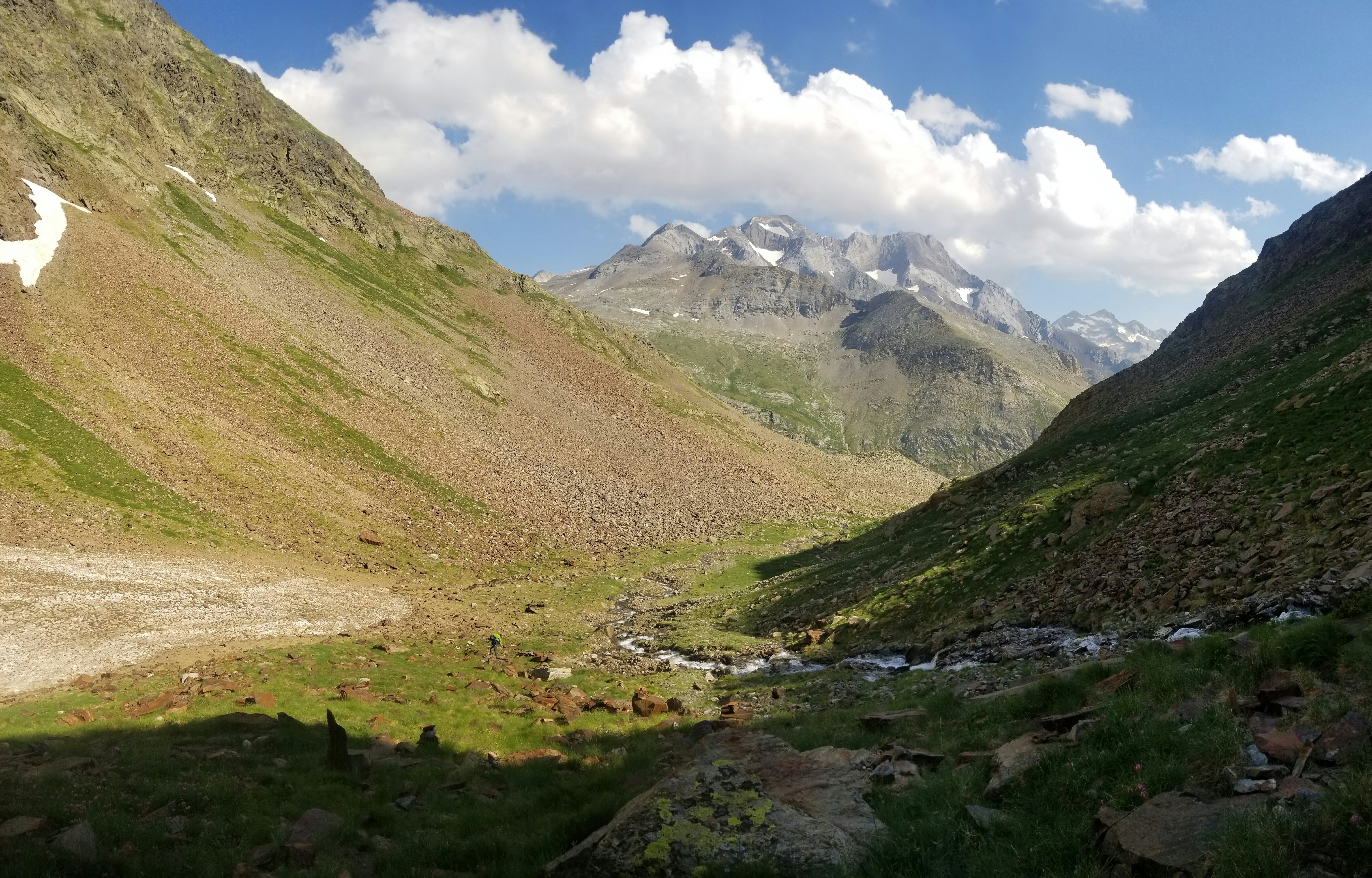
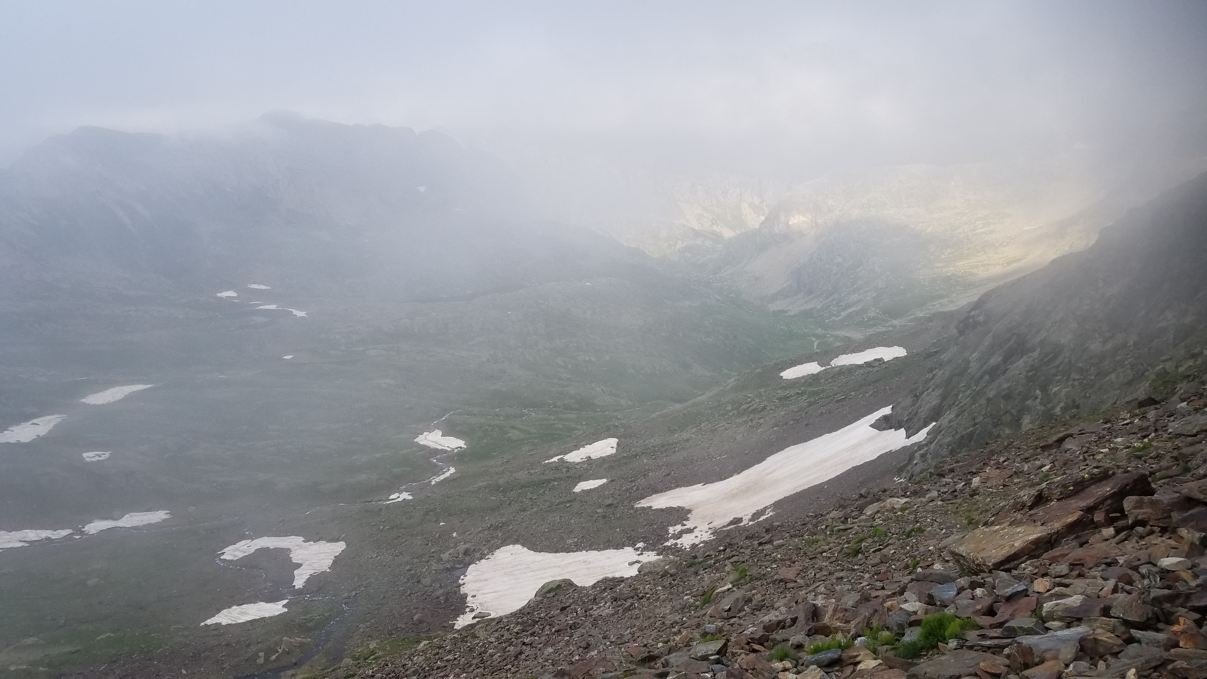
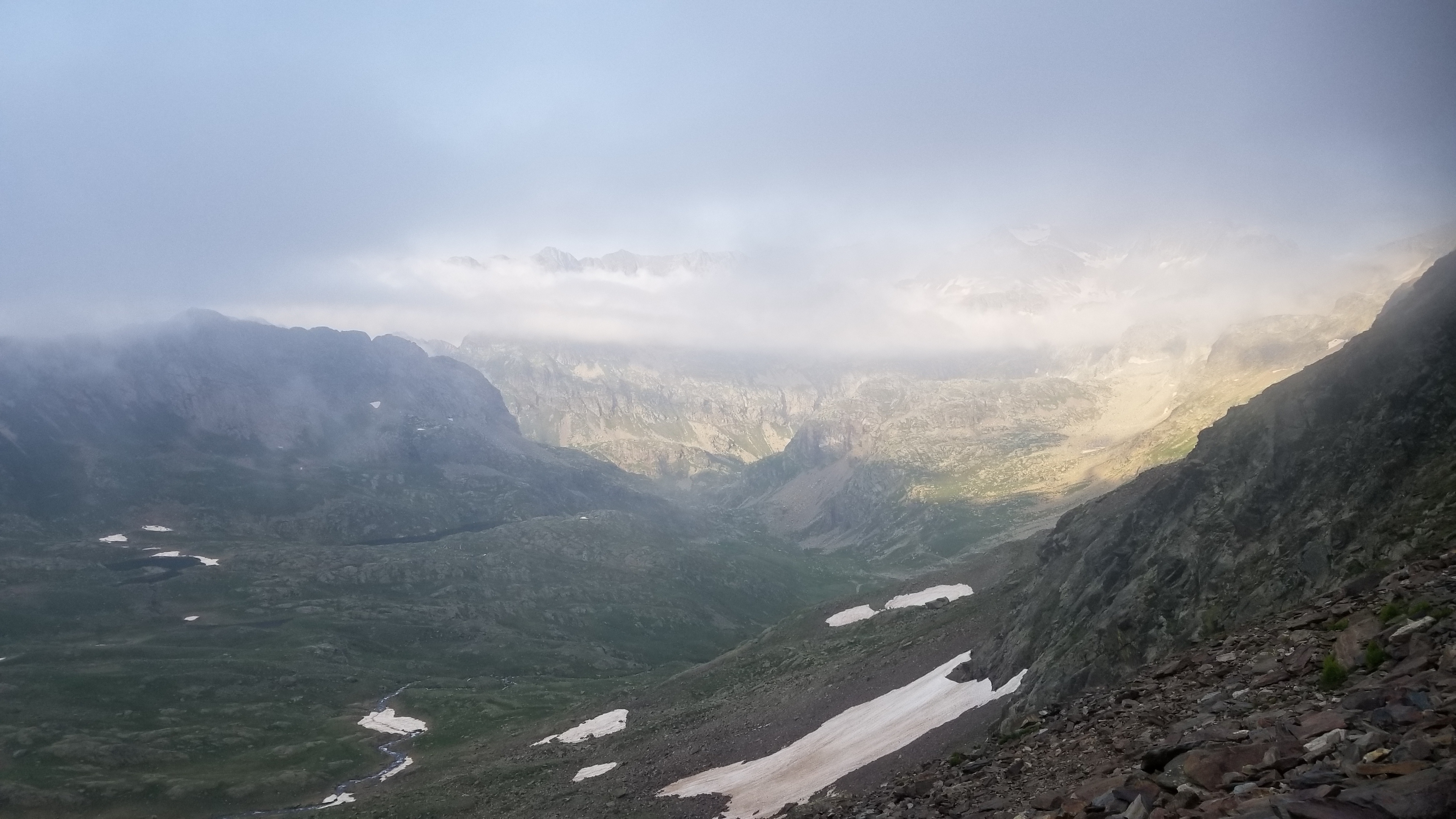
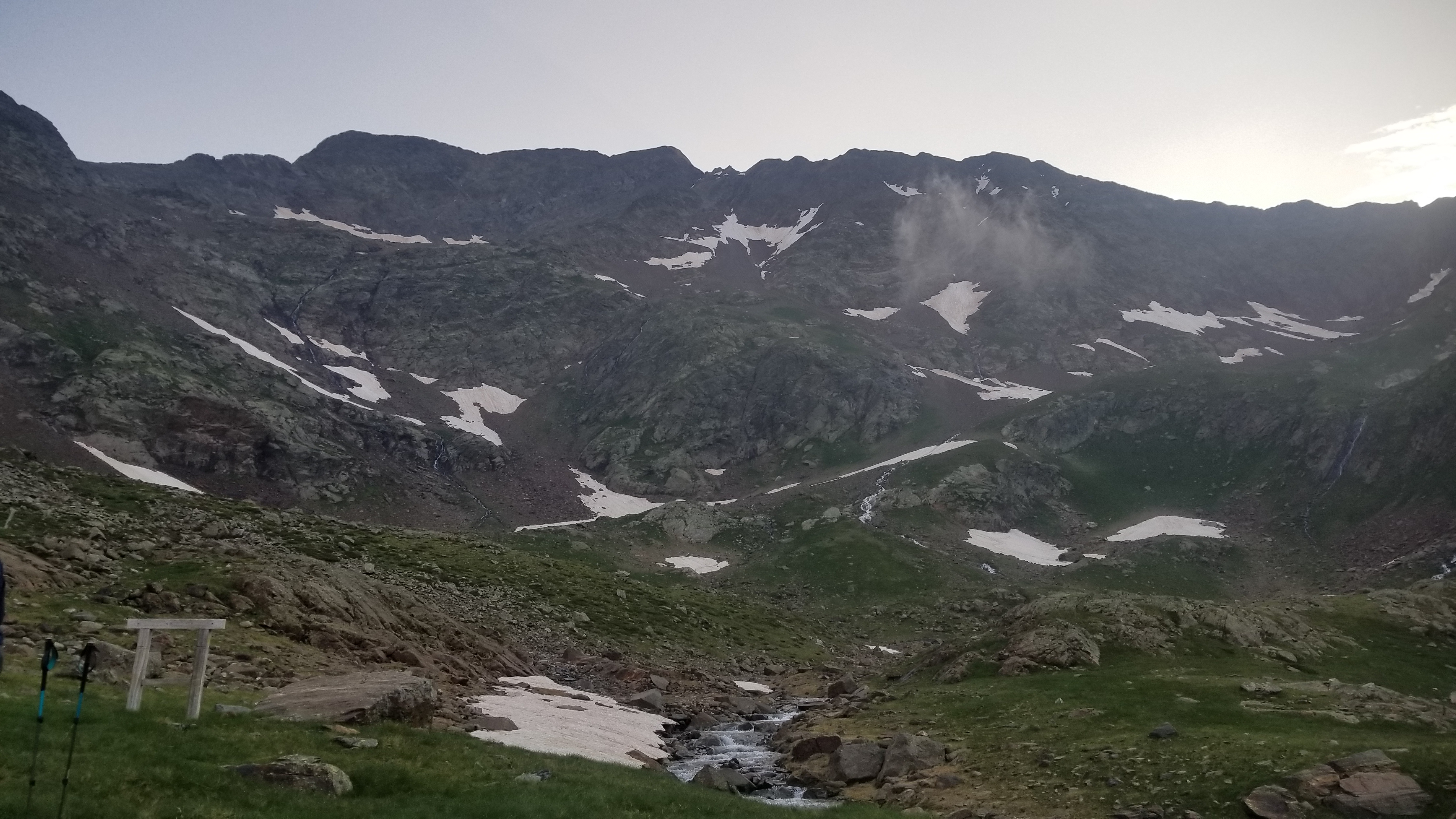
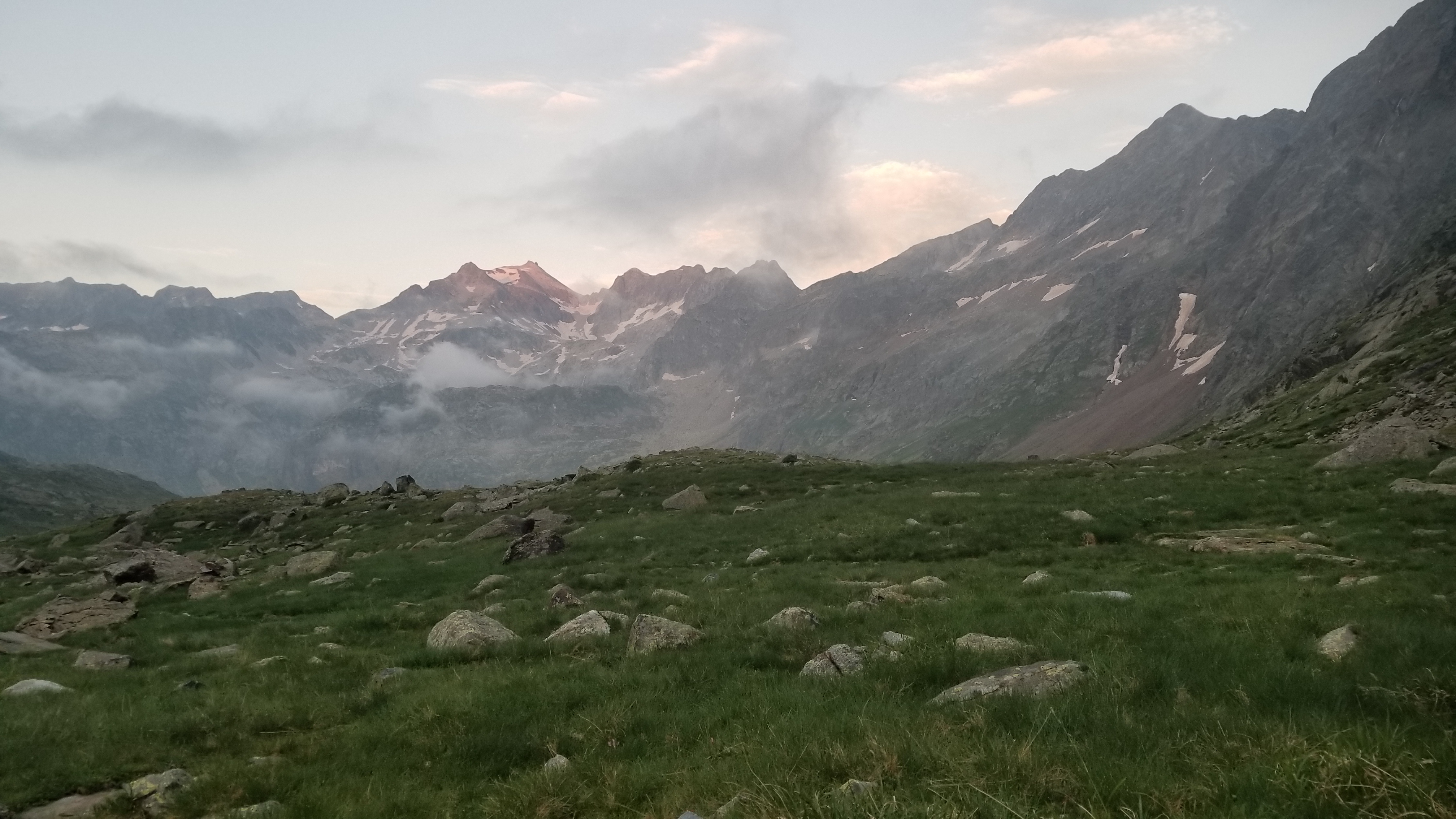
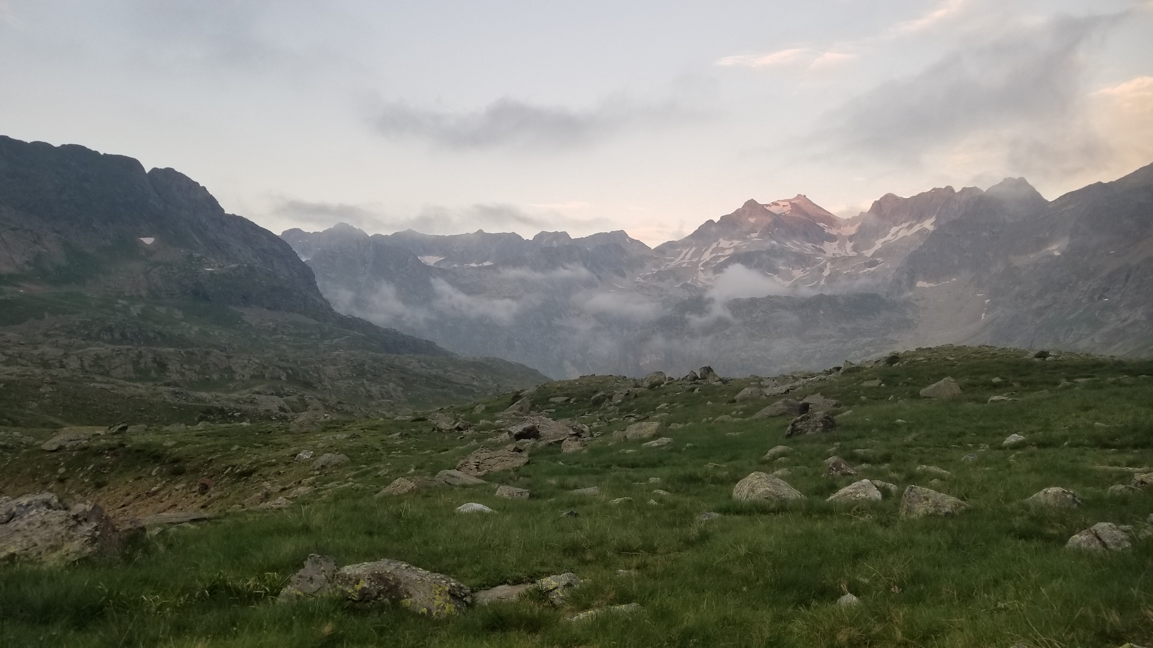
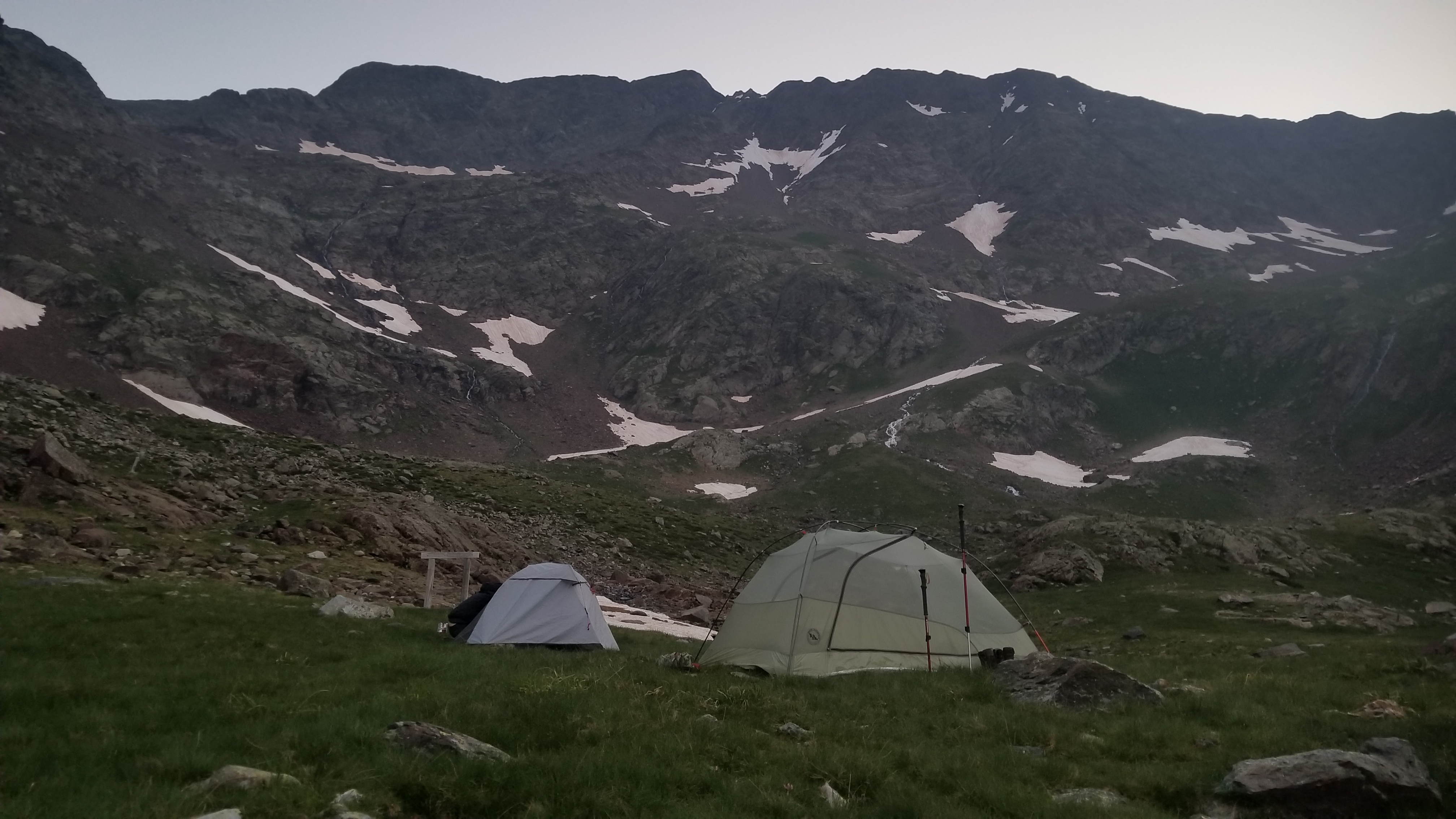
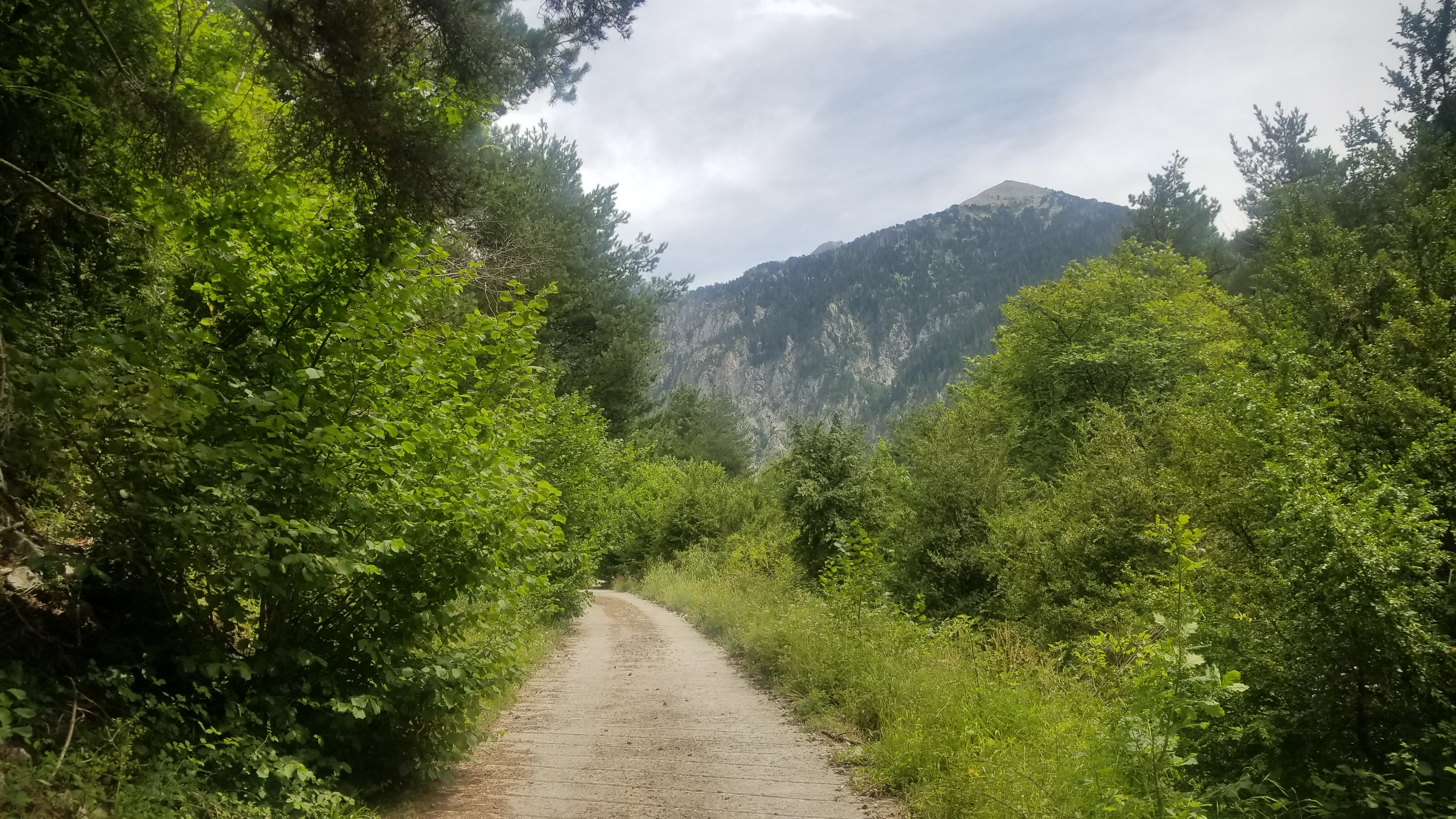
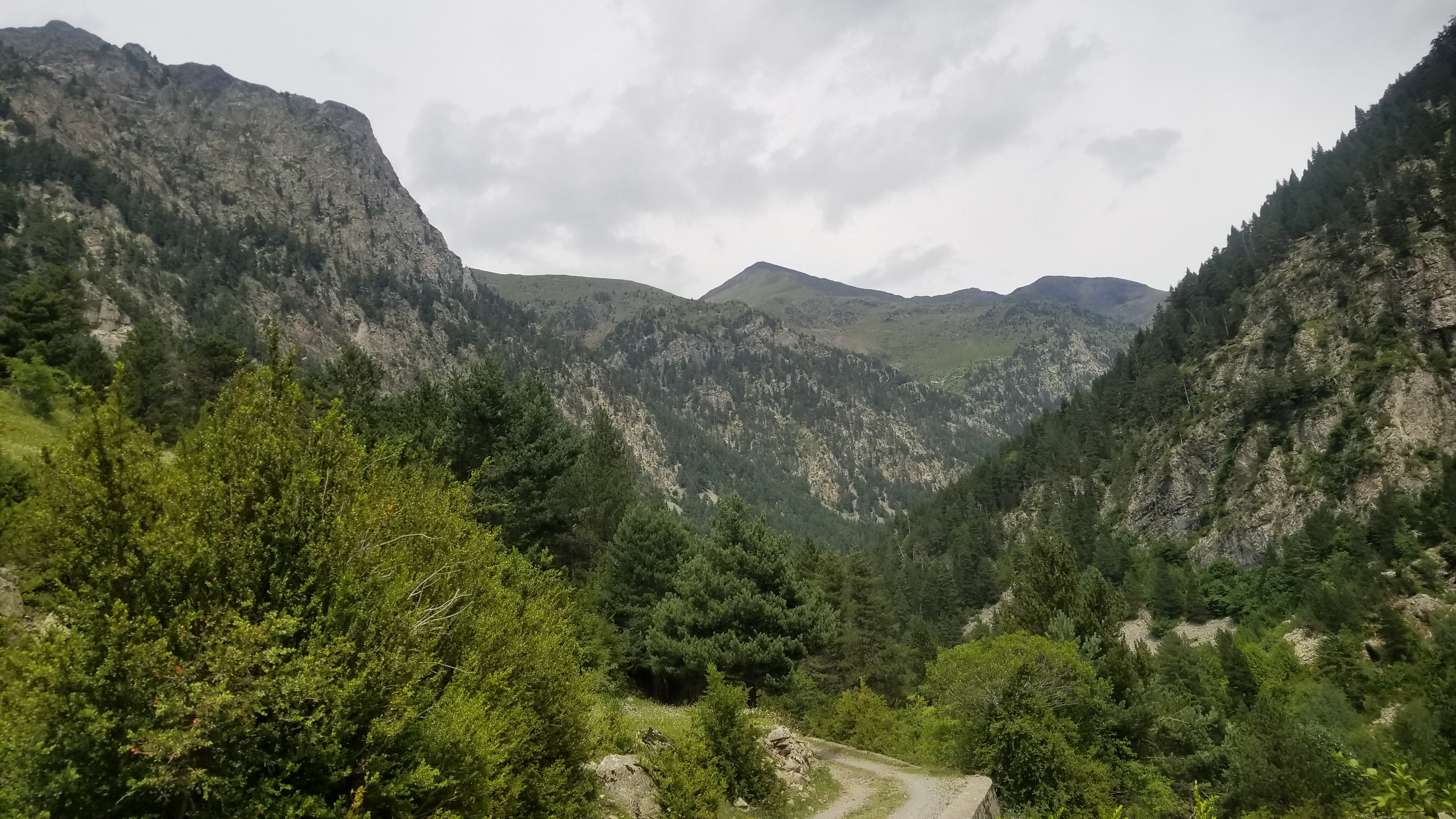
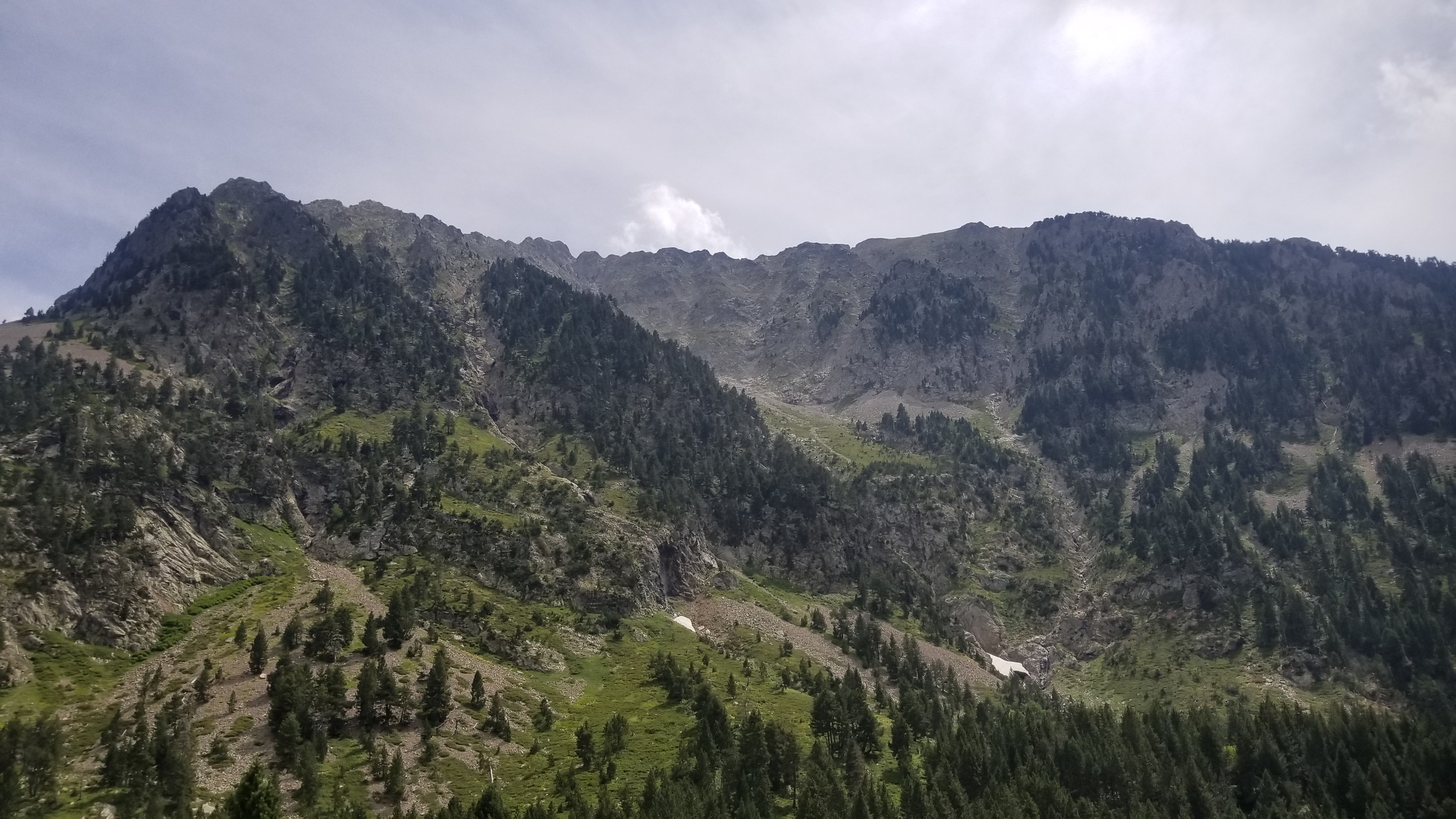
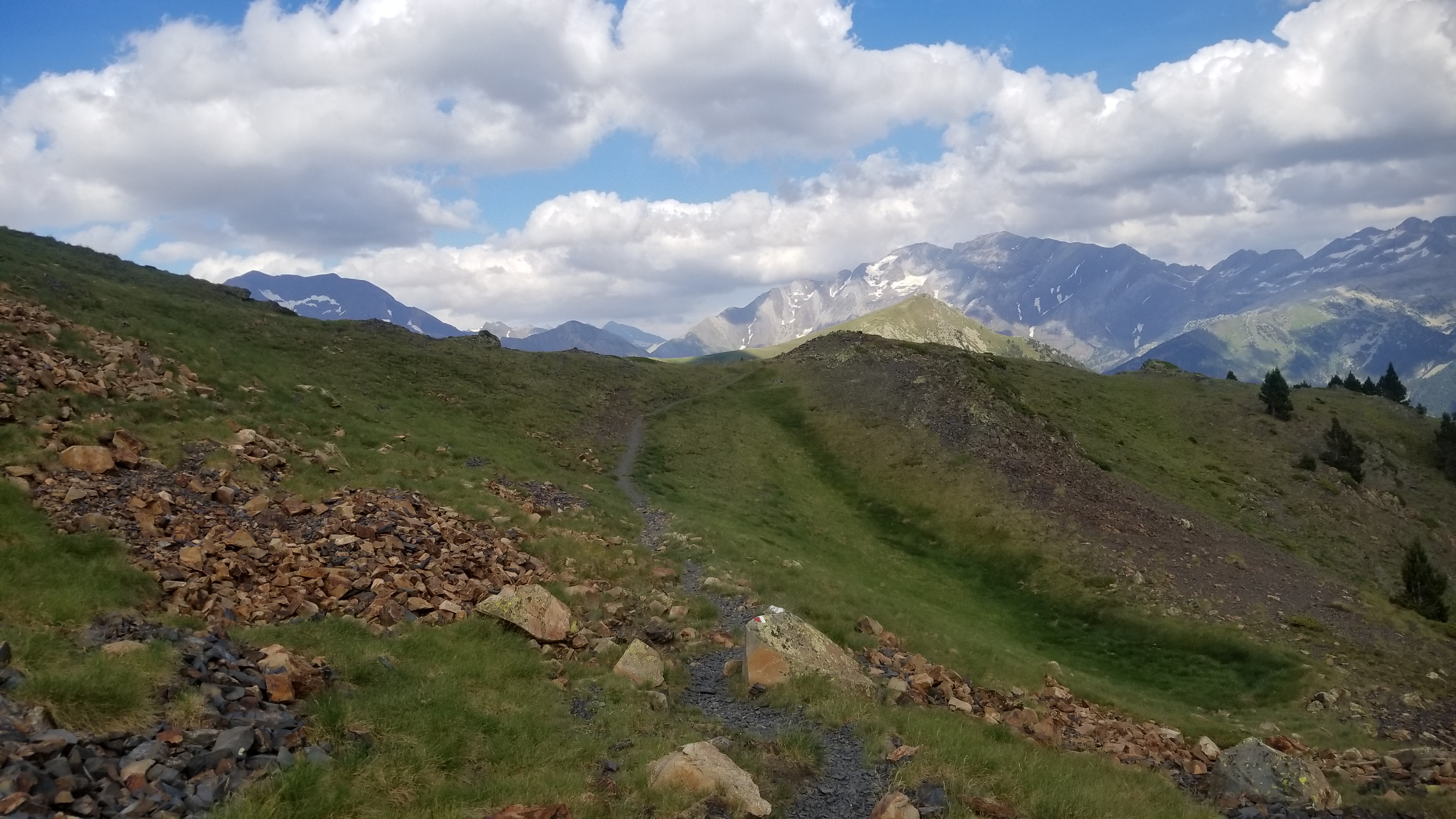
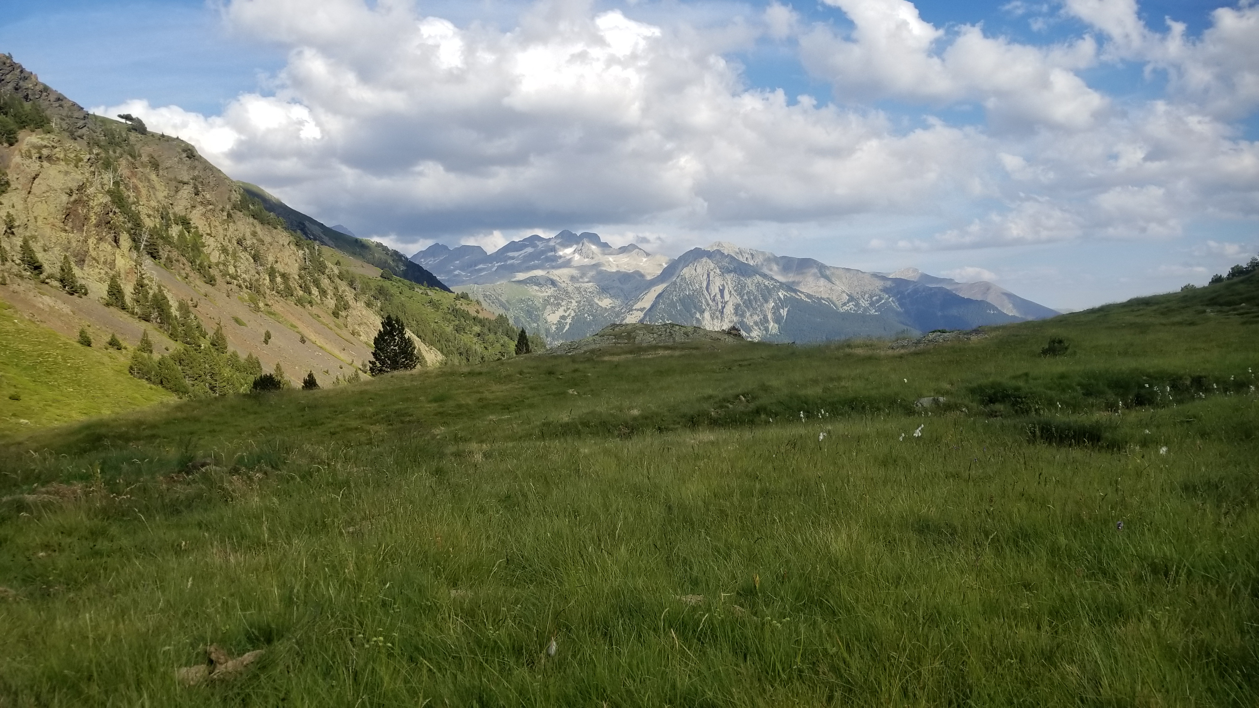
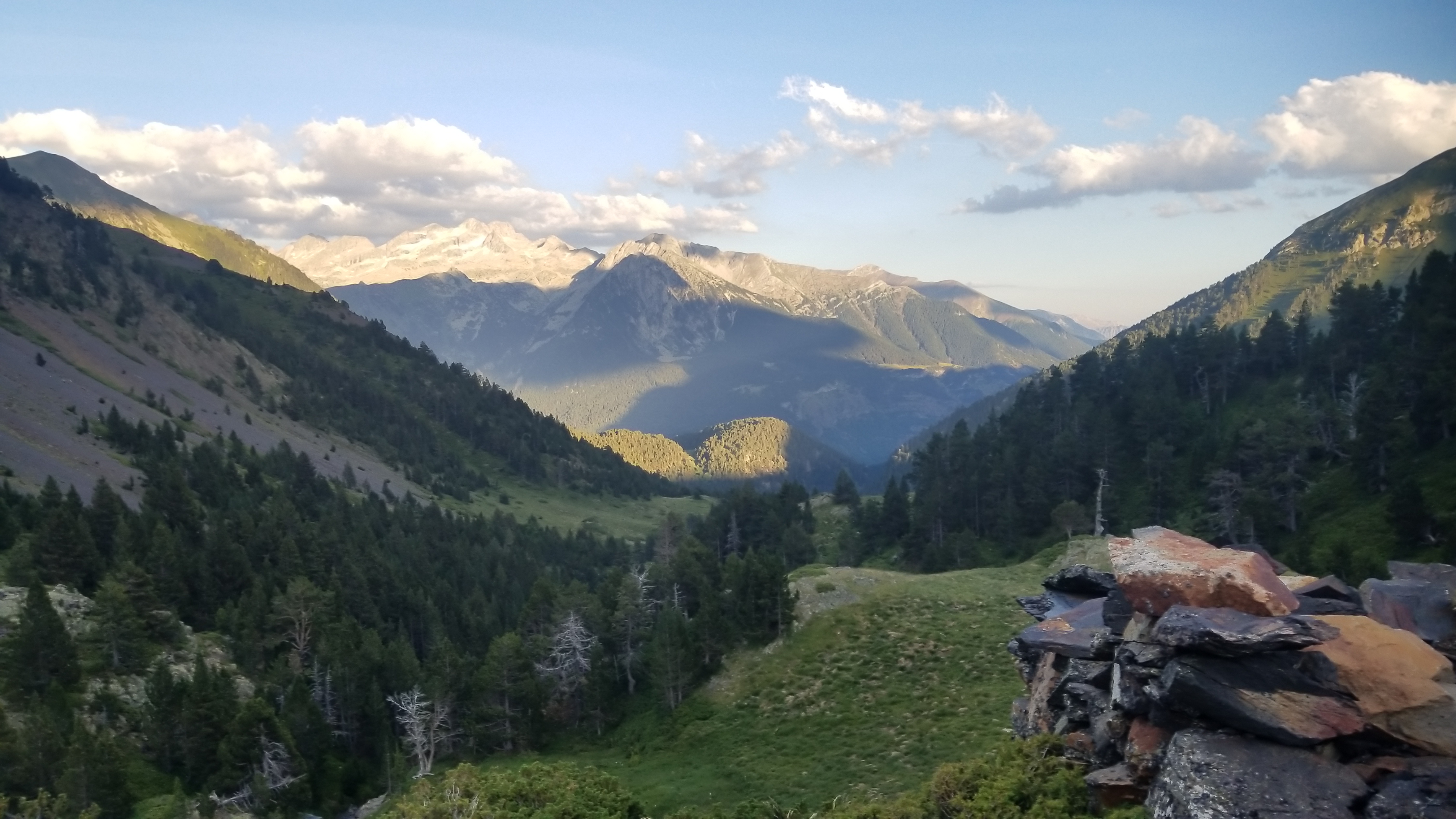
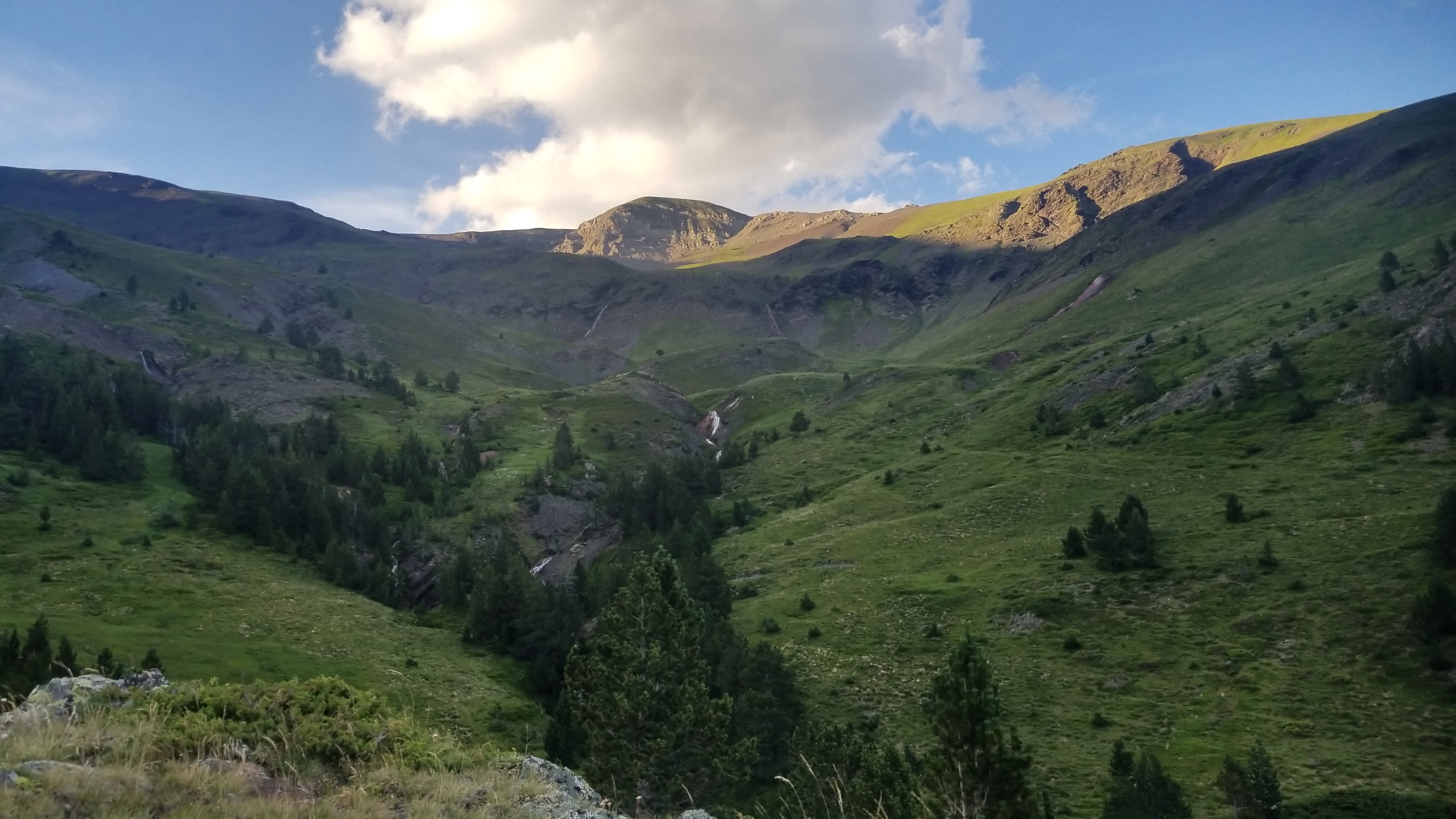
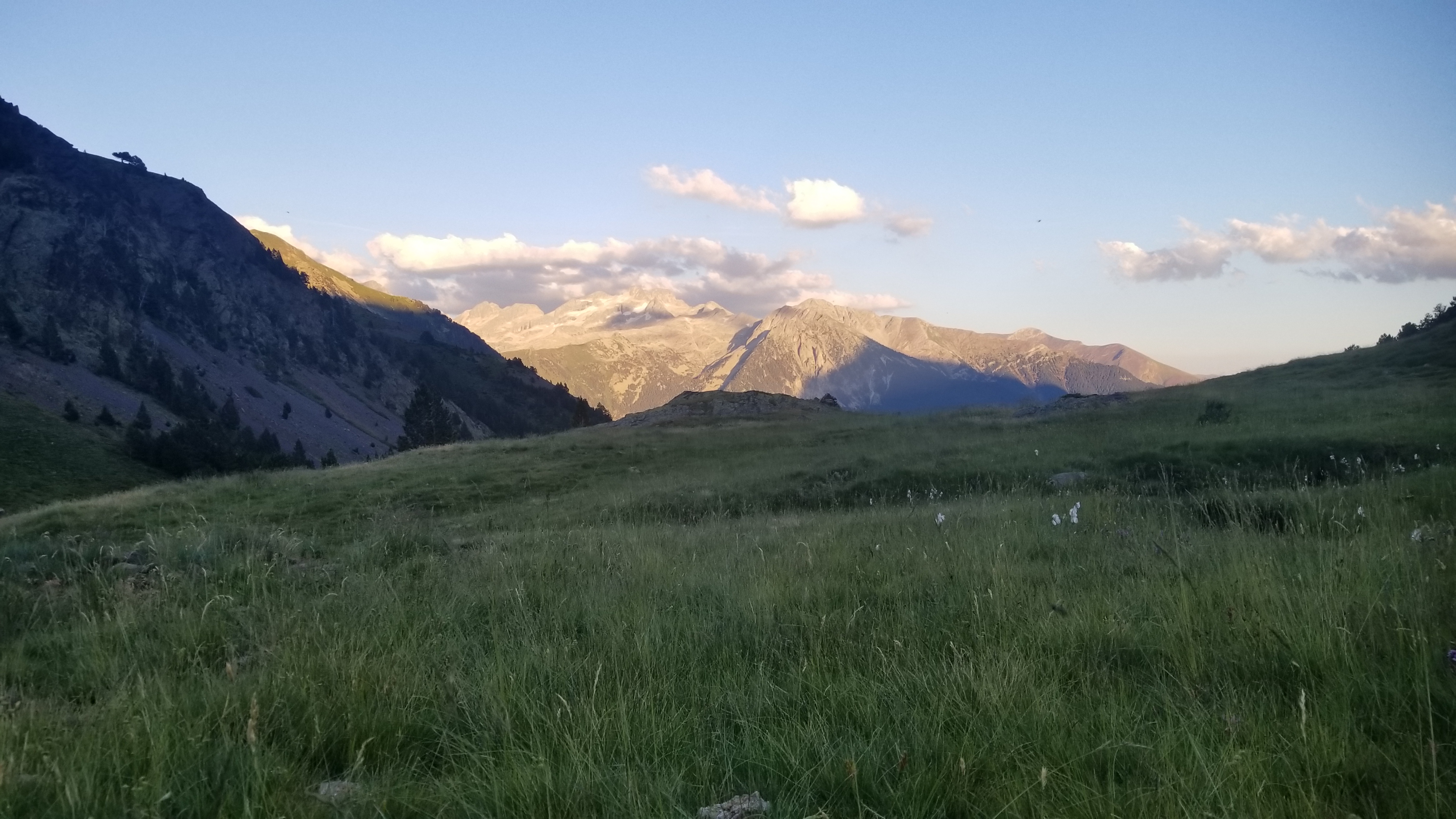
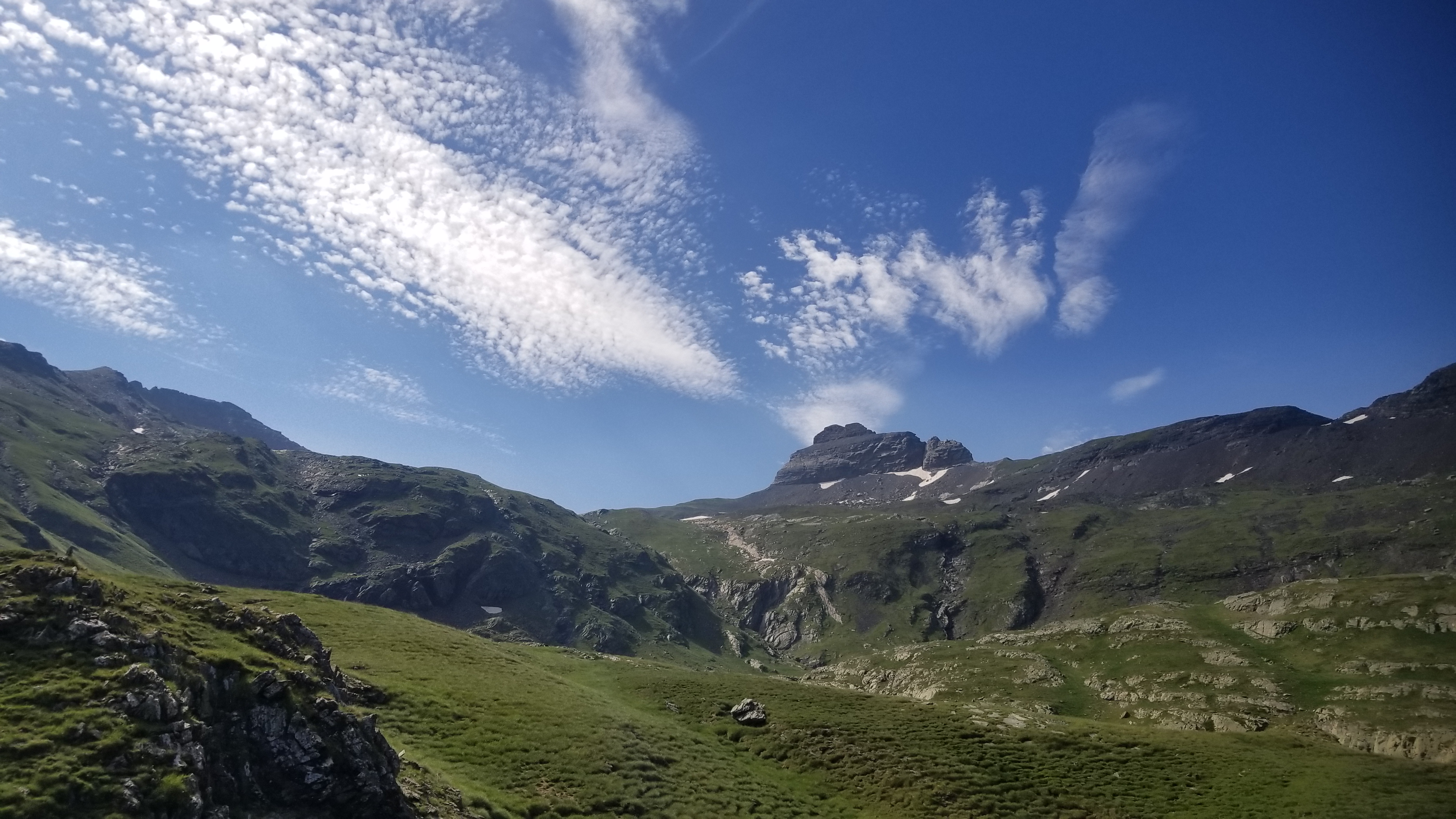
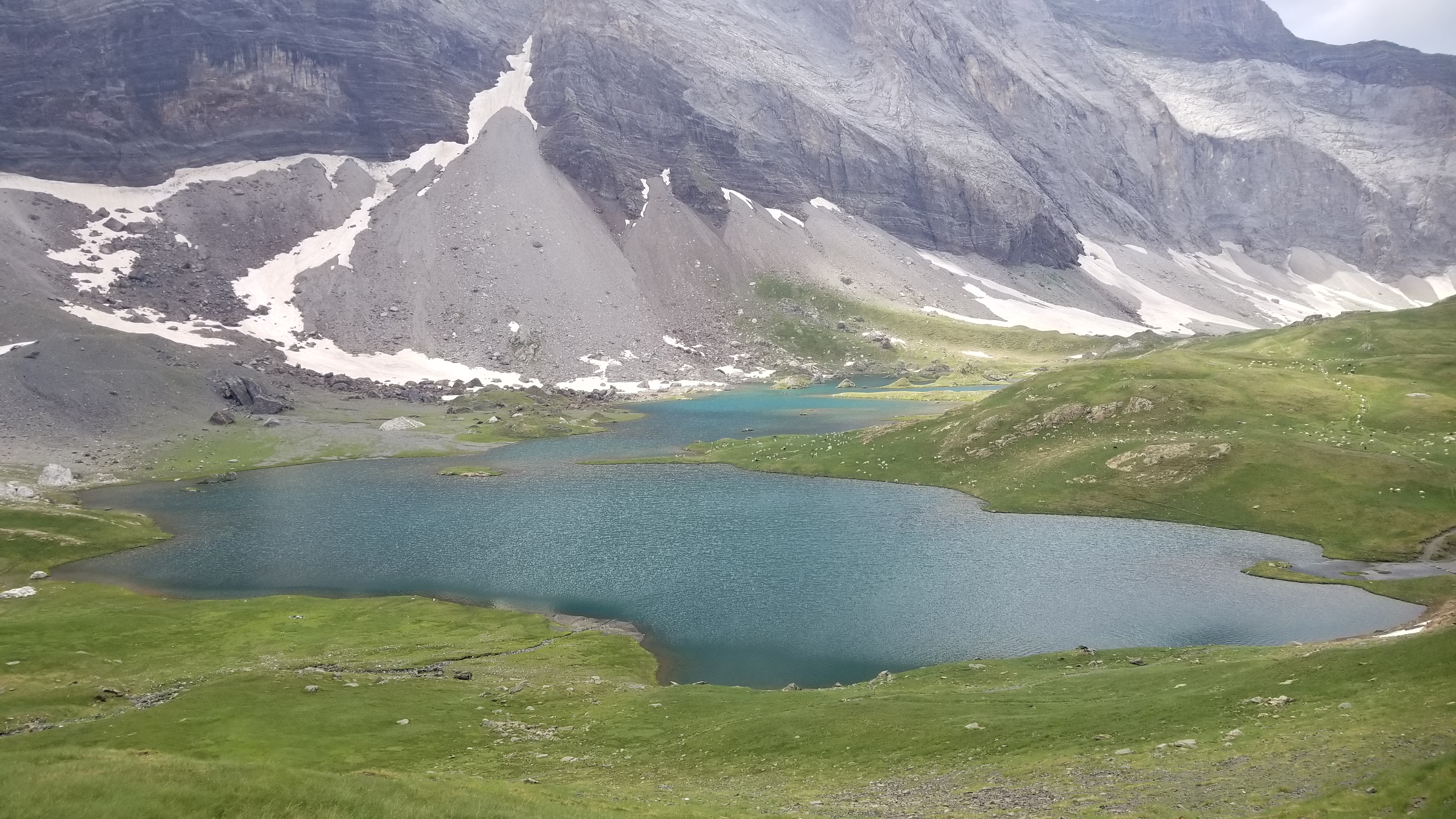
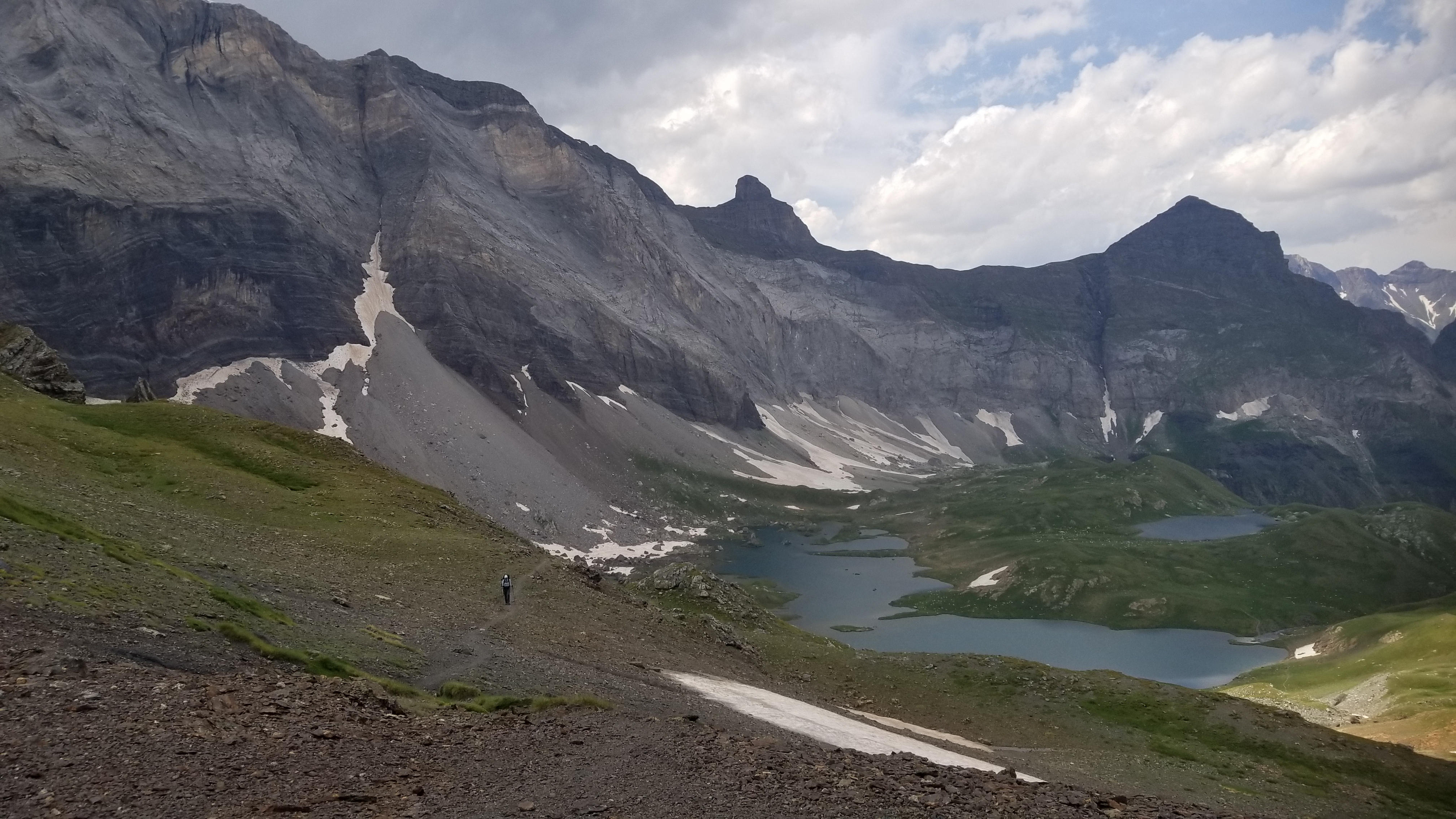
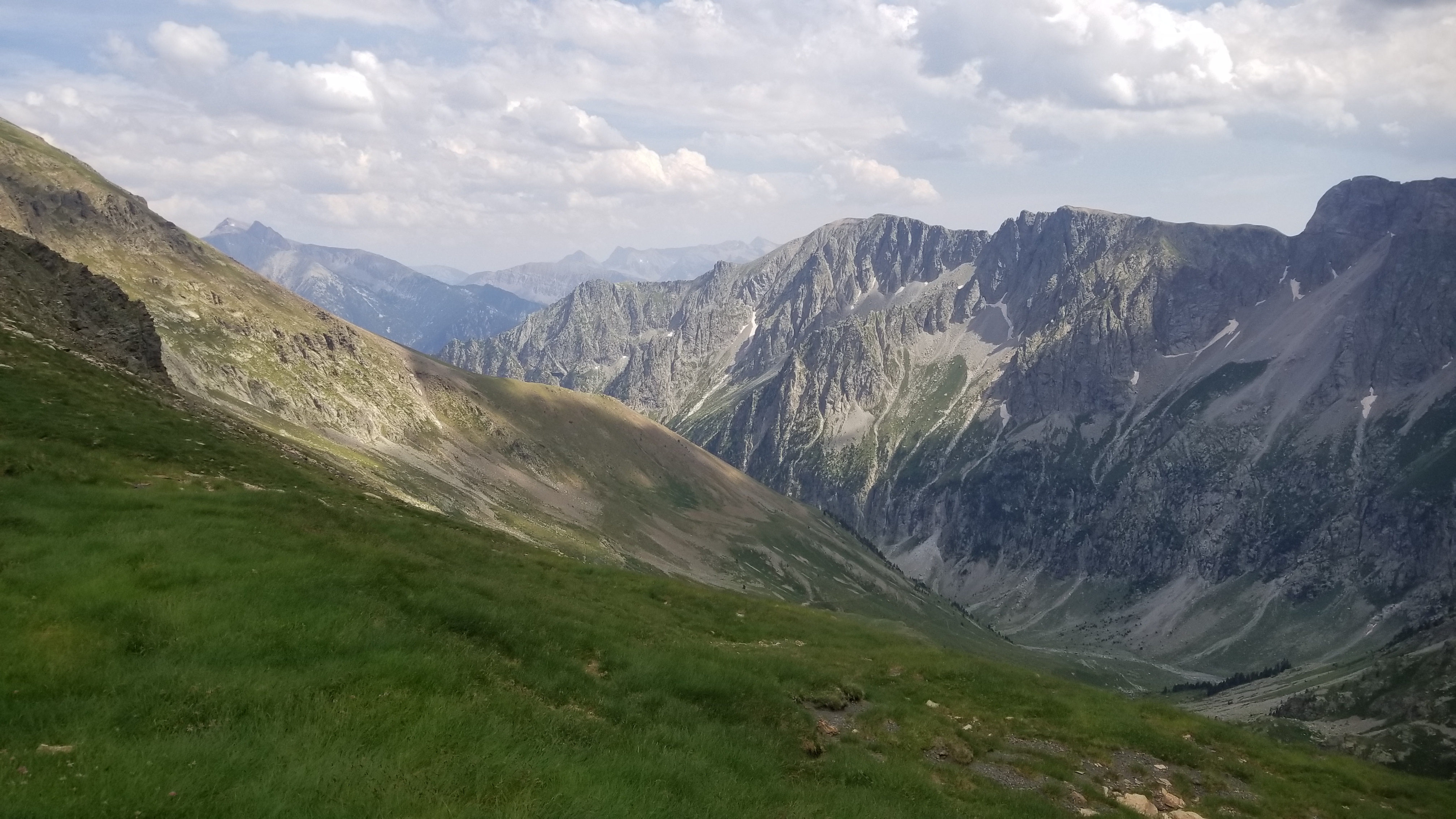
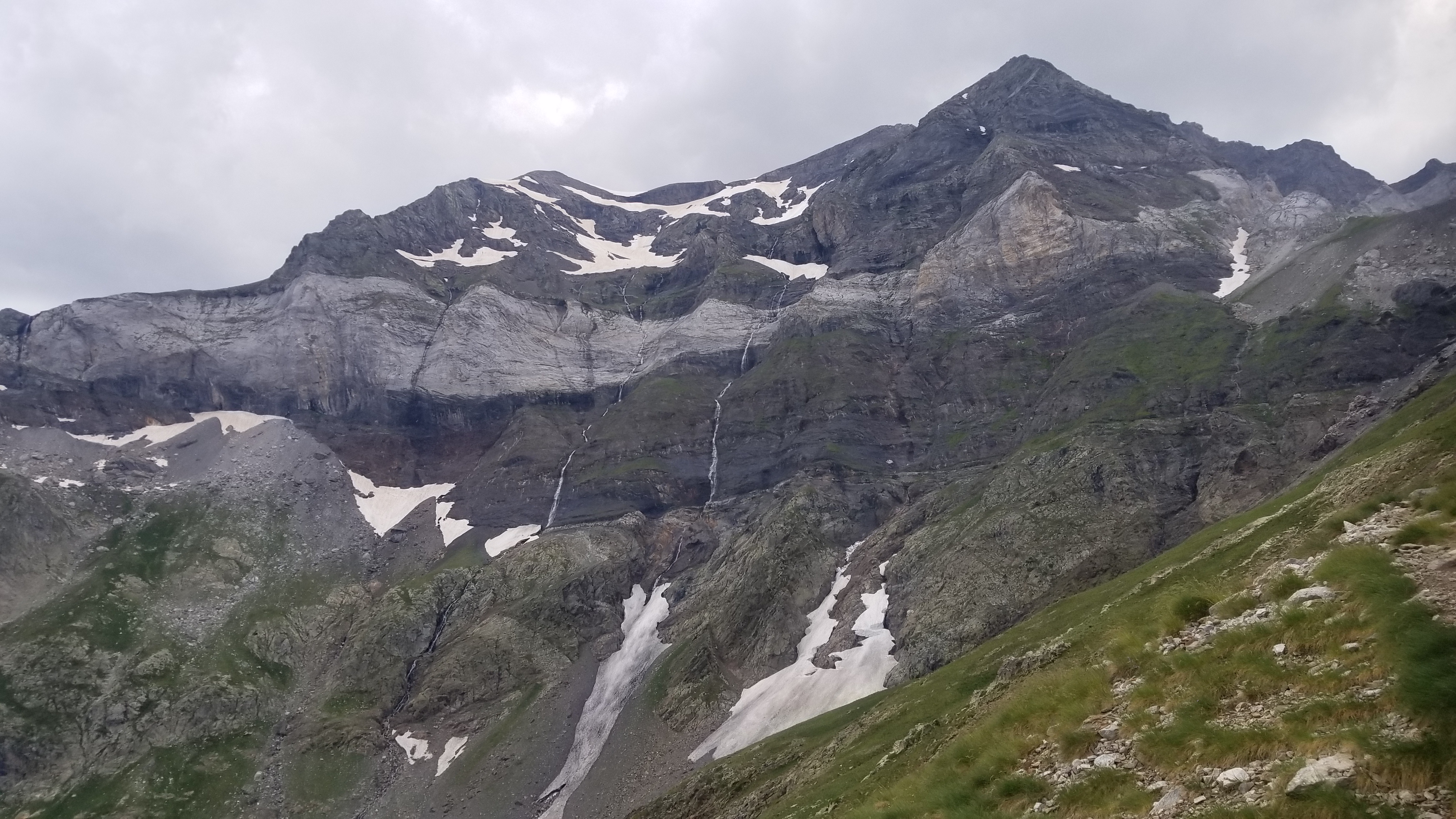
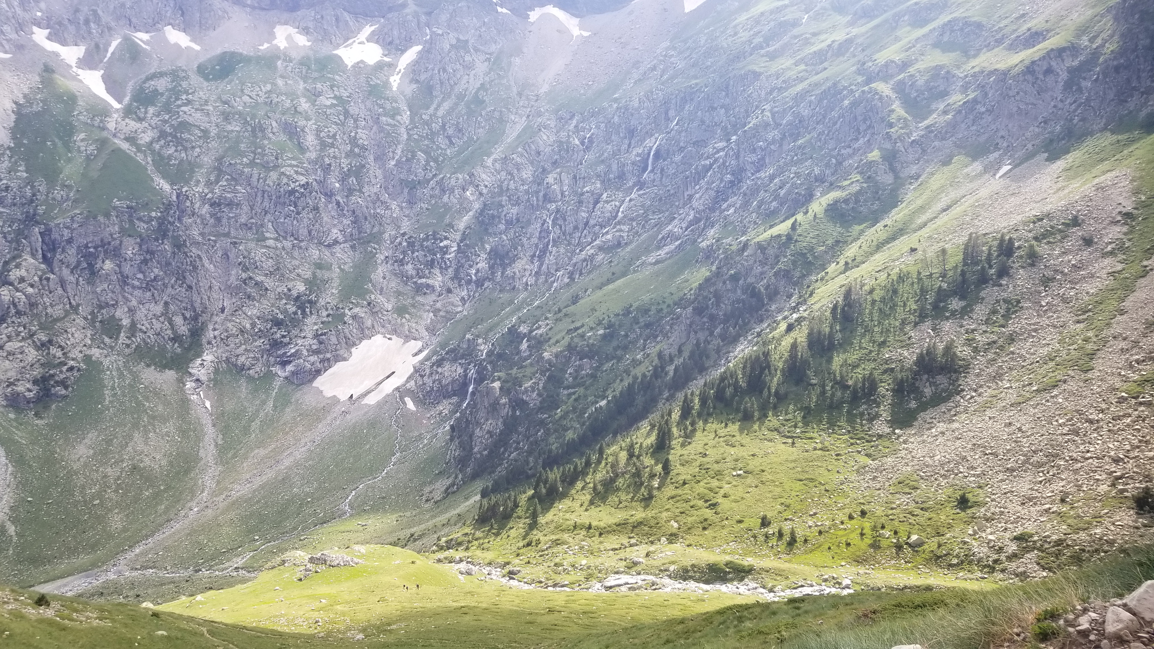
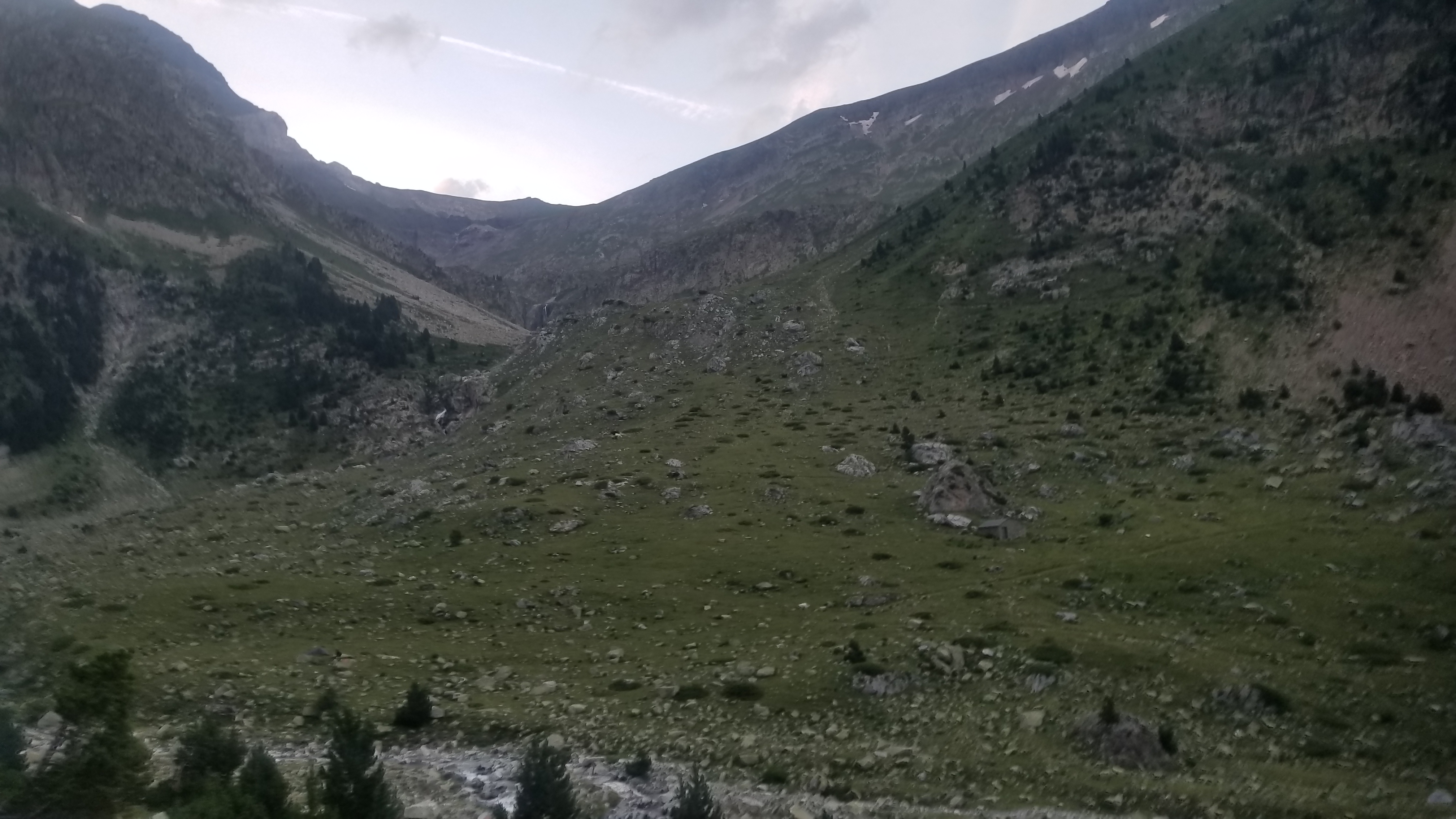
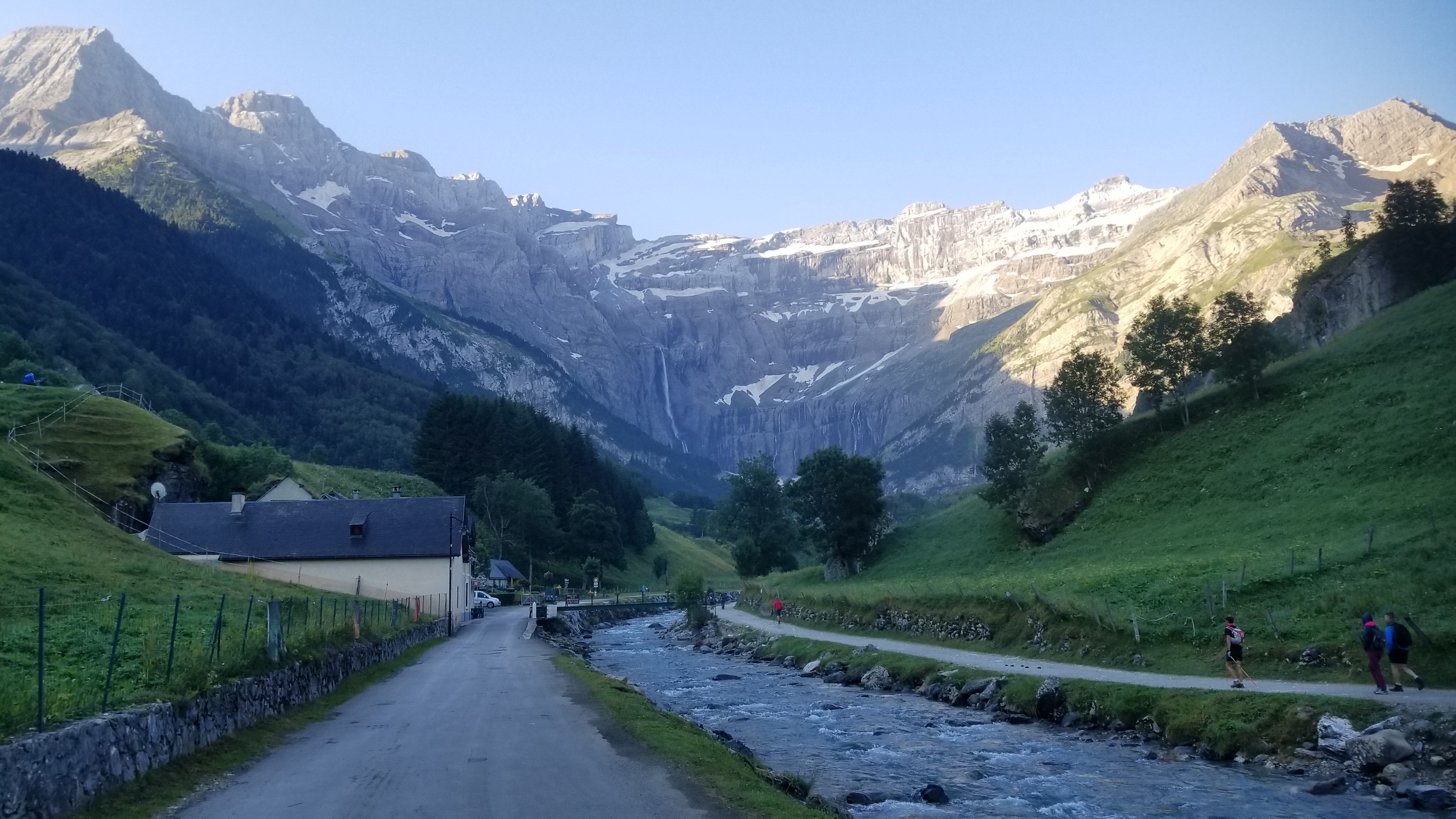
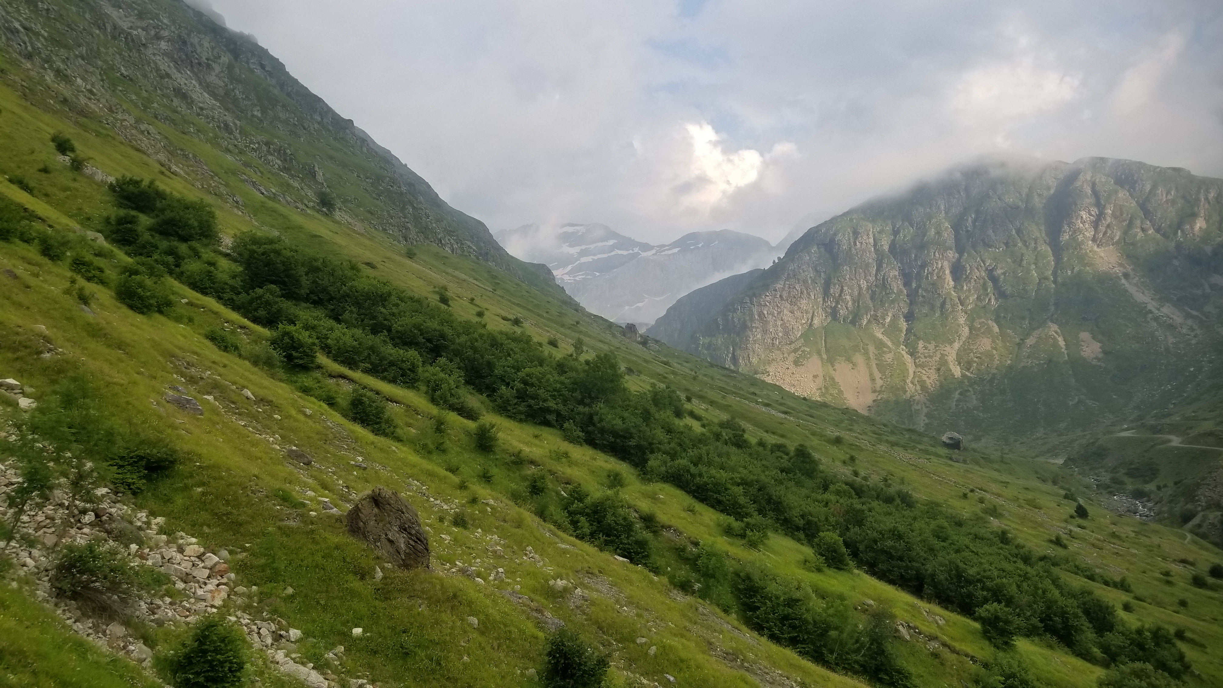
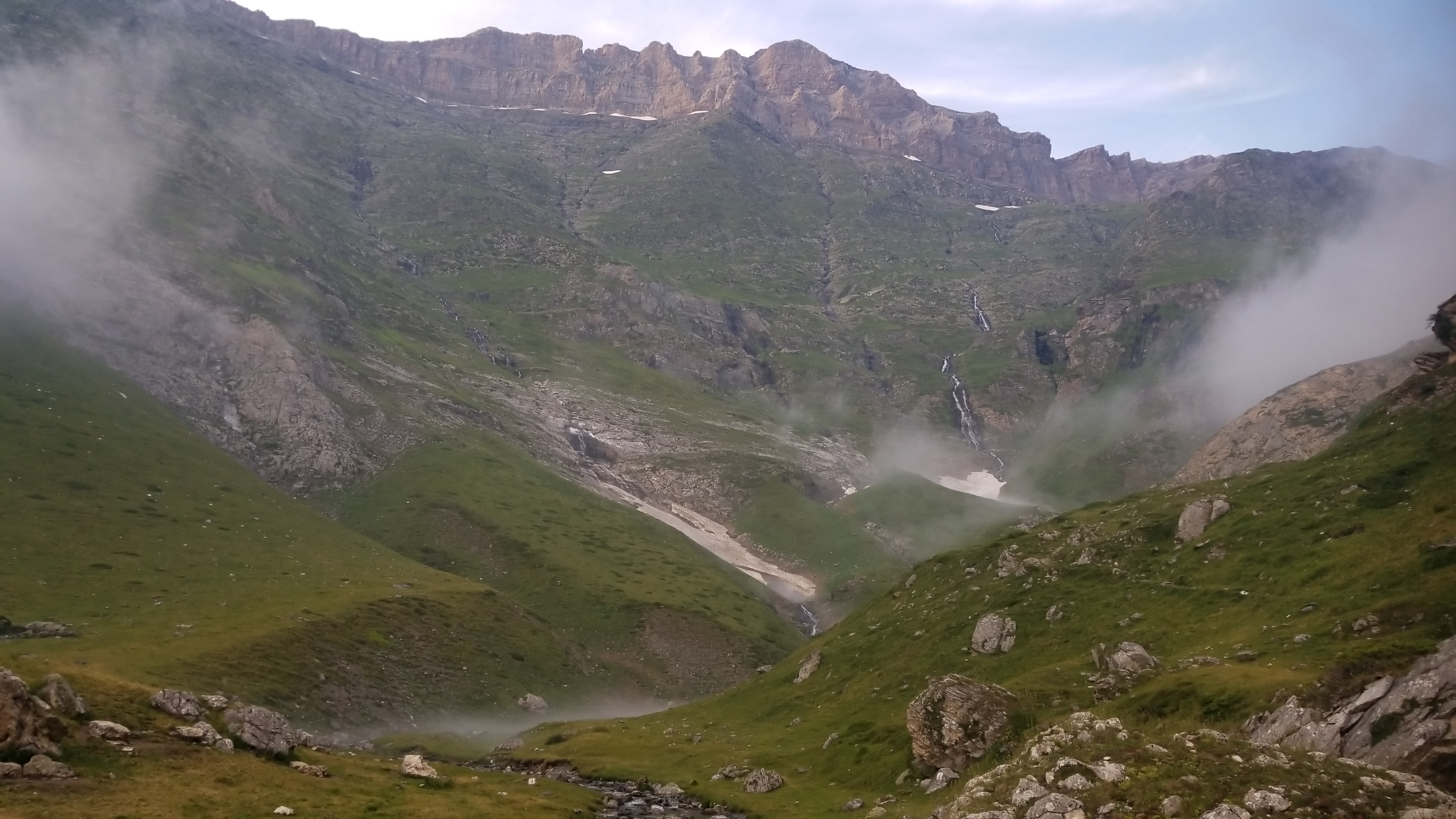
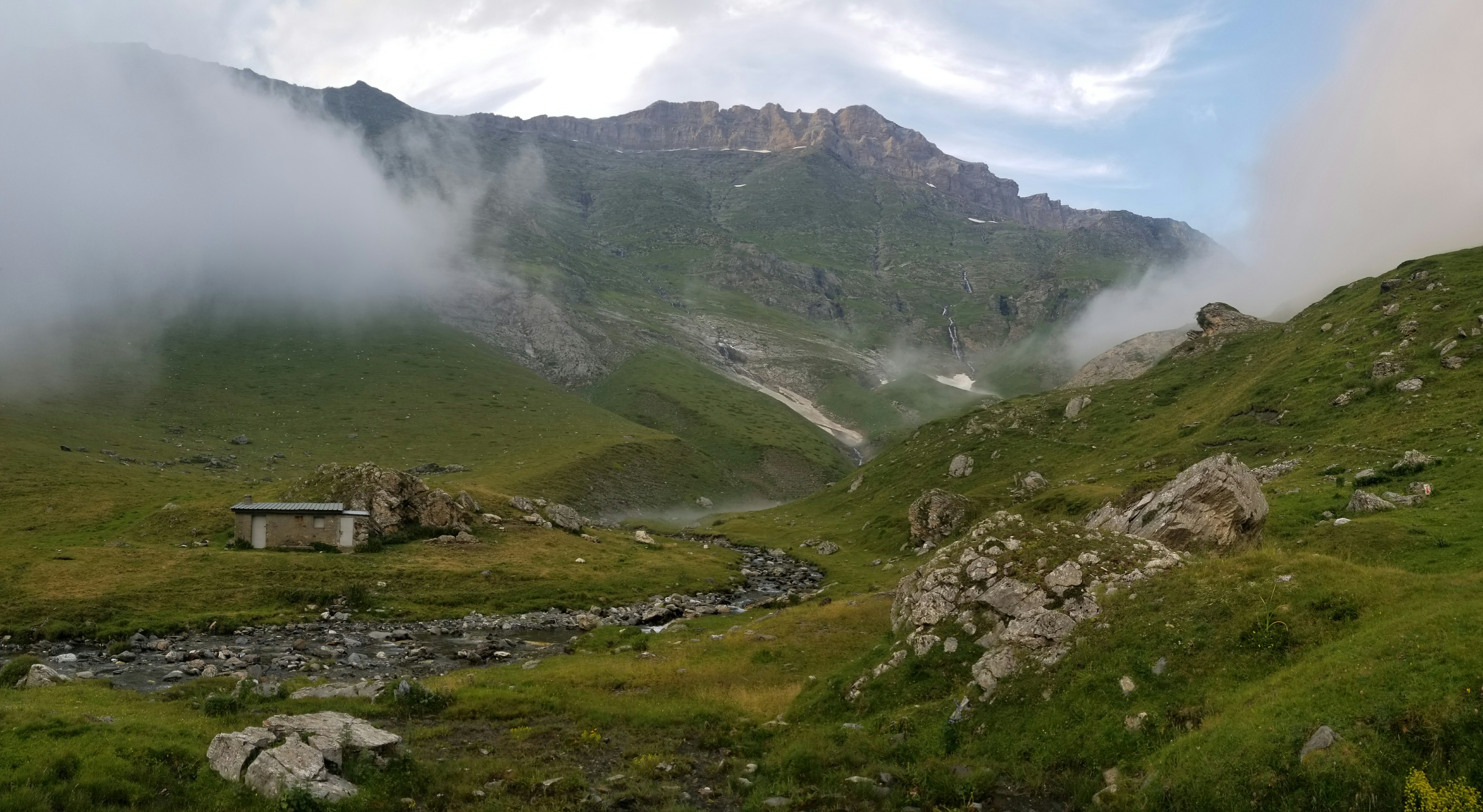
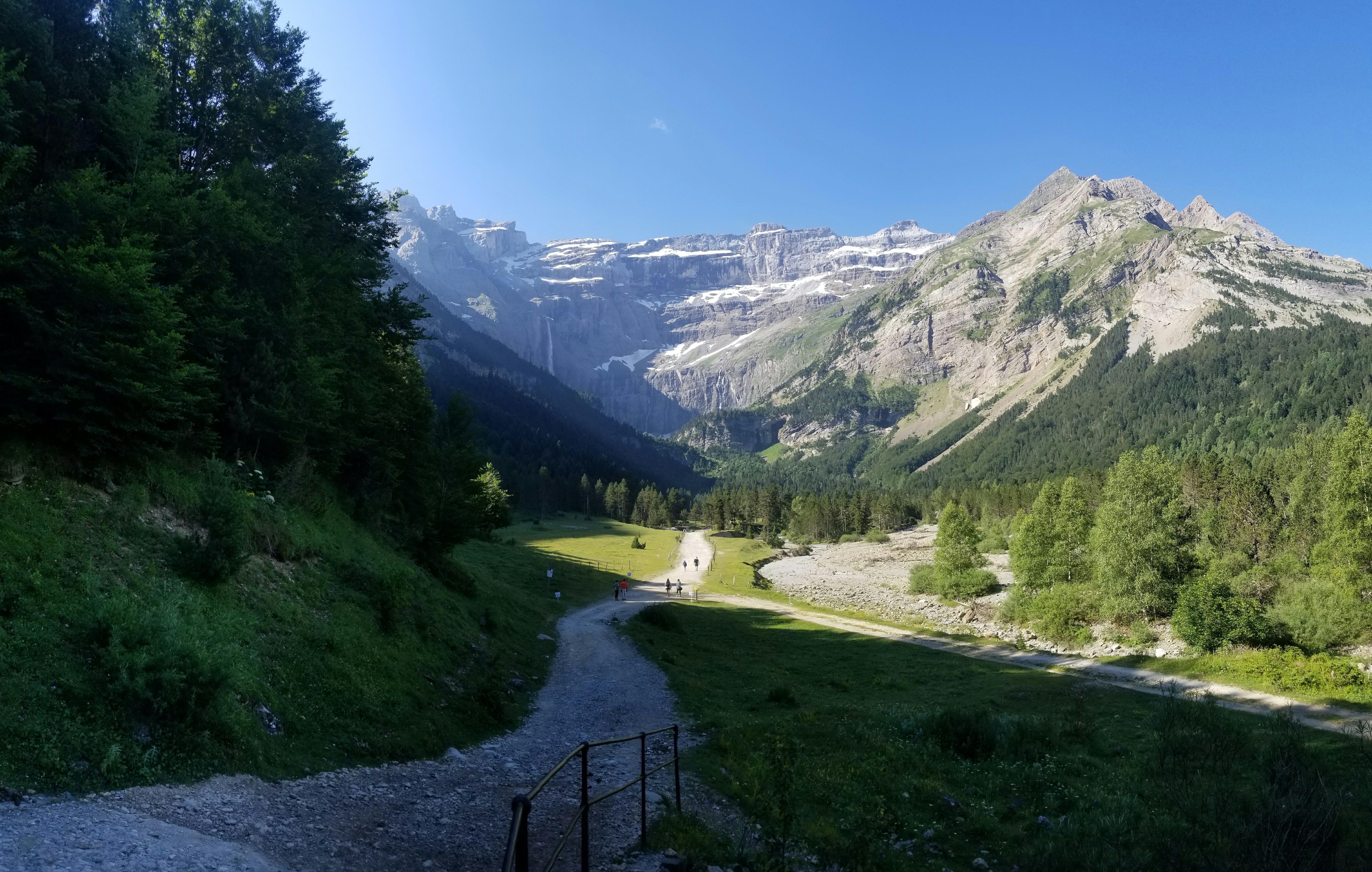
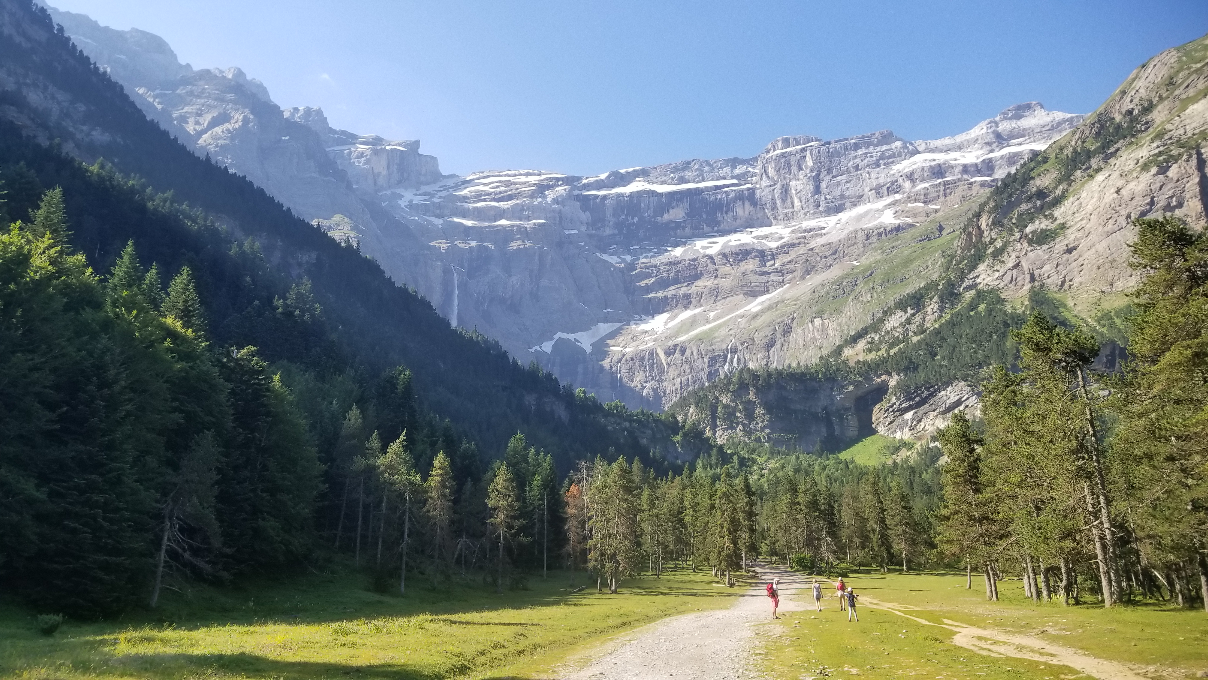
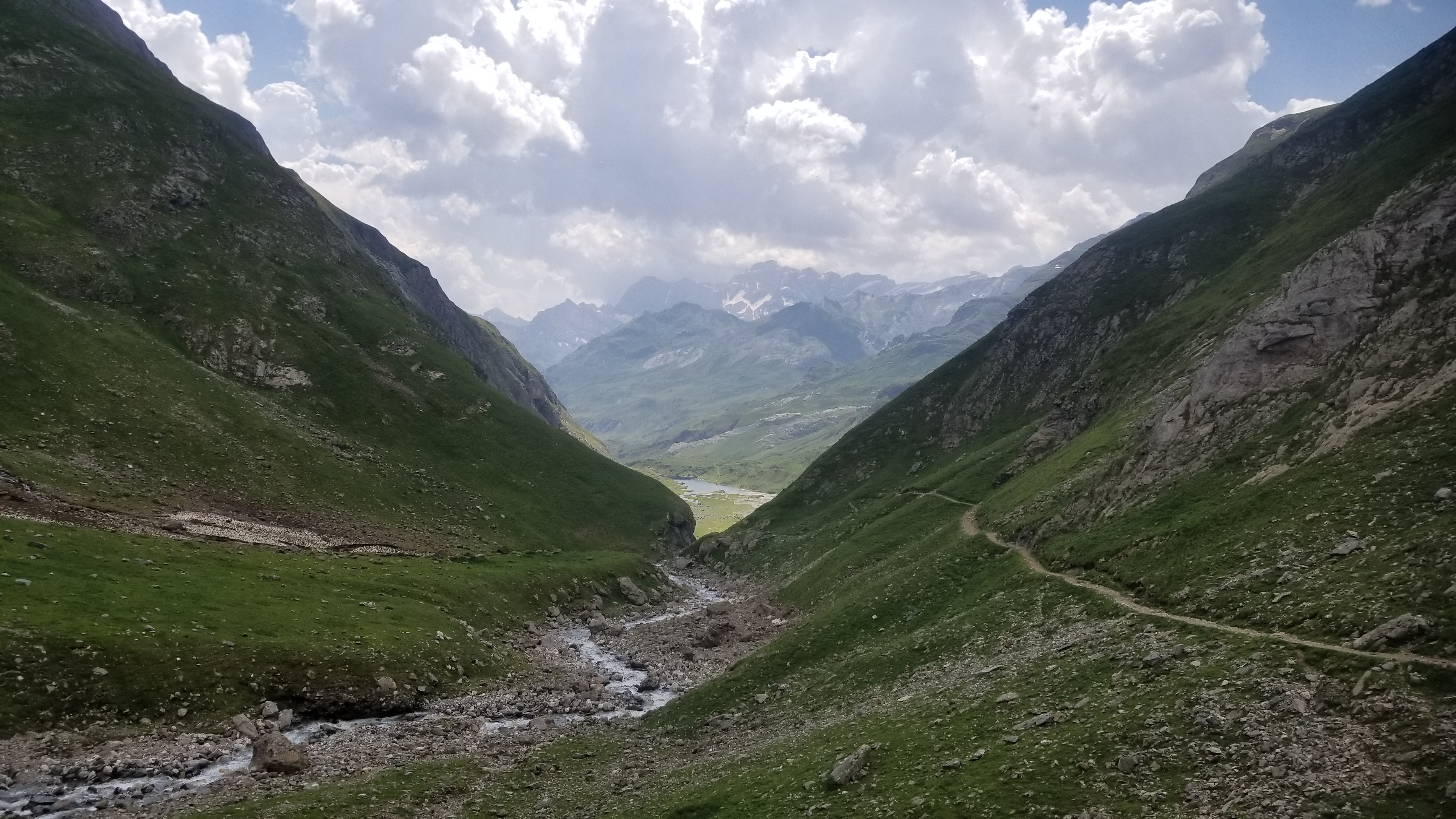
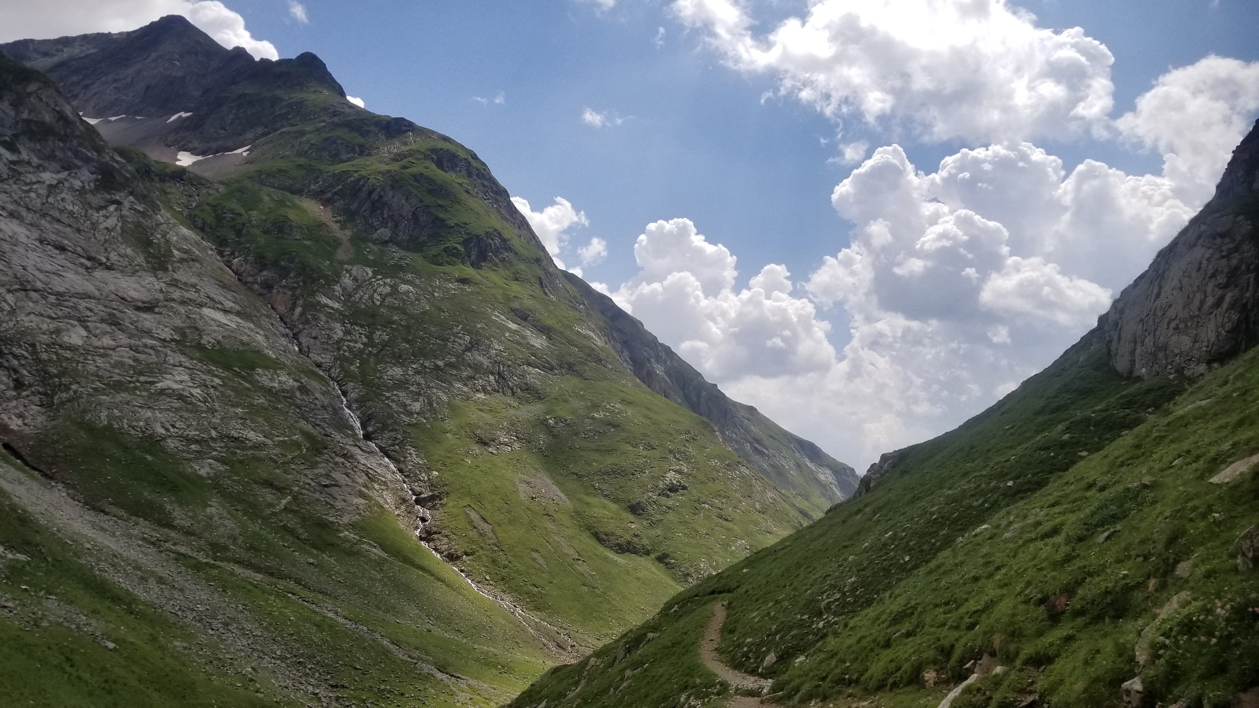
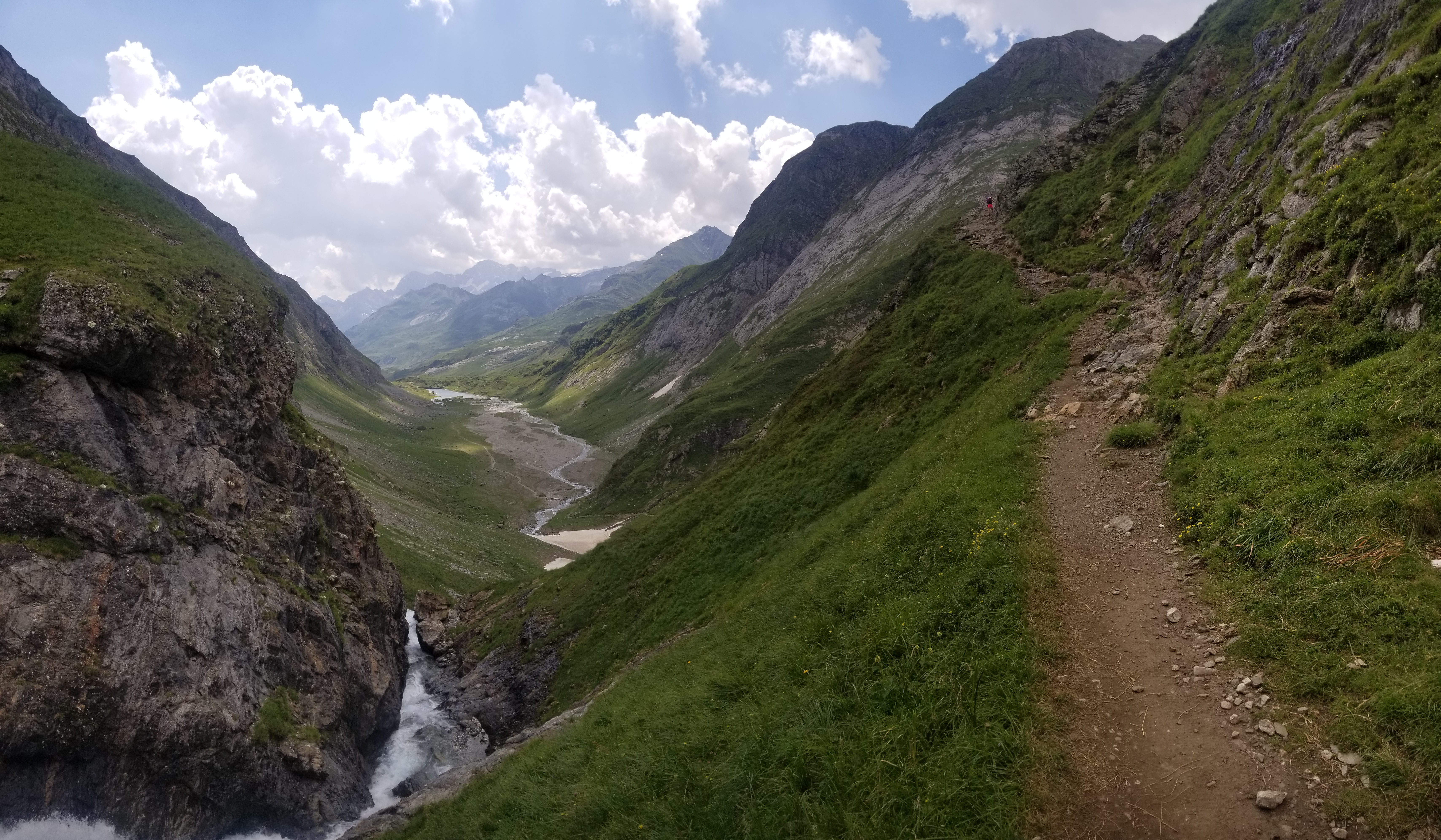
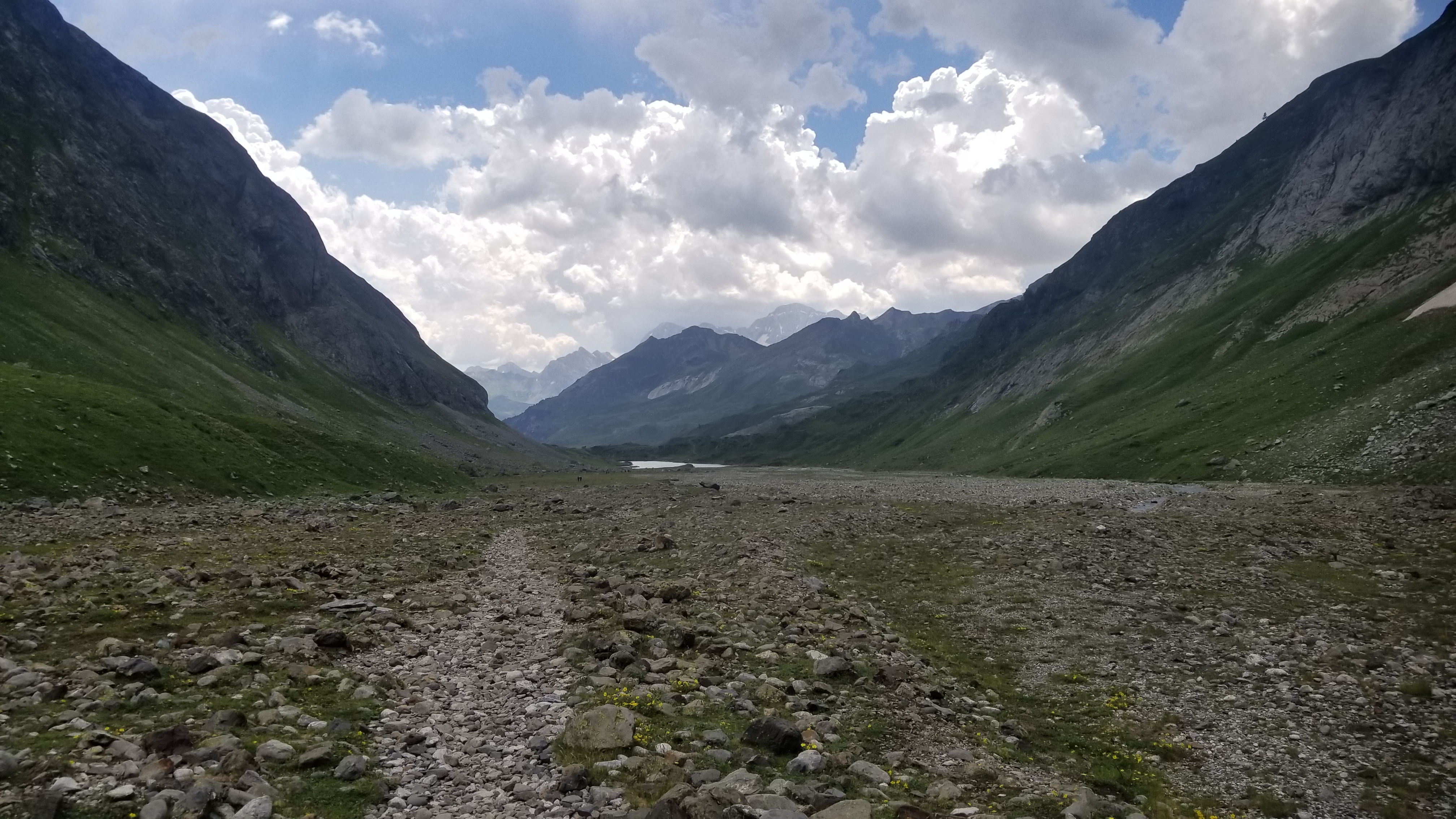
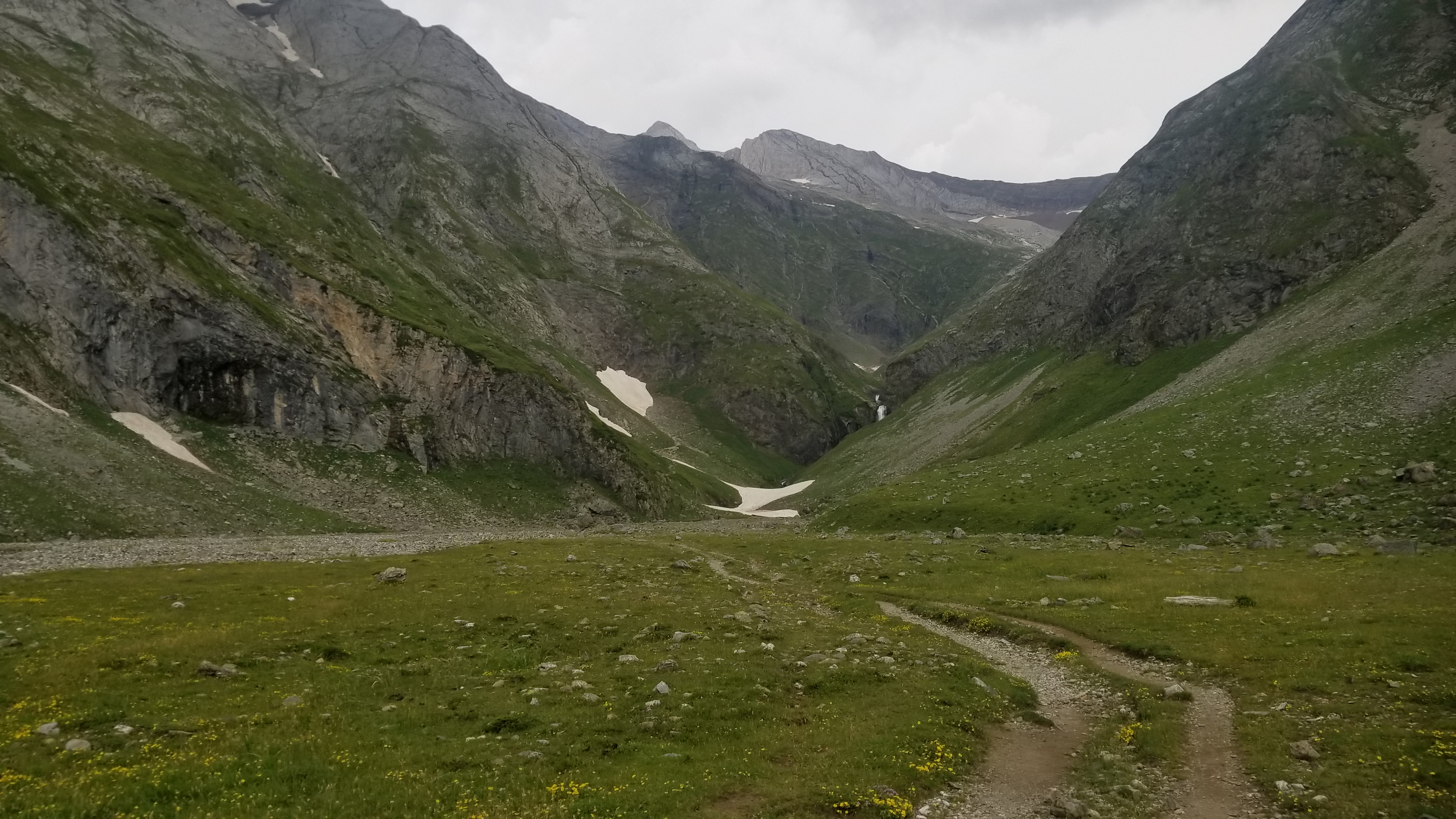
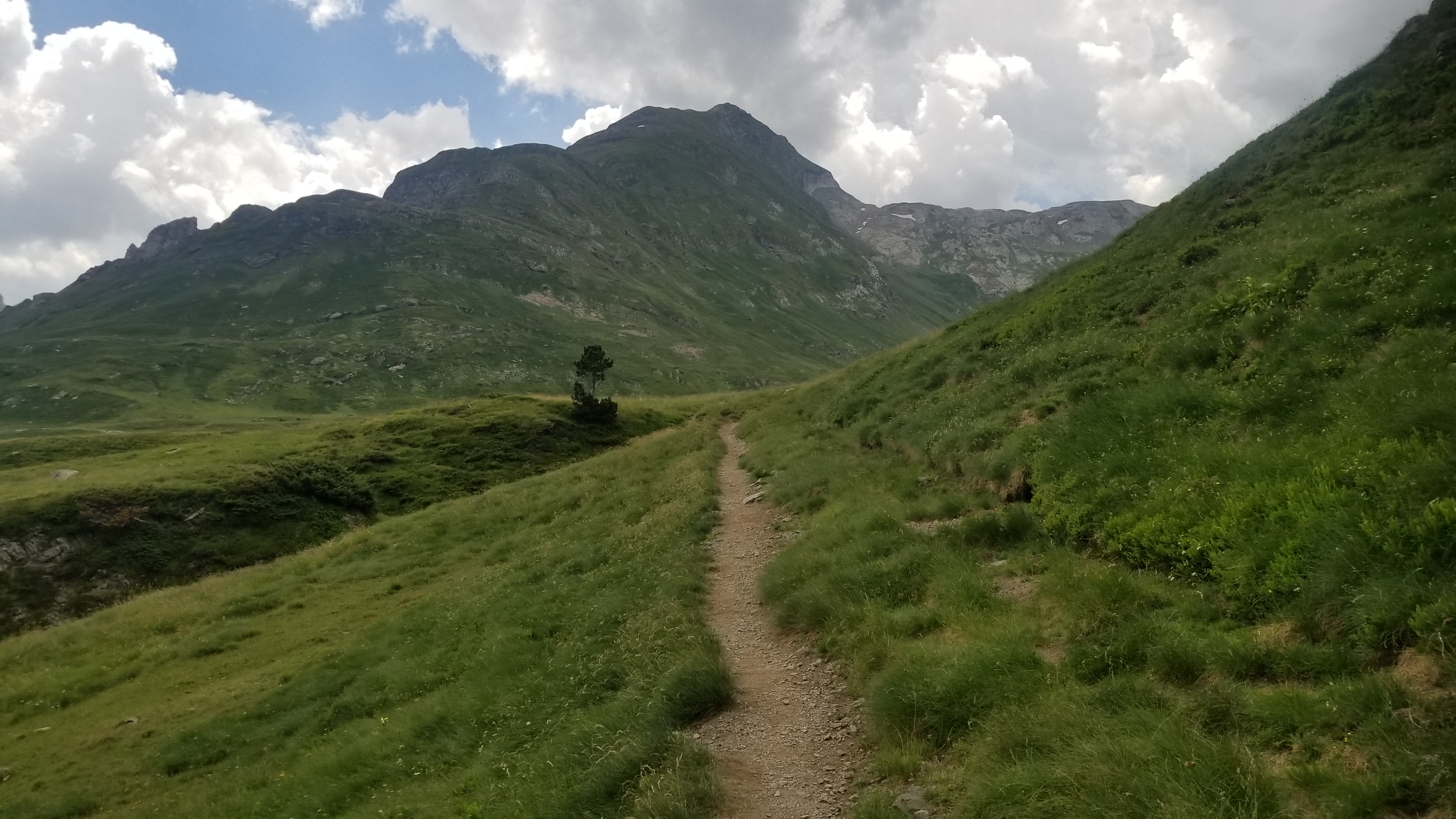
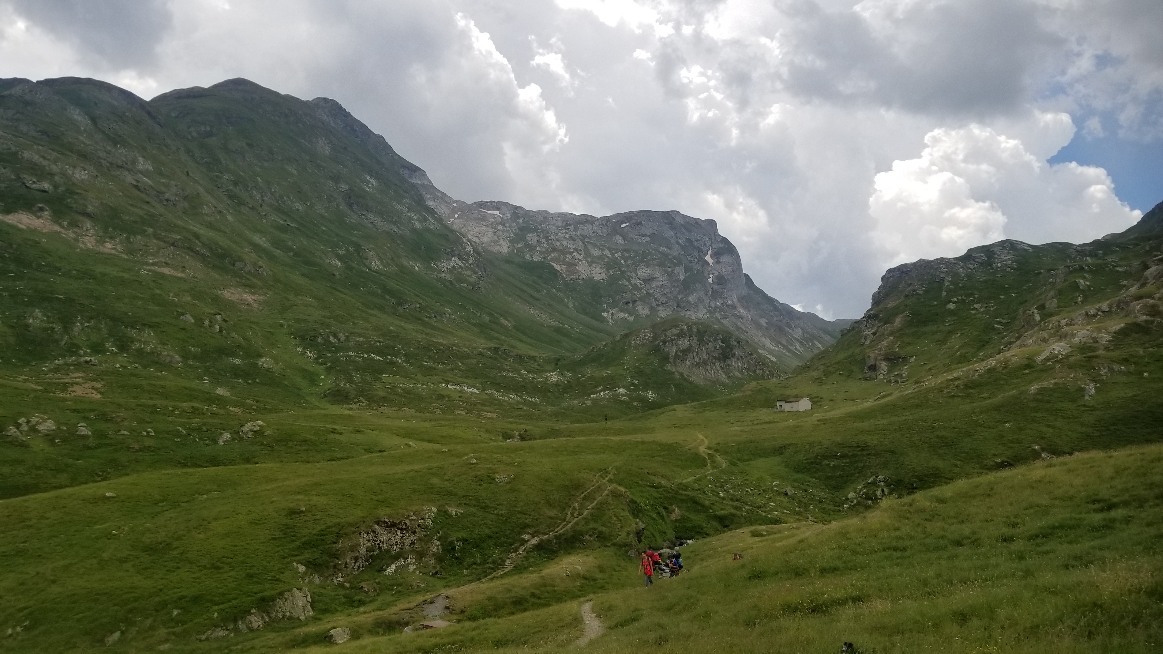
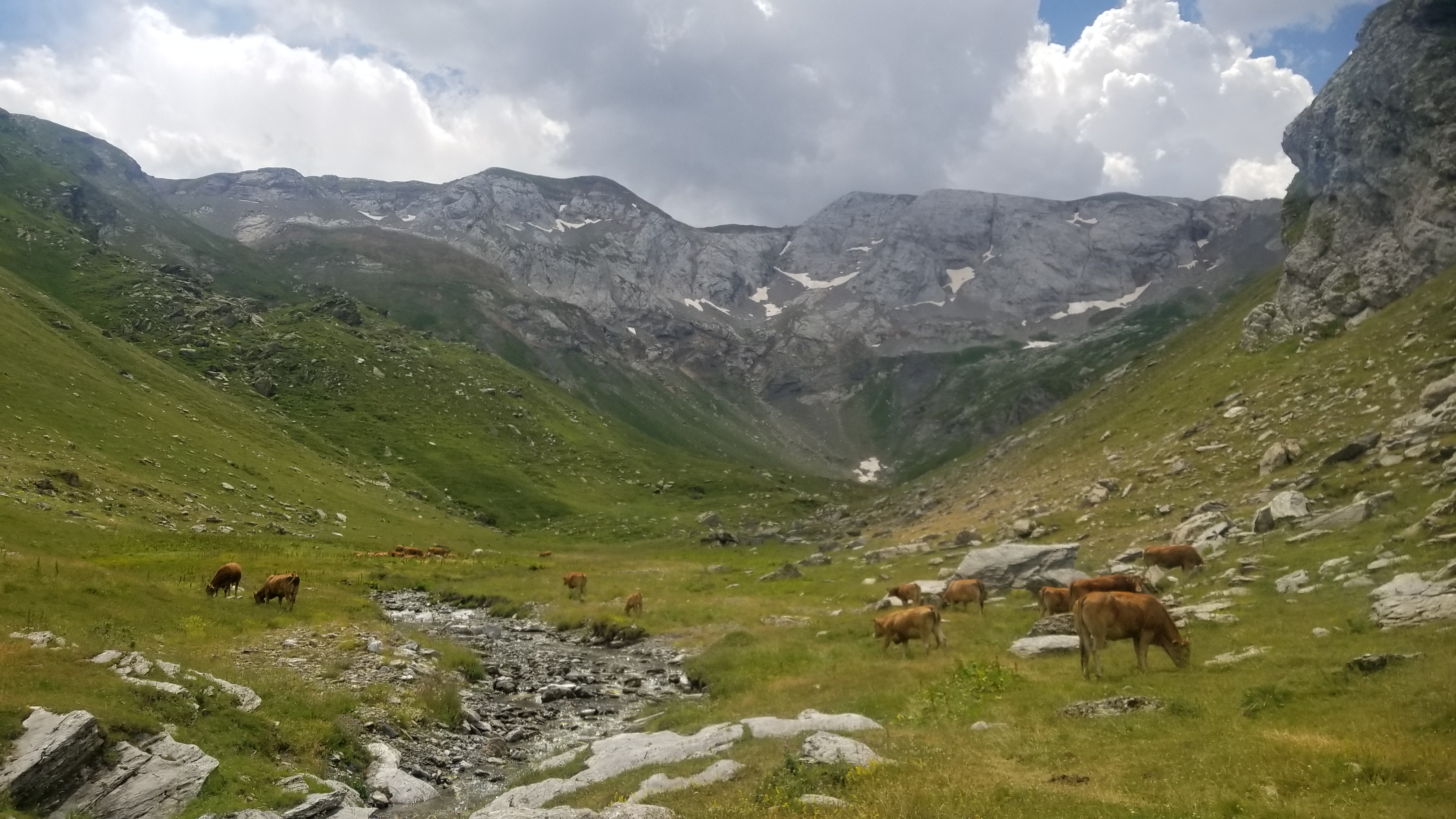
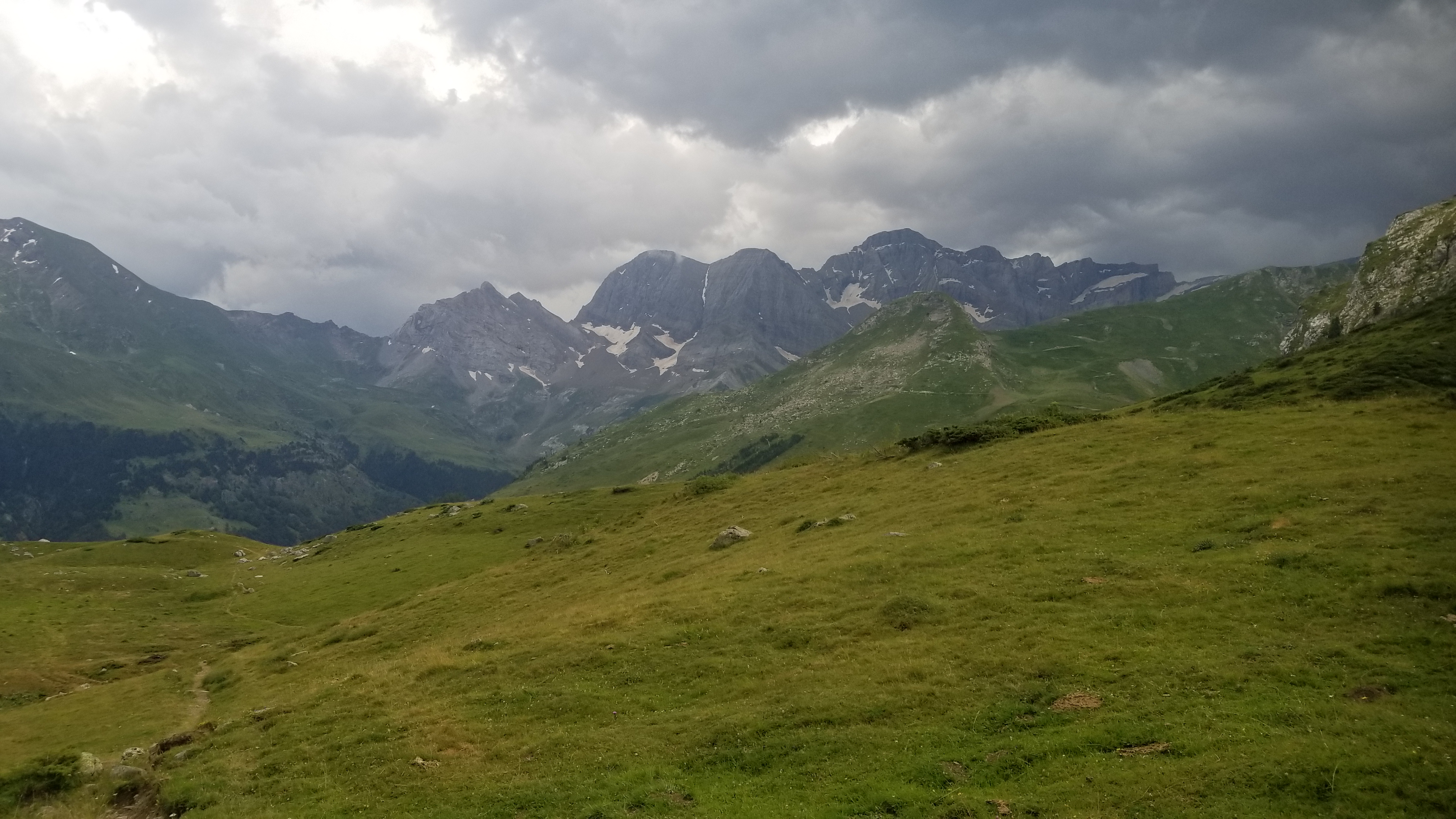
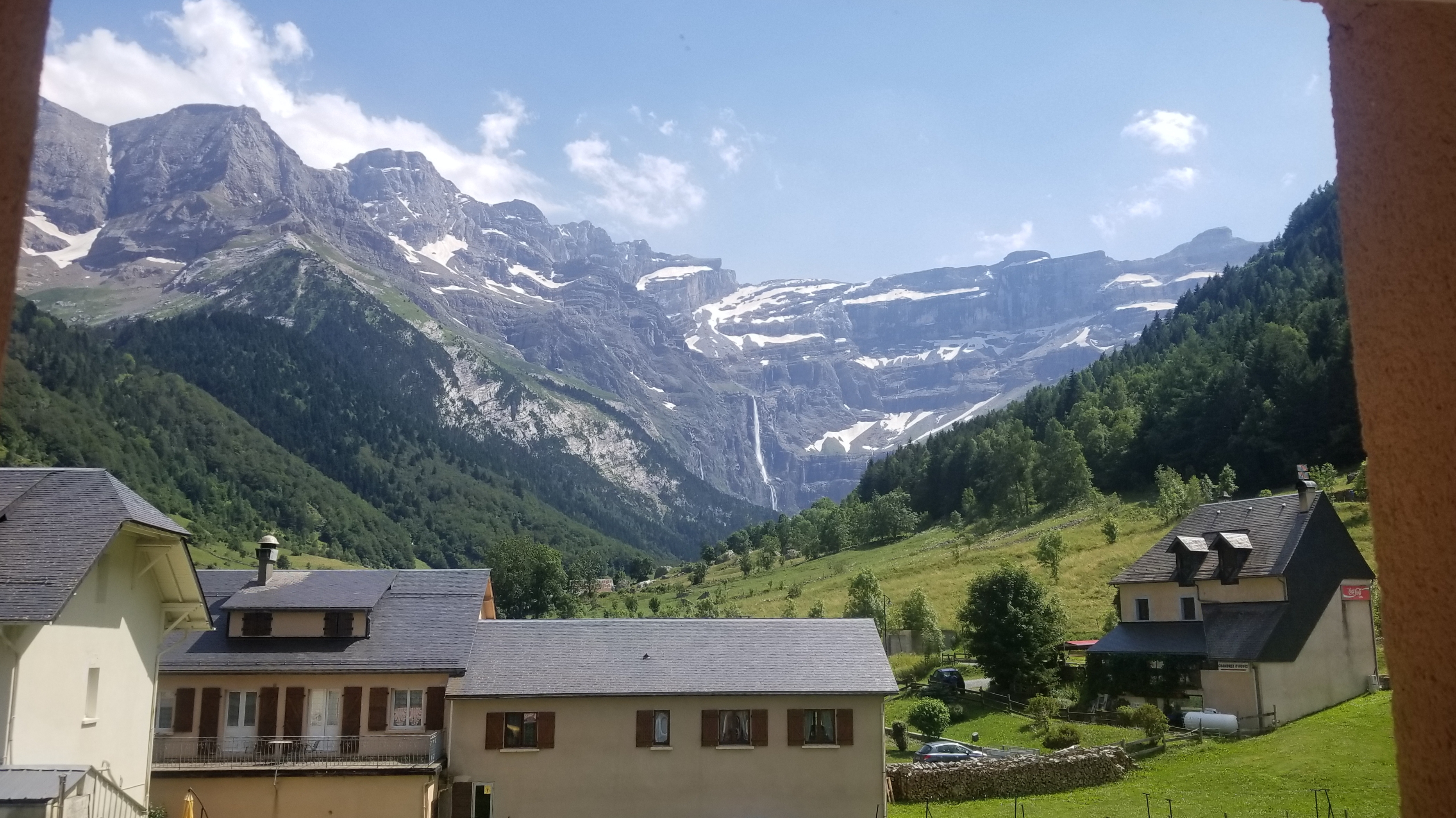
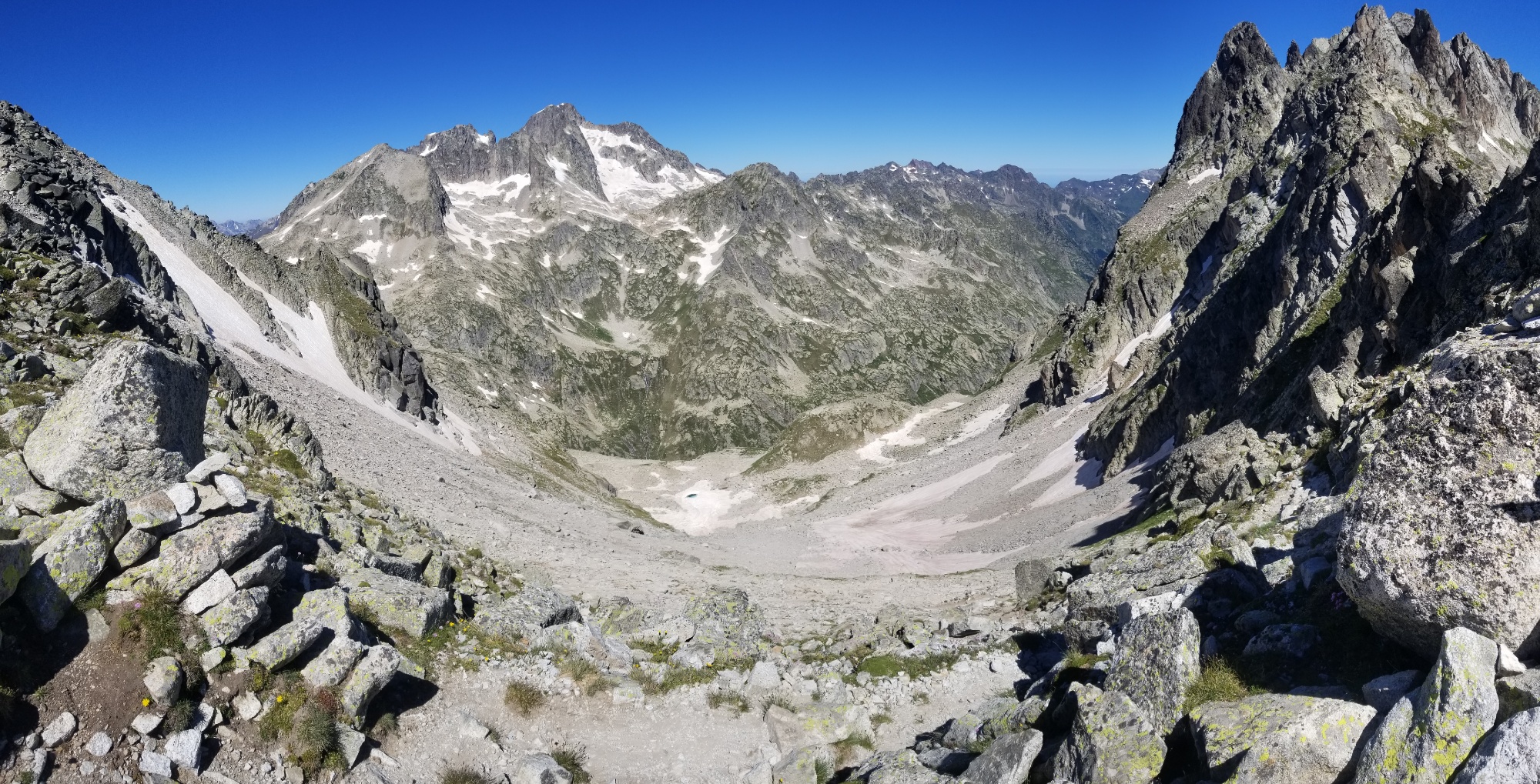
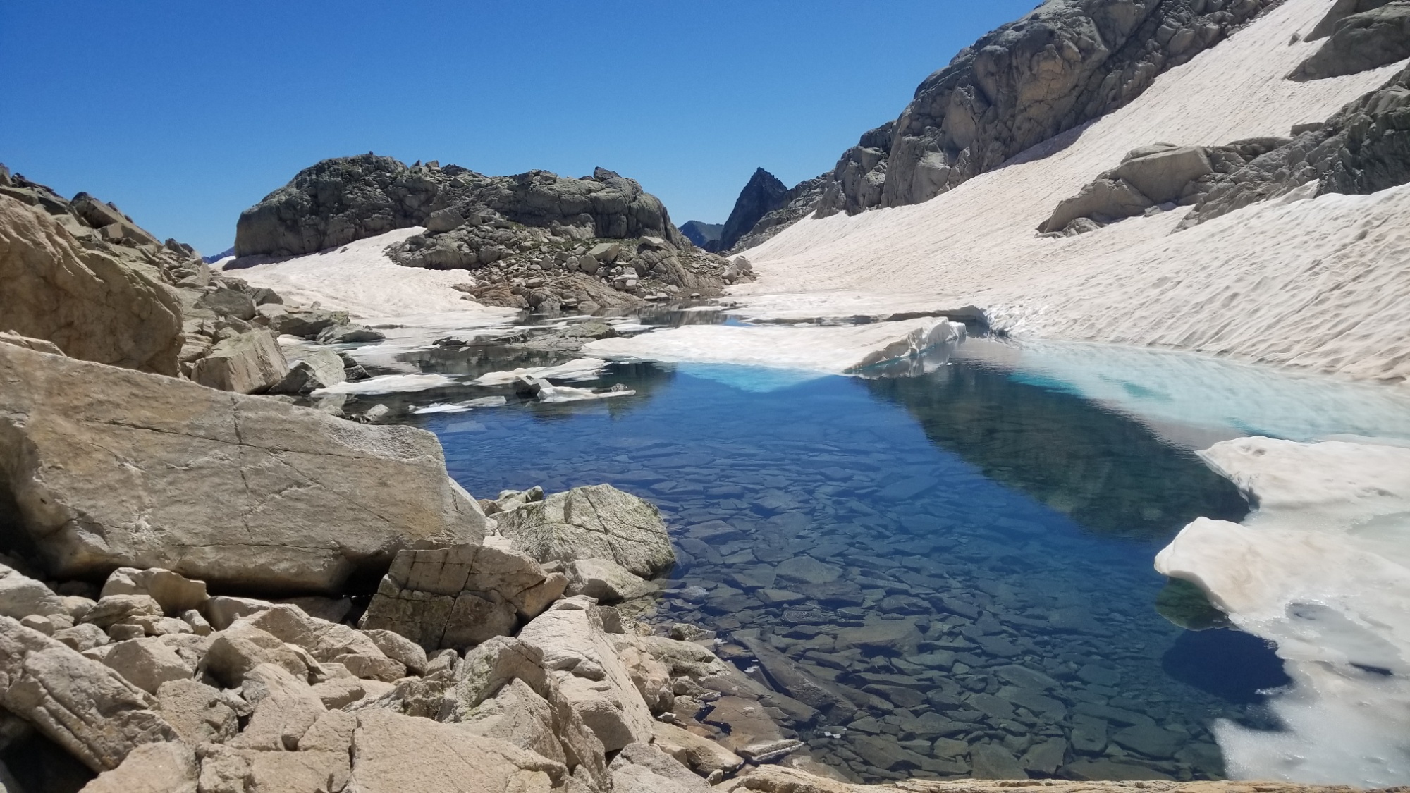
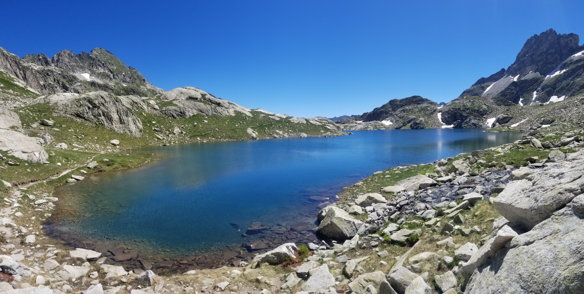
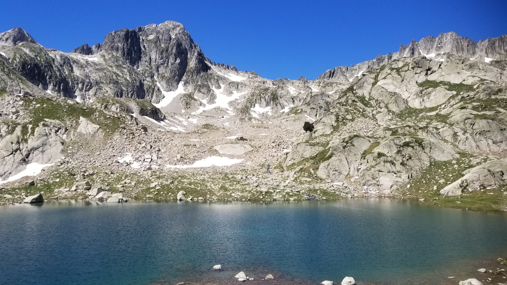
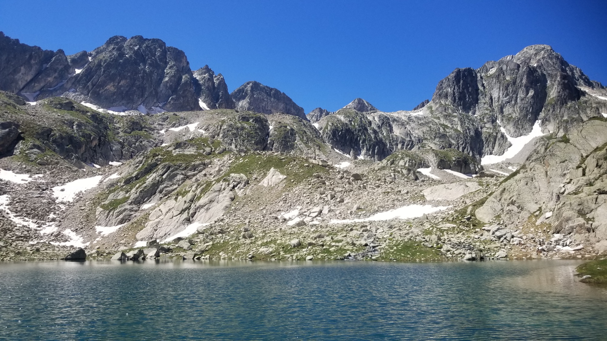
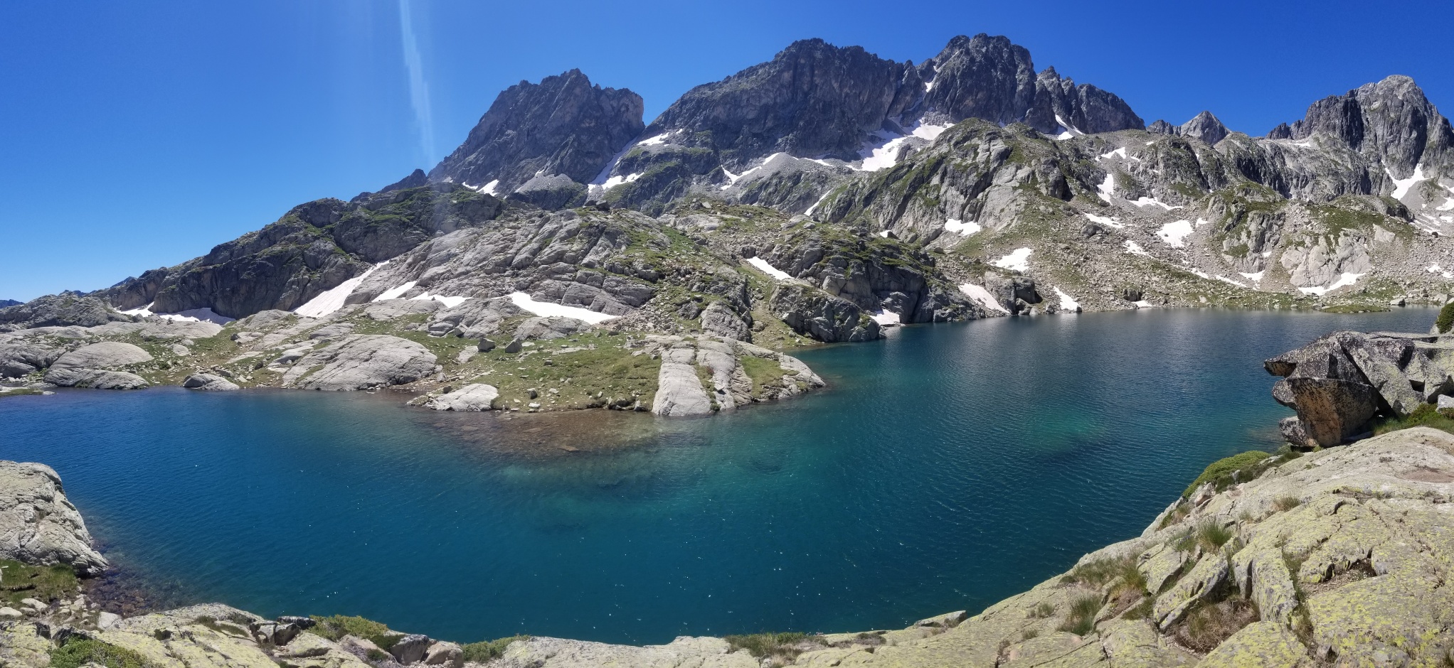
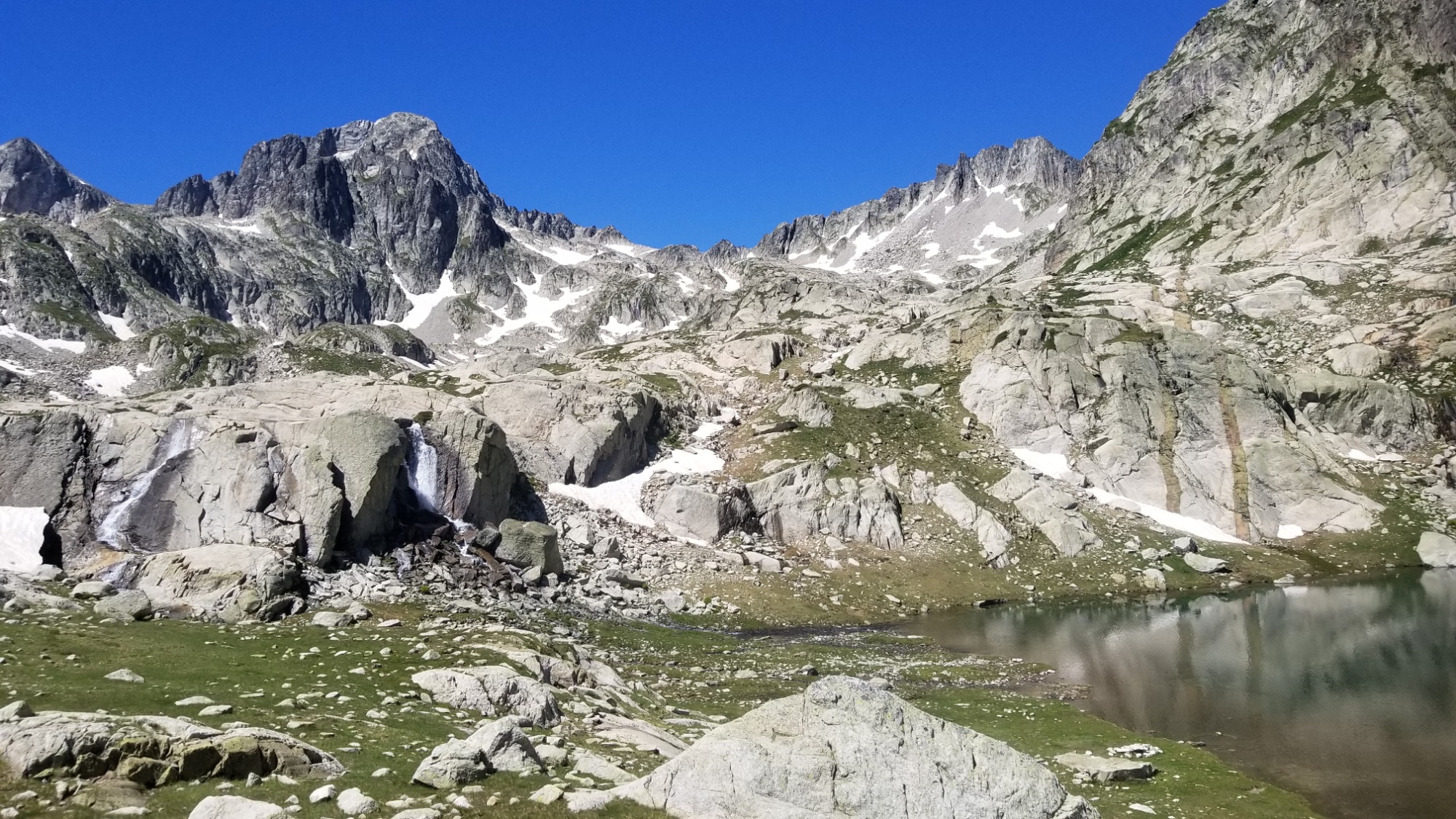
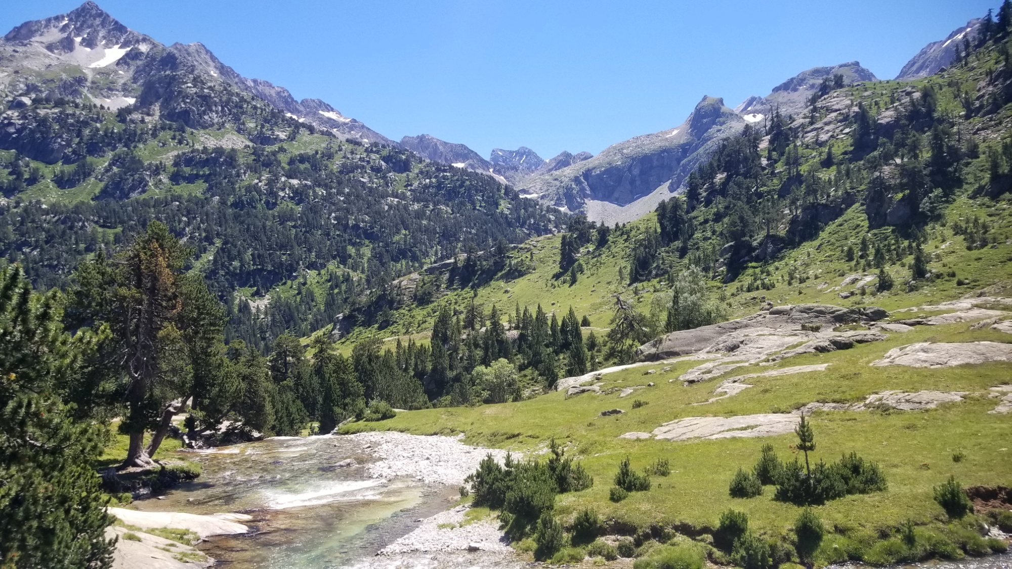
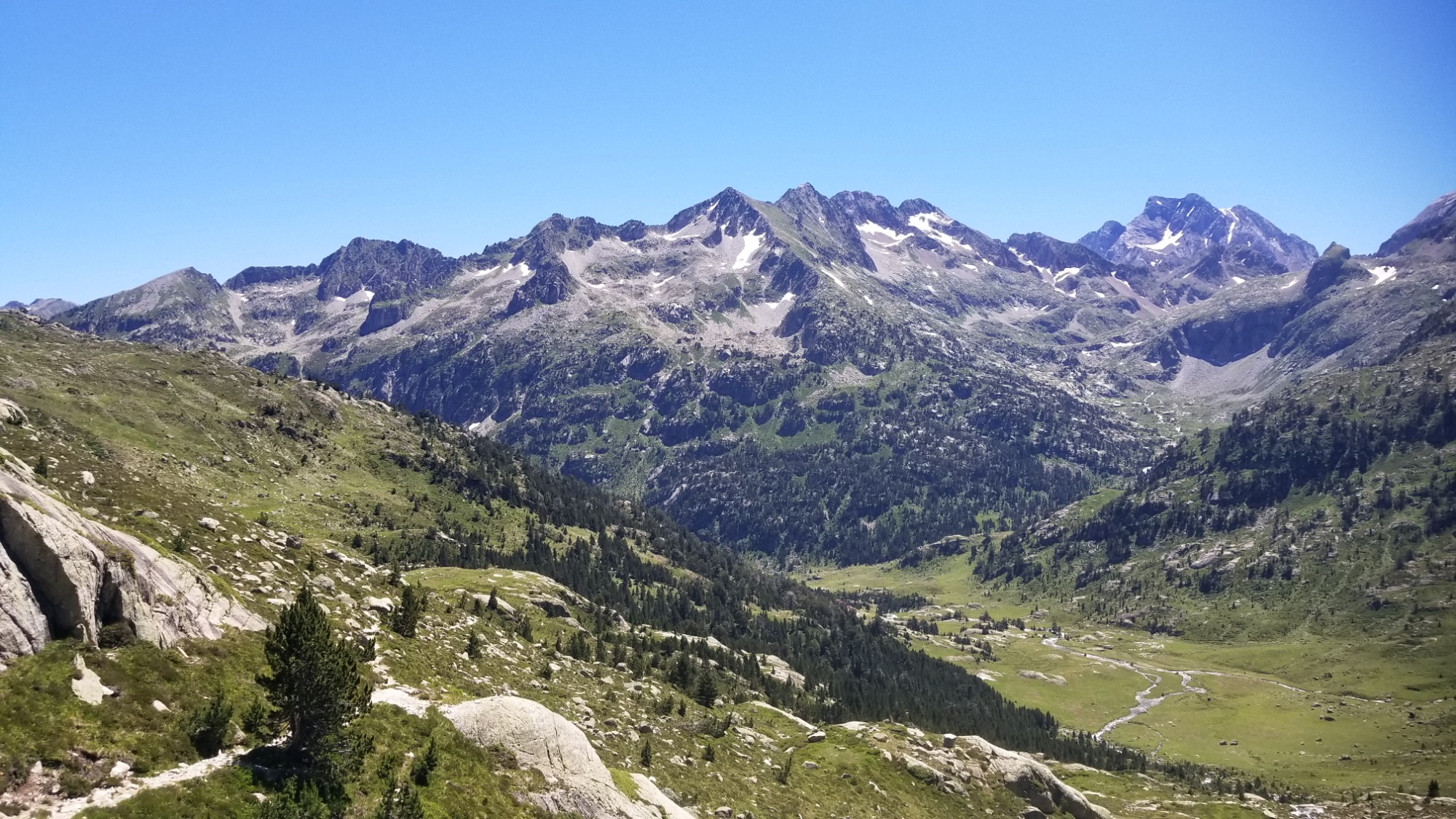
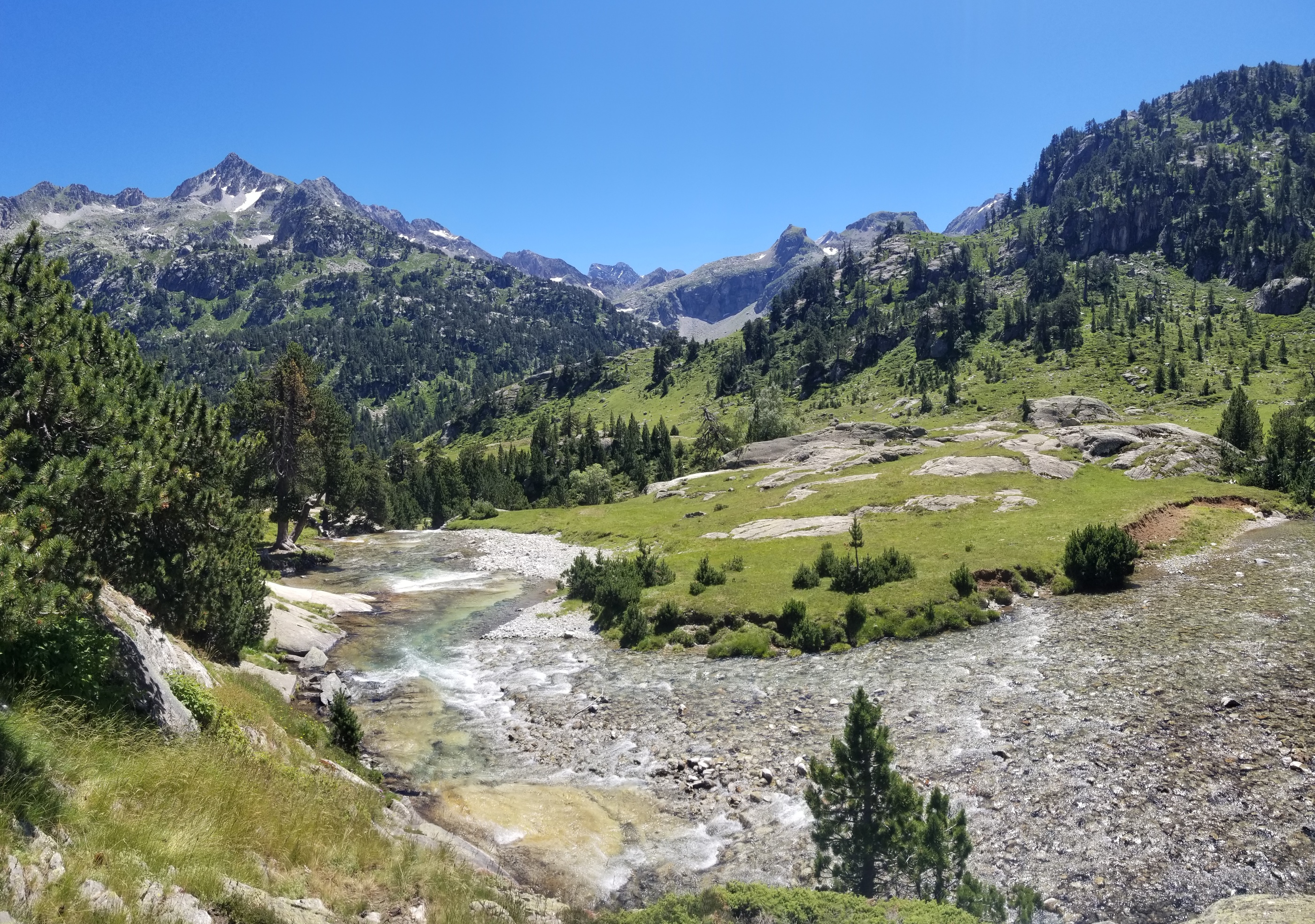
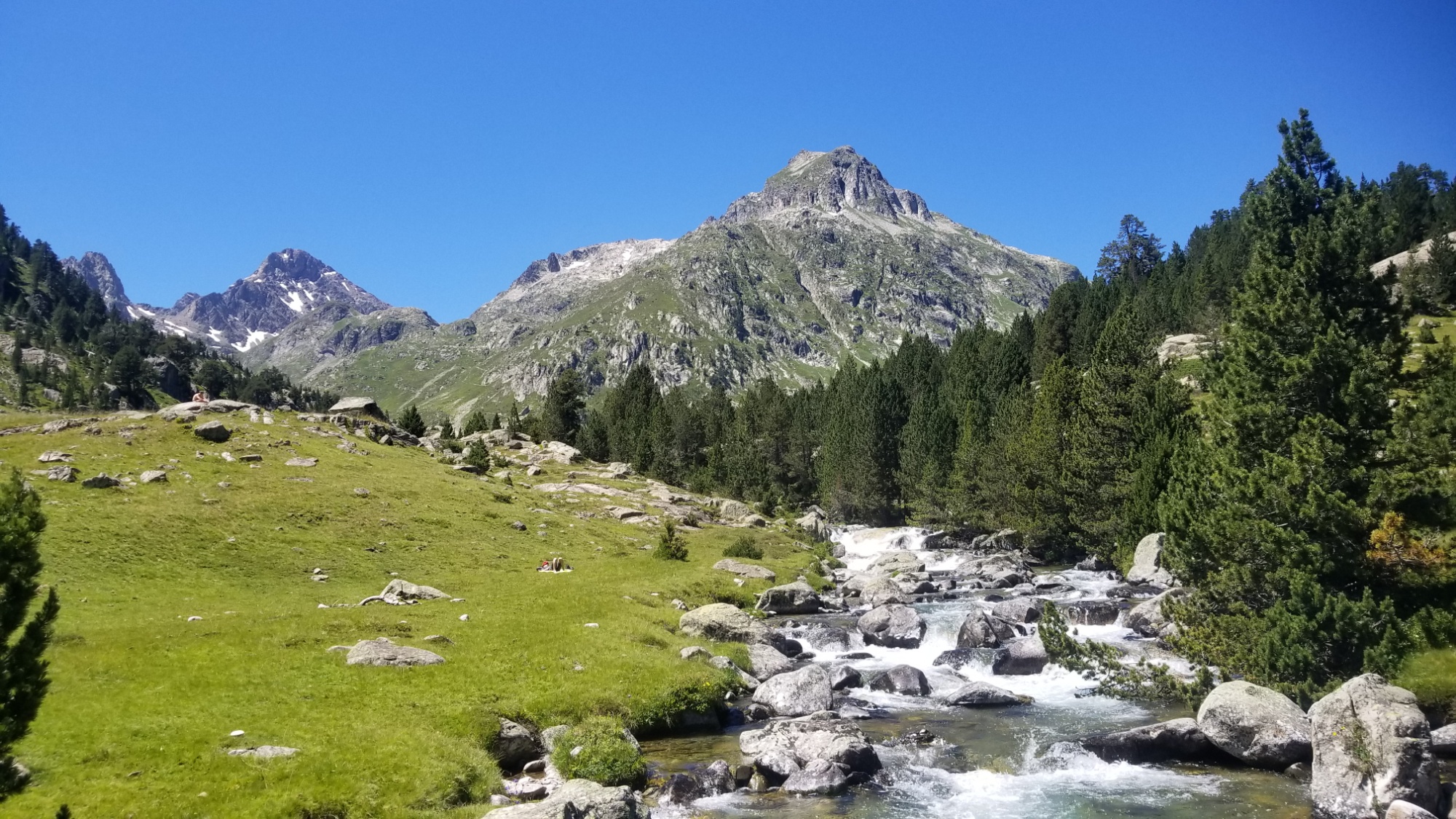
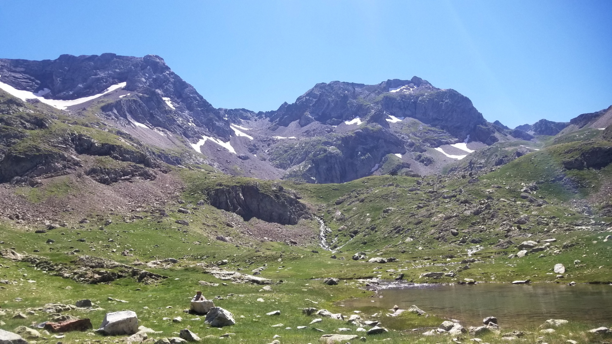
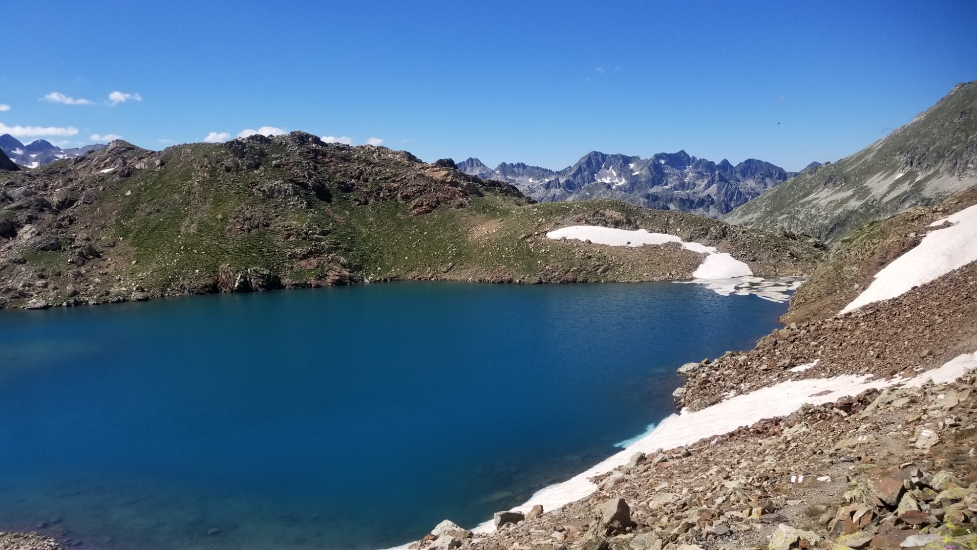
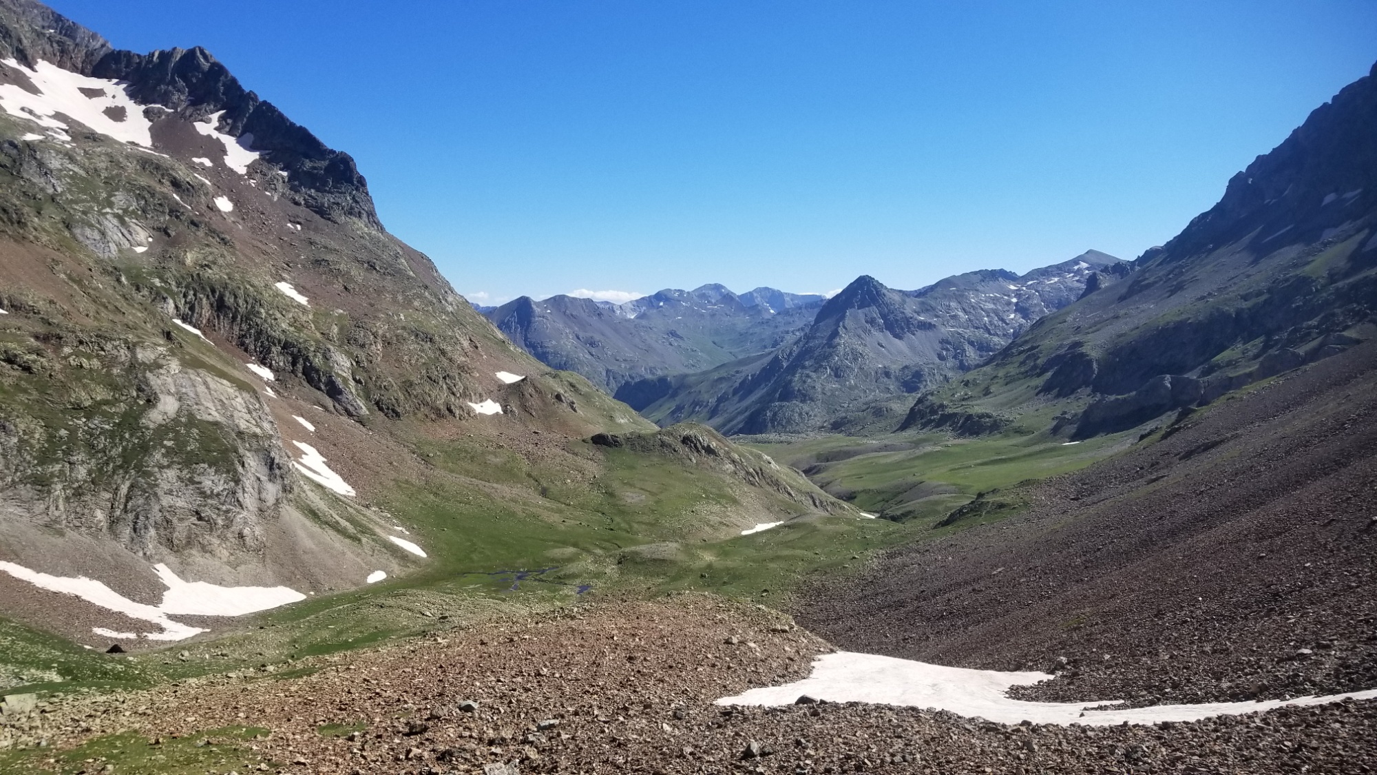
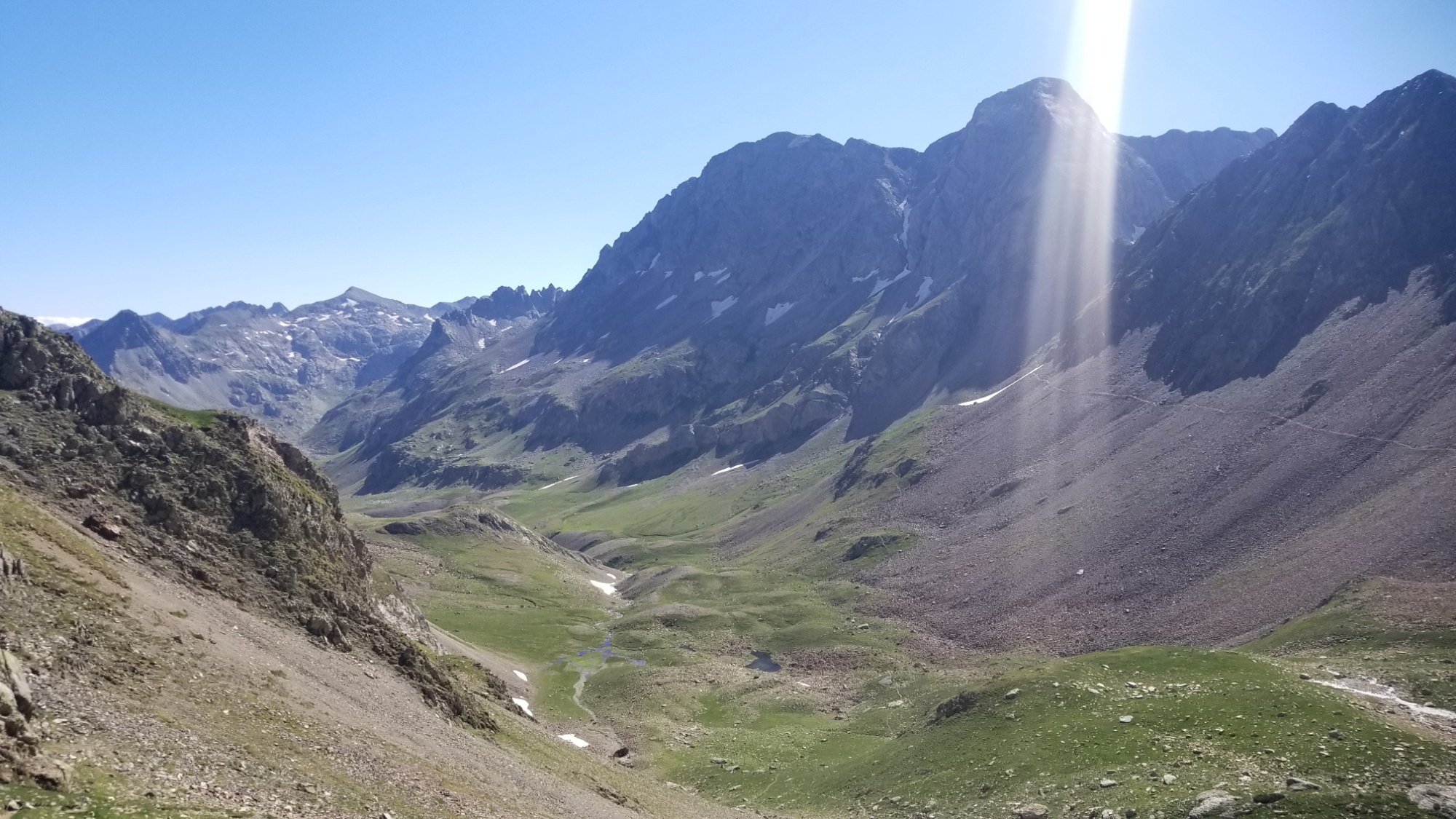
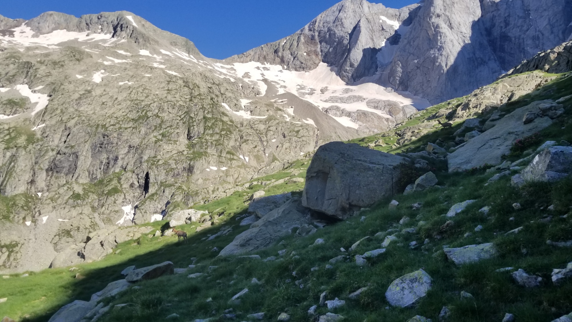
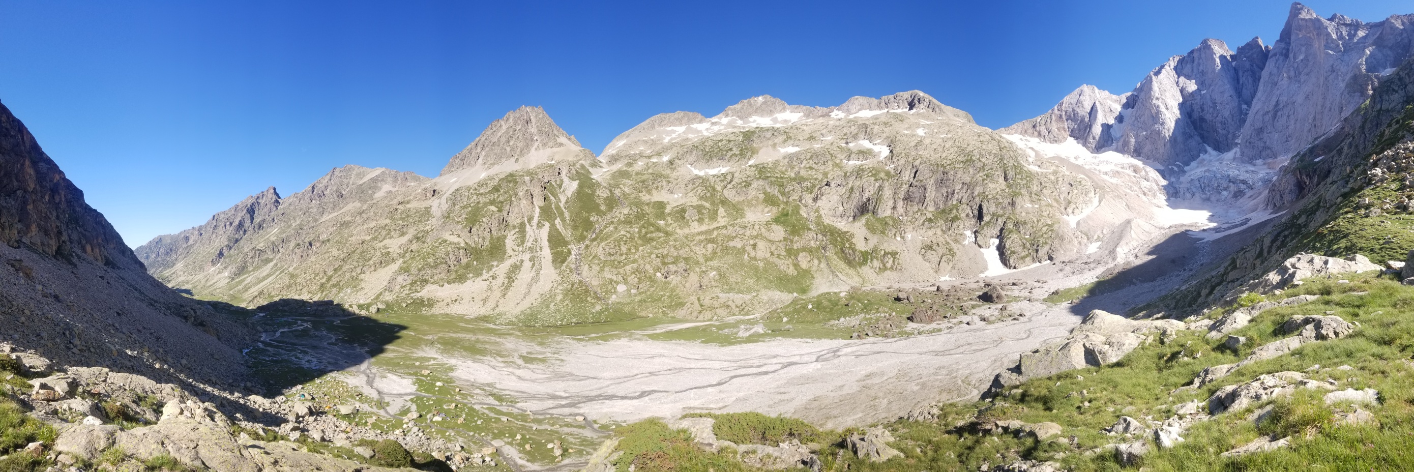
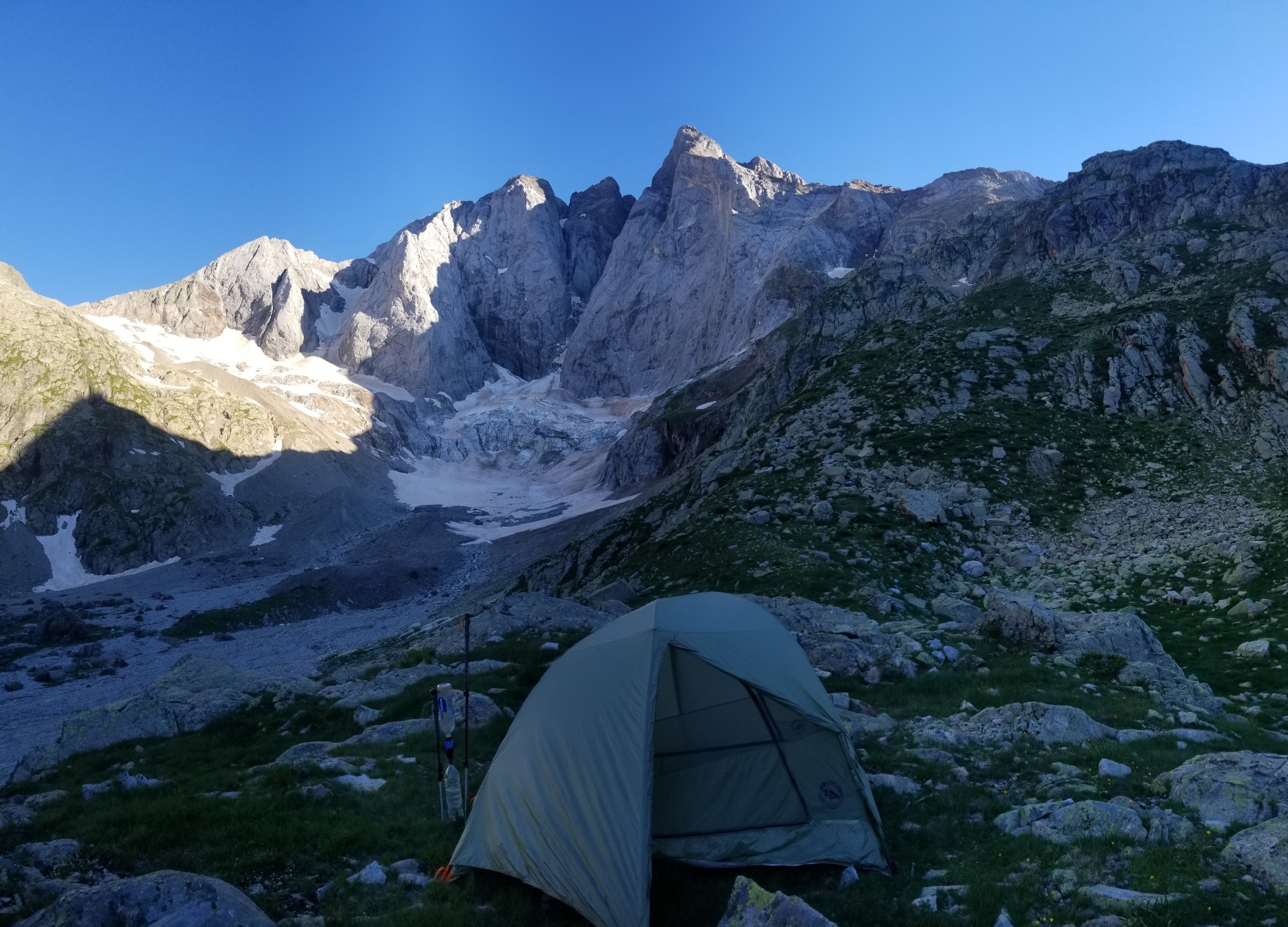
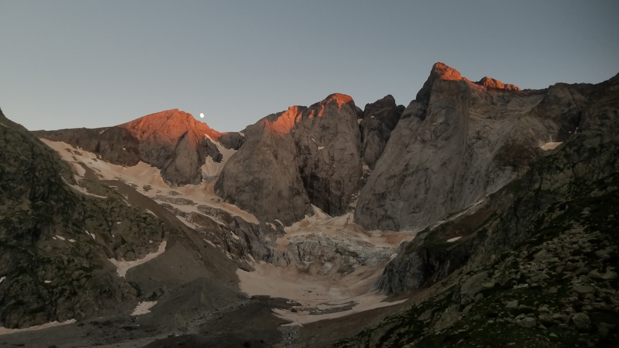
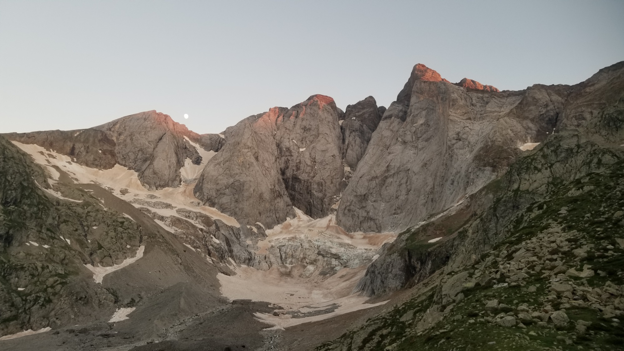
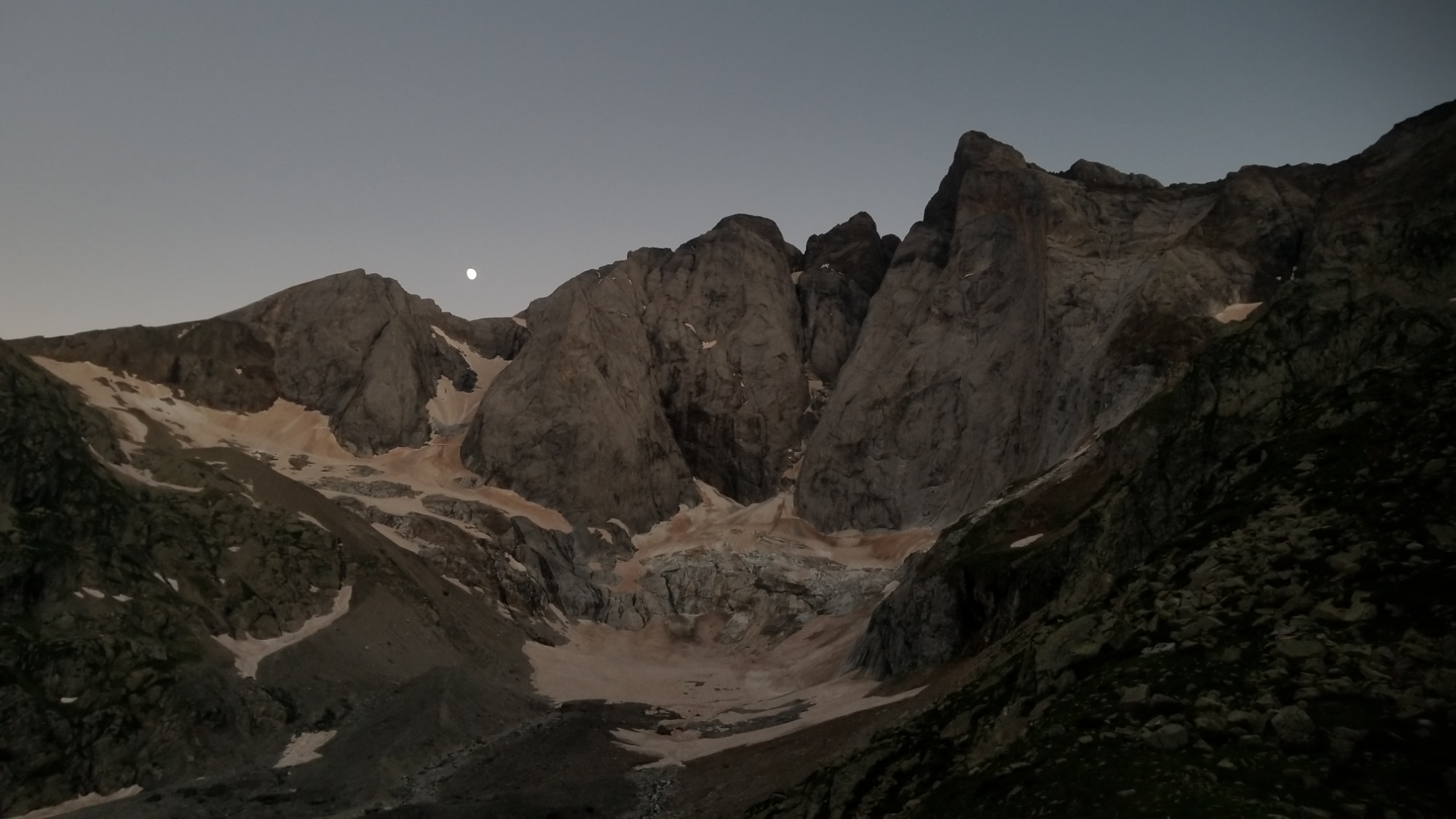
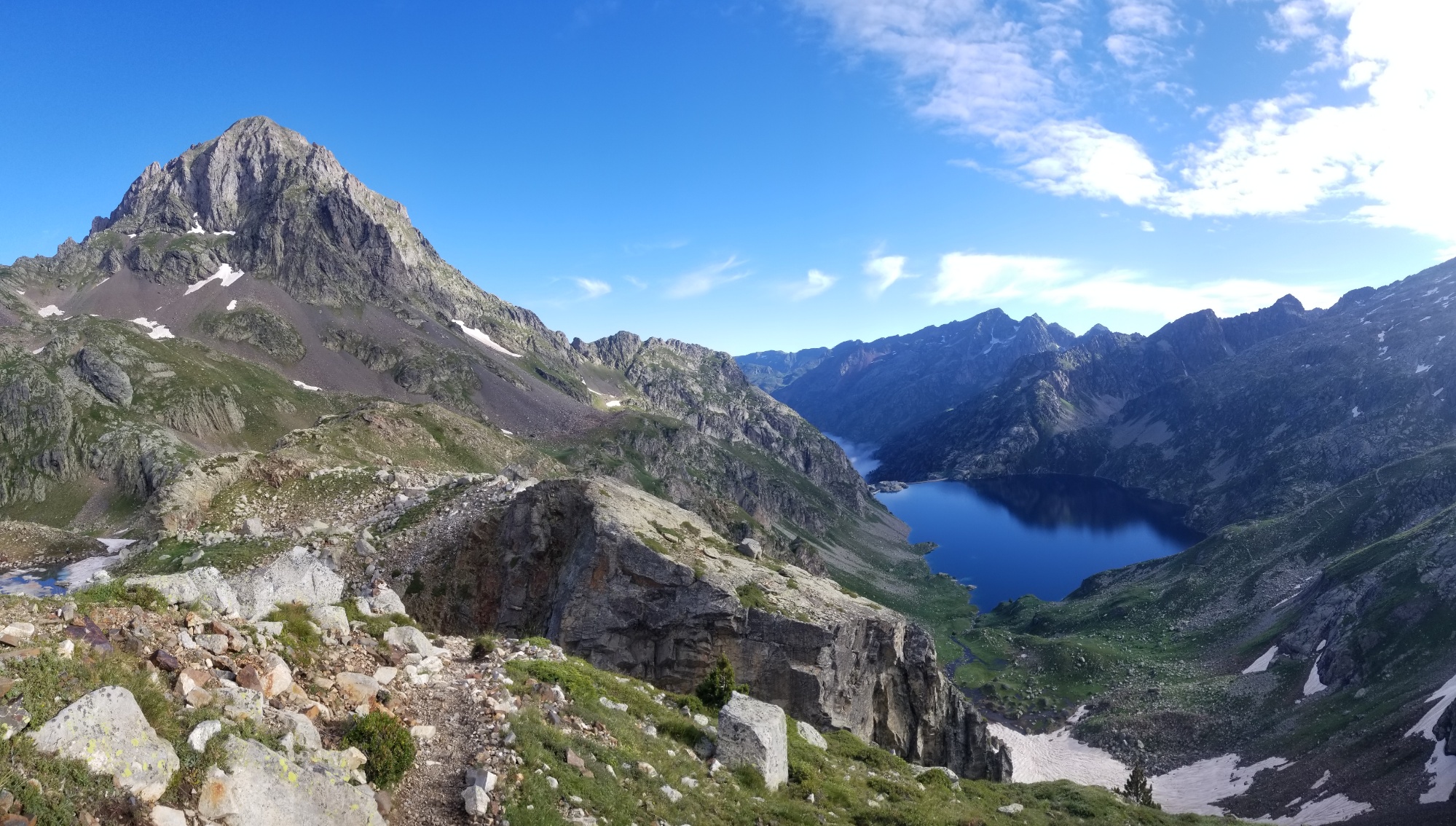
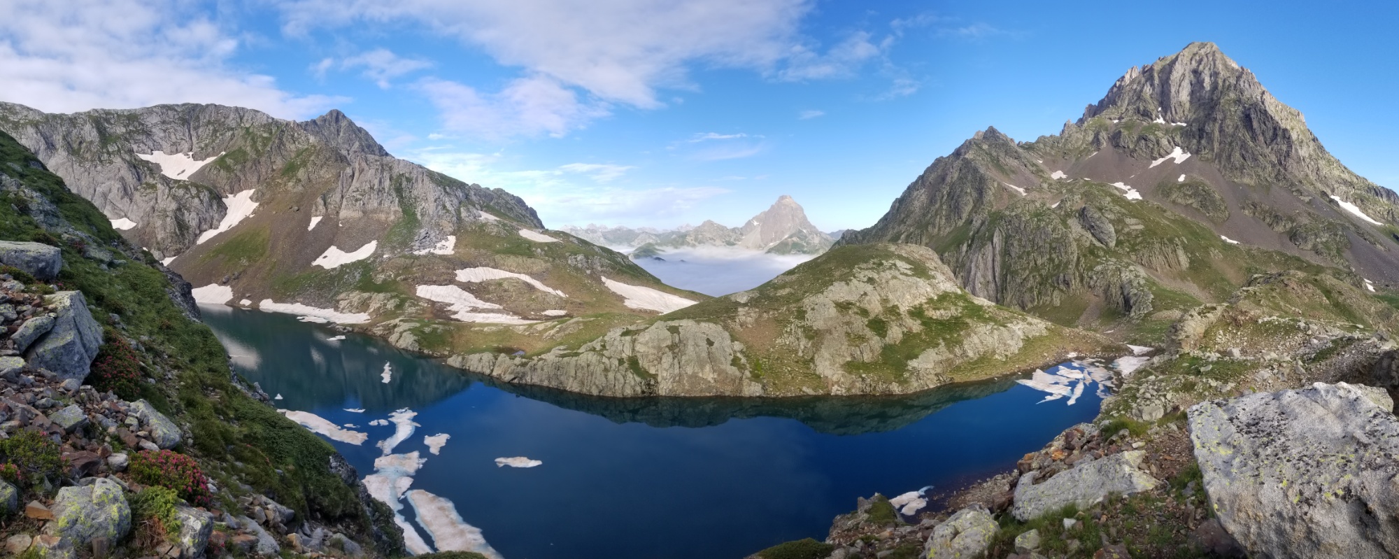
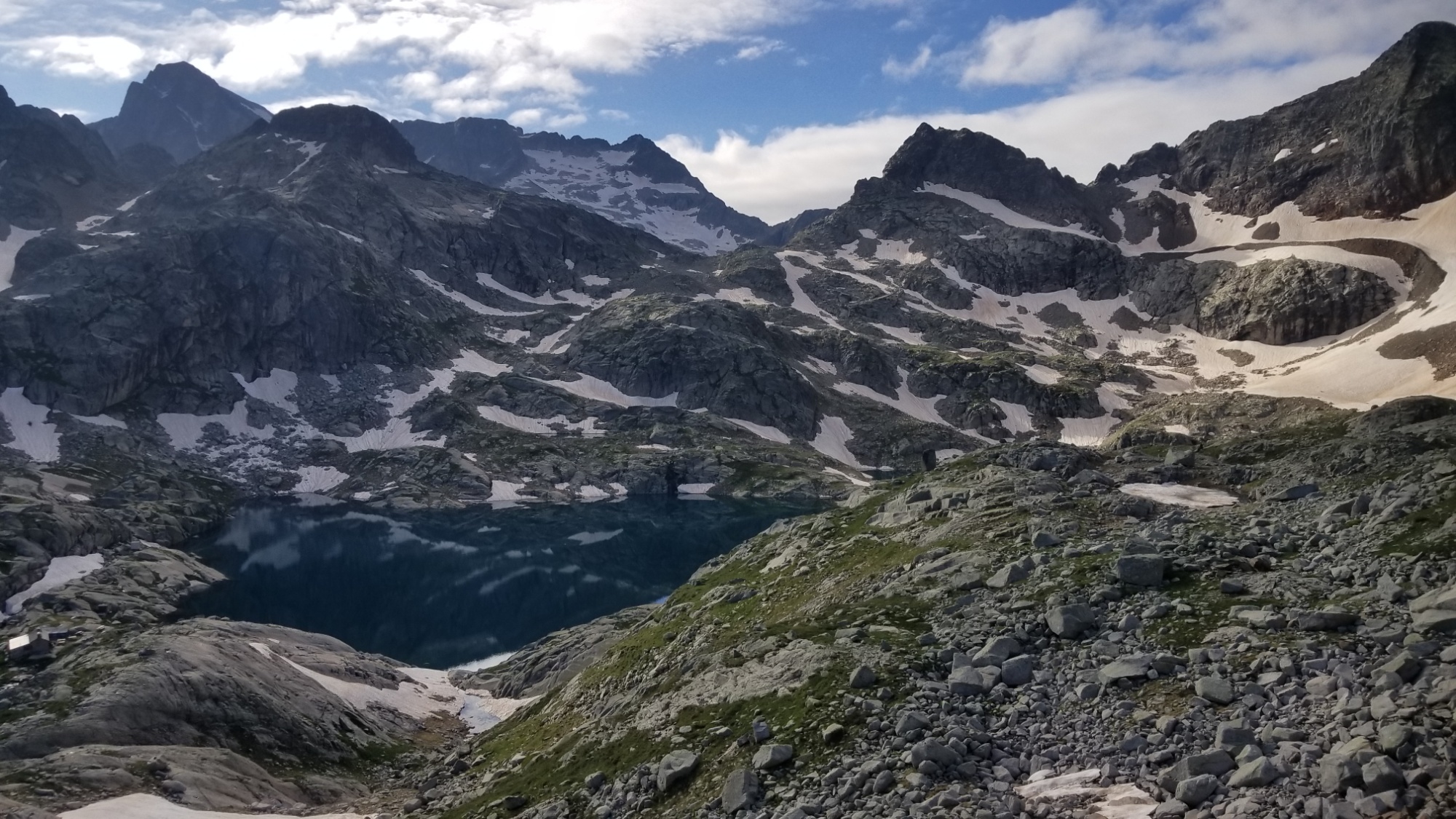
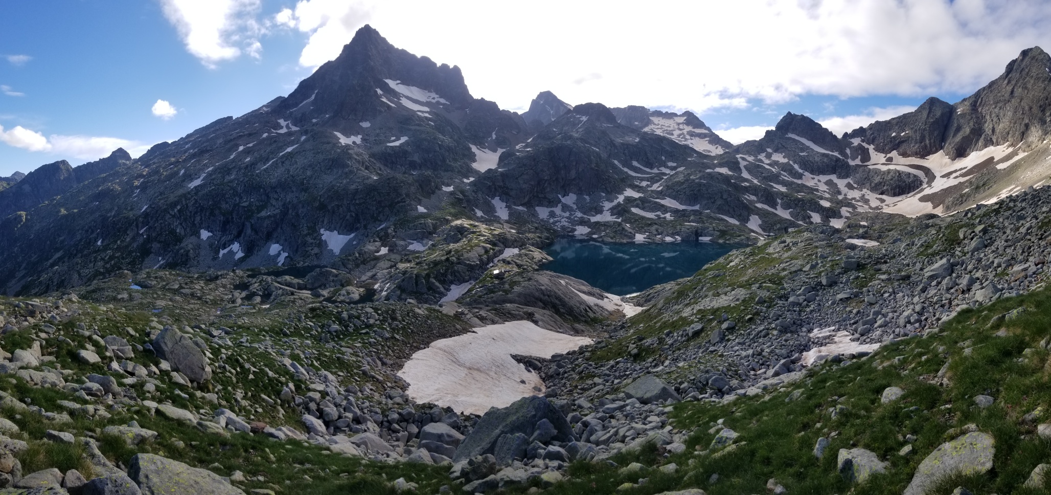
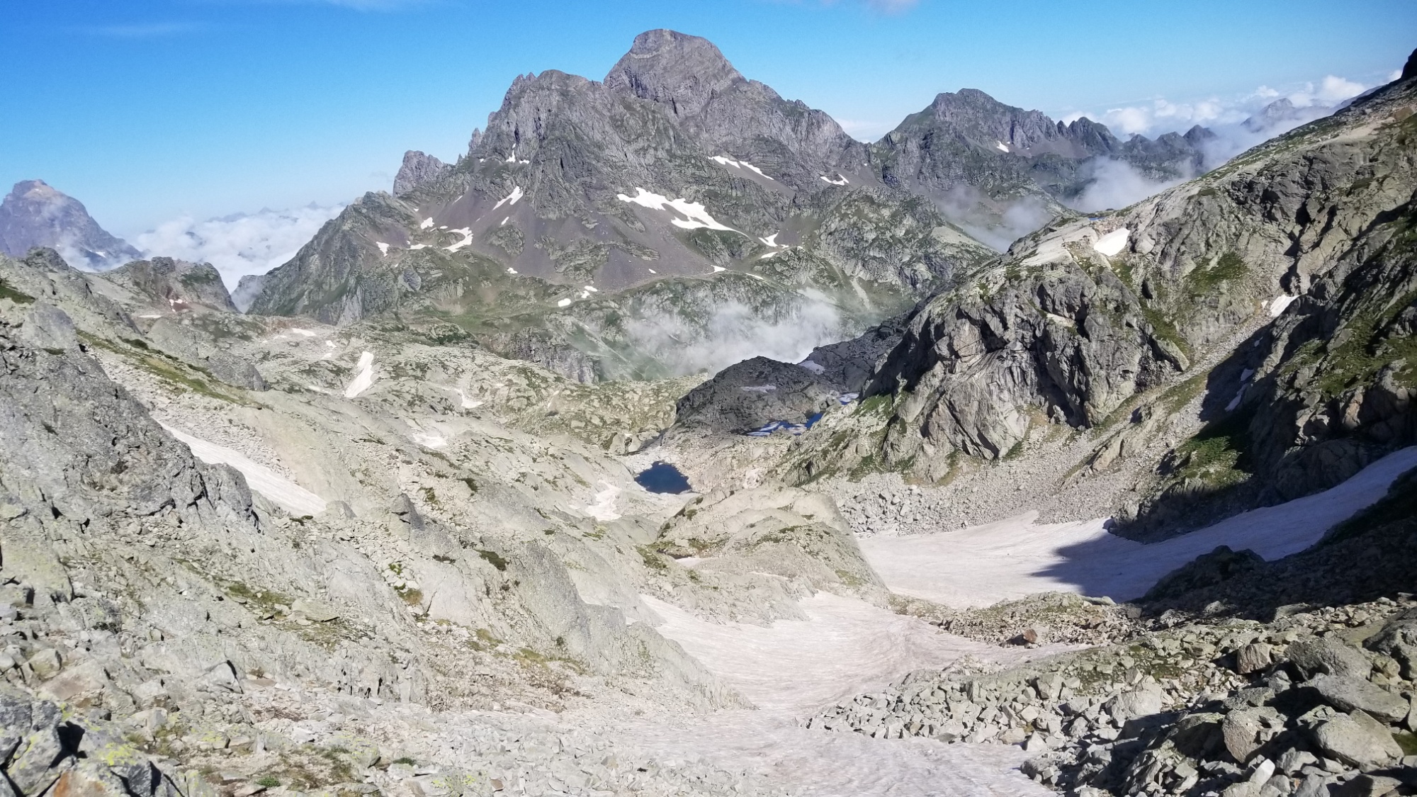
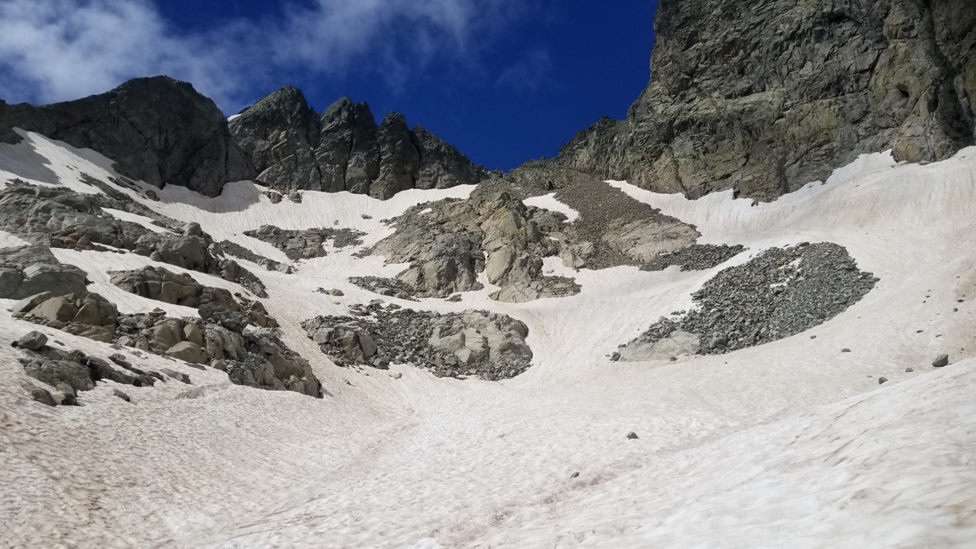
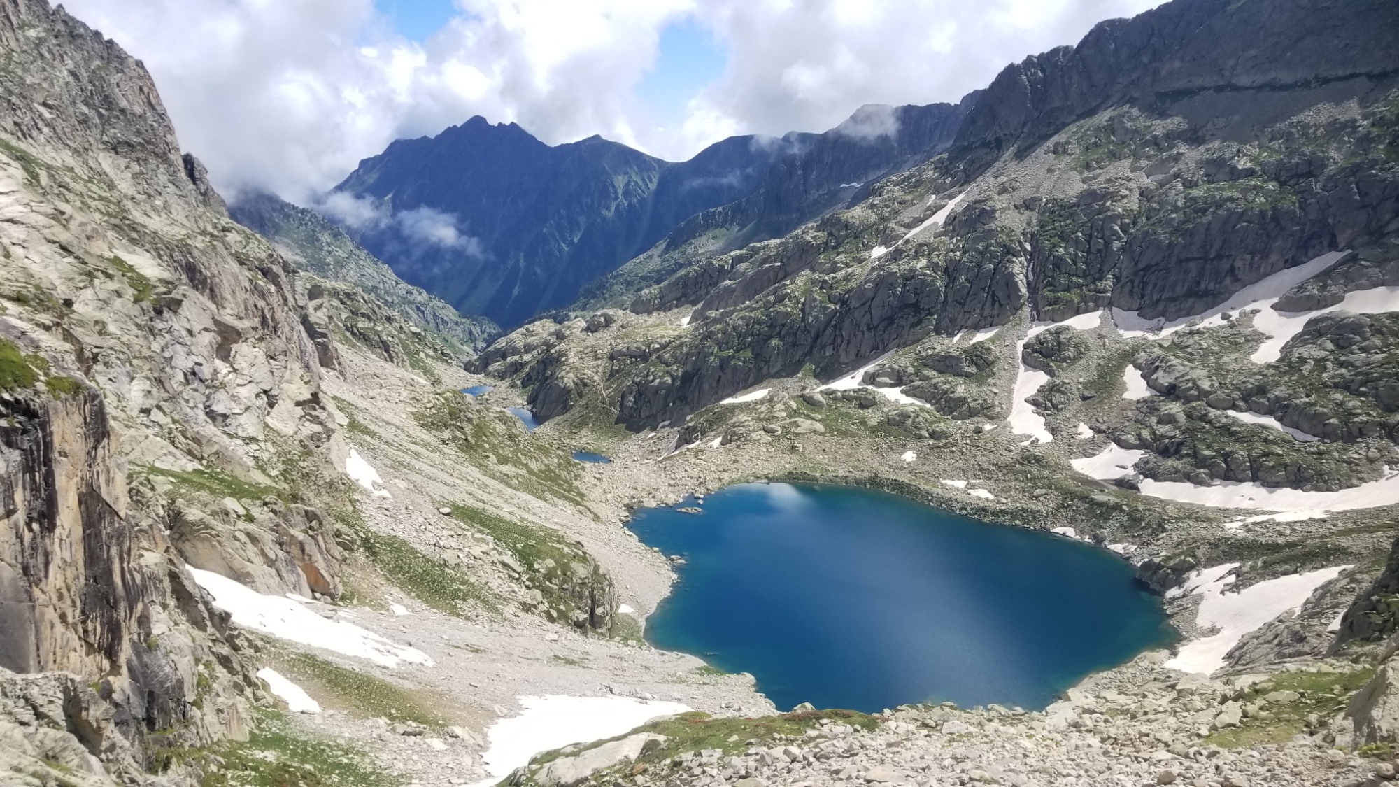
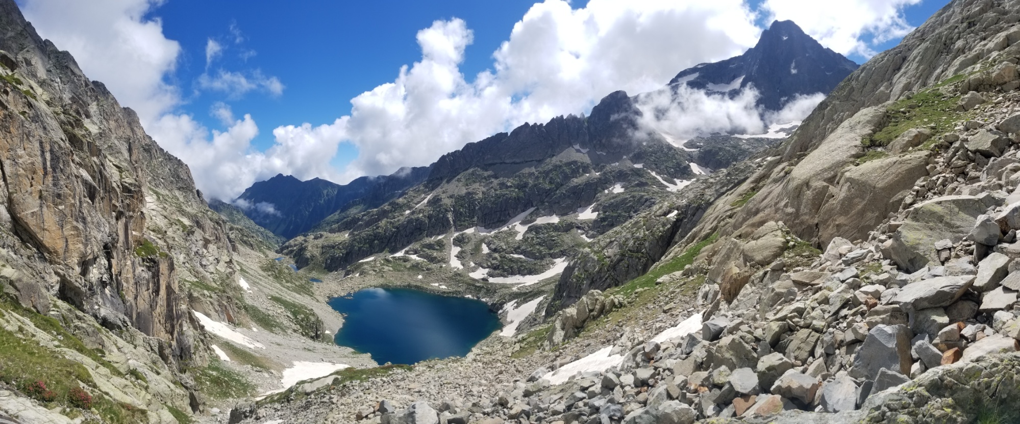
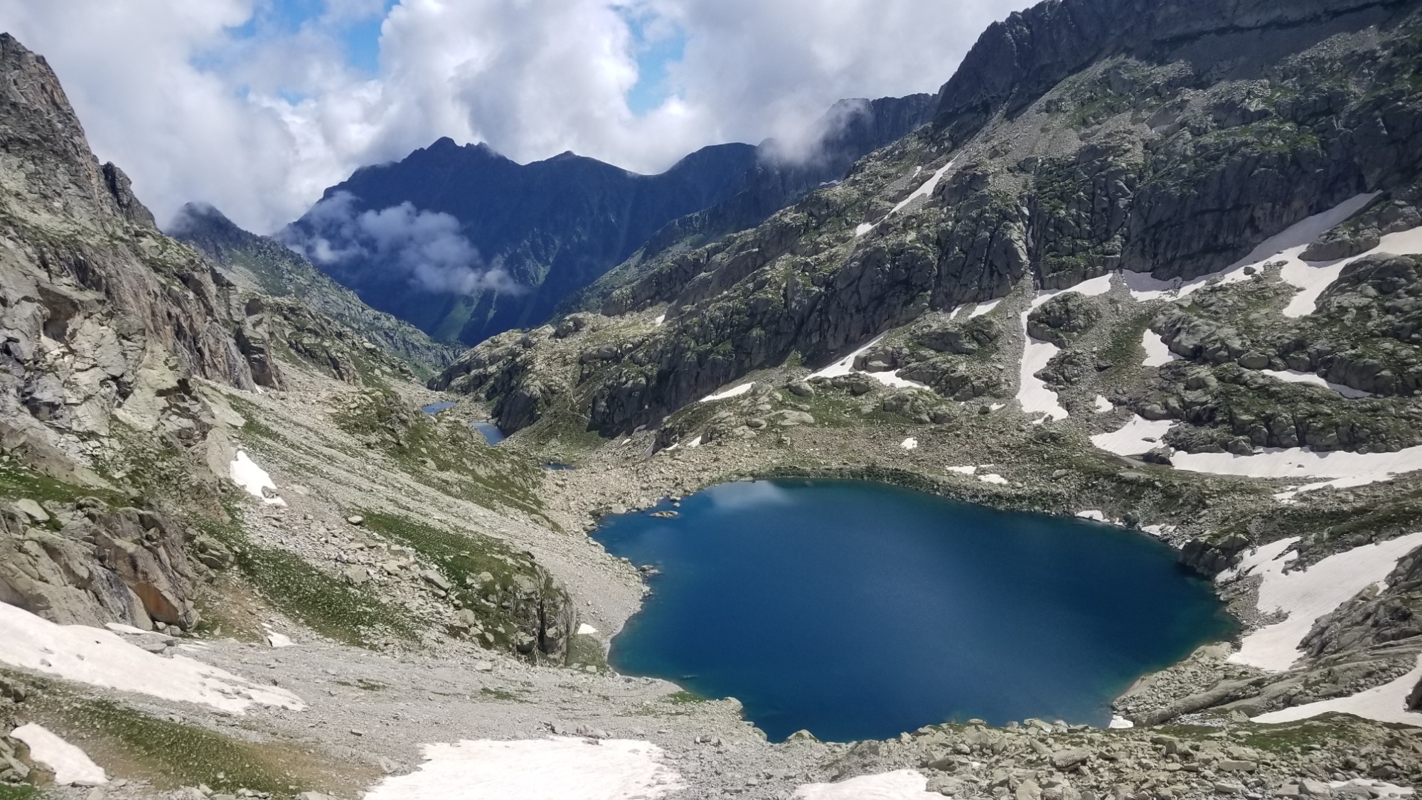
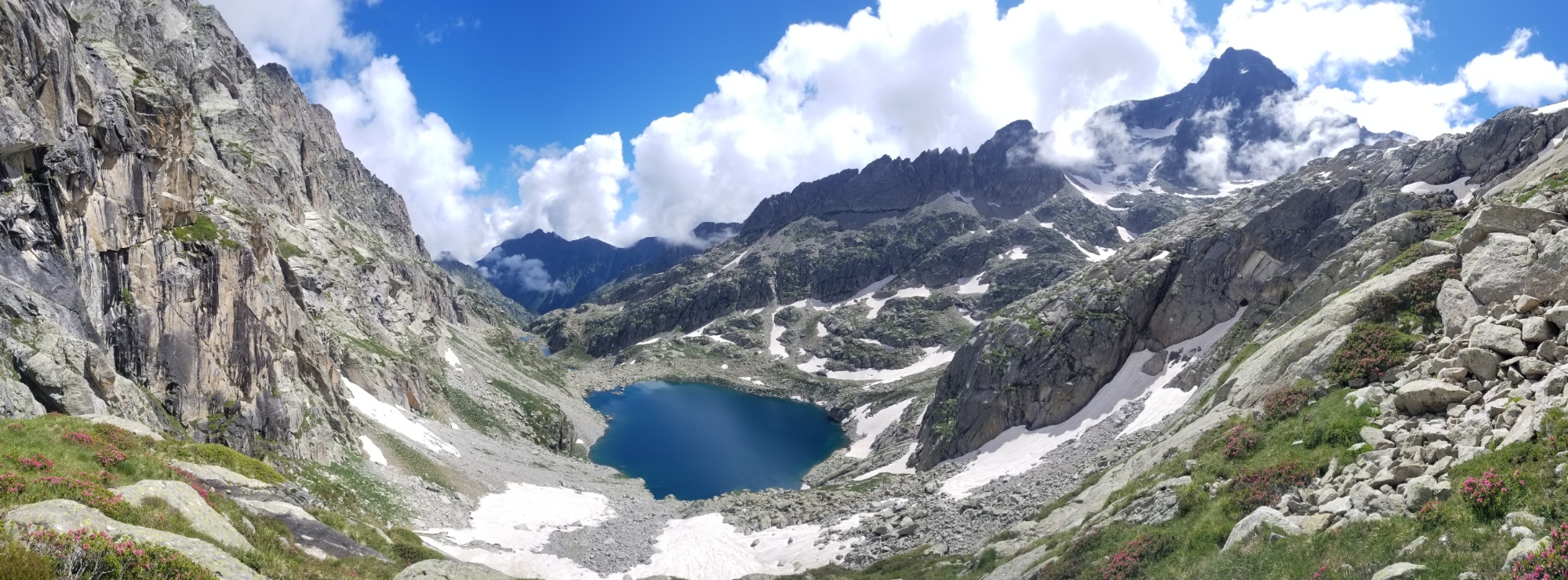
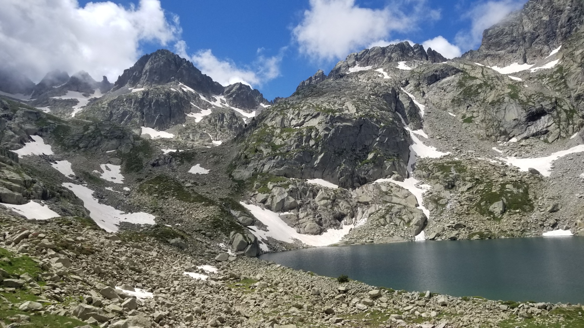
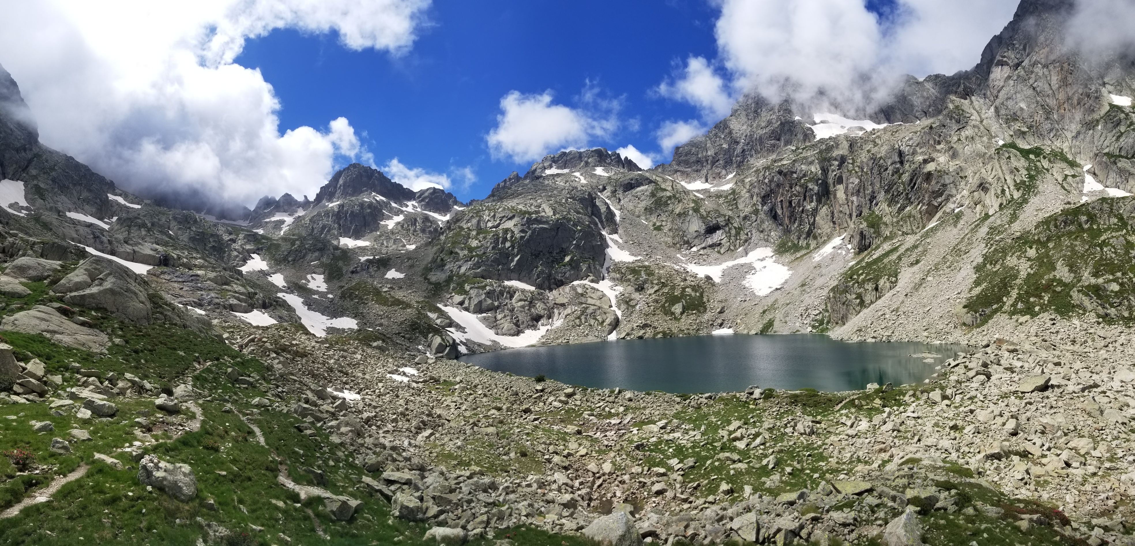
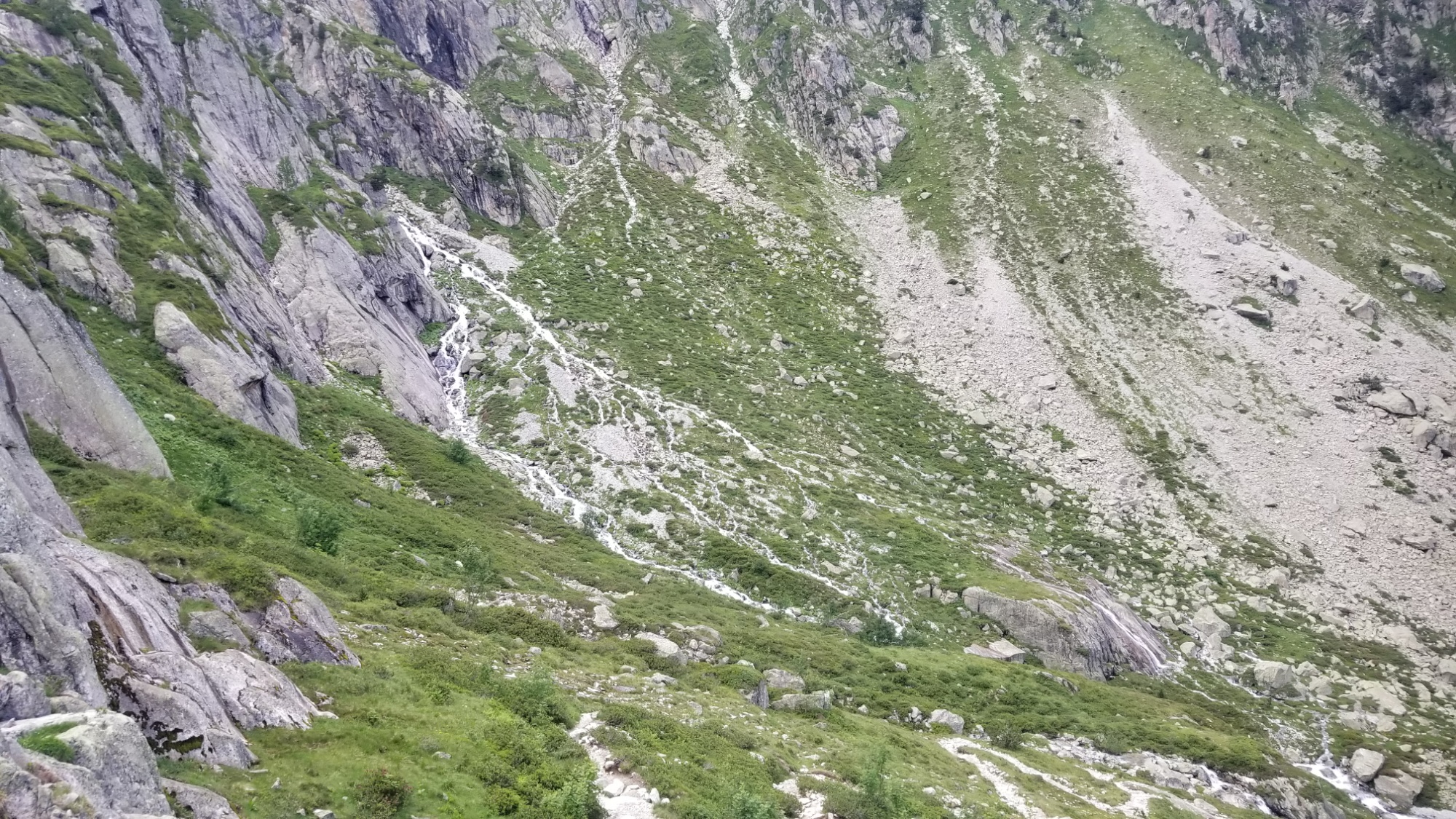
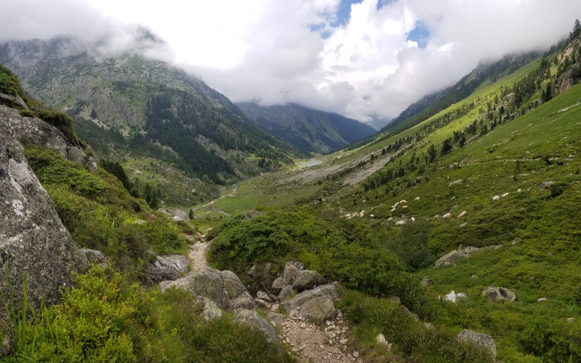
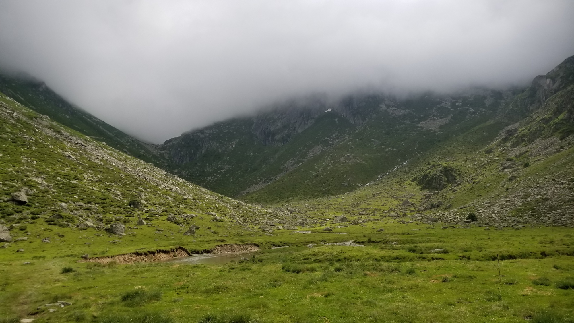
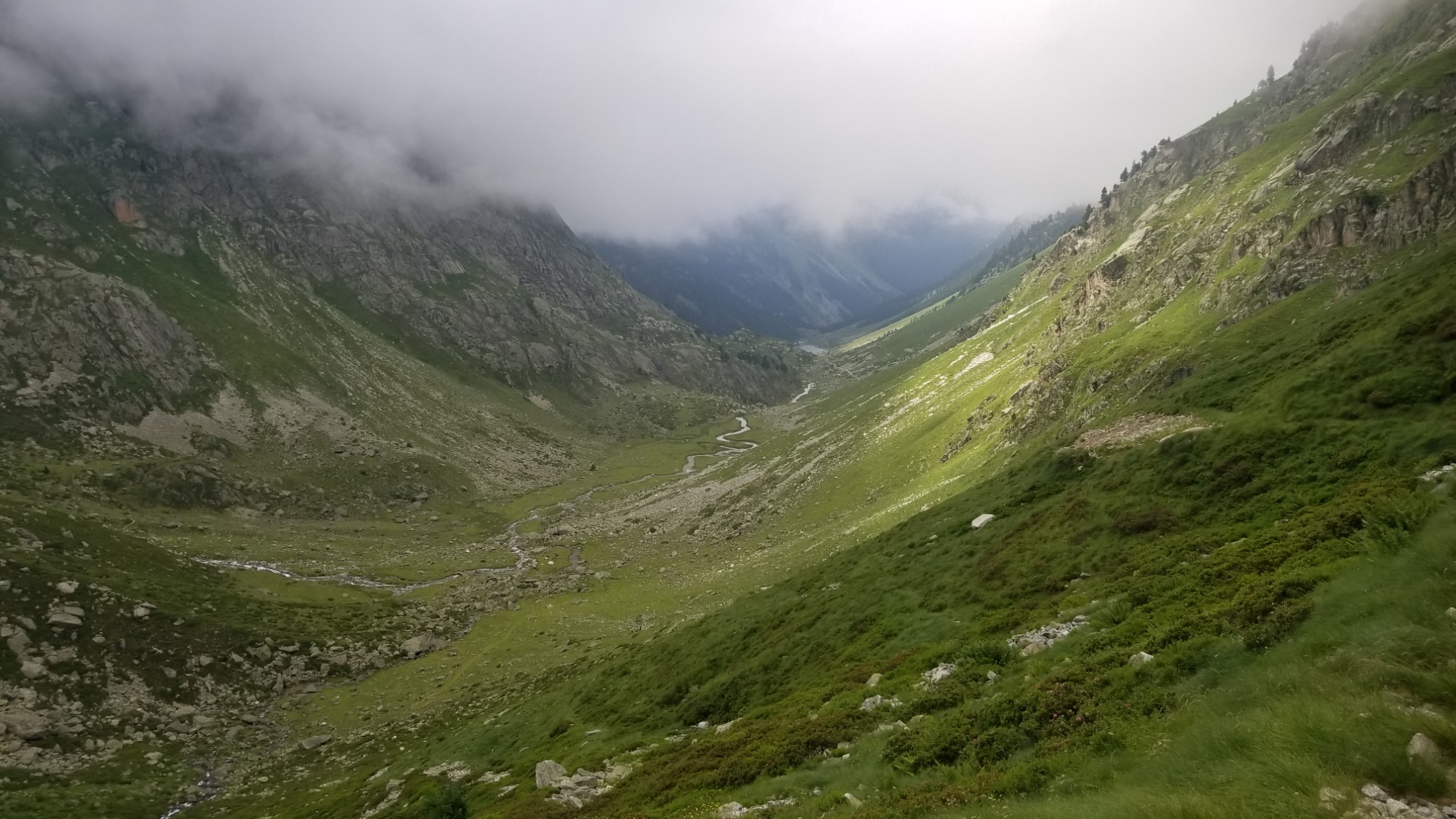
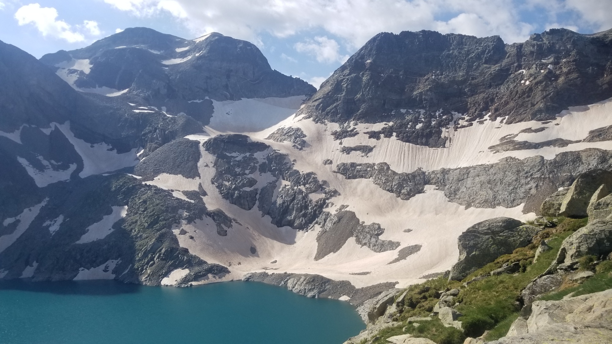
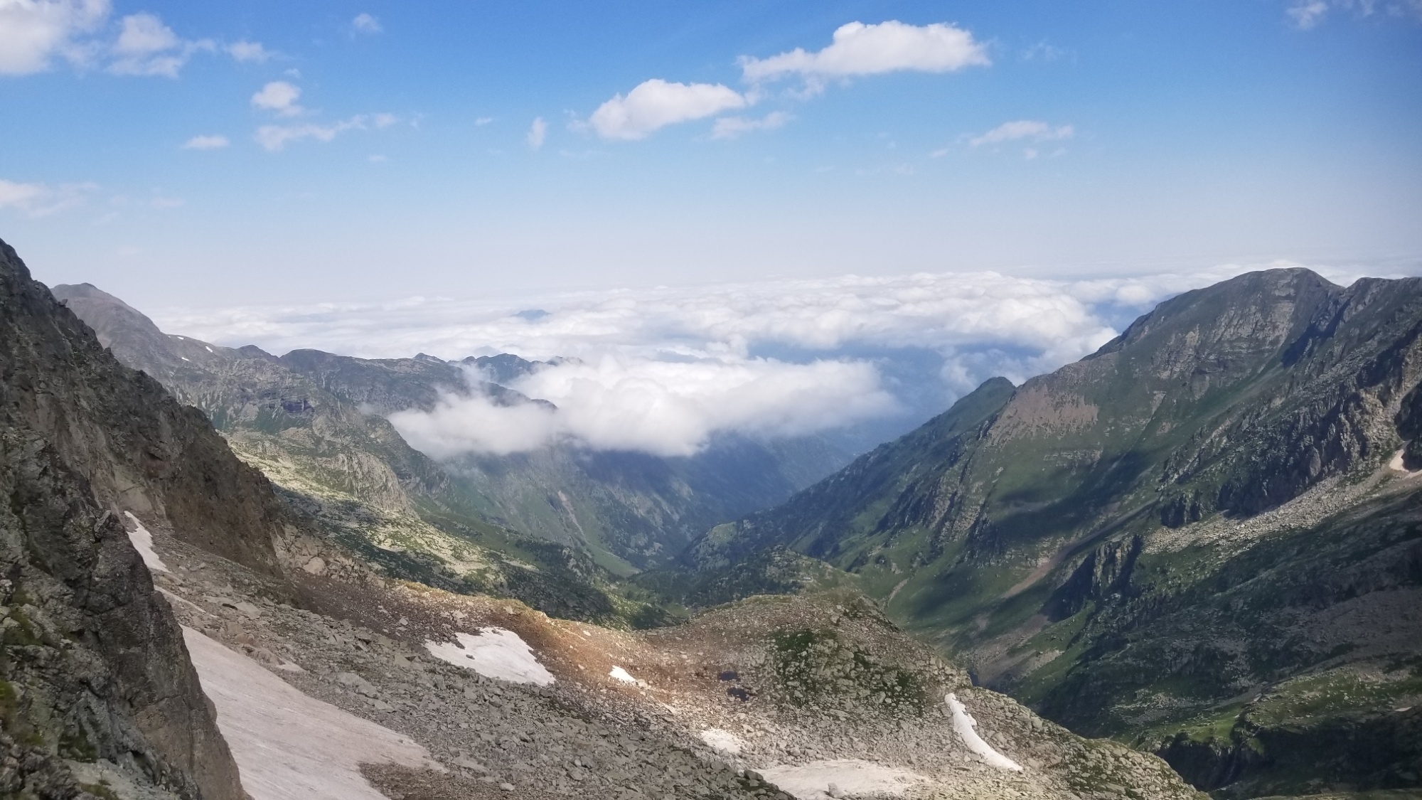
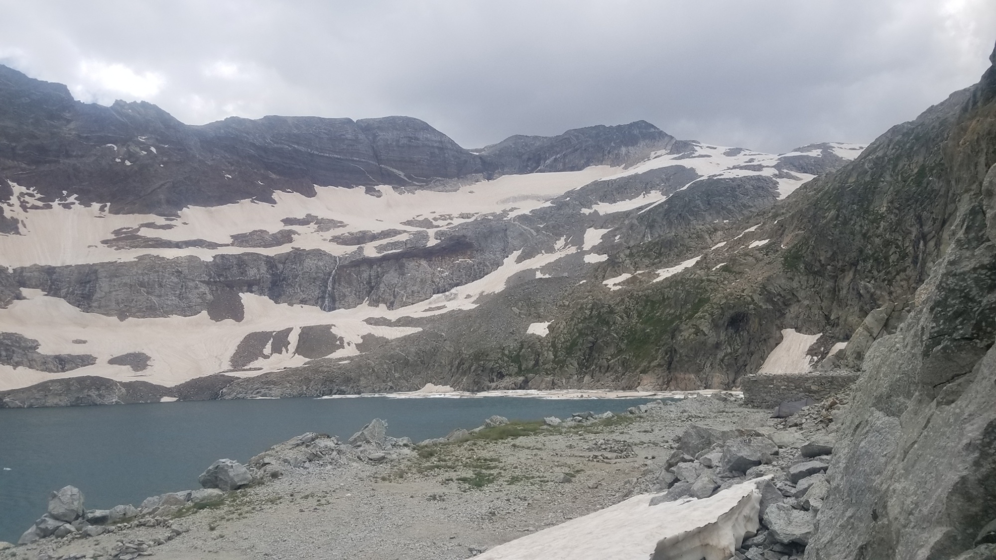
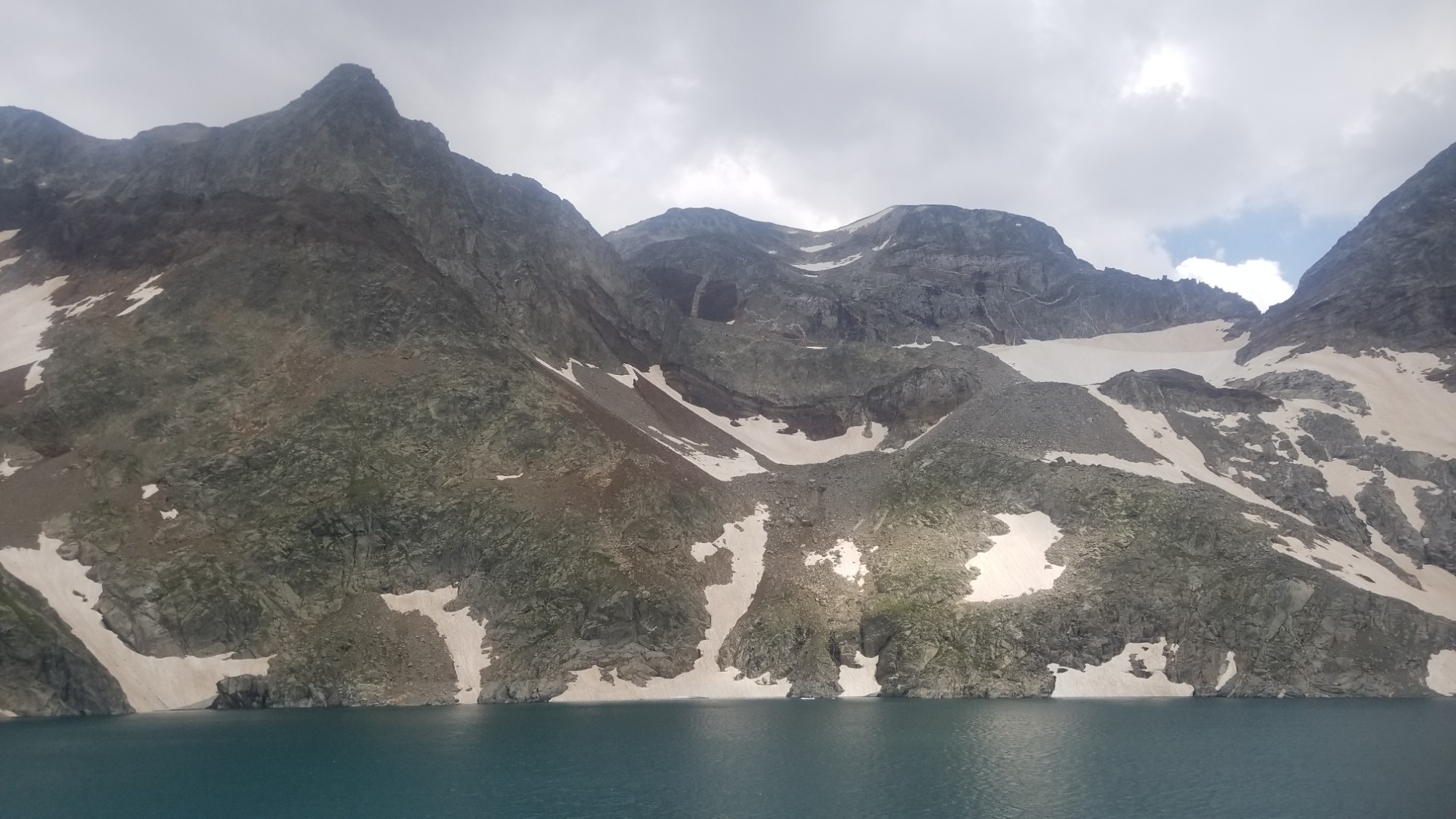
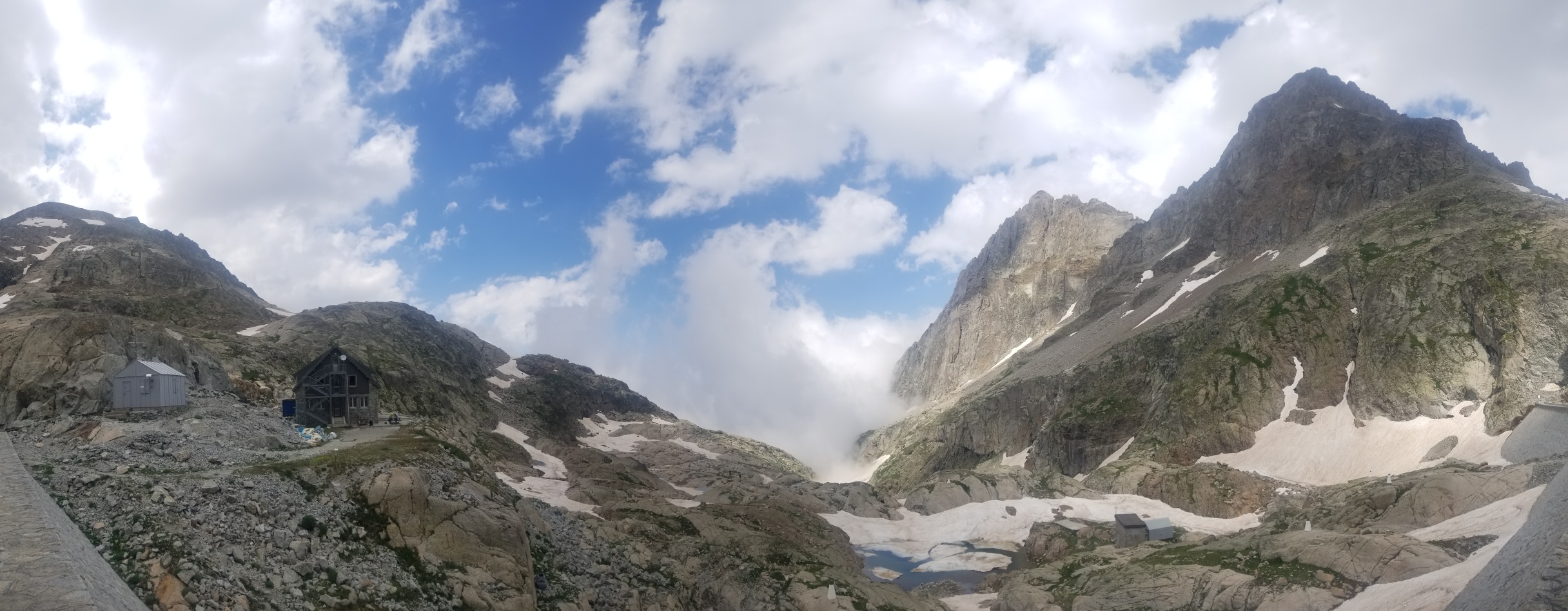
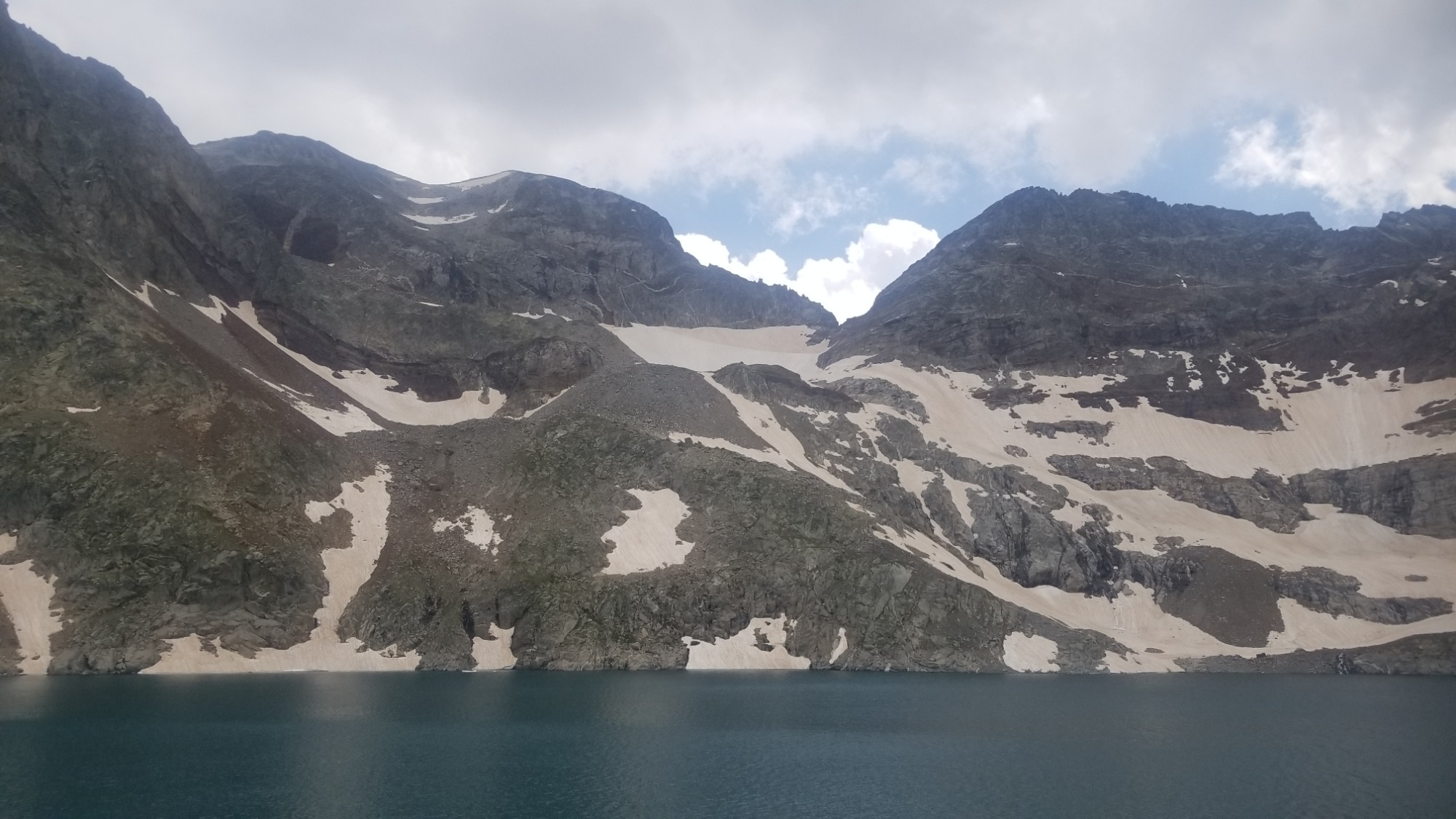
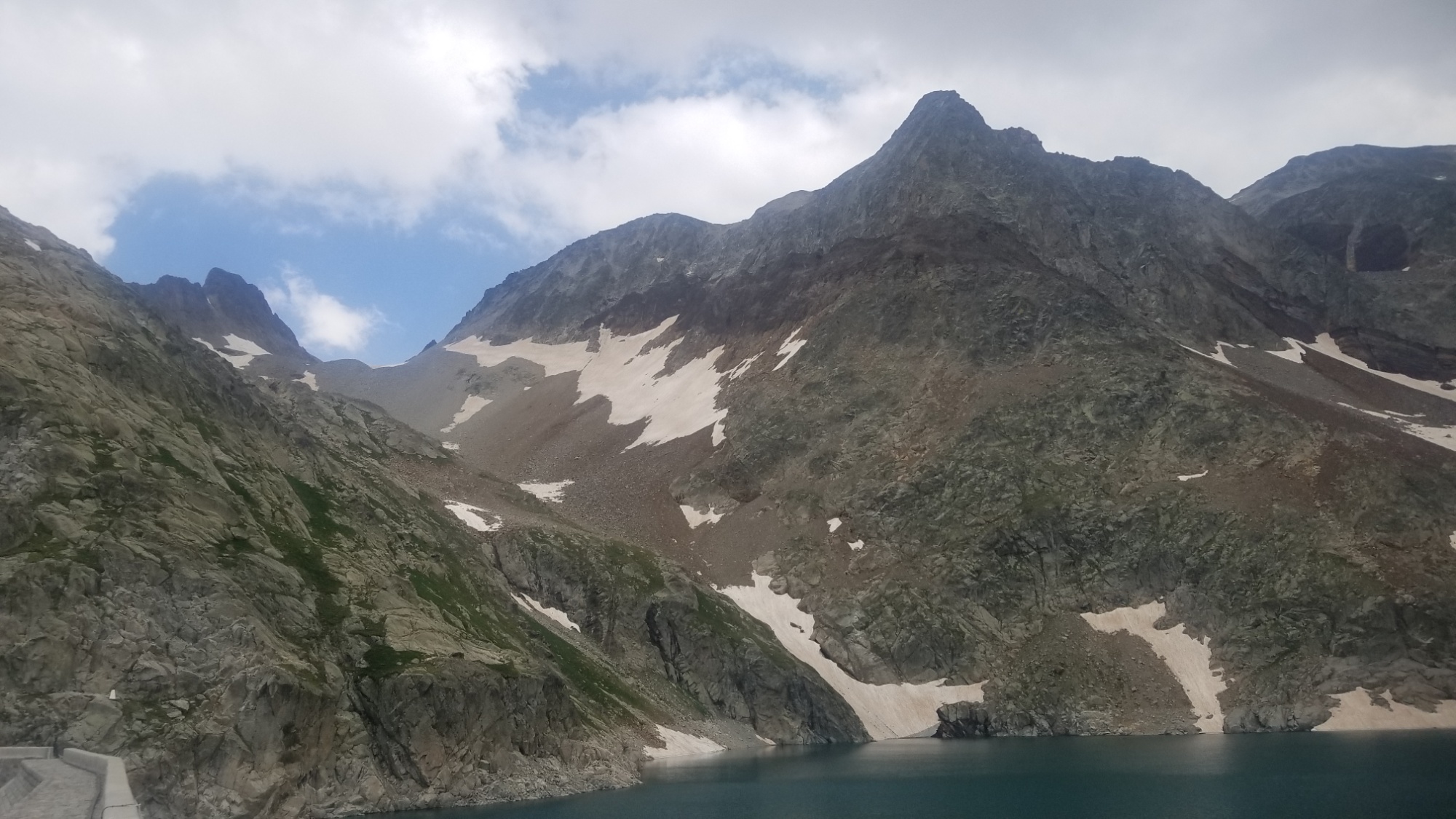
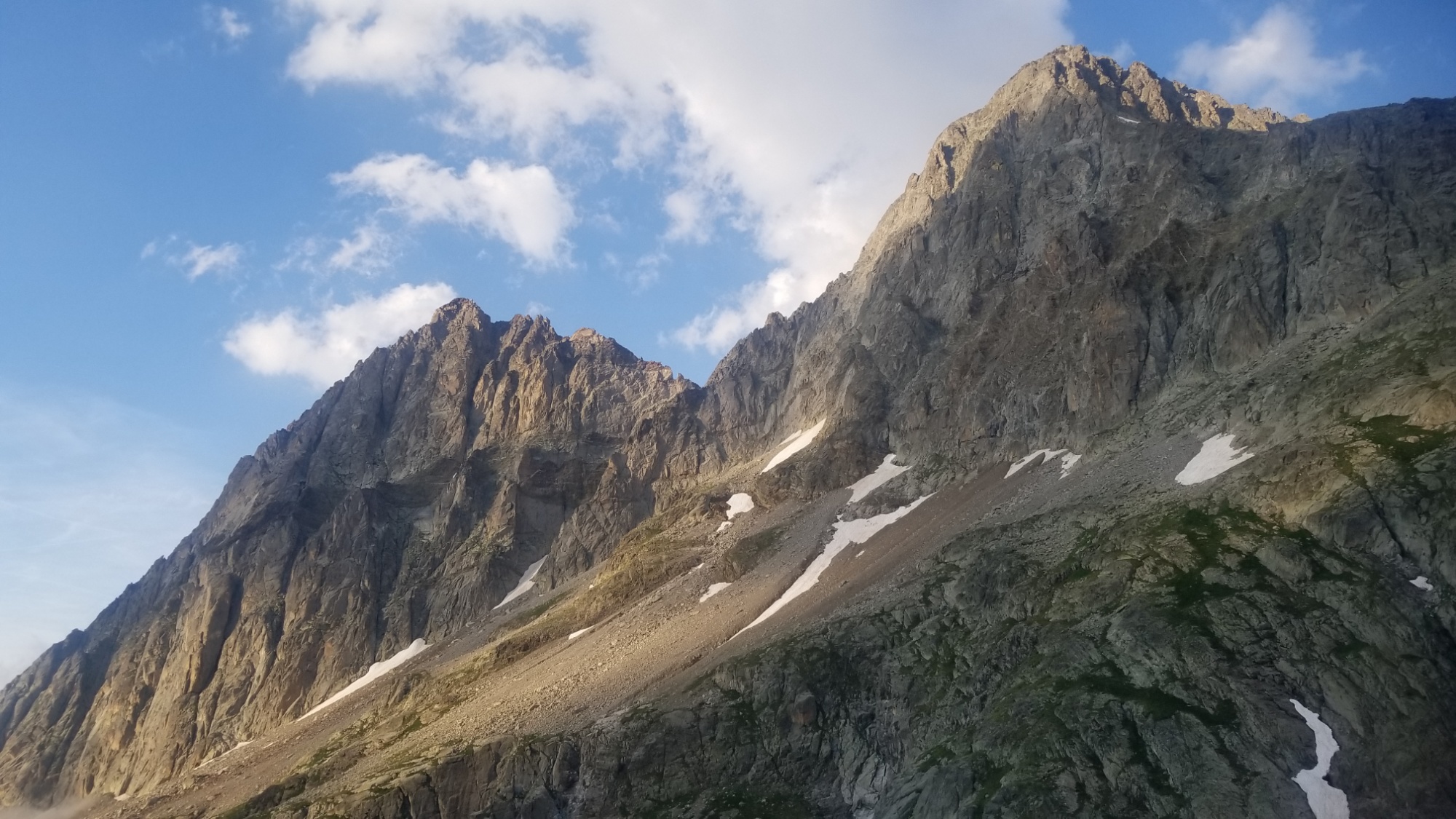
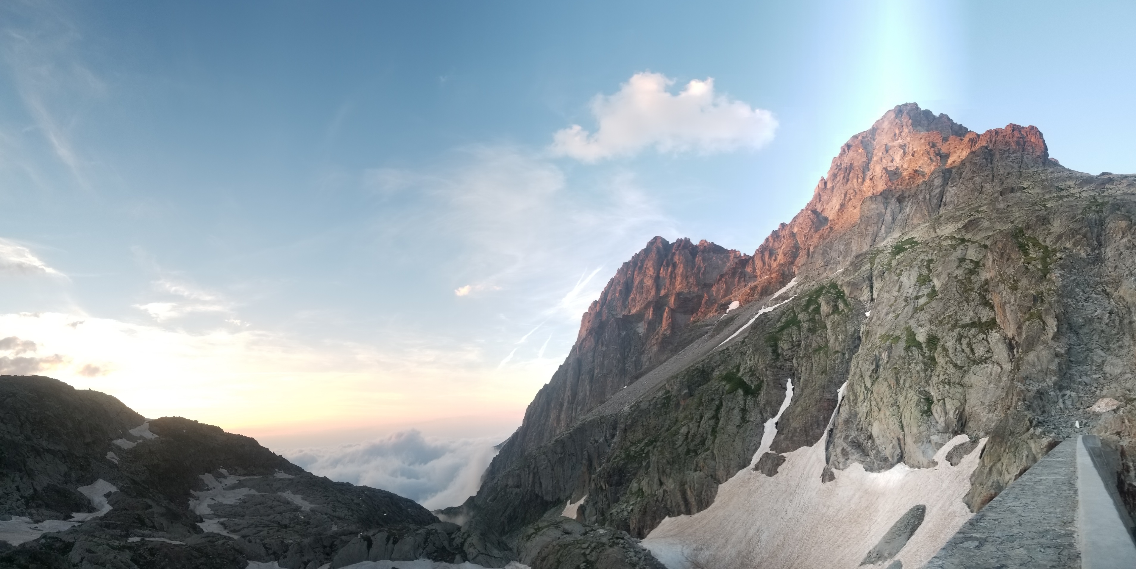
It’s been amazing and overwhelming how much snow there is in this area of the high Pyrénées! We were not expecting that at all this late into Summertime. We had to hike up about 300m of steep scree slopes to make it up and around the big snow field before we could finally descend on a steep, cairned trail to the refuge.

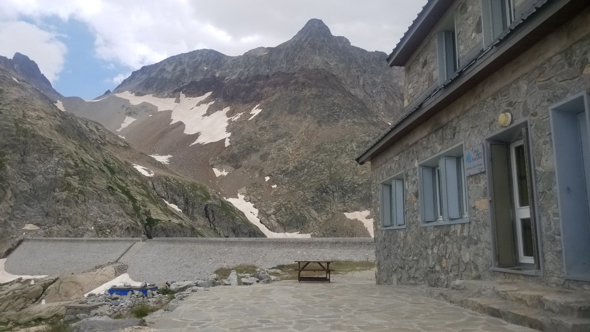
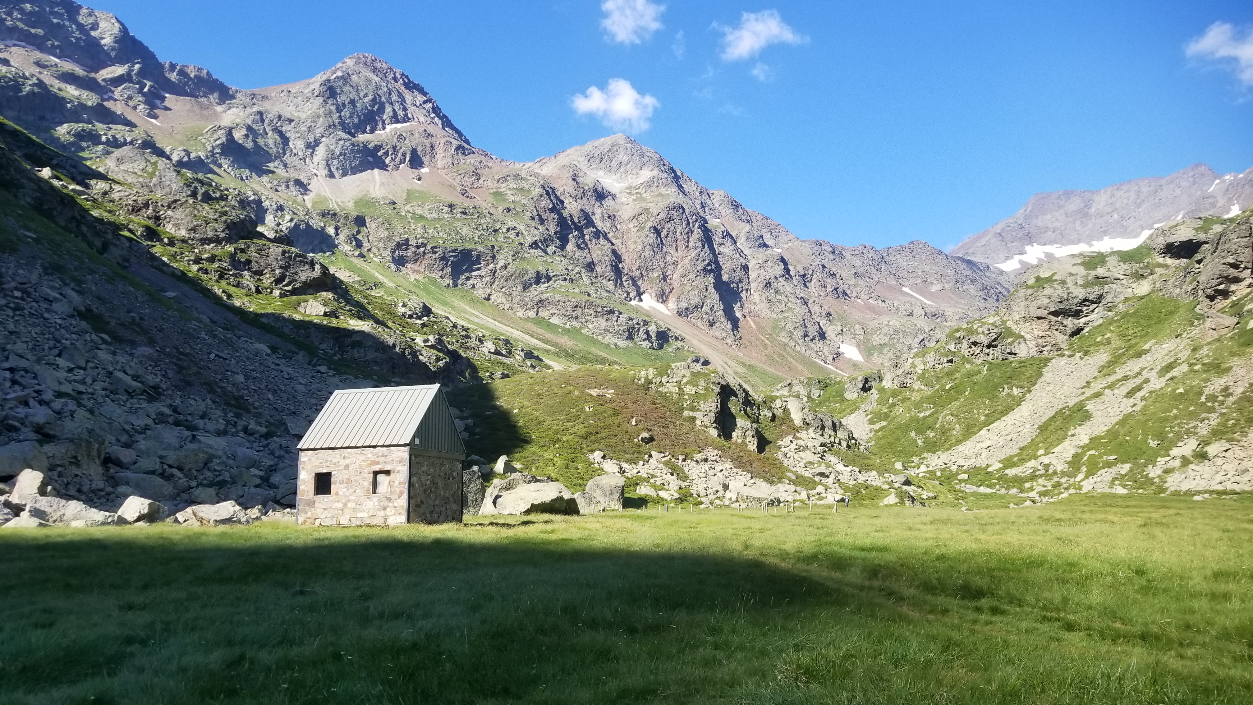
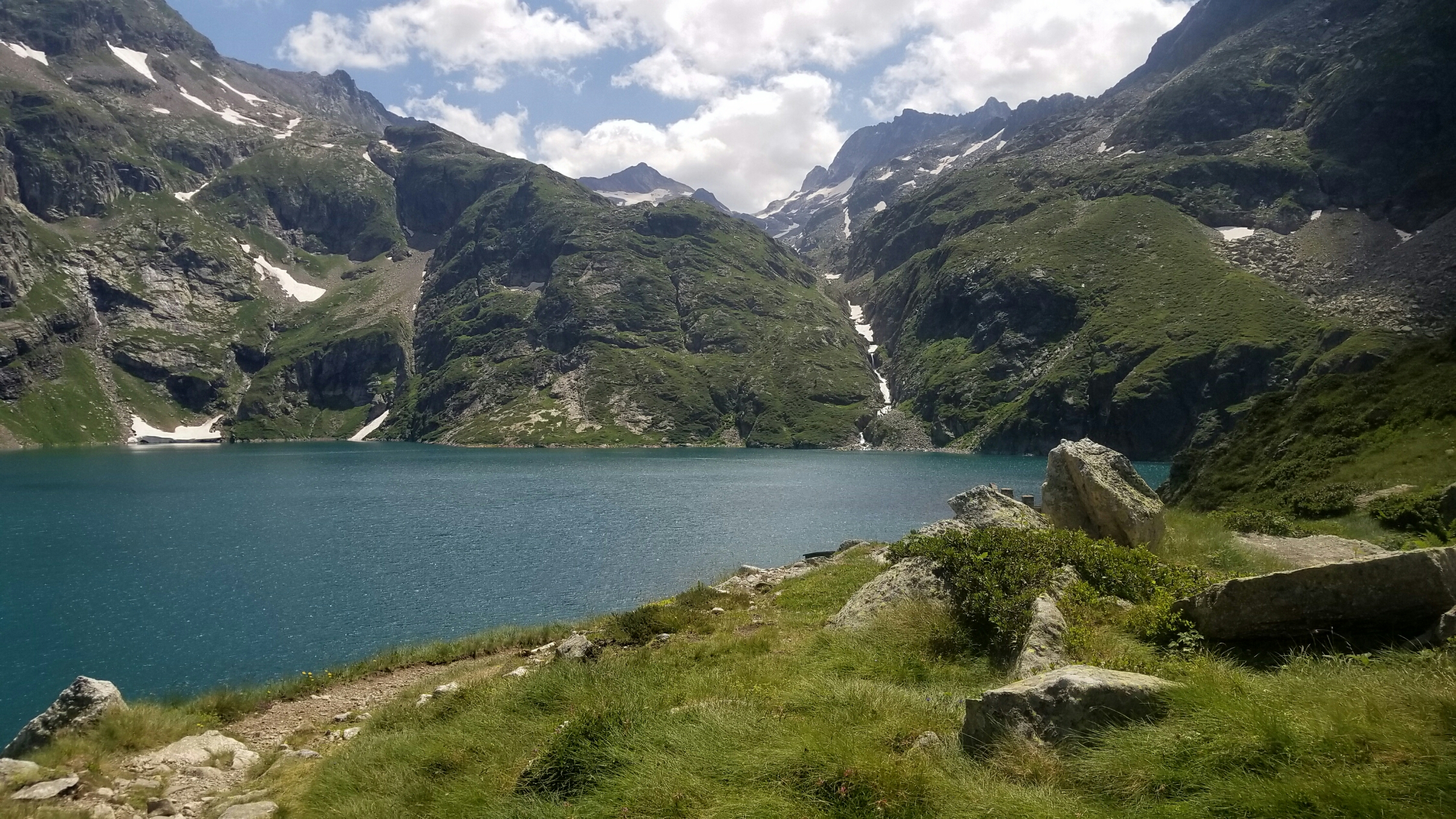
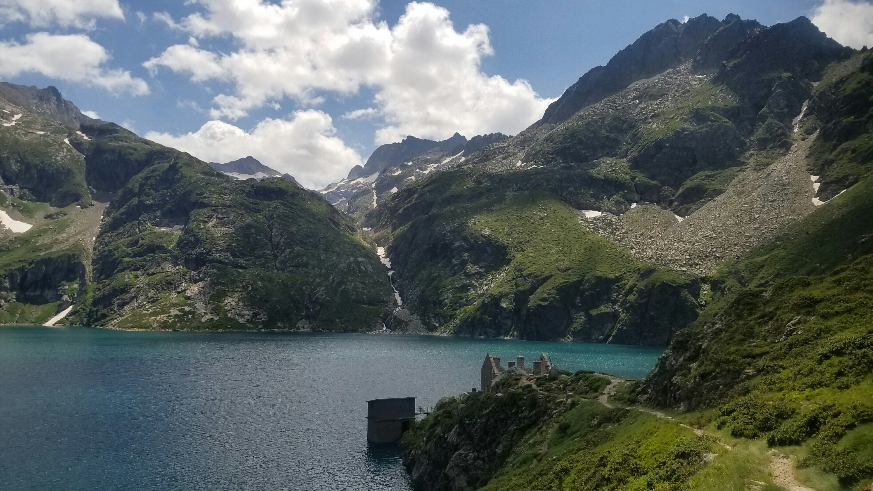
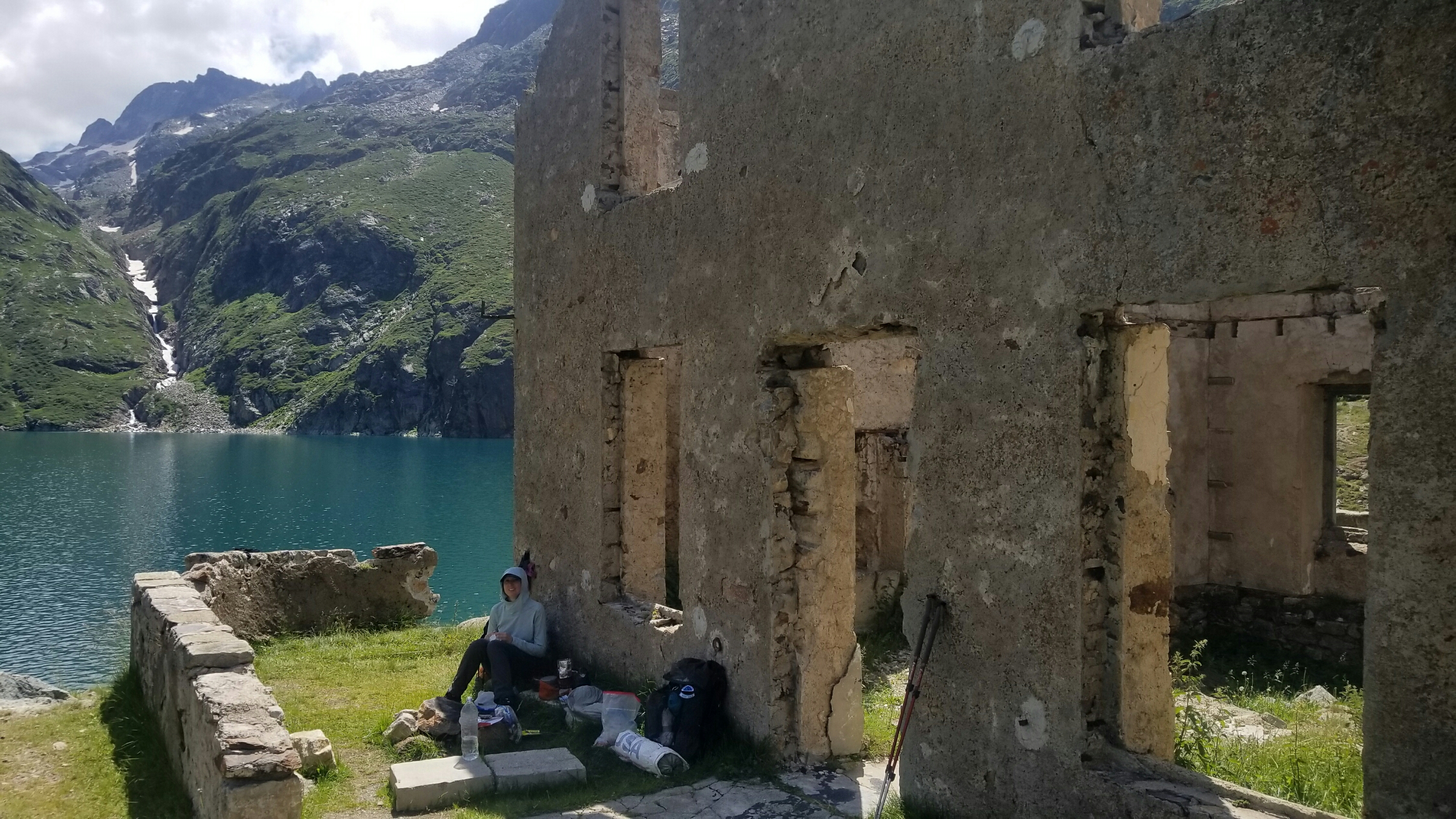
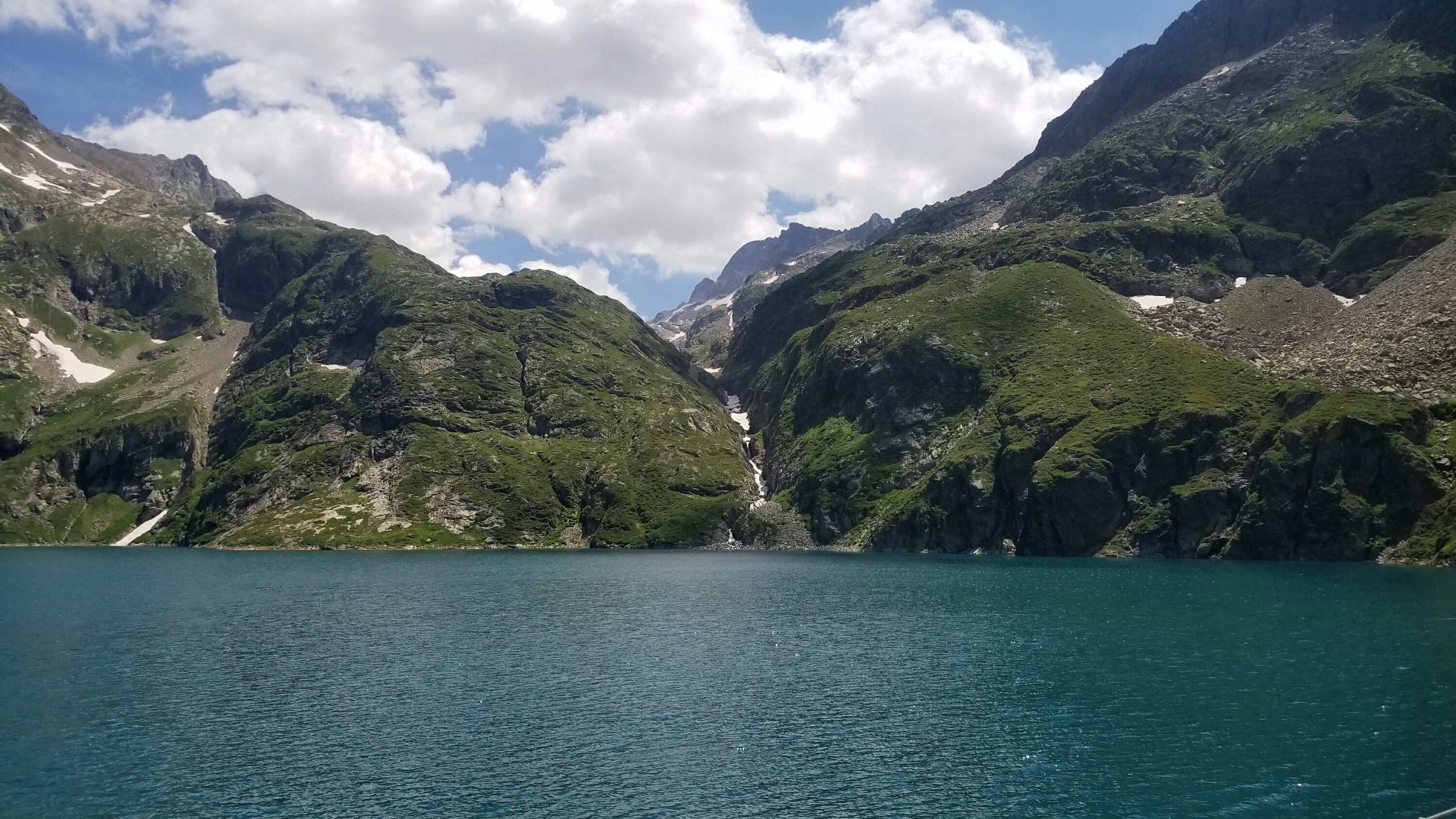
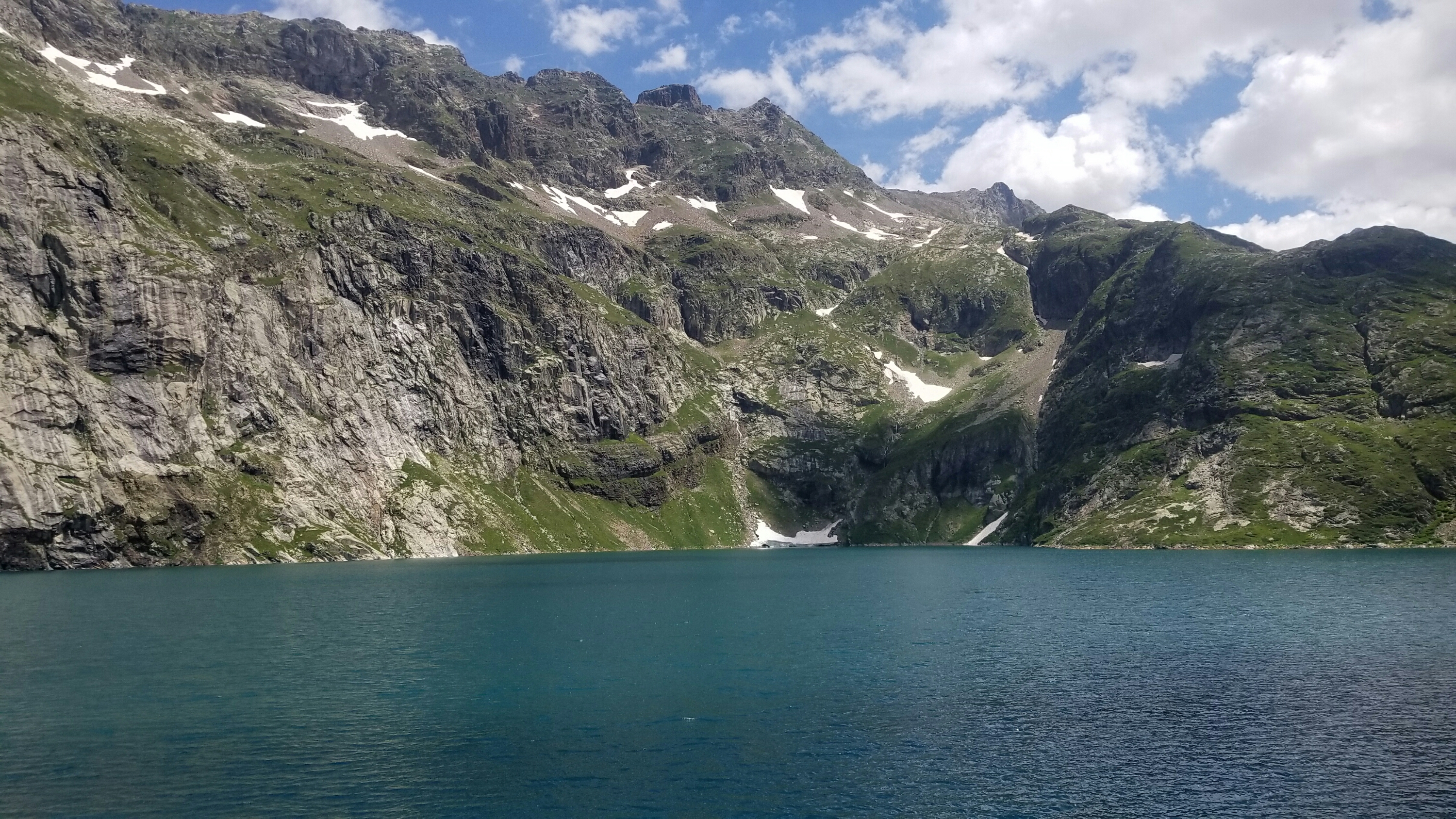
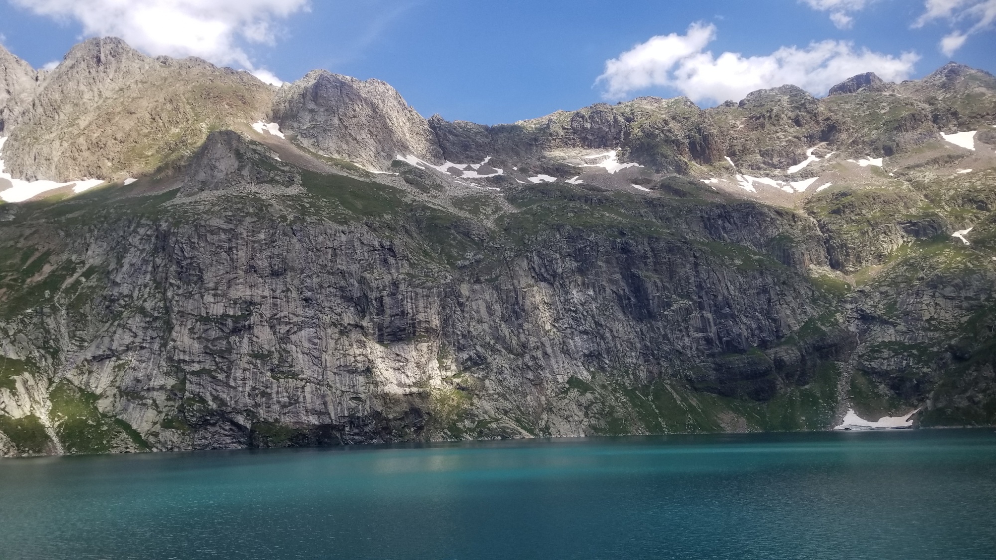
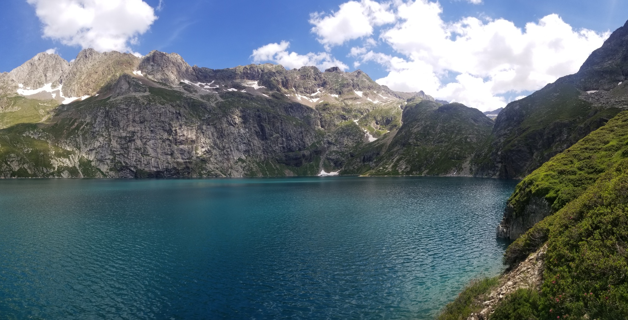
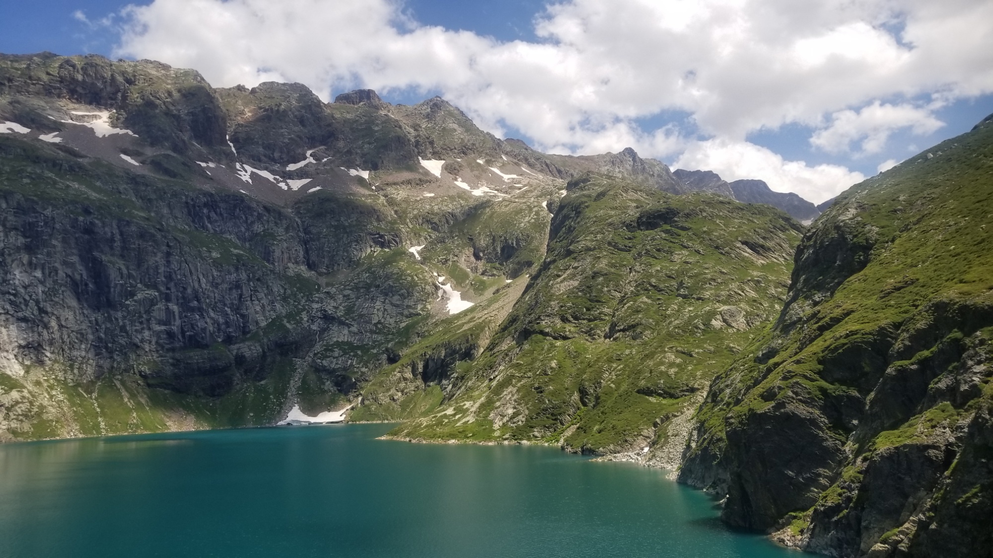
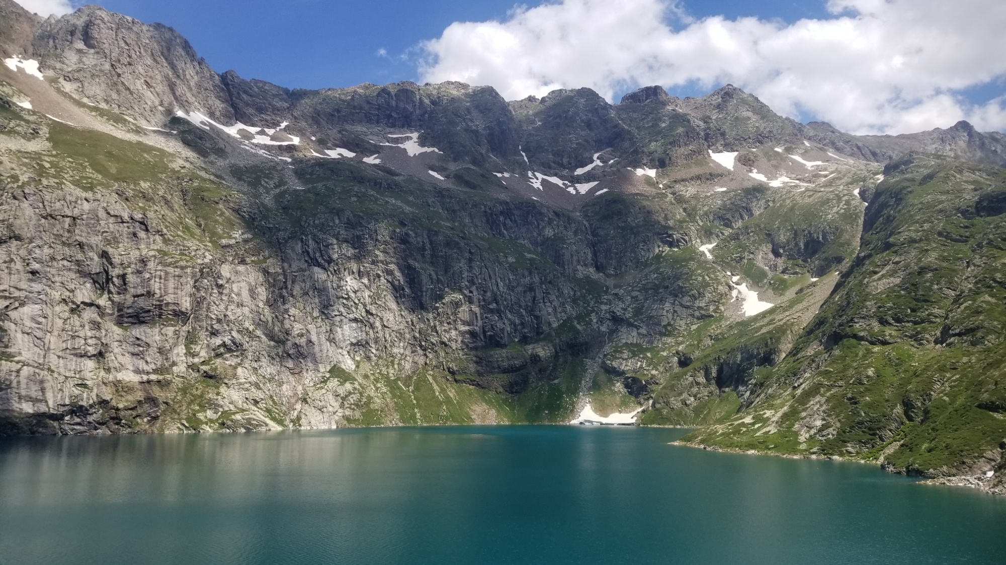
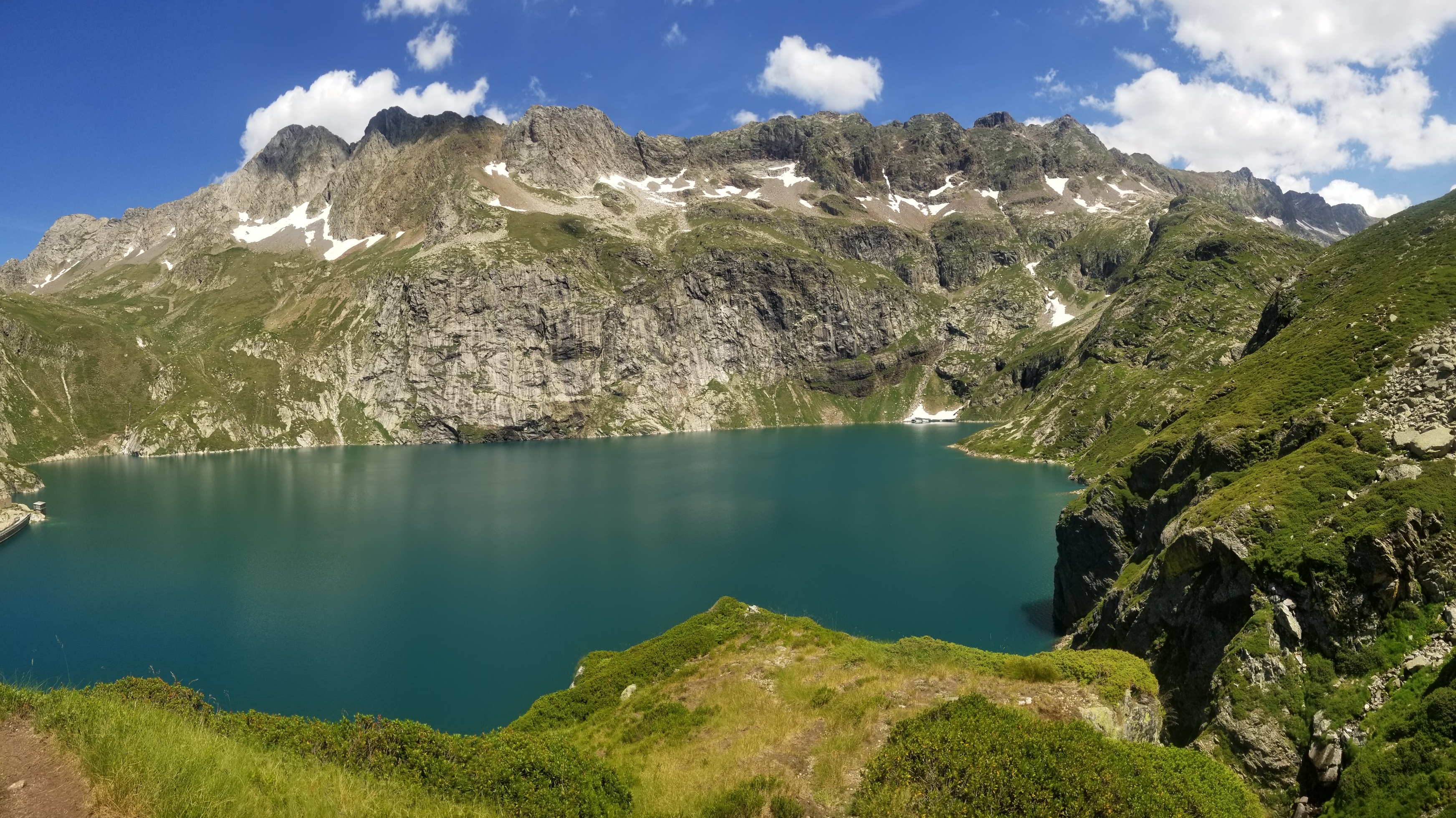
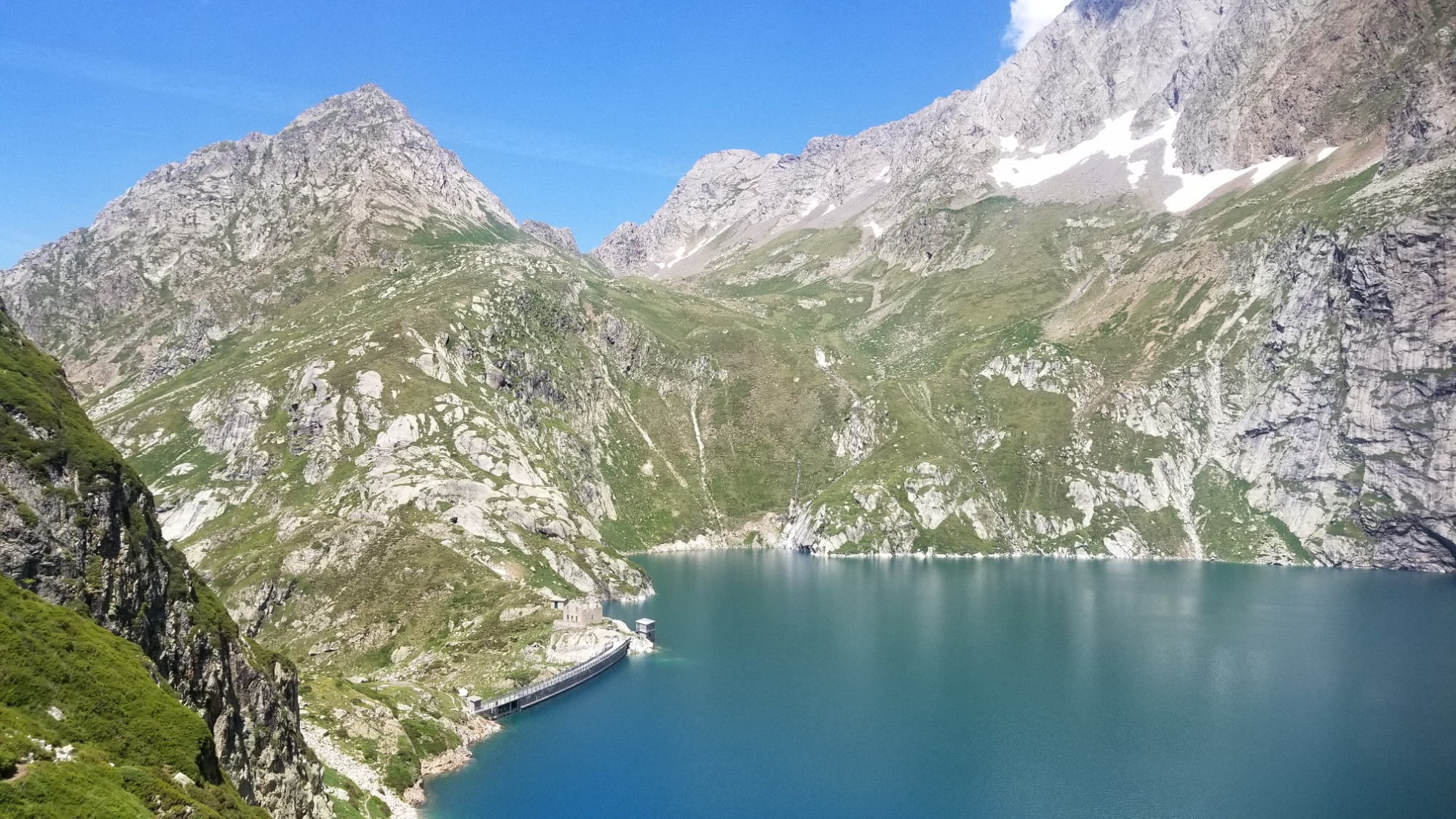
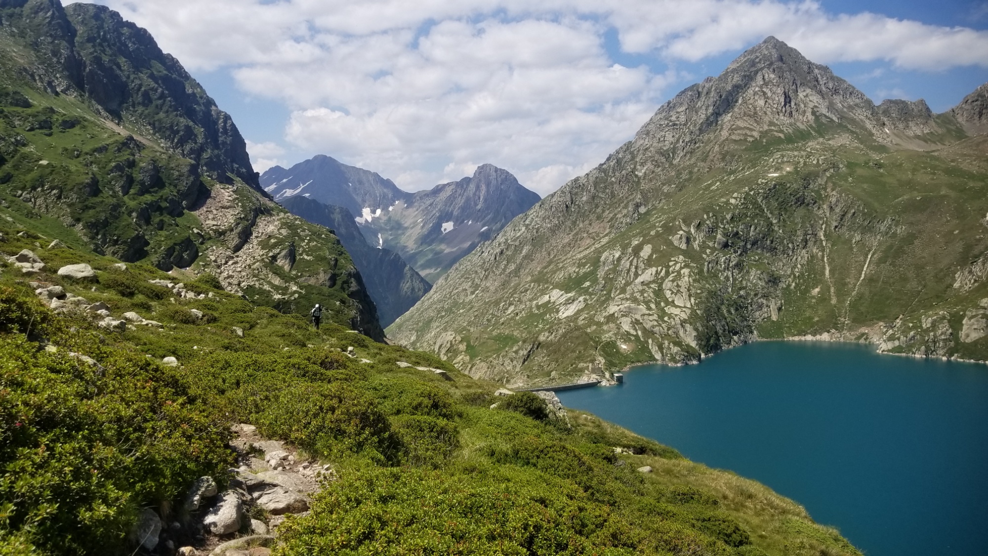
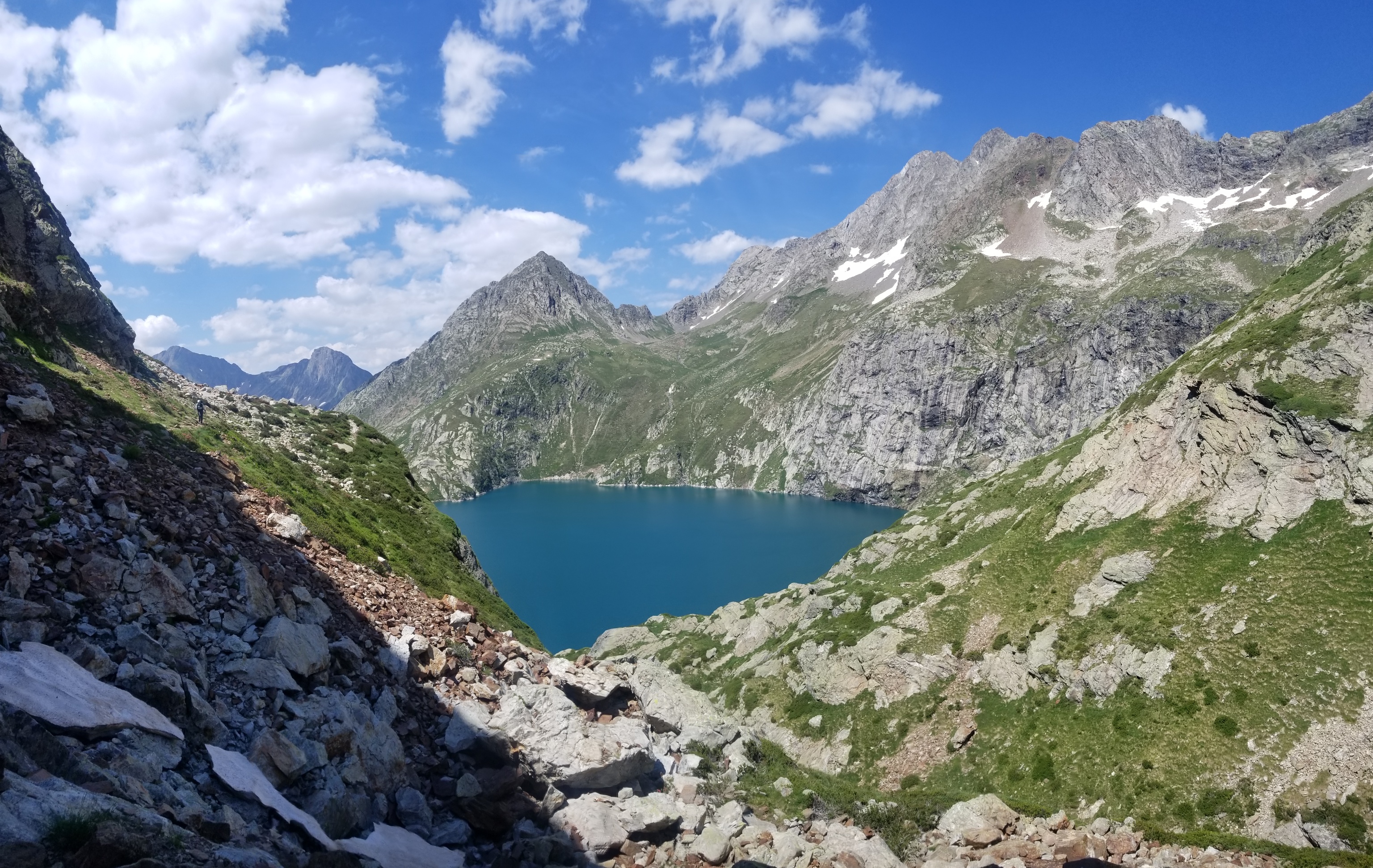
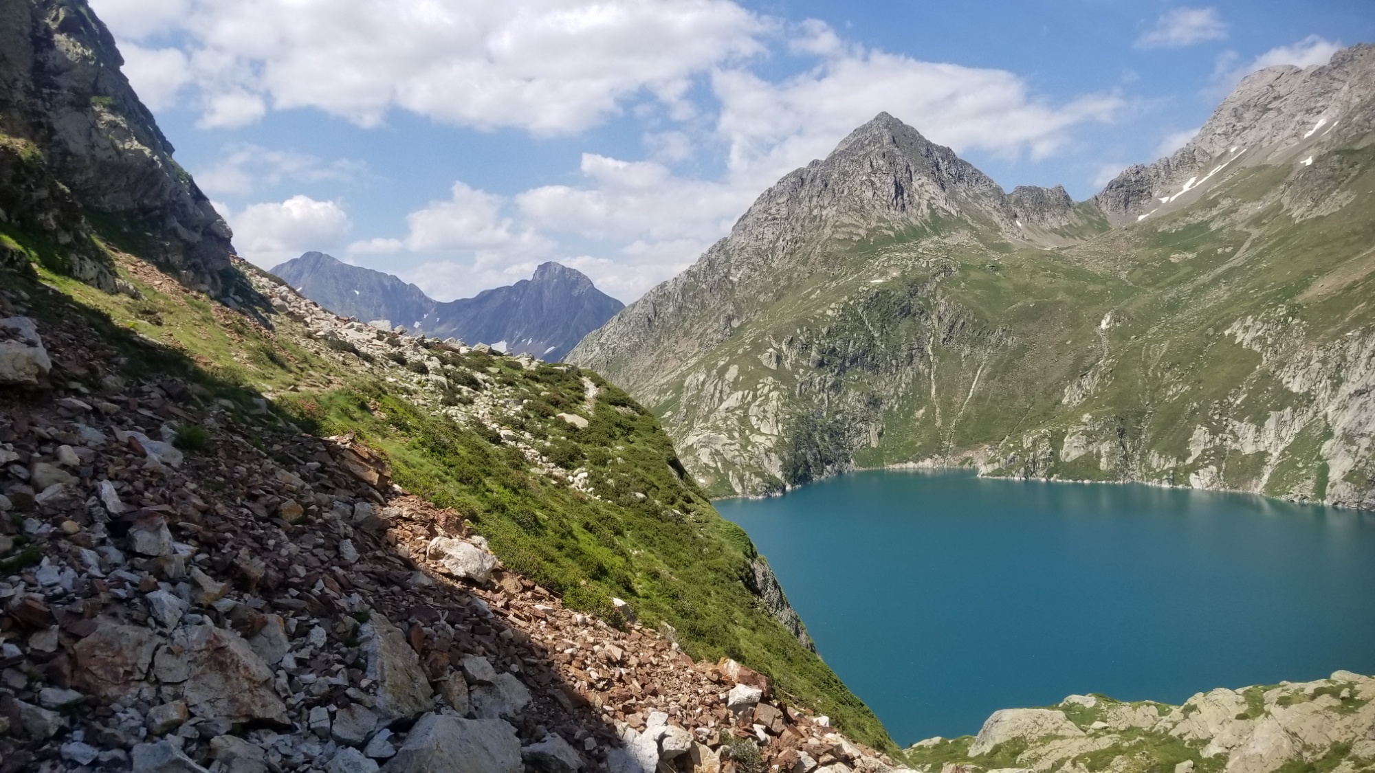
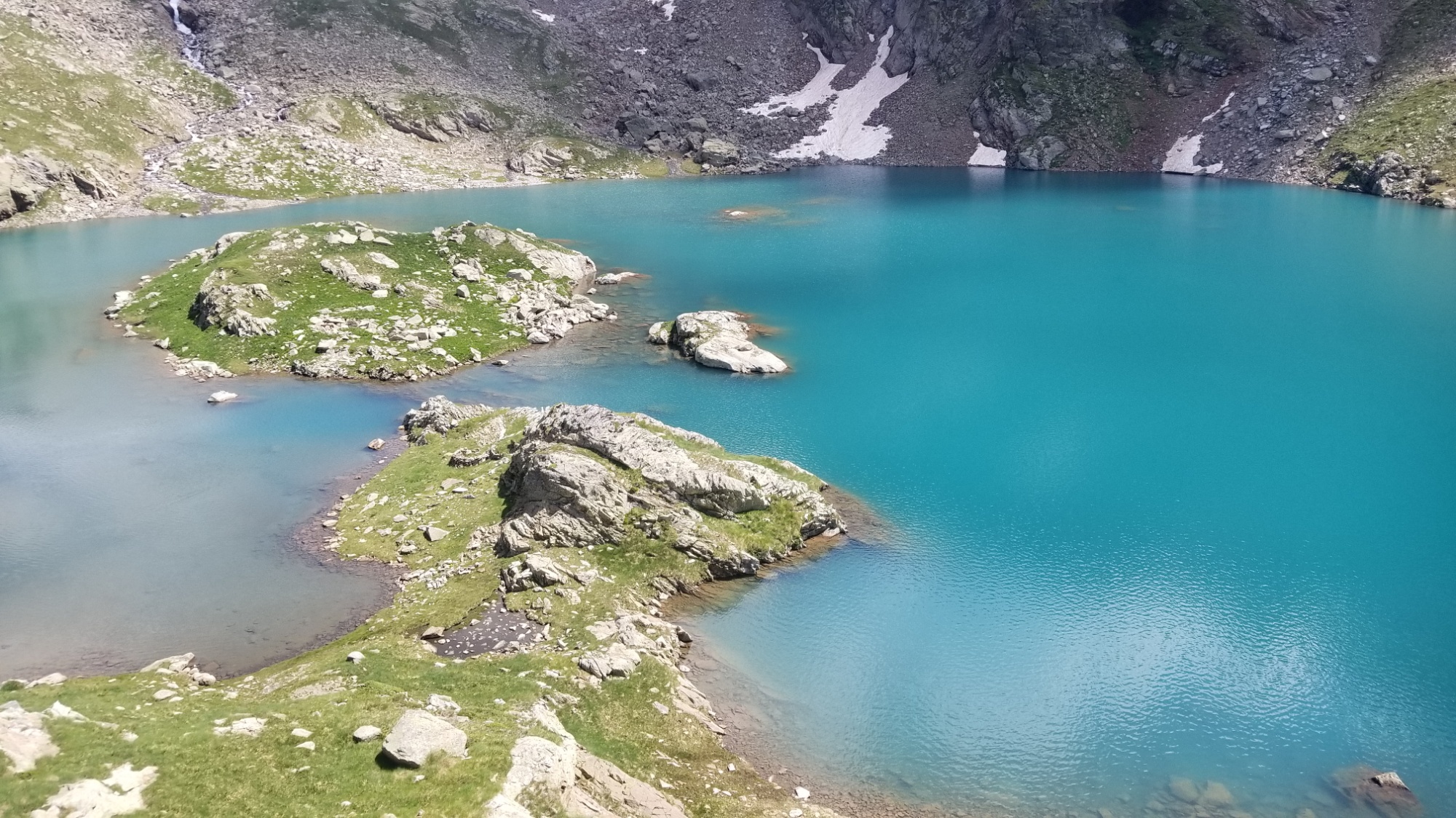
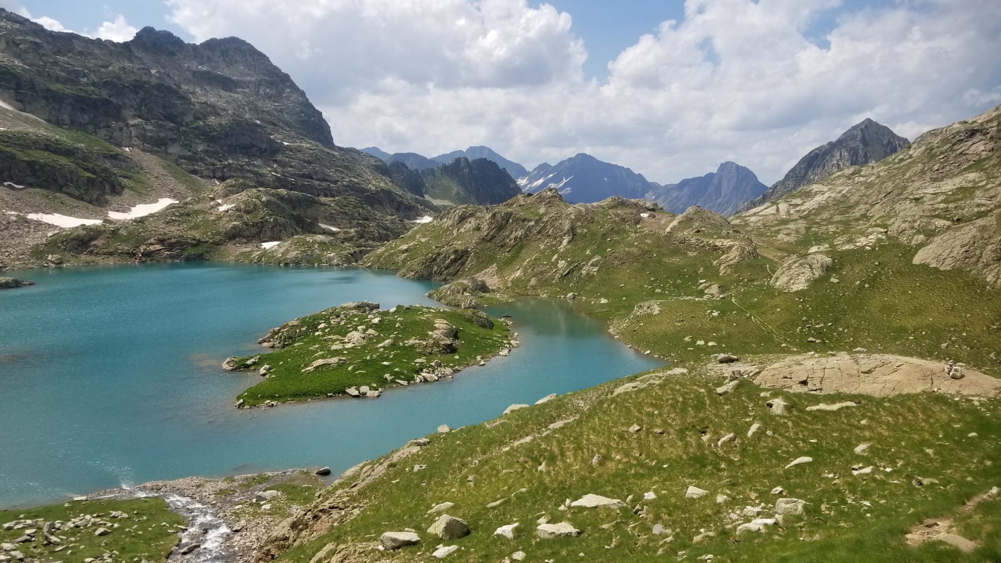
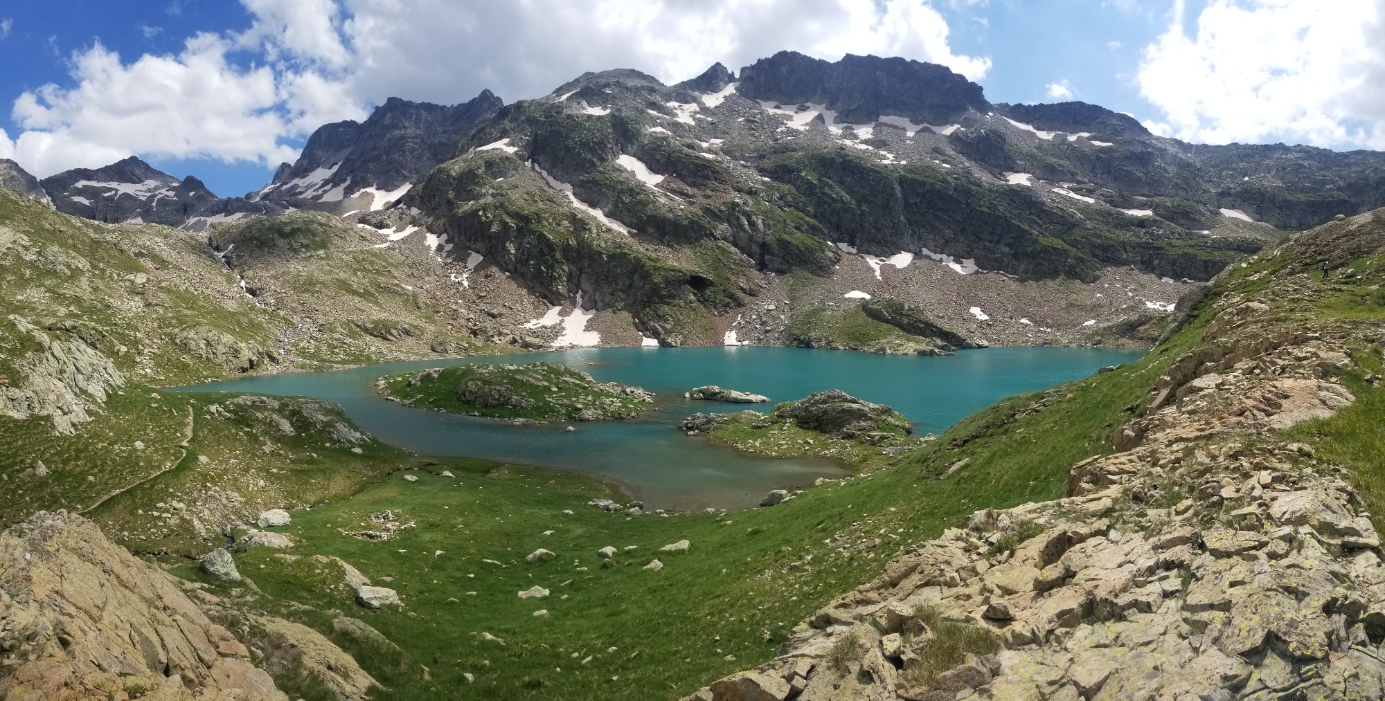
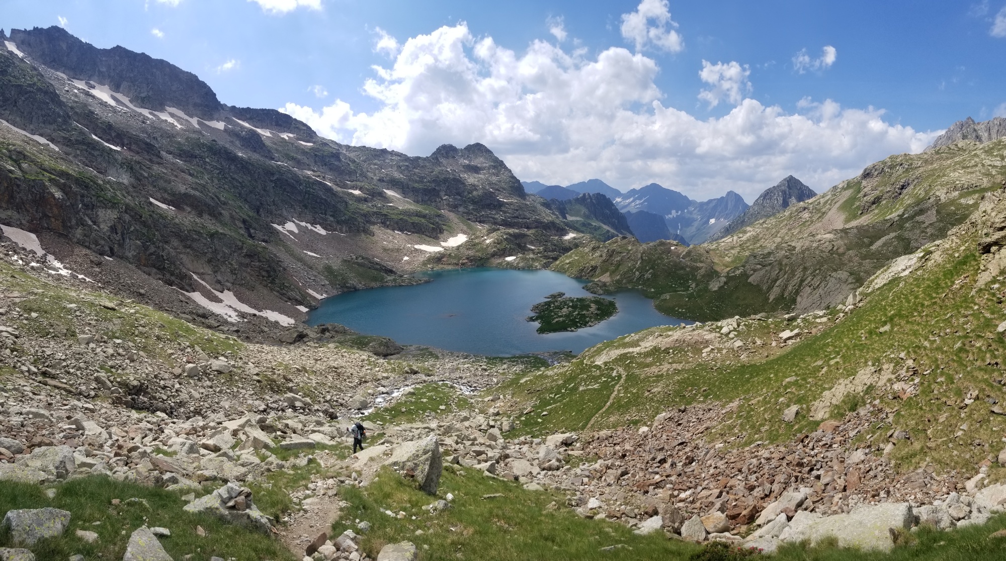
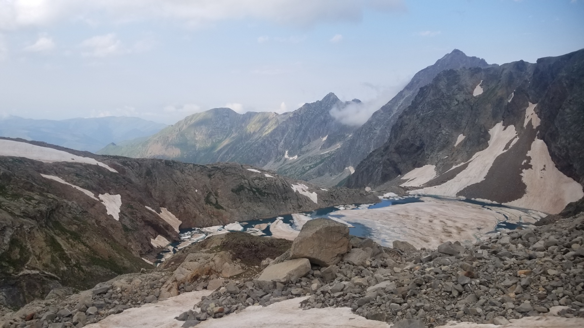
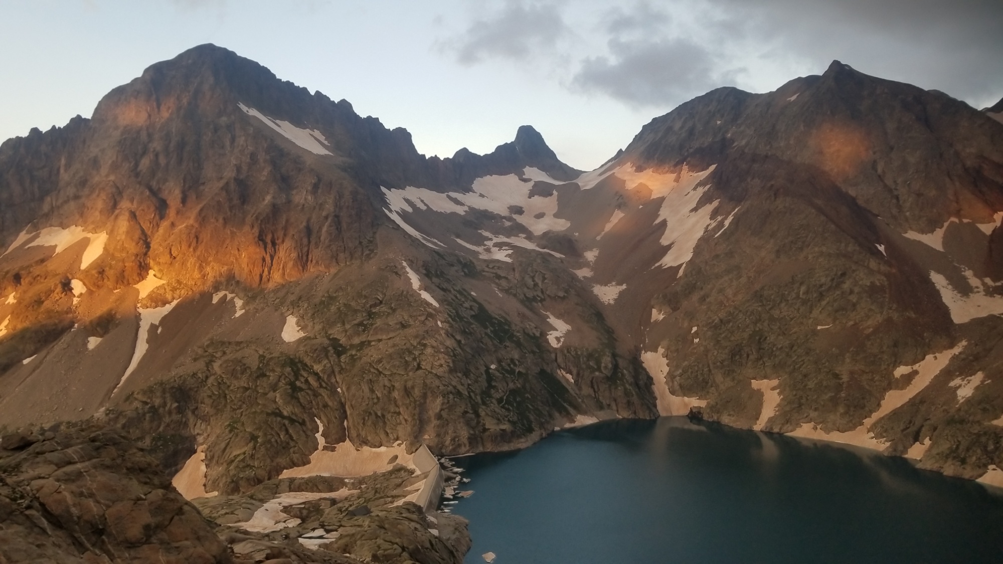
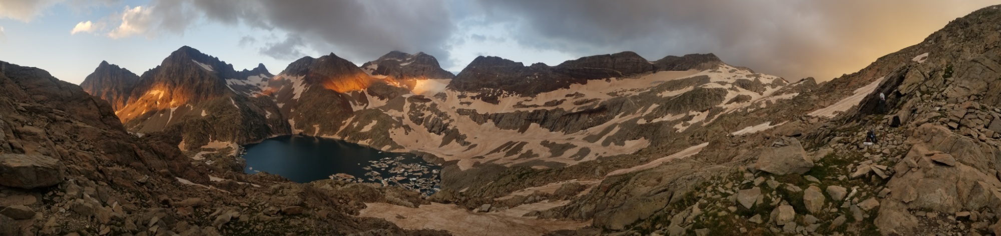
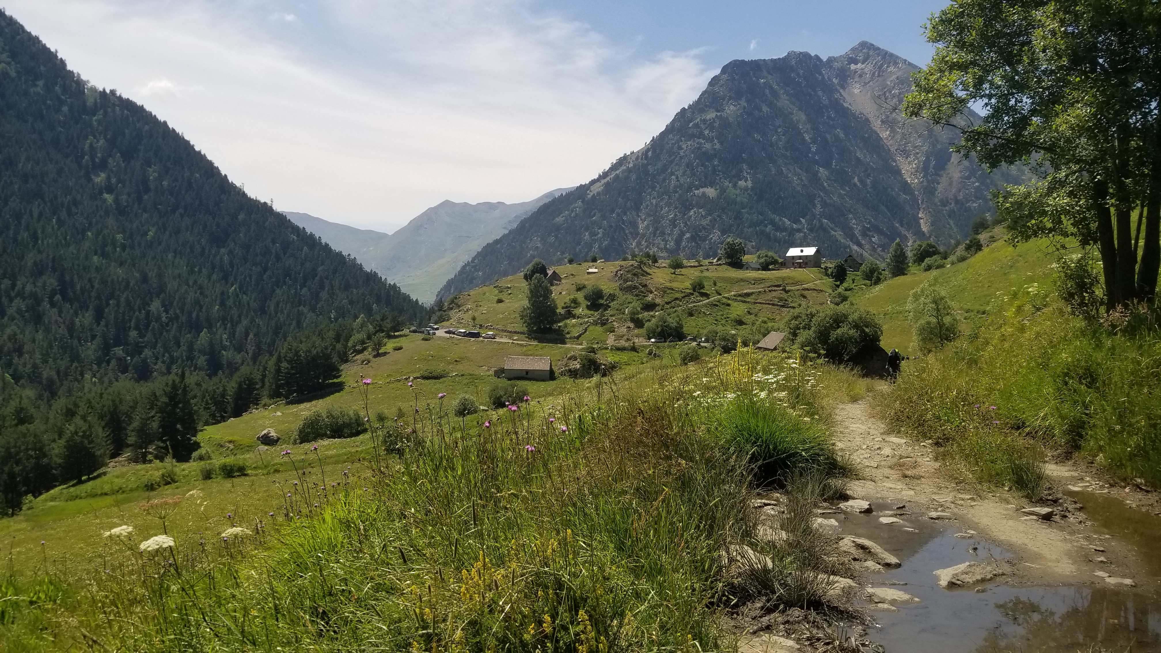
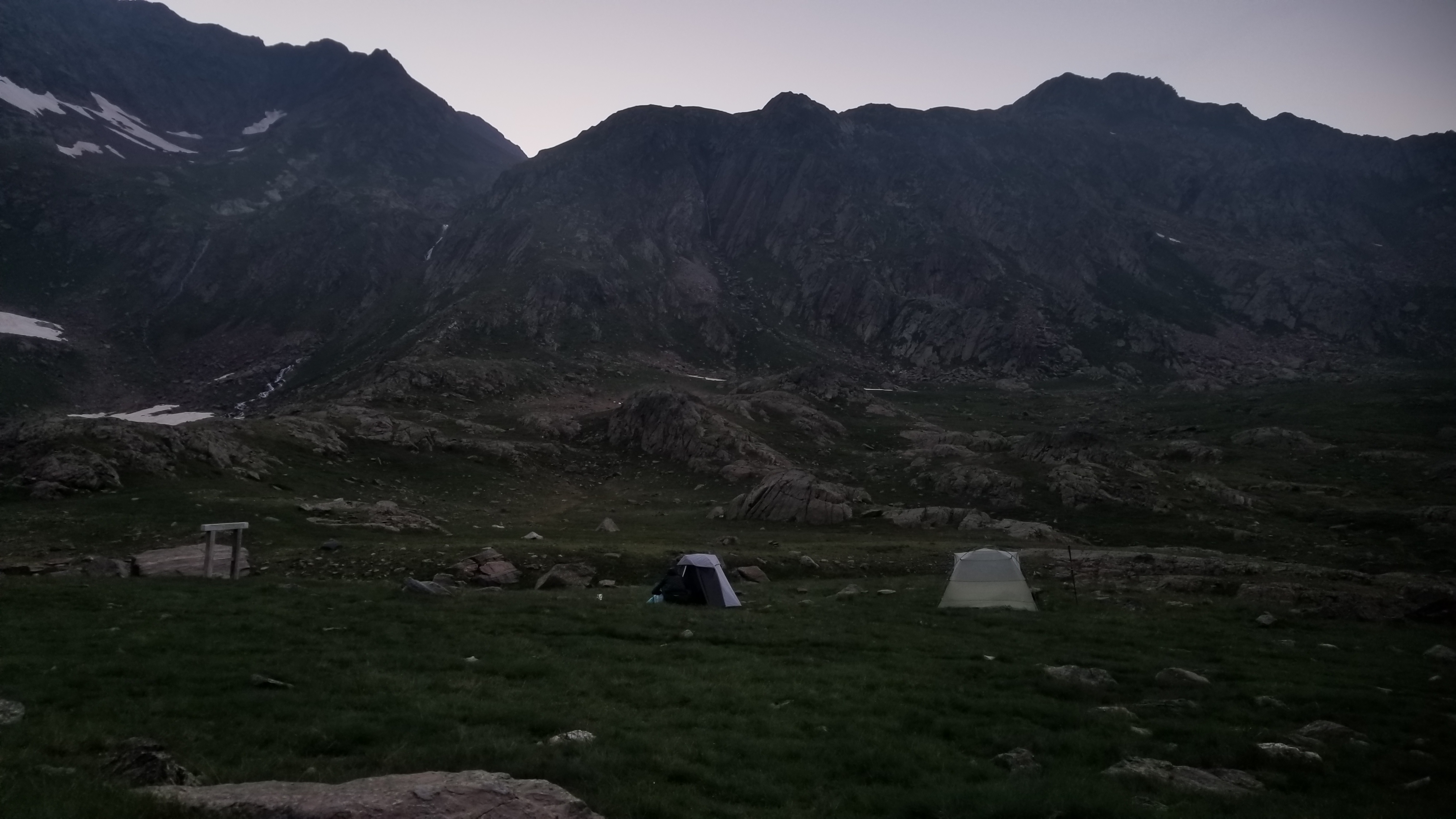
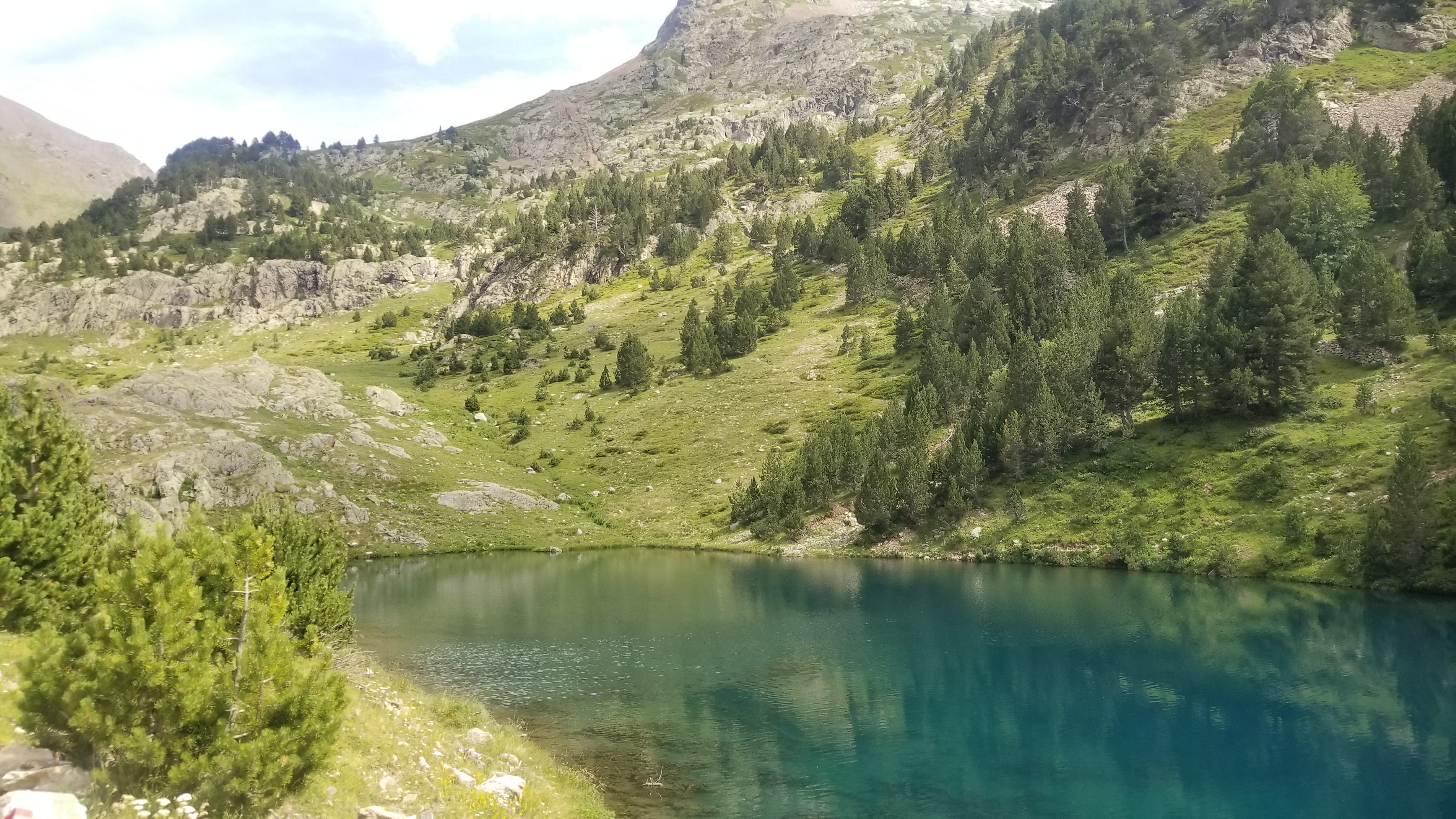
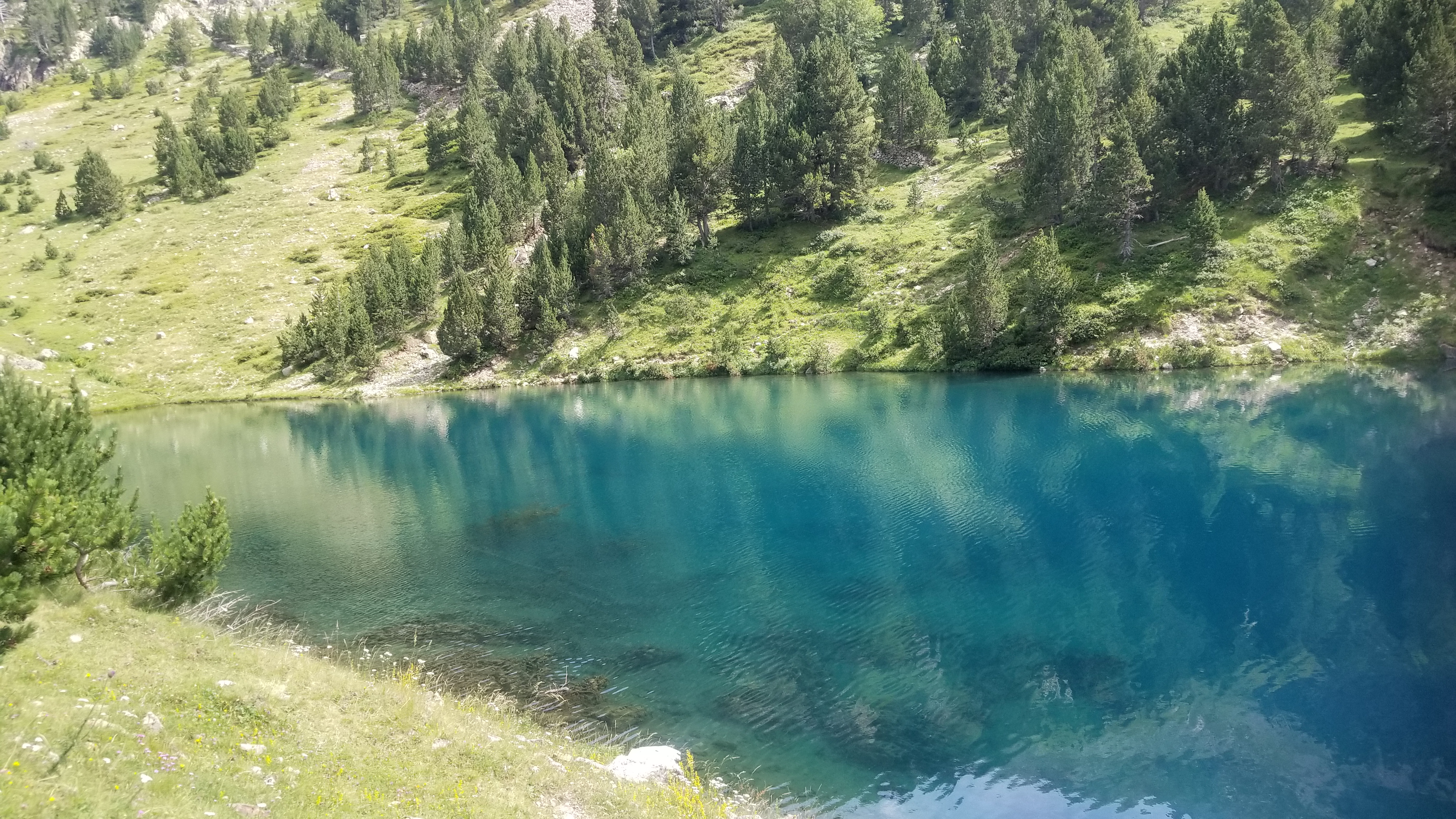
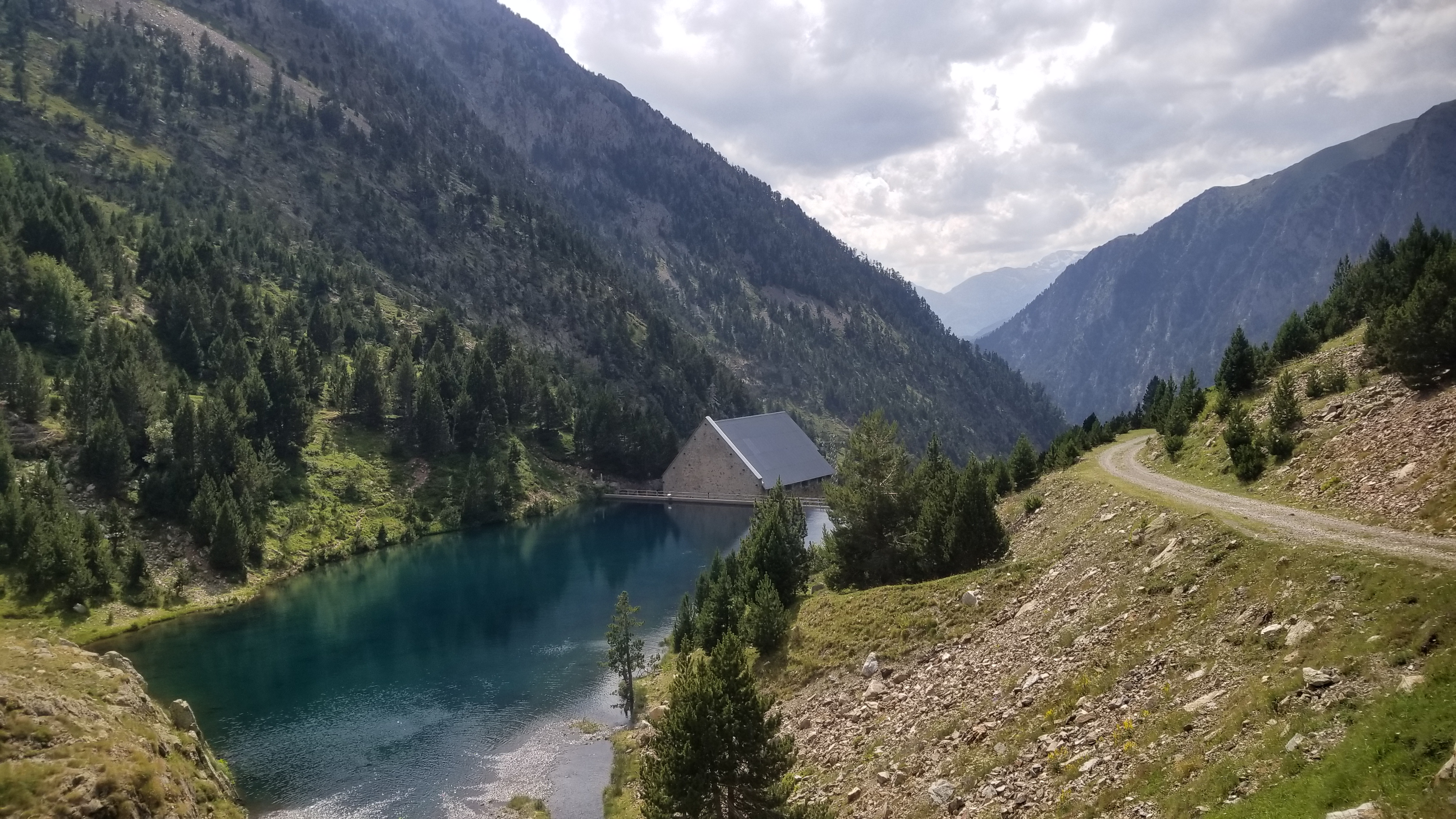
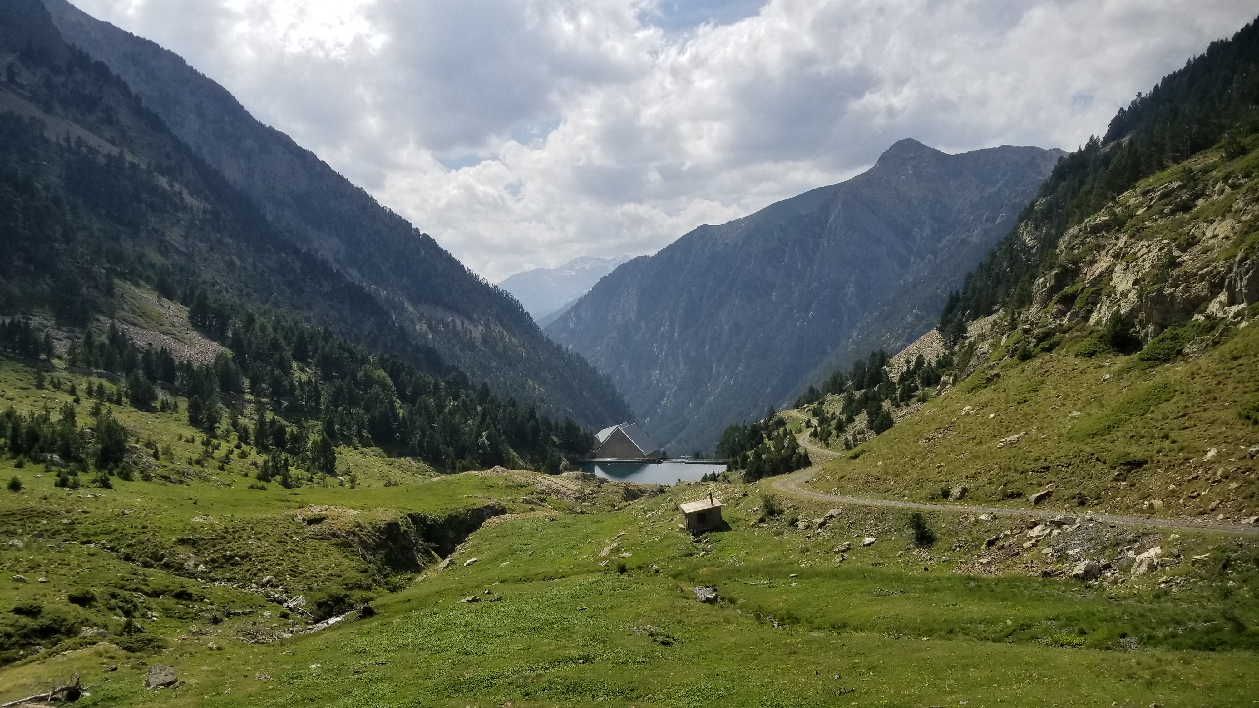
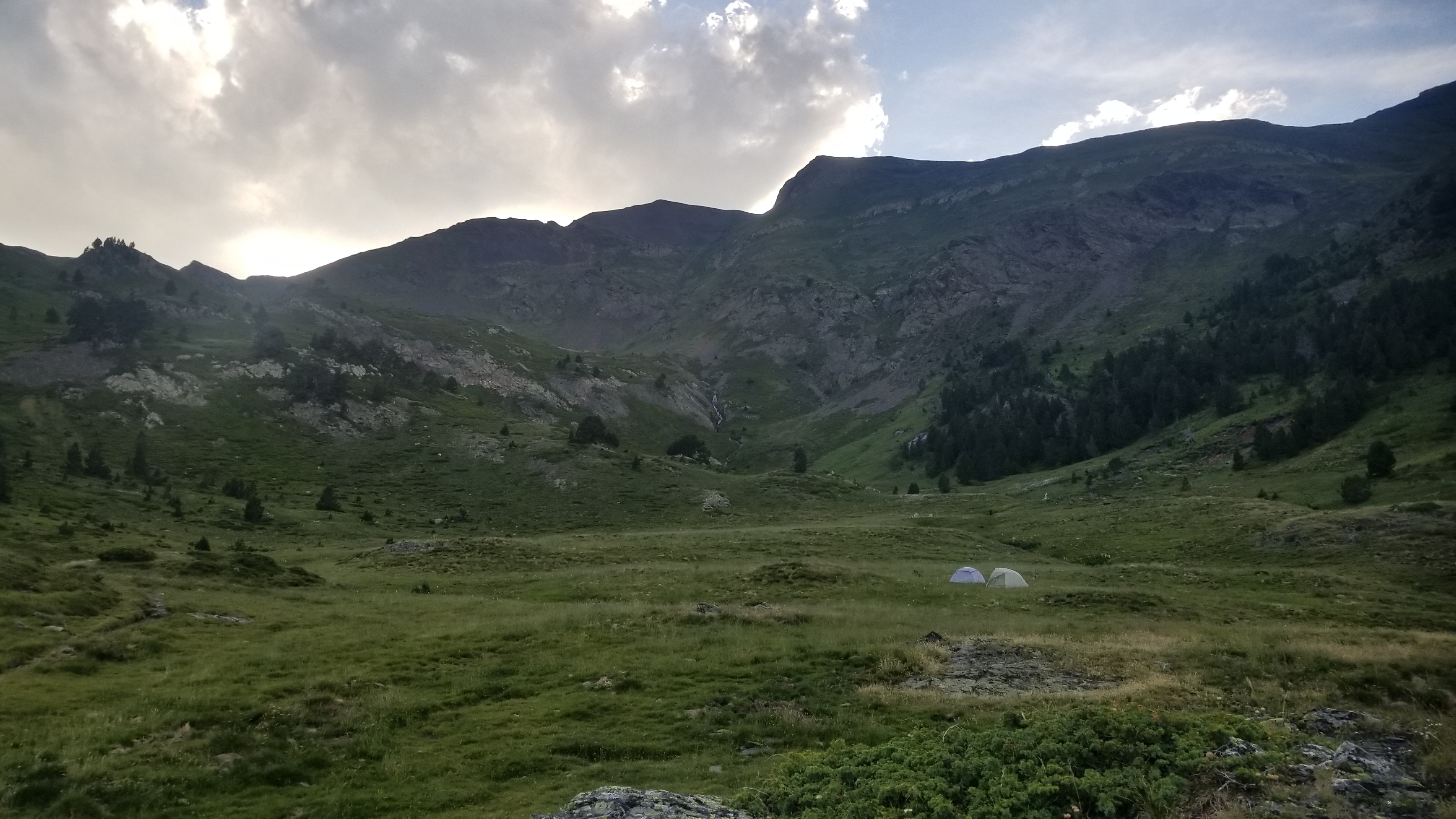
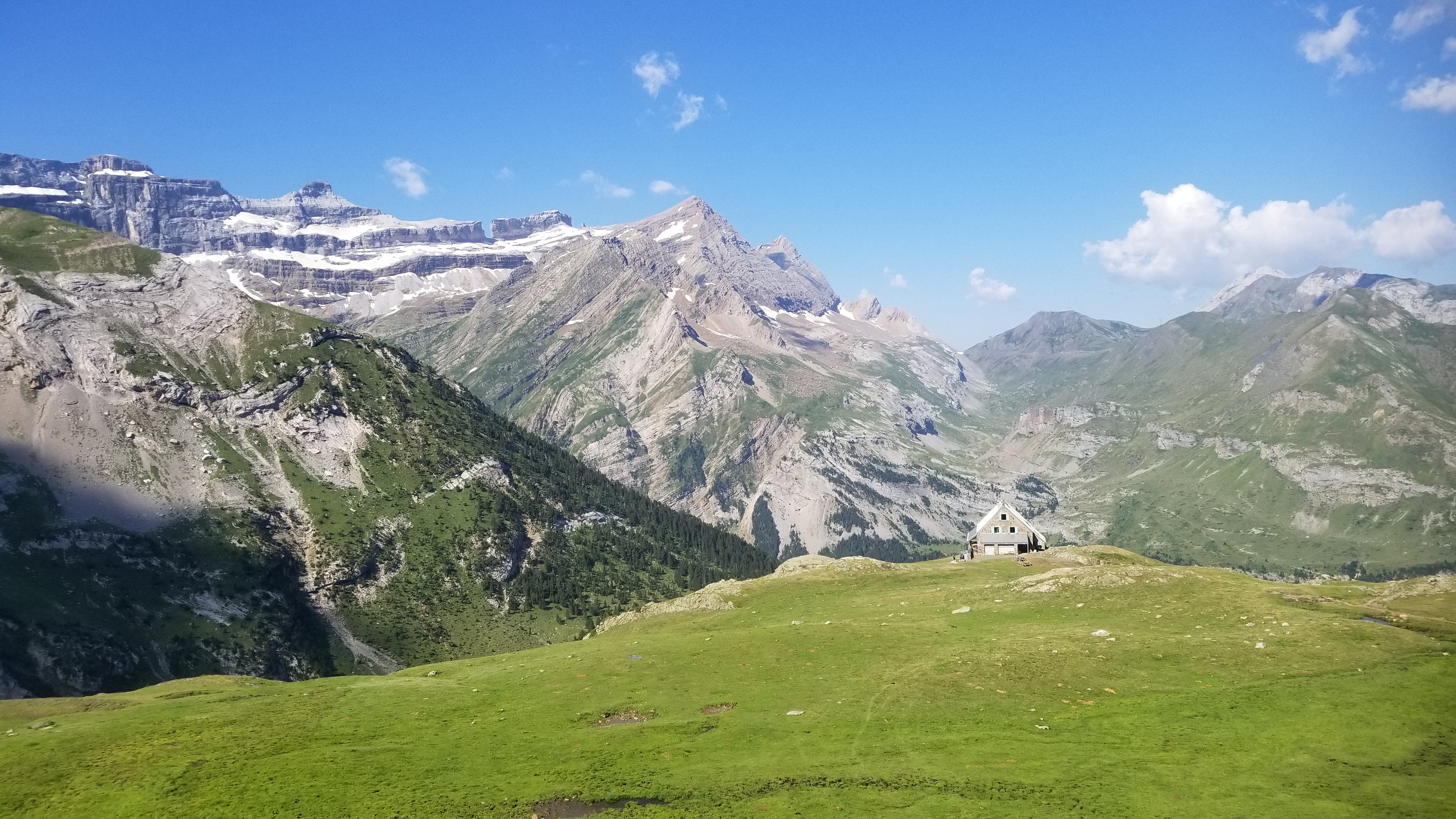
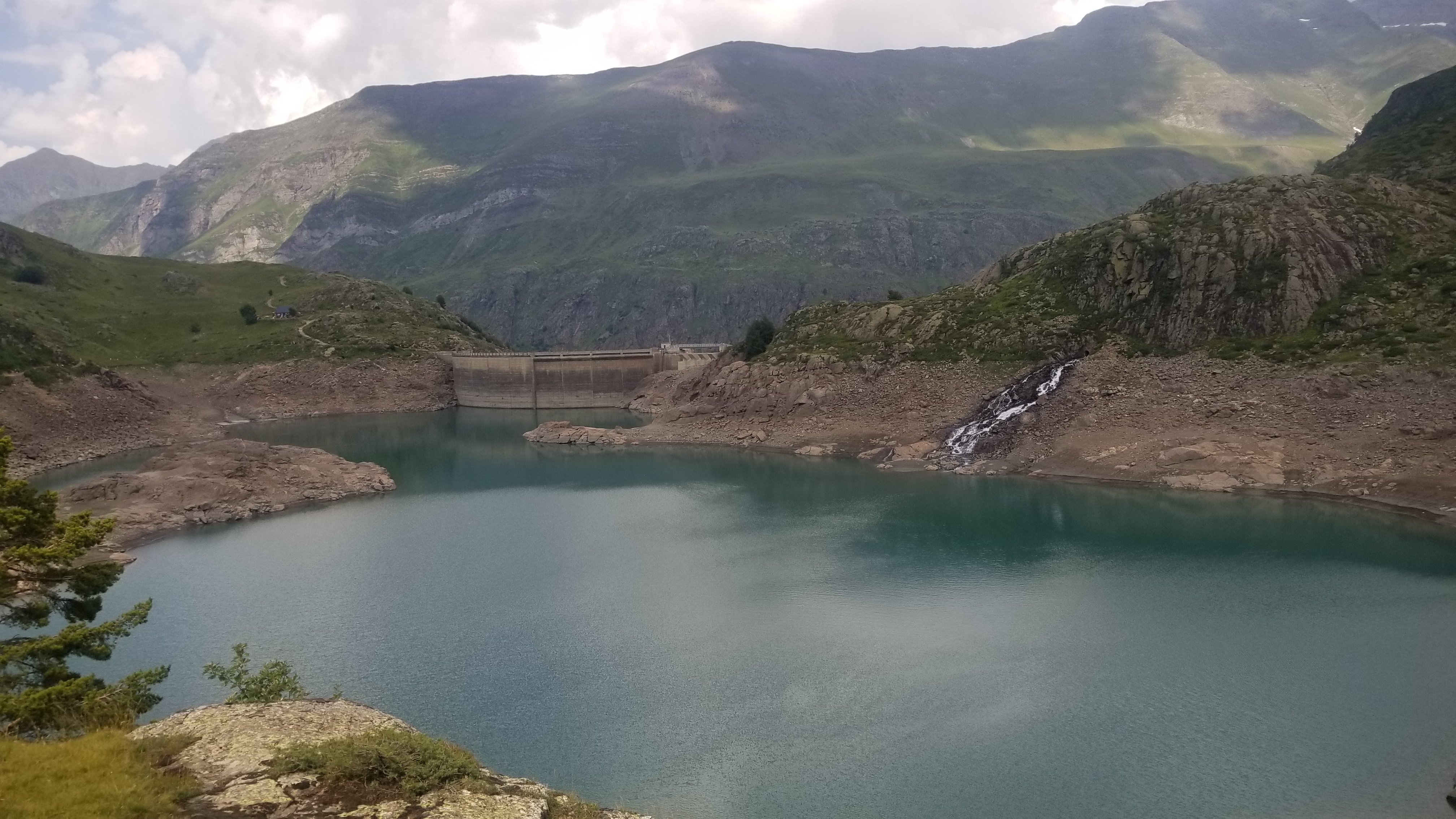
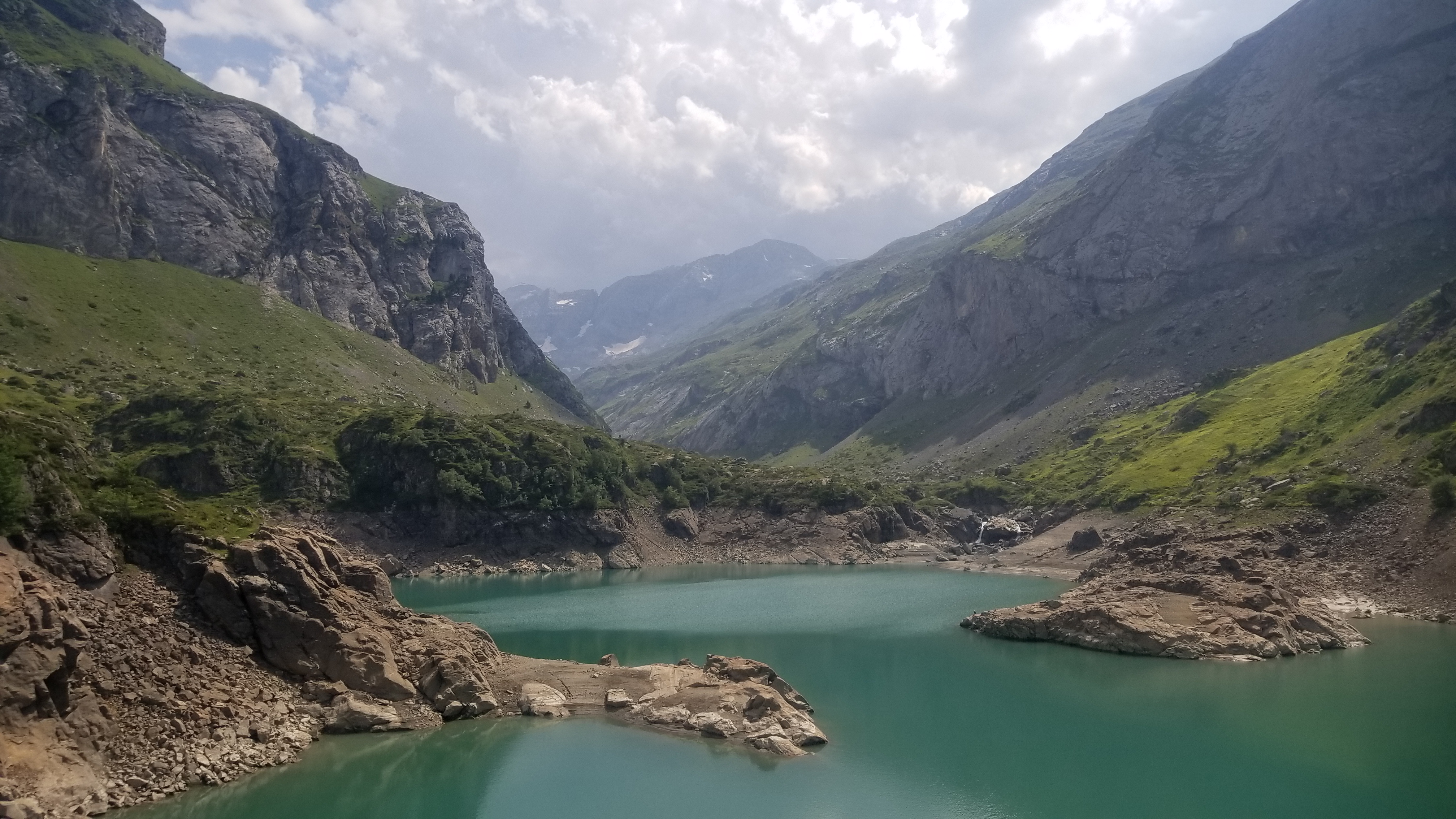
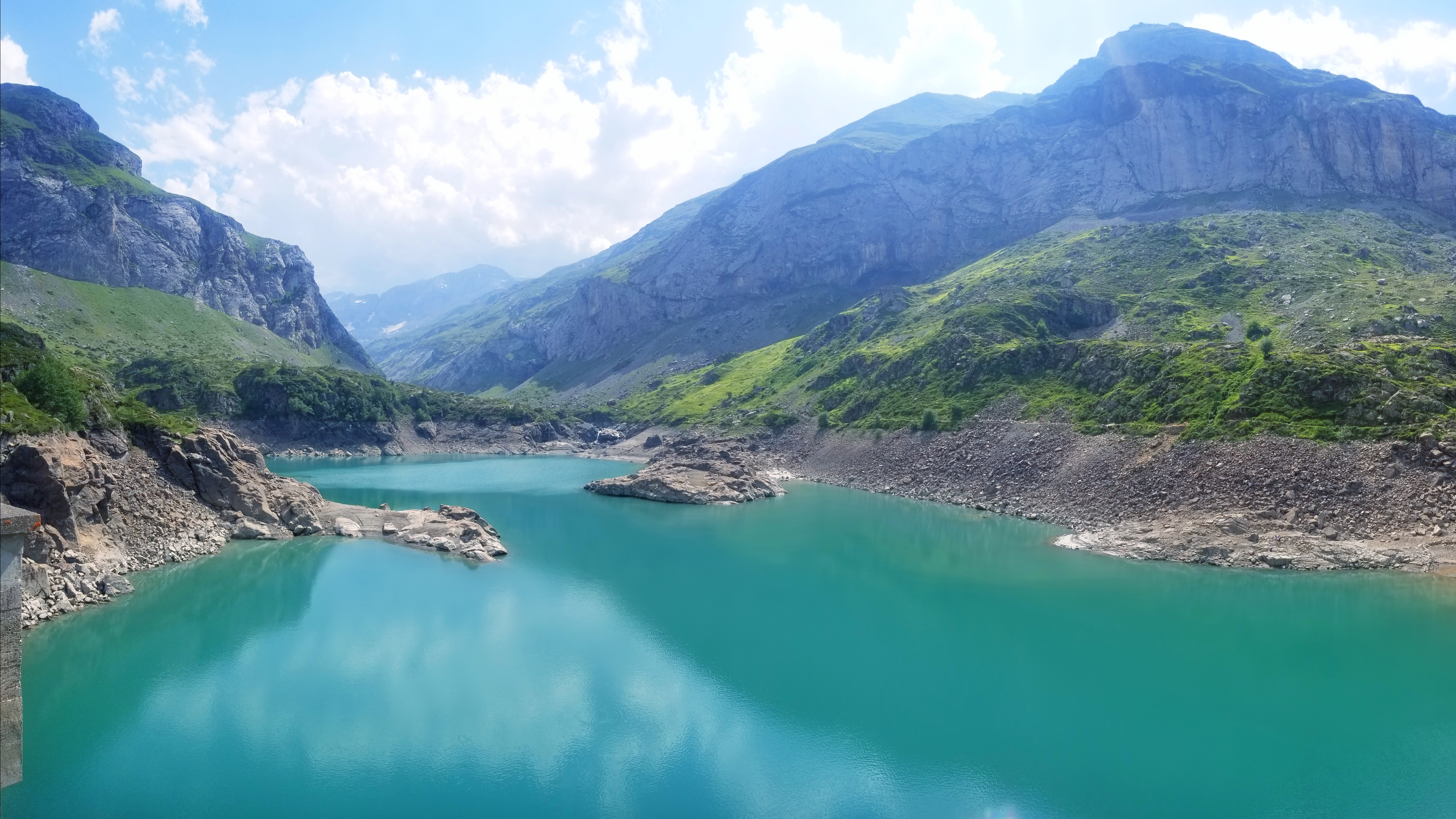
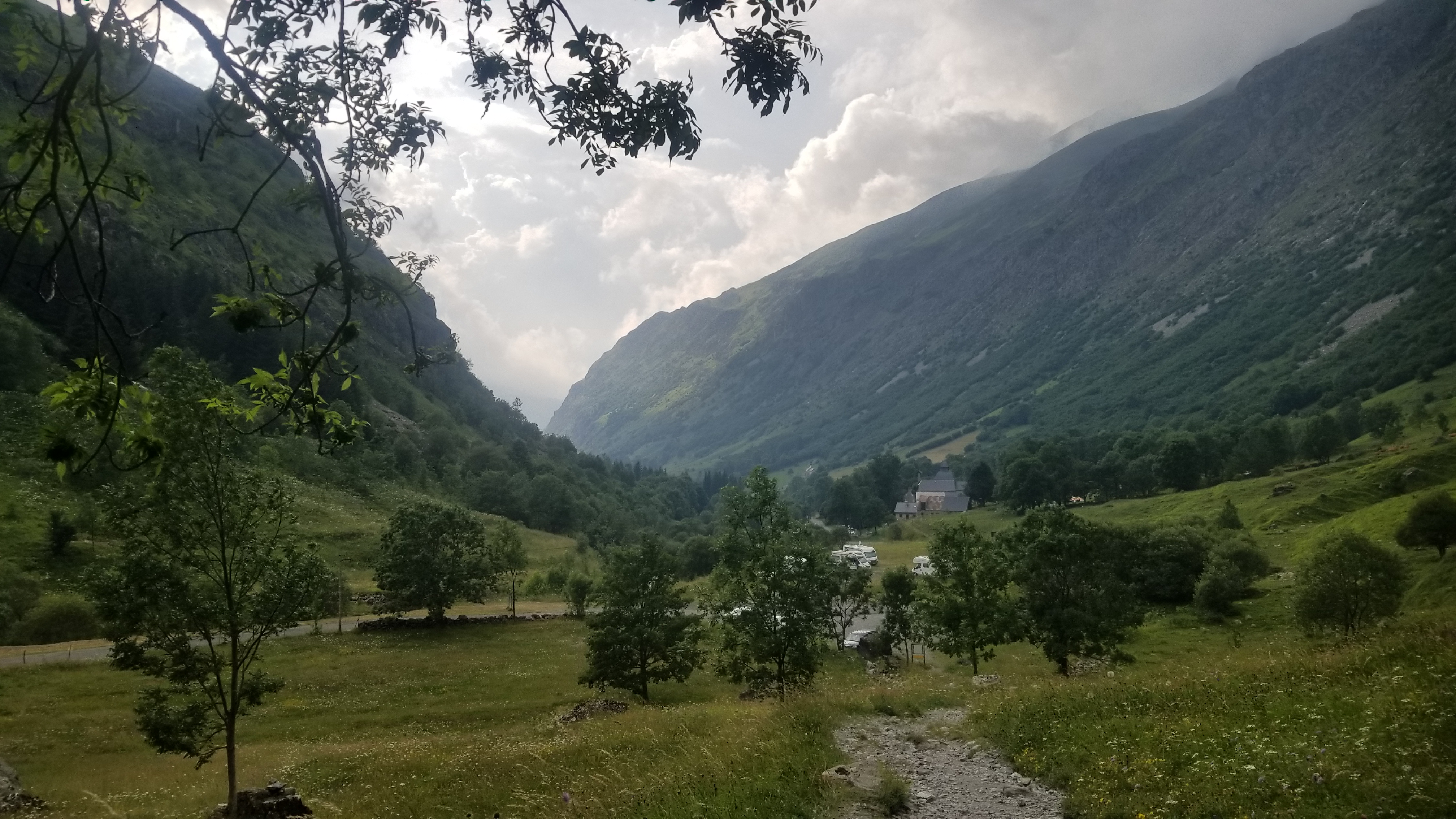
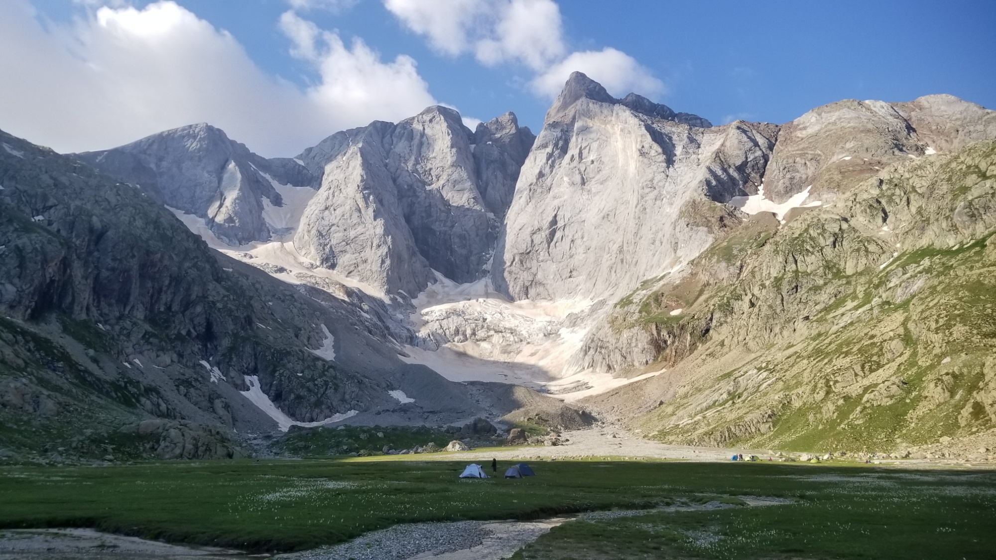
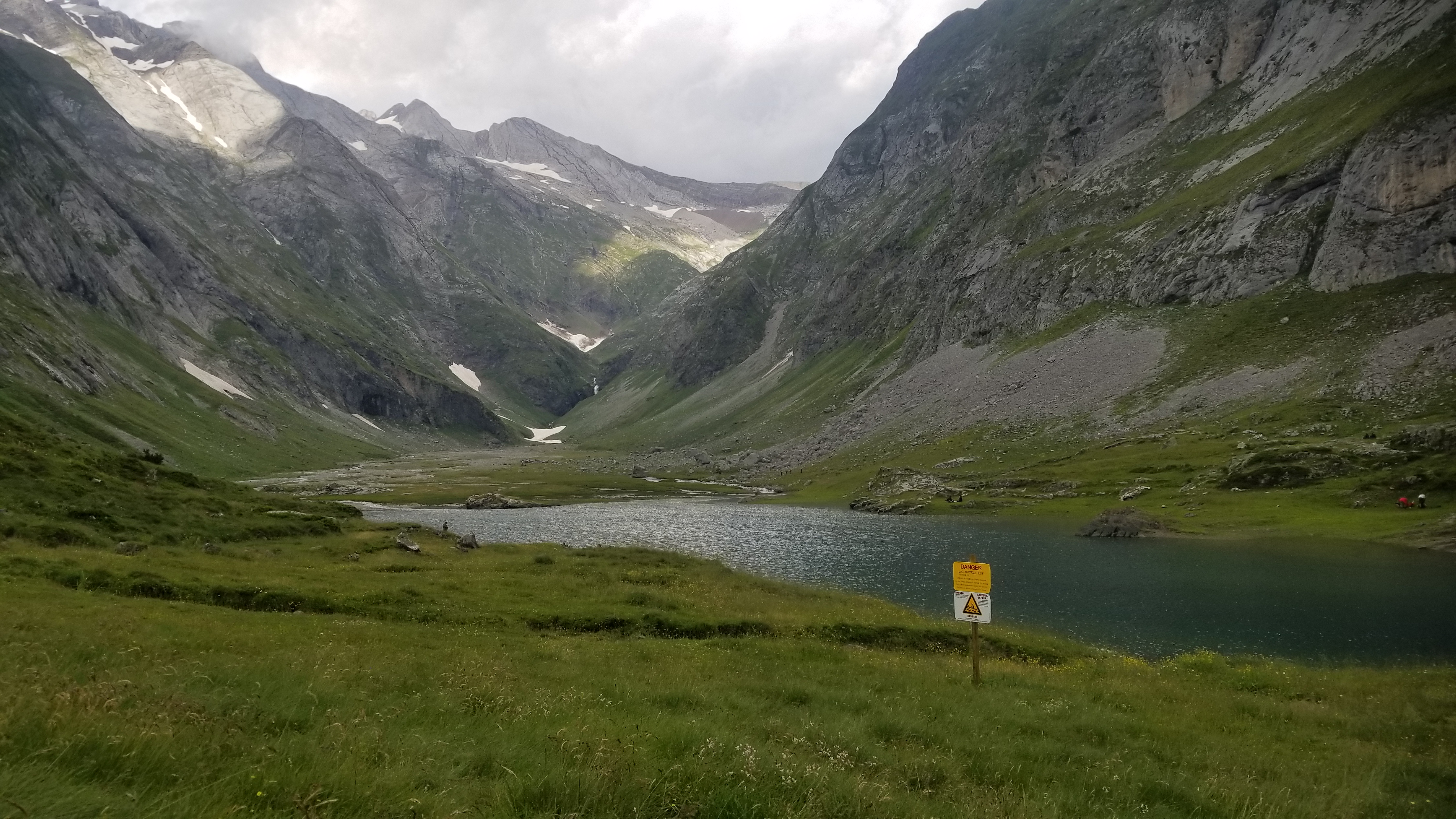
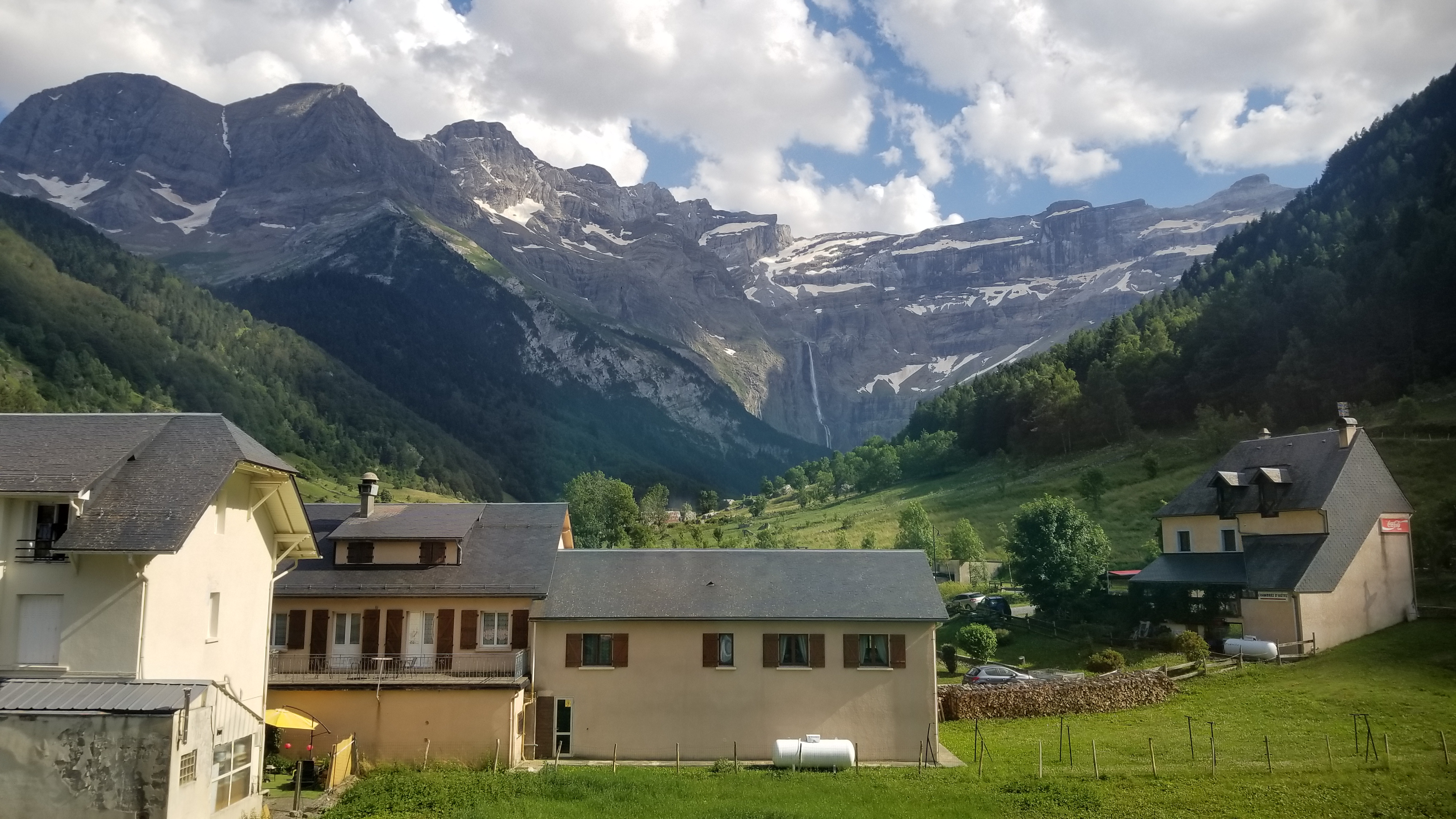
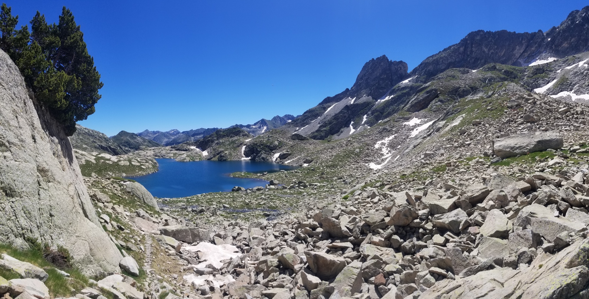
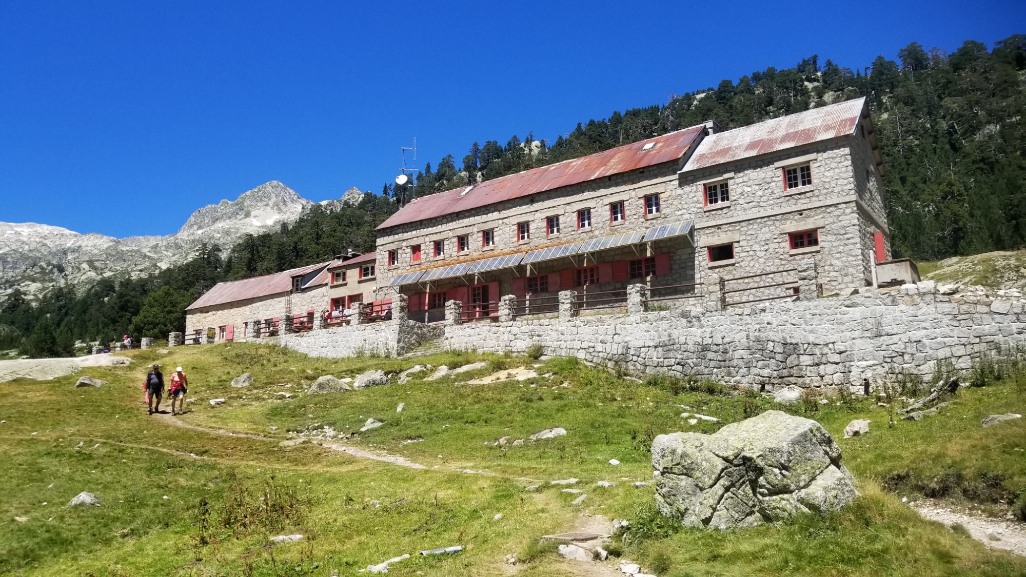
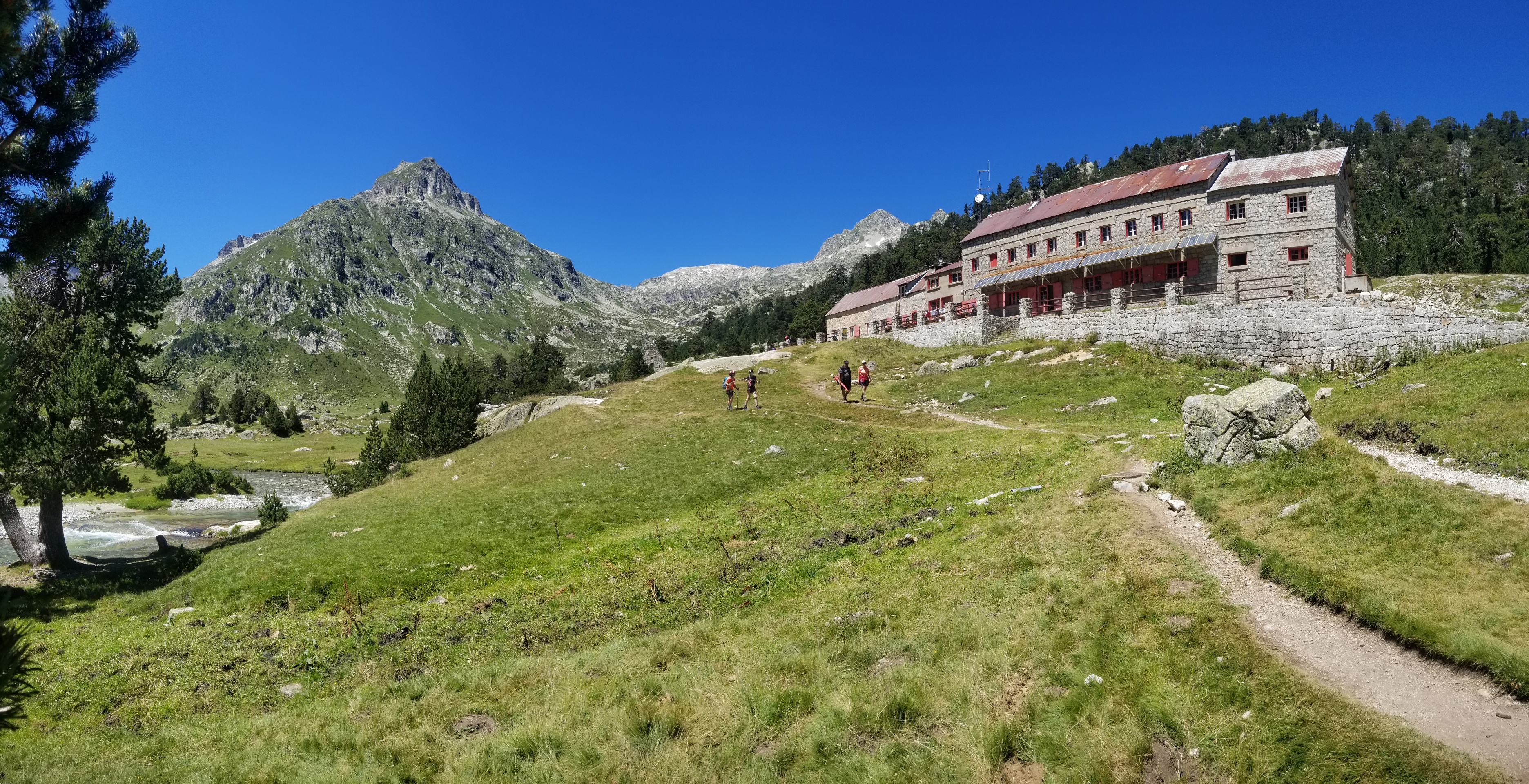
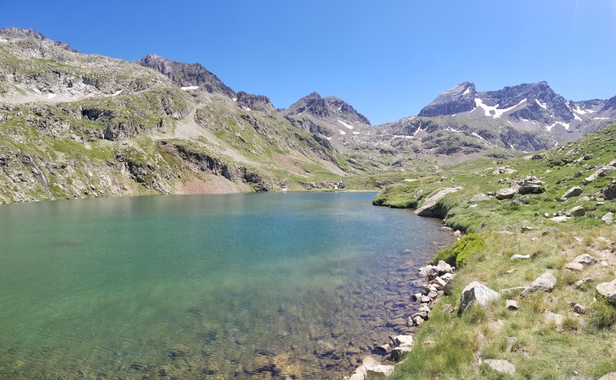
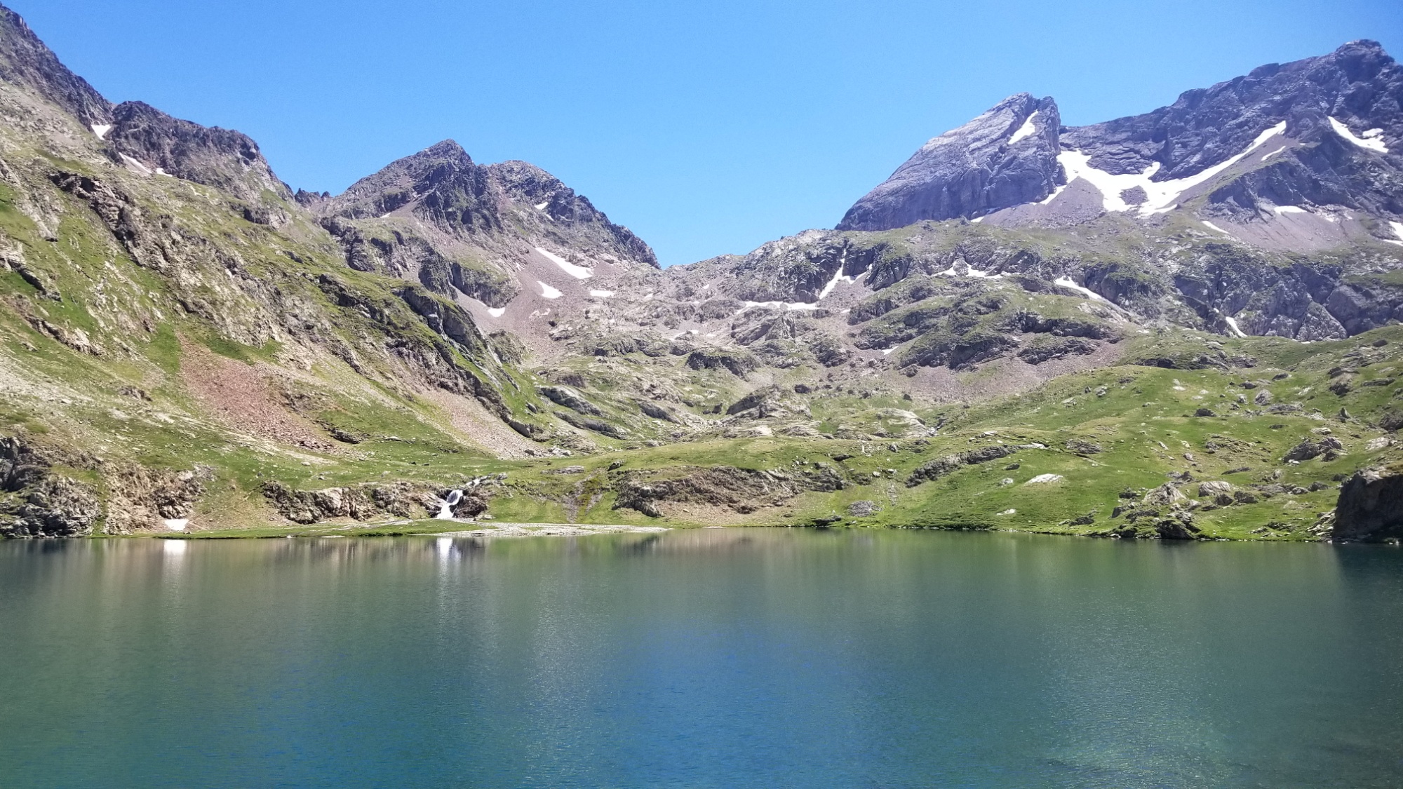
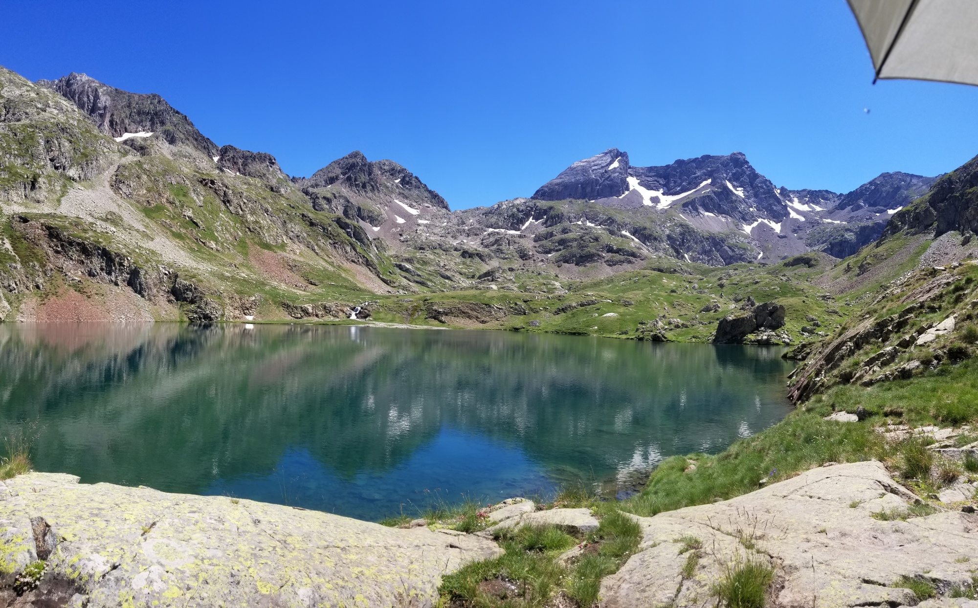
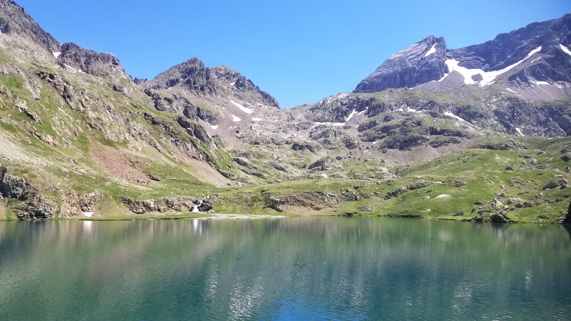
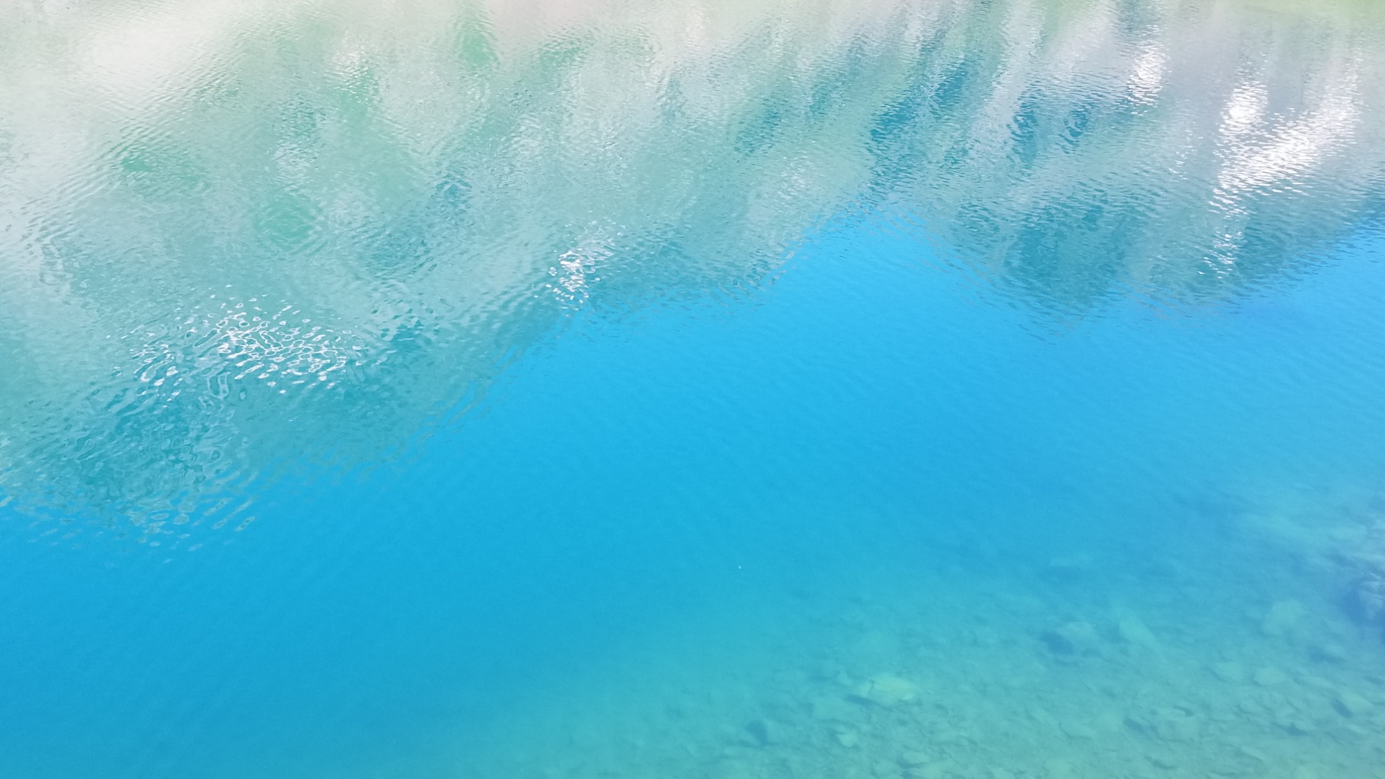
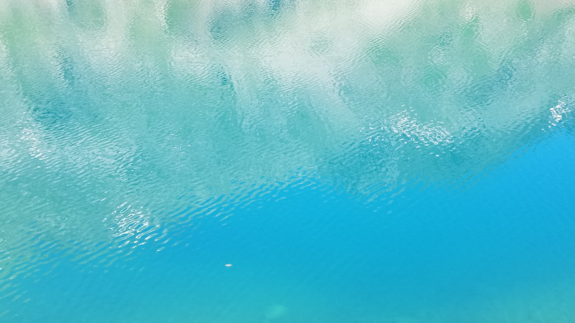
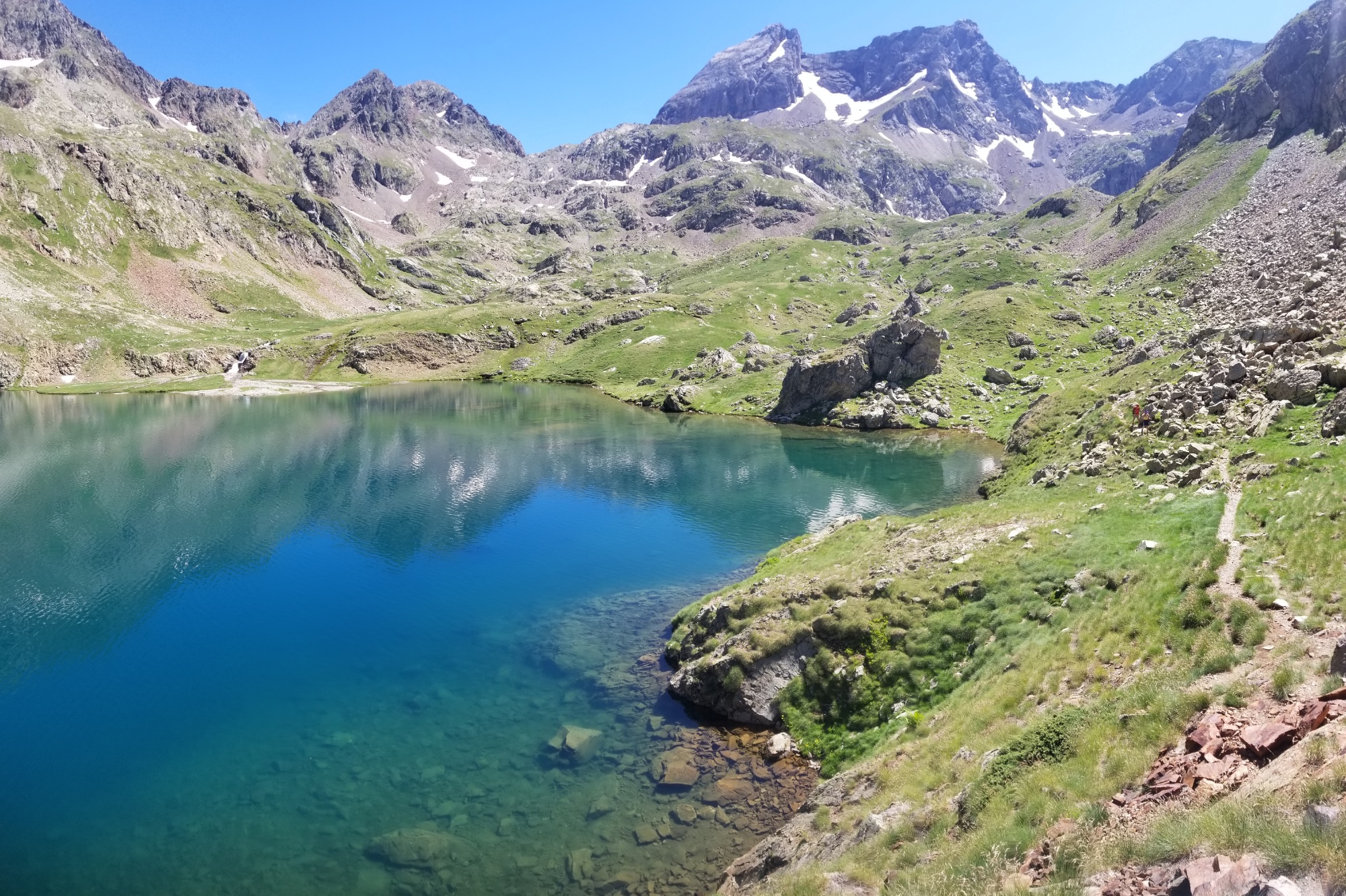
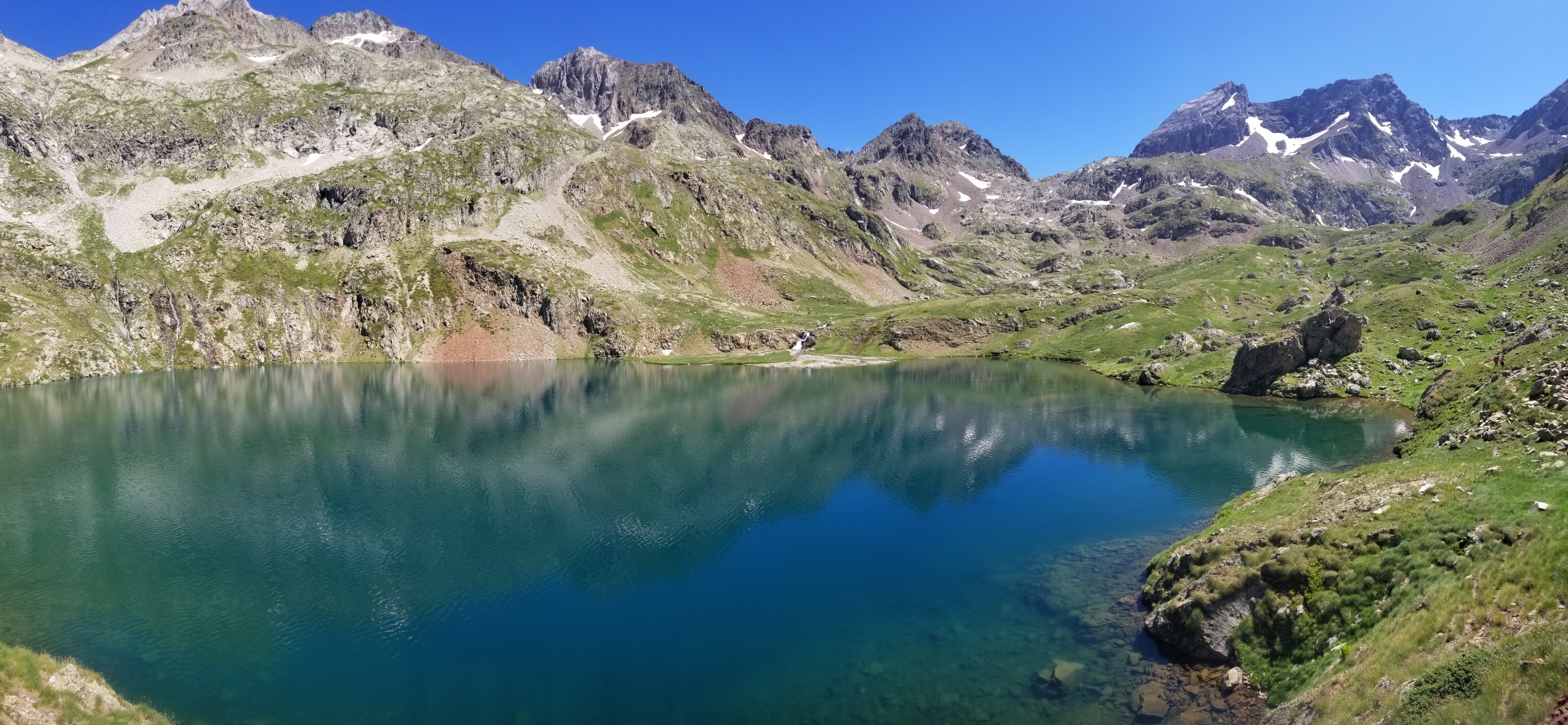
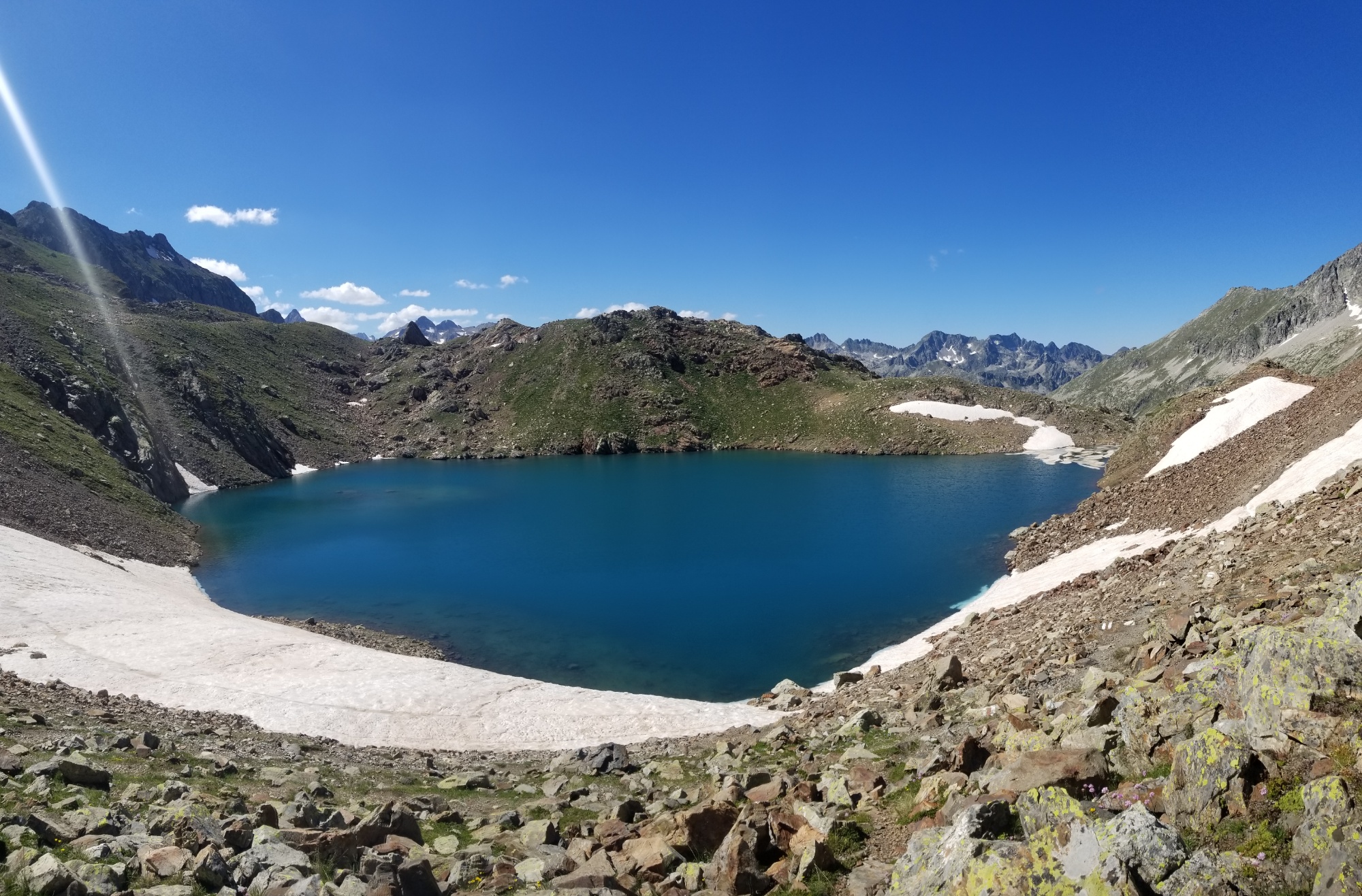
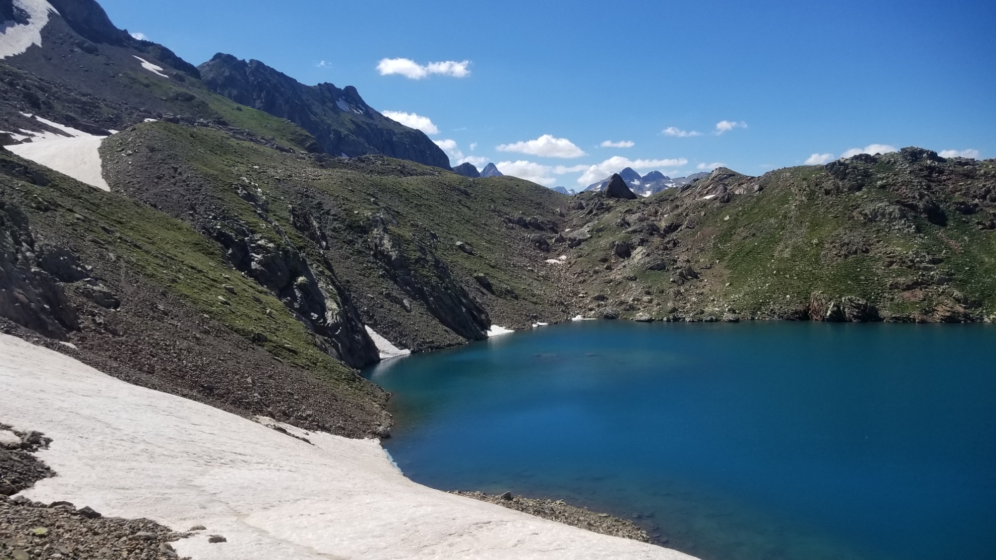
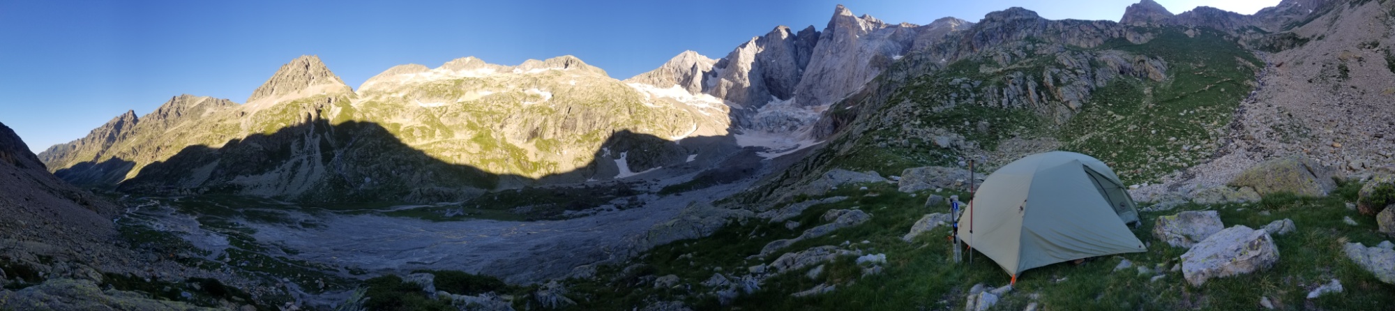
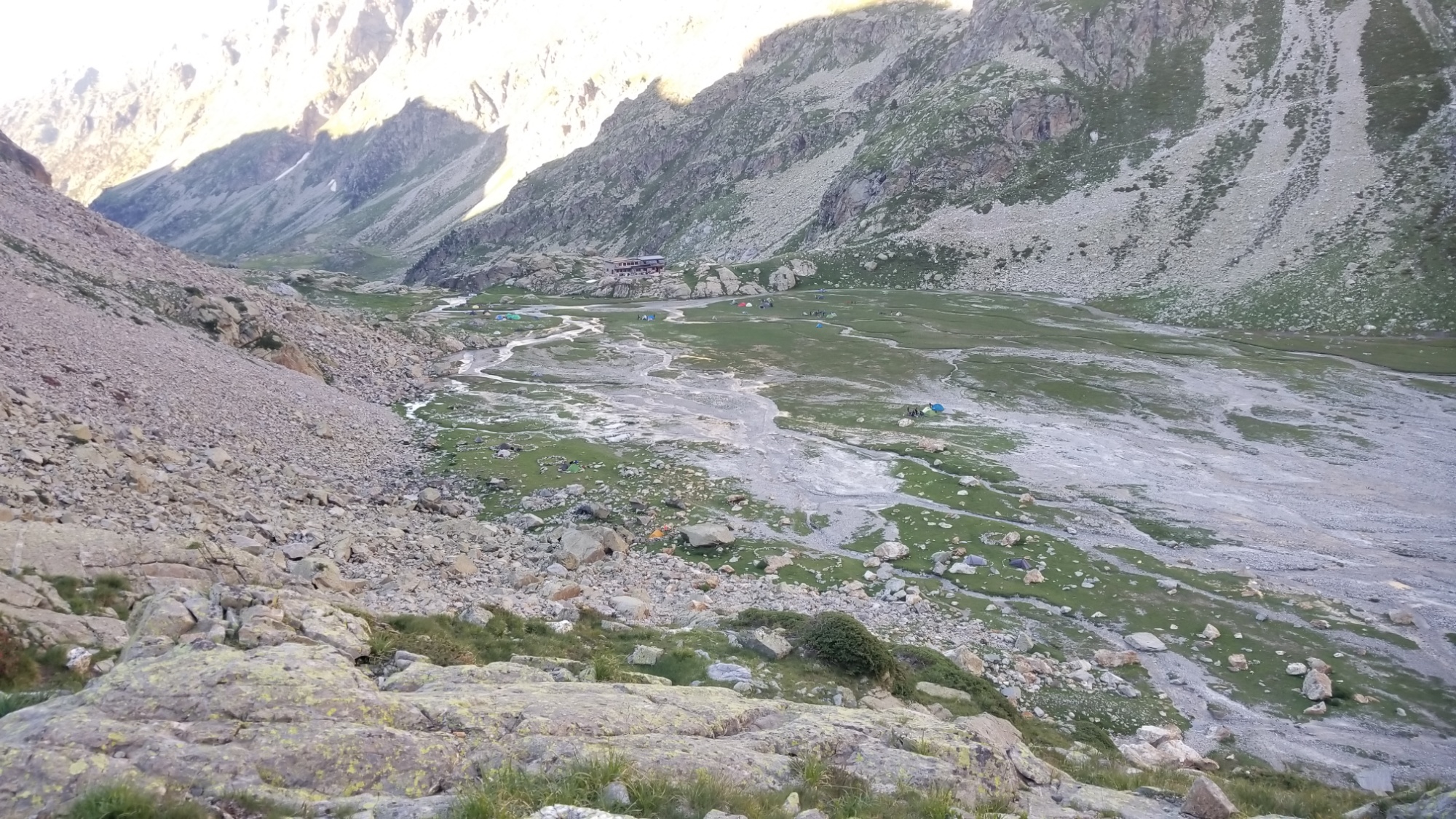
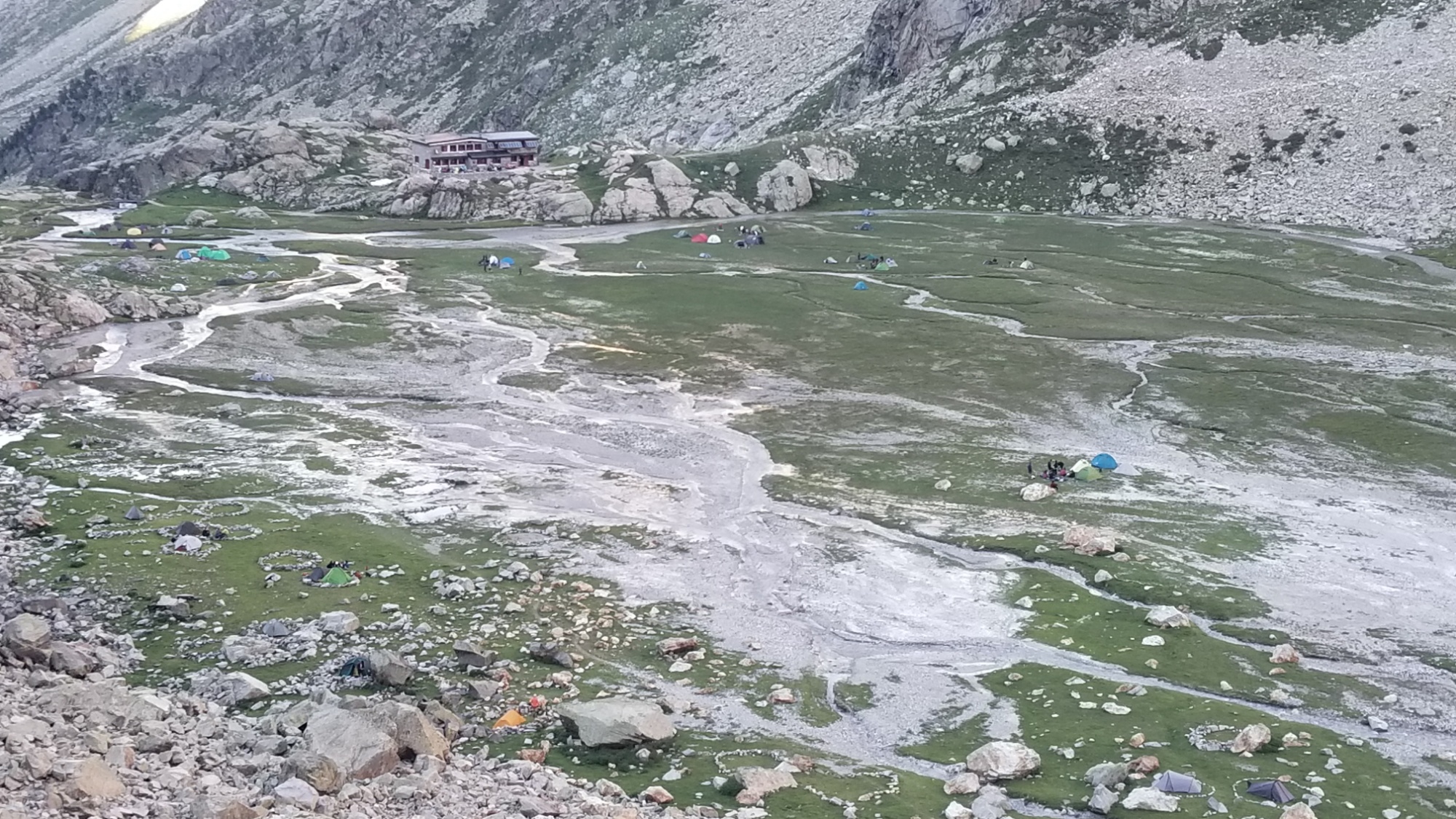
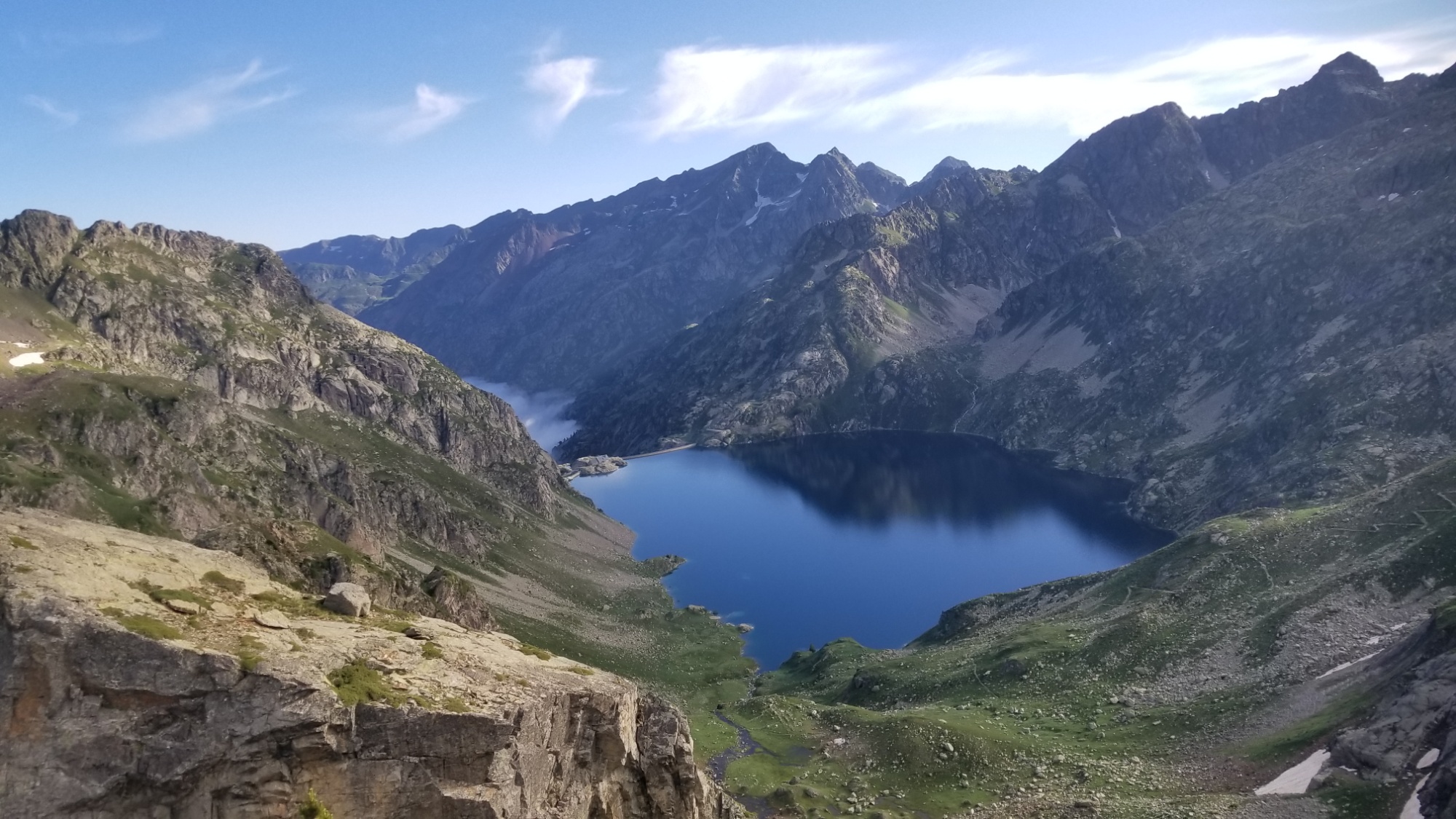
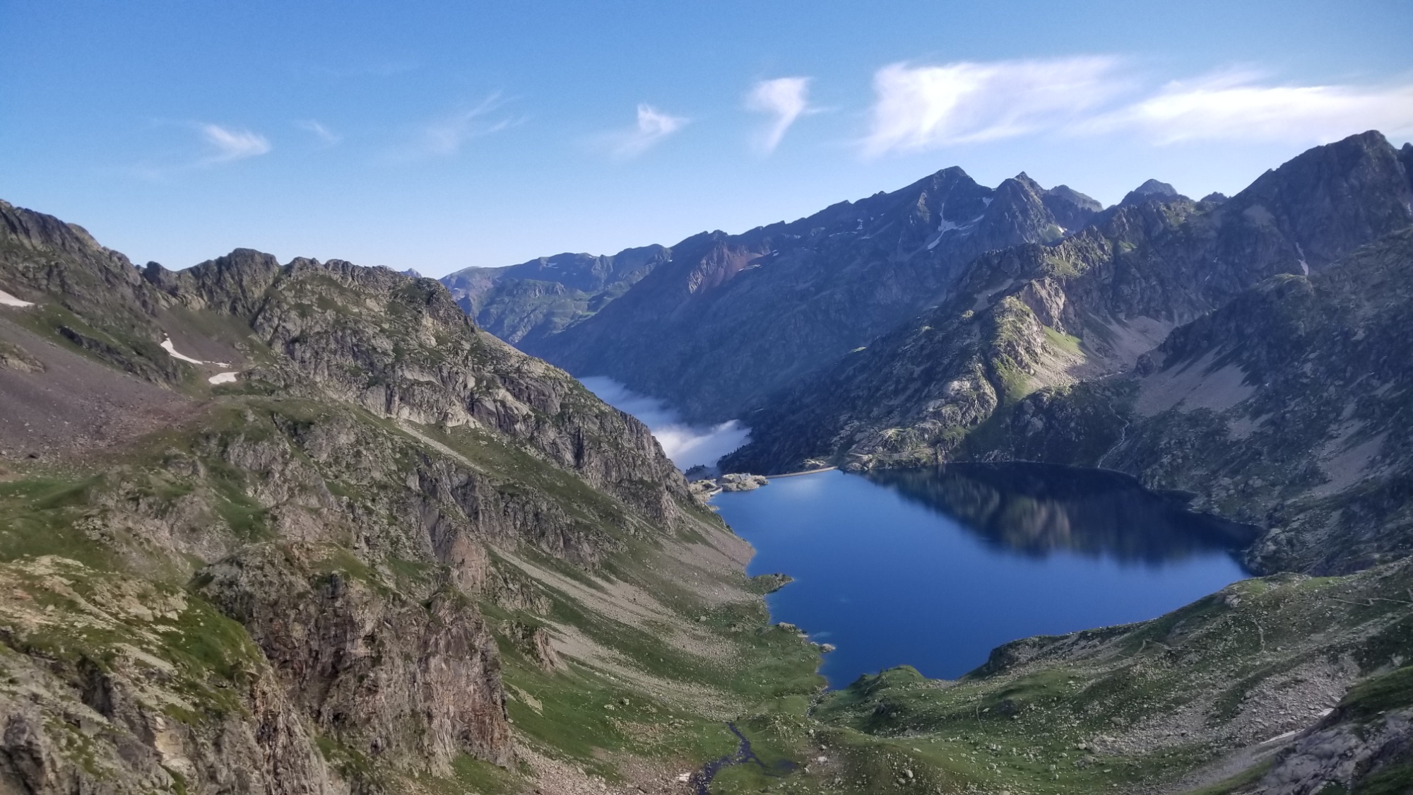
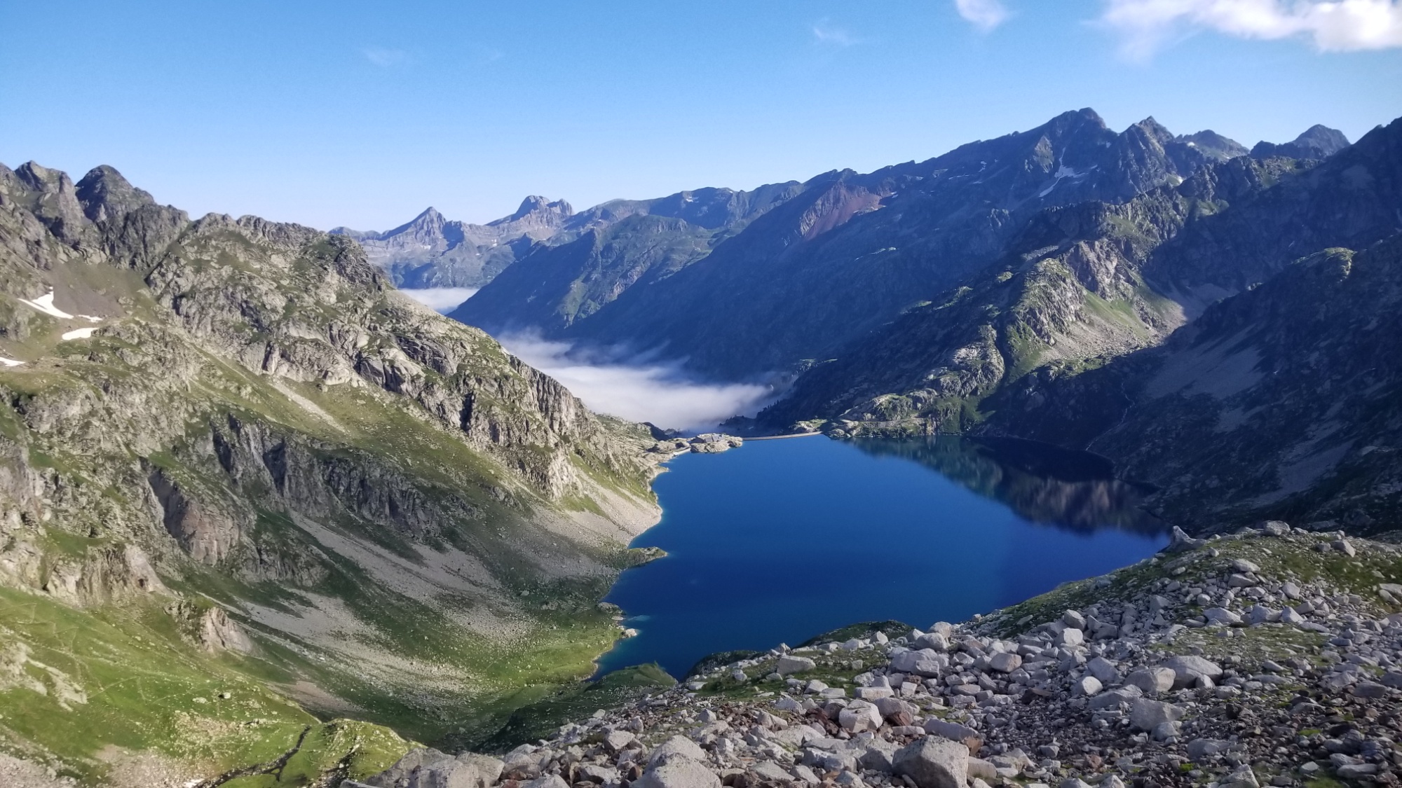
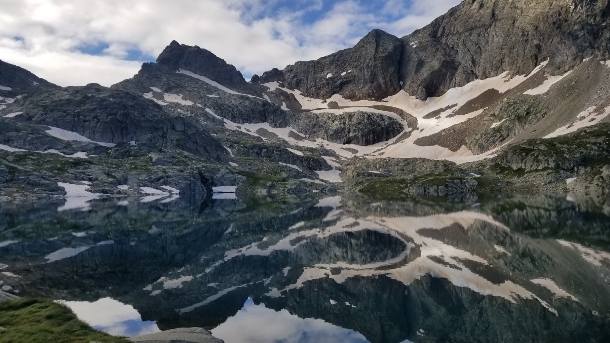
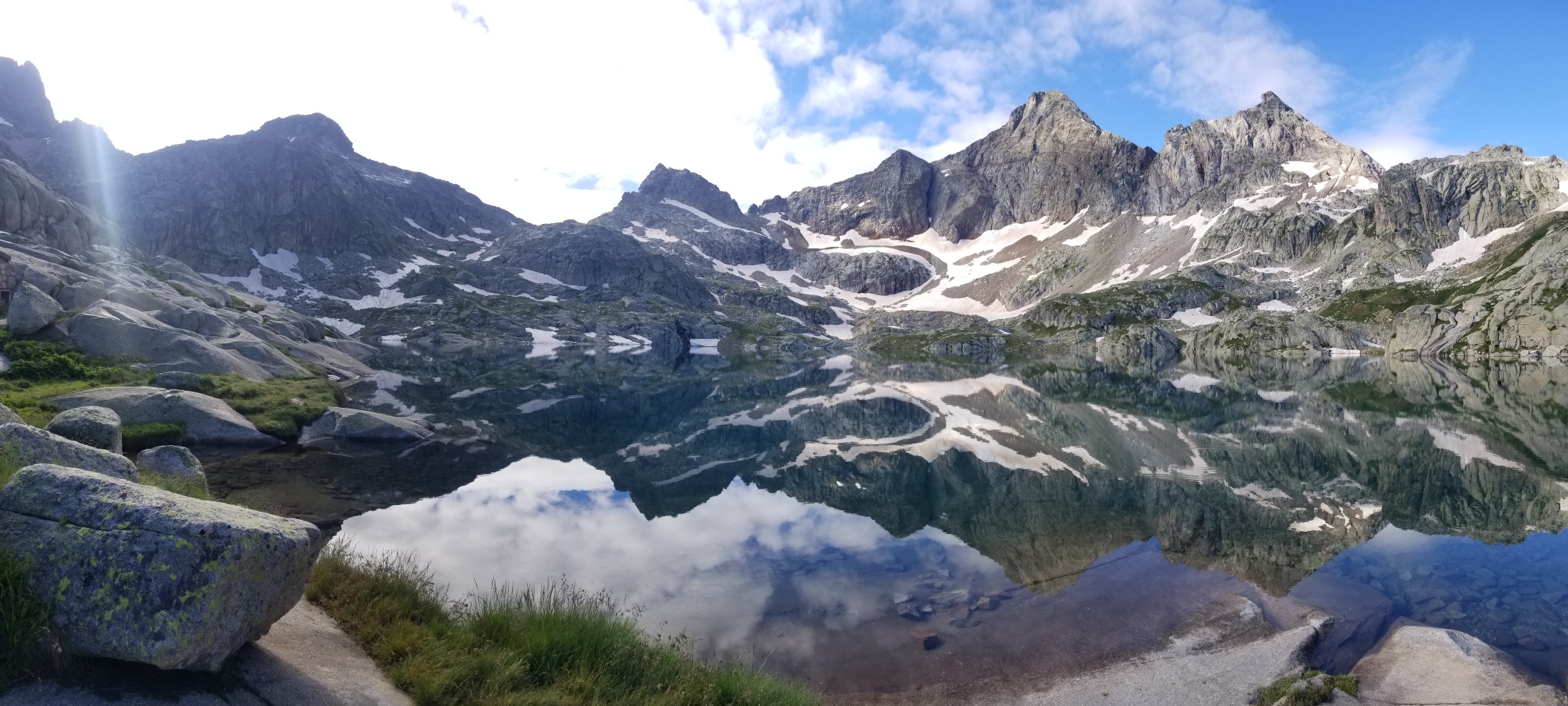
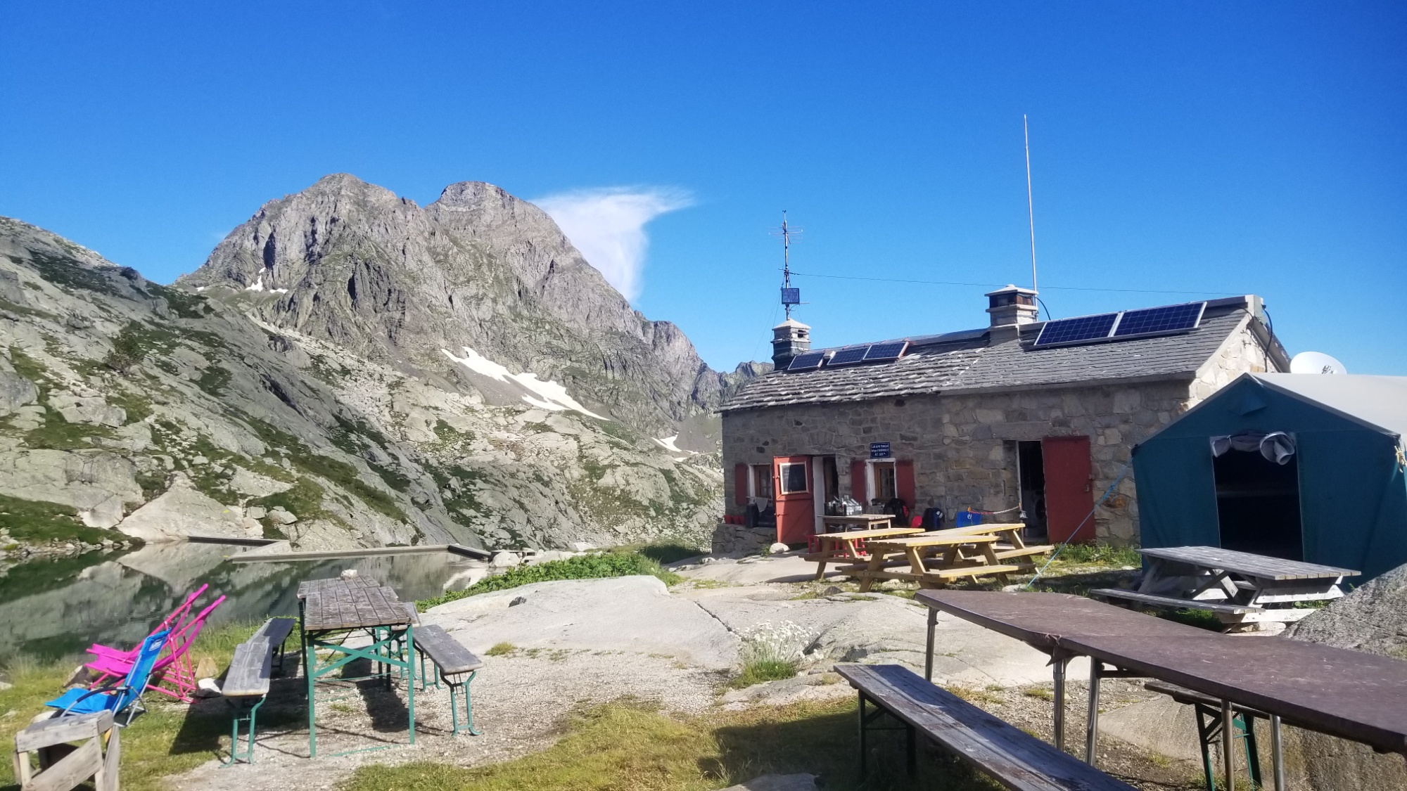
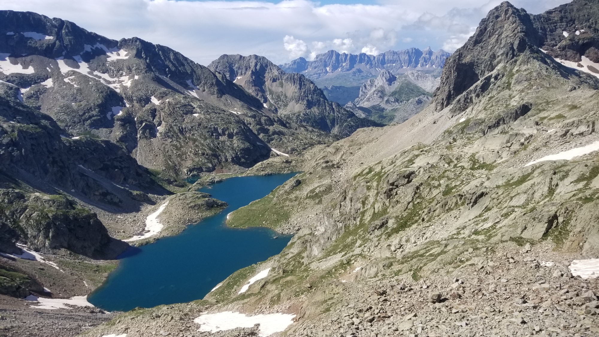
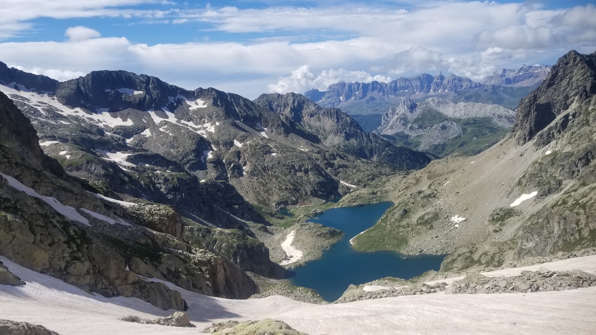
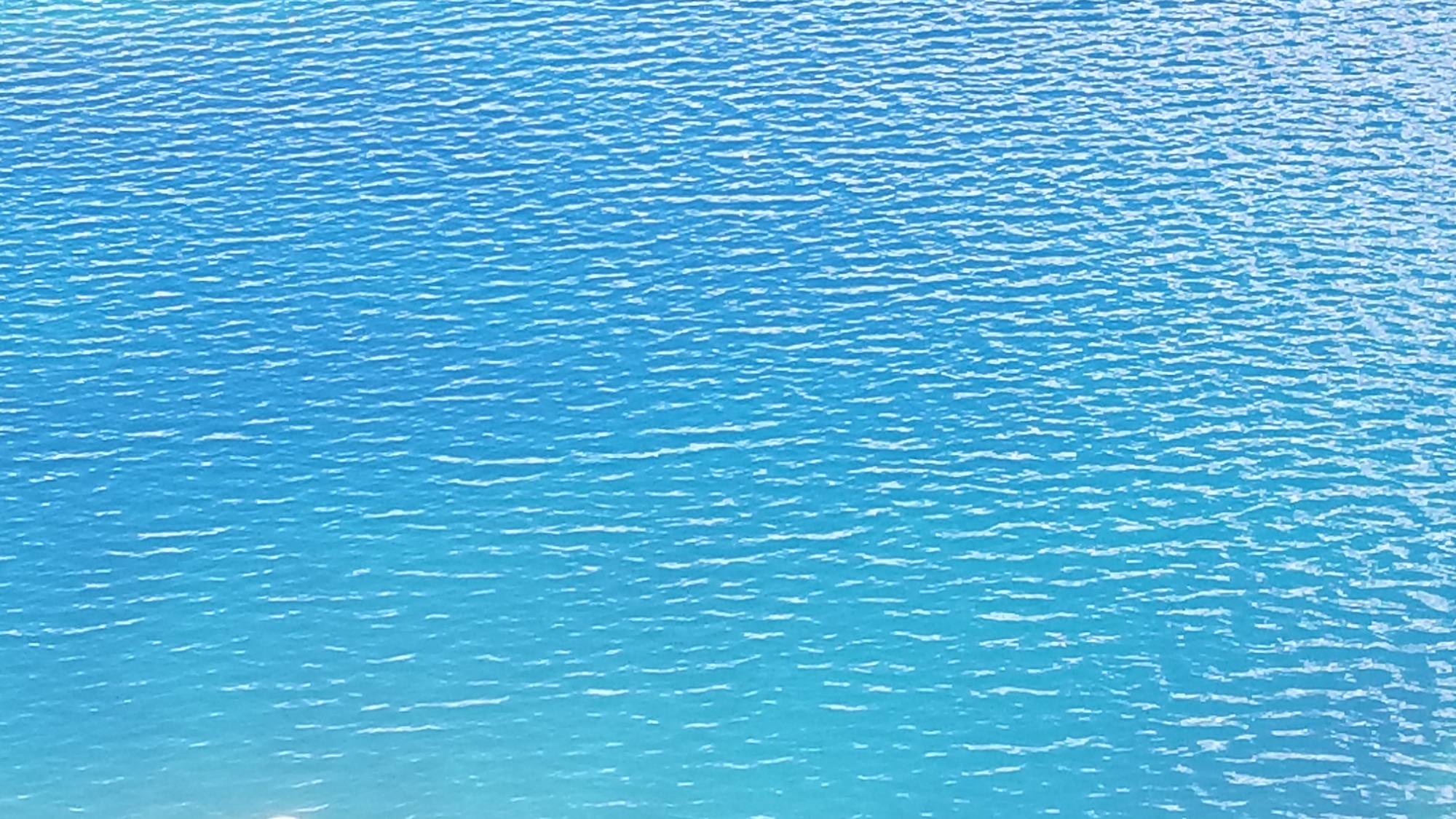
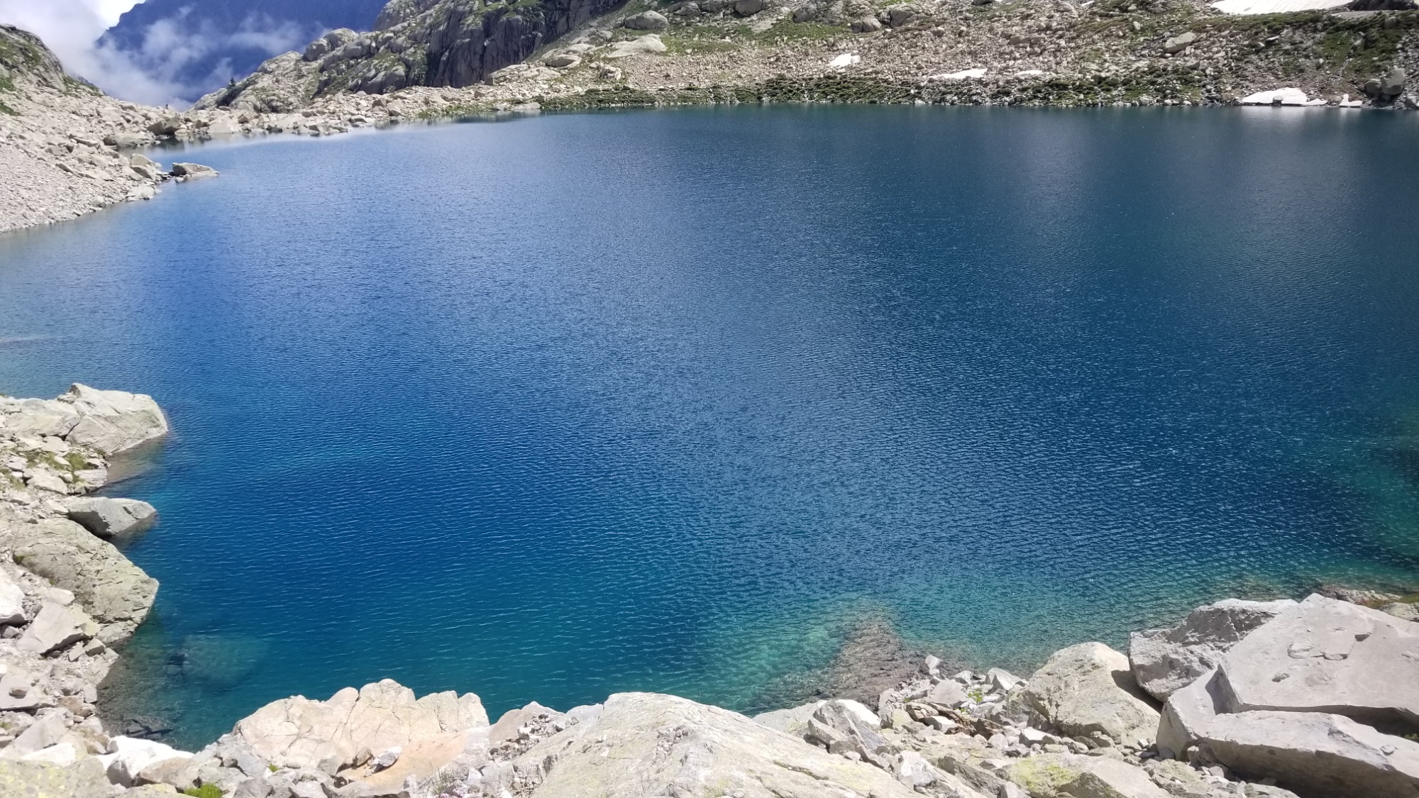
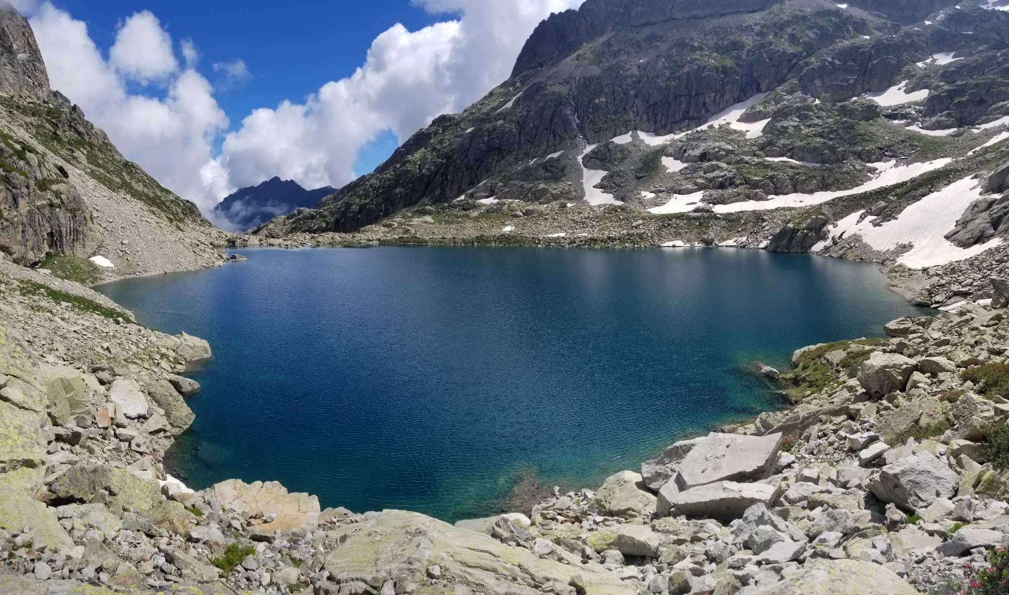
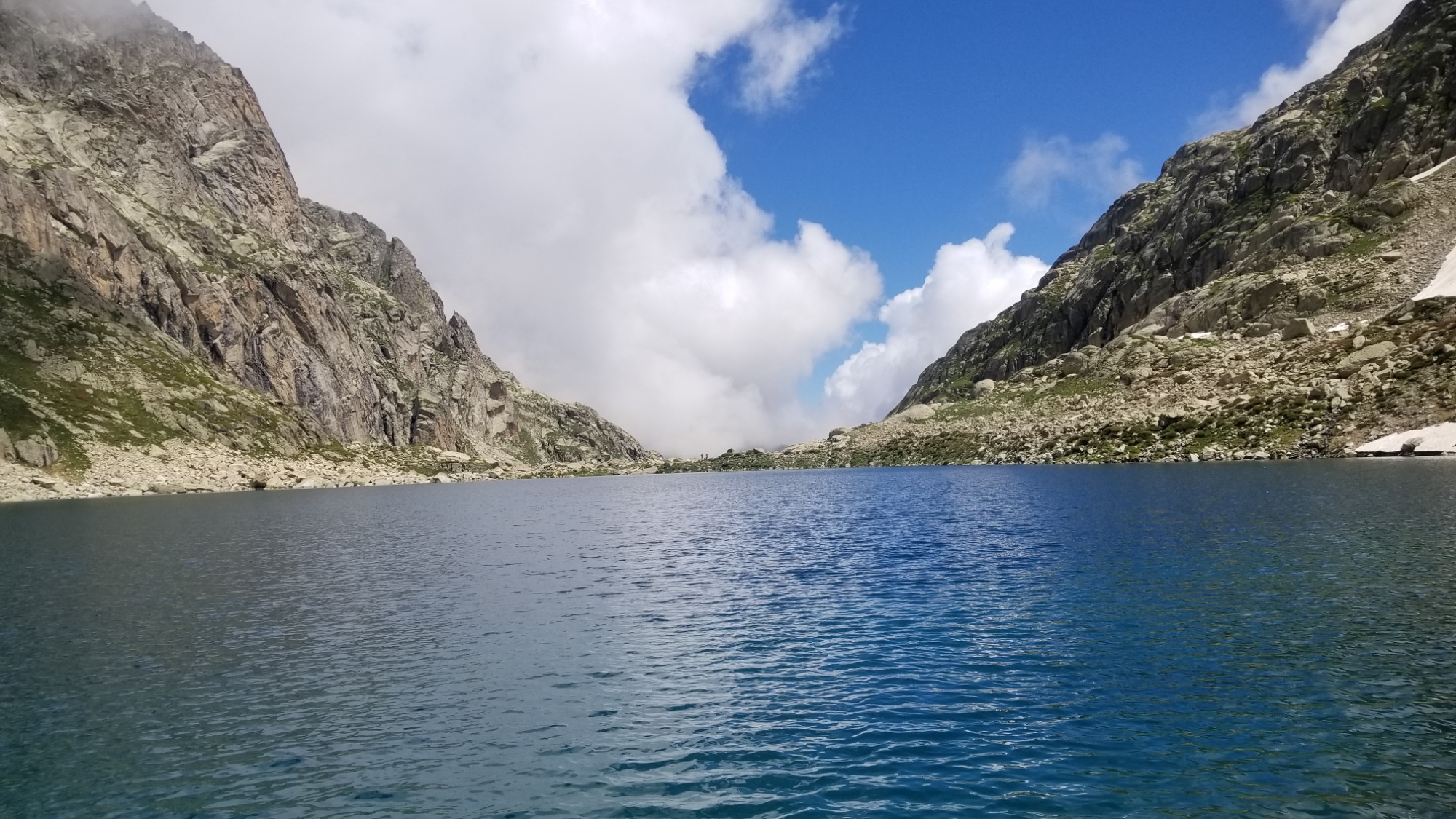
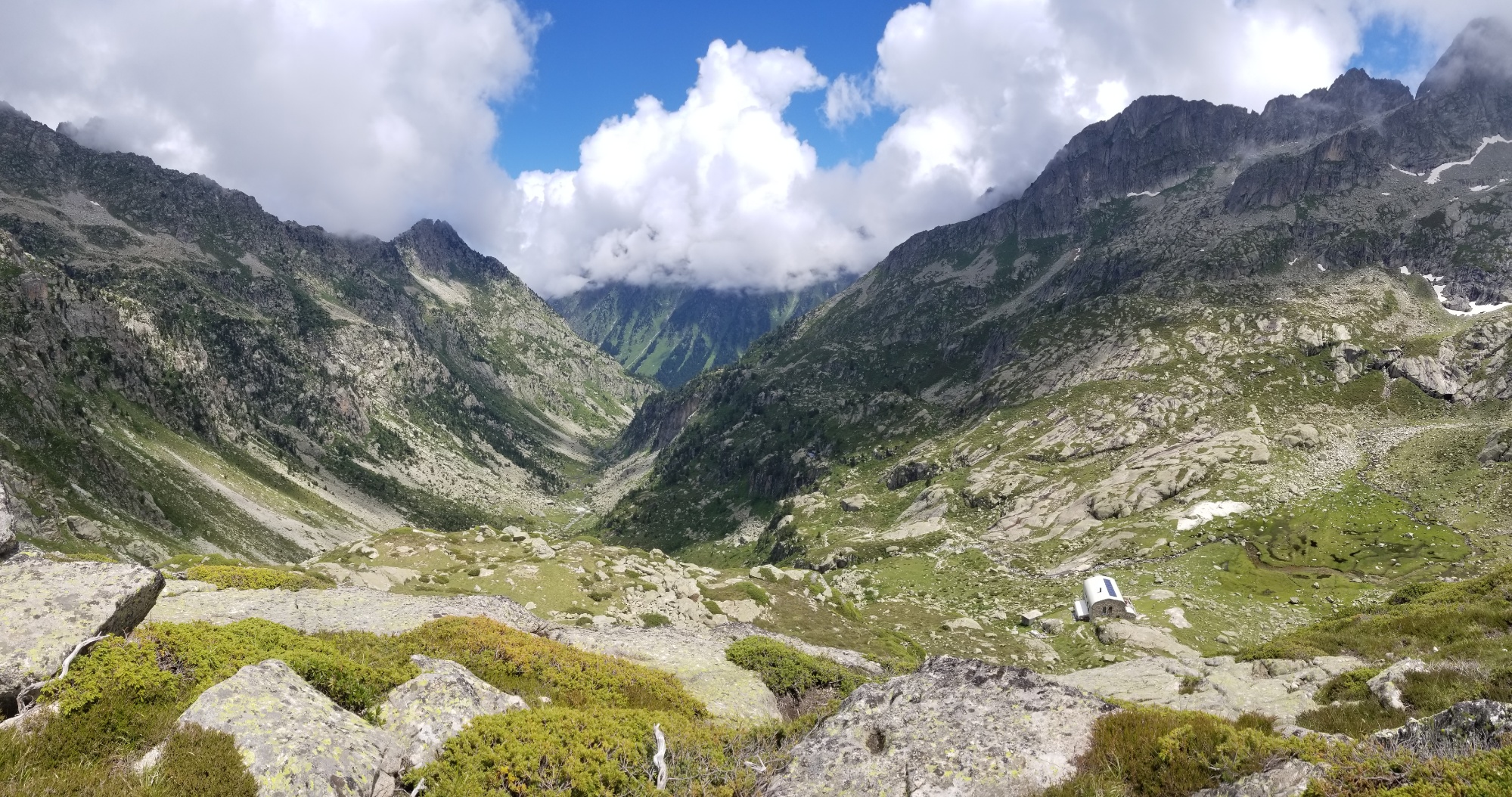
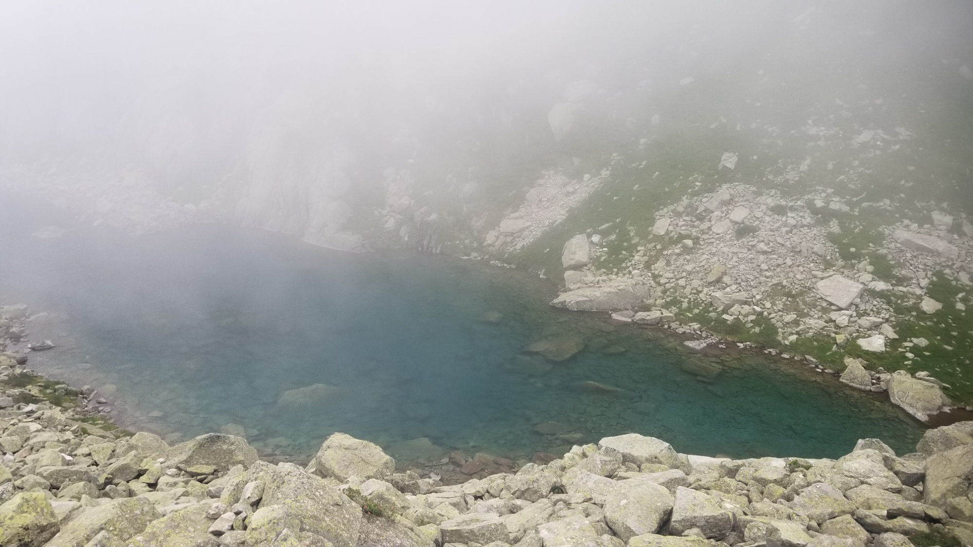
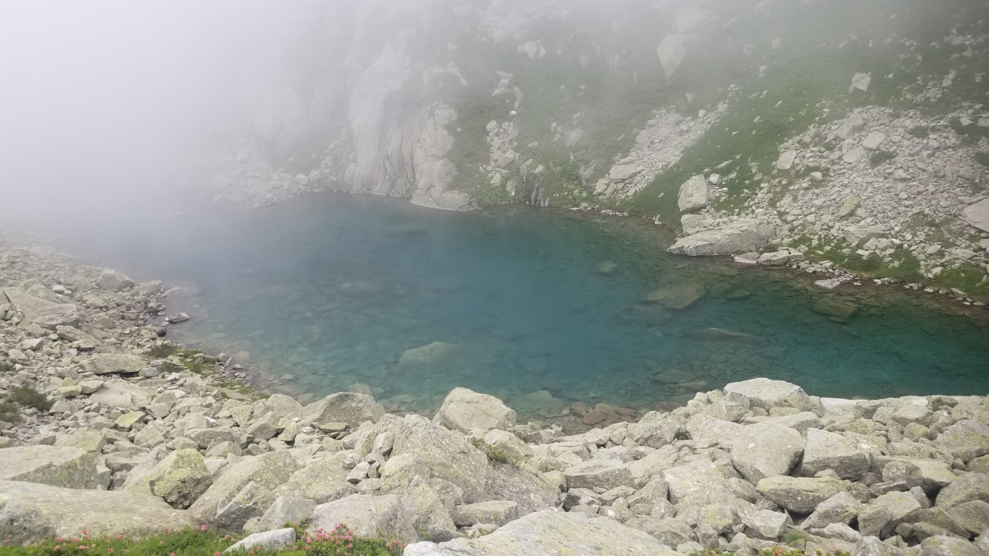
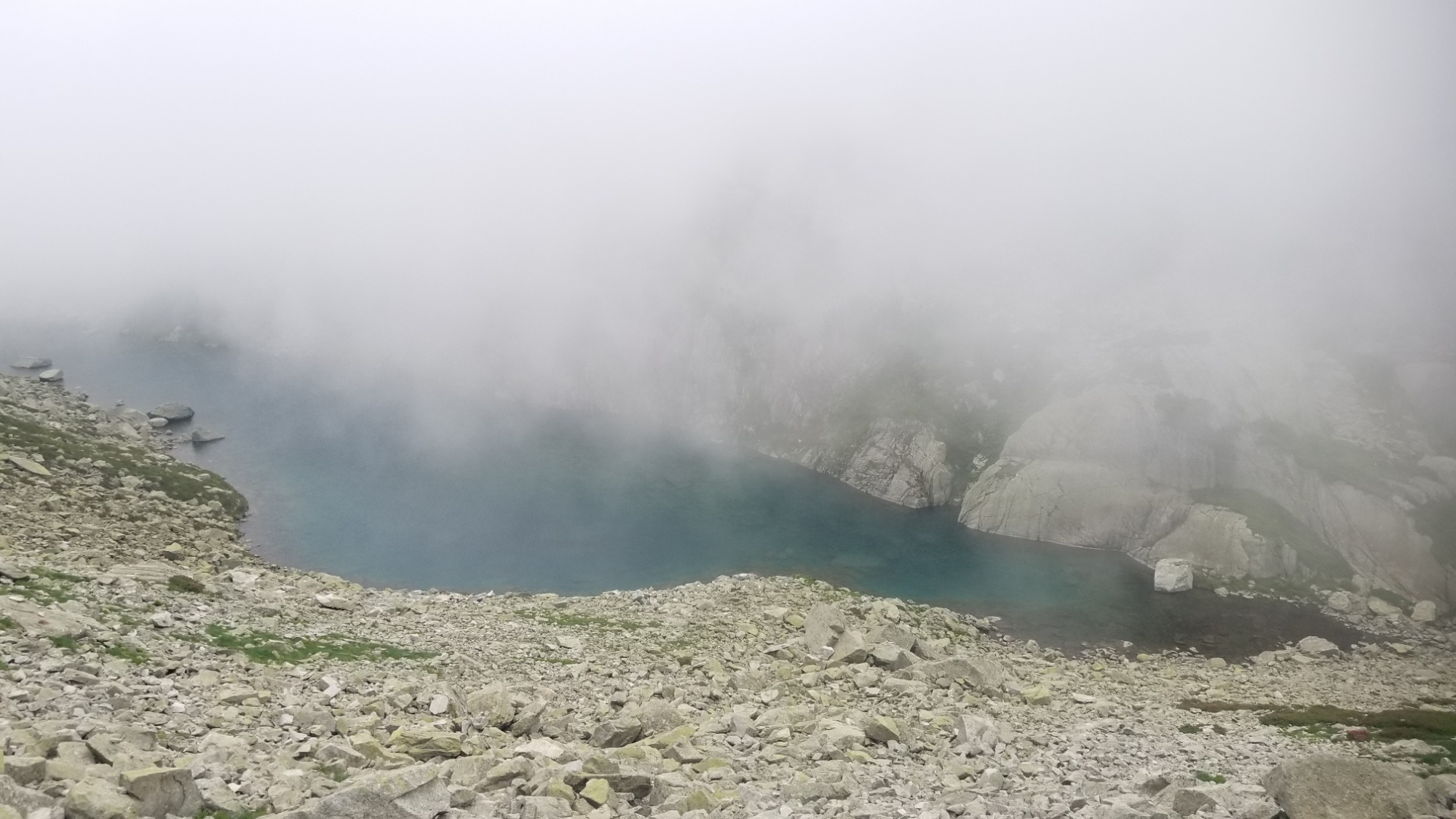
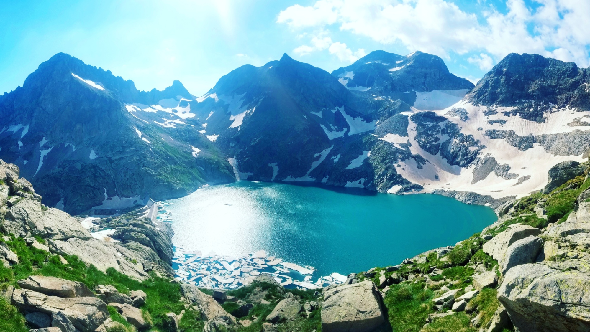
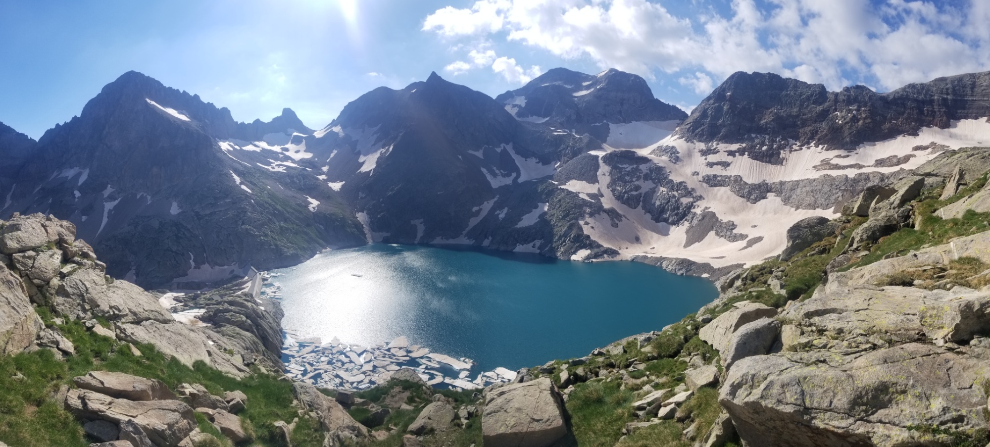
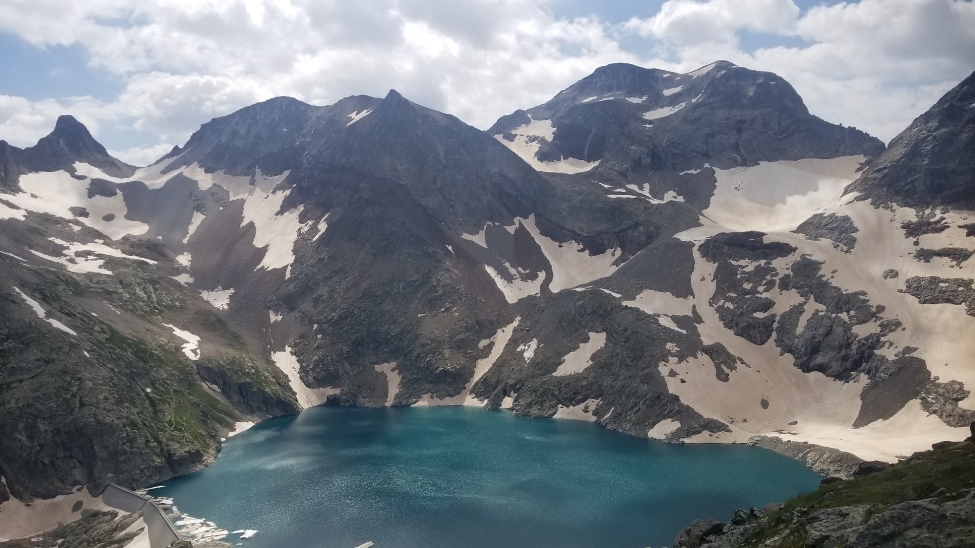
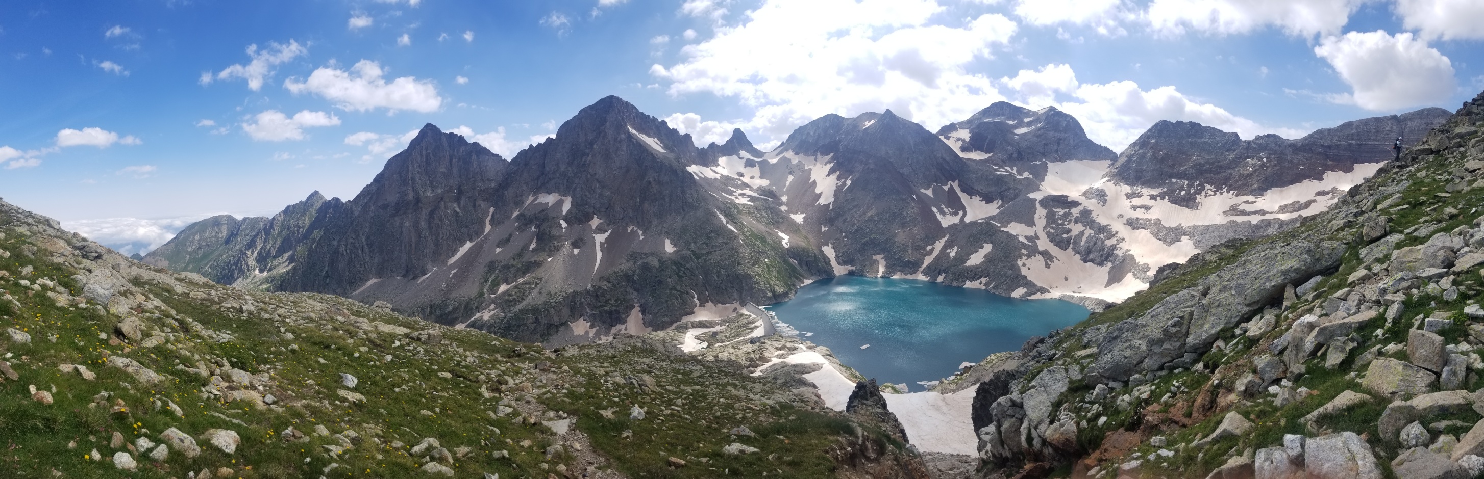
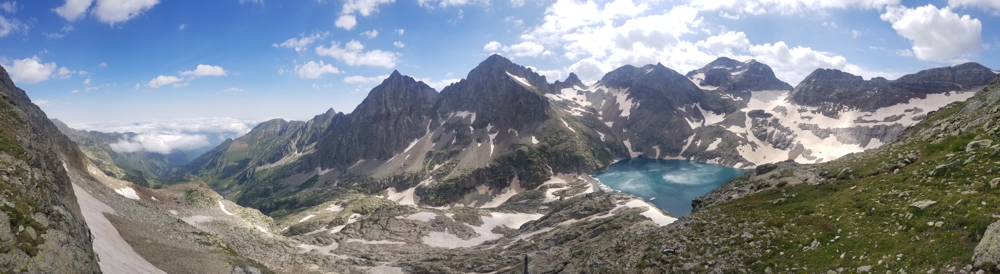
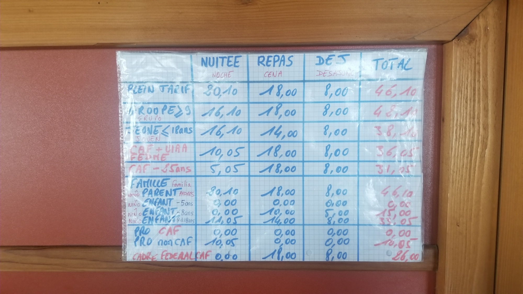
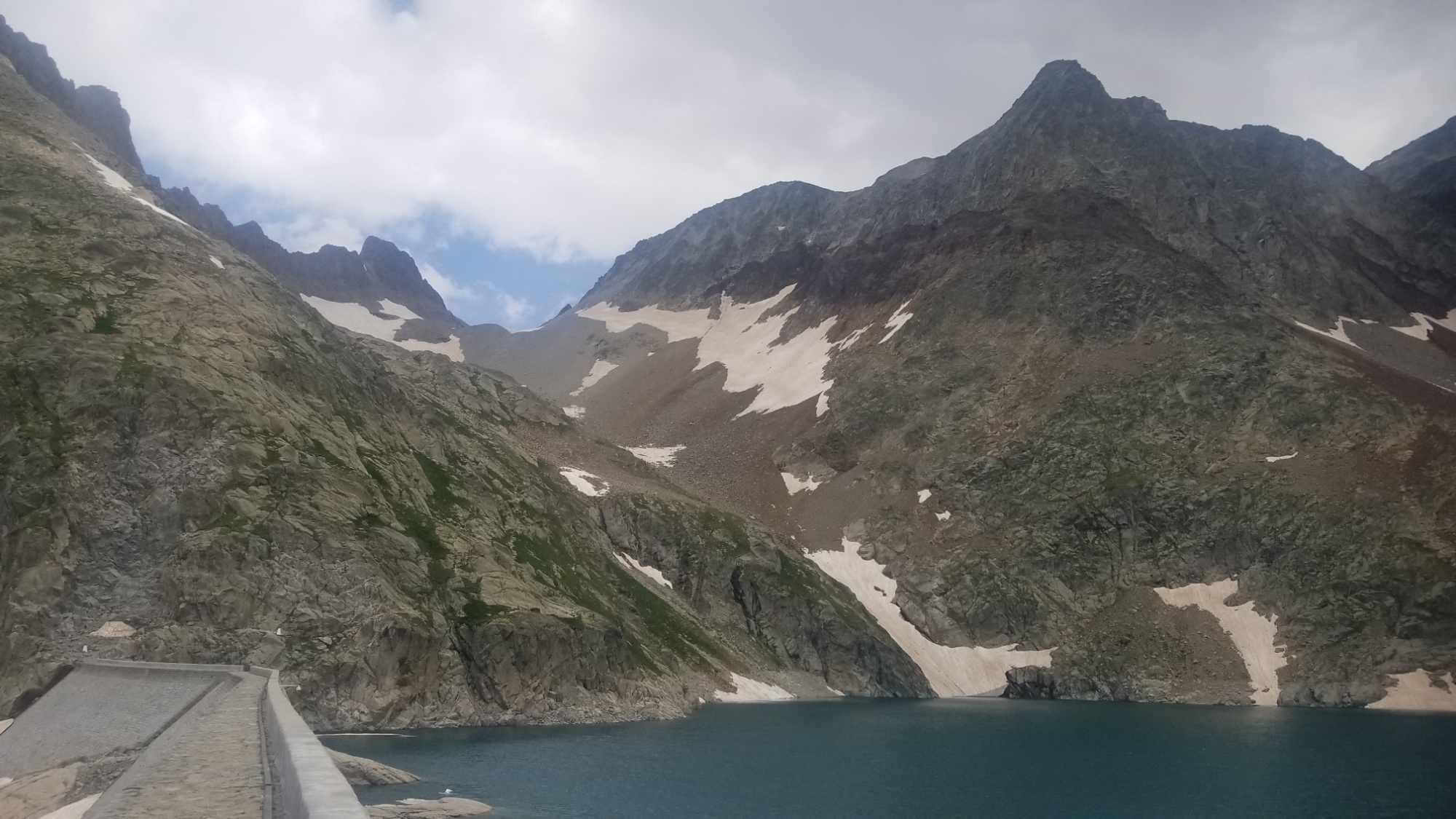
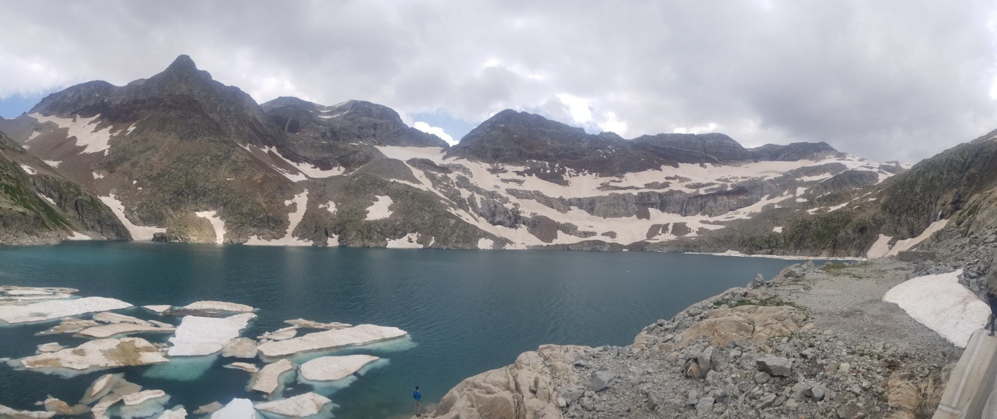
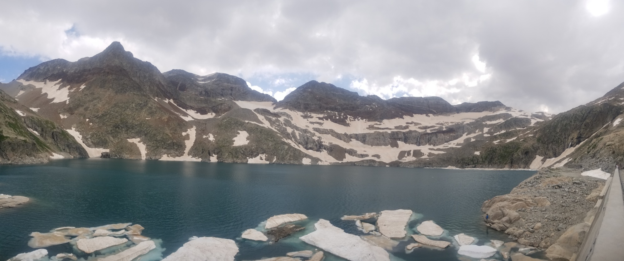
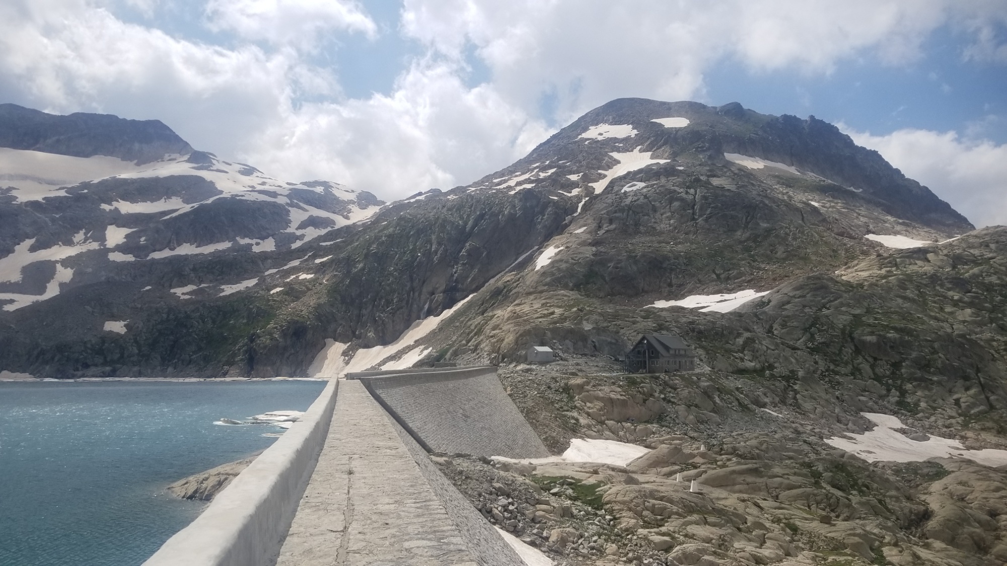
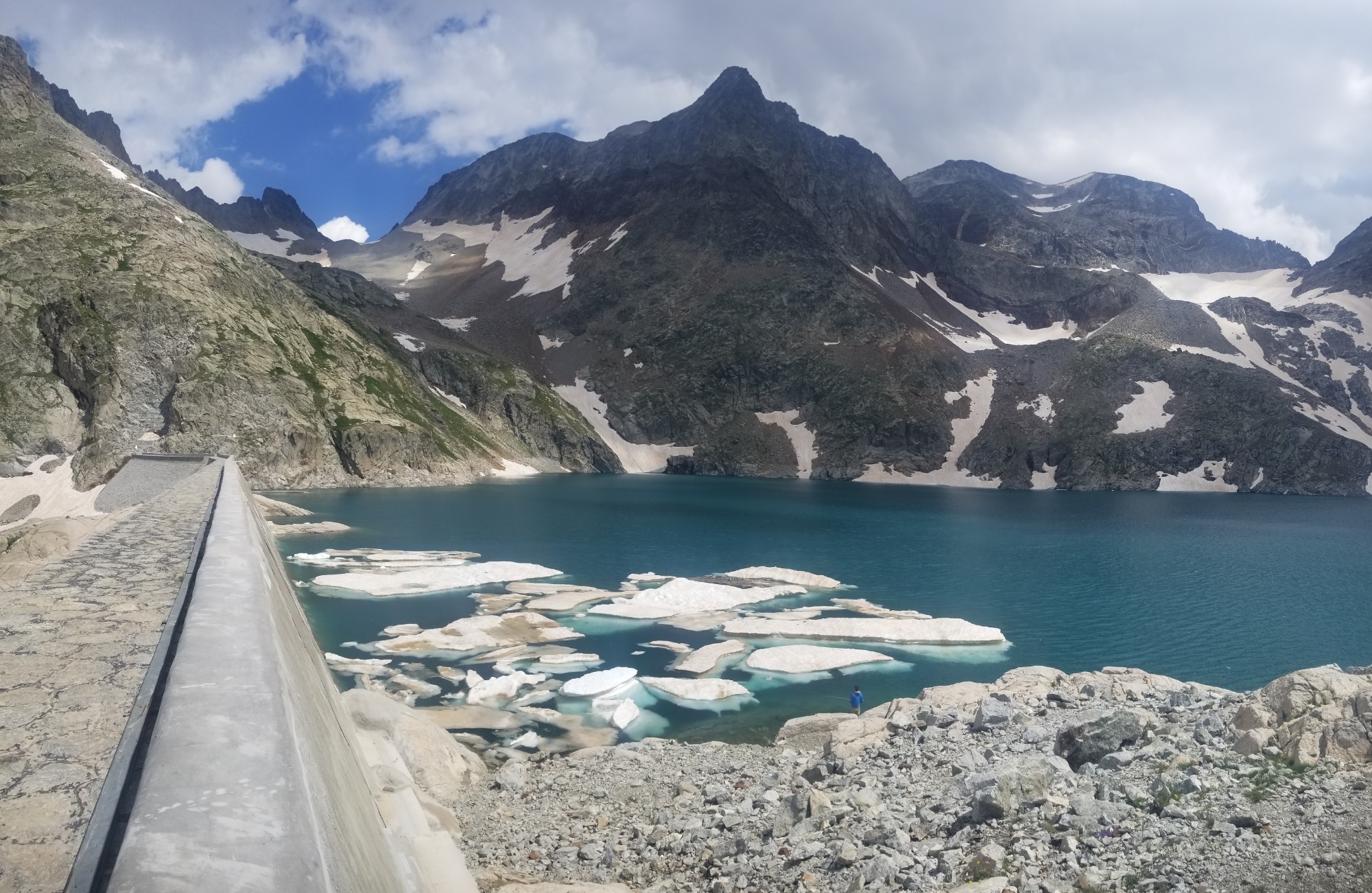
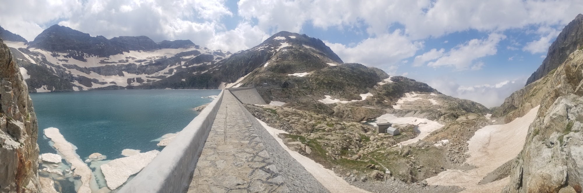
Ah, what a place to stay! Just by a massive, beautiful glacial lake, with a view down the valley, a superbly architectured warm building to stay in, and someone to cook all your meals for you. All this cost us about €45 / $60.

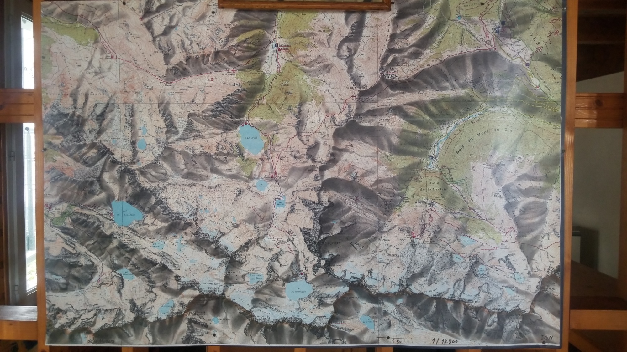
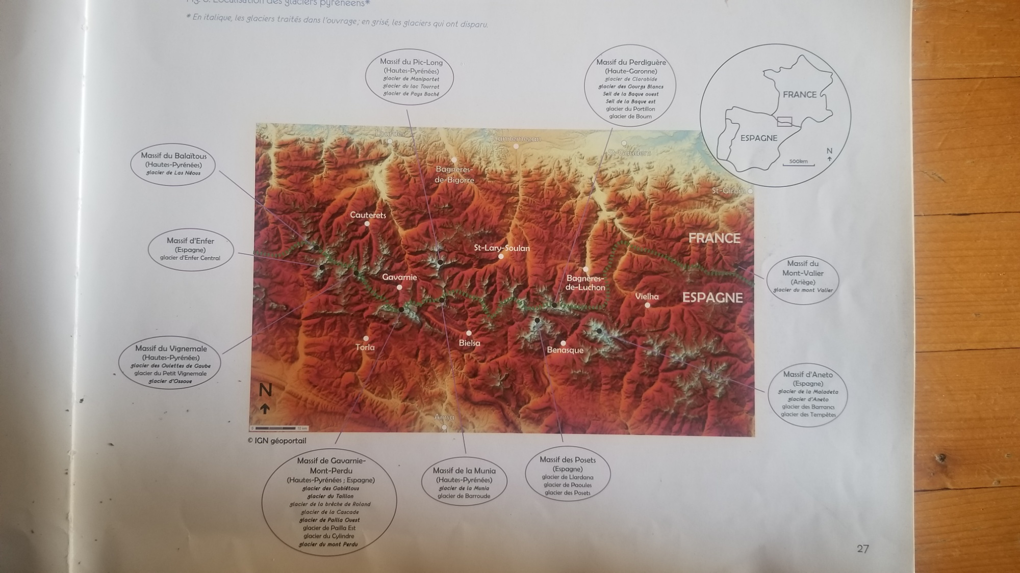
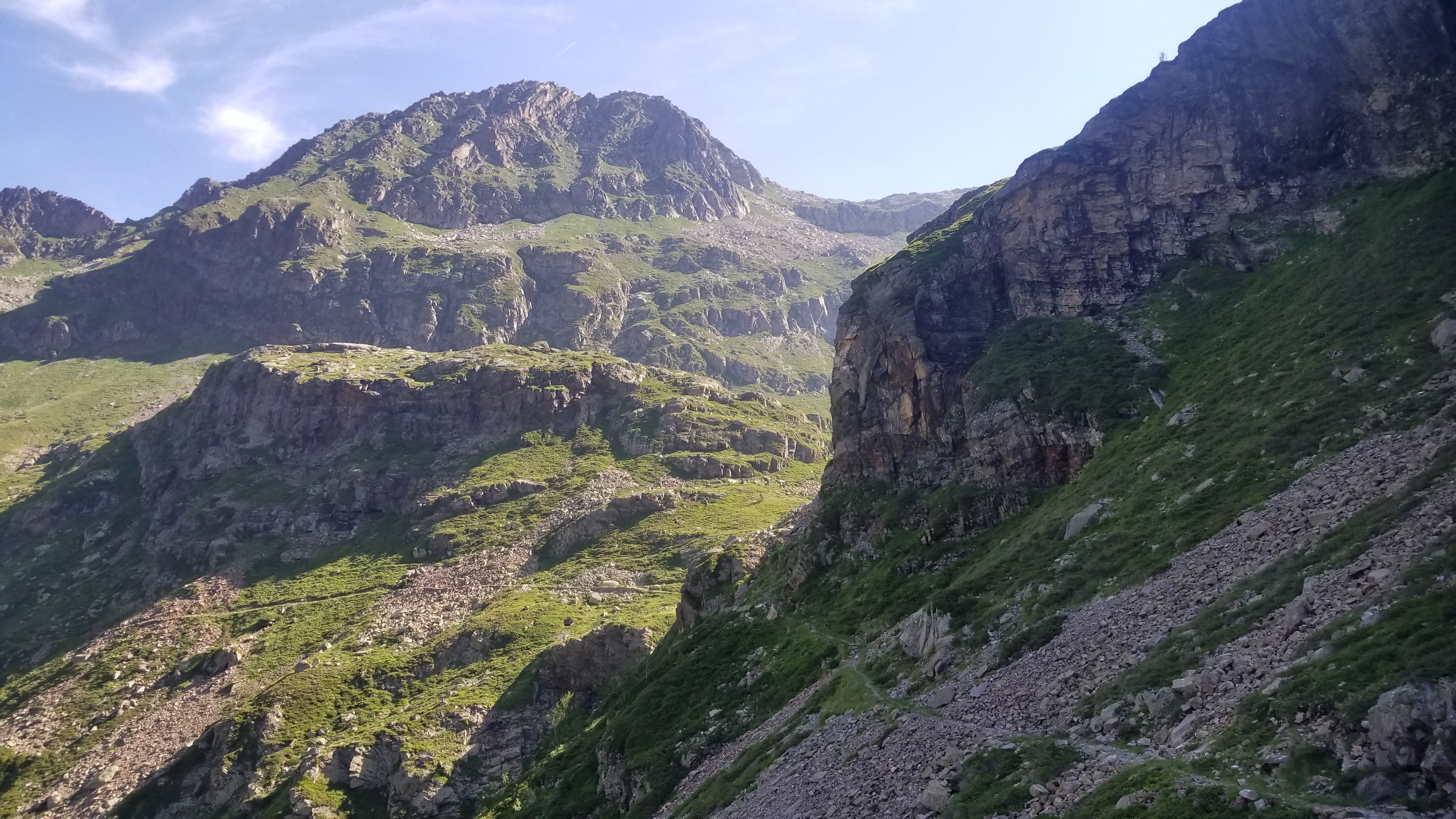
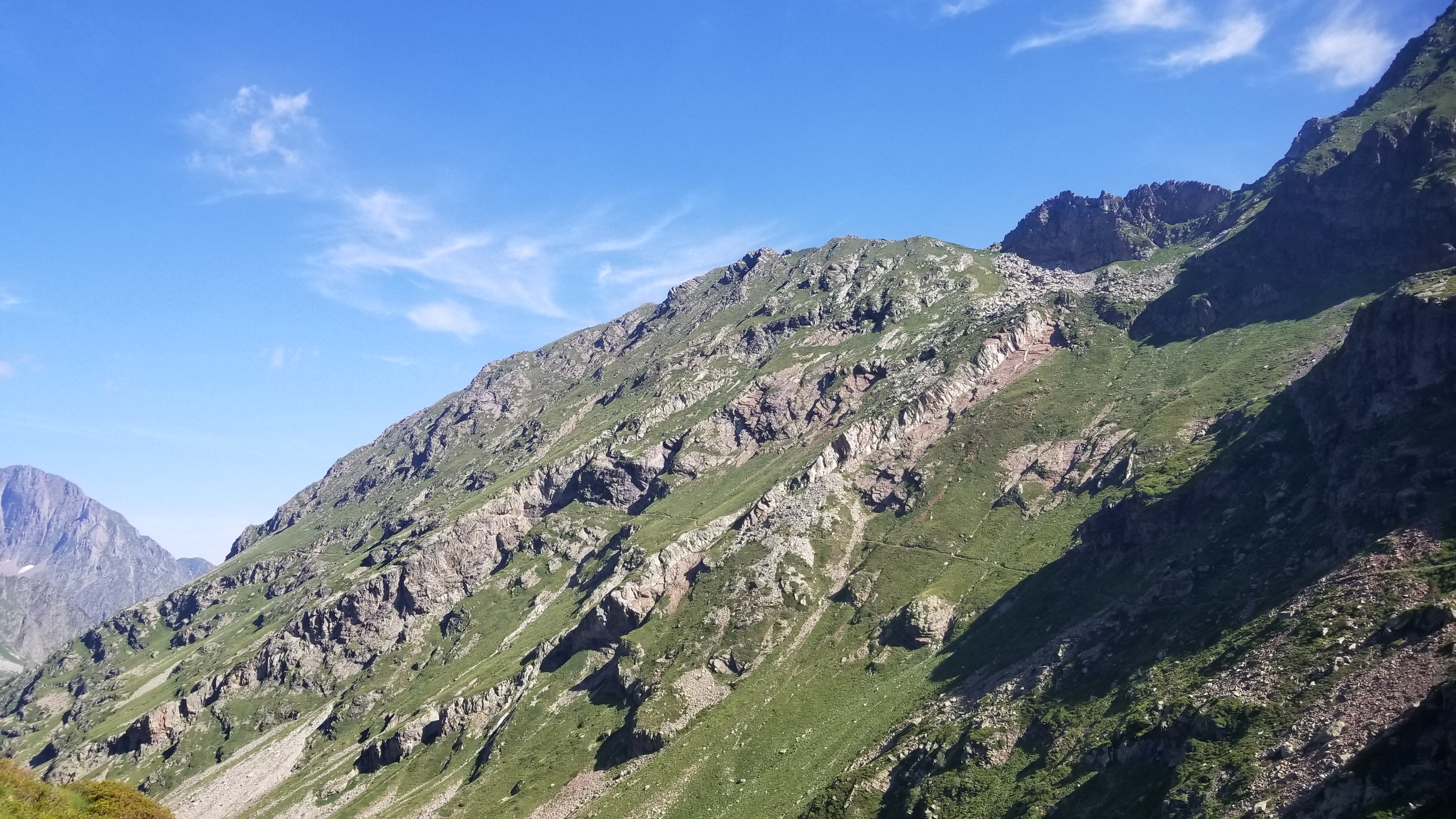
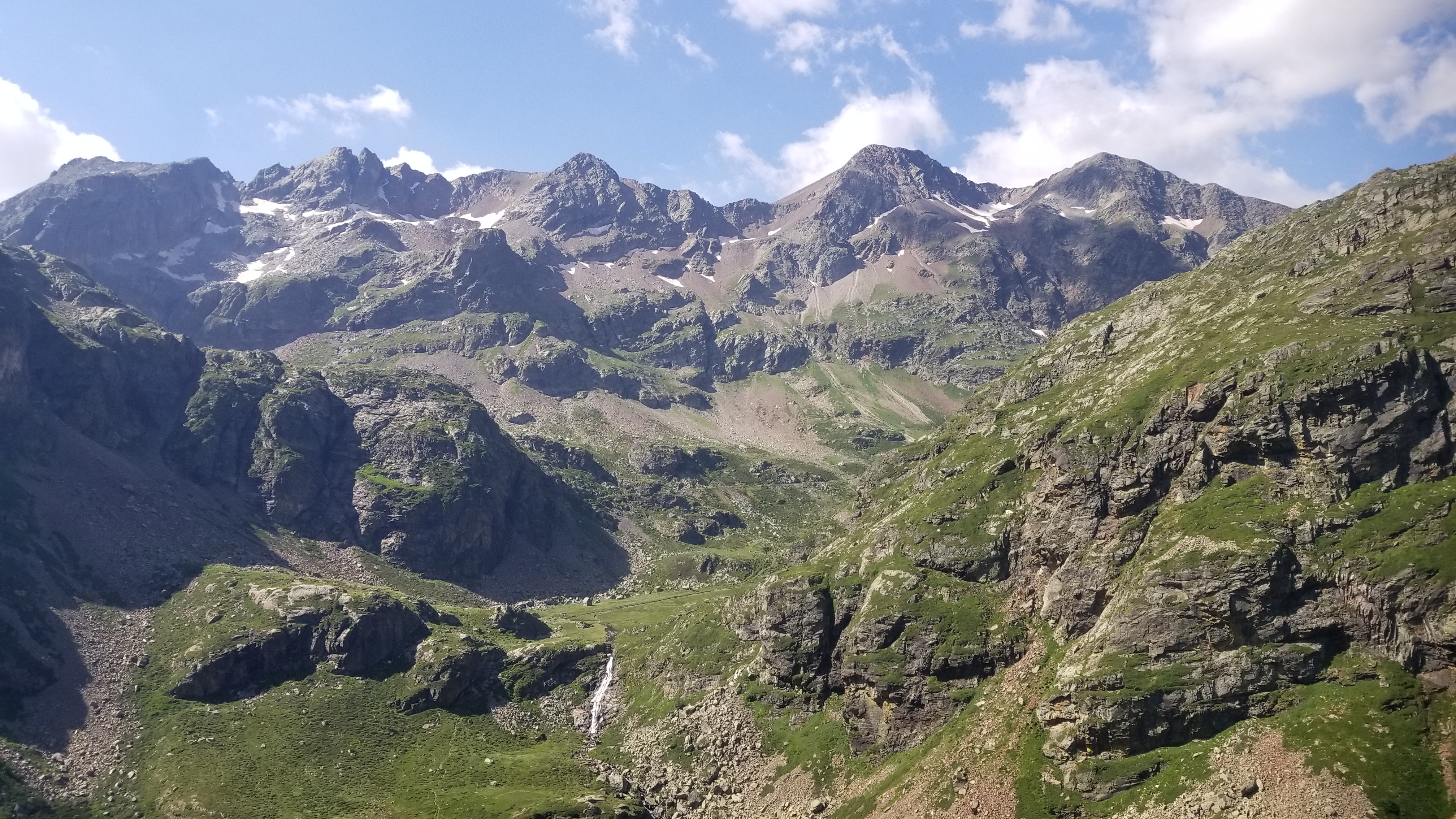
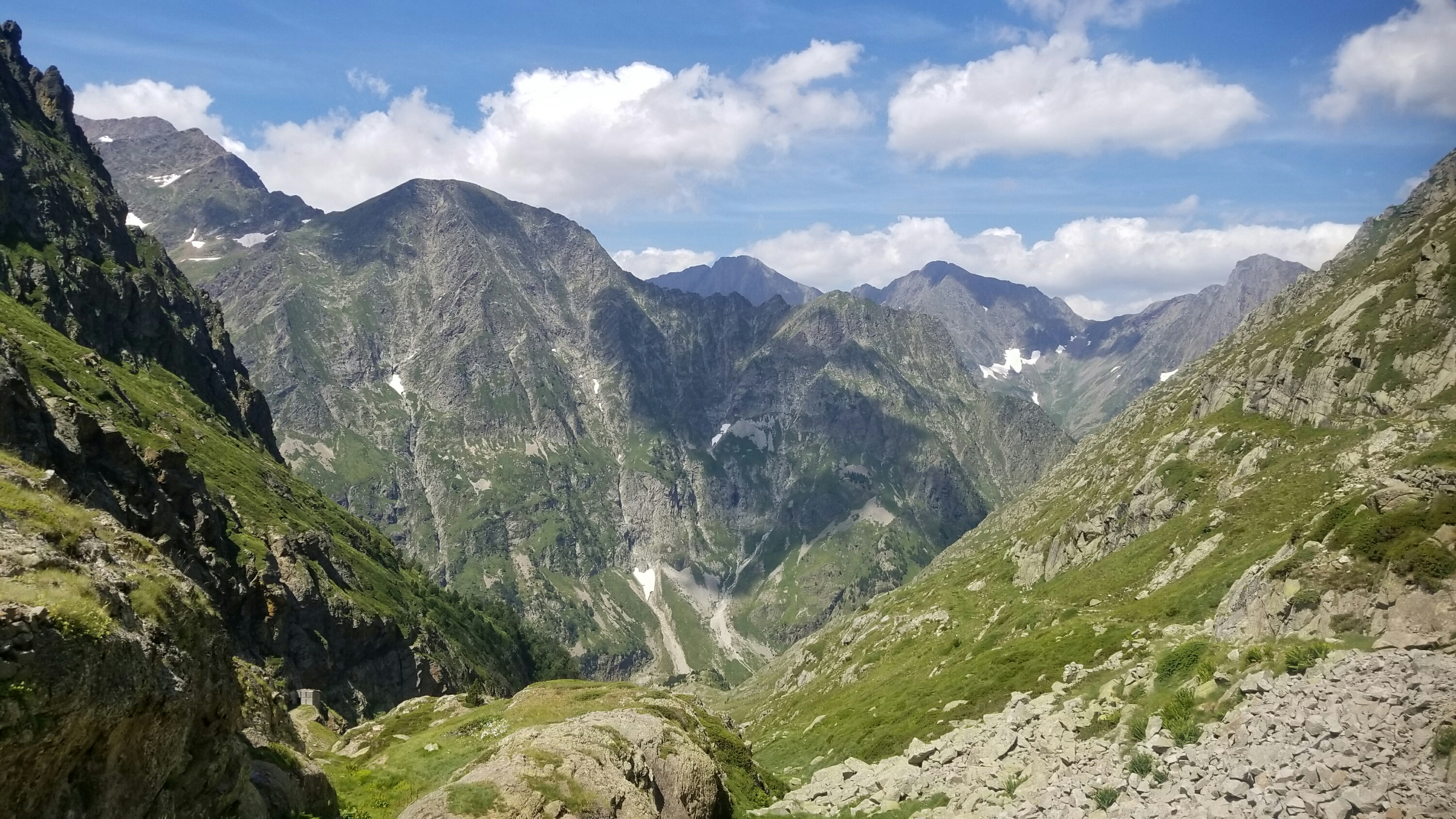
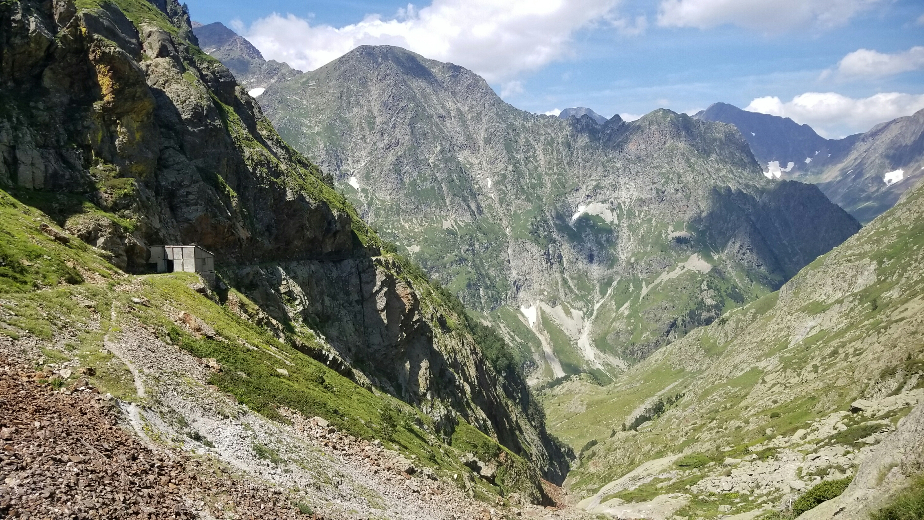
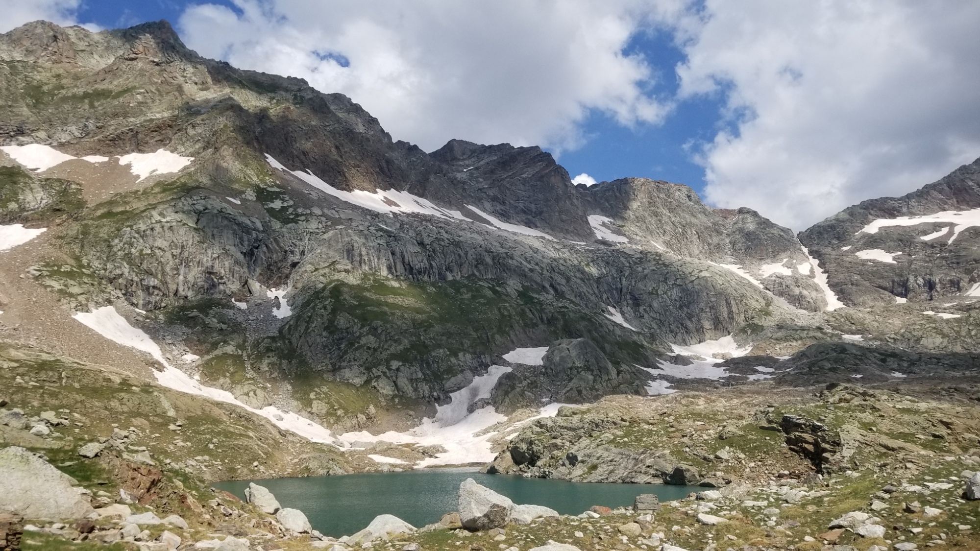
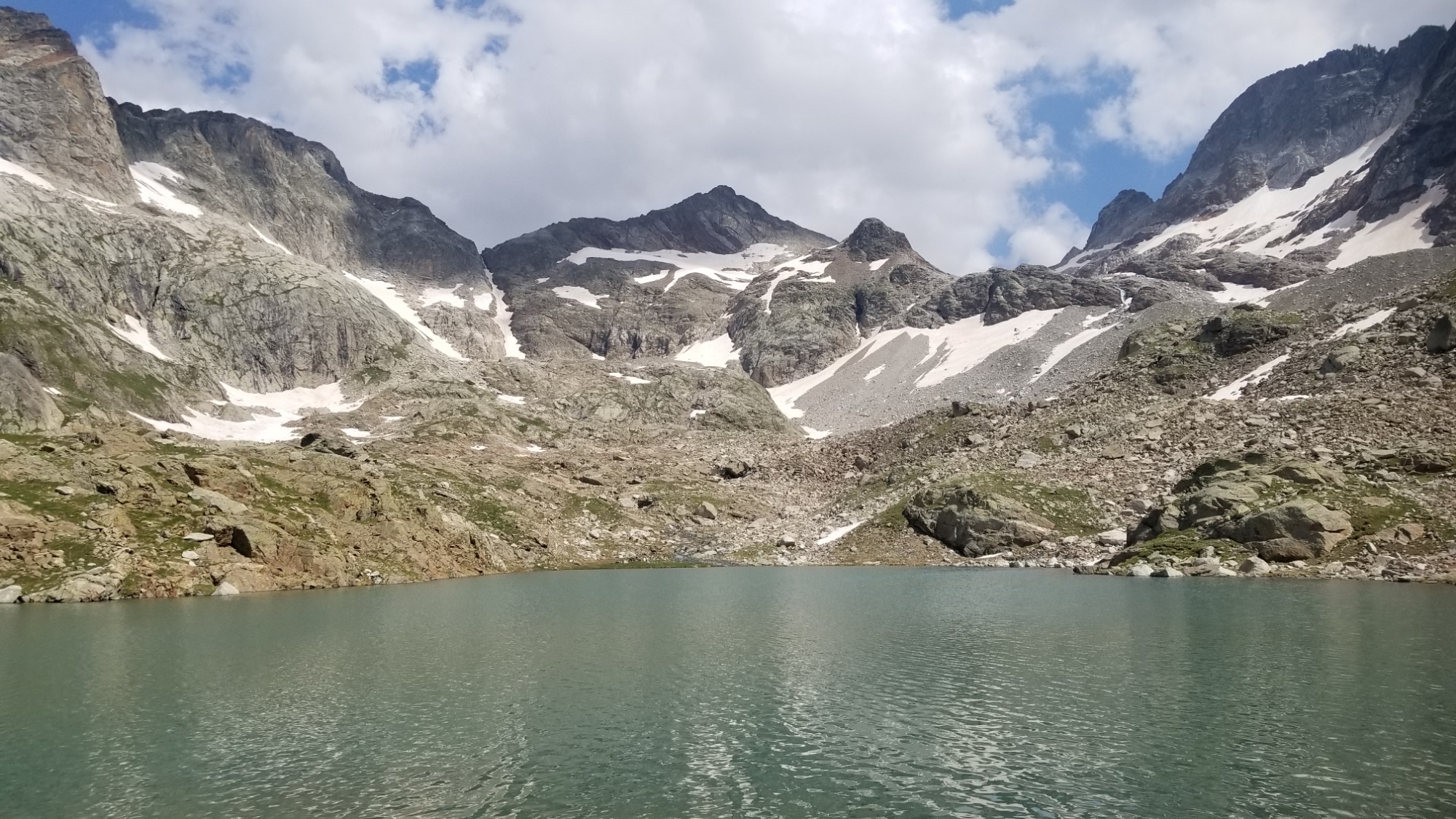
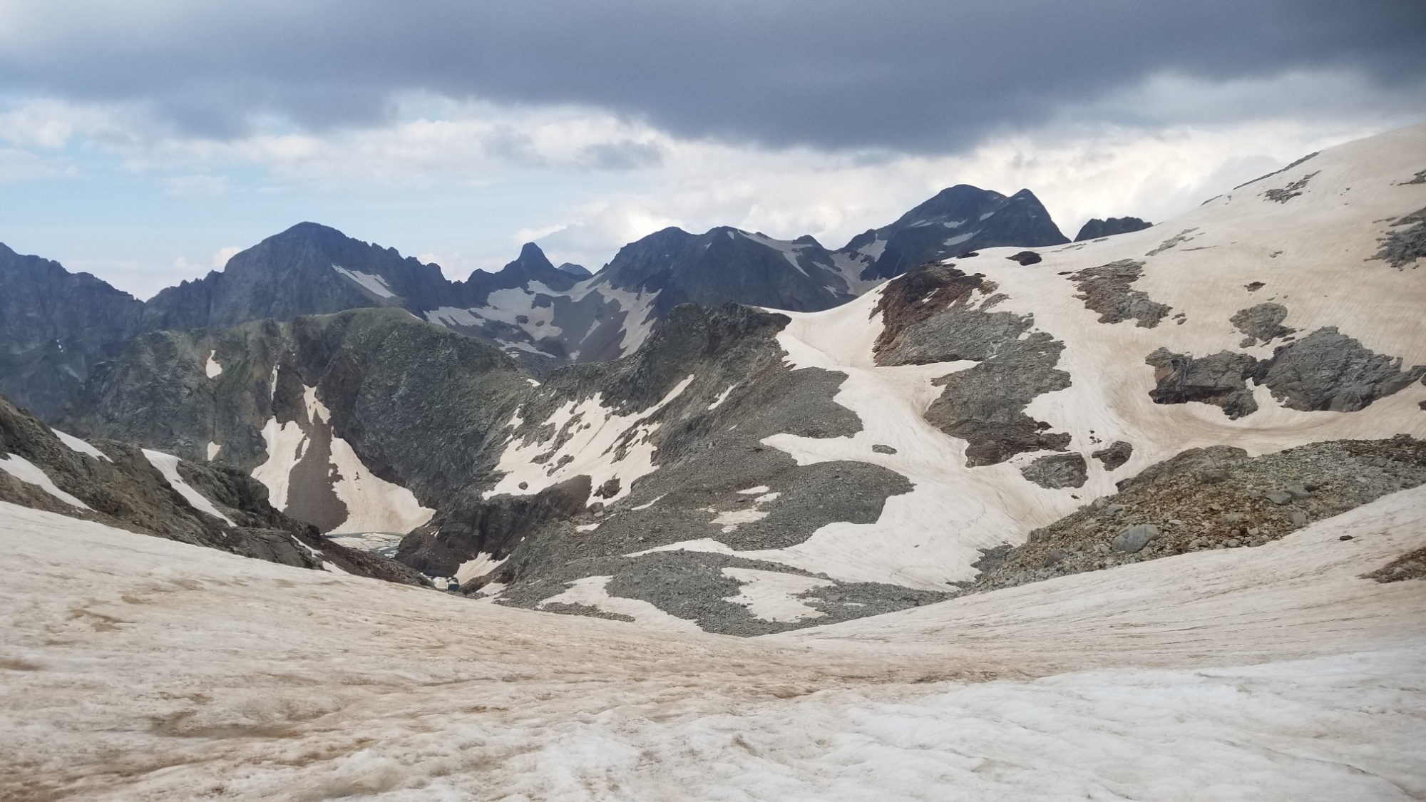
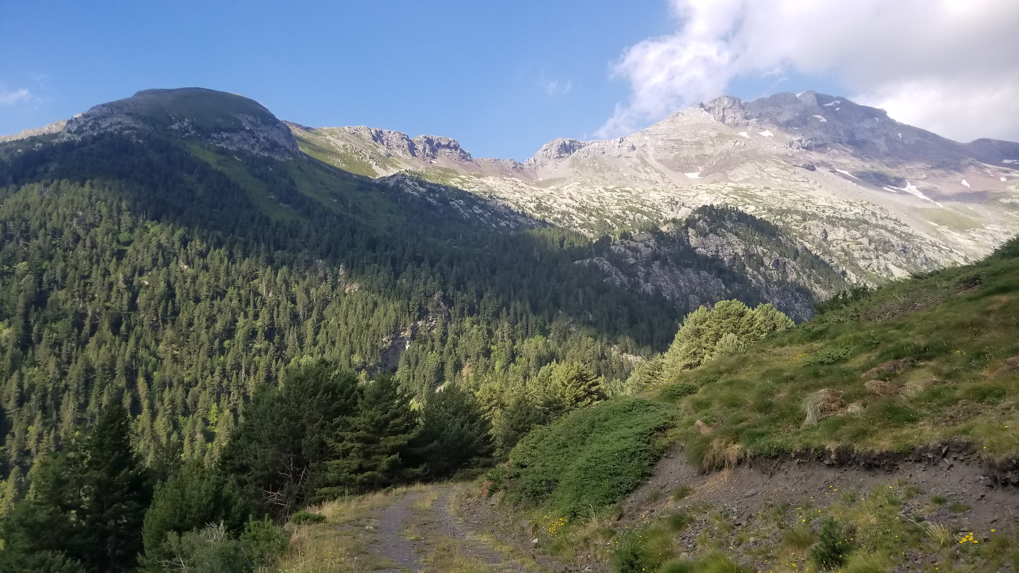
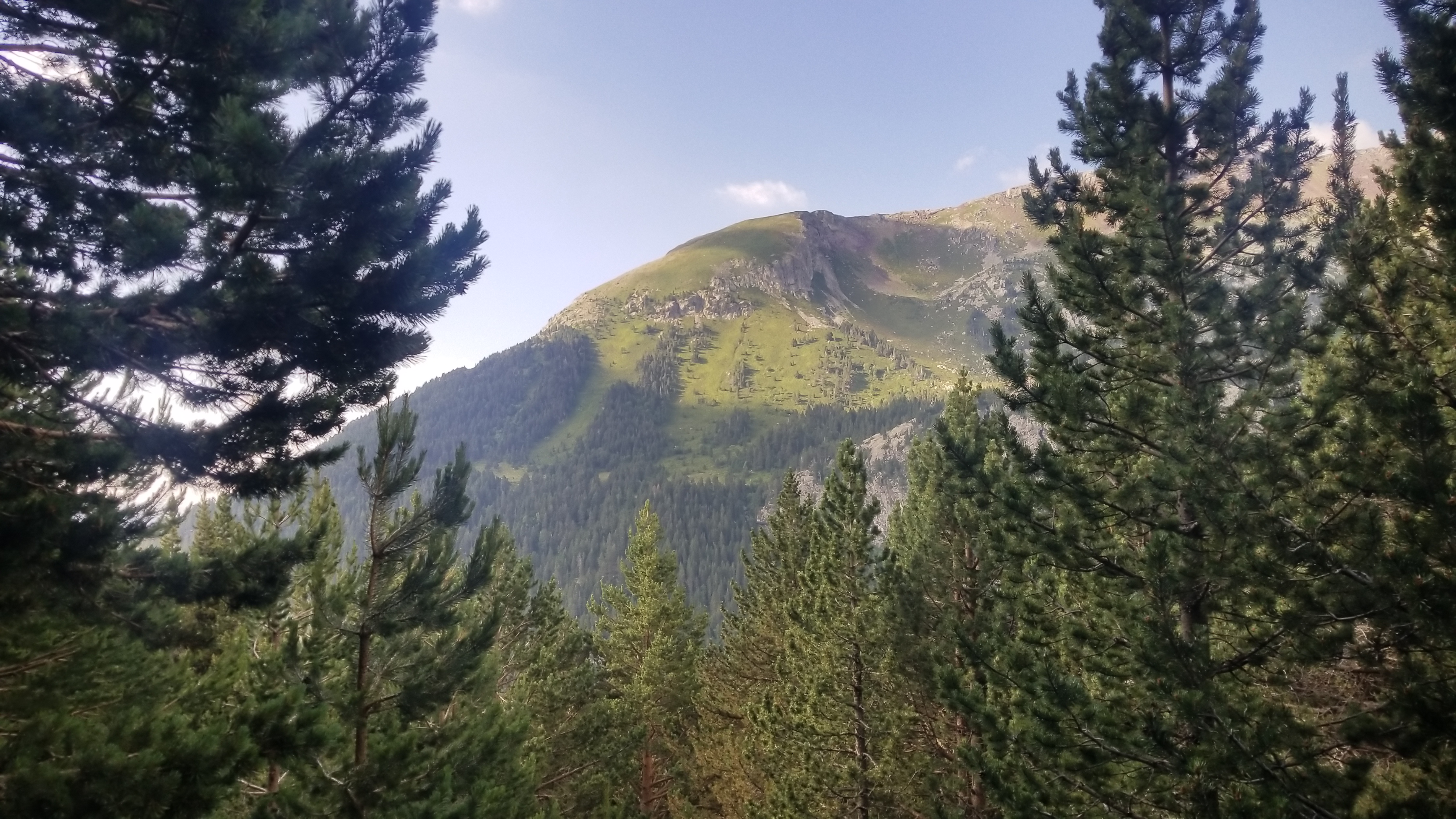
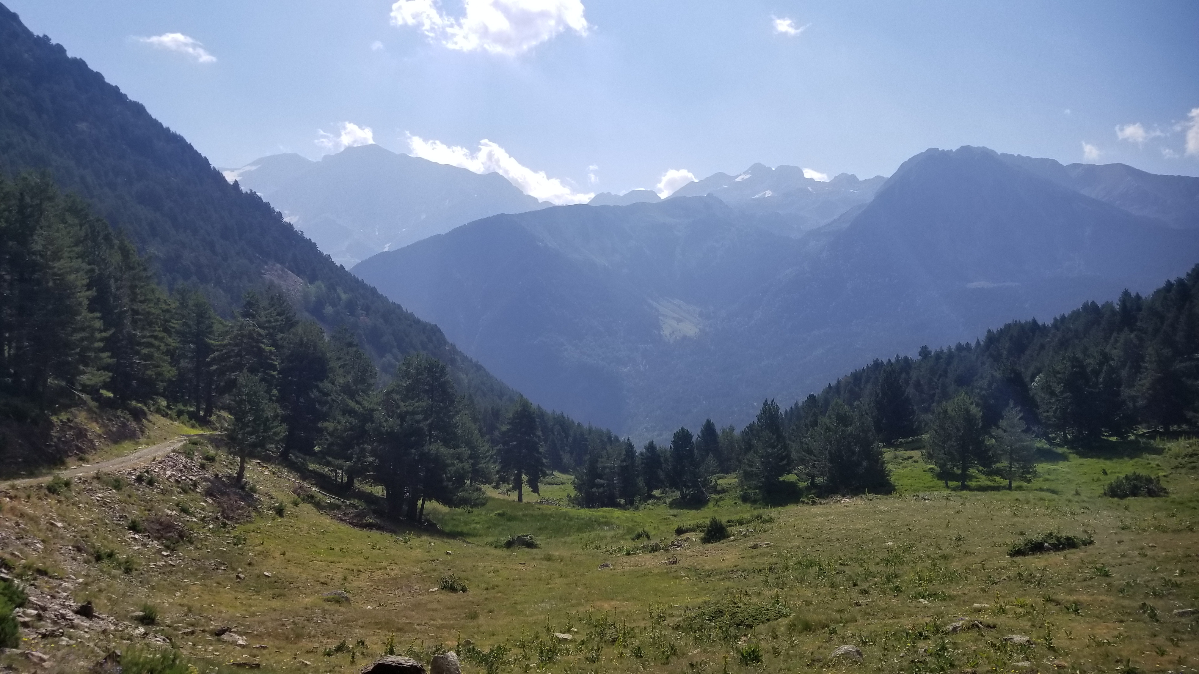
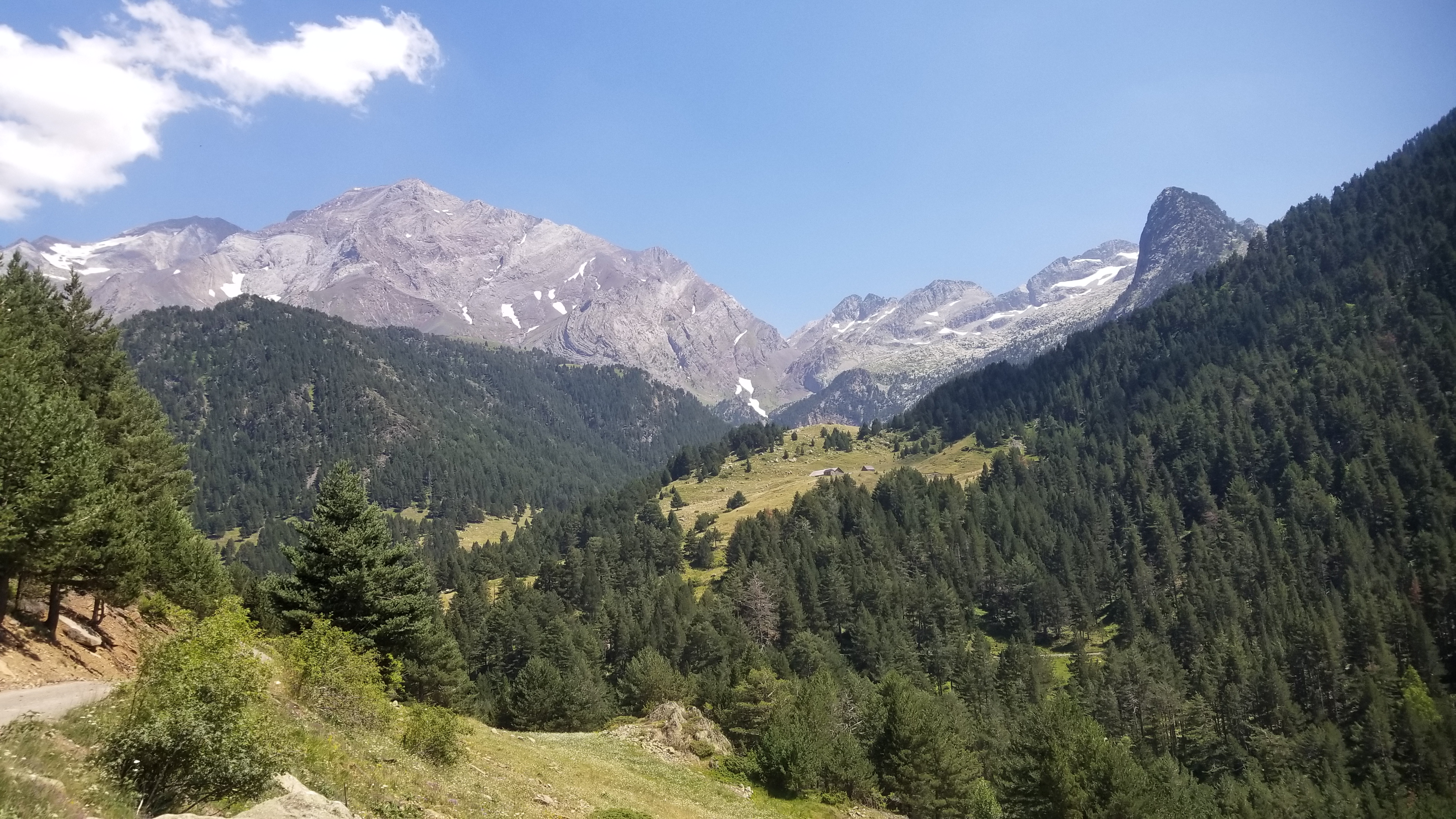
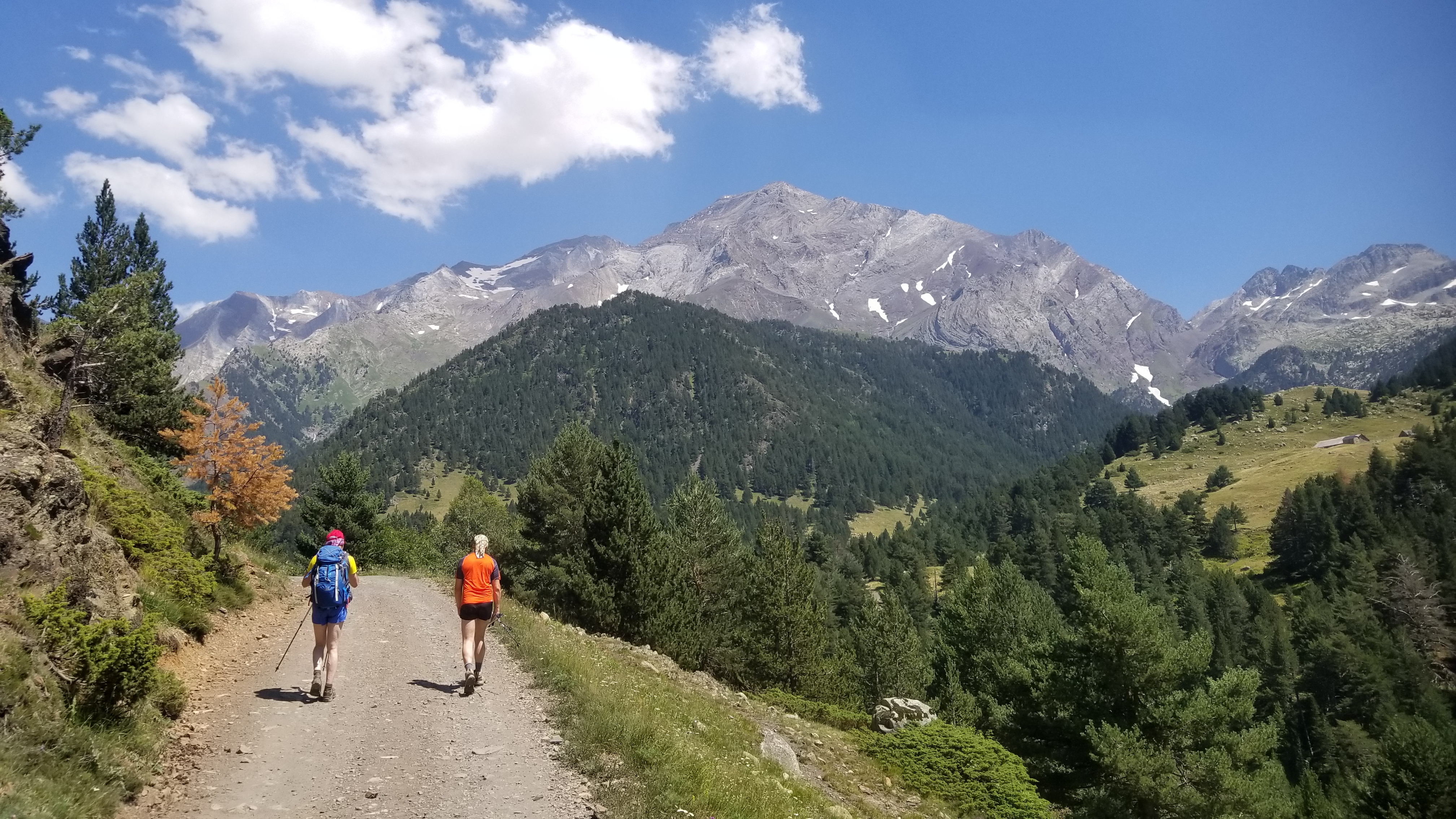
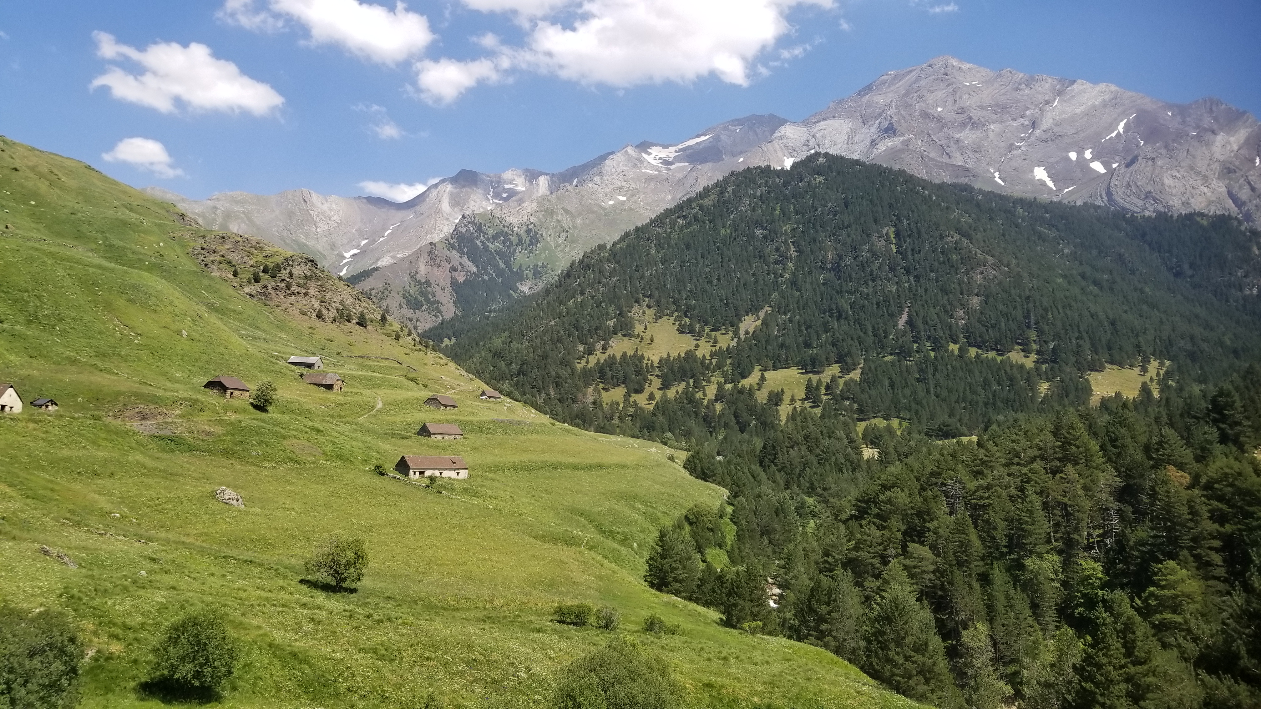
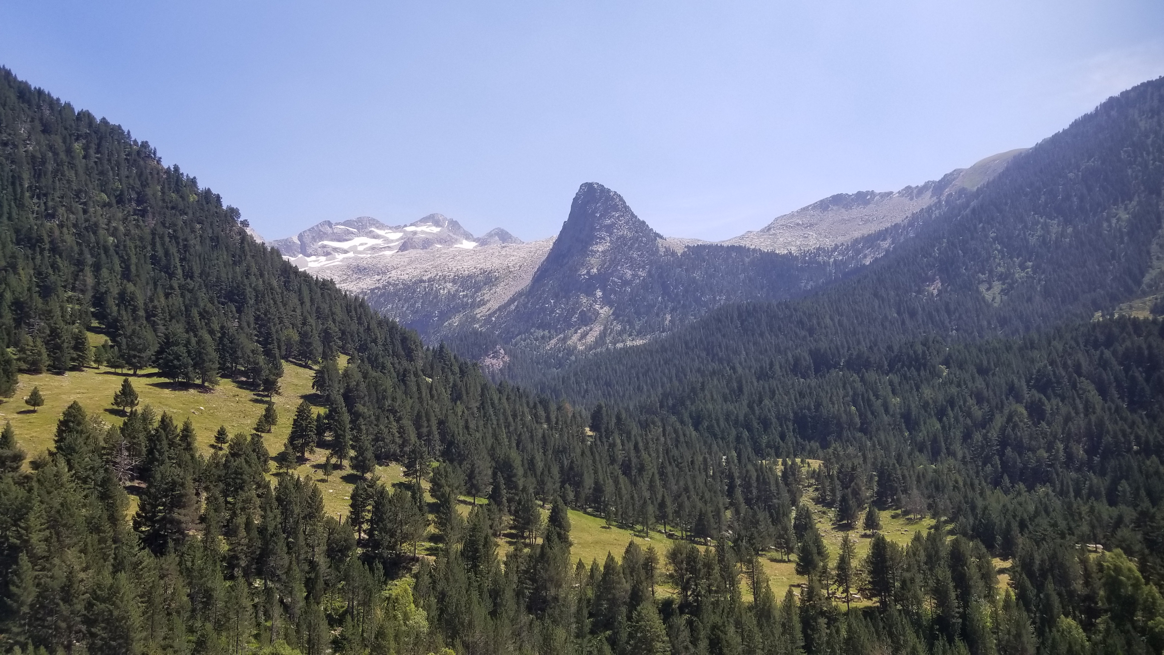
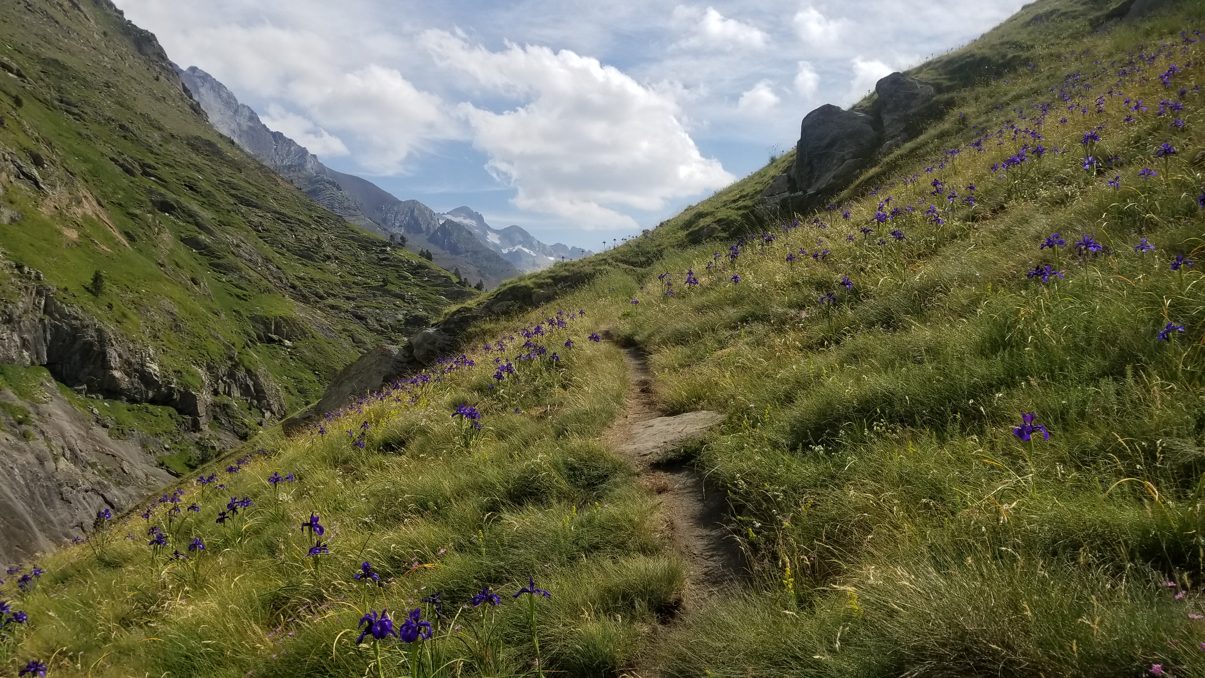
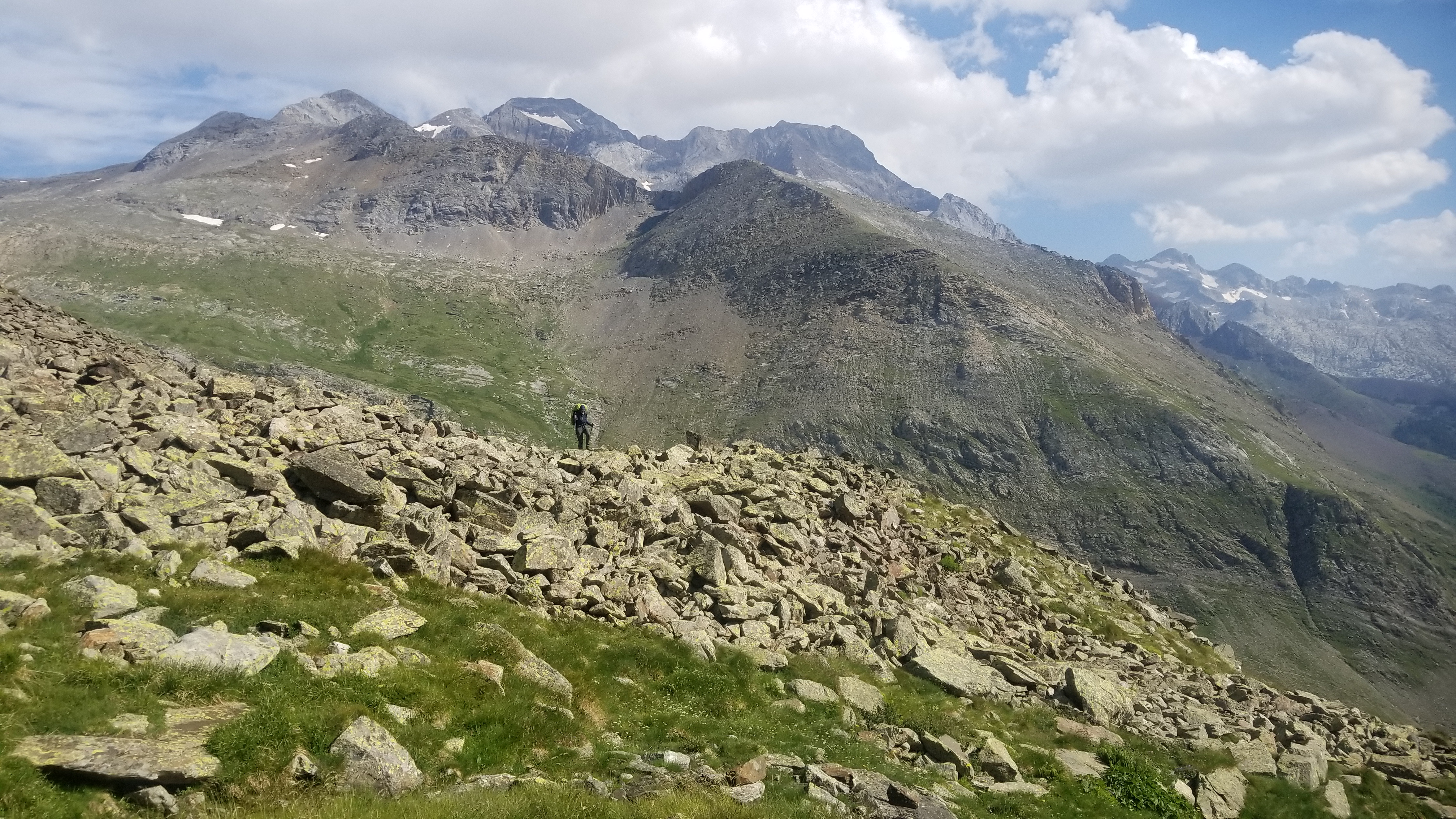
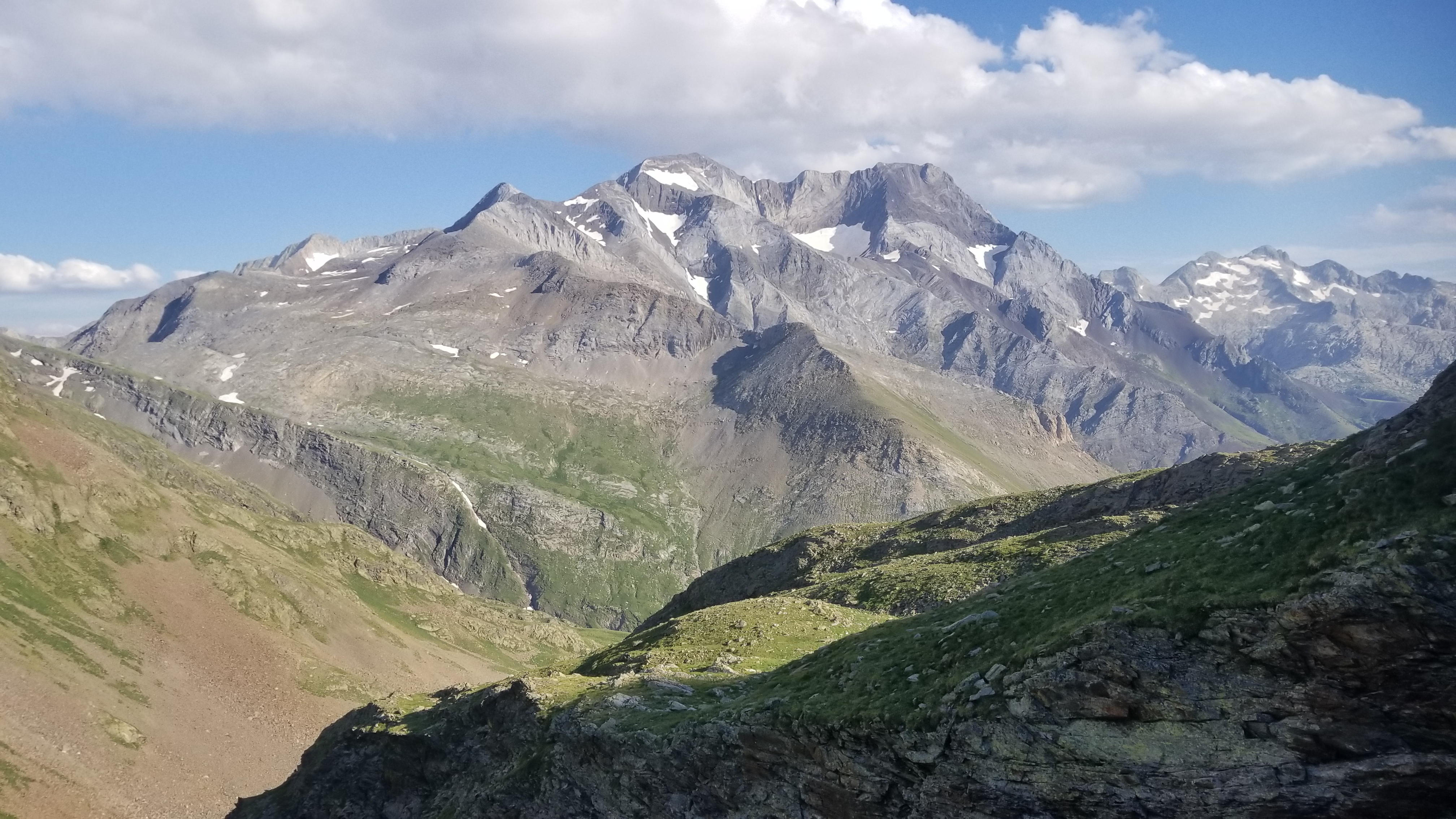
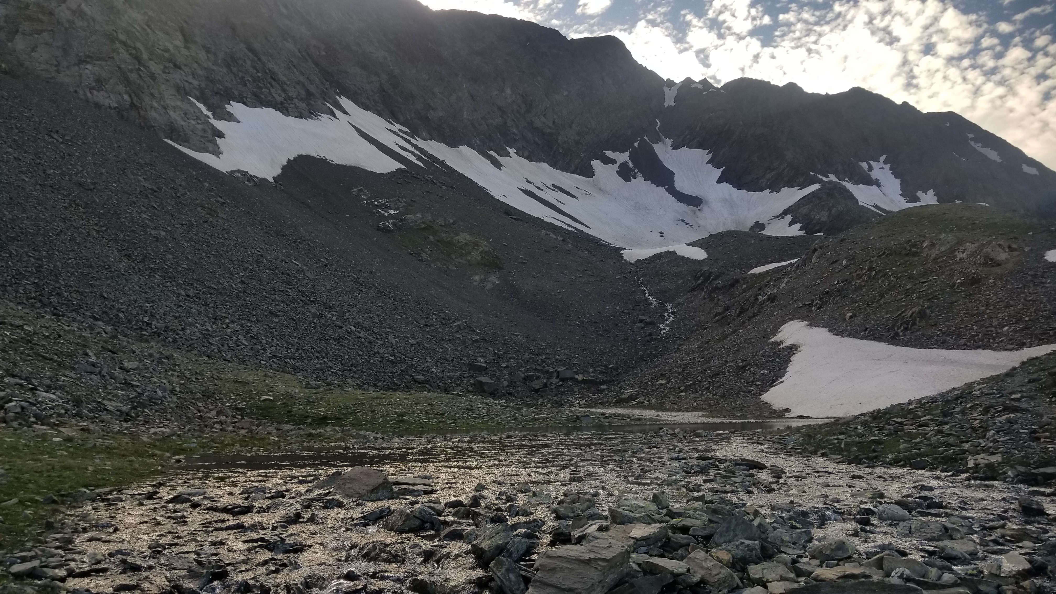
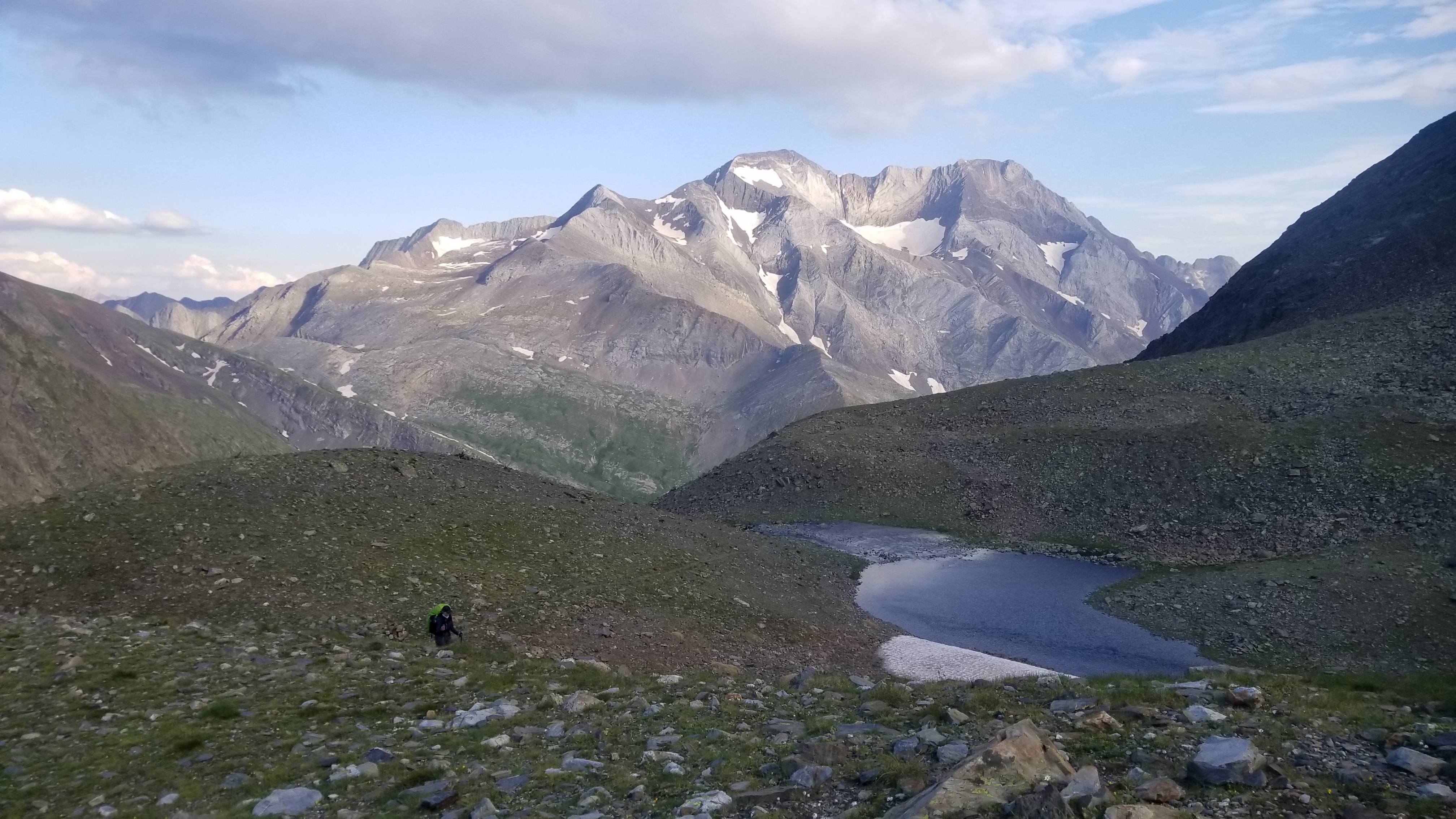
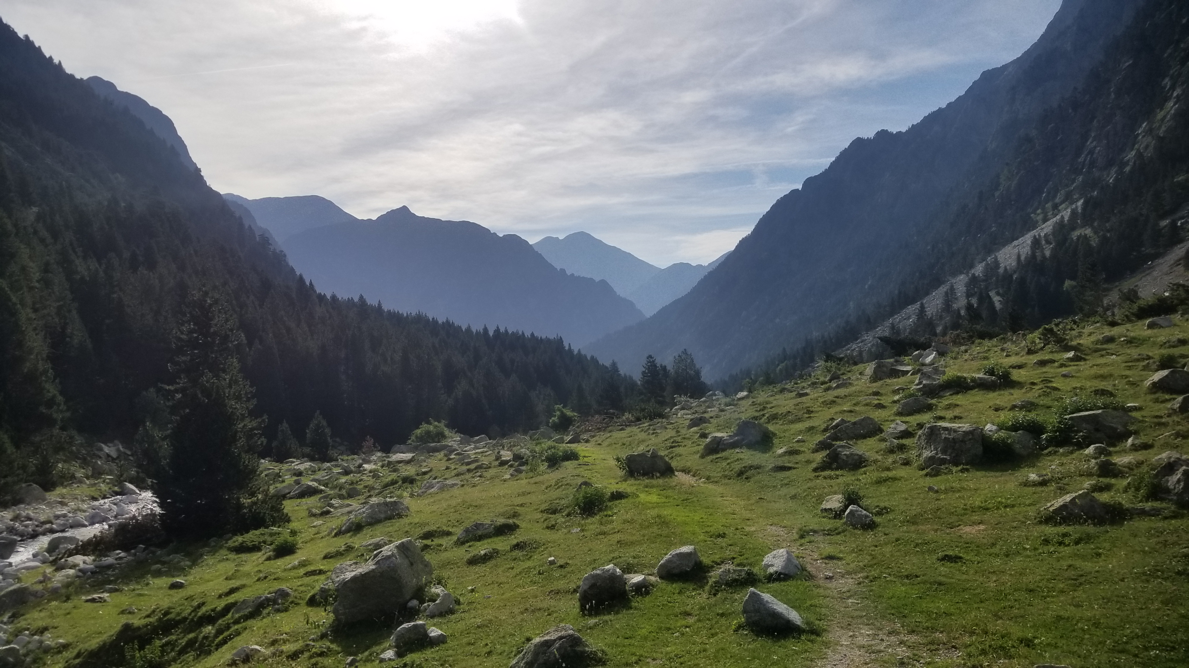
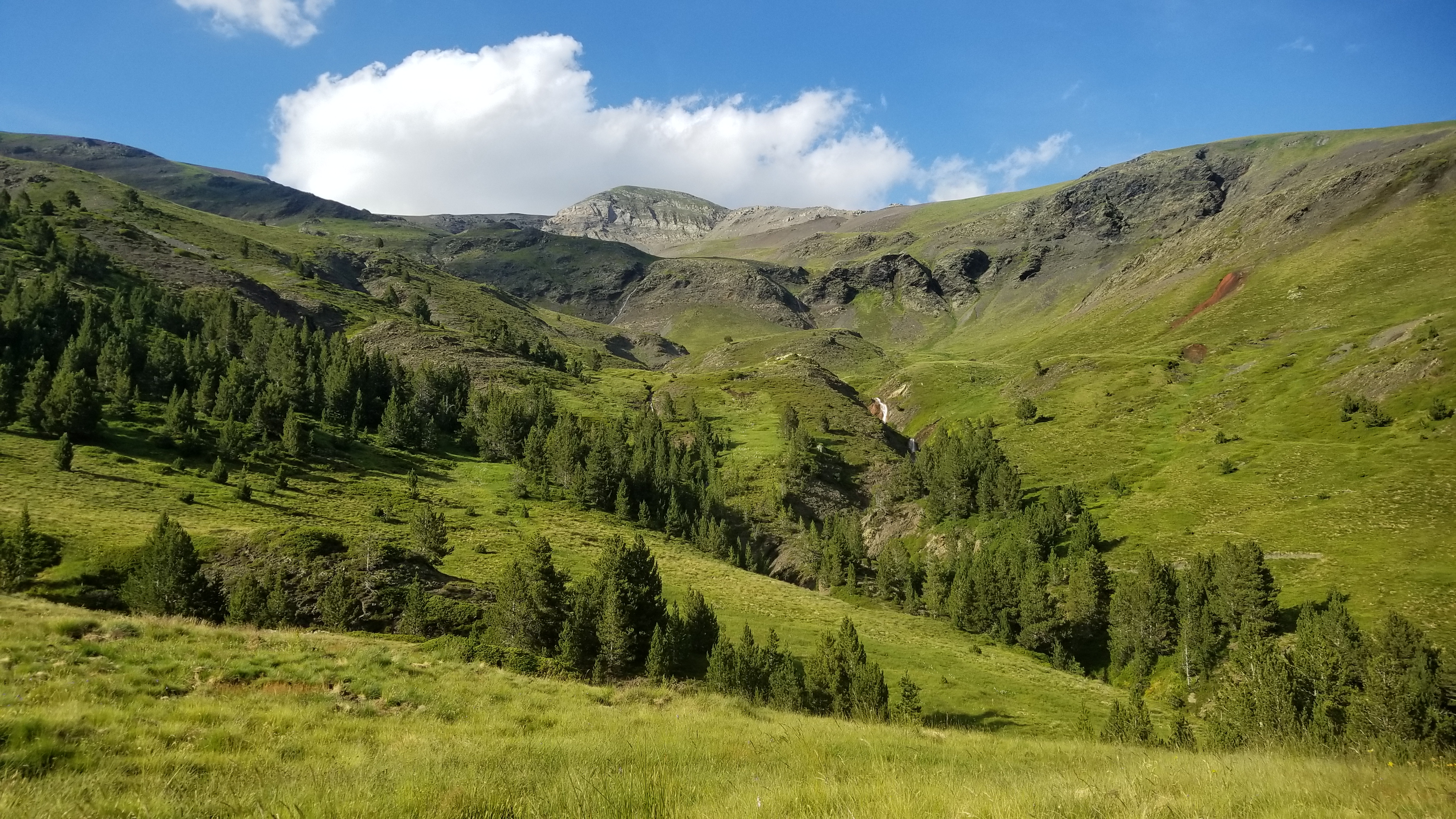
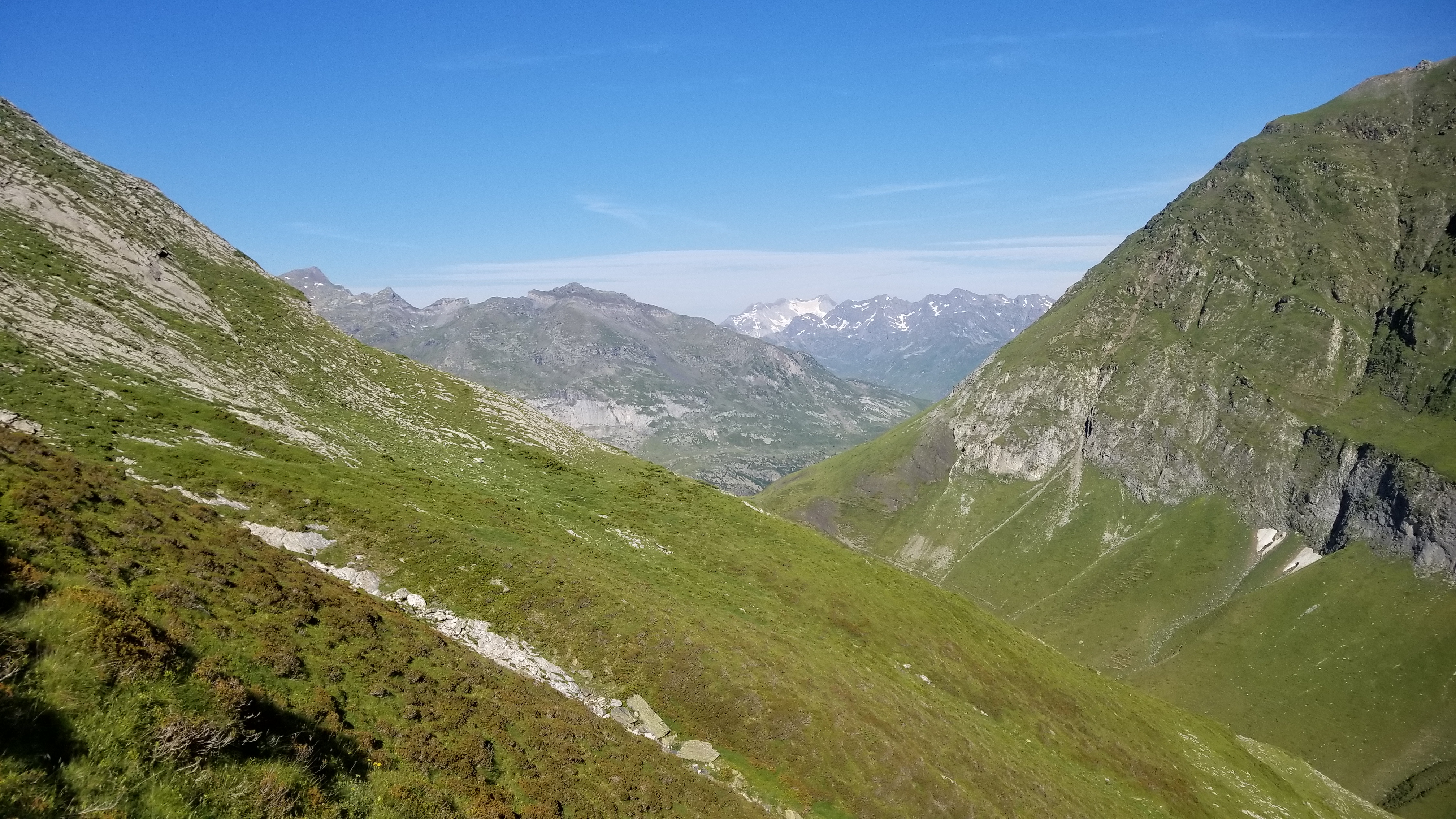
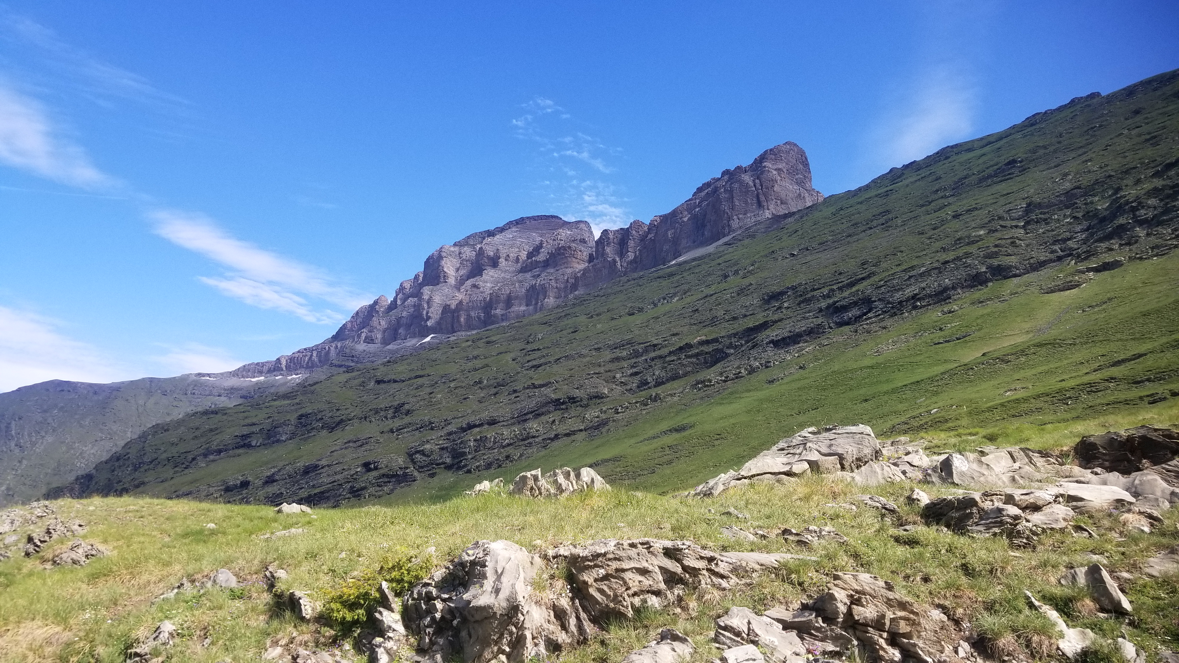
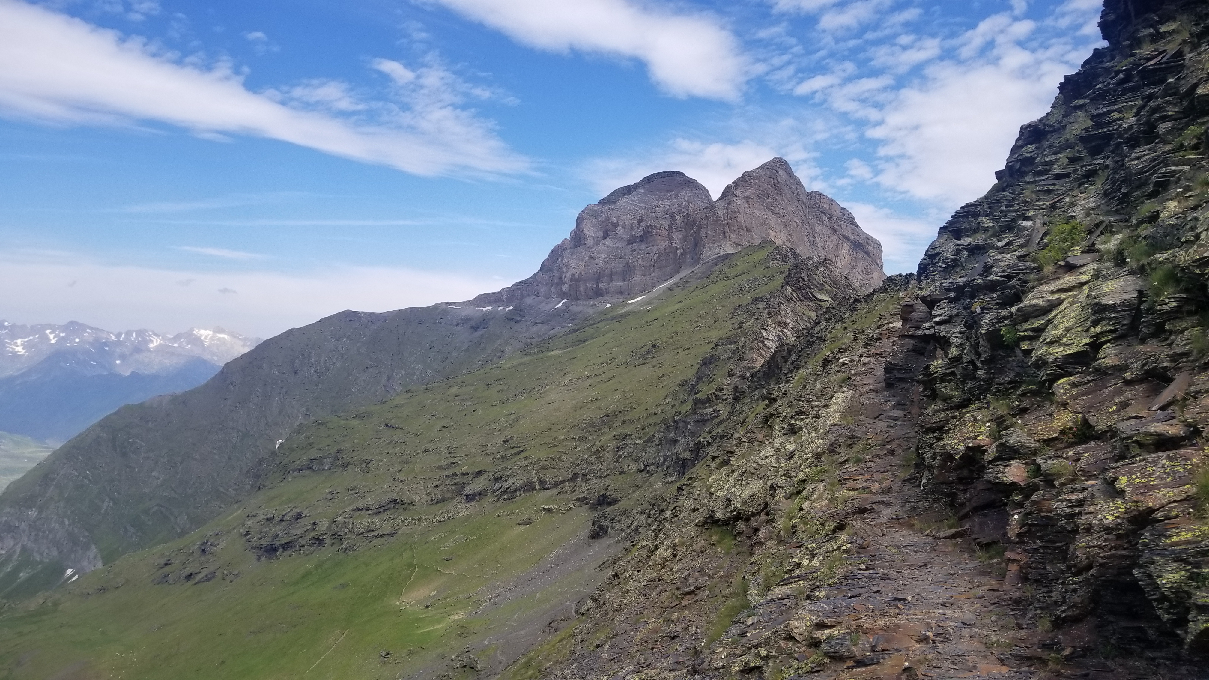
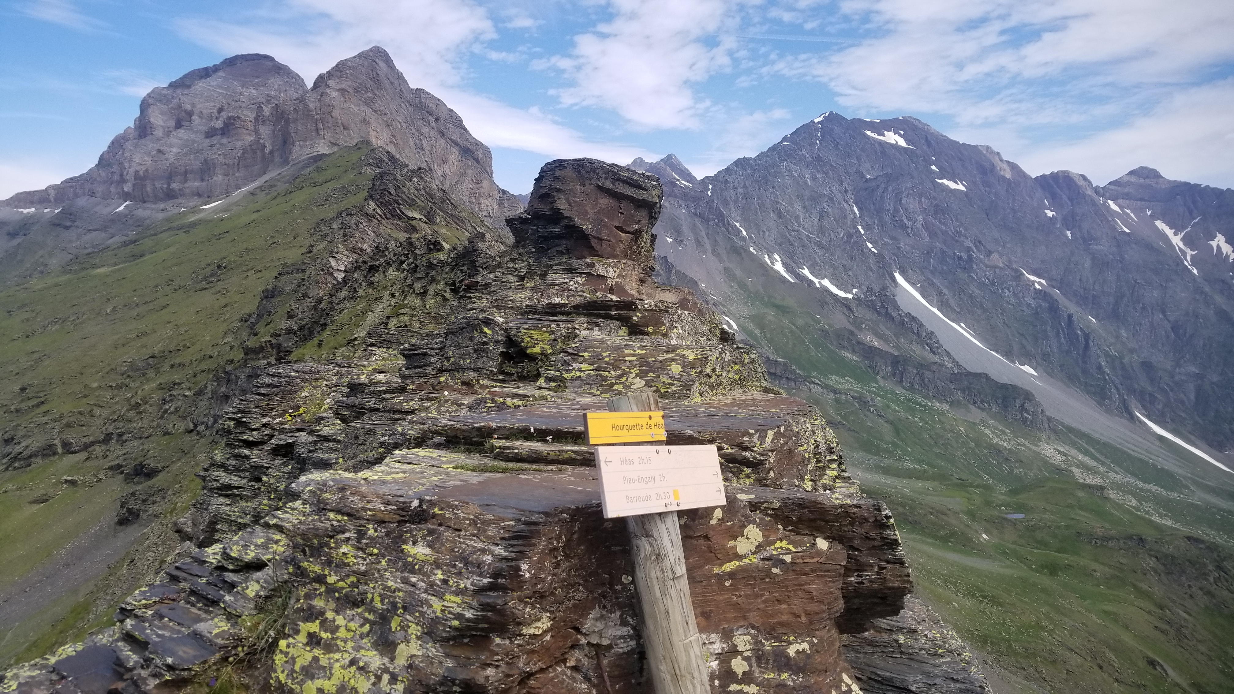
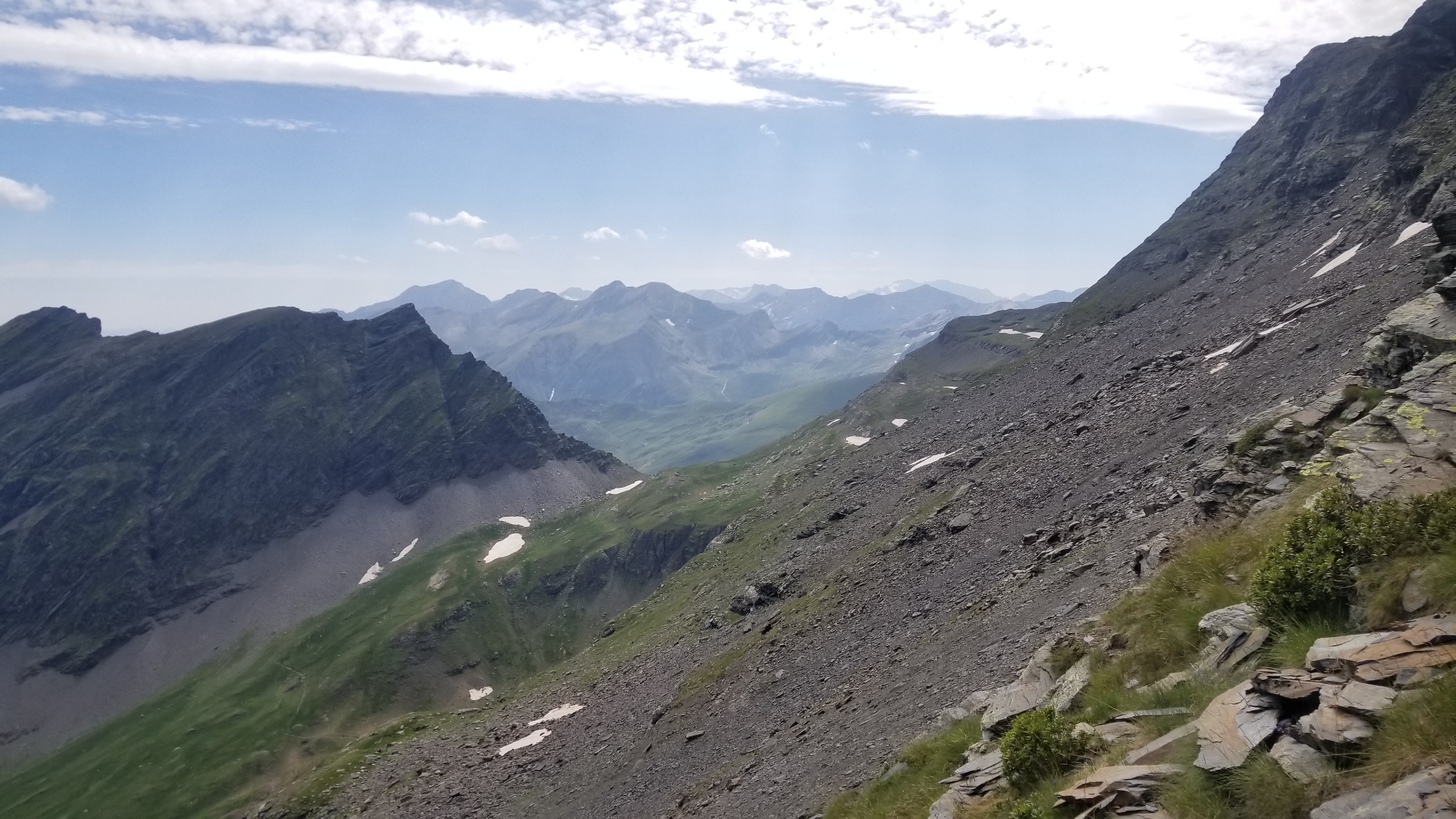
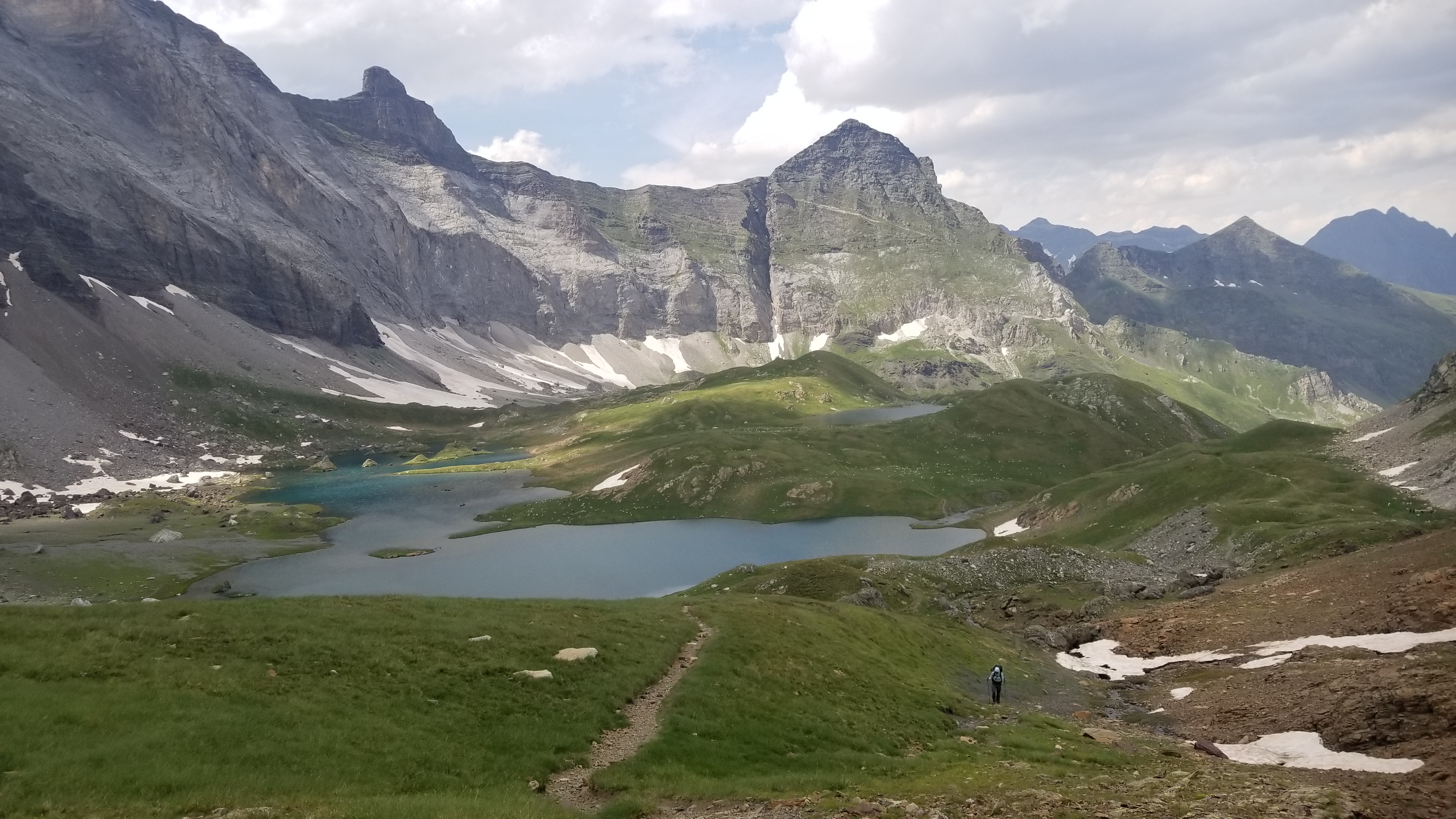
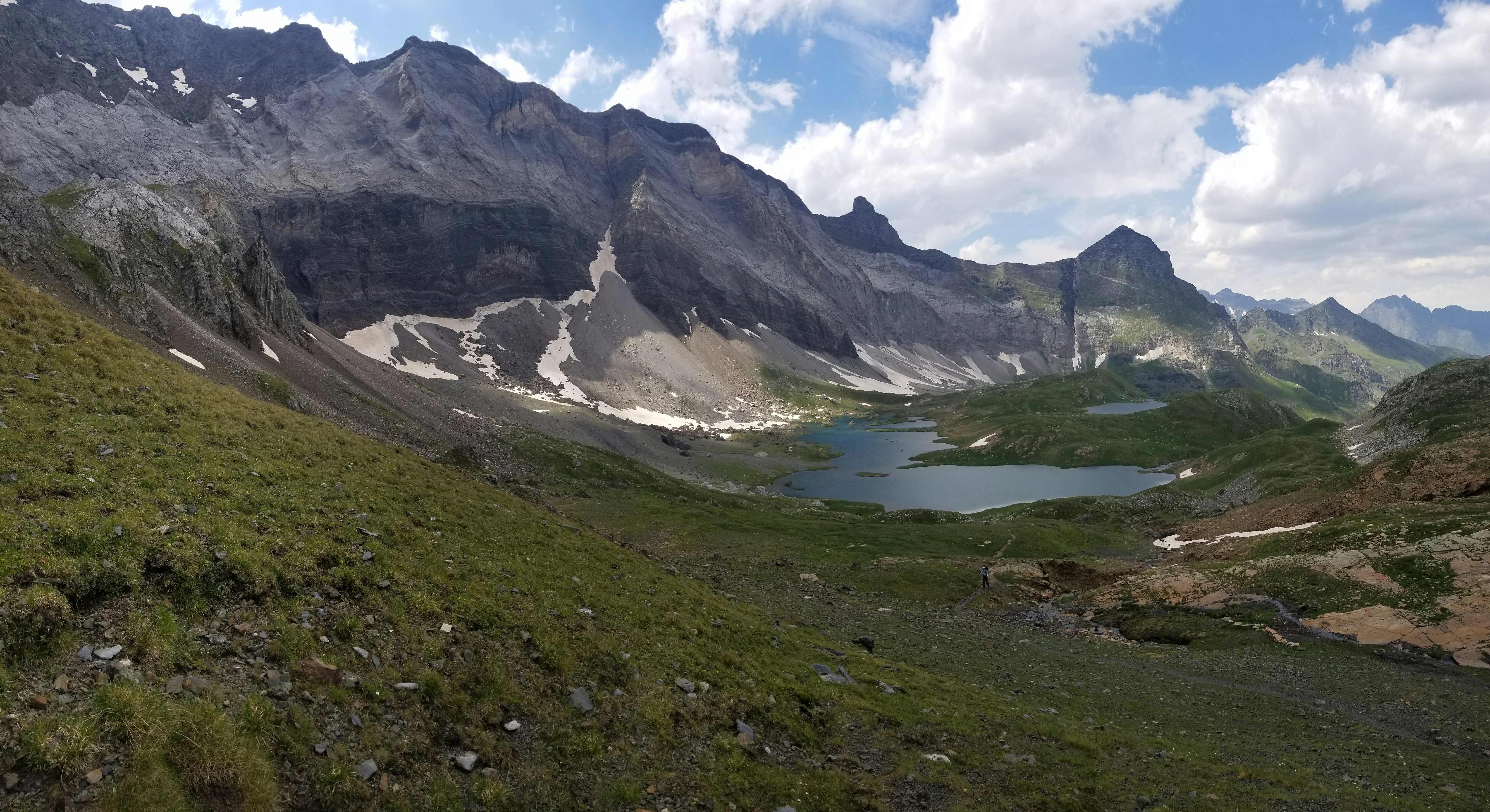
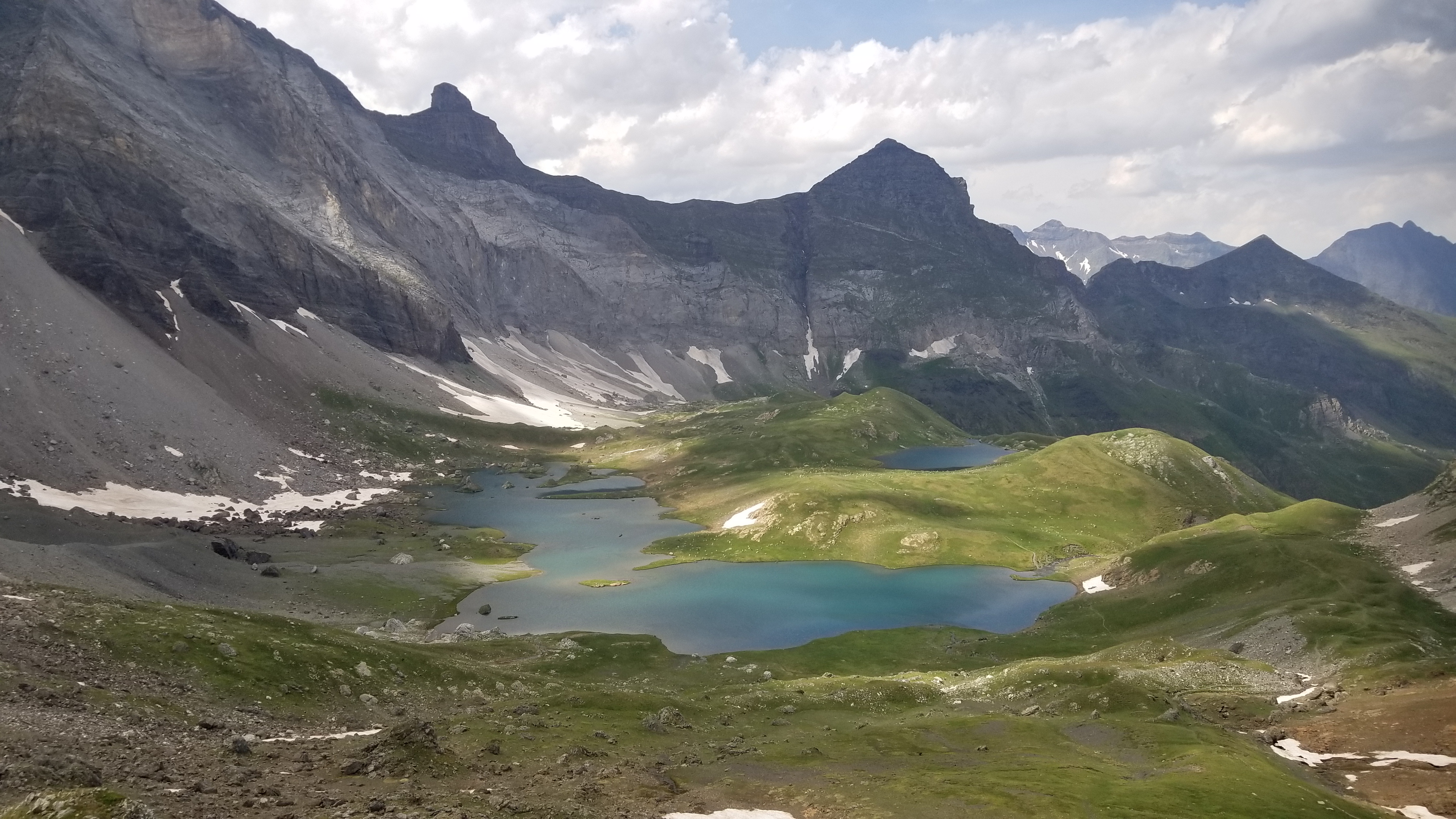
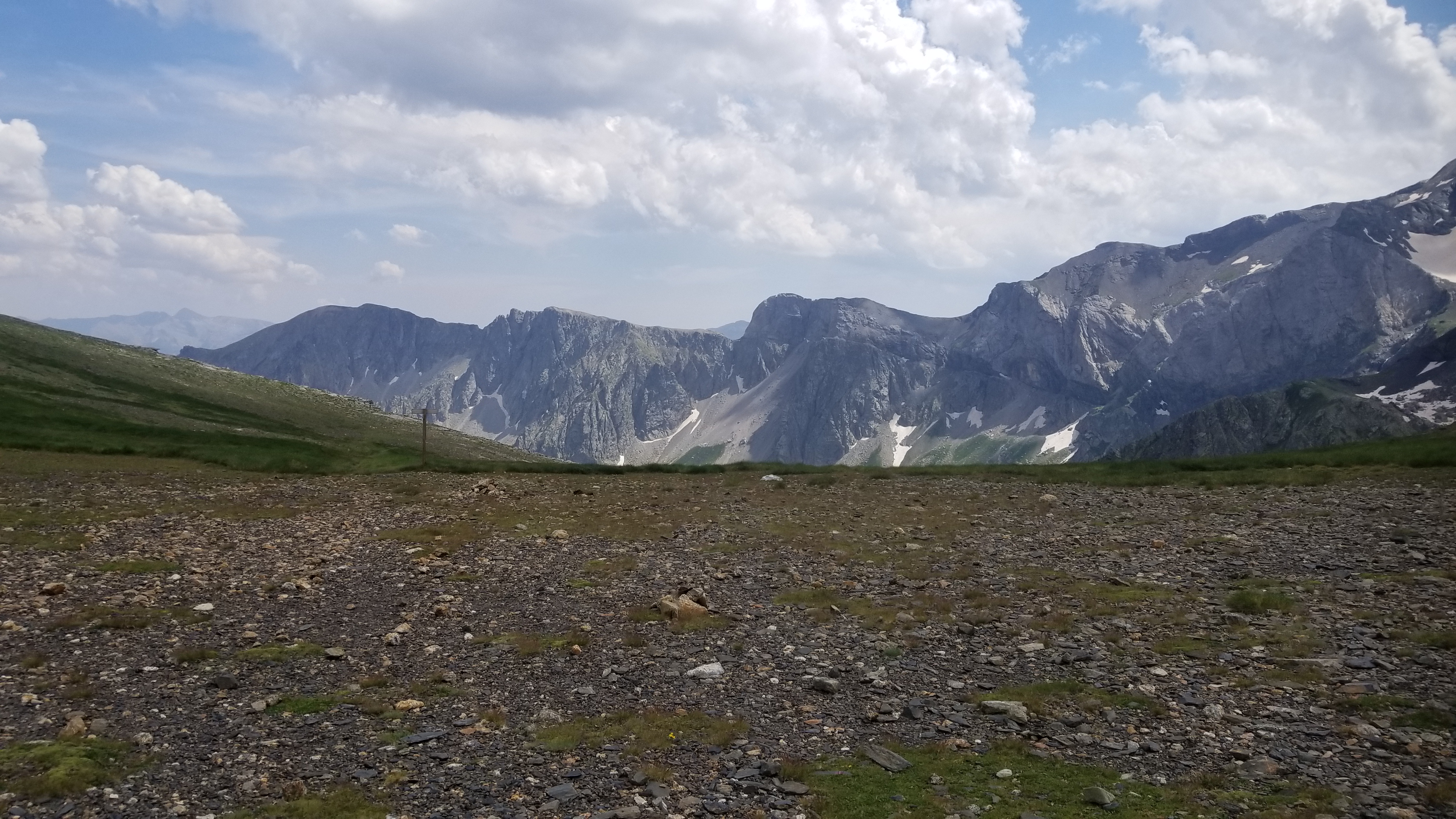
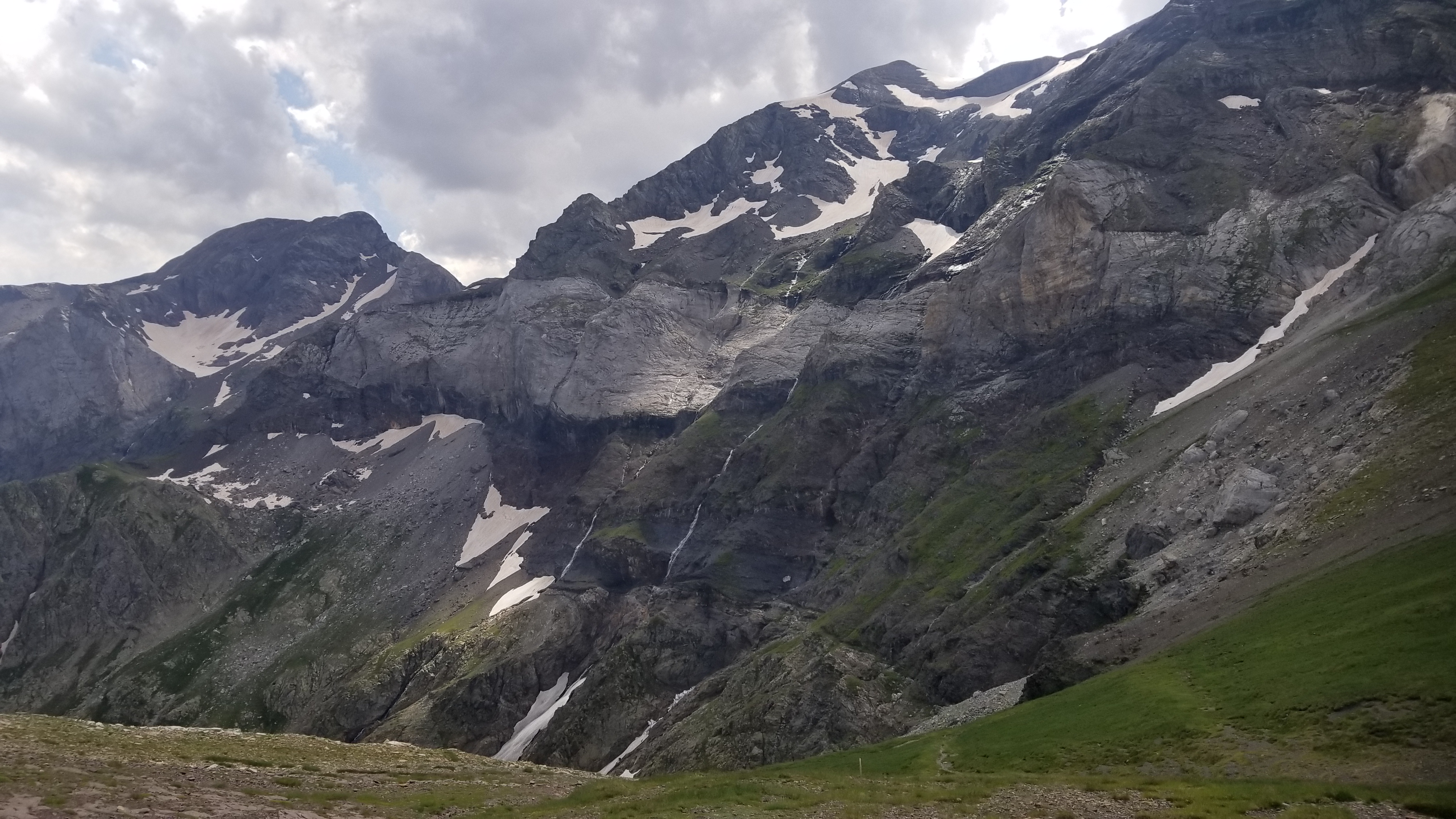
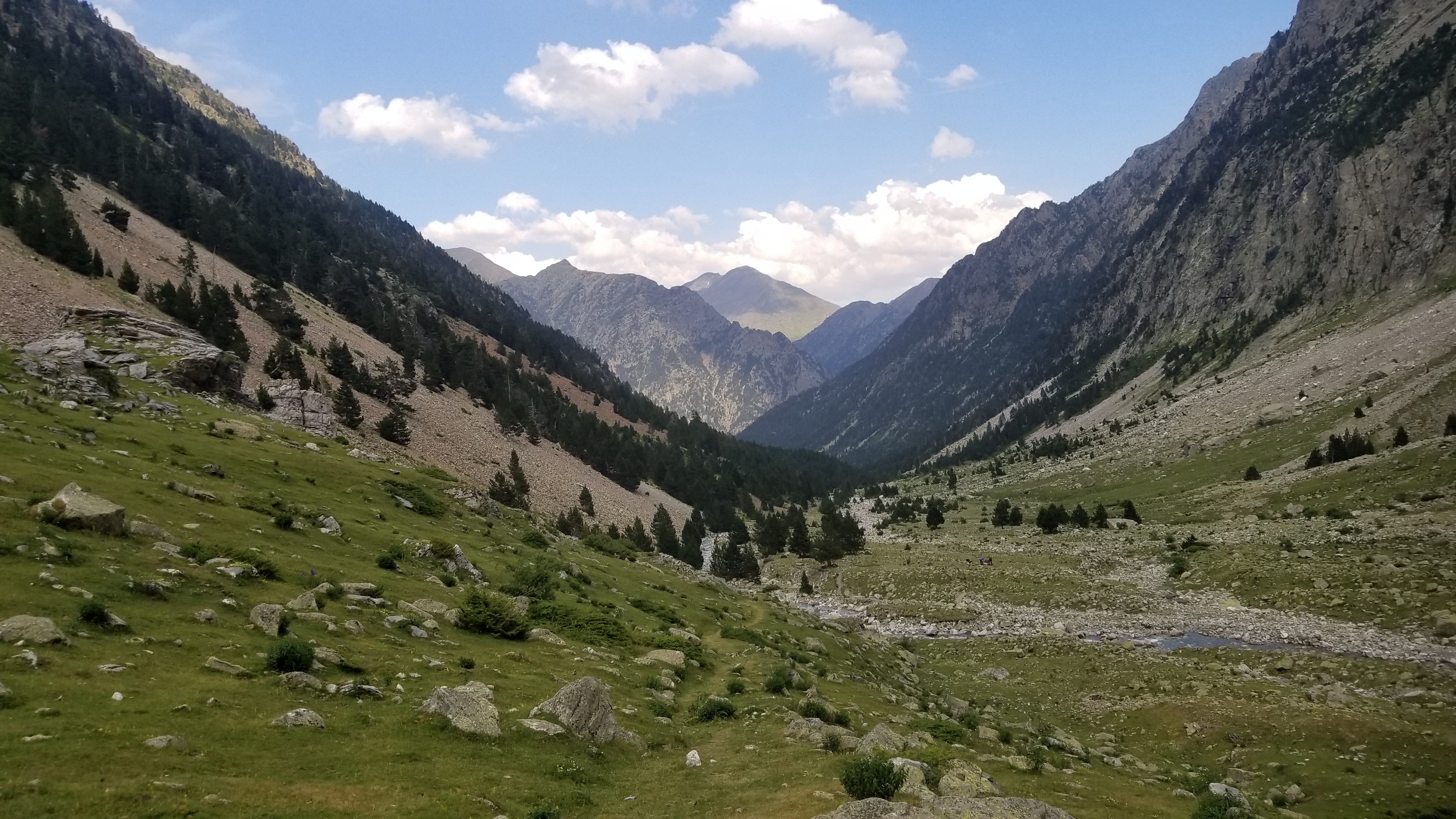
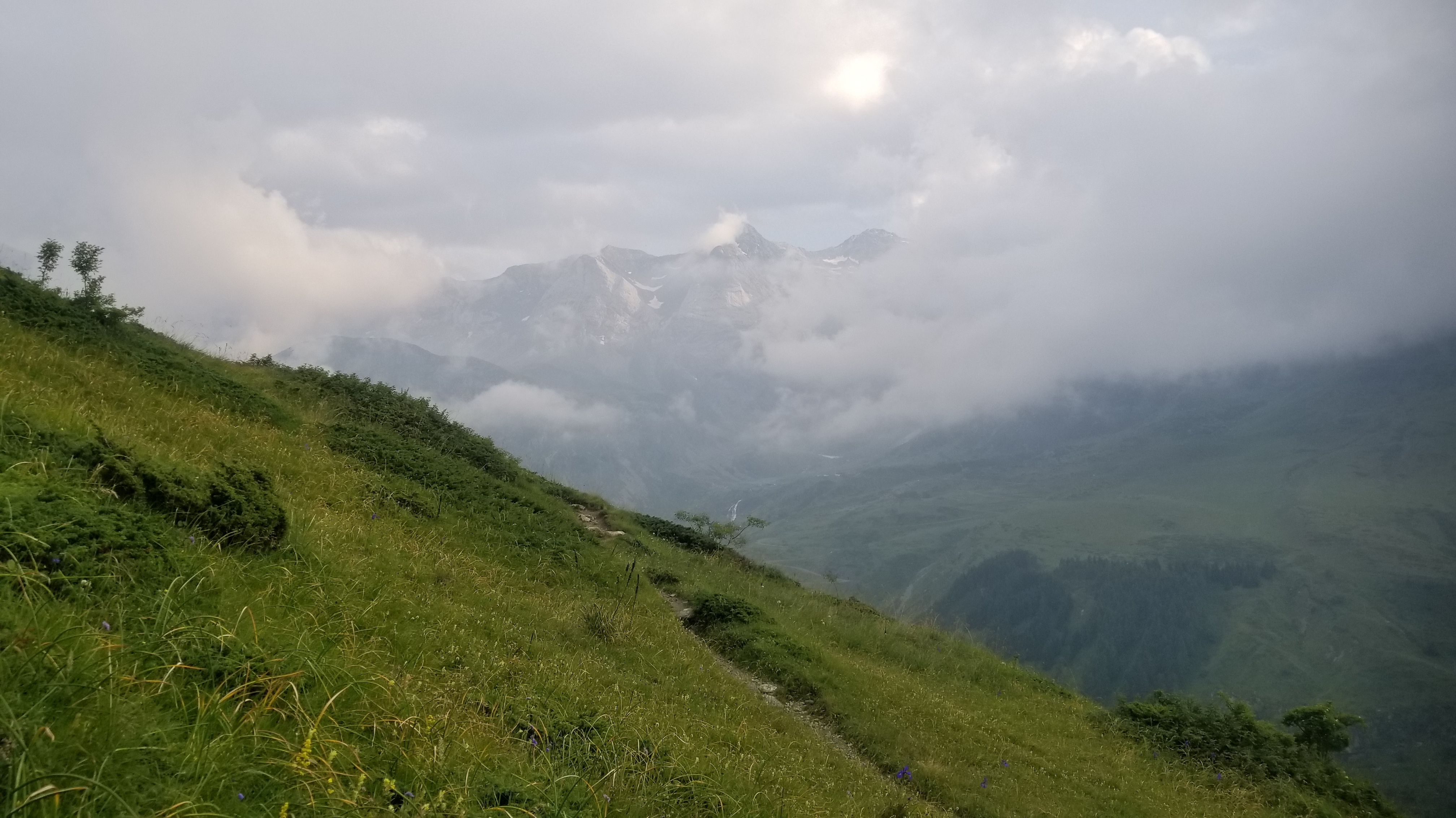
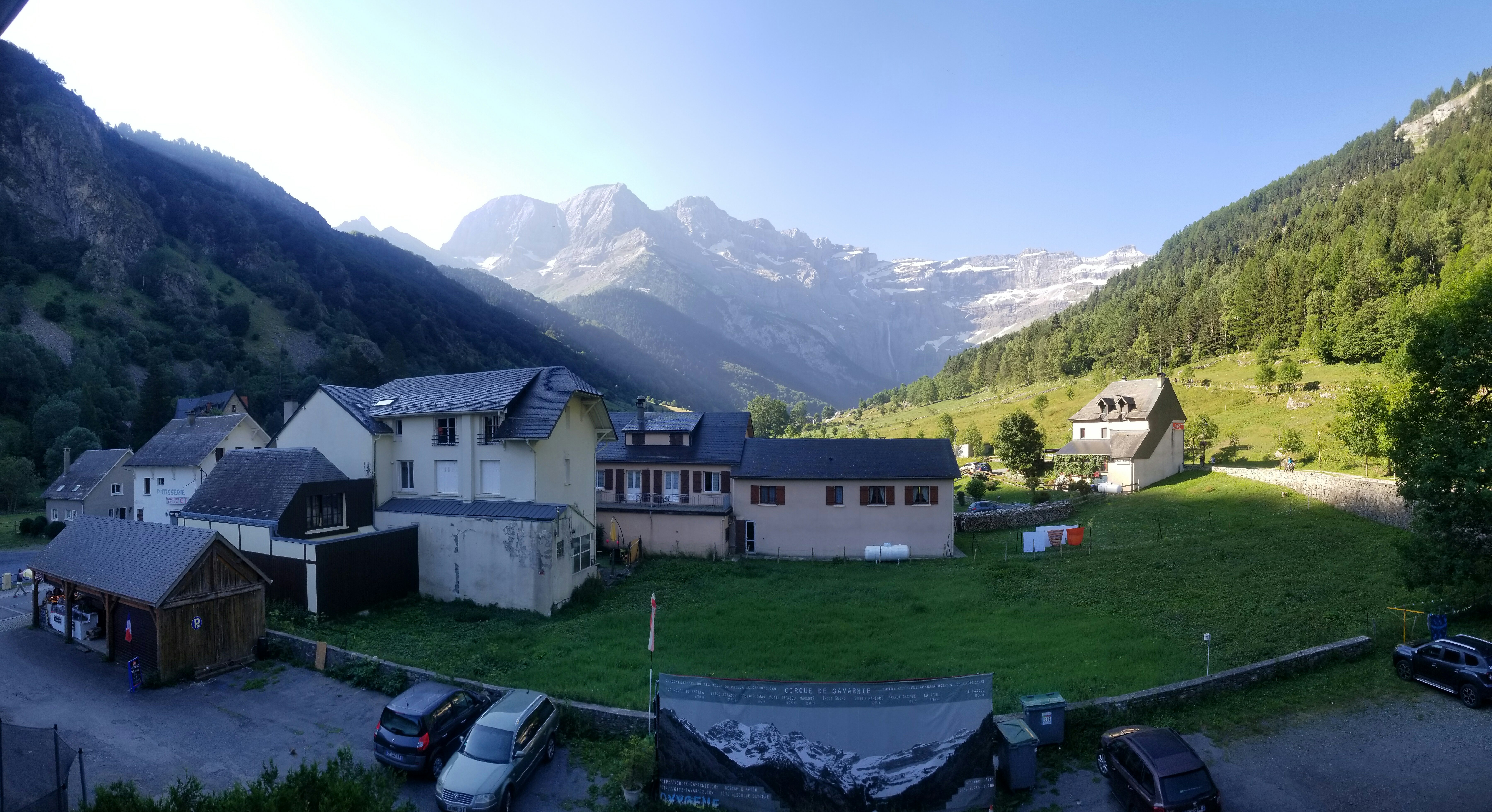
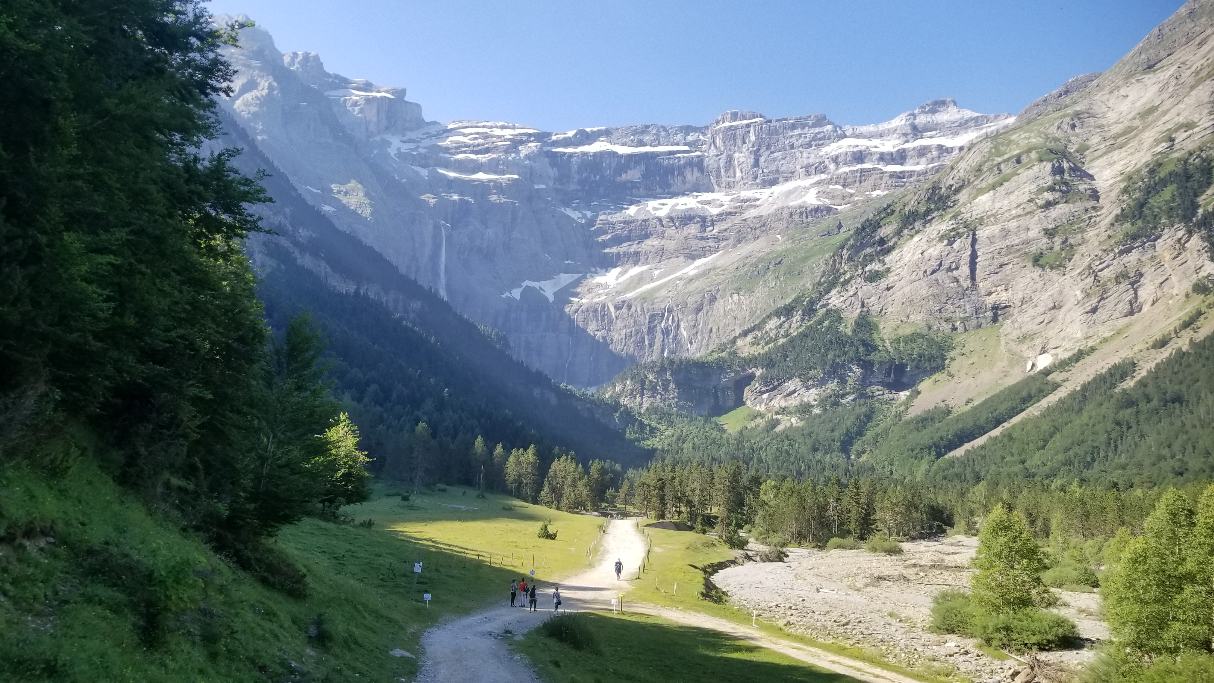
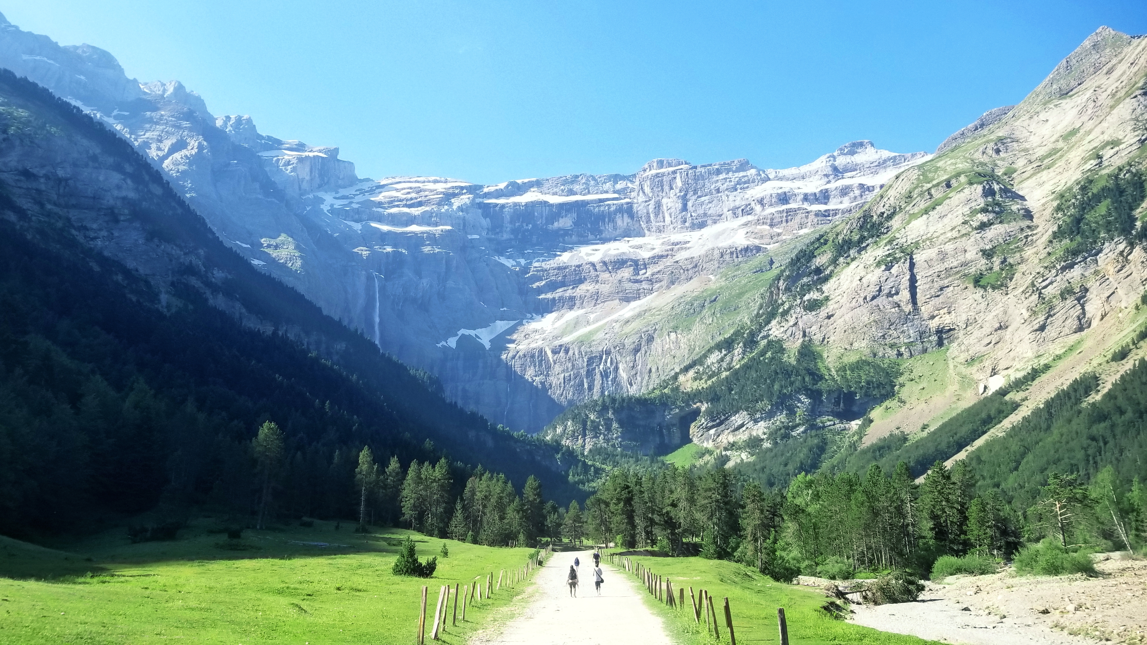
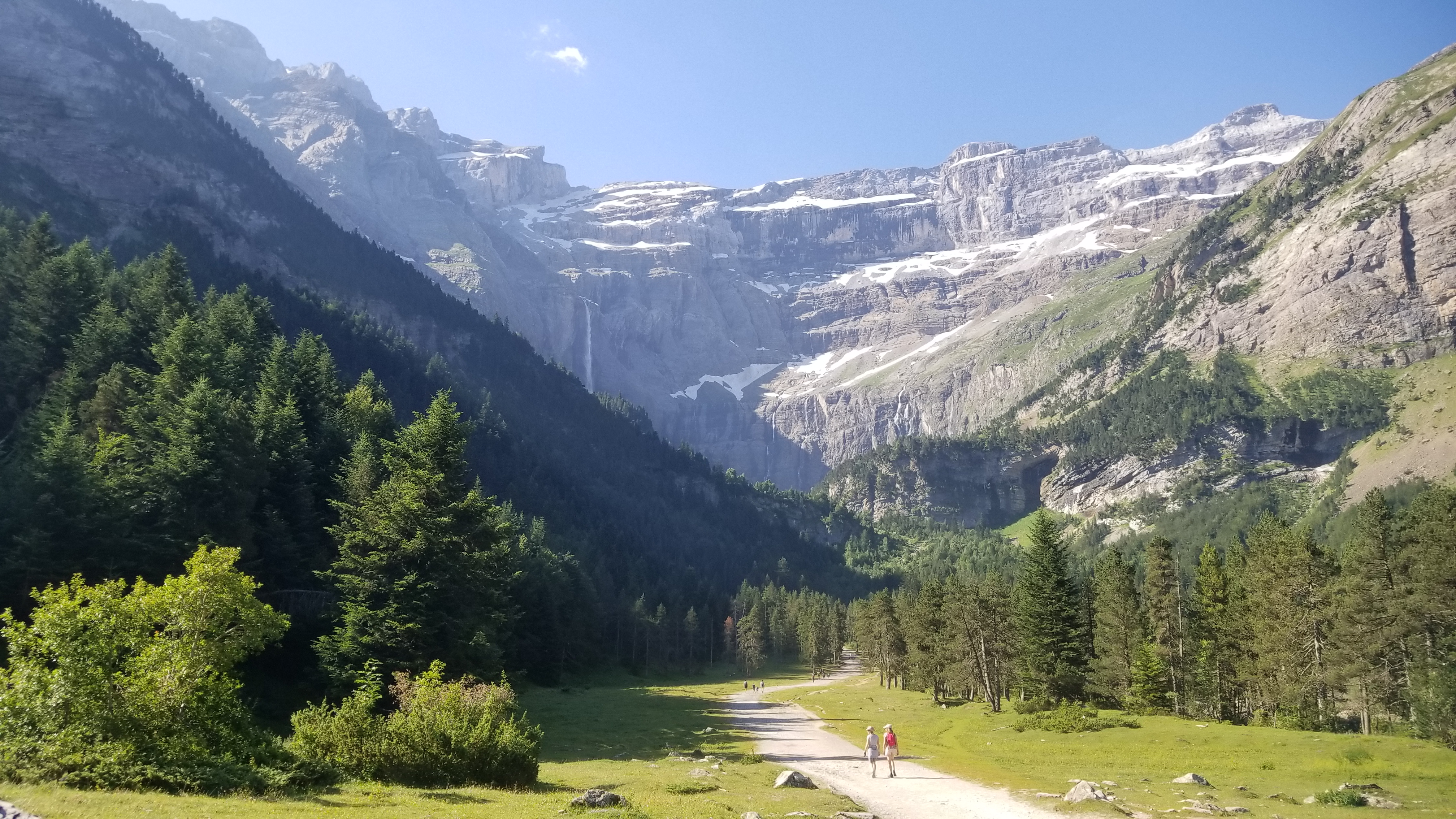
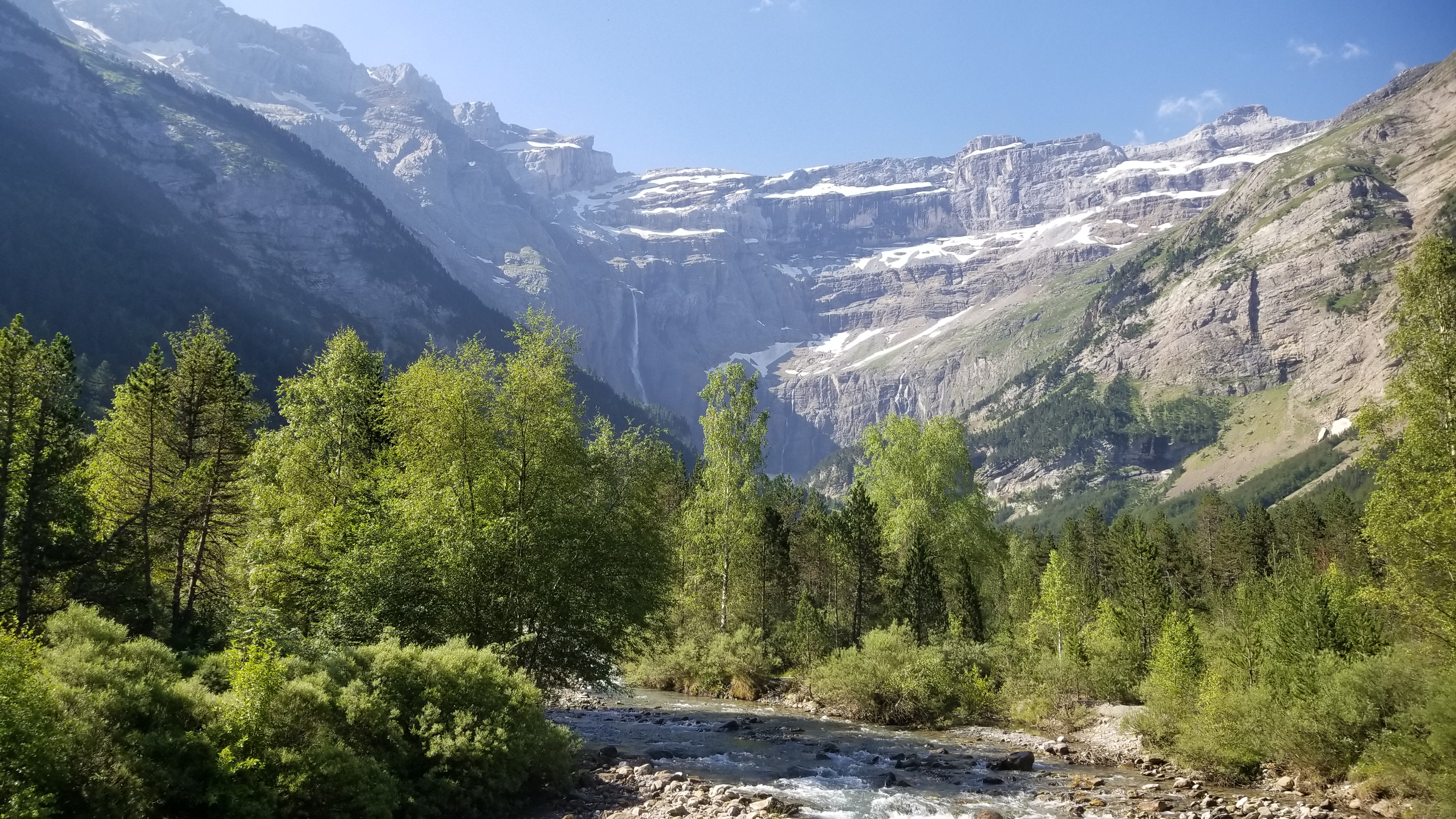
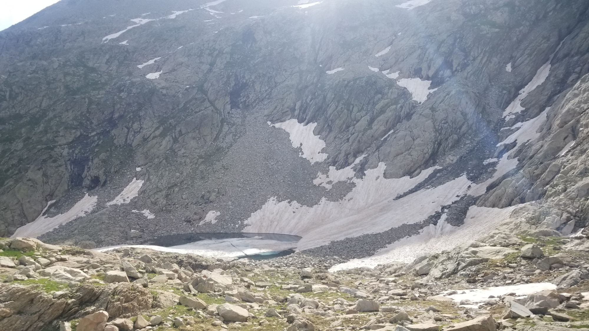
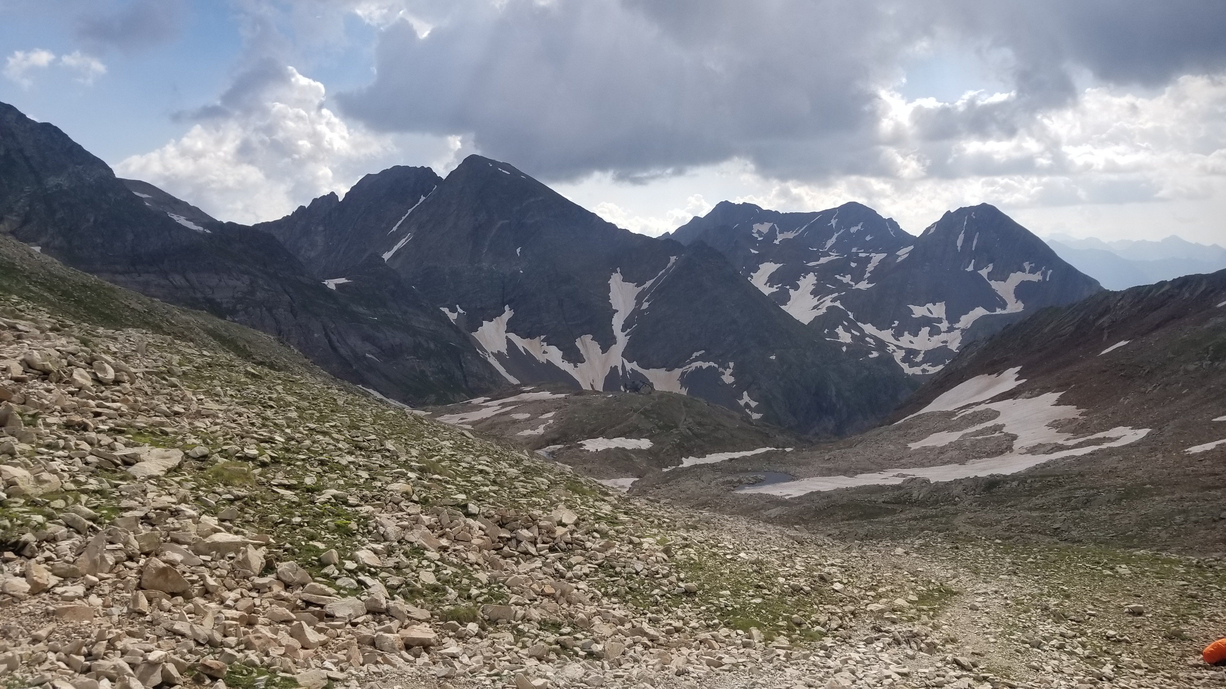
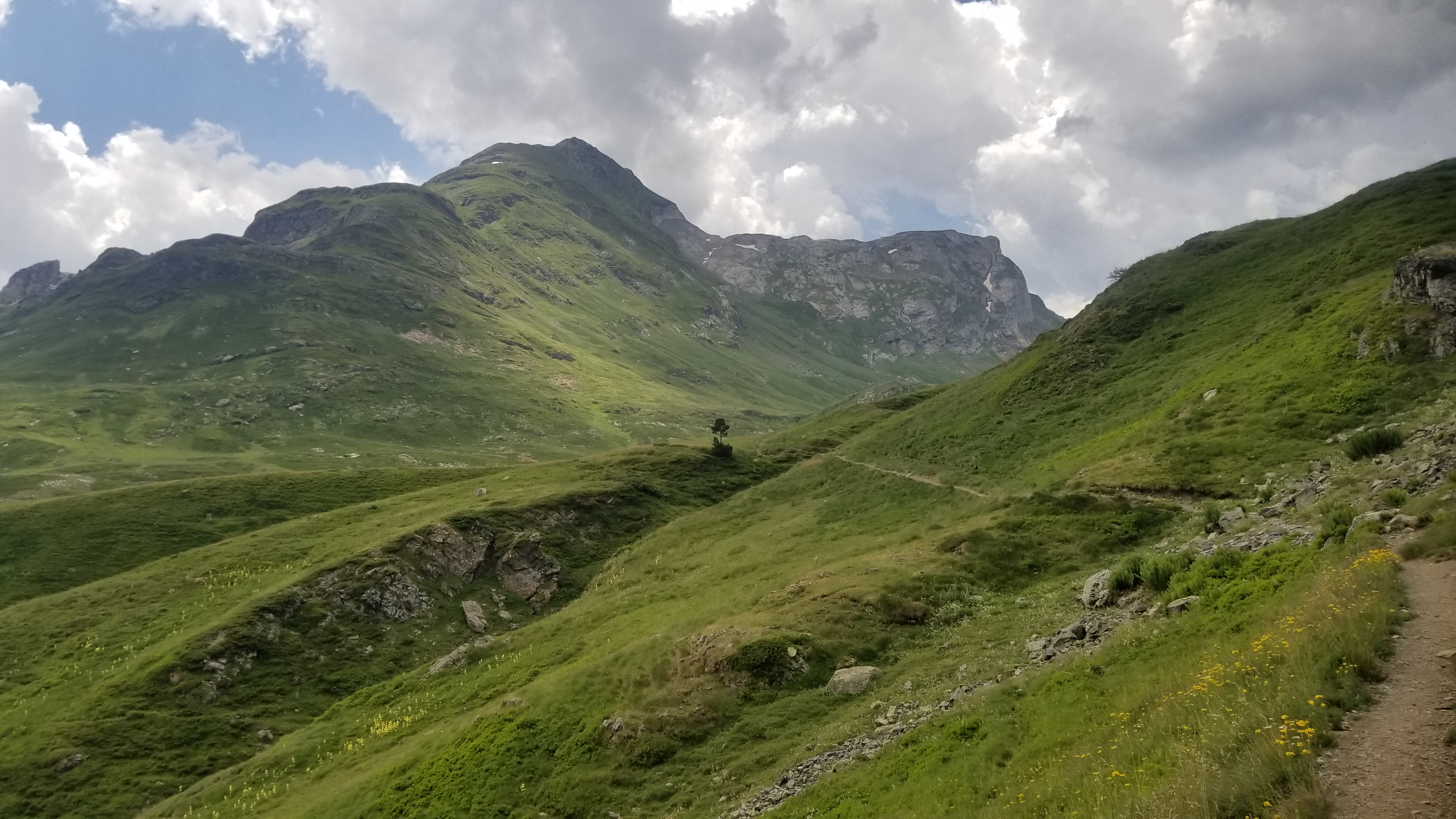
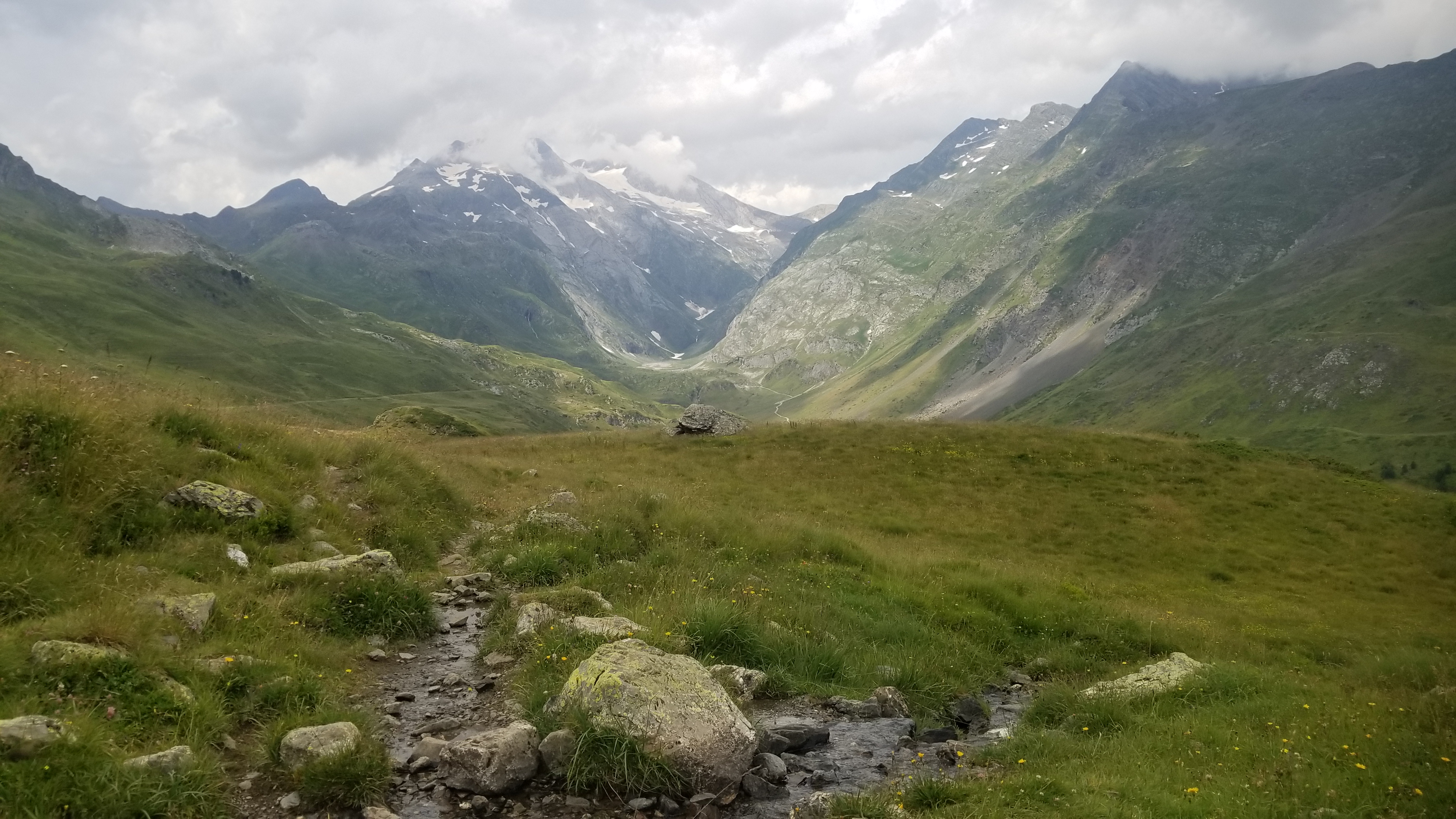
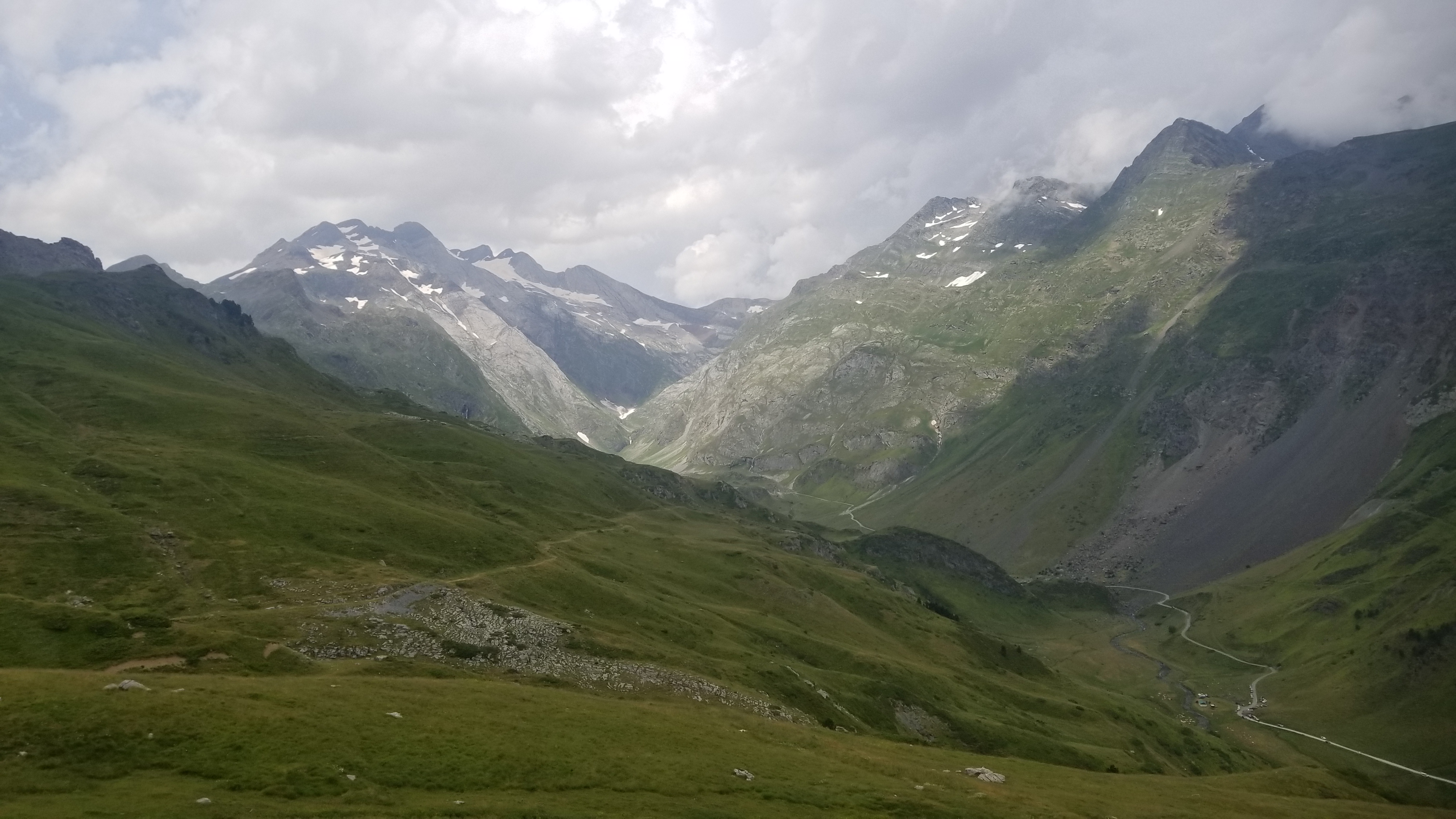
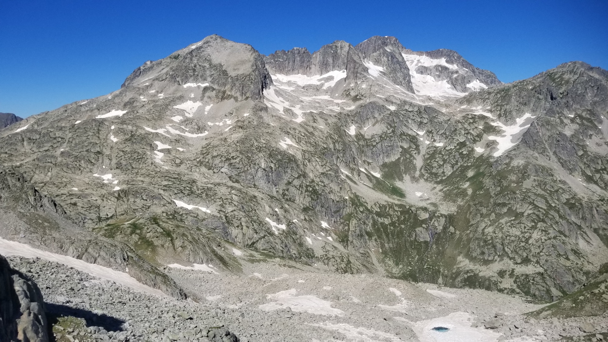
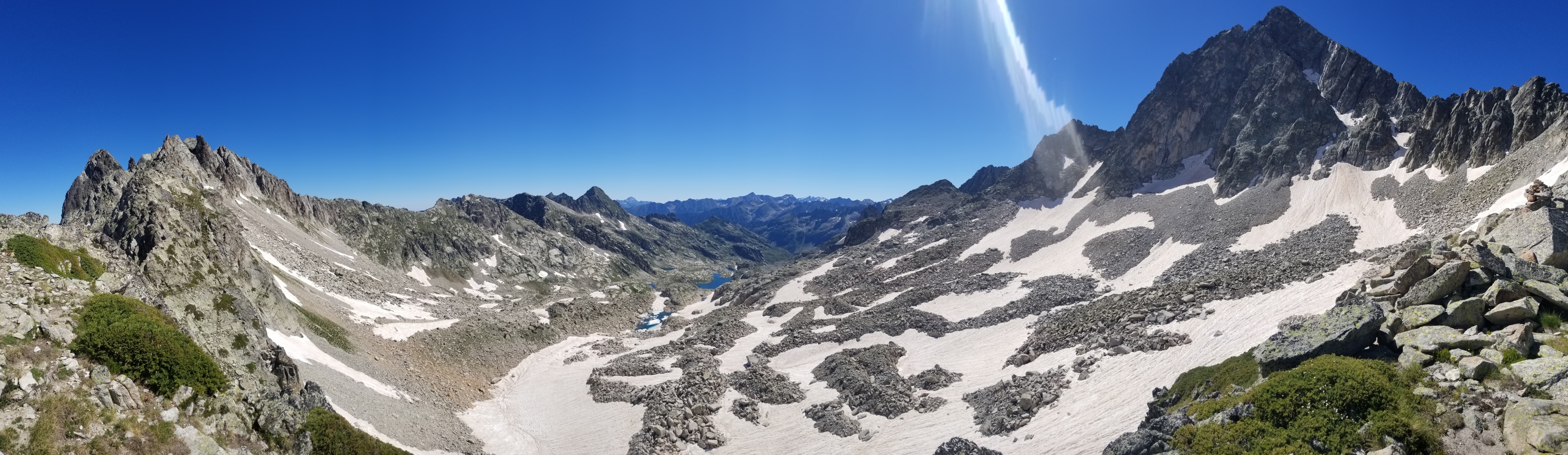
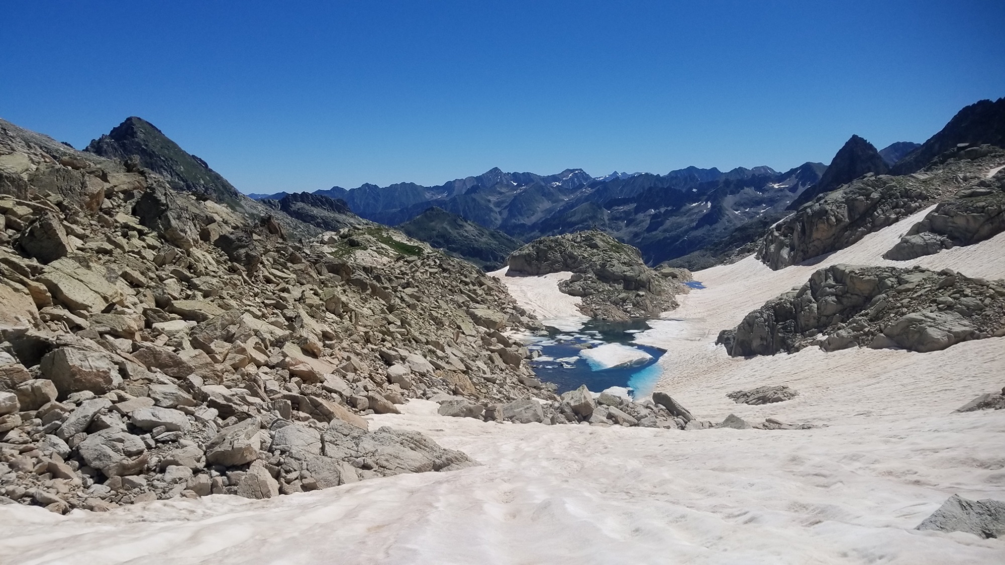
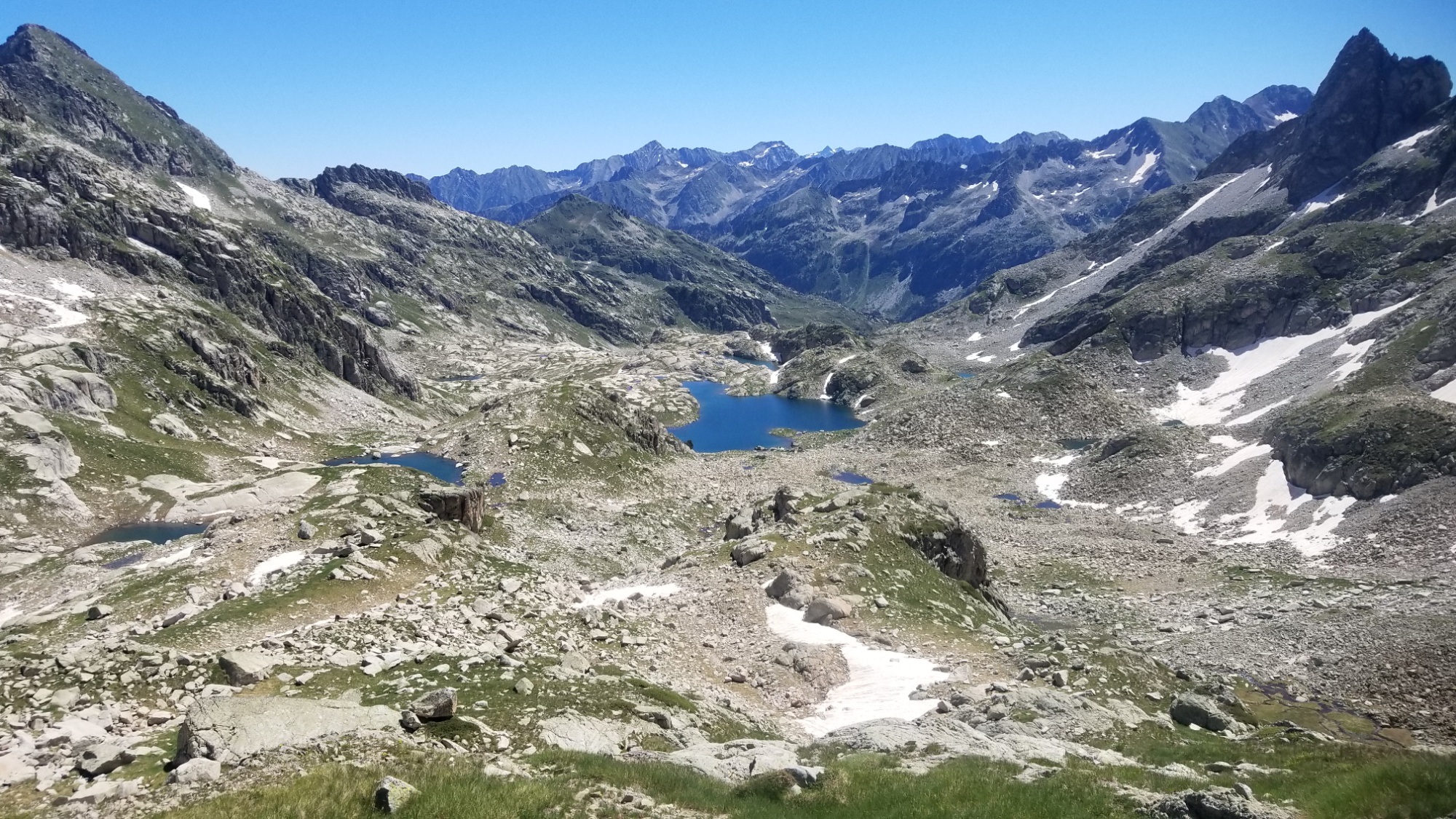
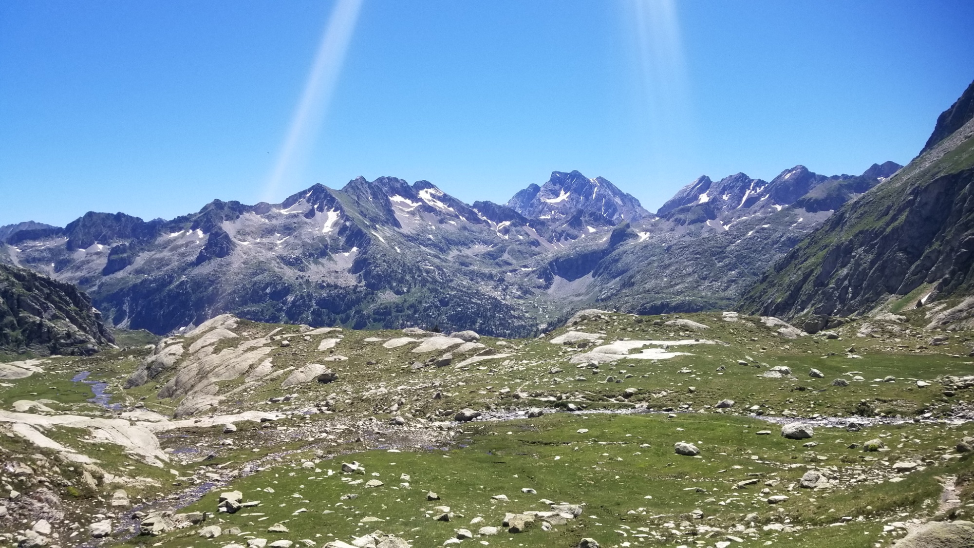
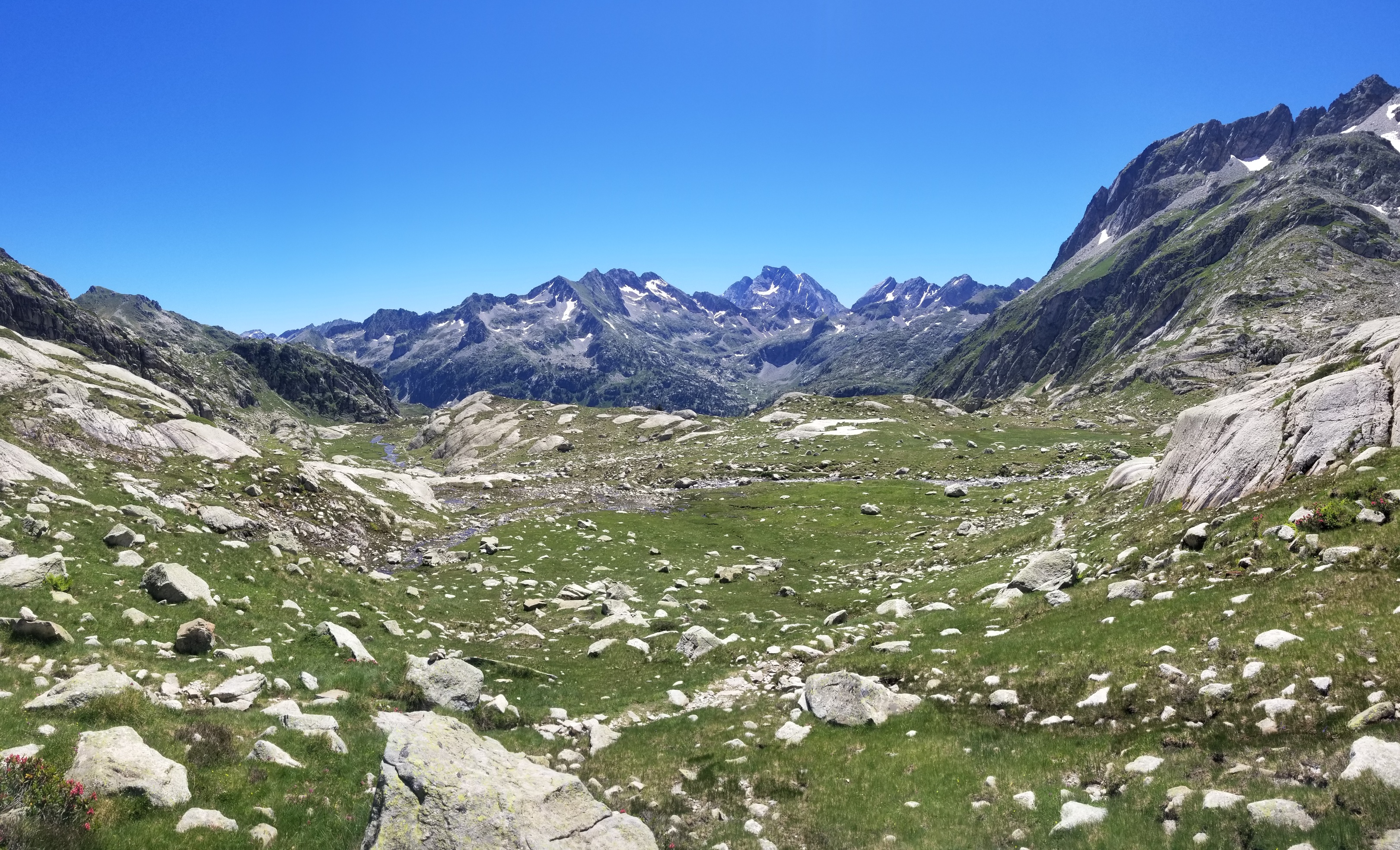
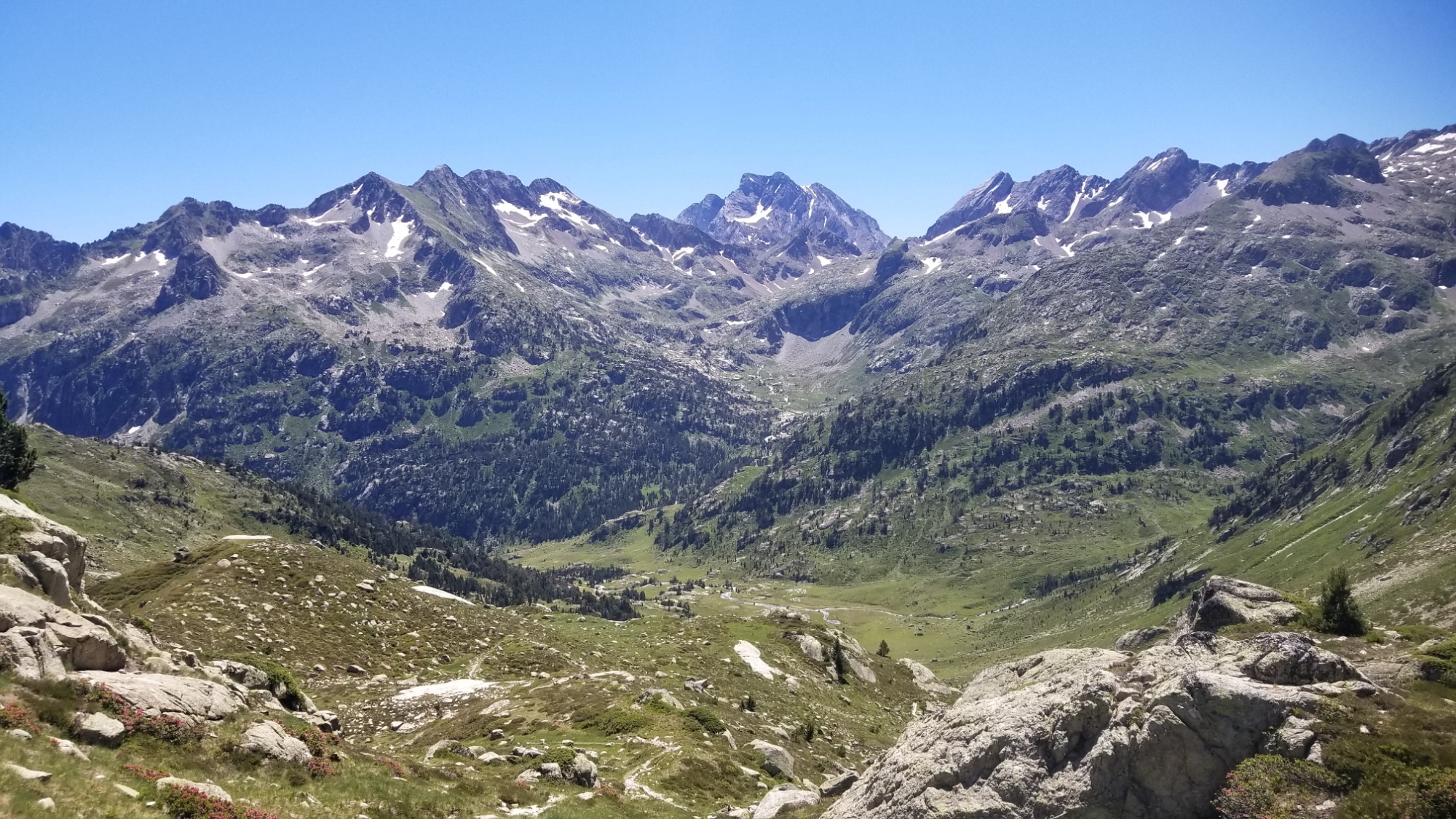
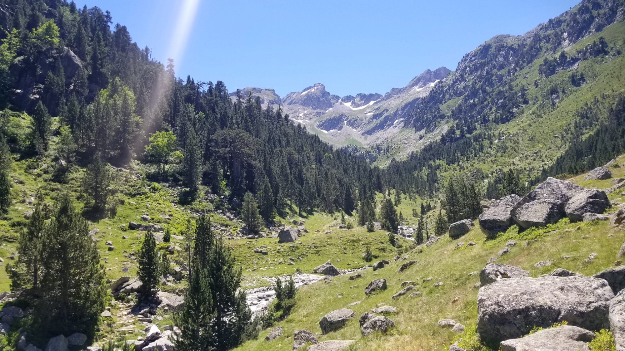
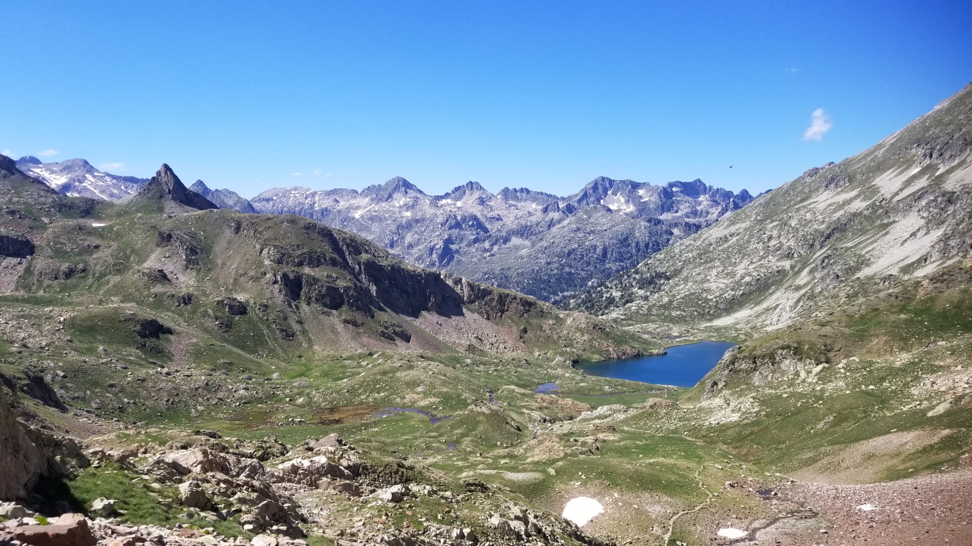
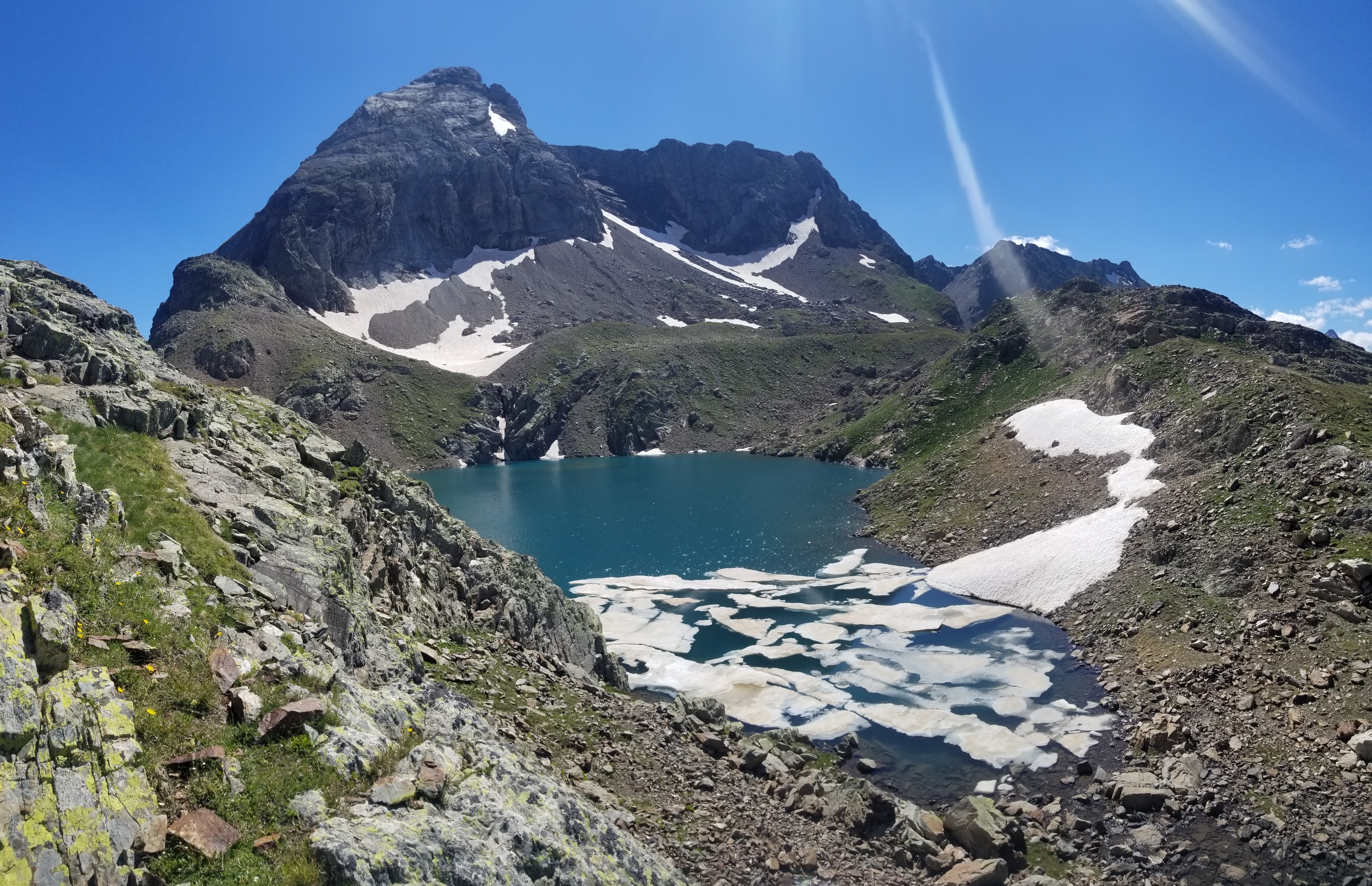
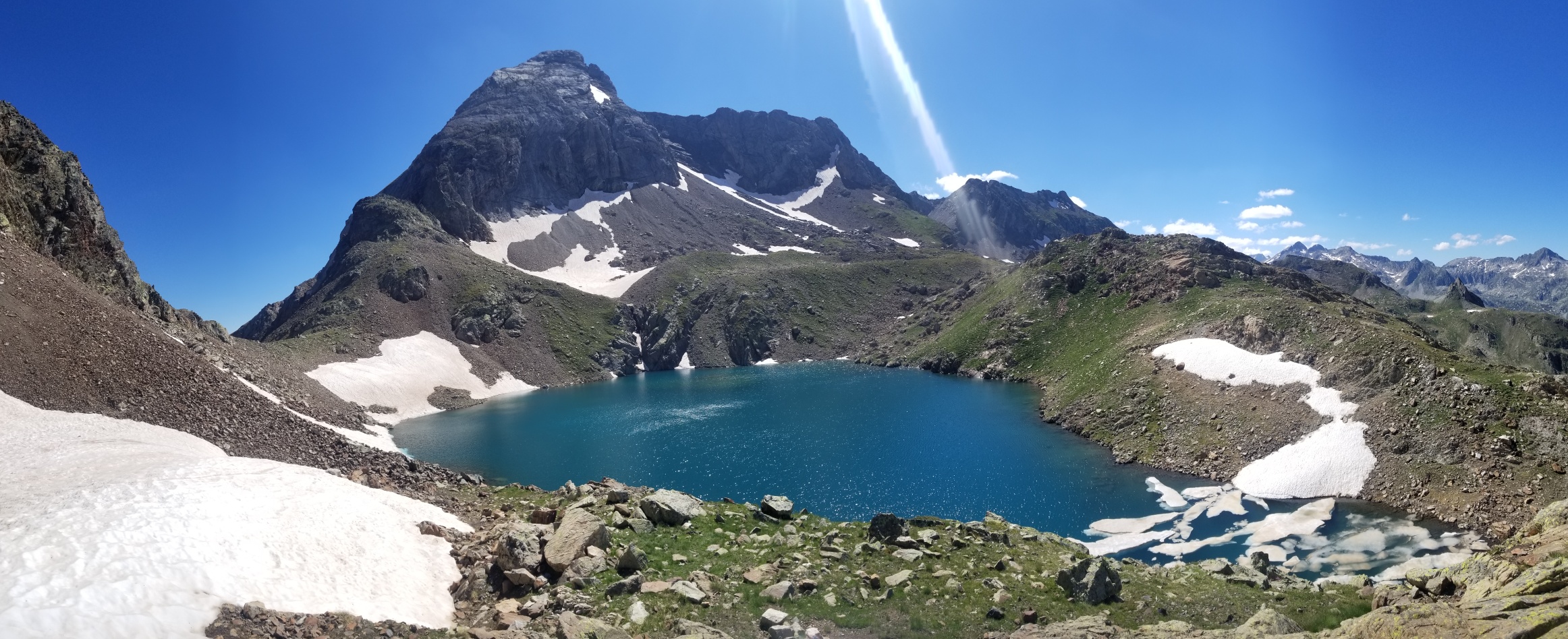
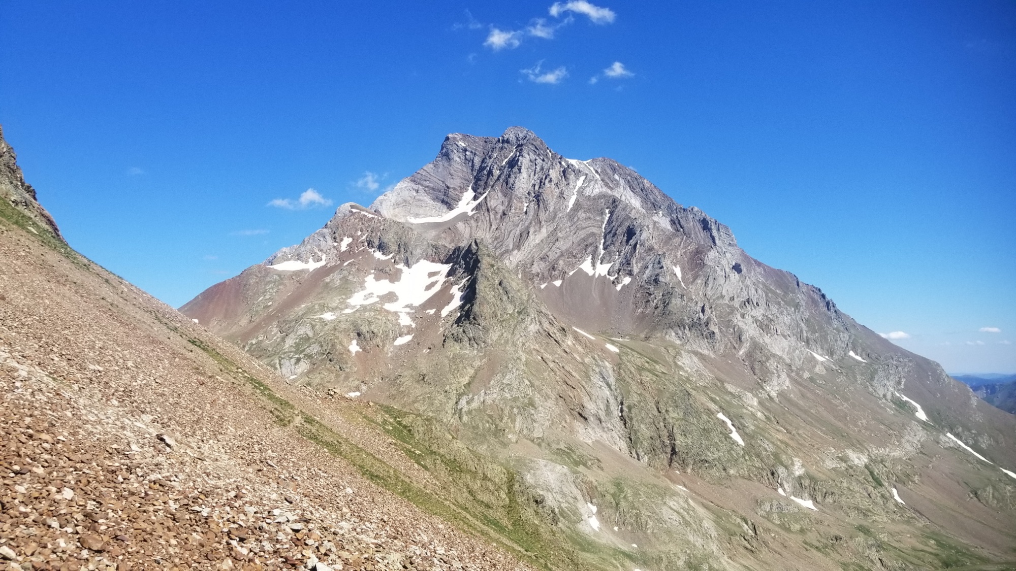
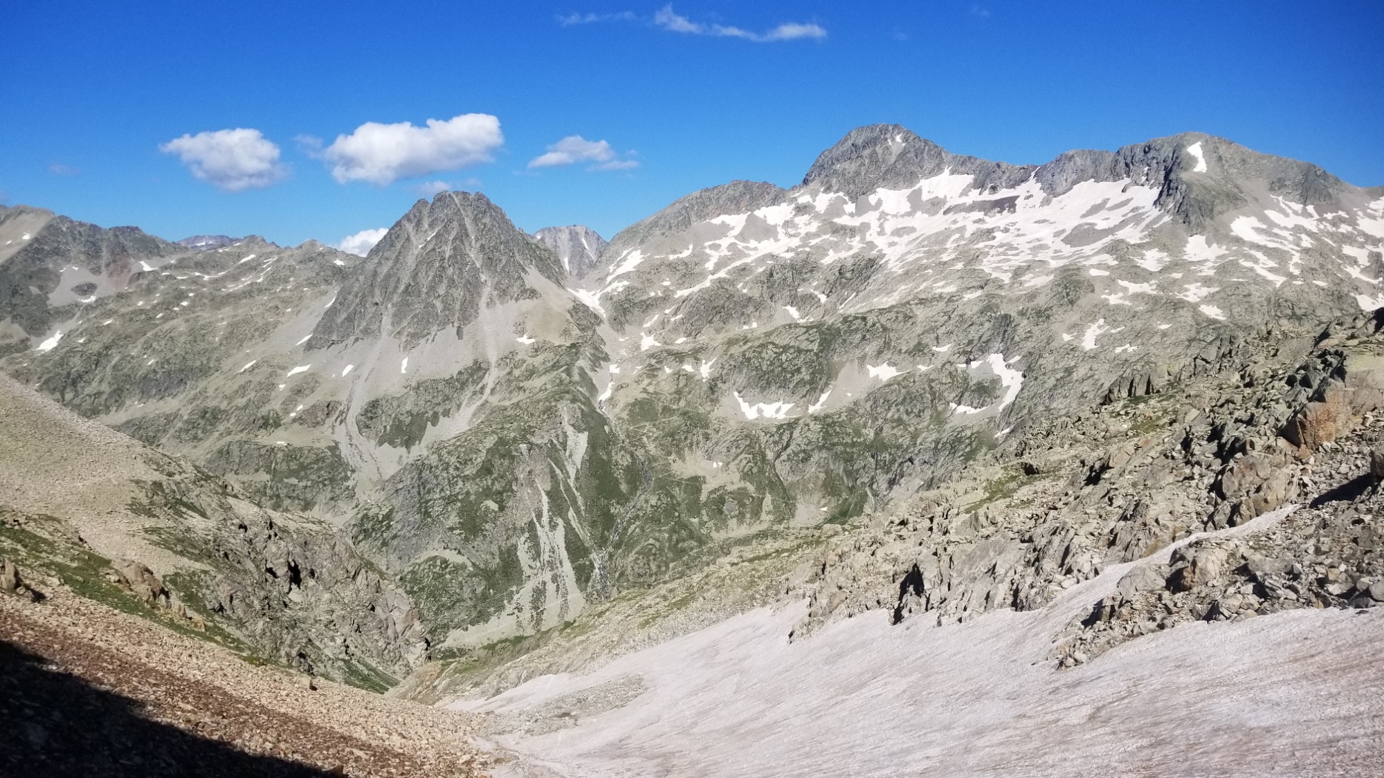
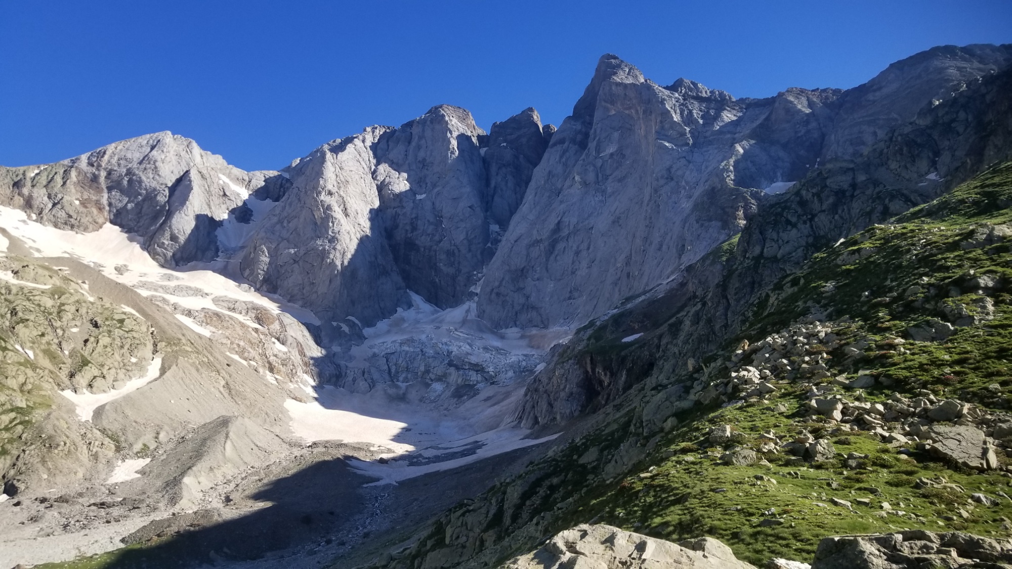
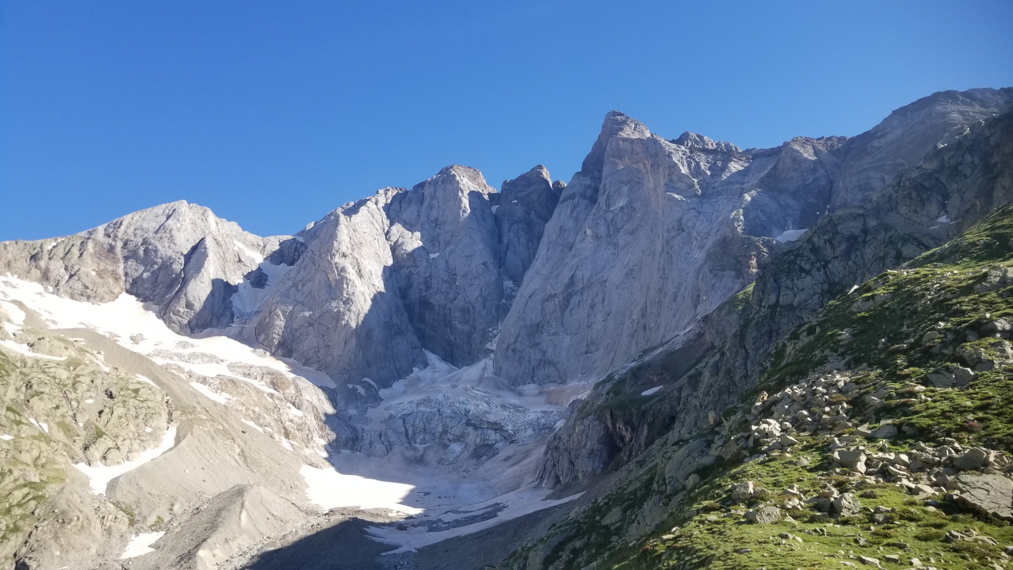
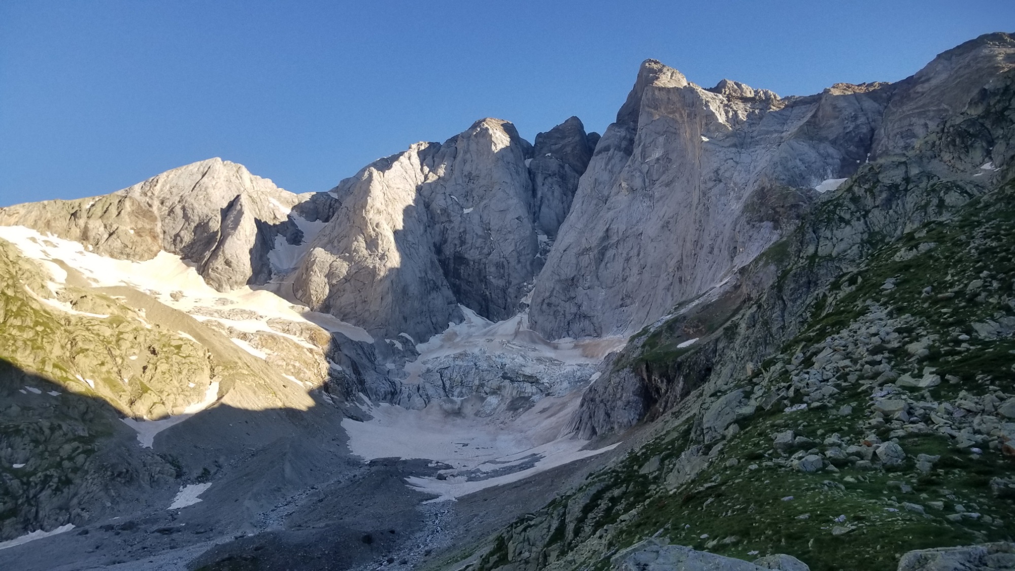
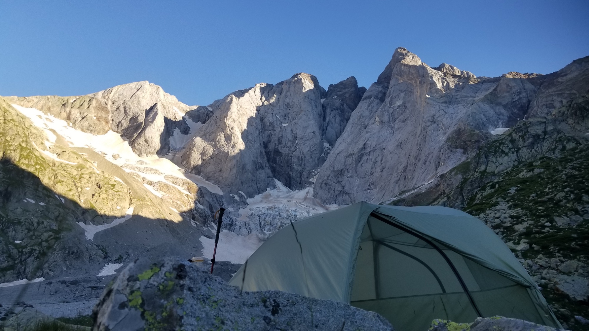
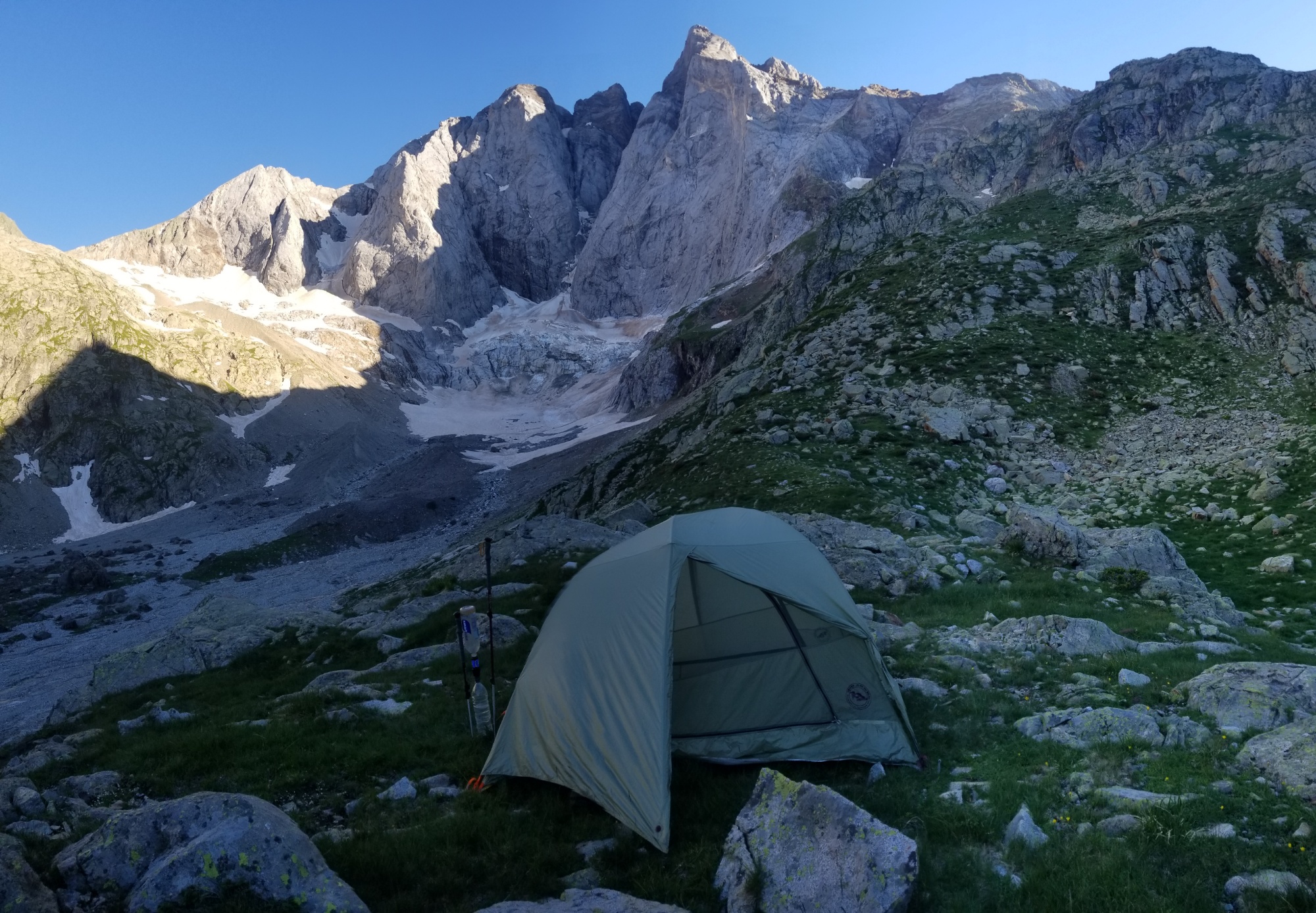
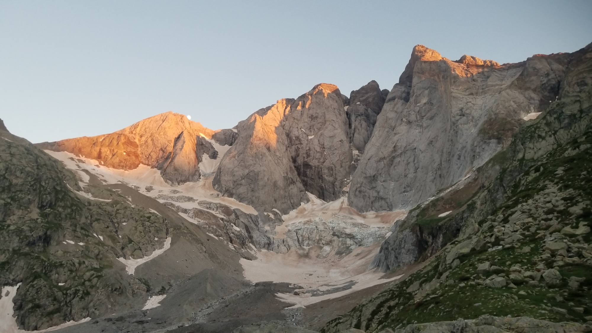
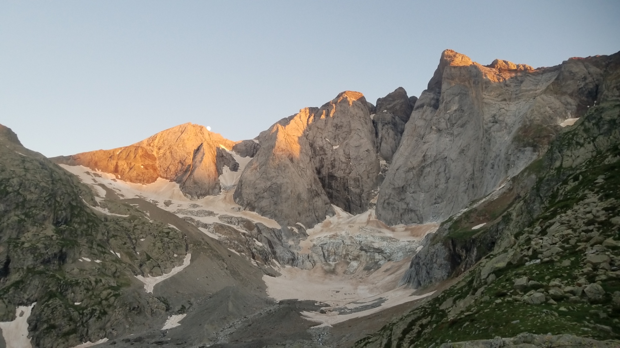
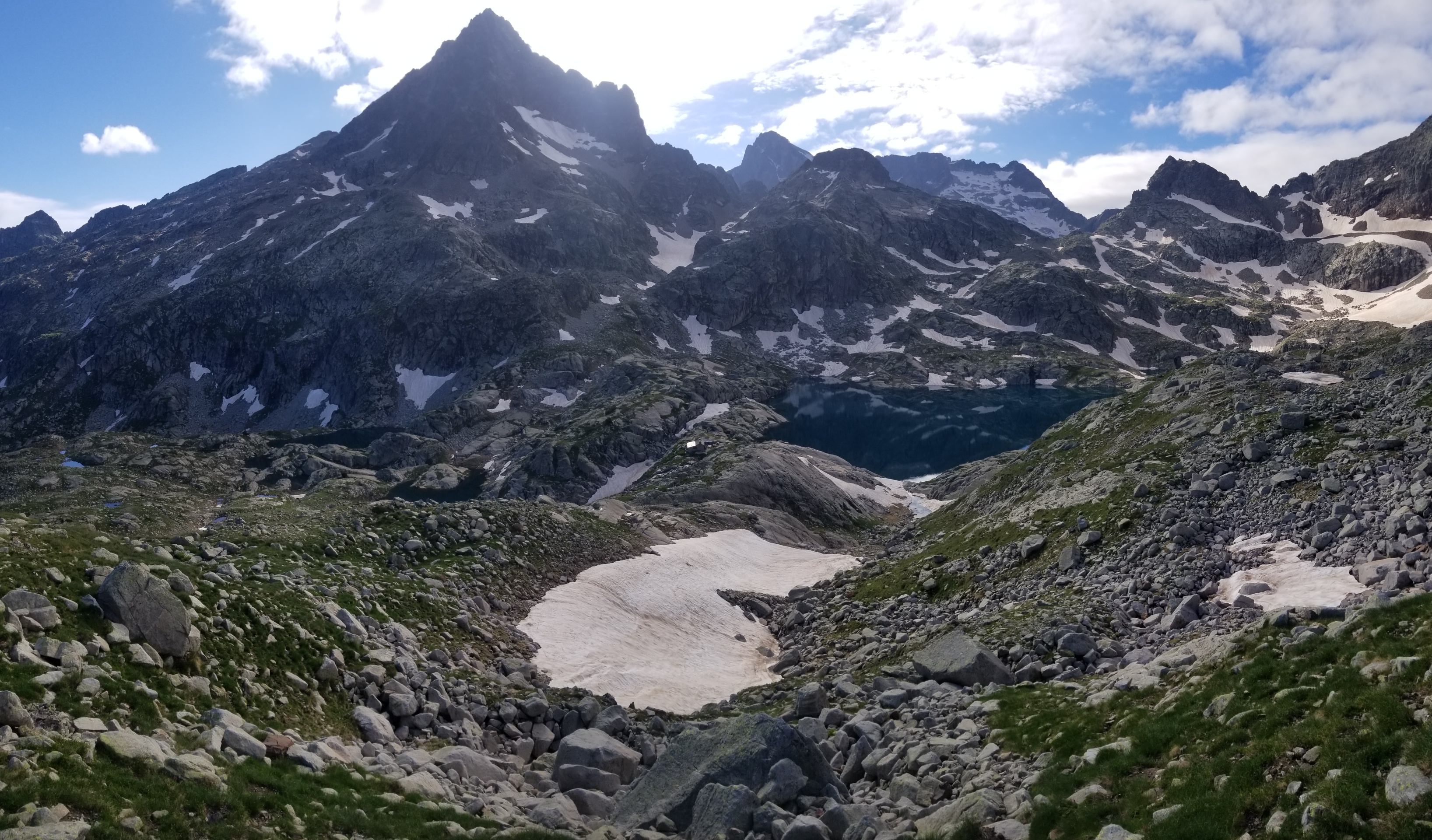
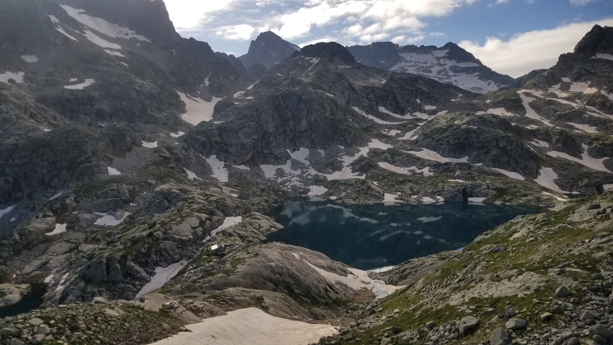
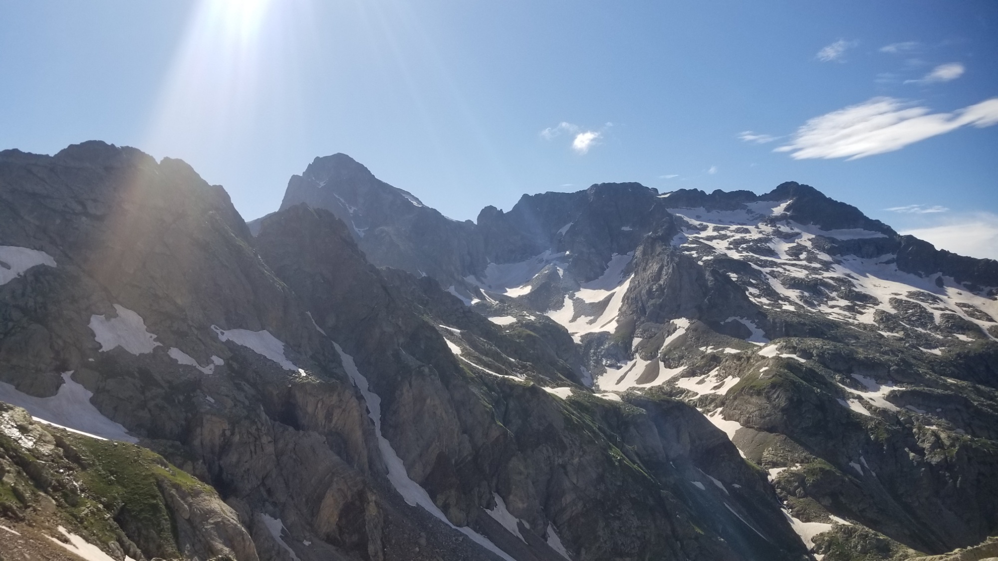
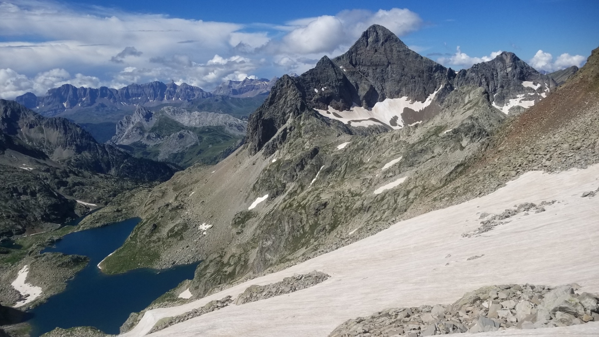
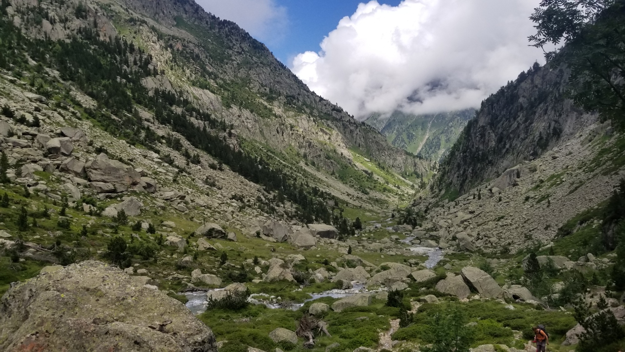
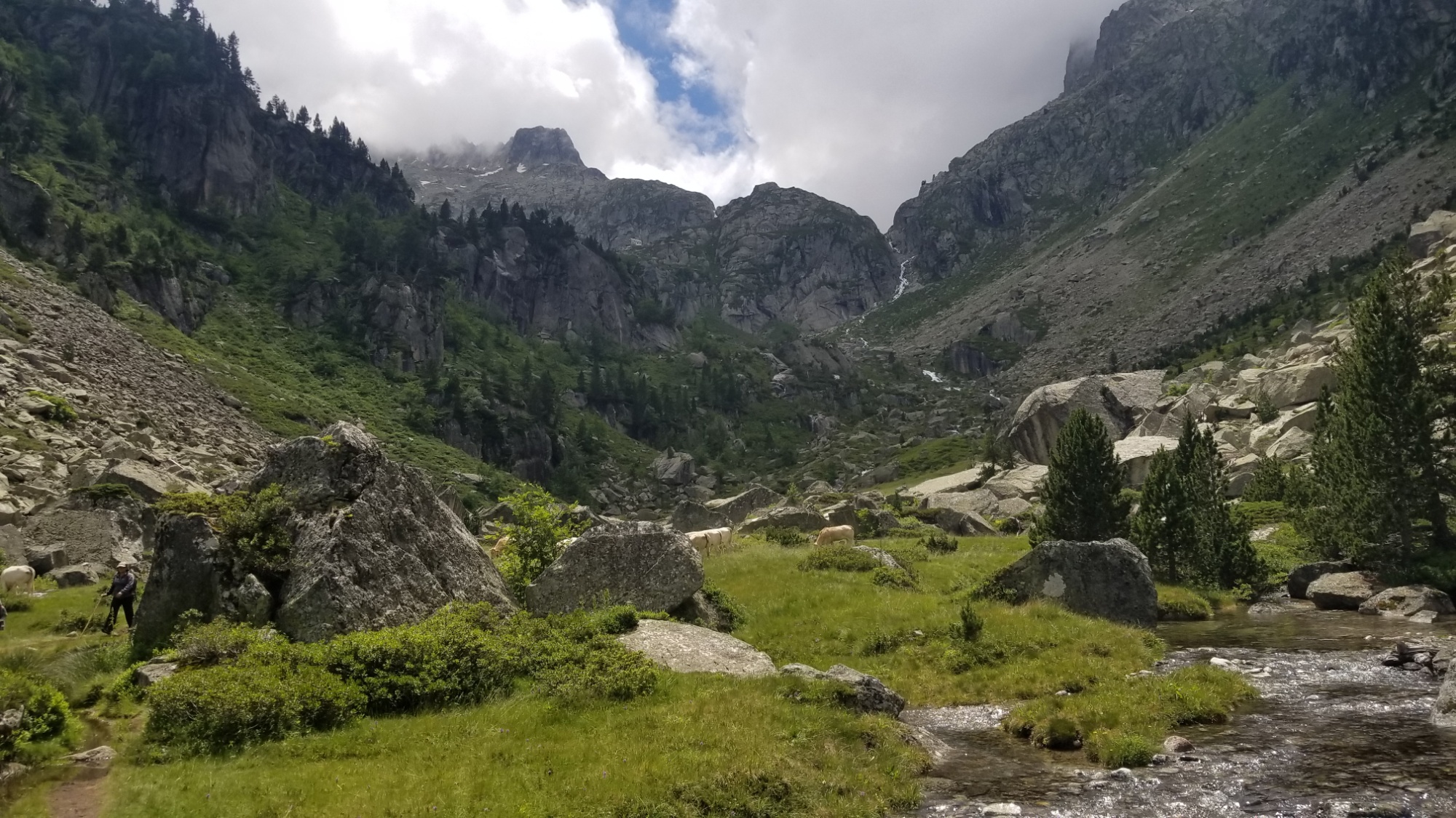
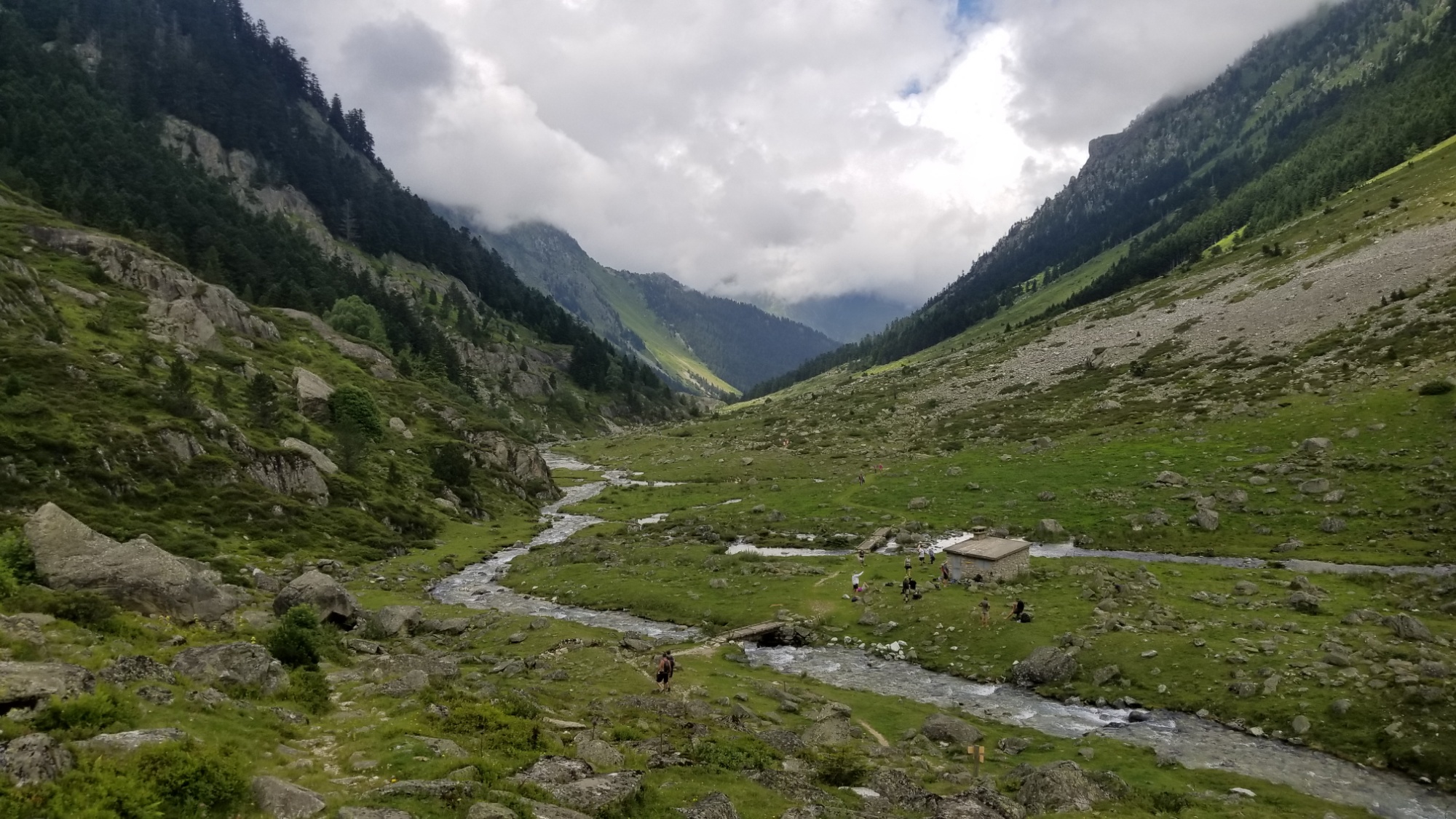
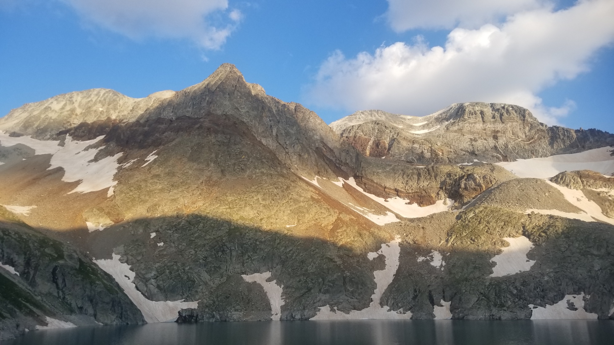
I wander around most of the day taking photos and reading what I could in the all-French library. At least photos transcend the language barrier. I read a book about all of the glaciers that there once were in the Pyrénées. I must have seen at least half of them by now. The peaks that I gaped and galloped over, of the Midi d’Ossau, le Balaitous, Vignemale, Monte-Perdu, the Cirque Gavarnie, Cirque Estaubes, the Barroude wall, the glaciers of the Gourges-Blanc, the Aygue-Tortes, and now, the Portillon Glacier, as well as those of the Aneto and Maladeta that we will reach in the next day of hiking. How lucky are we to get to experience so many glacial valleys in one relatively short hike?! It’s like the European version of Glacier National Park in America.

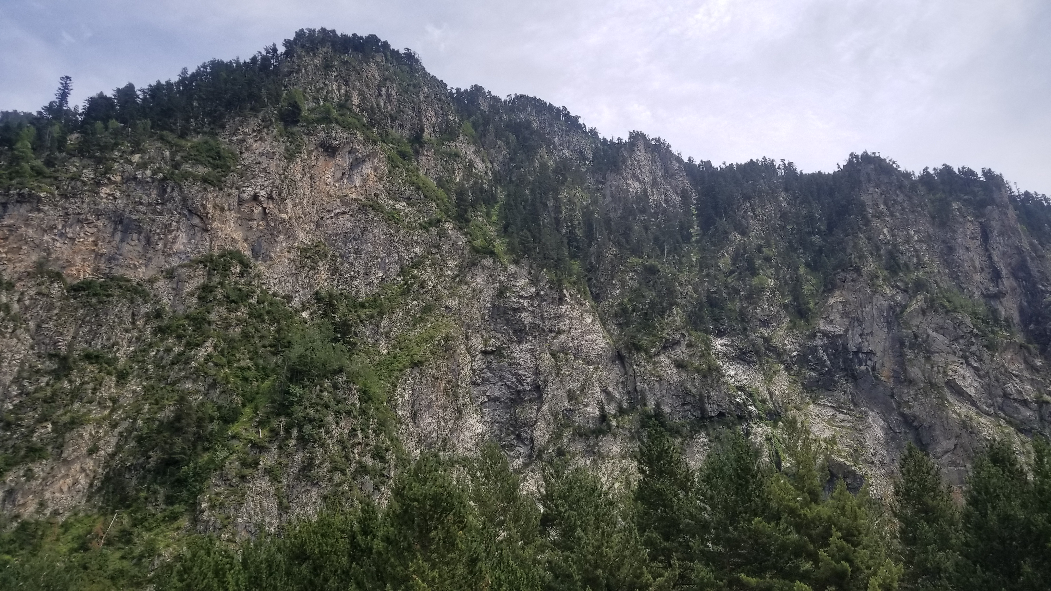
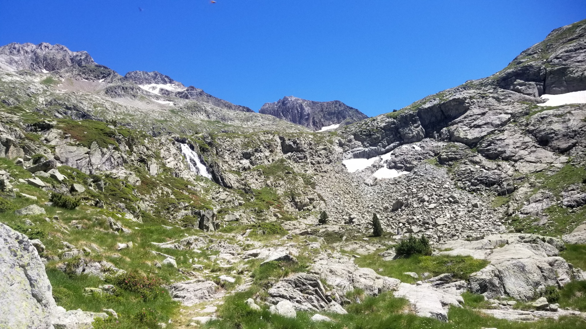
I have seen many of them without realizing that they were once glaciers. Now there is only a semblance of their former selves, an ever-receding sheet of ice and a shadow of scientific ignorance about the impact that we humans are having on our planet.

Now, in their stead, there is only a glorious, rocky monument to what once was, before our fossil-fuel powered civilization destroyed the little perma-ice in existence, used up as coolant to counterbalance and buffer the heat produced by the great human machine. We drove our cars and drove every other living thing to extinction.

One day, all of these glorious monuments will be reduced to snow- covered scree fields, the likes of which we have spent the last 21 days traversing.

I suppose we won’t miss them until they’re gone. Like the glaciers, the coral reefs, all the species annihilated by commercial logging and fishing and agriculture, all those wonderful forms of life, gone, not to be seen again on a billion, billion other worlds.

Who knows what they could have taught us, what benefit we could have garnered, had we only respected their life. Instead, we traded all the truly beautiful things for an ocean full of plastic, food that cannot be eaten from fields that can no longer grow, water that cannot be drinken, land that cannot be walked on, air that can hardly be breathed without succumbing to some neurological disorder or another from the toxins pumped out from the power station down the way.

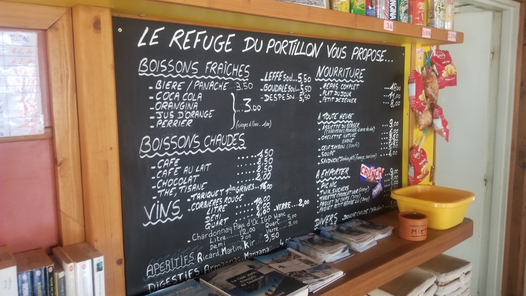
Oh yeah, the refuge! It’s awesome! The dinner was a delicious buttery legume soup with fresh bread, then pasta with an amazing meat sauce, and then a super whipped puddin’ cream dessert. Wow! They sure know how to please their hikers and climbers out here.

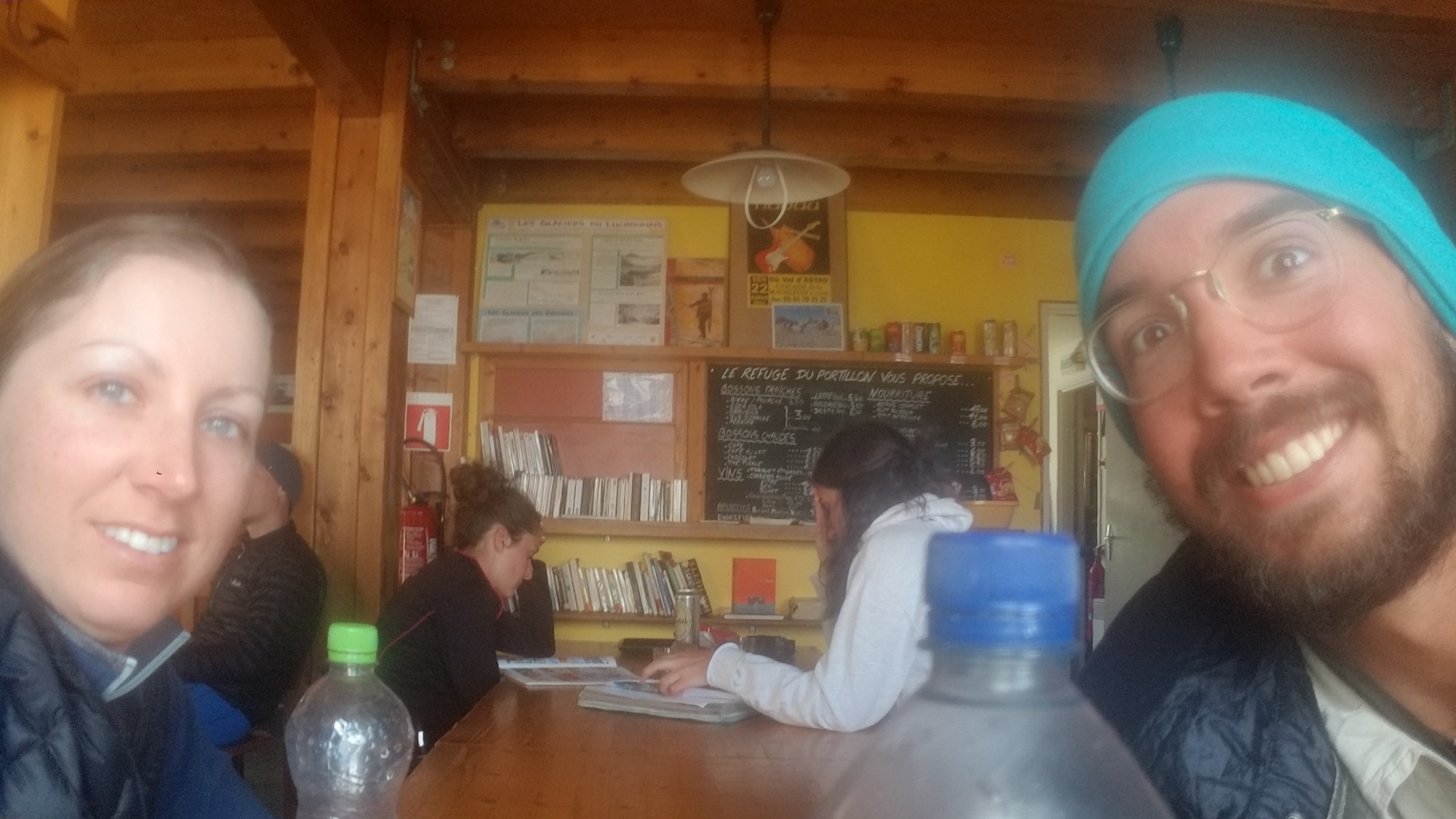
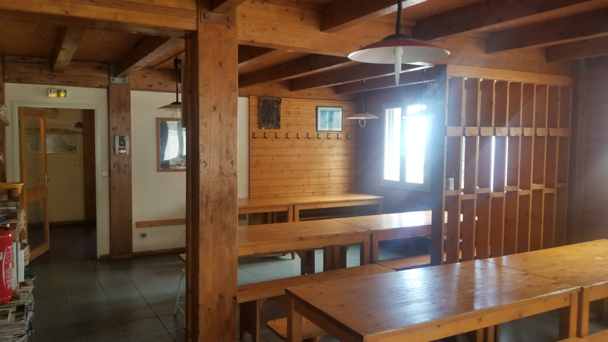
This hut is owned by the French Alpine Club, so the only people that come up here are badasses who are into climbing seriously badass mountains. We all get along, even if I don’t understand any of what anyone says haha! I’m amazed at how many people here speak English just as fluently as French though. Really putting the pressure on me to batton down and learn a second language.

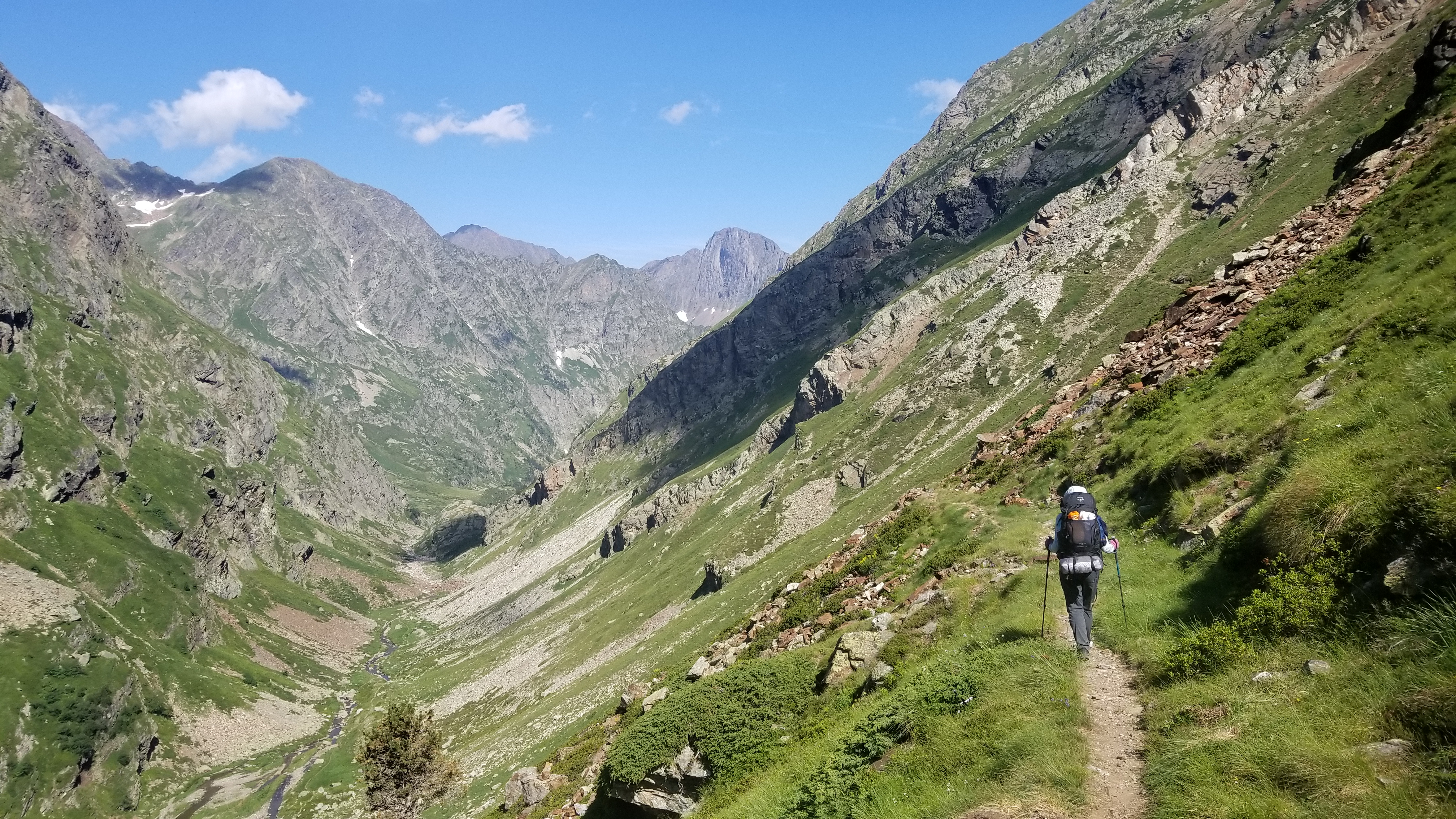
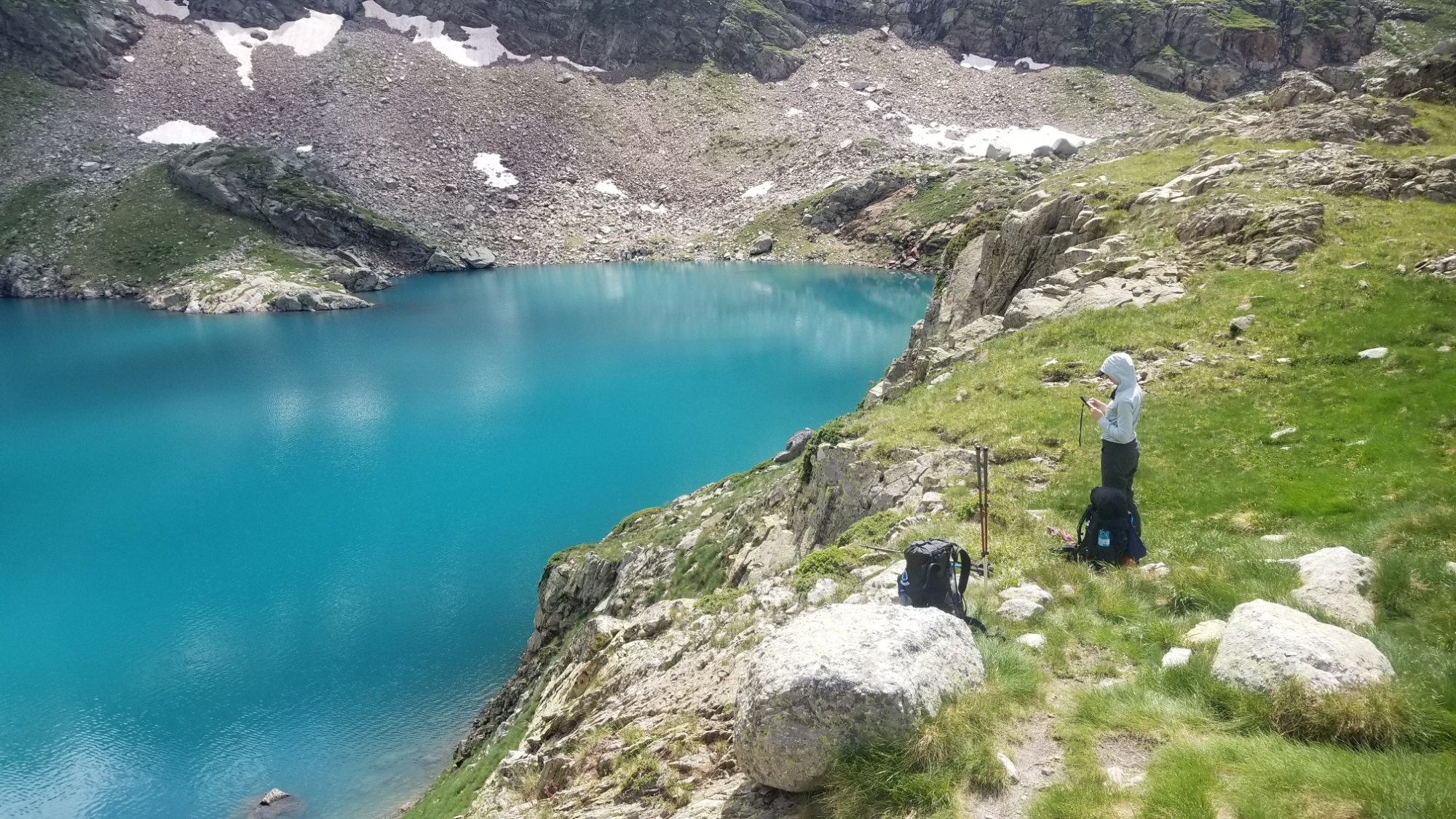
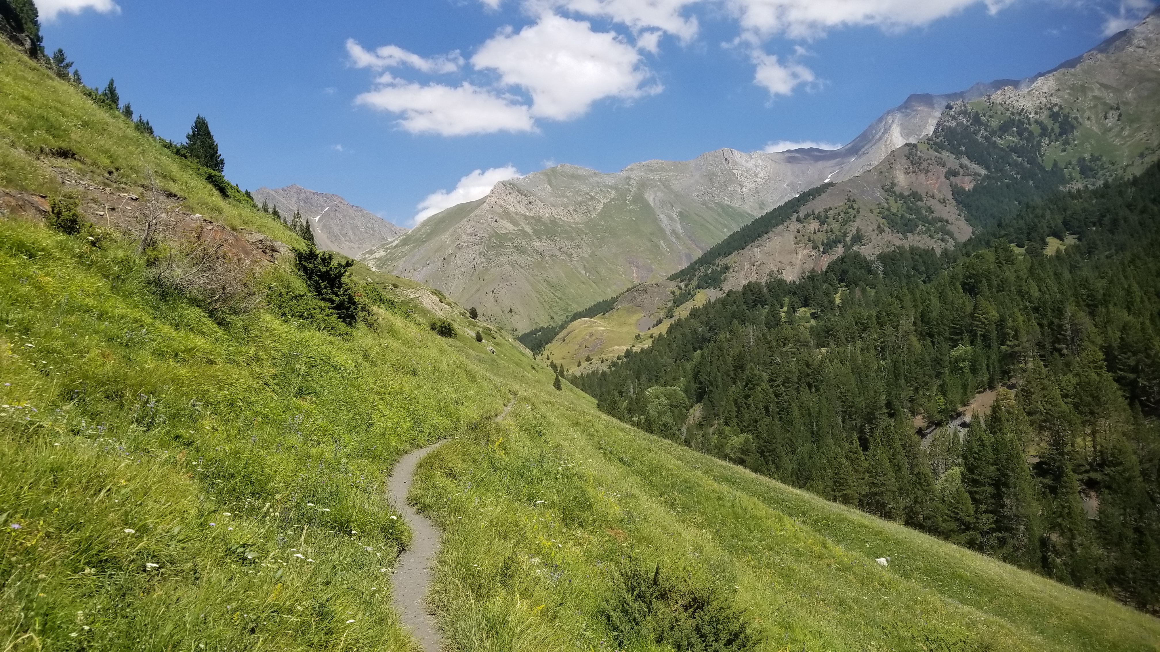
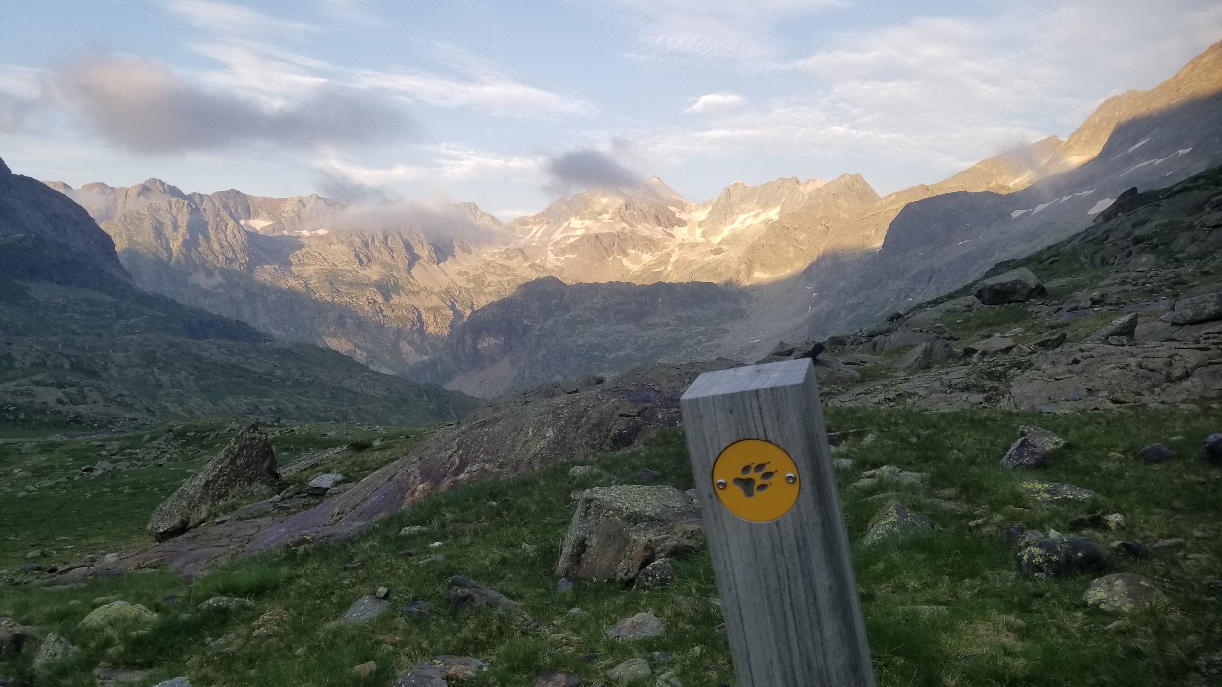
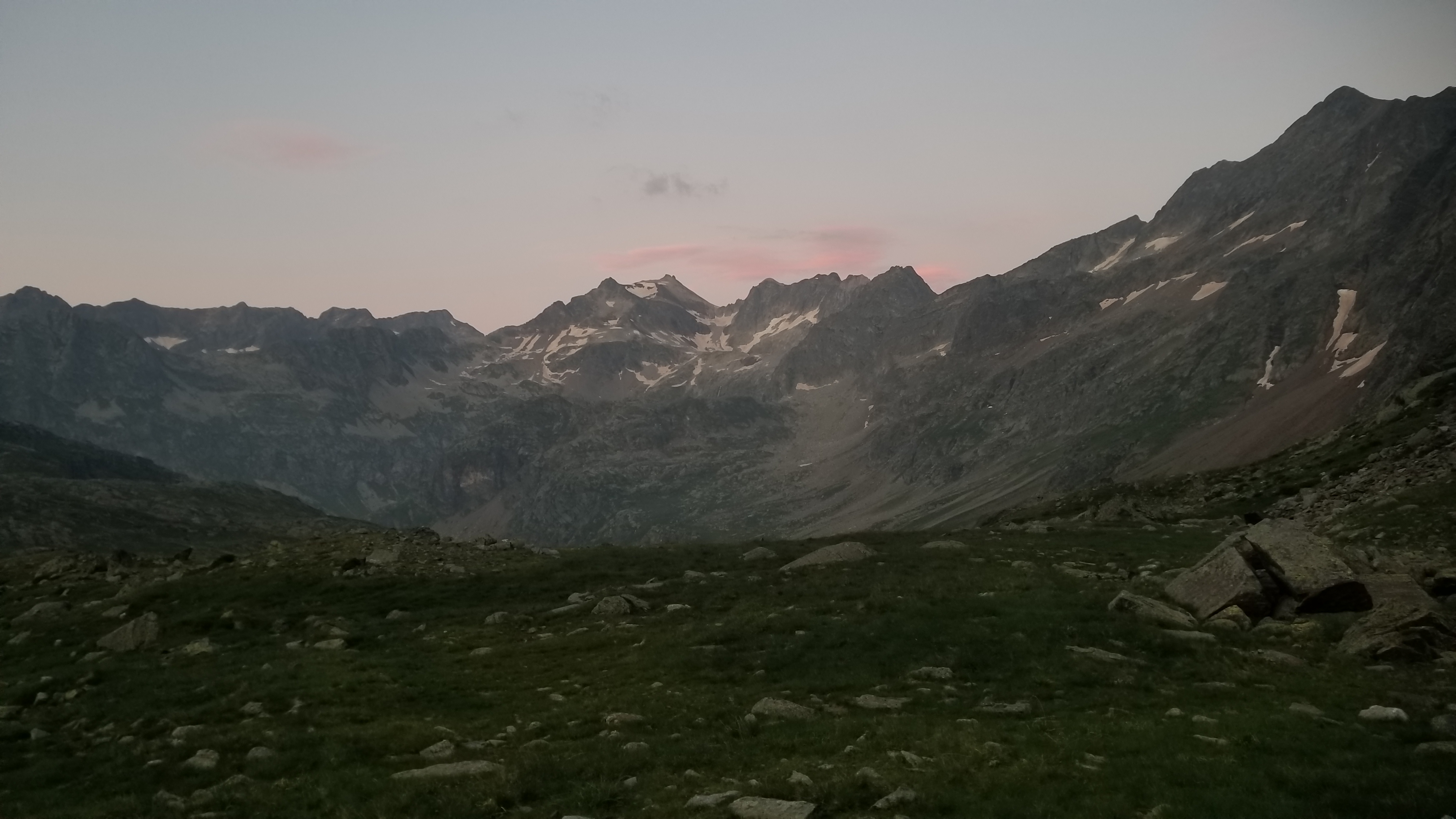
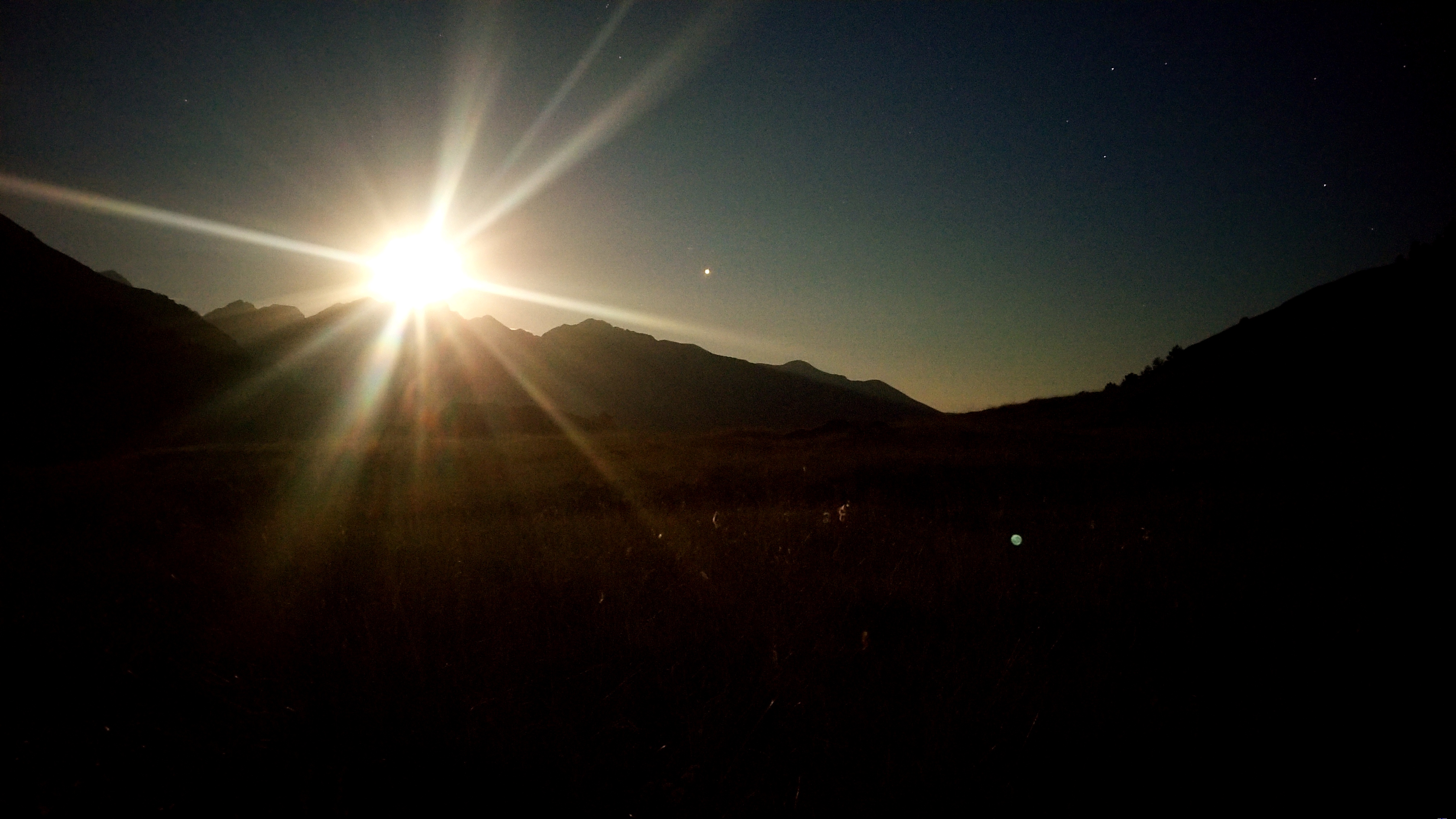
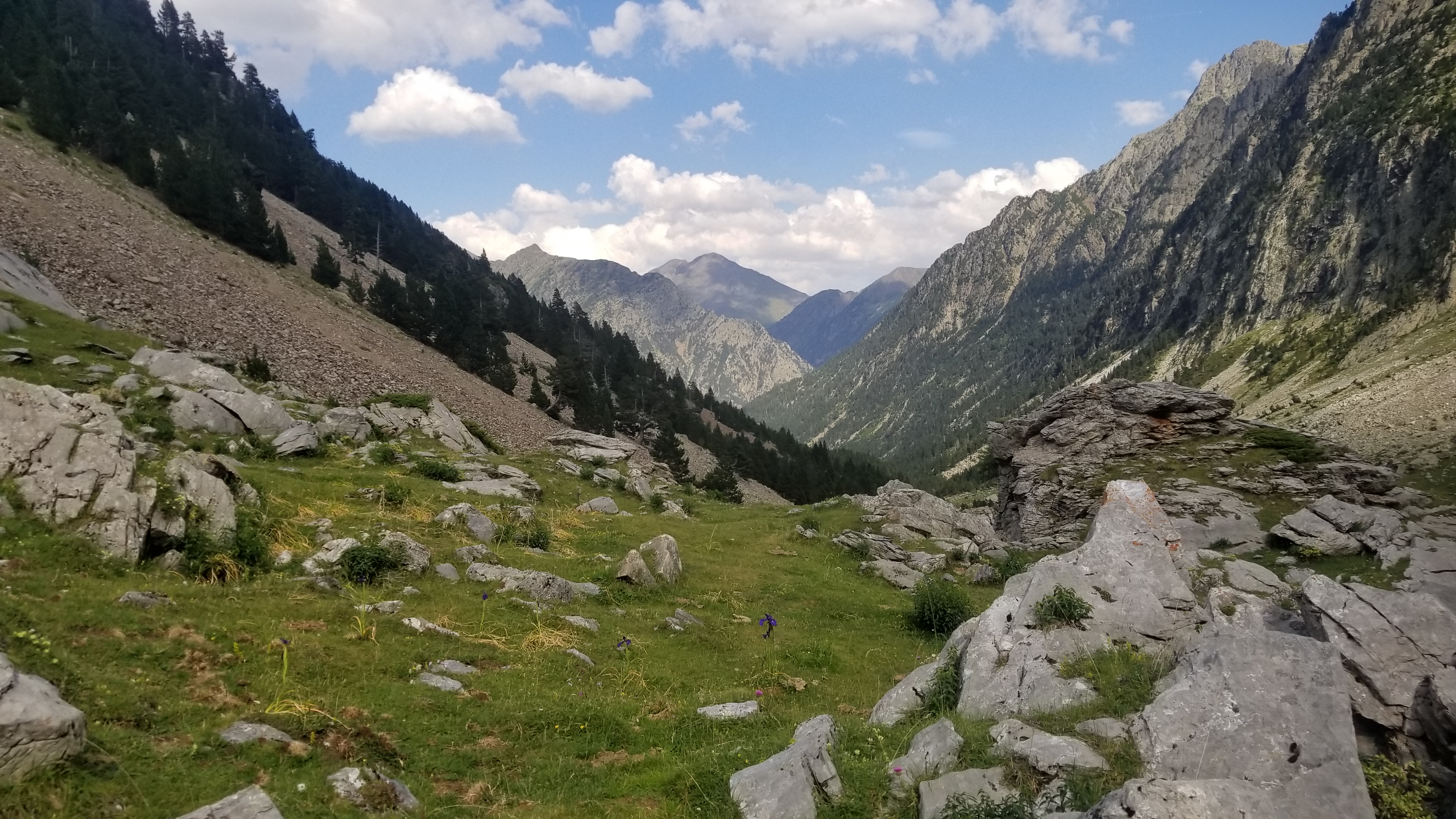
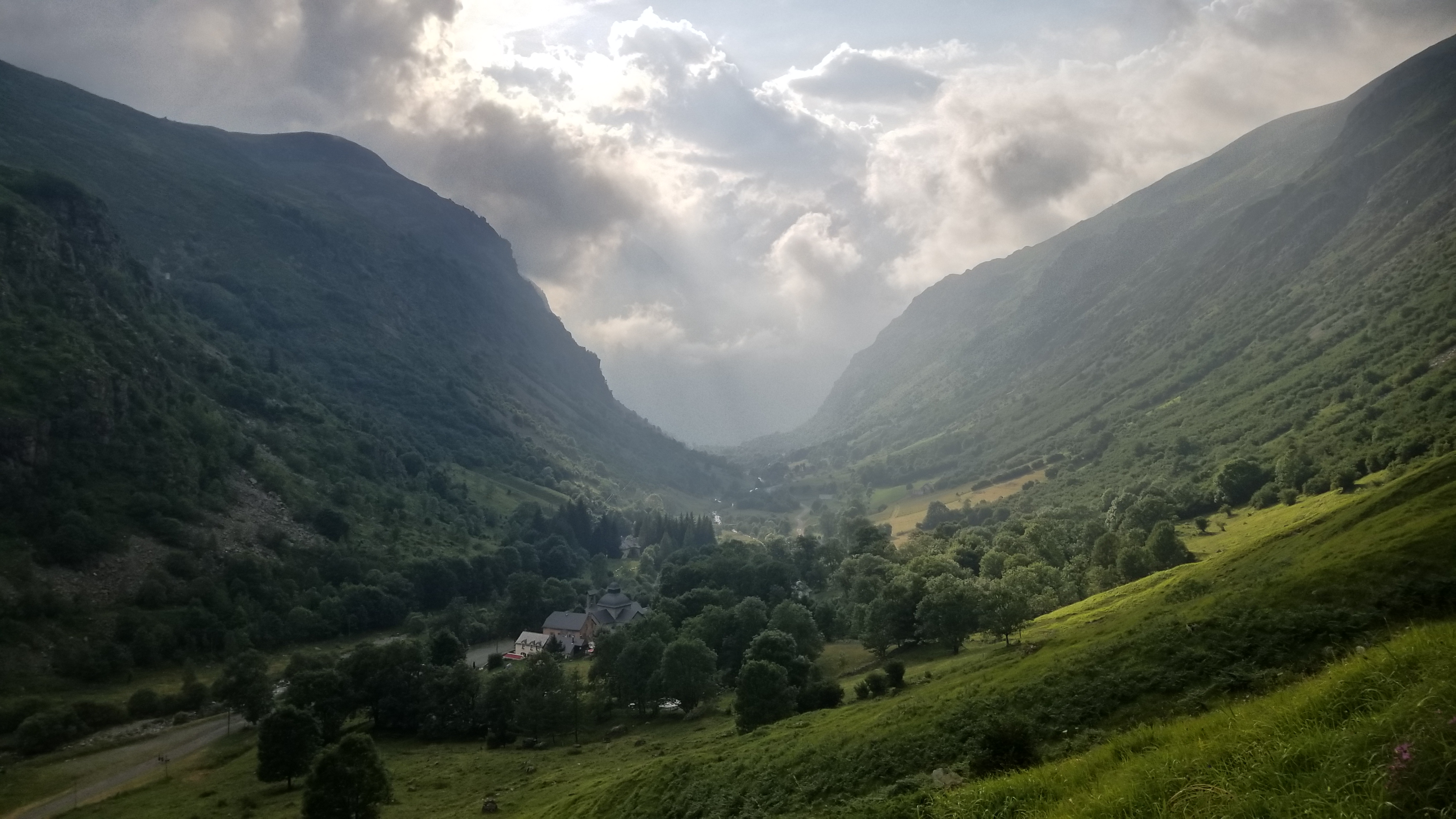
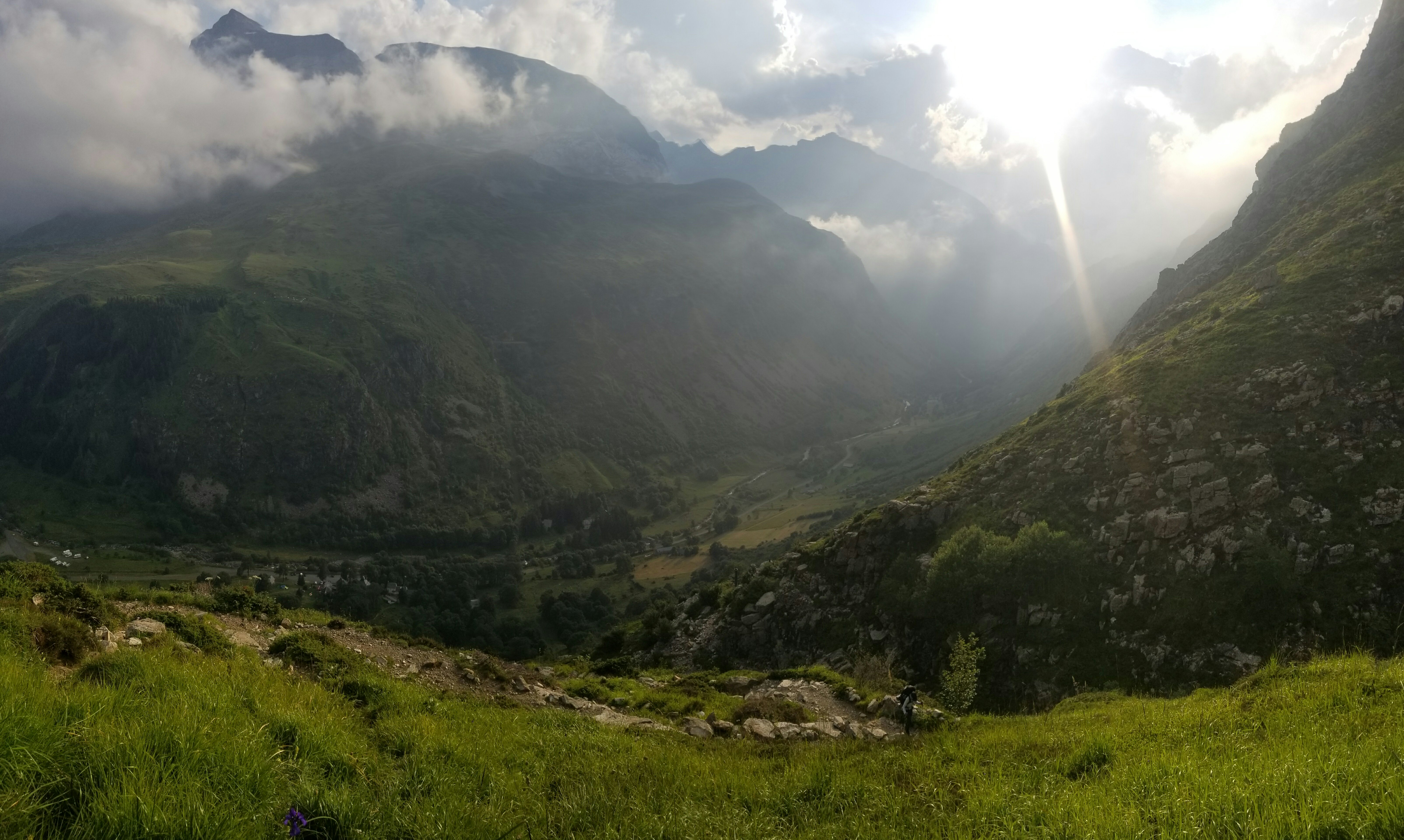
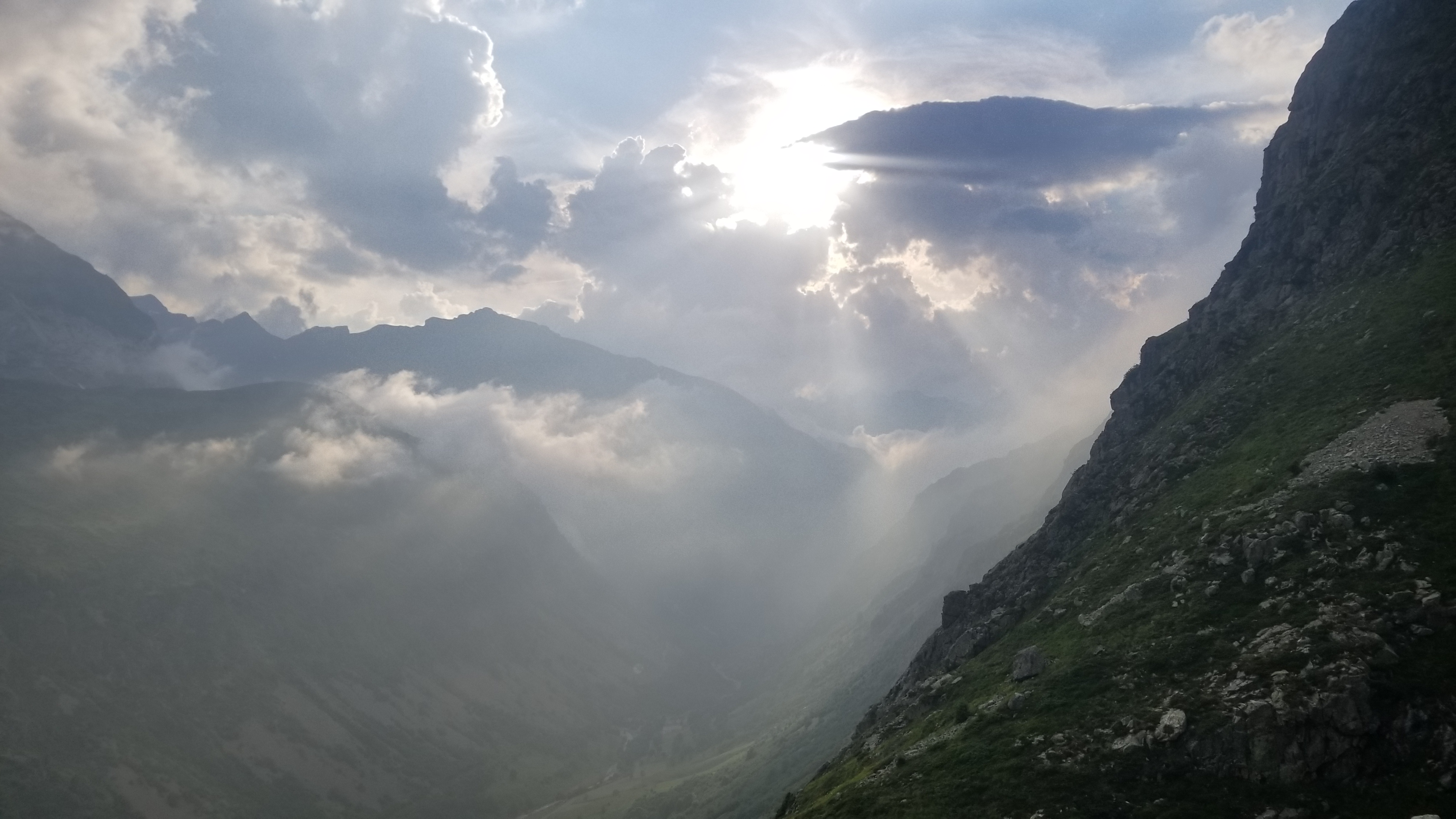
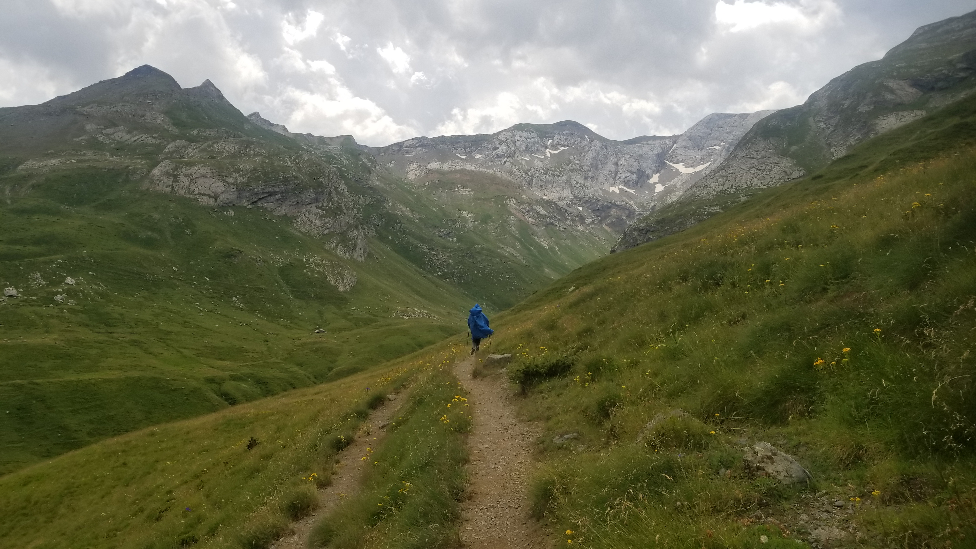
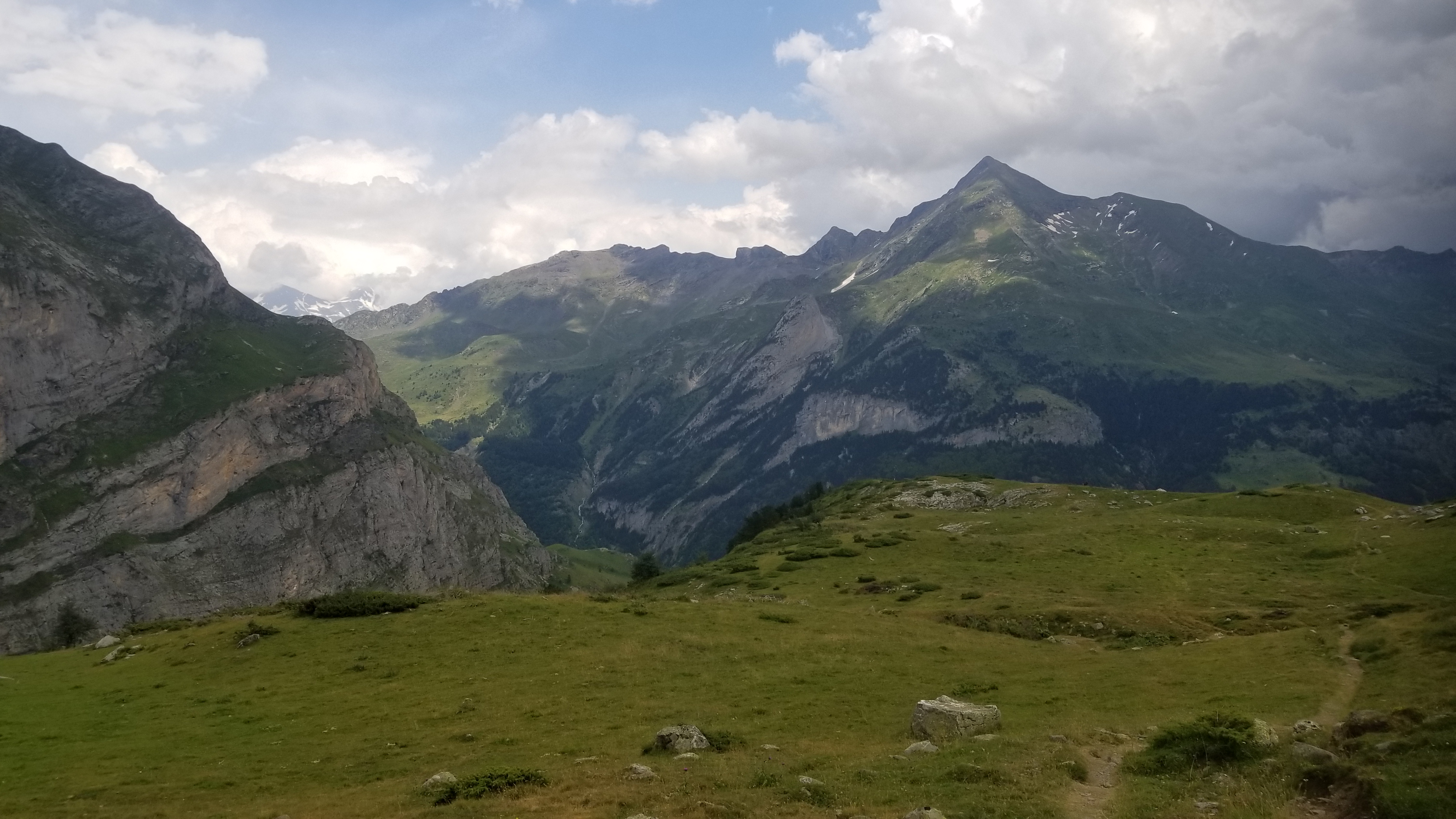
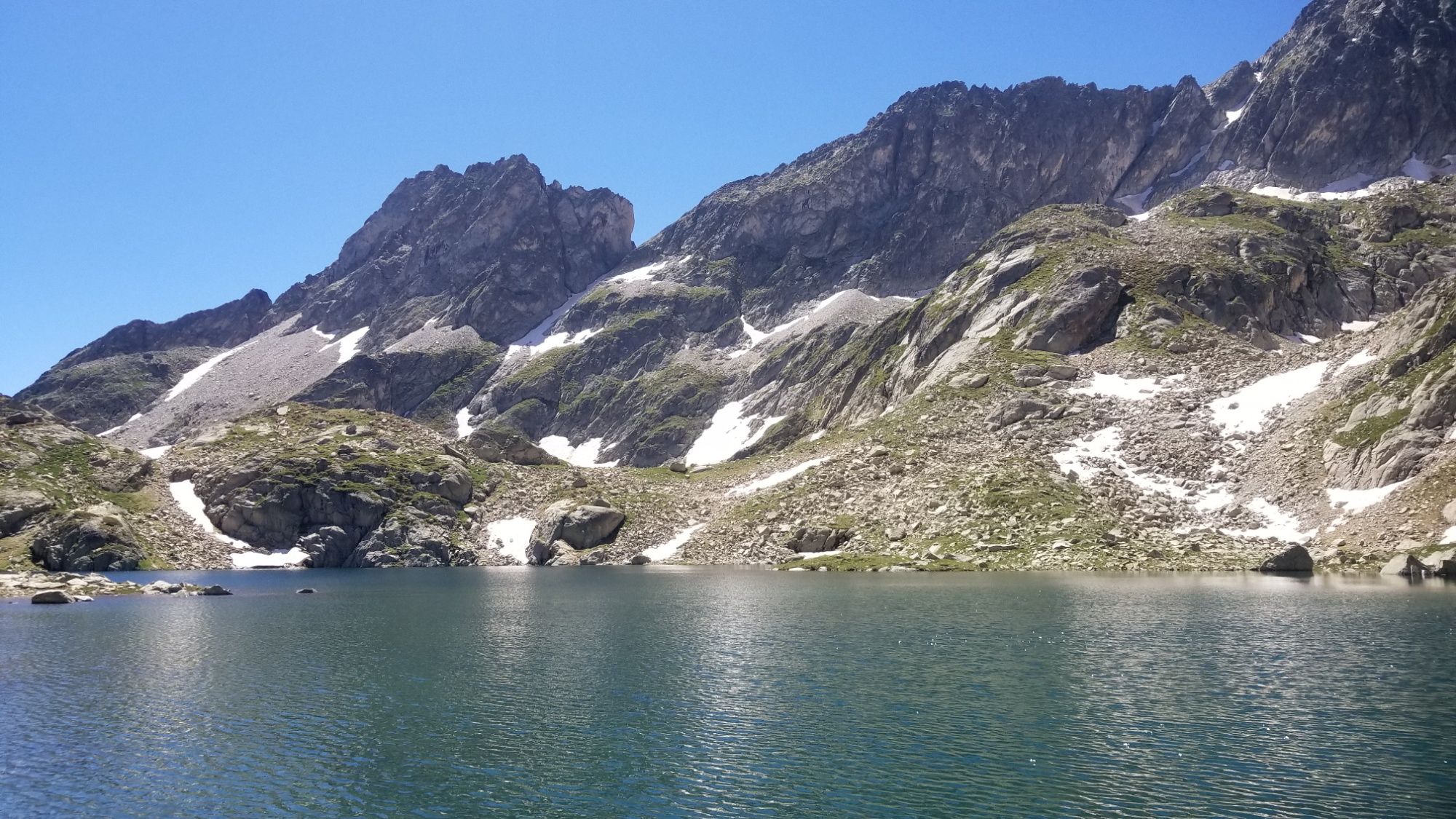
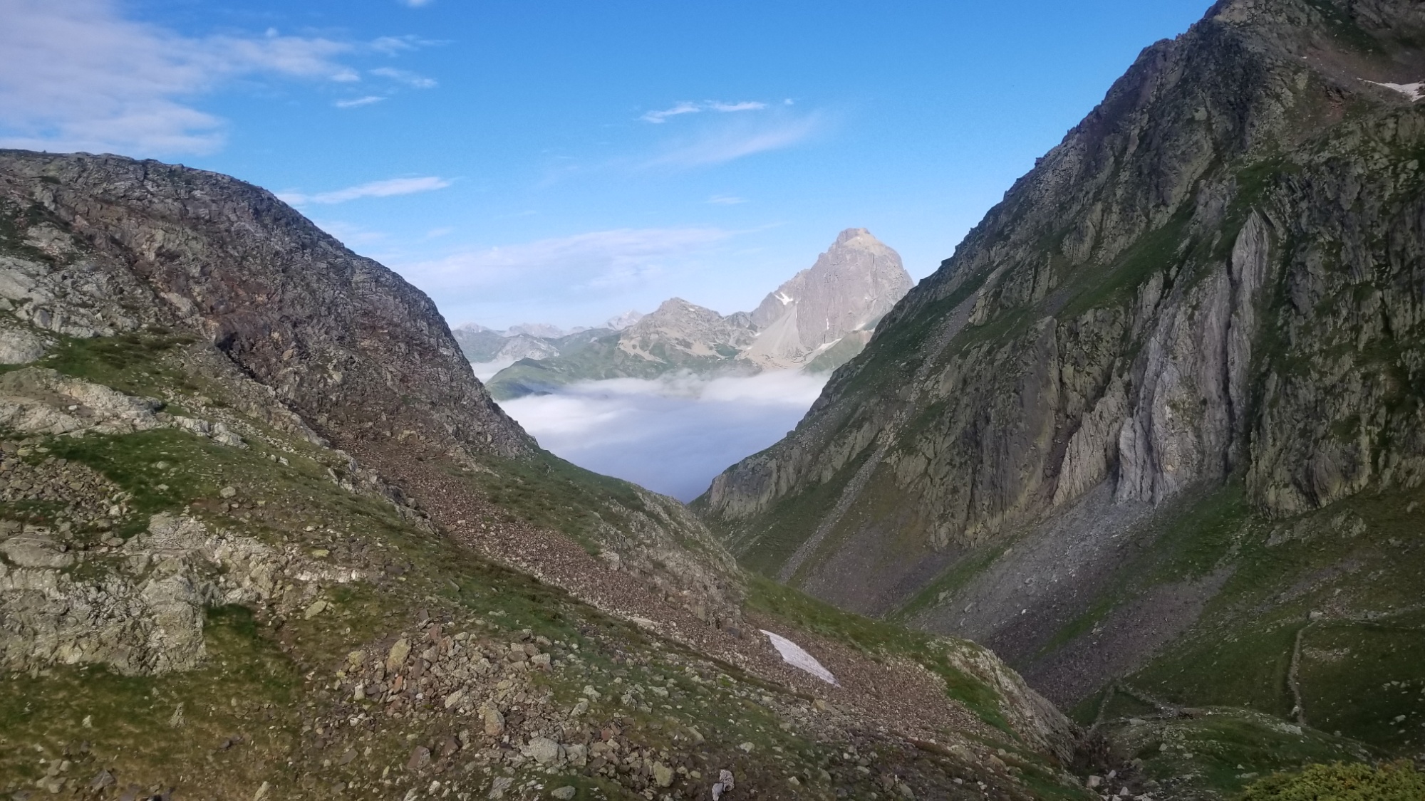
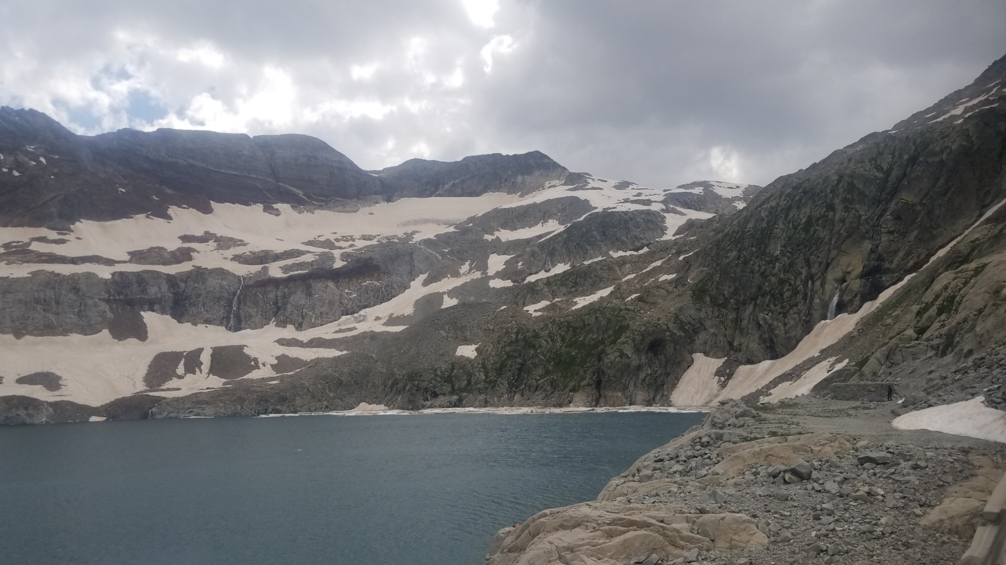
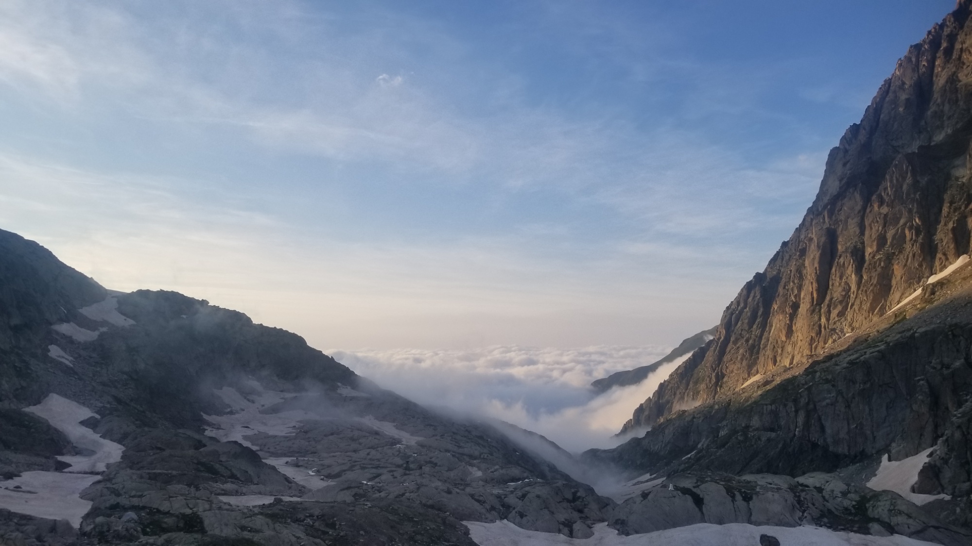
I’ve walked the barrage (dam) next to the refuge three times. The views of the lake, silhouetted by mountains, and of the valley below are the stuff dreams are made of. Tomorrow, I will walk across the barrage for the fourth and last time, and I will be alone in the montane wilderness for the last two of the hardest days of the HRP.

I am the one who wanted to thru-hike the high route of the Pyrénées, one of the most strenuous long distance hikes available to adventure-seekers. I must face the greatest challenges that it can serve on my own.

Good night!

Day 21 – The Grand Traverse

We woke up and got on trail pretty quick today, around 9am. The trail wound down the valley of the Aygues-Tortes, through grasslands, across streams, and on to a beautiful shephard’s hut, where we stopped to make coffee.

The official route drops down to the refuge La Soula before climbing back up to the Lake Caillous, but we decided to take a balcony trail that our friend Paul recommended, in order to keep our elevation, skip the needless 500m drop/climb, and enjoy sweeping views of the valley below.

The path began at the beautiful lac de Pouchergues, and was cut into the ridgeline of the mountainside, apparently as part of the big power station that seems to have commandeered this entire area of mountains.

We eventually came right up to the heart of the power station, complete with huge pipes to divert water from the two lakes, and old mine tracks used to transport some kind of minerals. It was quite an impressive operation, although it seemed to have been abandoned for some time.

Near the end, we rejoined the main trail for the last bit of climbing up to lake Caillous, a beautiful (although artificial) lake with a dilapidated structure where the barrage master must have lived so many years ago. We took it as a prime spot to have lunch.

Then, we carried on up the valley to the third lake of the day, Lake Isclots (lake of the tiny islands). It reminded me a lot of the Rock Island lakes of the CDT. Very picturesque setting.

We carried on up the mountain and came to the lake Millieu, where we took another break before coming to the really hard part of the day. After all, we had now passed into one of those days rated “E” (the hardest rating) for exceptional.

After crossing numerous snowfields, we came to a steep slope of scree (gravel and boulders) with a semblance of a path zigzagging up it. At least there were cairns, so someone must have been here before.

Once we reached the top of the scree slope, there was a long traverse along a snowfield, all the way up to the Col du Gourgs-Blanc.

Then came the really hard part! We had not anticipated the amount of snow that would stick around this late in the season. We made our way to the only bit of scree we could find, and made a steep, treacherous traverse down to the snowfield below.

Then, there were numerous snowfields and screefields to cross before climbing up to the last pass of the day. Once over that pass, we came to yet, another mountain side covered in snow and scree that we had to cross. What a test of endurance! It was a very challenging day indeed.

We just almost made it to the refuge down by the lake before dark, but we had to pitch our tents on a little patch of grass just half a kilometer before the refuge. I can’t say it was the most comfortable place to sleep, as it was on a bit of a slope and there were many rocks, but we made it work.

I woke up to the light of the full moon at some point, probably around 1am. It was probably the coldest night yet, because of the elevation of our camp. Ah, what a day! It was magnificent and beautiful despite all its danger and difficulty. Good night.

Day 20 – The Haute Life

We both overslept today! The haute pyrénées really wear you out when you’re spending 11-12 hours every day hiking up and down super steep traverses. I find myself averaging about 11 hours of sleep time, so going to bed at 10pm naturally means I’ll wake up at 9am. That’s the mininum amount of time my body needs to regenerate itself, apparently, although I think I could sleep for 36 hours if I had nothing better to do!

Anyways, the mountains were calling and we hiked out towards them. We had a long, beautiful hike on the GR11 trail, through pine forests (that fresh pine smell, mm!) and grassy meadows. We eventually came down to a big valley with a river flowing through it, where we saw fit to take lunch and do a little bit of washing.

We walked another little ways and came to the Forcallo Campground, where I ordered a cafe and then asked if we could use one of their outlets to charge all our stuff. They said yes! That was just what we needed to feel comfortable going into the next four challenging days of mountain walking. We would be useless if our technology died halfway through. There goes all of our navigation, maps, photography, stories, music, comms, you get the point hahah.

It was super nice of them to allow us to top off the batteries at their place. In return we ordered a bunch of delicious food, beer, and soft drinks from the bar. Mmm, coffee, coke, beer, huevos, chorizo, and fritas! Deliciousness. Everything a hiker needs to get up and over the next mountain!

Around 3, we hiked out on the GR11 trail for a ways up a river valley. The scenery was sweeping and gorgeous, with views of many different mountain ranges on the way up.

Then we branched off from the GR11 on an unmarked traverse, officially jumping onto the high route and into one of the hardest parts of the trail! We climbed up to a big bowl shaped valley, and then climbed up a river gorge to its source, a glacial bowl full of snow, high in the mountains at 2,600 metres. It was quite steep and there were only a few cairns to guide us. Not many people come up this way, obviously.

Then we had a steep traverse down the French side of the mountain pass, to the vallon de Aygues-Tortes. Wonderful scenery abounded, blocked momentarily by fog on the way down.

We set up camp at the first flat grassy area we could find, as it was approaching darkfall around 8:30pm.

We made some delicious food, soaked up the views, and went to bed. Good night!

Day 19 – Parzzzan

Ahh, I overslept! It was 9 am by the time I got going today. Robin had already hiked out towards the village of Parzan, where we were to resupply before setting out on the next 5 day stretch, supposedly one of the most difficult of the entire trail.

I threw everything into my pack and hiked out after her. We eventually met up on the highway down to Parzan after a nice 5km walk down a dirt road leading out of the valley we had camped in.

We got down to town and hit the local supermarket, bought 5 days of food, and went to the local burger shop. I also had an 800 calorie chocolate shake from the grocery store, so my body was in food-coma mode trying to figure out what to do with all the energy it just received! I was just barely able to finish the burger, and felt super locked and calorie loaded a few minutes after.

This is not a very good representation lol

We bought a few things at the other store on the way out of town and hiked back up the road 1.5km to where we had left our backpacks, since this was an out-and-back resupply (meaning Parzan was a 3km round trip down the road, off trail) and picked up the trail just up the highway on a dirt road.

The dirt road dragged on for about 10km, uphill the whole time. We passed one pretty body of water, although it was a dammed lake used for power generation. The color is still awesome! I wish there were better ways for us to generate electricity, so that we could leave our natural places as they are, for all future generations to enjoy, although in this case, this construct may have improved the beauty of the area by creating a place for the water to show its true colors.

We hiked on and up and reached the Col de Urdecito, where we were met by, you guessed it, more awesome views of the mountains we will spend the next couple days hiking towards.

We hiked down the trail and found a perfect camping spot in a big grassy meadow, a bowl carved into the mountainside, with waterfalls cascading down around us.

We made dinner and went to bed. We need all the sleep we can get right now, to restore our muscles and prepare for the tough 5 days ahead of us! It’s gonna be gorgeous country, lakes and mountains and glaciers and all that good stuff! It will surely be an adventure. Stay tuned.

P.s. the full moon rise over the mountains just off our front veranda was serene. I tried to capture it with a long exposure.

Day 18 – Let’s Get Haute

We awoke to the sound of hundreds of bells, as a herd of cattle had descended upon the stream next to our camp in the dawn, to quench their morning thirst.

We packed up and got hiking by 9. I slept in an hour because I was worn out! The hike led us up the side of a mountain on switchbacks, next to a cascading stream in a valley.

Climbing up to the pass

We soon met a group of four HRP hikers from Germany and Switzerland, who had been out a day longer than I have, 19 days! Their packs looked pretty heavy, which could explain their slower pace.

In fact, one of them came up to me later and was marveled by my “CDT 3,000 Mile” patch on my backpack. He said all my gear looked really light, and asked if I was a professional hiker! Ahh, I wish. I don’t get paid to hike, yet.. but I did sell my car to go hiking, so maybe that counts for something.

We hiked up and over a number of cols, and along a beautiful high ridge, eventually coming to the Lacs de Barroude, nestled in a little bowl and sheltered by the massive Wall of Barroude, a glacially carved curtain of granite, reminiscent of the slabs of Yosemite.

Horquette d’Hèas (very windy)

The next pass

First sight of the wall of Barroude

Lacs de Barroude

We had lunch there, and decided it felt weird to stop hiking at 3pm, so we continued on down the trail. We came over a pass to a gorgeous valley with quite a few waterfalls ( six or seven? ) cascading over 3,000 feet down the granite cliffs.

It is massive

Love when the sun lights up the lacs
An easy climb to the next pass

Waterfalls everywhere!

“And you get a waterfall! And you get a waterfall! Everyone gets a waterfall!”

After reaching the valley floor, we made dinner and pitched camp for the night with the sound of a river (fed by all the waterfalls) to lull us to sleep. Good night!

Day 17 – Paradise Lost and Found

I met Robin at her campsite early this morning, where she had tested out her new 1 man tent the night before.

Goodbye Gavarnie

We set out to hike possibly the hardest 7 day stretch of the whole HRP! The final 3 days of this stretch are all “E” level days, meaning they are exceptional and extremely challenging for even experienced mountain walkers.

It will take all of our strength and resolve to make it through these days in tact. It will surely be an adventure and lead us to some of the most remote and untouched reaches of the whole Pyrénées mountain range.

Today’s walk was pretty straightforward: a 1,000m climb up to a pass that leads out of the Cirque de Gavarnie, and into the lesser-known Cirque de Estaube.

A refuge on the way out of Gavarnie
You can almost touch the clouds

After that, there was about a 1,000m decent down a valley to the Barrage d’Gloriettes, a beautiful artificial lake, although the water level was quite low in late July.

Cirque de Estaube
A brooke leading to Barrage des Gloriettes
Barrage de Gloriettes

Then a 5km road walk to the small hamlet of Héas, where we considered getting a repas du soir (dinner) at the Auberge, but it was €20, so we decided to save our money and make dinner ourselves.

Dinner above the hamlet Héas

We picked up the trail down the road and found a nice place to cook and watch the evening roll in. We thought about camping at a refuge, but I’m pretty anti-asking-permission when it comes to camping, so we decided to hike up an hour during sunset to a beautiful plateau with multiple waterfalls and great views instead.

A fine place to sleep.

We didn’t have to ask to camp there. And it was free! Good night!

Day 16 – What a place for a Zero!

Today we took a zero day in the village of Gavarnie, which lies in the valley below the magnifique cirque de Gavarnie! It is possibly the most famous of all the mountain massifs of the Pyrénées, and people travel from all over to witness its sheer grandiosity.

Breakfast views.

After a great breakfast at the hostel (toast, jam, coffee, OJ, and milk) I booked another night (because it was such an enjoyable place), left my pack in the room, and went out to experience the town.

Just walking through the village
They don’t make em like this anymore
This long road is a daily pilgrimage for Gavarnie residents

Classic Cirque photo

I prefer views with nothing man-made in sight

Beer with a view

I was able to get some food for the trek to Parzan at the market, throw my clothes in the wash at a campground, and grab some camping gas and freeze dried meals at a camping store.

Then I took a pleasant walk down the main trail to get a closer view of the cirque. The Cirque du Gavarnie is surely one of the most beautiful natural wonders of the whole trail. I got as close as I felt necessary to get good pictures, and then walked the 3km or so back to town.

Later on in the evening, I made my own dinner at the auberge, as all the chefs in town seemed to have taken off for the Gavarnie festival, an annual extravaganza of theatric plays! Tonight’s selection was the classic Orpheus and Euripide. It was too rich for my blood, thus why I just hung out at the inn and enjoyed the view in the evening.

The inn-keeper came out and talked with me for a bit. He is fluent in so many languages, its quite impressive! I suppose that is a trait you need if you run a hostel at an international tourist hotspot. He told me about his flying over the pyrenees, and gave me his youtube channel so I could check out the mountains I’ll be hiking over from the sky.

He also taught me a new french phrase. “Ho putain!” It means “oh shit!” Hahah!!

We both went to bed early having big days tomorrow. Good night!

Day 15 – Meet me in Gavarnie

Today’s walk traversed the Col d’Ossou after a nice hike out of the valley of the Gaube, which spreads out from the Northern face of Vignemale, a famous high peak of the Pyrénées at 3,300m.

The Grand Vignemale (3,300m)

Just past the col lies the Refuge Baysellance, the highest staffed refuge in the Pyrénées at around 2,700m.

Refuge Baysellance nestled in the mountains below glacier Ossue

Not the worst spot to have coffee

From there, the trail descended the valley created by the melt from Glacier Ossau, a spectacular crevasse with steep granite peaks all around, and plenty of waterfalls to keep you entertained.

You can make out the Cirque de Gavarnie in the distance

Three grottos carved out by the famous count Russell, who had a lifelong love for the Vignemale

At the base of the valley, the floor spreads out in a vast plateau, where a huge river / glacier must have flowed at some point.

The trail continued down this valley for 10km to Gavarnie, passing a number of other impressive, cirque-like mountain valleys.

Looking back at Vignemale

Finally, I arrived at Gavarnie and found a place at the Oxygene auberge (inn), where hikers and travelers from all over can rest their feet and have a nice breakfast for just €22 a night (and in the most touristed center of all the Pyrenees no less!).

No doubt people would surely pay €100 or more for the view you receive from the bedrooms and patios of this refuge.

How much would you pay for a room with this view?

Later, I reunited with my hiking partner Robin, and we had dinner at a restaurant on the main street. It was quite fantastic to experience the French version of a Hawaiian pizza! It was loaded down with tons of fresh veggies and delicious local cheese. Wonderful.

We decide to take a zero day tomorrow, because my clothes haven’t had a proper wash in 15 days! Sink washing just doesn’t cut it after a certain point, hah.

Look forward to awesome pictures of the cirque tomorrow! Good night!

Day 14 – But wait, there’s more!

Today’s adventure begins on the Port de la Peyre Saint Martin, a mountain pass on the border of France and Spain, just below and east of the mountain Balaitous (a good name for a dragon).

I awoke in the shadow of the mountains, and so it was pretty cold. There is still ice and snow all around where I was camping (in late July), if that helps explain how cold this valley was!

I packed up and set out for the next mountain pass separating me from the Mediterranean Sea, Col du Cambales. The traverse was rough, mostly on loose scree (like gravel mixed in with all sizes of rocks) and ice. The ice was especially nerveracking because I don’t have any snow gear, and because it was early in the morning, meaning the snow was hard as ice and it is very easy to slip and slide down to your death, or break a bone or something. None of which sounds appealing to me.

So I took my time on the icy traverses, meticulously kicking my boots into the ice to carve out steps, until I was confident that the next step could support my weight without fail. It took me about 30 minutes of this act to get across about 50 feet of ice. I was more worried about this first ice sheet, because I couldn’t actually see the bottom of it, which usually means it gets steeper as you go down it, which means you gain that much more speed if you were to fall and hit whatever is at the bottom with that much more force. Ouch. I dont even wanna think about it!

Anyways, I made it across the ice fields, exhausted from all the kicking, and had to climb a huge steep mountainside of loose rocks to get up to the Pass of Cambales. Easy enough.

The view on the other side was pretty alright, by Pyrenees standards. I was more excited about another fact: after climbing all the way up here to 2,700m, I get to slide down the ice on the other side of the pass, which is really fun, and a quick way to get down fast!

The only way forward

I continued on down past some very scenic lakes, the Lacs du Cambales.

Lacs de Cambales

Then I made it down in the forested valley, to the refuge Wallon.

What a nice place to build a swanky alpine refuge

Refuge Wallon

After that, it was a long uphill to the Lac de Arratille, where I took a (very brief) swim in the glacial meltwater to cool off! It was hot on the way up from the valley in the afternoon sun. I once again fell in love with the colour of pristine glacial lakes. I wish all water could be this color.

Lac de Arratille

I carried on from the lake, up towards the Col du Arratille, where there was a secret surprise lake just below the col! Ugh! There are so many glacial lakes! I’m in heaven!

The secret Lac de col de Arratille

I passed the col and got my first view of the famous mountain Vignemale, which has a commanding presence in this valley.

After a long ridge walk, I came to the last col before the Gaube valley, where I settled down to camp for the night. There were a ton of people down in the valley with the same idea! I decided to keep up high on a bluff, as I’m not a fan of people noise right now, especially since I go to bed so early, usually as soon as the sun goes down around 10.

This valley is famous for its view of the north face of Vignemale and the Glacier Gaube

An Isard!

All in all an awesome day of lakes, mountains, and forests. Tomorrow, I will make it to Gavernie, where I should meet back up with Robin, who is all recovered now! Yay! We’ll take a good full zero rest day before tackling the next 7 days of the HRP, which are billed as the hardest part of the whole trail. We’ll see about that! Stay tuned!

Tent city!

Ps just when I thought the view tonight couldn’t get any better! I saw this little arc of white appear above one of the mountain peaks. The moon rose right above Vignemale! Just getting to watch the moon slowly unveil itself from behind this beautiful massif of peaks, made me feel very present here. It was a cool moment to experience.

Moonrise over Vignemale

Day 13 – “It Cannot Be Done”

said the owner of the refuge, as his expression changed from smile to shock. “Too dangerous. Steep. Snow.”

Sorry, I’m getting ahead of myself. Let me rewind to the beginning of the day.

I woke up to a completely dry tent, despite all the mist coating everything last night. It’s the little victories that make a day good, haha. It was frigid when I woke up, so I stayed in my sleeping bag until the sun came up and the greenhouse effect of my rainfly made the space a habitable temperature.

Everything flew into my backpack and I was ready to hike by 9. I wanted to get a head start on today–this is one of the few sections of the HRP that the guidebook rates as “E” for exceptional, or extremely challenging.

The fog has cleared!

The first hurdle I came to was the “Passage d’Ortege”, basically a narrow trail along a vertical cliff face, with a cable to hold on to so you don’t plummet 500 metres to a quick and painful demise. To make it even better, I had to squeeze around about 20 people that were going the other way on this passage, ha! They were going really slow, but I can’t blame them. When I got to the end, there were some people waiting there. “Is it easy or difficult?” They asked.

“Piece of Cake,” I said, and they both laughed.

Passage d’Ortege

I carried on and made it to a perch just above the Refuge Arremoulit, where I thought was a fine place to have a cup of coffee.

Lac Arremoulit, Palos Pic, and Col du Palos

Then, I made my way down to the refuge. Most everyone had already left for the day. I admired the beauty of the glacial water just outside their front door.

I tried really hard to get a perfect reflection of the mountains
Refuge Arremoulit

Then, as I was surveying the route ahead and checking my maps, the refuge owner saw me. “Bonjour!” he said, in a very welcoming way. “Bonjour,” I replied. He started asking me a question in French, but I had to use my trusty “Je ne se pas Francais” (I dont know French) response. “I am headed for Col du Palas.”

That’s when his face changed, ha! It went from welcoming and happy, to shocked and fearful for my life. “It cannot be done.” He said. My english, not very good. Come” he said with a gesture.

He led me to a younger blonde girl about my age, who knew good English. I was jealous right away that she got to work in such an outstanding place.

“You are doing Col du Palas? It cannot be done. It is impossible. With crampons and ice axe, maybe.” She described an alternate route that is much less dangerous (which I knew about, but not one to be discouraged from a way just because of difficulty or danger, I was pretty set on the official, hard HRP route.

“Is there any way to avoid the hard parts of Col du Palas?” I asked.

She said, “no. It is fine up to Col du Palas, but then, it is very steep, and there is heavy snow pack below the second pass after that, the Port de Lavadan is a V that you have to climb up and over, and then the other side is snow as well. Also, there is a hole/gap between the snow and the rock of the V, perhaps 30m deep. We cannot recommend people to do this route because of these dangers, and we do not want to hear in the news tonight that a man fell in the hole.”

I laughed about the last part. “Thank you for the information,” I said, and we parted ways. I knew which way I was going!

The traverse to Col du Palos
Looking back down from the pass

View of Balaitous on the other side

So, your mission, should you choose to accept it, is to cross this ice patch, climb up that notch in the rock with your full pack, and get down the other side in one piece
The Arriel Lakes

The notch
The other side of the pass. You know what all that snow means. I climbed all the way up here, so…

Glissade time!! Hahaha!!

Looking back up the pass
Lac something or another, just look at that color!!!
The mountain Balaitous on the right

I love the color of this water

Of course I hiked down the wrong valley and had to hike up the rim of this canyon, but this brooke was just too pretty to pass up!
Down the valley with the refuge Larribet

The low point of today, a small emergency cabane and an access point for a lot of people to access their beautiful national park!

Another beautiful valley, and then I ascend to the fog..

Pretty lakes, but no view 🙁

I made it up to Port de Peyre Saint Martin and set up my tent behind a rock wall, to break the wind. I went to bed in the haze and woke up in the clear. What a day! Definitely an “E” exceptional rating from me.