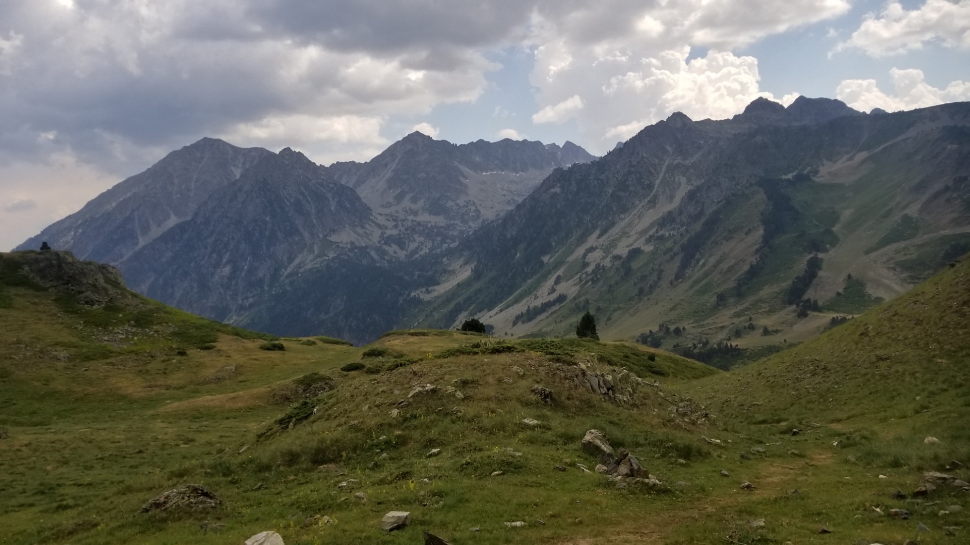
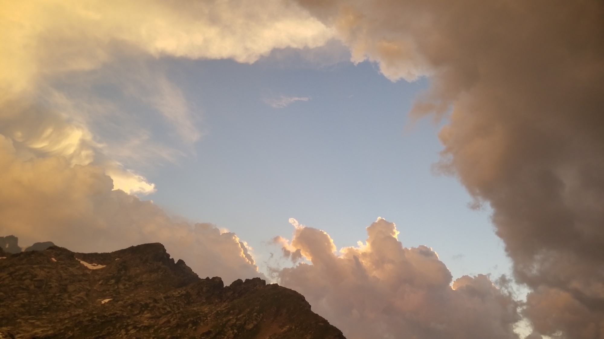
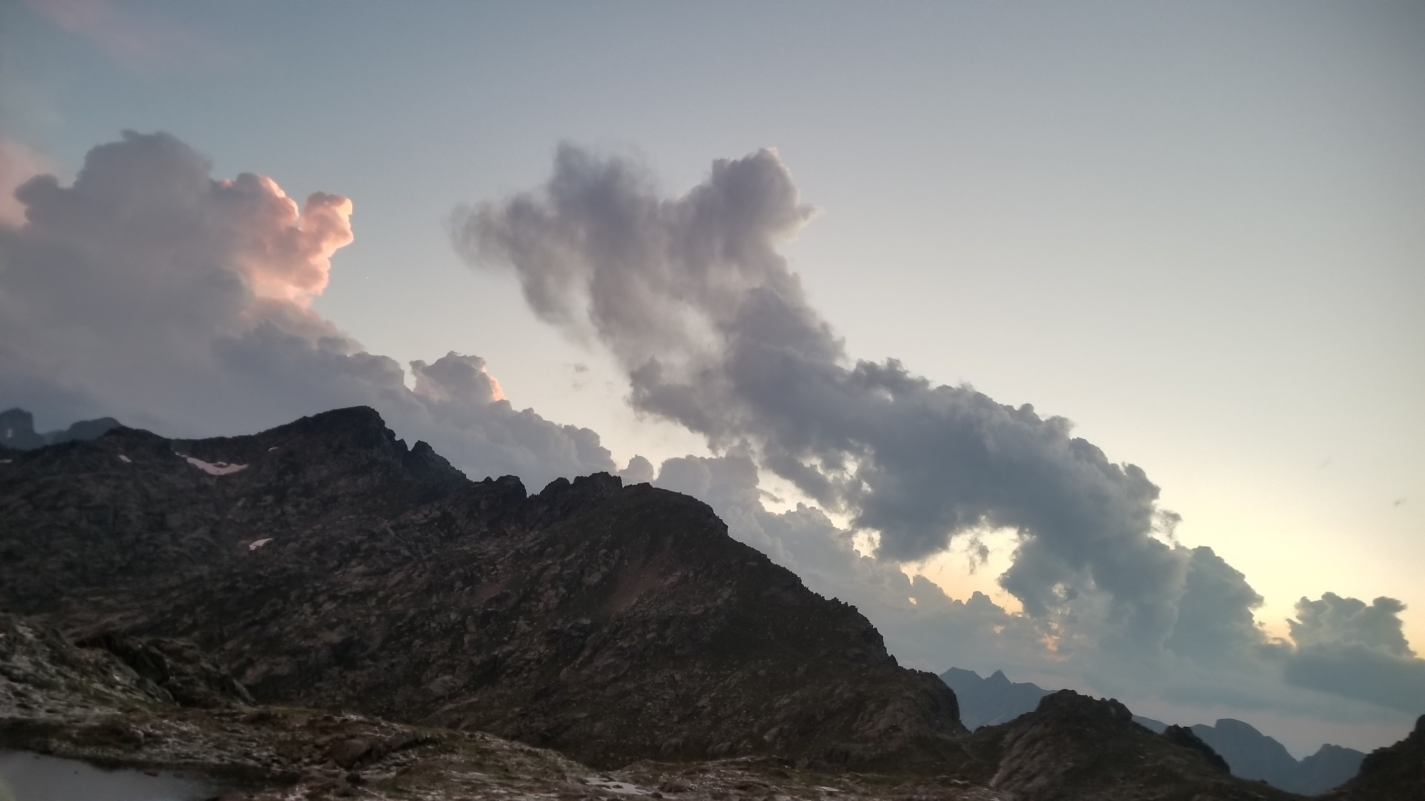
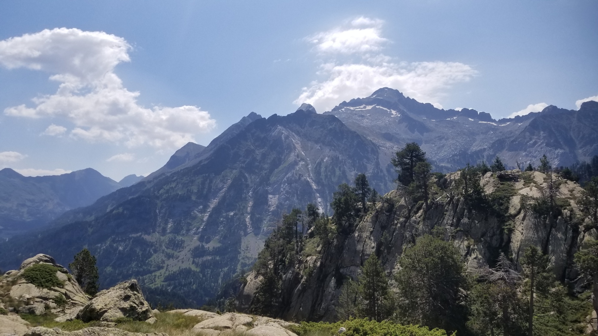
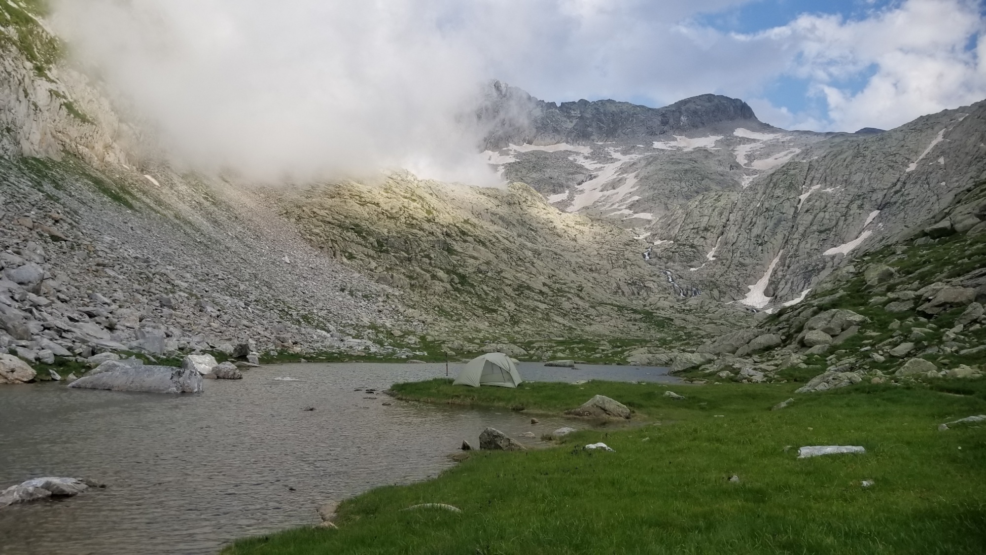
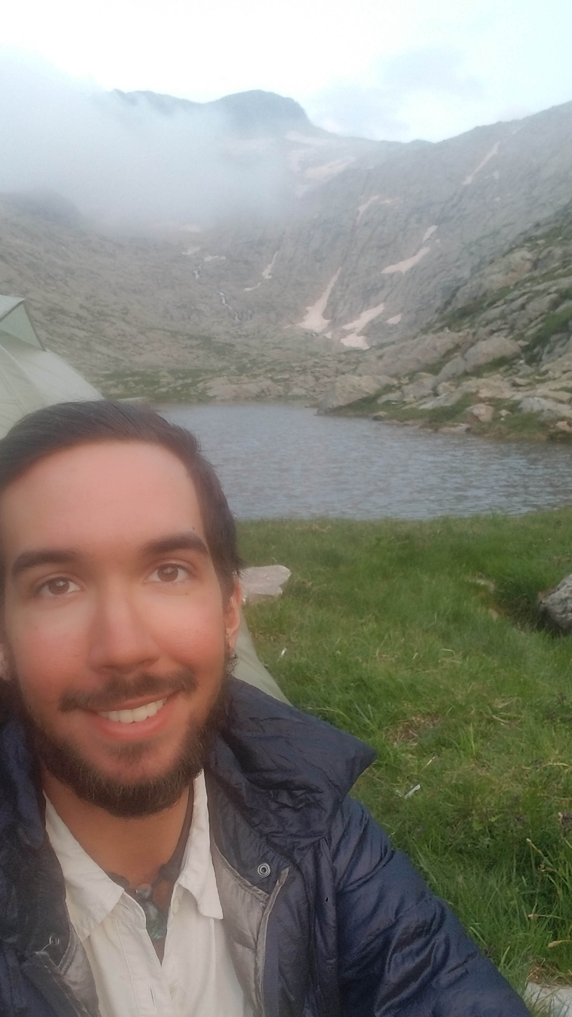
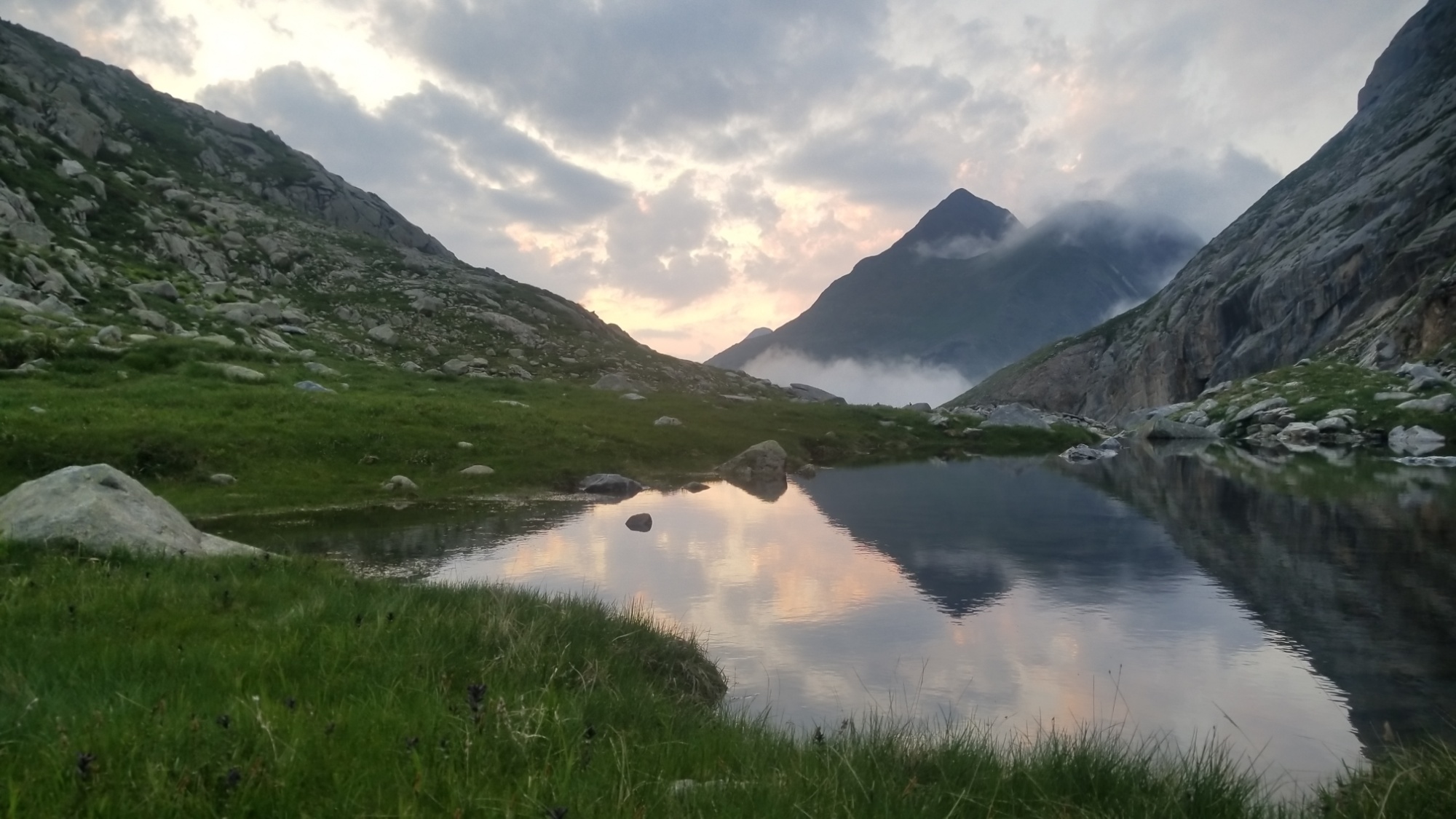
It looked like Mt. Doom was outside of my tent this morning.
That’s the pass I have to make it over… if I could only talk myself into packing up my warm sleeping bag
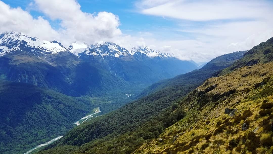
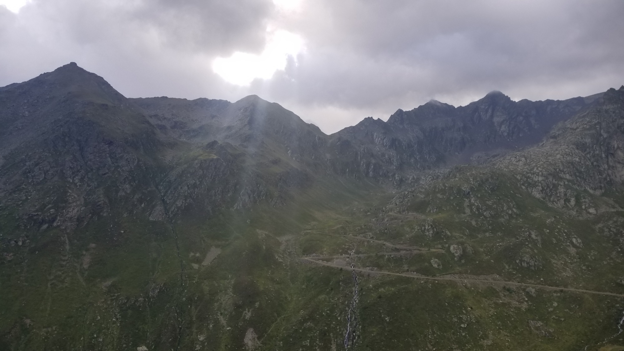
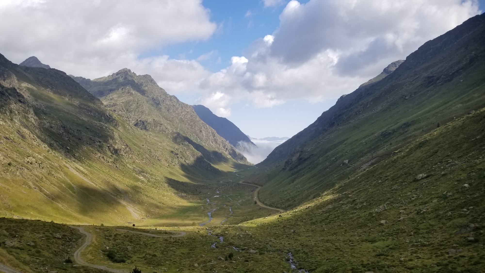
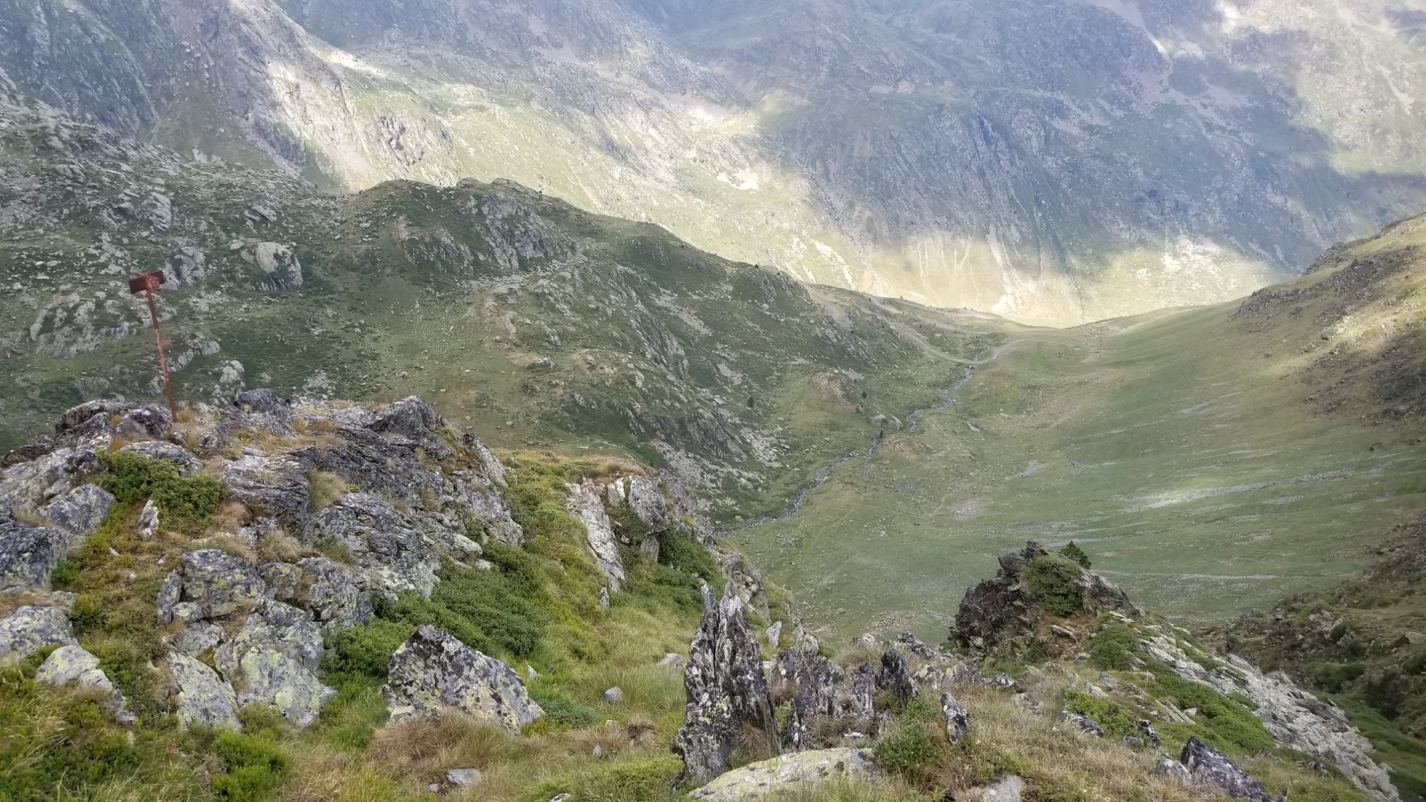
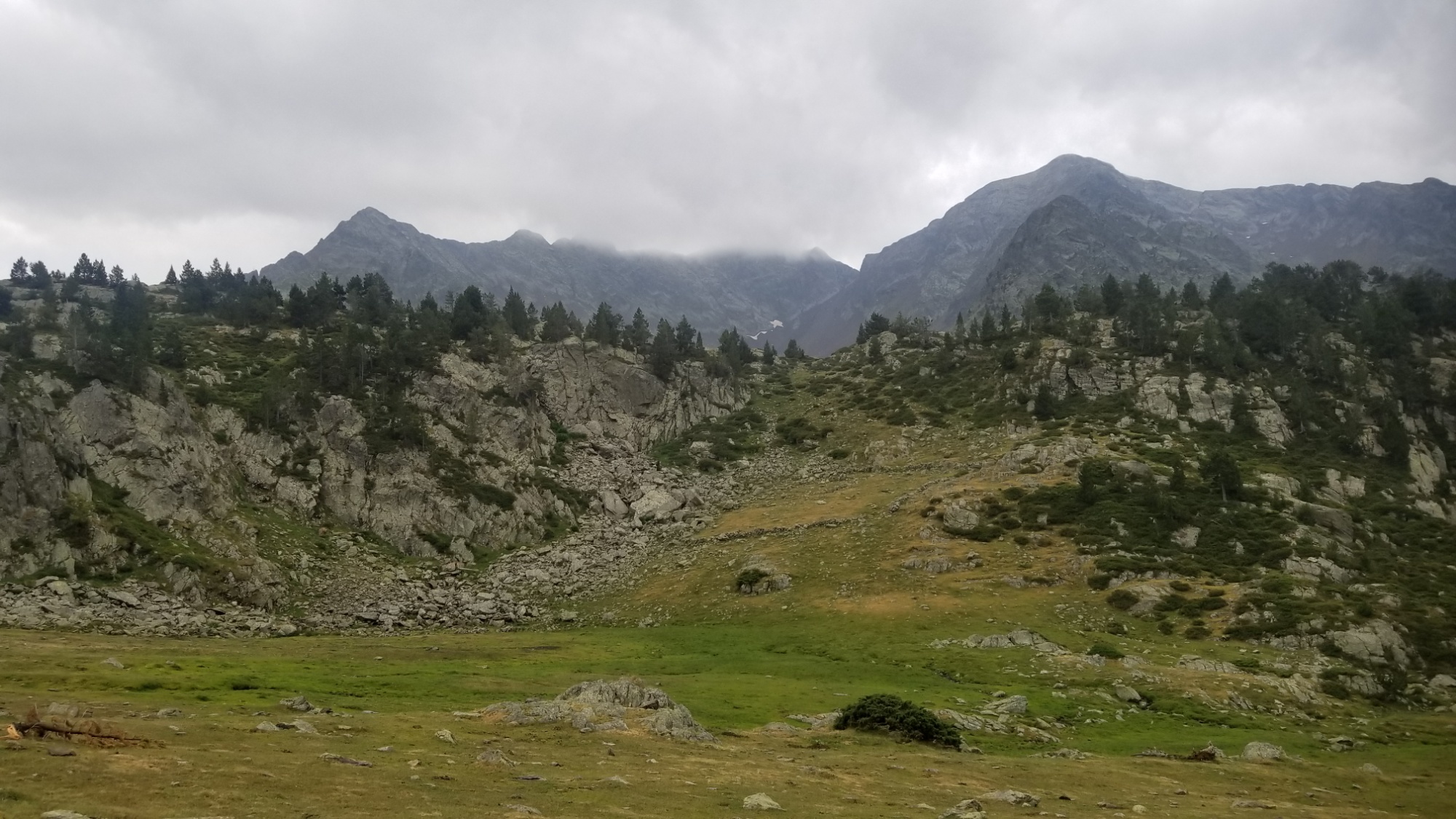
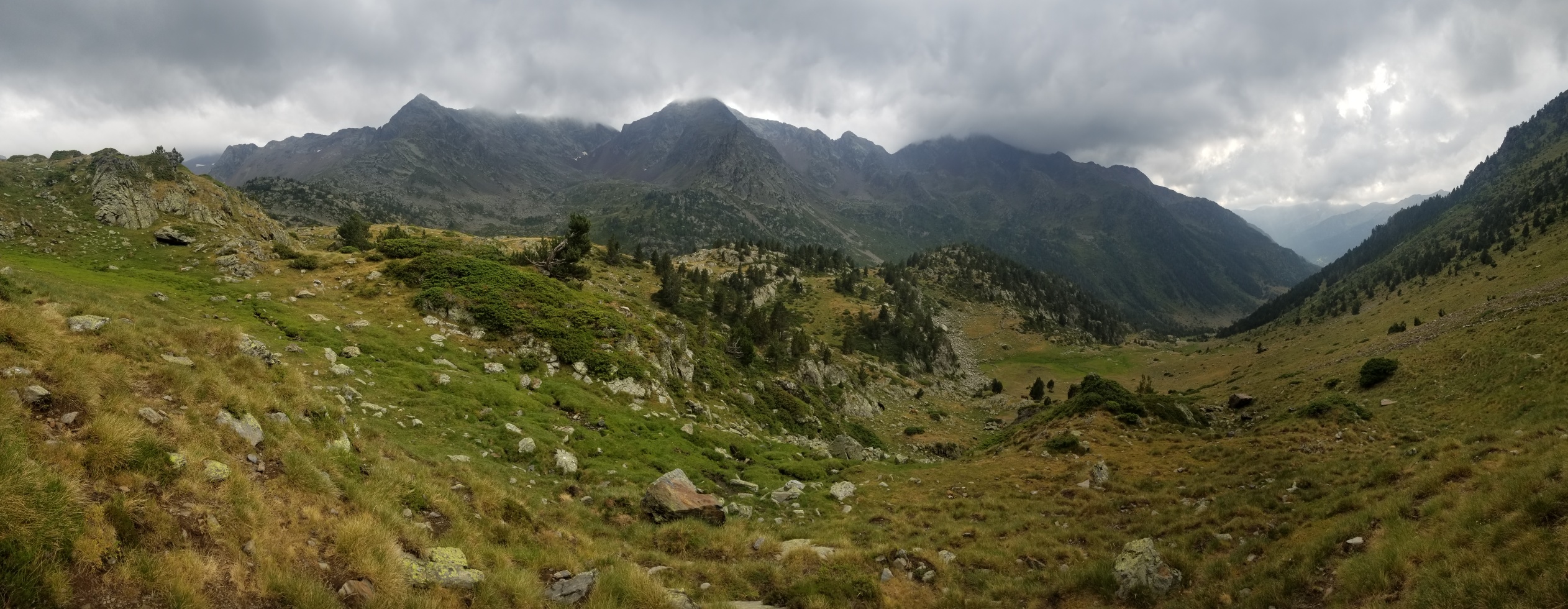
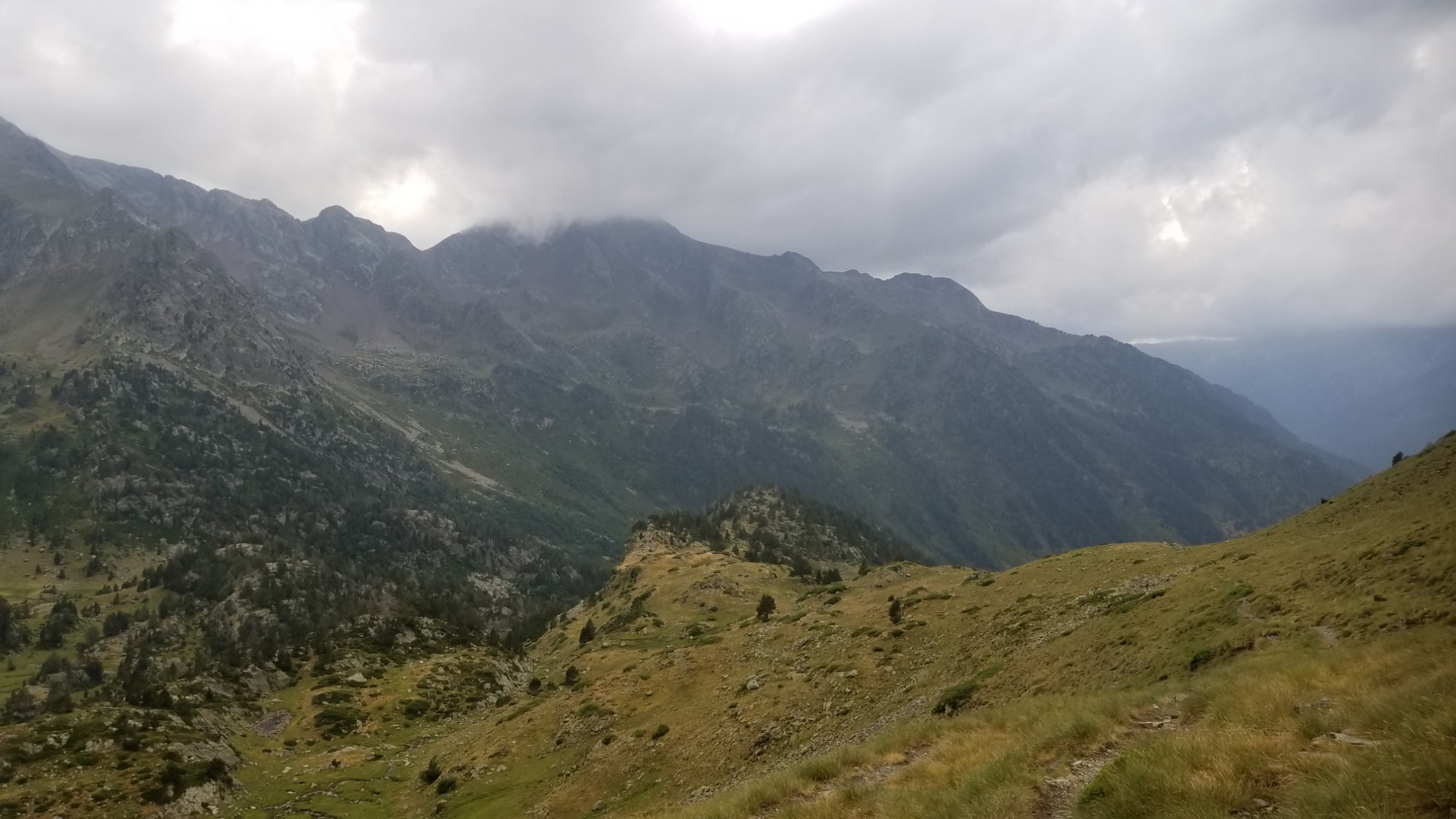
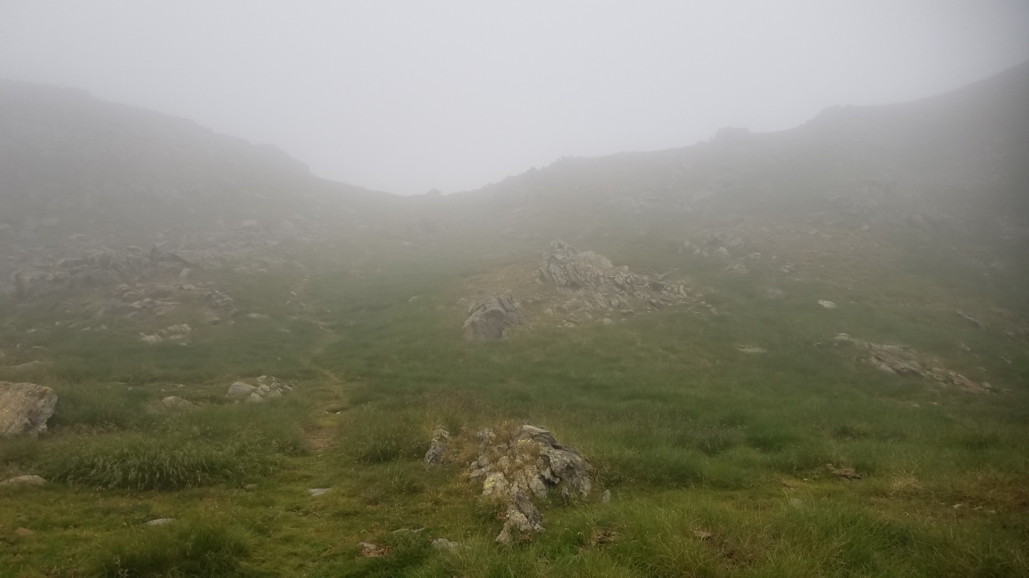
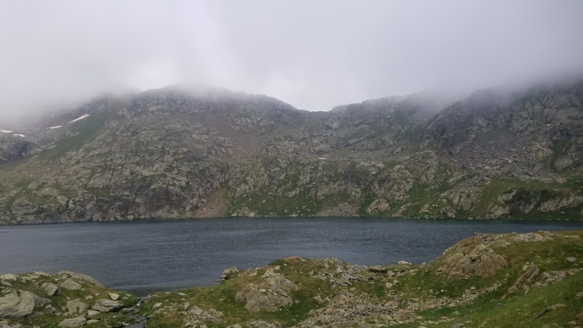
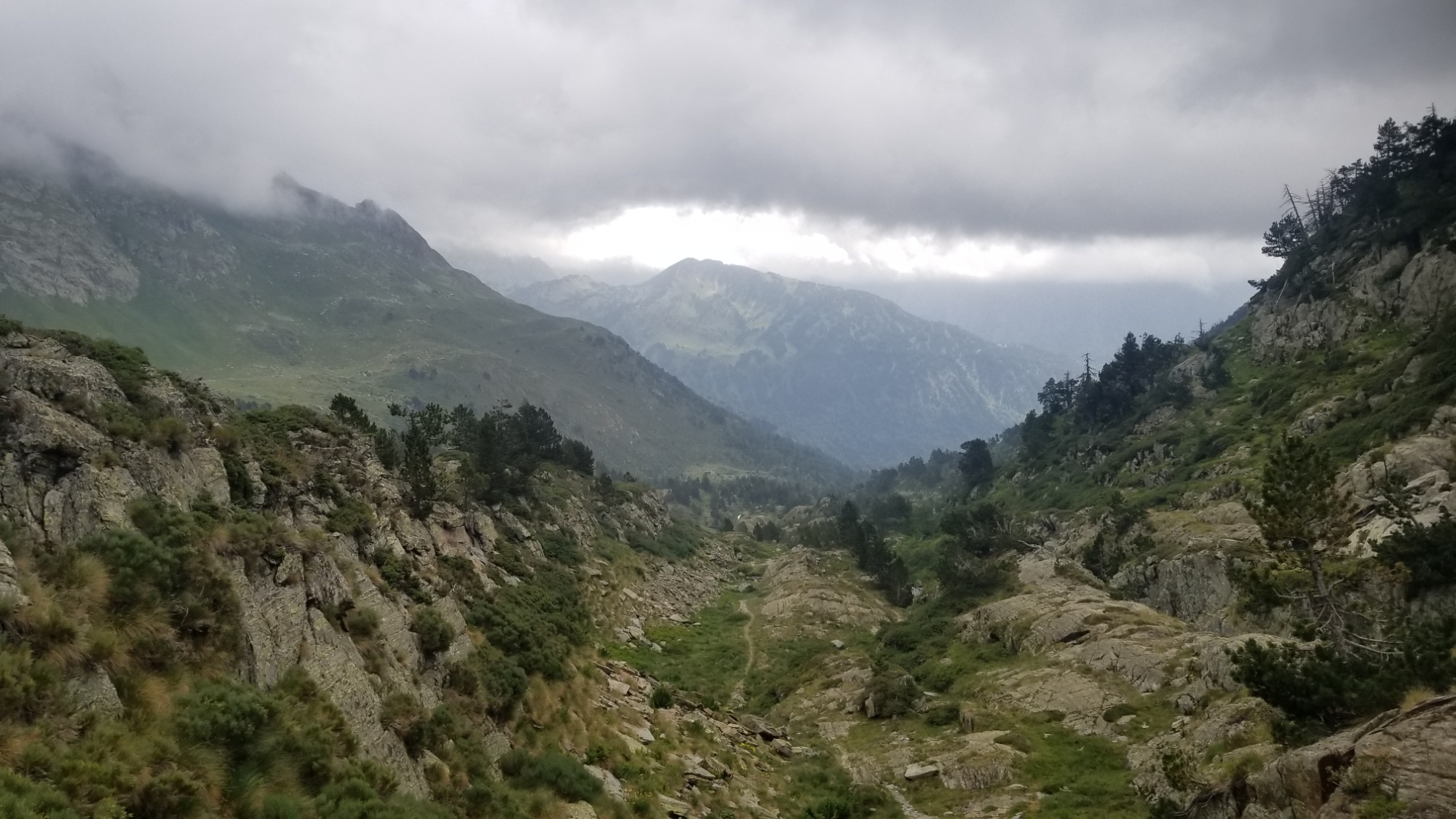
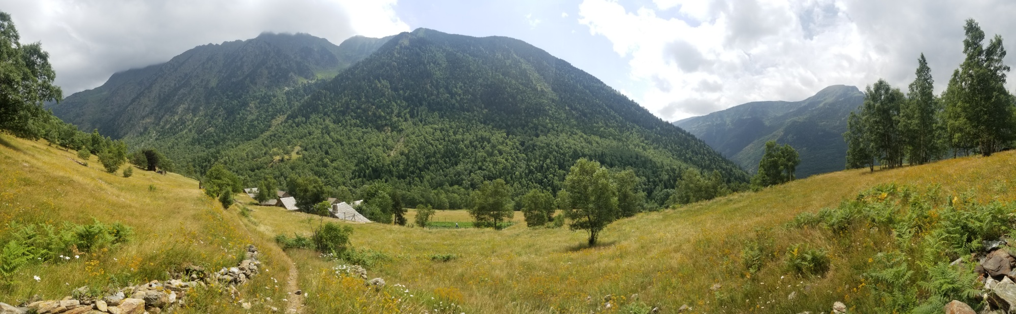
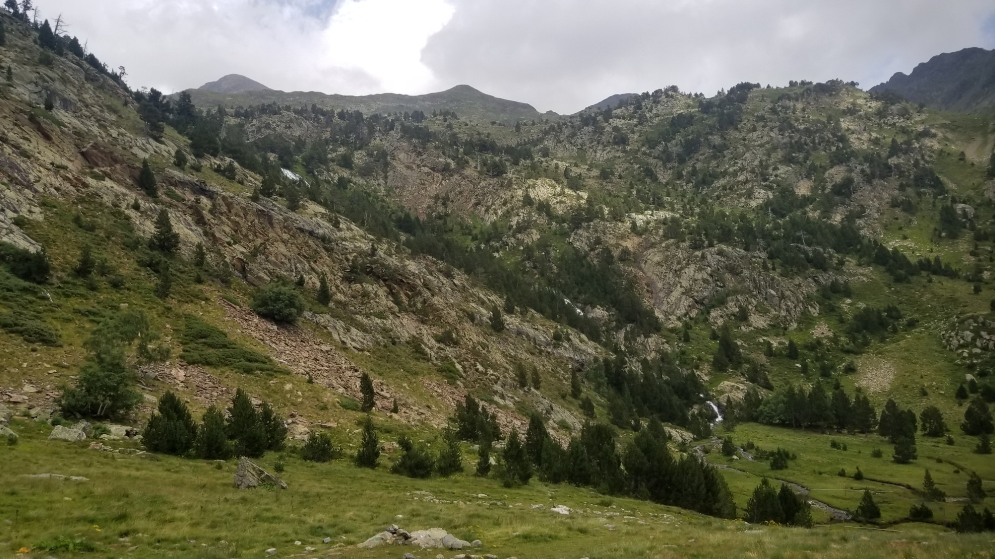
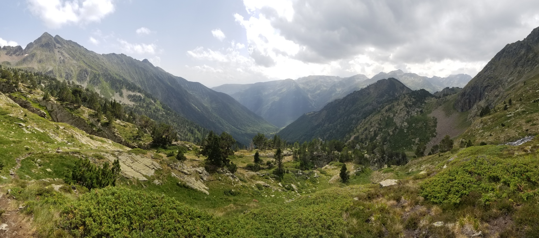
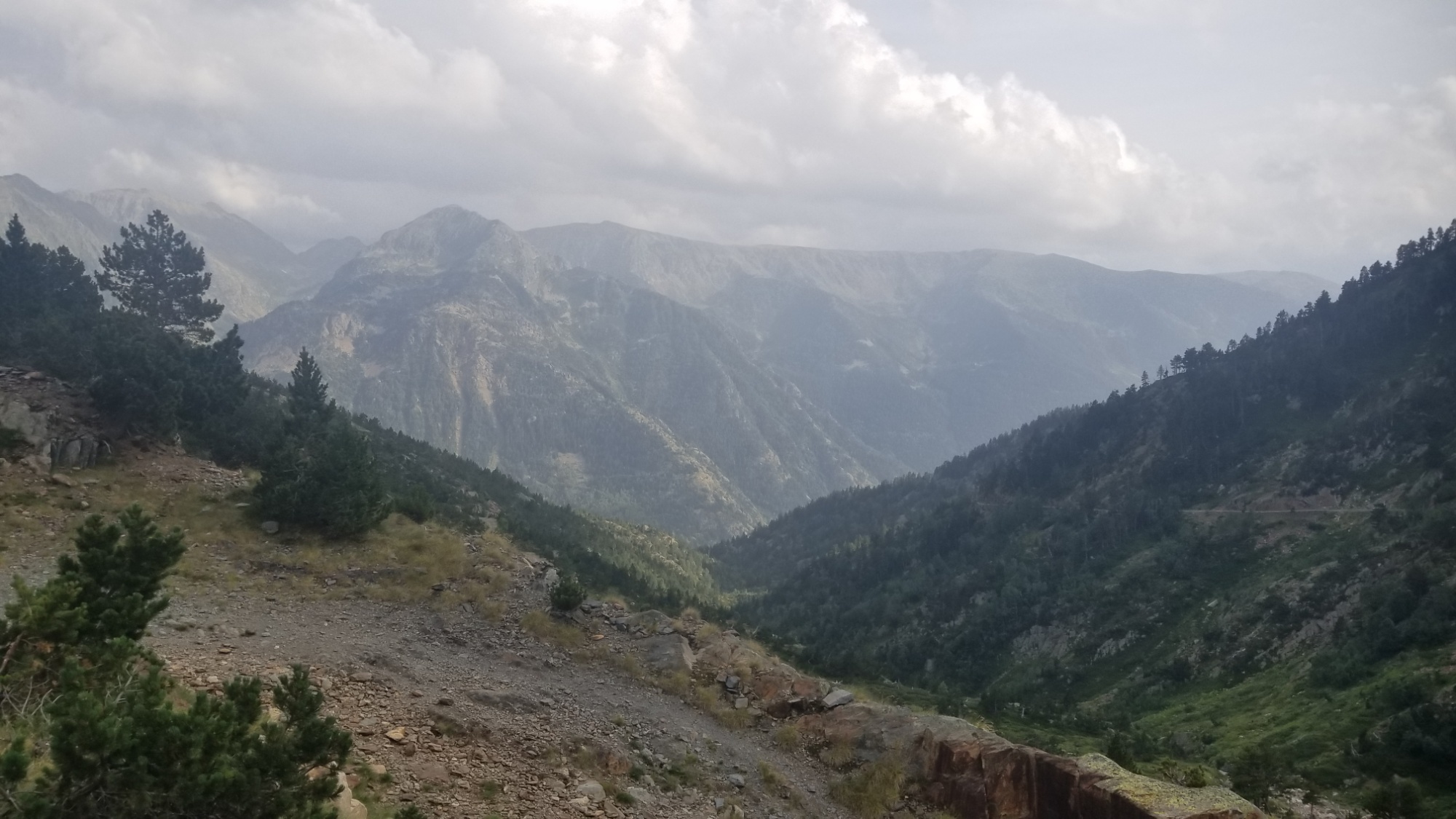
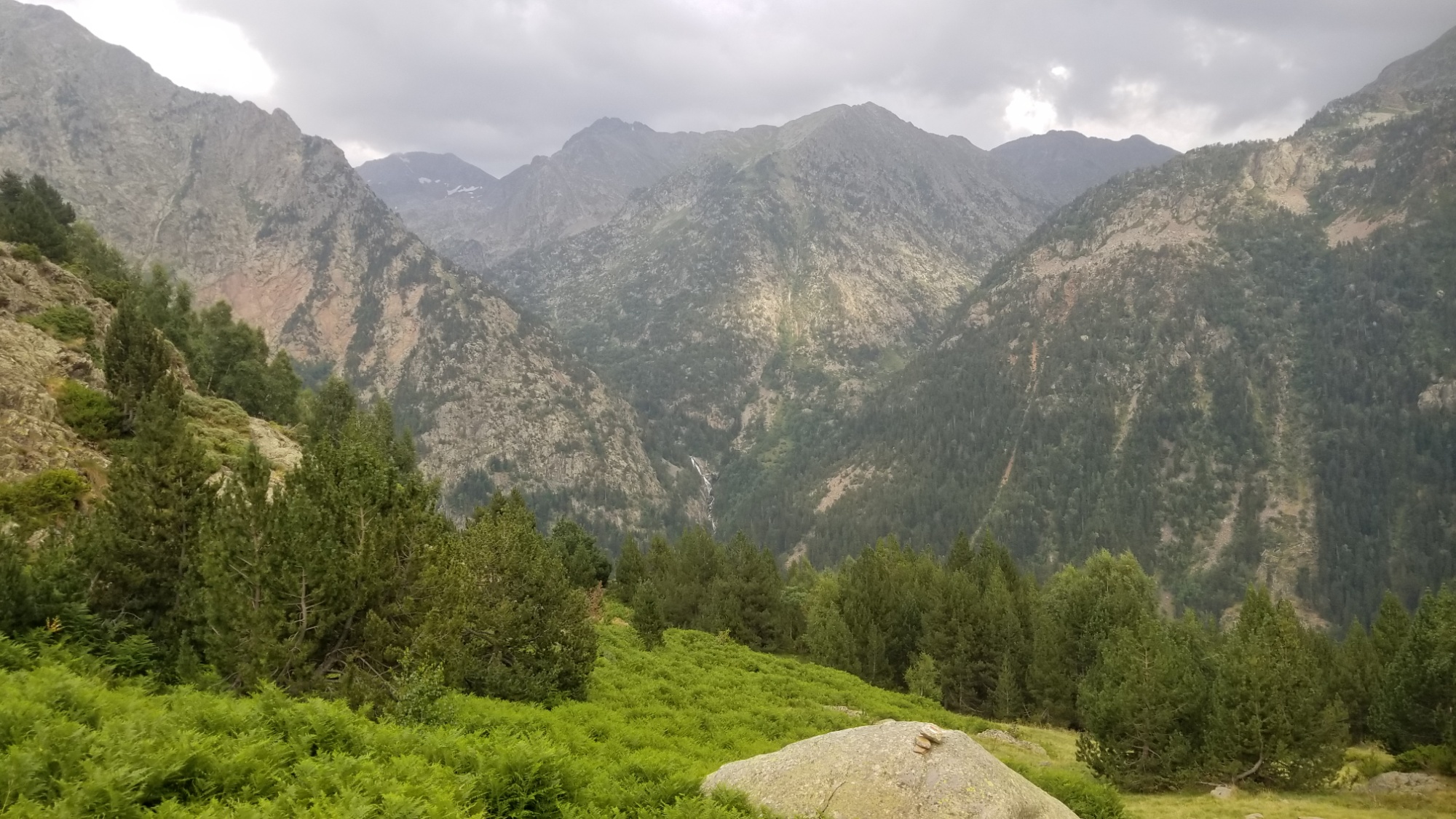
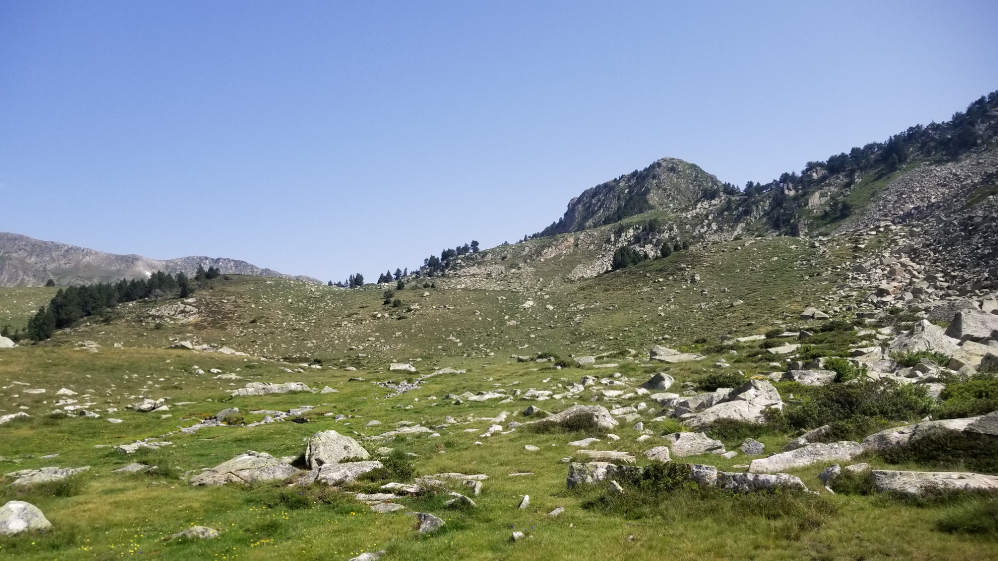
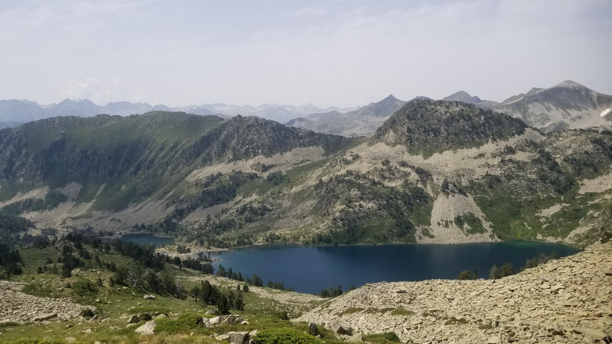
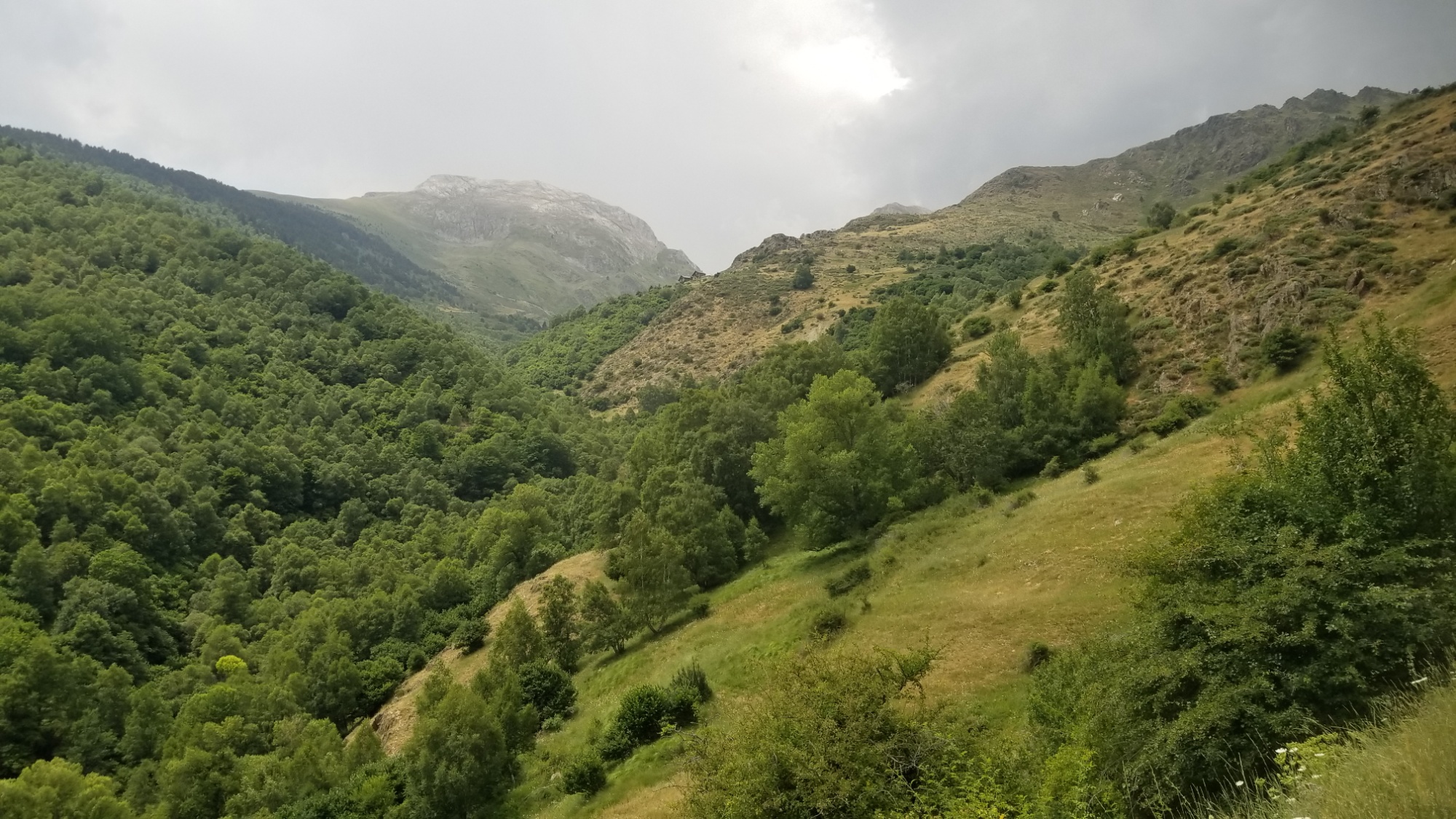
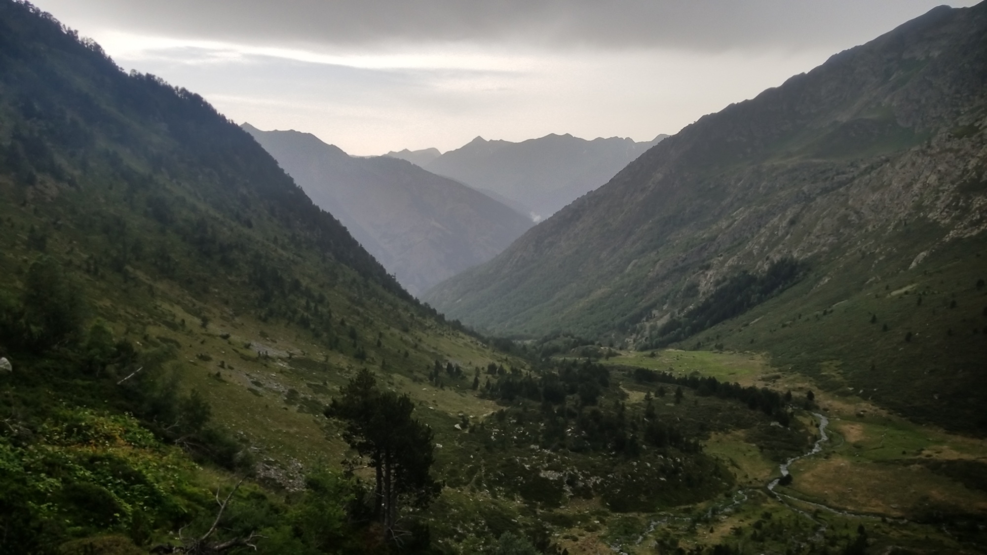
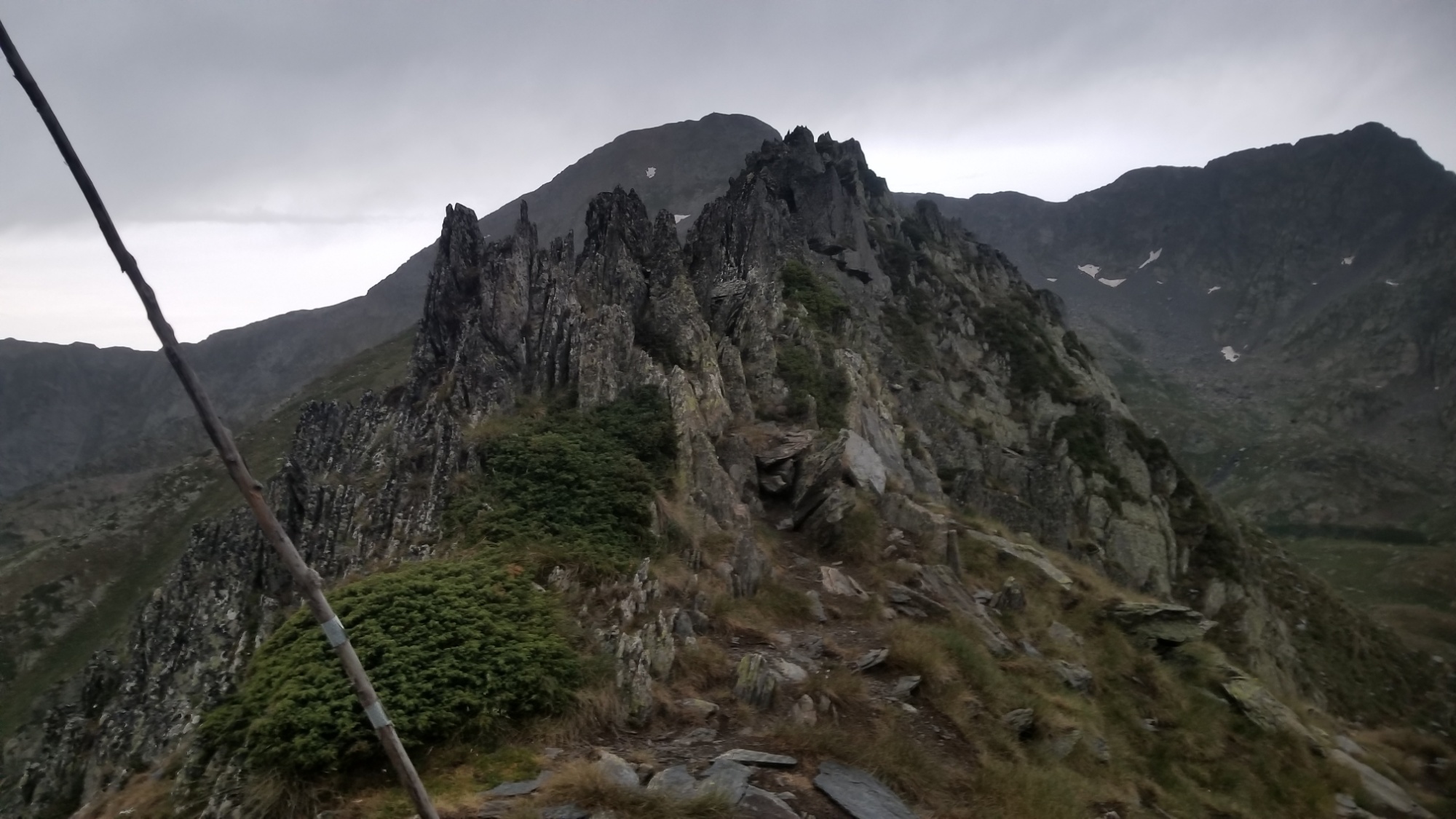
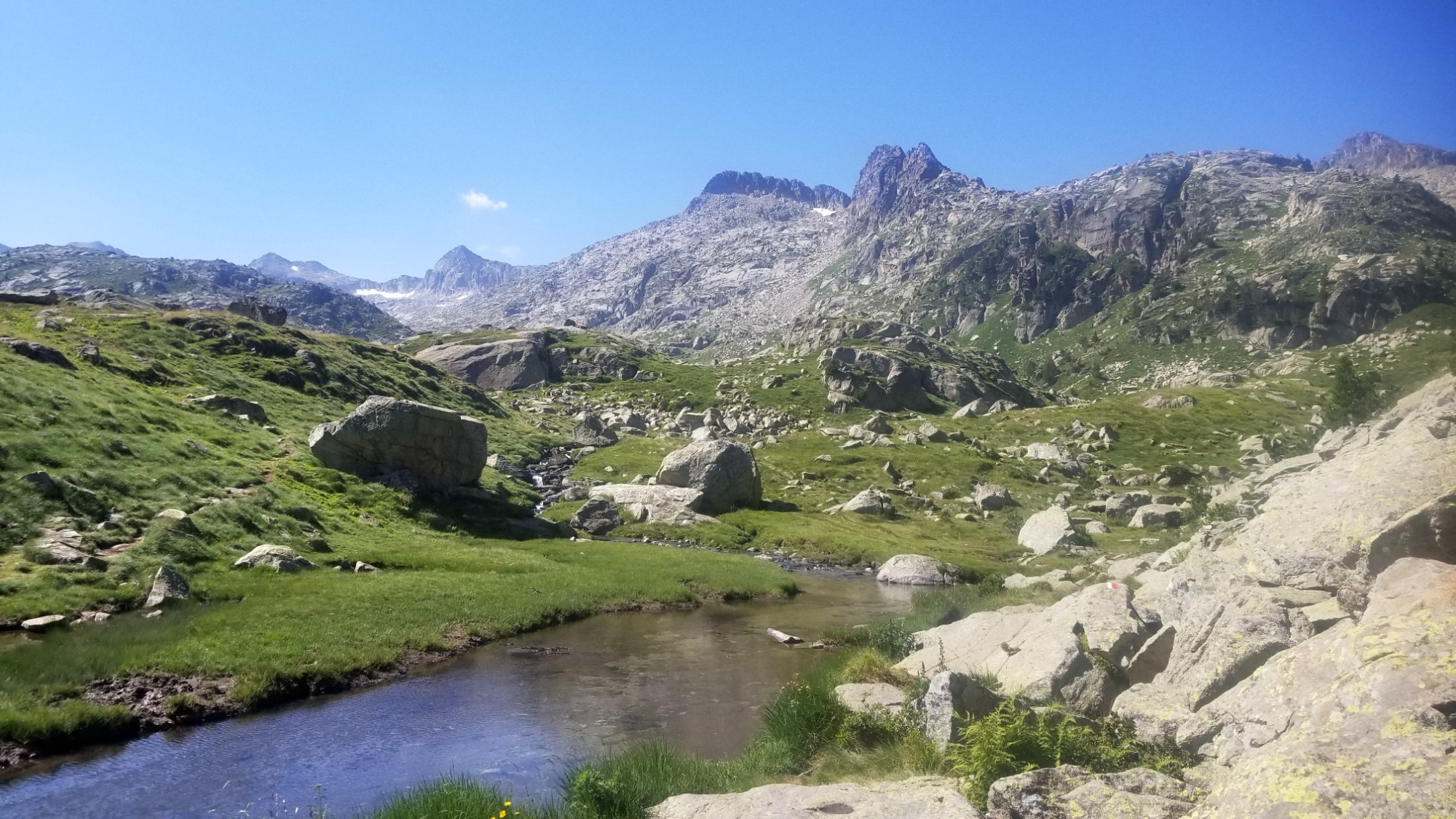
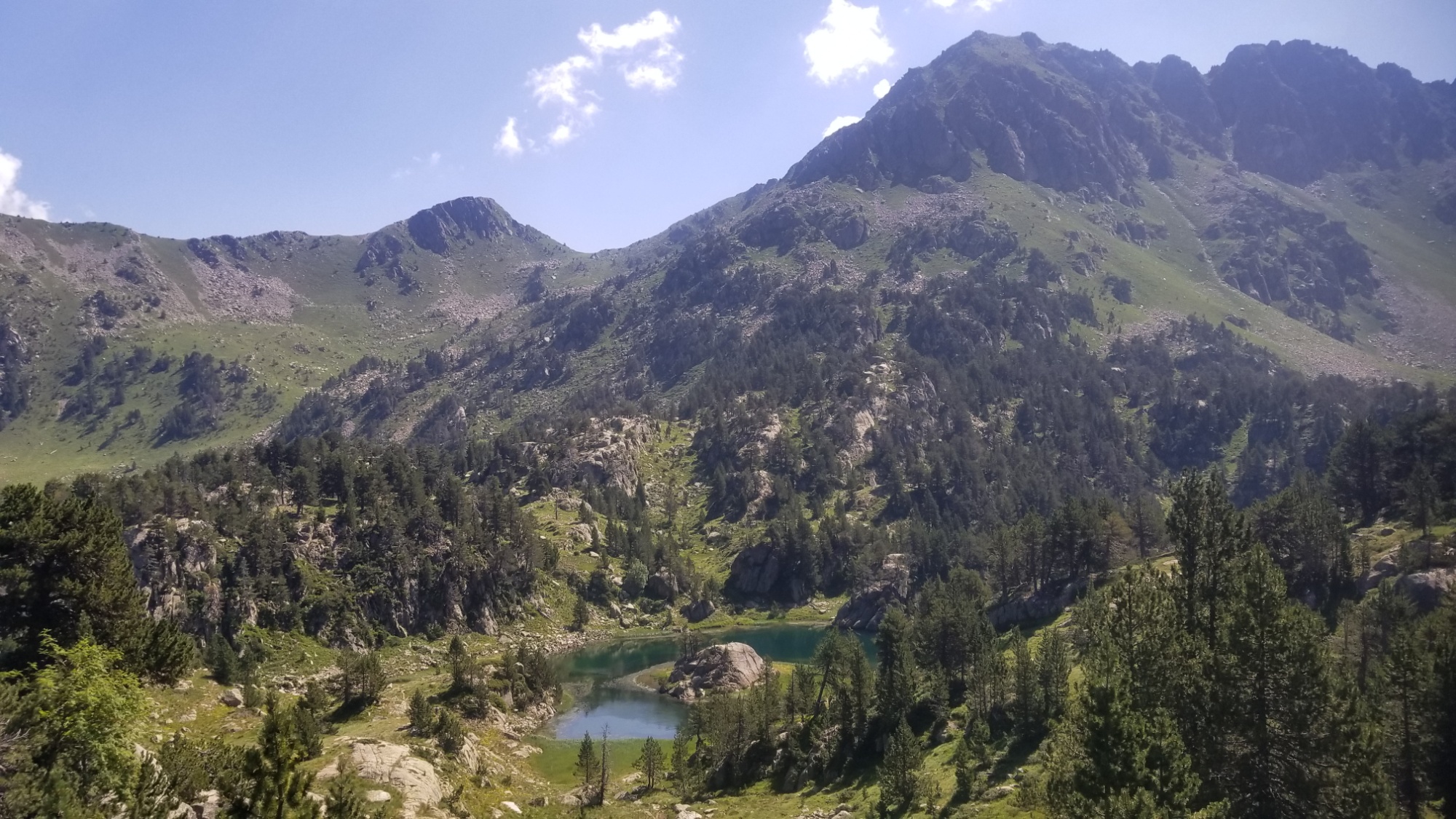
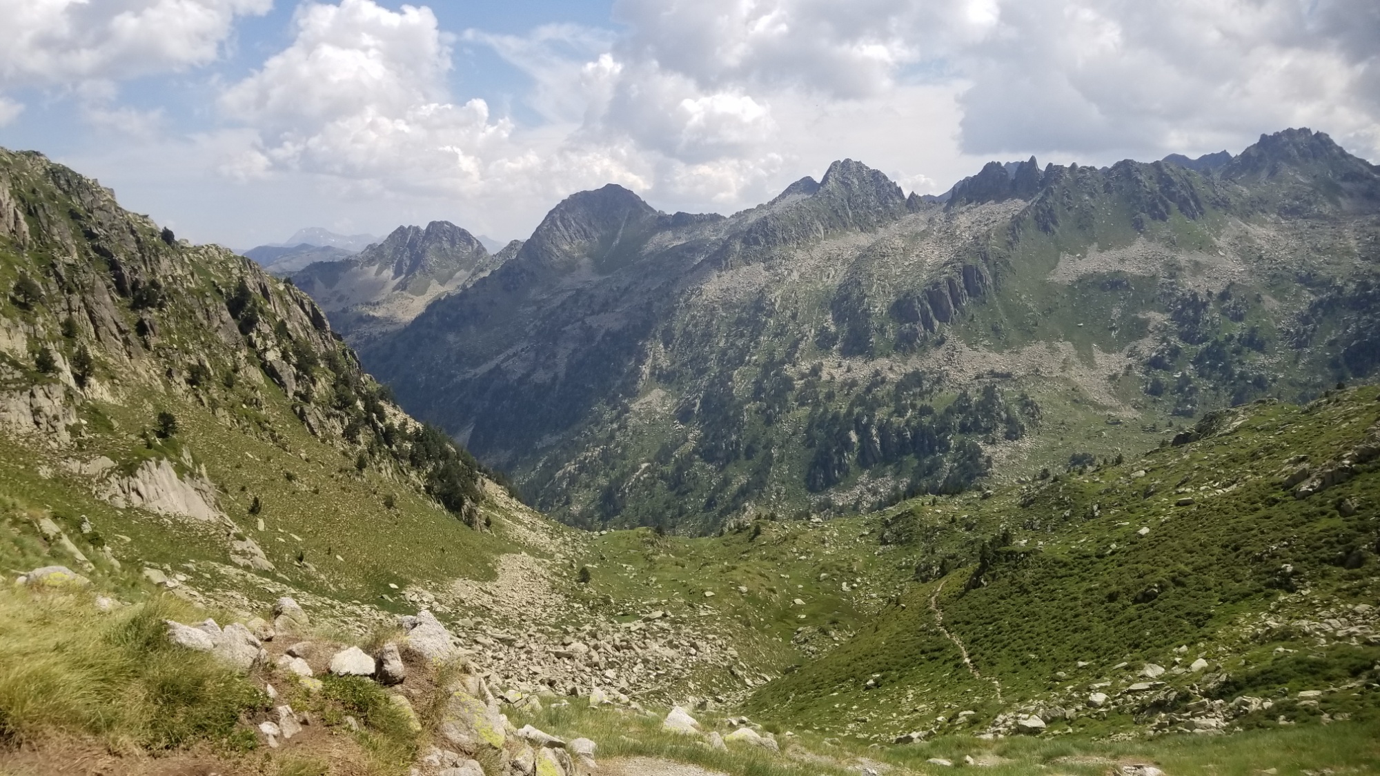
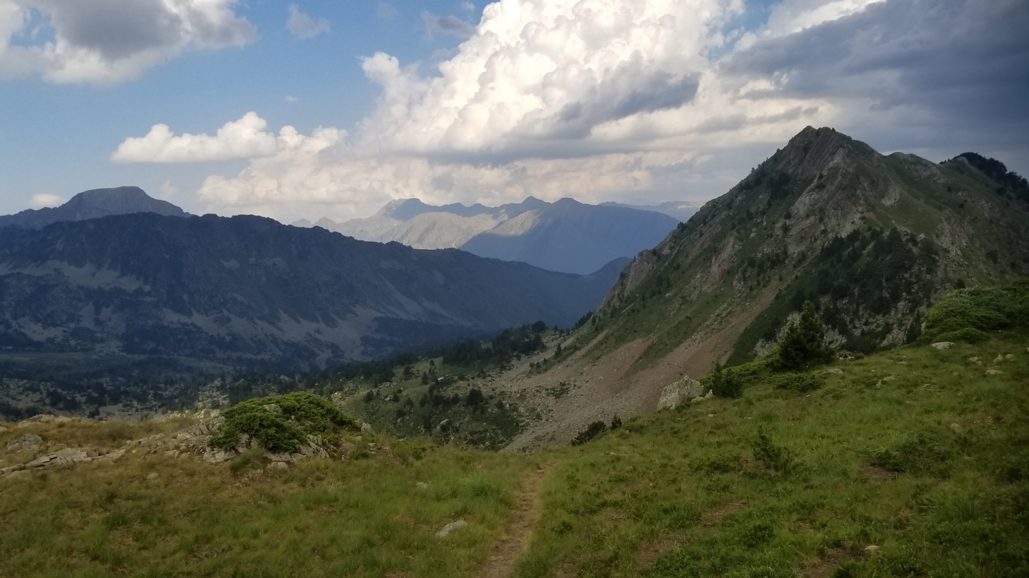
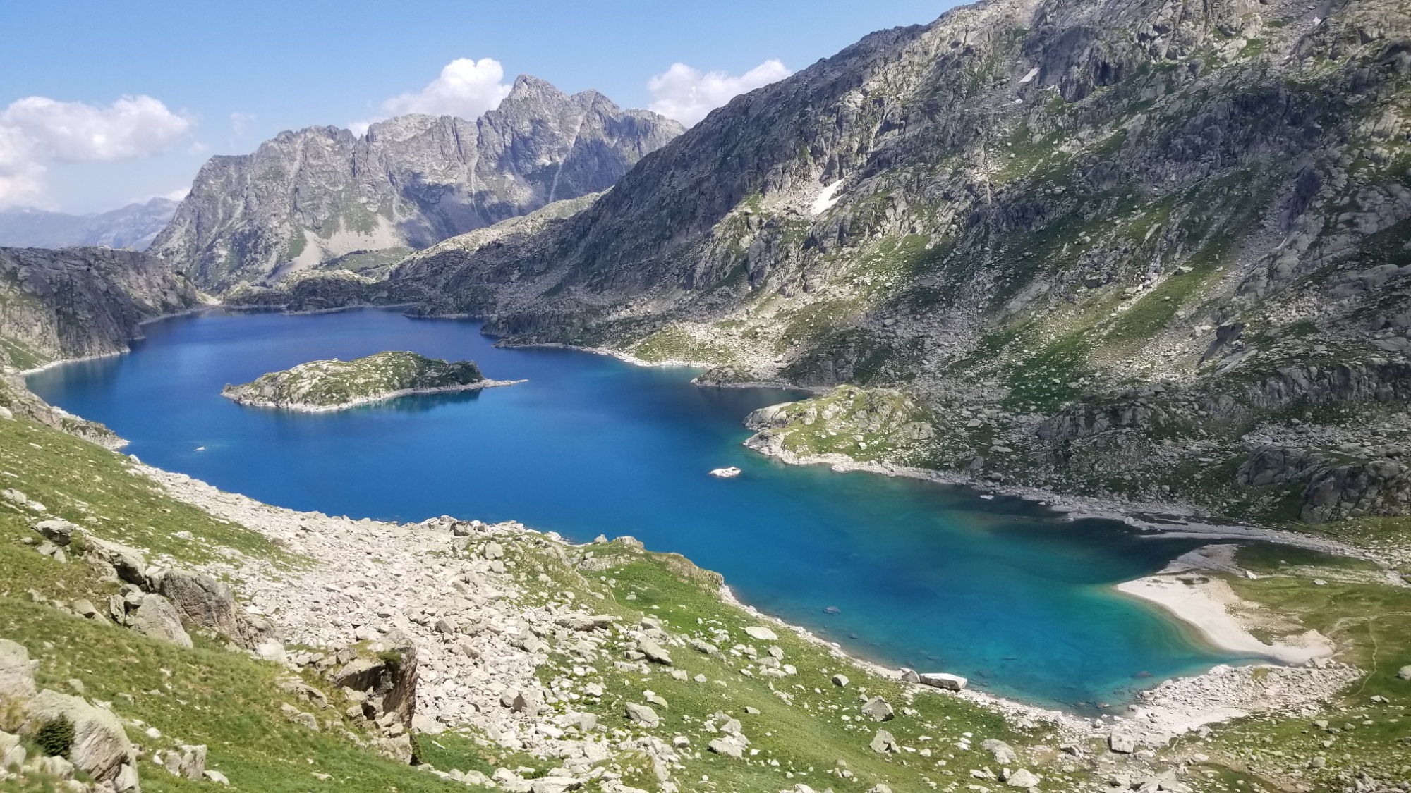
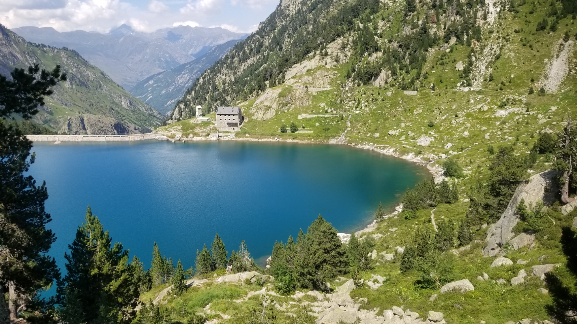
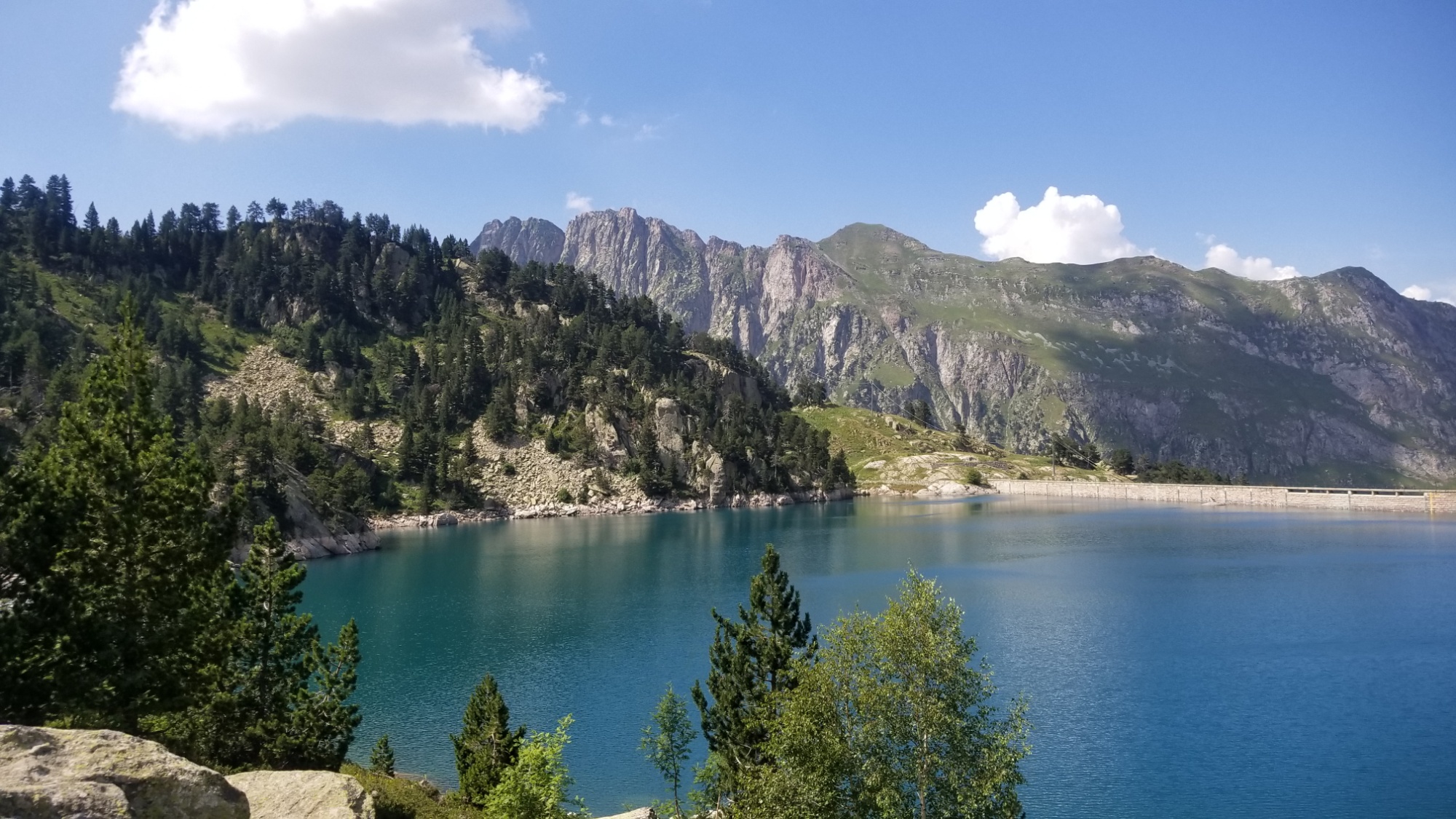
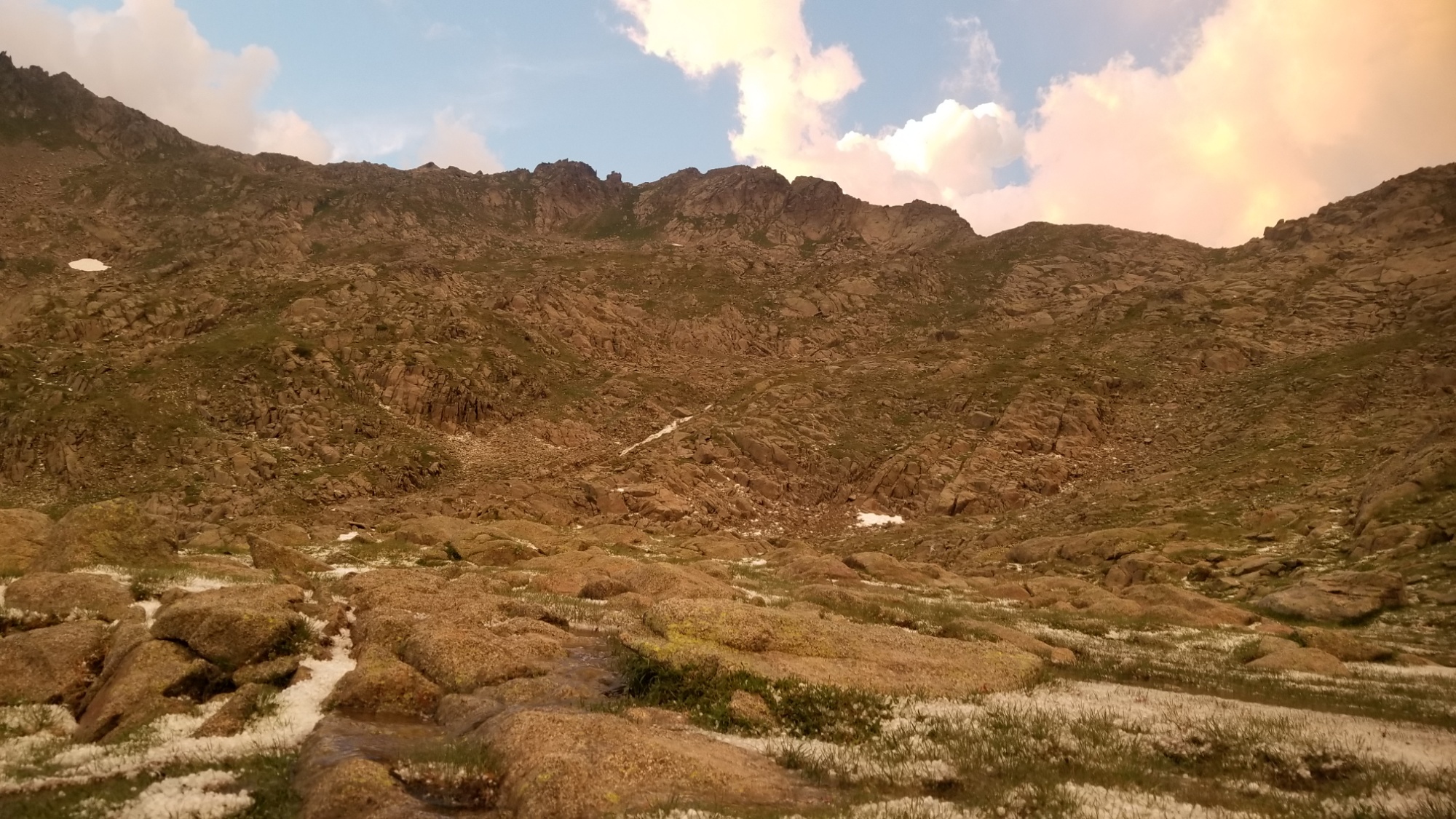
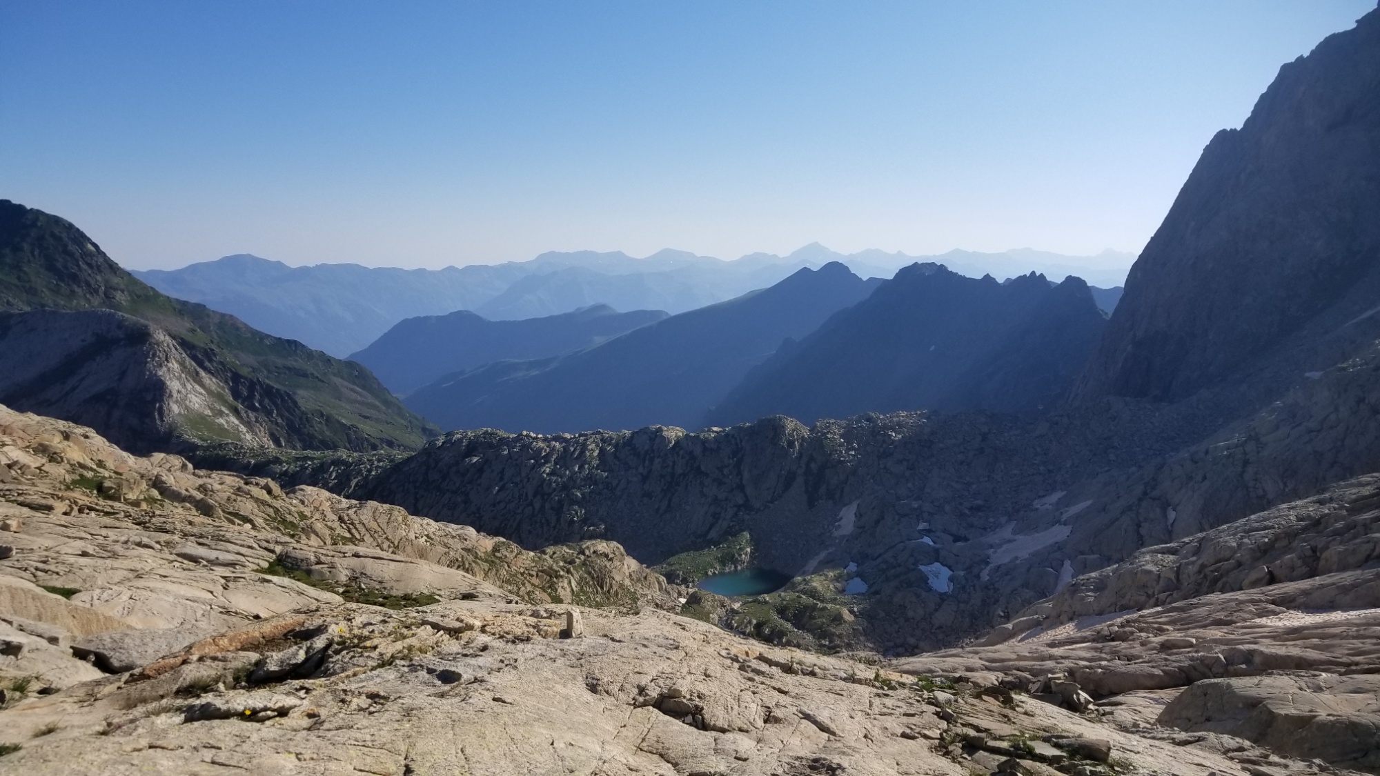
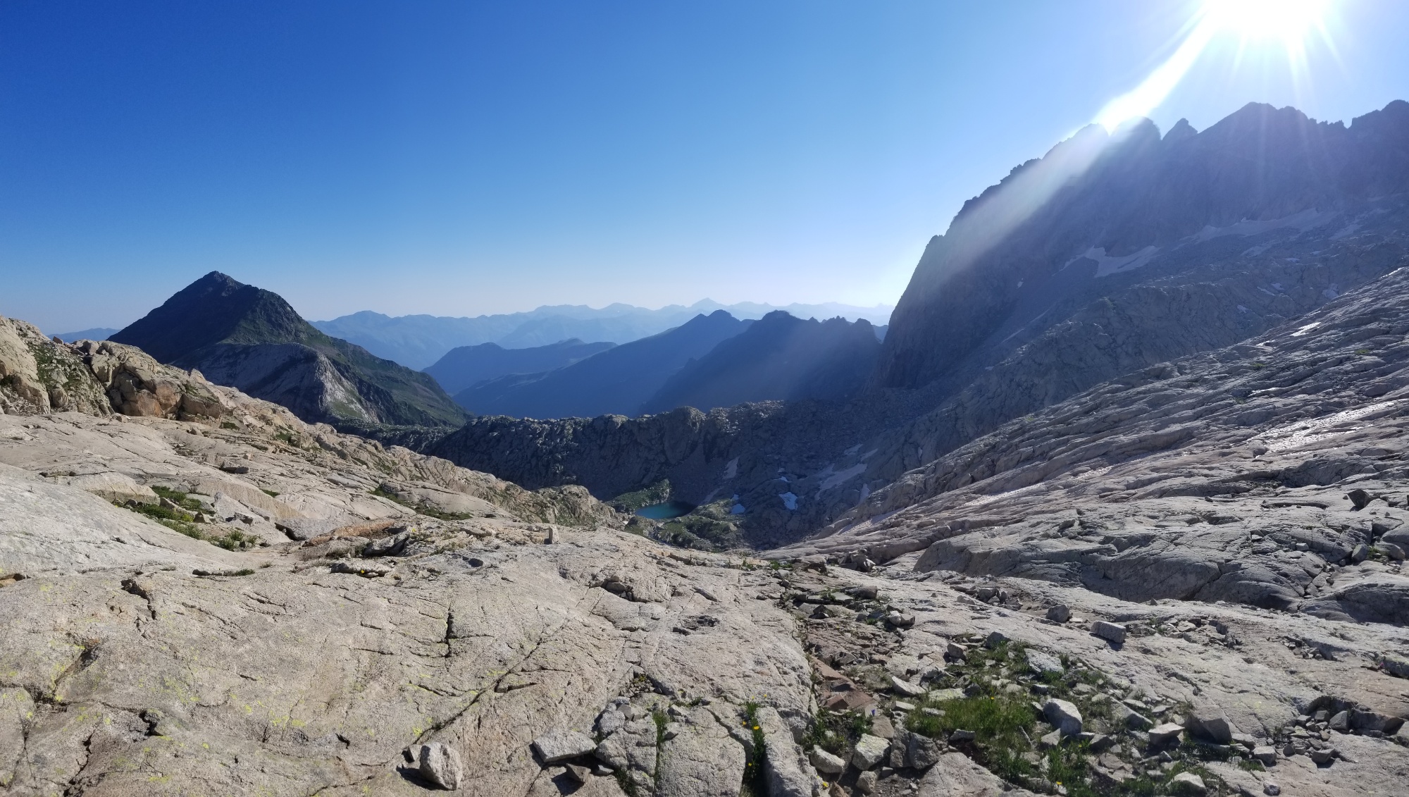
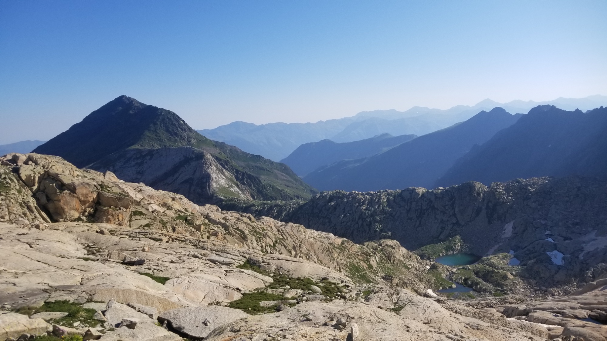
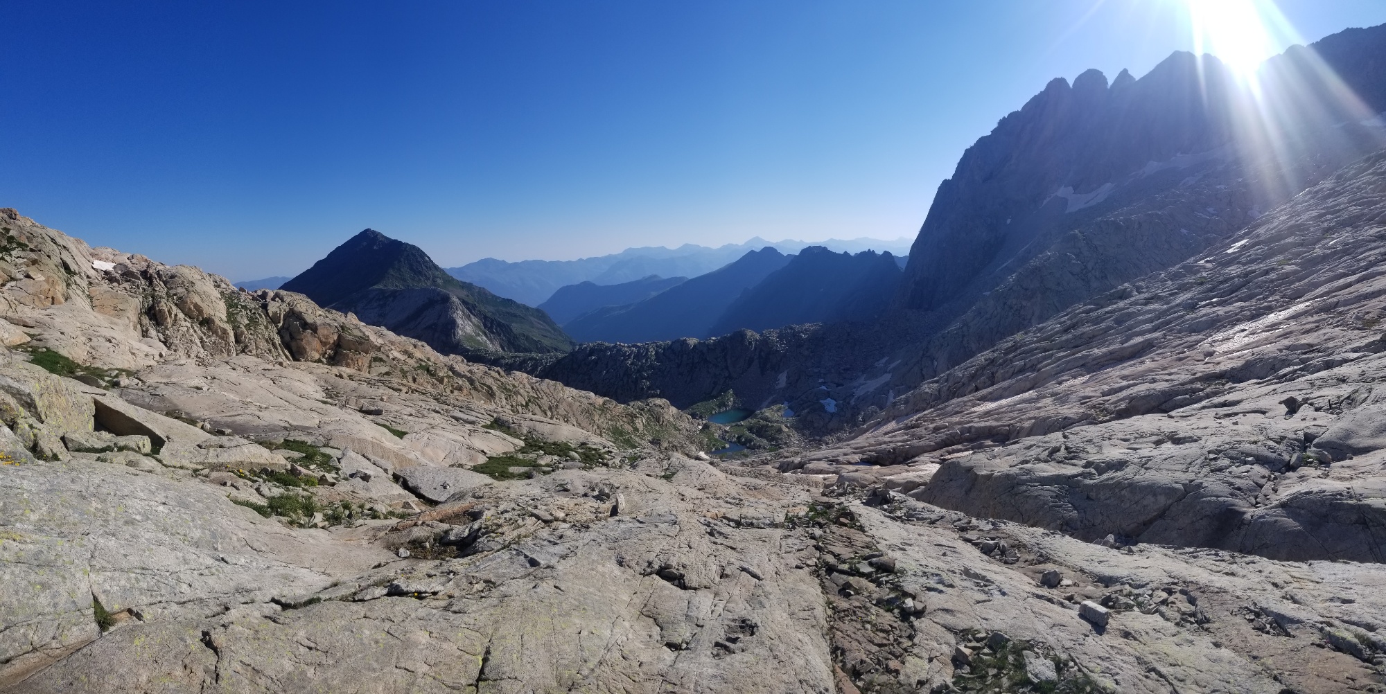
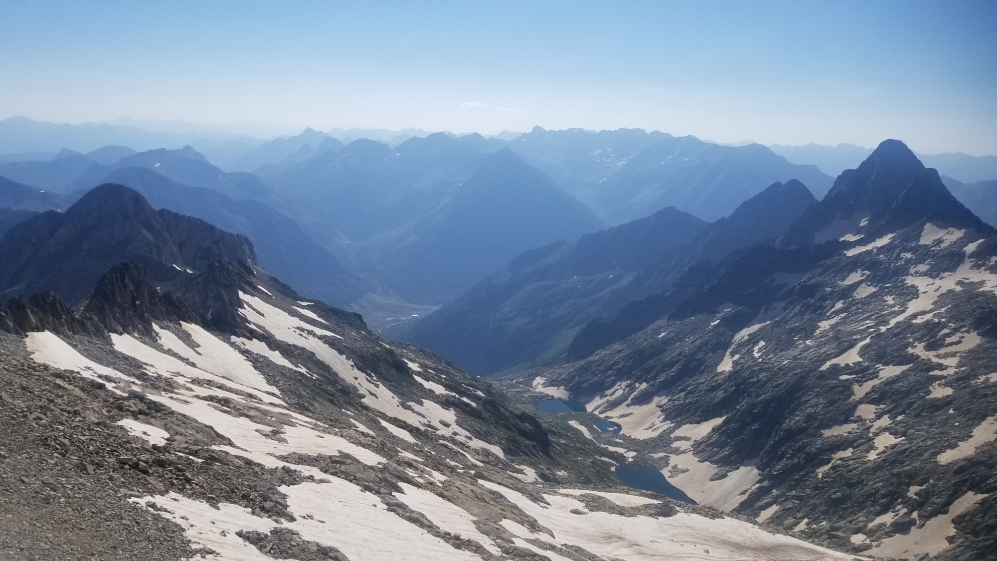
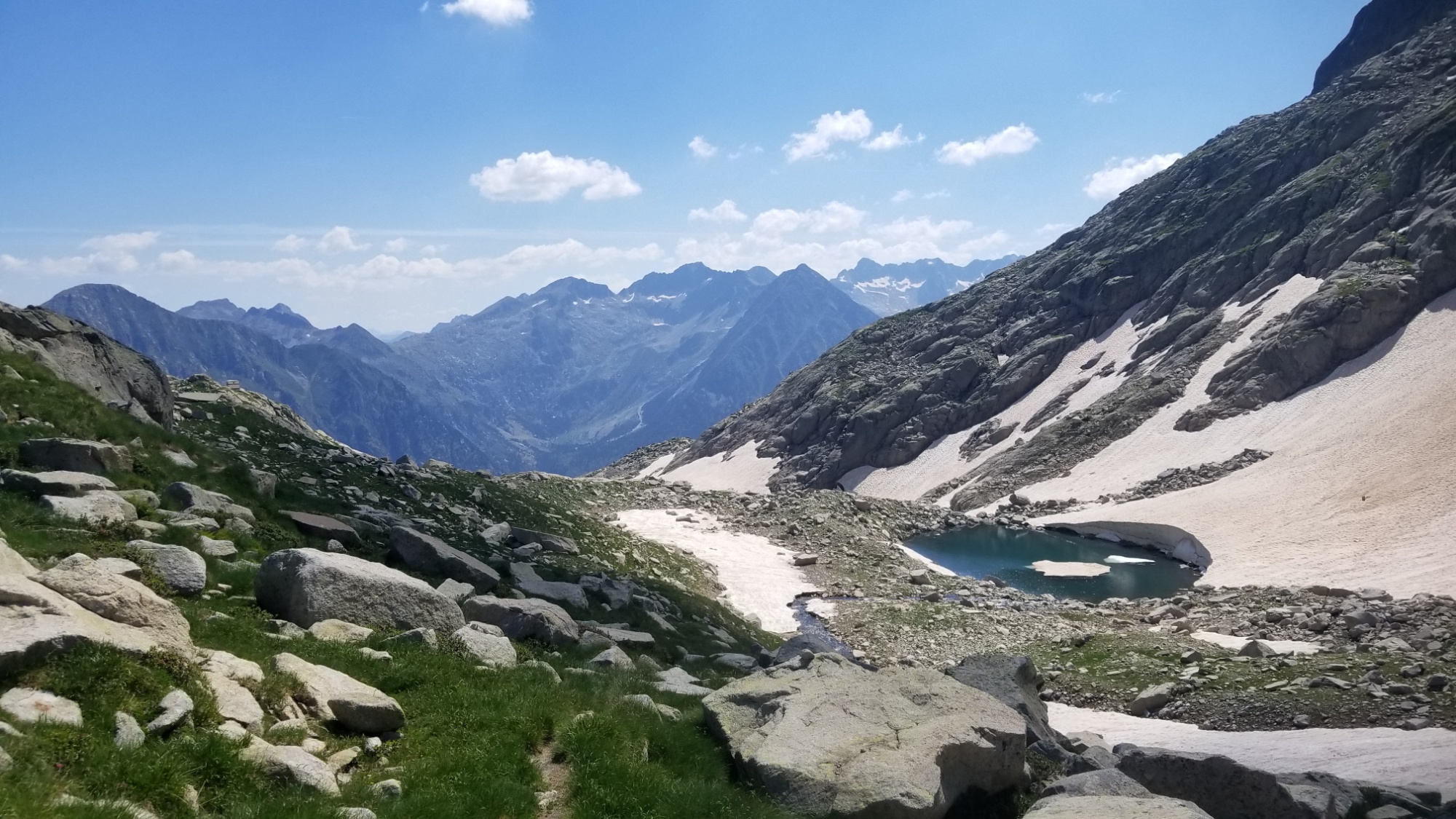
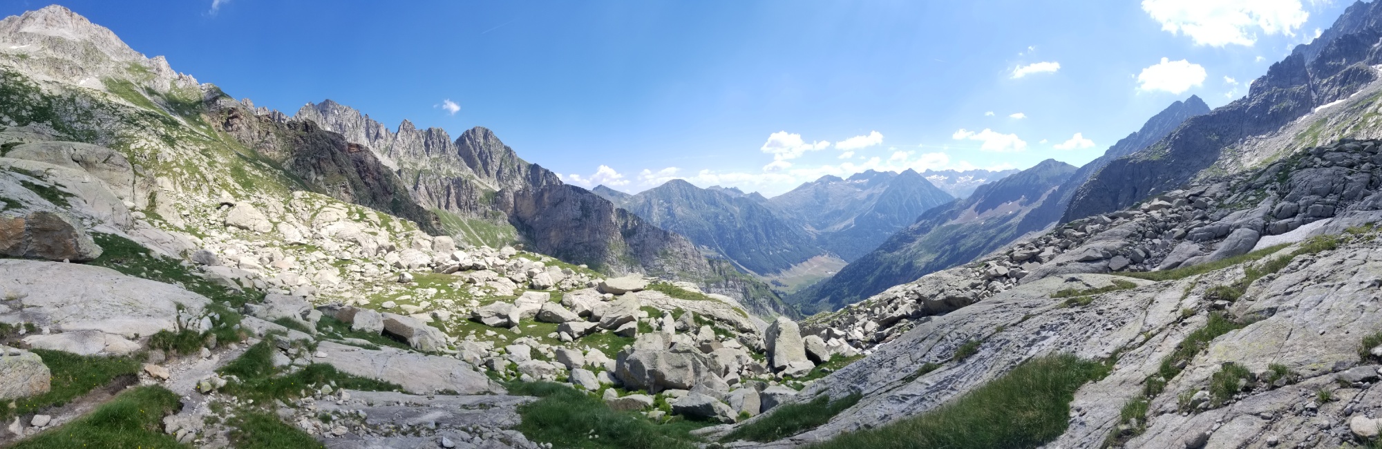
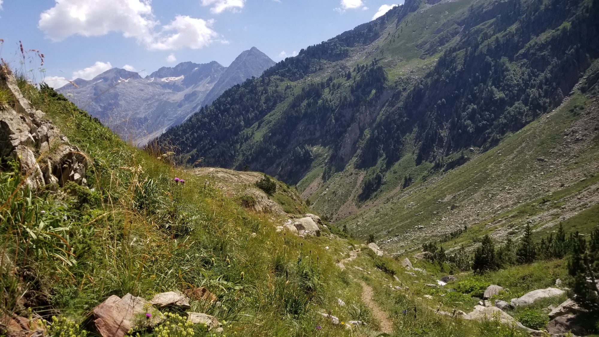
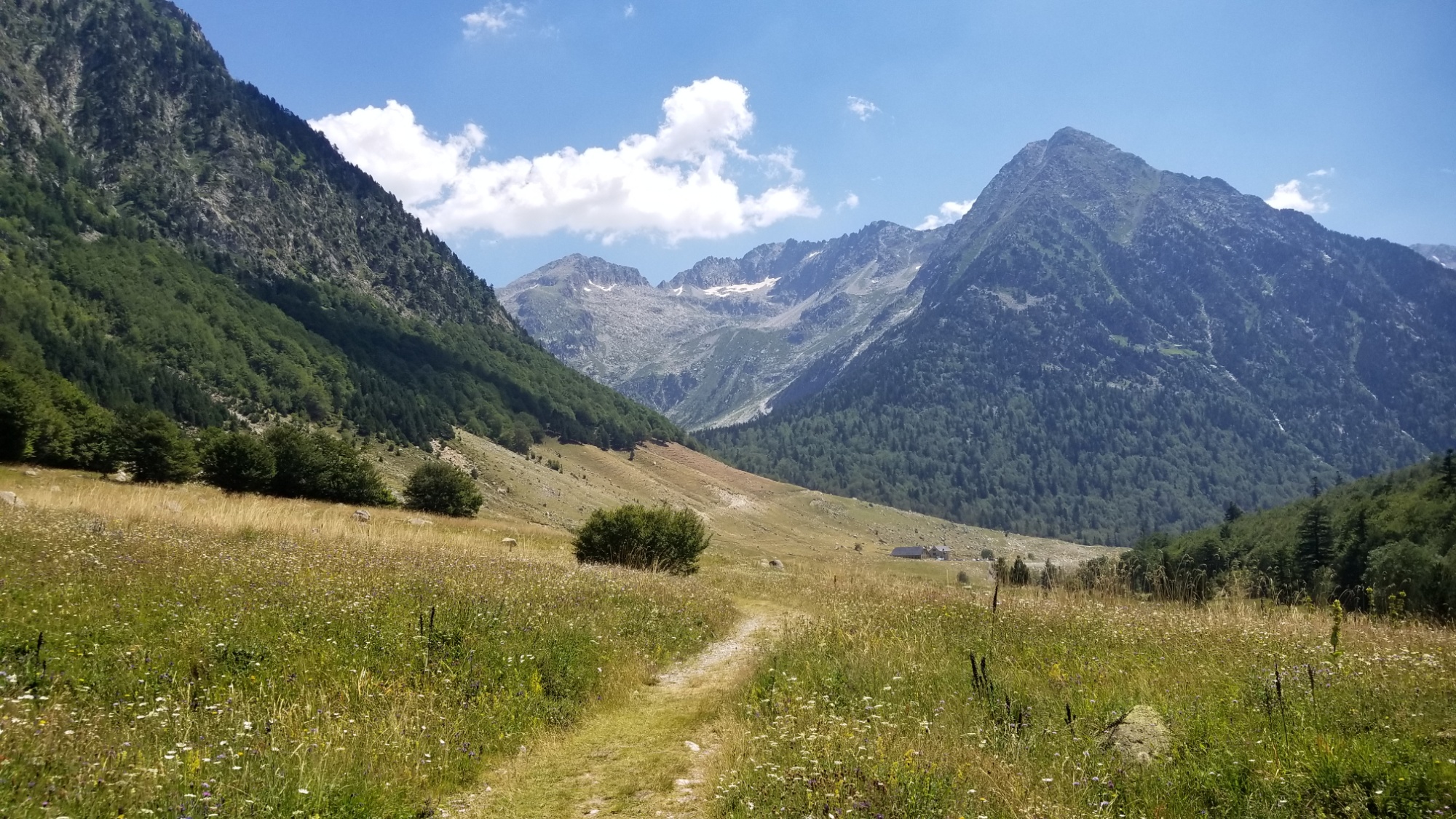
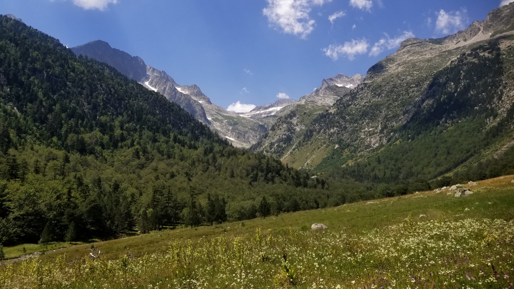
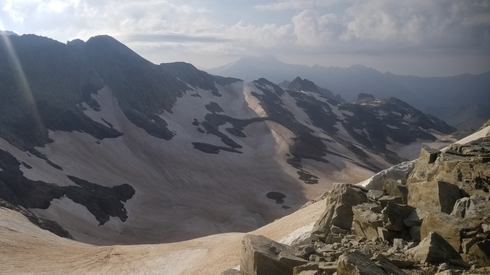
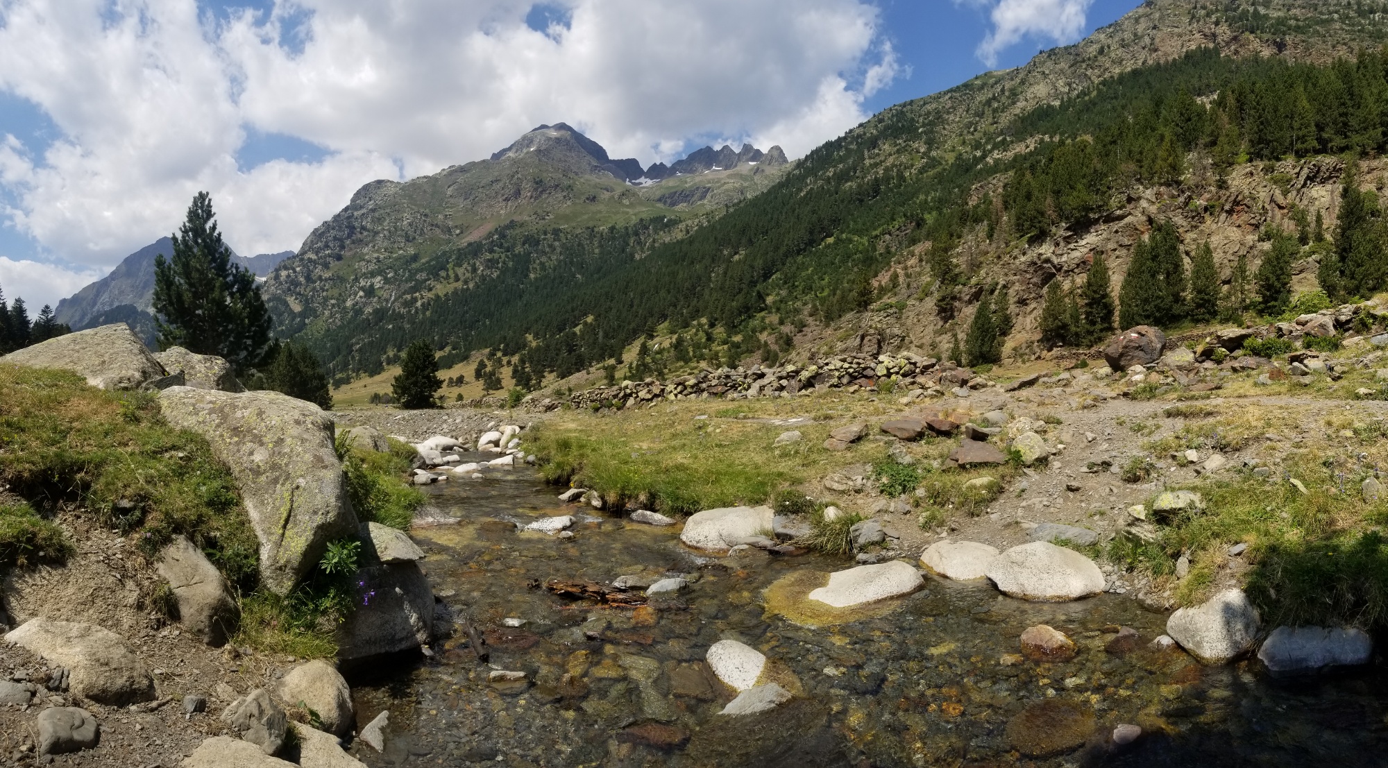
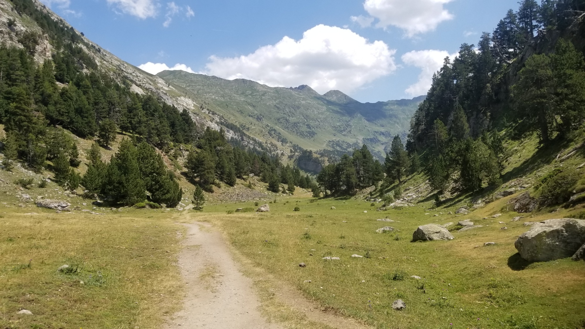
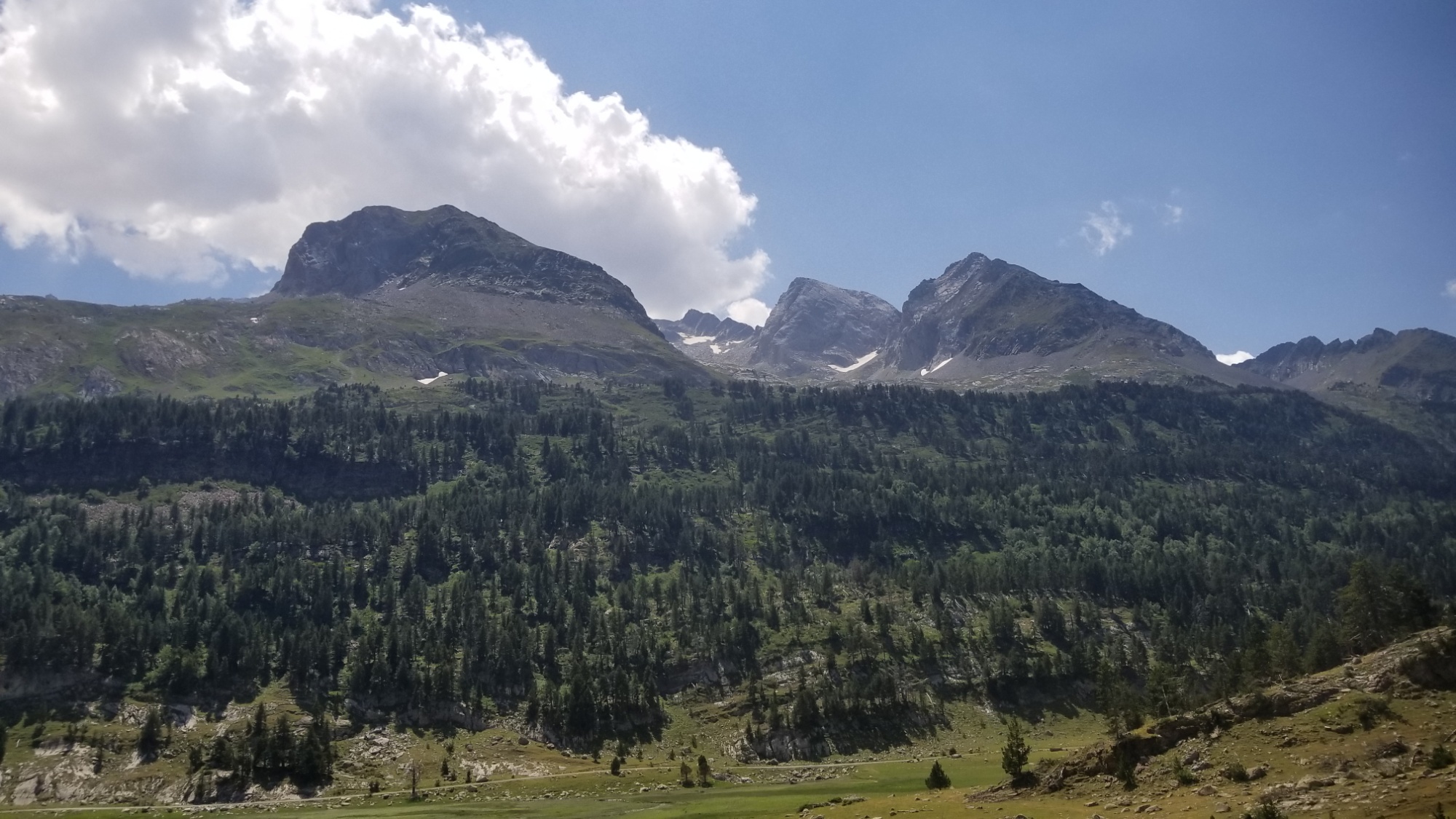
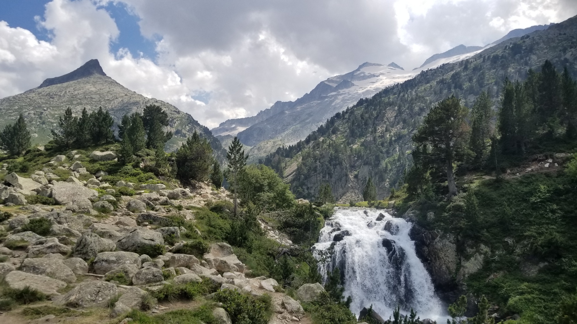
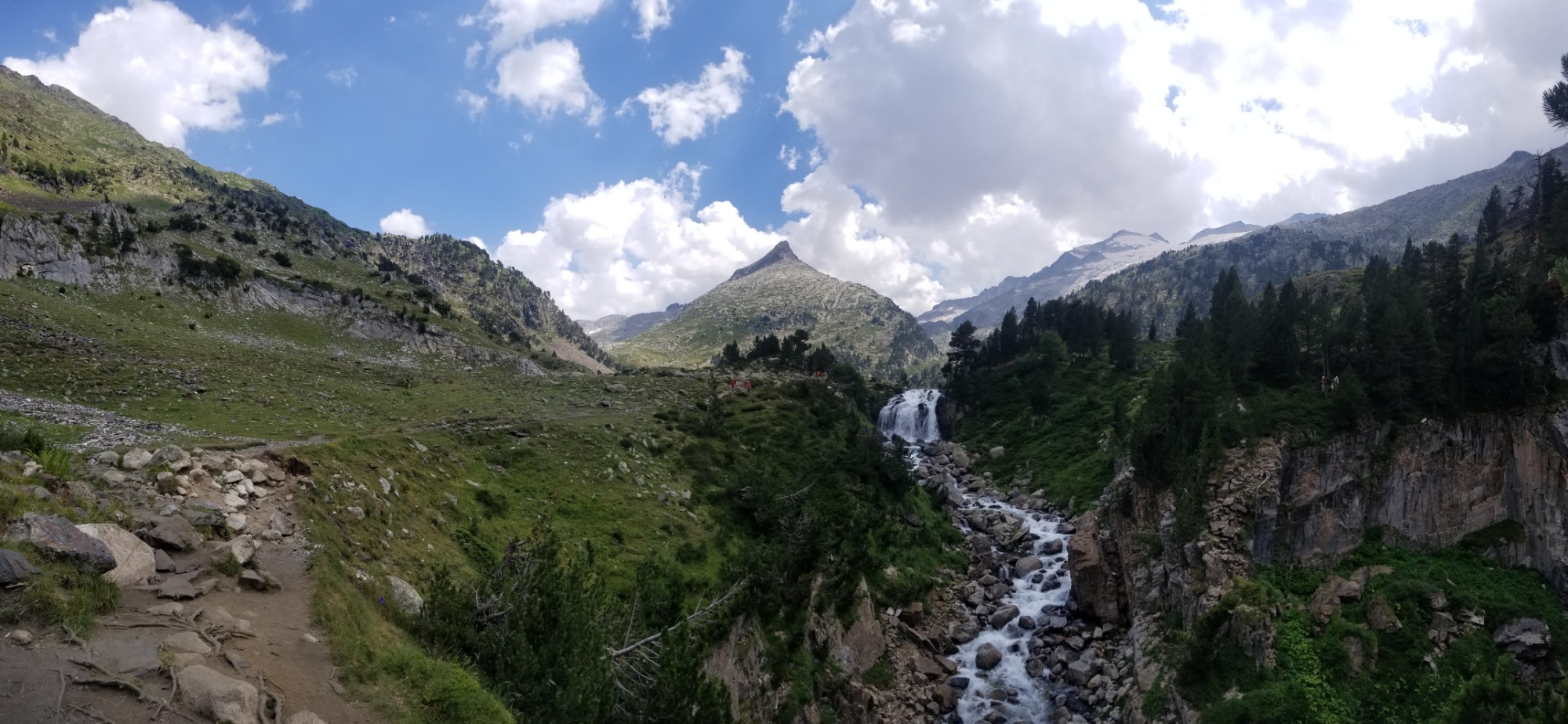
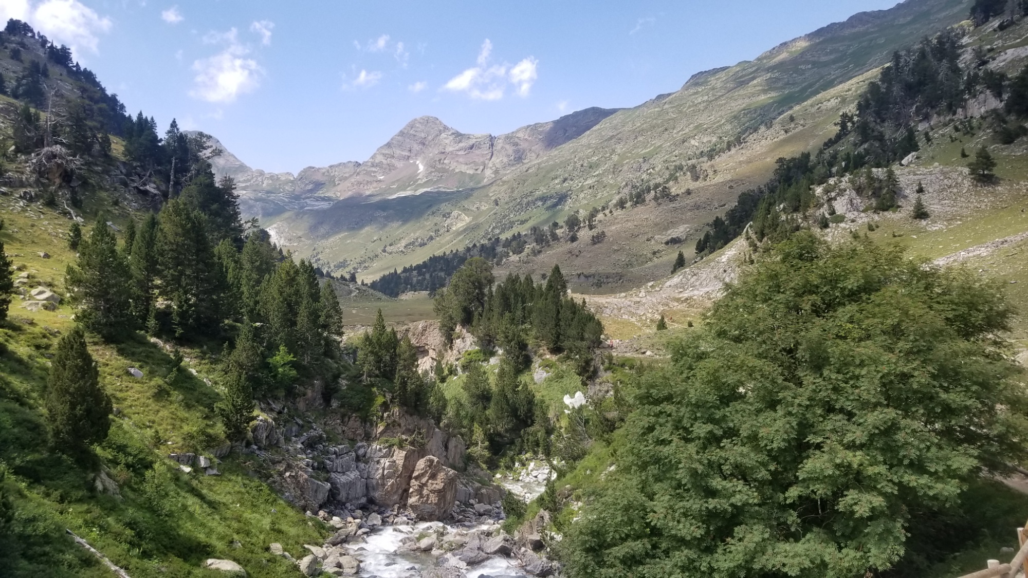
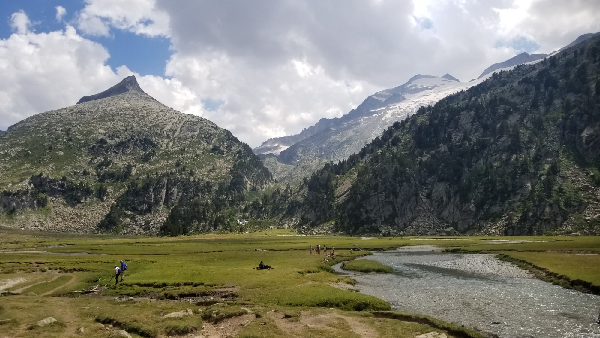
I walked down in the valley below, and then I climbed up and over a pass, leading me to the Arcalis ski resort.
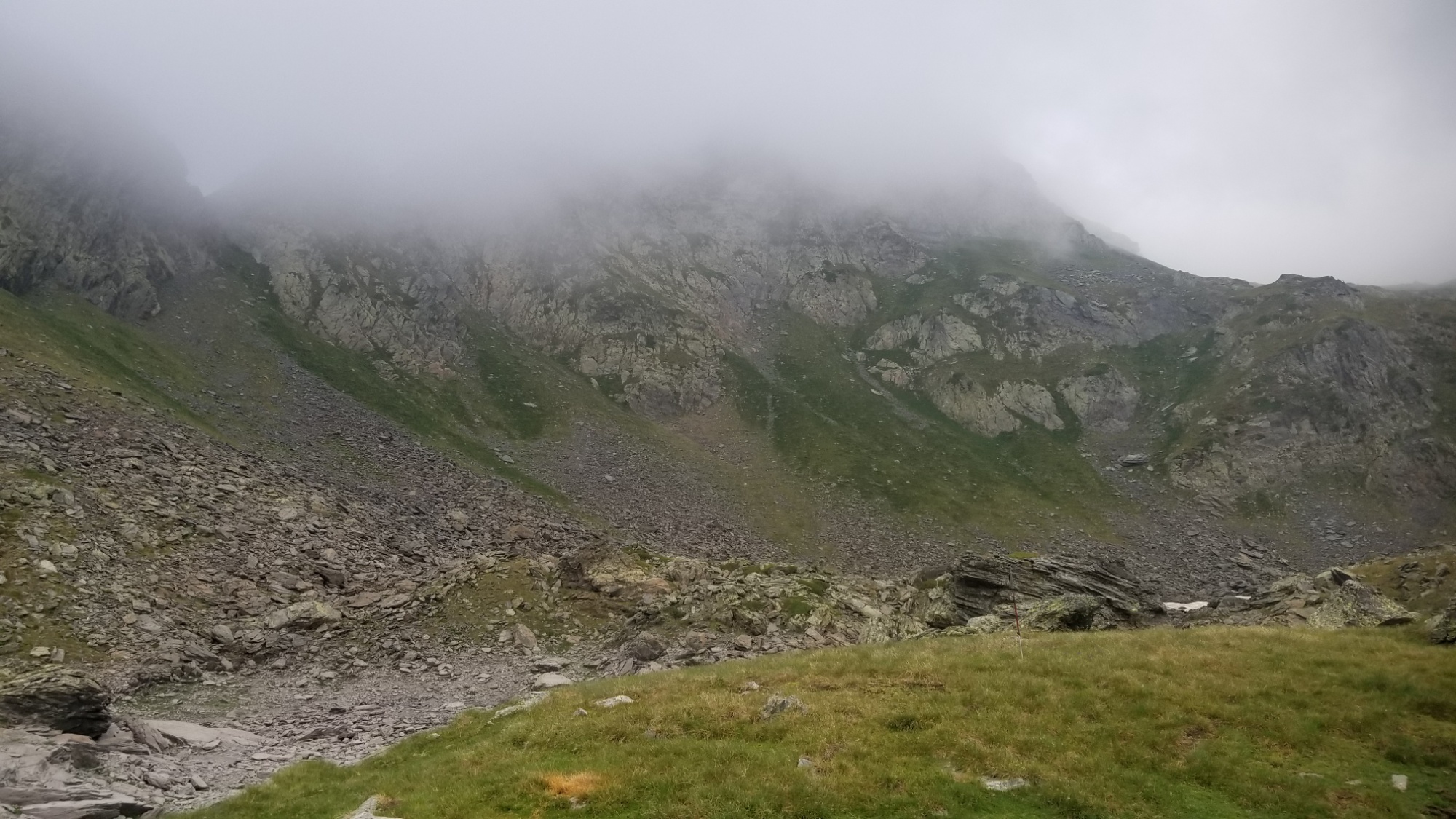
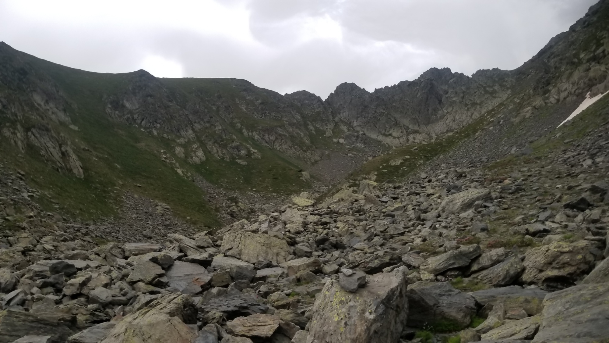
The pass
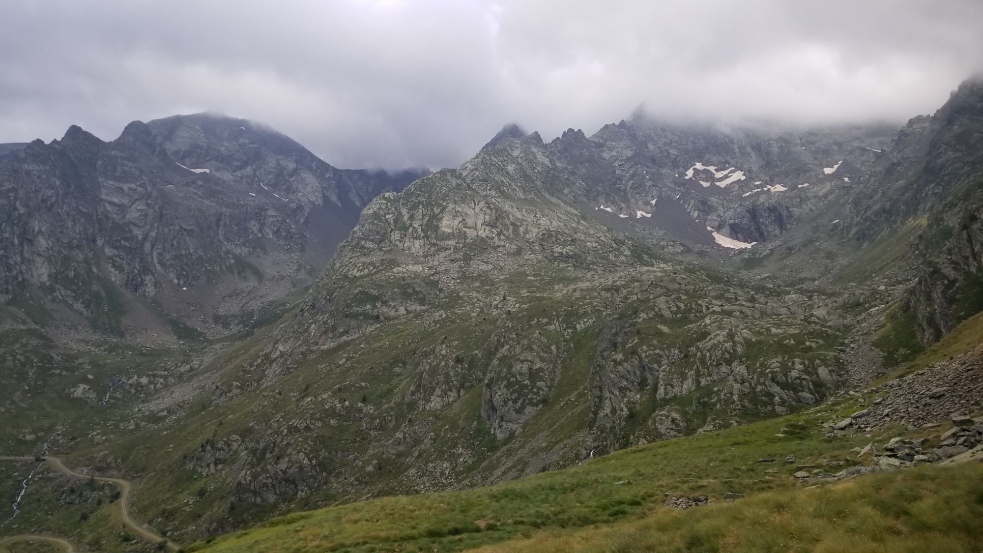
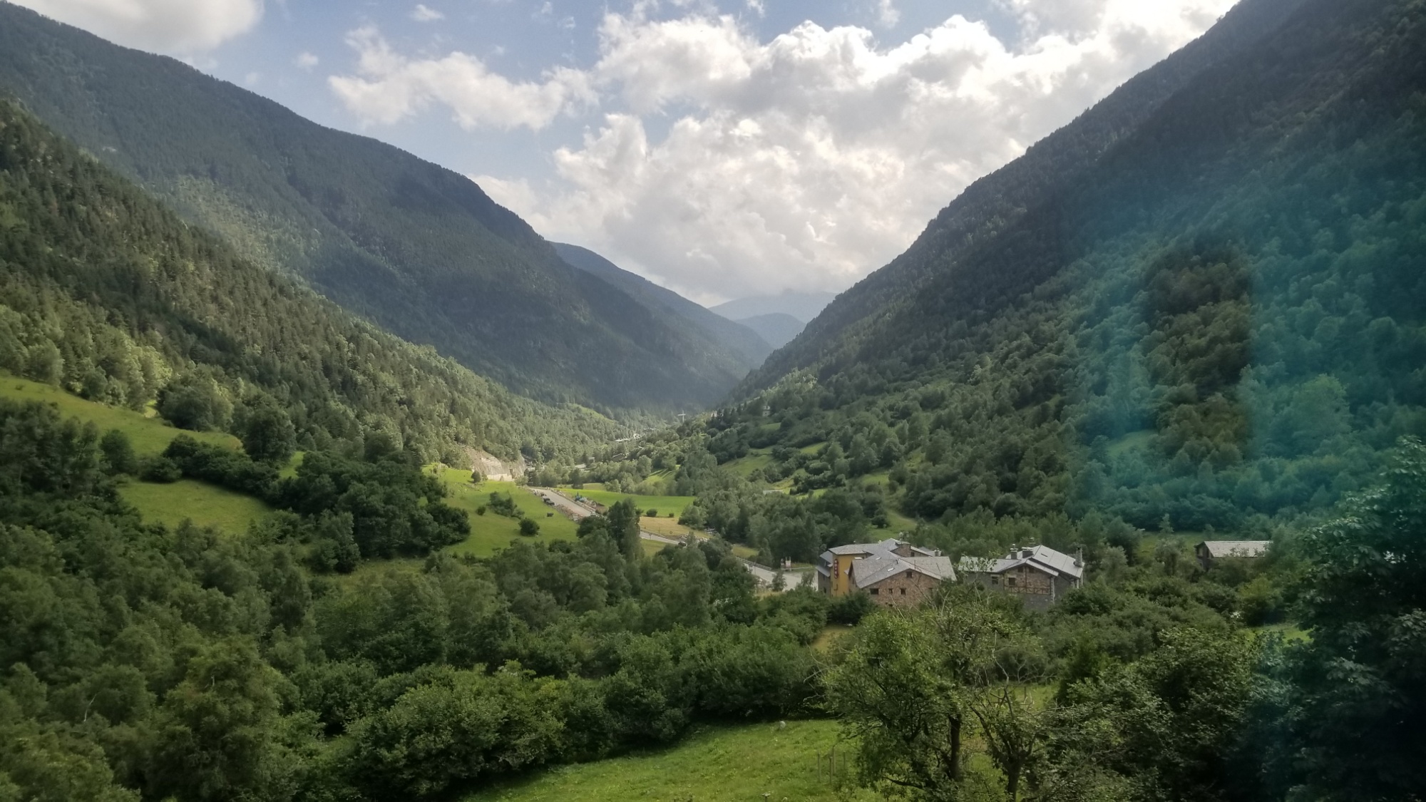
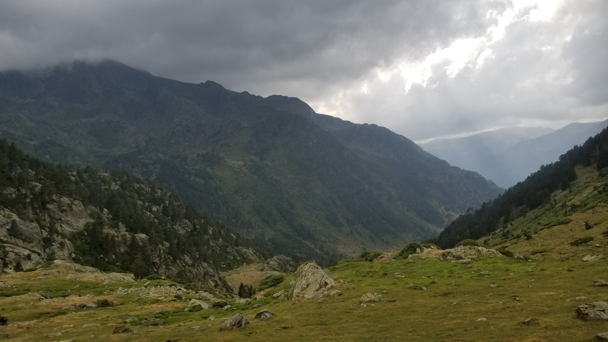
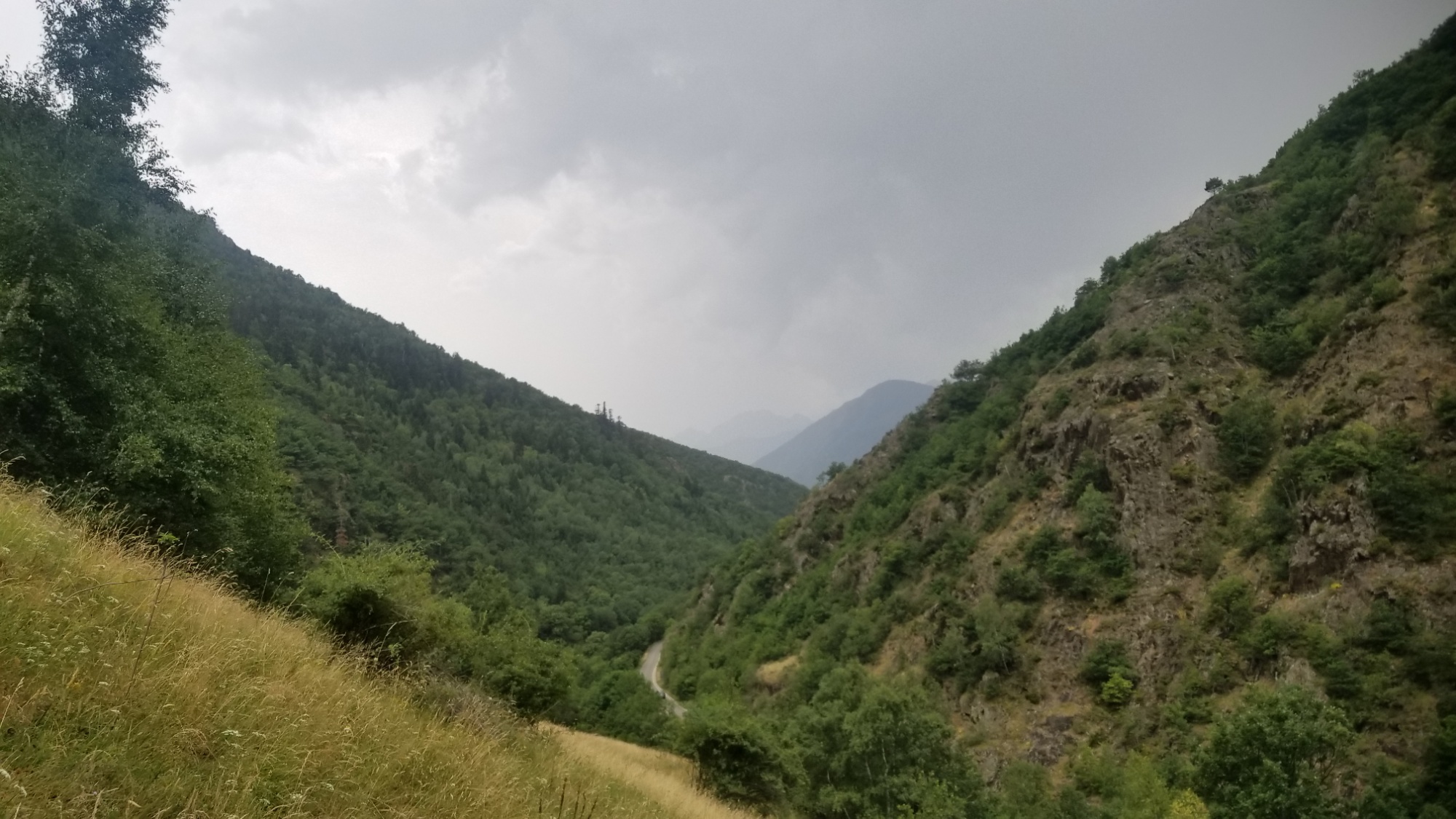
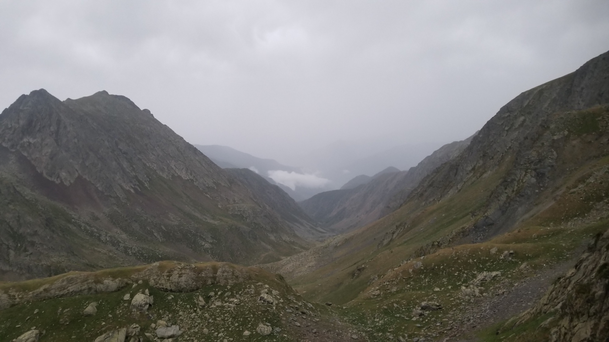
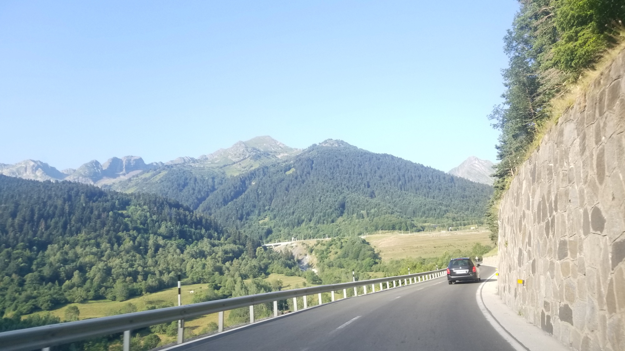
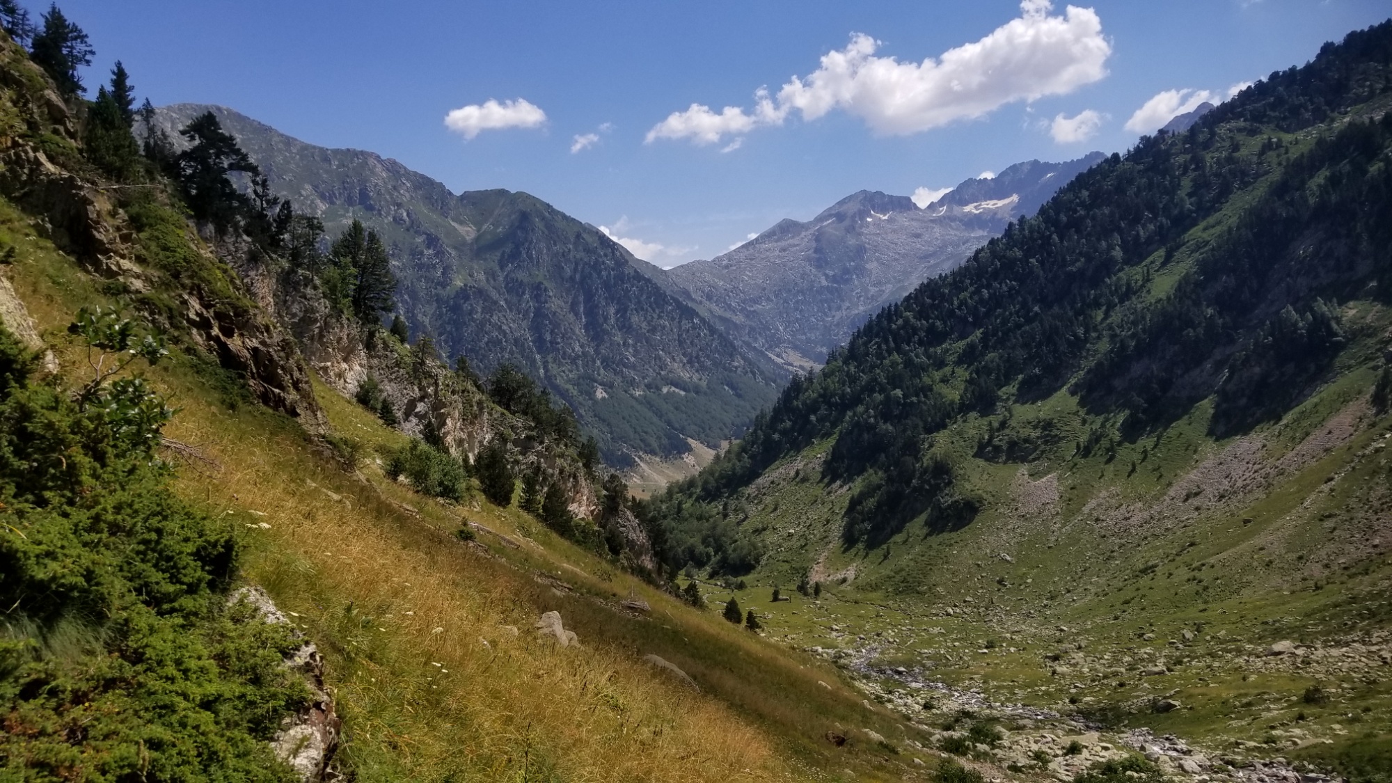
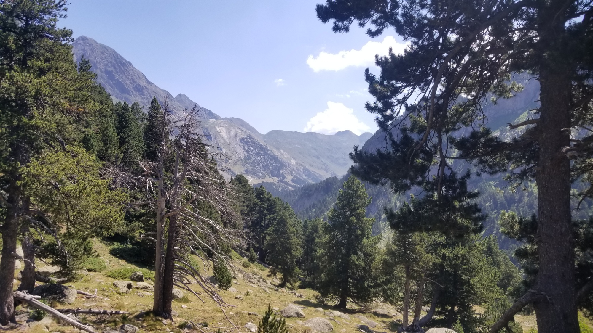
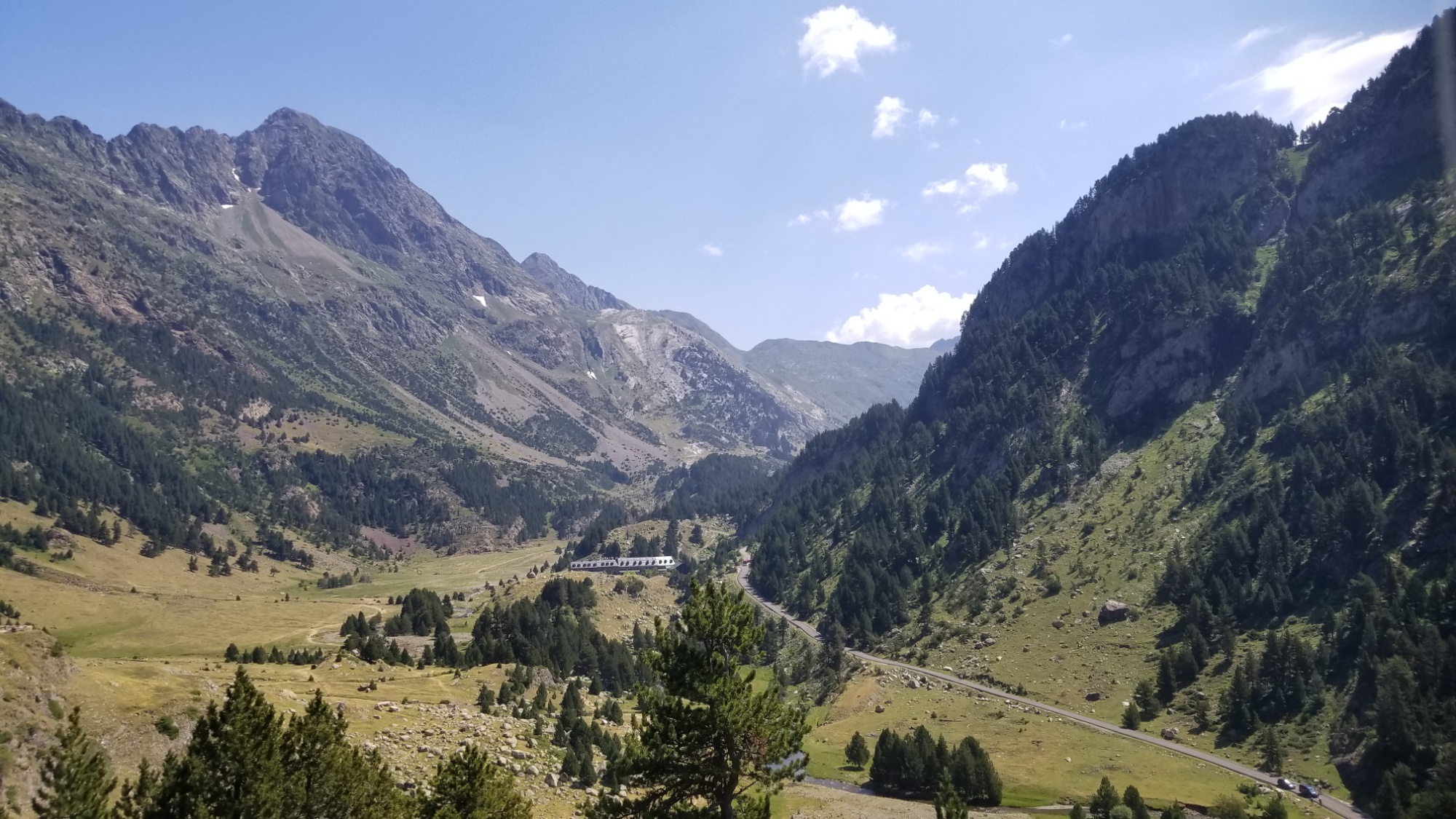
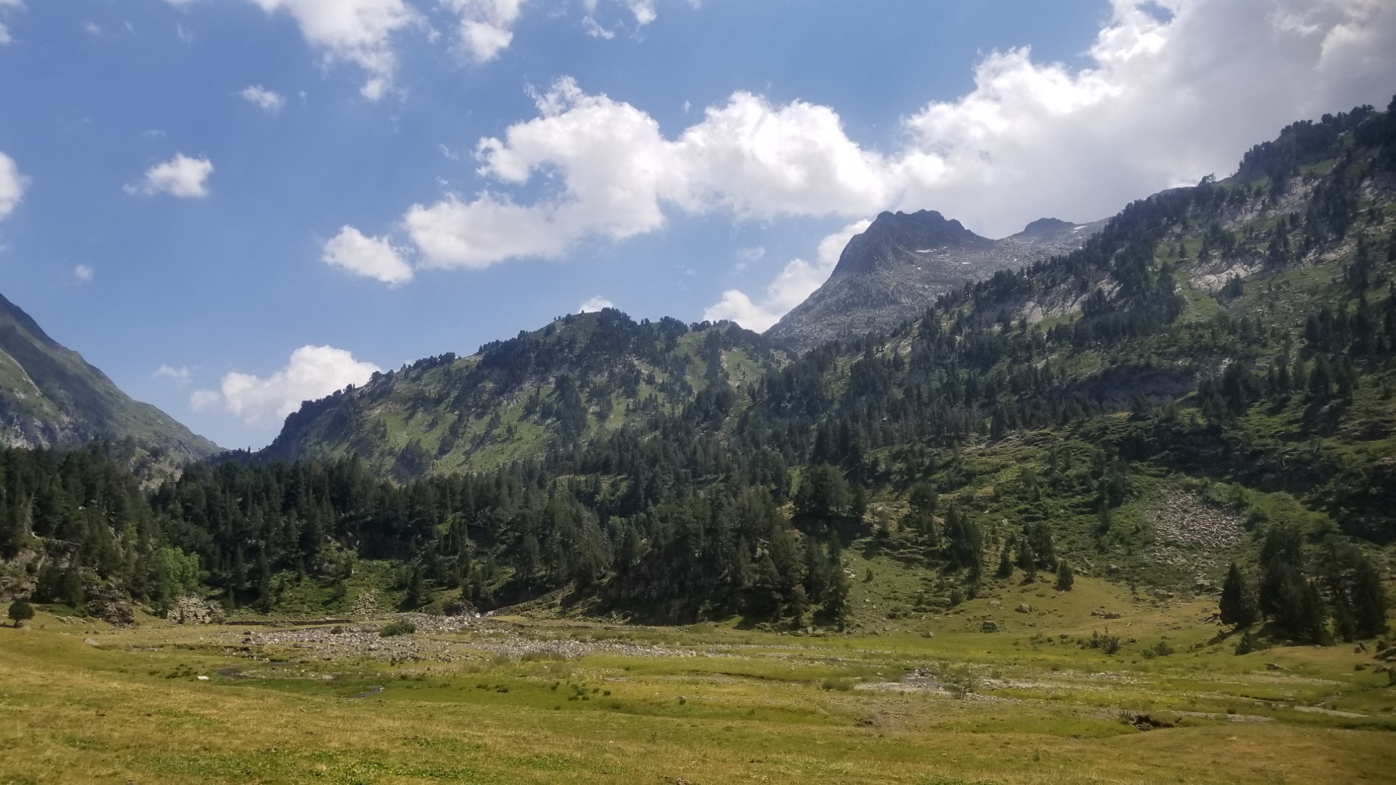
A nice valley, but it could do without the road leading into it
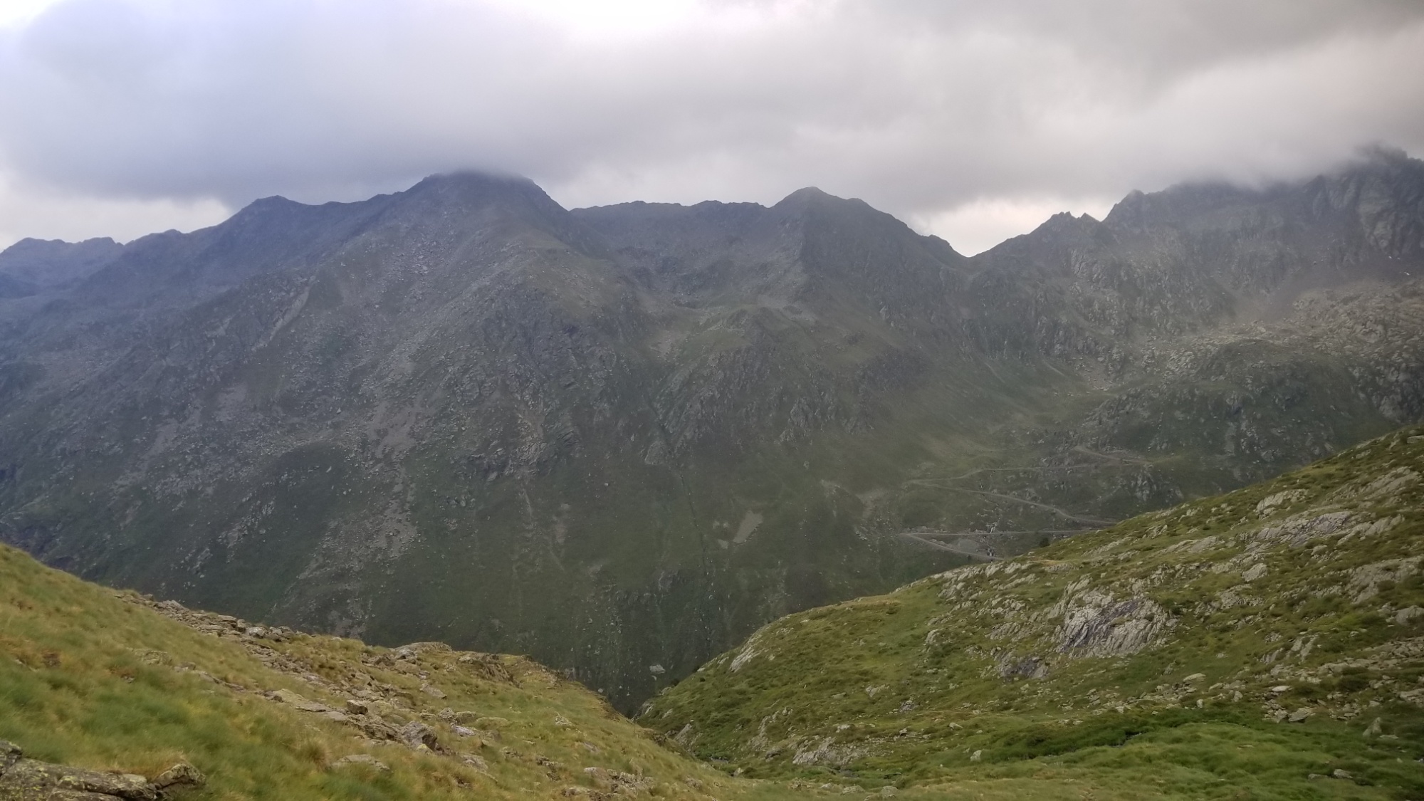
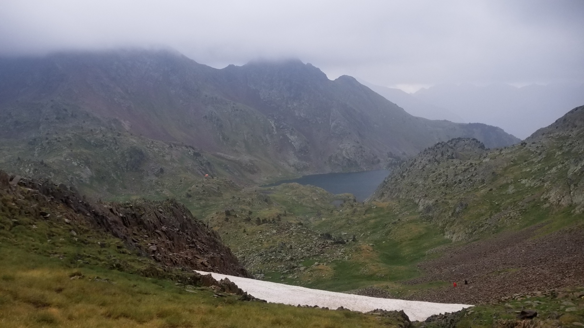
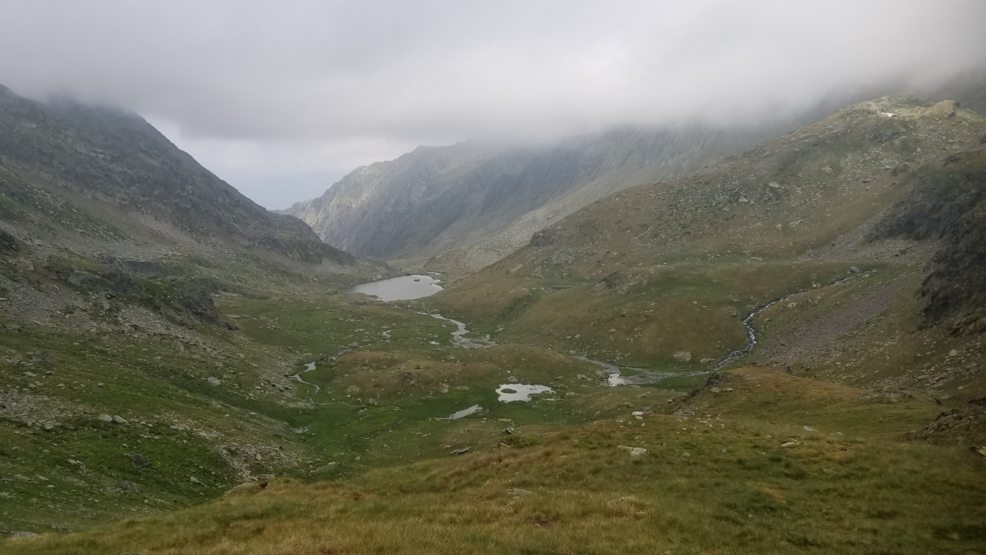
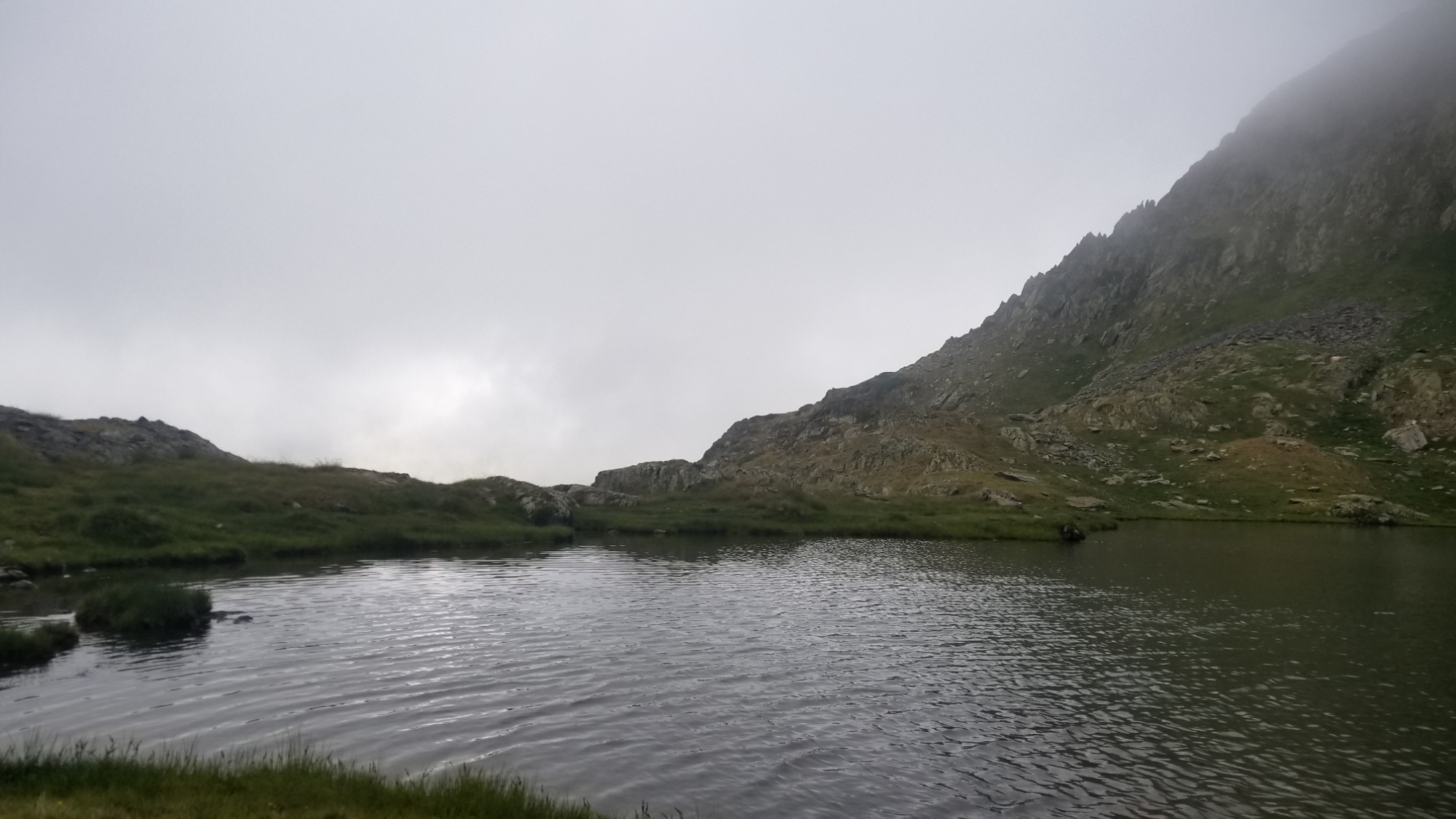
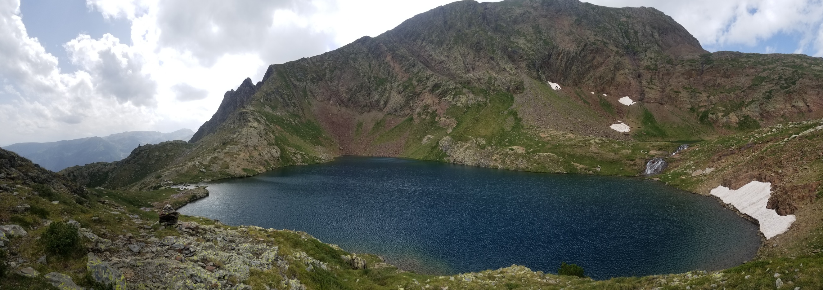
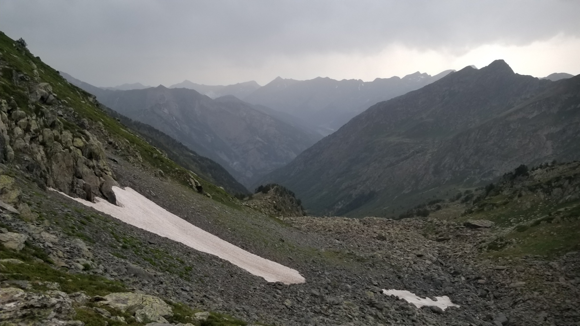
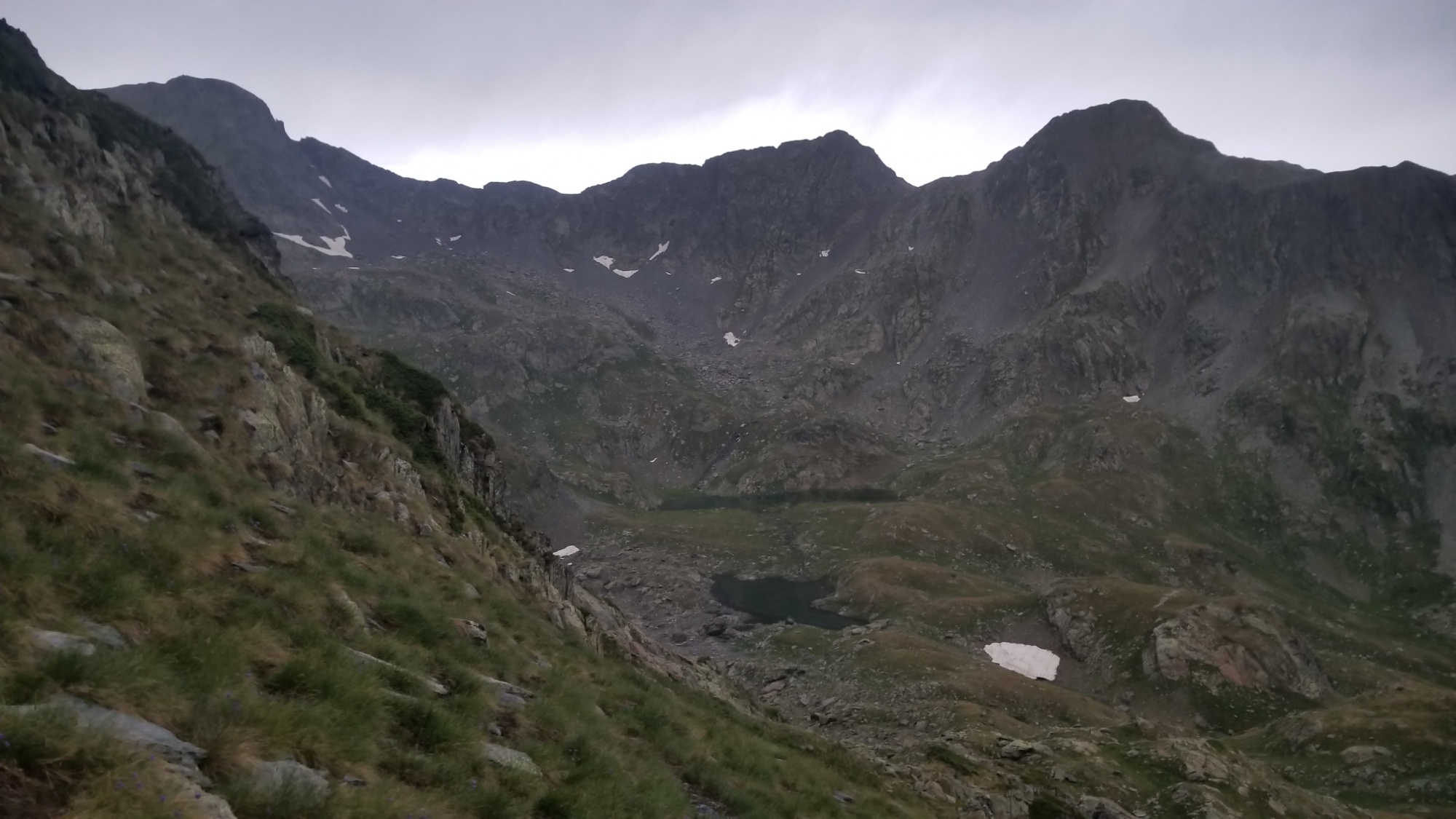
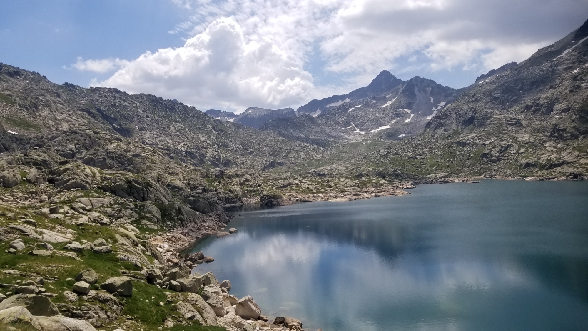
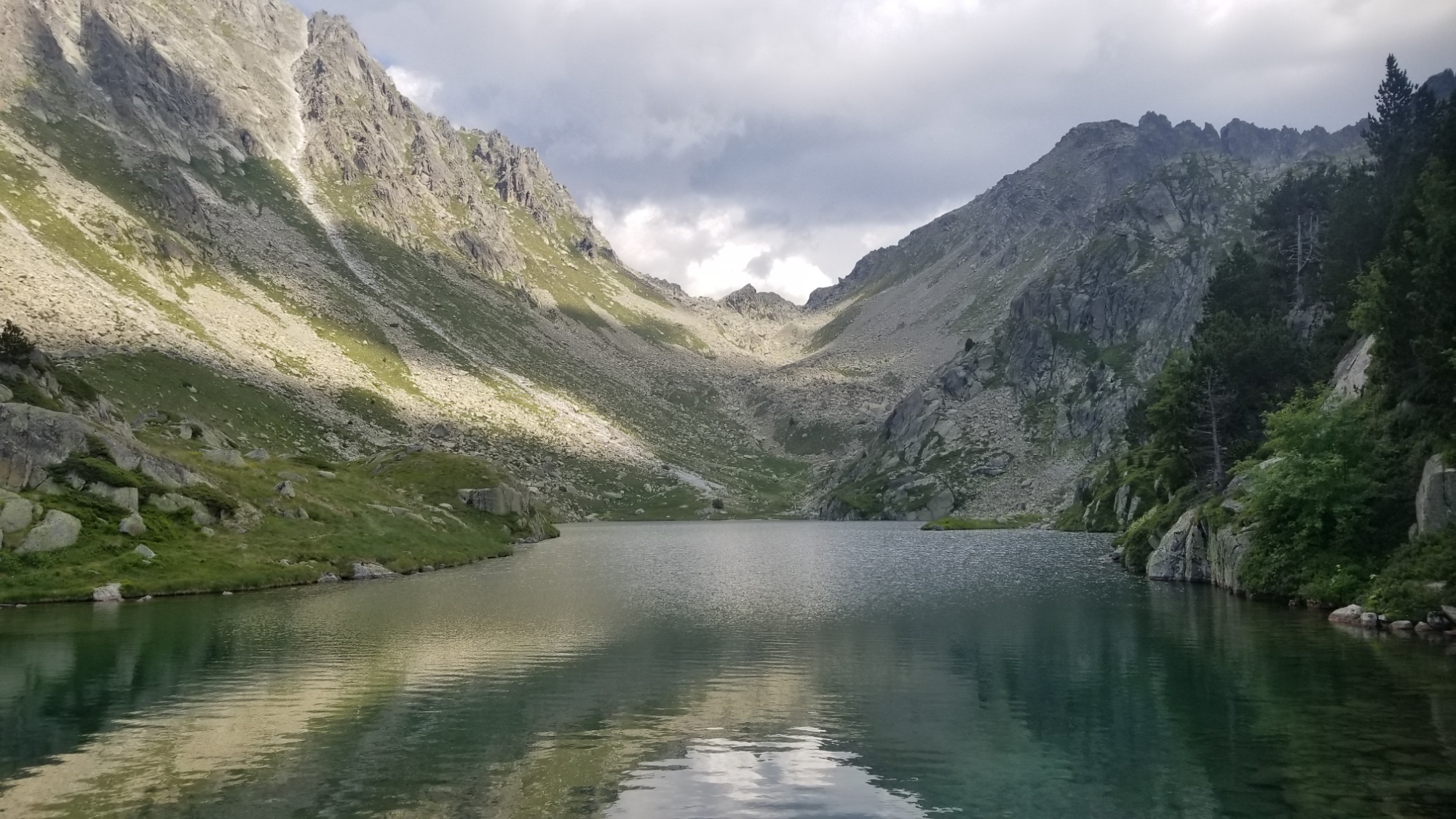
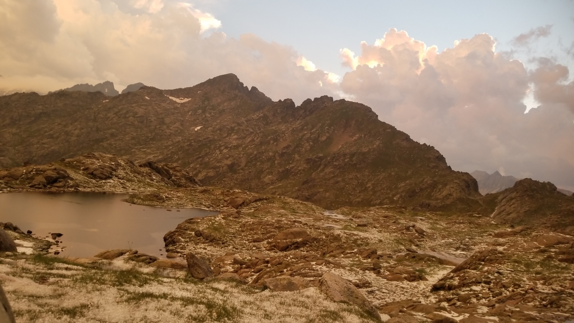
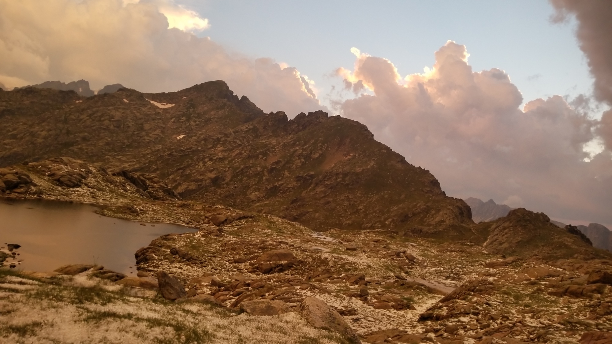
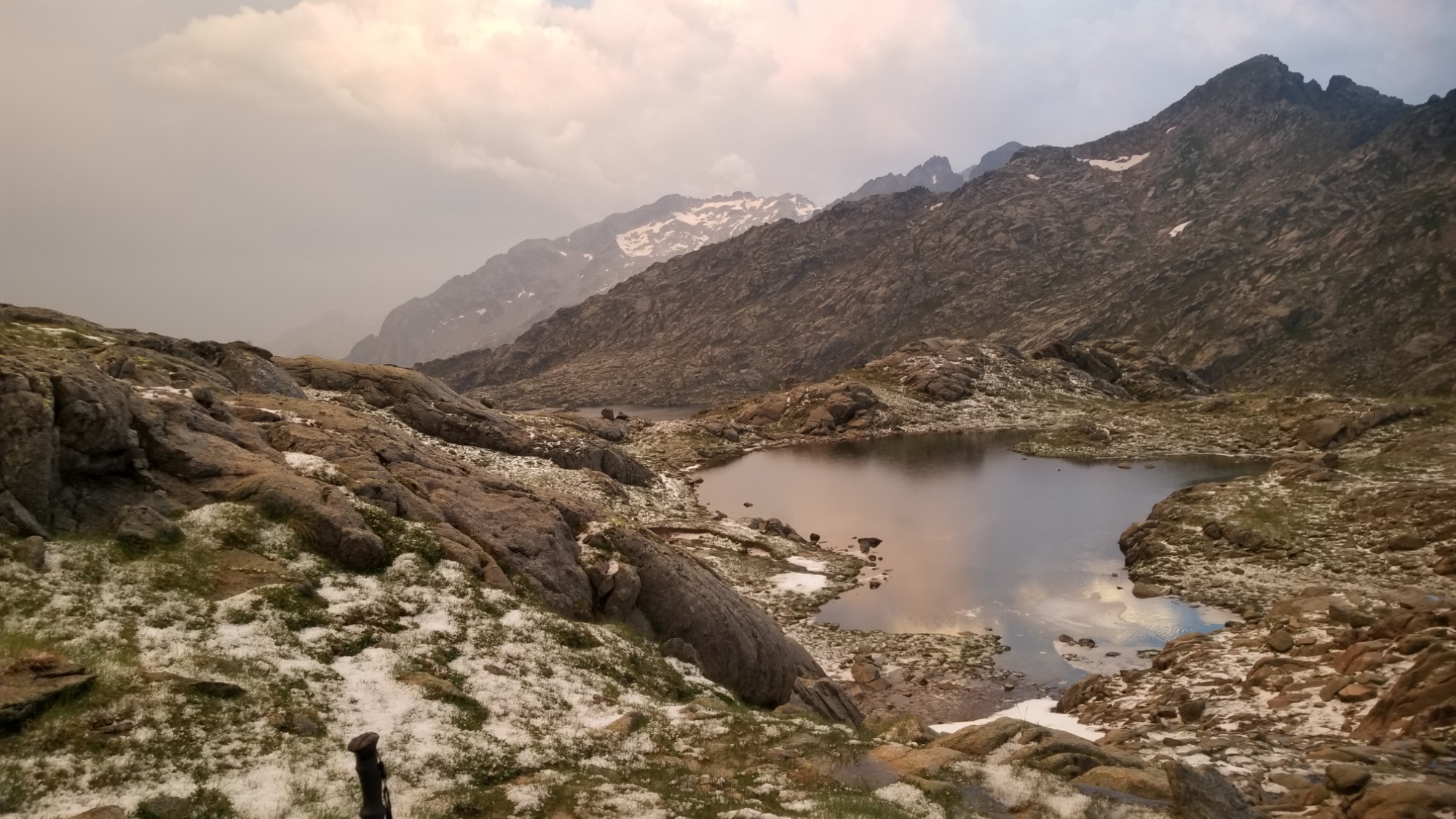
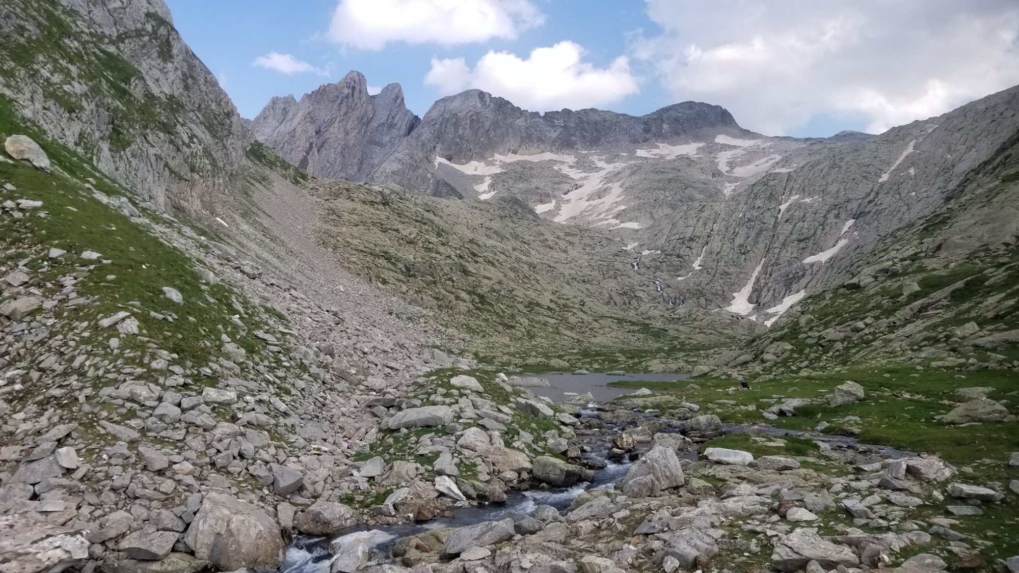
Looking back, you can see the pass on the left and the lac I camped at in the middle
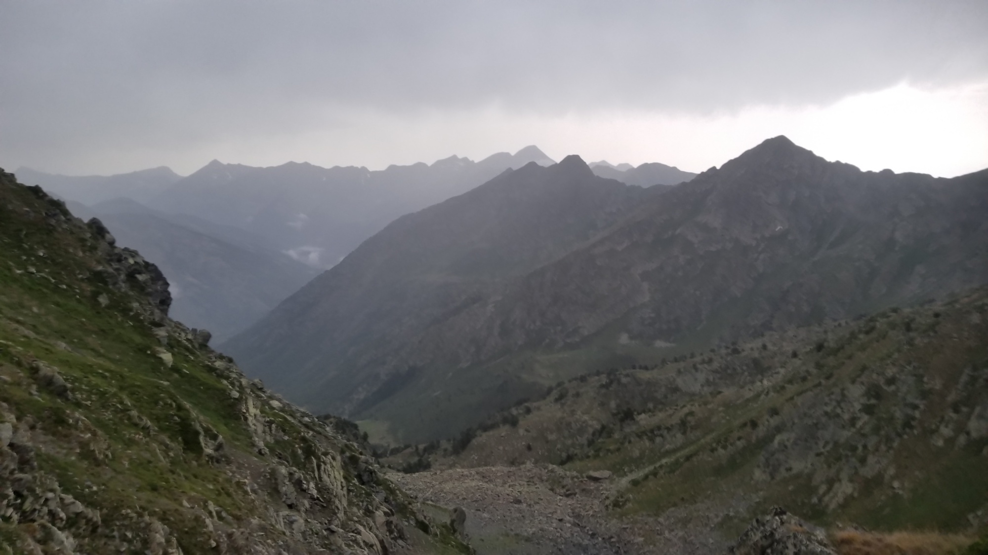
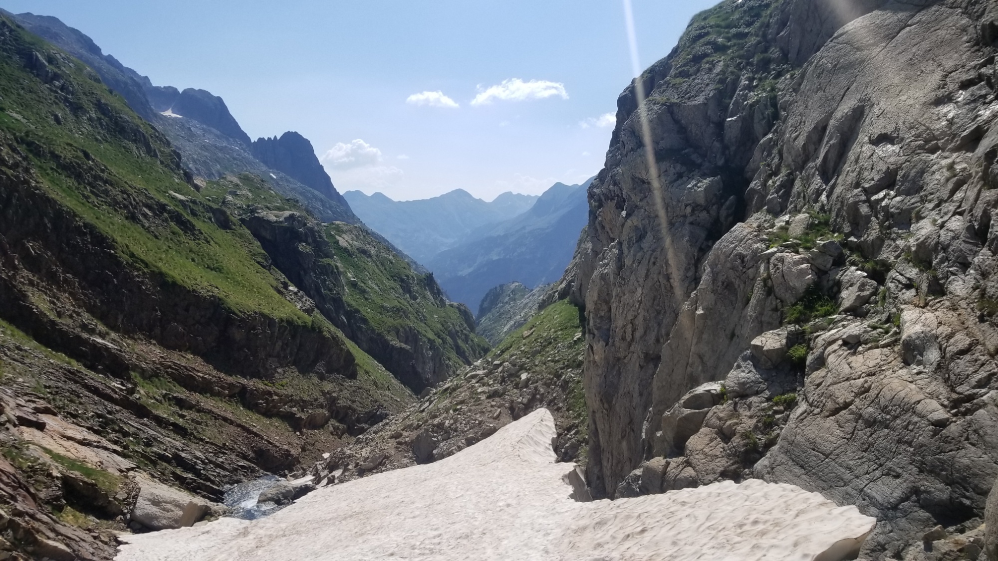
Long way down
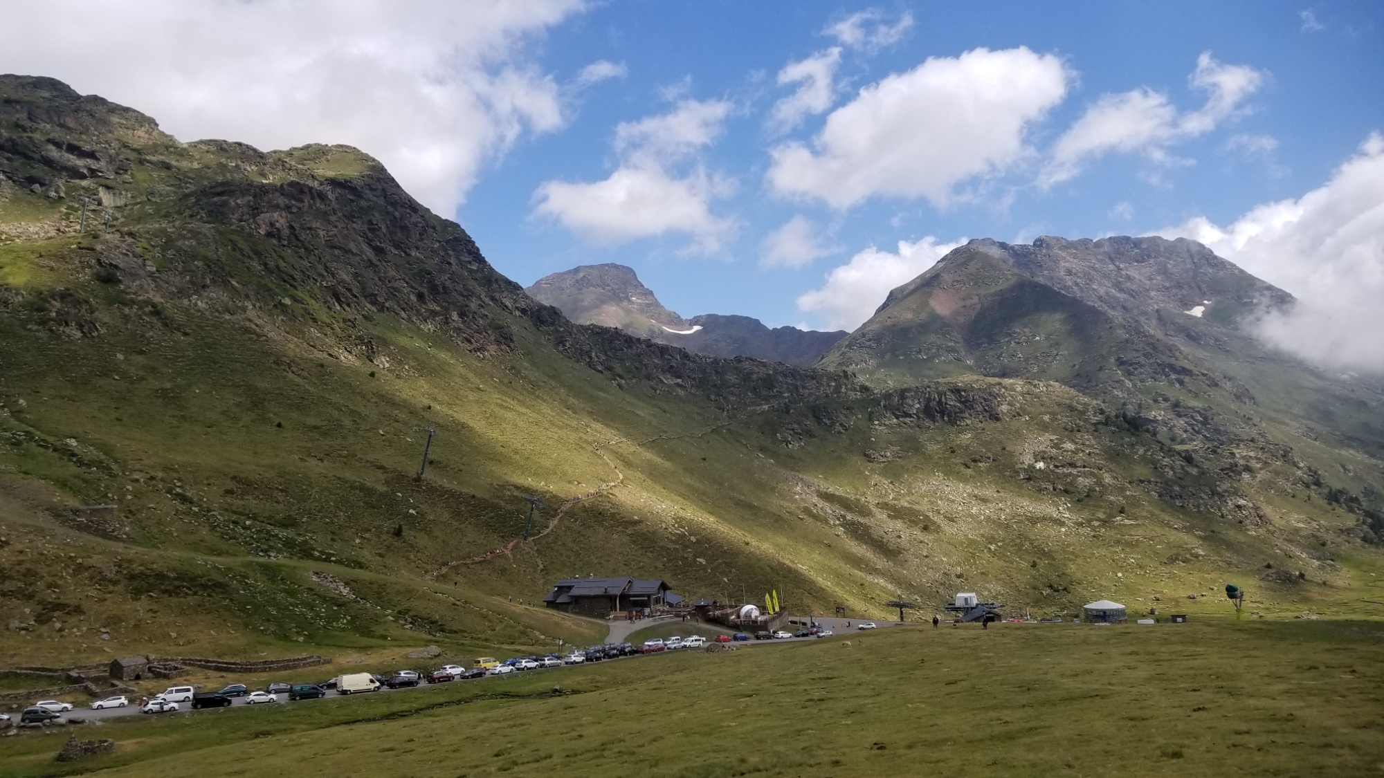
The Arcalis ski area, it had a nice restaurant I could’ve eaten at if I wasn’t in anti-social mountain man mode. But mostly I wanted to save them the smell of my boots 😅
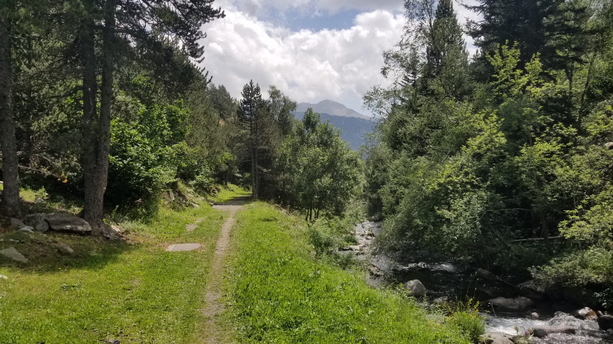
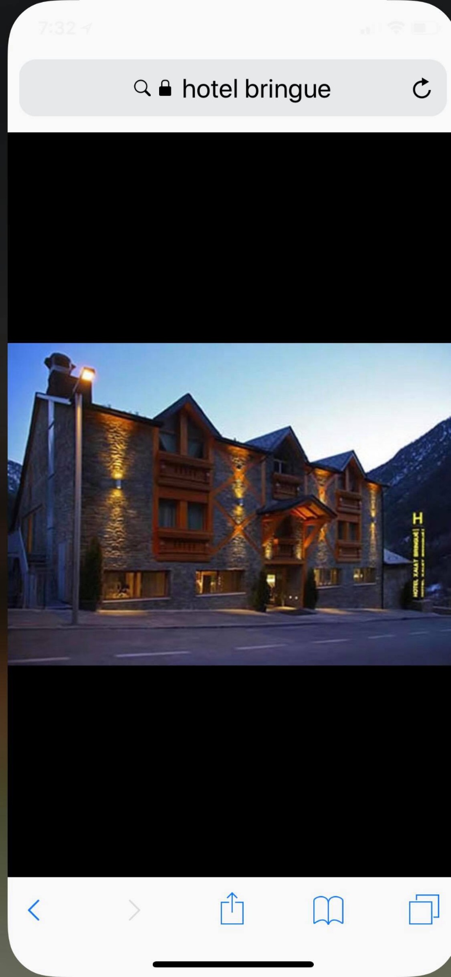
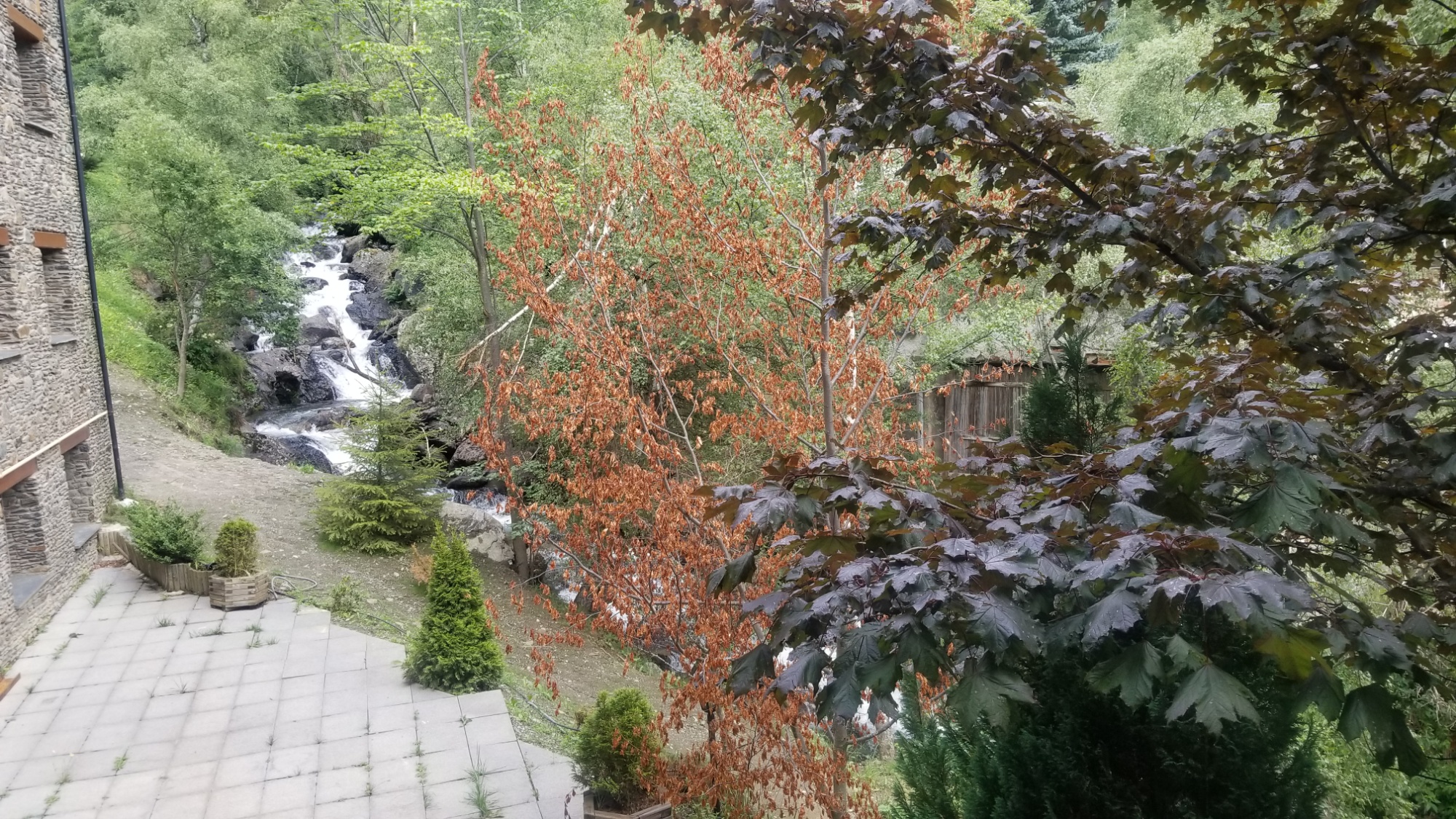
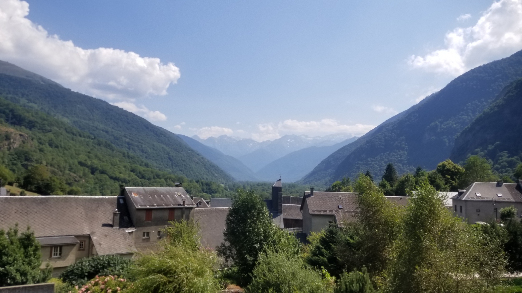
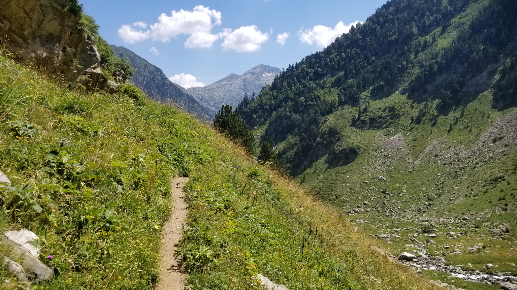
Then I walked down some nice trails and dirt roads to the small village of El Serrat, where I decided to blow a hundred euros on a room at a fancy spa-hotel! I had to treat myself at least once on this trip, with how much I’ve been saving by eating and sleeping wild. And I’ve made it through the hardest days of the HRP! That is something worth celebrating.
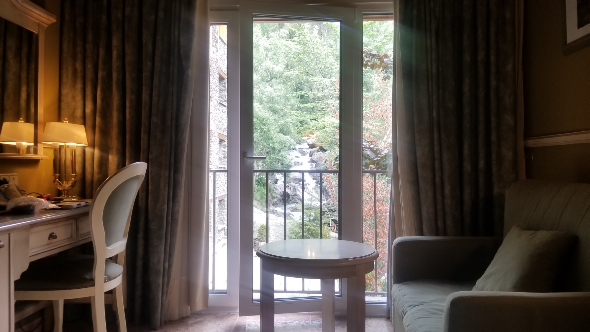
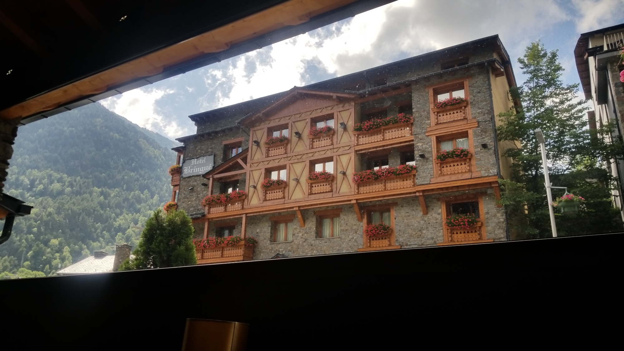
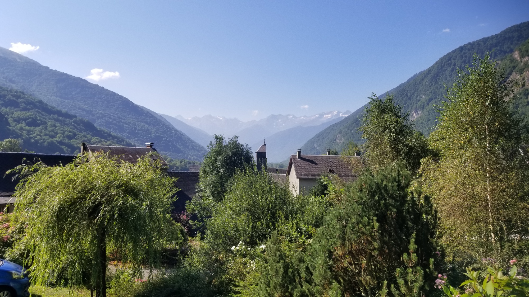
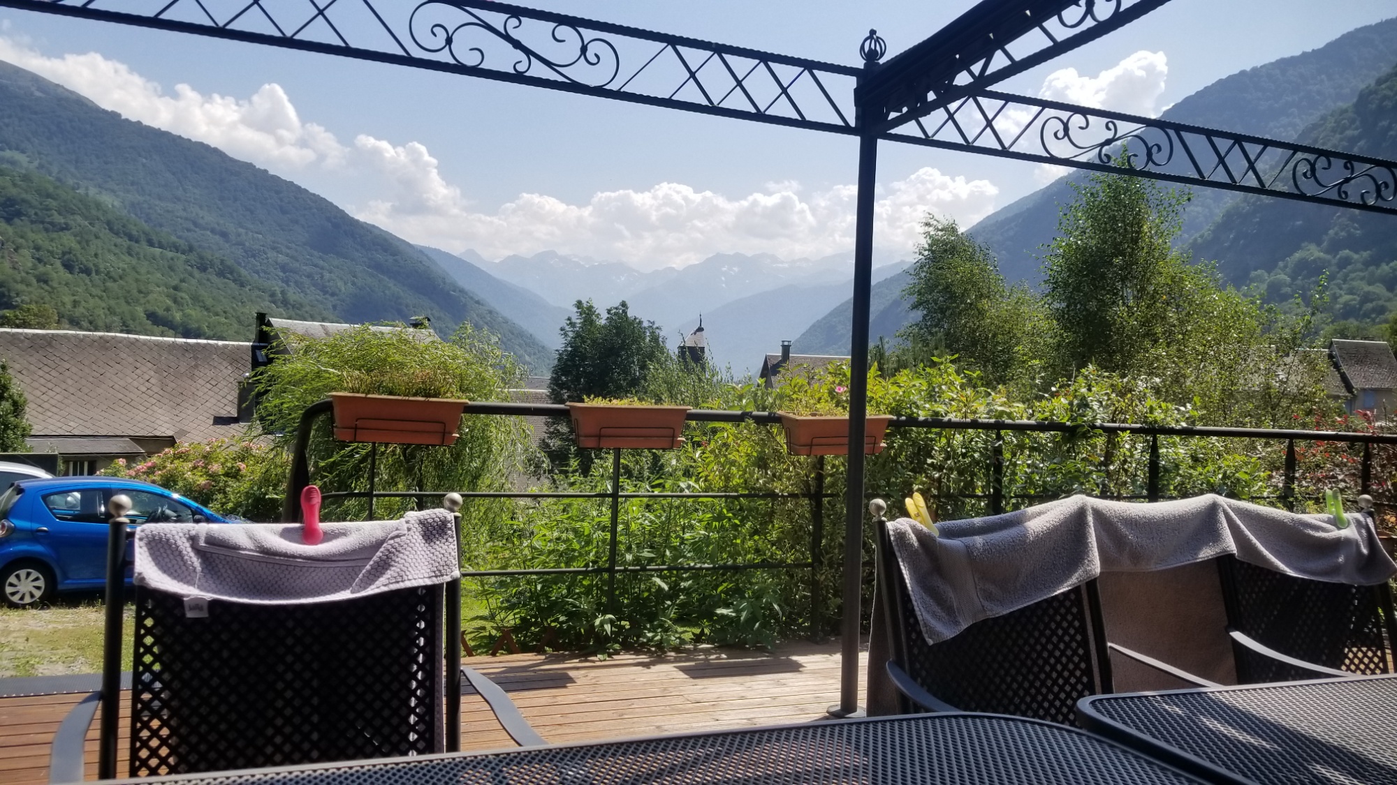
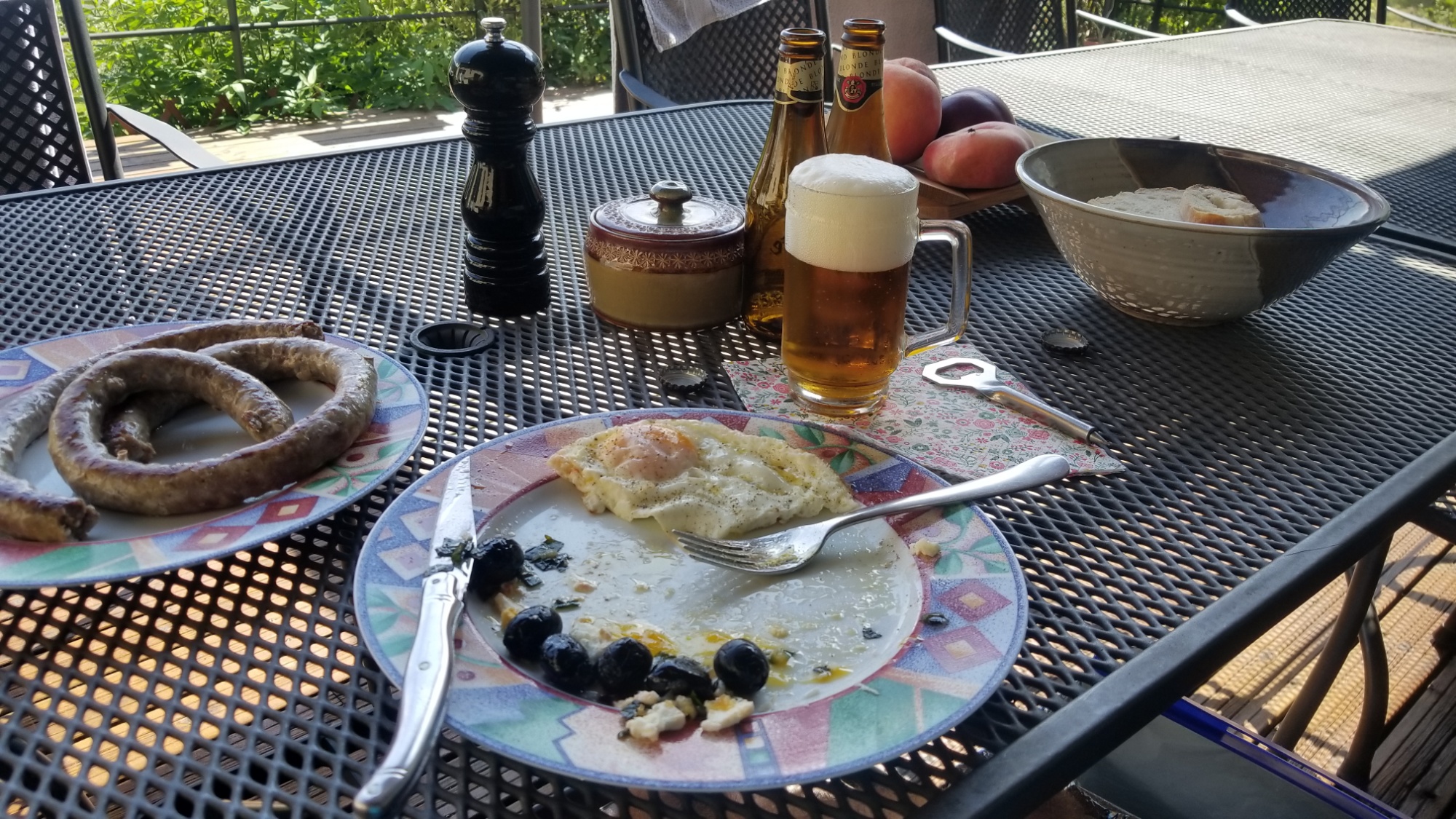
Room with a viewDoing my internet things in the salonView for dinner, they have huge windows here!
For dinner I had a rabbit’s leg (a la Catalana) with potato and legumes, along with a salad with some duck in it, a few beers, and my favorite dessert, Tiramisu!!! All included in my “pension” of the stay (pension means dinner and breakfast is included with the stay).
In the morning, an all you can eat breakfast buffet, unlimited OJ, coffee, bacon, sausage, eggs (sunny side up), croissants, and au chocolats.
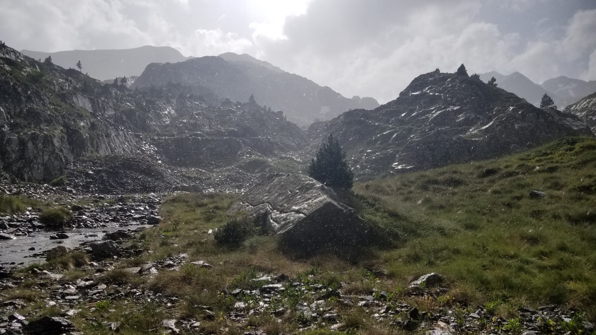
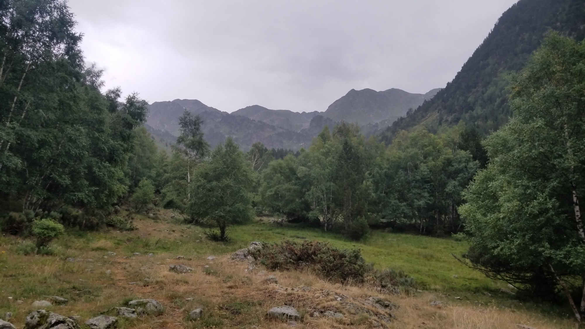
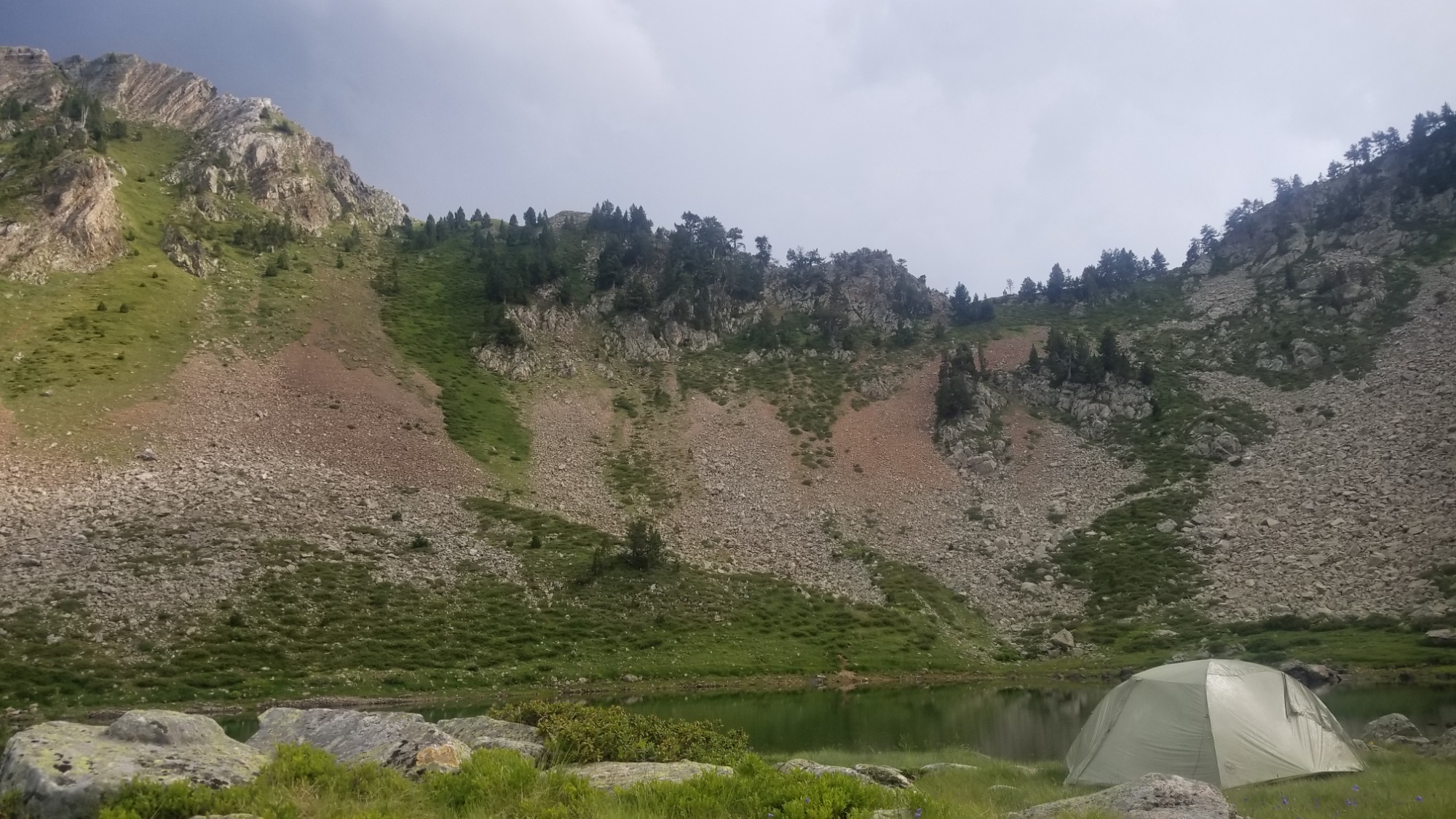
Never before have I been so hot and so cold so many different times in one day! Today started out in the rain. I decided to wait in the tent until it passed over a bit, since taking down a tent in the rain is not the most fun thing.
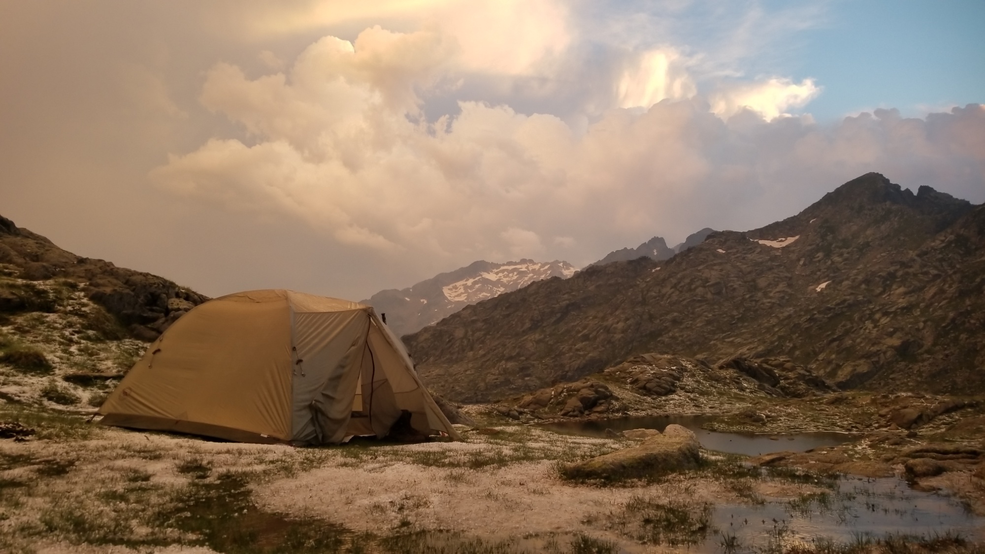
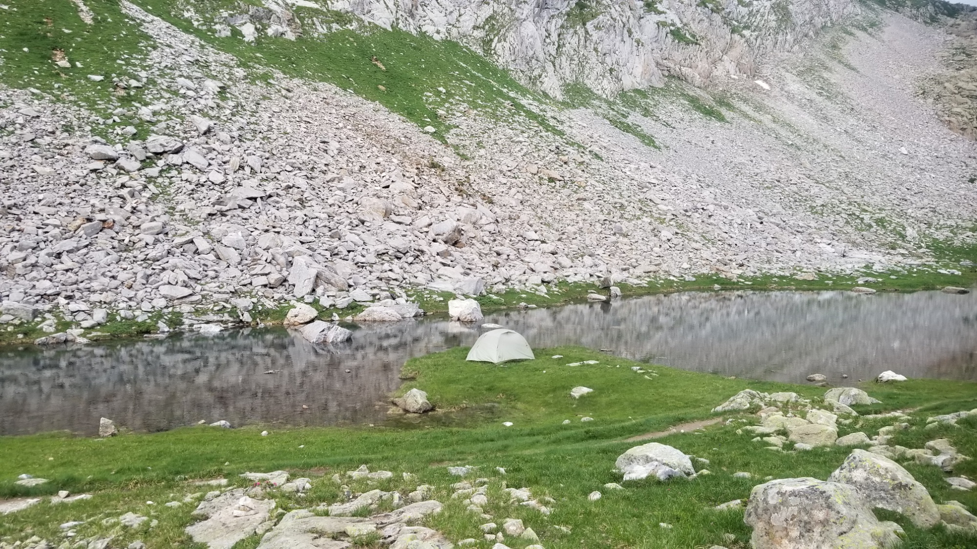
A good place to sleep on a rainy night
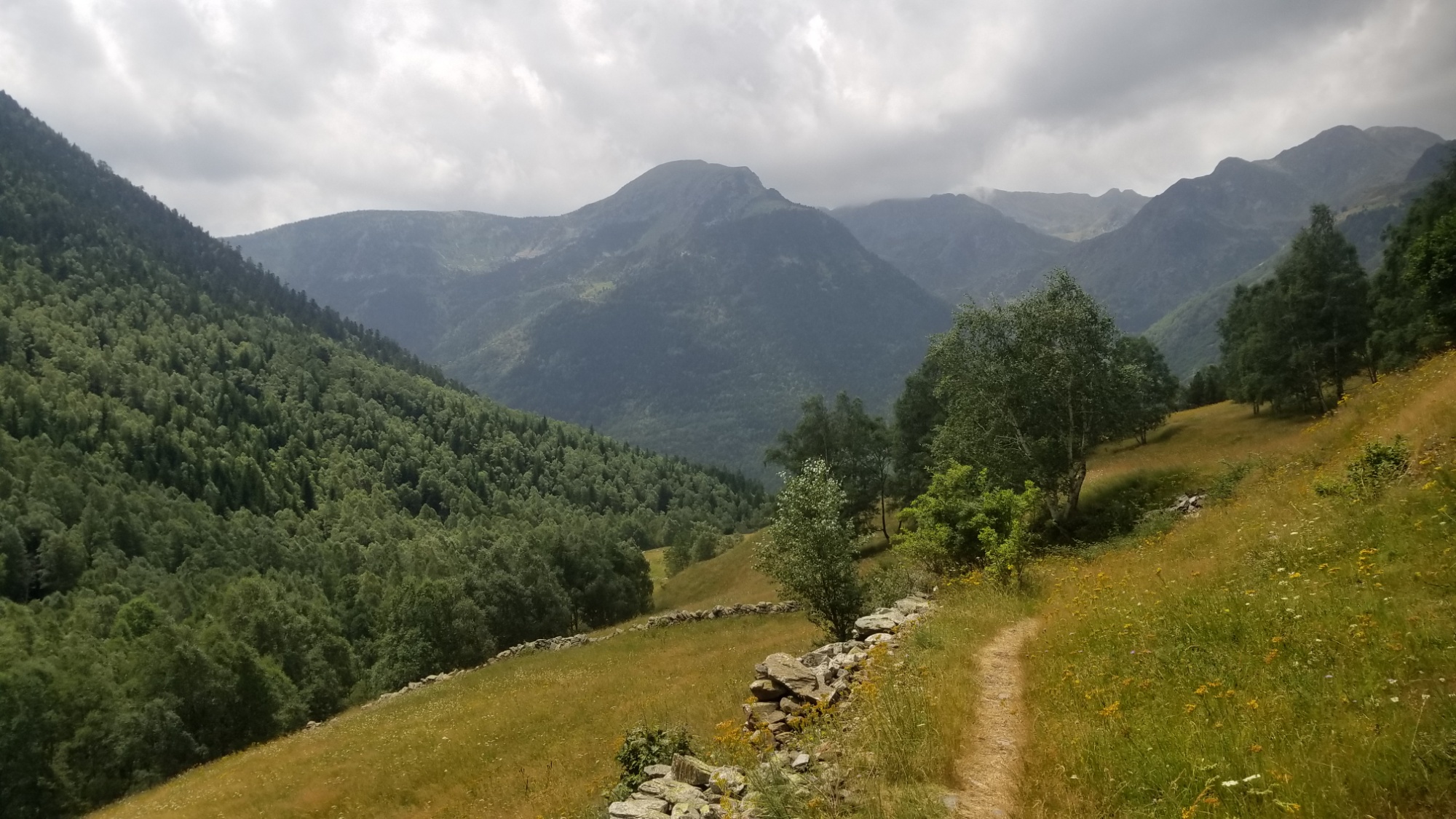
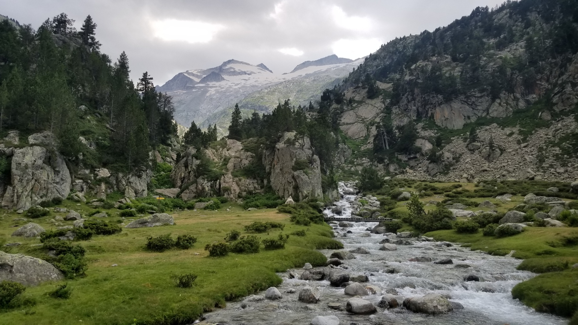
It was probably 10:30am when it finally stopped, and I got going. I had a 1,000m climb ahead of me, over the Col de Sellente. And to make it that much harder, I had a few extra kilograms of water soaked into my tent and backpack from last night’s deluge.
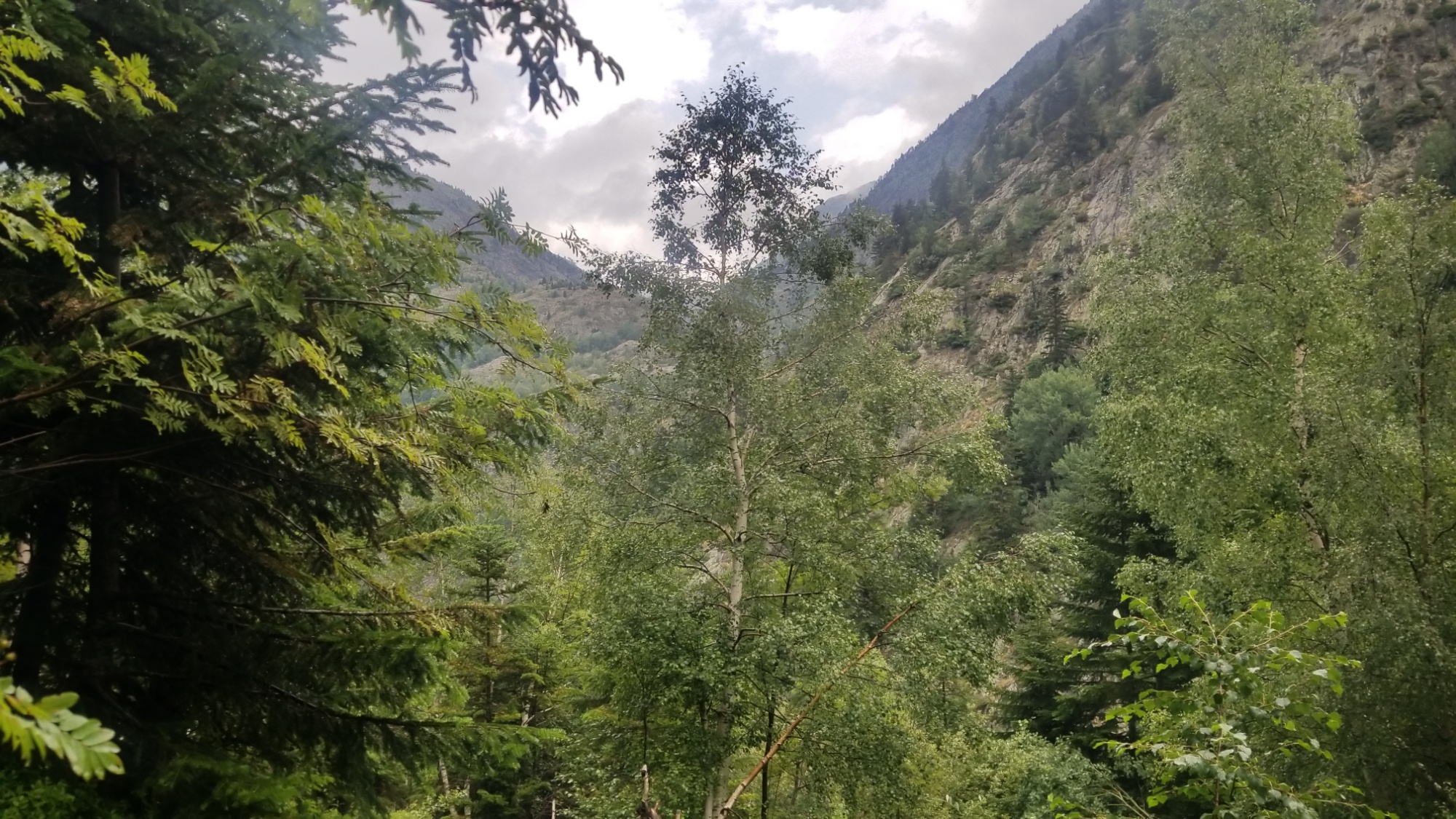
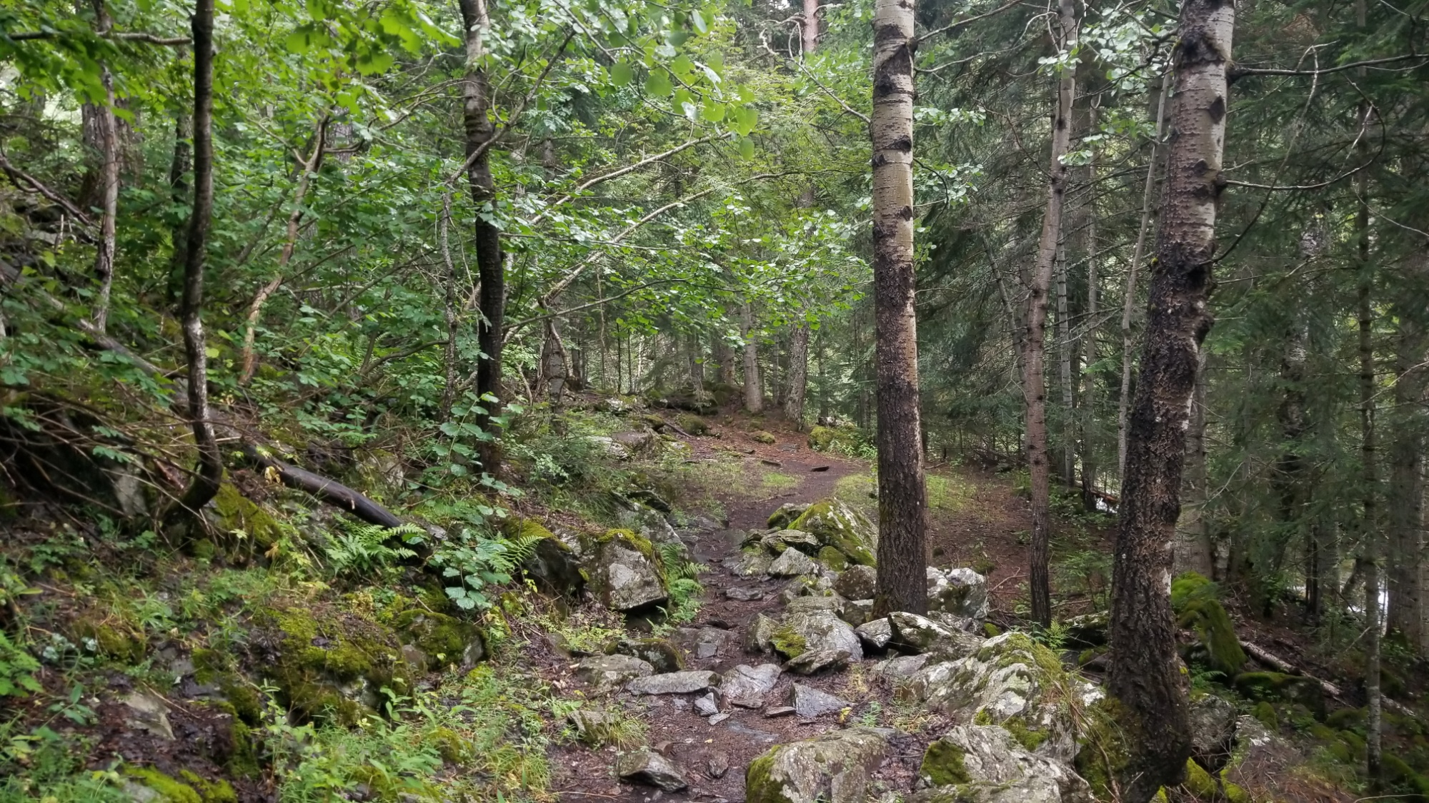
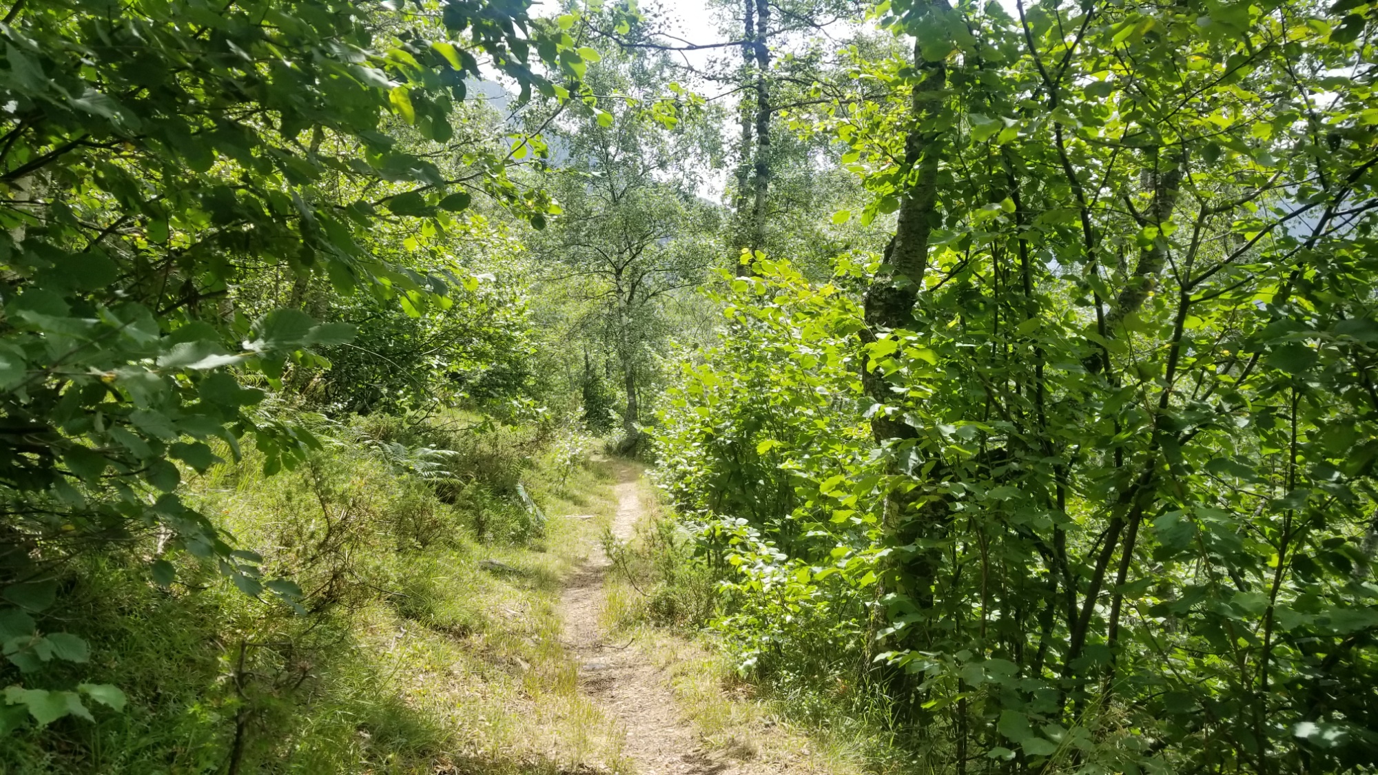
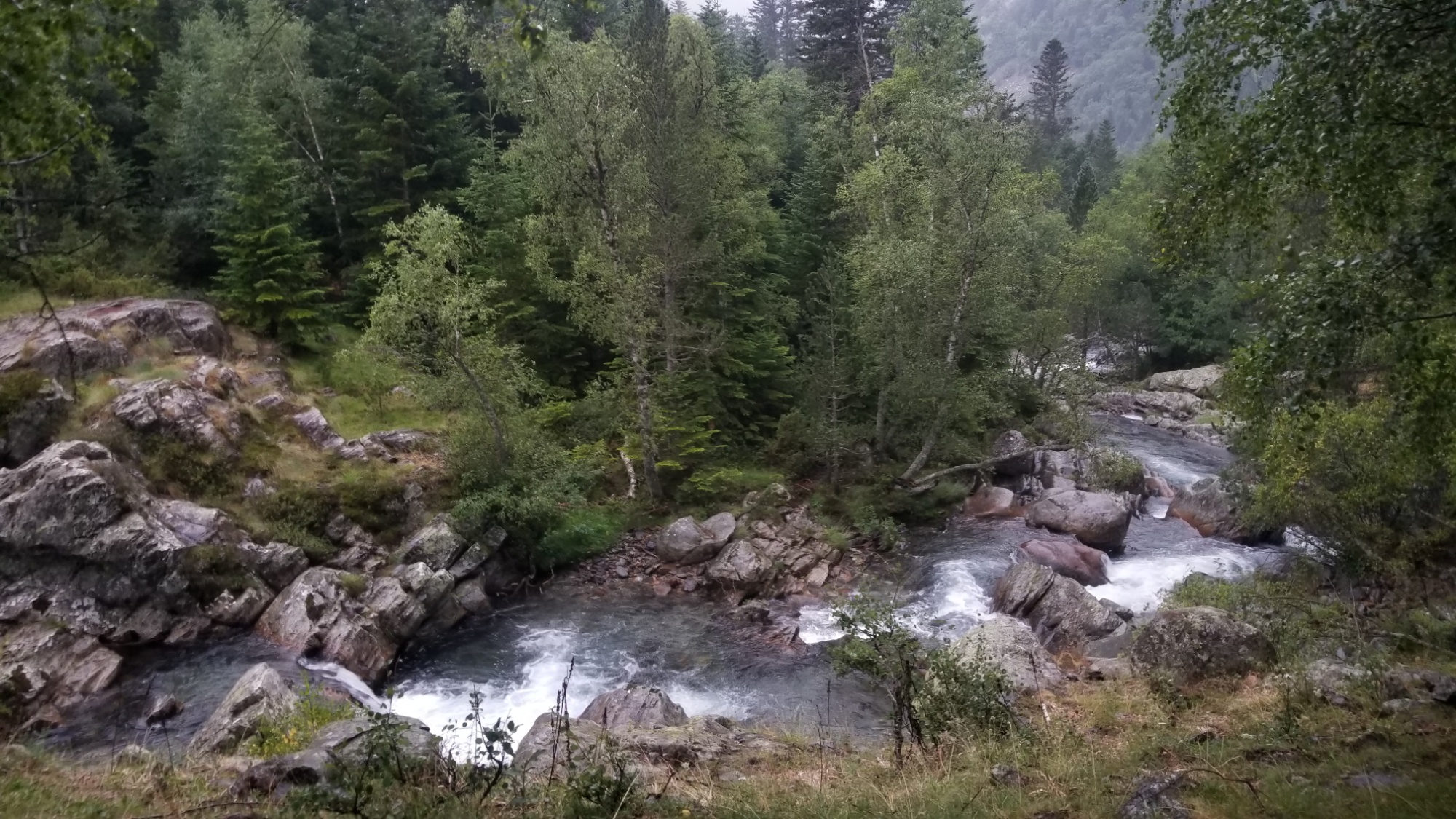
I was glad to start in a lull in today’s storms, and the ascent began in a forest that looked identical to those I got used to in the Pacific Northwest! Very wet, hiking up the ravine of a big cascading stream, with lush green vegetation like ferns and fir trees all around.
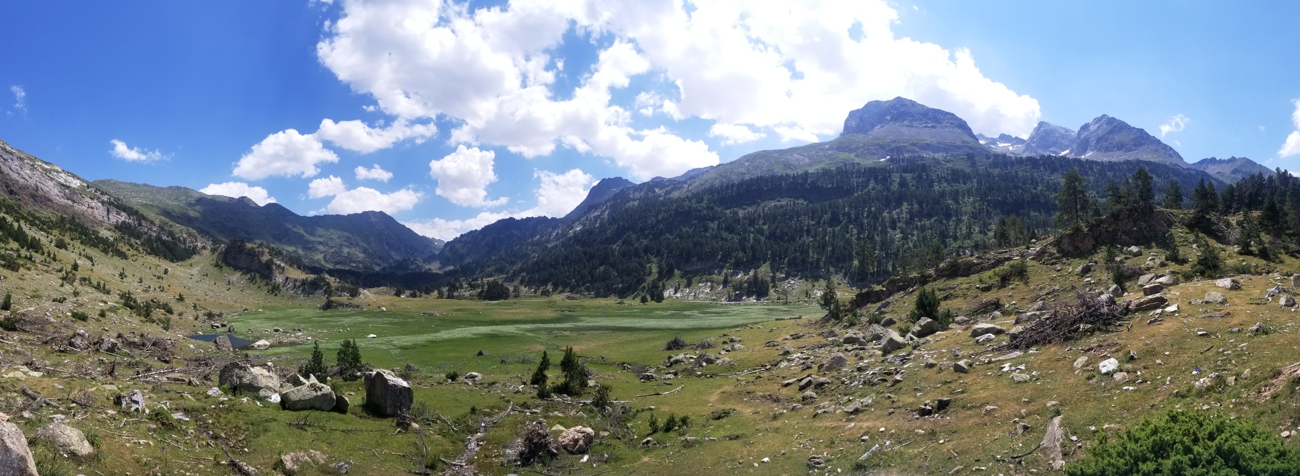
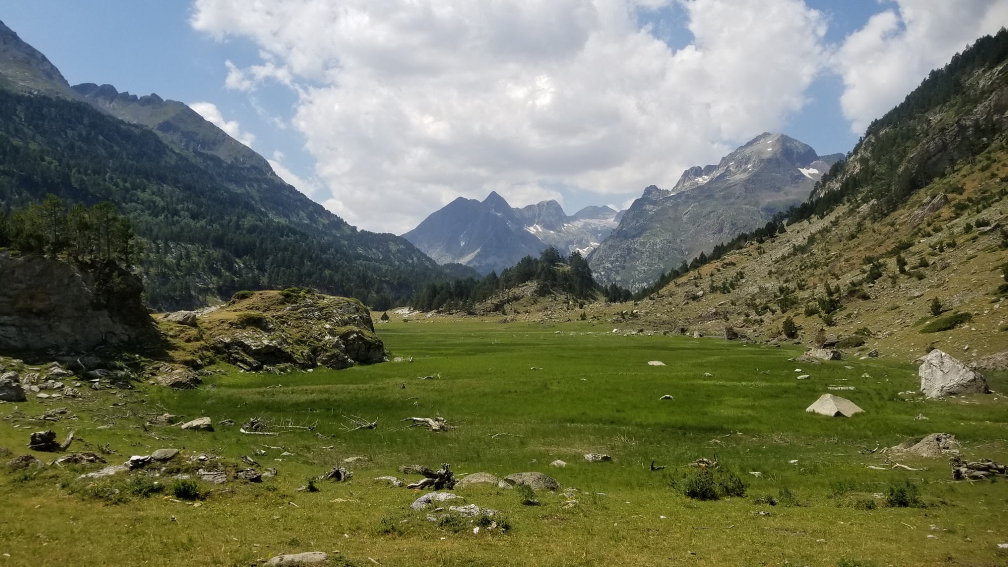
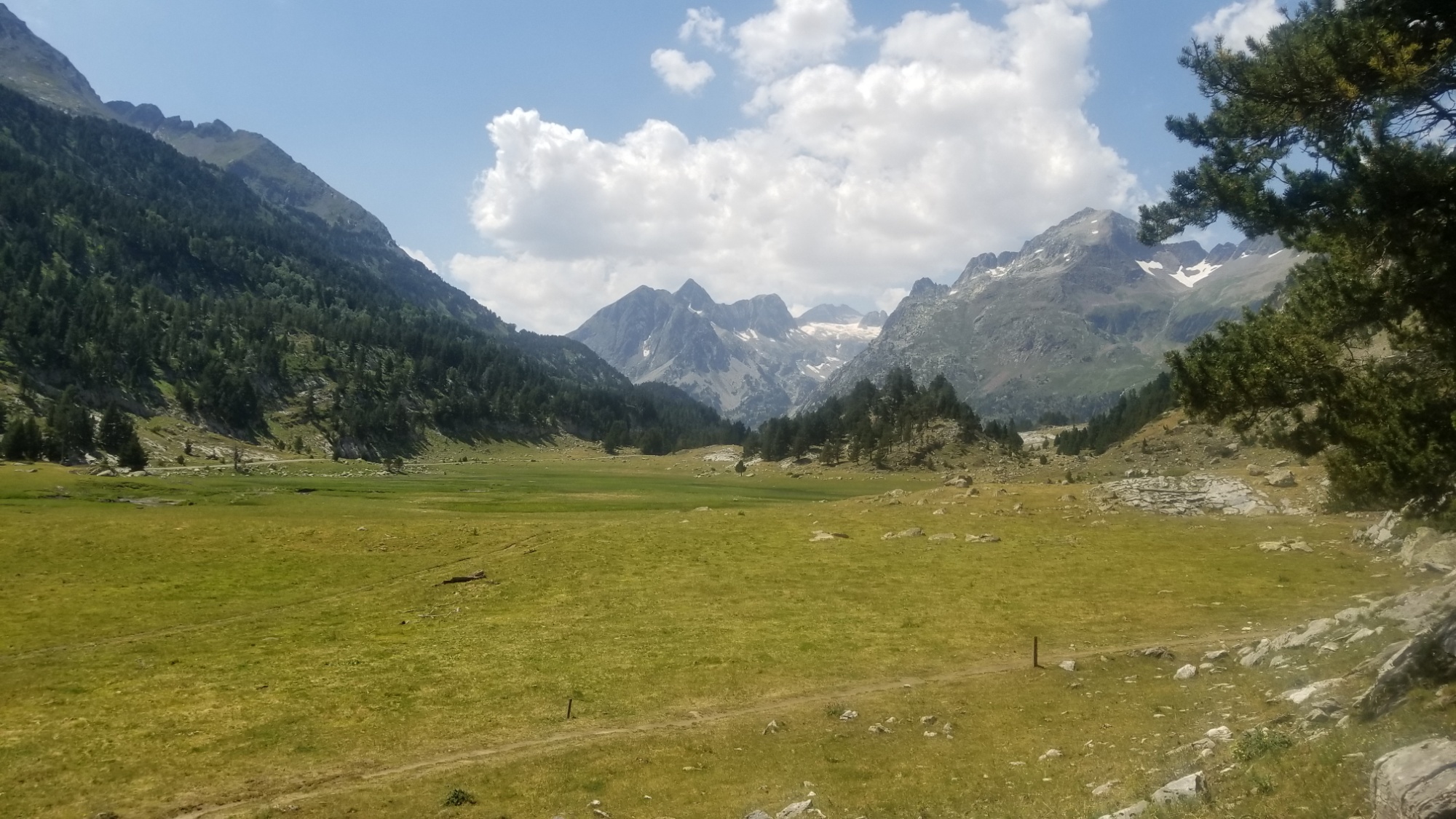
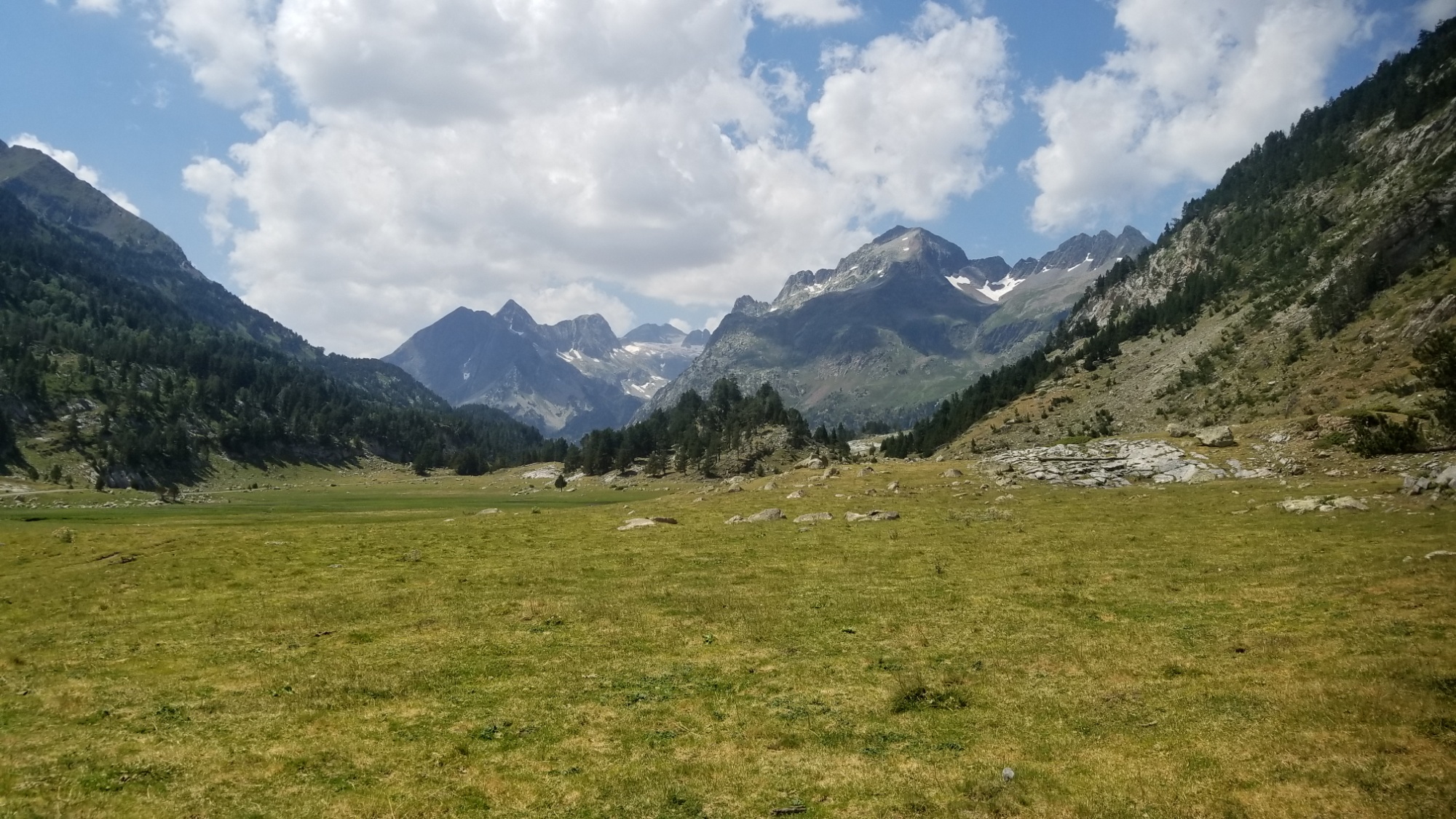
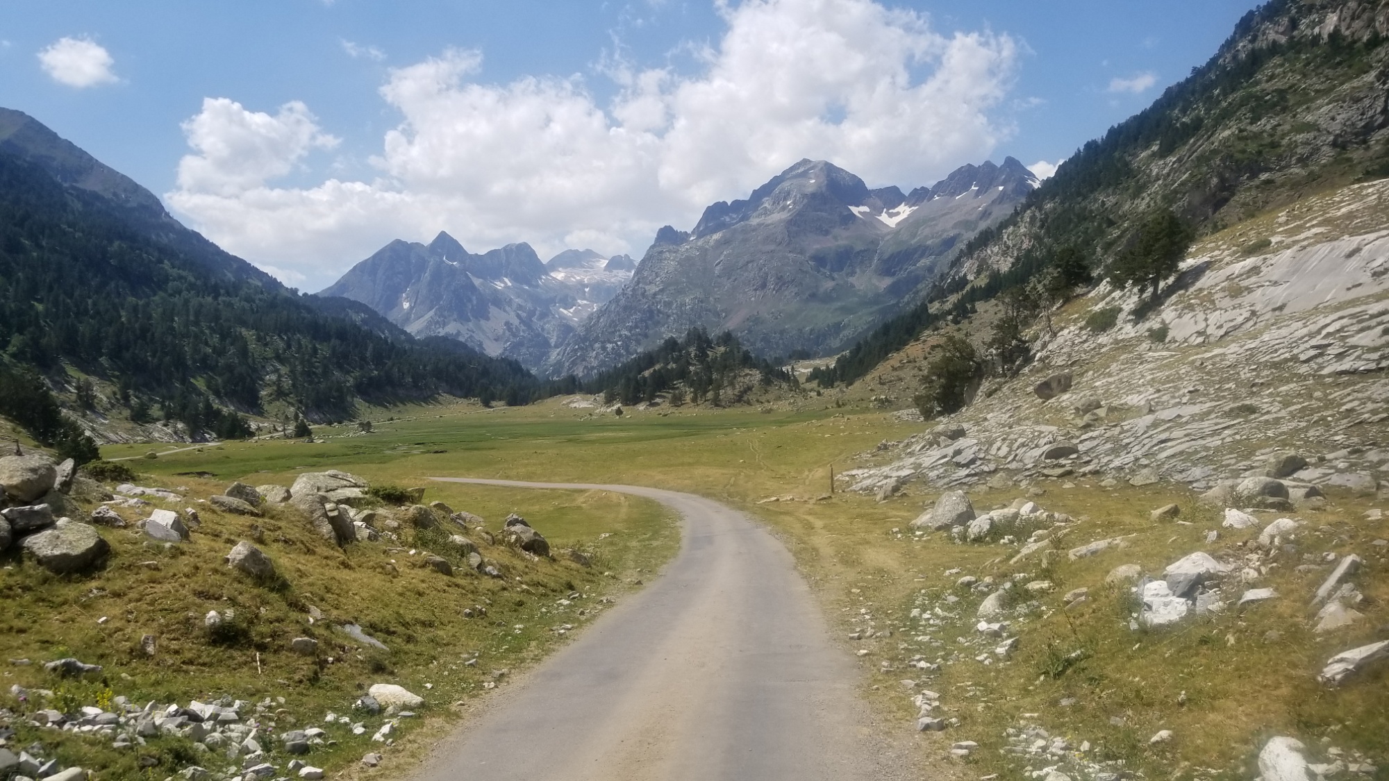
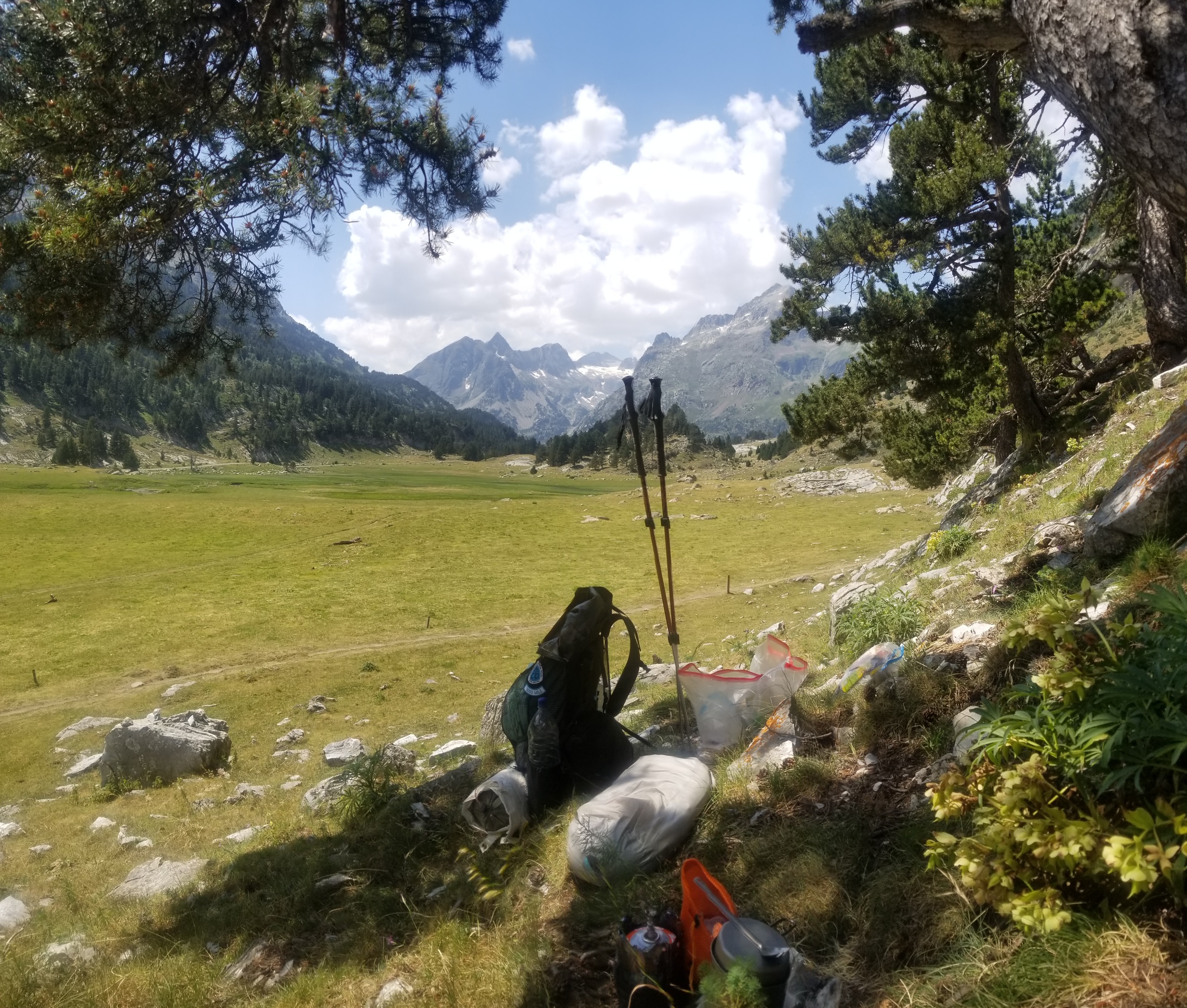
I crossed a bridge and carried on up the mountain, meeting a group of hikers headed down to where I was before, the Pla de Boavi.
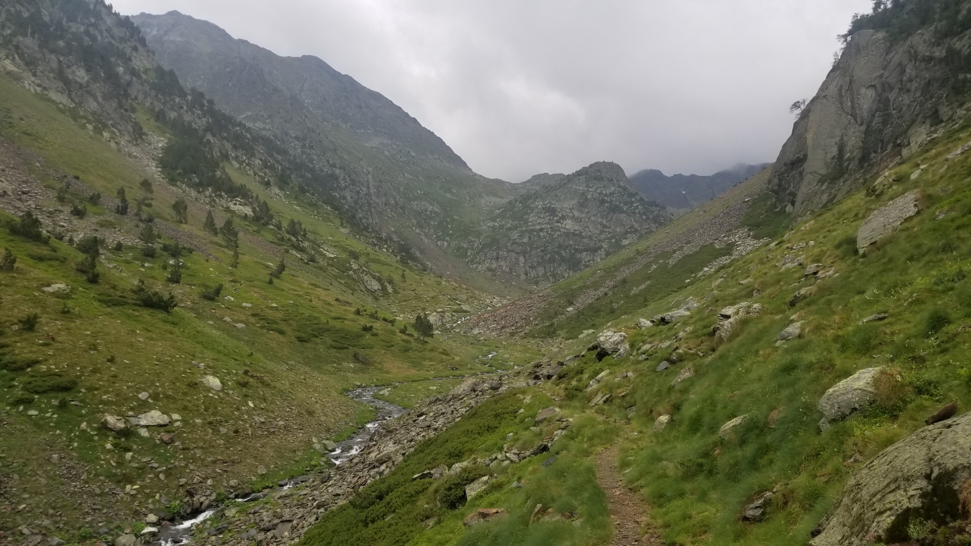
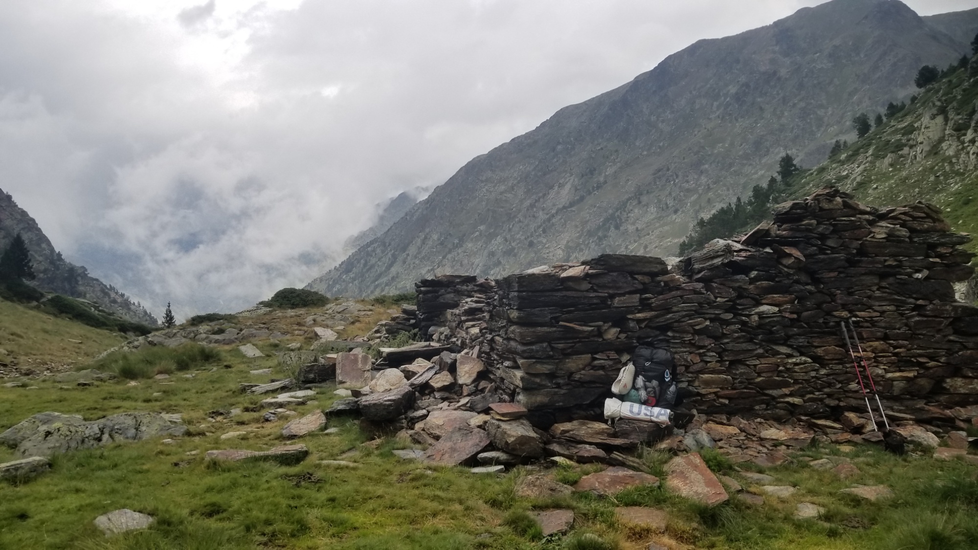
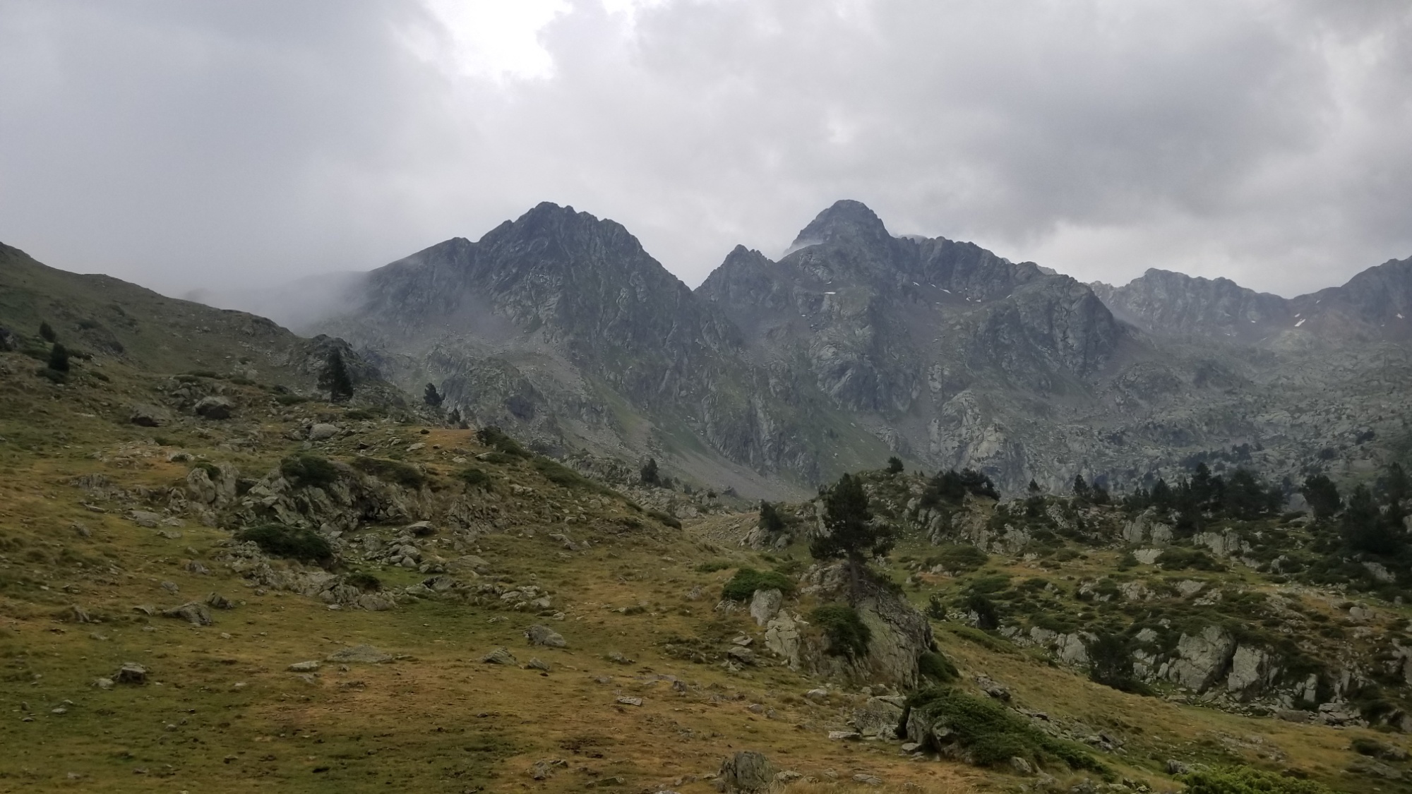
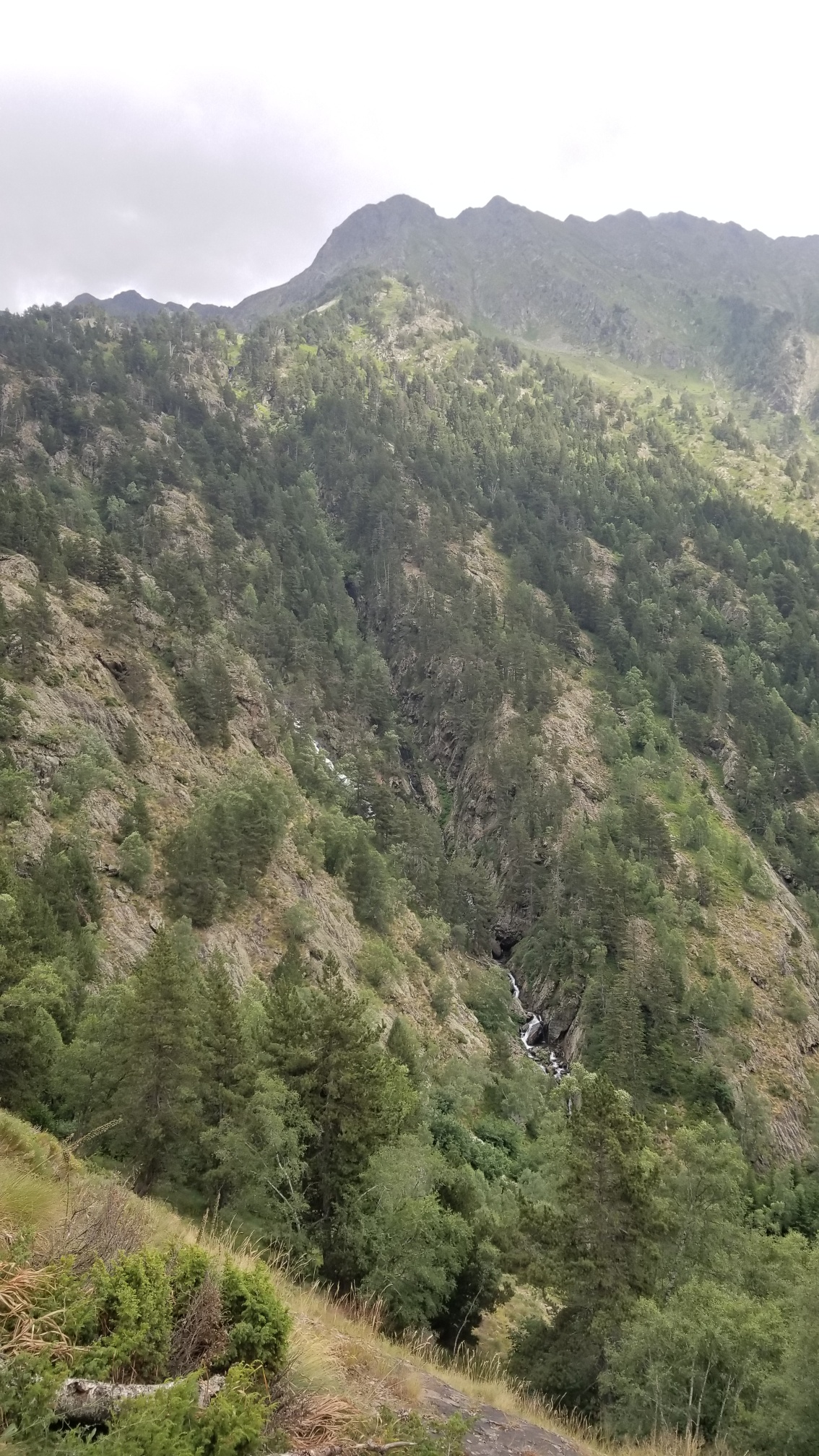
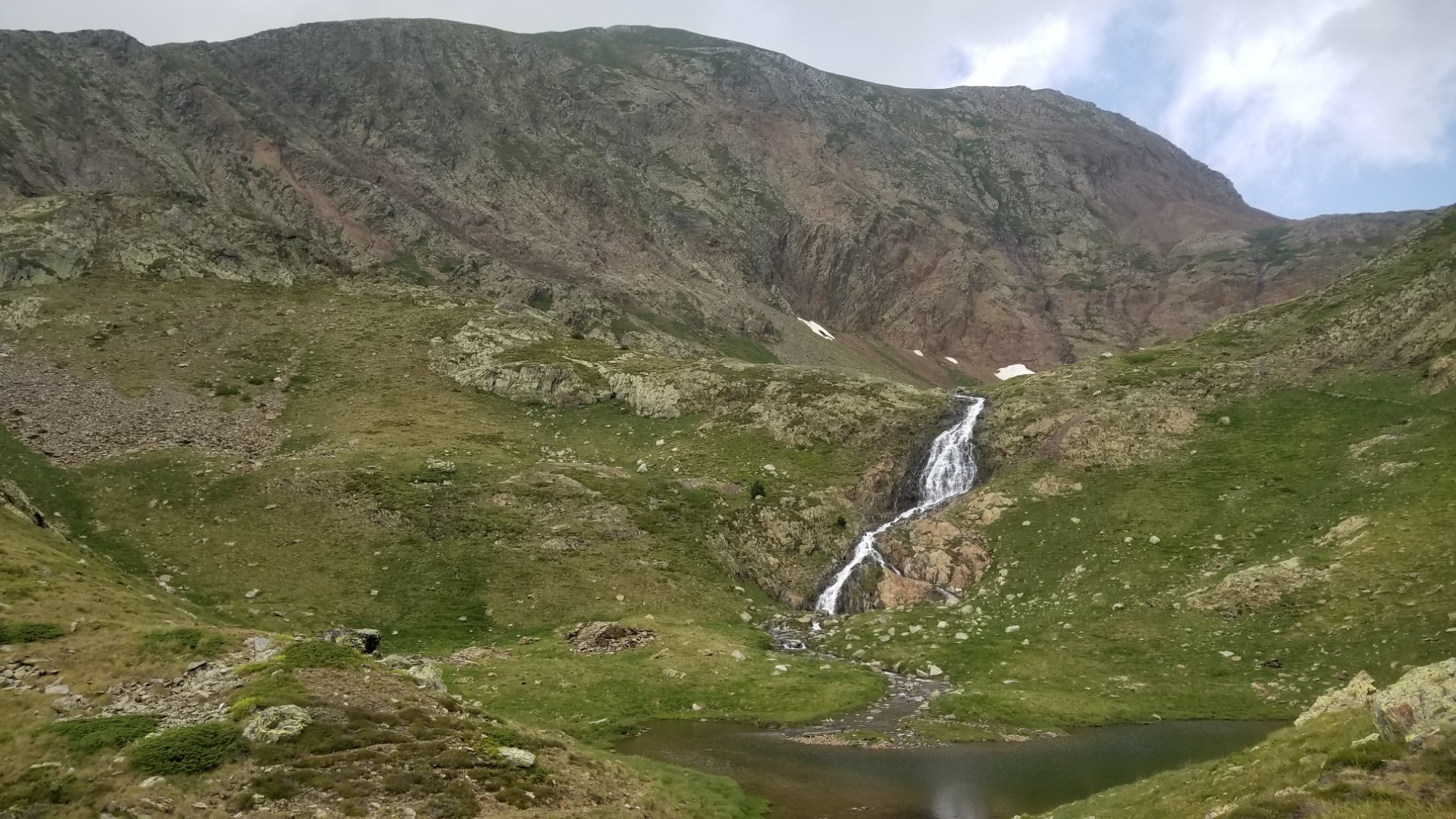
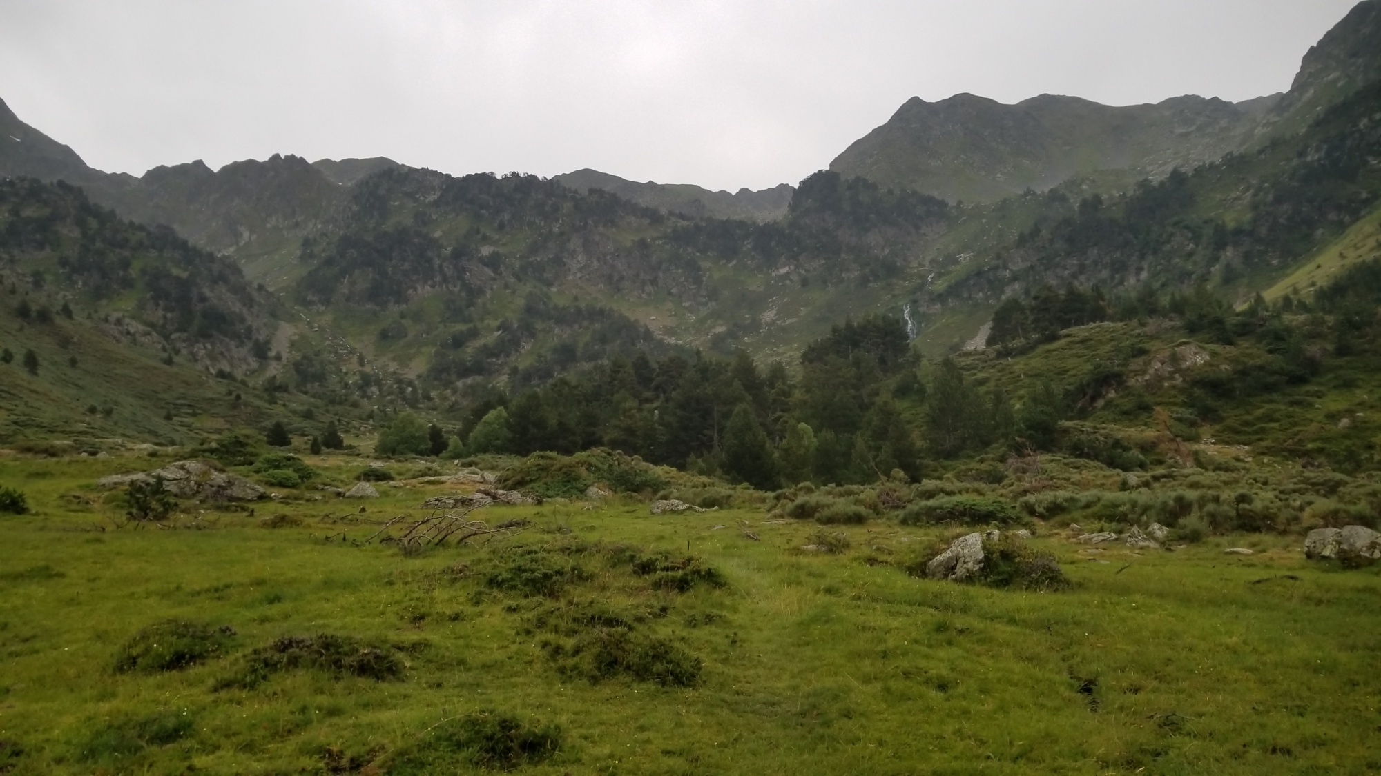
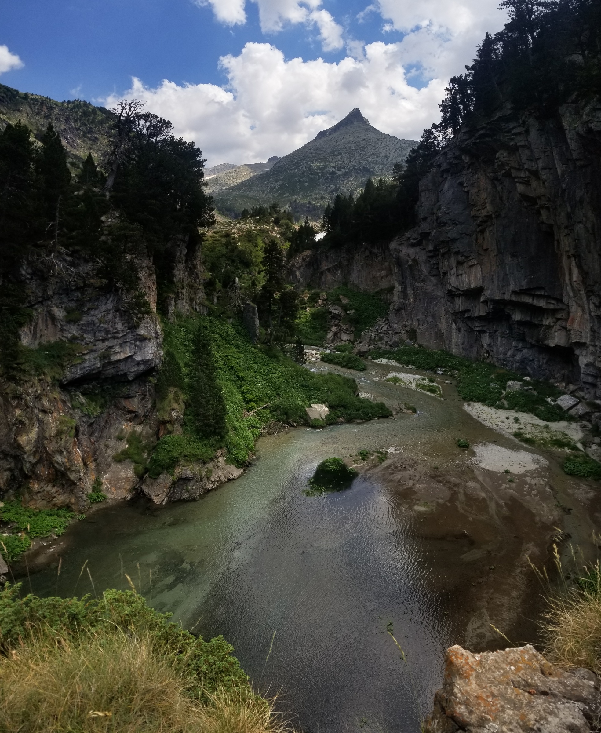
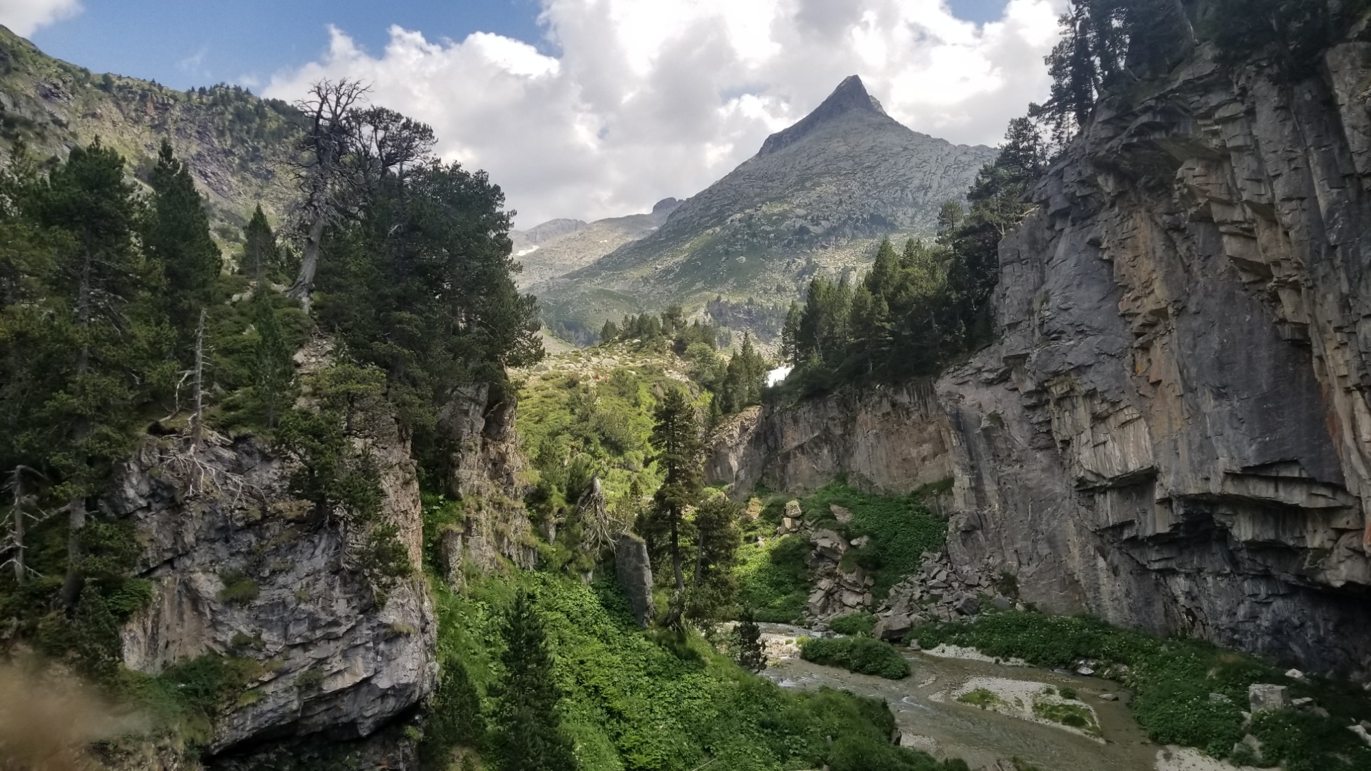
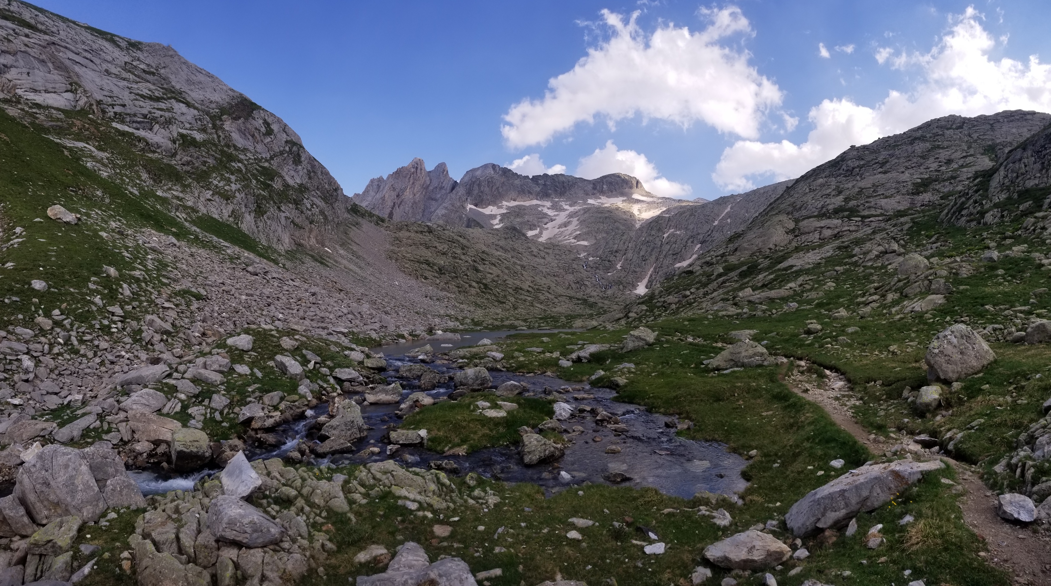
The trail weaved it’s way around and up one of the walls of a large bowl in the valley, where two streams came cascading down from opposite valleys to form the one I hiked up along. Once at the top of the right cascade, I was at the remains of the refuge Sellente, which looks like it would’ve been a good place to rest at one point. I was hoping it would at least have a roof…
Refugi Sellente
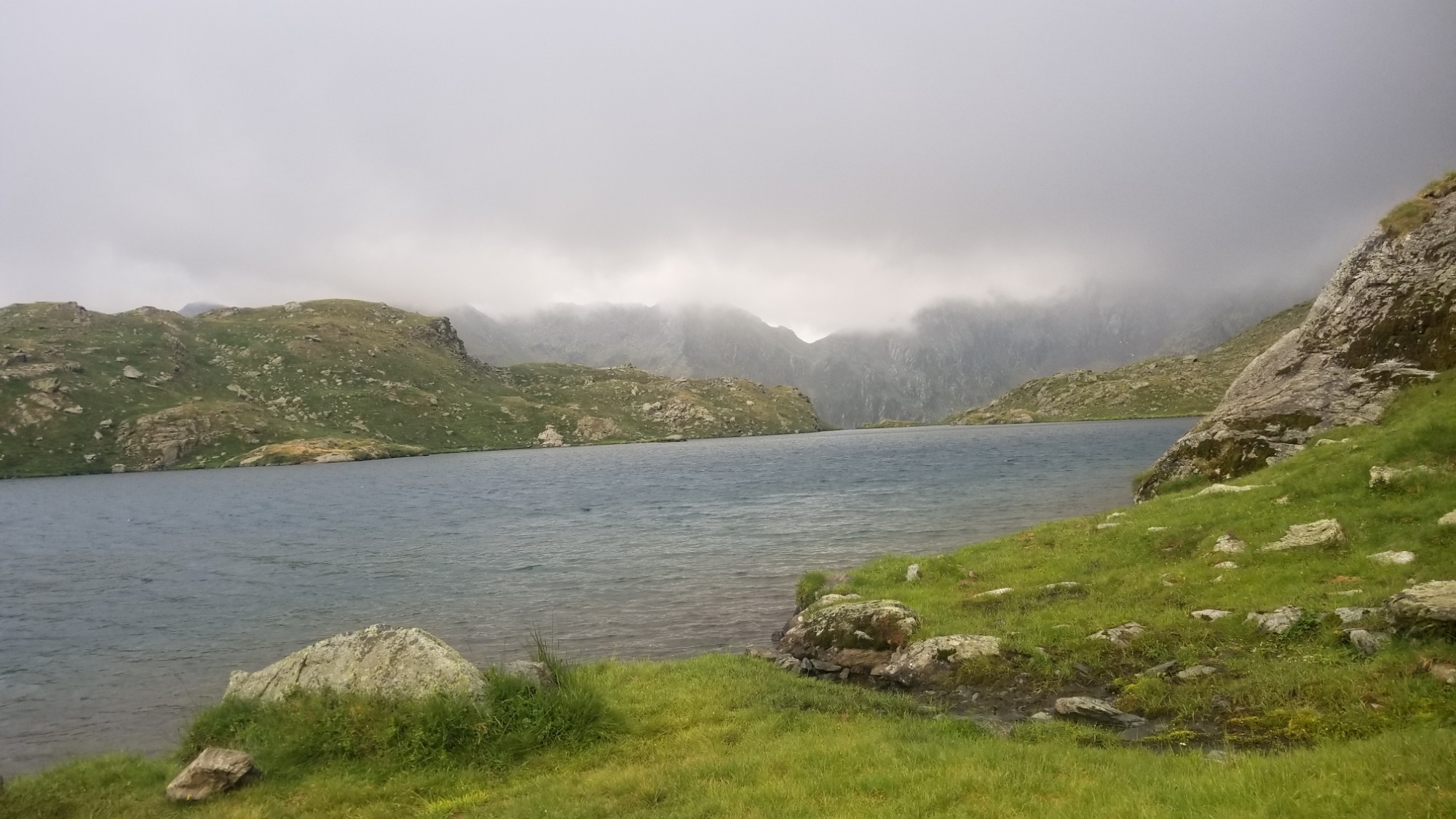
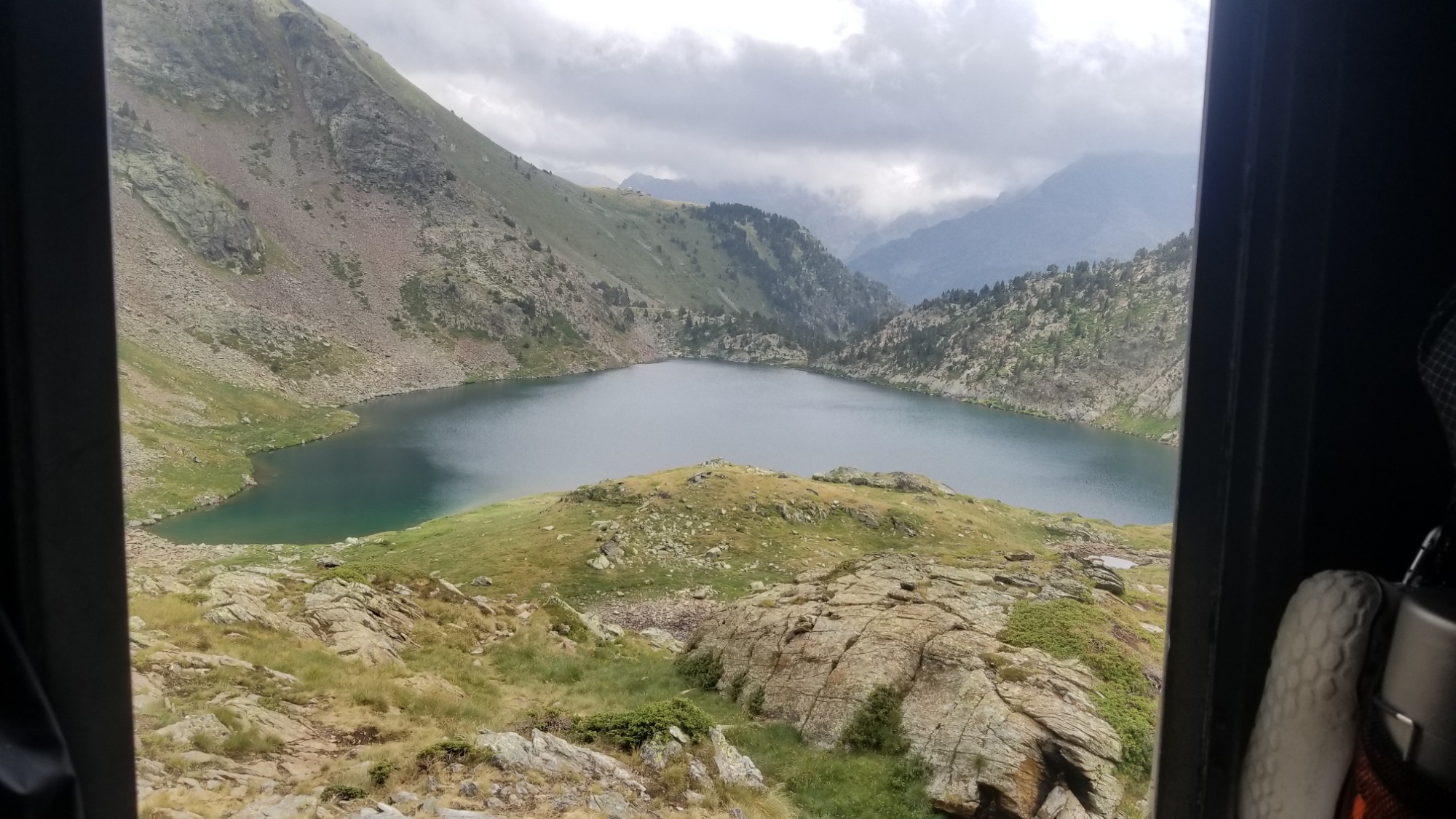
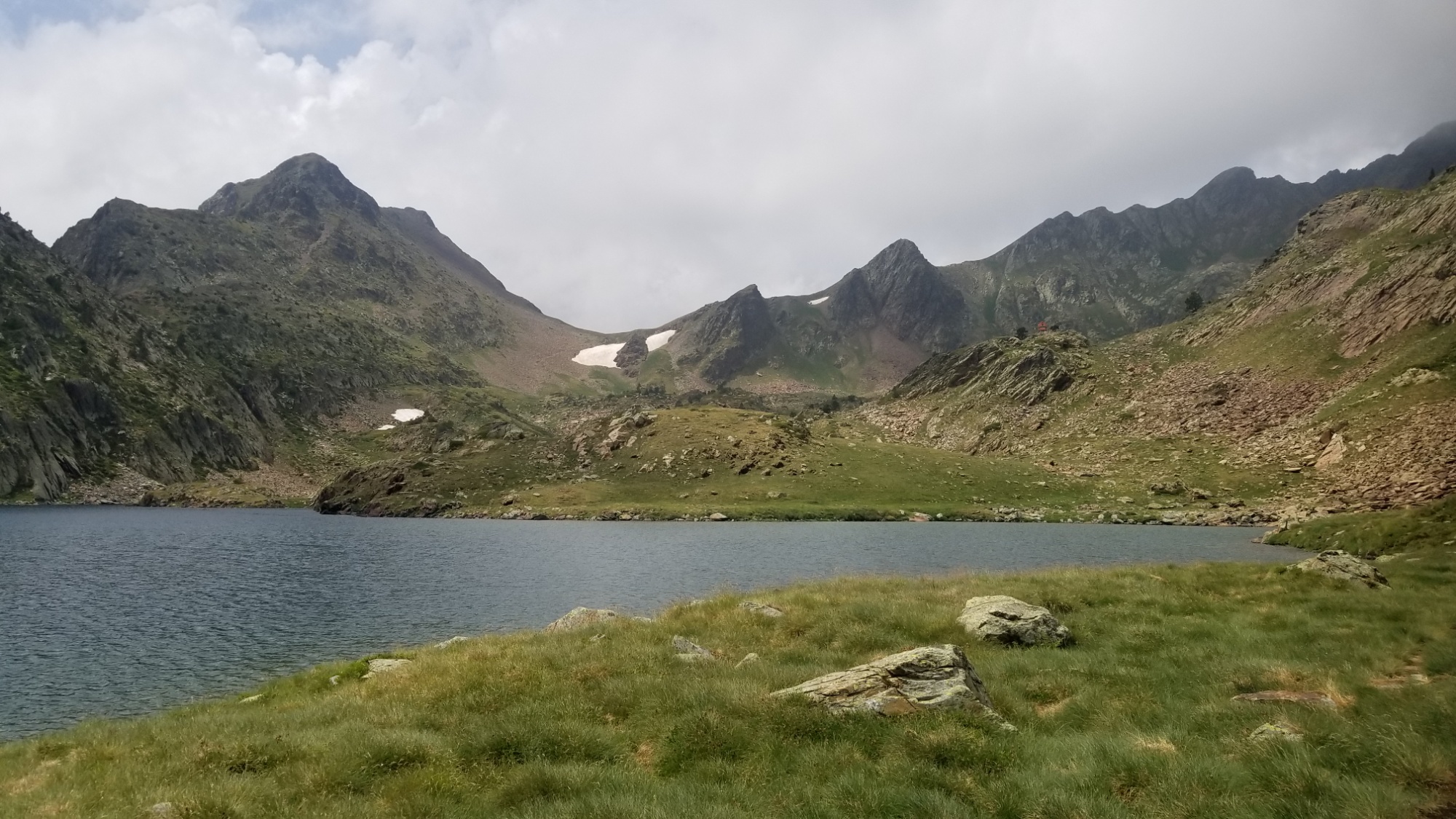
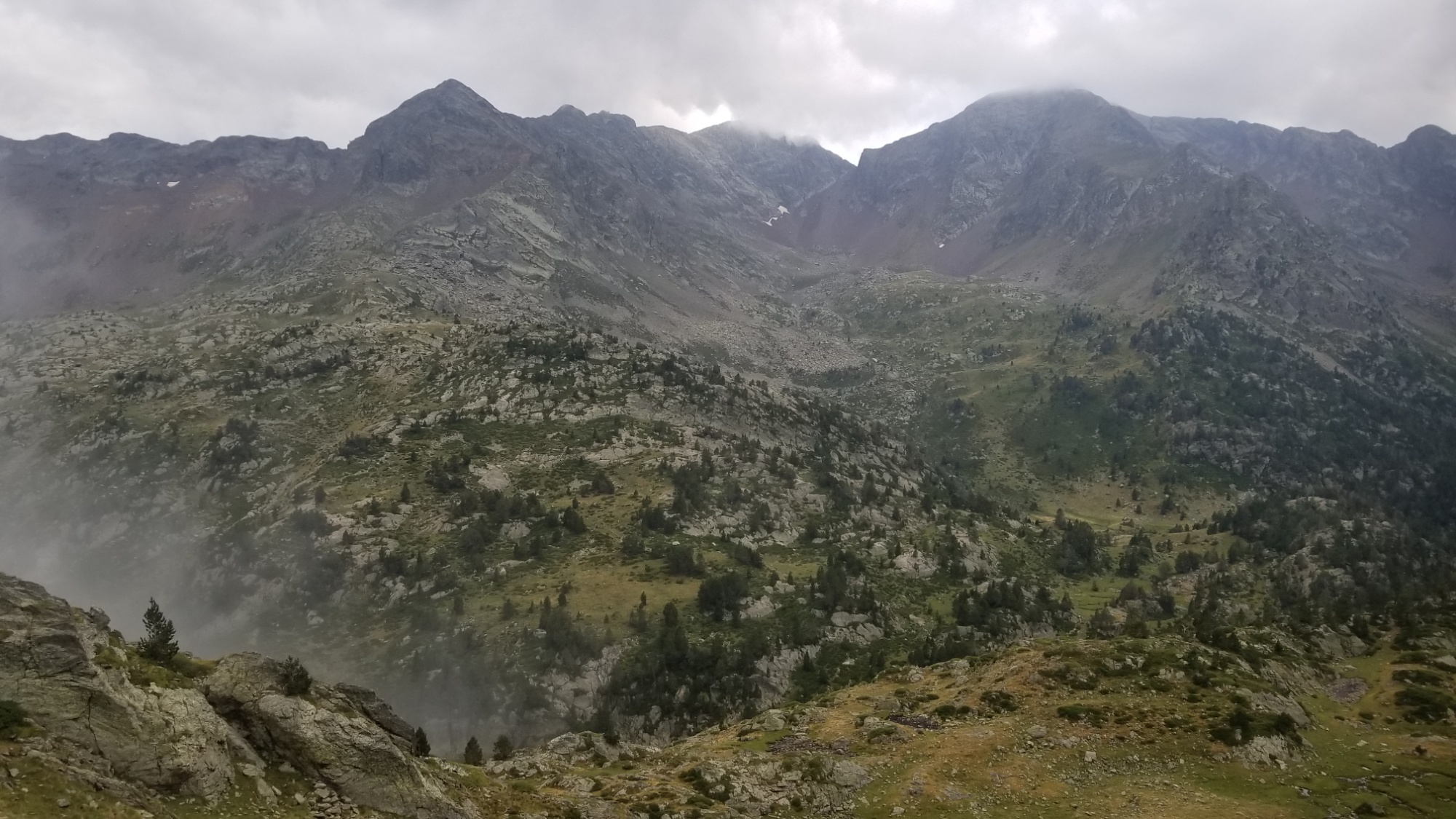
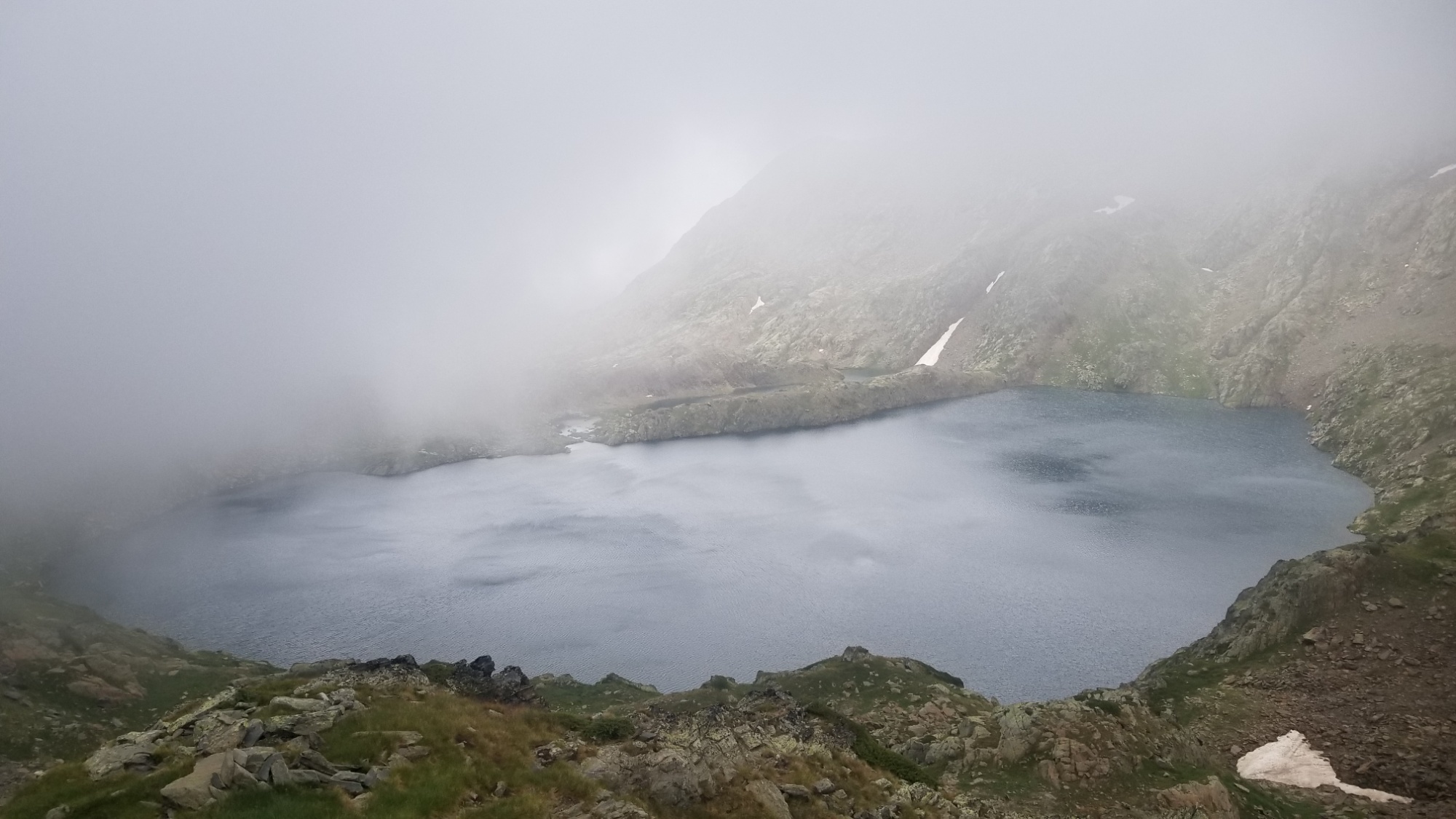
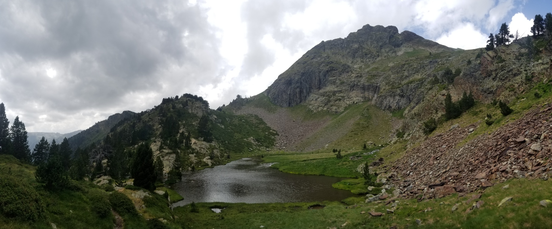
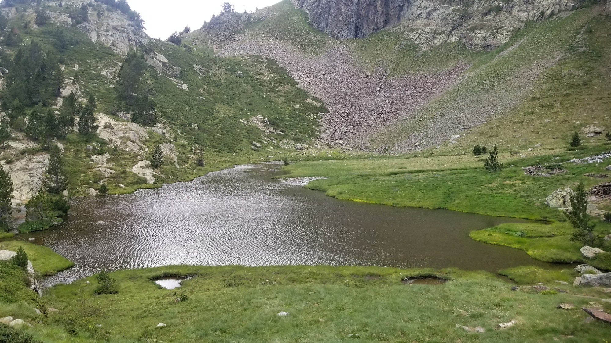
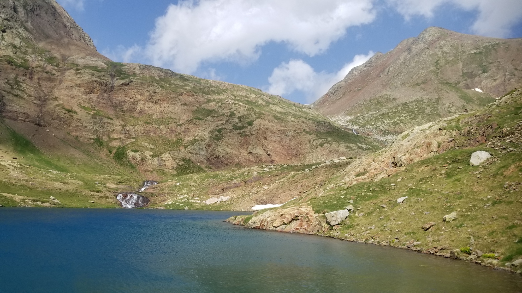
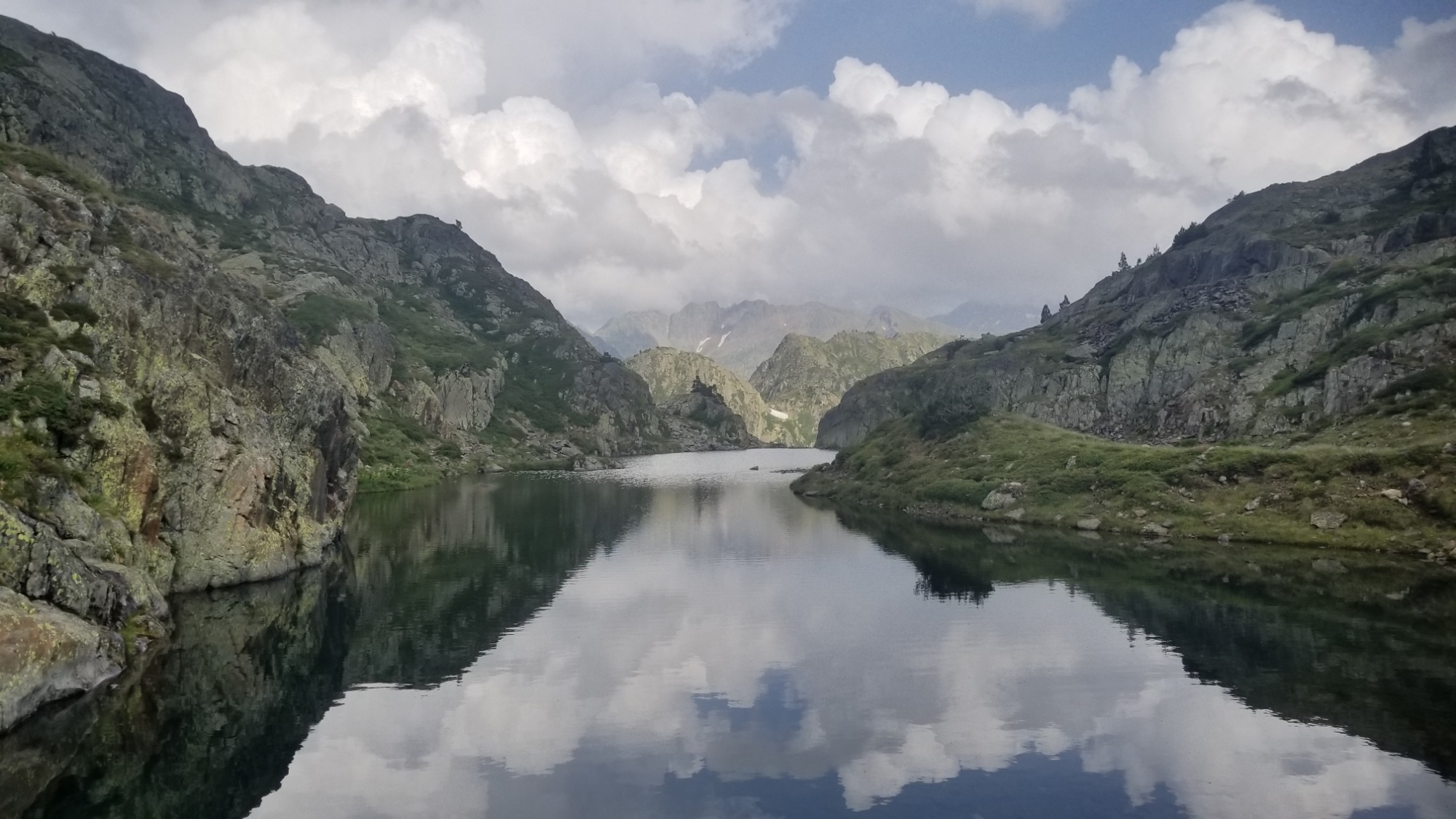
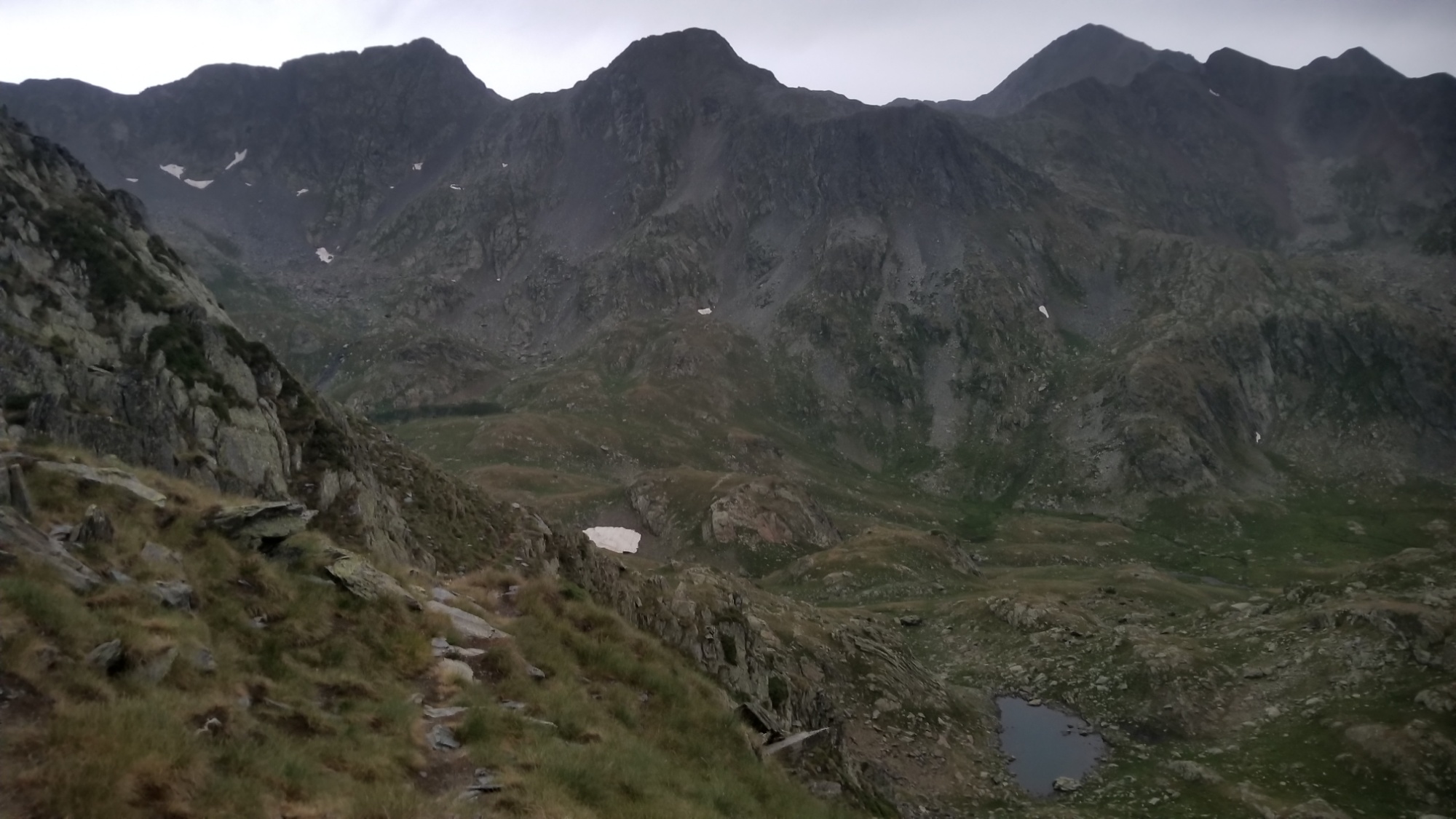
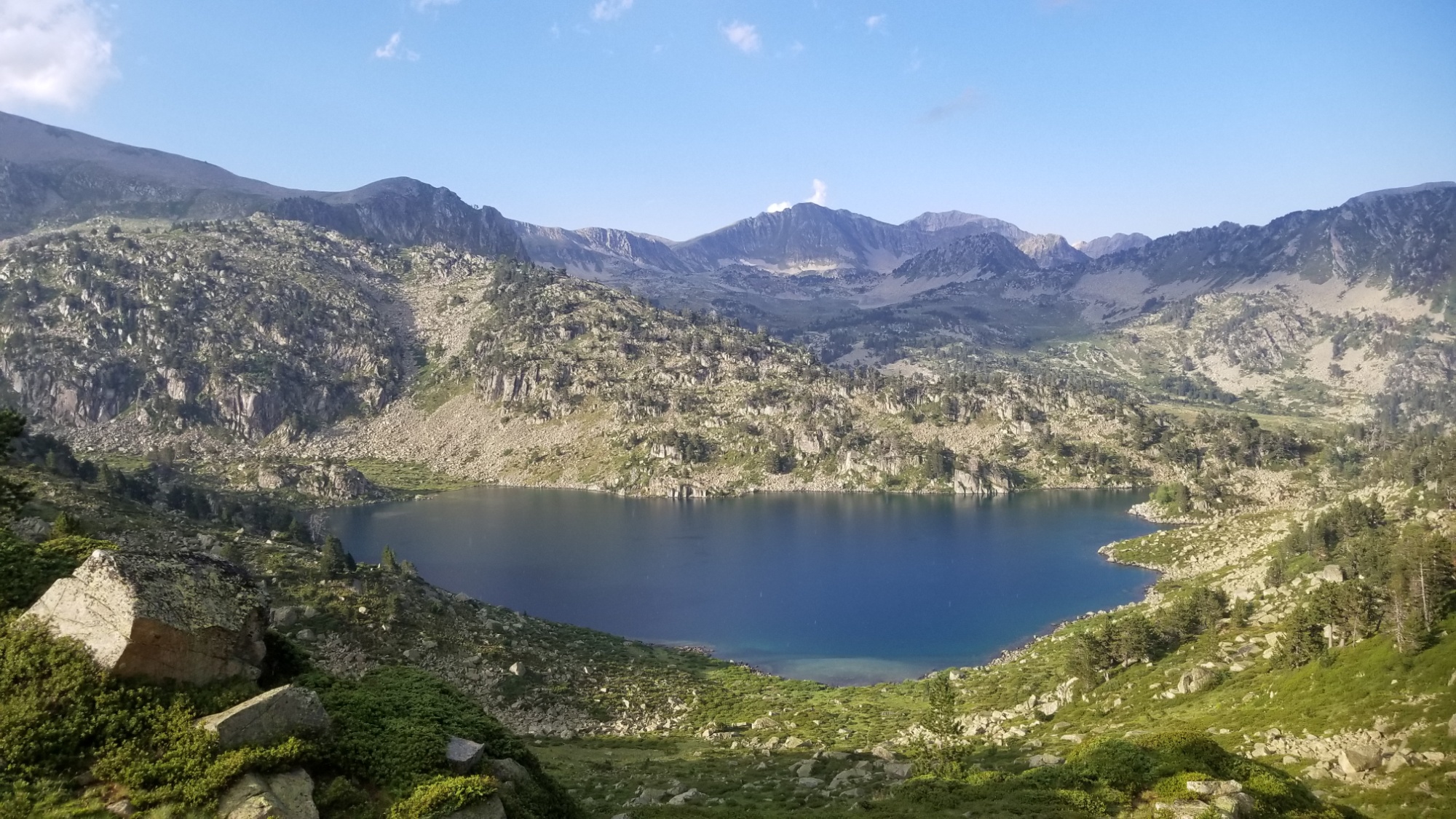
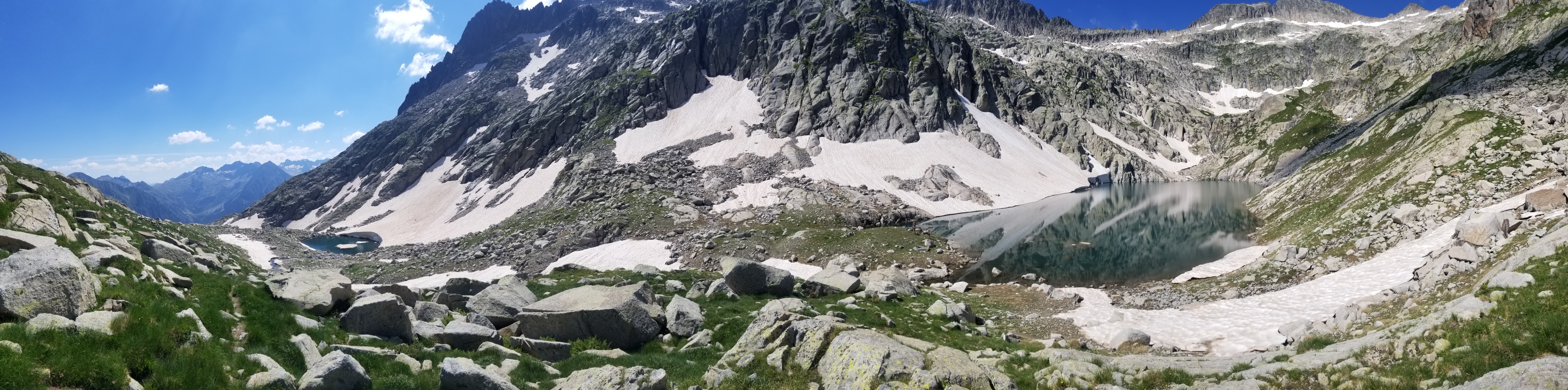
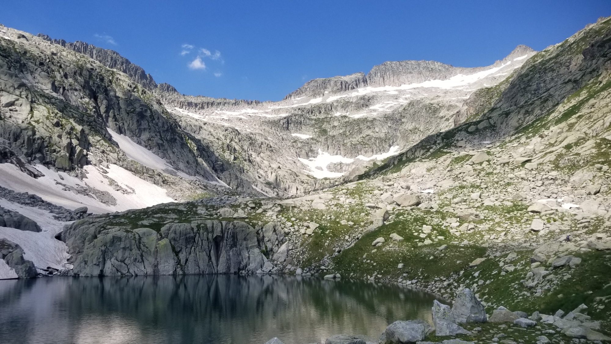
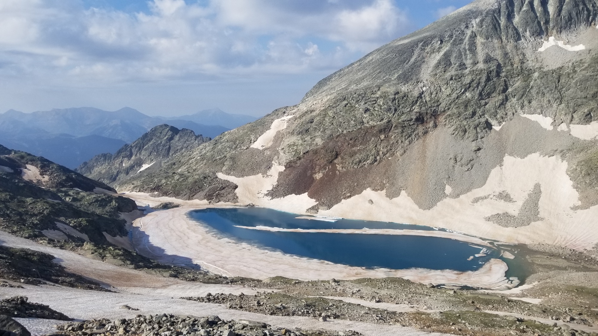
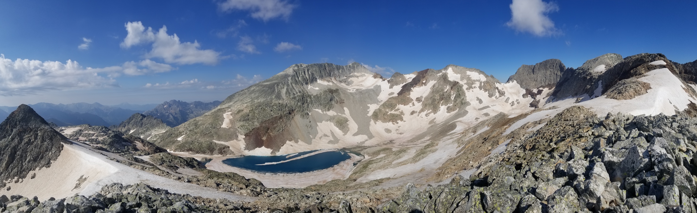
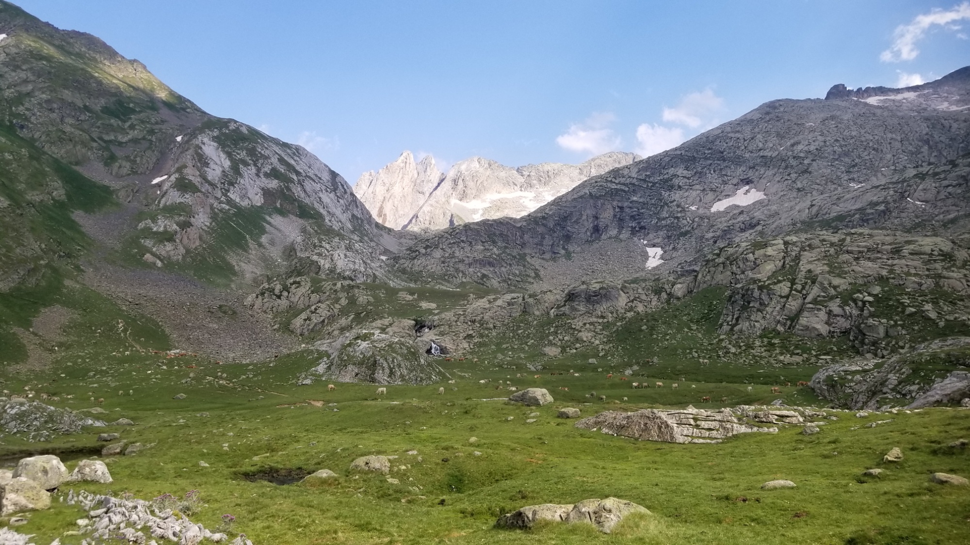
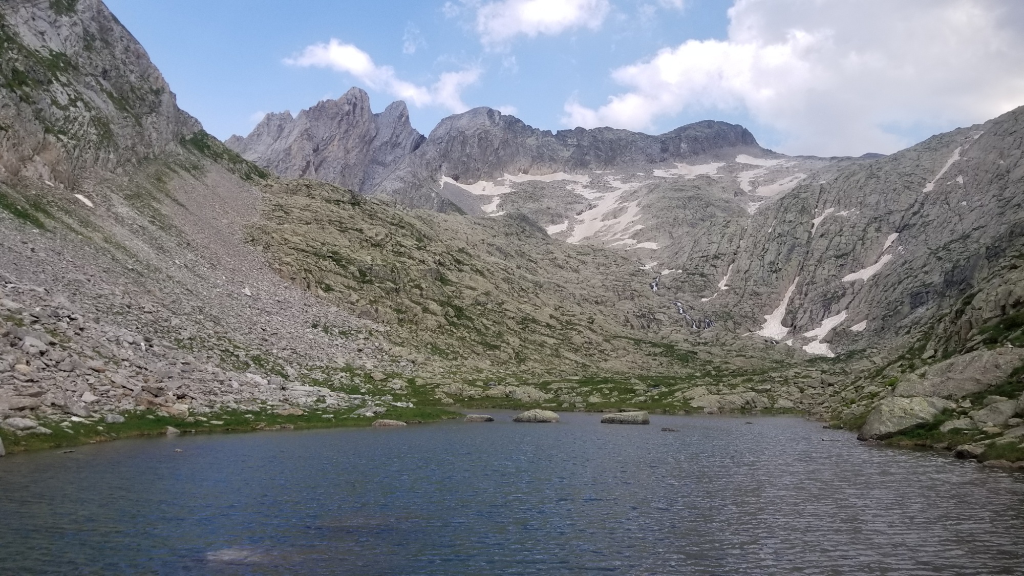
Ah well. I filtered some water for lunch and carried on up to the col. Once up there, I was able to see the Lac of Baborte, and the orange refugi just above it. Perfect spot for lunch, given the dismal weather! I really love all the unstaffed refuges they have up here. You just stay there if you need it, and it is built and cleaned by a local alpine club, who use it as a base to climb mountains.
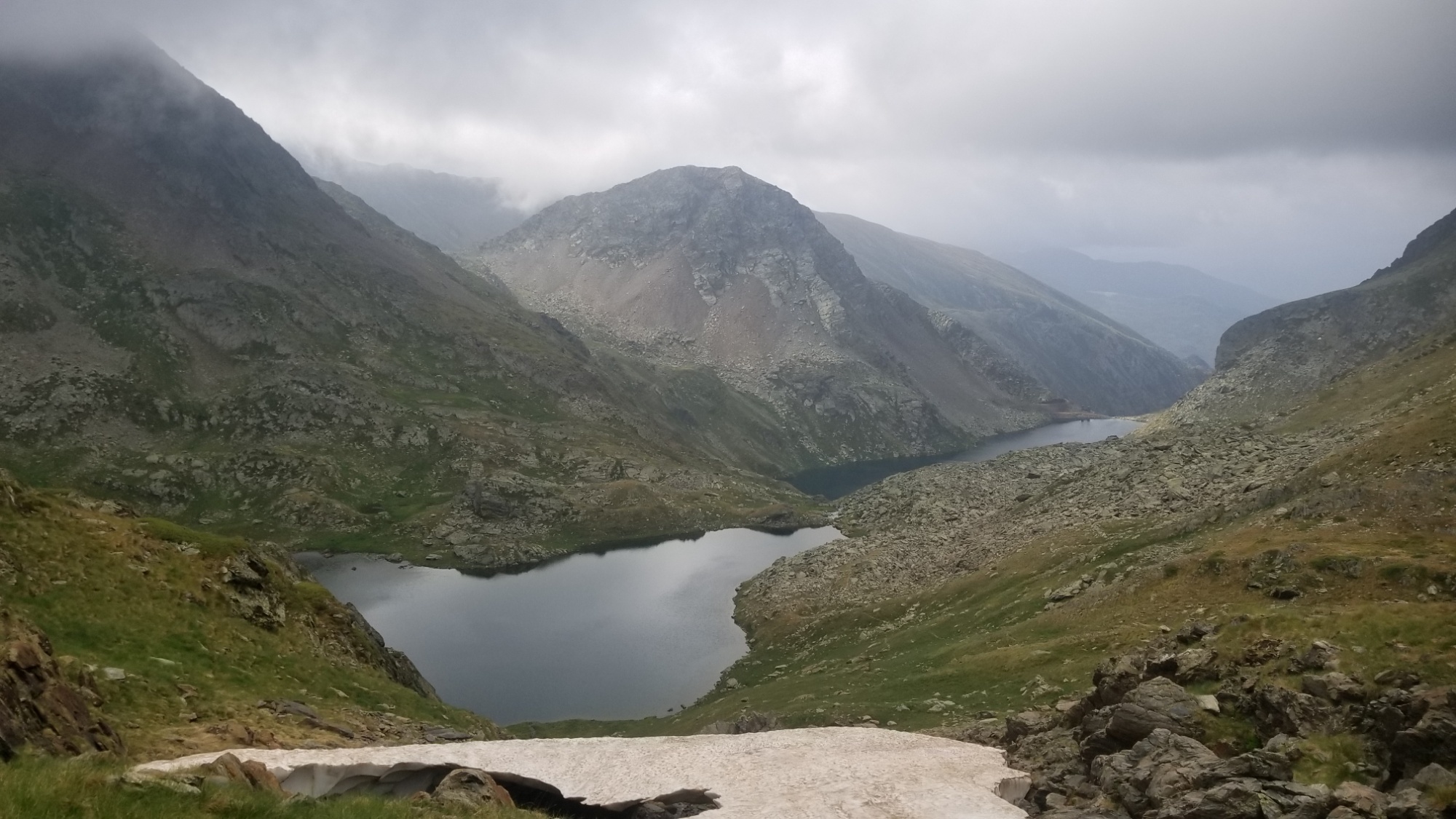
Lac Baborte with the orange refugi on the left
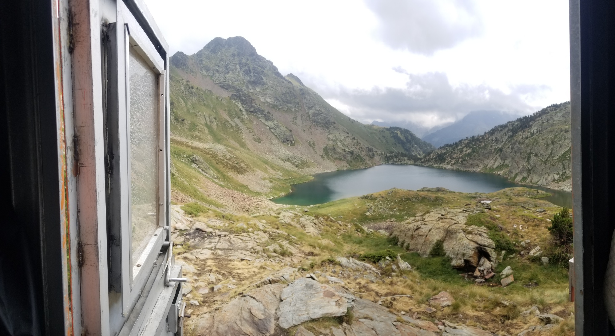
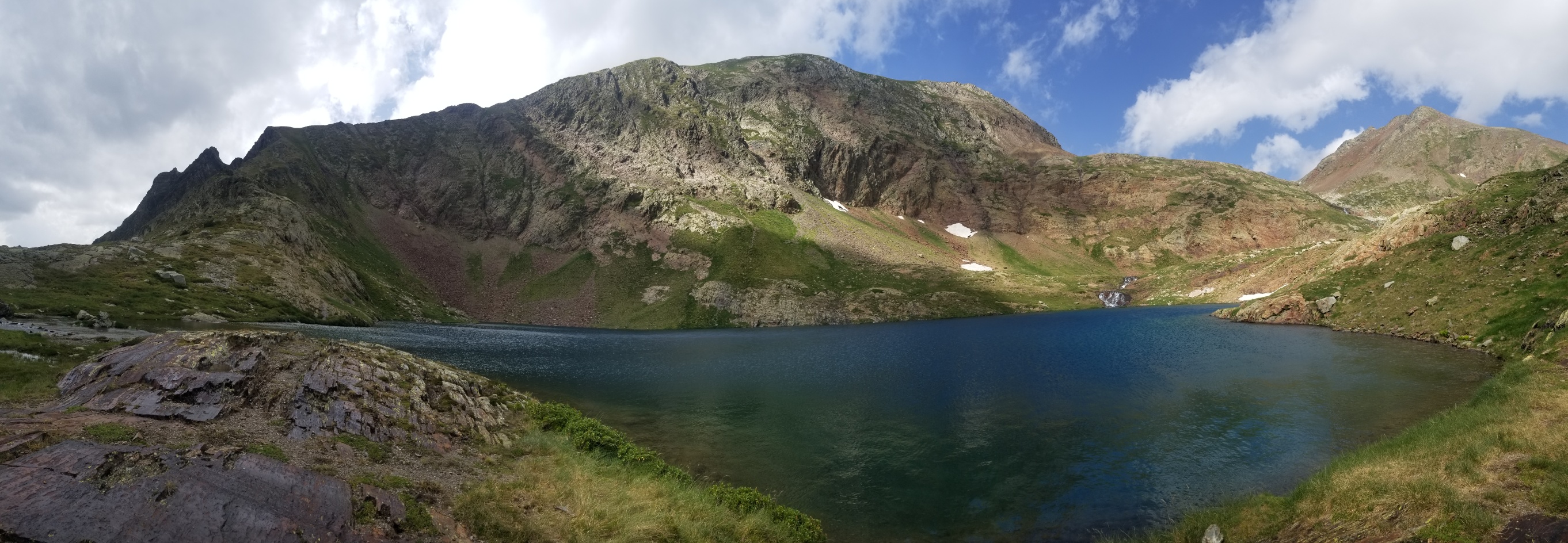
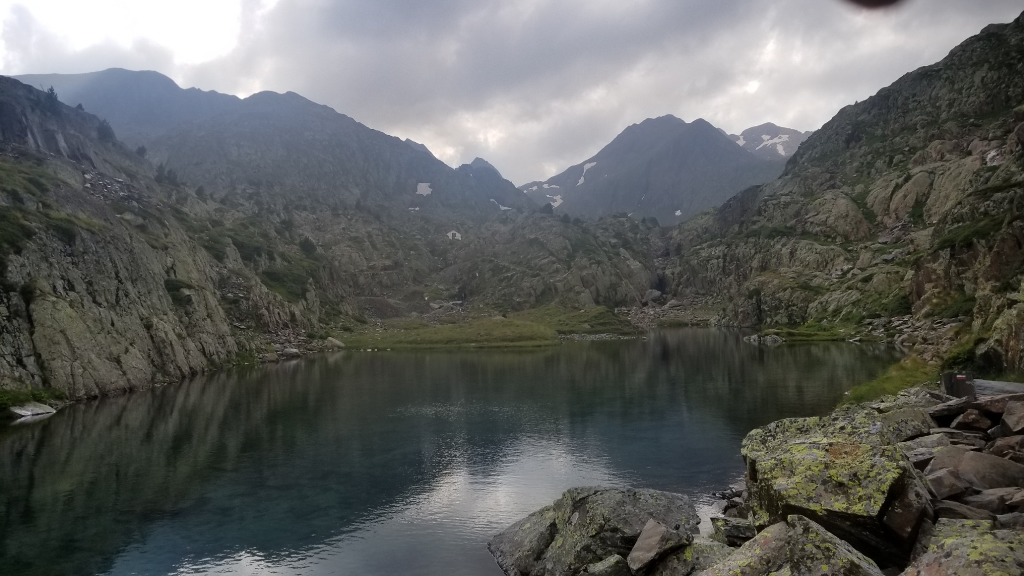
I crossed the valley and came up to the refugi, meeting two other hikers I had been hiking behind for an hour or so. We all took off our wet boots and closed the two sets of solid metal storm doors, and sat down at the table with another man who was staying at the refuge.
Refugi with a view
While they poured over a map of the area in Spanish, I took the opportunity of having a table, to make a delicious pouch of soup and a cup of coffee! Yum! And out of the rain, too!
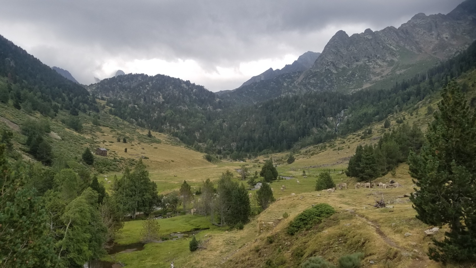
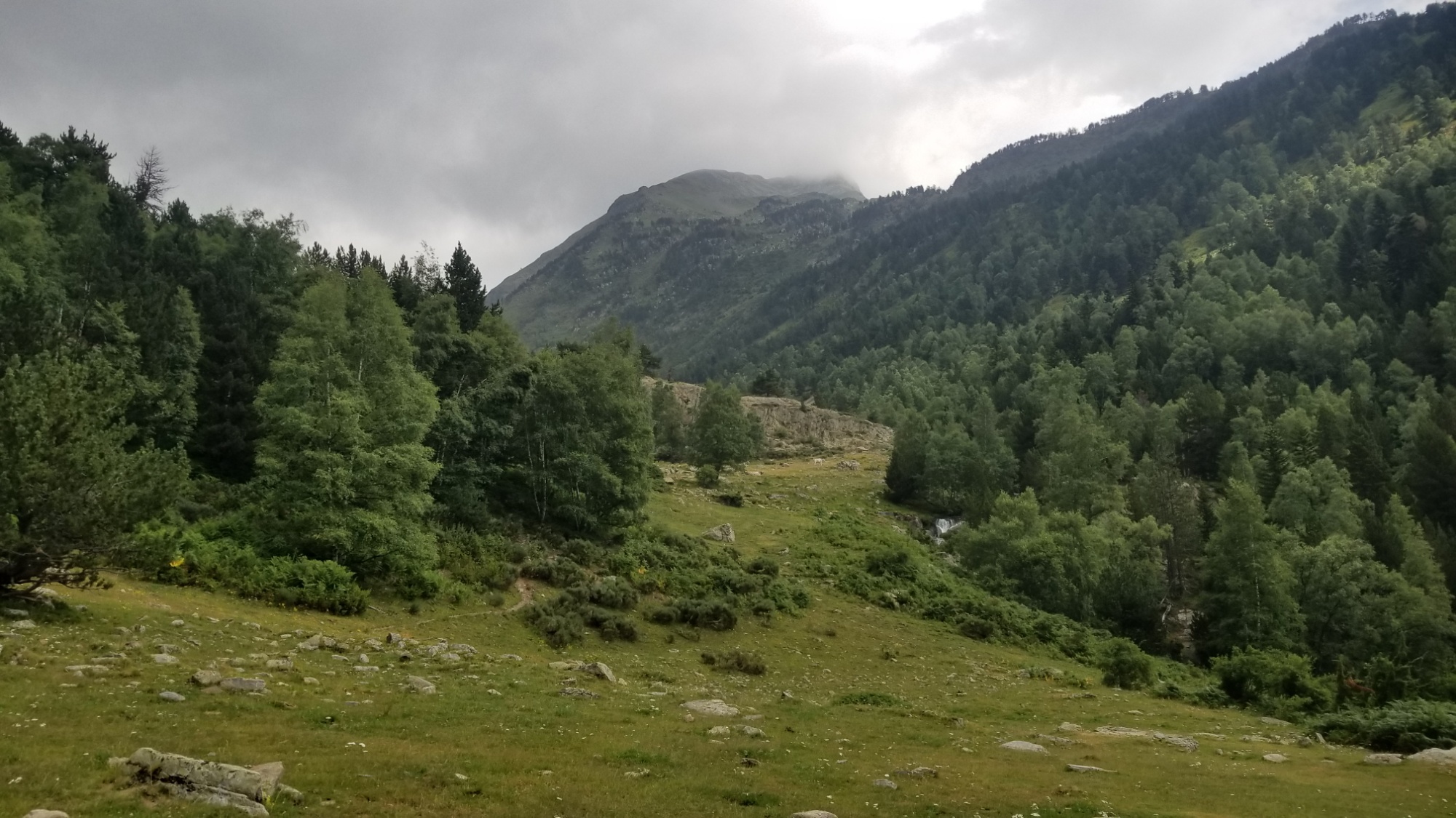
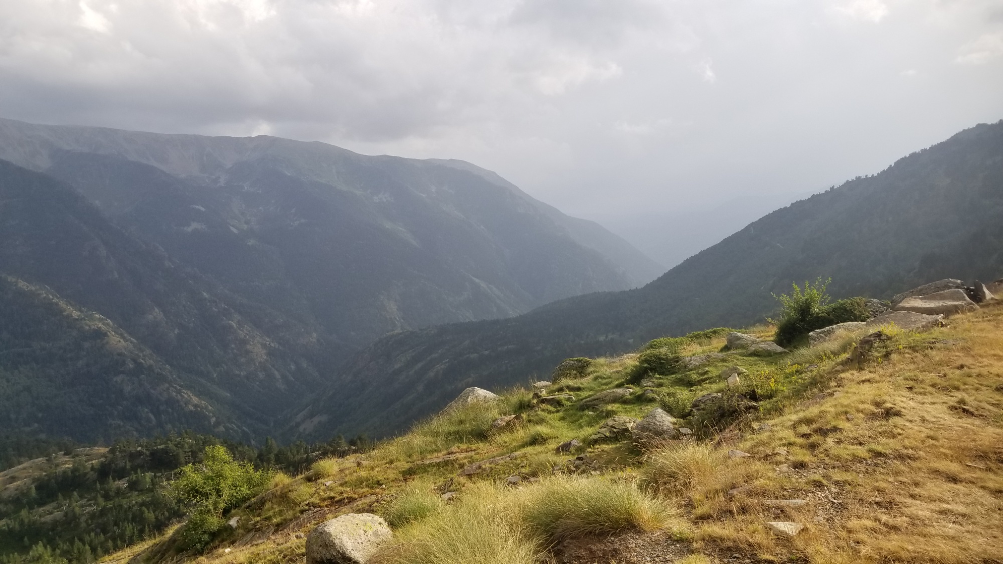
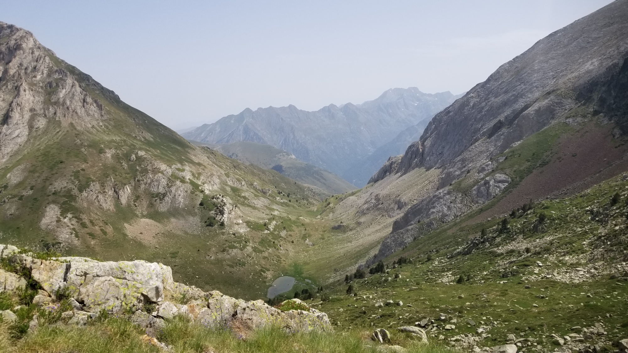
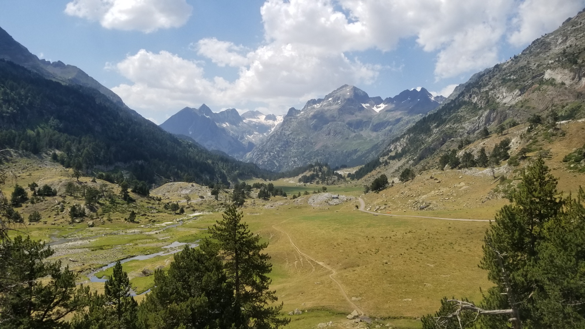
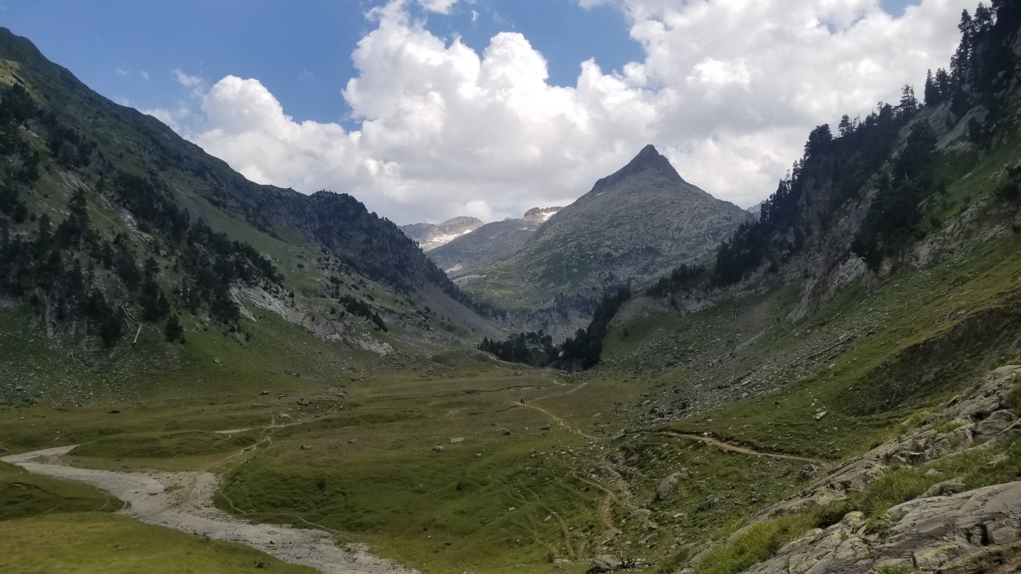
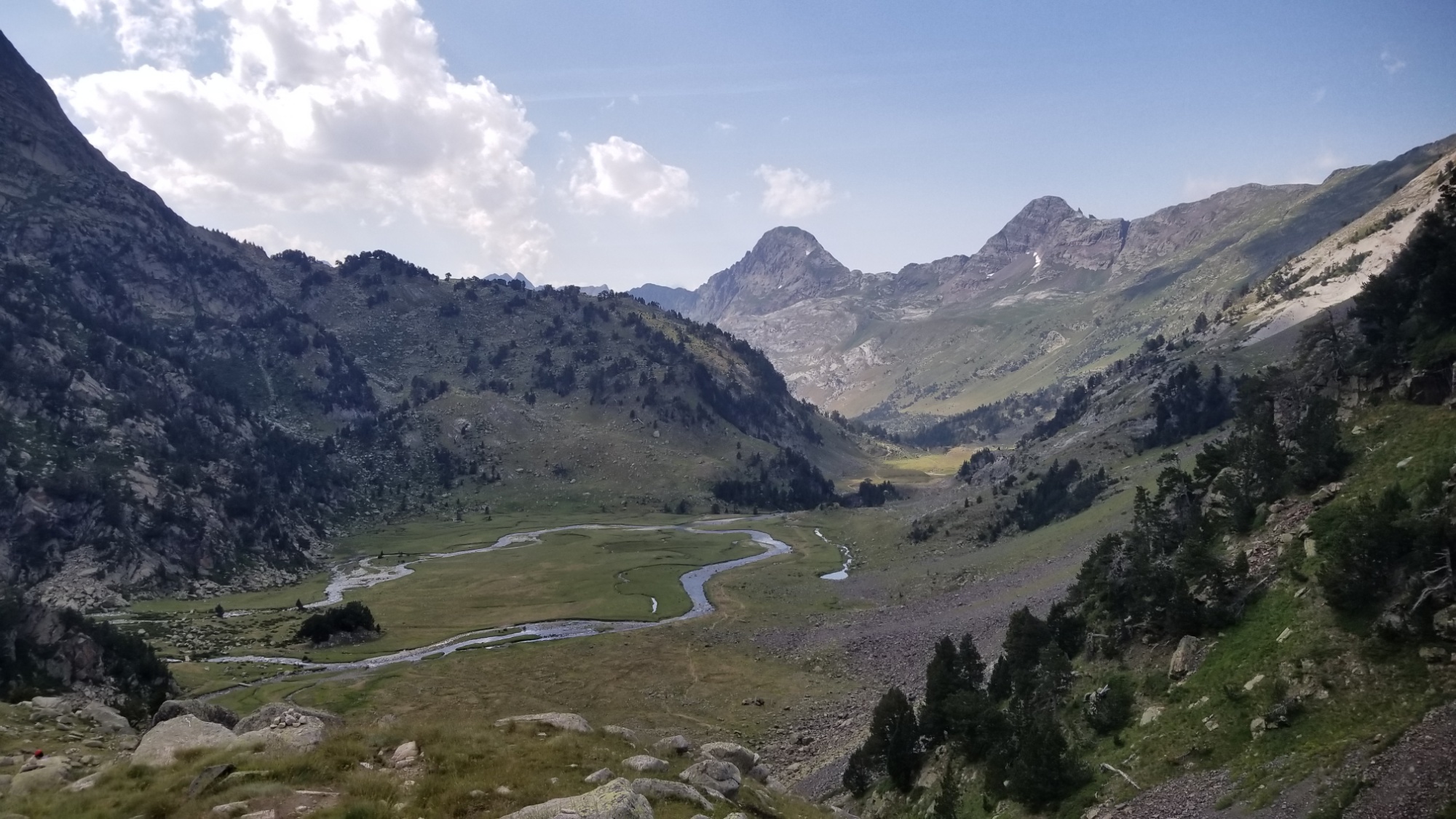
As much as I would’ve loved to stay there, I had to keep making progress today (it was about 2pm now) in order to make it to the small village of El Serrat tomorrow afternoon, so I can hopefully get a hotel room and recharge after a tough 6 day section of the high Pyrenees.
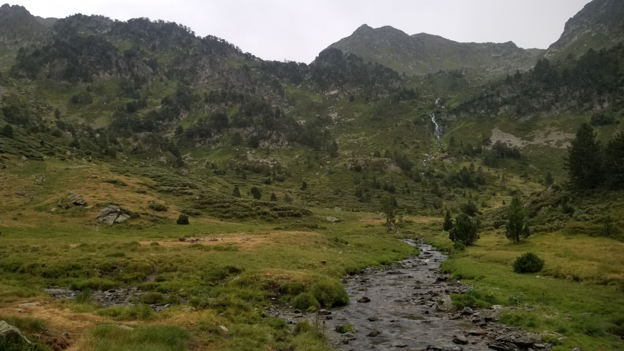
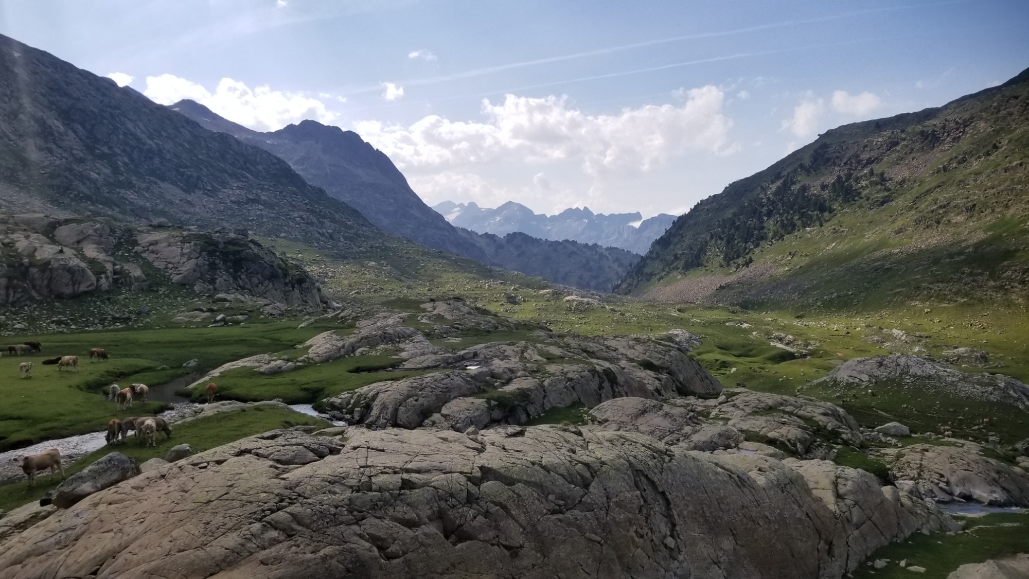
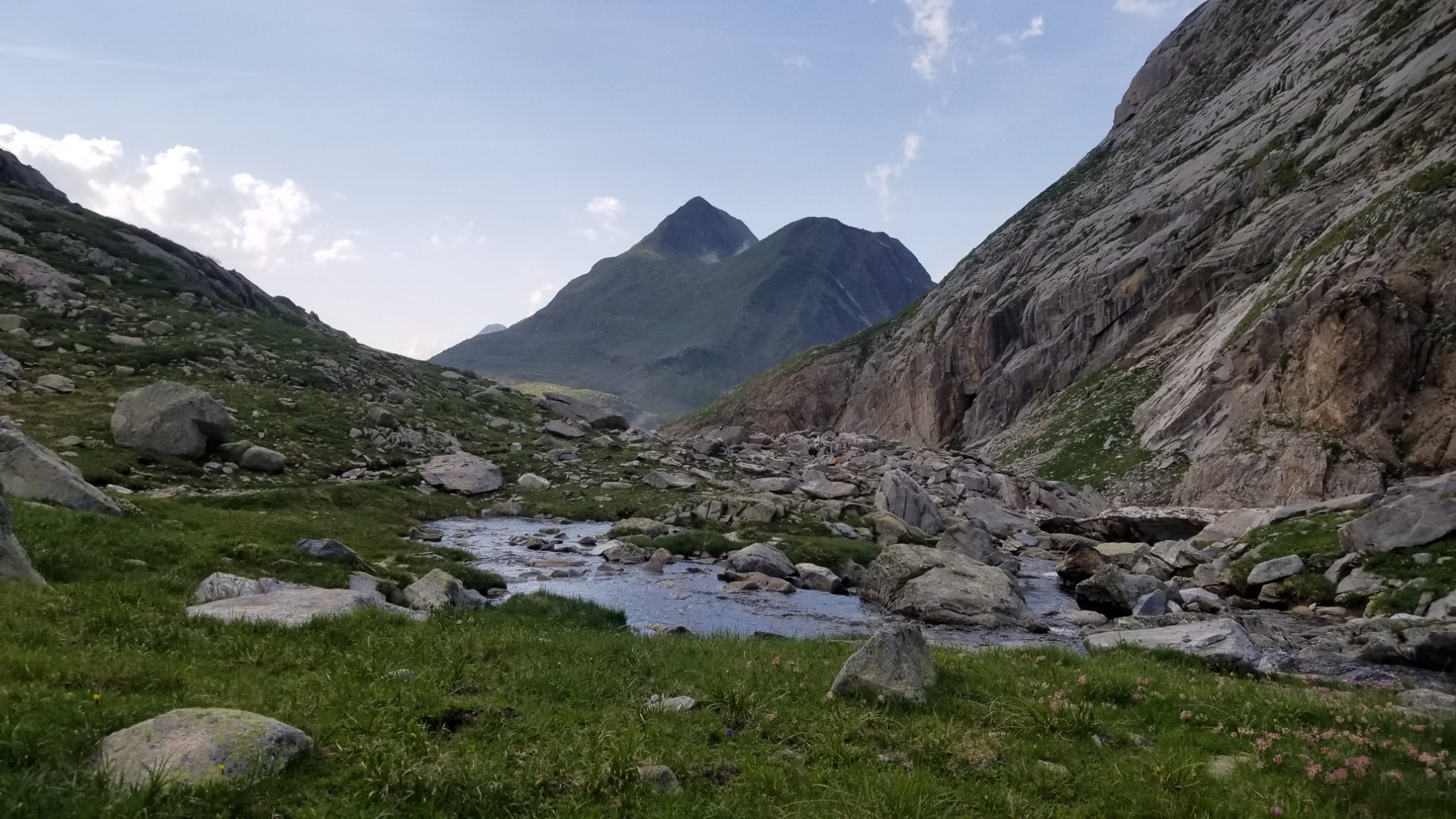
I said goodbye to the refugi people, and sailed down past the lake and down the valley, passing through more beautiful grassland and forests reminiscent of the PNW.
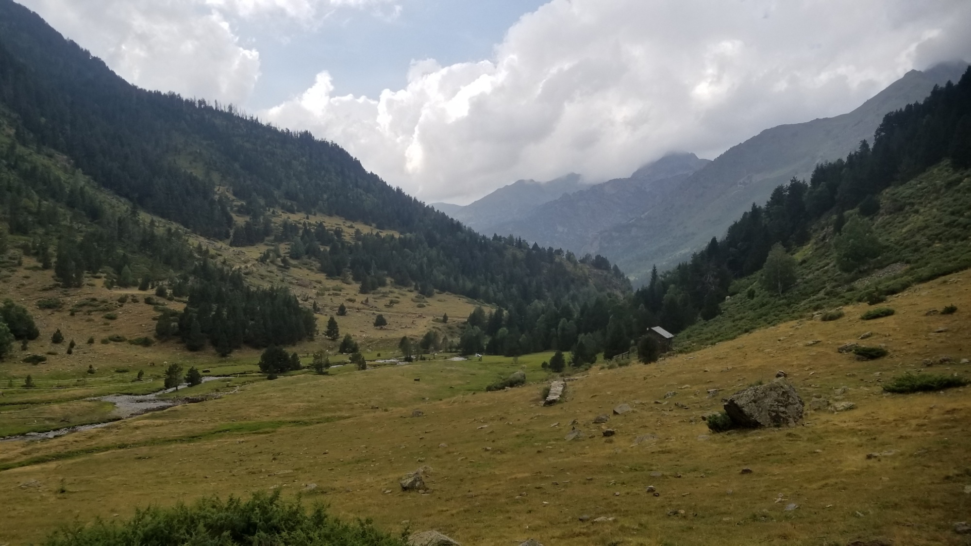
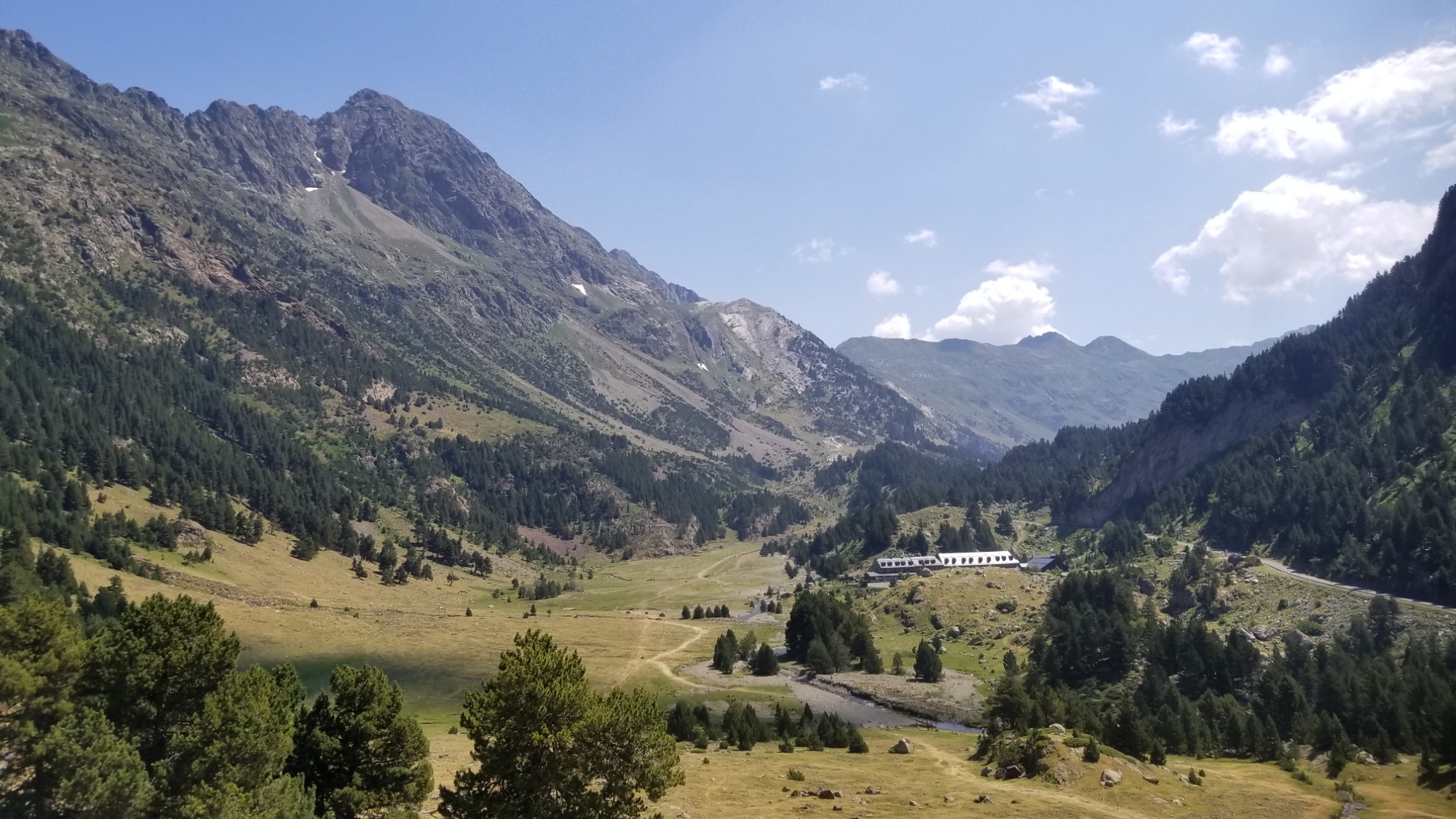
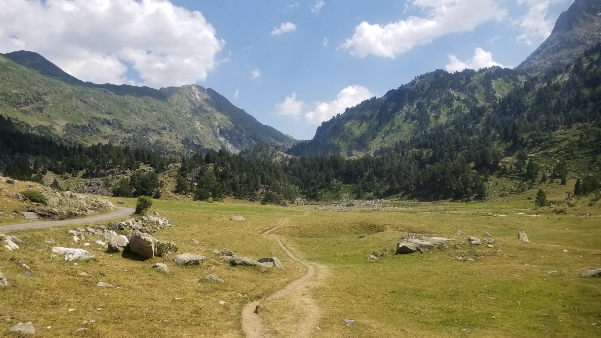
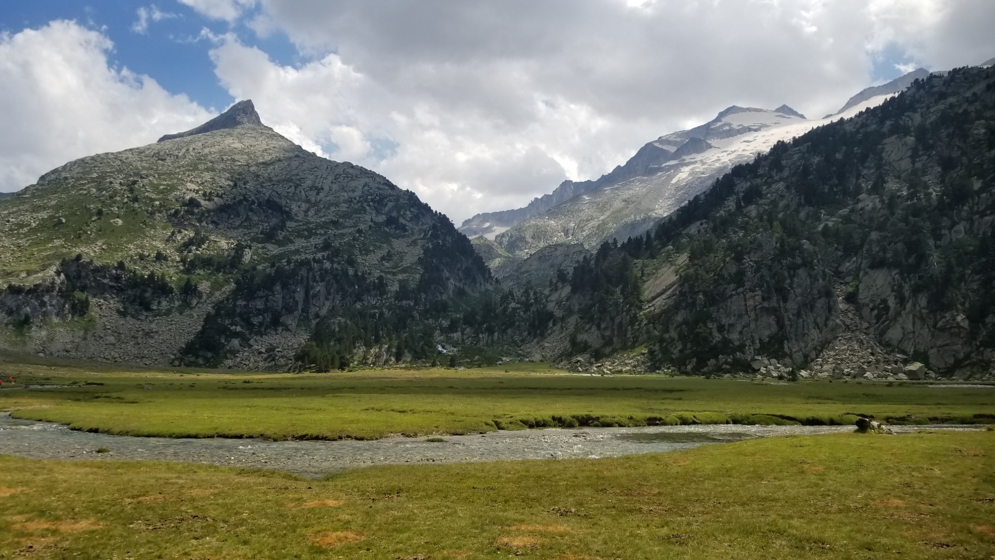
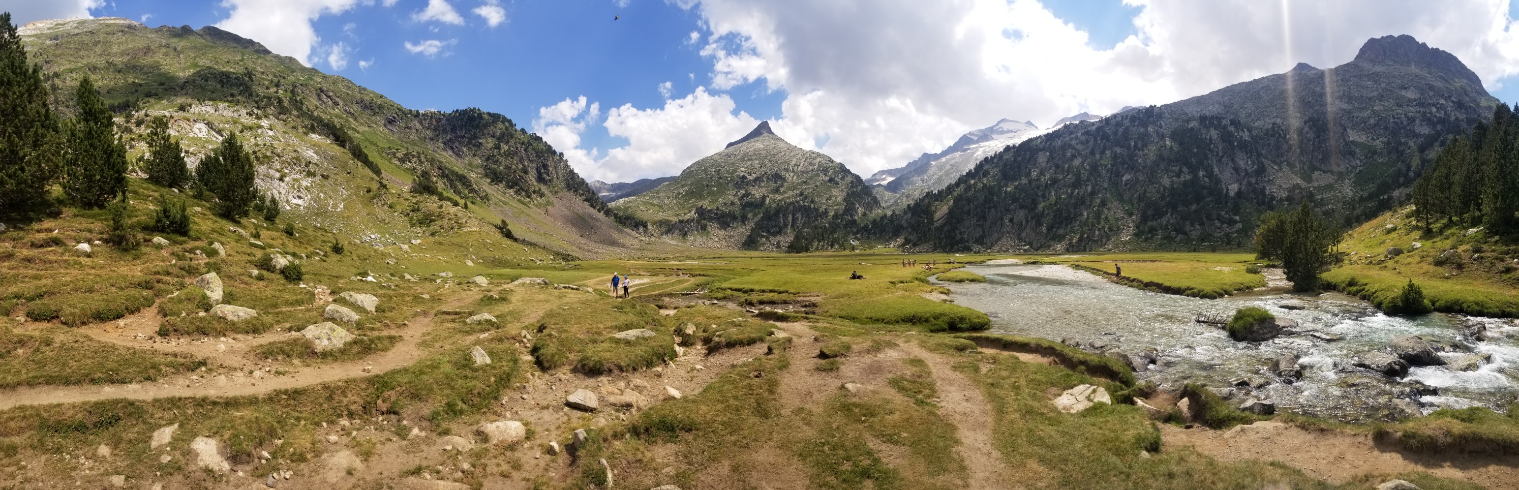
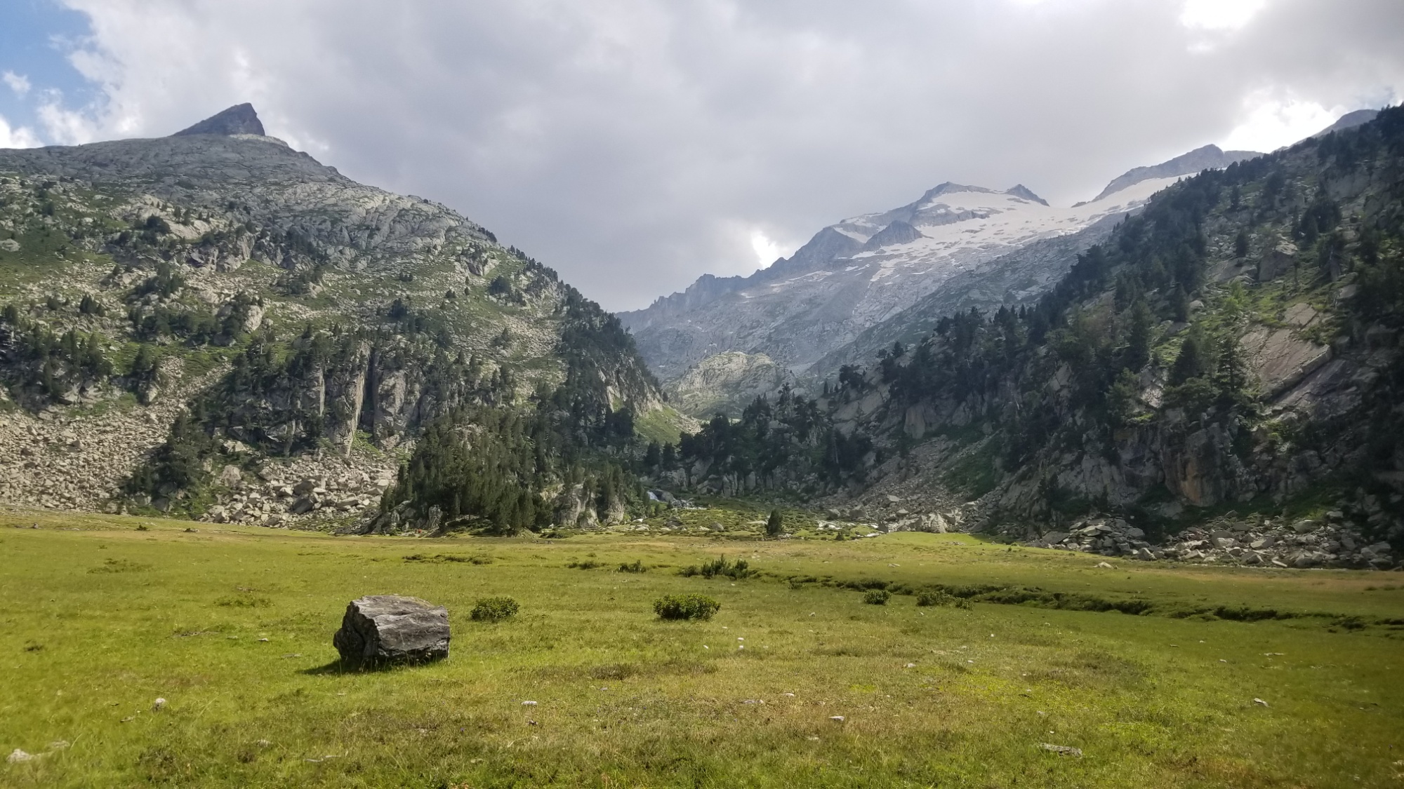
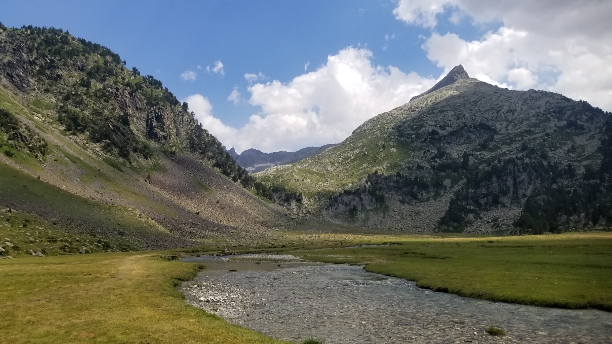
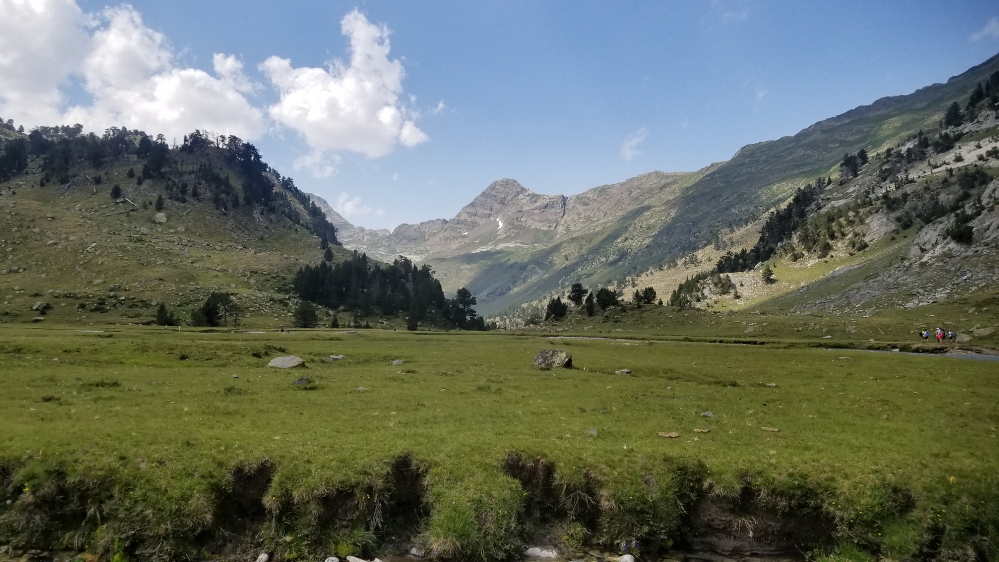
After crossing a river and coming to a large parking area, I found what was called the Pla de Boet, where you can apparently pay to pitch a tent for the night. However, it just looked like a giant bathroom for cows to me! Not a suitable place for a thru-hiker to stay. It was 5pm and I felt good about the next 700m climb over a mountain pass leading back across to France, where I could sleep at a high glacial lake, far from cows, for free.
Pla de Boet. I was underwhelmed.
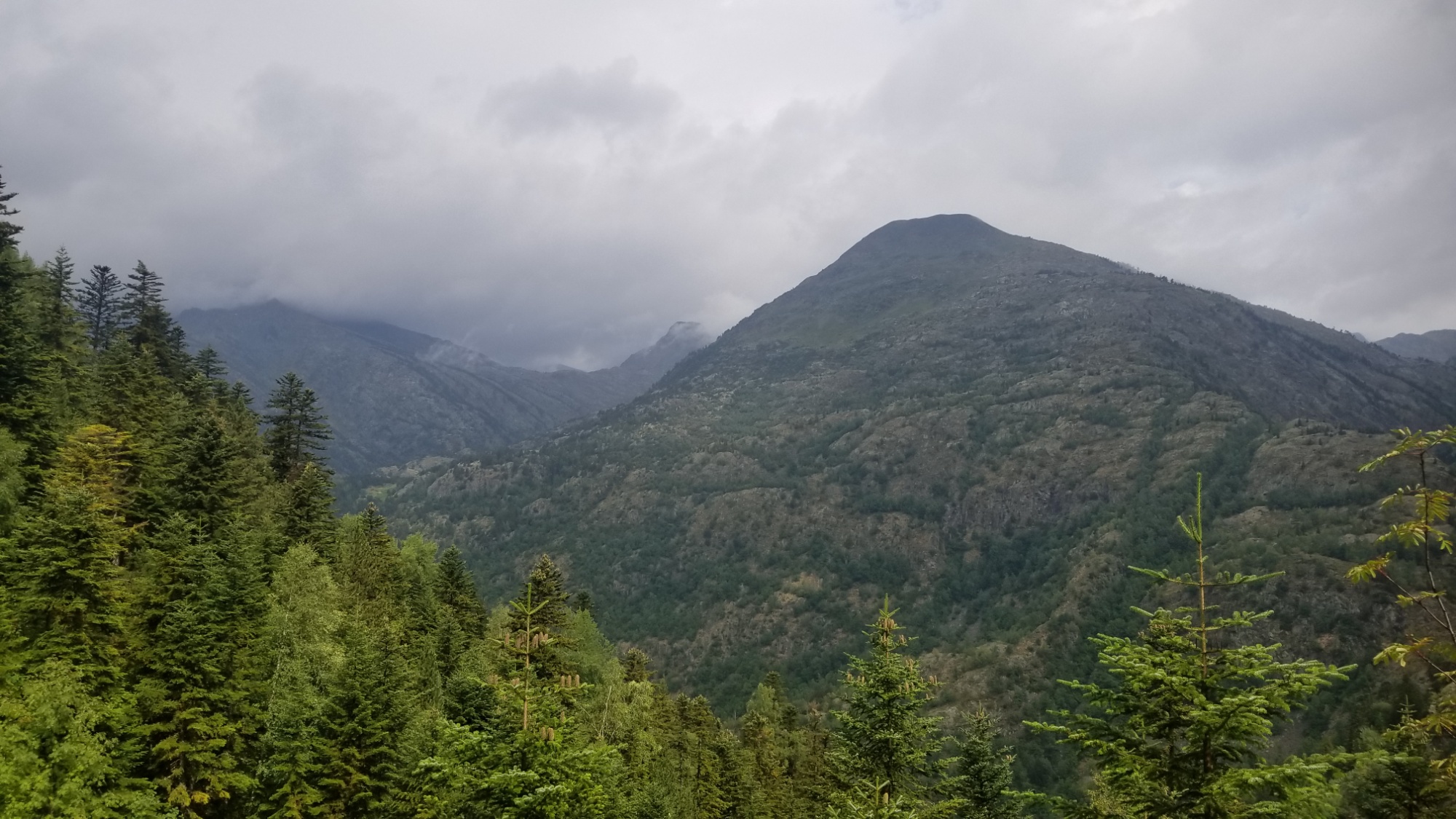
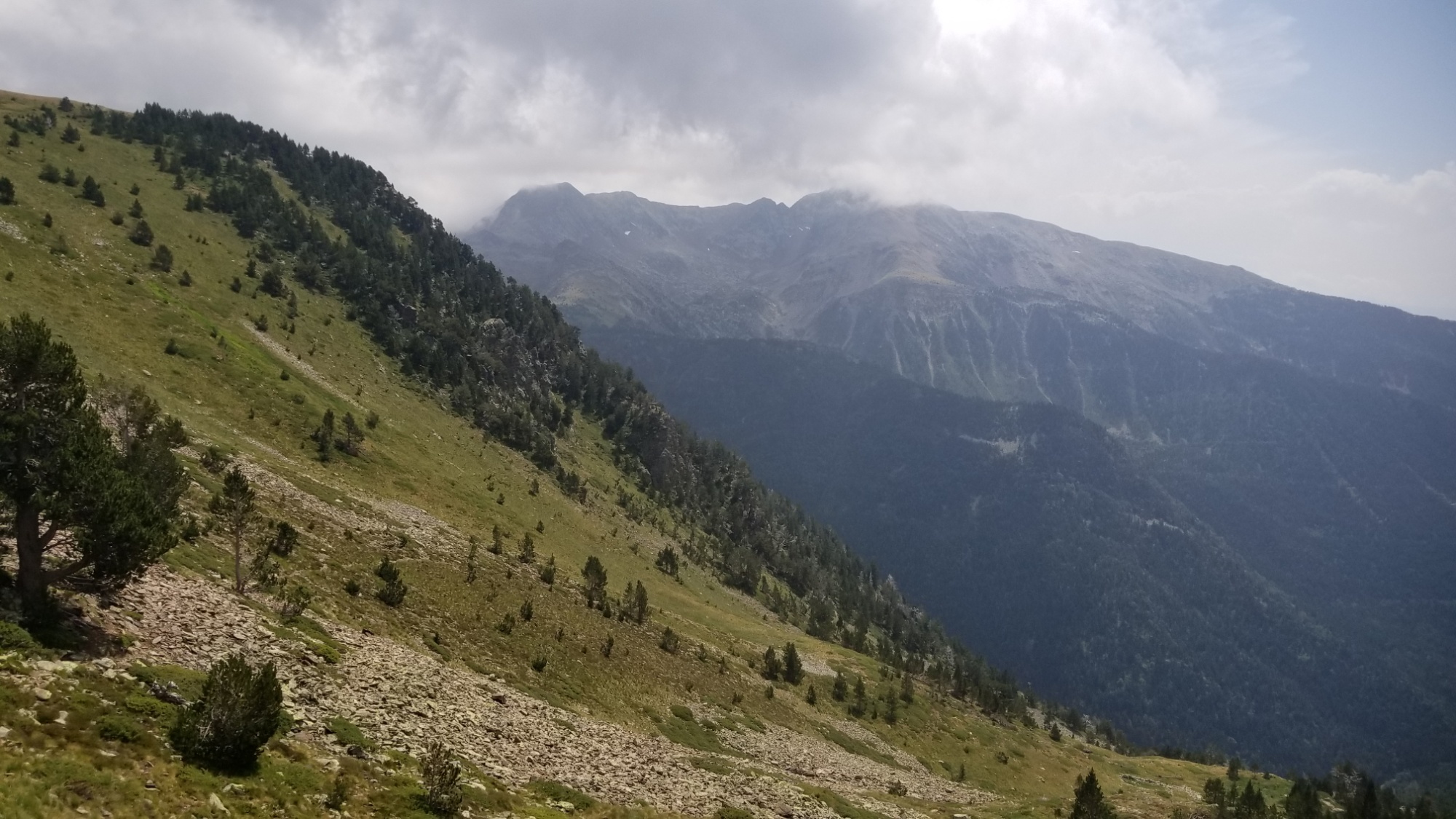
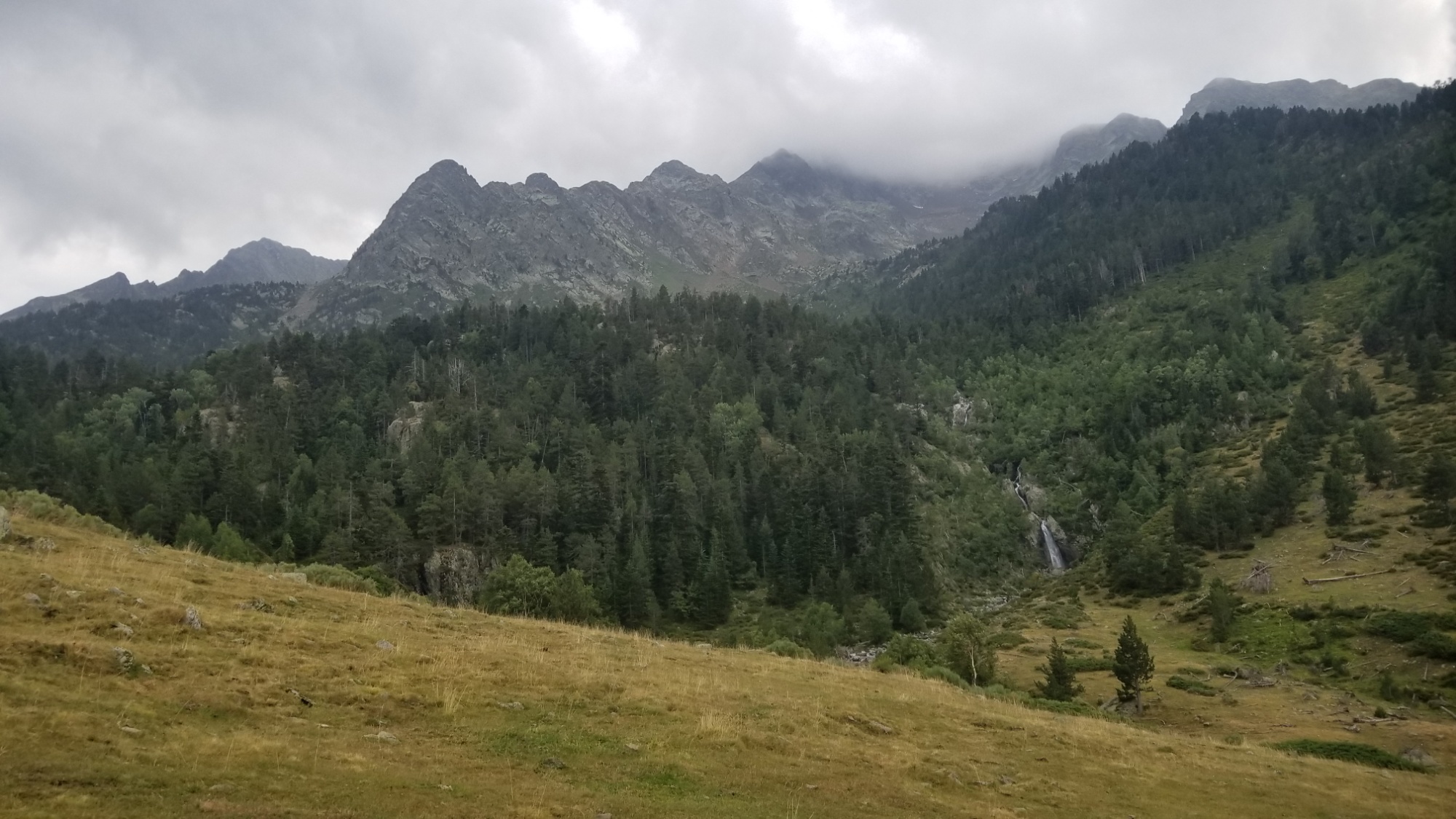
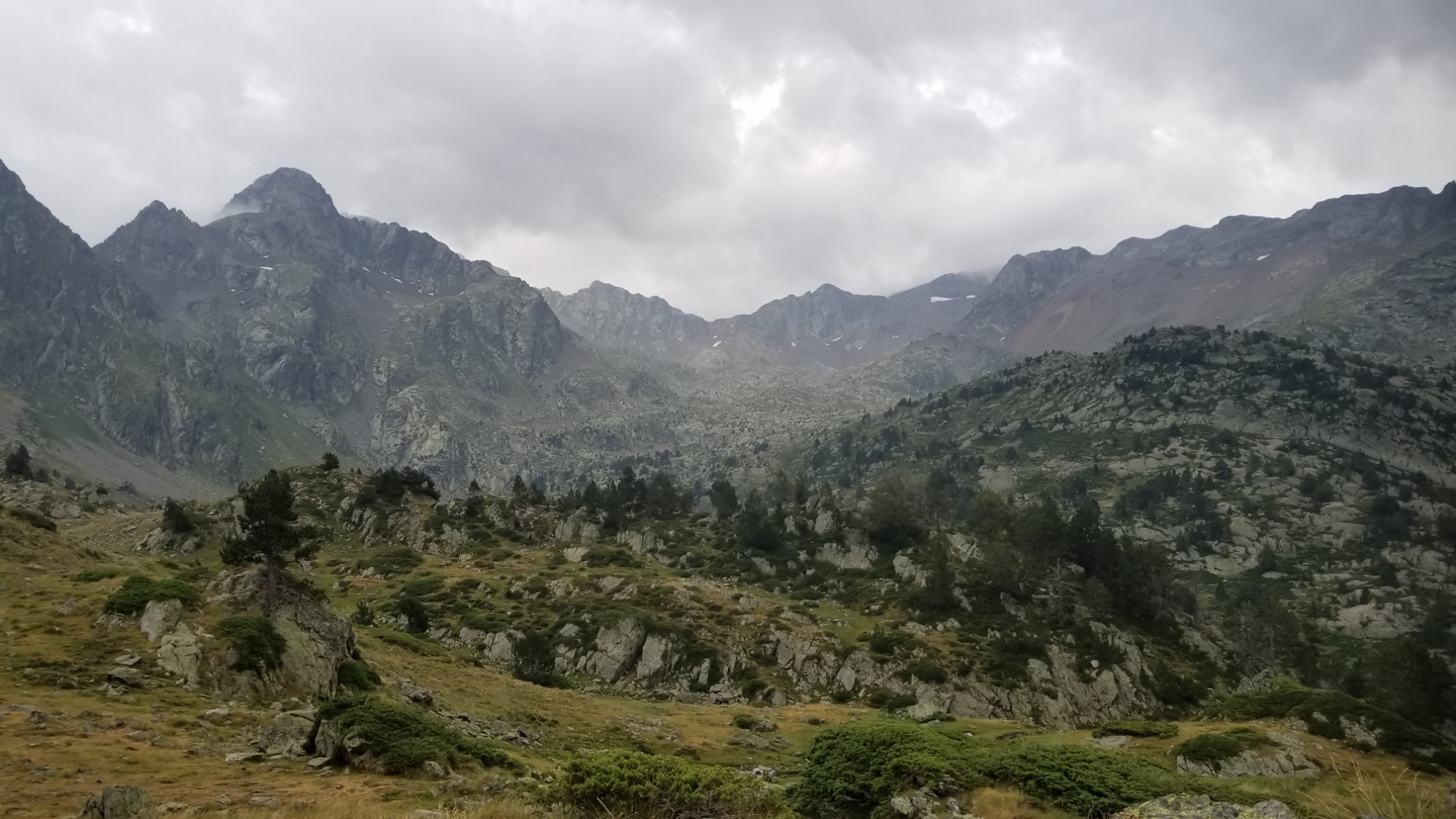
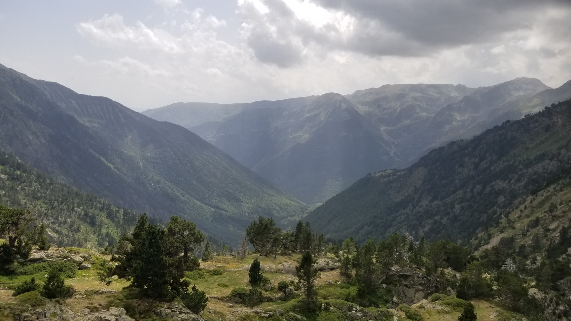
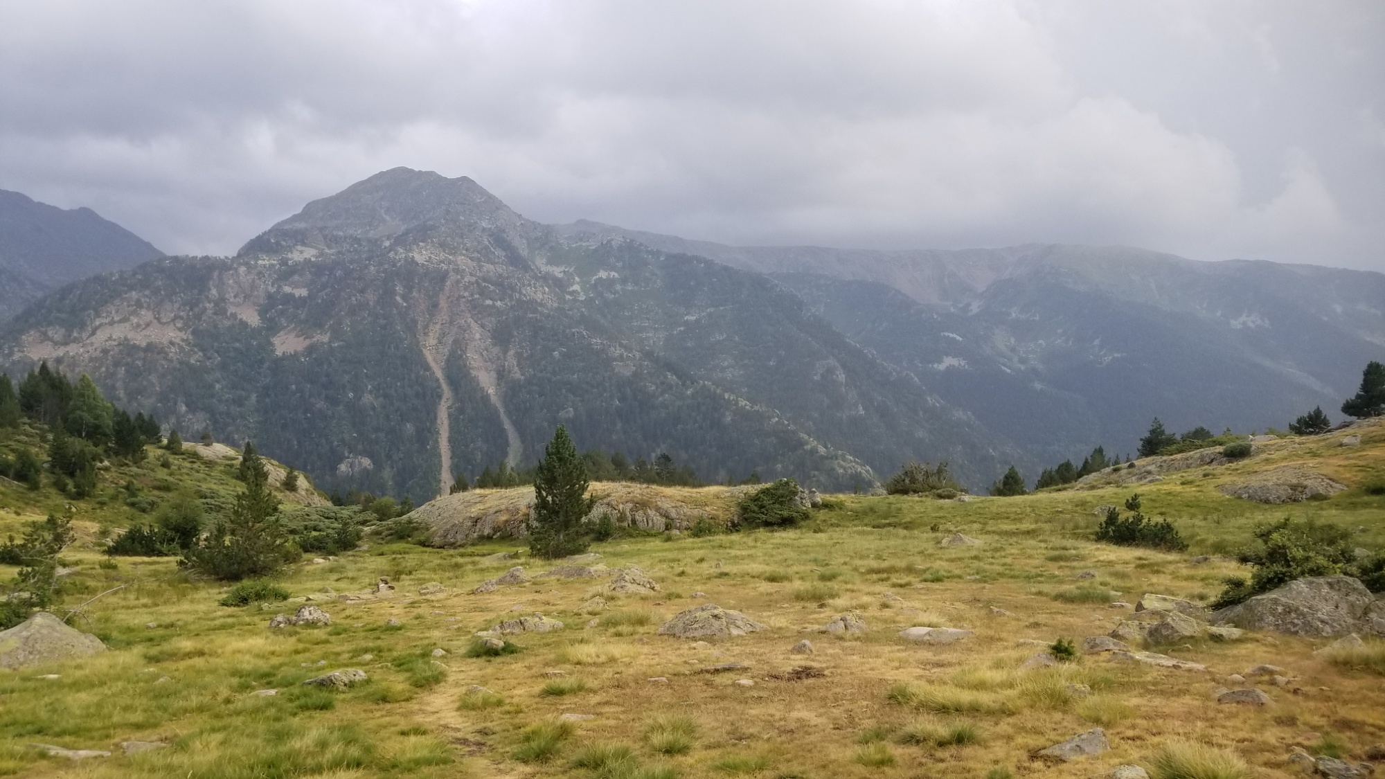
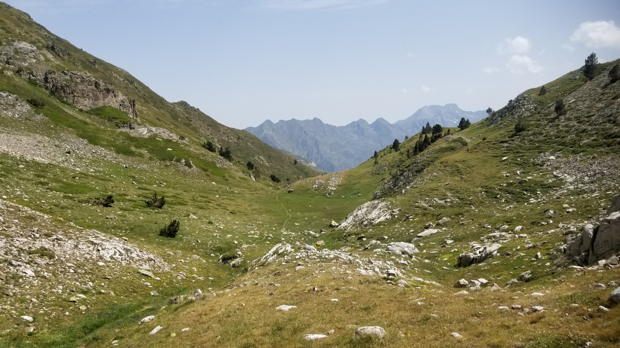
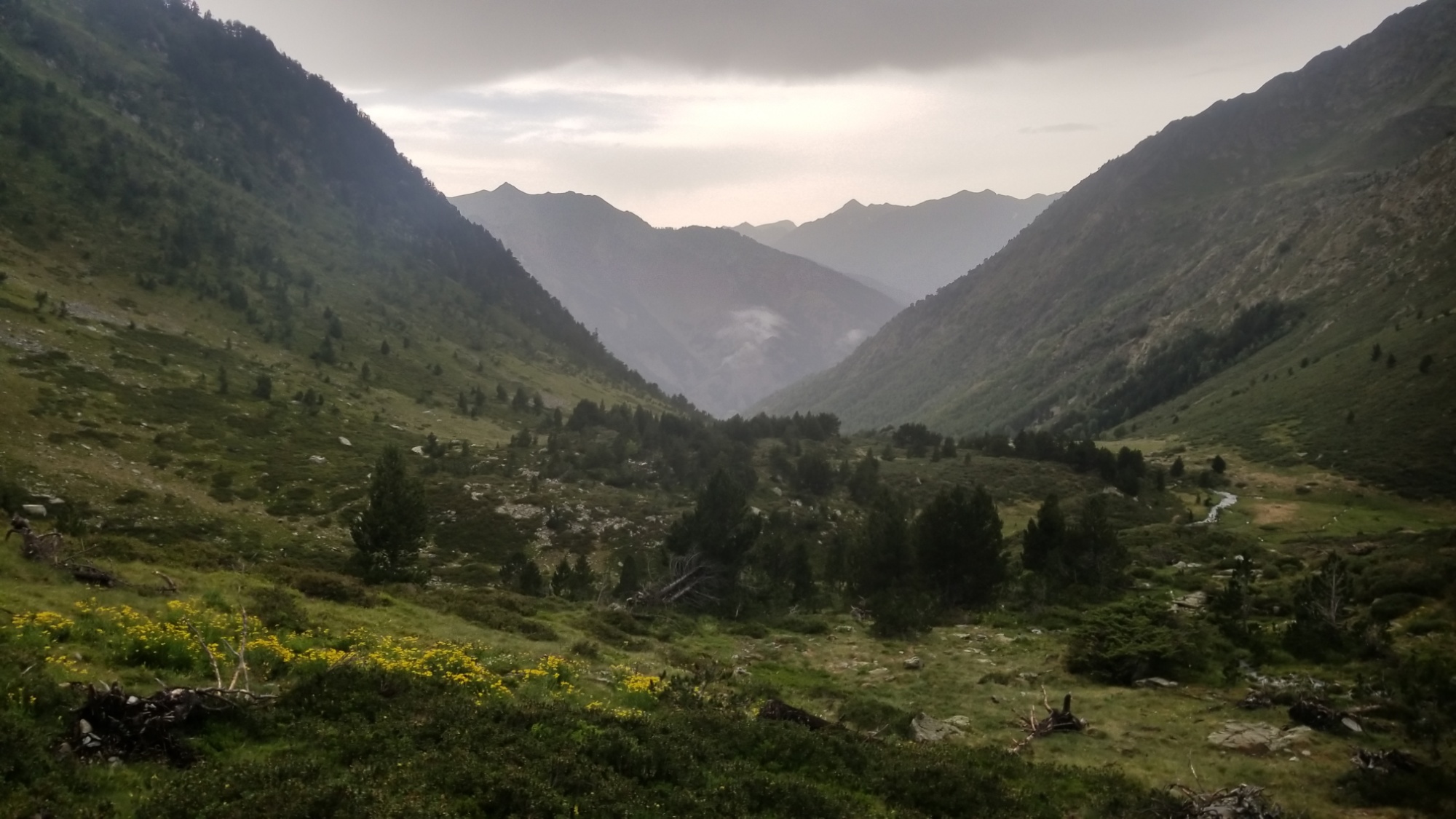
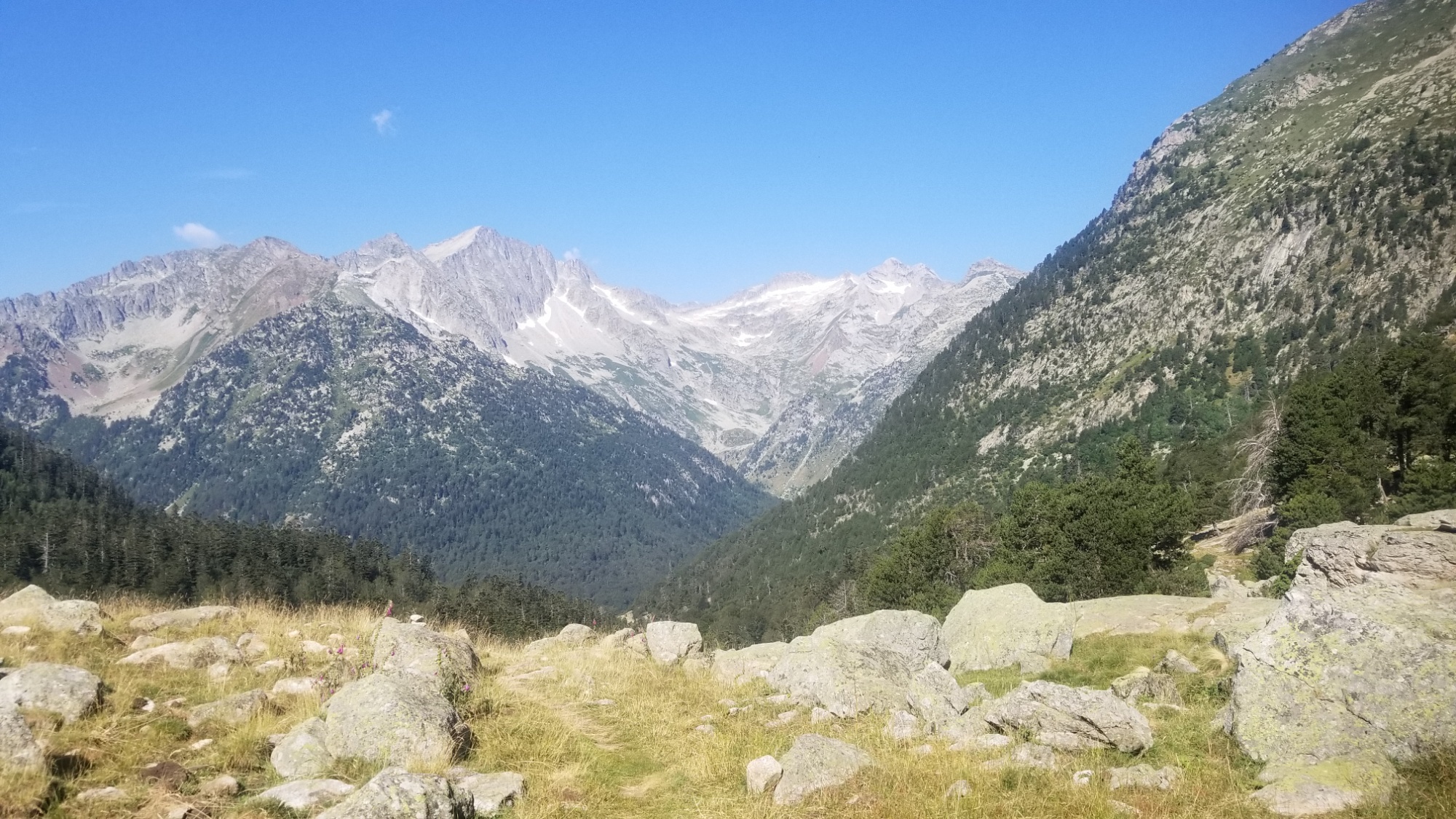
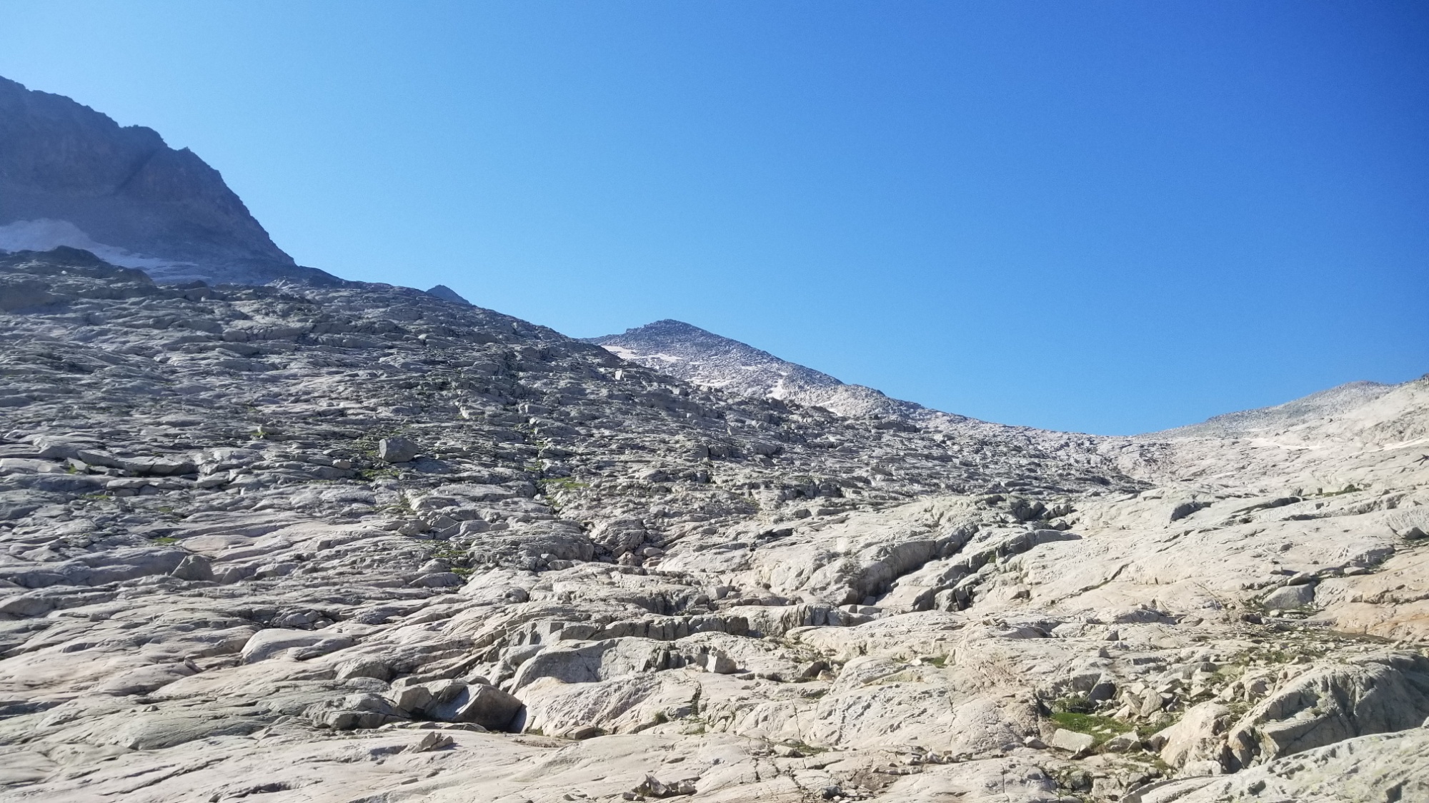
The climb up was gradual enough to be enjoyable, and every step up brought more and more views of the surrounding mountain ranges.
Eventually, near the top, a foggy drizzly mess started blowing straight at me from the pass I was headed towards. It would coat my glasses and make it pretty hard to see, so I had to clean them off every 30-60 seconds.
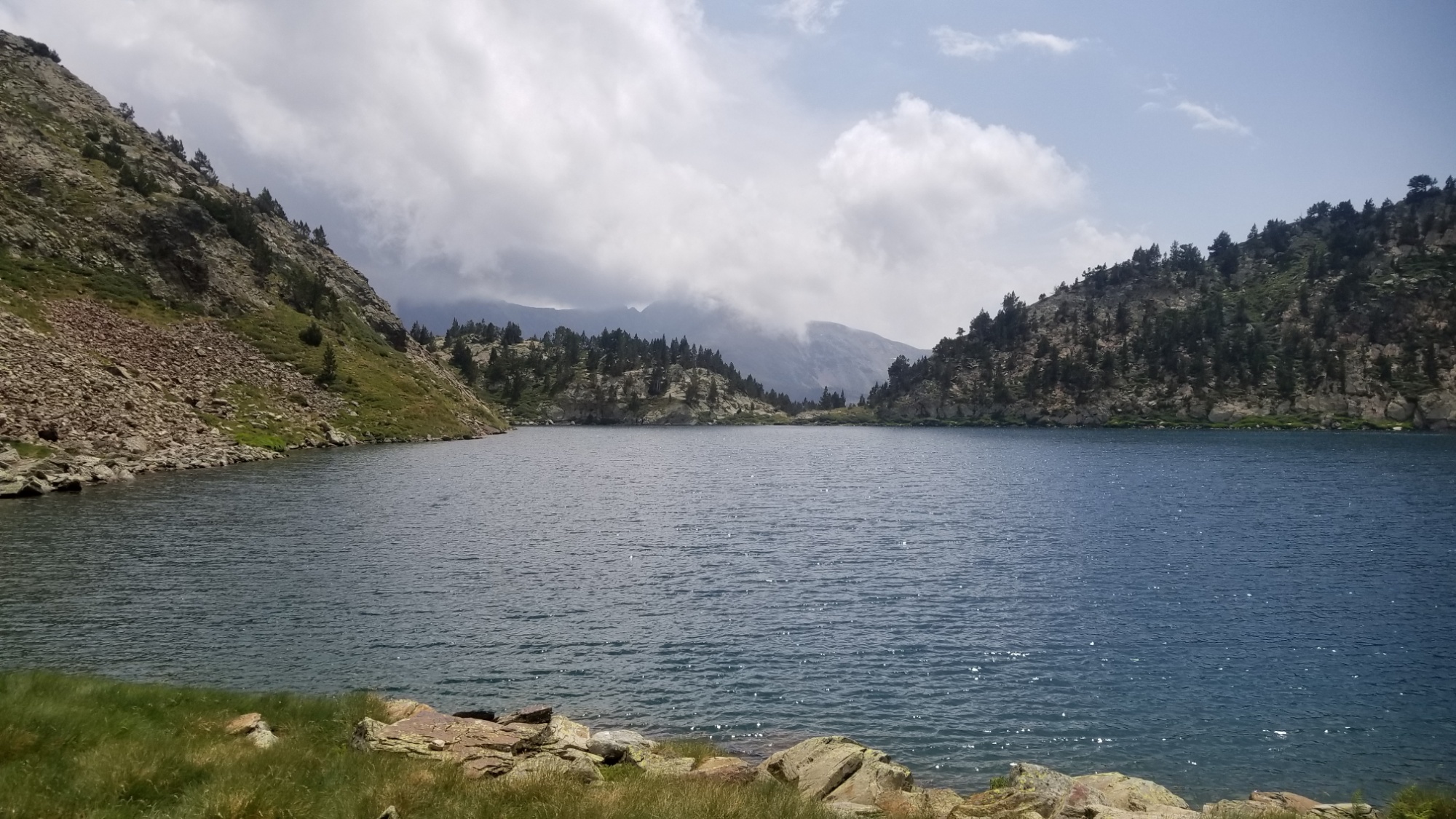
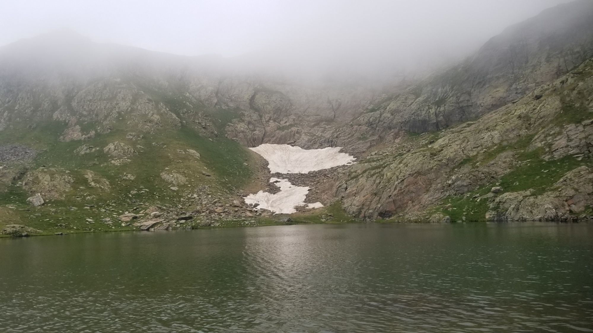
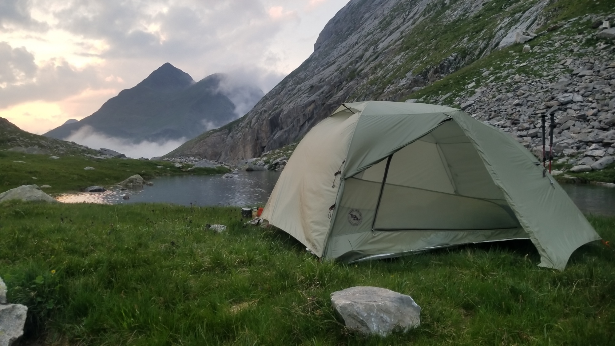
Finally, near the top, I met another hiker going the way I had come, coming from the way I was to go. We were both surprised to see another person, given the conditions! We exchanged some trail info and carried on. I walked over the pass and followed a well-blazed trail down to the Etang de la Soucarrane (2,300m above sea level, a lake).
It sounded right to camp here tonight. Found a nice level spot in the grass by the lakeside, and made dinner. Then, I wrote this post. And finally, I drift into a dream state, satisfied with the day’s progress toward the Mediterranean.
Today was magnificent! That’s not to say that it was not difficult, but it was rewarding for all its challenges and I am proud to say that I met its every trial.
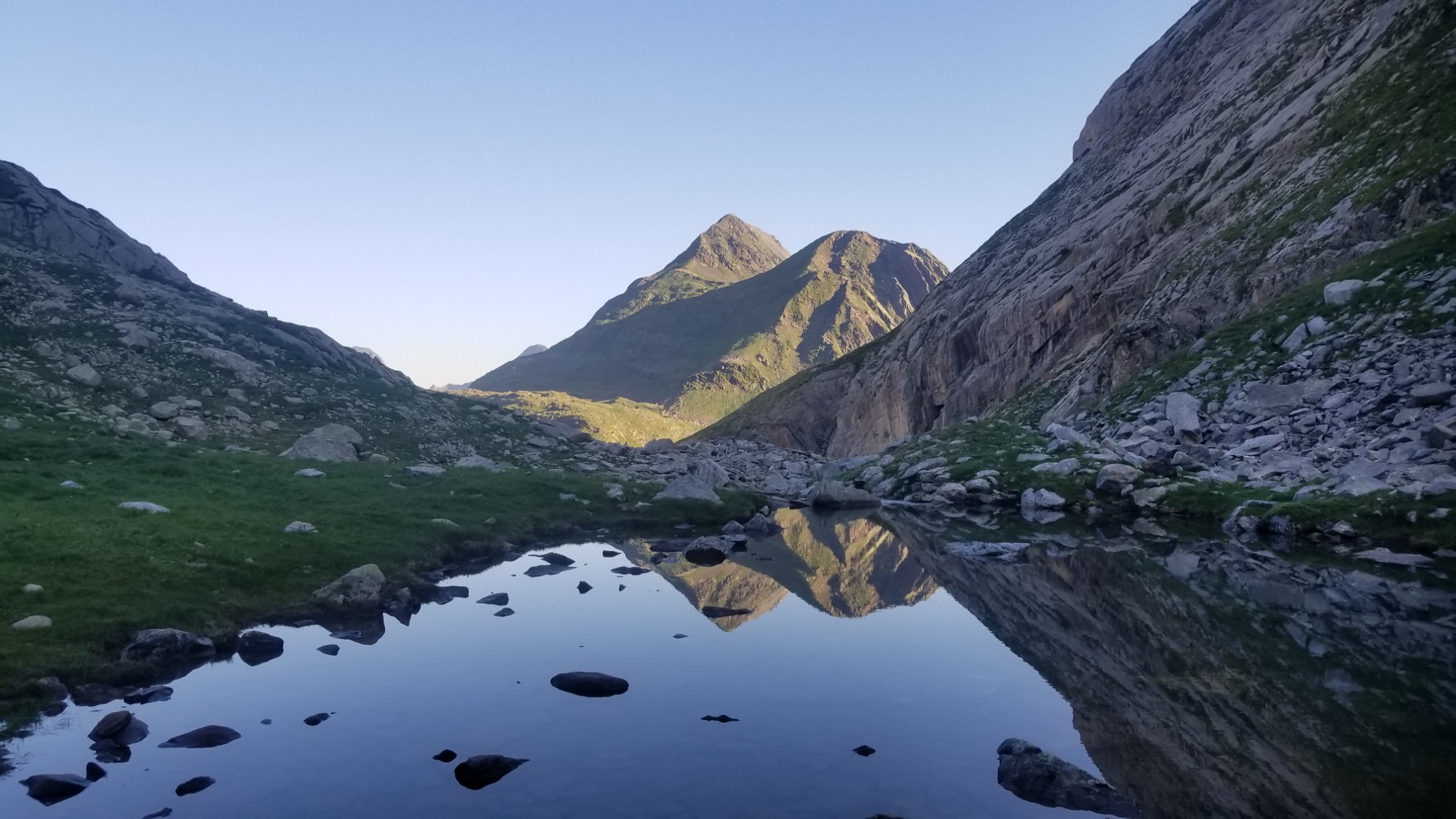
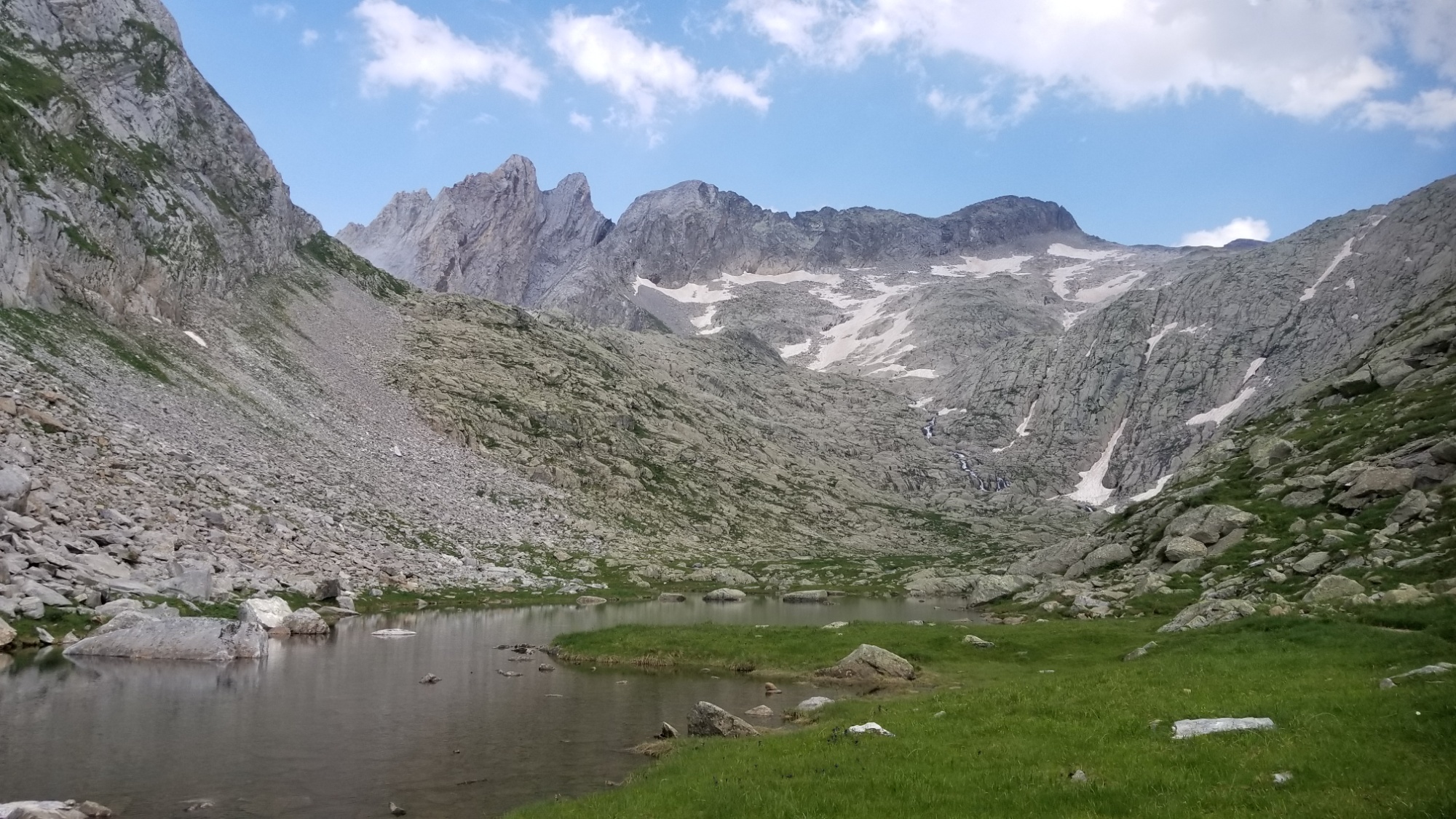
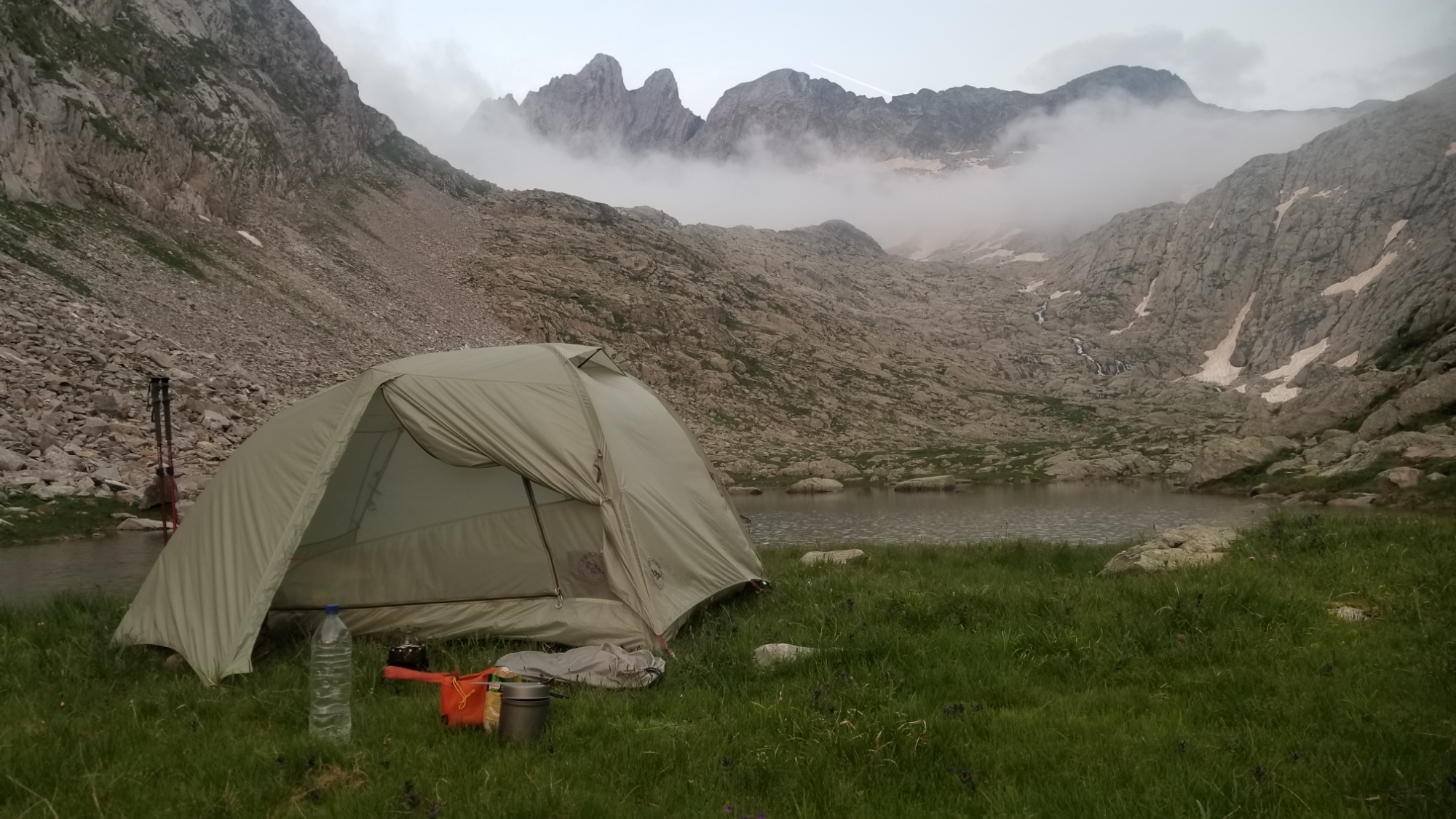
I awoke at my lakeside campsite to a roof of fog a few hundred meters above, just near the top of the peaks around me at 2,700m. Also, it’s always a good day when the wind blow-dries your tent before you wake up!
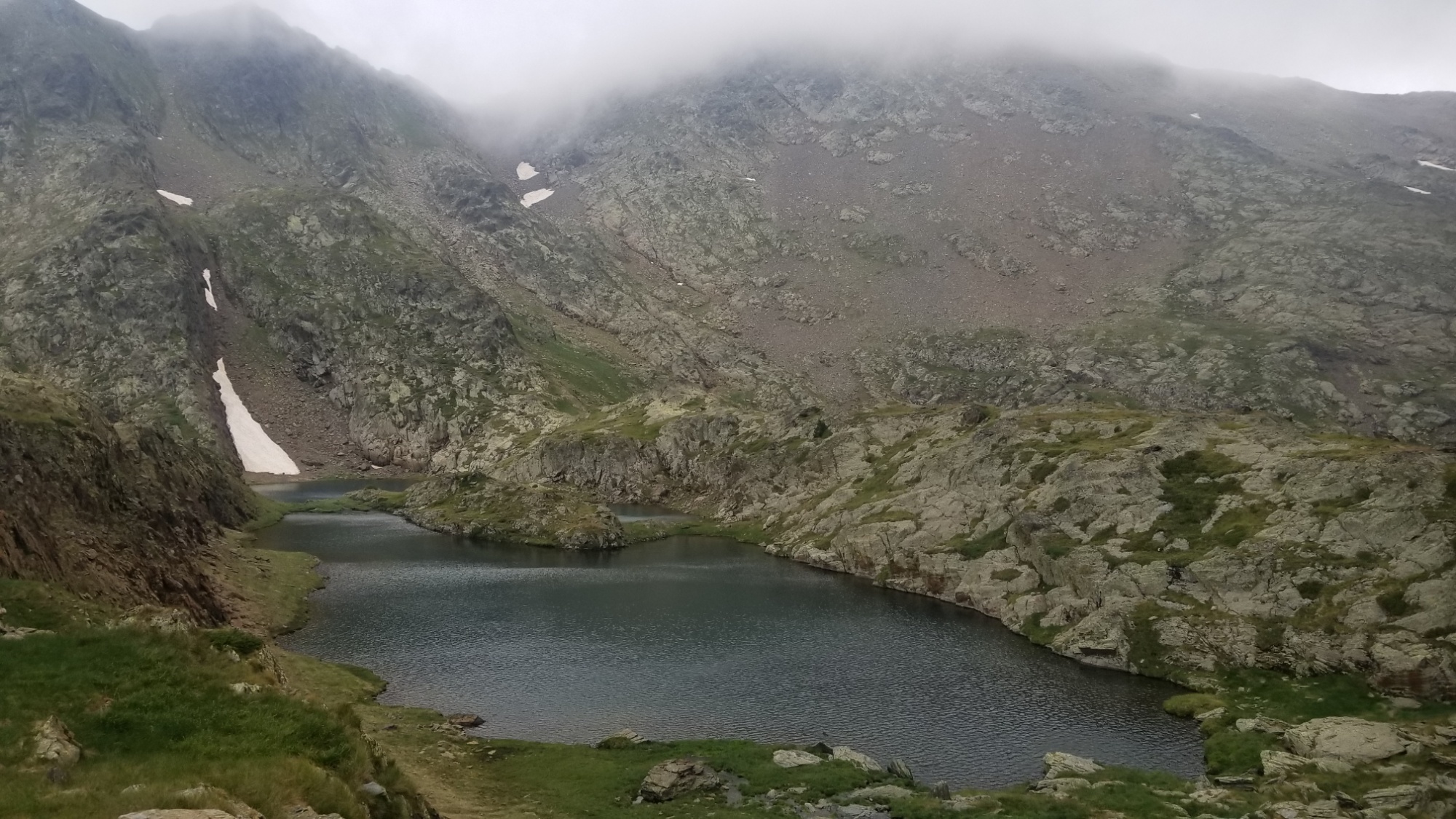
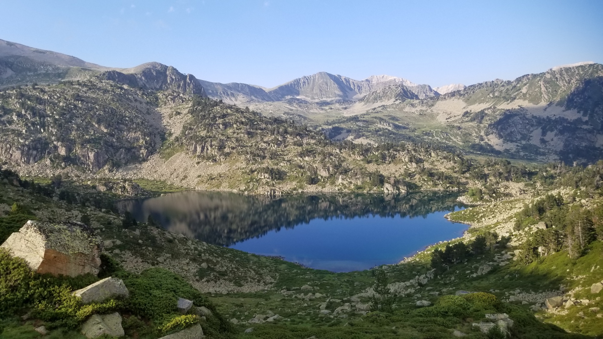
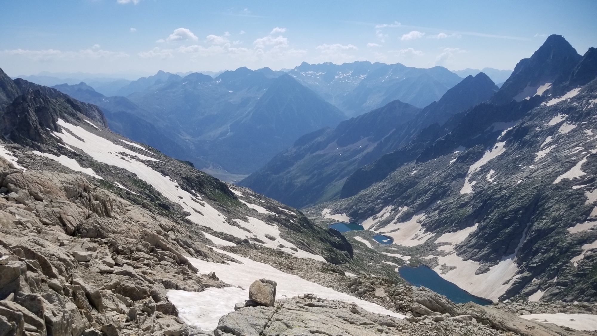
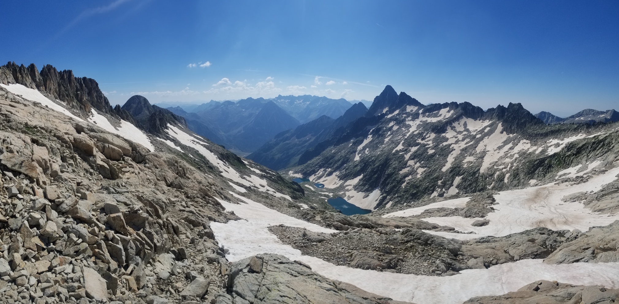
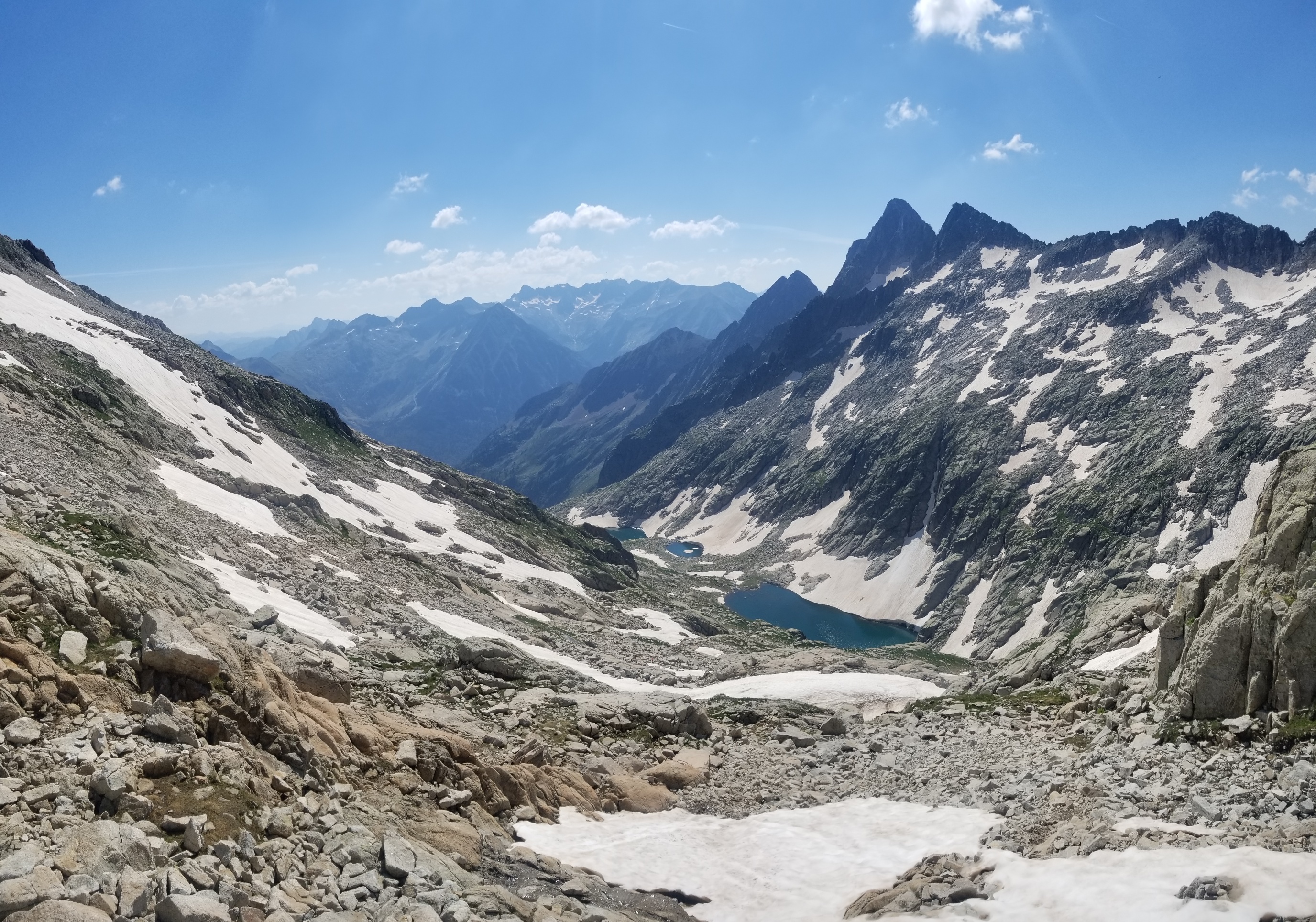
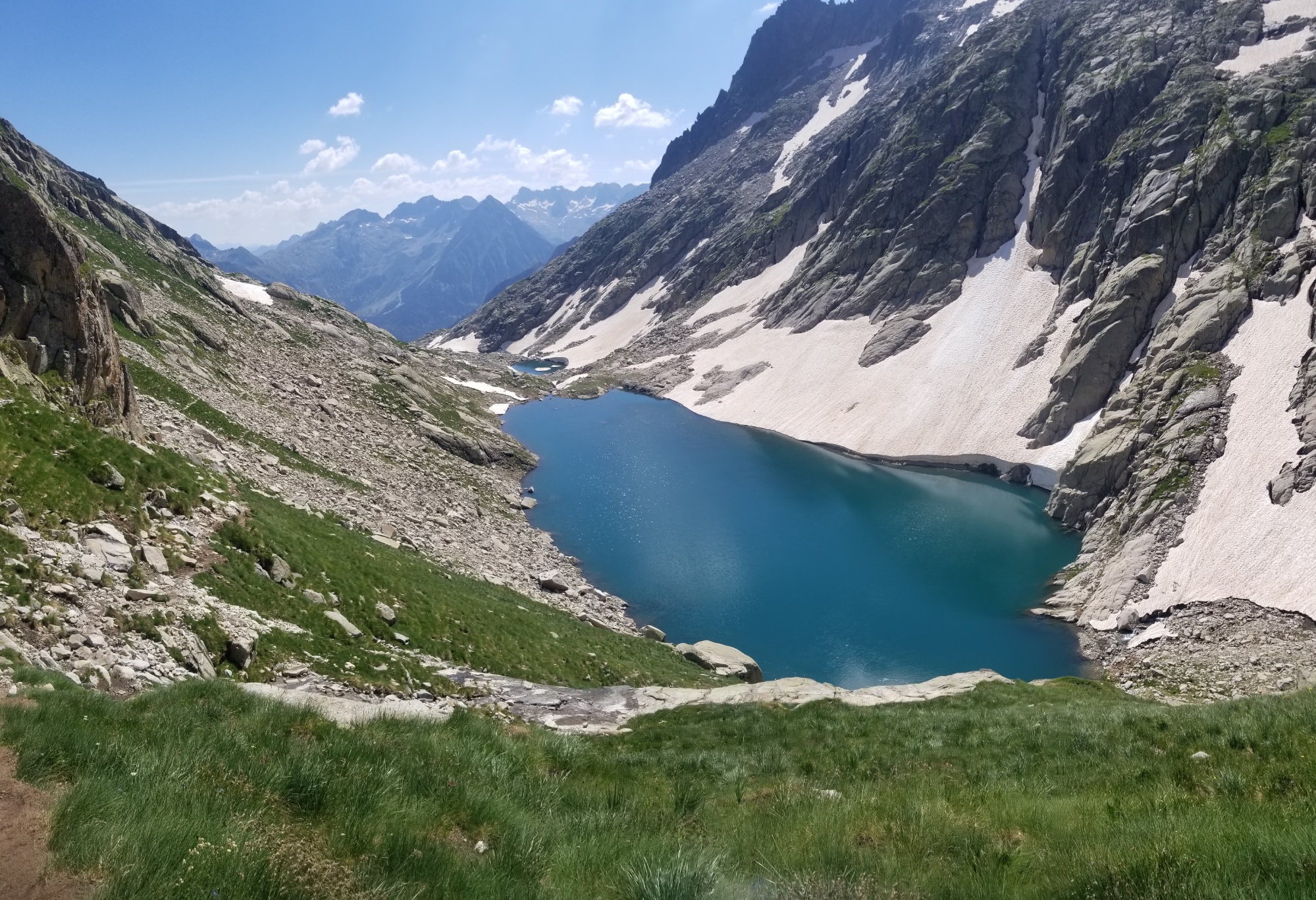
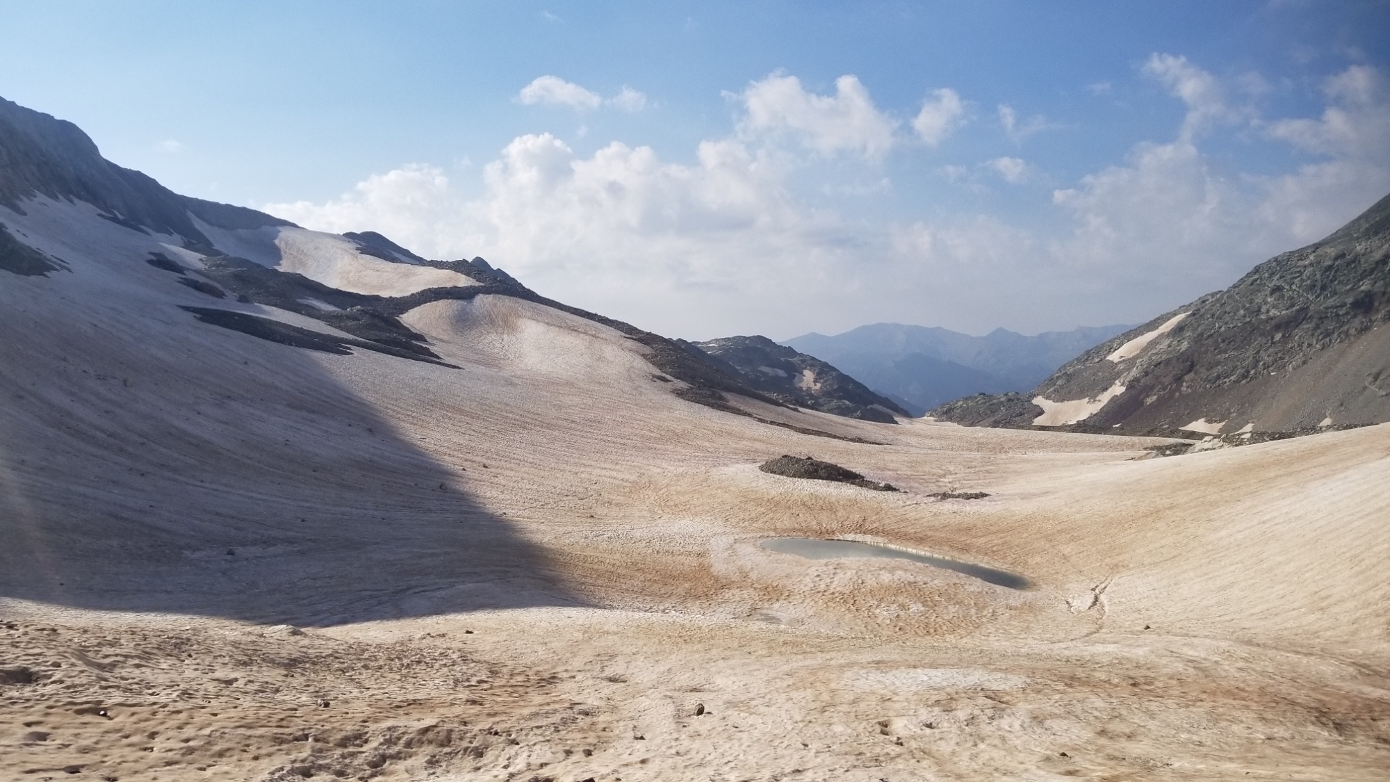
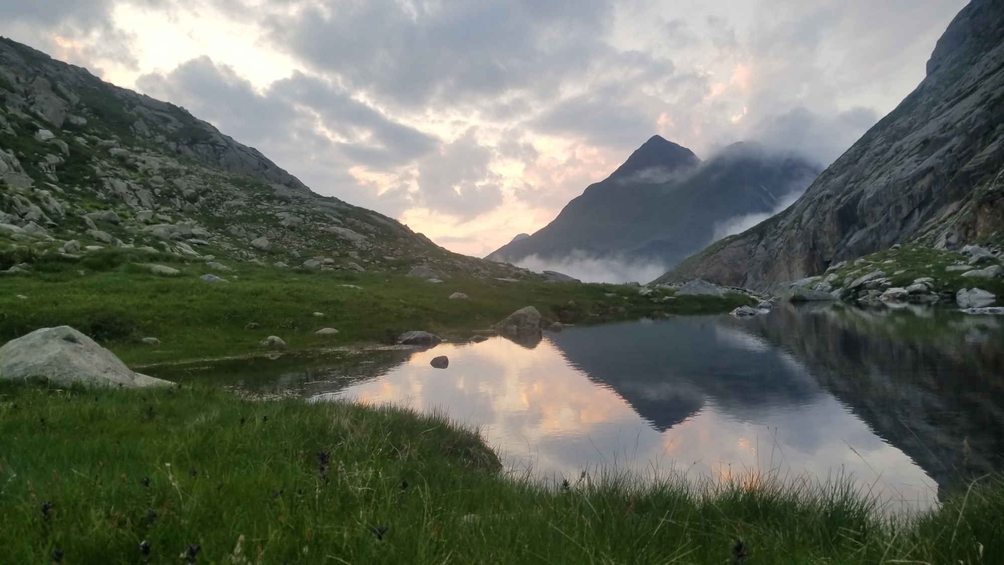
I got going and traversed the first col of the day, an easy 200m climb. The trail led around the mountainside to another pristine lake. From there, I climbed up and over a second col, another 200m climb.
More lacs over the Col
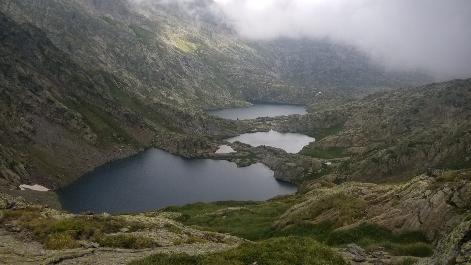
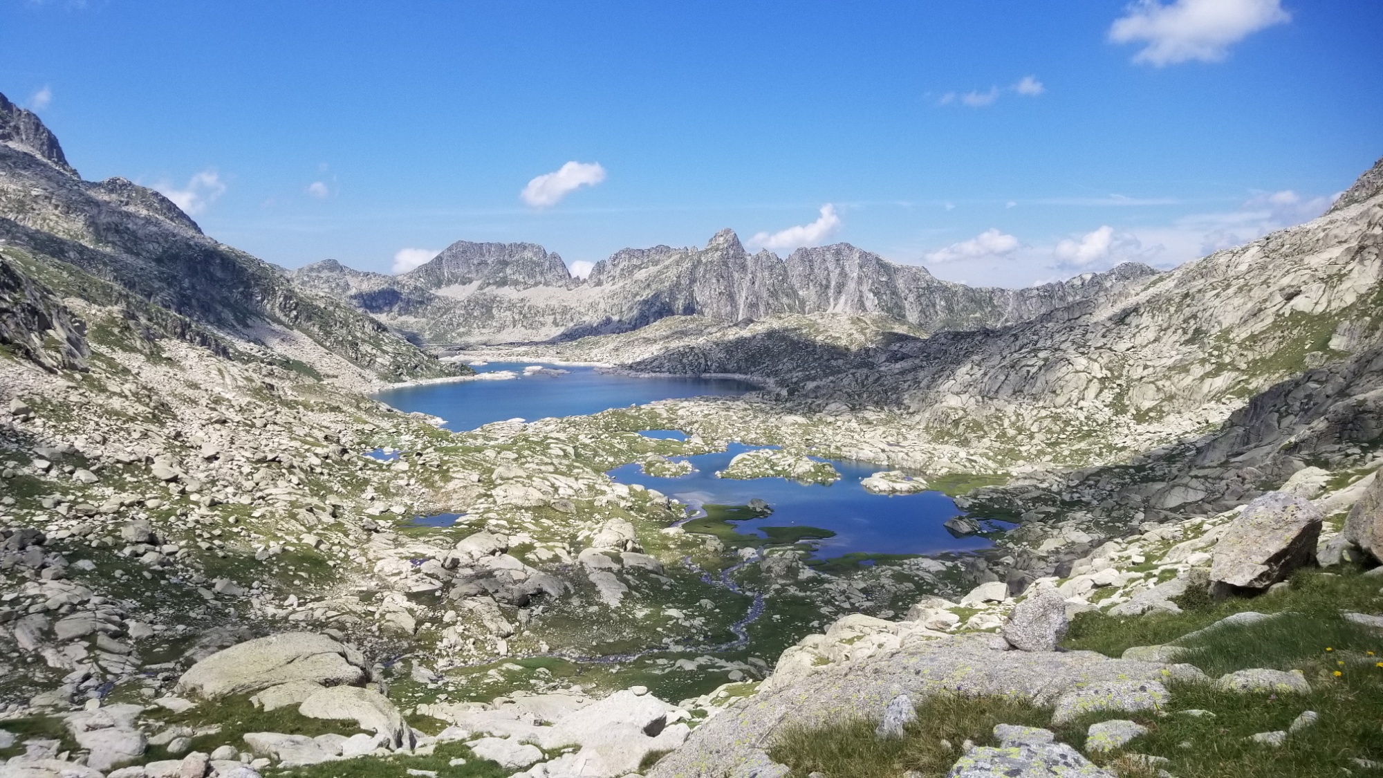
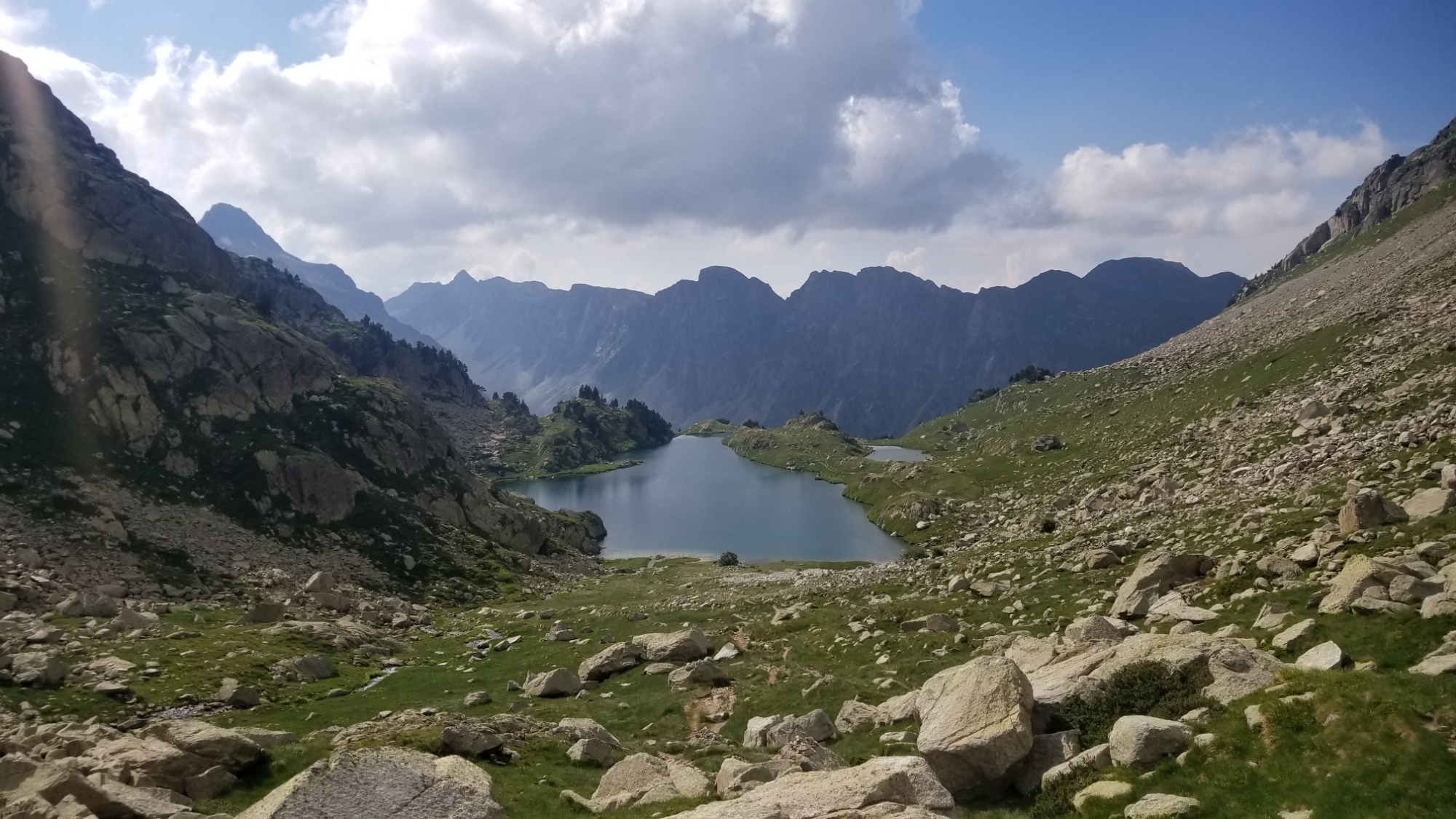
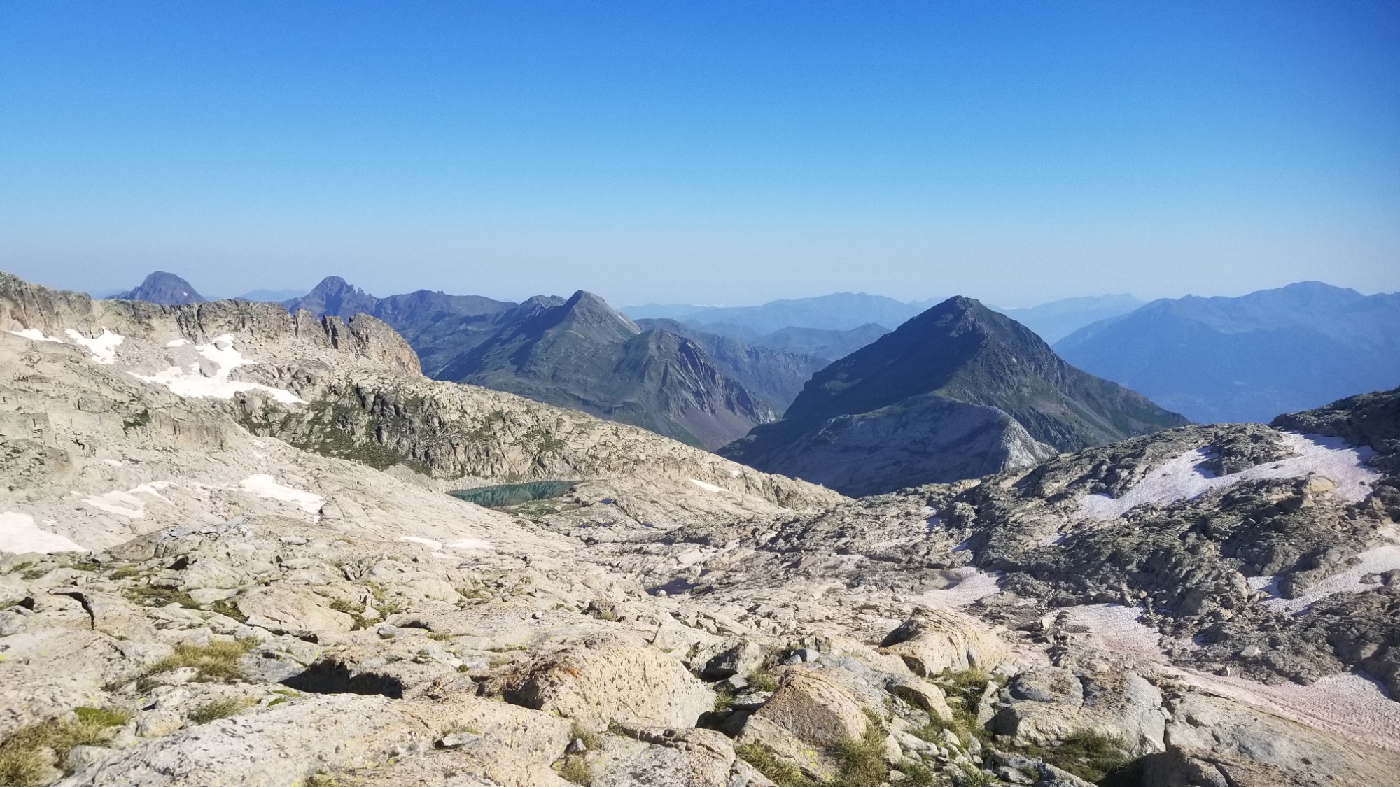
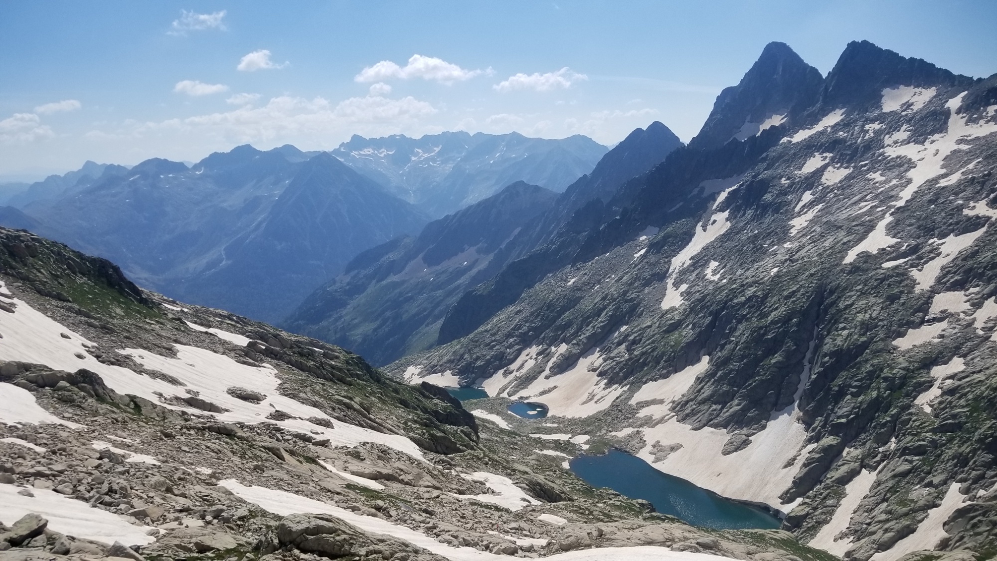
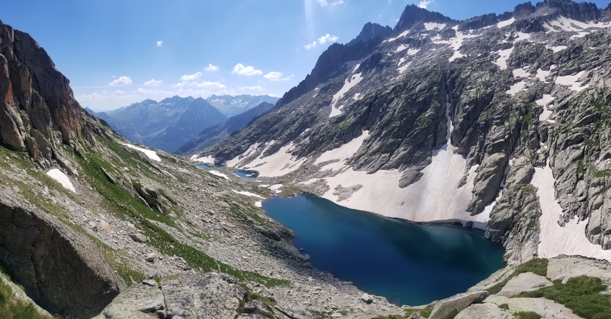
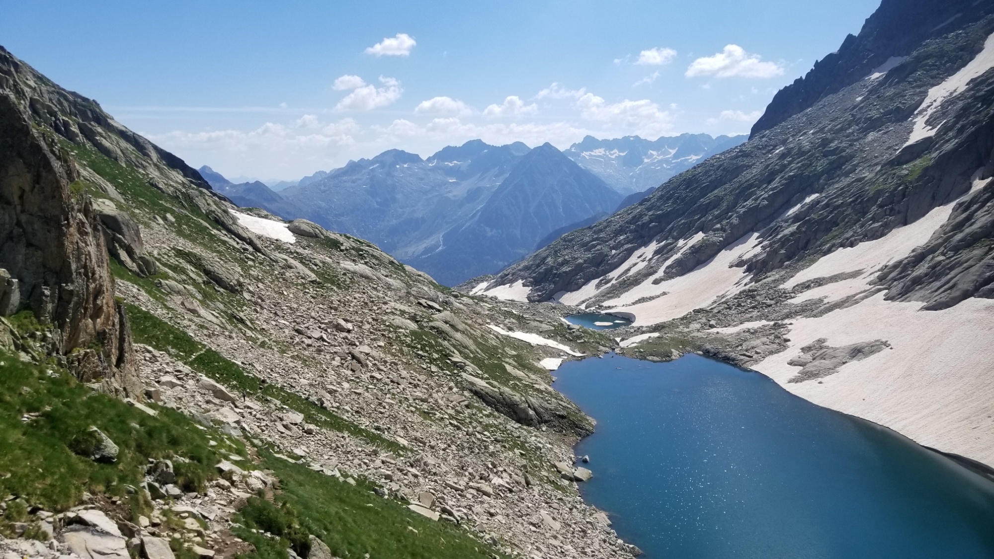
From there, I was just at the level of the fog ceiling, but I could make out the next round of lakes down below.
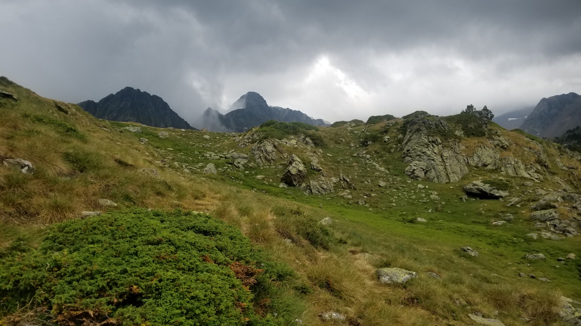
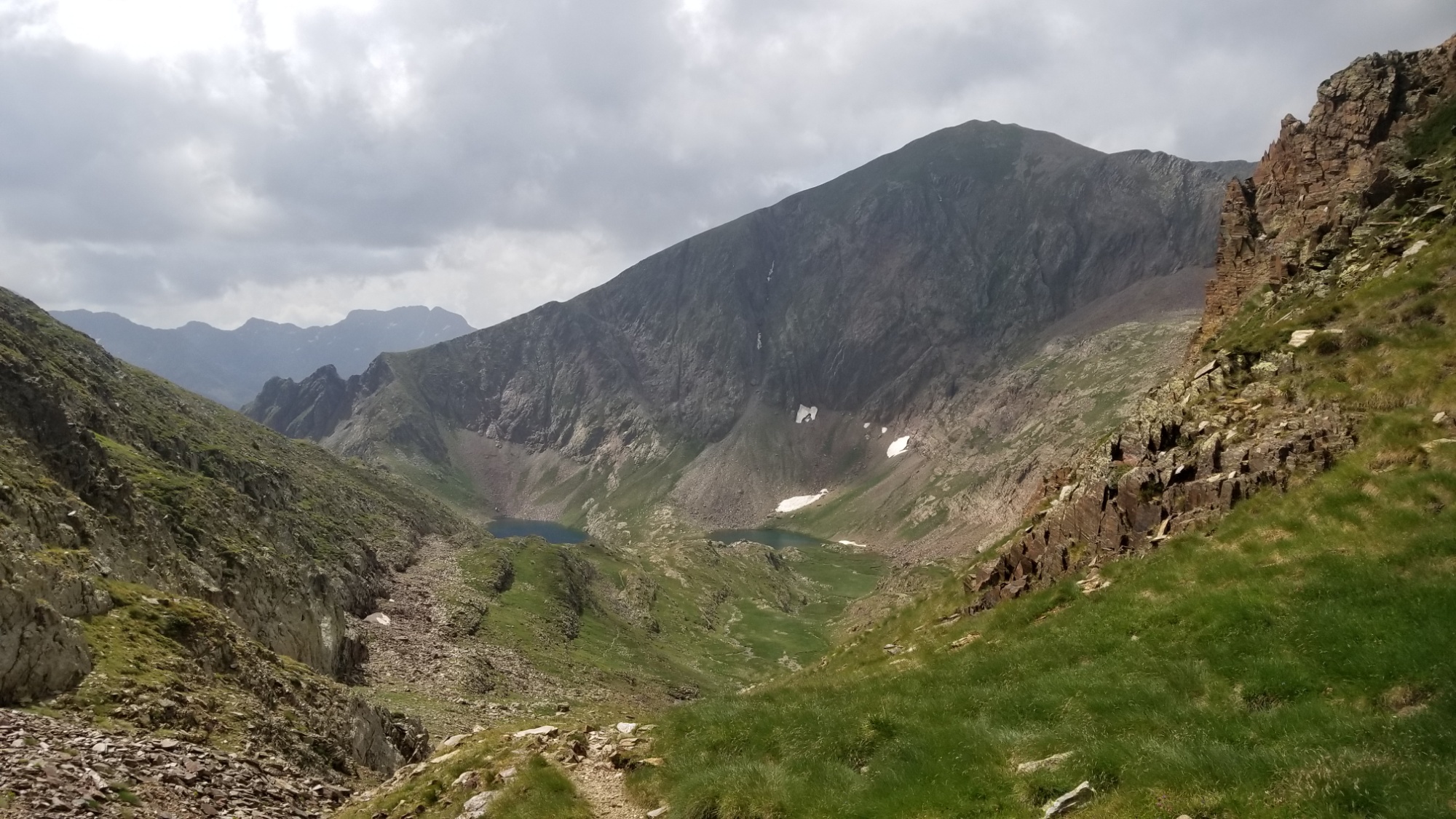
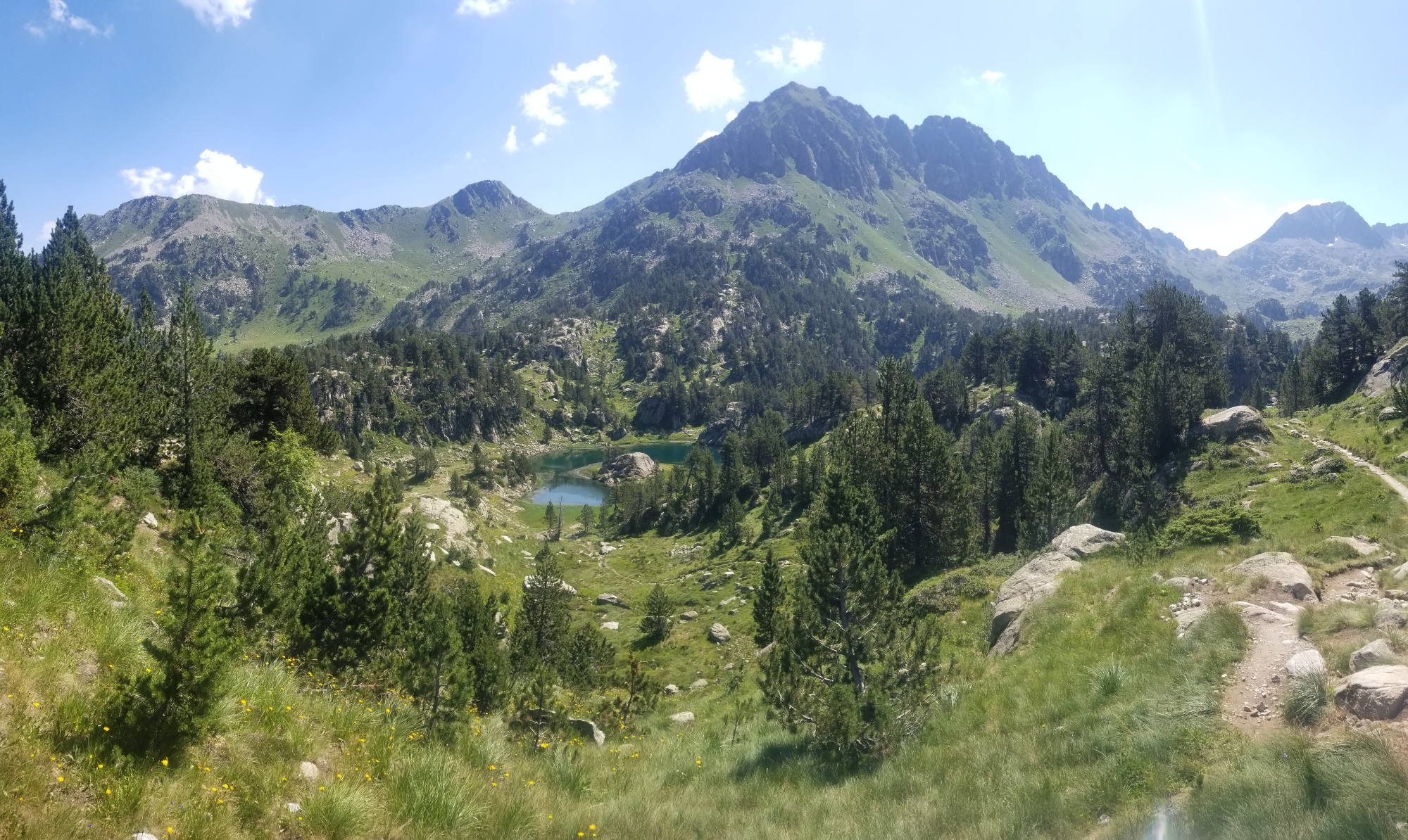
I think that is the pass I’m headed towards?More lacs! Yay!
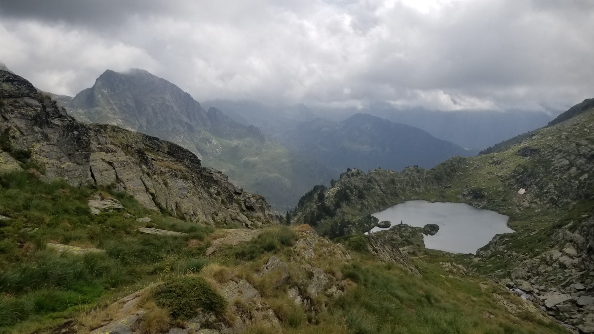
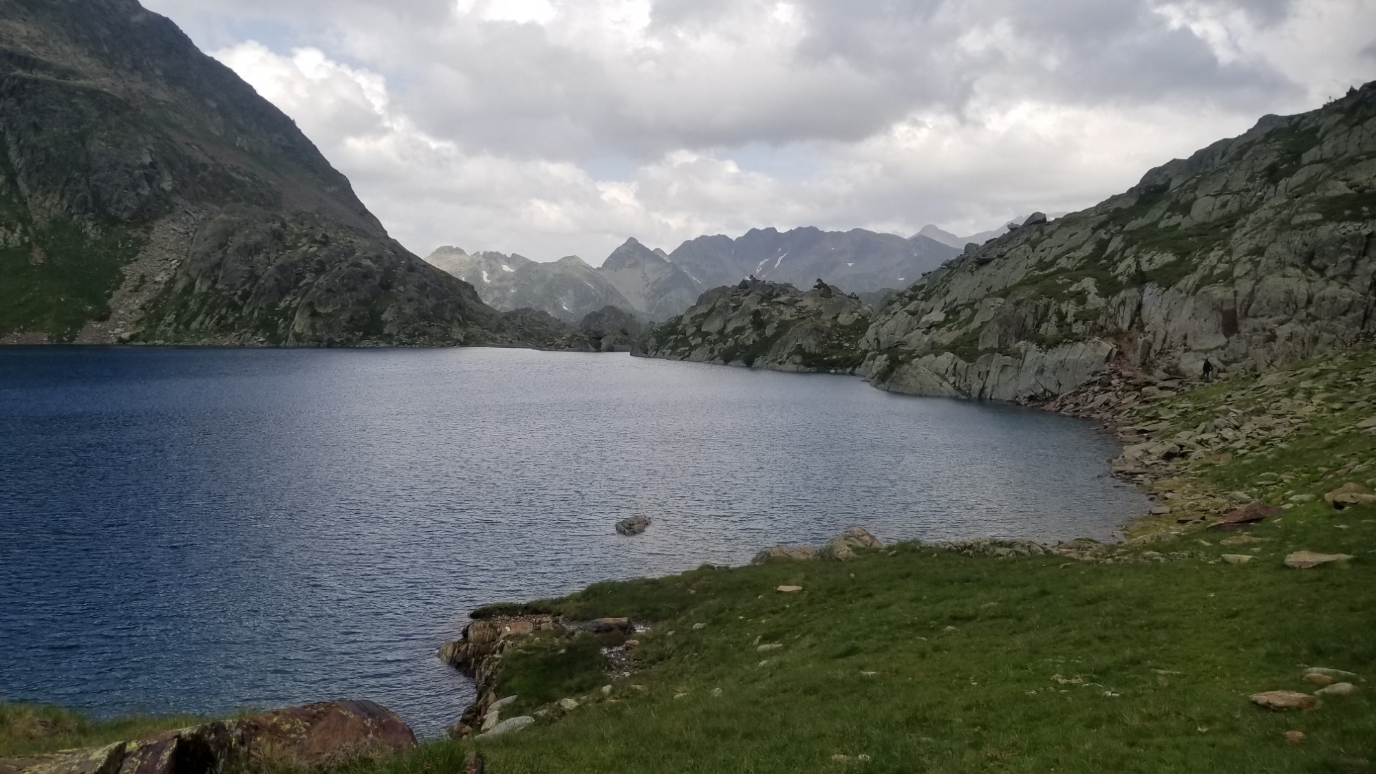
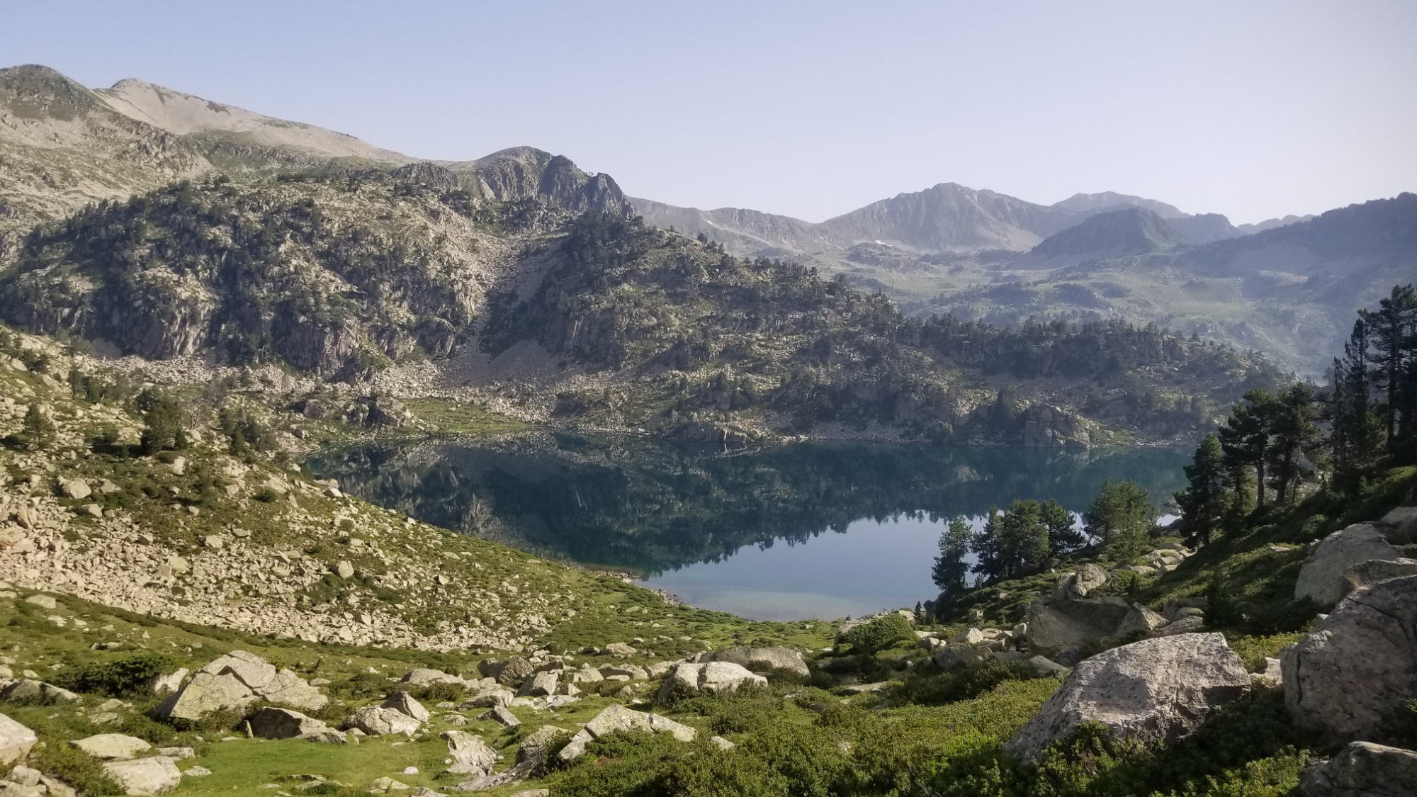
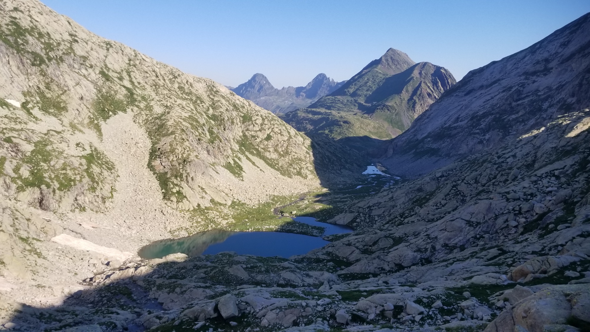
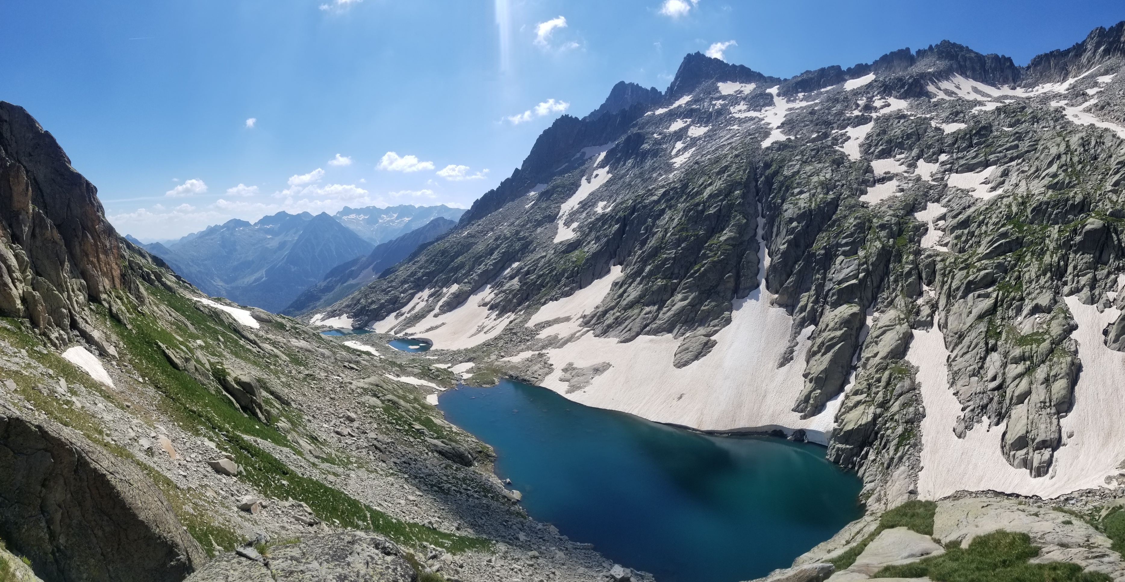
Three lacs in a row! The refuge is that little silver dot to the right of the furthest lac
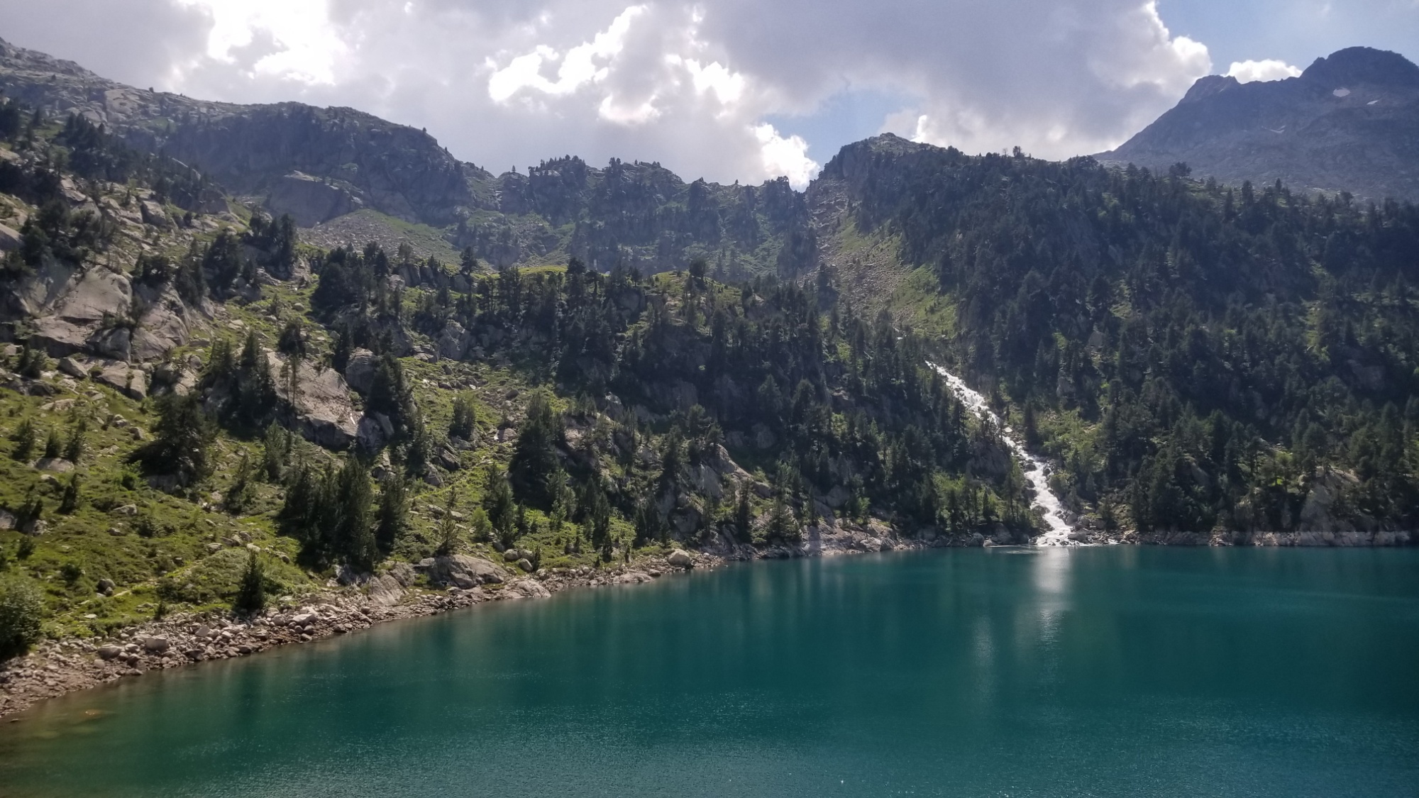
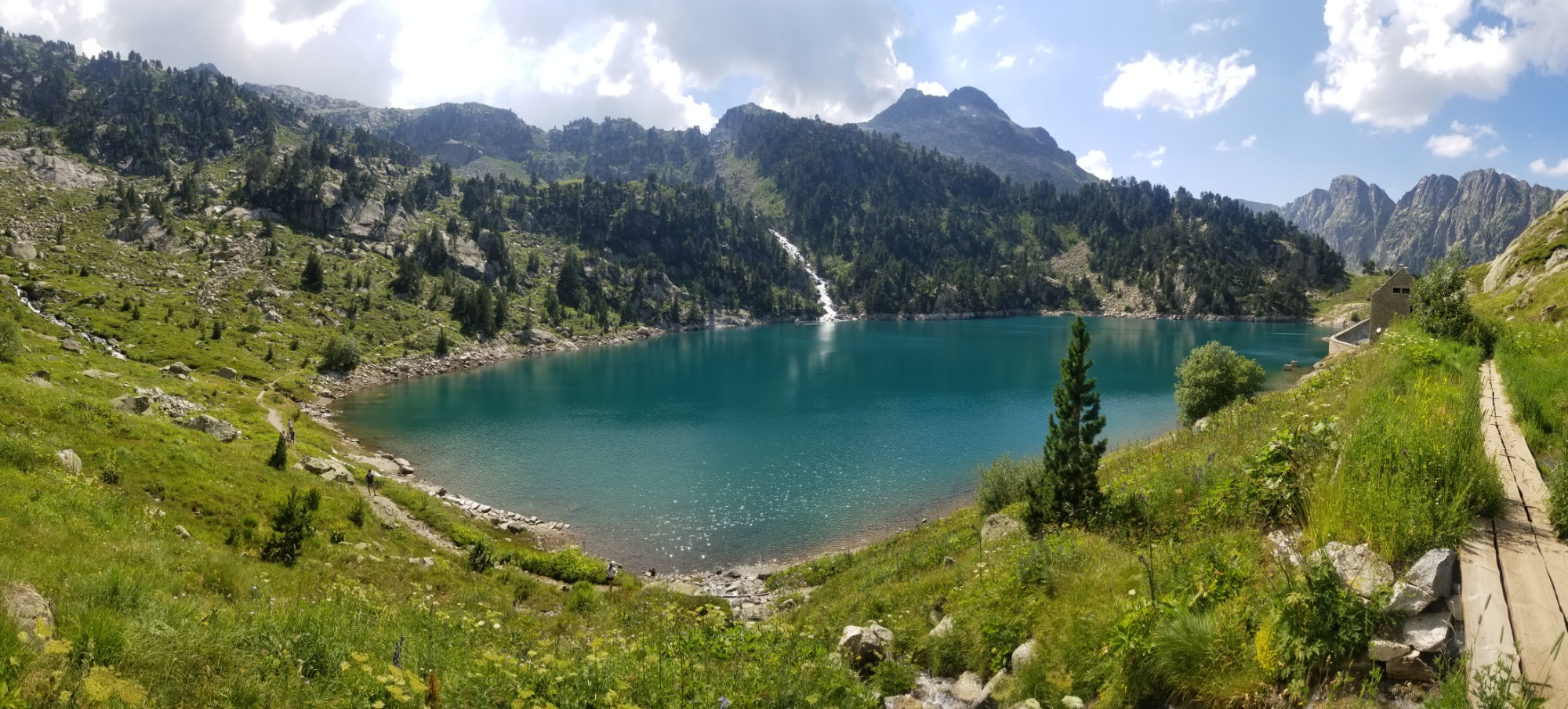
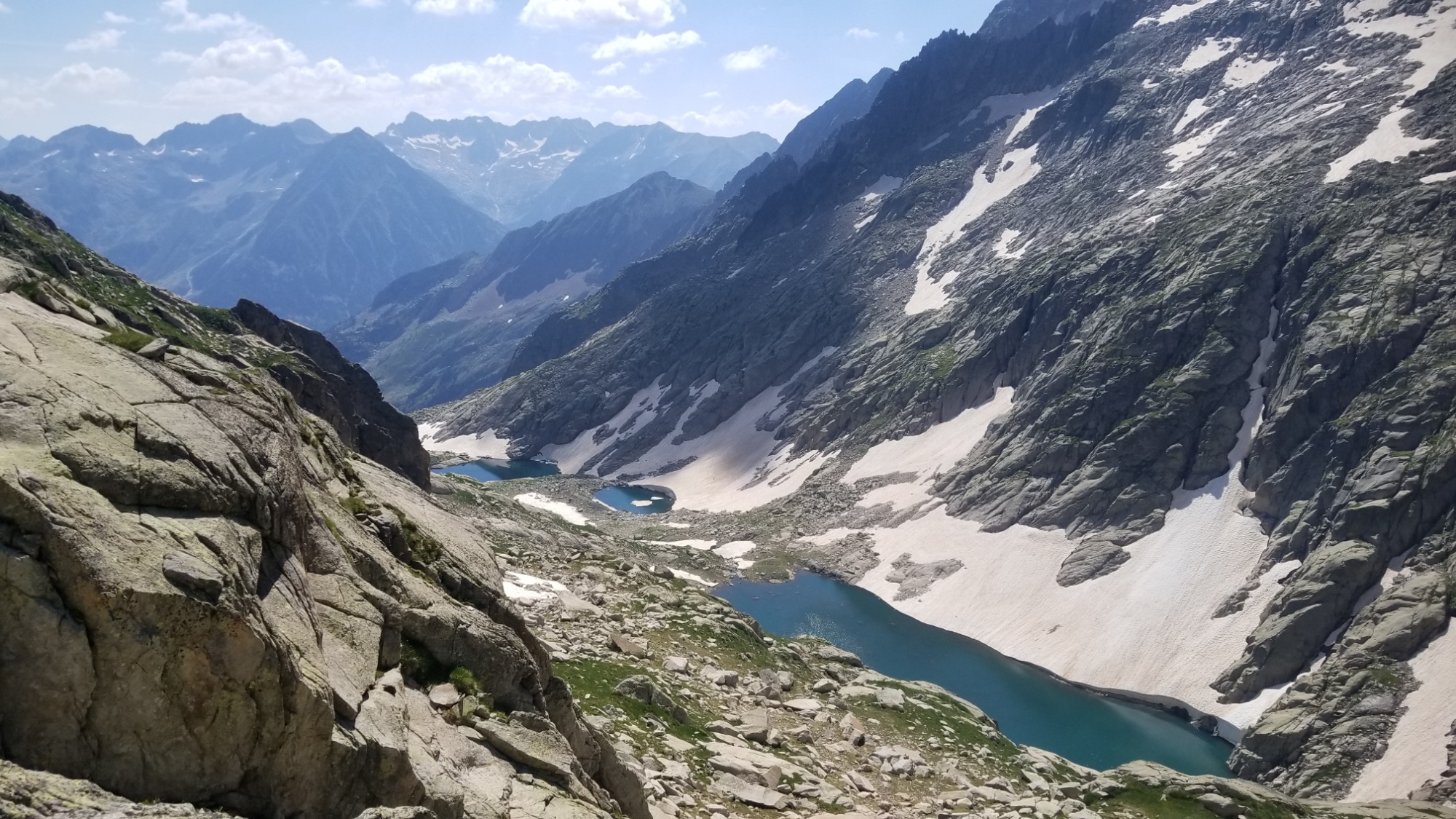
I set out towards them and made a few zig zags down through large rockfields and taiga grassland. All in, there were about 6 lakes in a row on this descent! I’m rich! Ha. If only wealth was measured by how many bodies of water you saw in your life.
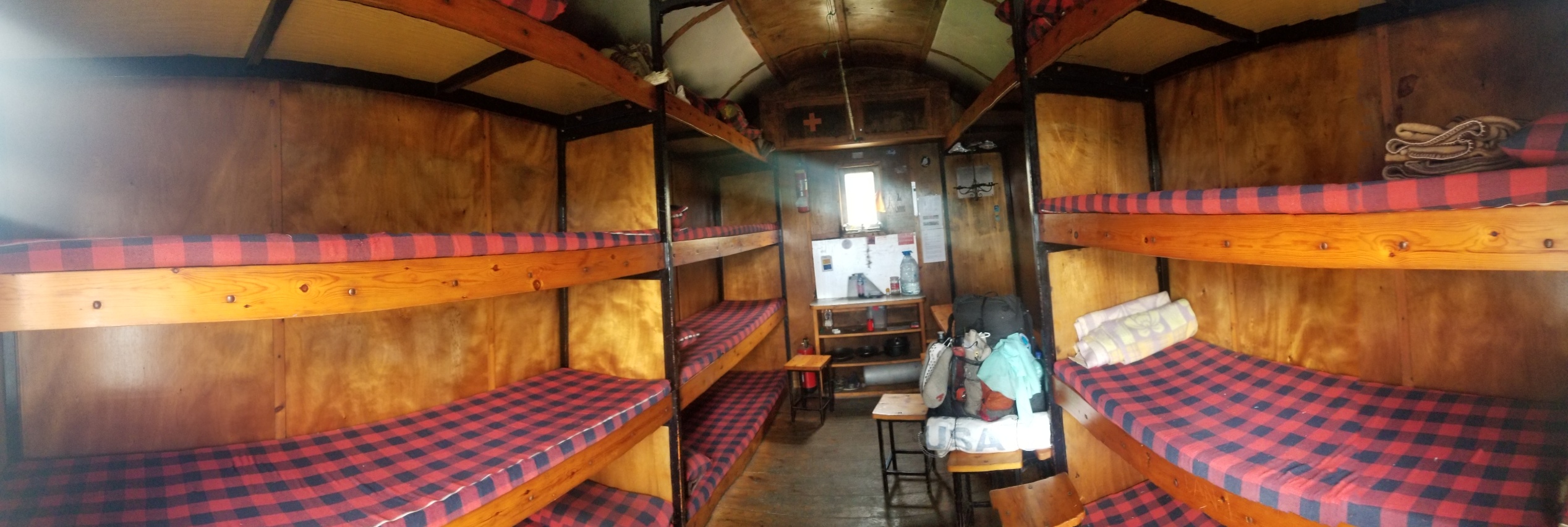
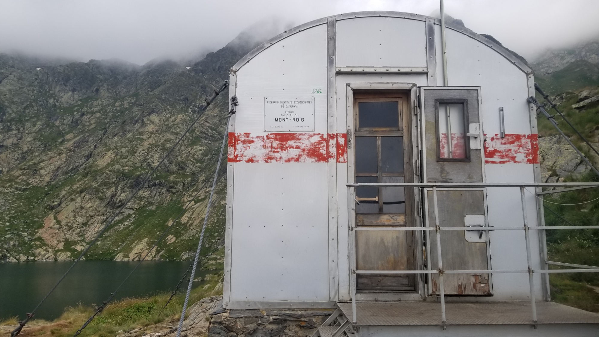
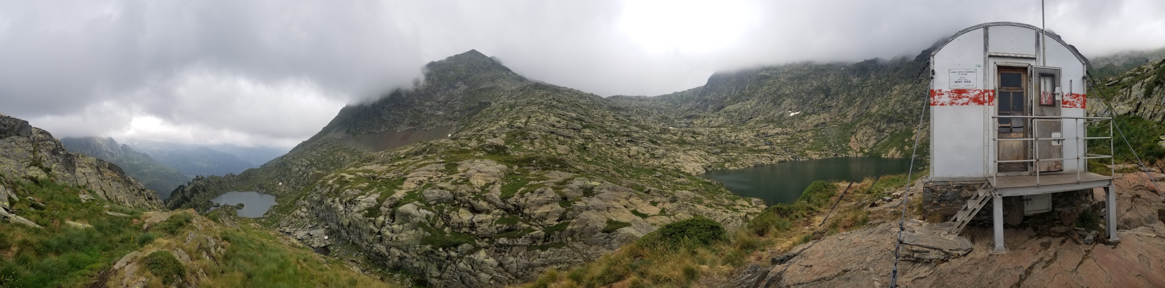
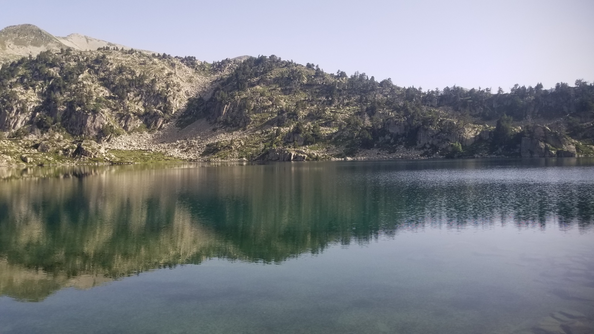
I made it down to the Refuge Enric Puloji, and I took a peak inside. Swanky! 9 bunks and a little eating area. I wish we had more things like this in the U.S.. I’d be glad to stay in such a shelter during a blizzard/hailstorm/monsoon.
The view from the refugeThe inside of the refuge
Anyways, it was about 11am and I had the place all to myself, so I made a nice cup of coffee inside at the table. Ah, I feel so civilized all of a sudden! What a luxury are tables and chairs and a roof over your head. But the day was young, so I had to finish my cup and set off down the trail.
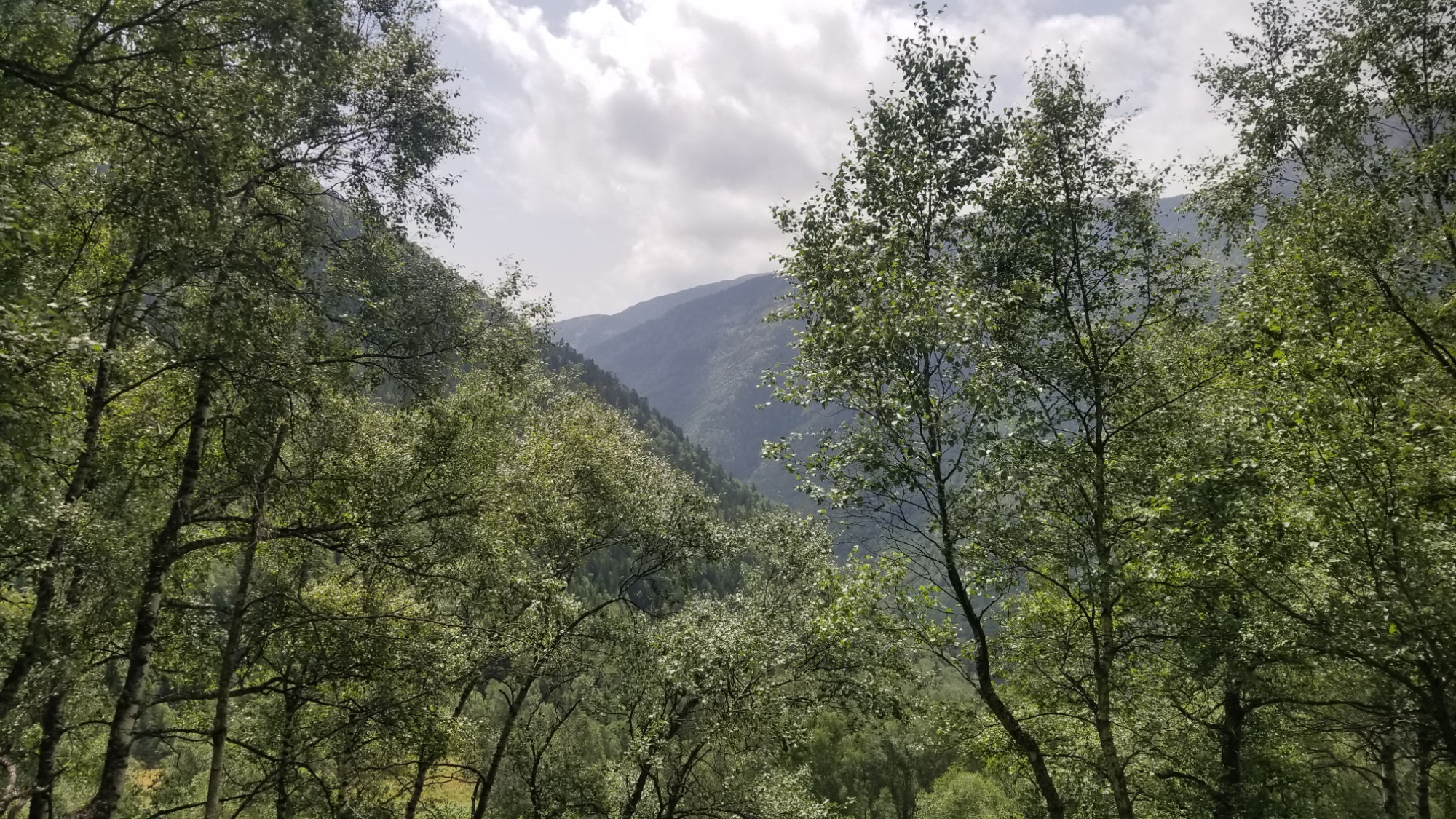
I passed another lake and followed the outflowing stream from the lakes down the valley, past shepherds huts and through some forestland.
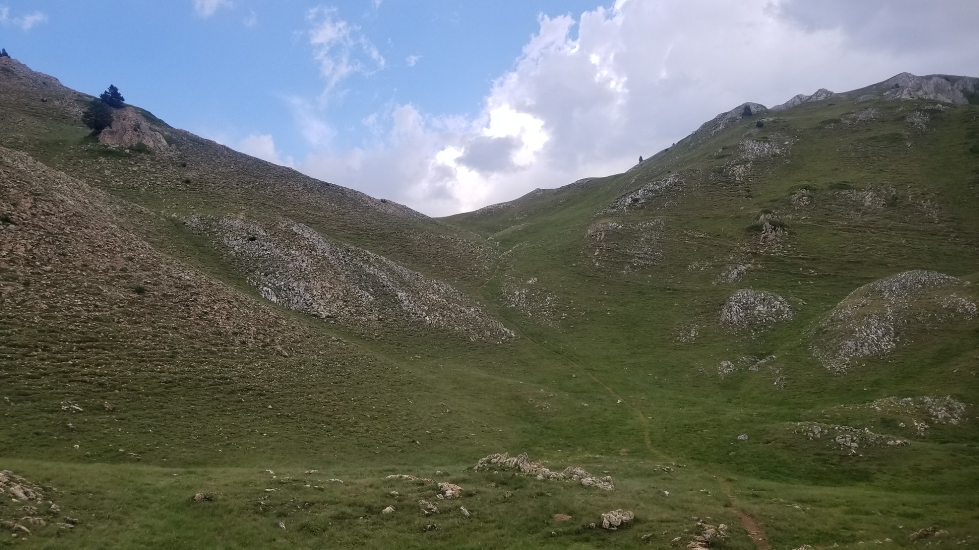
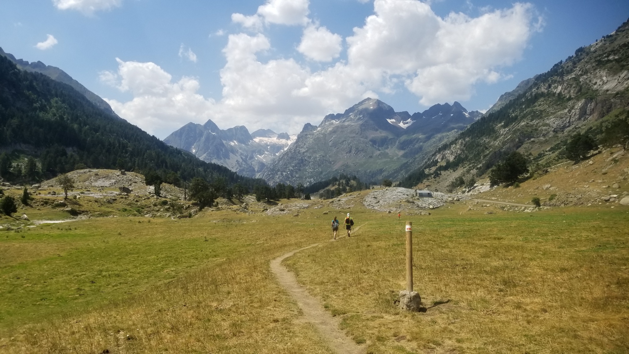
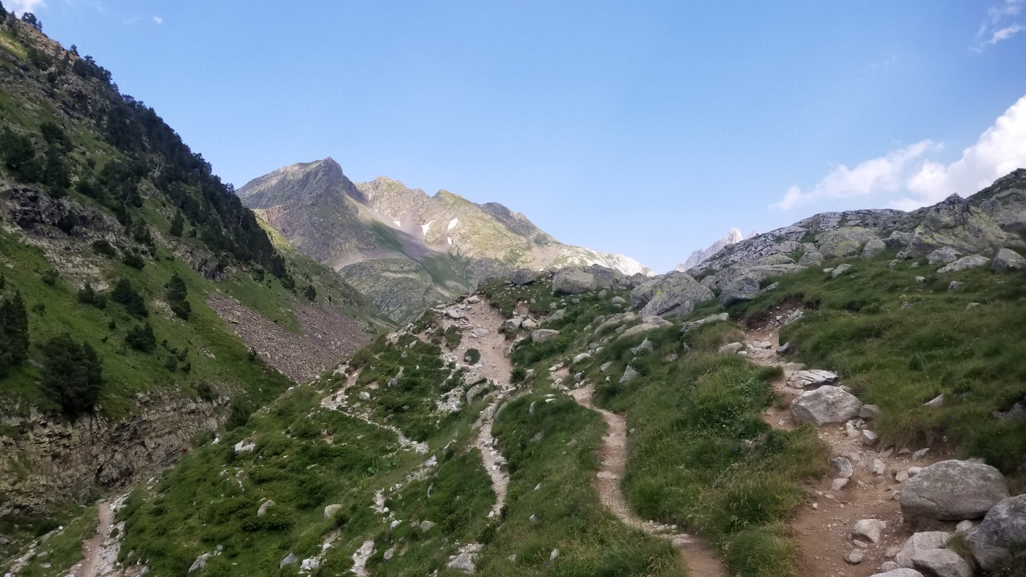
And there’s a TRAIL today! Imagine that! What a difference from yesterday’s soggy bushwhack. The trail was visibly treaded and well marked with cairns and Red-White blazes. I saw a few other hikers headed up to the refuge or just out for the day. I couldn’t say, as I rarely speak to anyone out here. I assume most of them don’t speak English. Maybe that’s a self-defeating attitude, but I’m also not out here to be social. I’m here to hike and photograph the highest crest of the Pyrenees mountains, from the Atlantic to the Mediterranean. I’m sure I’ll have plenty to talk about when I get home to my friends and family.
Good trail!
The trail continued on, crossed a bridge, and led on to a small little community called Noarre. I walked by just as a big family was outside of their house. Ahhh, the looks I get walking past people. It’s like they’ve never seen a backpacker before! Really can’t say I’ve seen many true backpackers out here. Mostly dayhikers and refuge-hoppers, both of whom carry very little and rely on others for their food and shelter.
The hamlet of Noarre
Contrarily, I like to have all my food sorted myself, and I carry my home on my back. That’s my secret to spending as little as possible while traveling: learn to cook your own meals and enjoy sleeping in a tent.
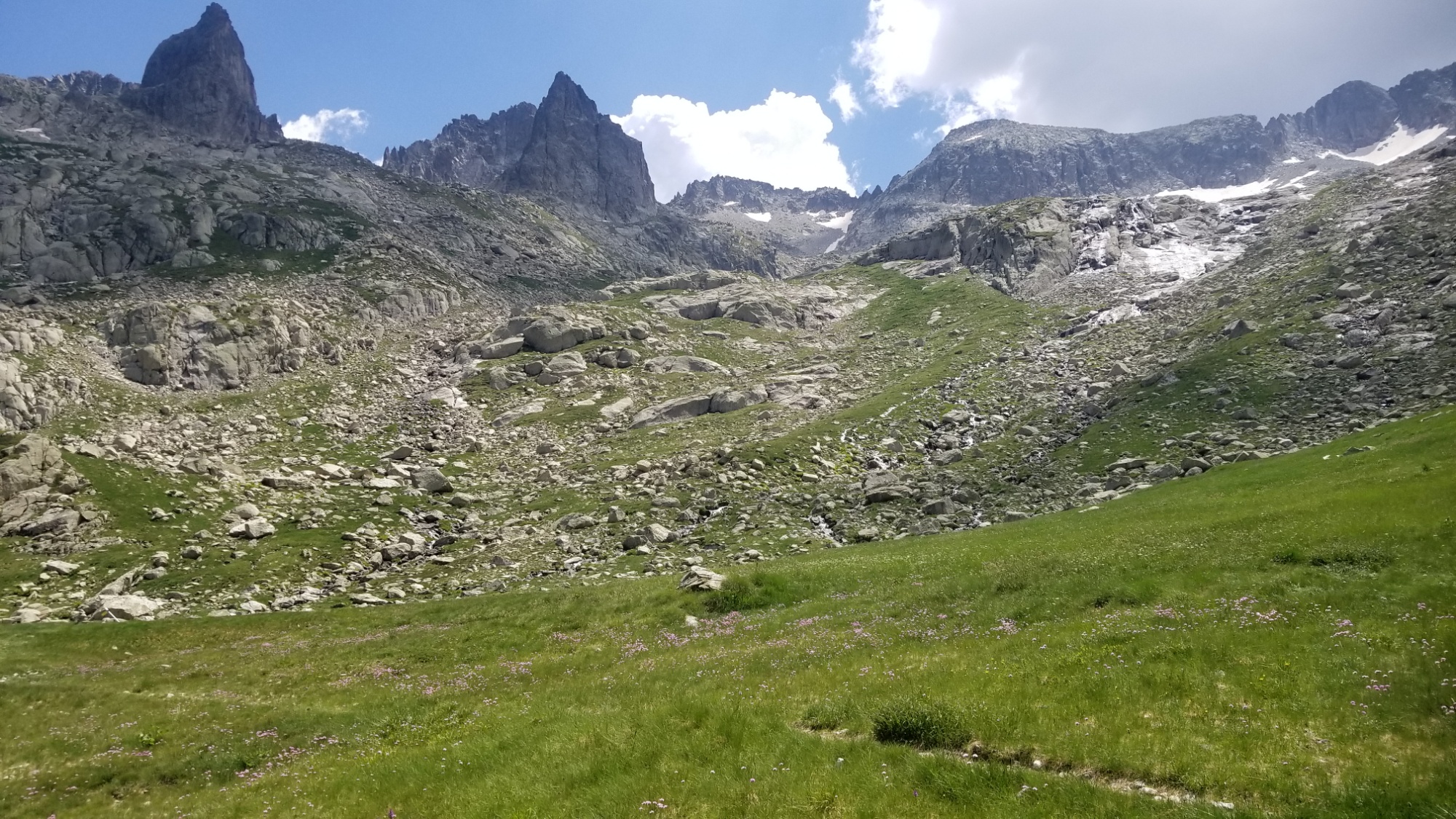
I passed the hamlet and went down to the river, but I checked the maps and it was the wrong way! Dog gone. I had to climb back up through a big grassy field to the right trail. My way was going 1,000m up and over another high mountain pass, not a leisurely stroll down a pretty river valley. Such is the high route.
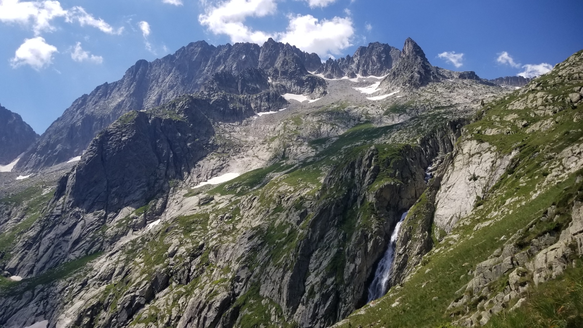
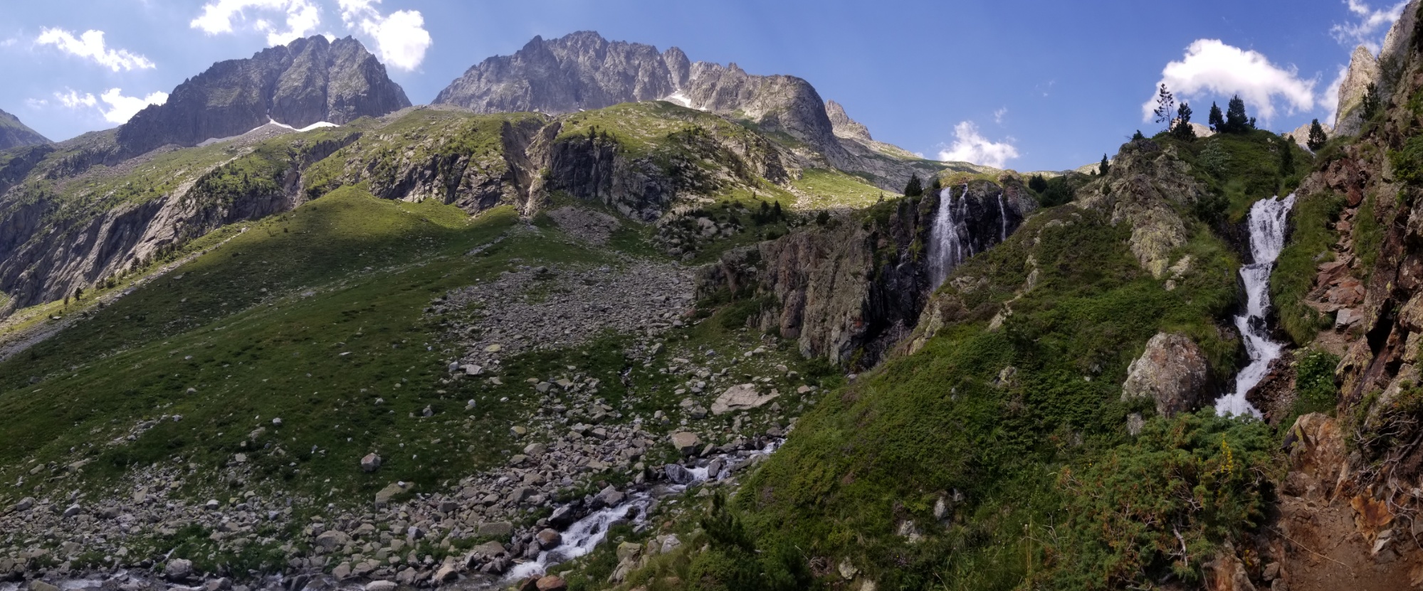
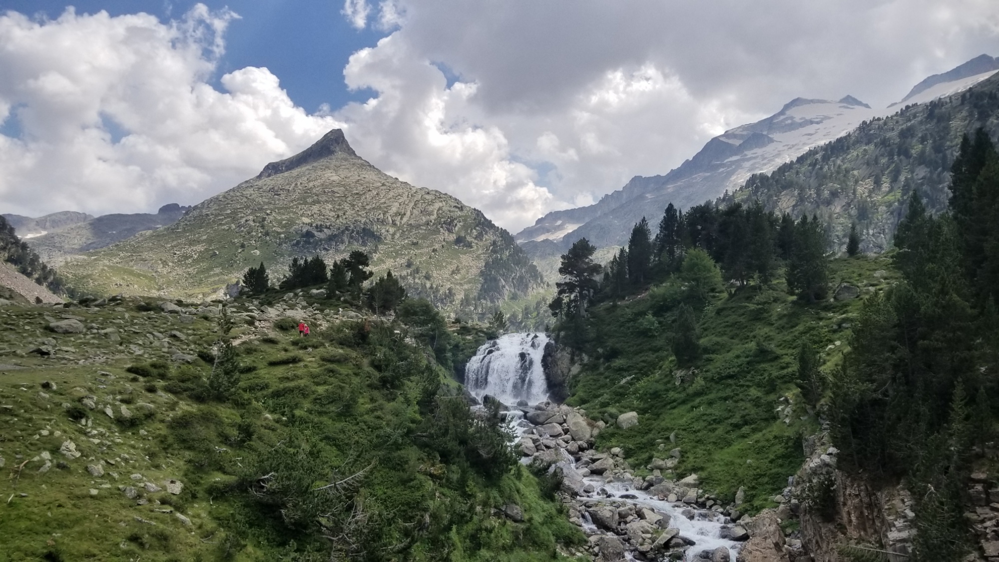
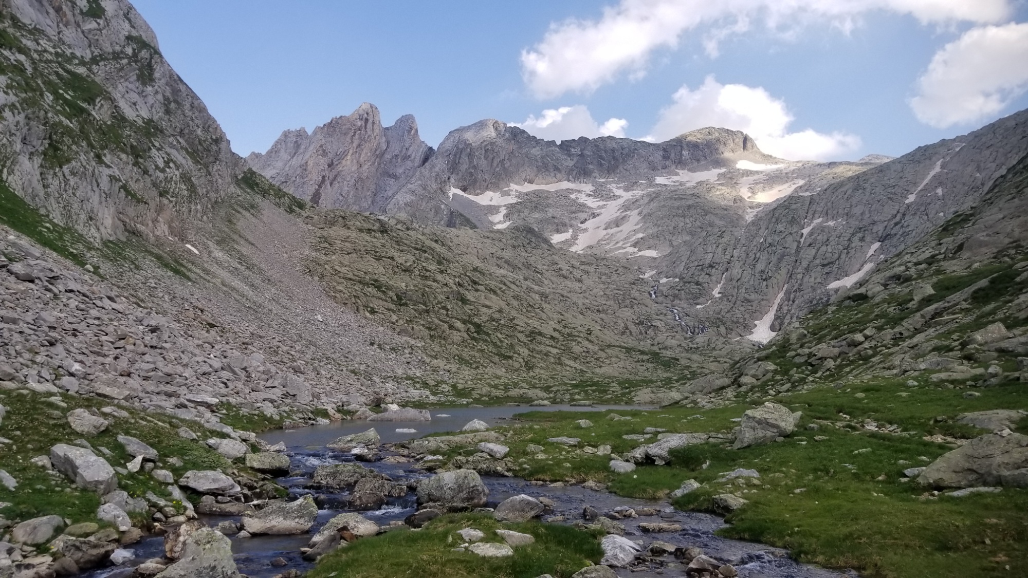
I began the climbing through a gorgeous forest of Aspen trees, and stopped at a waterfall 300m up to make a delicious tomato soup to help provide the energy for the climb.
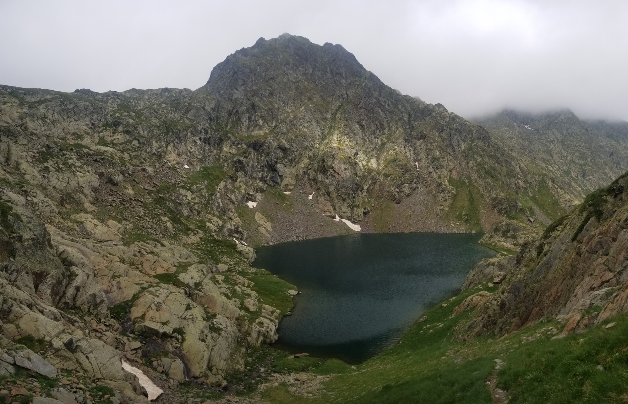
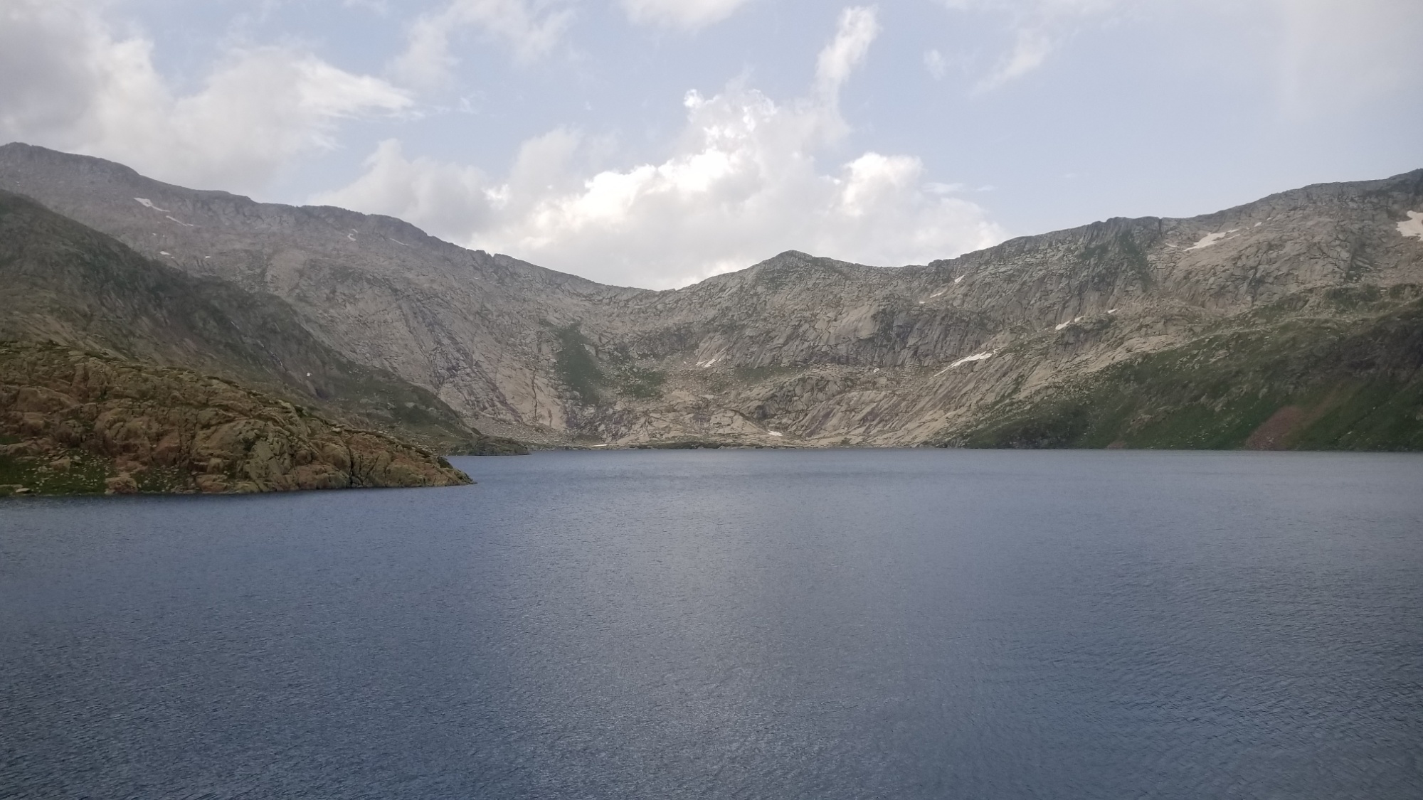
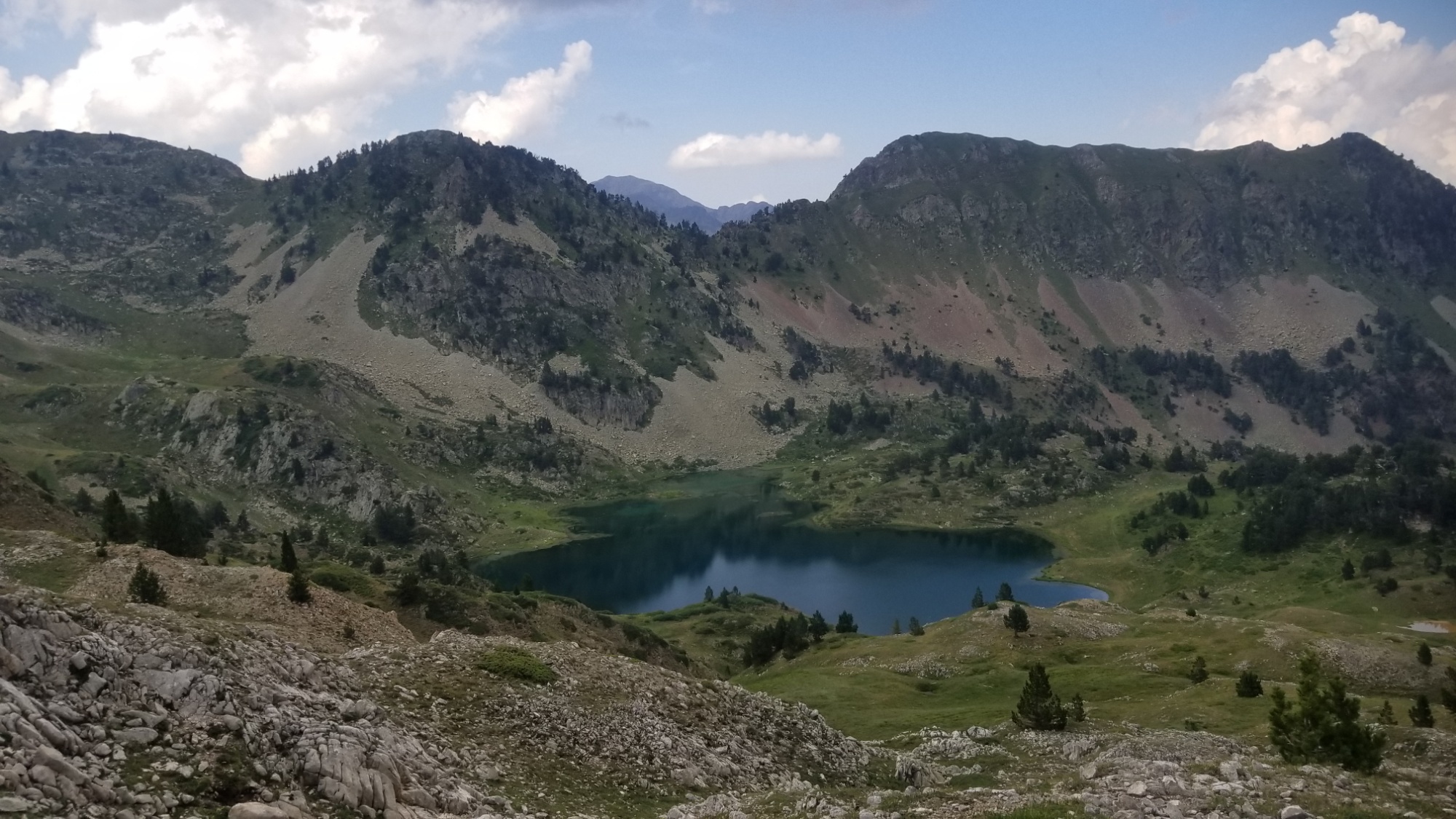
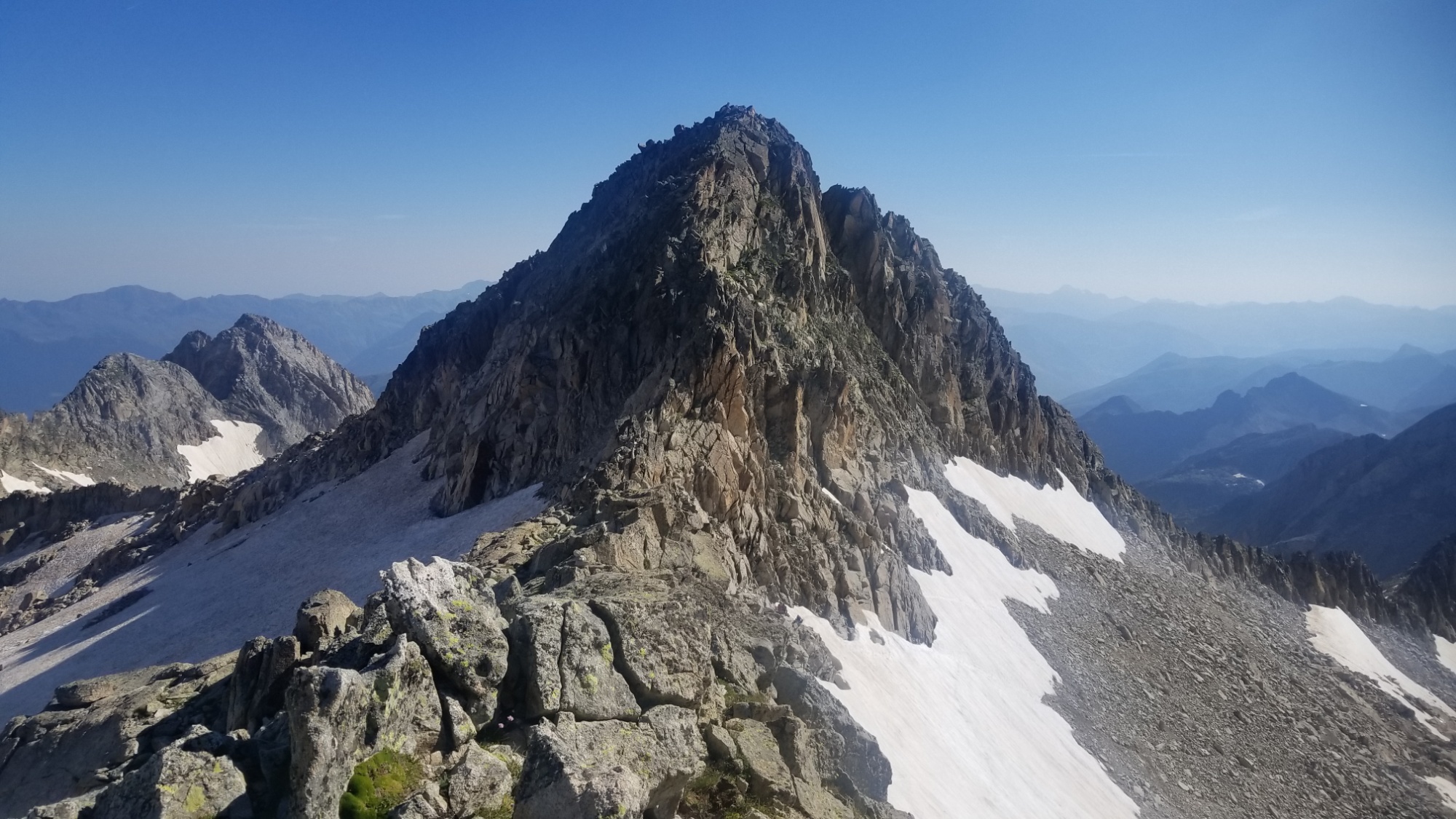
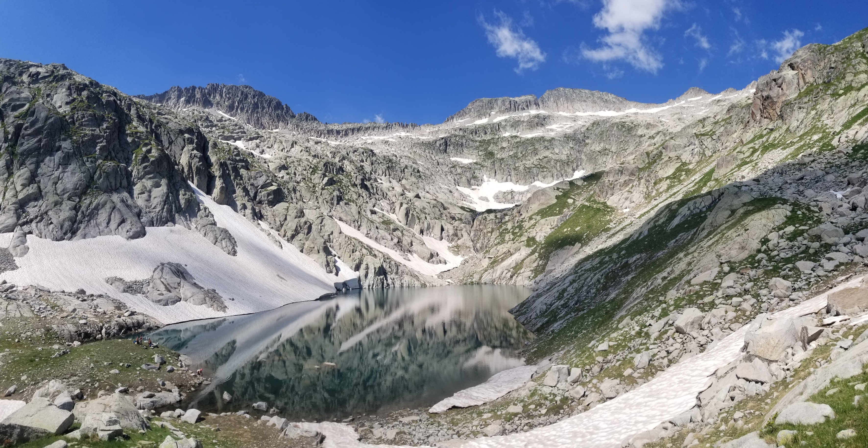
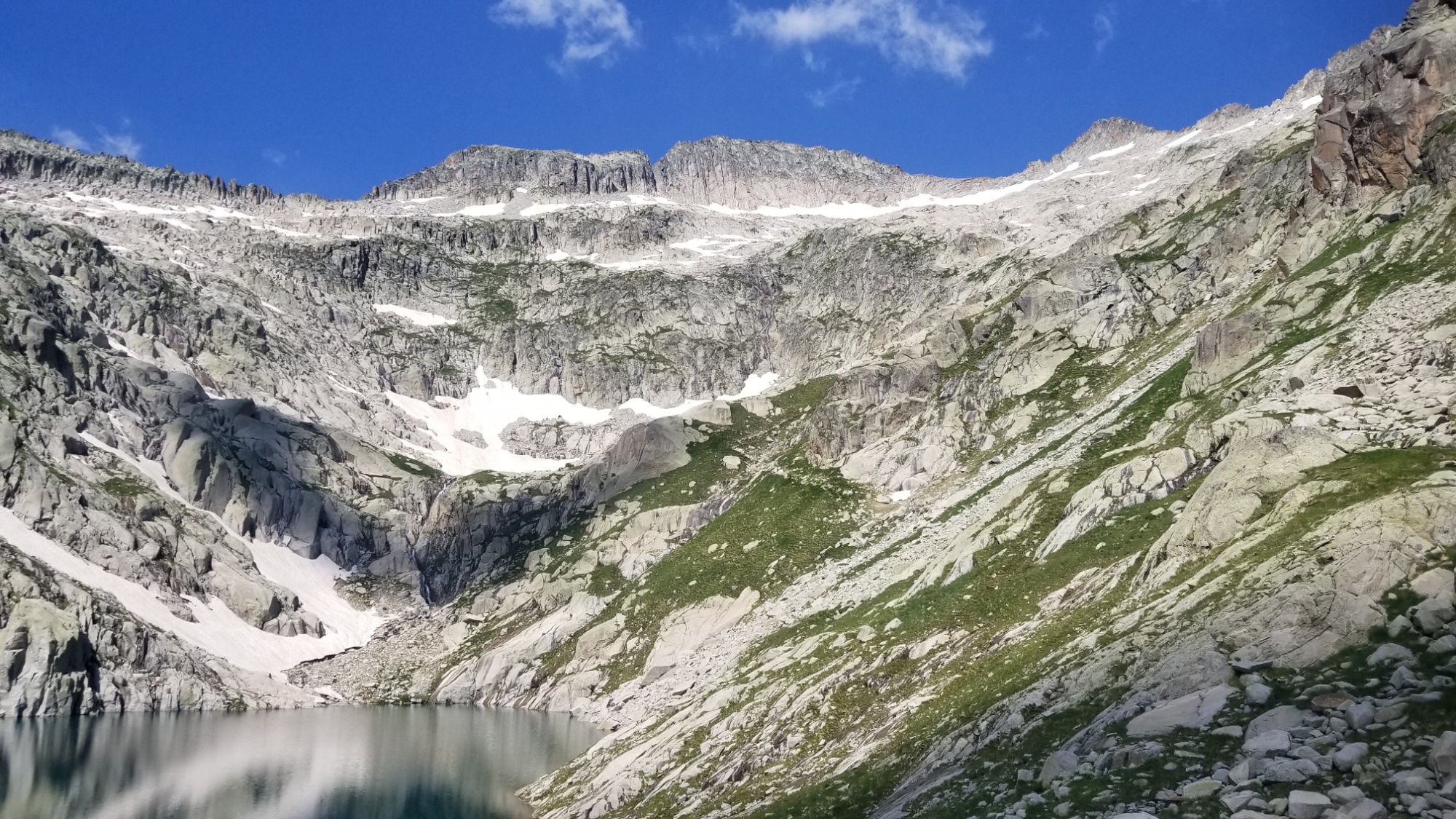
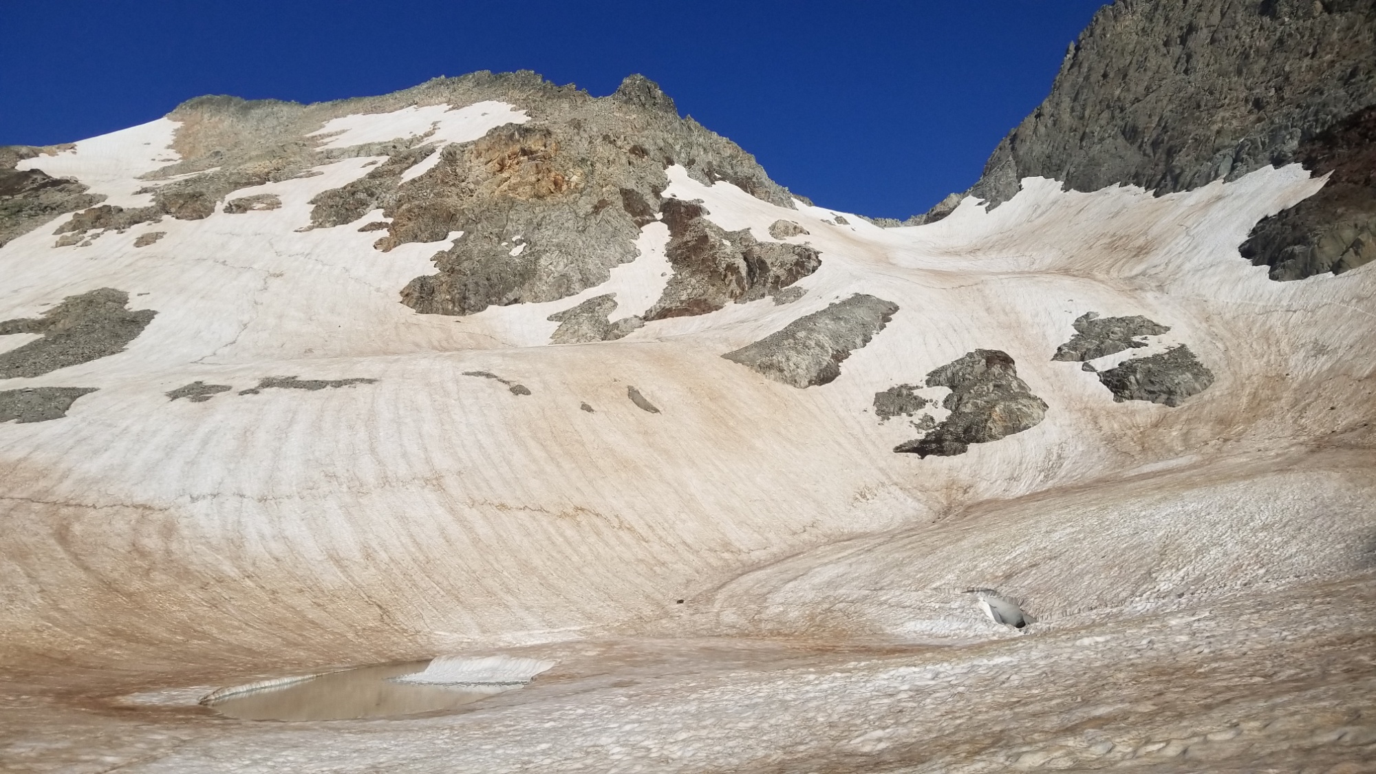
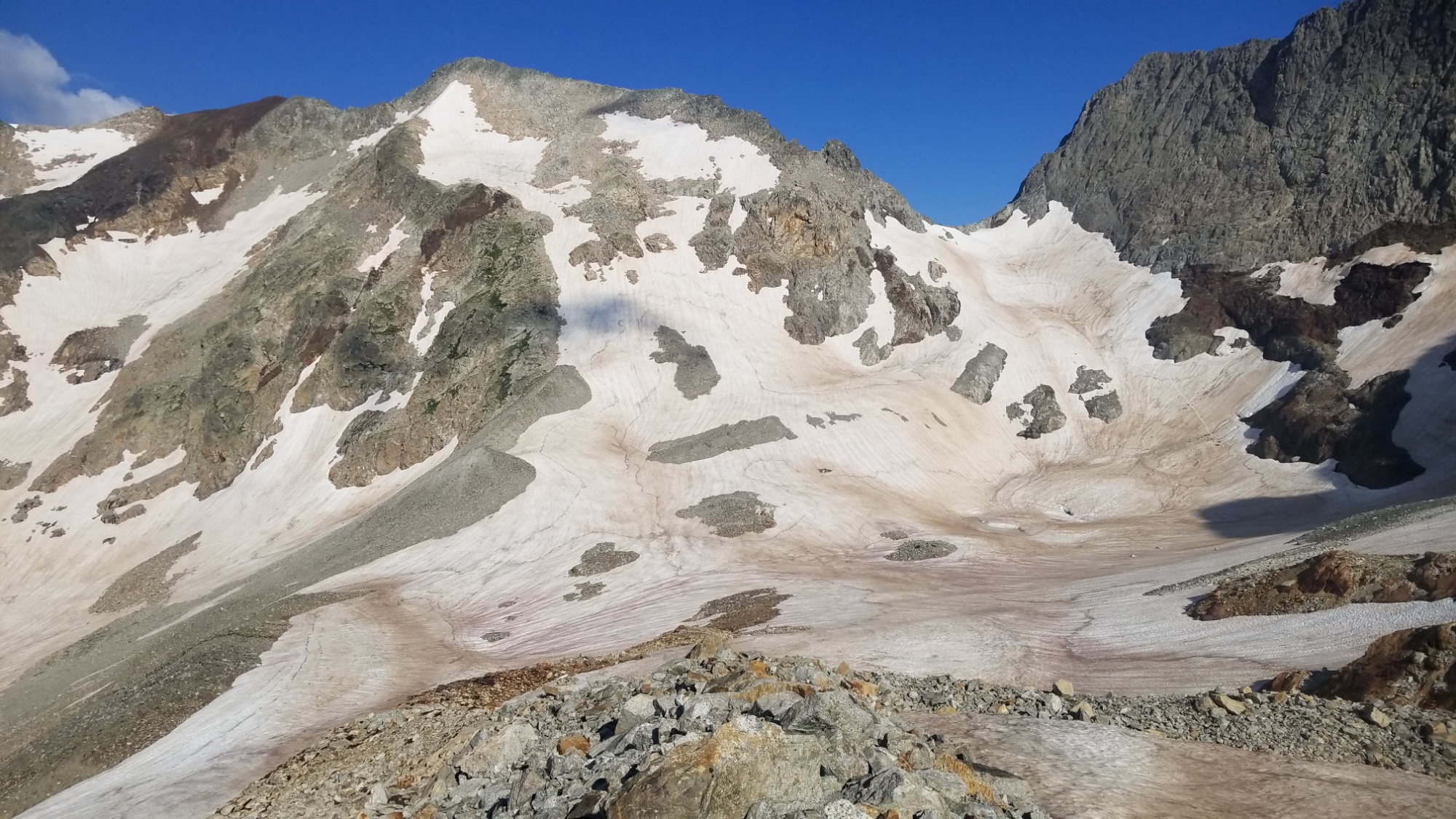
Then, up, up, up, switchbacks and all that. They eventually led to a large open grassy bowl in the valley with multiple waterfalls contributing. I climbed up to the left of one of them, and finally came to the lakes that I had been looking for. First a small one, then a larger one near the Col de Certescan. From the high lake, I had another 300m climb up and over the col.
The view back from the passThe view forward from the col
Then, I ran into some icy snow patches! They were supposed to be melted by now.. oh well. I took the opportunity to glissade, but it was so icy that I found it hard to stop, and lost control a bit. I made it to the bottom, skidding a little bit on the gravel, and caught my breath before I realized that something was missing… oh! I dropped one of my trekking poles halfway up the sheet of ice. I’m laughing at myself now. I had to kick steps in and climb up a precarious 20m to retrieve it, before glissading down a second time. Also, I could see from the bottom that I could’ve avoided the ice entirely by taking a scree field descent! Oh well, too late now.
I was in the fast track down the valley. There was a a refuge at the other end of this lake I walk towards, but I wasn’t really interested in spending money, as I have enough supplies already. Plus, it was only 6pm! I can make great miles in the cool temperatures from 6-8pm.
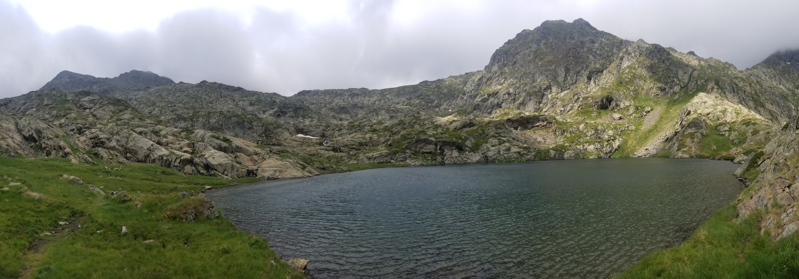
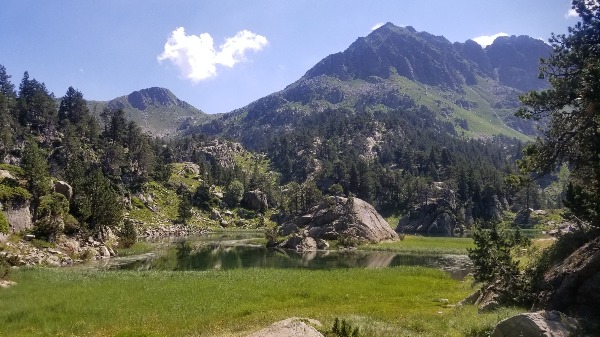
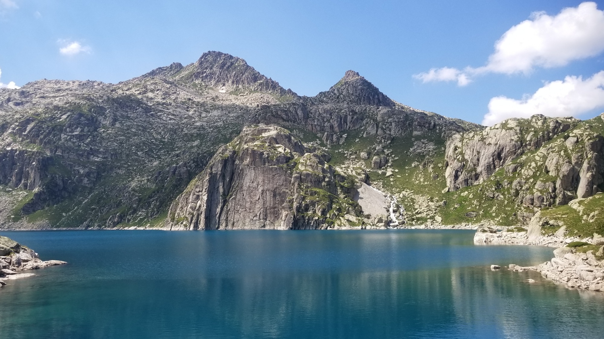
Lac Certescan
Ah, that’s another thing that made today a great hiking day! It was overcast and partly sunny for much of the day, so it never really got super hot, and I was in the shade of clouds or forests during the hottest part of the day. It made a huge difference in how I felt. Plus, there was an awesome wind that would blow through every 5-15 minutes and totally dry off all the water from my clothes! And it was probably a pleasant 60°, perfect for long walks in the mountains.
I carried on down the trail past the refuge, and stopped at a lower lake to make dinner. Instant noodles, tuna with mayo, and a chocolate bar with almonds or hazelnuts. That’s been my go to the last few days.
A good spot for dinner!Until it started raining randomly!
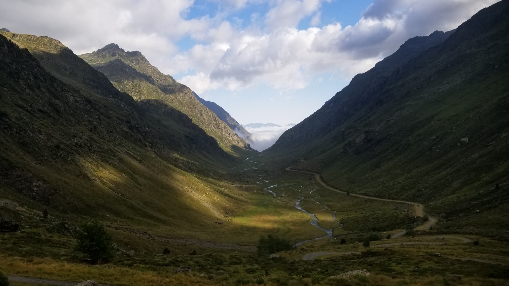
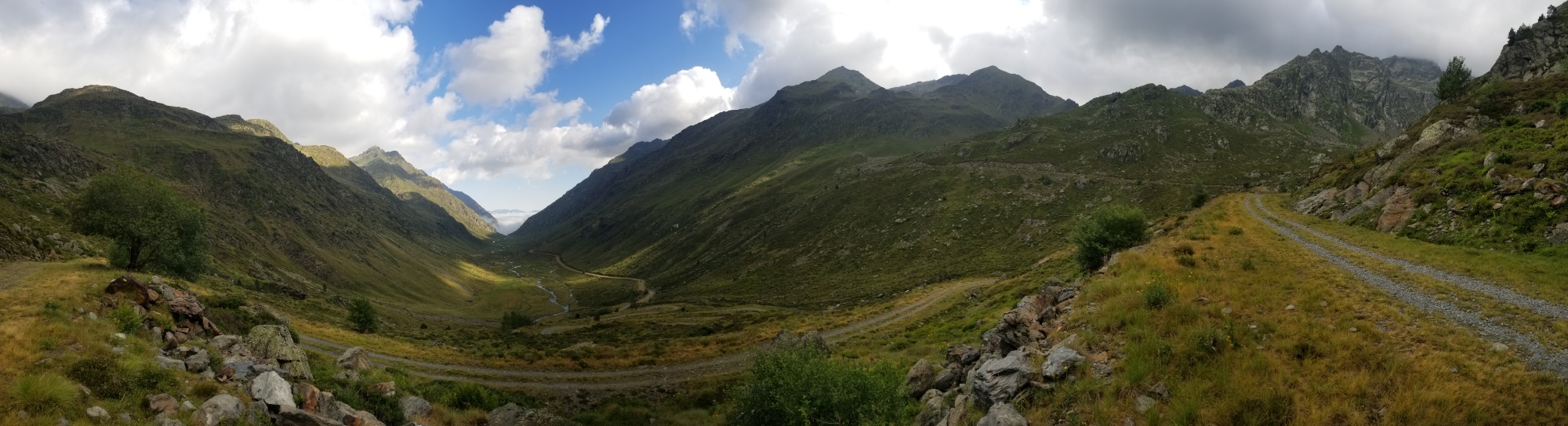
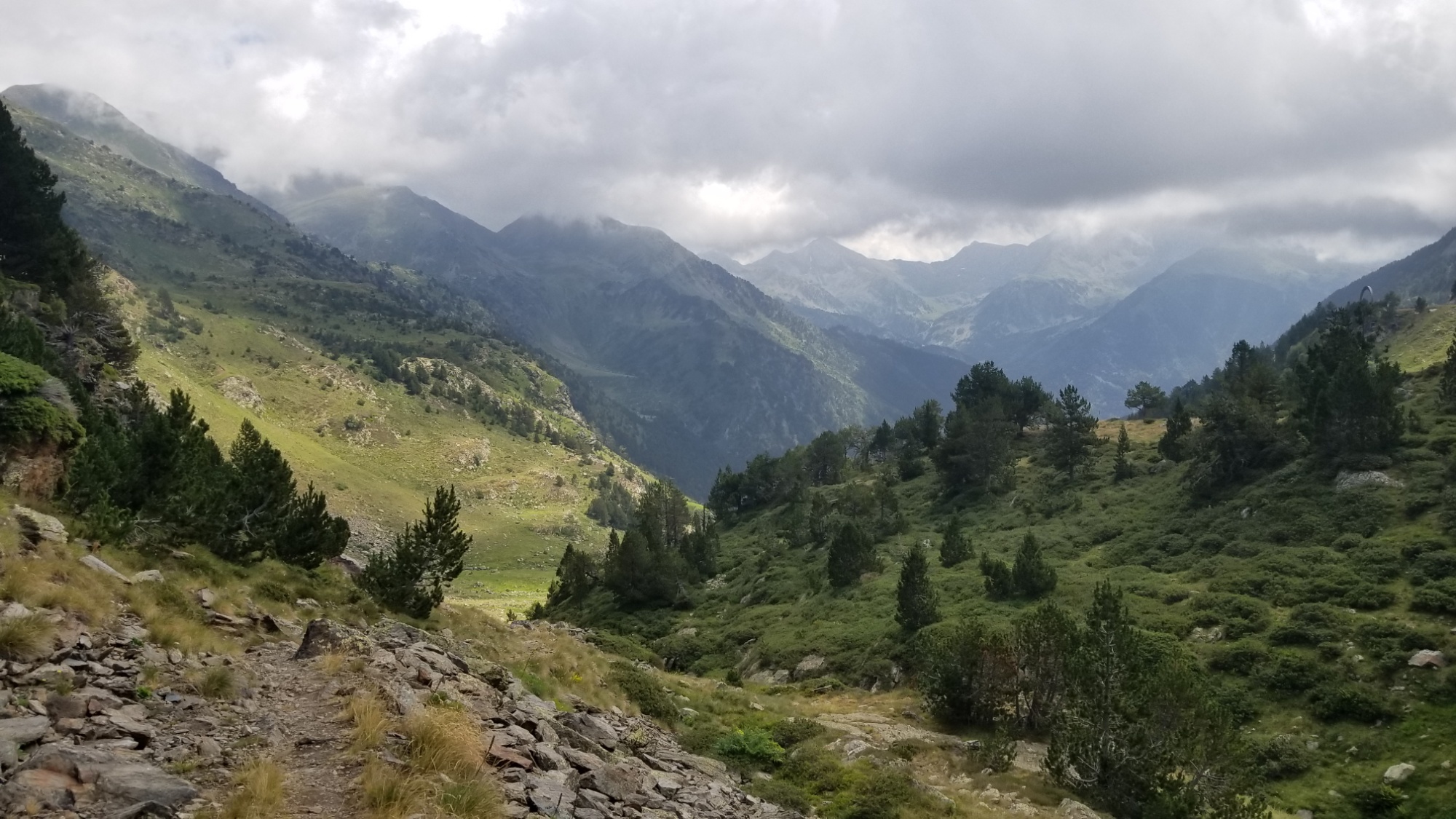
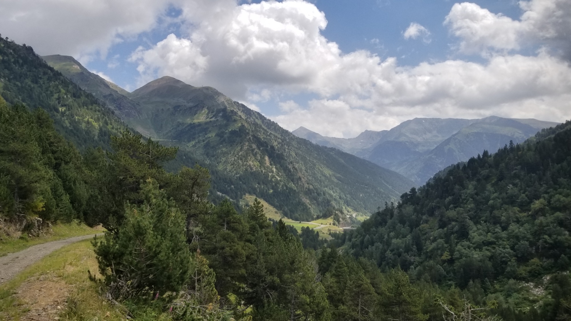
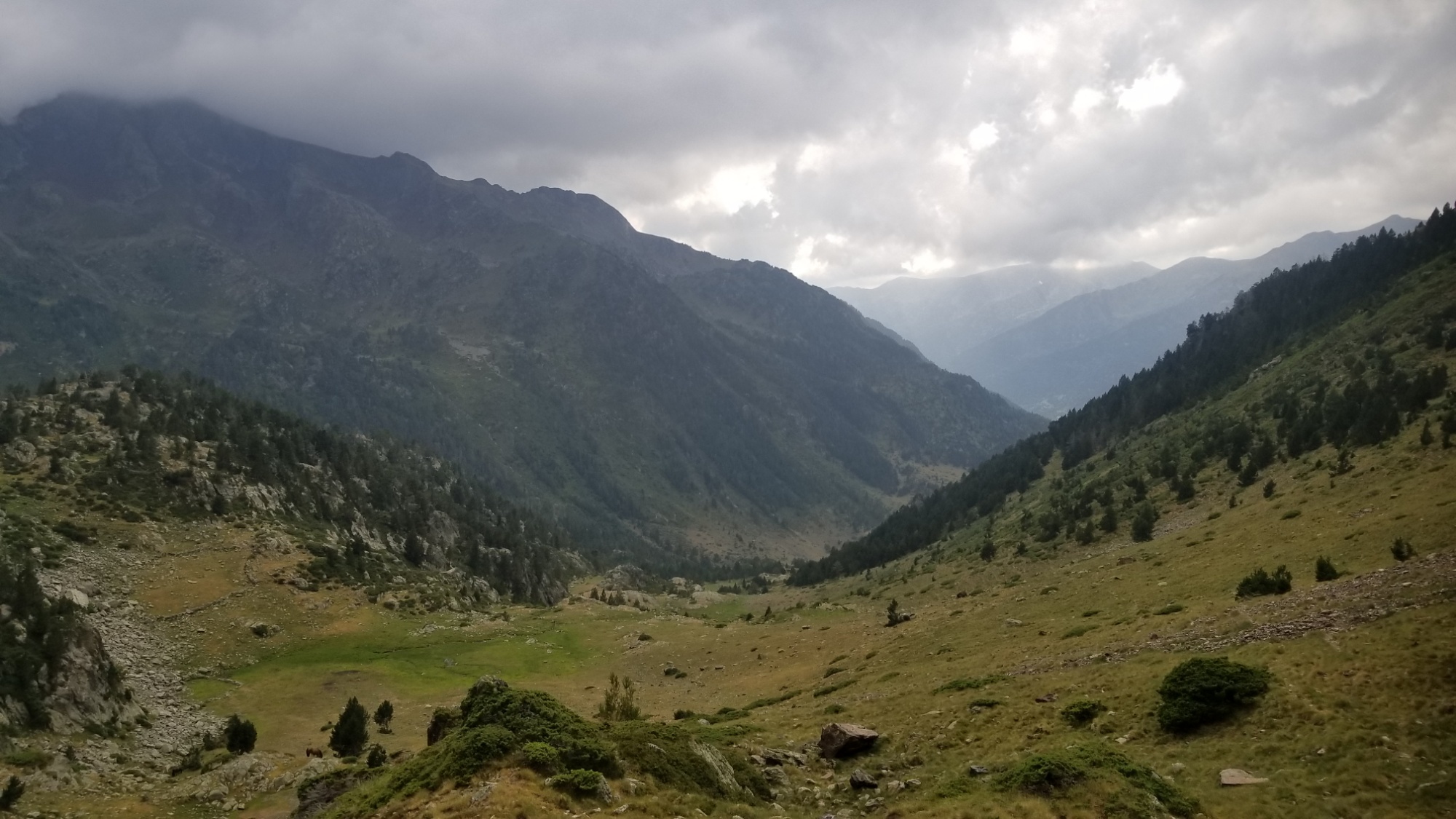
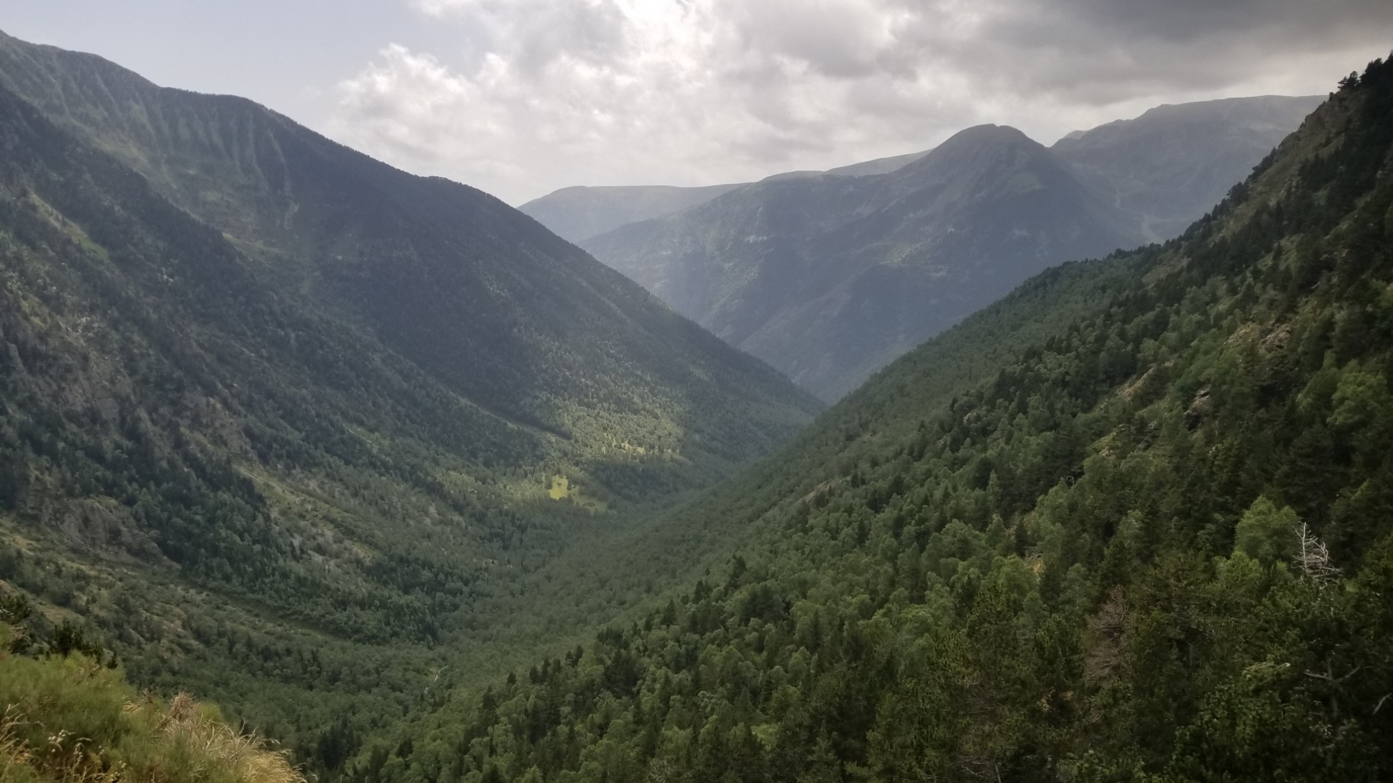
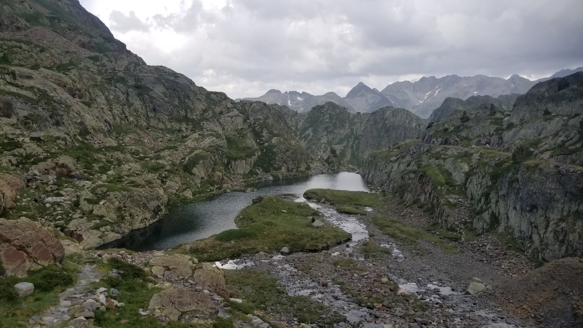
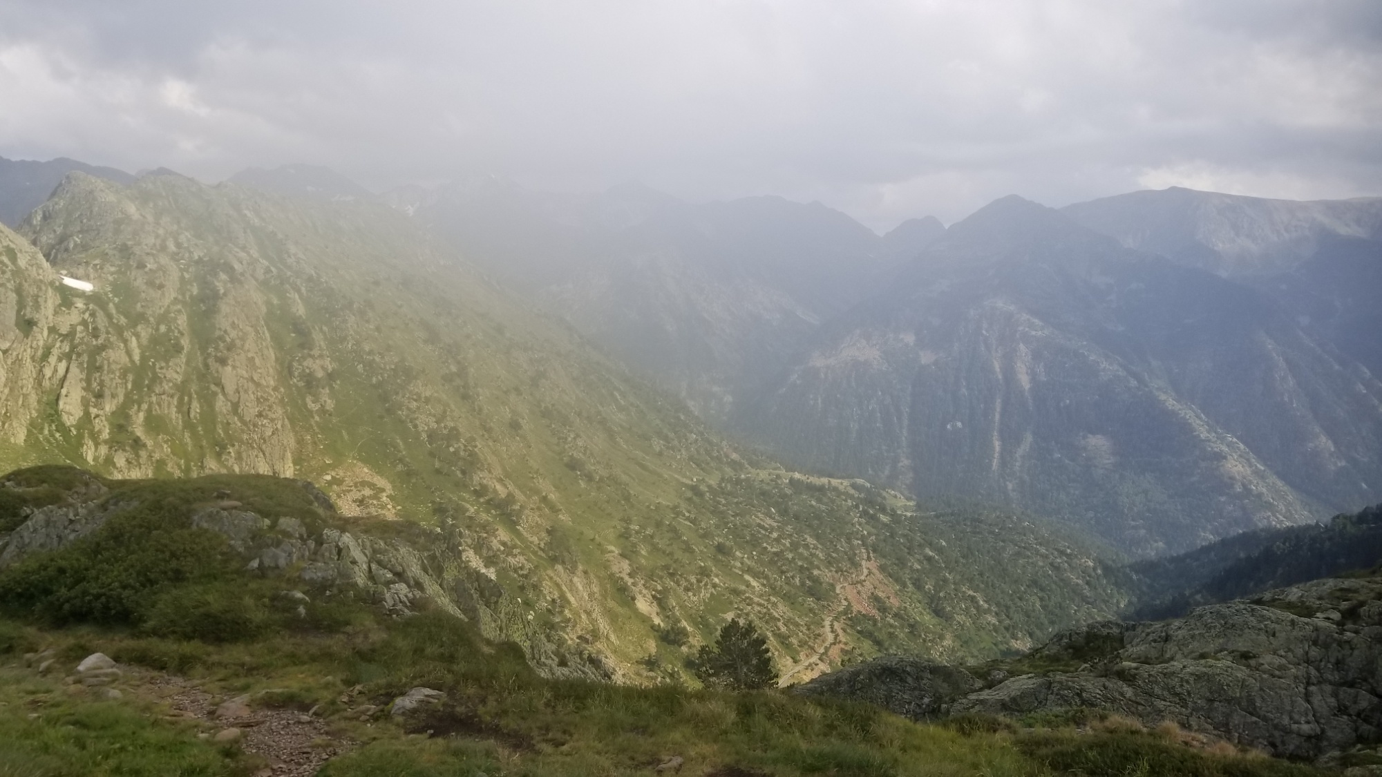
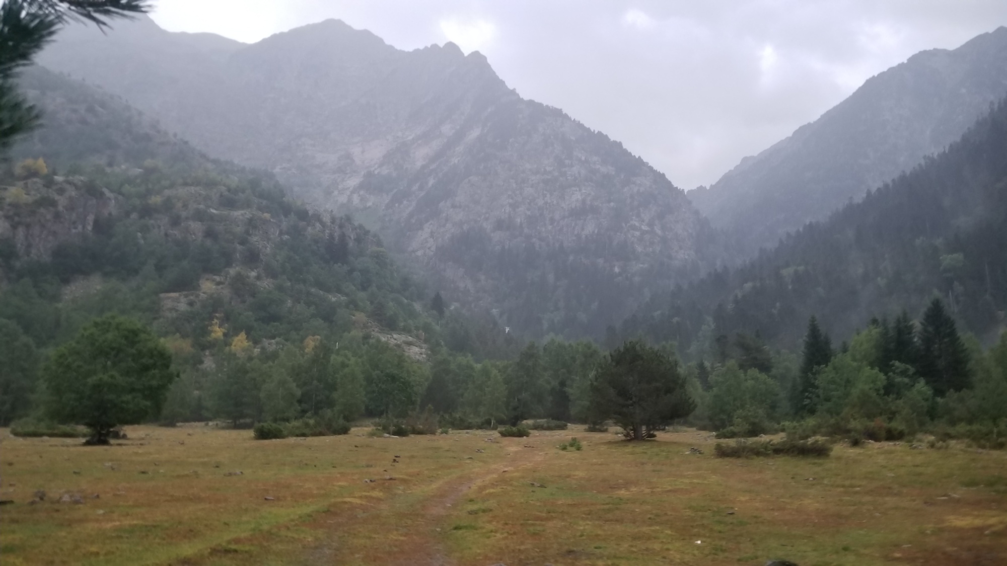
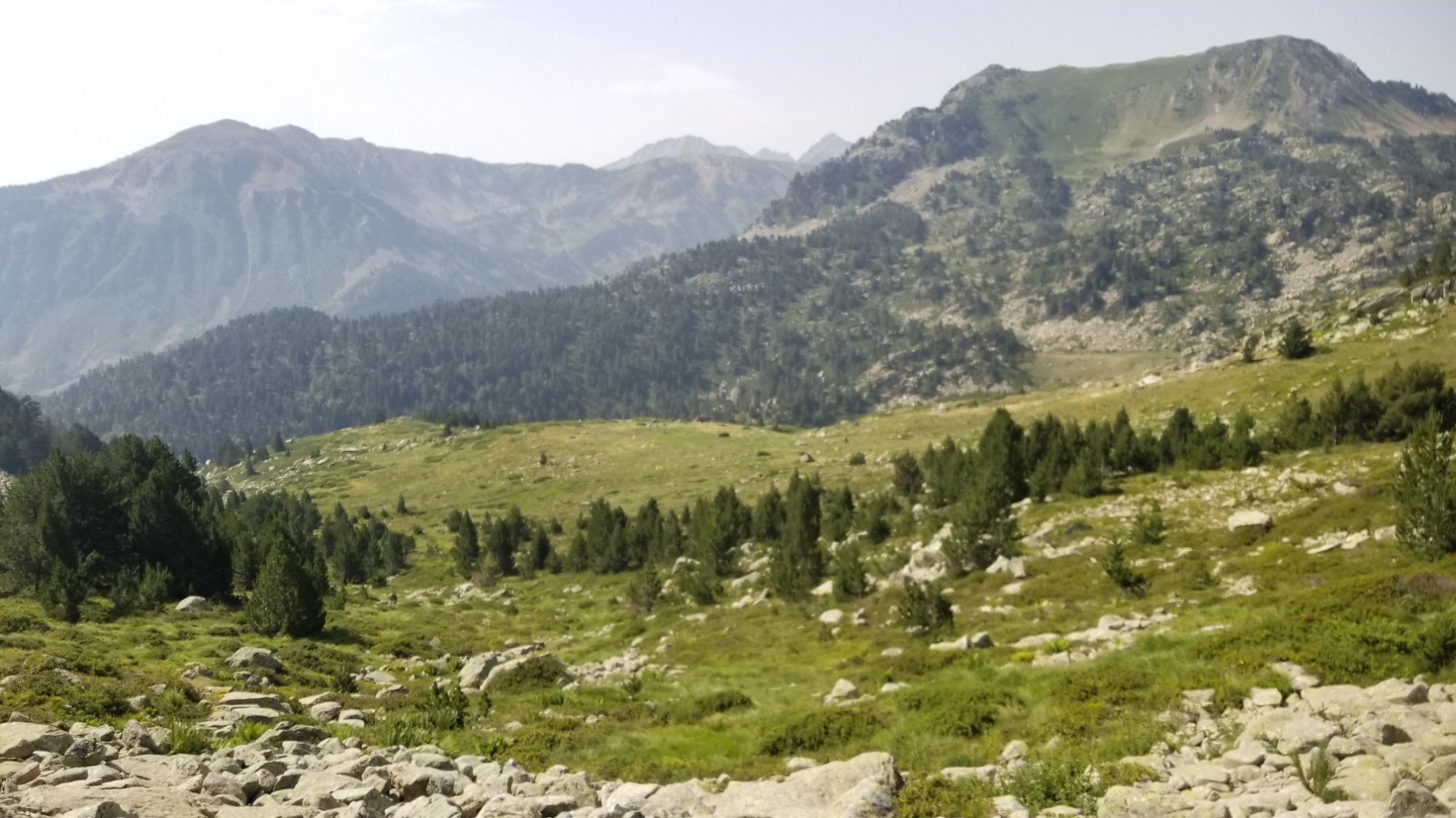
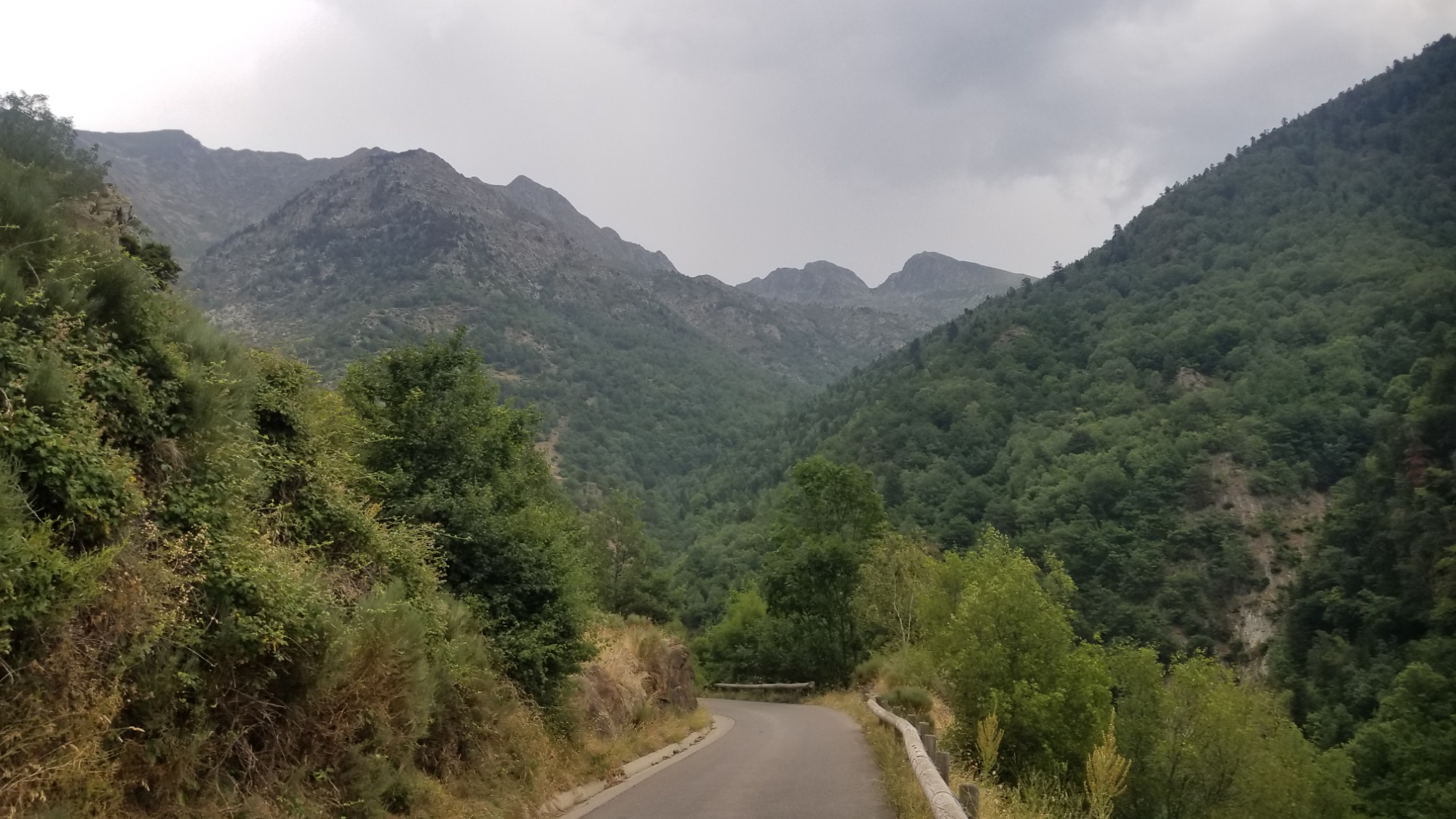
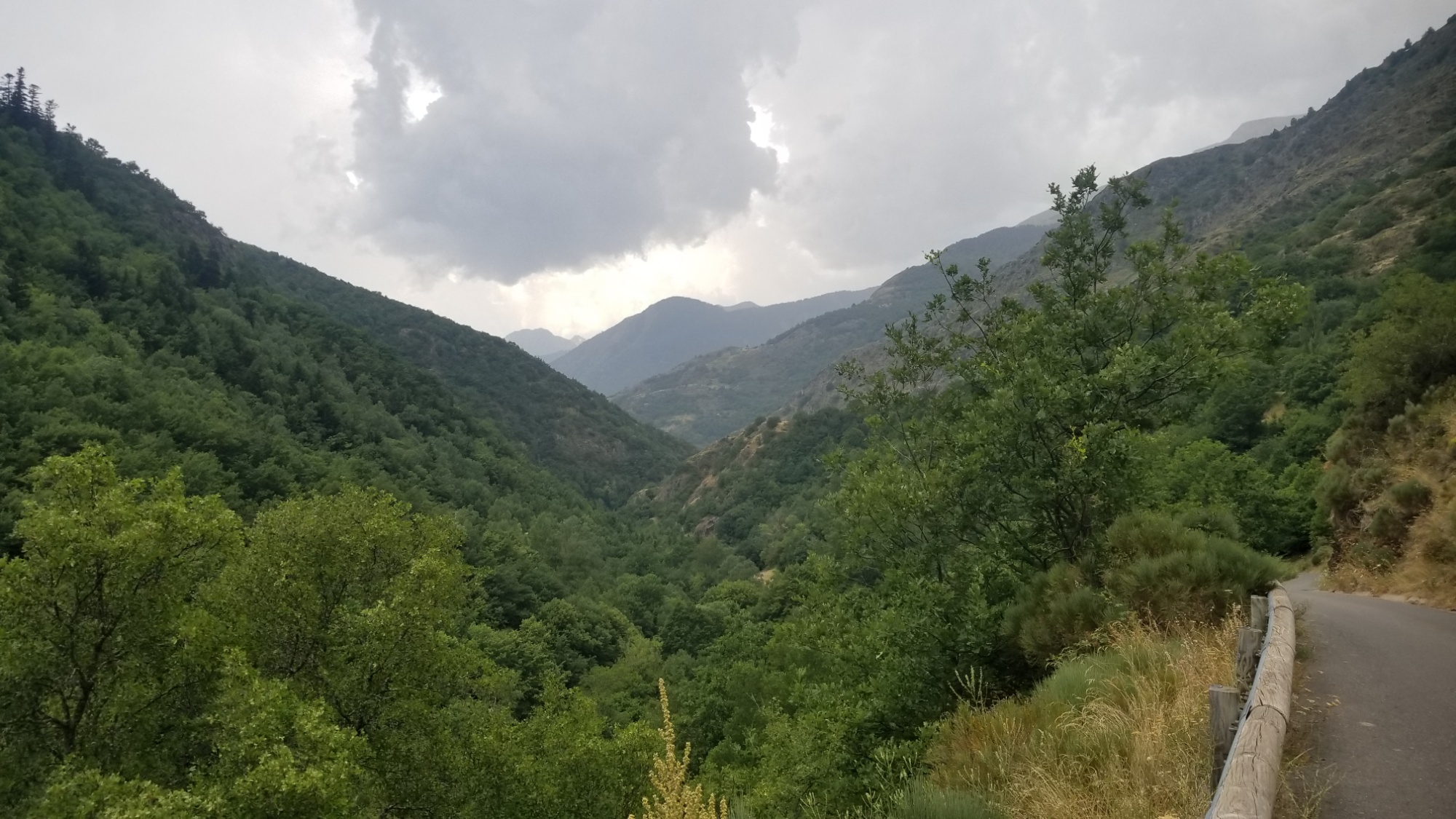
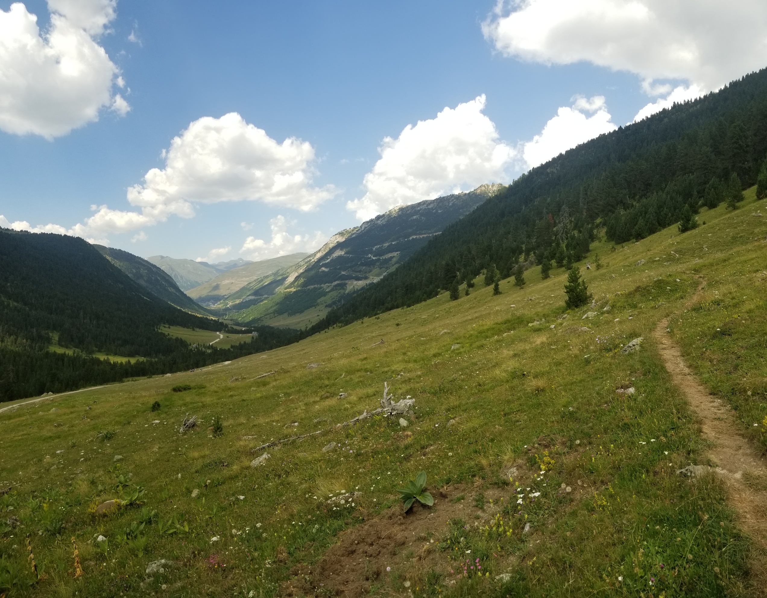
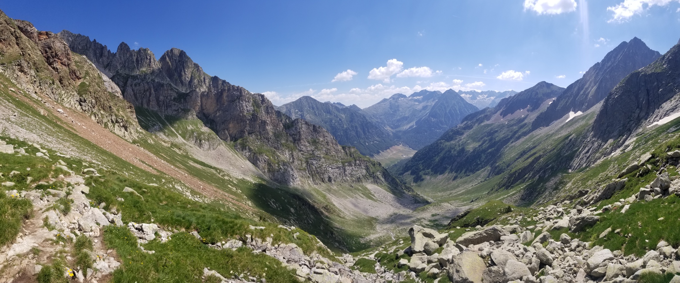
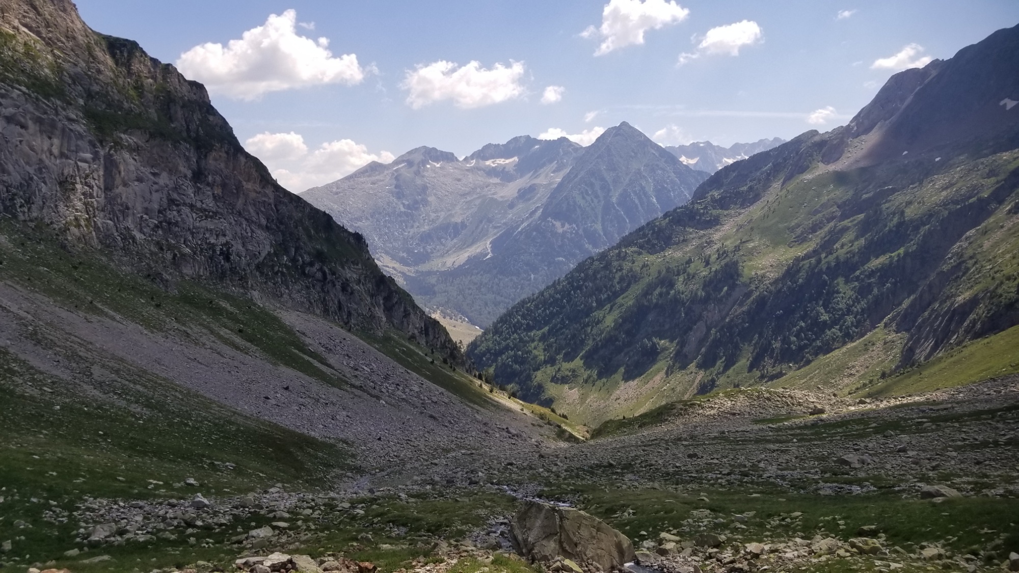
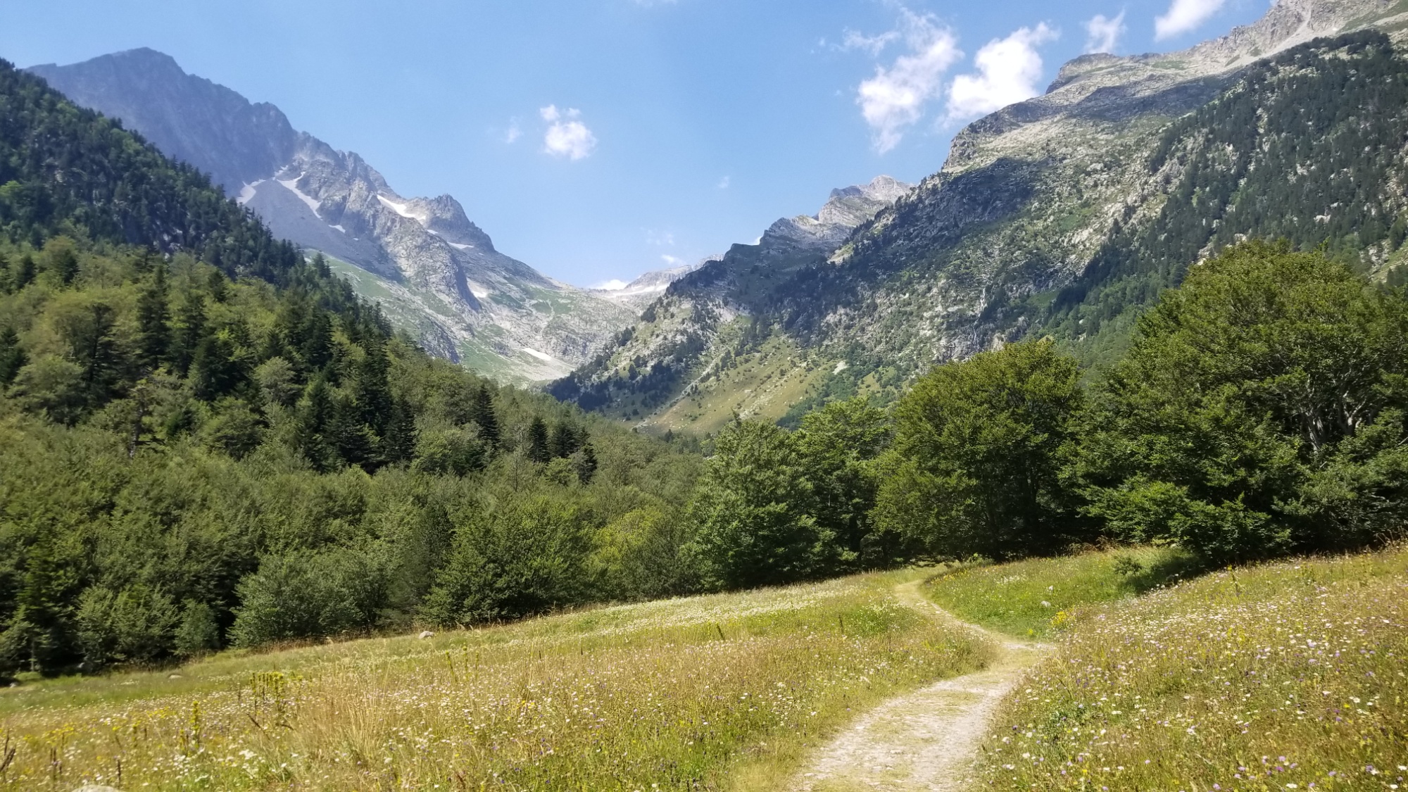
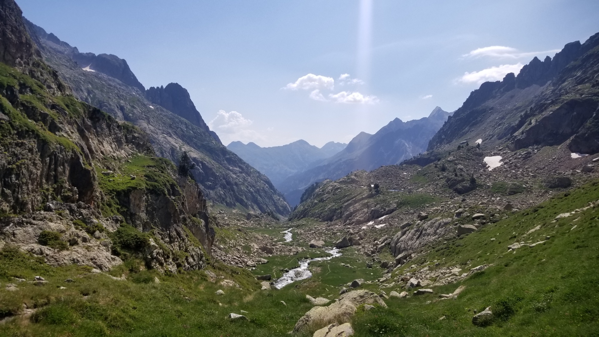
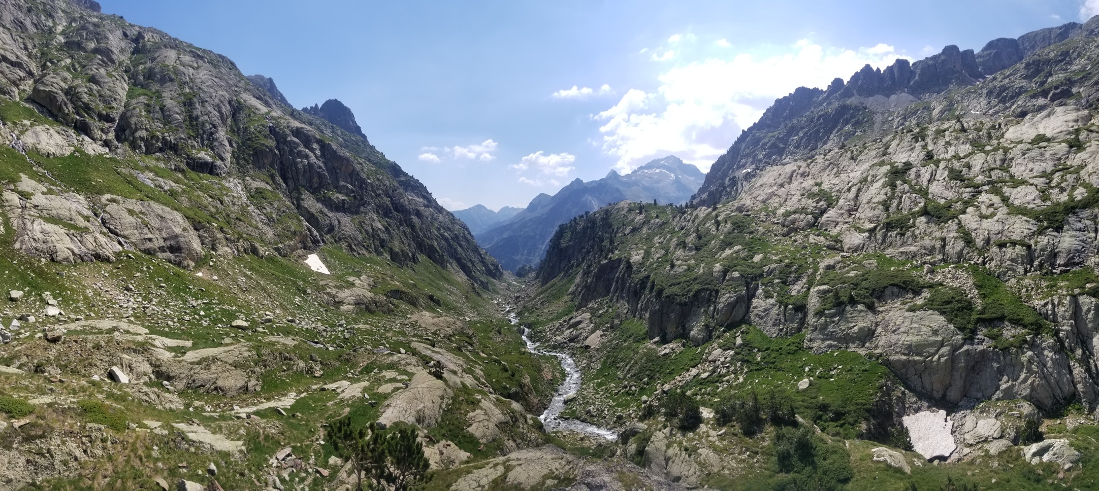
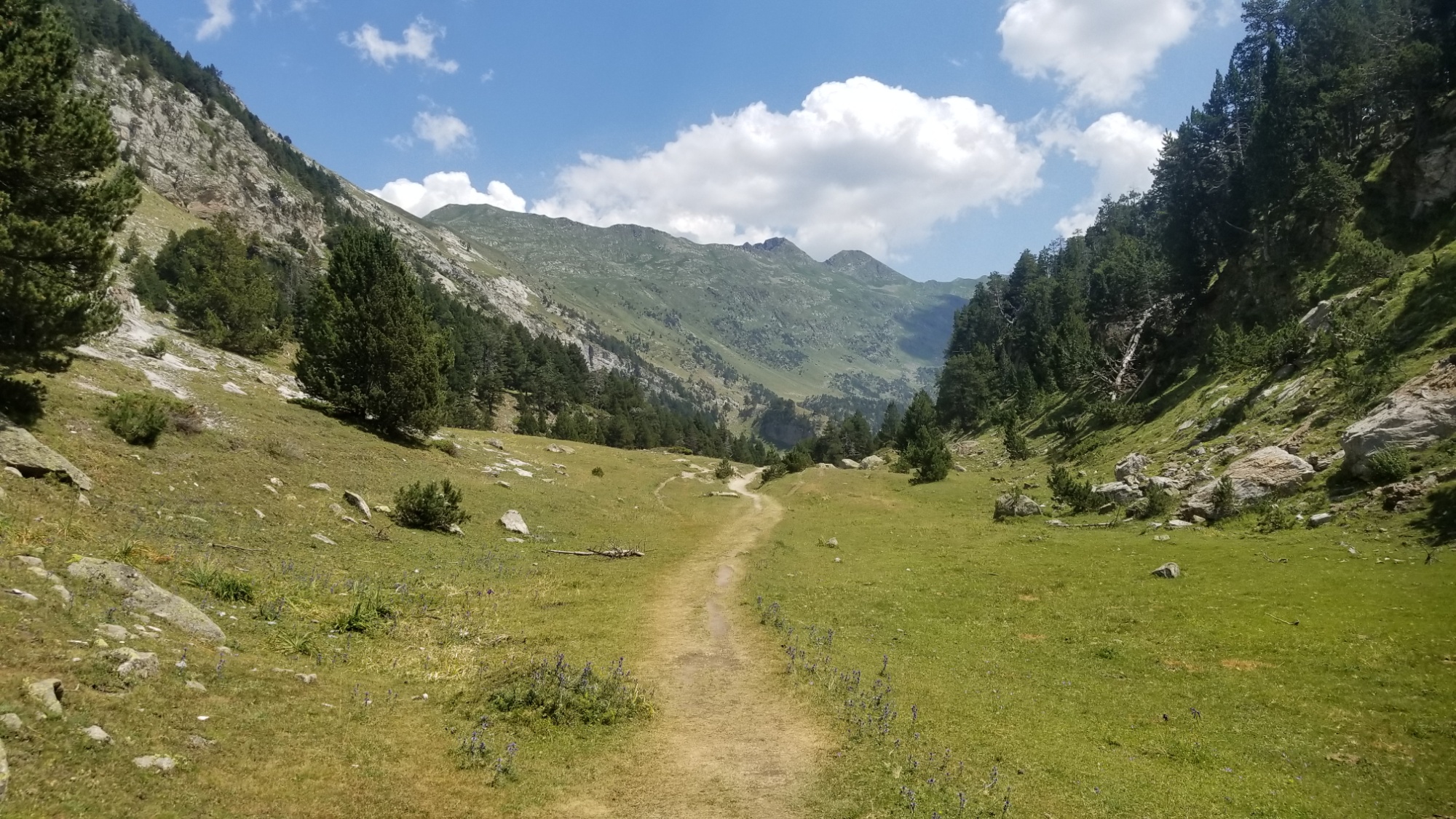
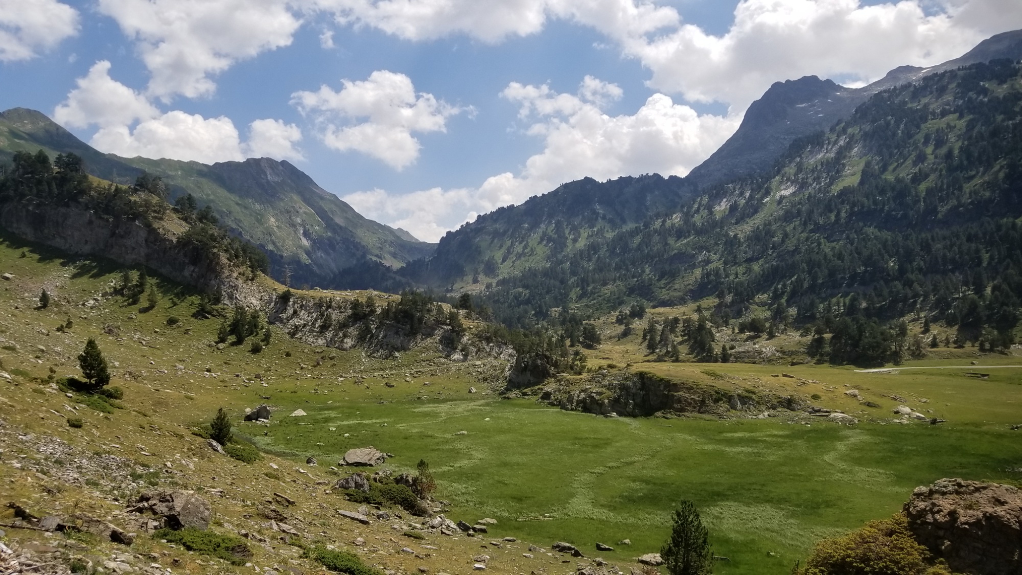
Then, on down the trail and into another picturesque valley. I’m really getting sick of how beautiful everything is here! The trail led on to a dirt road, which I took for a km before rejoining with another trail. It was a well-made road, blown into the side of a cliff for use by whoever manages the dams in this area.
And onto the next valley
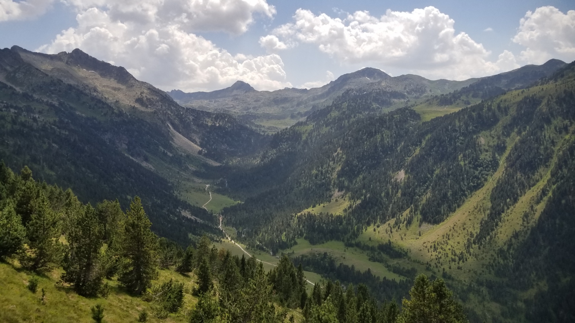
Then the trail went down, down, 1,000m down to the Plains de Boavi. Along the way, there was thunder booming in the distance. When I was about 100m from the bottom, the skies opened up and the deluge began. I donned a poncho and carried on, with extra caution since all the rocks were slippery now.
At the bottom, I followed an old road along the river for a couple km, eventually coming to a big open field. Halfway across it and I see a flash and hear the crack of lightning up above! I jumped. I am lucky that the lightning usually strikes high peaks rather than hitting down in the valley. It was a little unnerving nonetheless.
The road follows this riverThe plain of lightning
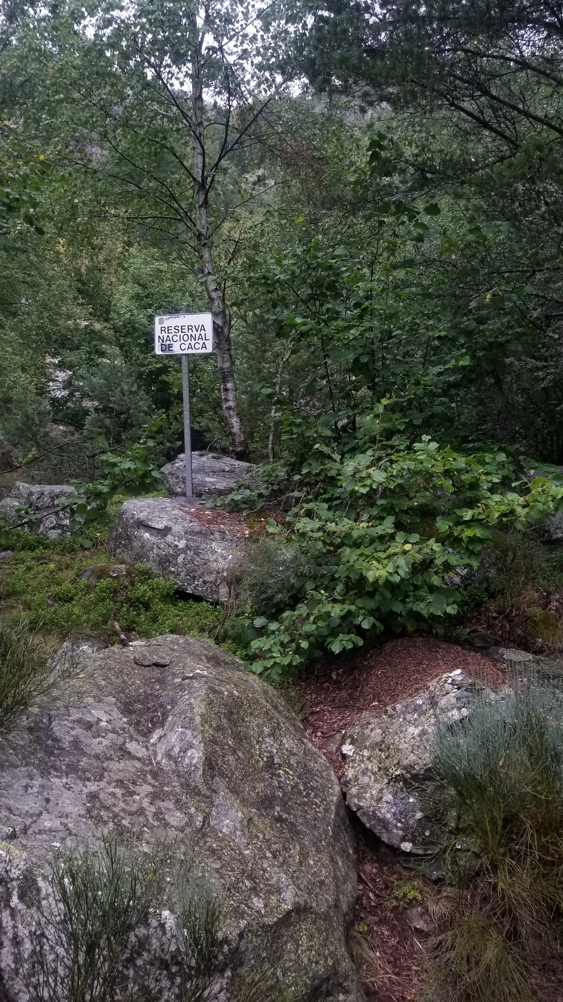
I followed the road until it became a trail through the “Reserva Nacional de Caca” (I laughed)
I had to
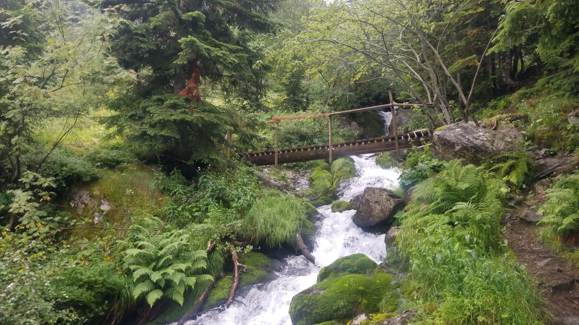
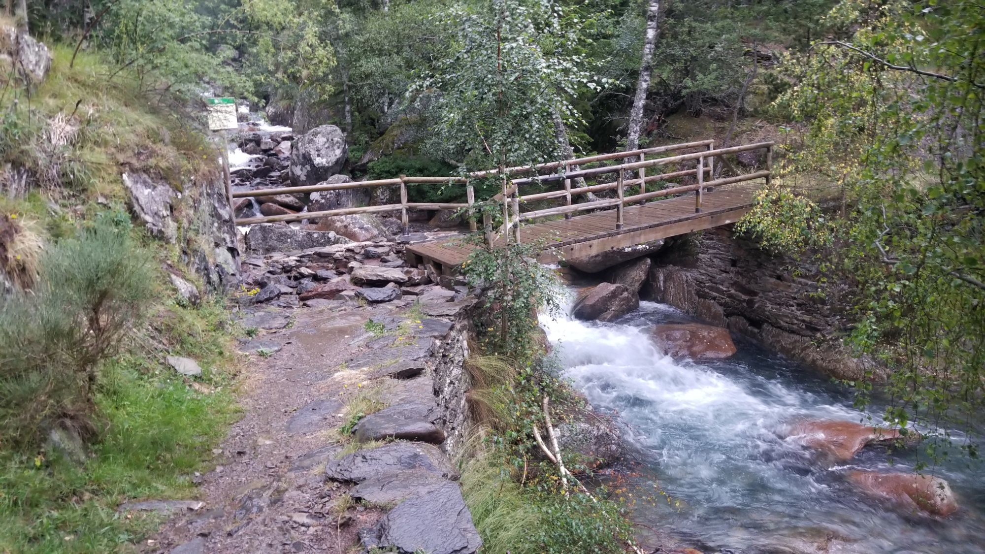
and I made it to a bridge (thank the stars) over the raging, rain-swollen river below.
Bridge over troubled water.
On the other side, I went down into the woods and found a perfect flat patch of grass to pitch the tent, in a calm moment before the rain picked up again.
Wow, what a day! I loved having good trail all day. I was able to make 25km despite the intense ups and downs.
The storm returned in force around 9:30, with powerful lightning and thunder all around, and a 30 minute deluge of water. I wouldn’t be so concerned, if I wasn’t camping in a historic floodplain. I know how the water level of rivers can rise up over the course of a few hours, and that is one of my fears. Being consumed by torrential floodwaters in the night. It’s just one of those things that you cant help thinking about in times like this. I hope the dams don’t break open, many years too soon.
Today was rough! The guidebook underestimates it when he calls it “a walk without compromise.”
After packing up, I made my way down to the large lake below. There was a semblance of a trail and some cairns here and there, so I wasn’t too worried.
A good start to the day
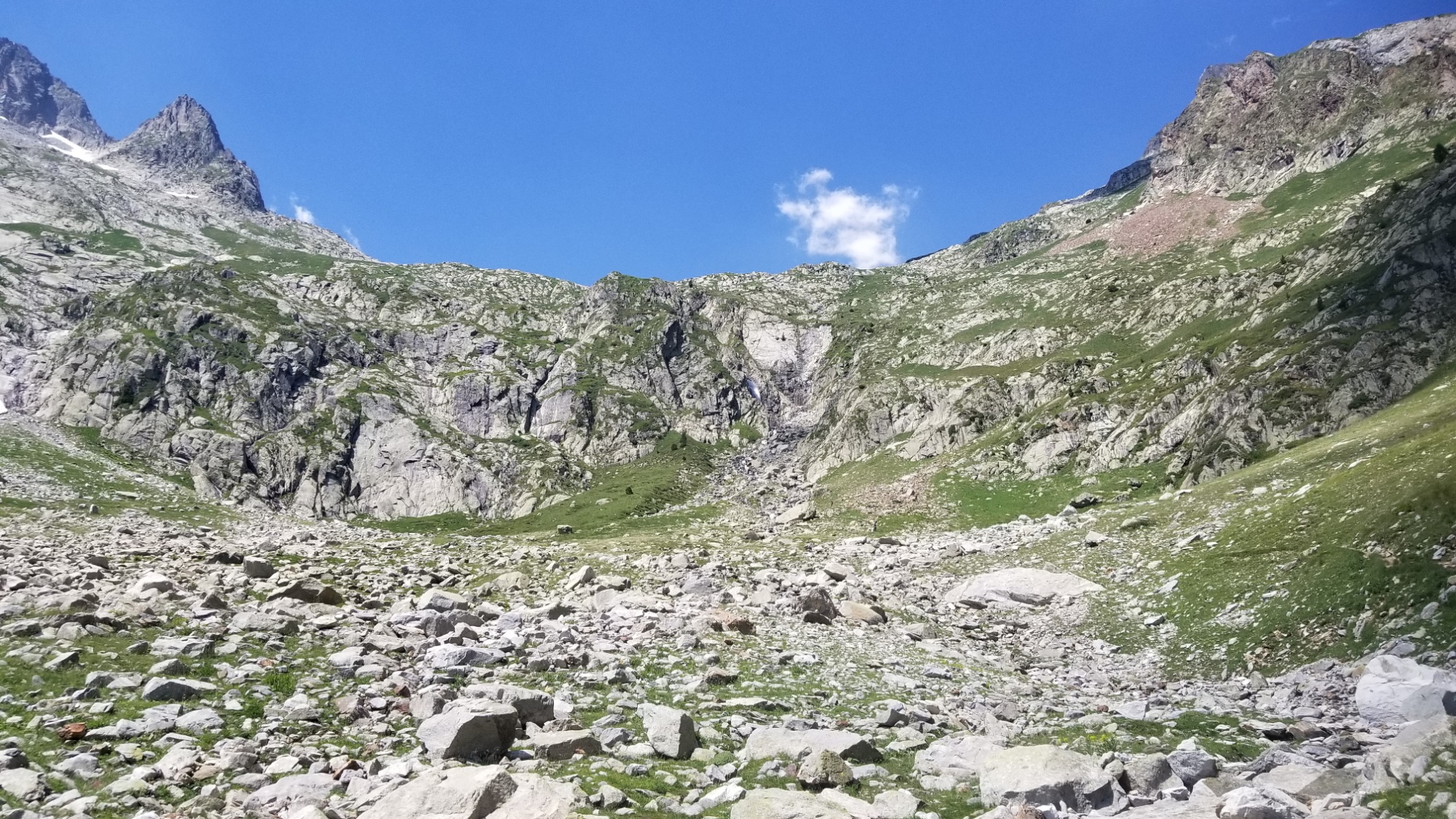
Then, halfway past the lake, the trail kinda… vanished. The way it does. I was left in front of a huge wall of boulders to ascend (This would become a trend in today’s walk).
After making it to the top of the boulder hill, I was faced with another huge valley between myself and the pass I was headed towards, and no trail in sight. I had to descend steeply on boulders and slippery brush, eventually making my way to a small stream.
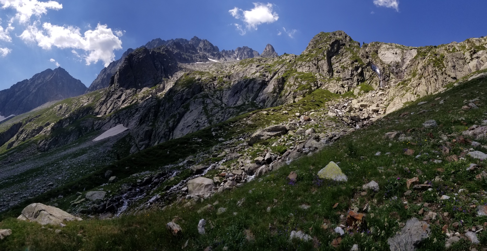
Then, another wall of boulders! Hooray! I climbed up and over that boulder hill, and was finally able to hone in on the mountain pass. This time, the ascent was through a big grassy meadow, with few boulders in sight. I was happy to finally be out of the rough patch, and so stopped by a little spring to make a morning coffee.
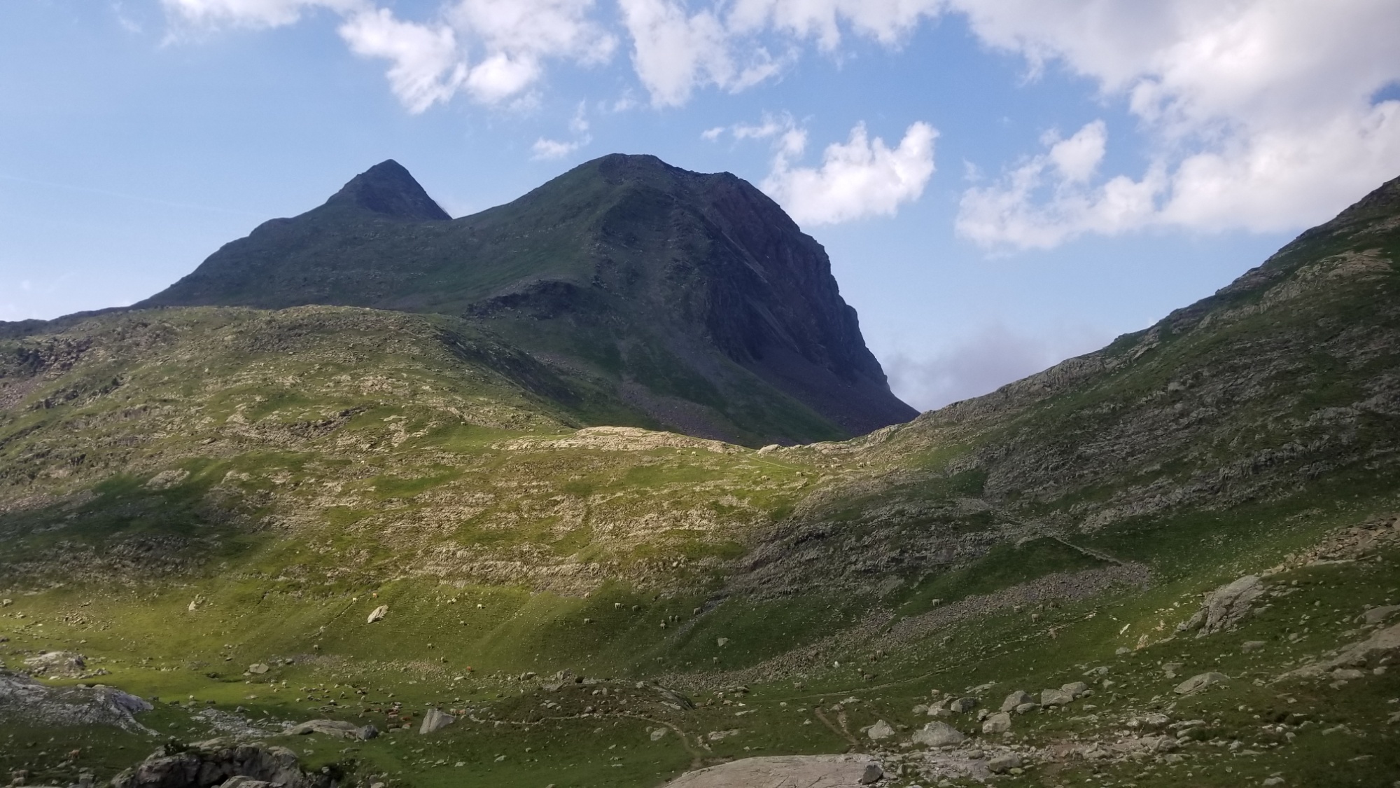
I’m headed to the pass just right of that peak
Then, there was yet another wall of boulders and a steep grassy slope to ascend. Finally, I made it to the pass! I could see the two Lacs de Airoto down below, and the orange-roofed Refuge Gracia Airoto.
The lacs de Airoto from the pass
I made my way down from the pass, and the trail dead ended at a giant boulder field. Man, what is with today?! Who put all these boulders here? I’d like to have a talk with them.
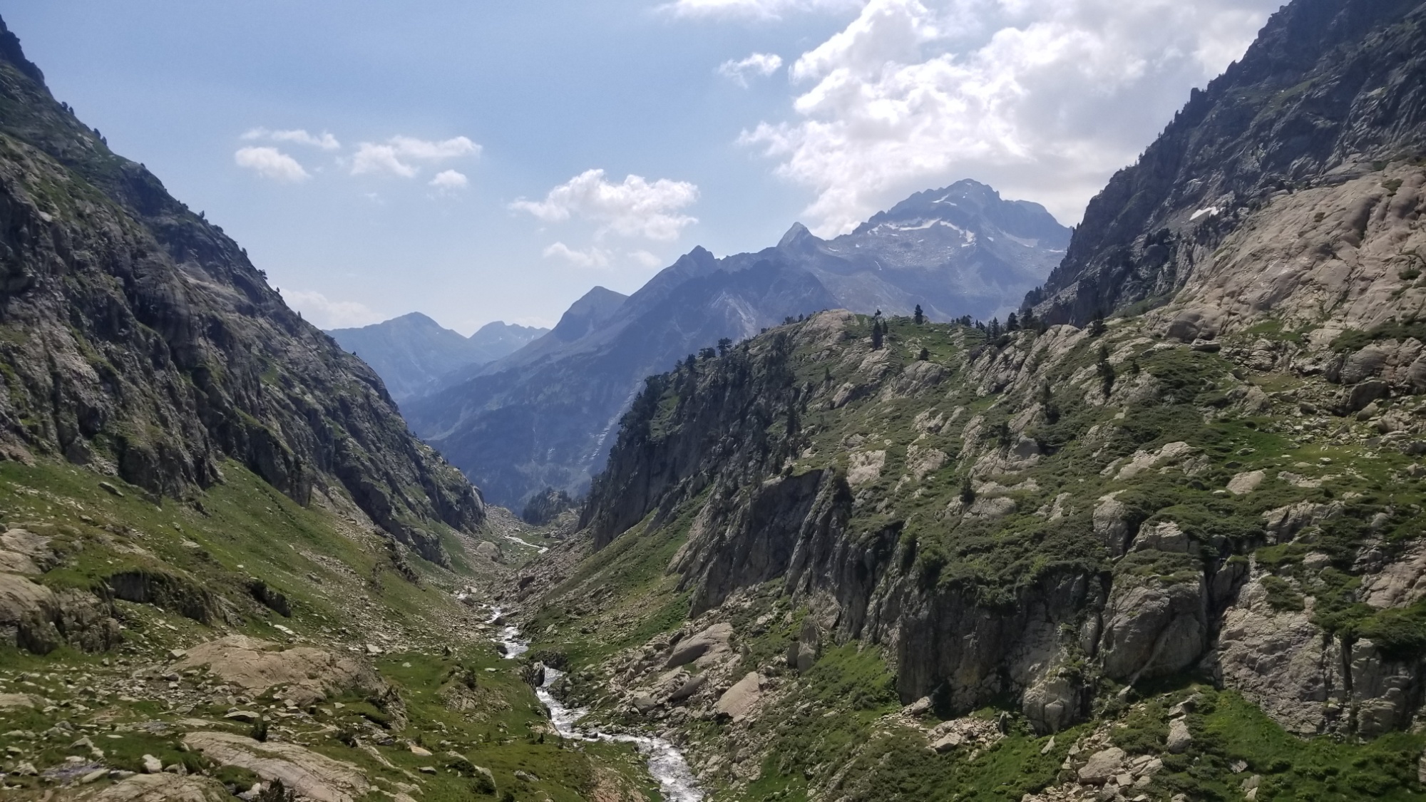
So I climbed up and crossed a stream and had a little break next to the Refuge. Then, a 200m ascent on a decent trail (compared to the chicken trails I’ve been on all day) to another mountain pass. This pass leads down 1,000m to the small hamlet of Alos d’Isil. Not really of any significance, but it’s the target I have to walk towards at the moment.
Looking backLooking ahead from the pass
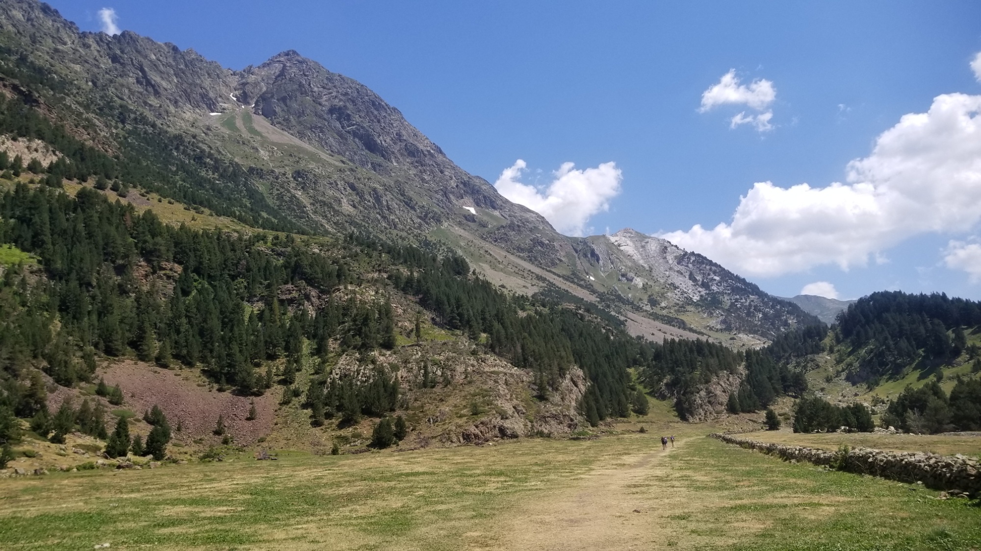
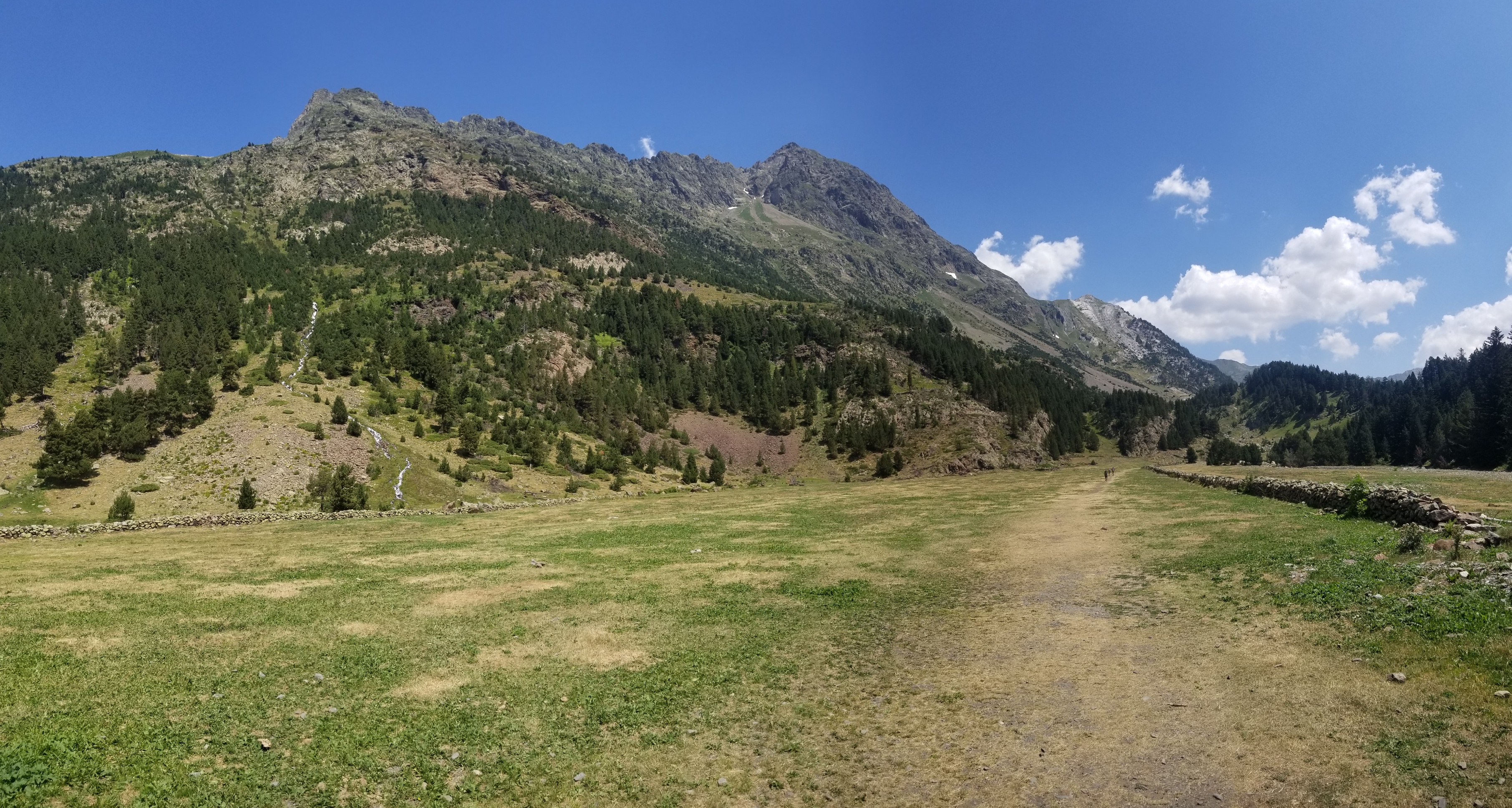
The descent to Alos starts out well enough. Big sweeping views of a nice grassy meadow, a nice graded trail to cruise down, good water sources. What more could a hiker ask for?
I go to Alos at the bottom of this valley
The trail meanders down the valley to a road, which continues down, and I take a number of shortcuts straight down the meadow to cut off unnecessary corners of the road.
The road leads to a couple of small farm houses, which I walk past, and then it ends. Damn. I’m left with this steep grassy hill to descend about 500m down with no trail. I start zigzagging my way down, and eventually come to a good trail headed in the right direction. Sweet!
I keep following it and I see these two yellow blazes on a tree, which usually indicates the way of the HRP. It had an X on the trail that looked really nice, and a yellow “turn right” symbol onto another trail. So I thought, what the hell, I’ll give it a try.
I kid you not, this trail makes one zig zag down the hill, and then just disappears into a bunch of tall grass and thistles. I was like, WHO THE HELL PUT THE TURN MARK THERE.
I humored them and tried to follow the trail as well as I could. It went down about 10m, went through a bunch of BS grass, and then made this absurd ascent BACK UP TO THE NICE TRAIL I WAS JUST ON. WHAT THE HELL.
I kept on following the good trail down, and then it exploded into about 7 sub-trails going every which way, and of course the maps just said “go down to Alos d’Isil.” Like throw me a bone here. Can there not be one trail that doesn’t ghost after 15 minutes?
I eventually bushwhack my way through all kinds of briars, rose bushes, thistles, nettles, blackberries, tall grass, short grass, and a bunch of those weeds that explode little stickies all over you.
Finally, I make it down to the road below. I keep on walking and come to a nice spot to have a bite to eat along the riverside. That pack of Chorizo didn’t stand a chance.
Looking back up the long bushwhack
Then, the trail branches off and crosses the river. I fill up my water, and begin to hear thunder in the distance. It’s about 3pm now. I follow the road up past a couple of farm houses, and then lose the trail again, so have to walk a sheer slope up a grassy mountainside about half a kilometer before finding a good way again.
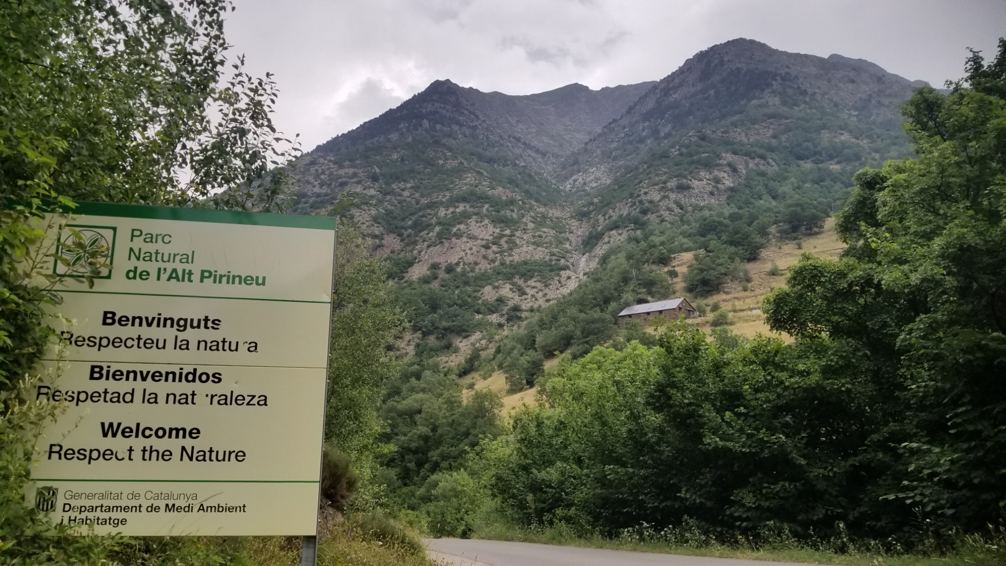
RESPECT THE NATURE. A good motto to live by
And the thunder comes back, closer this time. The rain begins. I find a nice tree to shelter under, cover myself in the poncho, and have a bite to eat.
Here is your trail, which way would you go?
The rain slows down and I carry on up the trail. This time, it doesn’t disappear, and it leads to a beautiful valley with waterfalls and grassy meadows. Which would be awesome if the weather weren’t so dismal!
Also there are cows everywhere. I’m in the Parc Nacional d’Alt Pyrenees. Why do they allow cows here! It’s ridiculous! They totally ravage and destroy all the local fauna, and just leave behind sharp prickly grass and thistles. Can they not have one space with no cows? It’s really a sad thing to witness. These places are so beautiful, but they are ruined by the livestock industry. And don’t get me started on the tyranny of the cow bells. You cannot escape them. Their ringing is everywhere.
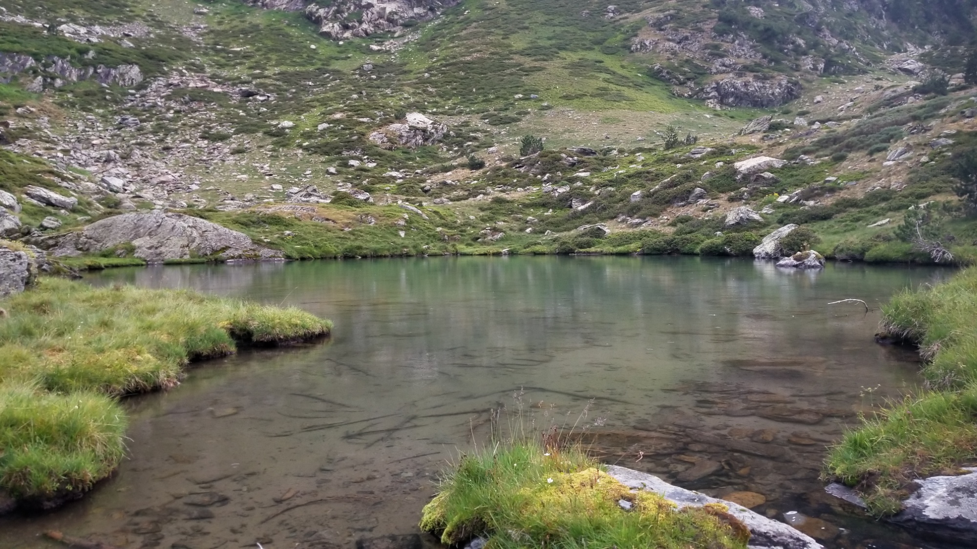
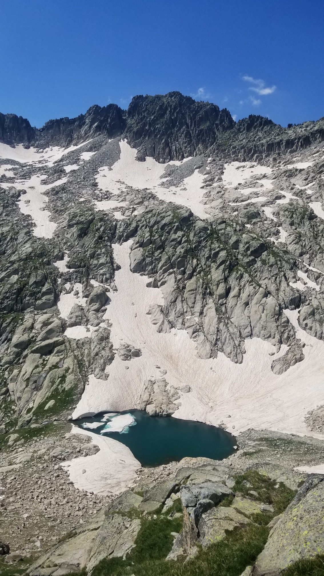
Anyways, I keep climbing up the valley and reach the source of a small waterfall, and there is a very pretty little lake up there. I thought about camping there, but of course, there was a big group of ding dong cows approaching. I decided to make dinner there and carry on, since the rain had stopped.
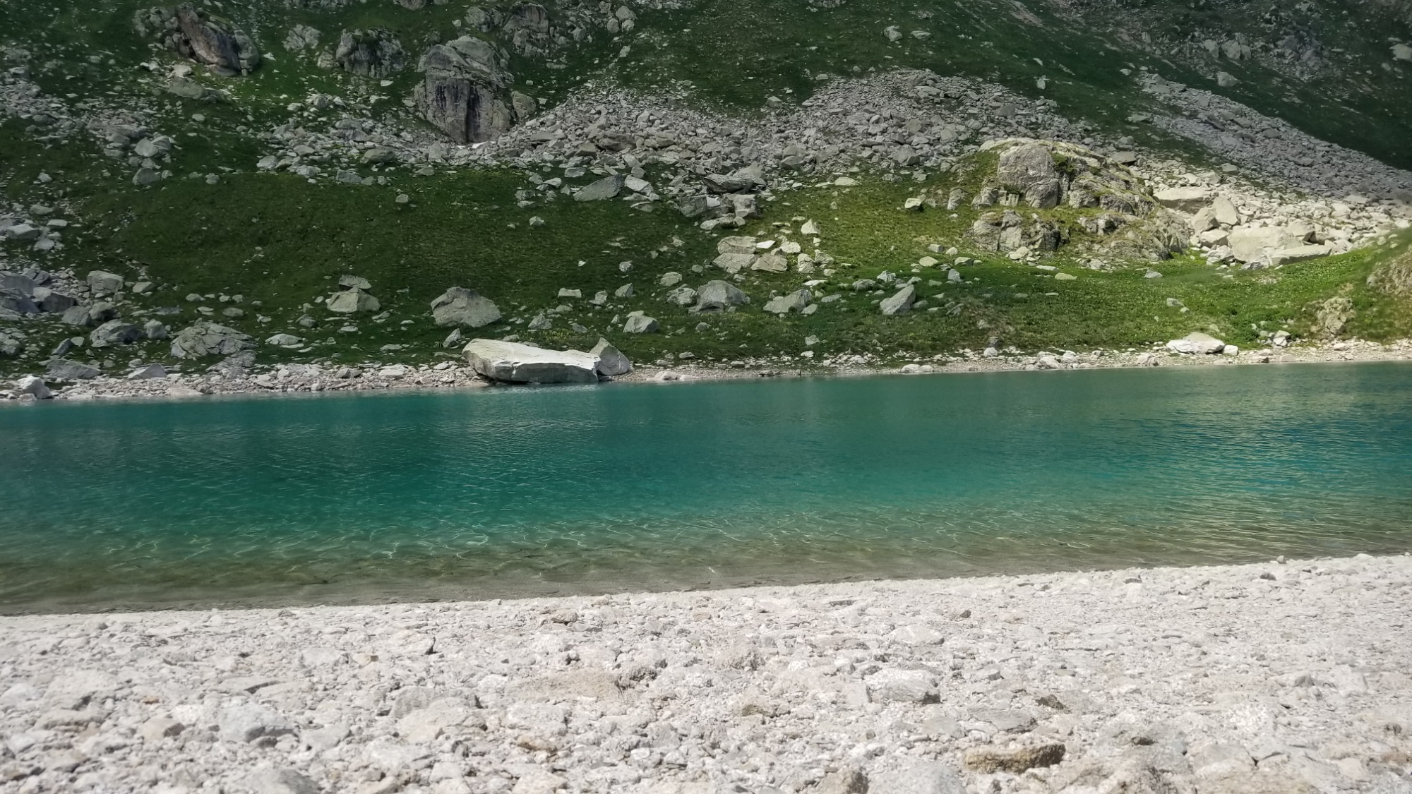
A tiny lac.
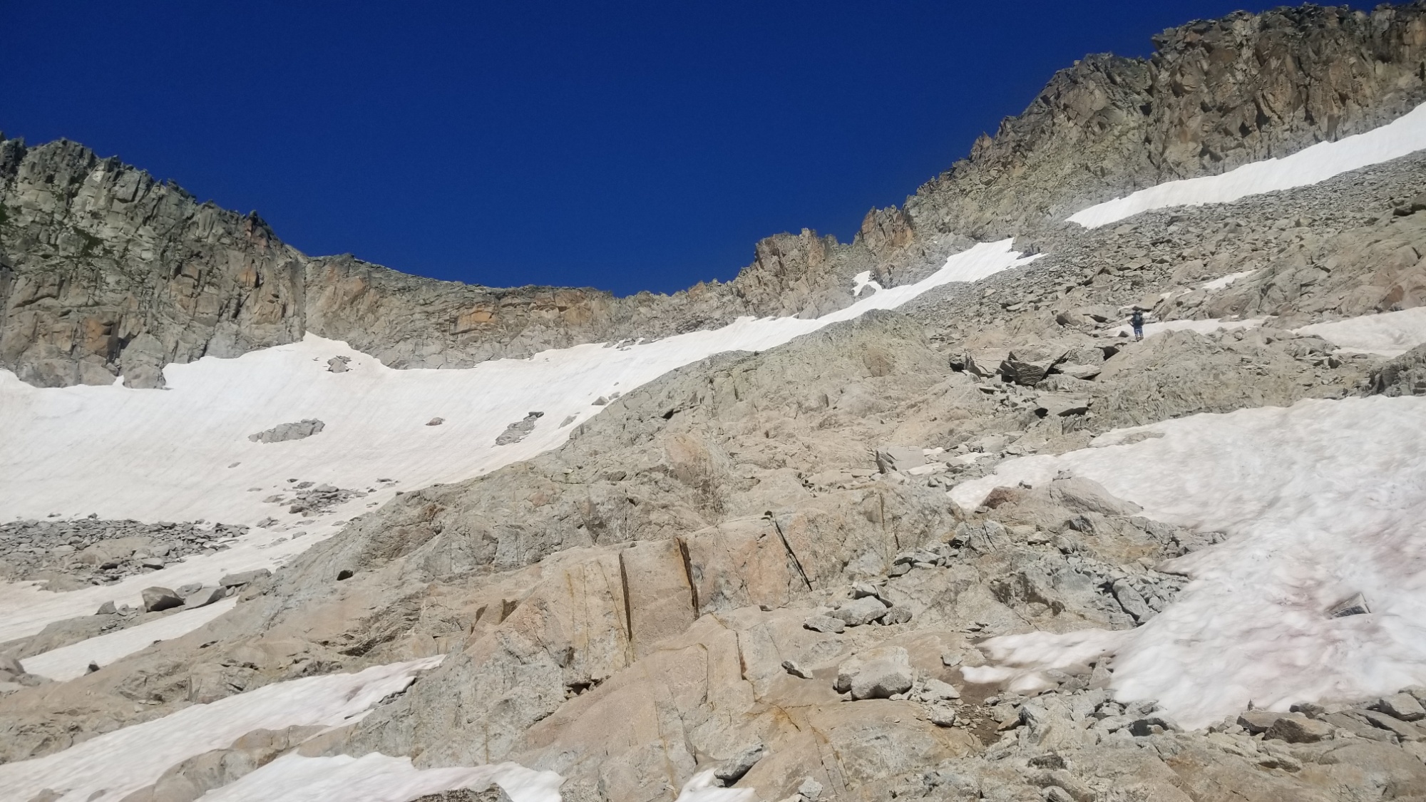
I keep following the trail up and up and up, and come to a chaotic scree and boulder field, which I must cross to reach the high pass (2,500m) that leads to the next valley. Its getting darker now, almost 8pm.
Chaos. Granite of all sizes.
I make it to the pass just as the rain begins to start sprinkling again.
View from the pass
The rain is coming
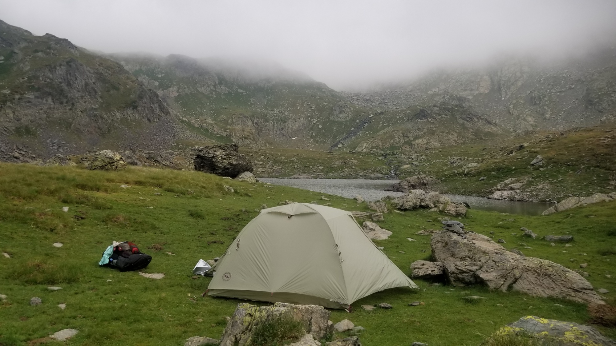
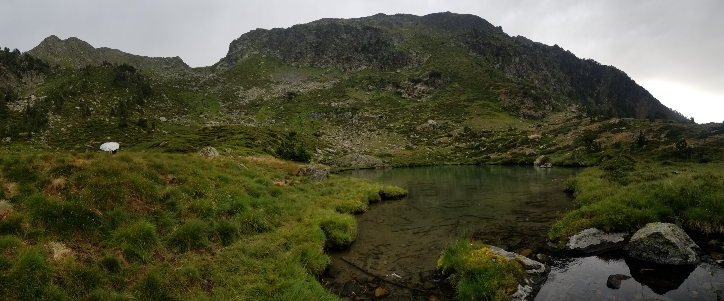
The trail down to the two lakes below is nicely carved into a ridge, and I make it down to a sweet grassy spot next to one of the lakes, where I quickly pitch the tent and hop inside. This sounds like one of those long-lasting drizzle storms. Send warm thoughts.
There was a lone, impressive boom of thunder that resonated throughout the entire mountain range about 10pm. Then, the rain slowed to a drizzle. Finally, all was calm. Silence.
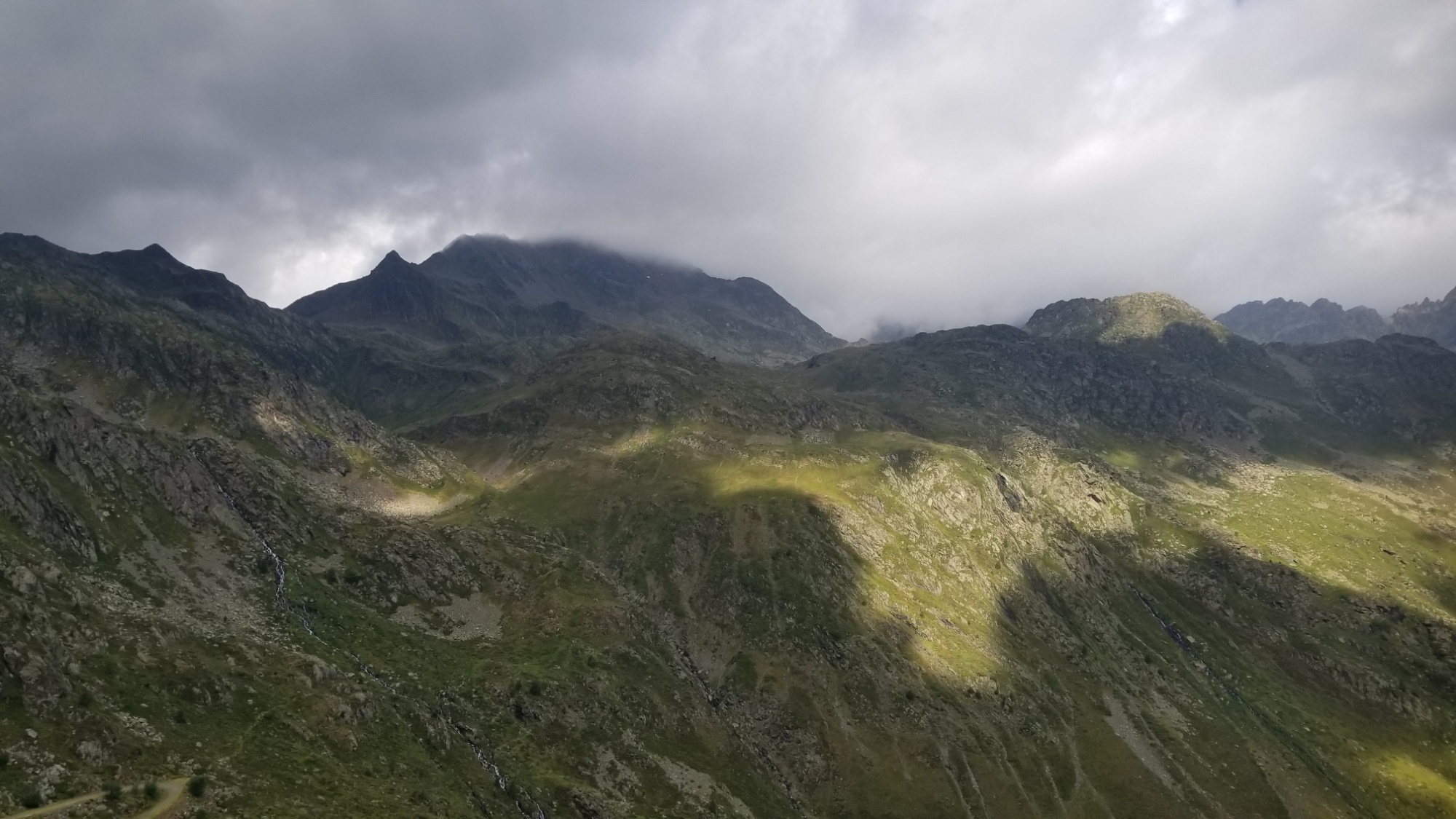
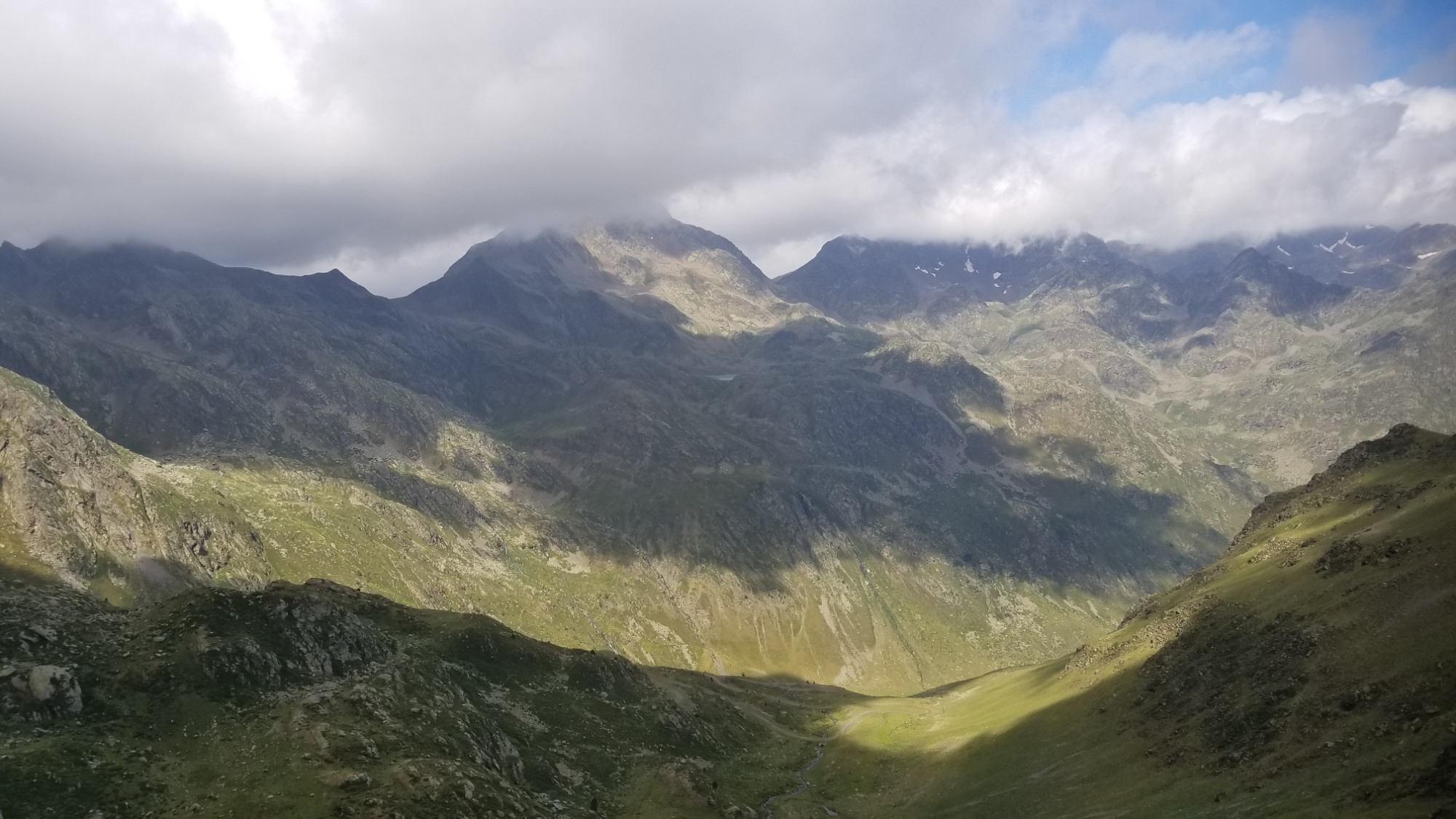
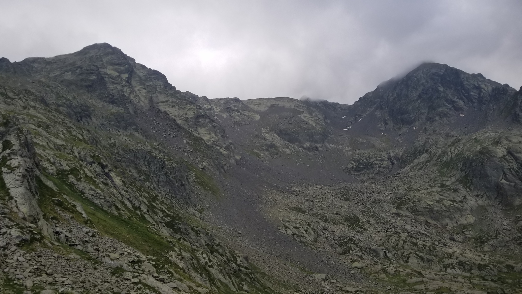
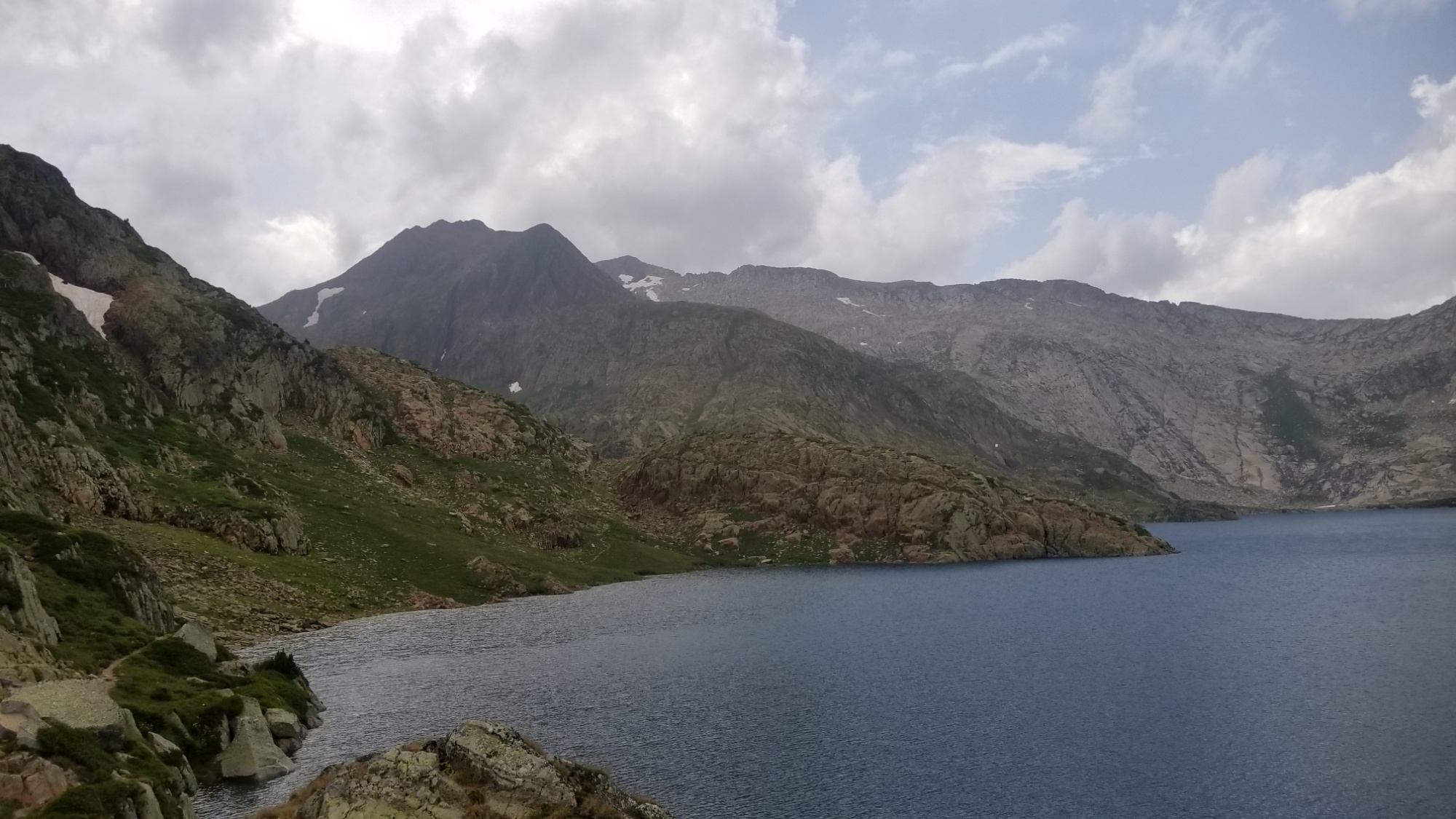
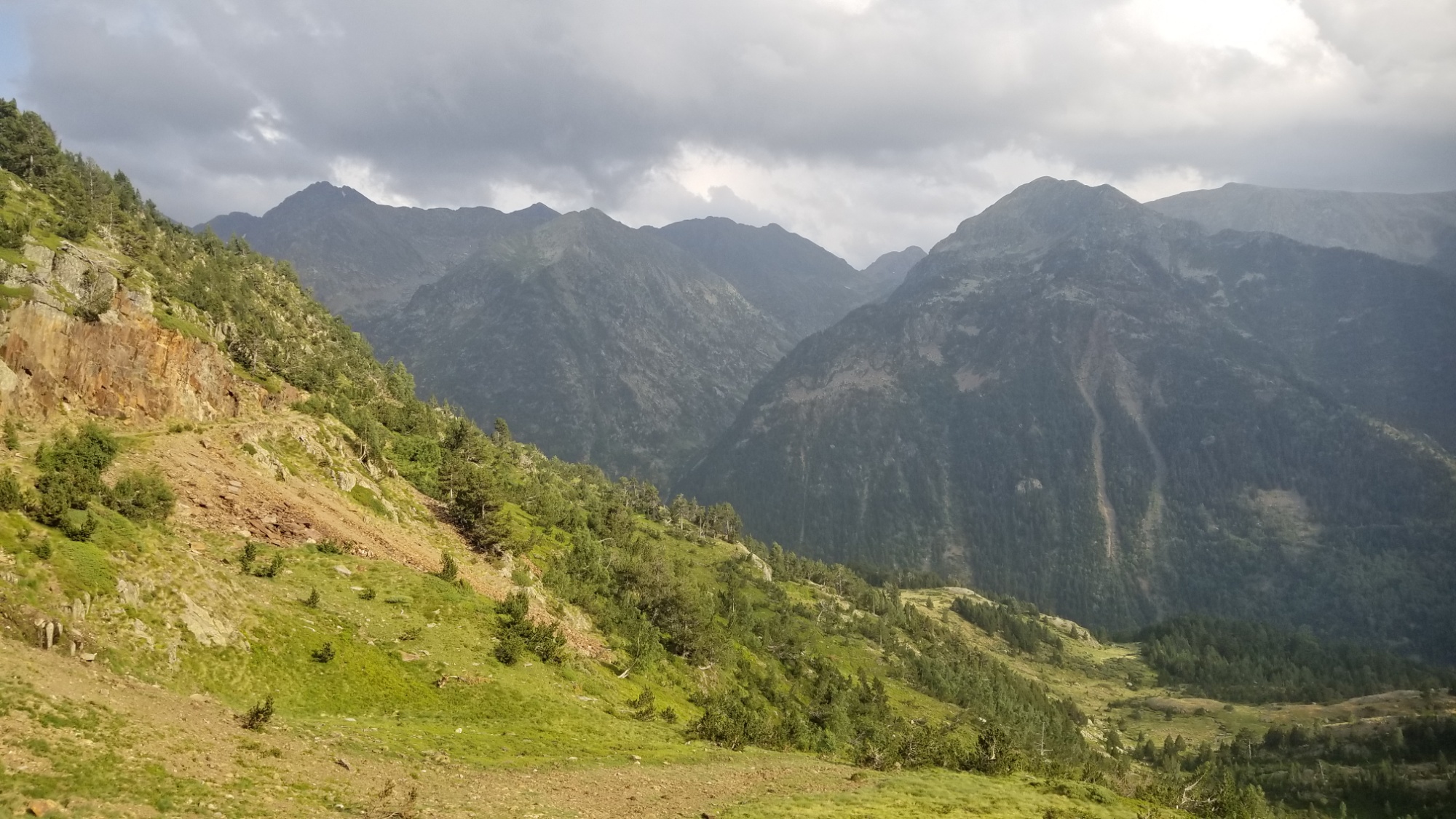
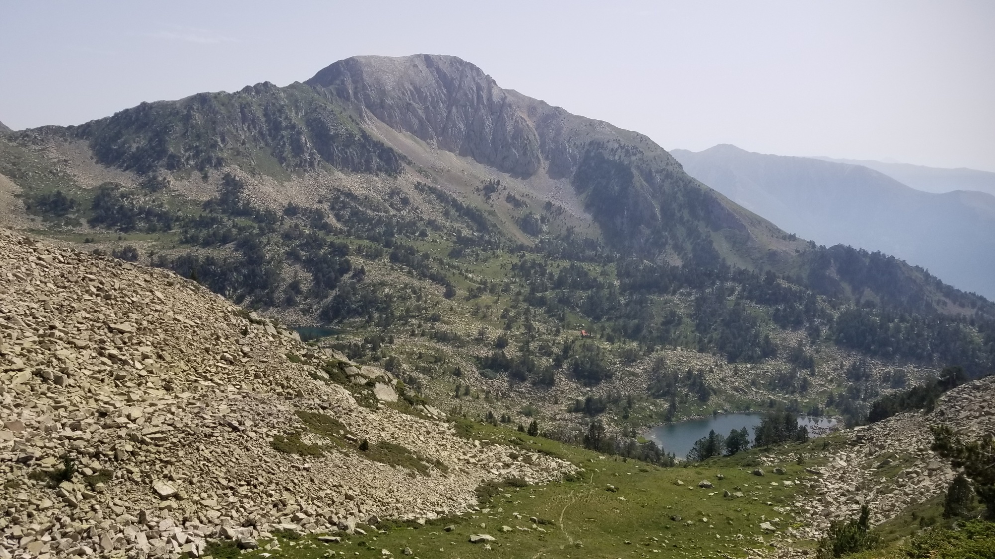
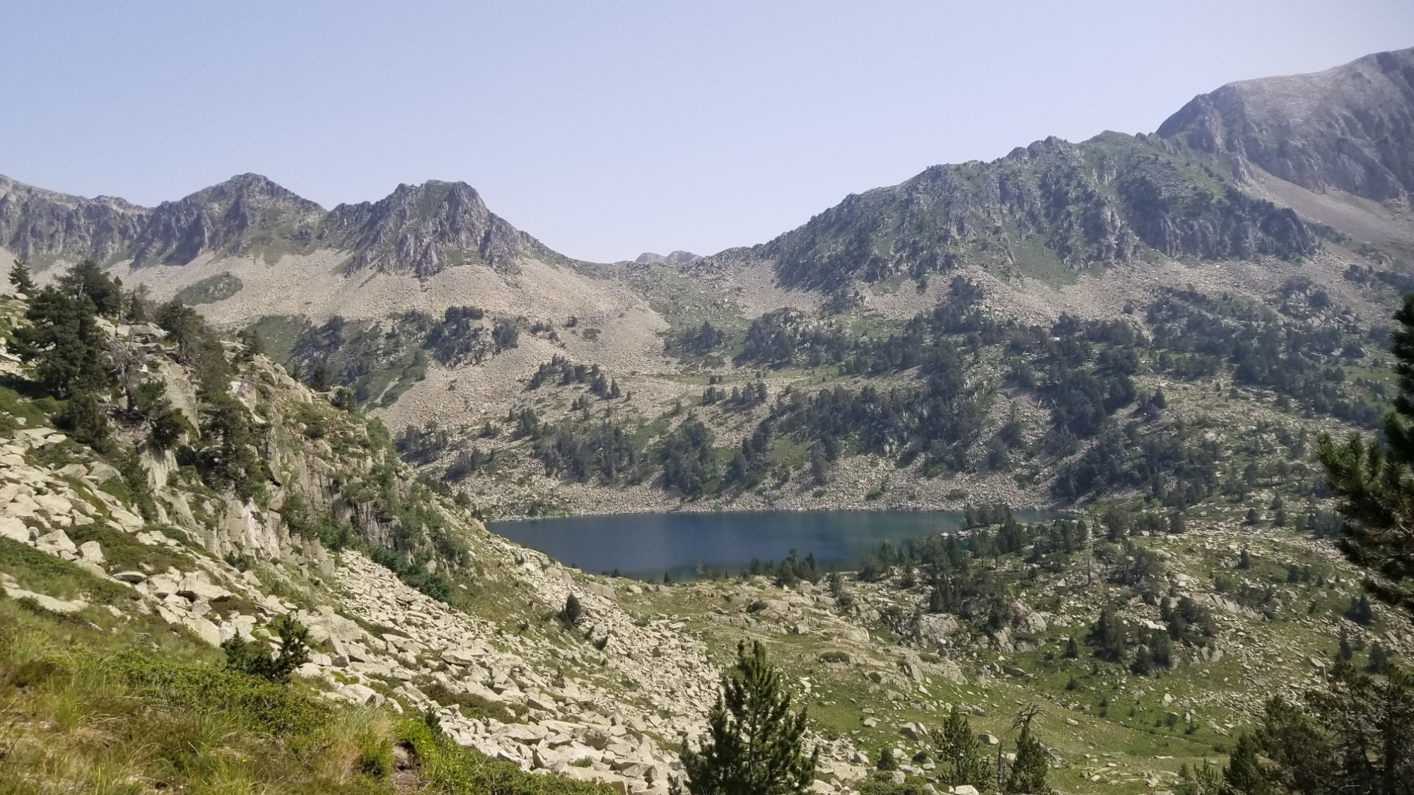
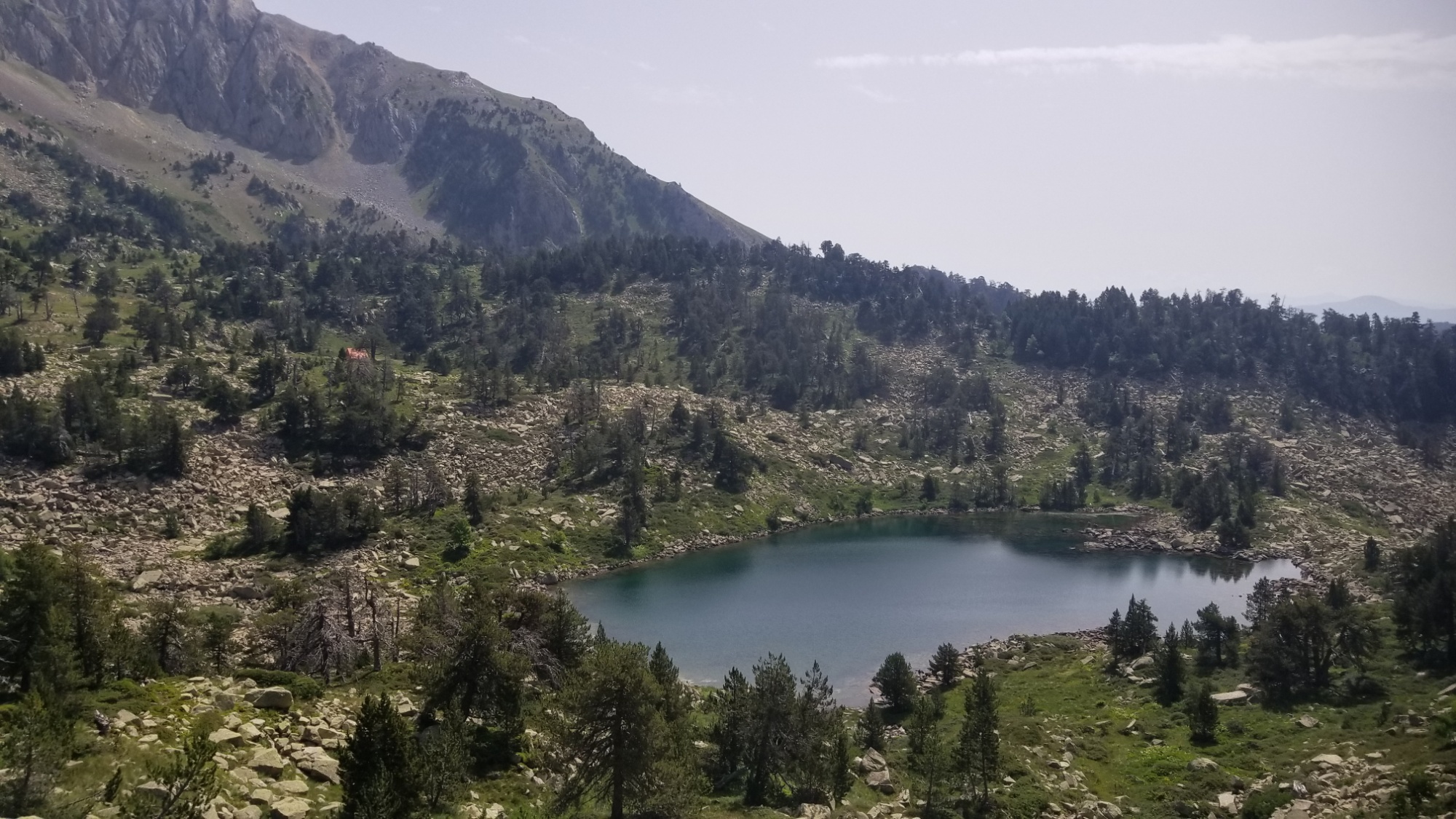
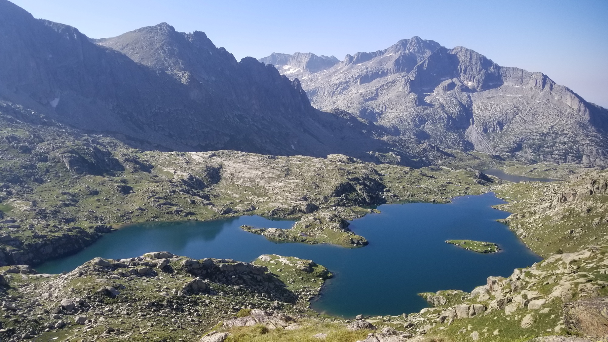
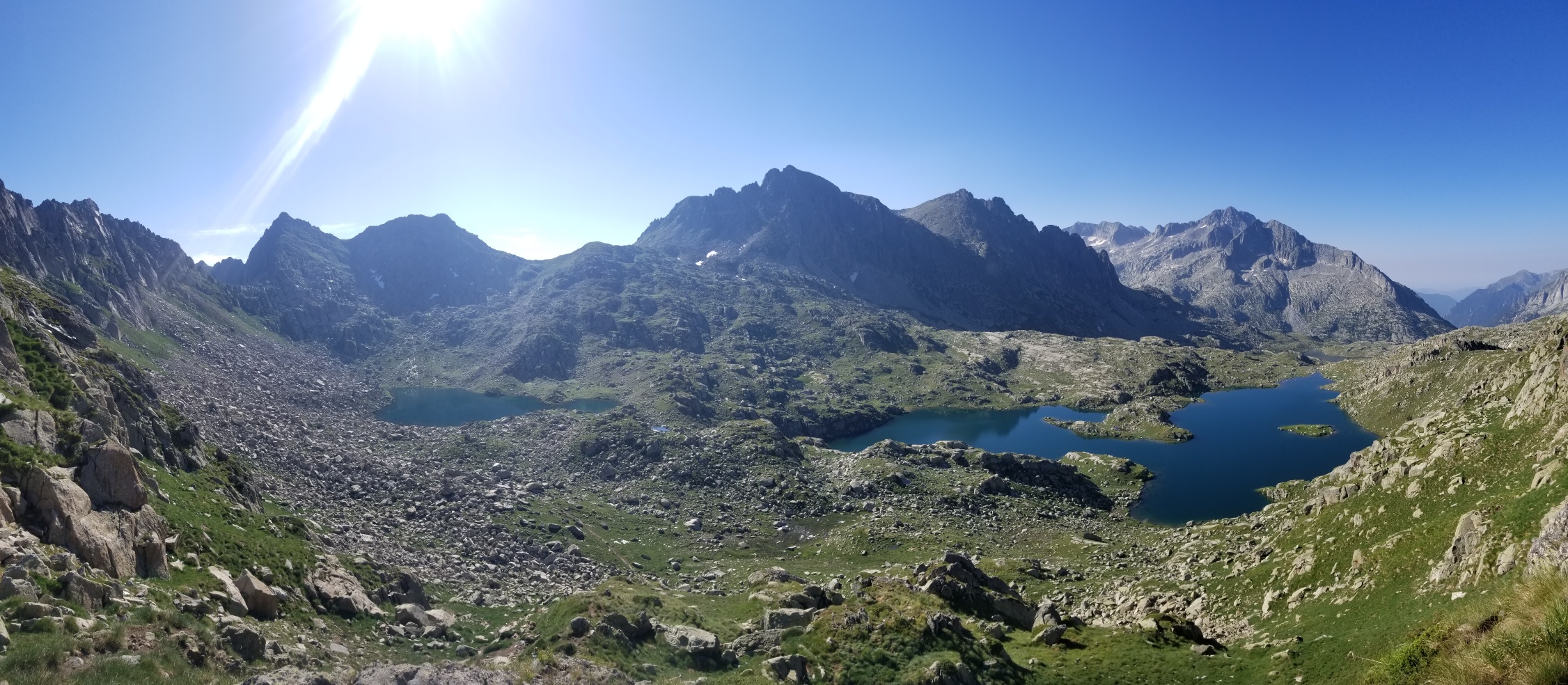
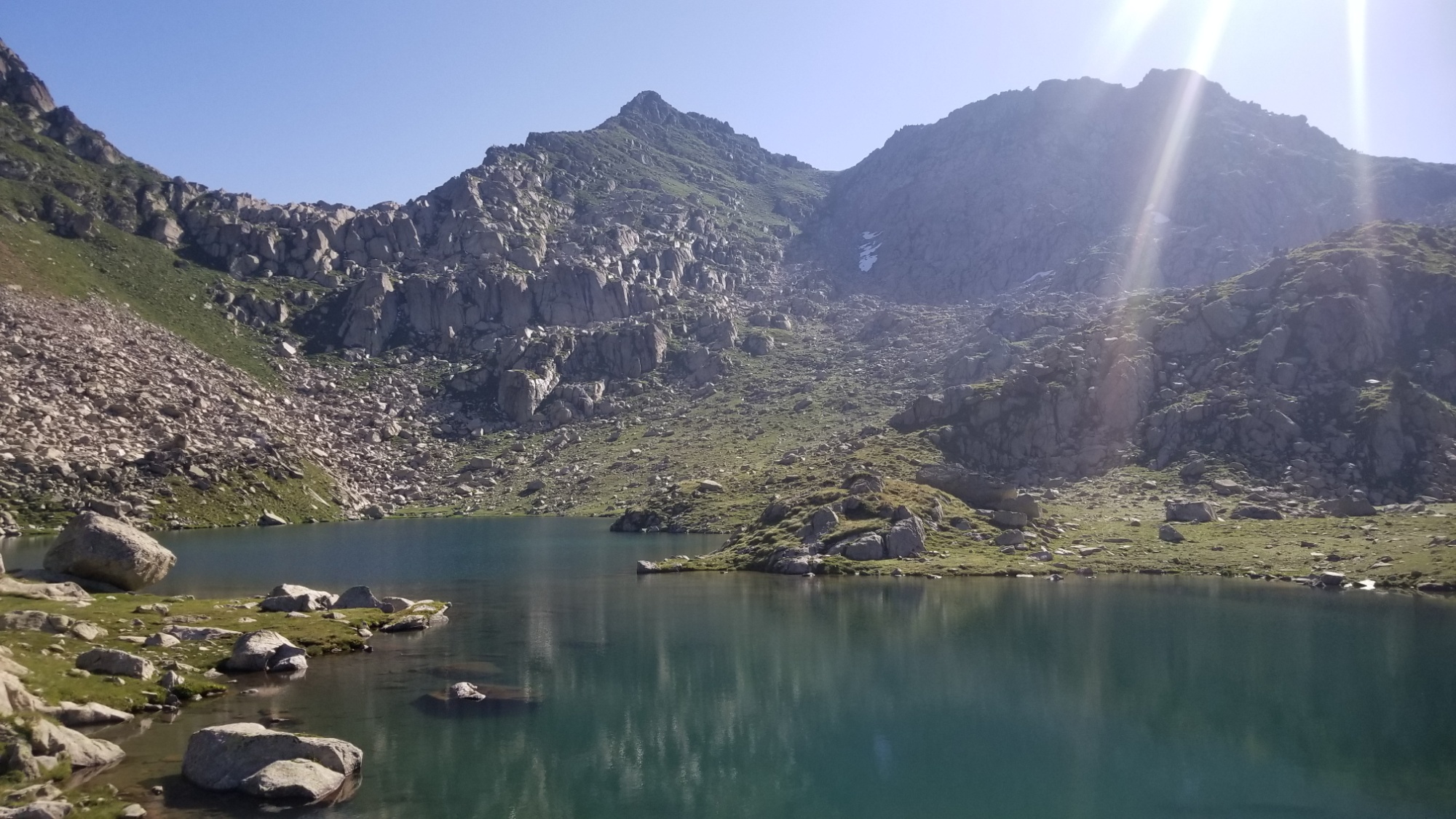
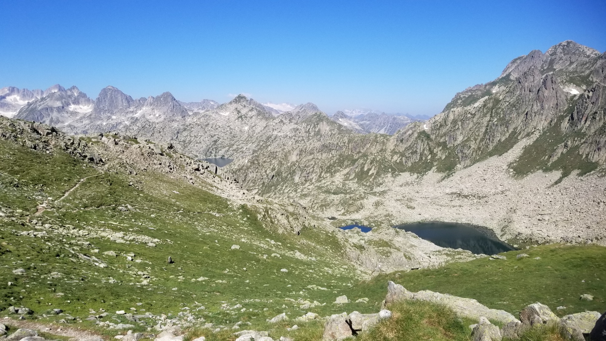
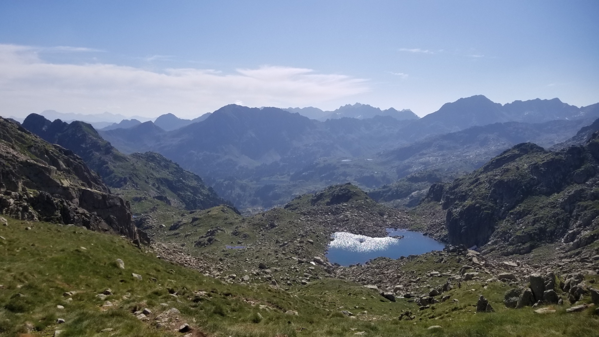
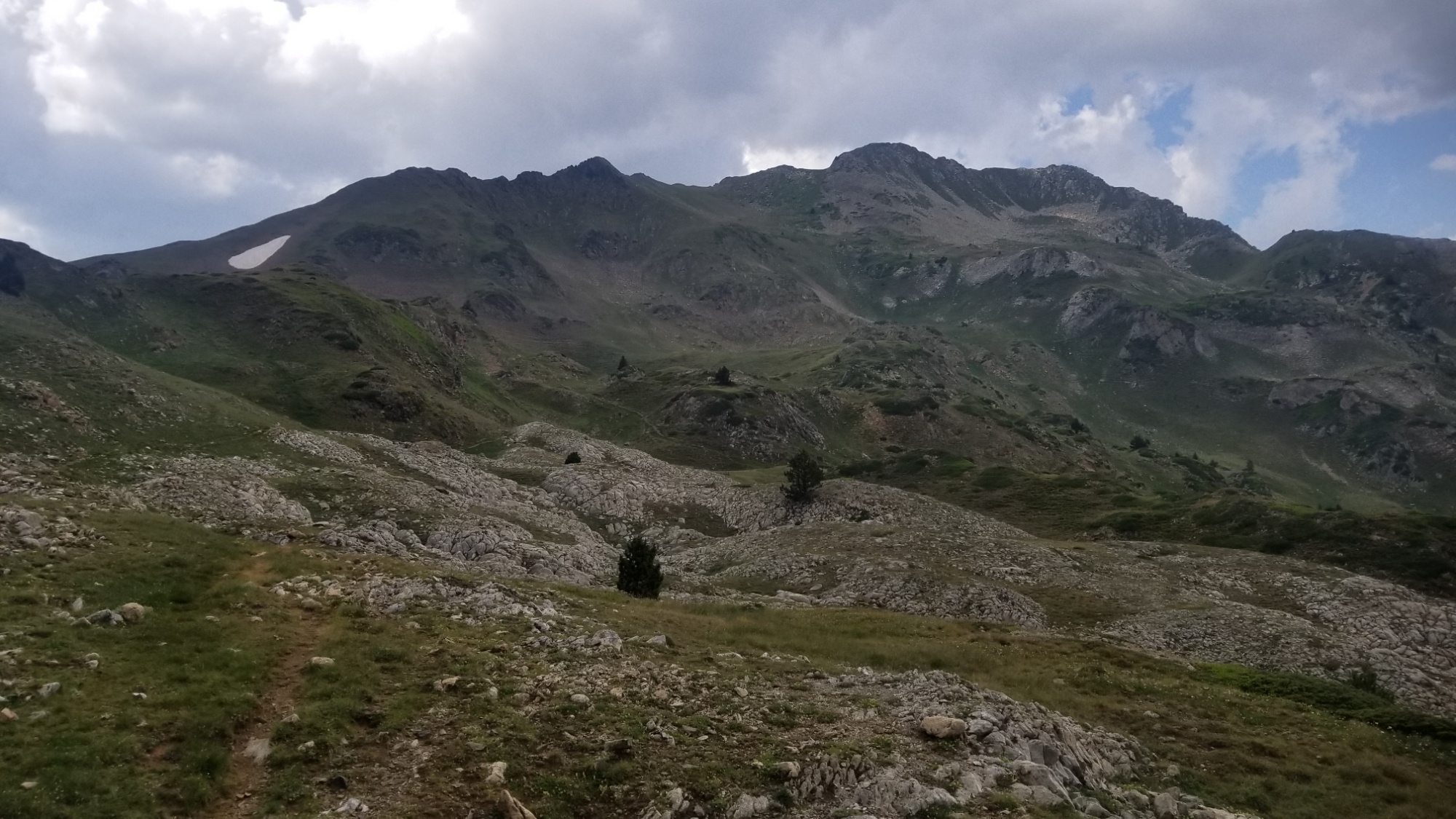
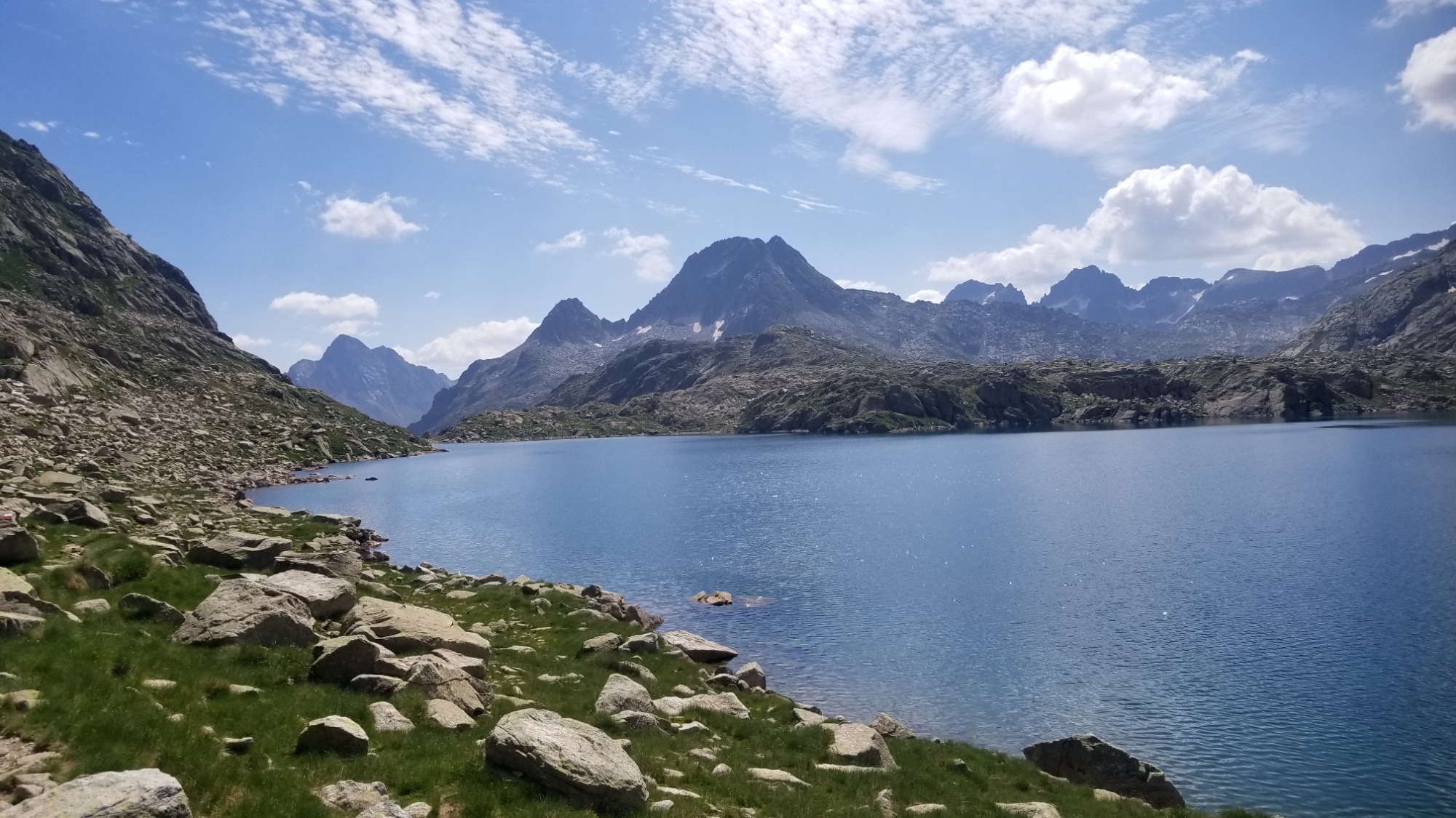
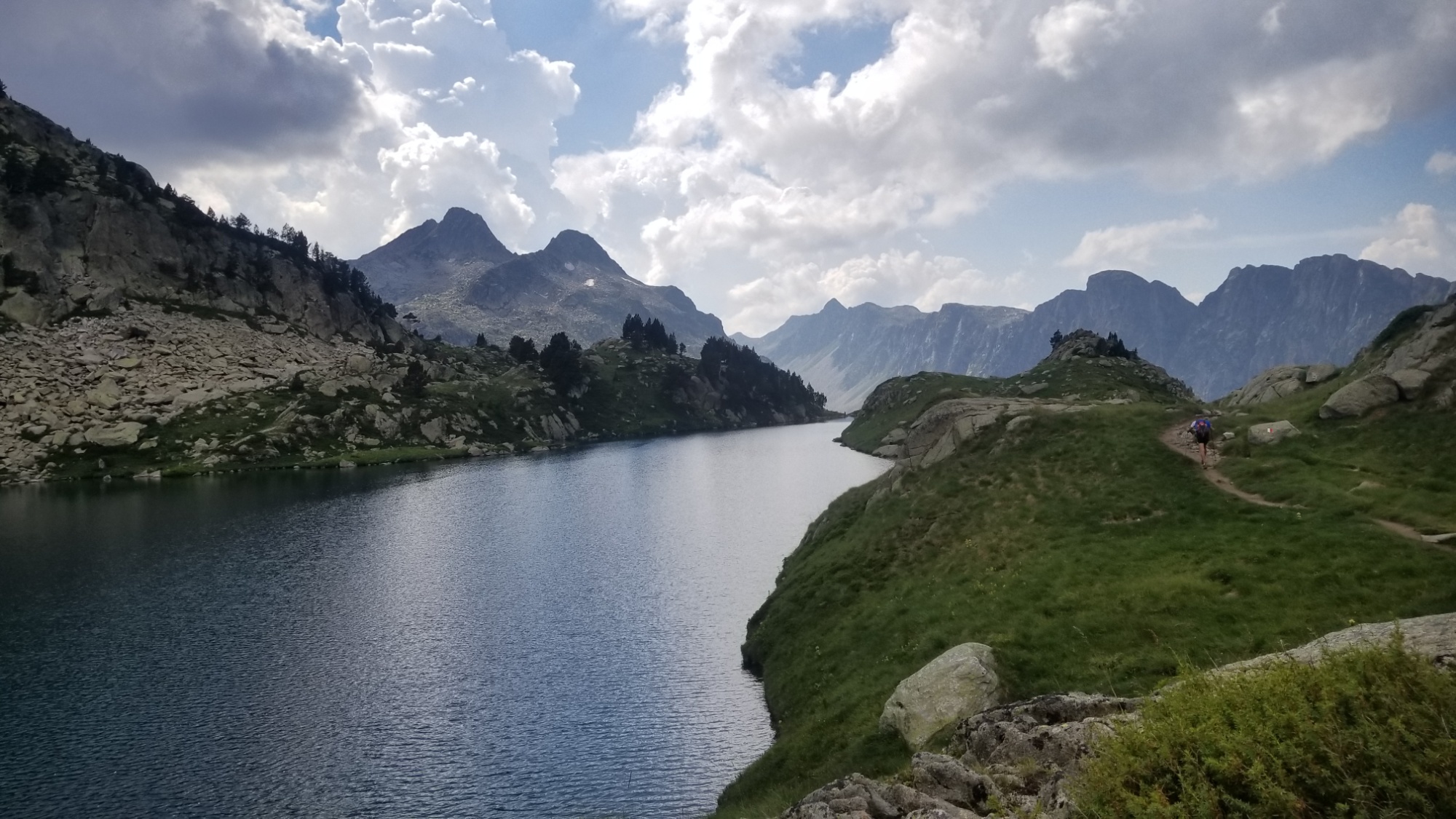
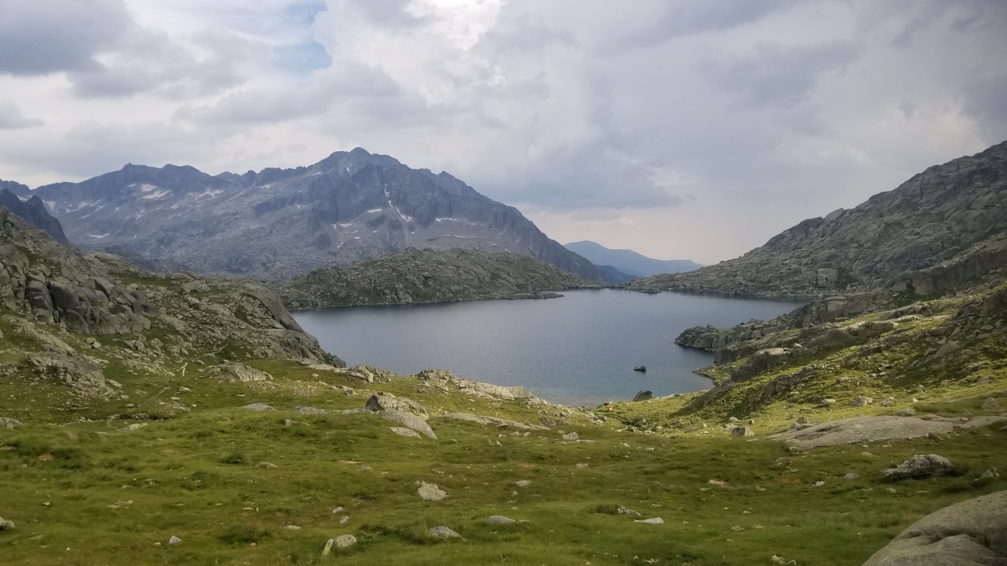
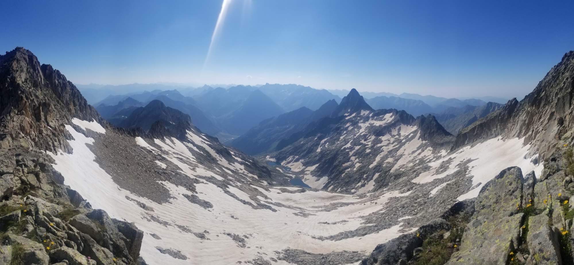
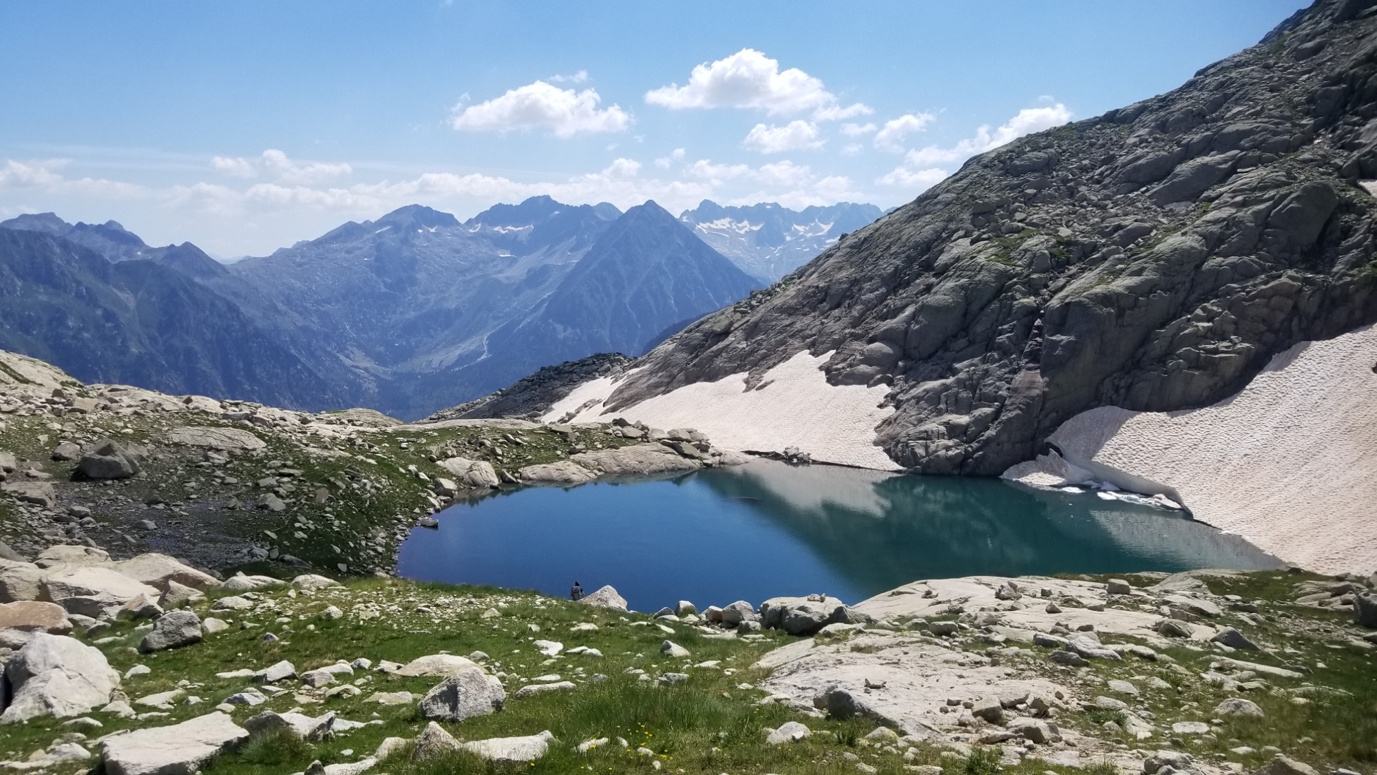
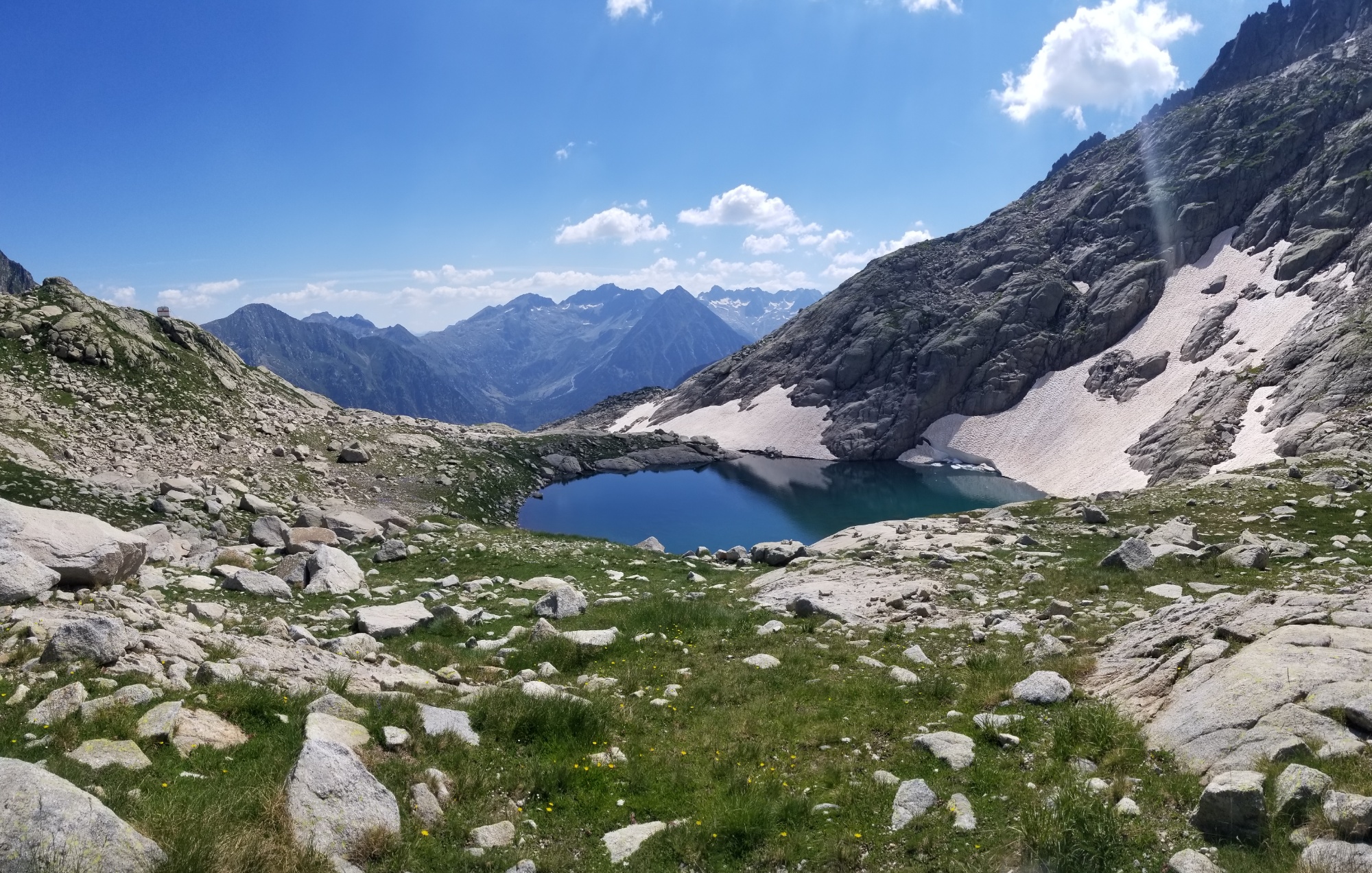
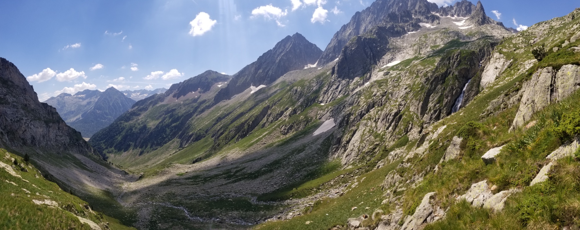
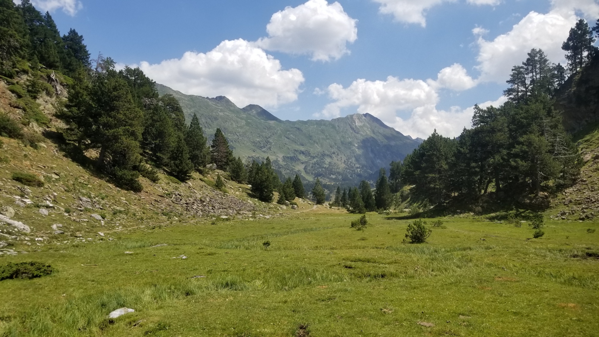
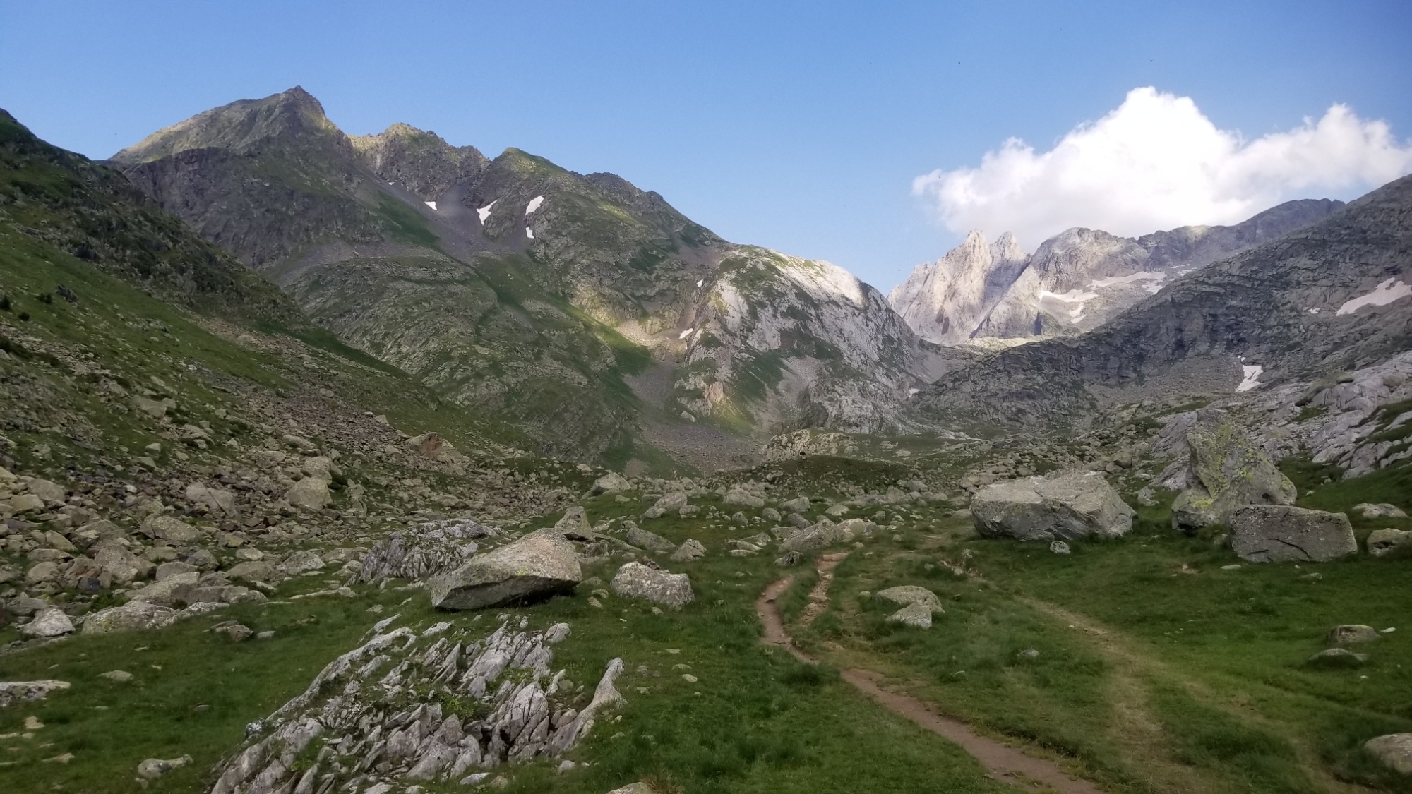
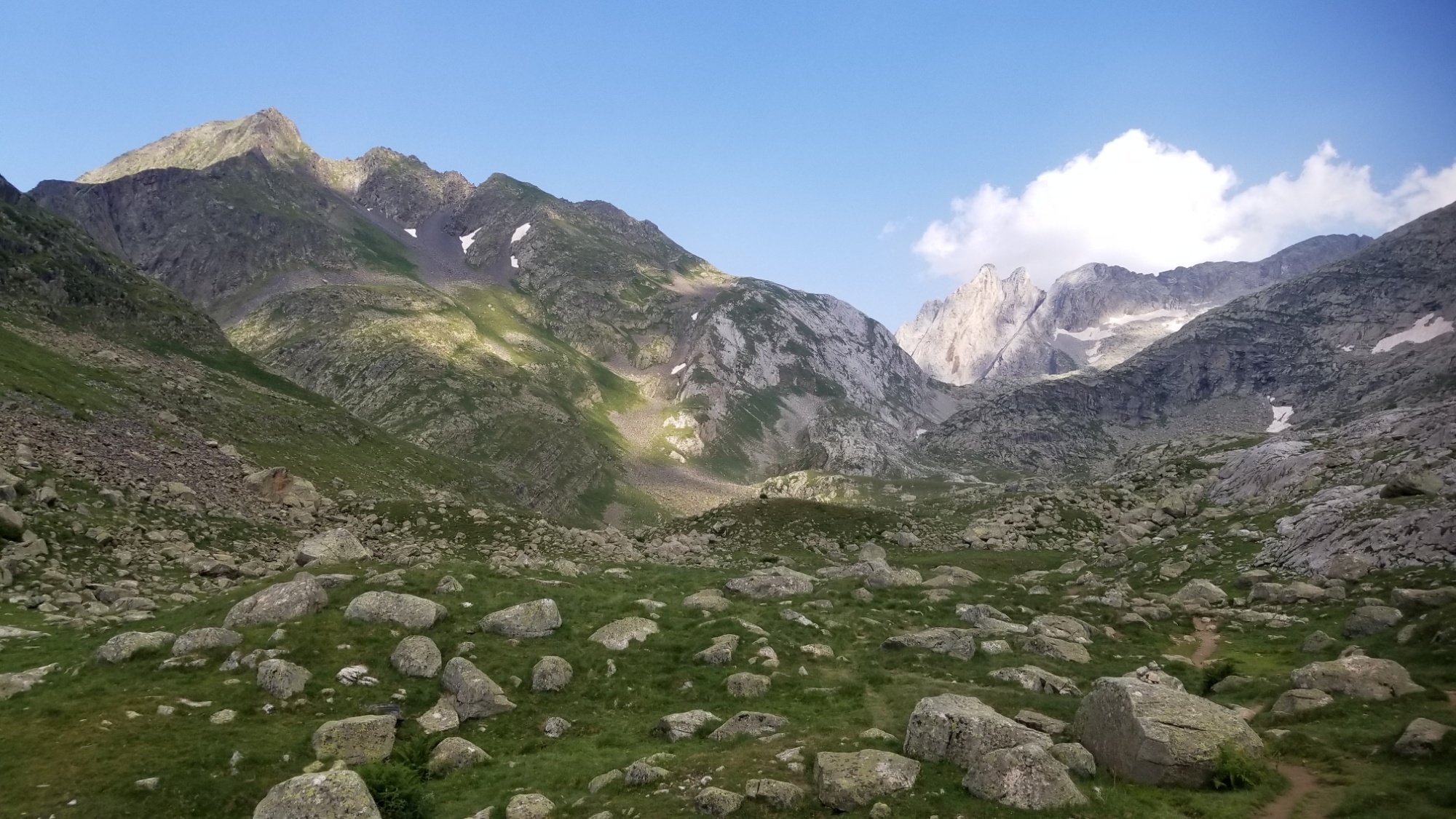
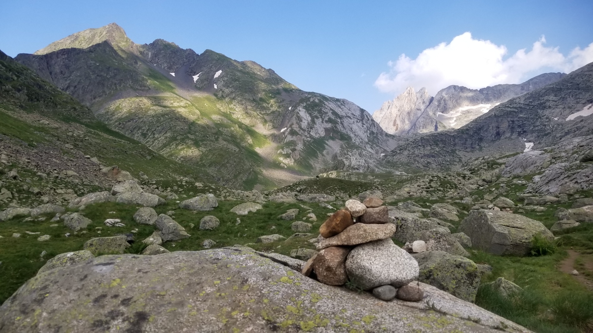
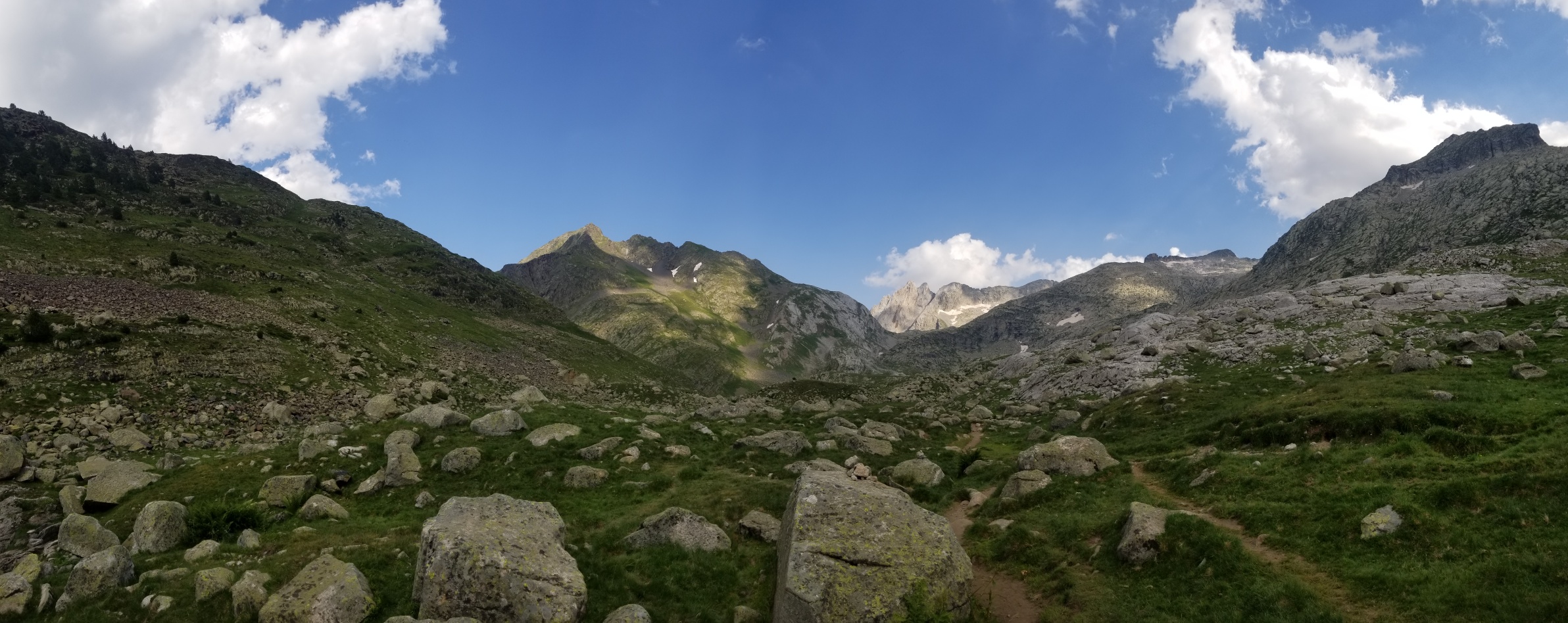
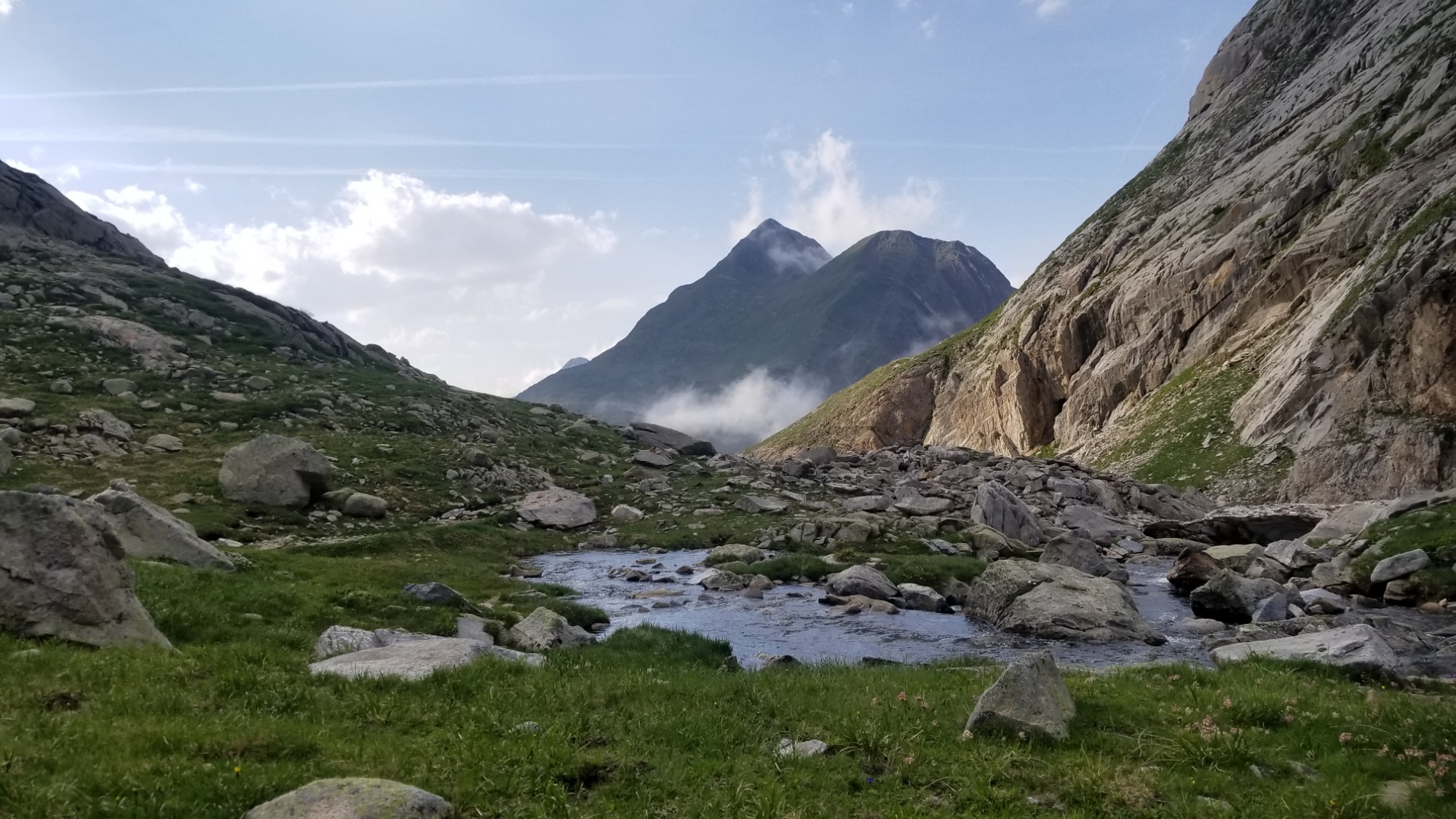
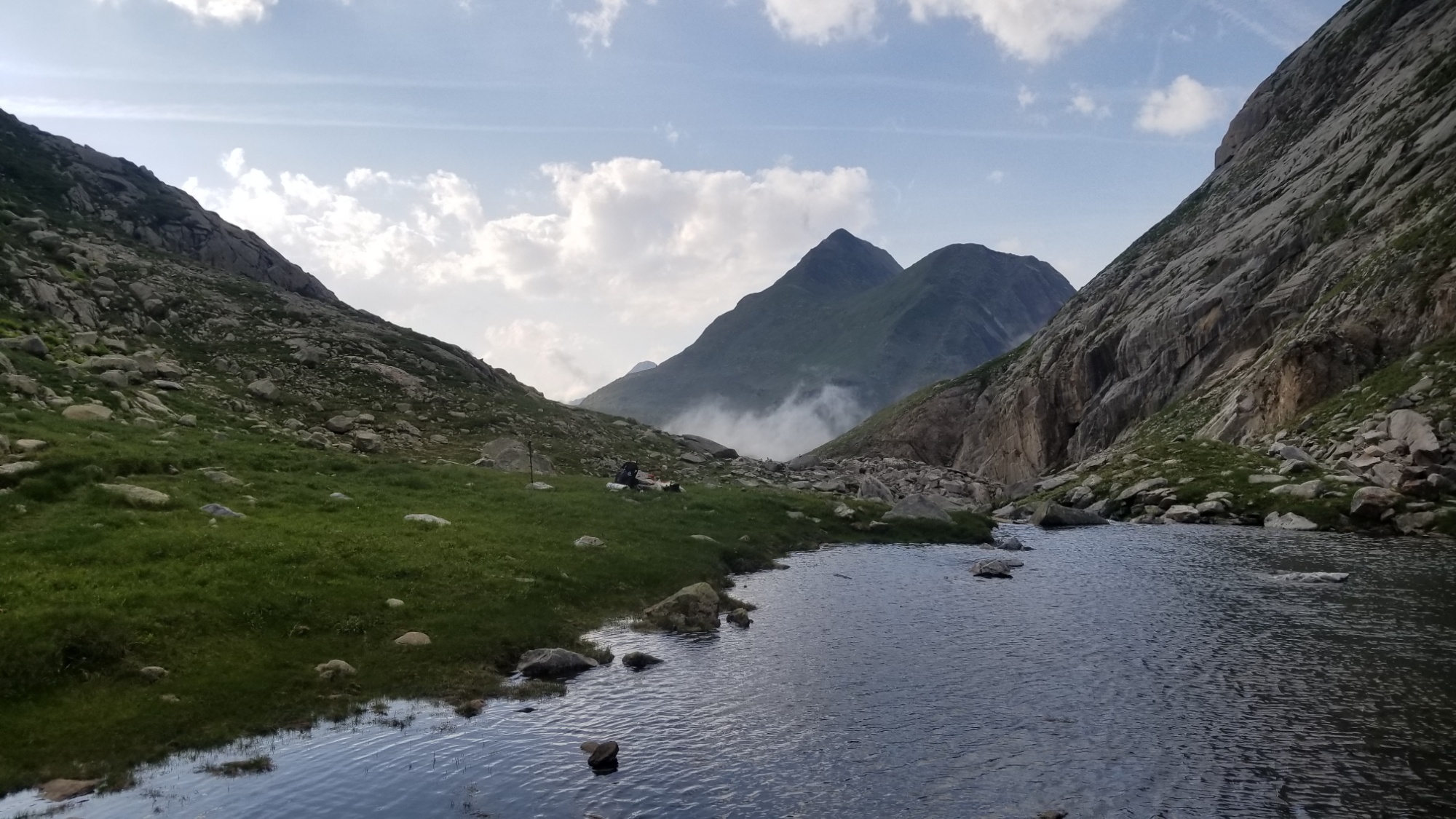
It was about 9:30 as I set out from camp today. I had an easy hike to a couple small lakes over a small ridge first thing. Then, a slightly longer climb up to the Col de Caldes and down to the refugi Collomers.
I’m headed for that pass
There are some pretty lakes along the way
View from the pass
Refugi and Lac Collomers
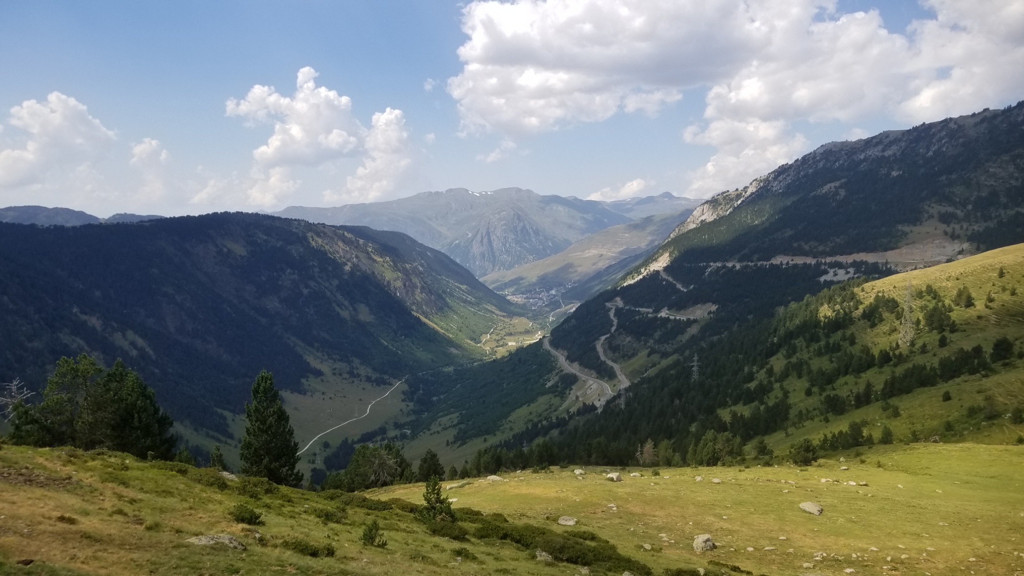
I decided today, while looking at the map, to skip the descent down to Salardu, a big resupply spot for the next week of trail. 1,200 meters elevation didn’t sound very appealing at the time. I wanted to stay up high on the official route, and my pack certainly feels heavy enough as it is. Food shouldn’t be an issue to the next stop, especially if some of the small towns and hamlets have a restaurant to have lunch or dinner at.
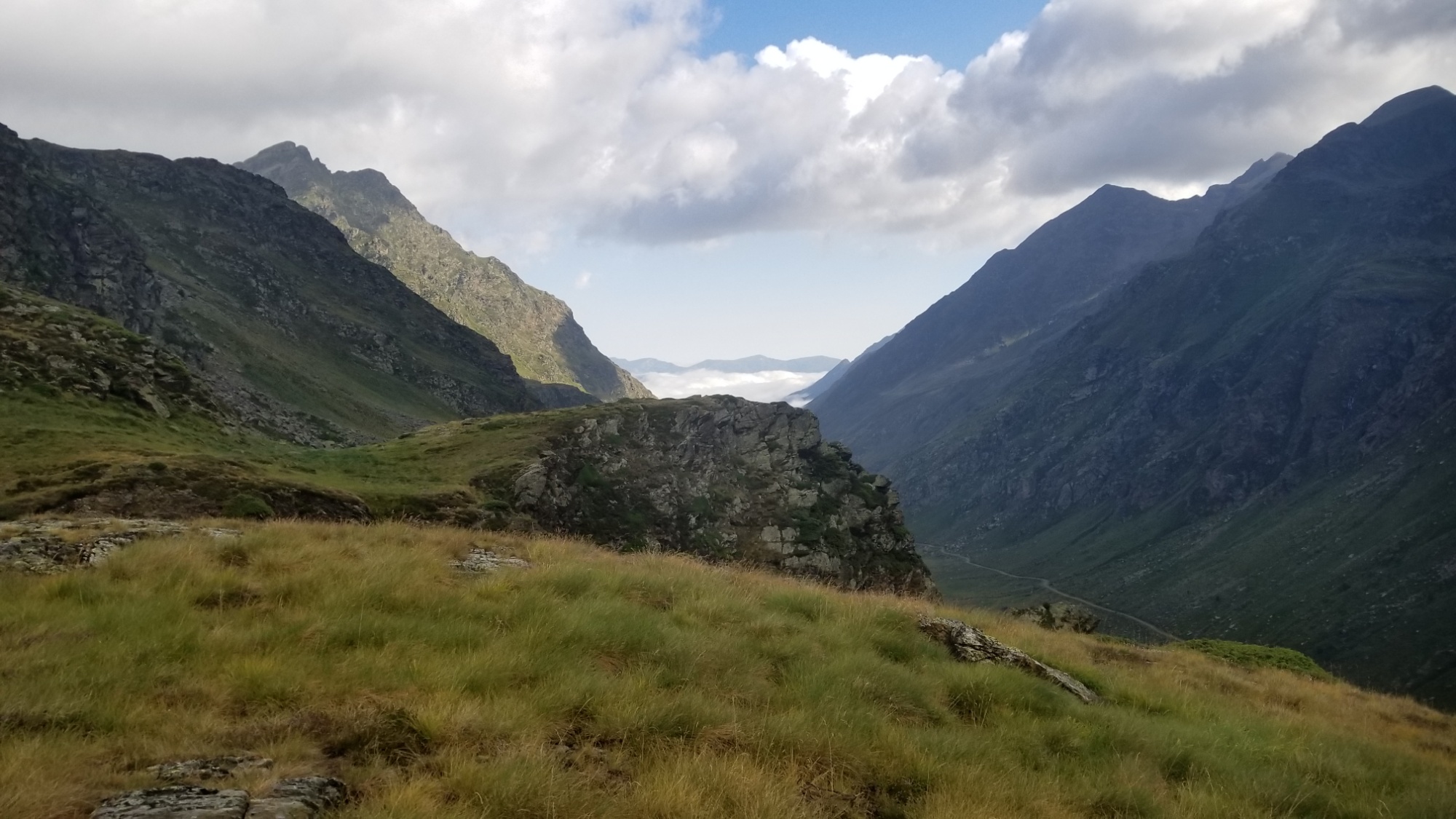
This valley leads down to Salardu, but I want to stay in the high mountains. Hopefully I brought enough food to make it to the next resupply, Pas de La Casa in 6 days!
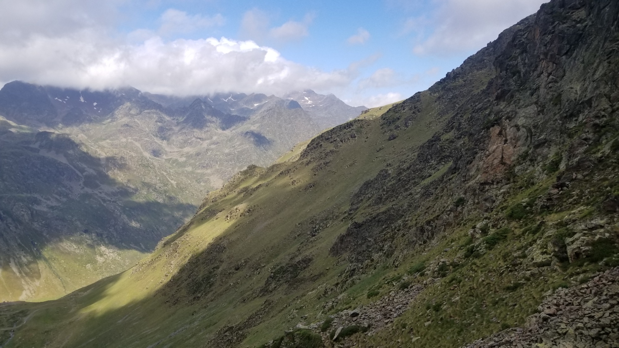
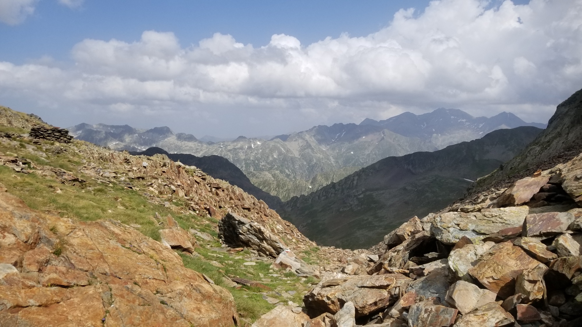
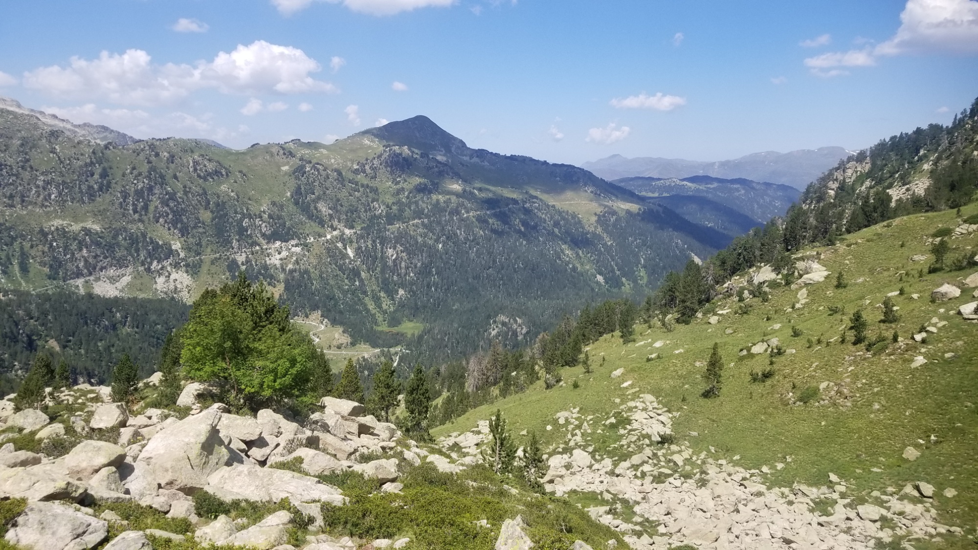
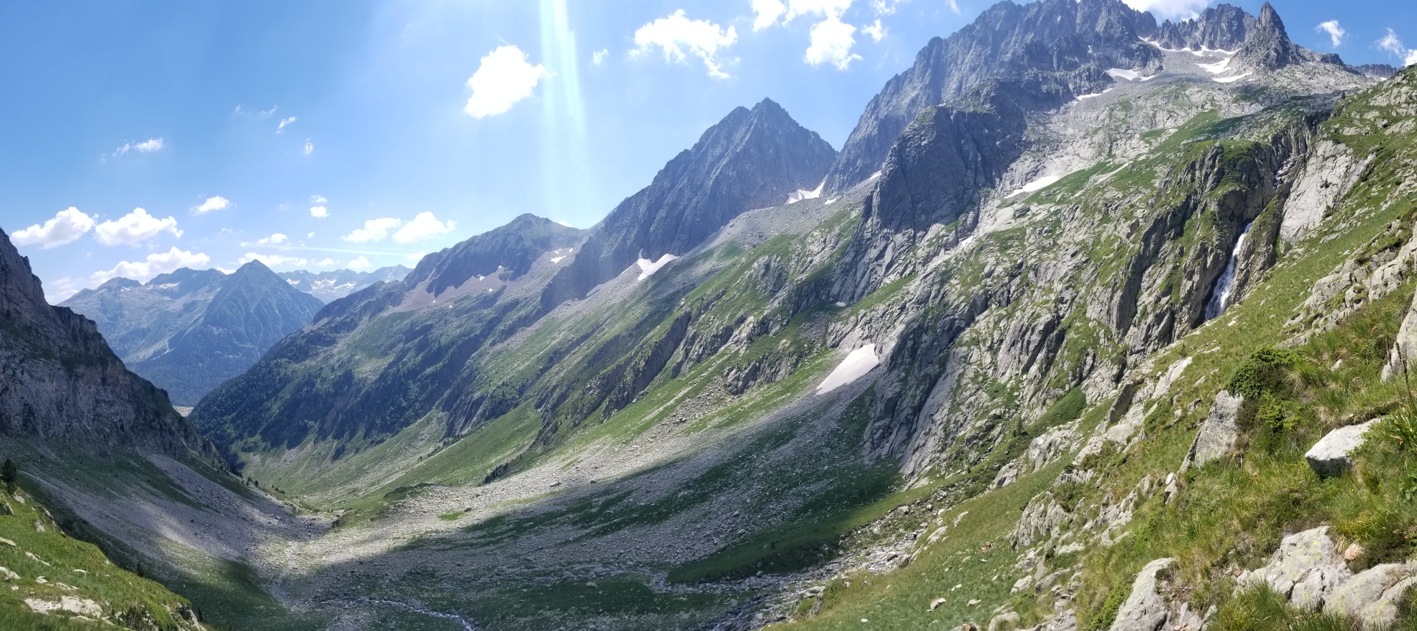
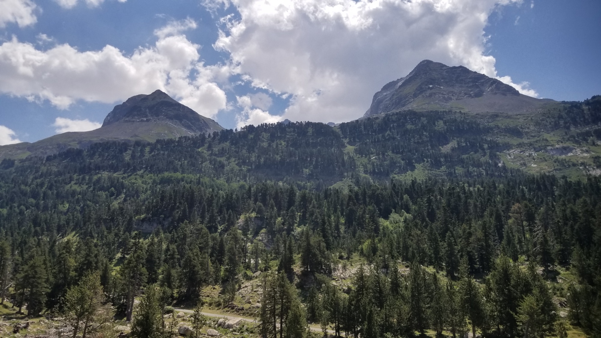
So back up it was! The next col was at about 2,600m, and had another gorgeous valley on the other side.
Now I’m headed for that pass on the left
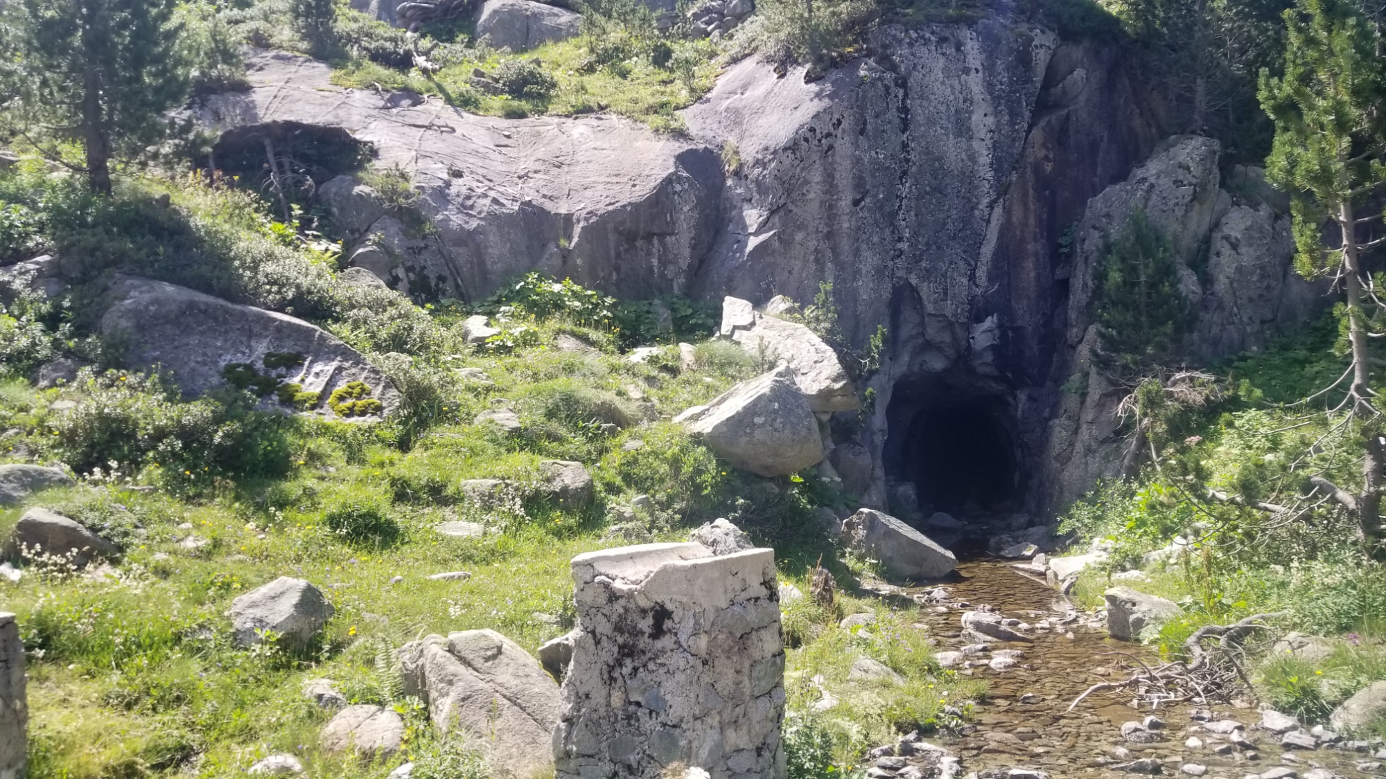
An old mine / cave
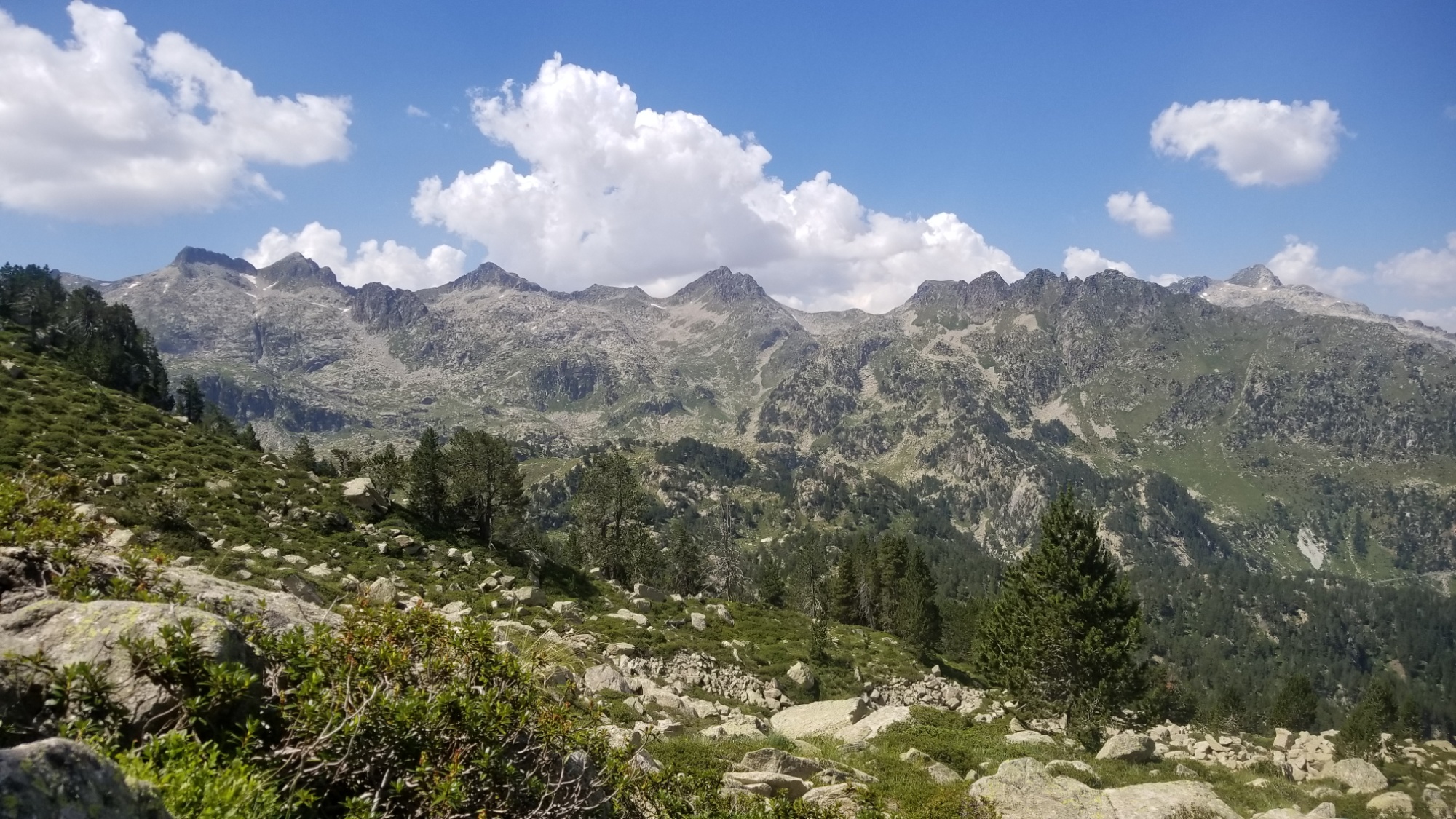
I love that feeling right before you get to the pass. Like, who knows what is on the other side! It’s a mystery.
Surprise! There is a beautiful valley on the other side
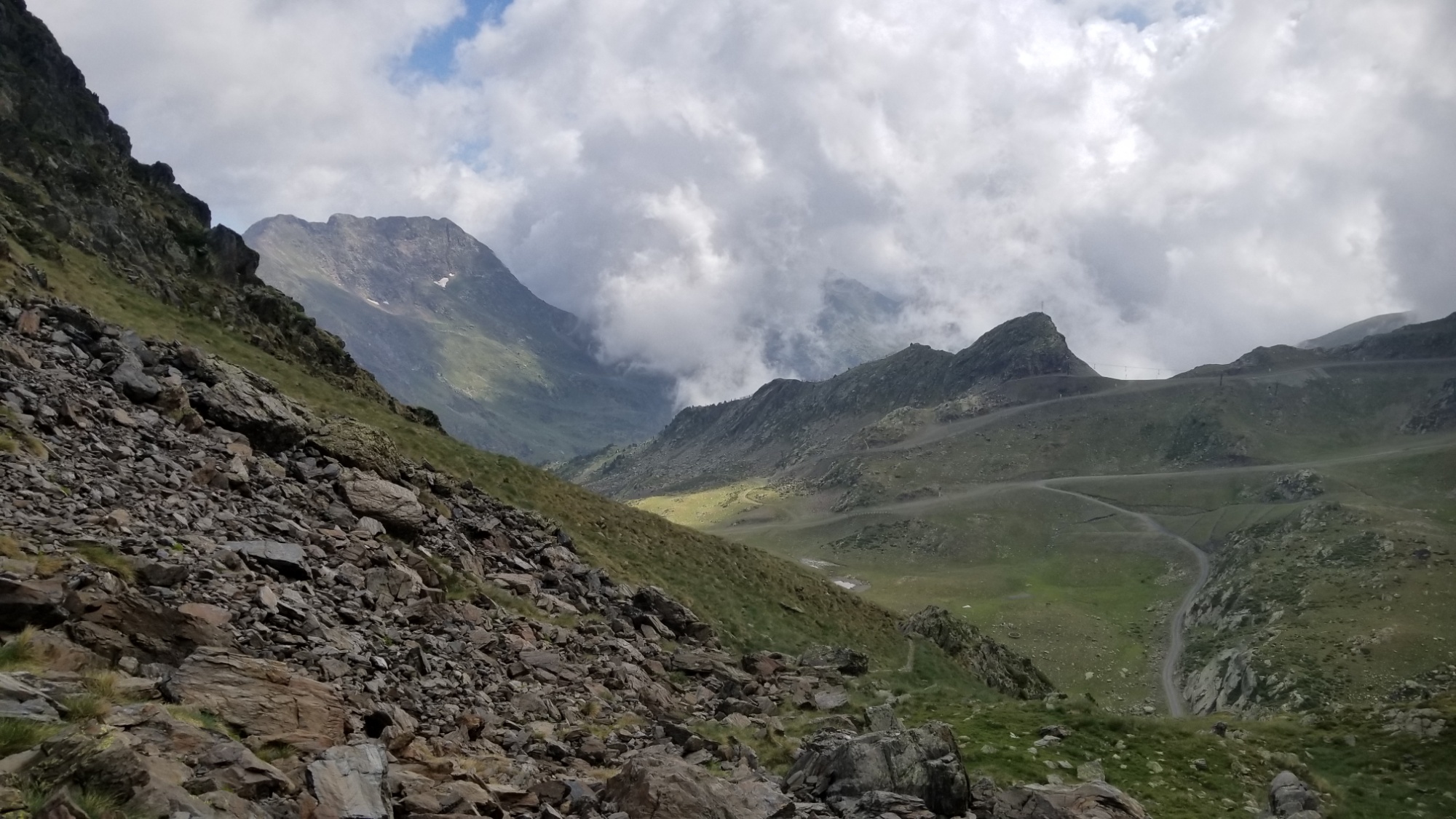
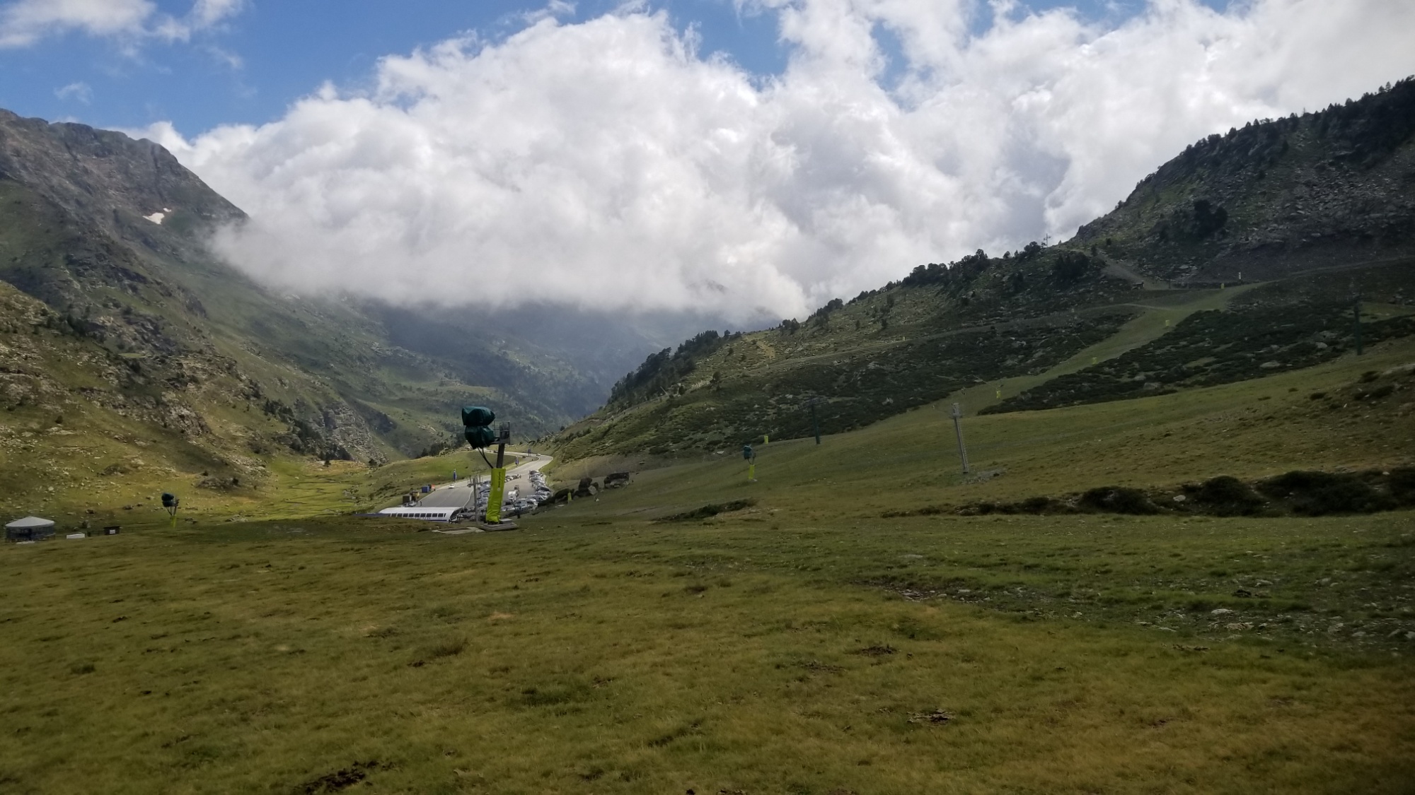
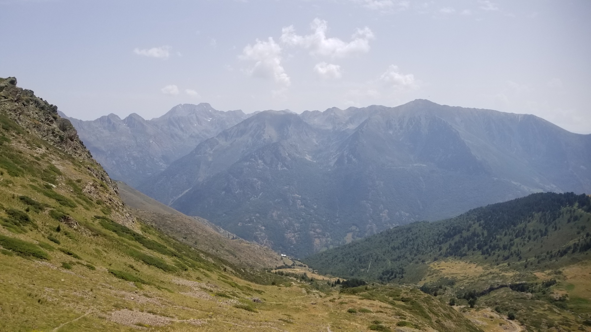
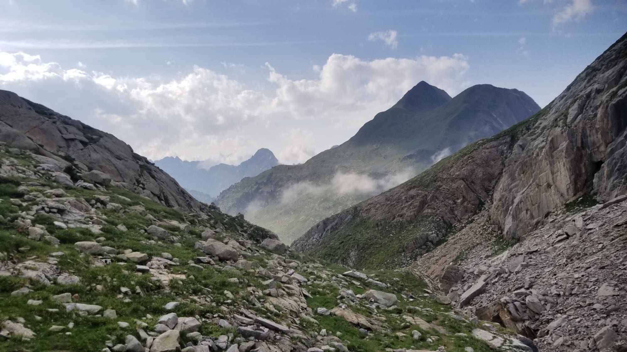
Then a long walk down the valley and then a climb up to a ski area at one of the passes along the Crest of the Pyrenees.
I take that trail on the right up to the ski areaLooking backThe road that goes to this ski area
Then, a short walk down the road to another trail that ascended about 300m to a pass overlooking the Estany Pudo. There I met a shepherd whose job it was to tend to the flock and hang out with 4 well trained an extra cute sheepdogs. Of course the dogs almost jumped me..
Goodbye ski area!I met the shepherd just over that passLac de Pudo
I wondered why someone who seemingly spoke 3 languages fluently would choose such a job, but I’m sure he had reasons and I can’t judge–if I could work in the Pyrenees for a living I would jump at the chance!
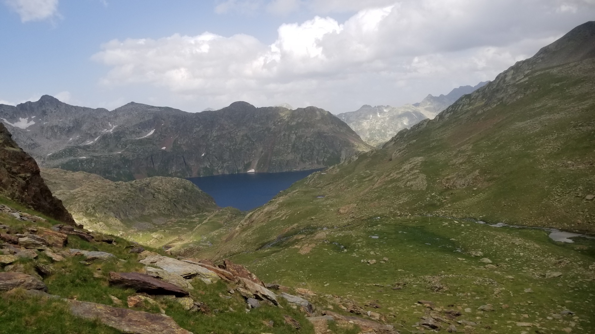
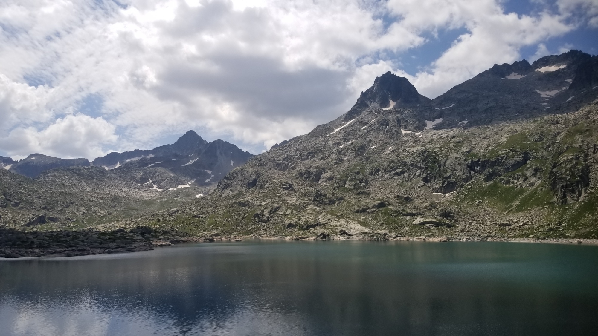
I walked a nice ridge trail around the lake below and came to another col, which led to another set of lakes. After hiking down, it was about 6pm and I saw rain rolling in, so chose to camp next to one of the pretty lakes.
Tomorrow’s route goes over that pass on the right
There was a bit of a sunshine rainshower after I made dinner and walked to get a look at the route ahead, past that big lake.
Time to get back to the grind! We woke up bright and early and Paul and Chantal drove me an hour to the highway, where they picked me up 3 days ago.
Back to the trail!
We said our goodbyes; they were taking the opportunity of coming out this way to hike the trail up to lacs and Col de Mulliers, as it is a beautiful, special place for them as residents and advocateurs of the Pyrénées.
I set out for the 1,000m climb of the day with 6 days of food on my back:
-A huge breakfast bag with all kinds of packaged French pastries and two different forms of coffee (instant and loose grounds + filters)
-A snack bag of equal size with peanuts, 4 almond and hazelnut chocolate bars, 2 packs of chorizo, 36 granola bars, 10 snickers, and some peanut M&Ms, and
-A dinner bag with 6 tins of tuna, tubes of mayo and tomato sauce, 6 packs of ramen, a small bag of instant noodles, 6 different instant soups, and some camomile tea.
Plus, Paul was nice enough to give me an extra medium gas canister for when my large one runs out. Between the two, it should last all the way to the Mediterranean.
All that adds up to quite a bit of weight, but I’m feeling great after all the wonderful food and drink with my friends.
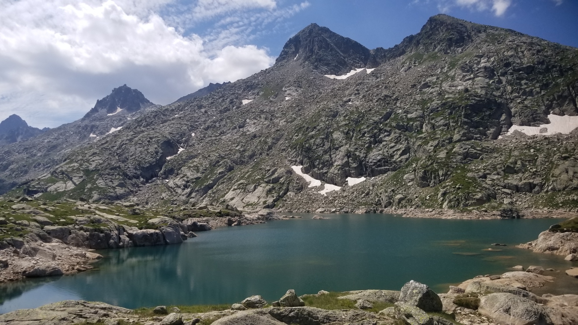
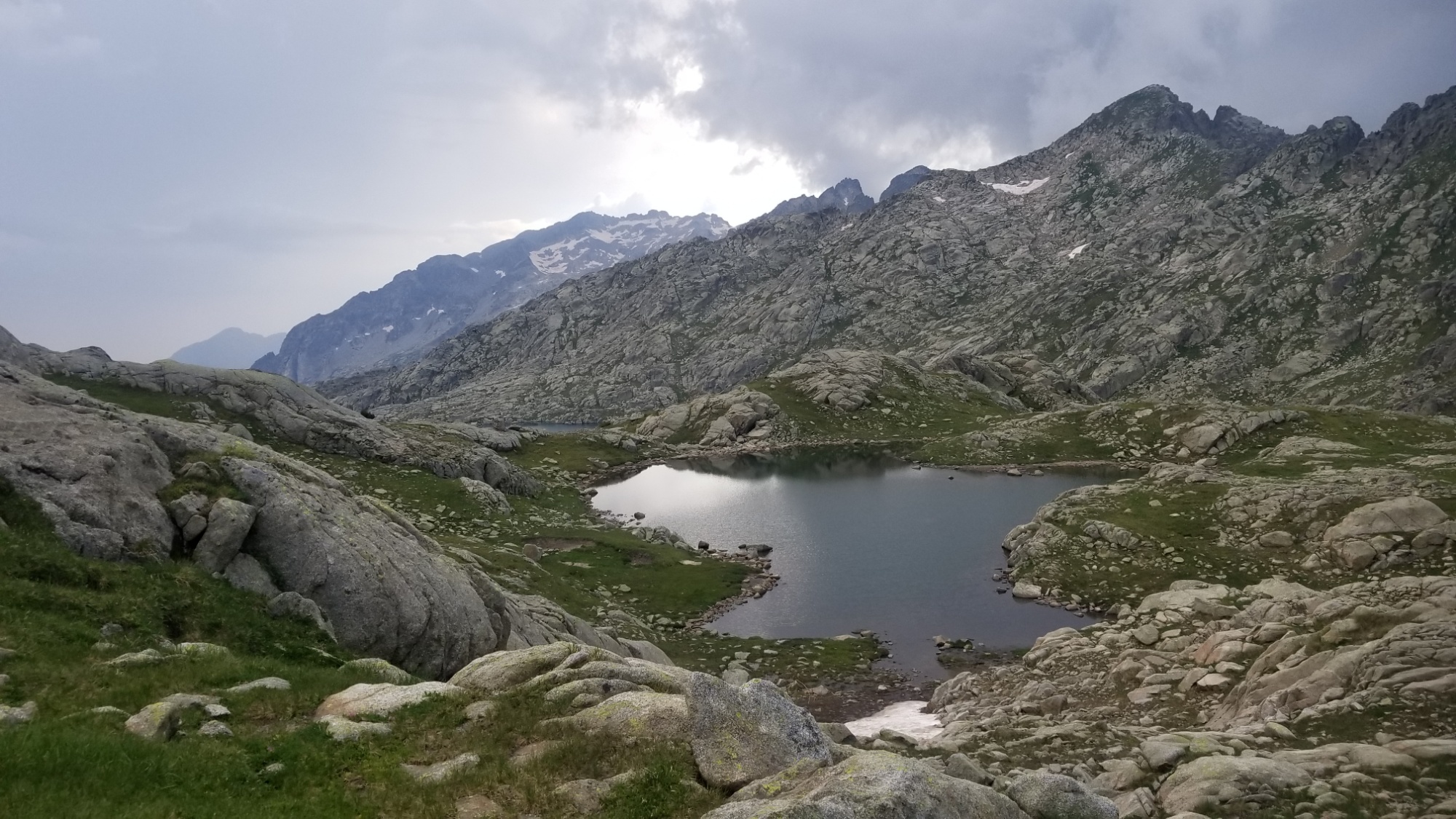
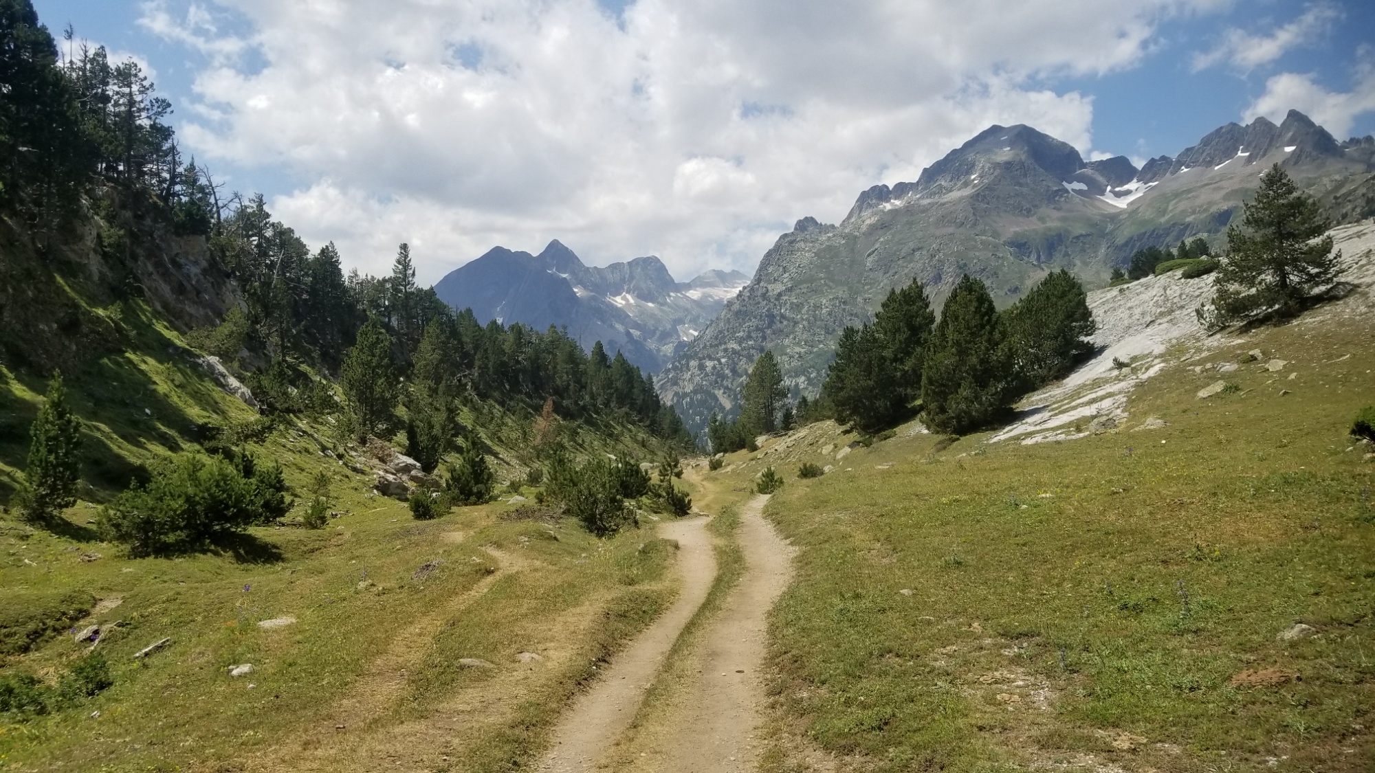
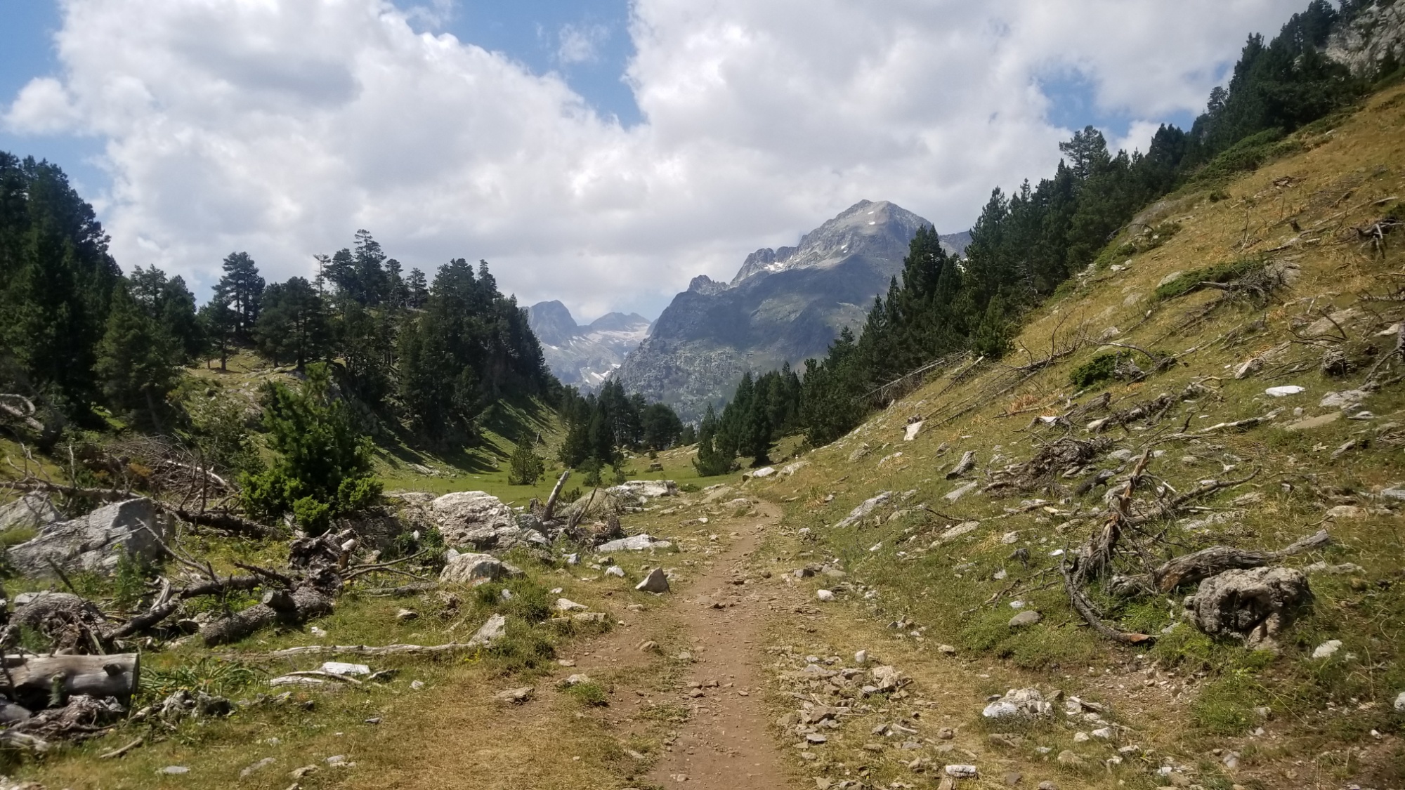
The trail winds up to Lac d’Arrius, where I stop for lunch.
A long climb up (3,000ft)
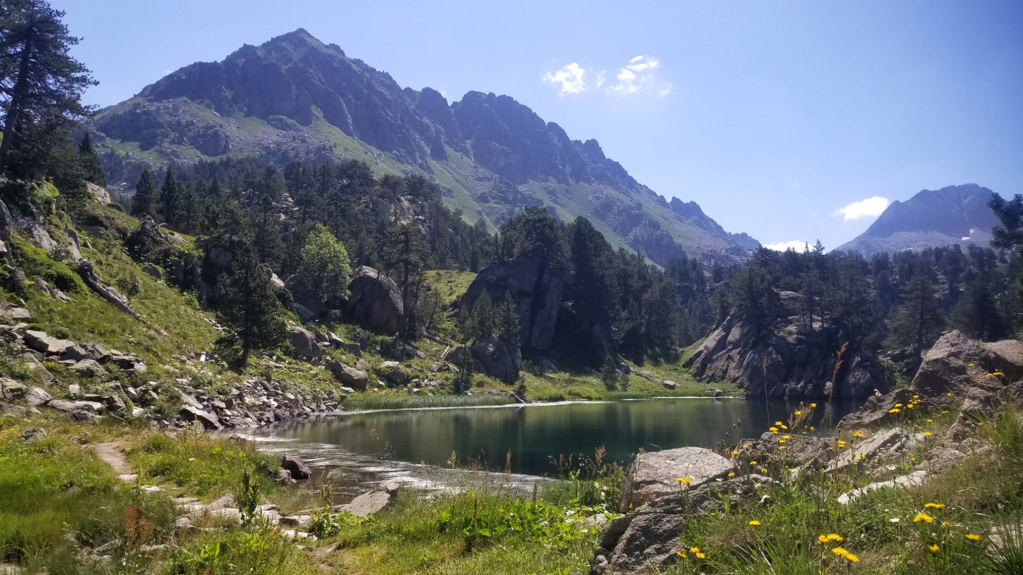
Lac d’Arrius
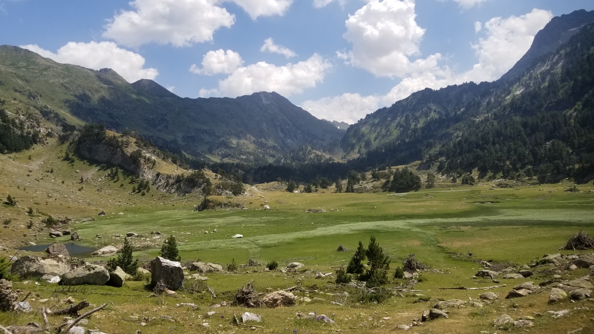
Then another large lake, which I hike away from up and over a col.
A 2nd lake!
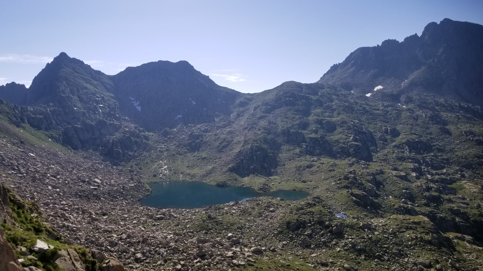
Looking back at all the lacs I passed
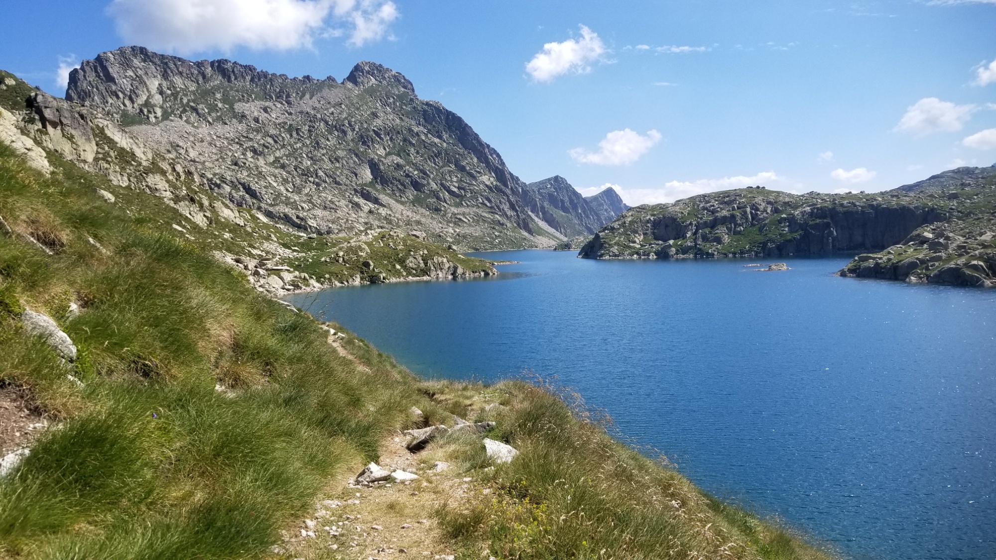
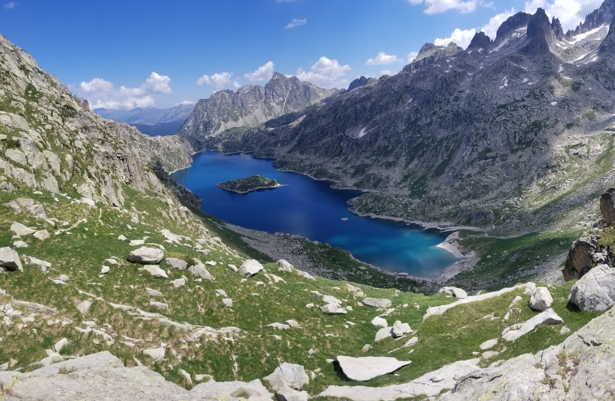
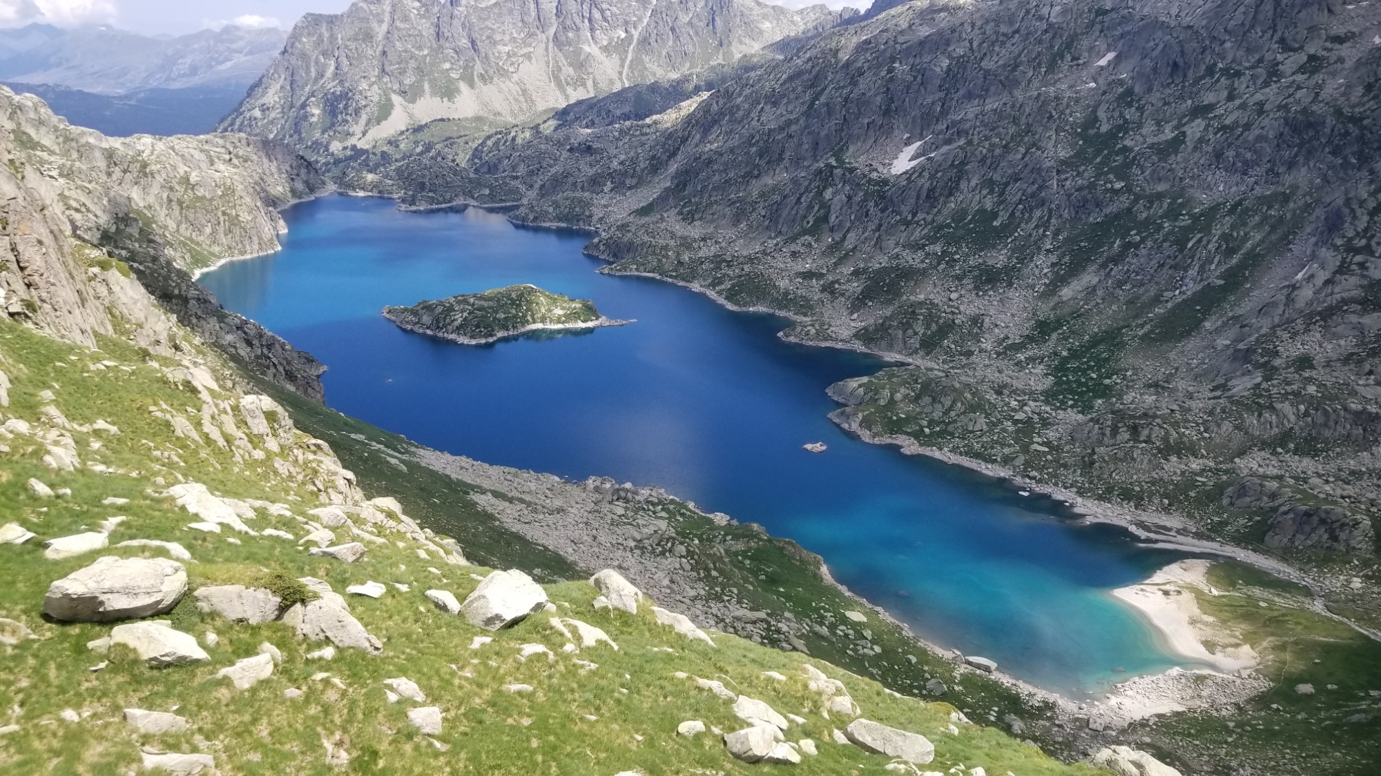
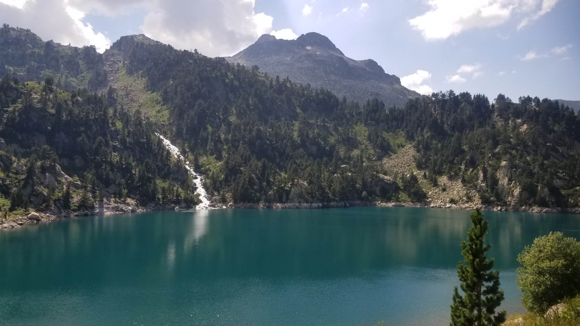
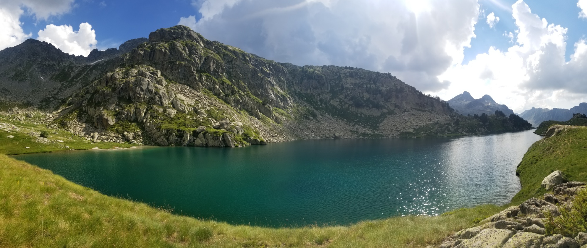
The Lac de Mar (lake of the sea) on the other side was quite a sight:
Swoon.
Lac de la Mar
I climbed down there and hopped in the lake to refresh myself, as it was the hottest part of the day now.
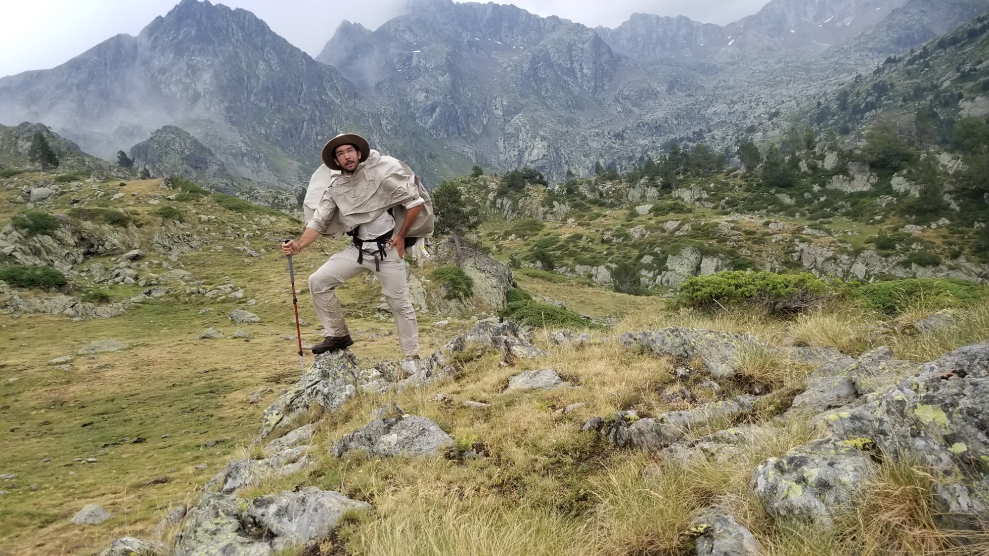
Perfect swimming hole.
Me trying to look bad
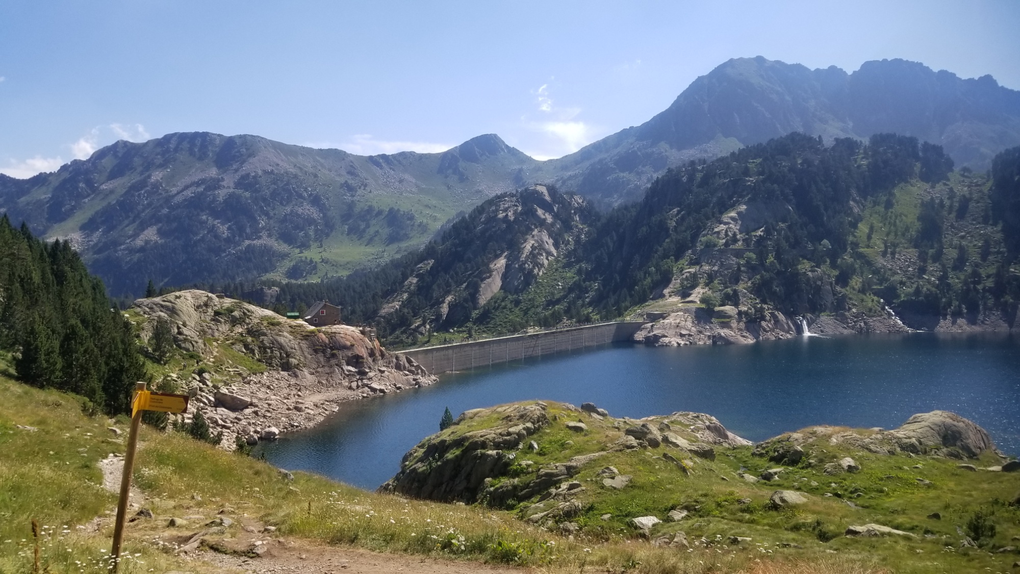
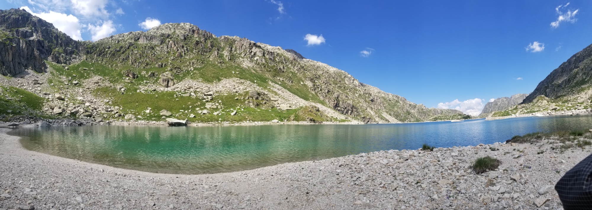
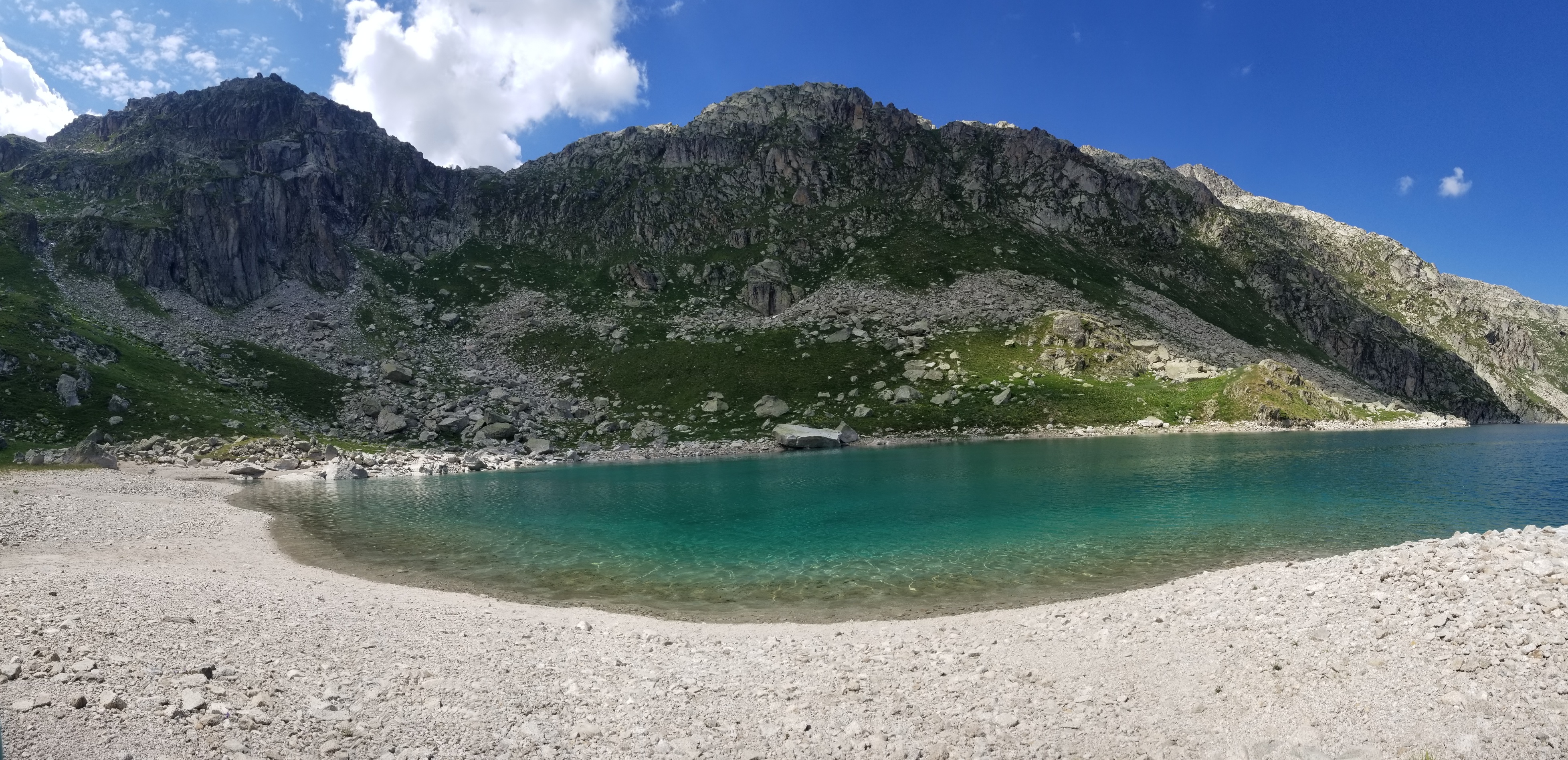
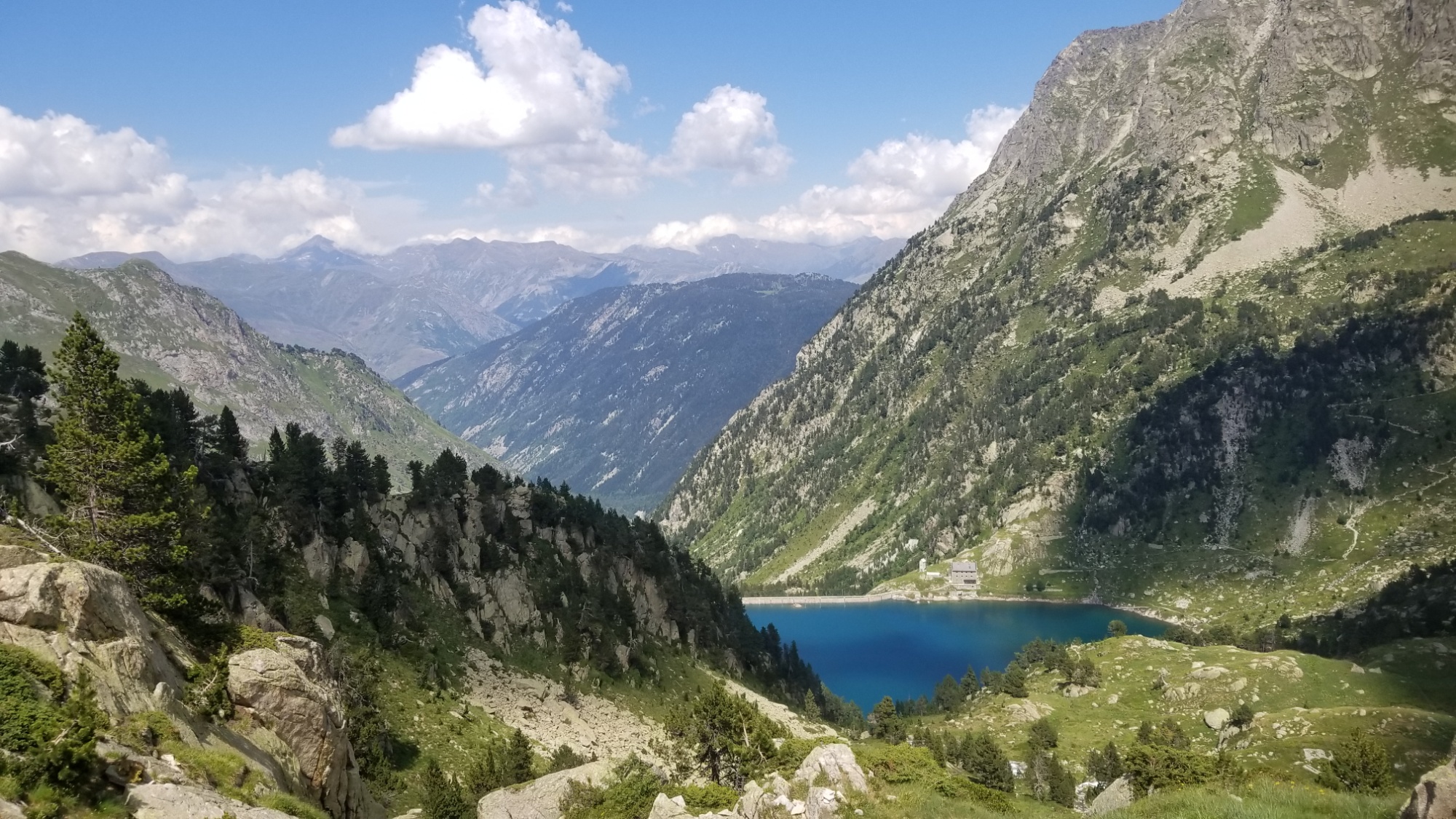
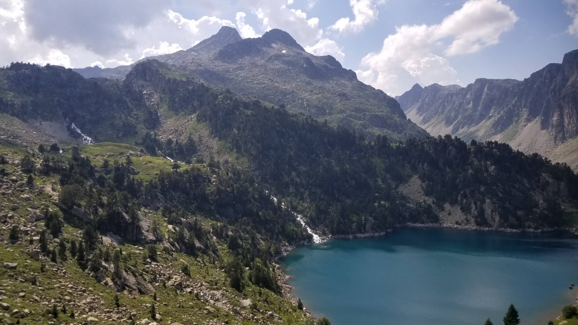
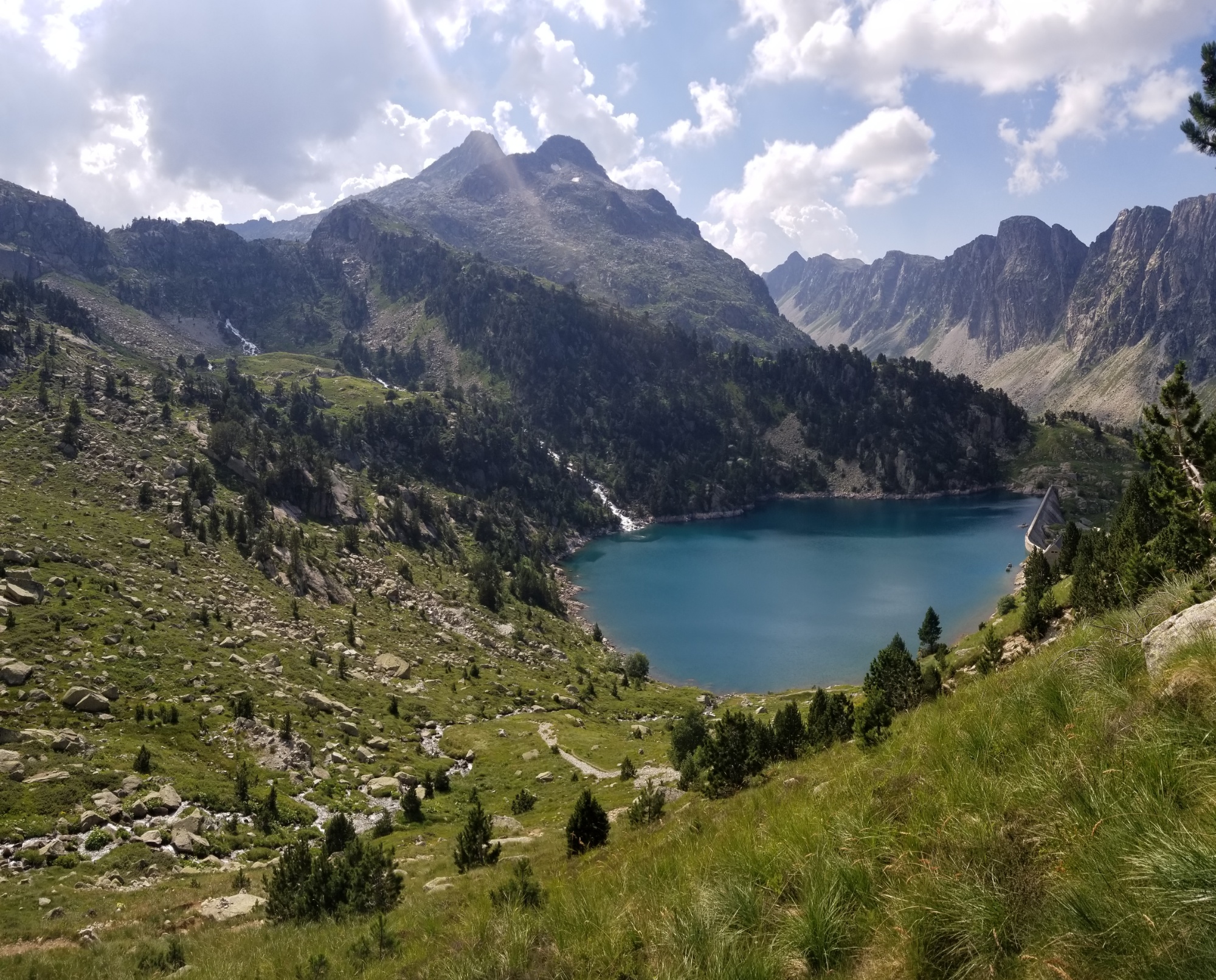
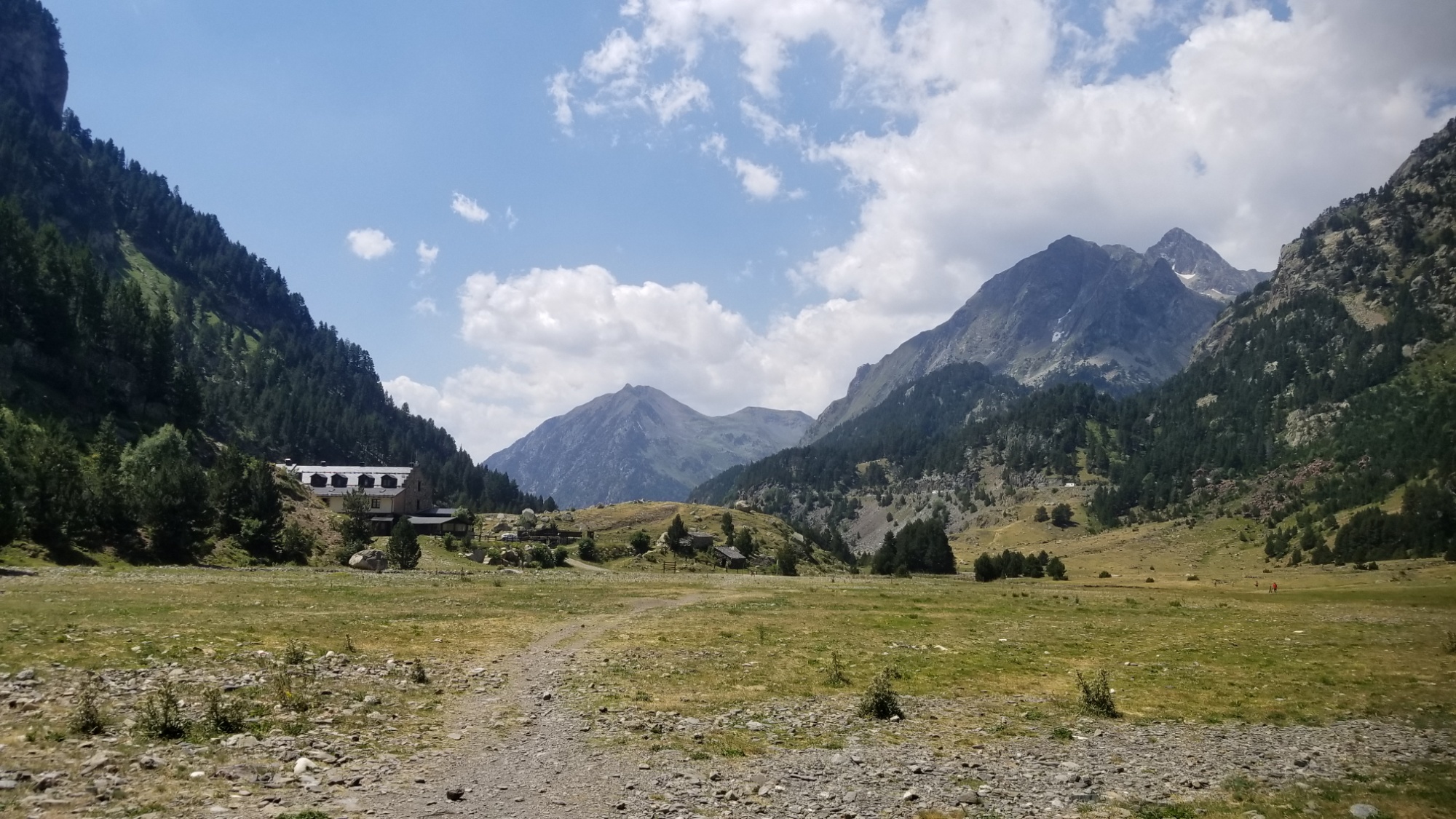
Then I hiked on from that lake and down to the Refuge Renclusa, planted on yet another pristine glacial lake.
Refuge Renclusa
What a gorgeous setting for a refuge!
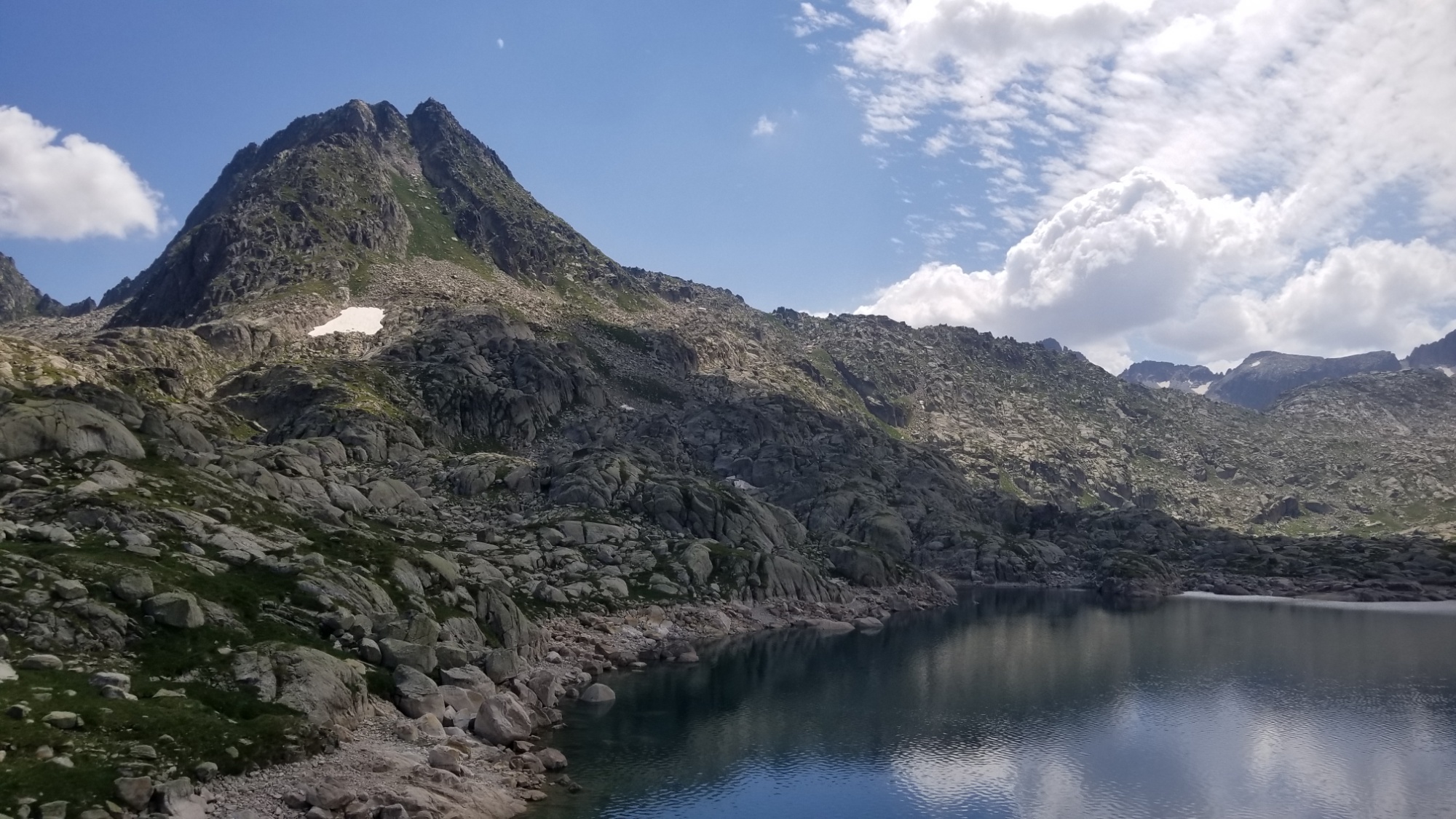
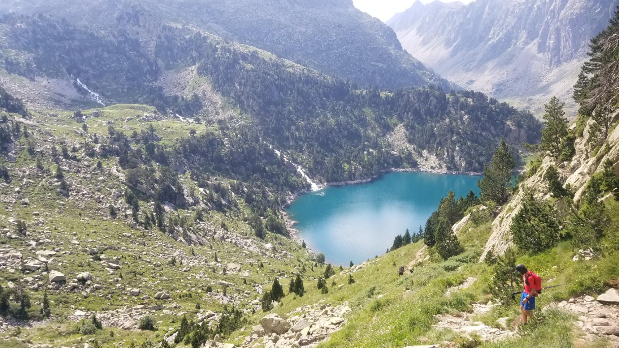
From there, I climbed up to the Estany deth cap deth port ( what a mouthful ).
And on to the next lac!
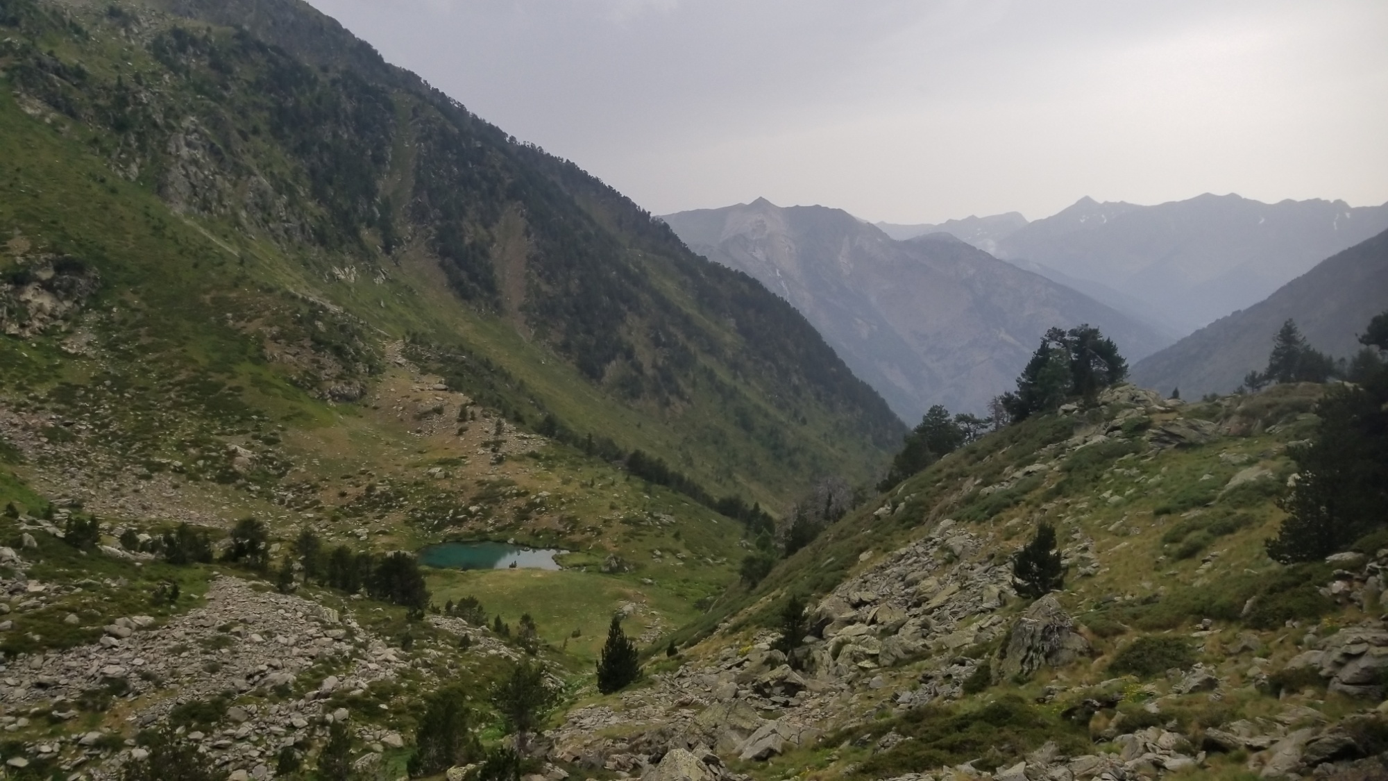
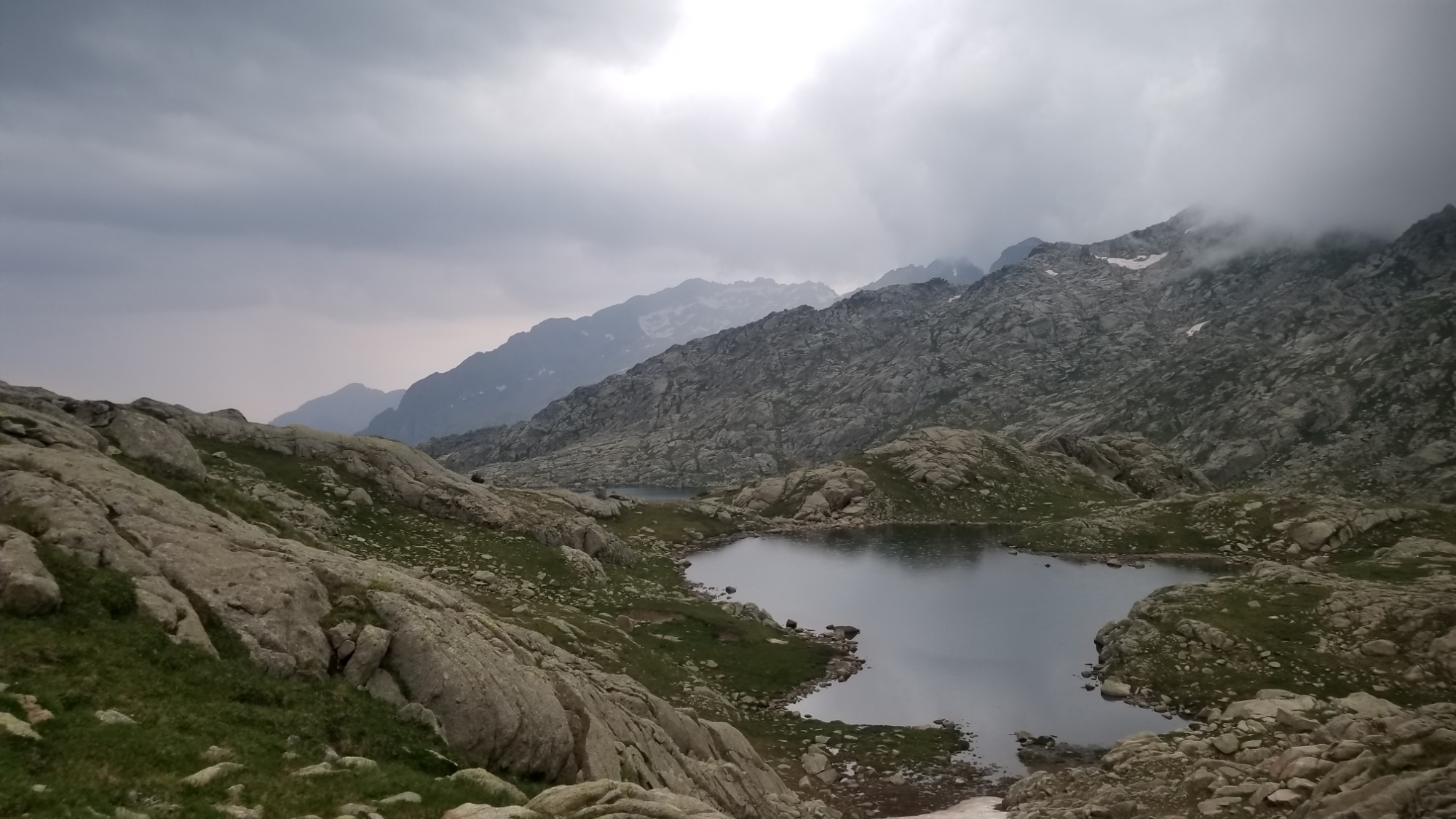
Then up over the Col de Crestada, entering Aiguestortes Parc Nacional for a bit. I hike on, grab water, and camp just above a small tarn (pond).
Goodbye lacHello other lac!Seemed like a fine place to pitch the tent
Uh oh
Around 8:30, I was blinded for a moment by a flash of white.
1, 2, 3, 4, 5… KABOOM!!! A massive lightning strike just a mile away. It shook all of the water out of the clouds and hurtling down towards the ground. The temperature dropped nearly 30 degrees almost instantly, from what felt like 70° to 40°F, as the winds mixed the perfect ratio of warm and cold air to create a superstorm.
A minute later, another blinding flash, and another thunderous explosion.
And a third one.
And a fourth one.
The fifth and final (of the loudest lightning strikes I have heard in my life) gave no warning.
A synchronized flash and explosion erupted maybe 500 feet from where I lay my head. I started to think that maybe I chose the wrong campsite.
These were not your average lightning strikes, mind you. The shockwaves shook the entire earth beneath me and punched me in the chest like a good beat coming through an arena-sized subwoofer.
By this time, the deluge of rain and hail was a cacophonous rumble on the tent roof. I huddled up in my sleeping bag, glad to be “indoors,” dry and warm, while witnessing this extraordinary storm.
My plea to the thunder gods:
“Dear Nature,
Please don’t strike me with lightning.
I try my best to do good things on your behalf.
Yours truly,
Dan Morriss”
And as quickly as it began, the storm vanished. I looked outside in the calm and was in awe of the state of the beautiful valley that was my home for the night.
What happened here!?
What a bizarre turn of events
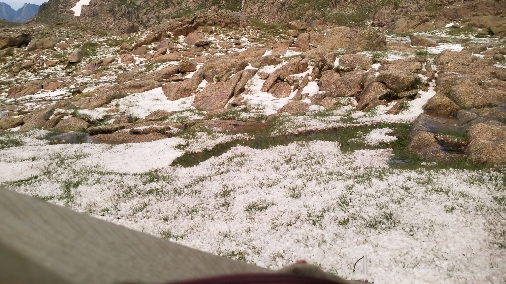
First, everything around me was coated in about an inch of marble sized hail.
Second, there were huge puddles and streams of freezing water that had formed seemingly out of nowhere. One ran under my tent, but luckily I was camped on an incline, so it didn’t pool up.
And the sky was… blue?! How can that be? I was surrounded by clouds of all sorts, but now they were painted by the oranges and pinks of the sunset.
Still seems like a good camp site
This all took place in a 30 minute span. Like I’ve said before, the weather in the mountains can turn in an instant. This is a perfect example.
I was honestly terrified by the lightning. I’m not exactly camping in the ideal place to be safe from lightning, in a big open taiga grassland at 2,500 meters surrounded by conductive tent poles. Luckily it seems the storm decided to stick to striking the surrounding peaks.
What else can I say? That was a truly awesome display of the force of nature, and I’m happy to be alive to talk about it. I’m still shaking as I write this. (Mostly because I went outside to get photos after and got a big ol scoop of freezing cold hail stones in my camp shoes.)
Today, we woke up early and drove to the Saturday market in the town centre. It was loaded with fresh local meats, cheeses, vegetables, and much more from about 100 different vendors.
It has been fun for me to experience true French cuisine and culture with Paul and Chantal these last two days, as I have not had much exposure to it, what with not knowing the language and being in the mountains (having to eat a lot of lightweight processed foods) for most of the time. They have really gone above and beyond with their hospitality and trail magic, and I’m much grateful that they extended this kindness to me. I have certainly needed all this good food and rest after almost 4 weeks on trail.
After, we went to the supermarket and I bought about 6 days worth of food to carry with me for the next section. I will buy another 2 or 3 days when I make it into the town of Salardu. Then it’s a whole lot of nothing for six days to a tiny village named El Serrat. Whole lot of nothing but mountains, trail, lakes, grass, forests, snow, animals, a few hikers, and a heaping helping of blue sky and sunshine.
This will be a short one. I am staying with my friends Paul and Chantal, who I met hiking the Continental Divide Trail. They came and picked me up at the highway to Vielha, and are hosting me for a couple zero days at their home nearby.
Lots of good food, drinks, trail stories, recharging batteries, restoring gear, repairing muscles, and so on.
I will set out Sunday morning on the next stretch of the HRP, 2 days to Salardu, and then a rough 6 days to El Serrat (with a hitch to Manarra), the only possible resupply spots.
I’m trying my best to get everything uploaded on the site, but some of the larger pictures take quite a while to transfer over limited bandwidth.
Today’s traverse takes me across one of the three most dangerous passes of the HRP, the Col de Mulliers. It is incredibly steep and requires a bit of rock climbing at the crest and a lot of scrambling over scree and boulders to get there.
Luckily I had surpassed half of the climb the day before, so I had only about a 600m ascent, roughly the amount from the Merced River to Upper Yosemite Falls.
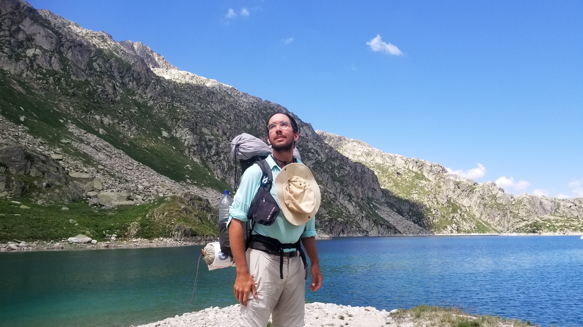
Also, I was driven by the news that my friends Paul and Chantal (whom I met hiking the Continental Divide Trail in Montana) would pick me up when I made it over the pass and down to the highway that afternoon. They had agreed to host me for 3 nights and provide some legendary trail magic, which they are very familiar with, having hiked the PCT, CDT, and HRP, among many other adventures.
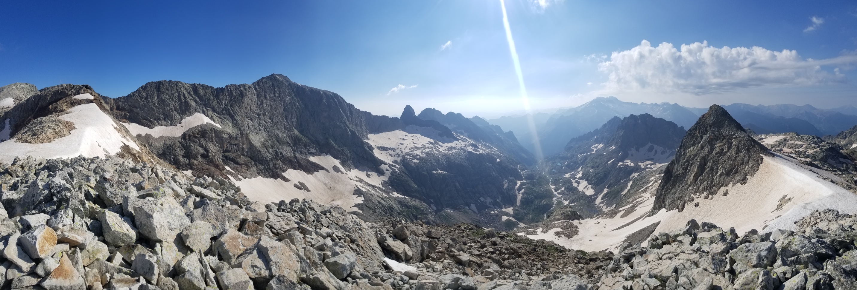
I flew up the mountain, enjoying views along the way of the otherworldly granite landscape I found myself in, while skirting the Northern ridge of the famous Maladeta massif.
The final ascent to the col was a strenuous climb through a vast boulderfield, and when I finally made it to the crest and peered out over the other side, I was awestruck by what I had to do next.
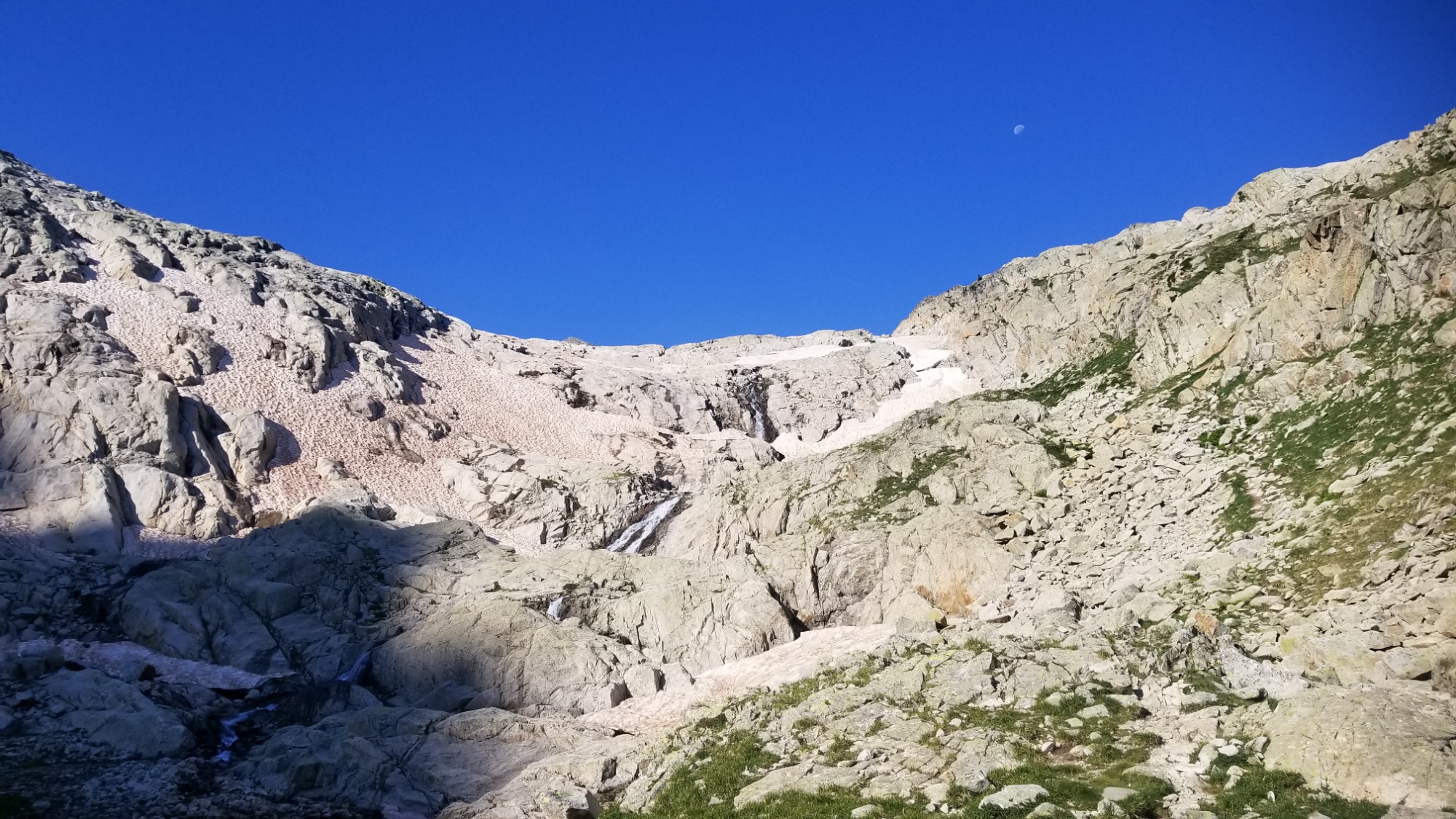
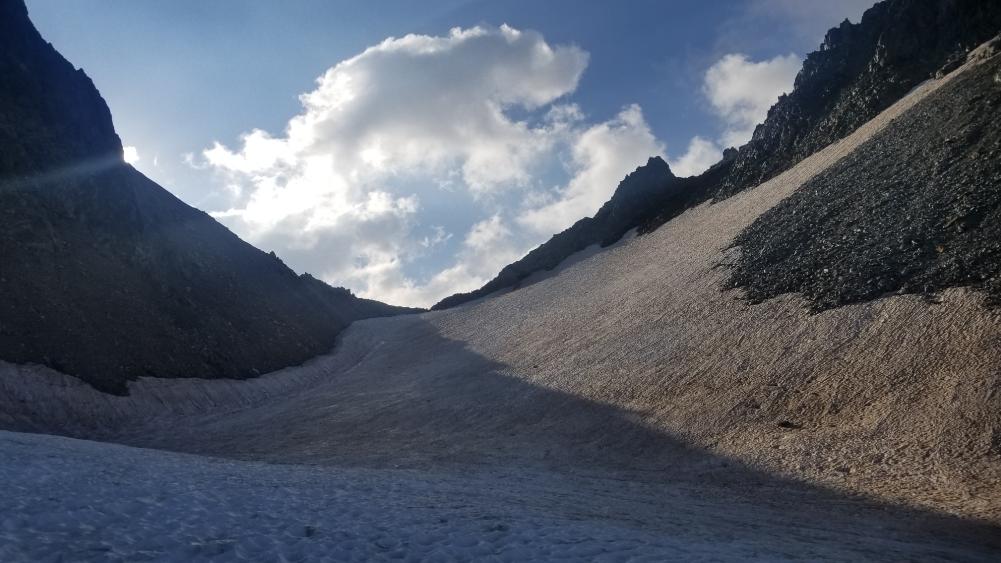
Yepp, you should know by now: snow. Snow on pretty much the steepest pass I’ve encountered yet in the pyrénées.
Of course, there were a few hikers with the gear you really should have when you find yourself in such conditions (crampons, ice axe). All I had were boots and trekking poles.
That’s all I’ve ever needed, anyways. Boots, batons, and a fervent, pressing need to go unto the unknown and surmount every difficulty along the way, keeping high spirits no matter the circumstance.
I made the treacherous traverse down the eastern side of the col until I reached the snow. I thought that maybe I could get around it by moseying through the crevasse between the snow and the cliff face. Surely I knew it would not be so easy. I made it halfway via this route, and then came to a sheer face of smooth rock and ice on either side of me, with about an 8 foot drop below me. I almost lost my trekking pole into the abyss, and had to climb down a ways to retrieve it.
Then, I gave up hope on my alternate route of snowy avoidance. I would have to climb out of this crevasse and face the icy death slope before me. There was no way around it.
Of course, a well prepared Spanish hiker and his dog were trotting along, with the dog having a ripe fun time prancing up and down the snowy precipice above. In any case, I was glad to have some company in case my plan went awry.
I ascended the pit with one foot stuck in the snow, and one foot pressed upon the smooth rock, praying that the snow would hold my weight until making it out.
I guess I got lucky, as I was able to climb out, and then make my way to a flat area on the snow, with one arm gripping the snowy edge of the cornice and the other driving a trekking pole into the snow, while kind of waddling about to make some forward progress towards the safety of the rocks below. The Spanish walker passed me and said “this is the punta of the mountain, it is a long steep cliff down.”
“Aha. I almost went into it,” I said.
I was able to slowly glissade the snow behind his foot tracks, much to his and the dog’s entertainment, all the way to the solid ground below. I’ve never been so relieved to have something over and done with. My whole body was in survival mode. “Its all good now, no more problem down,” he said. Thank the Nine.
I made it to a glacial spring, filled up my water, and made a heaping cup of fresh hot coffee to recover my sanity. Woohoo, I’m officially in Catalon now!
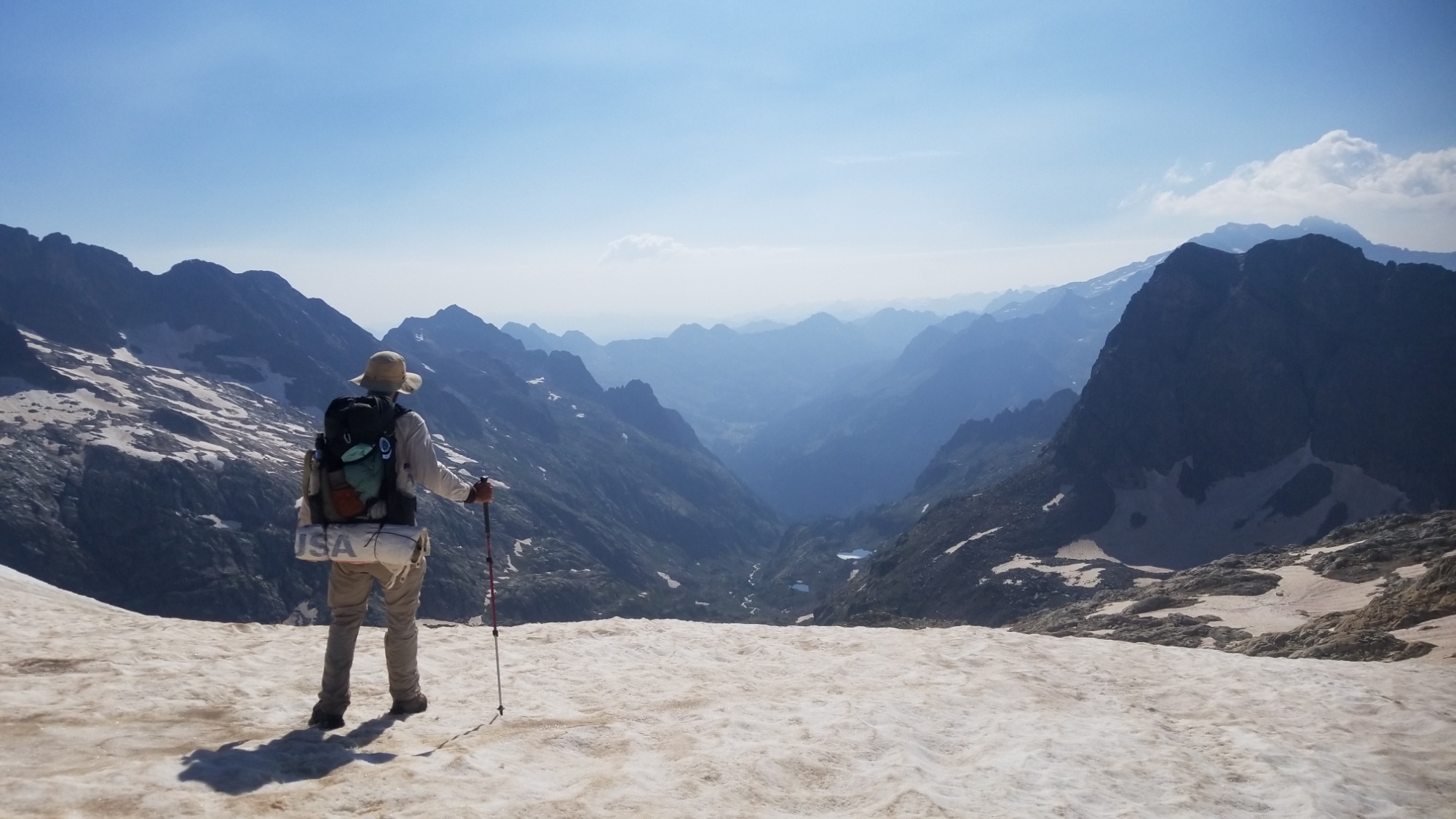
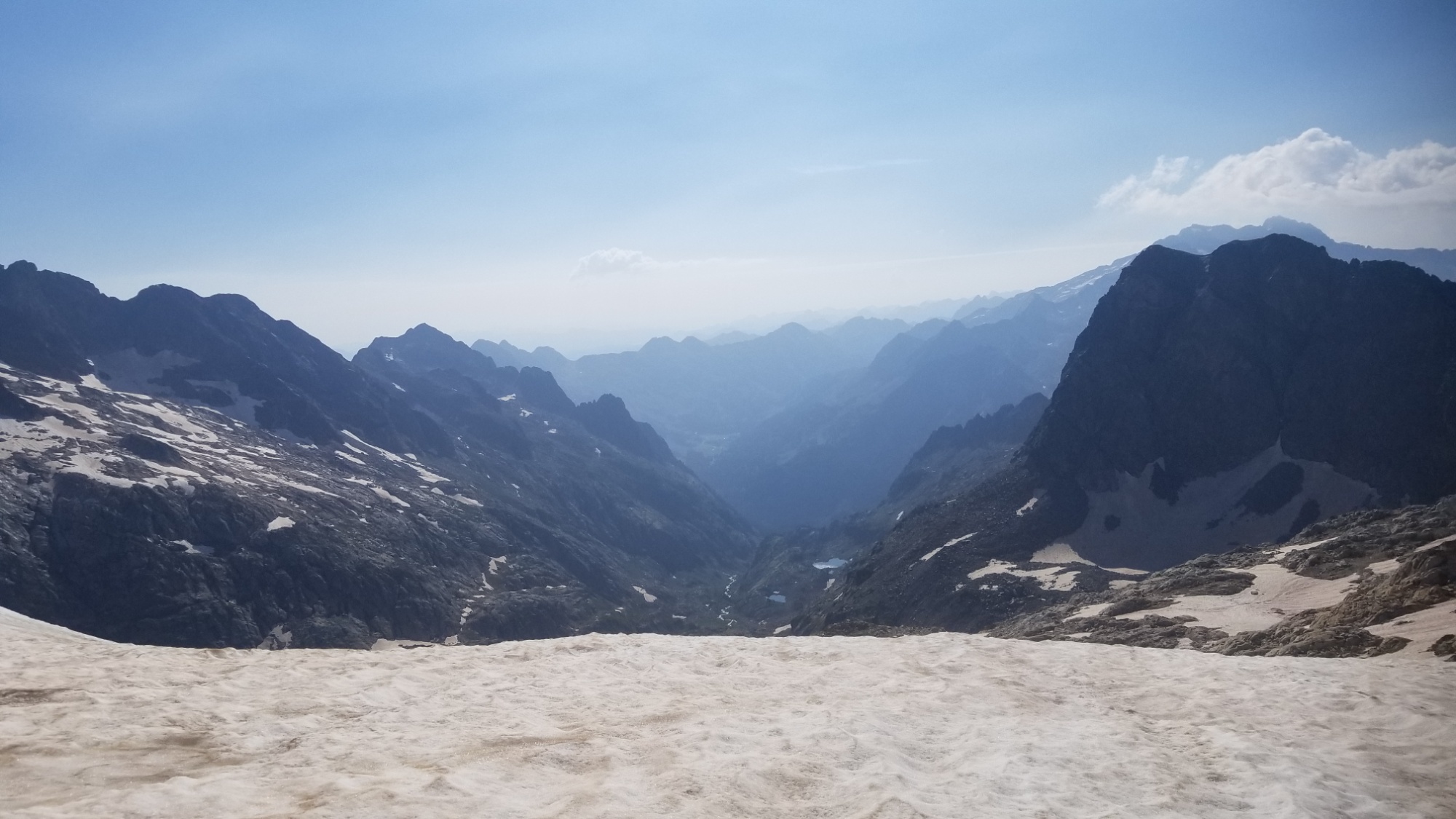
The rest of the way down was easy walking through boulders, past lakes, waterfalls, and finally through forests and fields to the highway, where I met Paul and Chantal. I was so glad to see a friendly face, and riding in the car felt like jumping into warp 9.9 after being at walking speed for almost four weeks.
We made it to their gorgeous residence and they instantly started the trail magic with beer, soft drinks, and an afternoon breakfast with delicious eggs, sausage, fruit, tomato salad, and a heaping helping of WiFi.
I’ll be here for two zero days to recover from the last three maxi days, which really tested every gram of my strength, skill, and resolve. Good night!
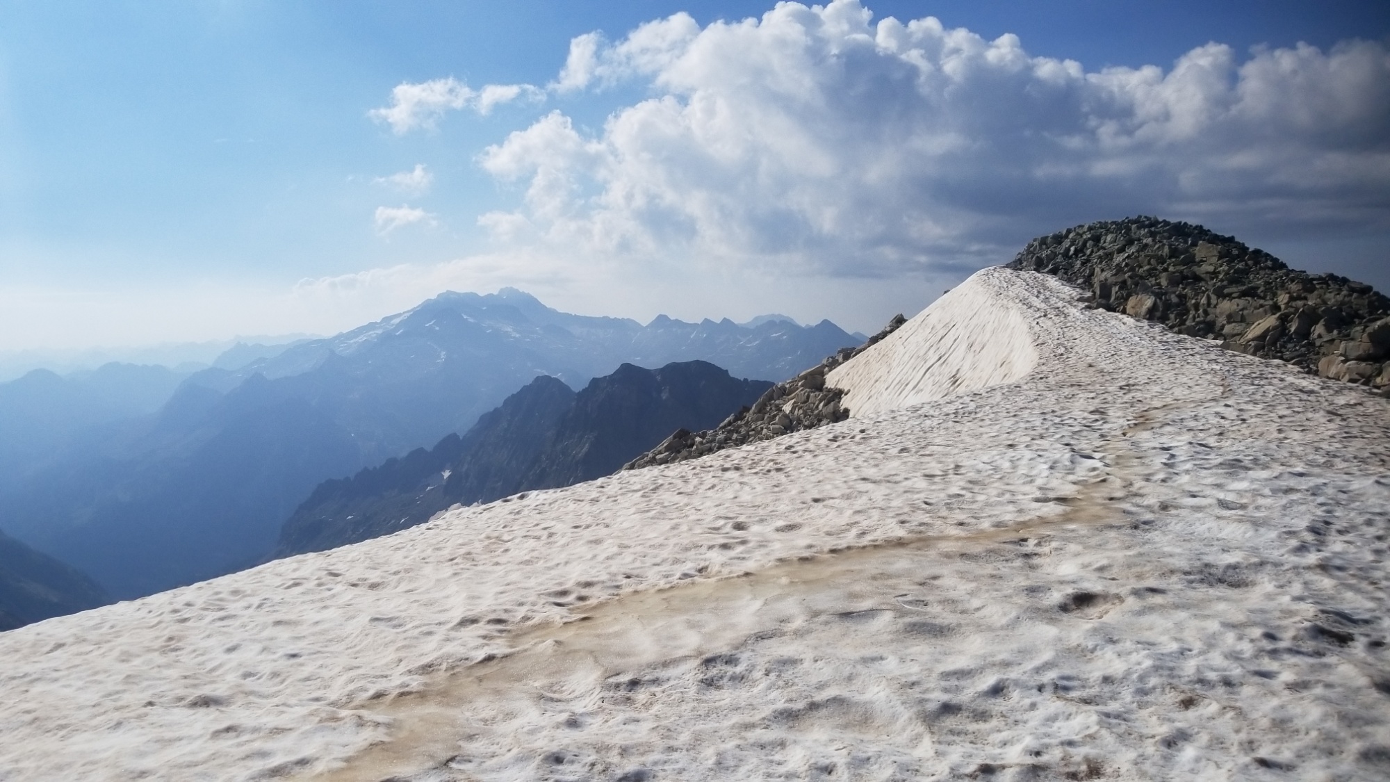
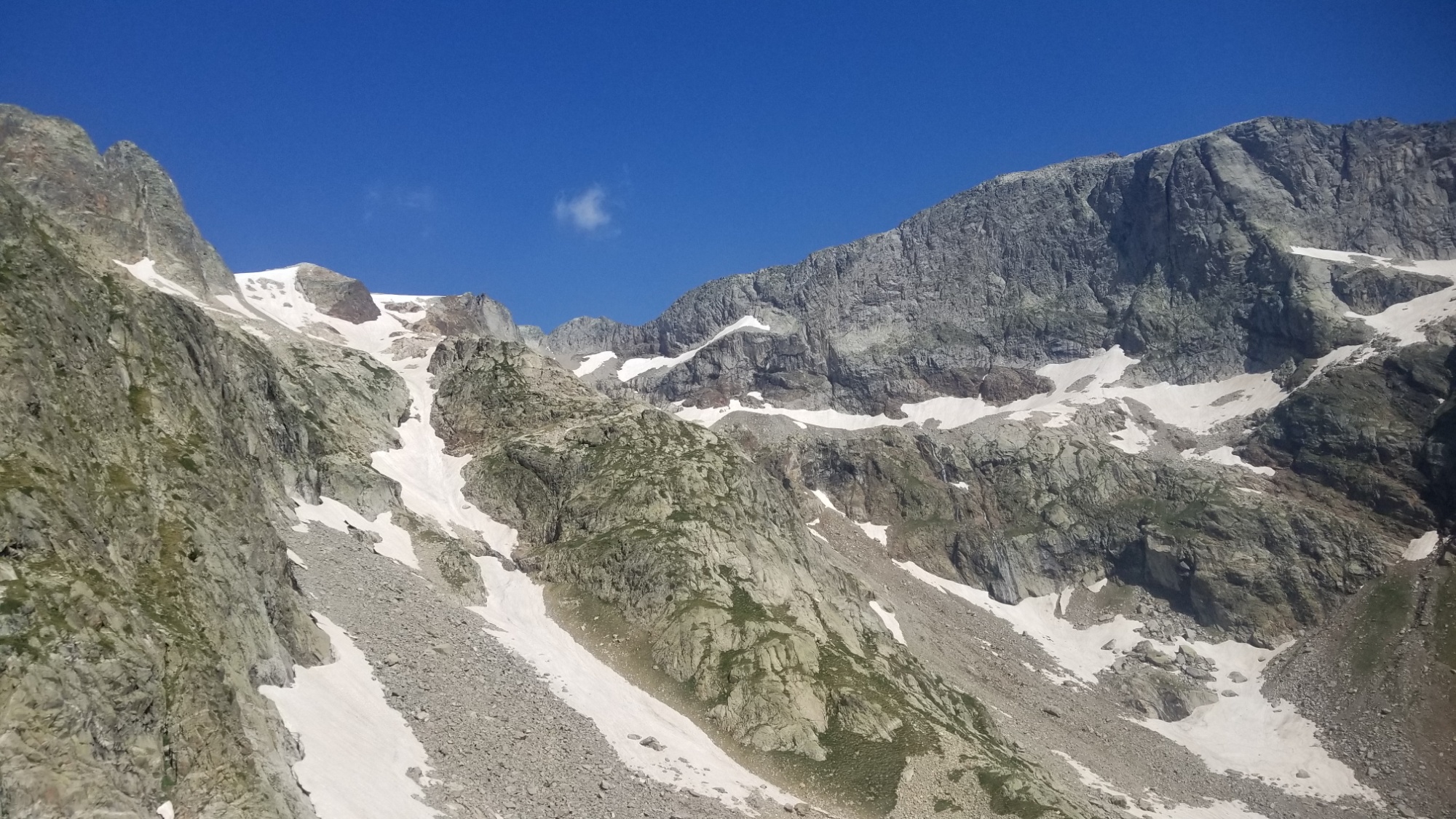
I set off from refuge Jean Arlaud and walked across the barrage for the fourth and last time. After a steep section of loose scree, I came over a ridge and got a good look at the pass I was to surpass. Covered in snow, of course.
Col Literole InferieurLooking back from the col
I took my time and made it up and over to the top of the col de Literole Inferieur. And…
Come on.
I just about lost it. Look at all that snow! I am supposed to walk down there!? Ugh! This high snow year thing is really hurting my mileage, ha.
I made about a hundred steps down that very precarious icy slope, before deciding to glissade the rest of the way down. I made it down halfway, and luckily there were some icy undulations there to catch me. Had I kept going, I just might have slid right off a cliff and into some boulders.
Isn’t it the heat of summer? Not in the high Pyrenees
I walked a little to the left of the boulders, and glissaded the rest of the way down to the valley floor, with a nice icy lake in the middle.
Views of what I had to come down. I was standing up on that pass on the right
However, there was some kind of issue with my phone. I had to restart it twice to get Gaia GPS to load the tracks, and my maps were nowhere to be found, just the stock gray lattice pattern where my high-res topographic maps were supposed to be.
I checked around a bit and… my storage menu says my SD card is CORRUPTED. I HAD 50 GIGABYTES OF PHOTOS, MUSIC, MAPS, ETC. ON THERE. I just about cried at the thought of not being able to share my HRP photos with you all.
But I had to carry on. I would have to resolve that issue later. I at least could see my GPS marker and the tracks I needed to follow on the app, so I had enough to go off of to carry on in the right direction.
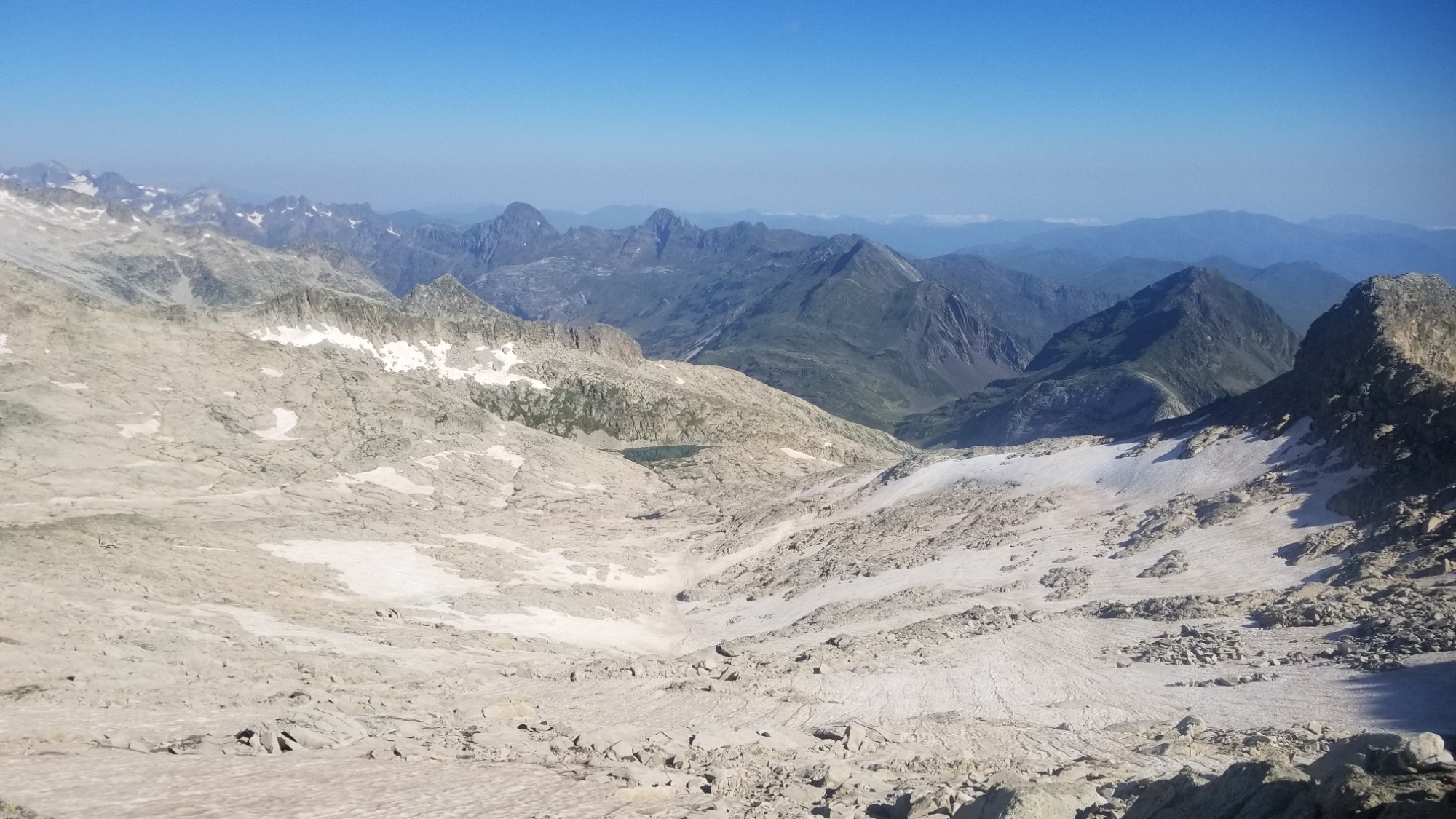
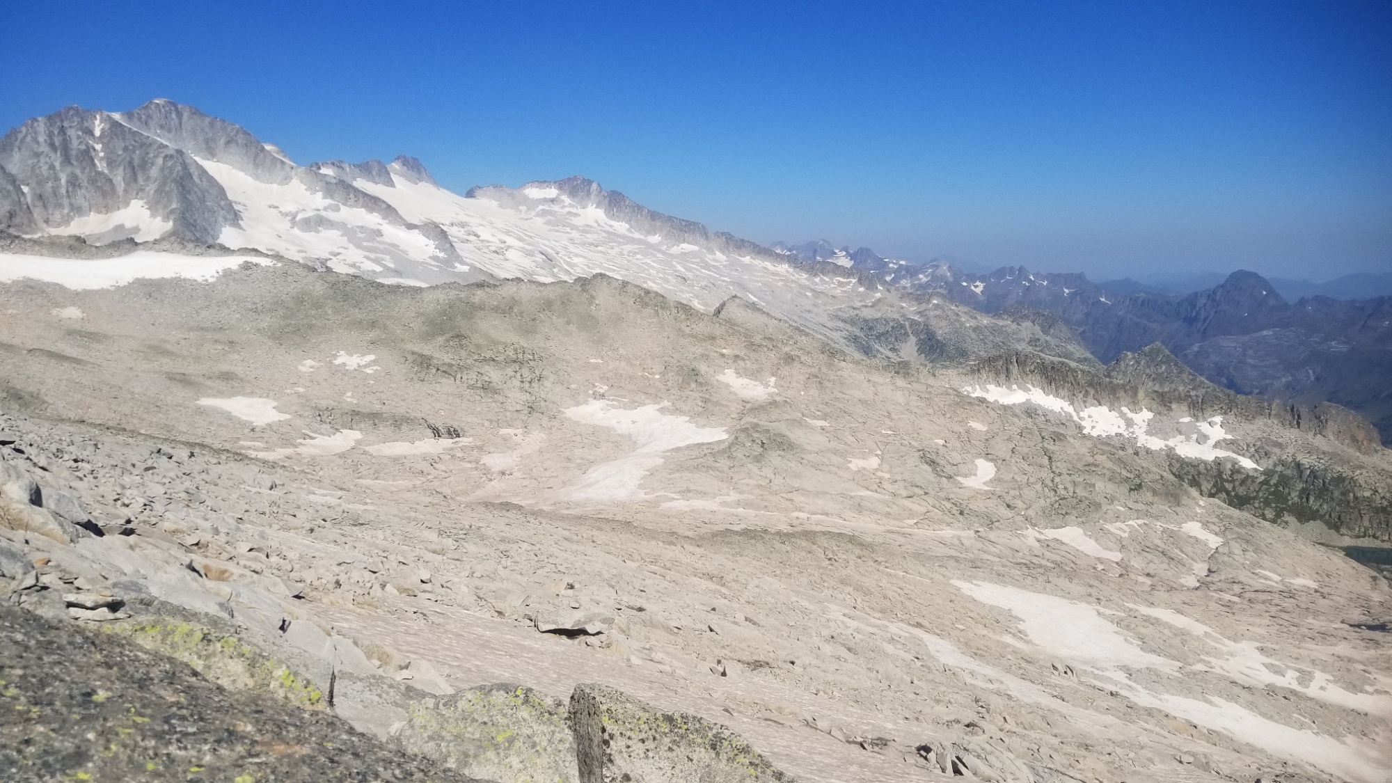
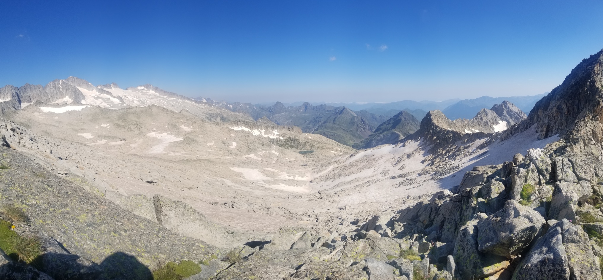
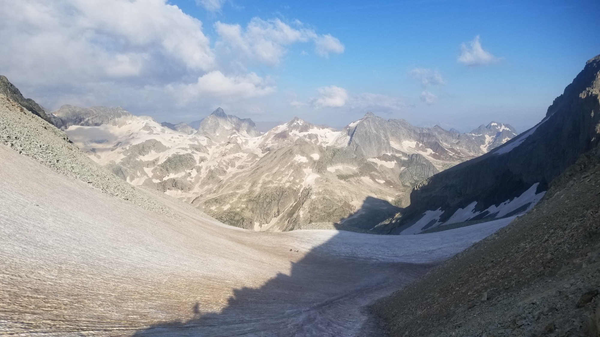
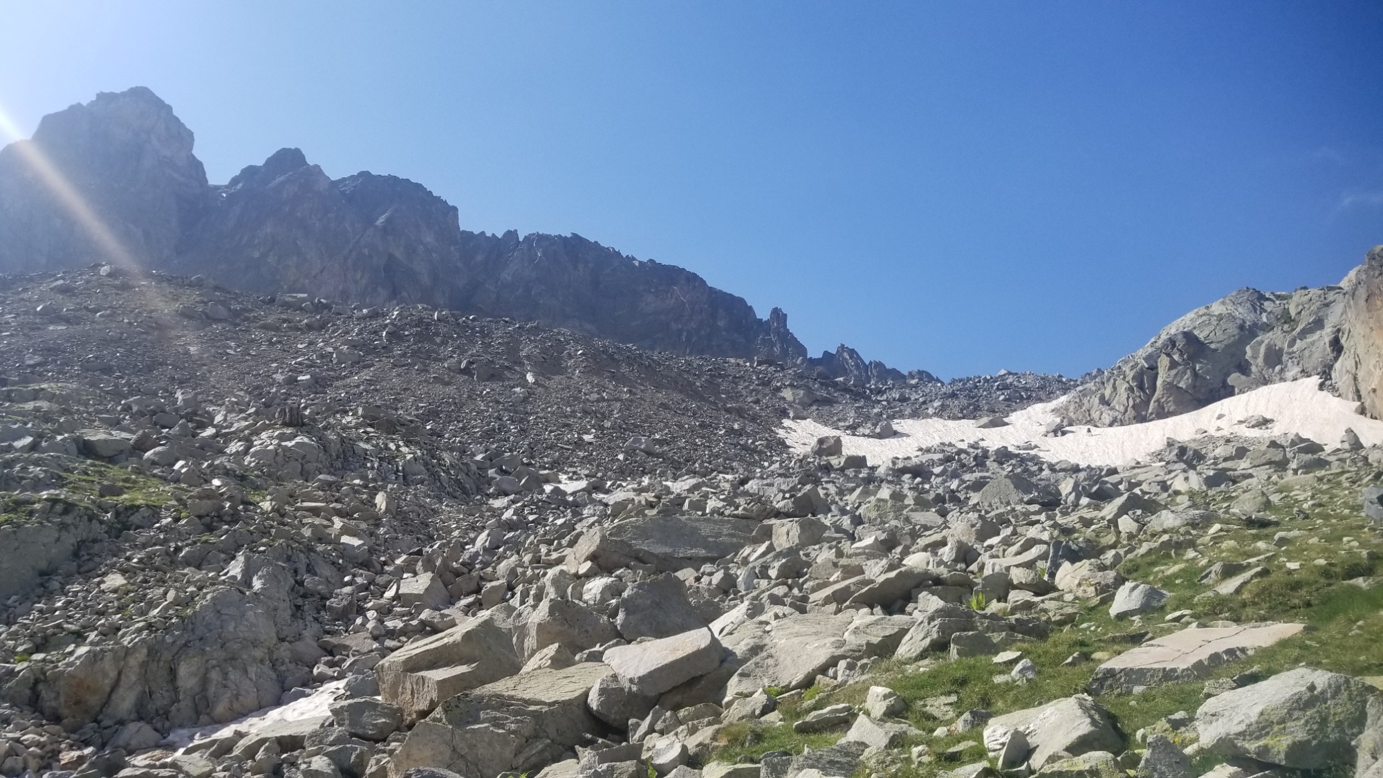
I made it up to a vast snowy ridge, the Portal de Remune, that separates the Literole valley from the Remune valley.
Portal de RemuneA new valley to explore! Remune vallon, with Pic Aneto on the rightLooking back, col Literole on the rightLooking forward‘Merica.
Along the way, I passed some English people who were hiking the week long section to Gavarnie that I just did. We shared some beta on what to watch out for on the trail, and continued on our separate ways.
A chaotic granite wilderness.
Looking back: I was up there on that snowy ridge just a half hour ago.
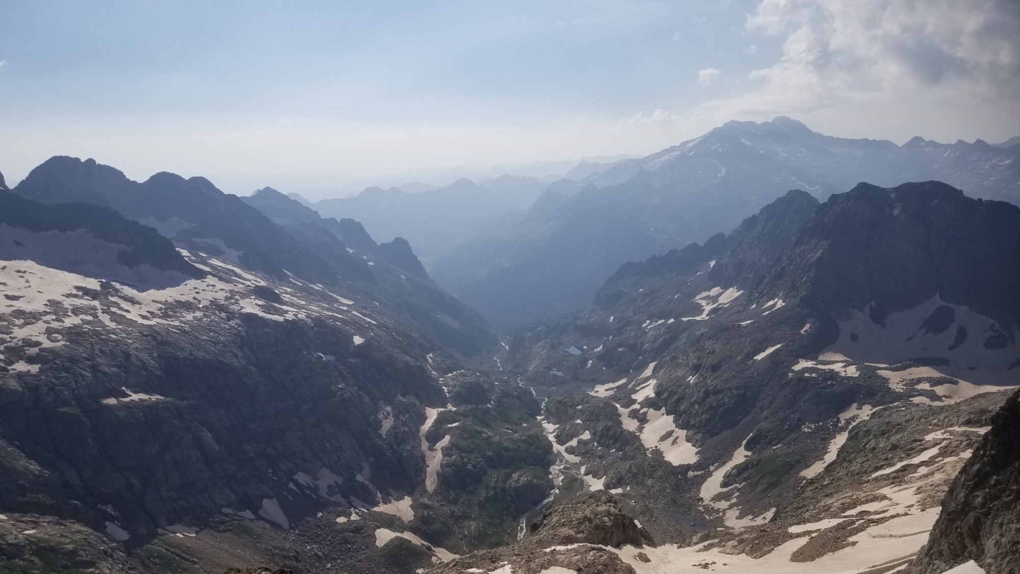
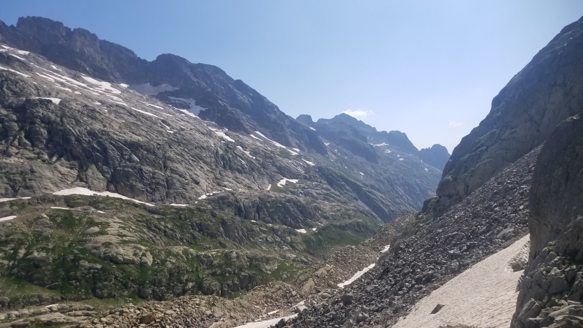
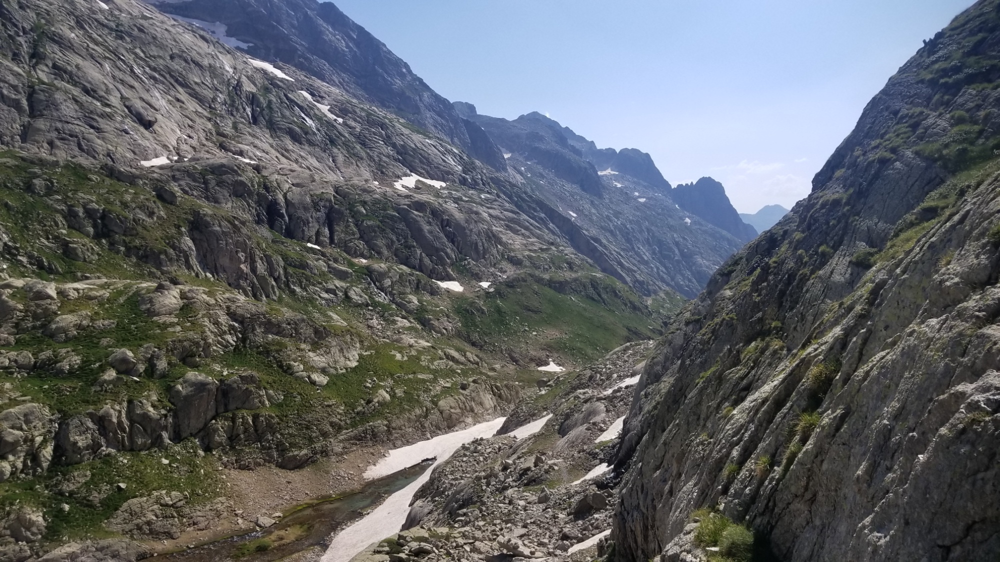
I made my way down to the valley floor of Remune, which the guidebook describes as “a chaotic granite wilderness.” They could not be more right. There’s nothing but cliffs, snow, and boulders here! Ah well. I love it. This is what I came here for.
The highest mountain of the pyrénées, Aneto (3,400m) dominates this valley and is the centerpiece of this nacional parque.
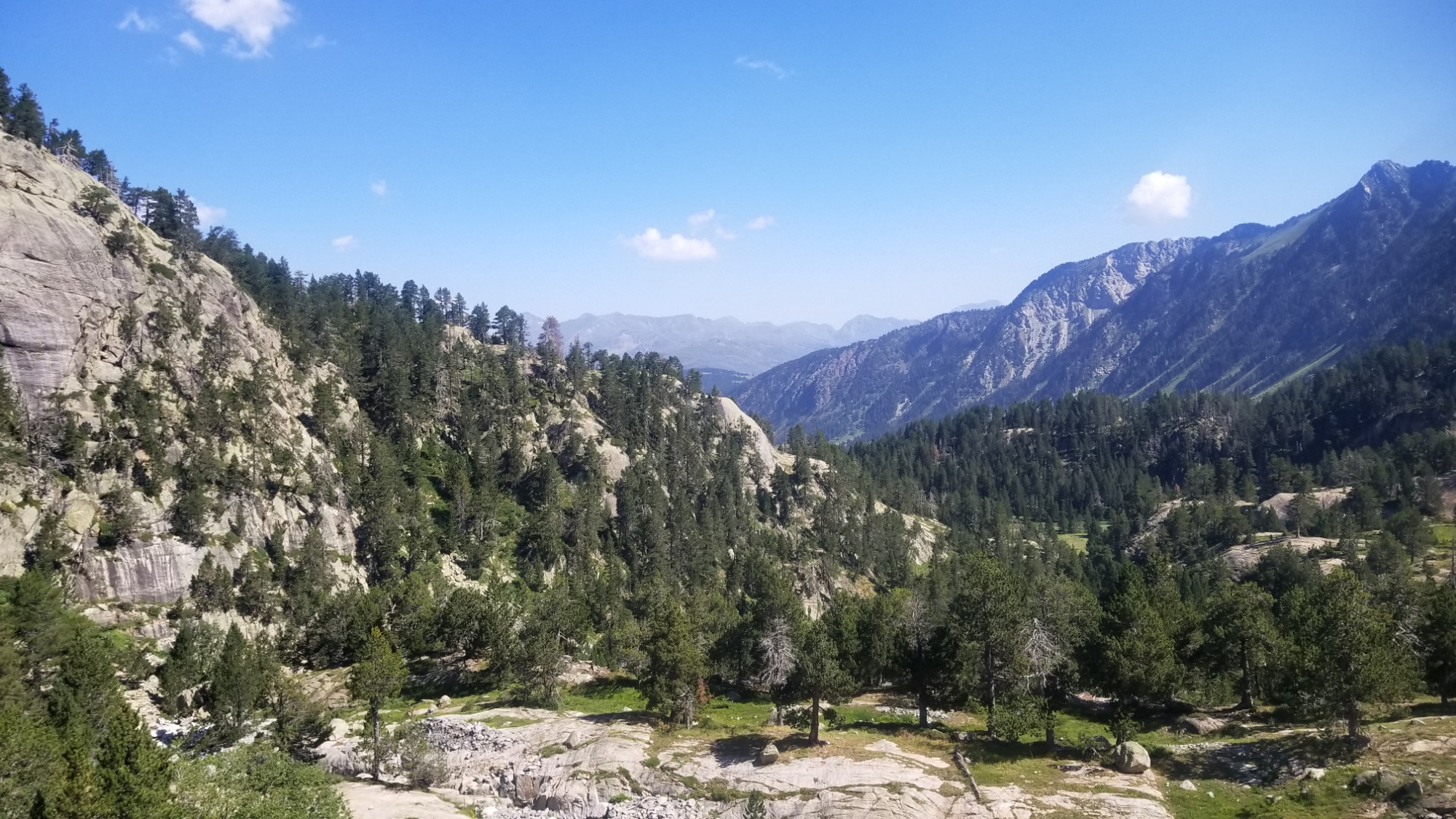
I eventually made it down to a pine forest, after amazing views of Pic Aneto, the highest mountain of the pyrénées at around 3,400m. I stepped into a national park without even knowing! That would explain why everything was so freaking pretty. The parc nacional de Posets-Maladeta, named after the mountain massifs that dominate the area.
Hotel de Benasque
What a stark contrast with the granite wilderness I was in just an hour earlier! Everything is lush, green, covered in trees and grass, and there were people everywhere! I can’t blame them, this was one of the nicest natural areas of the entire Pyrénées so far. It just gets better and better.
After a beautiful walk through the valley, and lunch under shade of a pine tree, I made it to the Plat de Aiguilettes, a gorgeous grassy plateau with a river running through it. I had already made my miles for the day, so I took the opportunity to rest under my shade umbrella and enjoy the scenery.
Lunch spot
I was a bit obsessed with this view if you can’t tell
Part of a river that goes underground and comes out somewhere in France
Also, I tried putting my corrupted SD Card in my backup mobile device, and it WORKS!!!!! All the data is still there, thank the Nine. It must be that all the photo/panorama taking I’ve been doing has overloaded the SD card circuitry on my phone. Darn.. well at least I still have my photos!
An hour later, I got bored of being at that plateau and decided to carry on up the trail. It’s funny how the nomadic mindset does that to you. I feel I can’t stay anywhere longer than a few hours or I get bored. Miles to make before I sleep and all that.
Looking down on the Plan d’Aiguillat
Little mountains and big mountains
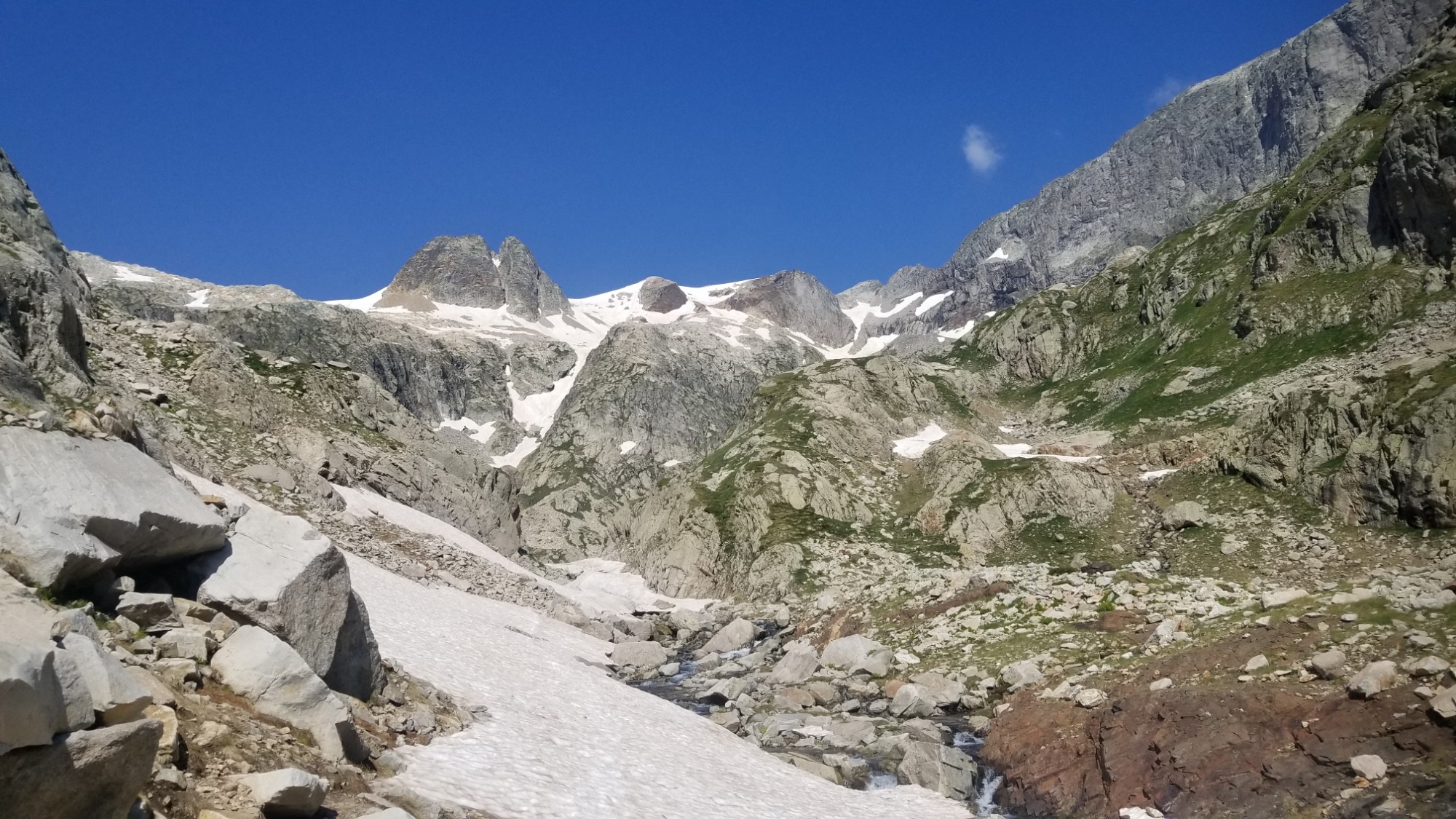
So I carried on up the valley and got some uphill out of the way before the difficult traverse of the Col de Mullieres tomorrow, the last major obstacle of the three hardest days of the Pyrénéan high route. I found a nice grassy spot at around 2,400 meters, just by a little glacial tarn, and decided to make dinner and call it a day. Not a bad place to pitch the tent by any means.
One of my favorite views of the whole hike.
Tomorrow I make it to the highway to Vielha, where my friend Paul, who I chanced to meet while hiking the CDT across Montana (and who introduced me to the HRP that I’m now on) has agreed to host Robin and I for three nights at their lovely residence. What a kind gesture, I will have to make sure to pay it forward one day. I can’t wait for some well deserved R&R.