Day 42 & 43 – Epilogue – The Haute Randonnee Pyrénéene

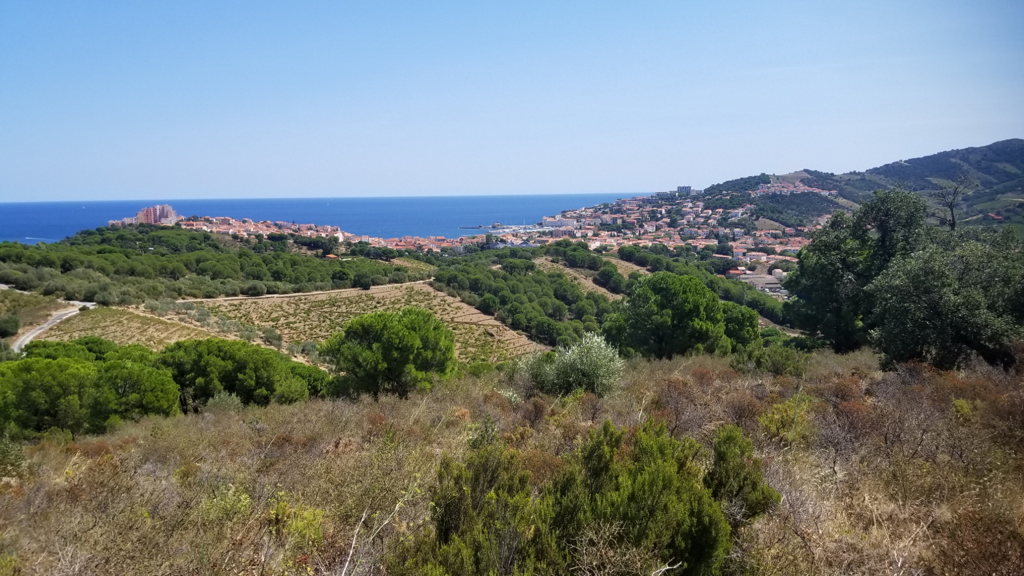
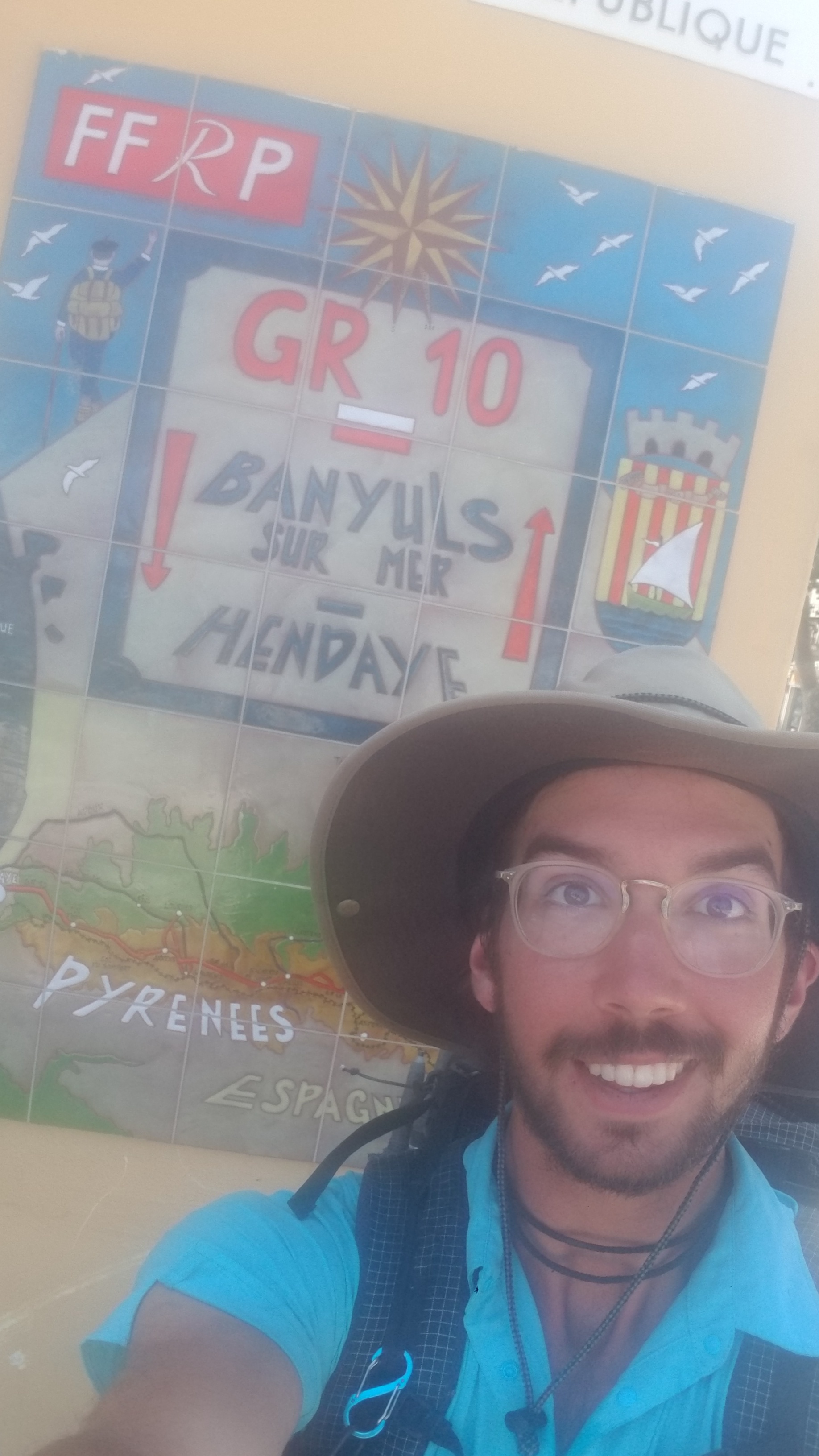
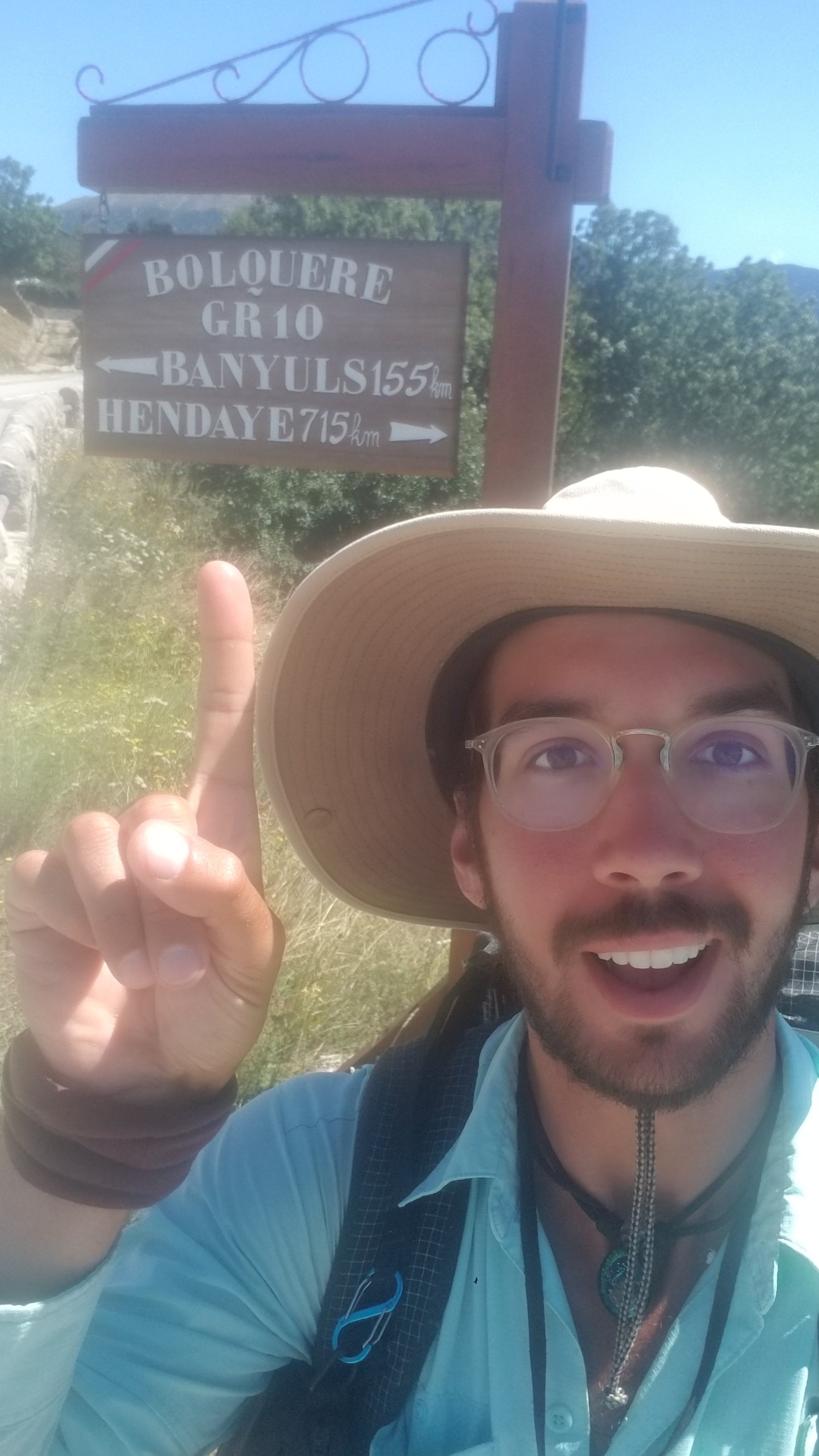
I have taken two zero days in Banyuls-sur-mer, before my train to Geneva tomorrow at noon, from where I will begin walking the GR5 trail, the Grande Traverse of the Alps.

It’s widely considered to be one of the most beautiful and enjoyable hiking trails in the world, for both wilderness-loving backpackers, and hikers that enjoy the comforts of towns and refuges every day or so.

The guide on grfive.com says it is bested only by a trail through the mountains of Nepal and India in the Himalayas. Someone from zpacks says it may be bested by the GR20 along the spine of the Mediterranean island of Corsica. Maybe one day, I will be able to give a first hand comparison of these trails and tell you for sure, which is the greatest hiking trail. I doubt it is possible to tell, to gauge these mountains versus those.

All mountains, all adventures, all long walks, are surely beautiful things in their own rites, and we’ll always be biased towards the trails we have hiked or are interested in hiking. They’ll always take precedent.

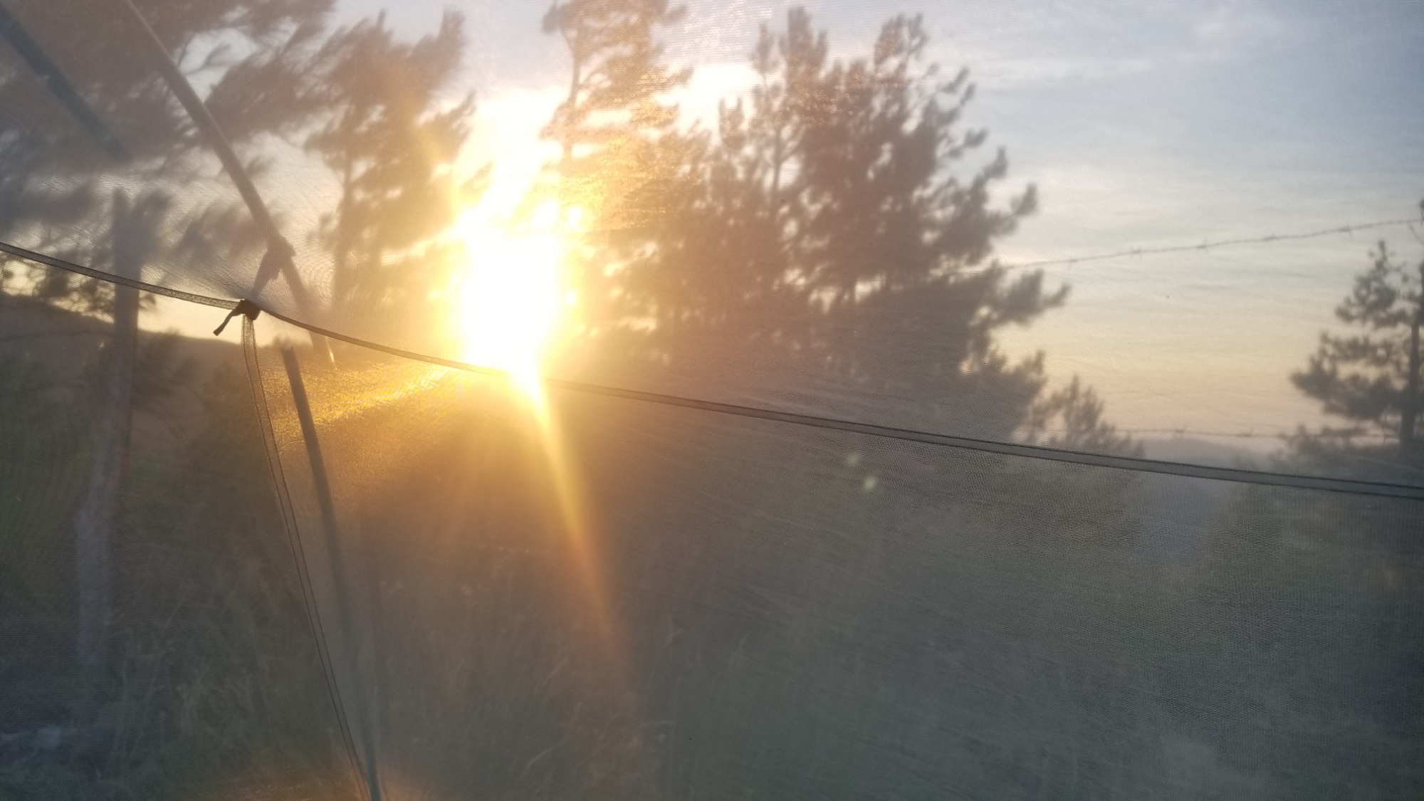
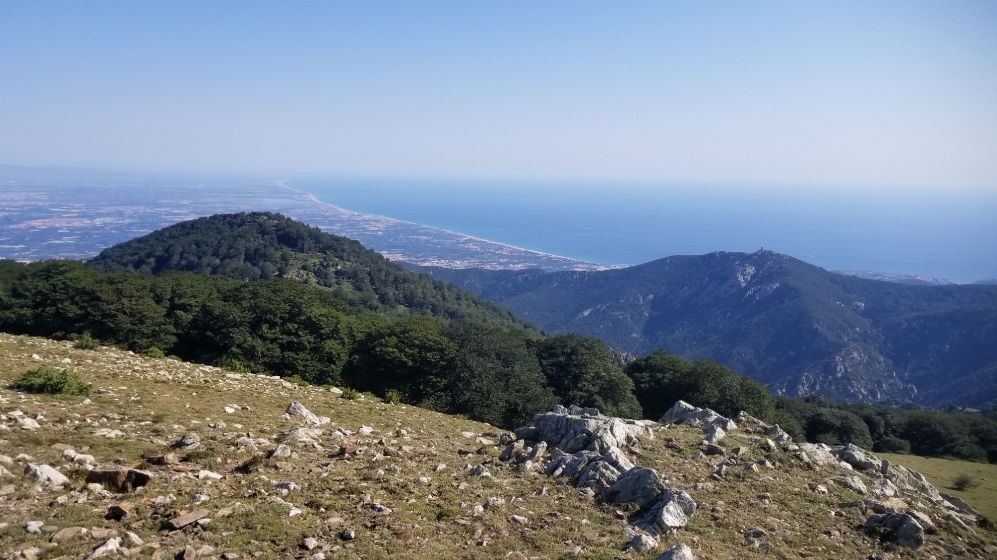
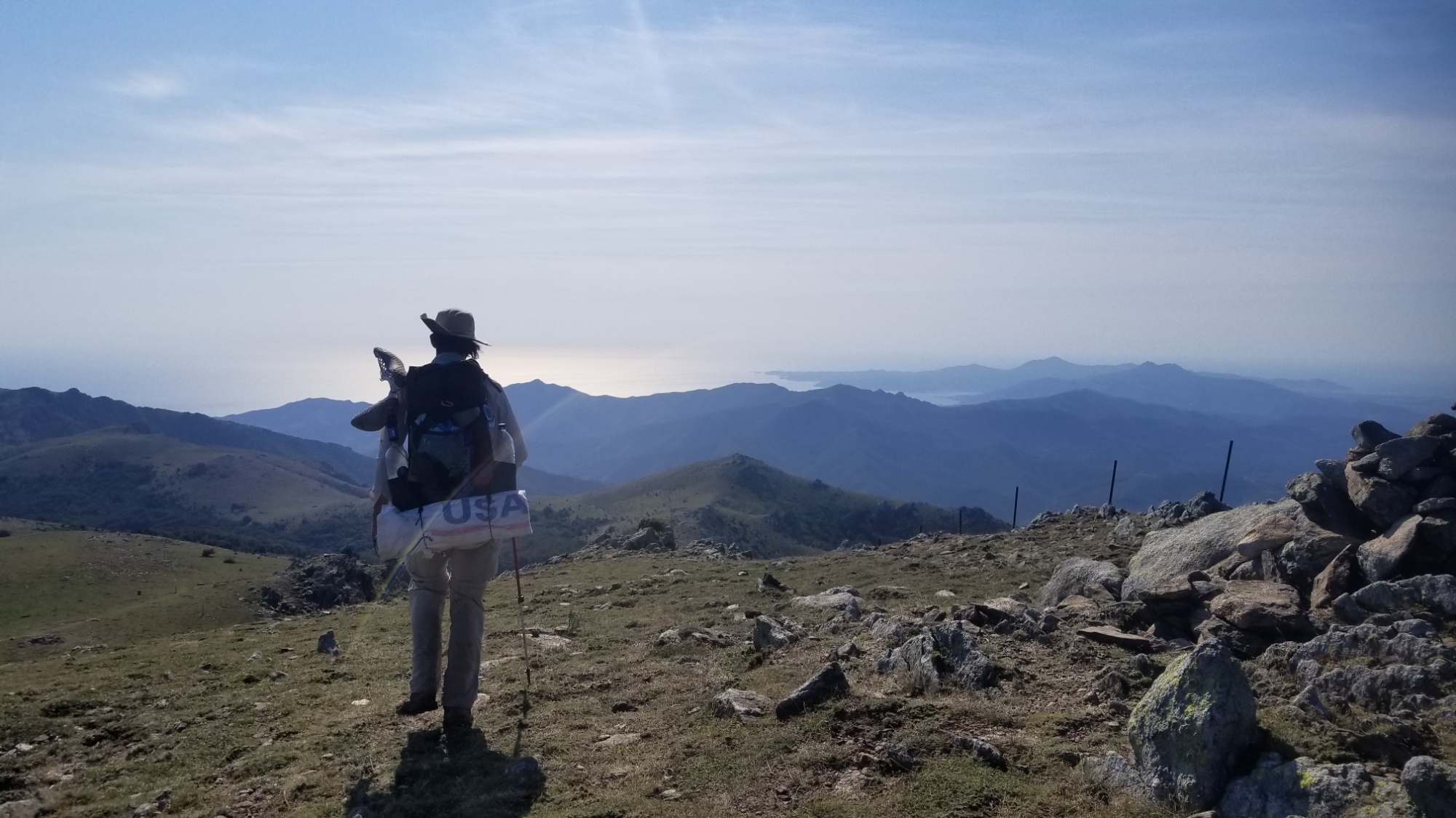
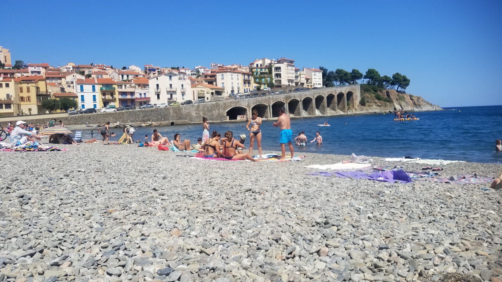
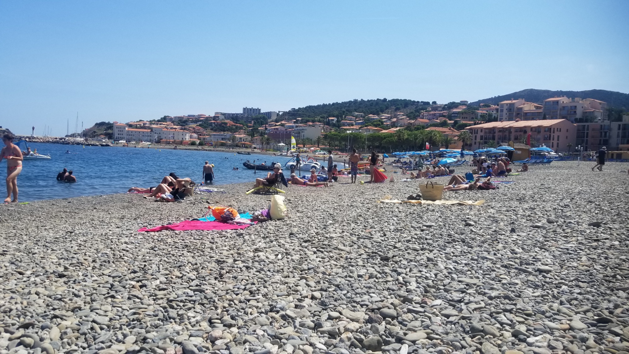
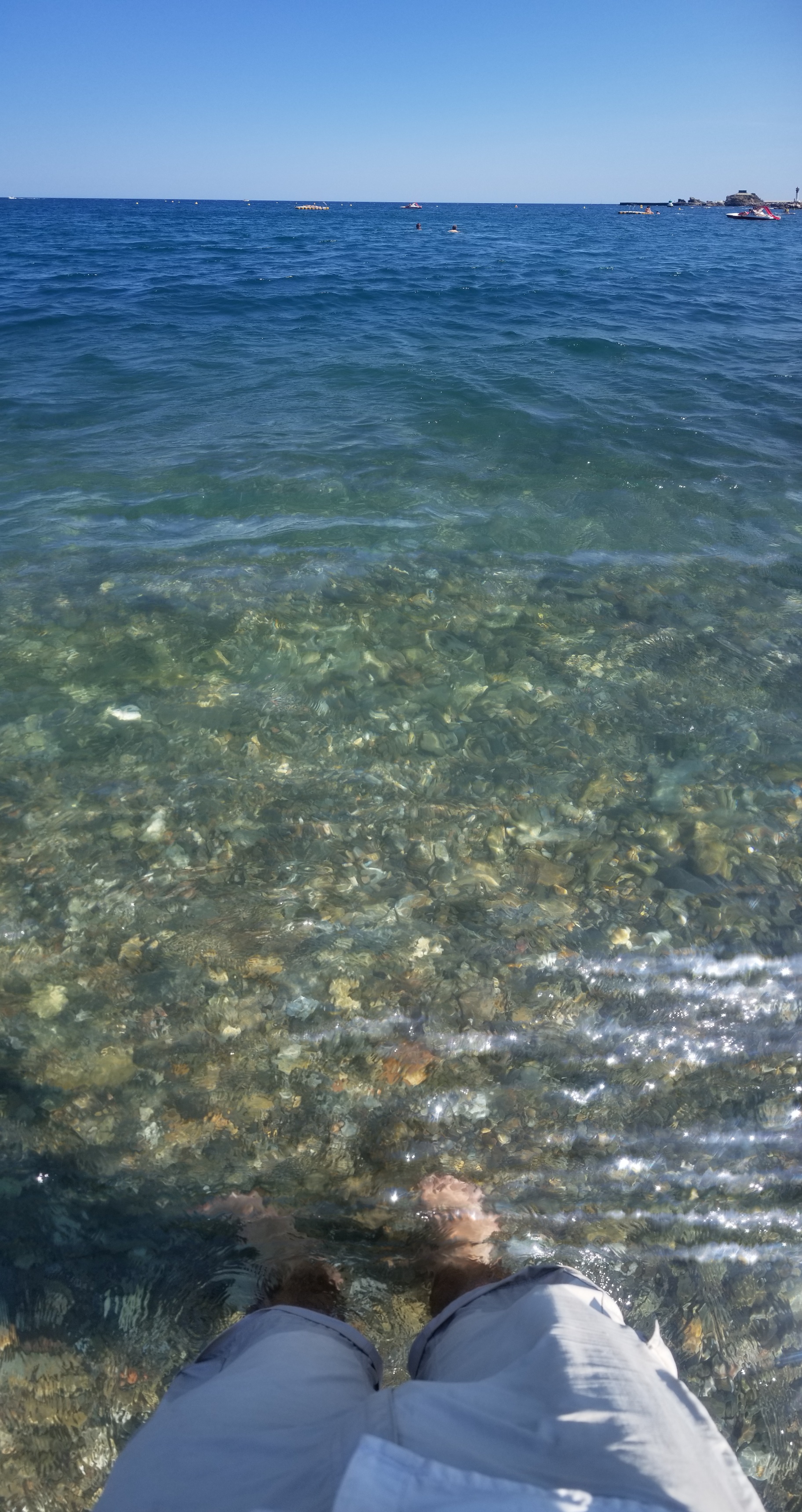
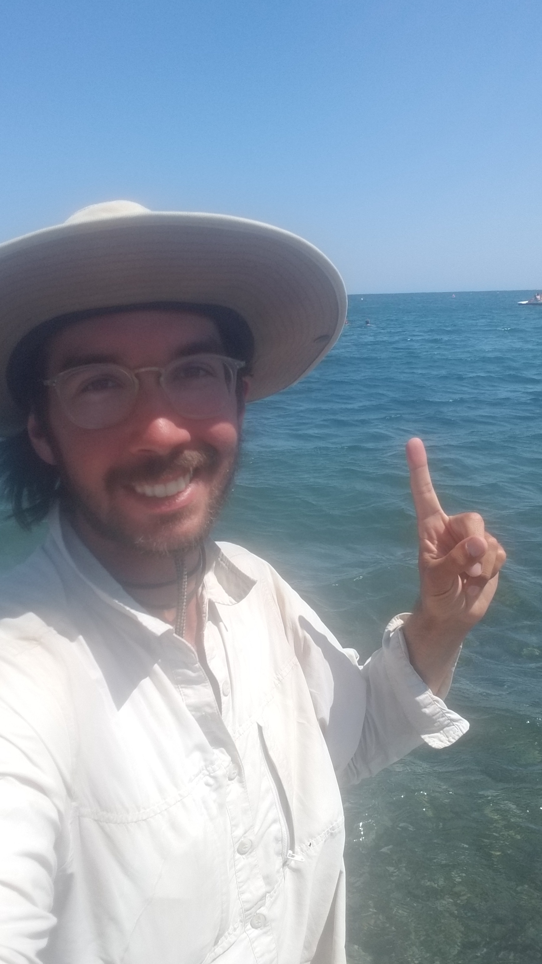
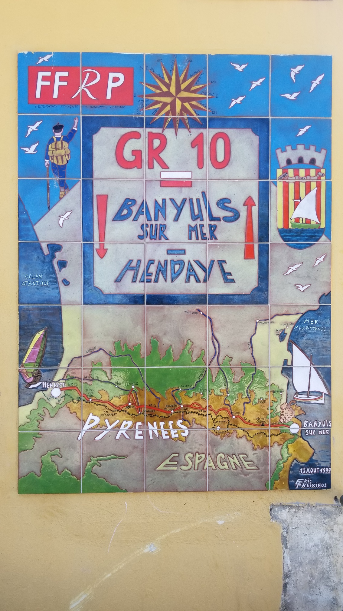
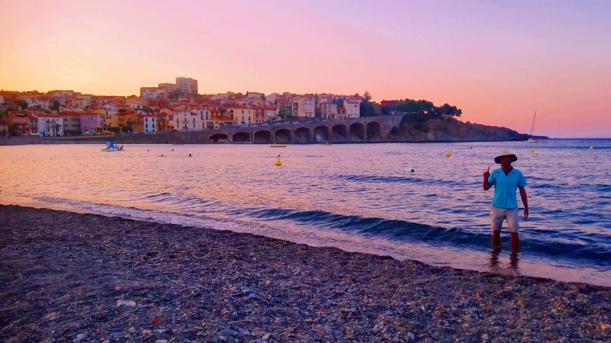
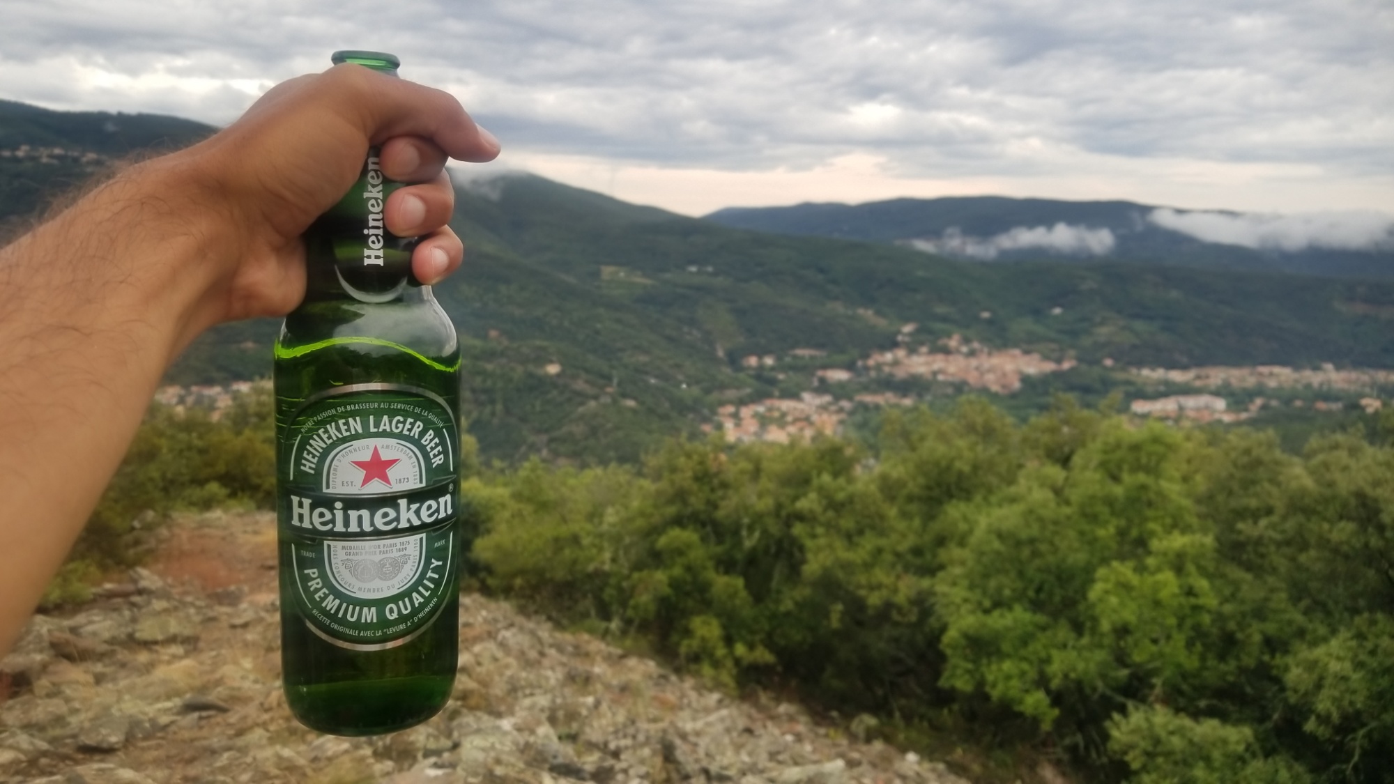
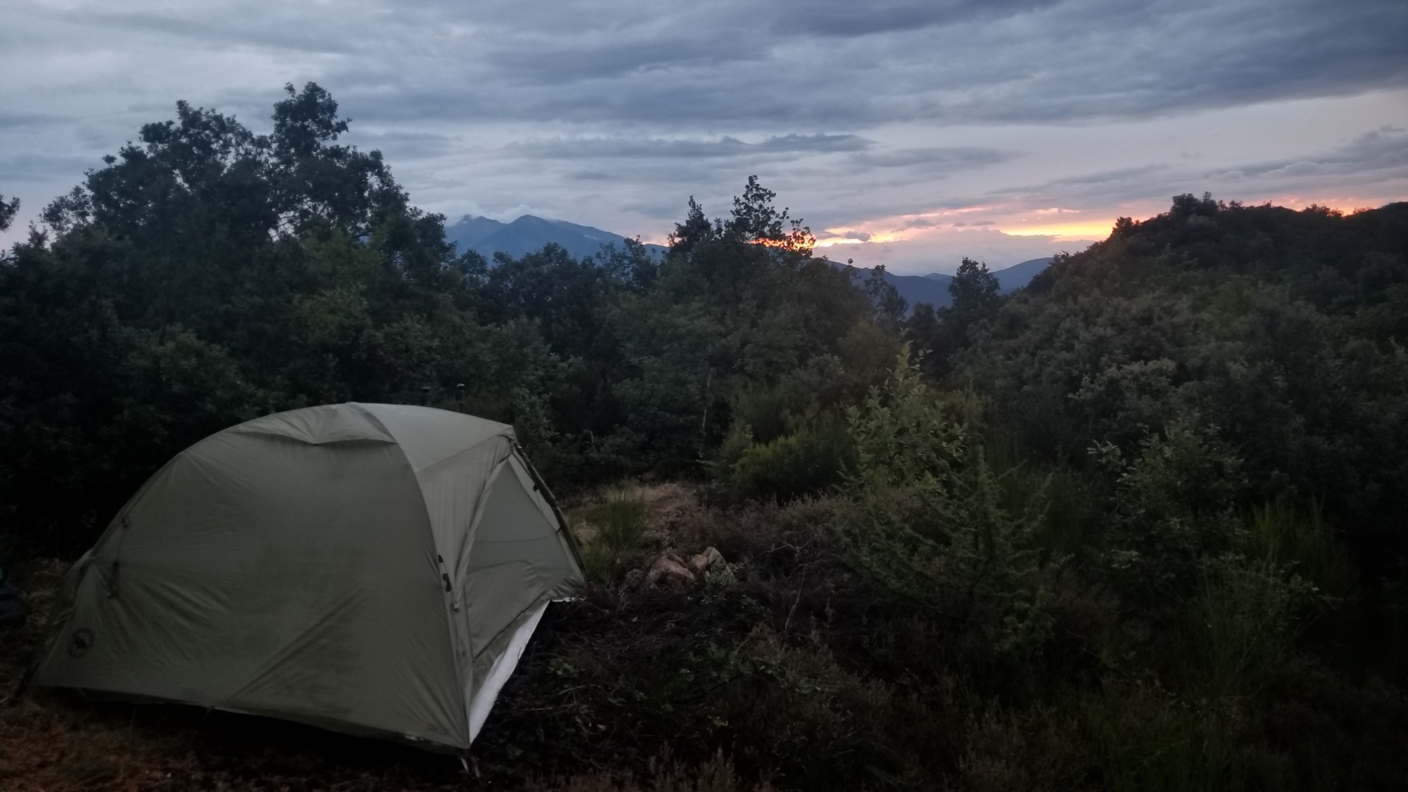
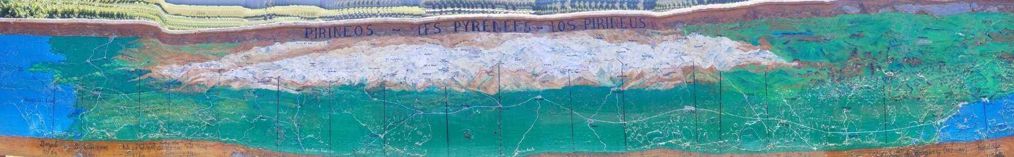
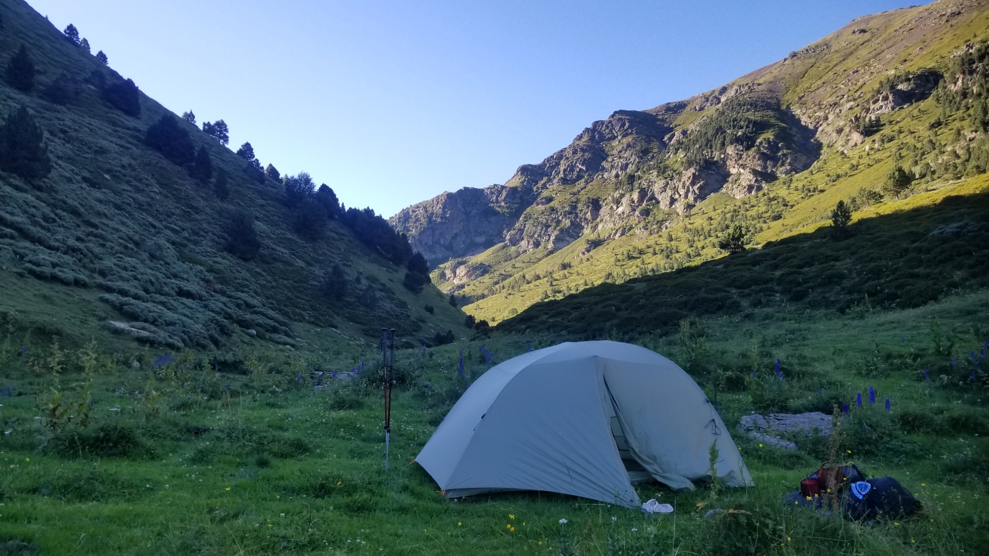
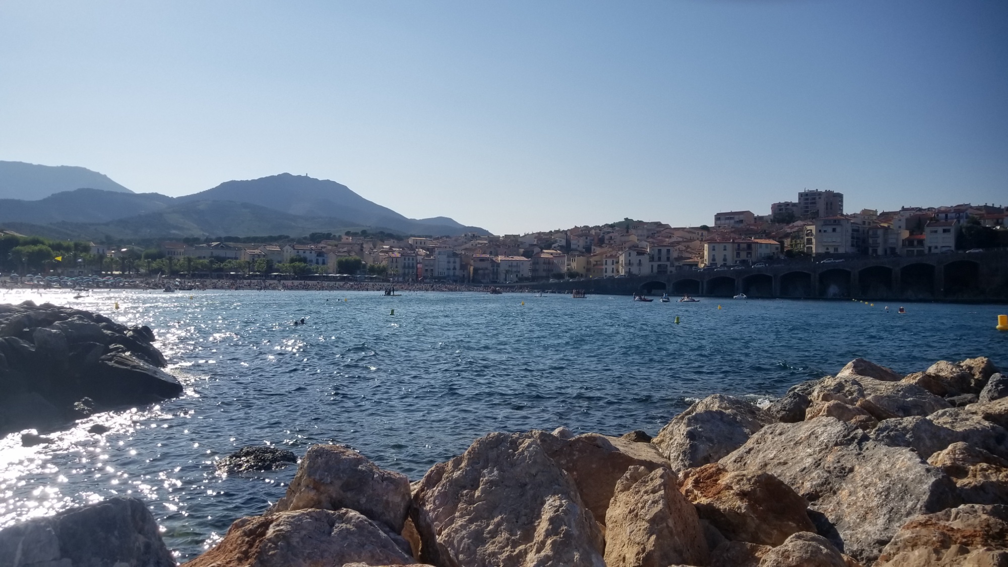
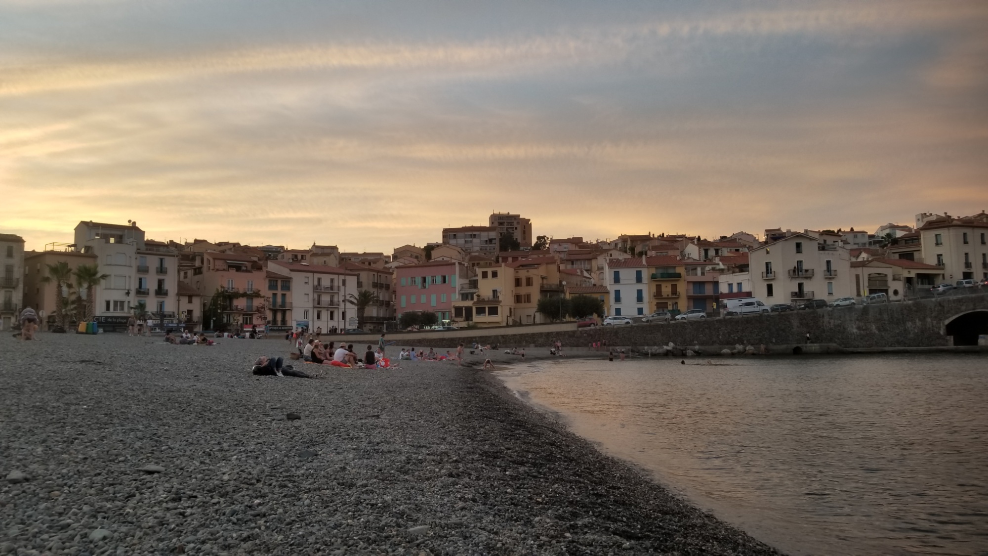
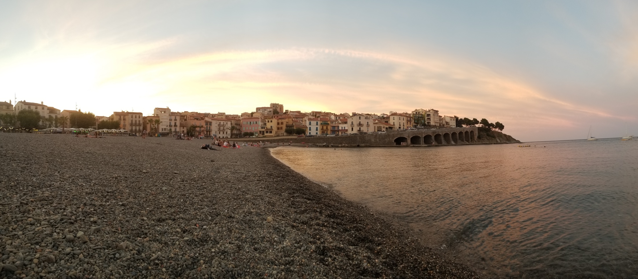
But here, tonight, as I lay on the shore of the Mediterranean, on a pebble beach straight out of a postcard, surrounded by dance music and topless French girls, I’d like to talk about the high route of the Pyrénées, the good ‘ol HRP trail, the grand adventure that just consumed 6 weeks of my short life. If I am lucky, I may have 5,200 such weeks to spend. But very likely, much less than that. At least good weeks. Weeks that I’m not sitting in a hospital bed or watching TV or physically unable to hike anymore (Nature forbid).

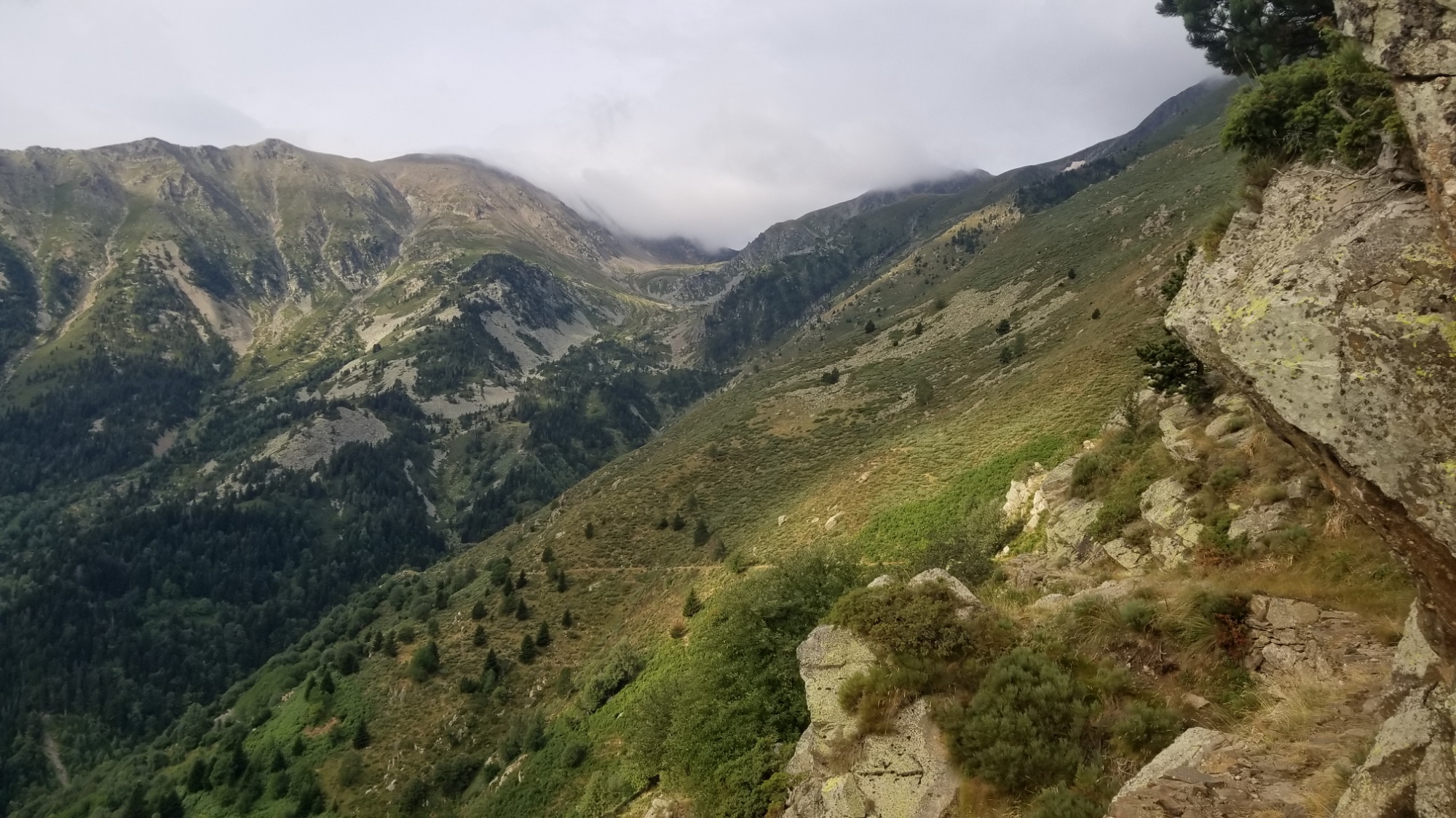
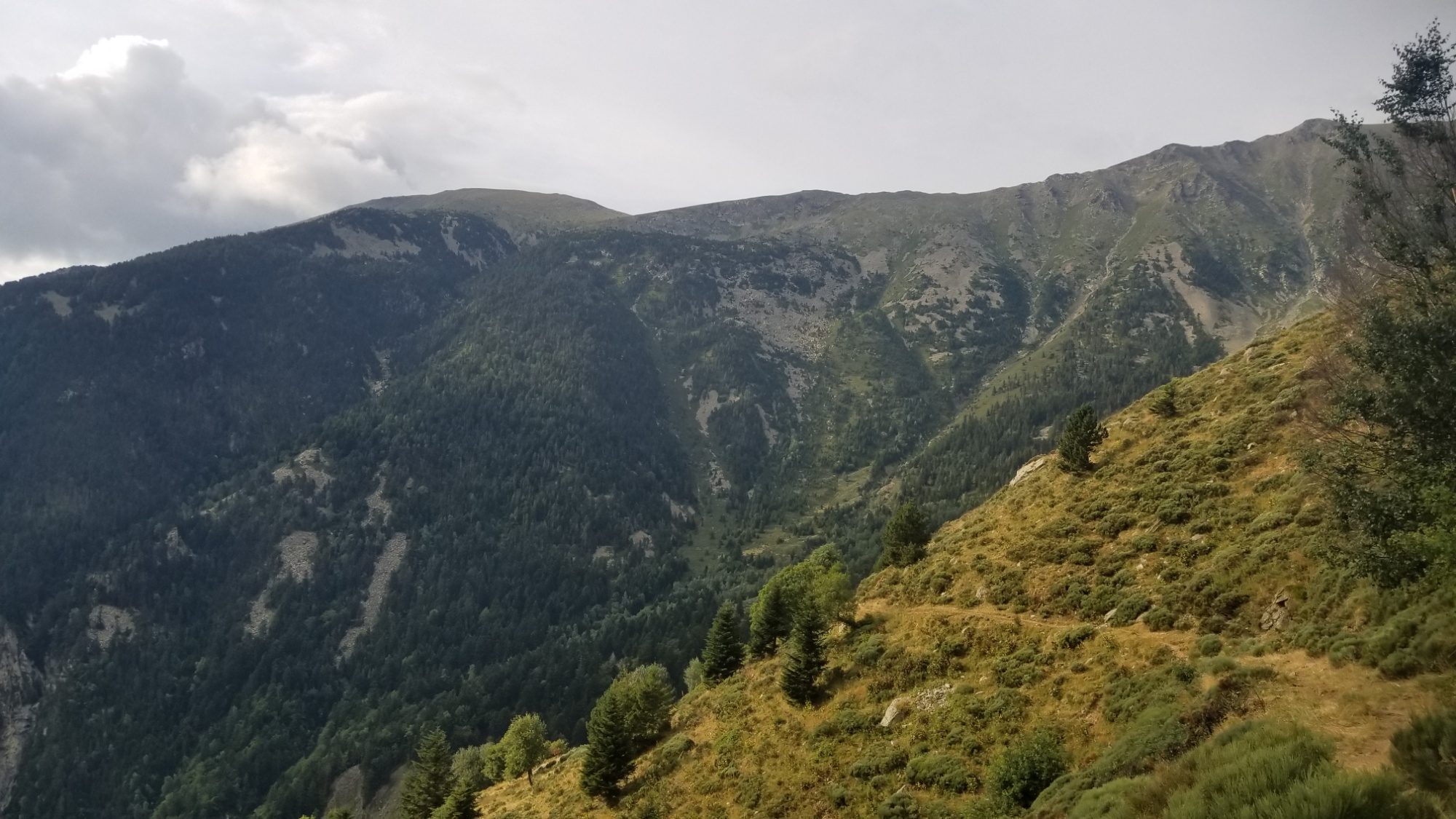
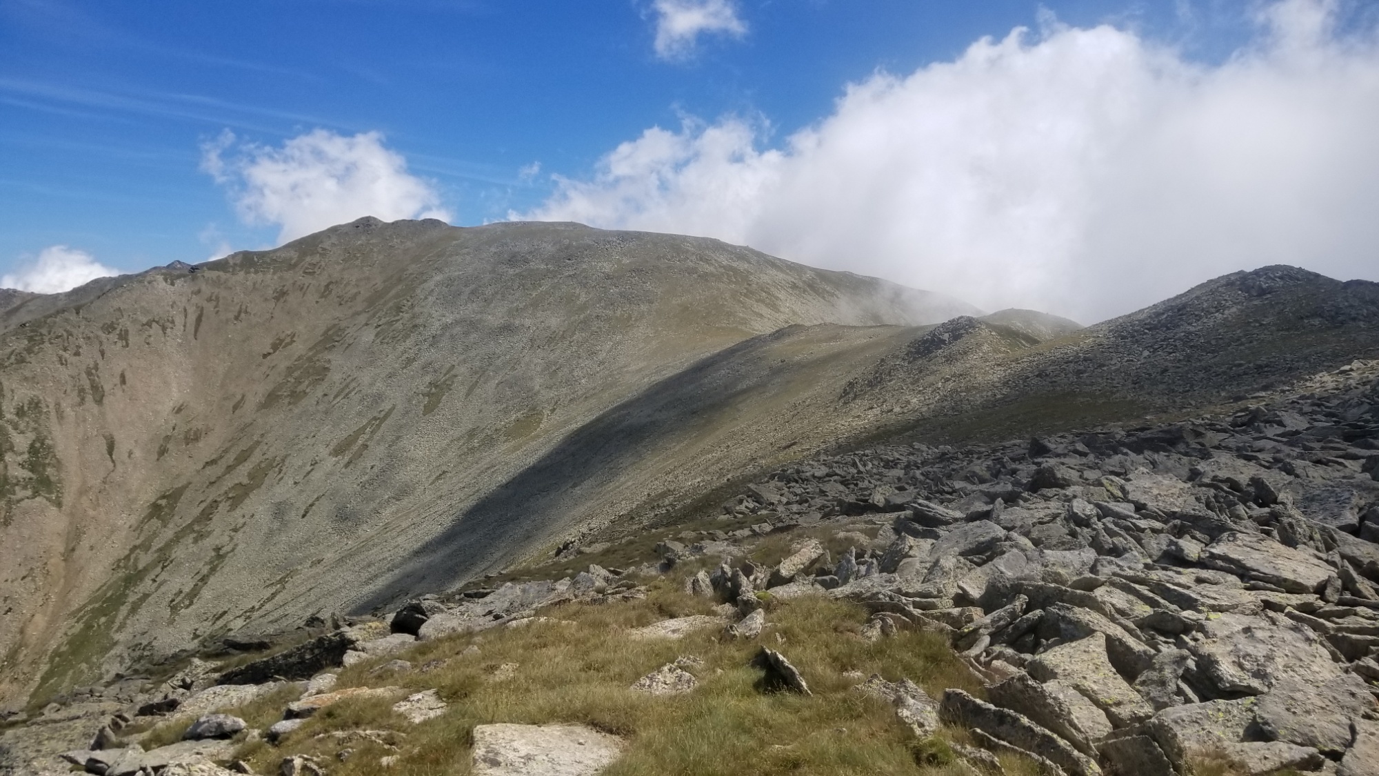
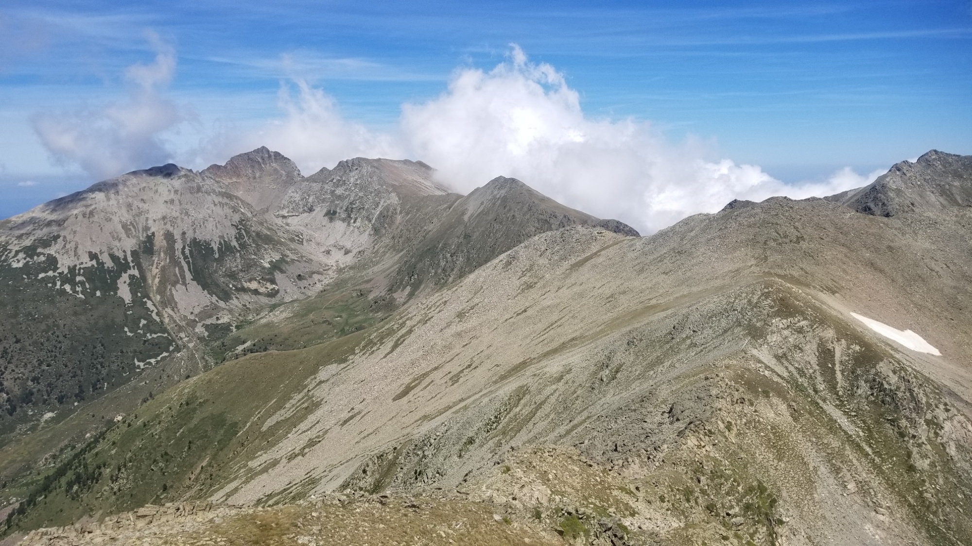
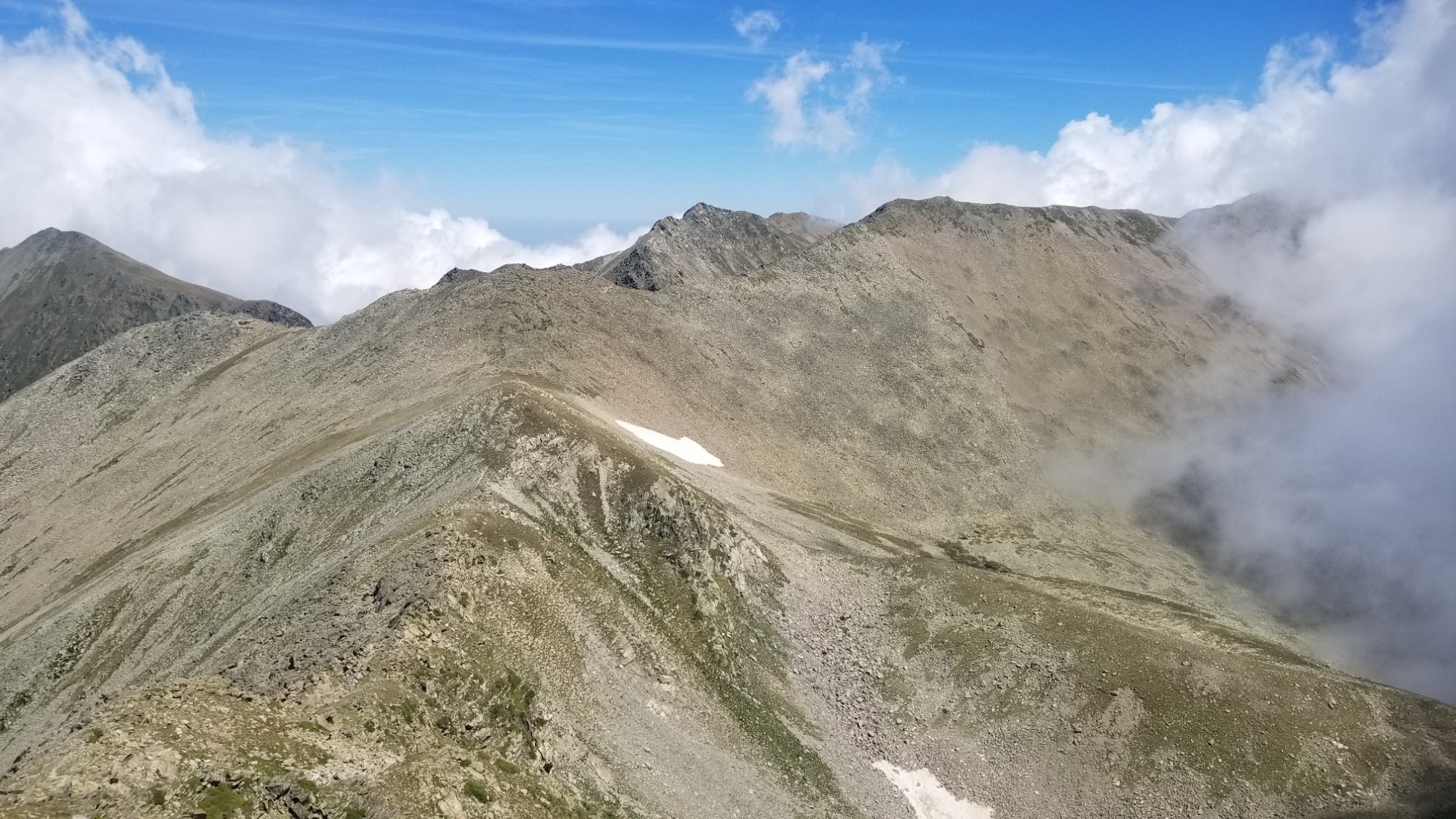
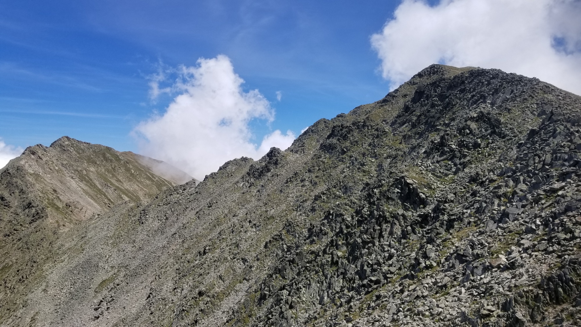
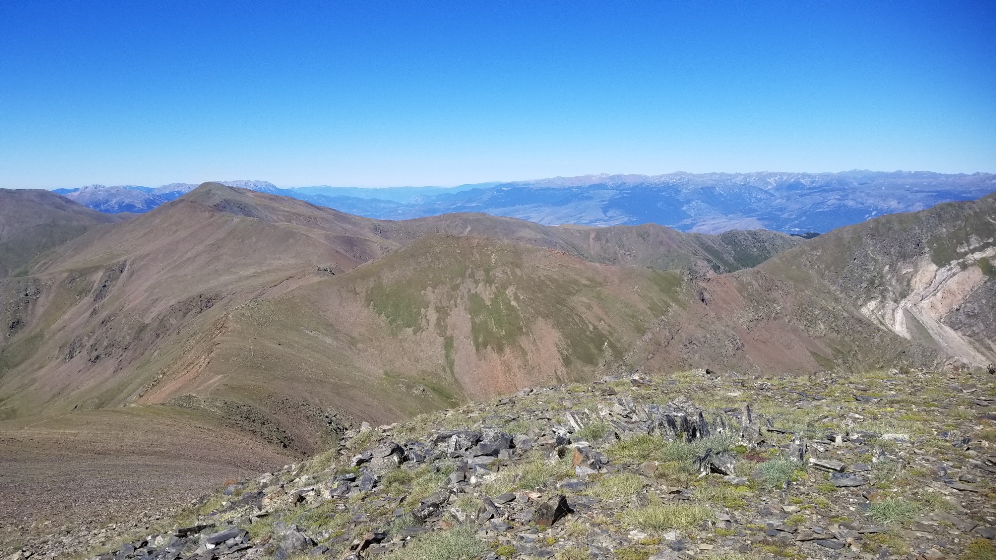
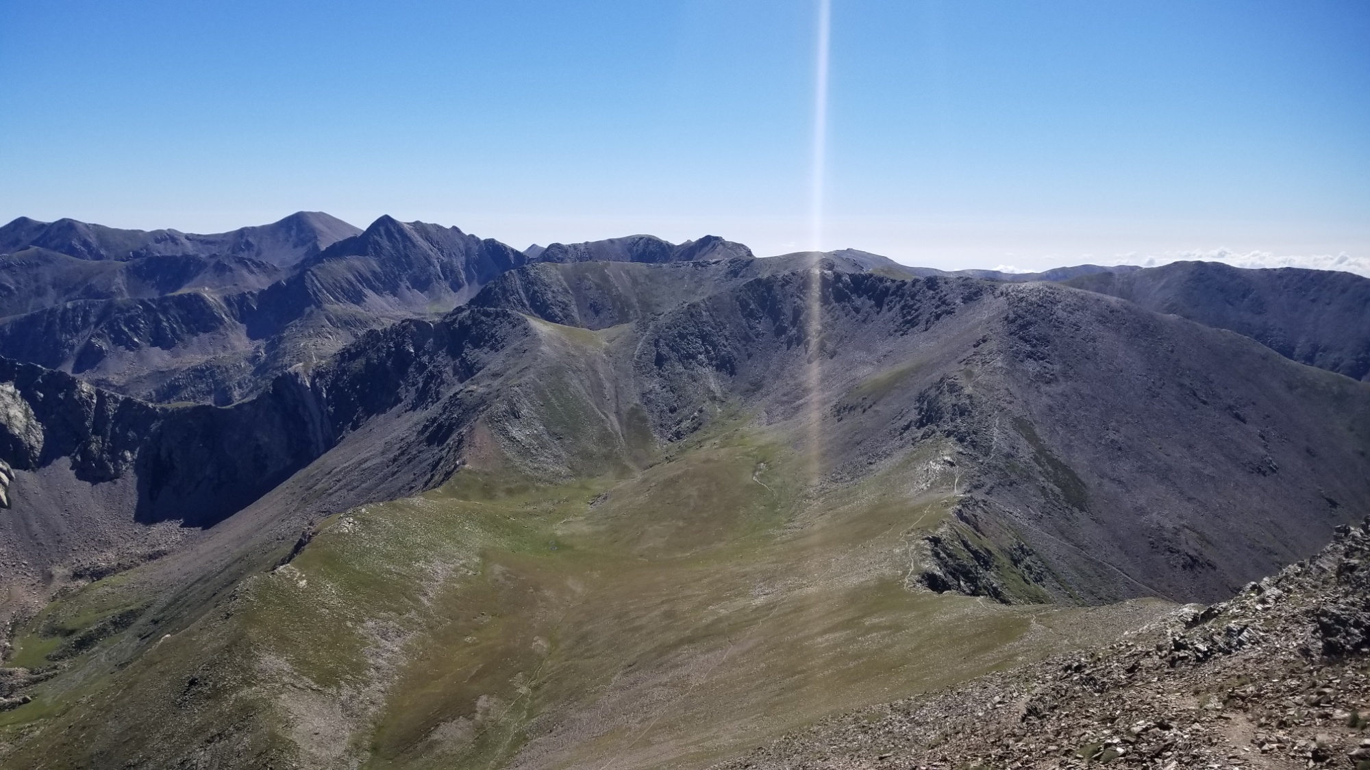
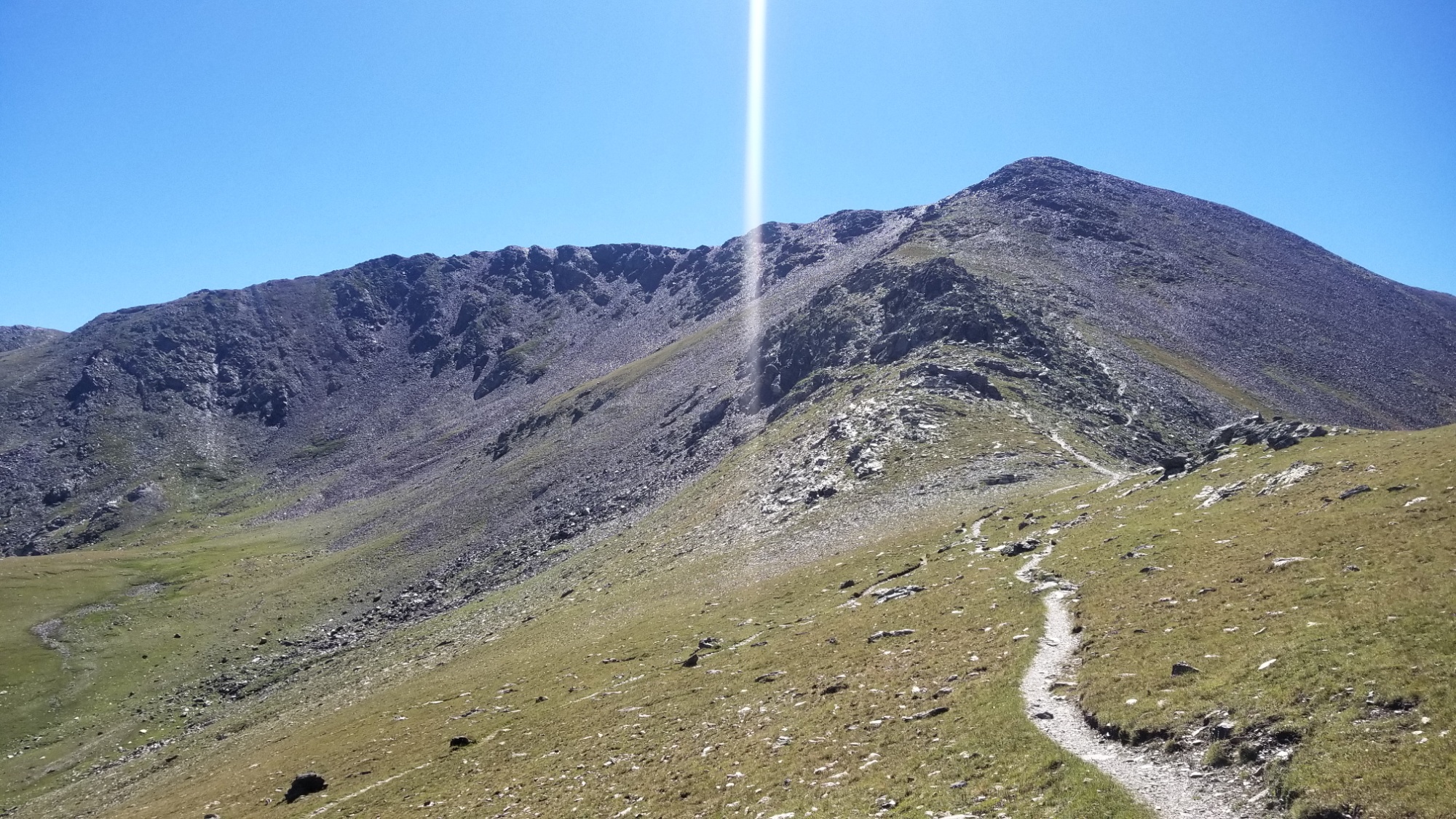
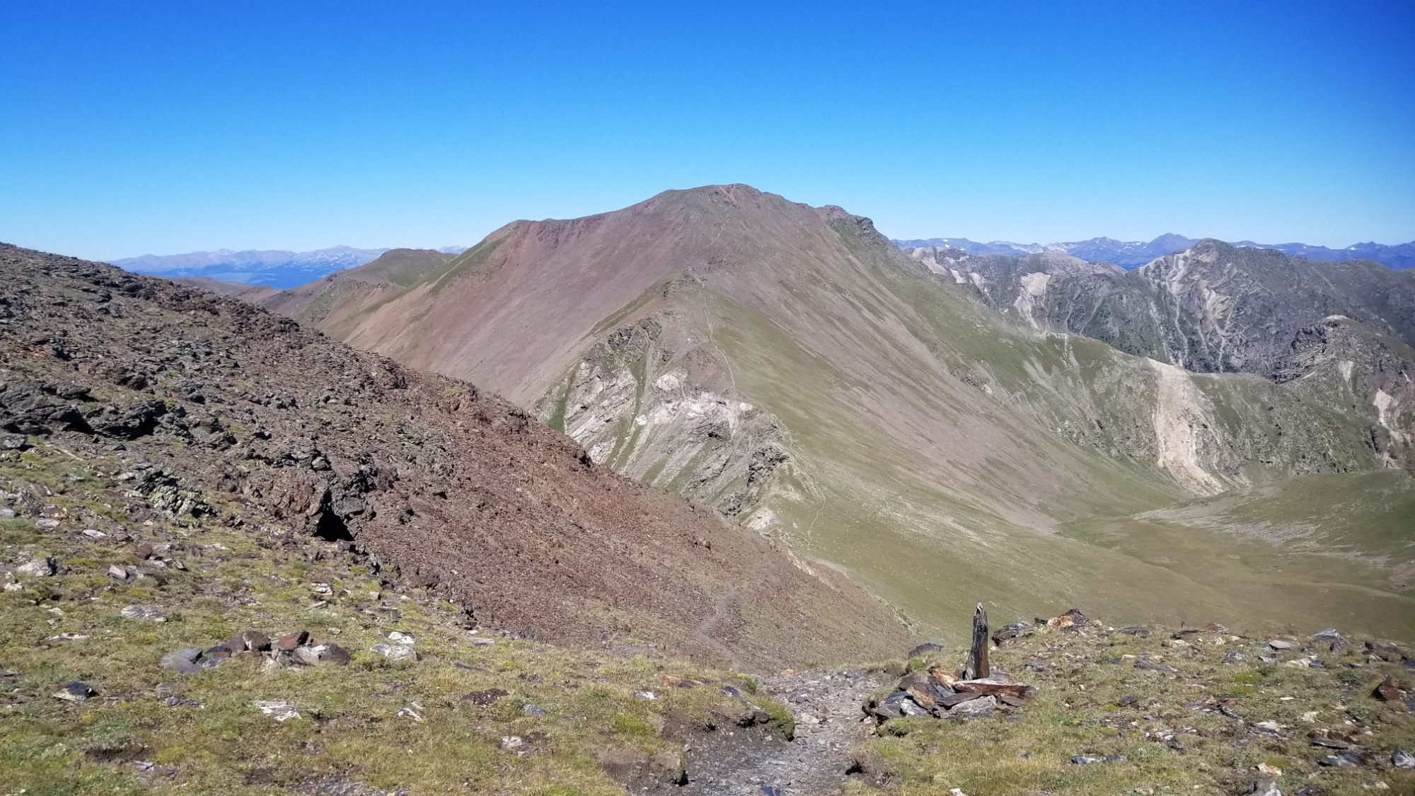
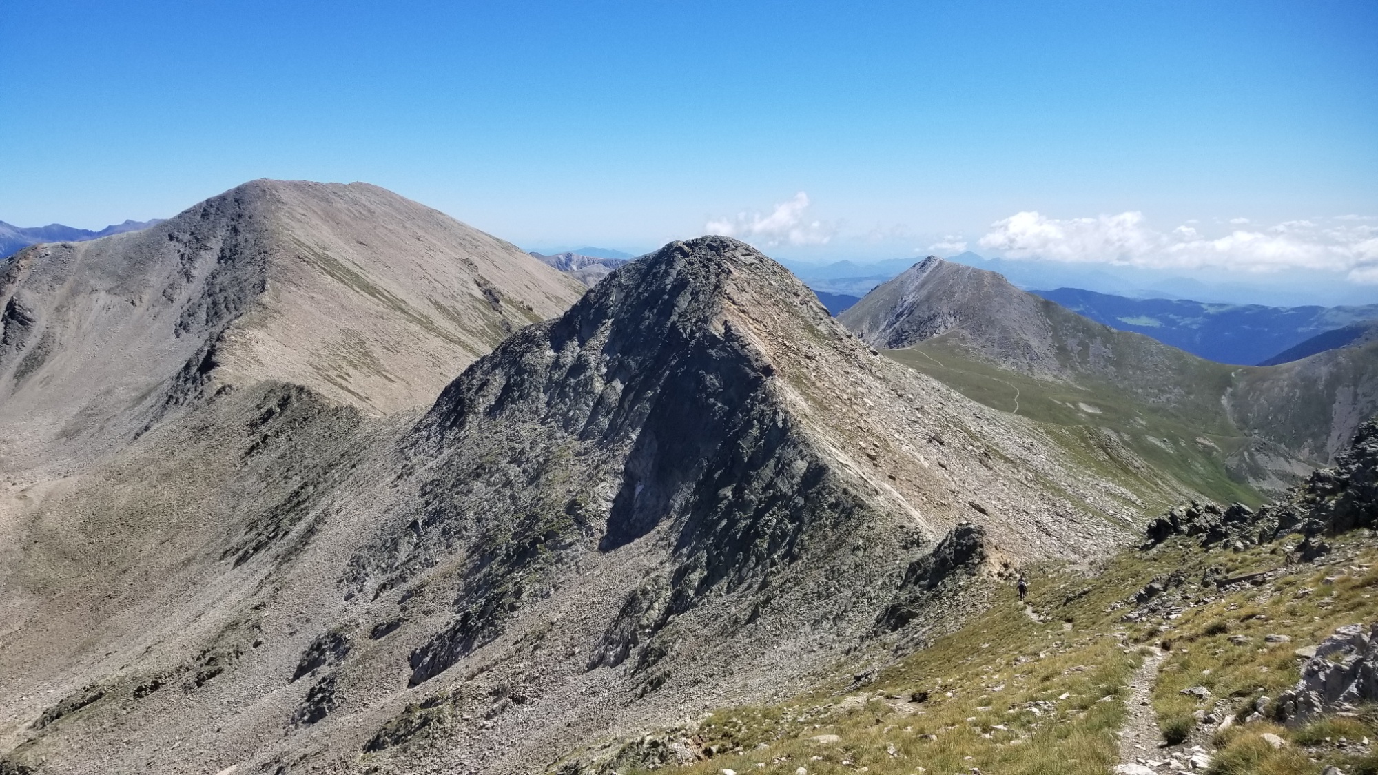
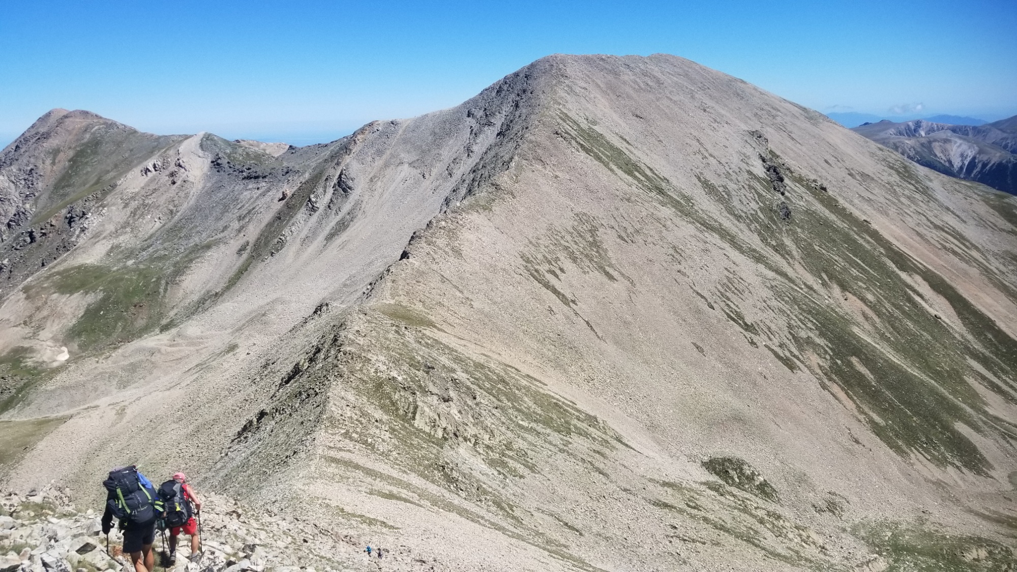
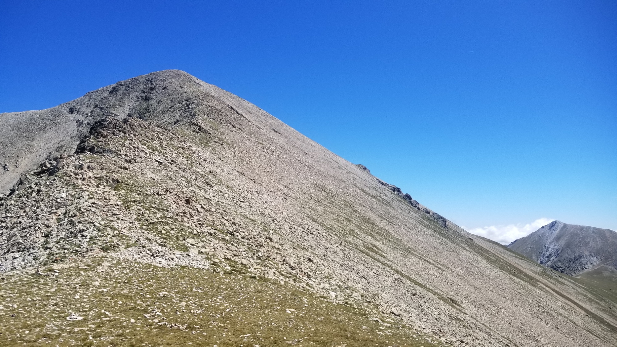
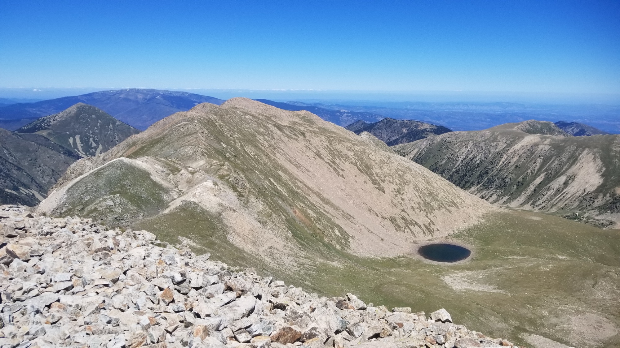
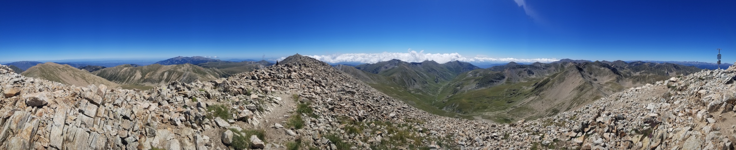
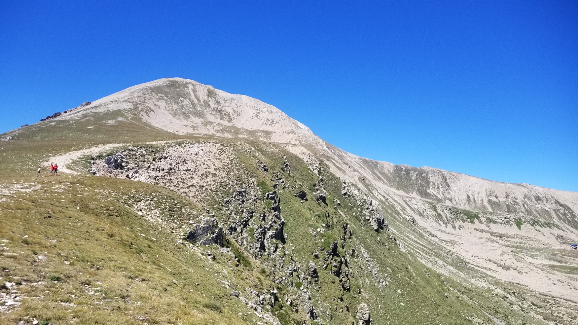
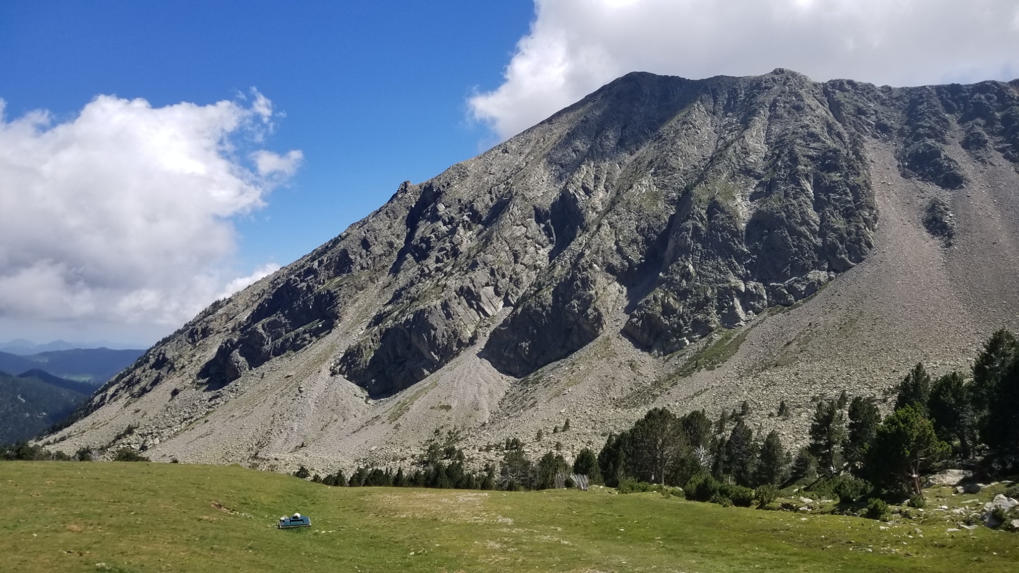
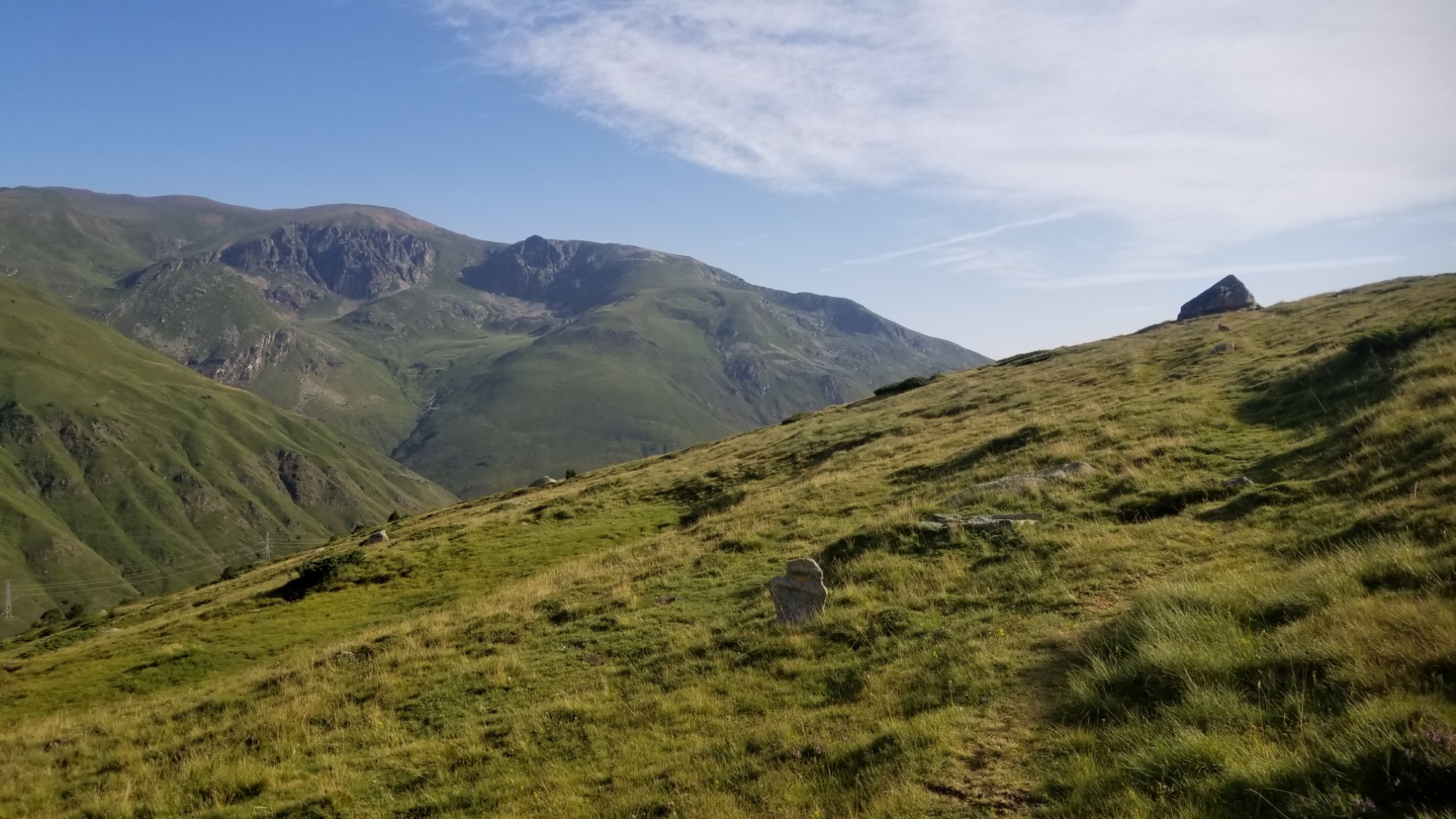
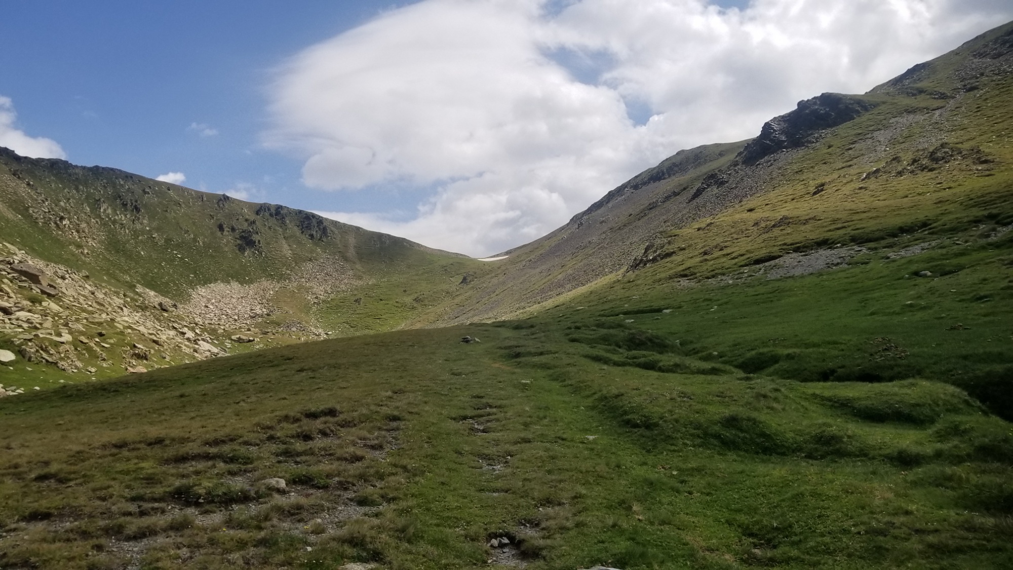
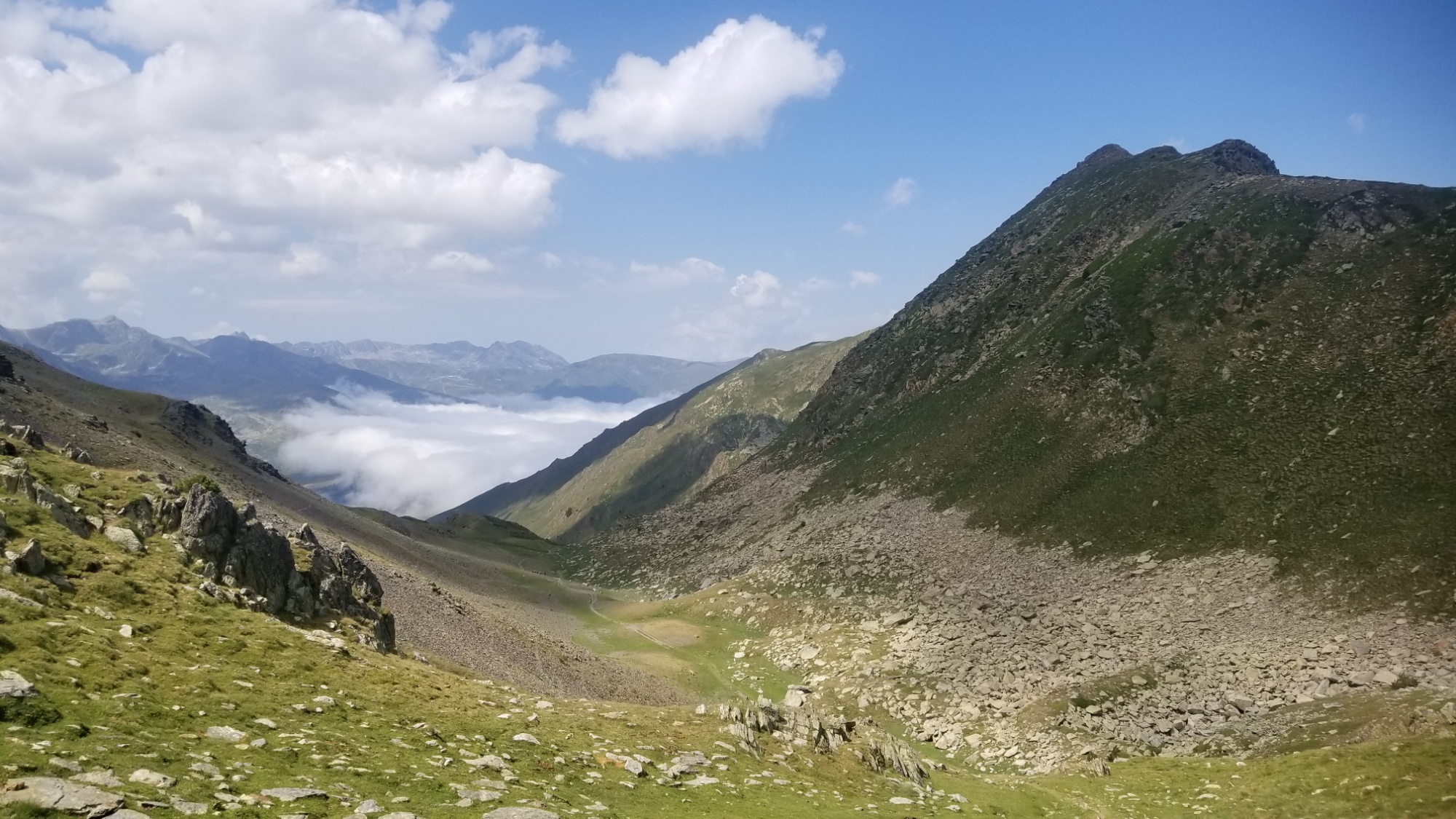
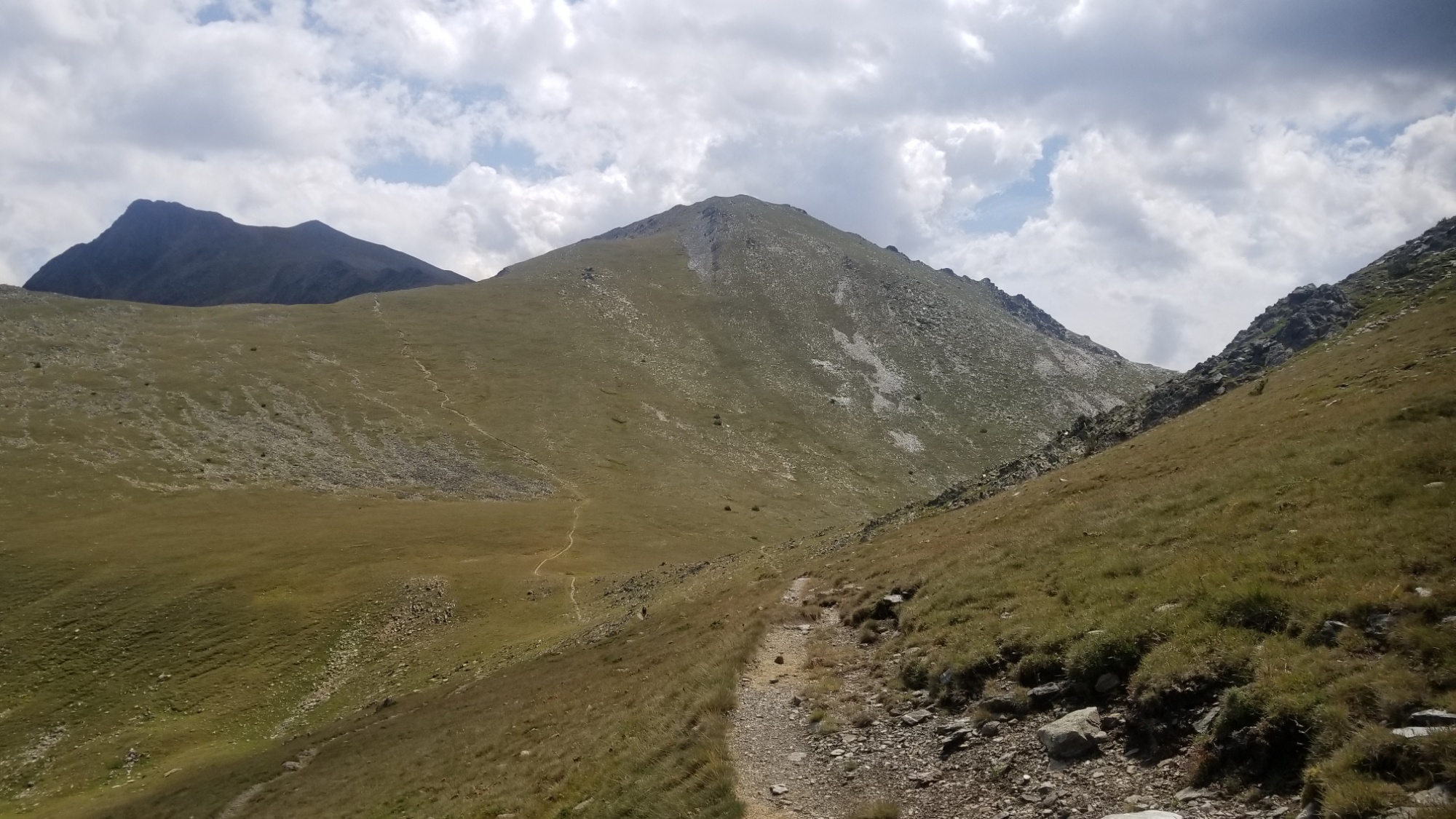
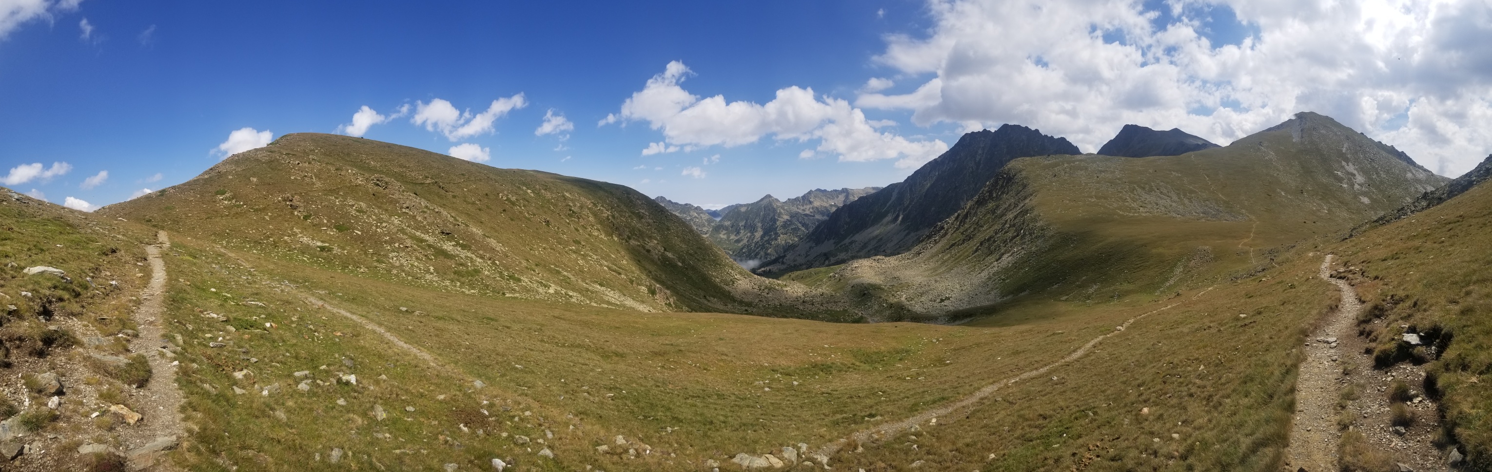
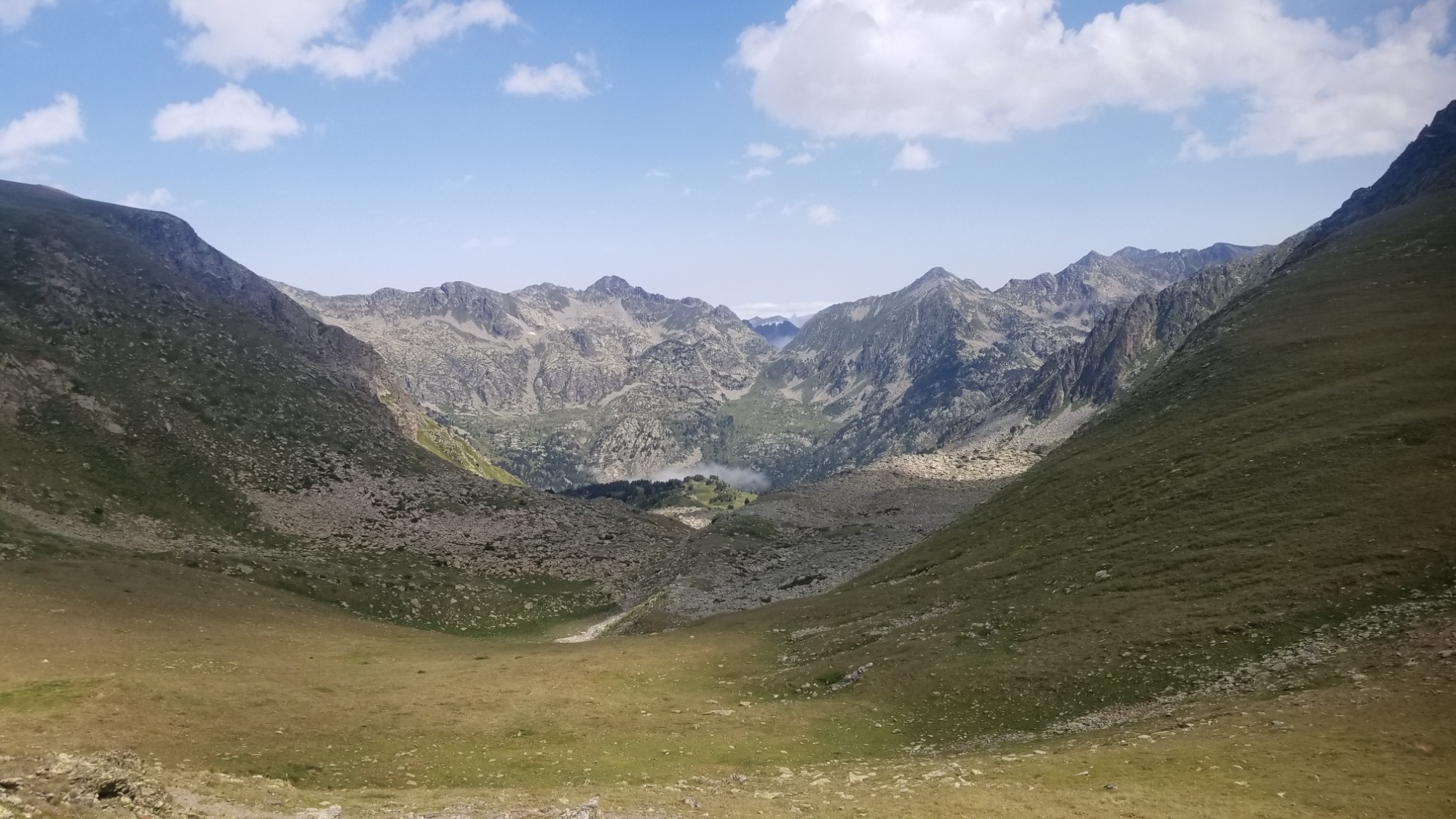
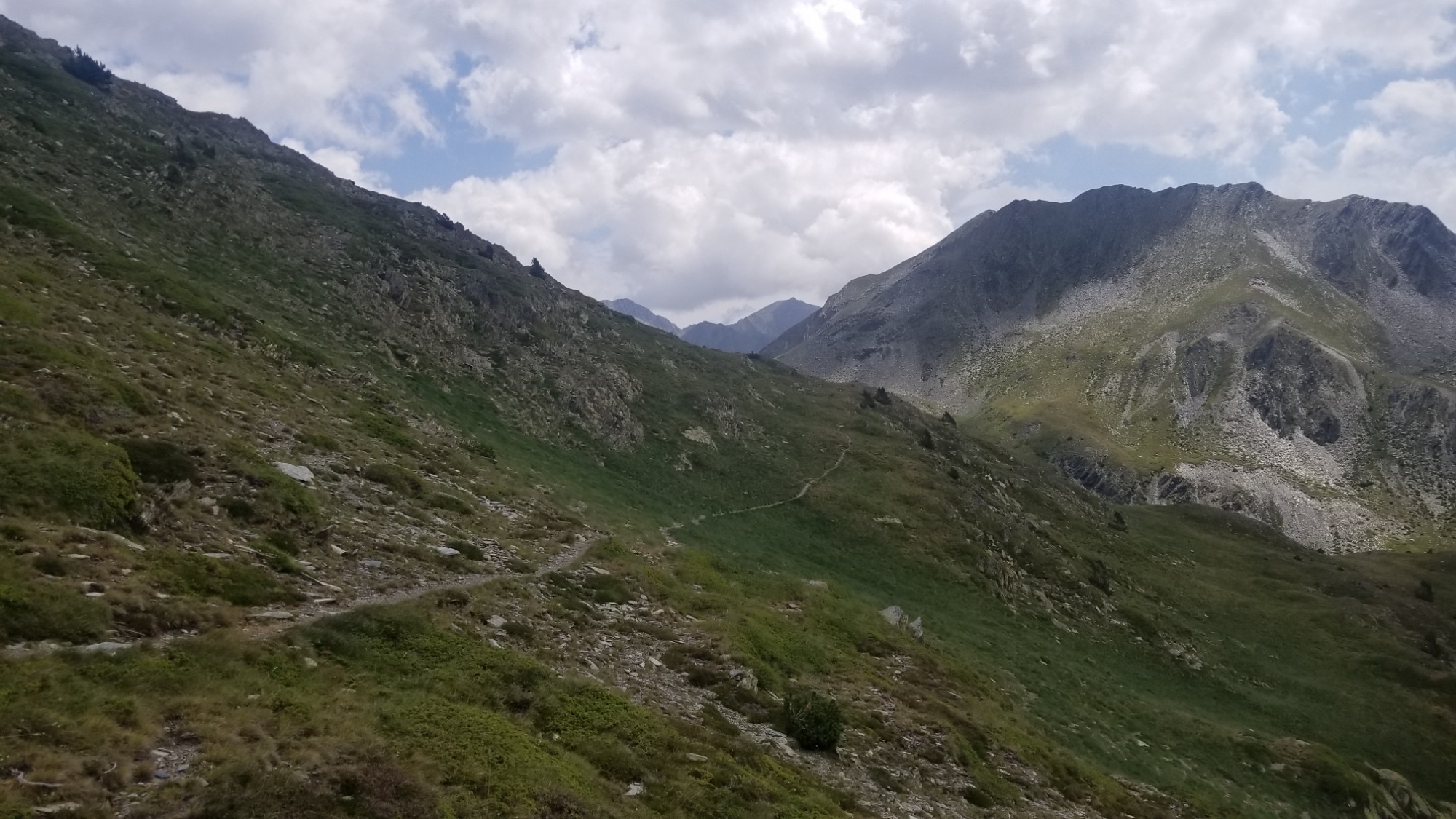
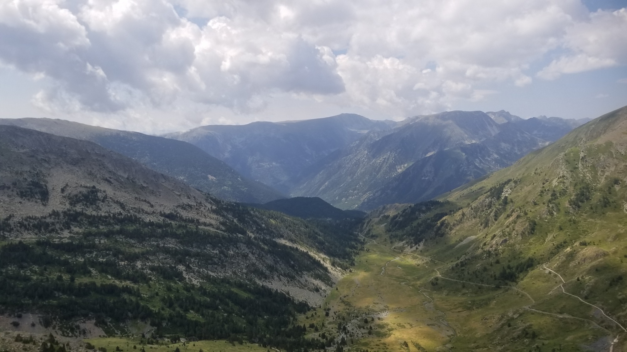
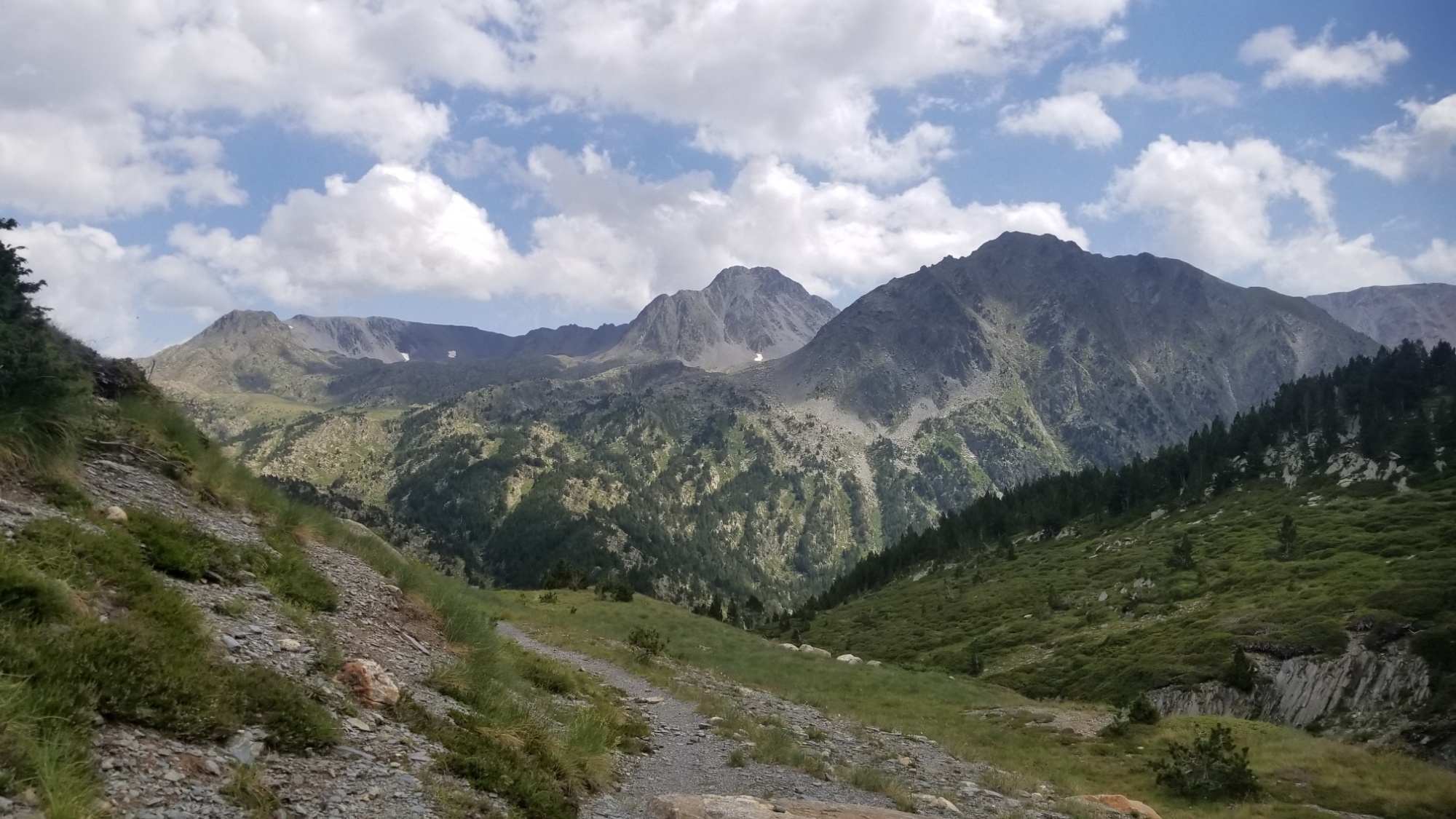
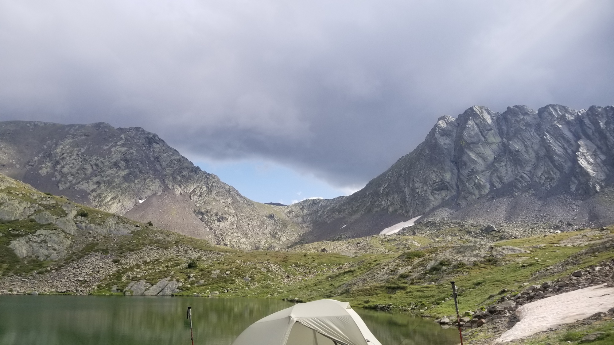
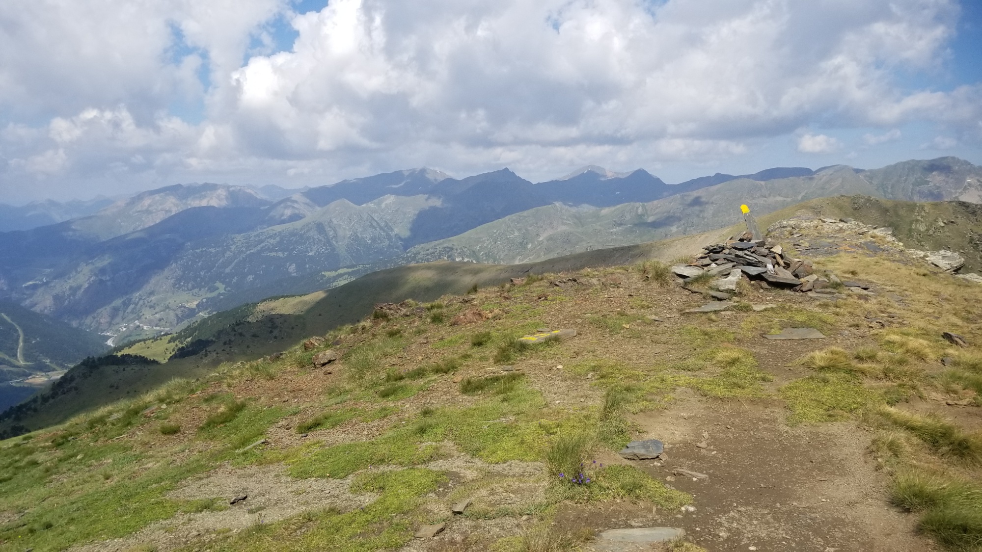
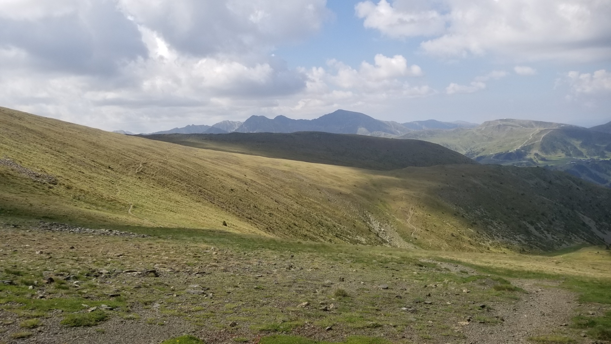
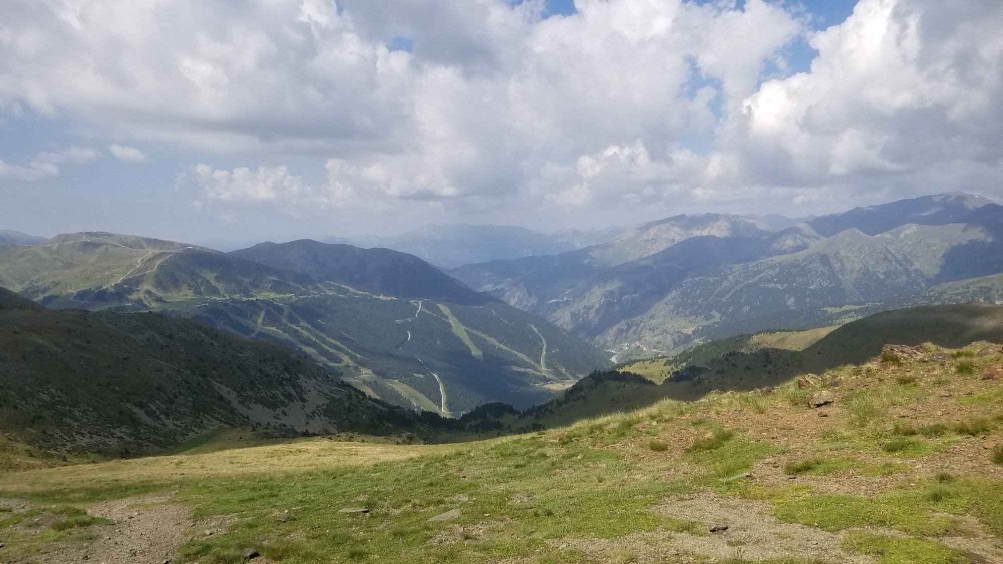
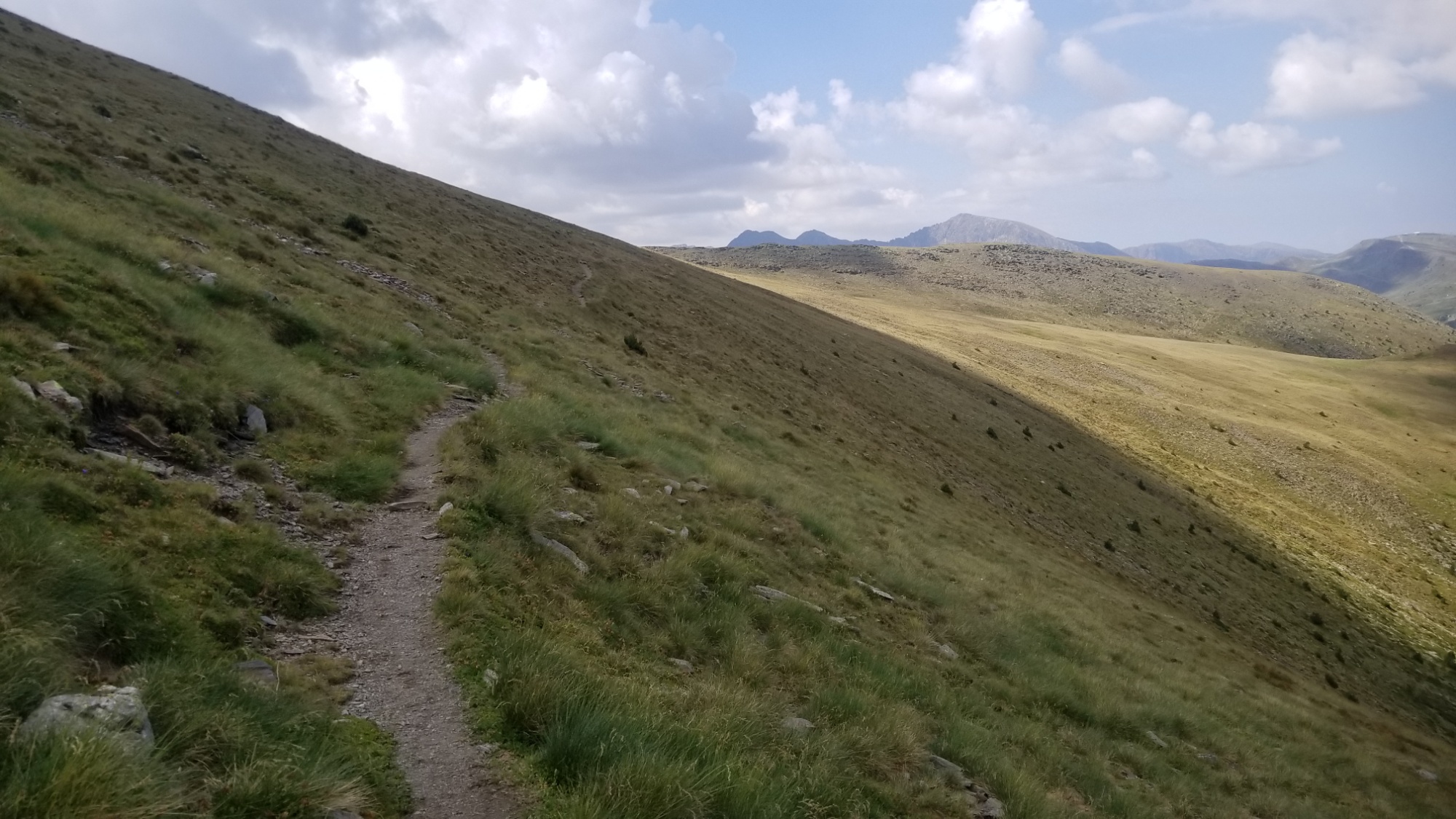
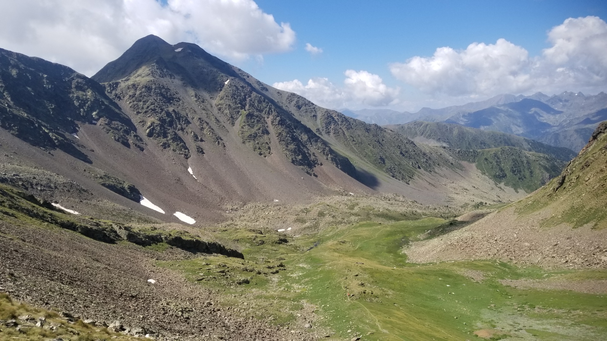
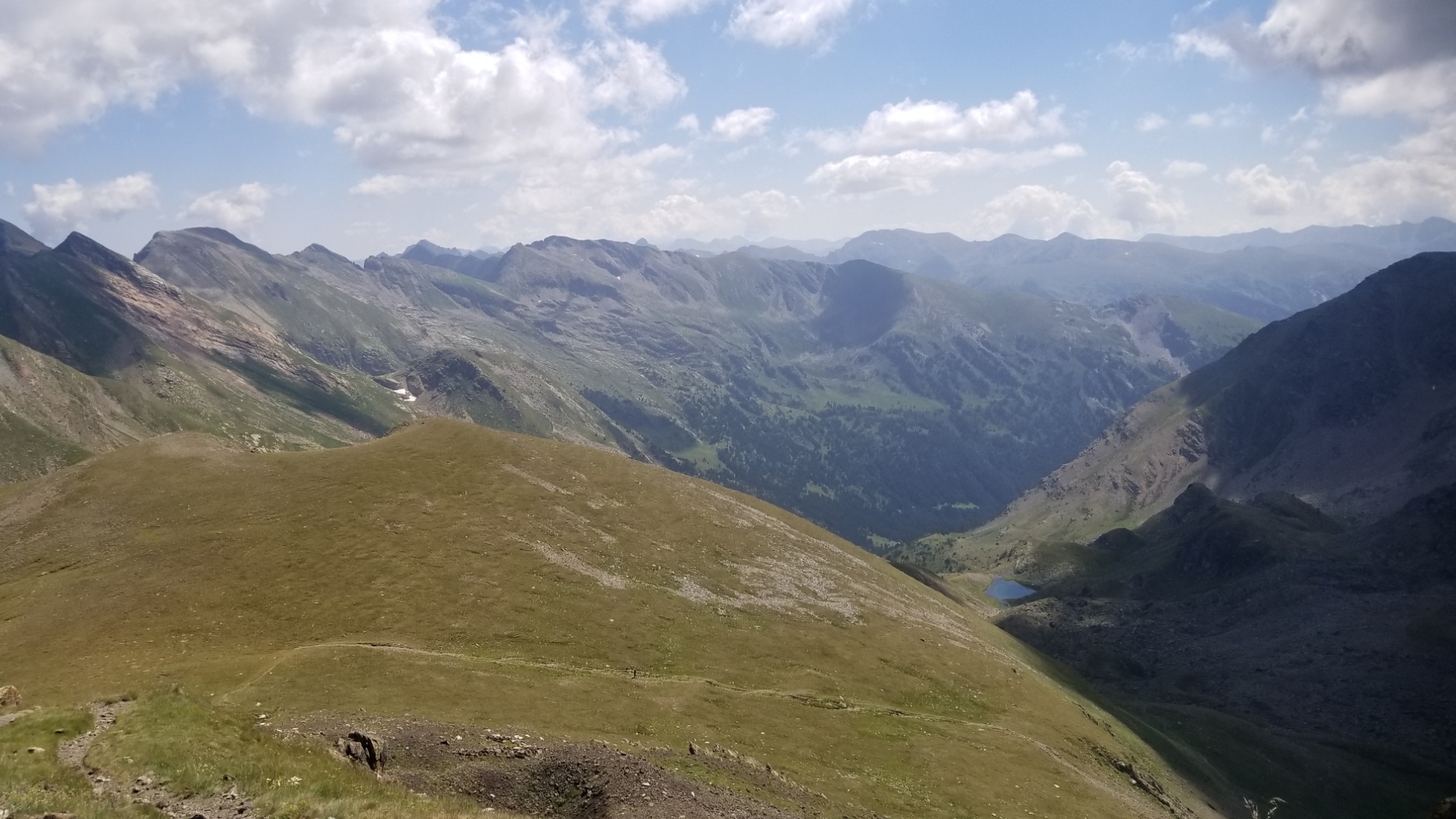
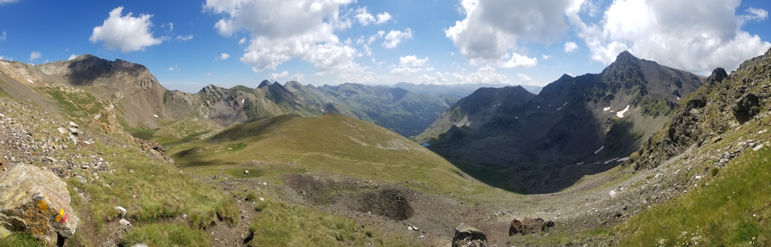
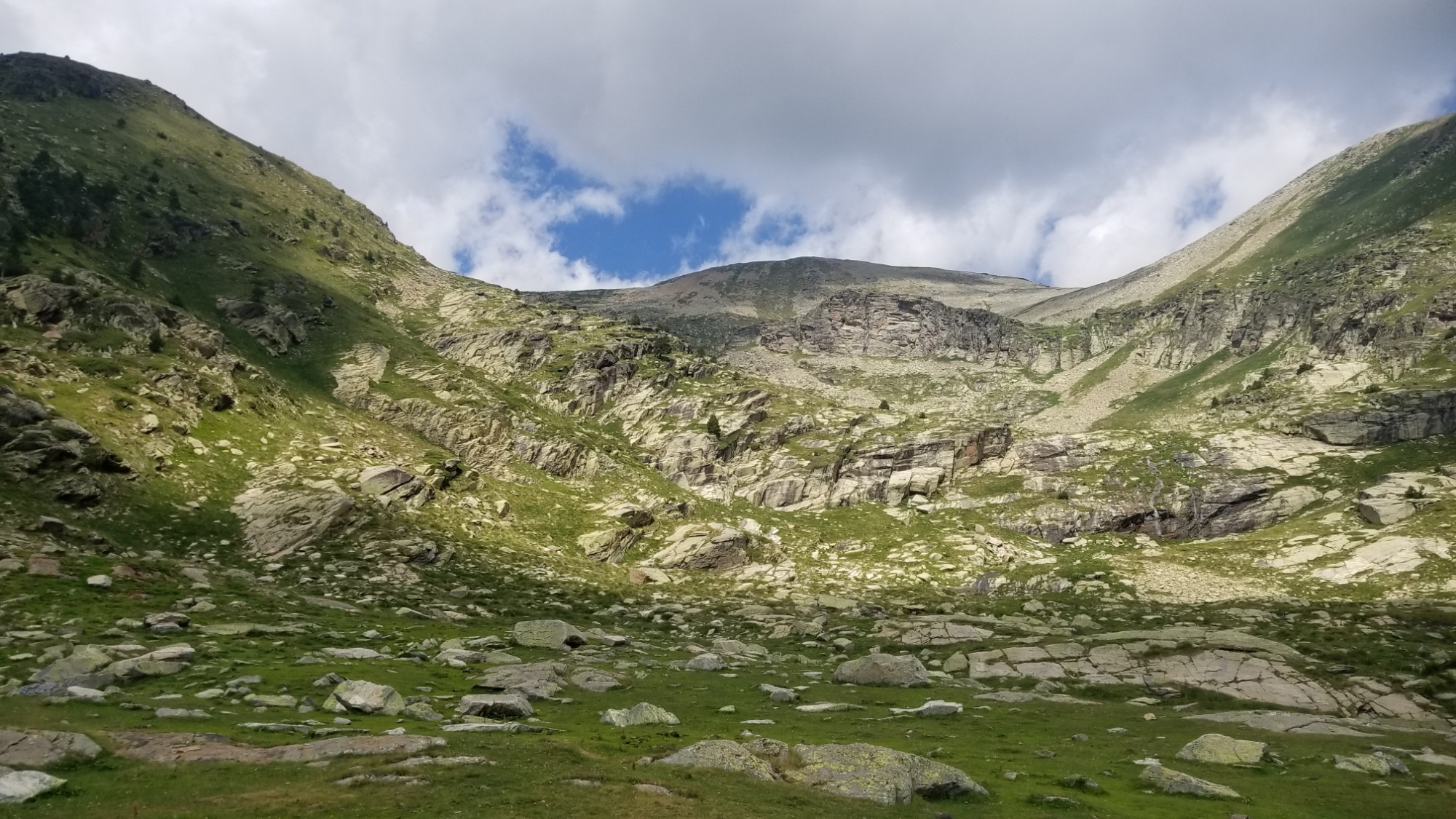
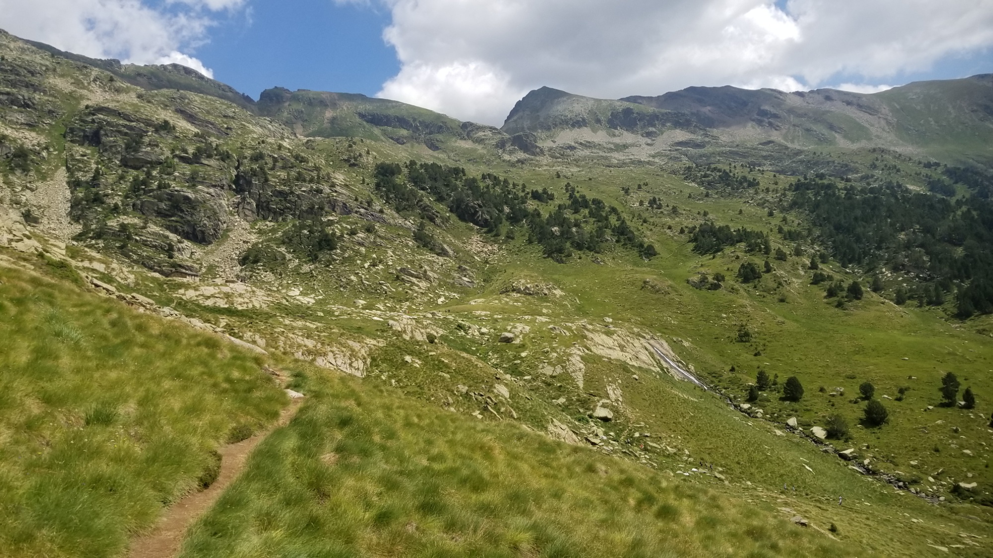
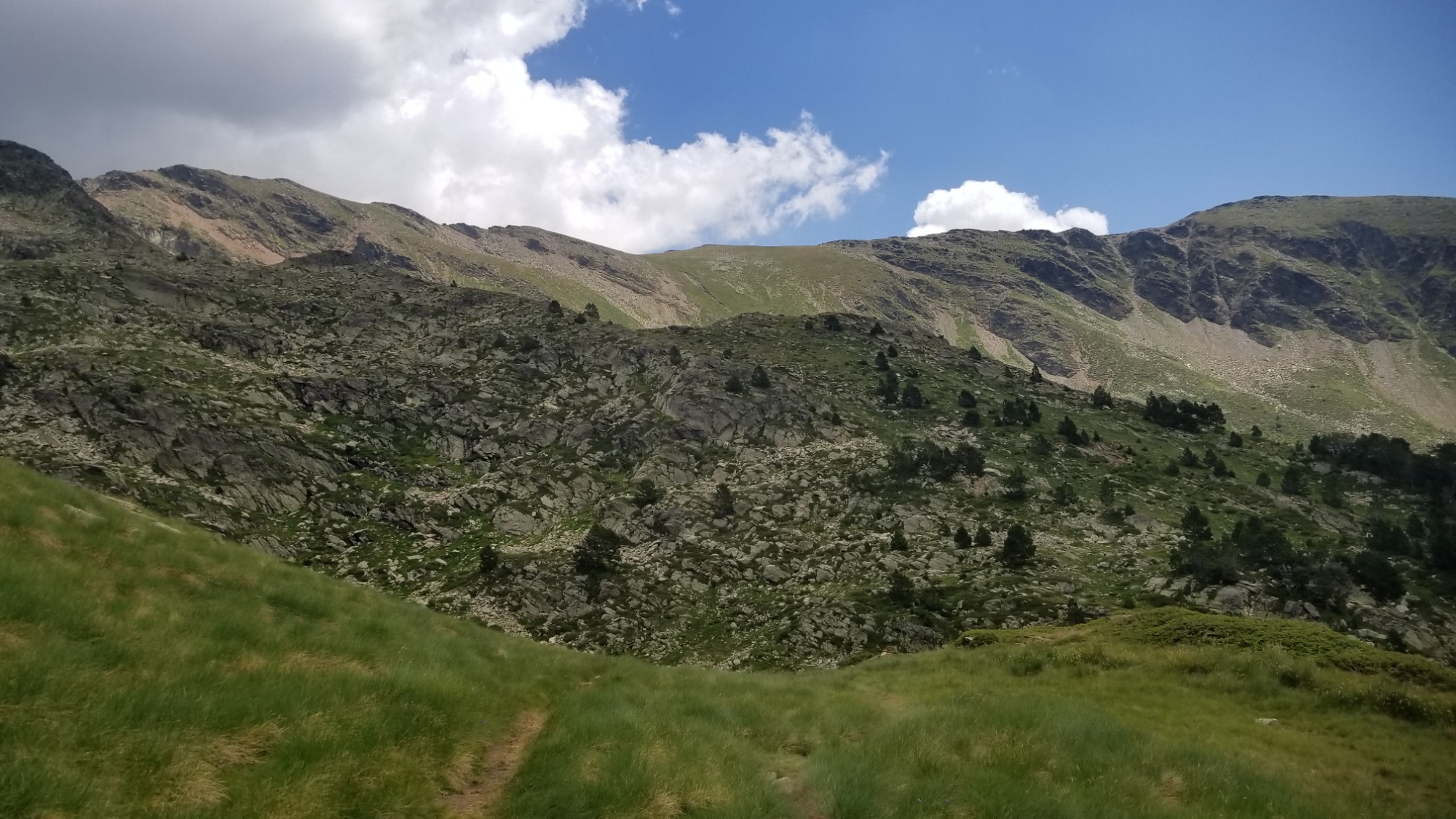
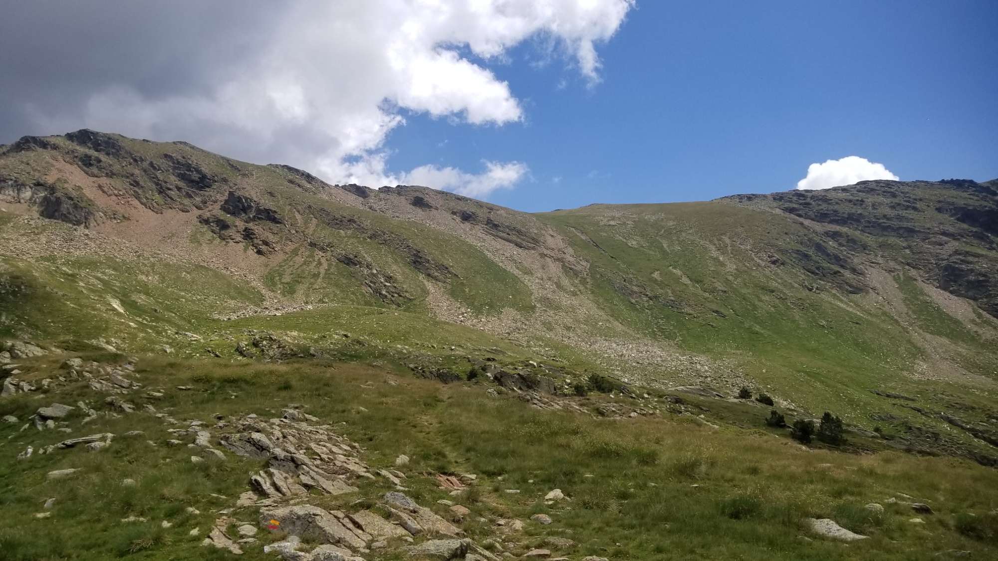
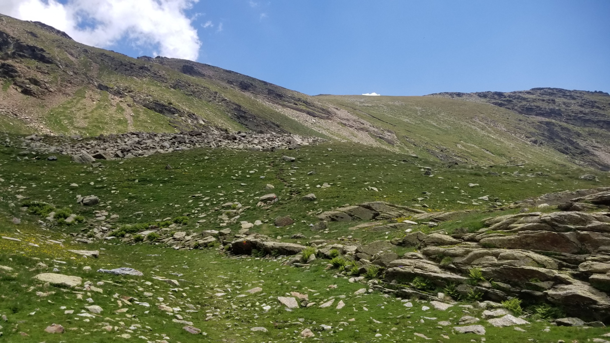
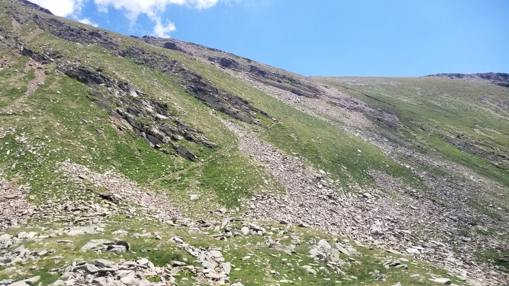
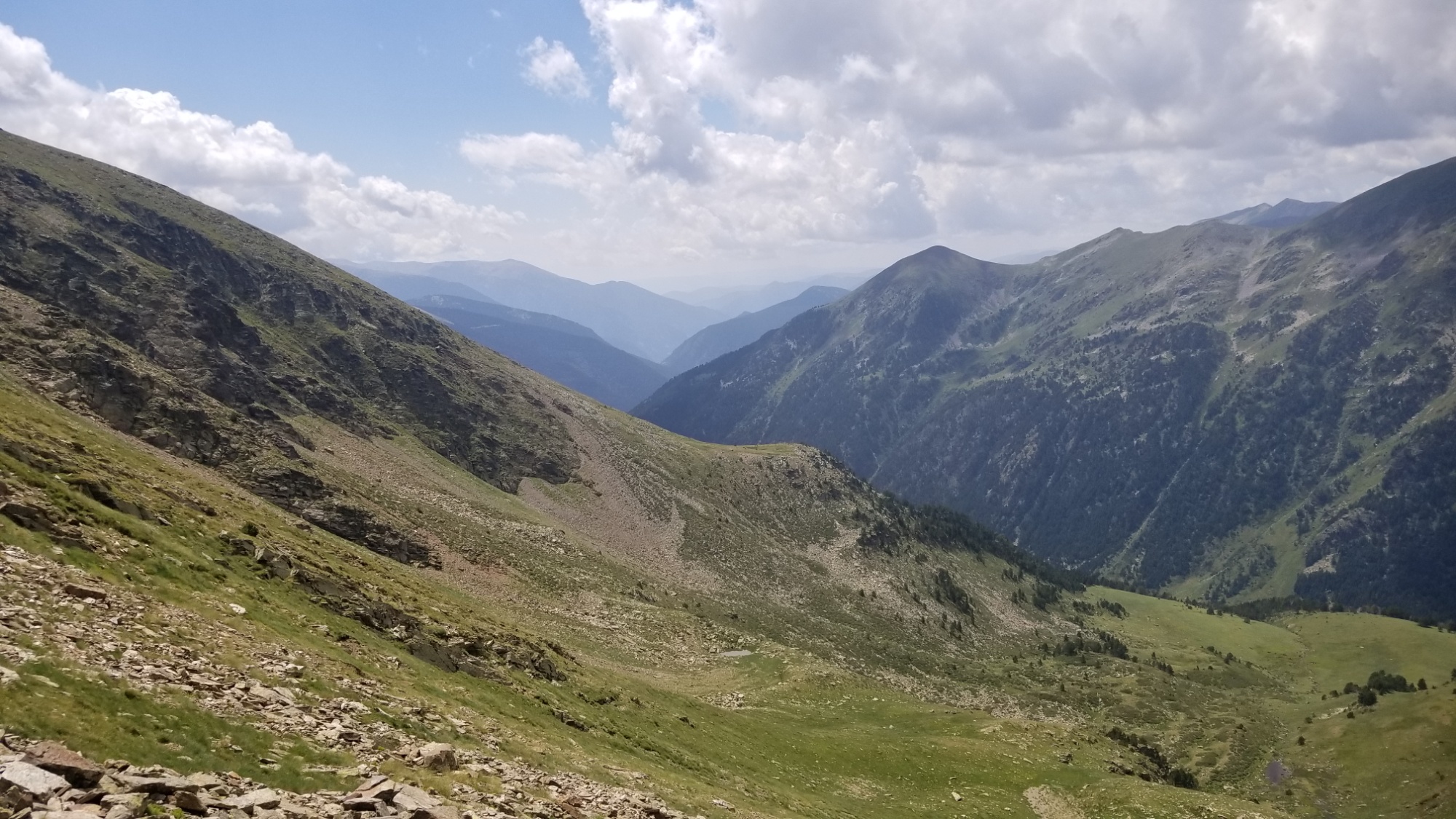
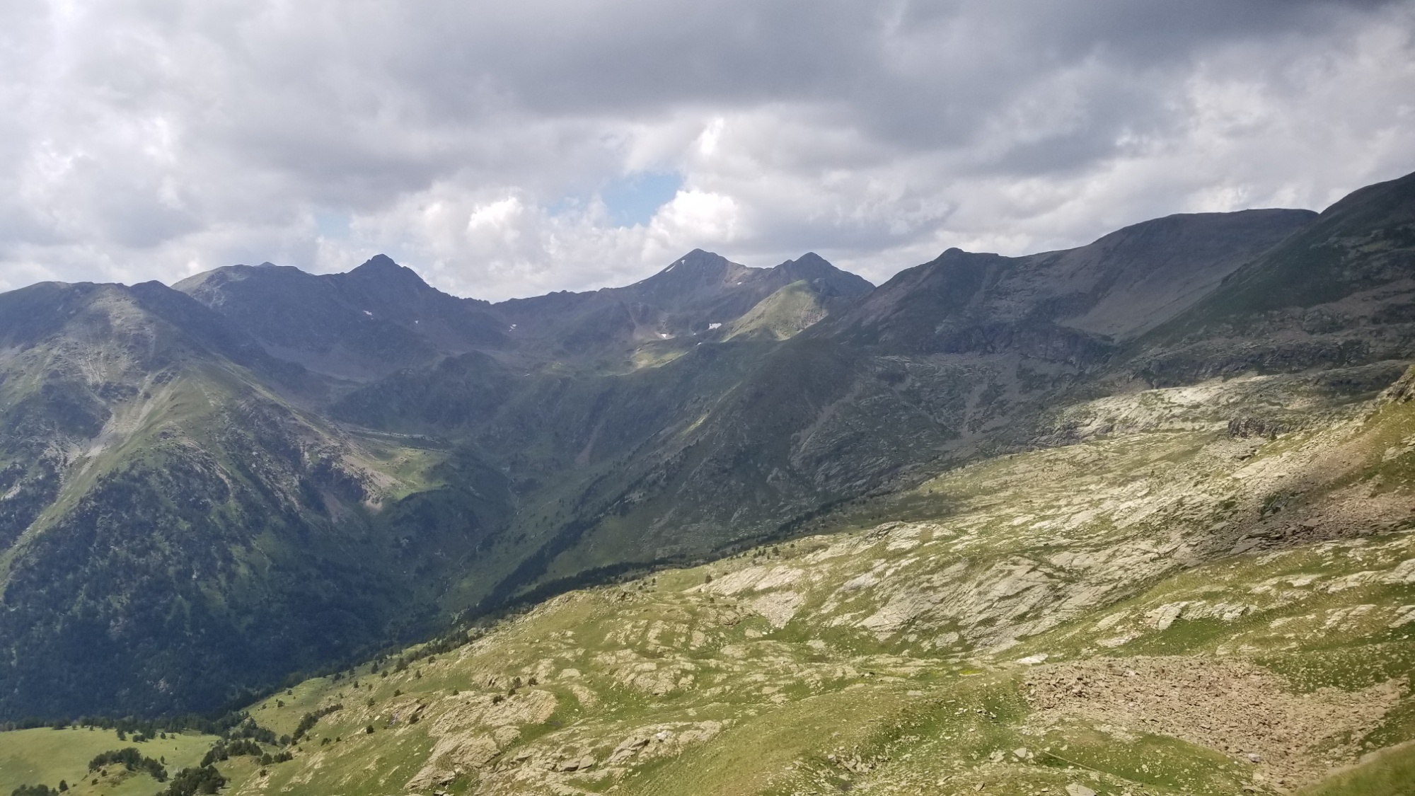
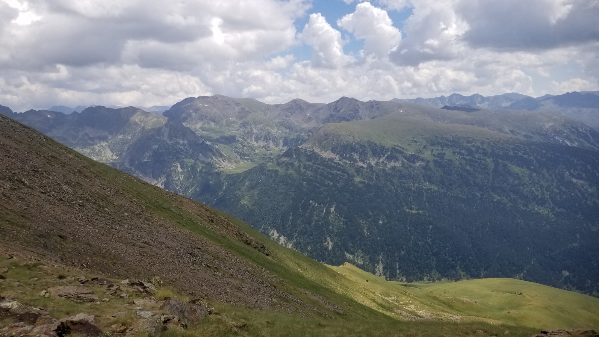
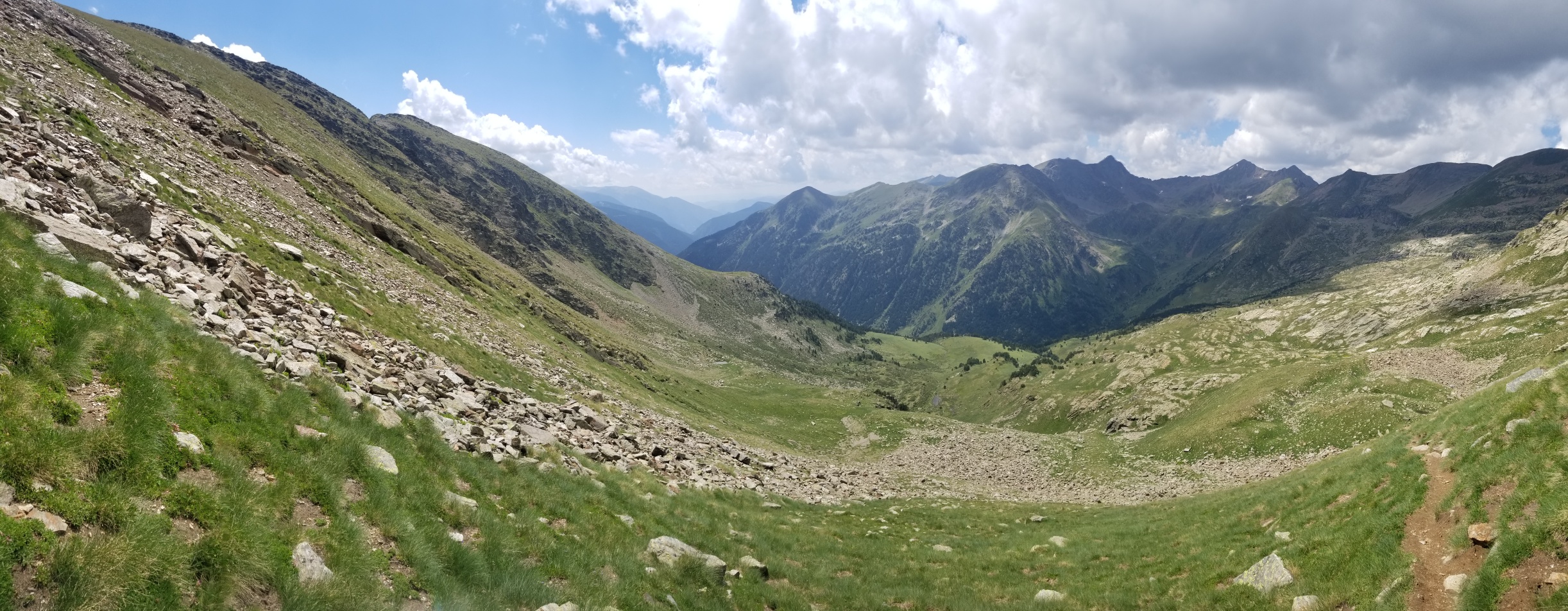
The HRP is exceptionally strenuous. The 155,000 feet of ascent (and 155,000 feet of descent, although I’d love to not have to come down) over the course of 550 miles translates to a tough, constant gradient, every day of the trail. On average, this translated to 4,200 feet of climbing and 4,200 feet of descending every day. Similar to climbing Half Dome from Yosemite Valley every day, although the climb is spread across about 12-16 miles a day.

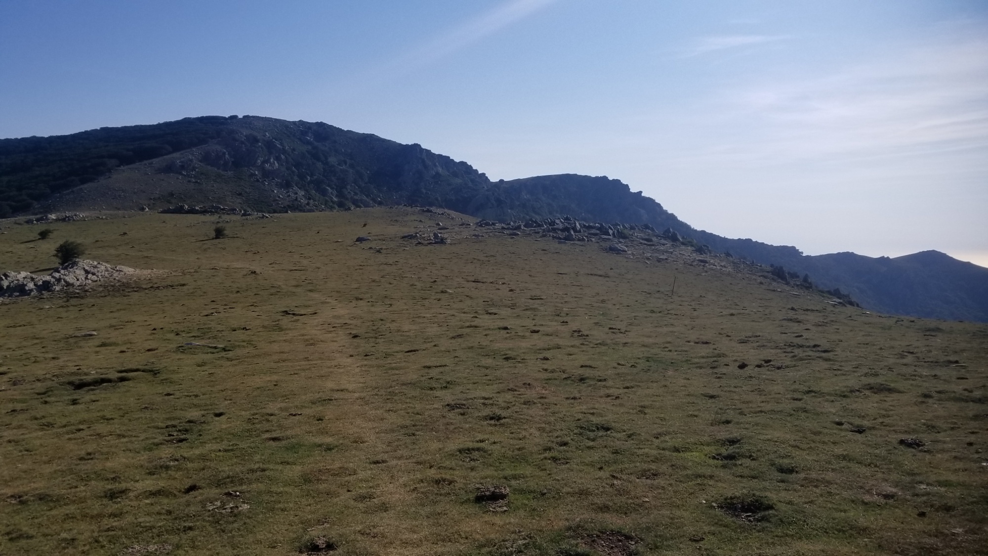
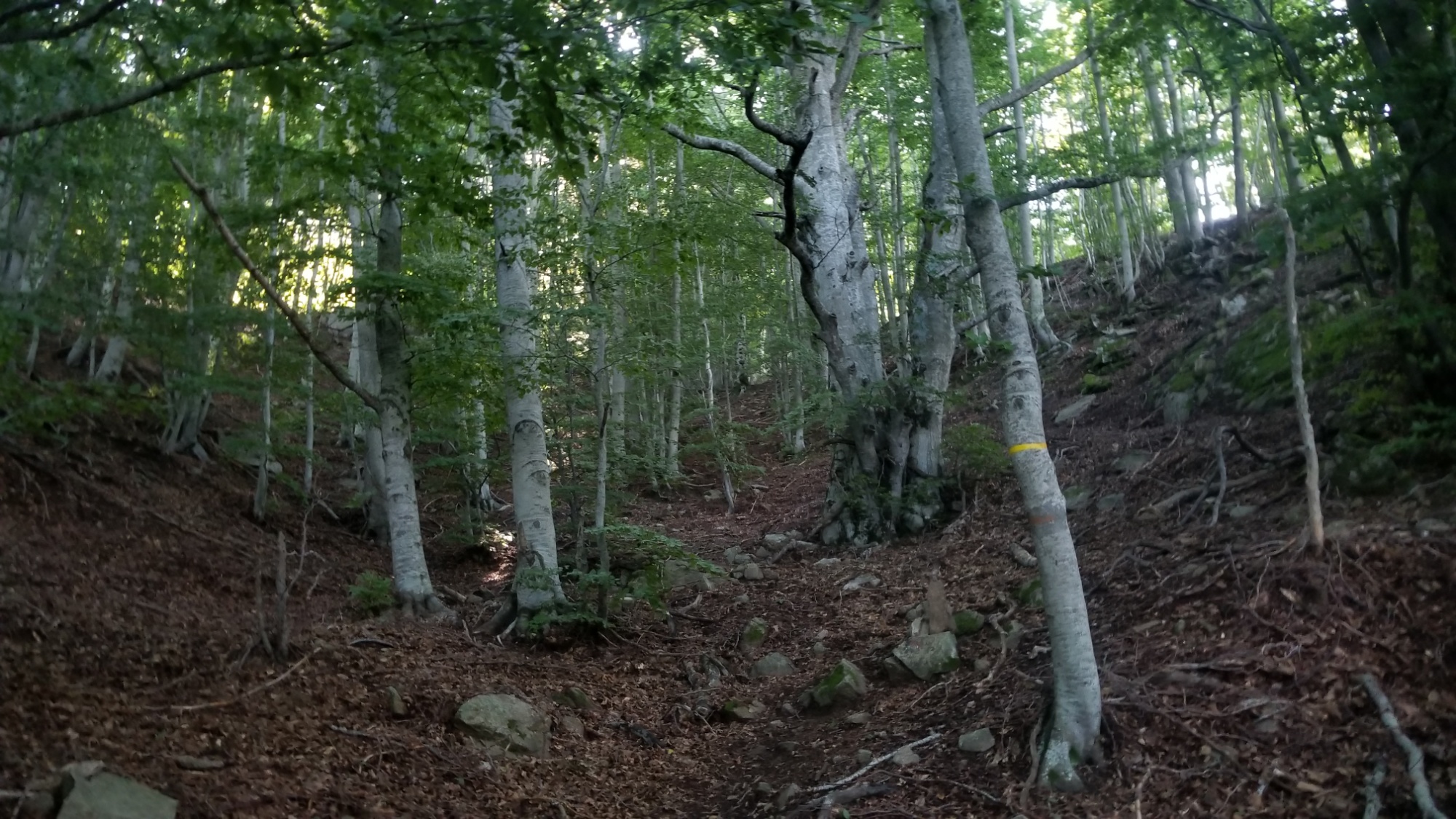
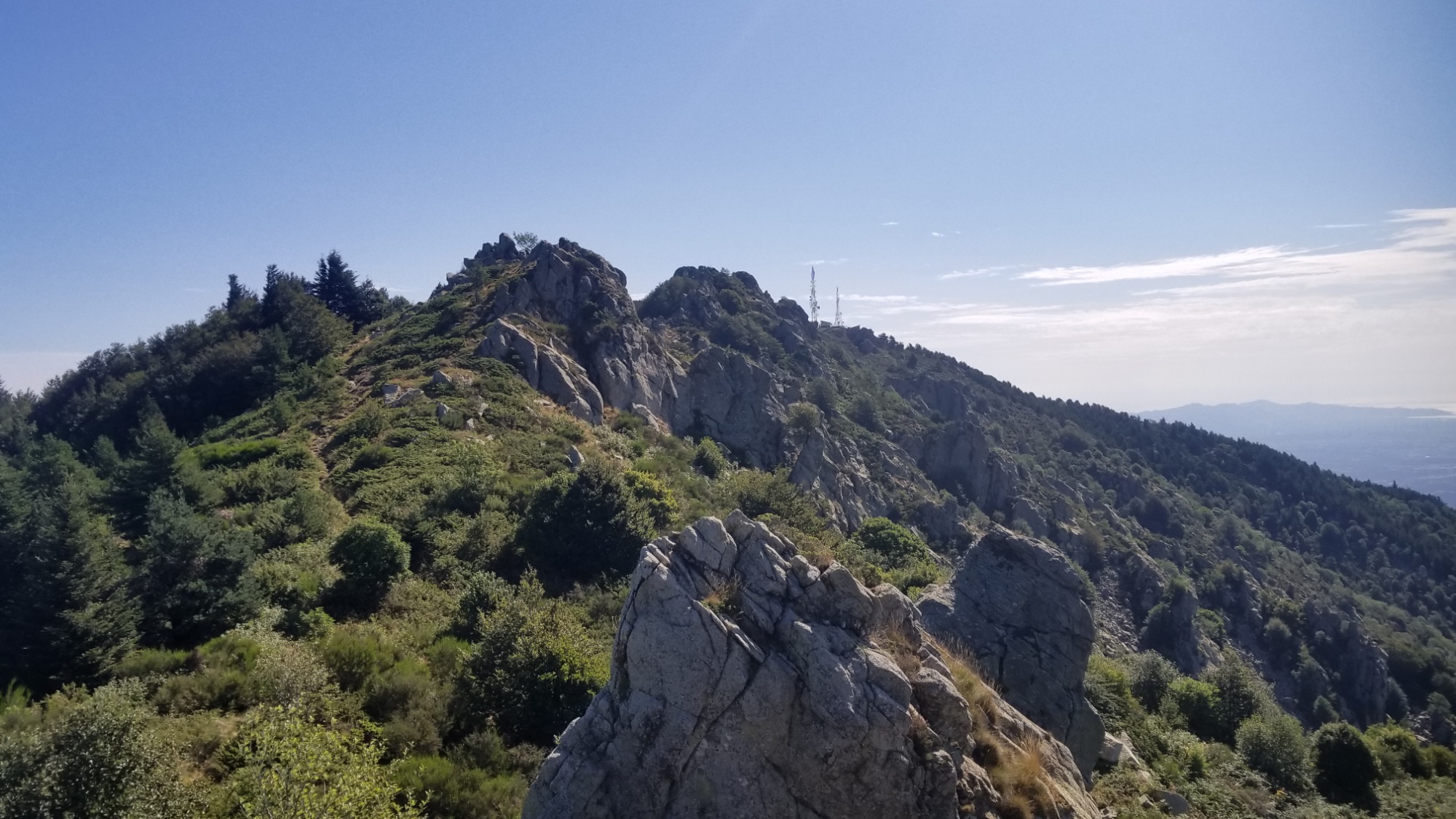
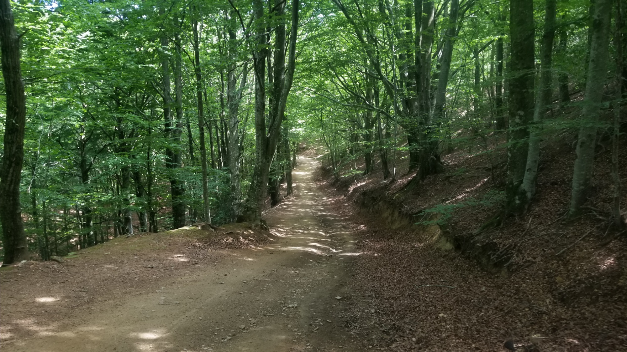
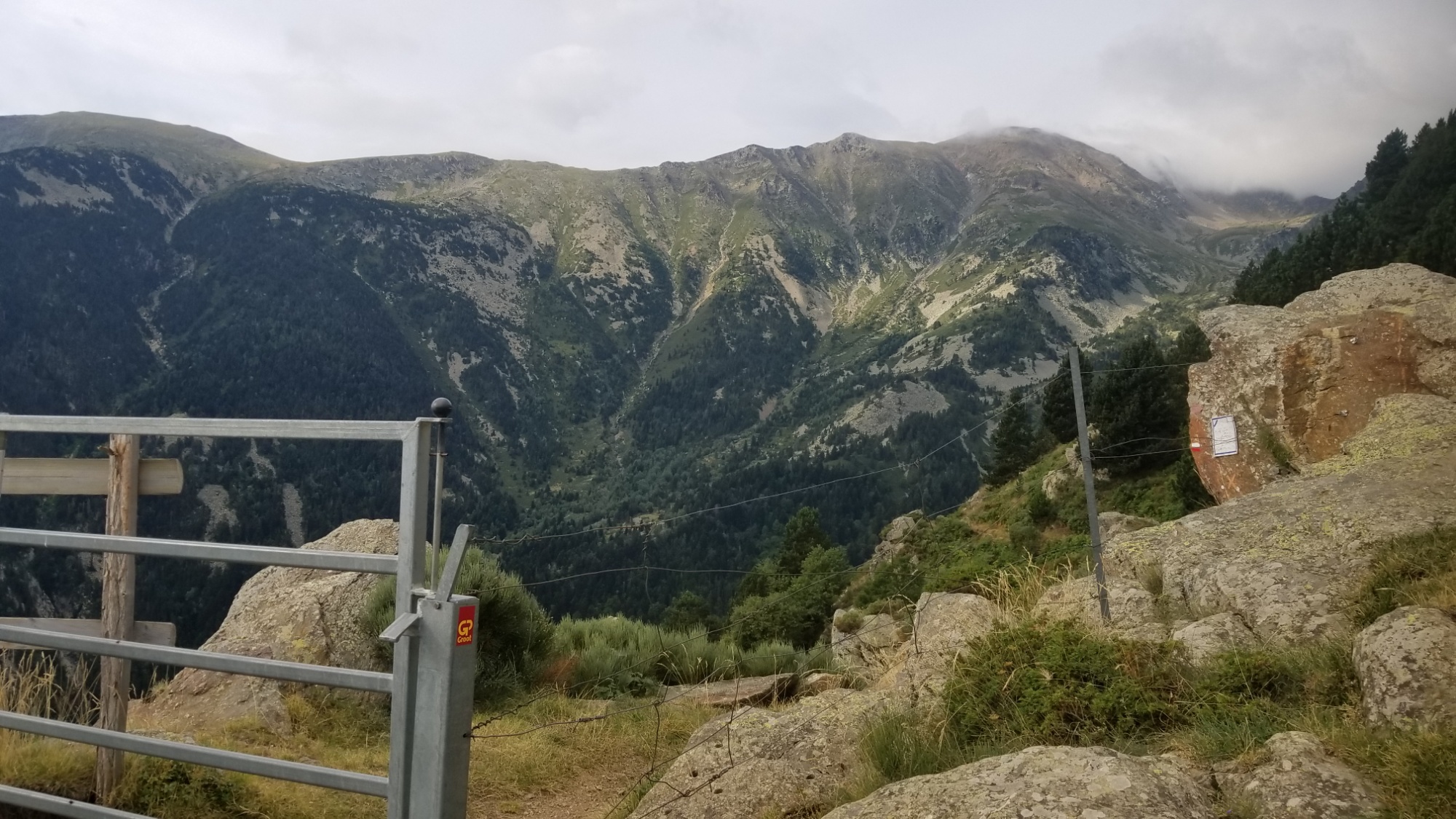
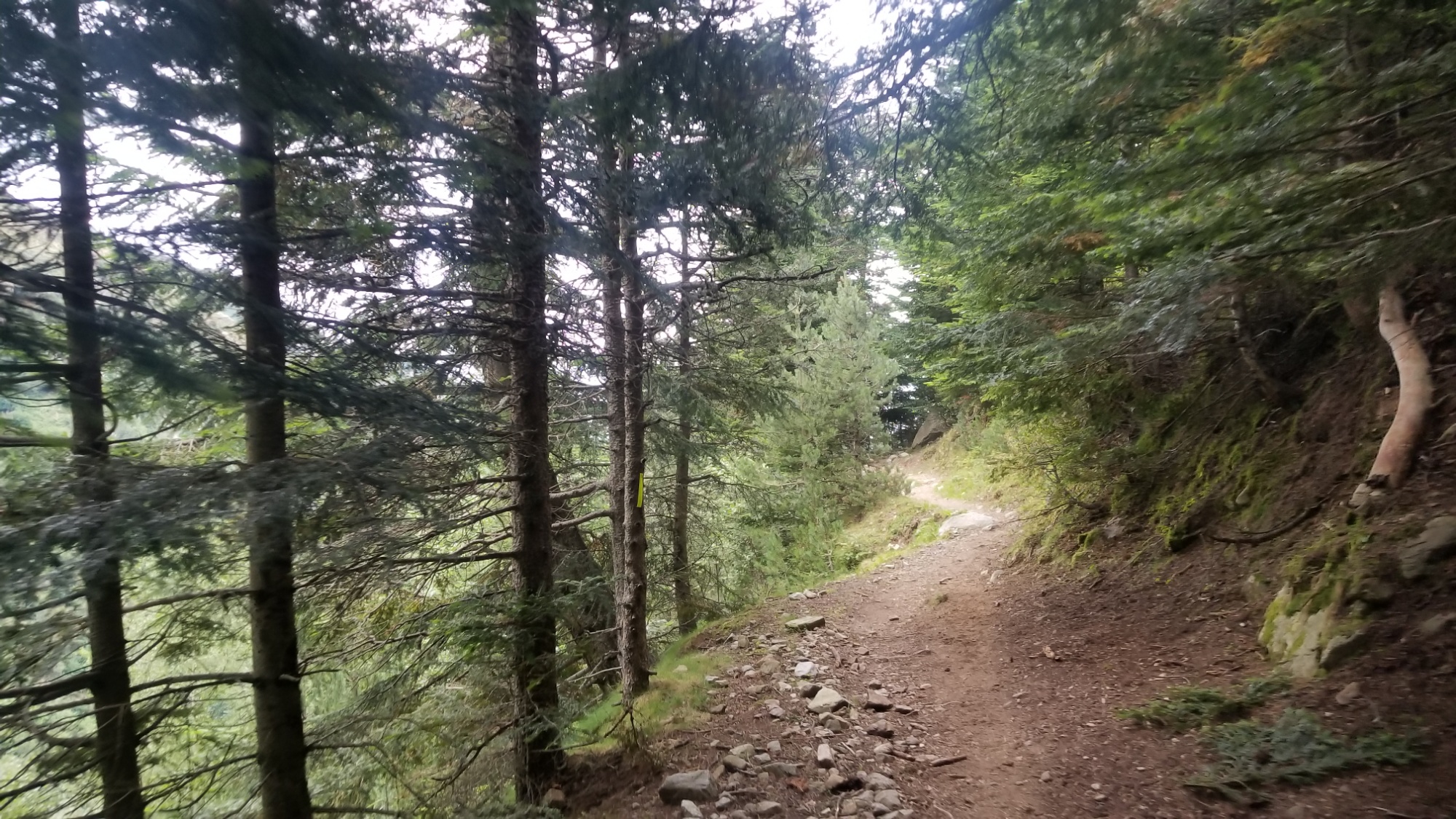
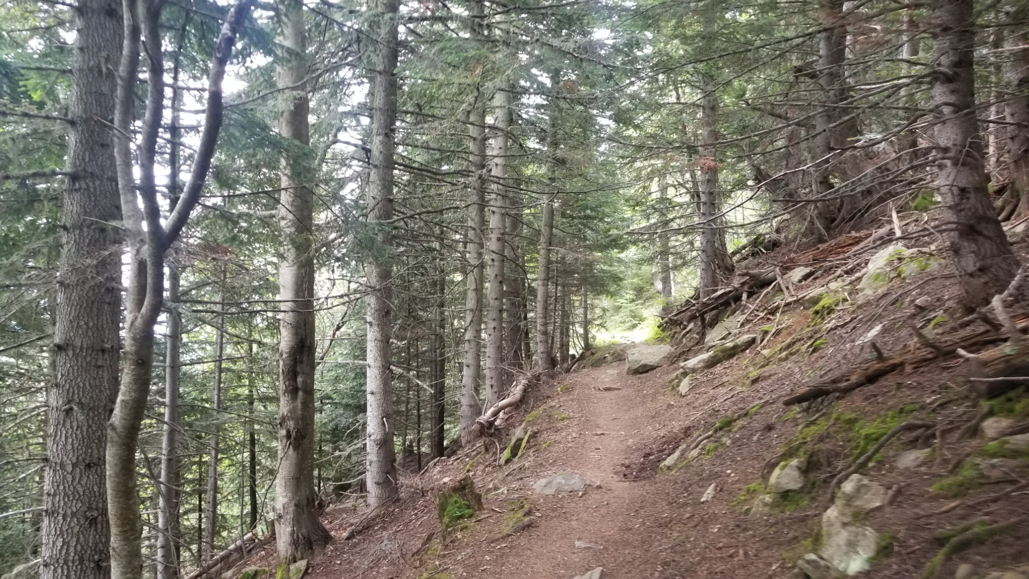
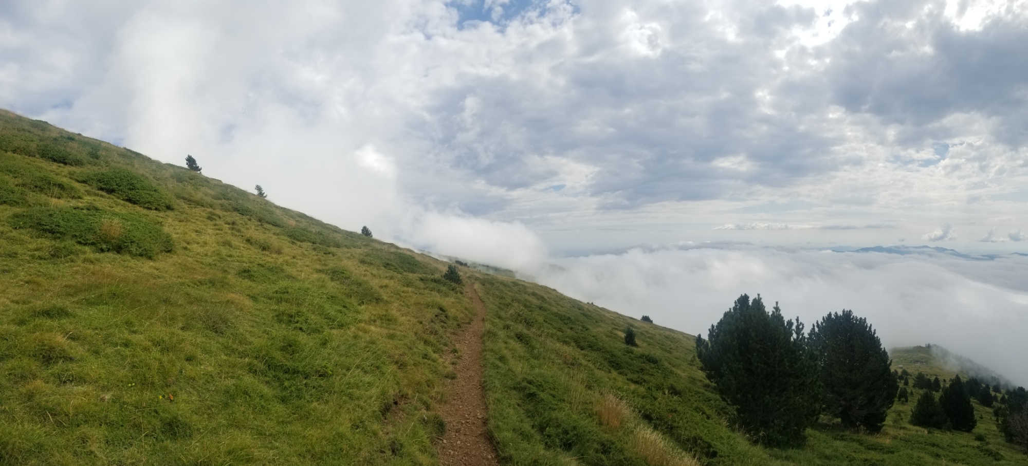
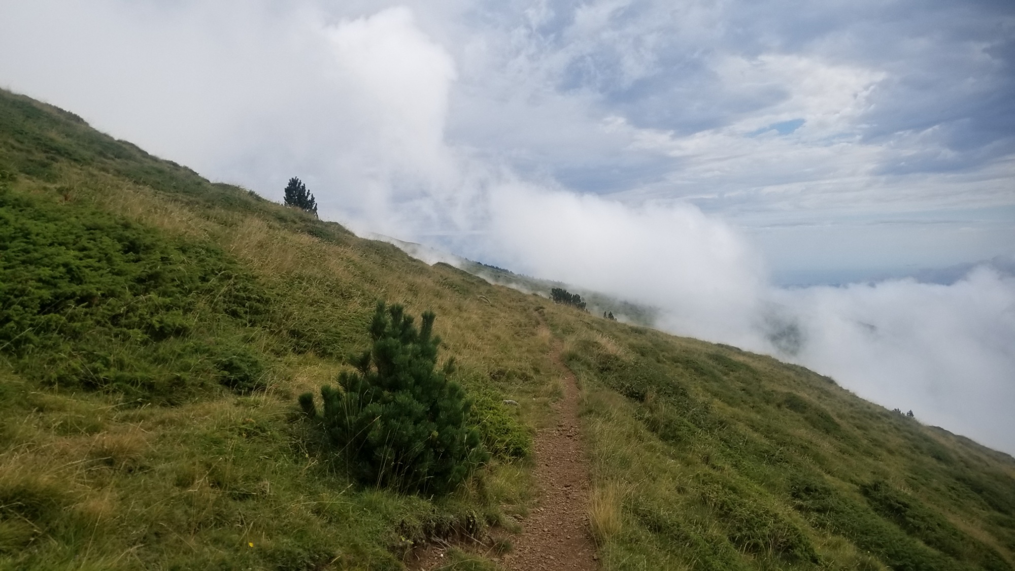
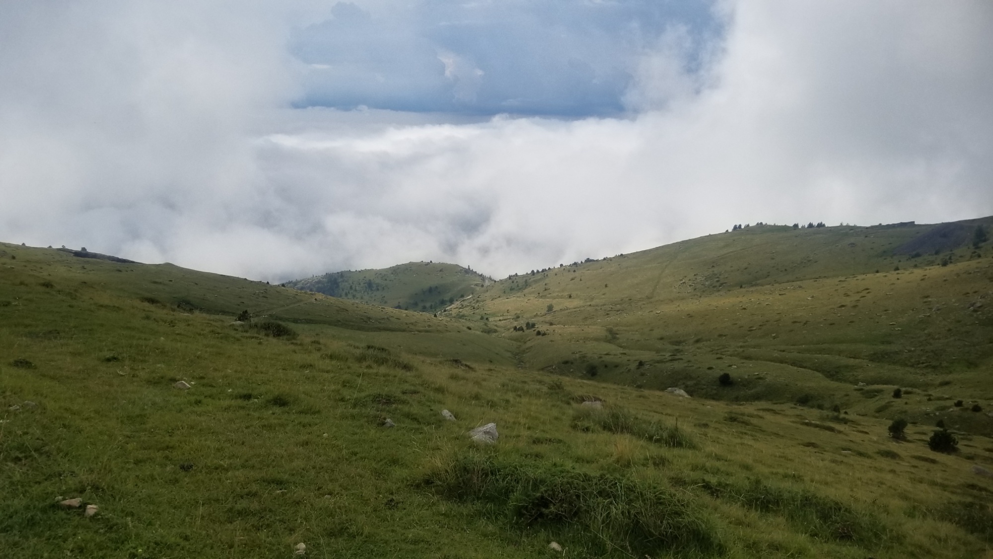
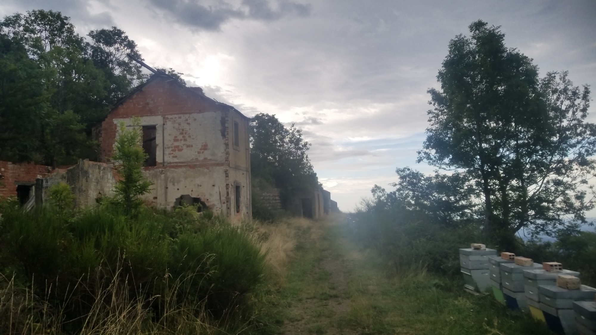
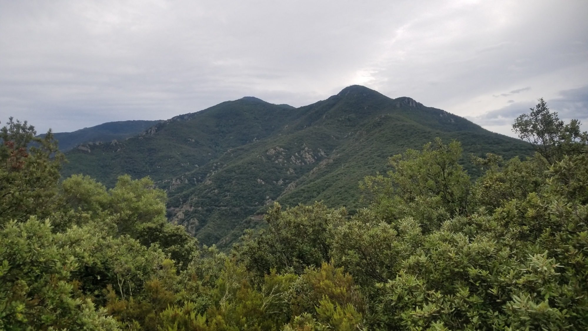
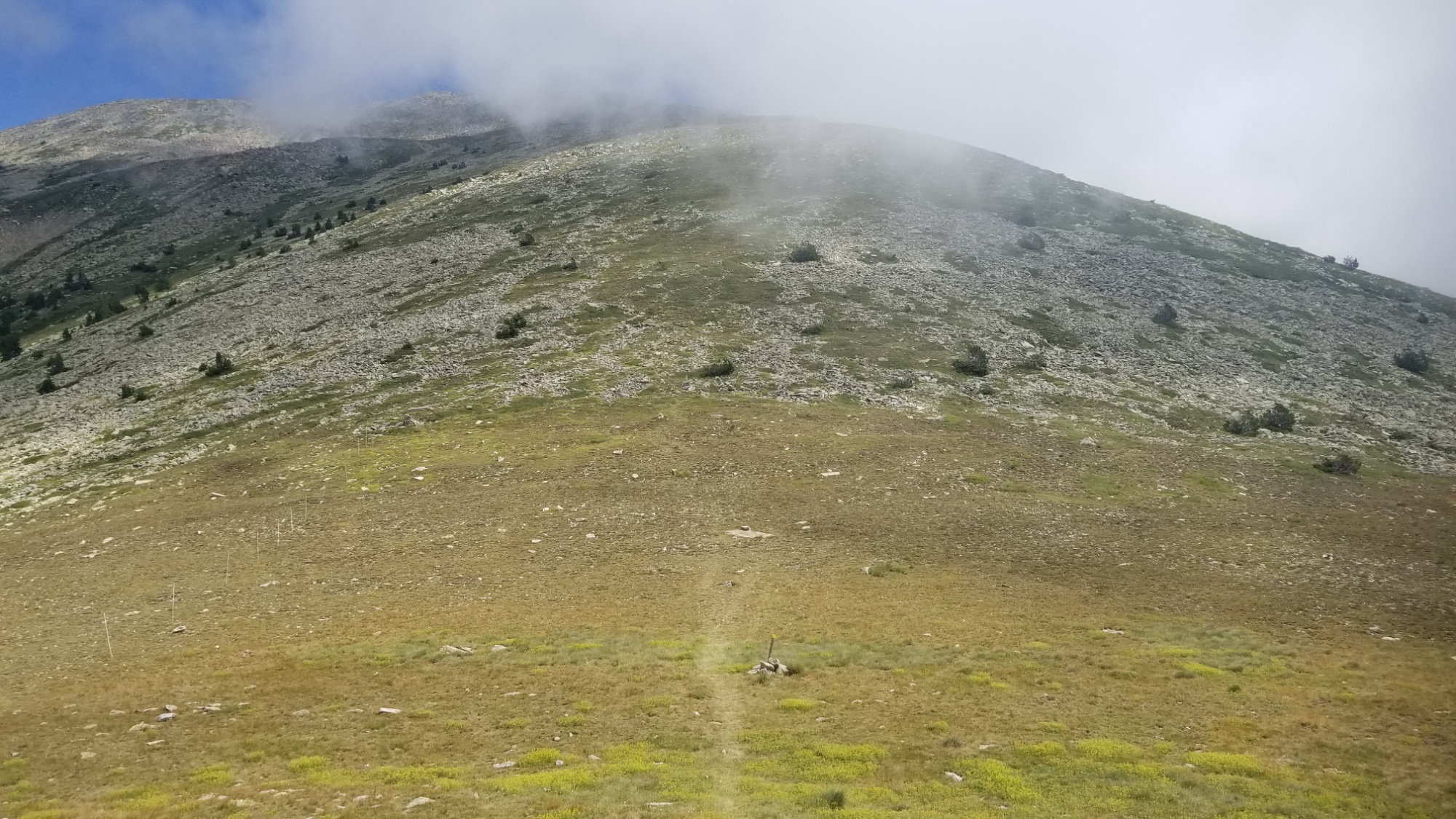
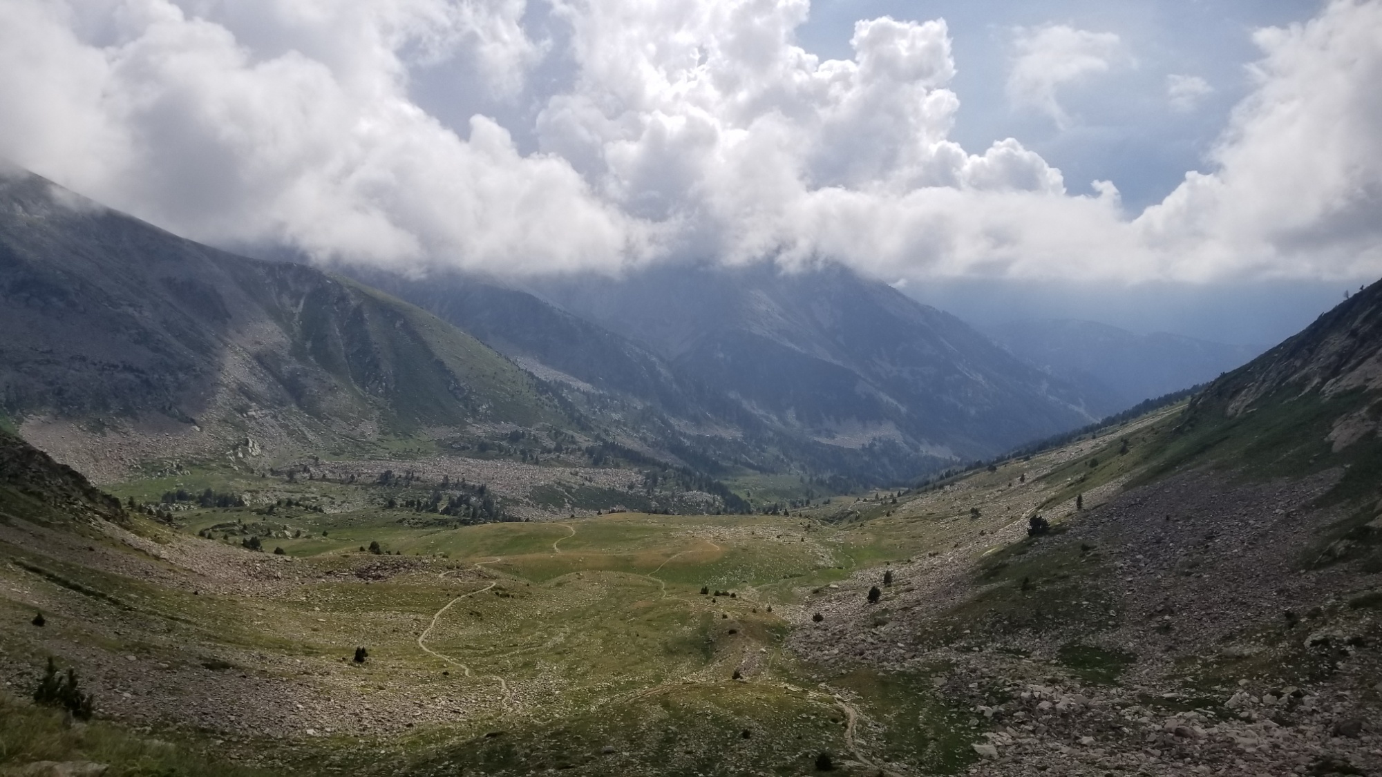
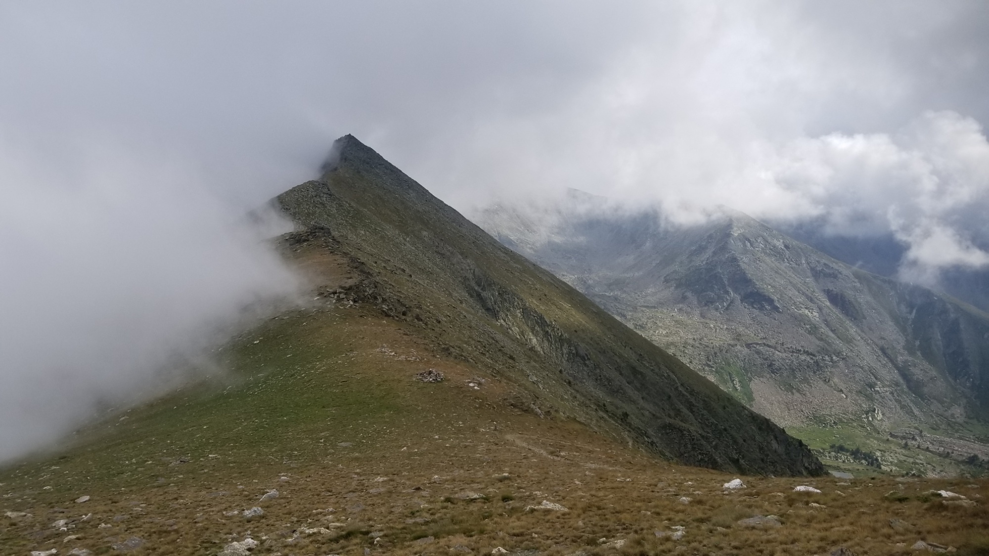
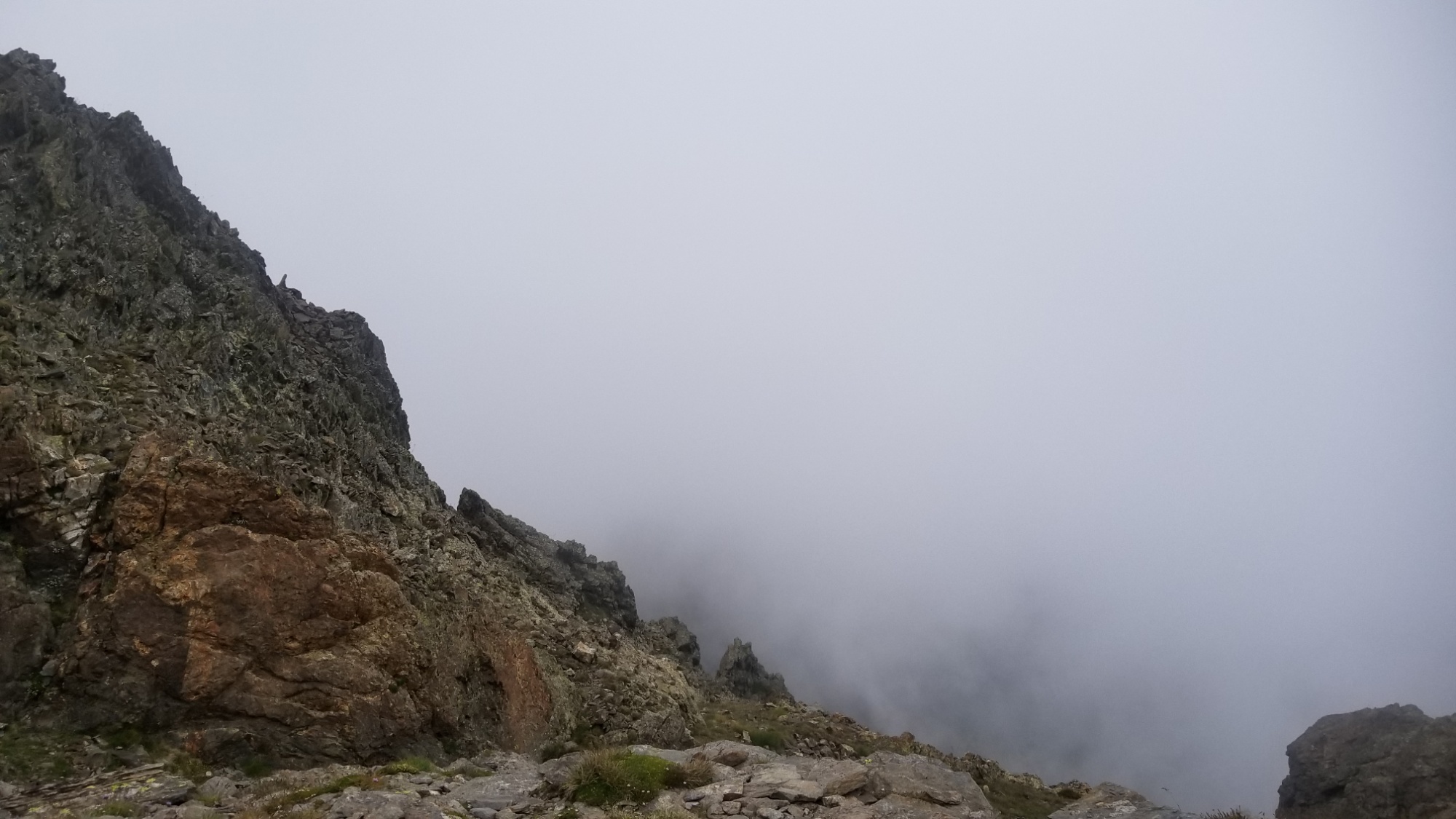
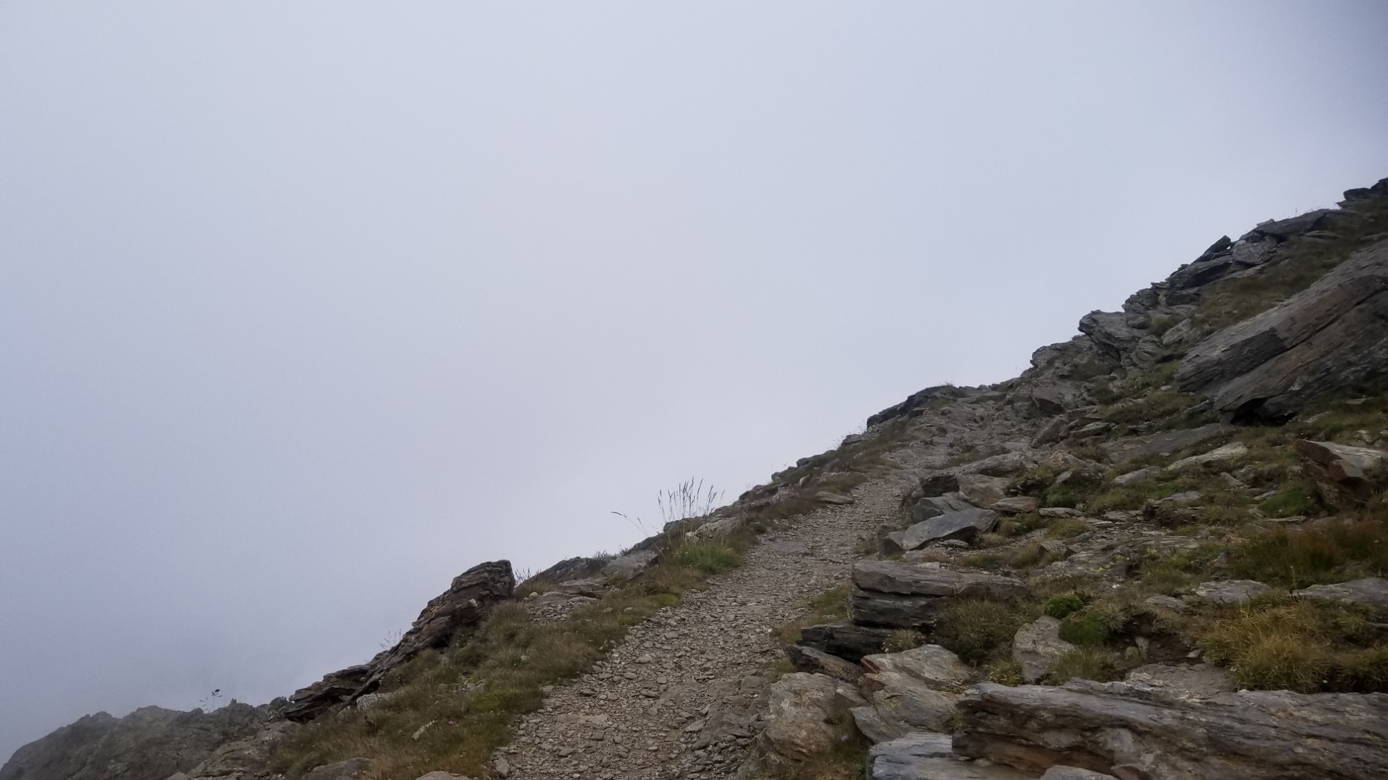
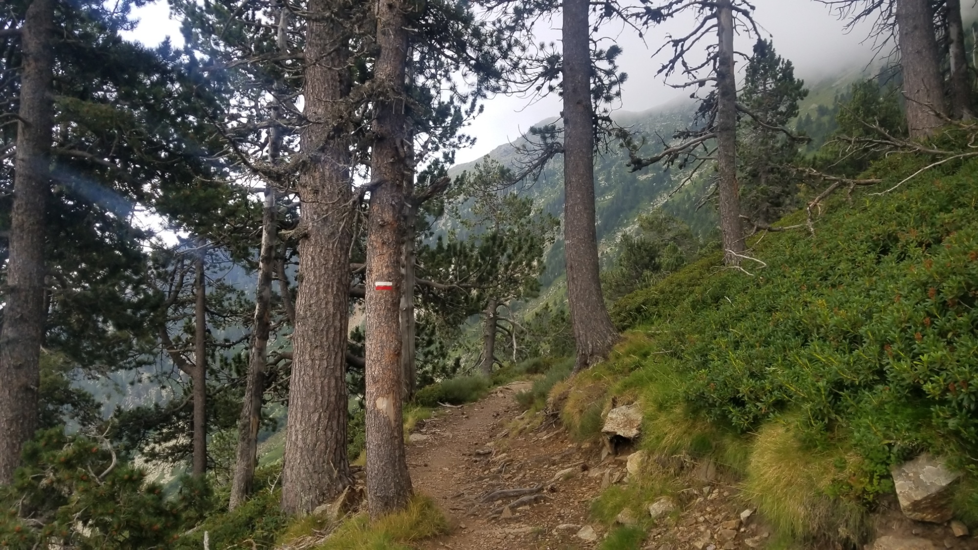
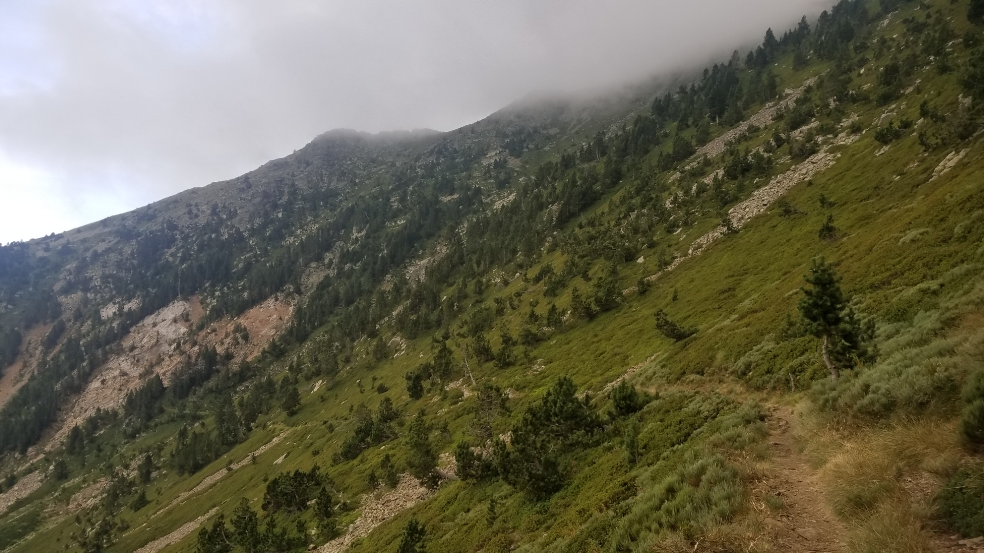
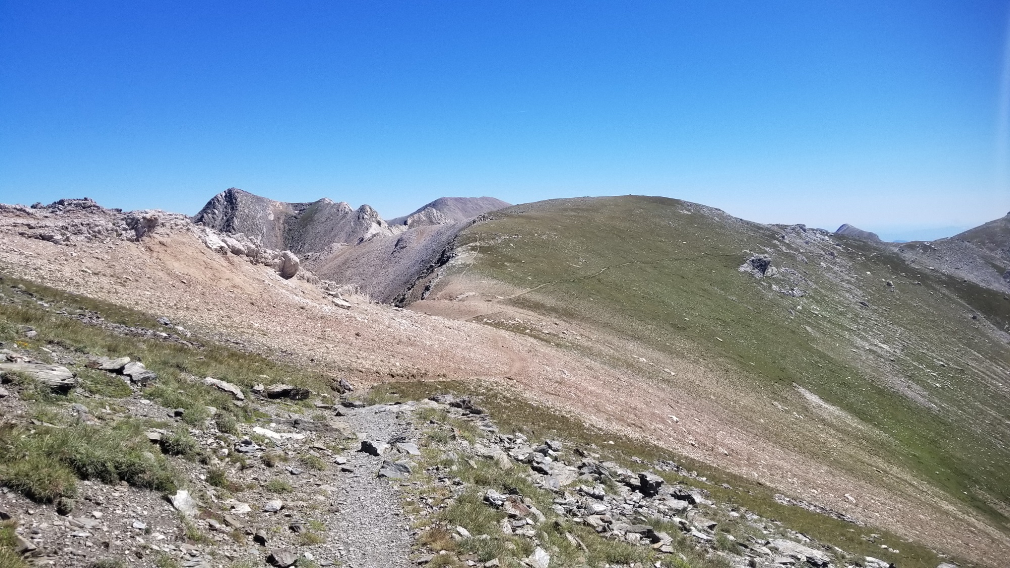
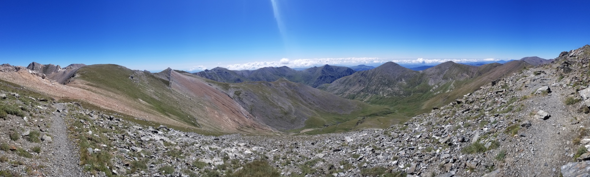
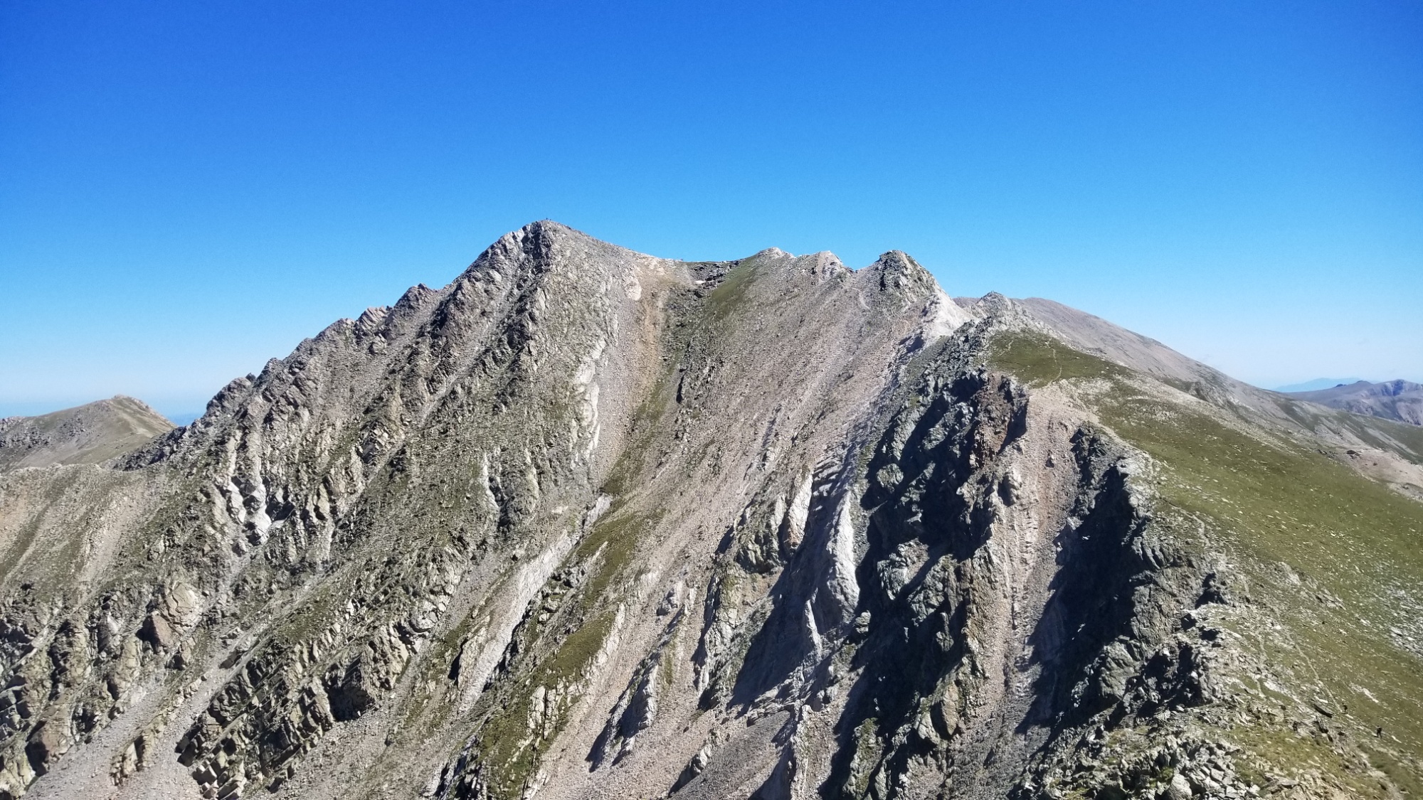
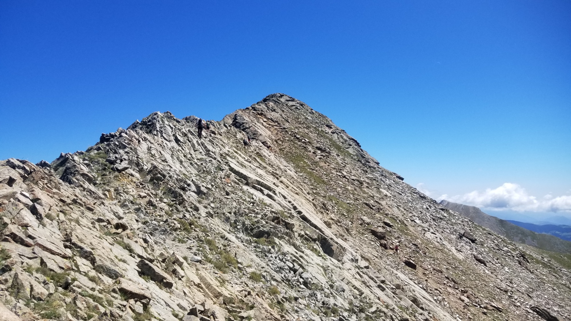
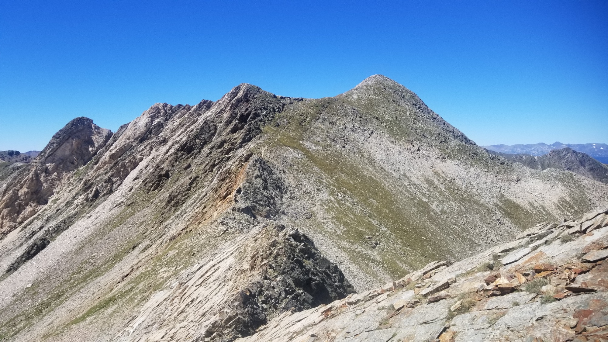
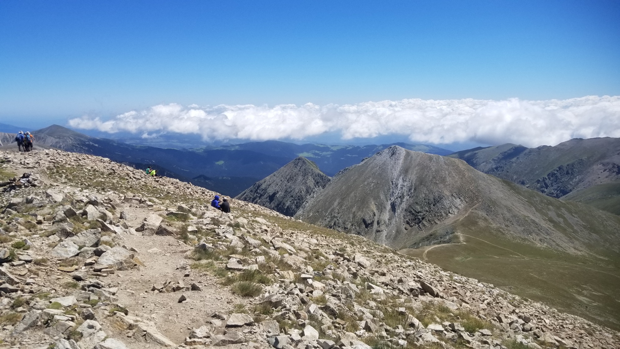
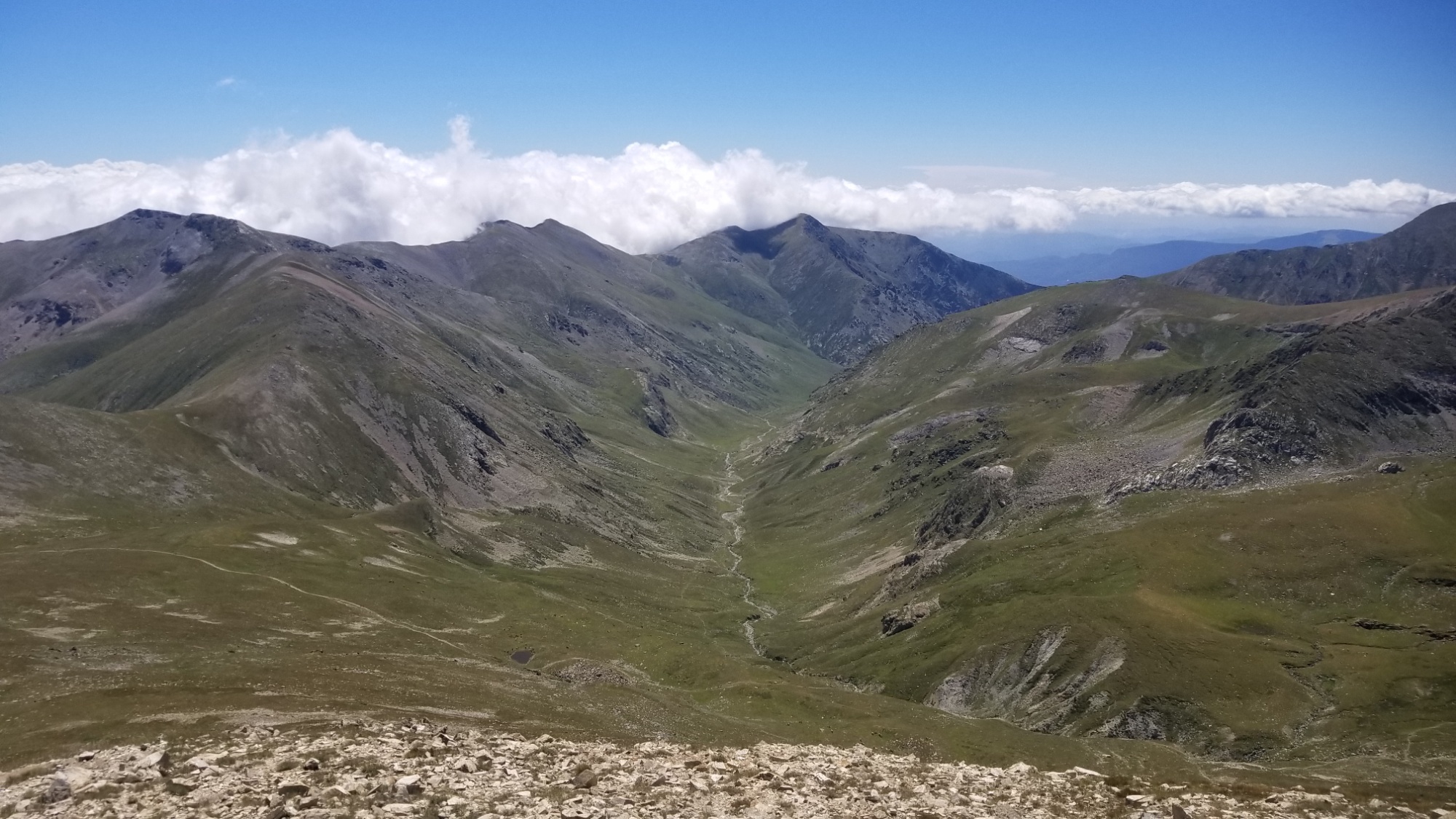
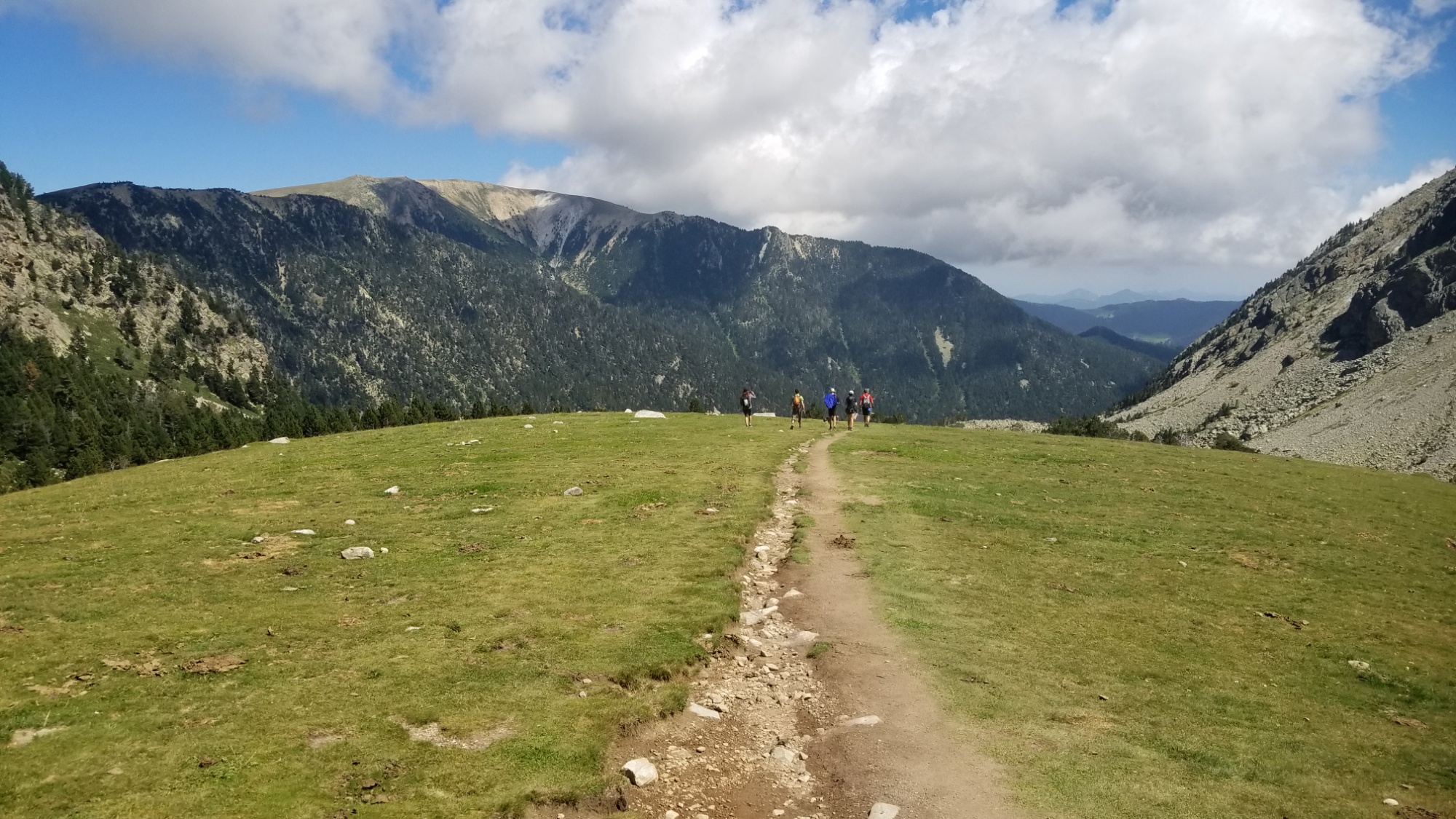
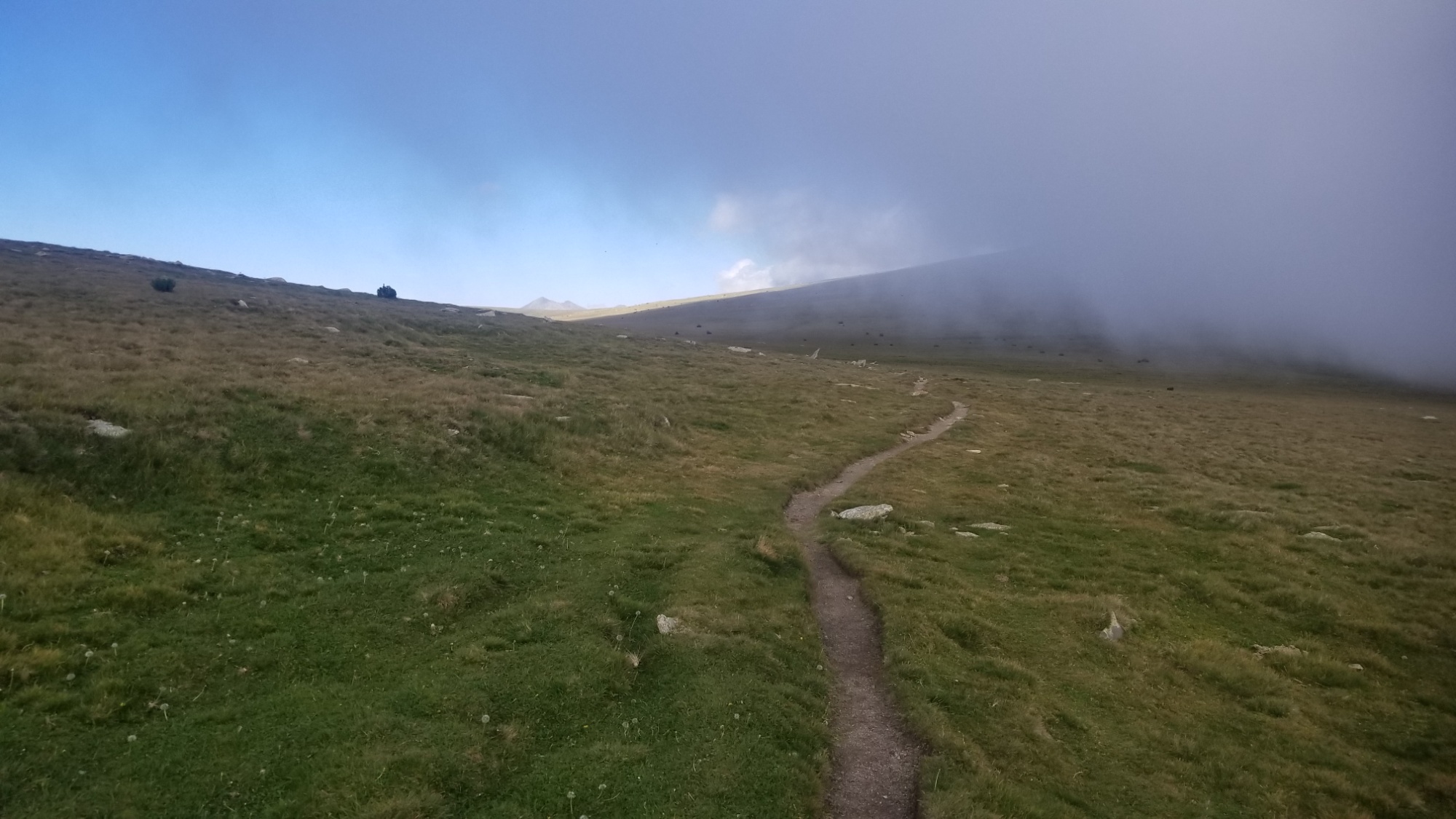
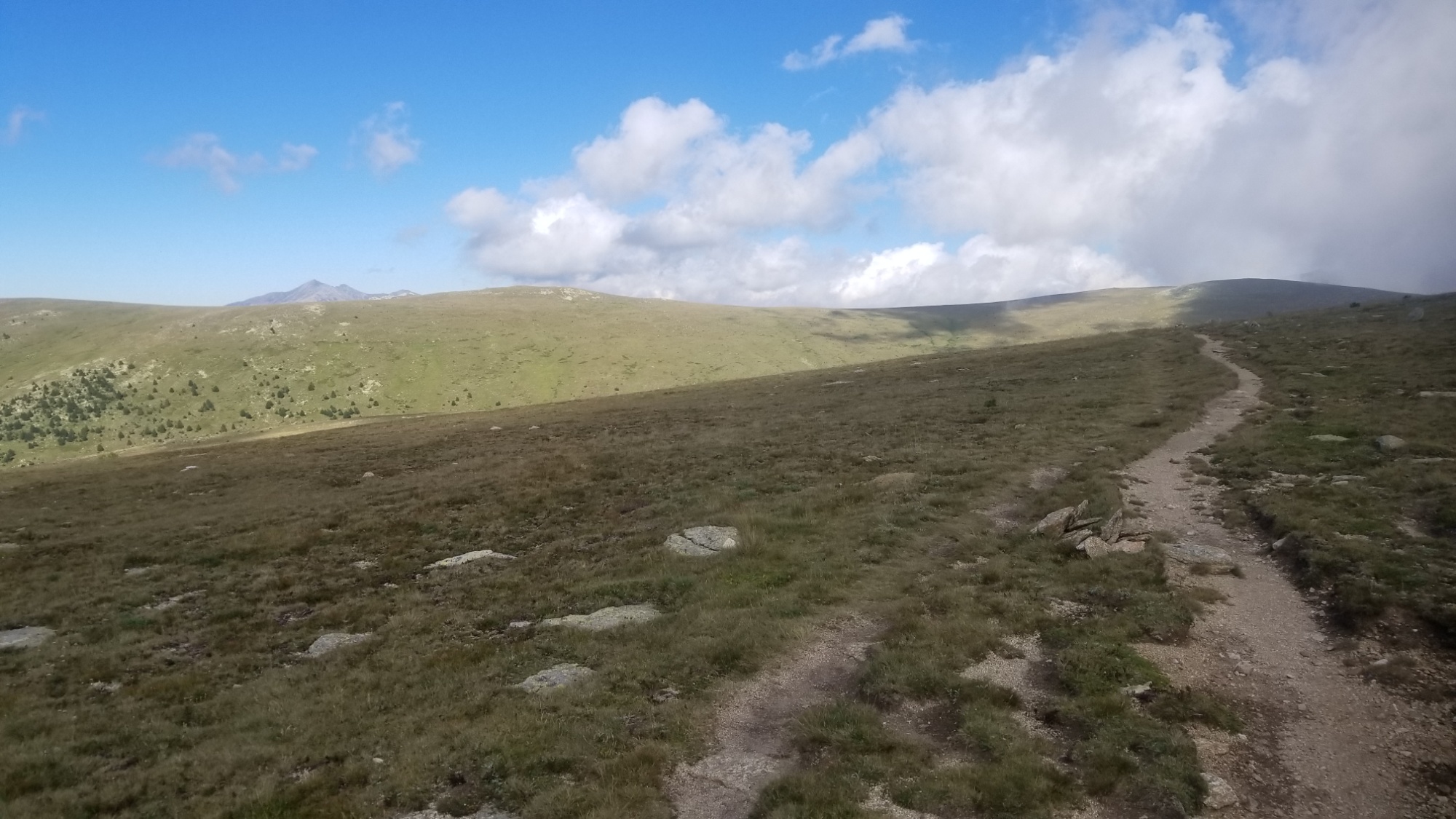
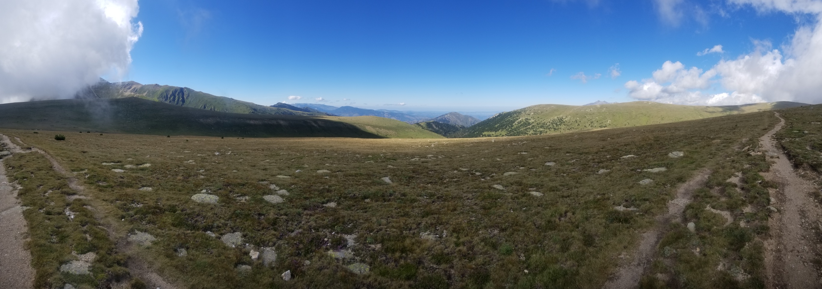
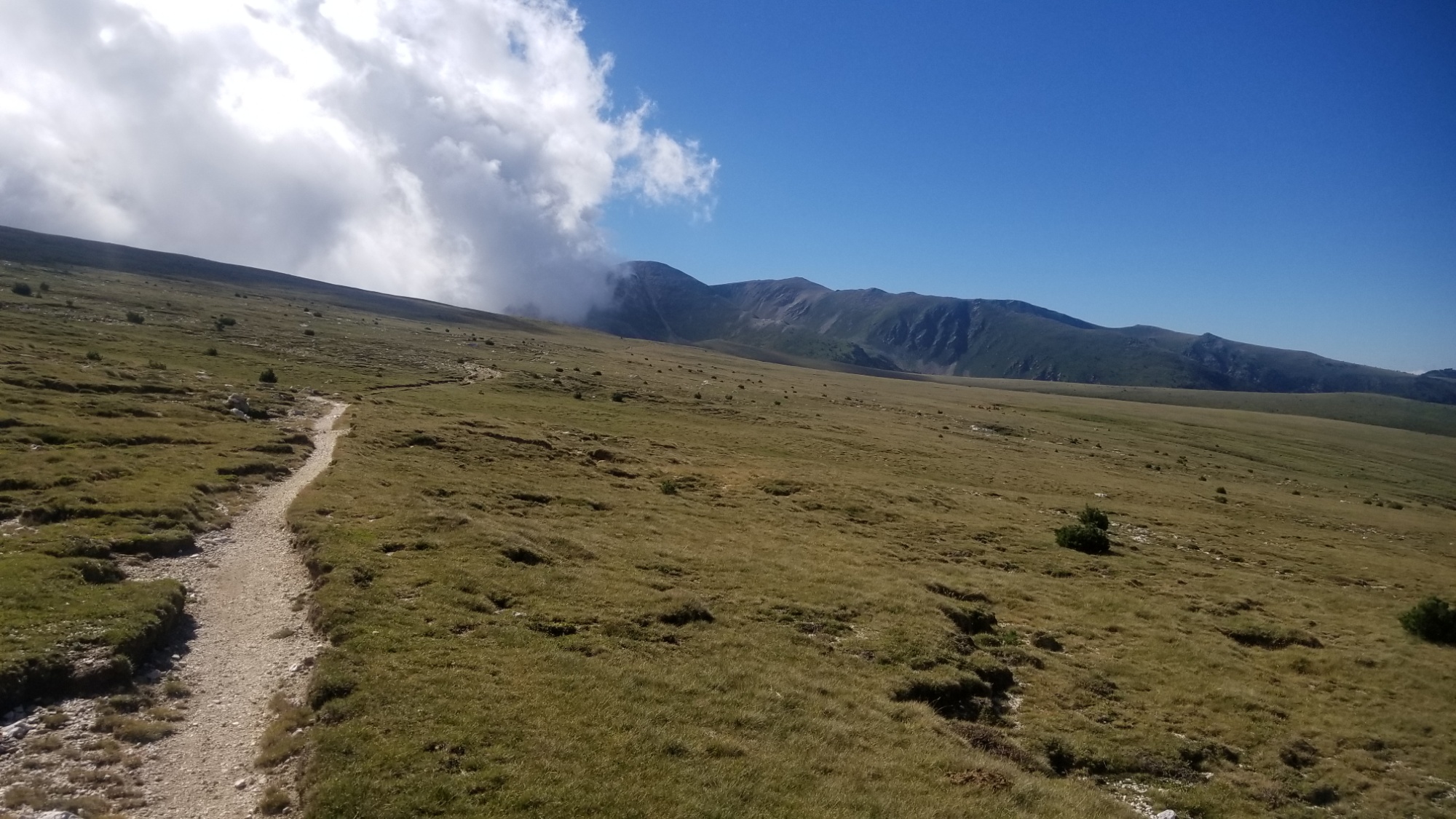
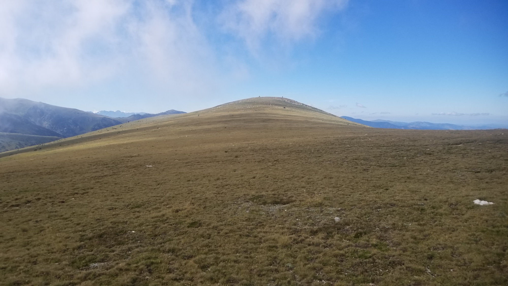
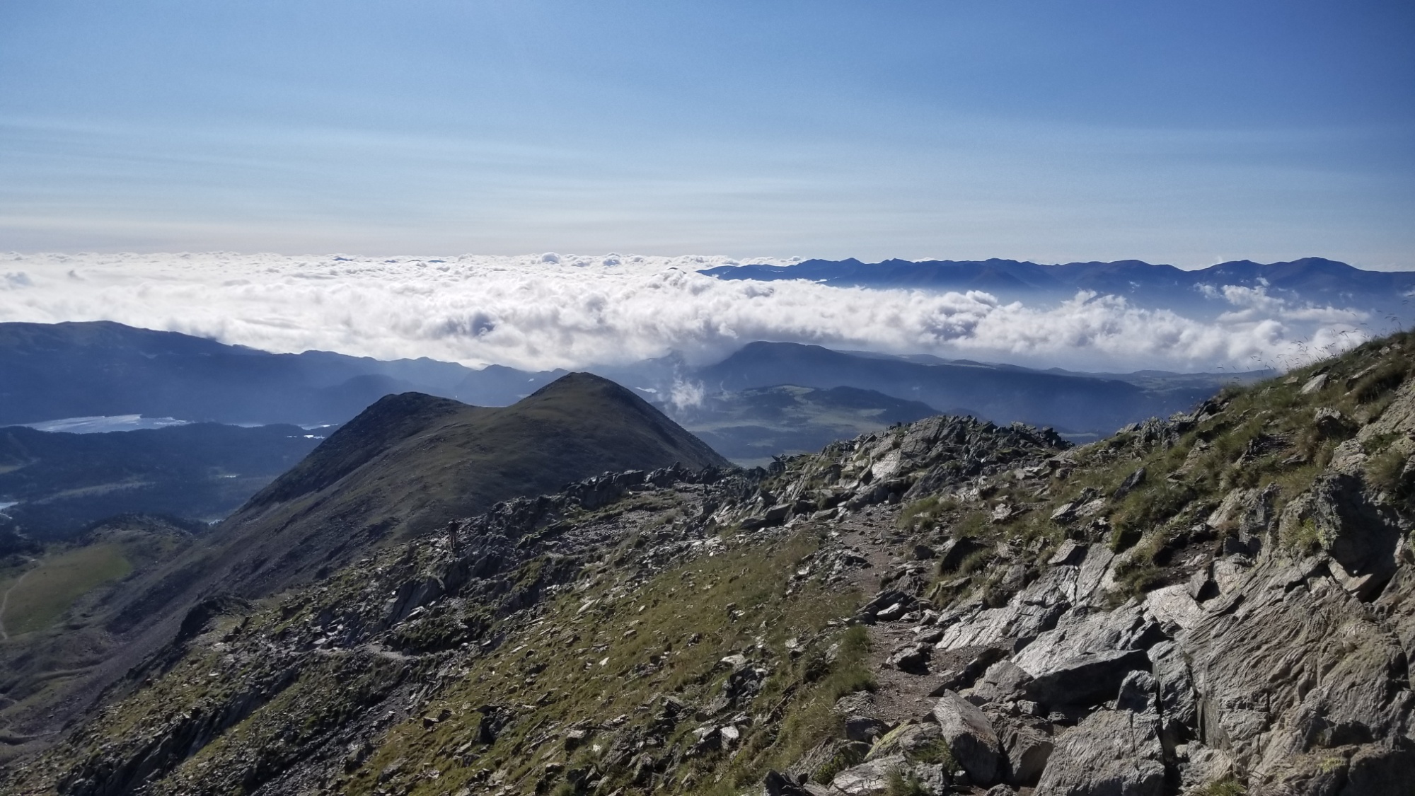
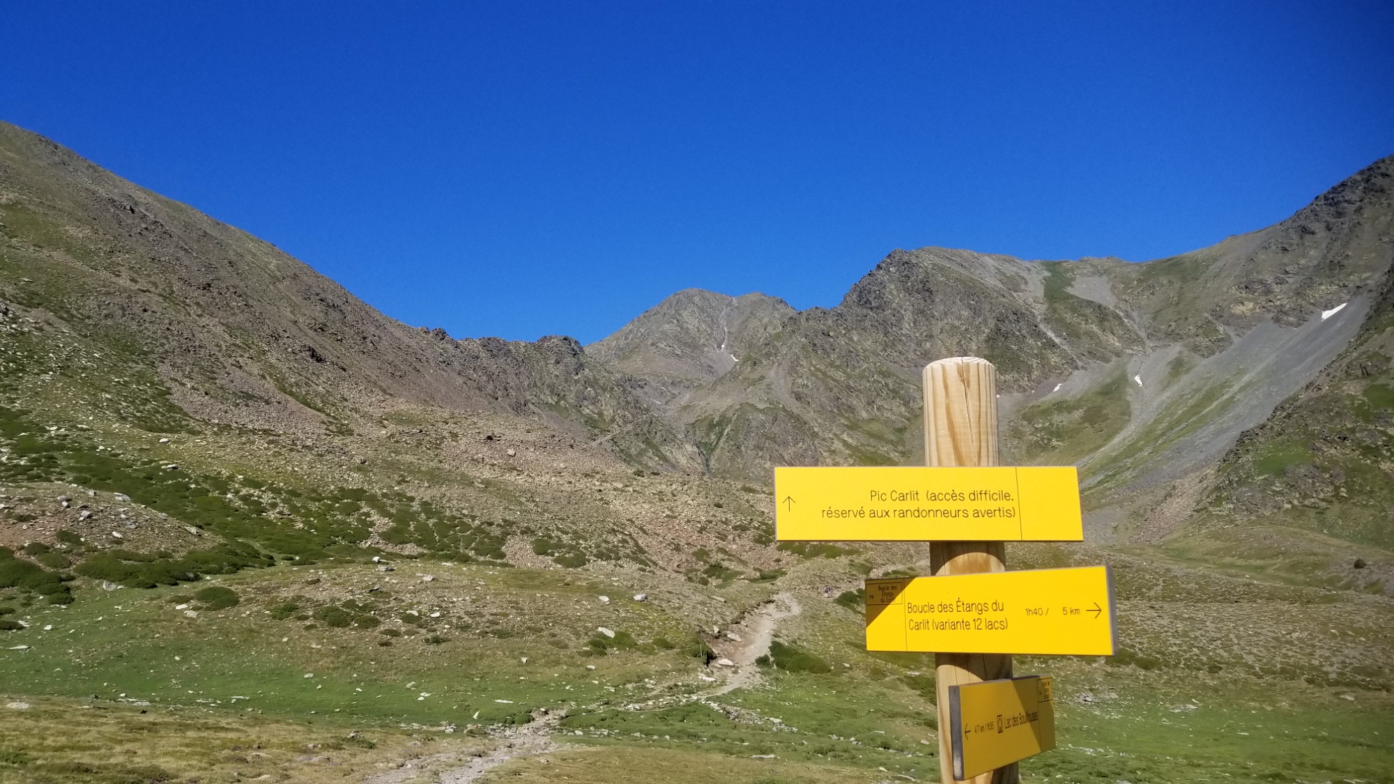
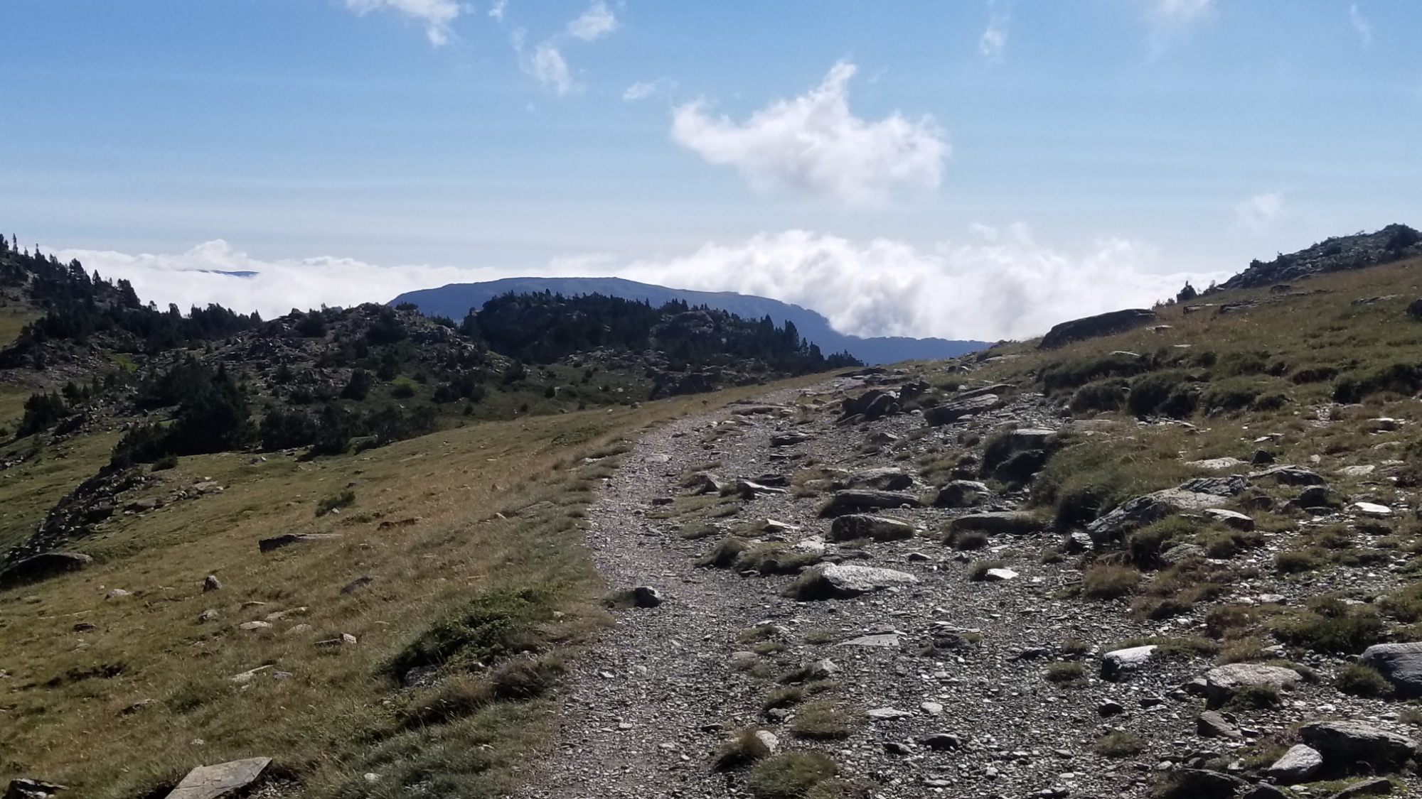
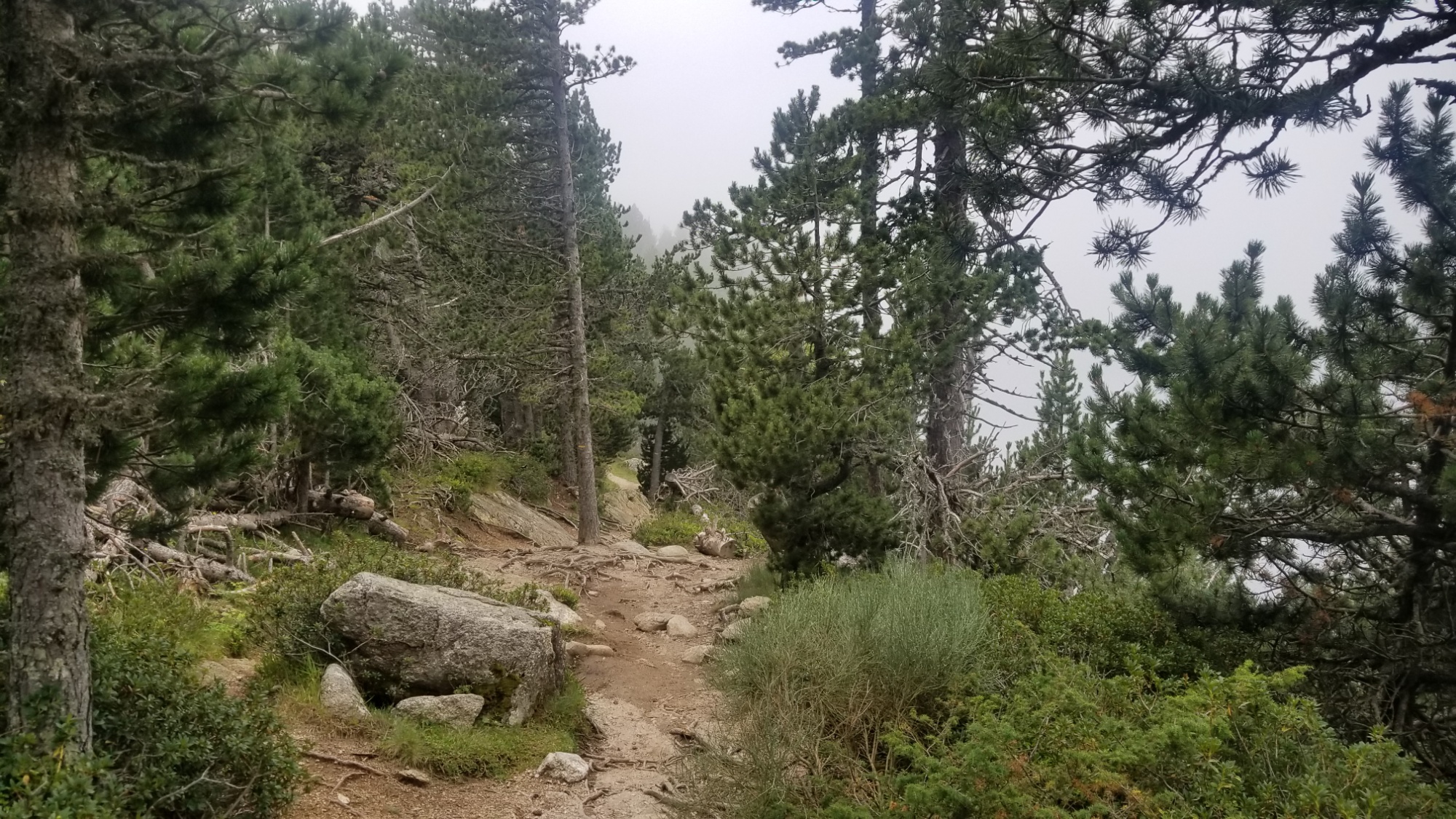
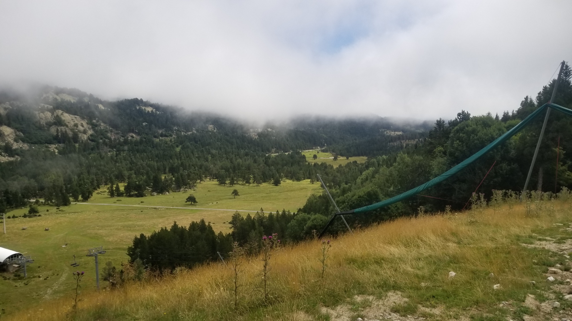
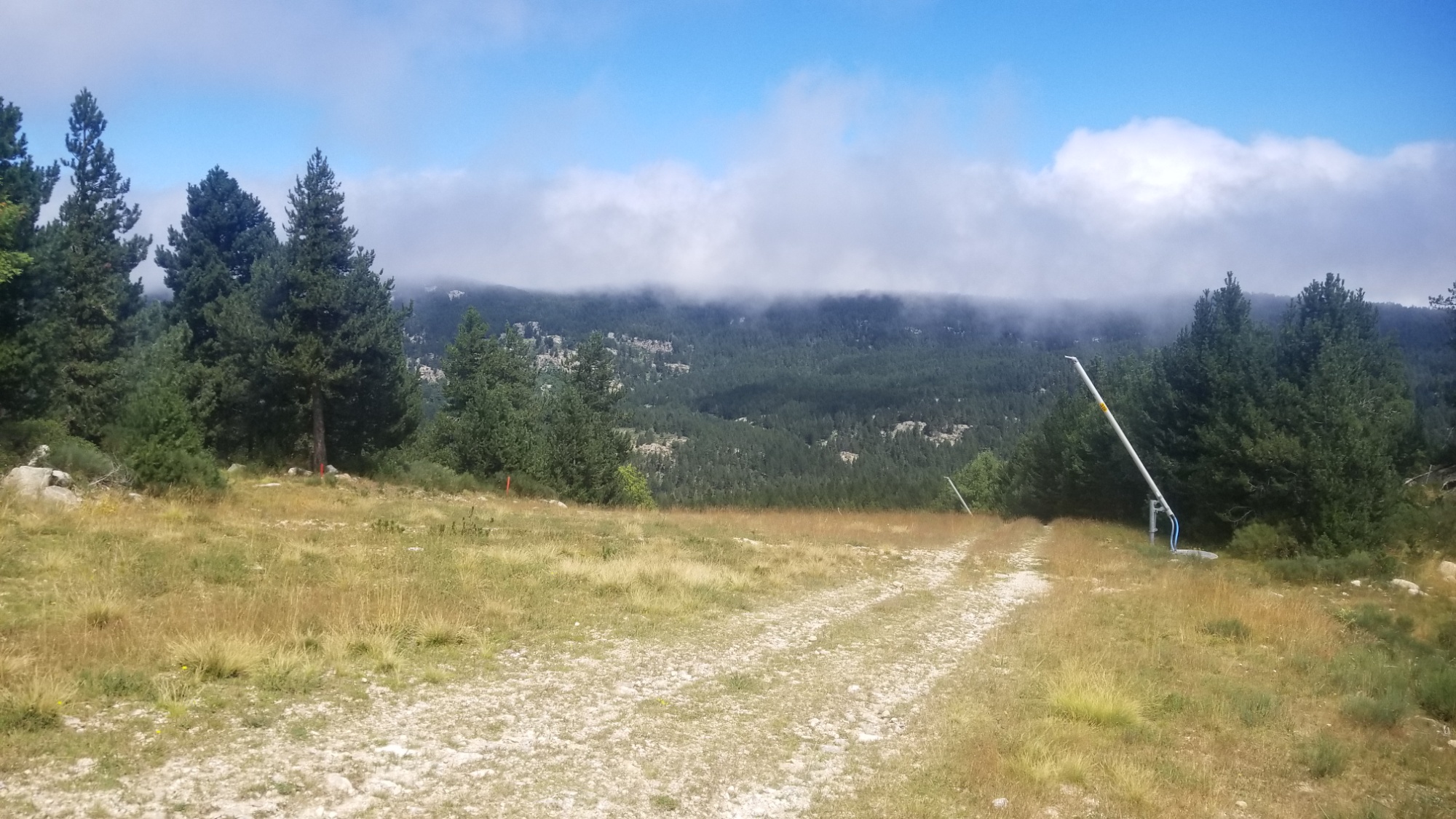
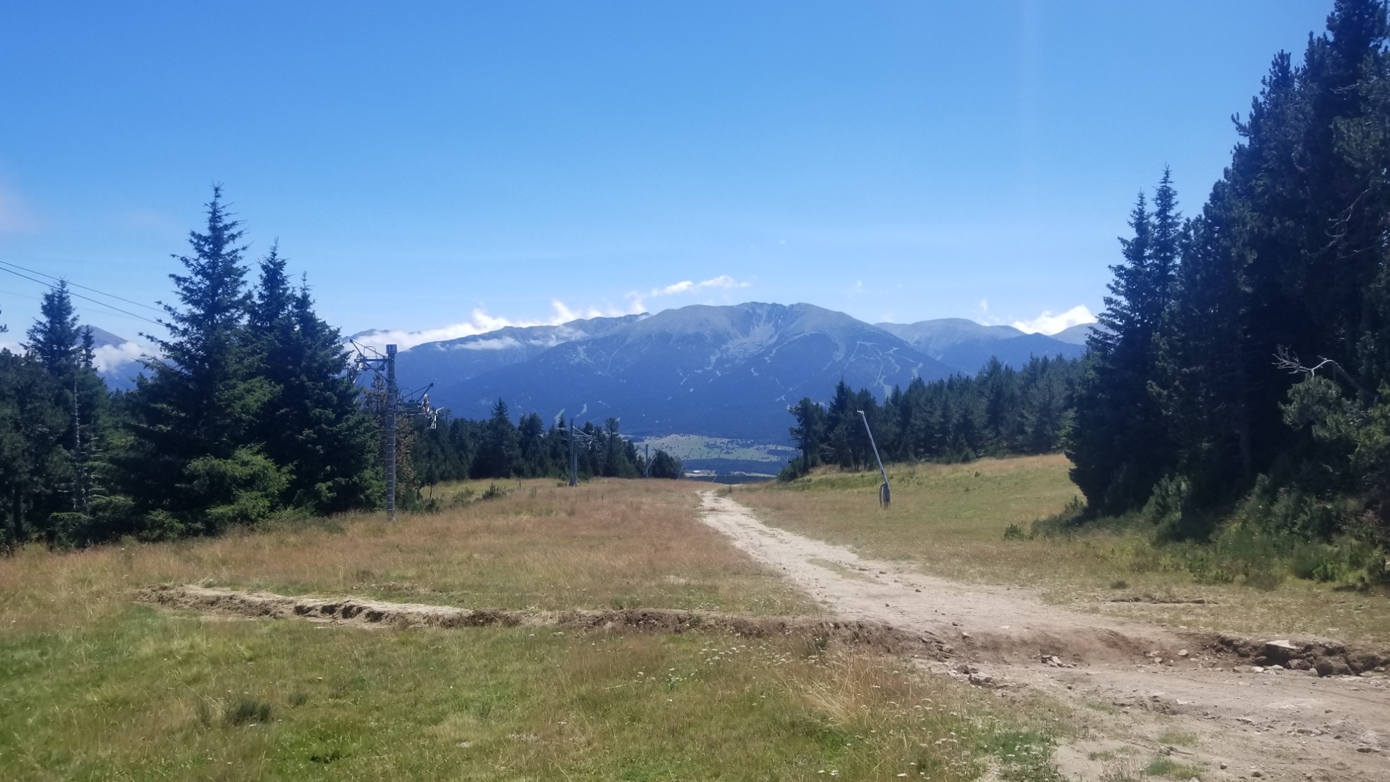
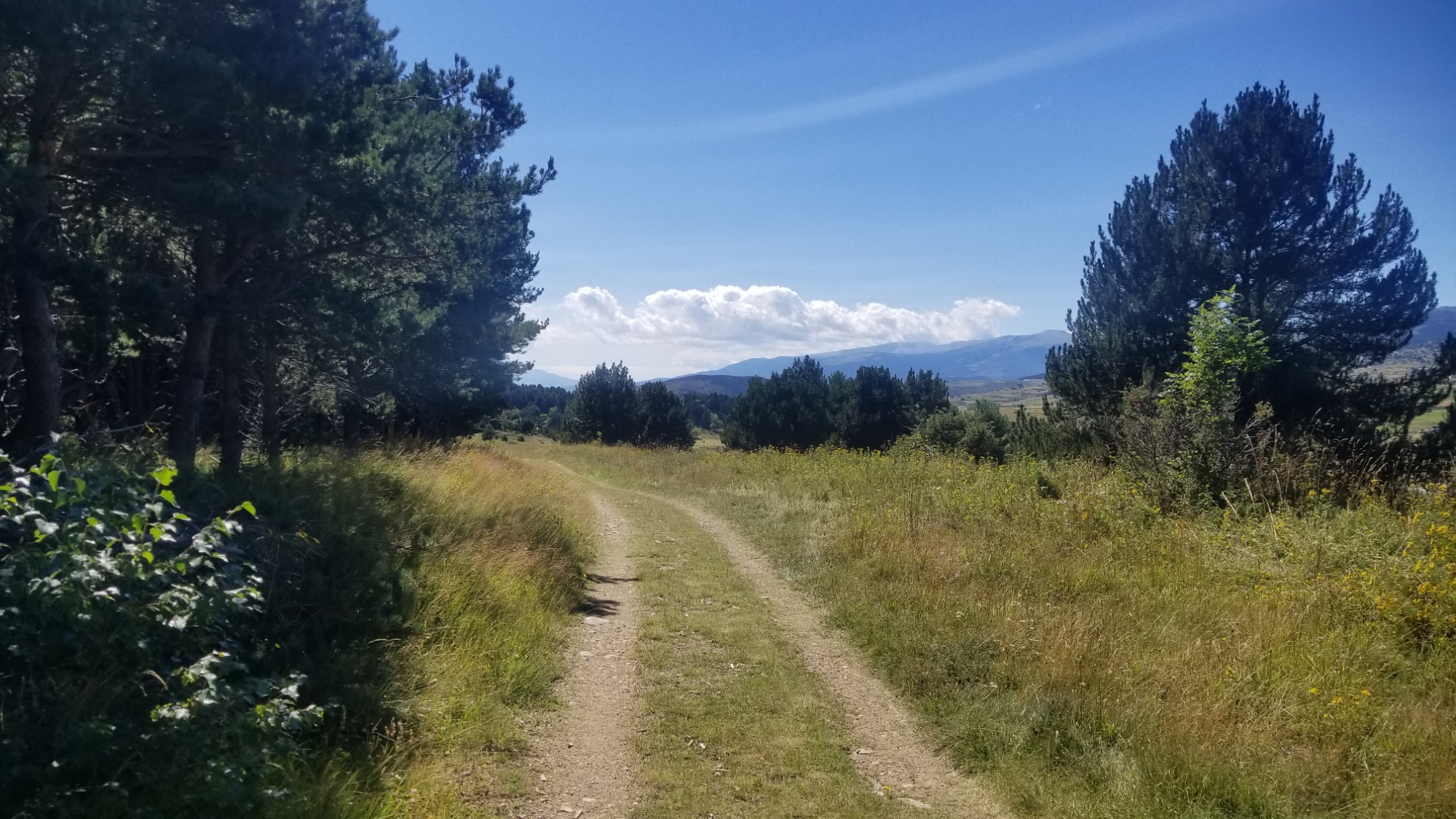
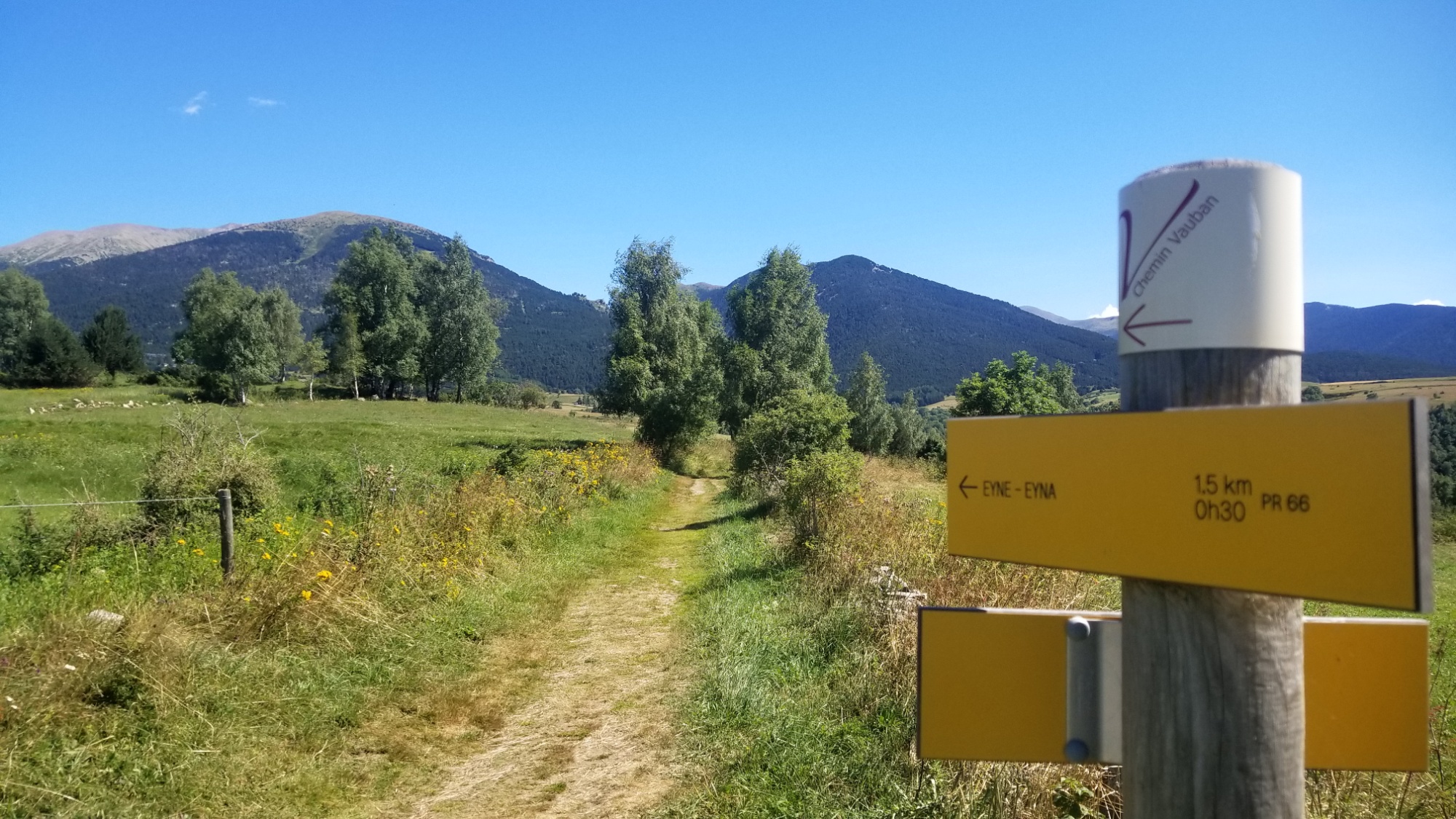
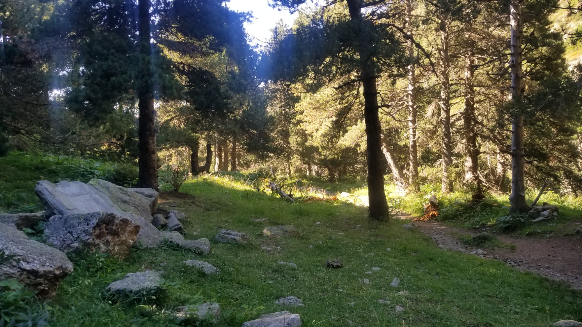
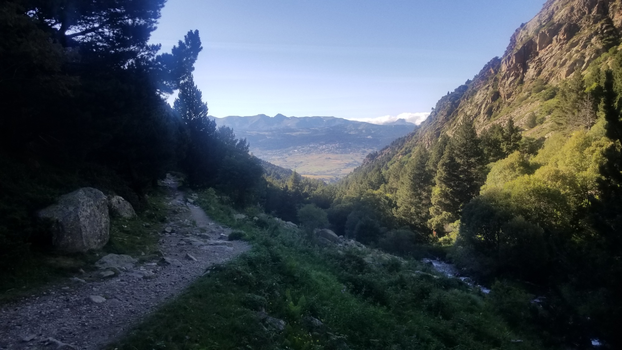
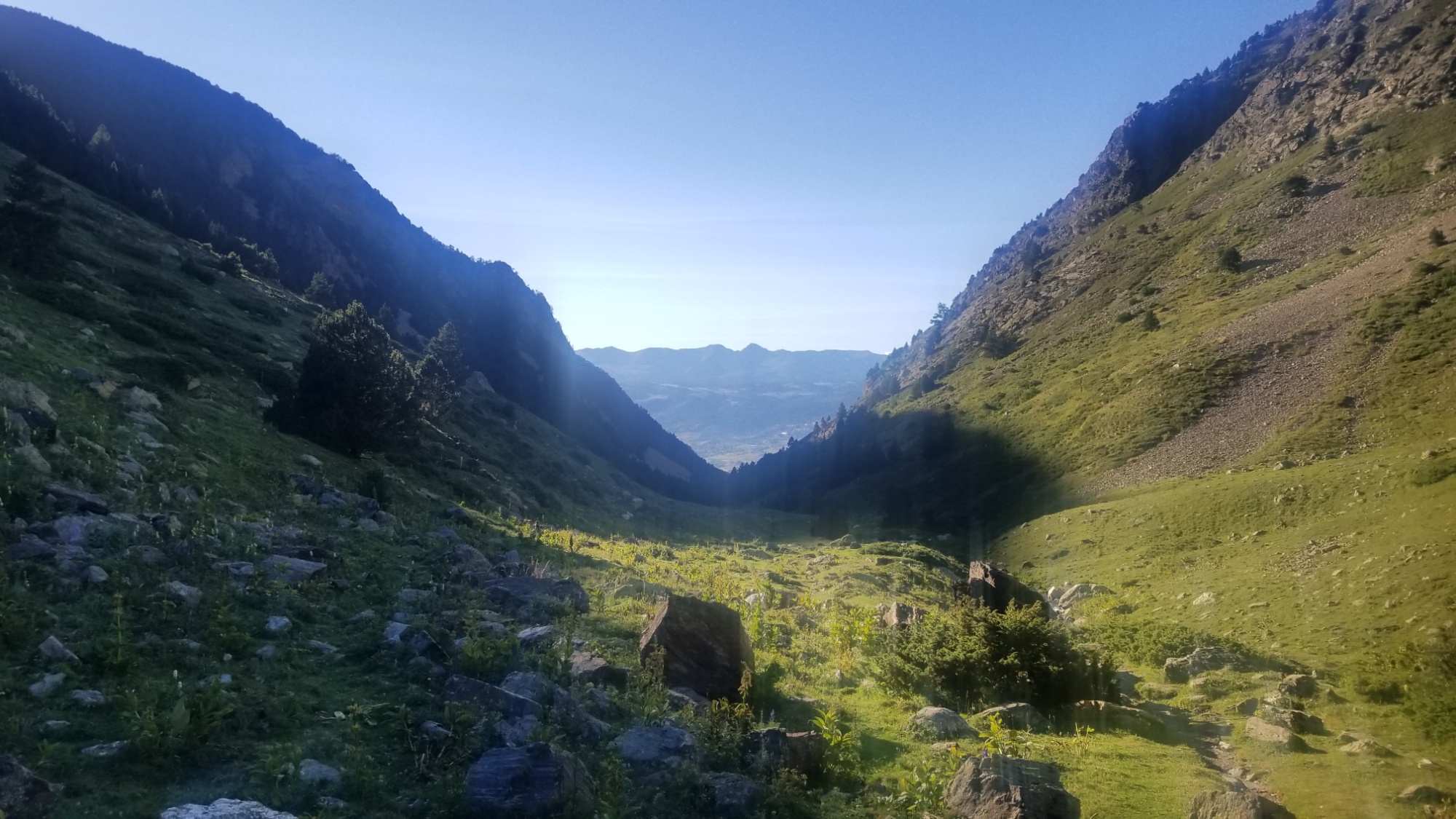
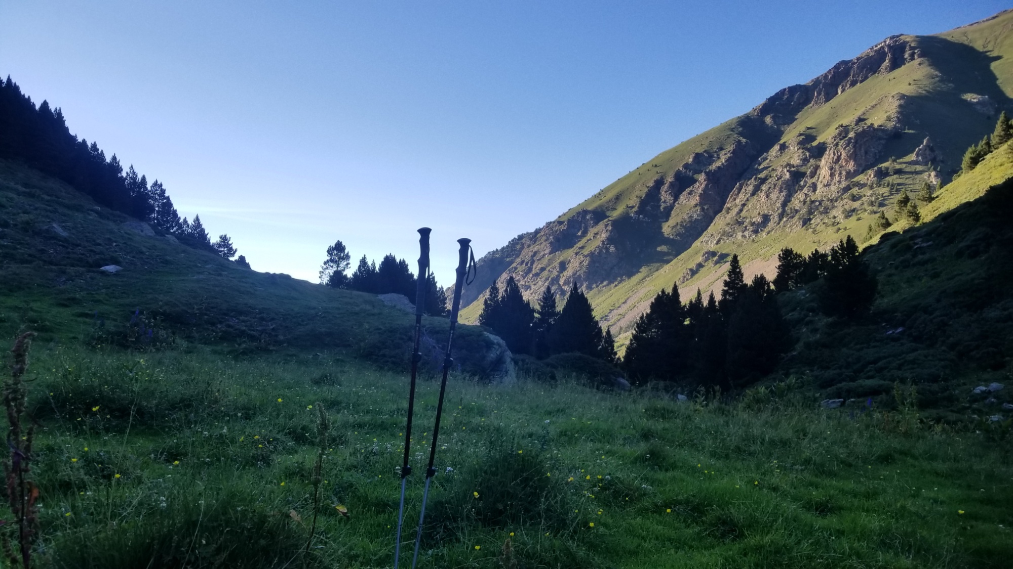
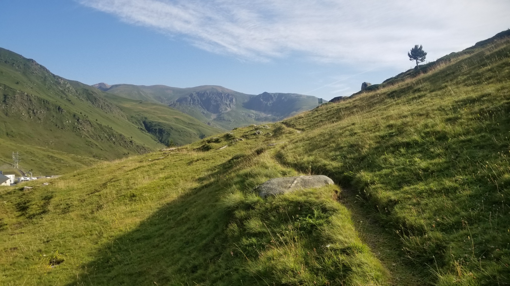
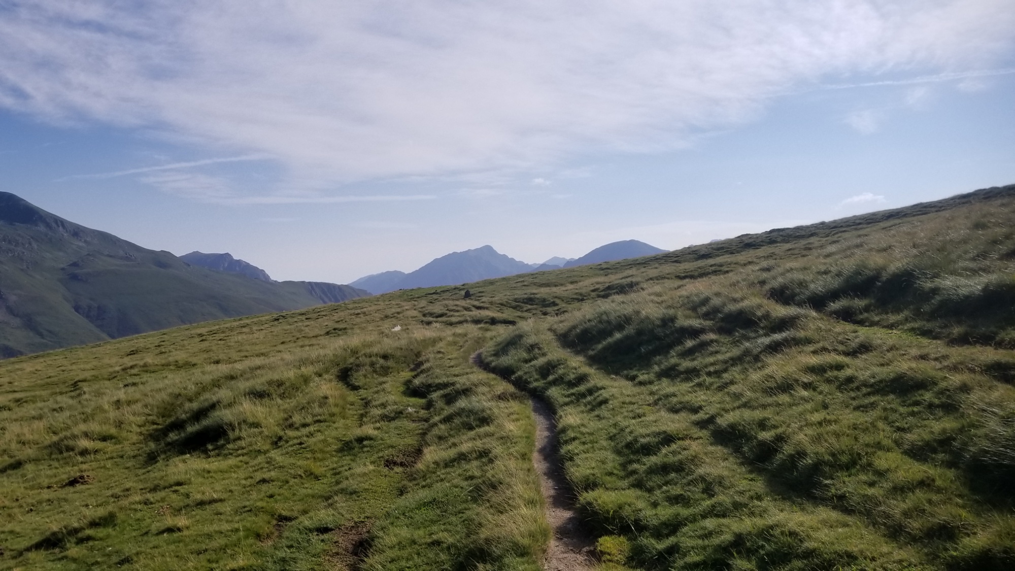
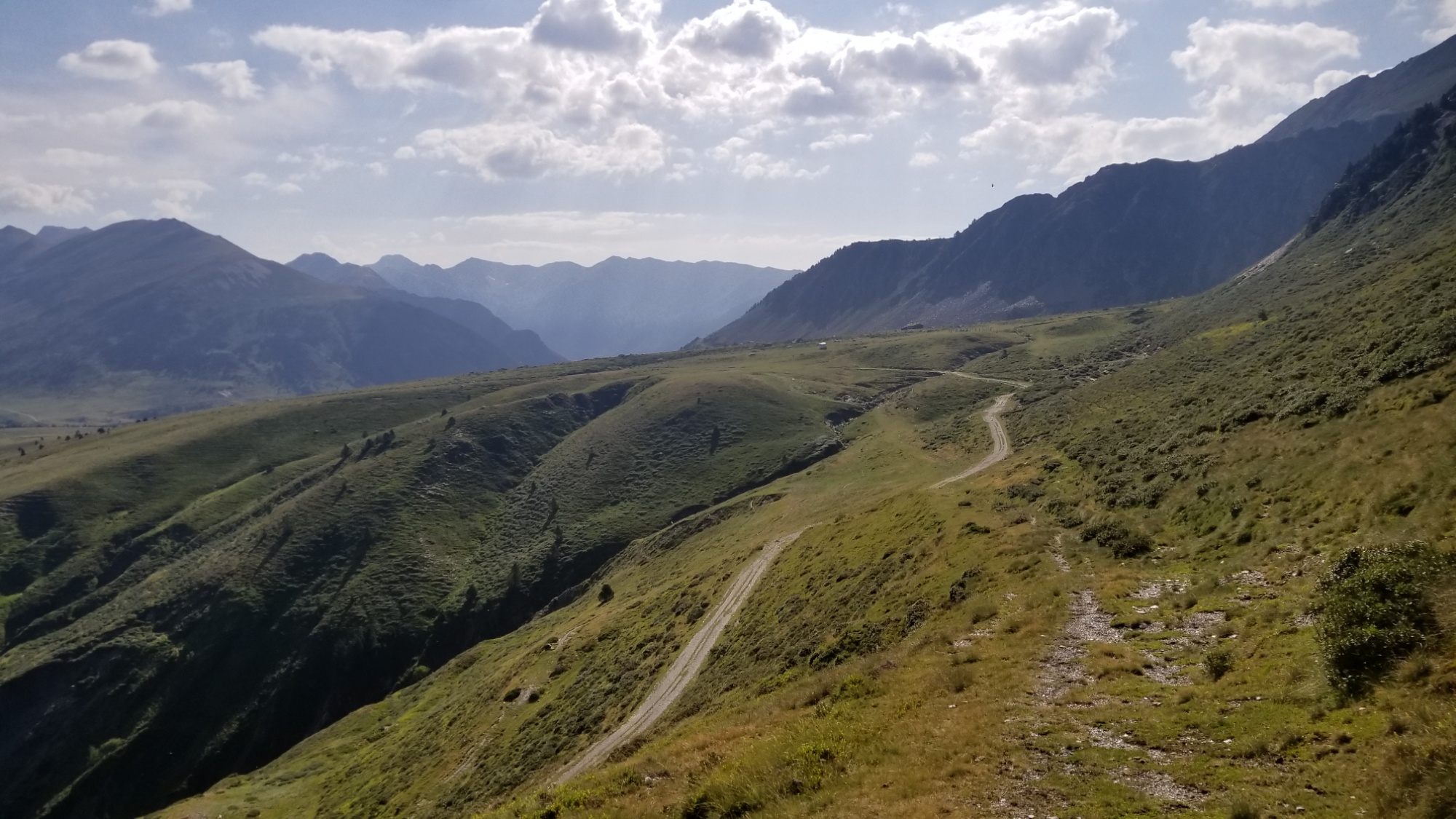
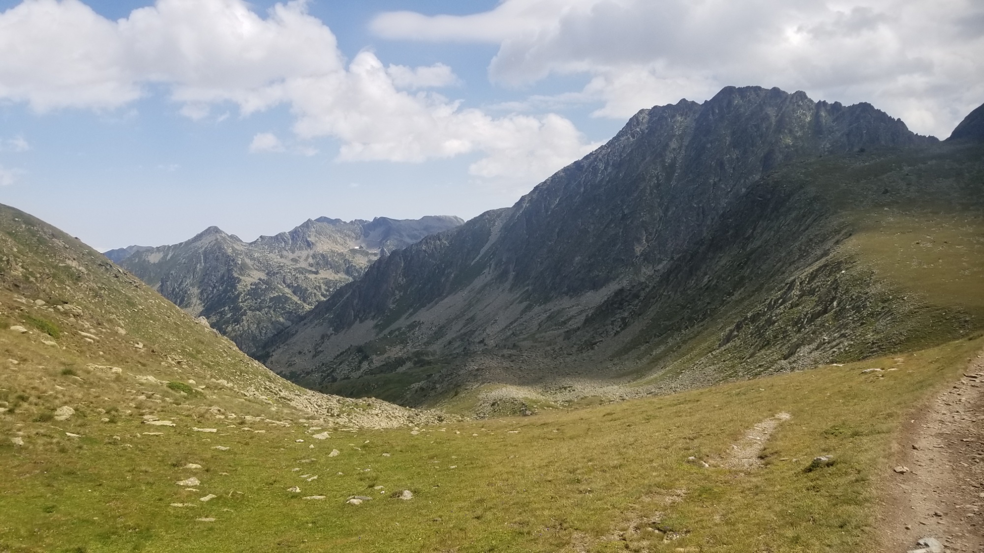
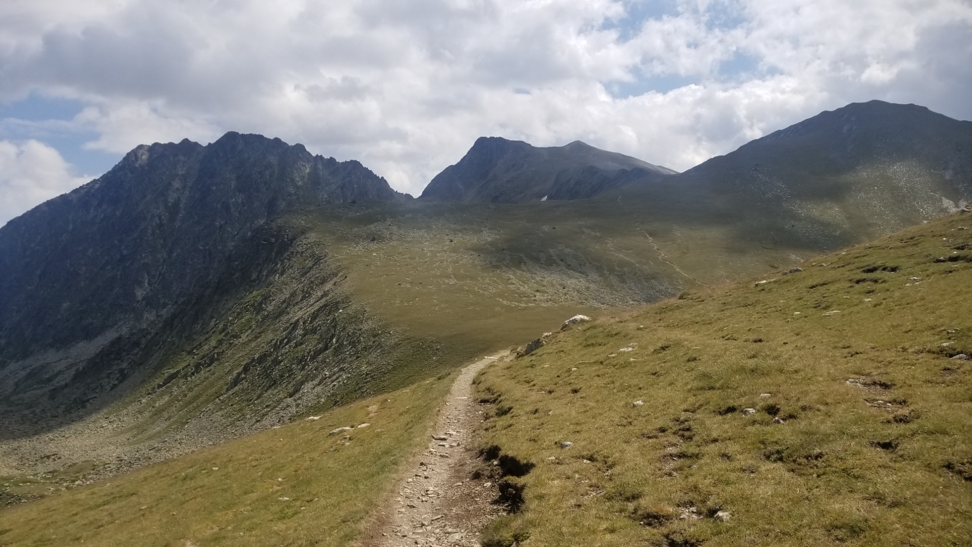
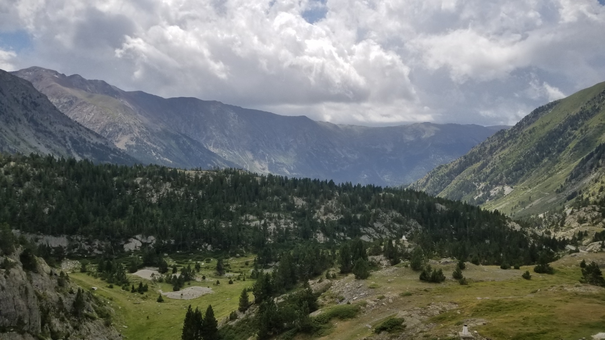
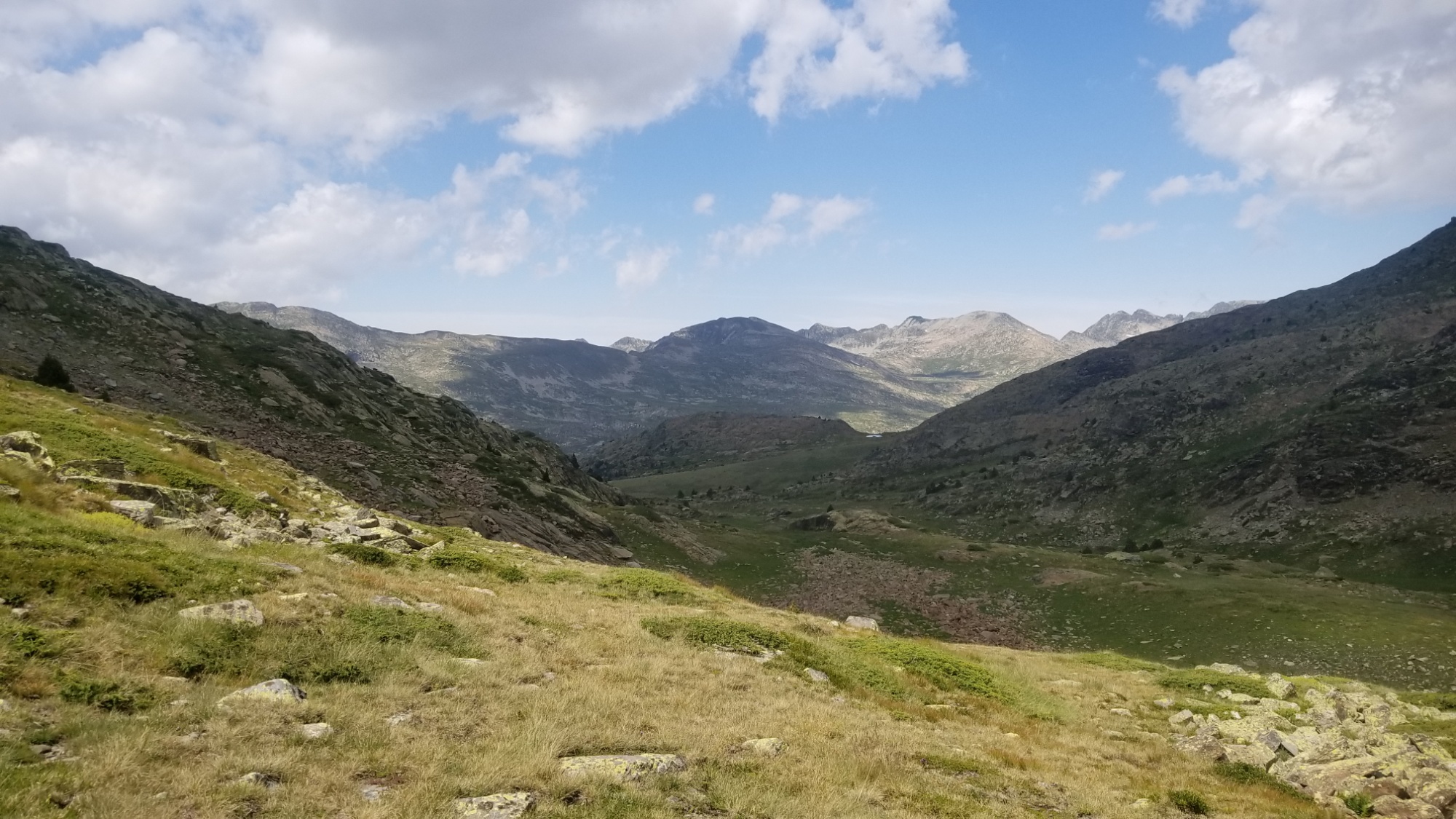
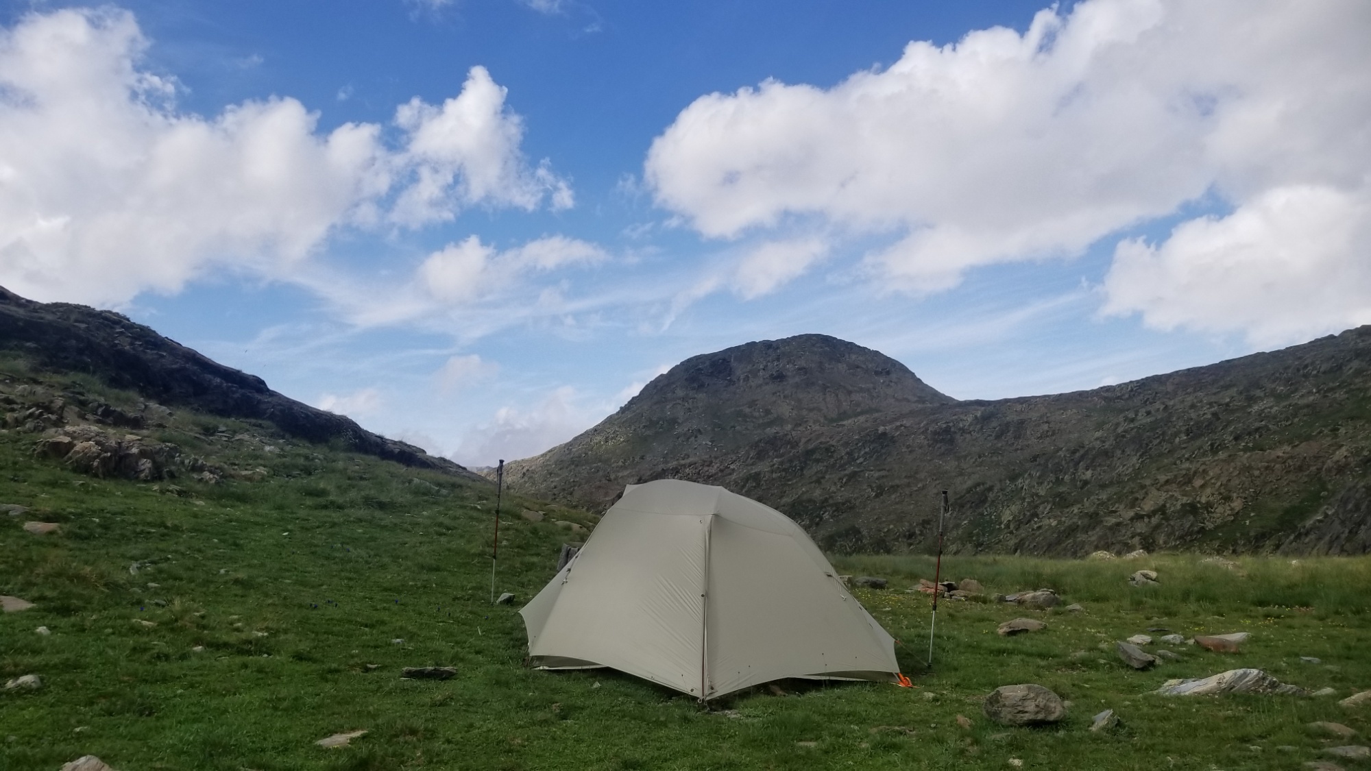
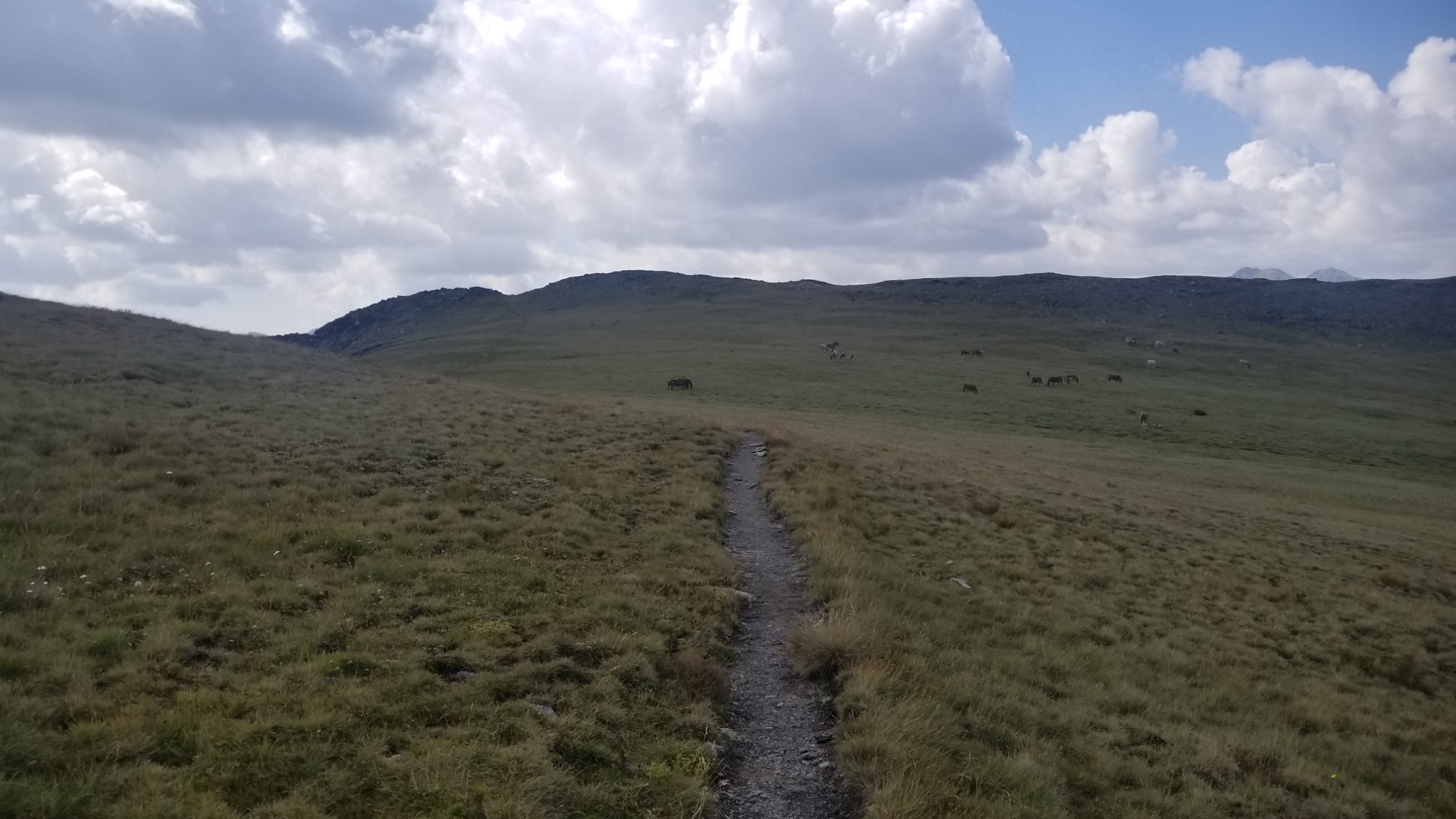
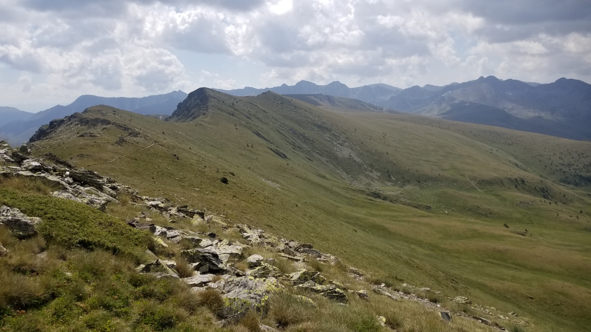
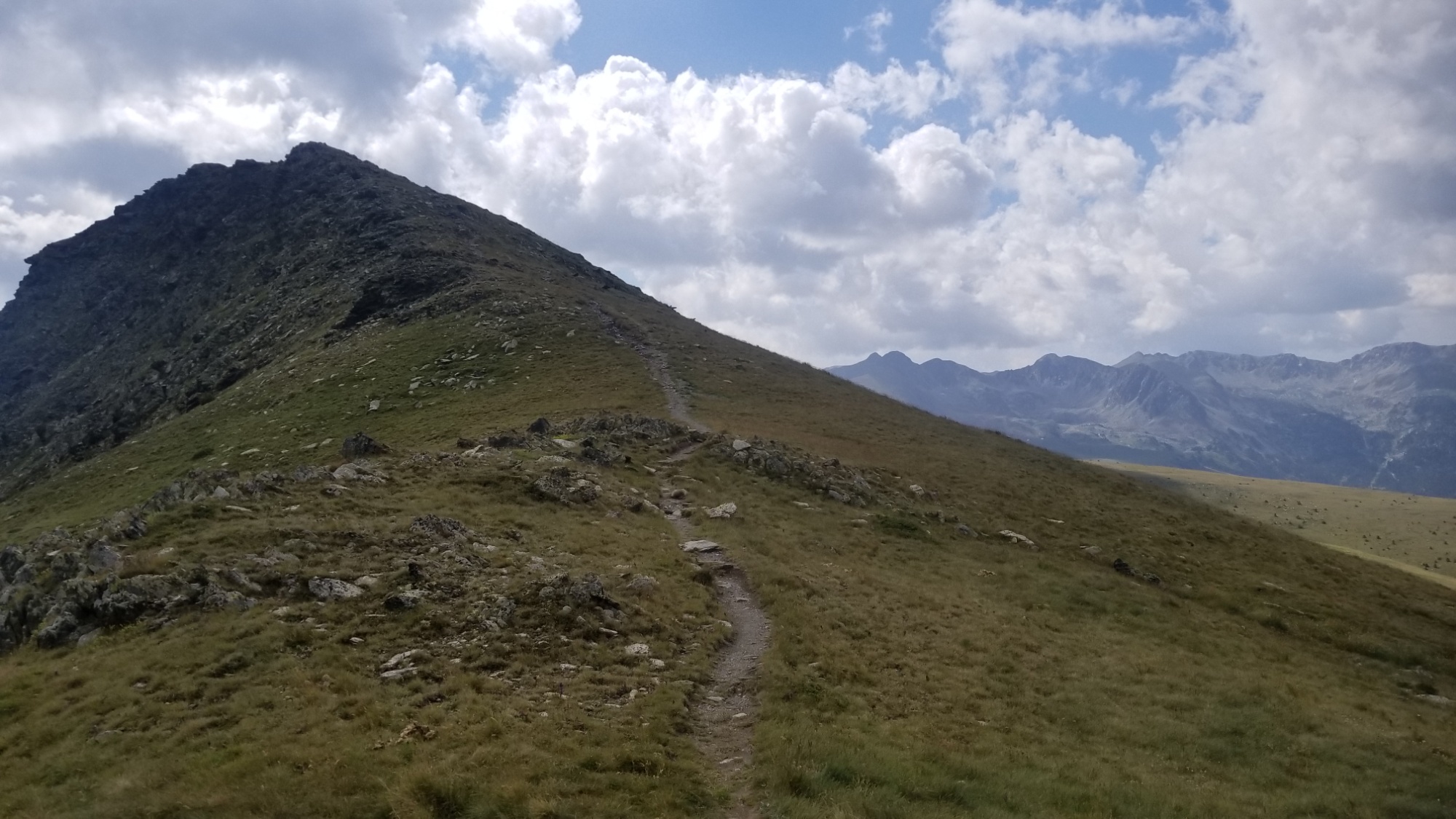
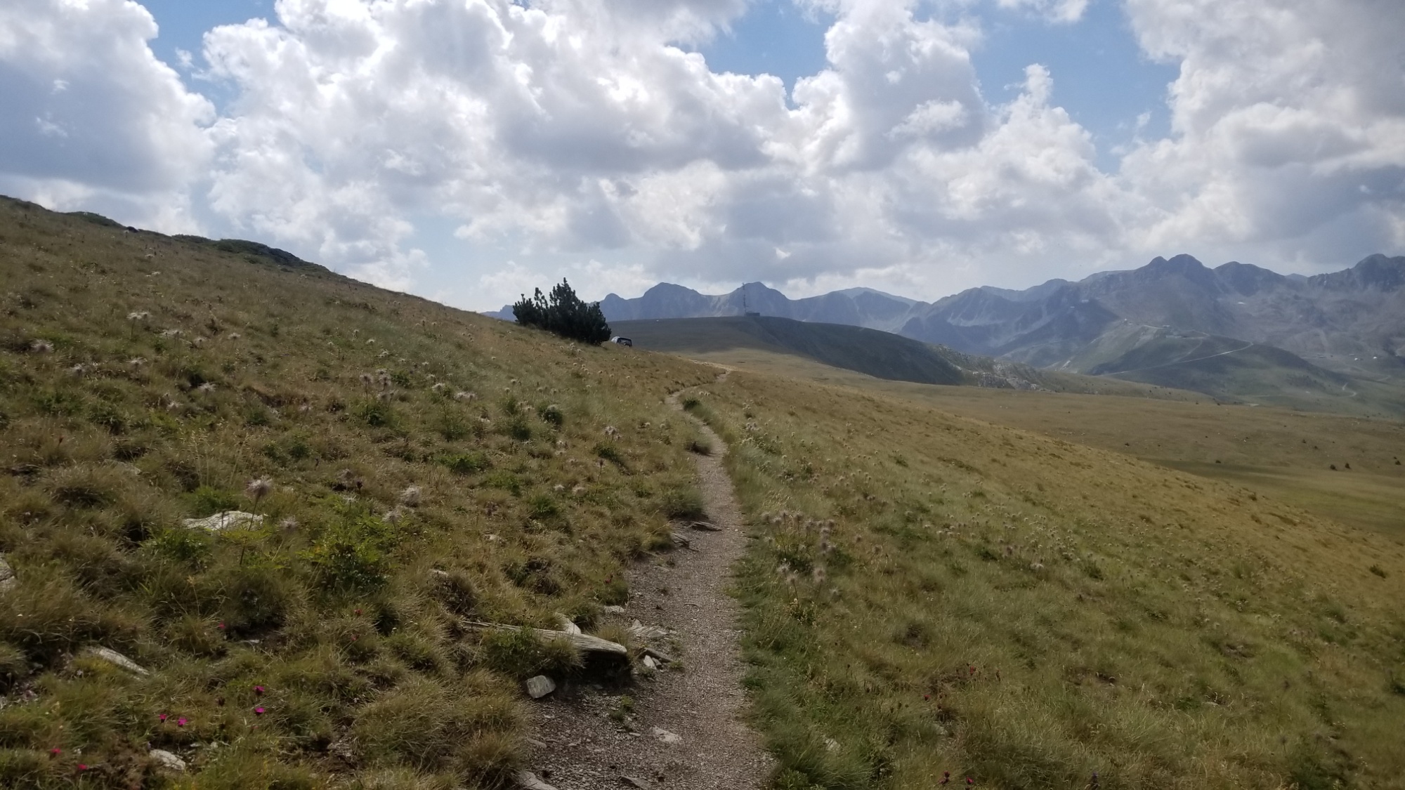
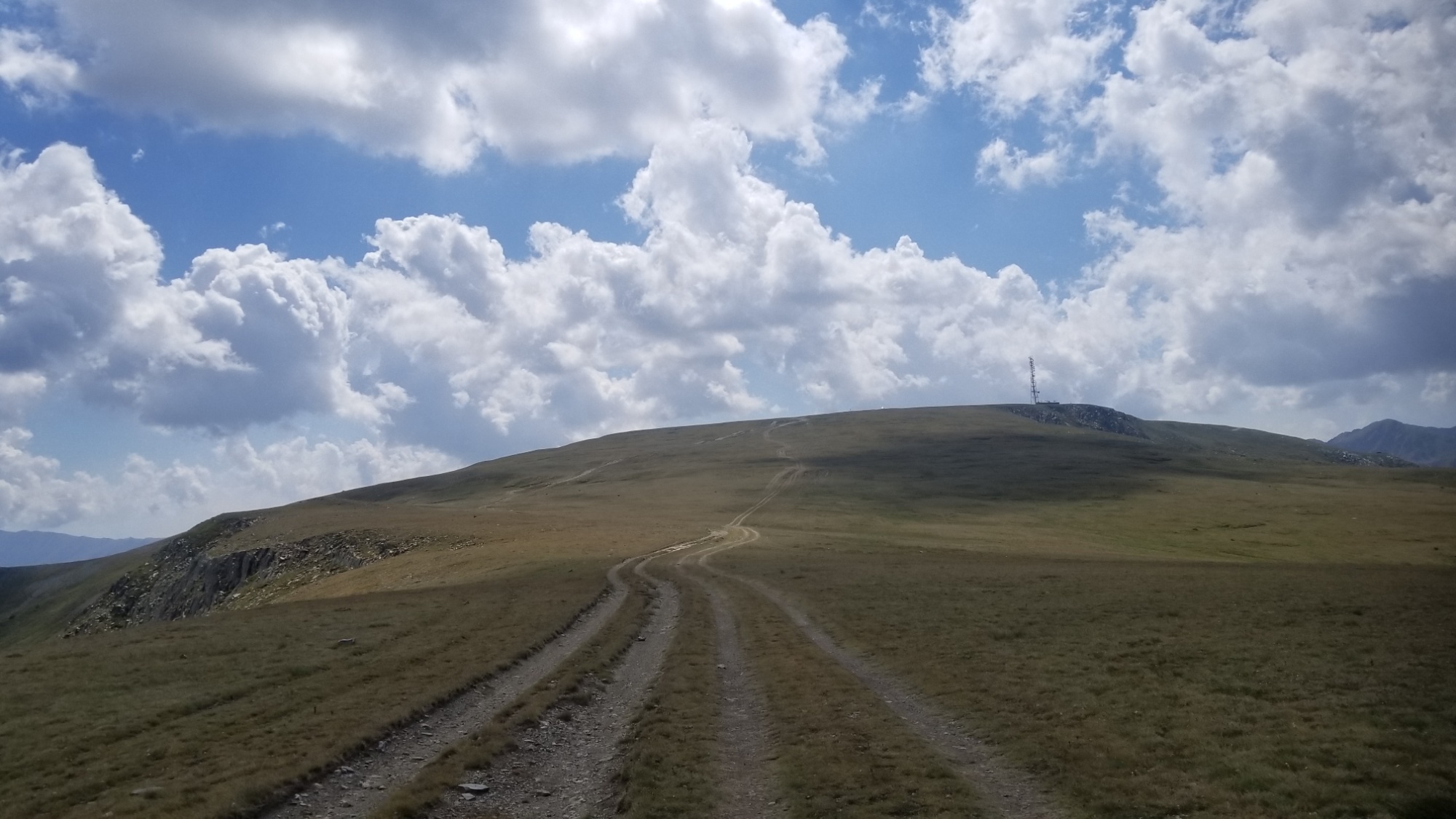
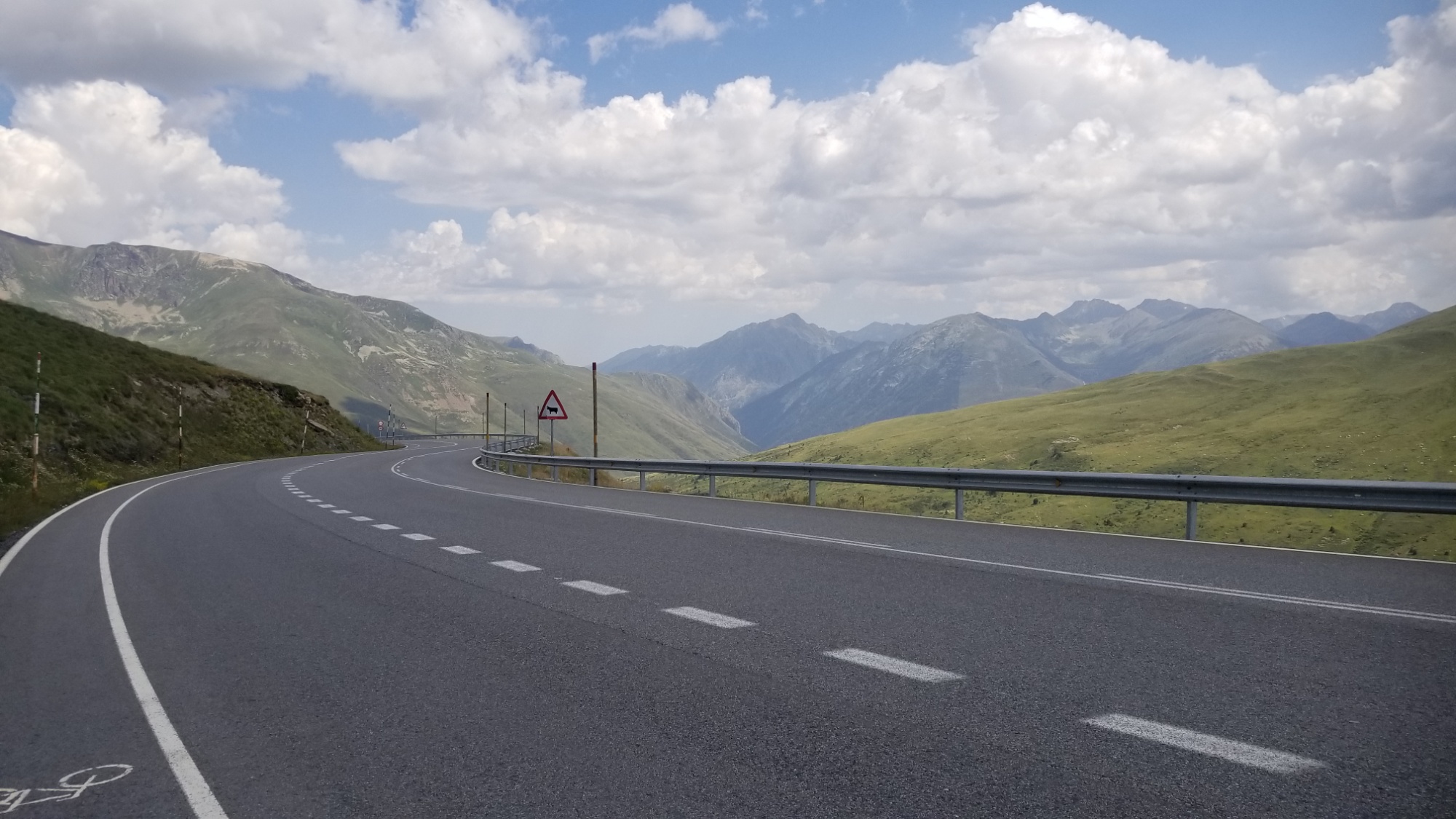
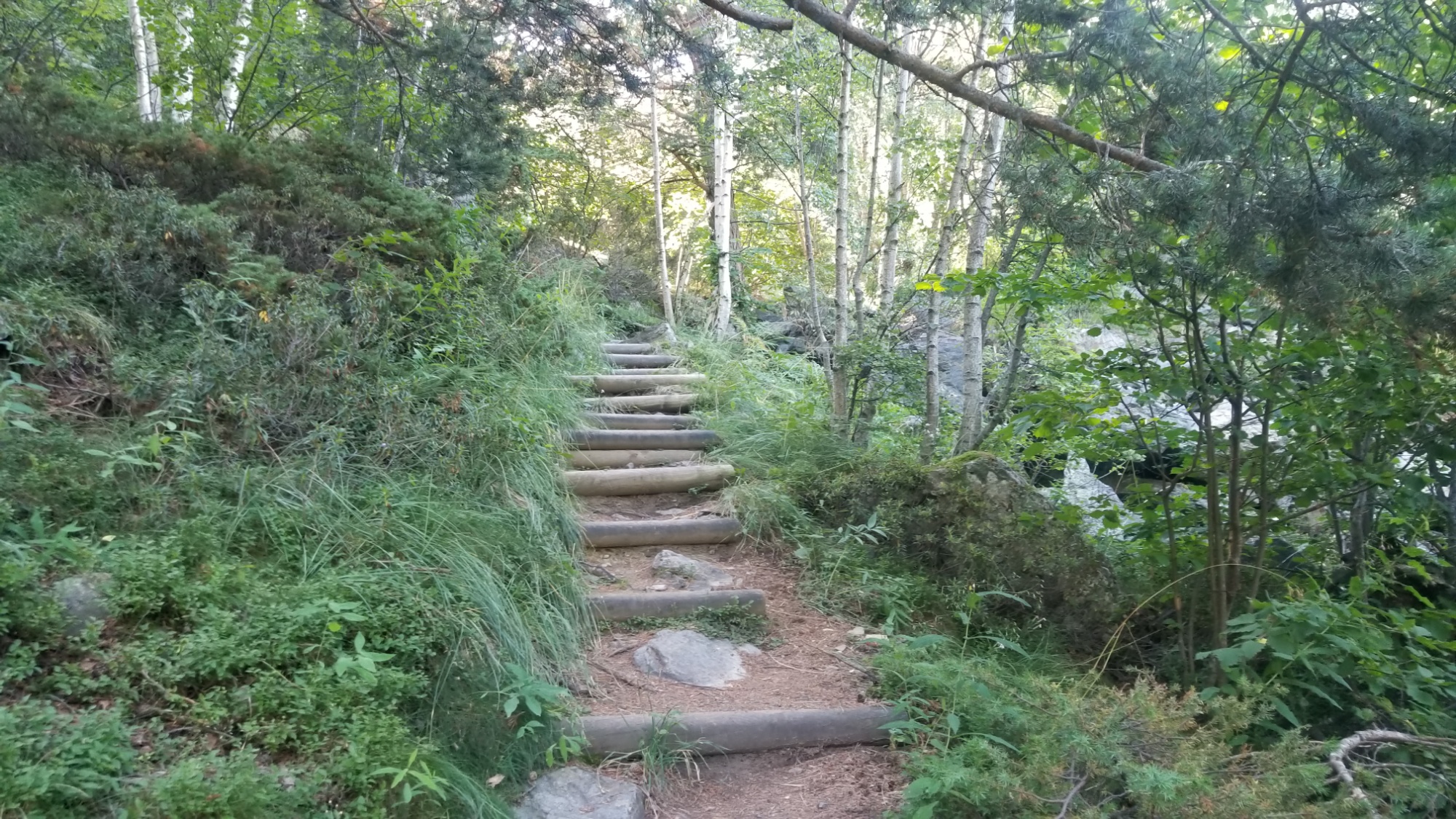
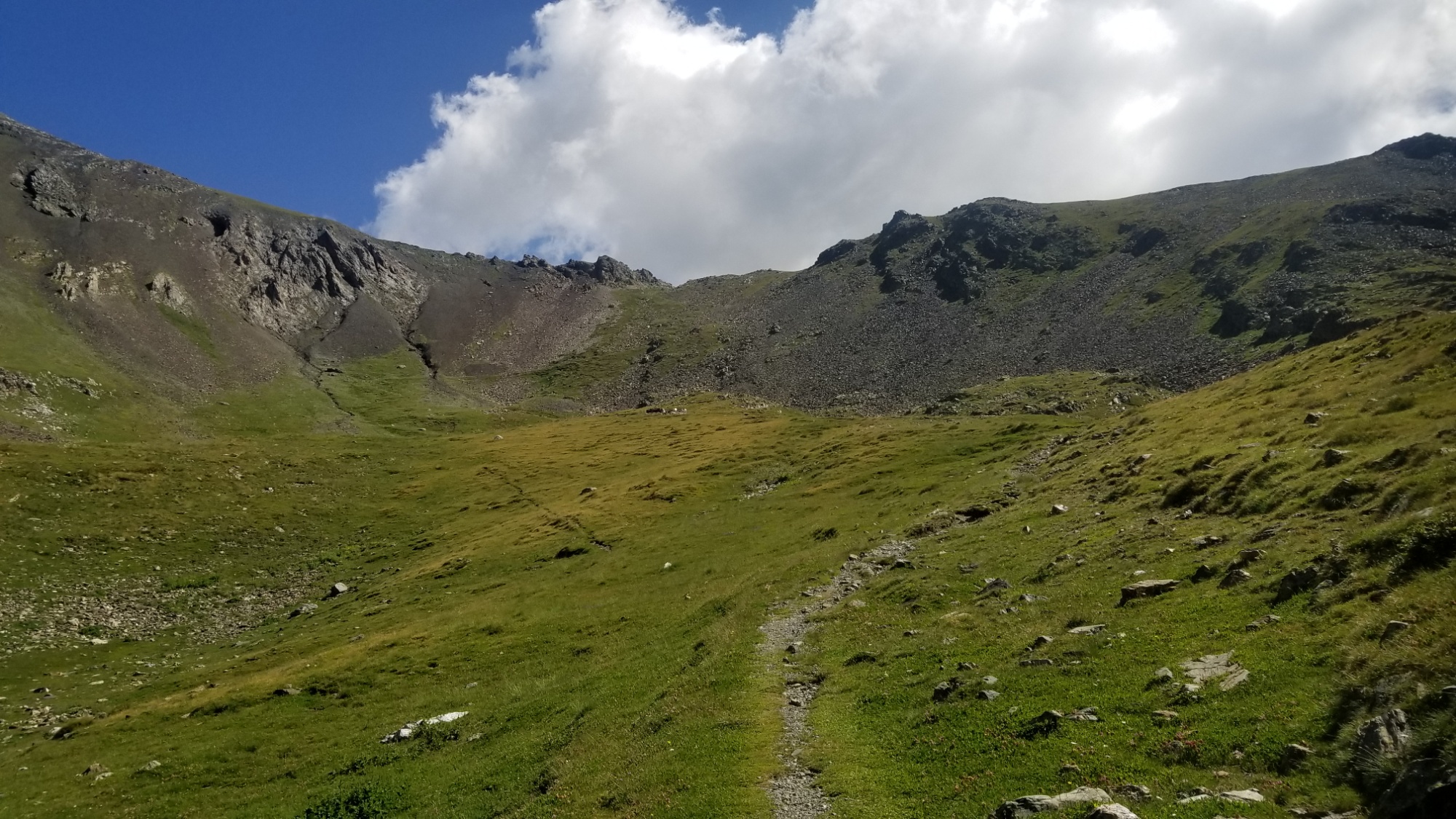
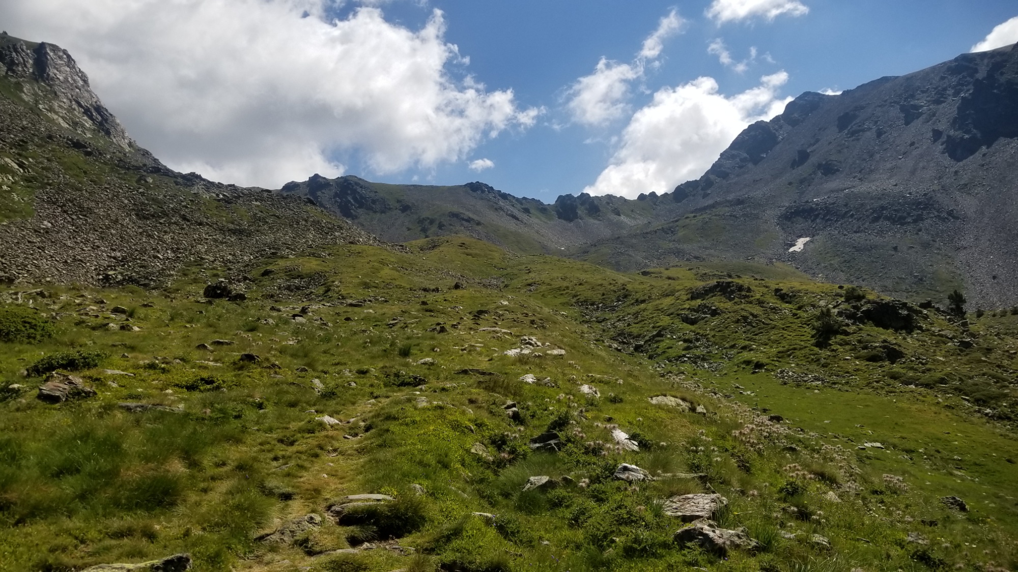
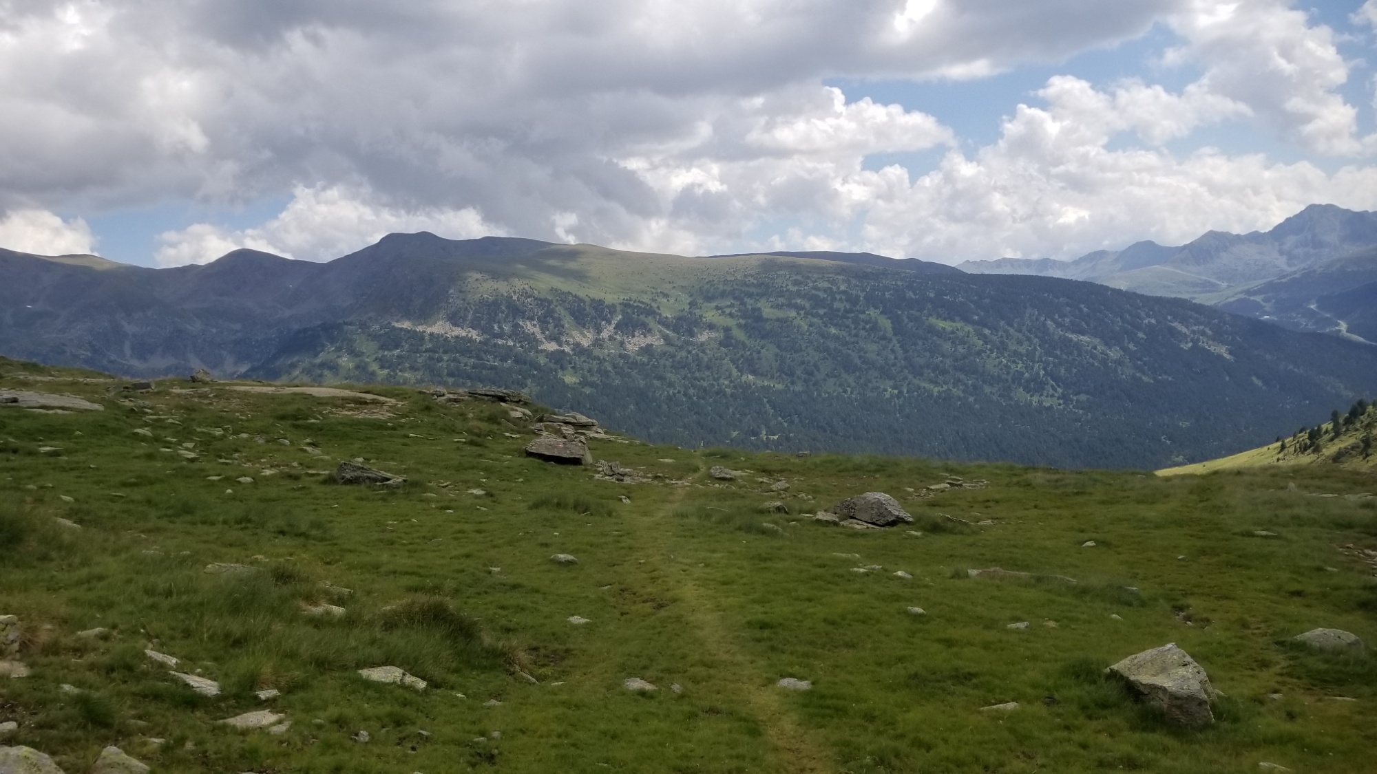
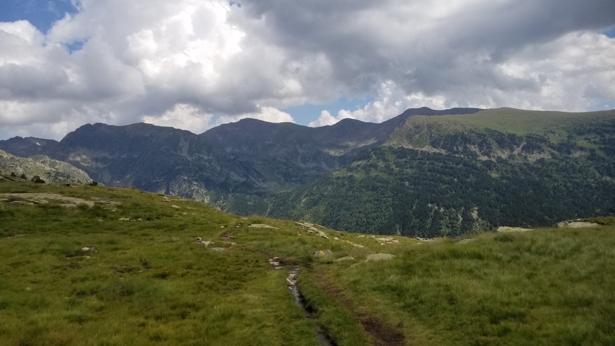
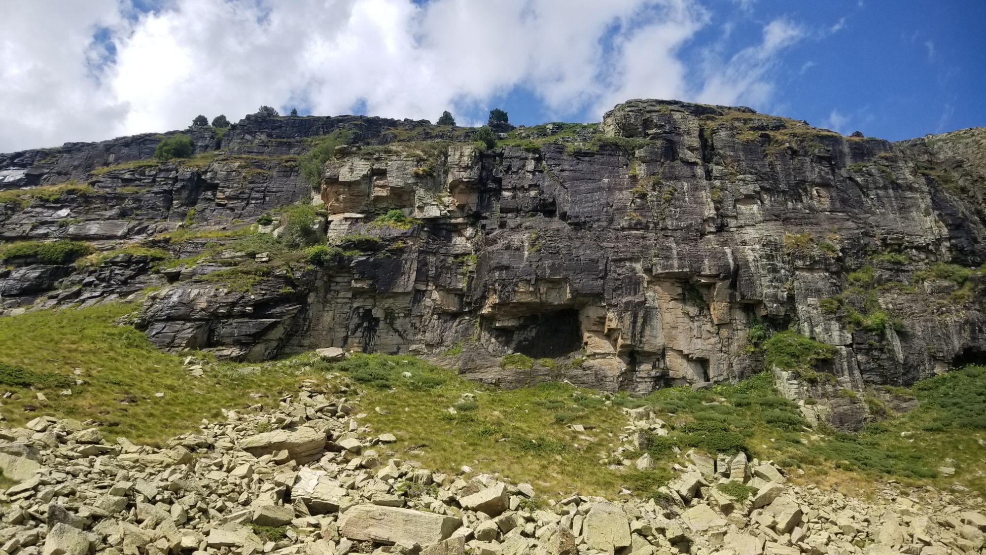
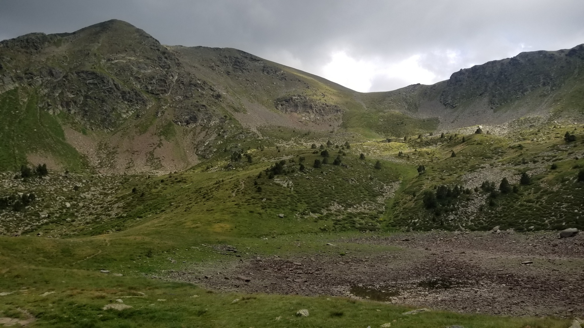
There are a handful of flat trails along balcons or valleys floors or ridge roads, but generally half of the trail is going up a mountain, and the other half is going back down. Steeply. On scree slopes. On boulder fields. On zig zag trails, or just straight up or down the thing. European trails seem to have an aversion to switchbacks, which can really strain your Achilles ankle tendon if you over do it too fast.

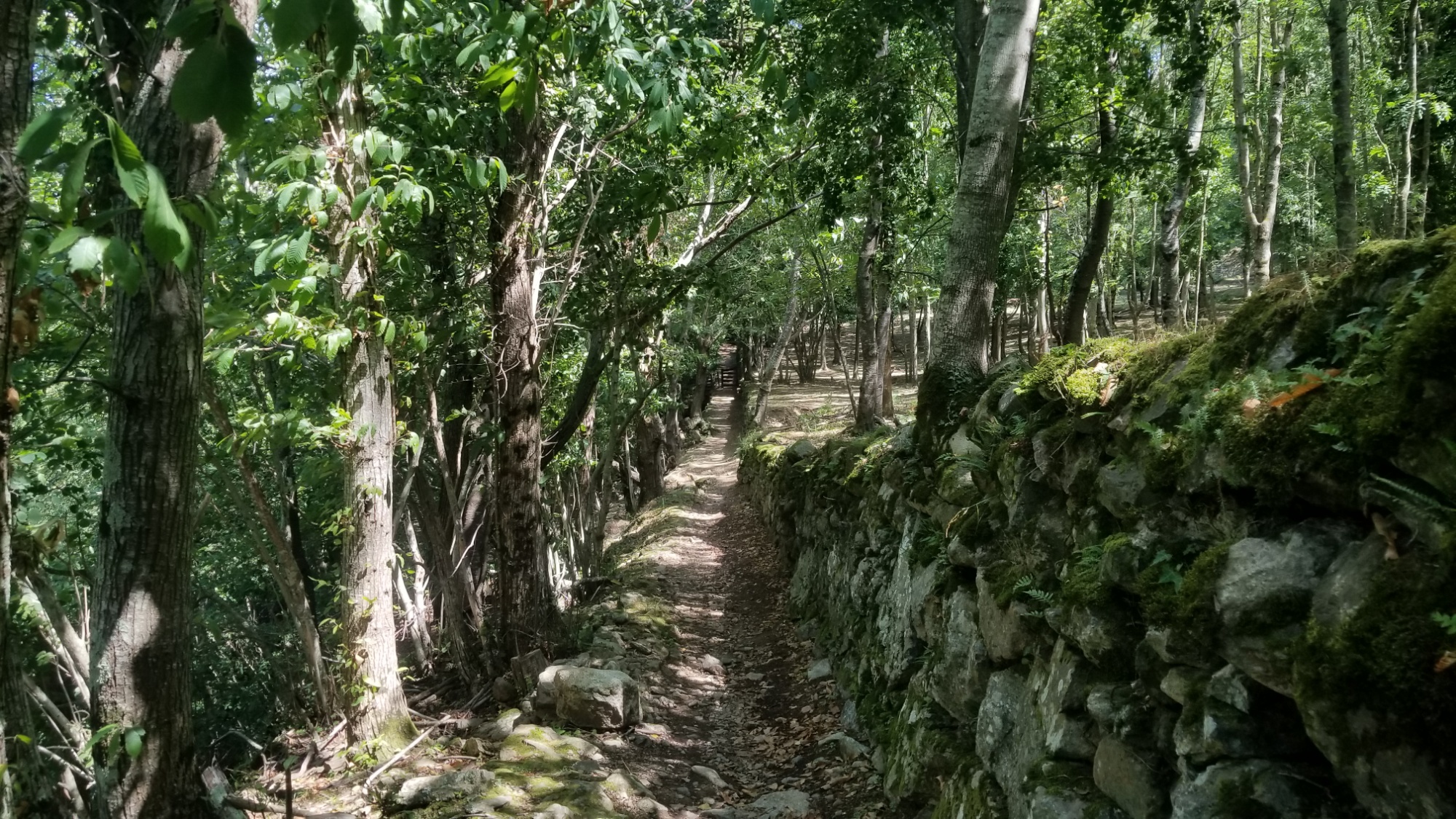
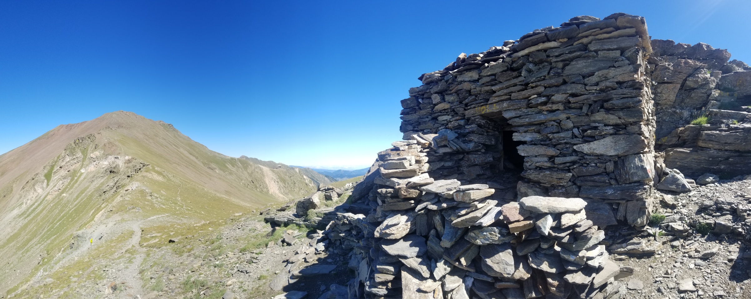
However, it was mostly the more difficult, scenic alternate routes on the challenging traverses that were partially trail-less and uncomfortably steep on the uphills. Most of the “official” trail is in fact, a trail, and a damn good trail at that. One of the best, most fun times I’ve ever had walking in the mountains.

Compared to the Continental Divide Trail, it is about 1/6 the distance but 1/3 the elevation change, which you could take as meaning it is about twice as steep per mile as the CDT. The CDT has a lot of long flat stretches through deserts, ridges, and plains though, so that may not be the best comparison.

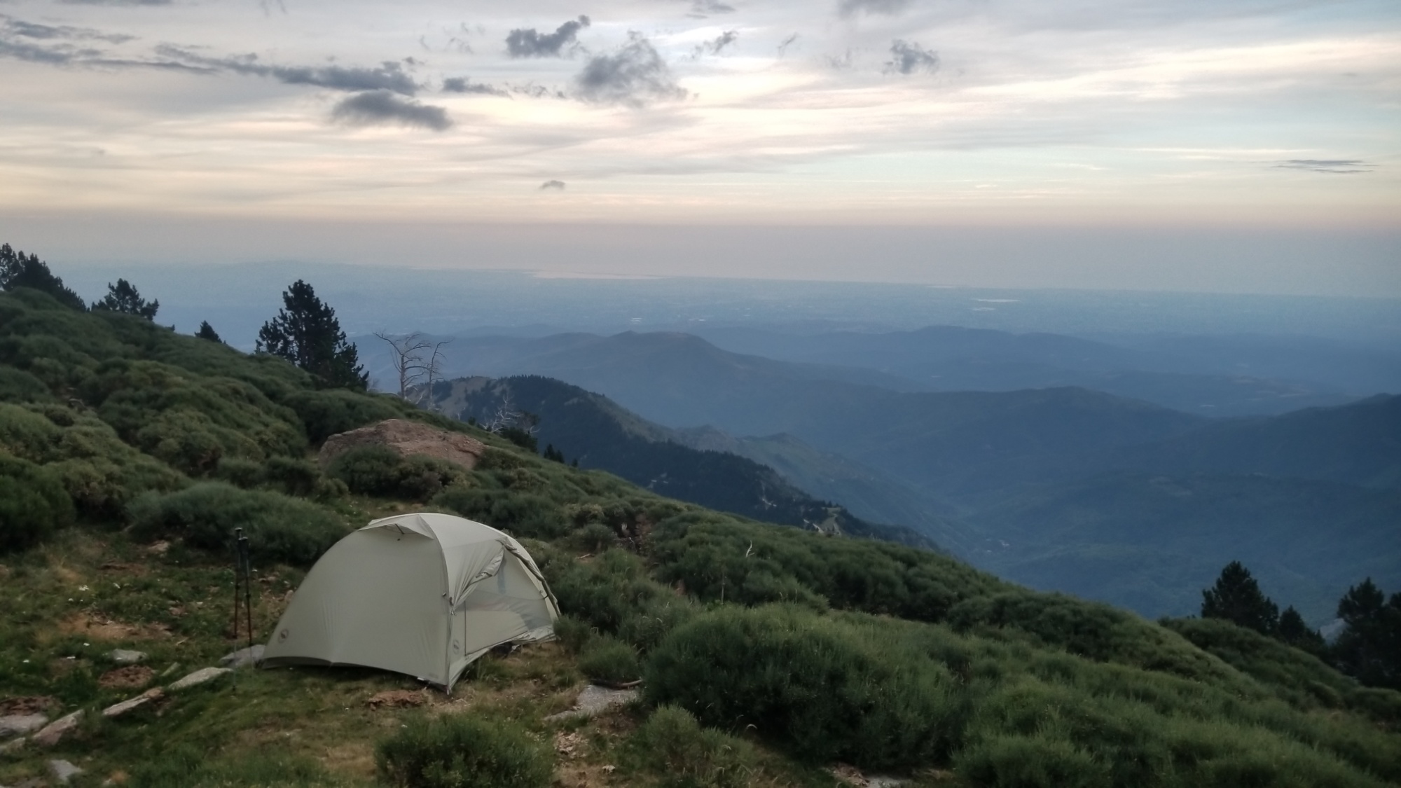
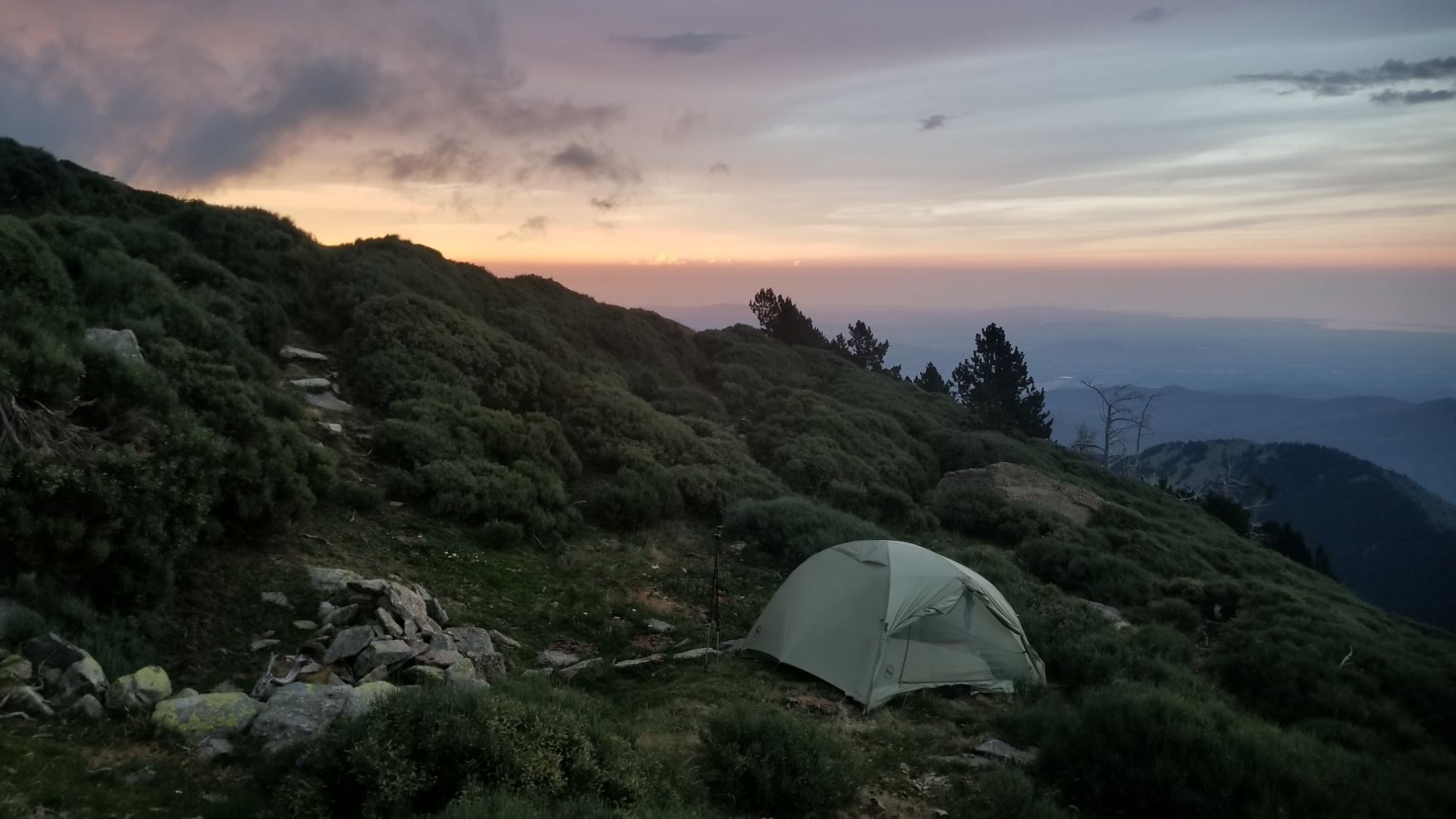
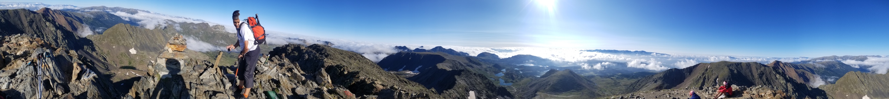
The HRP is not for everyone. I love it, but I am someone who notoriously goes on “hell-hikes.” I love the uphill, the challenge, and the risk associated with hiking such a strenuous and lesser traveled path. I thrive in the remoteness, being alone and maybe not seeing another soul for days. I feel at home there. You might not agree.

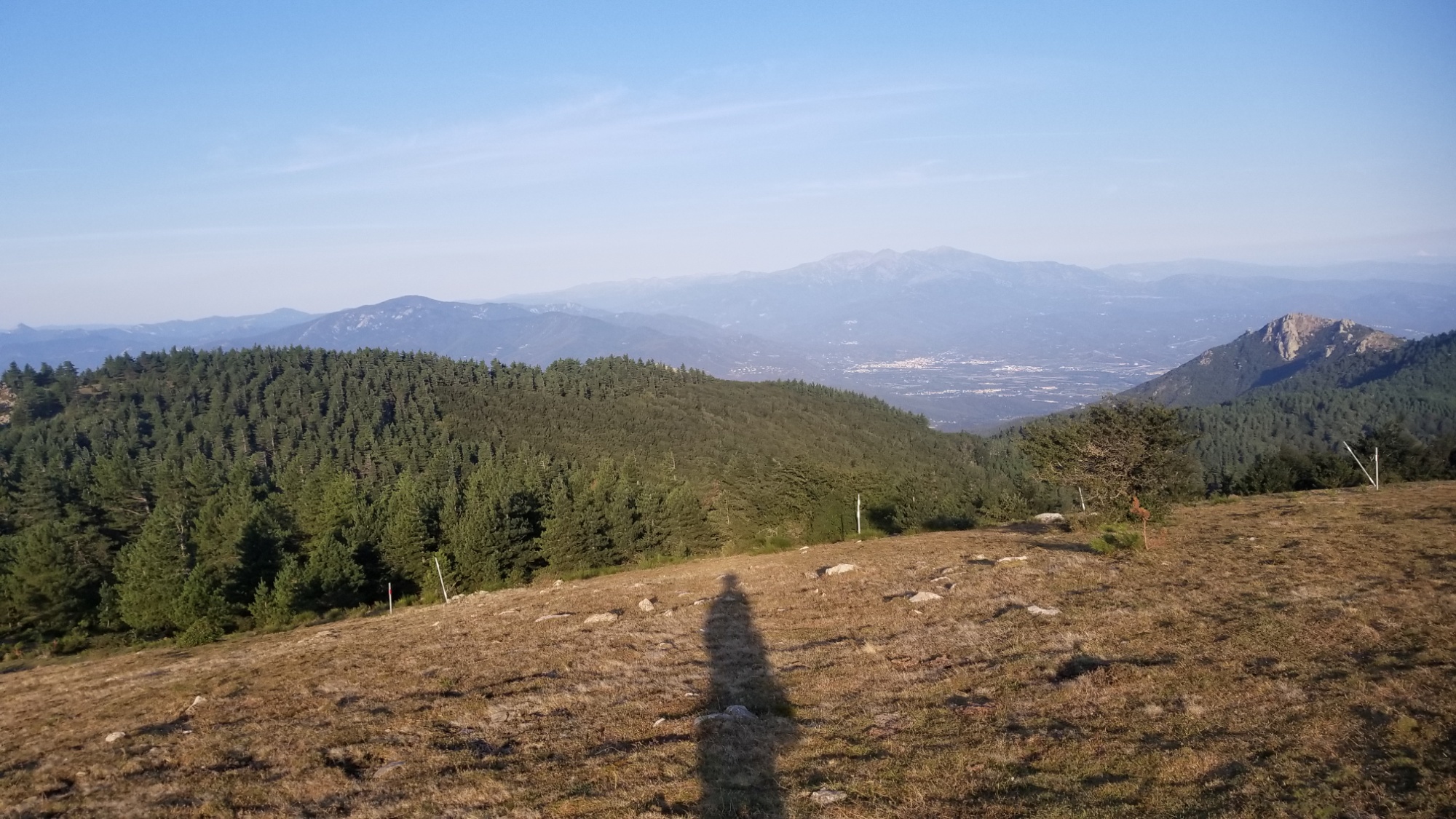
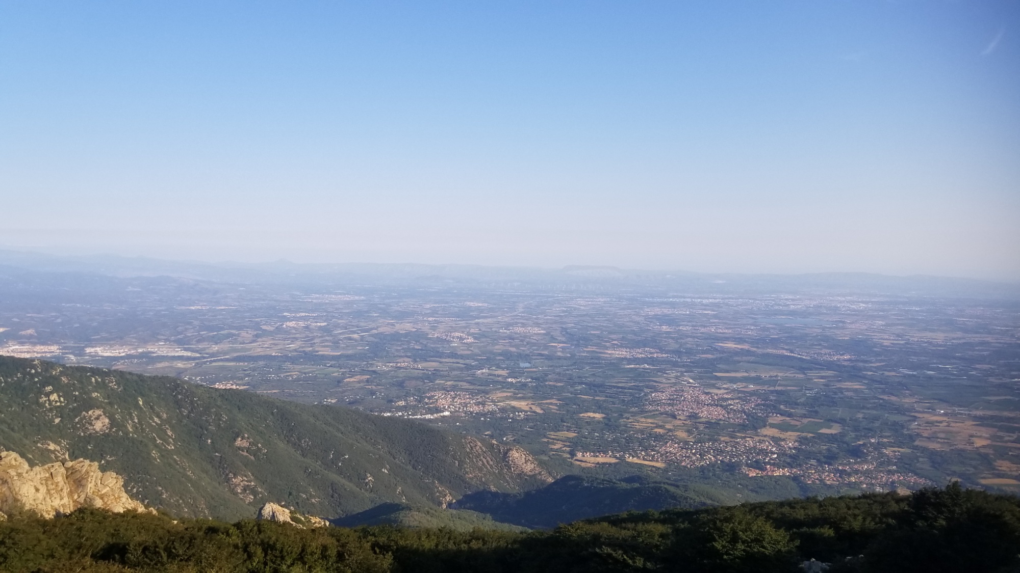
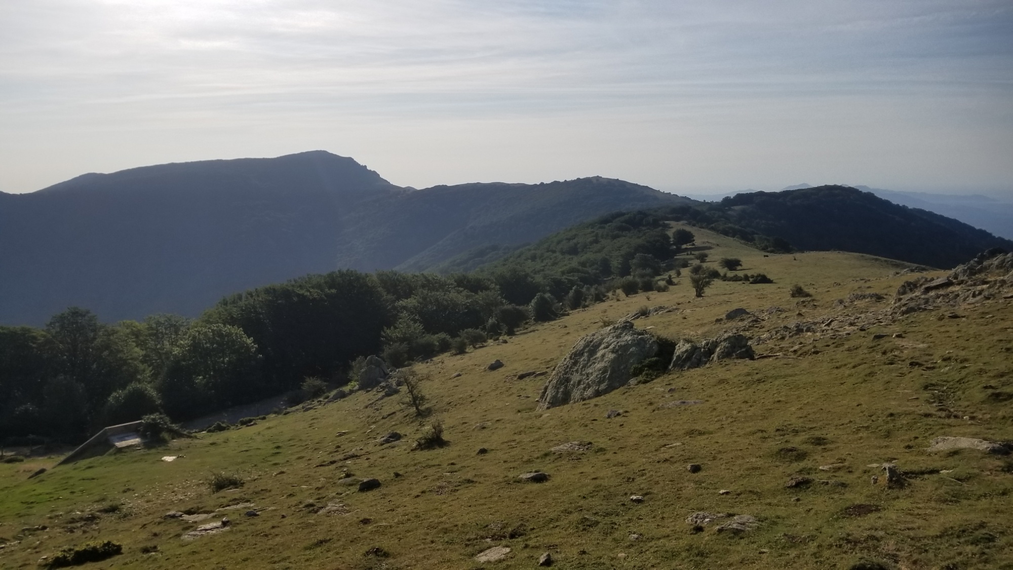
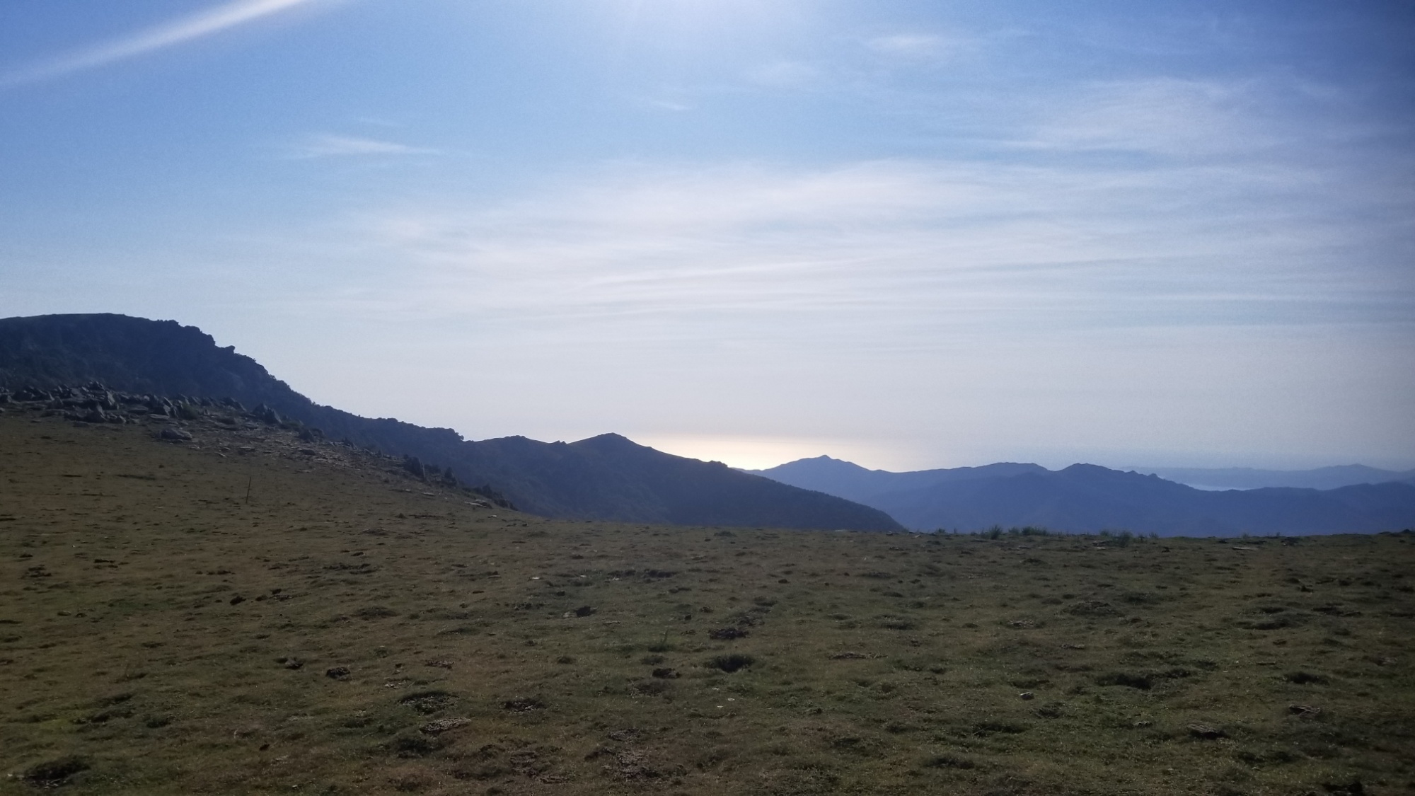
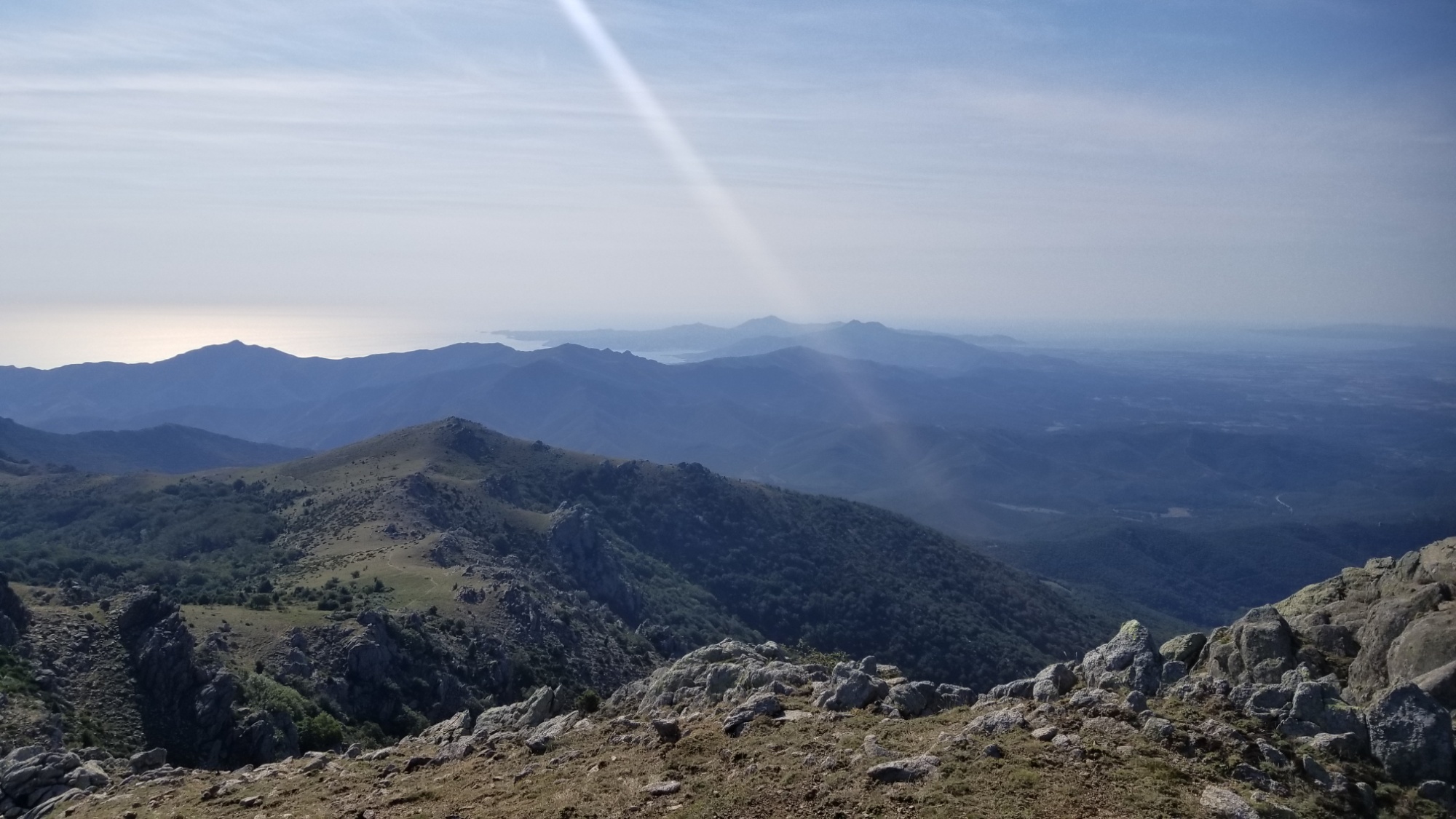
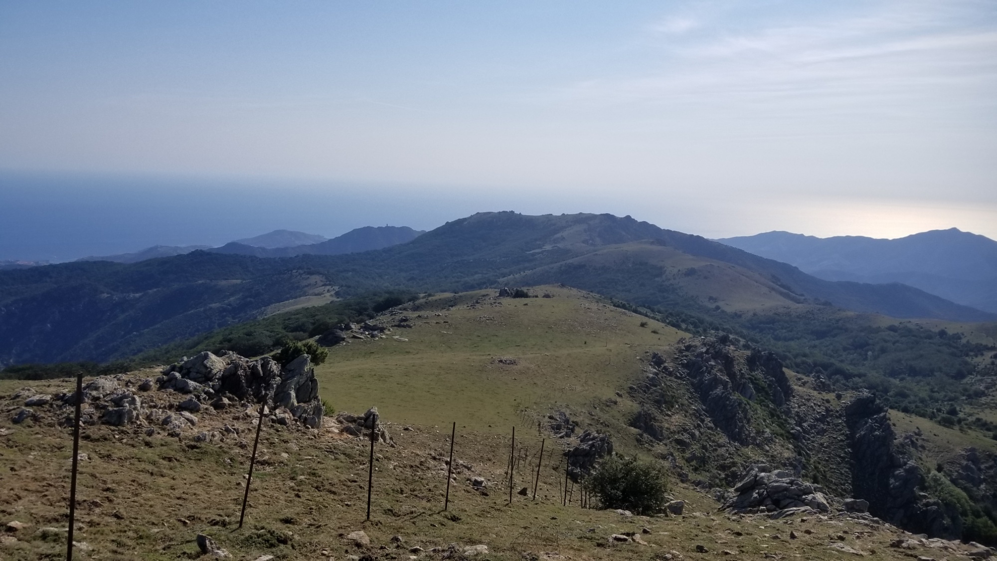
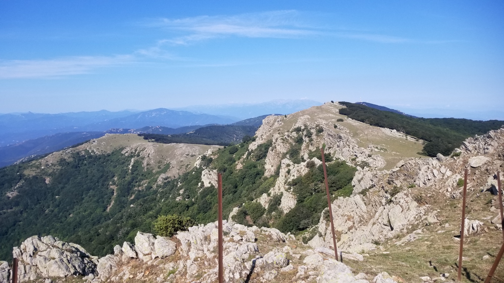
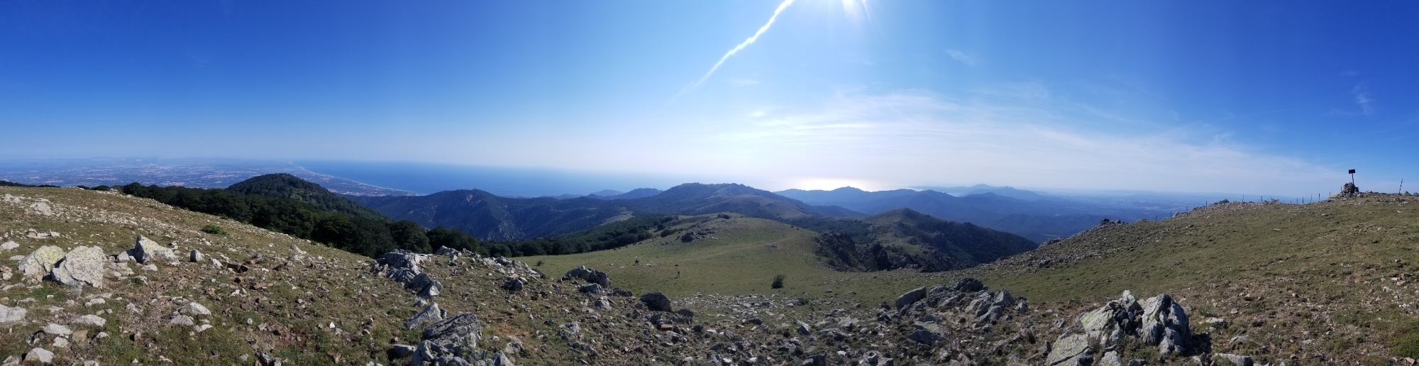
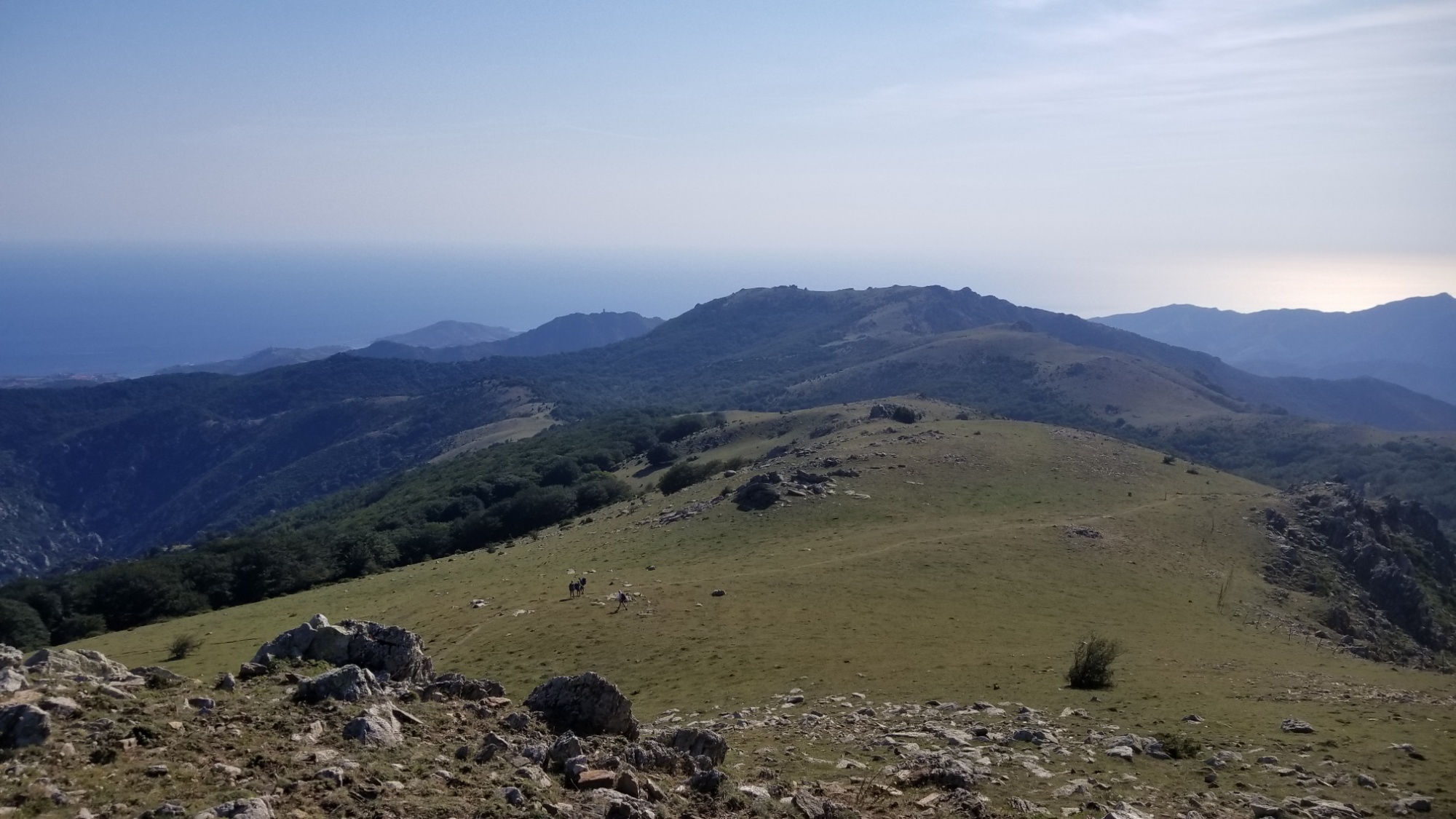
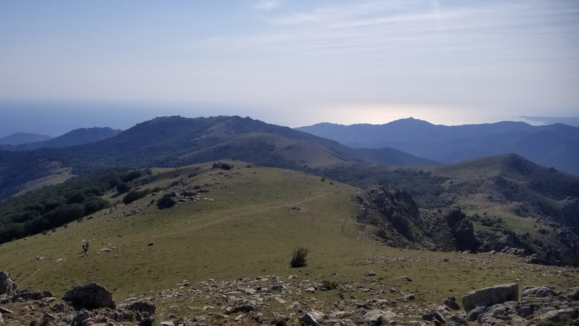
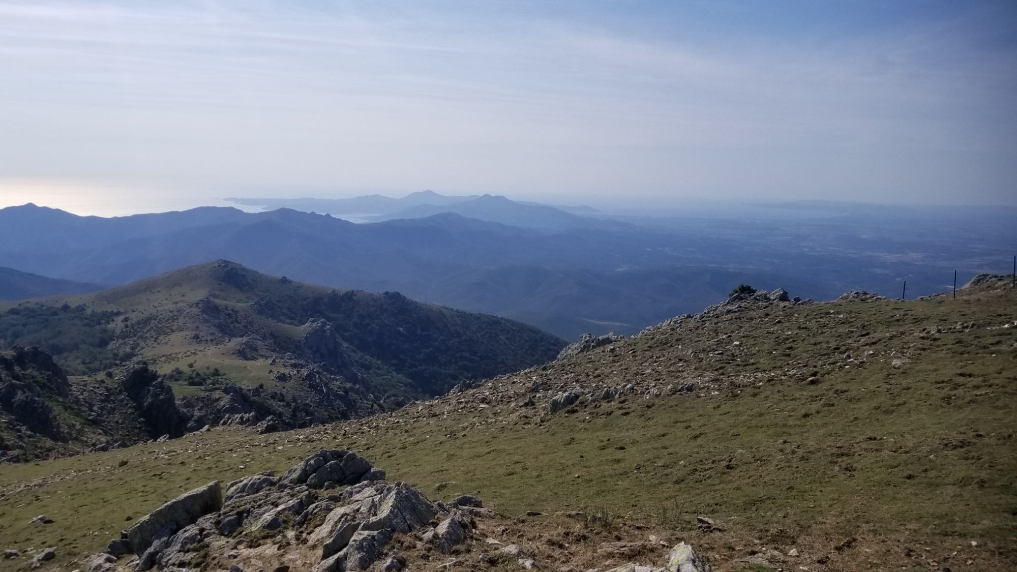
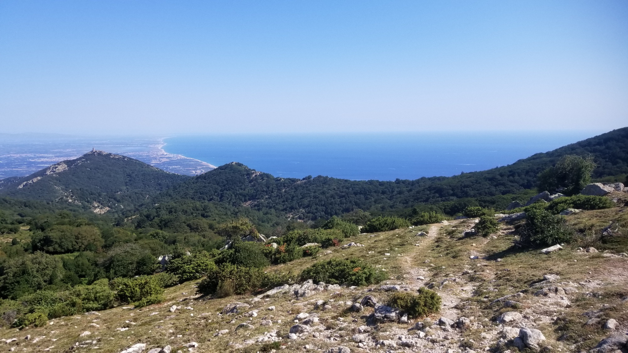
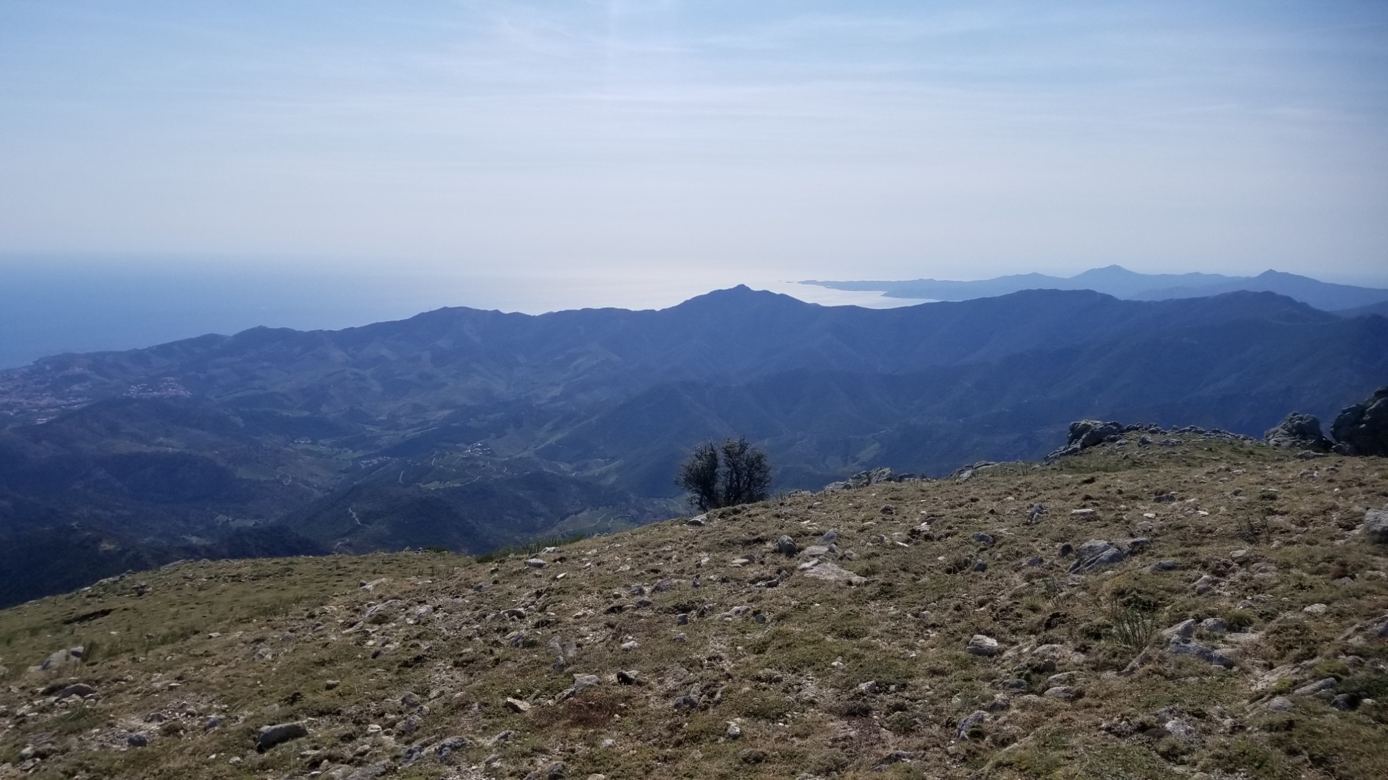
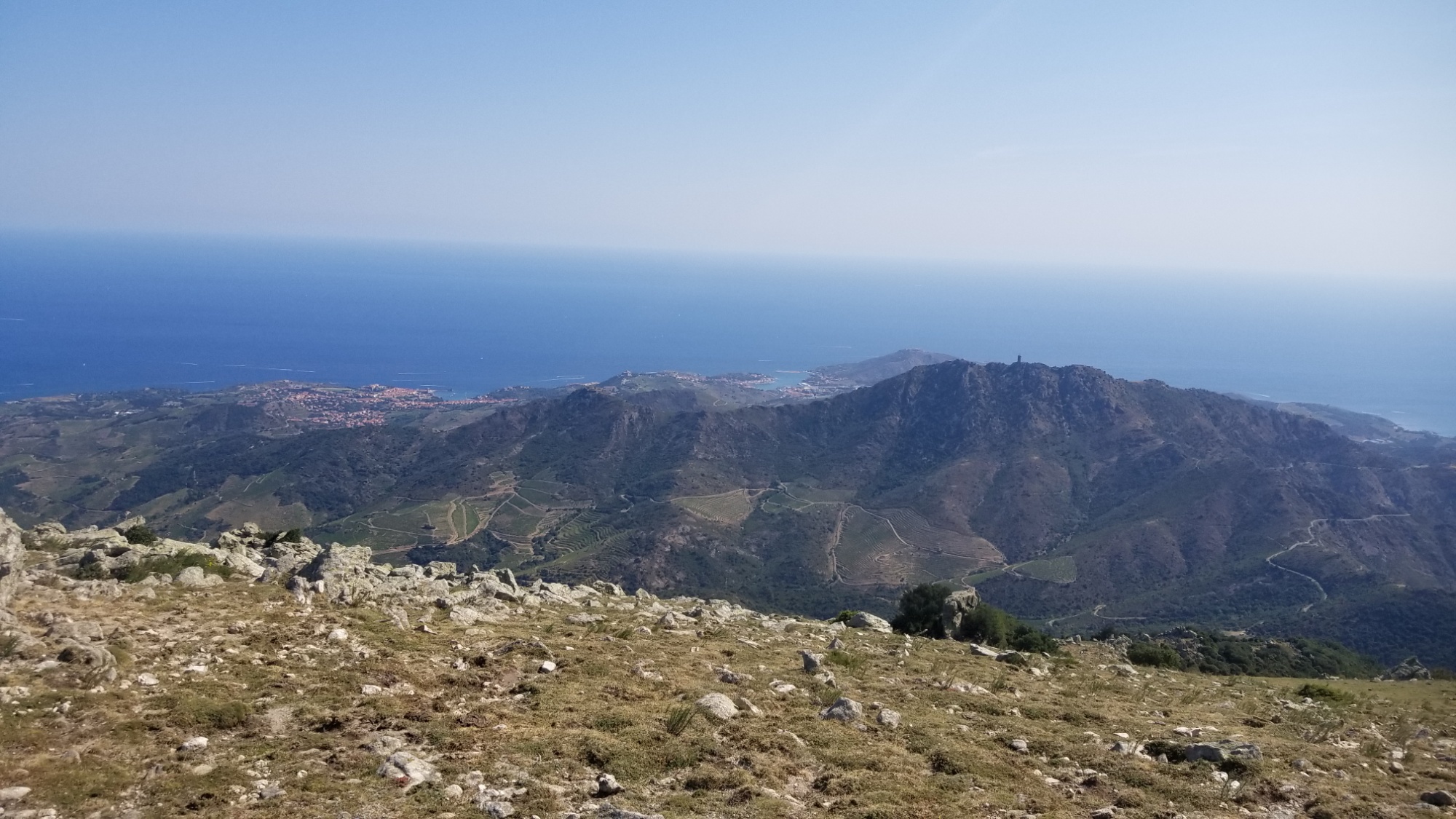
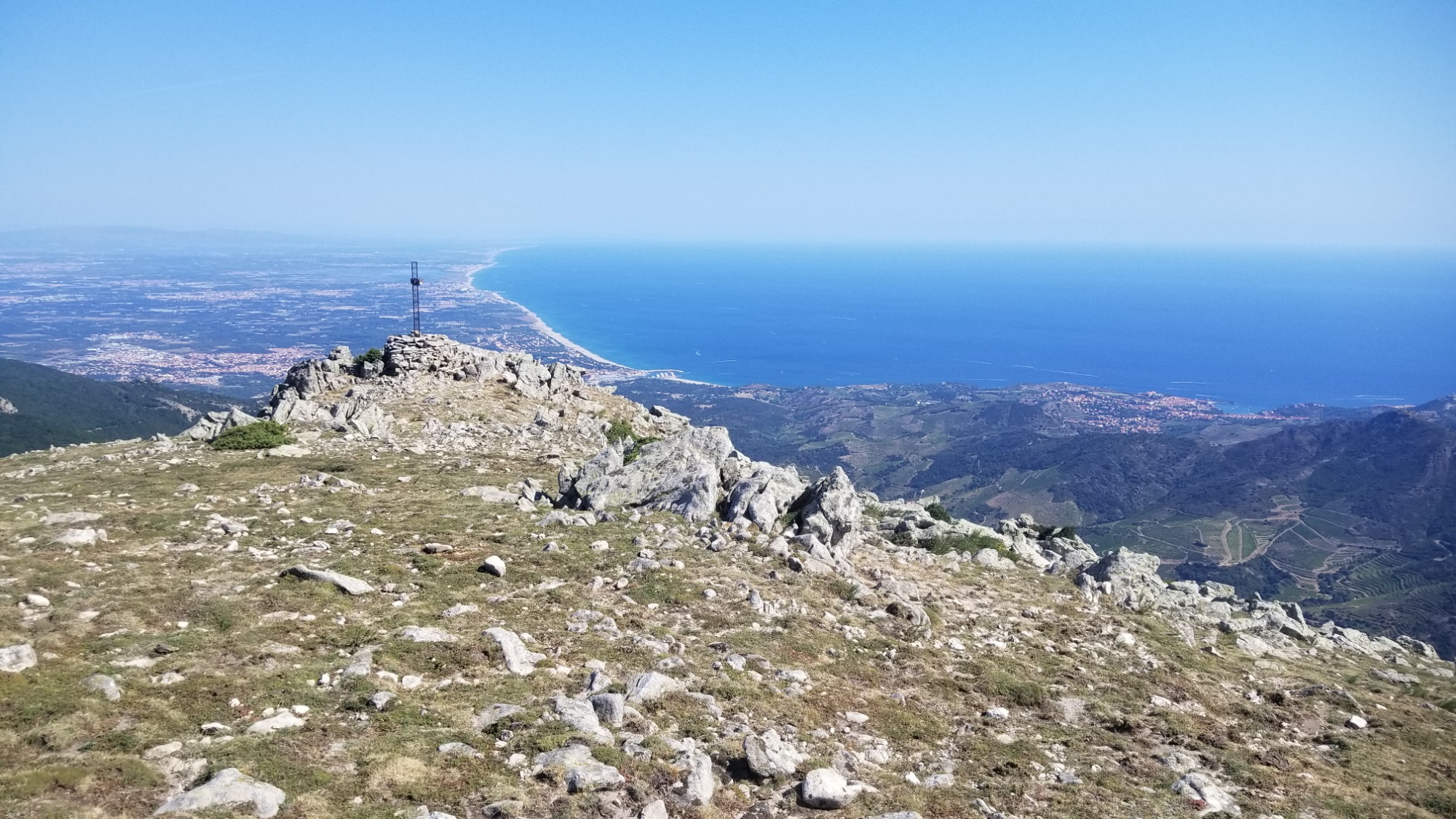
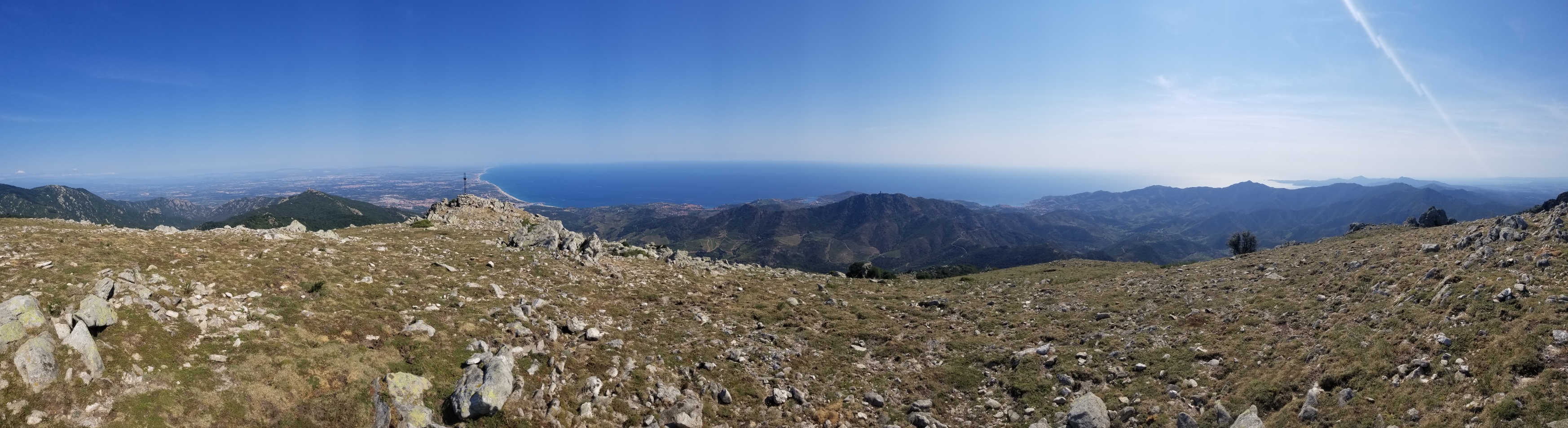
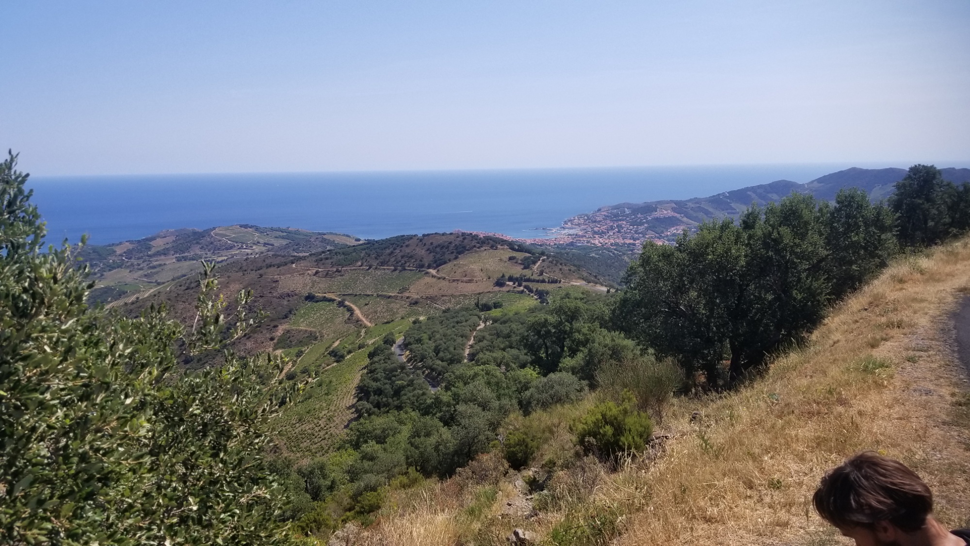
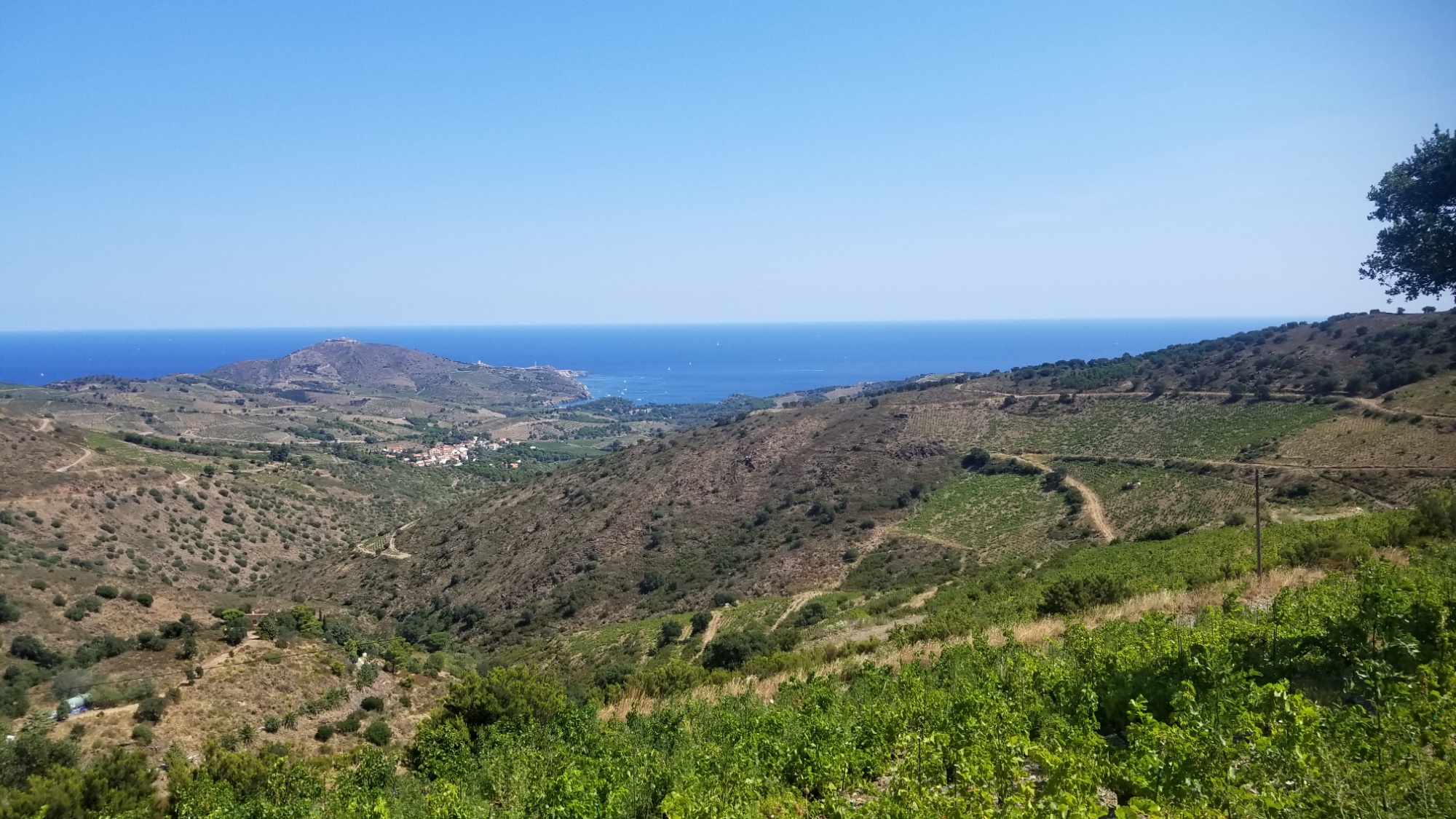
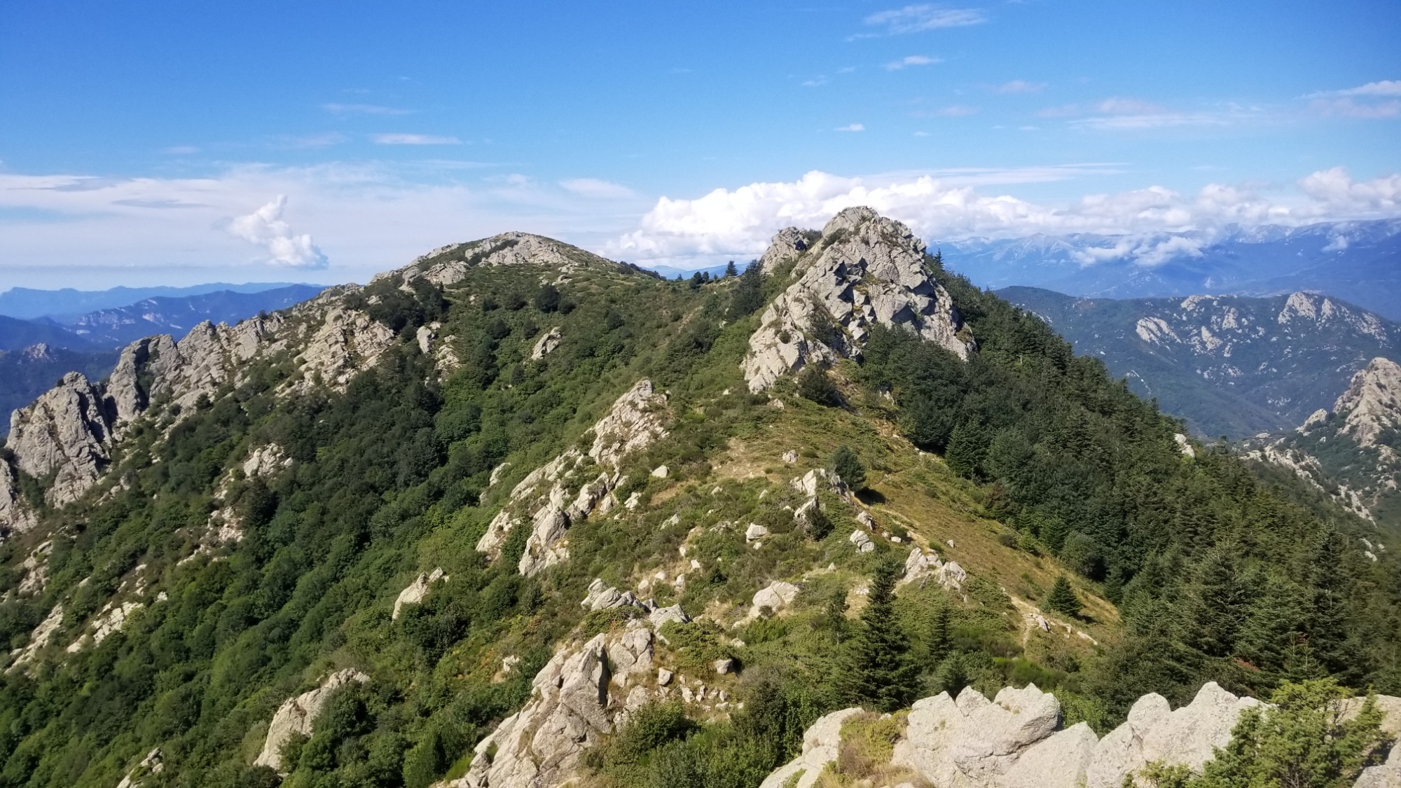
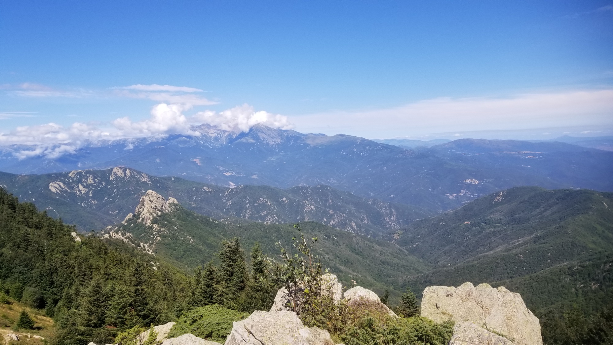
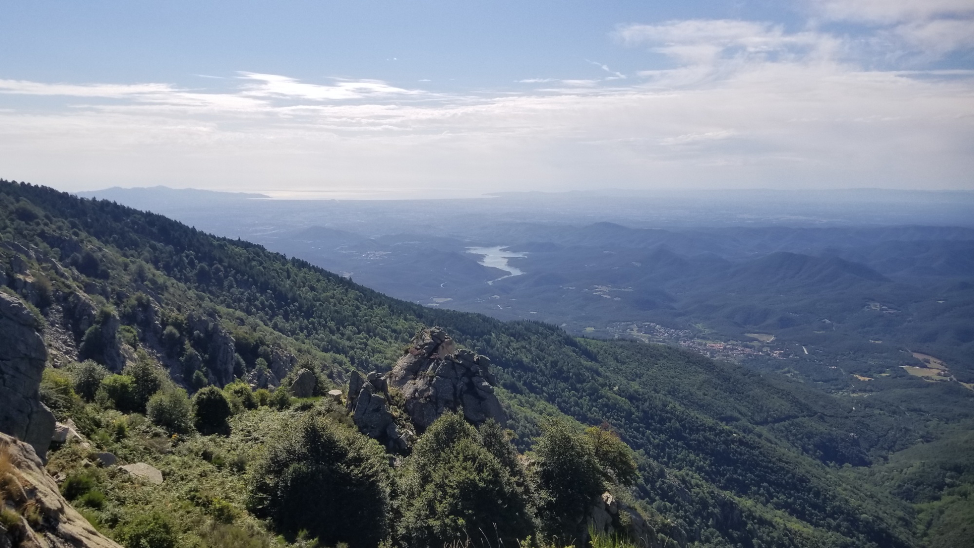
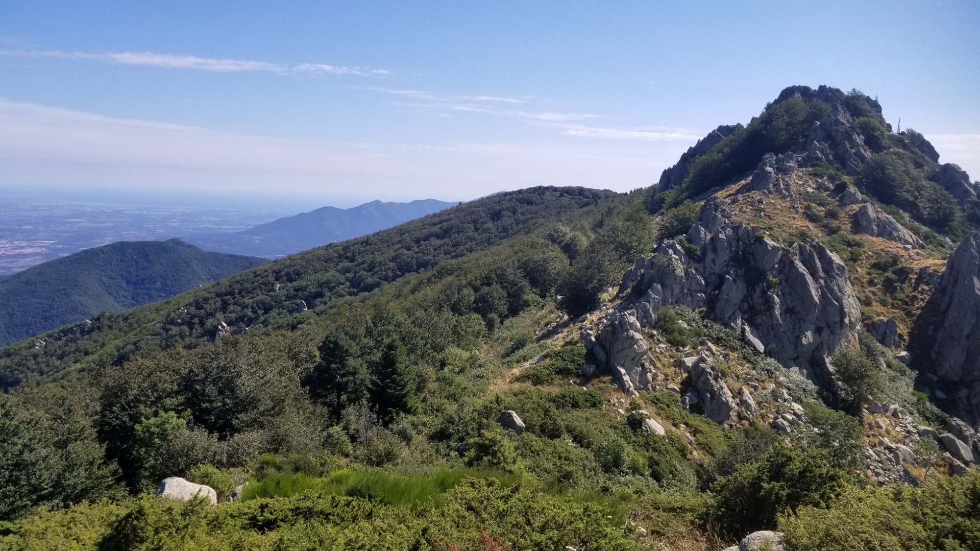
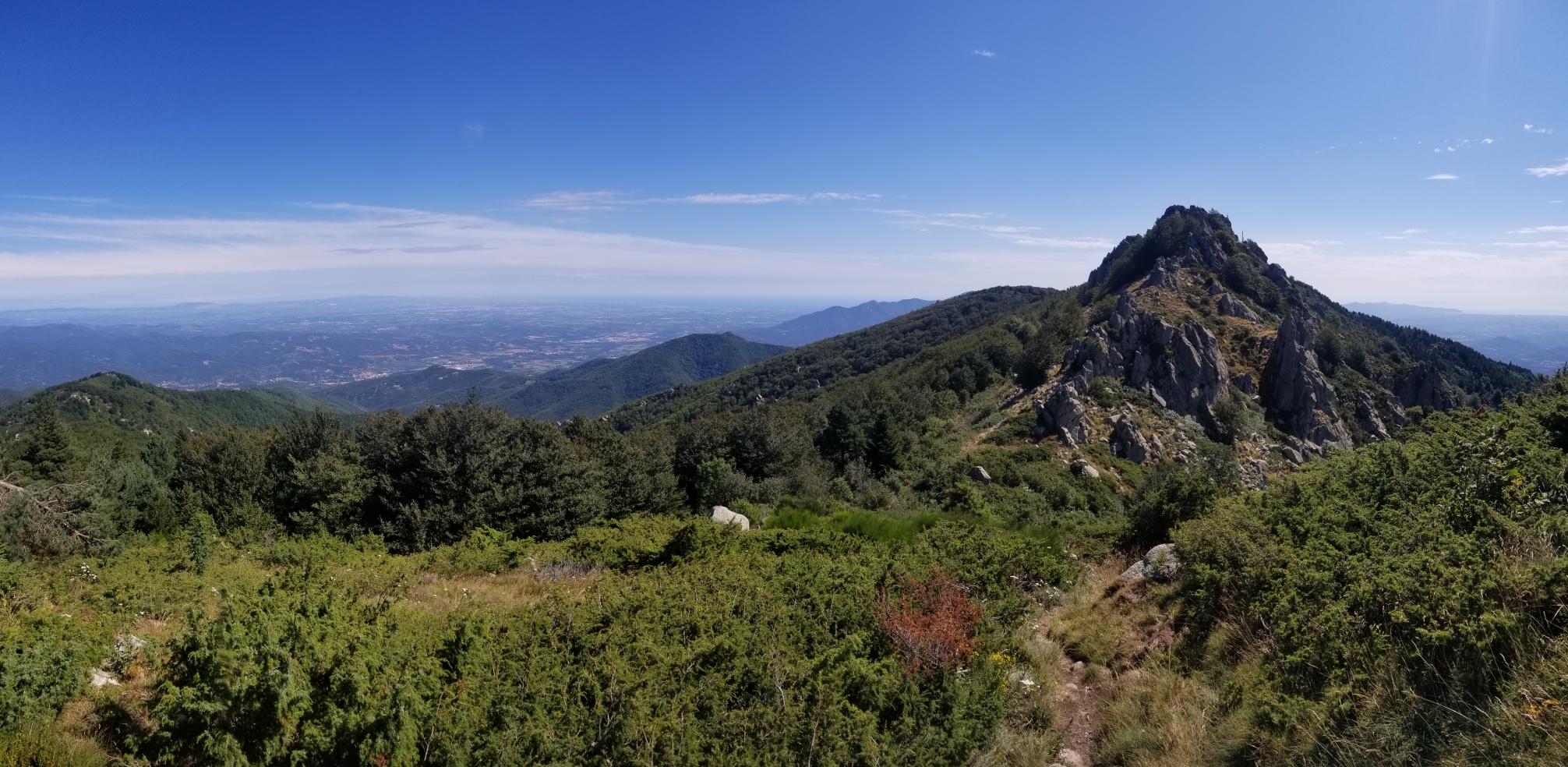
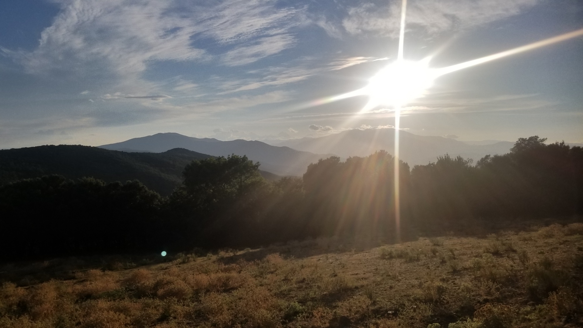
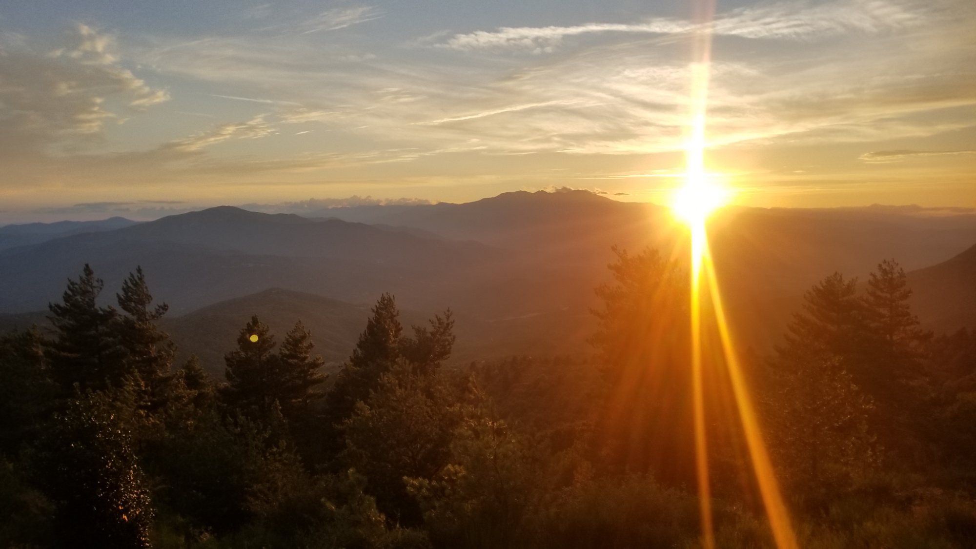
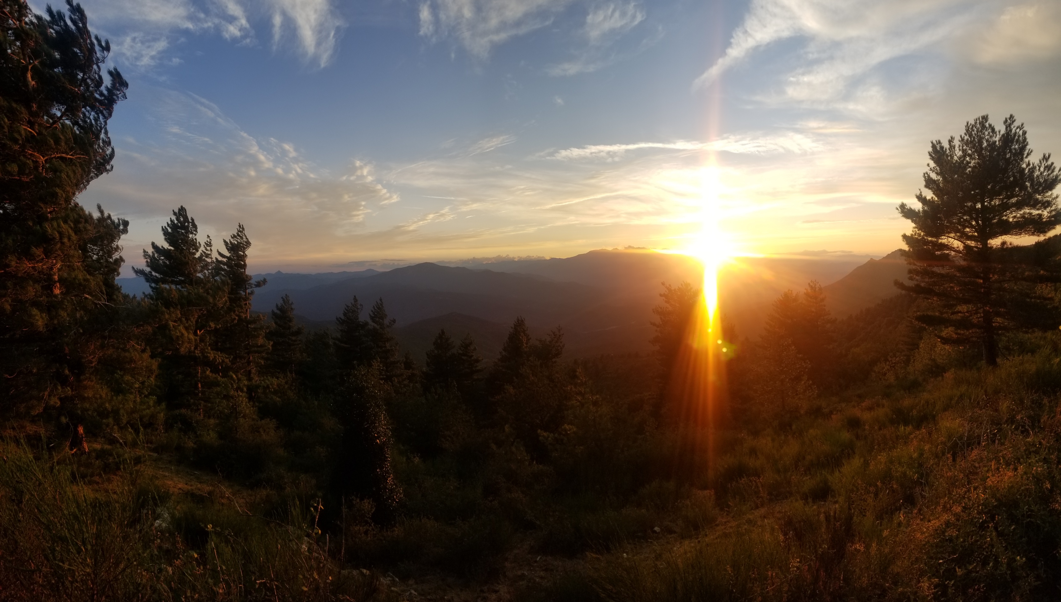
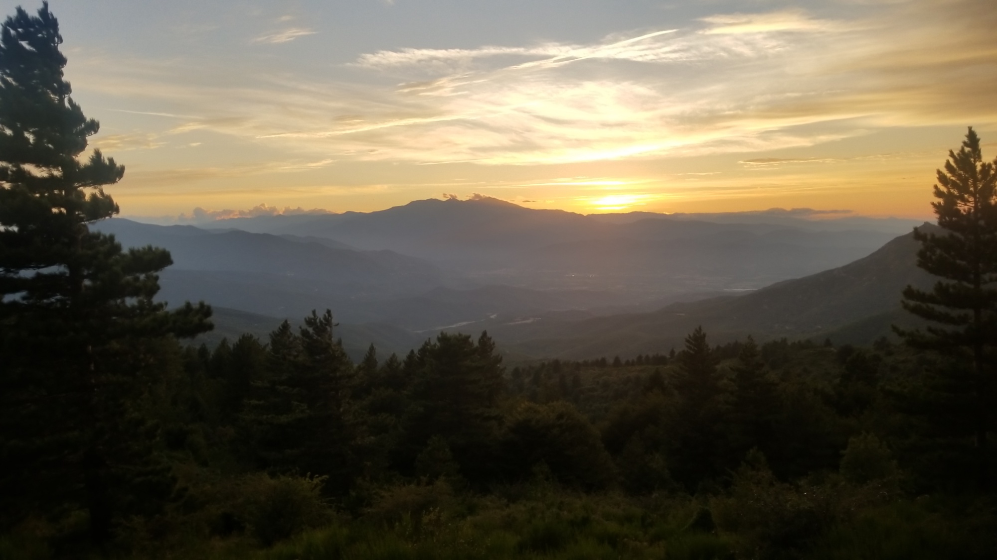
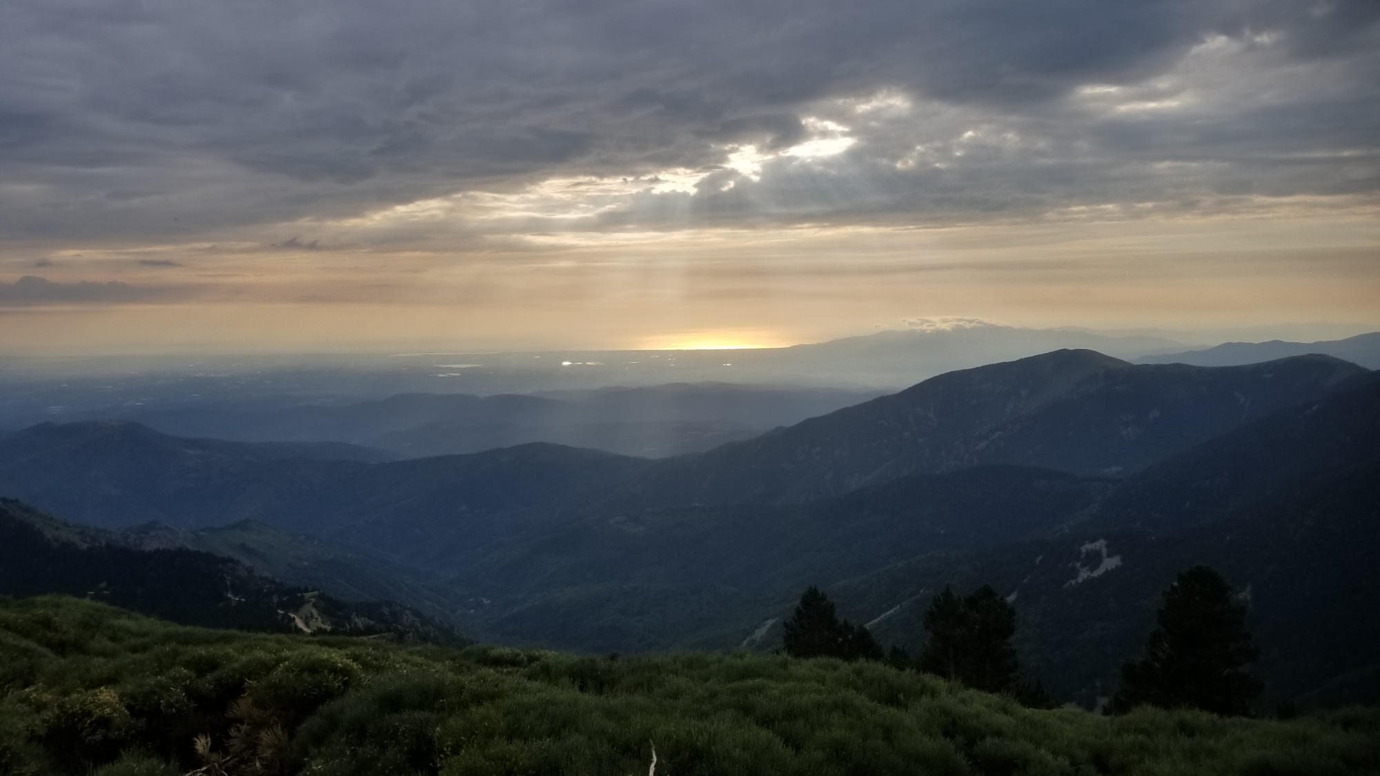
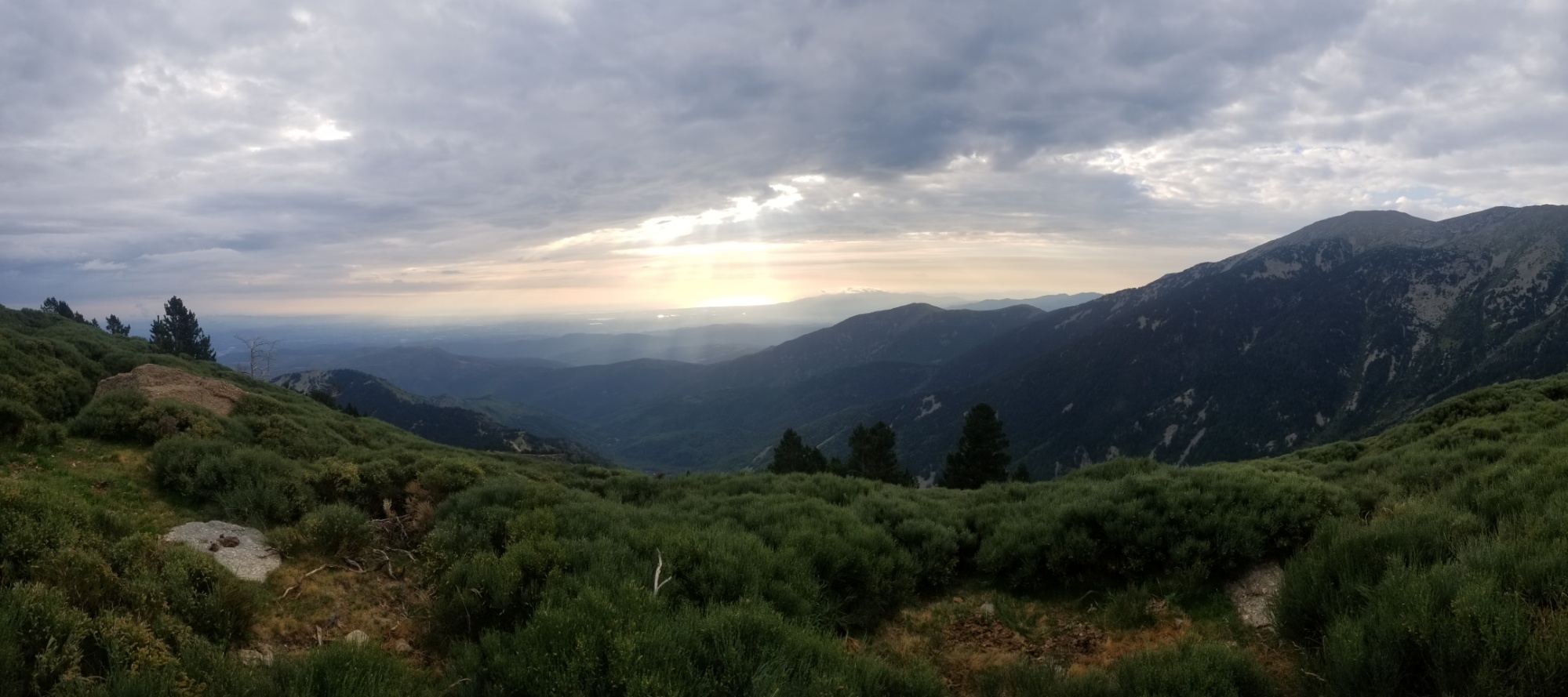
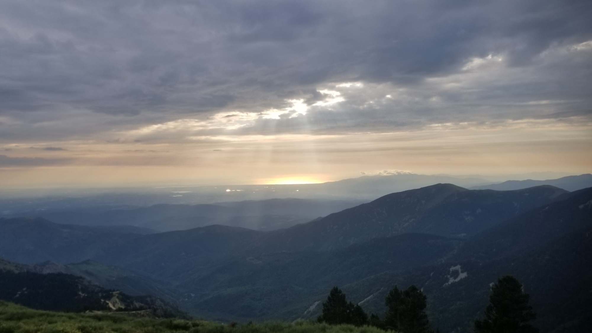
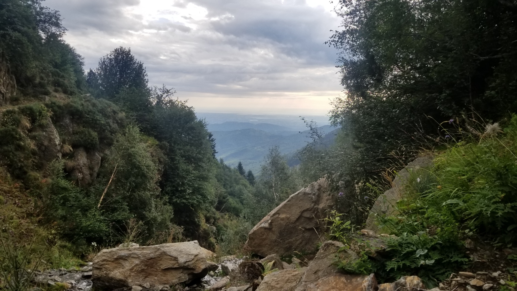
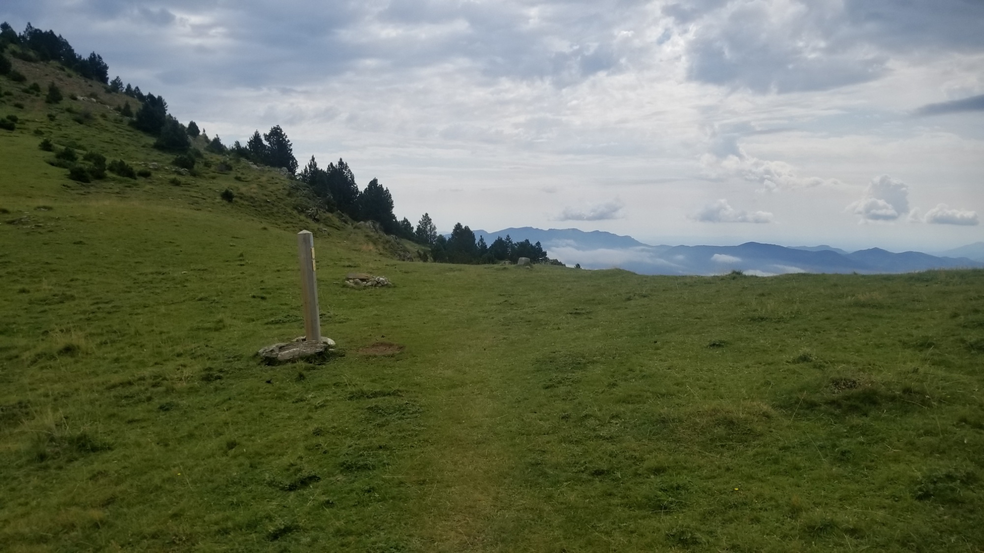
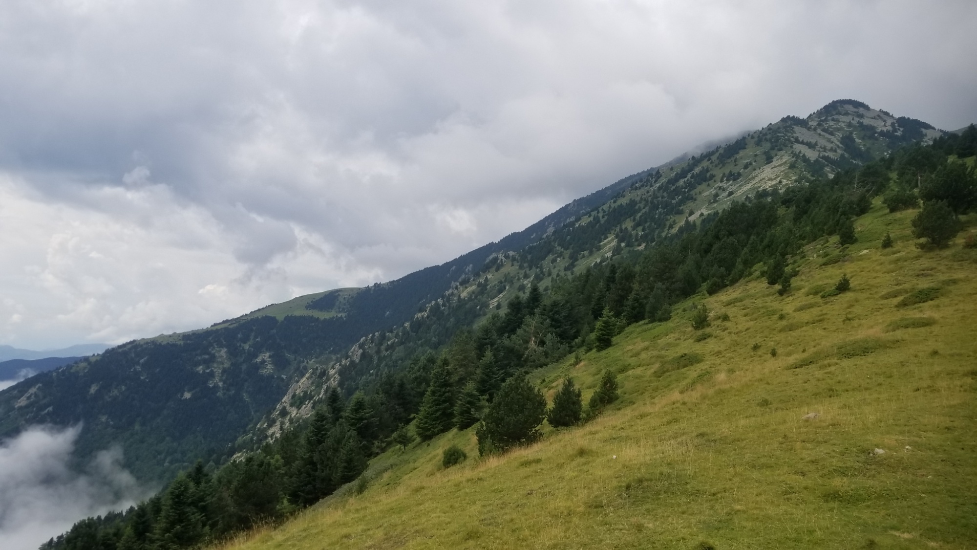
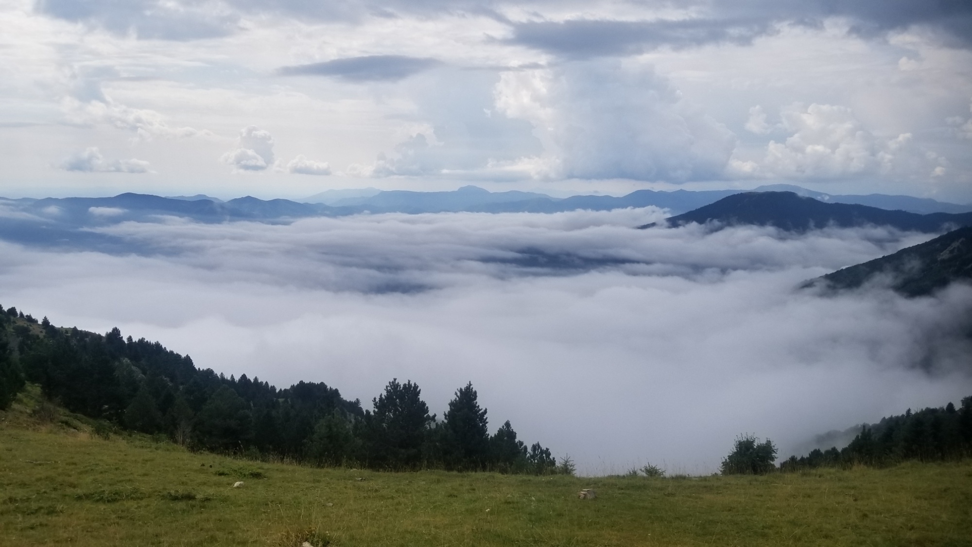
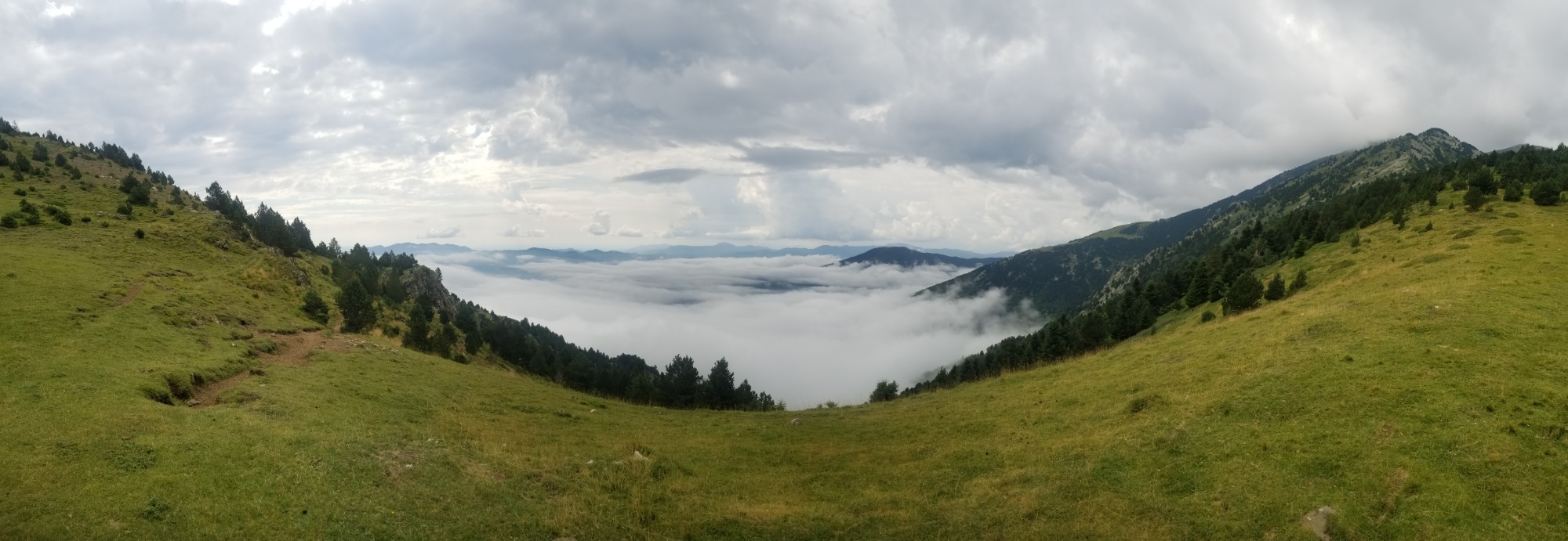
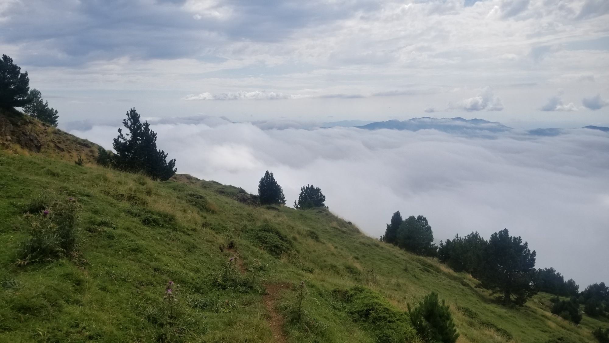
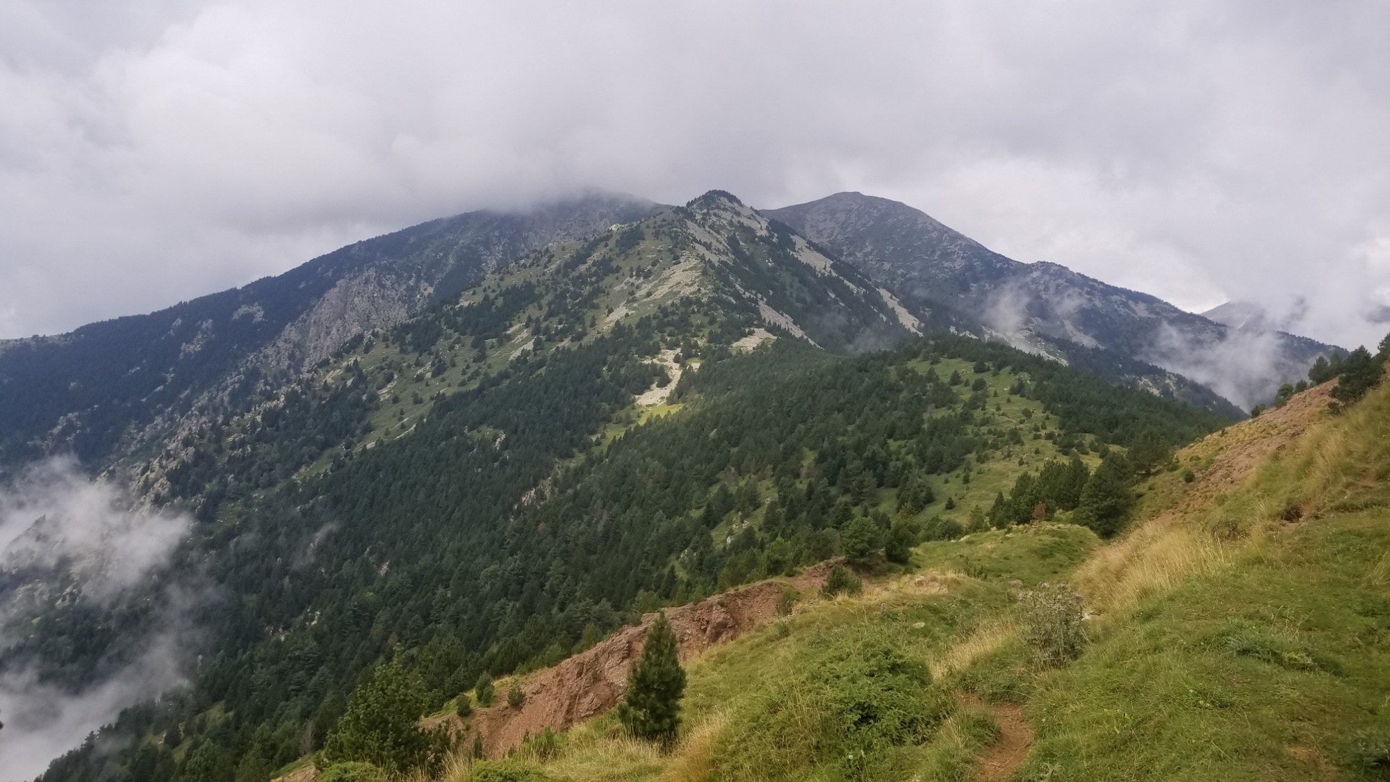
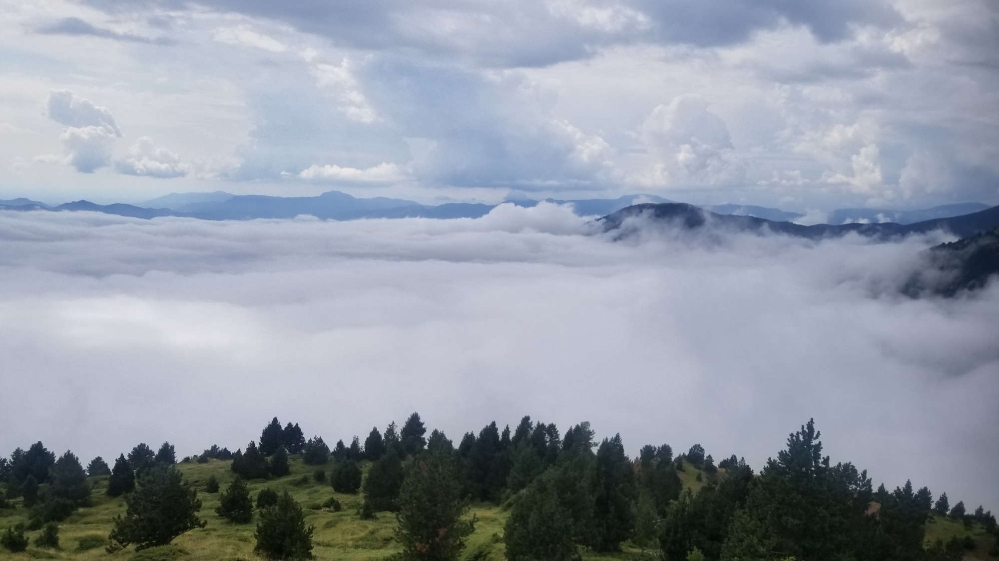
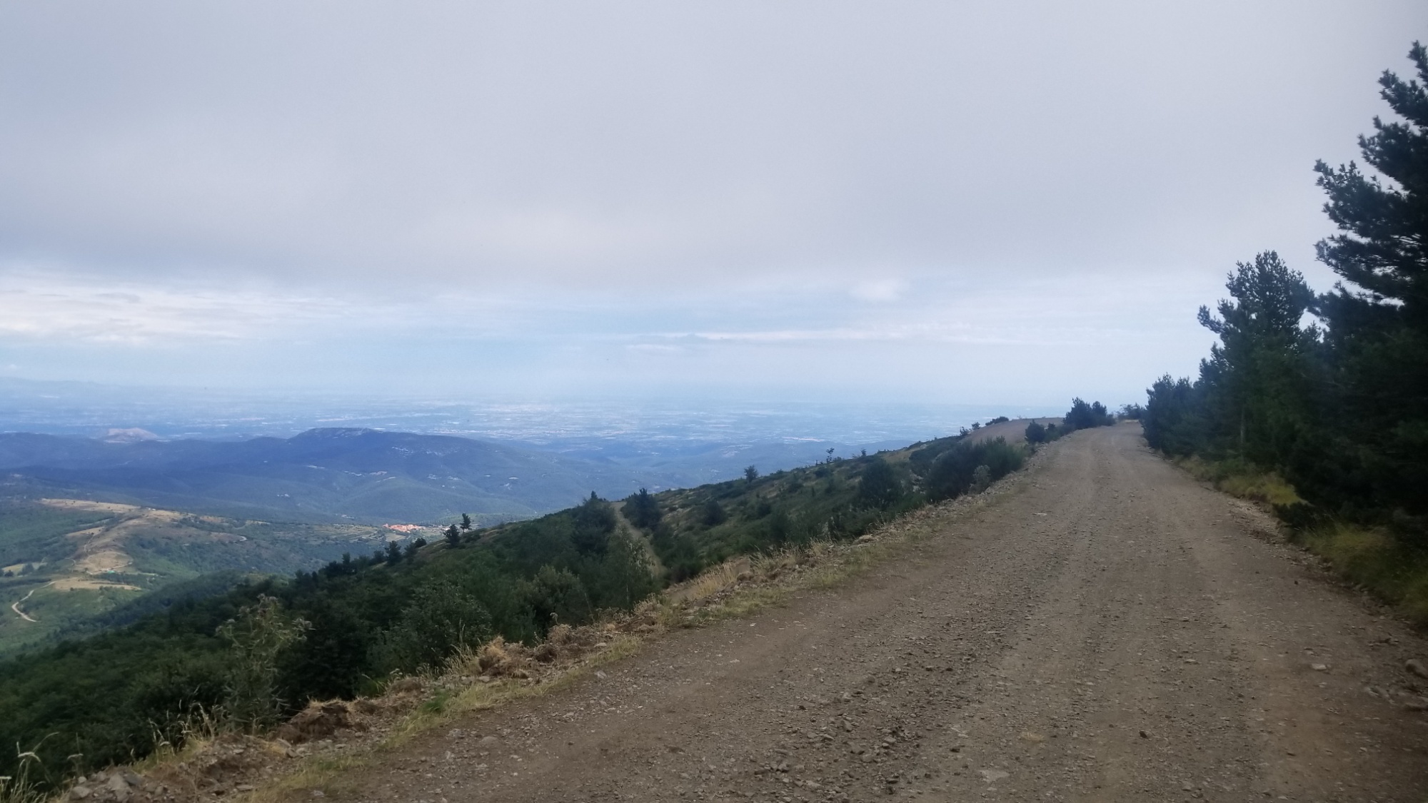
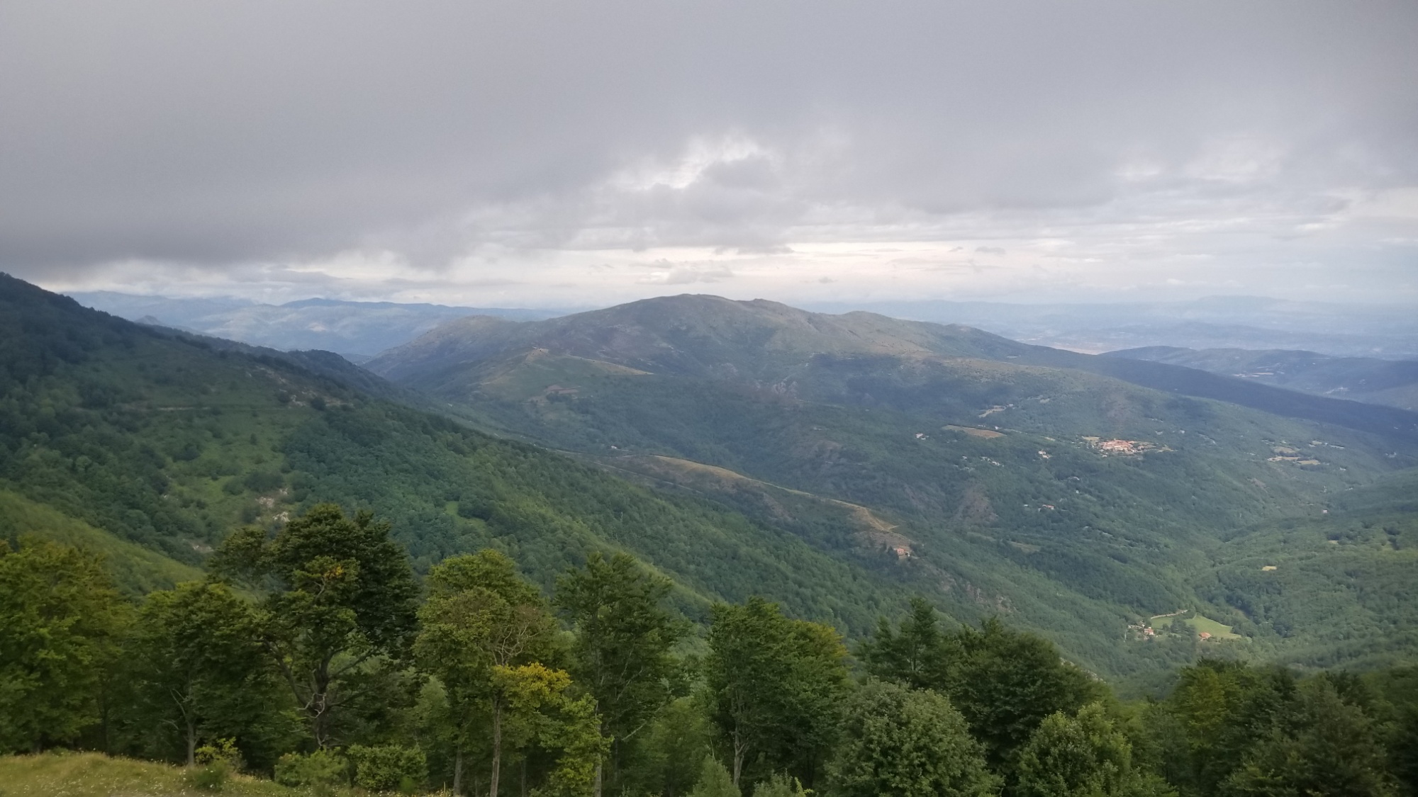
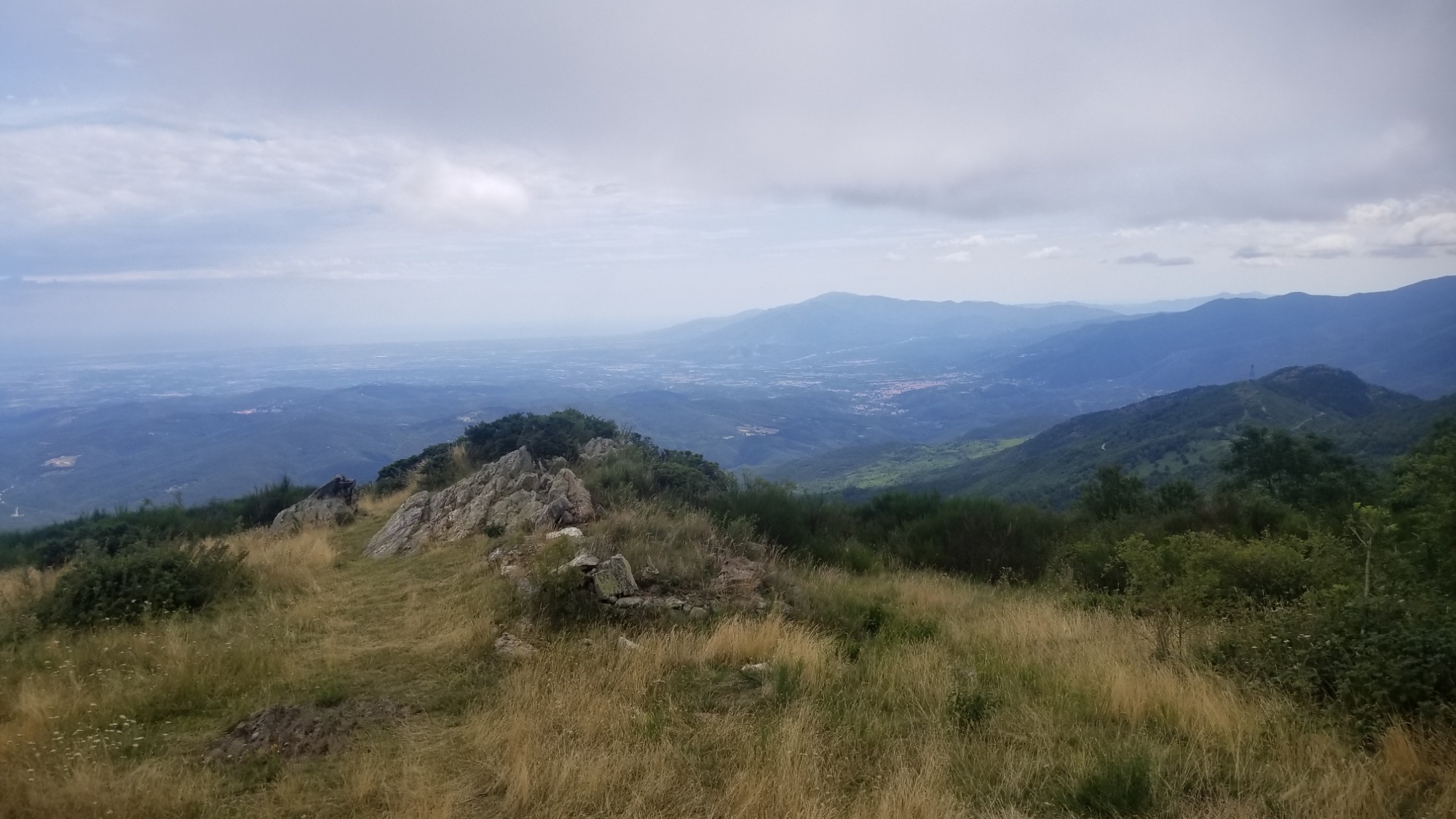
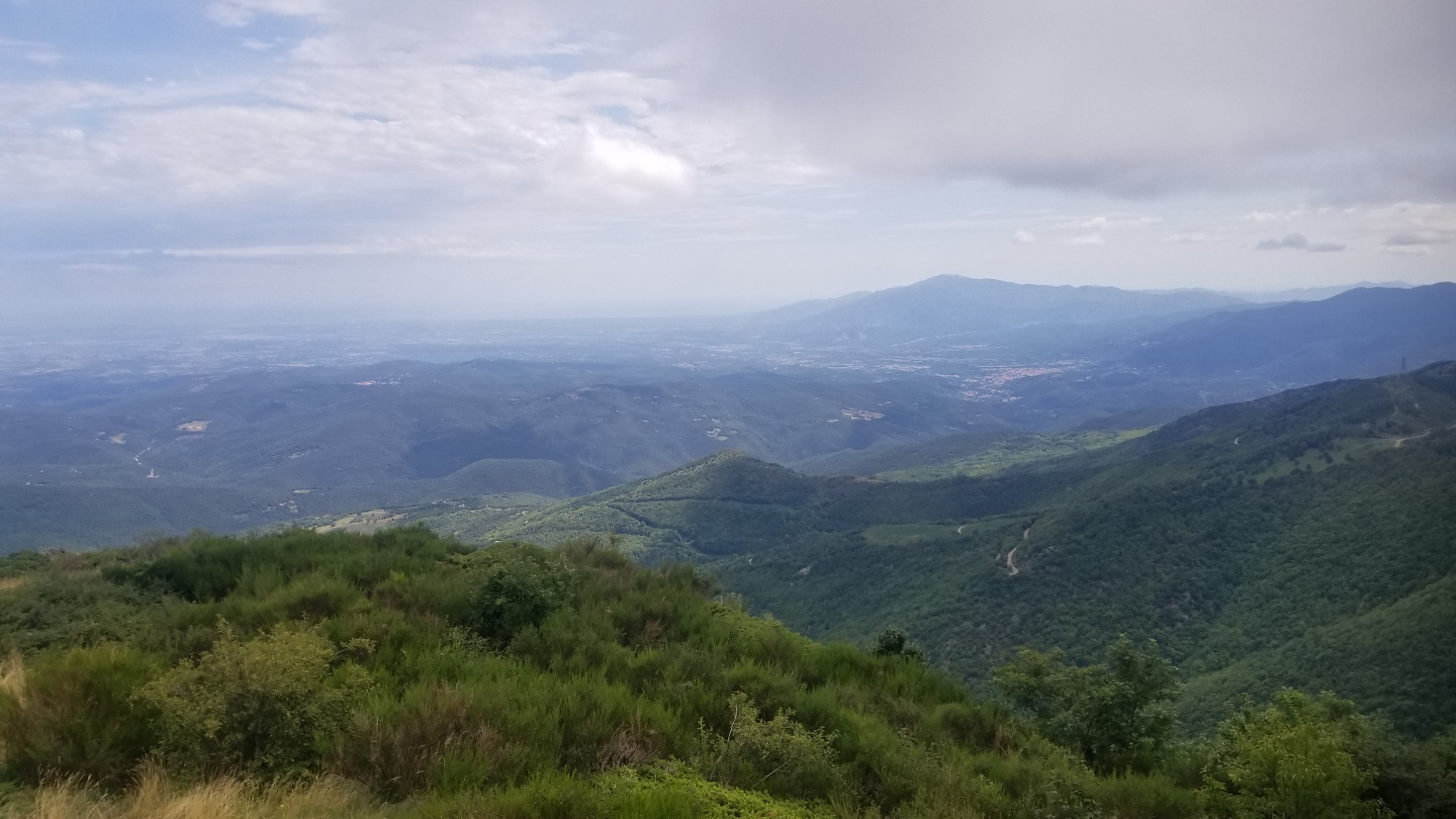
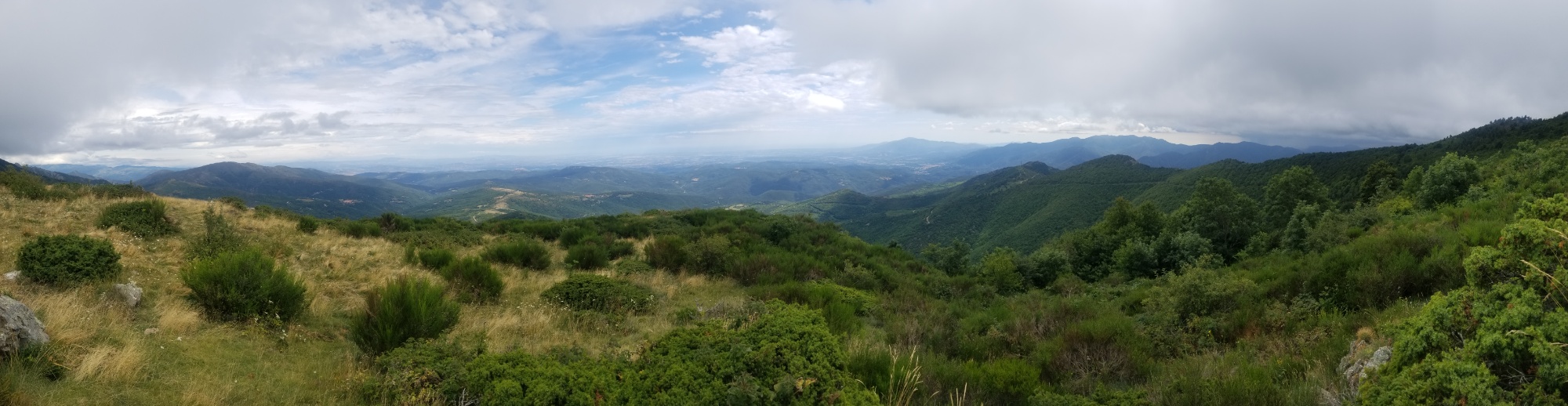
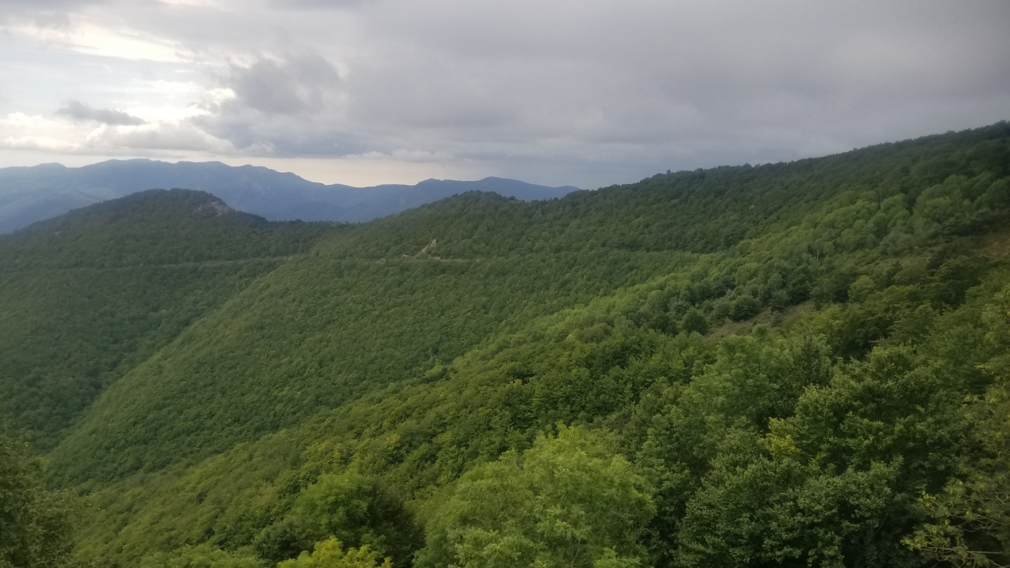
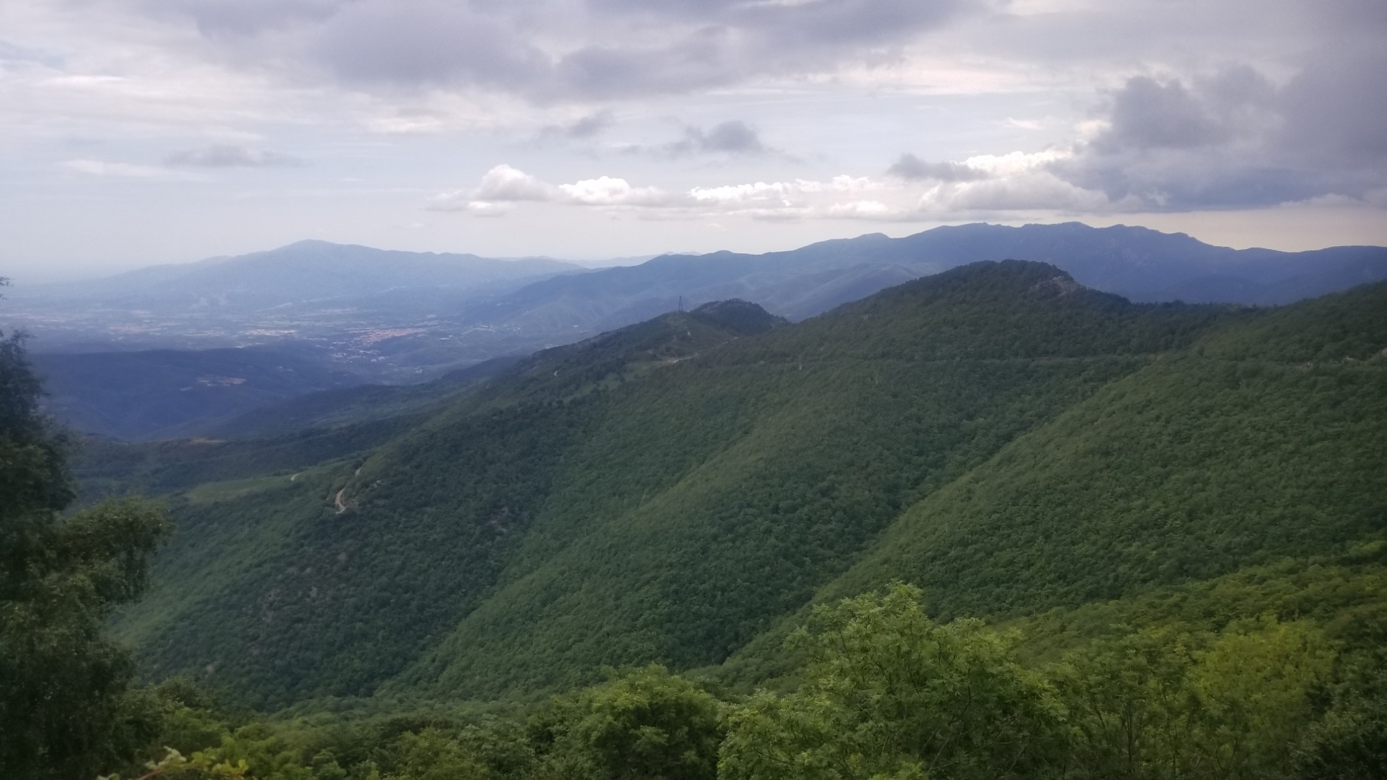
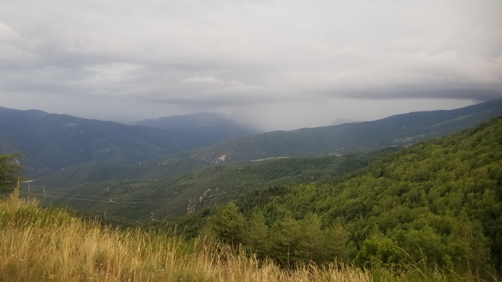
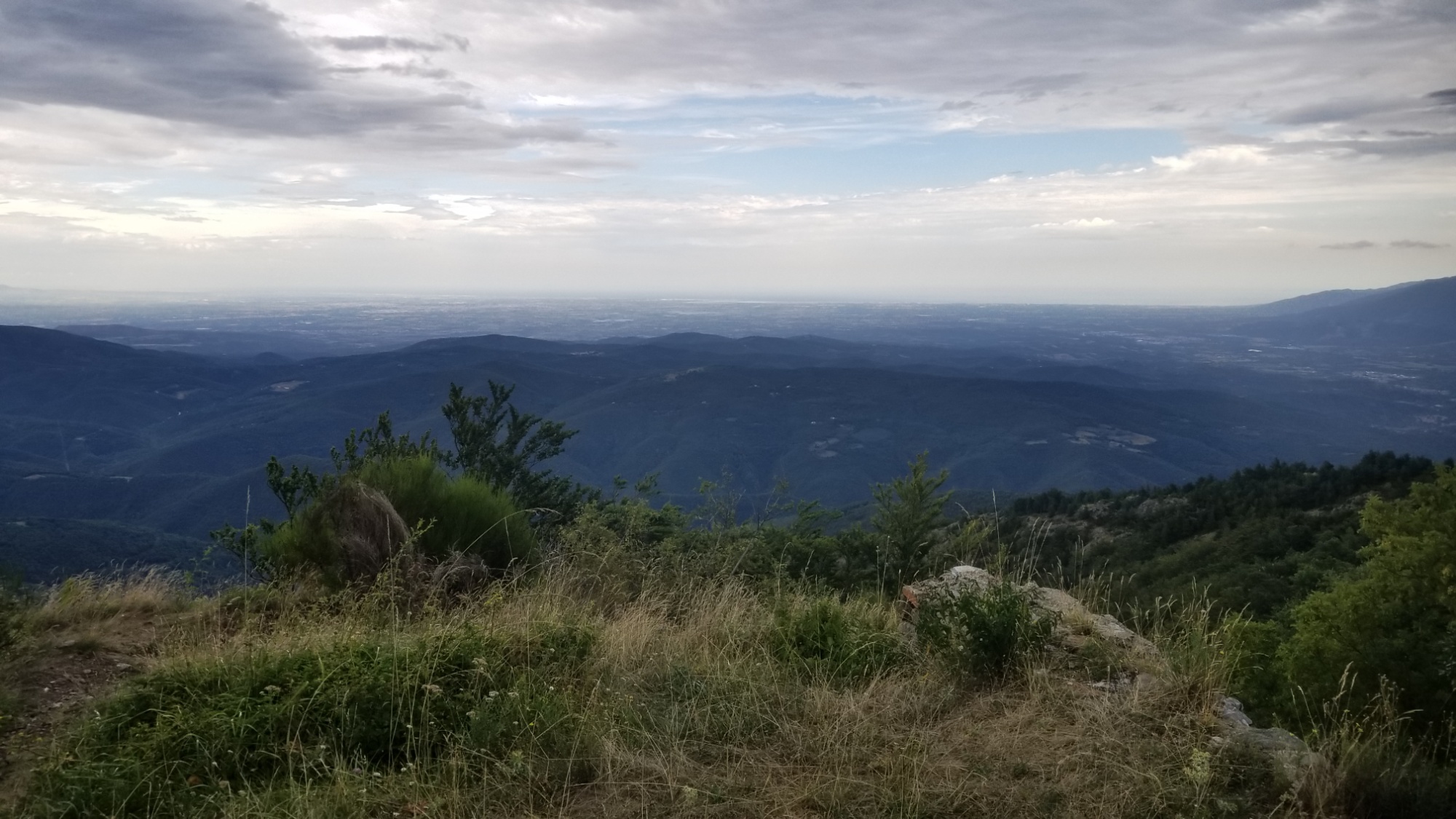
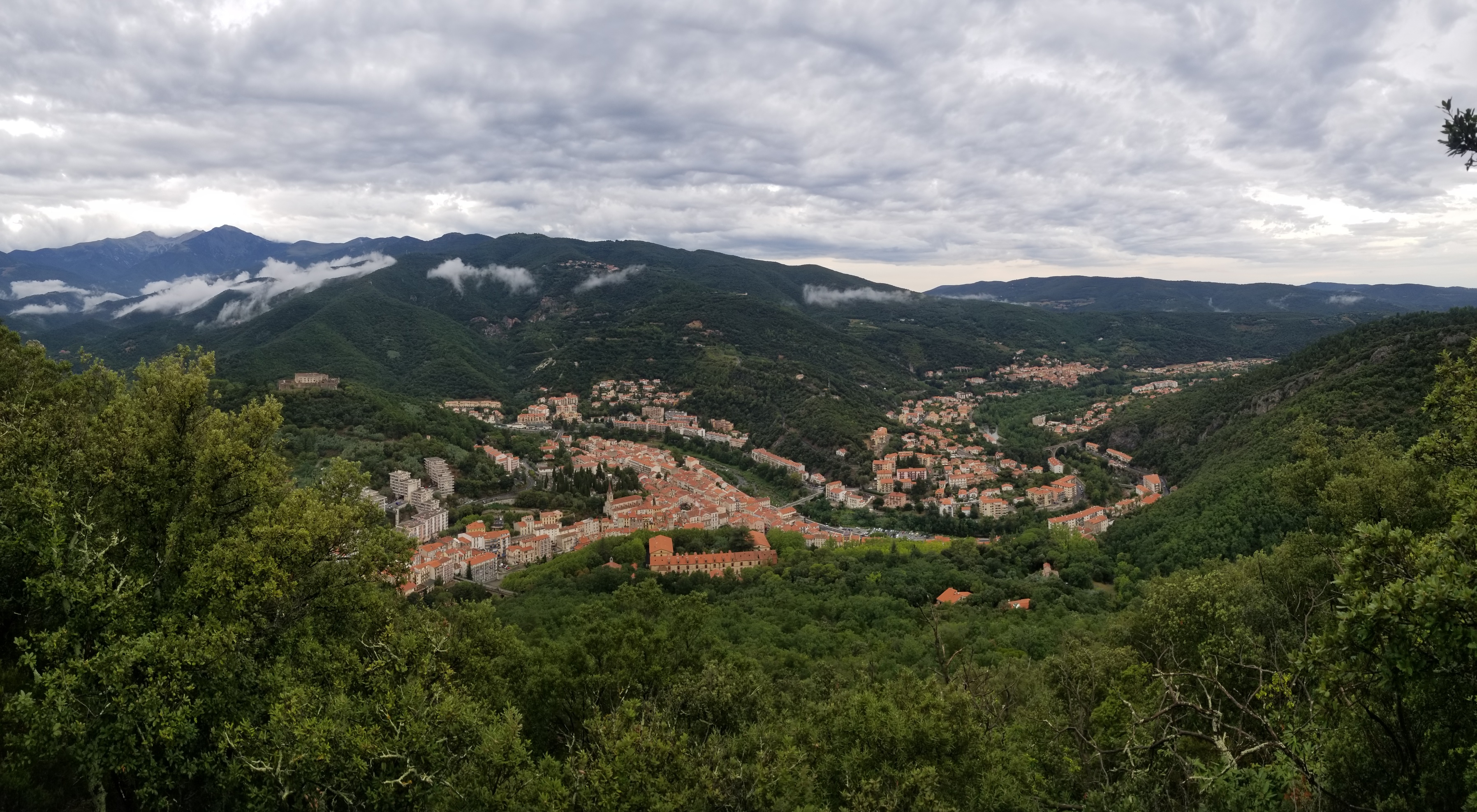
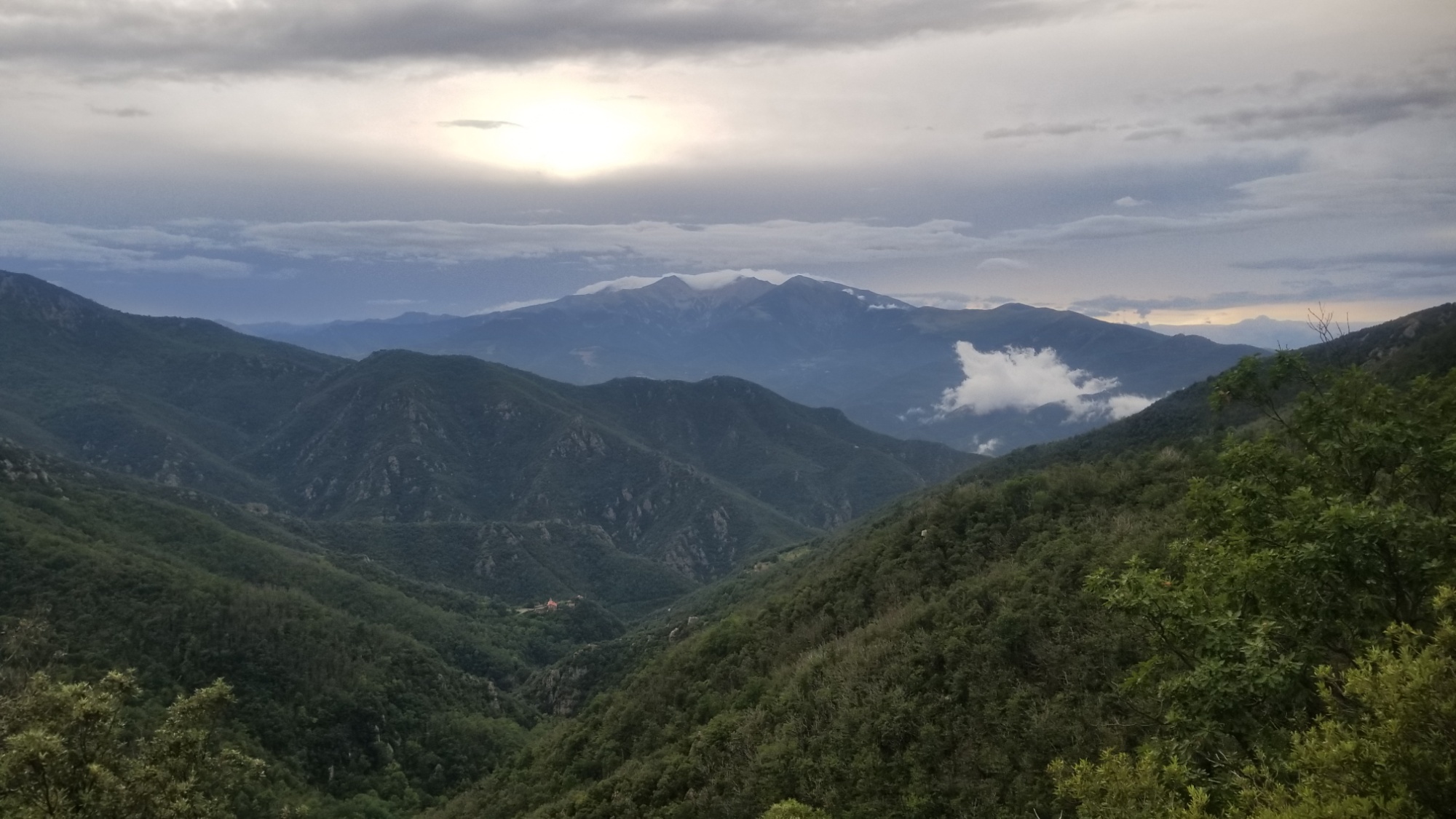
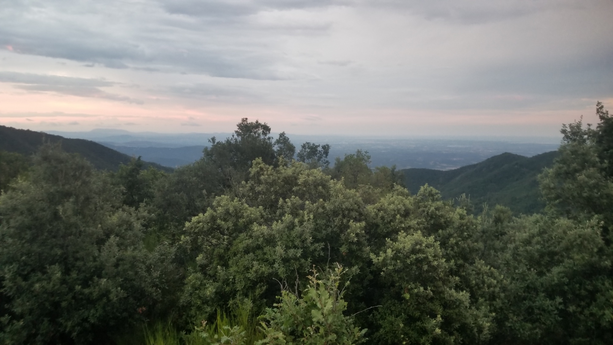
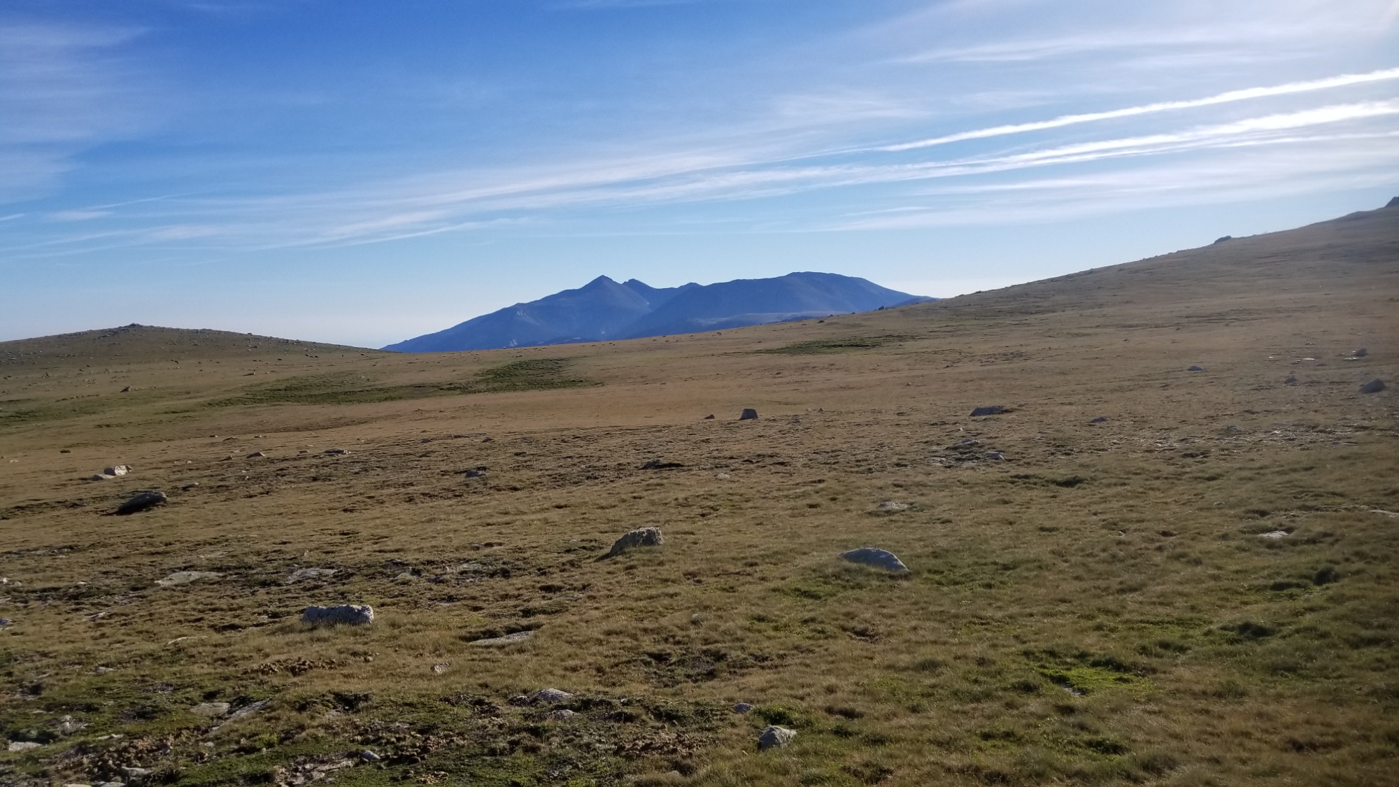
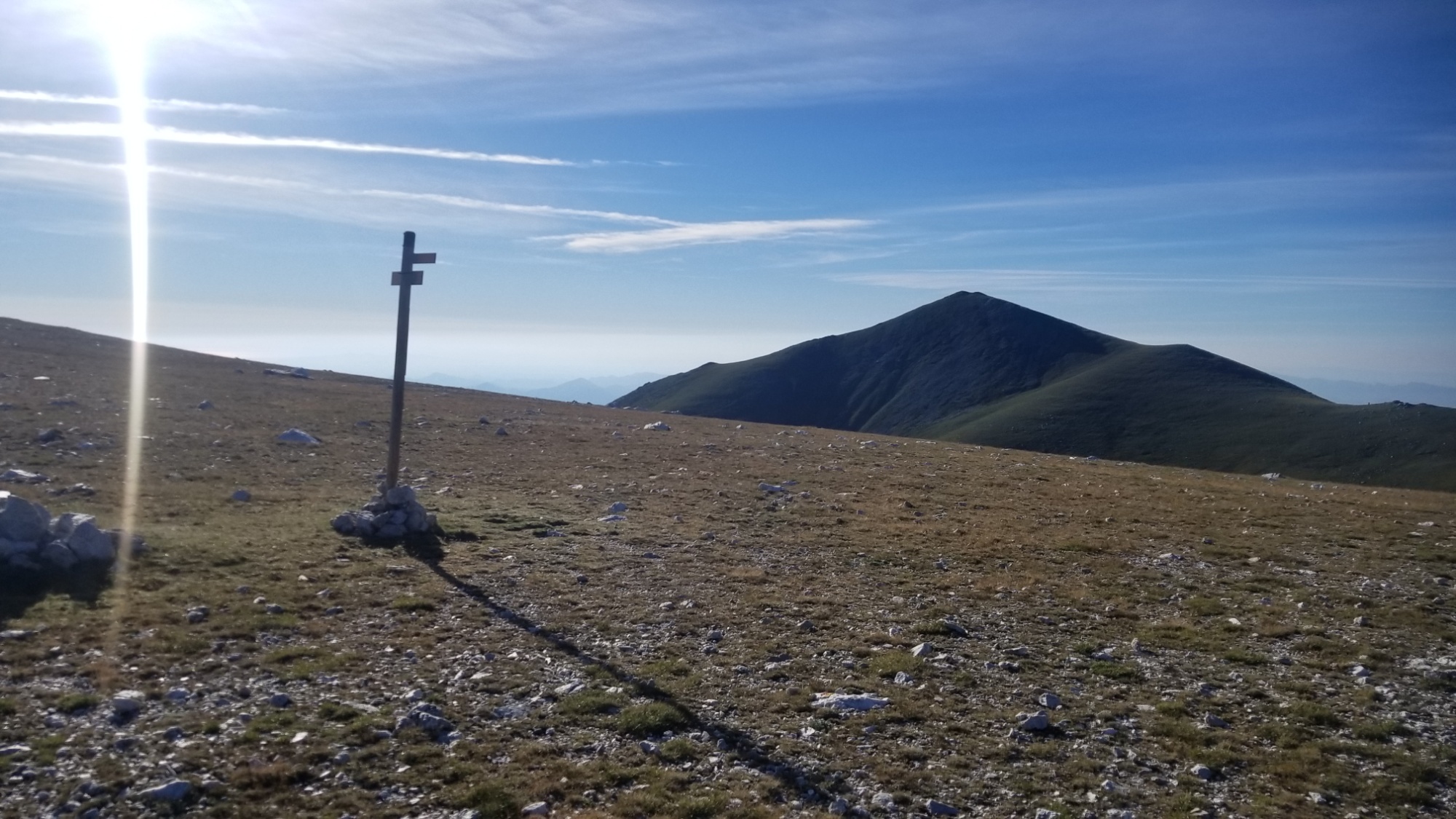
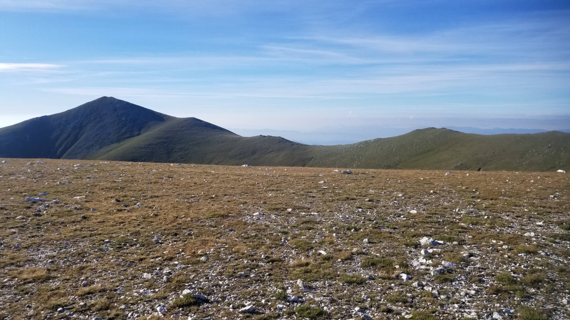
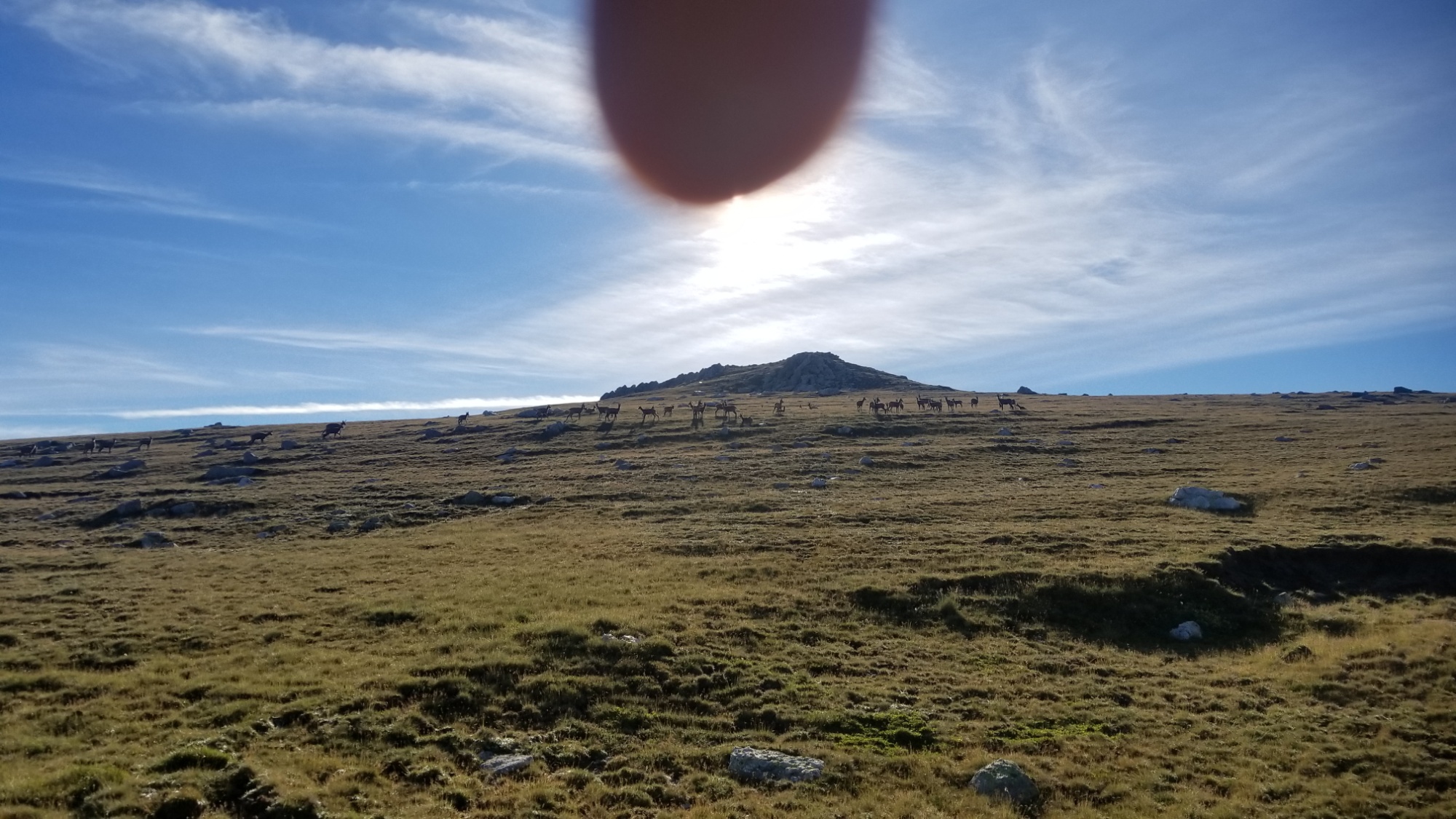
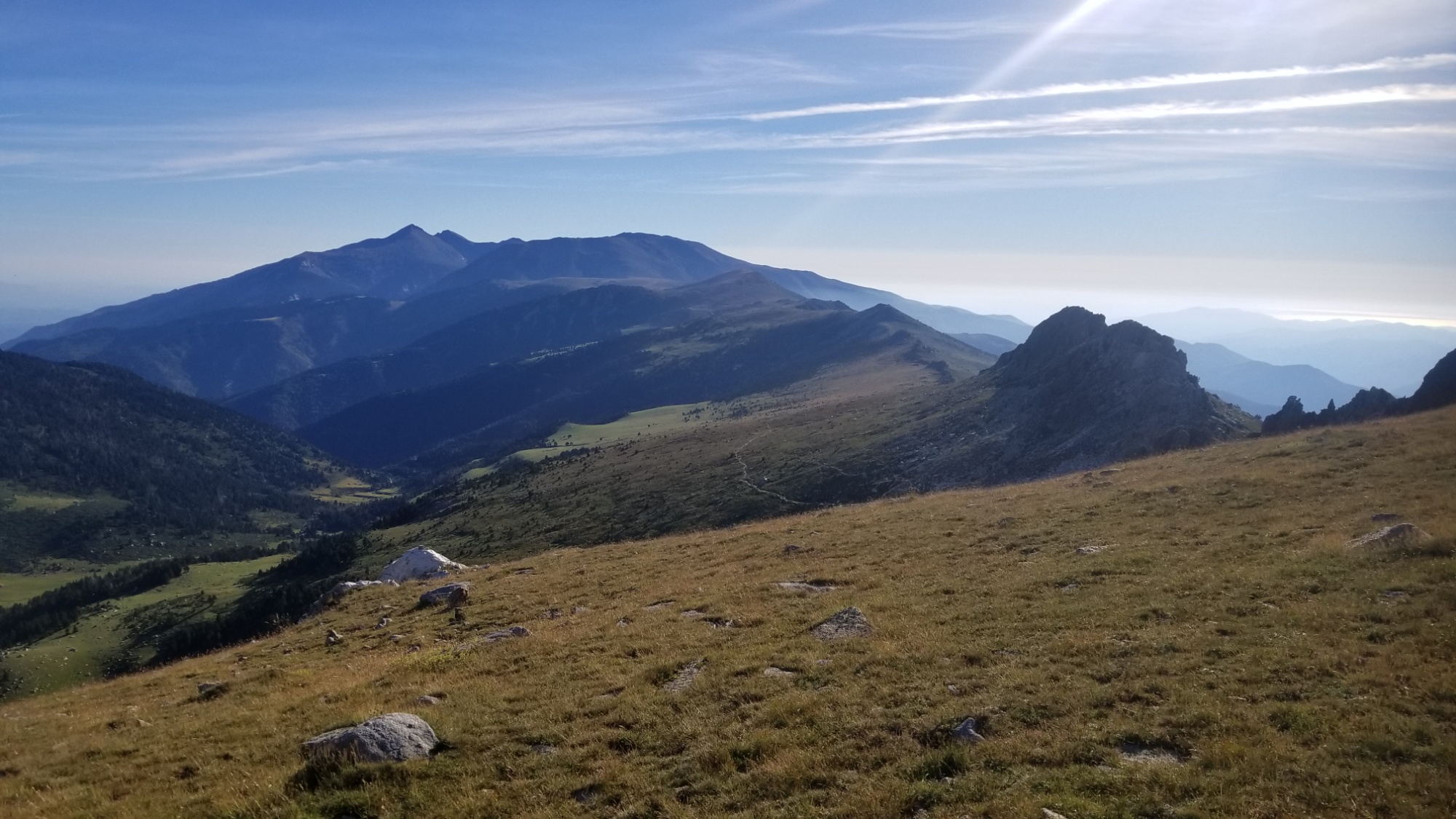
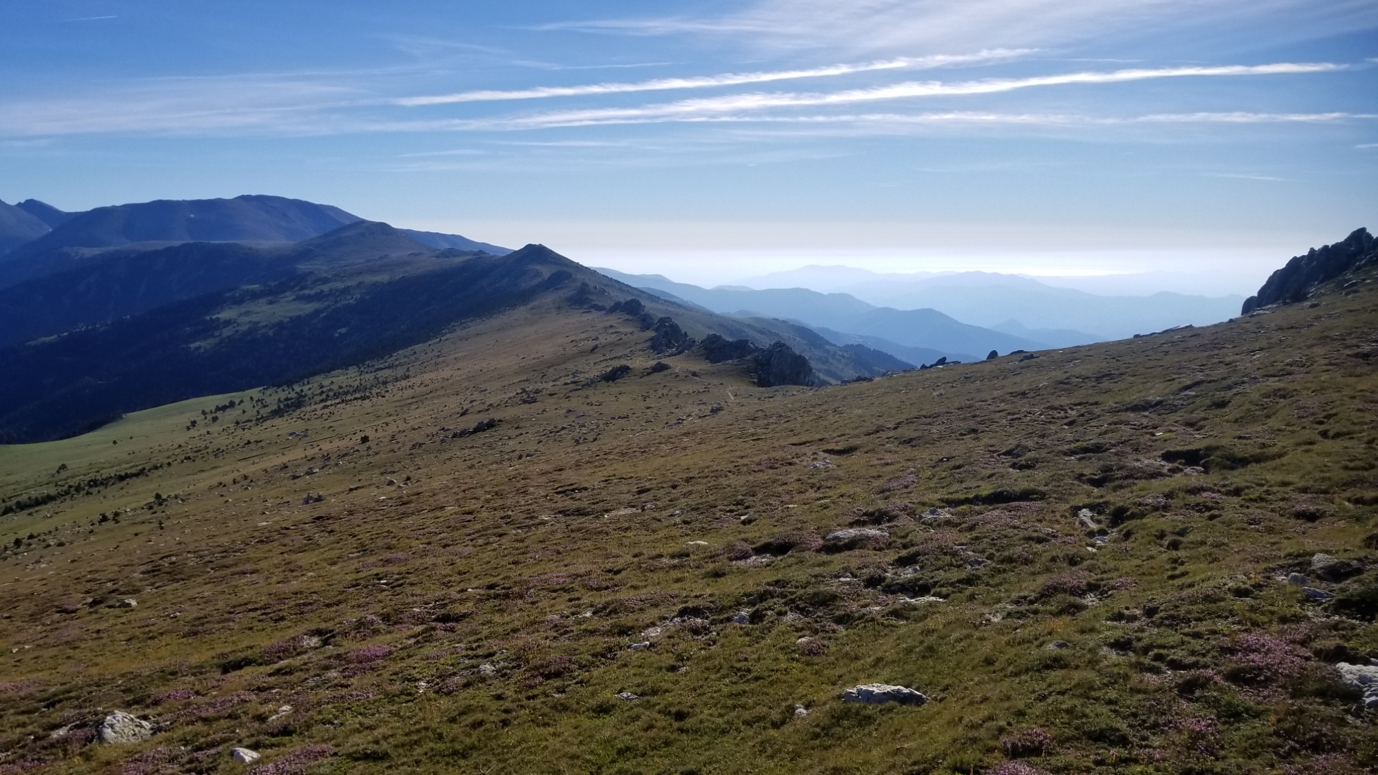
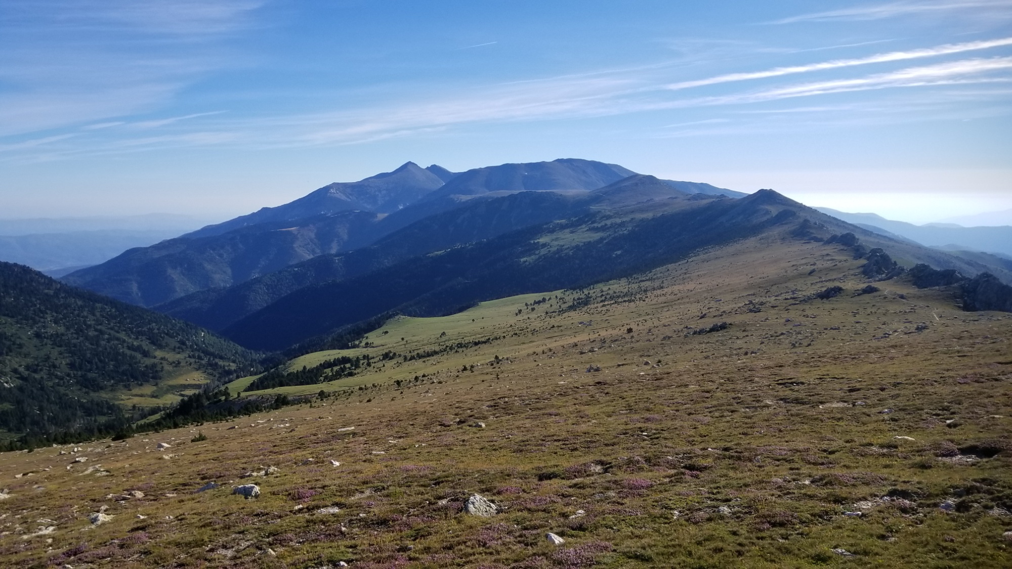
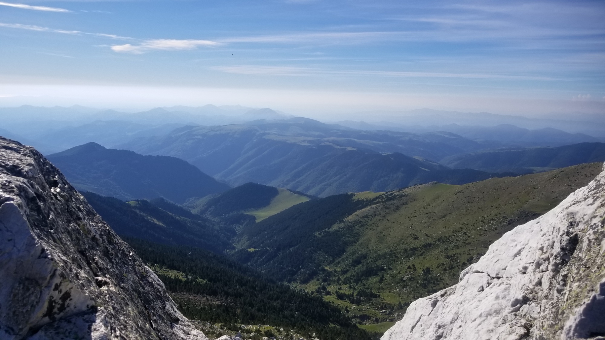
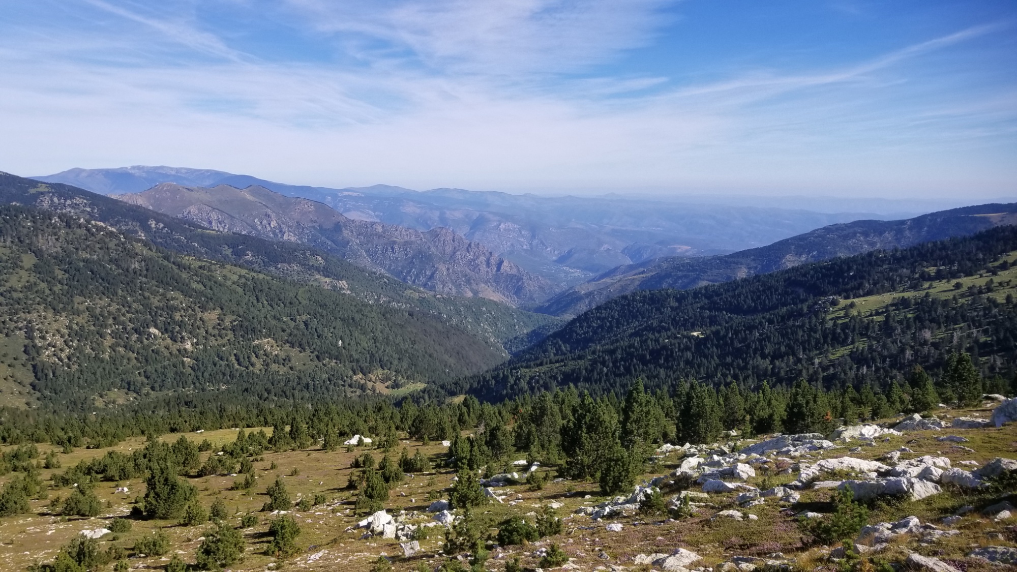
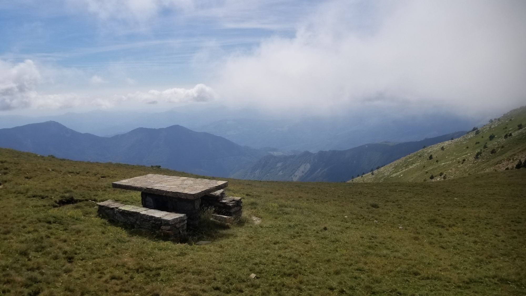
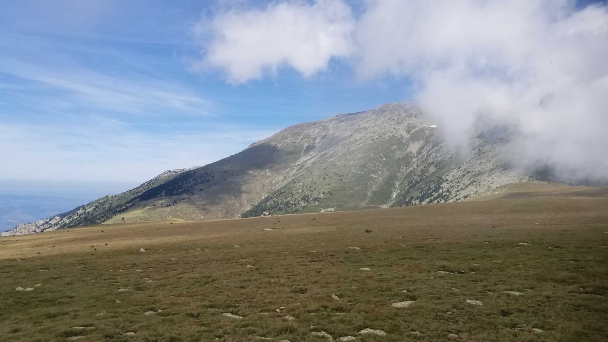
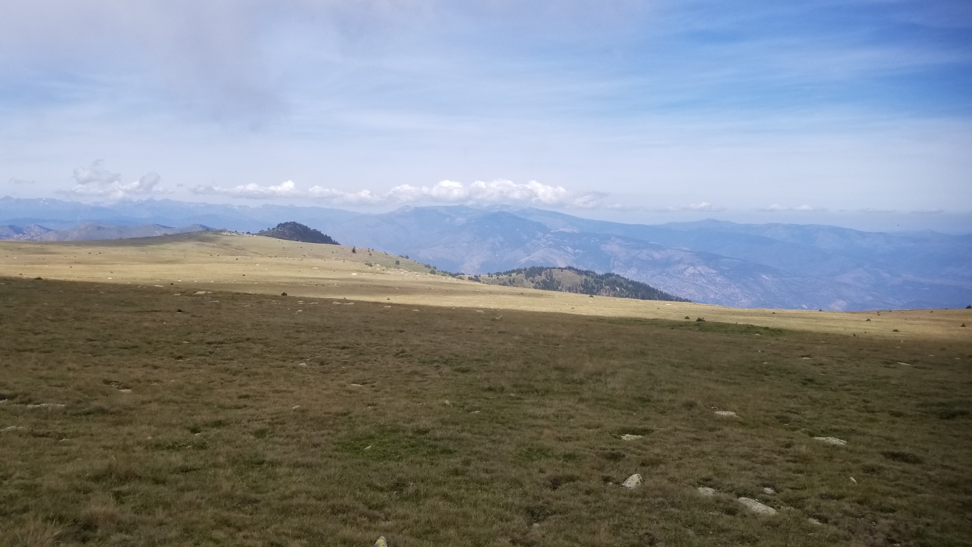
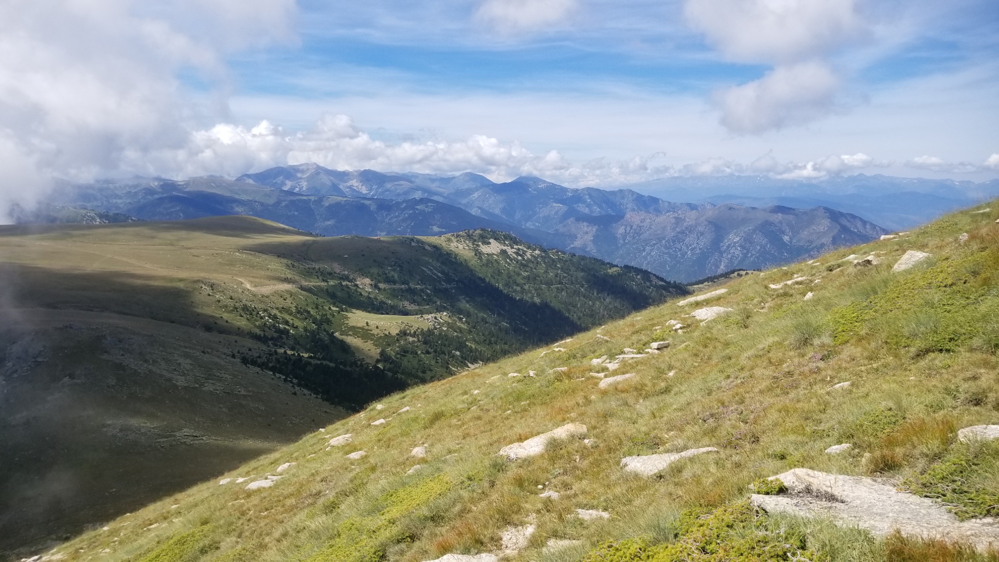
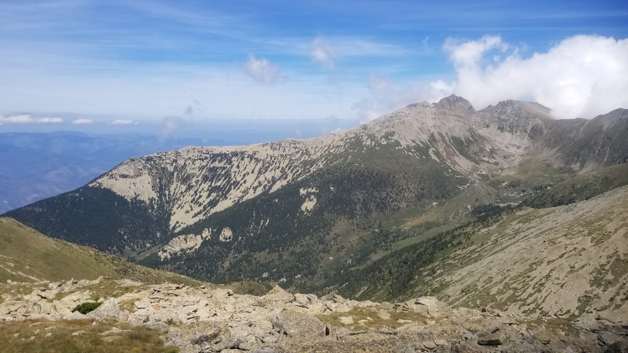
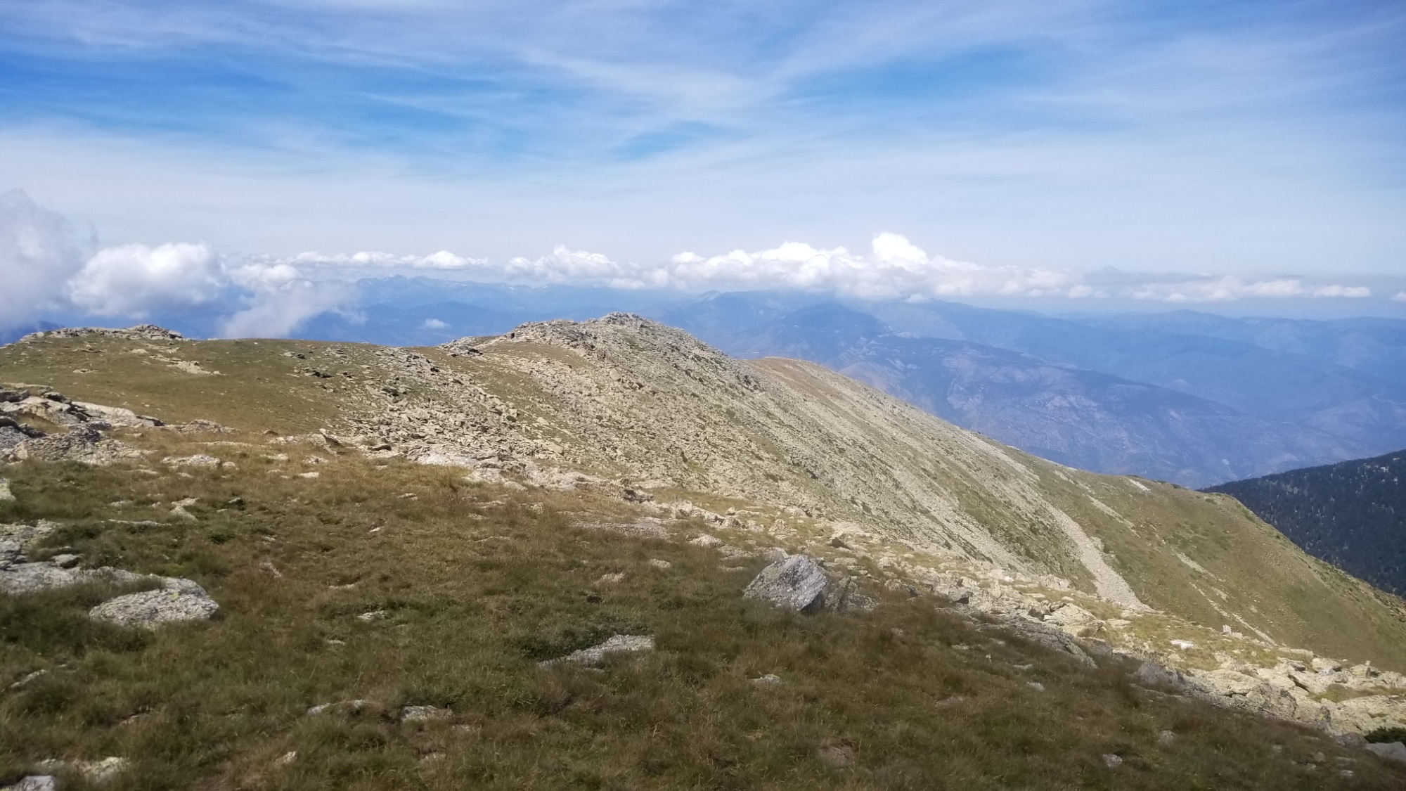
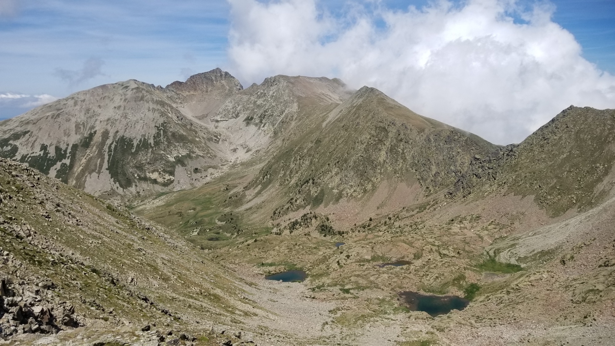
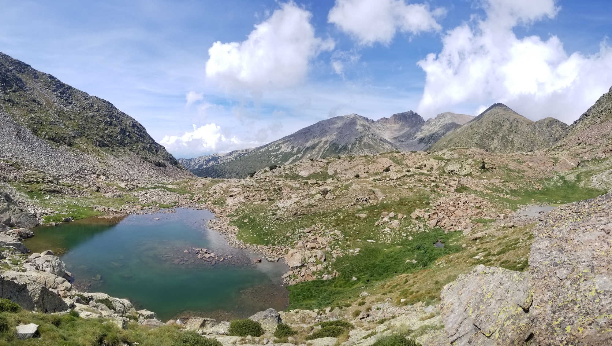
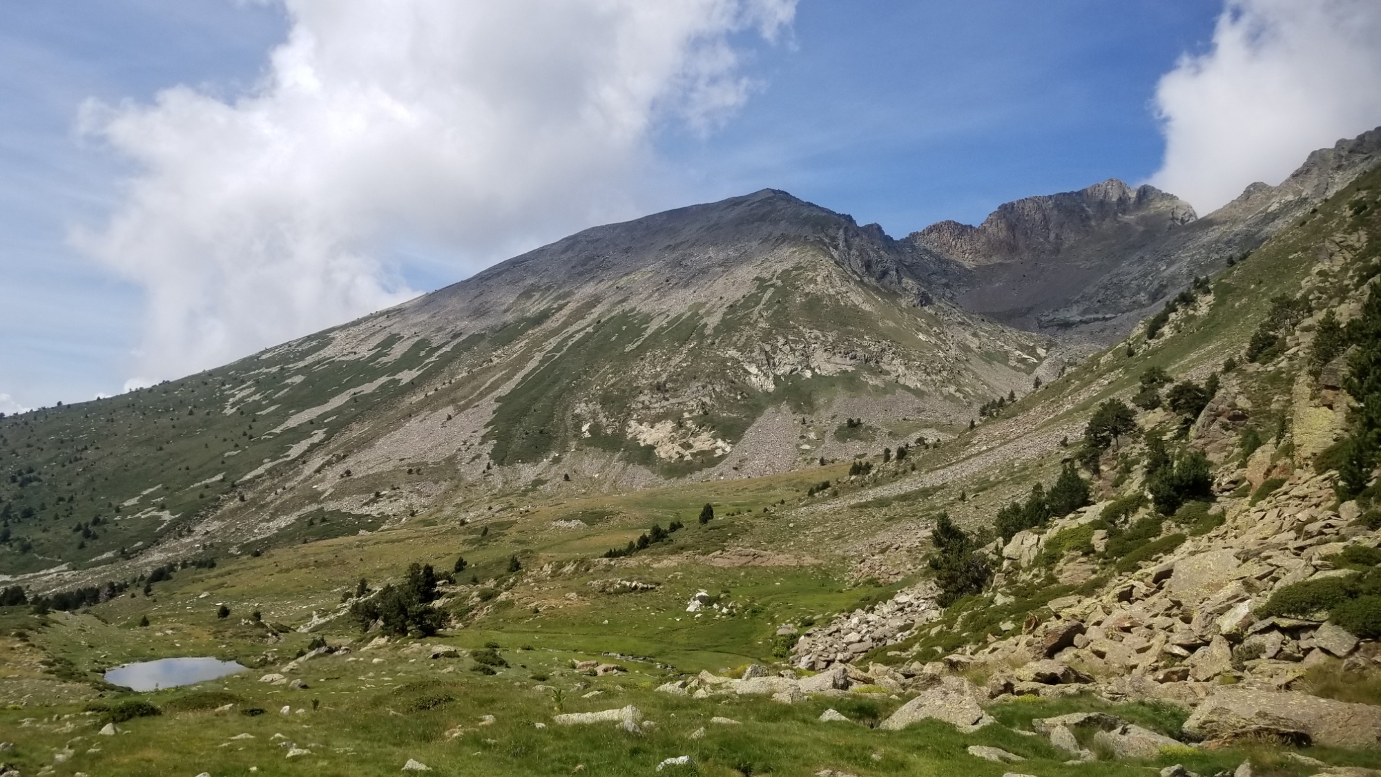
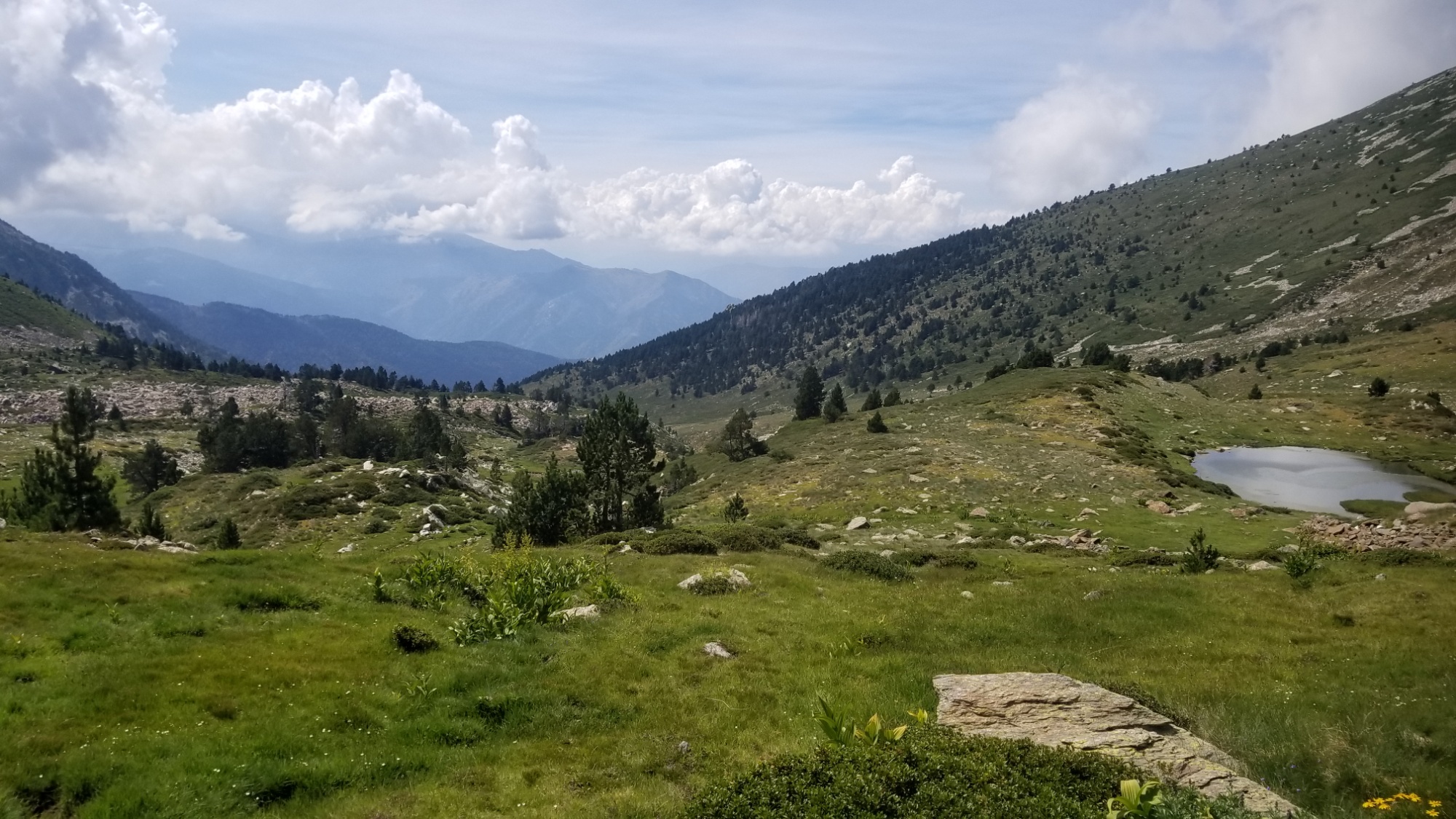
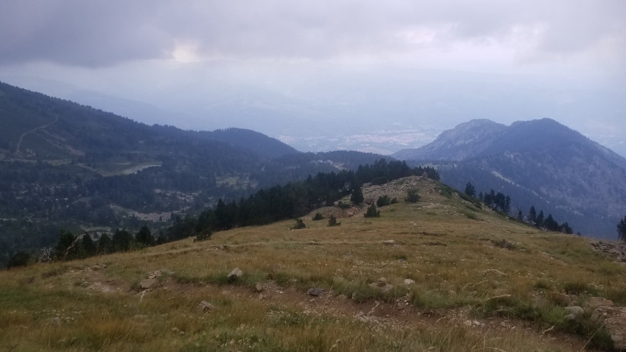
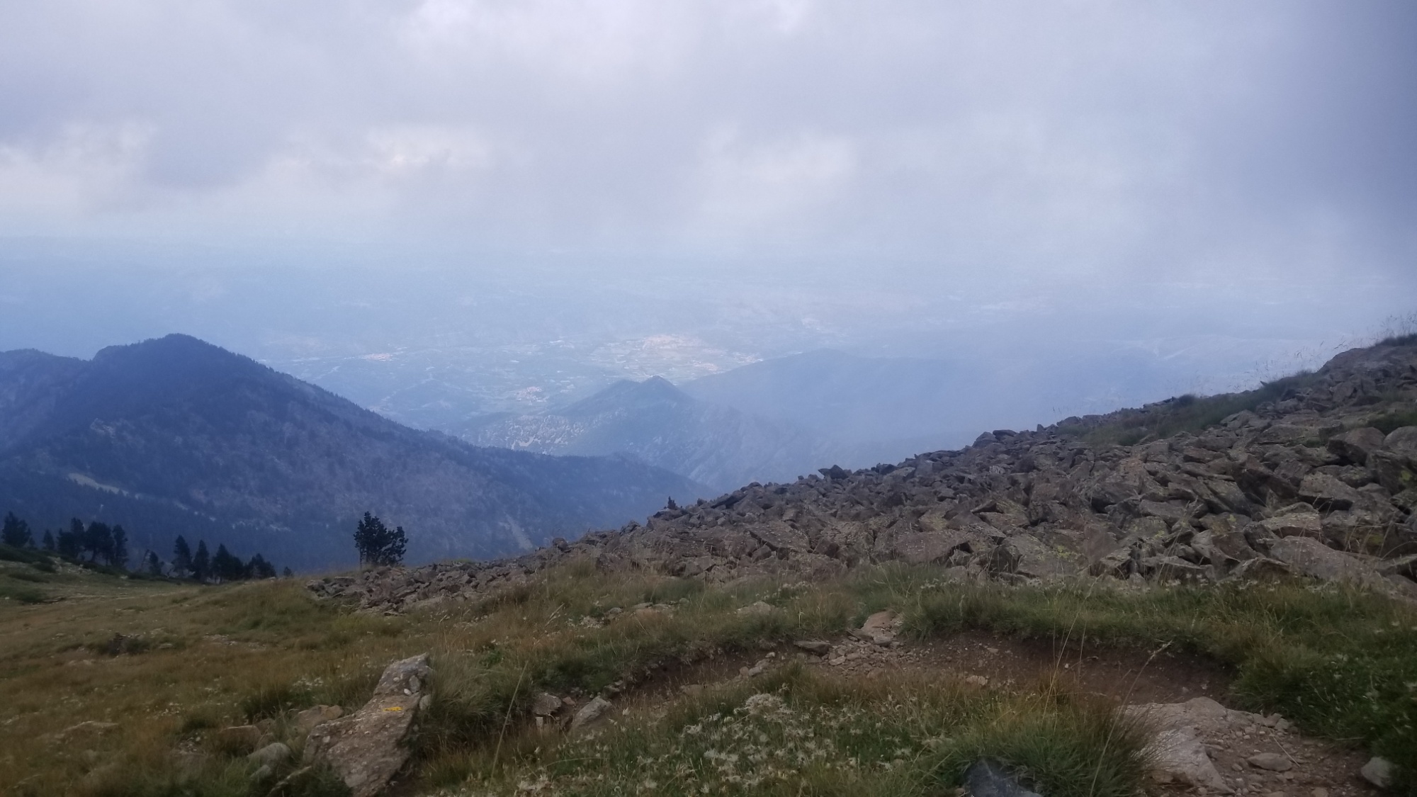
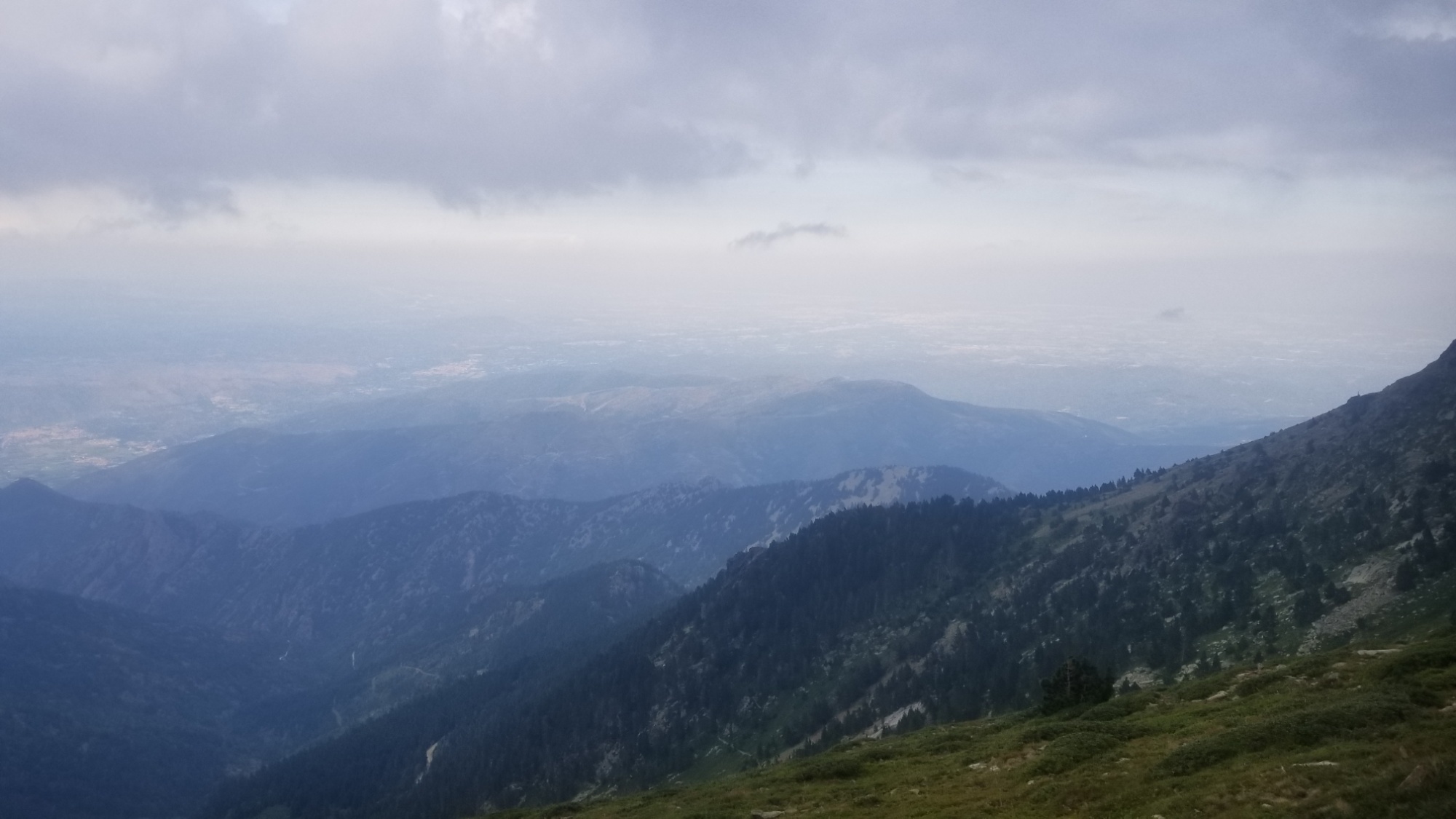
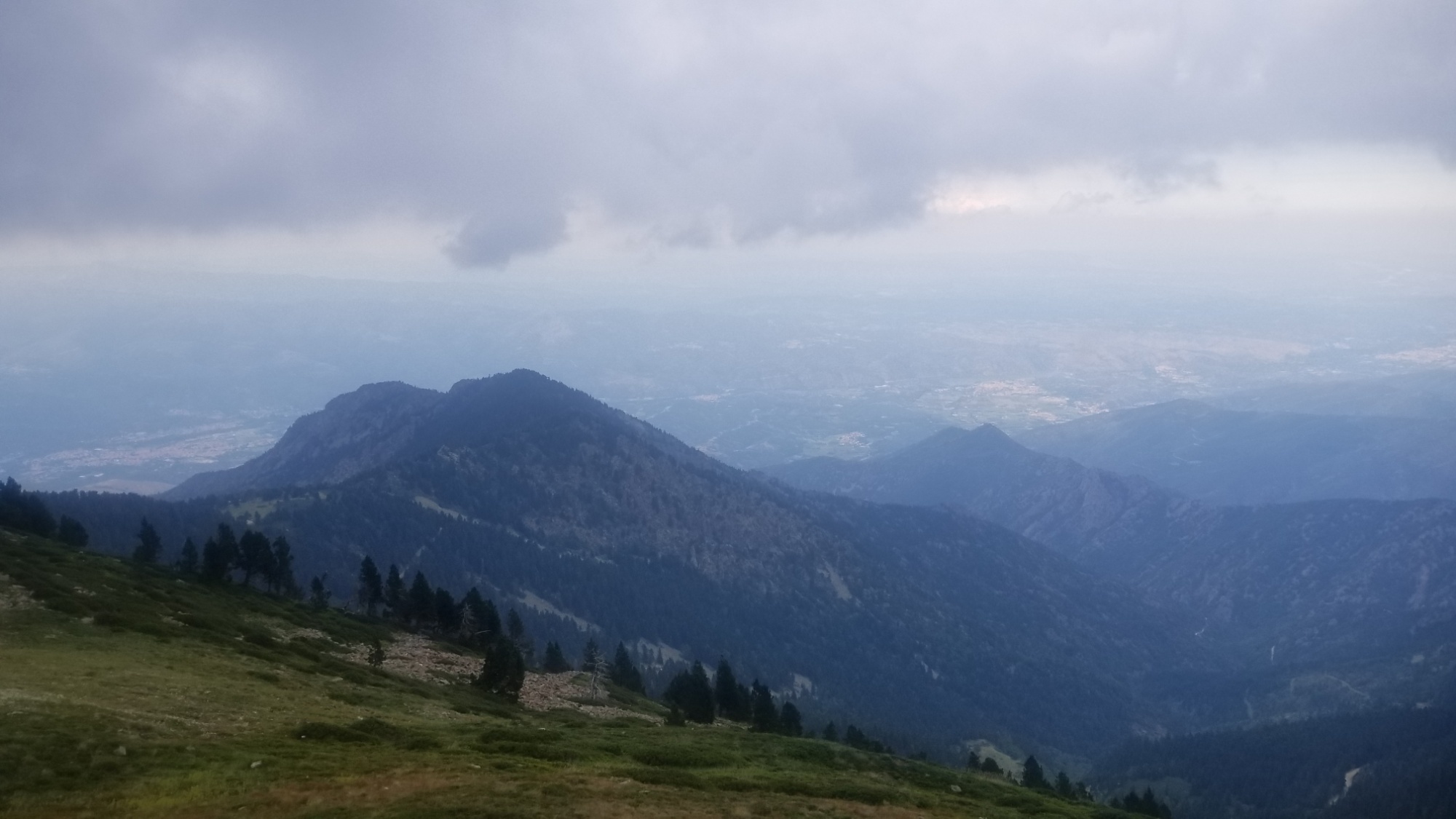
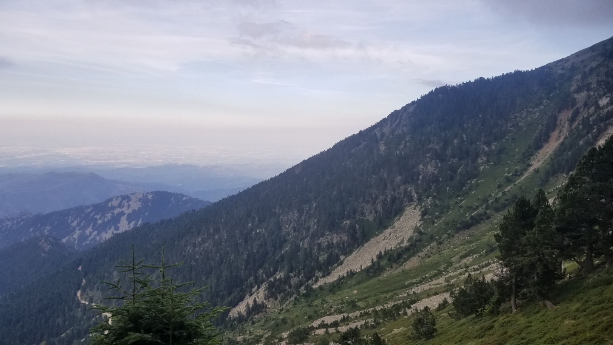
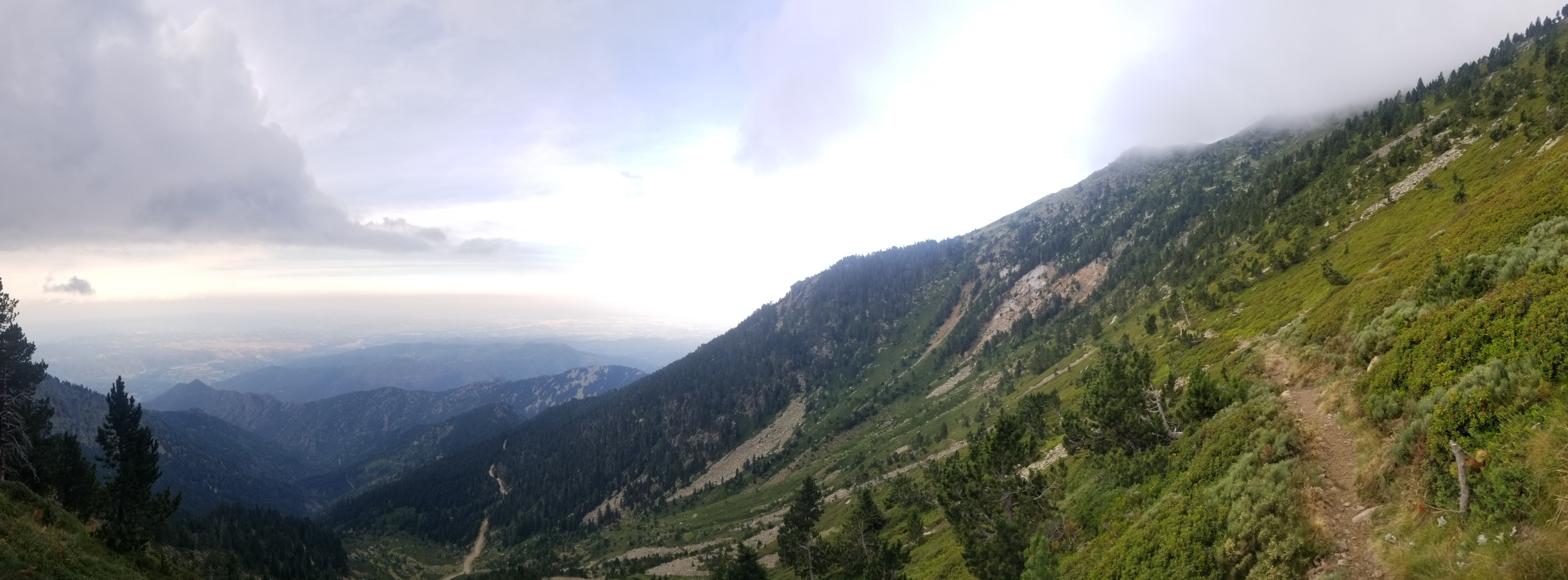
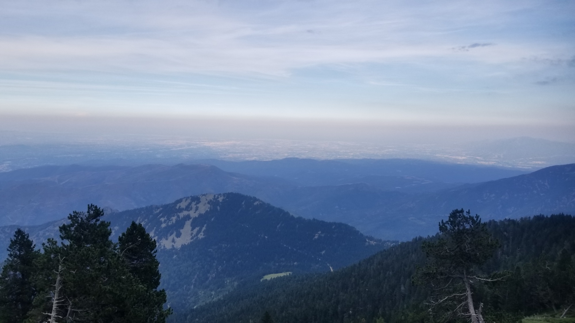
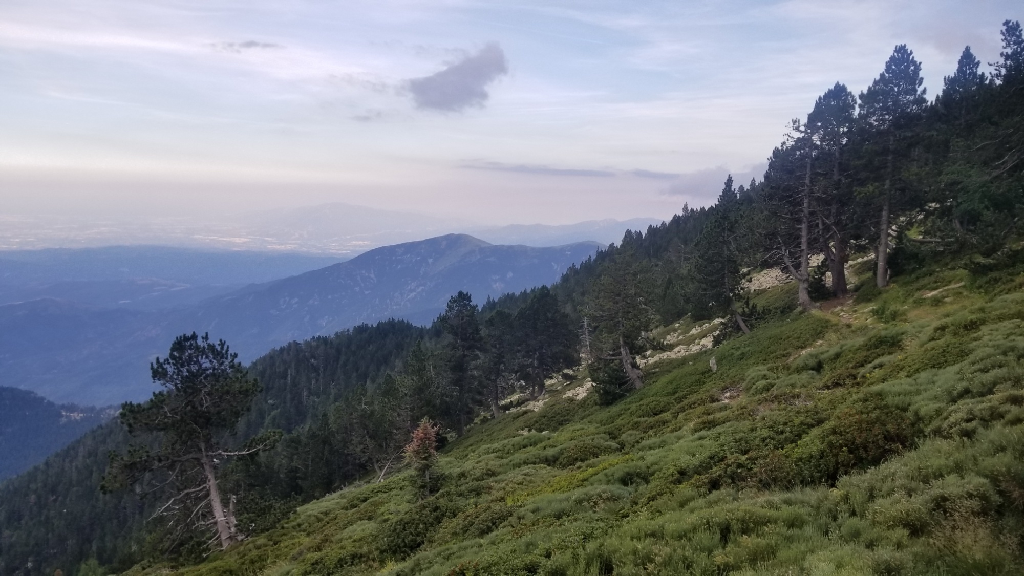
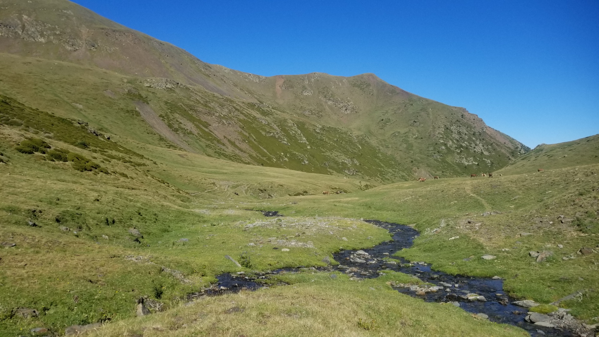
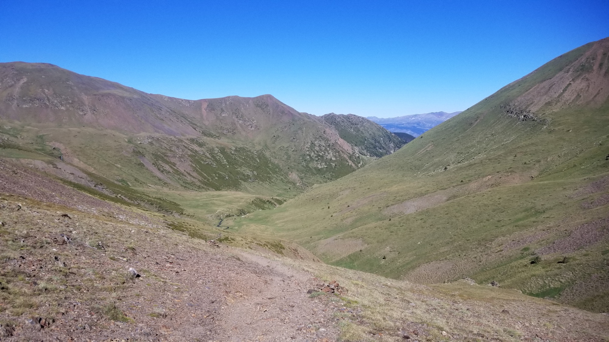
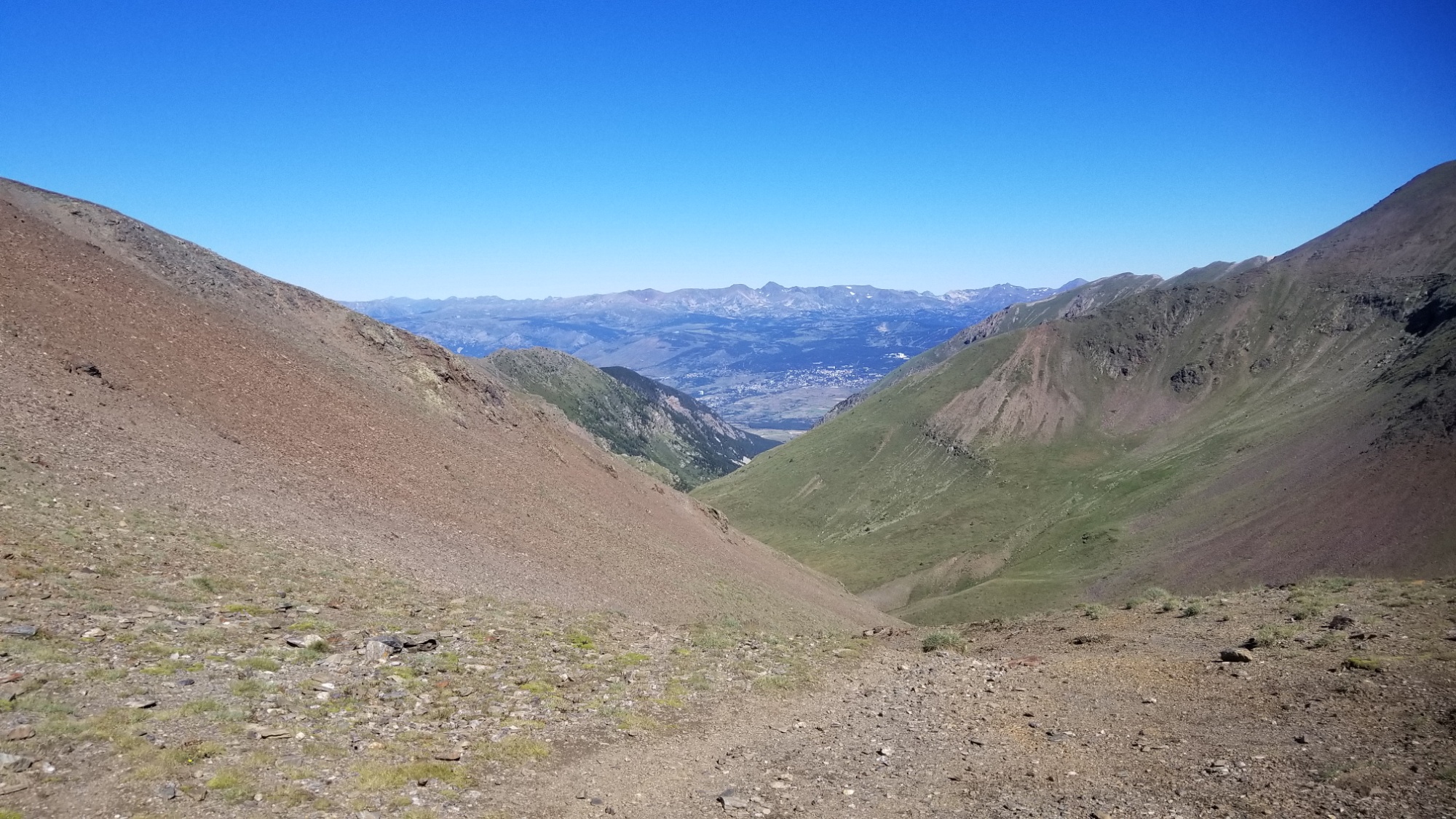
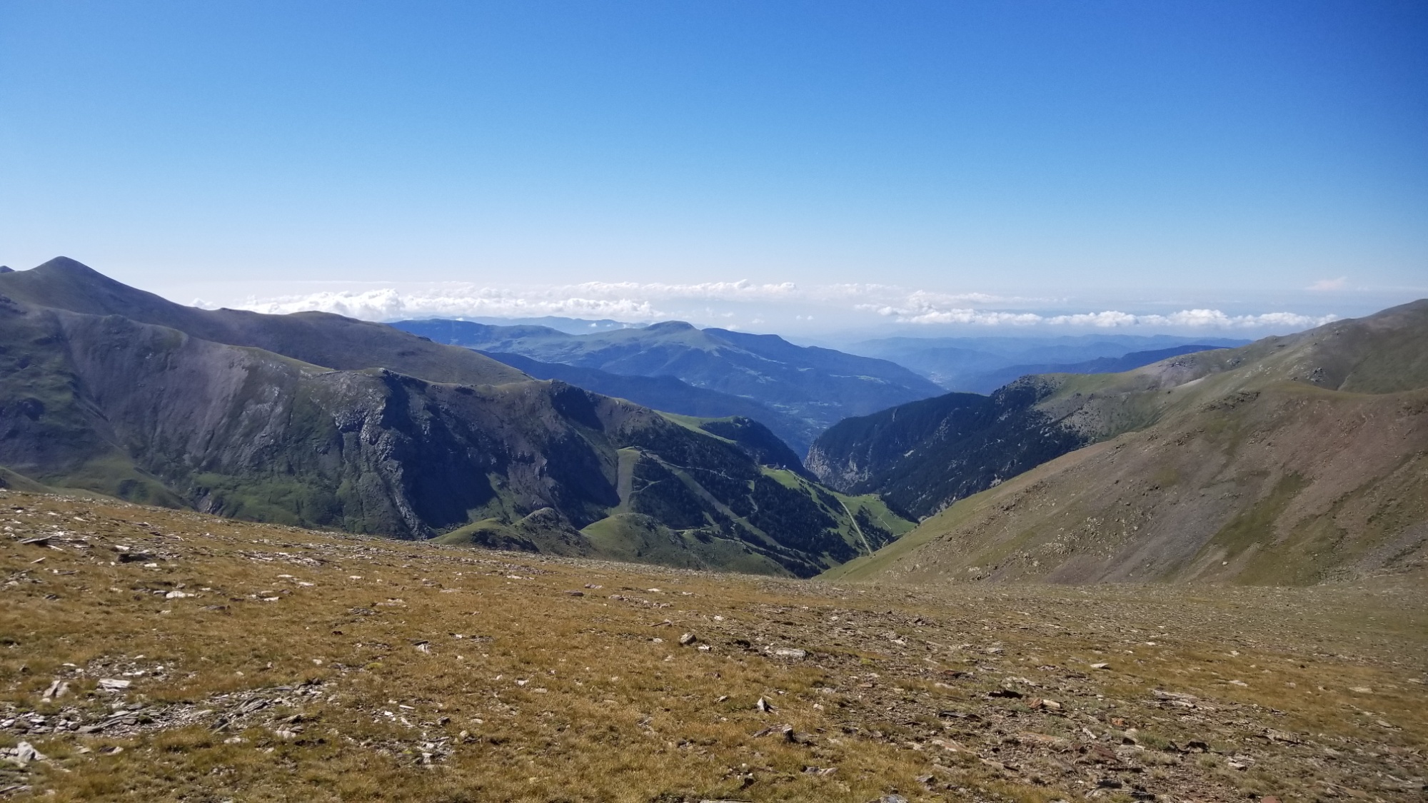
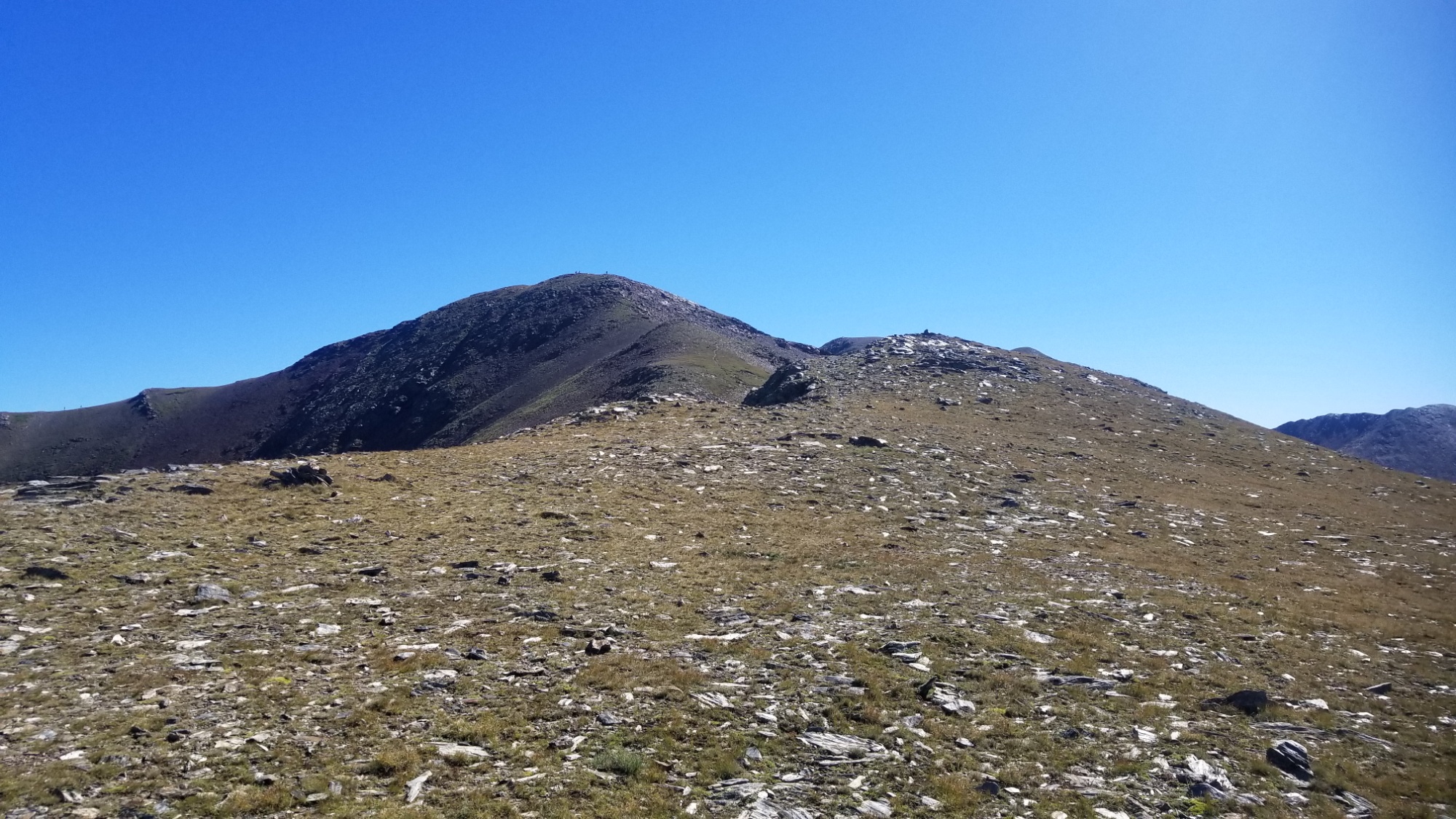
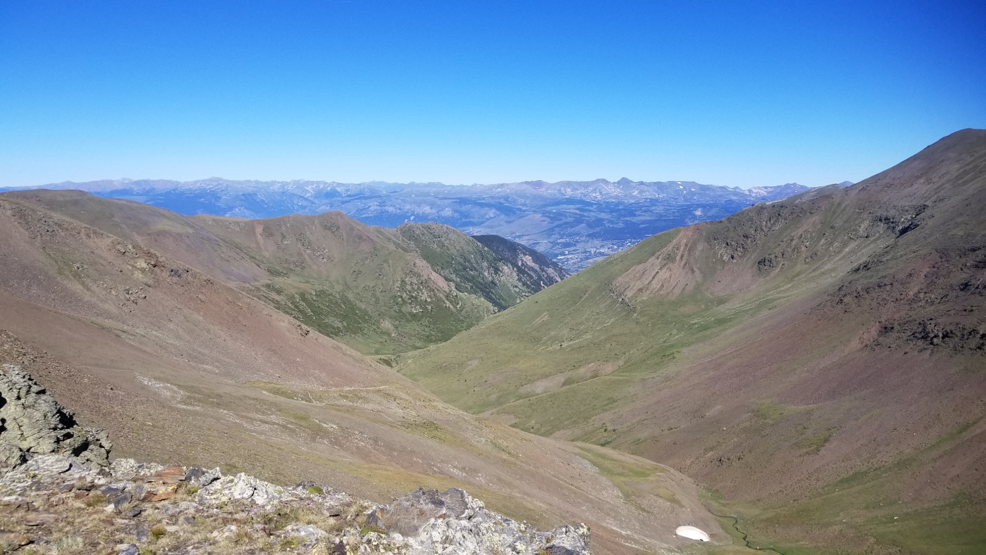
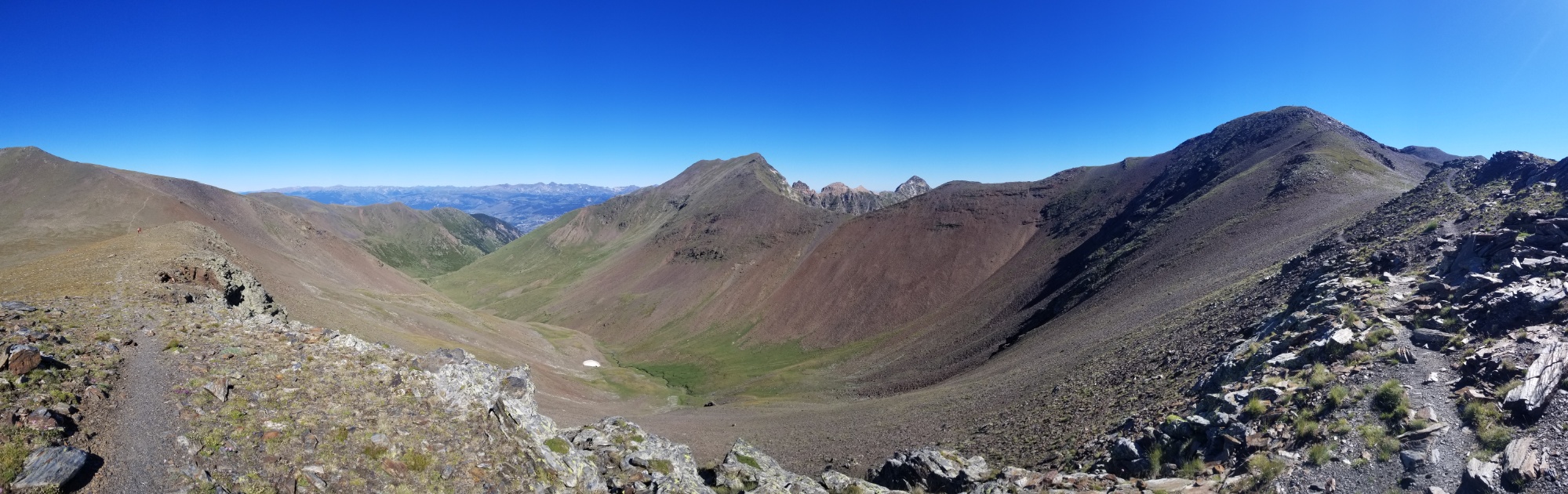
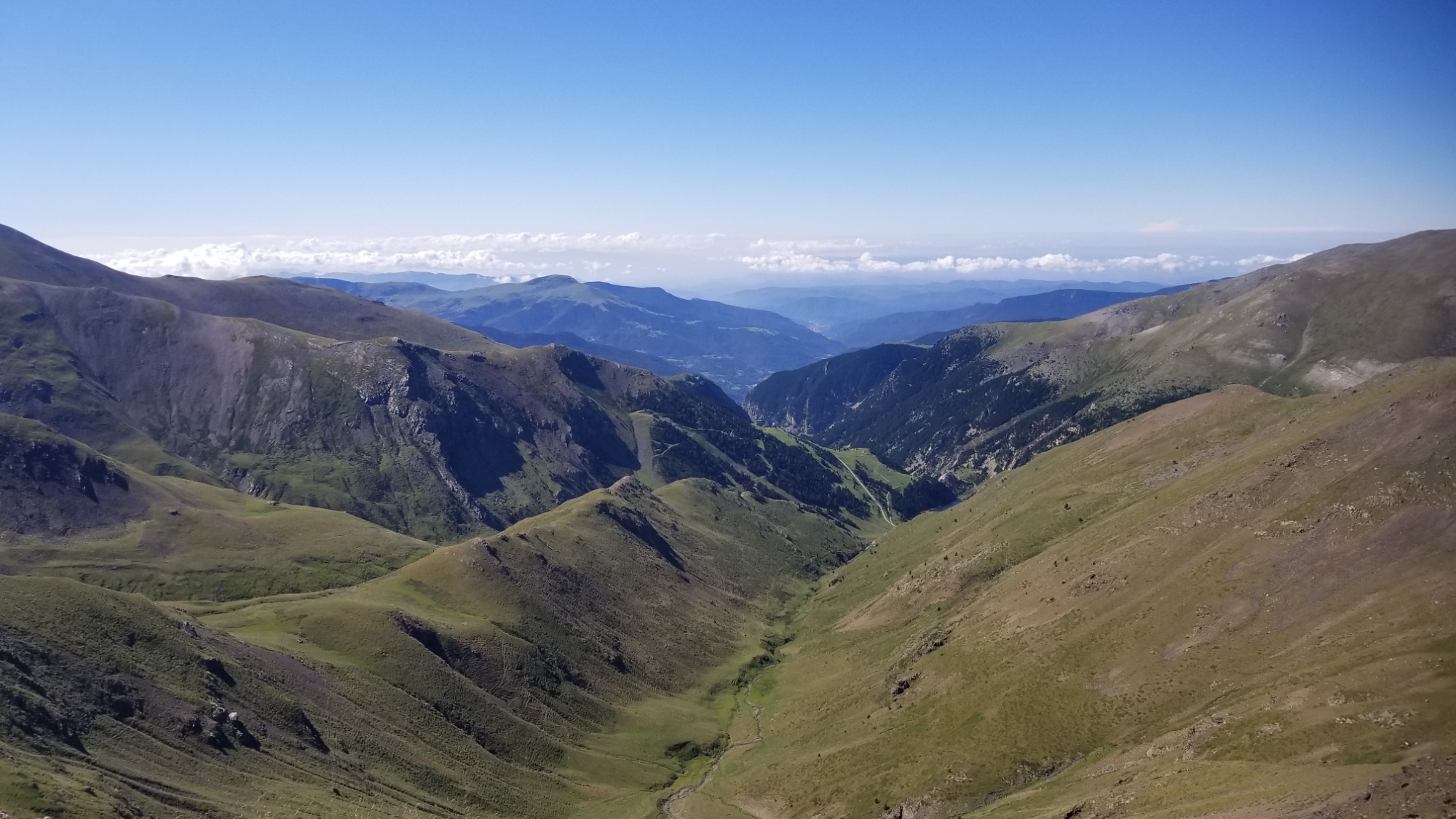
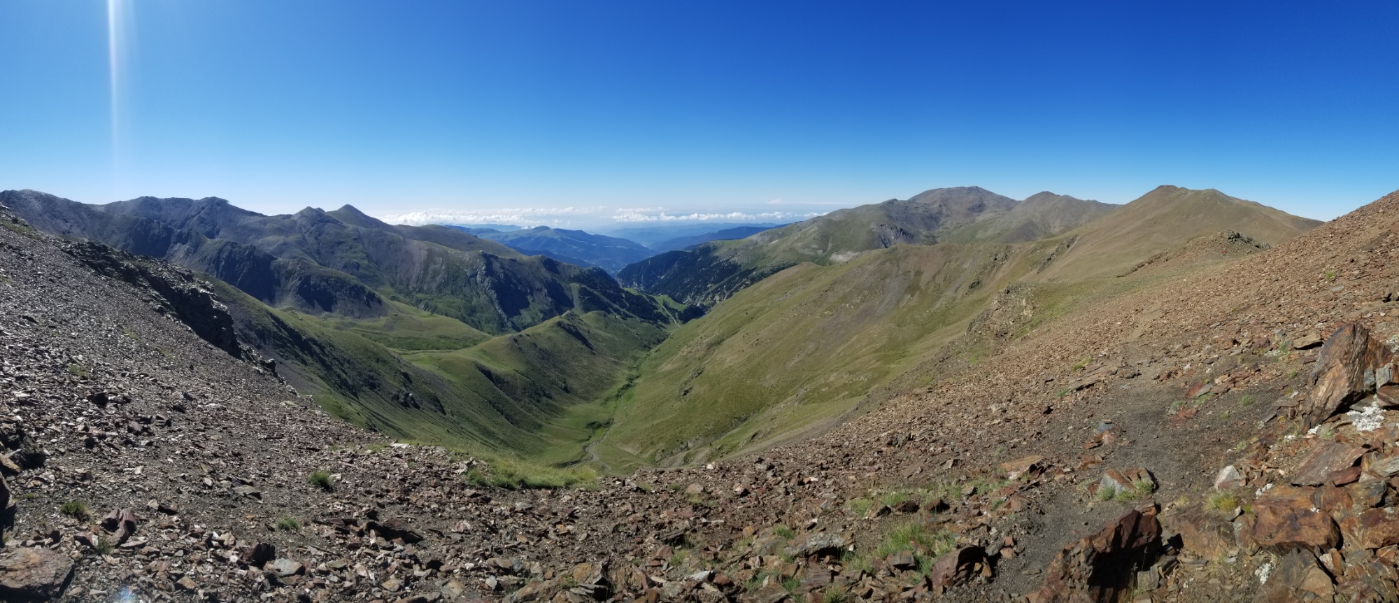
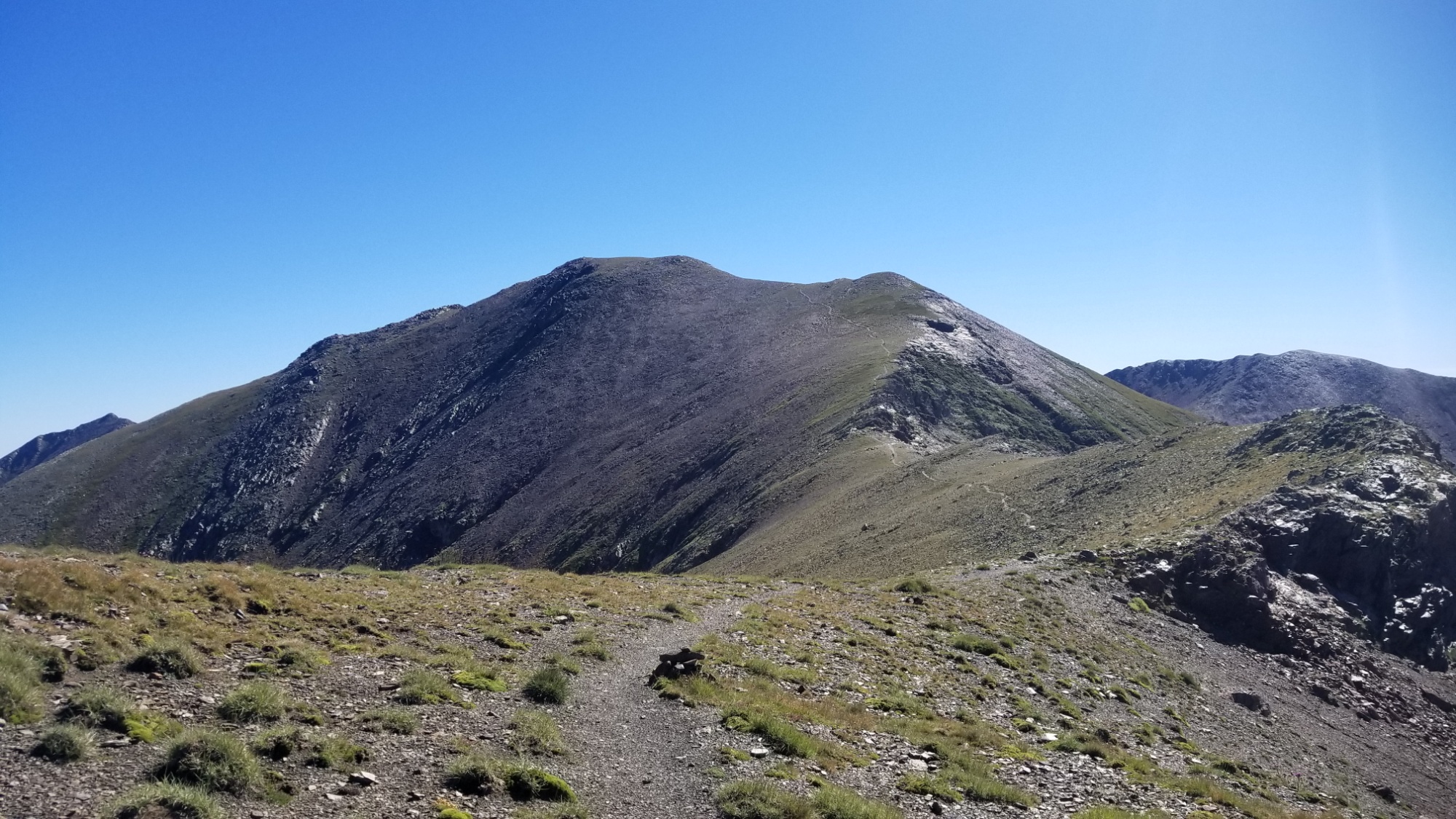
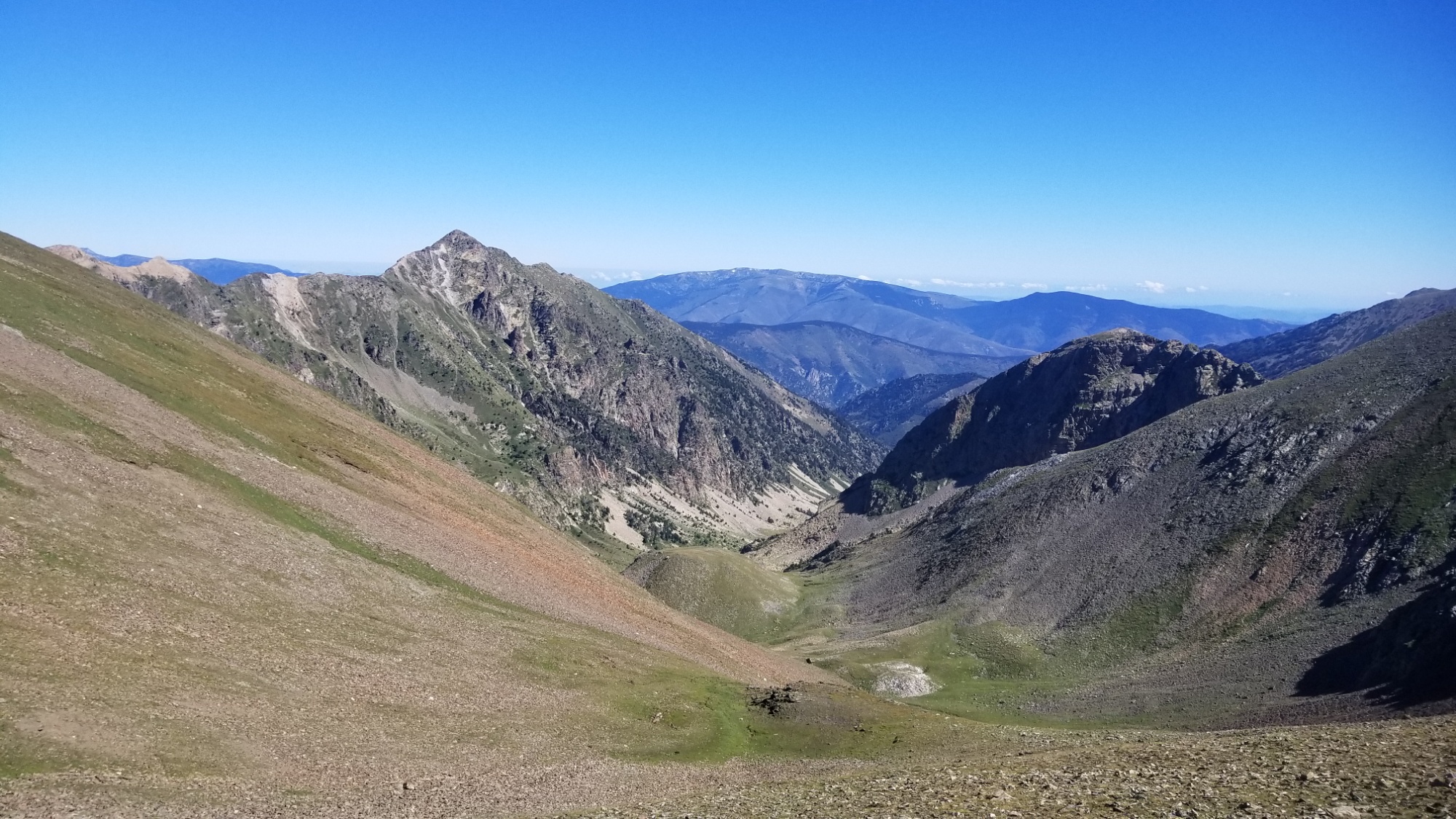
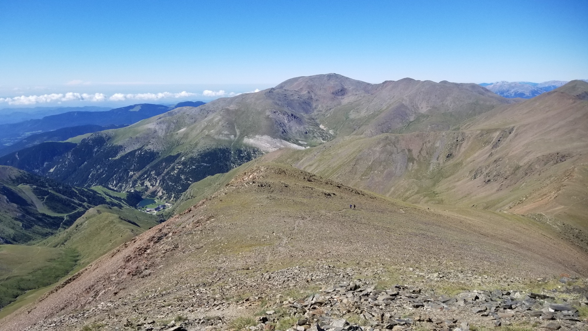
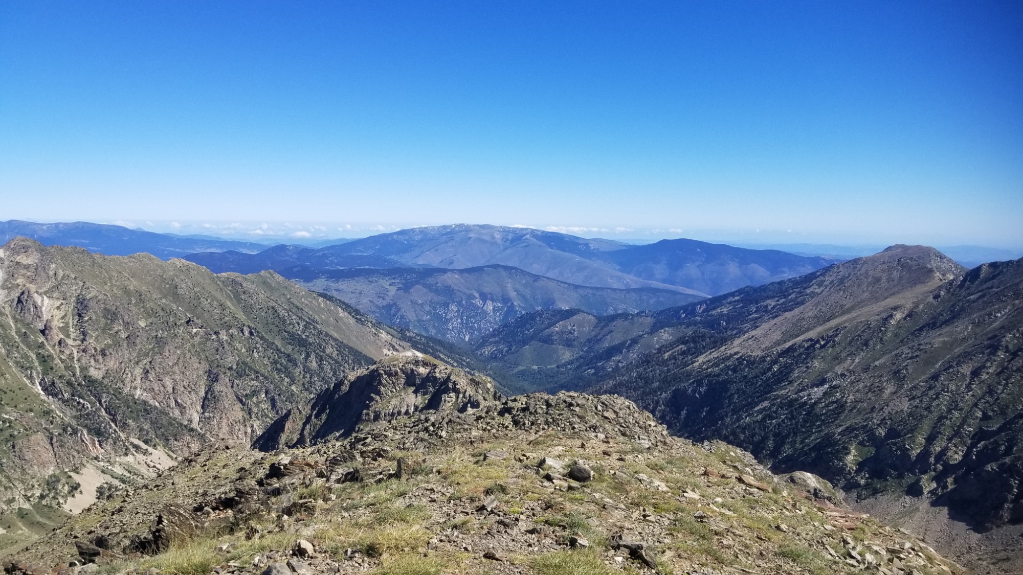
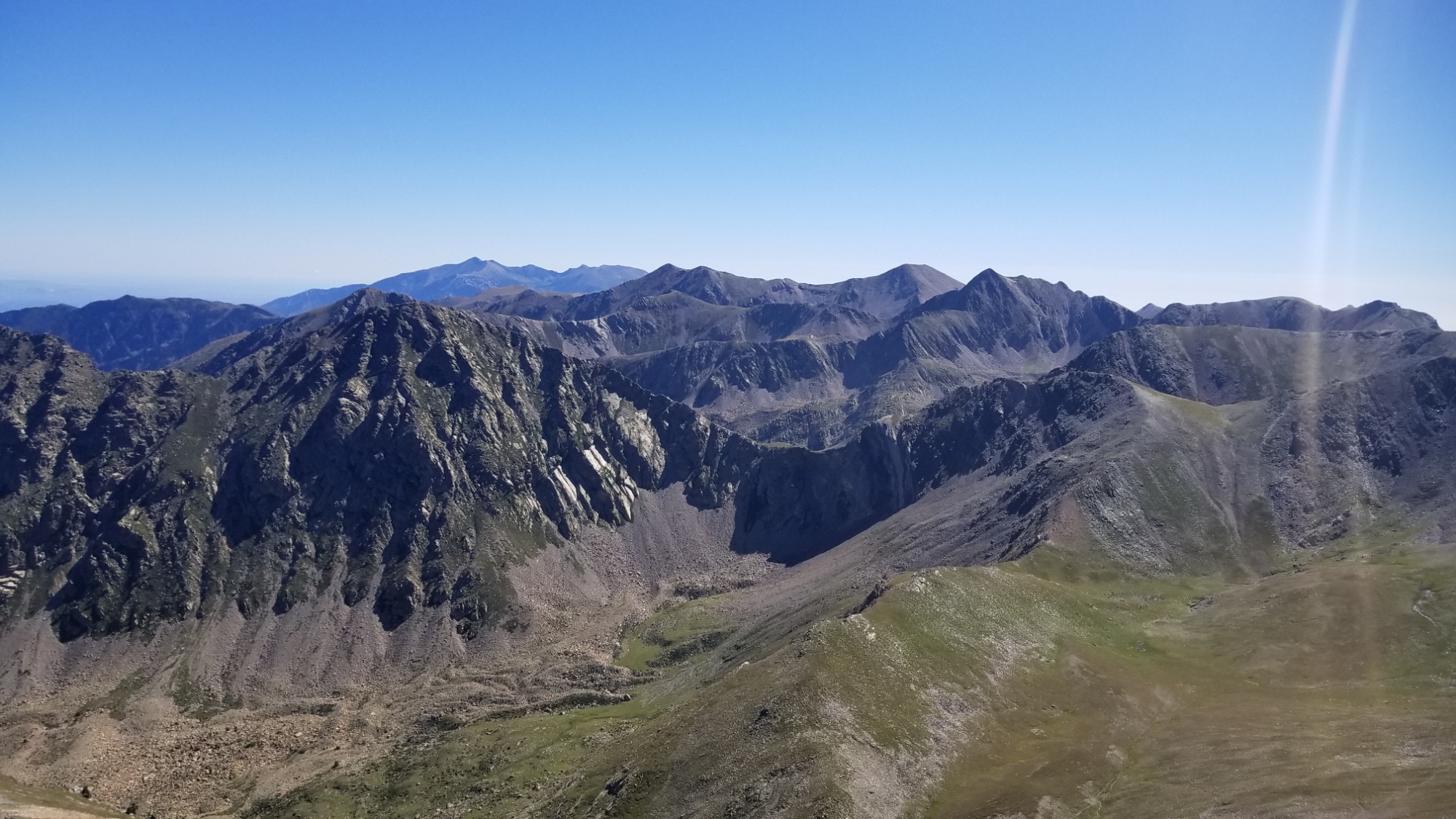
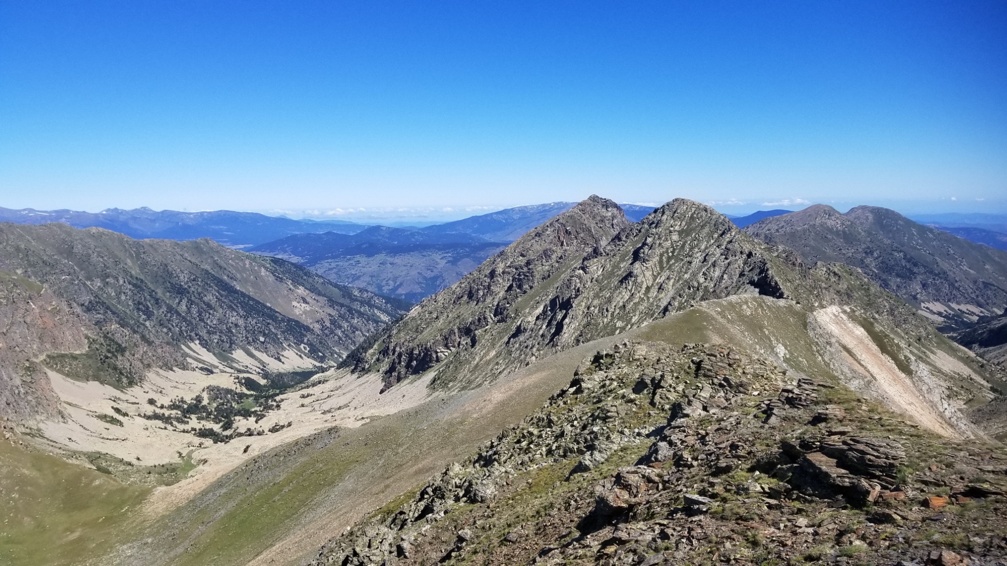
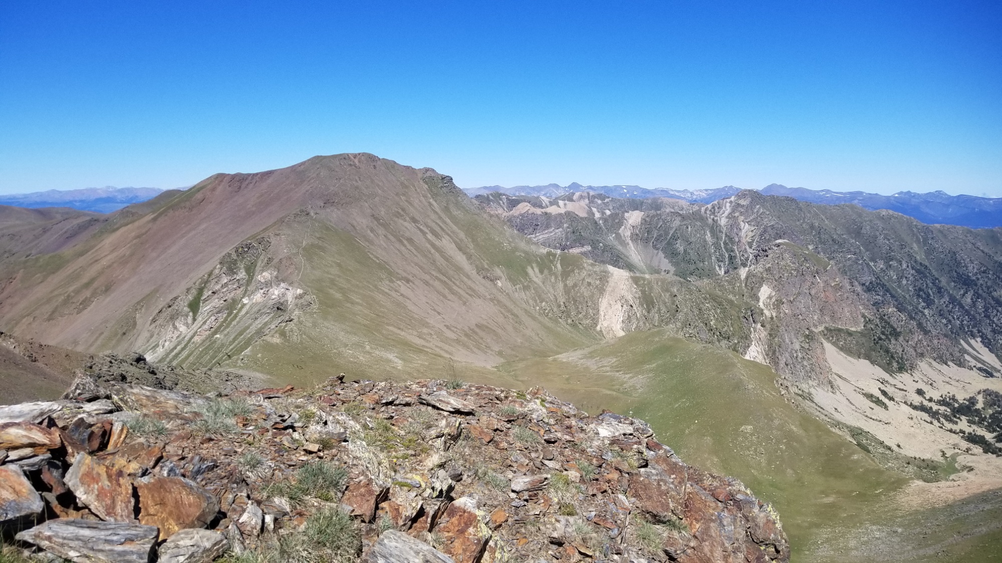
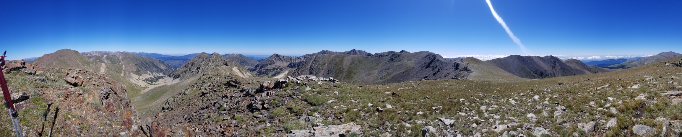
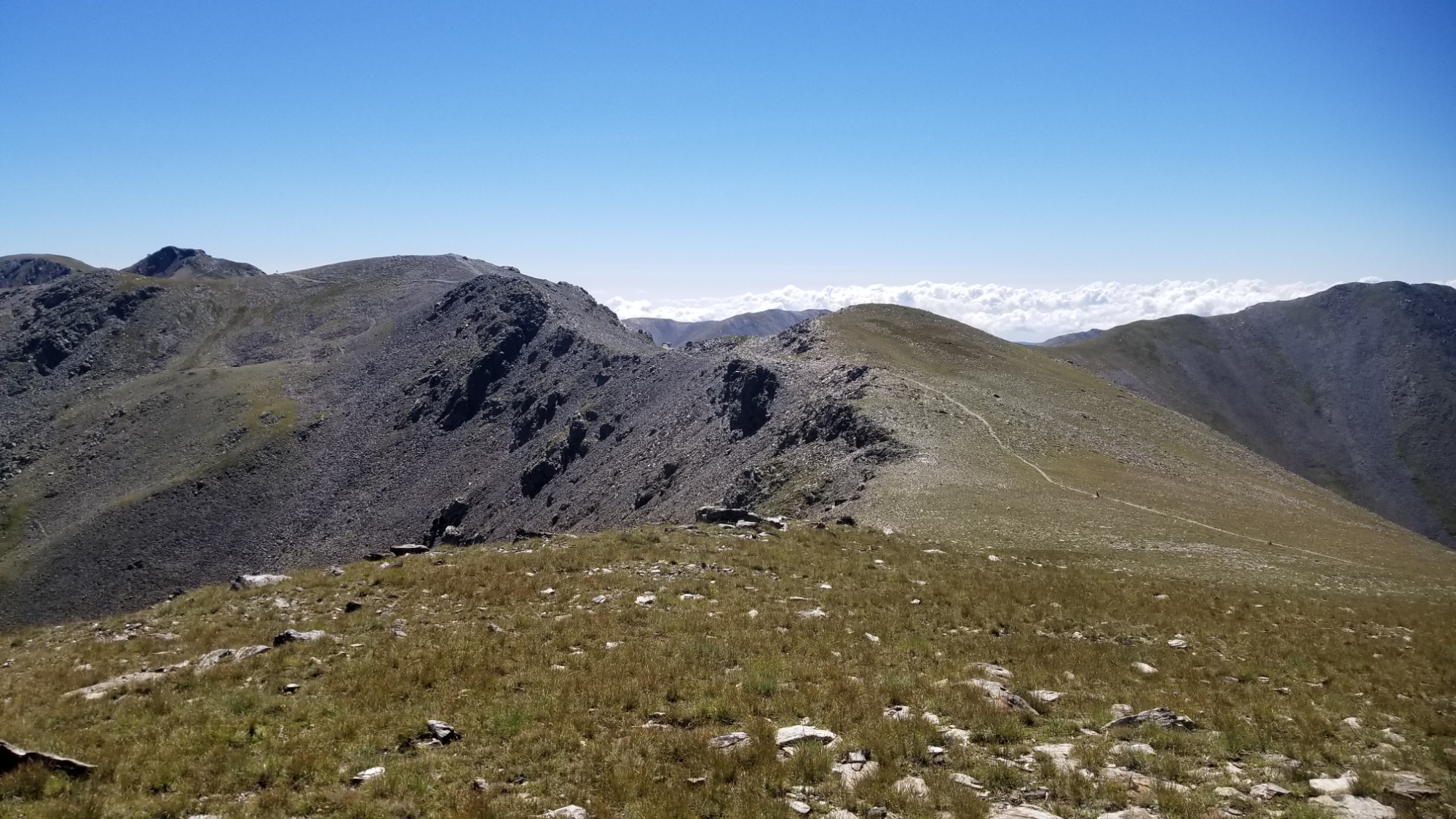
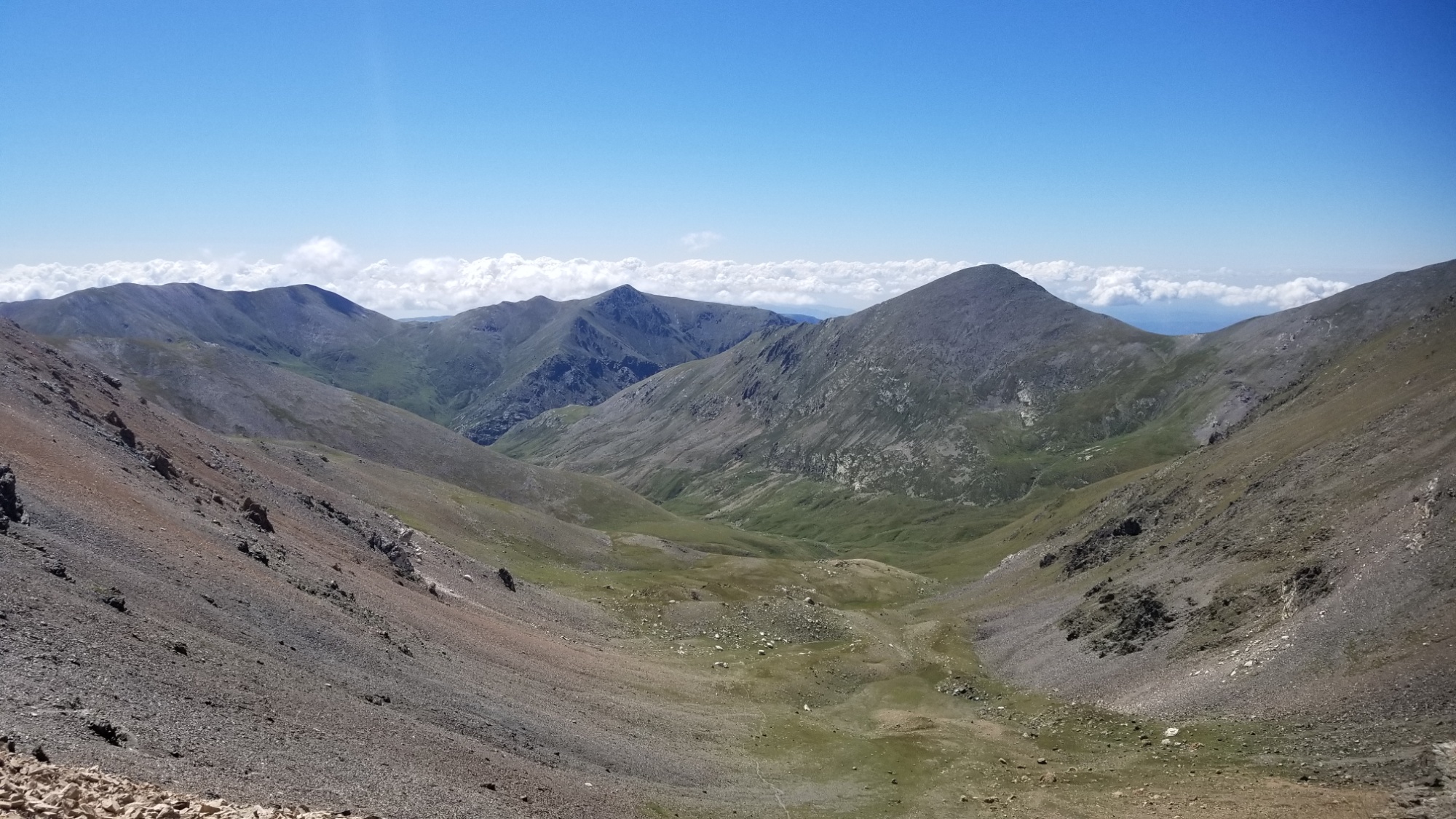
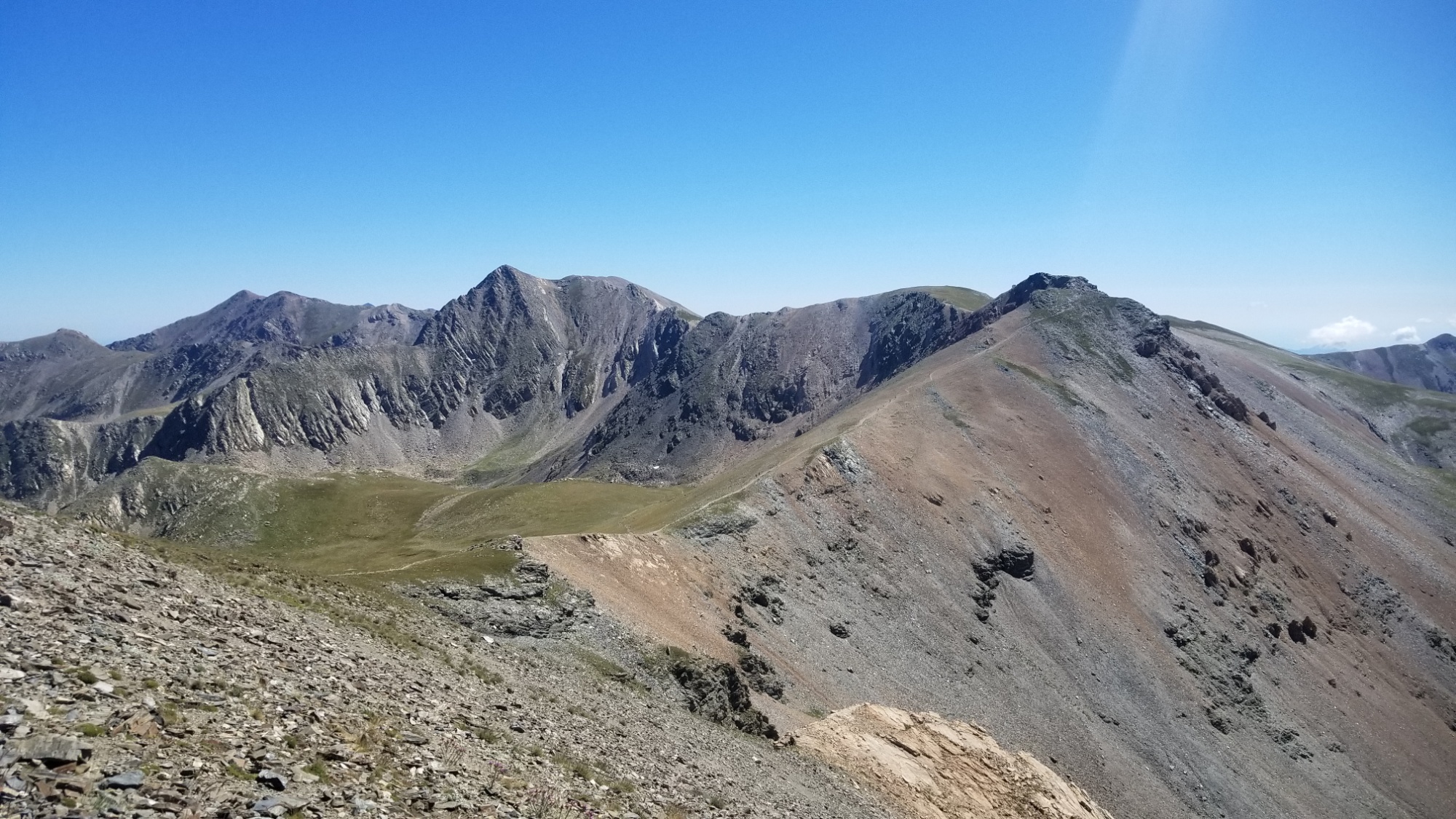
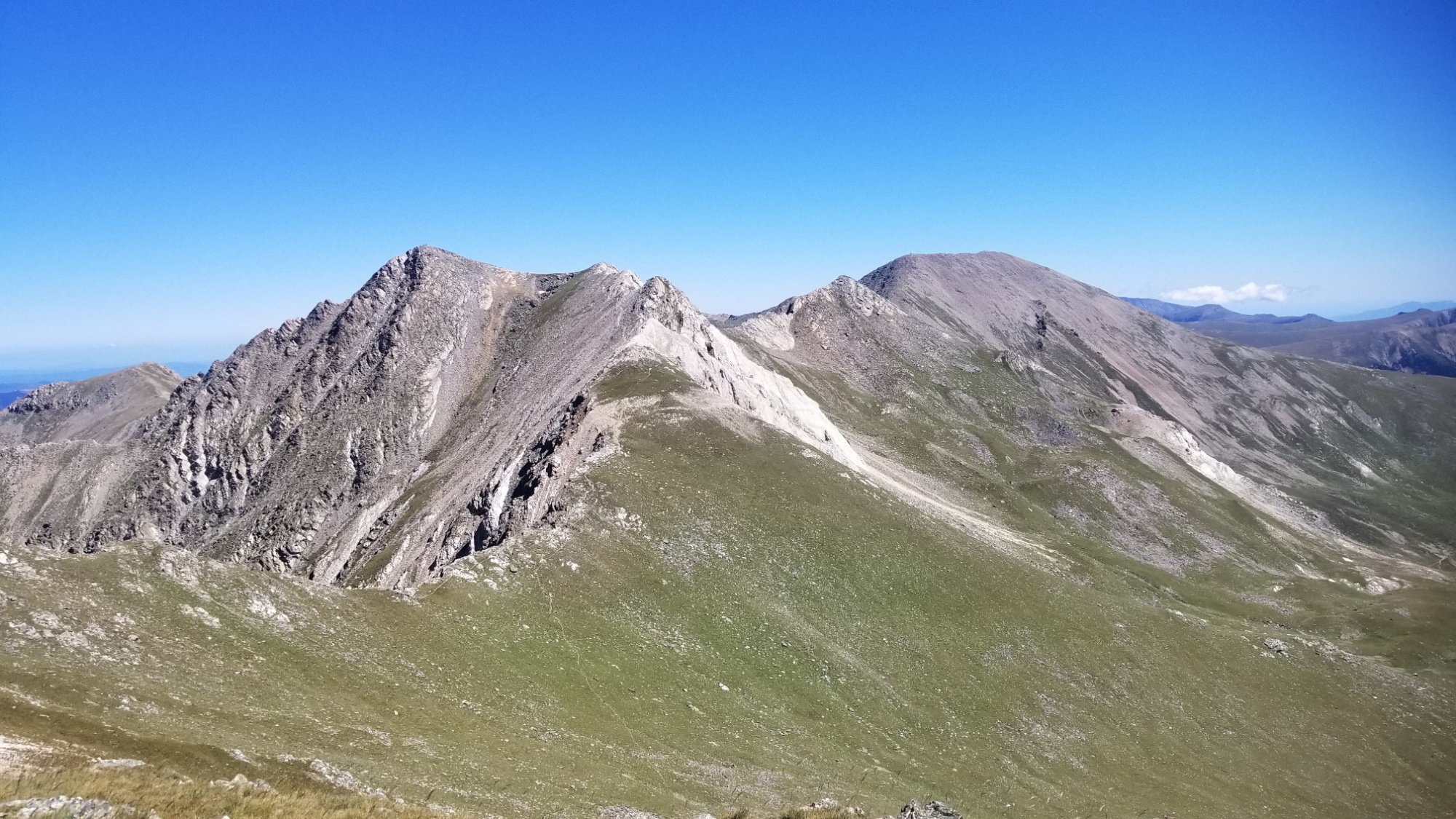
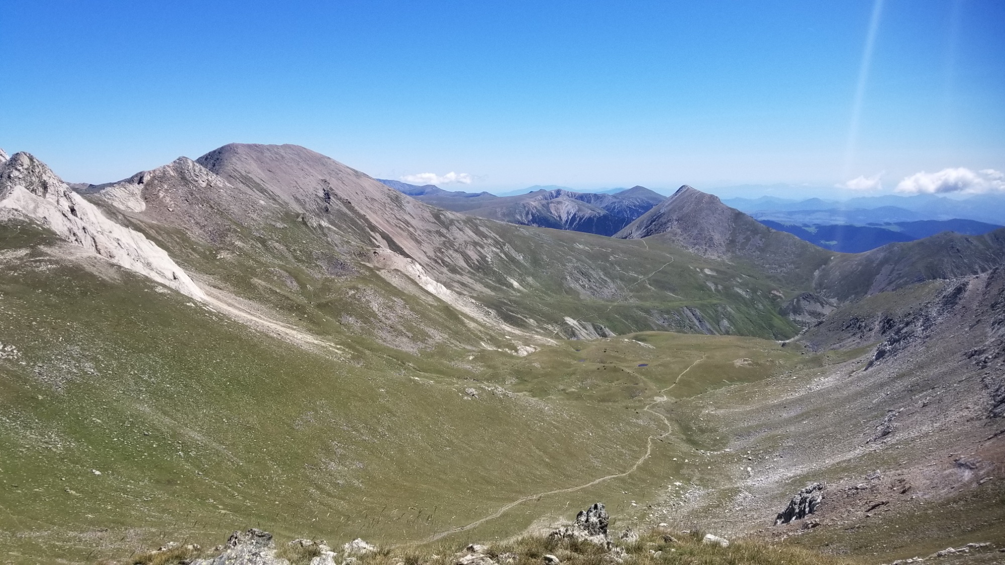
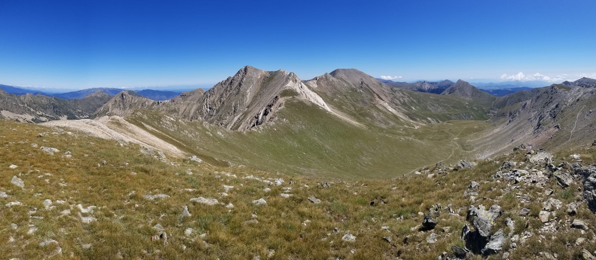
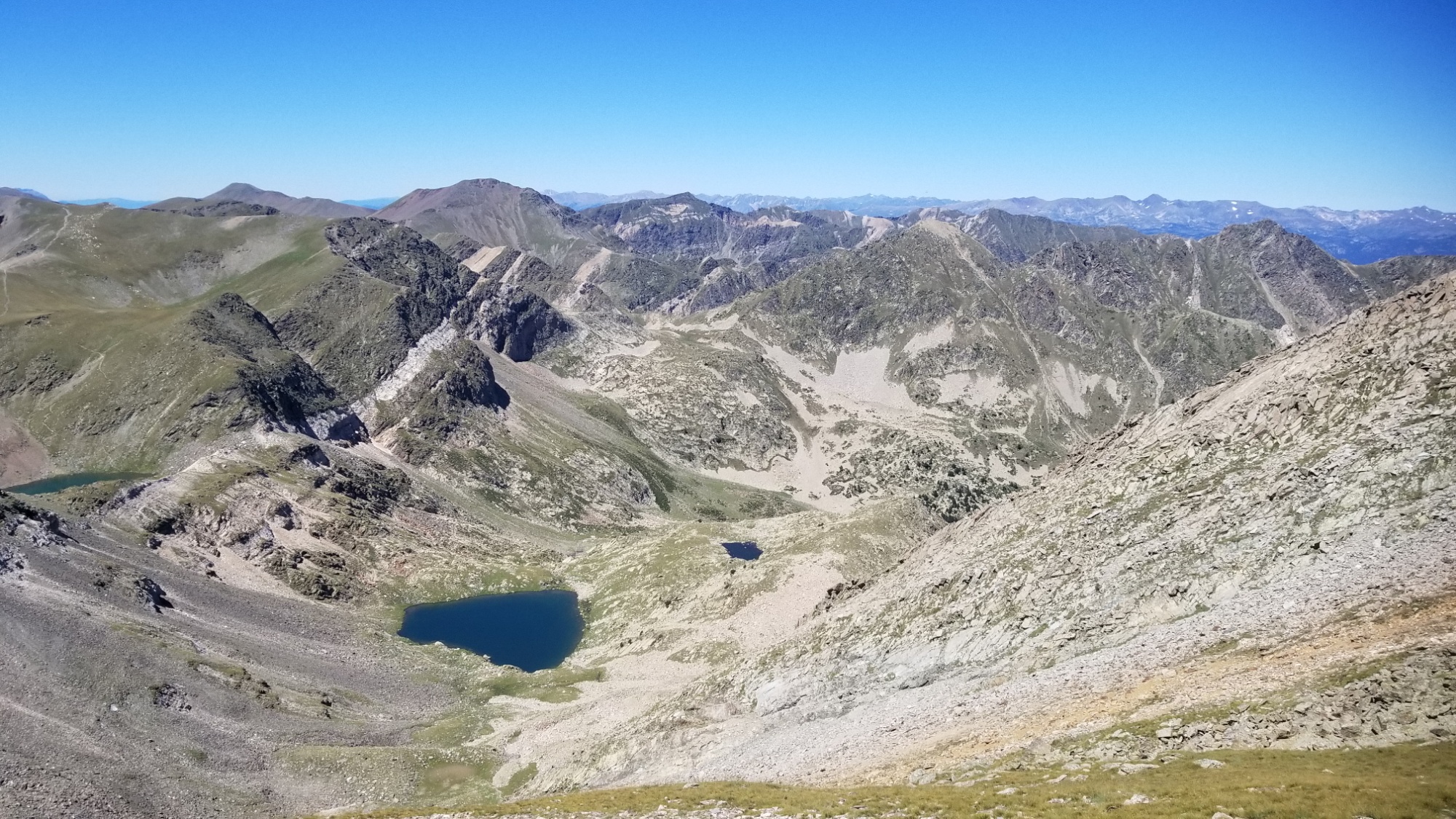
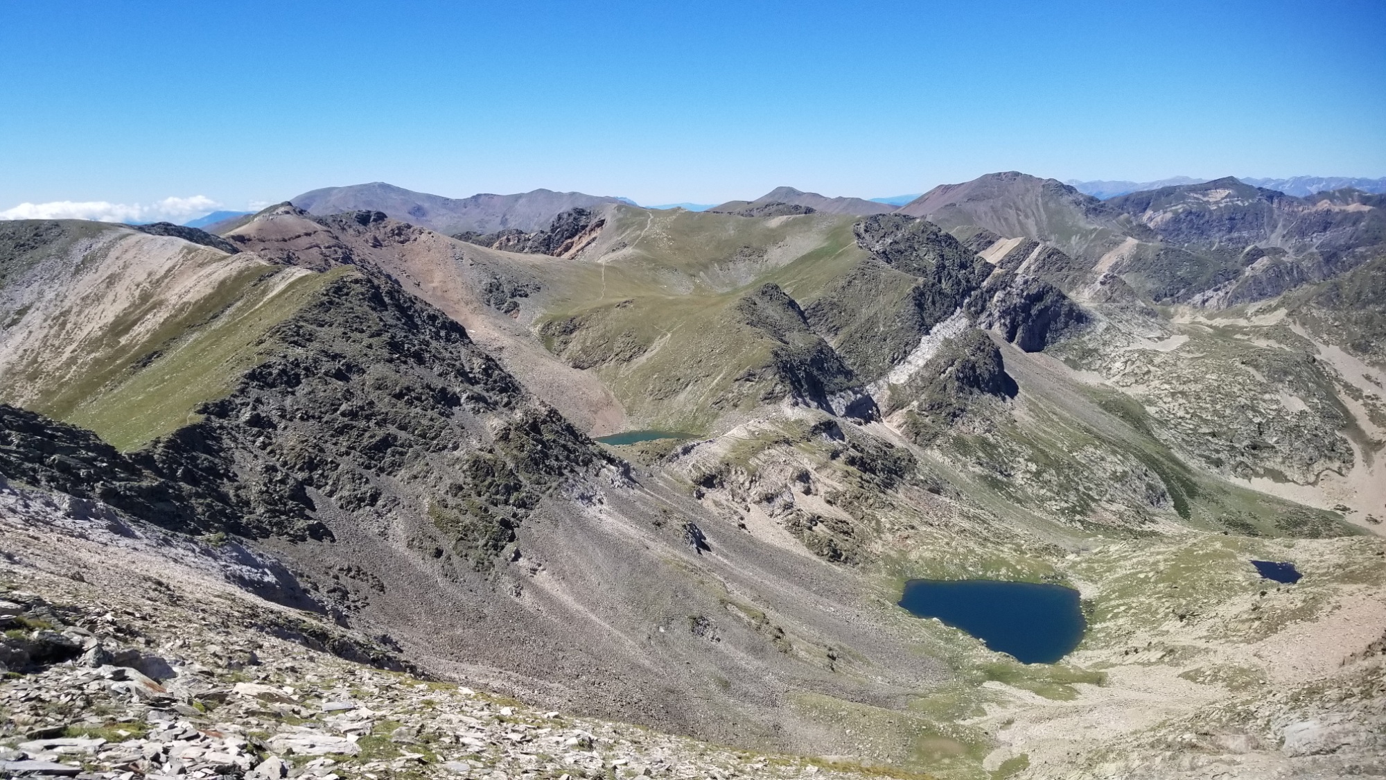
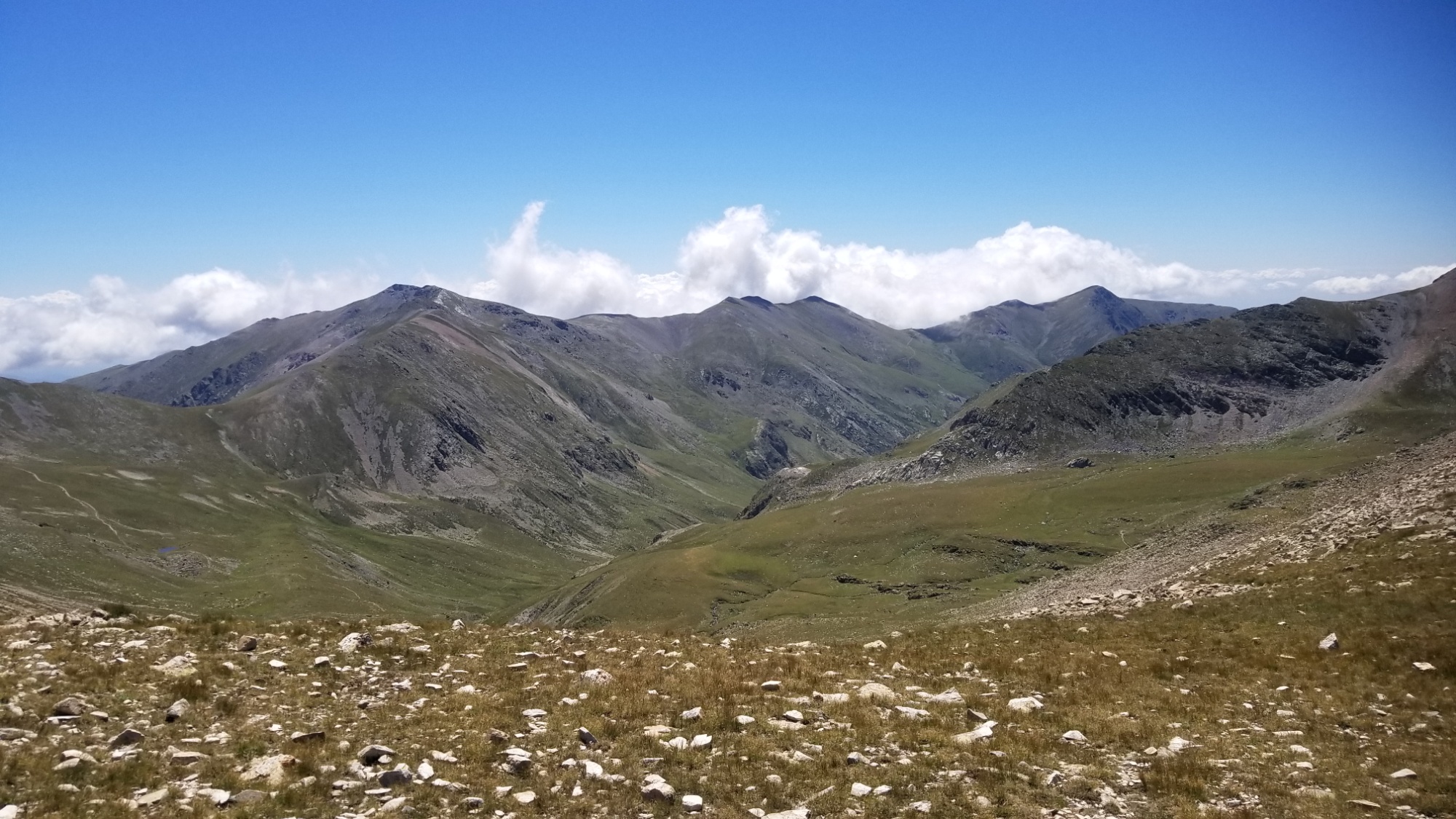
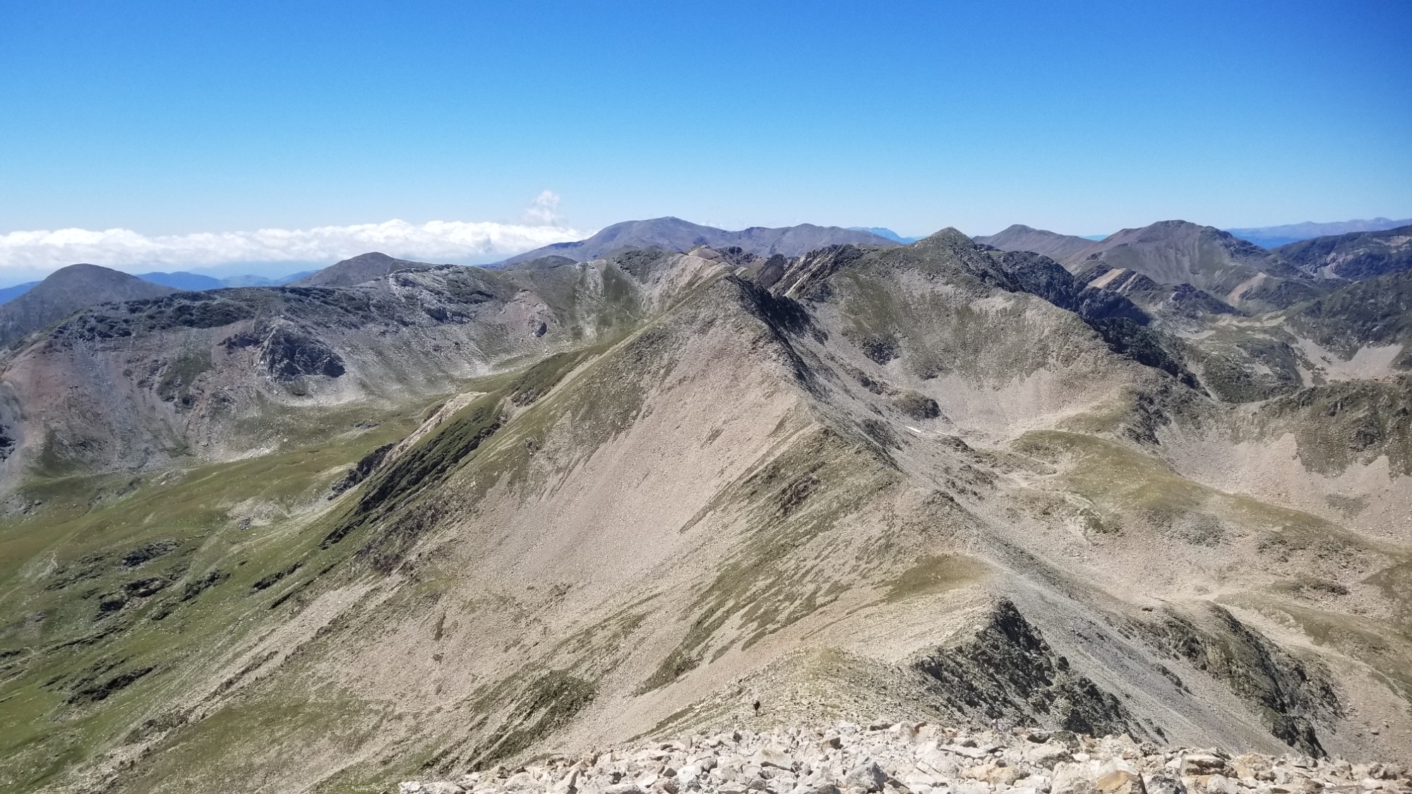
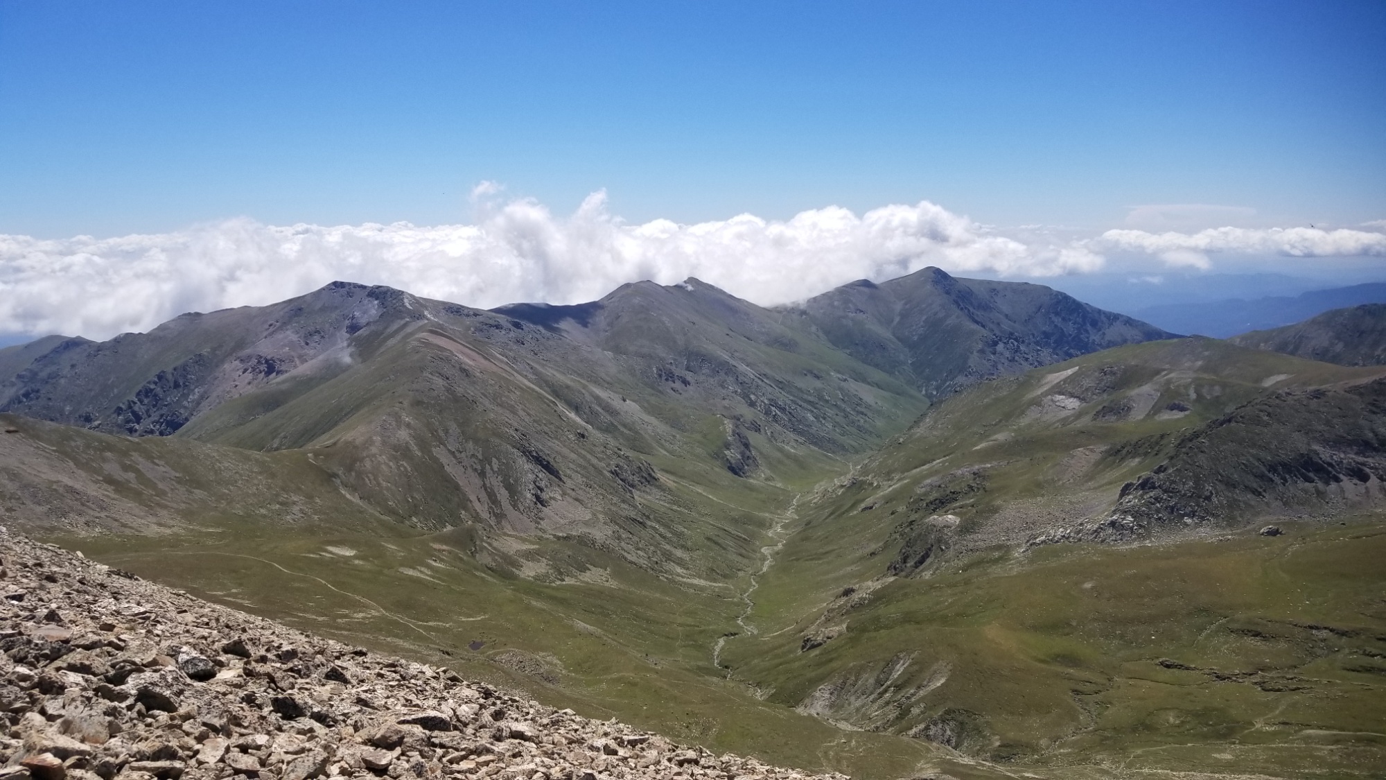
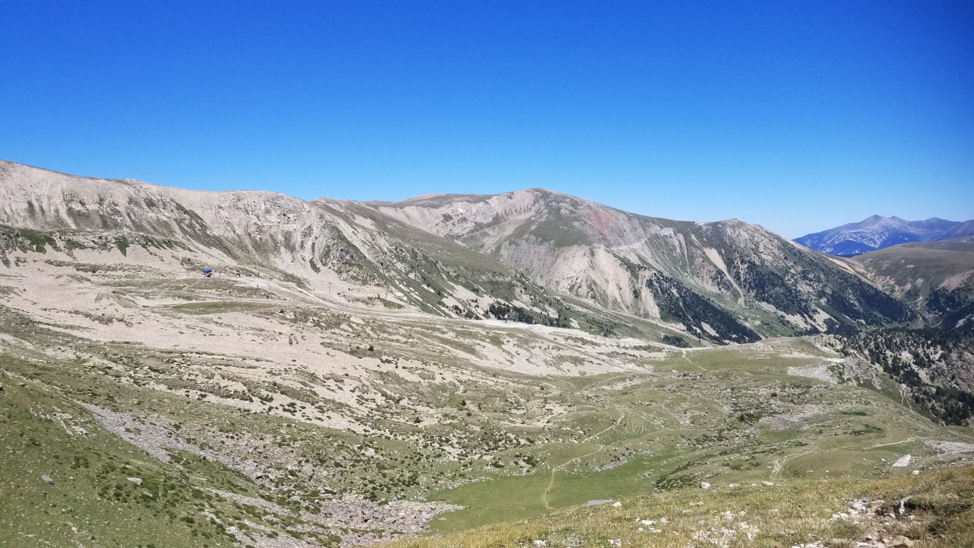
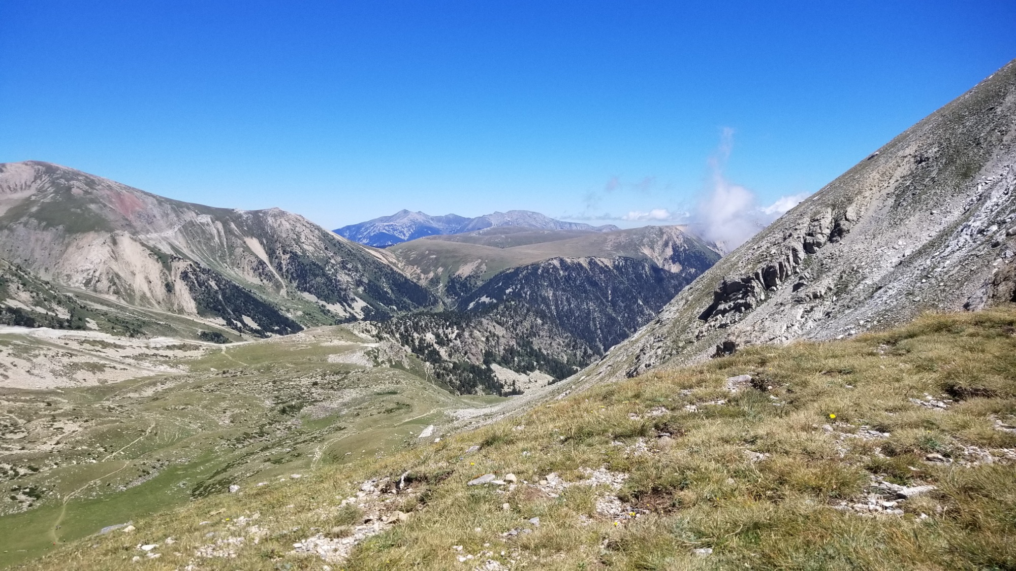
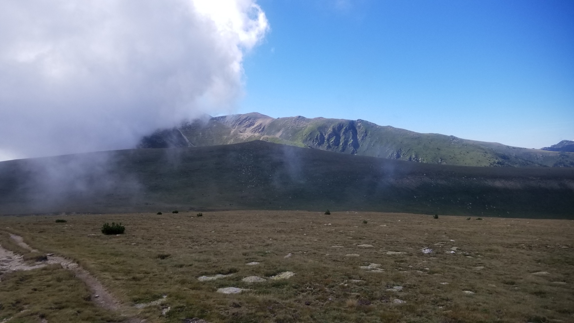
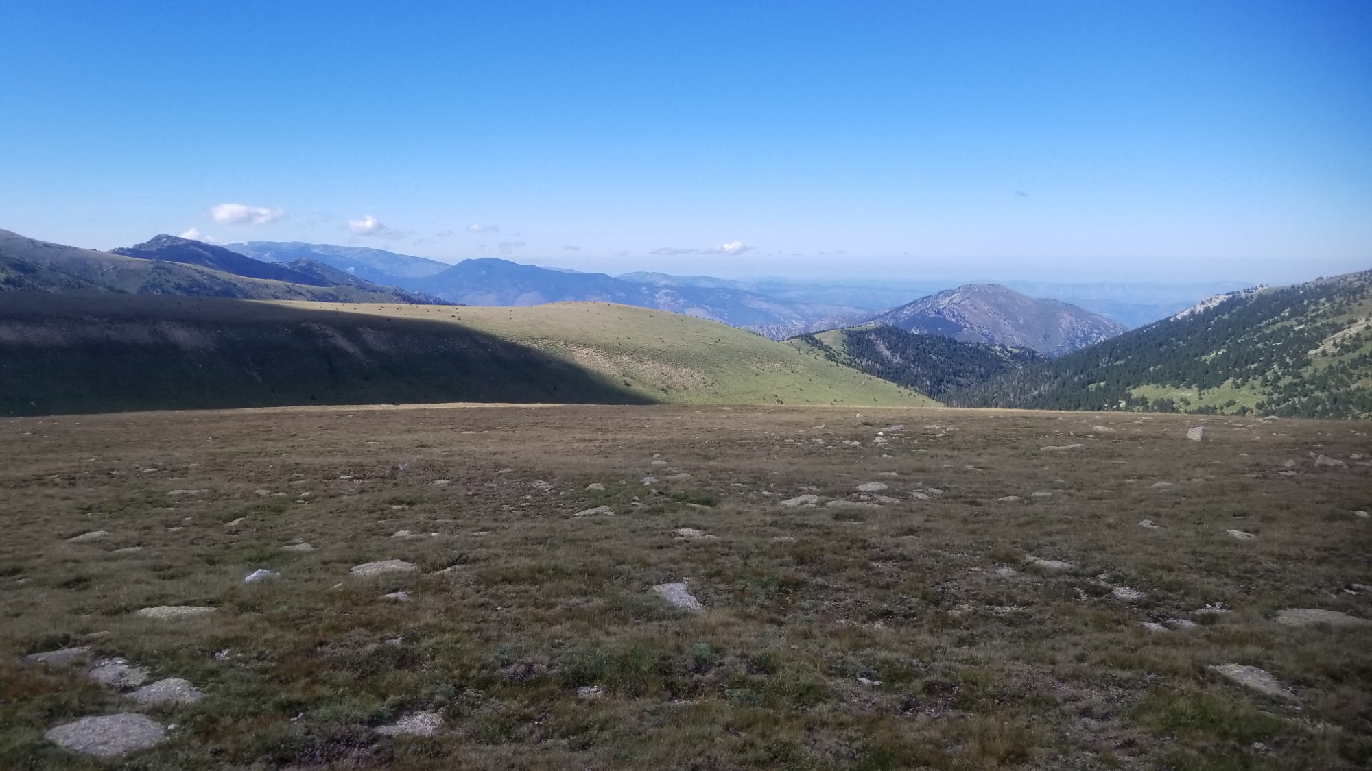
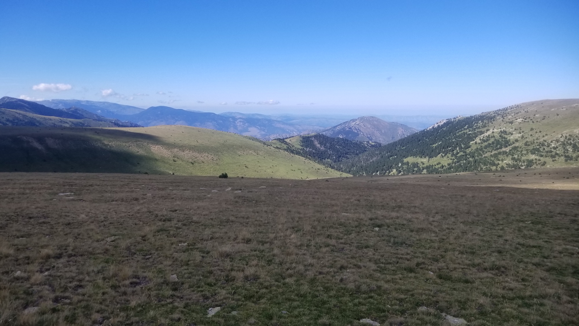
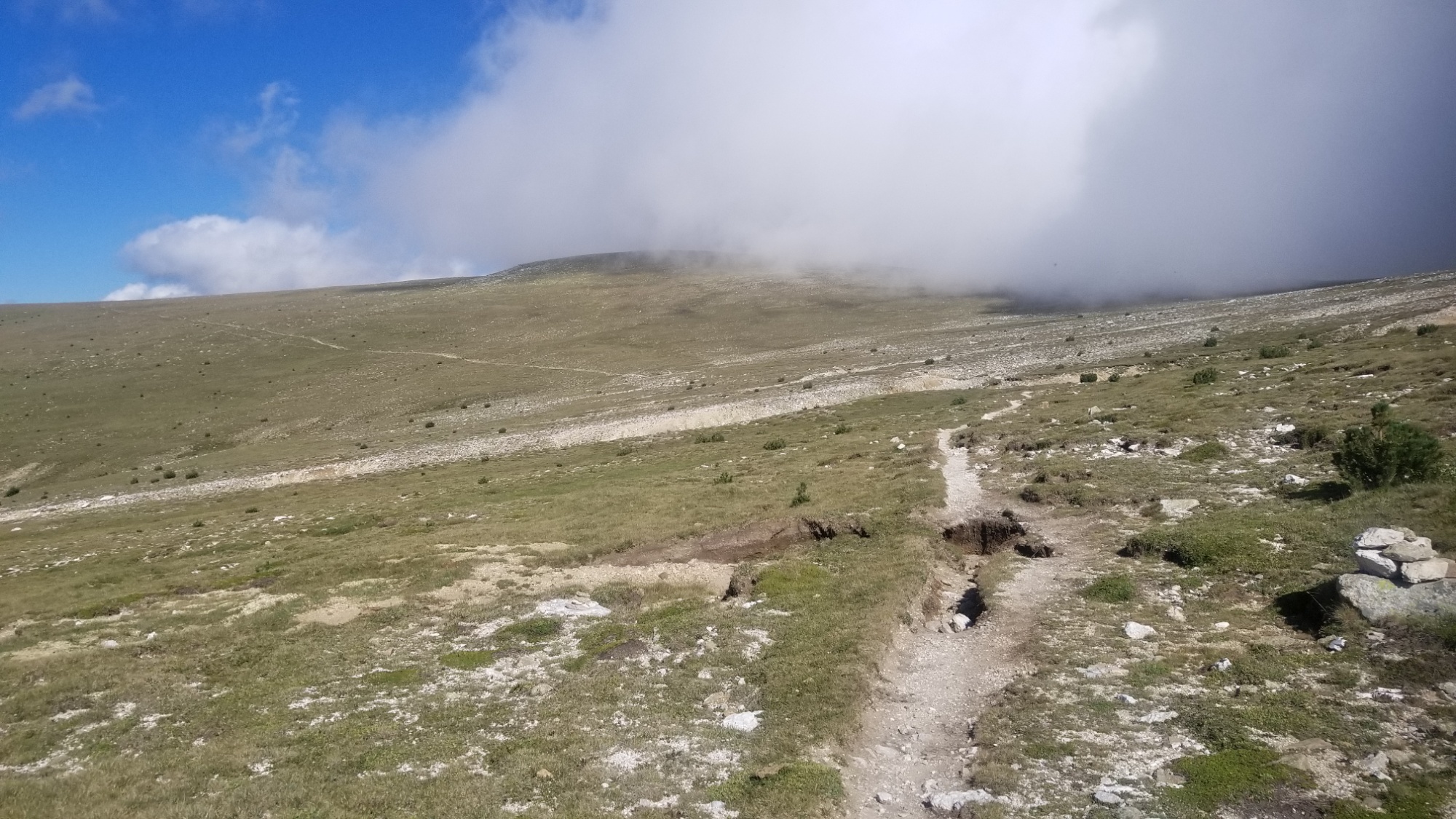
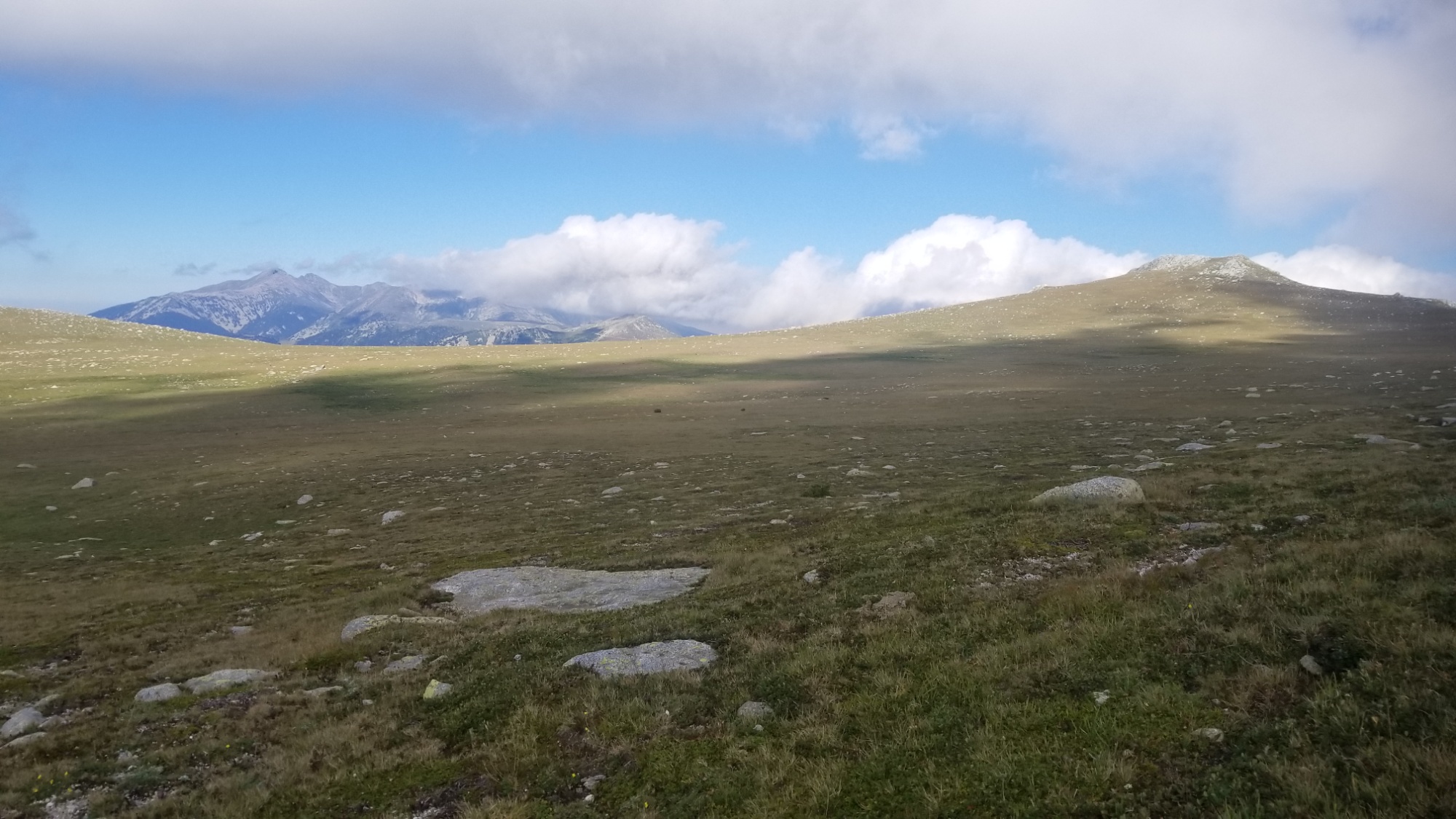
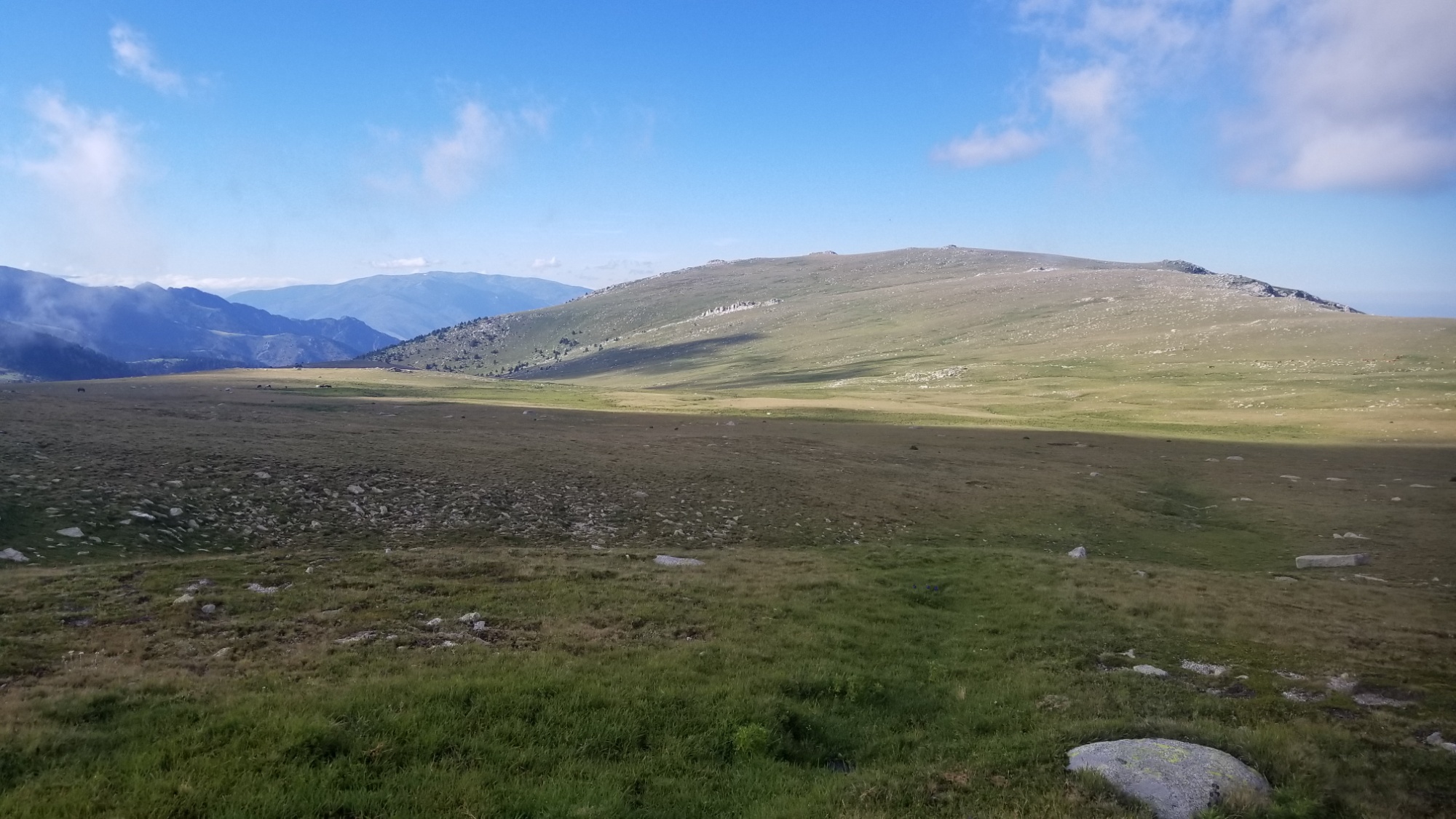
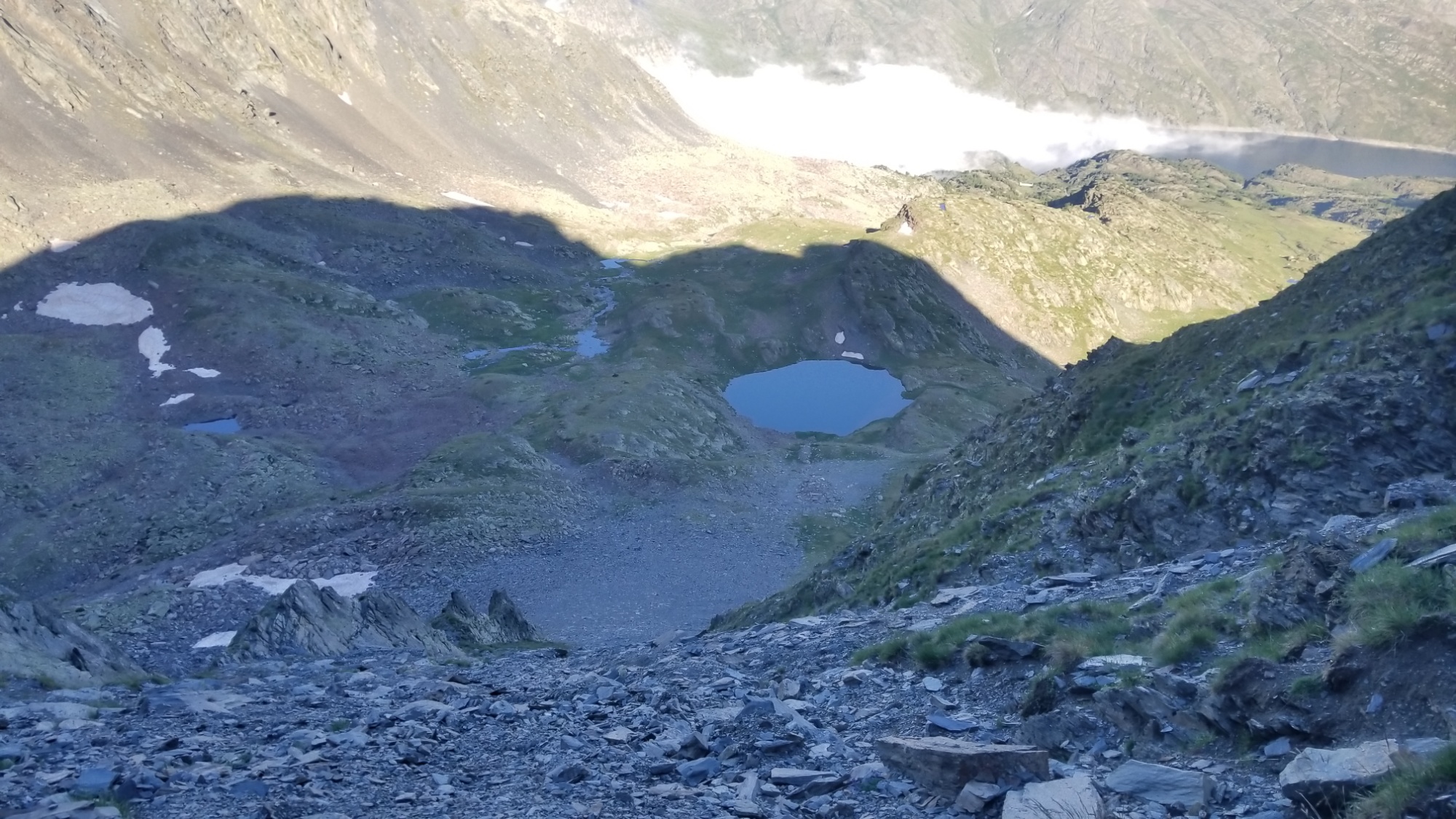
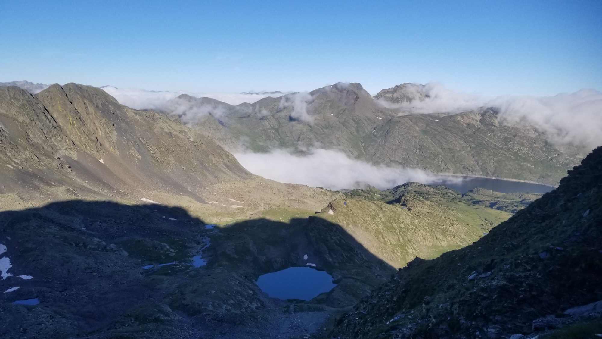
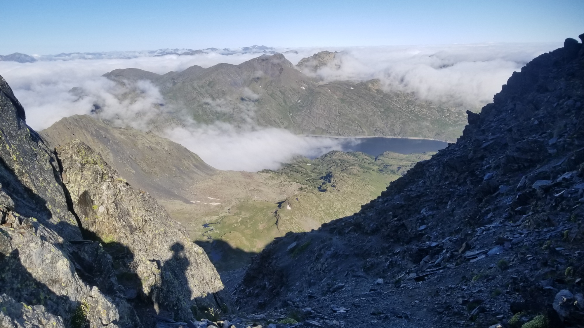
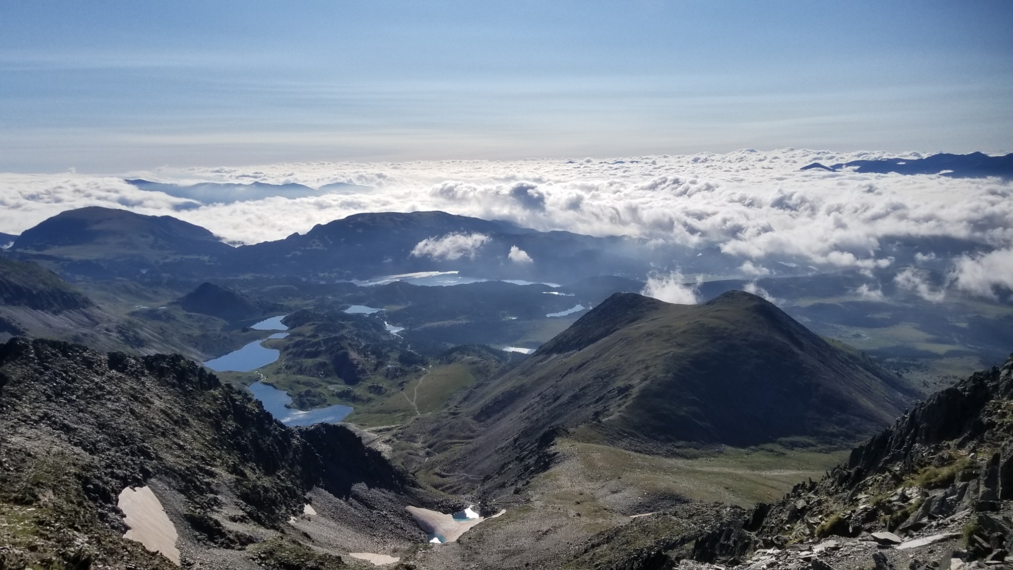
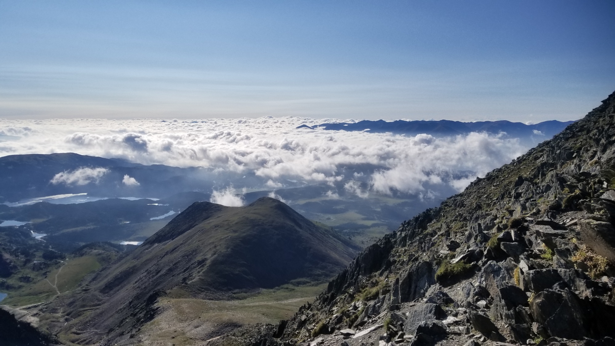
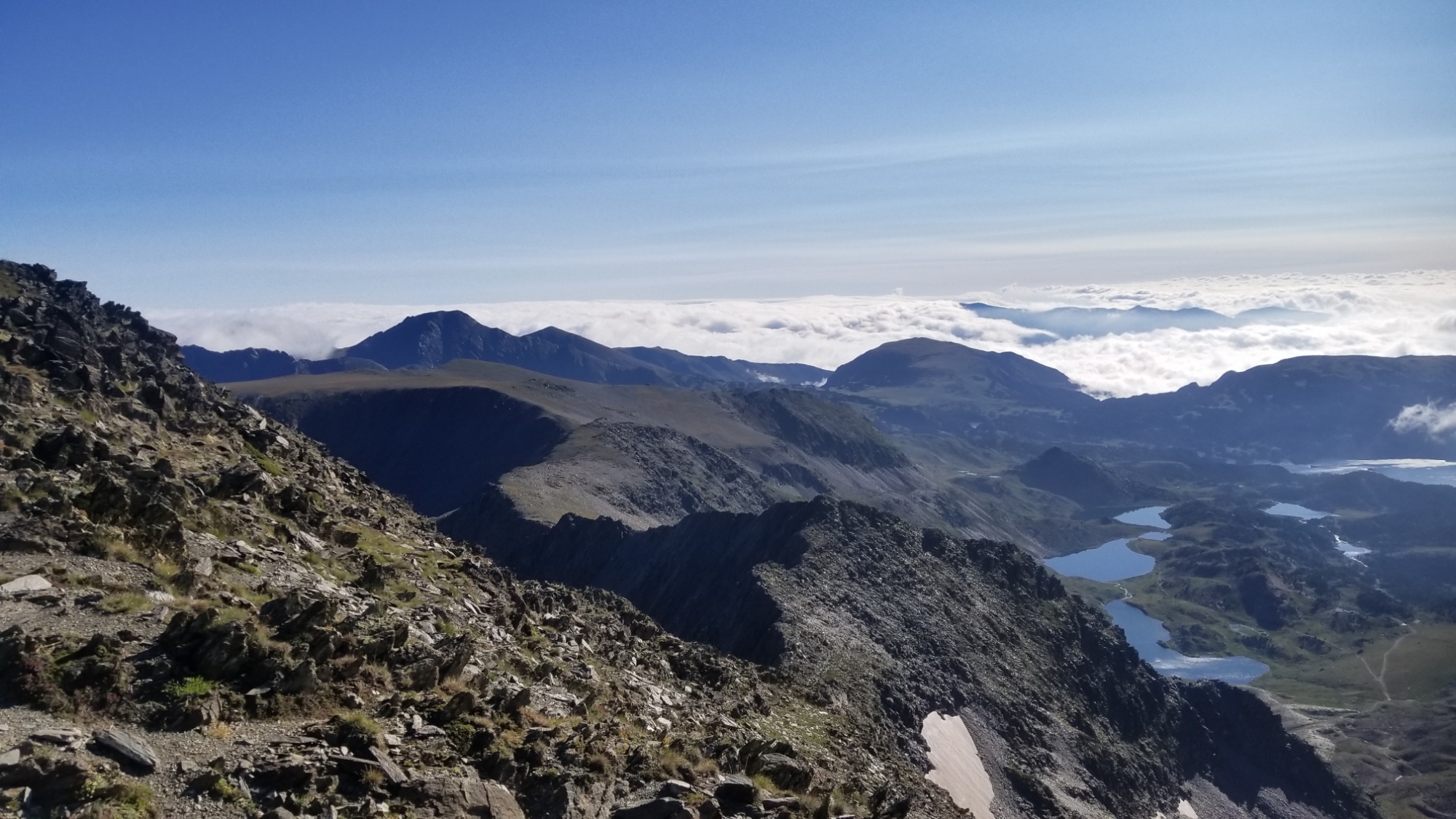
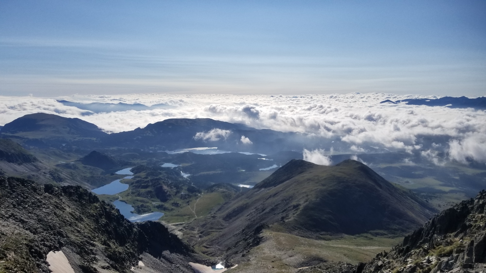
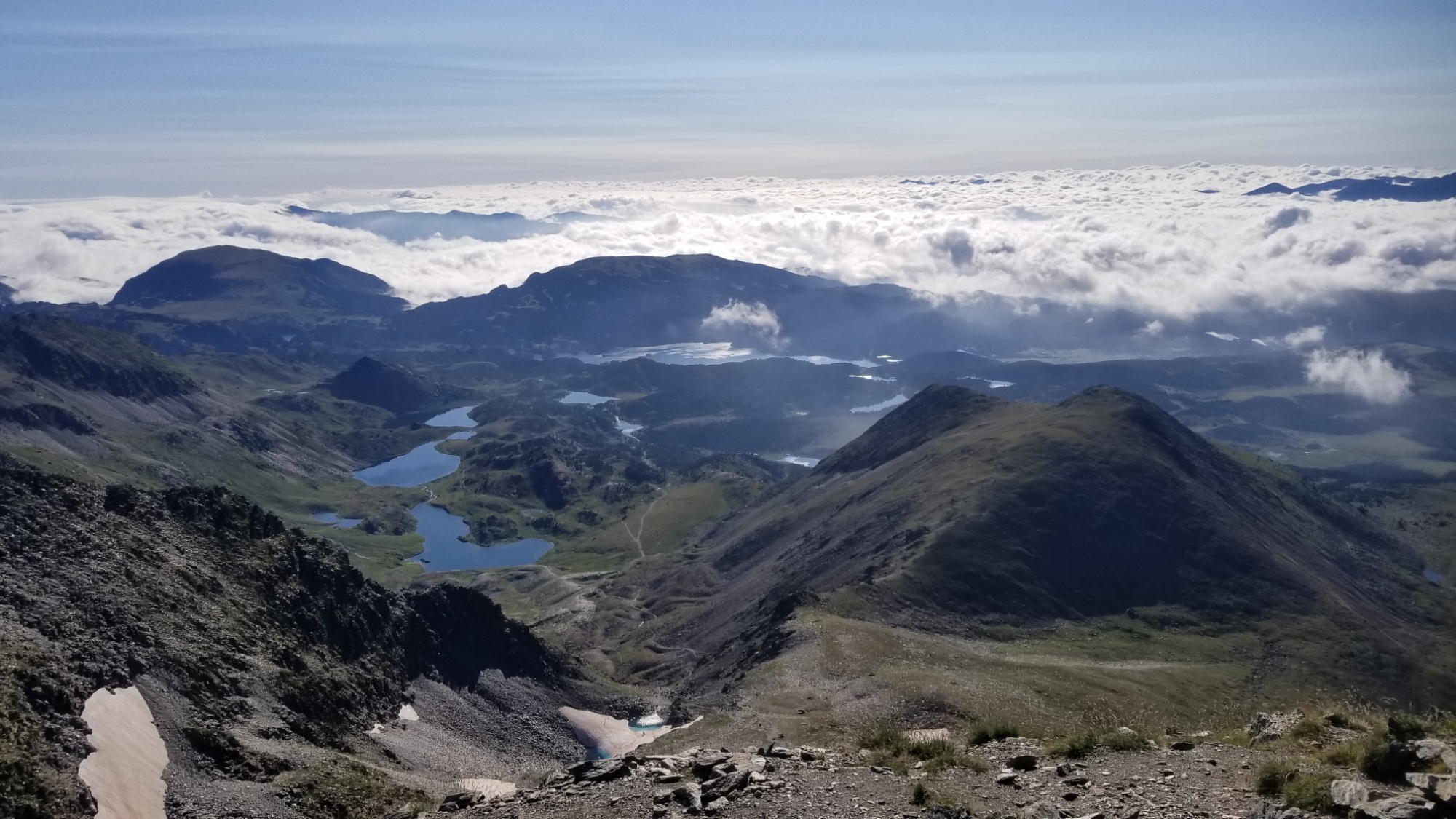
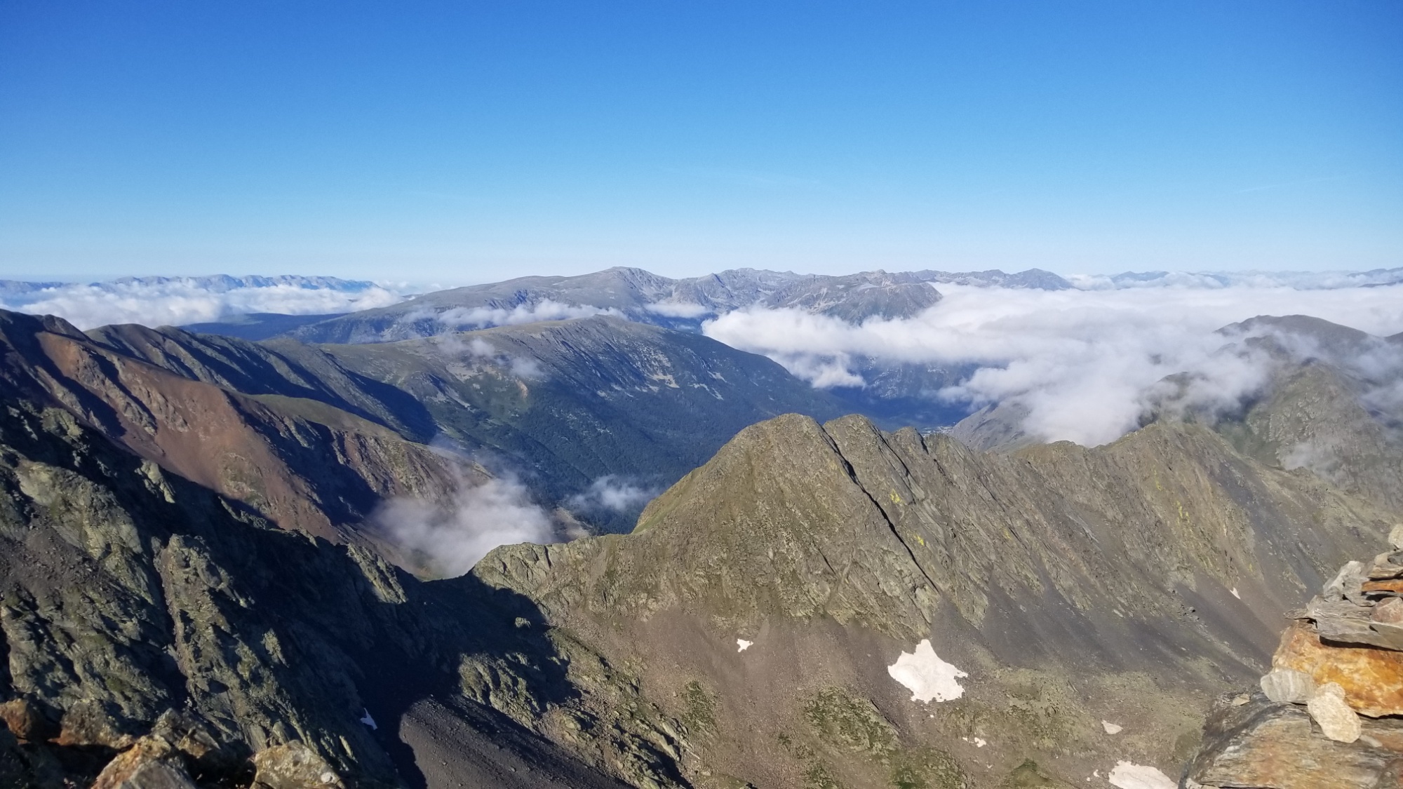
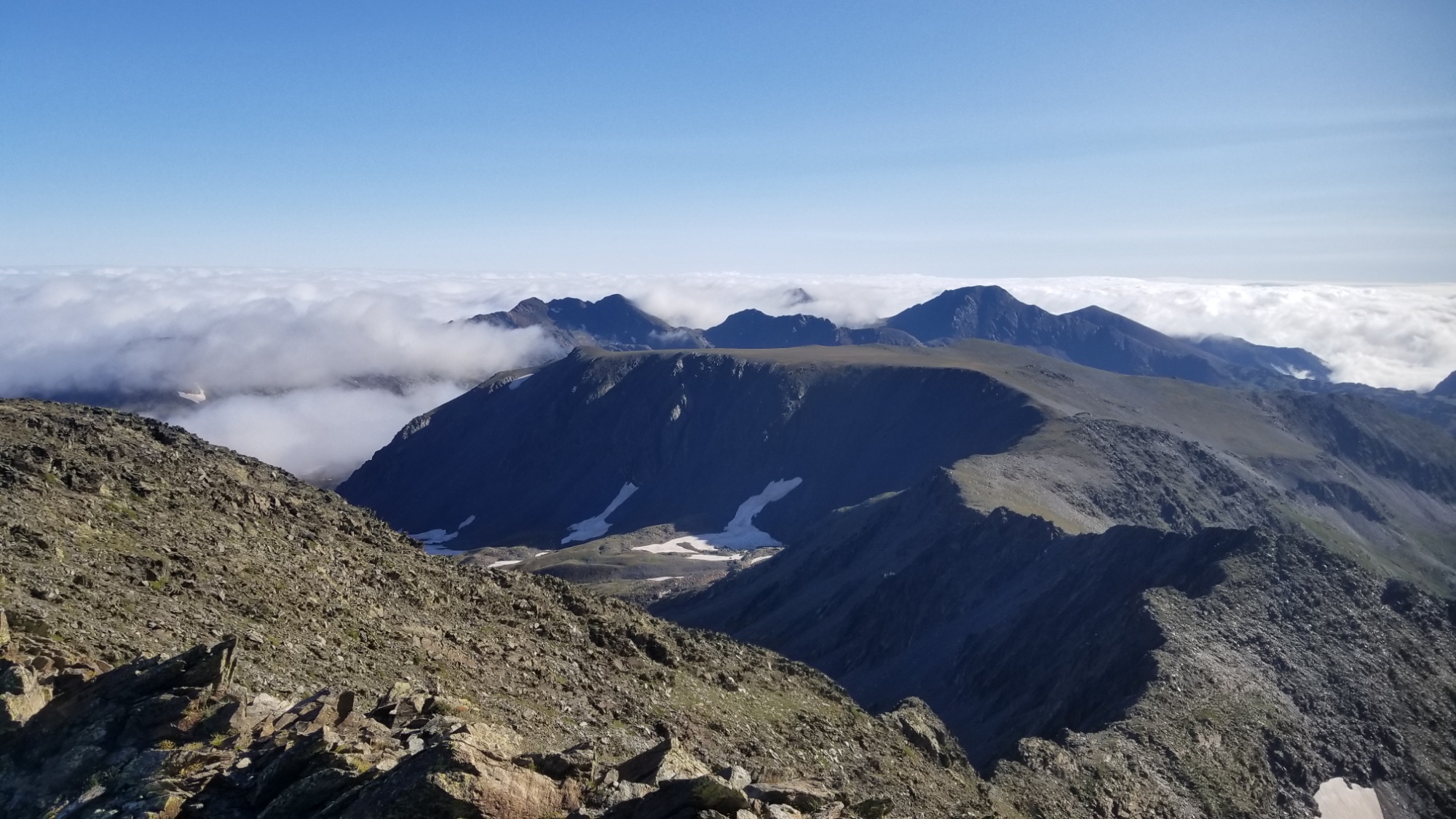
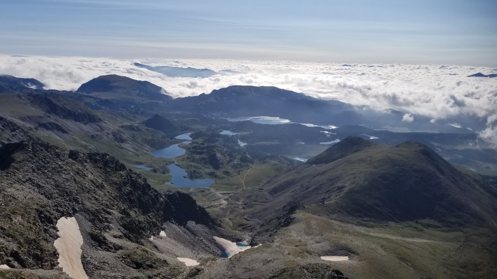
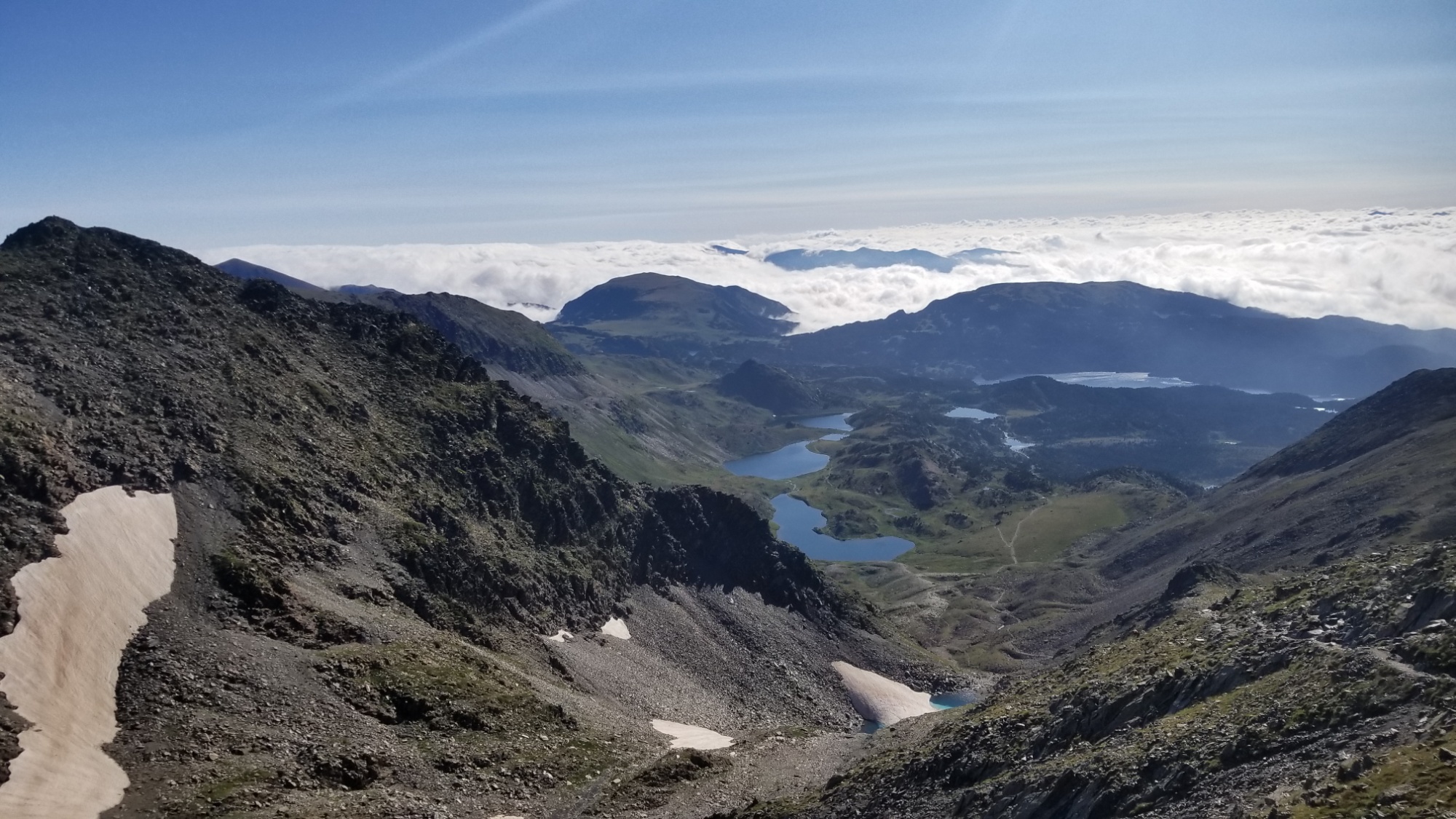
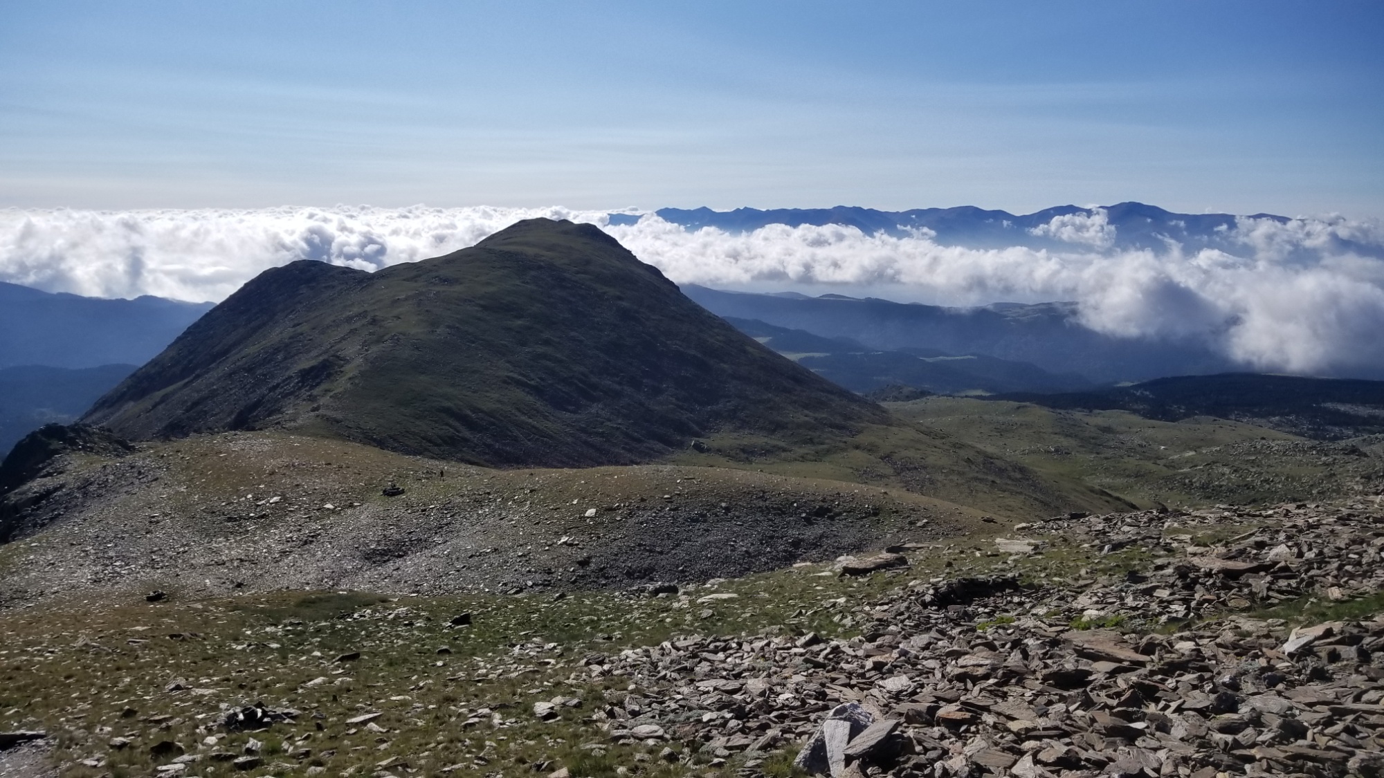
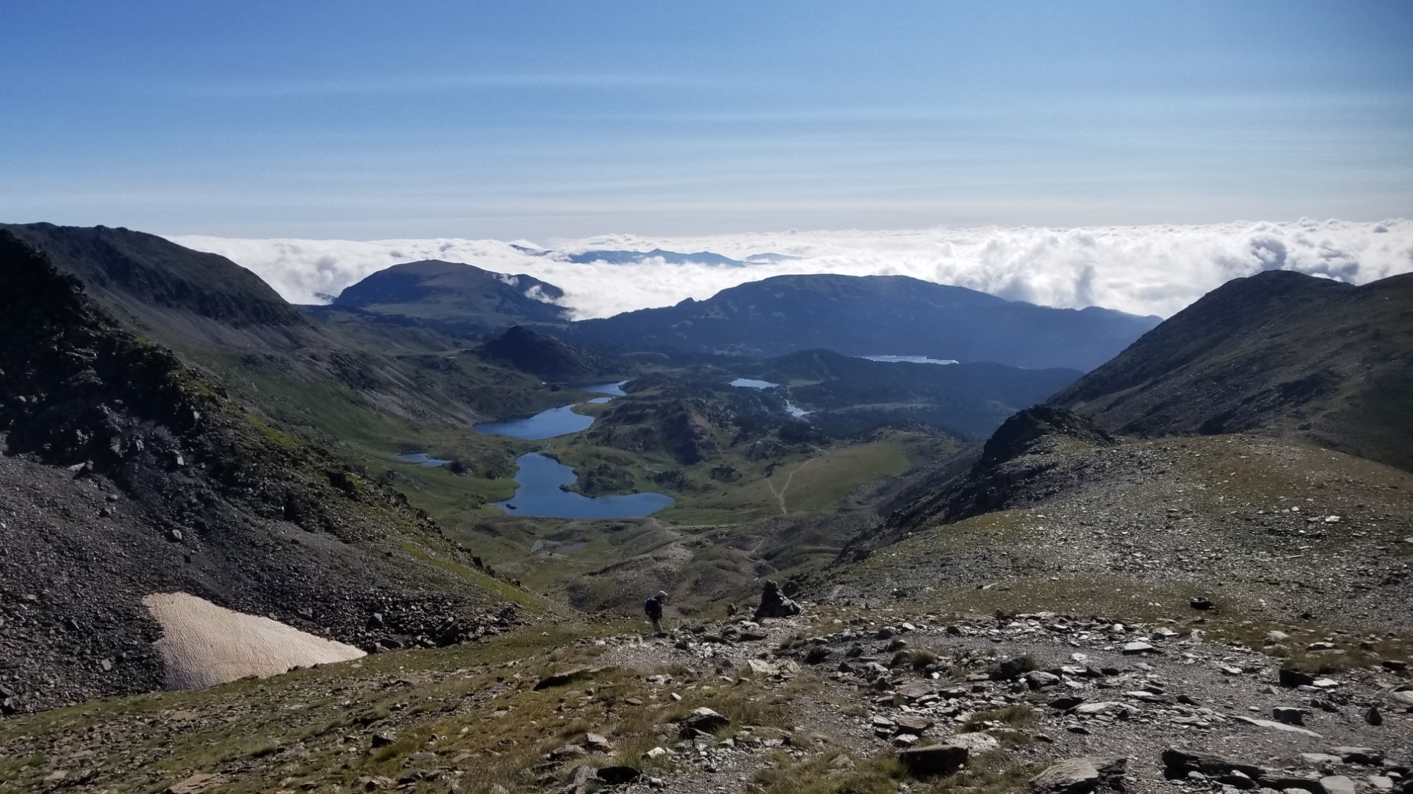
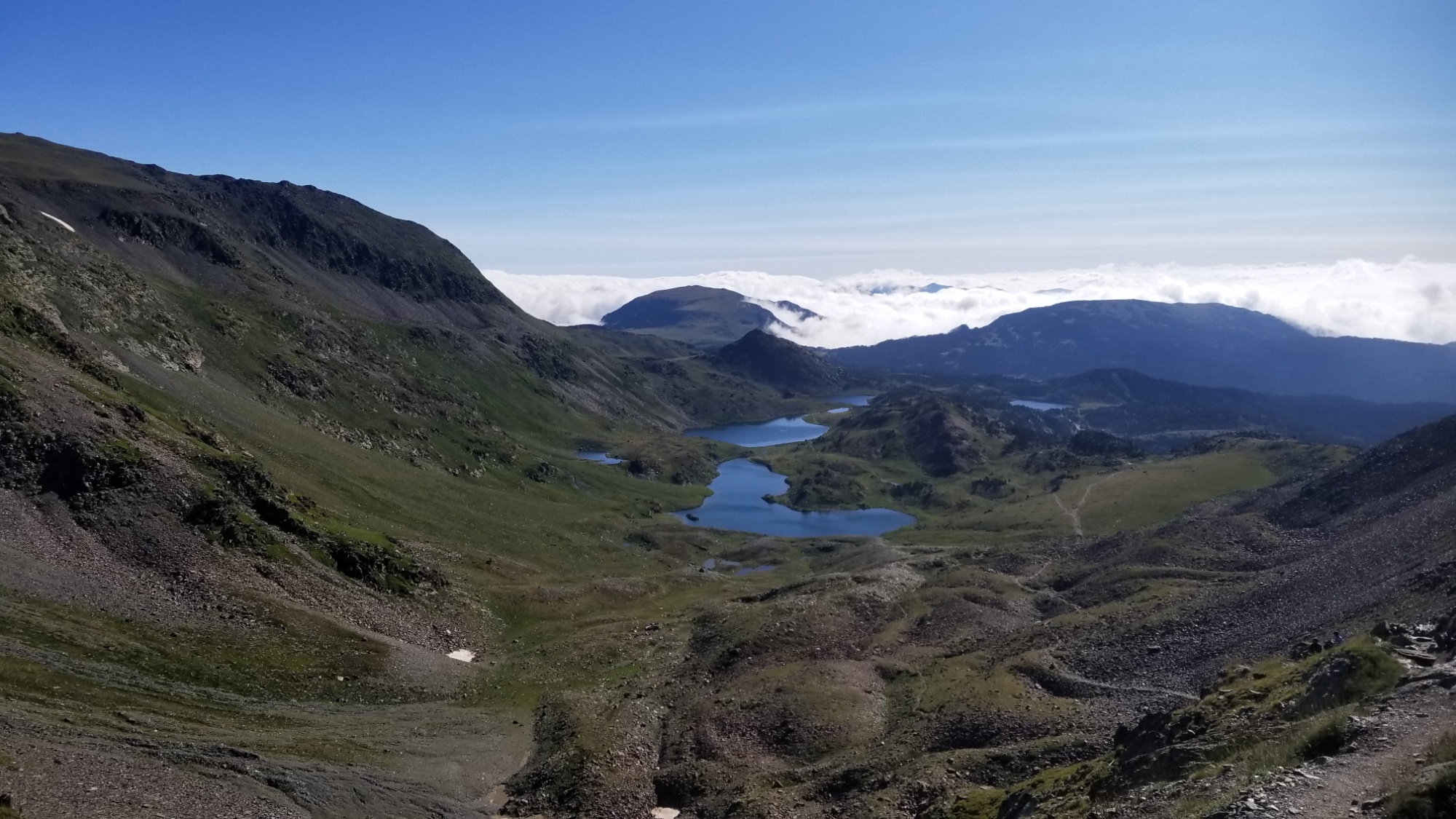
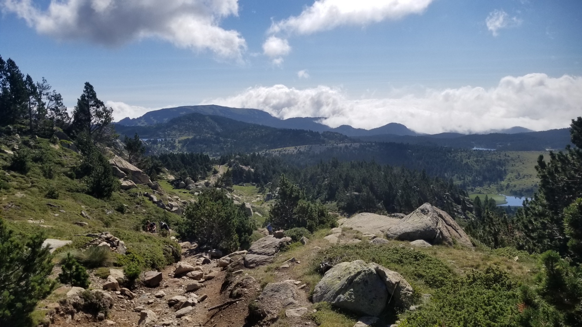
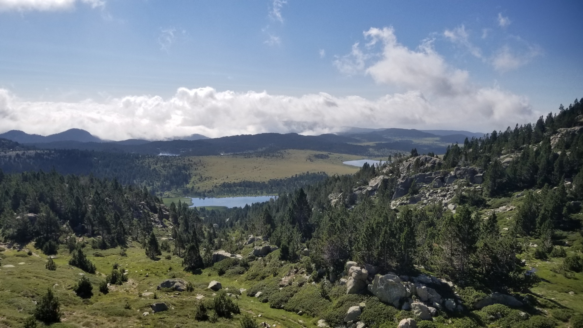
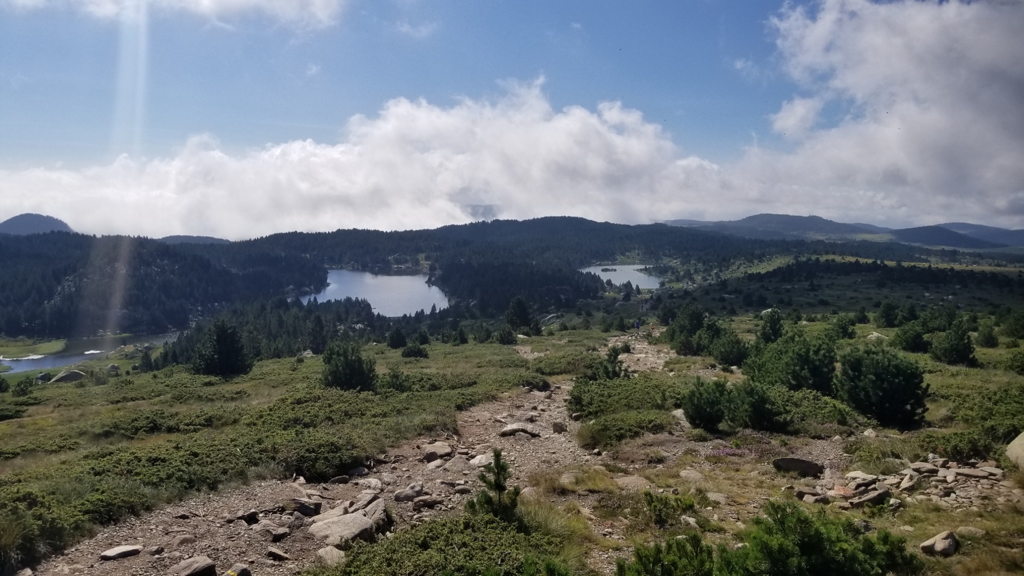
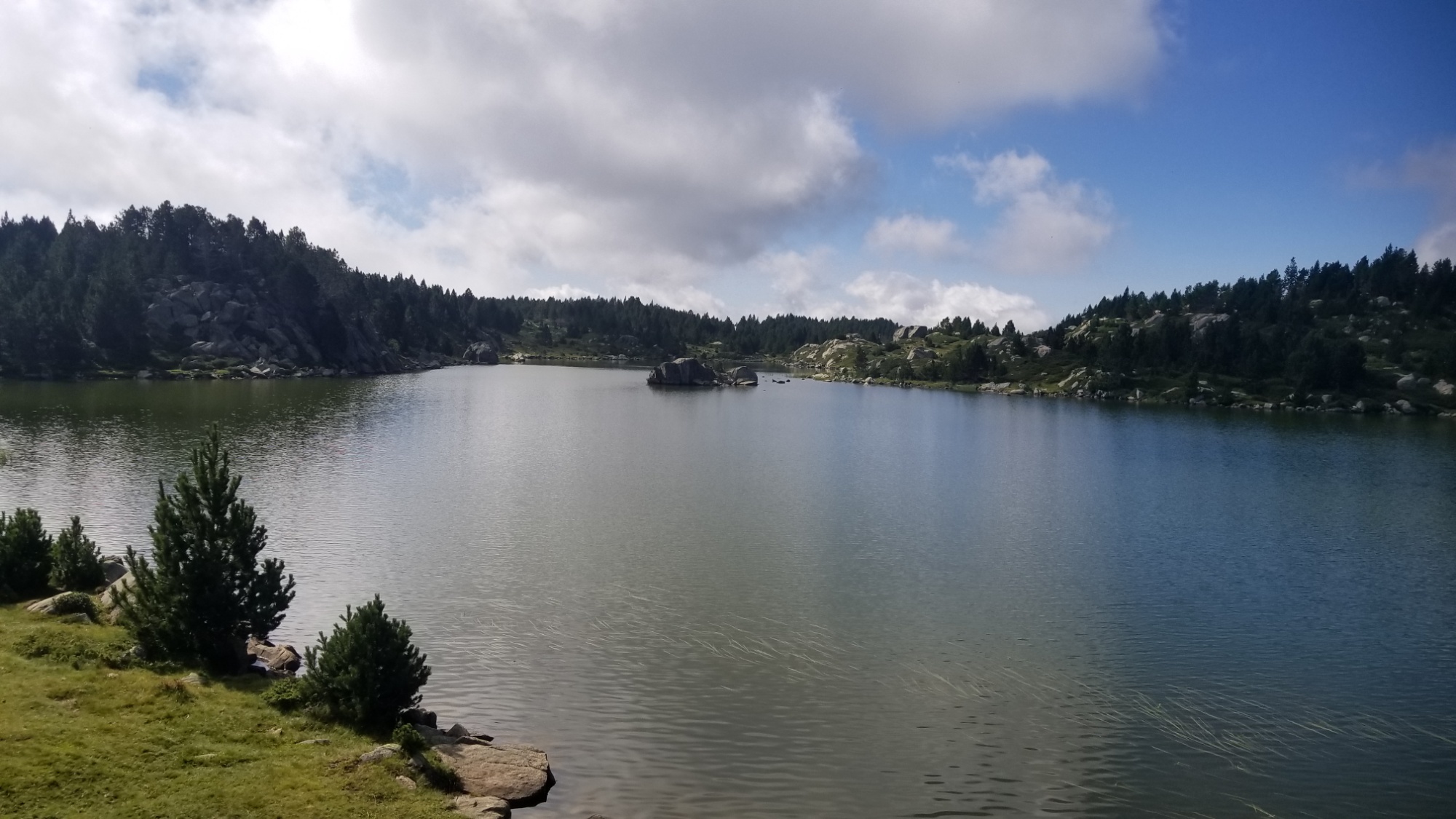
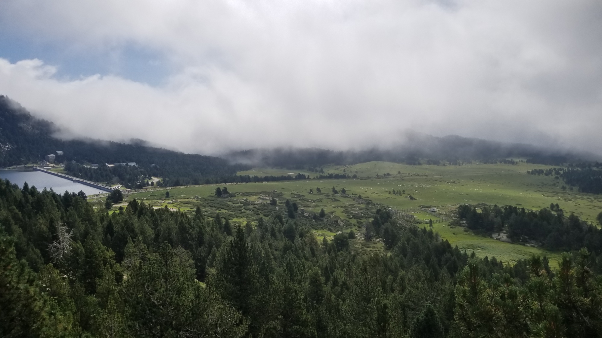
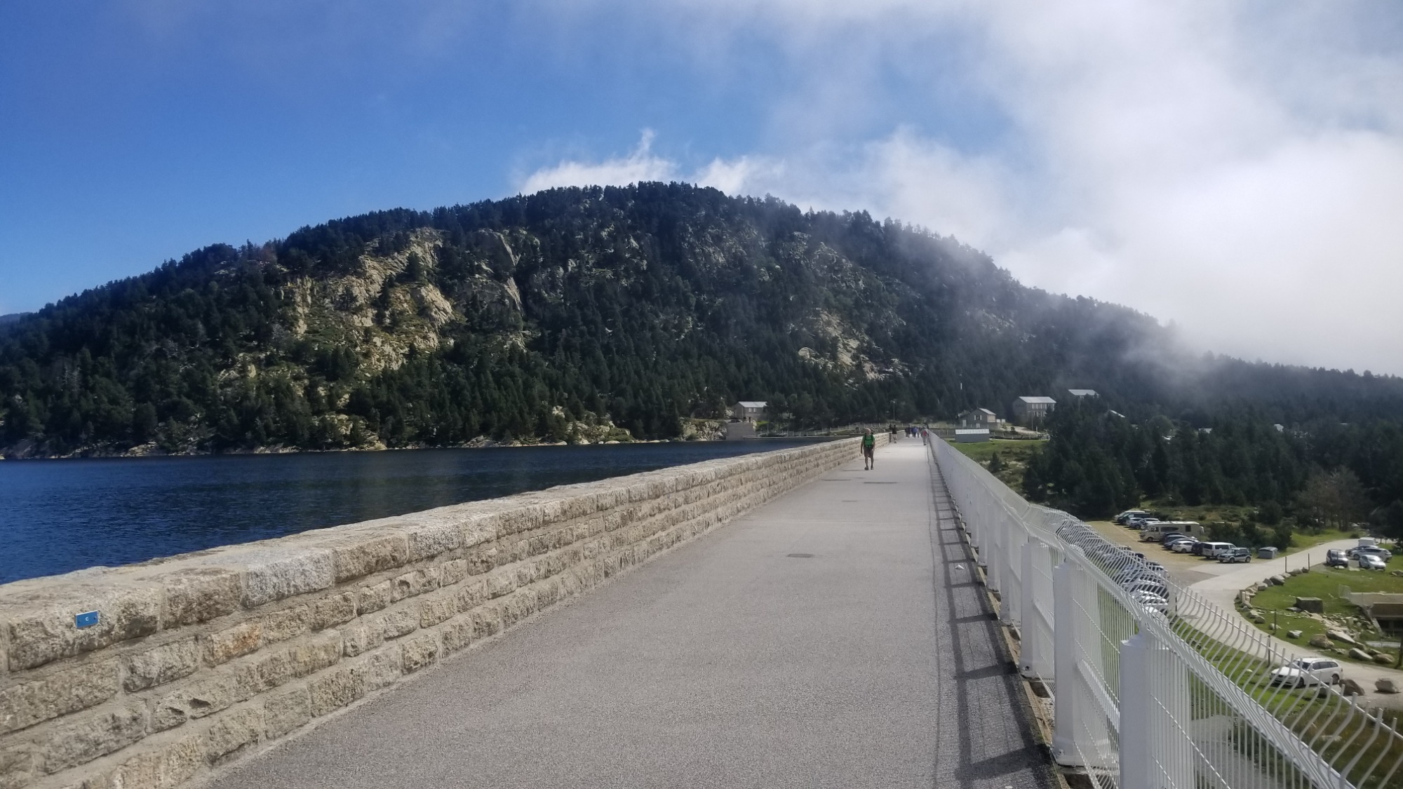
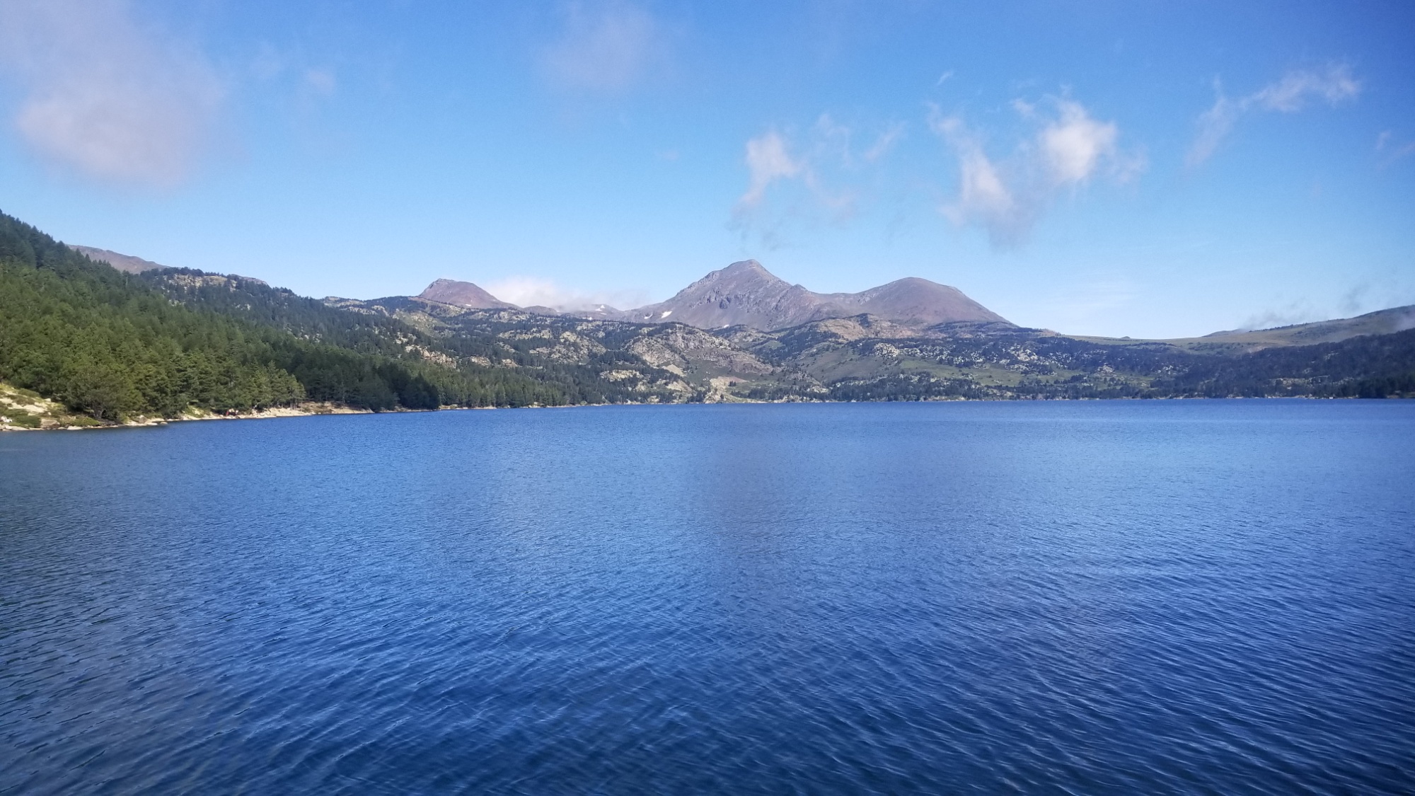
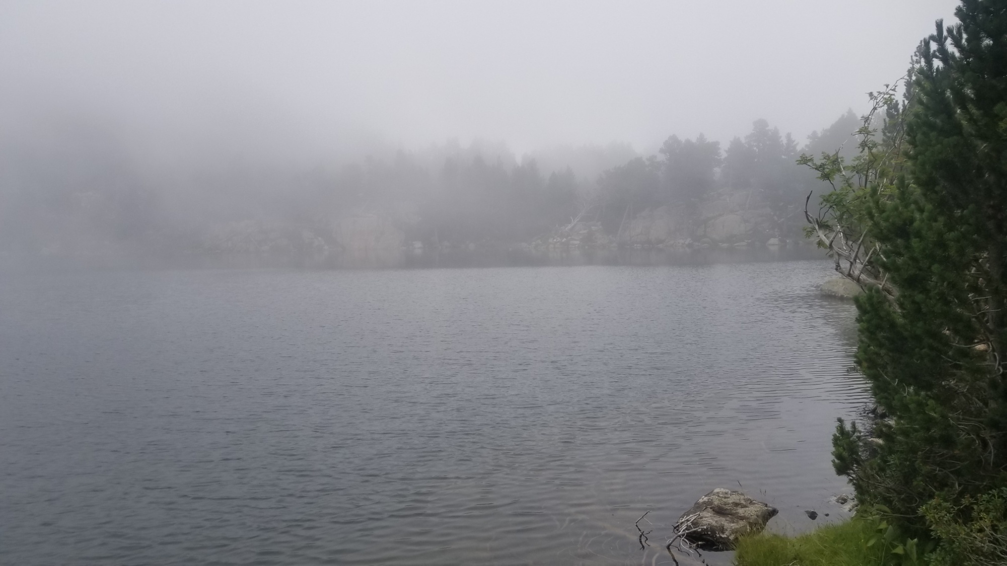
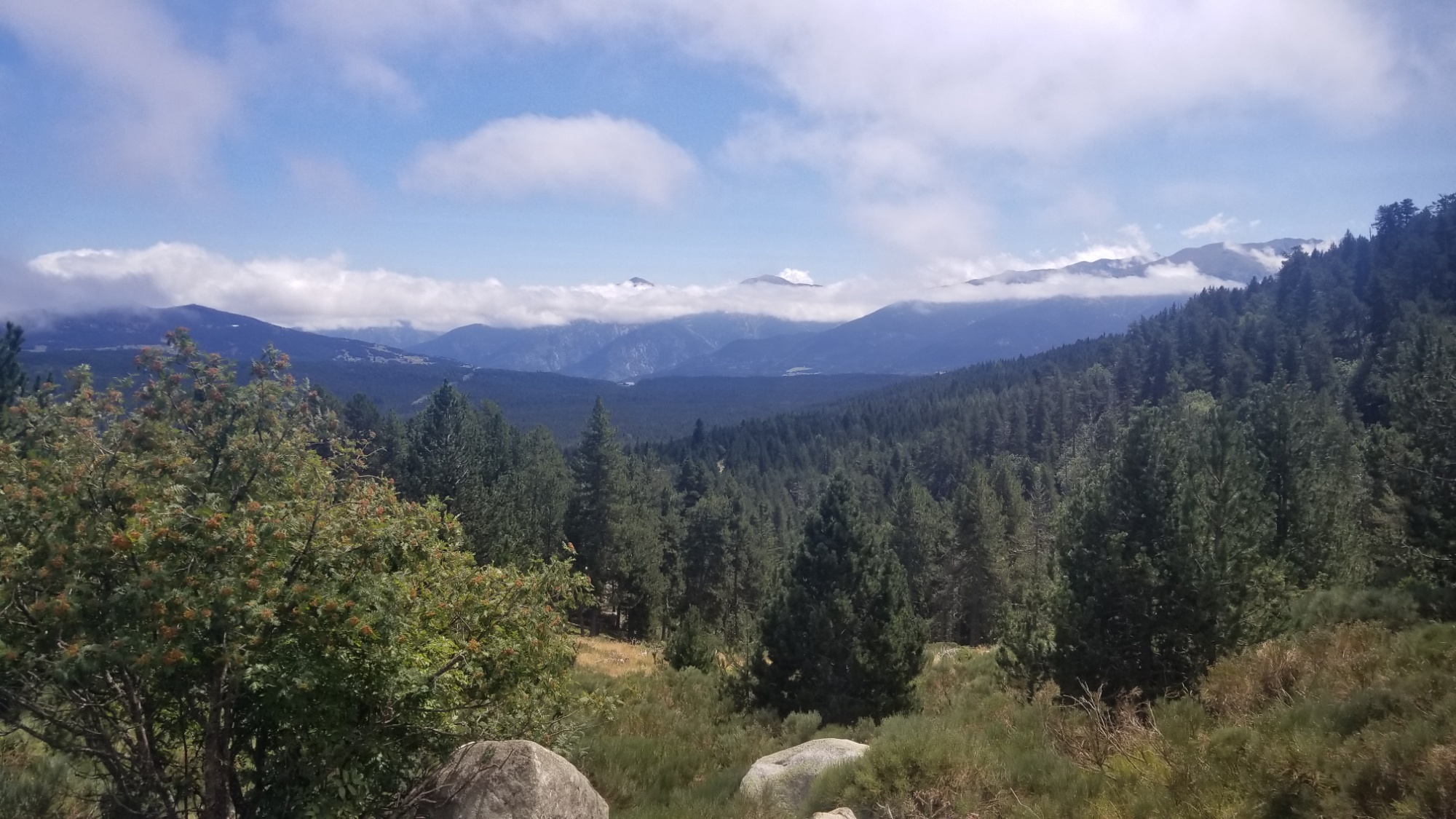
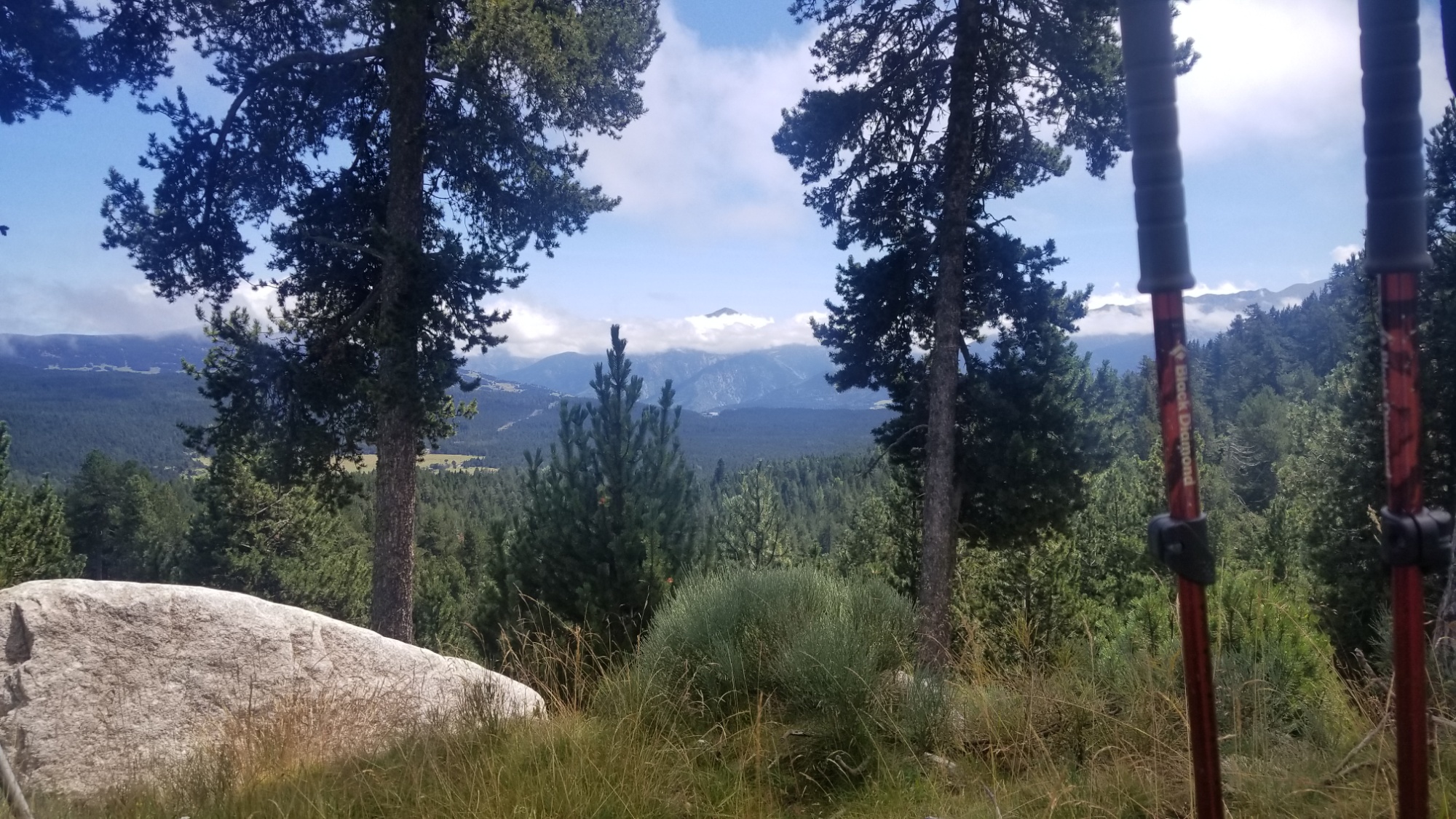
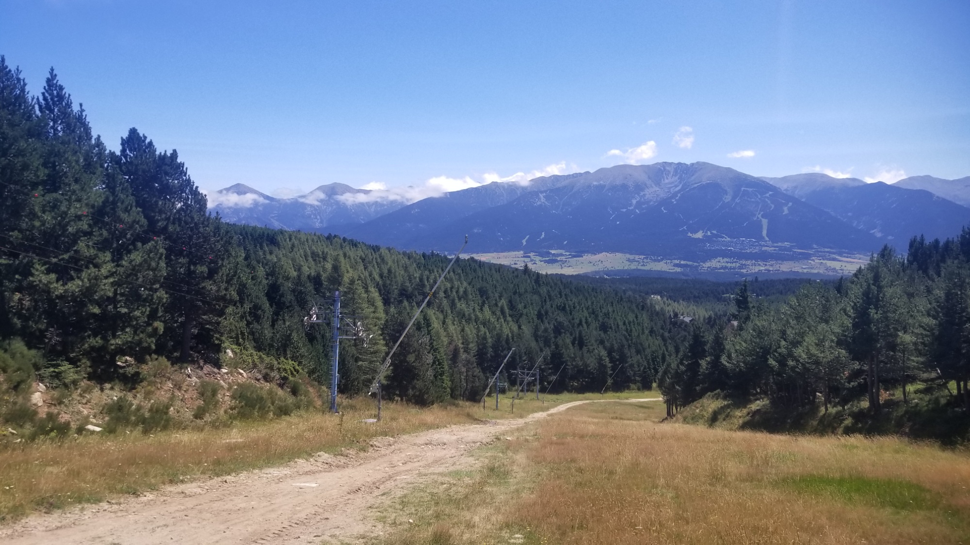
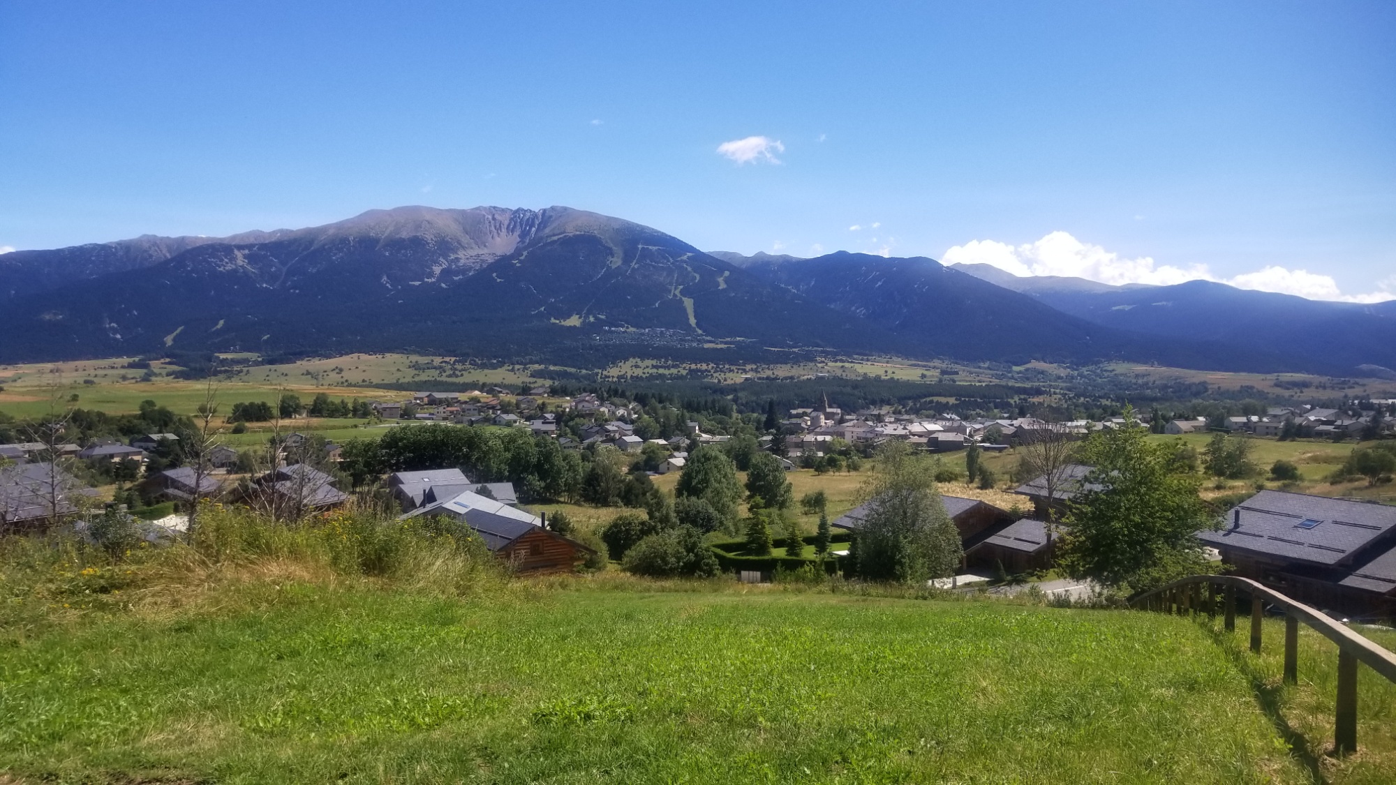
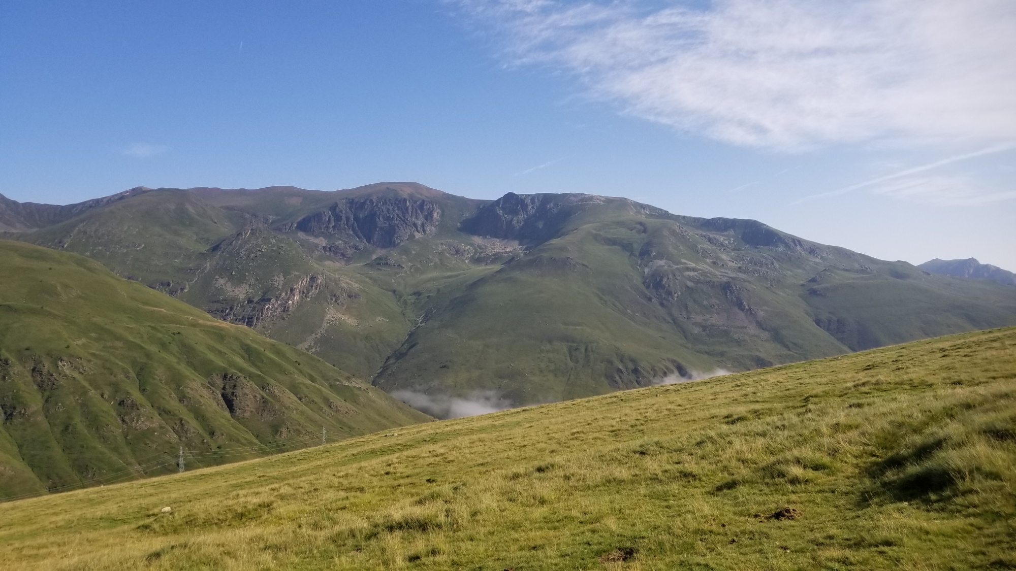
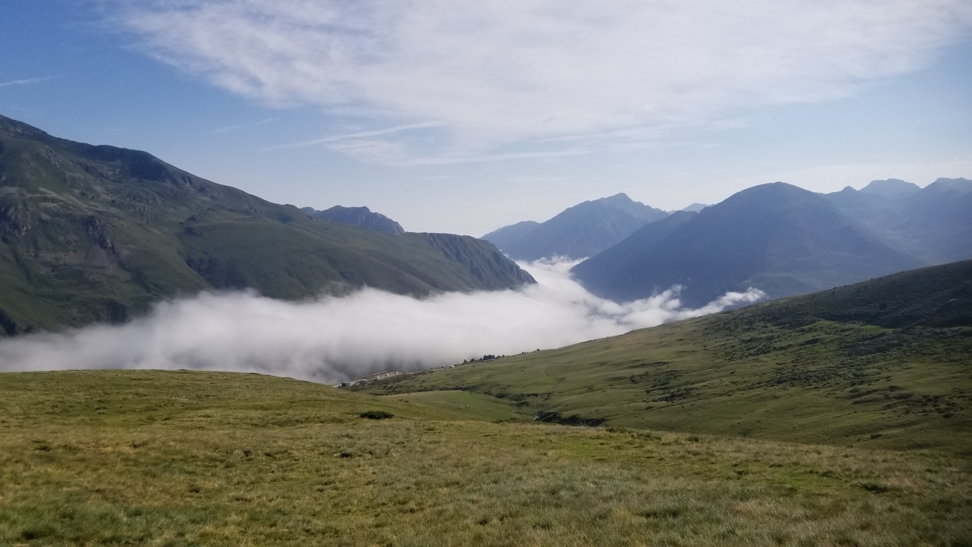
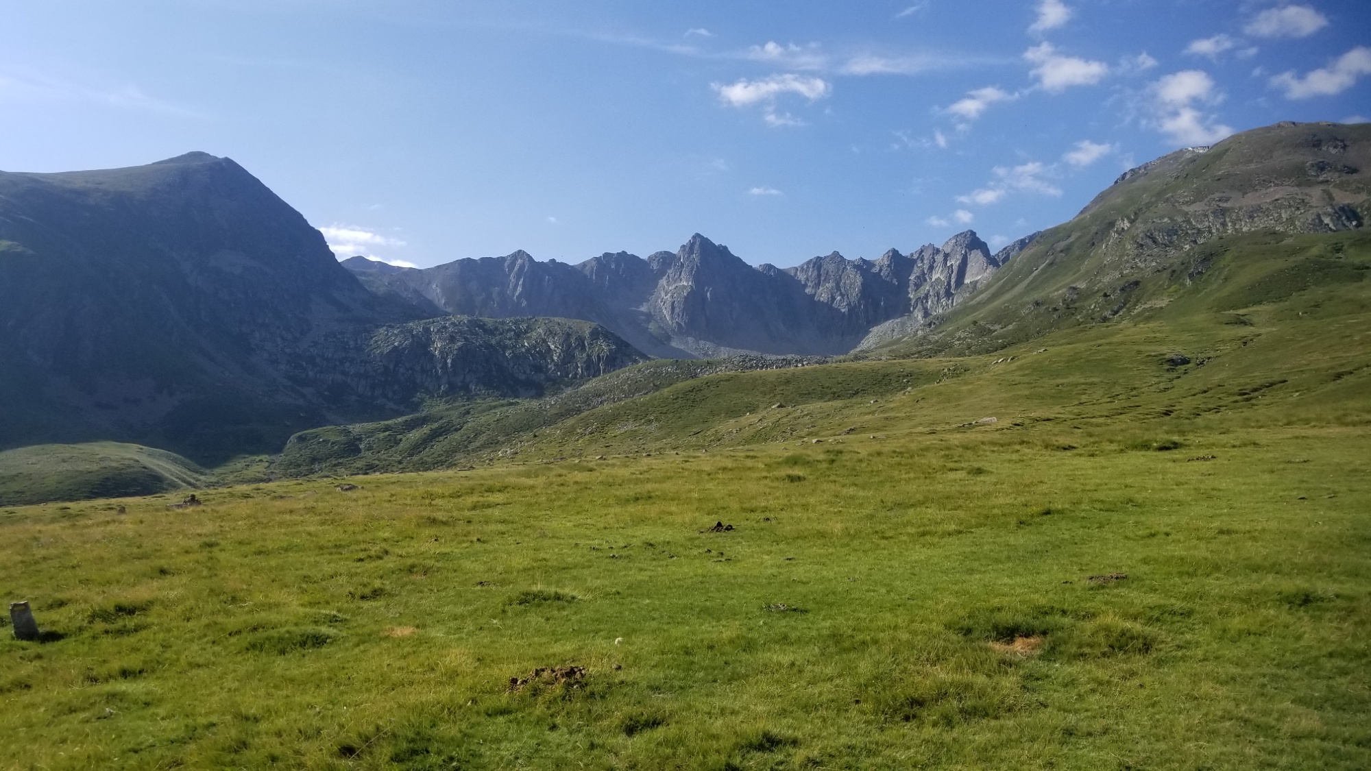
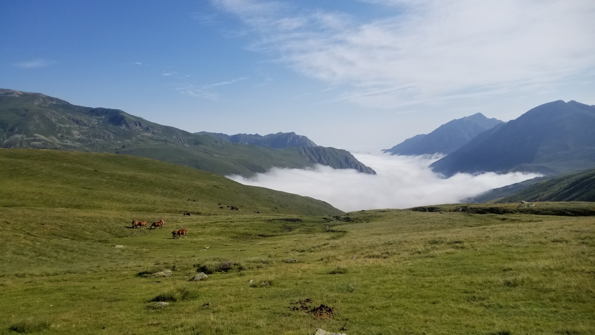
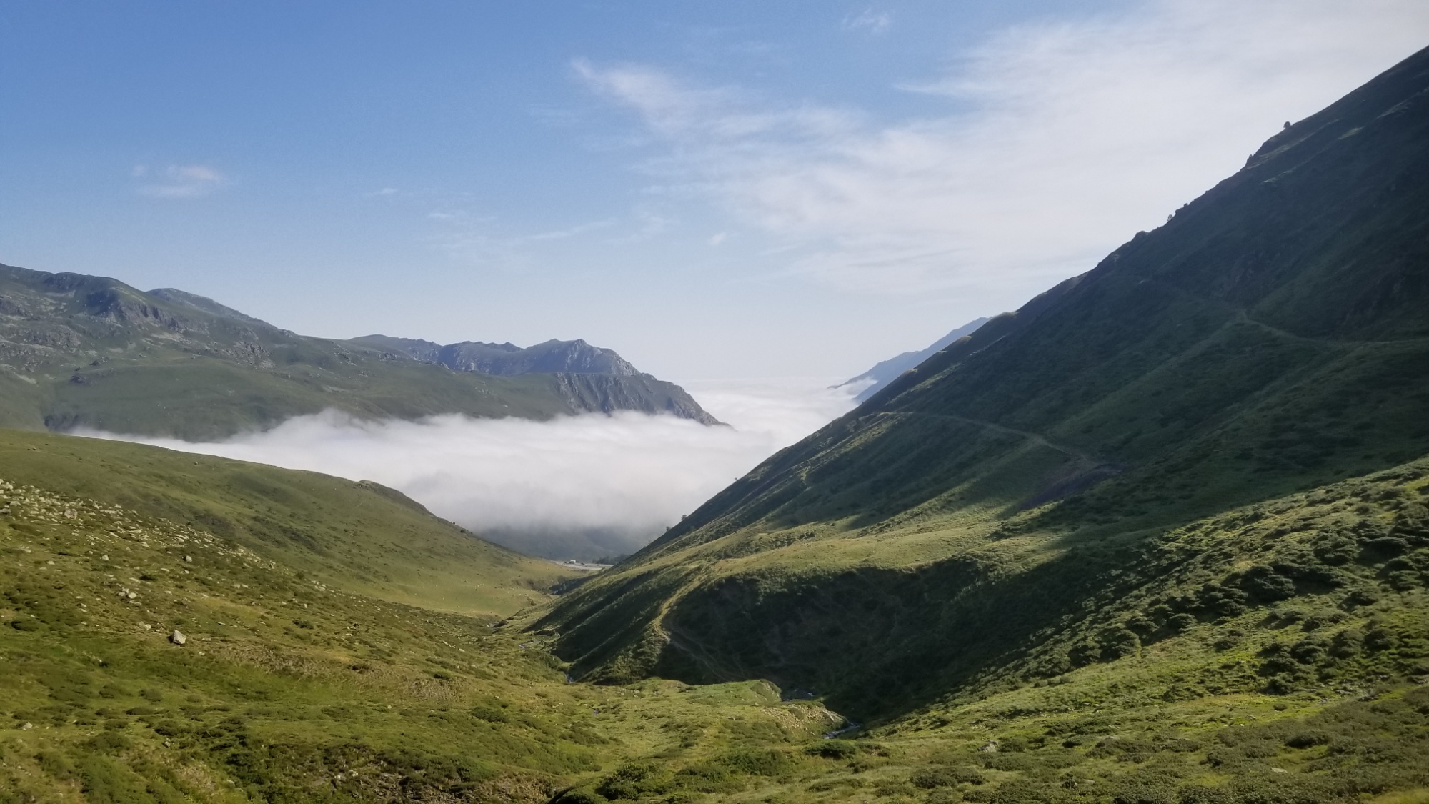
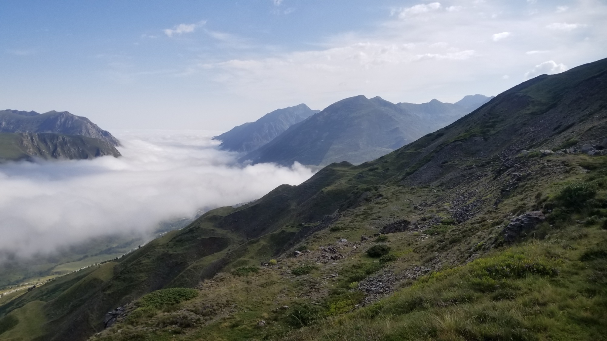
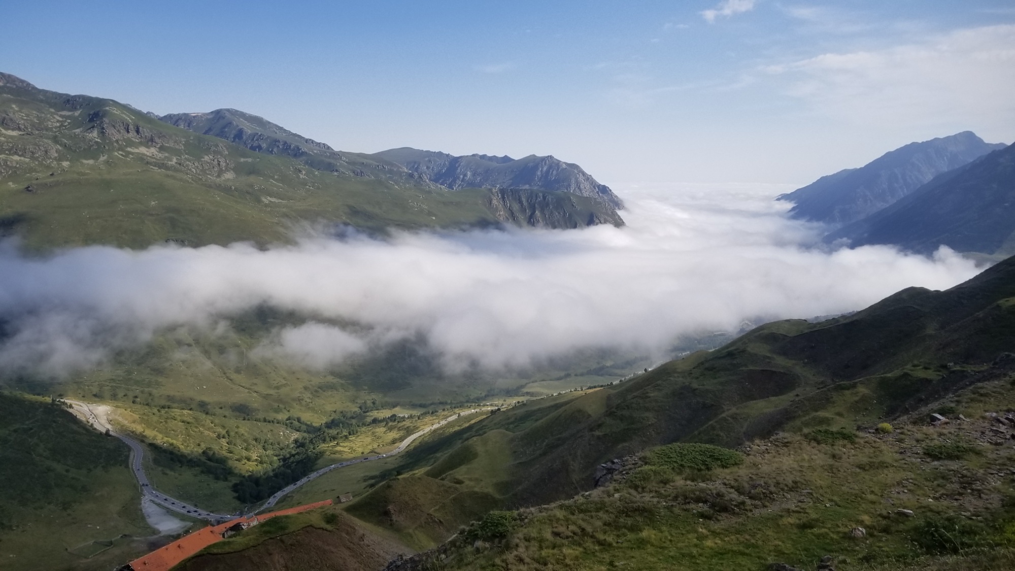
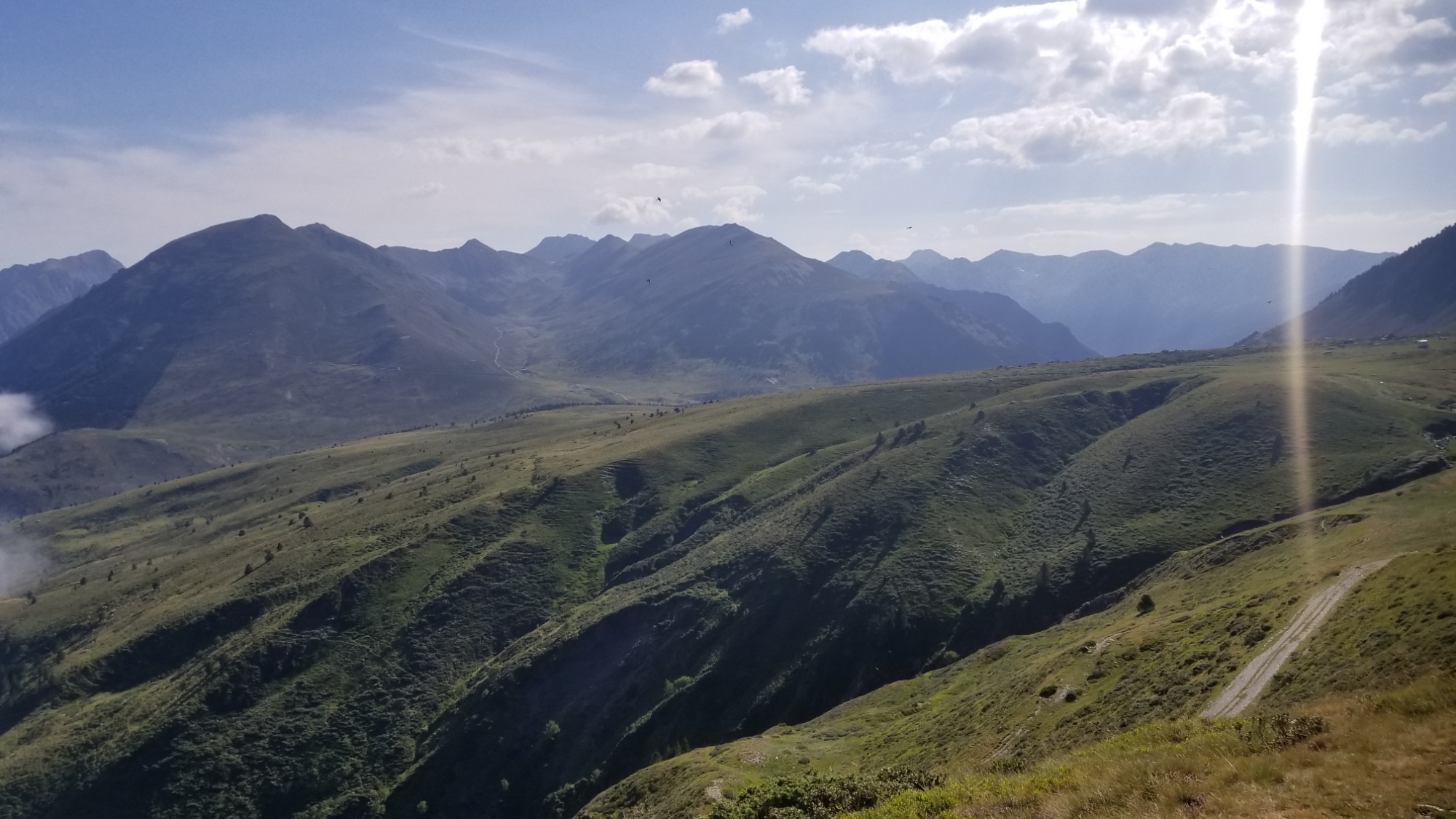
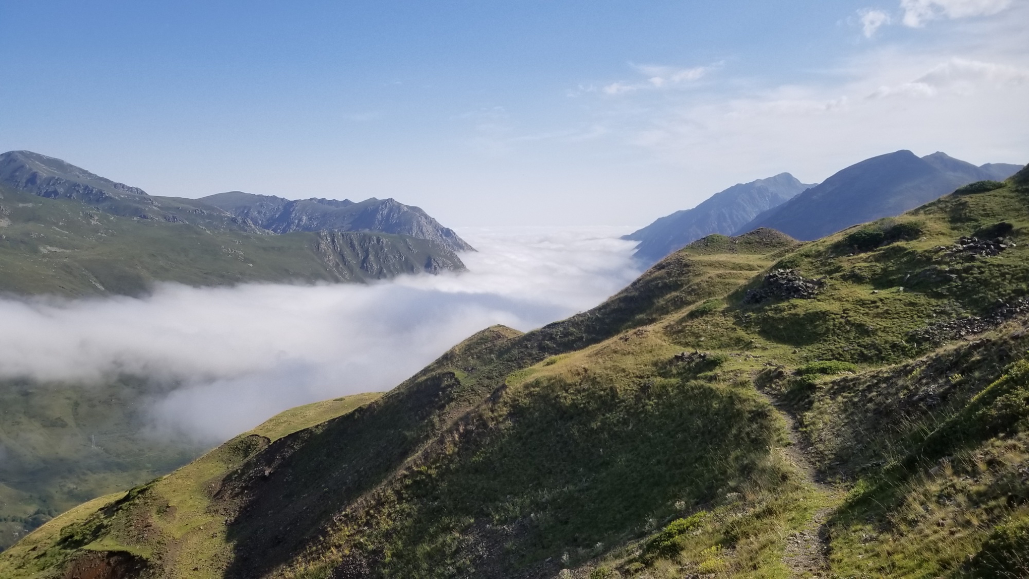
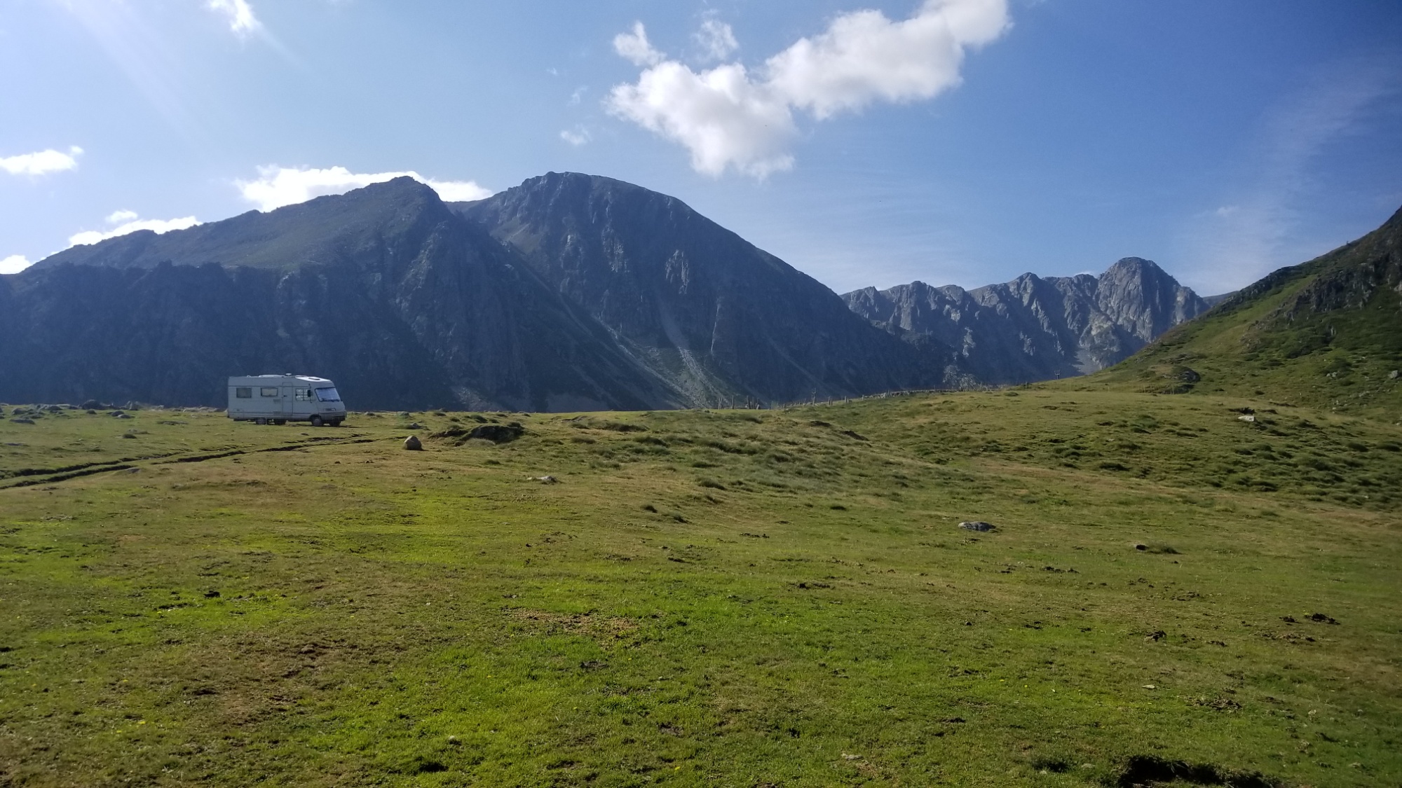
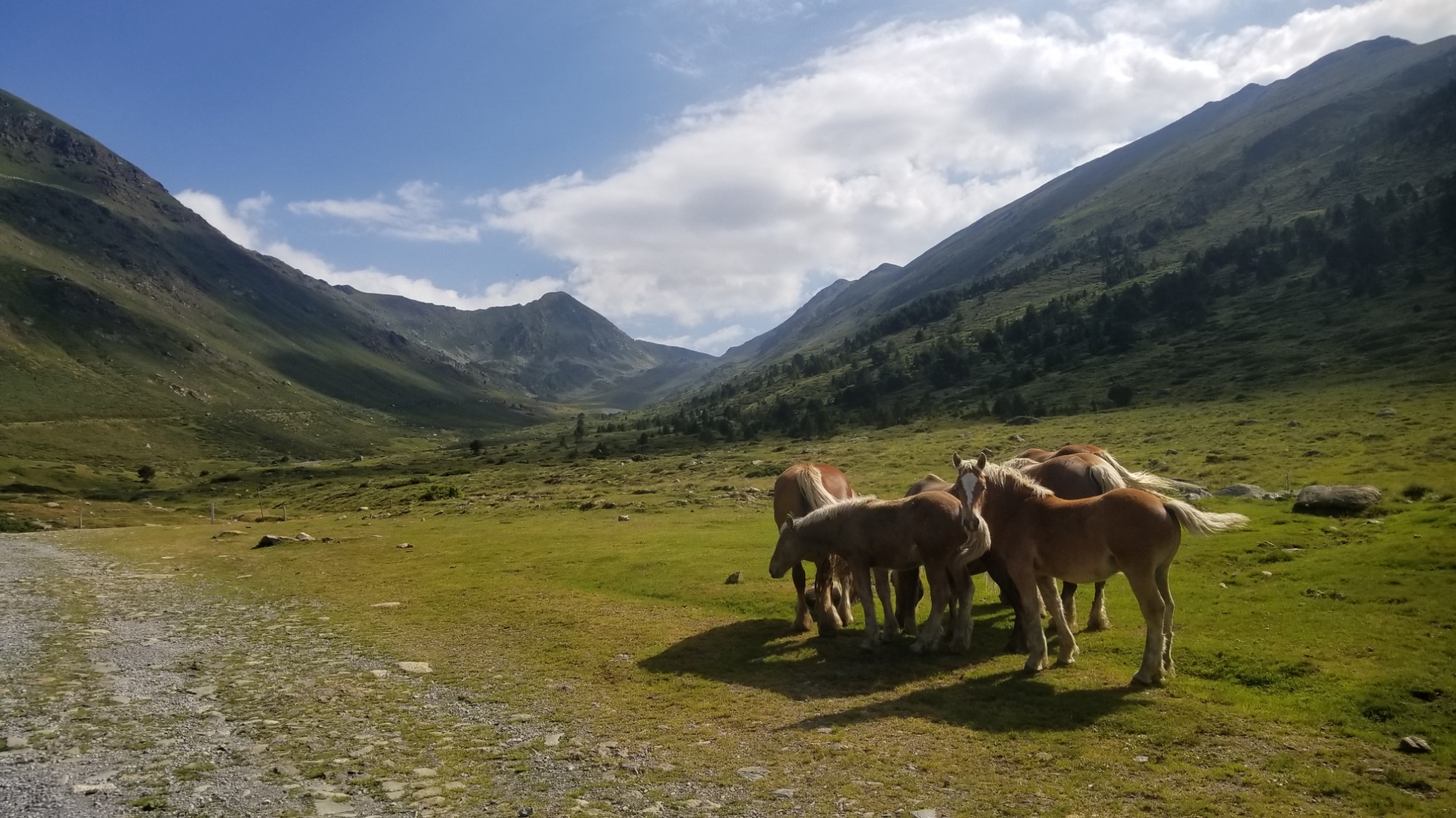
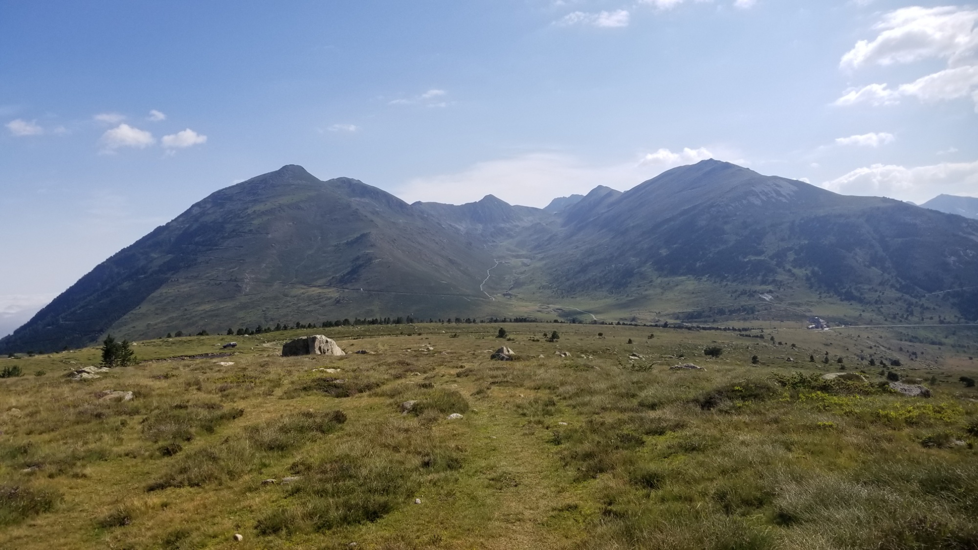
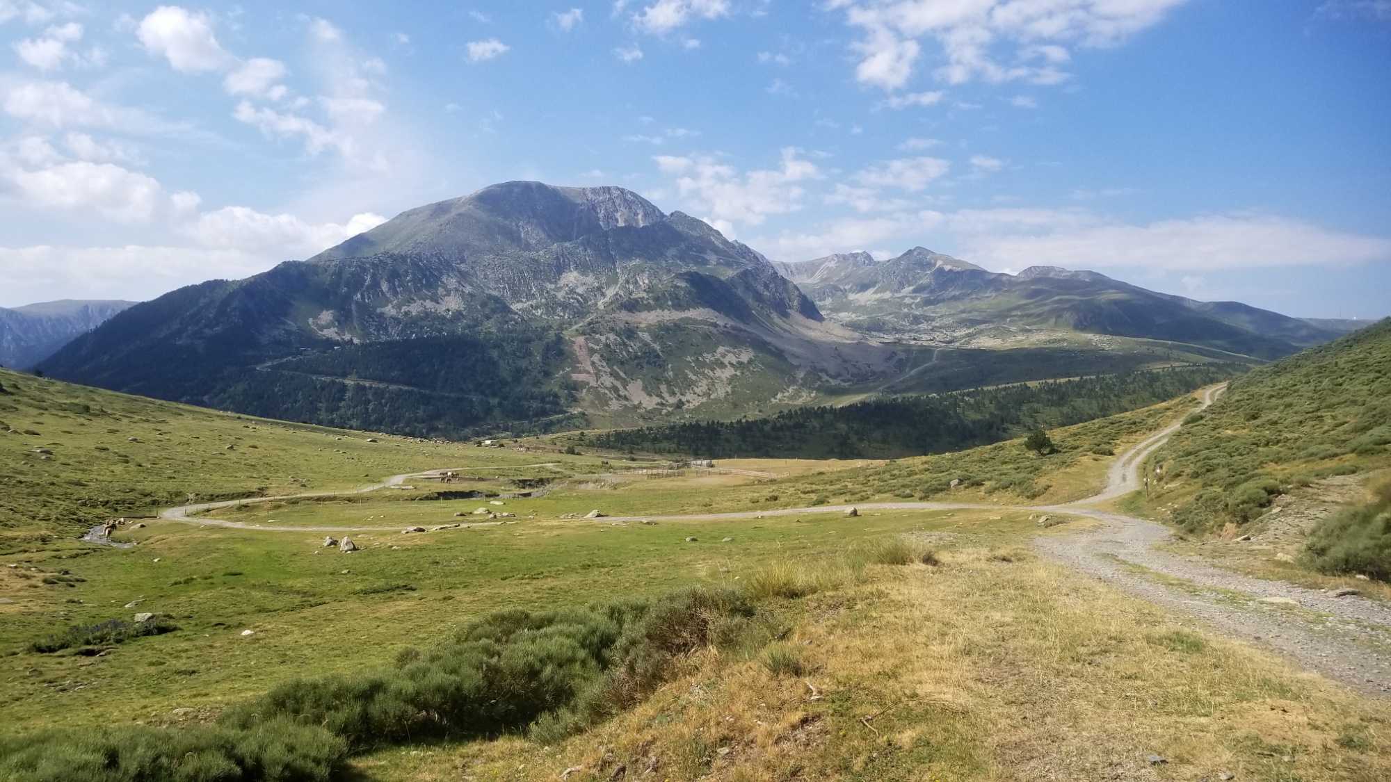
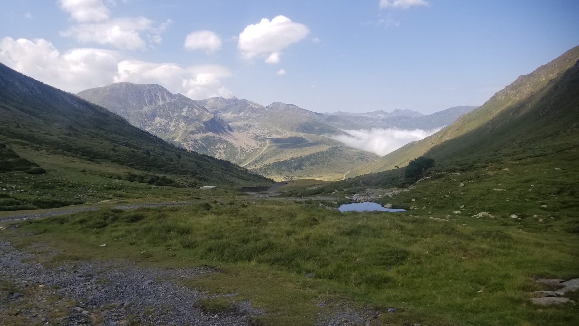
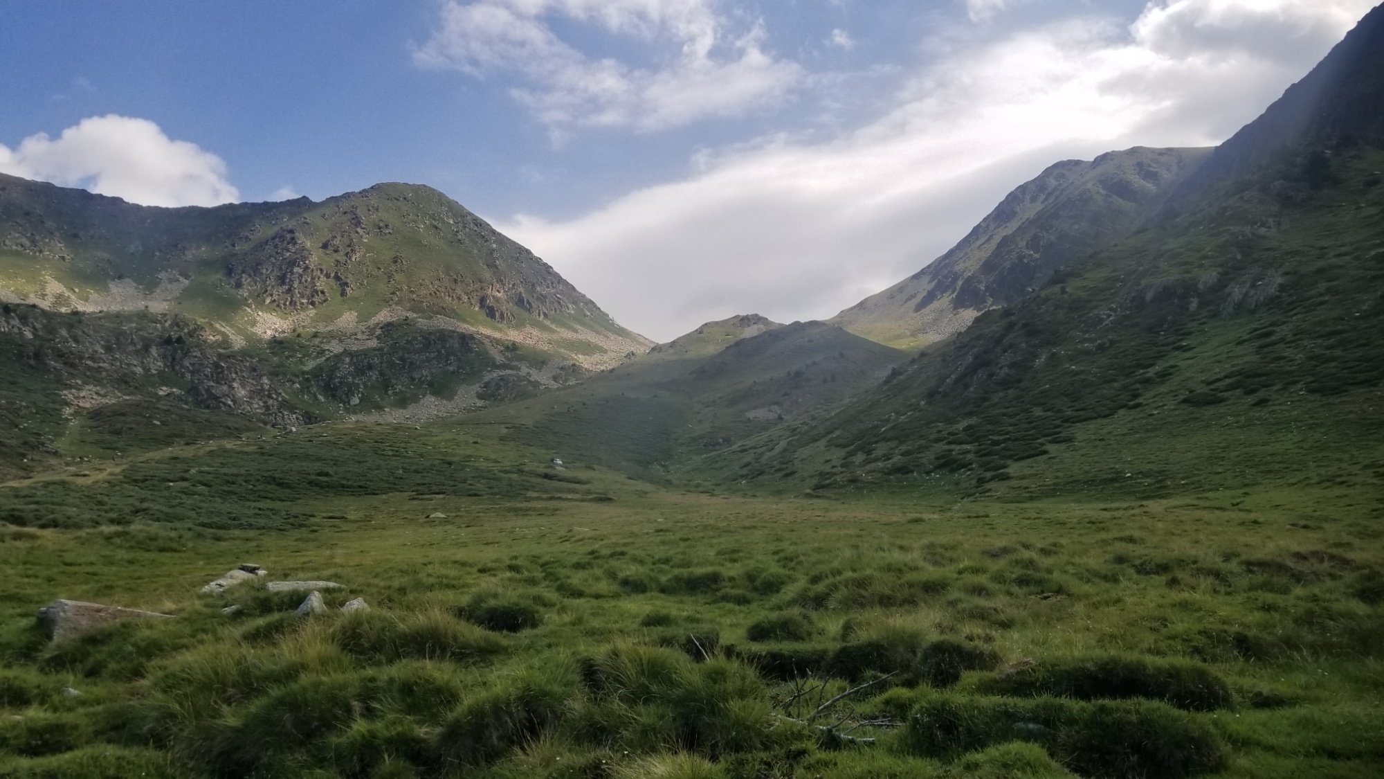
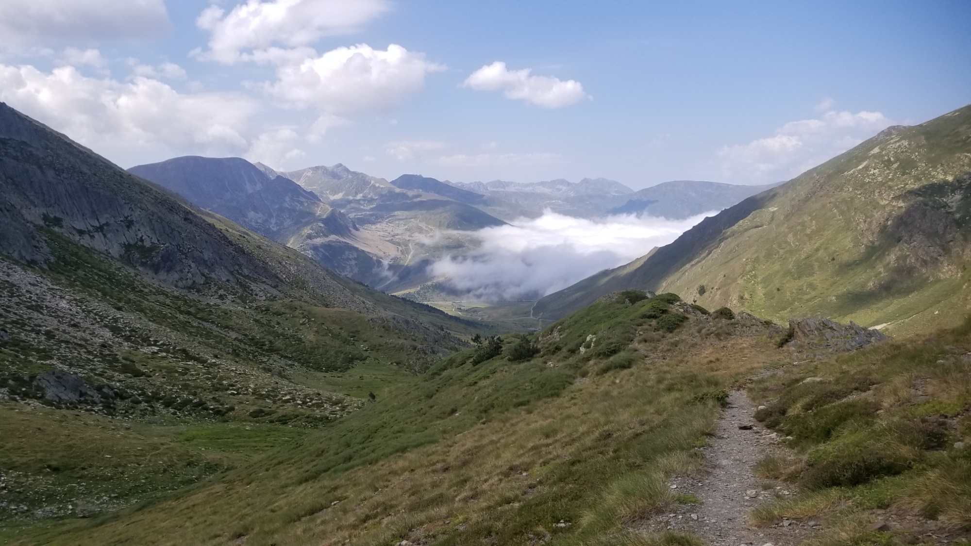
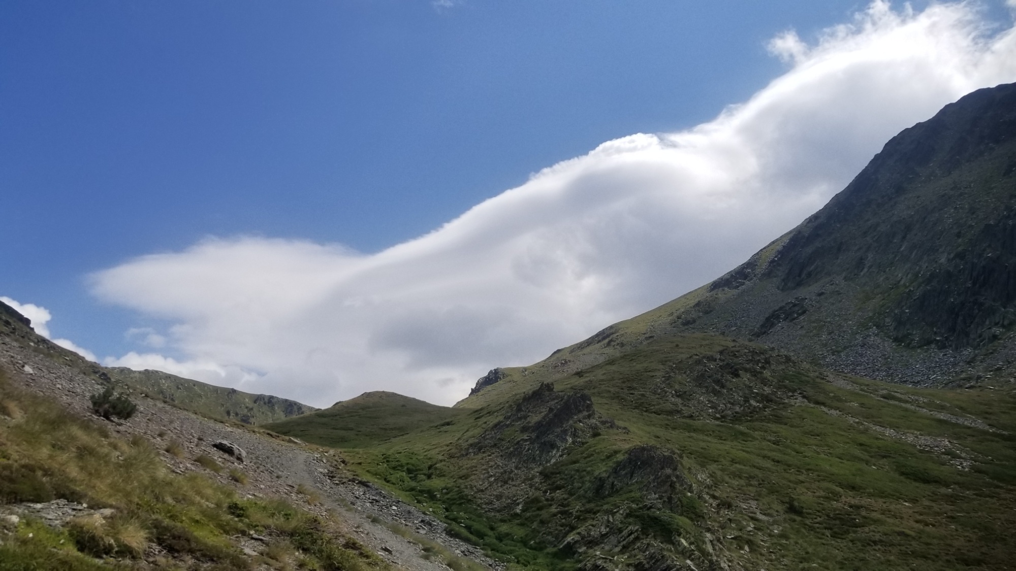
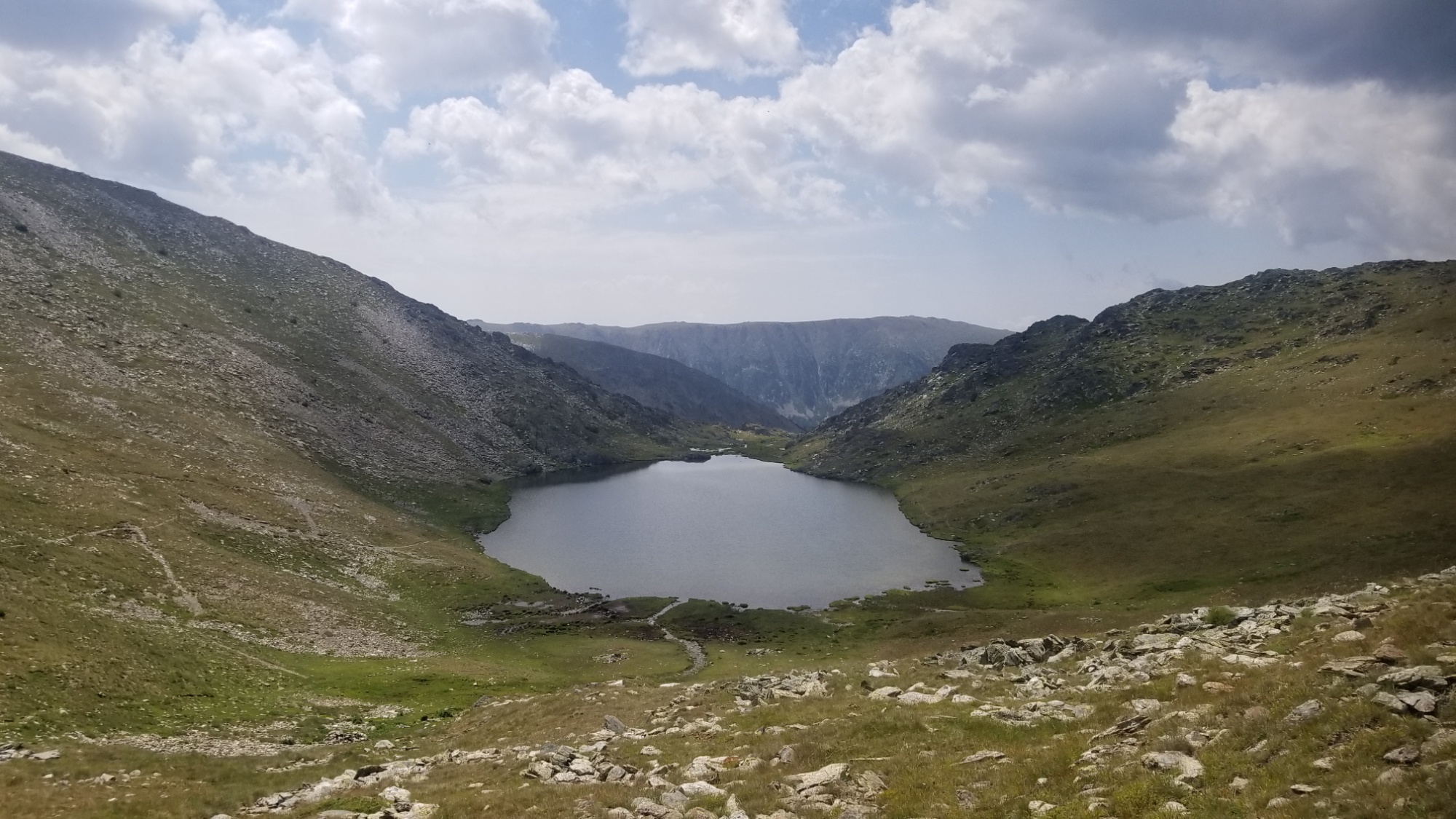
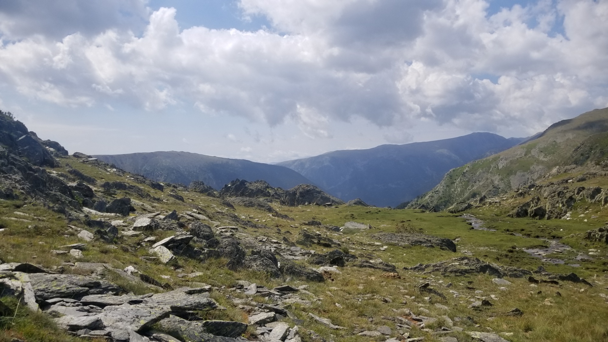
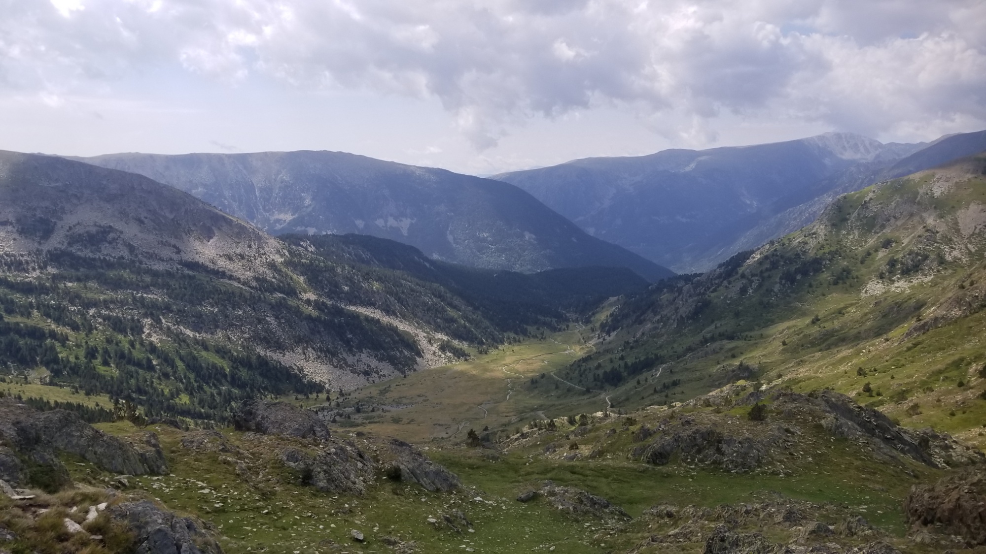
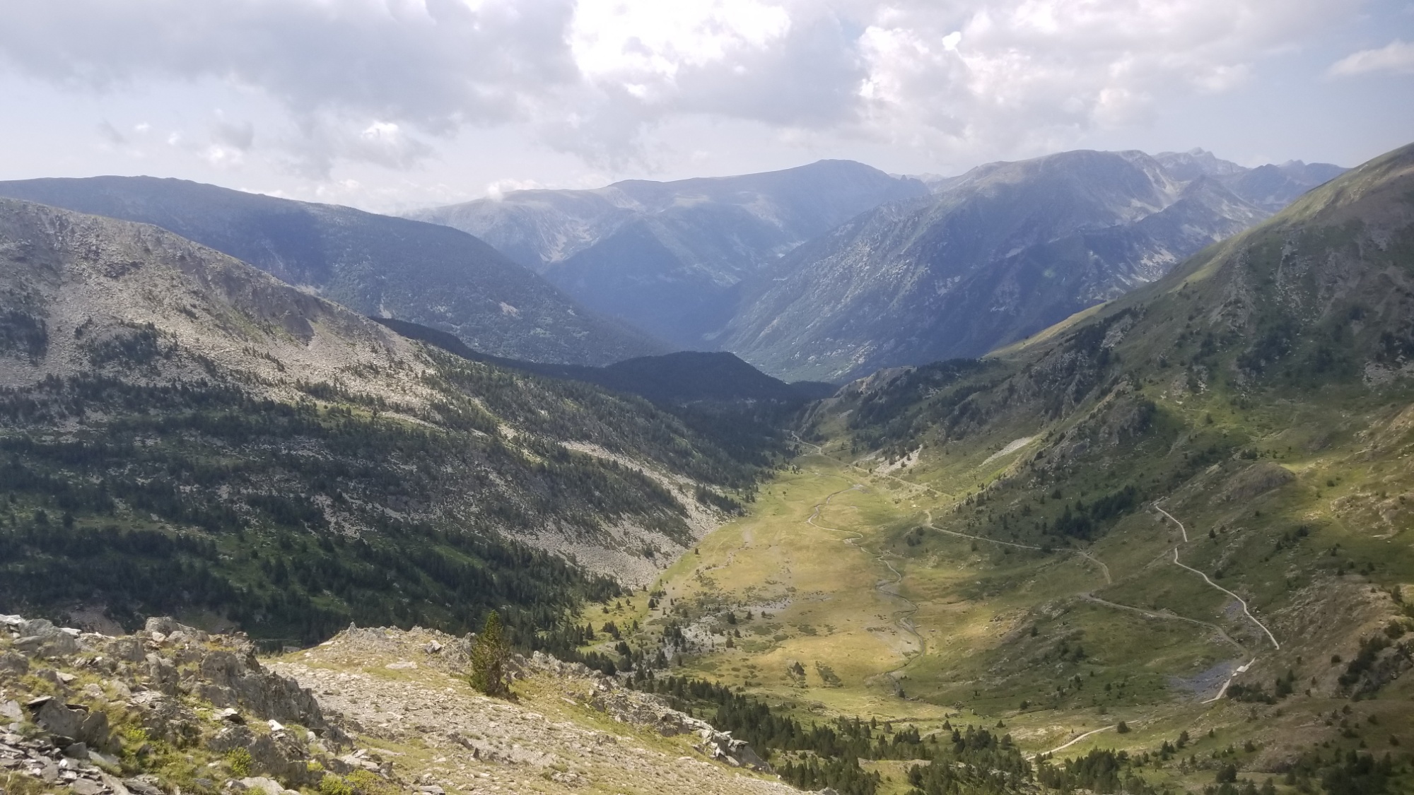
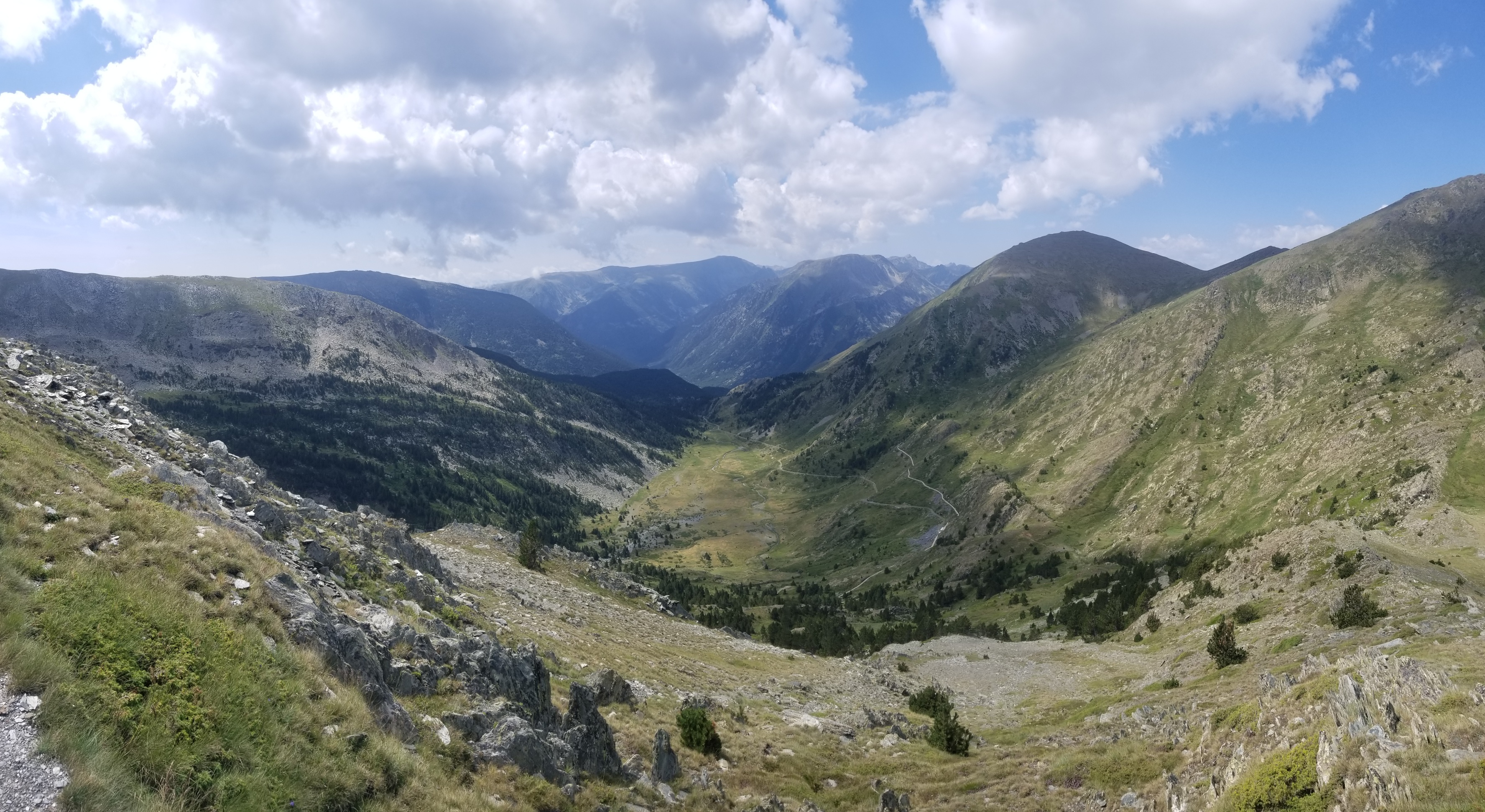
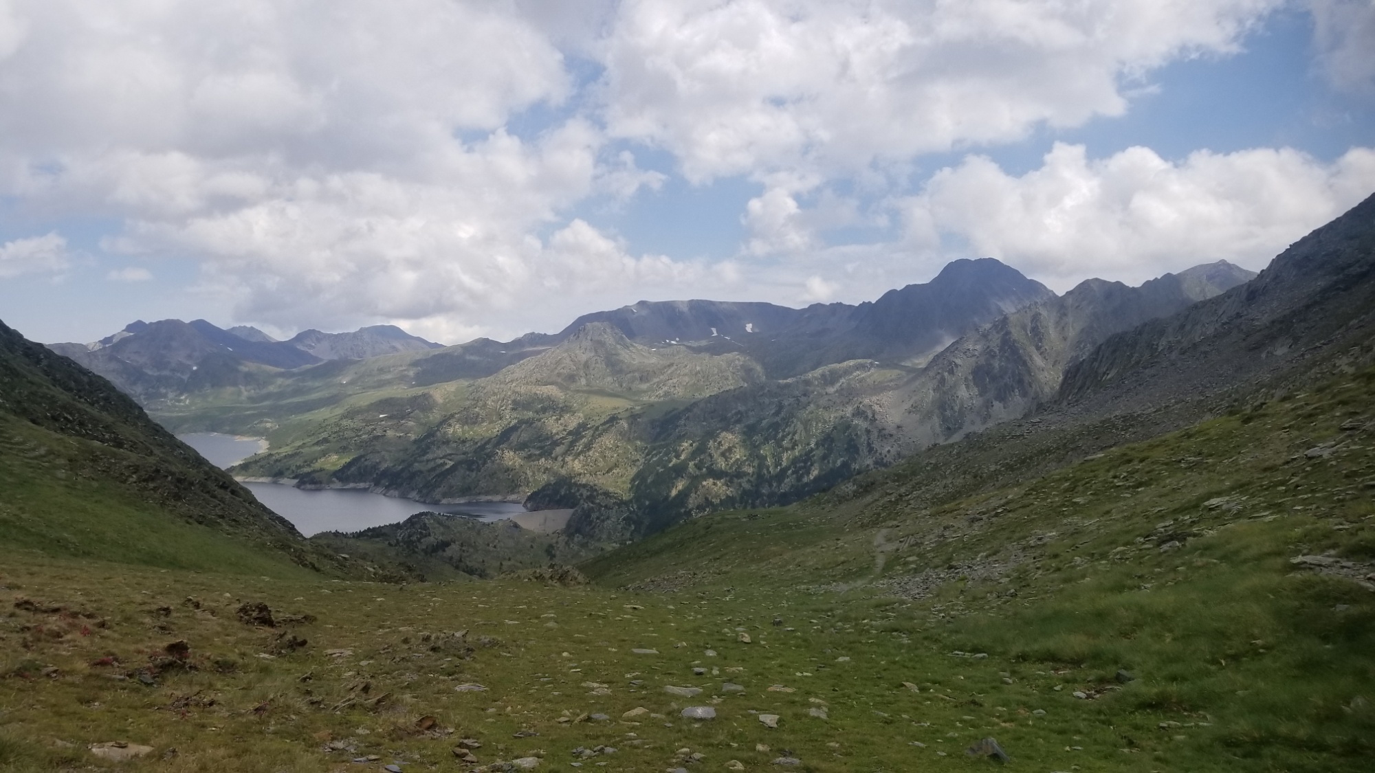
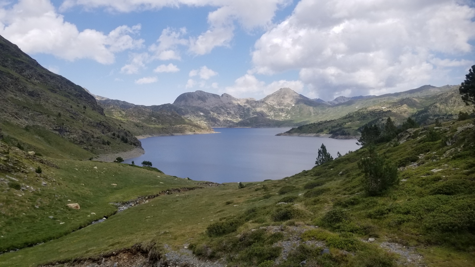
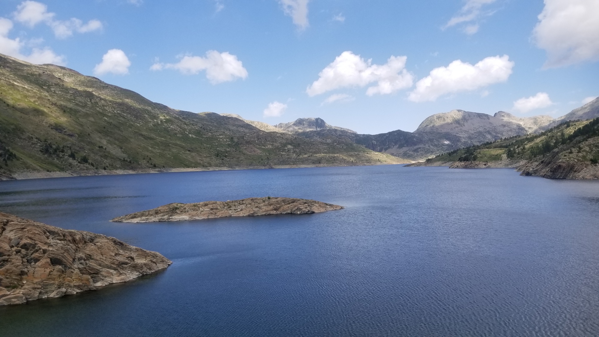
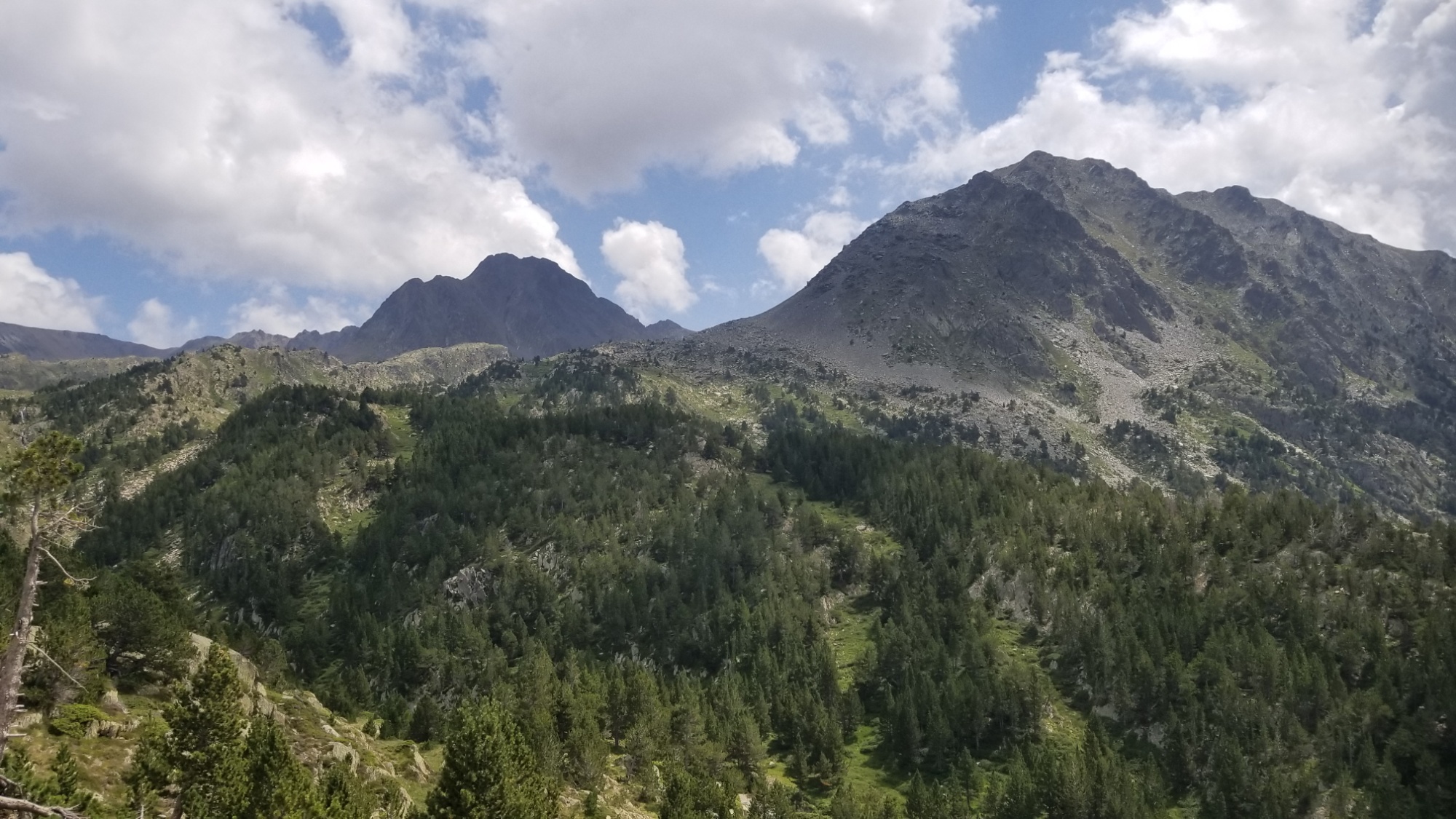
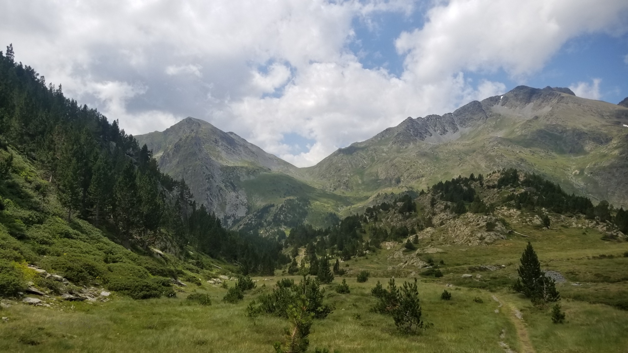
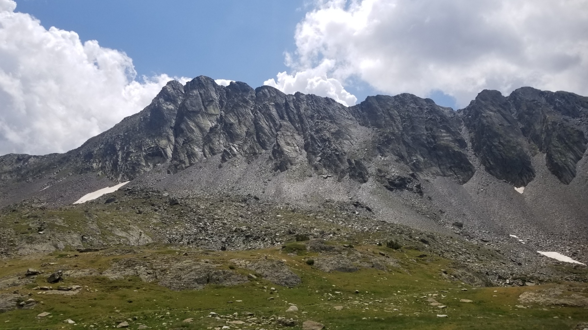
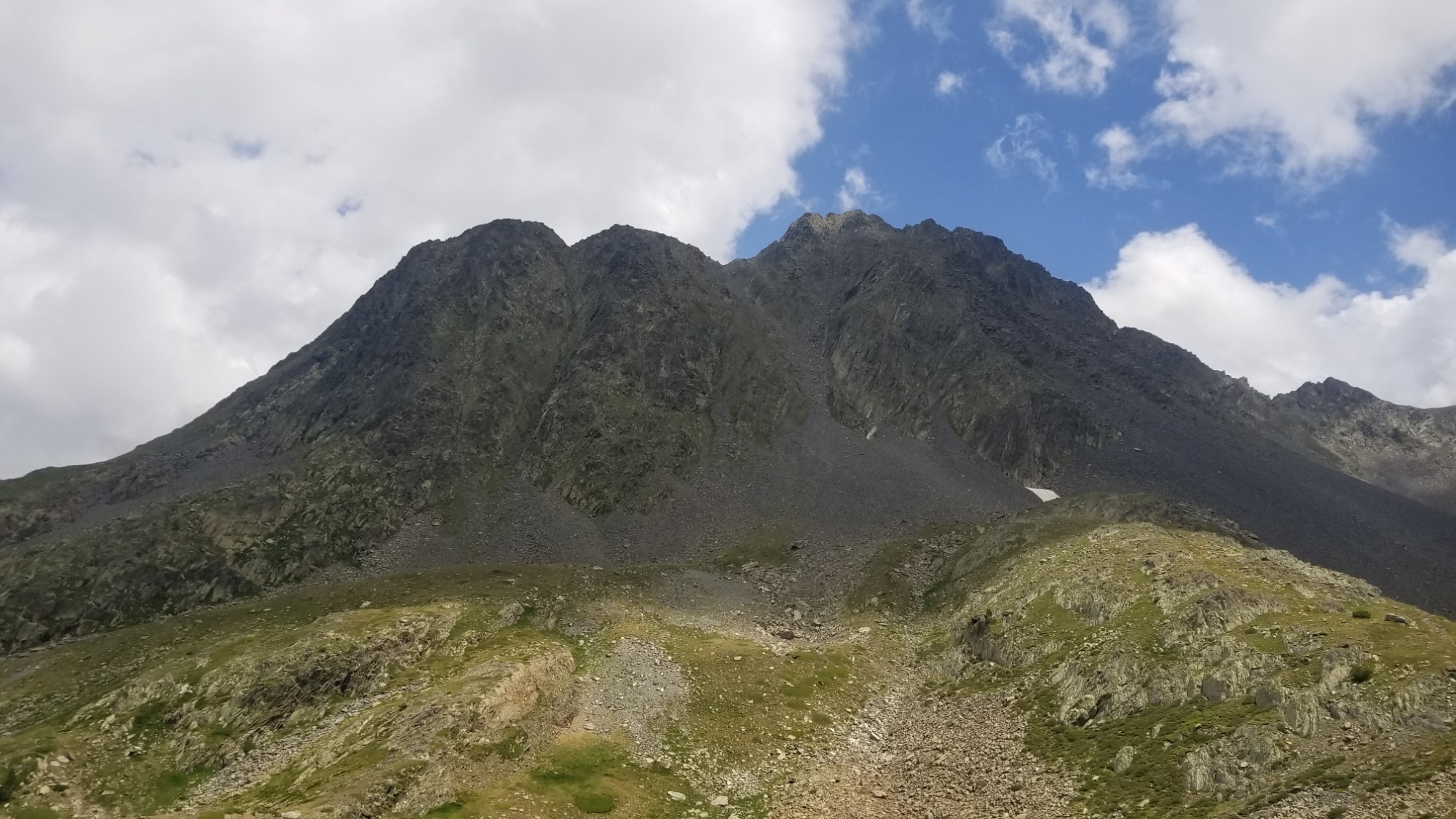
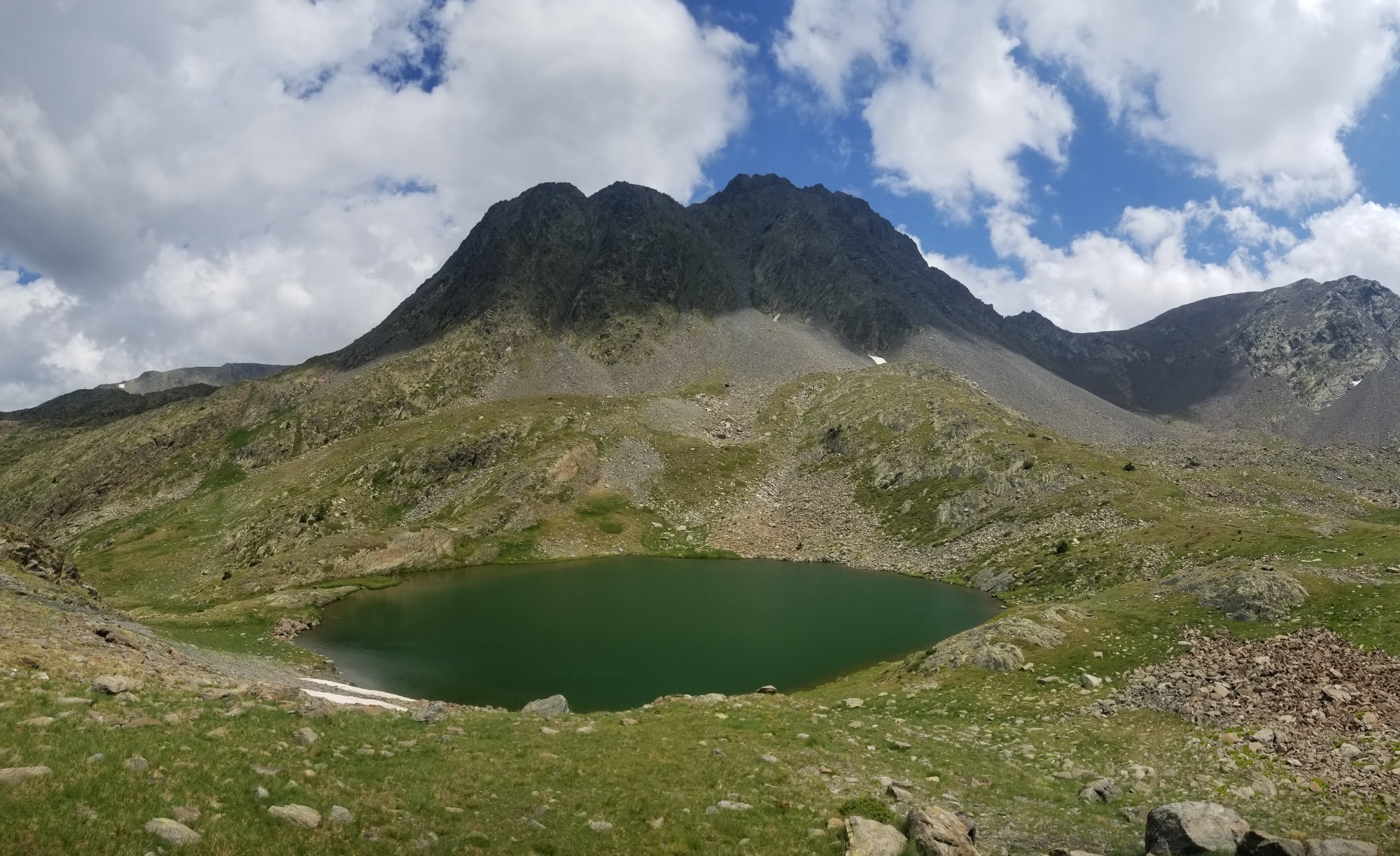
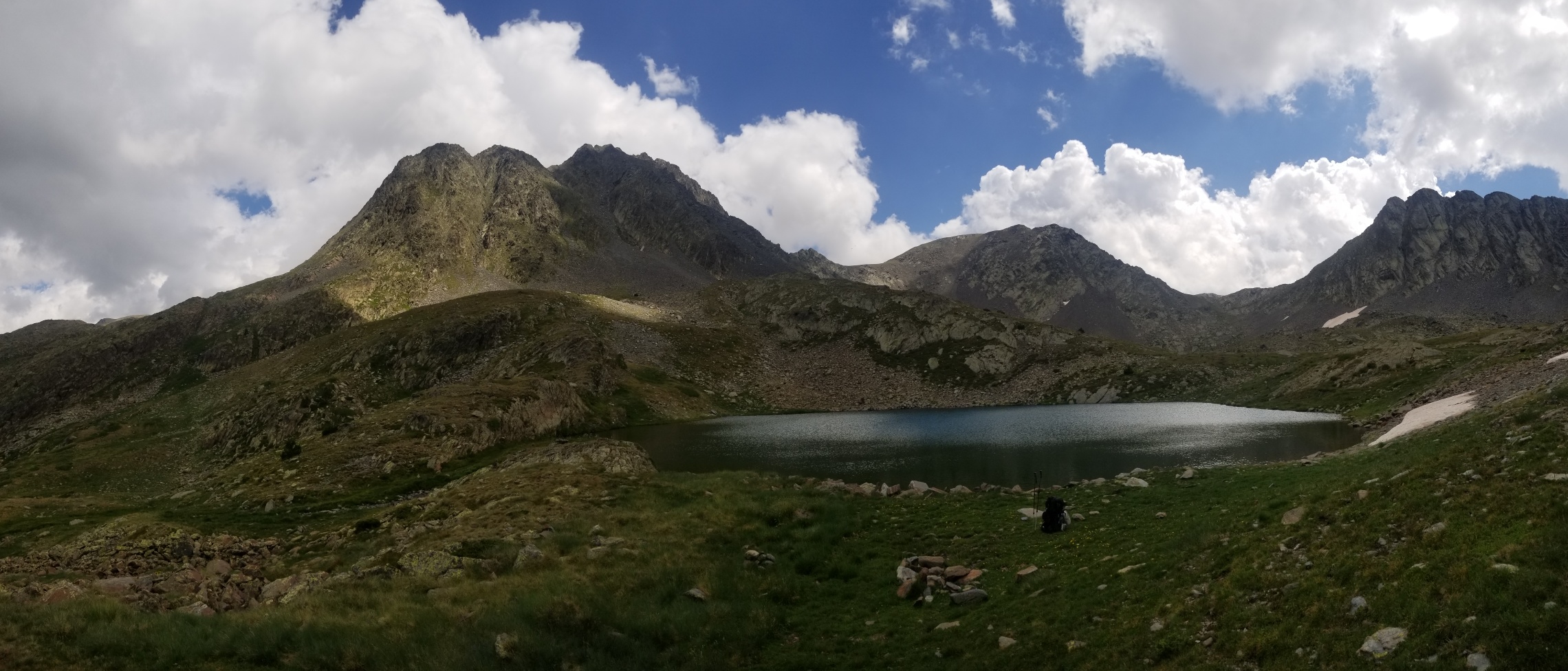
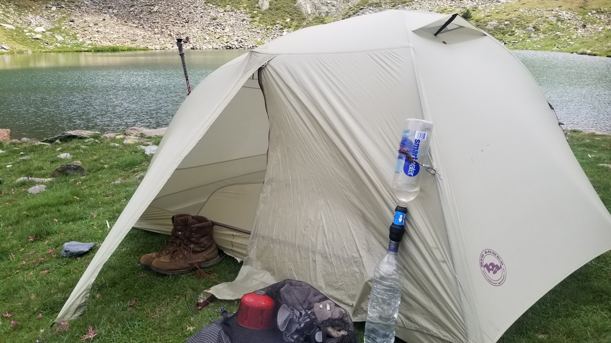
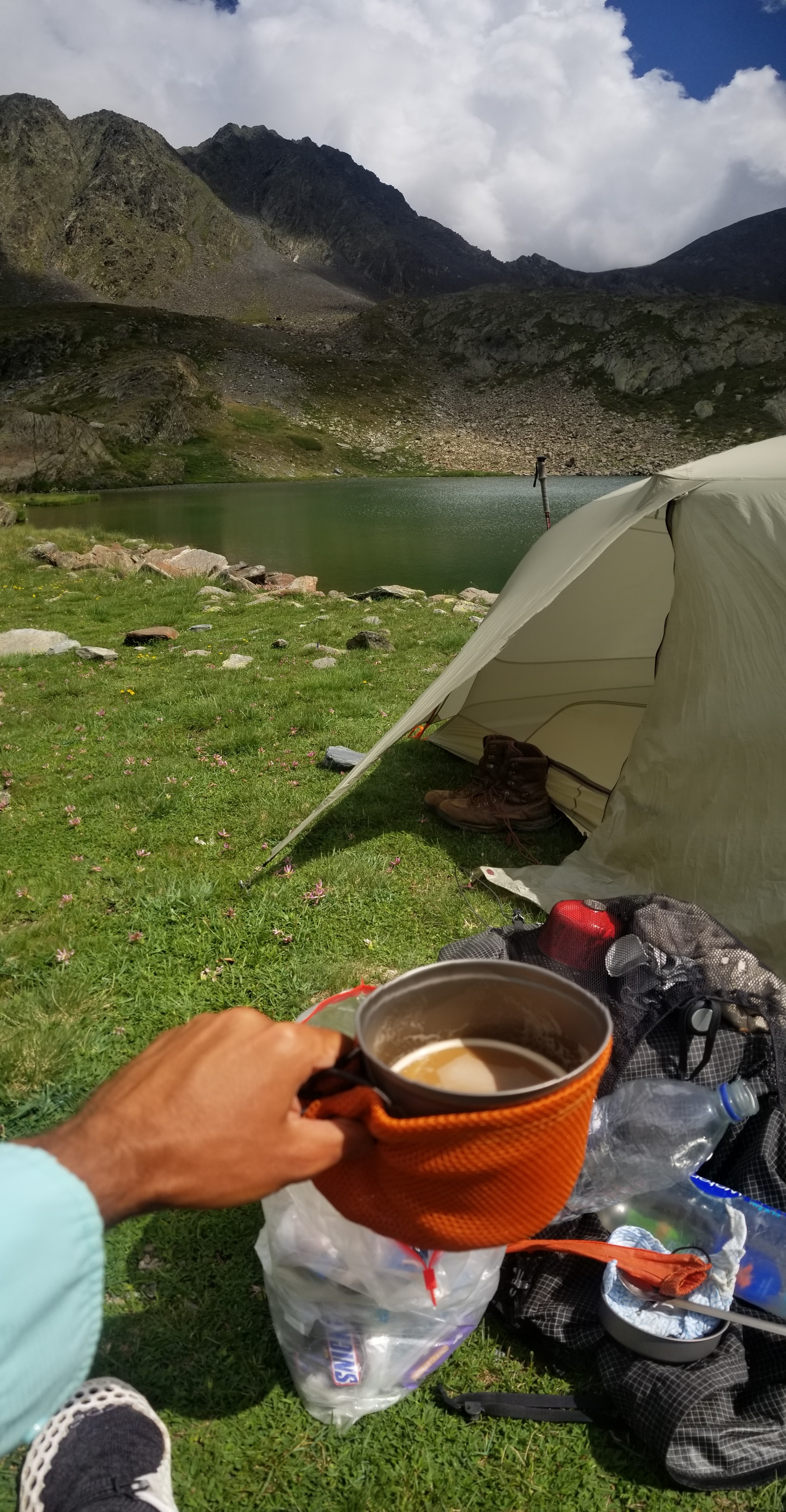
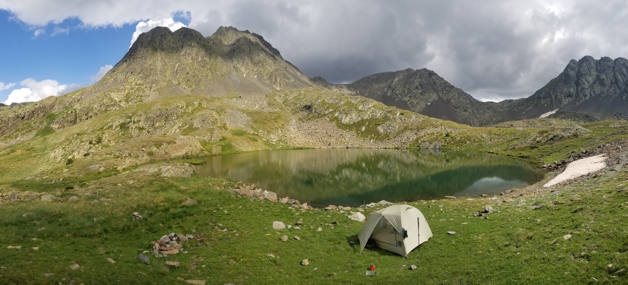
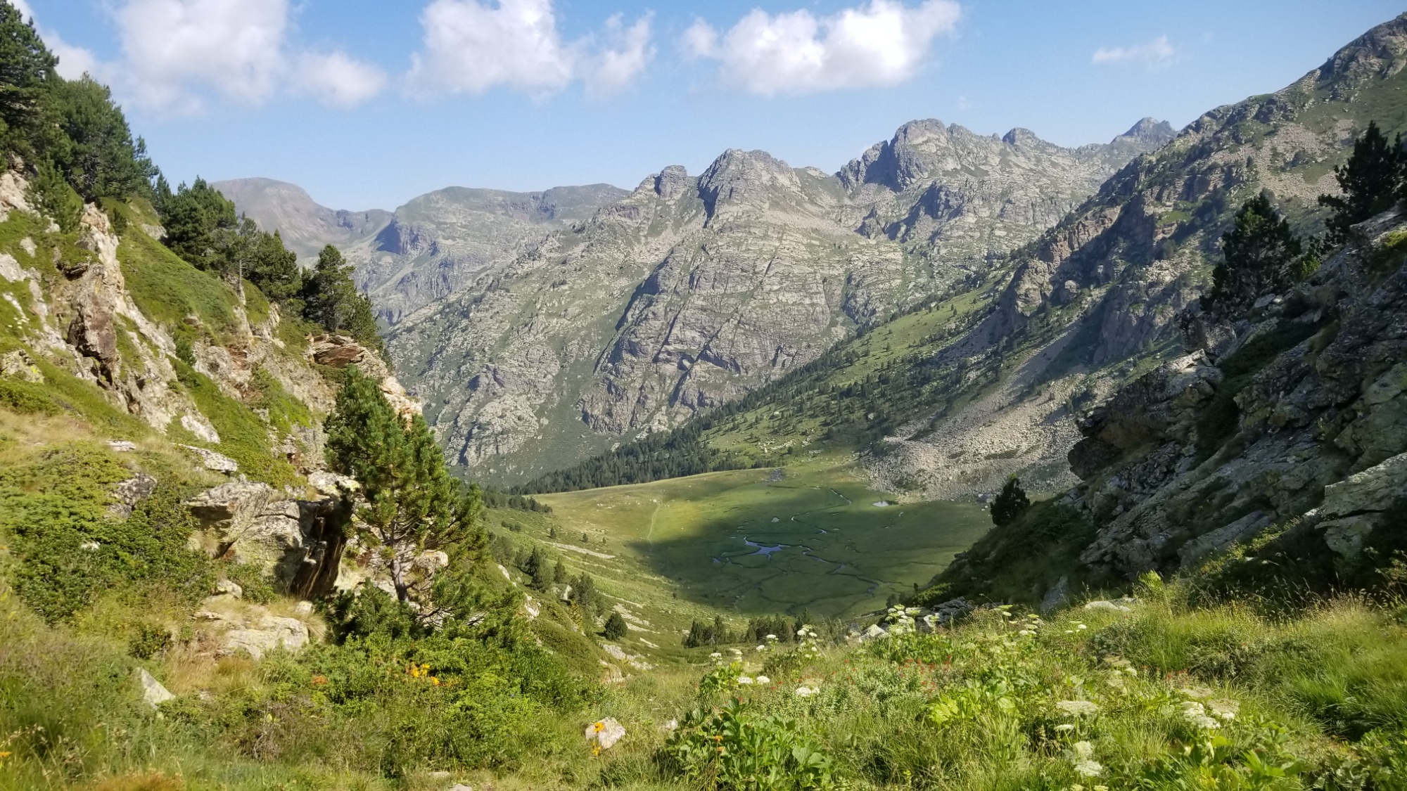
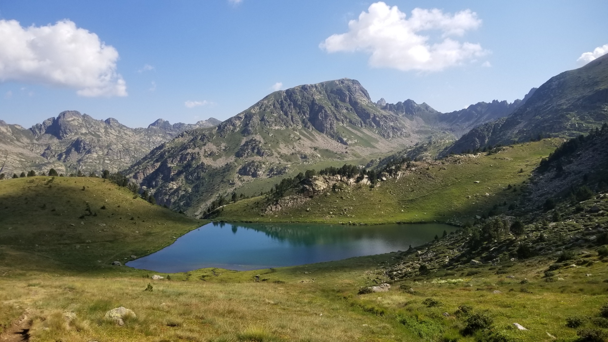
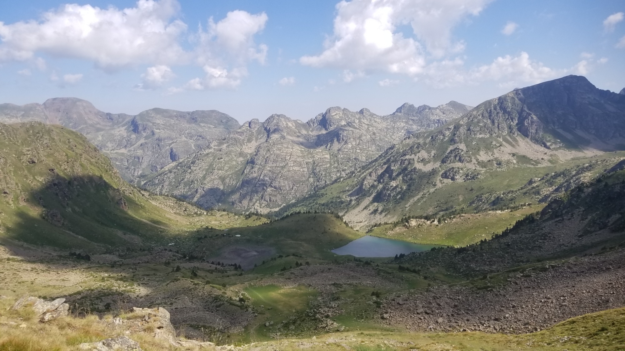
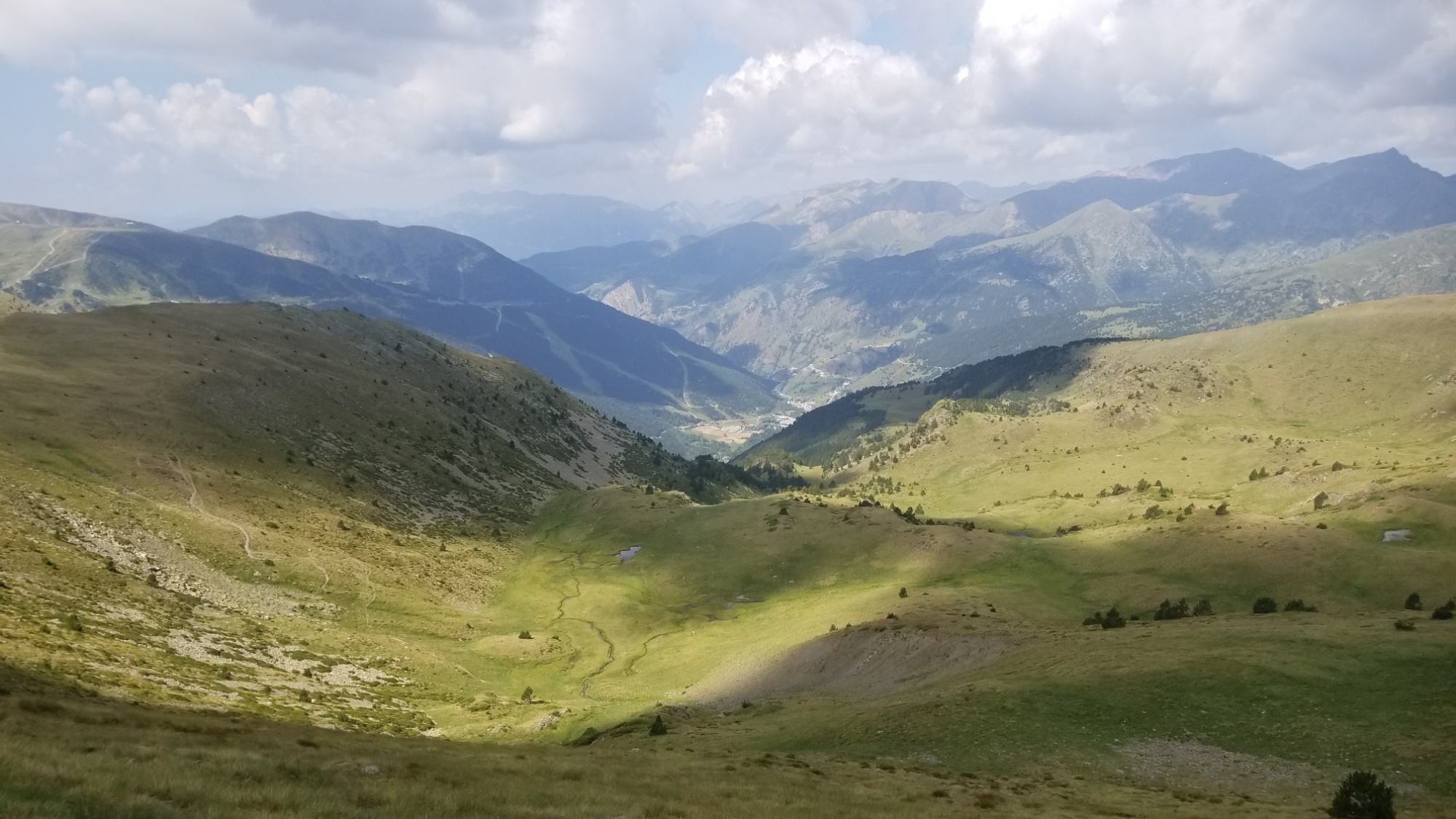
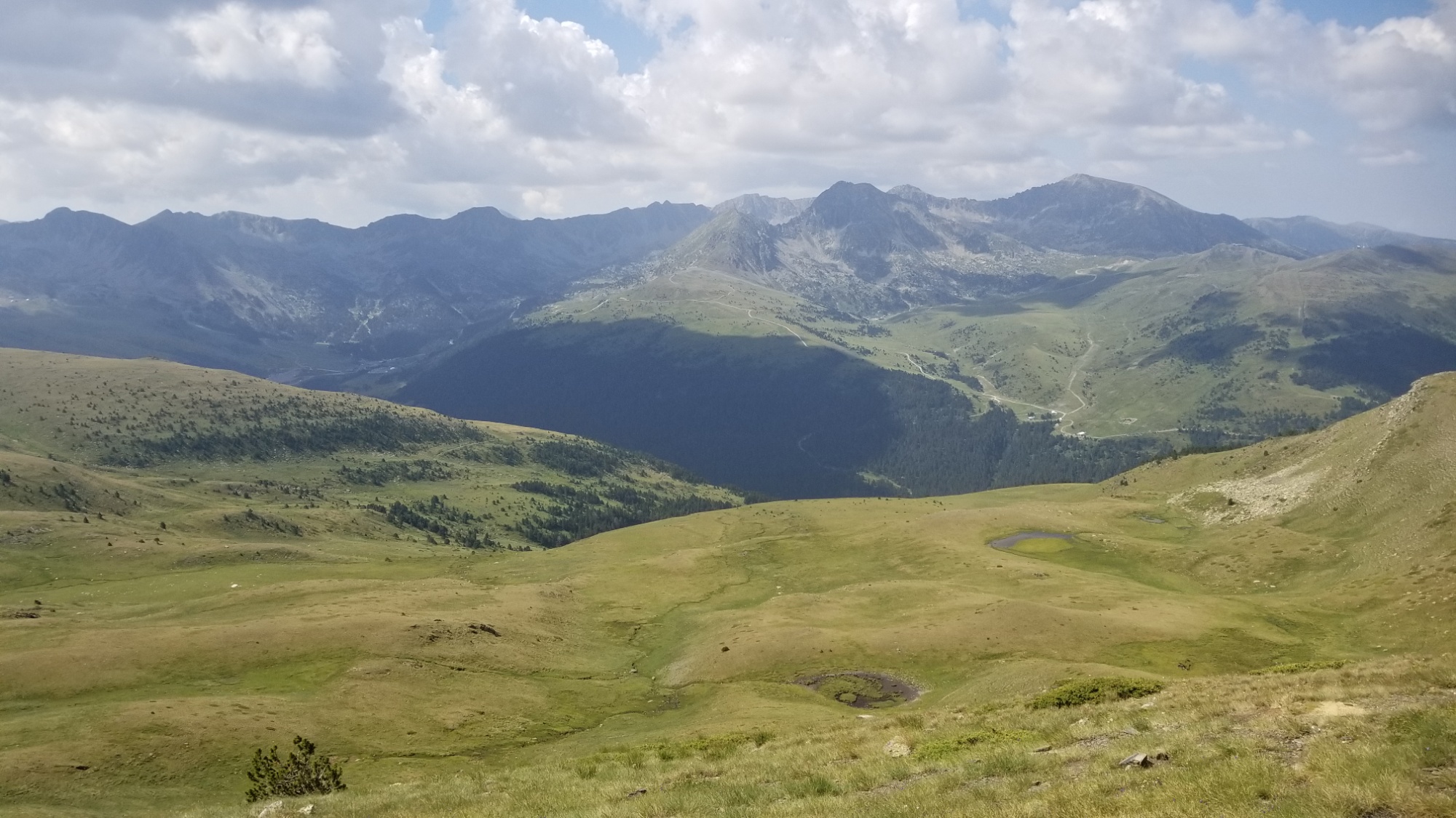
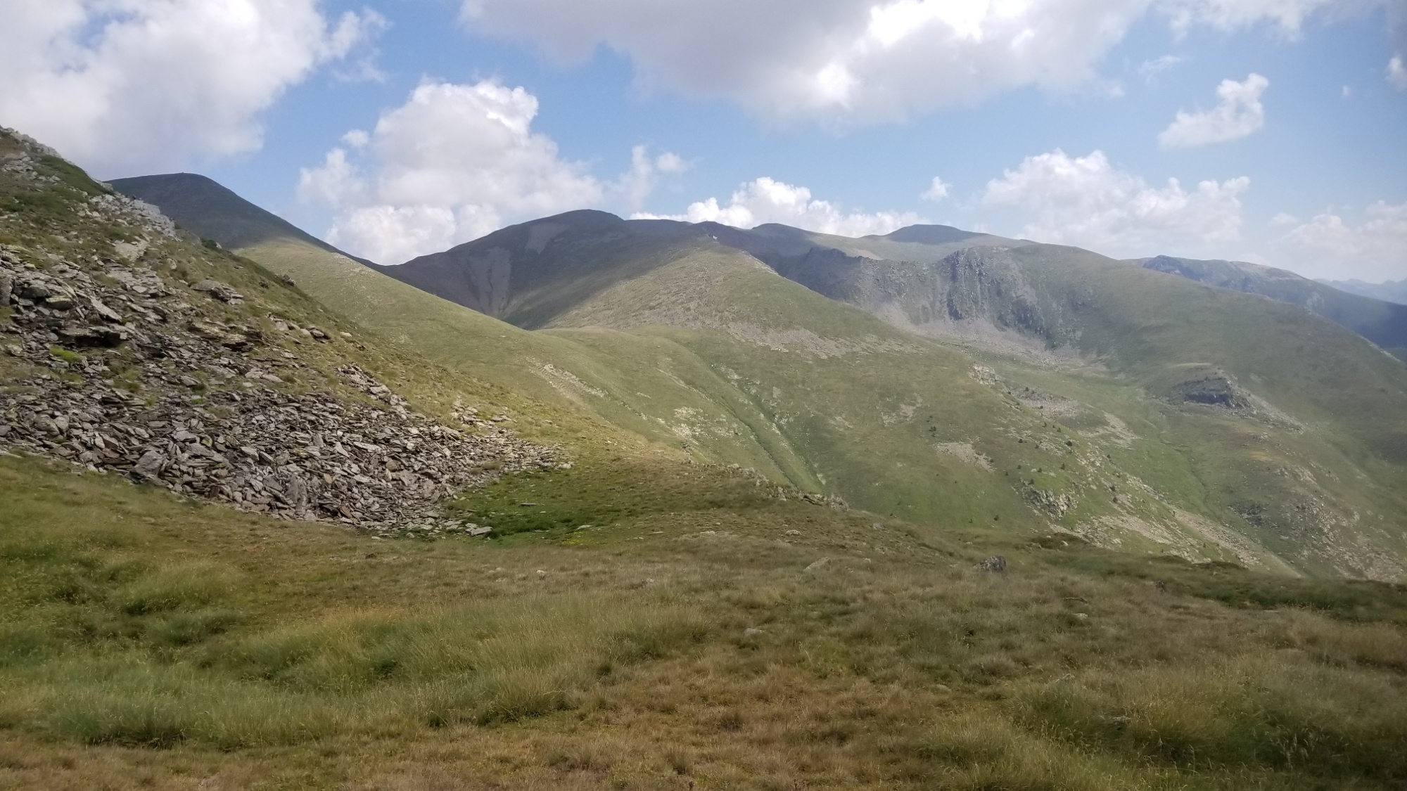
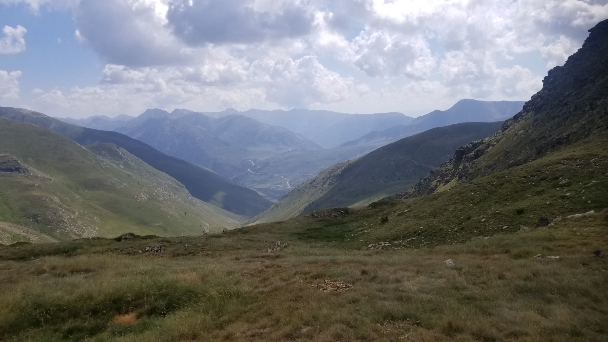
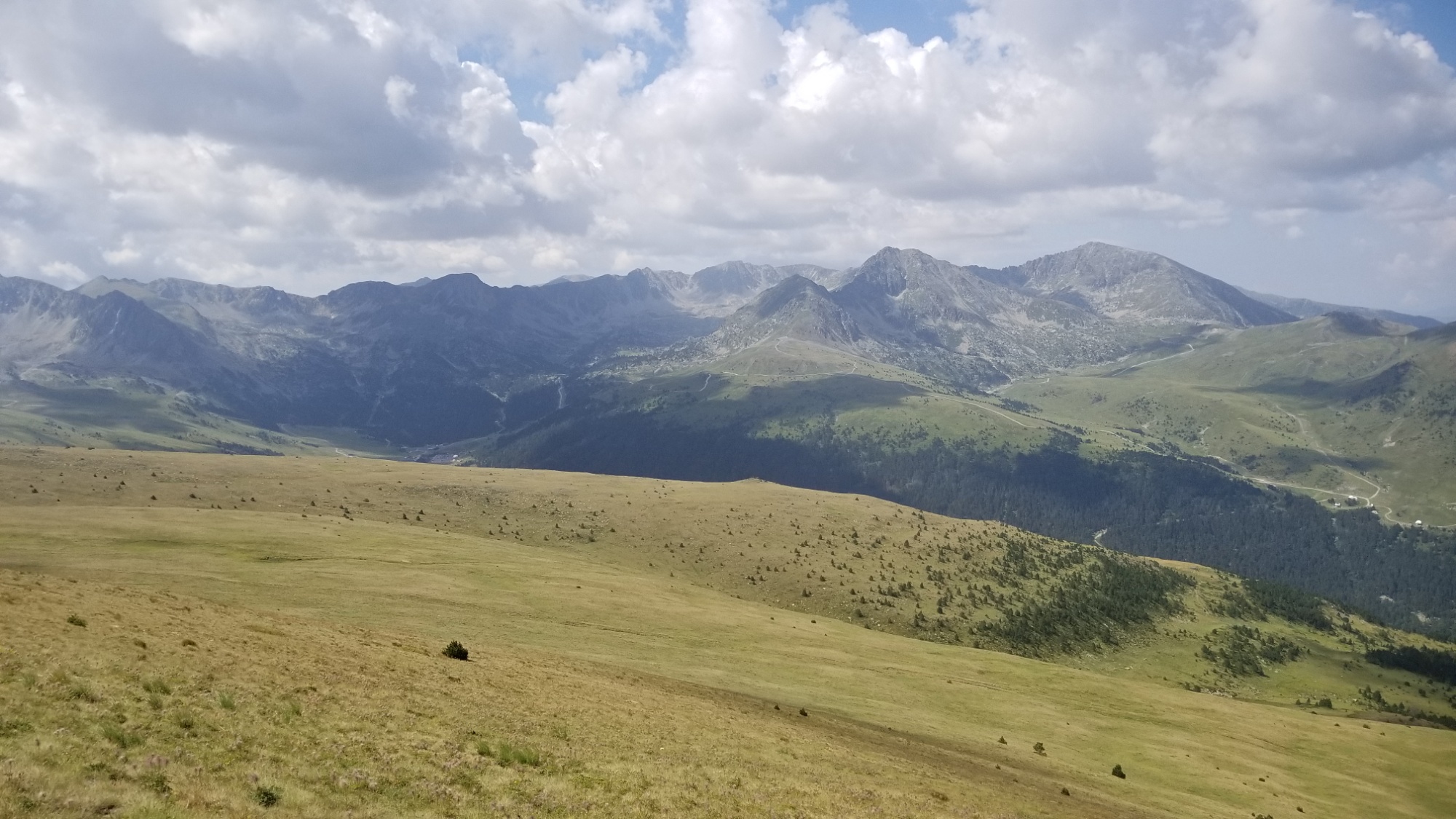
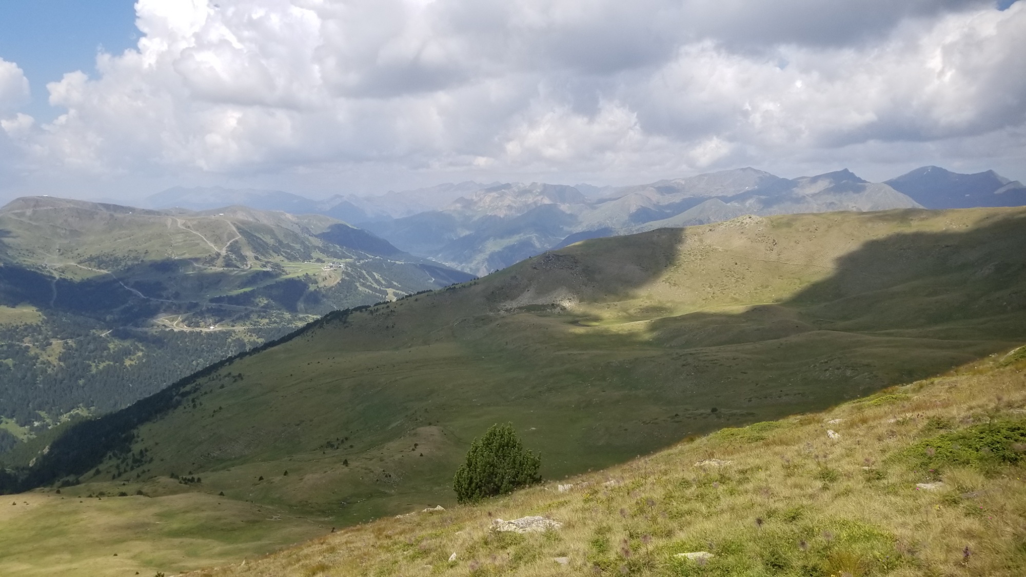
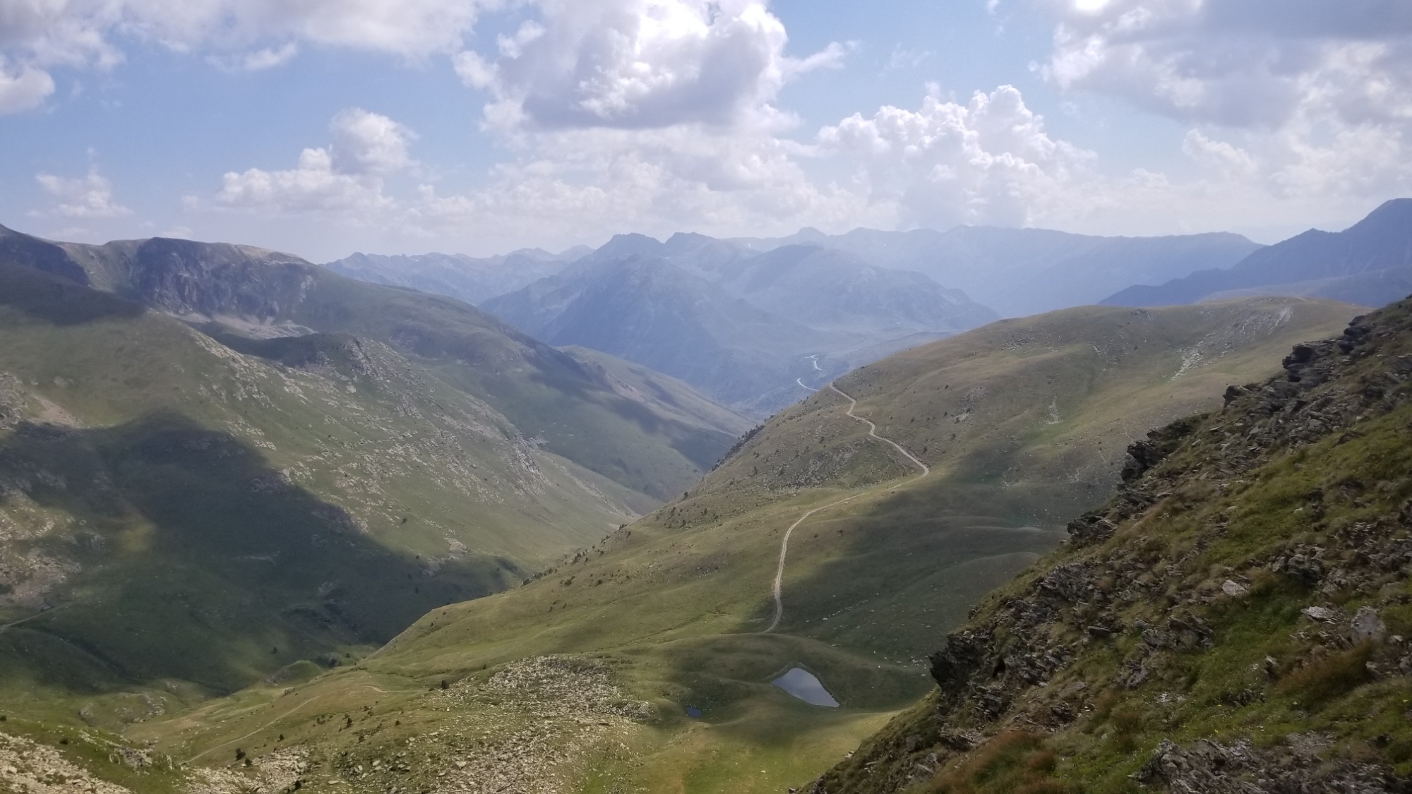
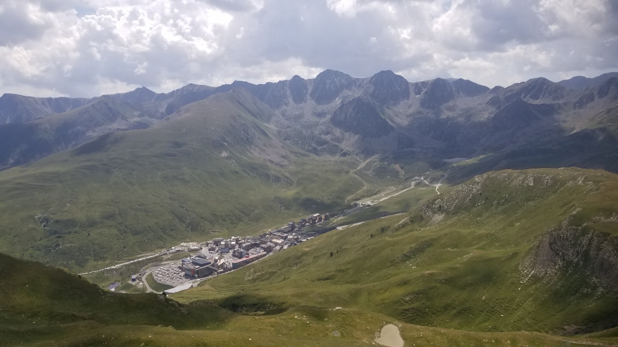
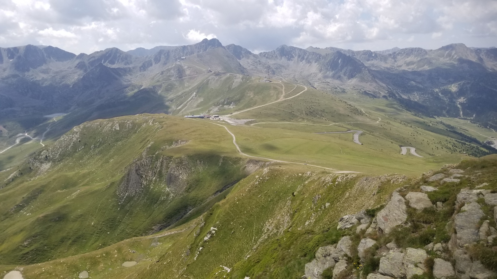
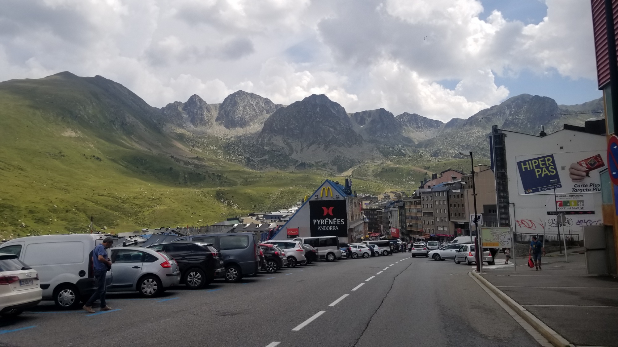
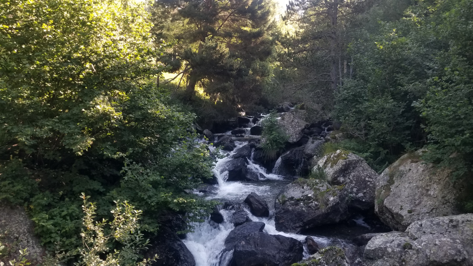
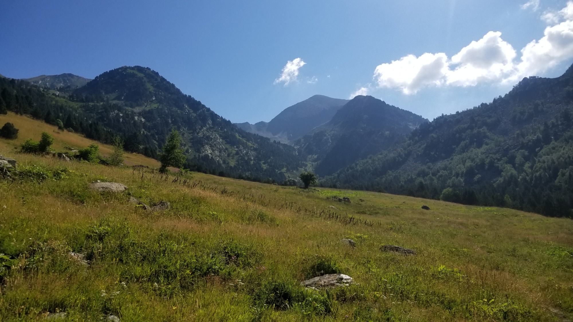
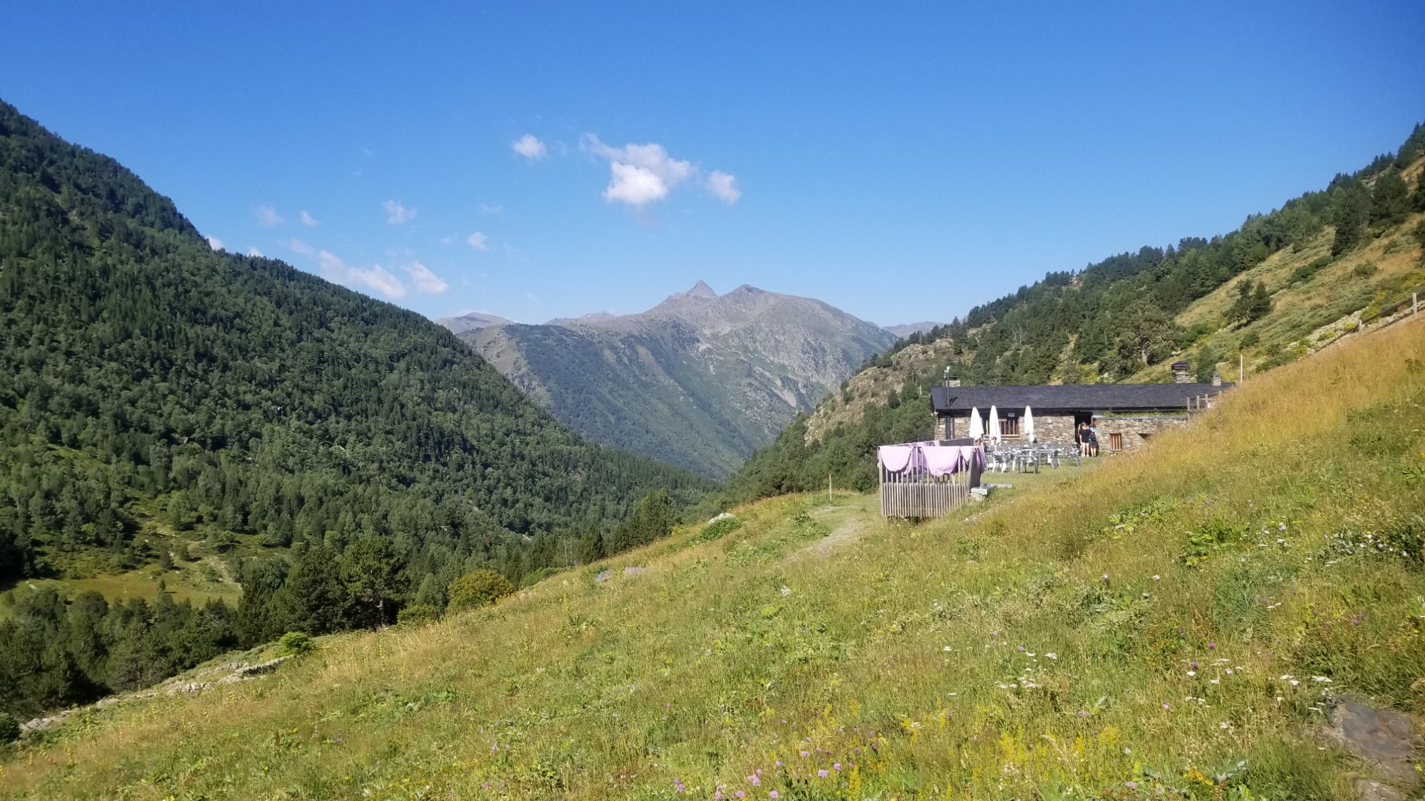
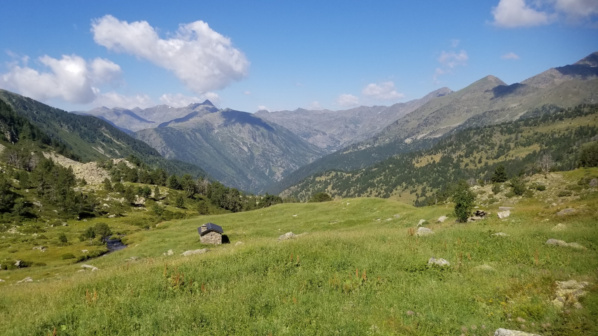
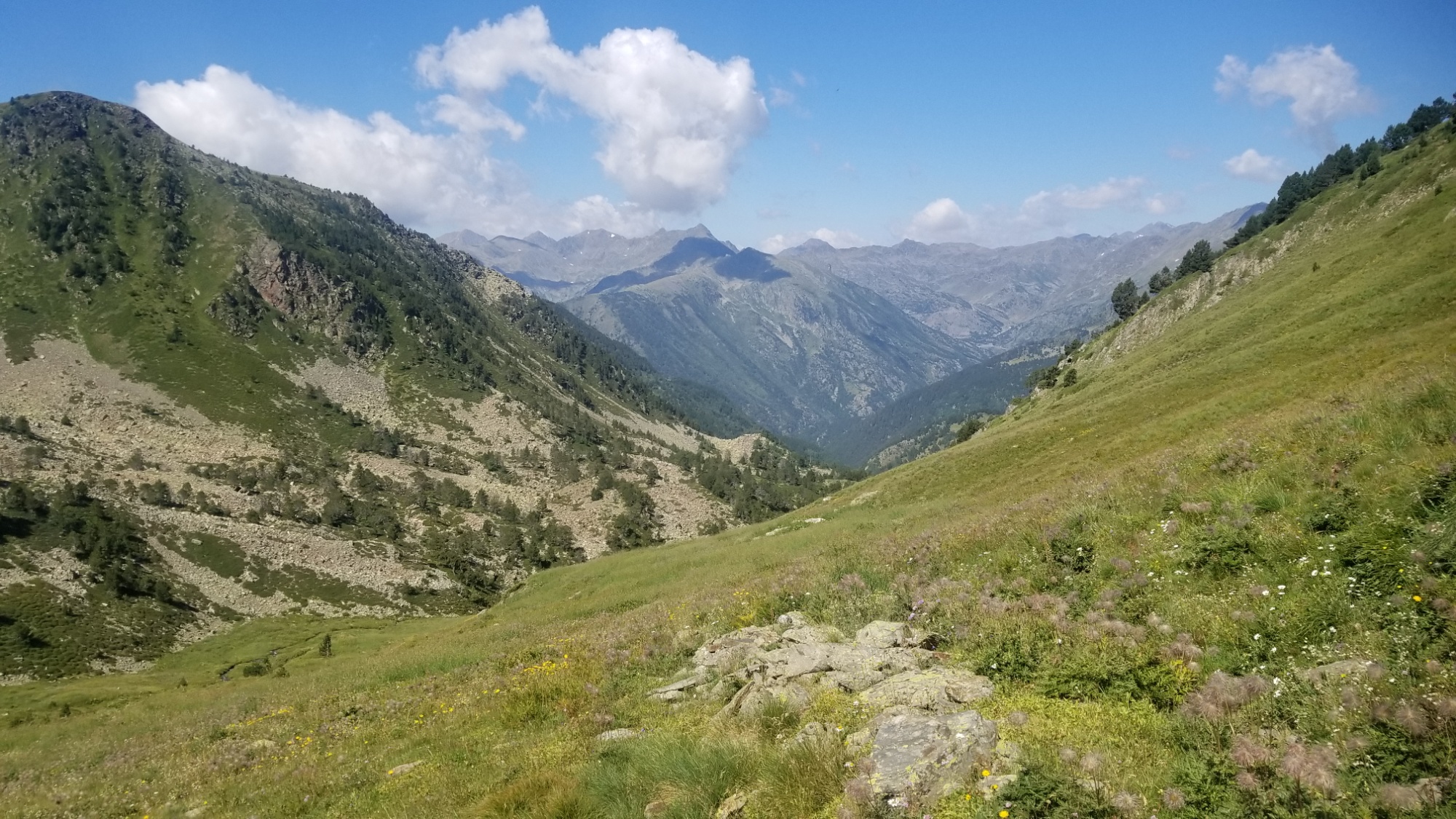
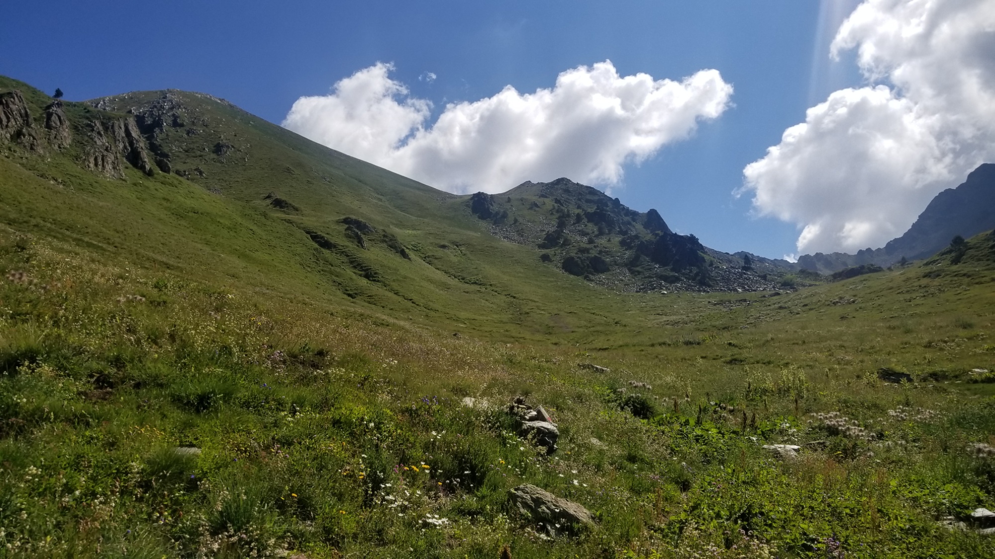
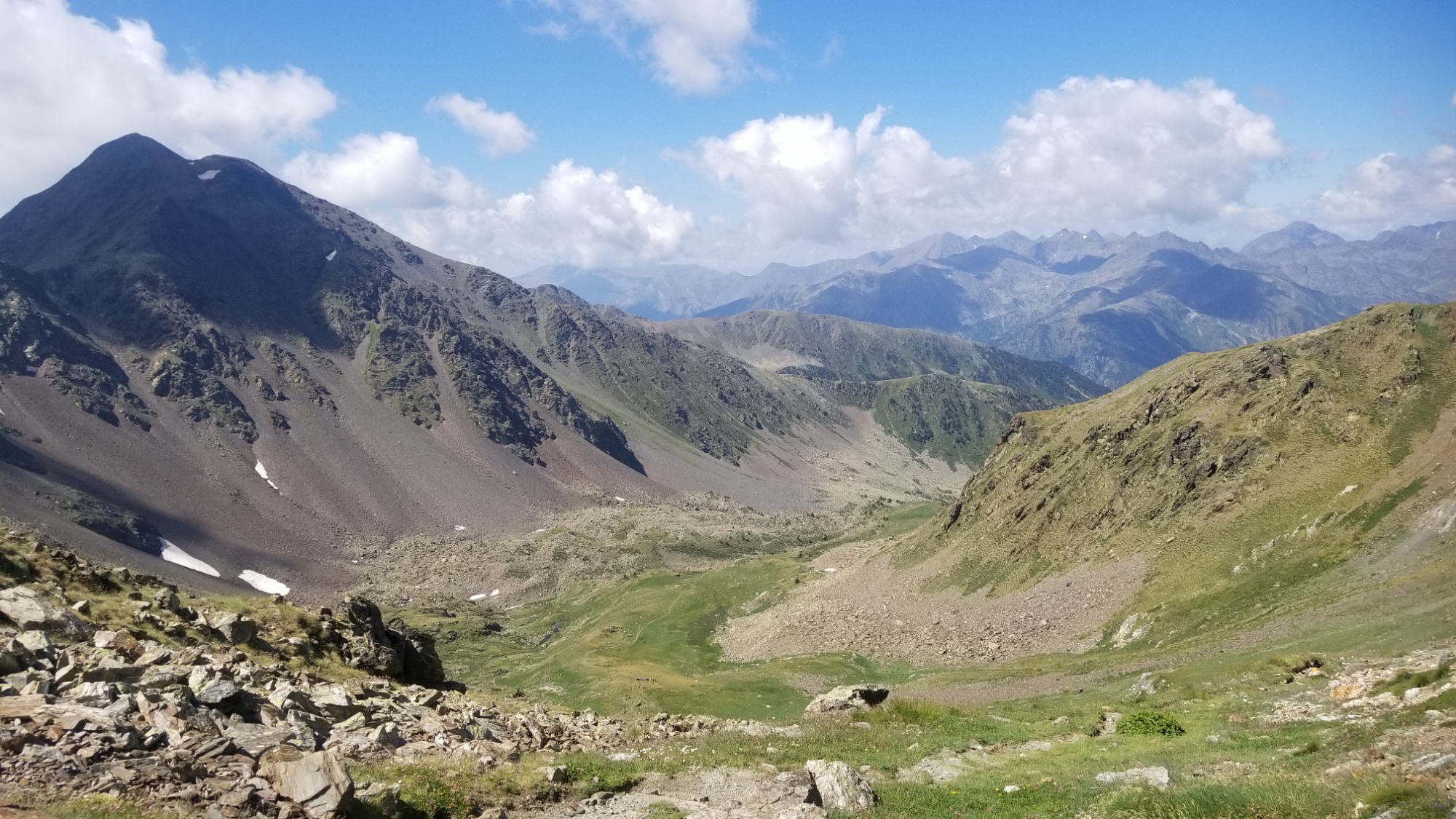
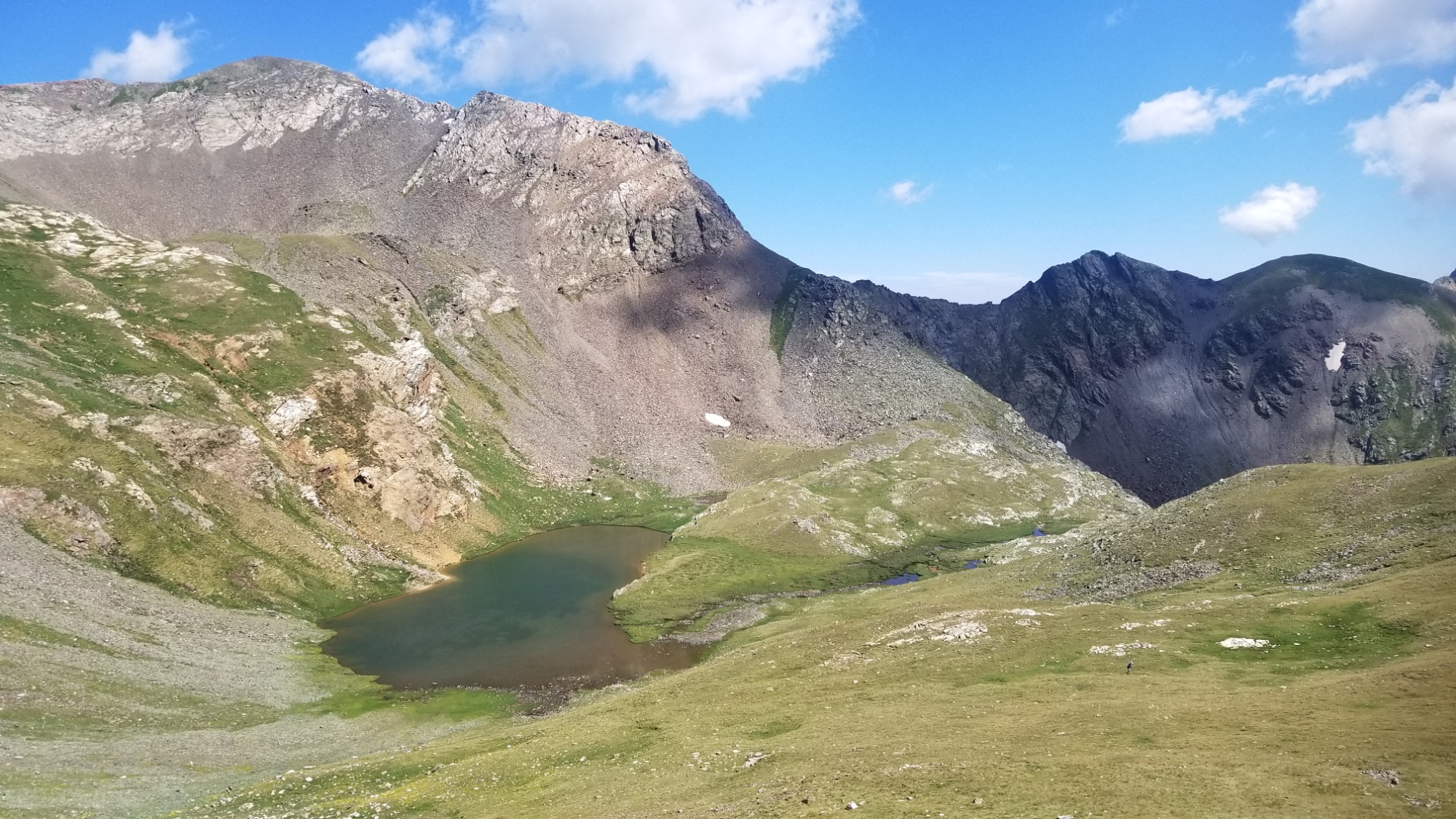
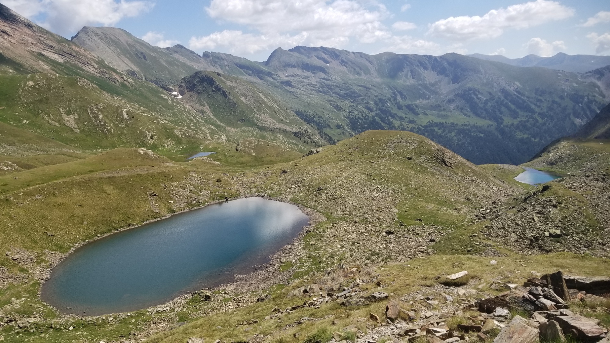
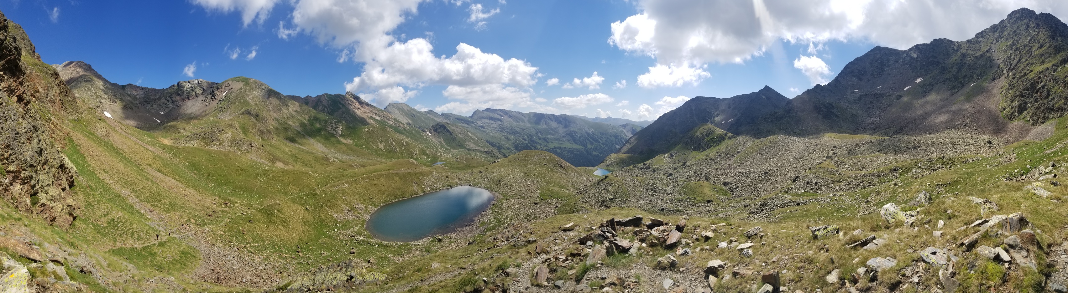
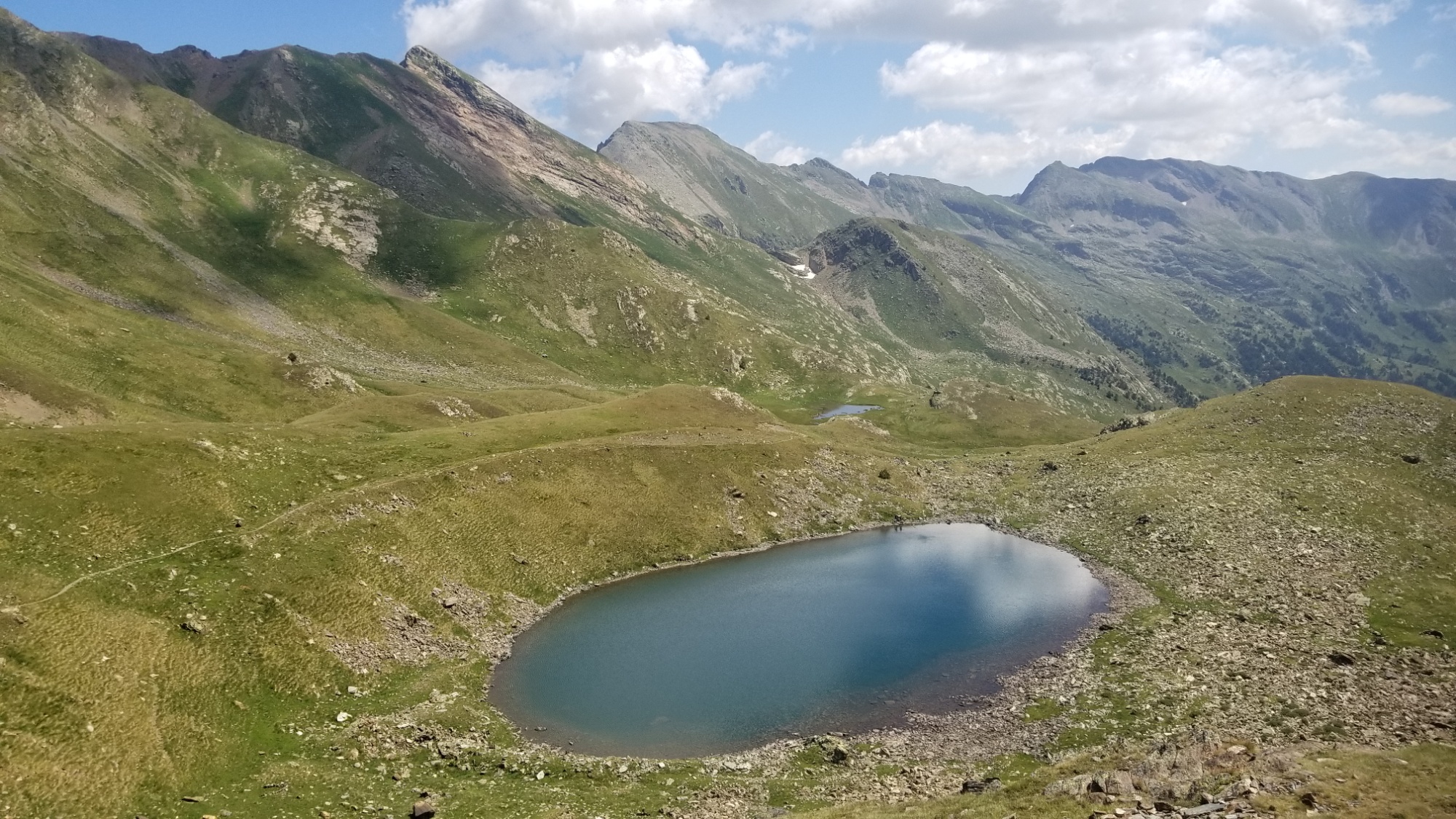
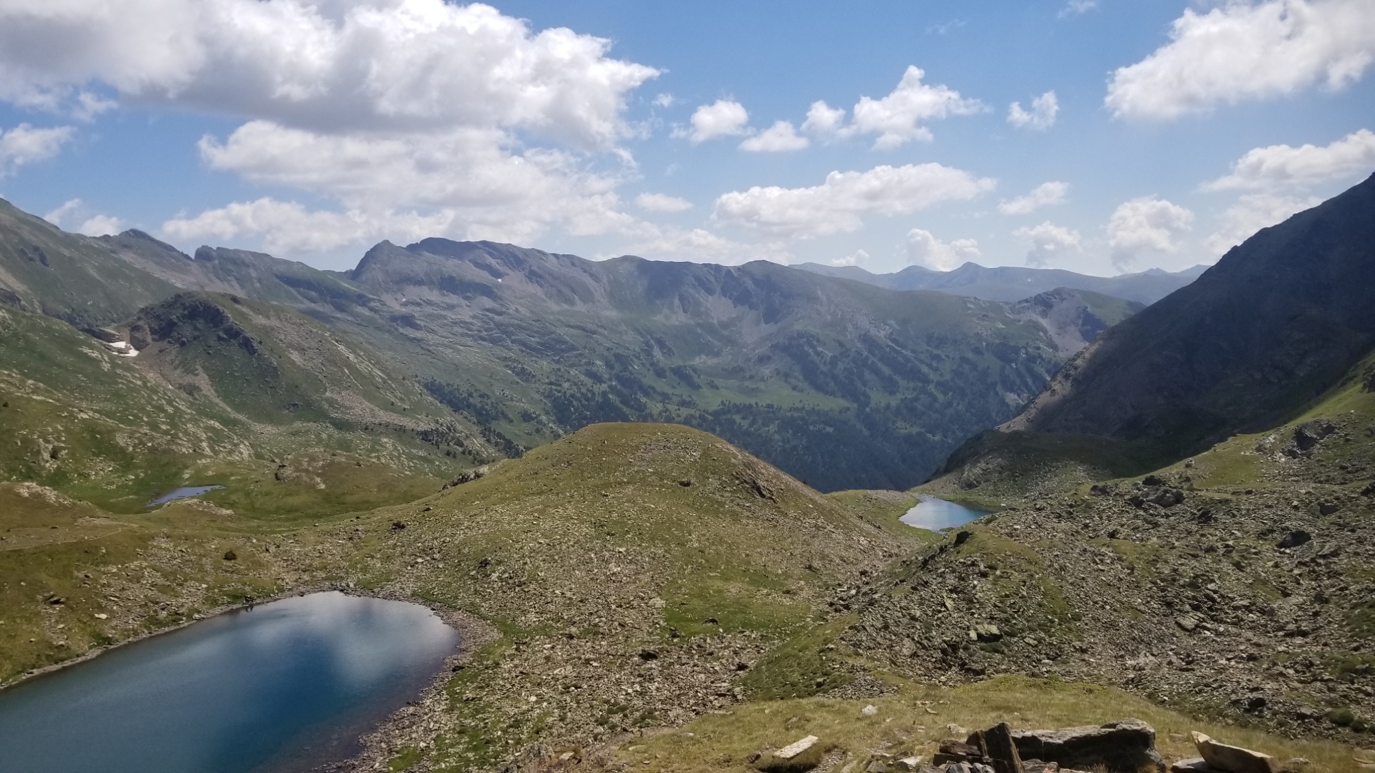
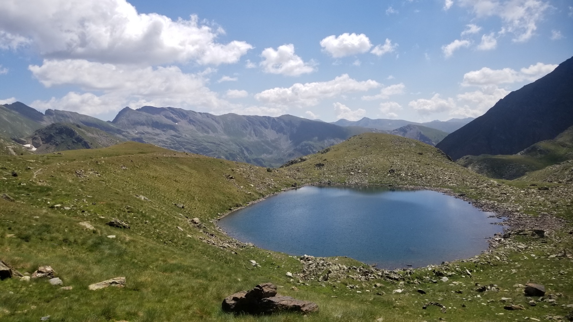
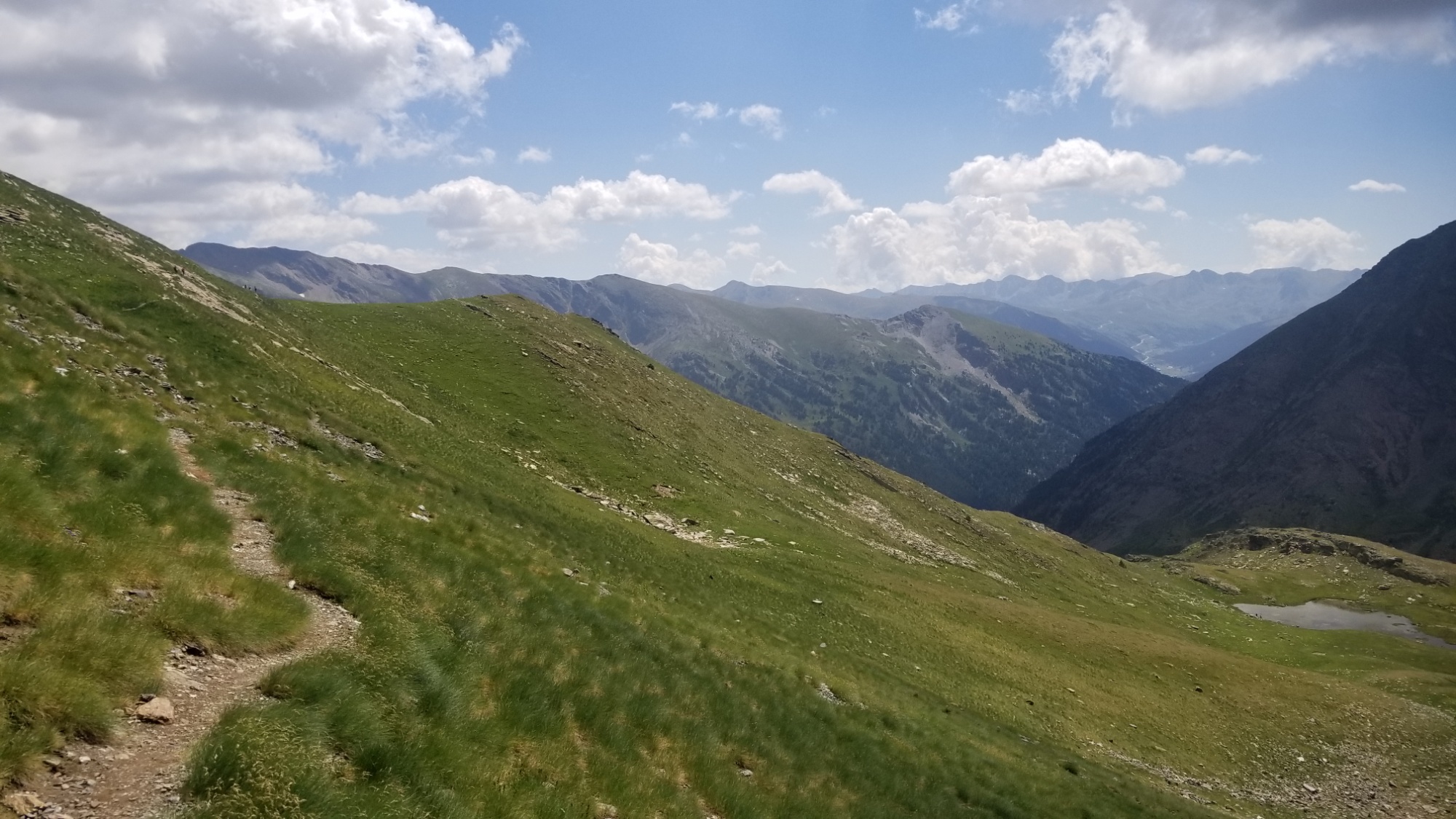
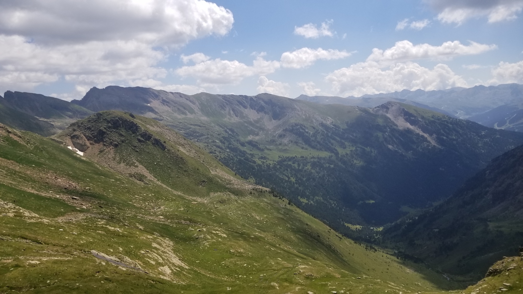
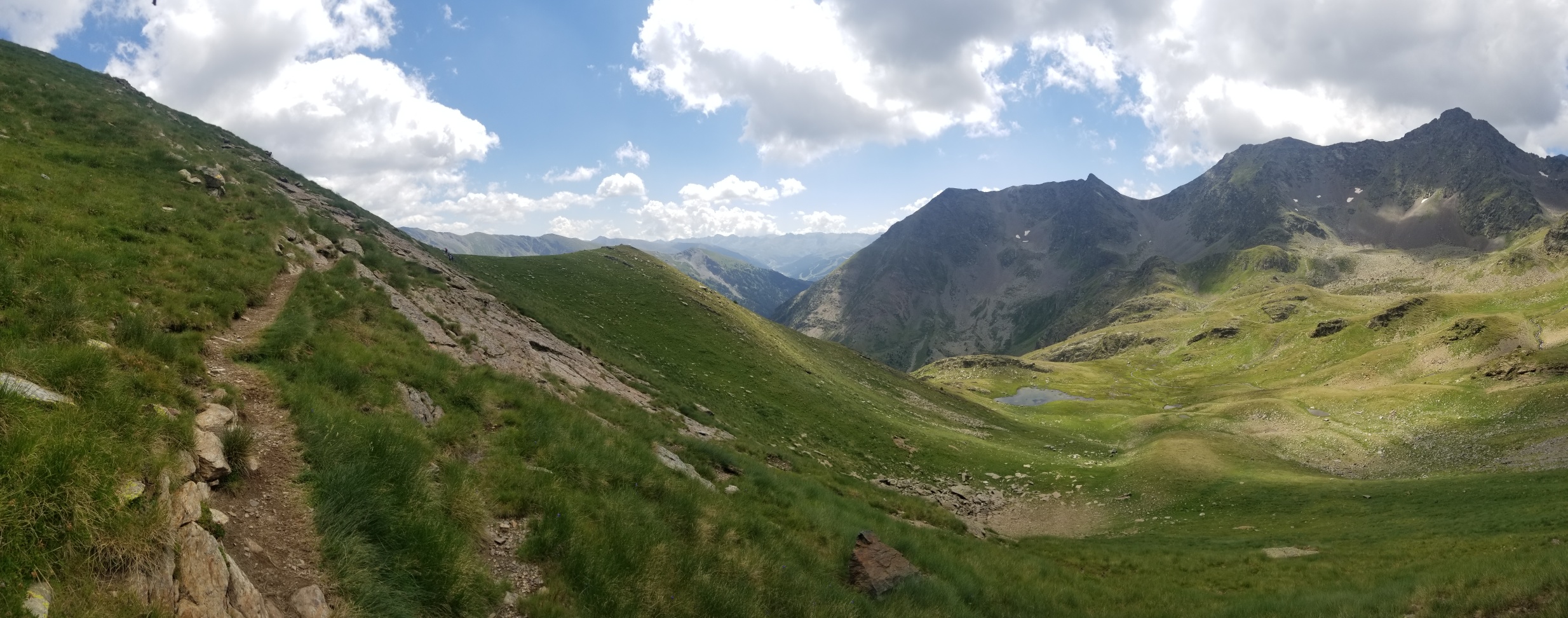
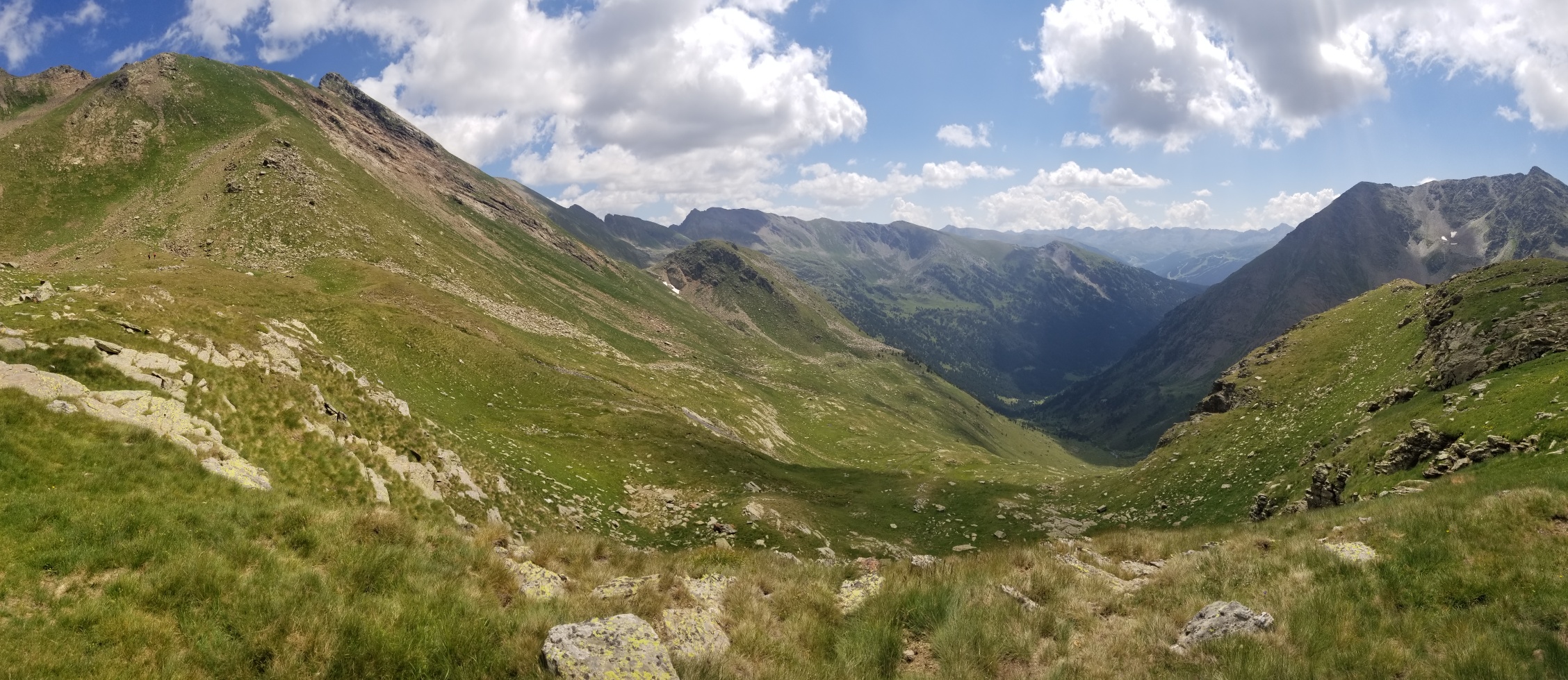
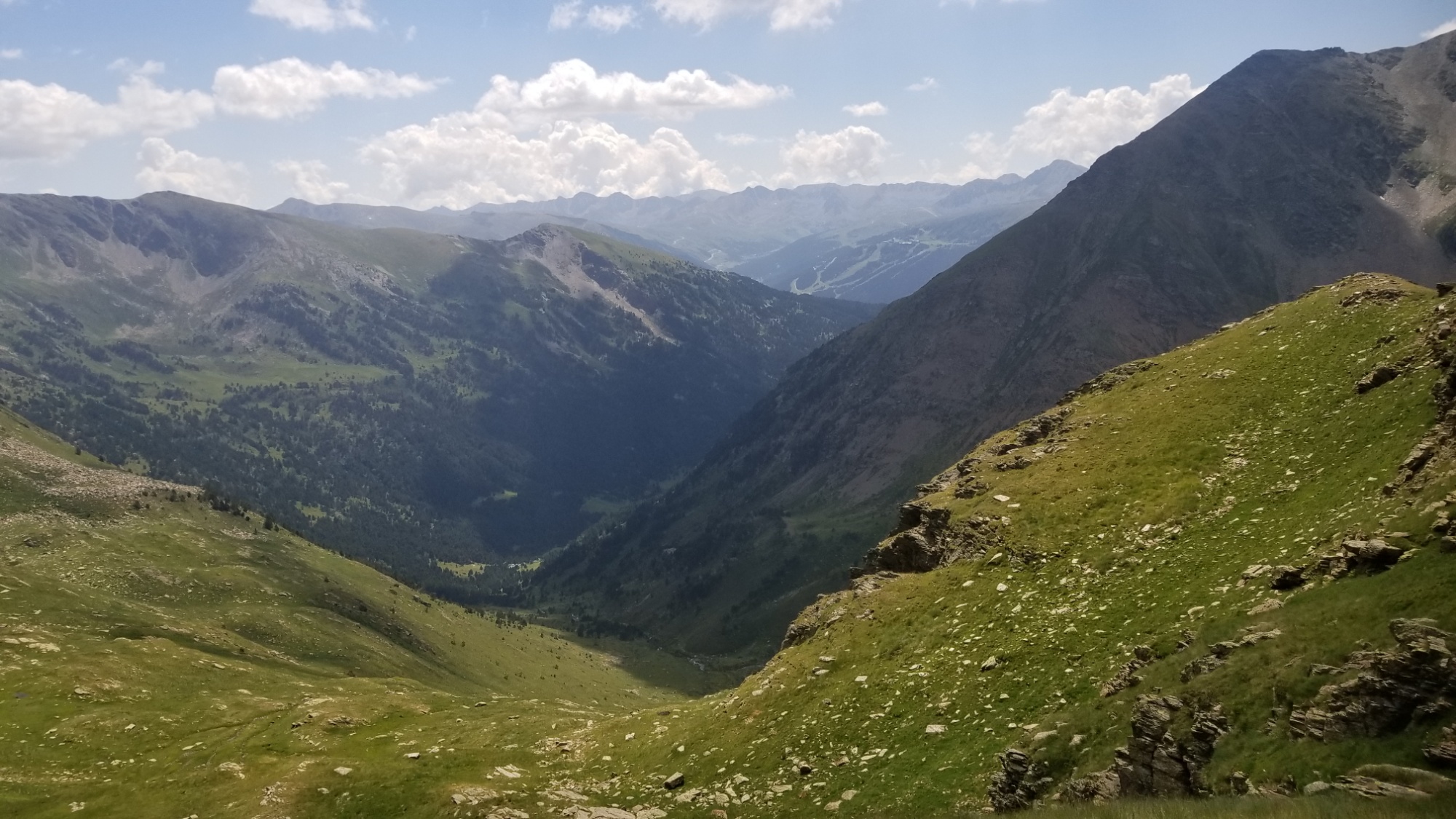
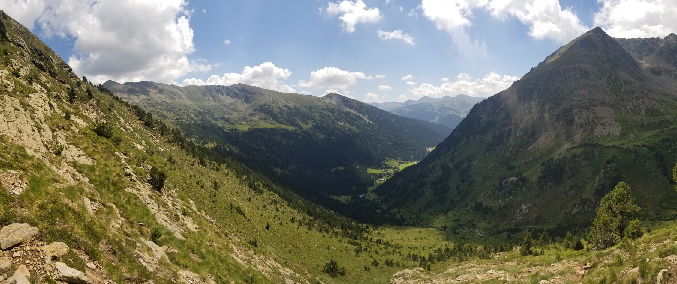
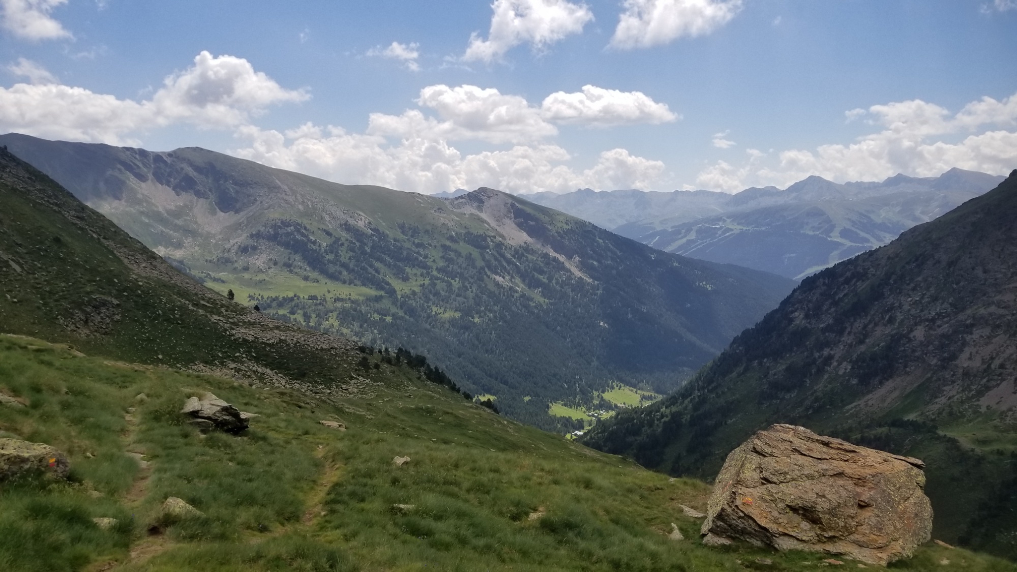
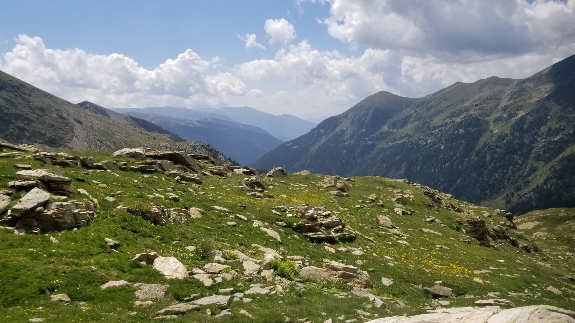
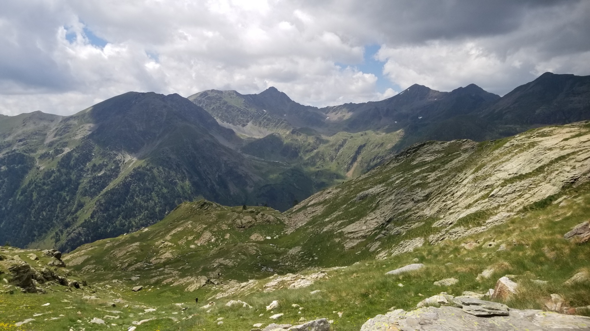
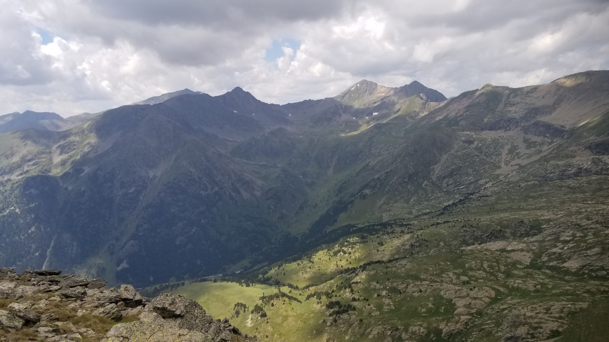
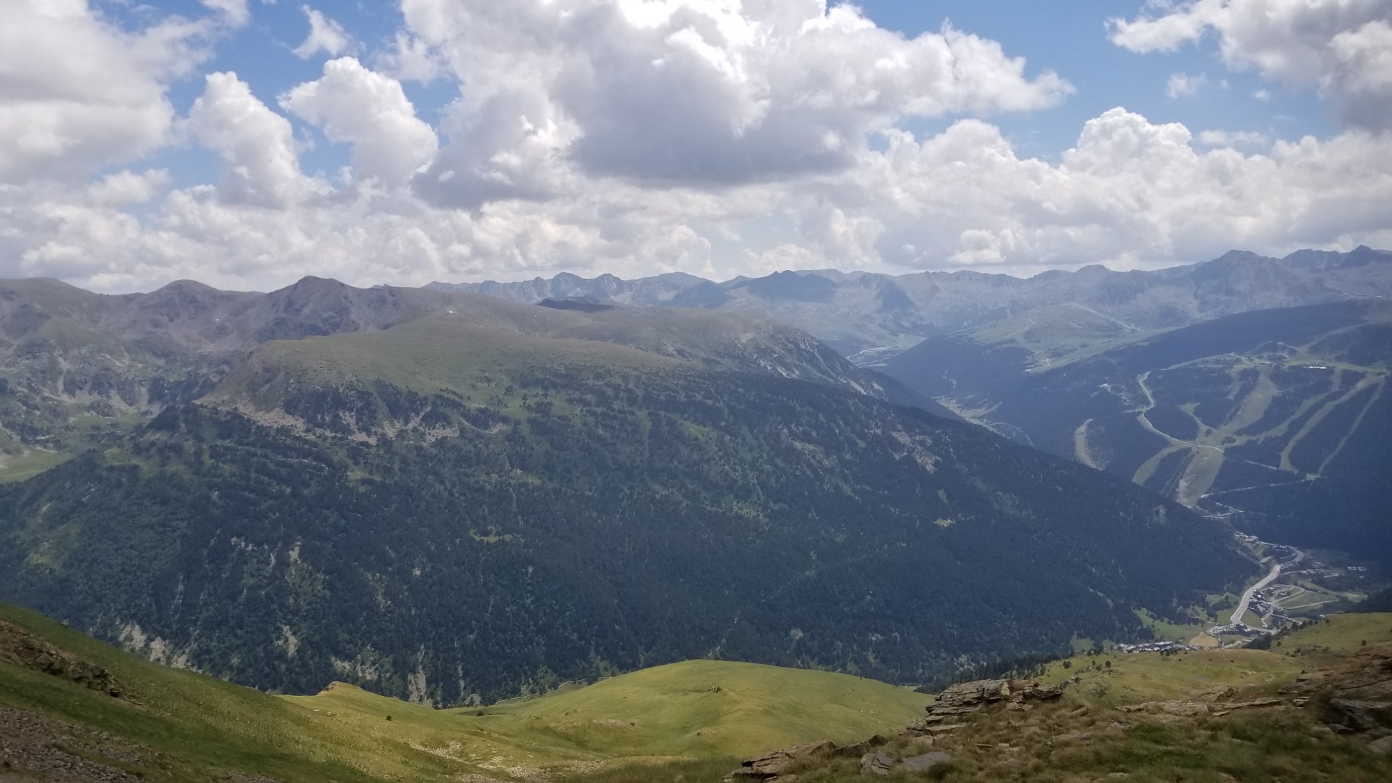
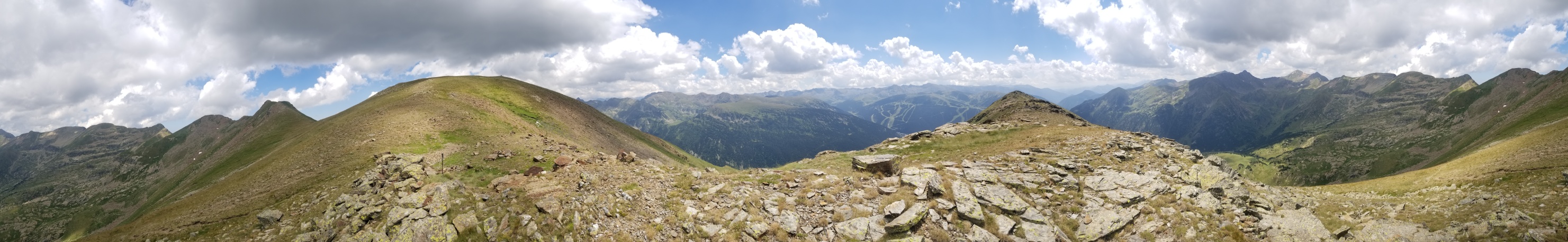
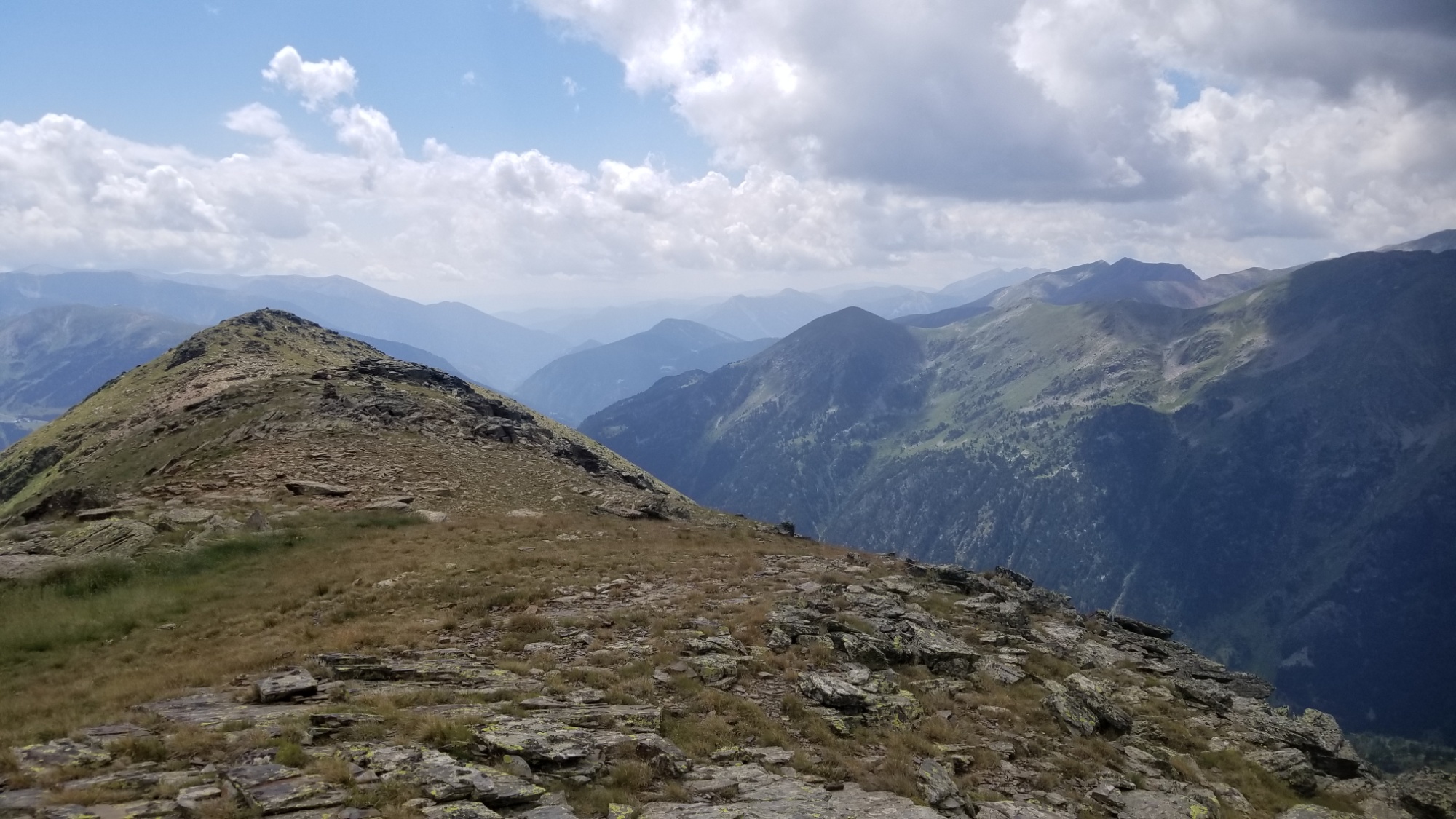
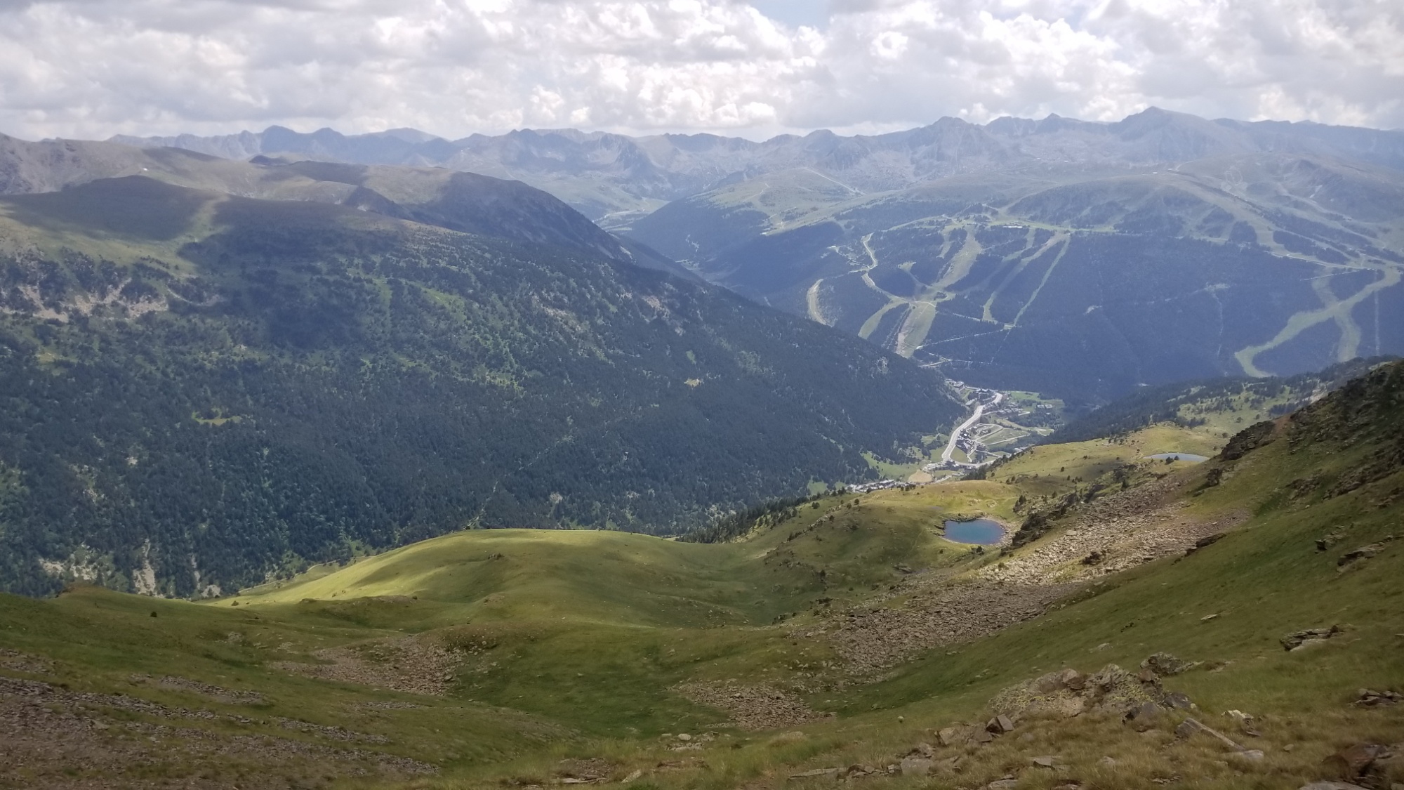
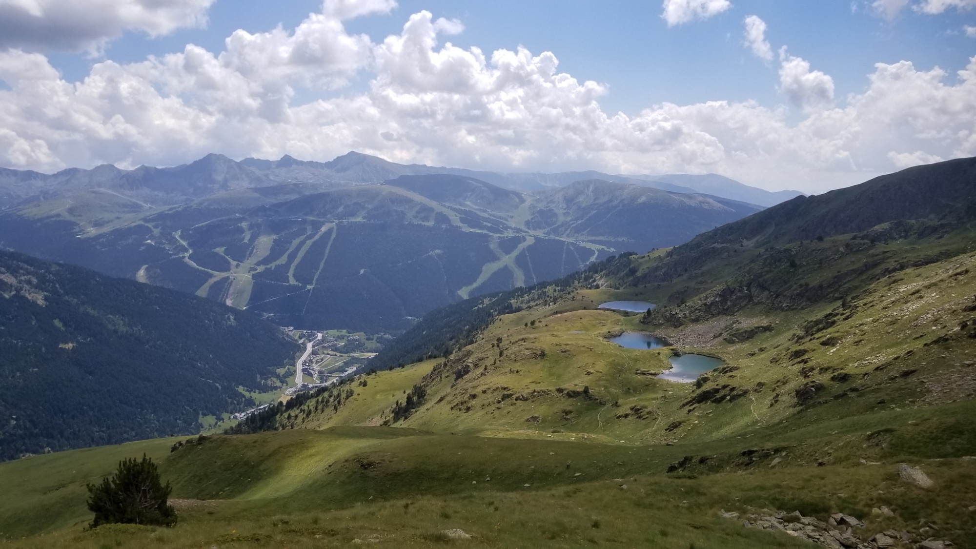
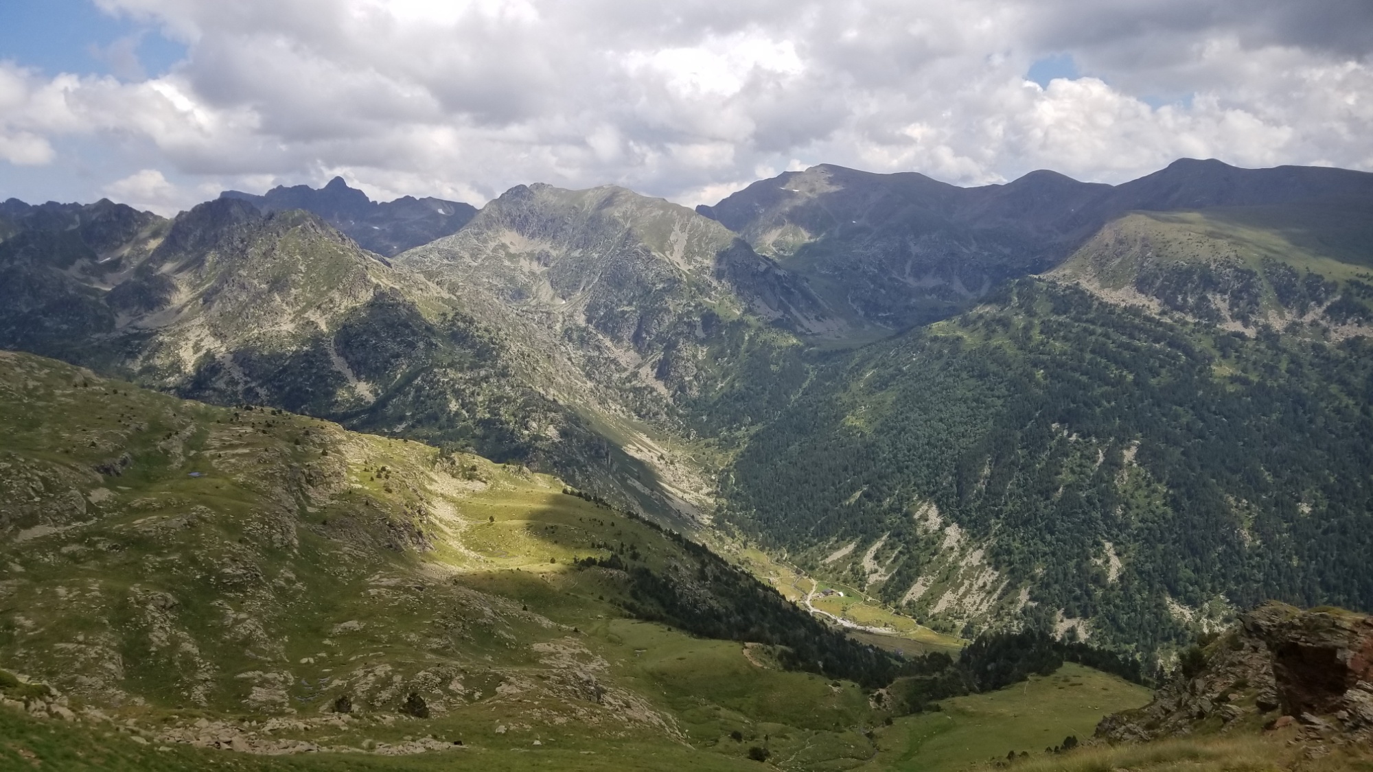
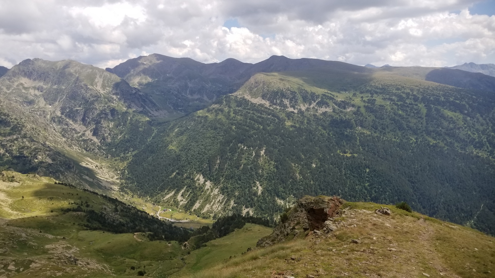
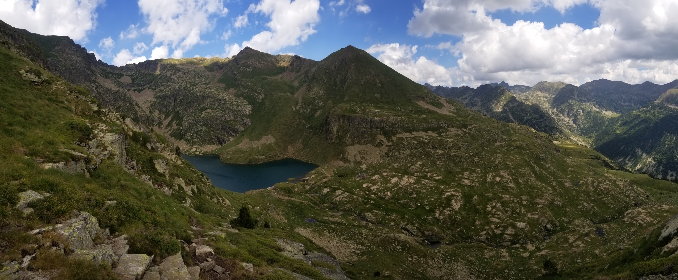
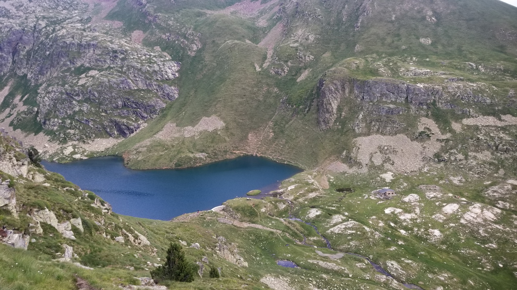
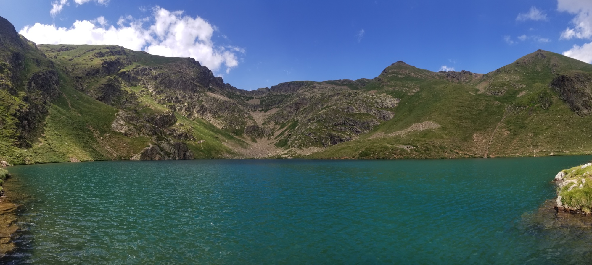
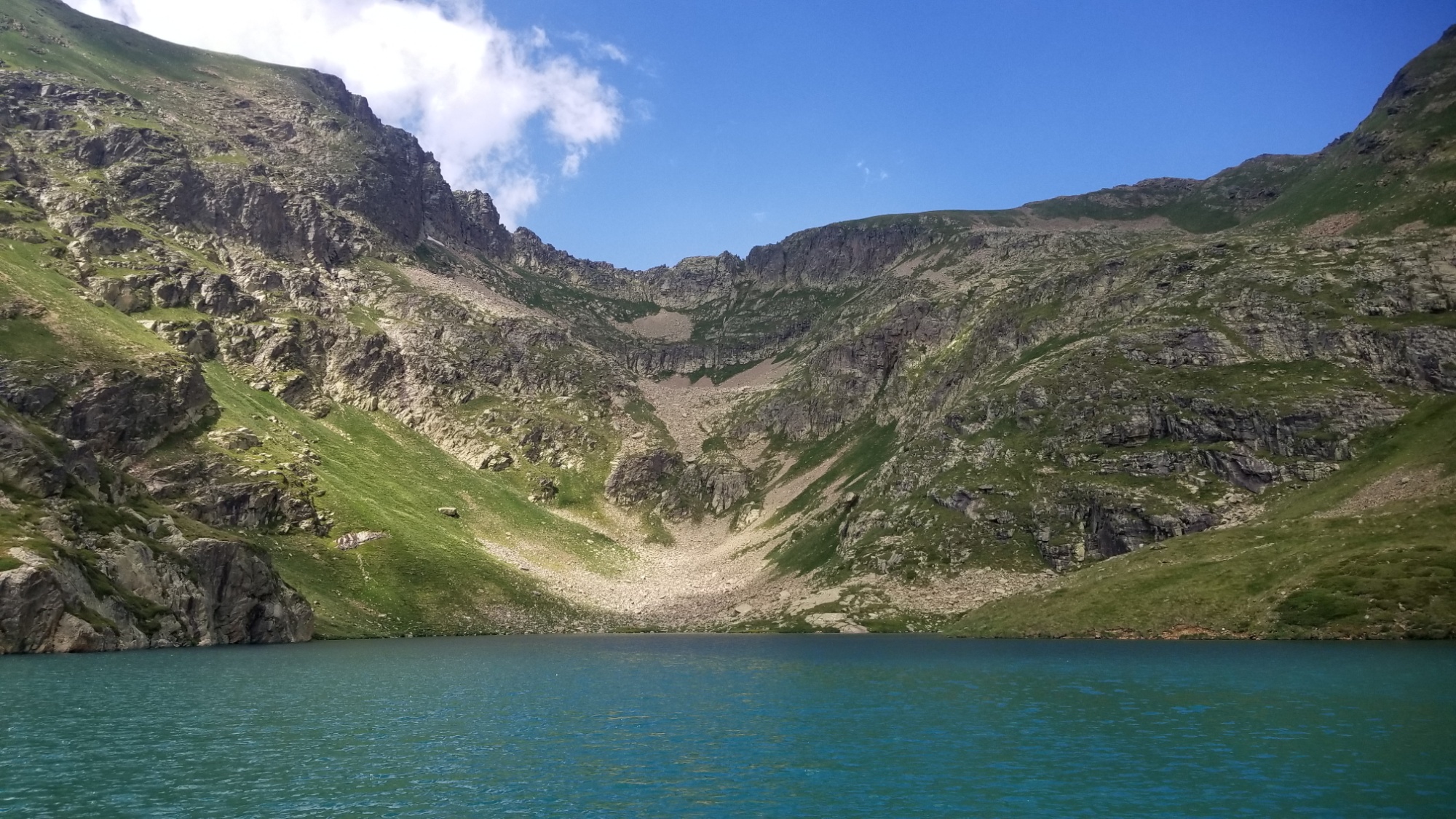
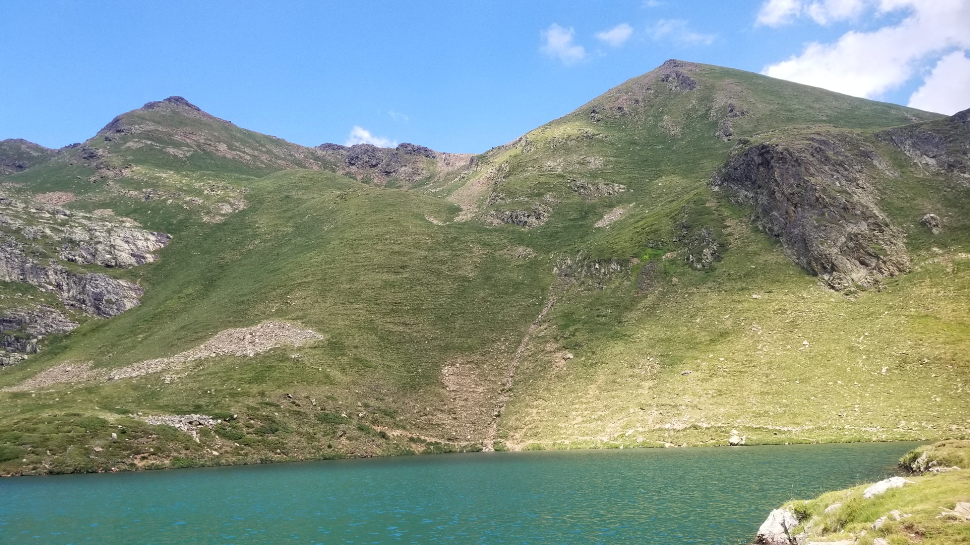
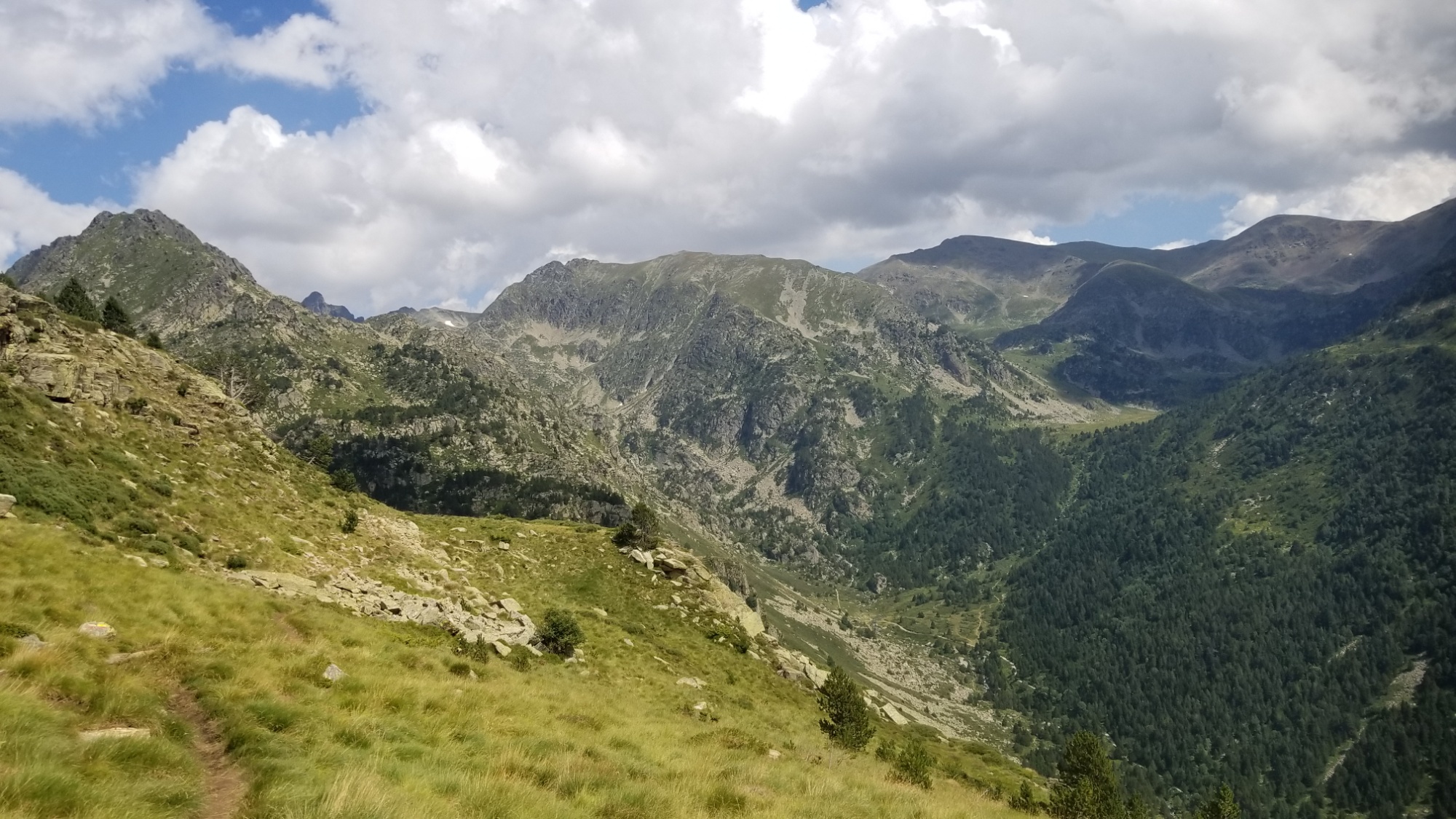
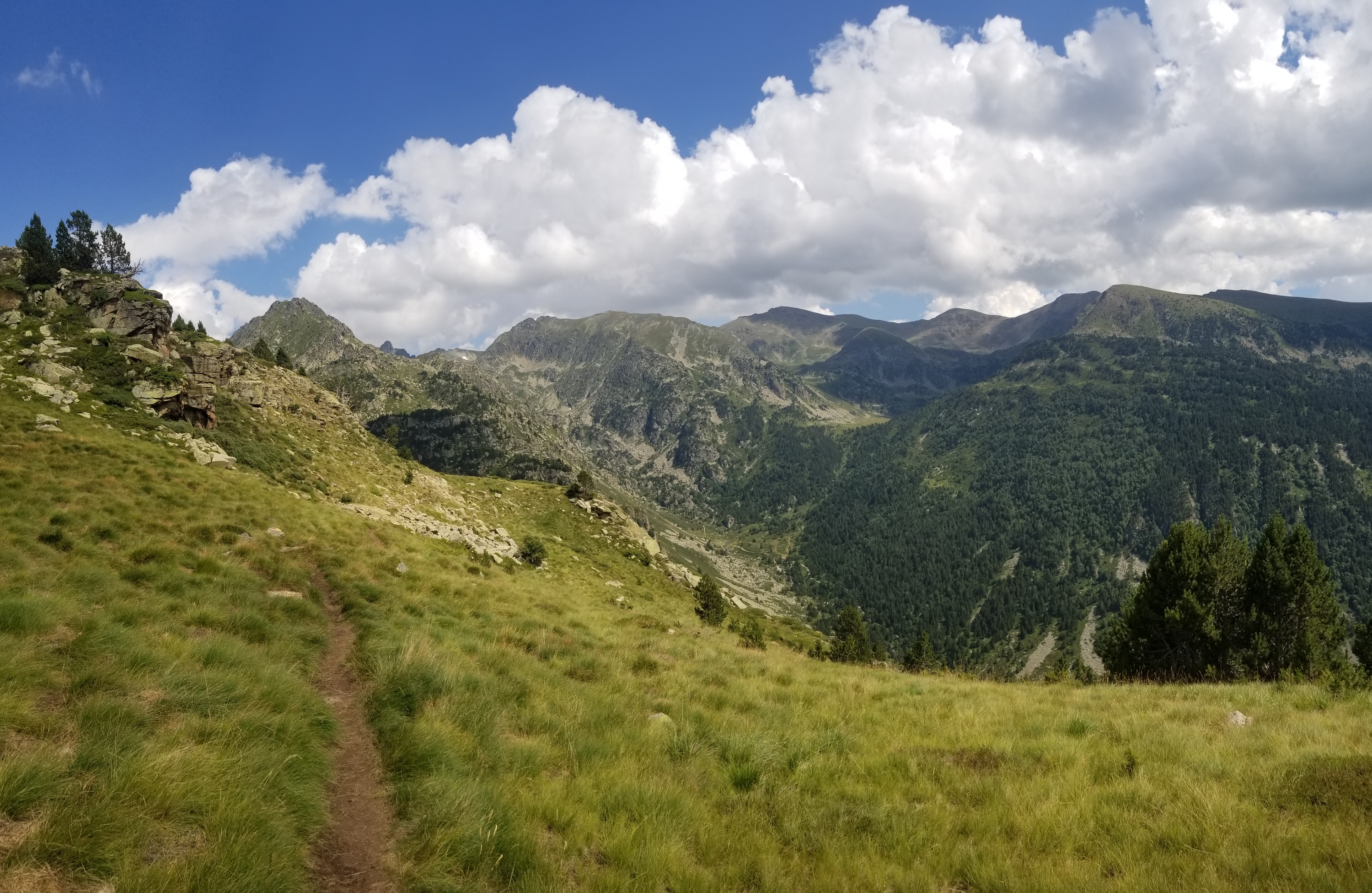
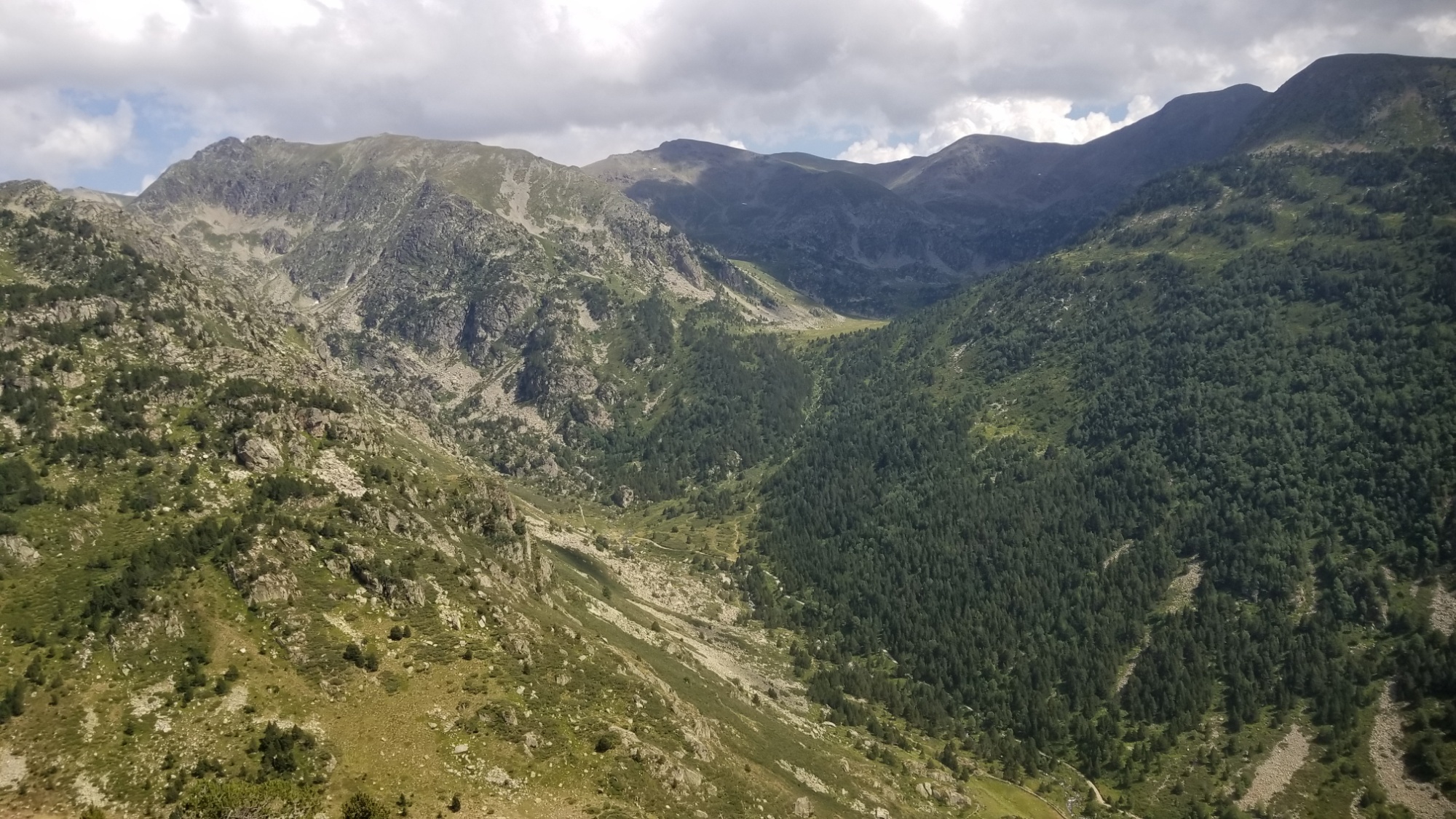
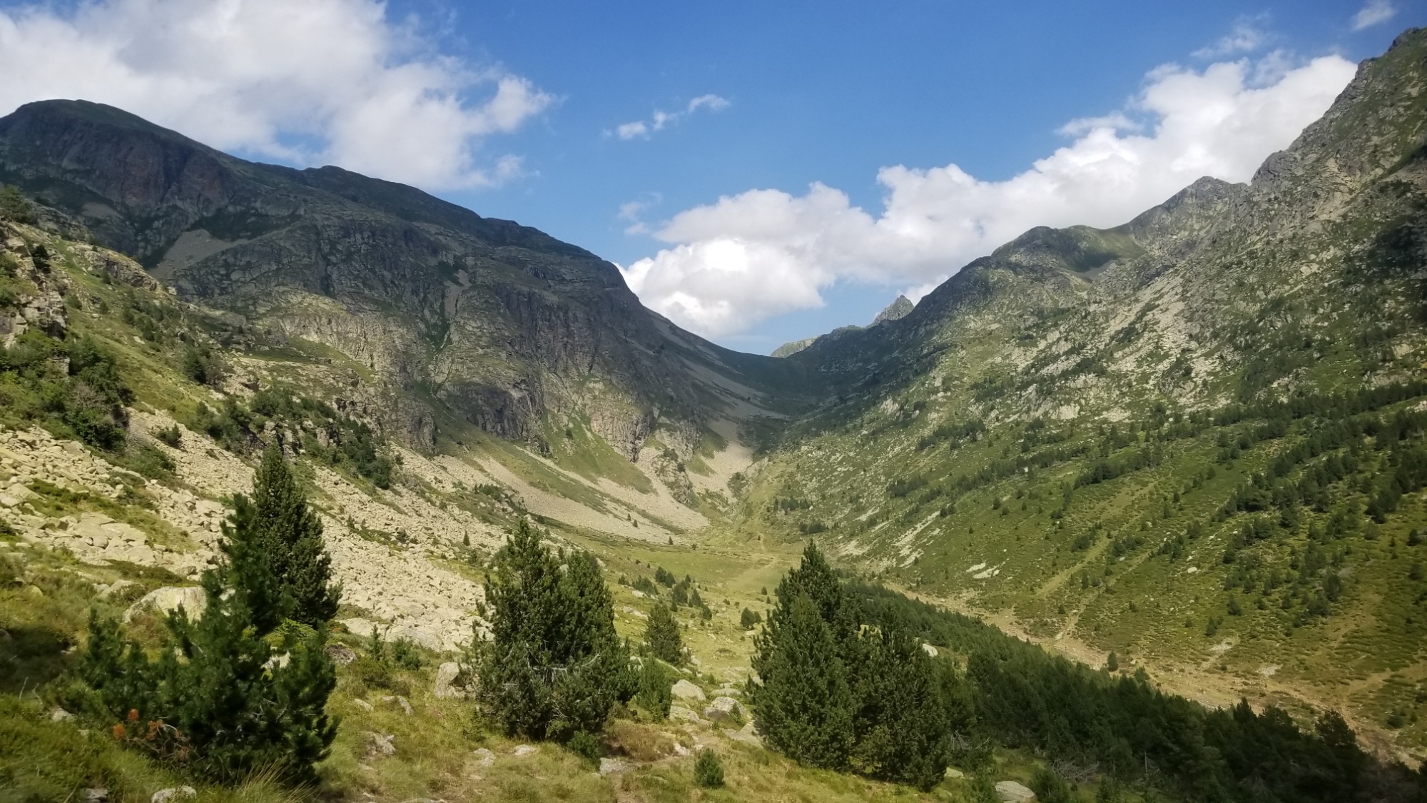
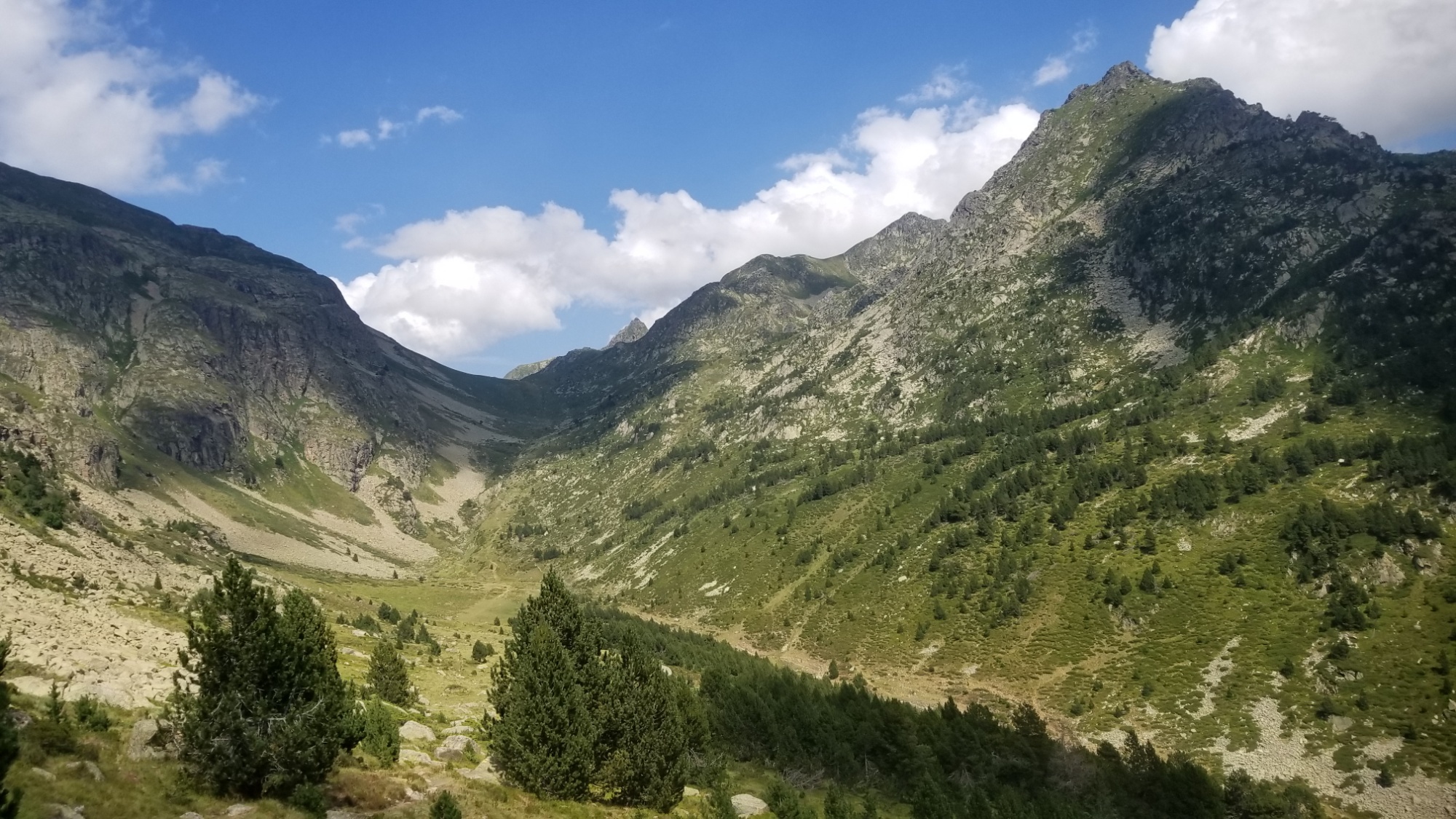
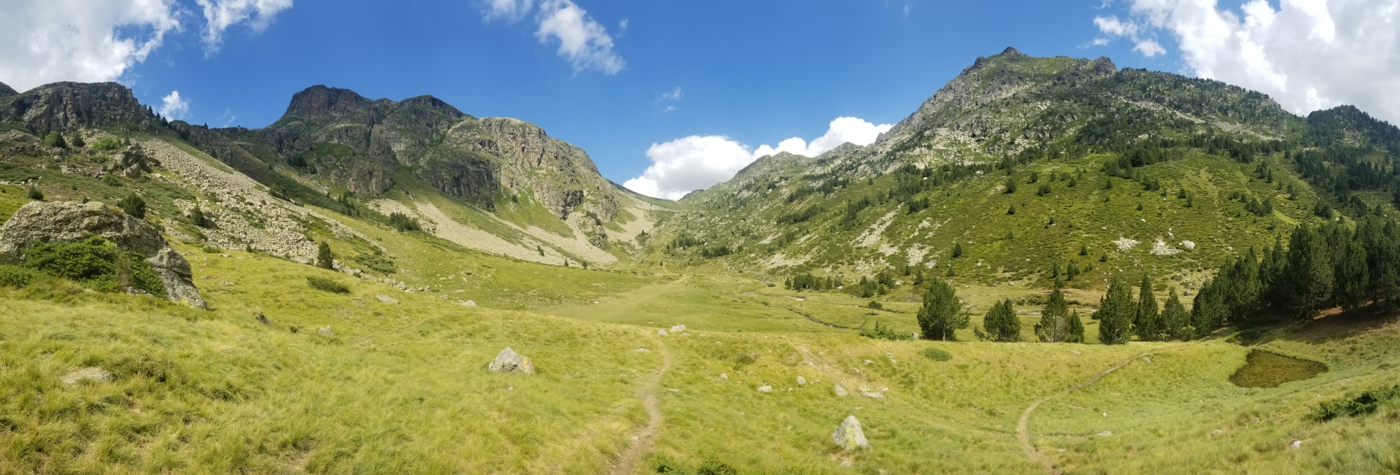
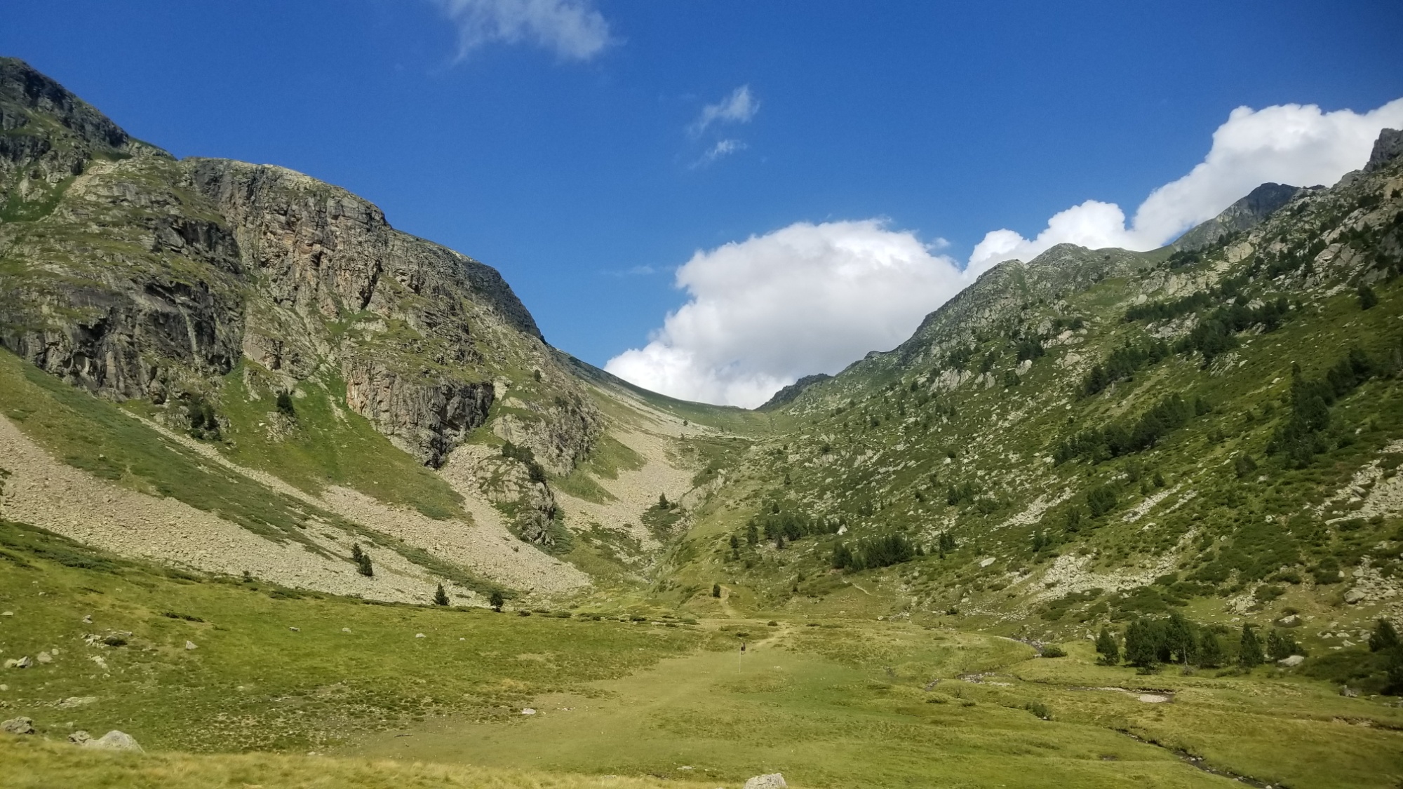
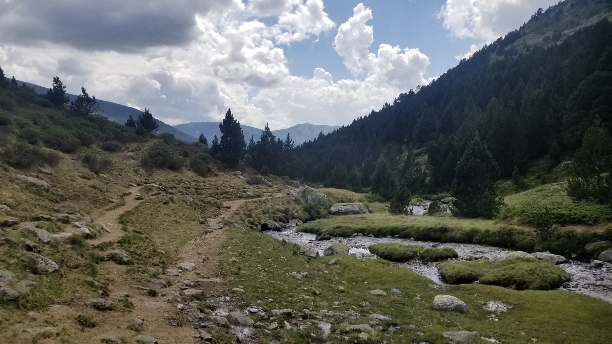
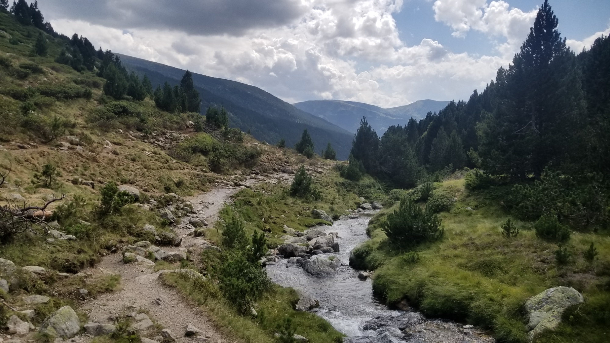
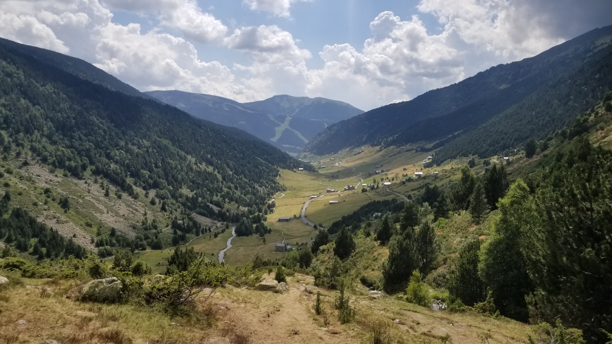
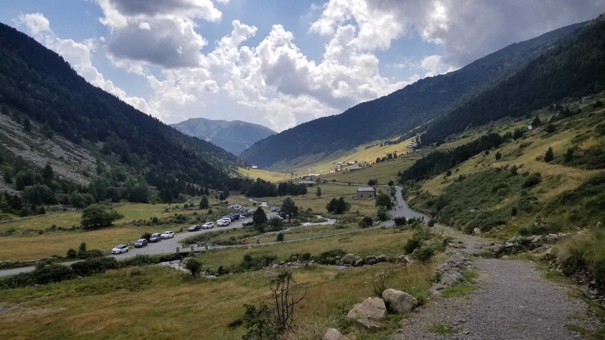
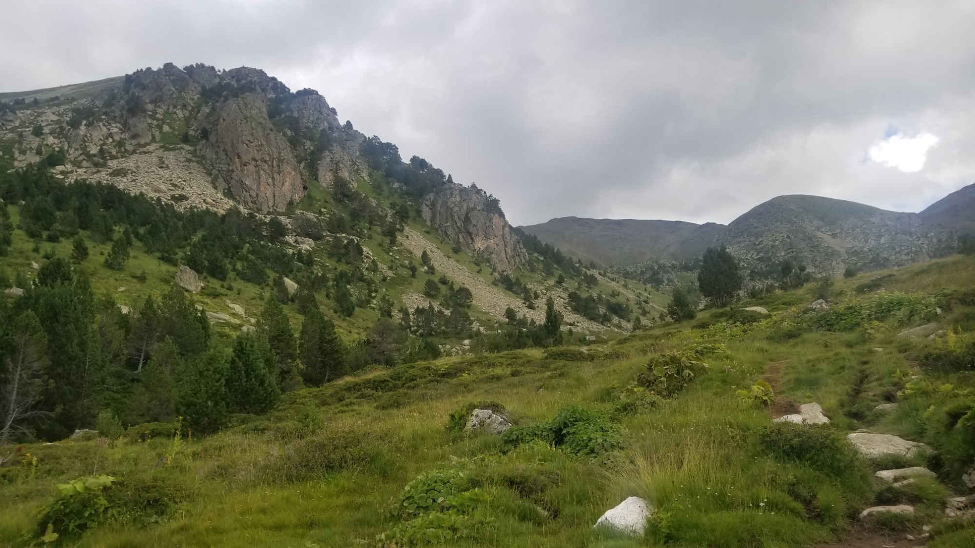
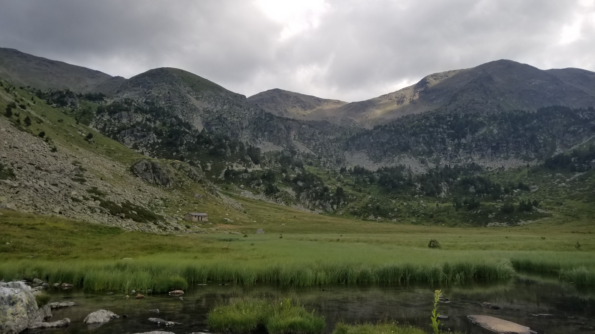
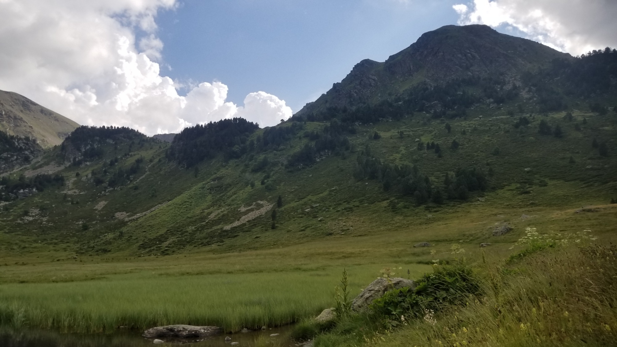
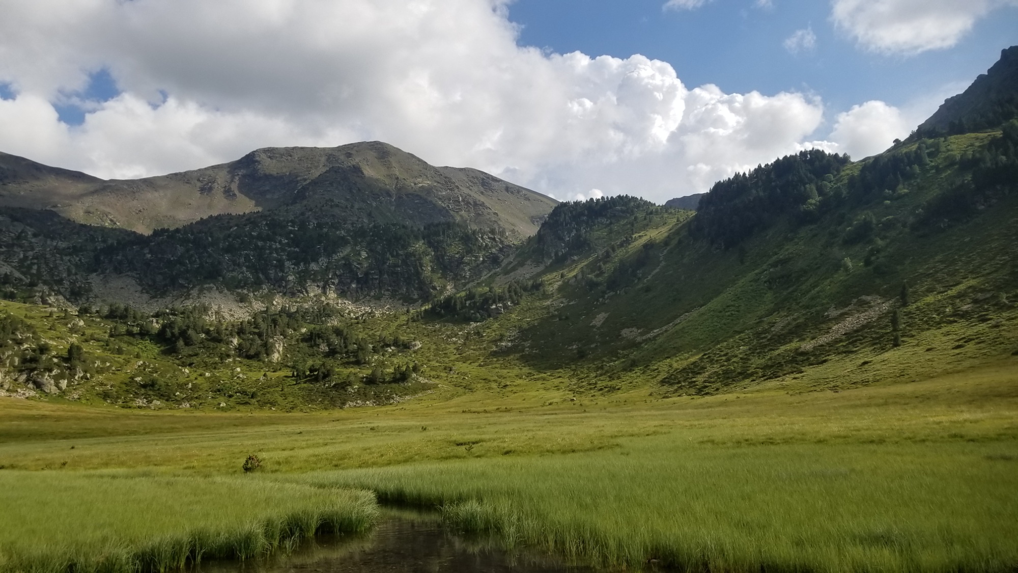
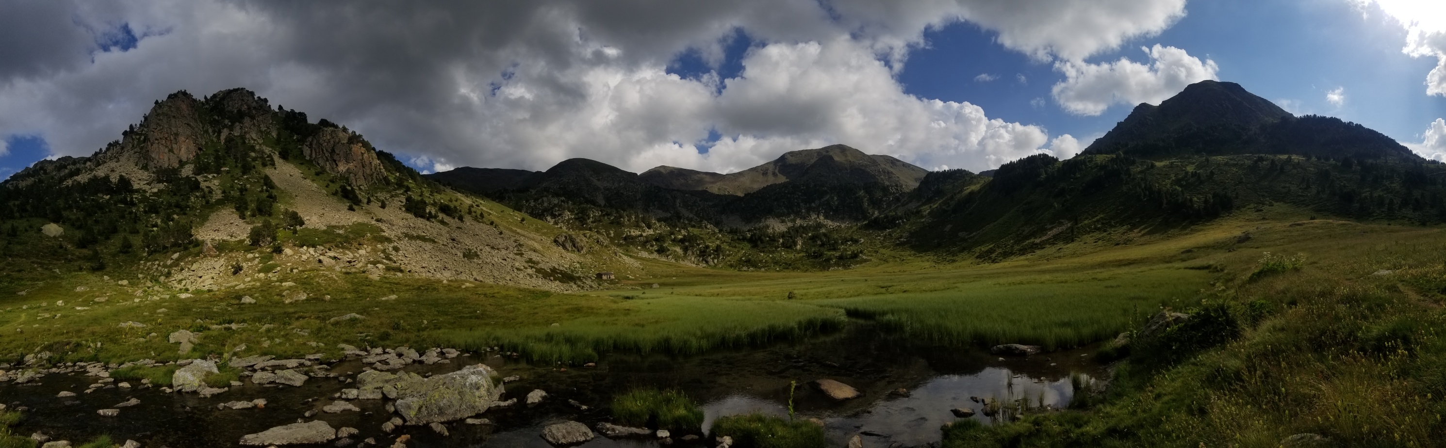
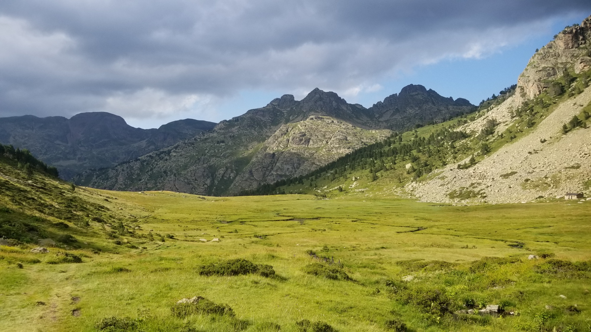
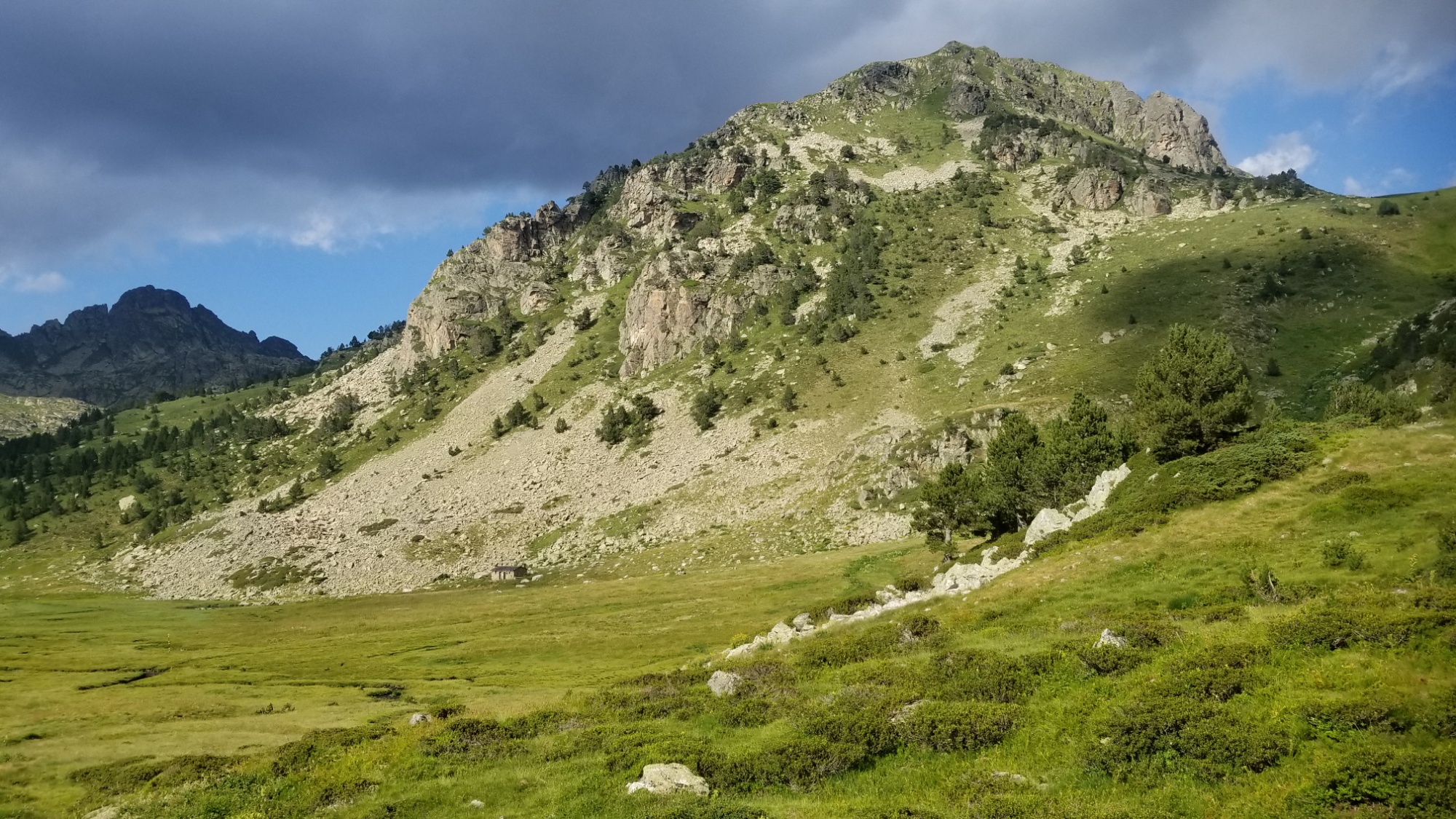
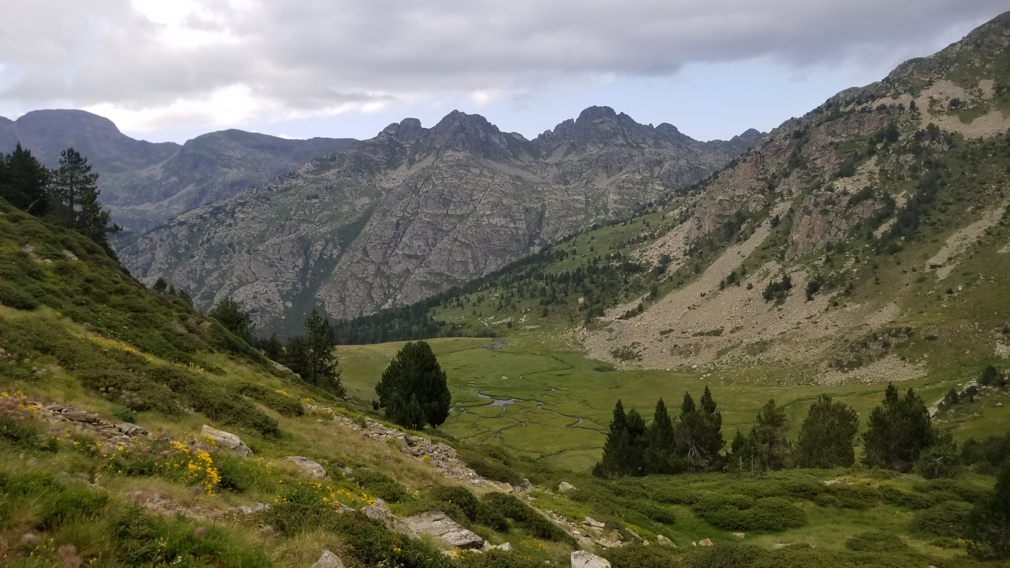
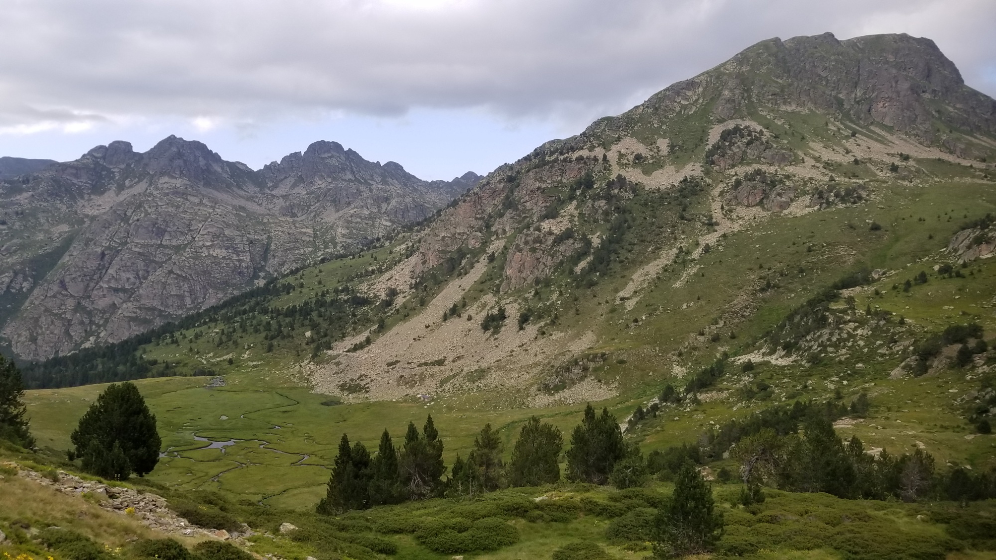
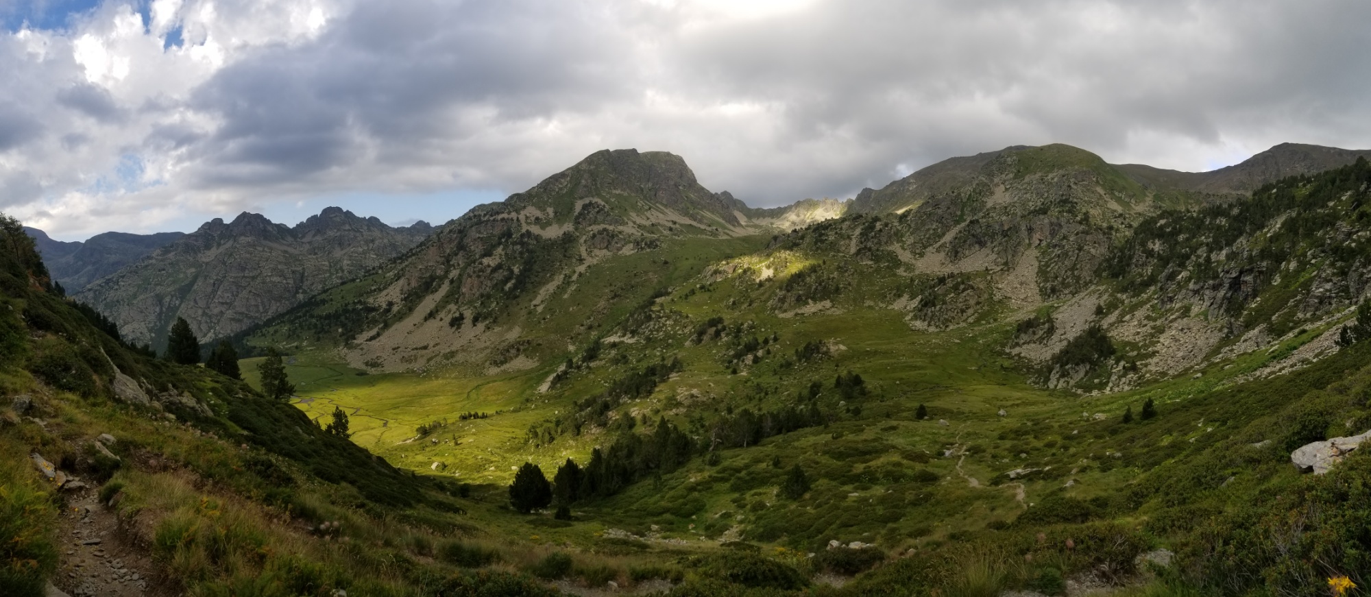
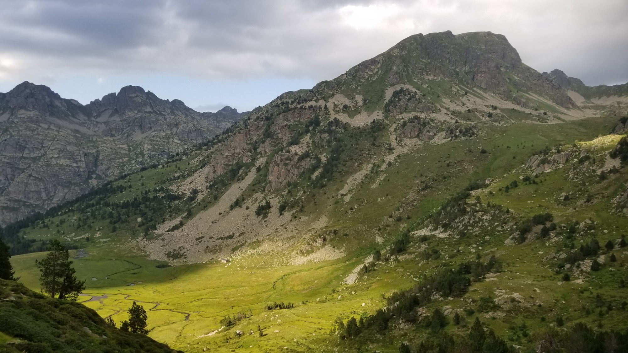
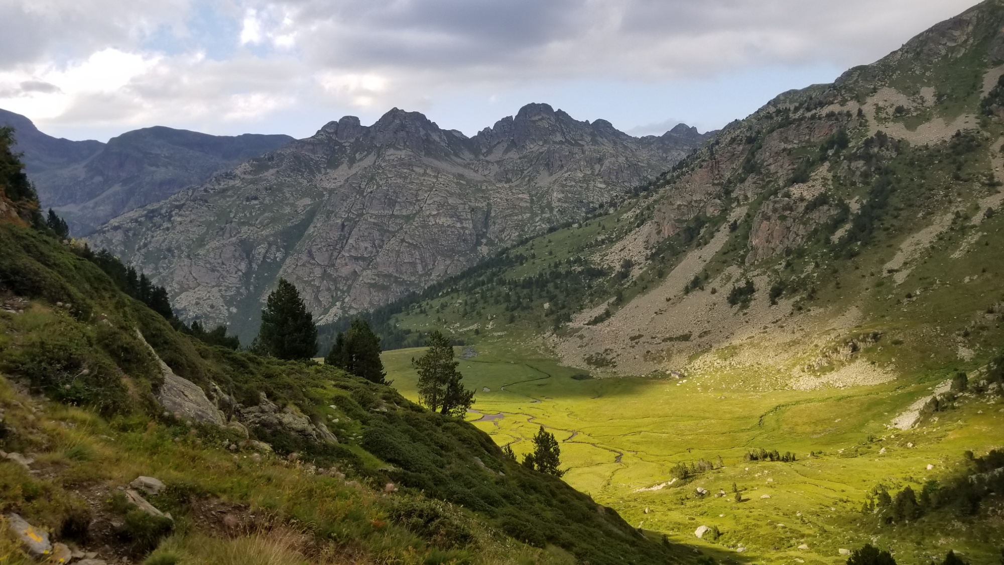
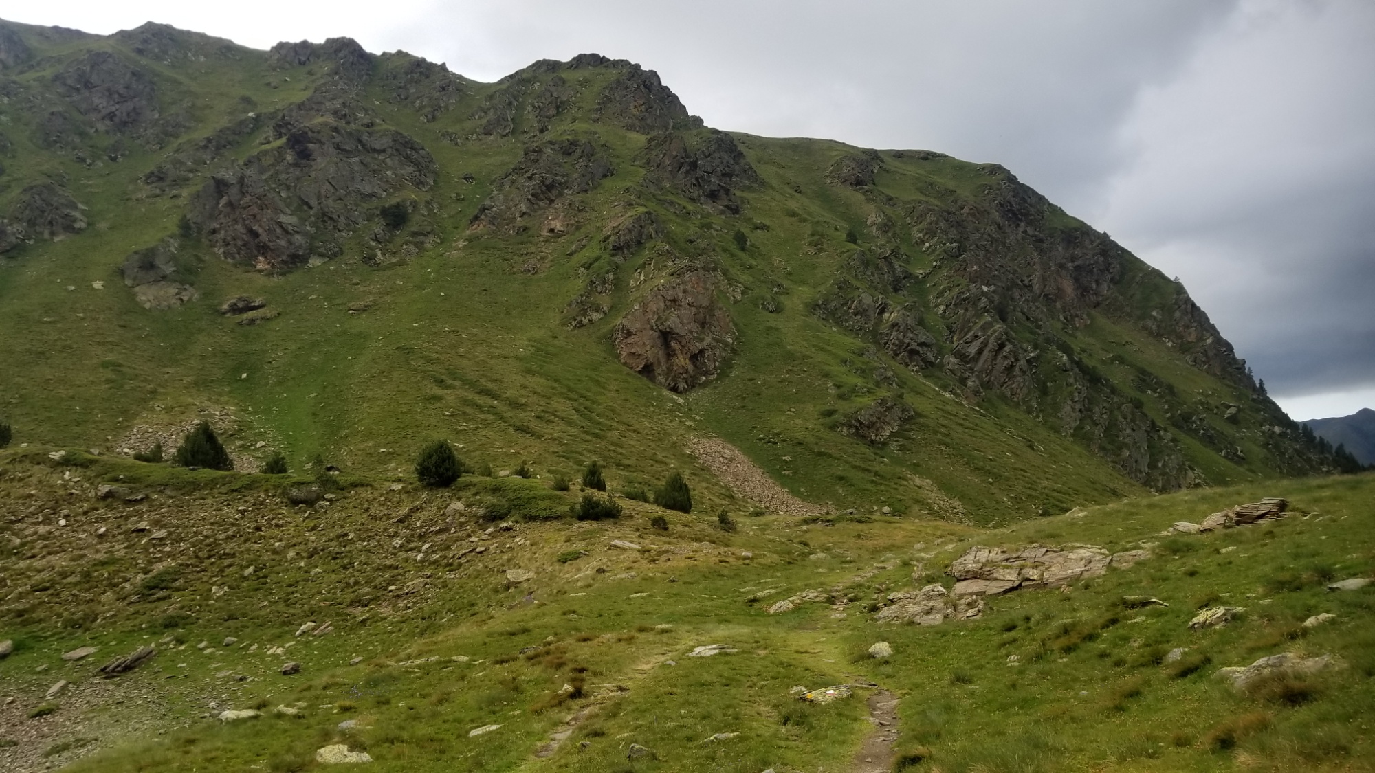
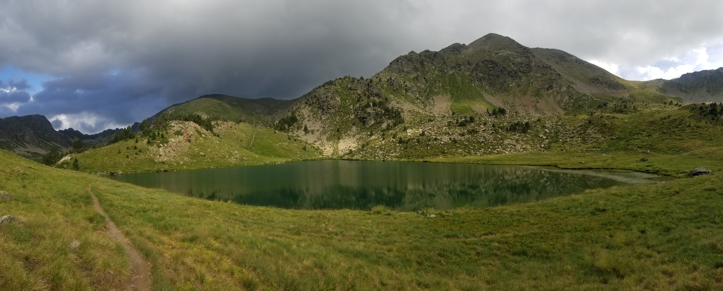
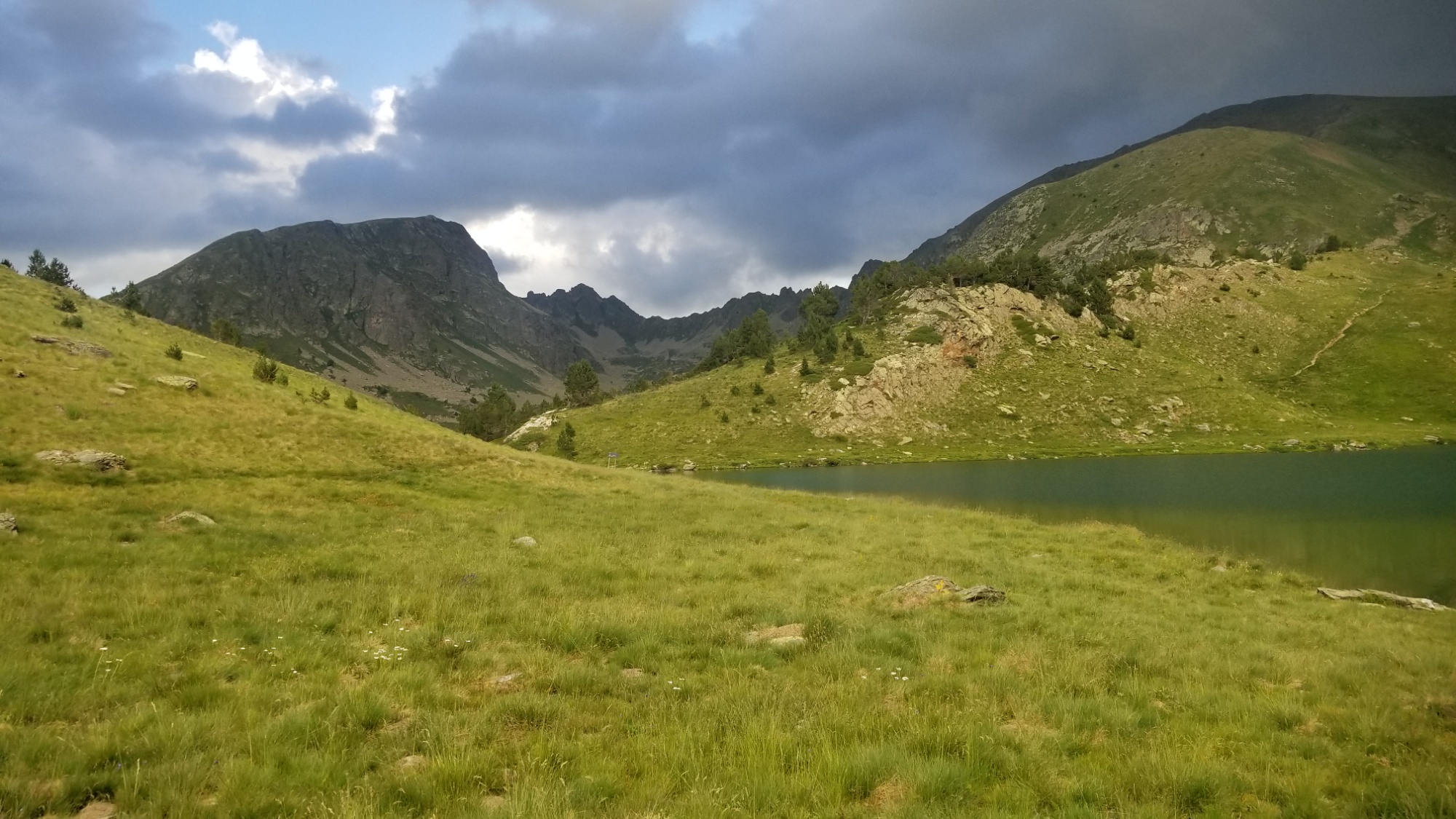
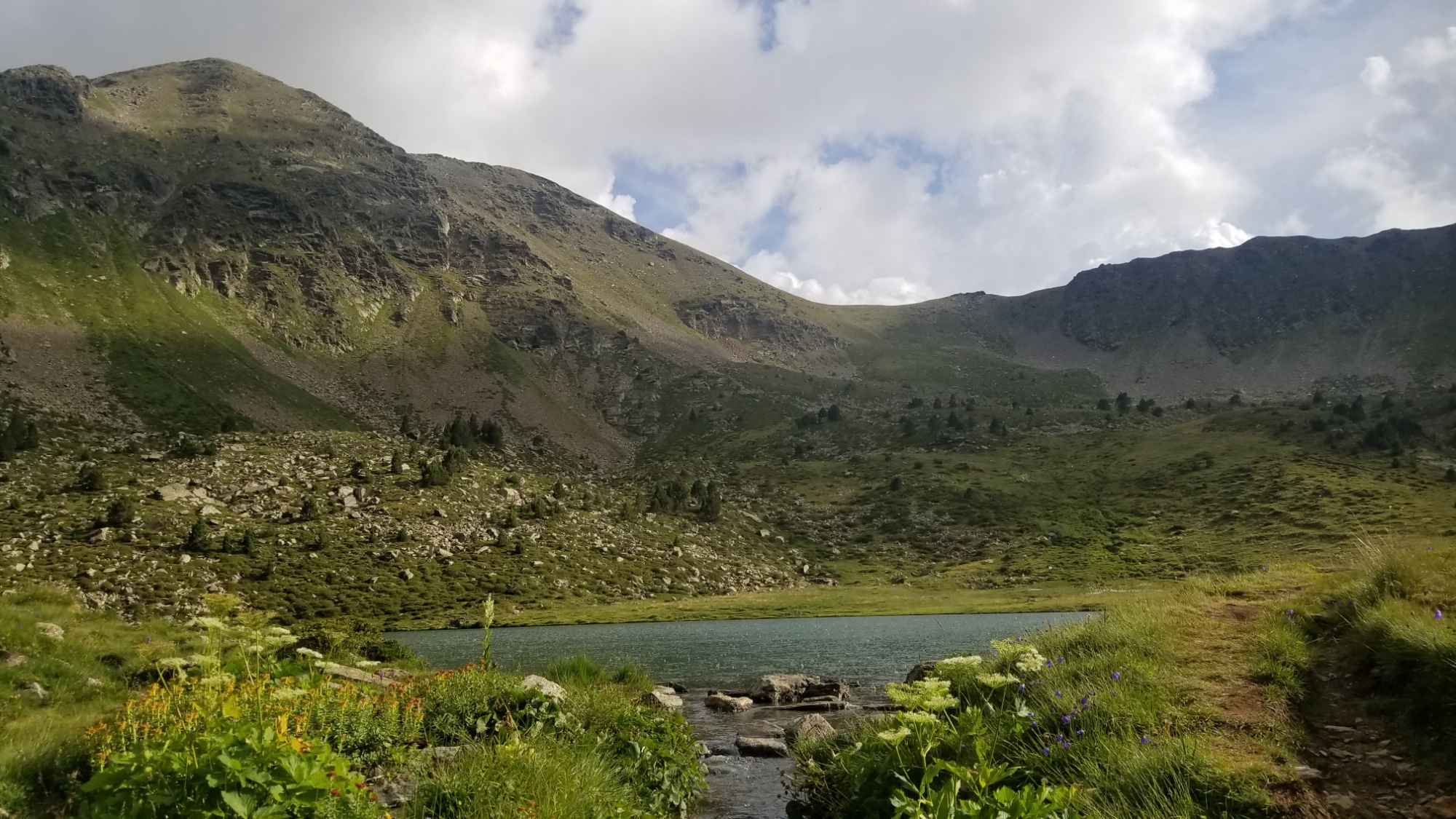
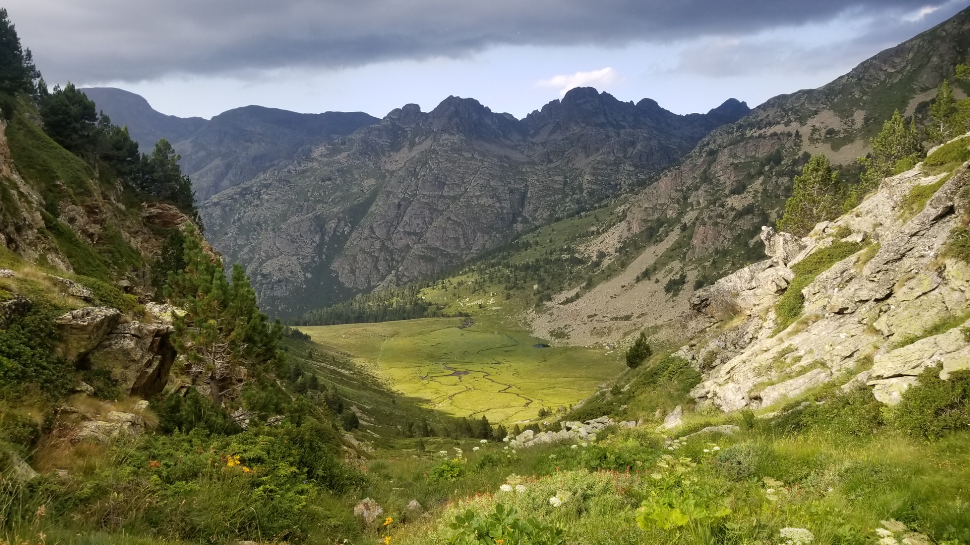
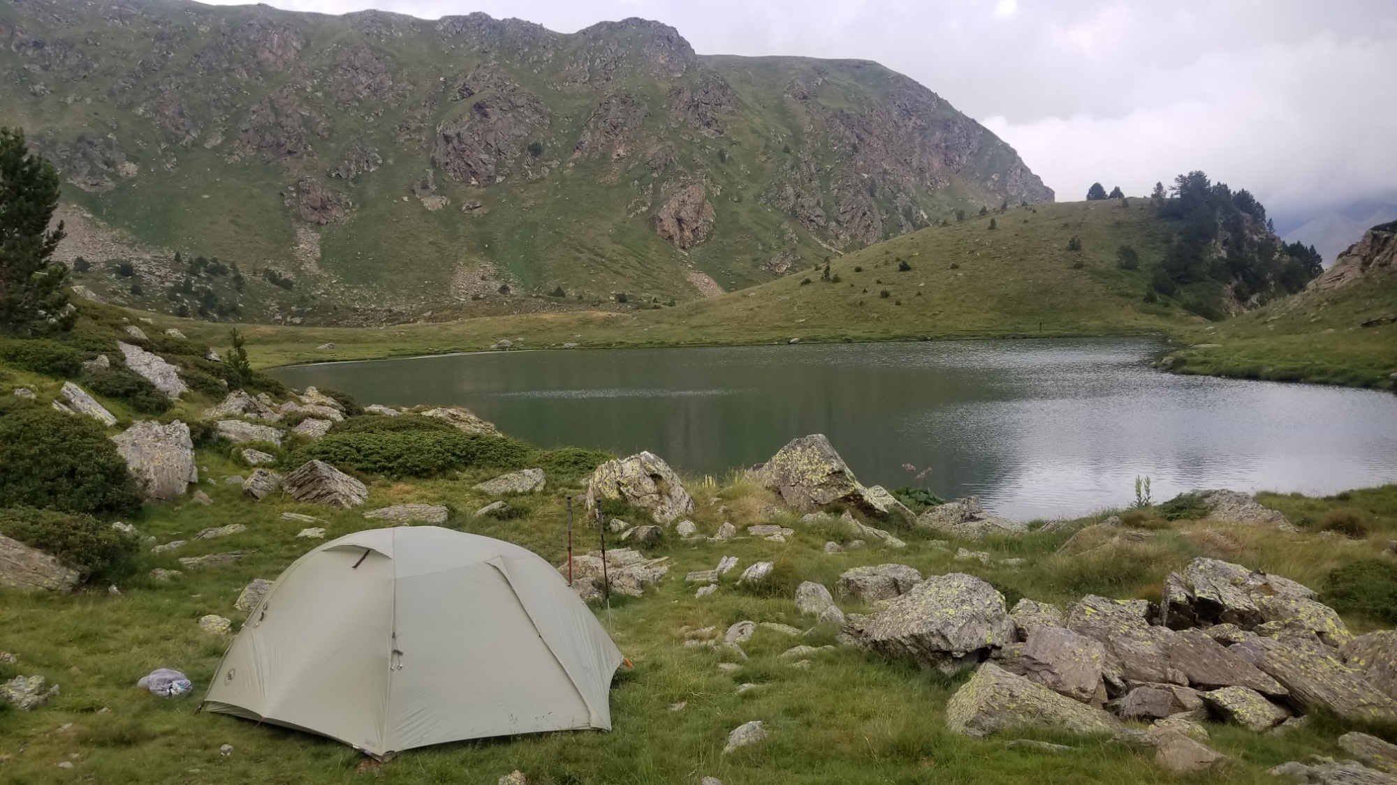
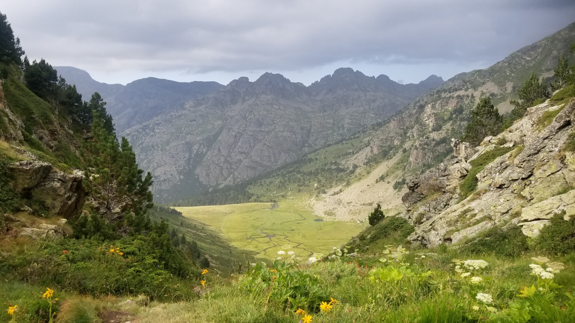
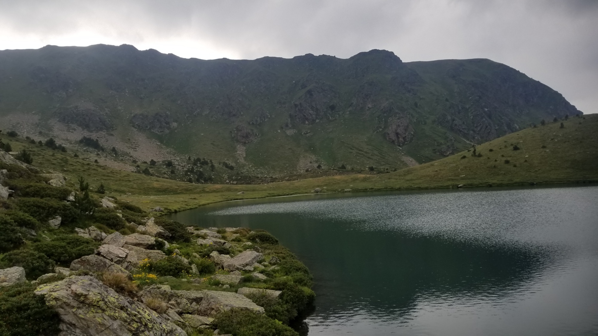
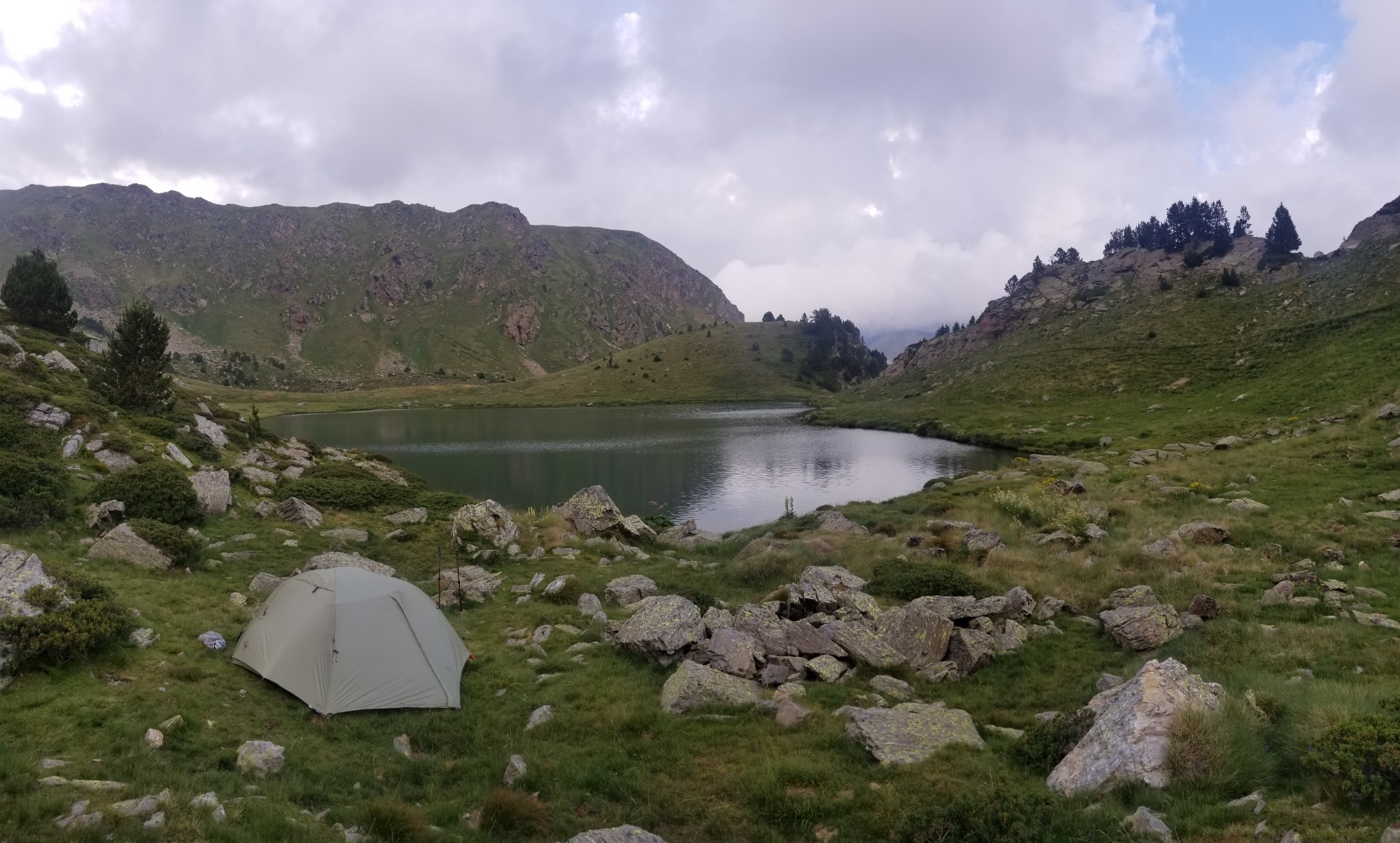
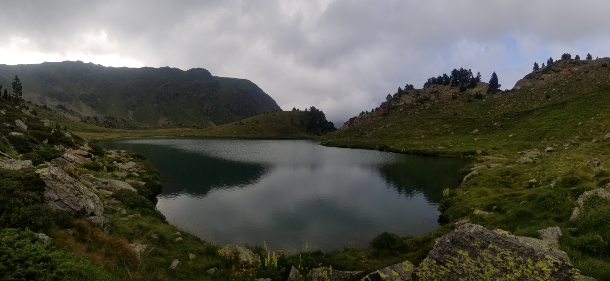
The views on the HRP are magnificent. I know of few other places where you could see as many glacial valleys and clear aquamarine lakes and sculpted, sheared rock faces, and romantic, magic 3,000m peaks, in as many miles. Perhaps the John Muir Trail? I don’t know. Will have to hike that one day, to find out.

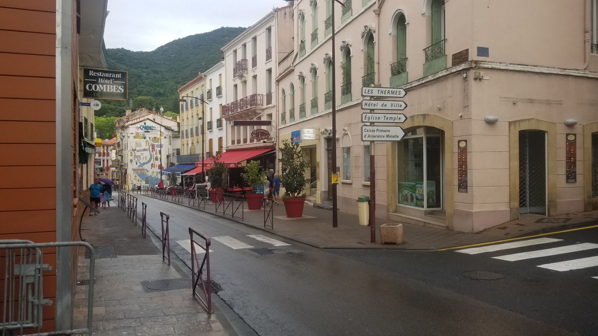
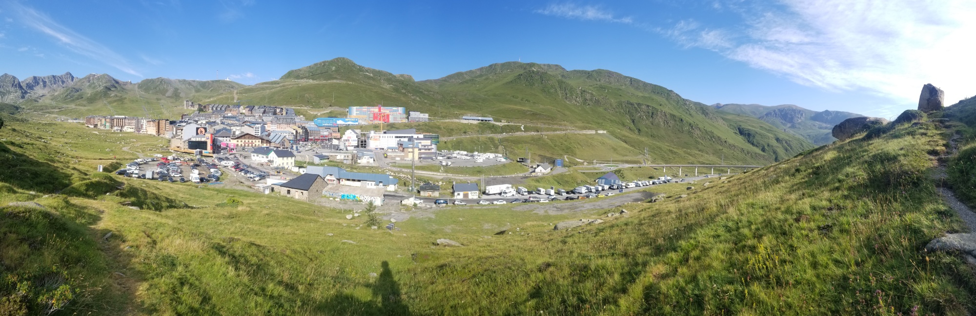
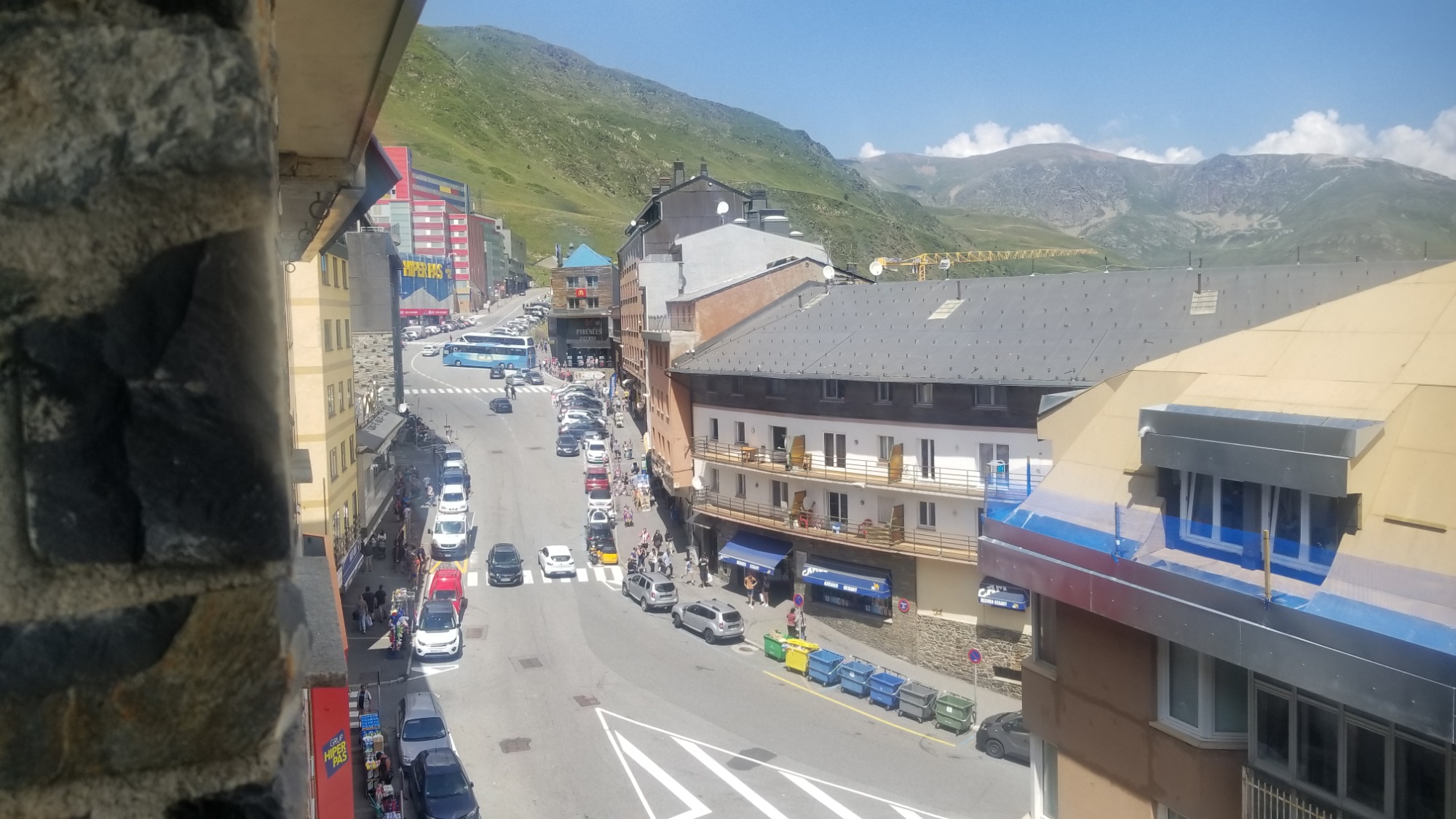
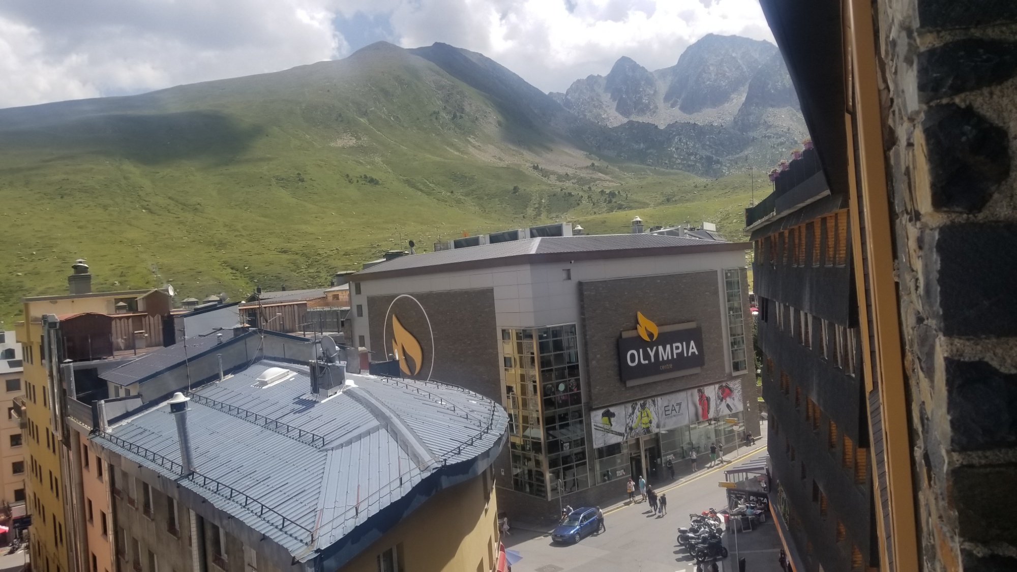
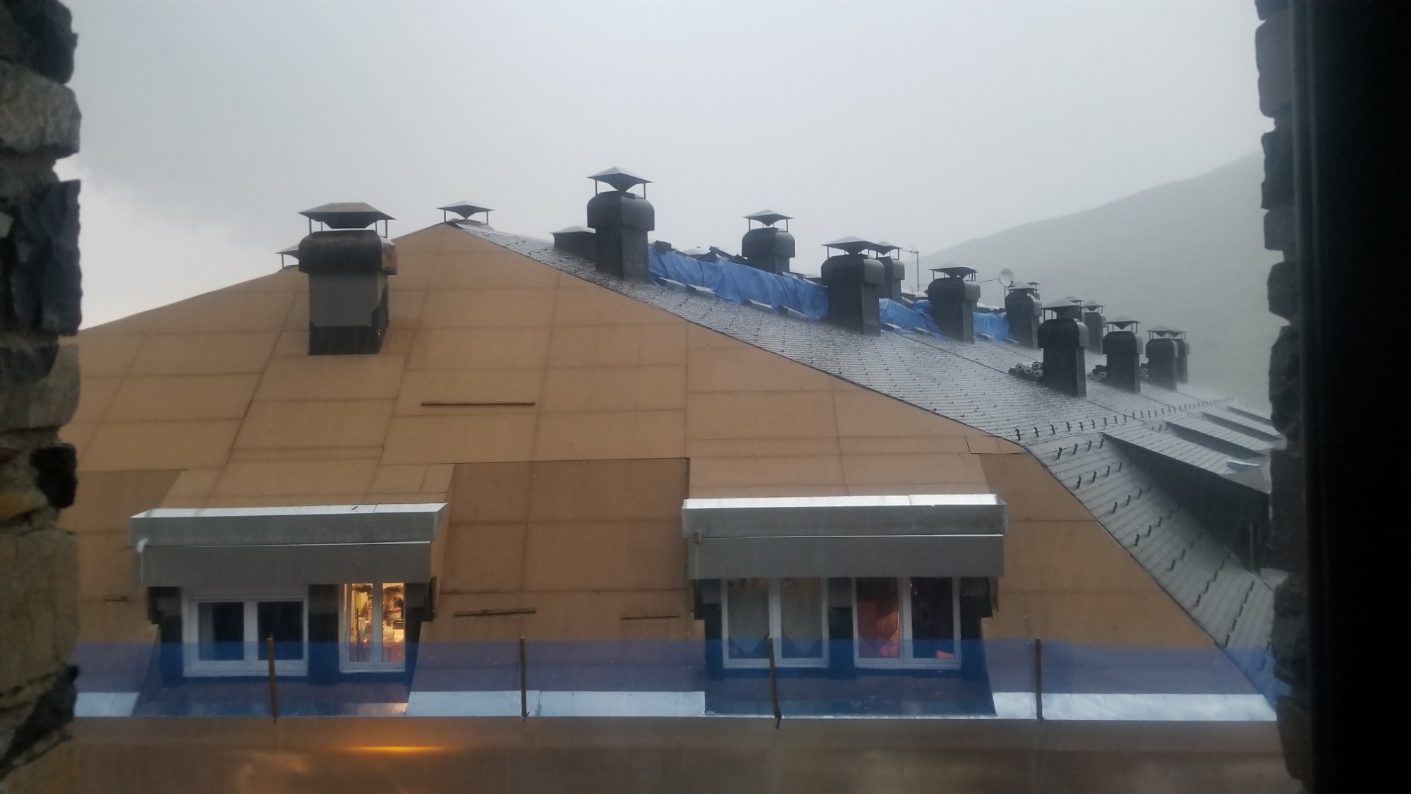
The people all along the HRP, at every village, have been phenomenally friendly and helpful. Except Aldudes. Sorry Aldudes (not sorry). I was reserved and afraid to interact with people at the start, as someone who does not speak the language of the land. I am okay with Spanish, but French, forget about it. But my reservations were a hindrance to my enjoyment of the culture, the cuisine, and hospitality of the locals. If you don’t at least try to make a connection, you will never gain an experience or see anything new, or maybe meet someone that helps expand your comfort zone, leading to new and more fulfilling experiences.

People at the hotels, markets, in town, and everyone along the way, were especially nice. They didn’t care that I didn’t speak French. Or fluent Spanish. They were happy to work with me and try to understand what I needed. I always smiled and laughed when attempting to speak their language, especially after seeing their faces made at my attempt. I tried my best to find the humor in every situation, trying my best to speak a language I know very little about. Many were excited to test their (fluent) English, although they always say their English is not good after speaking the language perfectly! I love it. People will reciprocate your attitude, so be kind and you will universally receive kindness in return.

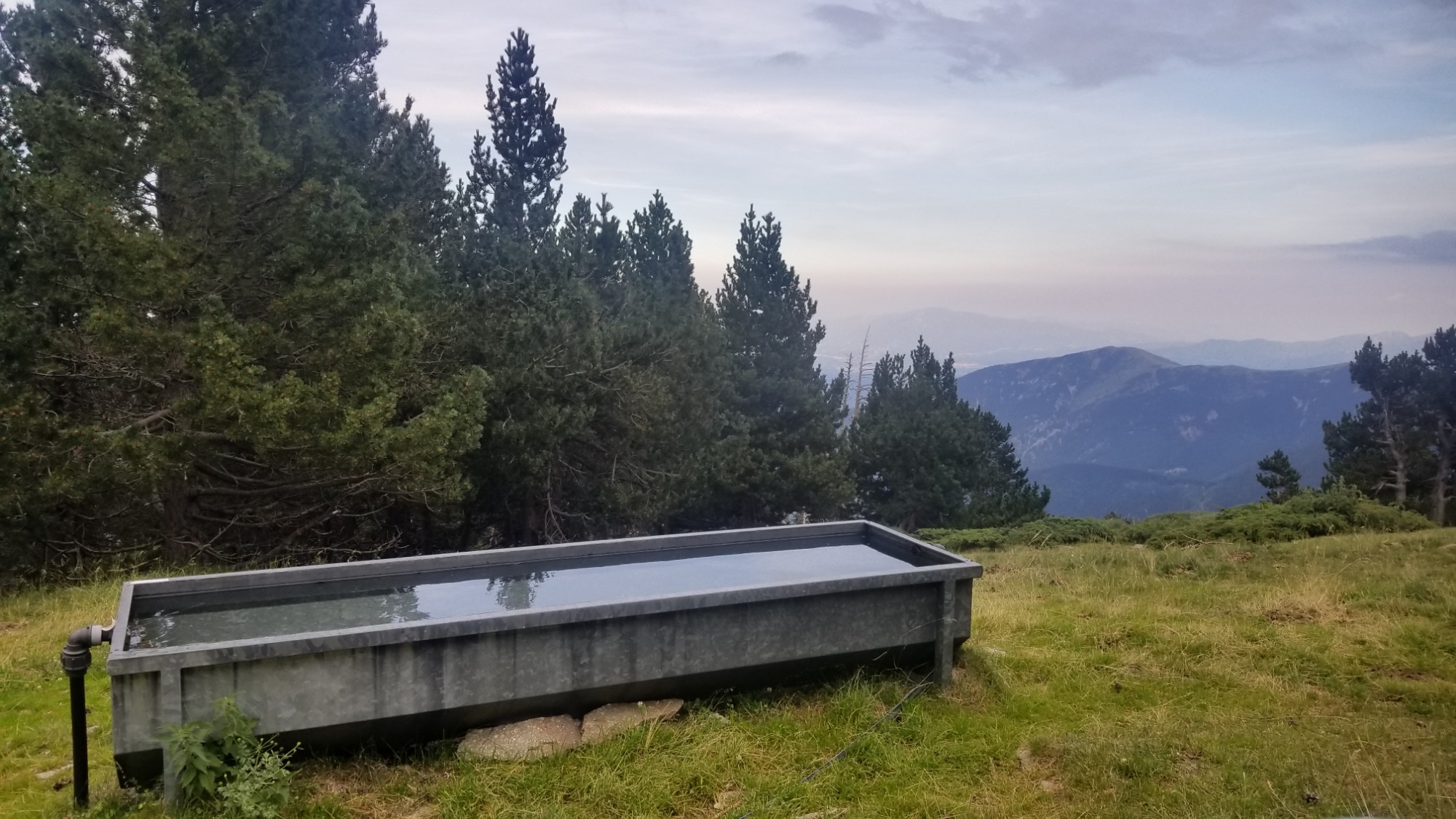
I can’t recommend this trail enough– if it sounds like something you would enjoy, I’d happily provide whatever resources are at my disposal to help you on your way. I have recorded high resolution .gpx tracks with some waypoints for camps, resupply, and water sources near the hot lowlands around the start and fin. I wanted to contribute something to the HRP beta, and that will probably be the best bet. Be warned, it does take quite a few of the harder alternate routes, along the Frontier Ridge, not all of which are on trail, a few of which are not even mentioned in any guidebook.

Anyways, it grows late and the stars are shimmering overhead now. This is the final account of the high adventure on the HRP. The concluding words of finality.

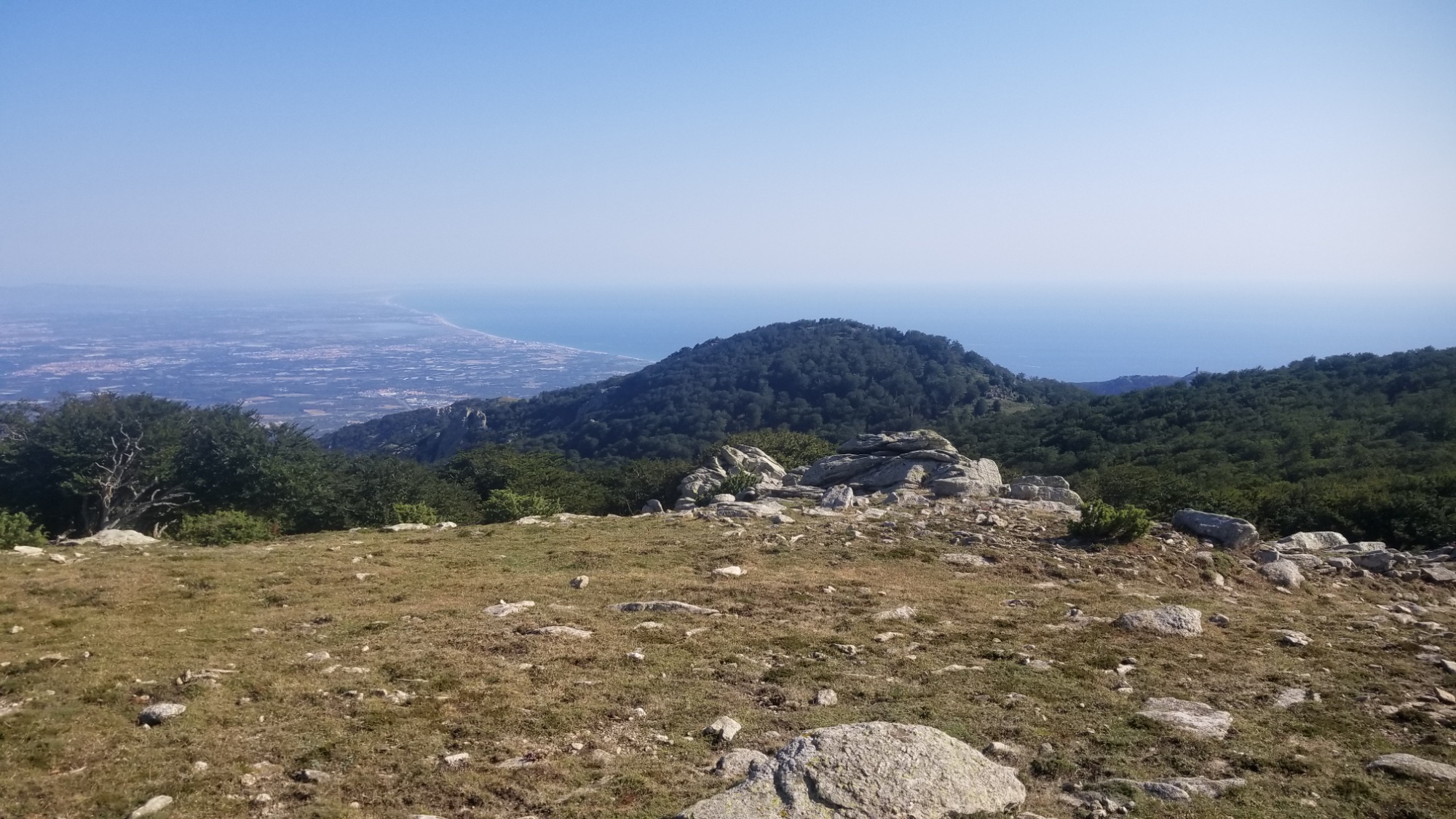
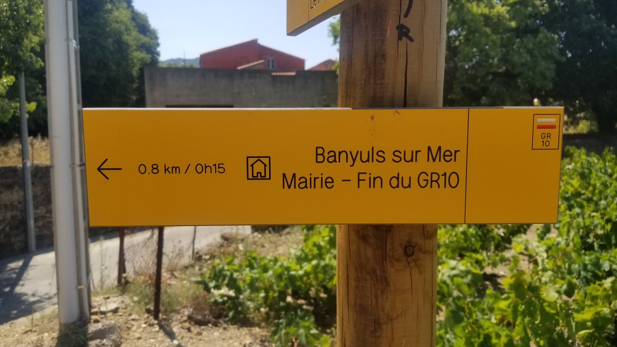
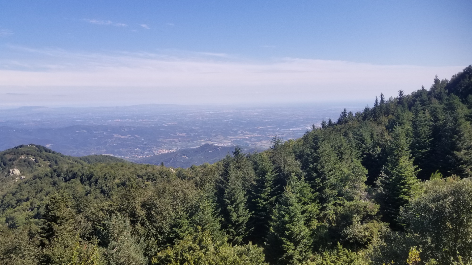
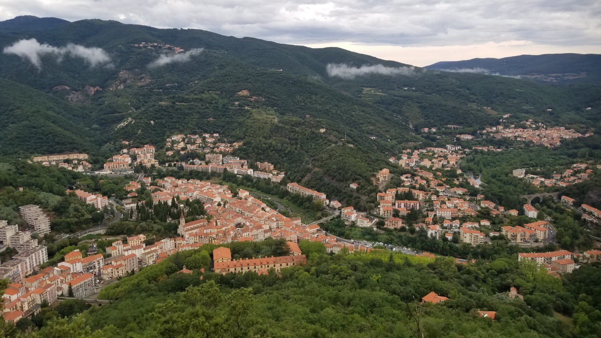
This trail weaves together all the best parts of French and Spanish culture. The superb food, the quaint villages, the friendly people, and the scenic nature of the Pyrénées range make it one of the greatest hiking trails on Earth. The feeling of hiking down unto the Mediterranean, the ultimate object of your wanderings, could be described as Magnifique.

So lace up your boots, grab your ruck, and get to marching. There’s a whole world of wonder out there waiting for you. You have only to take a short walk to go and find it.

Dragon Dan Morriss, signing off.

Day 41 – Grand Finale du HRP

Today I walked 25km to the Eastern terminus of the HRP, the beach at Banyuls-sur-mer. The photos tell the story.

Very excited sunrise wakeup.
Looking back at the Canigou
North towards Perpignan
A finale on a grassy panoramic ridgewalk. I can get down with that
The sea, reflecting sunlight into the aperture of a tiny camera retina

It’s (almost) all downhill from here

A hiker making the bittersweet walk, to the end of one adventure and the start of another

The Cote d’Azur

Just a few more hills…

I can taste the sea mist
Half a mile?!
I stop for no one.
The home stretch

It is done

A mural for the GR10, a parallel trail to the high route, just across the street
The end of the HRP. 41 days, 550 miles, 310,000 feet of ascent and descent. Thousands of photos. At least a million footsteps. Maybe about $1,500 spent on food and lodging. At least a dozen glacial remains seen.

Day 40 – A Long Walk to the Beach

Not much to say about today. It was the day before I finish the trail, so I was in an impeccably good mood all day, despite the intense heat in the afternoon.

I had a 400m climb in the morning up to the Roc de France (1,450m). Good views all around.

I met a GR10 hiker who had just started out at Banyuls, I helped him find some water on the trail. He seemed to be missing the comforts already, haha. I hope he does alright! I wished him to have fun and continued on.

Then, there was a looooong 20km mostly downhill on dirt roads and trails. I knocked out out in about 4 hrs.

This brought me to the border town of Le Perthus. It was very loud and overcrowded, just like the guidebook said it would be! Lots of people trying to sell you sunglasses or whatever on the curb. Tough life.

I went to the supermarket that had WiFi and hung around for an hour. I bought another days worth of foods and comforts and some beers to celebrate the end of the trail.

Then I hiked out around 6pm, having waited out the worst of the heat.

I made another 8km up the last hill between me and the Mediterranean, and found a nice place to camp in a clearing with views all around at 1,000m elevation.

It was the windiest here that it has been all trail! Wow! It’s impressively windy. All the better for this area, as the wind has kept the temperatures pretty bearable despite the heat.

The sky is clear, so I left the rainfly off the tent so I could gaze out at the stars for the first time this trip. Usually you just dont know if it’ll rain in the mountains, and so put the rain fly on as insurance, but I’m pretty sure it will remain dry tonight given the more desert-like feel of this area.

Tomorrow, 25km to Banyuls-sur-mer! The end of this journey, the eastern terminus of the HRP. I’m saving one beer for when I’m soaking my feet in the sea.

Good night!

Day 39 – Not Outta The Woods Yet

Today went really well.

I woke up at my campsite at 2,300m to a great sunrise over the Mediterranean sea.

There was an 8km stretch of trail on the almost-level Tour du Canigo trail, which rode around the Canigou massif to its easternmost point, where I joined another trail for 16km along a ridge line going down towards the town of Amelie-les-bains.

On the way down, I watched a massive thunderstorm form in the mountains I had just left. I thought I might stay just on the outskirts of it, but it grew towards me and ended up raining all the way down to town.

I’ll take the rain over heat anyday. These last few days are supposed to be brutally hot due to the low elevation and the location. If I can have comfortable temperatures but get a little wet for one of the days, I’m all about it.

When I made it into town, I immediately hit a little convenience store and got a days worth of provisions, plus some comfort foods (beer, OJ, yogurt, coke, sausage) which I finished off in town, while saving the beer and sausage for dinner.

Then I hung out around the office of tourism for an hour waiting for the rain to end. They had wifi, so I was able to catch up on life while there.

Around 5pm, I headed out of town, happy to make use of the overcast skies and nice hiking temperatures. It wasn’t raining anymore, but with the humidity, it might as well have been!

The trail slowly climbed through a beautiful forest wilderness, riding a ridge up towards the Rock of France, a 1,450m high rock with nice views all around.

I stopped around 1,000m elevation at about 8:30. Having made 33km and seeing the rain moving in for another blow, I thought it a fine time to pitch the tent. I found a nice clearing up on the ridge with views of the sunset, of the Canigou massif, and of the Mediterranean coast down below.

The sausage and beer was a real treat! Yum! I happily enjoyed it inside my nice dry tent as the rain began again.

Just another couple of days to the end point of the HRP, so exciting! Can’t wait to have this adventure in the bag and be on to the next one. What a journey it has been!

Good night!

Day 38 – Ain’t No Mountain High Enough

I awoke with the sun peering into my tent, warming it up after a cold night so I could quickly pack up and hit the road.

There was another 12km of ridge and plateau walking before the climbs of the day. I stopped and had coffee and admired the world class valley below.

I had again decided to burn my guidebook and take another long, unmarked ridge walk, when it directed you to go way down off the ridge to a refuge for the night. As if!

This area, around Pic Canigou (2,780m), is the last high elevation section of the Pyrénées, before an easy walk through the foothills to the Mediterranean. I was gonna soak up every bit of high elevation I could get today.

So I started up the ridge walk, which was well marked up to a point.

There were many sections along rocky spines, where foot placement on every step was critical. I was planning to avoid Pic Canigou entirely, as I don’t like going to super touristed places. I always end up having to pass everyone because of how fast I hike, and it just feels awkward. Plus I have to say hello to someone like every 30 seconds as everyone is going to climb the mountain! I almost fell on my face once, during that brief lapse of concentration when you look up to acknowledge someone’s presence as they’re coming towards you. It just feels weird and forced and that’s why I like to avoid those places! That’s why I go to the most remote mountains, hah.

So this ridge walk was supposed to take me right past the mountain, but the trail petered out about halfways through! Oh well. I got to hike down to some nice glacial lakes and make a second lunch. The lines on the map are lies sometimes. Some arm chair hiker musta drawn that trail. Figures.

I took the trail that goes up to Pic Canigou, but I took an alternate ridge trail that cuts off the peak. I had the whole trail to myself, although it seemed that all I had to enjoy was the fog that had rolled in. Good thing I didn’t go for the peak.

Then, after hiking down the ridge a ways, I came below the fog, and what I saw out in front of me brought me the most excitement of this whole trip!

It was the Mediterranean sea! I could see it from my vantage point on the ridge trail. That’s what I’ve been hiking towards for 38 days, and now I finally see it for the first time! It was an exceptional moment.

After going down a ways, I picked up the Tour du Canigo trail, which makes a big circle around the Canigou region. It was the perfect way to end the day. Sweeping views of the Mediterranean, a nice level ridge trail, ahhh, I might cry.

And when I thought I would have to drop down a ways to find water for dinner, a huge tank of water appeared right in front of me! I was jubilant!

The trail provides.

Now I knew I could spend one last night of high elevation up on this ridge, and have a badass sunrise over the Mediterranean in the morning.

I found a (semi) flat area for the tent, with a perfect view out over the town of Perpignan and the sea.

What a spectacular finish to this trail! I wasn’t expecting to see the sea today at all. What a treat! Good night!

Day 37 – Sitting On Top Of The World

Wow. I’ve been looking forward to today for a while.

Starting from the valley of Eyne, I climbed up 400m to the frontier ridge, which makes up the border of France and Spain.

Climbing up the Vallon d’Eyne

Looking back down the vallon

Then I hiked along that ridge 20km, almost all day! I met one of the HRP thru-hikers who I saw 20 days ago, who was interested in the CDT patch on my backpack. We talked for a bit when I caught up to him on one of the peaks. He had carried a soft drink up from town, and I was super jealous. He said he doesn’t do any drugs, except Coca-cola. Hah! Then I told him I’d see him at the Mediterranean and continued on.

Going up to that peak 2,850m

View from peak. The trail follows that whole ridge down and back up again

And back up!

Somebody built a pretty sweet shelter!

Looking back at the peak

More ridge walking!

I came to a place on the ridge where the guidebook wants you to go down in a valley to a refuge. However, I could see on my maps that there was definitely a kind of route that follows the frontier ridge on the north side of that valley.

So, I decided to throw my guidebook in the fire and keep on the frontier ridge. It was a risky decision, not knowing what I may encounter on this route, but I felt confident I could handle it. And what a route it was! It reminded me of the Argentine spine section of the CDT. There were a few sections that were a little sketchy, requiring the use of hands and climbing up boulder/screefields, but all in all nothing too bad.

The official trail goes down in the valley. But my trail goes…

There. To the Pic d’Inferno. Tell me that’s not a badass name. Then to the mountain on the right.

Rough terrain and some scrambling

Next! Walk the ridge over that thing
Going up
Looking back at the Inferno
Down and back up again on mostly scree

Awesome views from the peak

It looked like the right way to go

I accidentally hike down to that col! The ridge continues to the left

I was going to follow the ridge all the way, but I accidentally went down to the wrong col from the last high peak I had climbed up!

There is the ridge on the right

Oh well. I laid there in the grass at the col and let my legs rest for half an hour. The alternate route had really worn me out with all the ups and downs.

I took the GR11 trail down to a refuge, and then onto a little ski area, where they were serving food and drinks! I got myself a coke and felt in high heaven. They had wifi, so I was able to catch up with my friends and family and get some photos posted as well.

The trail led me to the right place anyways

From there, there was a brief 200m climb back up to the frontier ridge, where I came to one of my favorite ridge walks yet. Almost 20km of sweet, sweeping meadows of grass and wildflowers.

Au revoir Vallter

Sweeping panoramic ridge trail

Dinnertime anytime

Eventually find a nice freshwater spring coming out of the side of the mountain, and made dinner there. It’s hard to source water here on the frontier ridge, as any viable water source usually starts 200+ meters below you. Pitched the tent just down below it, since it was too good of a place to pass up. What a day! So many pictures! Hope you enjoy.

Good night!

Day 36 – Keep On Hoof’n

Im gonna keep this one simple!

I summited Pic Carlit by 9am. Awesome views all around.

Passed by tons of people climbing up on the way down, Carlit is a very popular destination.

There was a trail that passes 13 pristine mountain lakes.

I came to the barrage of Lac Bouillouses, where I could barely breathe with all the tourists and buses and whatnot.

I kept on down the trail, which meandered around 4 foggy lakes.

There was a long dirt road hike towards the ski area of Bolquere, a resupply point.

I hiked up a red ski run to get a better view of the area.

I went down a blue ski run to resupply at the casino supermarket in Super Bolquere. Ahhhh OJ and fruits and all that good stuff.

Then I hike down to Bolquere, stopping at a beautiful tarn-side forest park just outside of town with tons of people picnicking, fishing, and playing around.

I walk through town and snap a selfie at the GR10 monument, which roughly shows the path and the mileage of the HRP trail!

There’s a good walk through a forested valley to the small hamlet of Eyne.

Finally, there’s a gorgeous trail that goes up the Vallon d’Eyne, where I camp at about 2,200m elevation on a grassy riverside.

Good night!

Day 35 – You’re Not Alone!

I woke up early and had a wonderful breakfast at the Hotel La Casada, and then set off around 9:30.

The walk out of town
Hasta la vista, Pas de la Casa!

The trail was a total cruiser this morning! It was almost a level ridge walk, high above the fog-laden valley below, for about 10km. Then there was about a 500m climb to a pass in a wild valley.

High above the fog at 2,300m
A nice random cirque

Headed up to that valley on the left

Horsies!

Ah, the wilderness. Las montañas. A place where you can pee as freely as the river flows, in the valley of its own creation.

I once took a trip with a friend to one of my favorite swimming holes at Martha’s Falls in Little River Canyon.

Upon arriving, there was quite a crowd, as the locals love this place.

A guy approached and he asked me: “Are you one of those “conservists” ?”

“What do you mean?” I asked him, a little confused by this vocabulary.

“I mean I’ve seen people who look like you who come and tell everyone that there’s pee in the water.”

“Well, wouldn’t you want to know if there was?”

“But all water is pee!” He exclaimed matter-of-factly.

I found it difficult to argue with that statement.

Well hell. While I was trans-coding that there story, I went and walked up the wrong dang valley!

This was not the right valley, but it looked cool to me so I hiked up it and then found a pass and a ridge trail leading to the place I needed to go

Cool cloud formation

Looking back from the pass

It’s a good thing my maps show so many alternate trails. I found one that crosses a Col easternly to the right valley and then has a badass ridge walk to the Col that leads to the valley of the peak Carlit! Two valleys for the price of one! Hell yea. I’ll take it.

And now for a sweet, level ridge trail

Ridge trail to the pass over yonder
This was the valley I was “supposed” to hike up

I make my way down the valley below pic Carlit to the Lac de Carol, and cross the barrage to the other side (although I later translated the sign which said you’re supposed to walk down and around the dam, like whatever!) And began the ascent to the peak.

Lac Carol!

Clouds starting to look like they may attac
Read: “badasses only beyond this point”

Is this what people think of America because this is what I think of Texas. “Yeehaw!”

I decided to stop at the Estany de Fourats for the day, having already made 23km at about 3pm. I had read the weather report, which said thunderstorms would start around this time, and the sky did not disagree with that fact, which meant it was not exactly the most opportune moment to summit the highest mountain in the region. And I was tired. I’m not in a rush to finish this trail either! So, I pitched the tent by the lake and made a nice cup of afternoon coffee, soaking in the views of Carlit, the lake, and the surrounding valley, while watching the clouds grow ever darker.

Tomorrow’s target, pic Carlit! 2,950m

A good place to camp!
Y tener cafe con leche y azucar!

It’s clear to the north
And mean looking to the south

The rain never came! It was quite a spectacle to see how much Pic Carlit acts as a weather barrier. On the south side, there were dark, mean looking rain clouds, and on the north side, the sky was as blue as a sun-struck glacial lake. There was a line right above my head where the storm and calm met. Very strange.

Well, I got some reading done on aquaponics, and went back and organized a few old Continental Divide Trail photos, and mostly laid around enjoying the views. Tomorrow, I will bag the summit bright and early, and make it to the village of Bolquere for lunch. Bring it on, future! Good night!

Day 34 – We’re All Right Where We’re Supposed To Be

Today was one of those days that makes me love thru-hiking. There were so many little things that happened throughout the day that rekindled my sense that I am right where I want to be.

I woke up next to the lake, having slept in until the sun turned my tent into a broiling greenhouse.

Then there was a bit of a hike up 300m to a ridgeline, where the fun really began.

Along the way, I ran into four guys carrying heavy loads of bottled waters to who knows where. Maybe they were training?

Then, I came to a two-track up the side of a ridgeline, where someone stopped and asked if I needed a ride in Spanish. At least I think that’s what he was asking… in any case, I told him I was headed to Pas de la Casa, and that I had to walk, as per the “continuous footpath” part of the thru-hiker code. But I was glad he stopped and offered kindness (I think).

I made my way down from the ridge to the main highway leading into town, and I could hear tires screeching coming from just down below me. I took a look, and I was right above the Andorra Circuit raceway, where a few people were practicing their drift racing! It was fun to watch something totally different from what I’ve been doing. I grabbed a drink and some chips at the gas station, and entered relaxation mode, having made it successfully to another resupply point.

There was a short walk down to the town on trails parallel and down from the main highway. When I first got there, I tried to go to the burger king (cravings) but the line was out the door! So I decided to grab a hotel room for about $60 so I could have a base to do resupply and explore the town without my pack.

I grabbed 3 days of food at the market, and went back to the King to get my burger fix! It was truly amazing. A spiritual experience.

Then I walked around town and just took it all in. This was the largest commercial area I had been in since Paris, so it was fun to see all the different shops and markets and everyone out and about having fun (and mostly buying mass quantities of tax free liquor across the French border, lol). I grabbed a new pair of thick wool socks, since mine are in shreds.

Then I went back to the room and watched a storm roll in. I was glad not to be out hiking for once. This storm was mean. Heavy, consistent rain, from 6pm until midnight. Huge lightning strikes, and quite a bit of hail coated the roofs of the buildings outside of my room.

Ahhh yes. It was one of those days where everything worked out just right. I’m finally feeling at home here in Spain and France. I am excited to see what the next month holds. I have another 10 days to the Mediterranean sea to finish the HRP, and then we’ll see how she goes. I’d like to hike the GR5 in the French Alps next. Just have to make it there and start! That’s always the hardest part of hiking.

Oh well, it’s late. Good night!

Day 33 – Walking on a Dream

I woke up extra early this morning, because the hotel I am staying at (La Bringue) has an all you can eat breakfast buffet that runs 8-10am, and I don’t want to miss a minute of it.

If you learn one thing about thru-hikers from my writing, it should be that AYCE buffets are the holy grail of eternal life for us.

Like, after eating freeze-drieds, ramen and tin tuna for so long, you get the cravings, that hiker hunger, that only a pile of bacon, sausage, and eggs can resolve. When you get to a place with a breakfast buffet, oo girl.. watch out. It’s like I’ve been fasting for a week and suddenly I have unlimited meat and pastries and coffee and juice sitting in front of me. Needless to say, I went ham.

Puns aside, today was a great day. I was riding the calorie high from the amazing dinner and breakfast from the hotel all day. I did about 24km, and most of all the ups and downs between El Serrat and my next resupply point of Pas de la Casa, a ski-shopping-mall-resort place (with a burger king and like 10 supermarkets) on the French-Andorra border. My food is a little scarce, but I have enough to make it in for burgers tomorrow around lunch time.

The day began on a beautiful trail through the national park of the Sellente valley, famous for its mountain wildflowers.

Log steps are a nice touch to a forest trail

Head to the pass
Refugi Sellente

The high pass on the left is the target

Looking back towards El Serrat

I hiked up to the Col de la Meners, where I then had a nice hike down to a lake, and then a long walk on a ridgeline, ending at a cascade.

The road ahead

The ridge trail keeps this elevation all the way to the tiny pass on the right

From there, there was about a 500m climb up and over a high ridge separating the valley I was in from the valley Incles.

The pass is centered

Who needs switchbacks?

Great views from the top

Along the way, I met three German guys, who had their military-issue backpacking gear with them (can you say heavy?) who had just completed the 16 day stretch of the haute route from Gavarnie to L’hospitalet d’Andorre, minus the three hard days (there is a way around the hard days on the GR11 trail).

I almost traded gas canisters with them, because they had a full one of the medium sized cans that fits so nicely in my 1100ml pot, but my canister ended up leaking a bit with their stove, so we decided against it. Oh well, it was nice of them to offer.

We talked a bit about the HRP and the trail life, and then I headed down the mountain to the Refuge de Sorda.

I end up camping high in that bowl on the right

Lac and Refugi Sorba
Turquoise waters

From there, I was planning on going directly down to the valley below, but I later checked my maps and found myself on the ridge trail running parallel to the valley. But it was all good, because I got to see a lot more that way, and I saw an awesome cirque that I would’ve missed if I’d gone the way I intended.

A cool cirque I accidentally hiked to

And the trail leading down to the valley from that cirque was amazing! Best trail I’ve been on in a while. It was such easy walking, I was cruising down it.

Beautiful trail
A little slice of Andorran heaven

When I came to the bottom, I found myself at a large social gathering outside of a rural Andorran restaurant-shack, where everyone was having beers and dinner. It looked like a very kickin’ joint. But I had to pass it up. I would get my calorie fix in Pas de la Casa tomorrow.

I carried on up the road, and found my trail leading to one of the most beautiful mountain cirques I have ever had the honor of visiting.

Beautiful cirque

I sat down and made dinner right there, taking in all the gorgeous peaks and ridges all around me, and the lush green grass.

Finally, I walked up another 200m above this grassland, and found an amazing place to camp for the night, next to the Estany de Baix de Siscaro.

A very fine place to pitch the tent.

Good night!