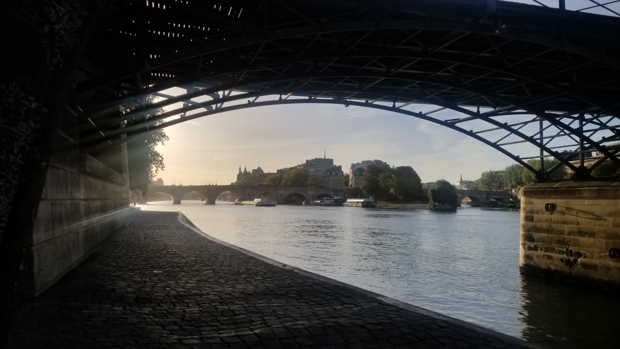
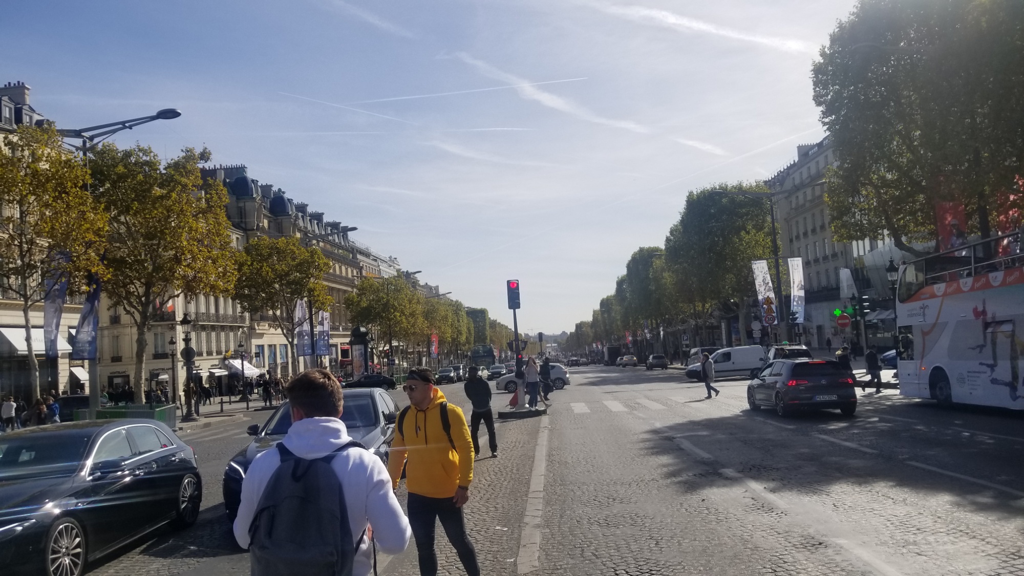
As I walk through the streets of Paris, retracing my steps from 90 days since, as if it were groundhog day and I were living Day 1, with everything being flipped/flopped, a wave of memories and emotions flood my mind.
The sun is cold now. The trees shed their only source of food production, and death envelops me on all sides like a big fluffy blanket.
The trees, dead. The adventure, finished. Every summit explored, every lake captured for future reference. Every mystery unfurled, with answers to every question. Gained from a ceaseless rhythm of footsteps, up and down, transcending one mountain’s trial, only to find another, more intriguing, more magnetic scene to bear towards on the other side.
But now, asphalt and concrete are all I see.
Where once every passerby on the trail would greet you with a happy or breathless “Hello!”, now we cannot be bothered to make eye contact. The ubiquitous, egalitarian camaraderie of the trail is apparent when judged against the fierce far-wrought isolationism of the city.
I have thoroughly enjoyed my 90 day schengen zone visa and today is the last day I get to spend in this beautiful country before they kick me out.
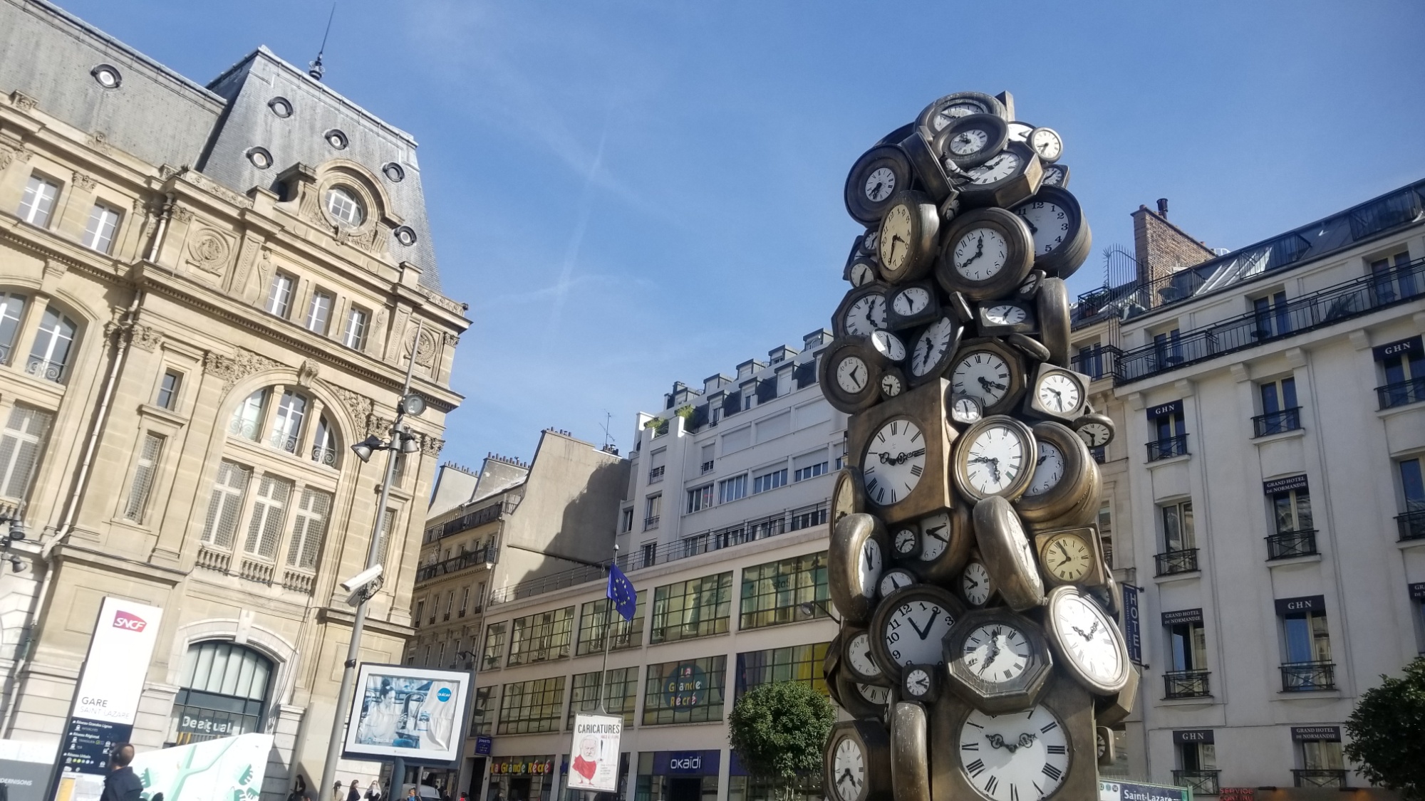
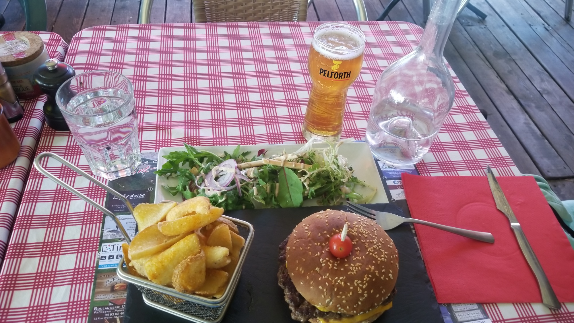
I do my own little version of Anthony Bourdain’s “The Layover,” going to as many different foodie and coffee joints around Paris as I can with the €50 cash I have left.
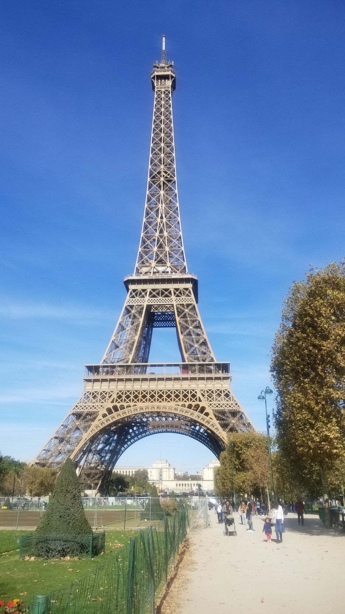
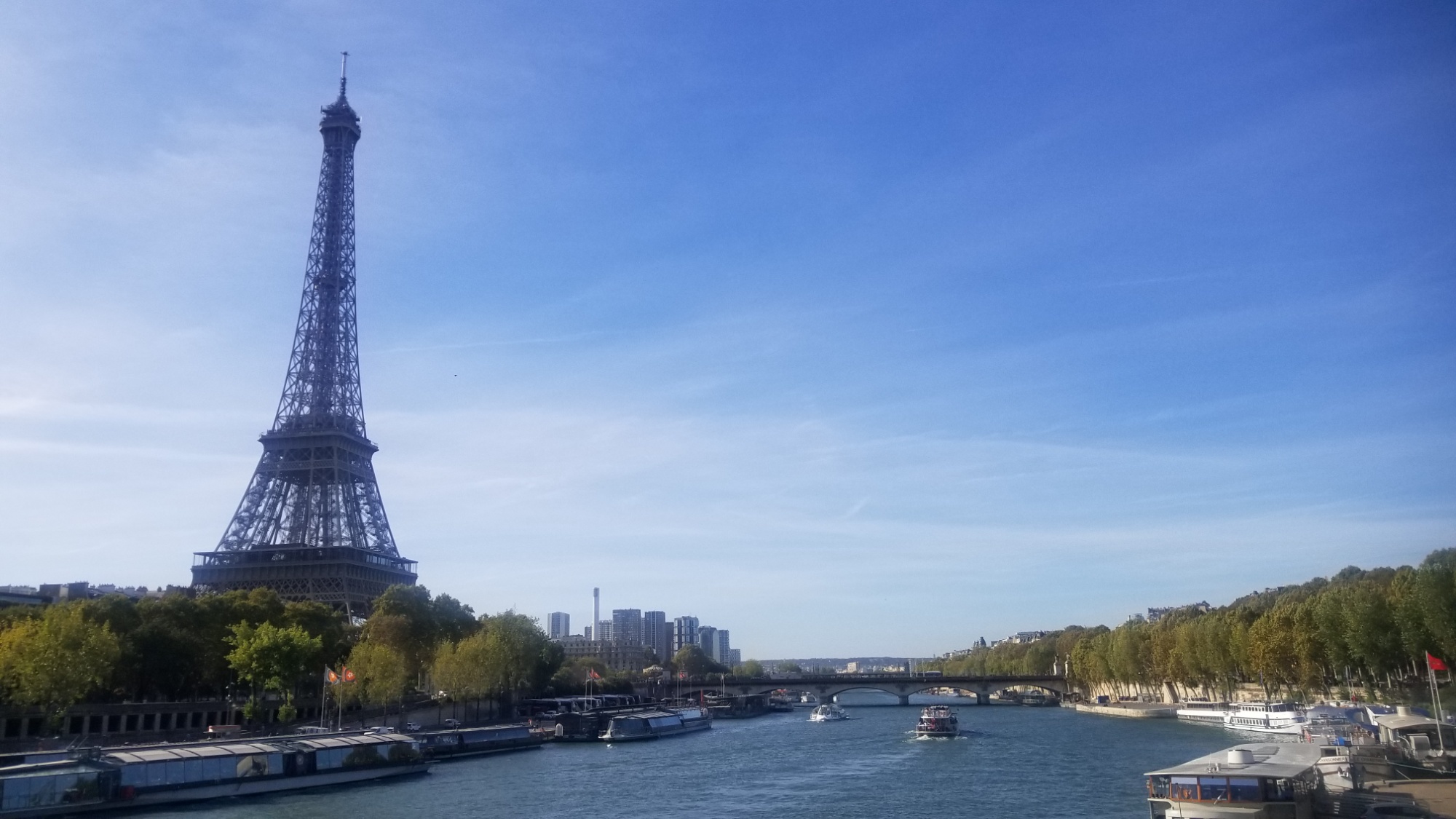
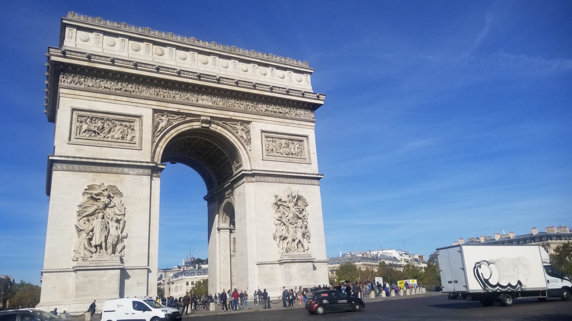
Also I am led to the Eiffel Tower and the Arc d’Triomphe while wandering through the wide, golden streets of Paris before the train.
My final 3 euros go towards a Macchiatto at the Eurostar terminal. When I finally sit down on the train, I’m so tired from the 10 hour all nighter bus ride from Nice that I can barely keep my eyes open! Well, now’s as good a time as any to get some sleep.
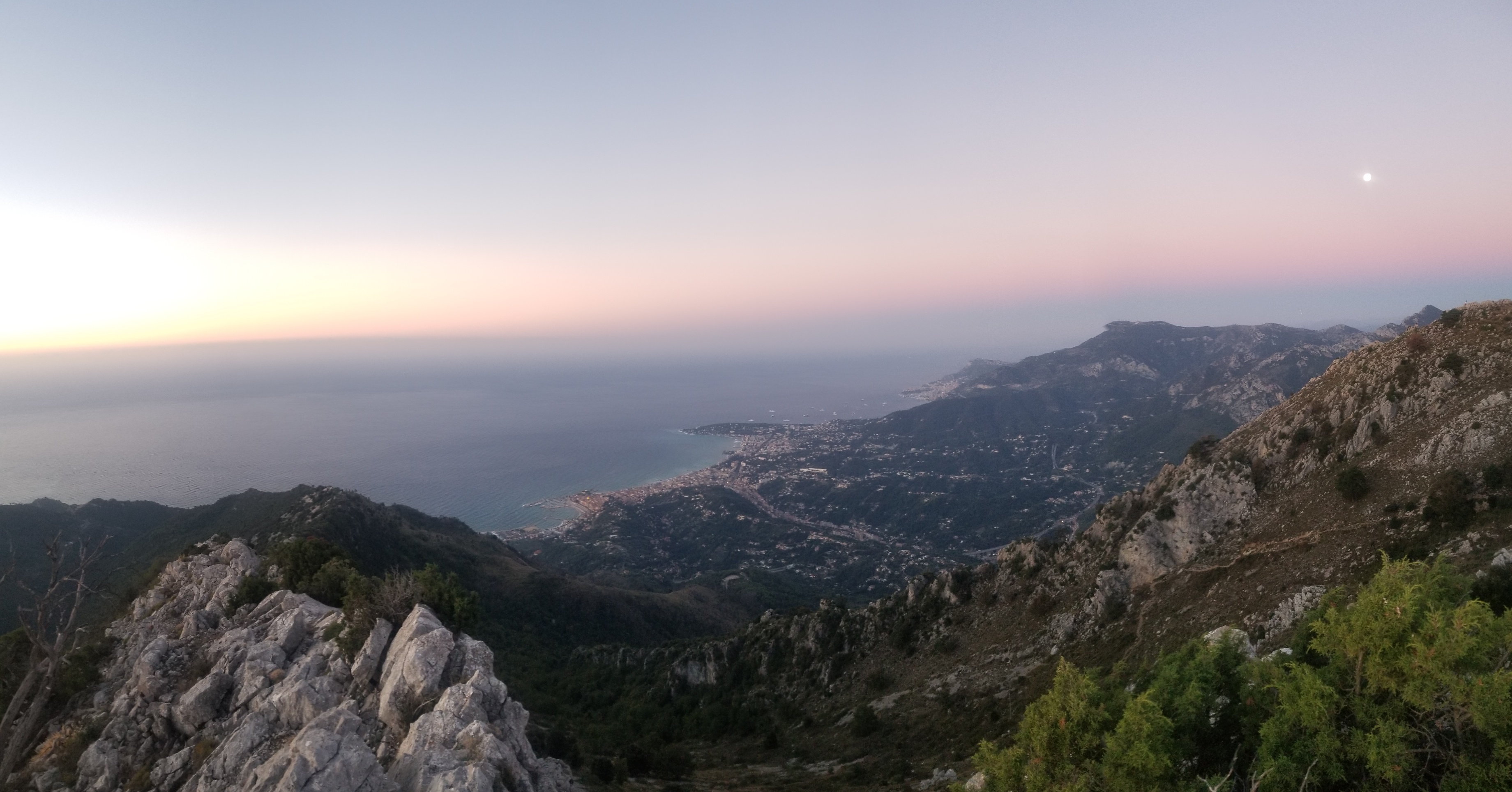
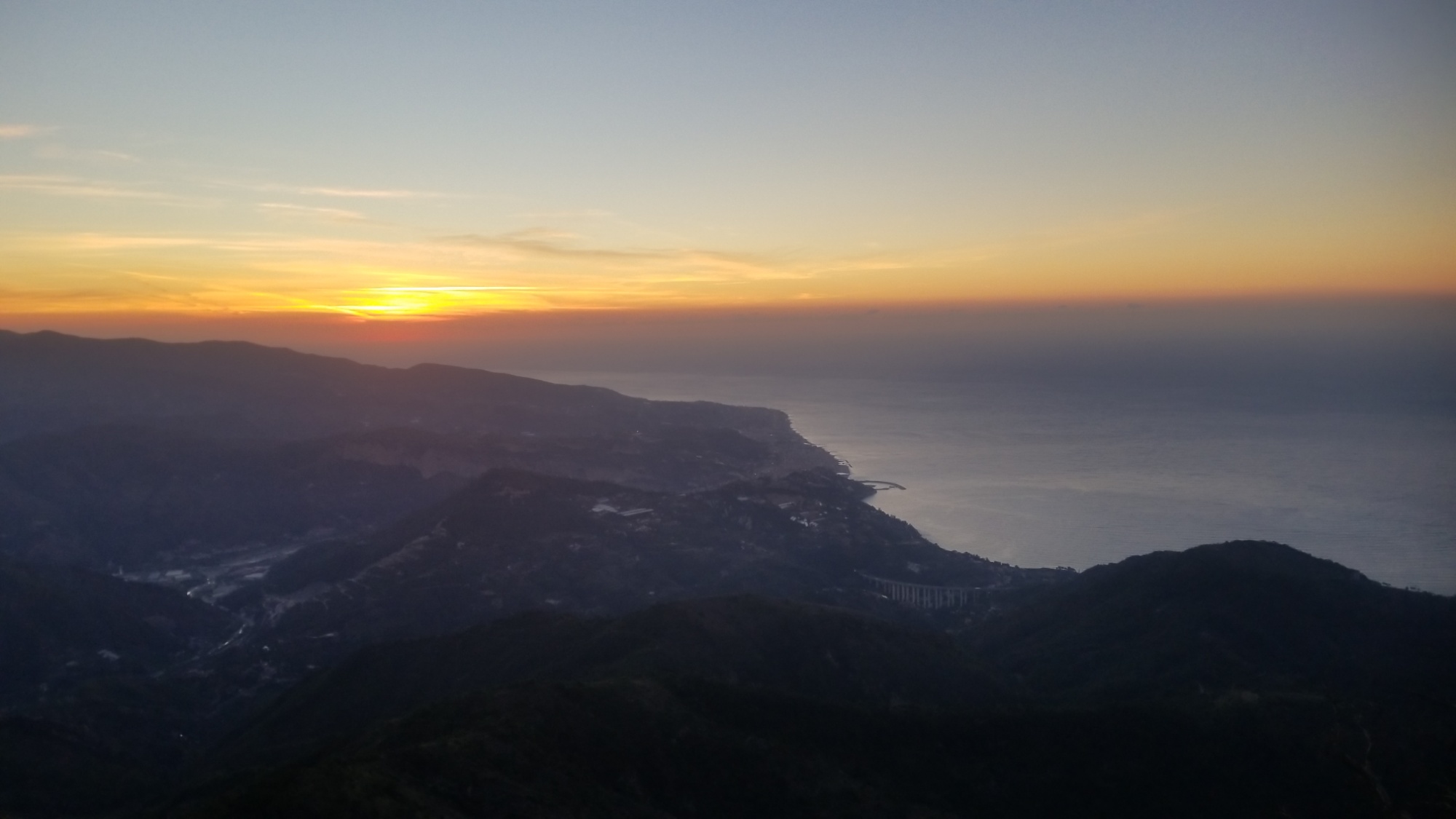
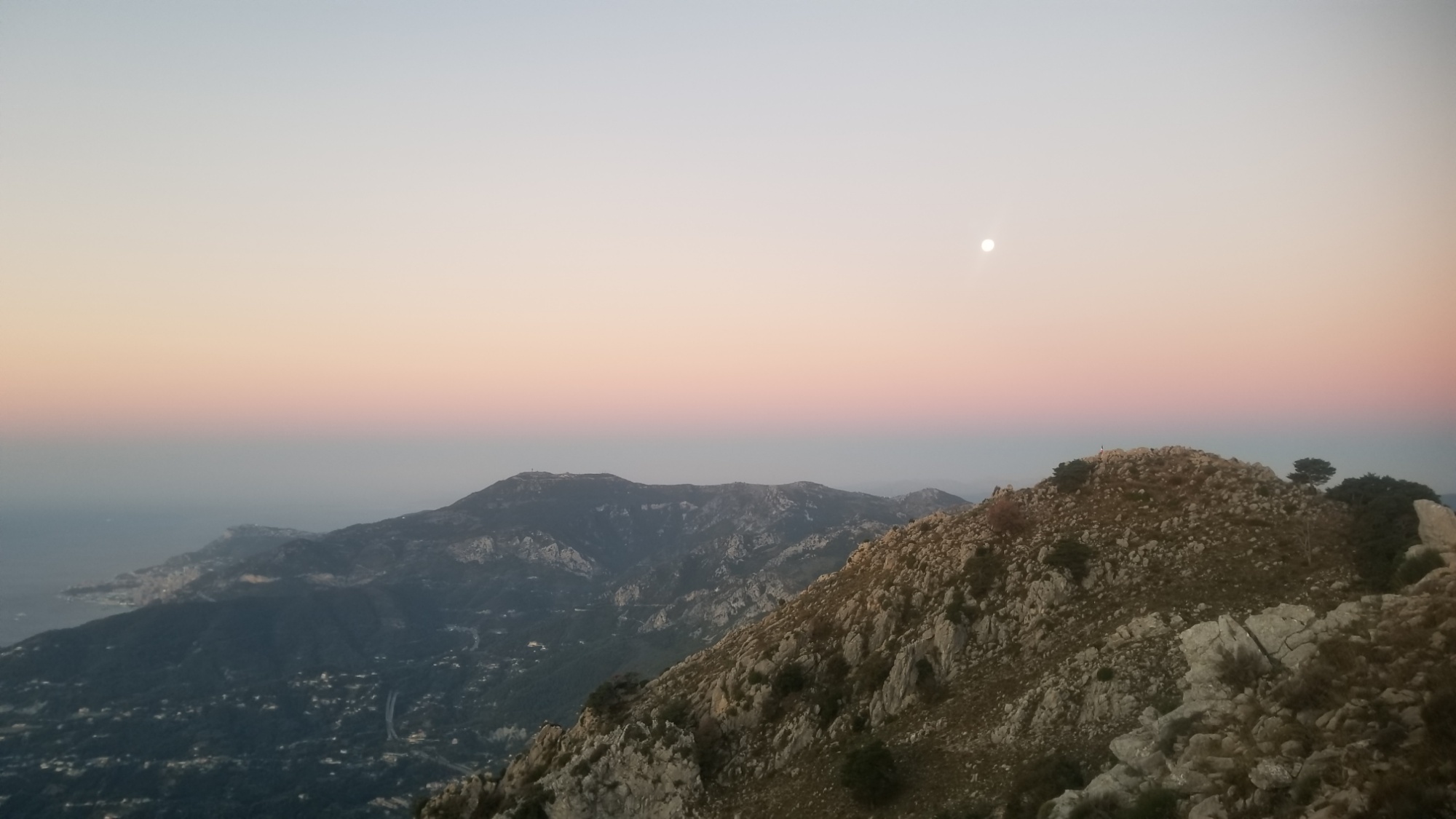
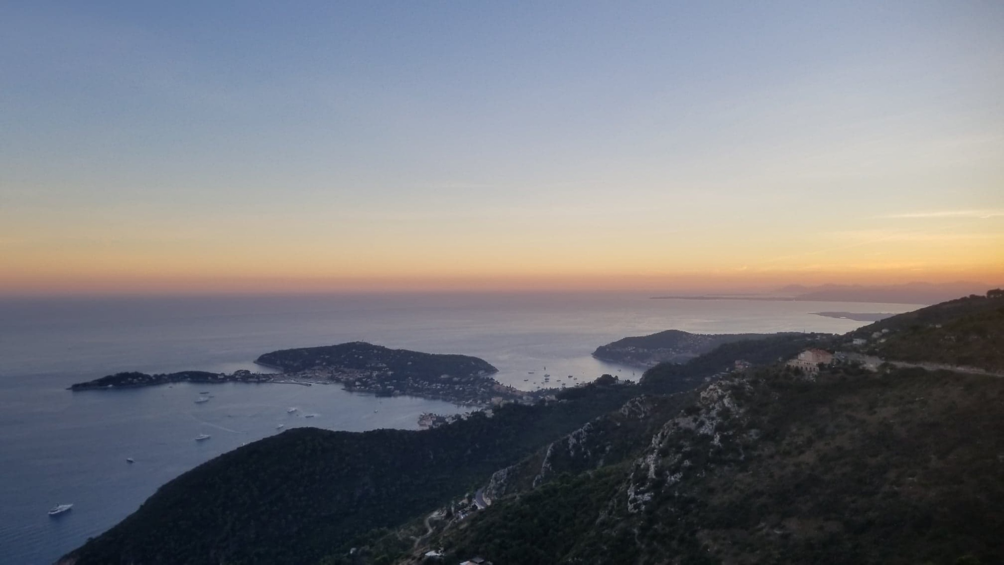
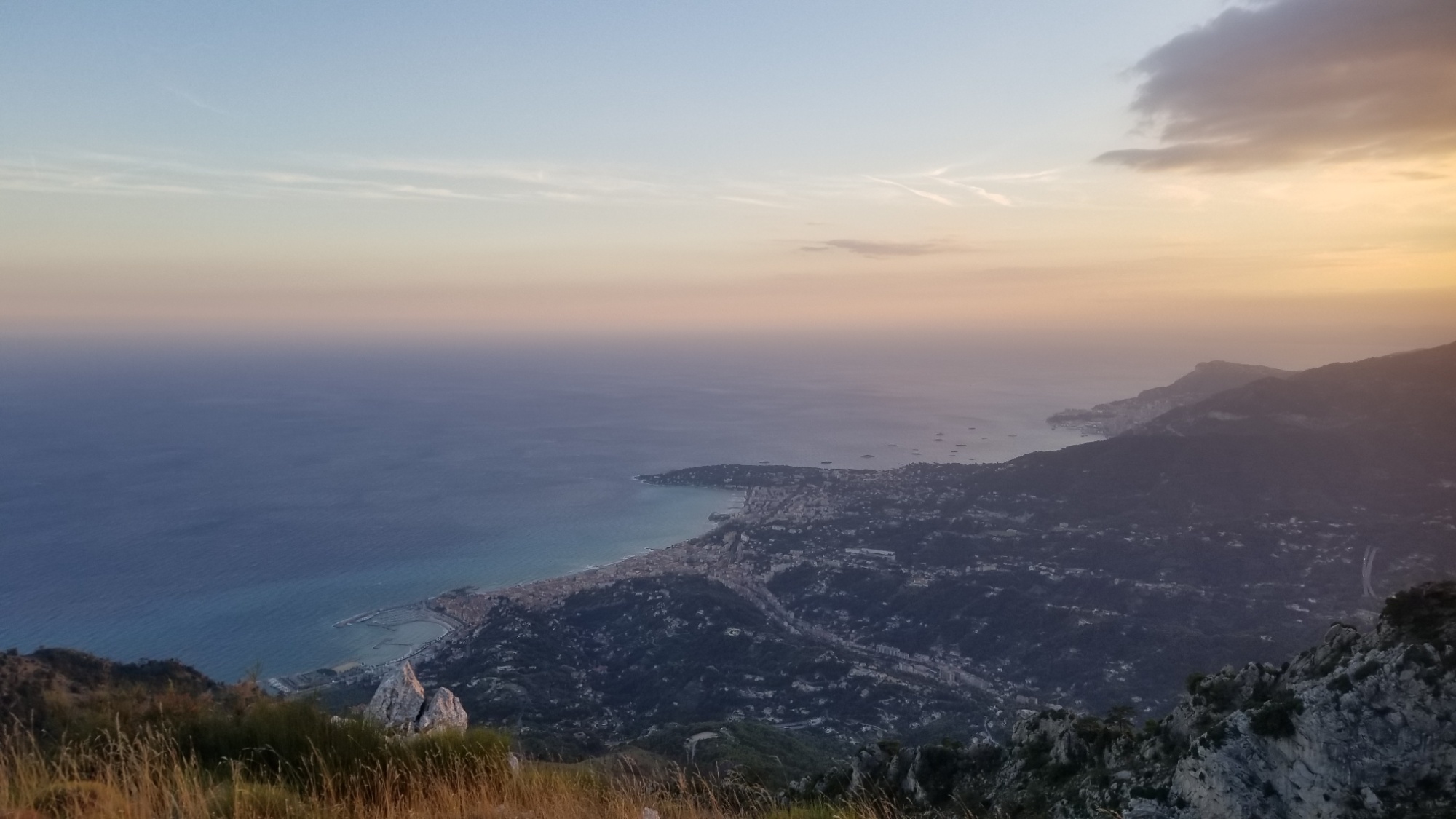
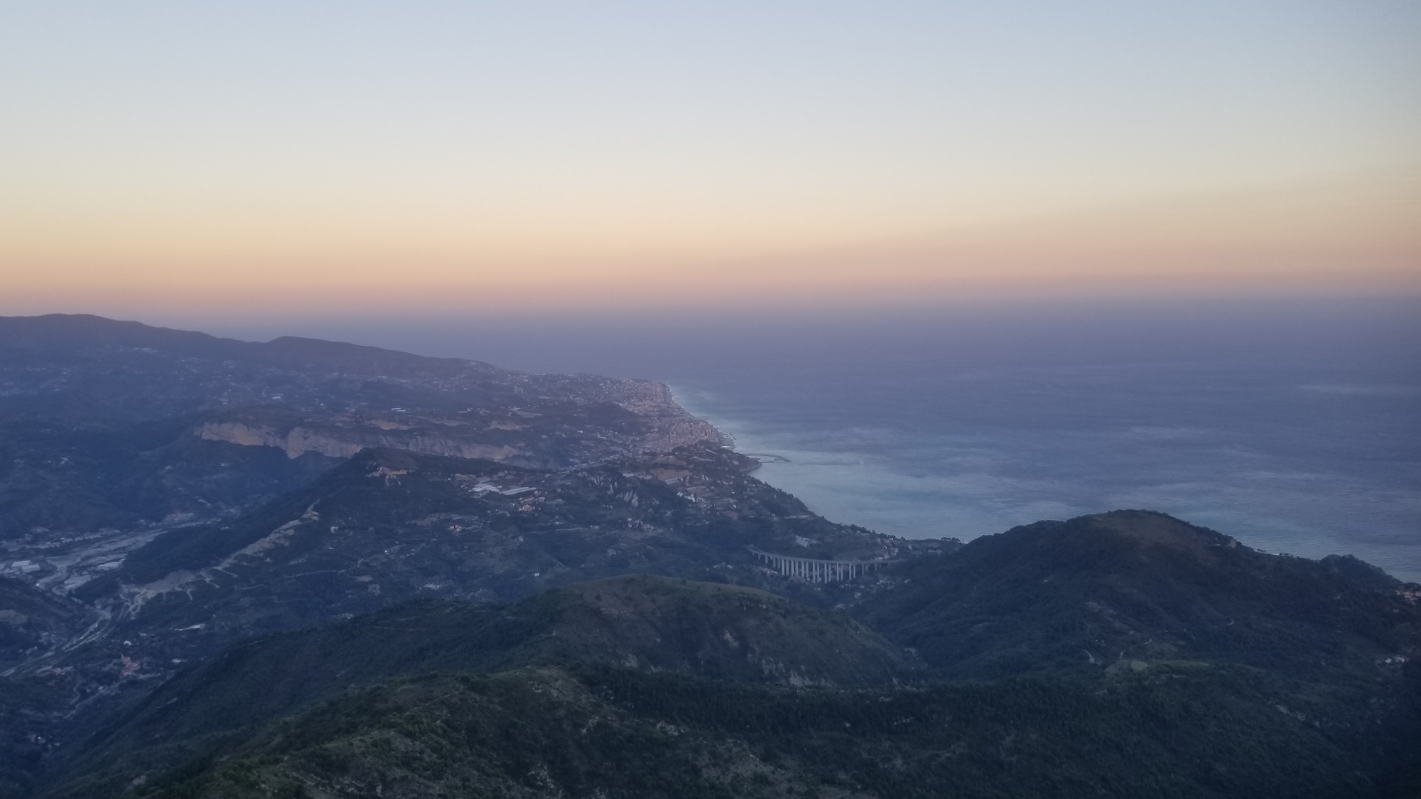
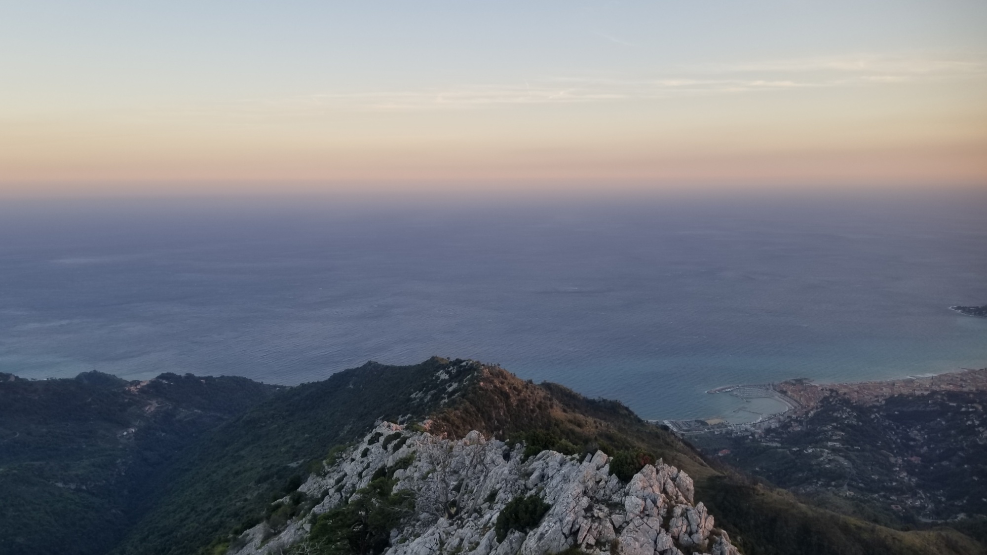
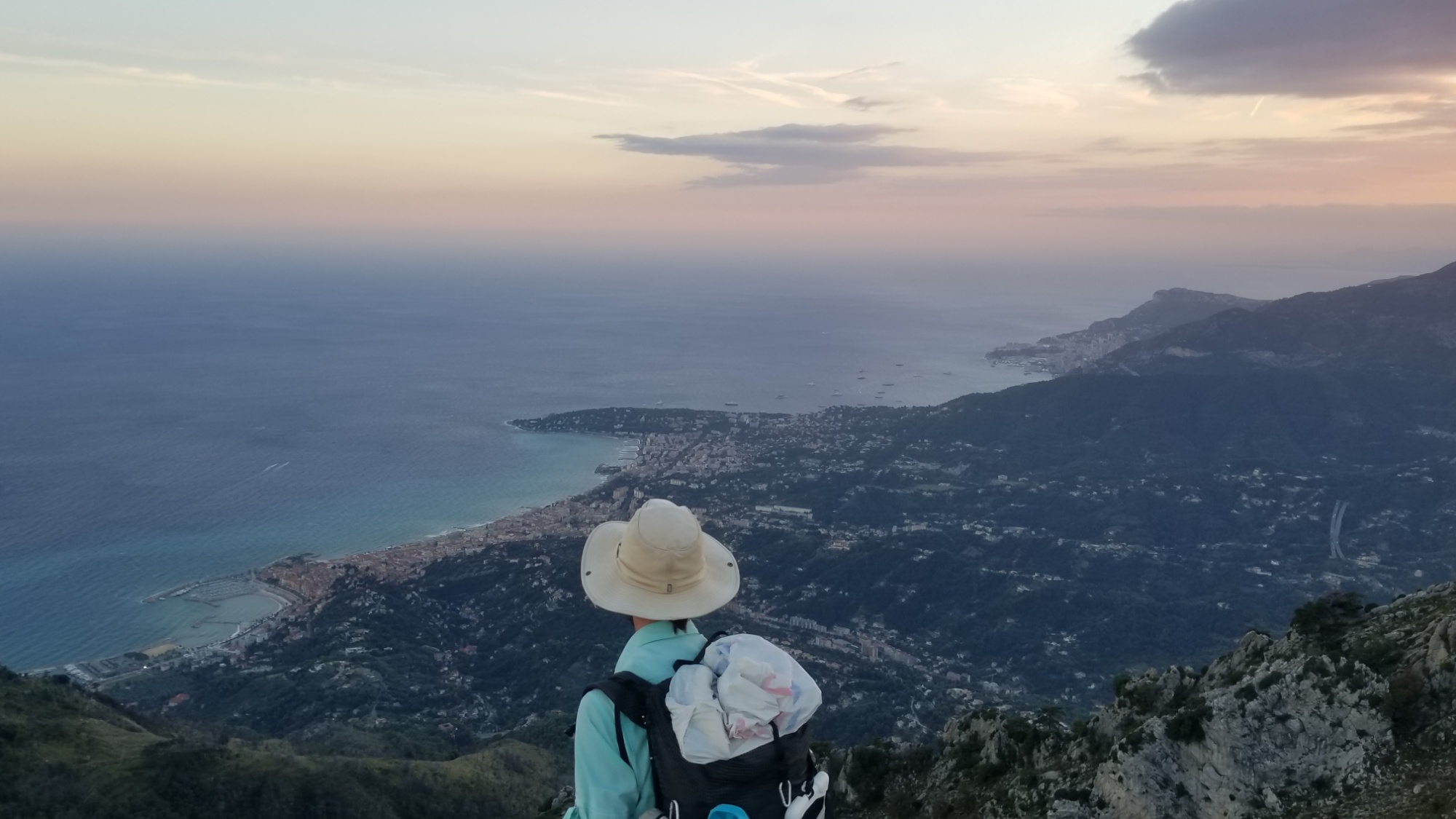
I wake up at my cowboy camp on the crest of a ridge 1,200m above the Mediterranean Sea, the end goal of all my hardships of the last few months. The beautiful aqua blue hues of the water slowly make themselves known as the sun breaks through the horizon, with the full moon, having done a full 180° in the night, on the Western azimuth now, as if the sun and moon were connected by an invisible rod and were twirling in tandem rotational symmetry through the Earth’s skies.
Here are some rare videos to document this exceptional sunrise, a real marvel to wake up to
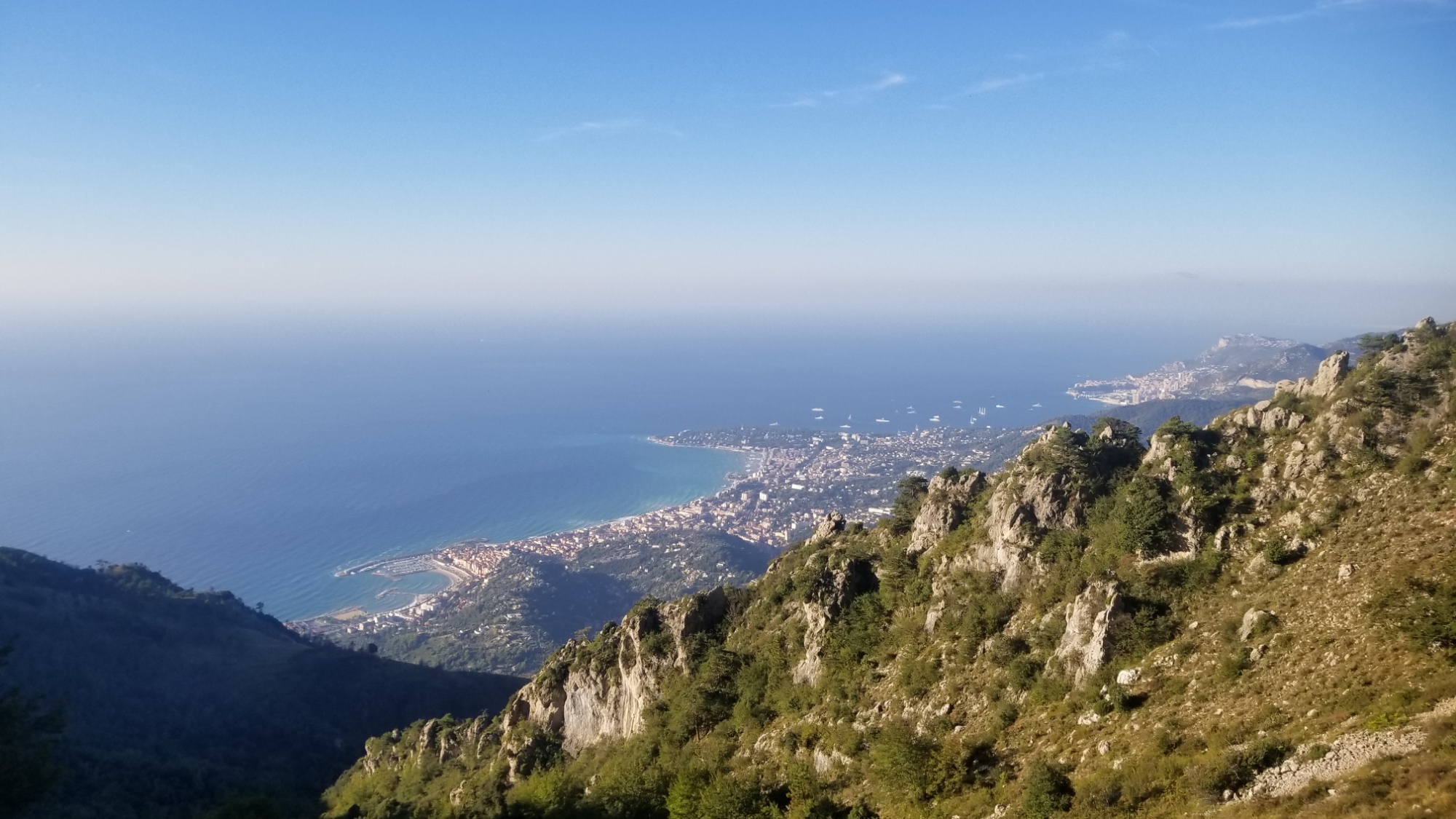
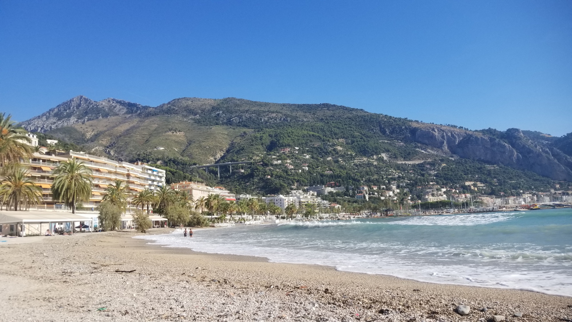
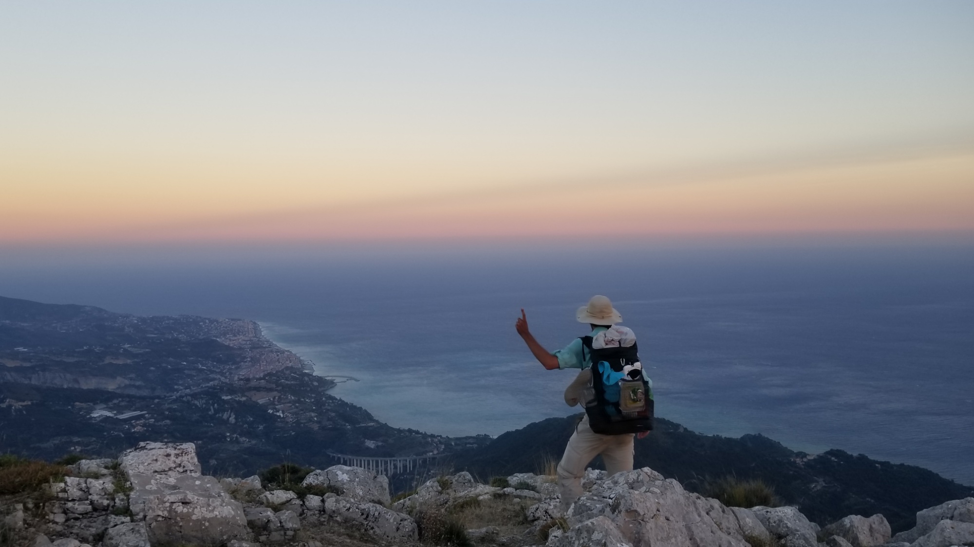
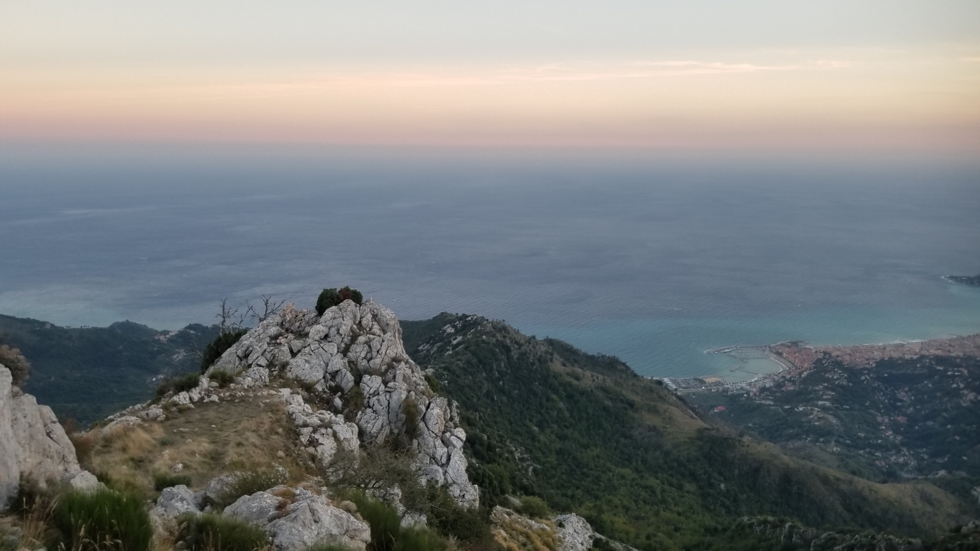
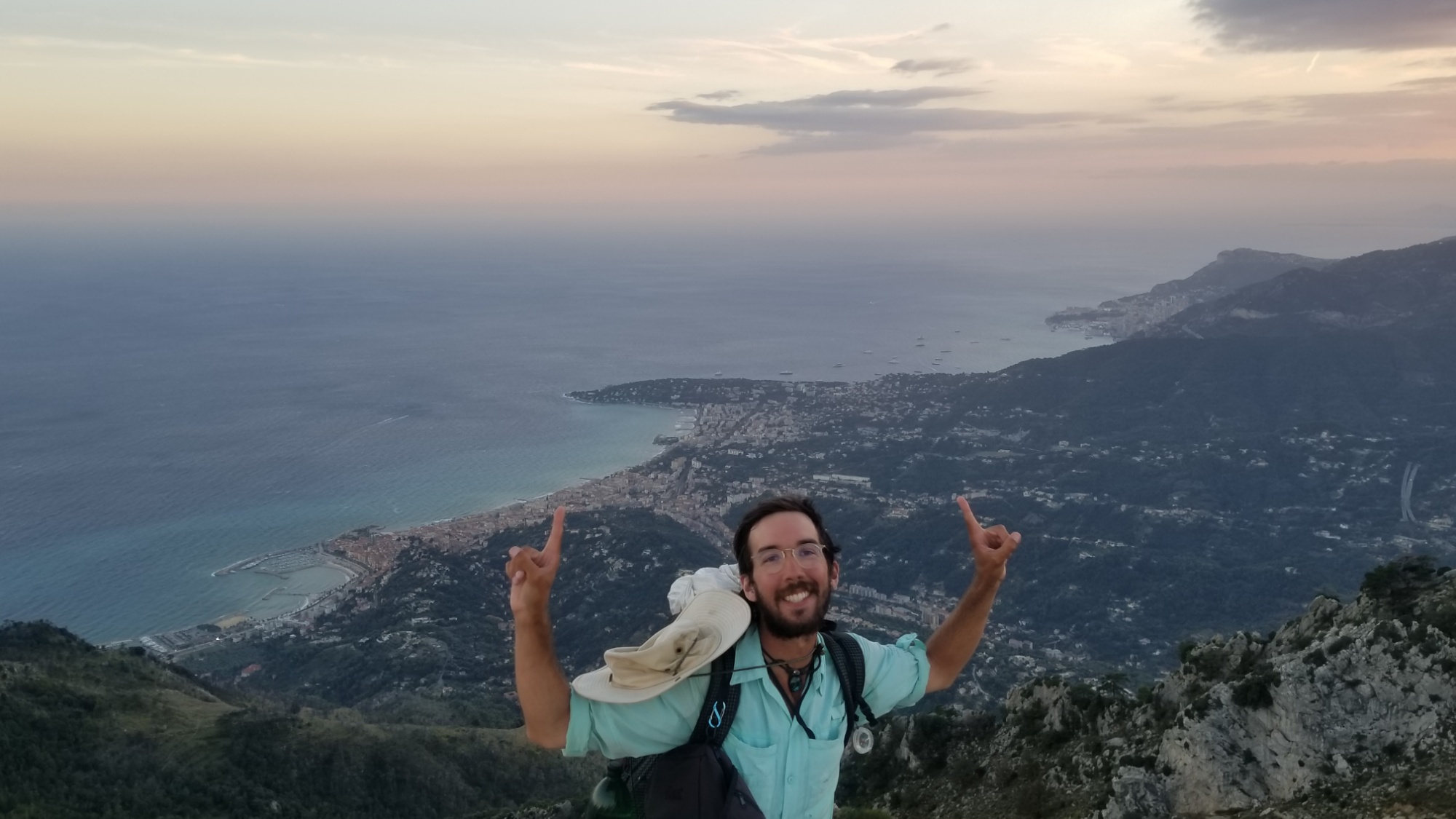
I practically run down the last 5km of trail, although it is steep and laden with slick, sandy gravel. I come to the urban environment of Menton and follow a series of staircases and roads down, finally coming to the Mediterranean at a large marina. I turn right and go a bit farther down the boardwalk, finding a perfect little beach at which to complete the final, necessary, freeing ritual of the GR5, to walk into the Sea, a new person for all the trials and tribulations that the trail has laid down before me.
I camped up at that highest point on the left
I hang around the town of Menton for a few hours, eating tons of ice cream and sorbet and other comfort foods.
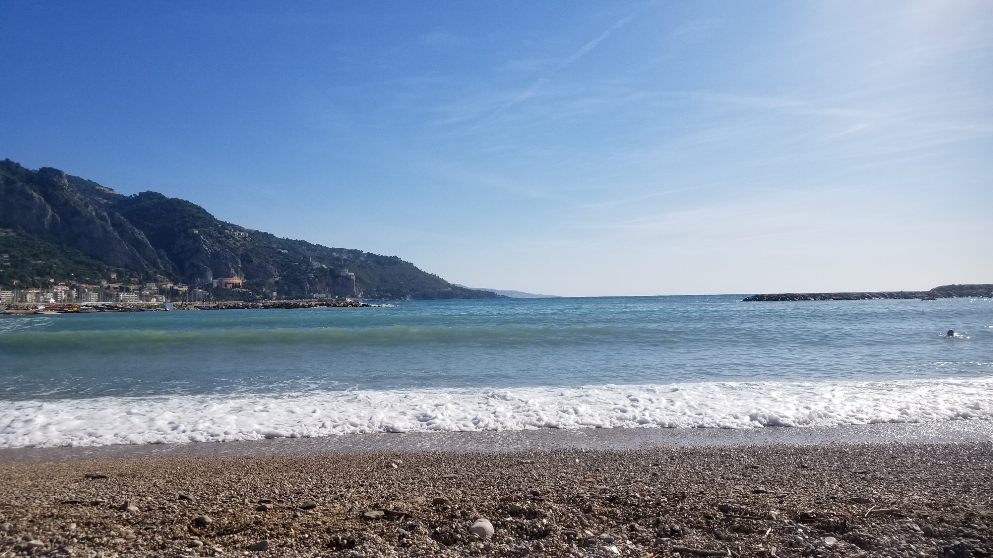
Prettiest body of water yet? Possibly
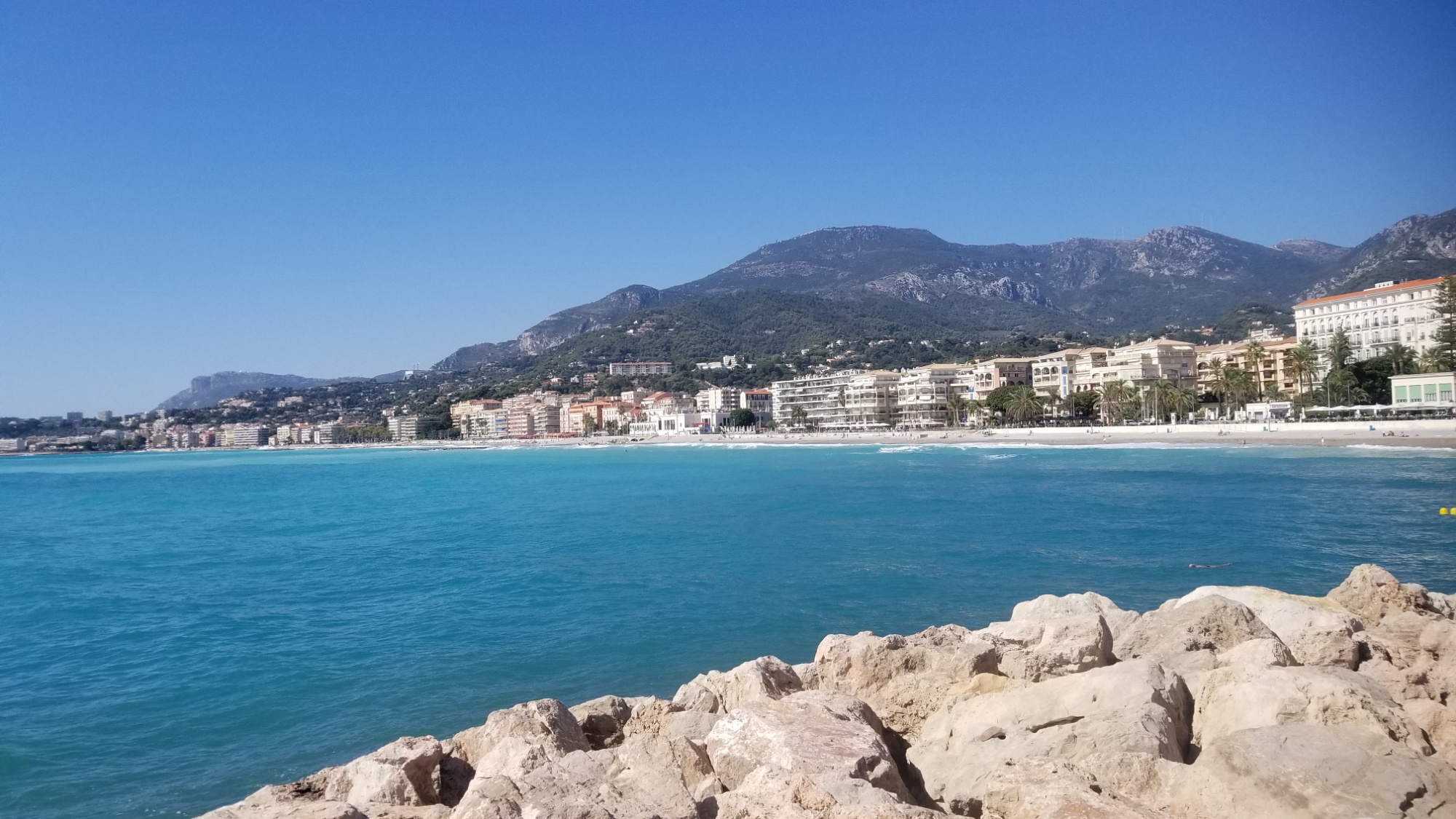
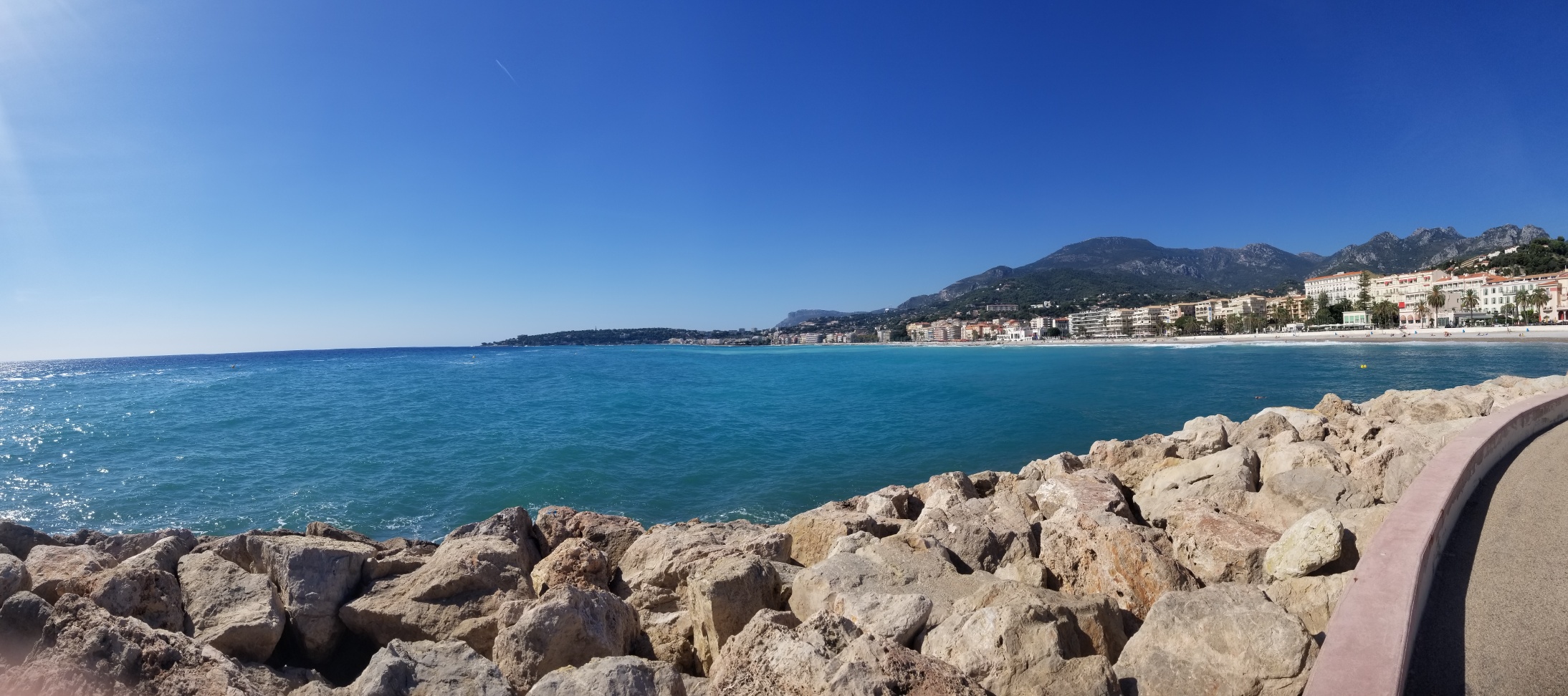
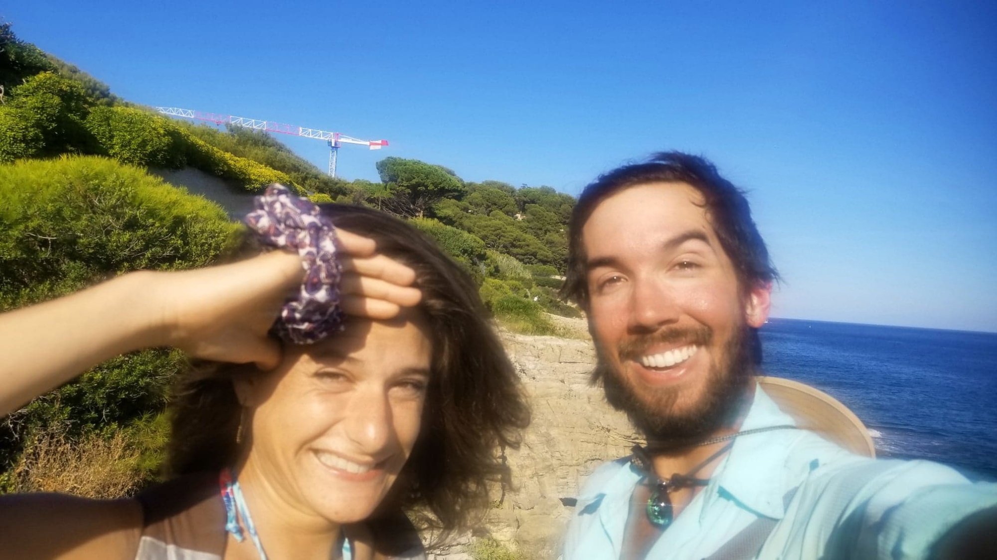
Then, I hop on a train for 30 minutes that takes me to the famous Cote d’Azur town of Nice! My friend’s family were nice enough to pick me up and give me a lovely place to land right in town.
My newfound friend and I would spend the next two days experiencing all the great cultural characters of the area, from the food, the beach parties, a sauna (very good for your skin surprisingly), some Cape walking, a sunset hike up to the top of a 1,500 foot mountain, some music making, and a lot of good conversation.
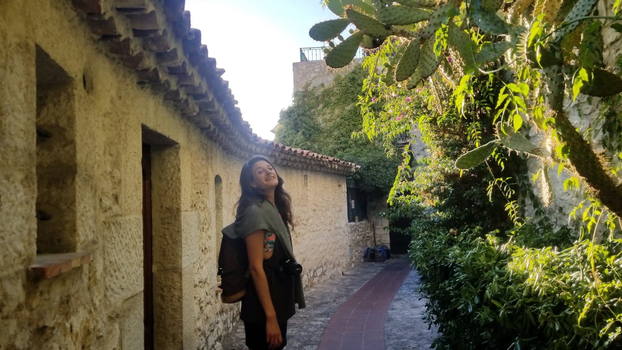
Exploring the ancient fortress of Ezè
Finally, I had to leave Nice, hopping on the night bus to arrive in Paris at 7:30am, before the train to London at 4 that day.
That’s it! No more adventures to write for you and I, to enjoy for ages to come.
A sad day, maybe, but I am forever changed by this spectacular trip through the Alpes and the Pyrénées, in ways that I will need some time to fully realize.
Yet I know that it will take some time before I truly come down from the mental/physical/spiritual high of climbing all those mountains, every day, for 3 full months. And these memories will never leave my mind, for as long as I draw breath on this Earth.
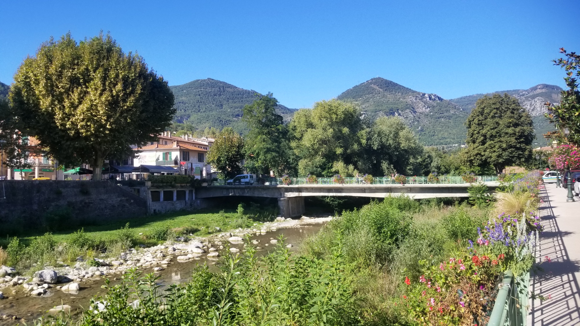
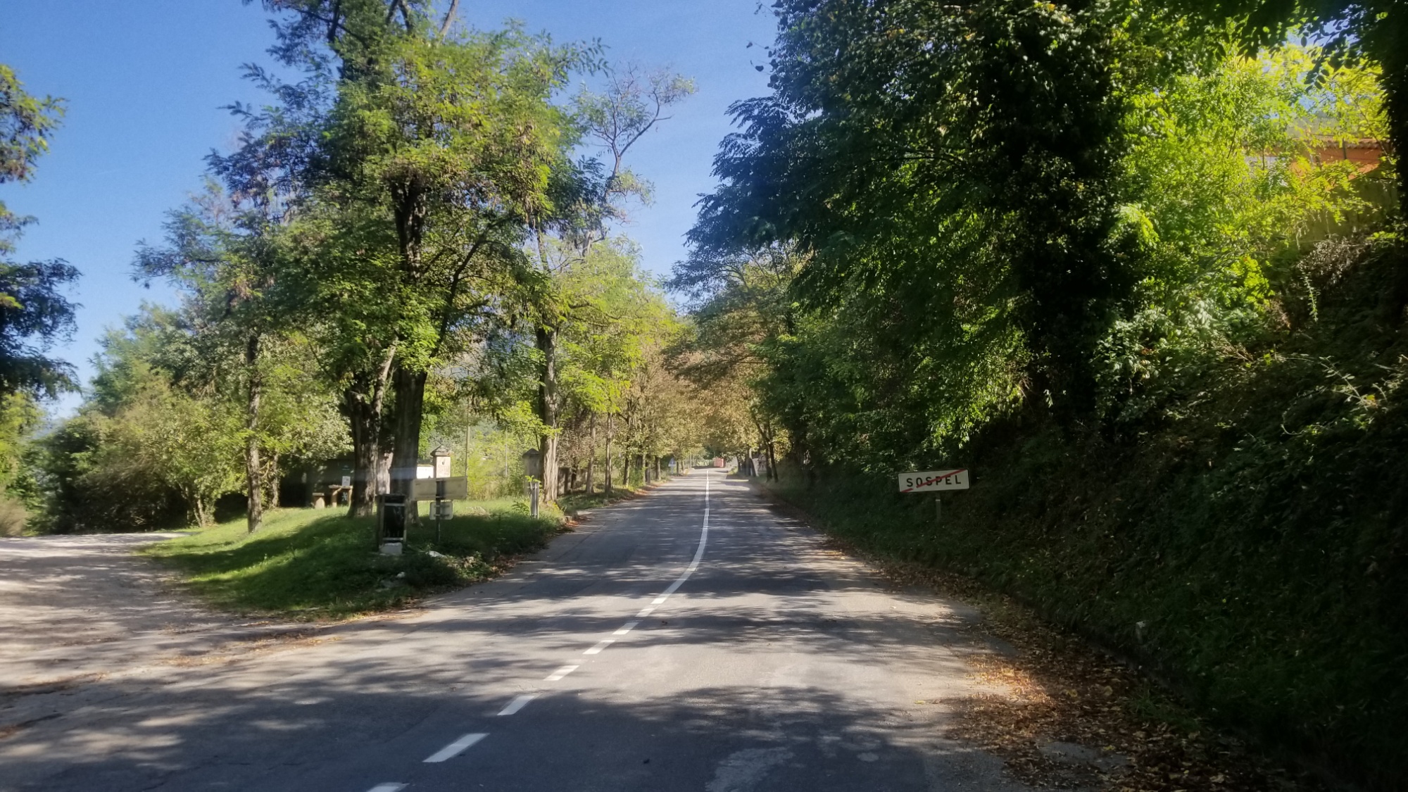
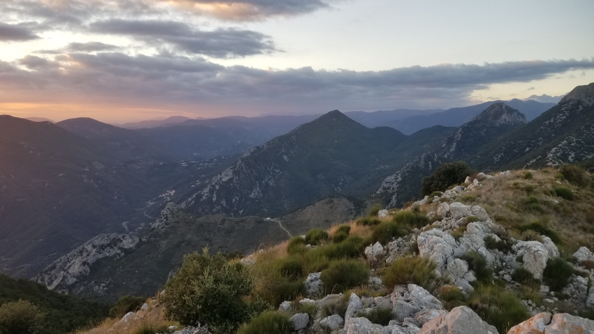
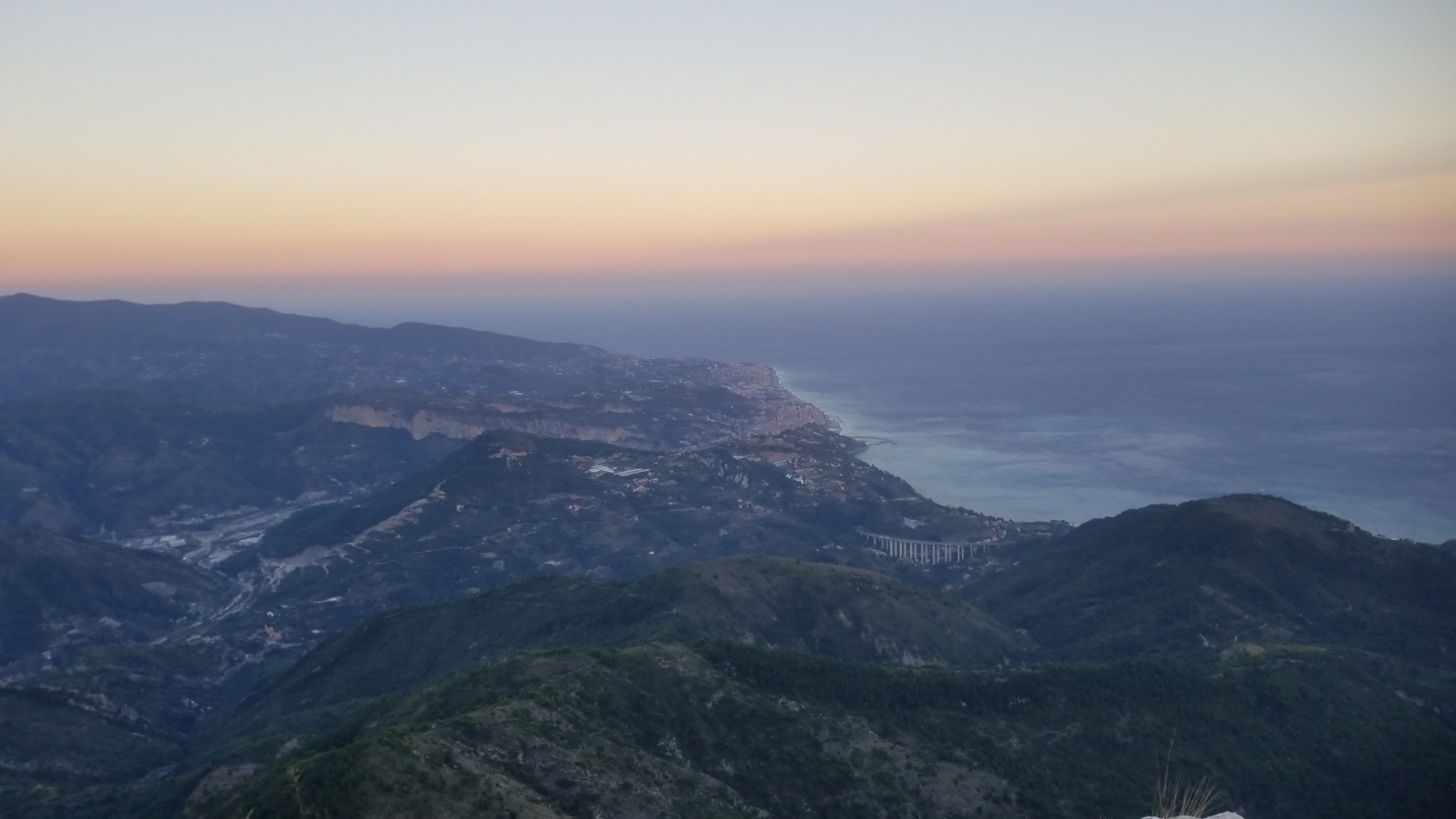
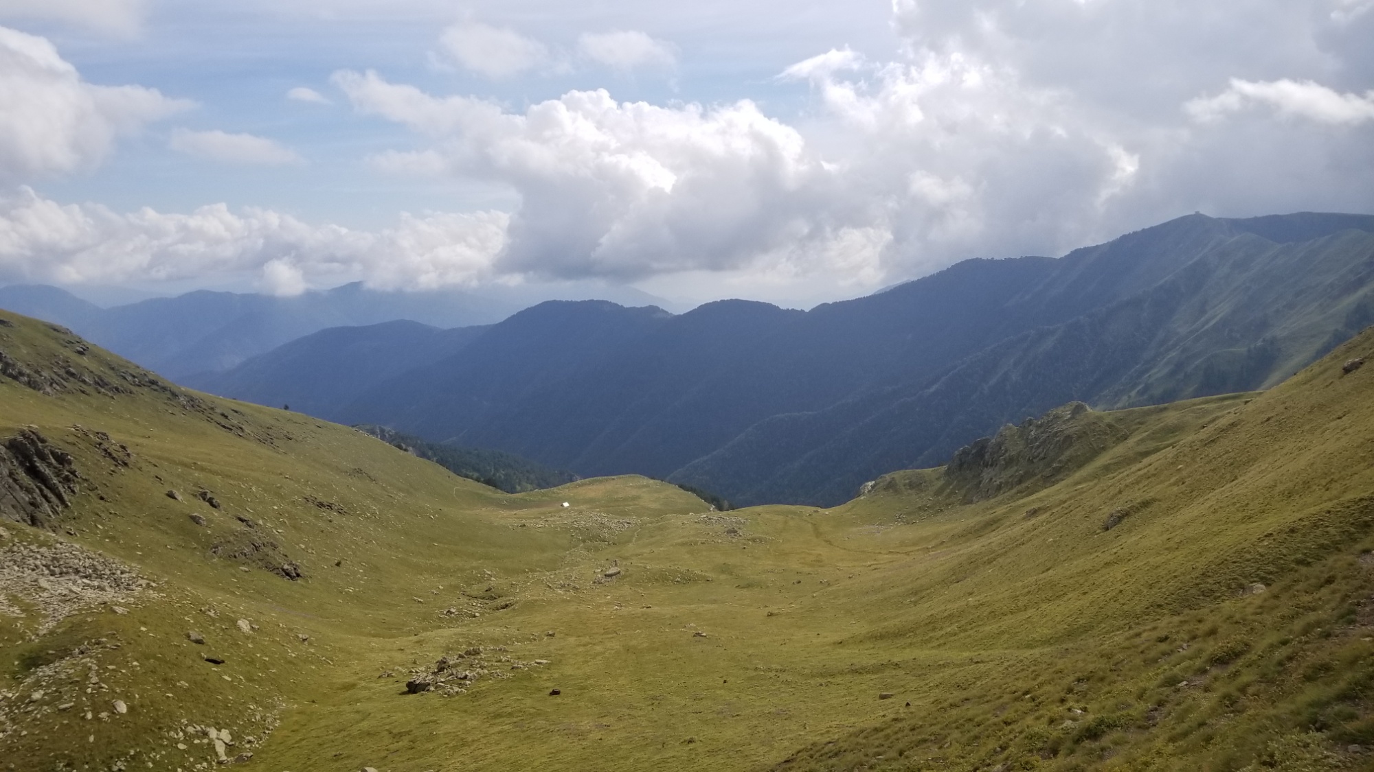
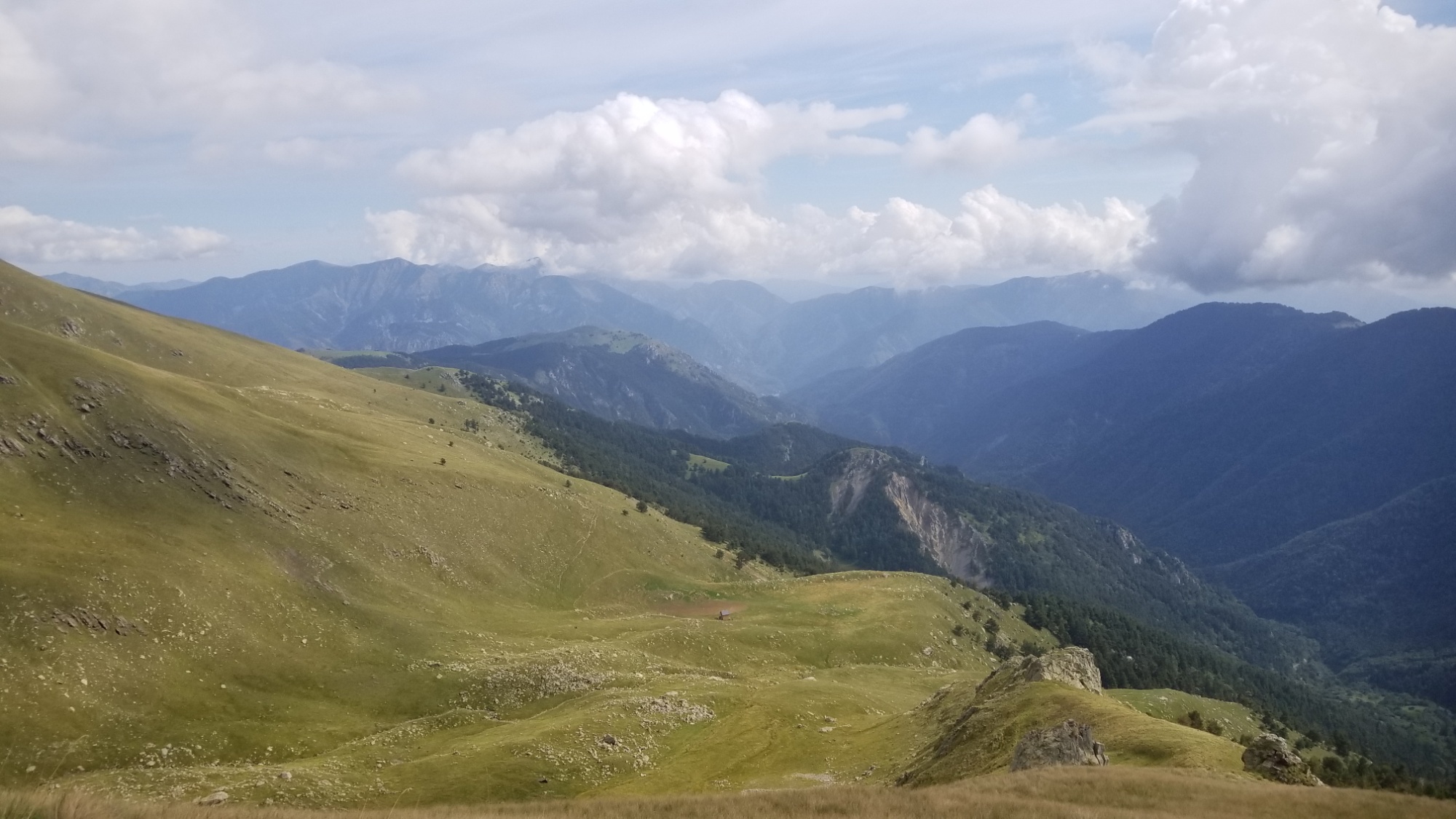
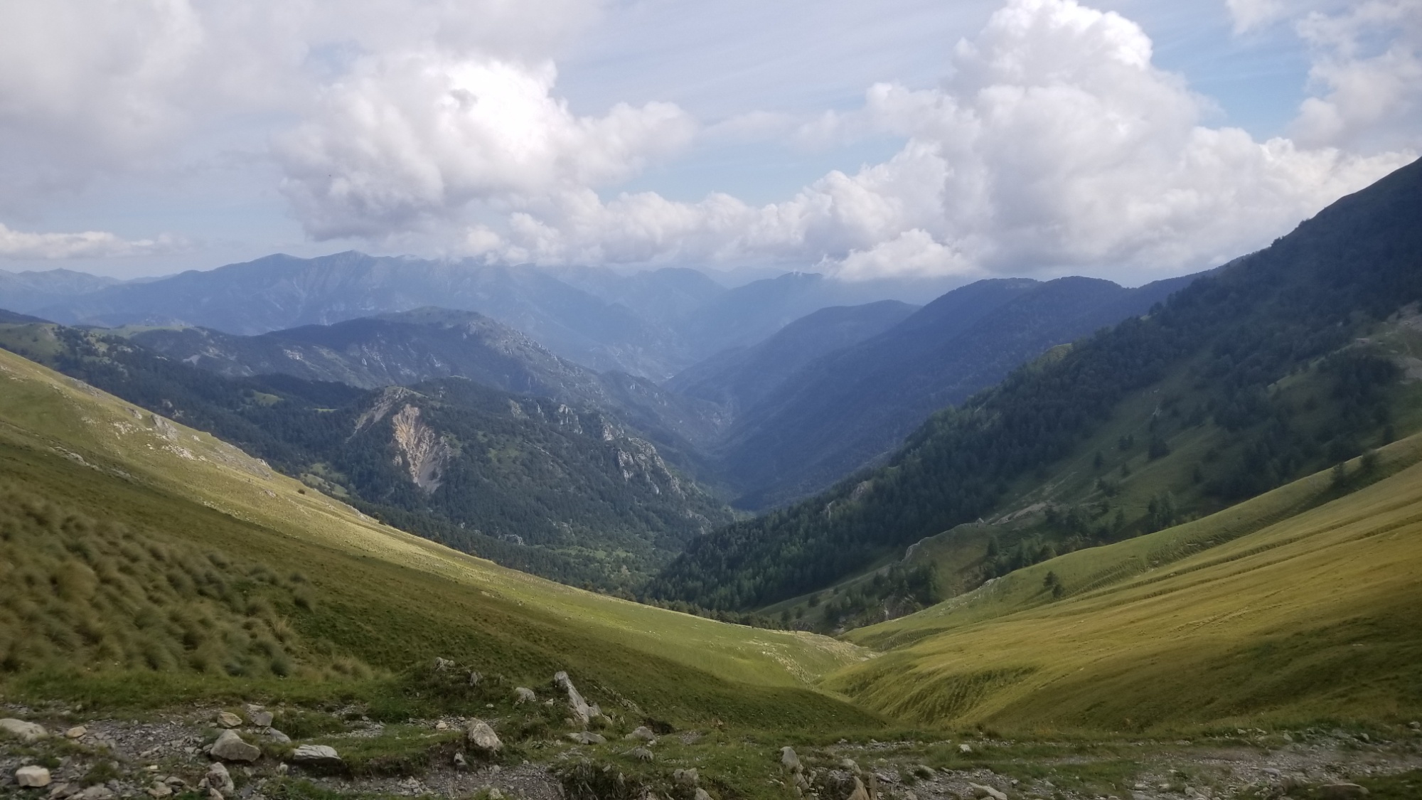
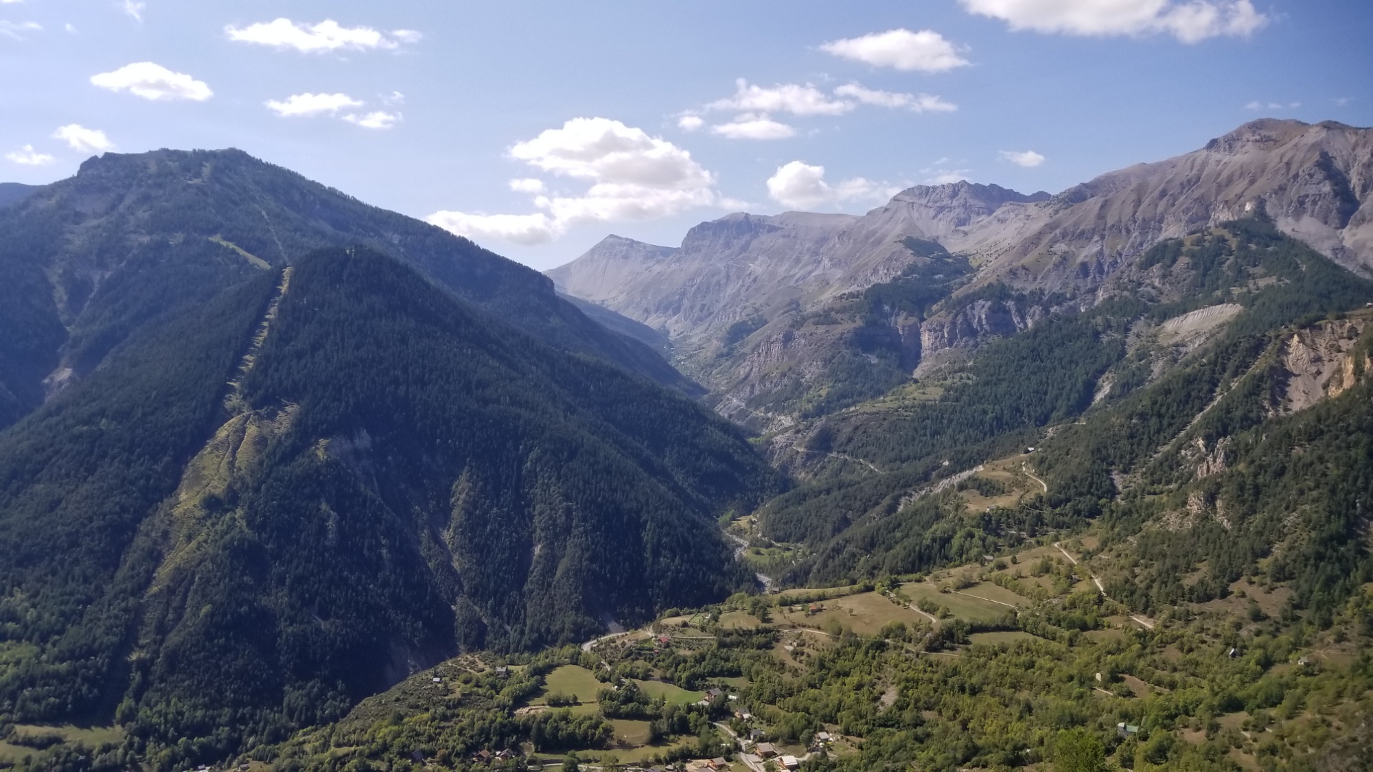
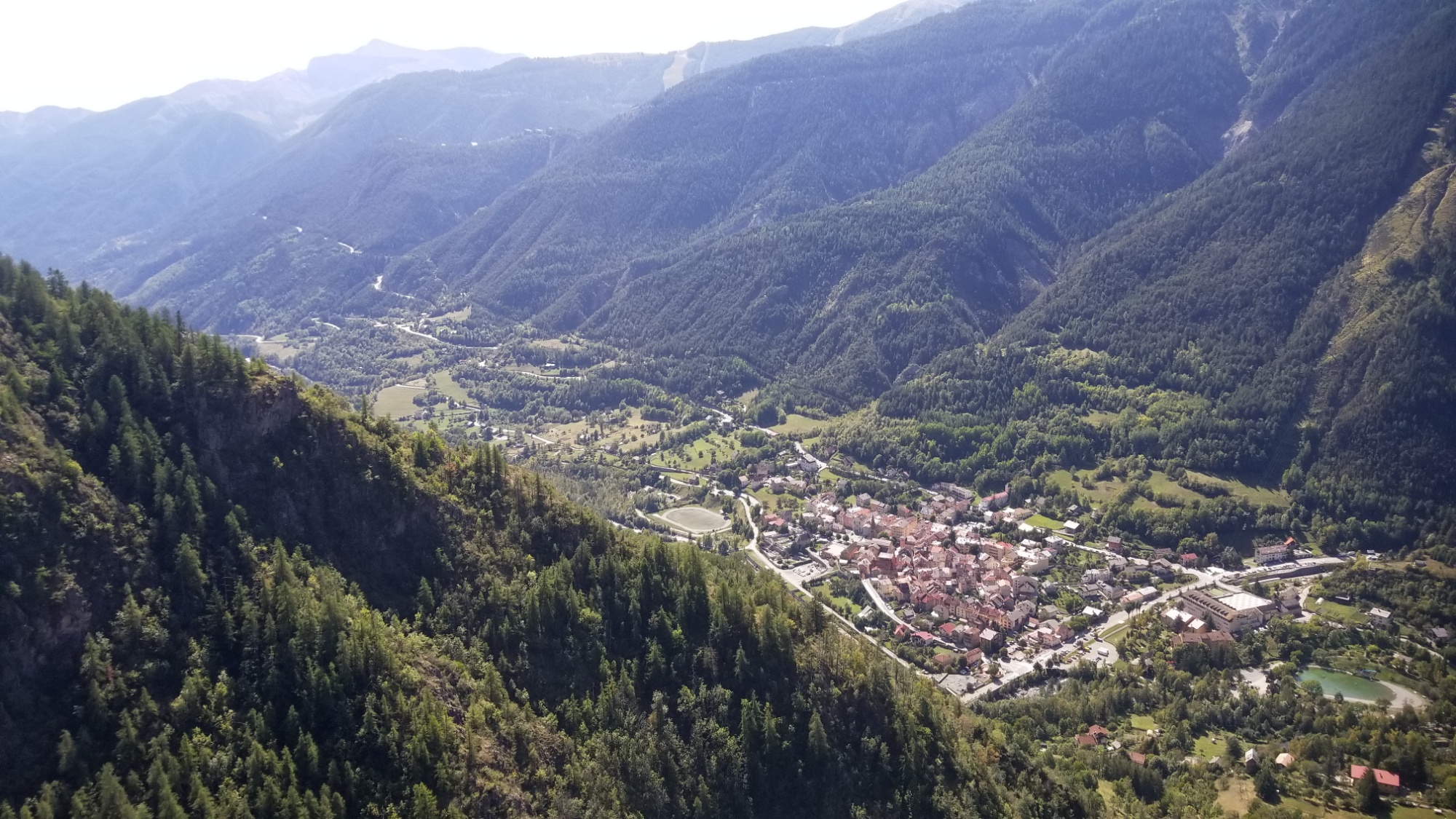
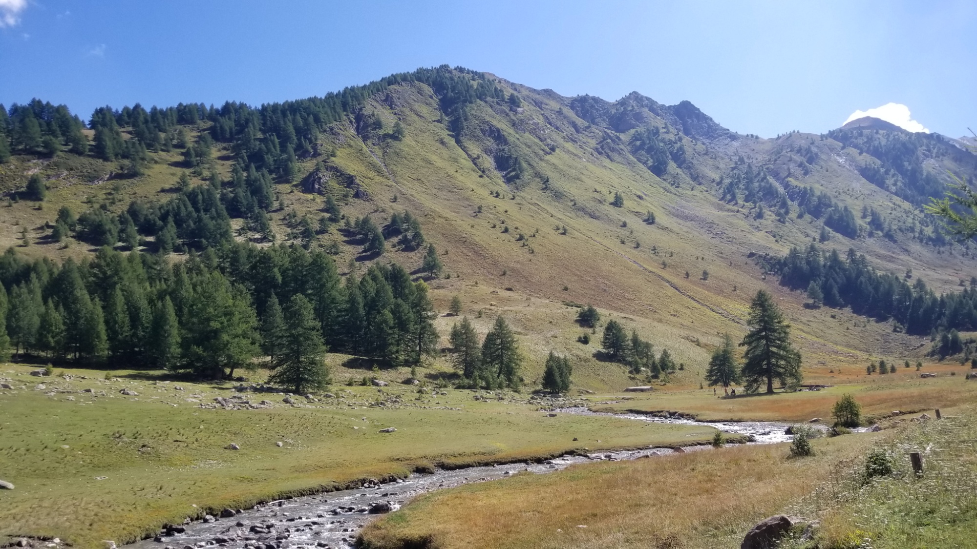
I packed up first thing and made the descent to the village of Sospel, where I hit the supermarket for one final day of supplies.
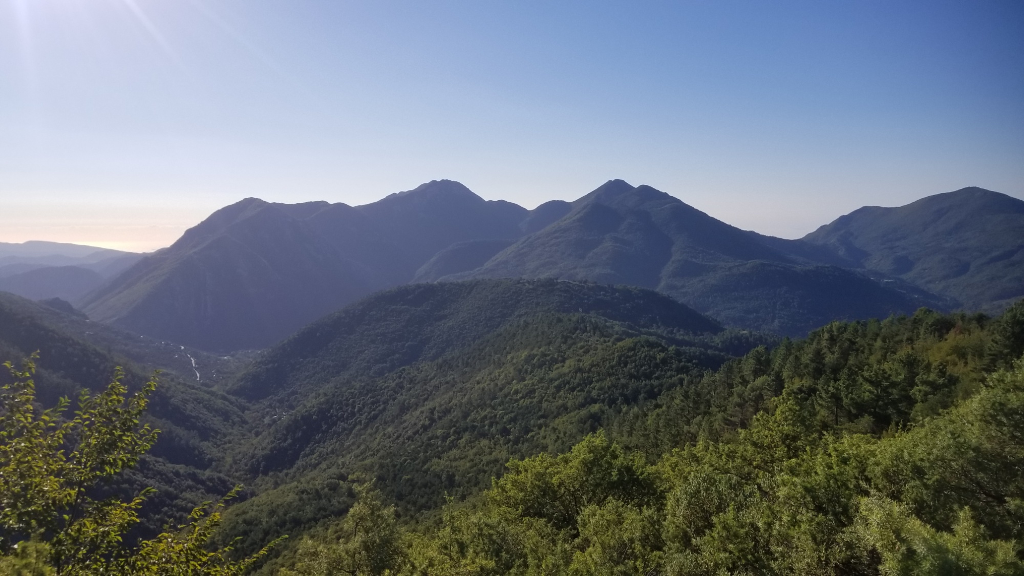
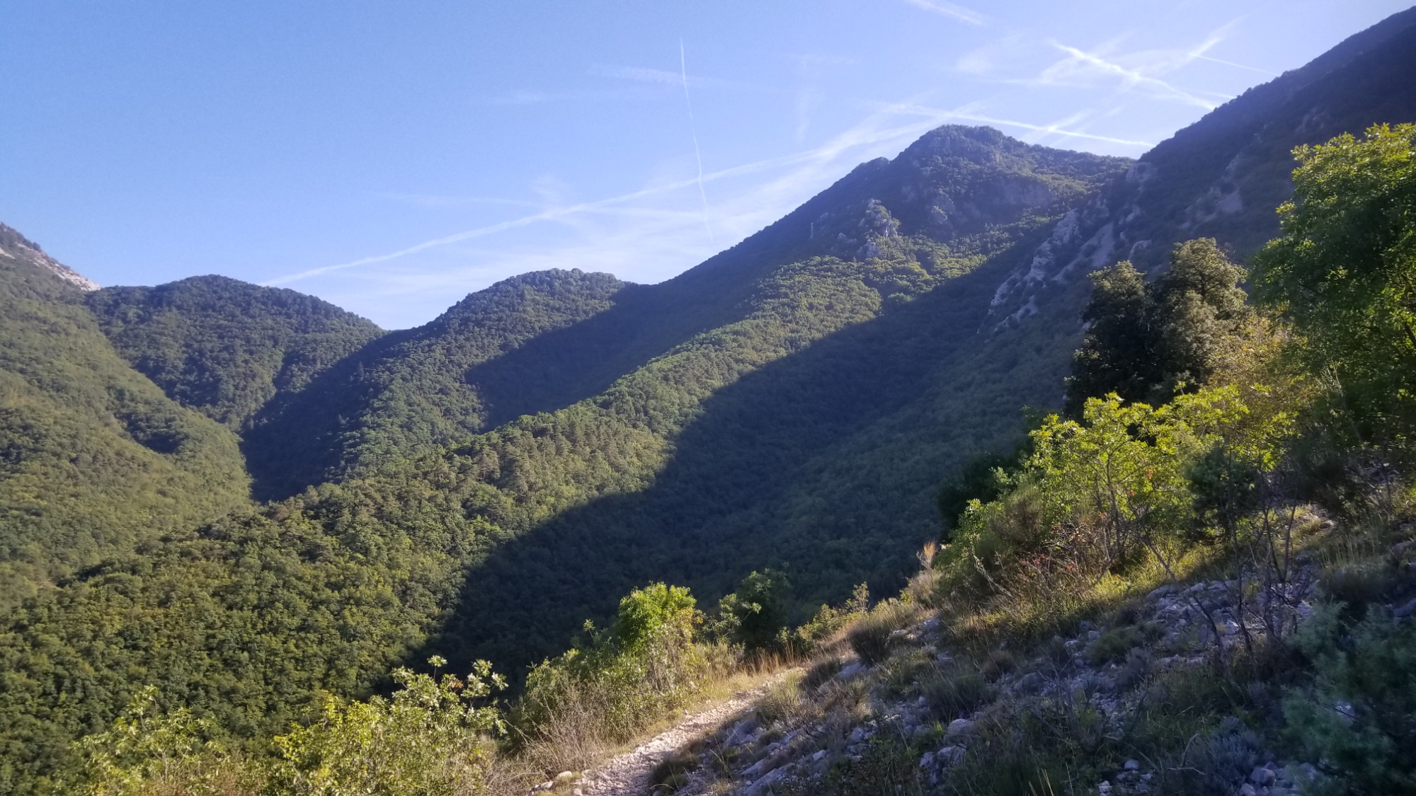
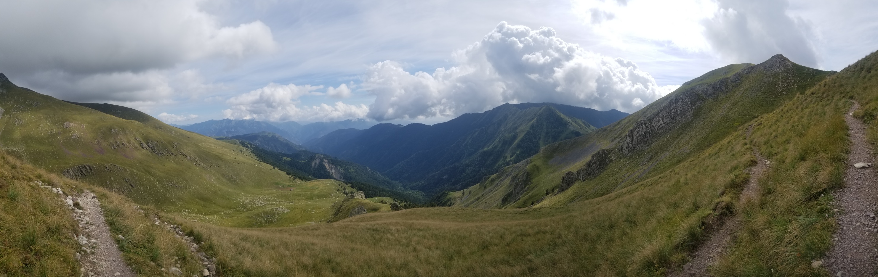
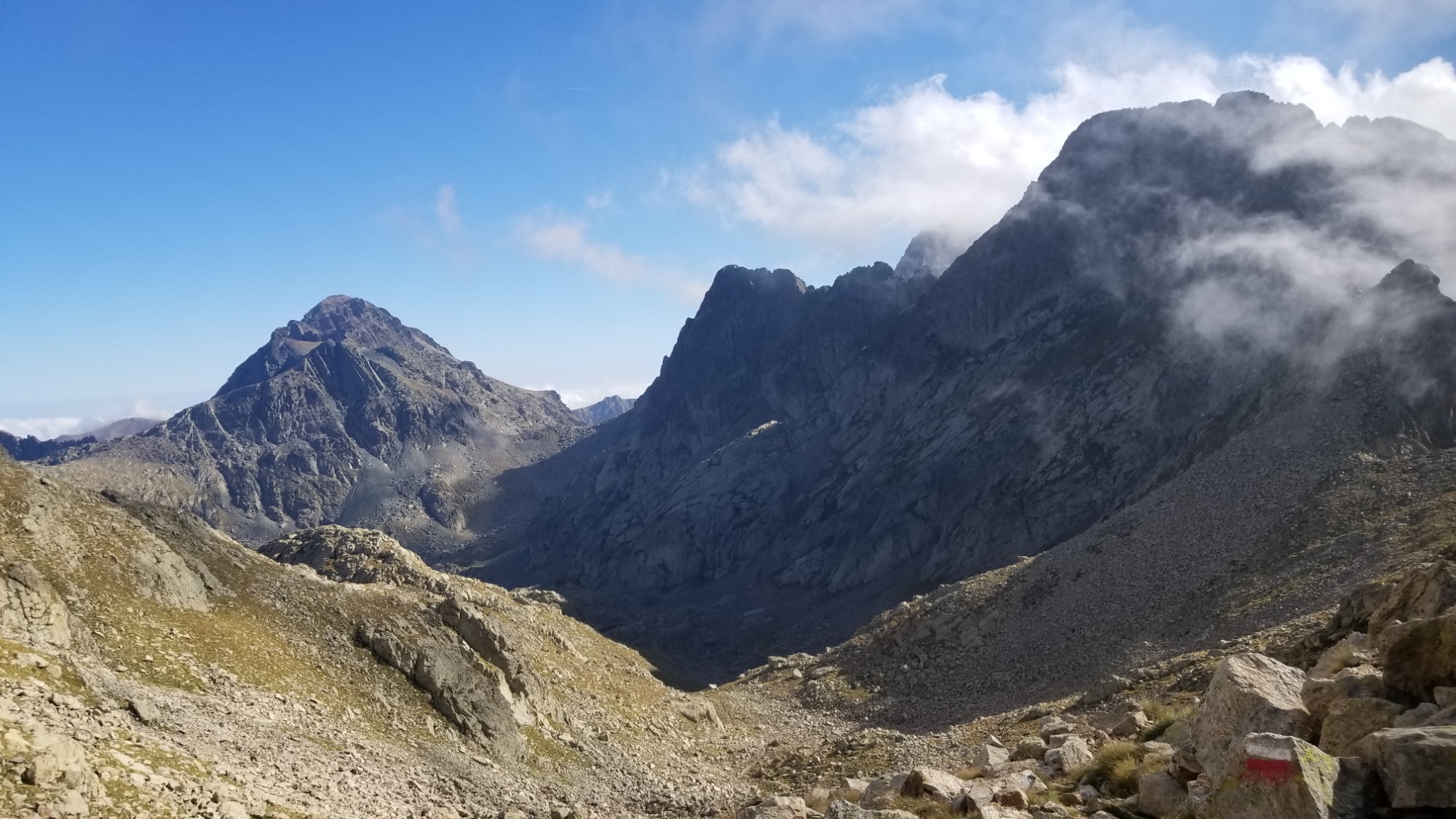
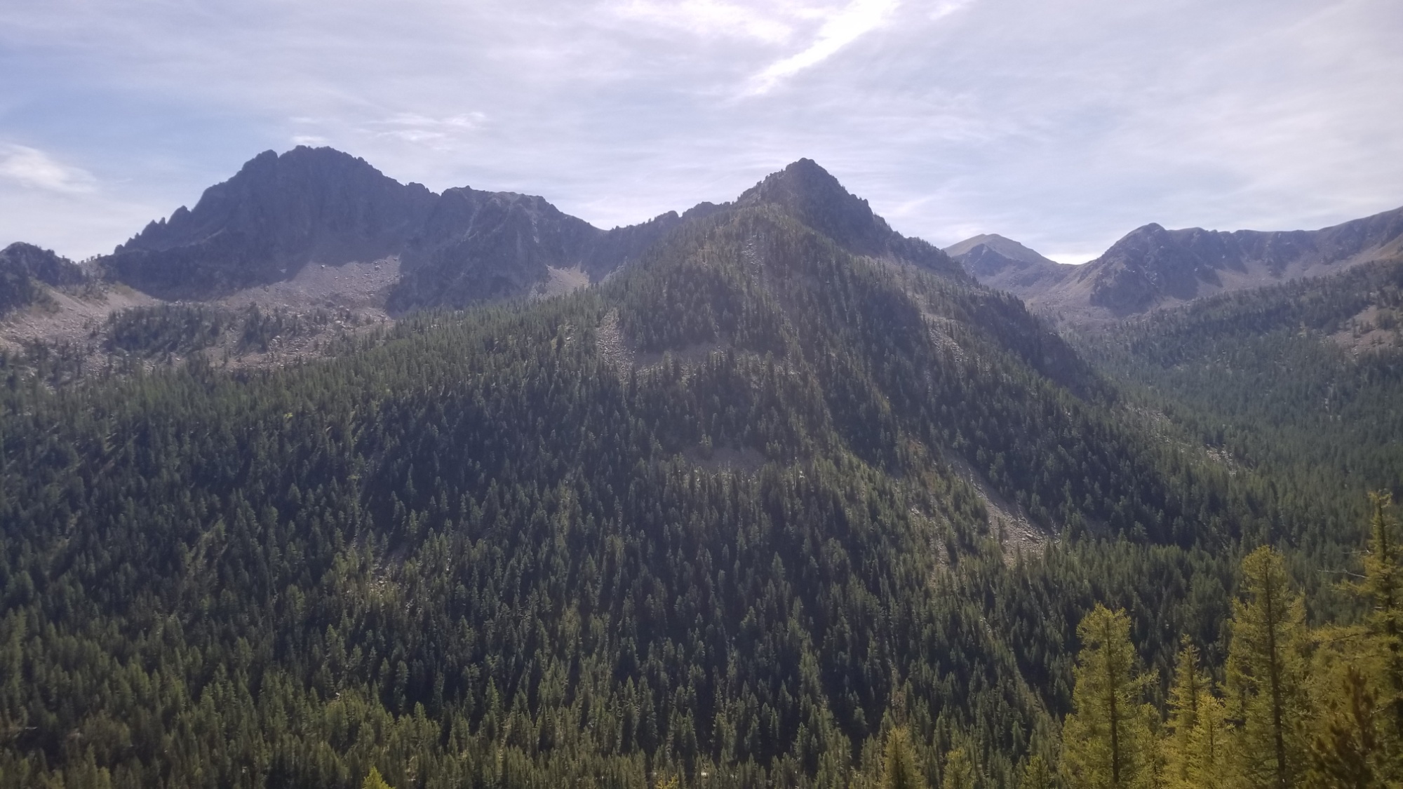
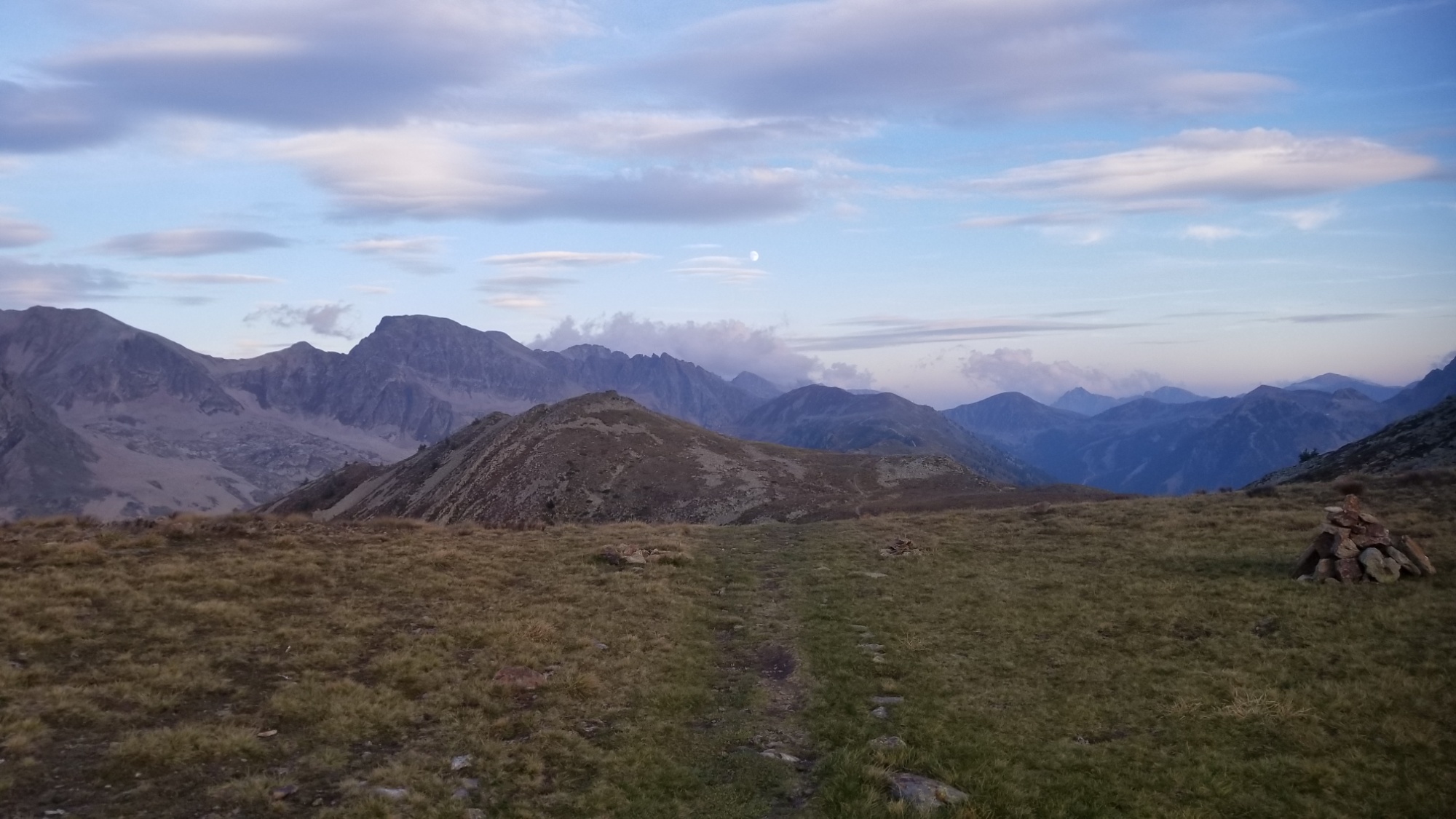
The final pass of the GR5/52 lies between those two mountains
Sospel!
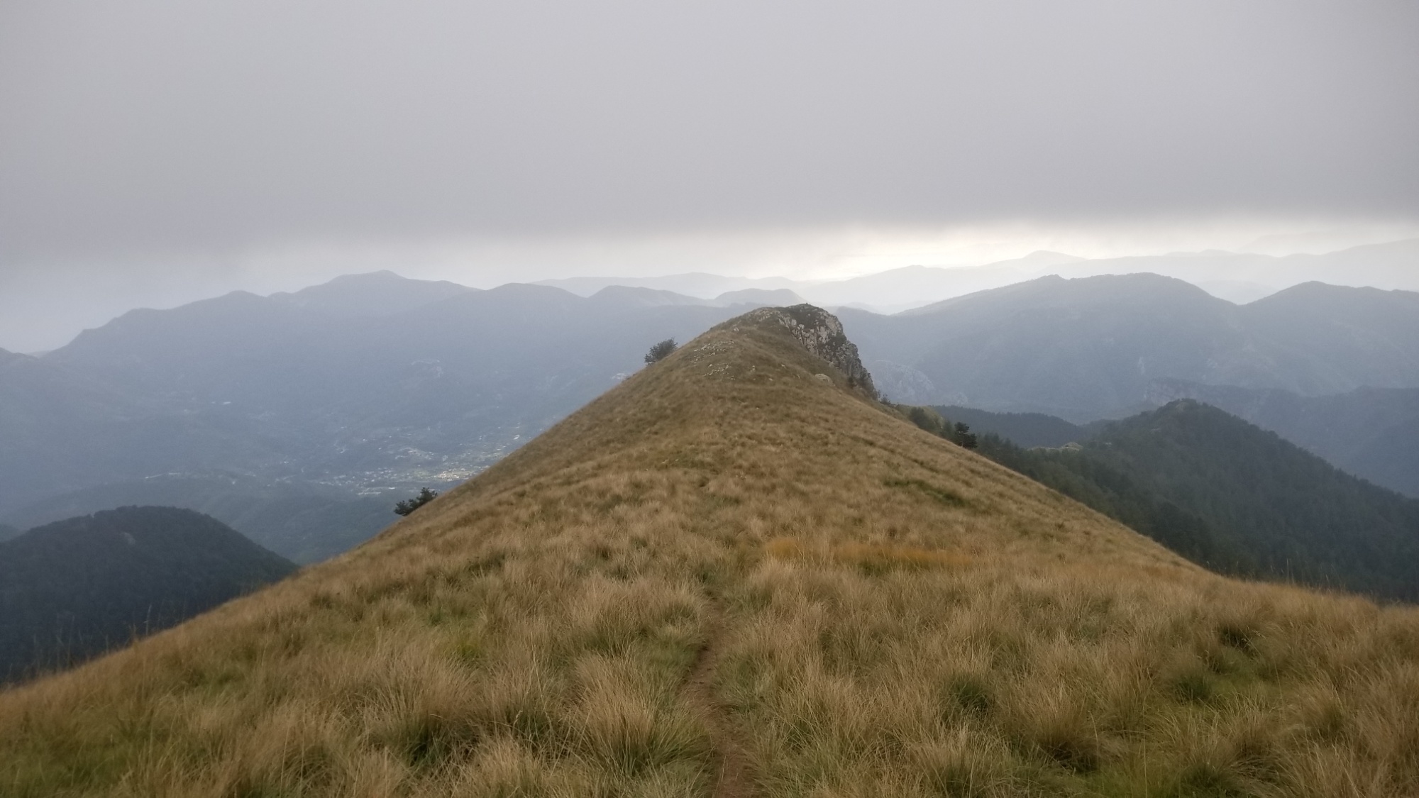
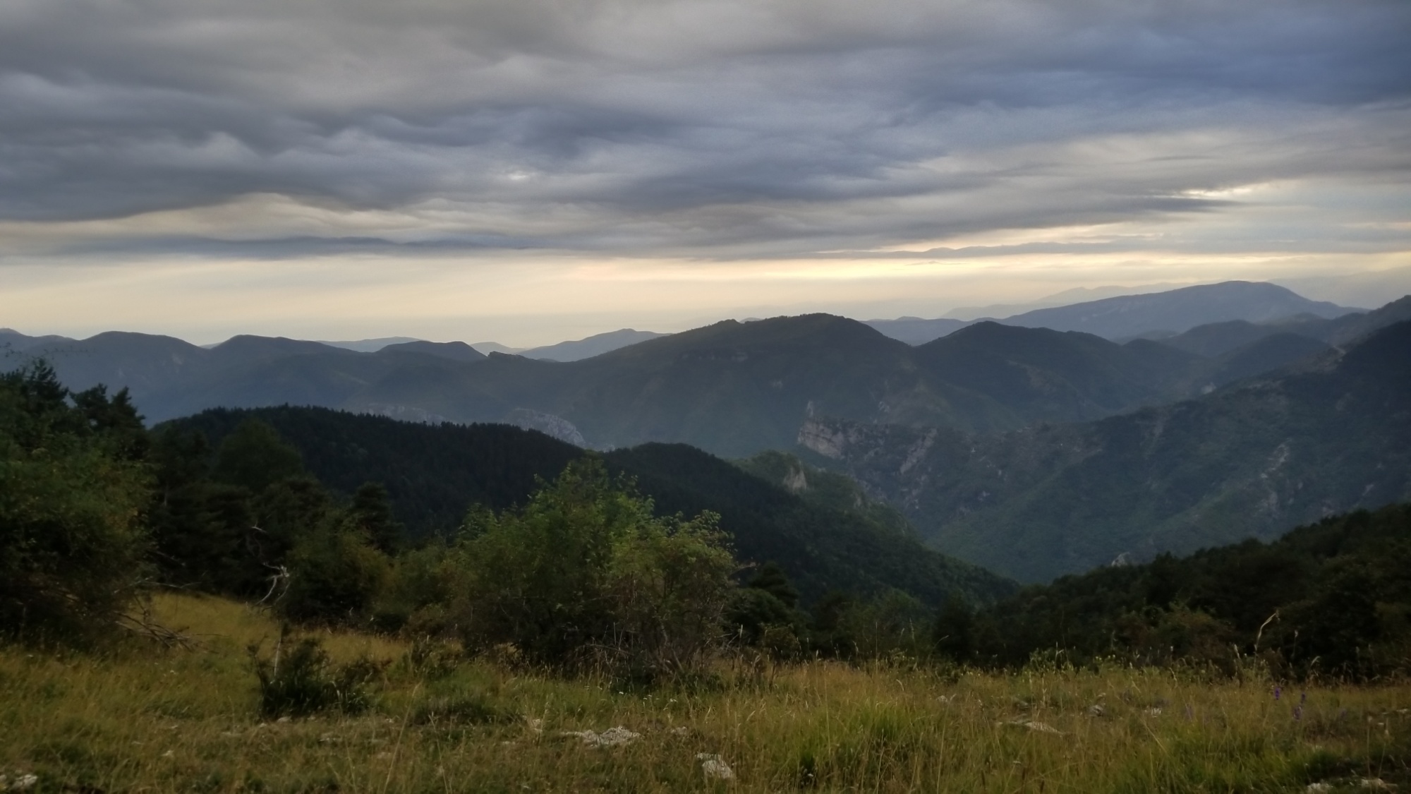
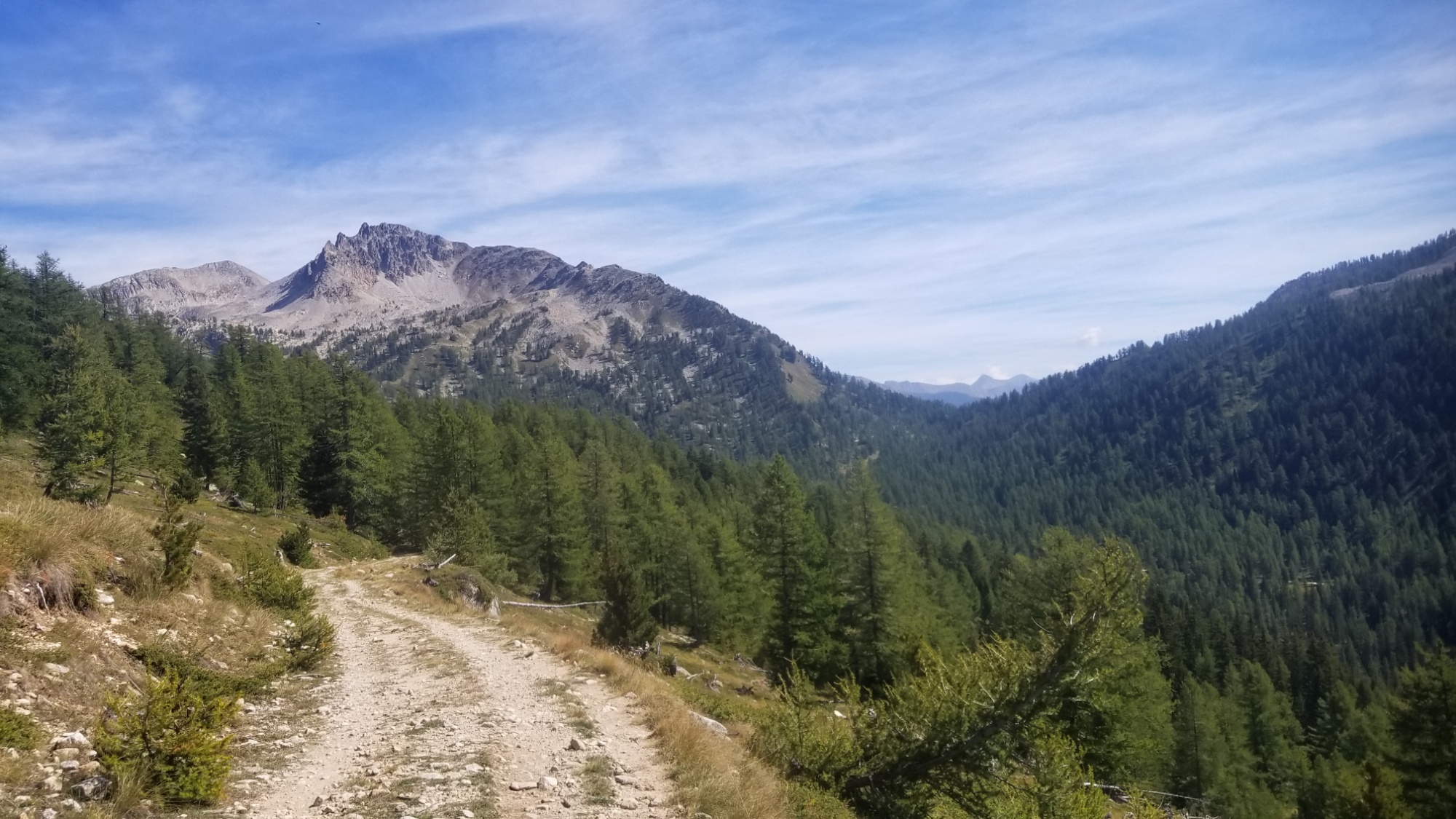
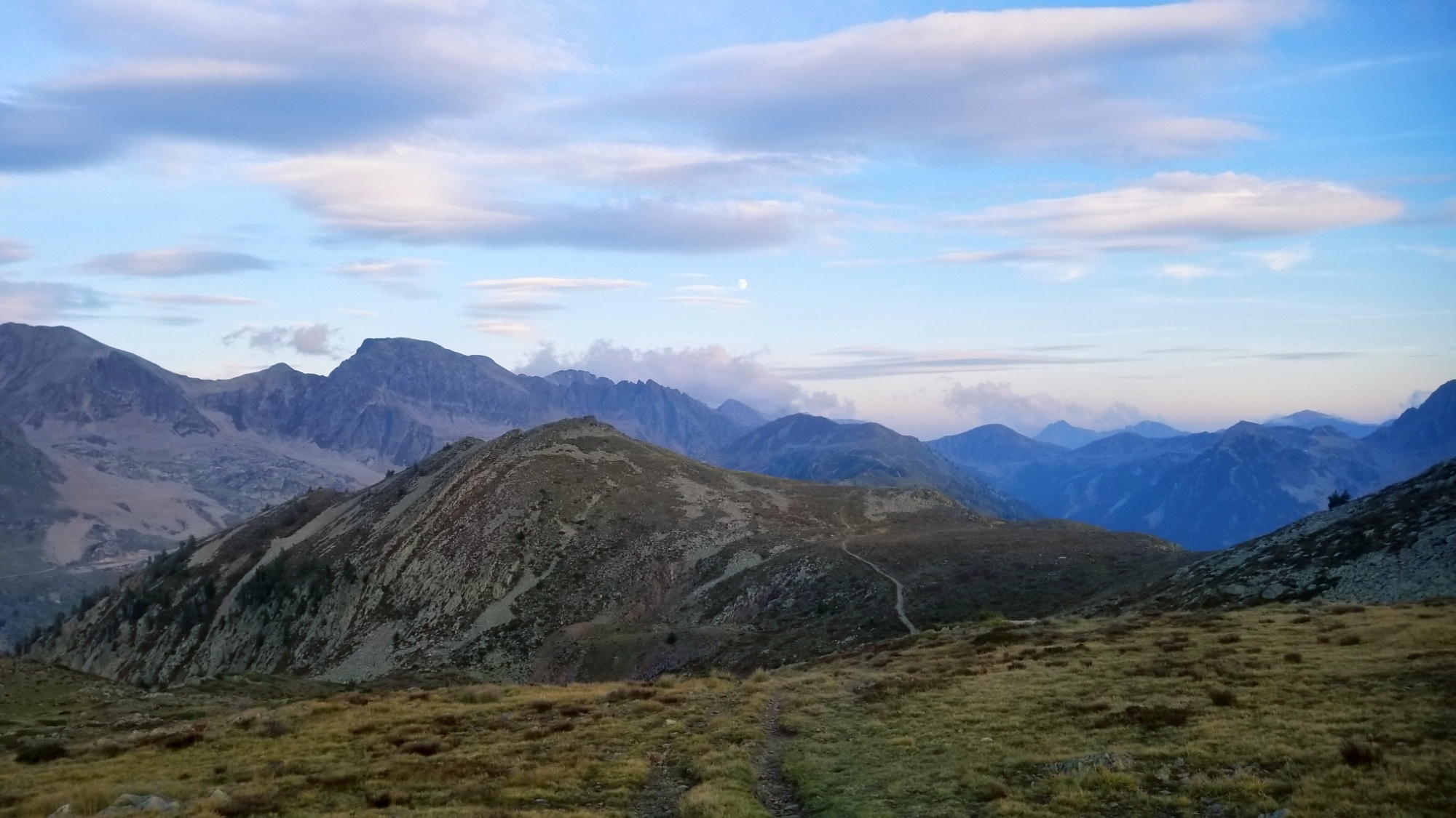
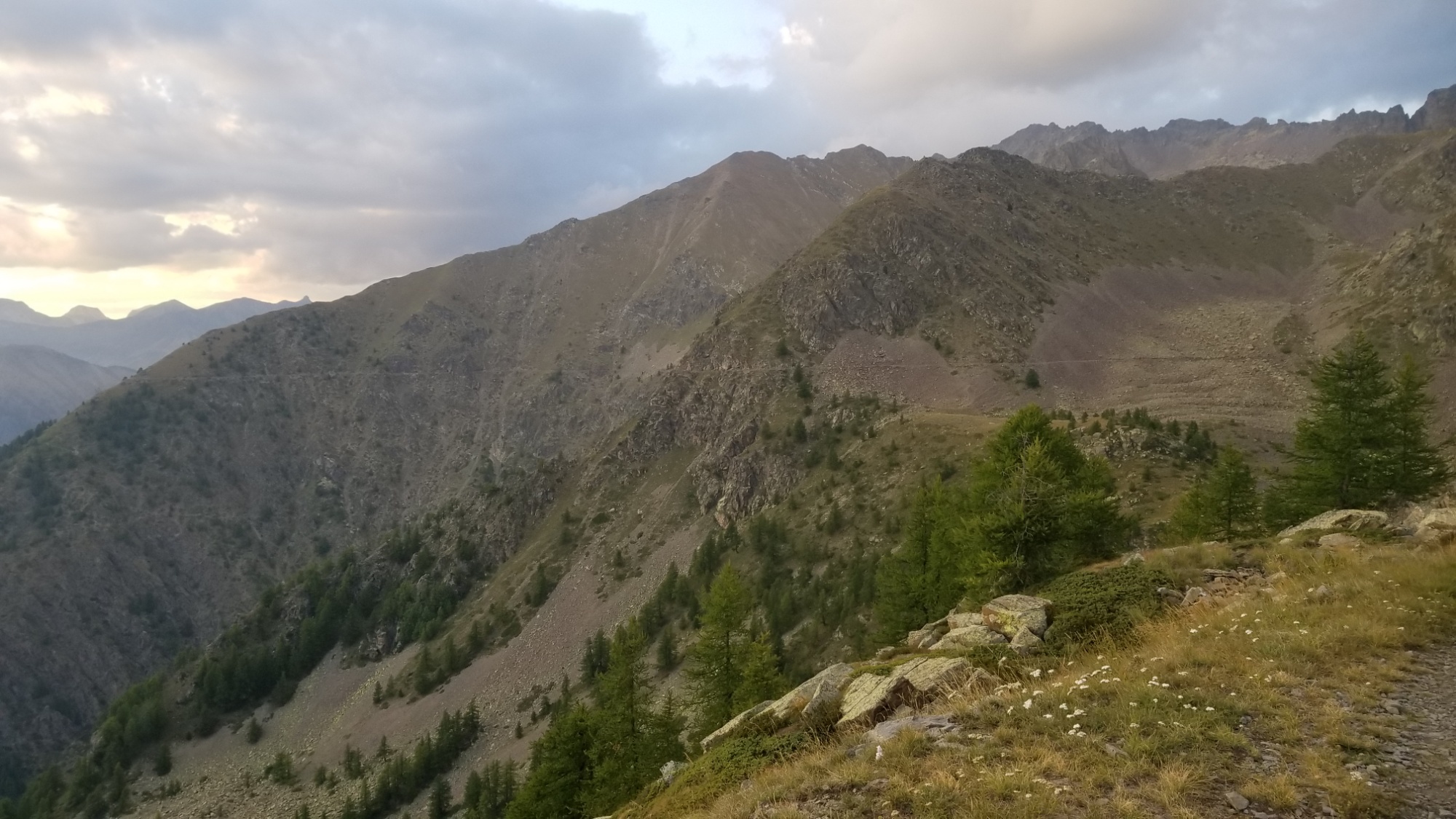
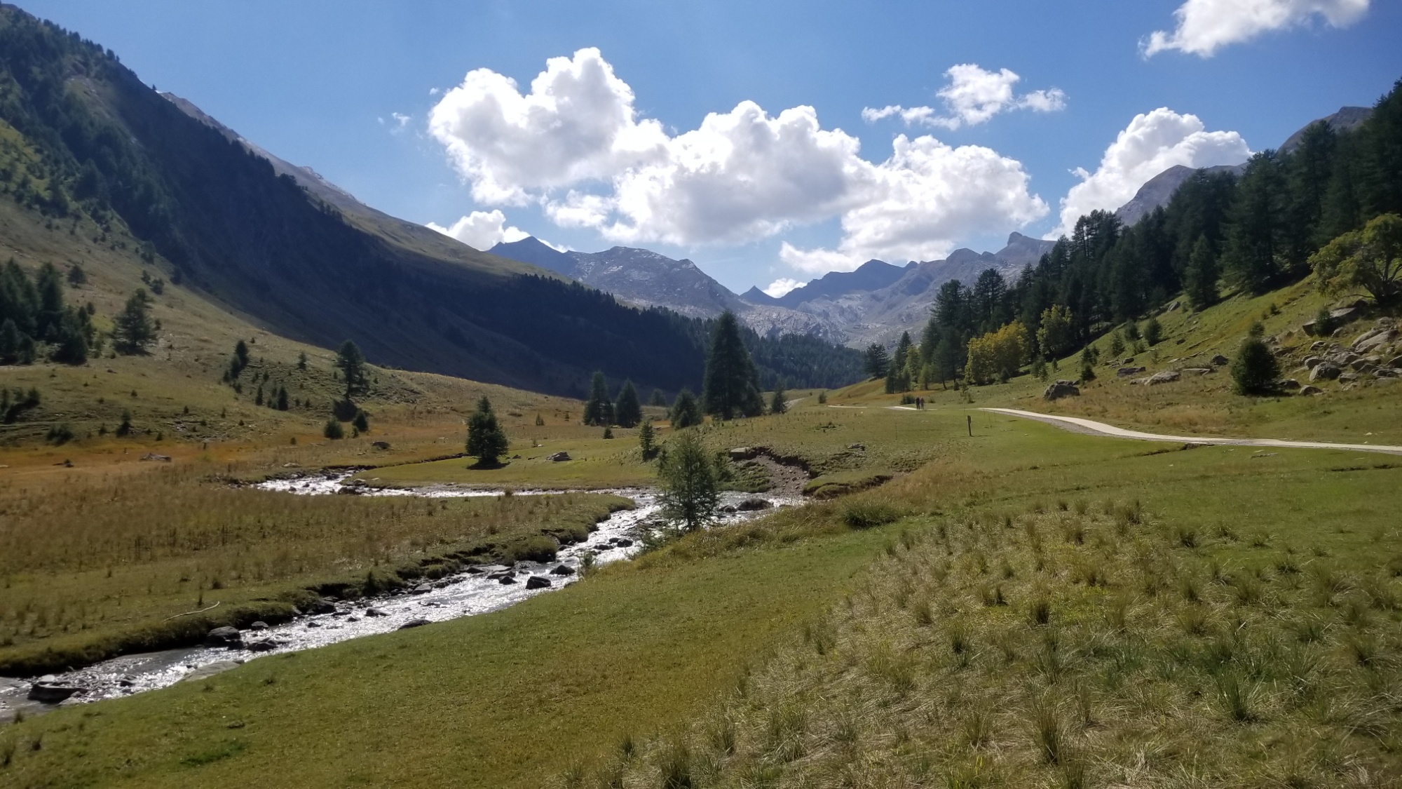
After hanging around town for a bit, I started up the final ascent, about a 1,000m climb through mediterranean forestry to a pass.
Then, a 200m descent and re-ascent to the final peak between me and the mediterranean sea.
What an ending.
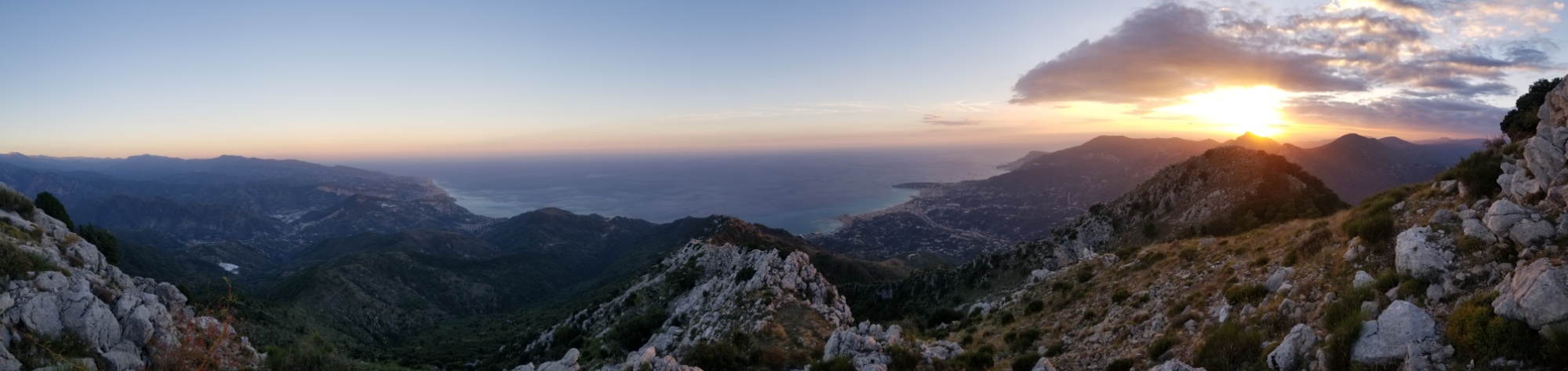
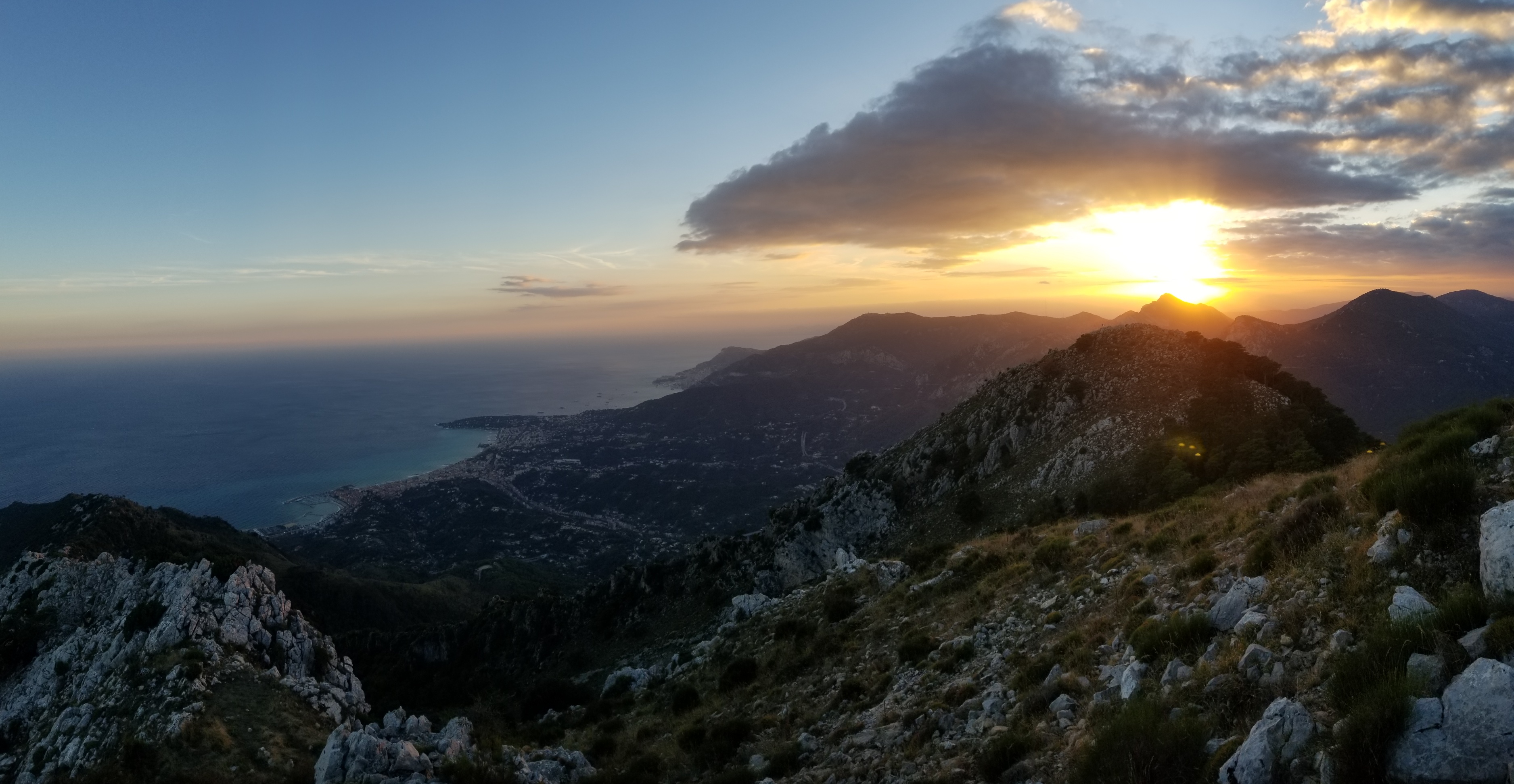
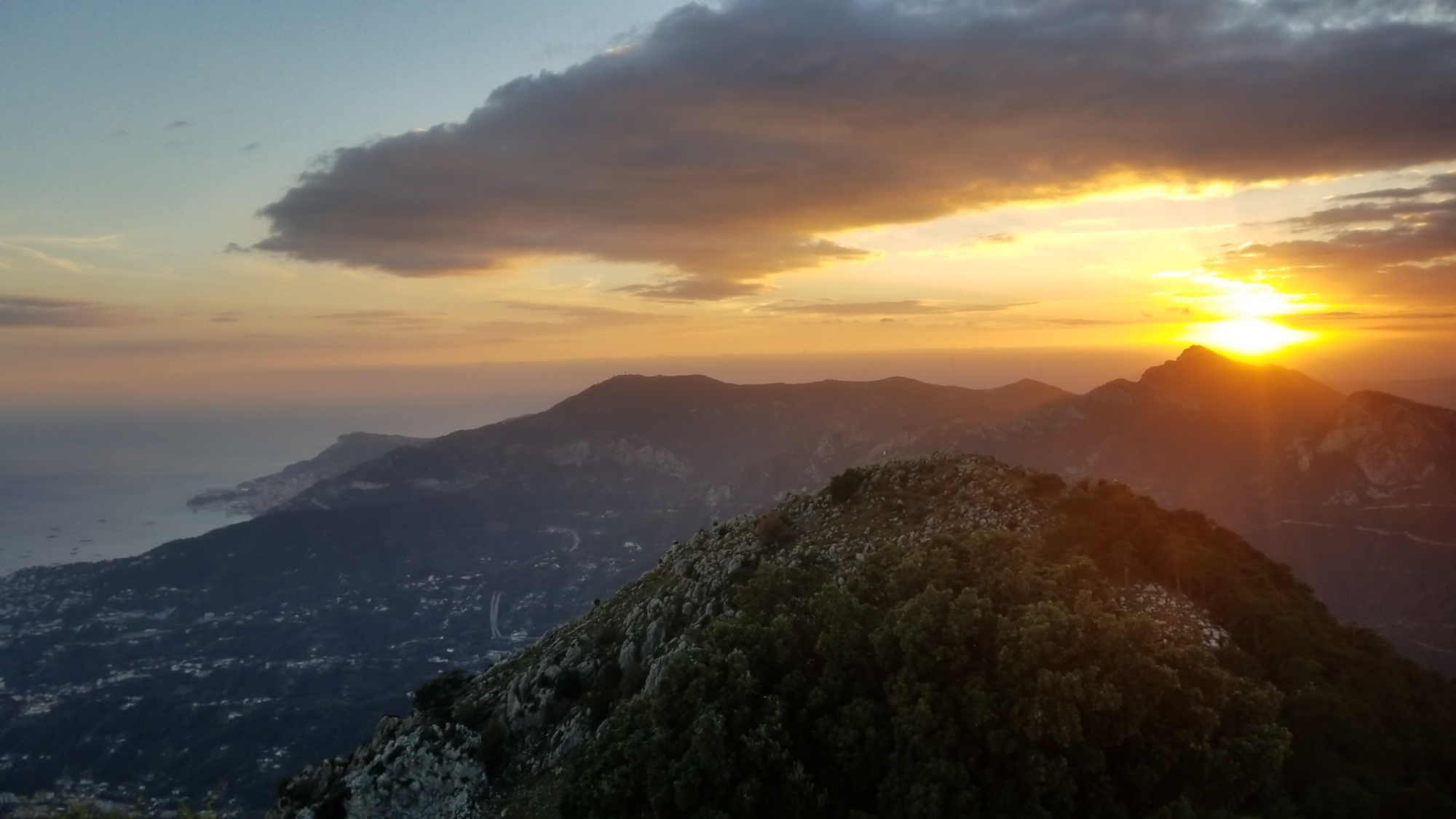
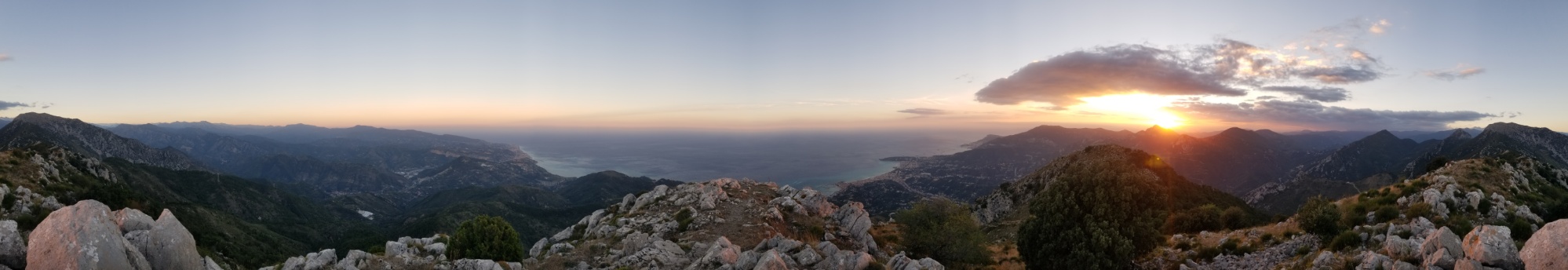
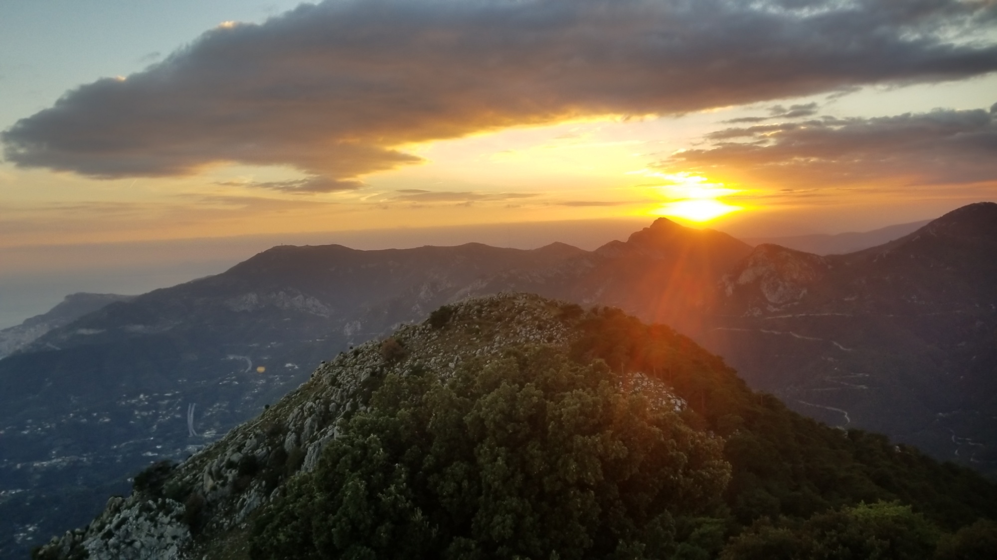
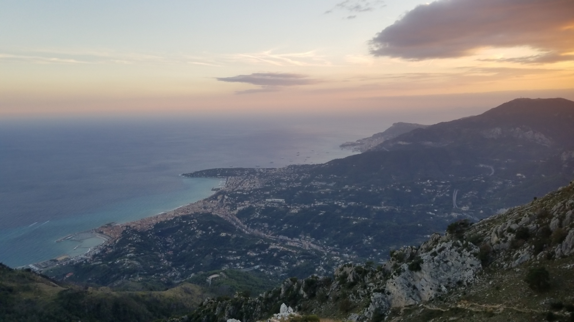
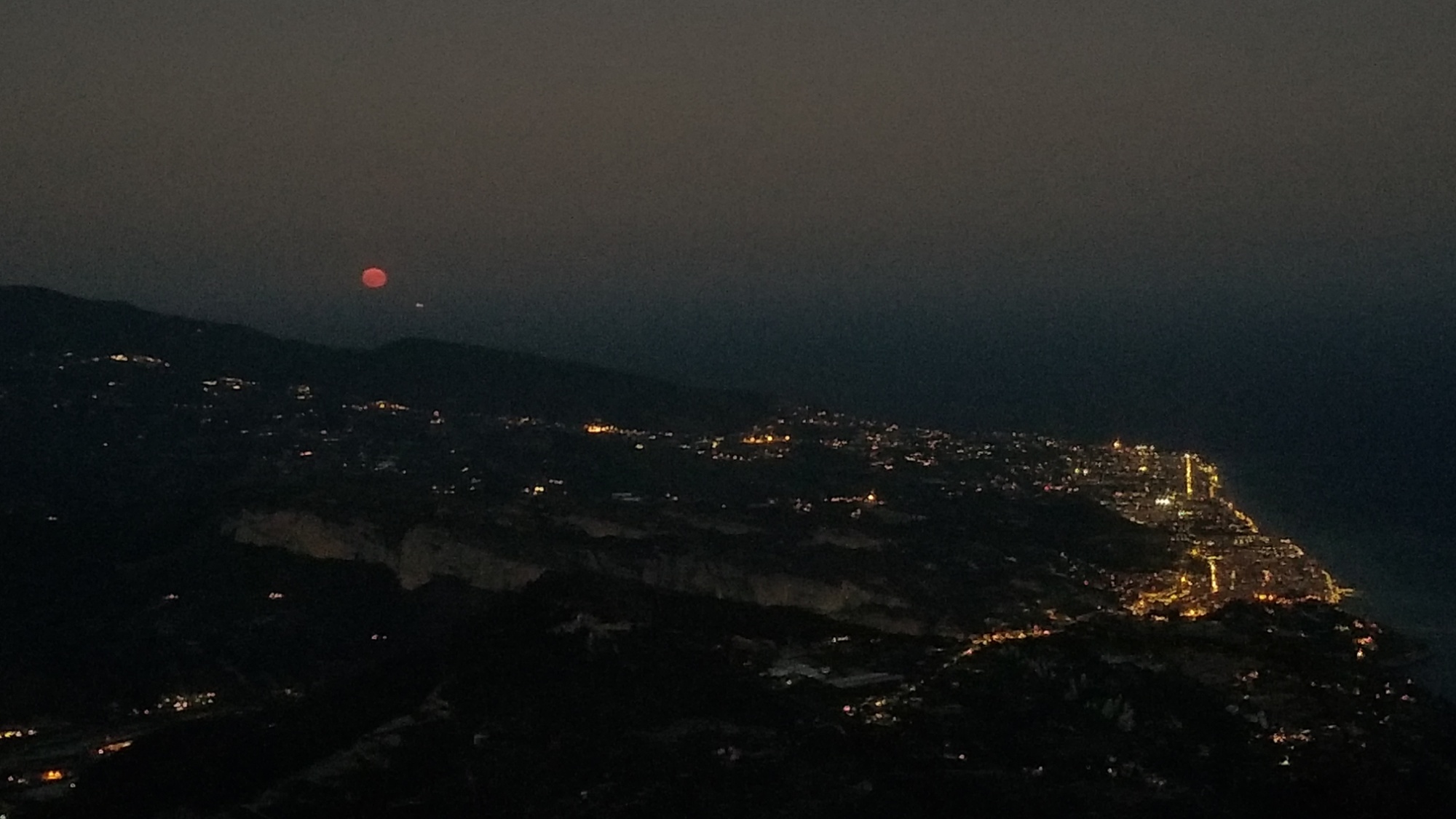
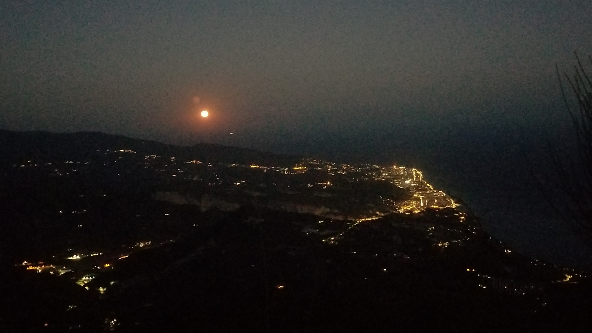
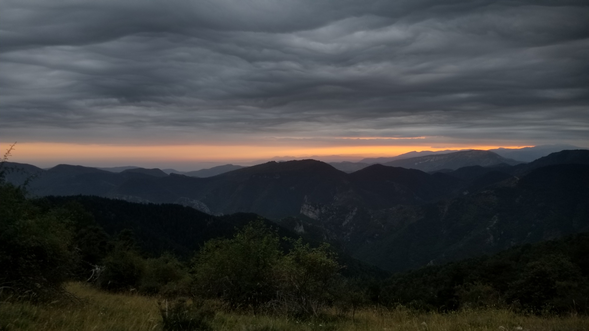
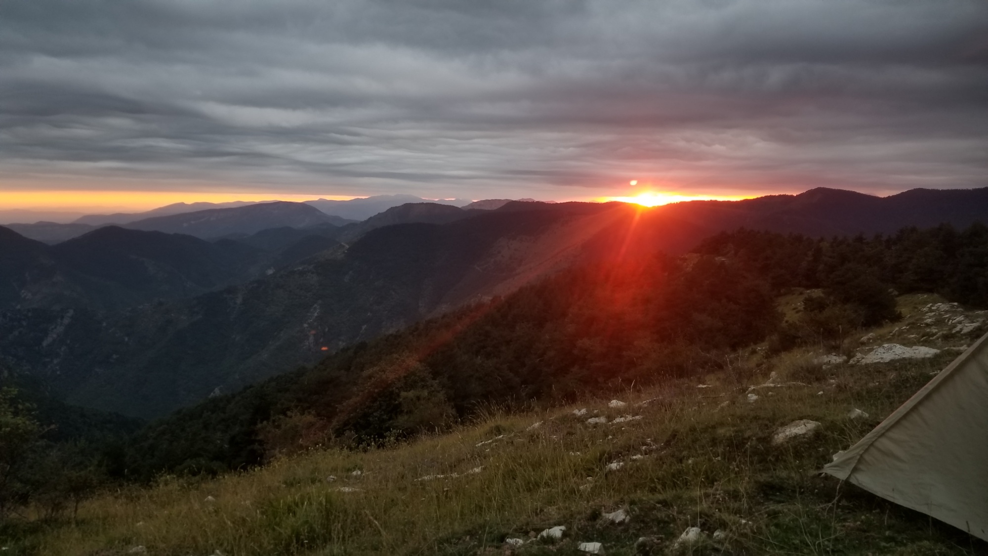
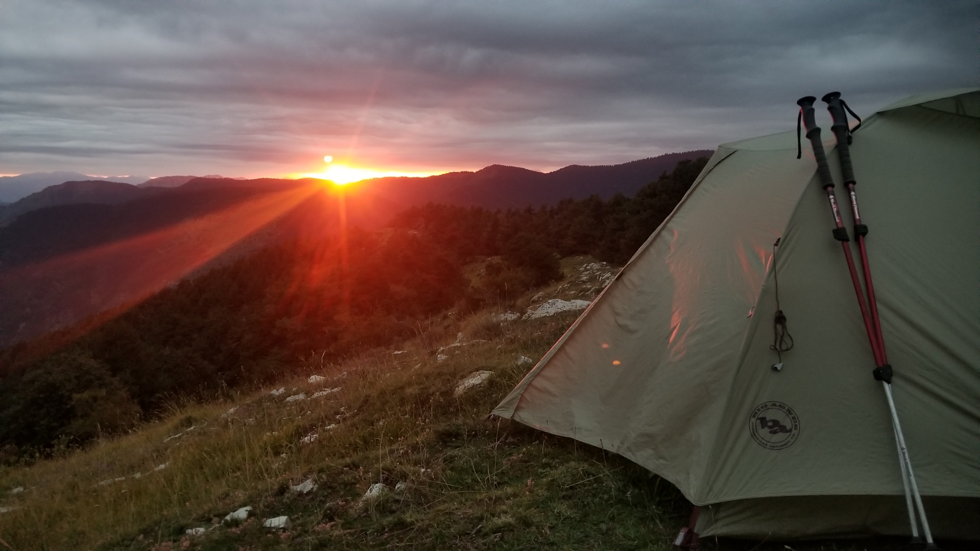
The views from this ridge at sunset were so extraordinary that I ended up cowboy camping up there with just pad and sleeping bag.
I throw down my blanket there on that perfectly tent sized flat on the ridge
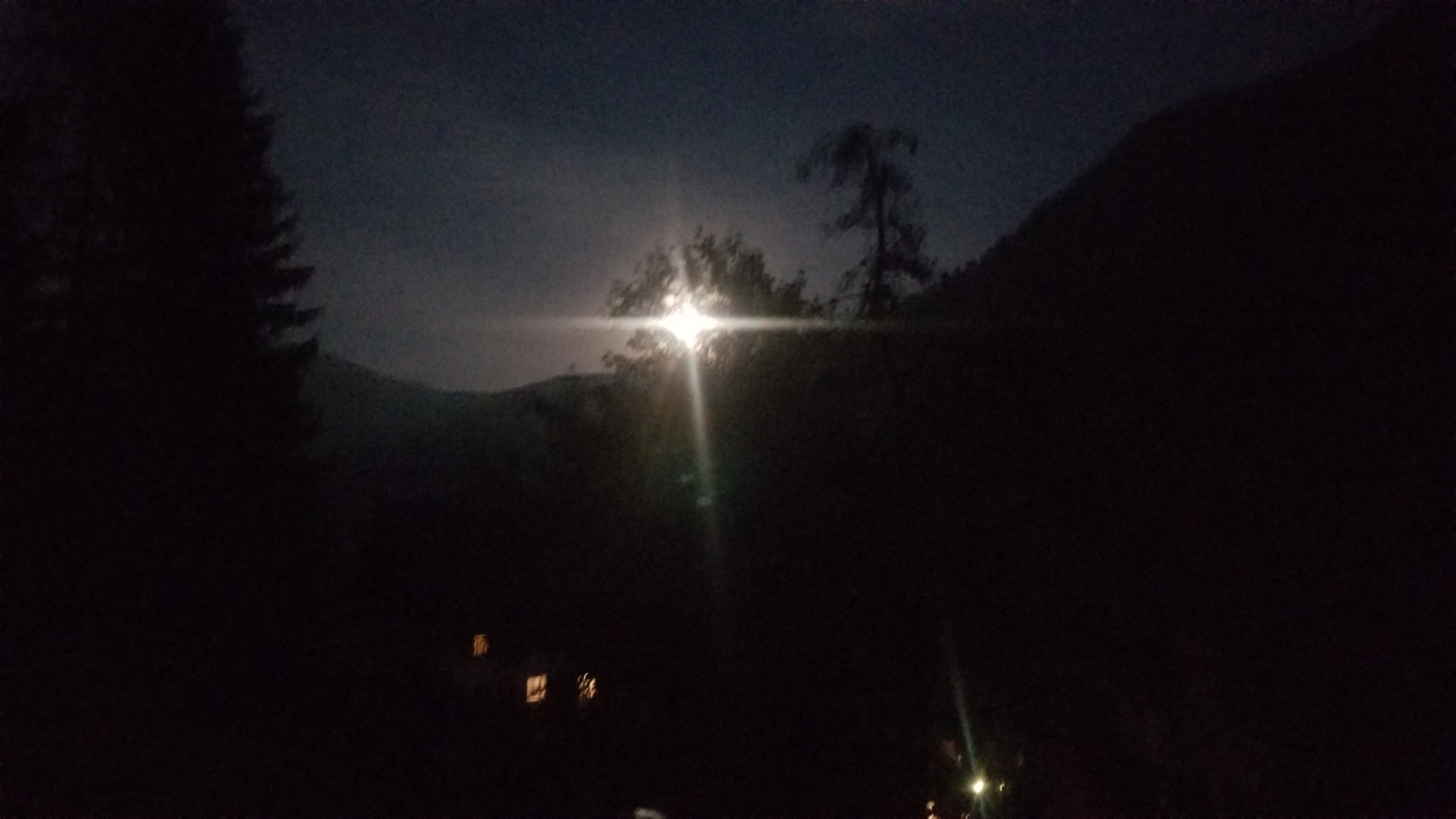
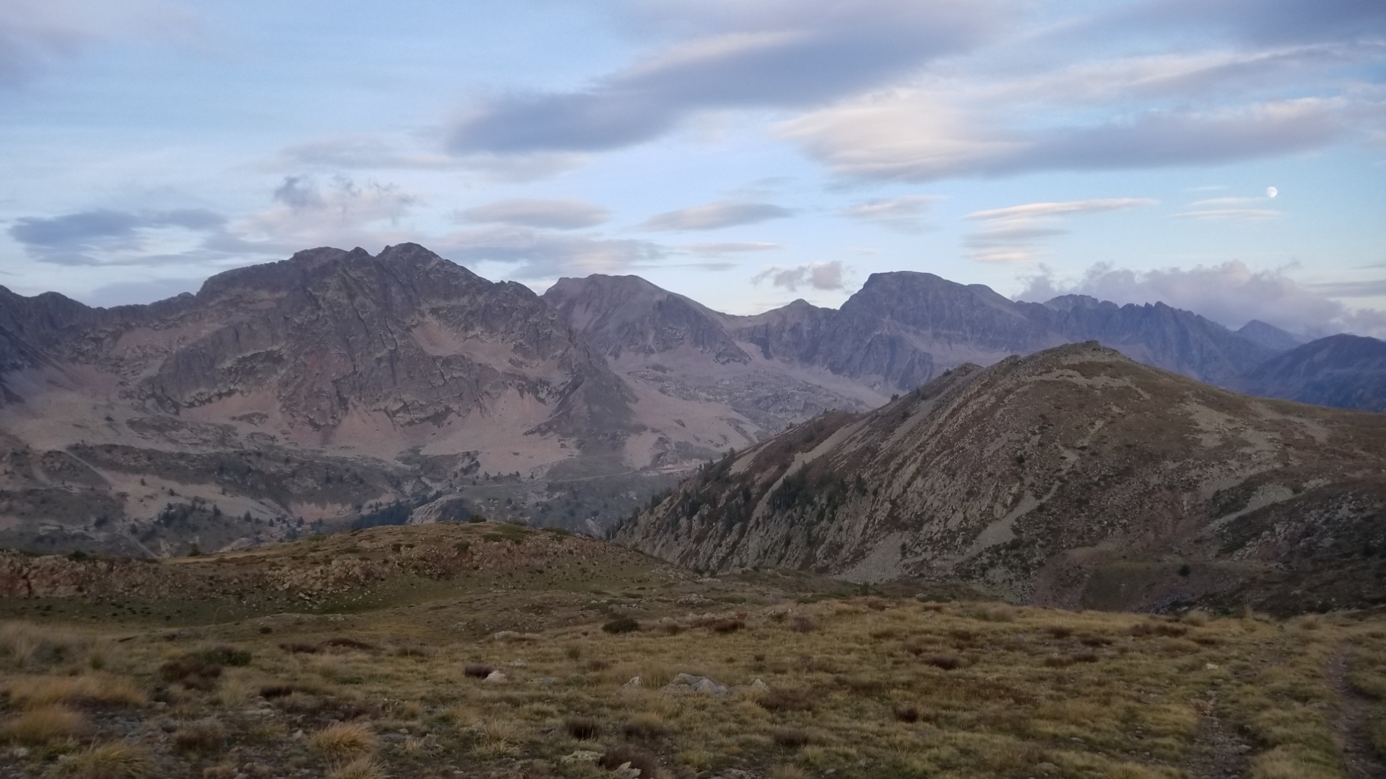
The full blood moon rose just after the sunset, adding to the beautiful mystique of this trail ending.
In the morning, a mere 5km hike downhill would lead me to the beaches in Menton, where the GR52 ends.
Later the next day, I hopped a train to Nice just half an hour away, where a friend arranged to pick me up and put me up at their house for a couple nights.
I had a terrific time exploring the city with a true local, who really went above and beyond to make sure I tried all the French experiences and delicacies before leaving the next day to head back to London. Not to mention it was my birthday! What a way to end a trail! Just absolute perfection!
I love it! Hope you enjoyed the story and pictures as well. Til next time, see you down the trail!
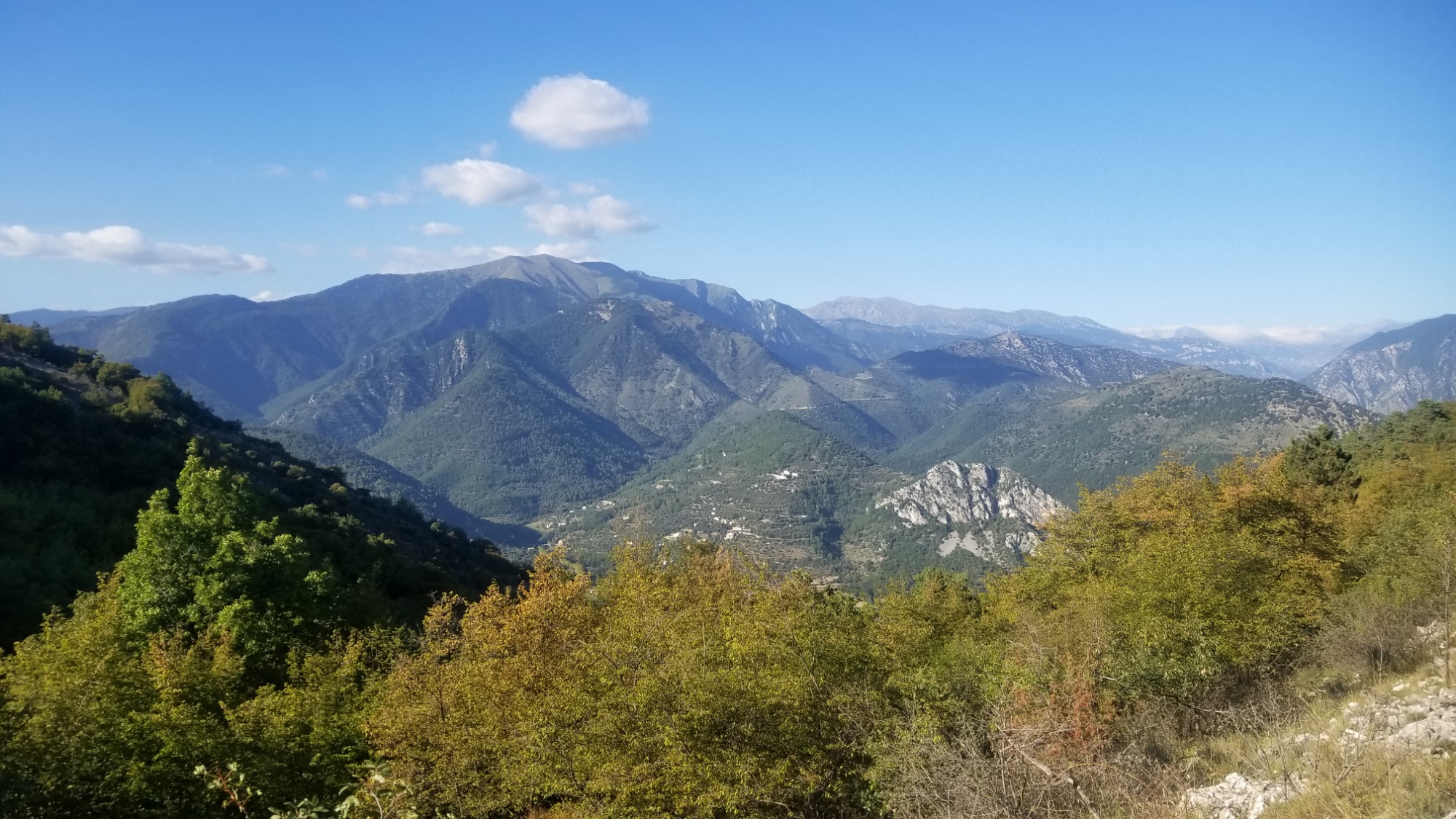
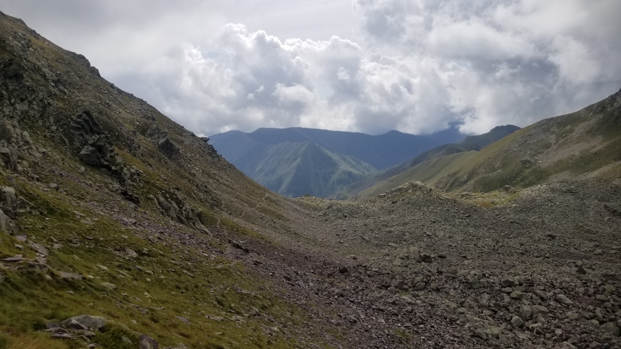
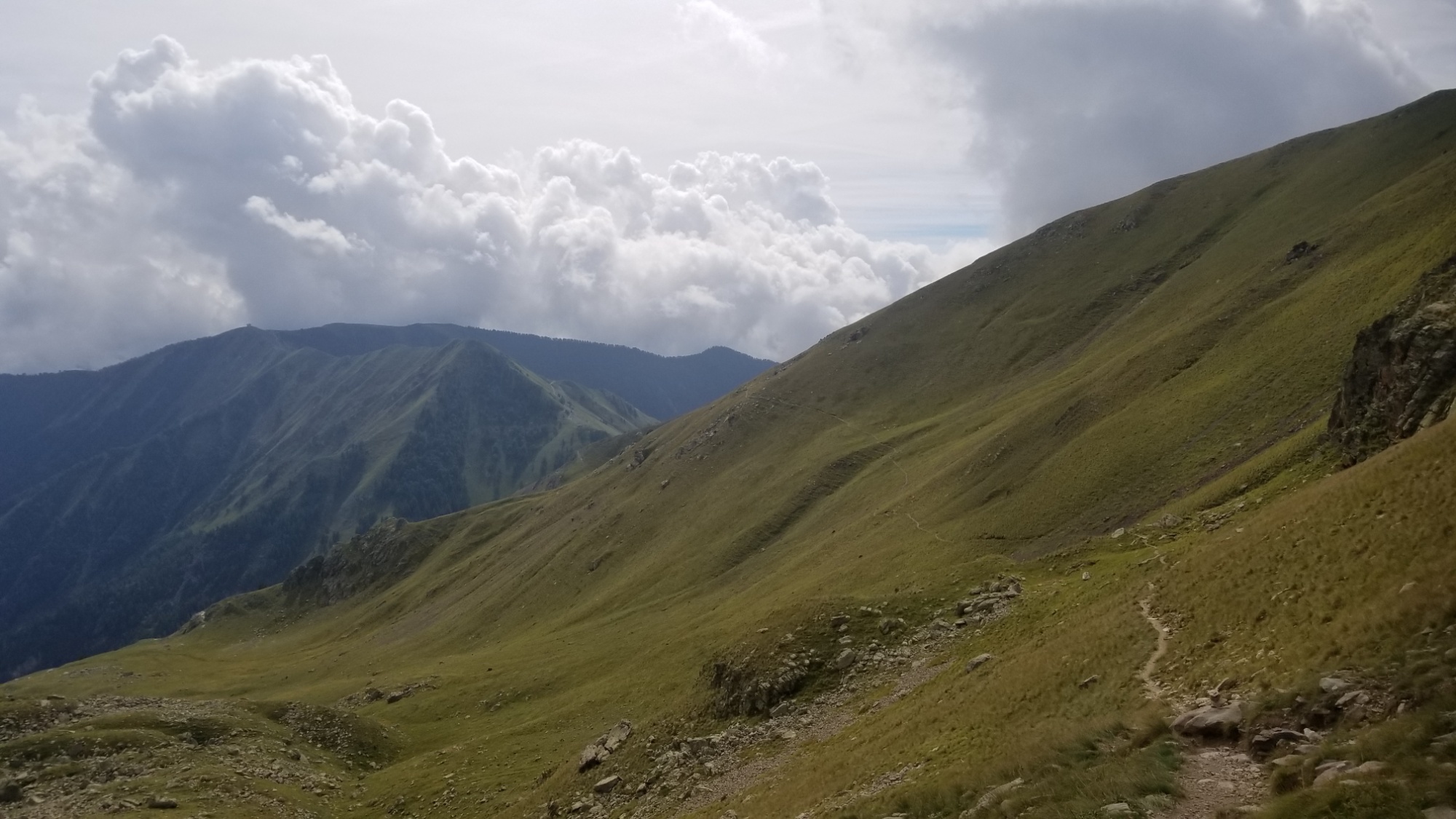
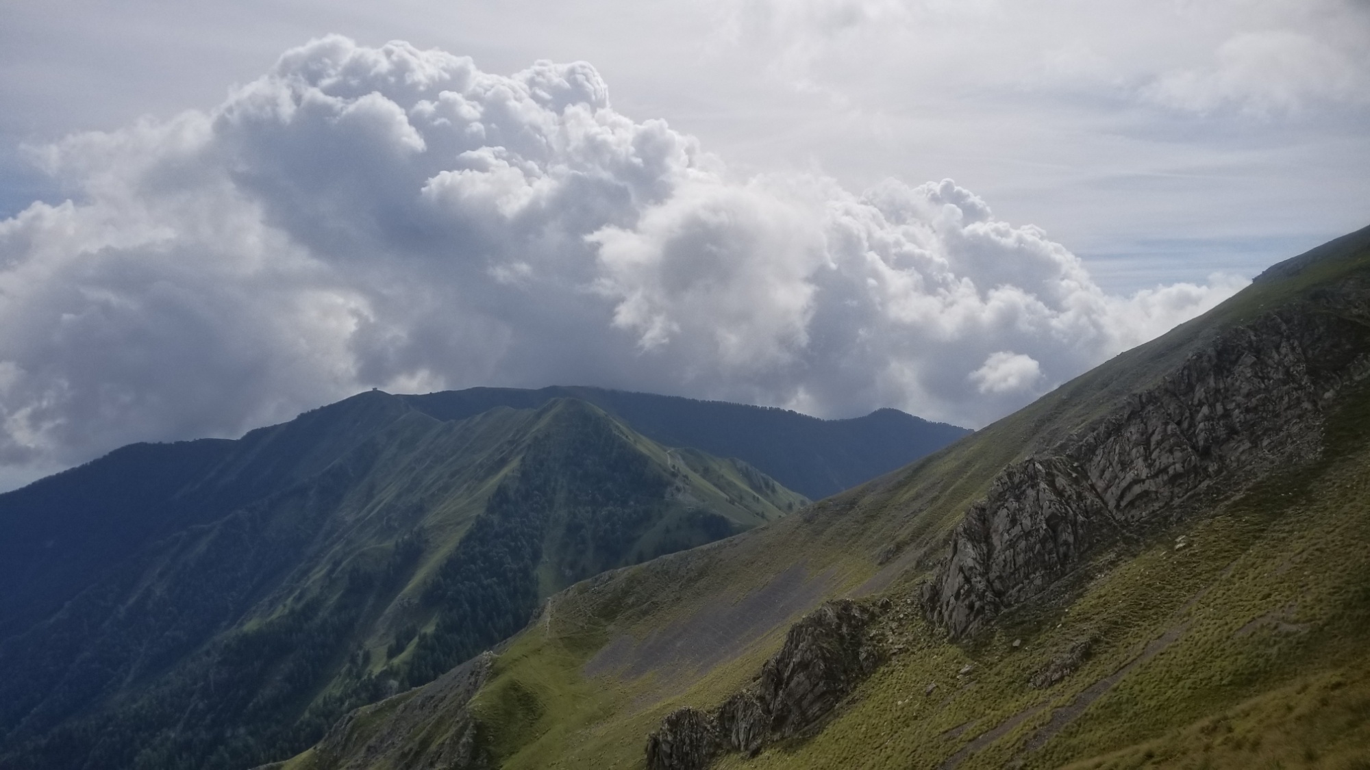
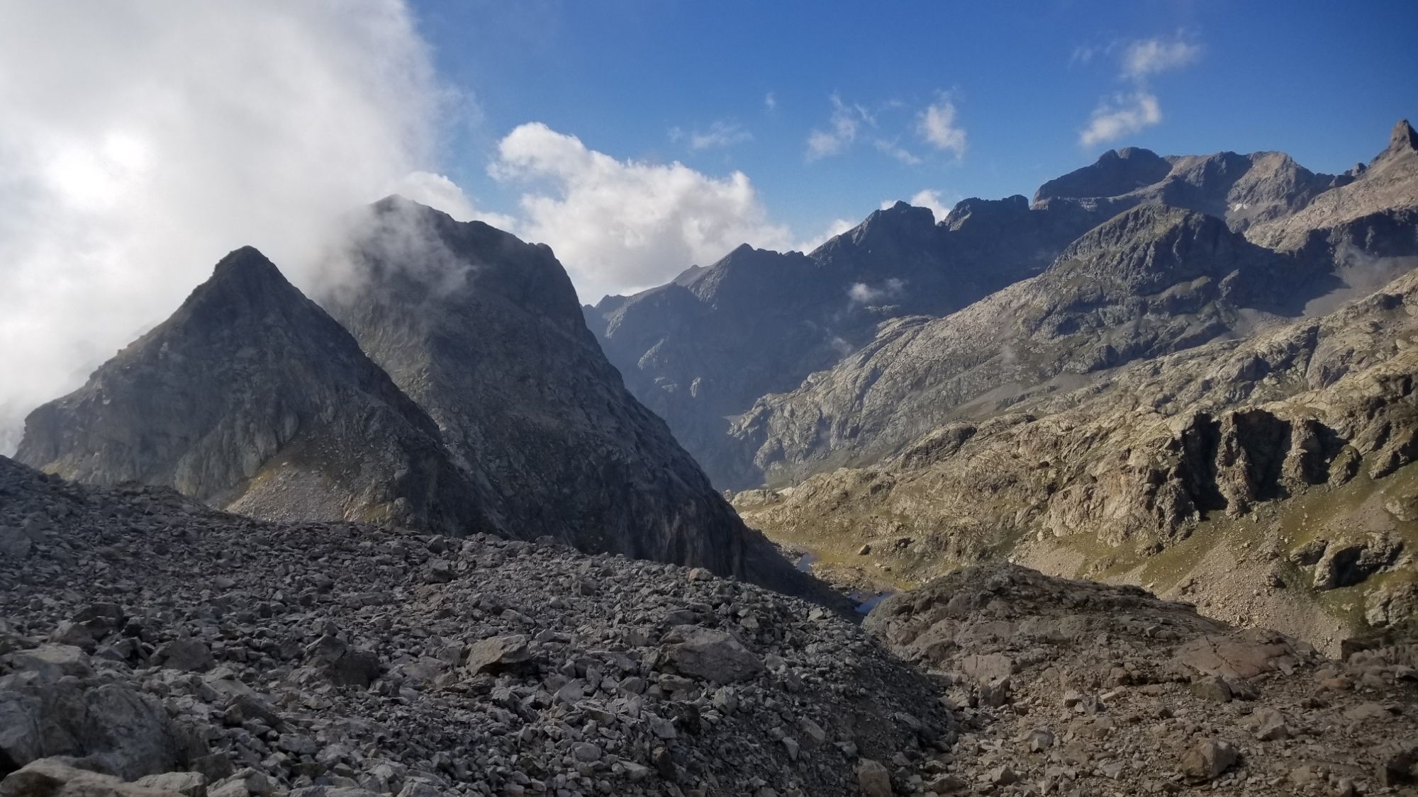
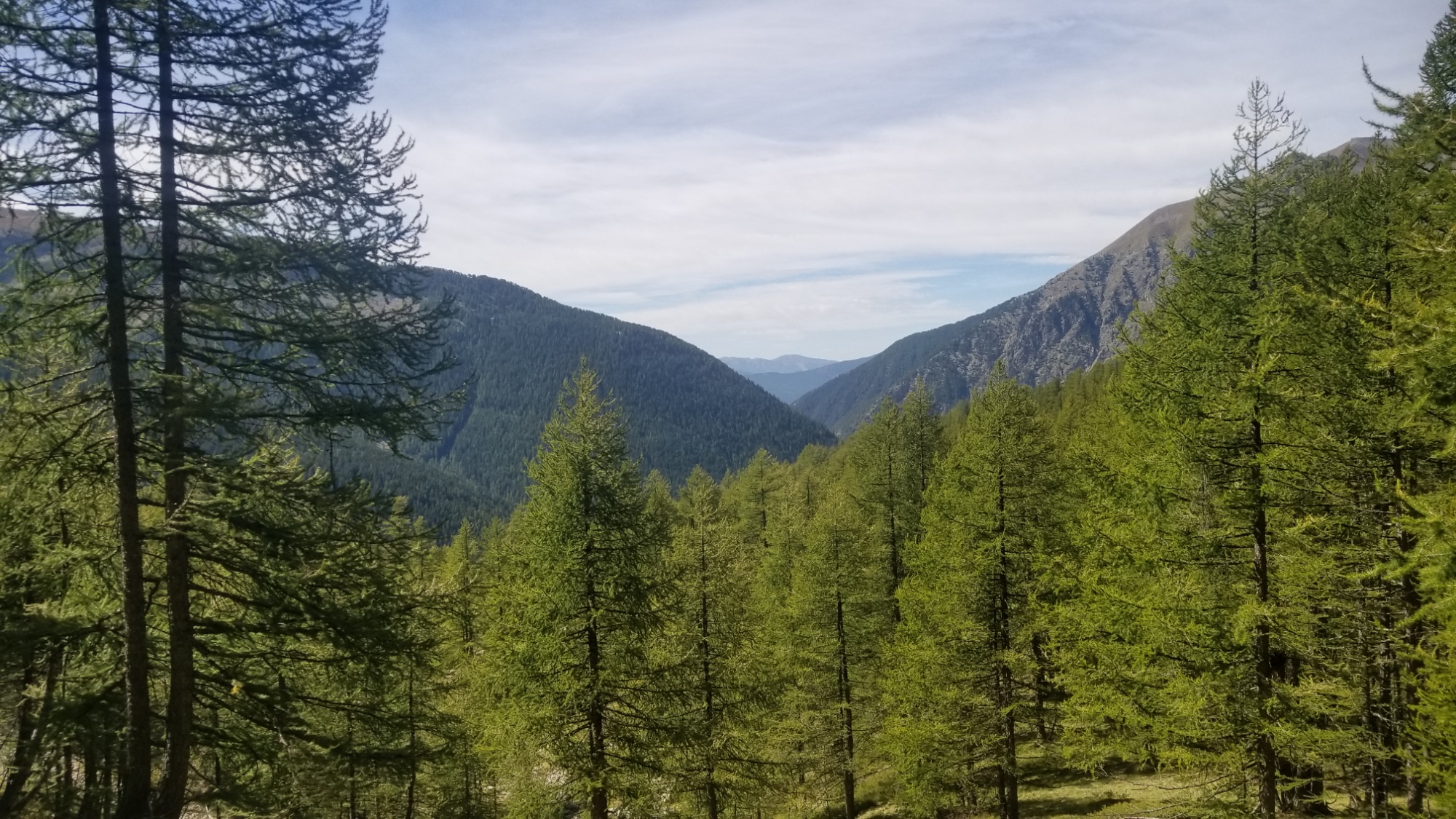
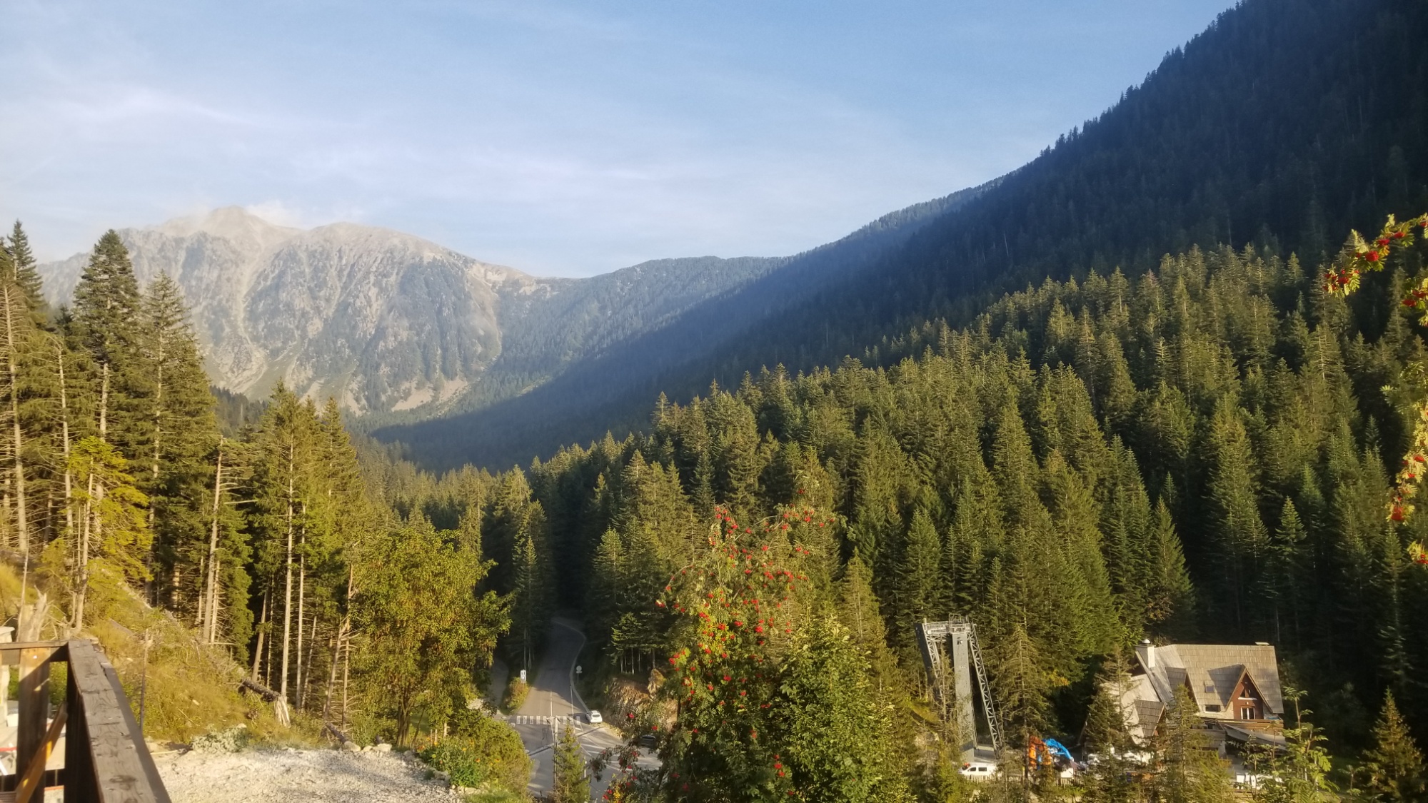
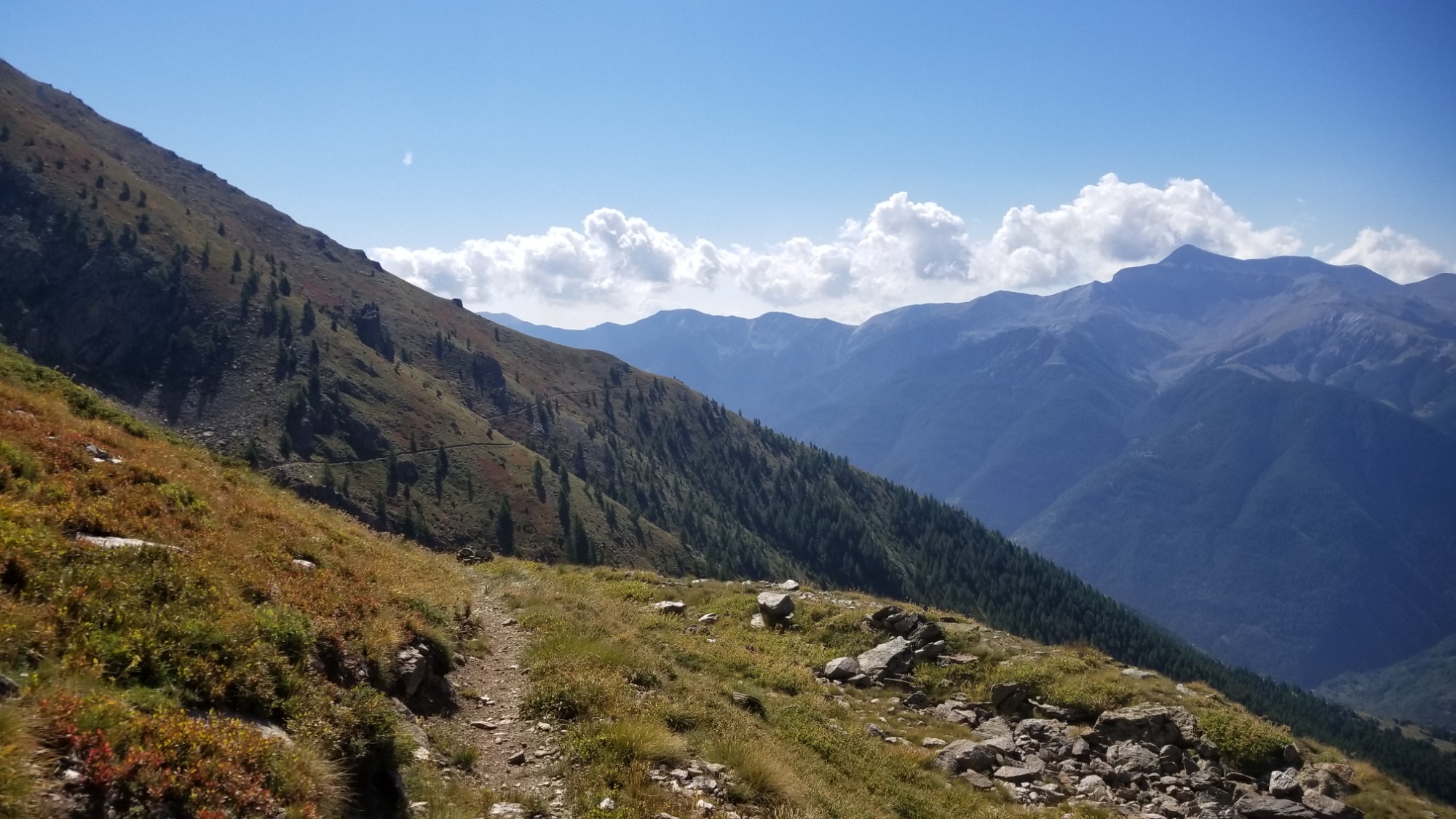
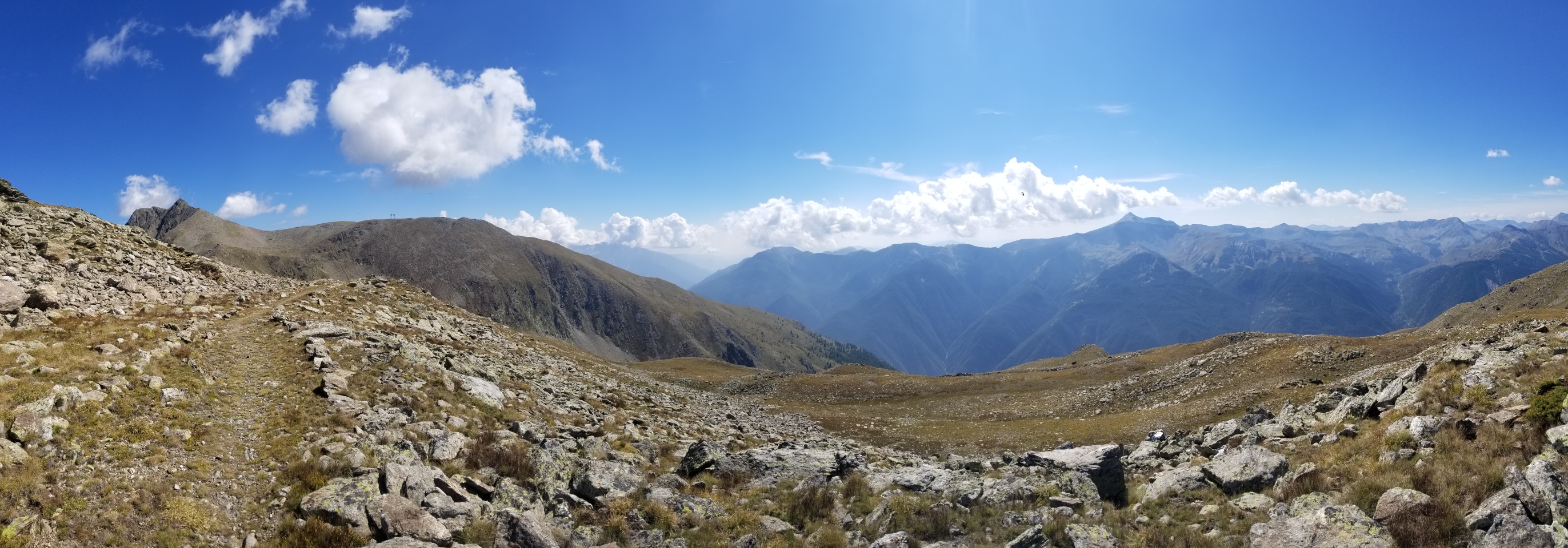
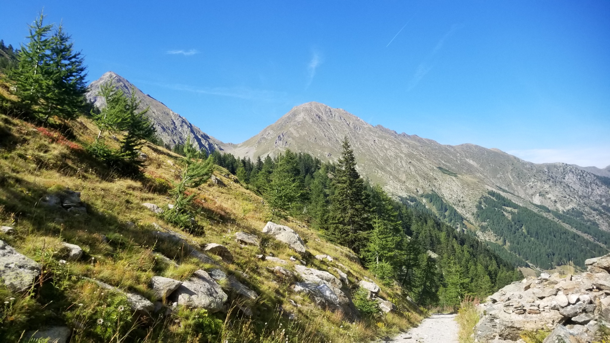
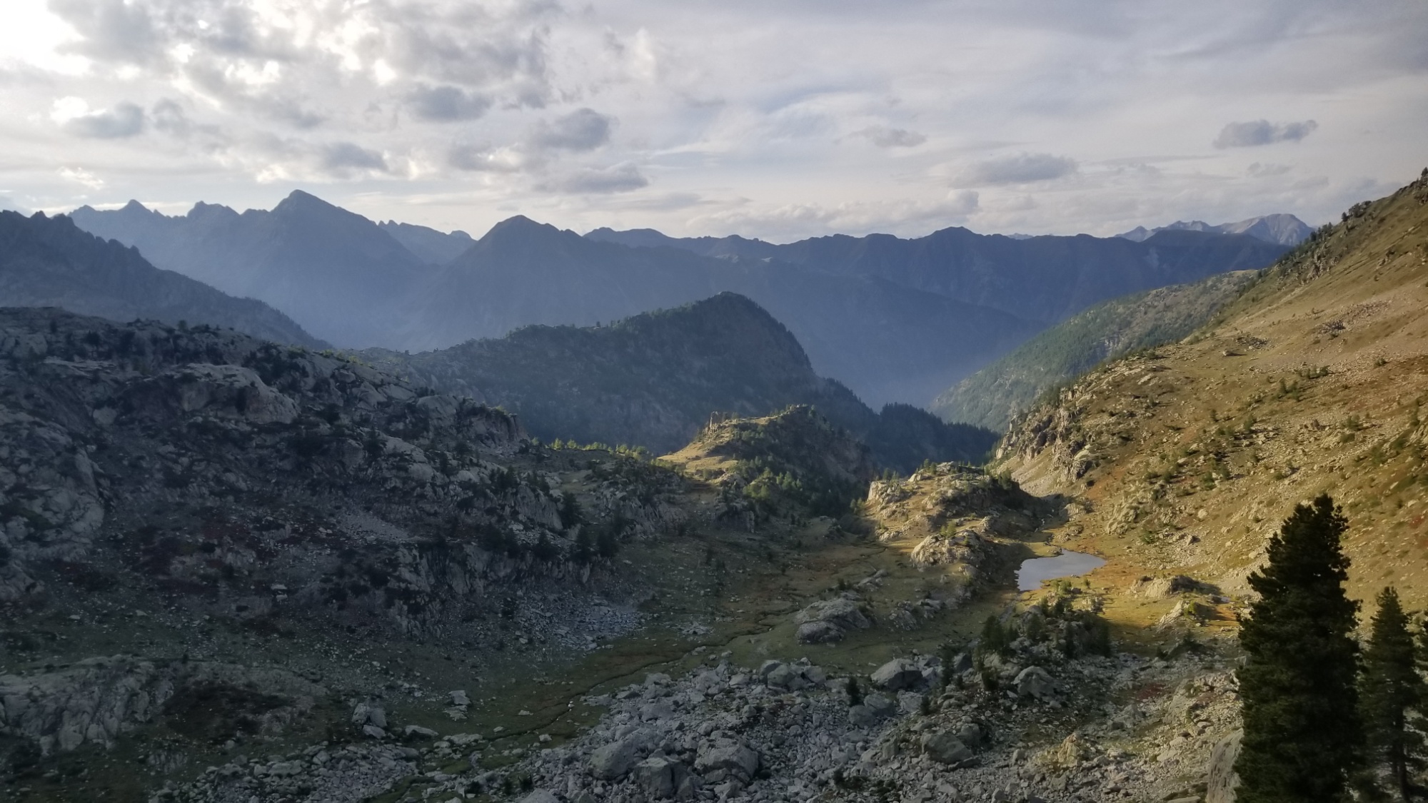
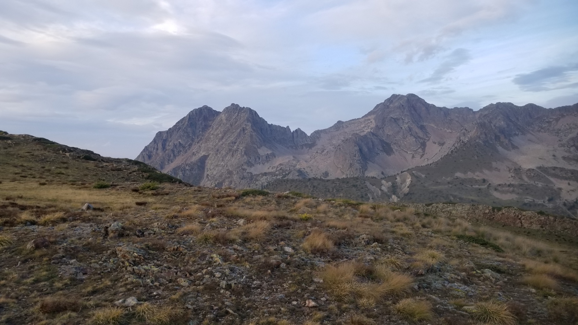
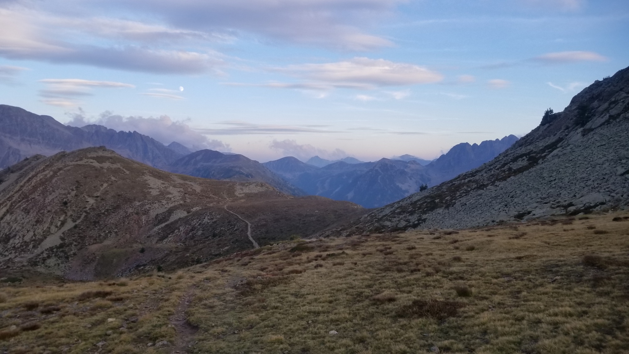
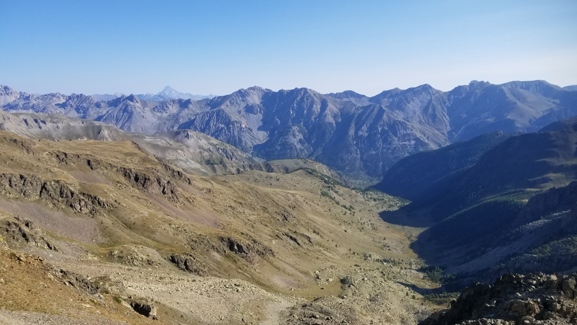
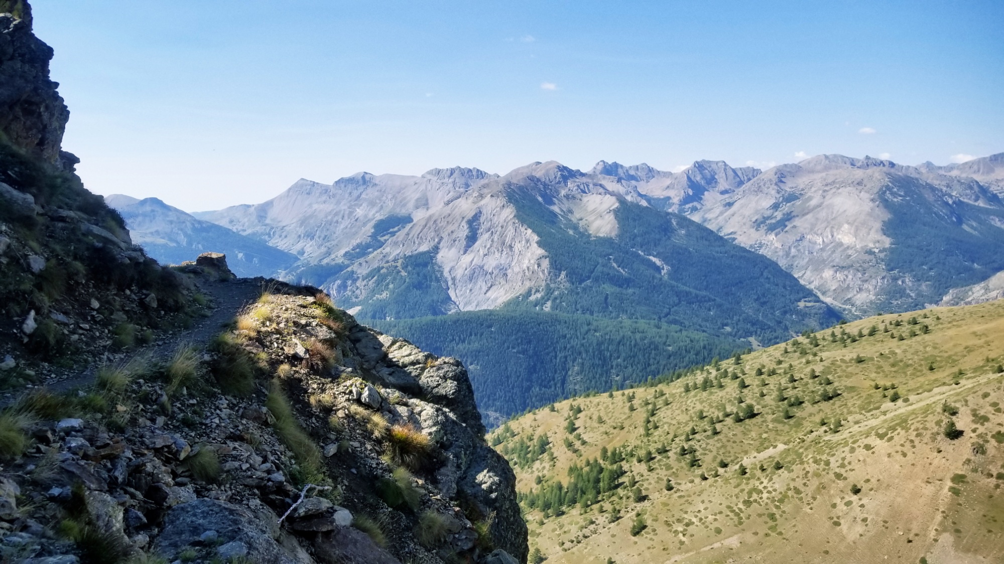
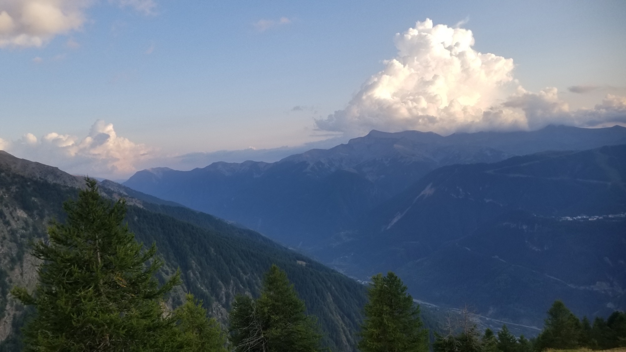
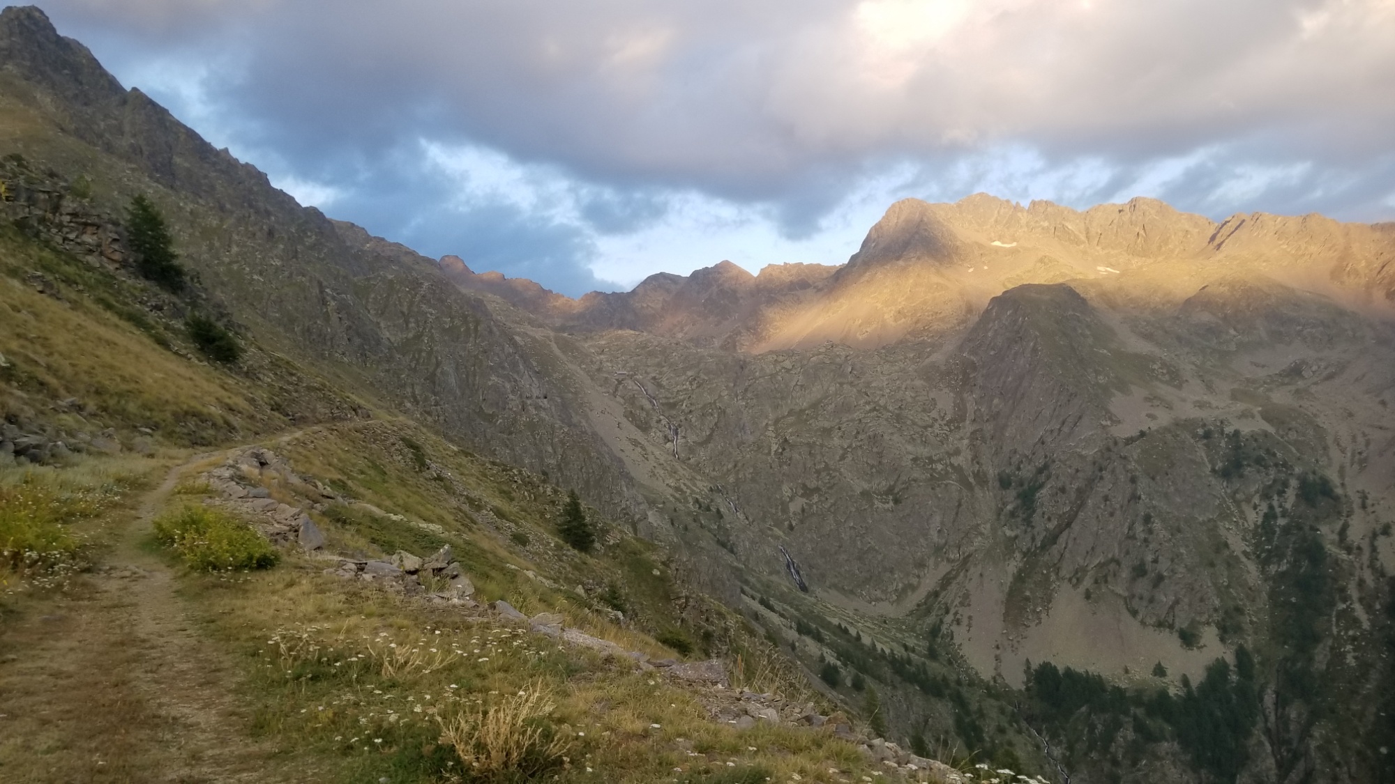
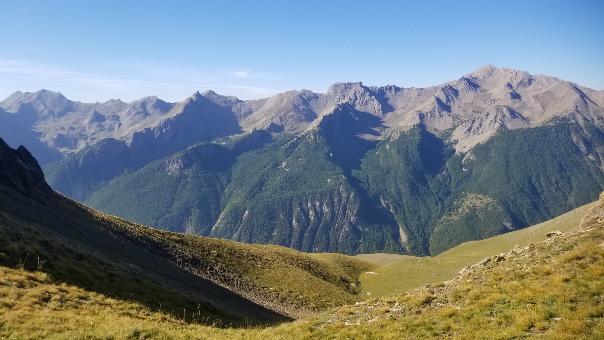
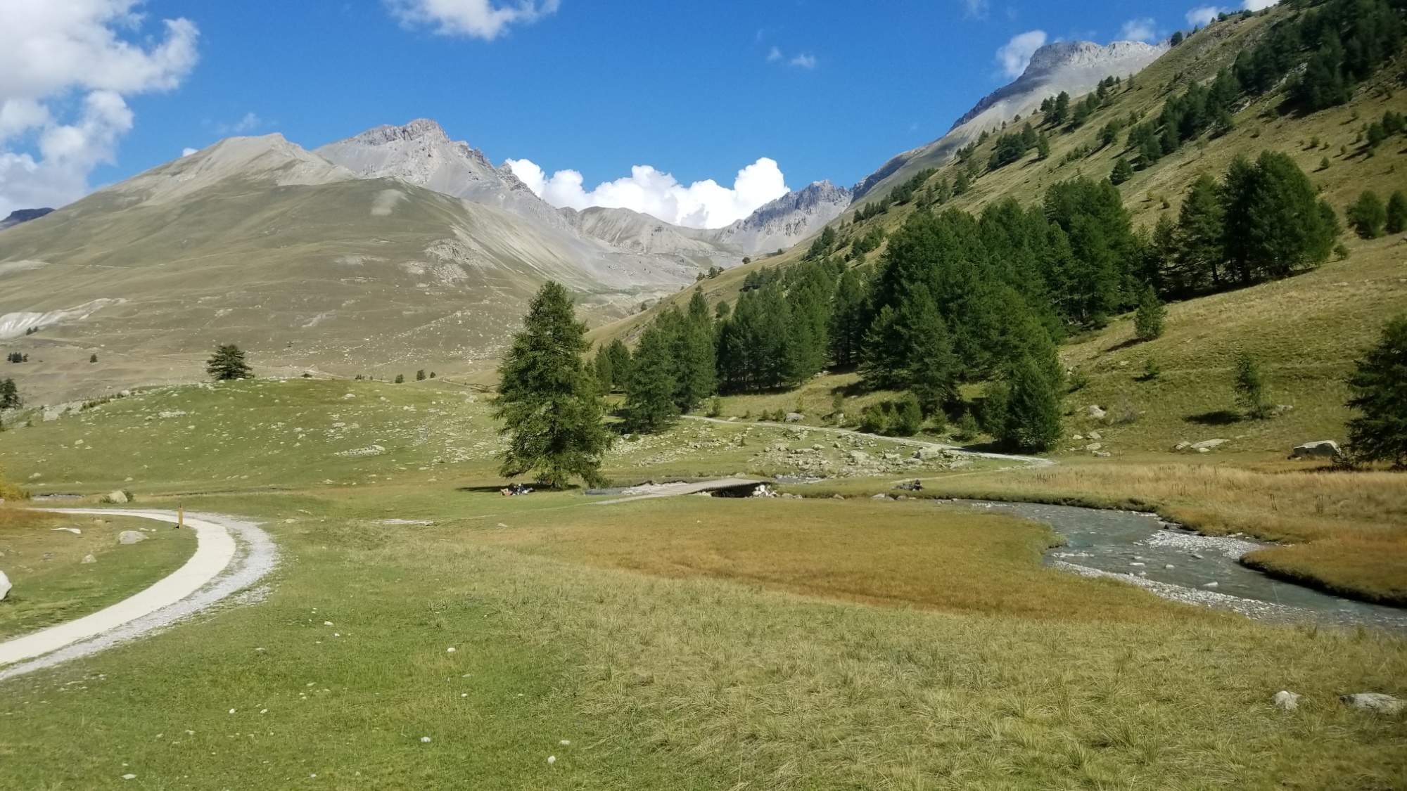
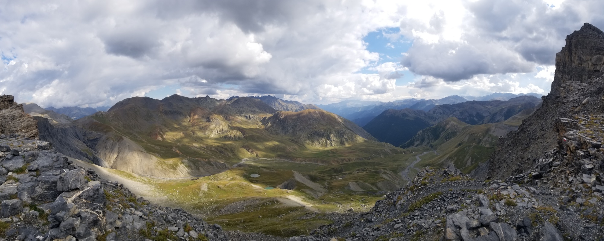
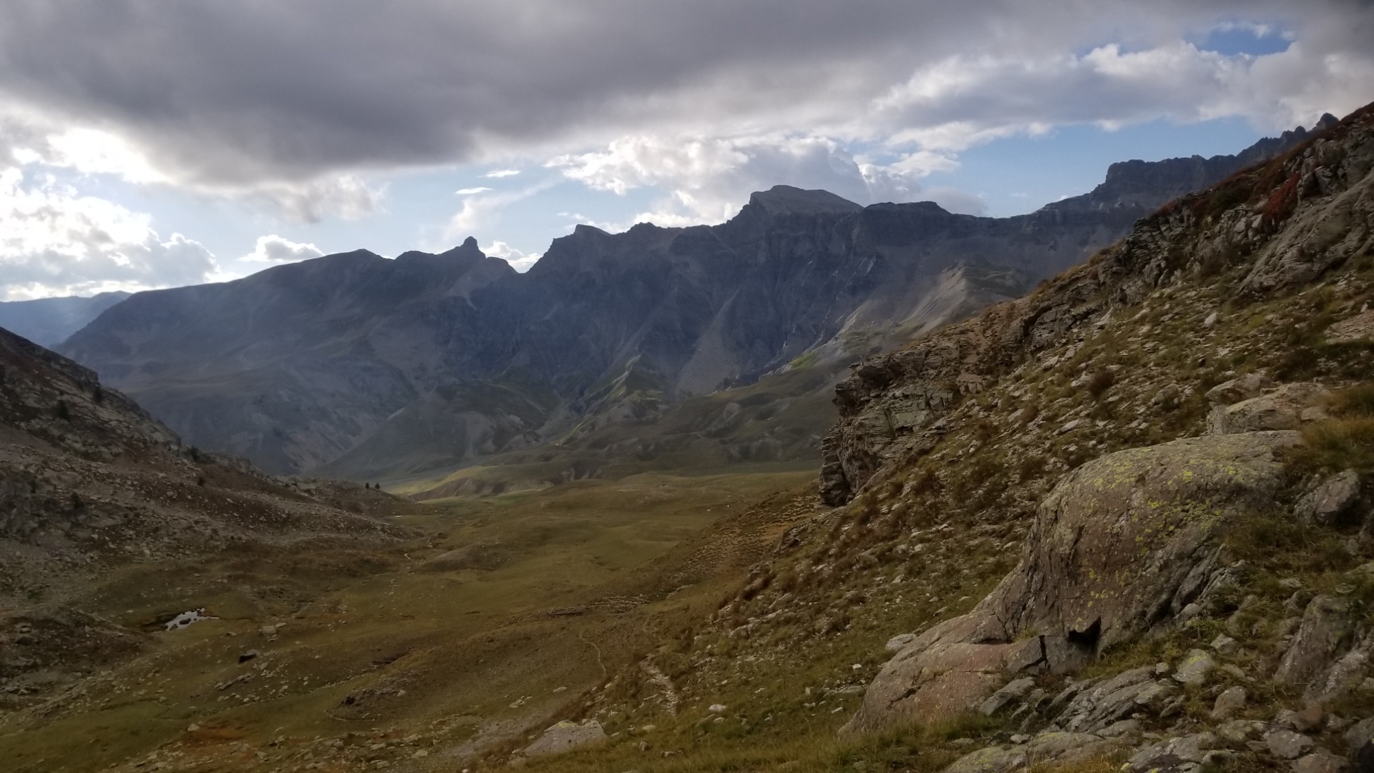
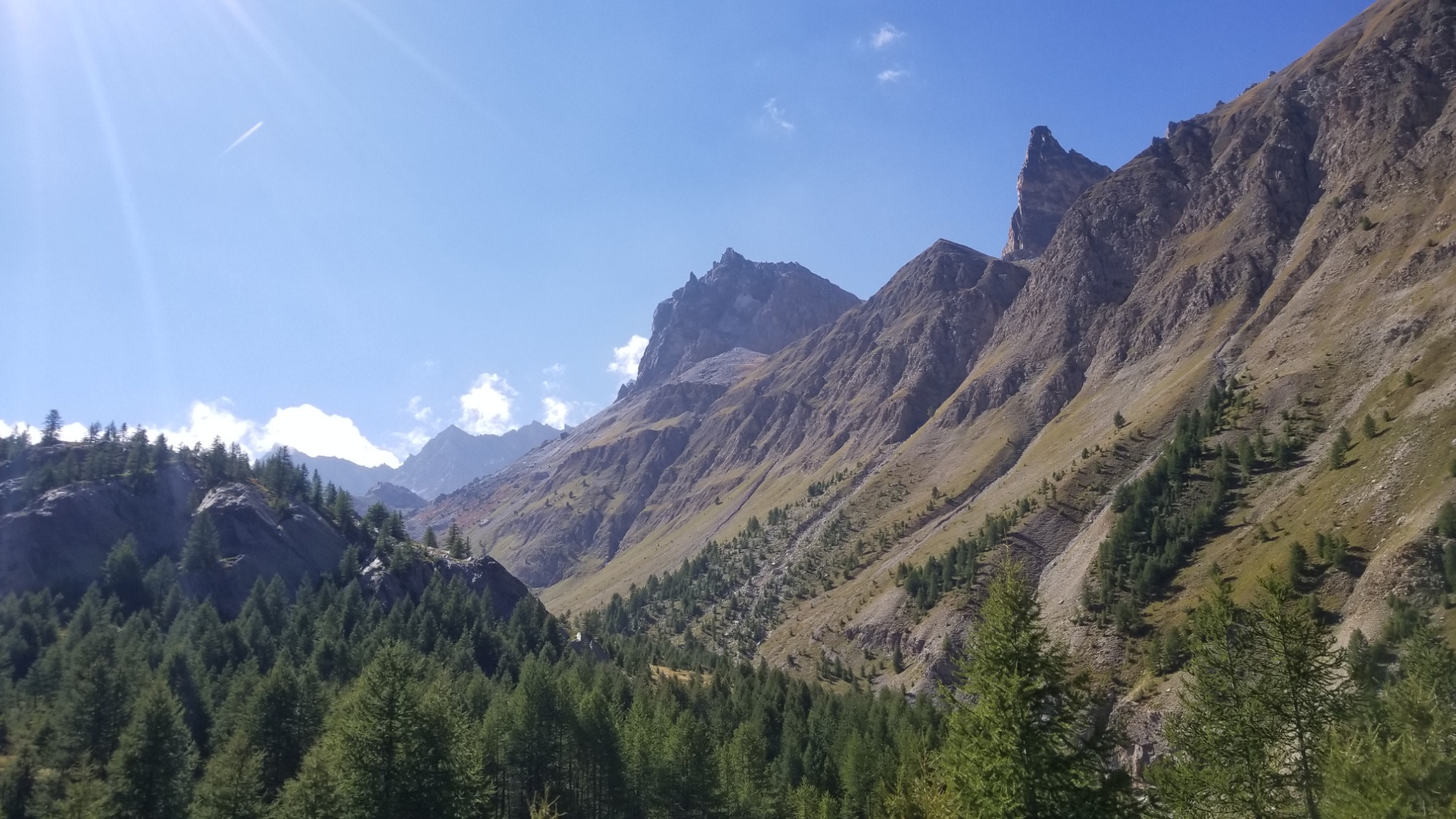
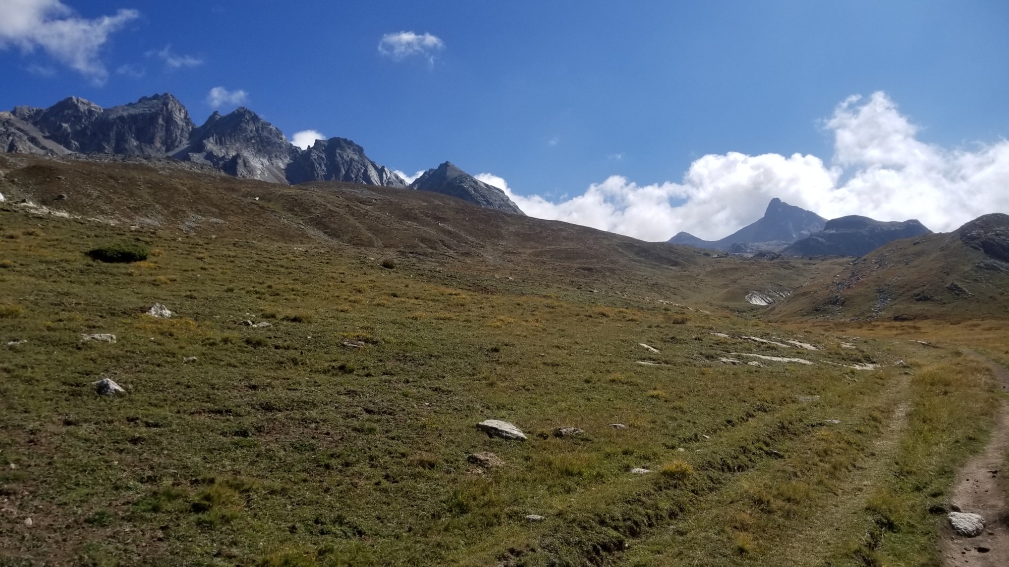
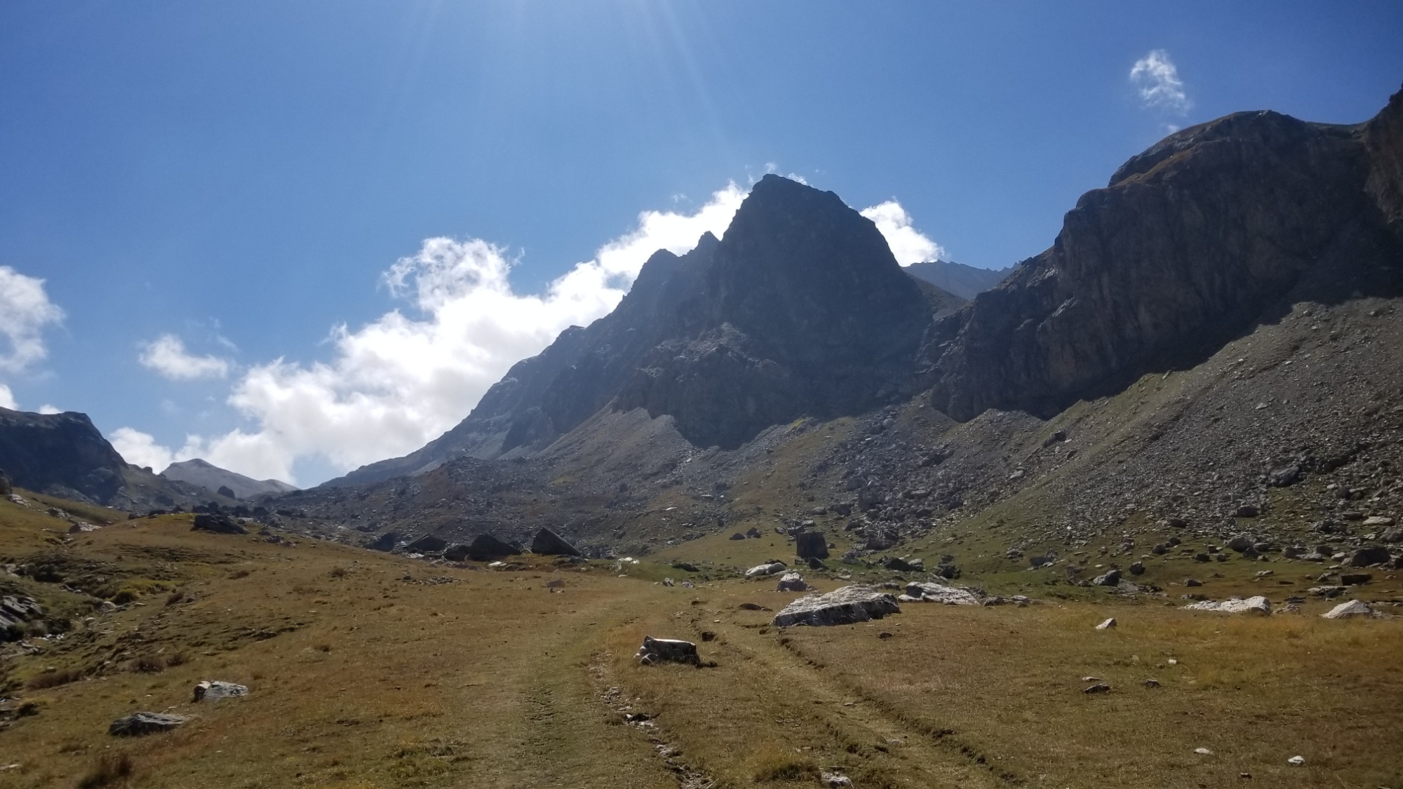
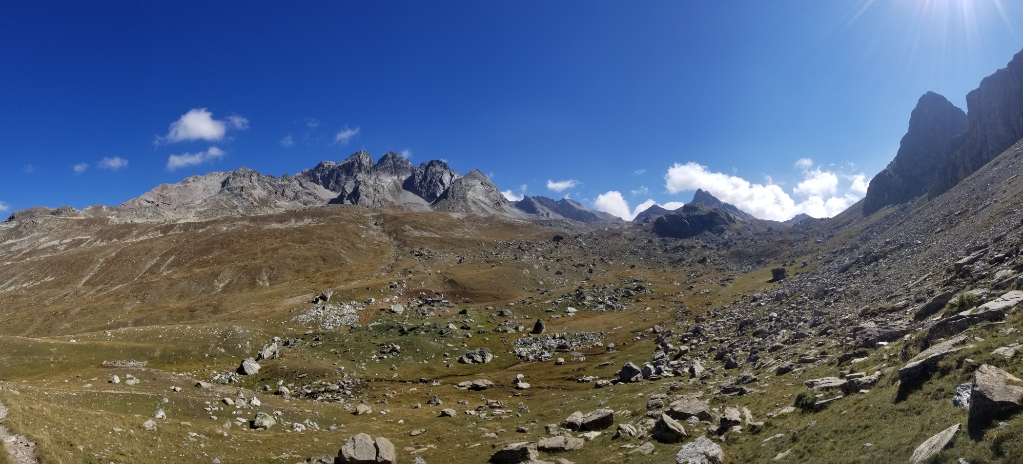
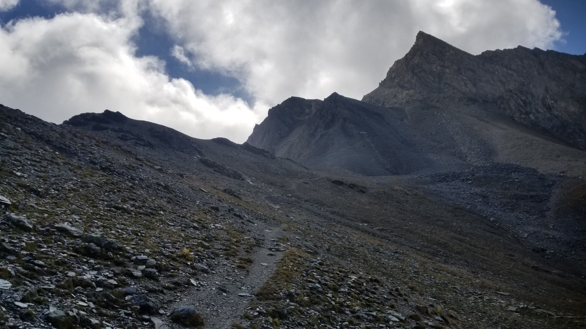
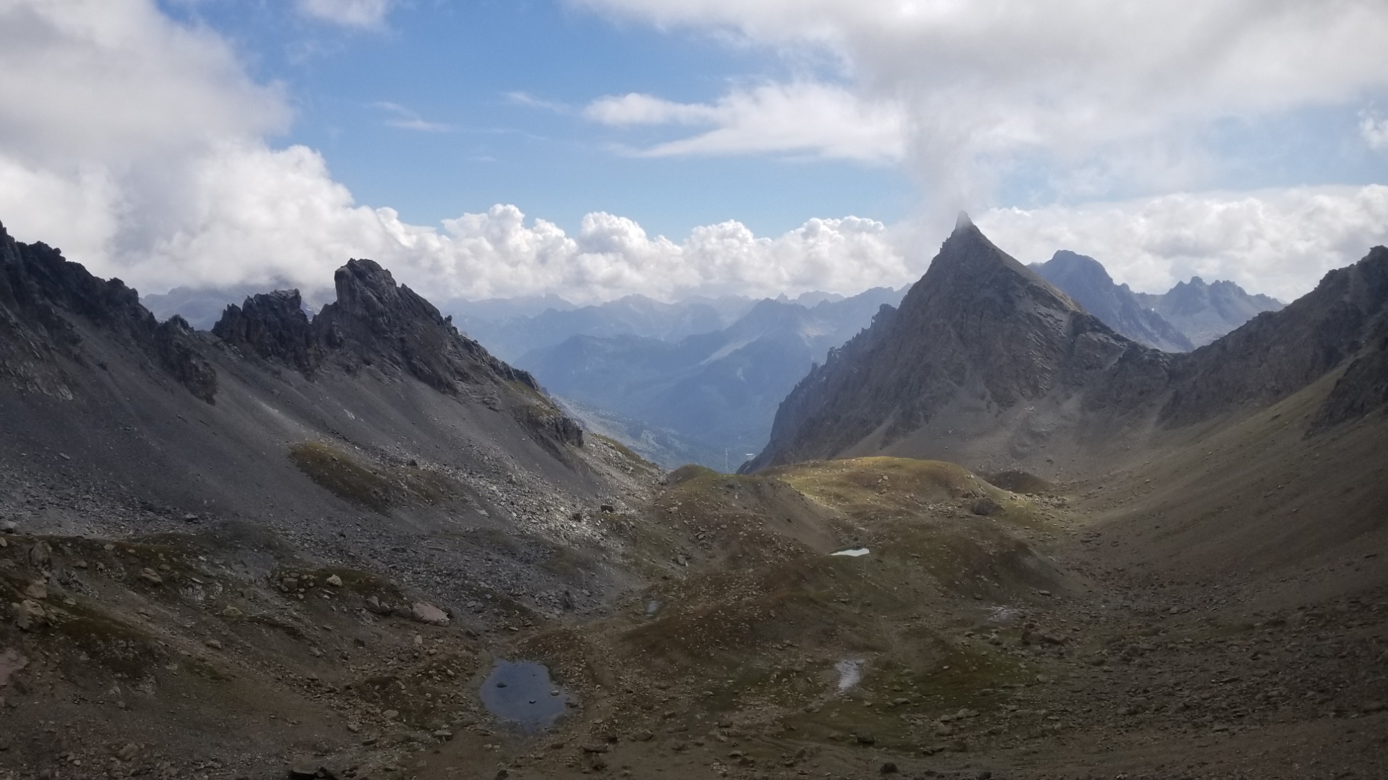
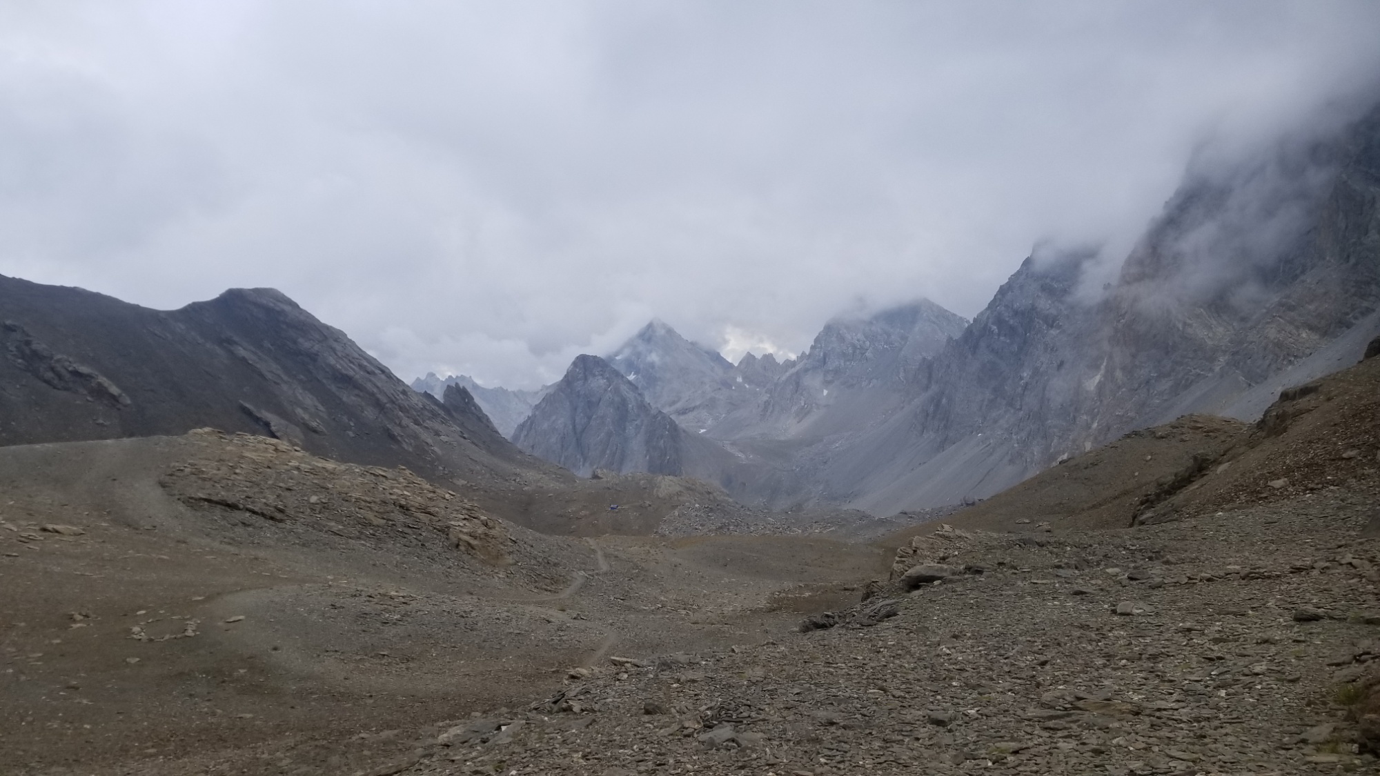
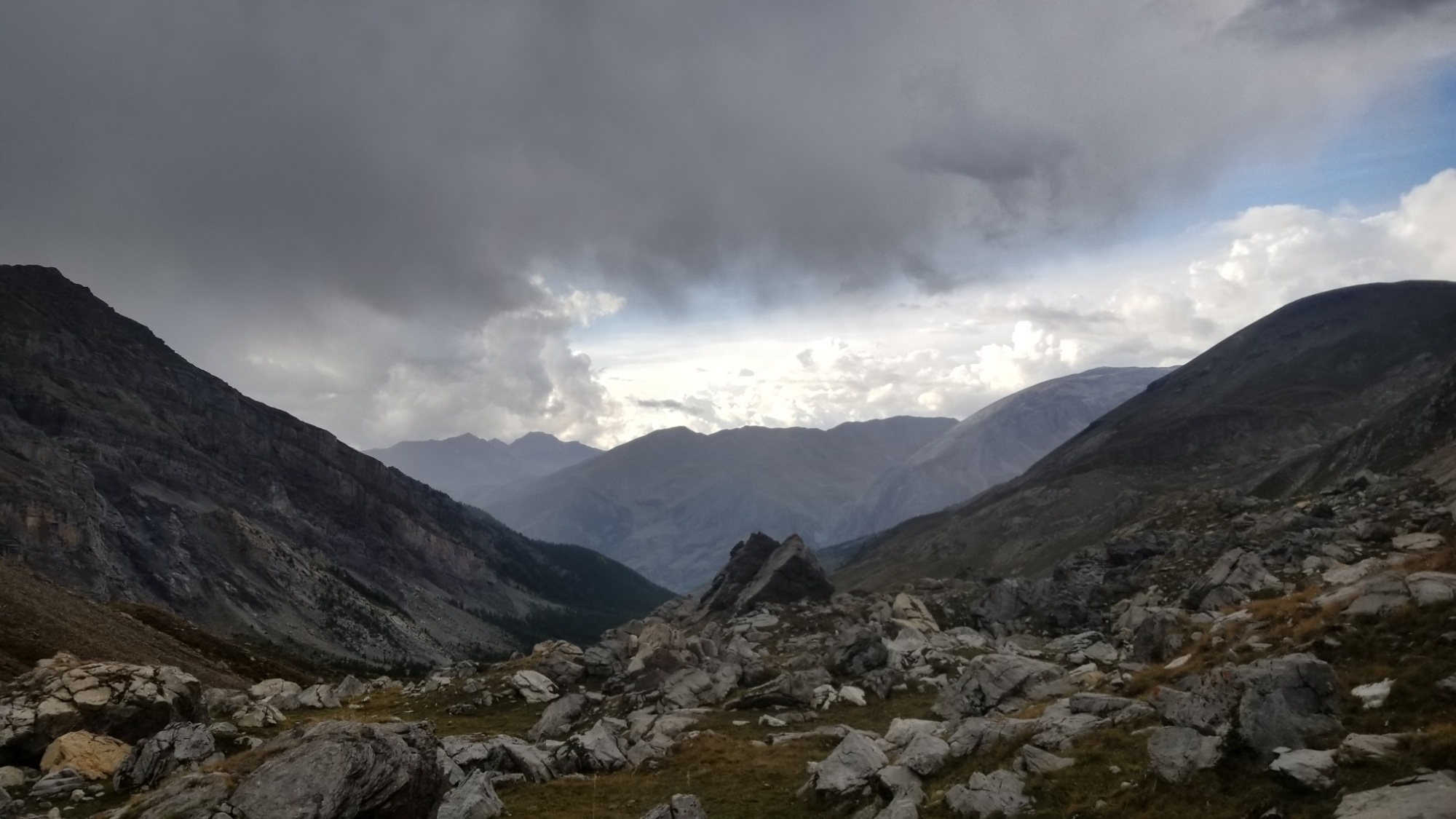
Today was the last day of true mountains I would experience on this trail, and I aim to enjoy every moment of it. The dregs of the peaks. But possibly, one of the greatest days of the last 3 months.
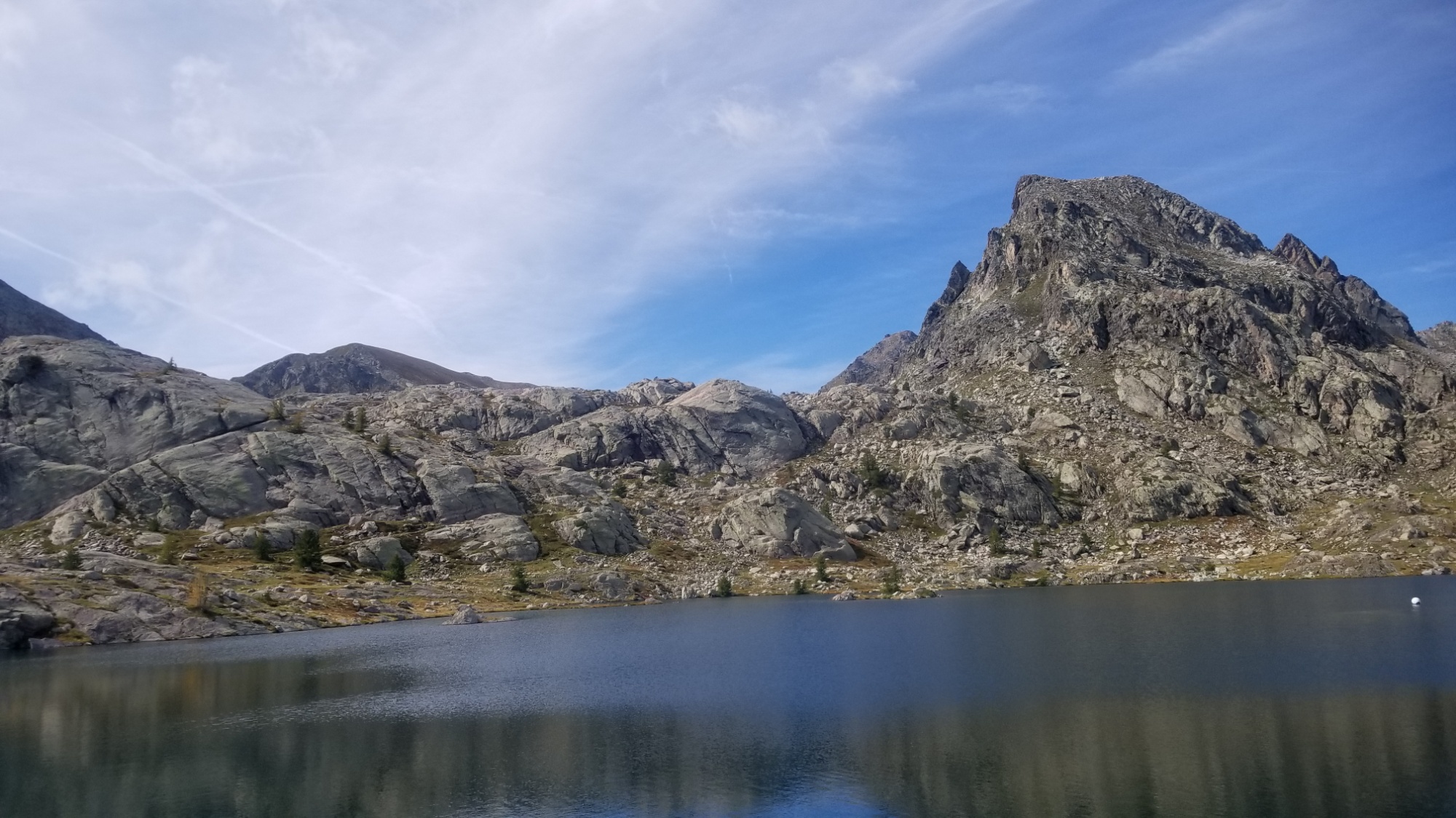
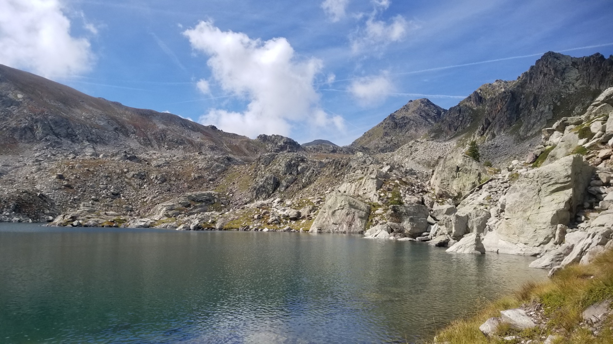
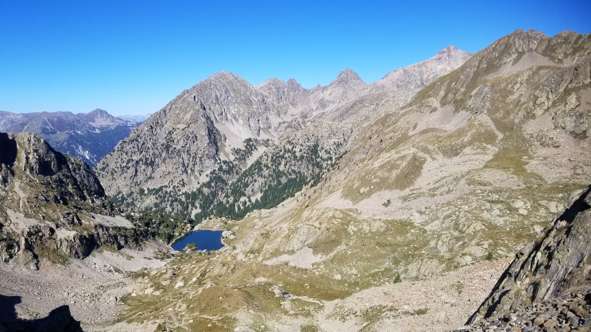
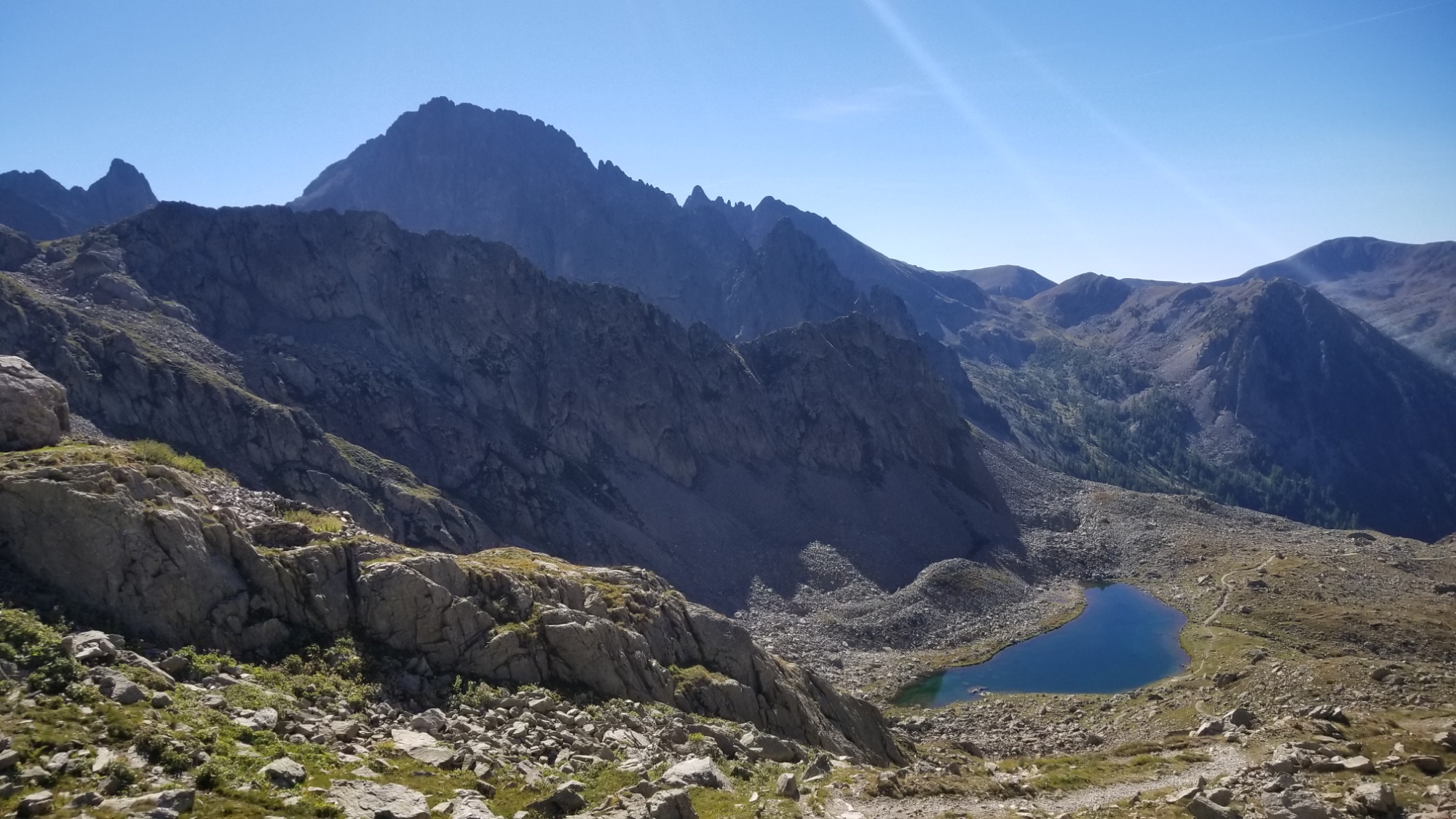
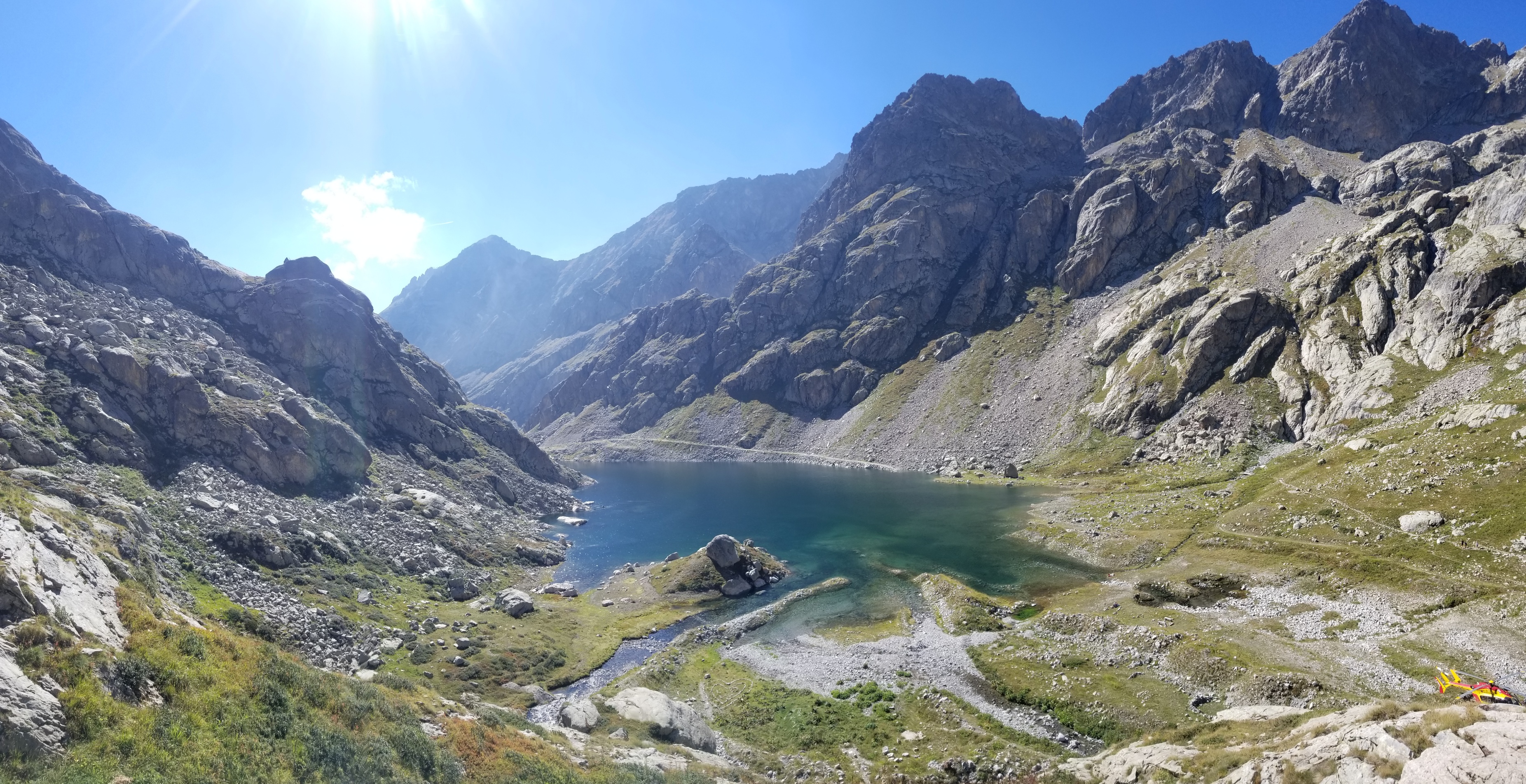
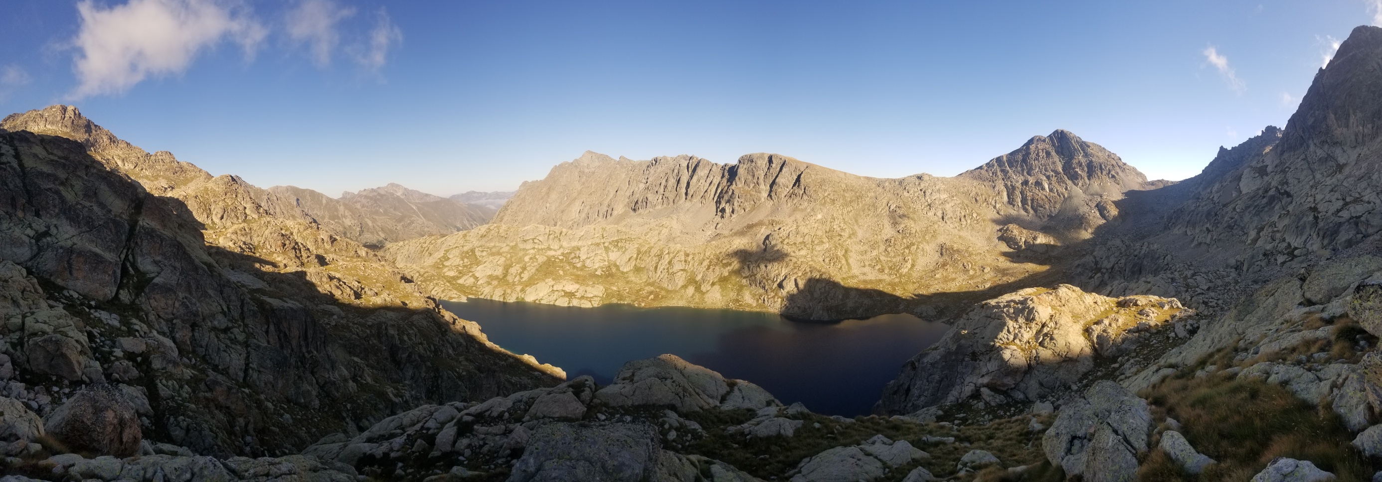
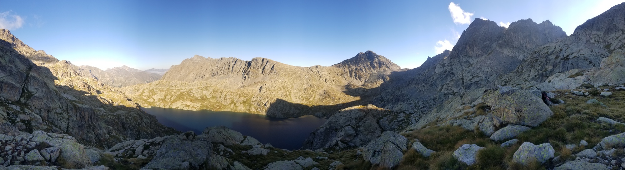
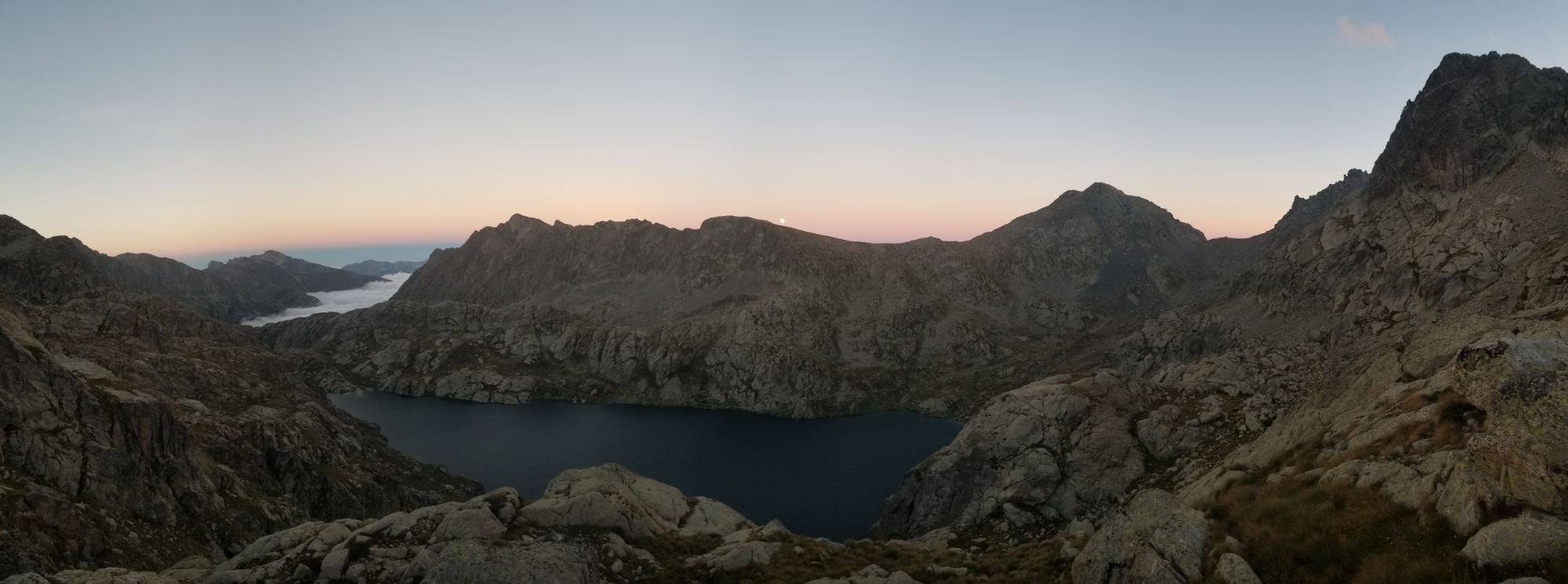
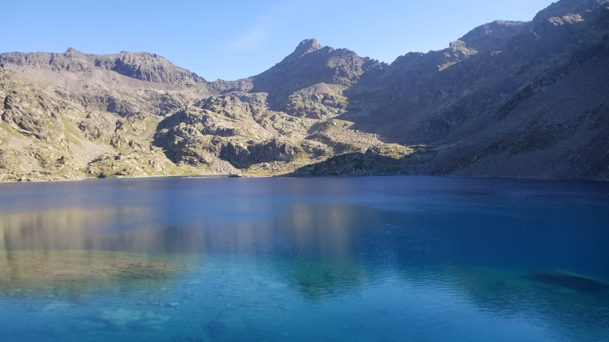
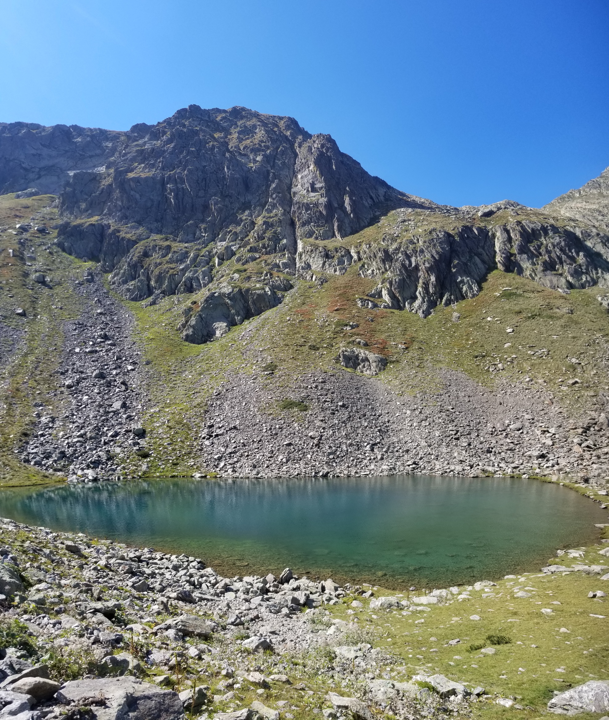
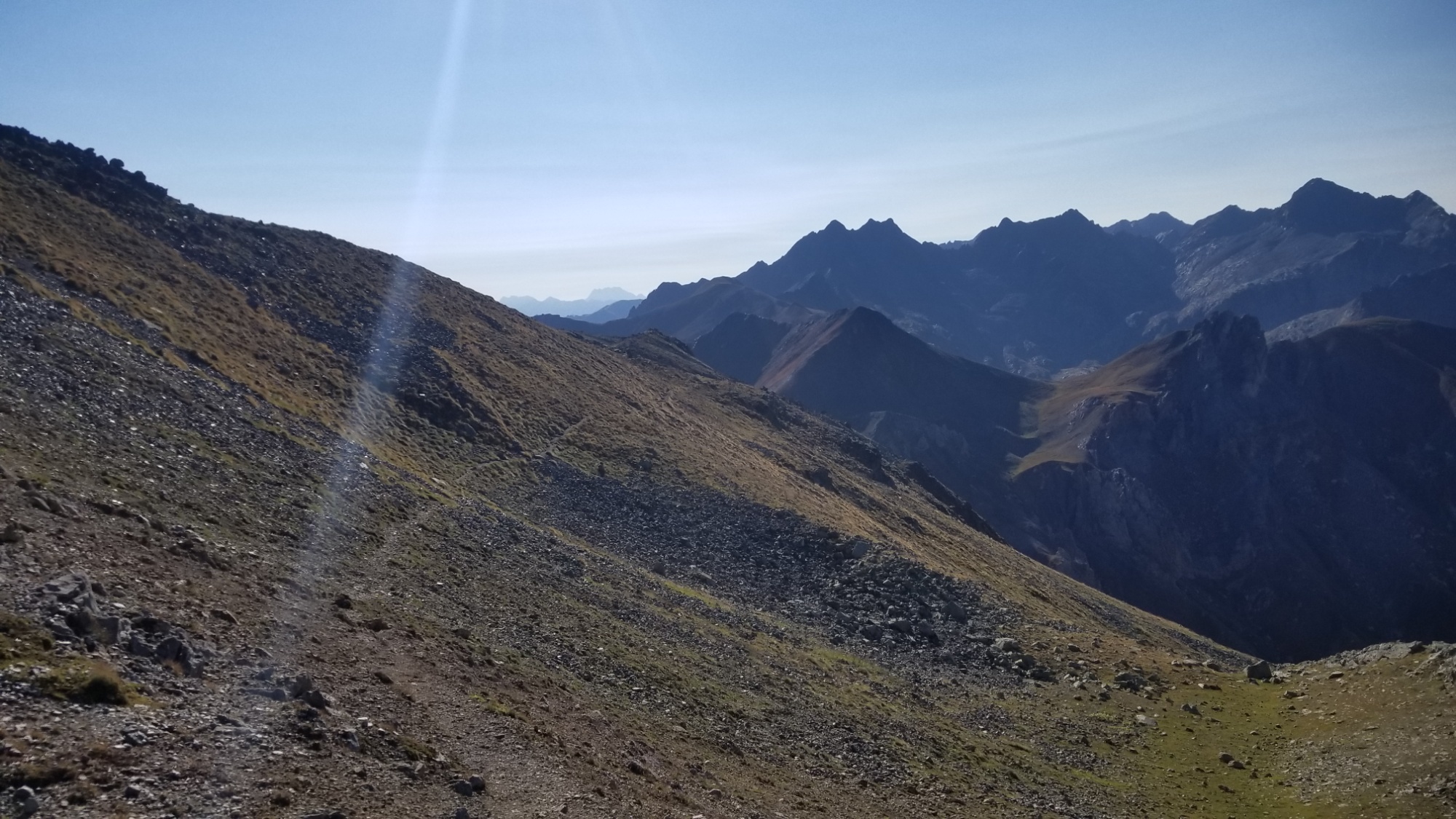
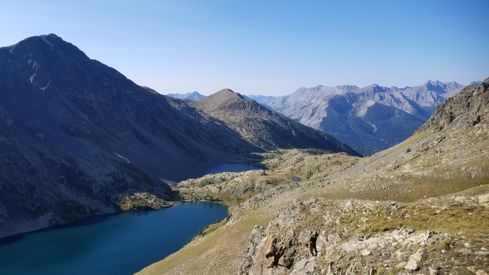
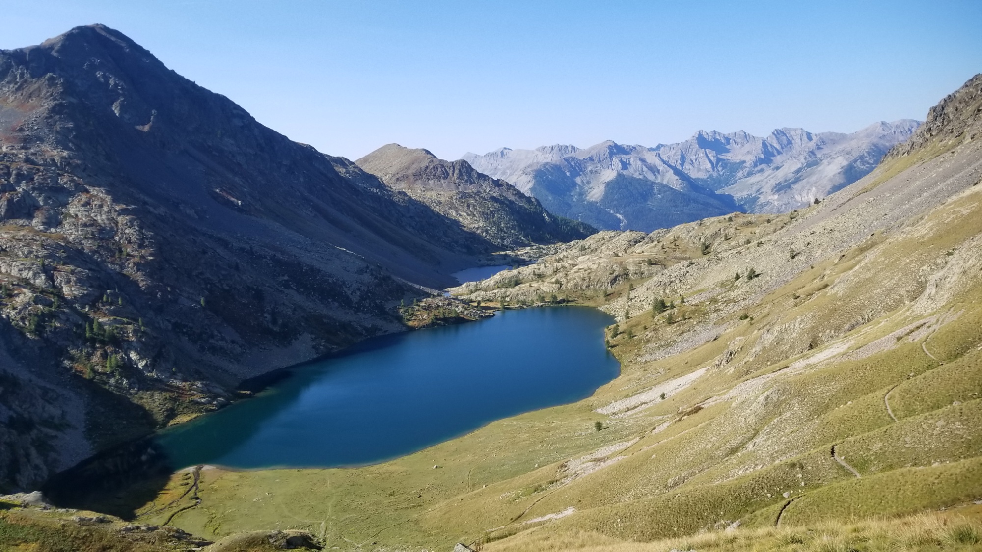
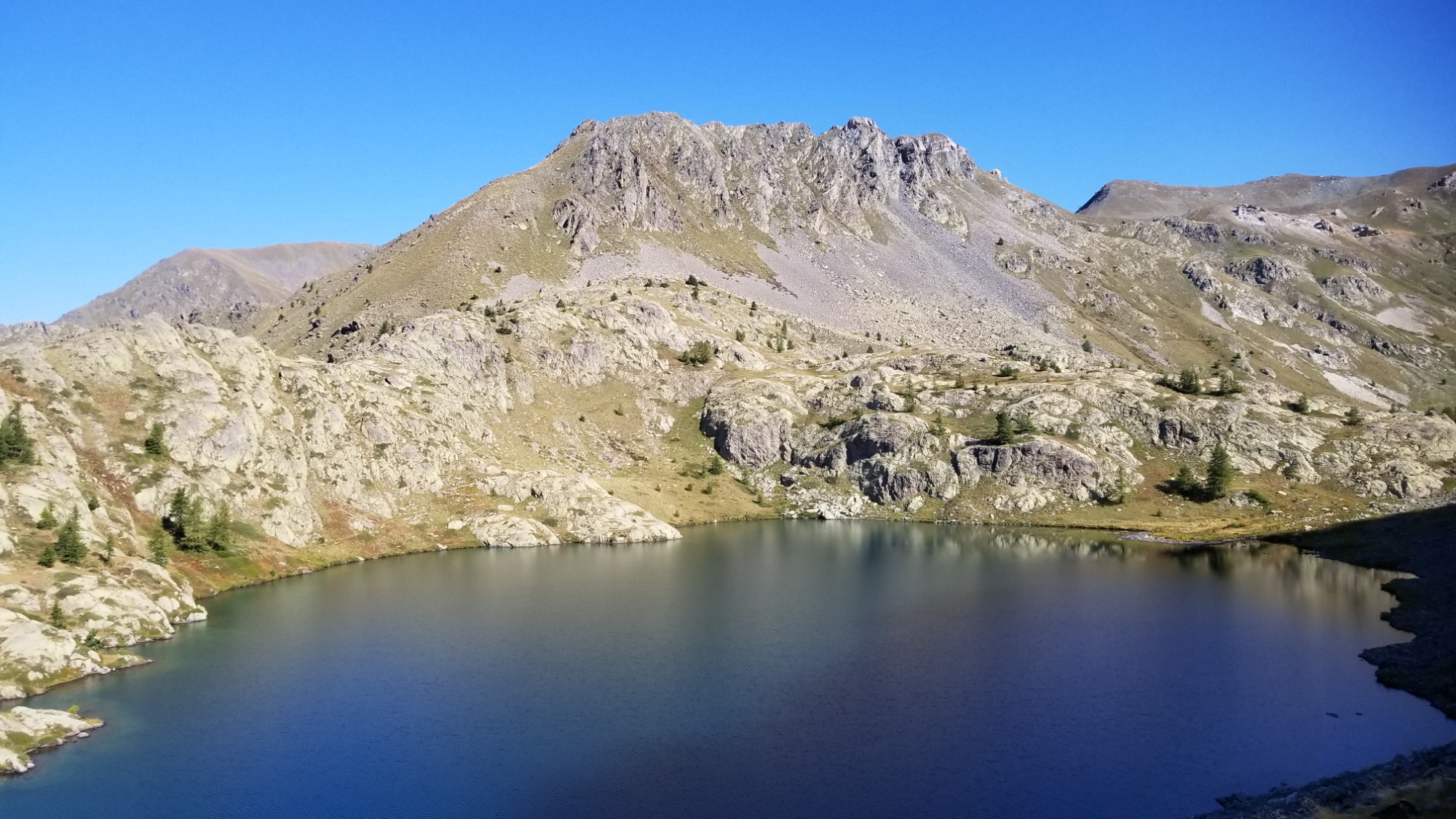
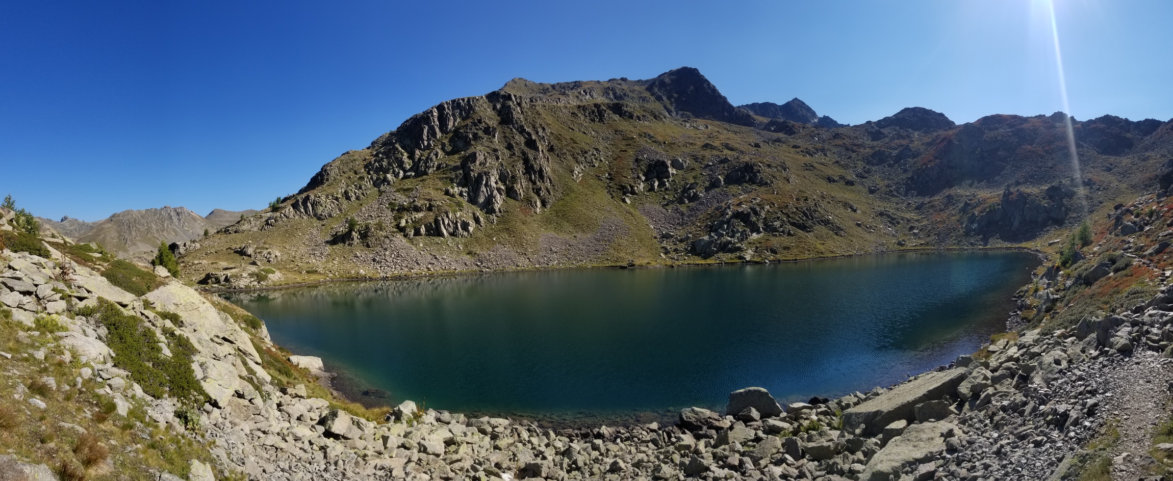
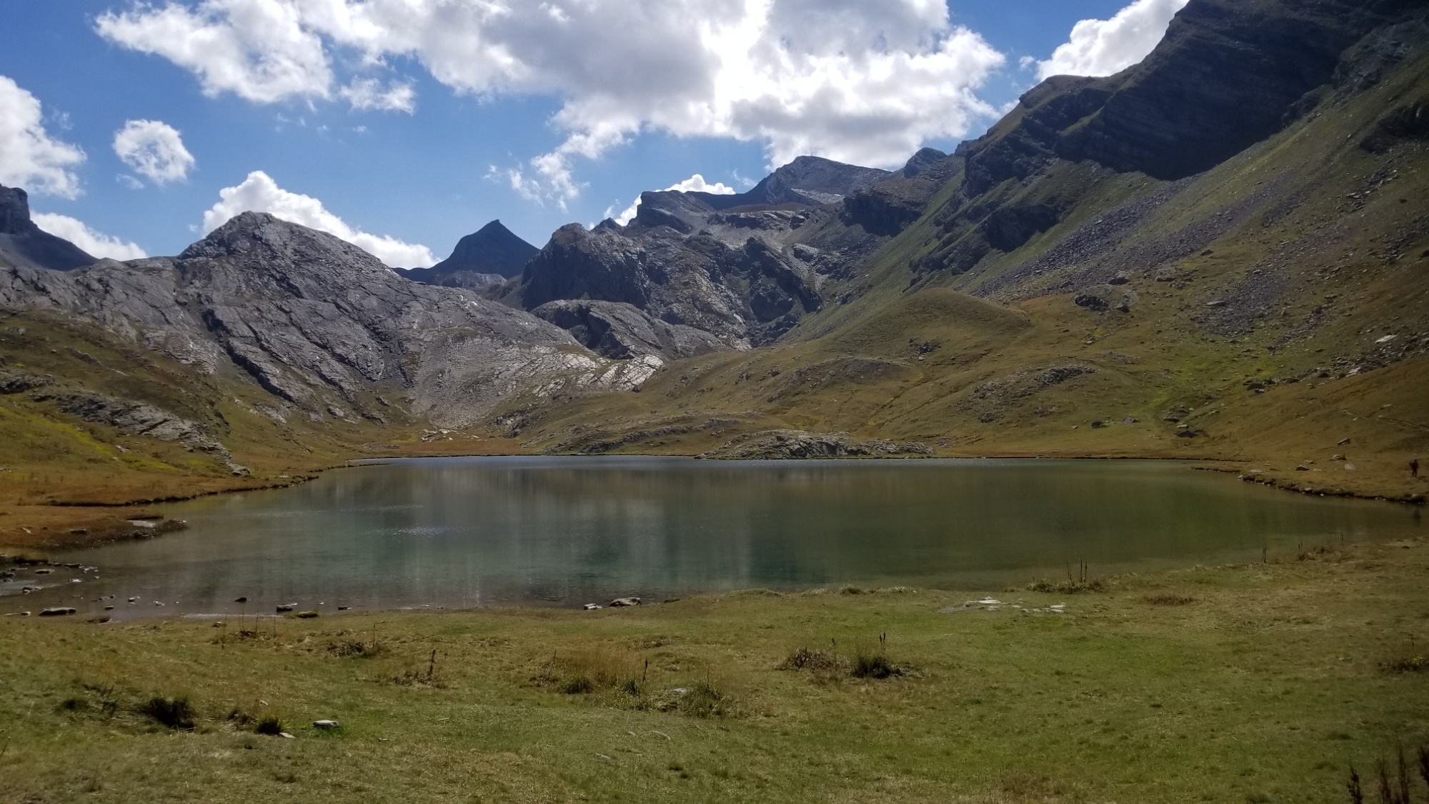
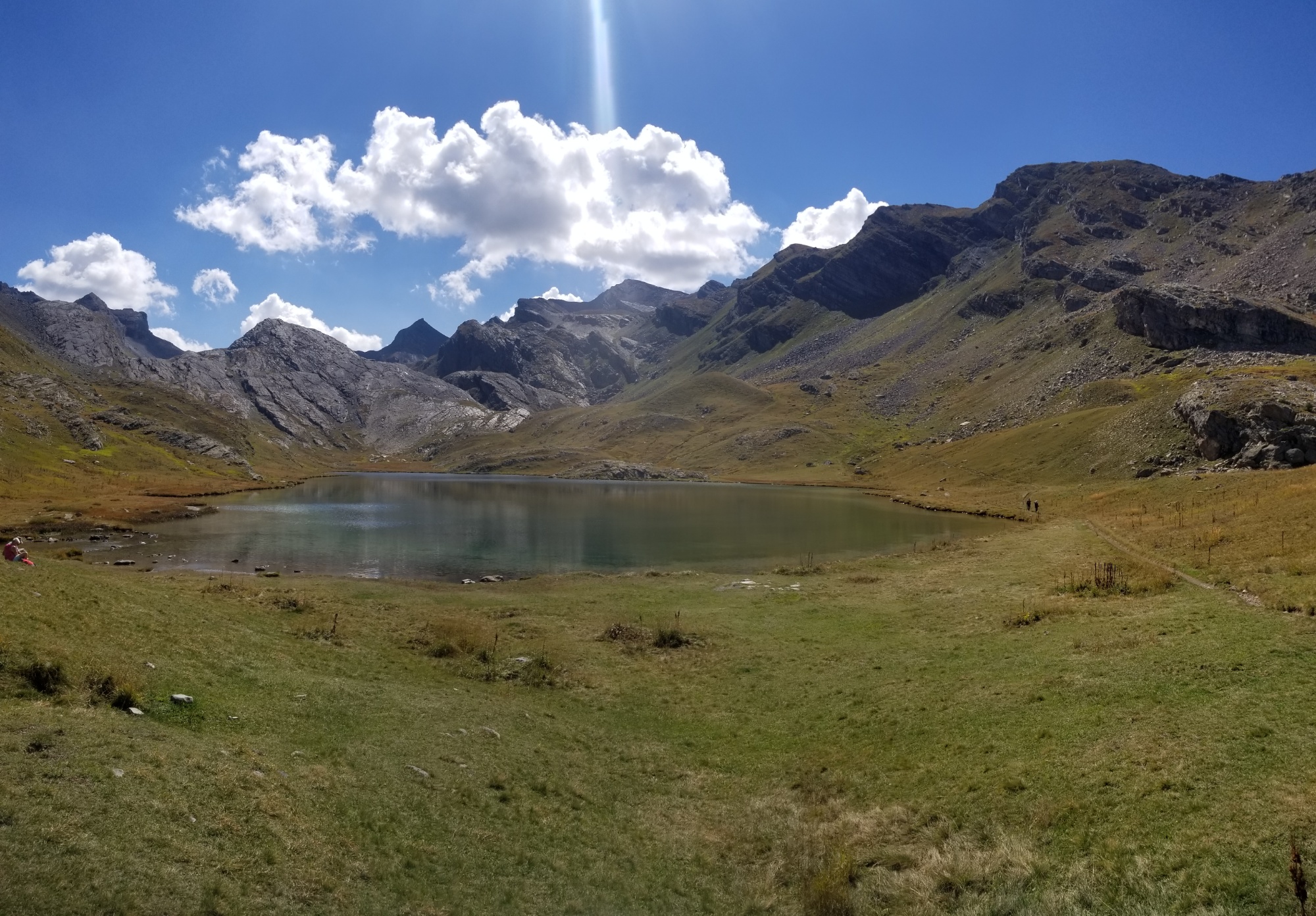
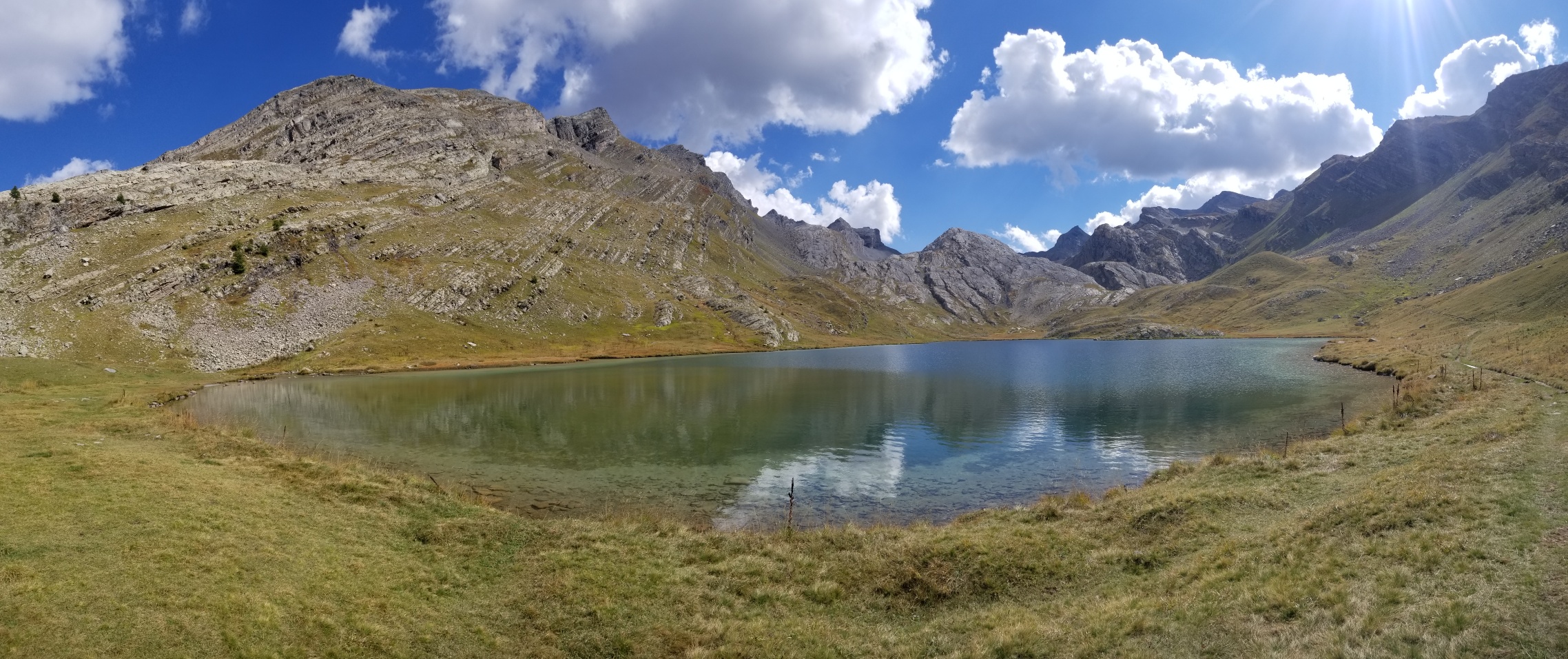
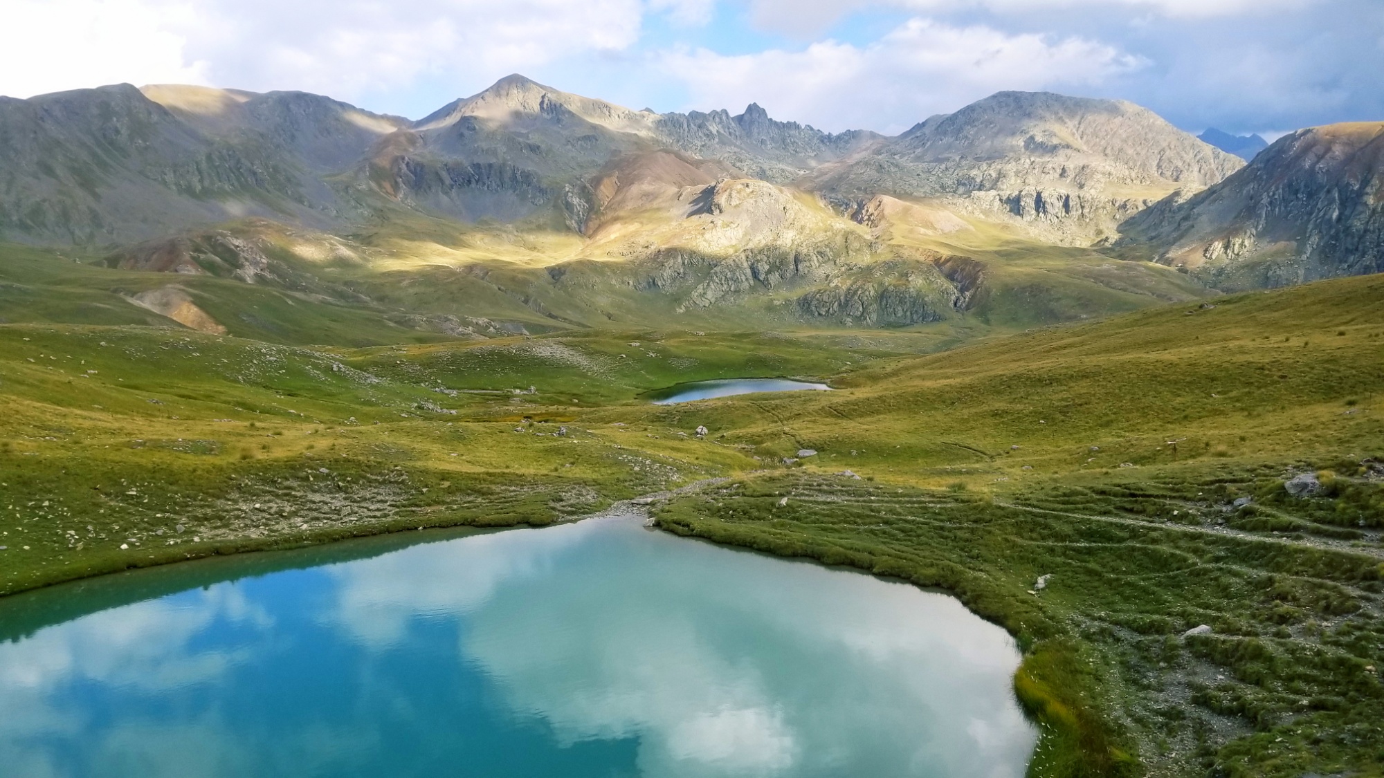
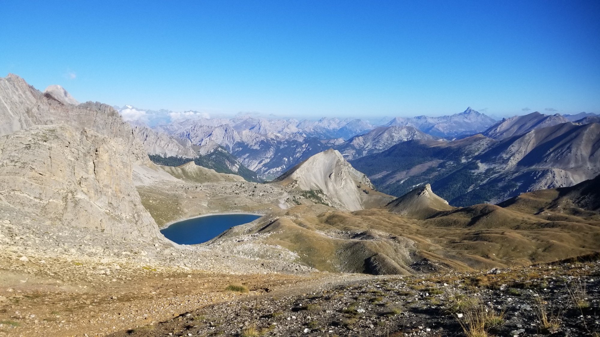
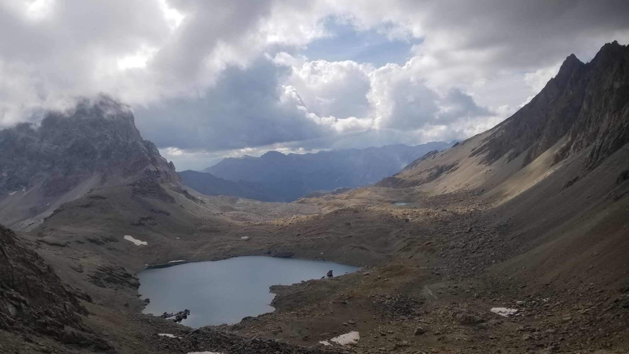
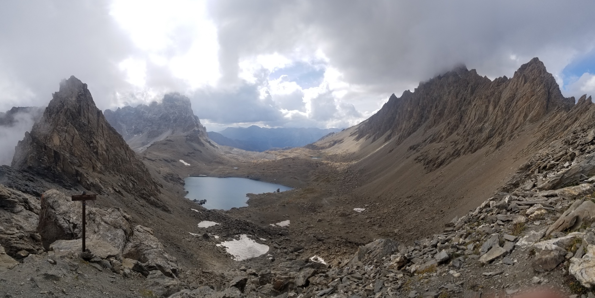
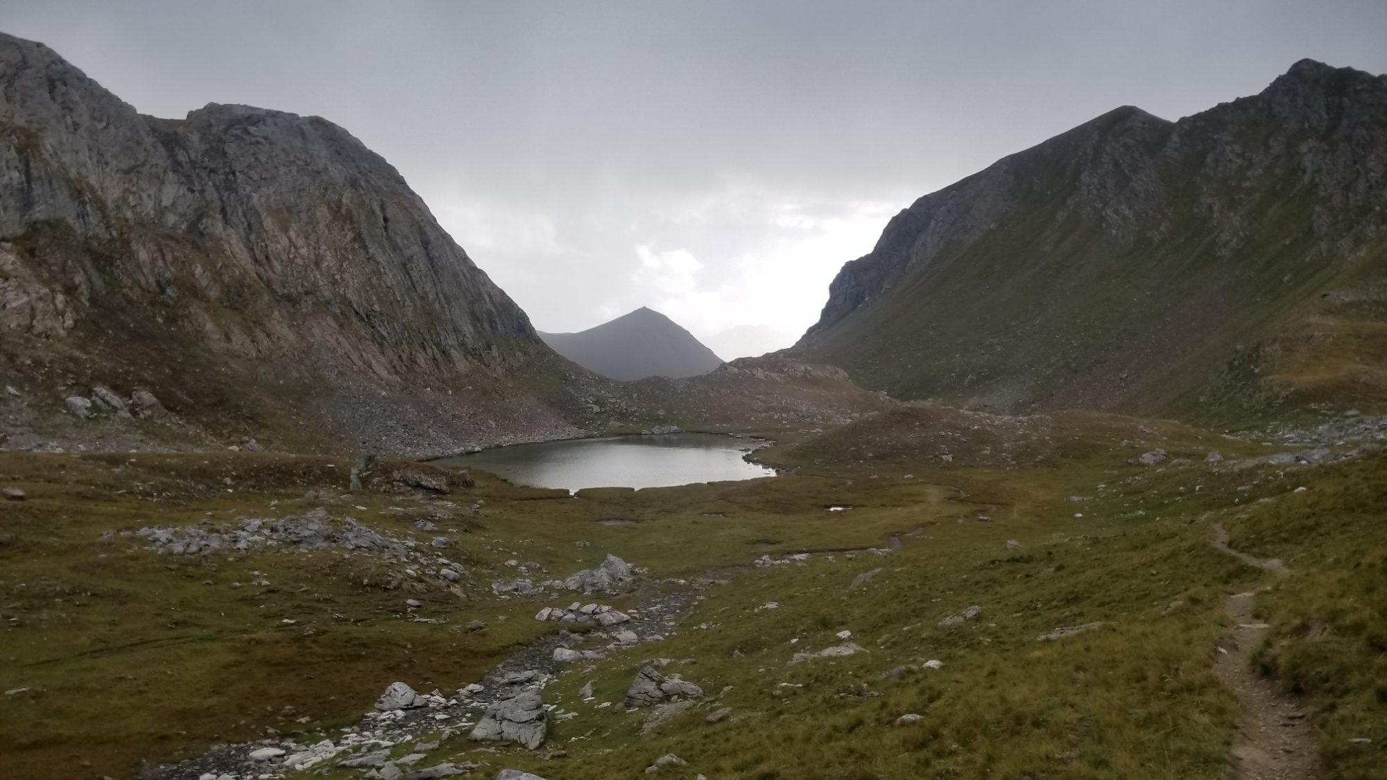
I woke and hiked out around Lac Basto, quickly coming to a col and then descending to the Lac de Marvels, permitting entry to the valley of Marvels.
Lac Basto
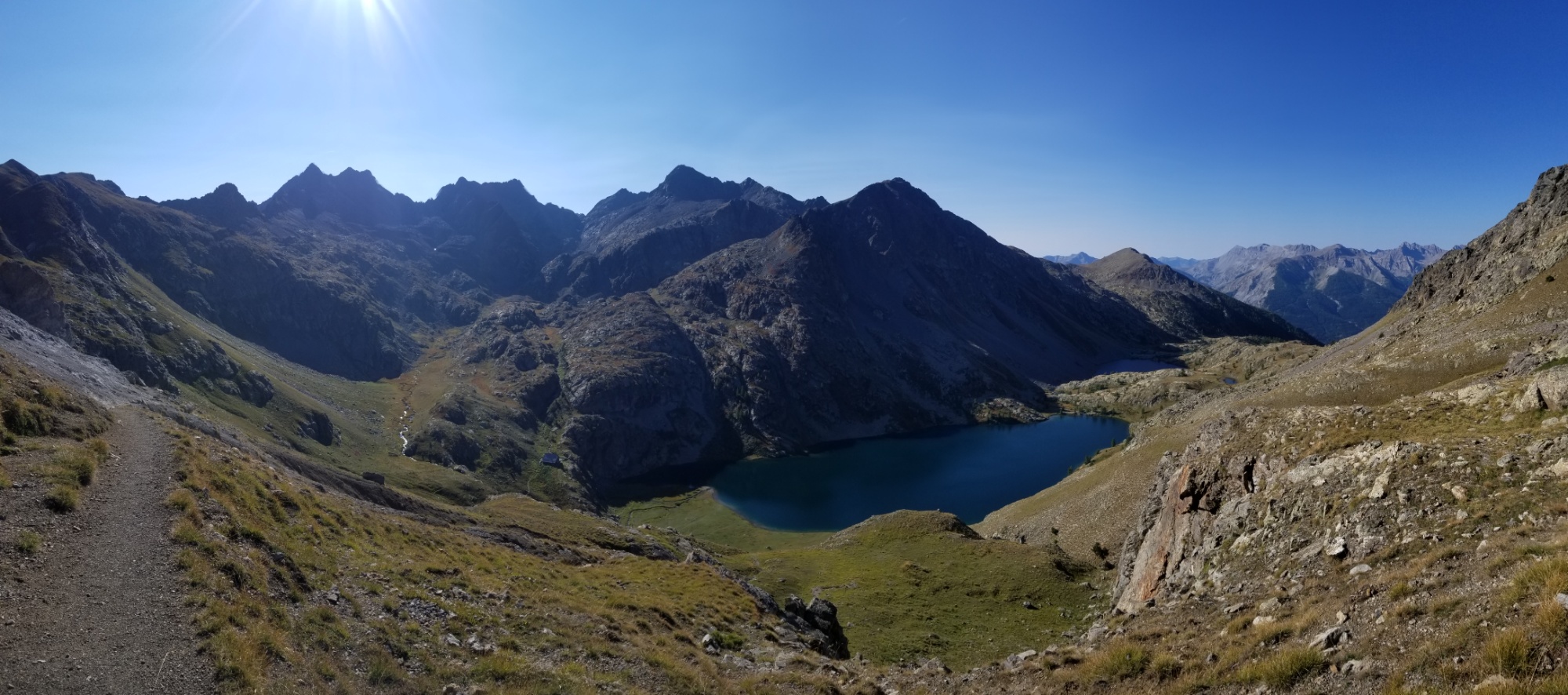
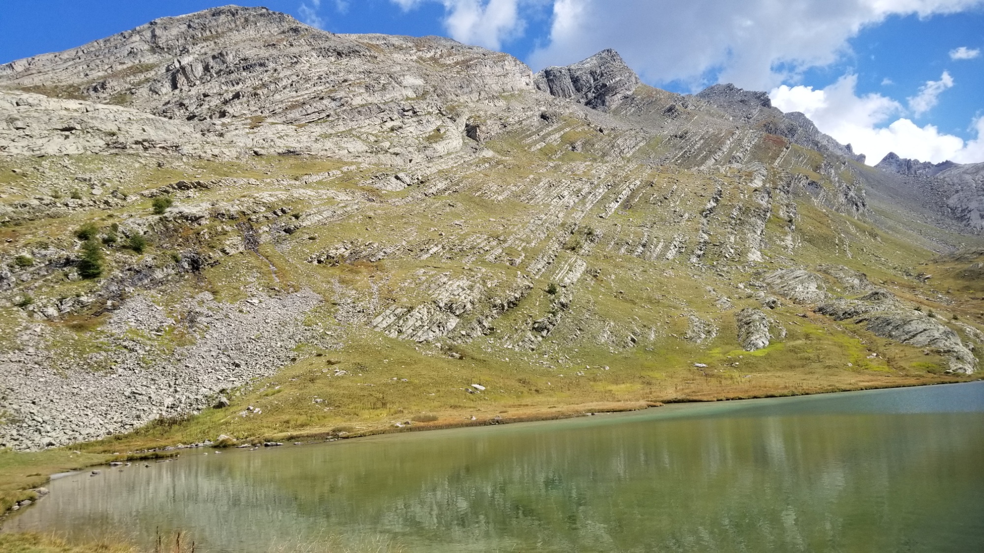
Towards the vallee des merveilles
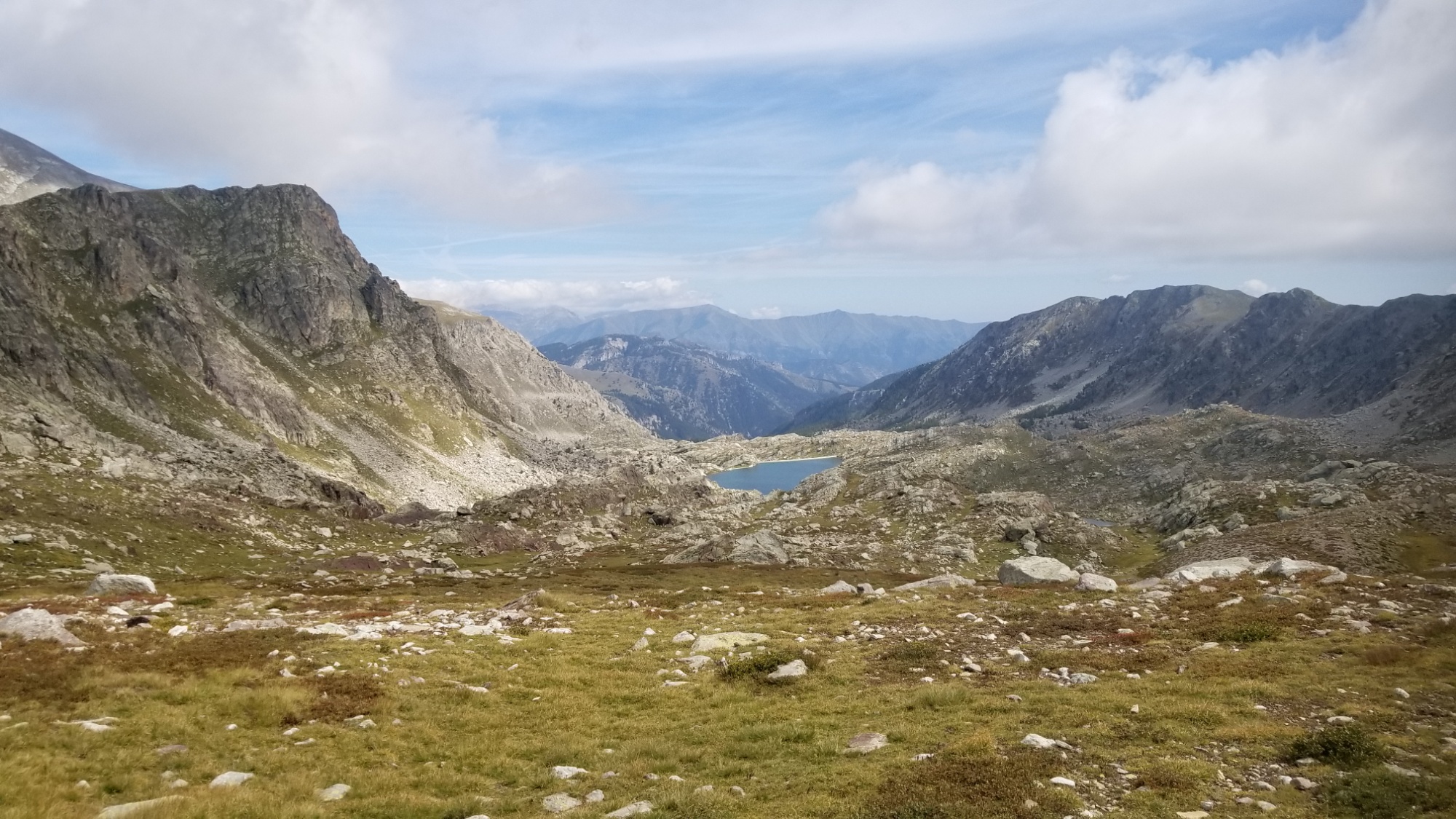
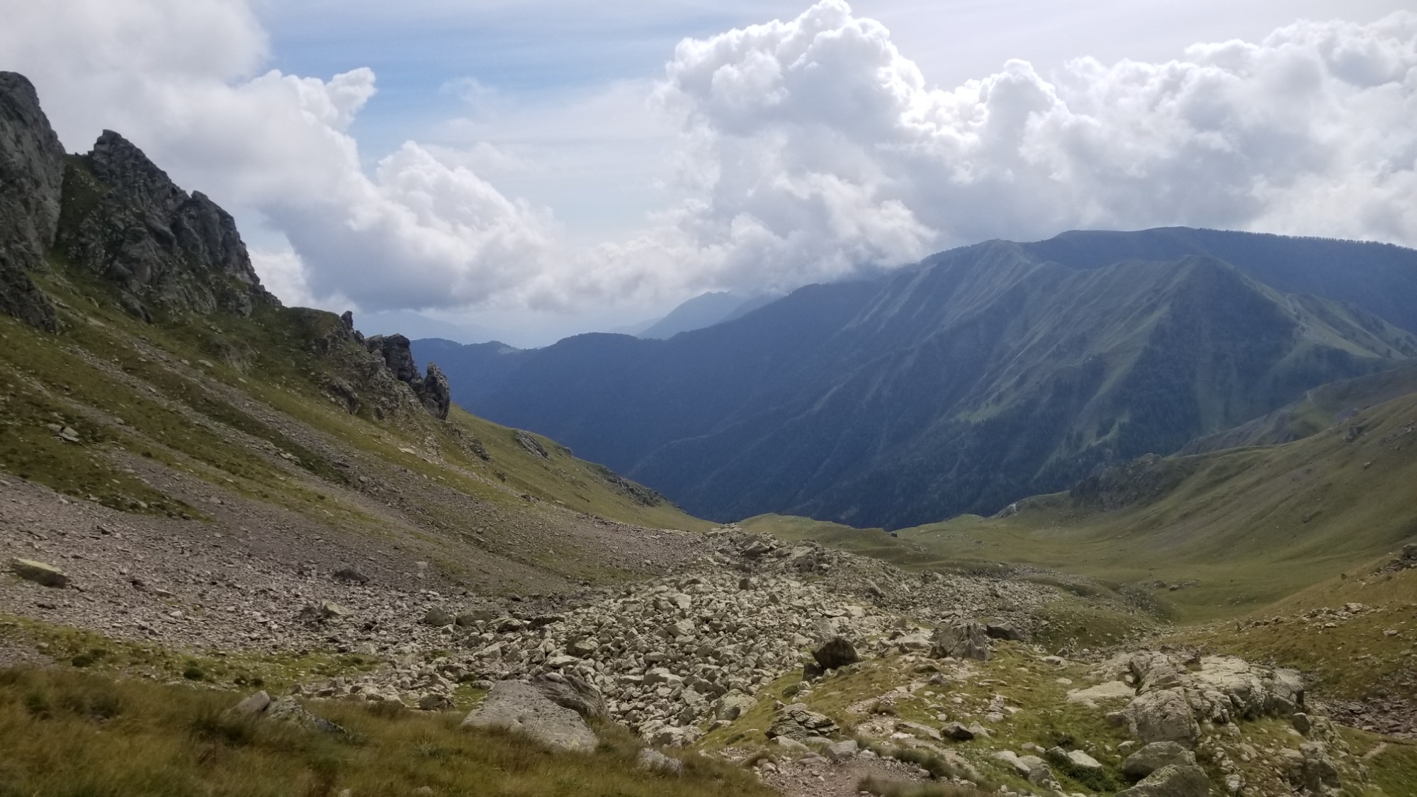
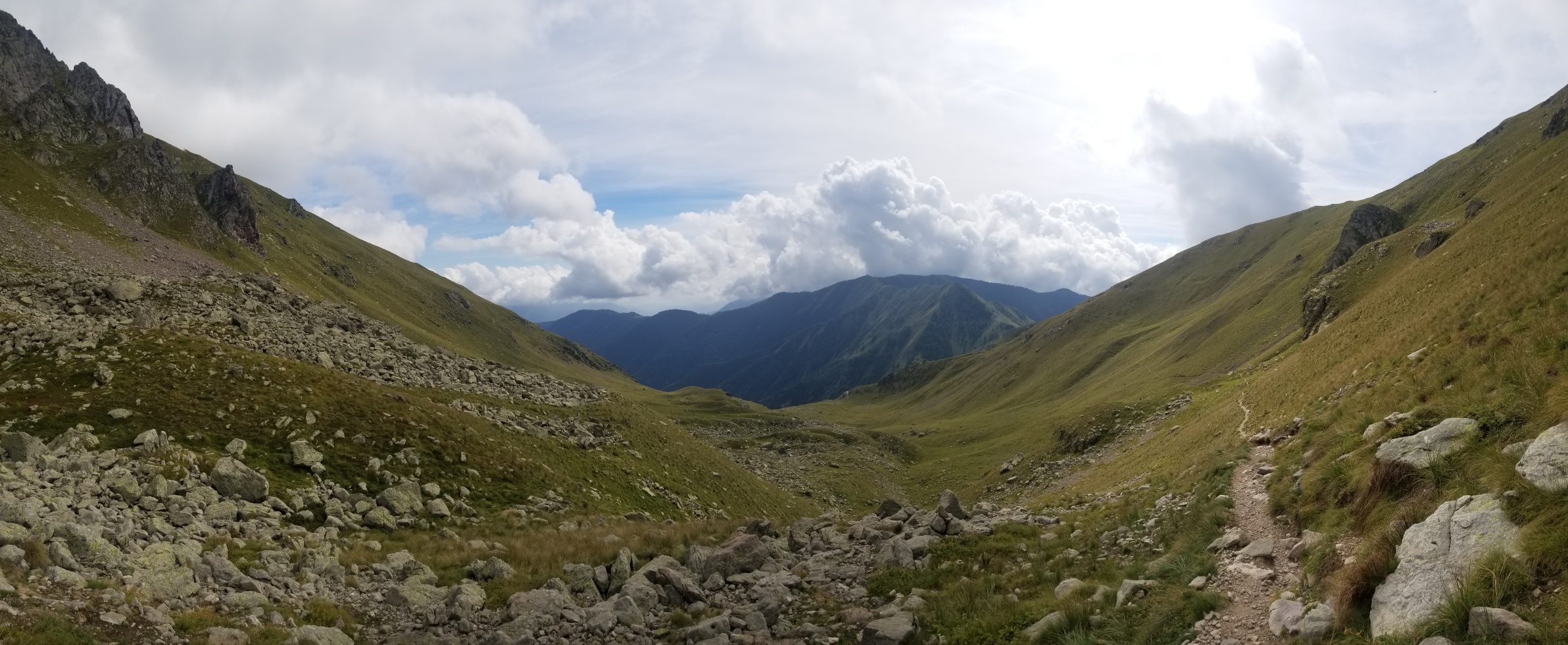
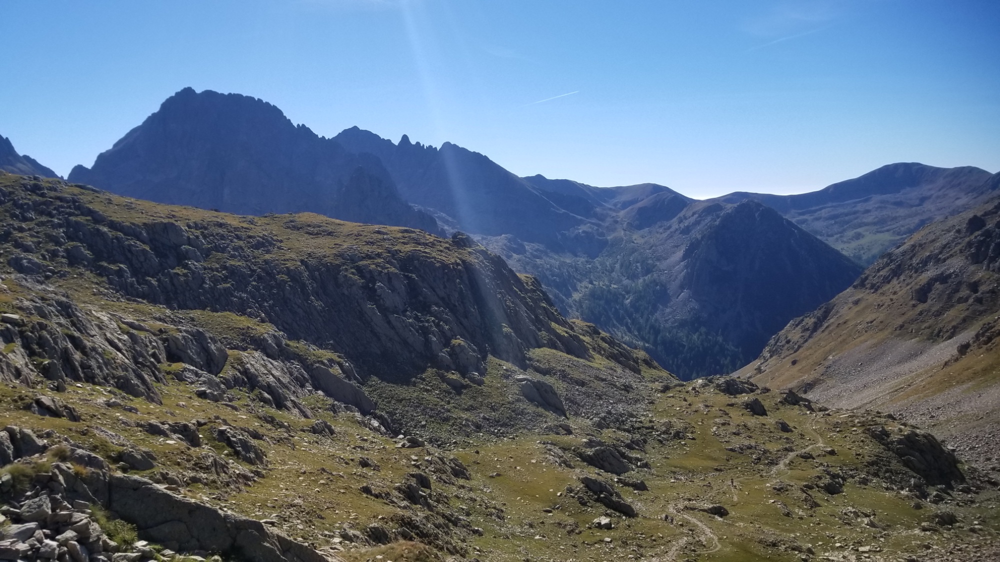
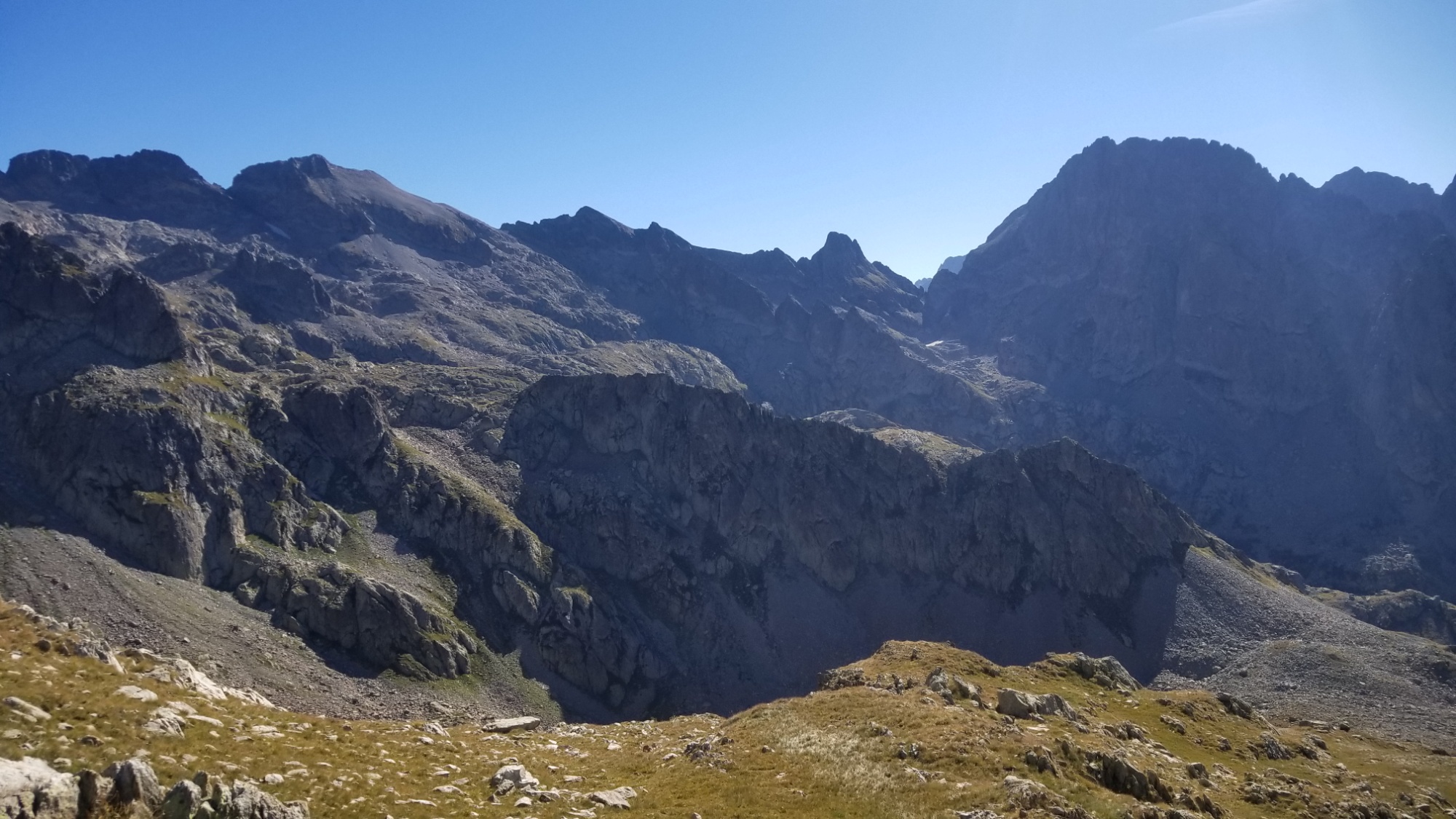
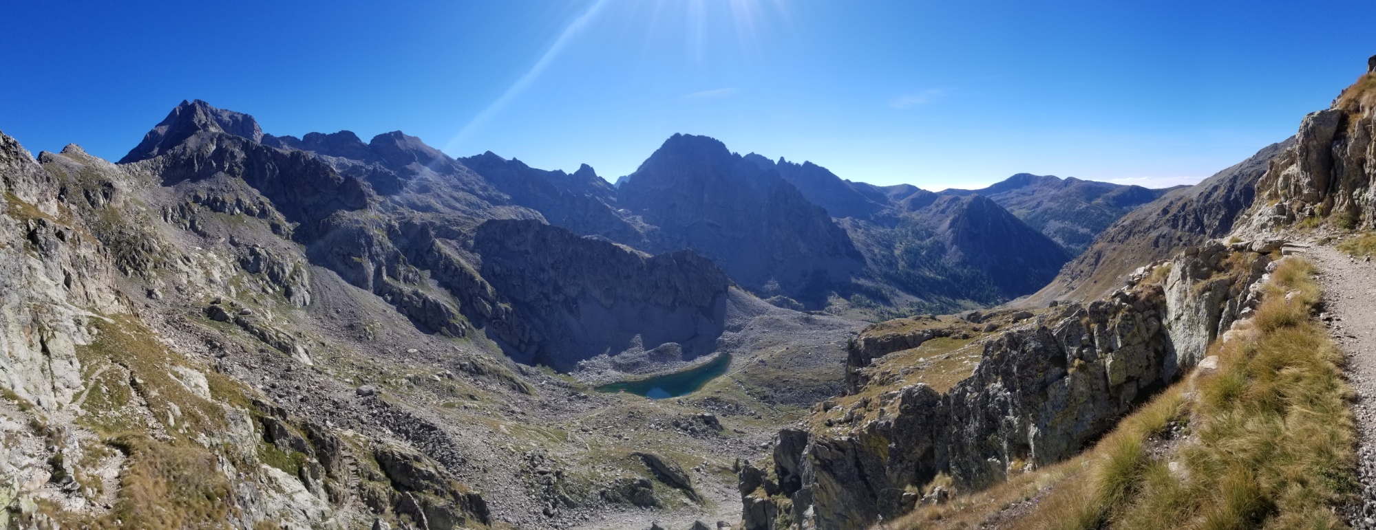
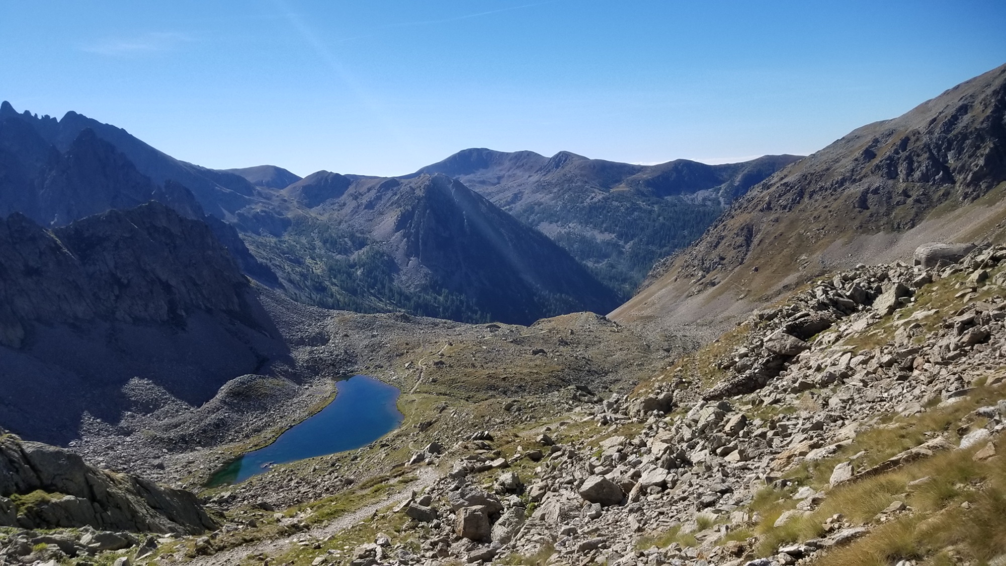
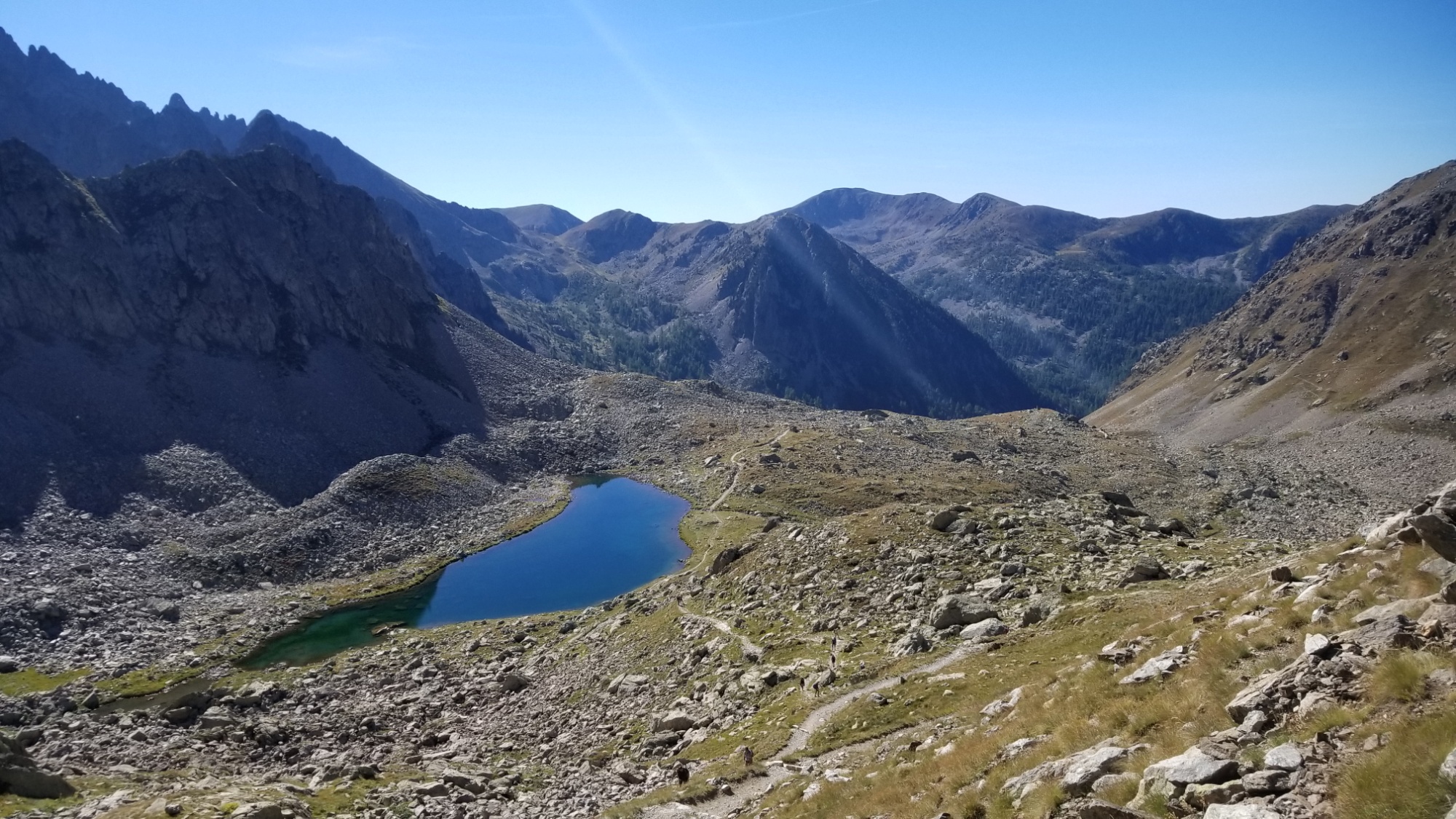
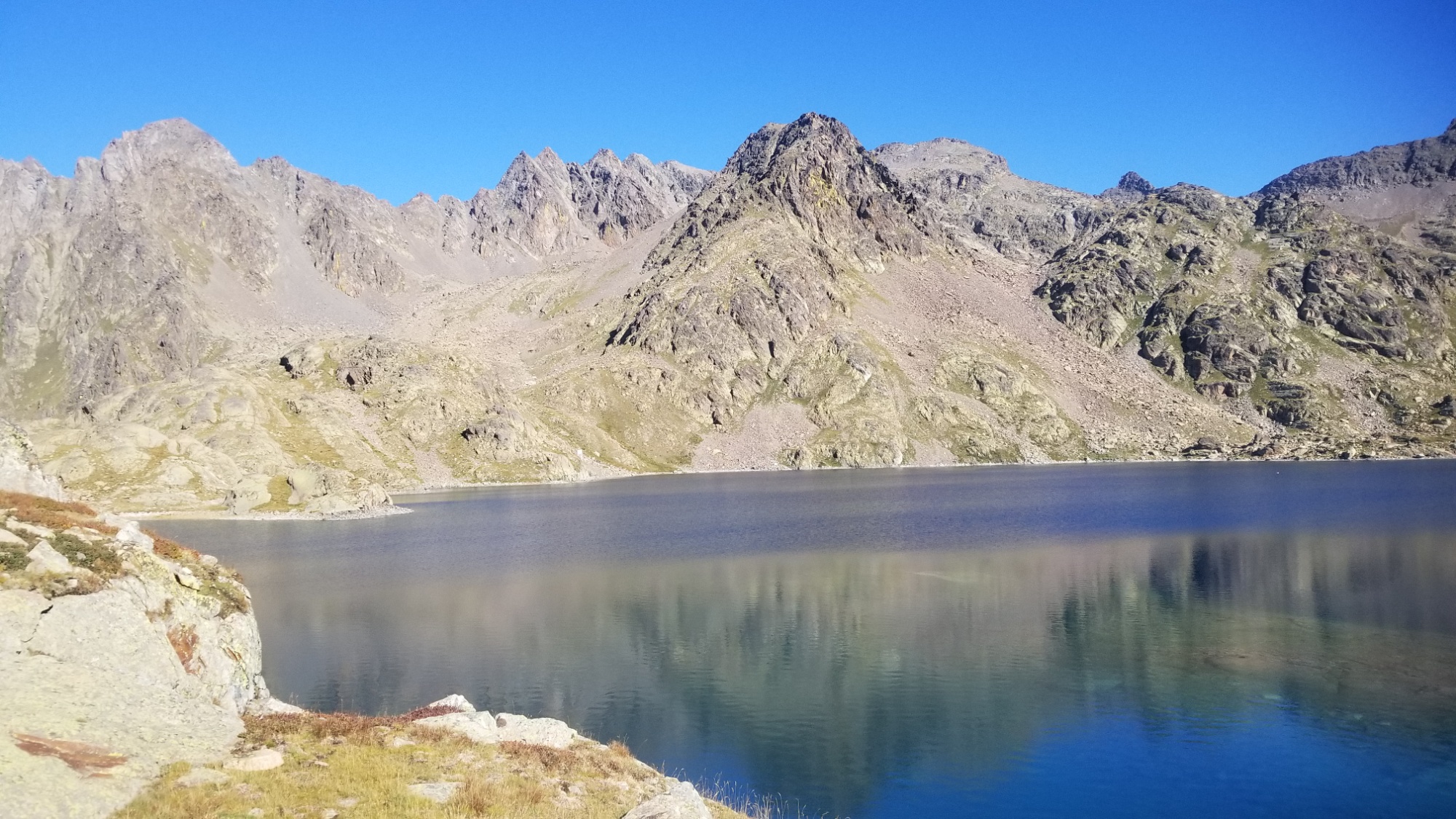
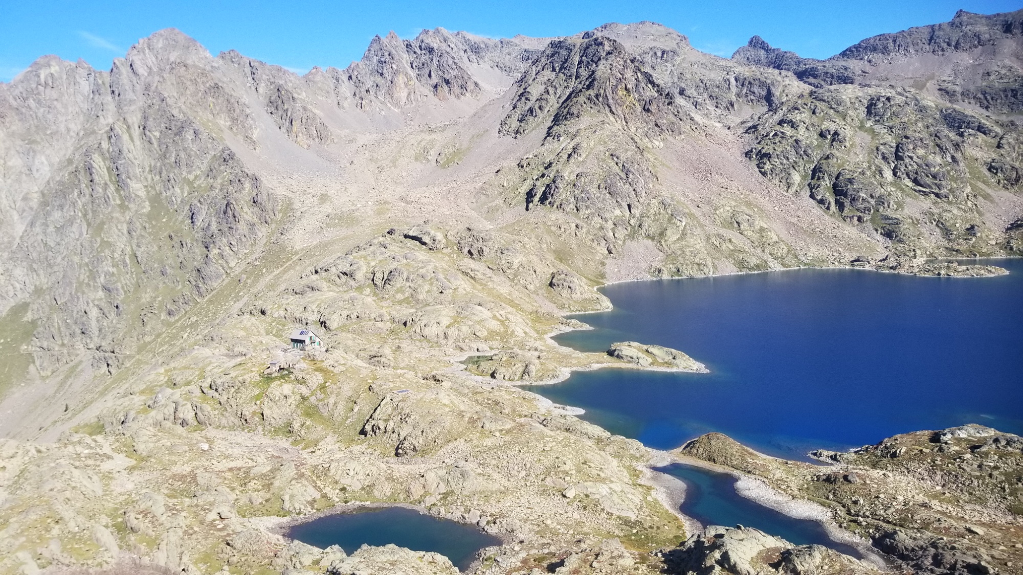
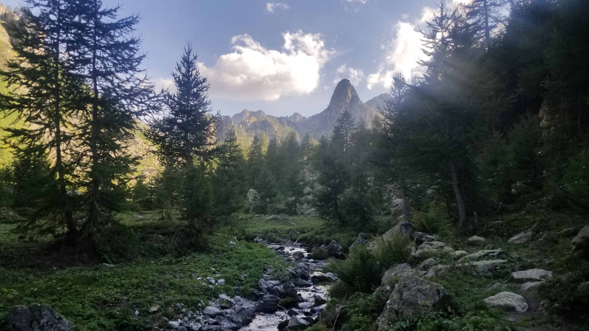
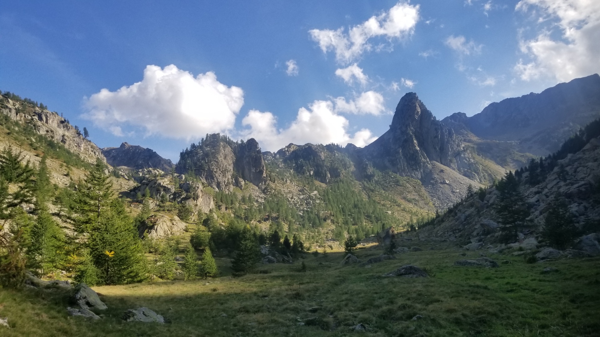
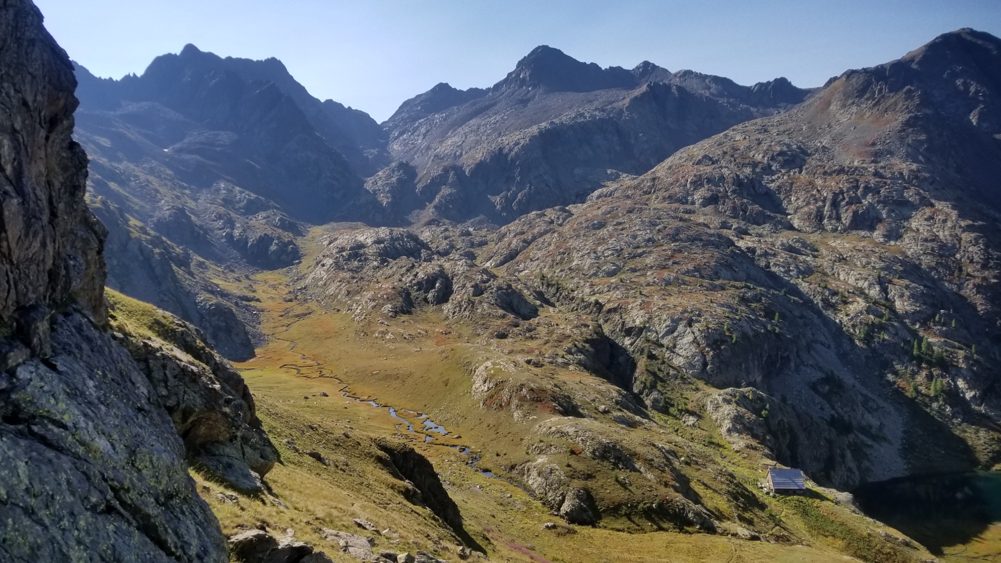
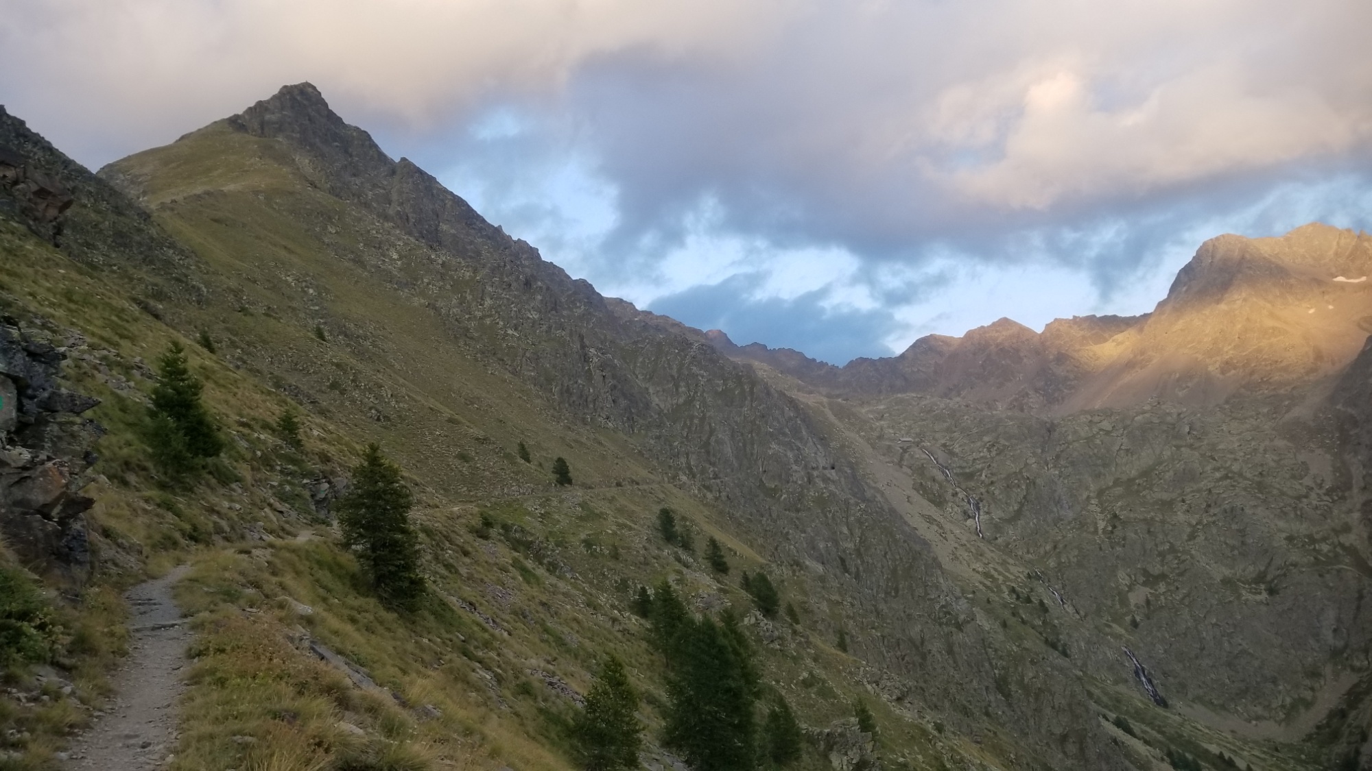
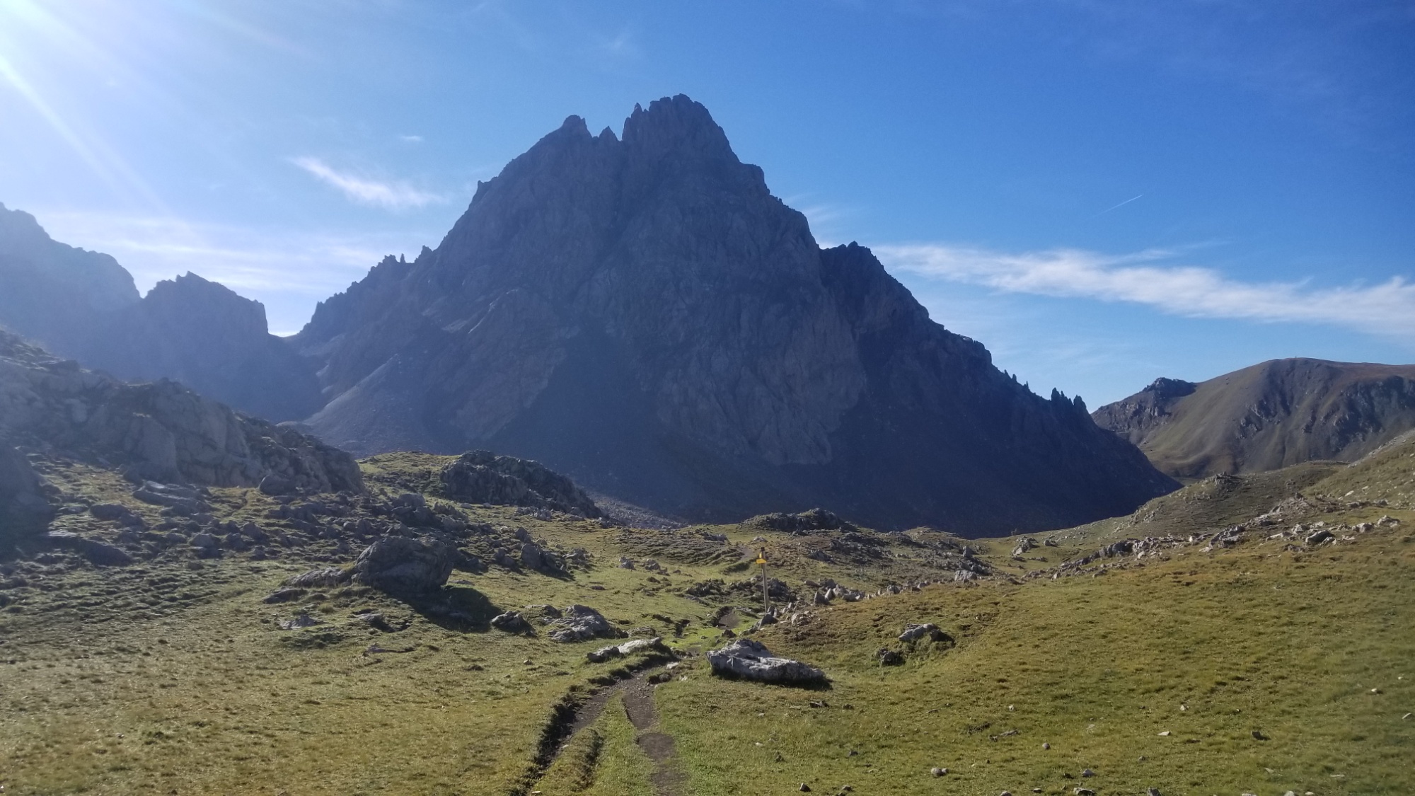
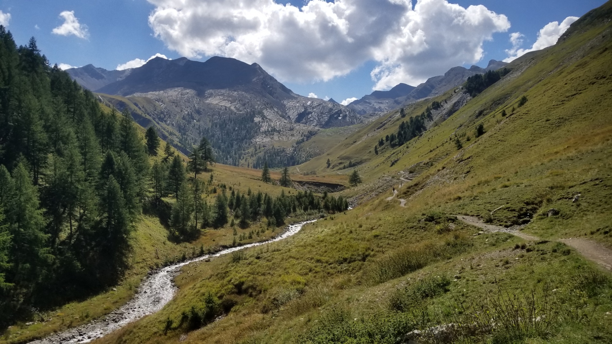
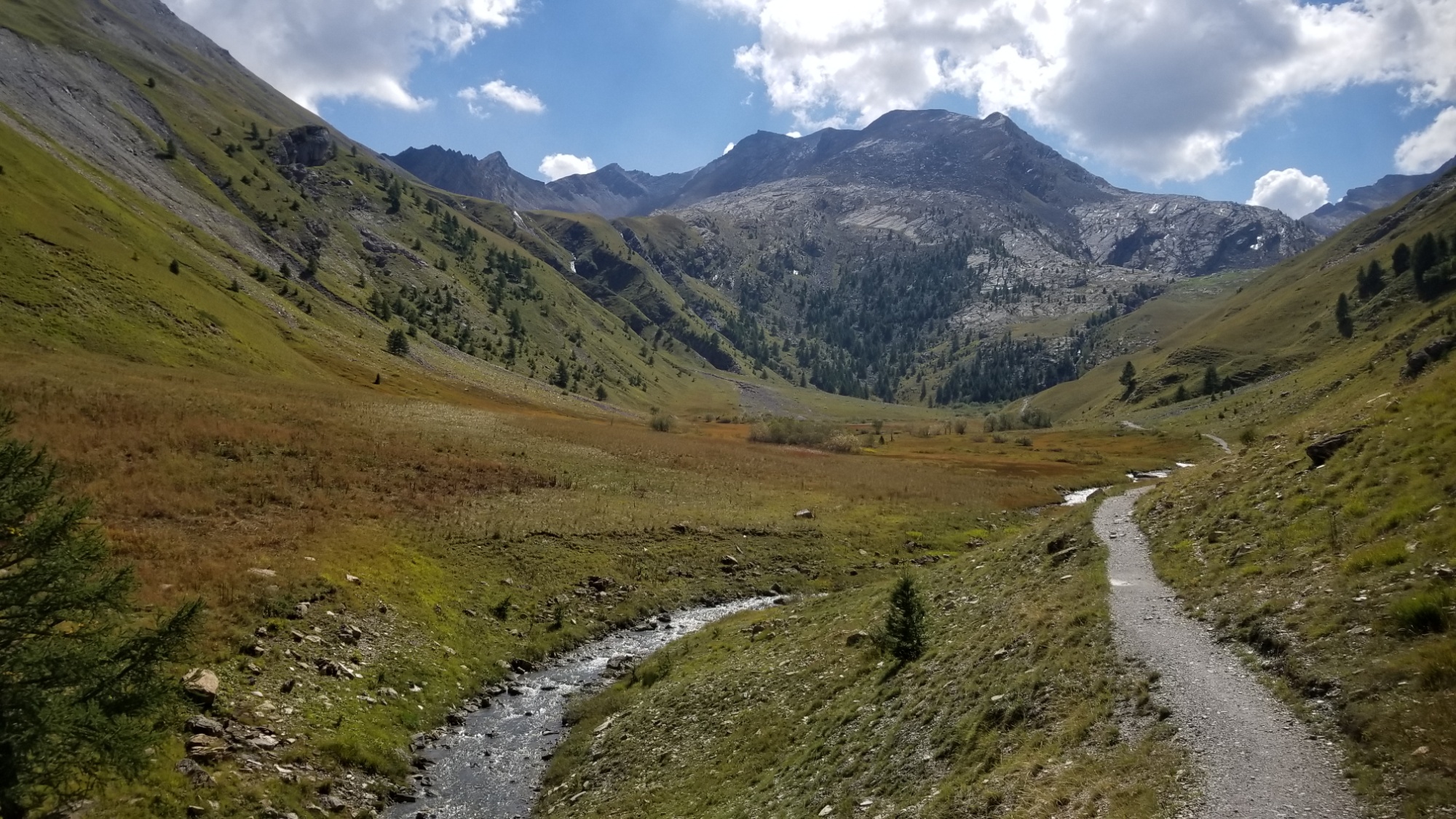
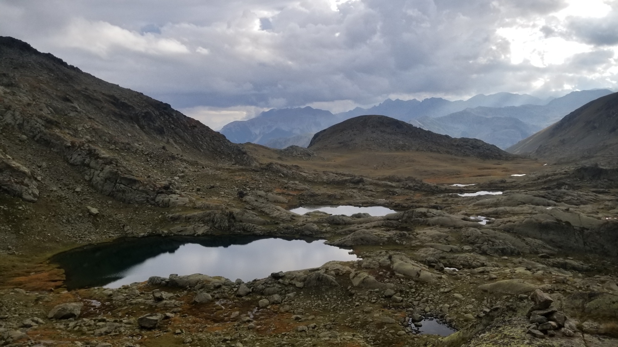
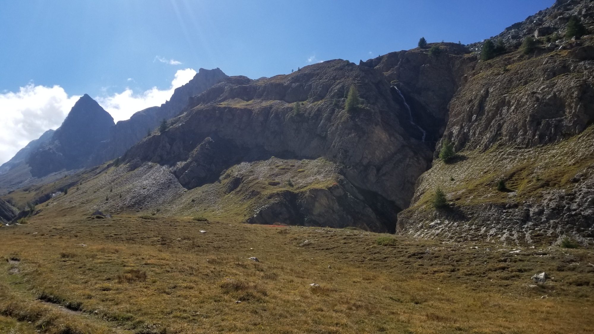
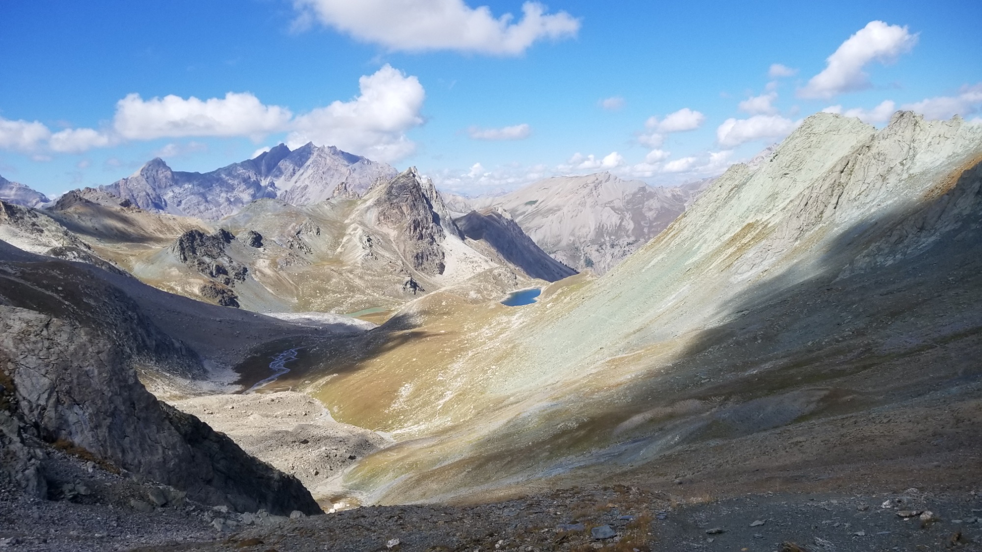
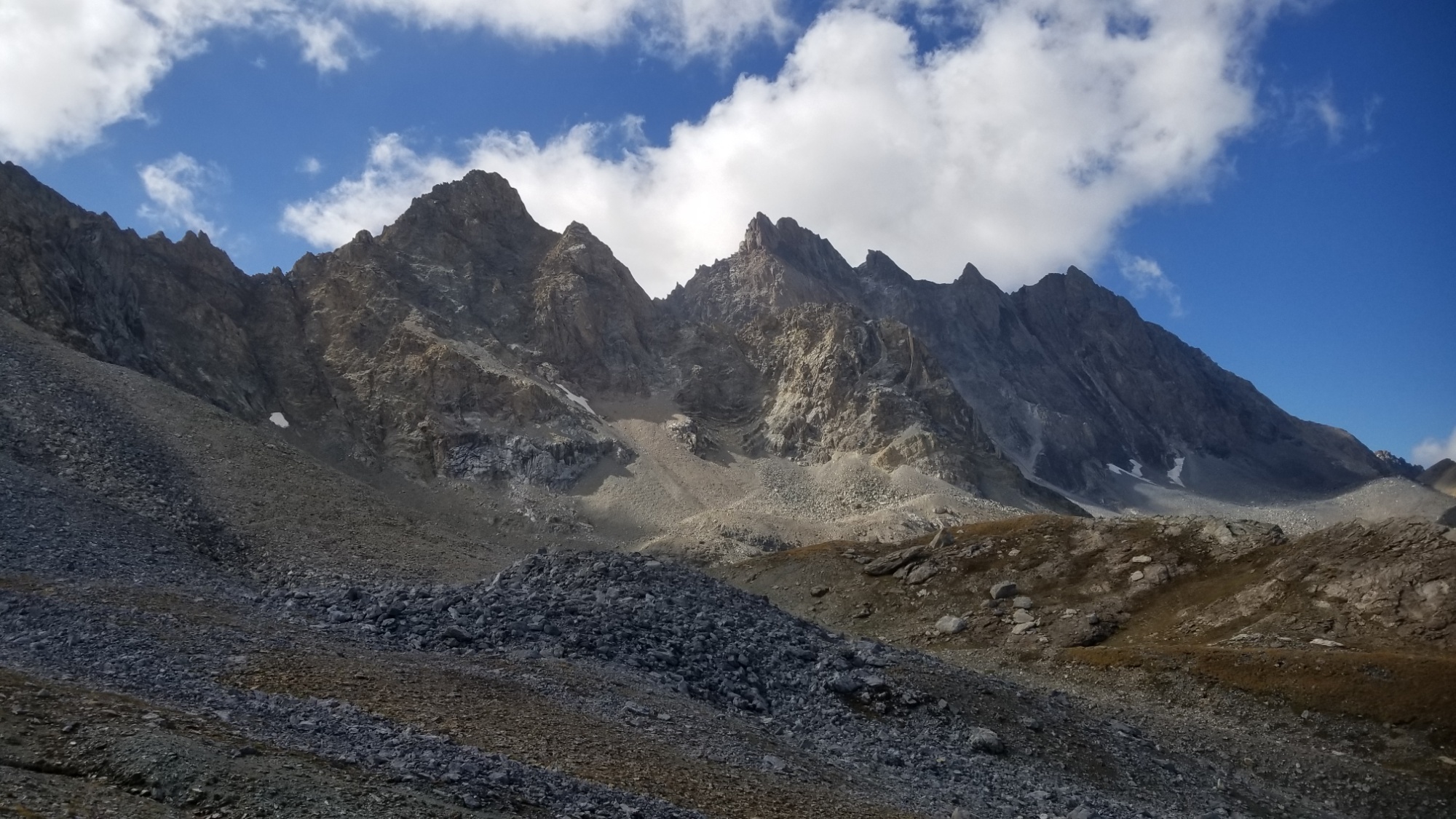
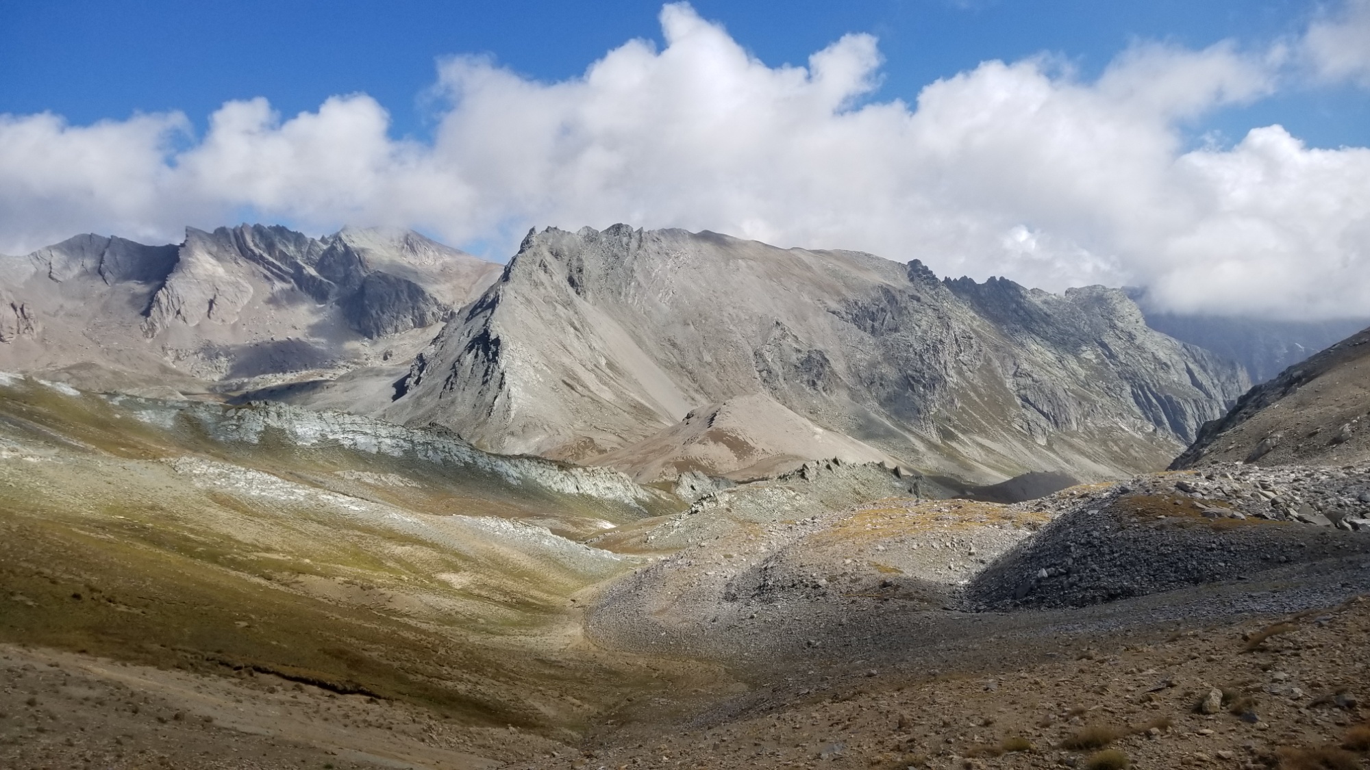
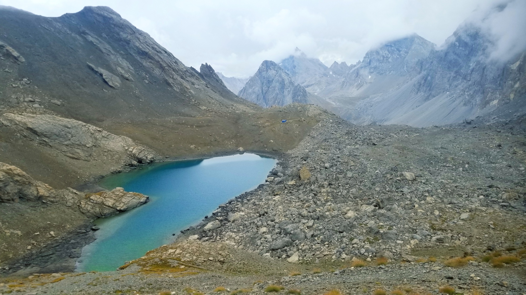
Part of the valley’s name comes from the ancient rock carvings of ship building instructions and et cetera. Part of the name comes from the immense, moon like beauty of the landscape here. I passed the refuge of marvels and quickly made my way past several pristine lacs to the col de Diable.
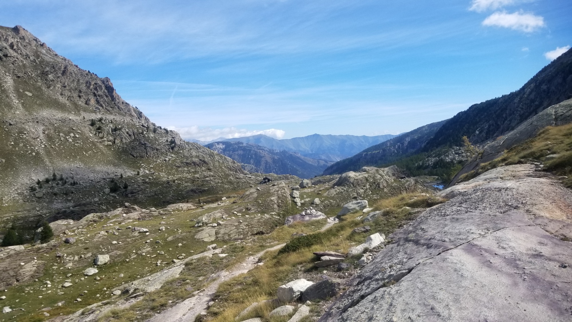
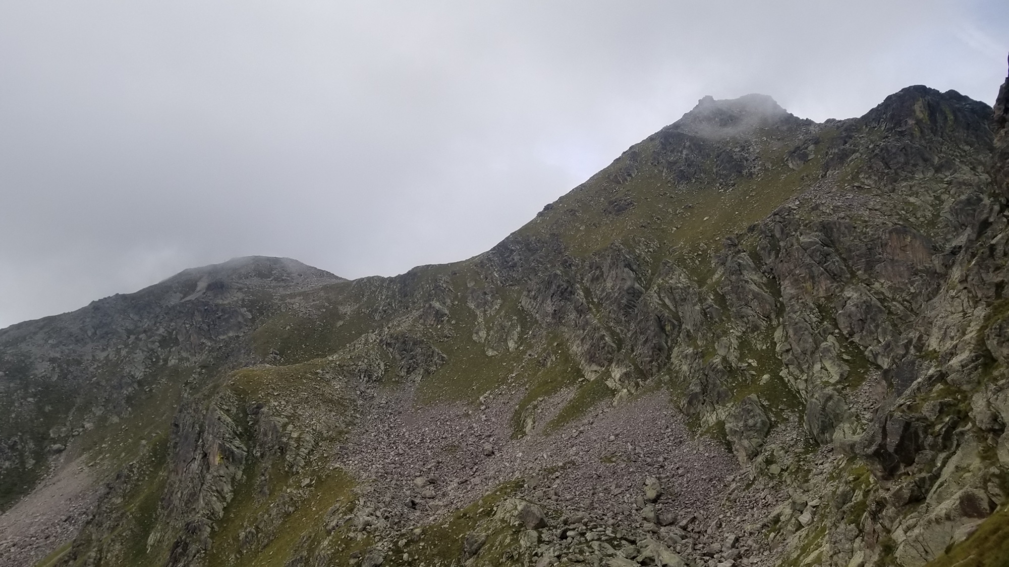
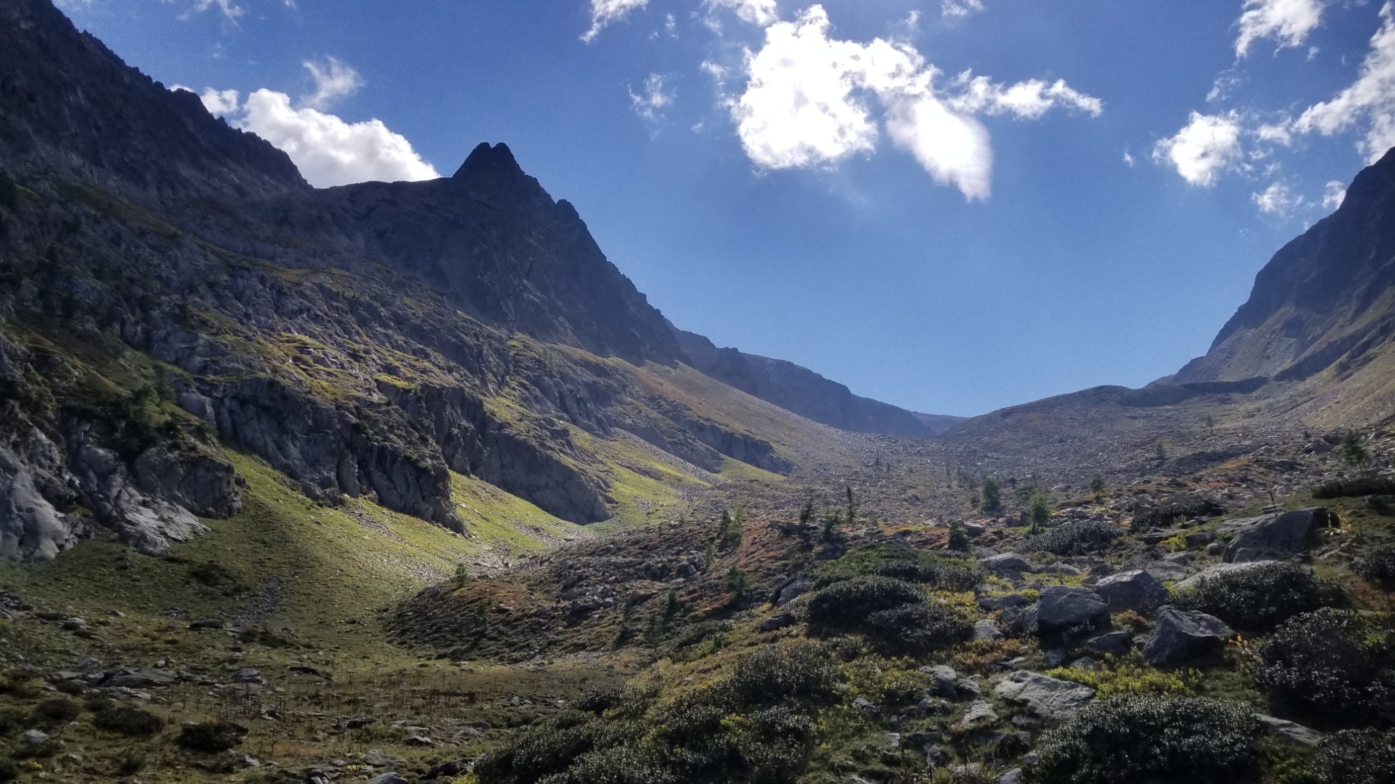
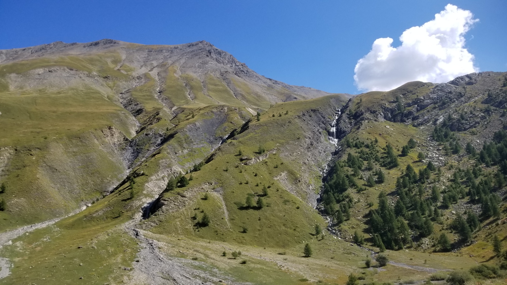
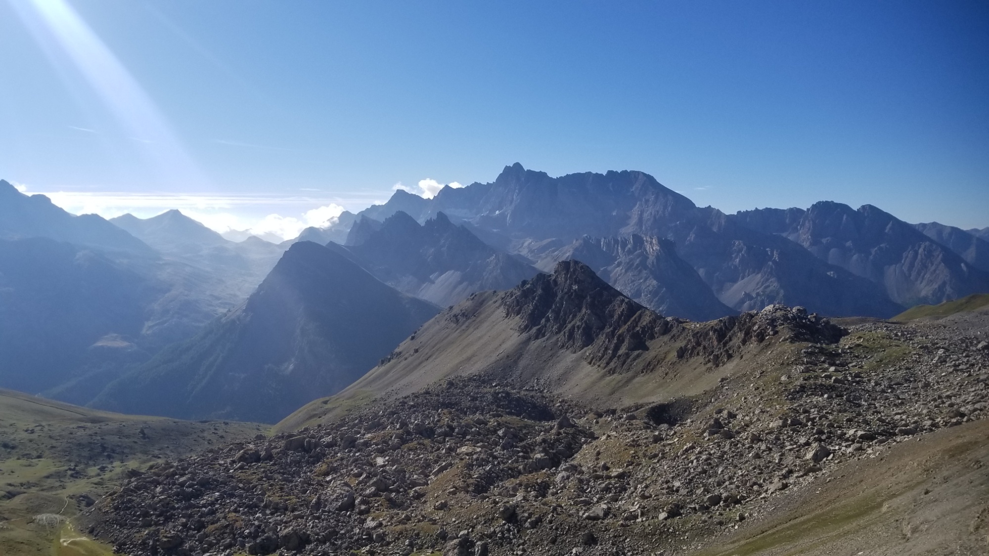
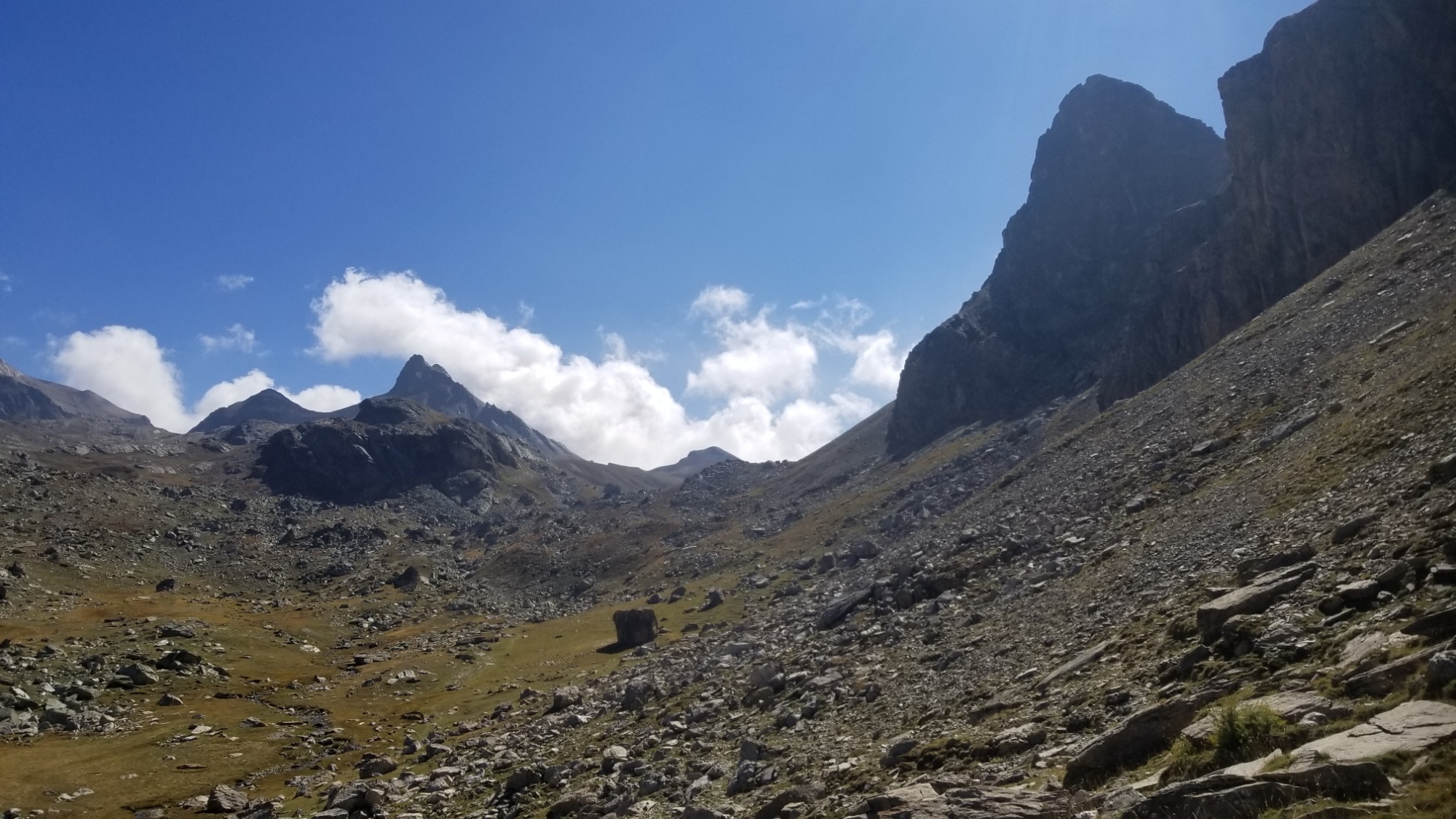
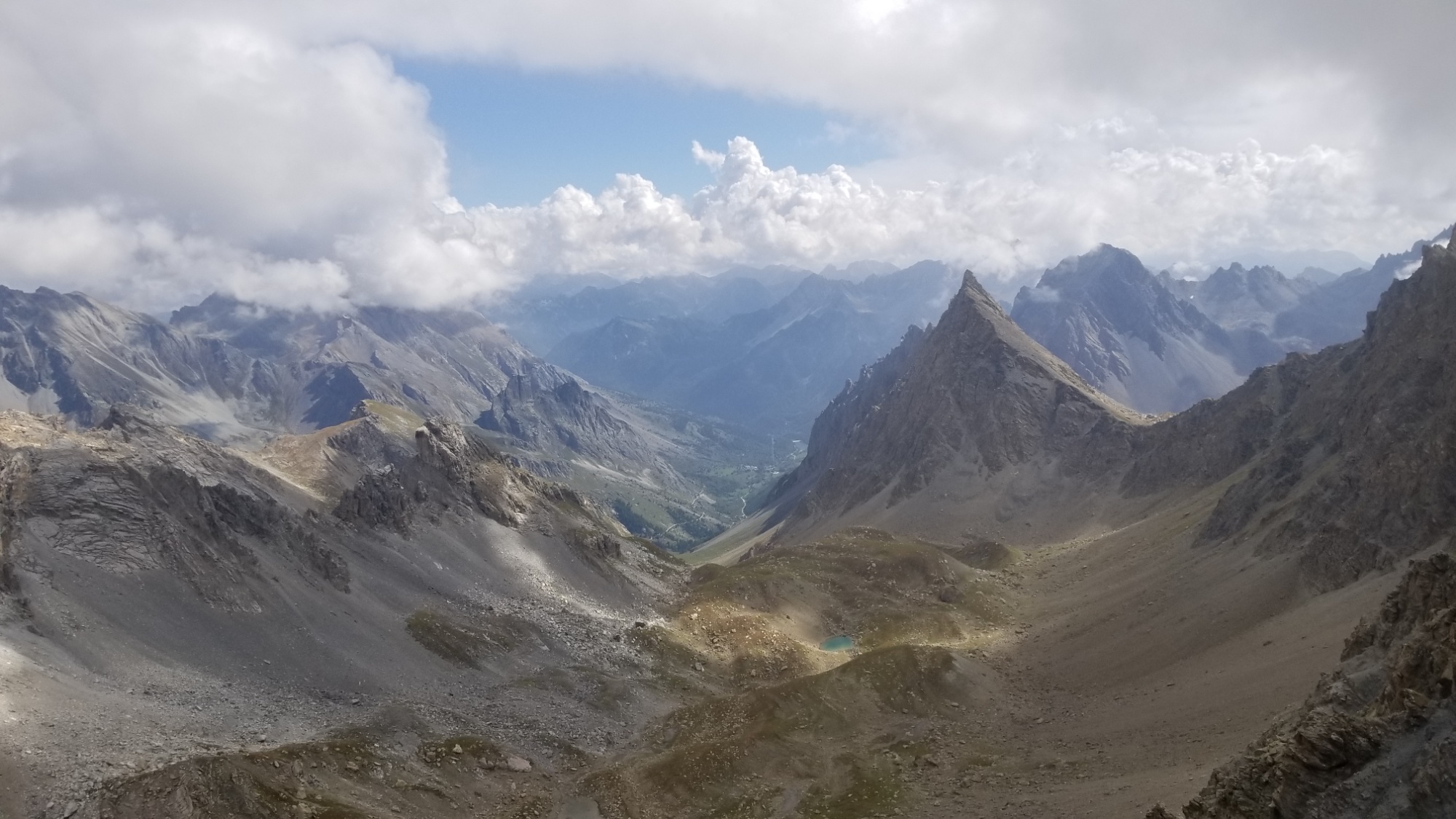
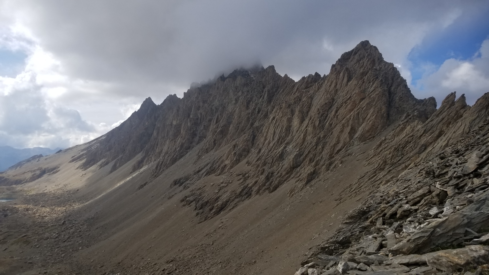
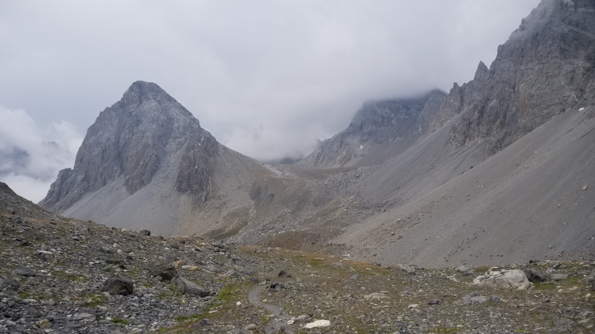
I would have climbed the peak of Diable, but a fog rolled in just as I arrived at the col, so I decided instead to savor the glorious descent, falling below 2,000m for the last time.
Looking ahead from the pas de Diable
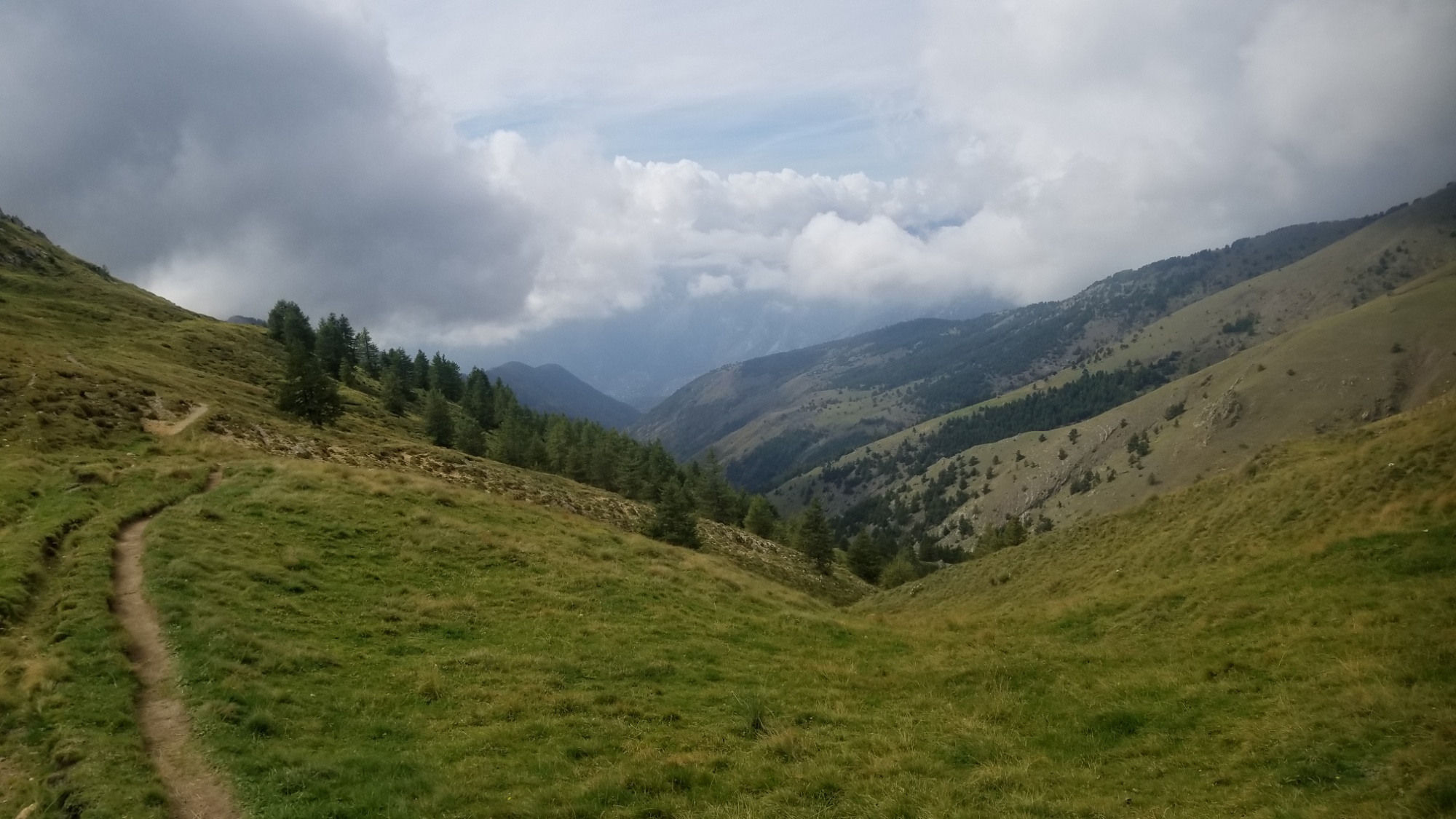
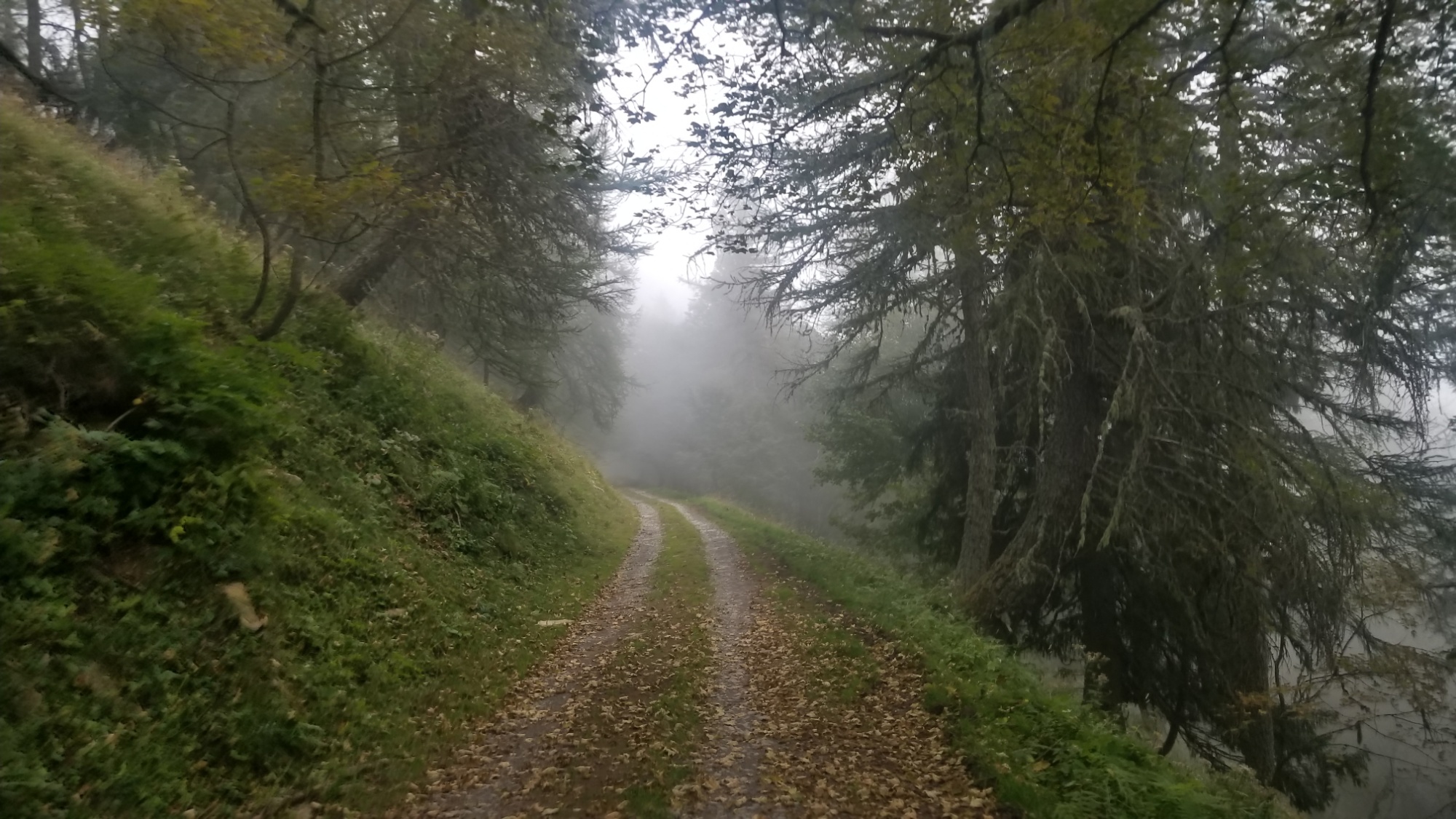
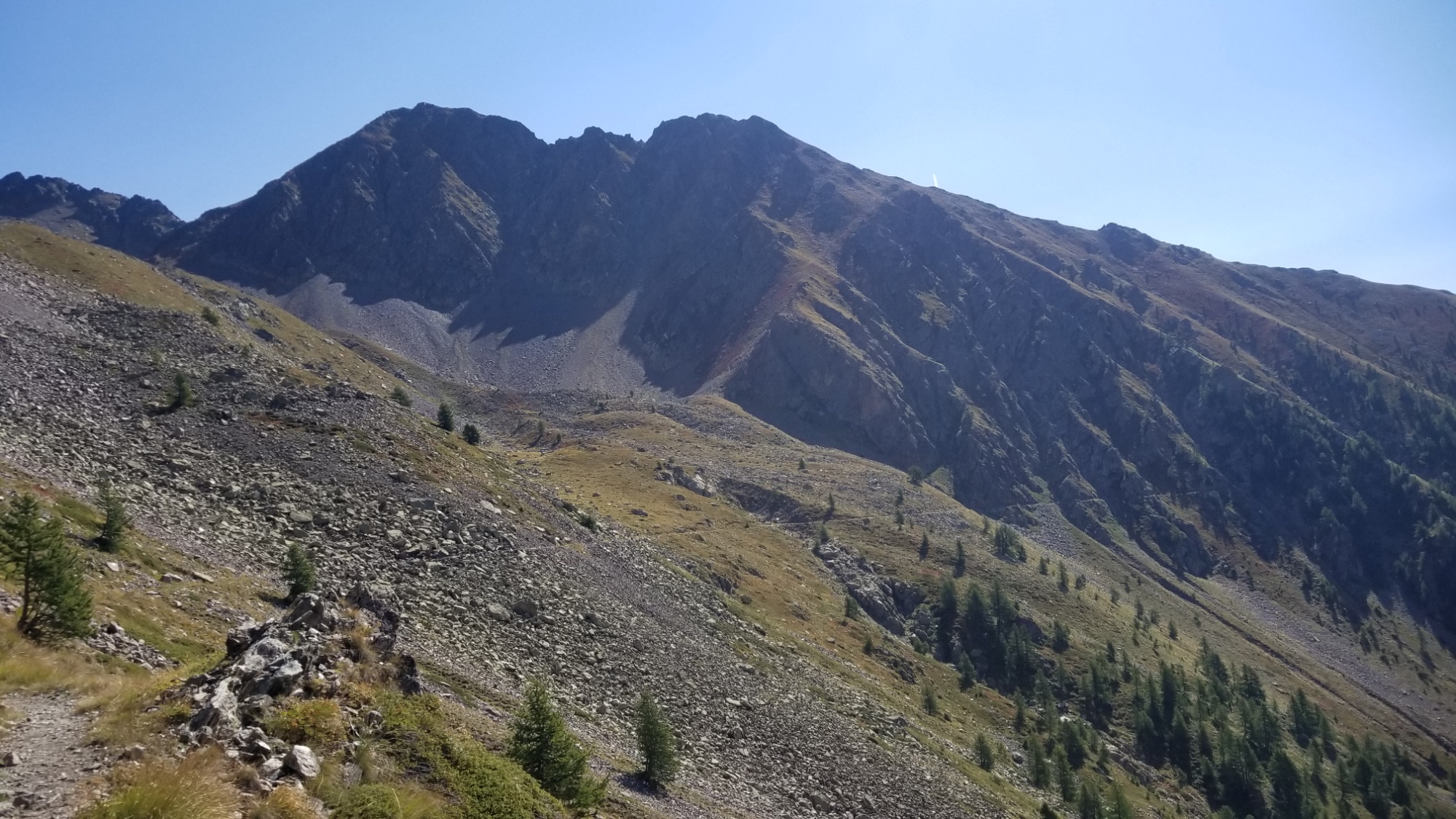
The trail was carved into lush green mountain sides, rising and falling through forests and past ancient ruins of hill top chateaus.
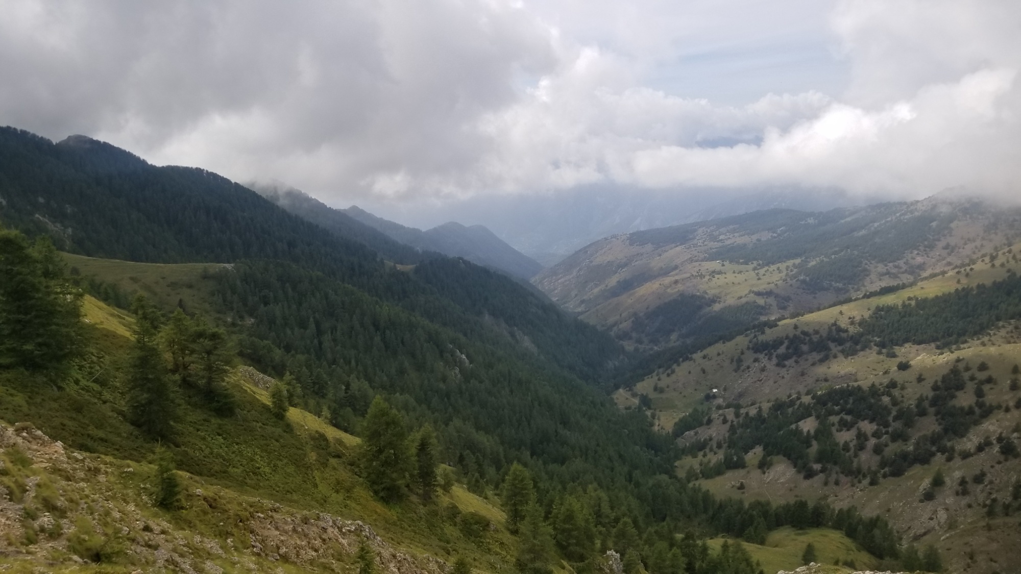
Very nice clouds
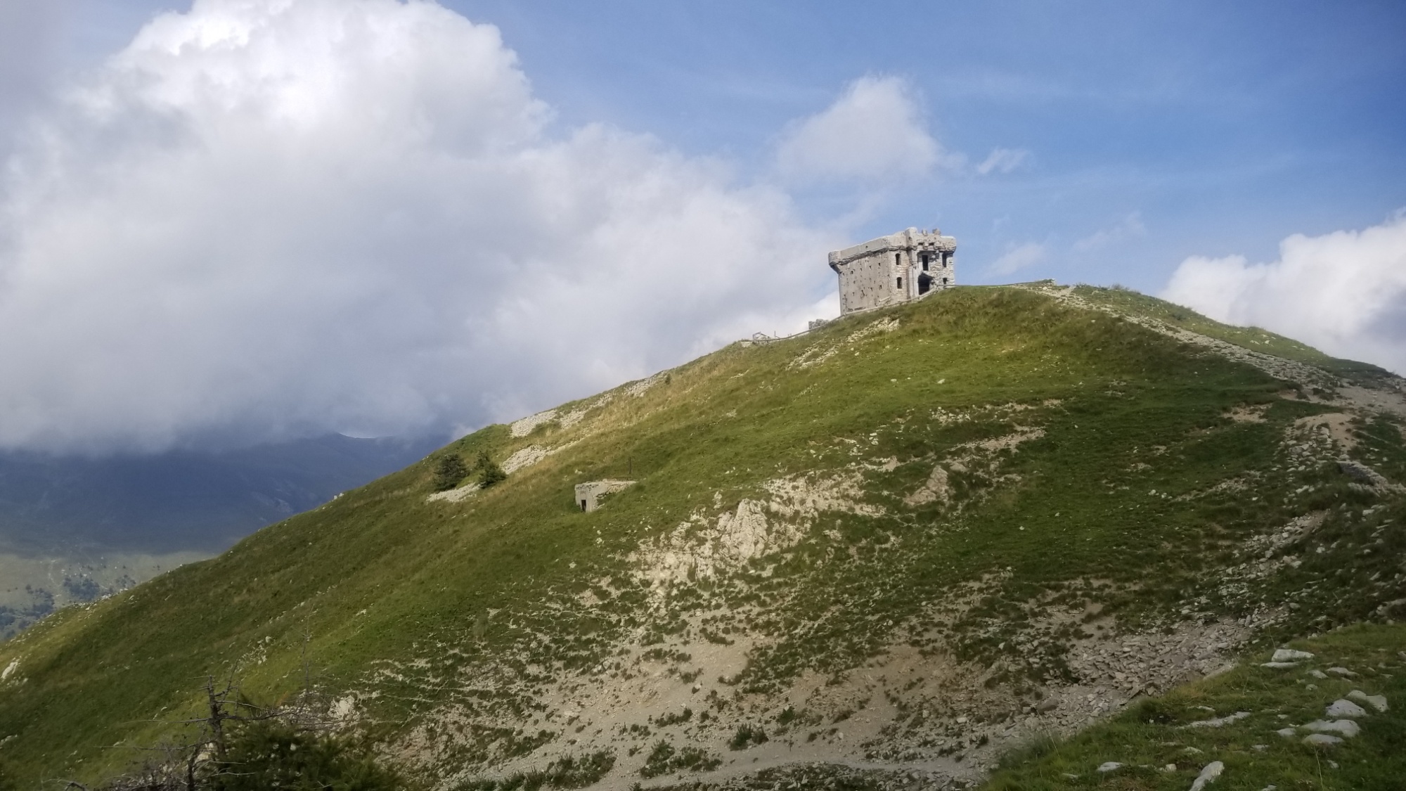
Creepy old dungeon fort
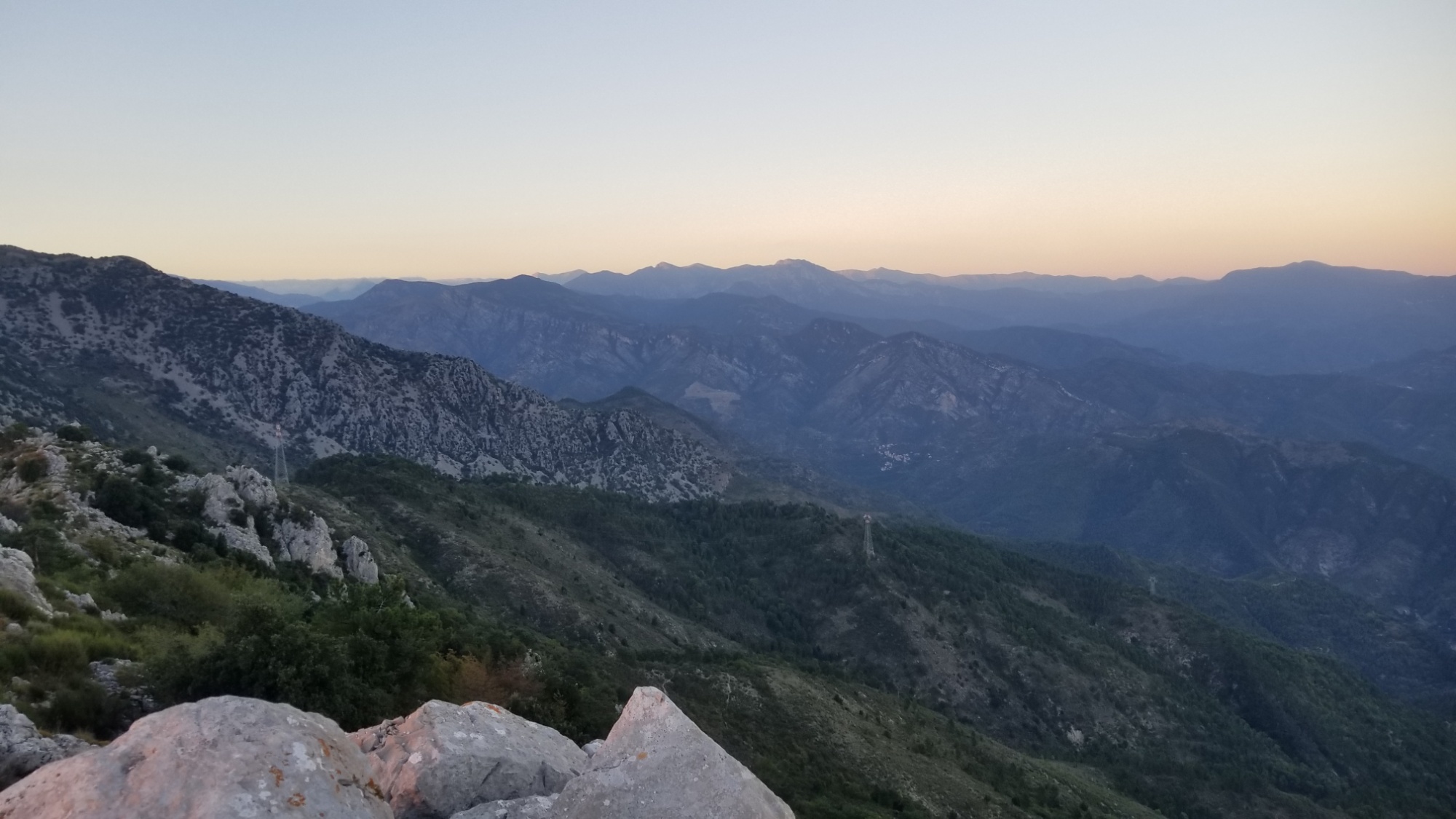
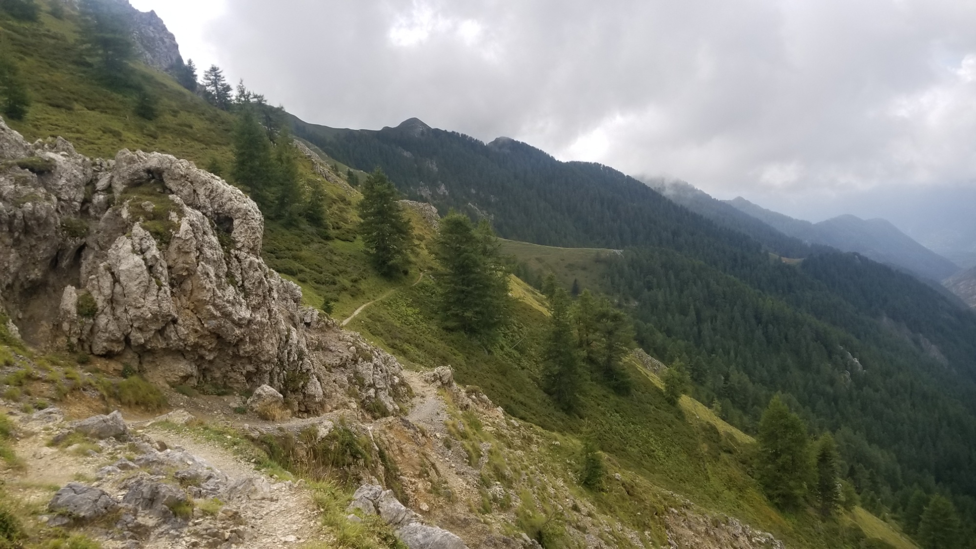
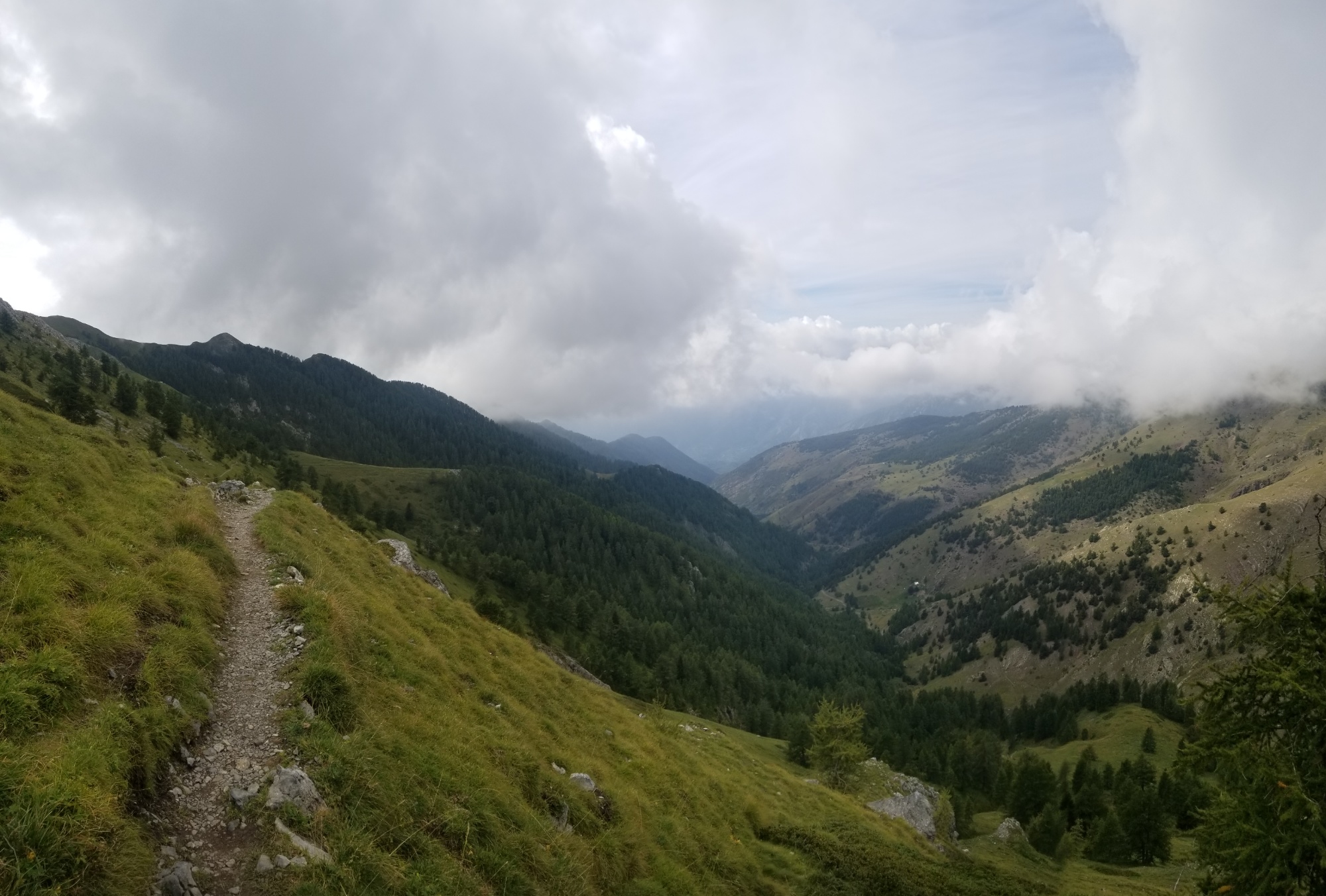
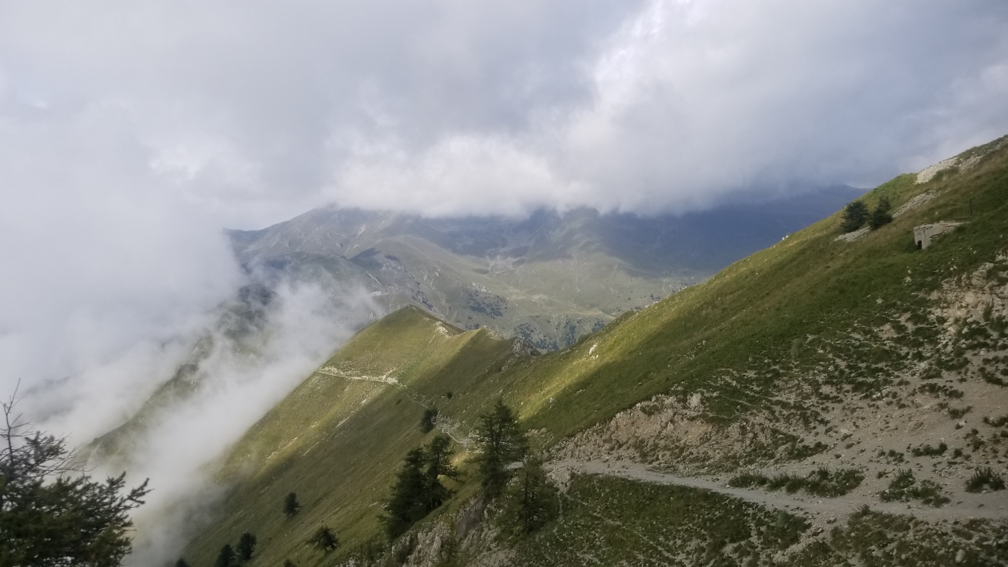
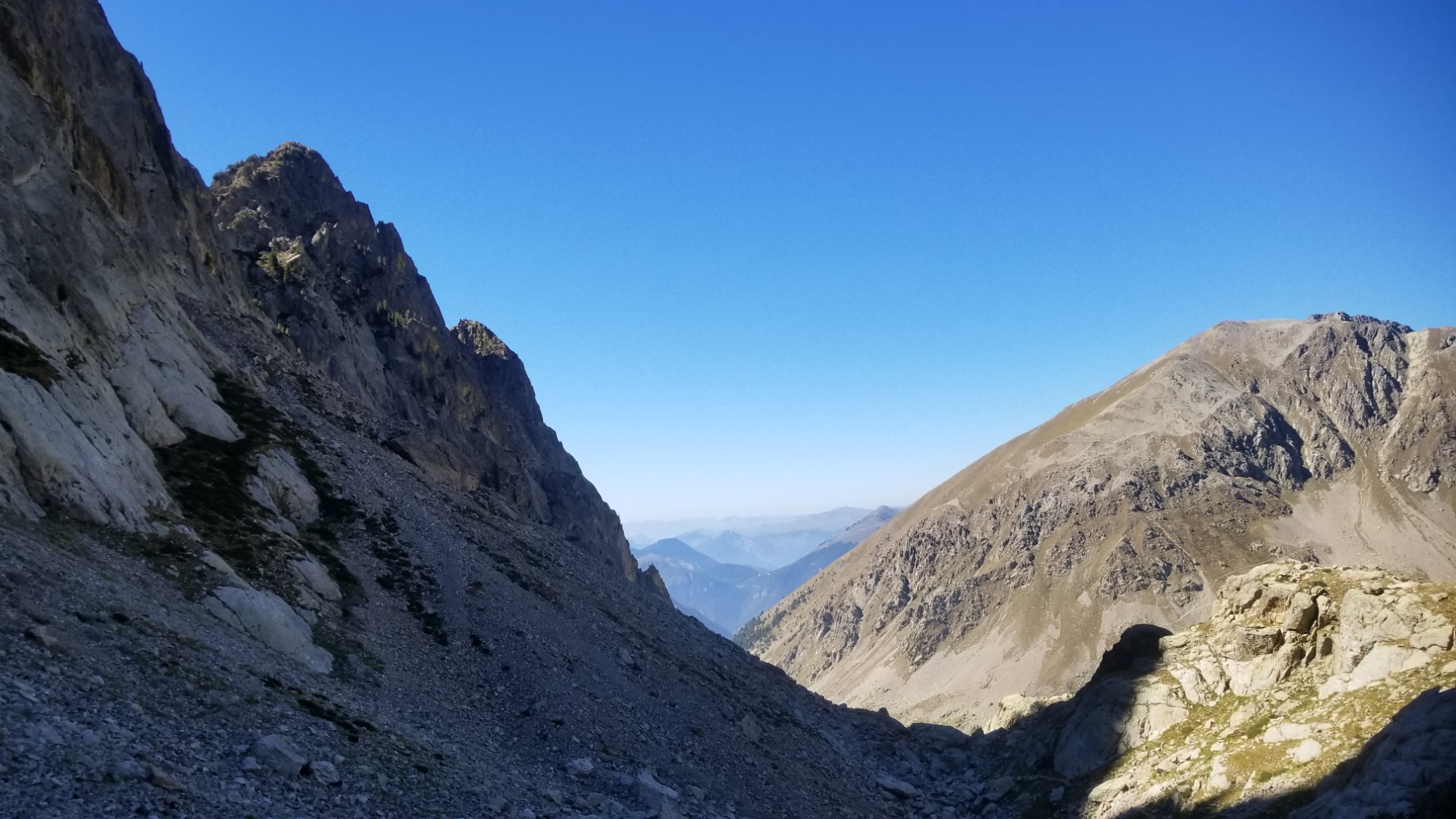
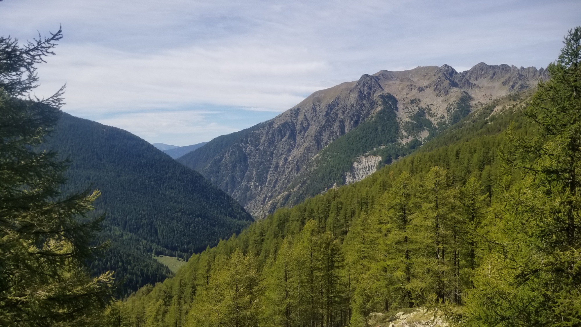
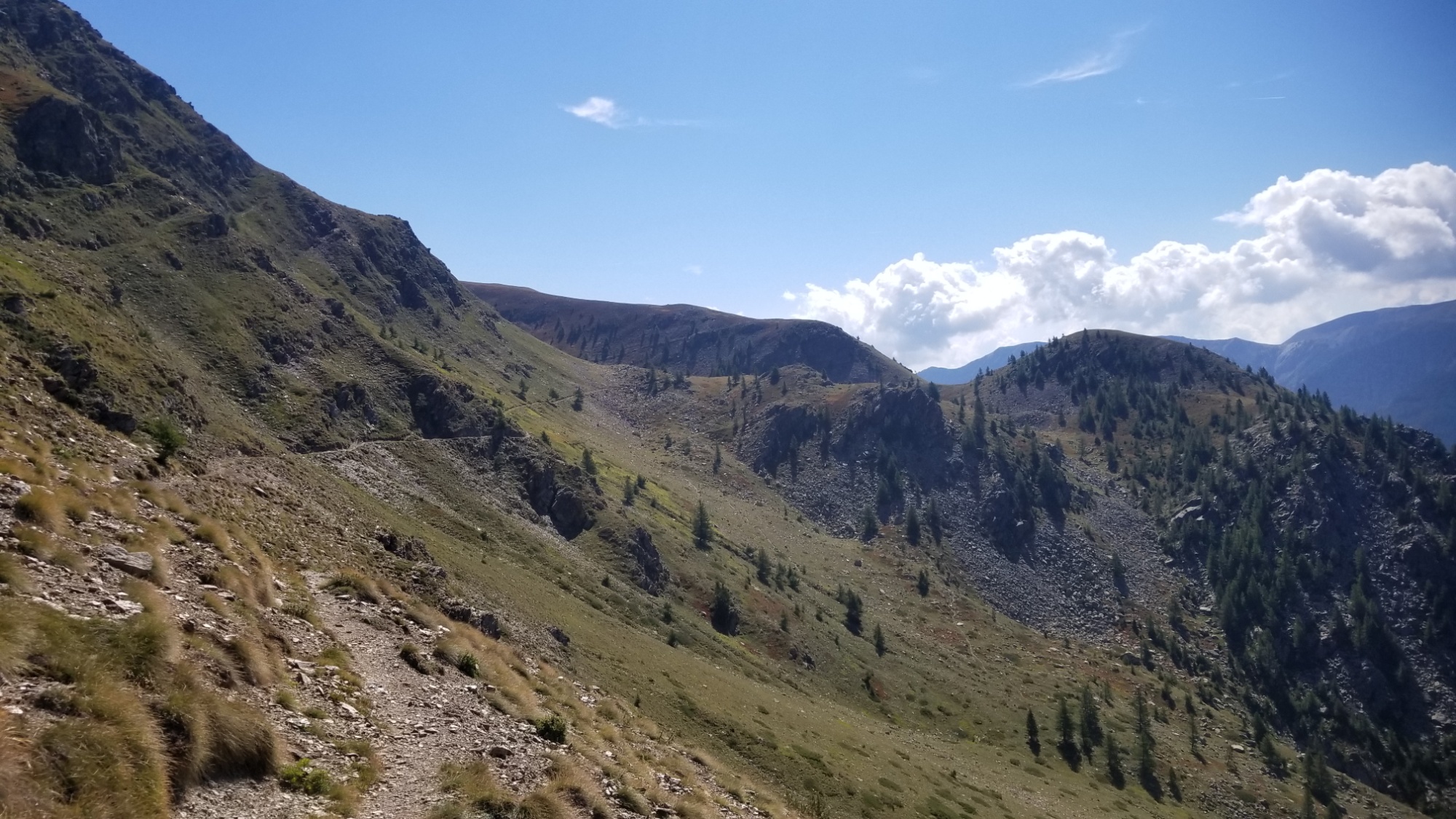
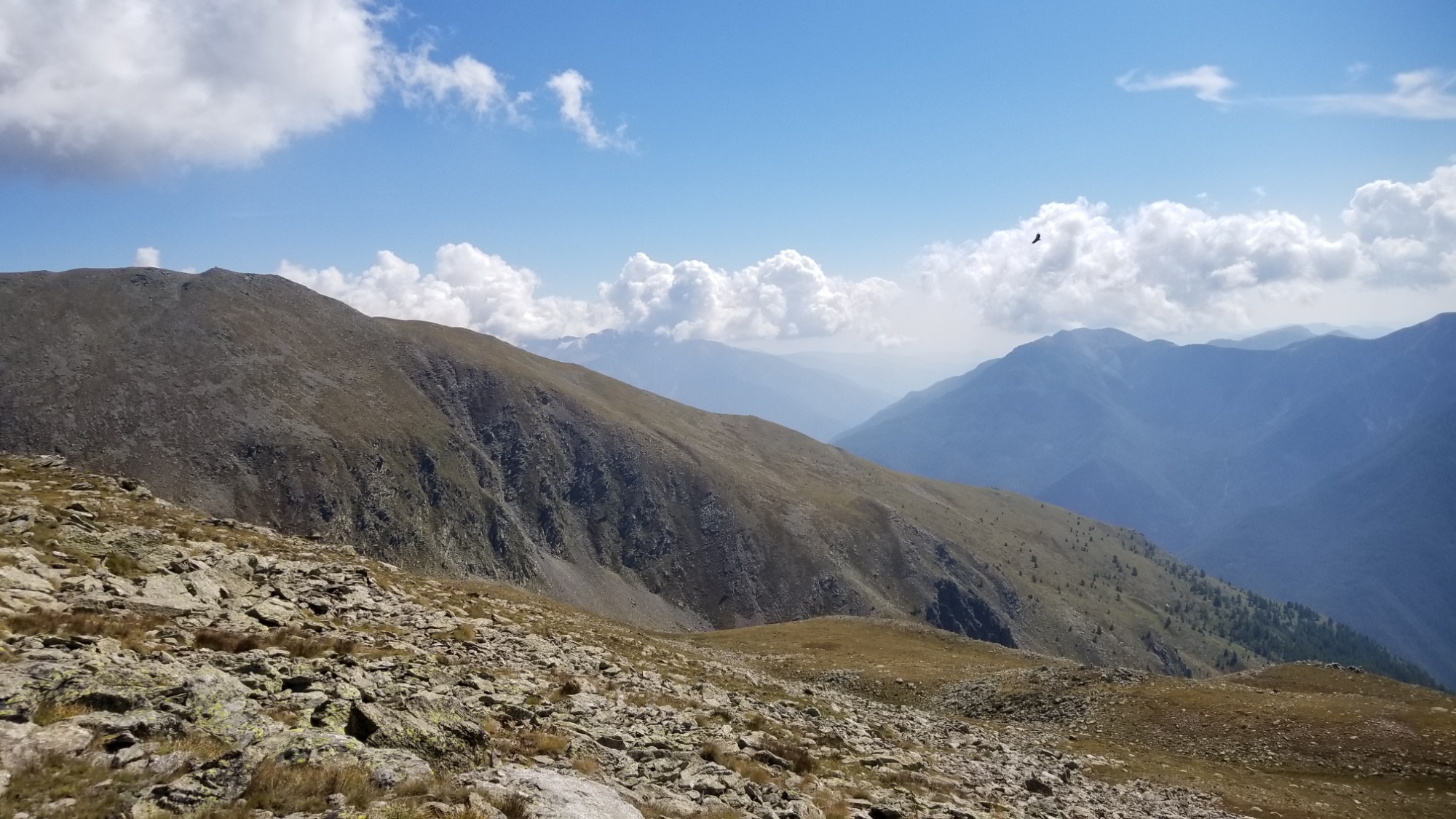
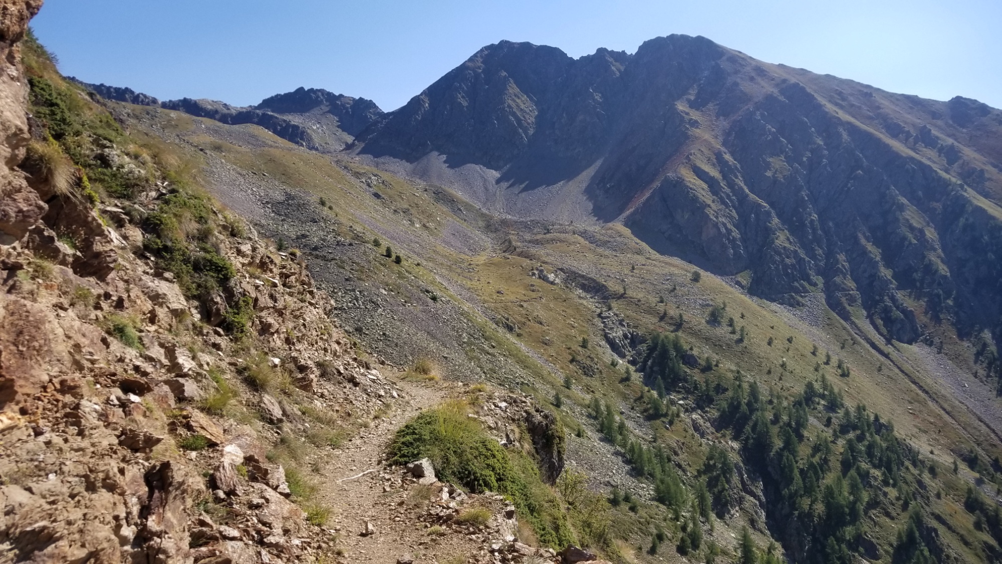
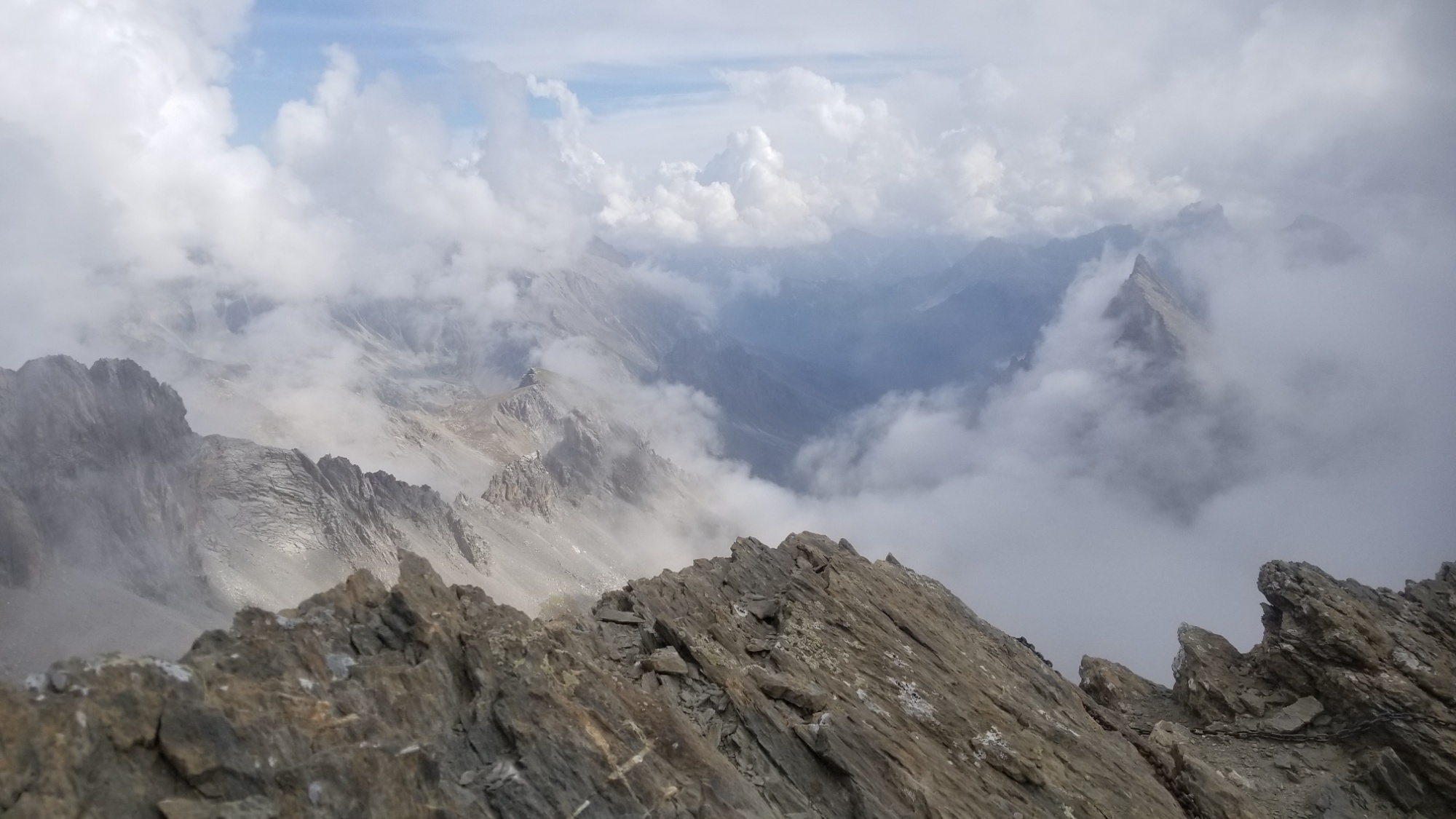
Finally, the fog caught up with me, and I had low visibility until hiking through a forest and along another ridgeline.
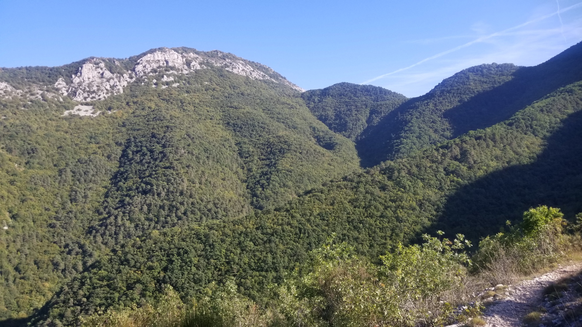
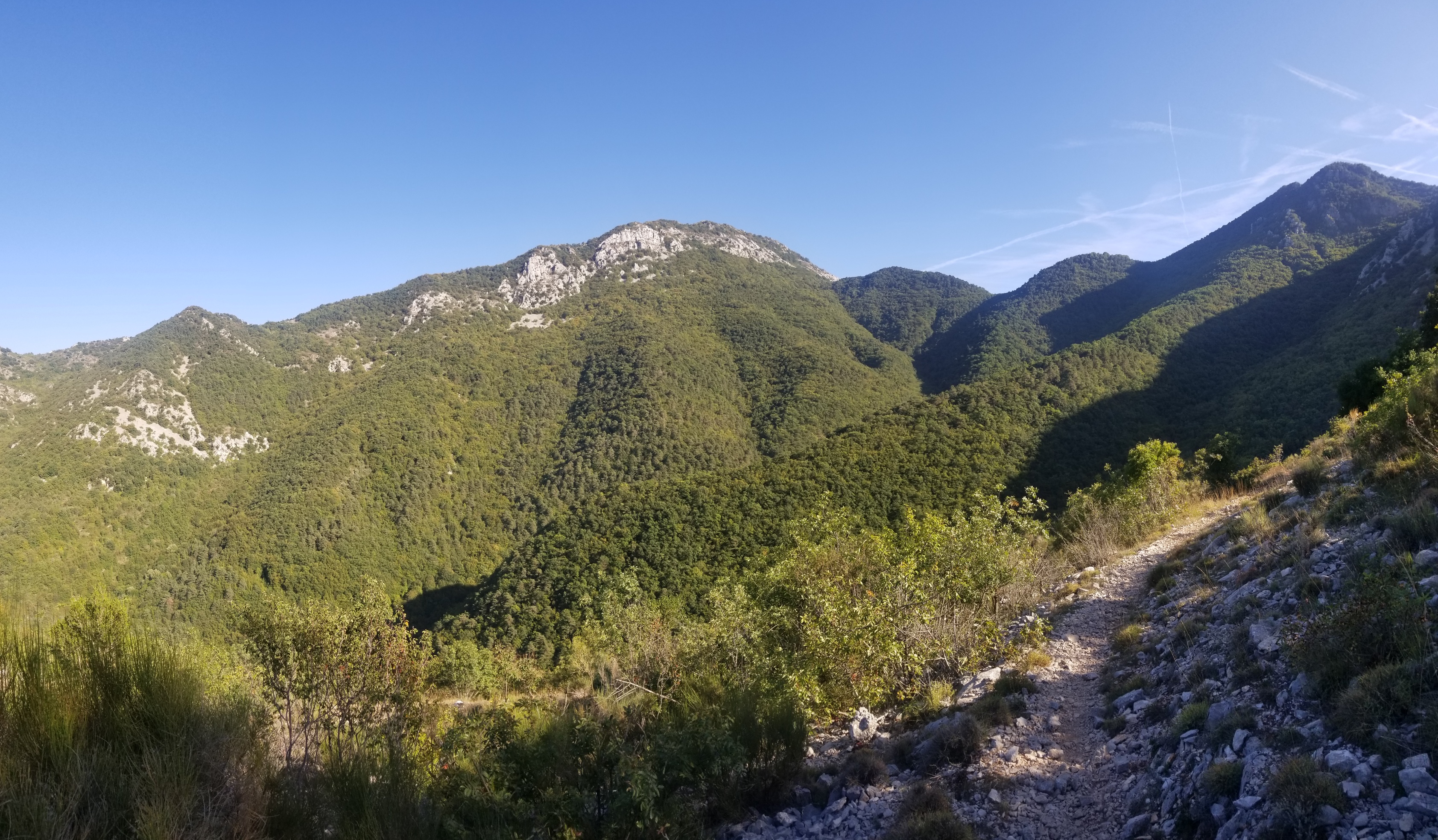
Ridge walk awesomeness
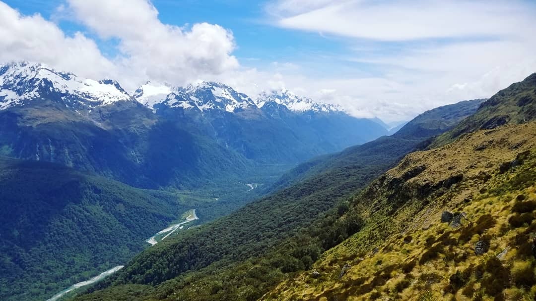
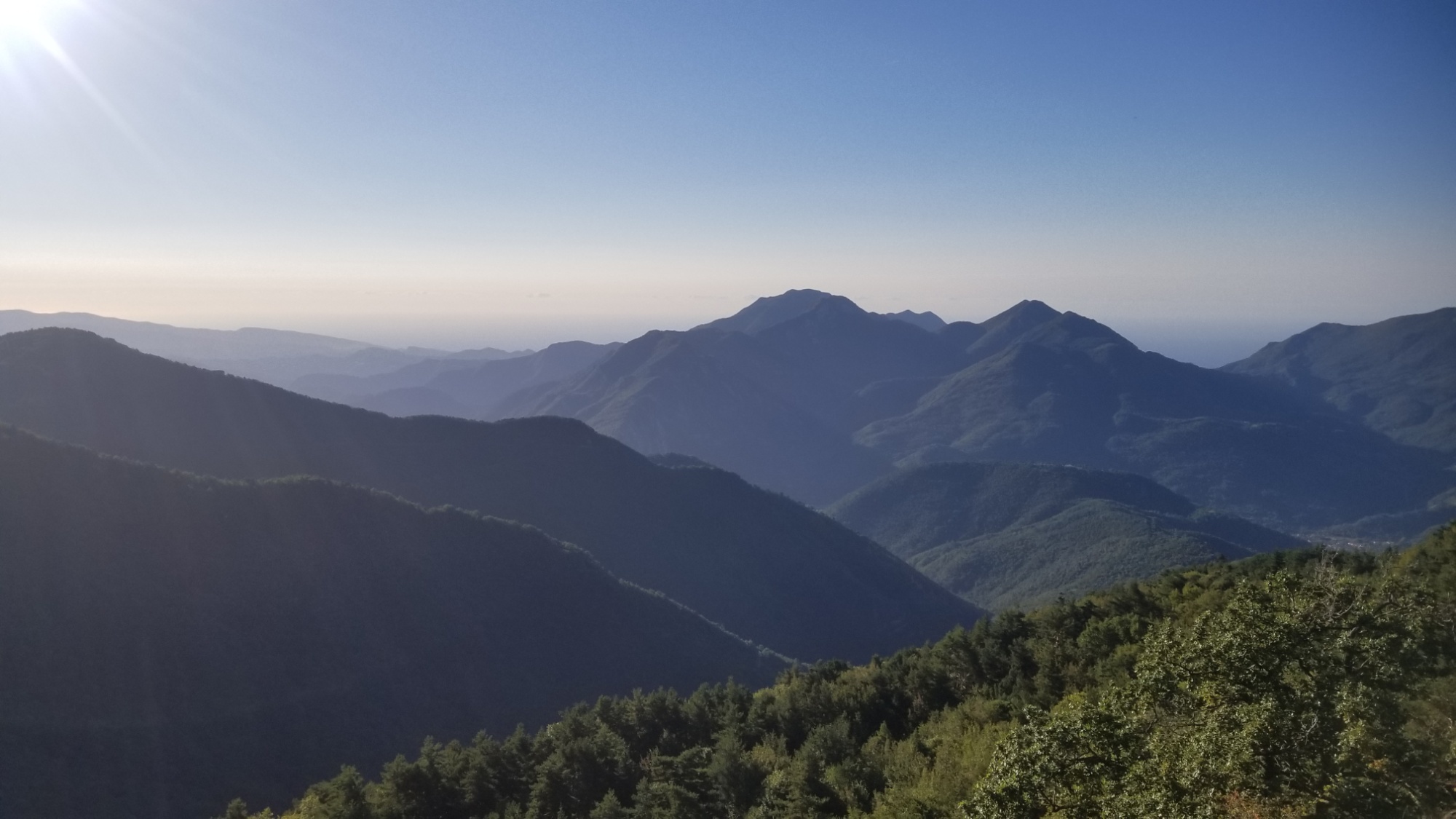
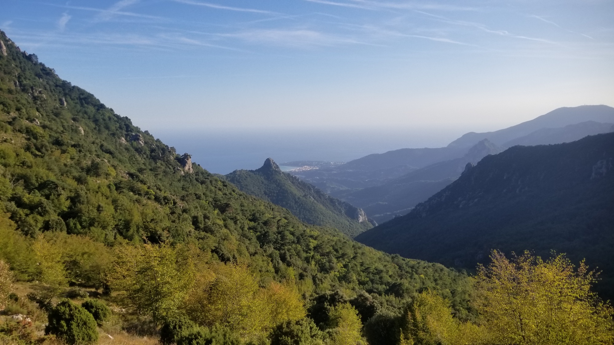
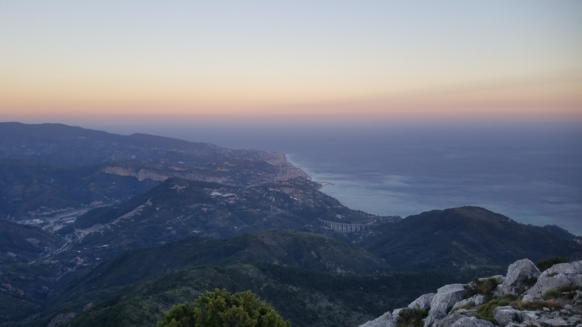
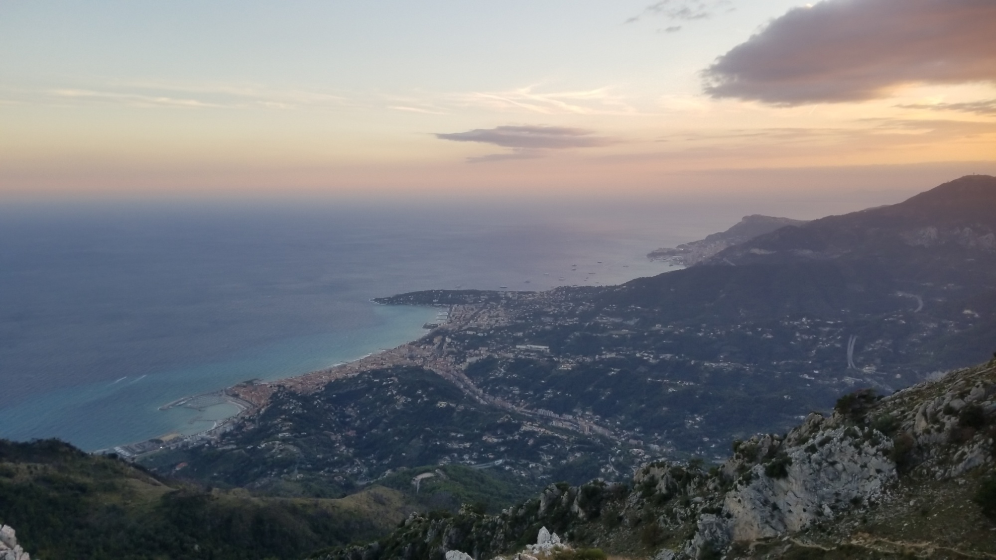
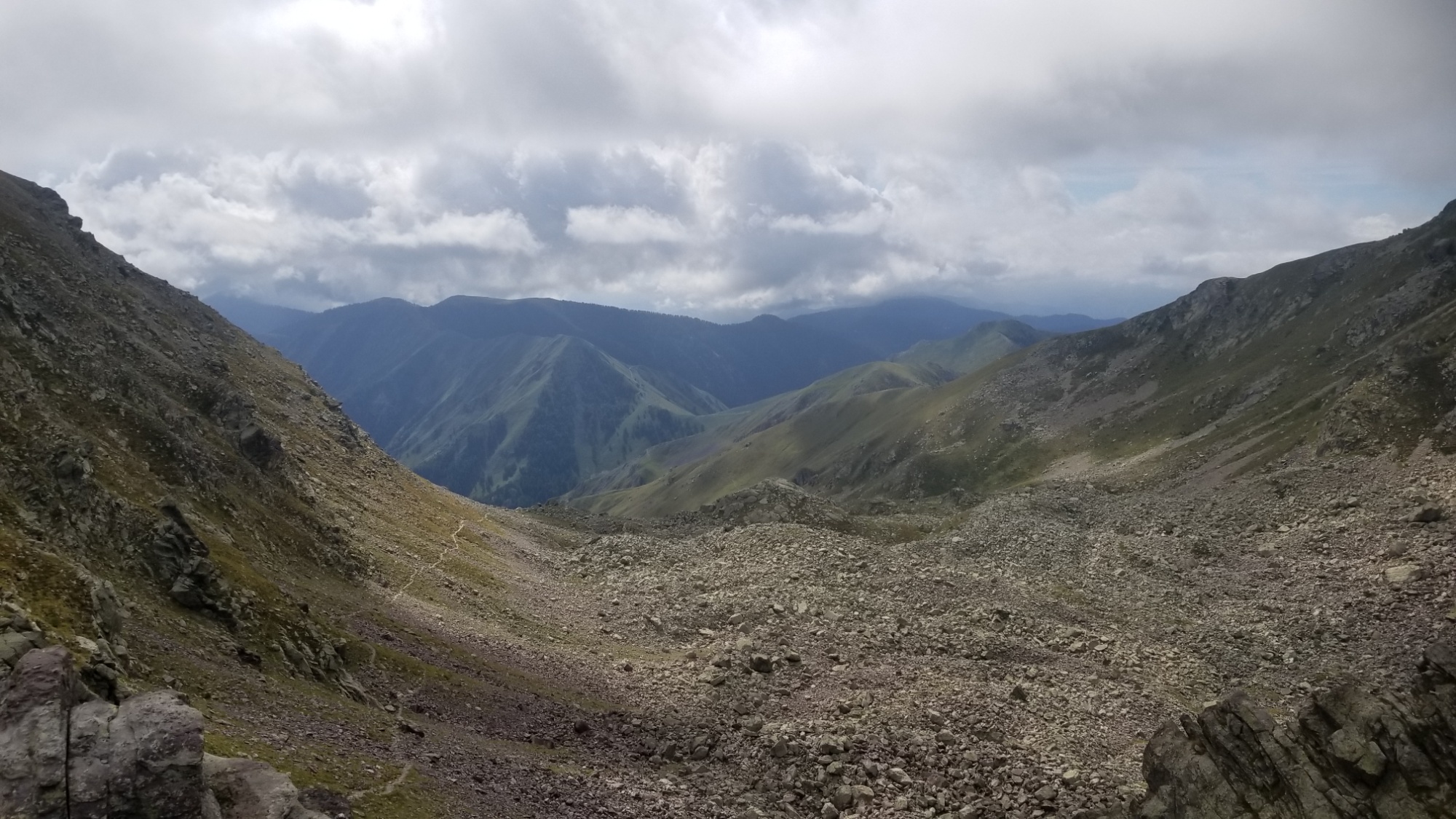
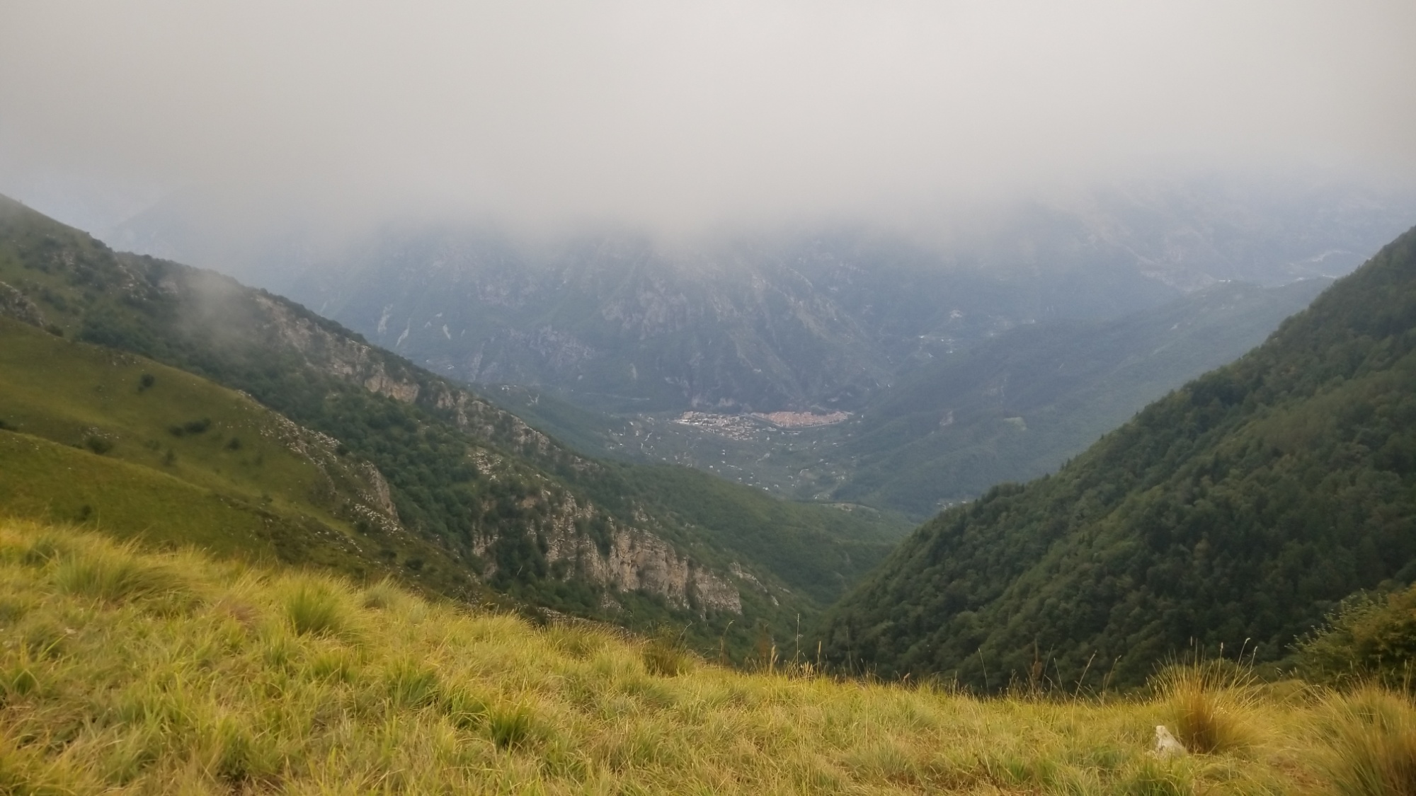
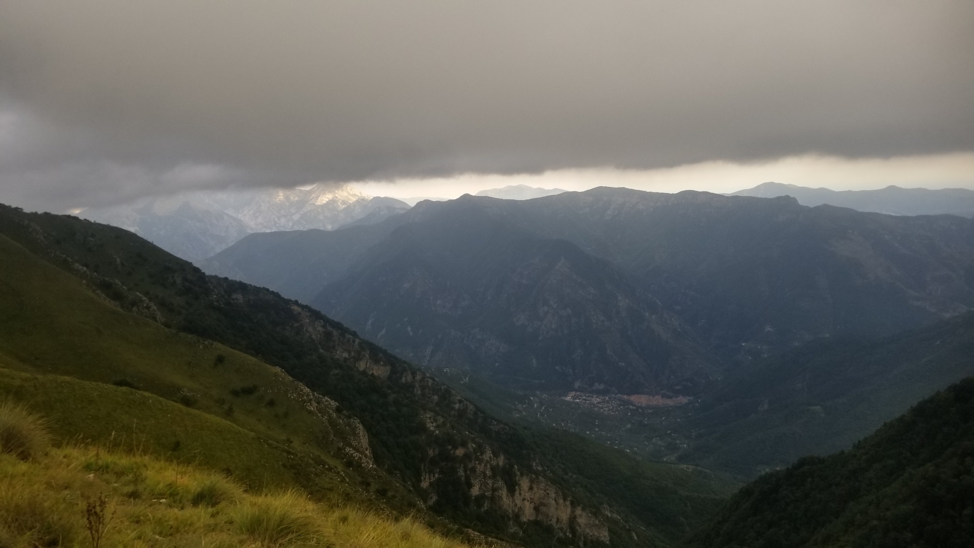
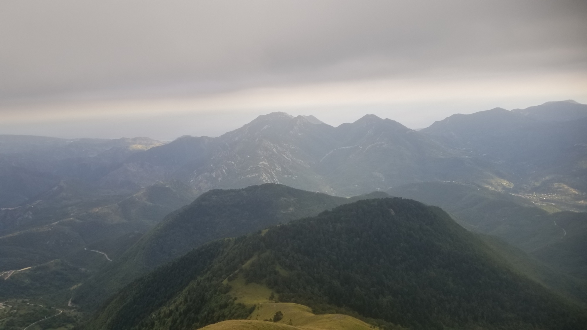
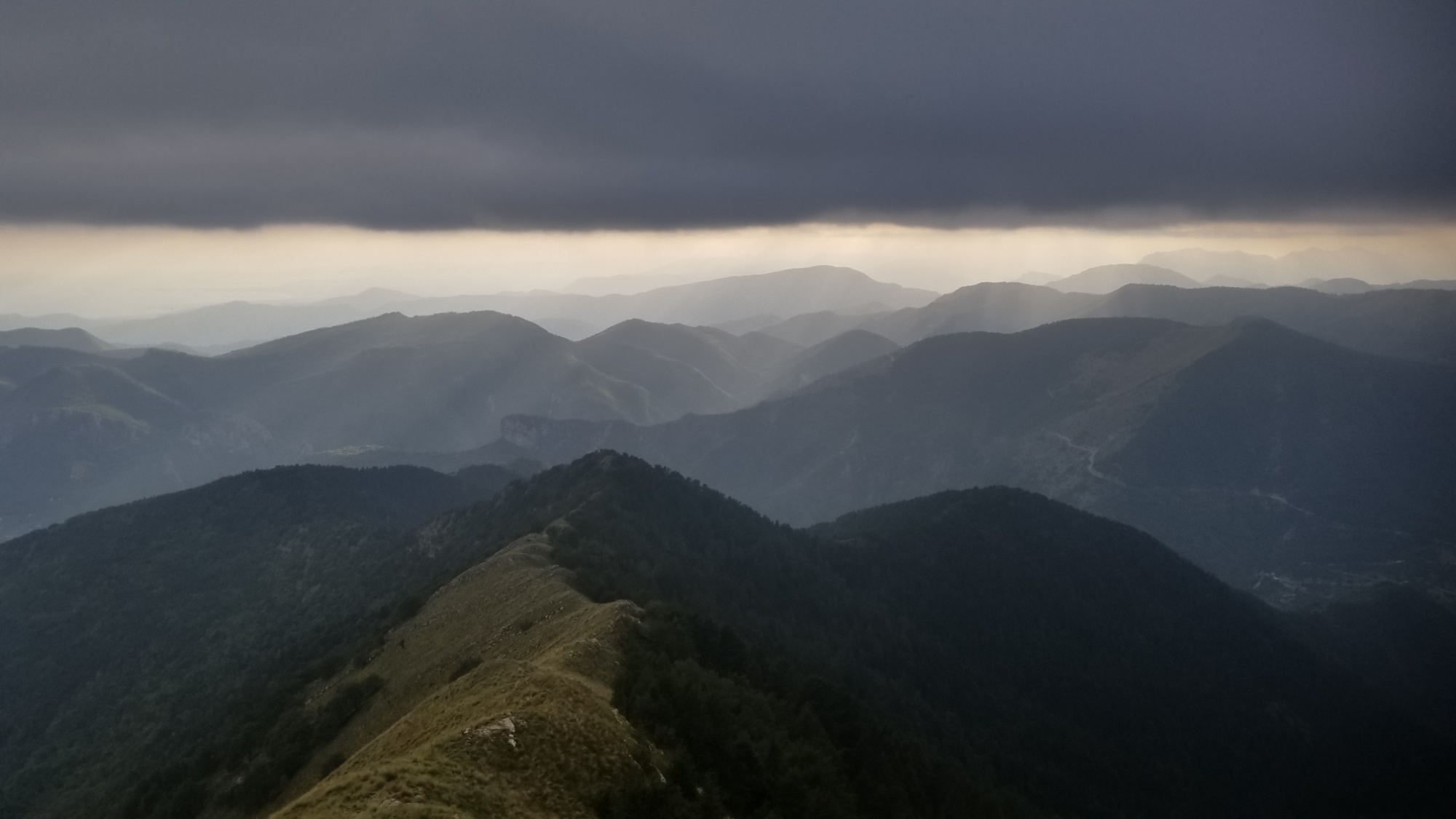
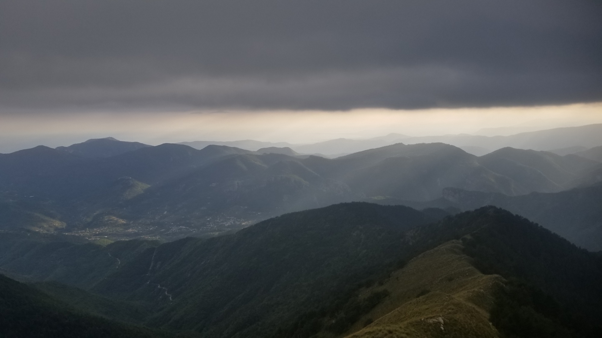
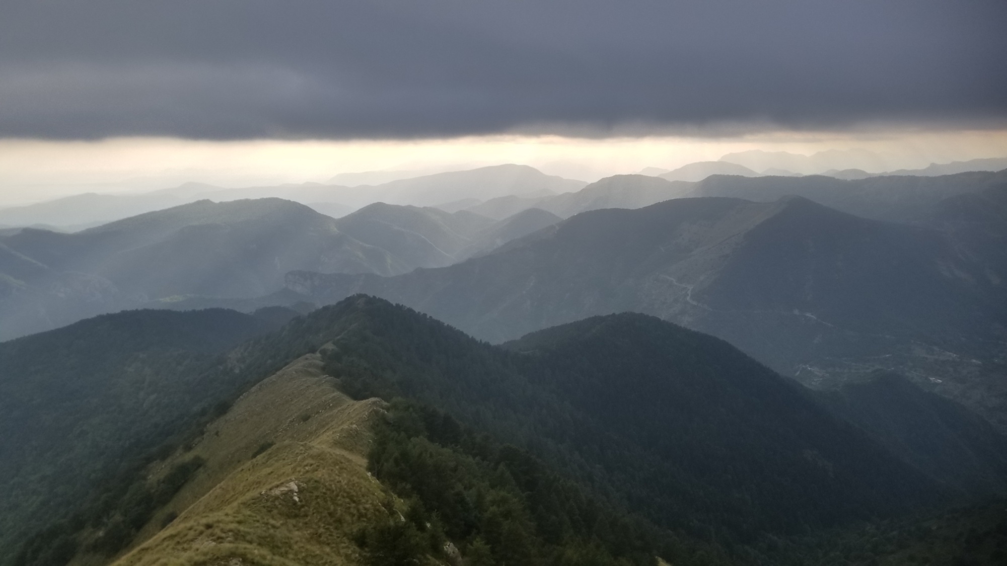
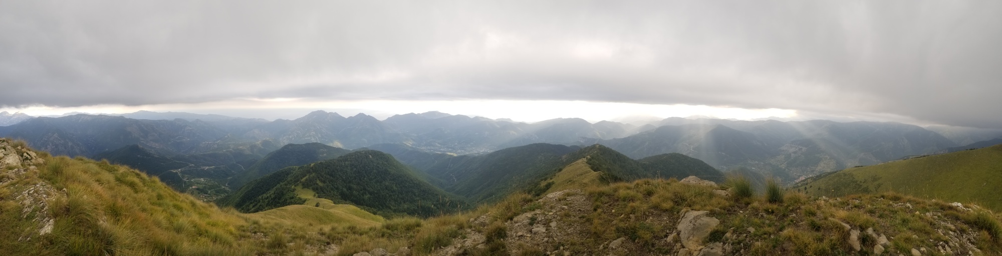
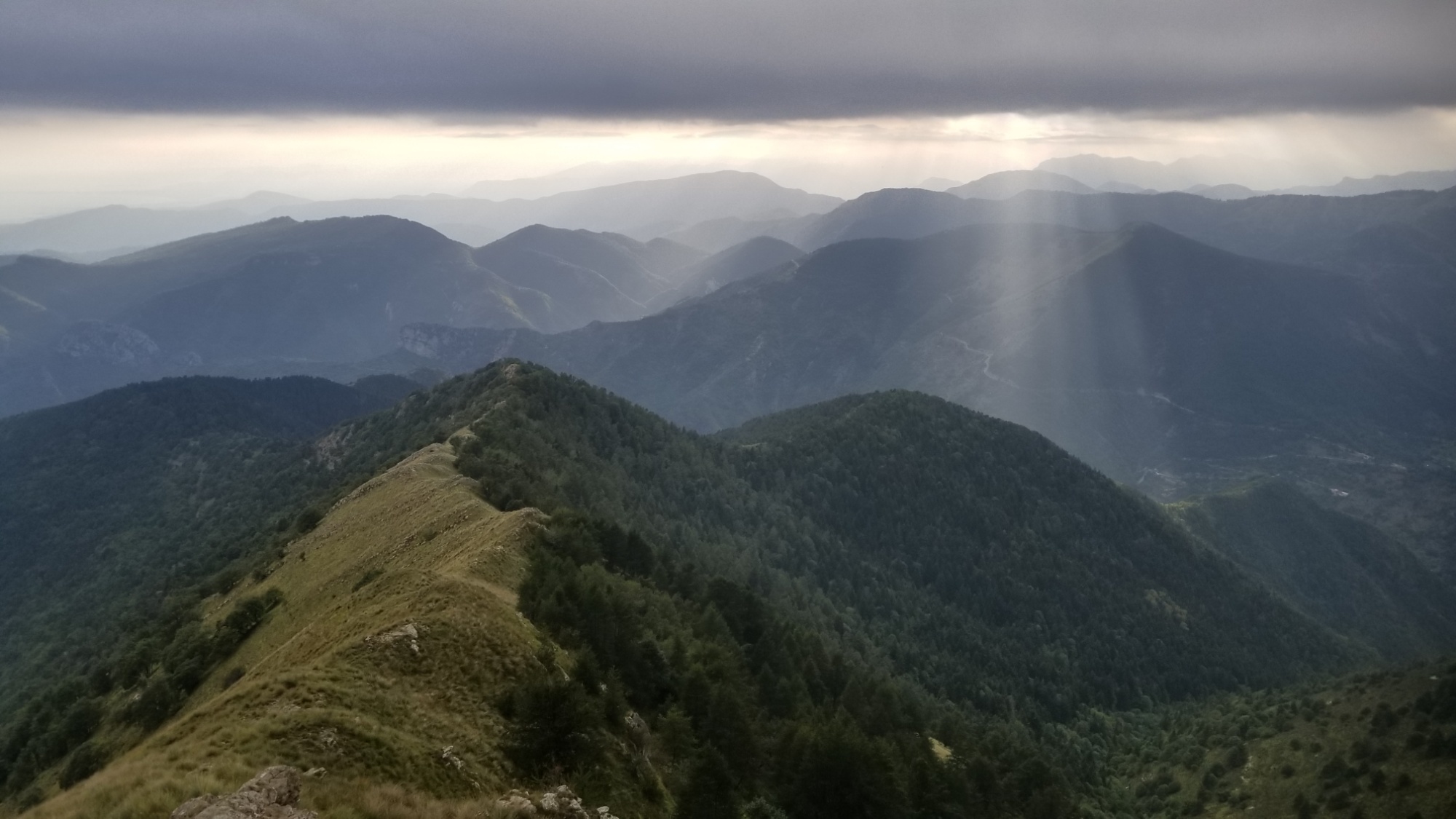
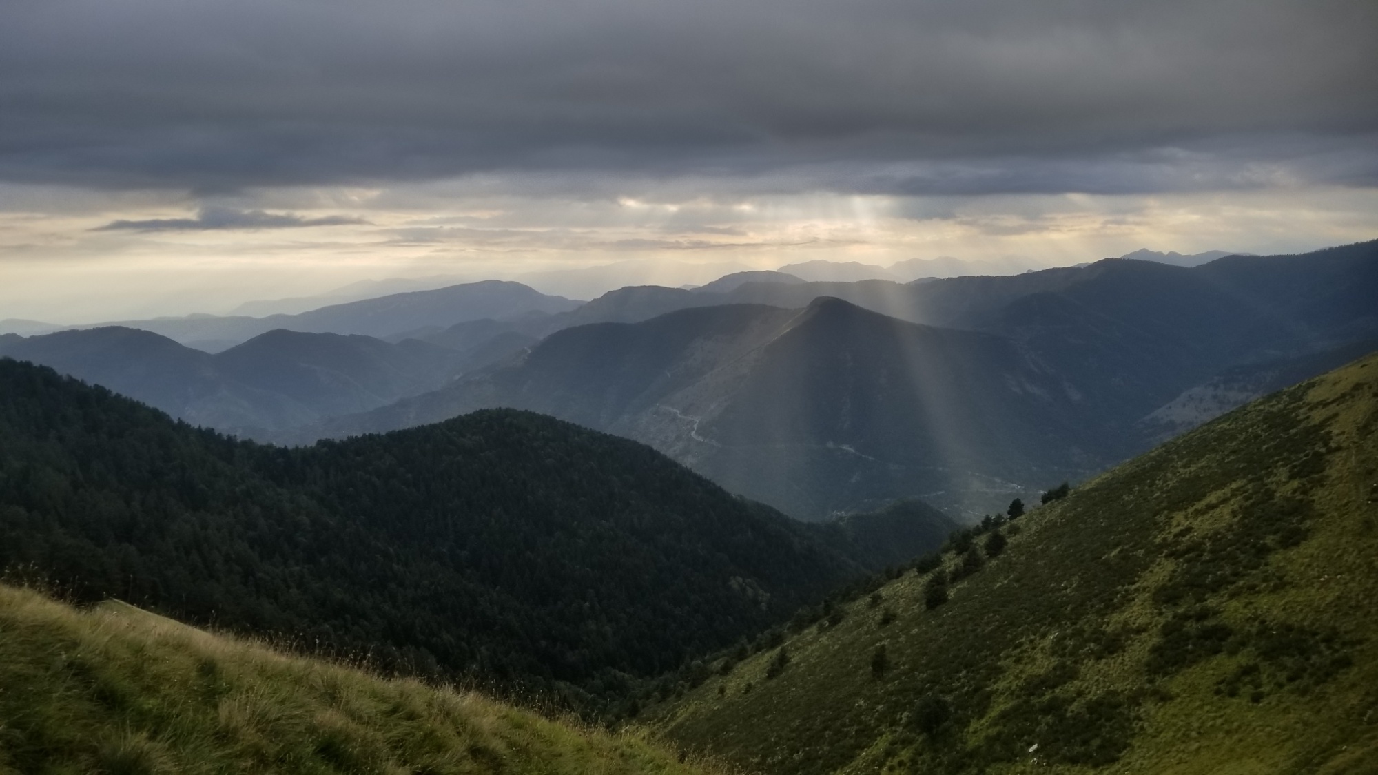
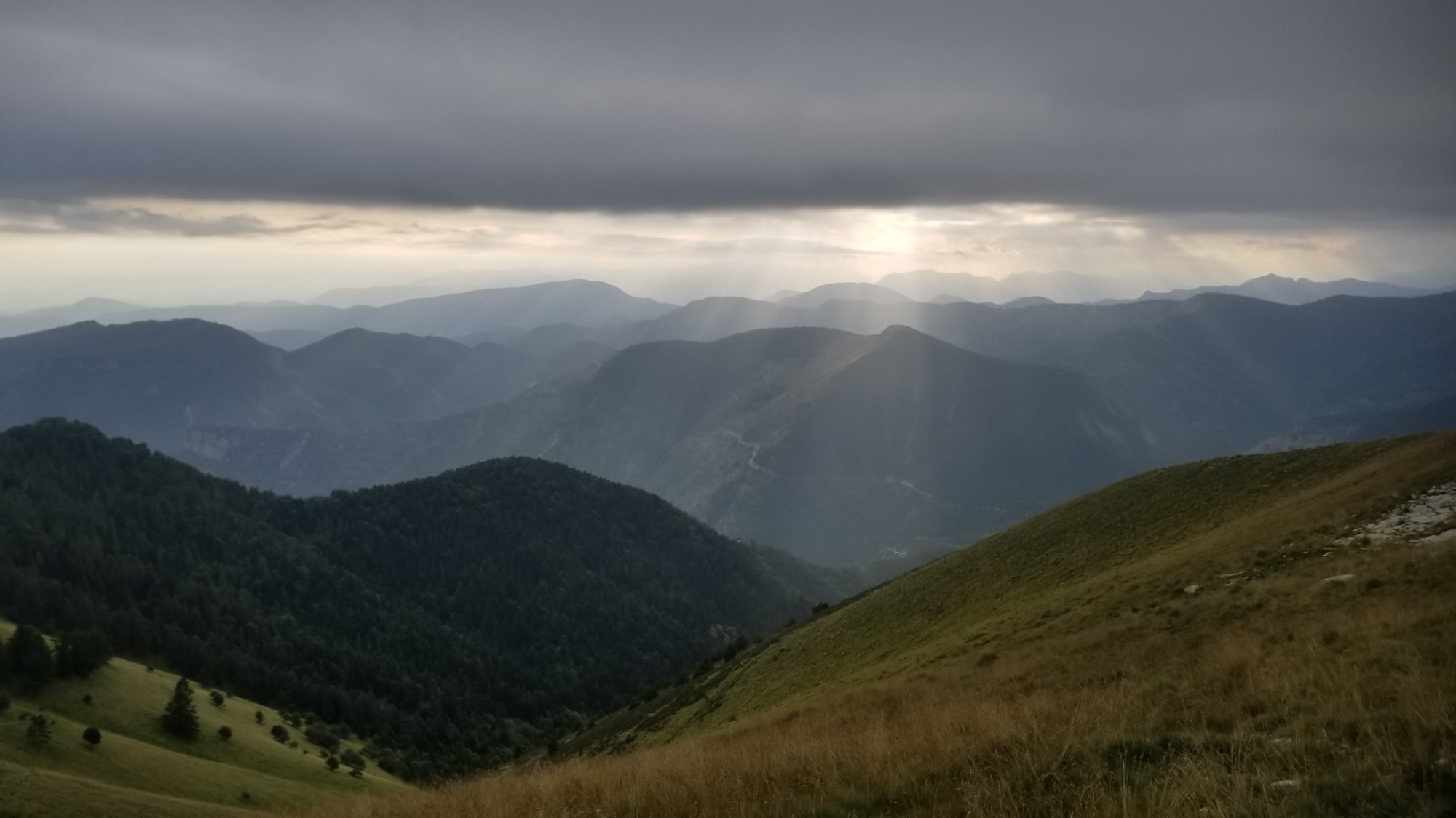
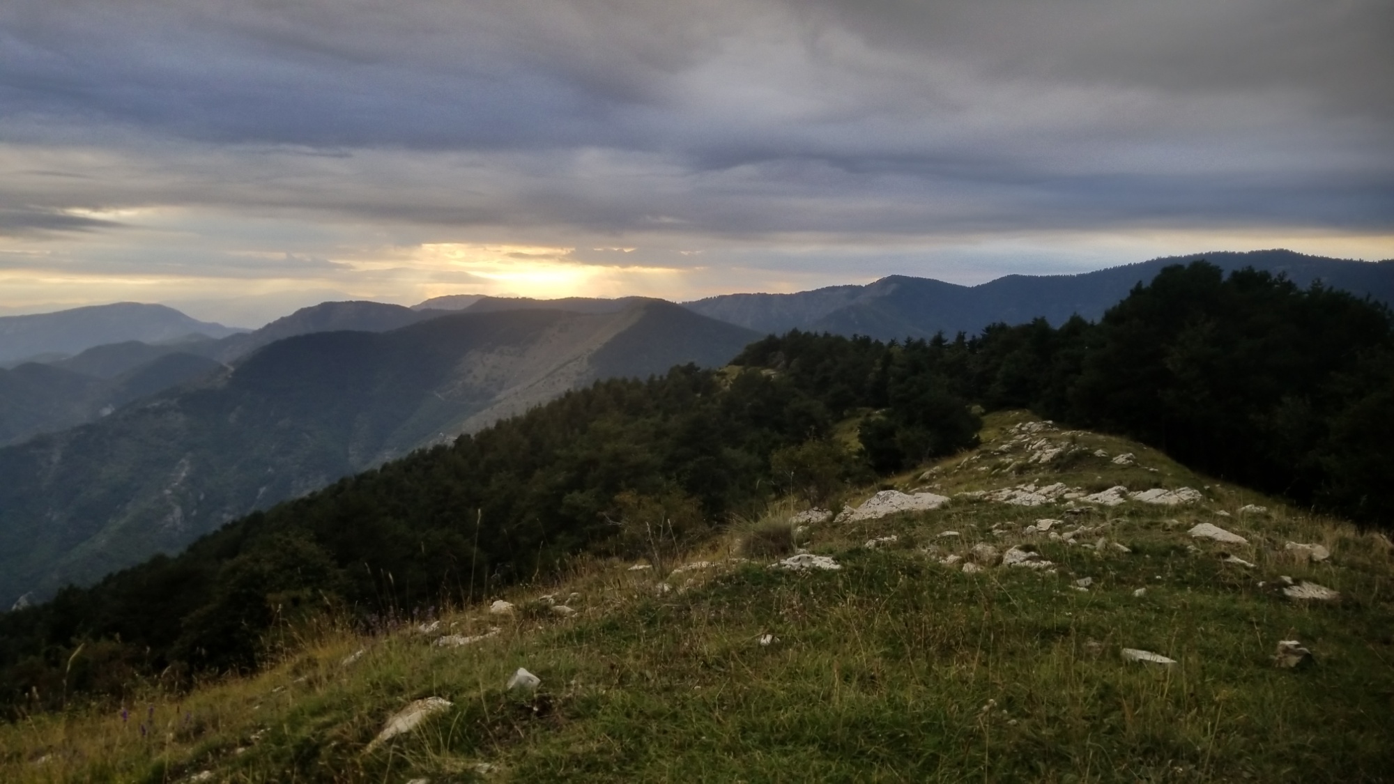
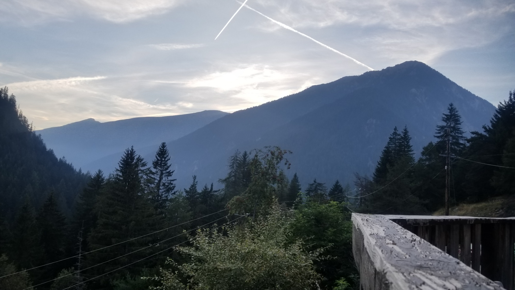
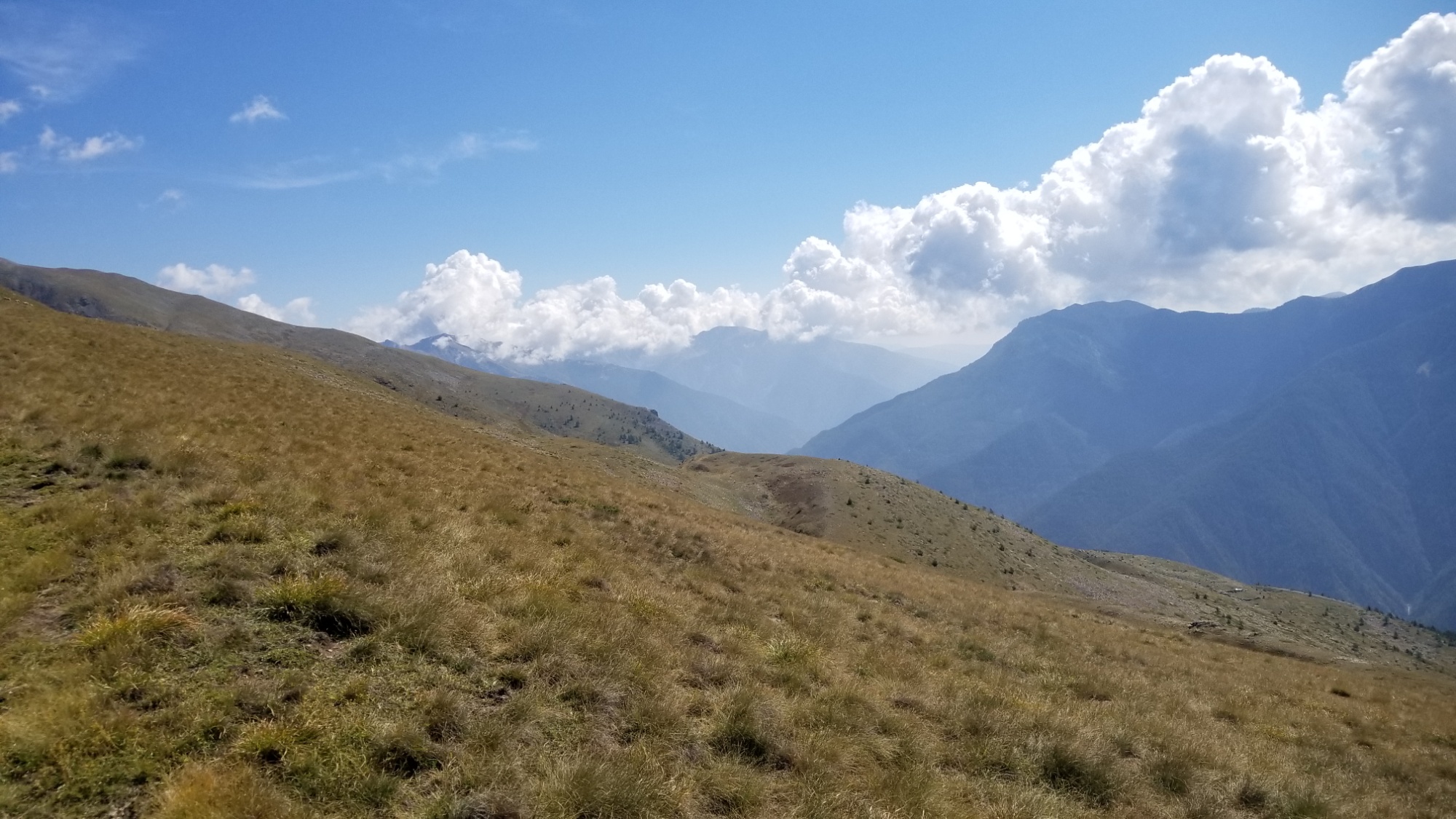
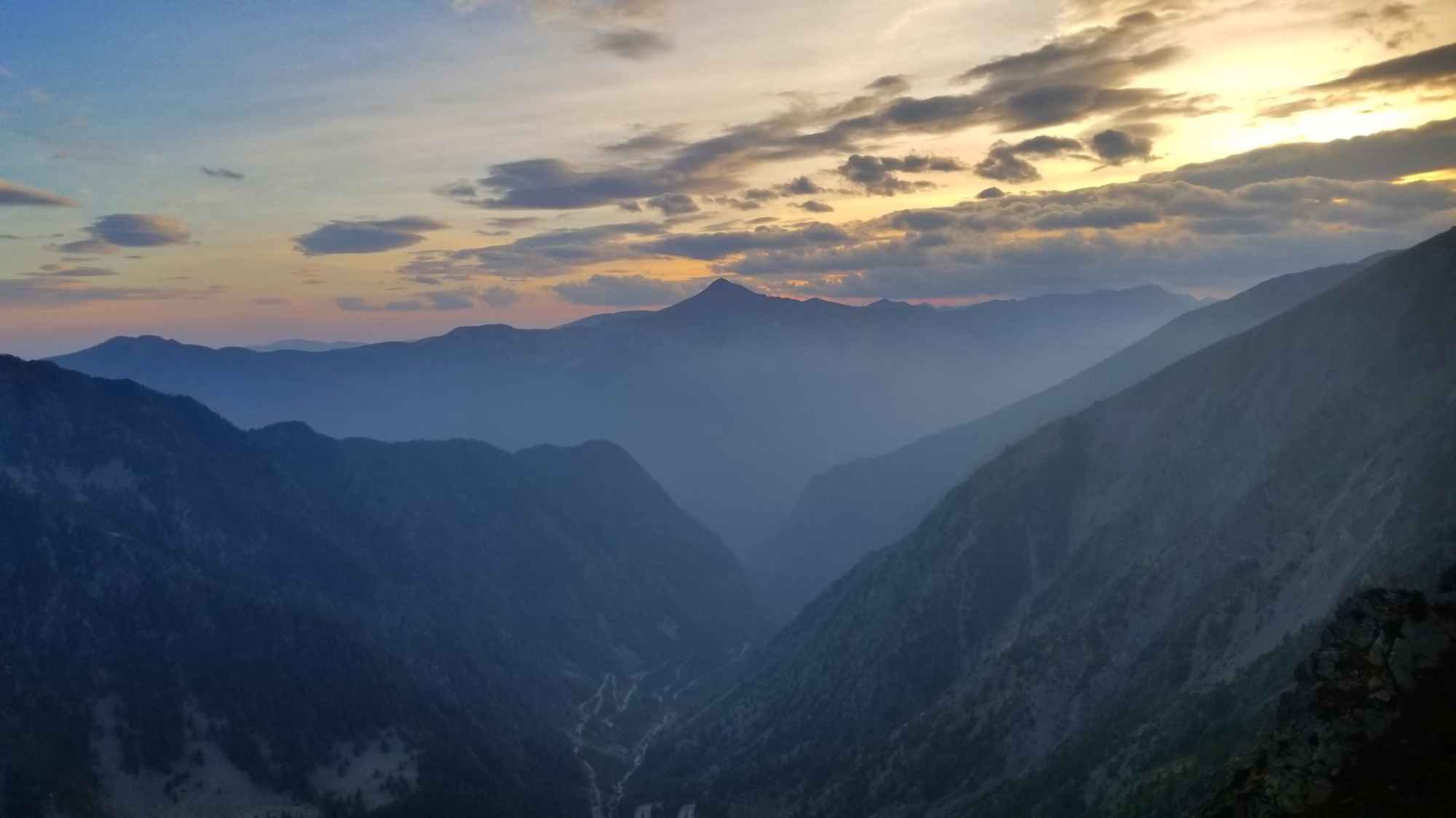
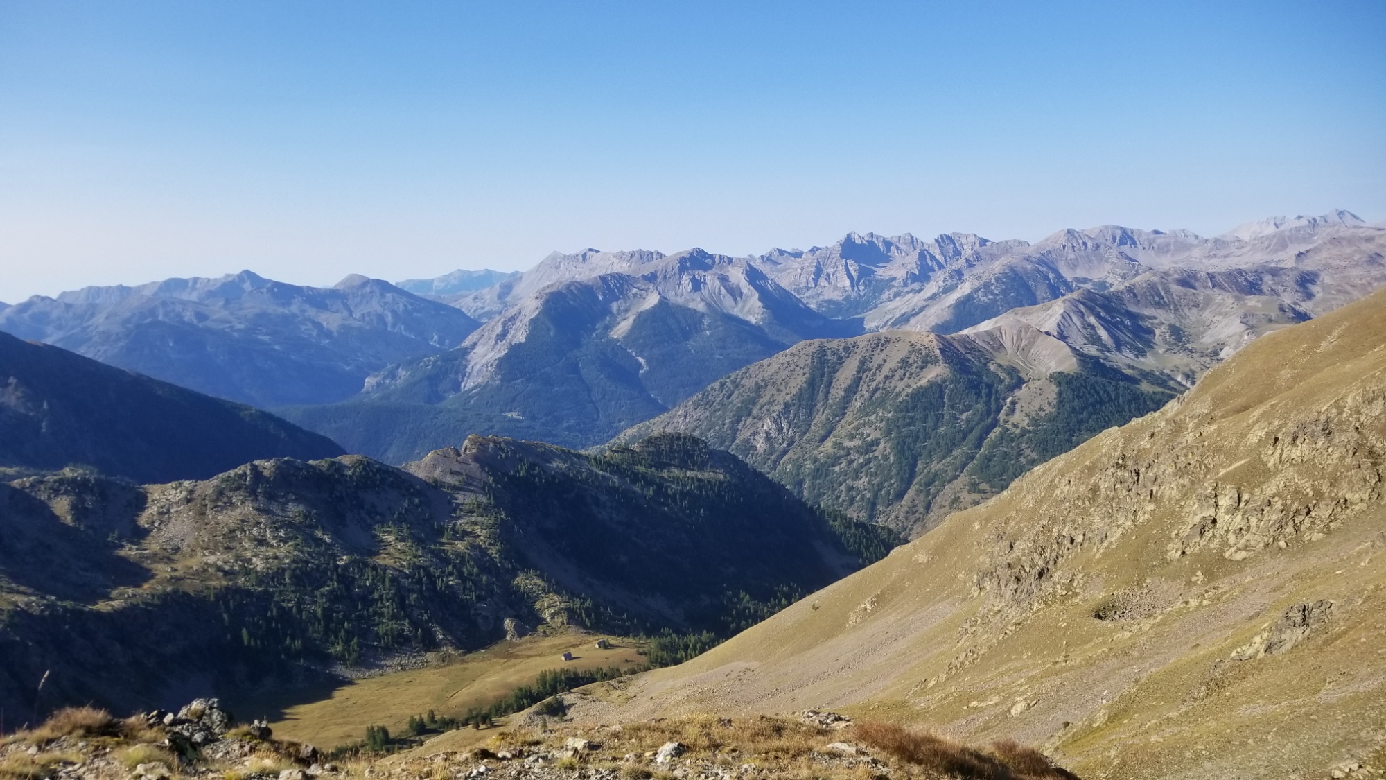
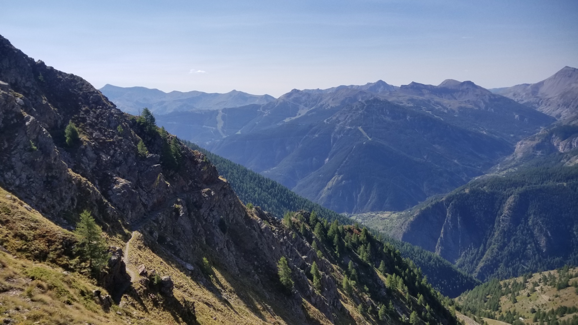
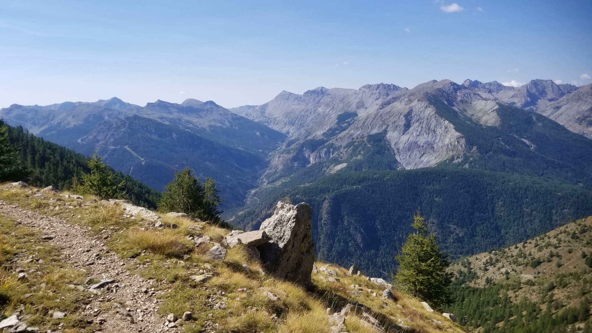
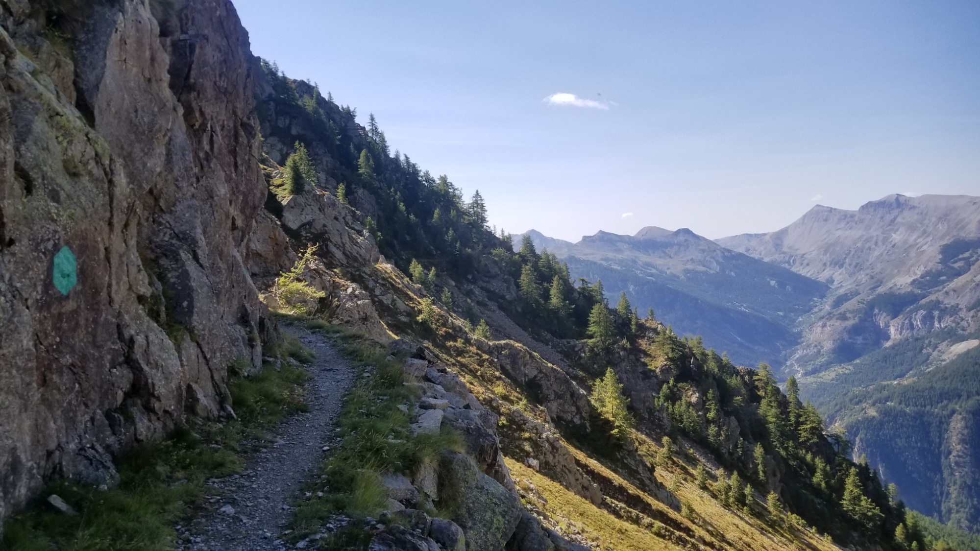
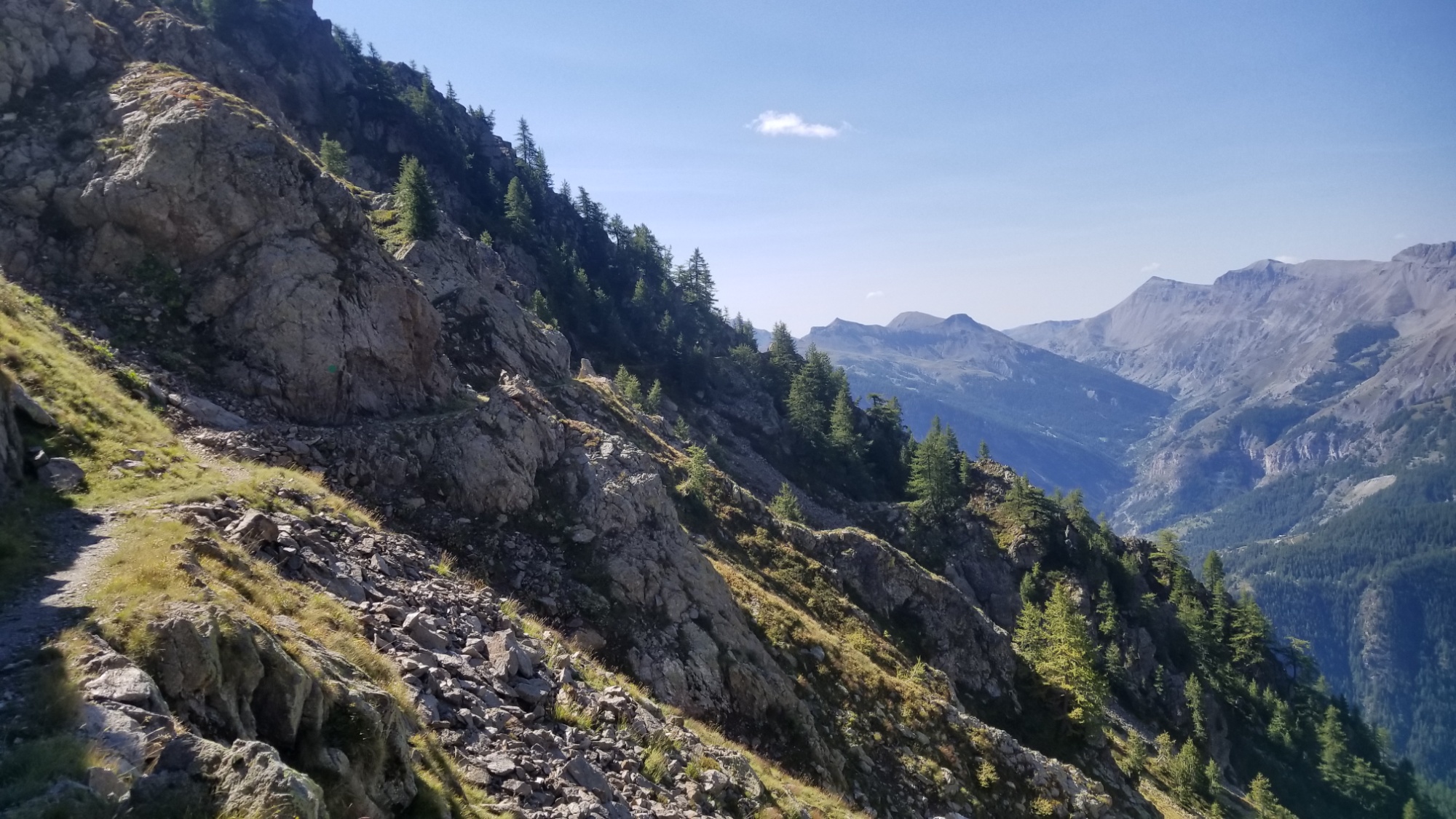
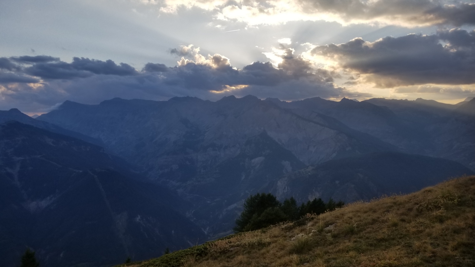
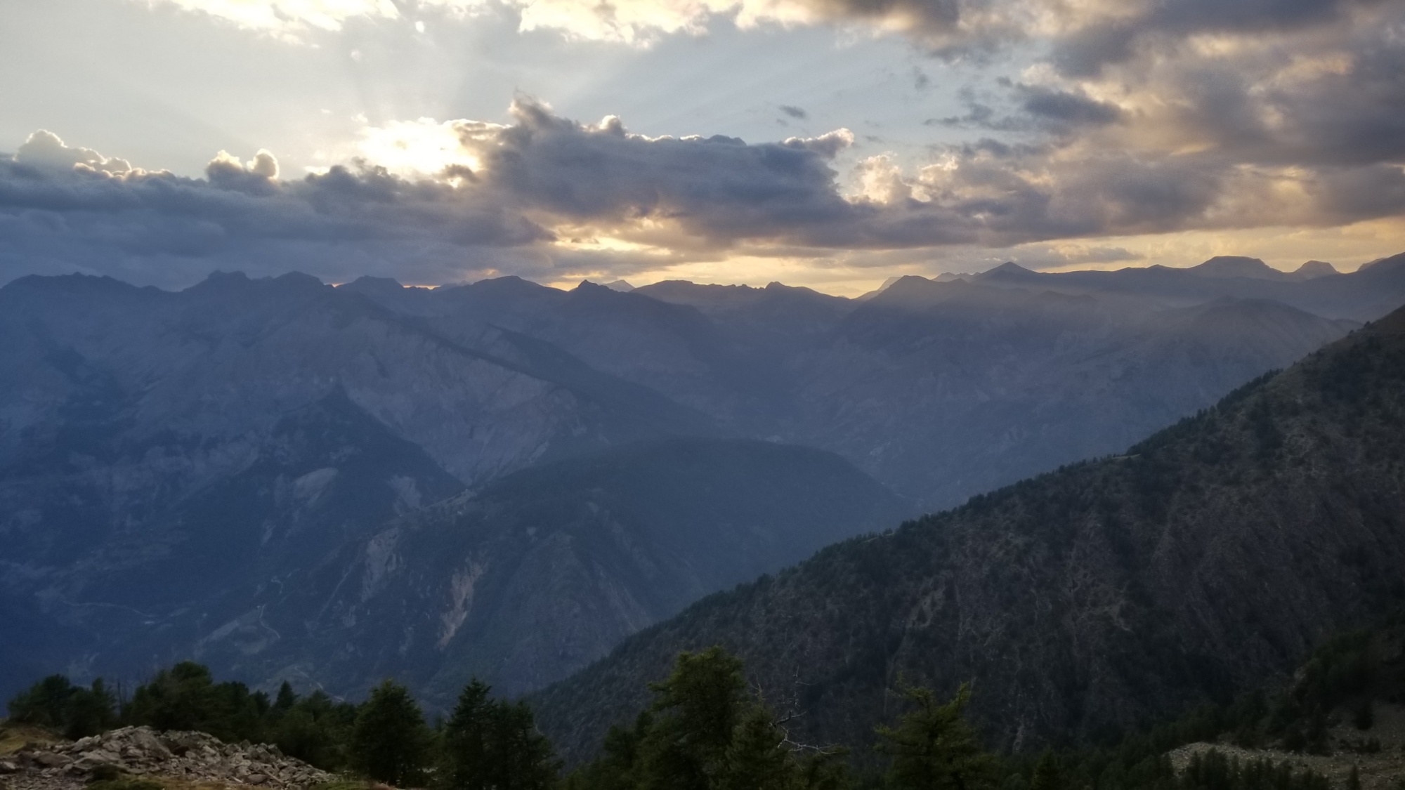
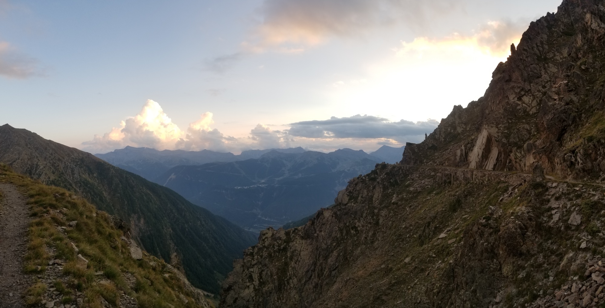
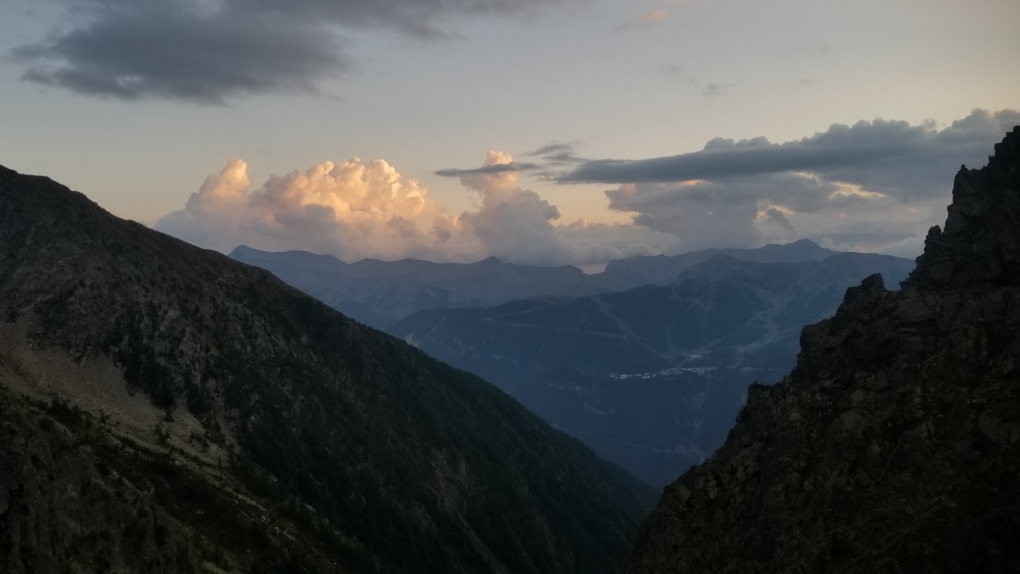
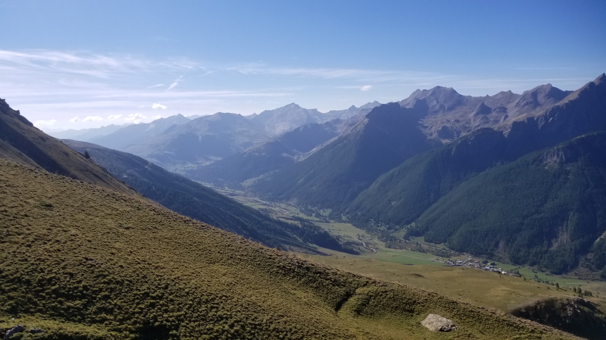
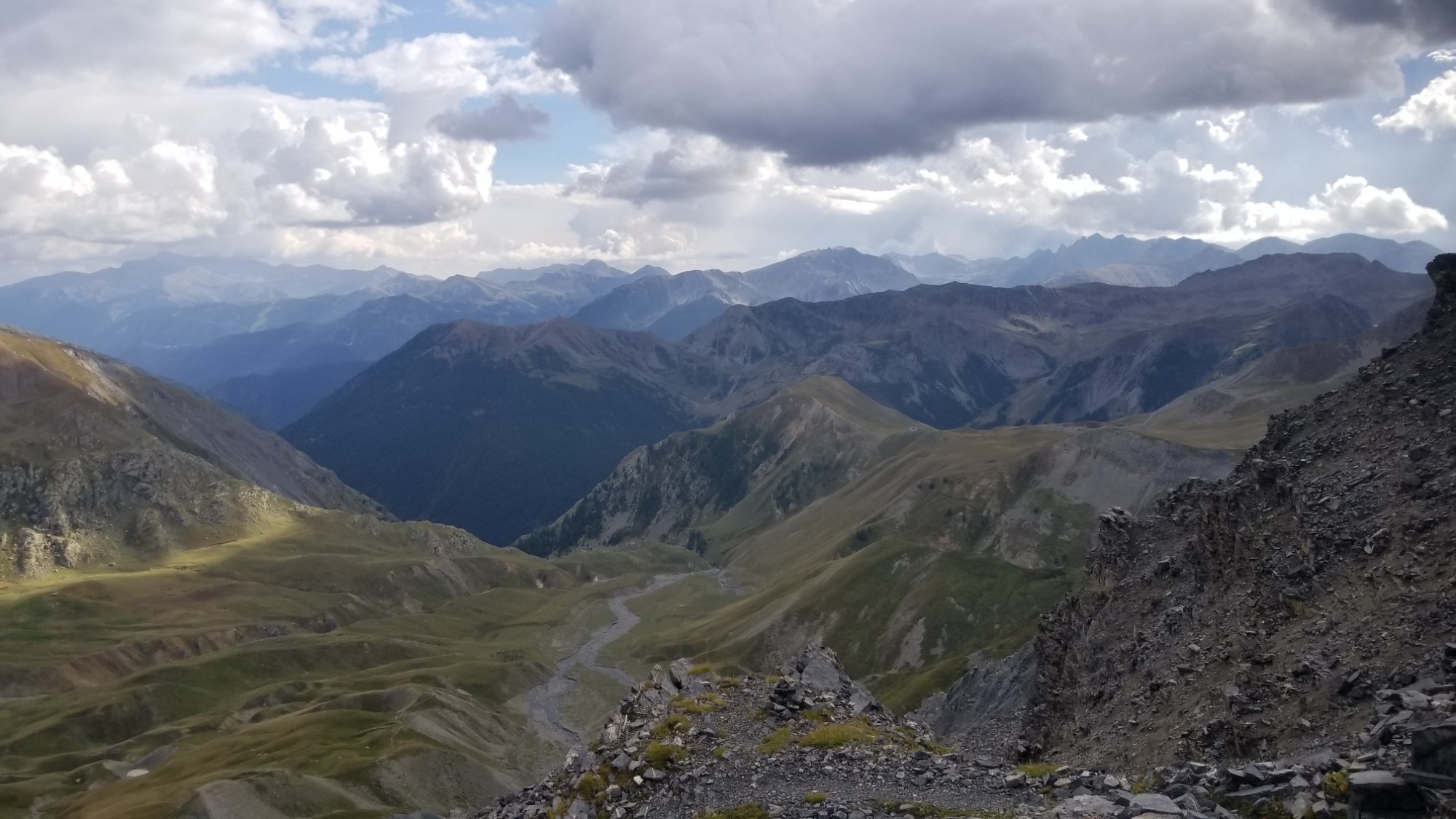
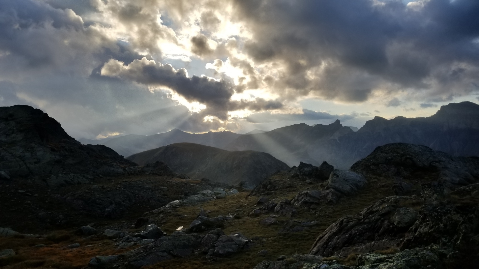
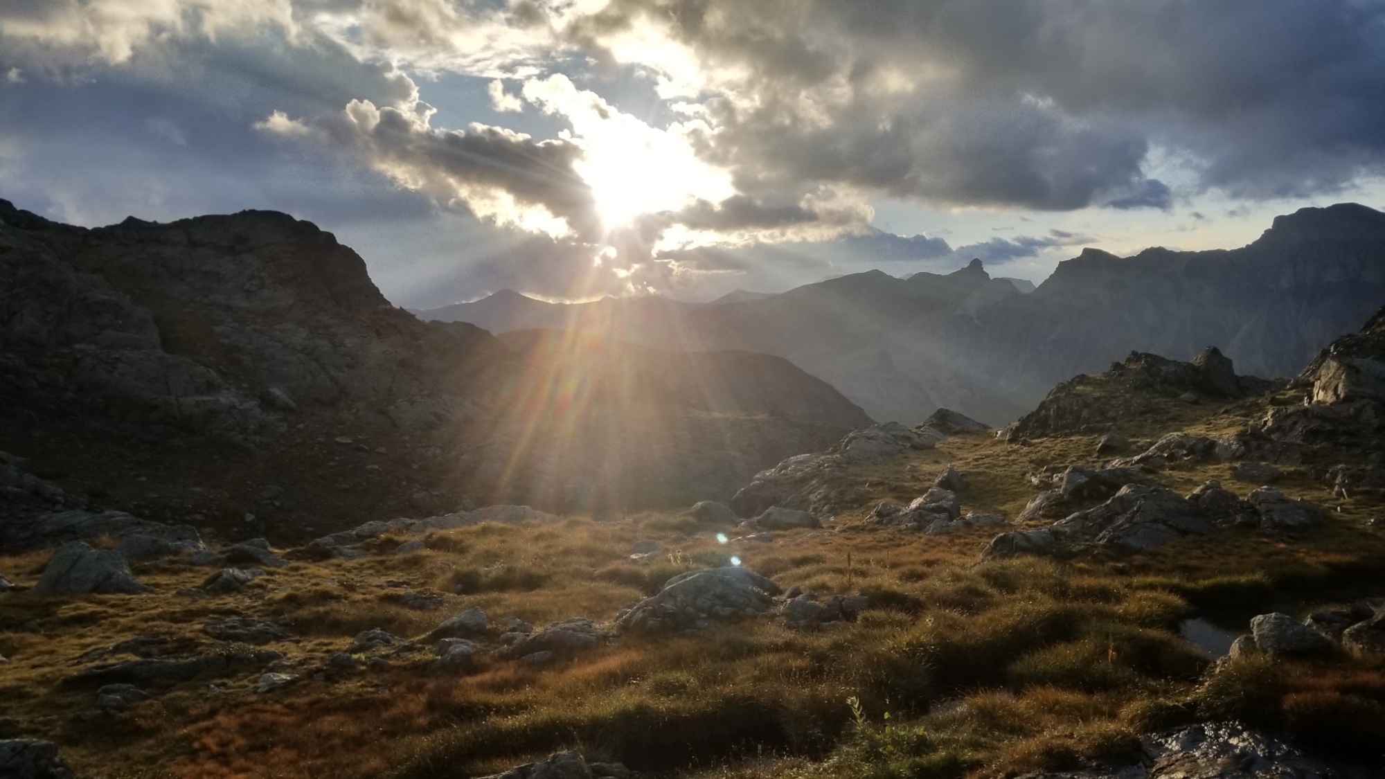
At the end of the ridge where the trail begins the last 1500m descent to Sospel, I had to stop and admire the contrast of the sunset with the impending rain ceiling overhead, the intense beauty of the mountains behind me, with the gorgeous hues of the mediterranean sea and the Cote d’Azur, which finally showed itself for the first time on this GR5 journey. The goal which I had been walking towards for ages was finally in sight.
I went a bit further down the trail and camped on another ridge just above treeline, where a romantic sunset unfurled before my eyes. What a day! Im officially out of food, so it will be a fast hike in the morning down to the village, to hit the supermarkets. Then, one more day to the sea, and the end of the GR5 adventure! Ow owww!
After waking up early and packing up the tent outside the gite, I went inside for breakfast and said farewell to a few friends I met at the dinner table the night before. A couple we’re doing the GR-52, same as I am, and a father and his young daughters were doing a summit hike to the peak of the Mercantour, a nice place for panoramas of the national park.
Boreon is back down there
I left at 8pm, immediately hopping on the trail and passing a couple dozen people in my typical rapid pace. Today was a special day, though. I felt especially energized knowing that I was in a national park hiking towards the area known as the valley of marvels! And I intended to bivuoac at the Lac Basto, the gateway to the marvelous valley, 25km distant across three separate climbs and descents, about 2000m of climbing altogether.
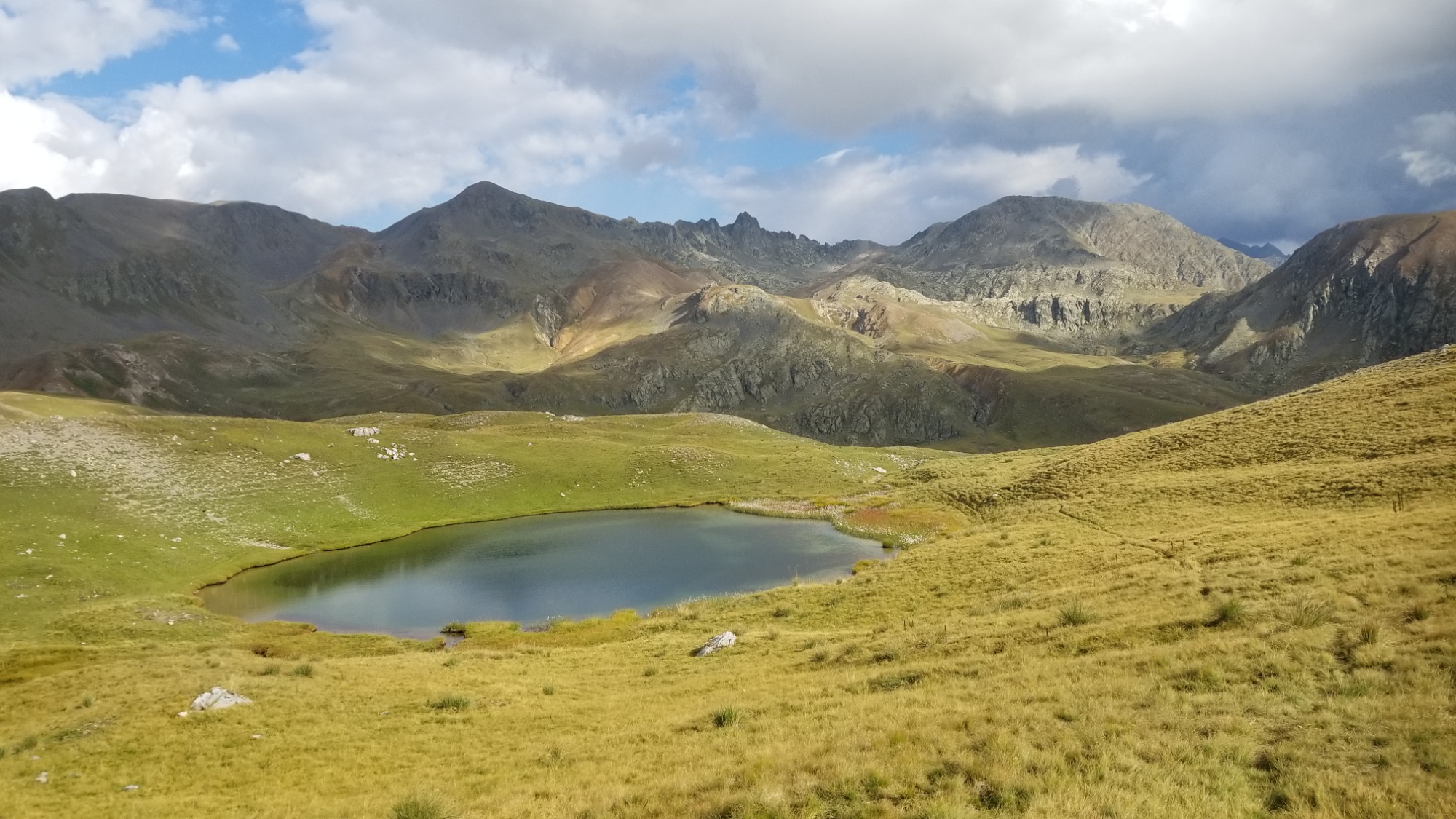
I sped up the trail, and found a great lac to stop and have a sandwich with coffee before the final ascent over the pass.
Sandwich / coffee spot!
From the col, I made up a route on some various trails to ride the ridge and see a gorgeous bonus Lac.
The trail continues on through that notch in the distant mountains to right of center
A quick detour to bag another lake
Then down into the valley, a short bushwhack to cut off a needless 200m descent to a refuge, linking back up with the GR-52 for the second climb of the day, this one traversing 500m up! Much of the terrain was very rocky and steep, but always beautiful.
Past the 2nd col
The second col was a notch in the mountain with a steep and narrow crevasse to descend the other side.
Then, upon climbing down to the next valley, I came to the refuge/lac De Nice, where a helicopter crew seemed to be practicing some rescue techniques.
View from refuge Nice
Another lake just above the refuge
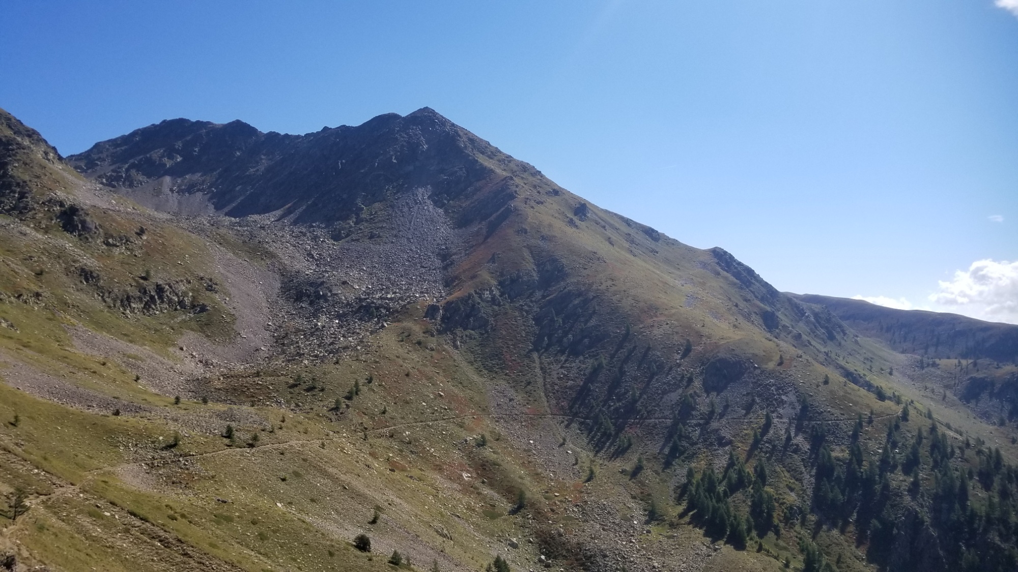
I had a rest at the picnic area, filled up on water, and continued to the third and final climb of the day, a 500m ascent up to a mountain at 2,700m.
Finally over the third col
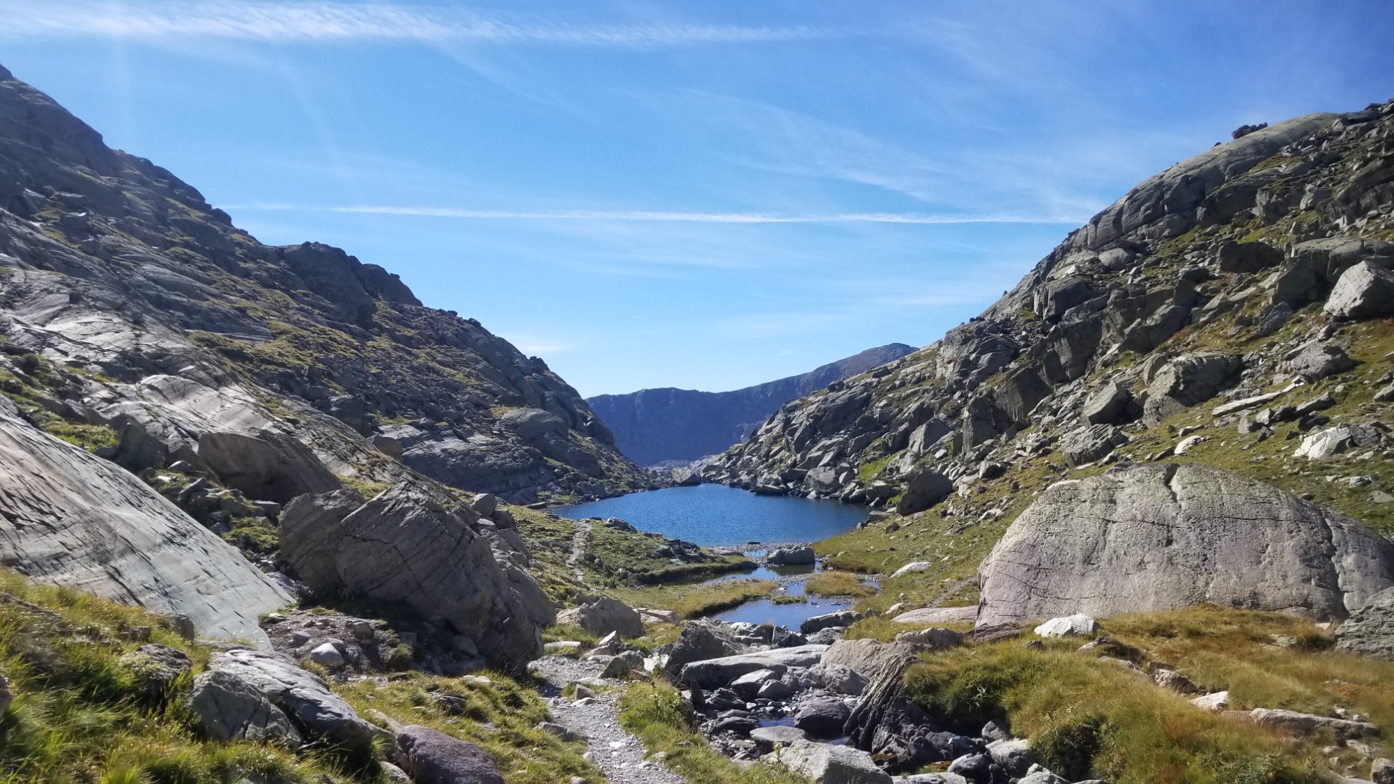
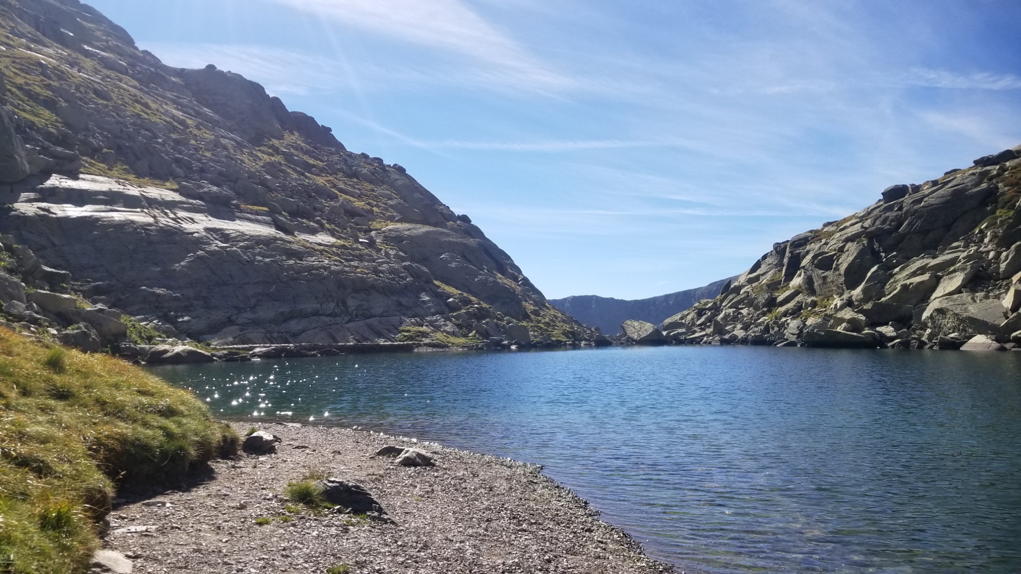
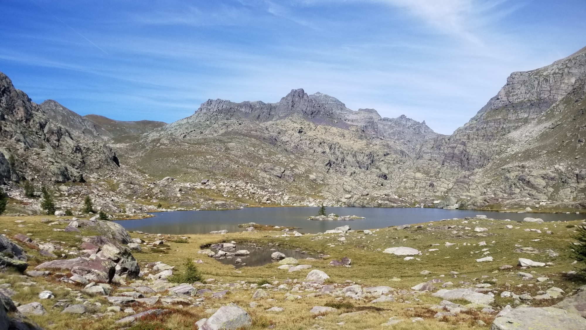
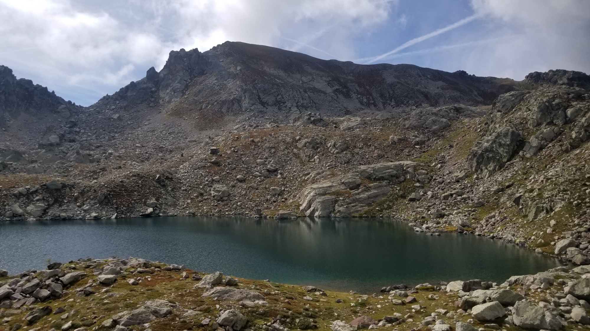
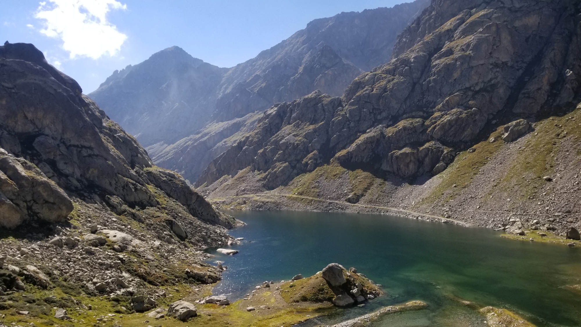
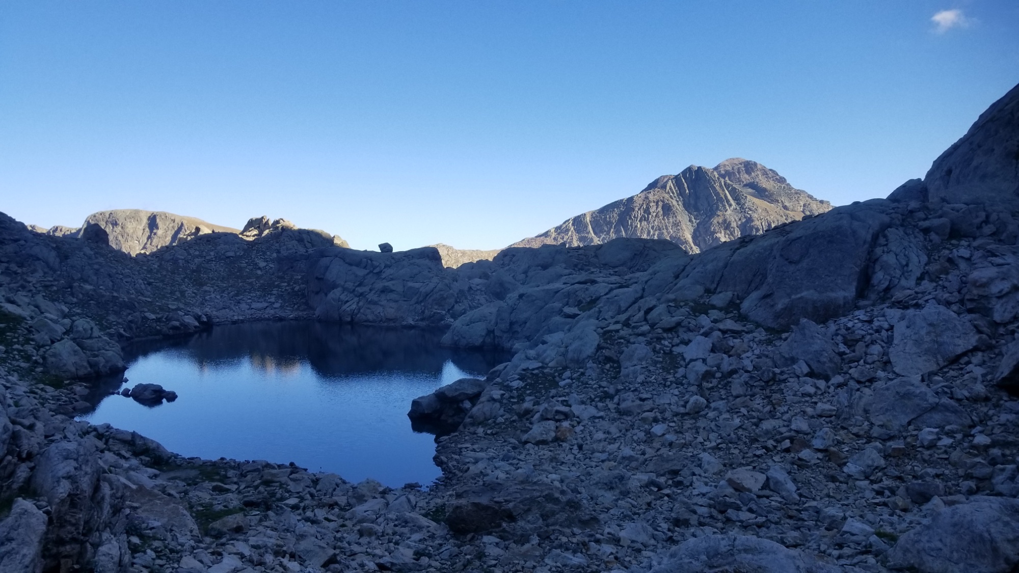
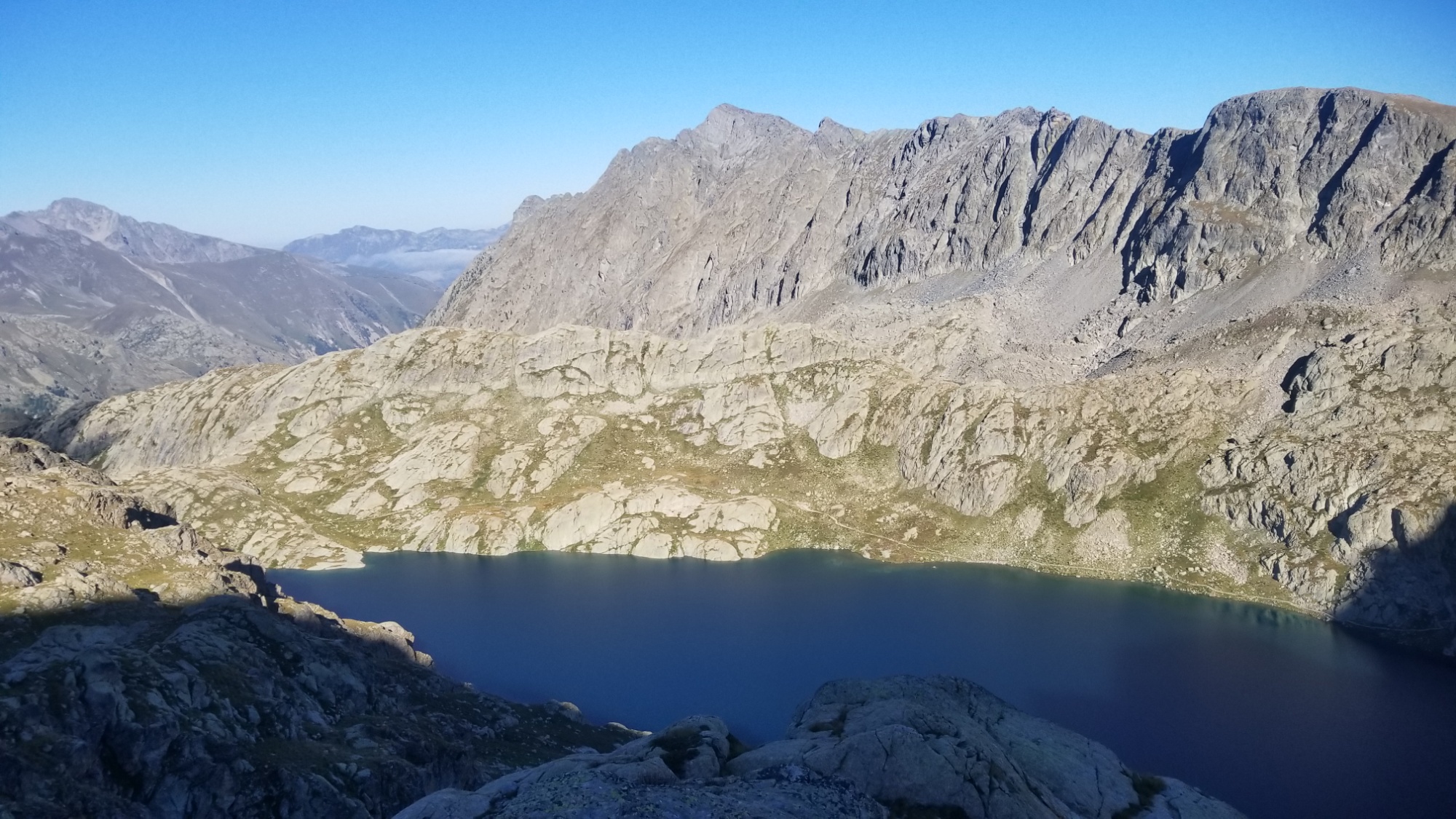
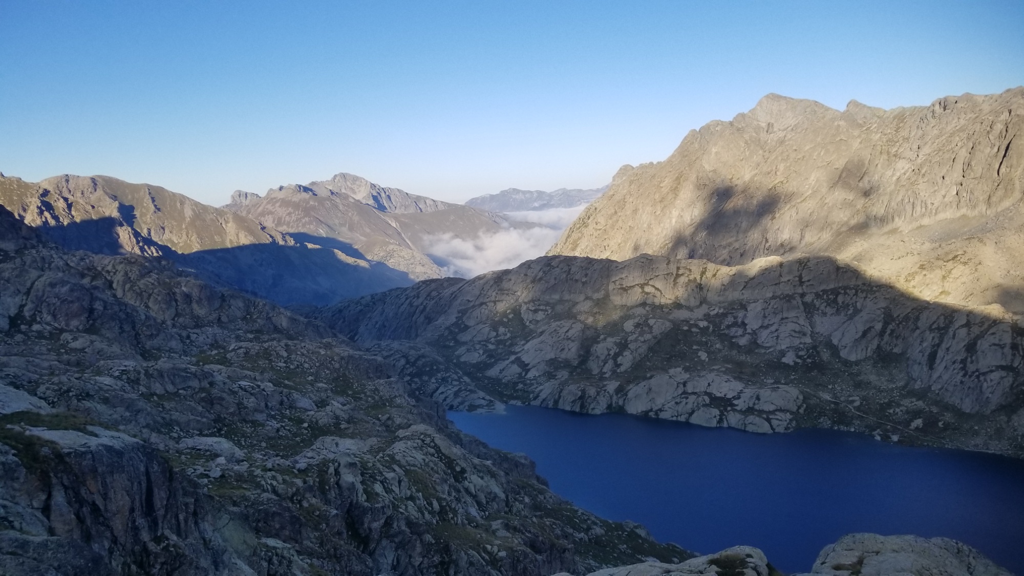
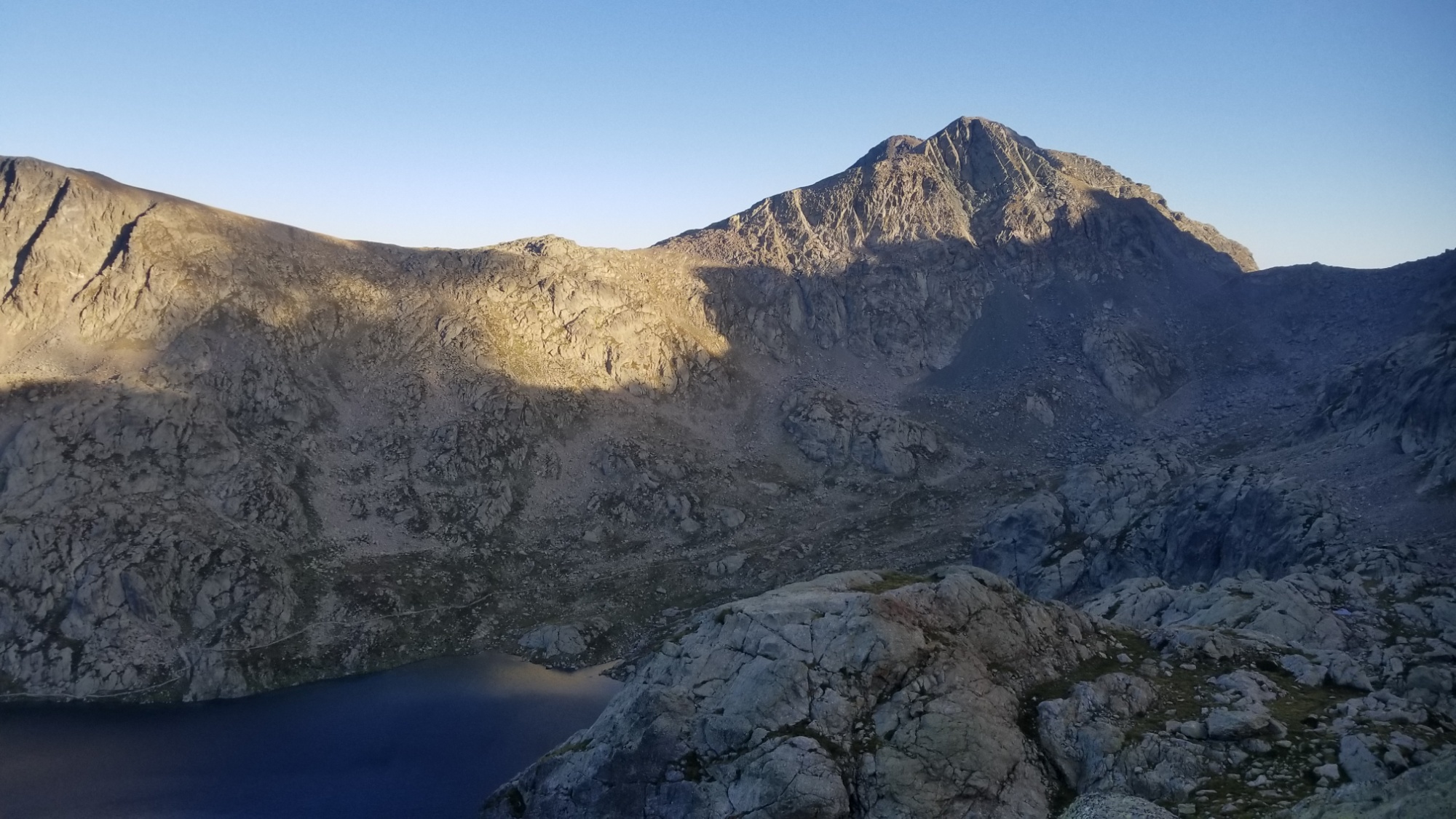
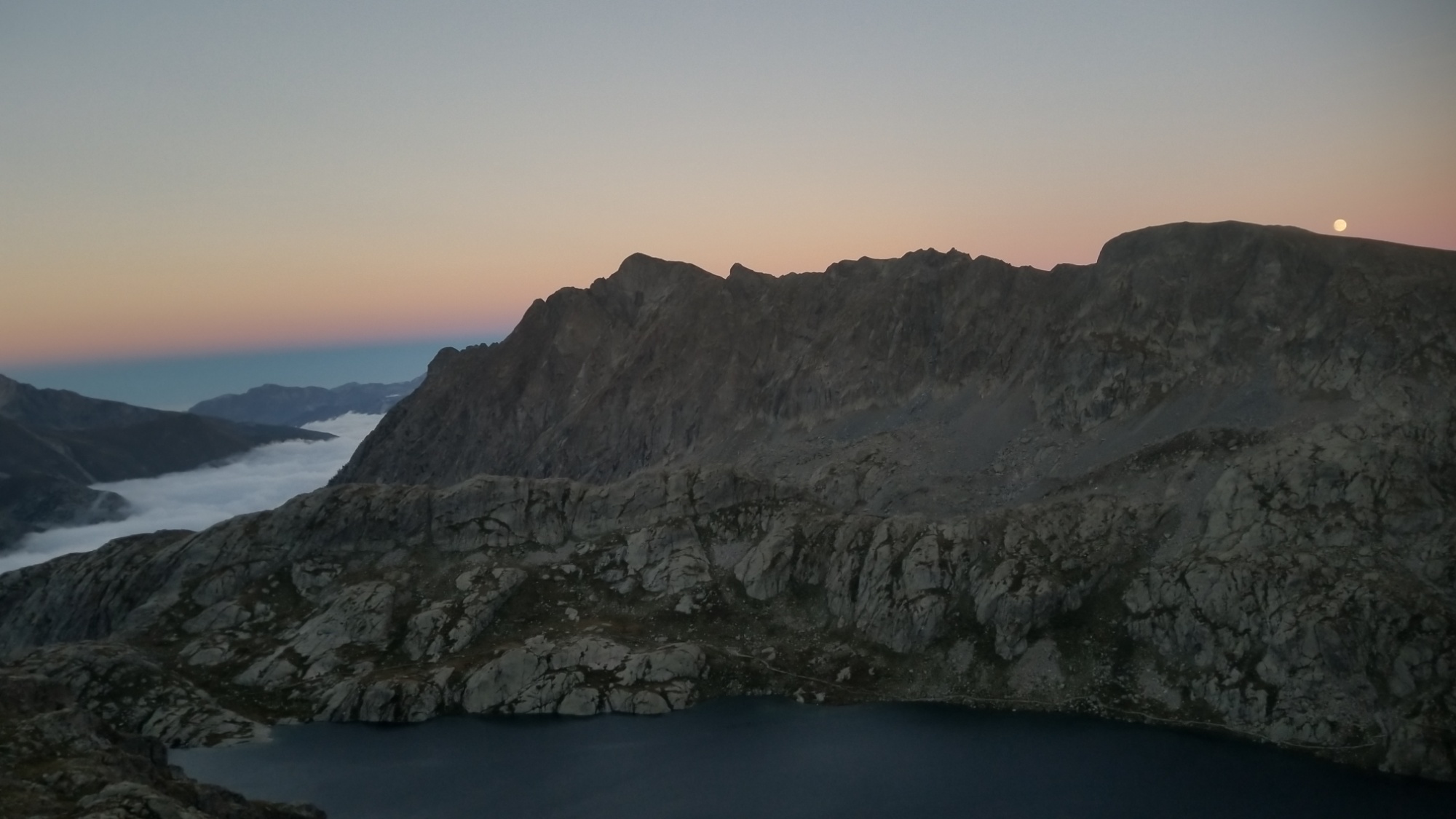
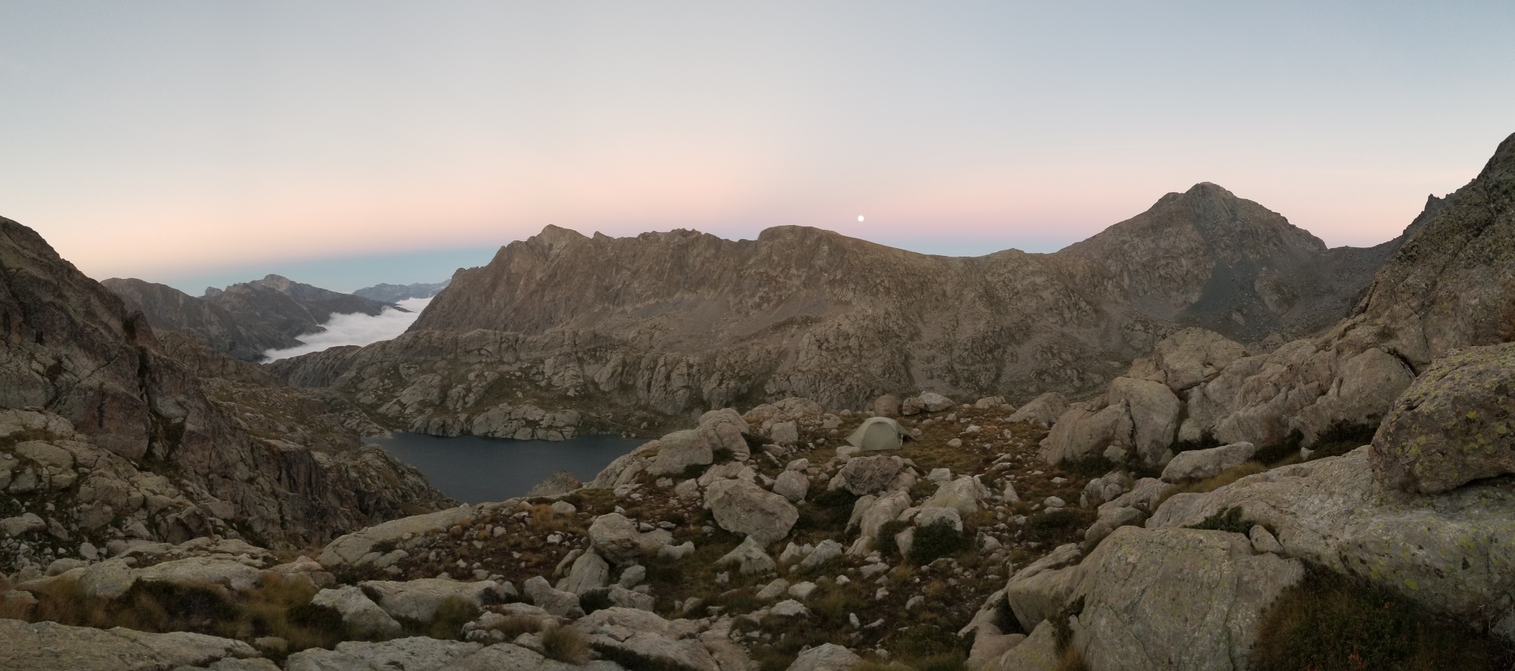
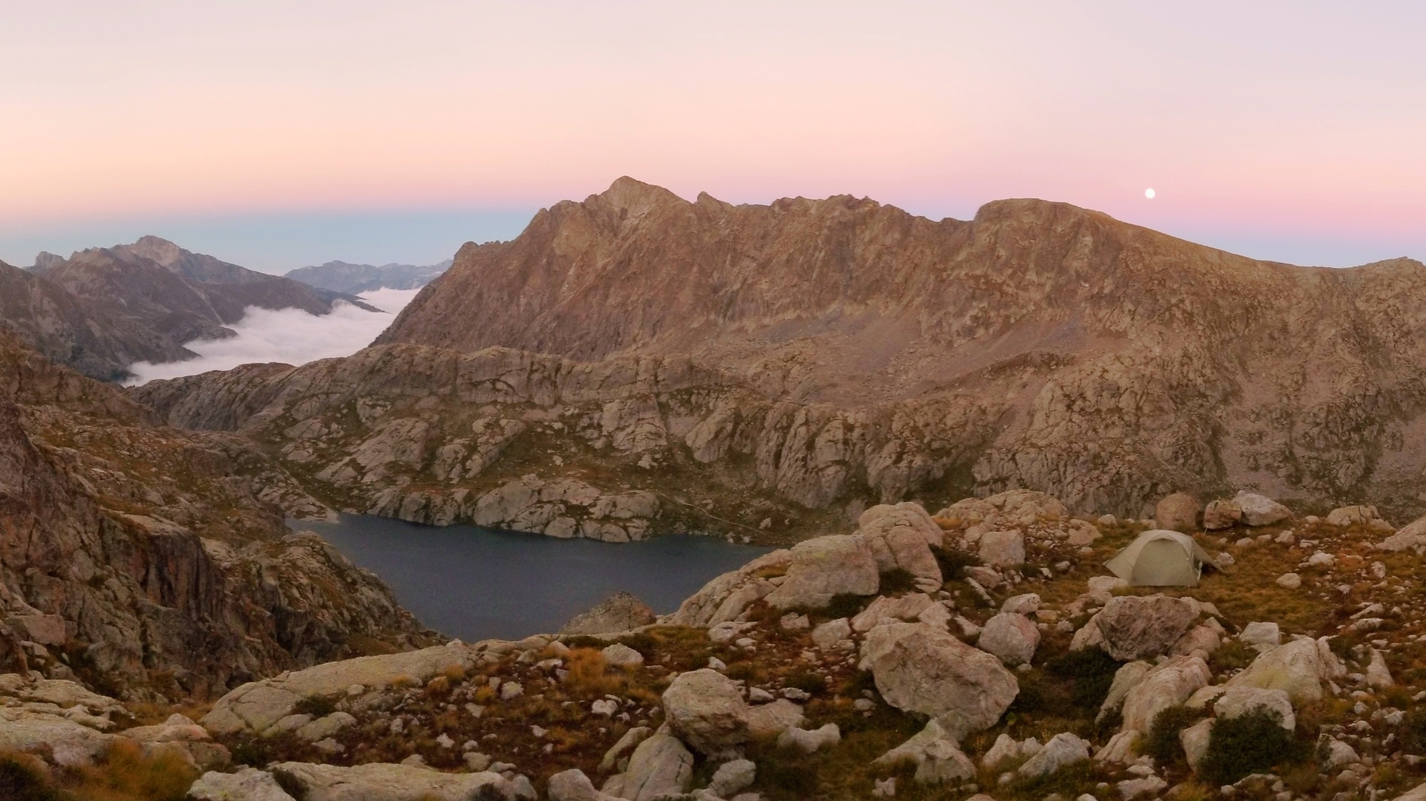
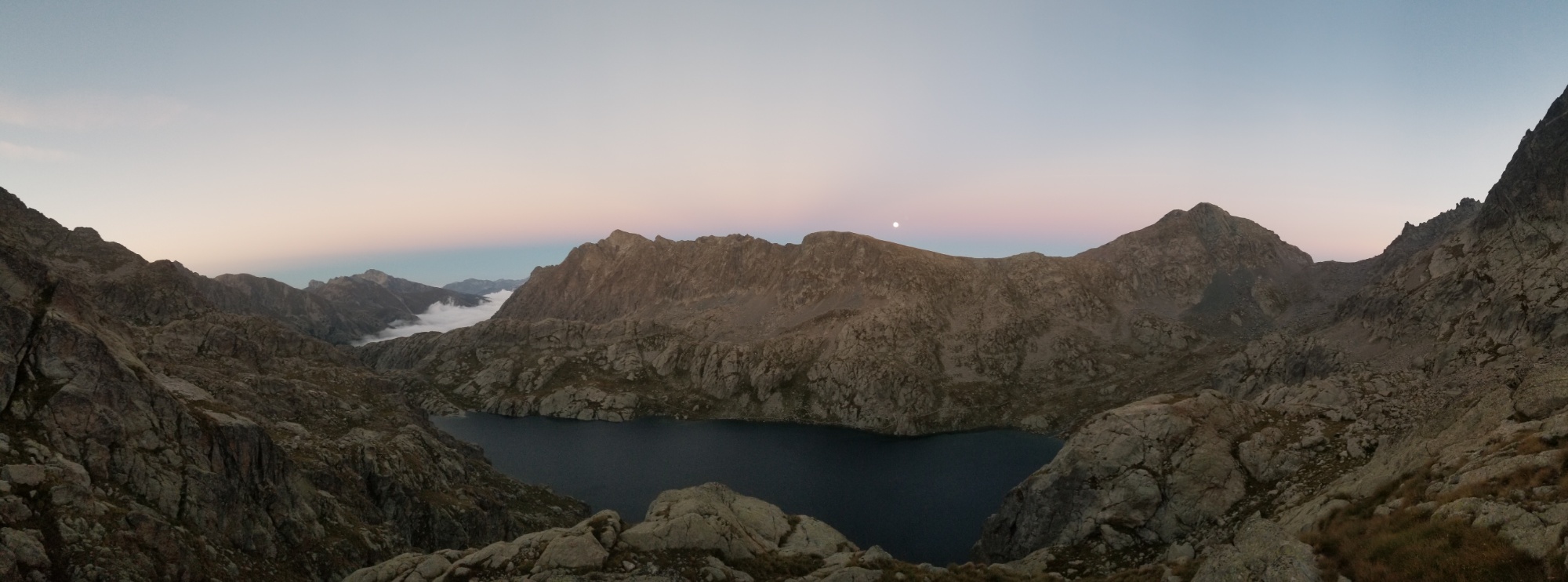
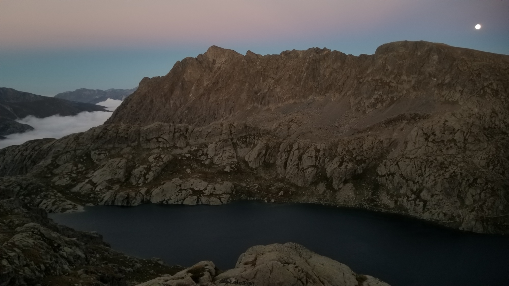
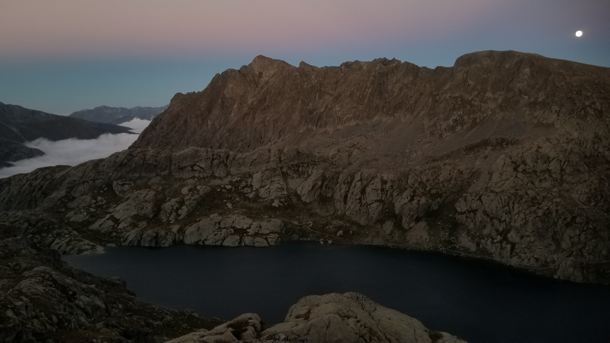
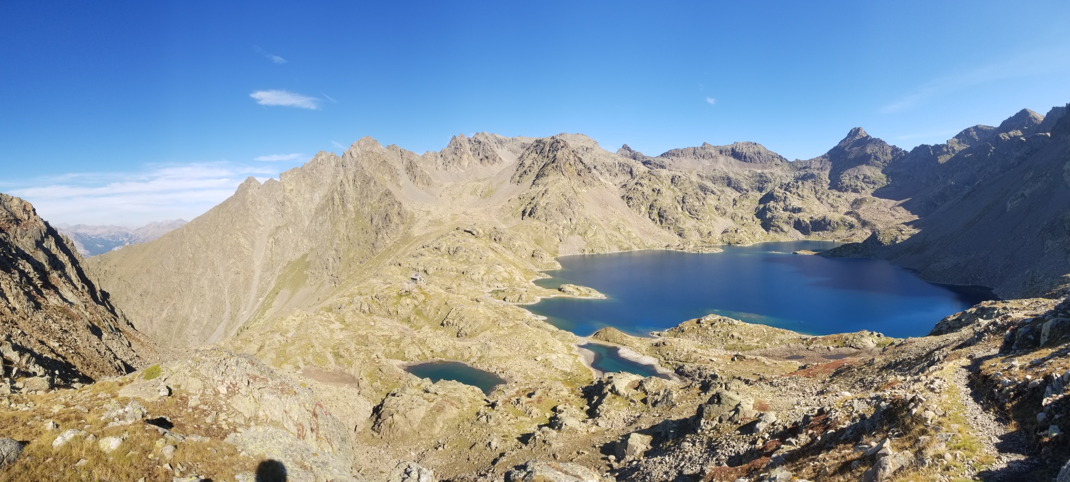
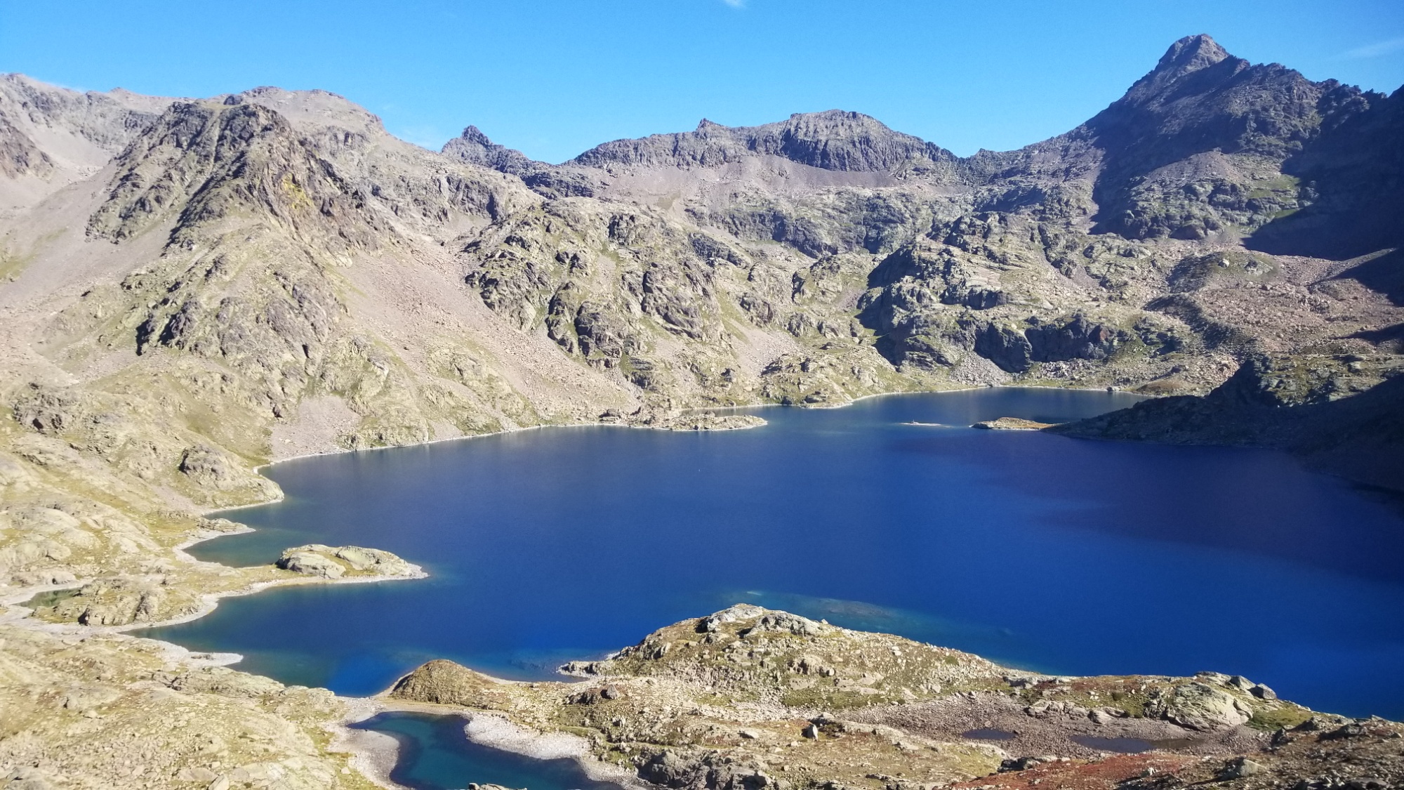
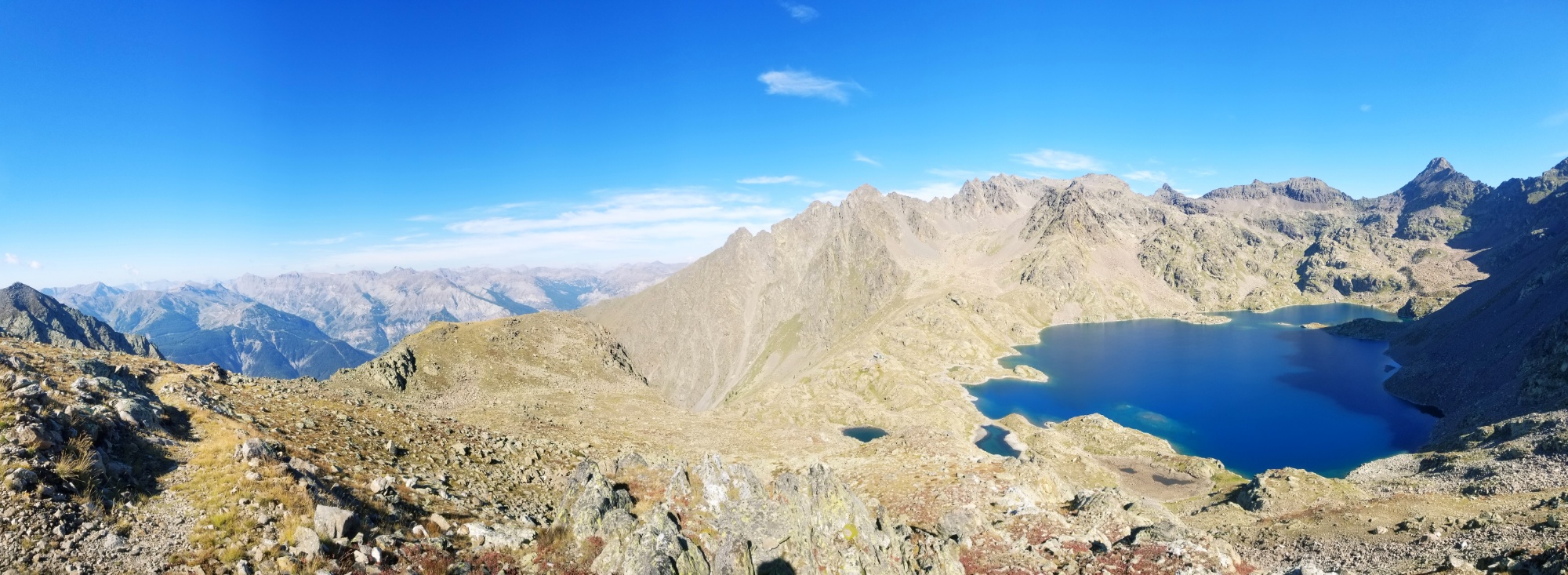
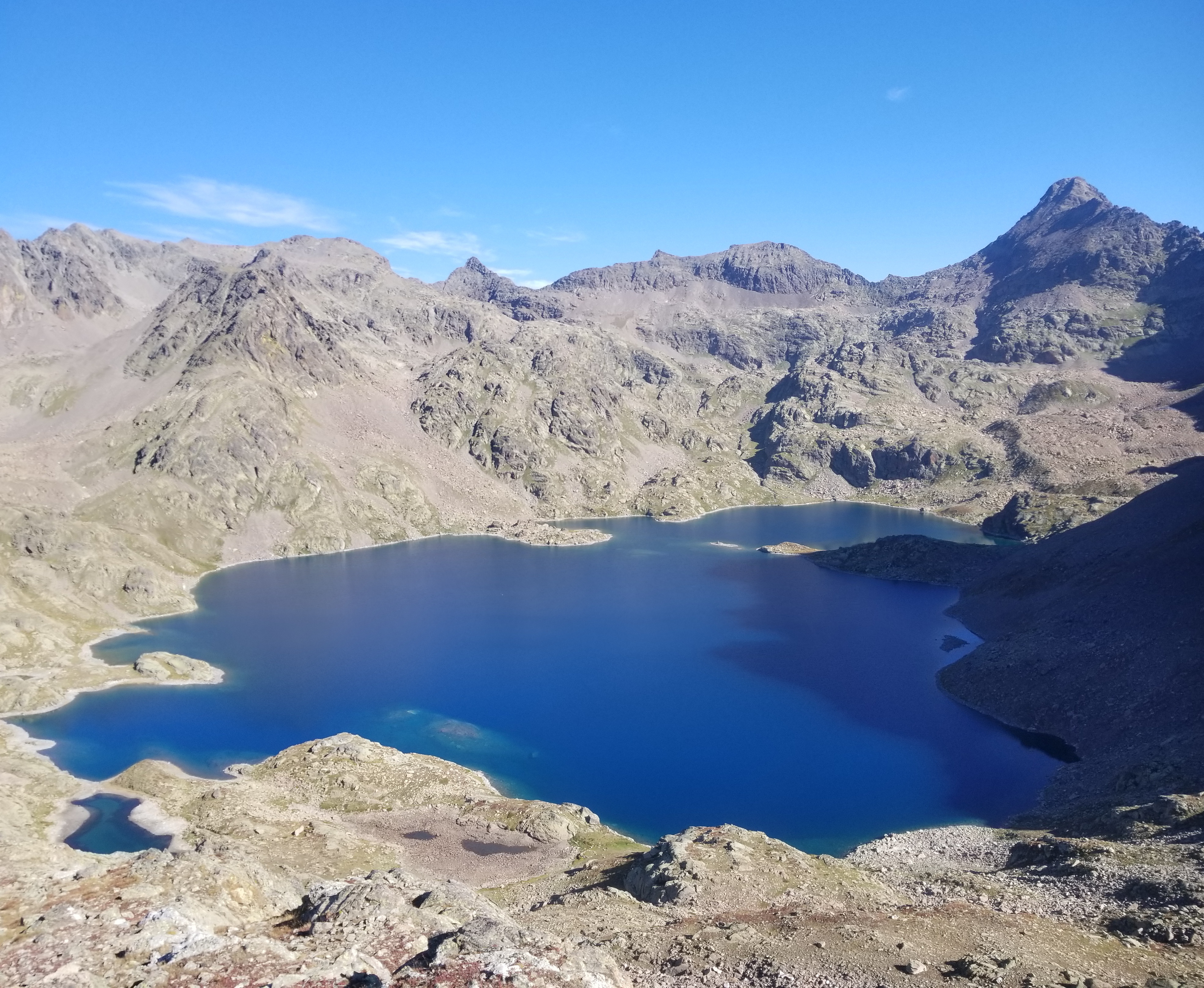
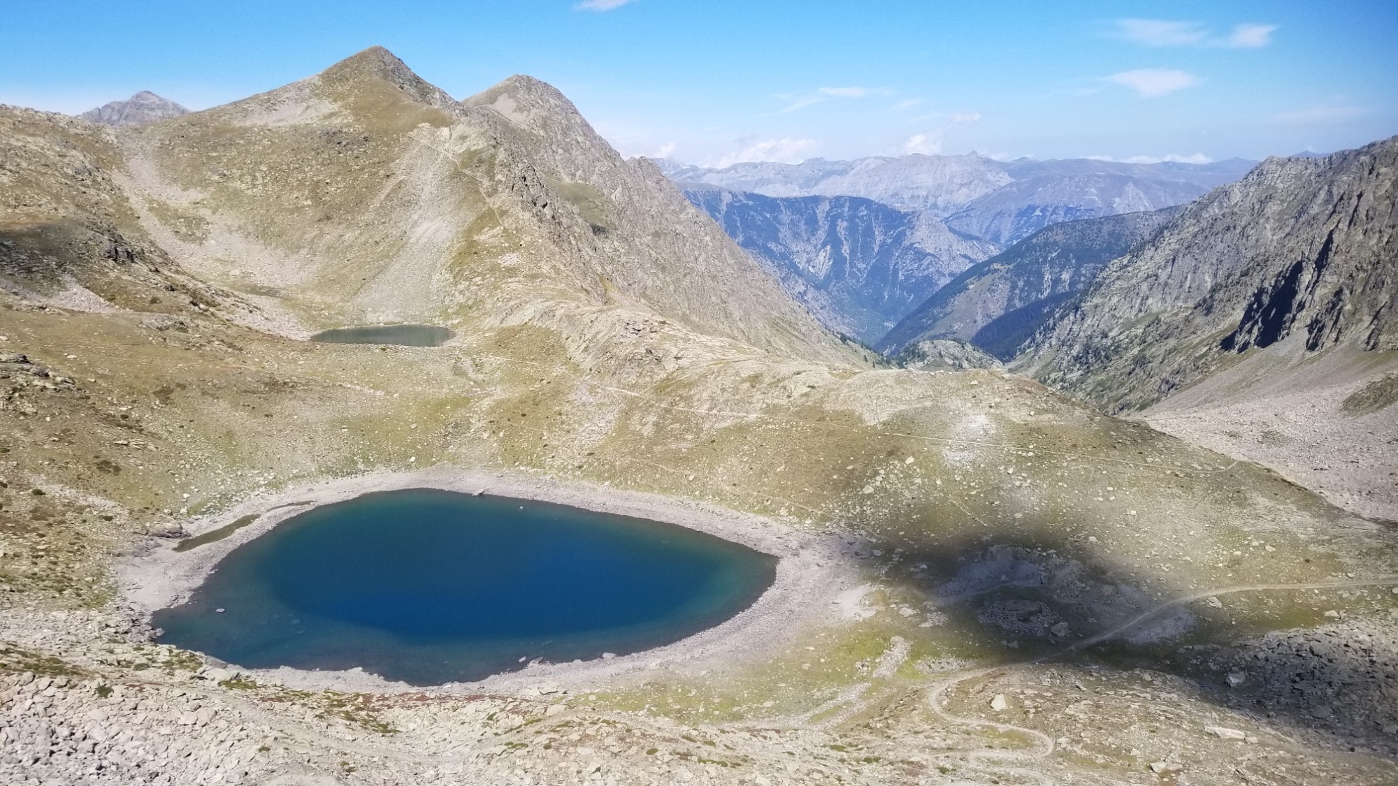
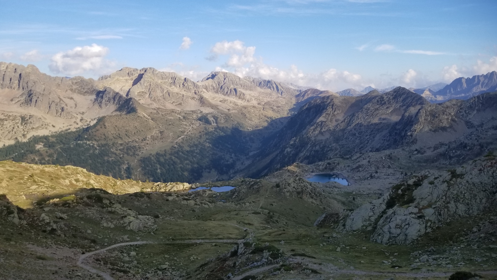
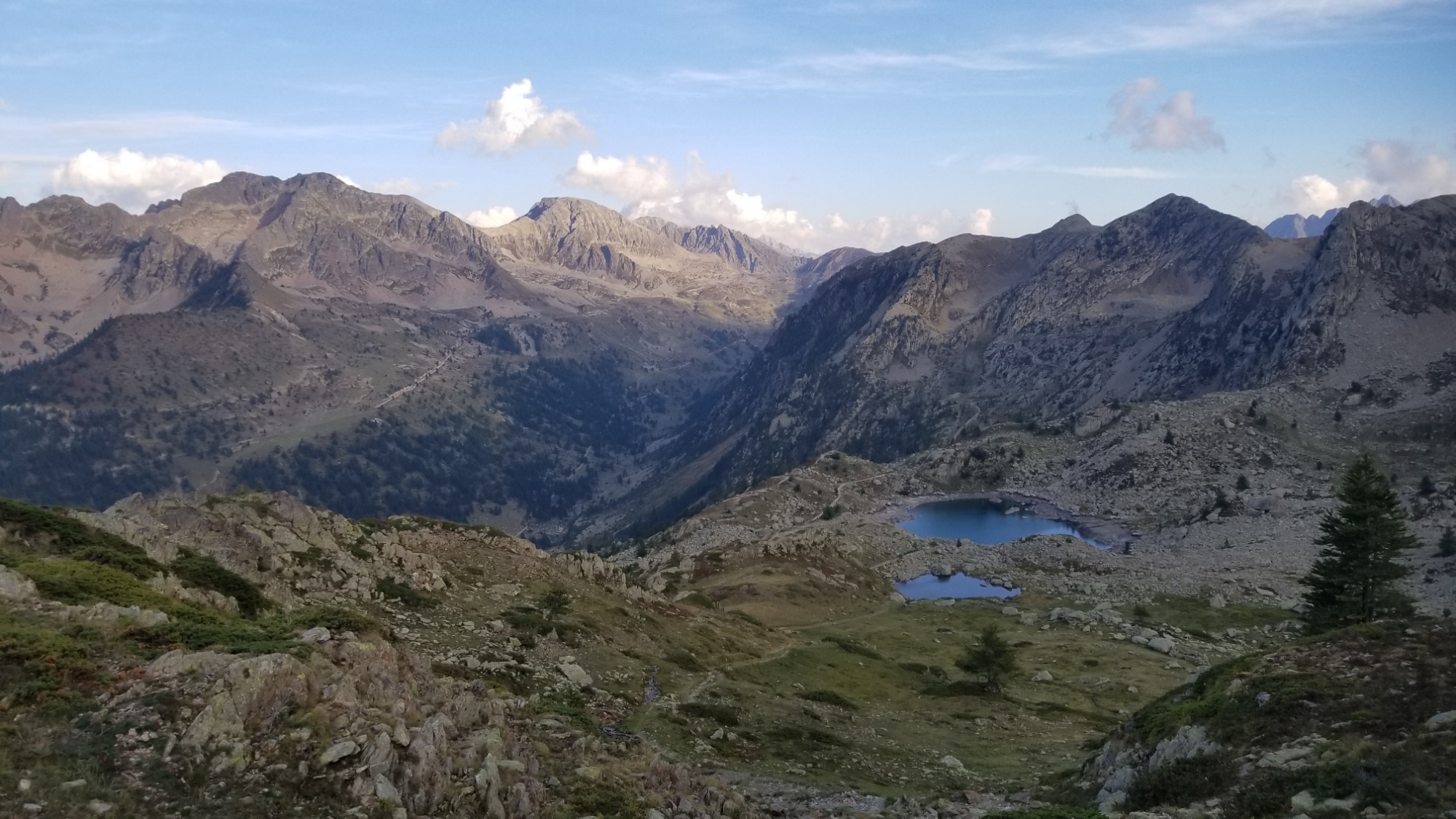
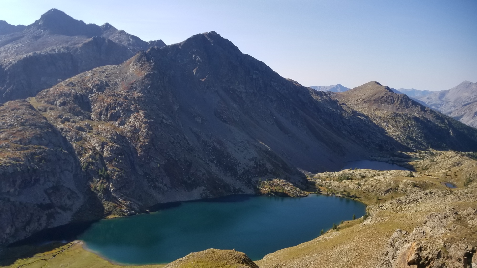
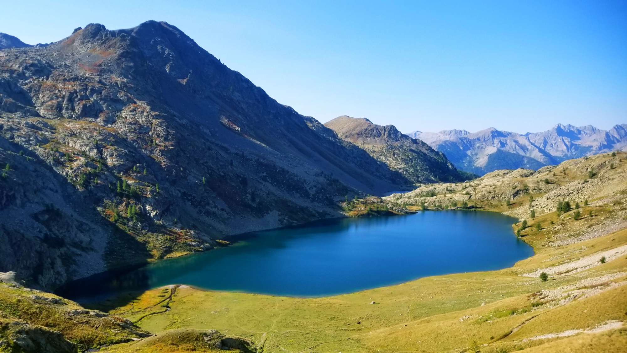
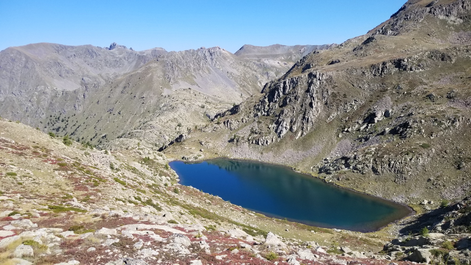
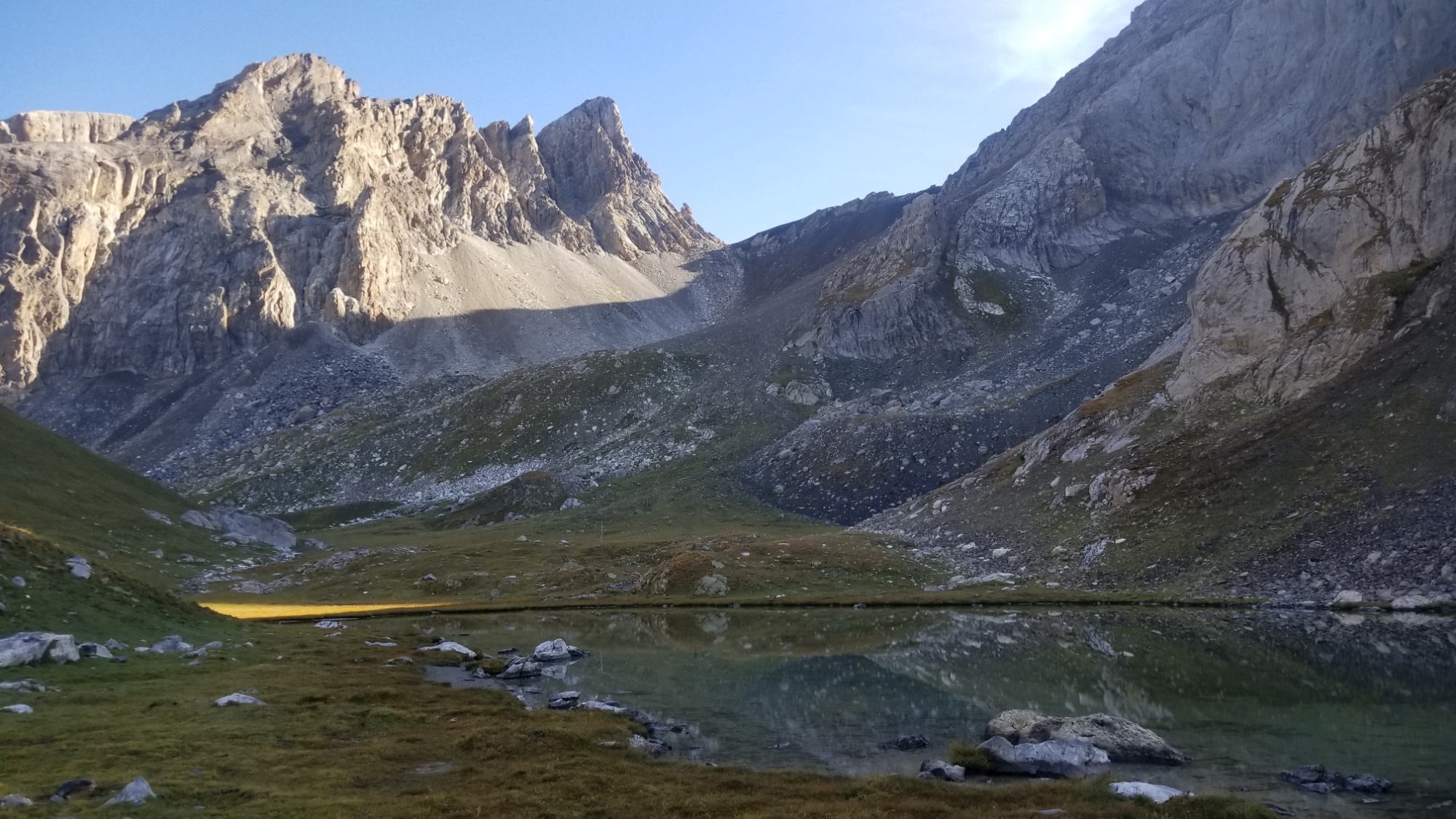
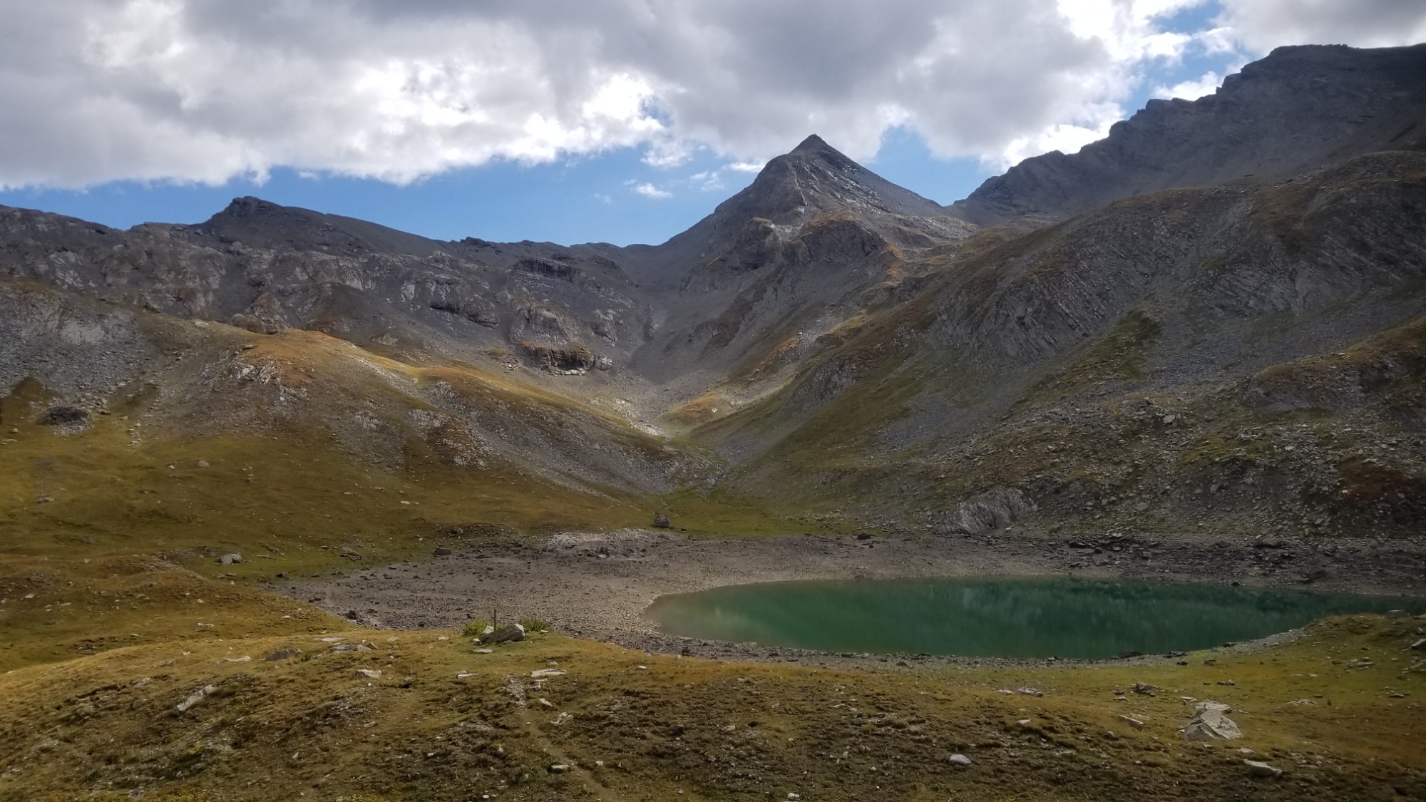
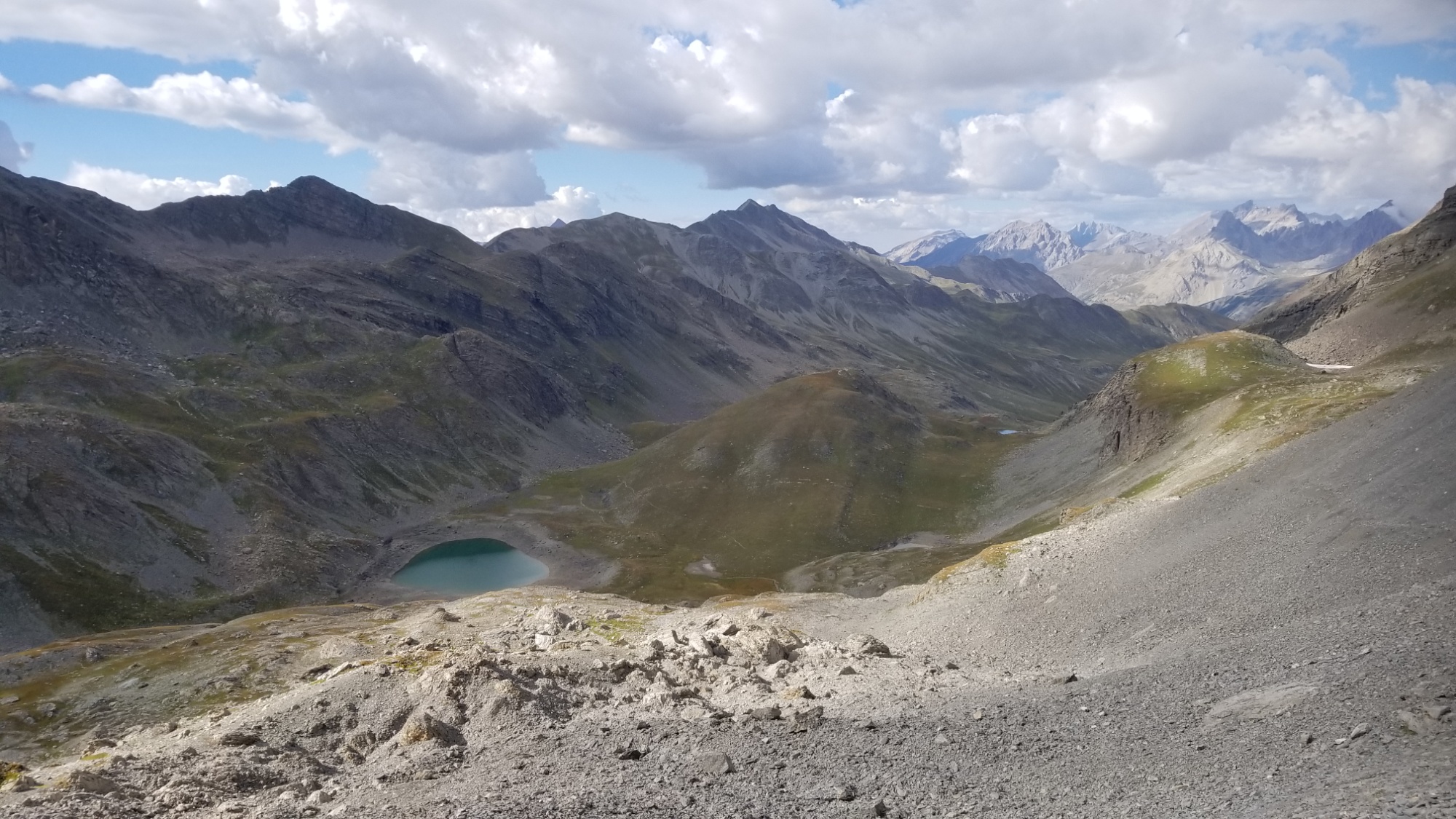
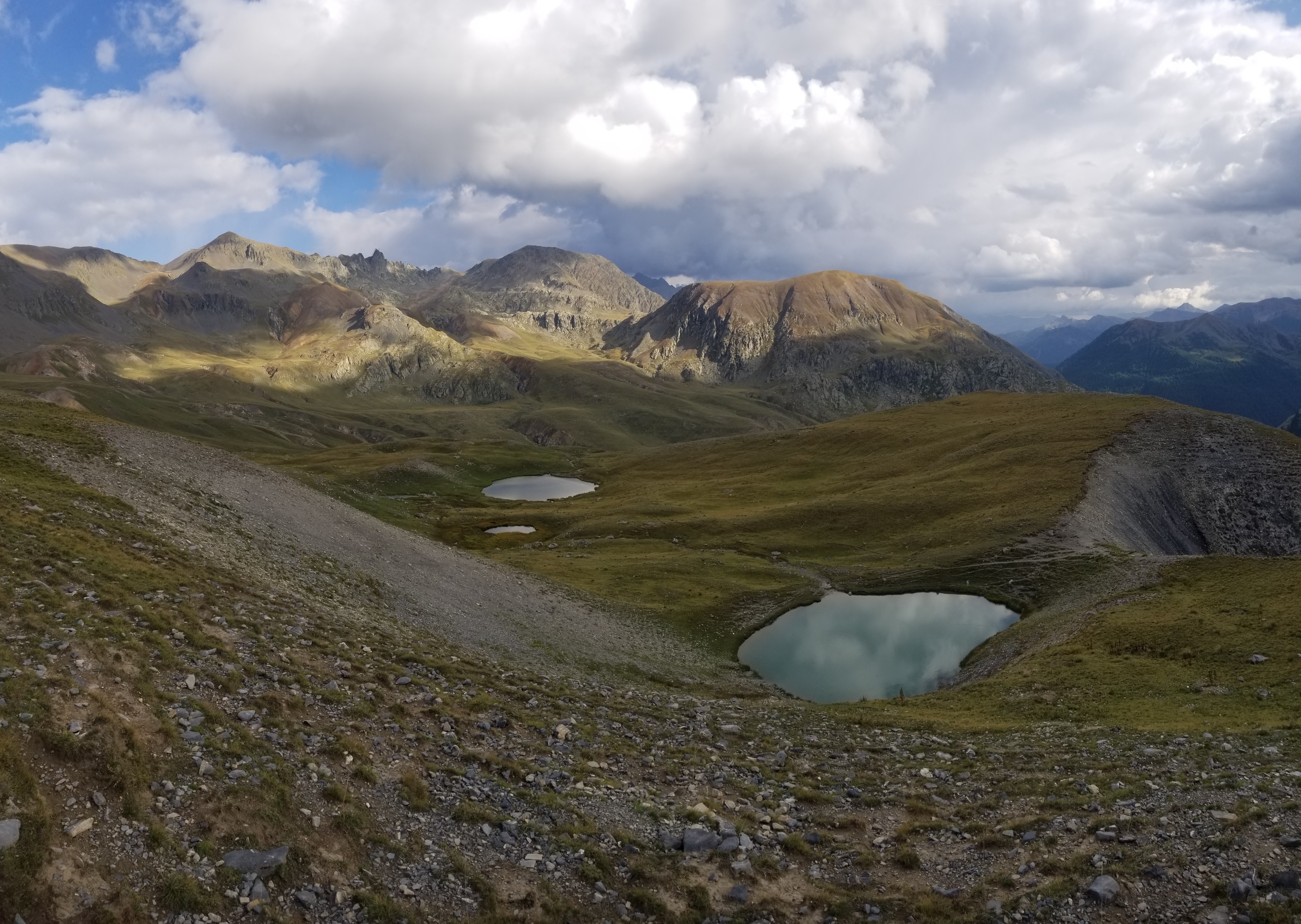
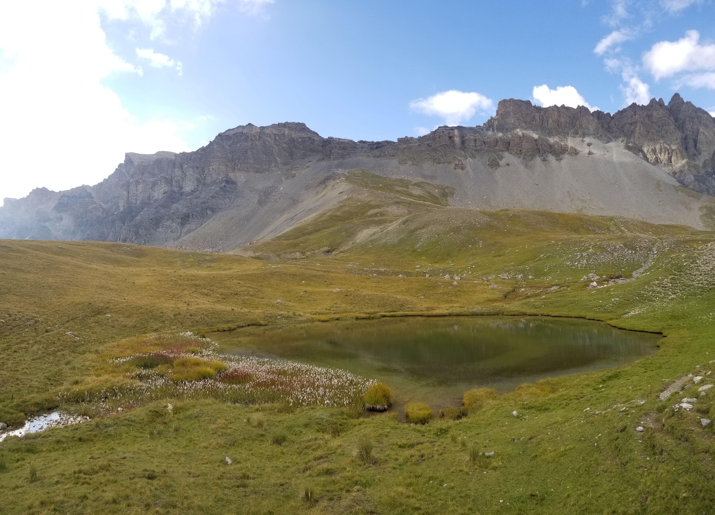
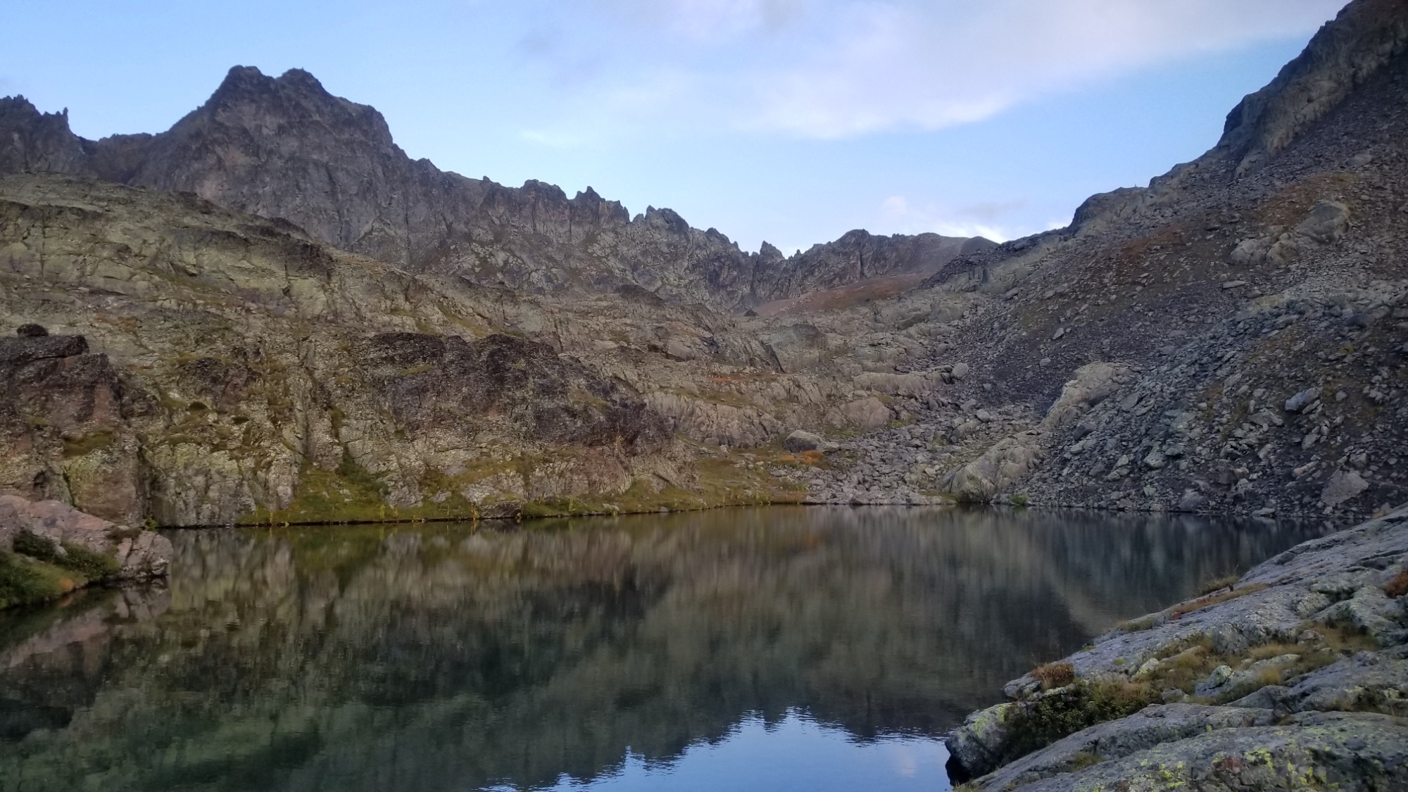
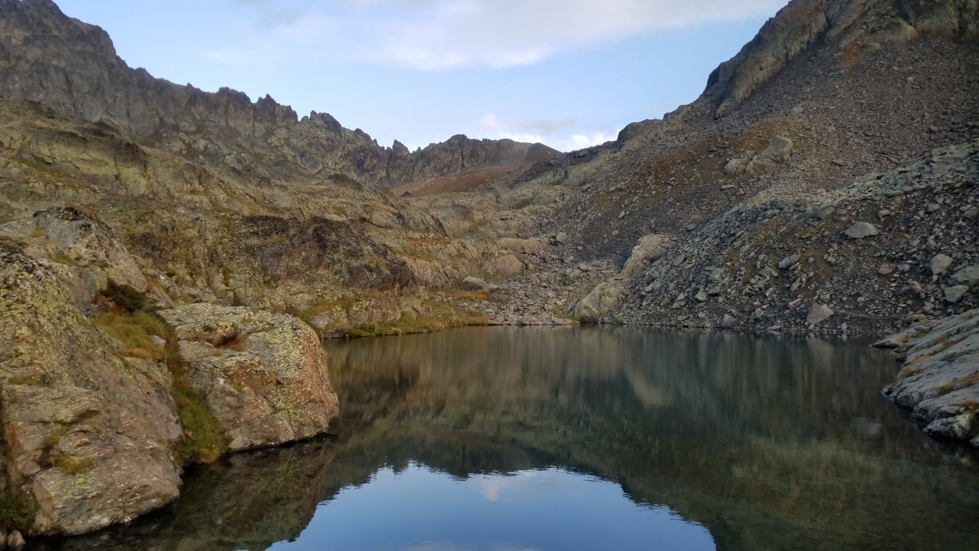
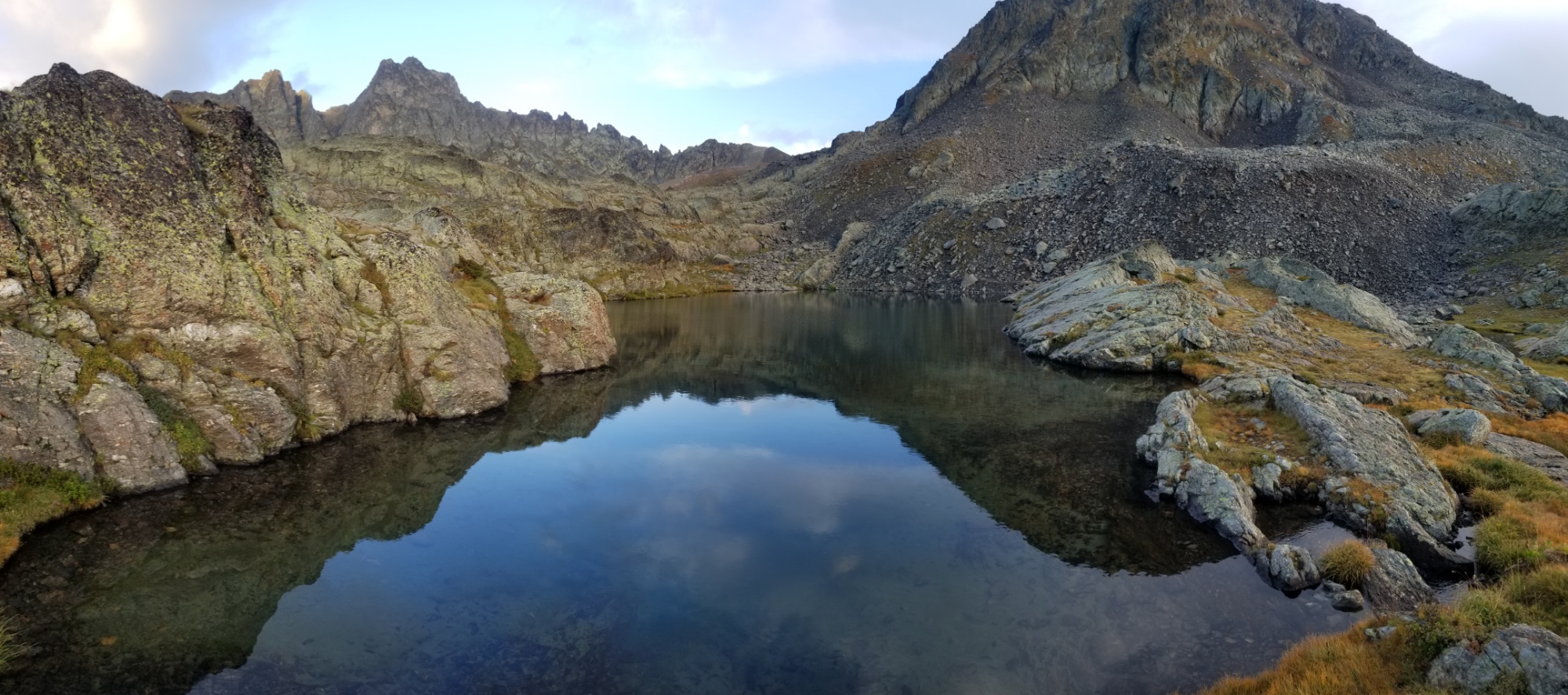
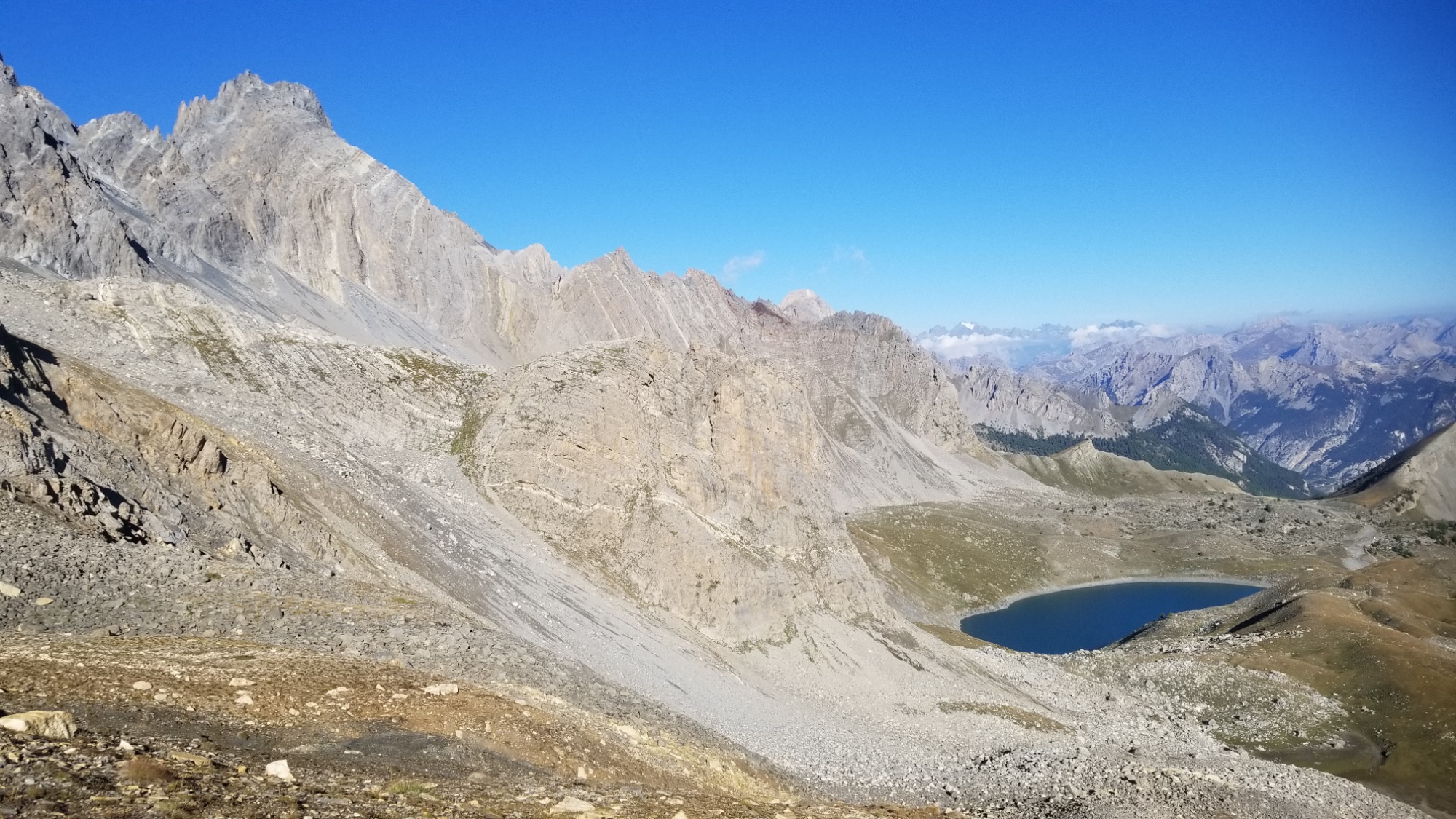
From here, pretty worn out, I slowly made it down to the first glacial lake, and knowing that lac Basto was on the other side of the ridge making up the lake, I climbed up the ridge, instantly rewarded with views of the famous lake, and a perfect flat plot to camp on. Amazing!
First mini lake
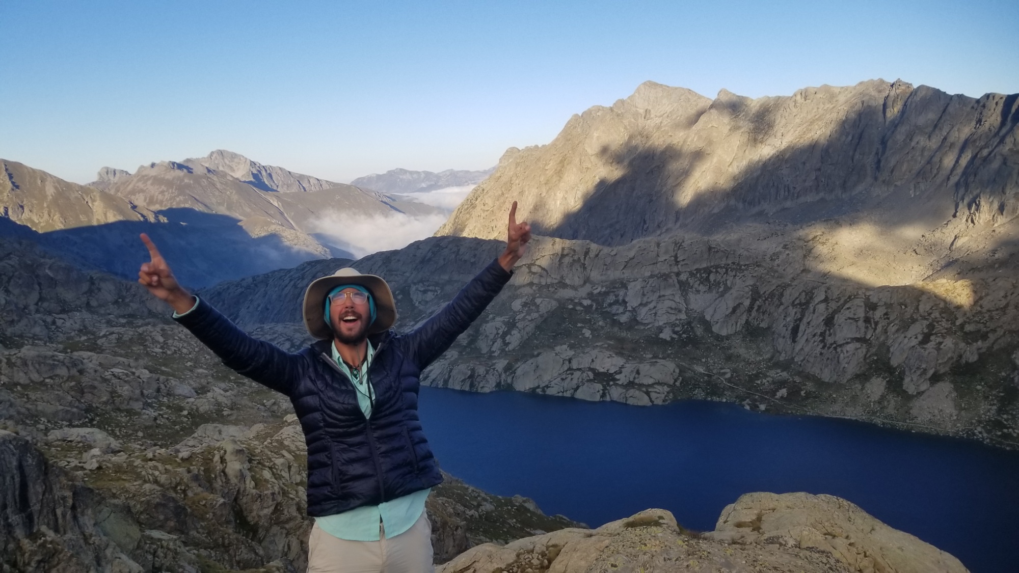
Lac Basto
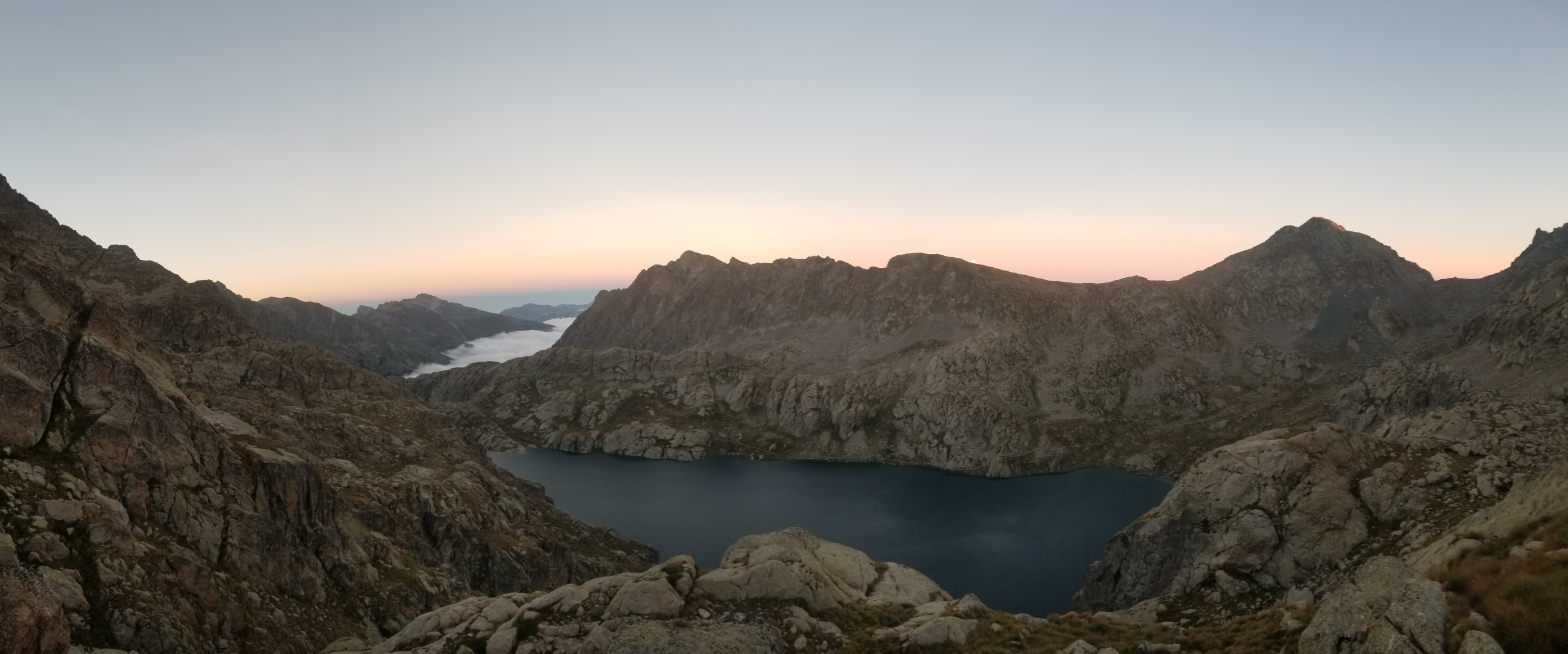
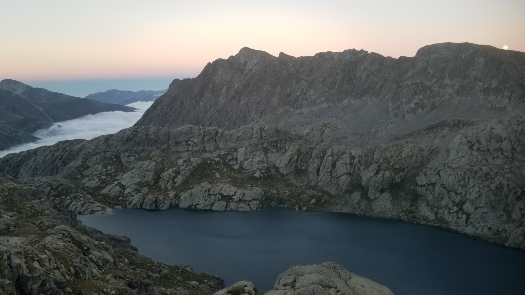
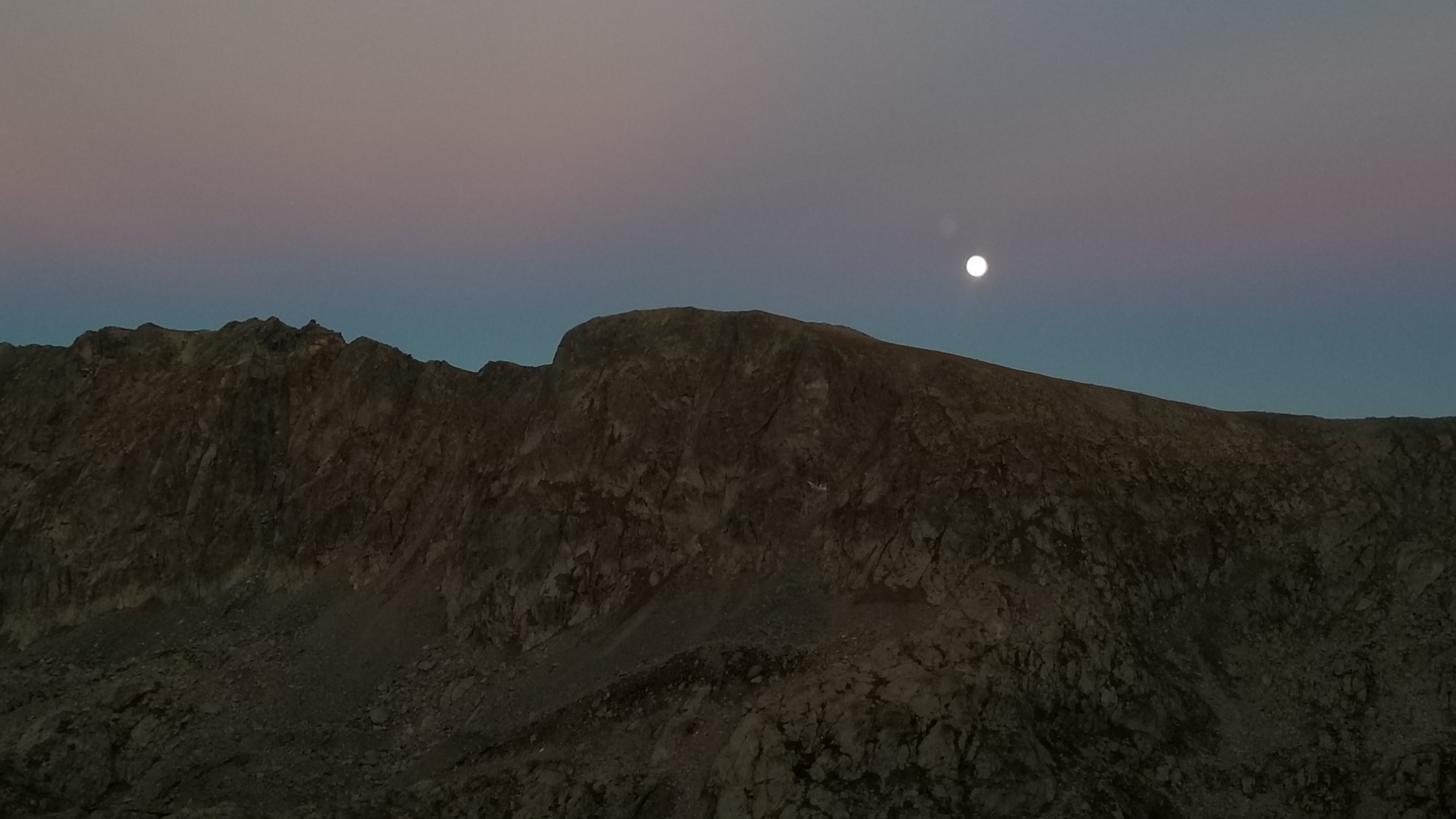
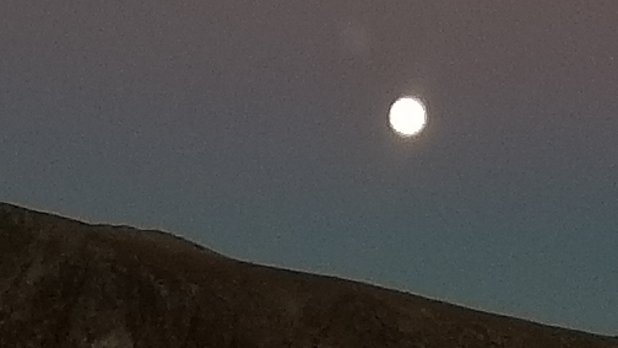
The views of the sunset and the full moon were a moment of perfect symmetry, and the colors were to die for.
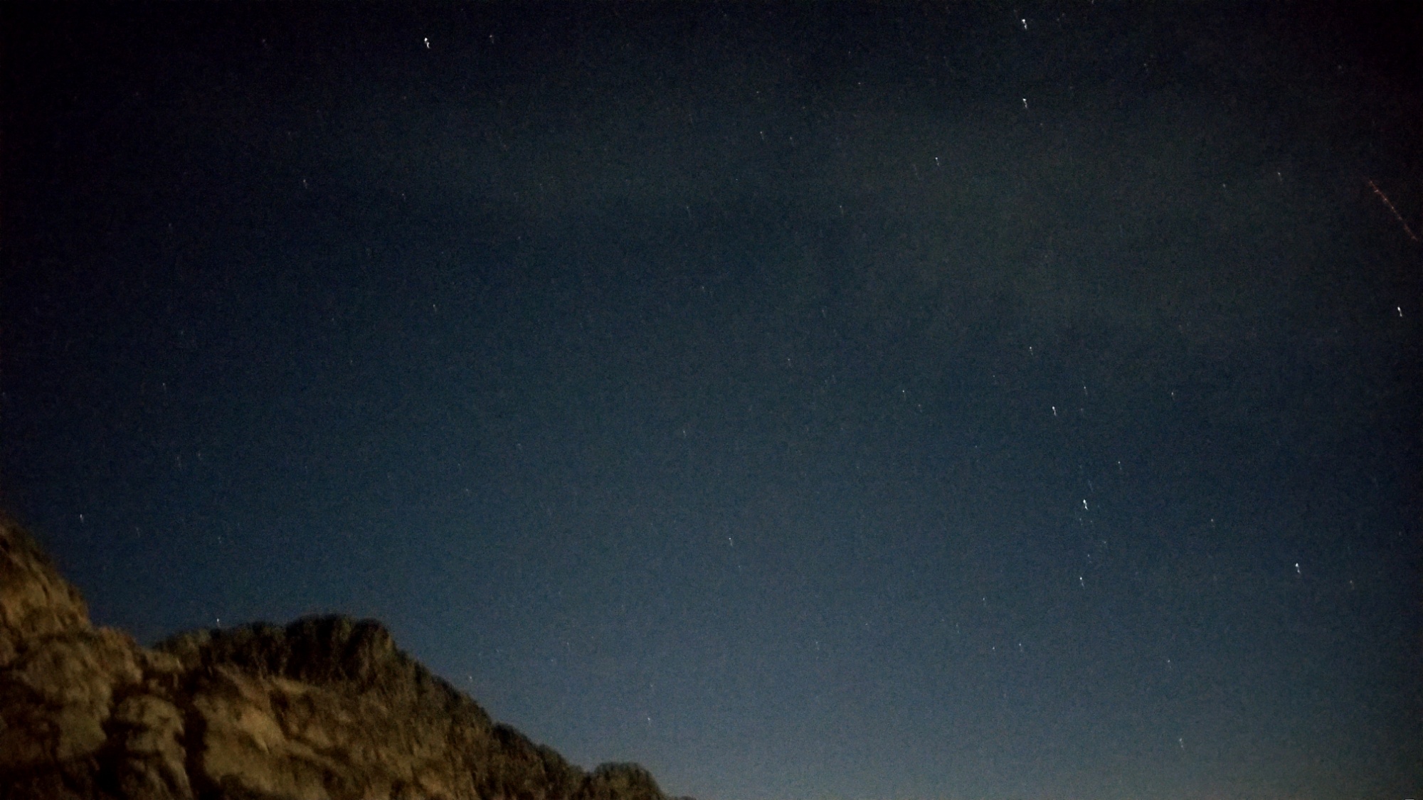
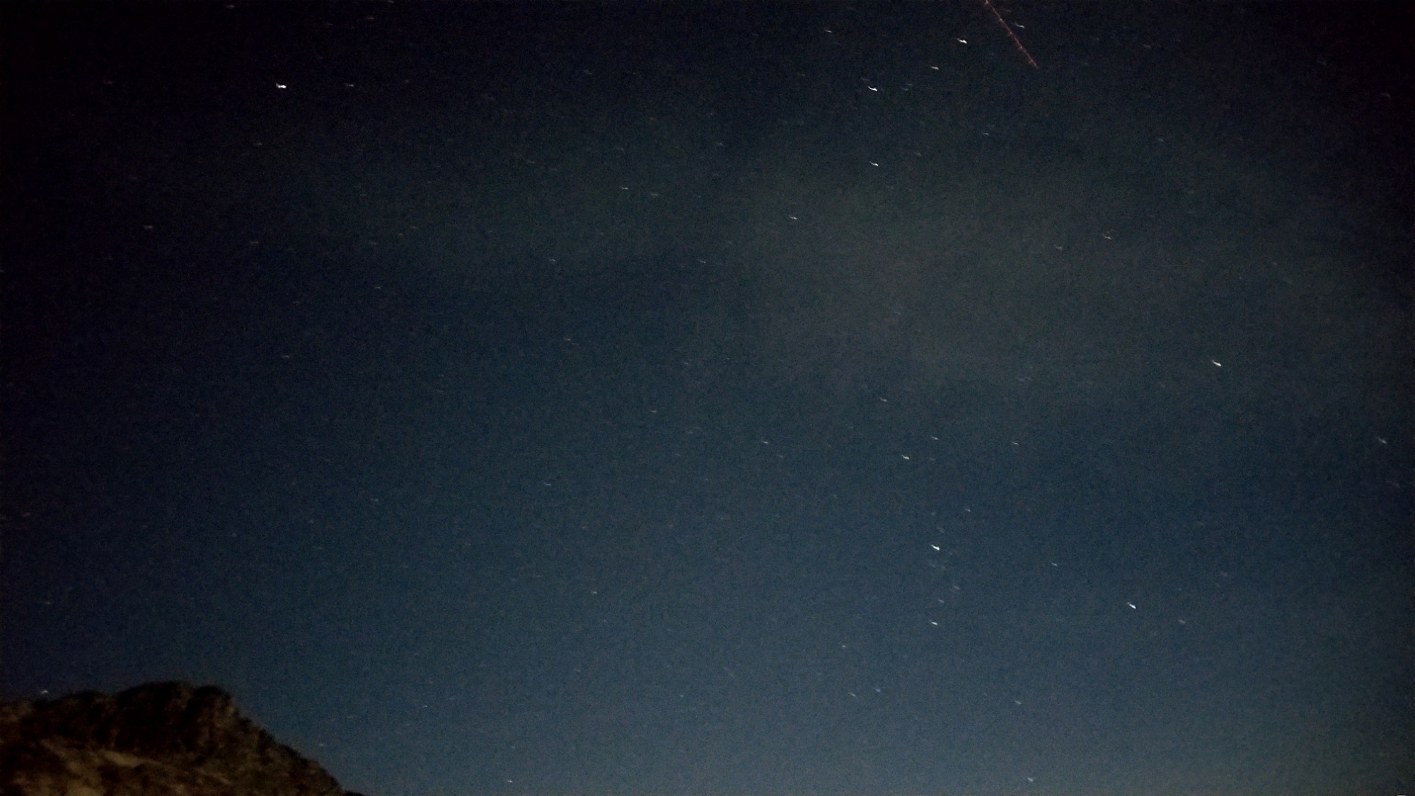
I tried to capture the stars and the milky way overheadWhat a scene. I couldn’t get enough of it, and stayed outside wrapped up in the cold to watch
Tomorrow, I enter the Valley of Marvels. Let’s go!
I woke up early, being that I was on the ridge, the sun hit me first thing about 8am.
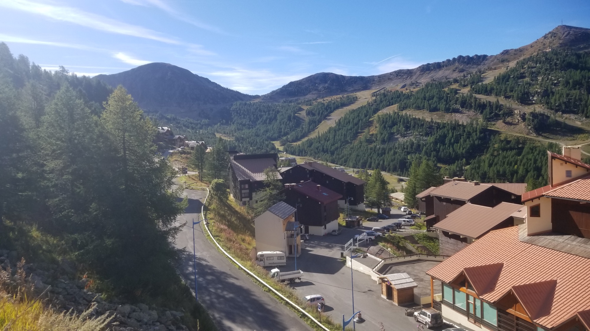
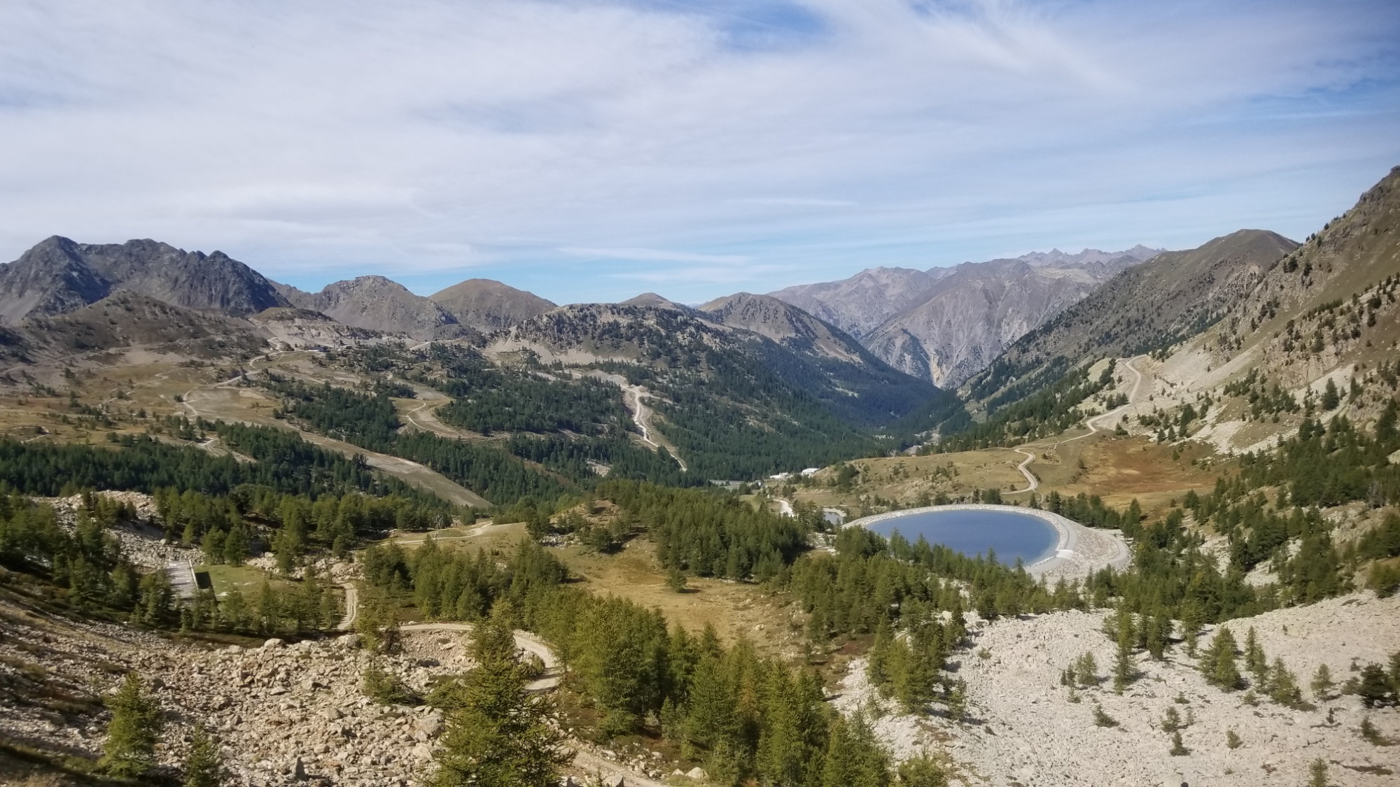
It was necessary to make it down to the Ski village of Isola 2000 in a hurry today, as the supermarket (the only one for miles) was only open 10am-noon, and I needed to make one more resupply to make it to the Mediterranean.
Yepo, after today, it’s just two days through Mercantour National Park, the Valley of Marvels, and one final day to the Mediterranean Sea at Menton! The end of one journey, and the beginning of another. Well anyways, I have to make it there first before getting all sentimental.
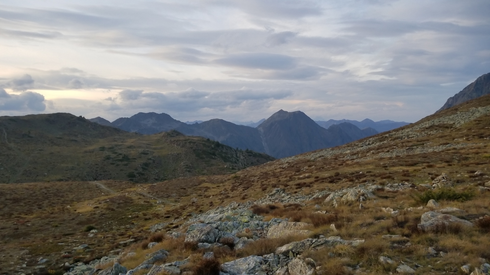
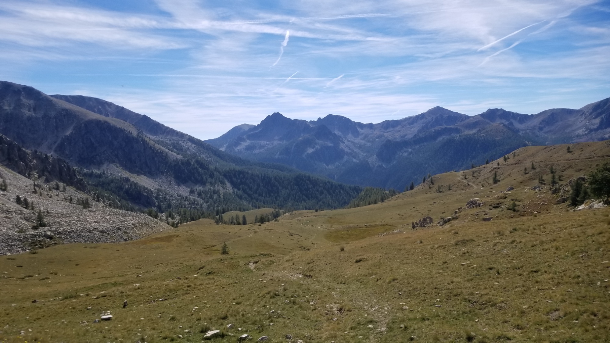
So I hike the ridge towards Isola, having done all the uphill the night before to make for an easy day. I arrive at a col on a highway, and make a number of bushwhack shortcuts to cut off some of the long highway curves on the way down to town.
Isola 2000
Finally, I make it to the market, and get alllll the good stuff. Apple juice. Peaches. Cookie dough ice cream (it was depleted before I left the building), along with a fresh baguette and sandwich supplies, and various hiker foods to make it through the next few days.
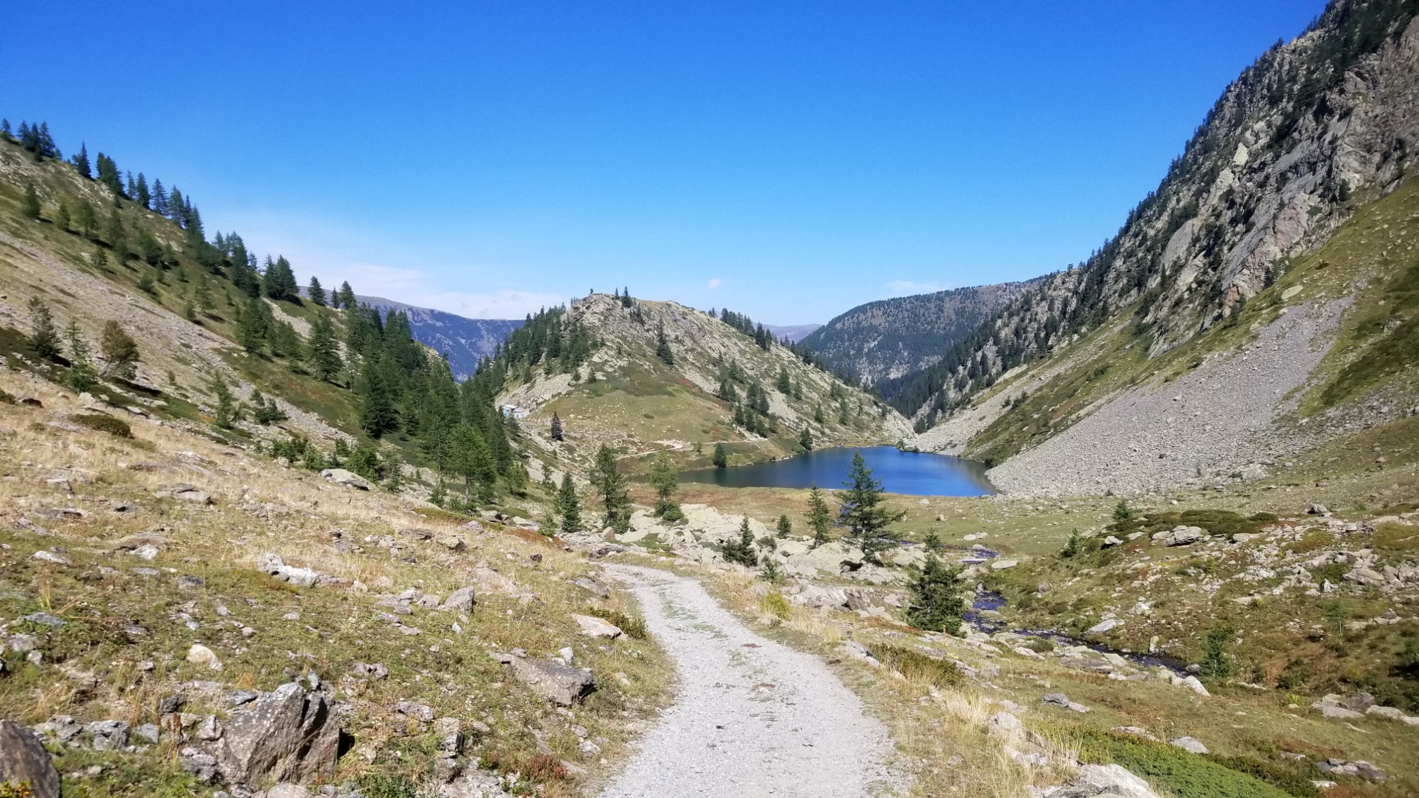
From Isola, there was a short climb to a col, and then a long, almost level descent to another col on a dirt road, about 5km long. When I arrived at the second col, I finally stepped onto the legendary GR-52 trail, the alternate to the GR-5 that leads through the Valley of Marvels in Mercantour National Park. Can’t pass that up. I reckon the title “VALLEY OF MARVELS” is not something that the French would throw around lightly, considering their love of mountains.
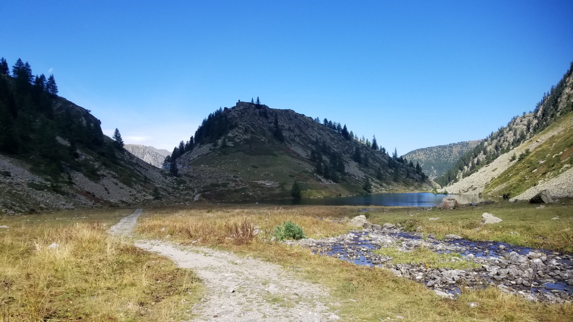
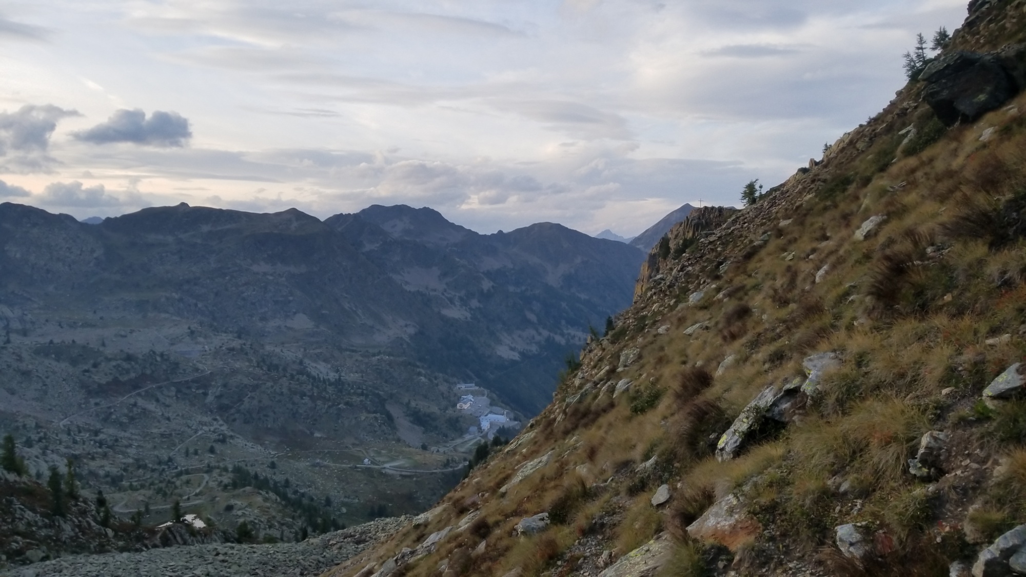
The GR52 leads down to the forest town of Boreon, a small village on an artificial lake. I booked a night with dinner and breakfast at a Gîte here, so I could get a shower and recharge my batteries.
The view from the gite in Boreon
It’s hard to believe it, but it has been a week since my last lodging in Briançon. I have really been moving! Inspired by my fight with sickness early on in this trail, no doubt. The thought of not being able to finish this trail because of a stomache bug just galvanized my resolve to hike that much faster and kick this trail’s ass! Booyah!
Okay, it’s dinner time. Salad, bread, lentils with sausage, yogurt pudding. Good night!
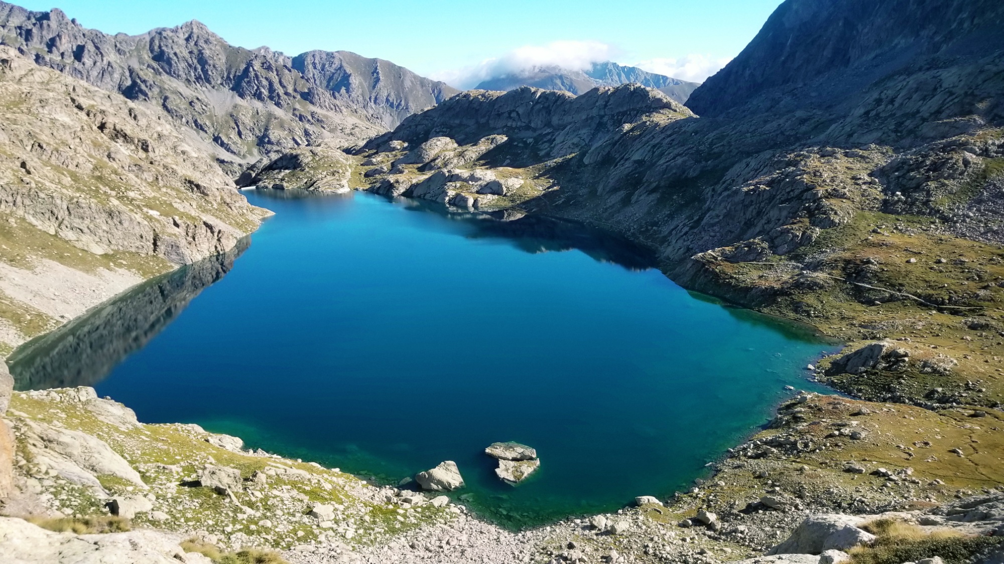
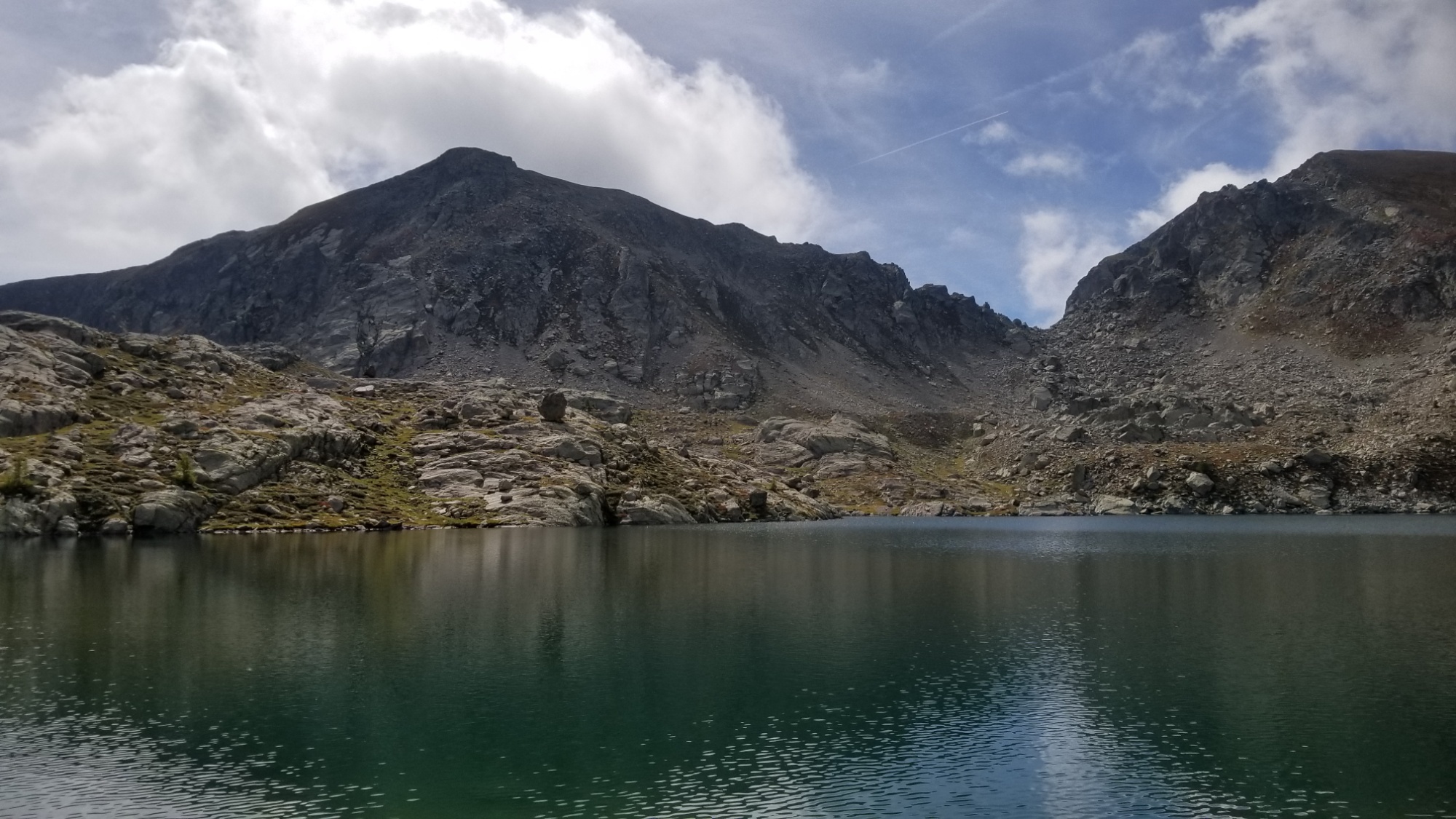
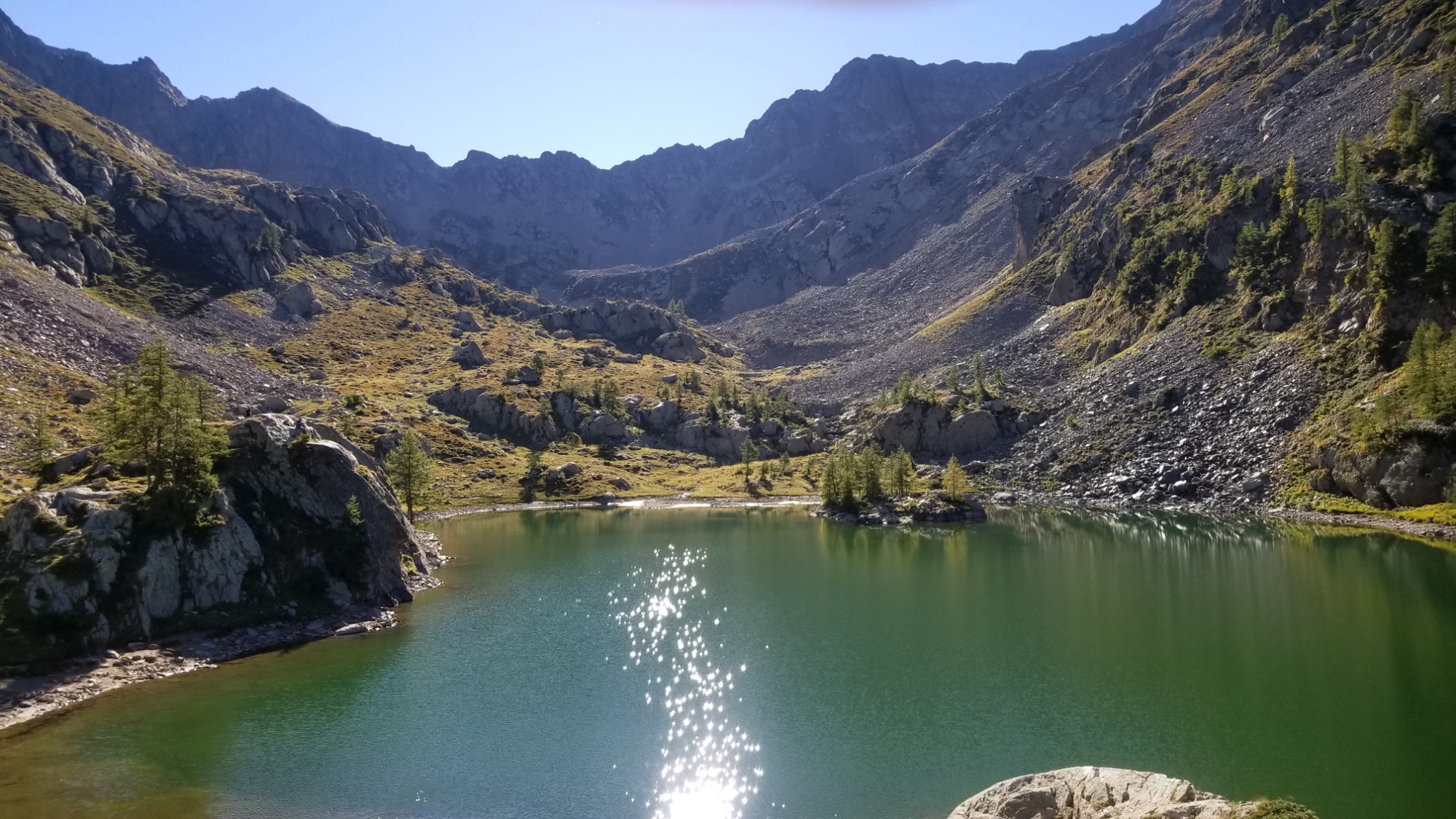
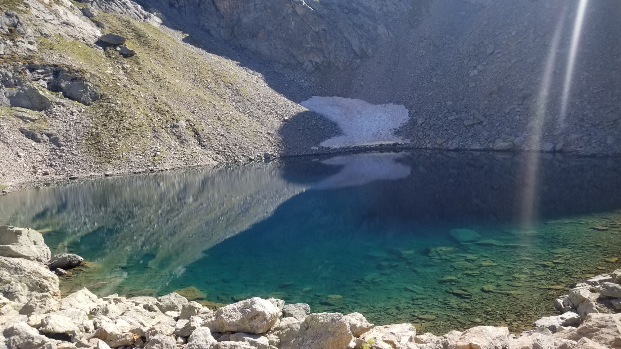
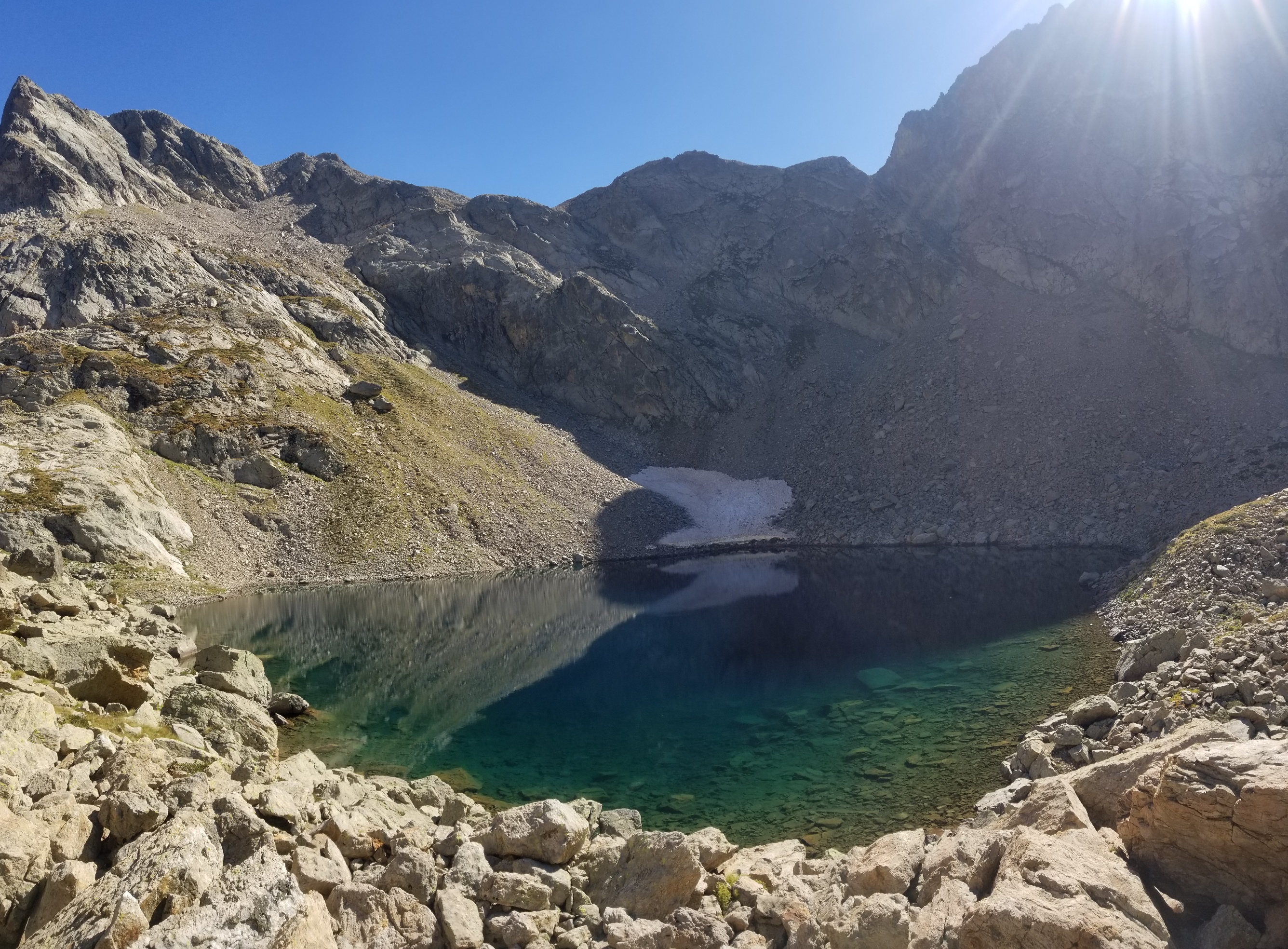
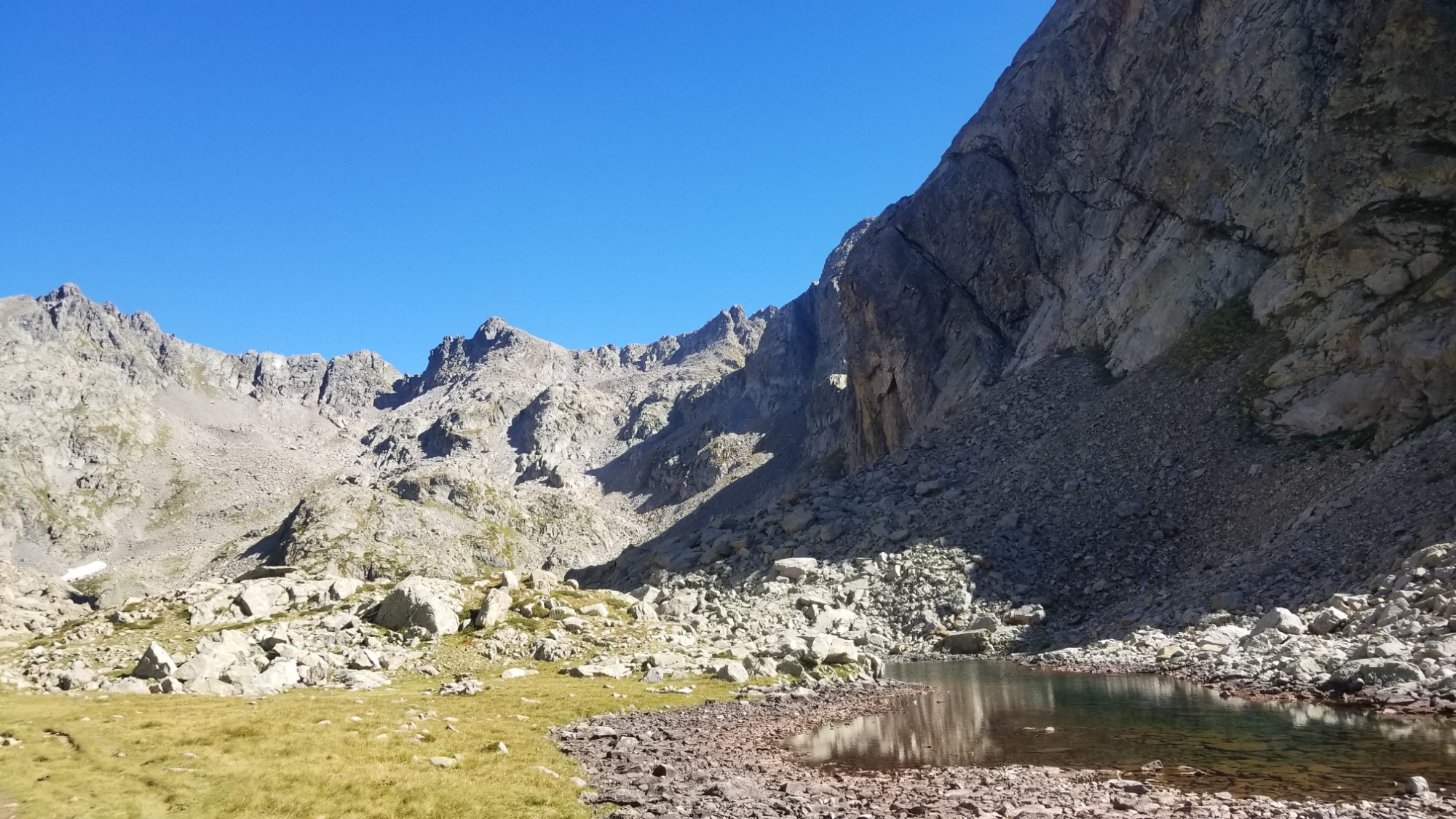
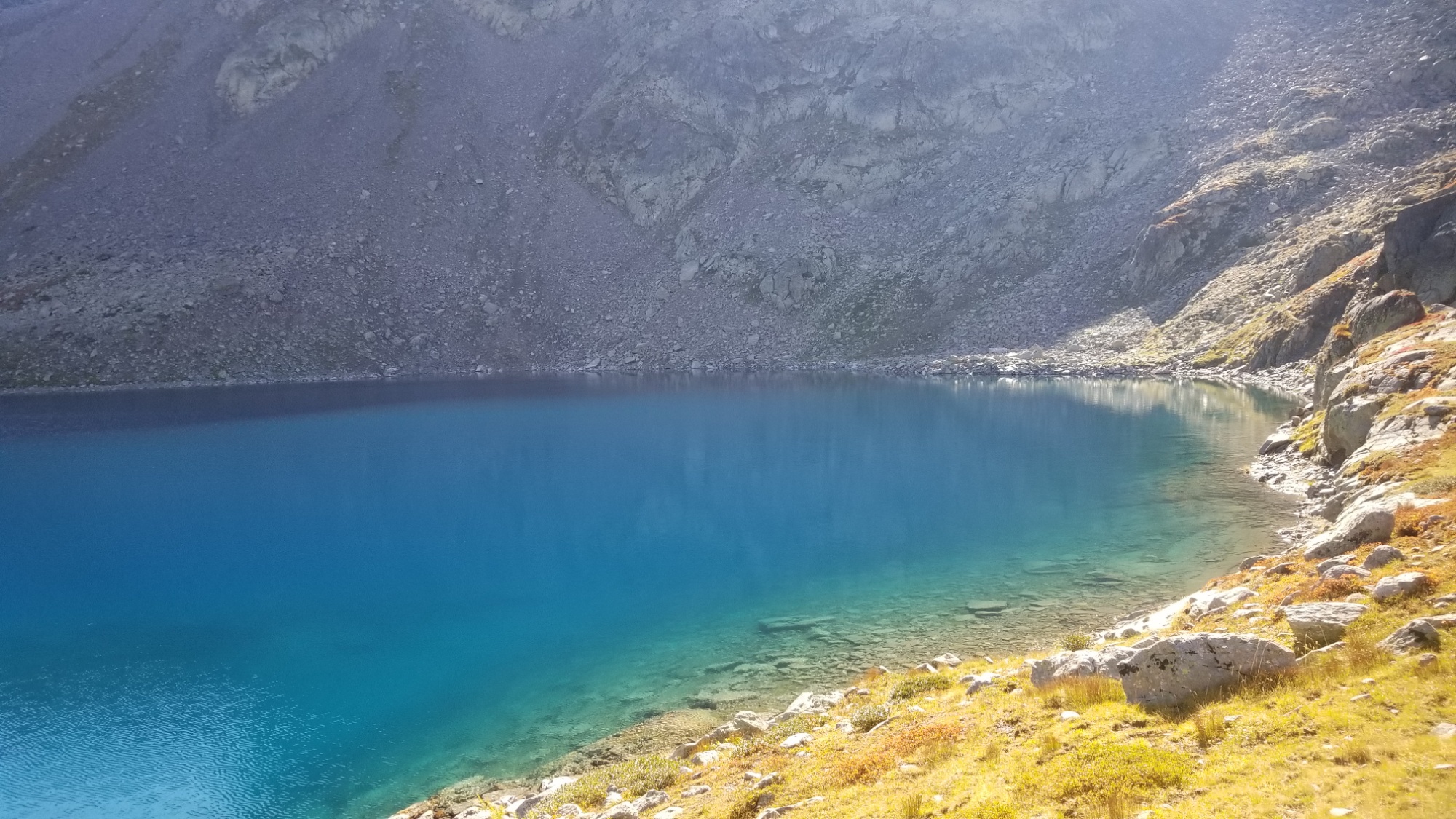
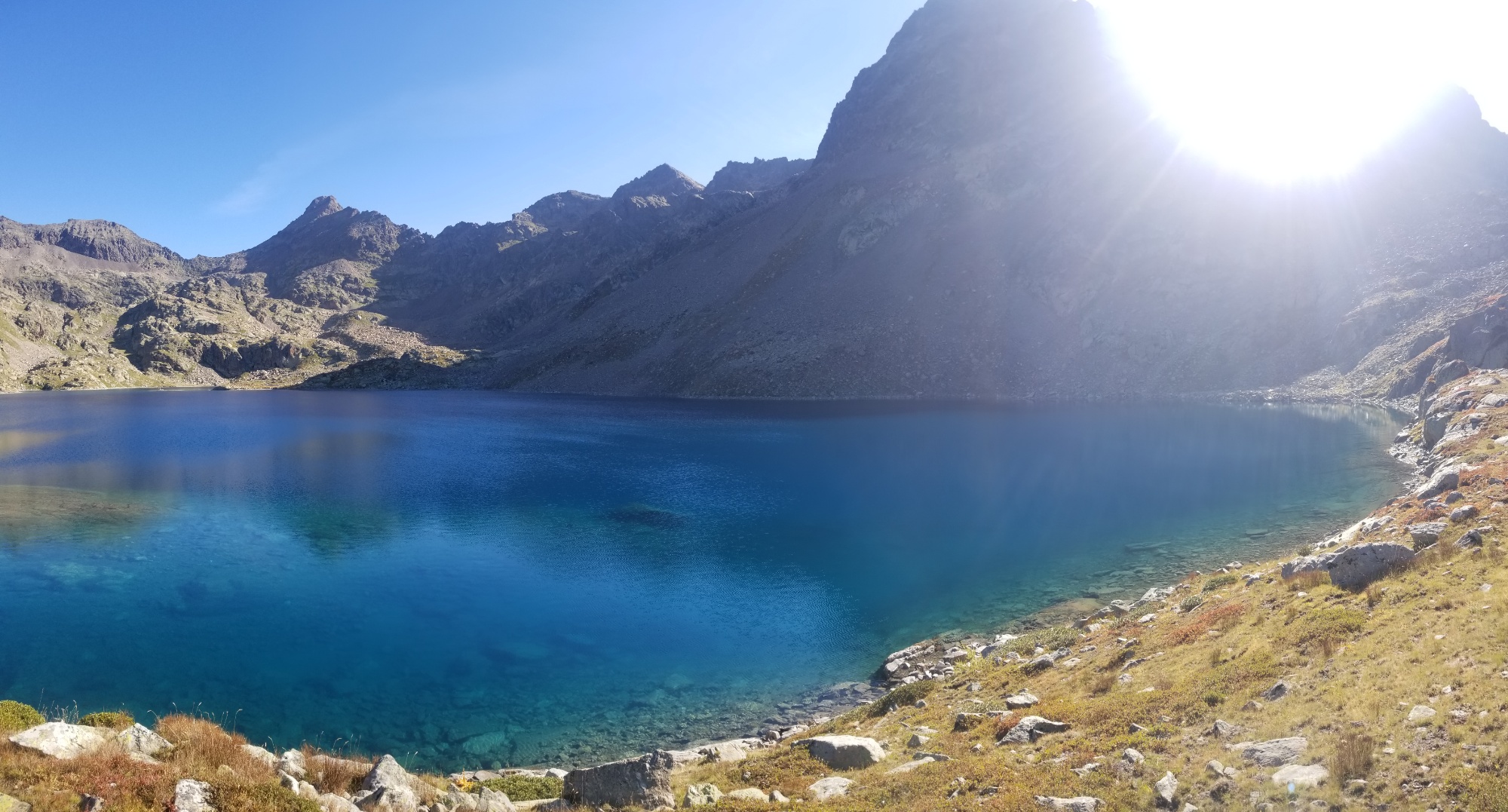
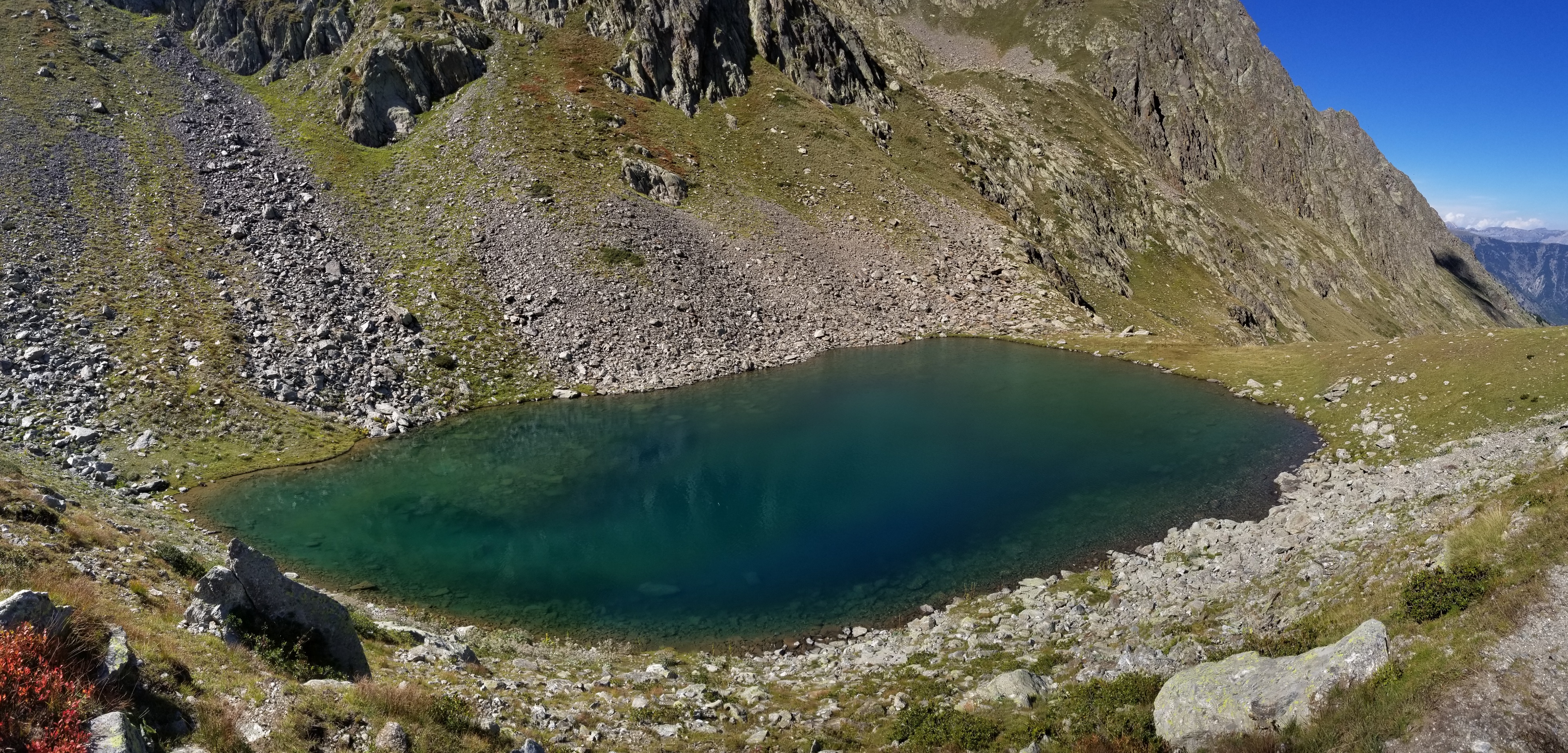
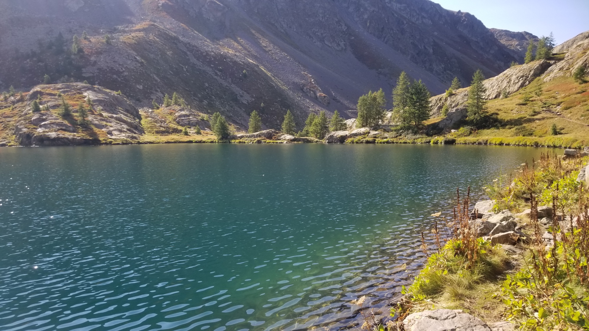
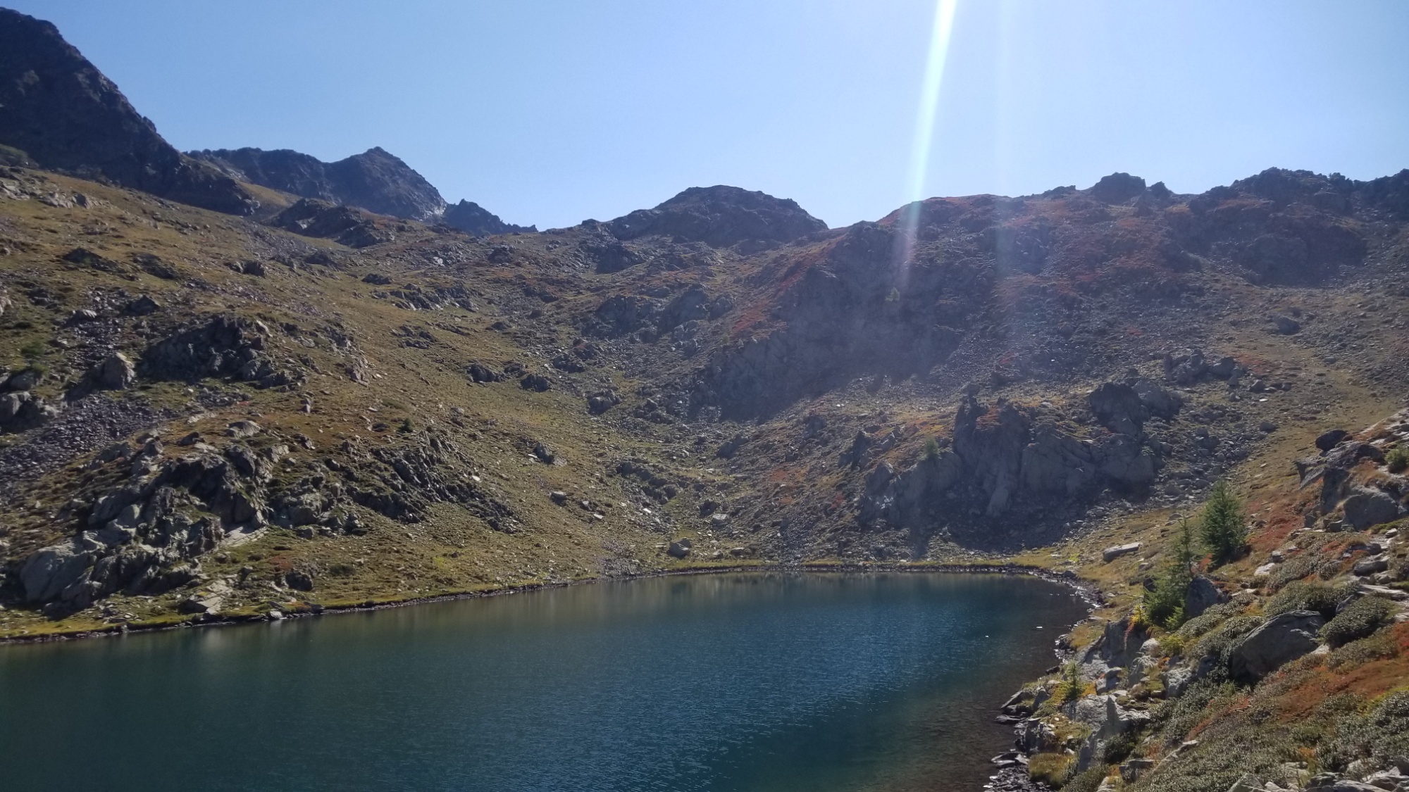
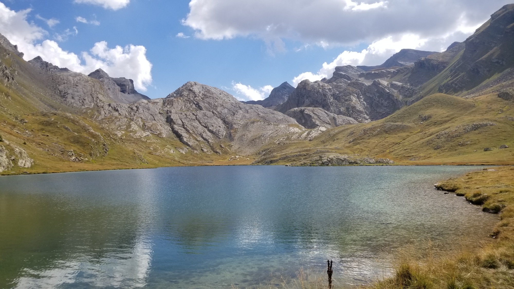
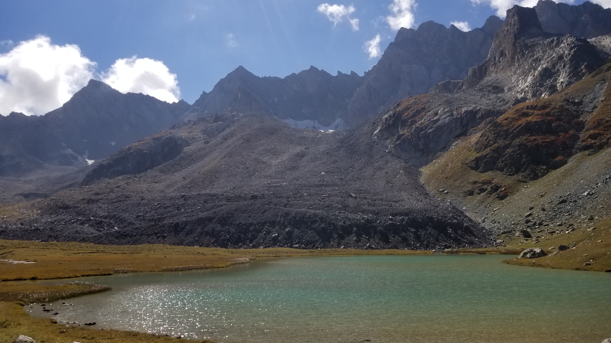
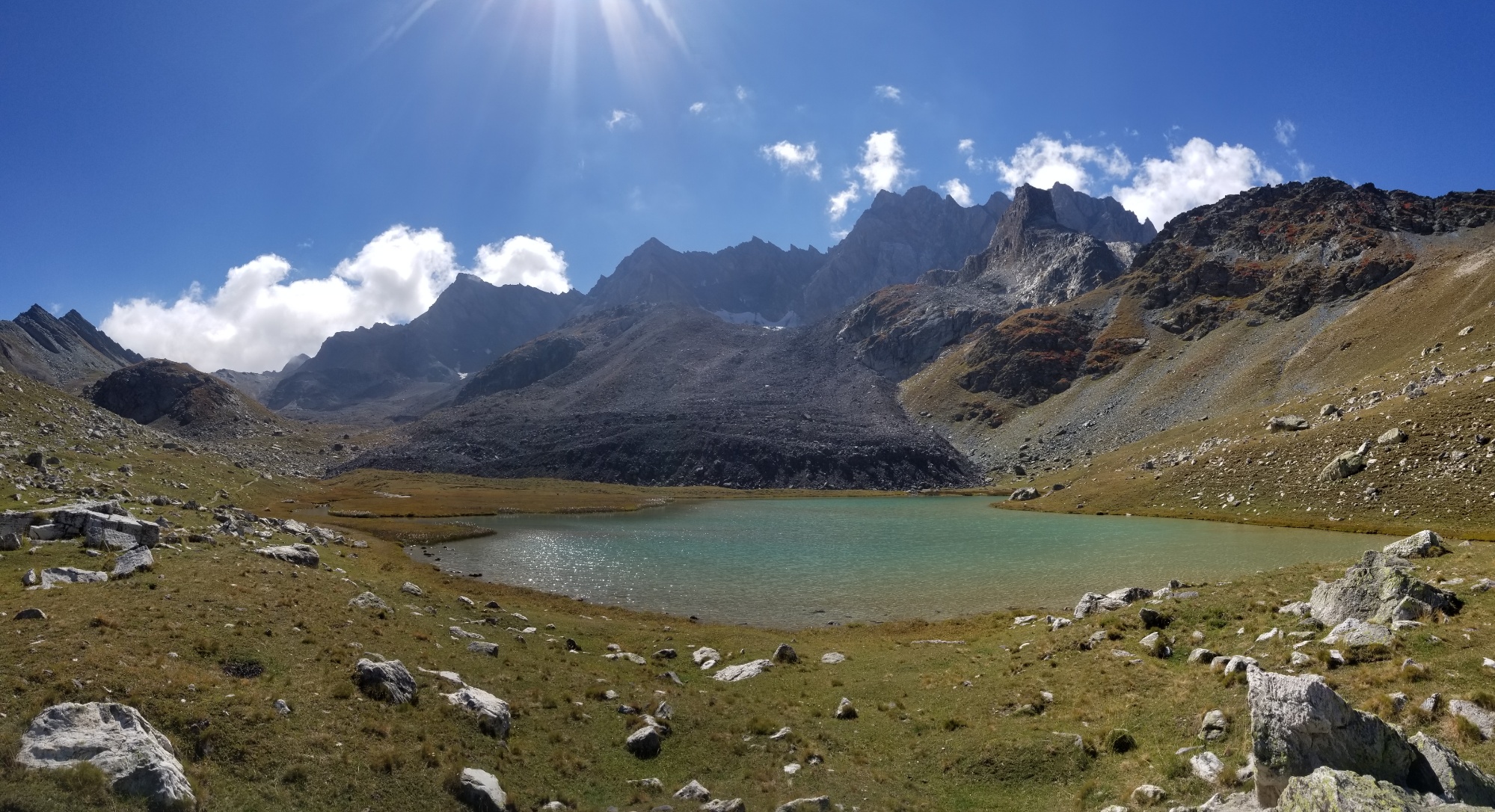
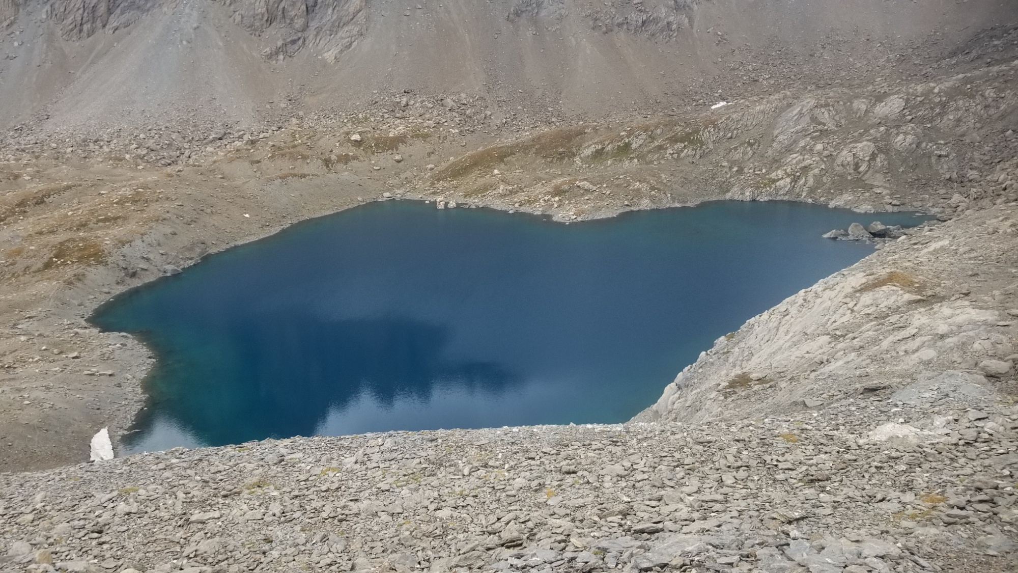
The Lac du Rabuons was a stellar sight to wake up to! First thing upon opening the tent fly, and bam! Caribbean Aqua-Blue waters right there.
Caribbean blue Lac Rabuons!
What a sight to wake up to
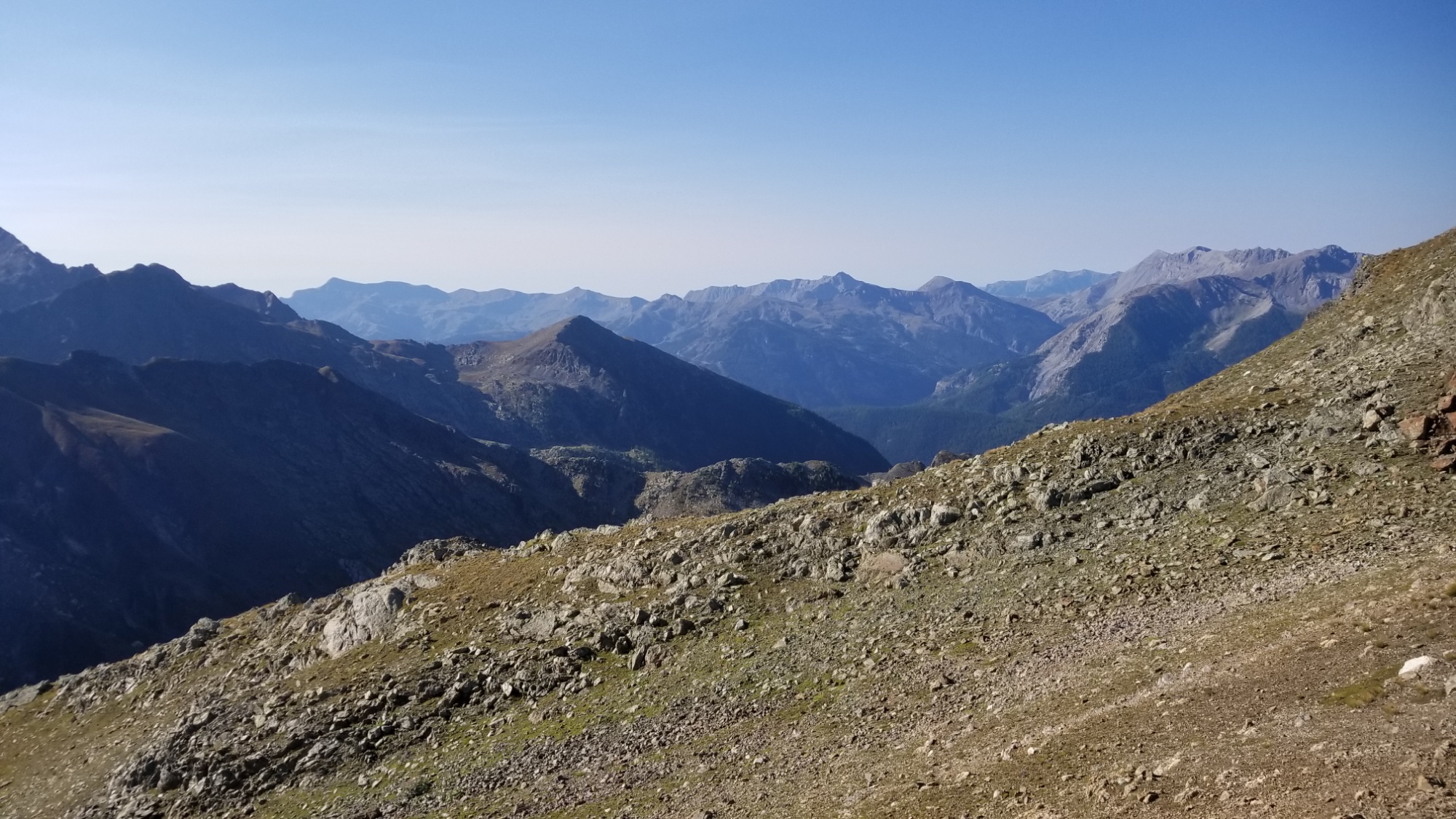
From the lake, I hiked up and over a small col, 200m above me, and then a descent through a scree and boulder field. Then, the trail stayed pretty level for a few kilometers and I was able to cruise through and soak in the views.
The views get more dramatic and sweeping with each step up
I passed a few shepherds and flocks along the way, which is always a little anxiety provoking, as you never know how the sheep dogs will react to you. They usually just bark, but you never know..
More Balcony of the Mercantour hiking! One of my favorite trail types
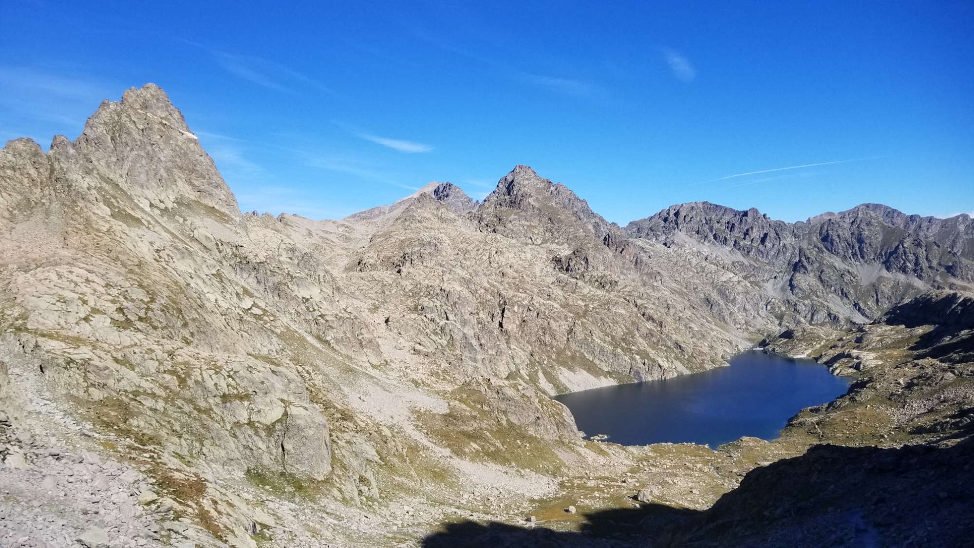
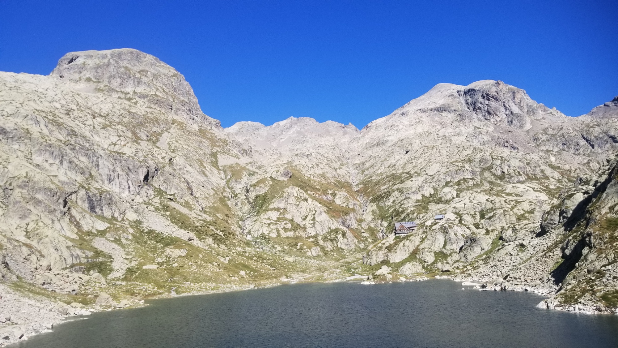
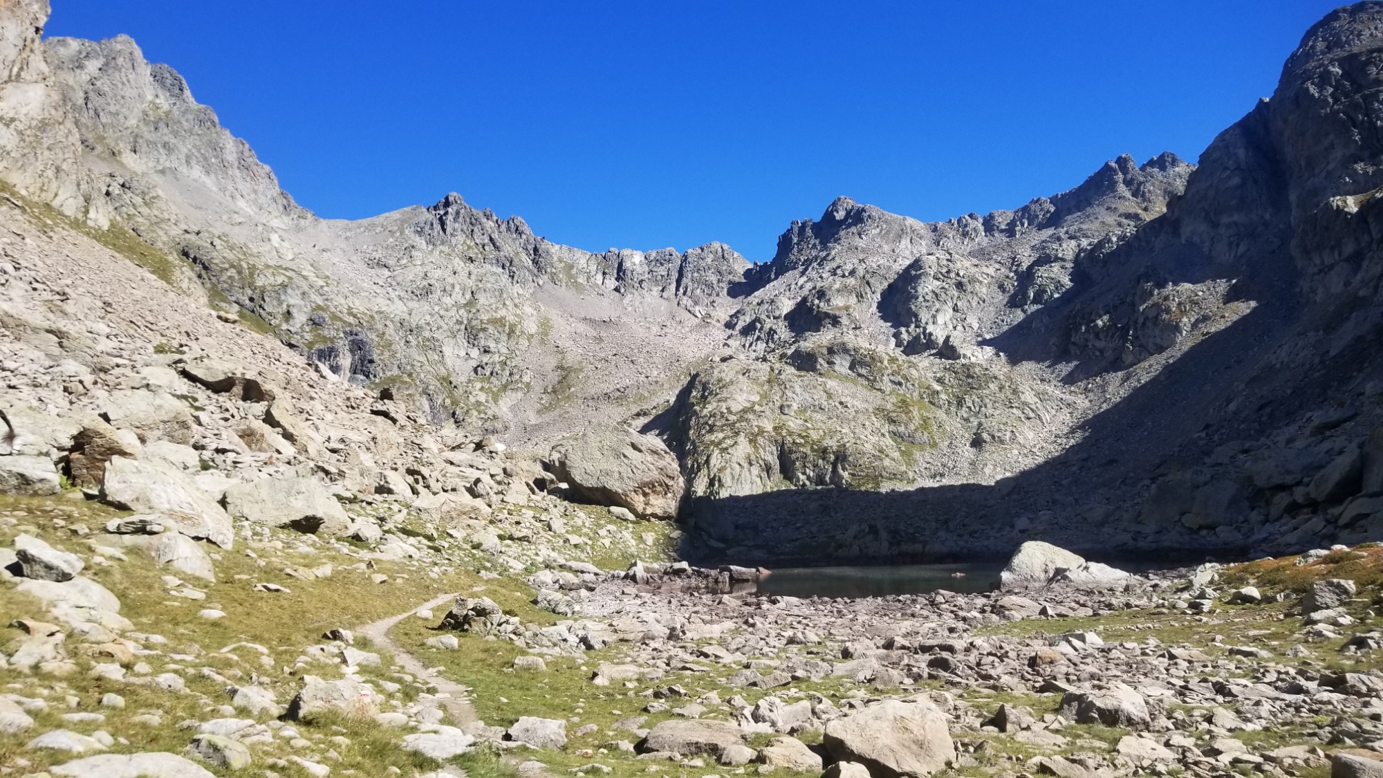
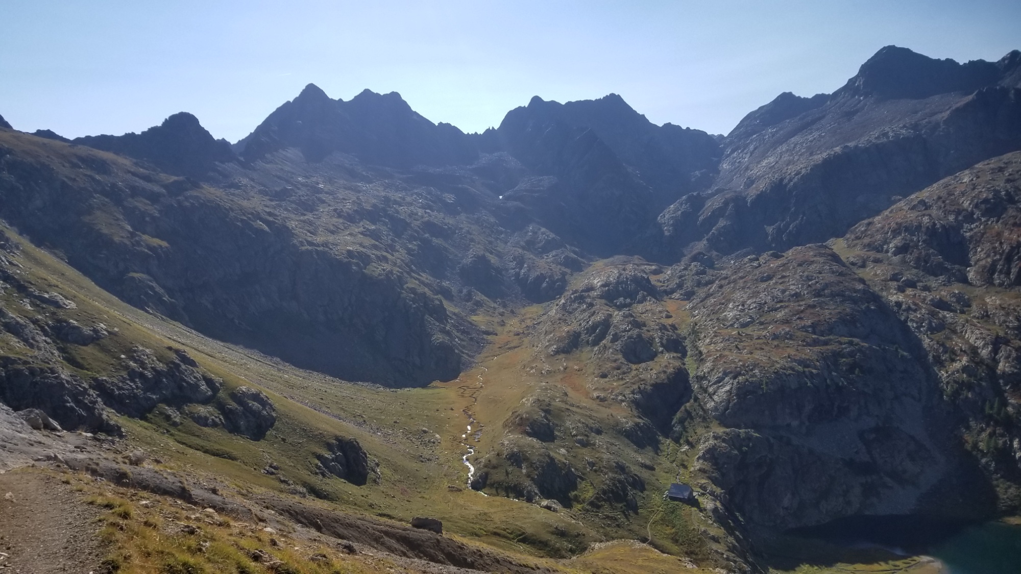
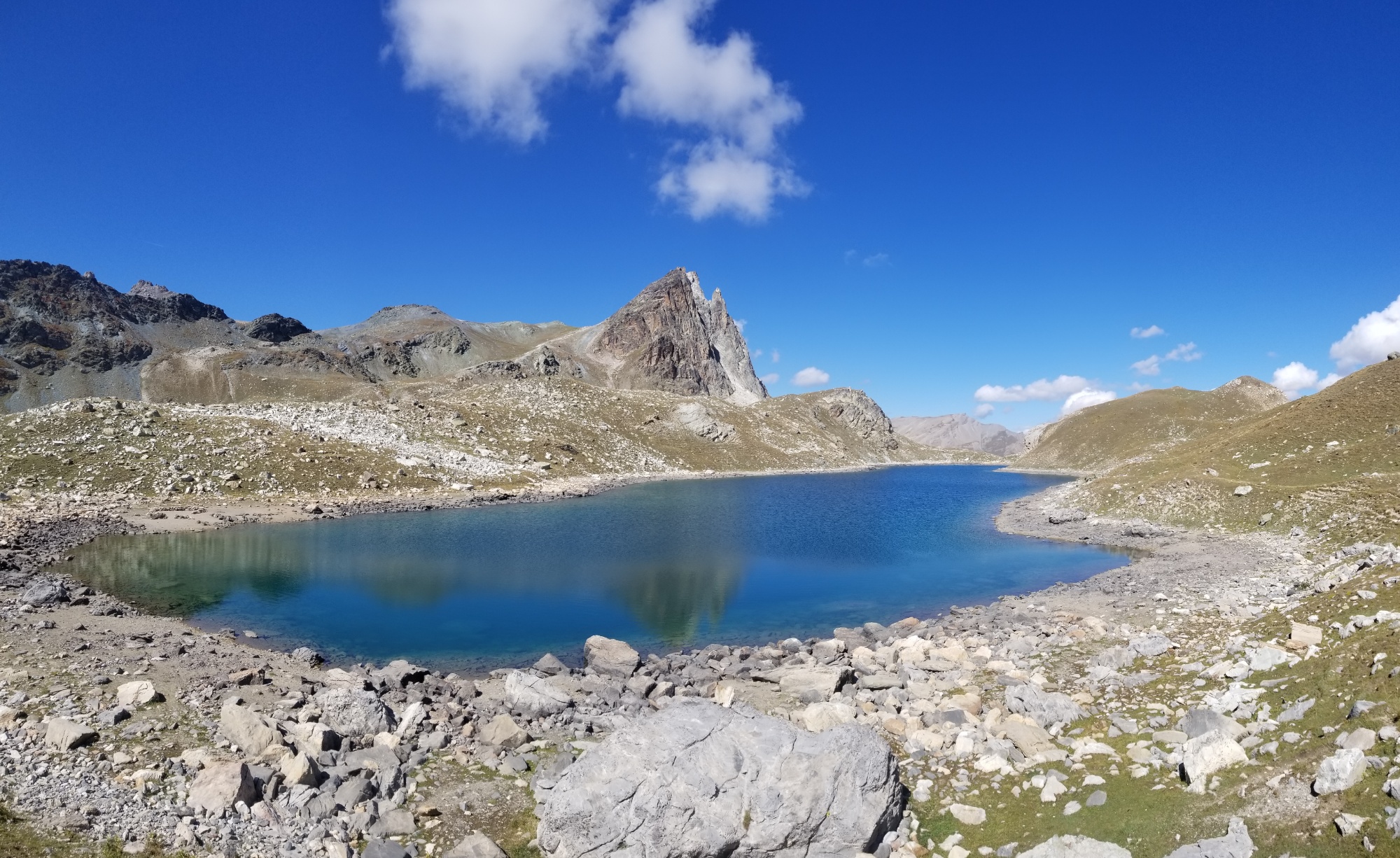
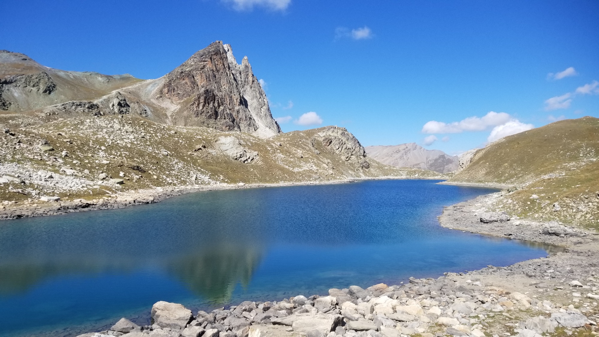
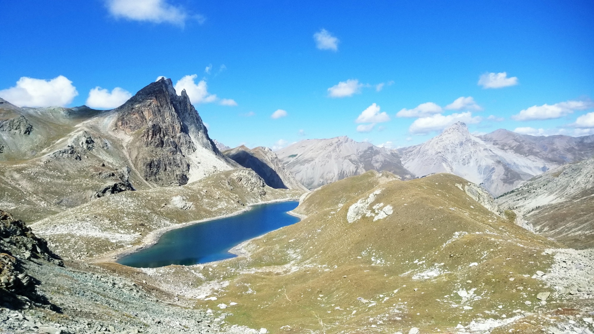
The trail winds around and up to a col, and then I descend down a valley past the Refuge and Lac of San Bernolfo.
The view down towards Bernolfo from the col
Lac Bernolfo
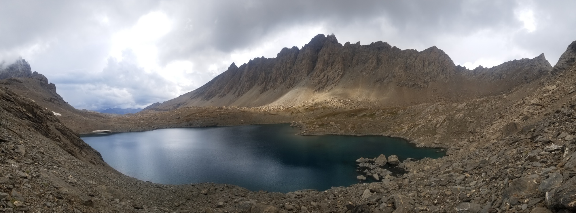
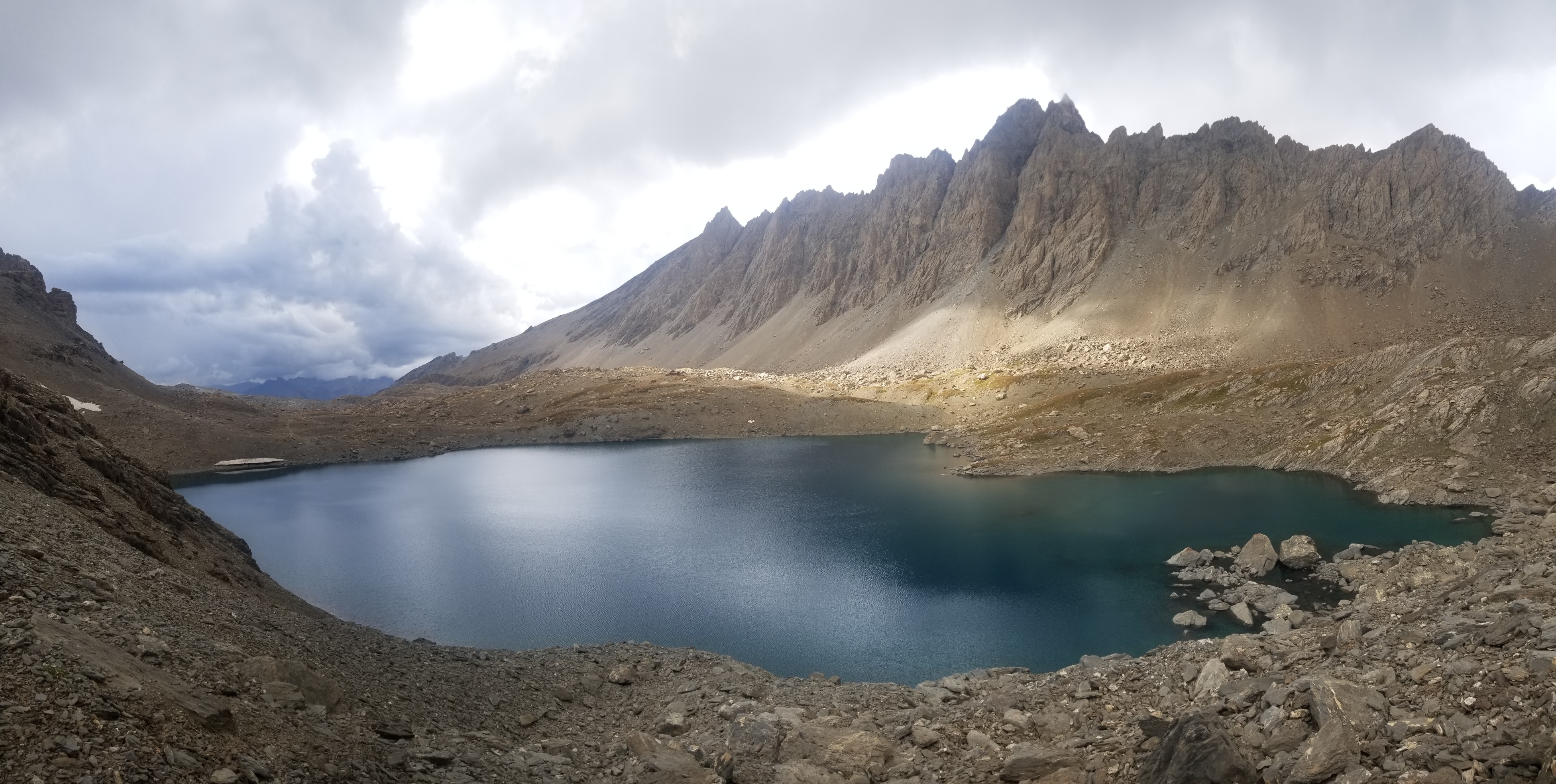
I find a good trail that goes directly to the Santa Anna Refuge, which climbs about 1,000m throughout about 5km. Lots of uphills today, but I’m pretty used to it by this point.
Magic on the trail to Refuge Sant Anna
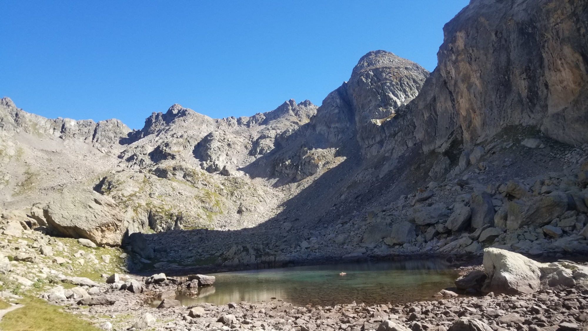
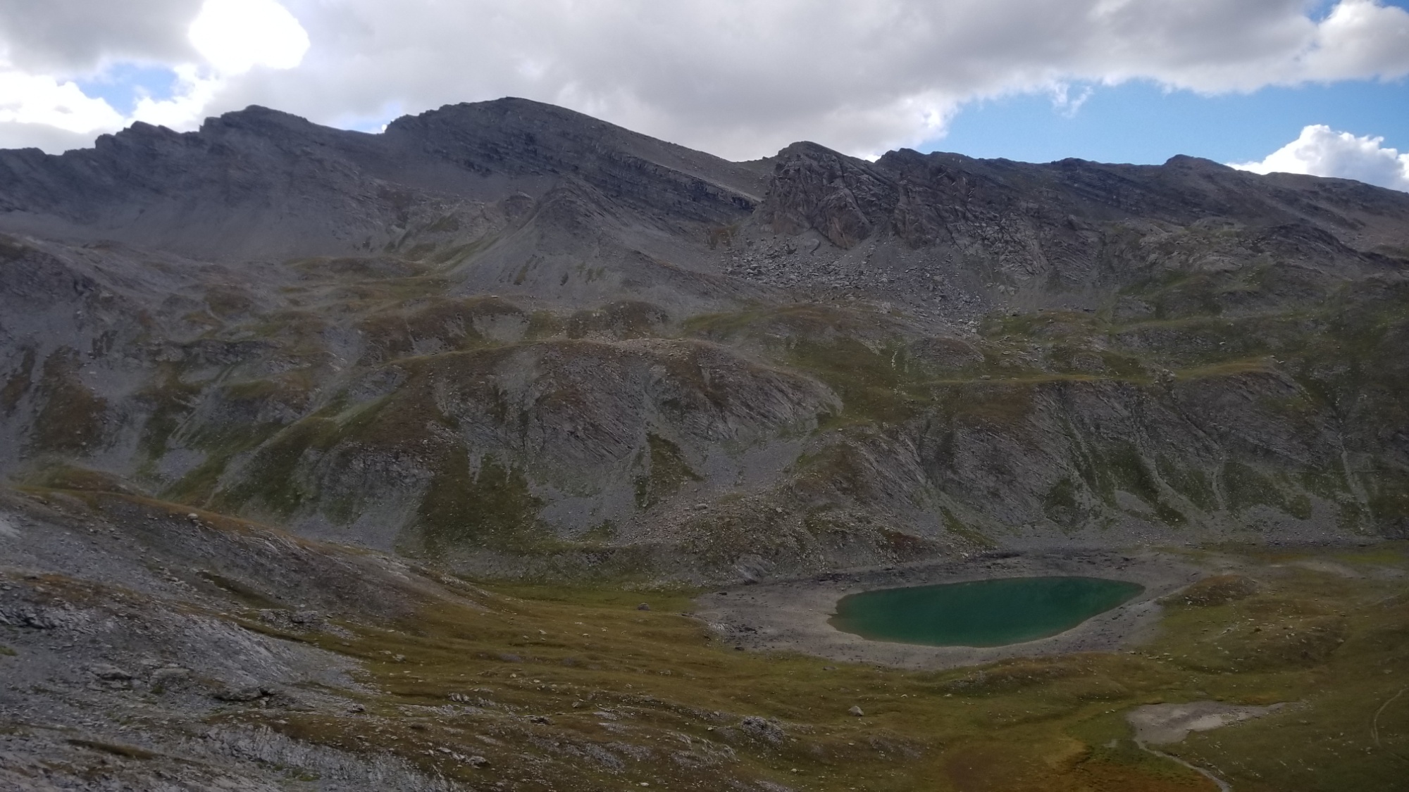
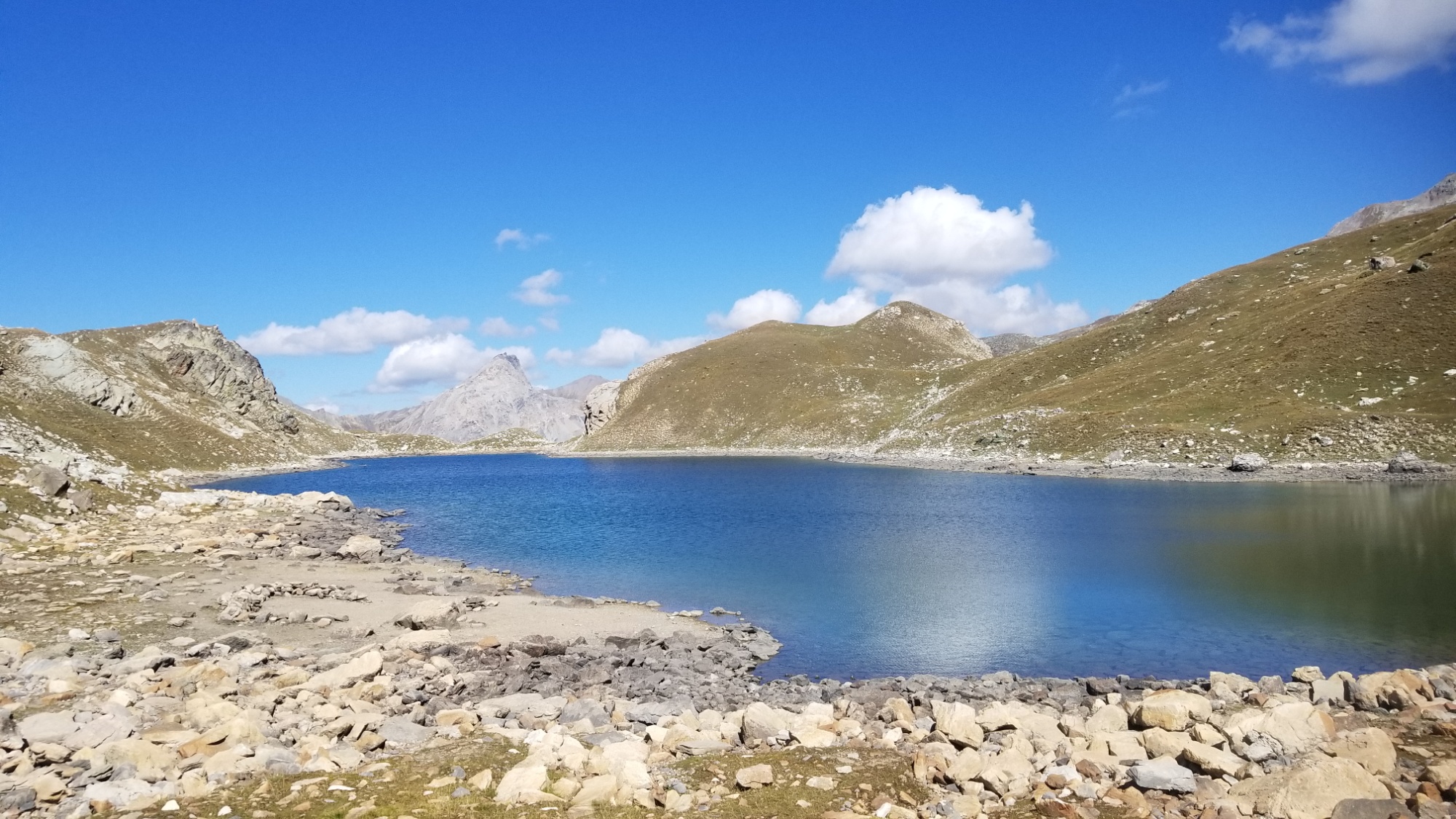
Lac Sant Anna
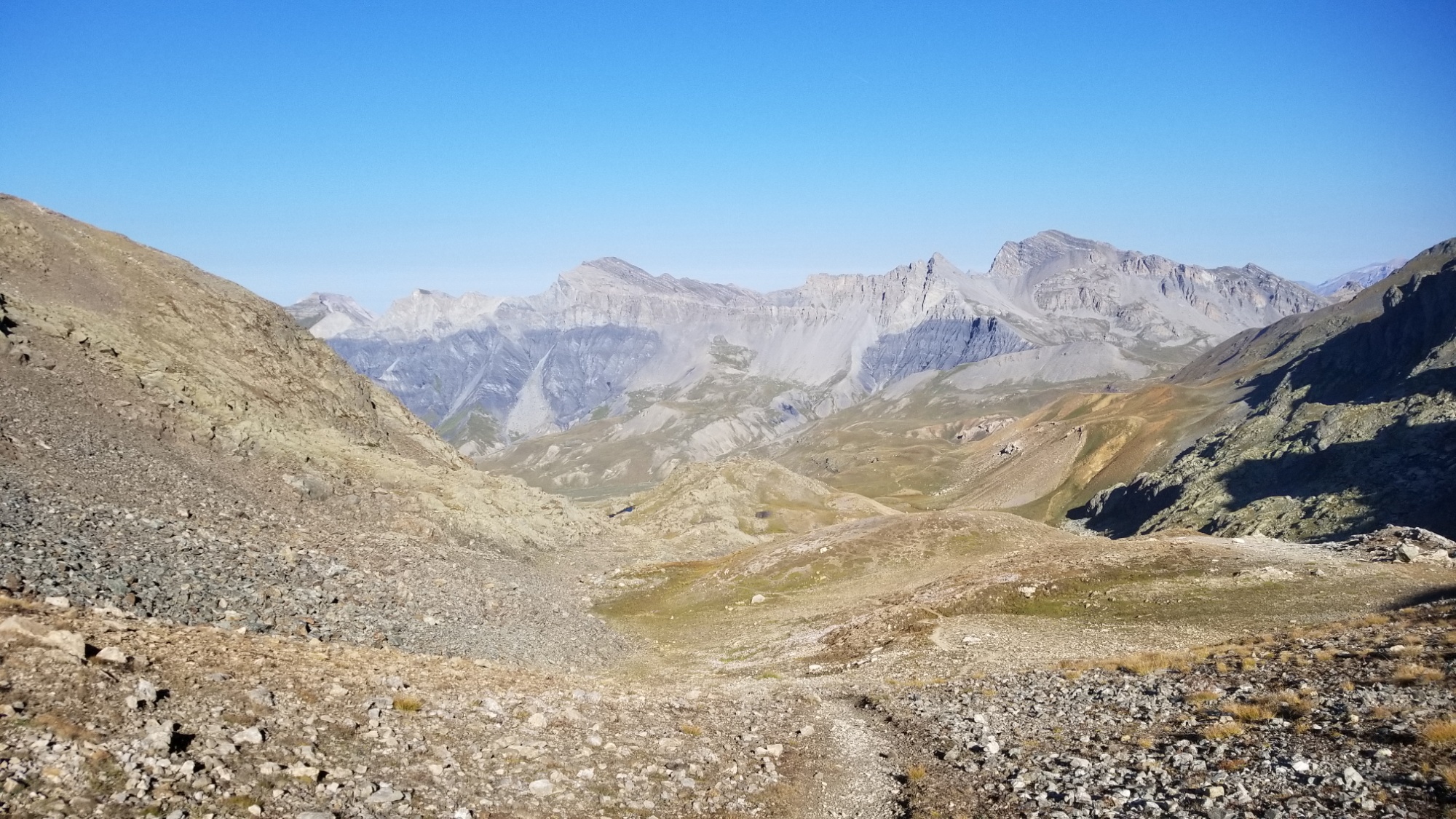
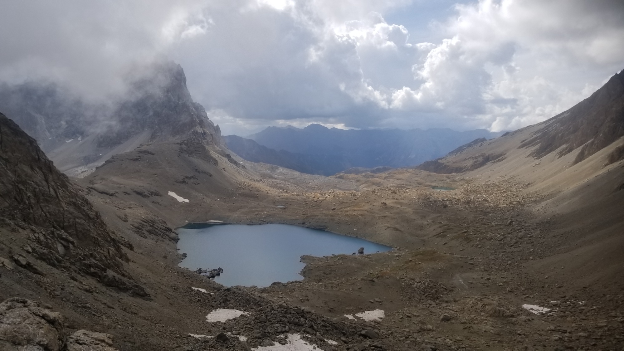
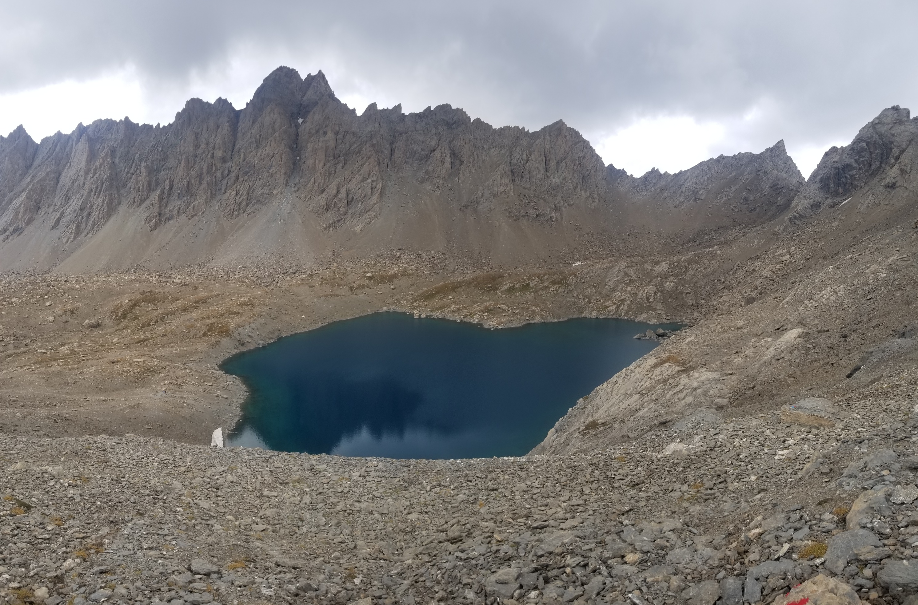
From the pass, I could see quite a ways into Italy, and a few pretty lacs down below me. I made my way down to the largest of them, Lac Sant Anna (or Santana for you rock n rollers) and grabbed enough water for dinner and the hike into Isola 2000 tomorrow morning.
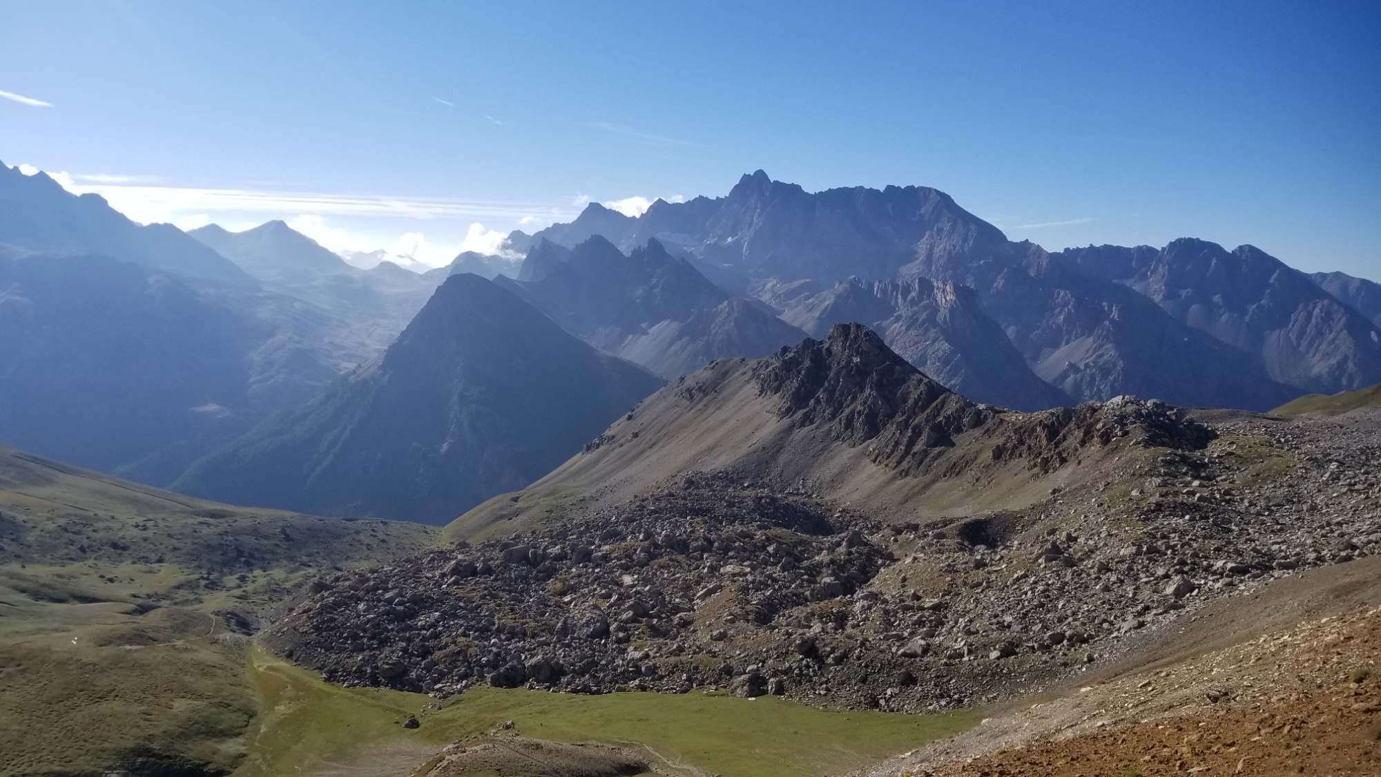
After a short climb, another ridge walk along the border of Italy and FranceGreat lunar symmetry
SUNSET (DUH)
From there, I bypassed the refuge Sant Anna and went directly up to the ridge that leads to Isola, where I found an awesome place to camp just during the peak of sunset. As I was coming over the ridge, the first thing I saw was a nearly full moon staring down at me, perfectly aligned with the trail I was walking.
I awoke to the sun warming the tent and got hiking around 9.
First, a brief climb up to the Col du Morgan.
Trail to the pass de Fer
Then, a sweet ridge walk to the col du Fer or “pass of iron,” named because of how often it gets lightning strikes!
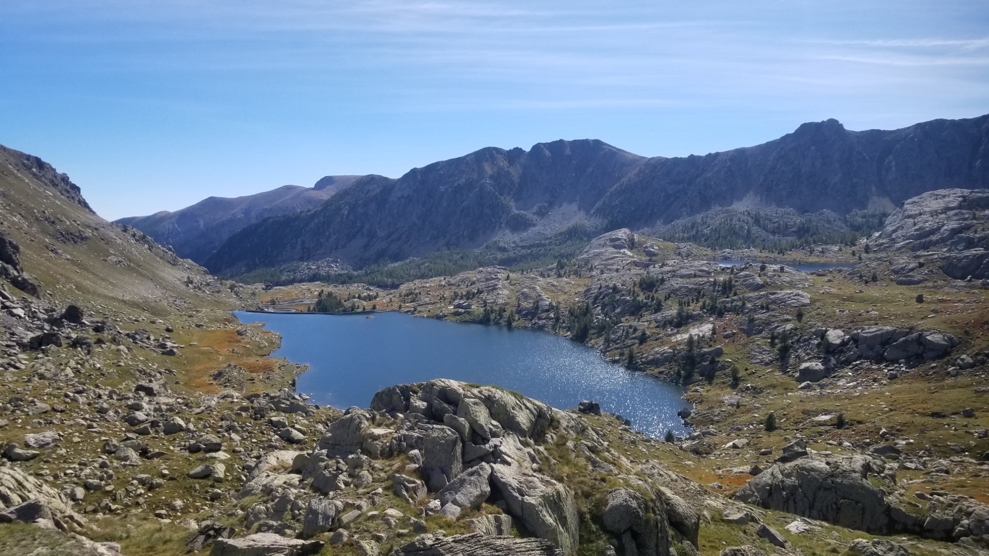
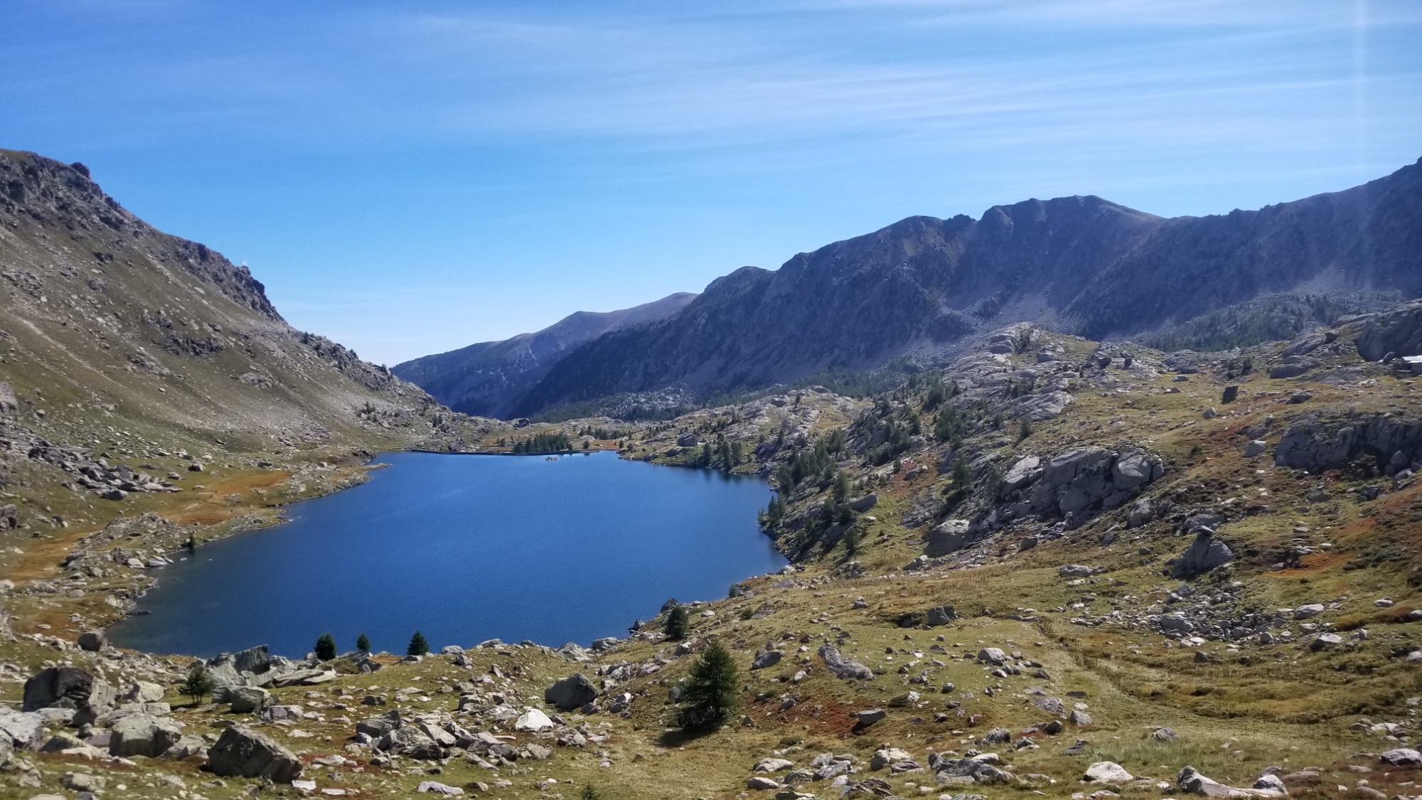
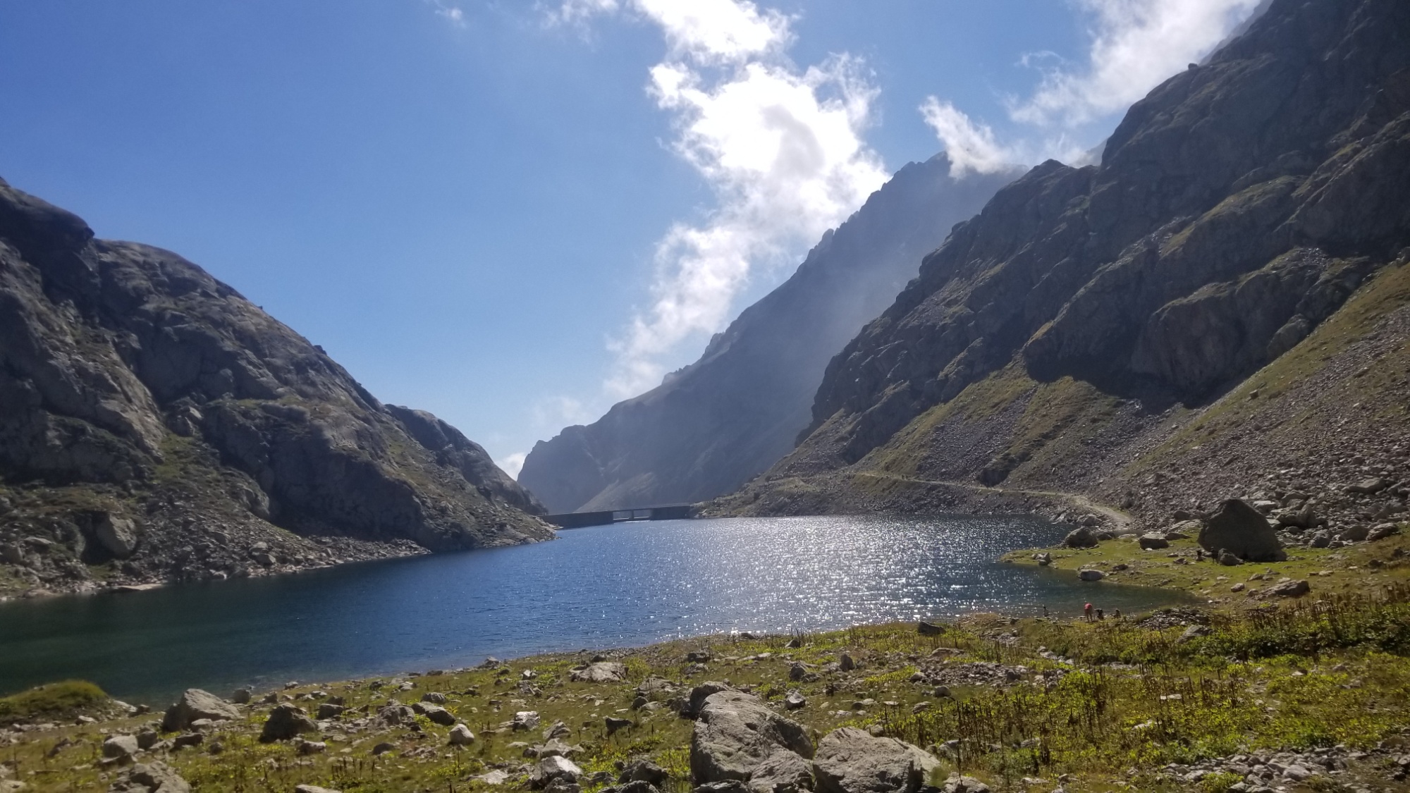
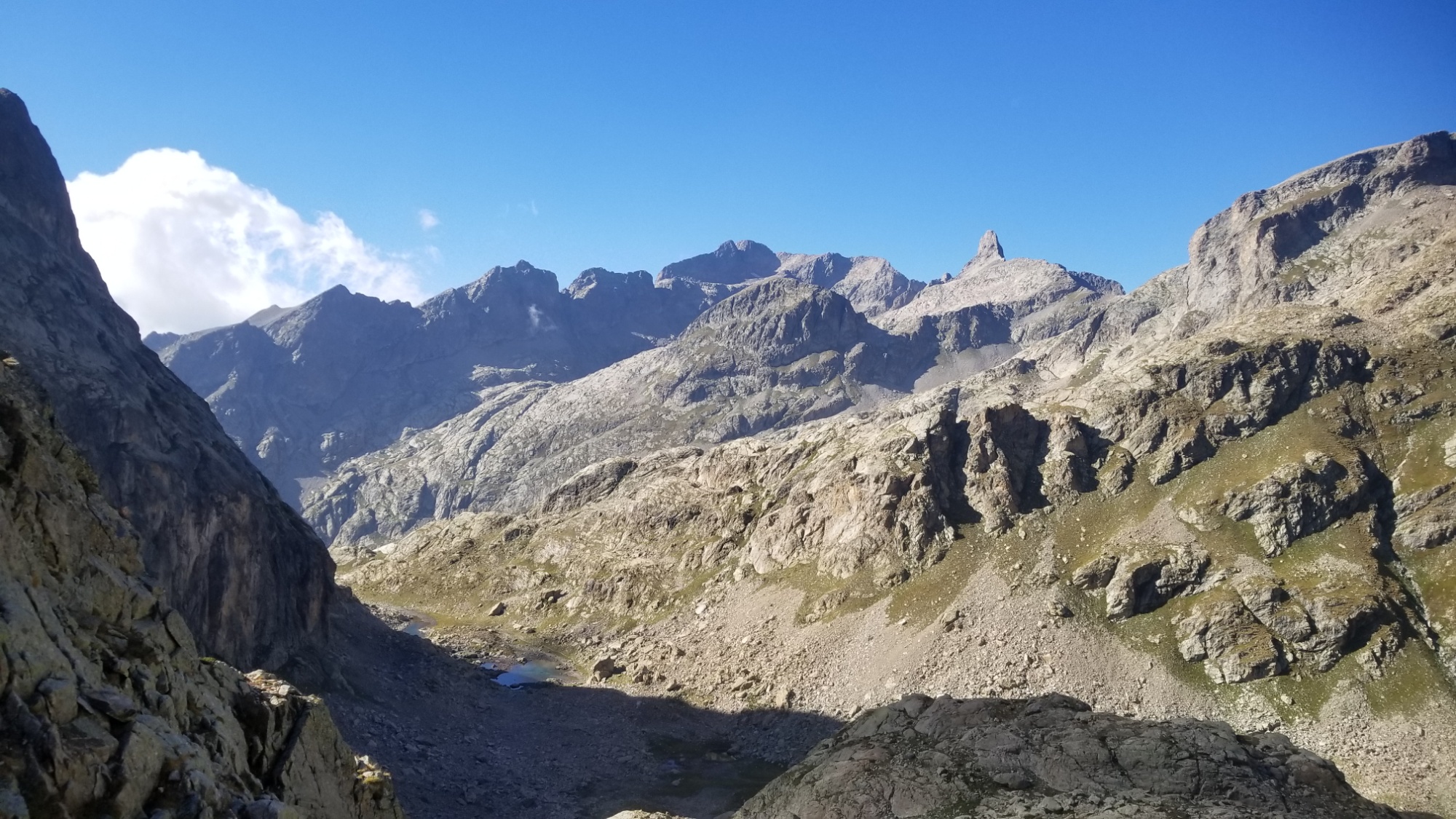
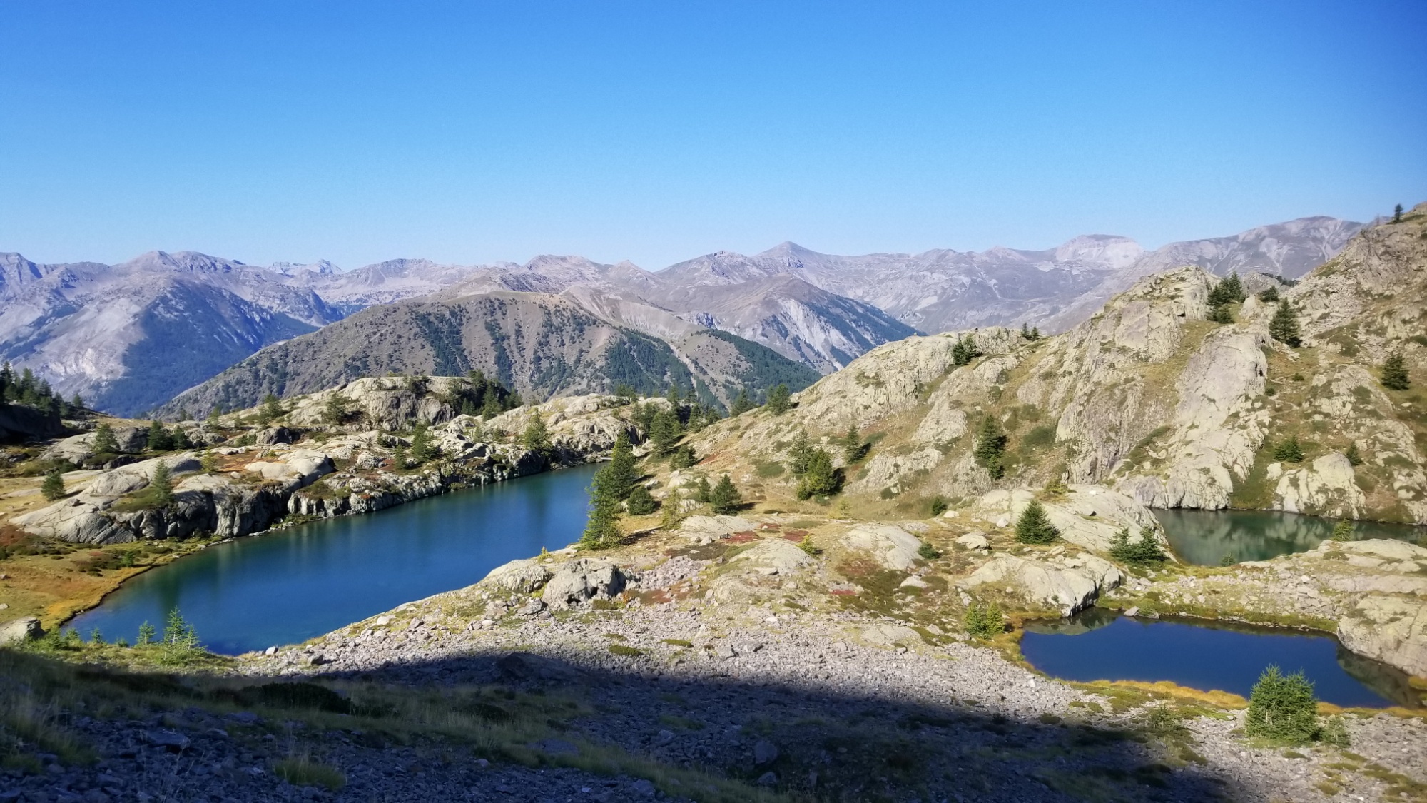
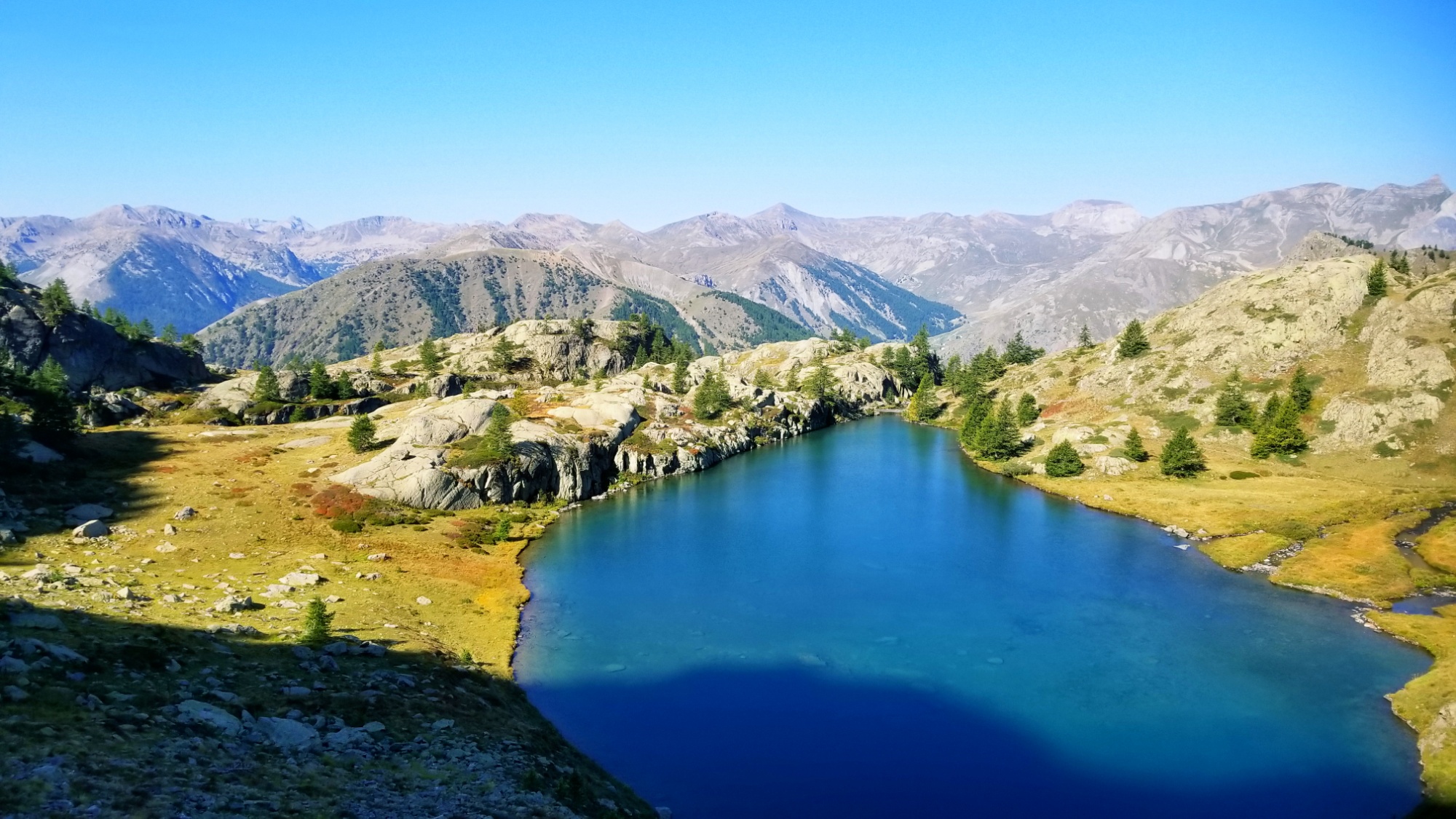
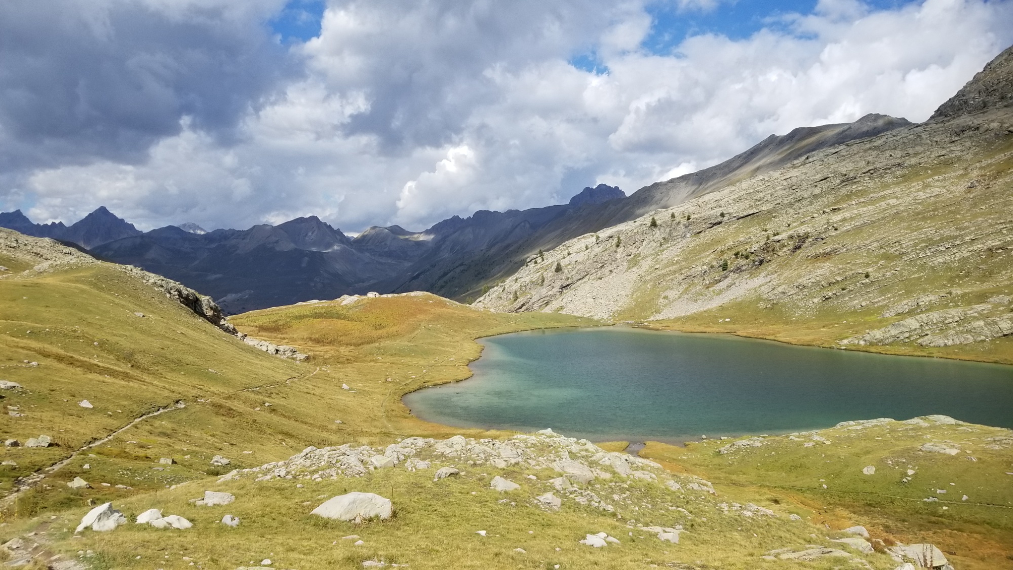
From the col, I could see the gorgeous Lacs du Vens down below. The trail zig zags down the mountain and I have a pleasant walk beside all four of the different lakes.
Lac Vens
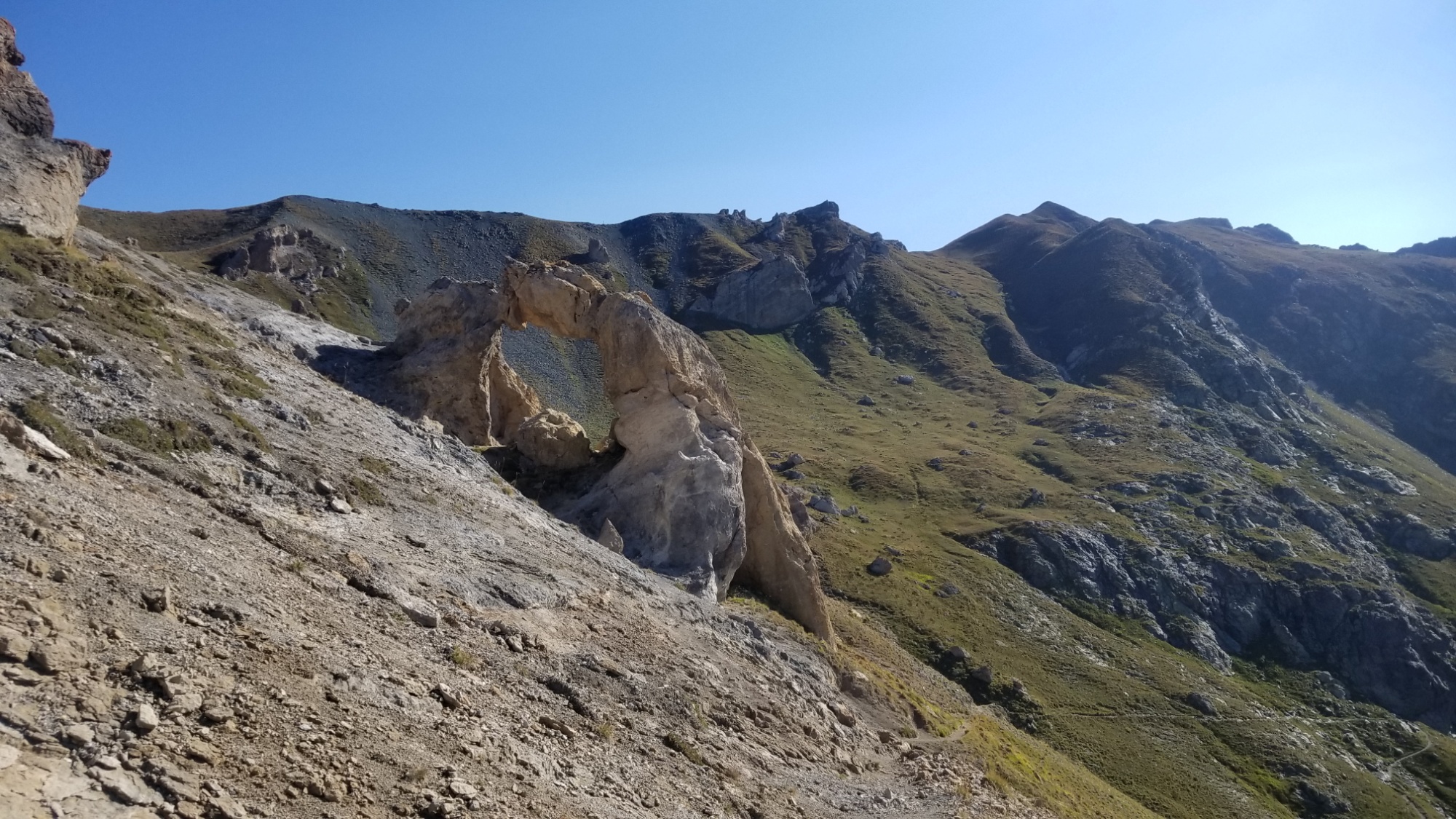
A weird place for an arch, right?
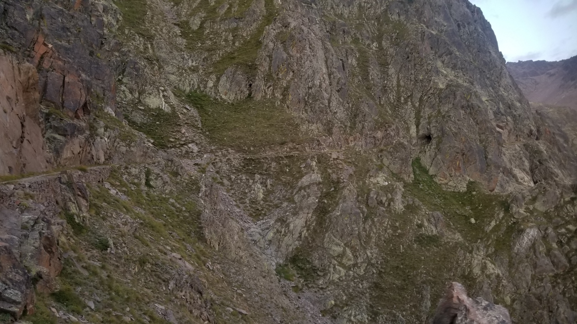
From the last lake, a 200m climb up and over a small pass, and then a 200m descent, and bam! I’m on the Chemin de l’Energie, a road/trail cut into the sides of the mountains in the 1930s to facilitate a dam project that never happened. But the trail they left behind was just fantastic! Photos:
Many lacs of Vens
A climb to another lake
First view of the energy road cut into the mountainBeautiful trail.
After a brief few kilometers on the Road of the Energy, I was sad to have to leave it– I needed to hike 1000m downhill to the town of St Etienne, as I was totally out of food, and this is the only town with a market for miles around. I really am in the middle of nowhere, or as one guide book puts it, “one of the wildest corners of France.”
The trail down is no frills switchbacks dropping 3,300 feet in elevation. My knees!
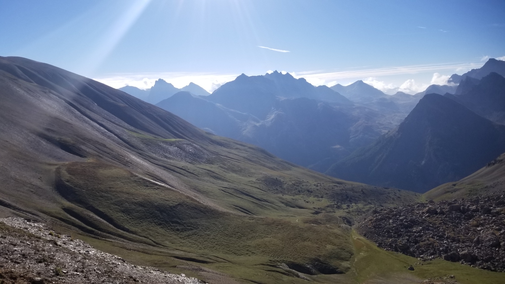
It’s so flat and so scenic! Awesomeness!
St. Etienne
I make it down to town around 1 to find the market is closed til 3:30. Darn! You mean I have to stay here for two hours and drink coffee and have burgers and beer? What a travesty! Really though, this town is super quaint and pretty and worth checking out.
YES
Finally, I get into the shop, and although it’s pretty limited, I snag enough supplies for a good 2 days of food.
So off I go, up a different trail that leads back to the Energy Road. 3,300 feet uphill.. in the heat of the afternoon. Rough going, but I make it back up to the balcony road just around 6:30 and hike a good hour further to the Lac and Refuge of Rabuons, where I find a nice place next to the lake to bivuoac. Okay, I’m worn out after all that up and down! Good night!
The 1,000m climb back up turns magical near the top
Scenic clouds
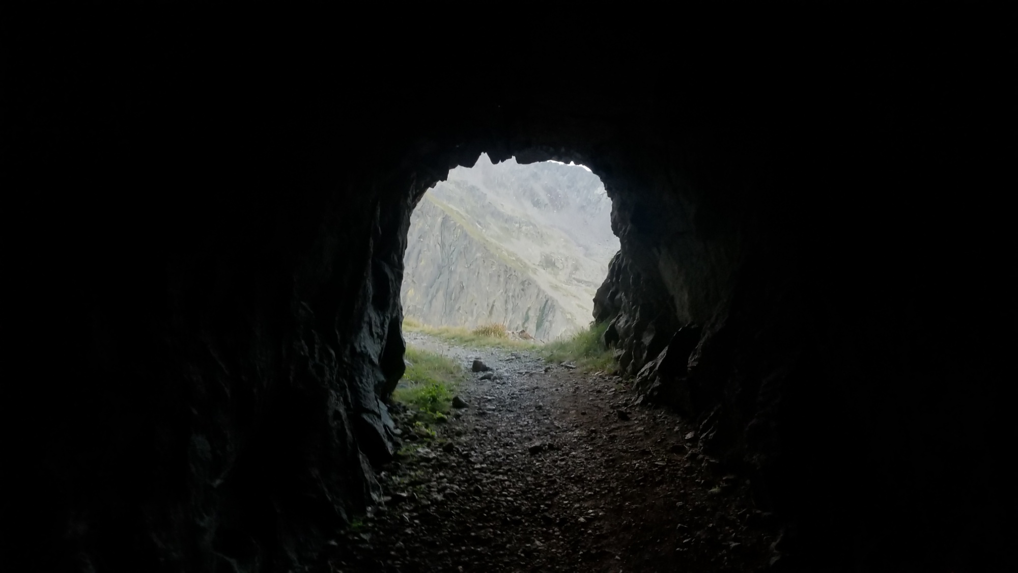
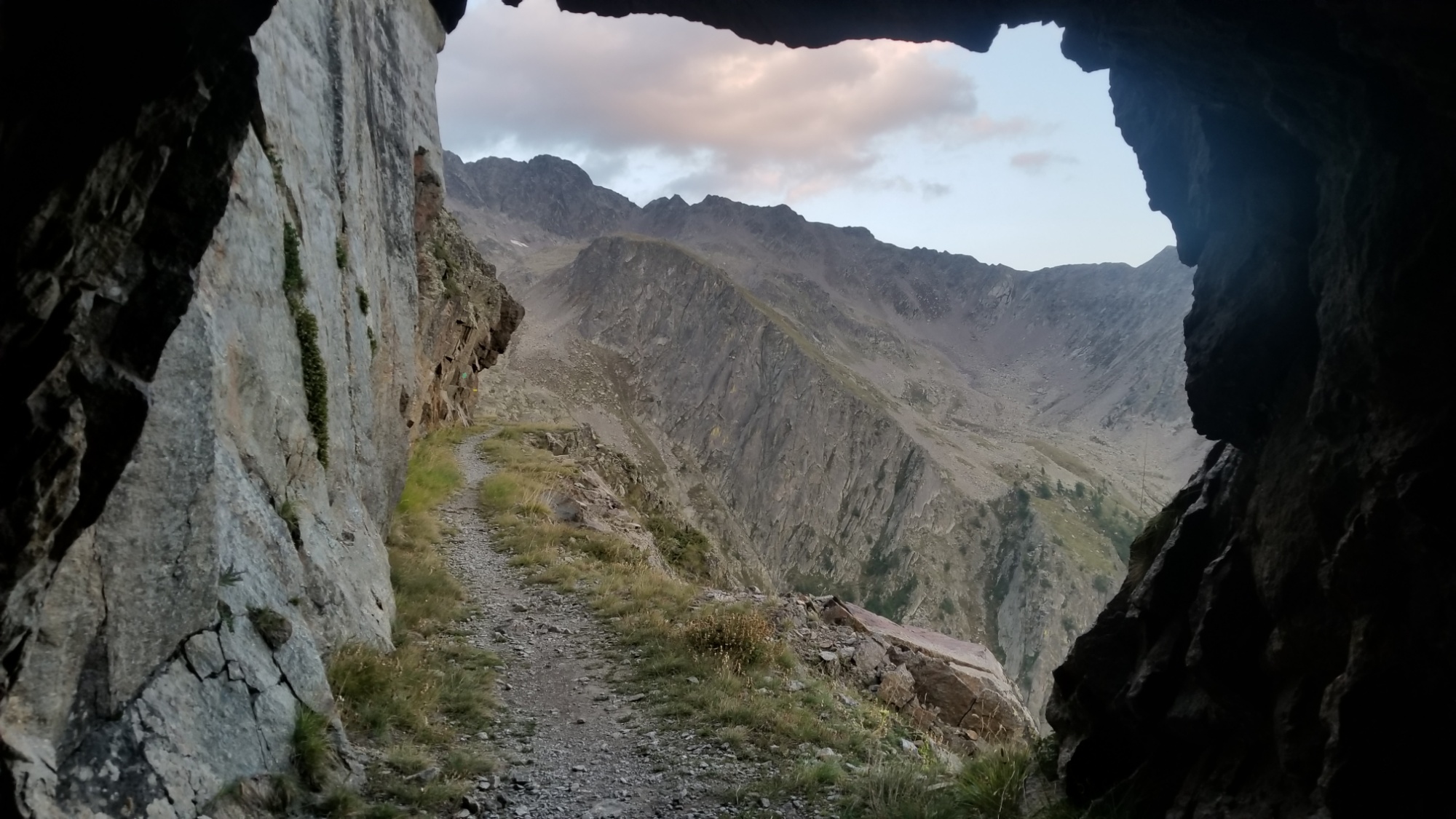
Back on the balconyTunnels?! Okay. Now I’m impressed
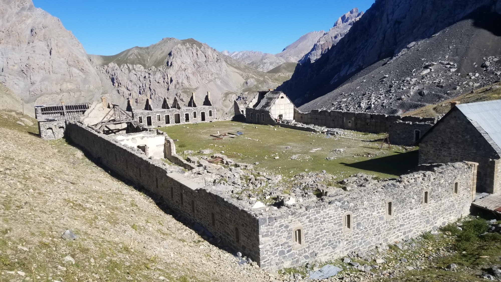
From the lakeside campsite, with blue skies overhead, I set out for the small village of Larche, 9km distant. There was a small 200m descent and ascent over a col, passing some interesting ruins of an old stone fortress or monastary. Then, an 800m descent to the village.
Camp!
Fortress ruins!
Larche at lower right
I walked through Larche pretty fast, as I wanted there to be a food market, and there wasnt. No worries though, I have a full day of eats left, and that will be more than enough to get me to the town of St. Etienne, 35km away.
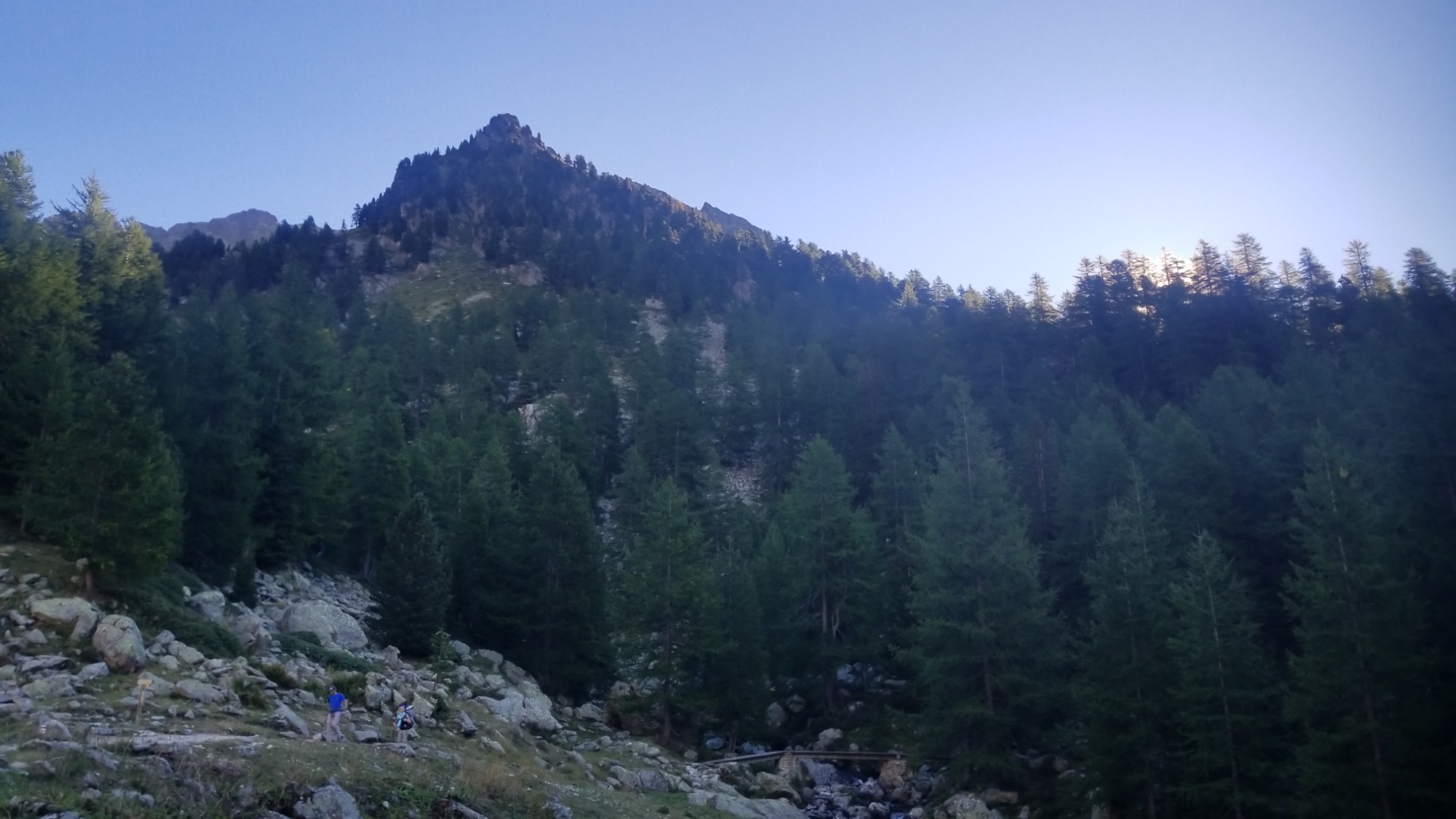
I continued on a one lane road through a forest, eventually coming to a trailhead and entering the fascinating Mercantour National Park.
You know you stepped into a national park when it looks this good at the trailhead
The trail gradually winds up a valley, and before I know it, I’m at a beautiful lake with 20km done for the day.
Lunch Lac
I took some time here to lay out all my wet items (poncho, tent, clothes) from the storm yesterday. I also made a great hot lunch and made some mends on a few things with thread and needle.
Then, on and up, another 300m elevation to the col Cavelle, 2,650m.
From here, I had a choice: take the boring old GR5 trail which leads through not so exciting terrain, or take the Balconies of the Mercantour, which starts off with a trailless bushwhack (okay, more of a grasswhack) up to a col about 5km away.
Can you guess which route I took?
The route climbs to that pass on the left and follows the ridge and a balcony trail high above the valleyLacs de Agnel
So I started the bushwhack by passing the aquamarine lacs de Agnel, and then descend 200m to a mostly dry riverbed. Finally, I climb 400m up on nice grassy hills towards the col where I can pick up a trail to the Refuge/Lacs de Vens.
Lacs de Morgan
However, there was an obvious storm forming over the col ahead of me, so I decided to pitch tent next to the highest lake, just 100m below the col. I got the rainfly on just as the rain started pounding down.
After the stormAn alright place to camp!
It was nice to have a dry place to listen to the rain and have dinner around 7pm. The storm gave up after a good 45 minutes, and I probably could’ve gone further towards the refuge with how blue the sky was now, but ah well. The tent is already up. I took the opportunity to enjoy the serenity of the lake and the sunset, and do some reading in a book I found I had downloaded, Dragons of Eden (Carl Sagan), a story of the evolution of the brain and human intelligence.
Well, I’m worn out. Hopefully I find some food tomorrow, I’m almost all out!
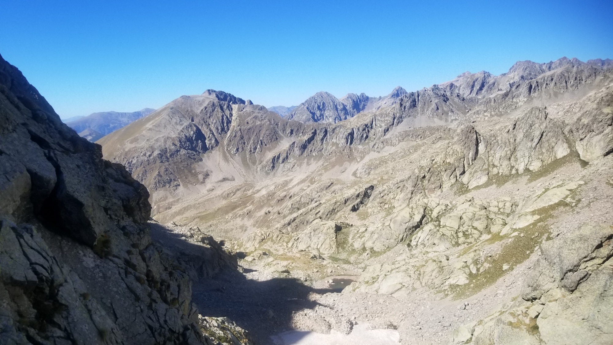
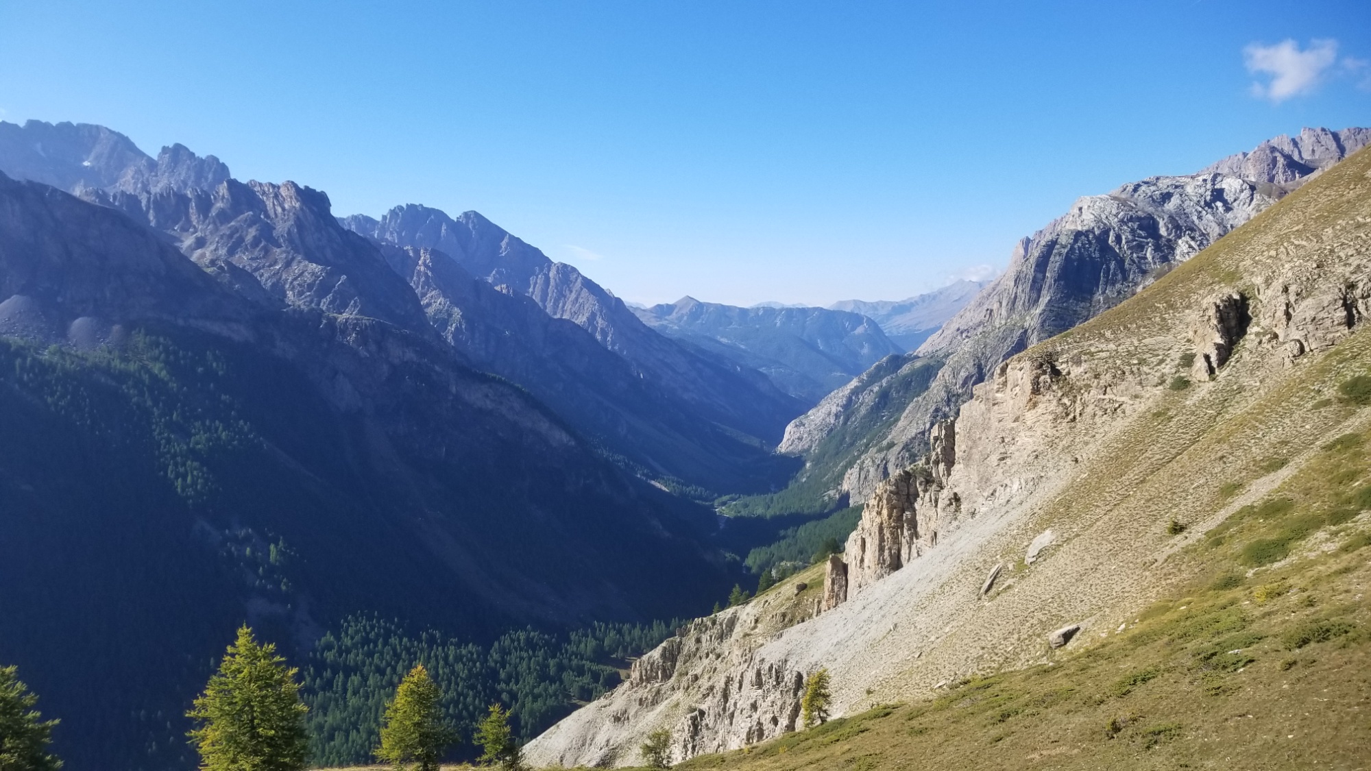
Wow. Today knocked me out. It was at times dangerous, but constantly beautiful.
It began around 9 as I left my campsite and climbed 300m up to a col around 2,700m.
Leaving Lac Saint Anne
Pretty sweet looking mountains!
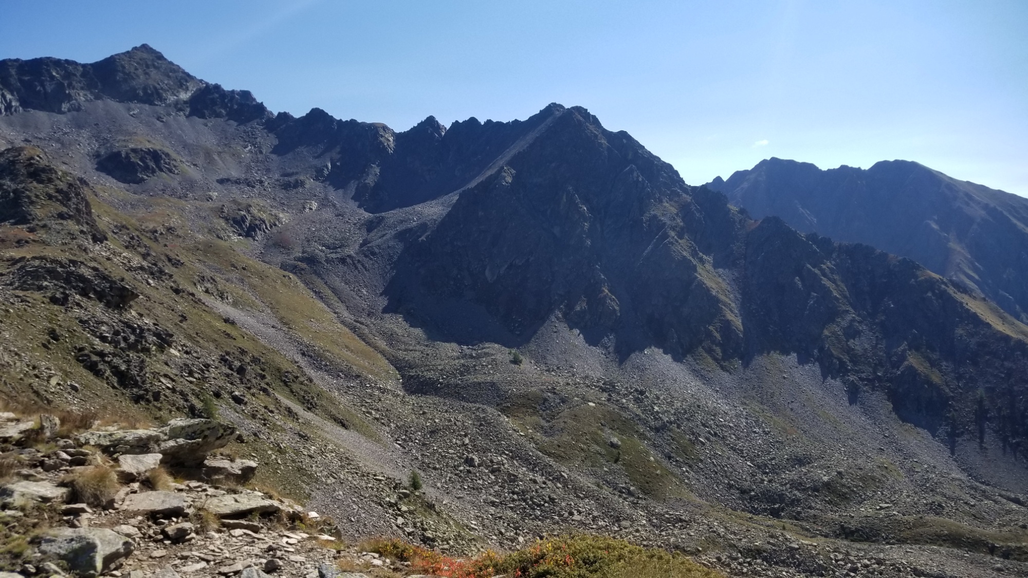
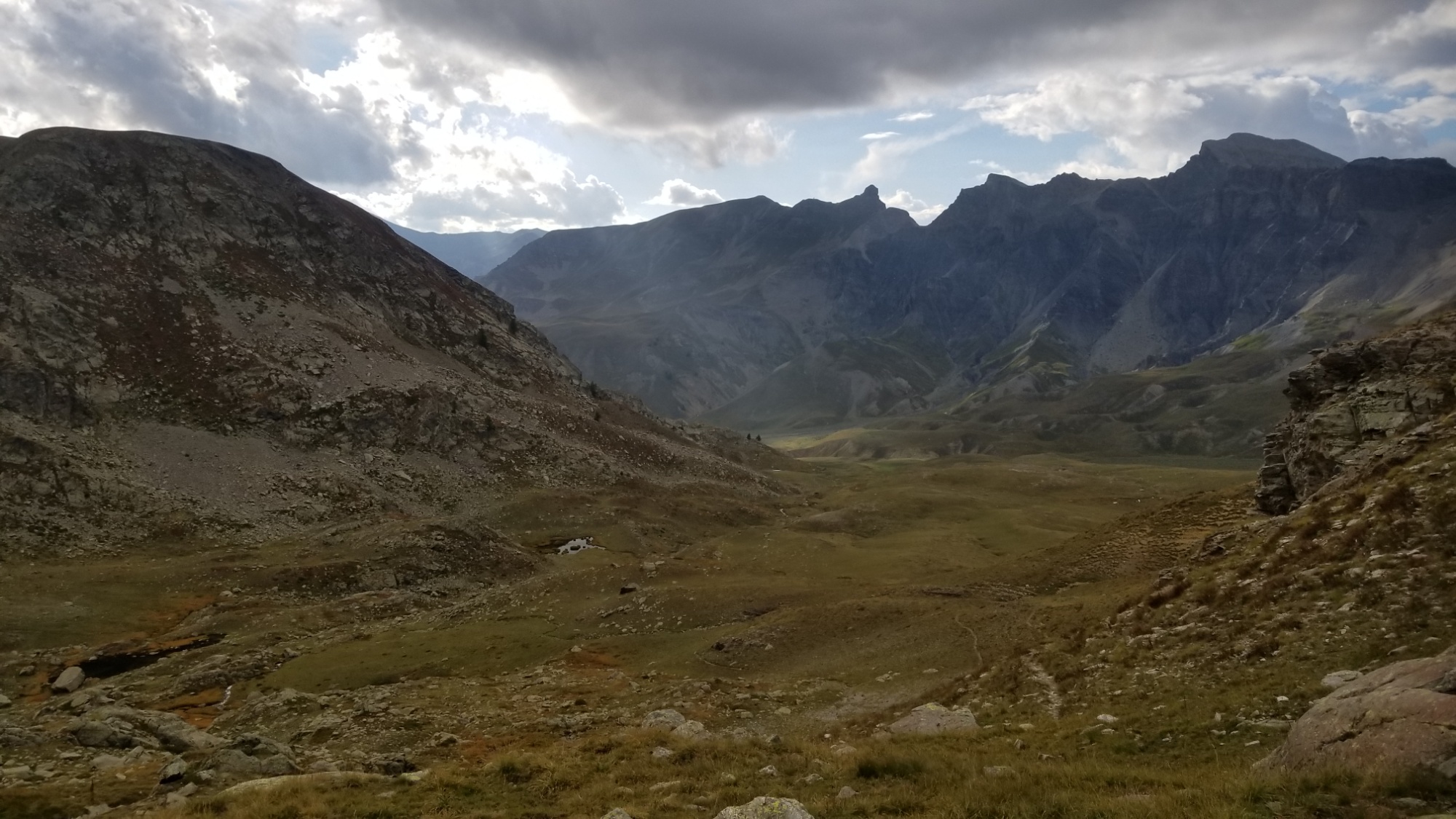
On the other side were some very intriguing and steep looking mountains.
However, the official trail avoids this mountain range entirely, instead taking a 20km booooring road walk to the nothing village of Foullouse.
The “official” trail runs through this valley
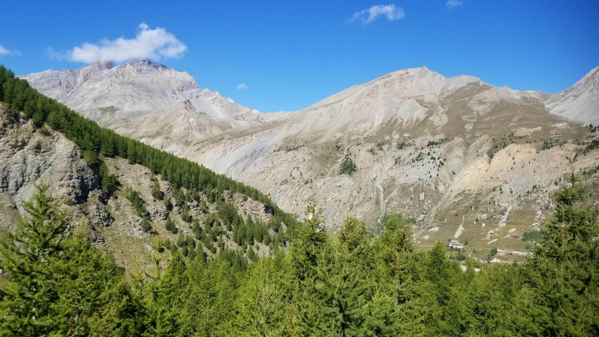
So, I decided to make up my own route, and cross those steep mountains I saw in front of me.
I climbed down 800m from the col, with great views of the valley below.
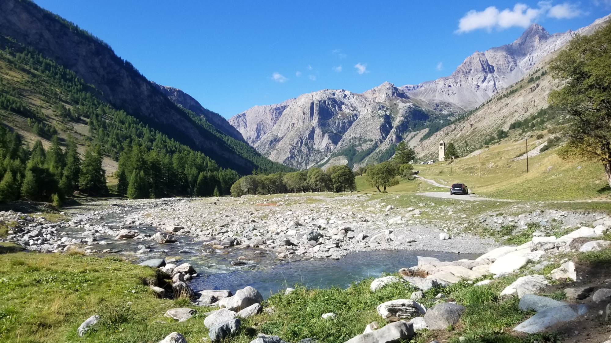
At the bottom, I walked through the village of Maljasset, and came to a river, where I stopped and had coffee.
Coffee time
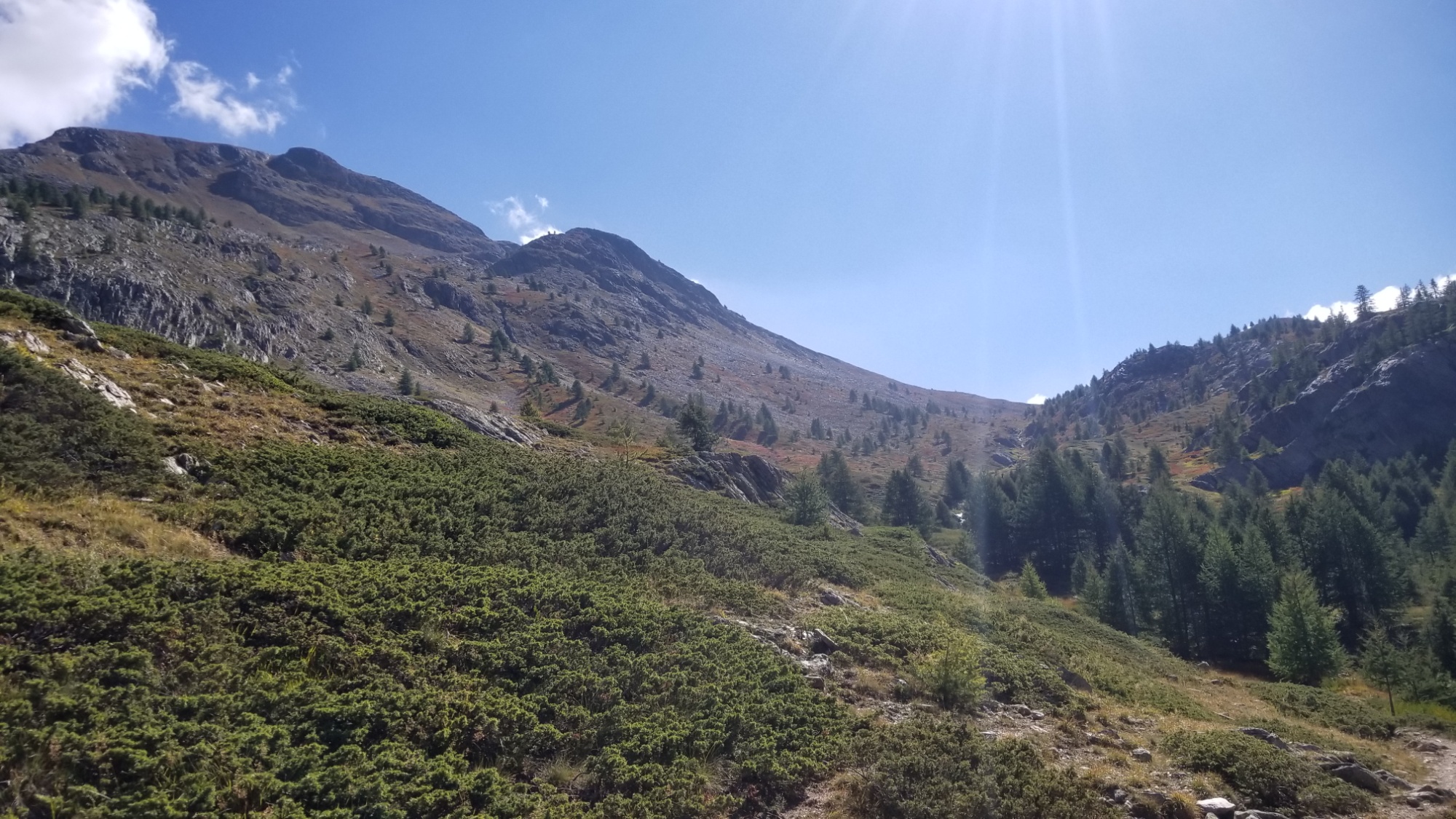
Then, a long climb up a valley to enter that mountain range I had seen. I passed a flock of sheep, making sure to skirt around them so the sheep dogs didn’t kill me.
Then, the trail led up through a small col, and onto a couple of beautiful glacial lakes.
Prettyyyy
Those clouds usually mean rain
Climbing further, and the sky was becoming more and more gray and cloudy. Rain looked imminent later on.
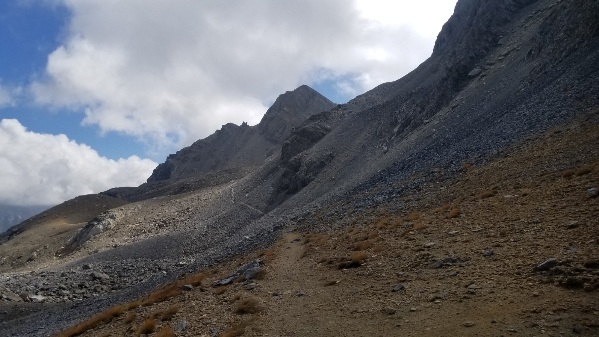
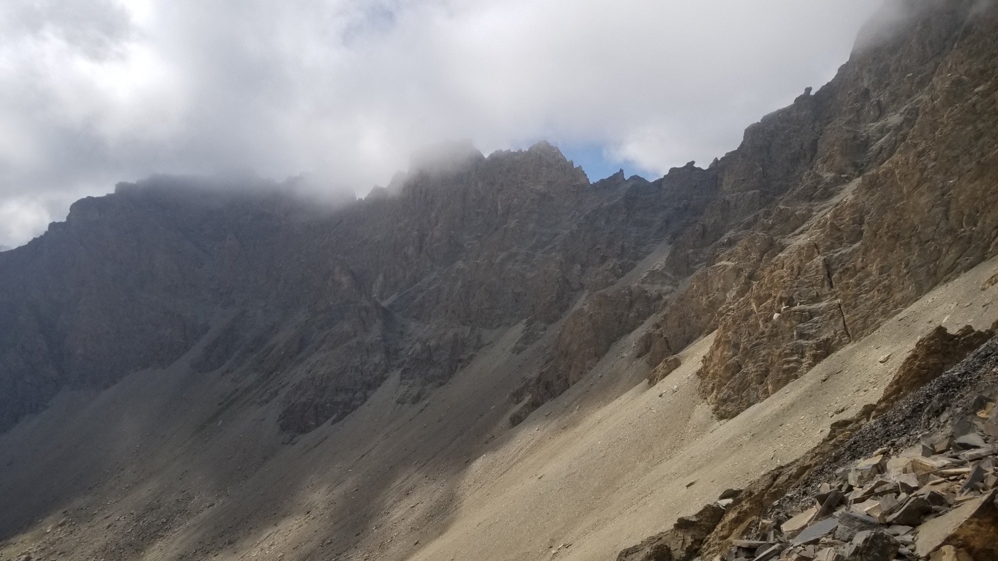
I came to another small col around 2,800m, and then the trail went straight up a big wall of scree to another col near 3,000m.
From that col, I could tell that I may have made a mistake in my route planning. Lines on maps often don’t prepare you for what a traverse really looks like on the ground.
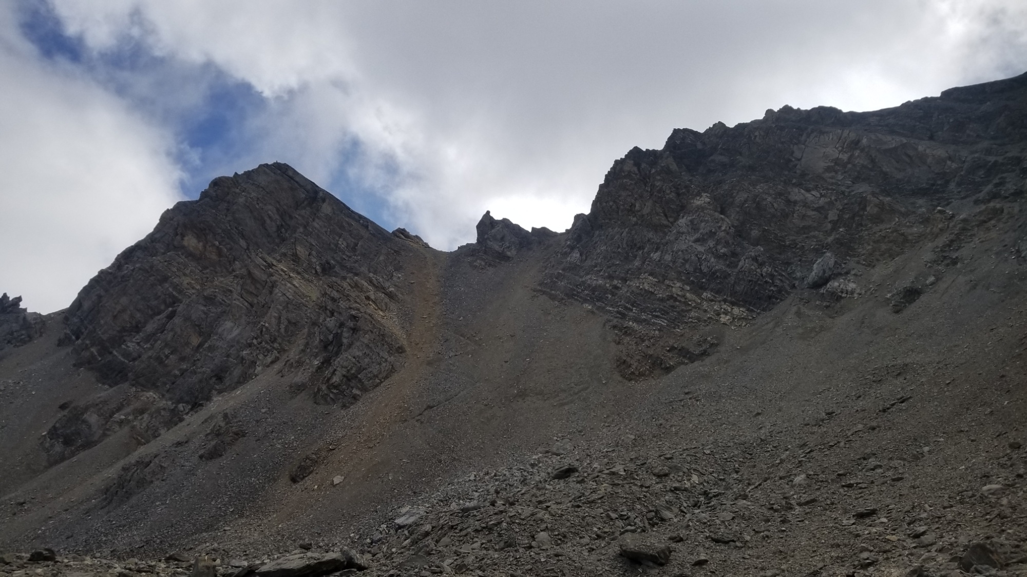
From the col, my next target was another col just to the west, but the col looked like a sheer rock face! I didn’t know how the trail was gonna cross that, but I figured I would follow the trail as long as I could and see what happens.
That’s where the trail crosses the “pass”
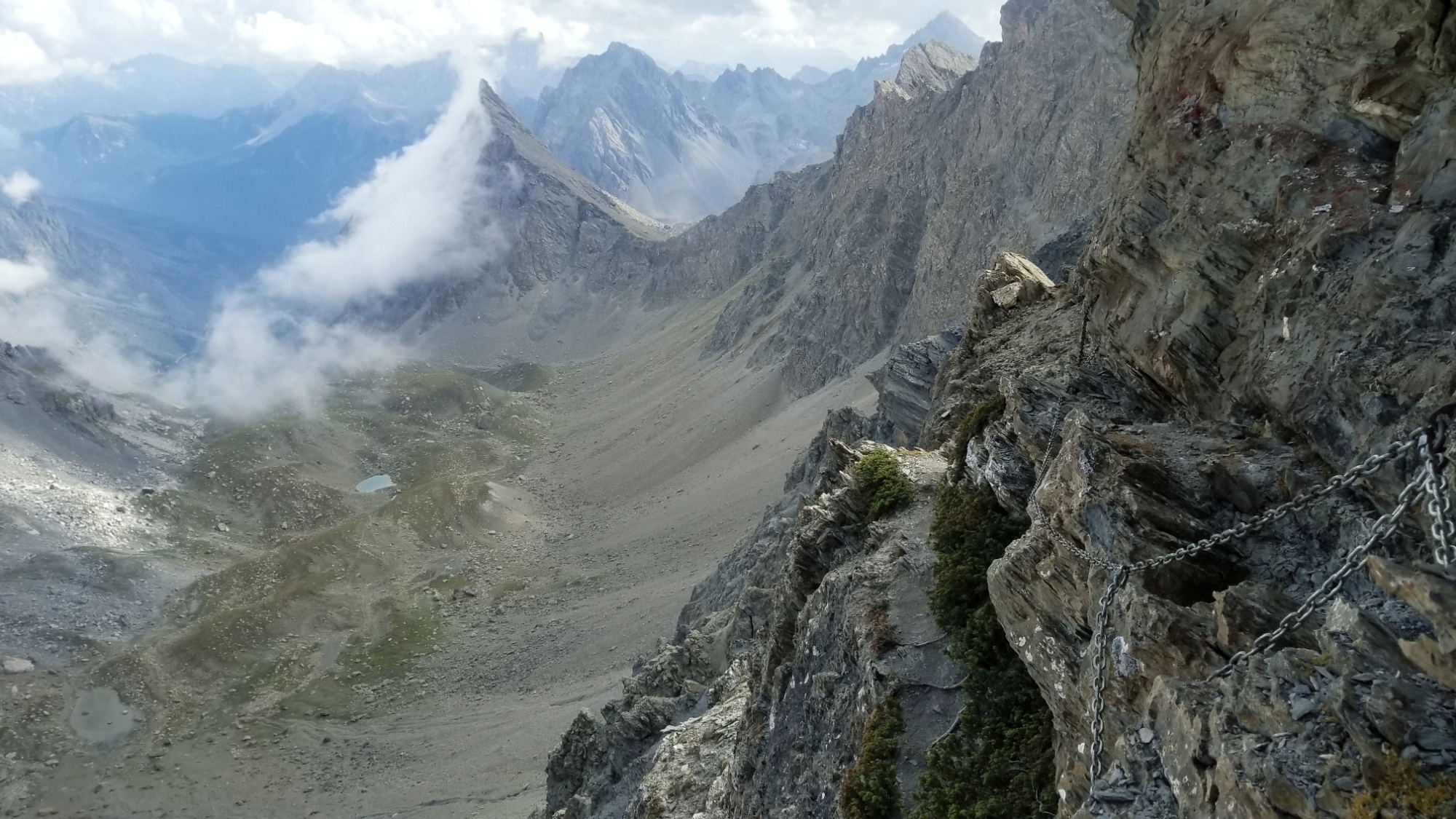
At one point on the way up to the col, I lost the markings, and kept going up this scree channel that seemed to be getting steeper and steeper. I should’ve known better, but I must have climbed 200m beyond where the trail crosses the col, and frankly, I felt endangered and uncomfortable being where I was. So, I went back down to the last trail mark I saw, sliding and scrambling down on scree and boulders, and oh.
That’s why I lost the trail.
There is a frickin CHAIN going straight up this SHEER ROCK FACE in front of me. Well okay, it was like a good 70° angle rock face at first.
But I decided to give it a try. I climbed up first about 50m, and then the chain trail turned left, and basically traversed a little 2 foot wide trail, with a 200m drop, if one were to fall.
It’s been a while since I’ve felt adrenaline like that. Wow. Glad the chain and anchors held out. I made it along the cliff trail, slowly and carefully, holding onto the chain for dear life. After about 100m forward, it leveled out, and FINALLY! I had reached the col!! I sat right there and took a while to regain the strength in my legs, and to just think about what had just gone down.
So worth it
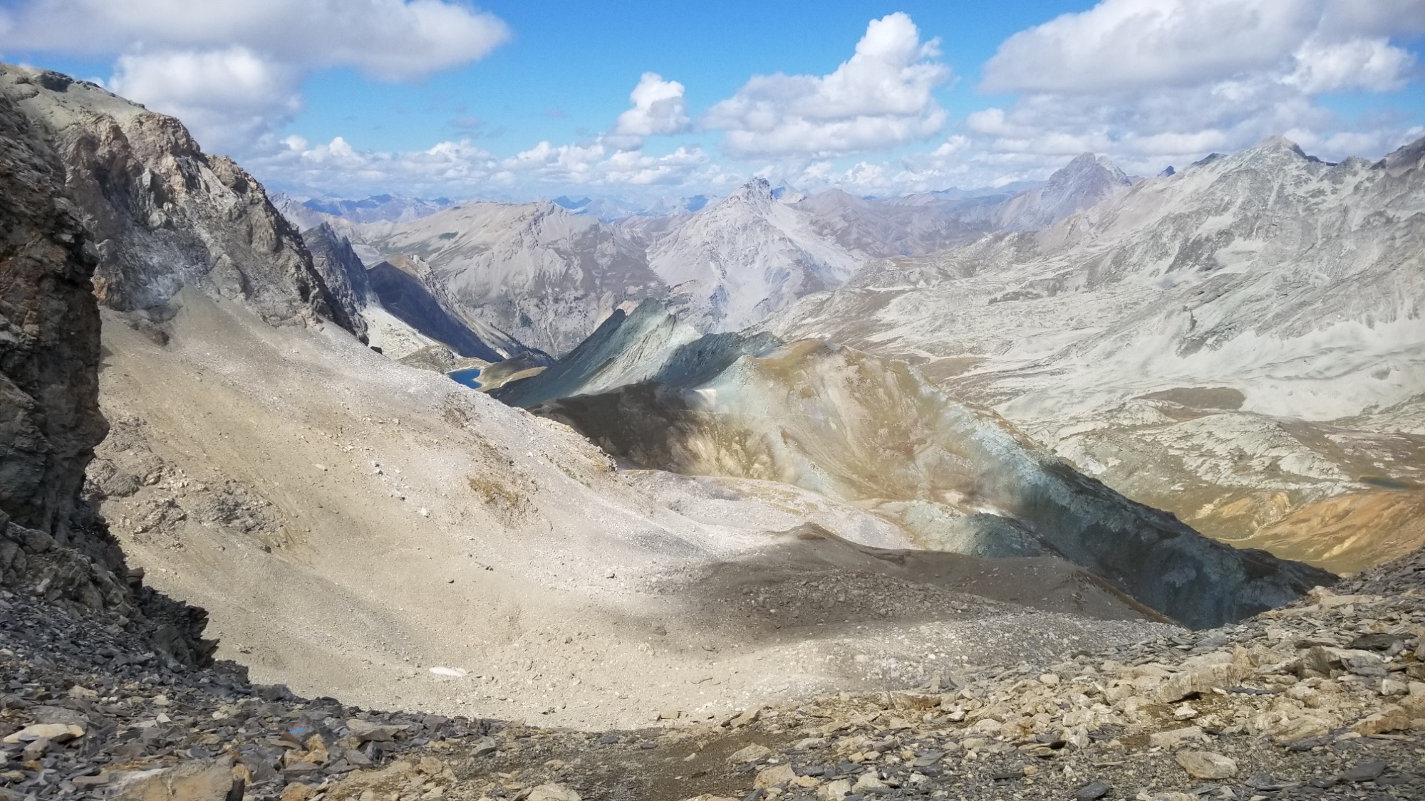
Part of why they call it the pass of the inferno is this crazy looking smoky fog
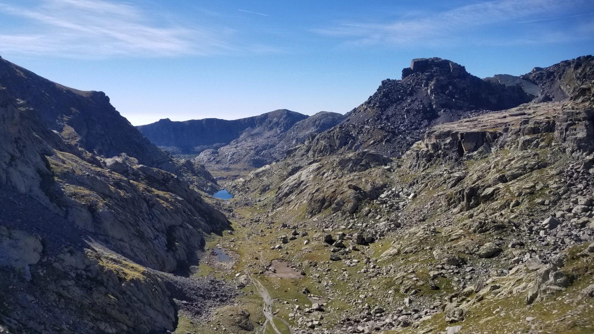
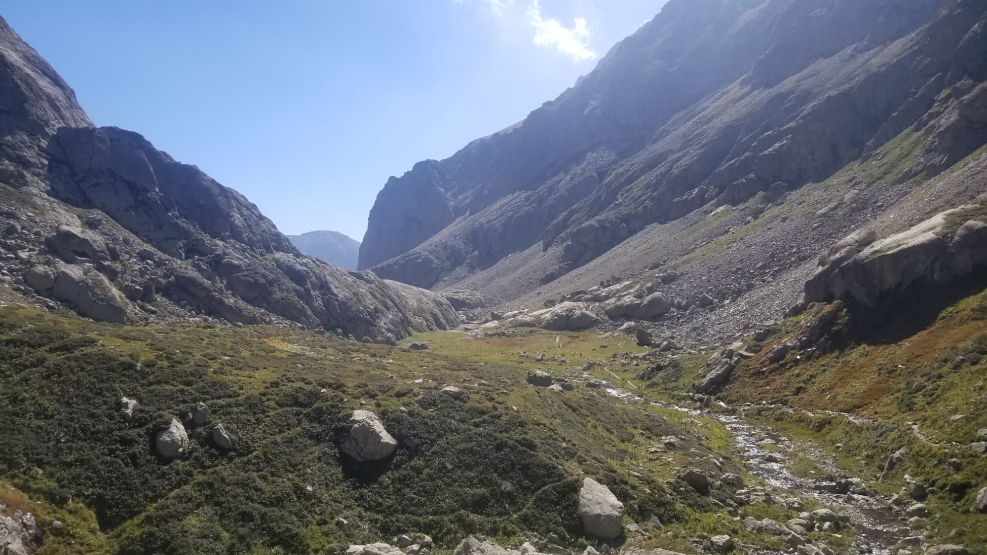
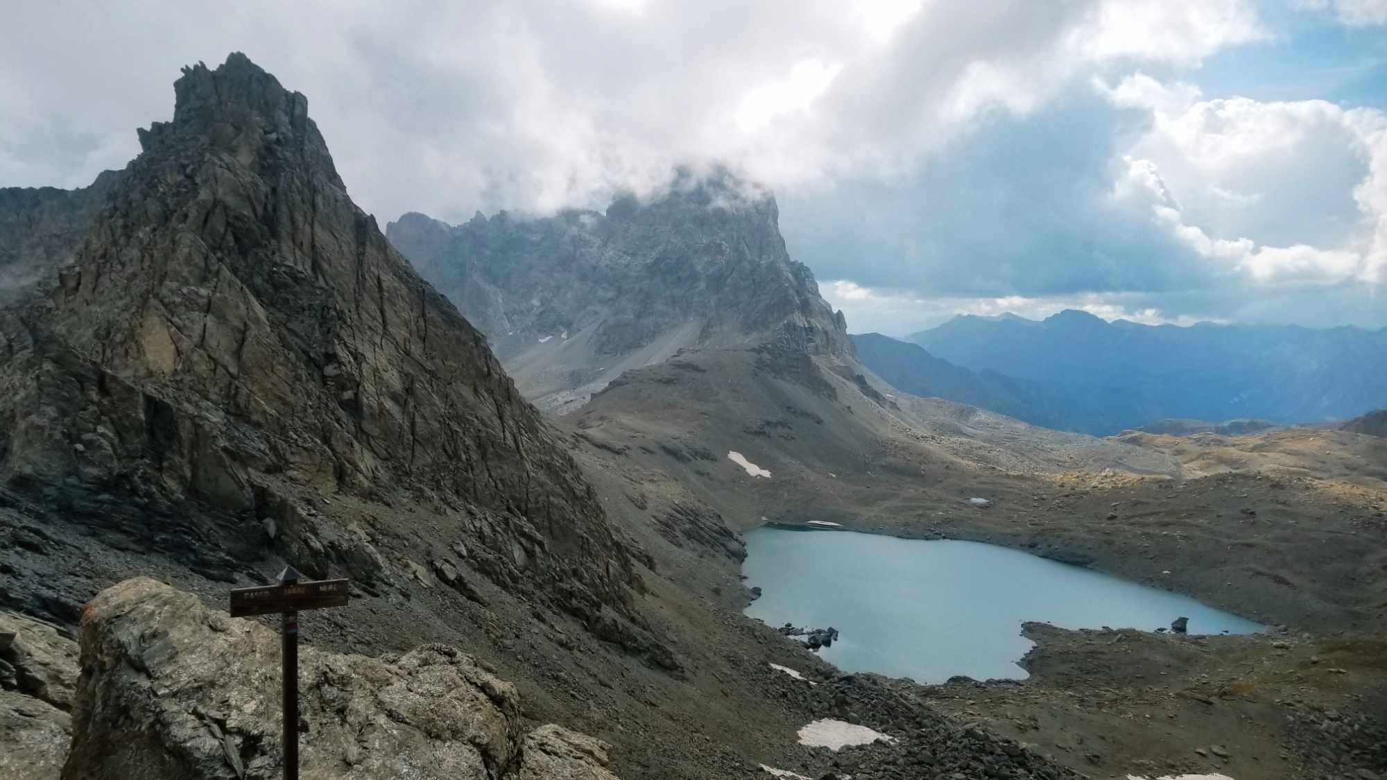
The trail from here was easy sailing, passing the lake, and crossing another col into Italy again. I walked down a valley with huge sheer rock faces on either side ( they do make a great national border ), and finally, the rain began to come.
COLOR
I decided to hoof it over the last col of the day and back into France, where I found a great place to pitch the tent right next to a gorgeous lake.
Where the trail reunites with the official GR5Camp place
Of course, as soon as I unpacked the tent and started setting it up, the rain fell harder, so it’s a little wet inside.. man, I really chose “hard mode” today with this alternate. Well, I’m happy to be alive and warm in my sleeping bag, relaying this tale to you.