We woke up around 7:30 and packed up our bags right away, excited to begin the adventure that we have been planning for nearly a year.
I know that I’ve been looking forward to this trip since I met Paul, who lives in the Pyrenees, on the CDT two Summers ago. He promised to send me the guidebook for this thing called “the high route of the pyrenees.”
I have to say, nothing makes me want to do a thru-hike more than the pictures I see of it. That’s part of why I started an Instagram, to hopefully be that point of inspiration for other thru-hikers. And when I saw the pictures of the HRP, I was blown away. I knew then that I had to do it.
So, two years later, my hiking partner and I start our journey. We got up, and our BnB host made us some stellar espresso to get us up and out the door.
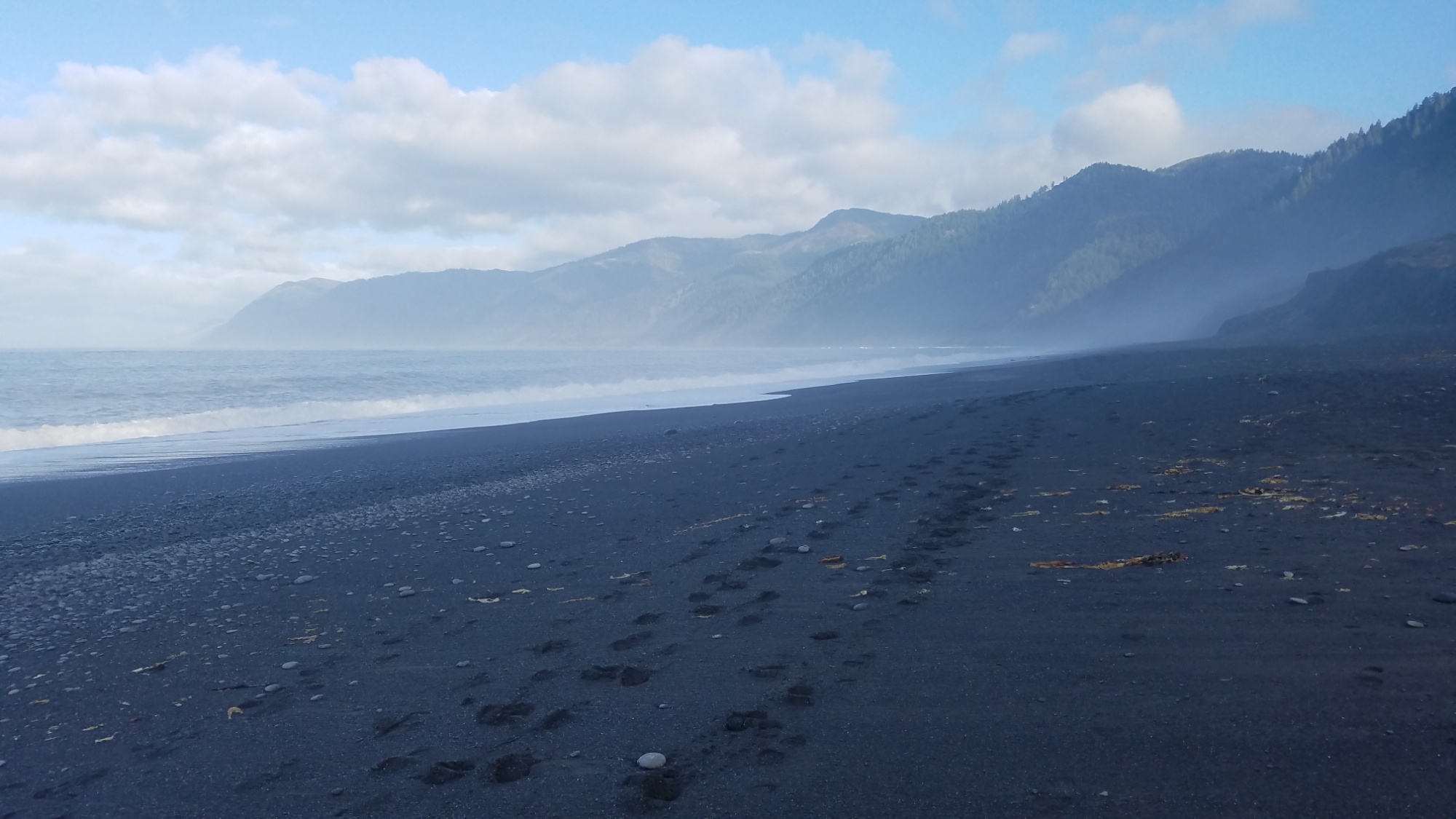
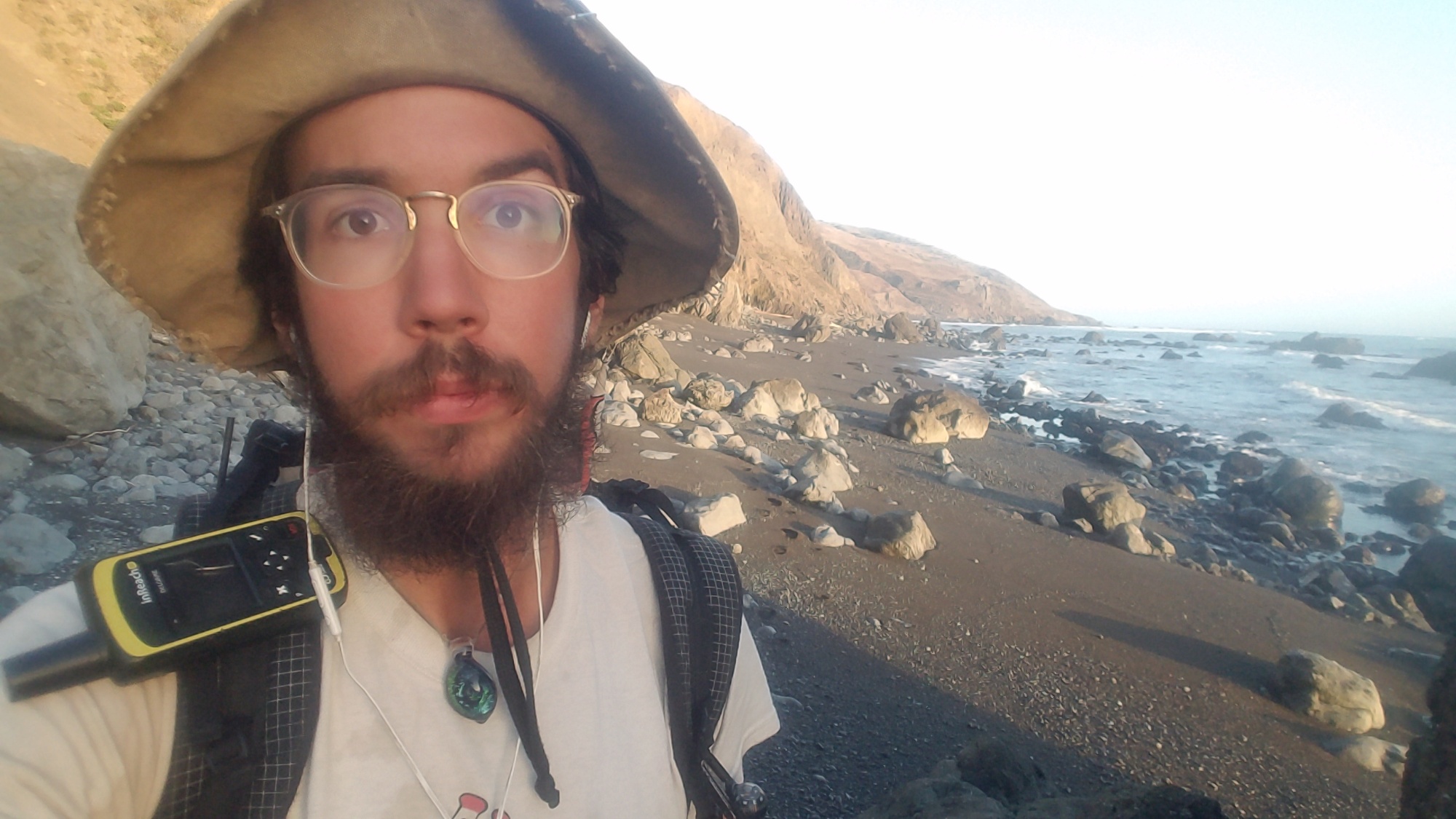
Upon the tradition of walking into the Atlantic ocean at the beaches of Hendaye, and touching the obligatory HRP obelisk, the hike is begun.
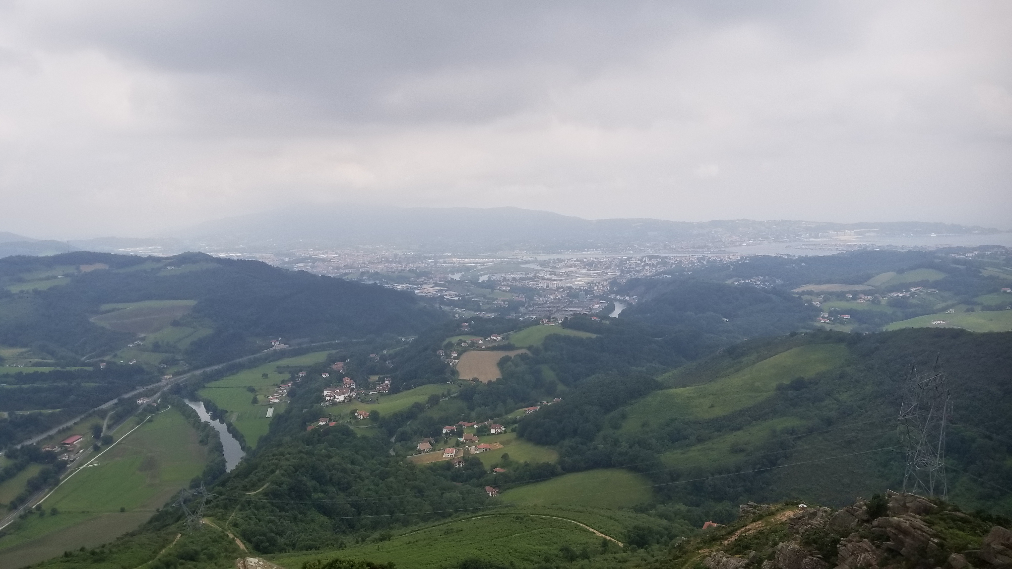
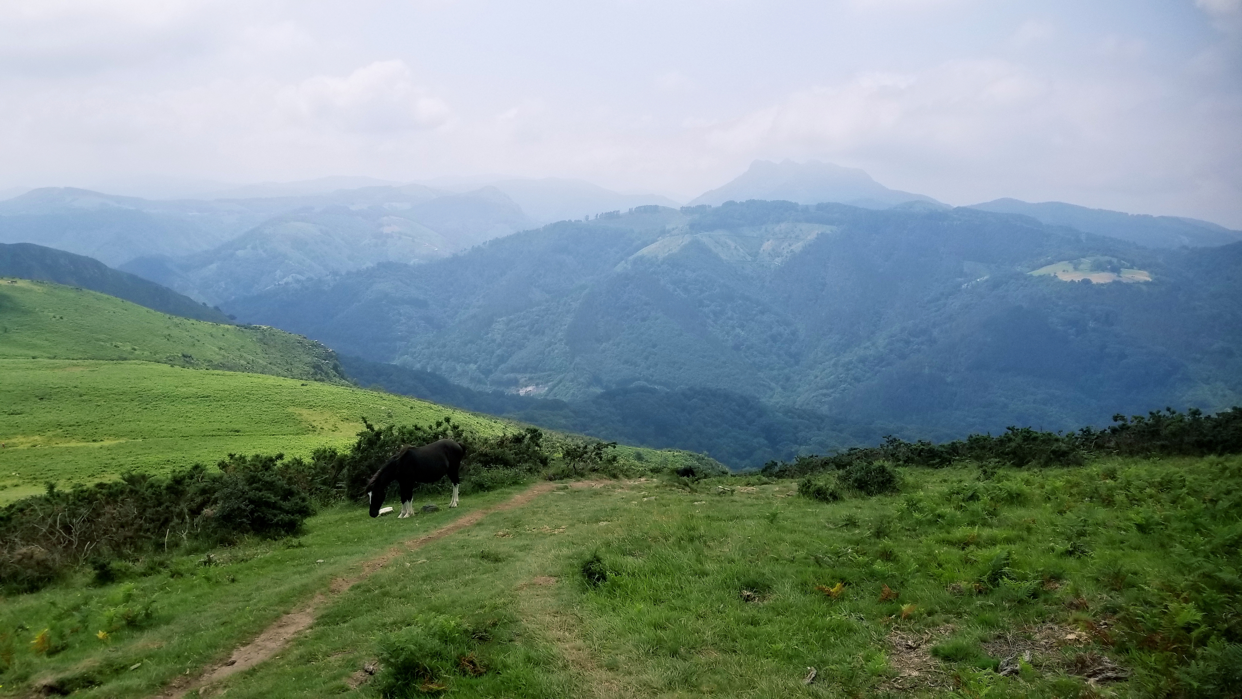
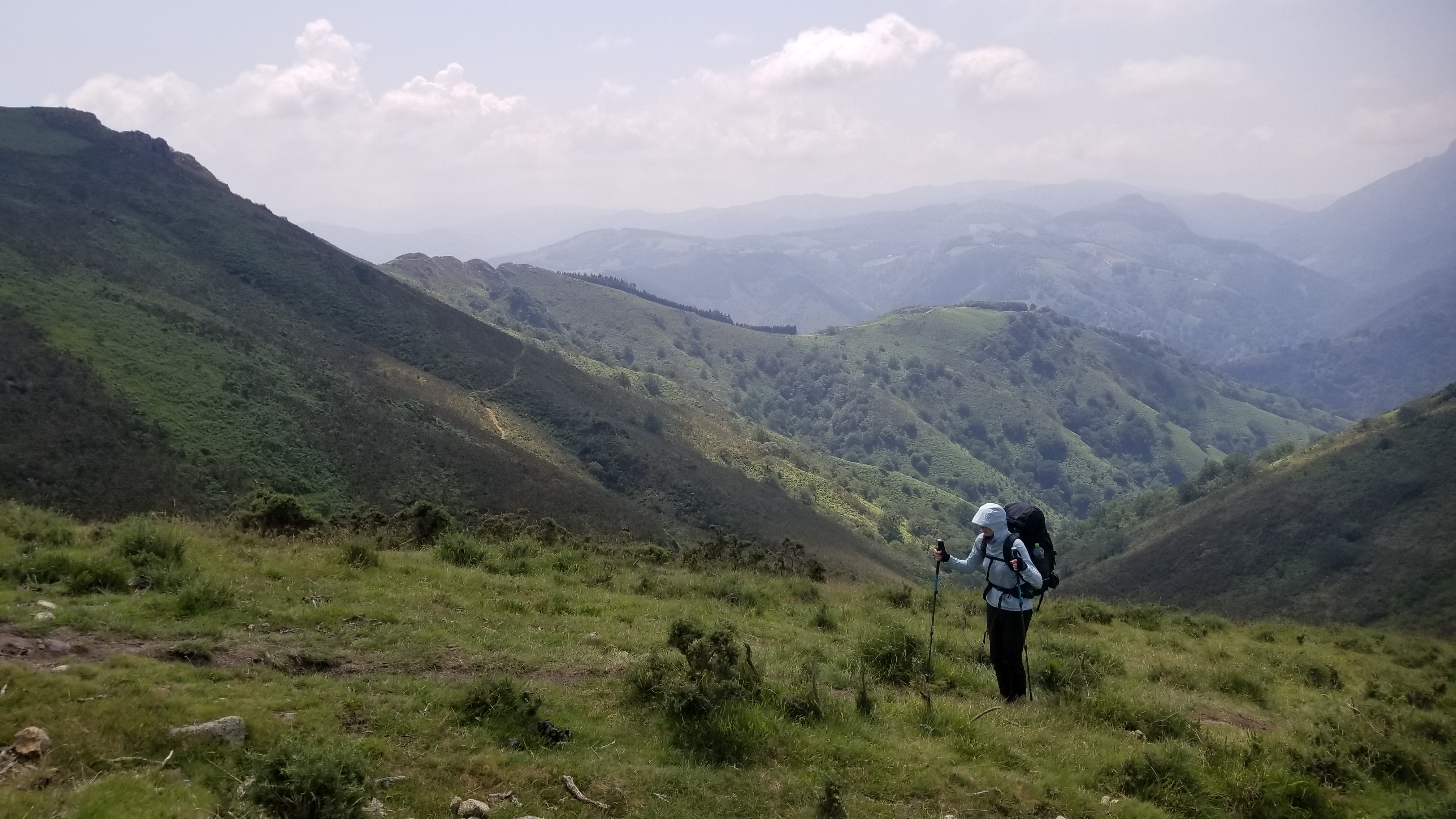
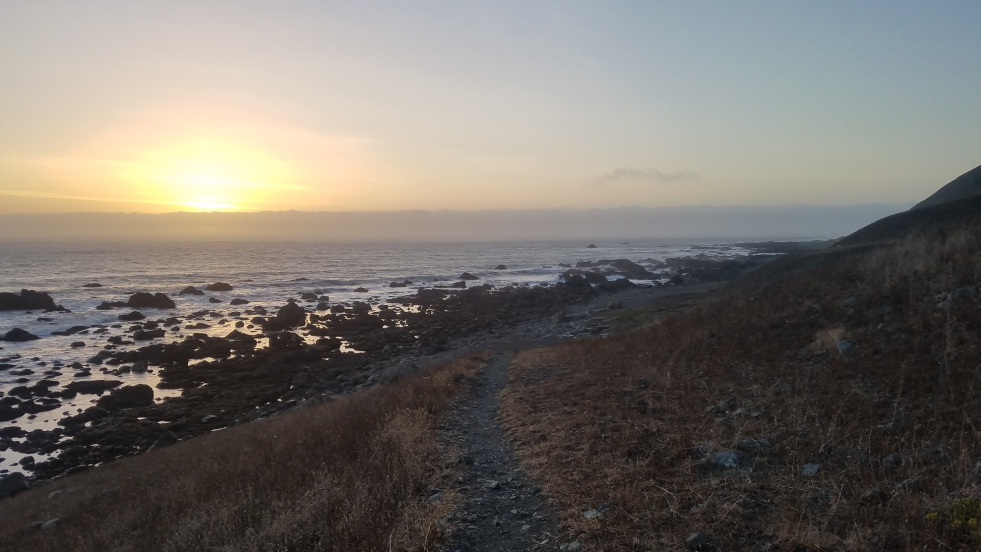
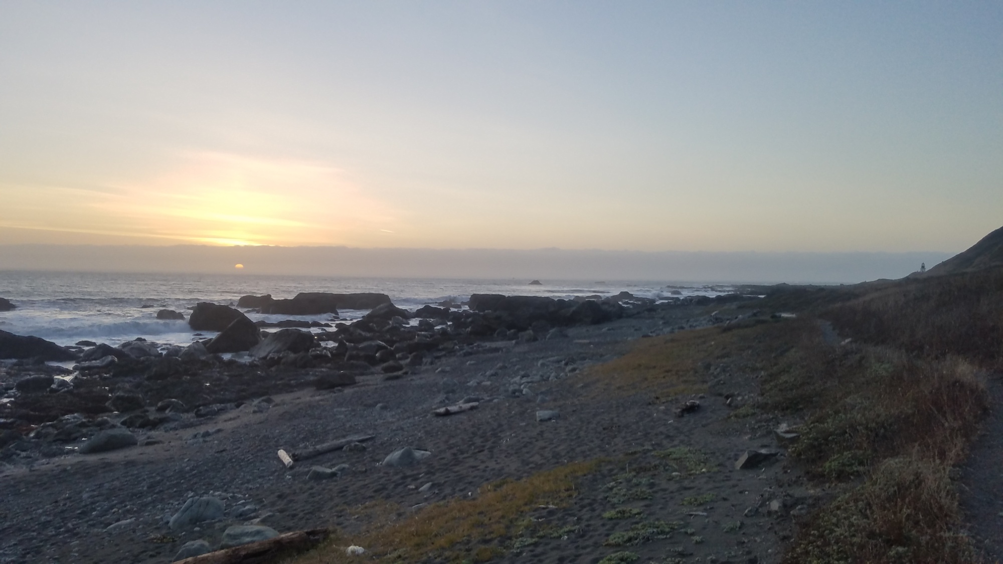
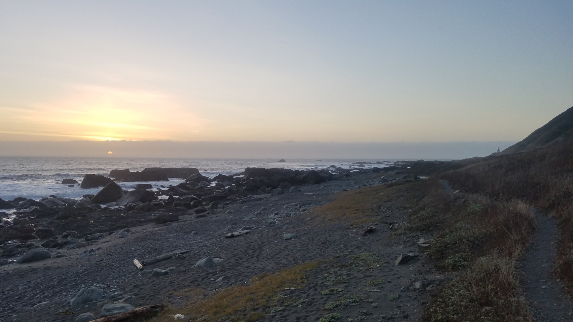
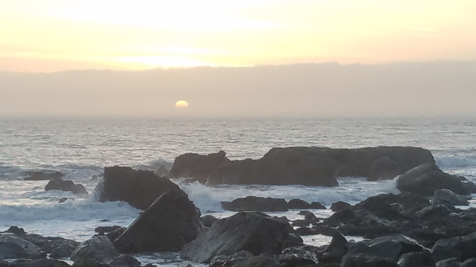
I can’t say we saw anything truly spectacular today. Mainly, we climbed two big hills, a combined 1,300m of elevation gain (which is higher than most mountains where I come from). The hill we’re camping on now tops out at about 3,000 feet above sea level.
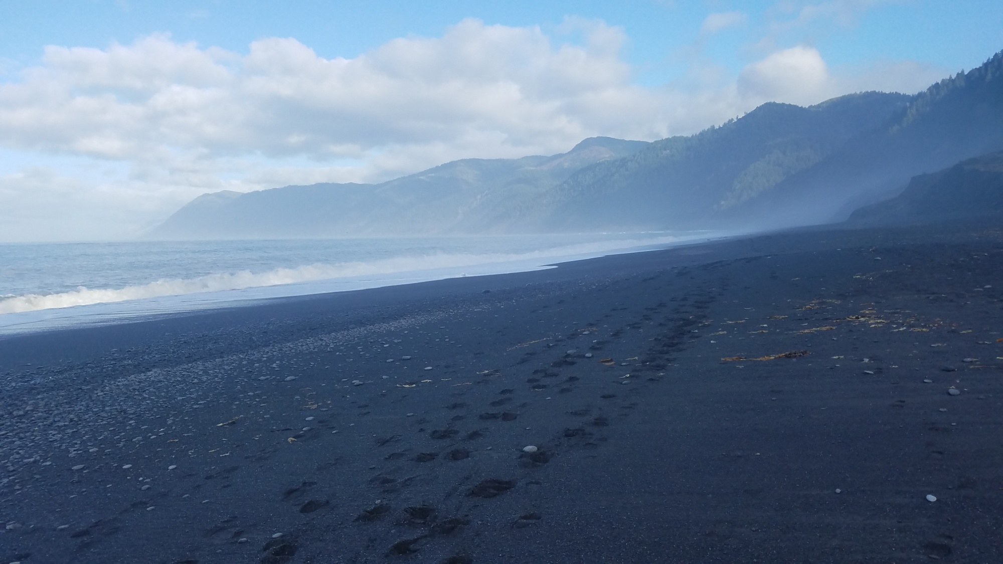
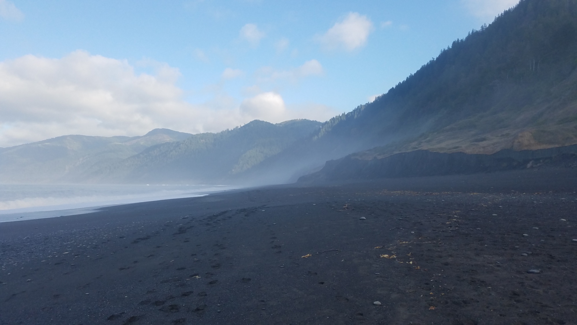
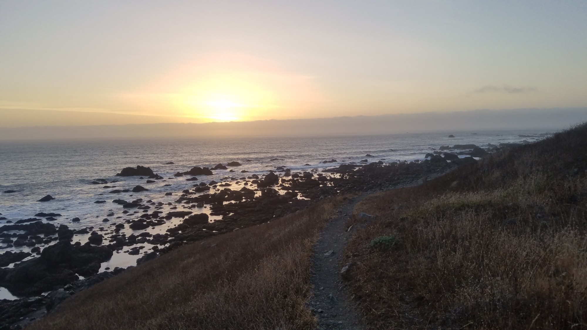
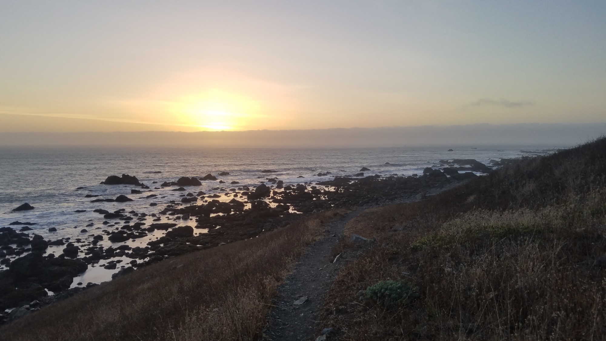
The views of Basque country are wonderful. Here are just a few of them:
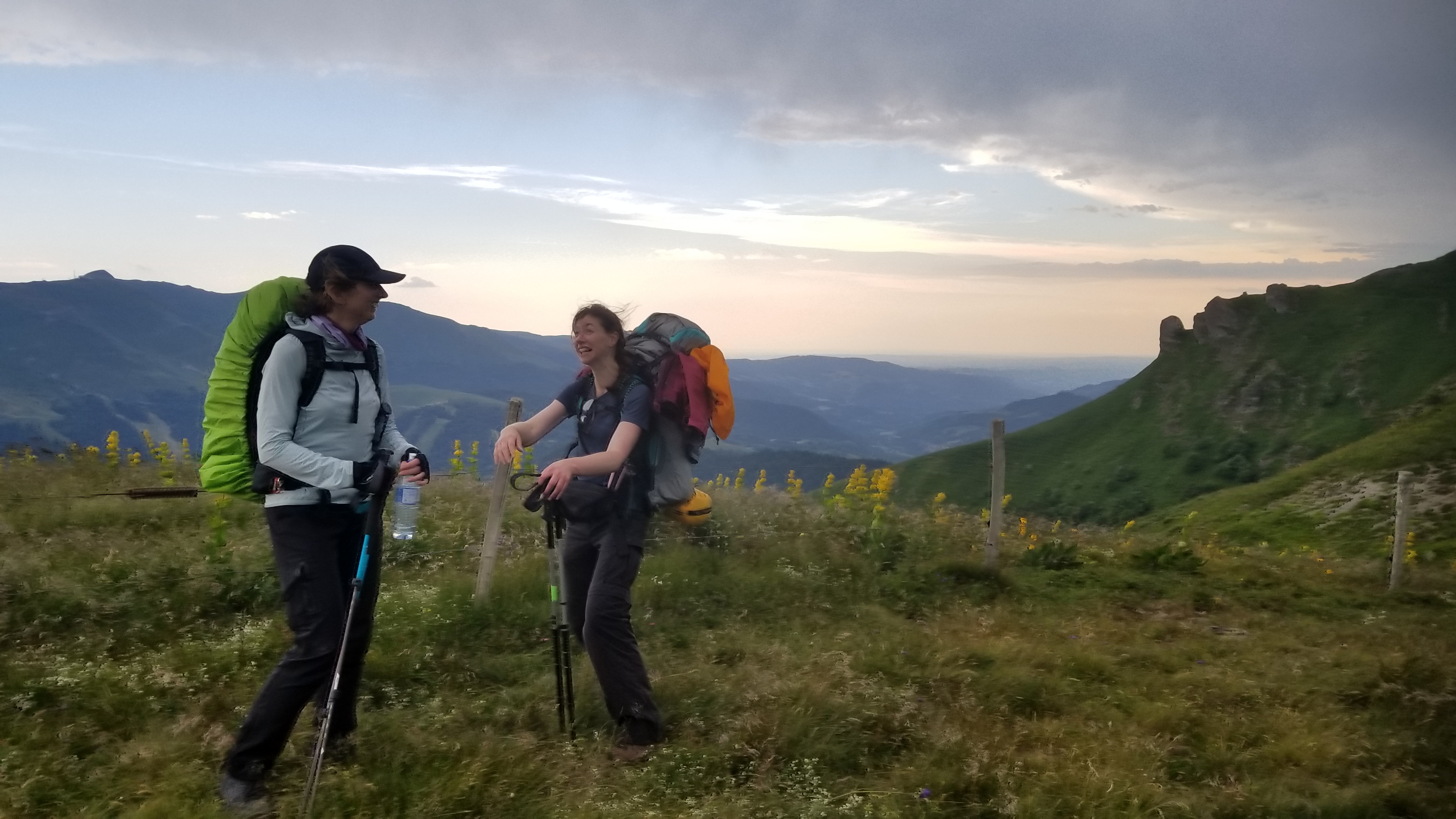
Hendaye from way on highHORSEYIt was a long, strenuous first daySheep and horses grazing on Larun
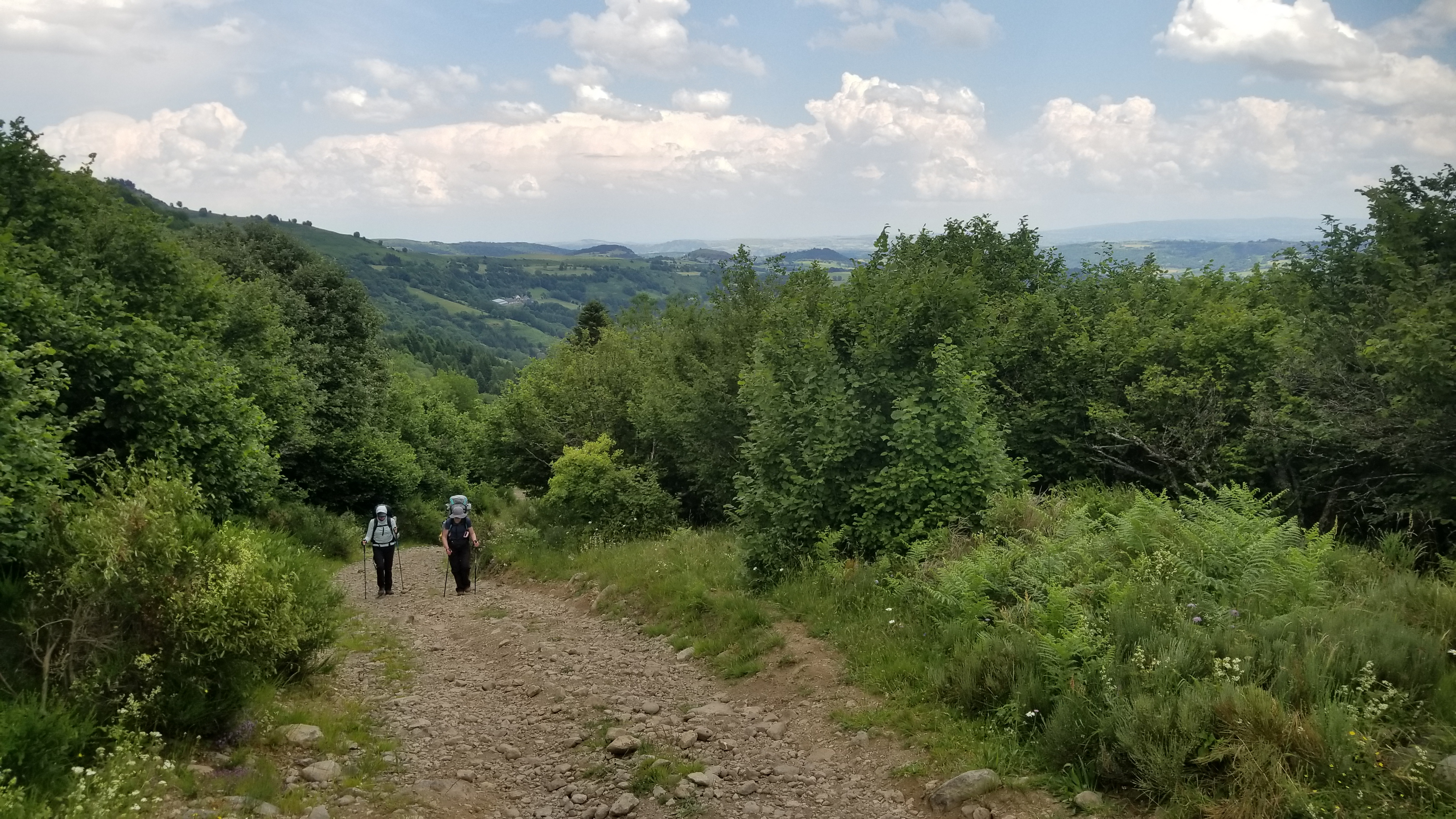
We saw quite a few bikers and hikers today, mostly out for the day. I feel we will see less and less as we continue into the more remote reaches of the Pyrenees. Today we met a GR10 hiker, doing the trail that runs along the French side of the Pyrenees. It is also legendary for its beauty.
This will be a short post since I’m worn out from the 23km we hiked today! It’s hard to measure things with distance out here since there are so many climbs and drops. We should get an early start and have an easier day overall tomorrow.
The first step of a long journey is always the hardest. I estimate 3 weeks before we become lean, mean, hiking machines! We’ll need every ounce of strength we have to make it through this trek. But I’ll share every gram of its beauty with you.
If you read yesterdays post, I left off as we were getting absolutely pummeled by a monsoon (dad said it looked like a hurricane the size of France on the weather radar).
Finally, we gave up on pitching a tent. It was futile in the hurricane-strength winds on the mountainside, the tent fly gusseting around like a kite in a typhoon.
My hiking partner went down to the refuge to ask for shelter, while her friend and I took down the tent. “Ahh, I’ve been in worse” she said. I laughed and said “you’re crazy! (But in the best way)”
She held the tent frame to keep it from flying into the next town over, and I began pulling up the stakes and rolling up the rainfly. After 5 minutes of this circus act performance, barely able to see through the sweeping curtains of rain, we were both thoroughly and totally drenched. She at least had rain gear on; I was using my only raingear, a poncho, to keep my backpack dry.
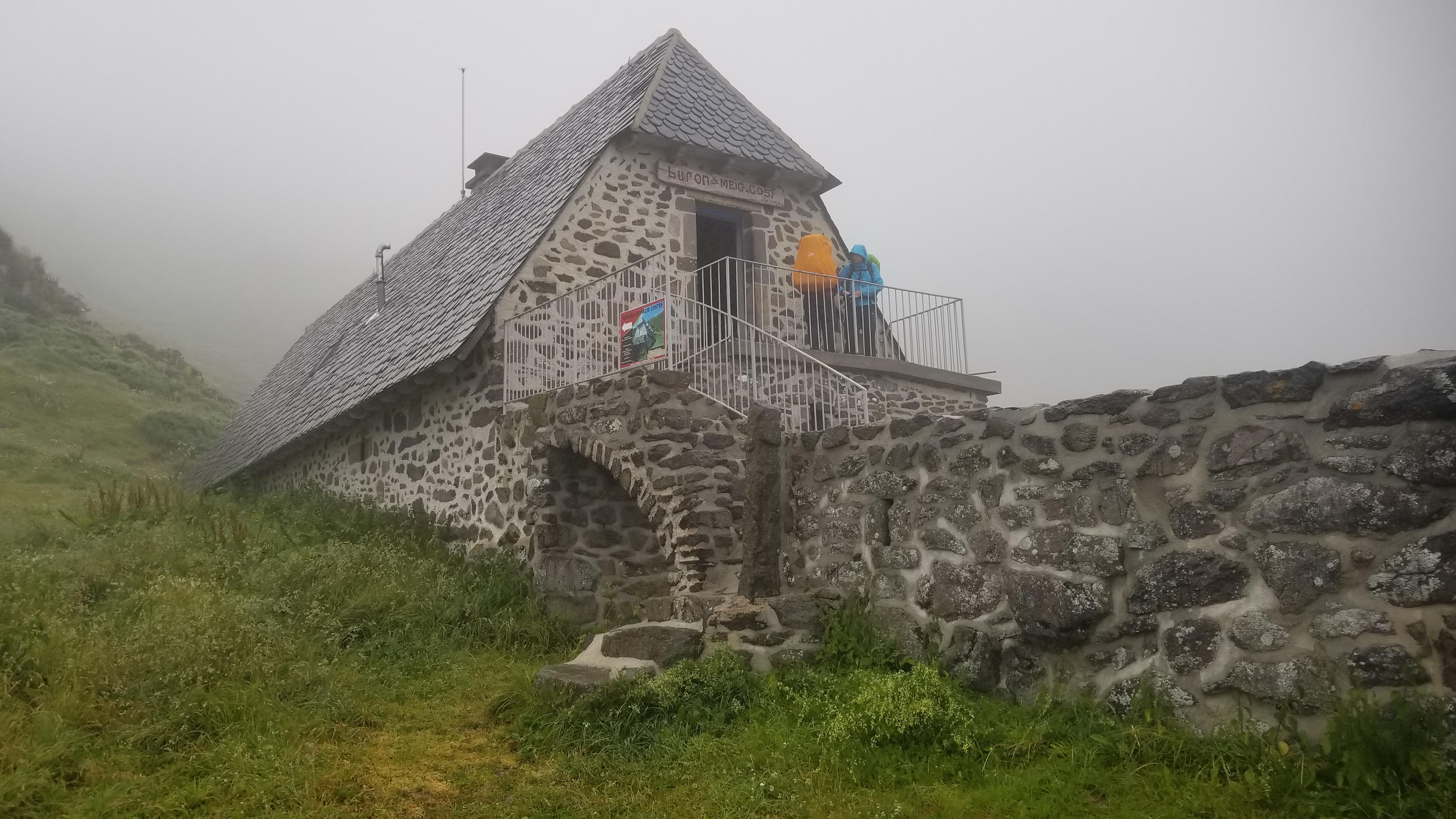
With the tent safely rolled up in its bag, we ran down the steep rocky path to salvation, a beautiful stone cabane built by the french alpine club, for serious alpinists only. Refuges like this were built all through the high mountains in Europe, to help hikers and climbers who find themselves in predicaments like the one we now found ourselves in.
“You can stay,” said the refuge owner, “but the price is 20 euro (~$24).”
A small price to pay to escape the hellstorm that had spent all day gathering its strength and then let slip in one fearsome burst of spray and sparks and splendor. It all descended on us in an instant, and we were thankful to escape, with a loss of only one tent stake, forever pounded into the earth and never to be heard from again.
Once inside, I changed into dry clothes and prepared dinner: tin tuna with mayo, salt, pepper, and crackers, and a freeze dried spaghetti mountain house.
It reminded me of a similar meal I had with my dad, when we once hiked deep into the backcountry of Denali NP, Alaska. We weathered a similar storm all night while trying to sleep on a hillside with a view, staring down at glaciers and snow capped peaks, hoping we didn’t meet wolves or grizzly bears in the middle of the night.
Inside the refuge, over dinner, a French girl who knew English asked about our route. Upon discovering it was the HRP and GR5, she gave the expressions that many have given in response before.
Everyone in France shows a mixture of shock and humor when I tell the plan to them, the kind of half laugh of disbelief someone gives when they sense mortal danger. The French know their mountains are fierce and brutal, fiercely beautiful, their beauty revealed only after payment of strife. I understand their disbelief of the thought, to hike 1,600km along the length of both of the highest, hardest border mountain ranges of France. Their reactions only strengthen my resolve to traverse them, collect their views, and bring them to the people who need their tidings, who would benefit from their therapeutic sight.
After drying out and chewing over some French radio musique, we were worn to shreds. Lights out. Good night!
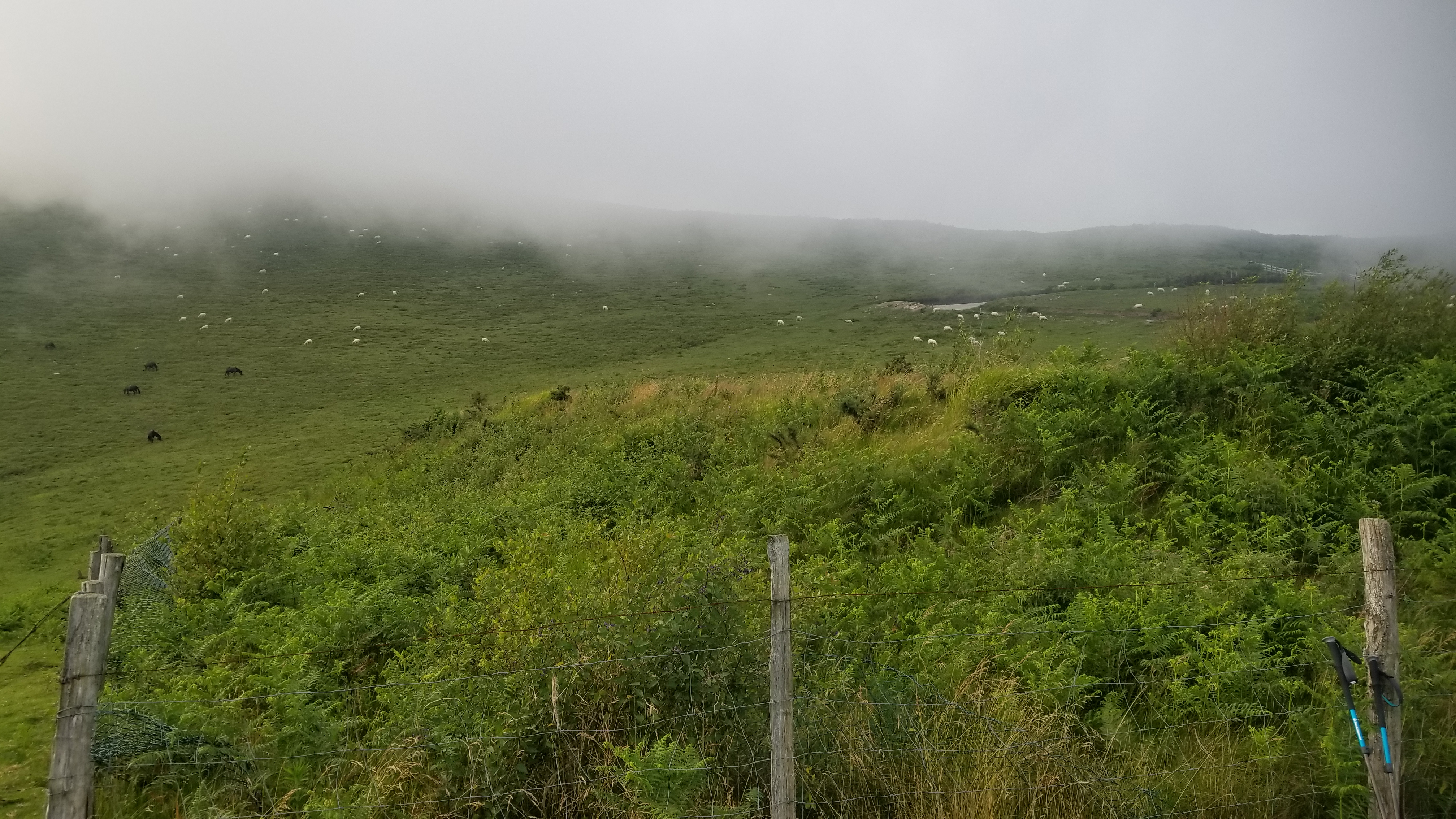
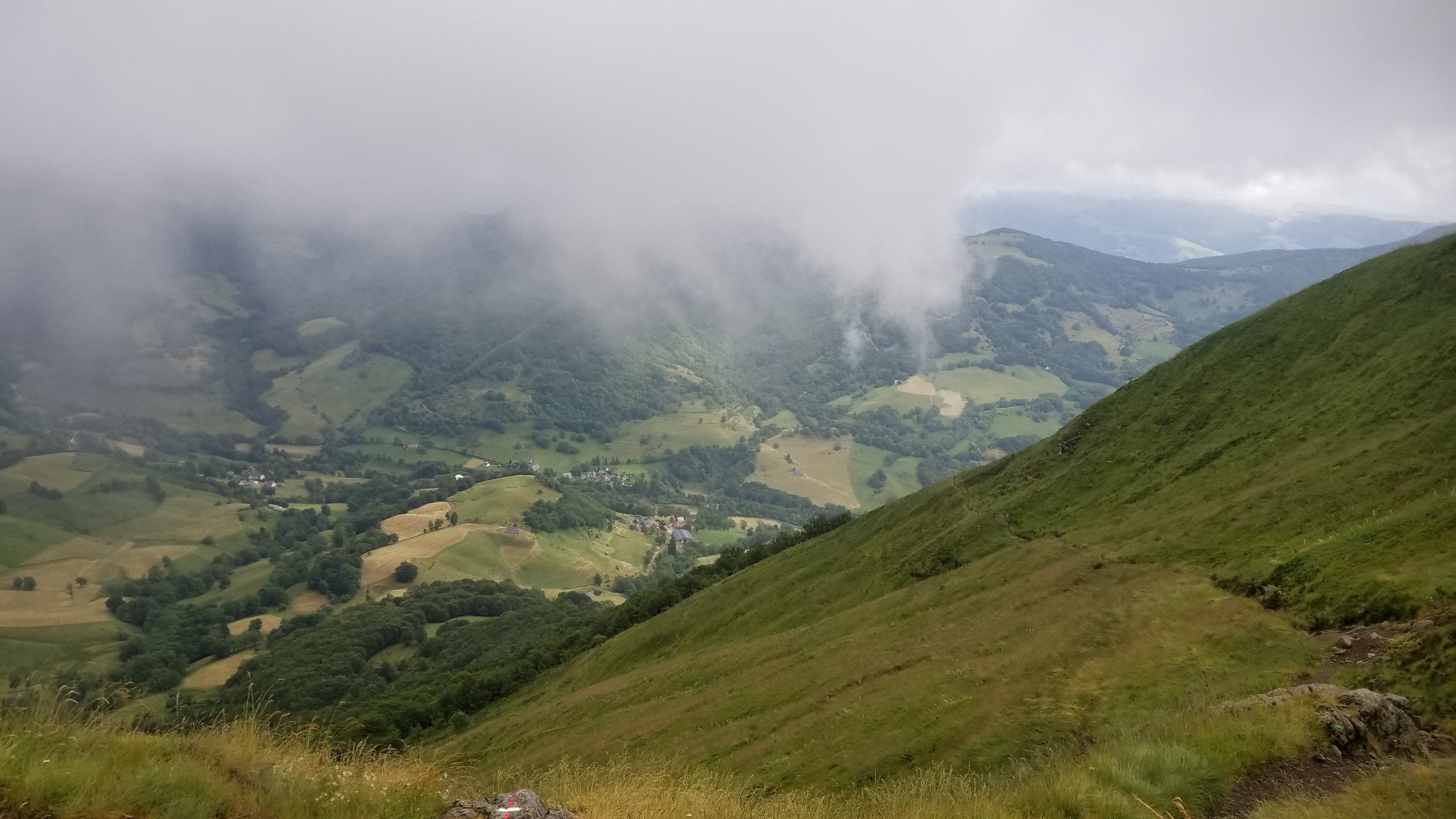
The next morning was very foggy, with small gaps throughout the day revealing tantalizing views of farmlands and lush green valleys over 1,000 meters below.
Our refuge for the storm.
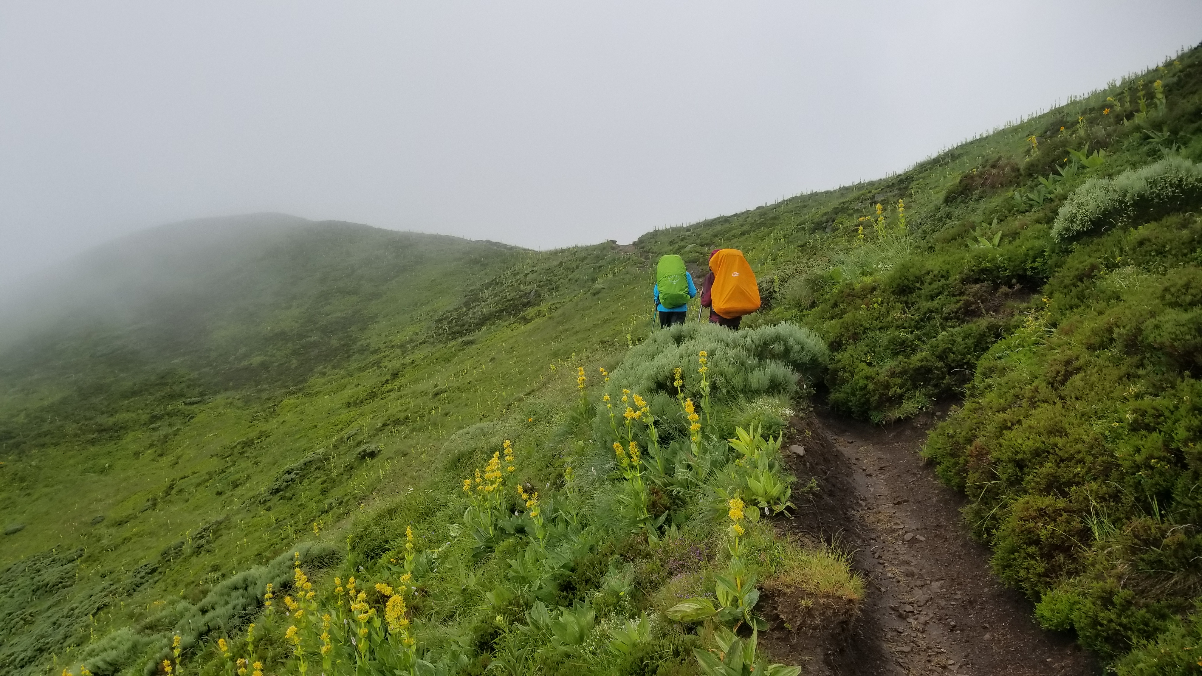
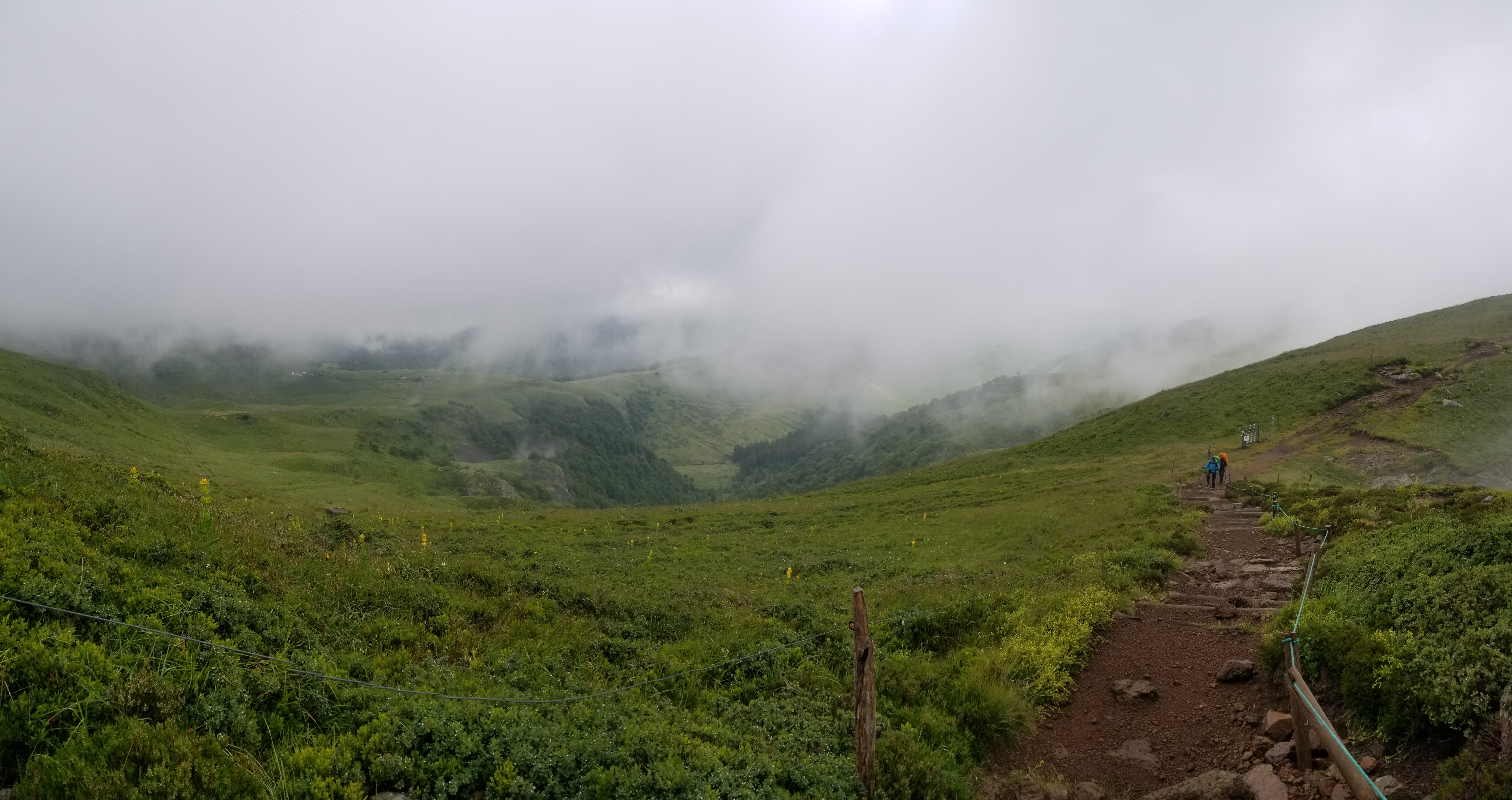
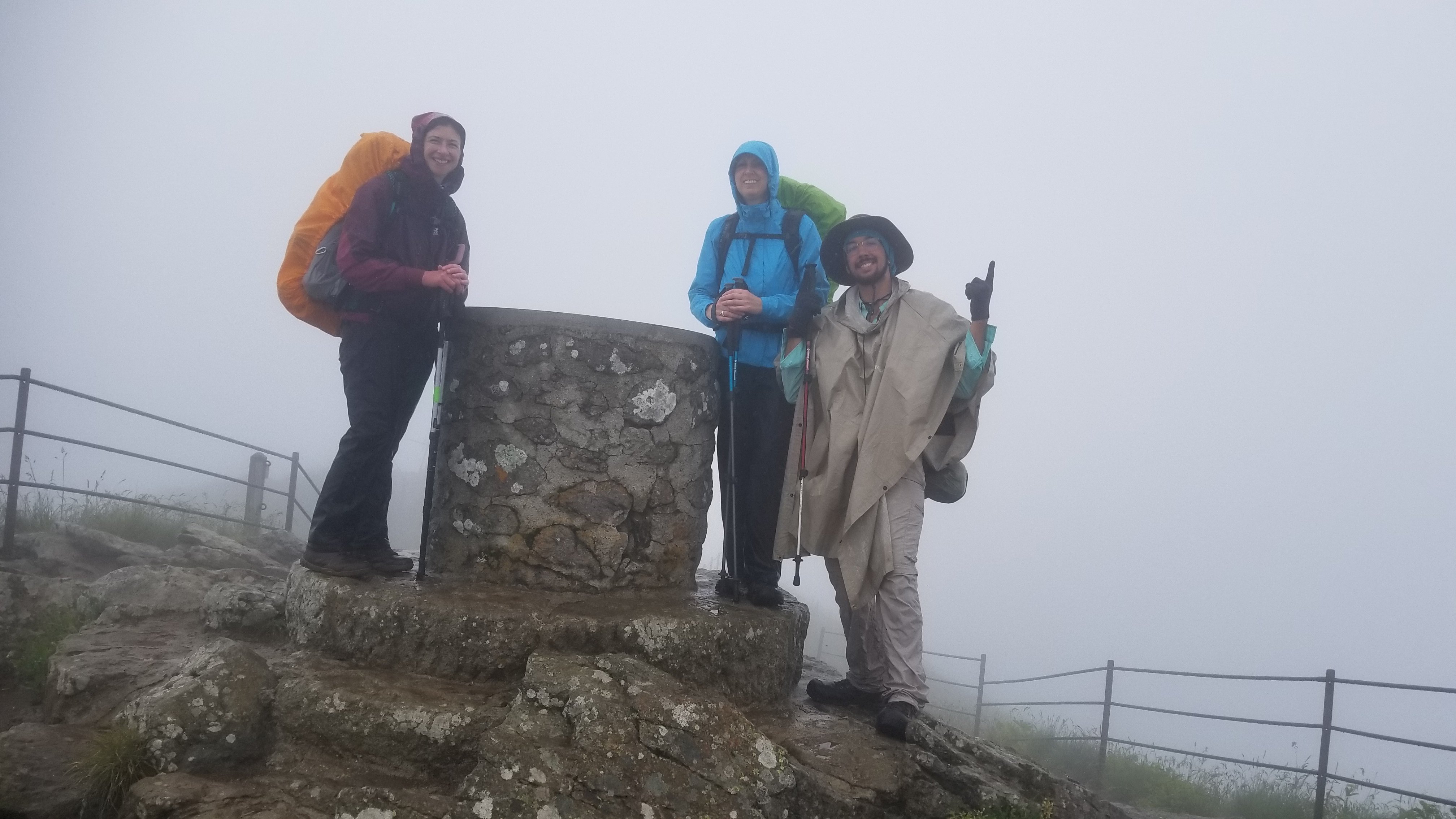
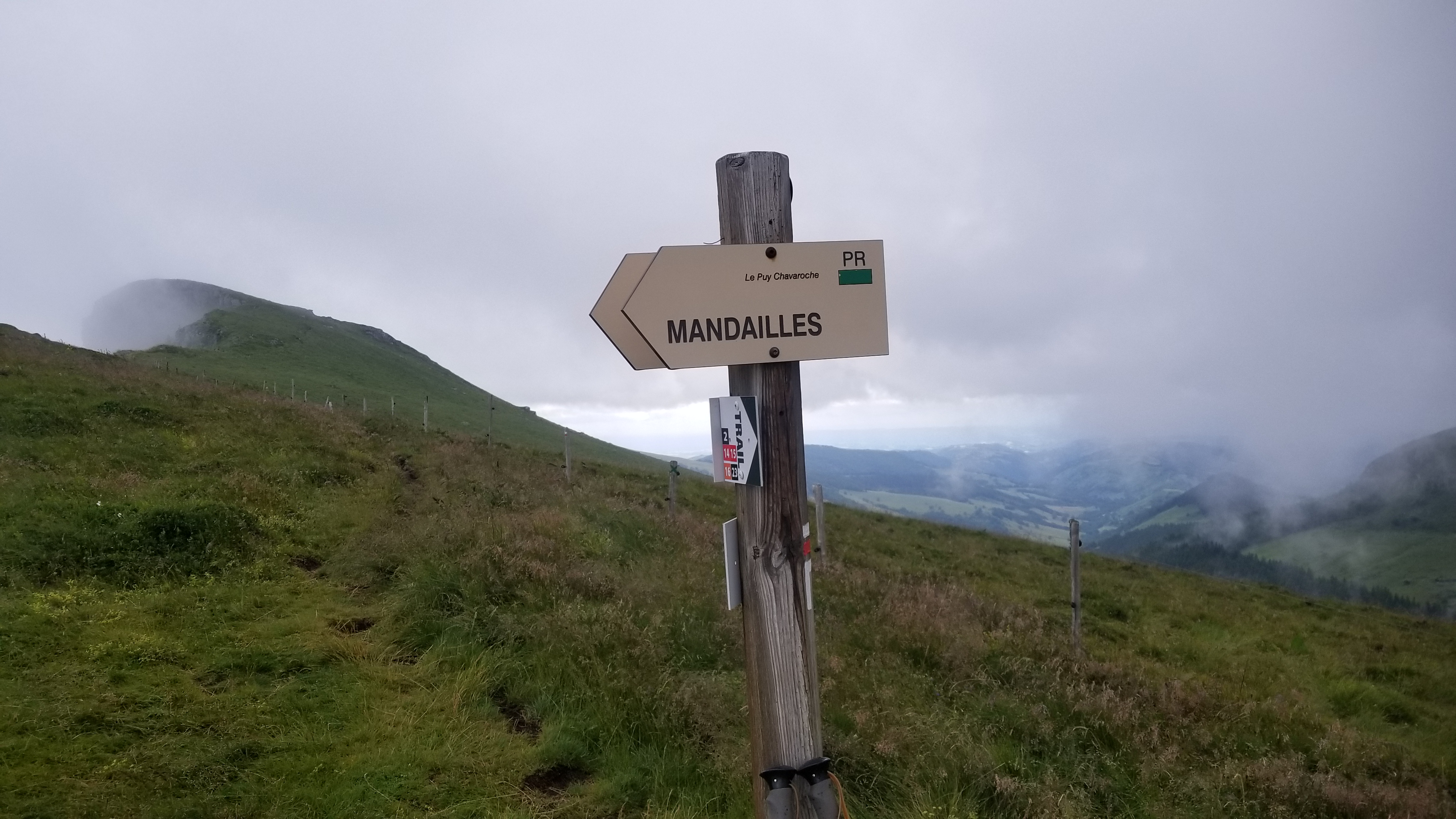
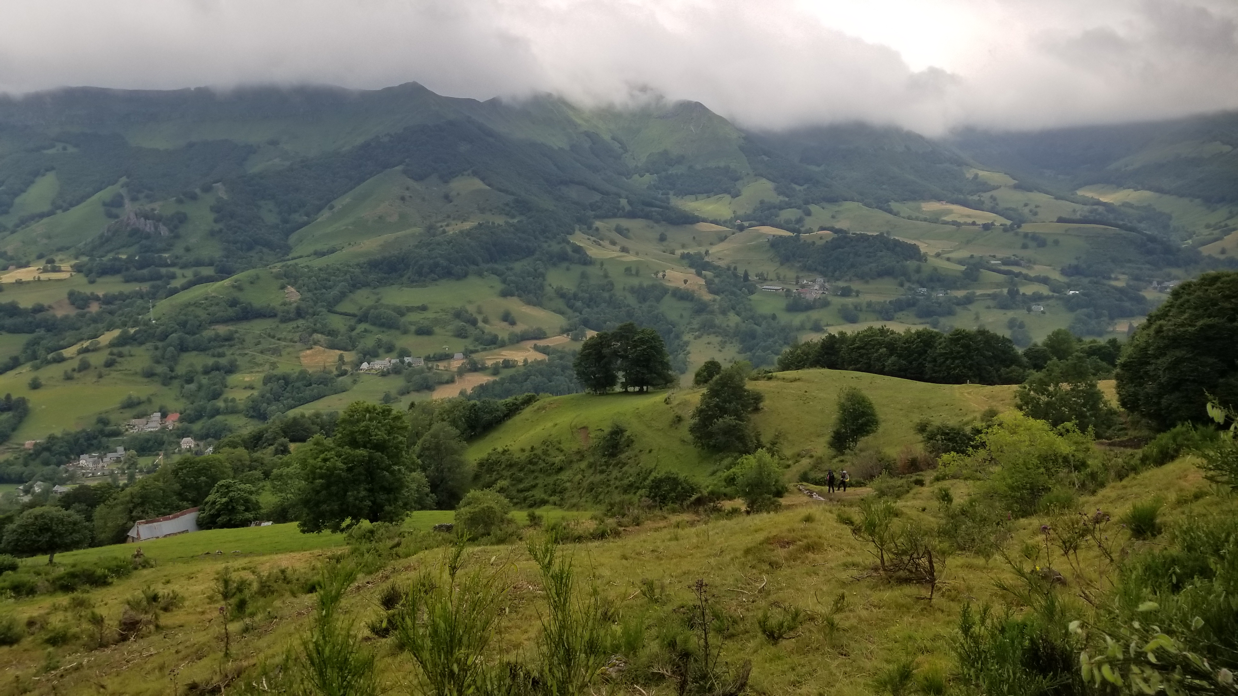
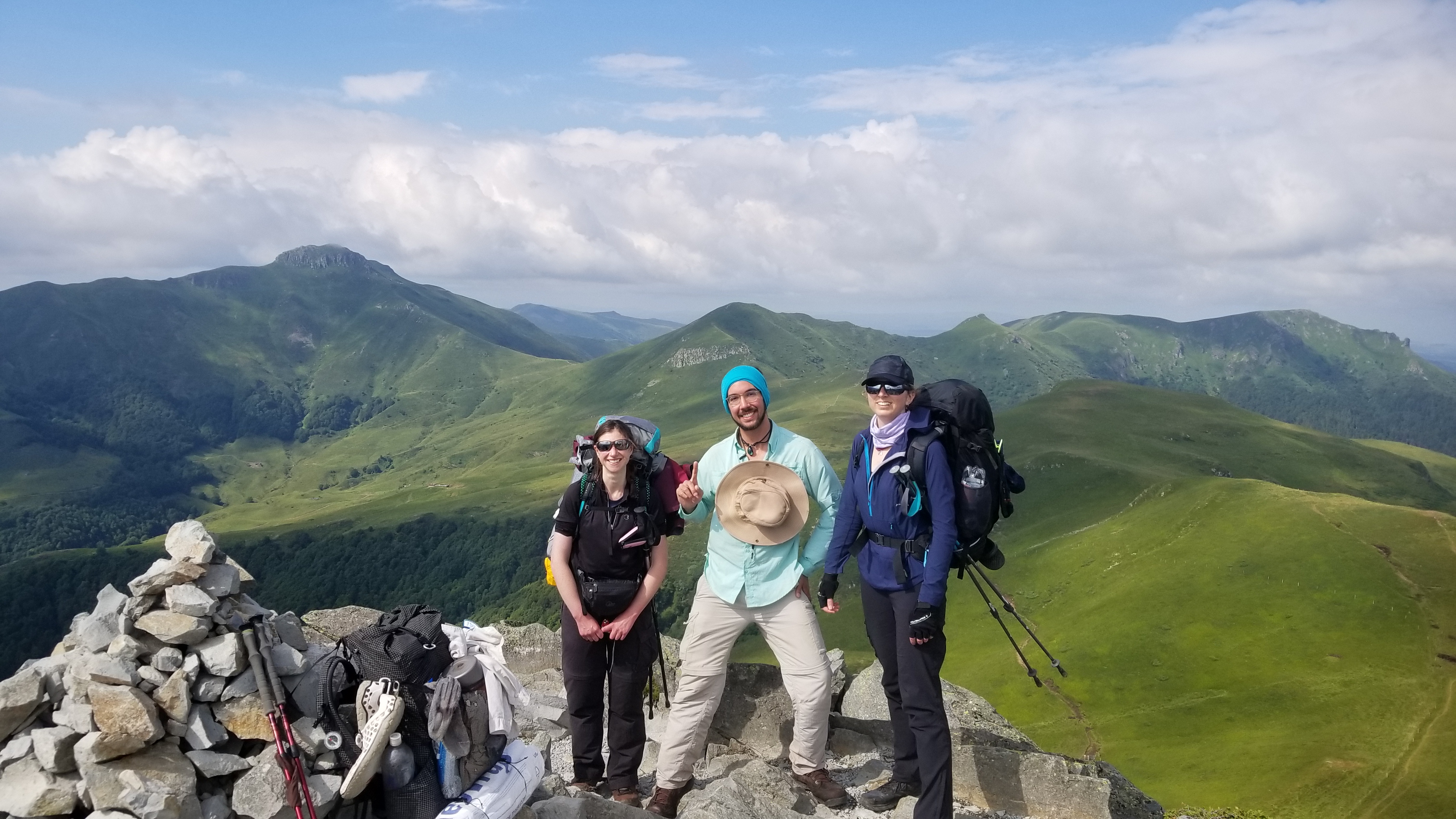
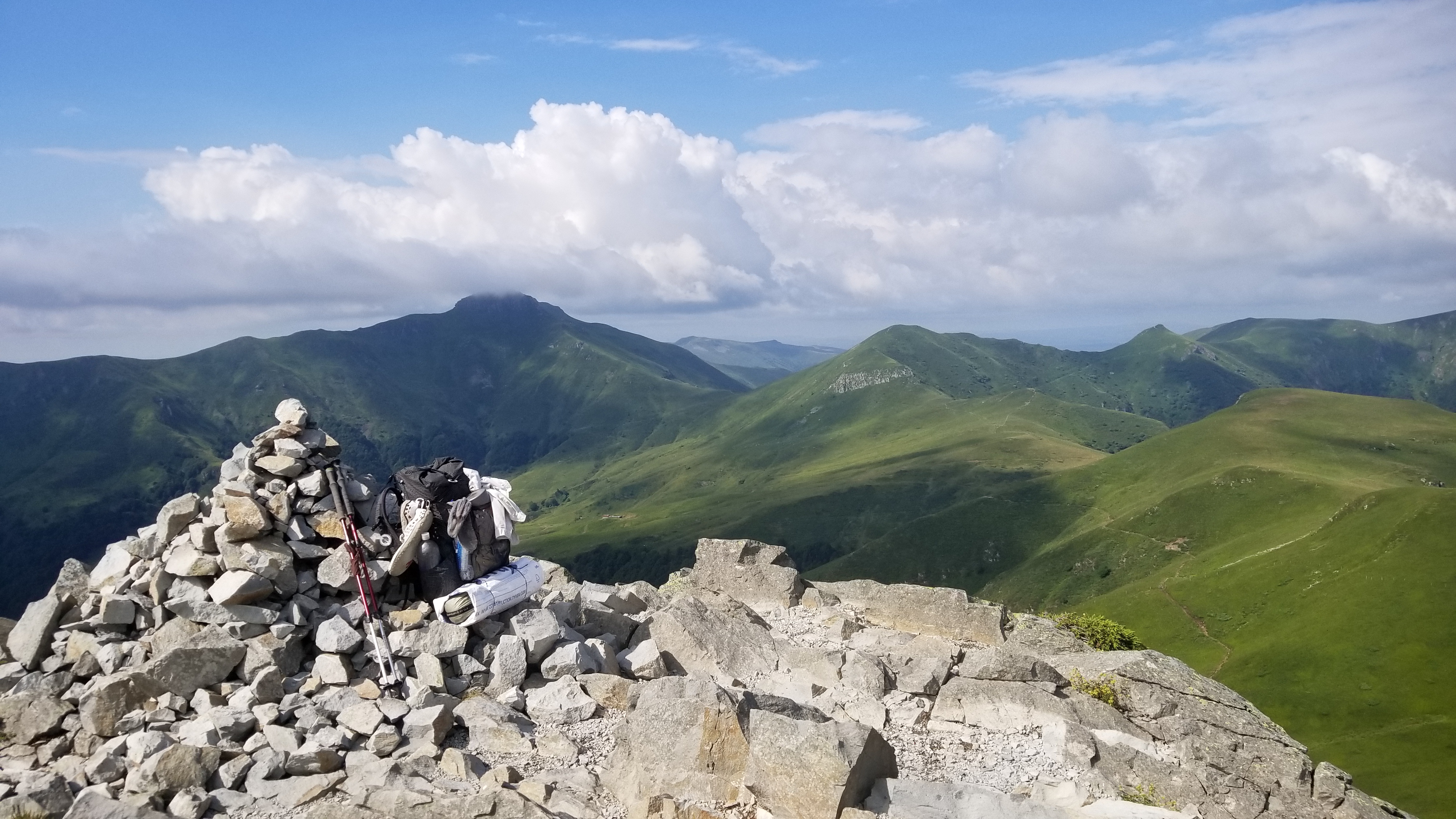
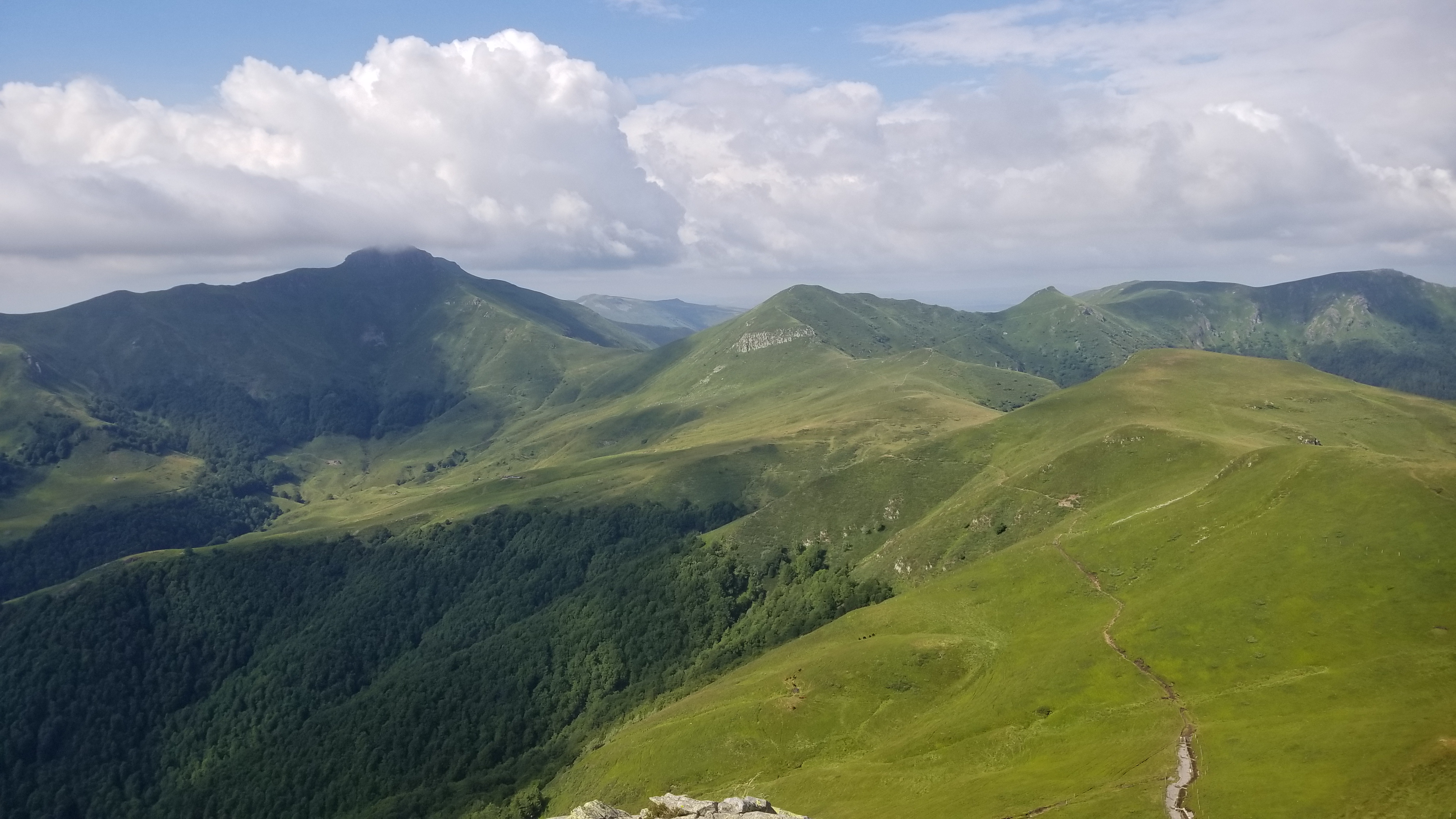
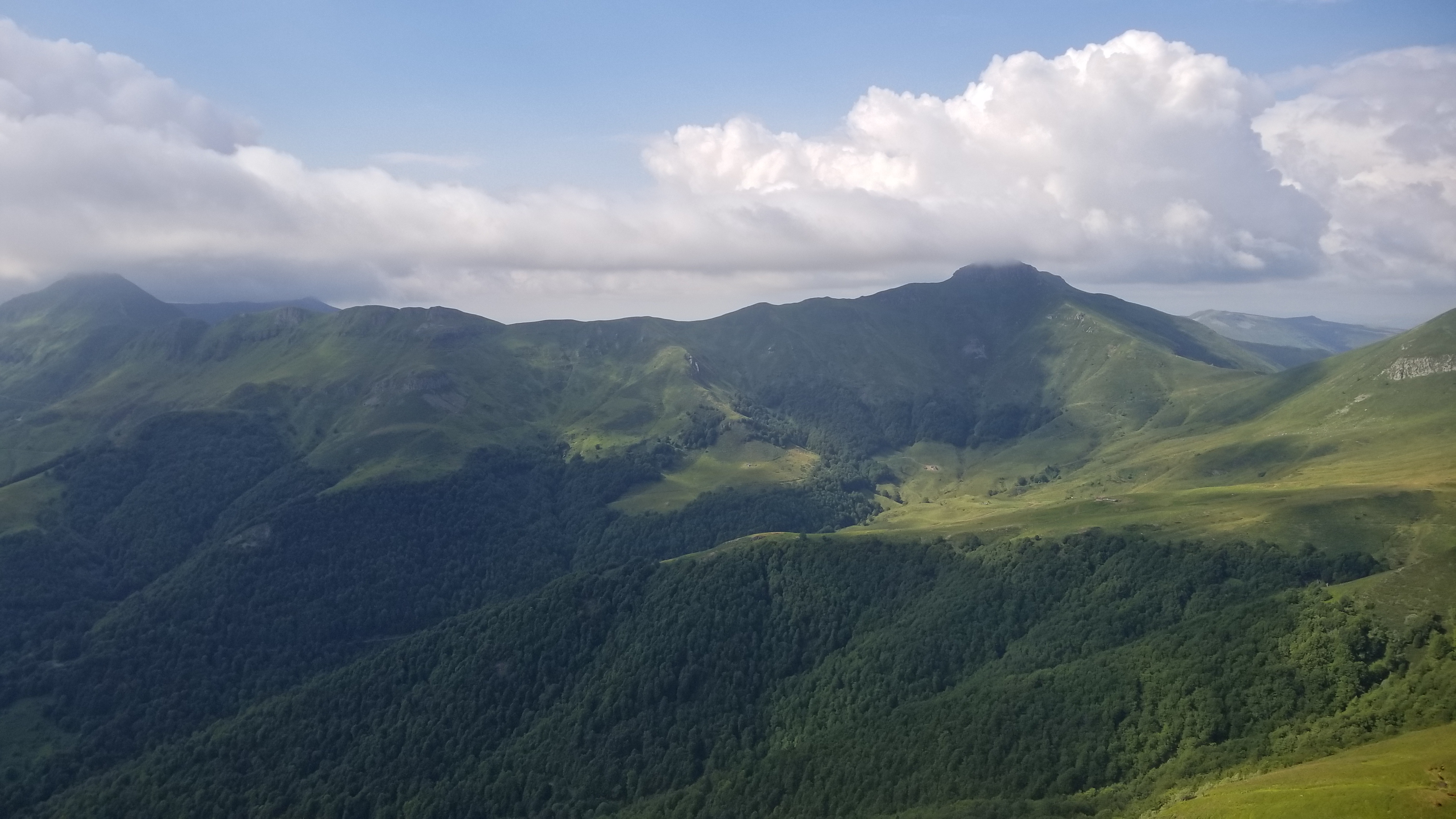
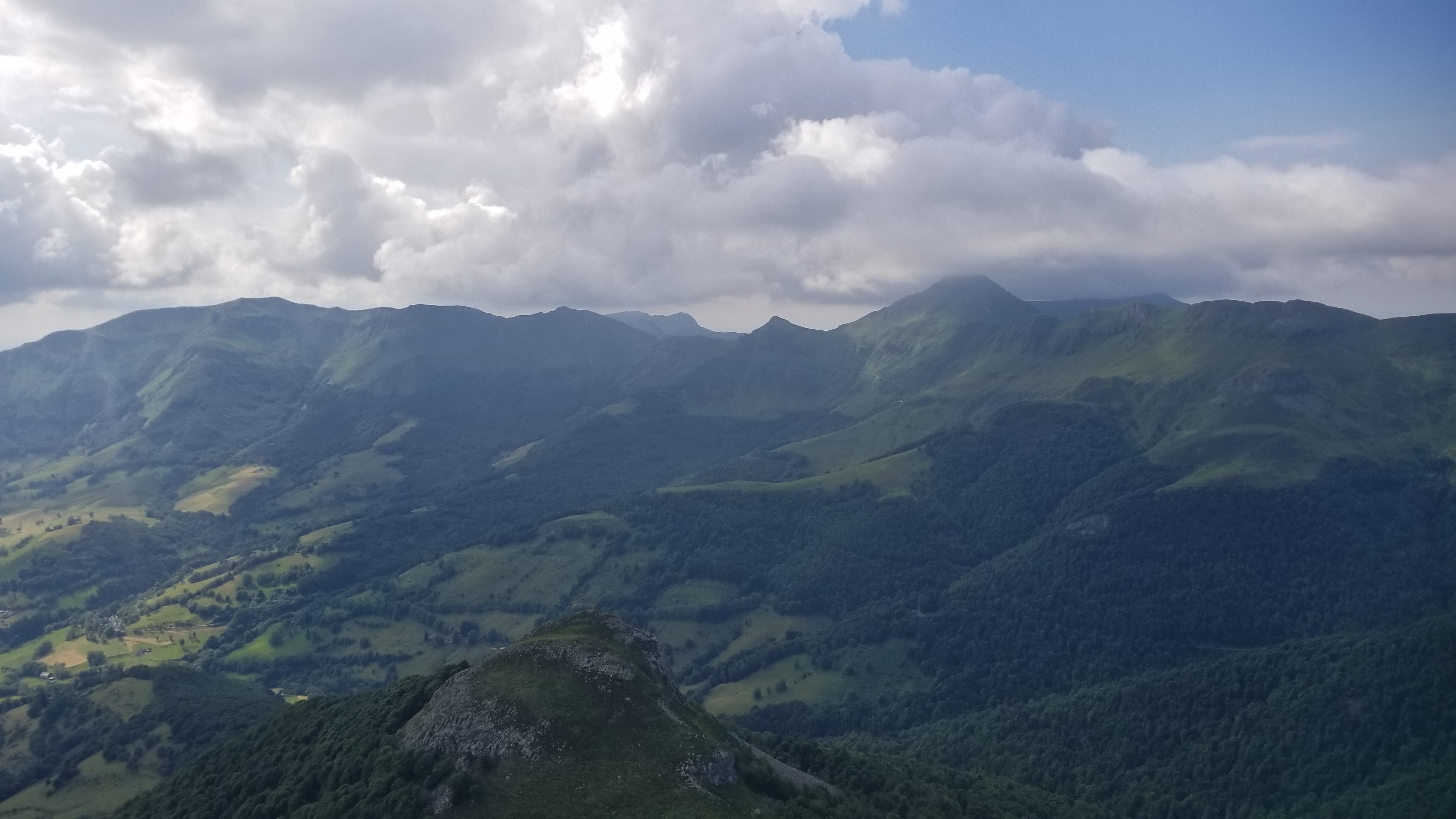
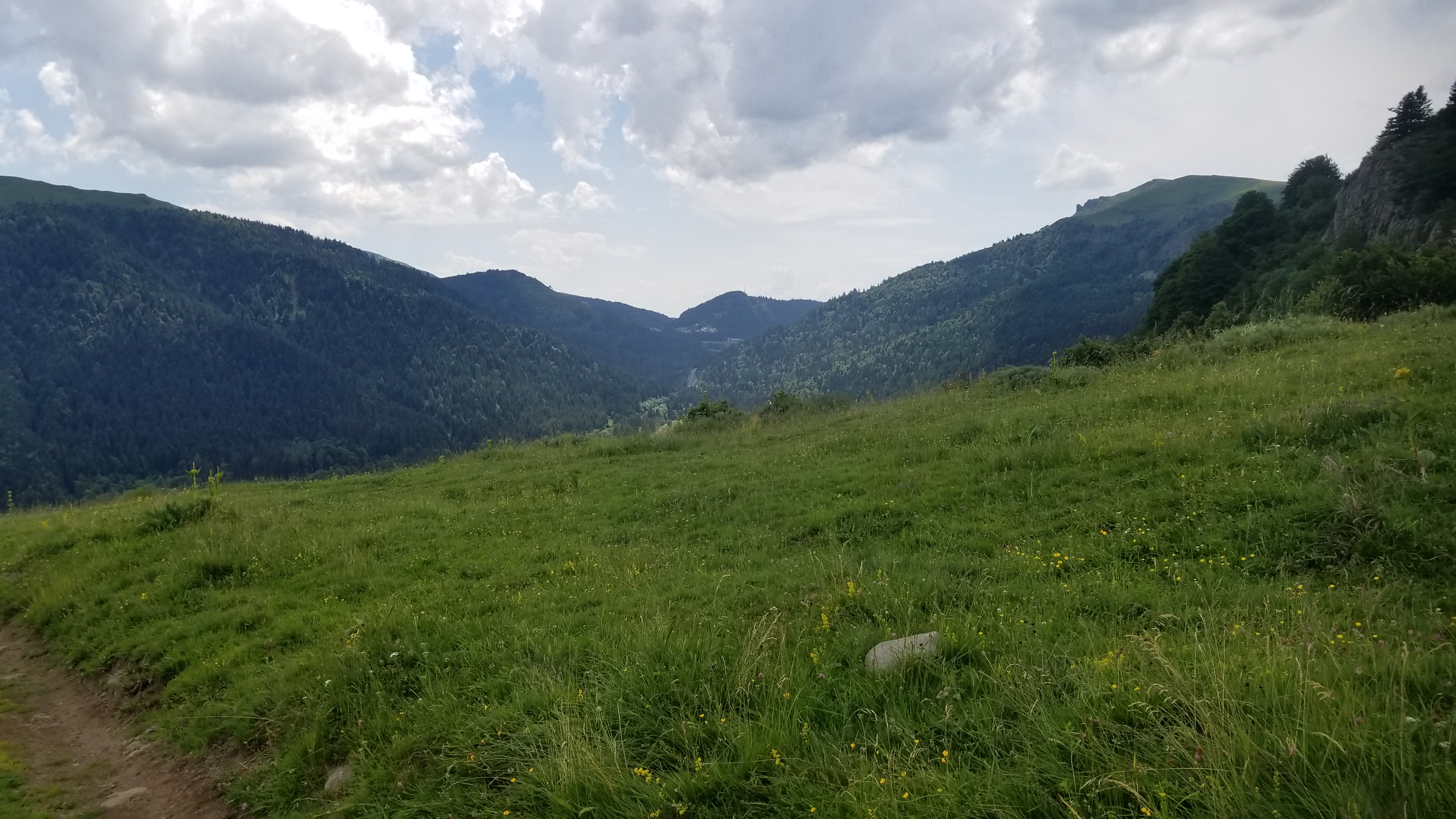
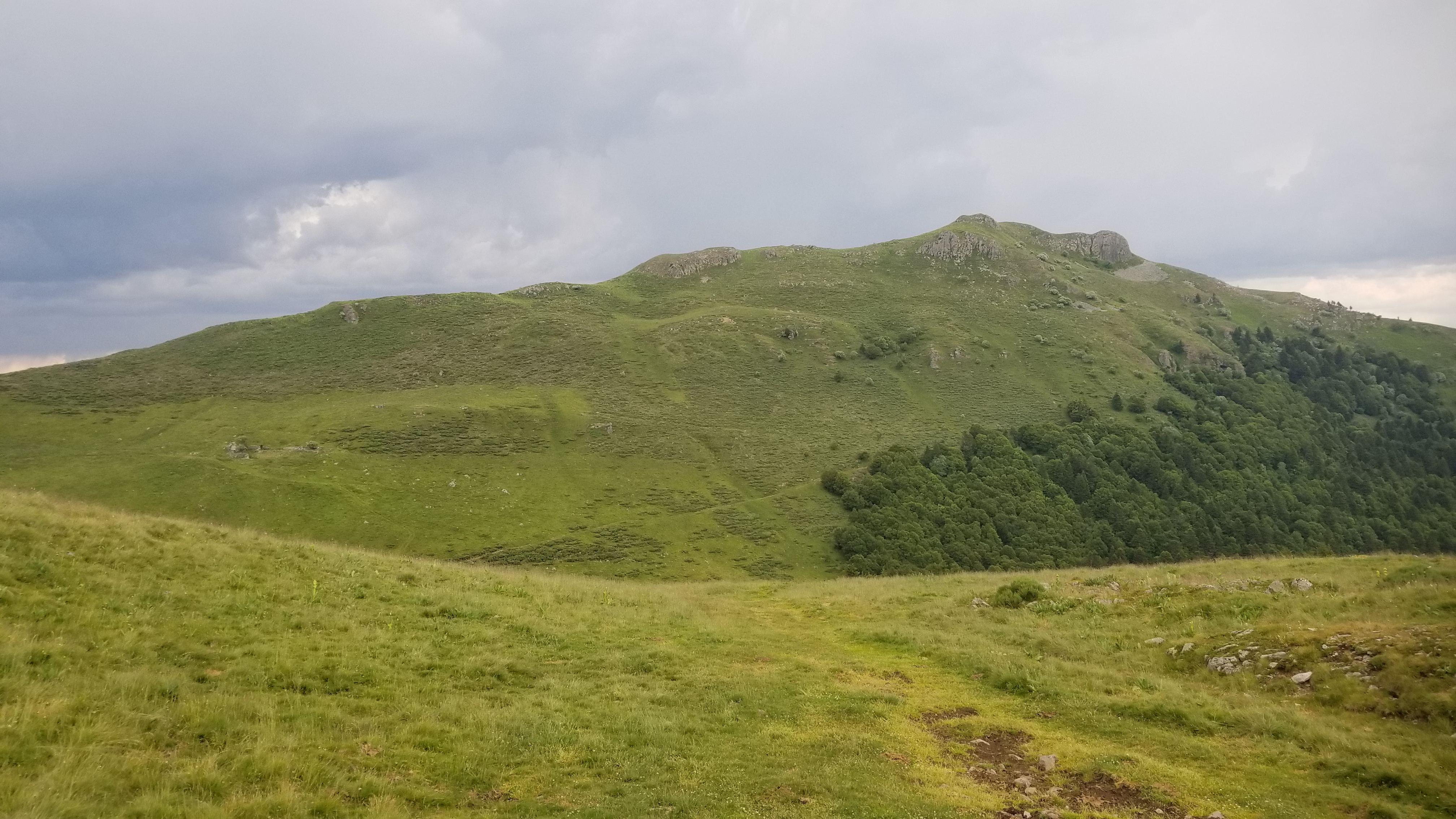
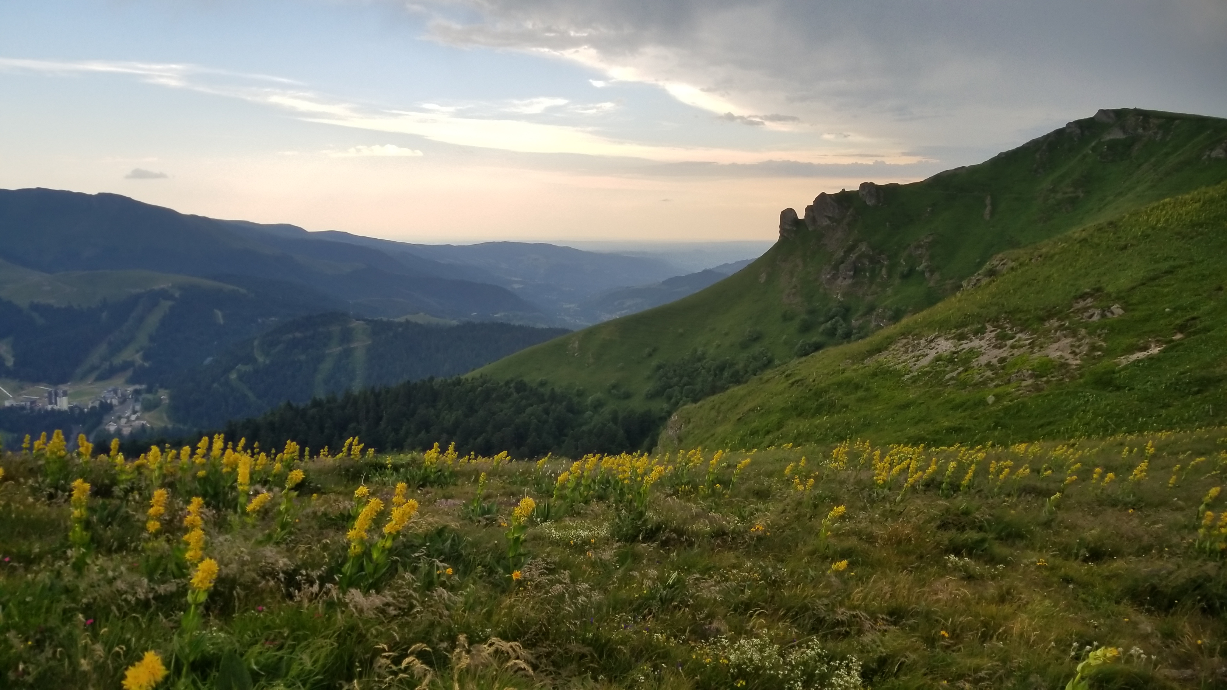
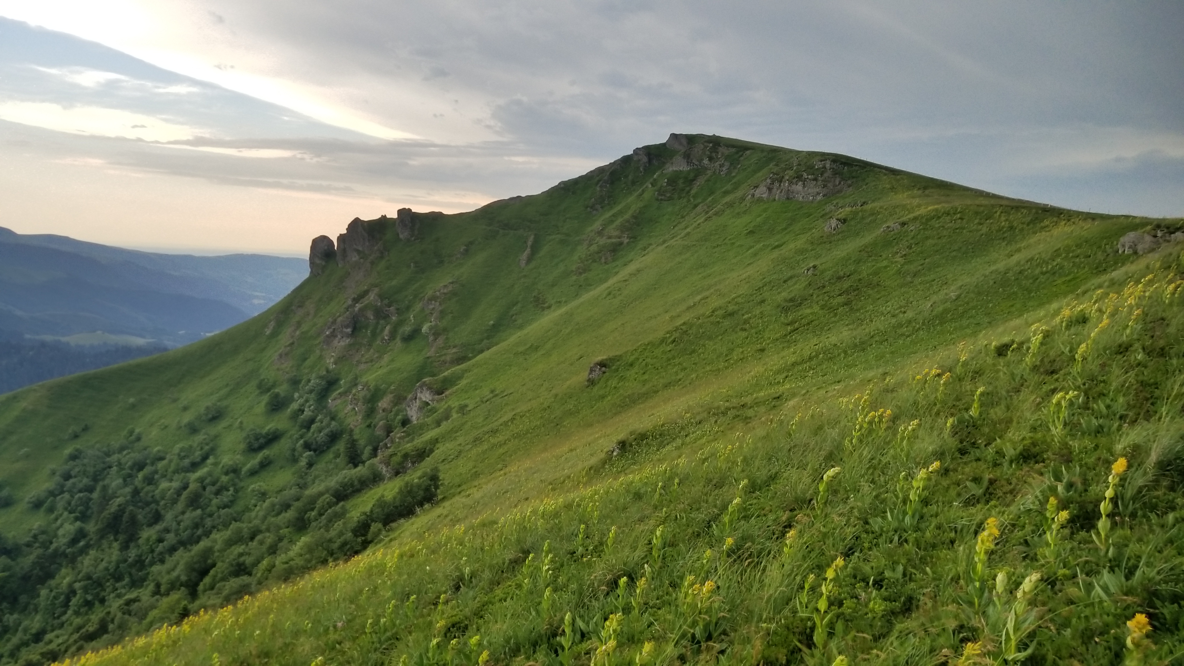
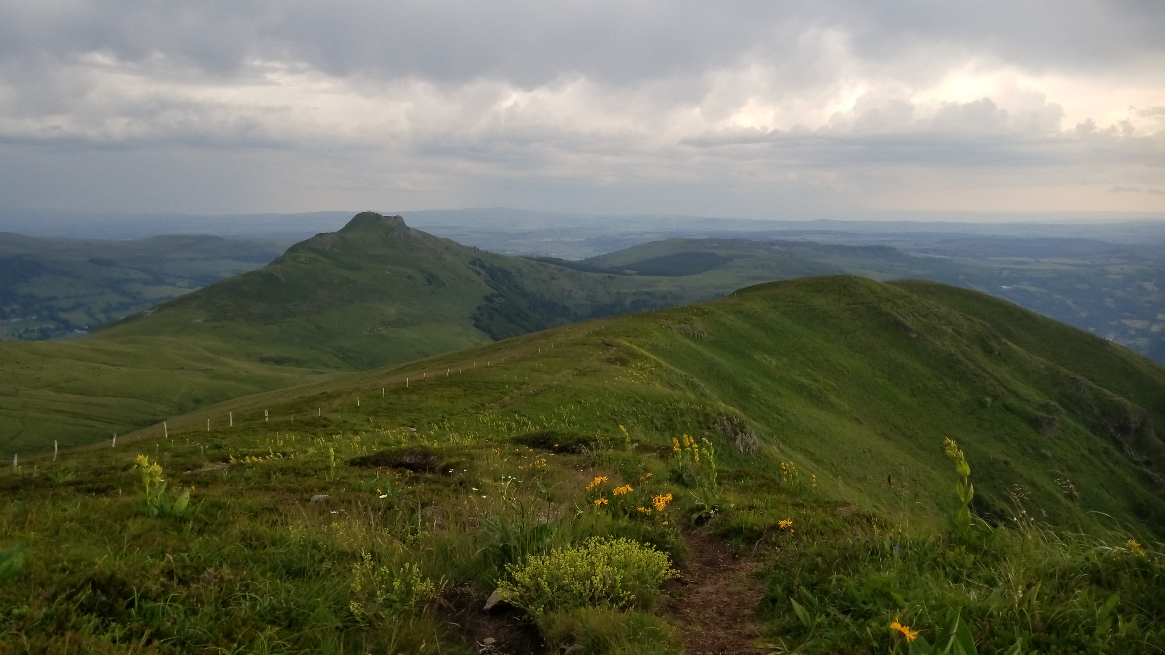
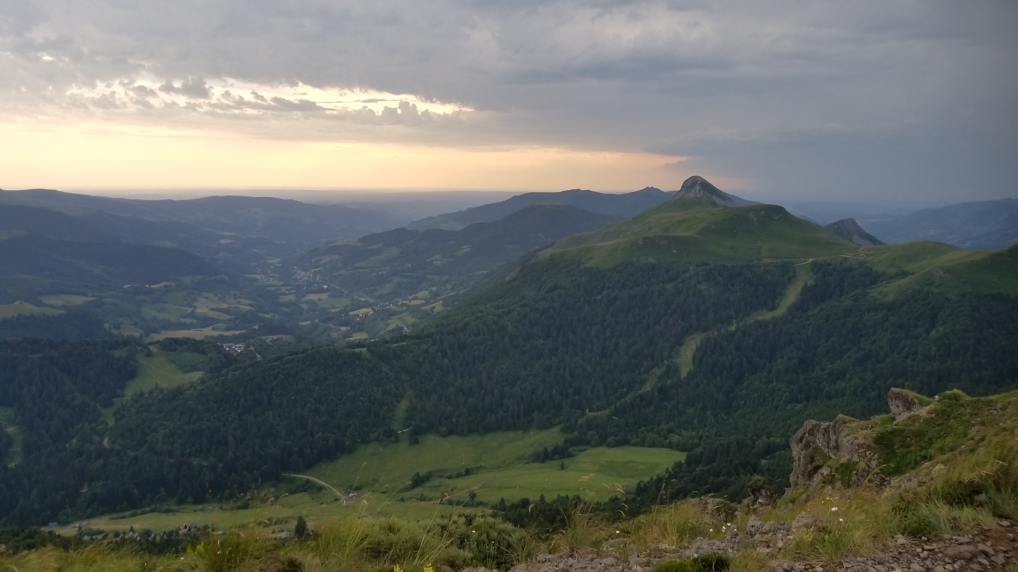
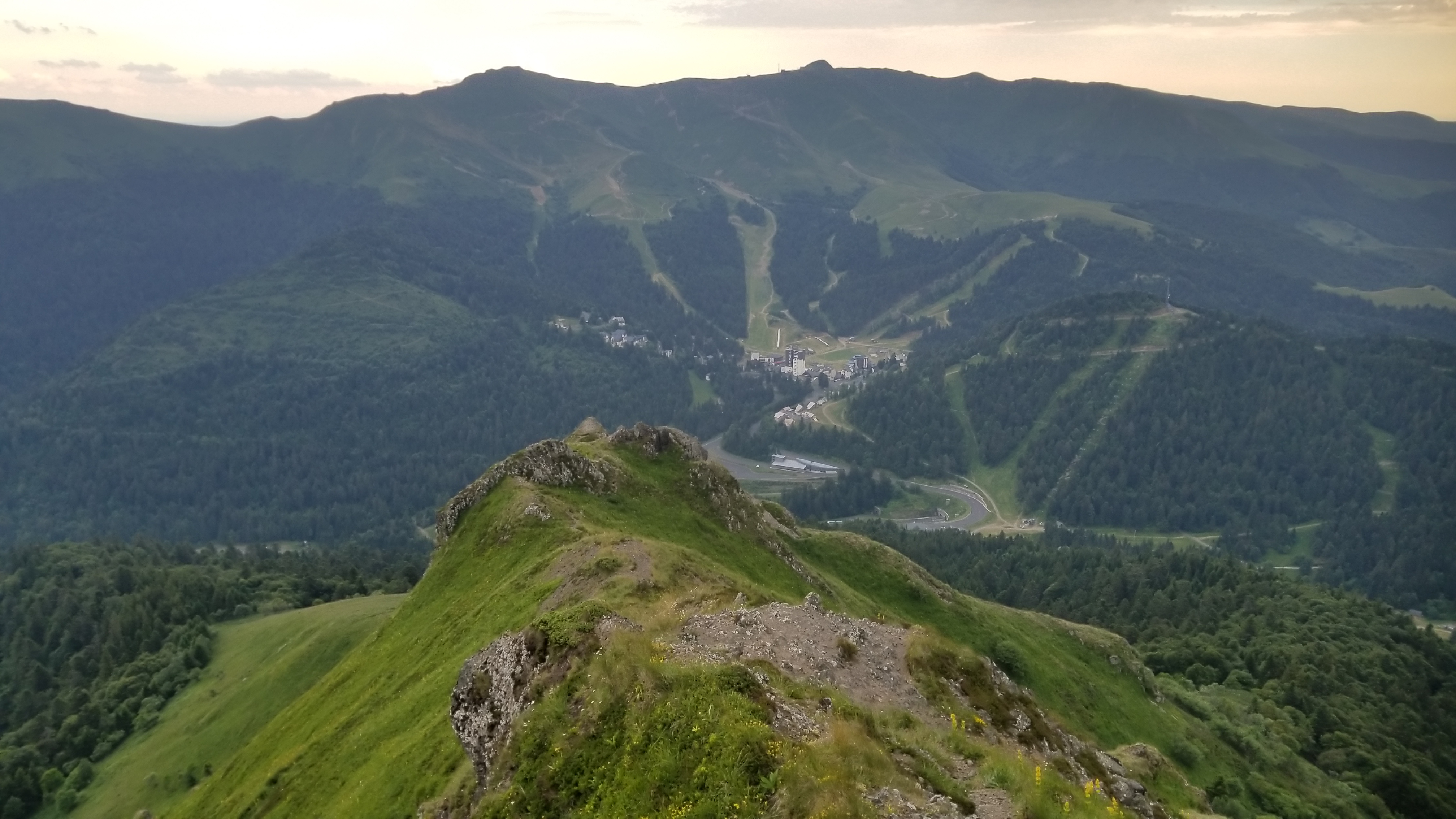
We navigated the Breche de Rolland, climbed Puy Mary and Chavaroche (both about 1,800m), and descended to the town of Mandailles. The whole day was along a beautiful ridgeline walk around the rim of the supervolcano, but we only got about 1% of the views we were supposed to get.
Down and up the Breche de Rolland
Puy Mary
Looking down to the town of Mandailles, our camp for tonightChavaroche
We were hurting by the time we got to the village below, and quickly set up camp, ate, and went to bed. Two days of wet shoes will wreck your feet! We felt better in the morning.
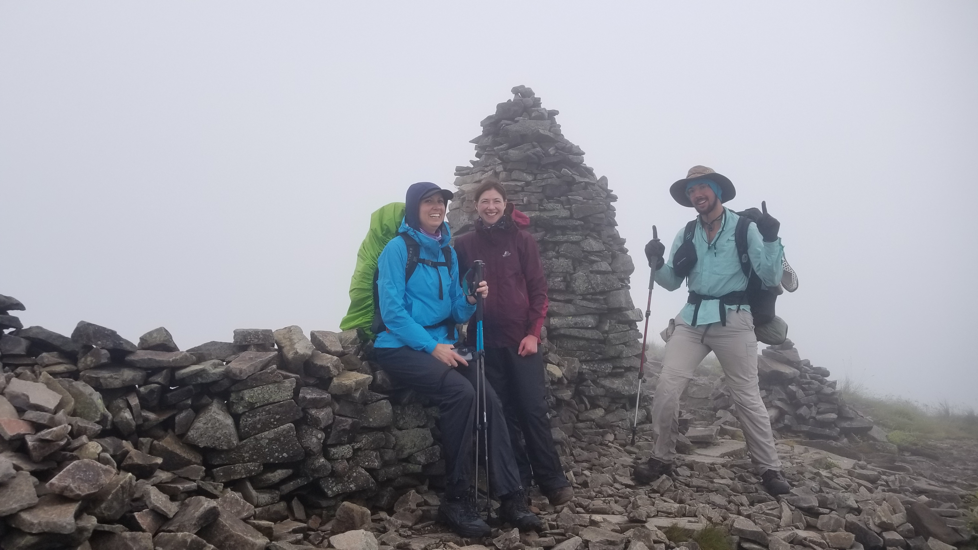
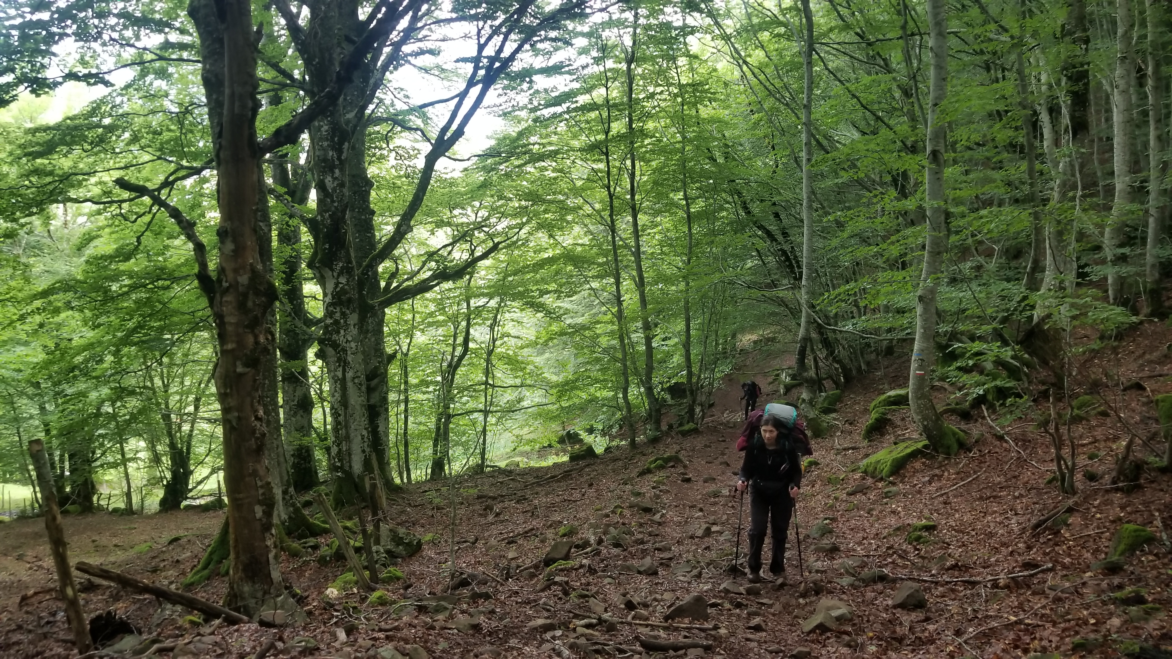
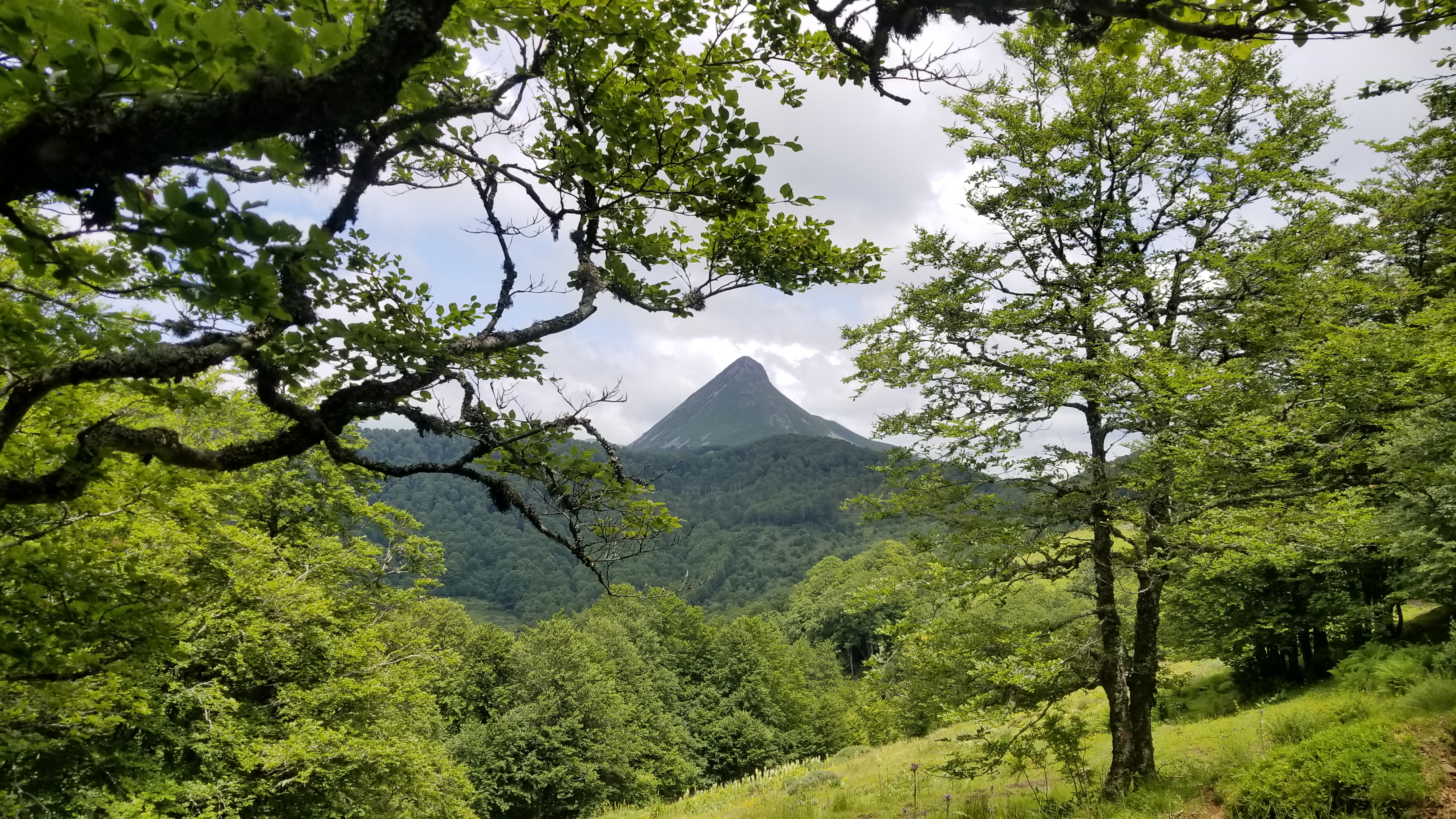
The day after, the last day of our journey, we climbed out of the valley and summited Puy Griou, a rocky volcanic peak with a scramble to the top. The weather was ideal on our final day, and we got the views and pictures we had hoped for.
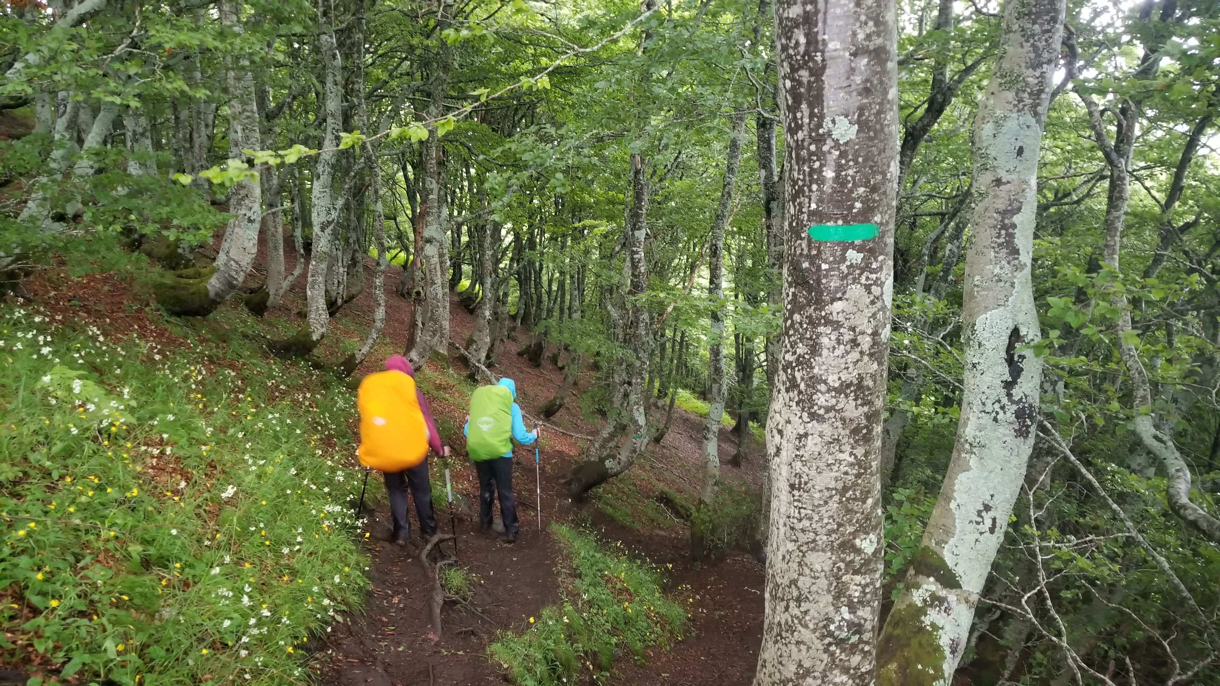
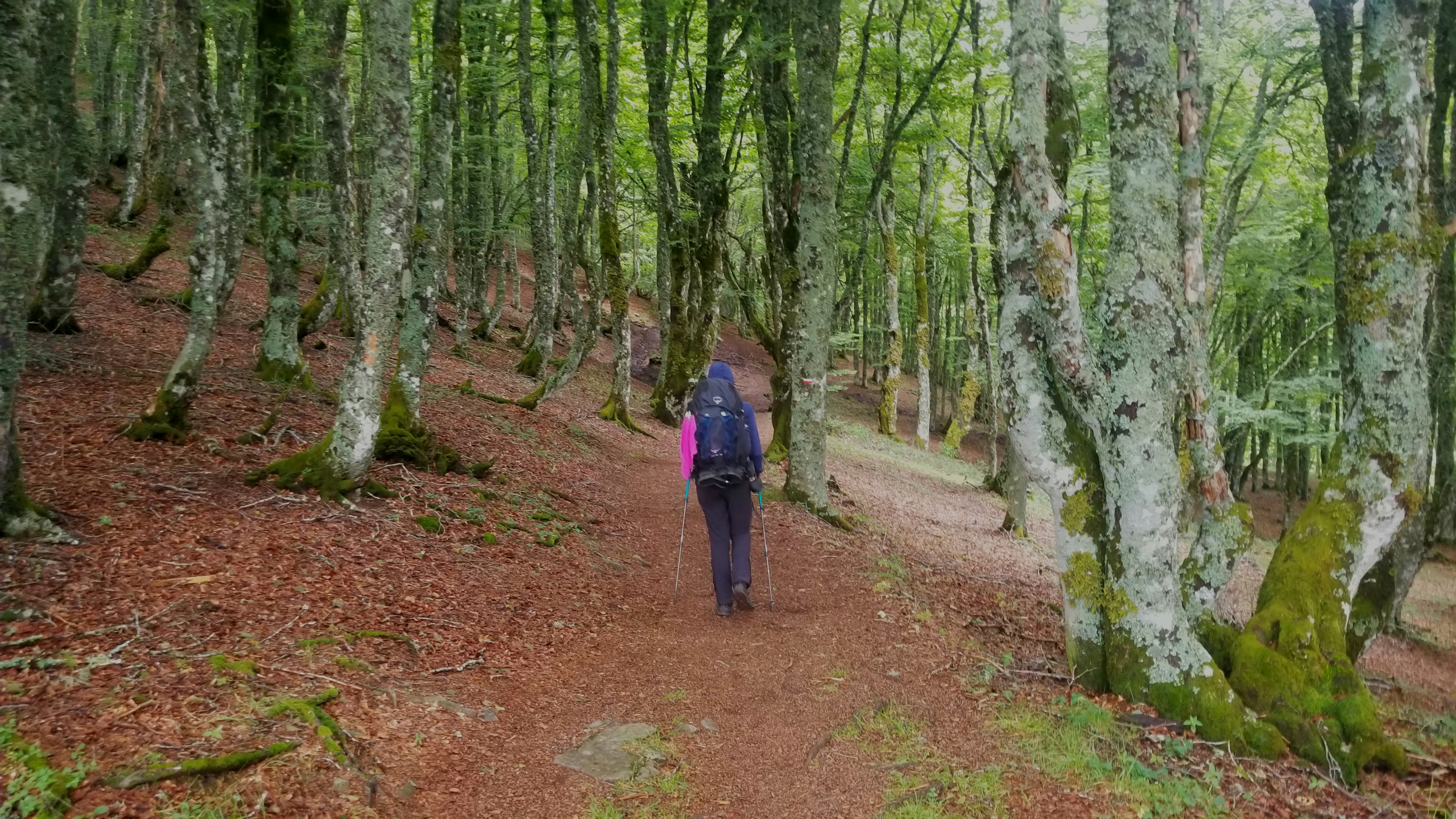
The walk out of town
And into the French woods
One of the best parts of hiking is the clarity of thought. A combination of the relaxing sounds of nature, the wind in the trees, the babbling brooke, and the heightened blood flow to all parts of the body (spec. the head) makes clear thinking just sorta, happen. Some of the best ideas come about during a walk in the woods.
A nice spot to have lunch on the way up
Puy Griou, our target for the dayA wild horse grazing under the watch of Puy Griou
Puy Griou!
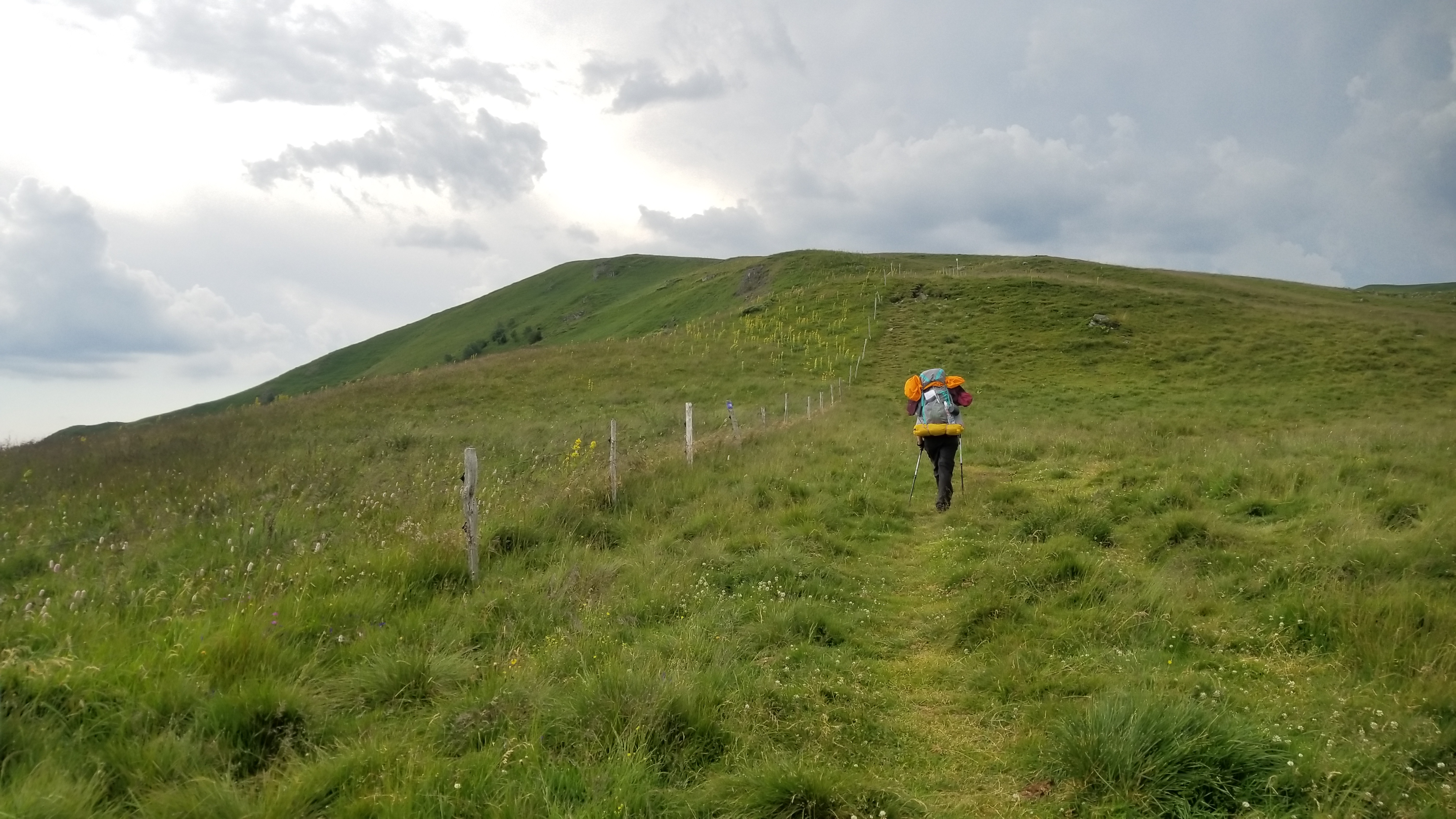
A beautiful day
Great ridge walks today
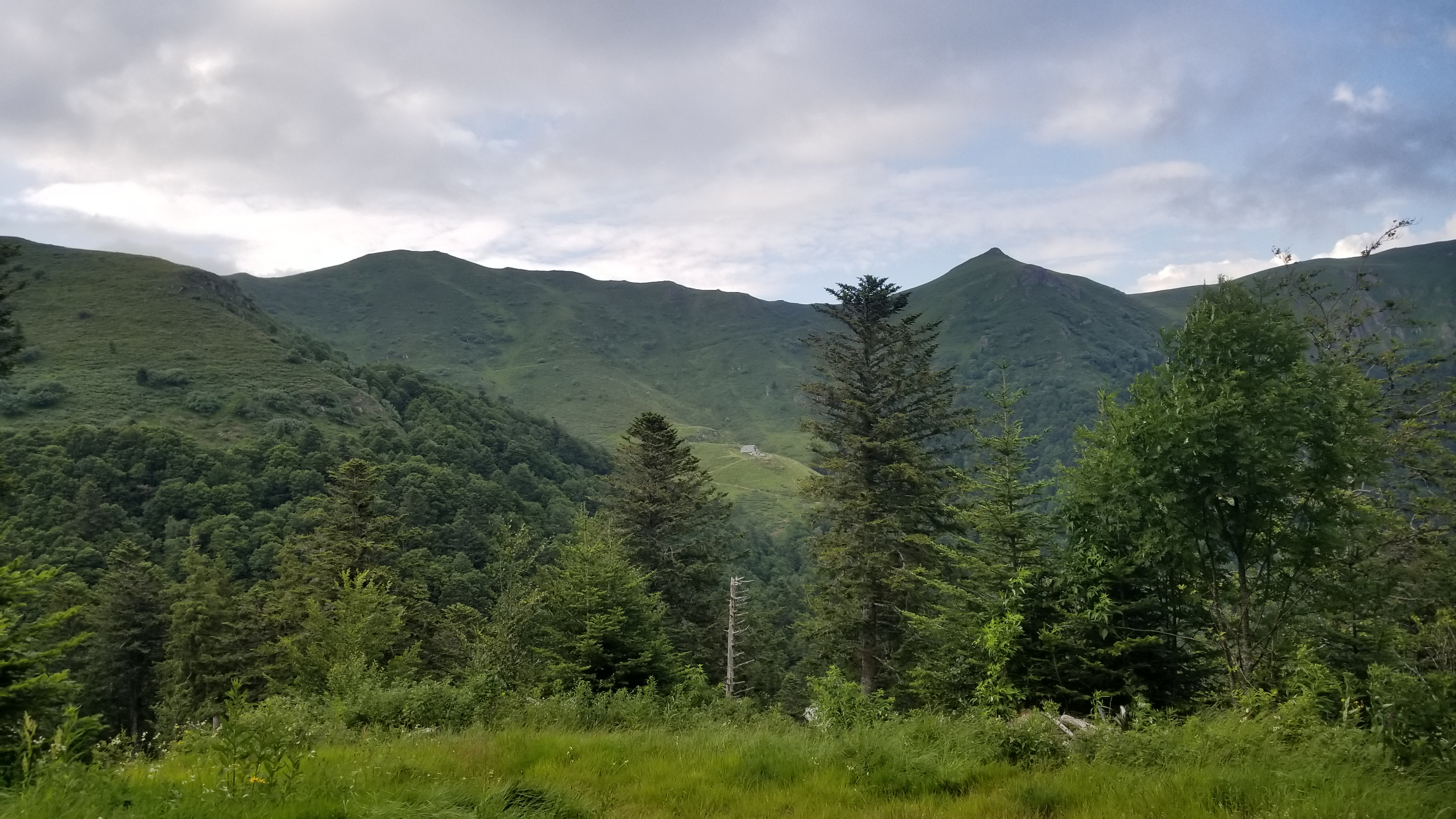
The refuge we slept at two nights ago
Camp for tonight!
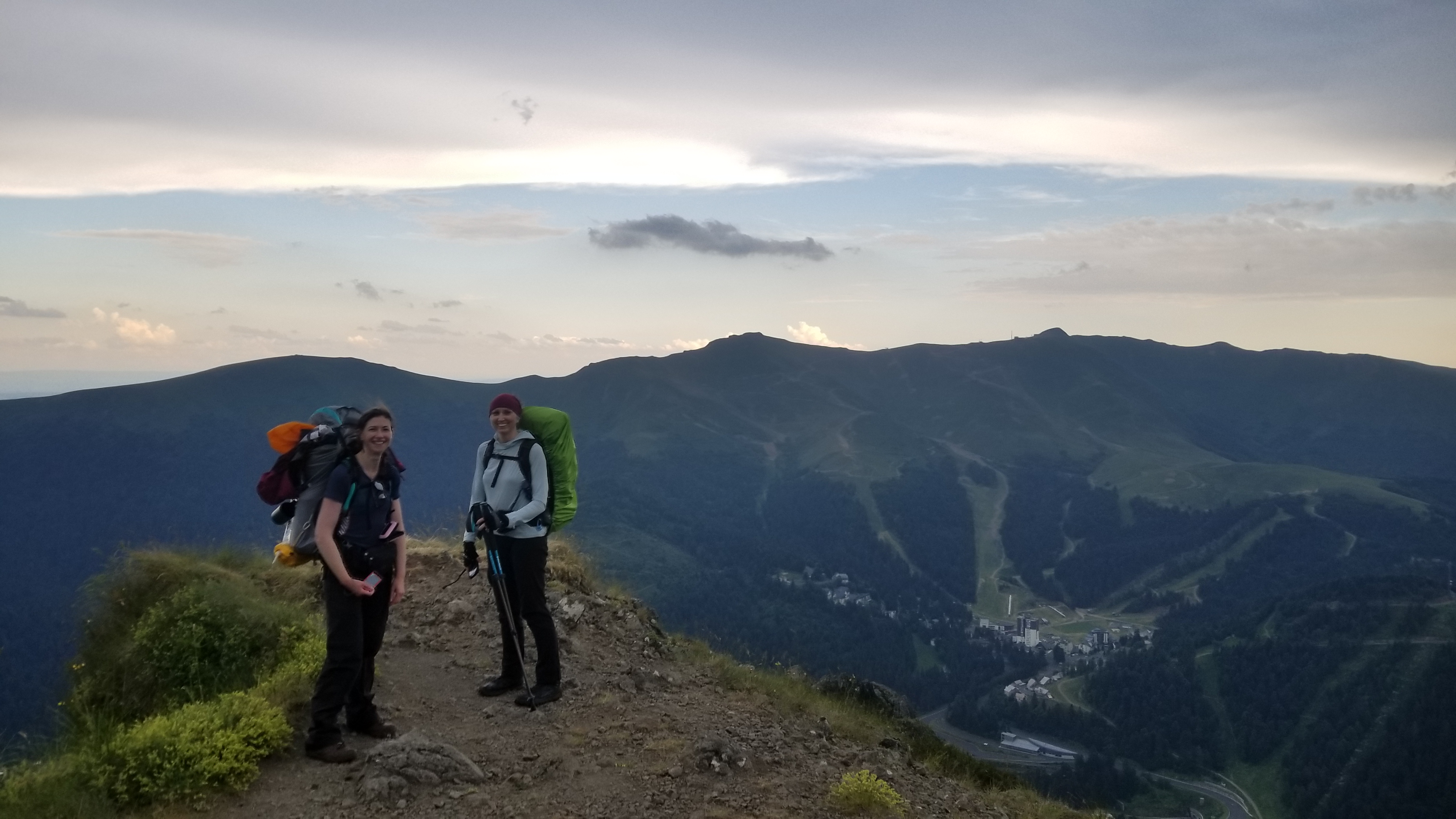
The next morning we walked down to town, grabbed some snacks for the train ride, and made it all the way to Aurillac before finding out all our trains were cancelled due to railway worker strikes!
The train people put us up in a hotel where we are now. The trains should be running today, so we should make it to Hendaye tonight and start the high route of the Pyrenees tomorrow! Stay tuned for more tales of adventure in France!
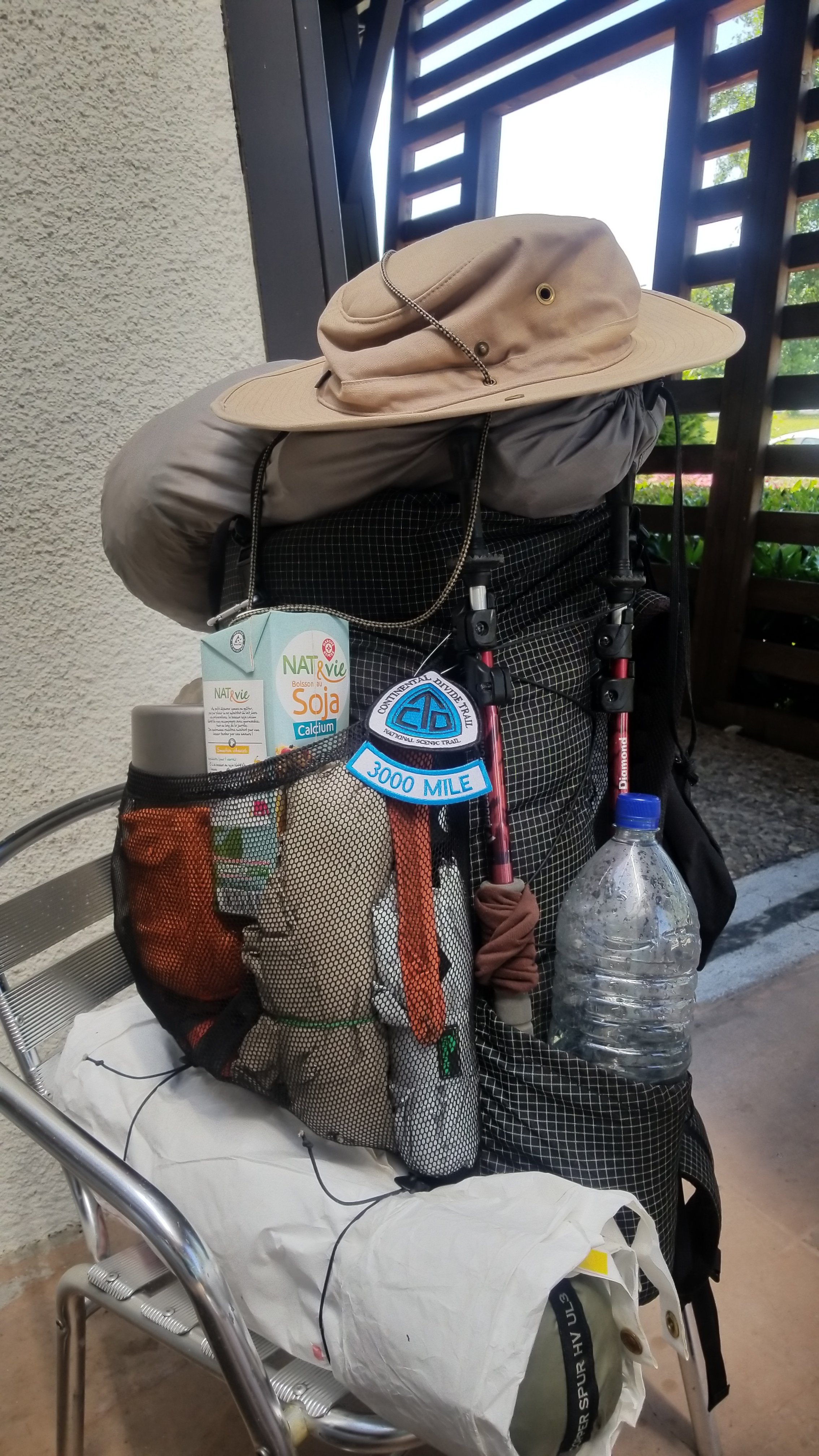
A thru hikers pack, with 7 days of food, a liter of water, a tent, sleeping pad and bag, clothes, cooking pot and pan, stove with a pound of fuel, rain poncho, umbrella, toilletries, water filter system, electronics and spare batteries and chargers, headlight, trekking poles, first aid and gear repair kit, water bucket, spork food tool, compass, day bag, various tools (the corkscrew is important), cold weather gear, camp shoes, and hat! And CDT blaze patch. Everything I need for a week in the mountains. How does it all fit!? Ready for a good adventure.
(And please give me your input, I would like to be a better writer and storyteller)
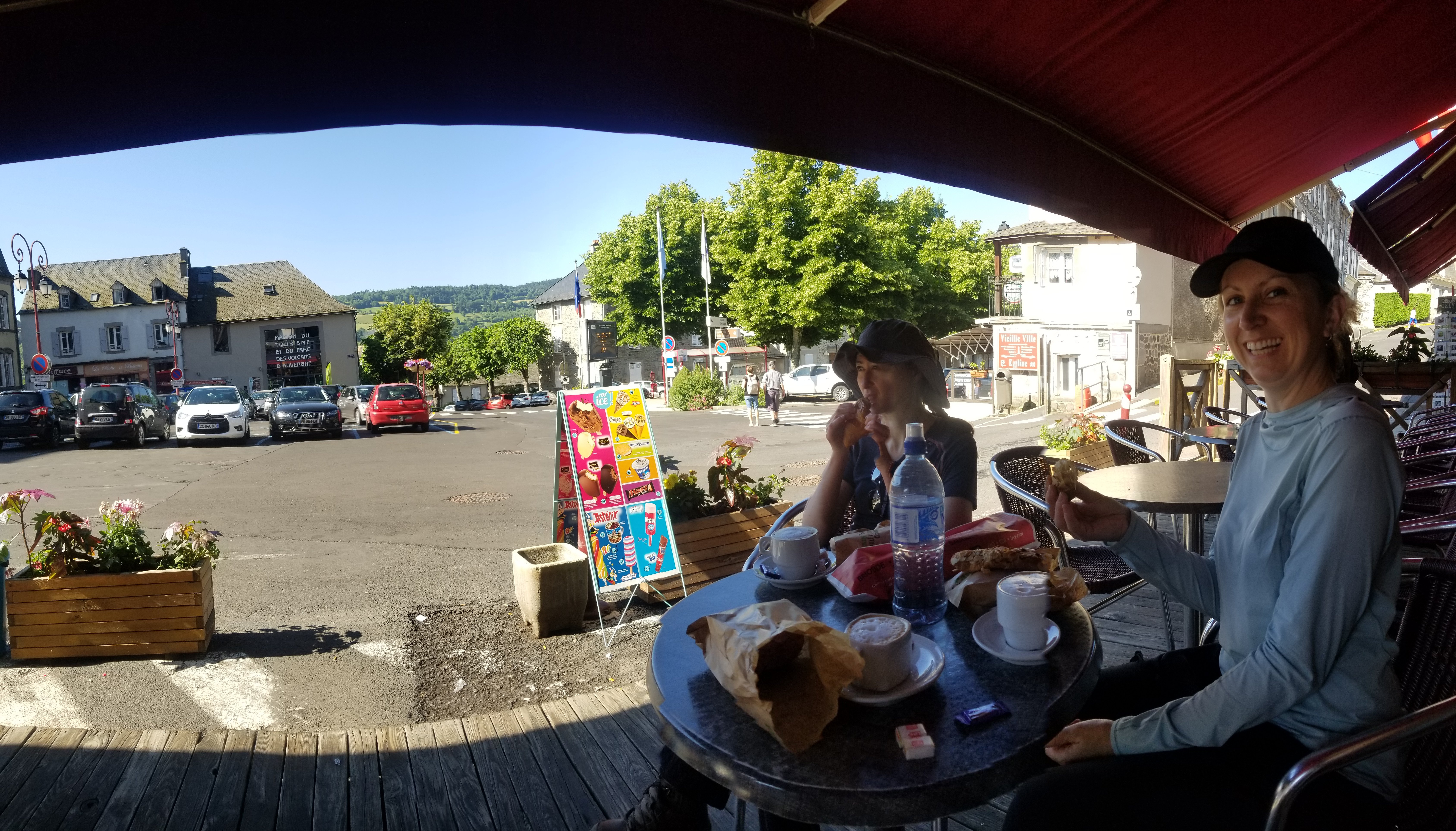
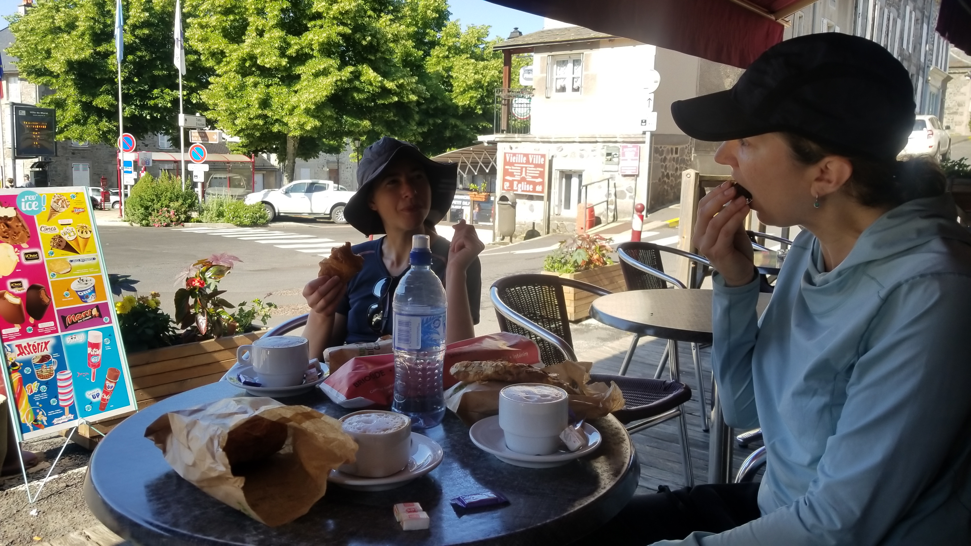
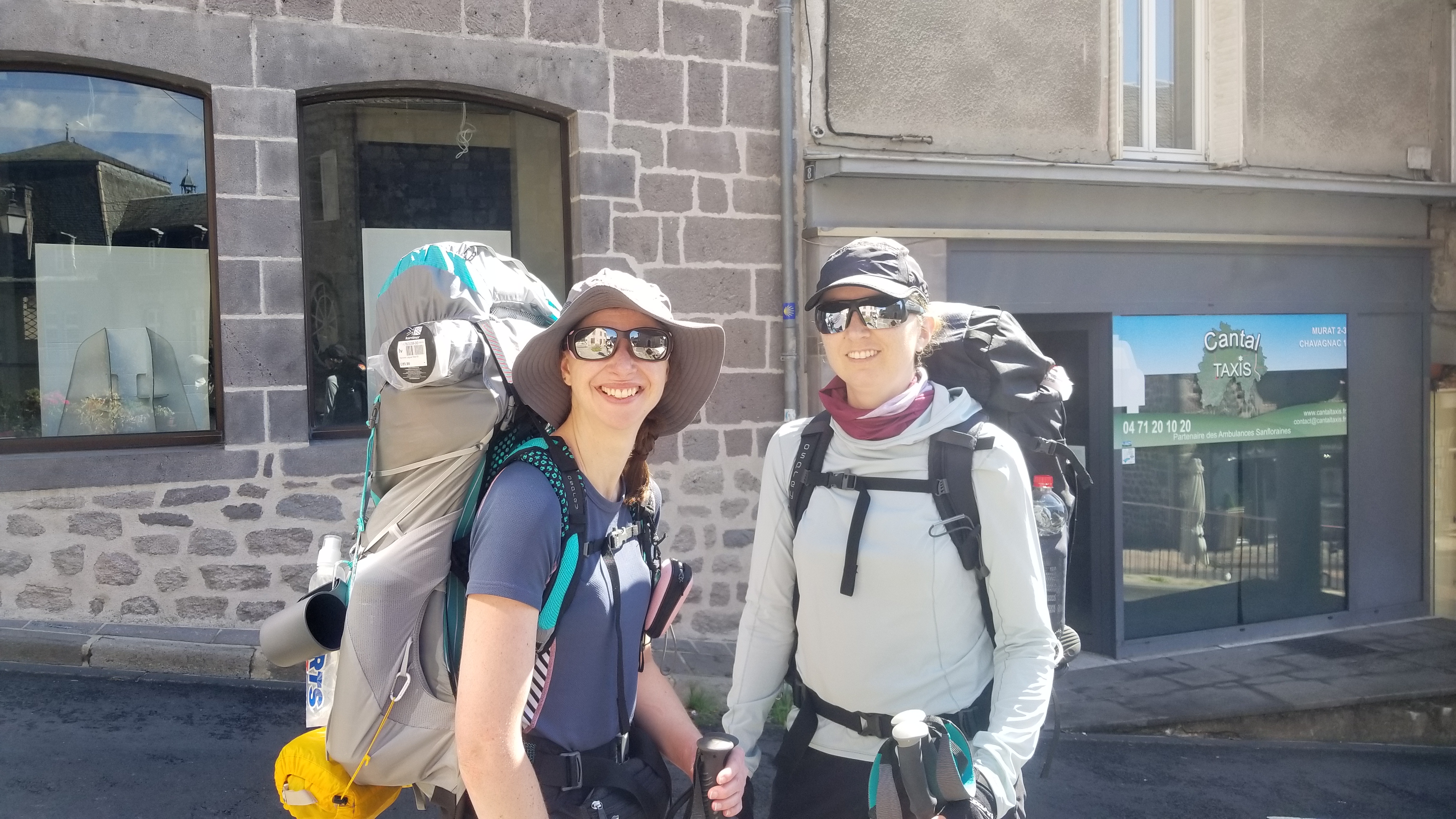
This morning, we awoke to a chorus of birds, in the small mountain village of Murat, having spent a night at a local guest house.
After packing up, we walked up the street and found a patisserie with fresh croissants and au du chocolat, and a cafe with great coffee and nice outdoor tables to sit and eat and watch the world go by. All of this for about 4 euros (1 USD is 0.85 Euro) which, I was told, was expensive compared to the non-tourist villages that we will soon visit.
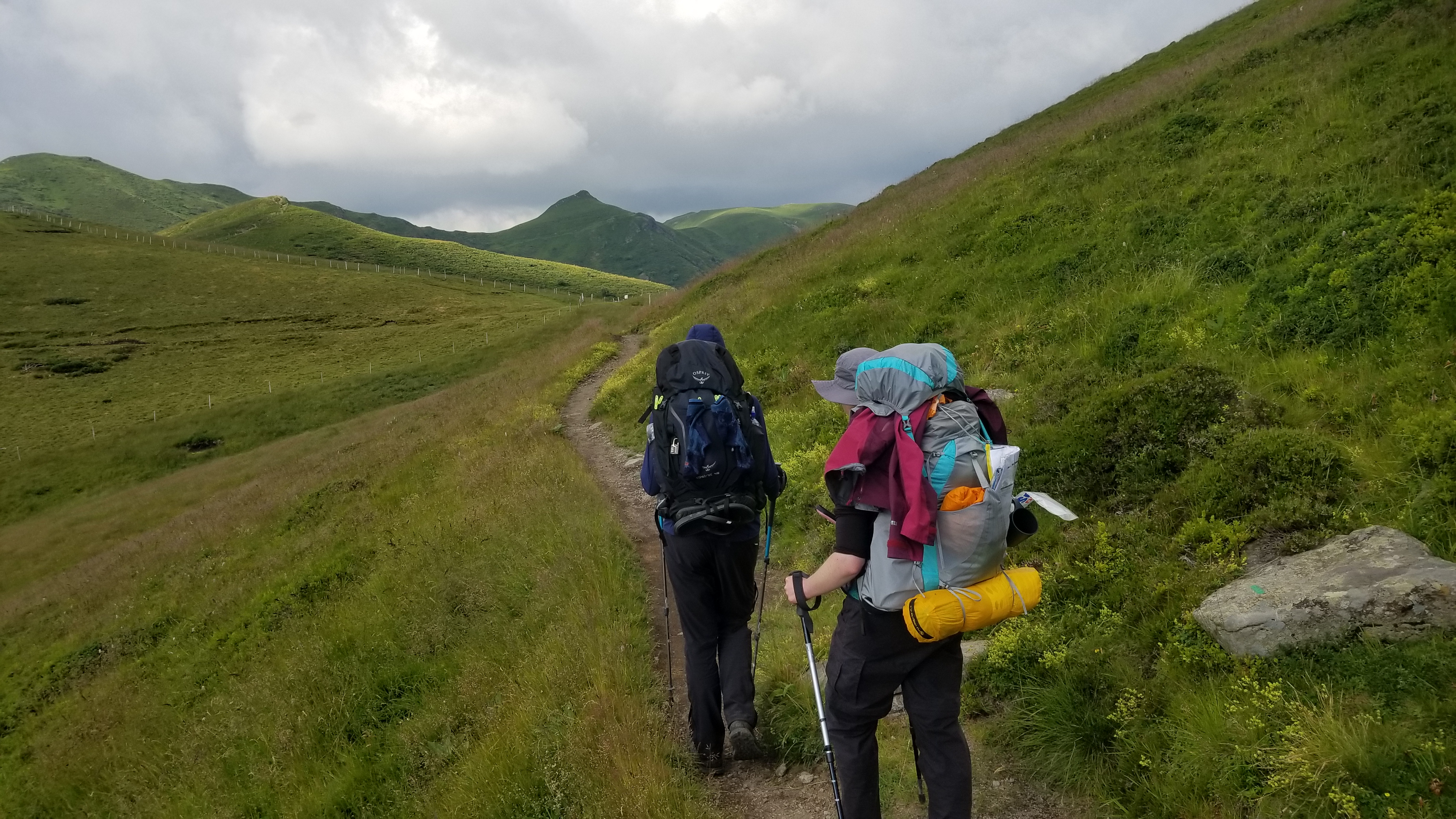
Upon dropping off the keys to the room, we set off on our adventure along the Tour du Massif Cantalien. This was to be my hiking partner and I’s shakedown hike for a thru-hike of le Haute Randonnee Pyreneene (the high route of the Pyrenees), where we will soon be headed. The trail follows the rim of an ancient super volcano, the largest in all of Europe. It was the idea of our friend from the UK to do this hike, as she is trying to climb forty volcanoes by age 40! The three of us finished our coffee, said our goodbyes to civilization, and started walking.
The winding streets of Murat slowly meandered up to a marked GR trail (Grand Randonnee) which led out of town and up towards the mountain ridge.
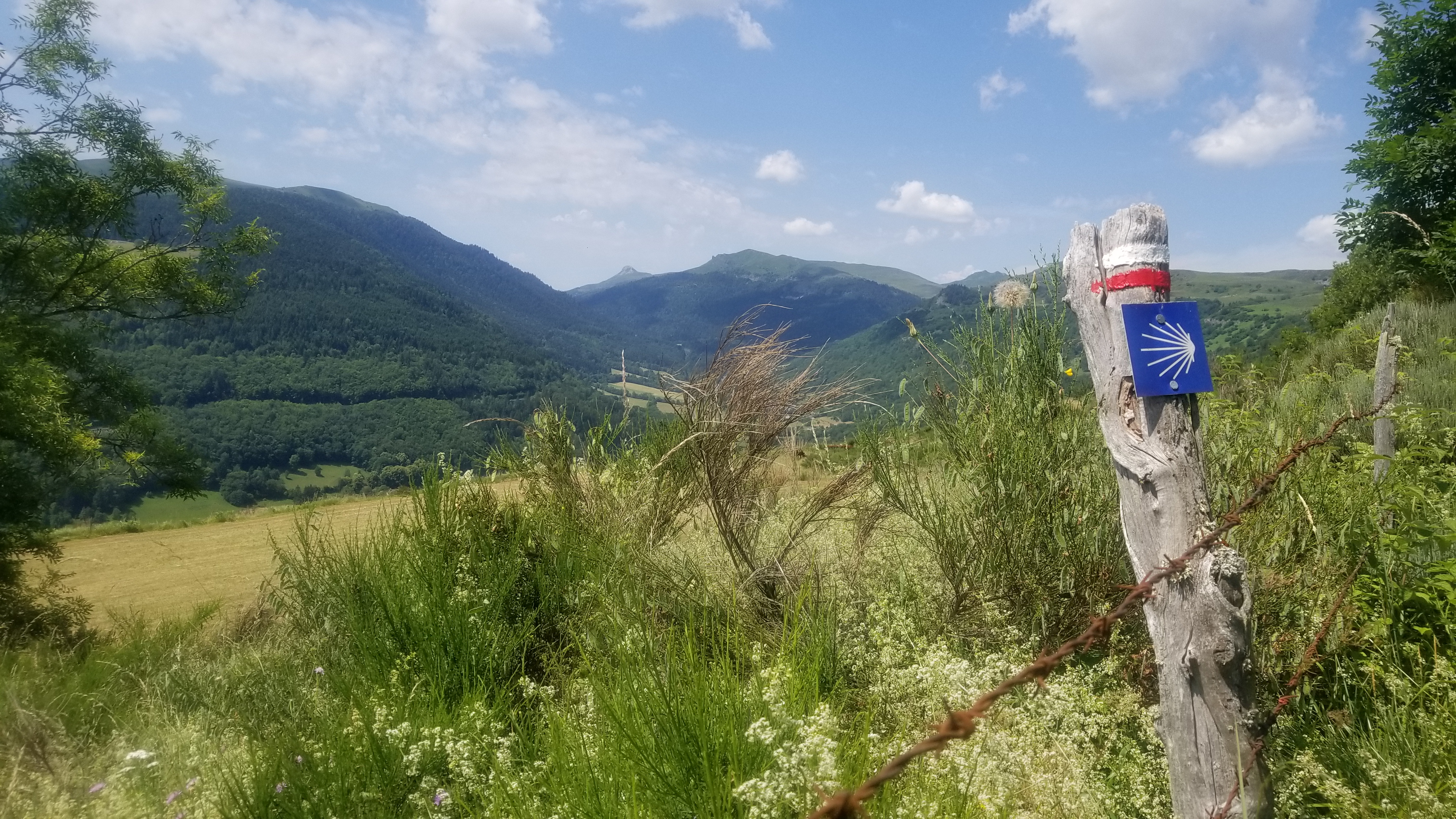
We passed a farmer who owned a chateau we passed later; his advice was to watch out for cows, and for storms up high. See, the Monts du Cantal (aka Volcans d’Auvergne) rise nearly 3,000 feet above the surrounding valleys, and they are the dominant weather producers of the area, sucking in cold and warm air of differing pressures to make perfect storms. If only we had known how right the farmer was!
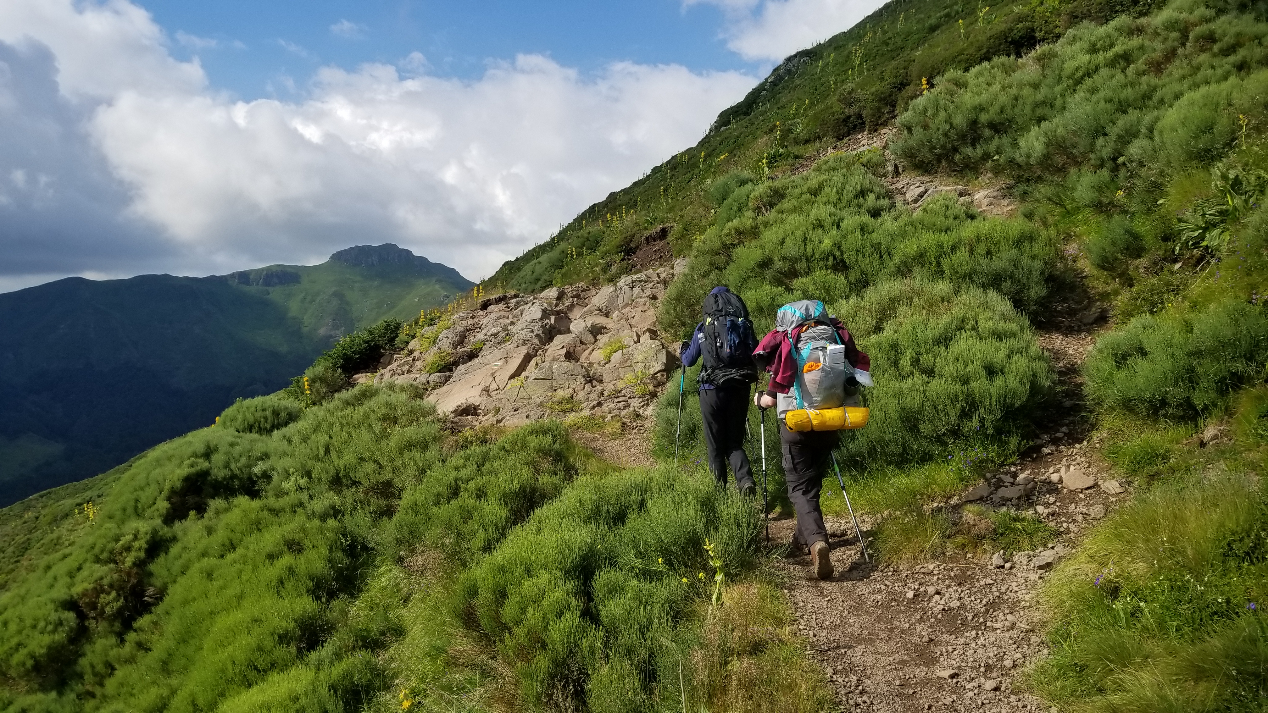
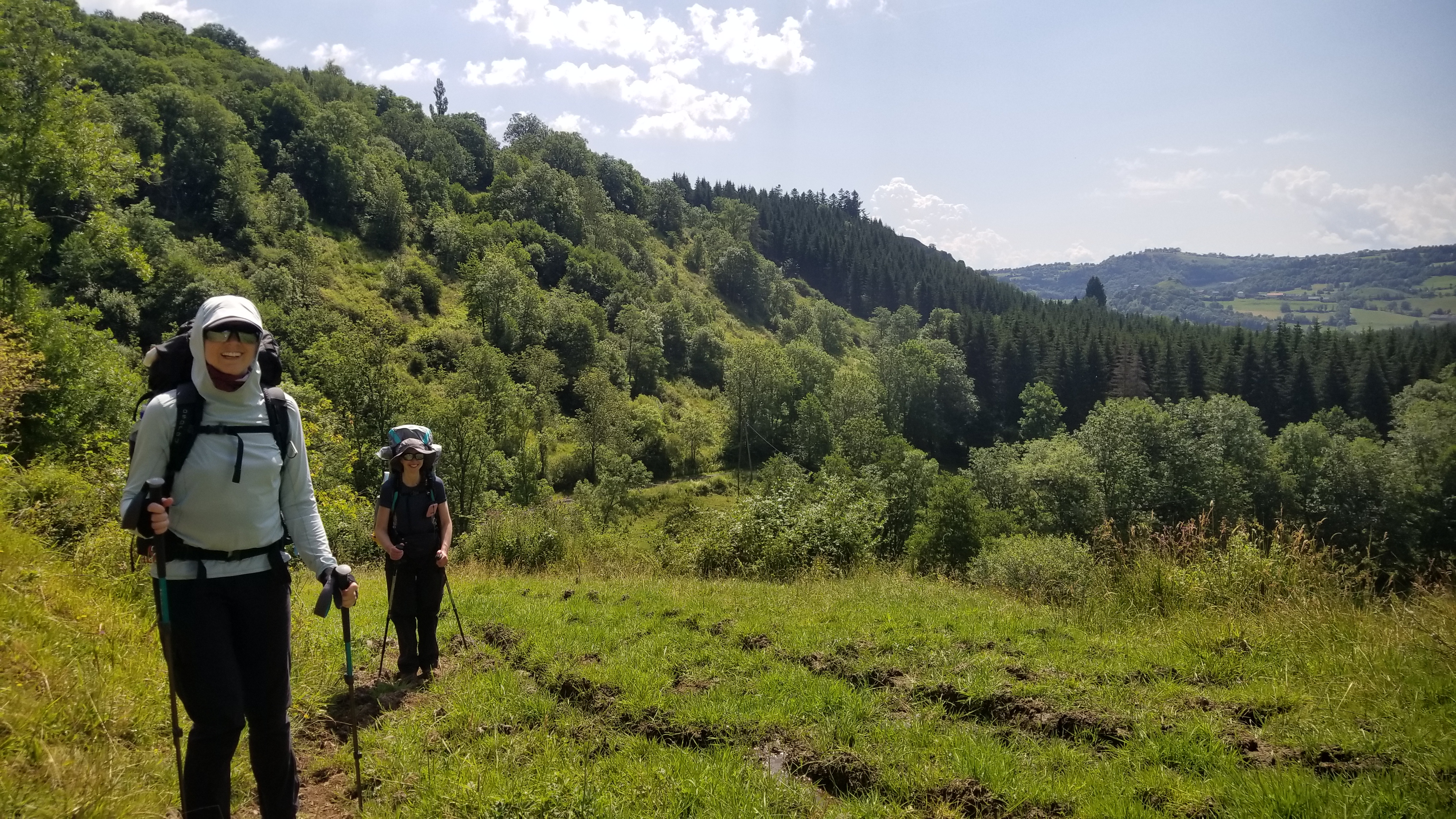
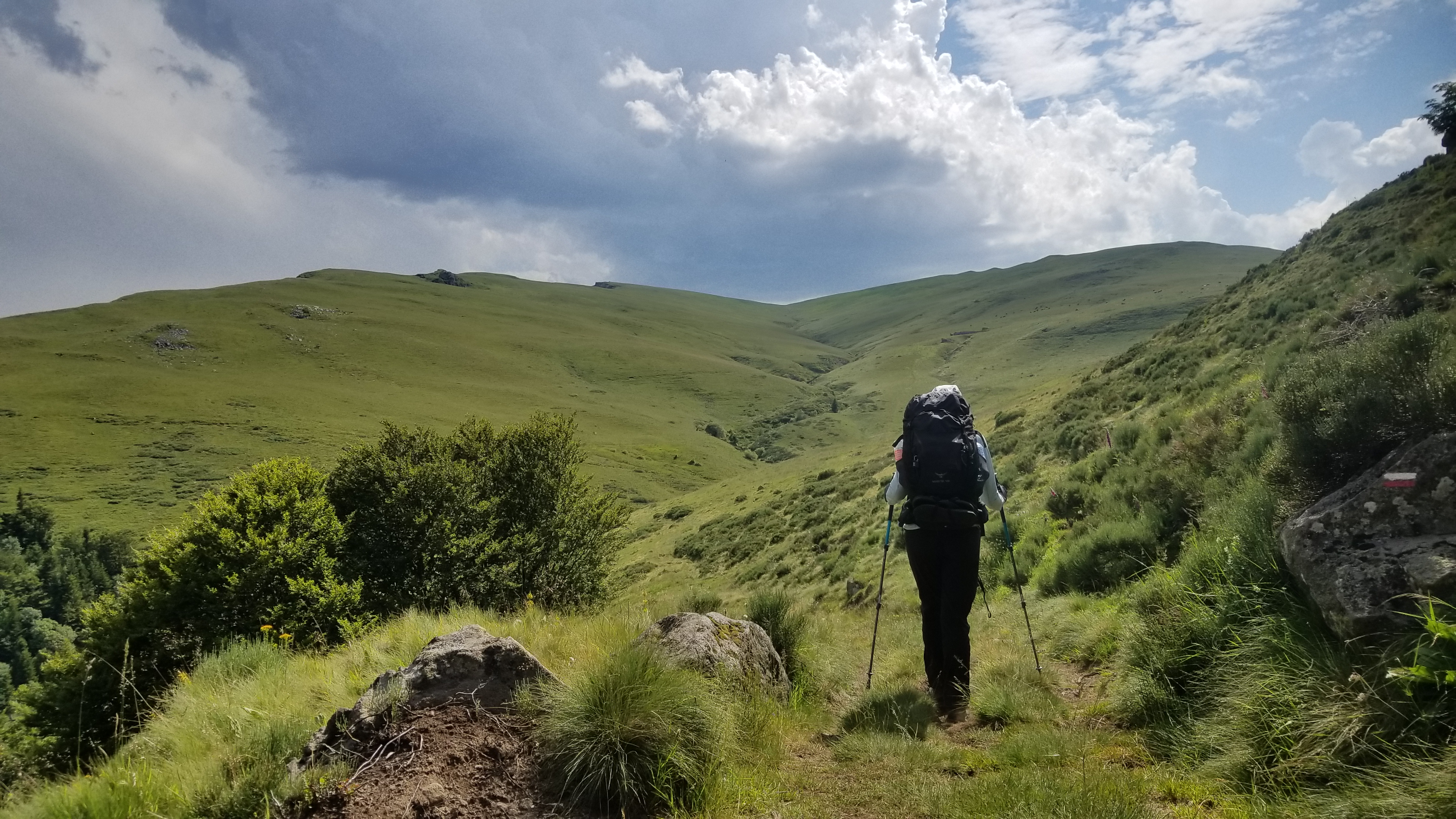
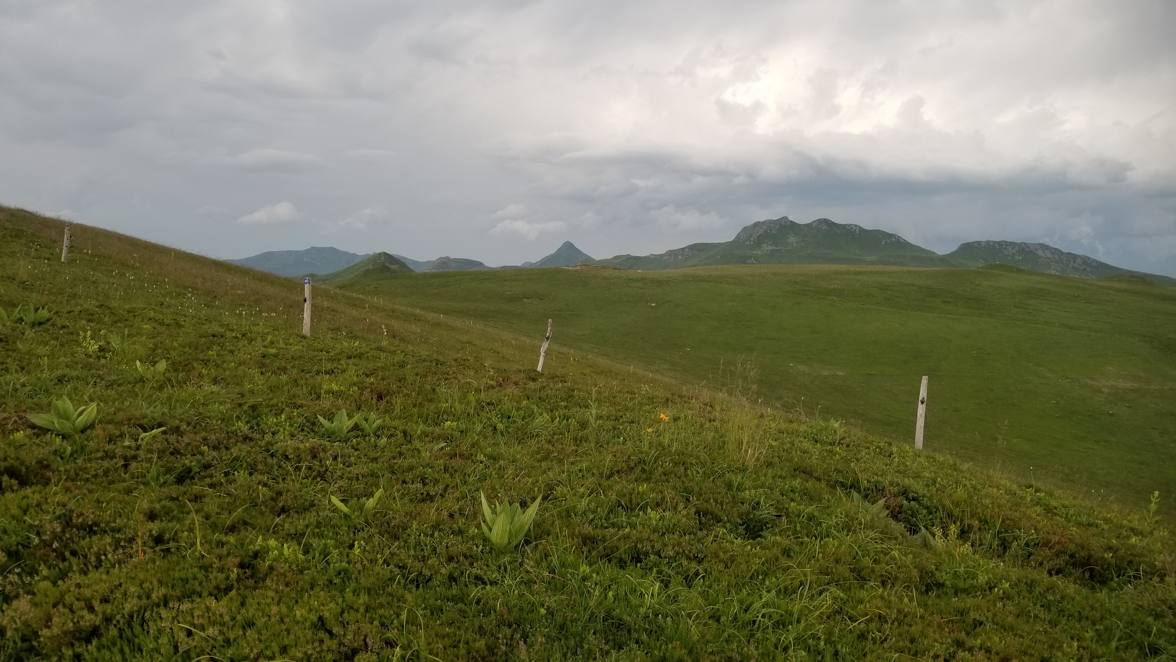
In any case, we continued on up the trail and found ourselves quickly above the treeline and on into sweeping panoramic views of the French countryside.
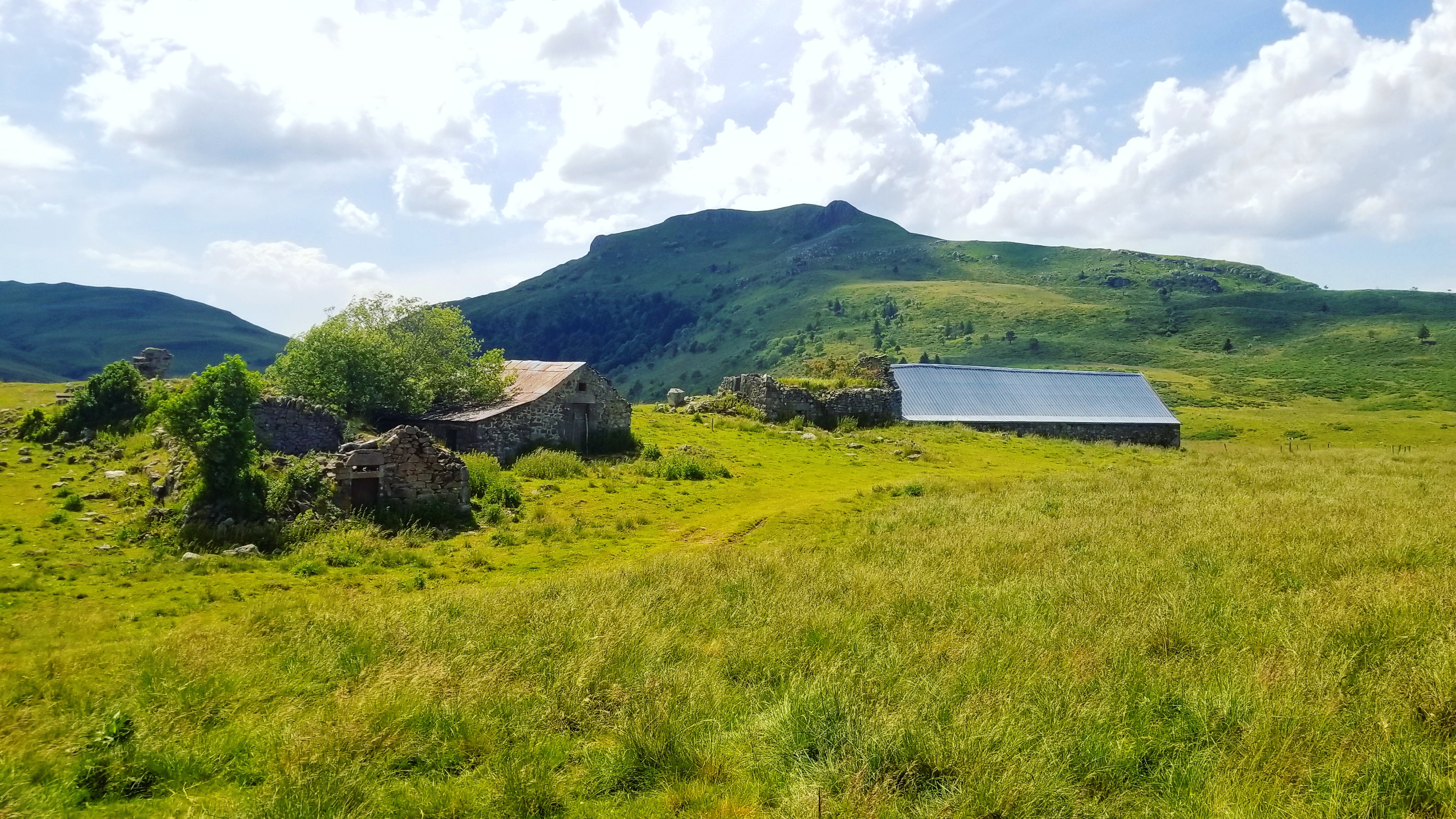
As we continued on our way, we passed the ruins of old farmhouses and cabins nestled in the high mountains, inhabited, perhaps, by the herds of bell-toting cows and sheep. The farm animals, paired with the fertile volcanic soil, made for an extravagant display of wildflowers, and grass so green that any southerner would be proud to have a lawn of it.
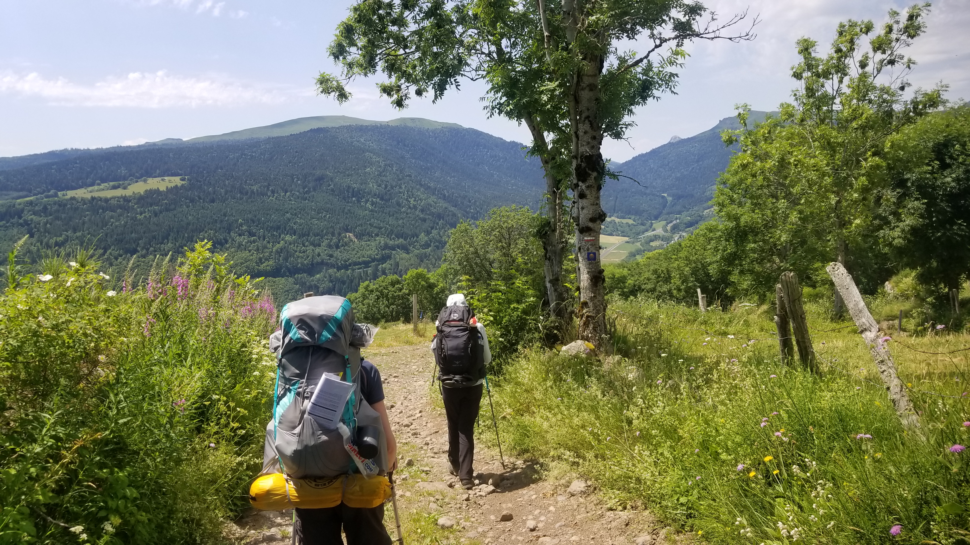
We saw no one almost all day, despite that this was one of the most spectacularly magnificent trails that I have ever seen. This goes to show just how hard and strenuous was the hike up to the Bec de L`aigle (beak of the eagle), our target summit for the day. Along the way, we stopped and had lunch, mostly coffee, granola, nuts, and some hiker bars (snickers, mmm).
As we came nearer to the top, we began to see the signs of thunderstorms. Massive, dark thunder clouds began to fill the sky, and a few of them opened up on us with rain and hail. Nevertheless, we donned our rain gear and carried on.
During the summit of the eagle’s beak, we saw lightning strike multiple peaks in the distance, sometimes 7 strikes at once. Worried of meeting a similar fate as those mountains, we quickly summited, absorbed the magnifique vistas, took our photos, and began the descent to the Teton De Venus, and then Puy Battailouse.
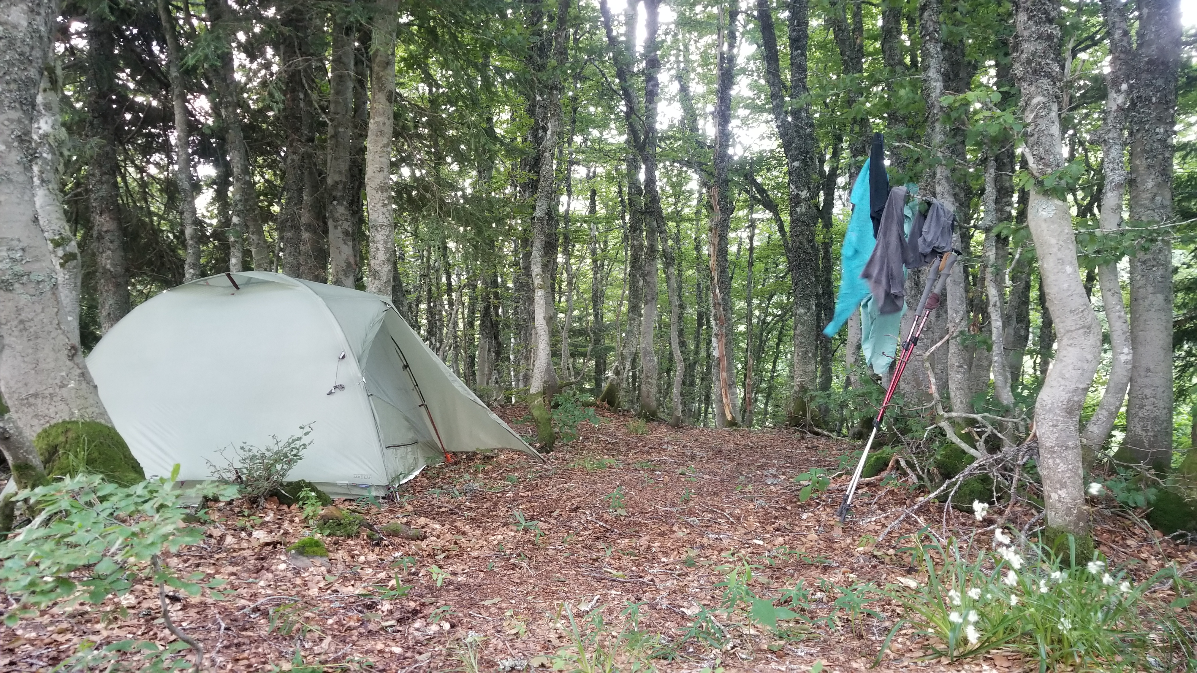
As evening rolled in, the rain grew harder, the winds stronger, and the temperature dropped rapidly. We decided we should make our way to the alpine refuge just down the trail (there was no flat ground anywhere else), to ask if we could bivouac in their field. Upon their approval (I was able to use broken french and gestures to communicate well enough) we moved to set up the tent.
But the weather changed for the worst. The storm winds, now howling down the mountainside, blew my hat and glasses off my face, and nearly carried the tent right off the cliff. The thunder and lightning were cacophonous, the rain, a downpour.
It was clear then, that no ultralight tent could possibly weather this storm–the wind was barreling towards us down the slope, pushing the tent poles almost to the ground with the sail-like rain fly. The tent stakes could not grip the wet volcanic soil, and a few of them popped loose.
In need of a moment of respite, I climbed inside the rainfly-only setup we had constructed and held on for dear life to the poles and rainfly, my back to the wind. “The poles are going to break! We can’t lose the tent! ” yelled my hiking partner.
And then… tune in later for the exciting conclusion!
I write to you from the guest bedroom of our house-sit in Langley, Slough, in the UK, half an hour west of London by train.
I do so in hopes of becoming more profound at writing, by documenting some inspiring tales of adventure and cameradery. The coming months will sew a saga (hopefully one worth telling) set in the most remote corners of the montane European wilderness, where many dream of going, but few ever reach.
A long way from home, where all great journeys begin.
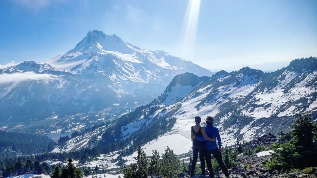
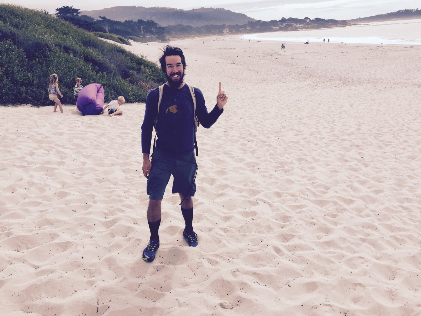
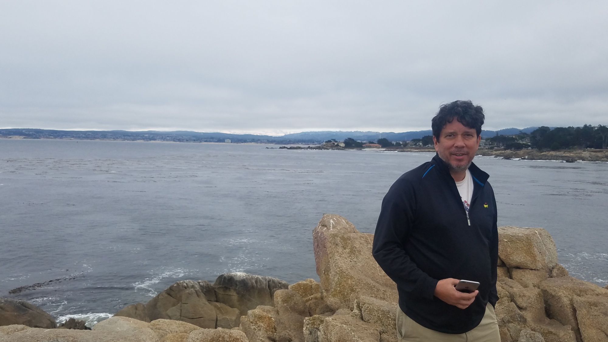
I am accompanied with a friend who I met traveling the west coast in January 2017, over a pasta dinner at the renowned Green Tortoise Hostel in San Francisco. We later spent time together during my 7 months in Oregon, hiking the Trail of Ten Falls and Mt. Jefferson Park.
It’s one of those run ins where you feel the universe colluded for the two of you to meet and complete some task together, and all you can do is smile and nod to the universe for its decision and look forward to whatever the future may hold, knowing that previous such reflections of fate led to some of the most fulfilling and memorable experiences.
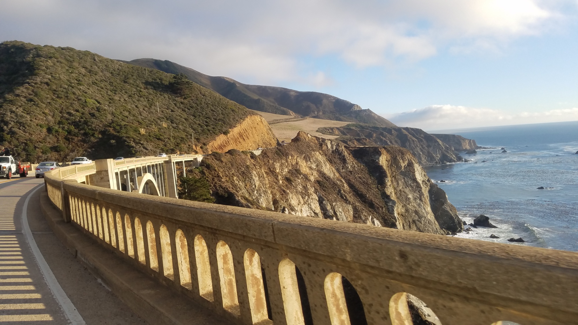
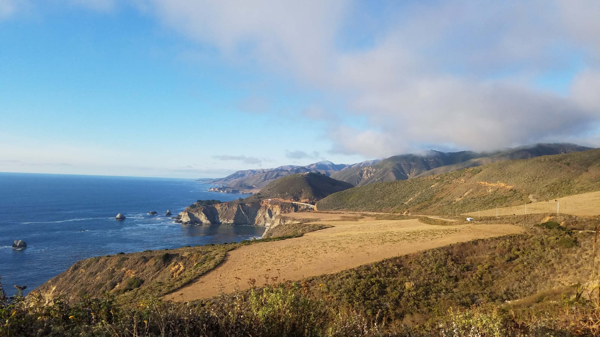
A vista along the PCT in Jefferson Park.
Along the way, we will encounter hardships, known and unknown; we will have drinks with old friends and come to know new ones; we will push our human shells to their physical and psychological limits; we will come to know ourselves and our kind better; we will come to know the delicate, fragile balance between life and death, and make clearer our lot on this turbulent, beautiful sphere of rock and water that we call Earth (Home), as we hurtle around the sun like electricity spirals around an atom in transit. We will submit ourselves to the serendipity of the pilgrimage and seek out the joy in whichever place we find ourselves in.
Ah yea, the pilgrimage. Here’s the plan:
We’re in the UK until July 2nd (11 days). This gives us time to stock up on any gear we need, and test out our kits. We are house sitting for Basil and Natasha, a lovely pair who are spending a week in the Lake District National Park, and who needed someone to watch their kitties, Bluebell and Francis.
July 2nd, we catch the afternoon train to Paris. We have 24 hours to arrange French cell service and acquire camping supplies not allowed on the Eurostar, while also taking in some of the sights of the city of splendor. July 3rd, we will meet a friend at Gare du Nord station, and we will ride to Murat, the gateway to the Monts du Cantal Region, the glaciated, eroded remains of the largest supervolcano in Europe. We will do a healthy 35 mile shakedown hike along the crest of the old lava fields, ranging from 500 to 1,800 meters.
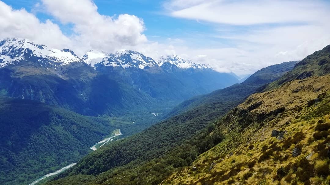
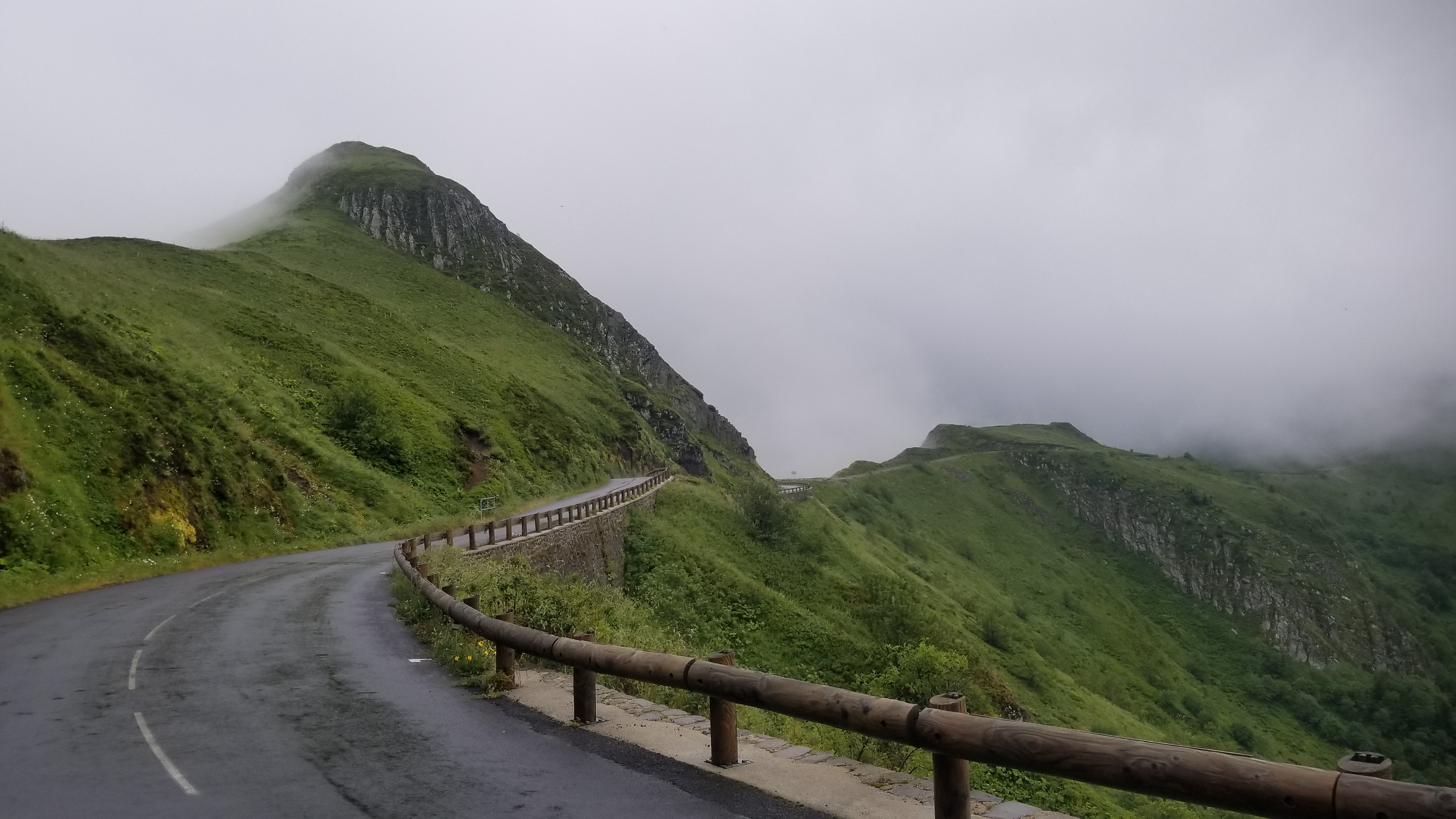
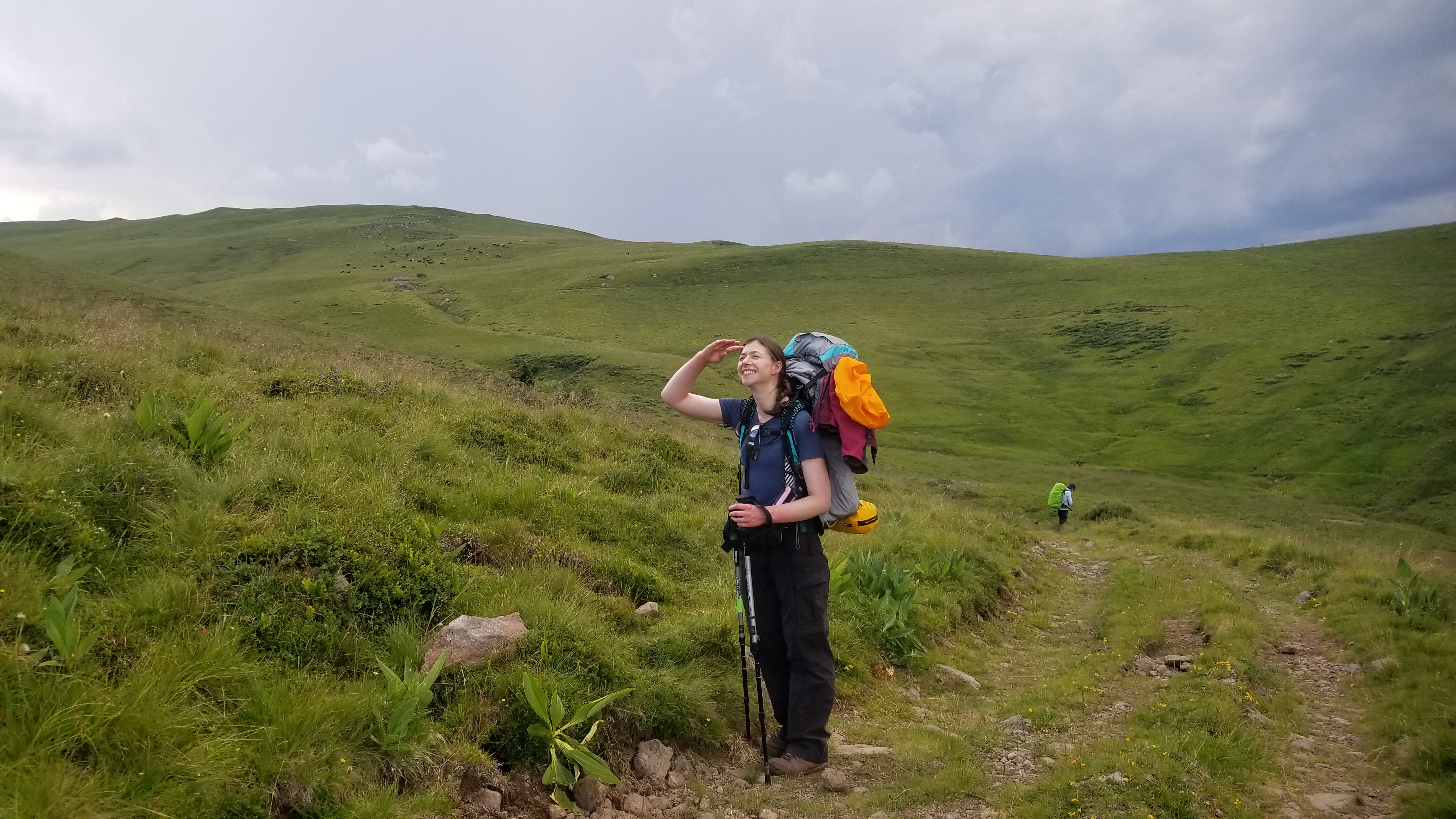
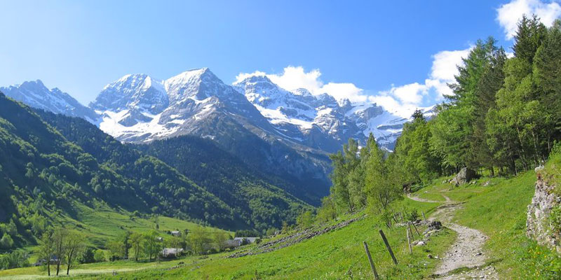
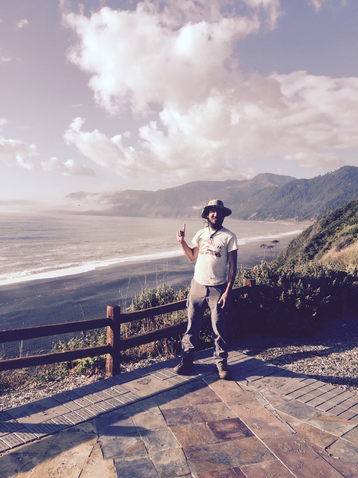
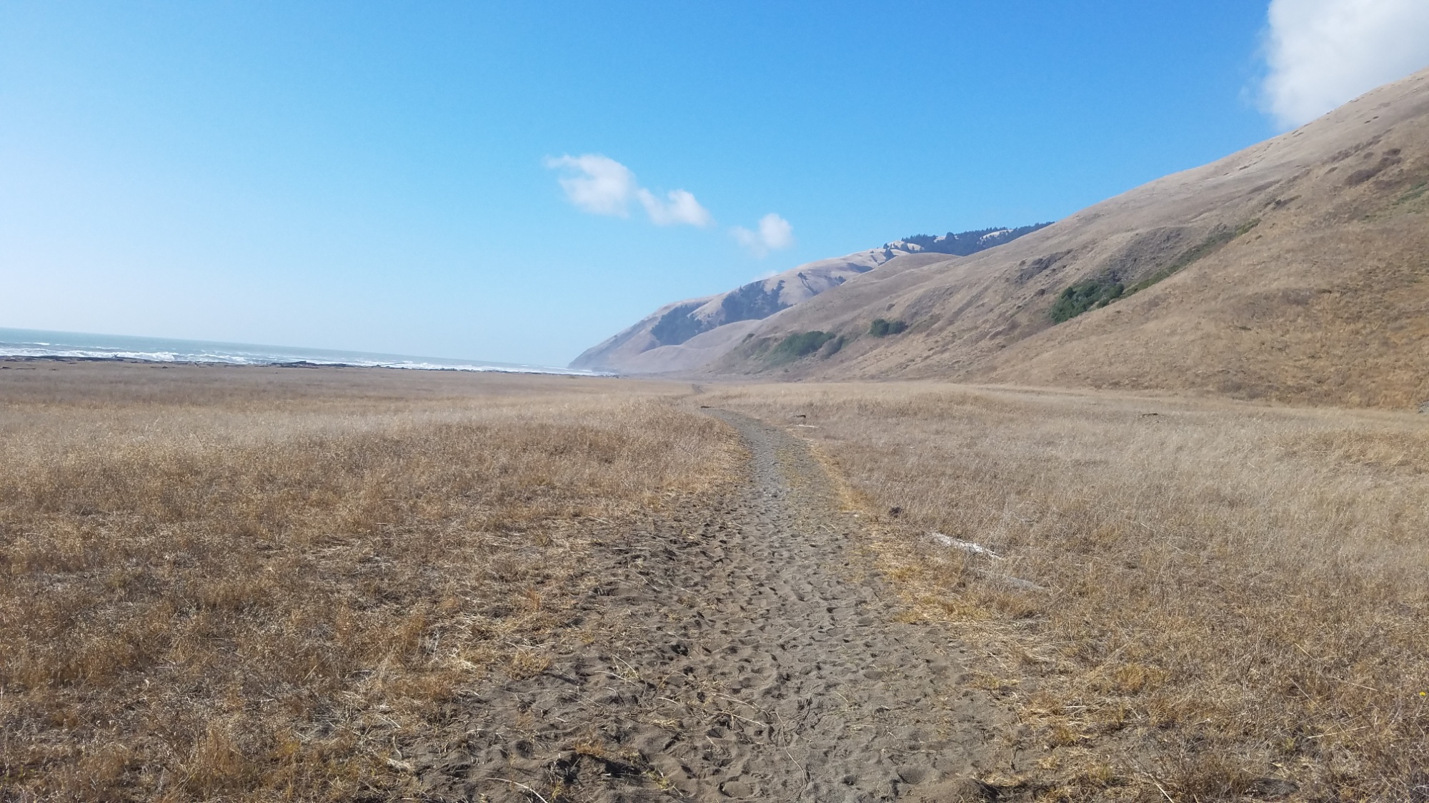
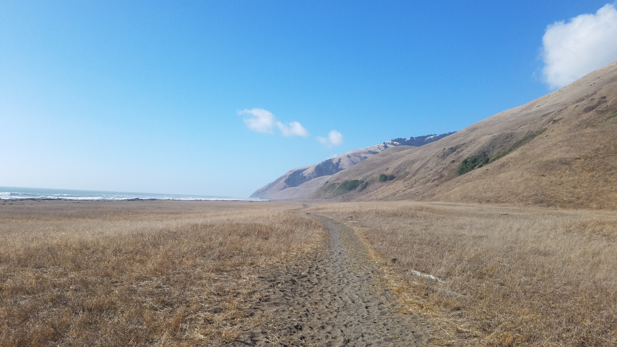
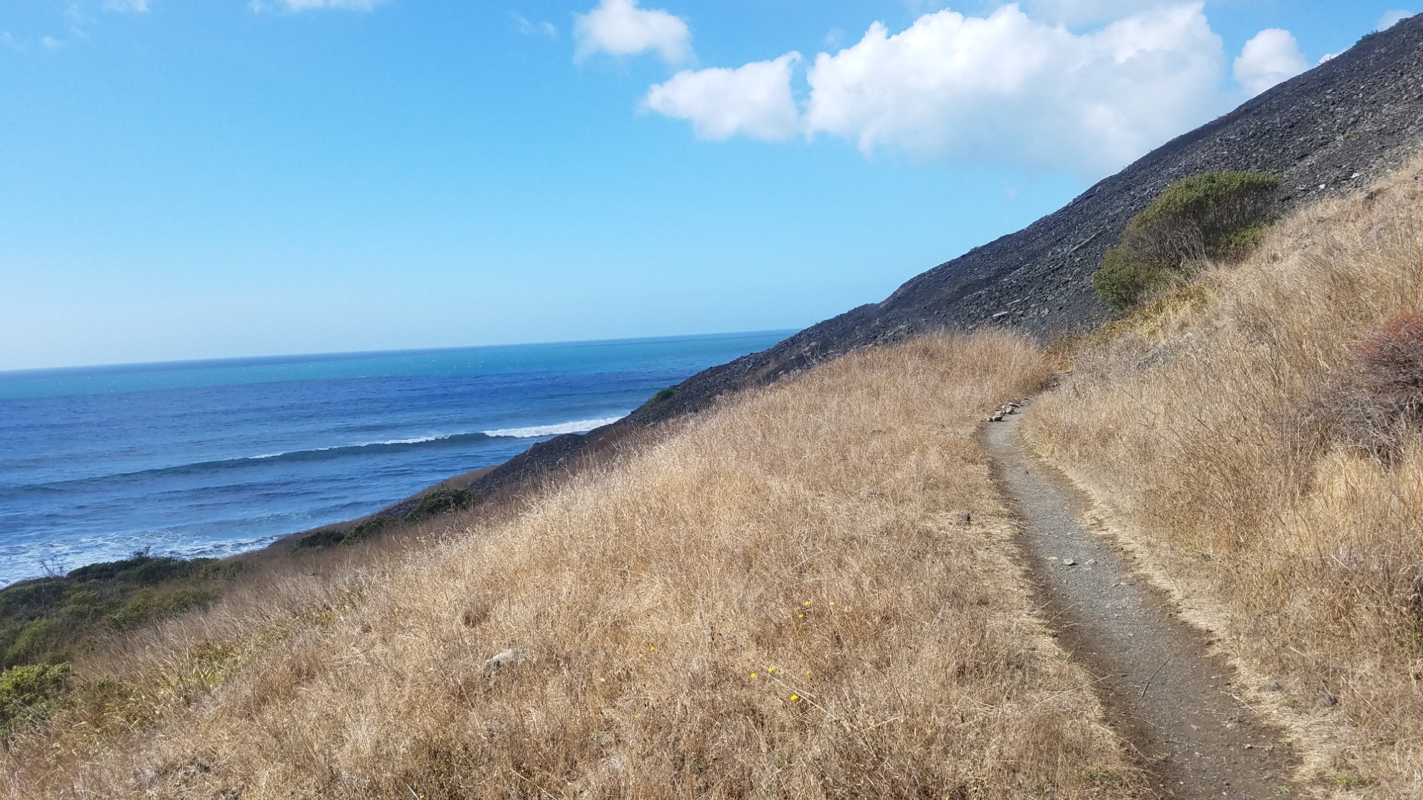
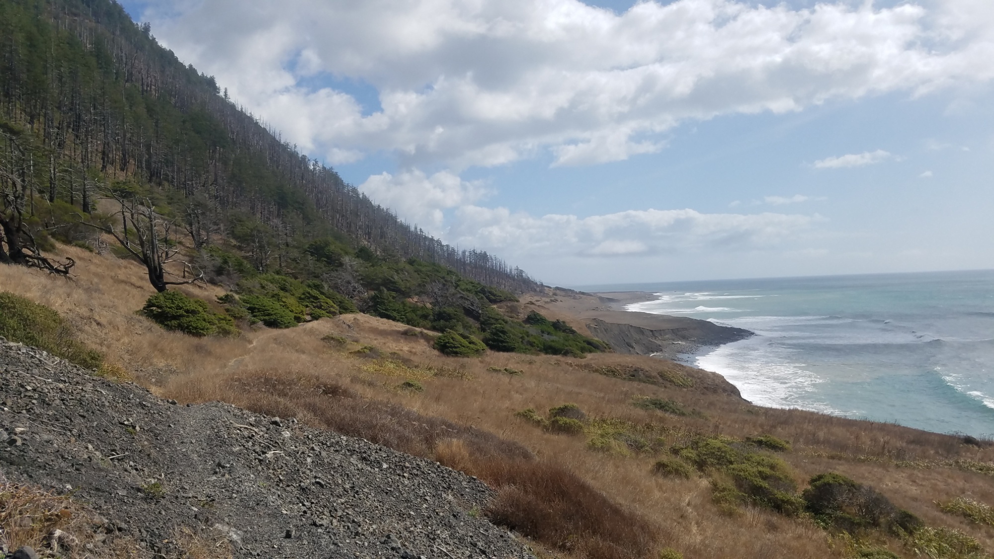
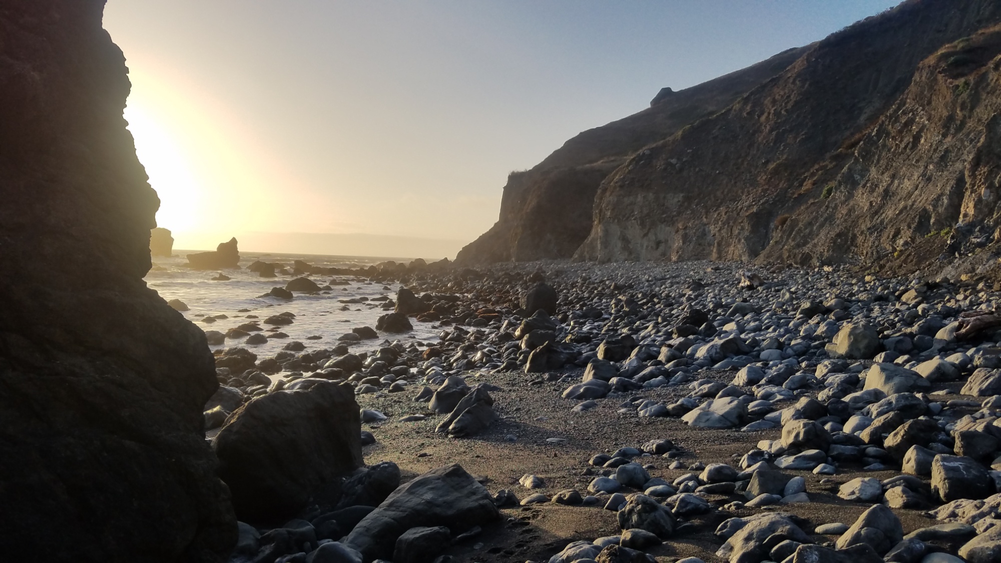
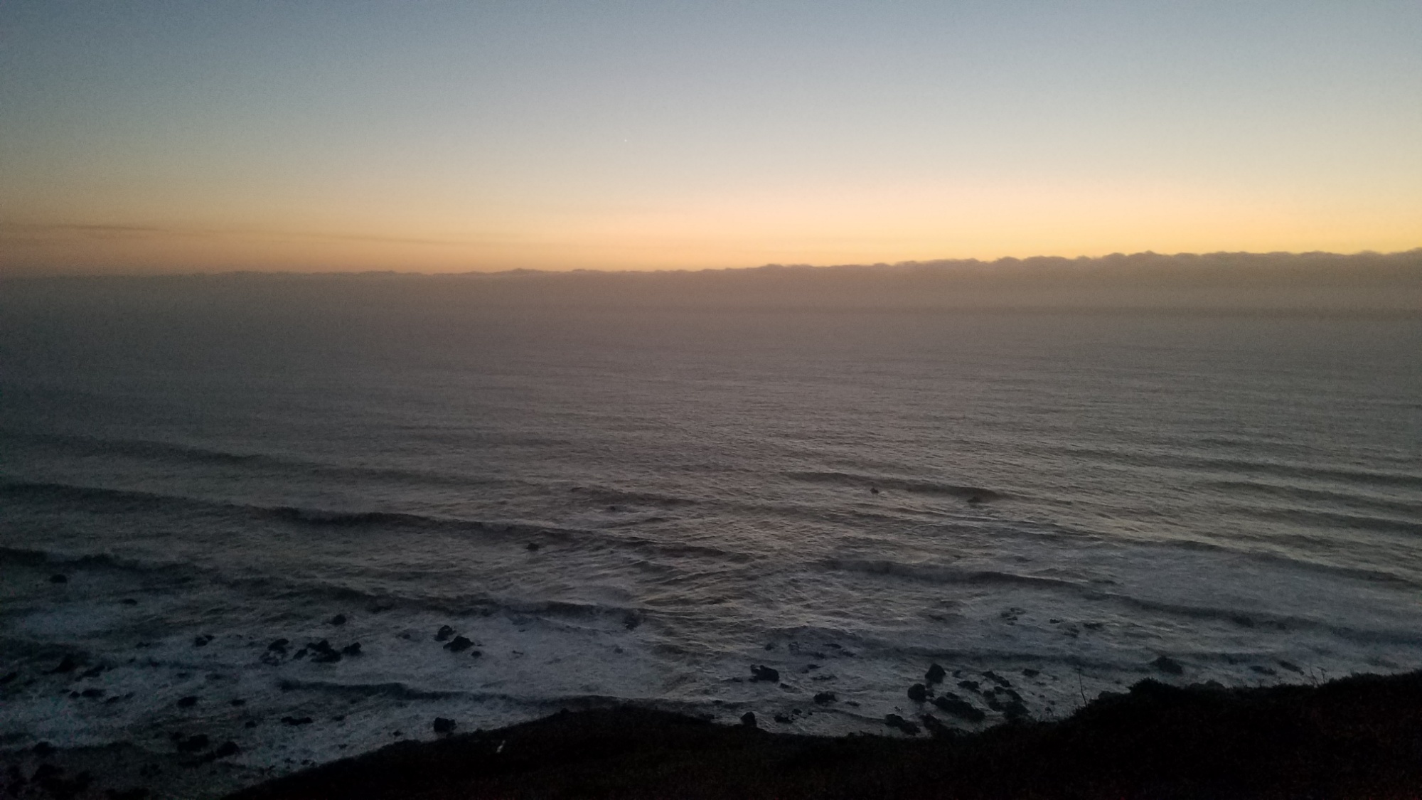
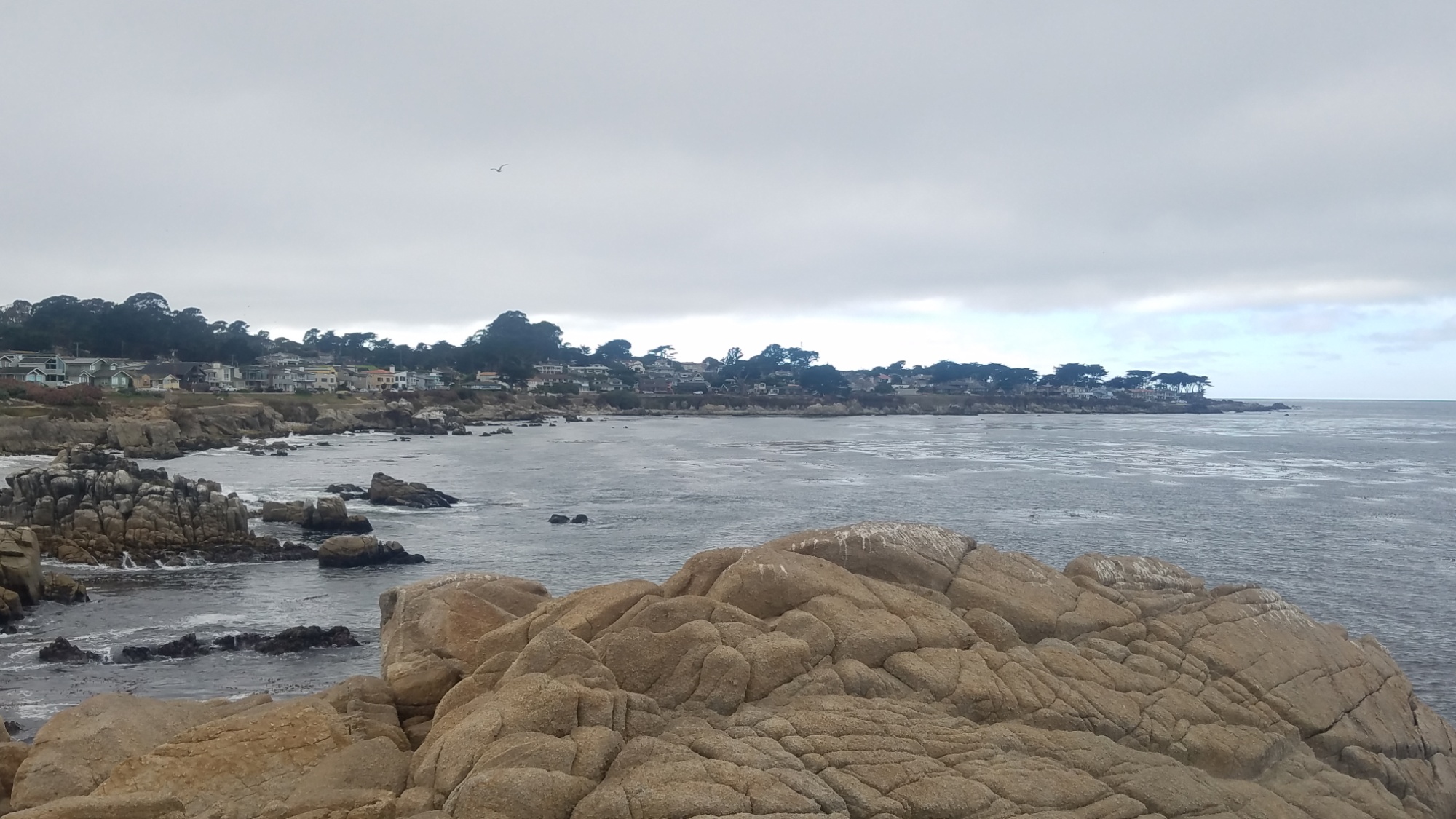
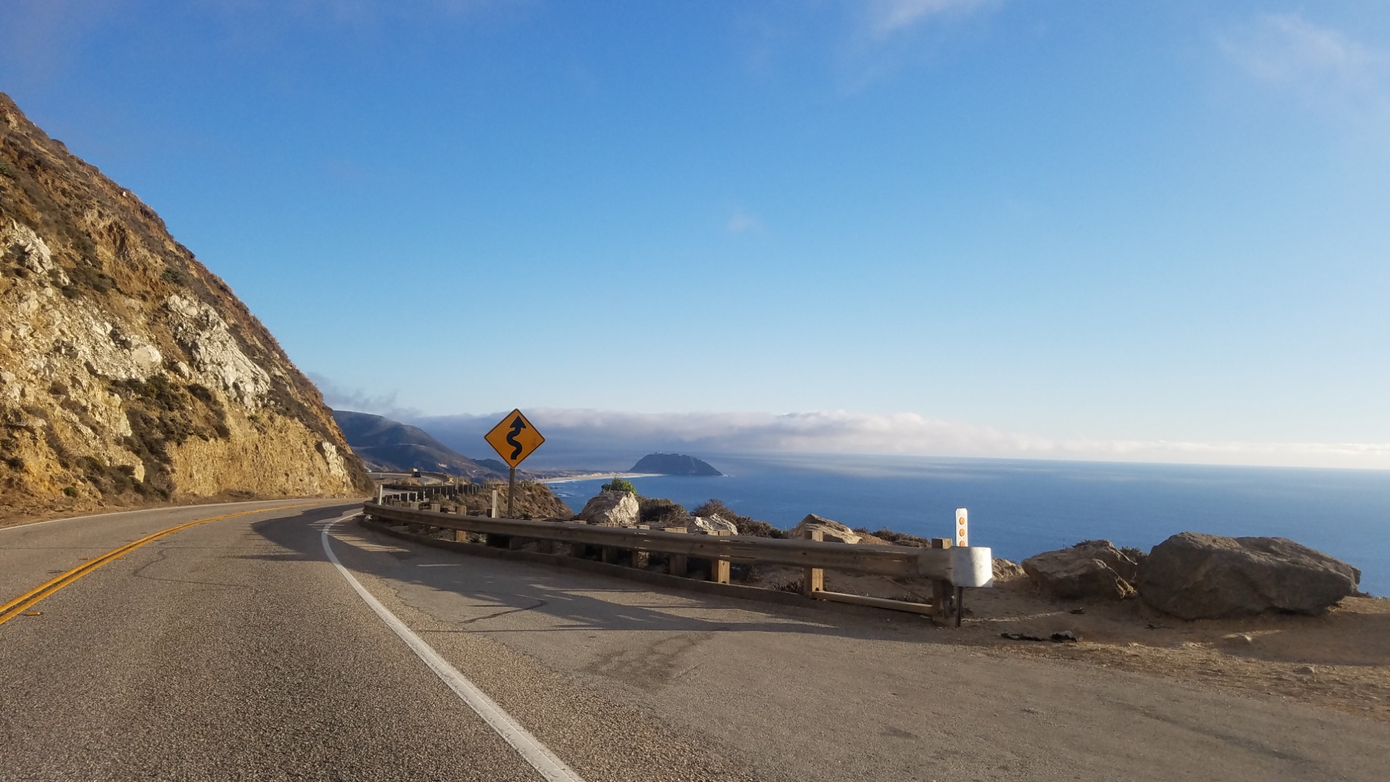
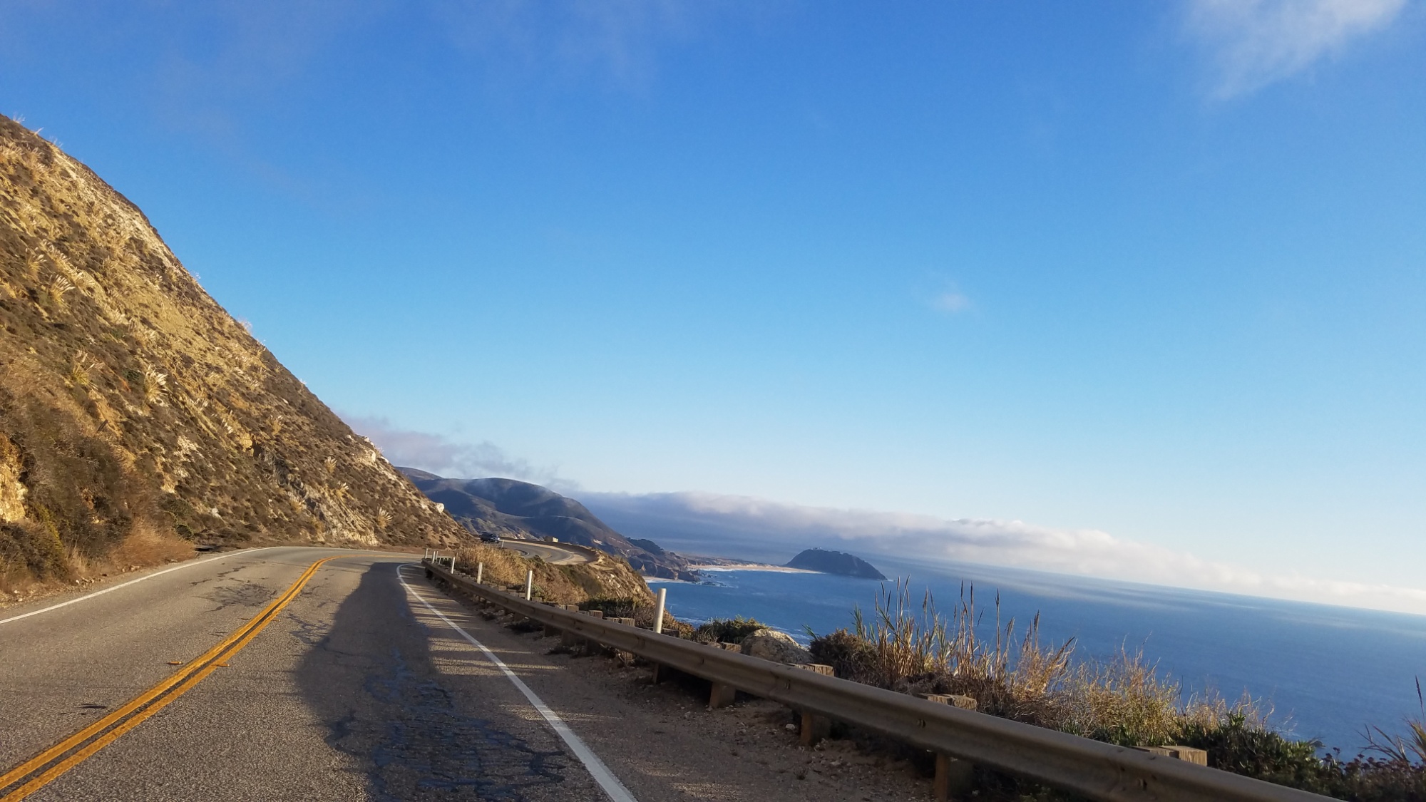
July 8th, we will ride all day from Le Lioran, a ski resort in the volcano’s mouth, to Hendaye on the Atlantic, the start of the Haute Randonnee Pyreneene. There, we will traverse 900km along the crest of the Pyrenees, spending extra time in the spectacular “haute pyrenees” (high pyrenees), where much of the glacial peaks exceed the “magical” 3,000m mark.
A typical day in the high Pyrenees.
If we survive that, we will celebrate our lives in Barcelona for a day, and then catch the train to Geneva, the start of the Grand Randonnee Five, the Grand Traverse of the Alps. 700km of beautiful Swiss, Italian, and French mountains await. The trail ends in Menton, a few minutes from Niece, where we will soak our feet in the mediterranean, grab a beer, and catch a train back to Paris, then London, and THEN… We will fly to Auckland, NZ, where who knows what awaits. It will be a memorable and fantastic journey, and I can only imagine the resplendence of nature that awaits.