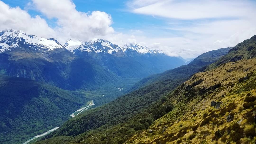
Today was rough! The guidebook underestimates it when he calls it “a walk without compromise.”
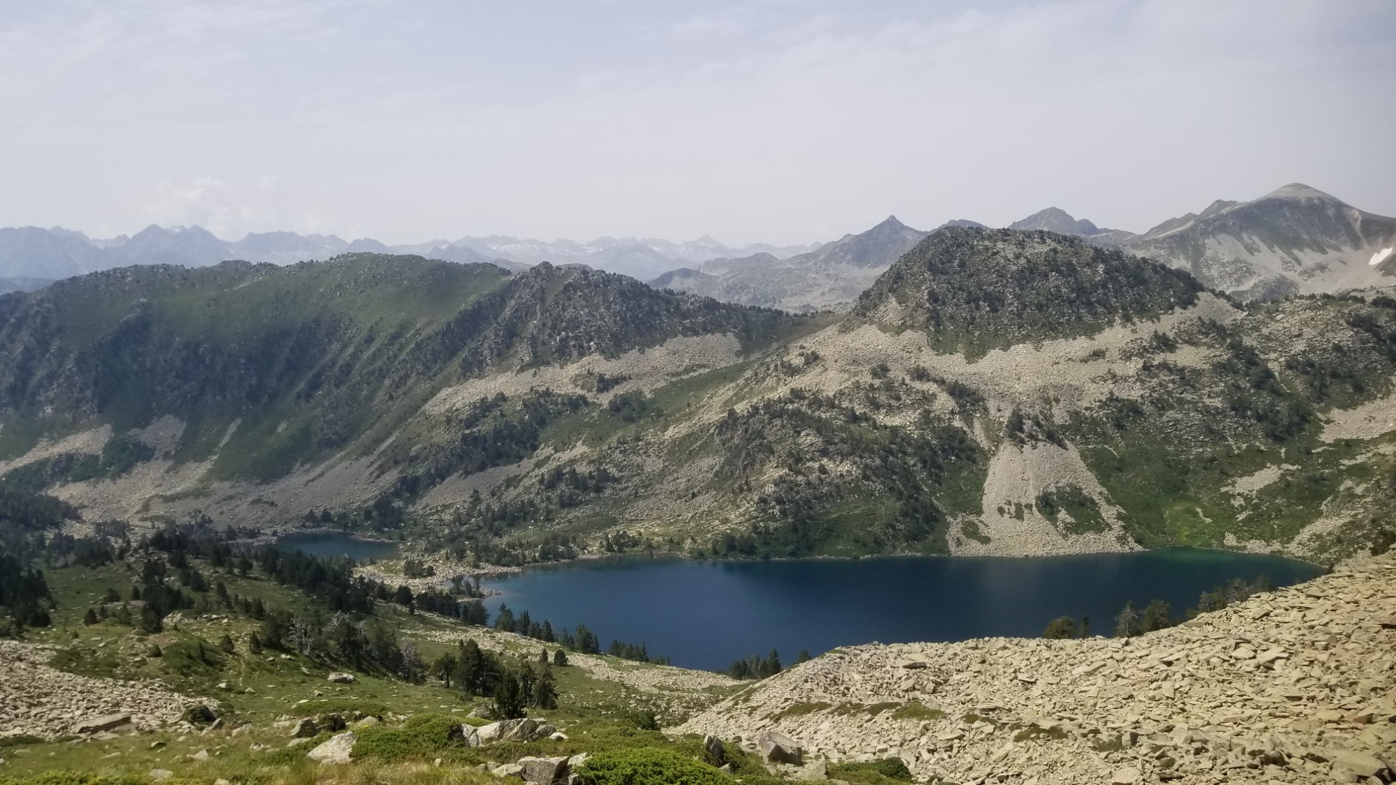
After packing up, I made my way down to the large lake below. There was a semblance of a trail and some cairns here and there, so I wasn’t too worried.
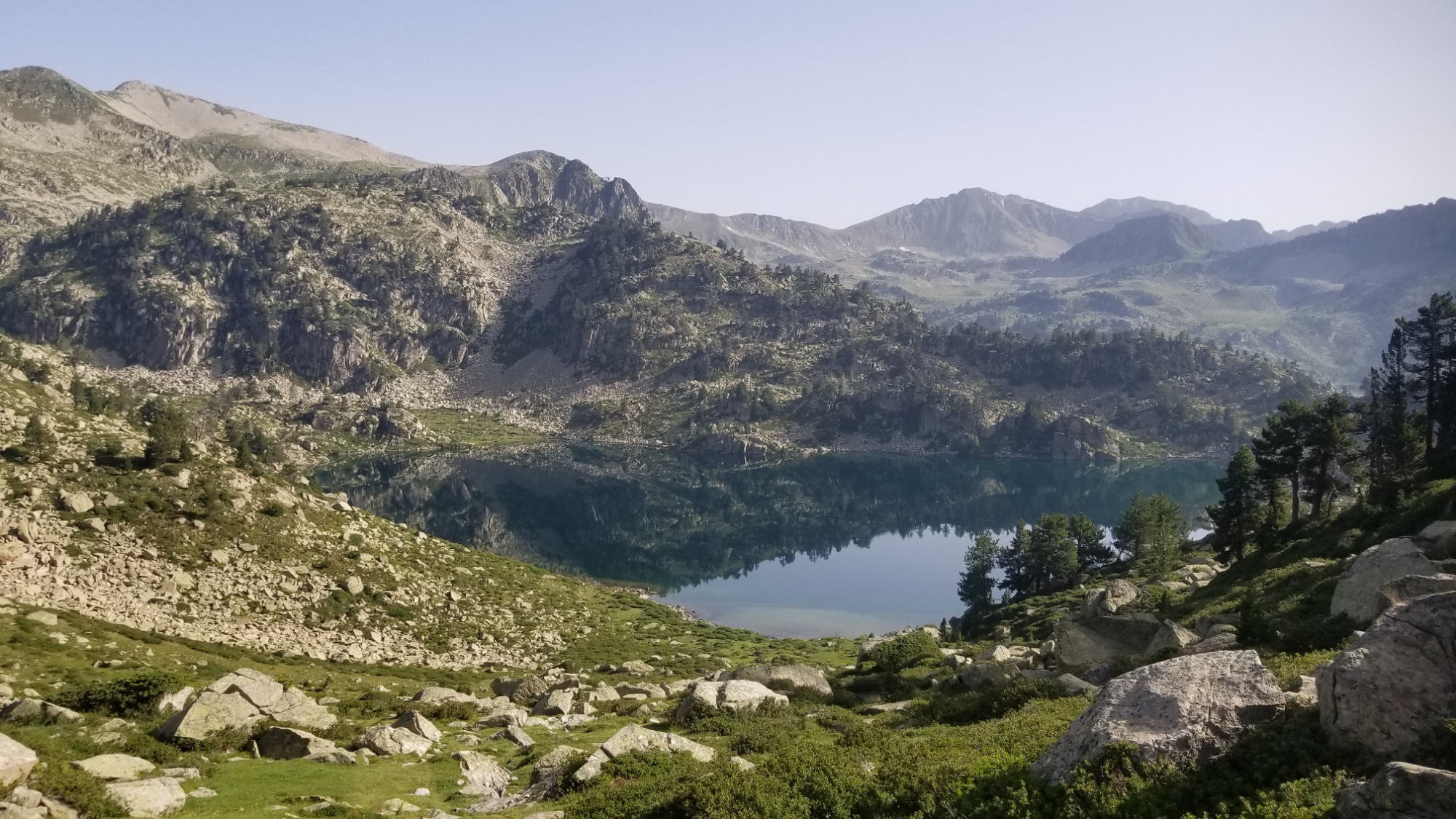
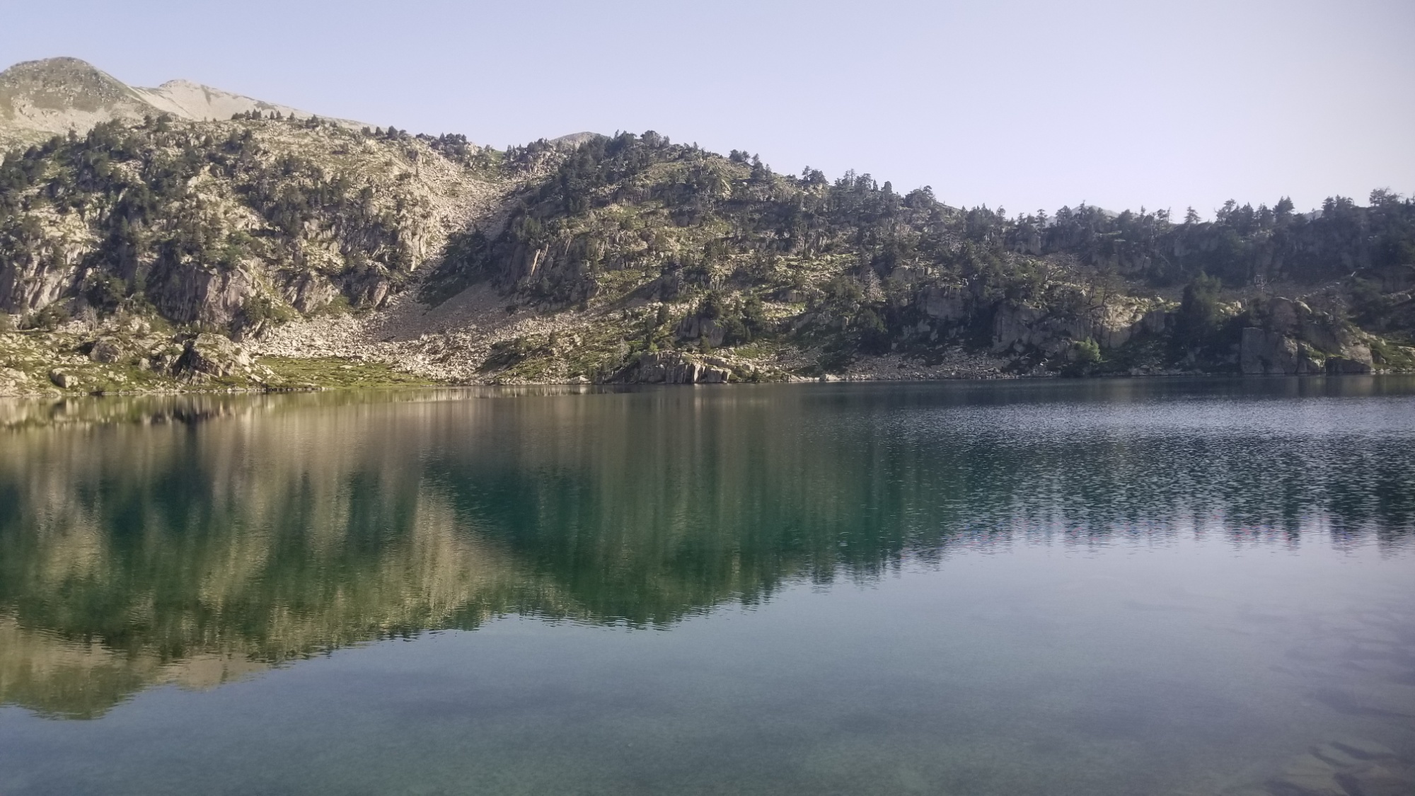
Then, halfway past the lake, the trail kinda… vanished. The way it does. I was left in front of a huge wall of boulders to ascend (This would become a trend in today’s walk).
After making it to the top of the boulder hill, I was faced with another huge valley between myself and the pass I was headed towards, and no trail in sight. I had to descend steeply on boulders and slippery brush, eventually making my way to a small stream.
Then, another wall of boulders! Hooray! I climbed up and over that boulder hill, and was finally able to hone in on the mountain pass. This time, the ascent was through a big grassy meadow, with few boulders in sight. I was happy to finally be out of the rough patch, and so stopped by a little spring to make a morning coffee.
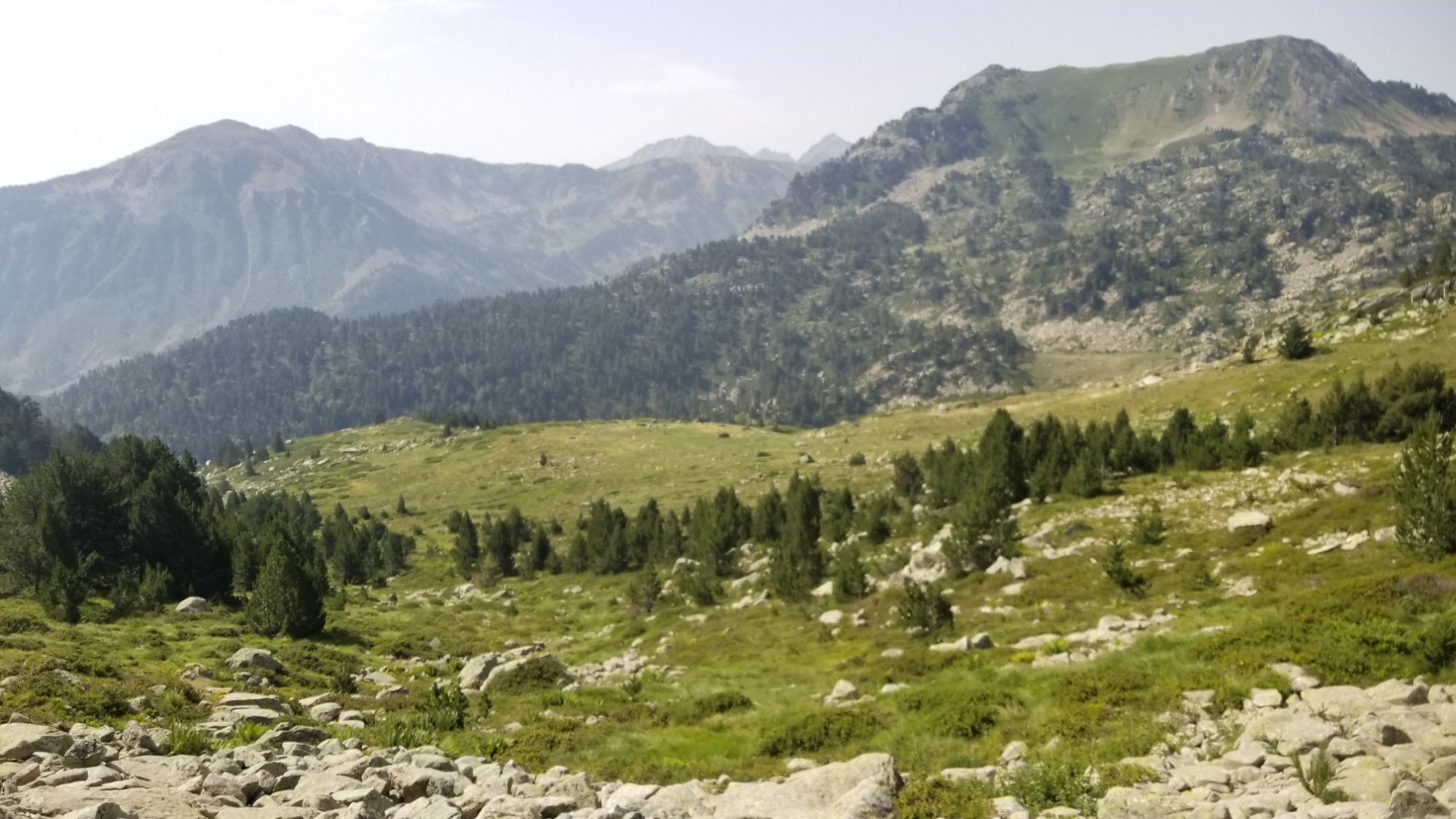
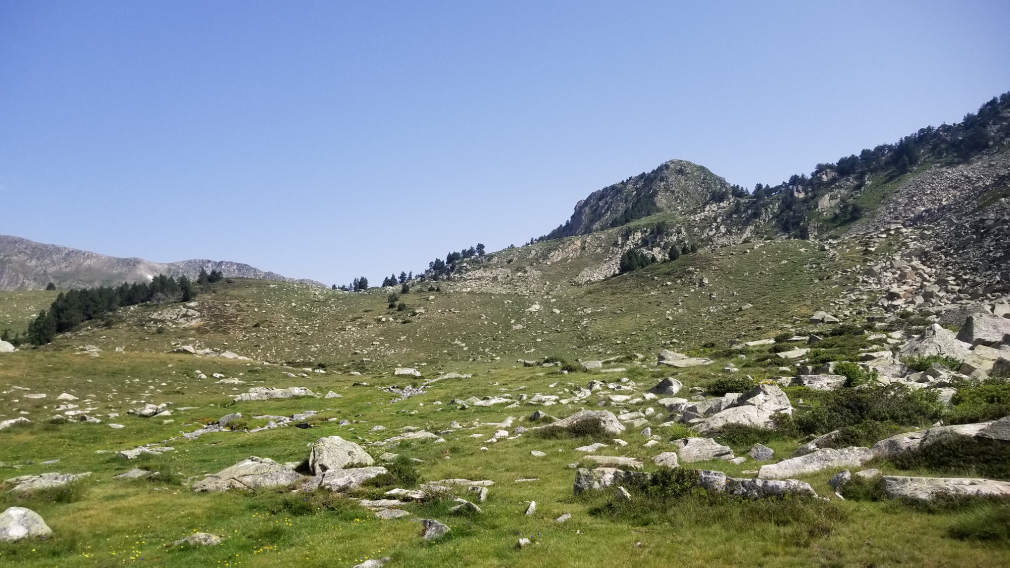
Then, there was yet another wall of boulders and a steep grassy slope to ascend. Finally, I made it to the pass! I could see the two Lacs de Airoto down below, and the orange-roofed Refuge Gracia Airoto.
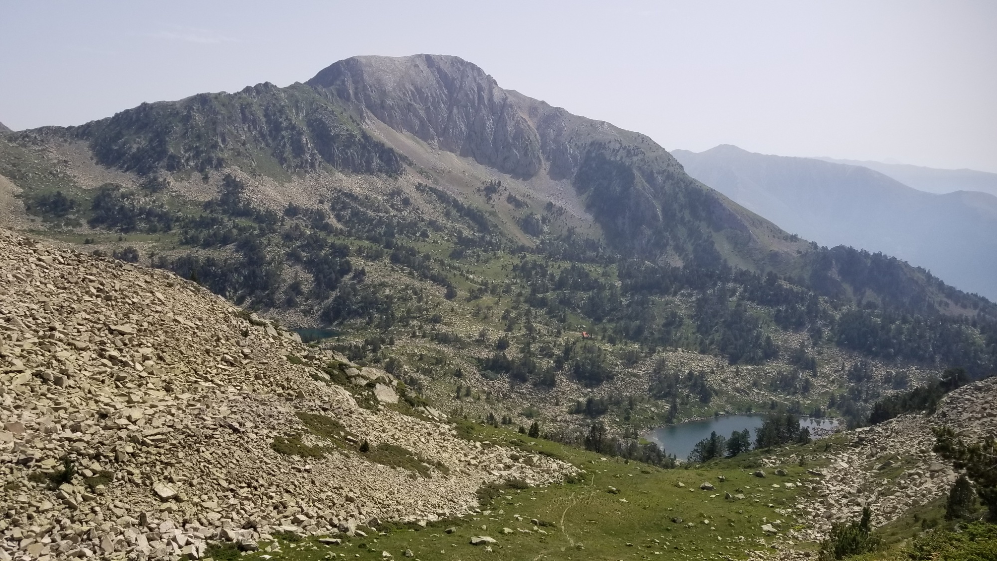
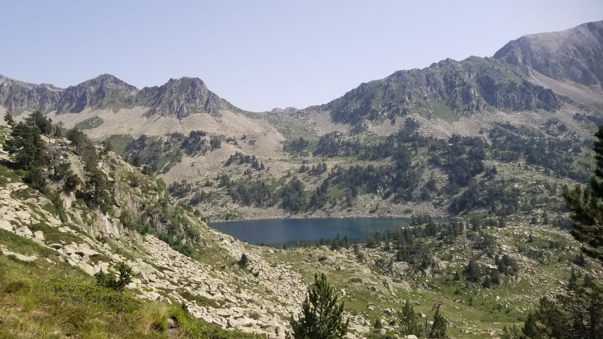
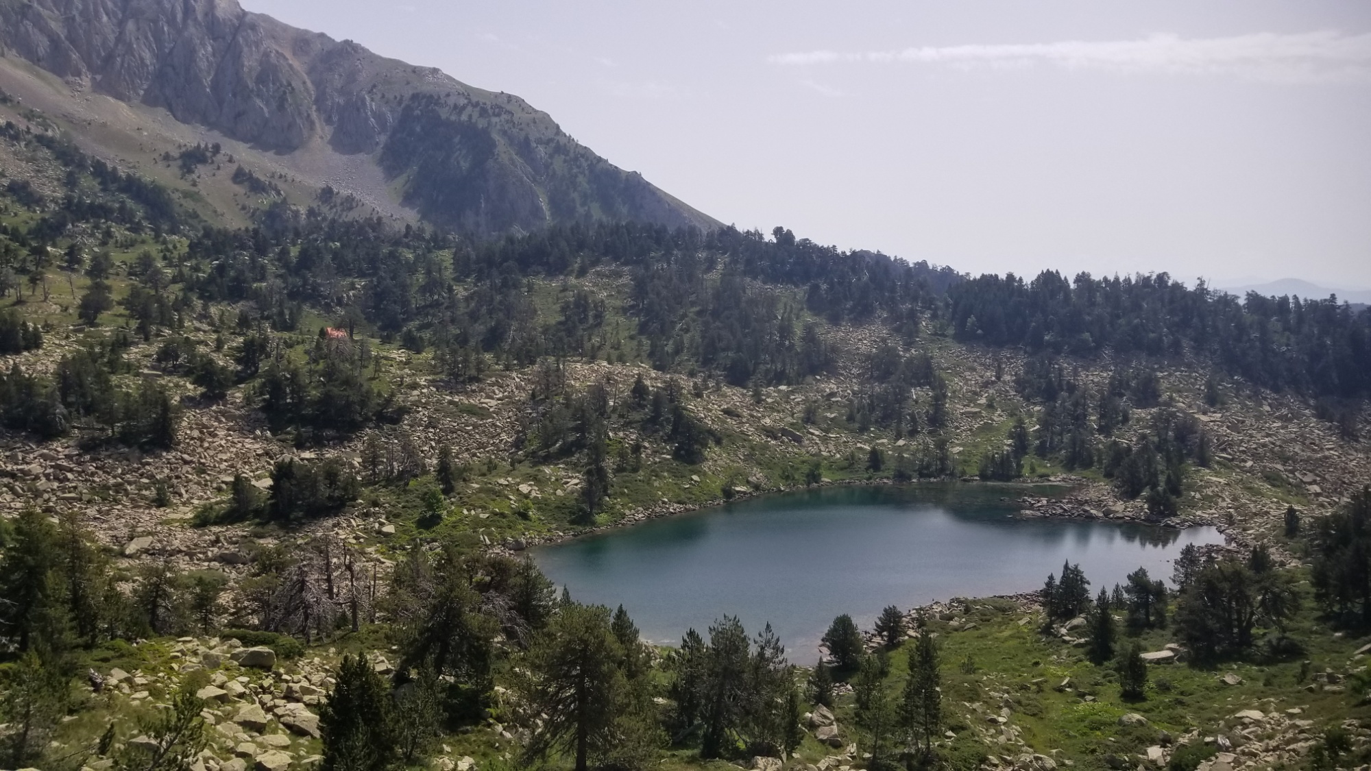
I made my way down from the pass, and the trail dead ended at a giant boulder field. Man, what is with today?! Who put all these boulders here? I’d like to have a talk with them.
So I climbed up and crossed a stream and had a little break next to the Refuge. Then, a 200m ascent on a decent trail (compared to the chicken trails I’ve been on all day) to another mountain pass. This pass leads down 1,000m to the small hamlet of Alos d’Isil. Not really of any significance, but it’s the target I have to walk towards at the moment.
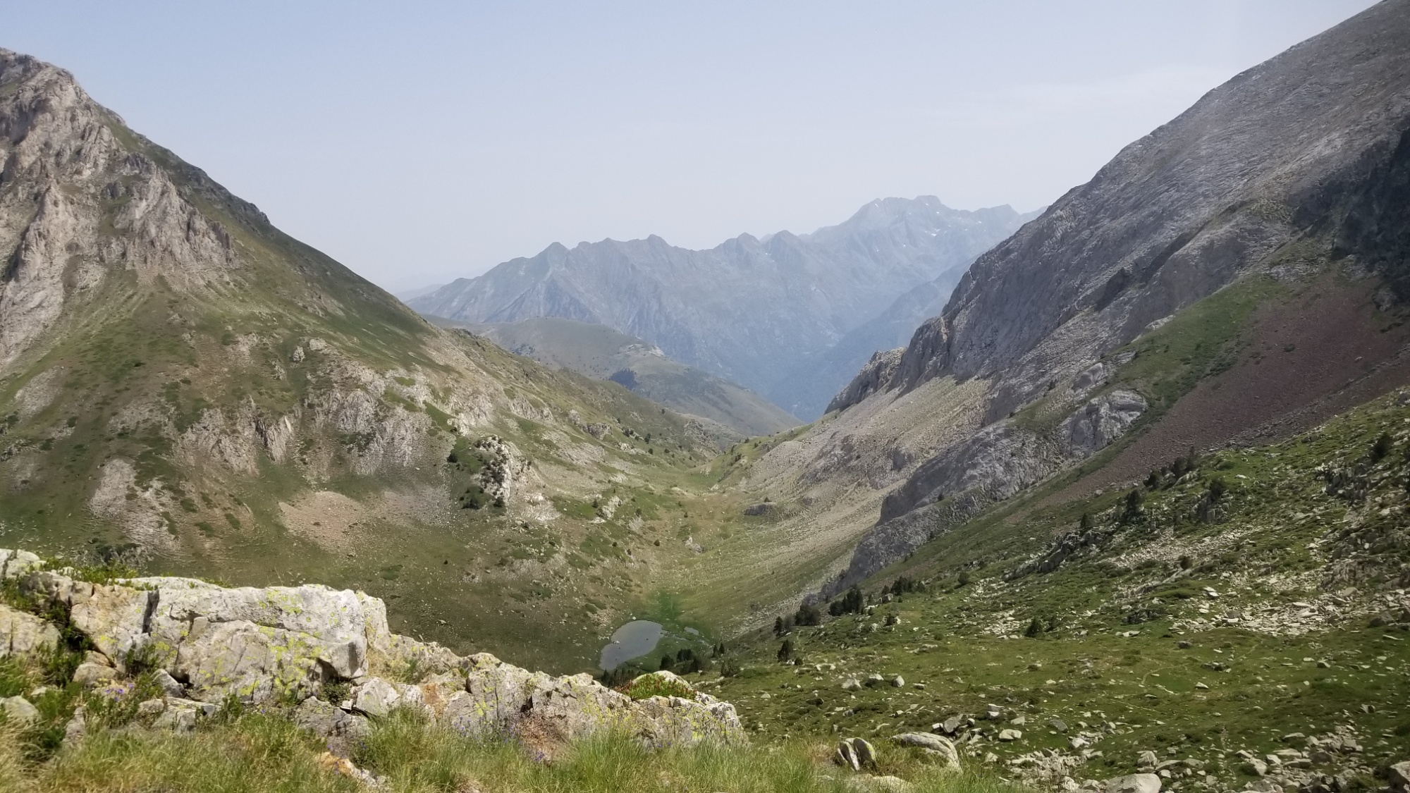
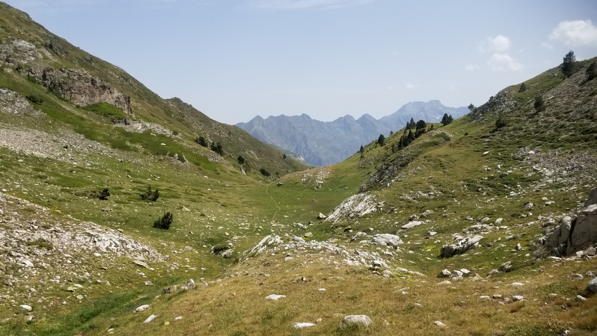
The descent to Alos starts out well enough. Big sweeping views of a nice grassy meadow, a nice graded trail to cruise down, good water sources. What more could a hiker ask for?
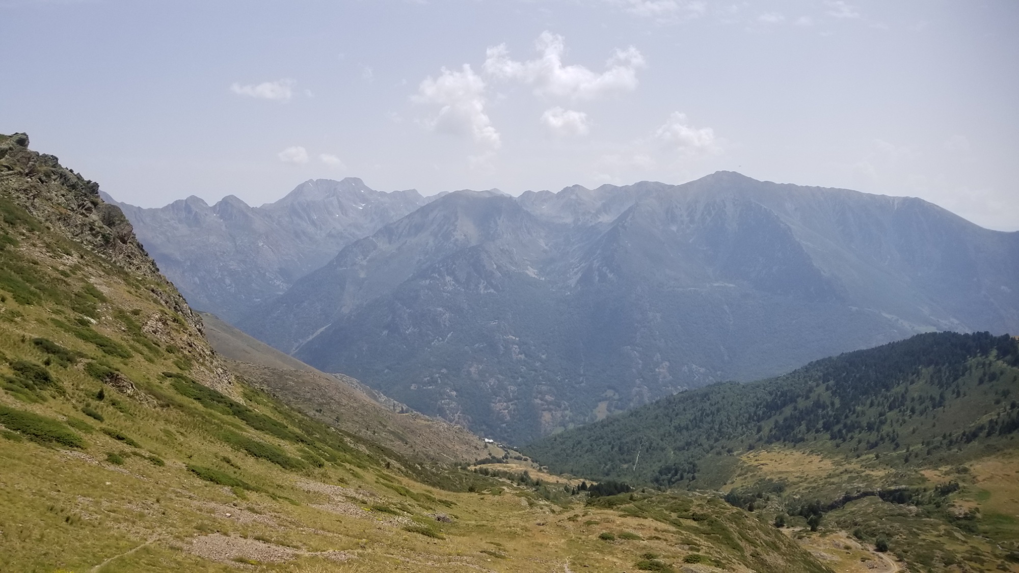
The trail meanders down the valley to a road, which continues down, and I take a number of shortcuts straight down the meadow to cut off unnecessary corners of the road.
The road leads to a couple of small farm houses, which I walk past, and then it ends. Damn. I’m left with this steep grassy hill to descend about 500m down with no trail. I start zigzagging my way down, and eventually come to a good trail headed in the right direction. Sweet!
I keep following it and I see these two yellow blazes on a tree, which usually indicates the way of the HRP. It had an X on the trail that looked really nice, and a yellow “turn right” symbol onto another trail. So I thought, what the hell, I’ll give it a try.
I kid you not, this trail makes one zig zag down the hill, and then just disappears into a bunch of tall grass and thistles. I was like, WHO THE HELL PUT THE TURN MARK THERE.
I humored them and tried to follow the trail as well as I could. It went down about 10m, went through a bunch of BS grass, and then made this absurd ascent BACK UP TO THE NICE TRAIL I WAS JUST ON. WHAT THE HELL.
I kept on following the good trail down, and then it exploded into about 7 sub-trails going every which way, and of course the maps just said “go down to Alos d’Isil.” Like throw me a bone here. Can there not be one trail that doesn’t ghost after 15 minutes?
I eventually bushwhack my way through all kinds of briars, rose bushes, thistles, nettles, blackberries, tall grass, short grass, and a bunch of those weeds that explode little stickies all over you.
Finally, I make it down to the road below. I keep on walking and come to a nice spot to have a bite to eat along the riverside. That pack of Chorizo didn’t stand a chance.
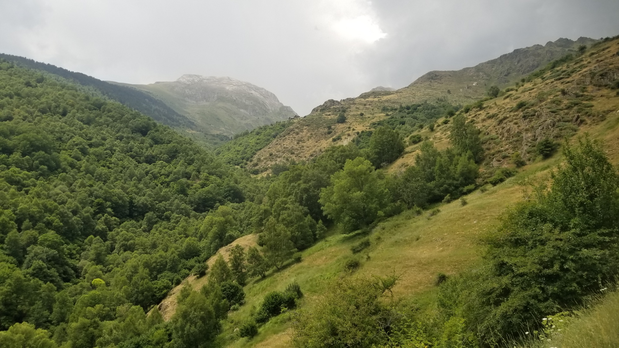
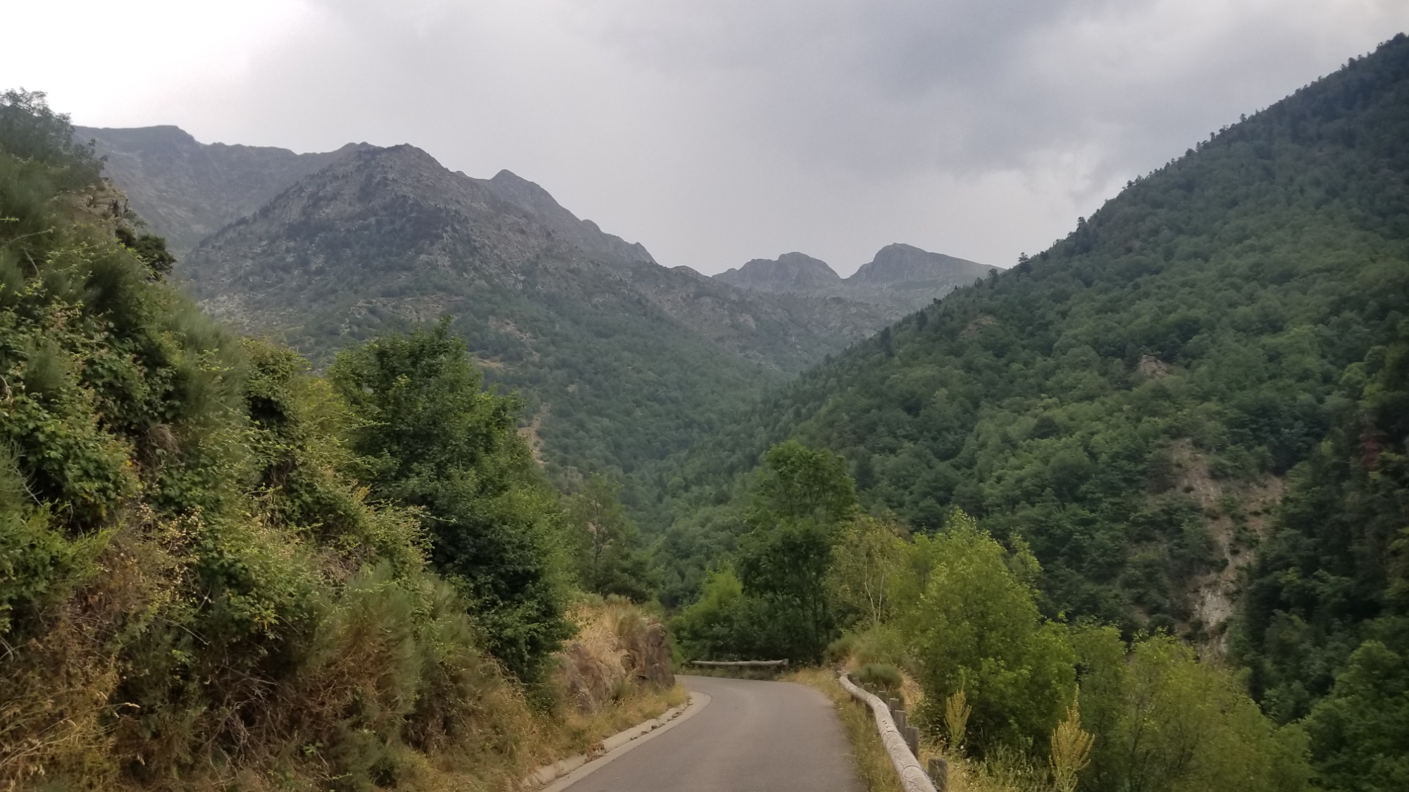
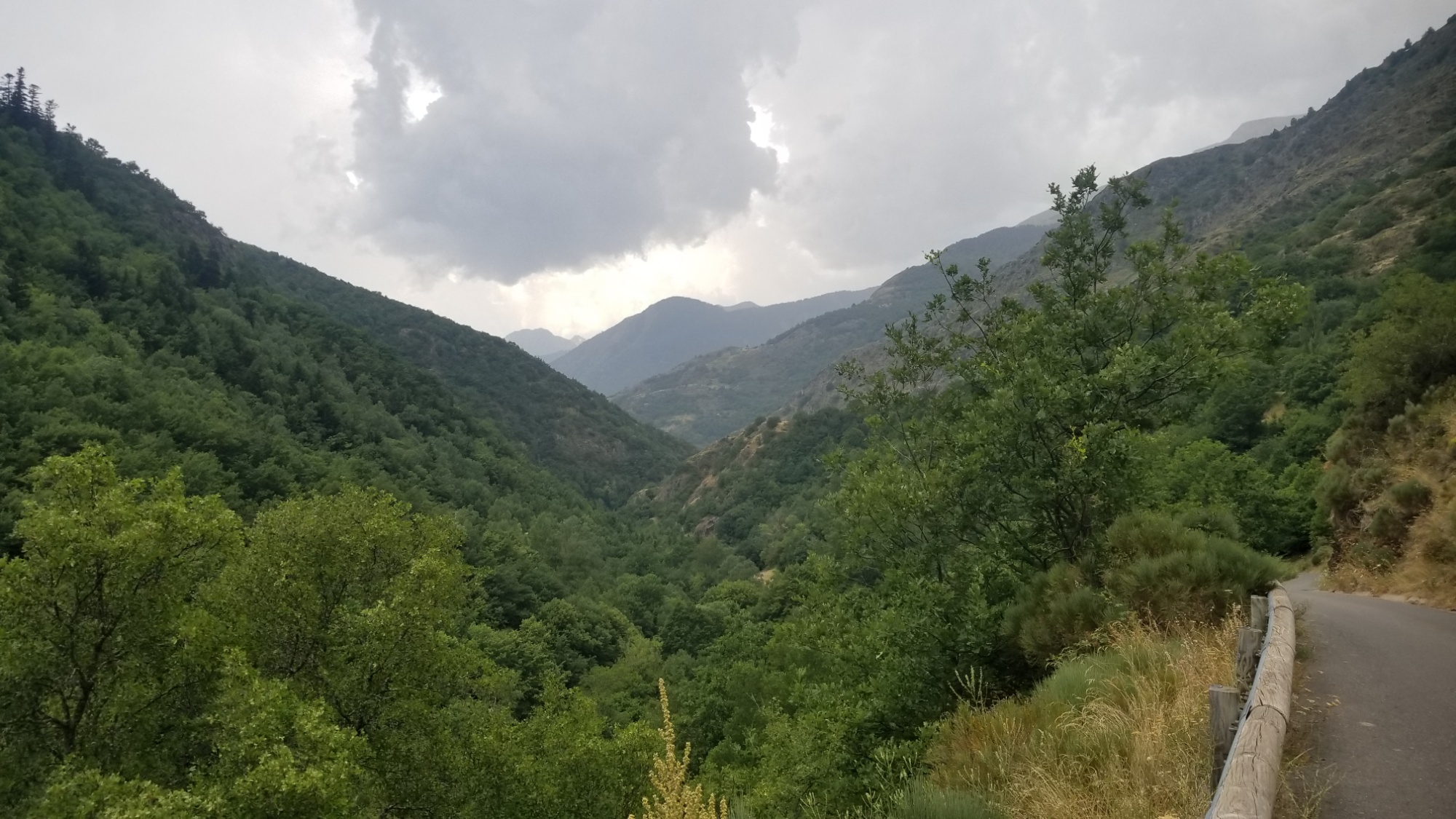
Then, the trail branches off and crosses the river. I fill up my water, and begin to hear thunder in the distance. It’s about 3pm now. I follow the road up past a couple of farm houses, and then lose the trail again, so have to walk a sheer slope up a grassy mountainside about half a kilometer before finding a good way again.
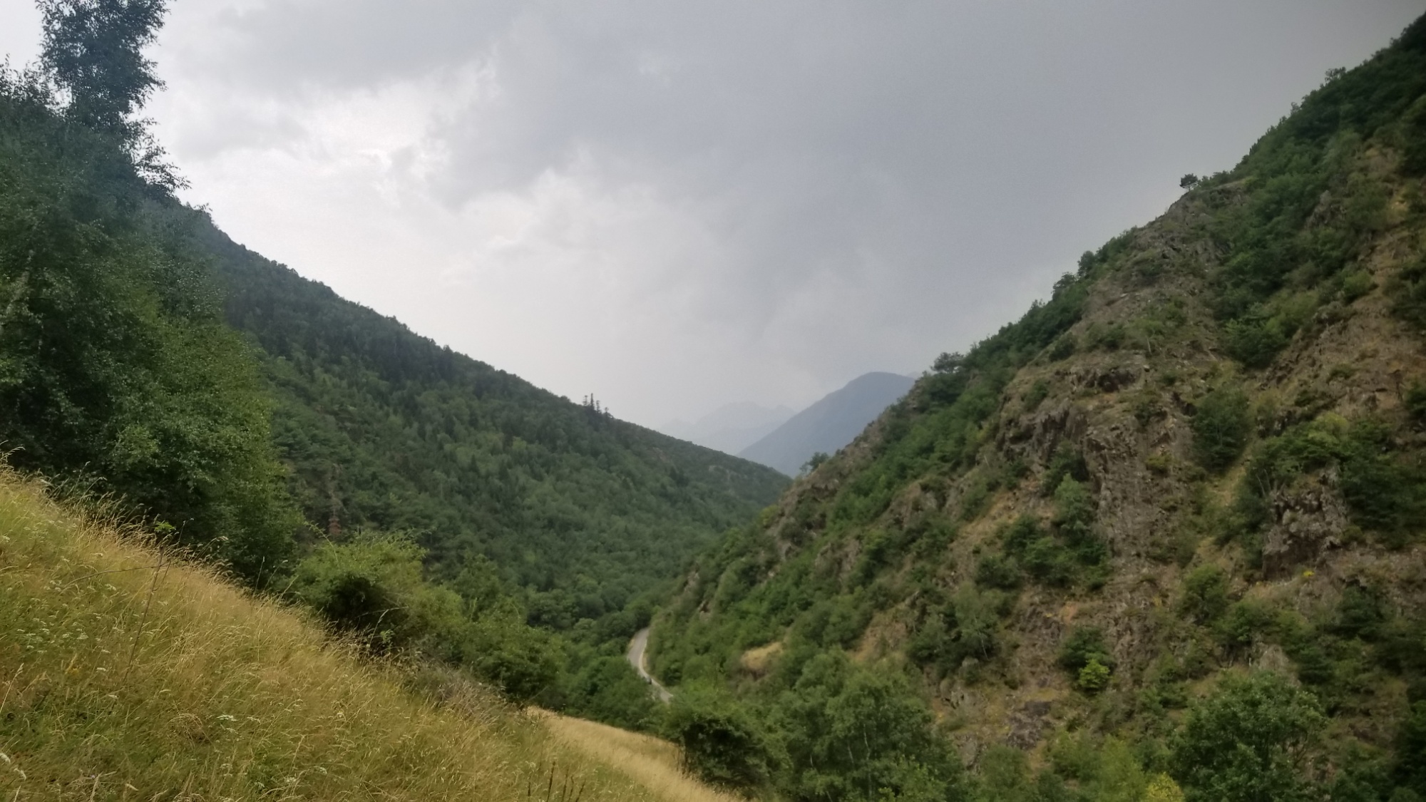
And the thunder comes back, closer this time. The rain begins. I find a nice tree to shelter under, cover myself in the poncho, and have a bite to eat.
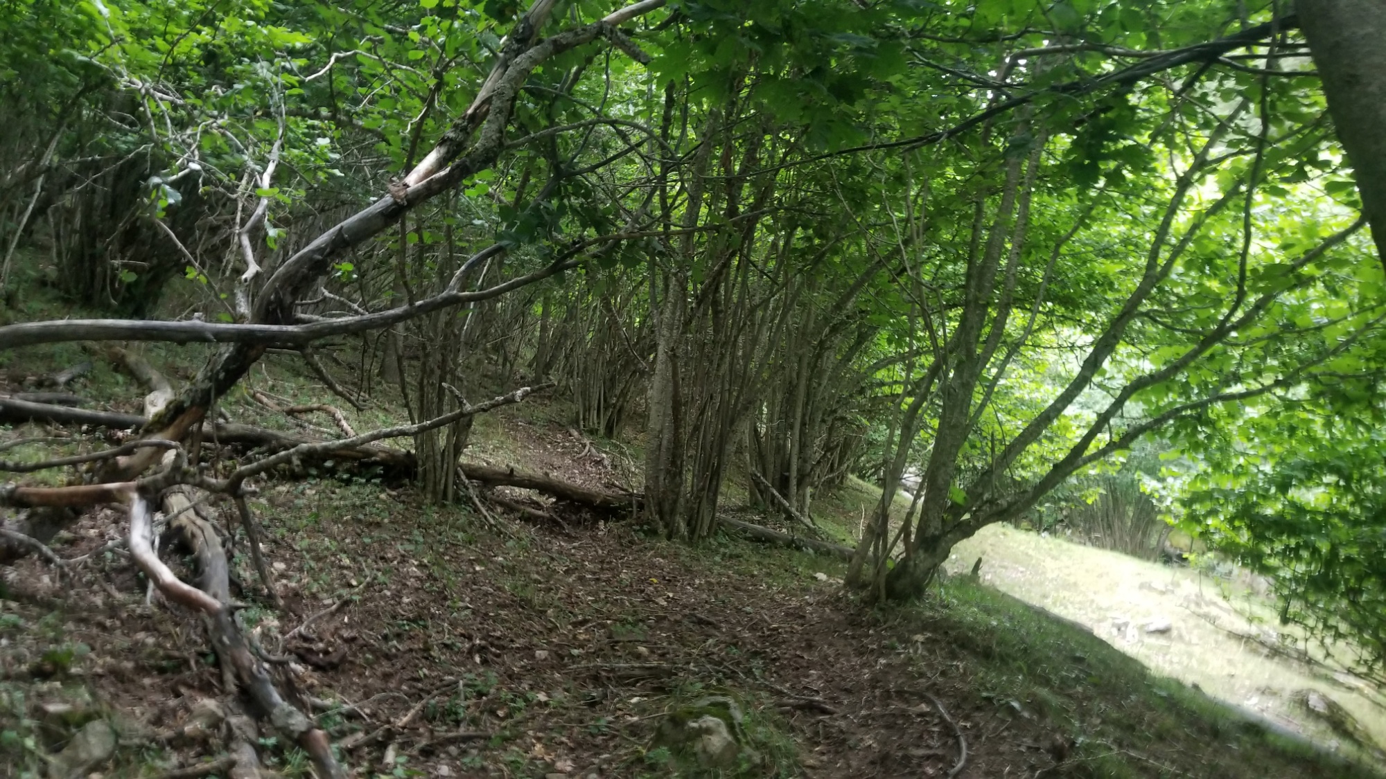
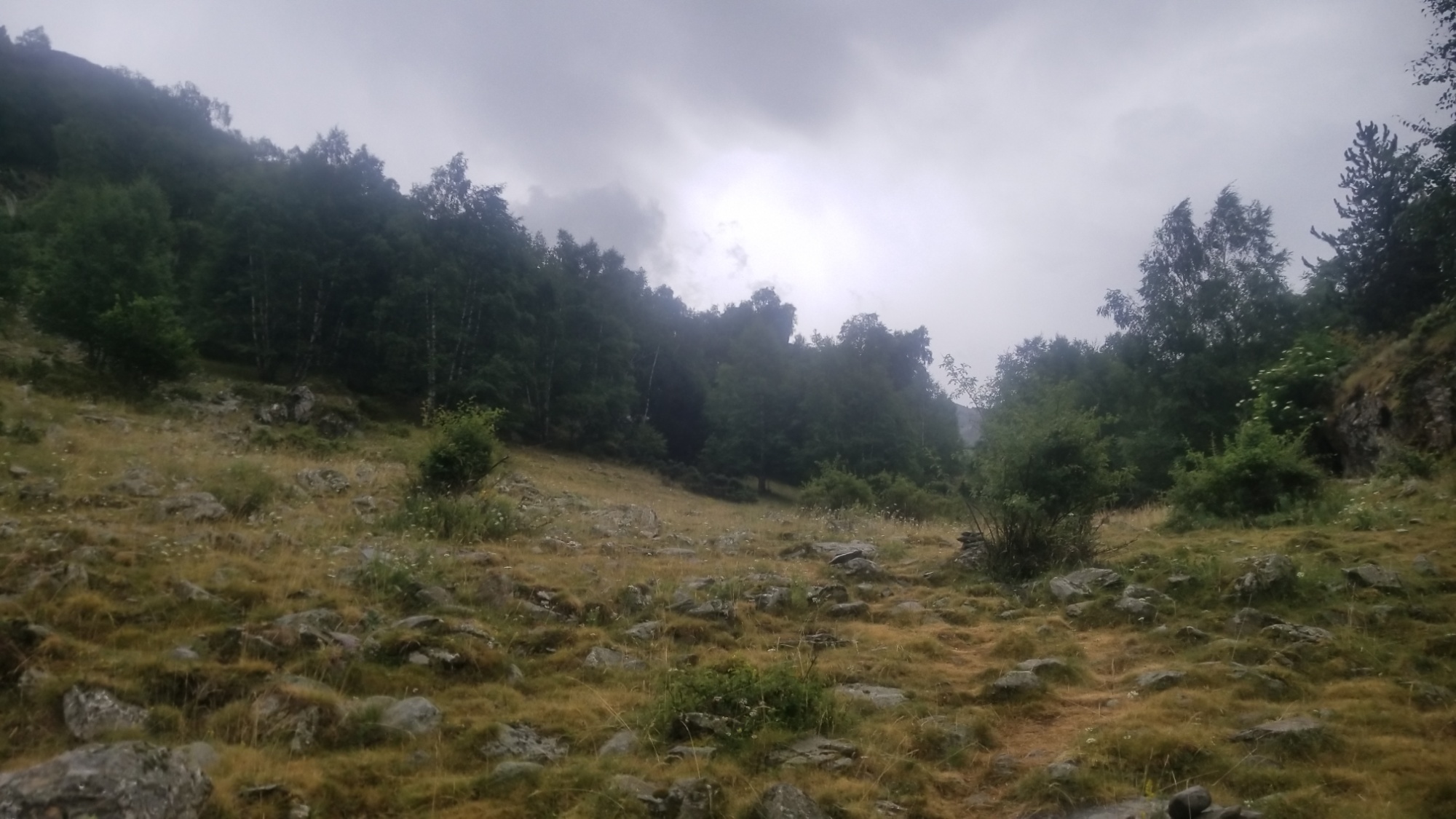
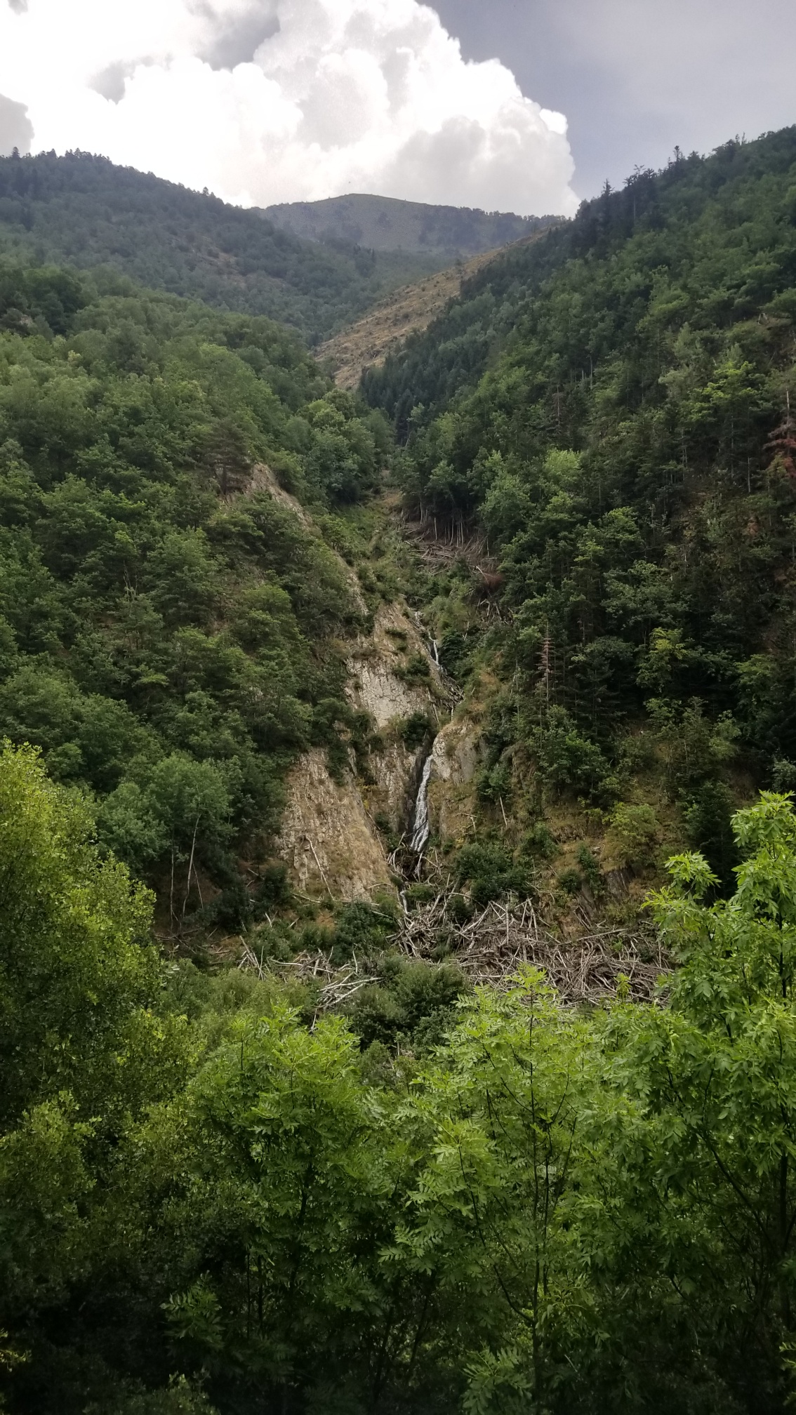
The rain slows down and I carry on up the trail. This time, it doesn’t disappear, and it leads to a beautiful valley with waterfalls and grassy meadows. Which would be awesome if the weather weren’t so dismal!
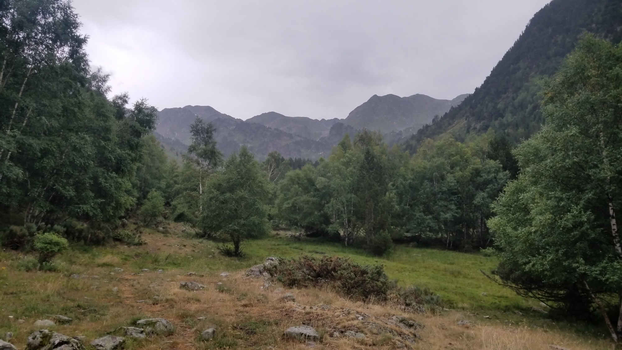
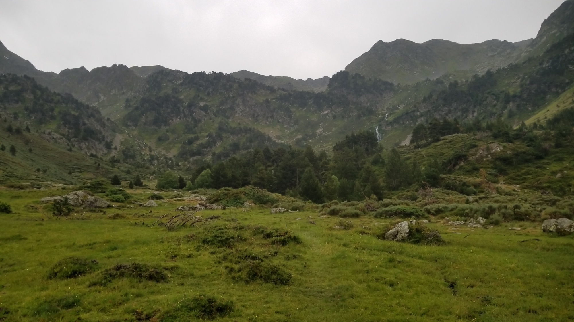
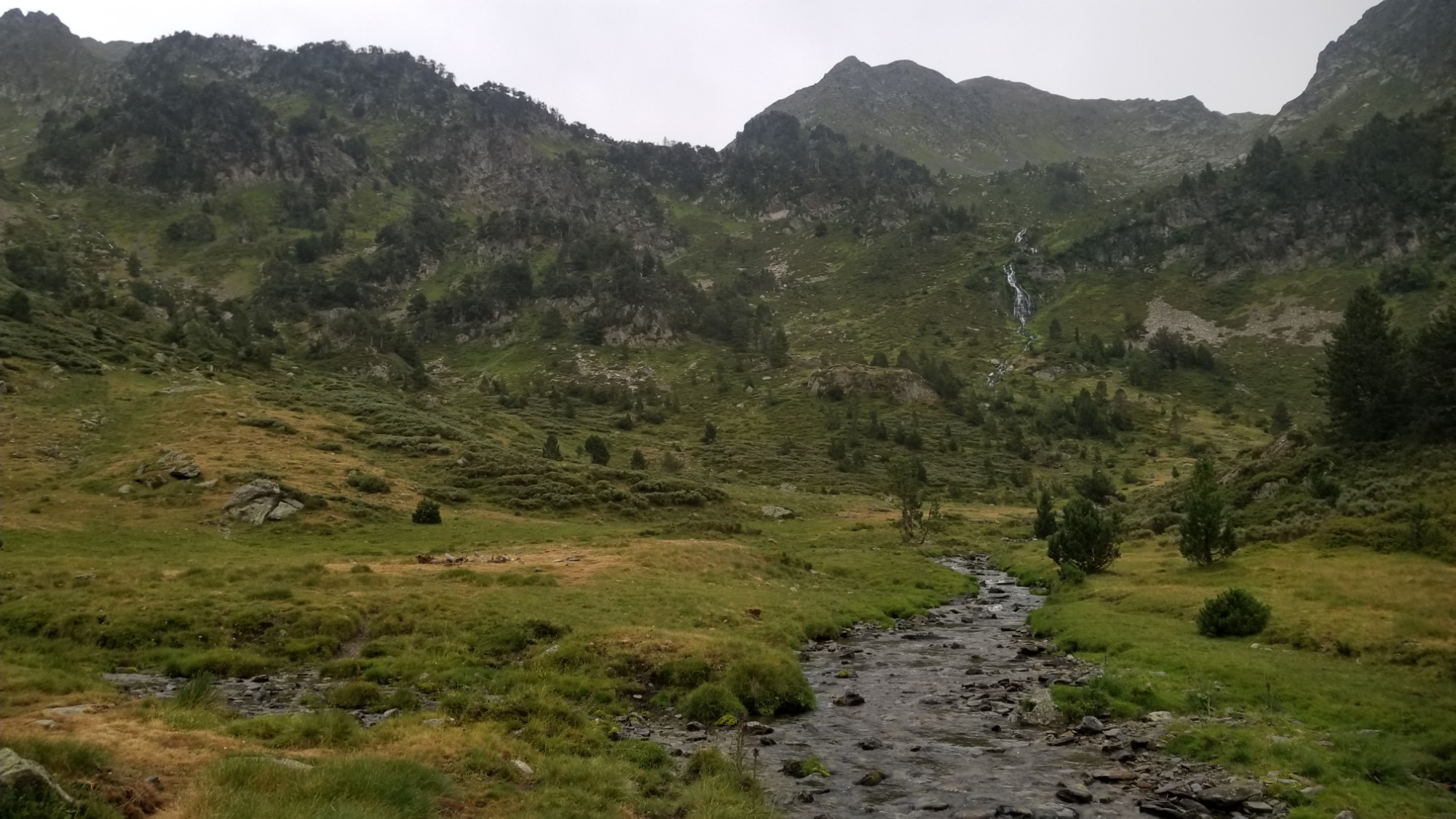
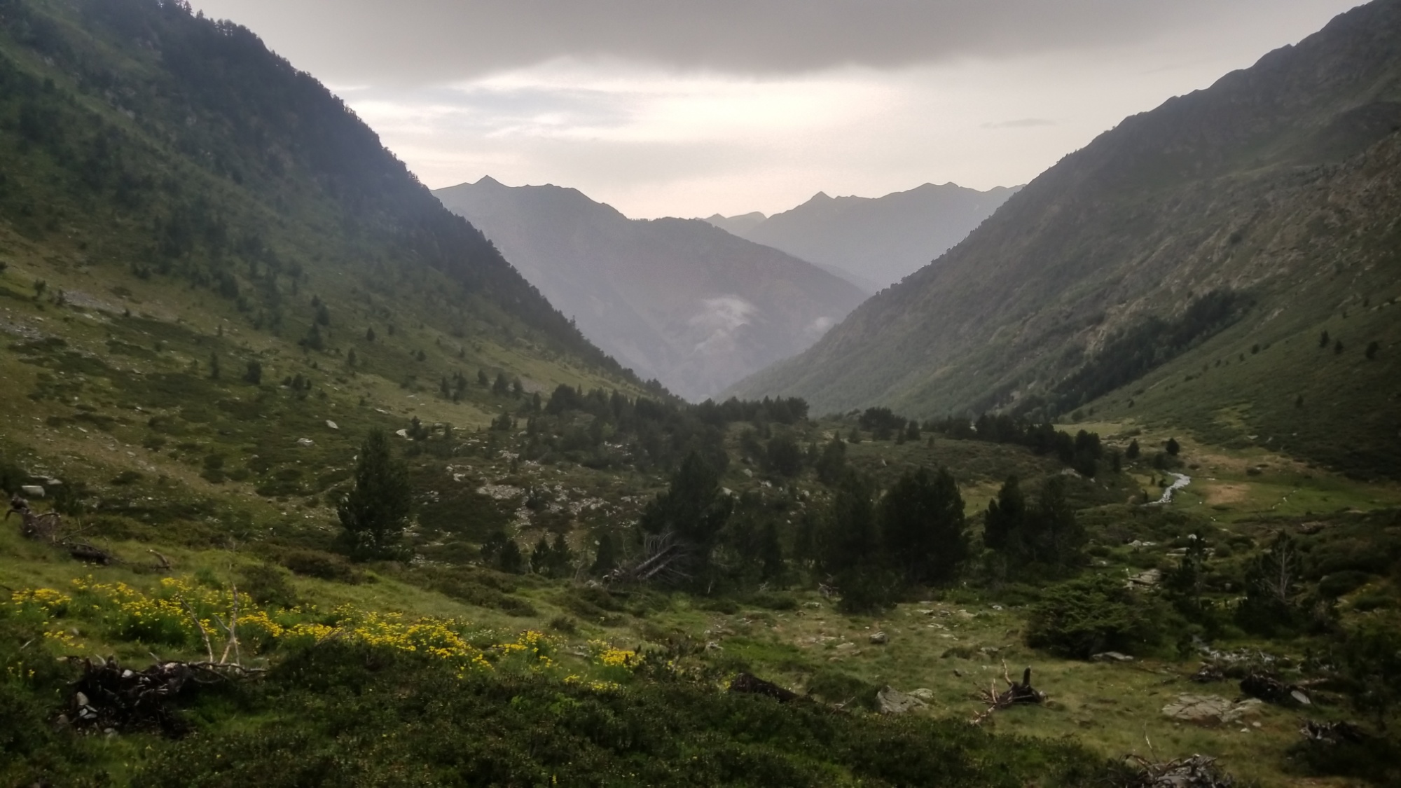
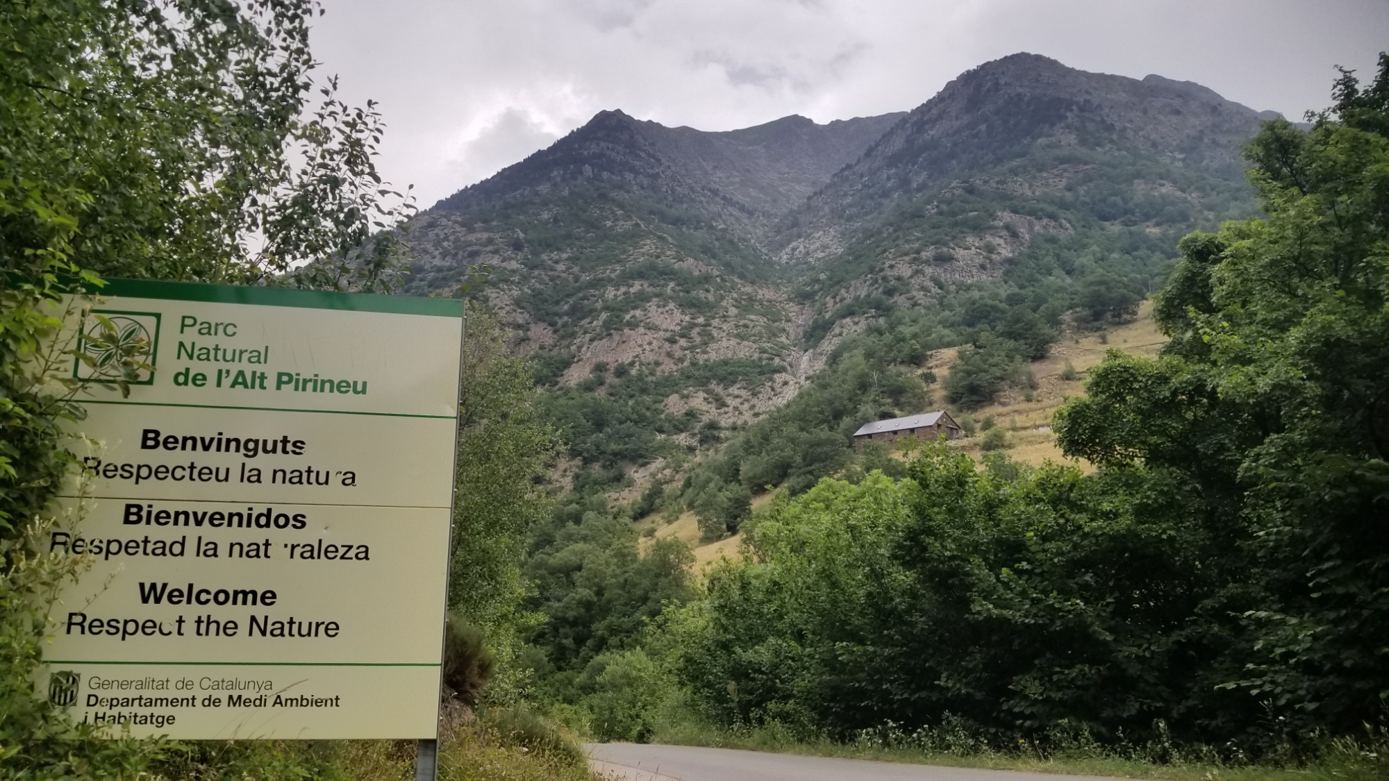
Also there are cows everywhere. I’m in the Parc Nacional d’Alt Pyrenees. Why do they allow cows here! It’s ridiculous! They totally ravage and destroy all the local fauna, and just leave behind sharp prickly grass and thistles. Can they not have one space with no cows? It’s really a sad thing to witness. These places are so beautiful, but they are ruined by the livestock industry. And don’t get me started on the tyranny of the cow bells. You cannot escape them. Their ringing is everywhere.
Anyways, I keep climbing up the valley and reach the source of a small waterfall, and there is a very pretty little lake up there. I thought about camping there, but of course, there was a big group of ding dong cows approaching. I decided to make dinner there and carry on, since the rain had stopped.
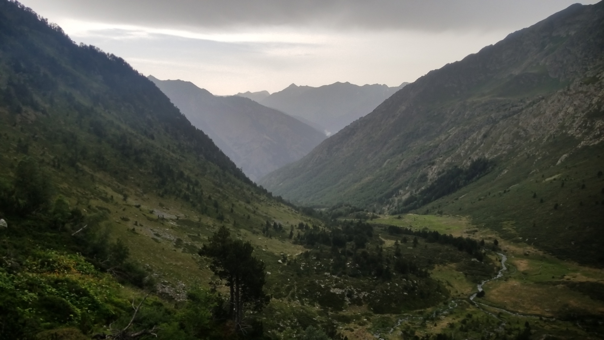
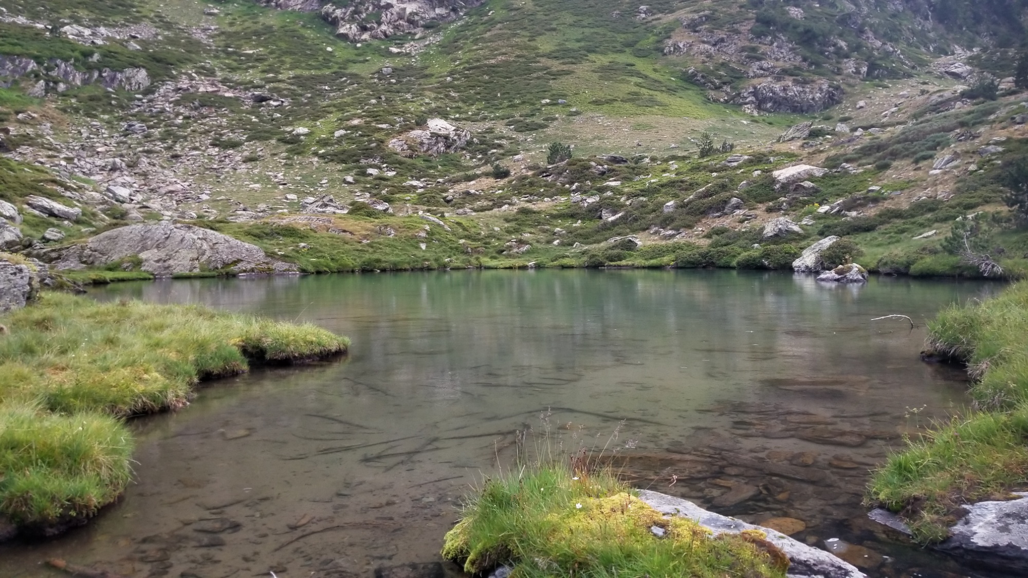
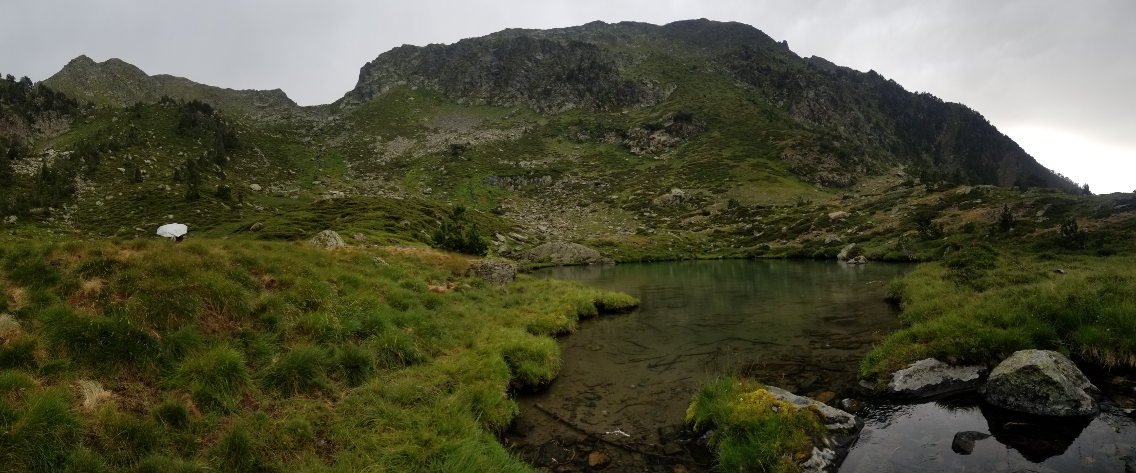
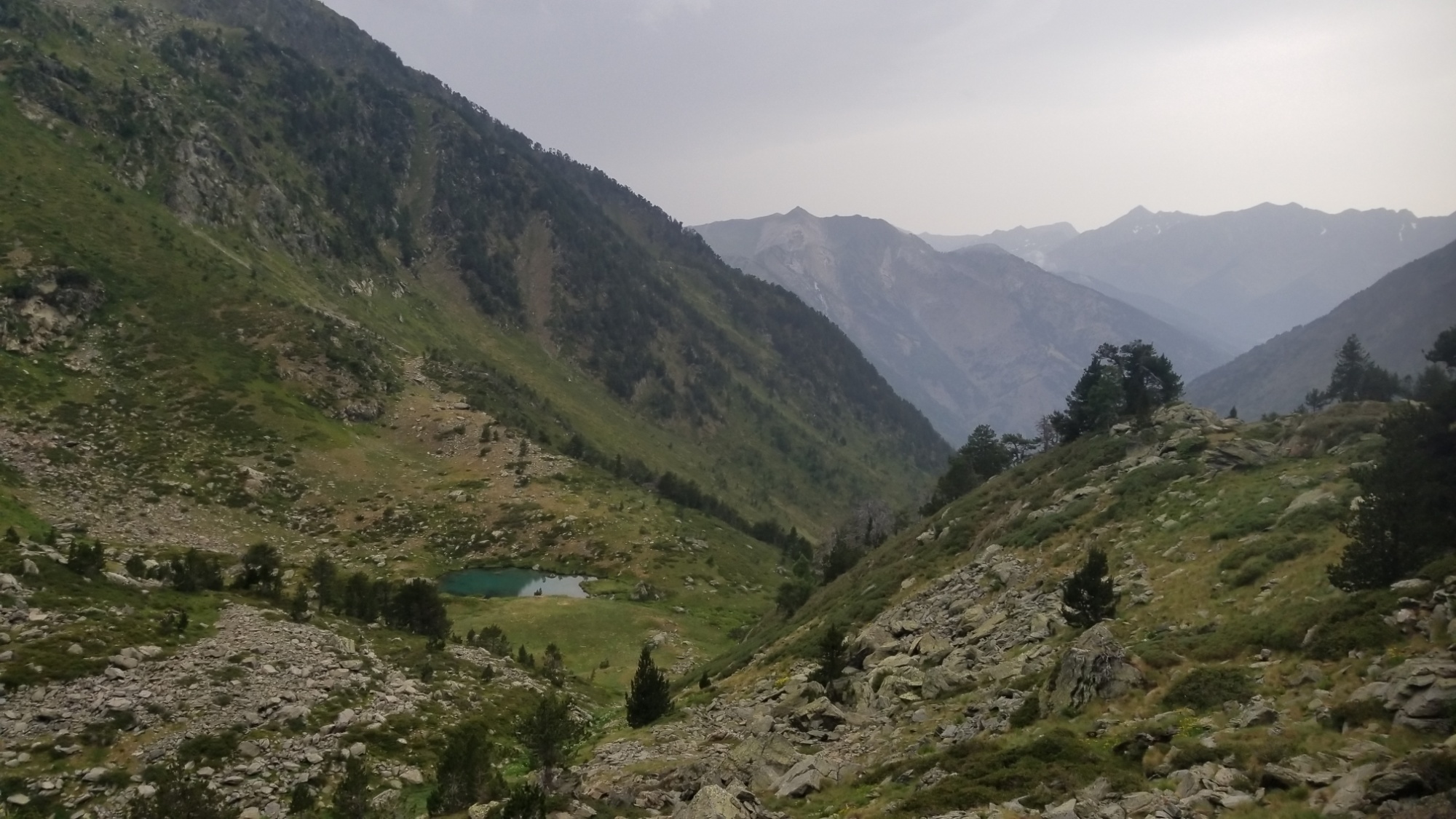
I keep following the trail up and up and up, and come to a chaotic scree and boulder field, which I must cross to reach the high pass (2,500m) that leads to the next valley. Its getting darker now, almost 8pm.
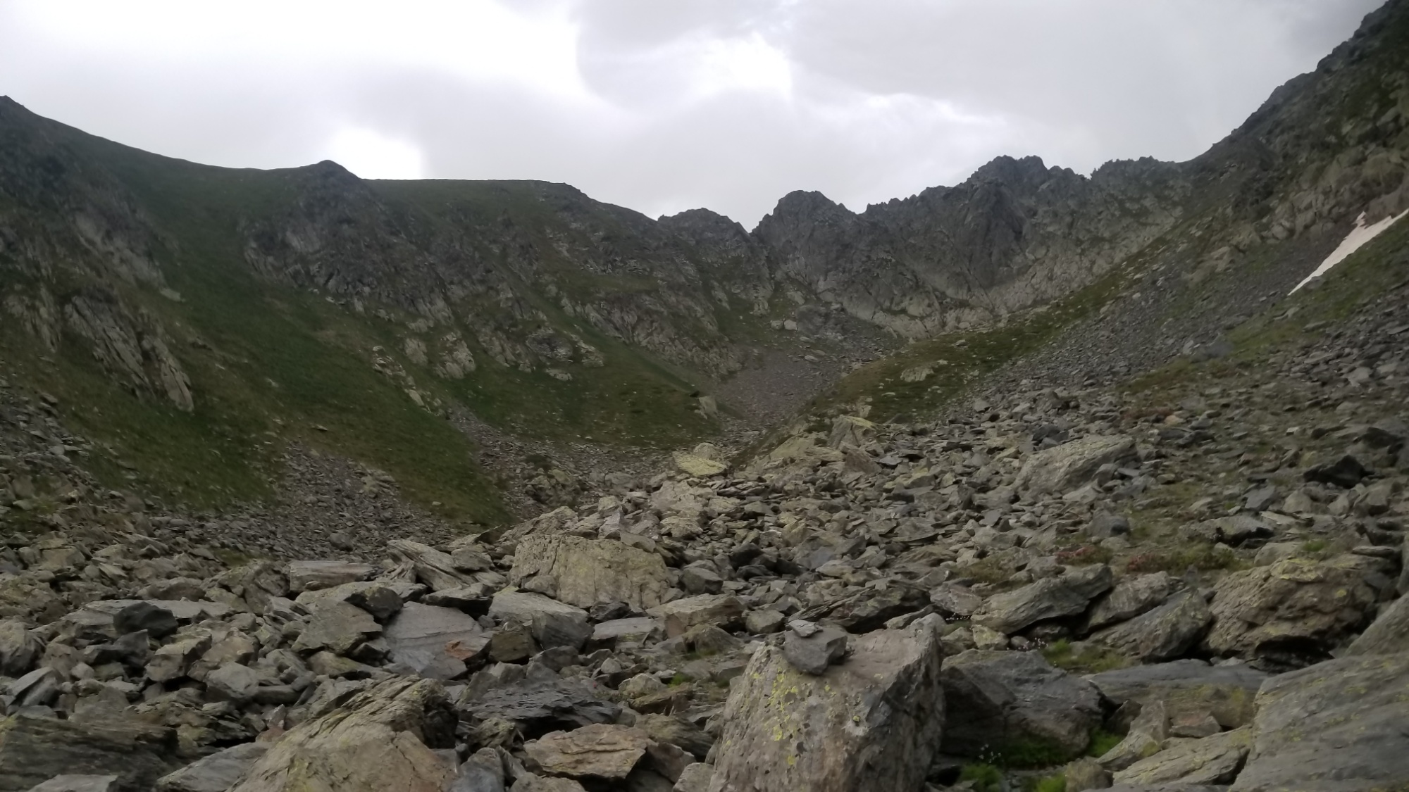
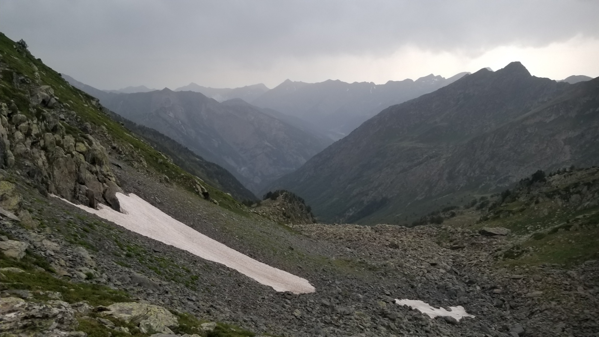
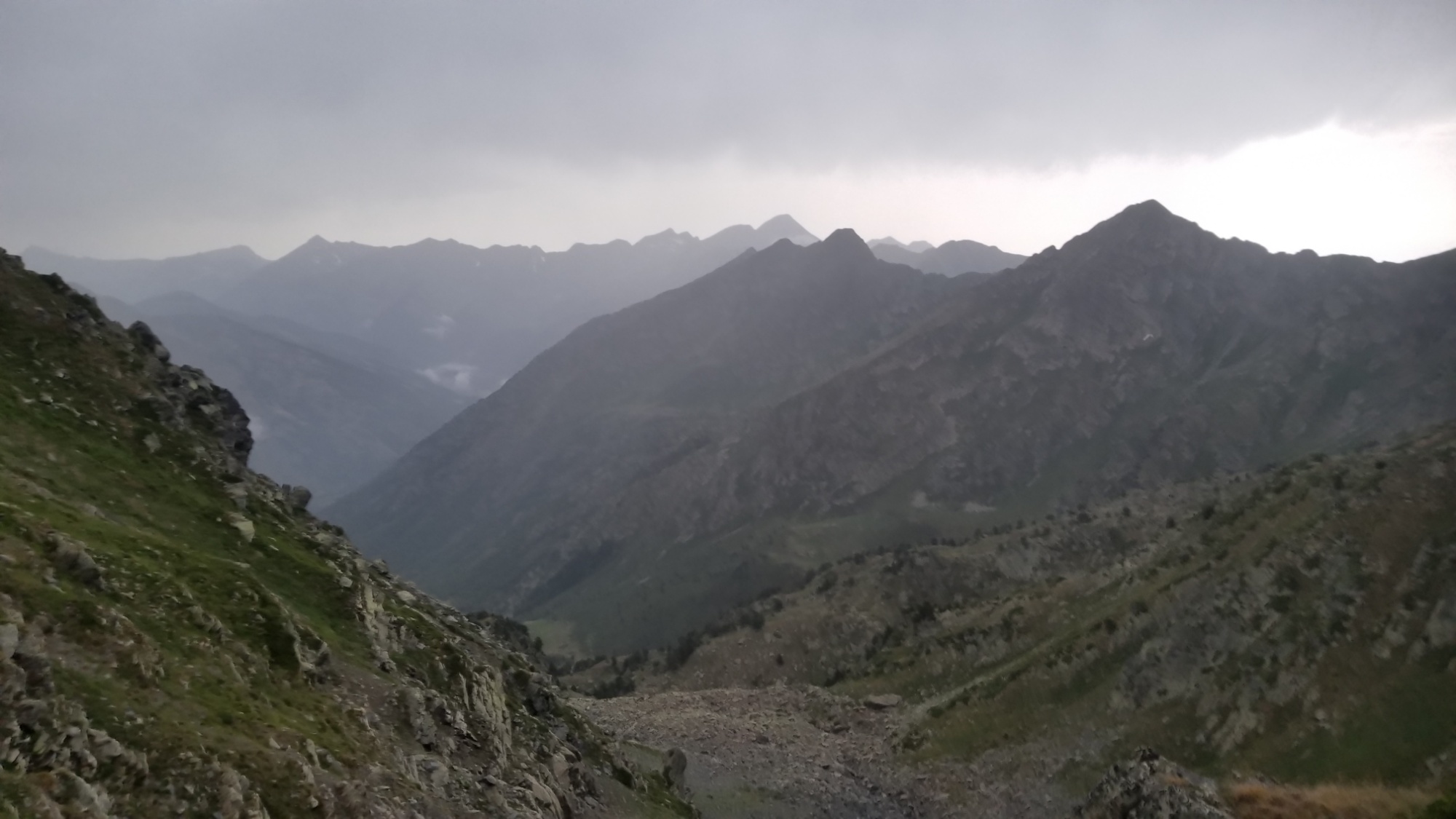
I make it to the pass just as the rain begins to start sprinkling again.
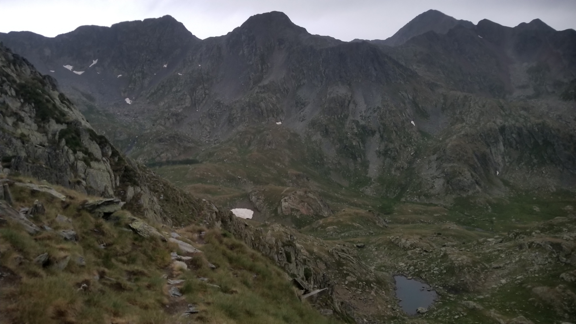
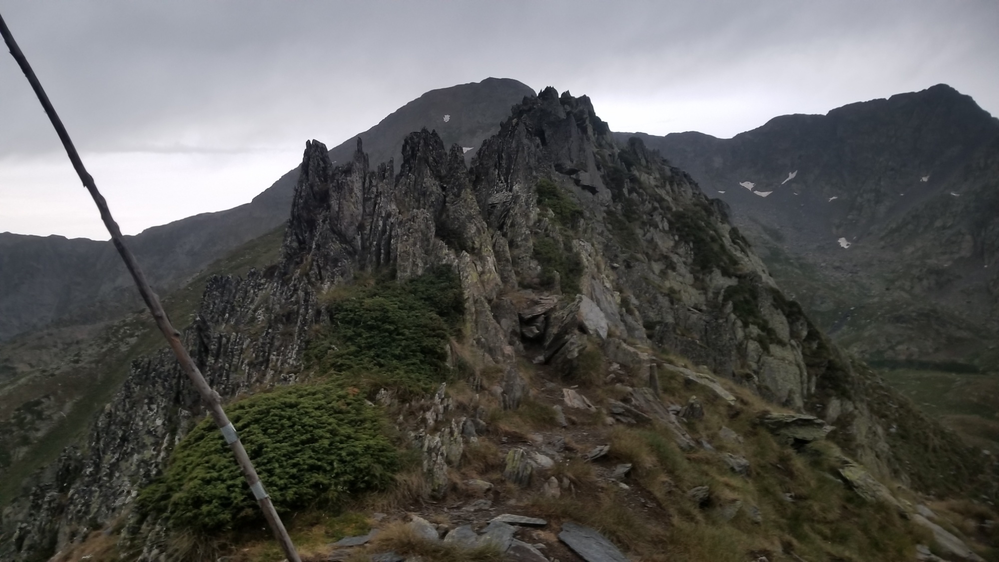
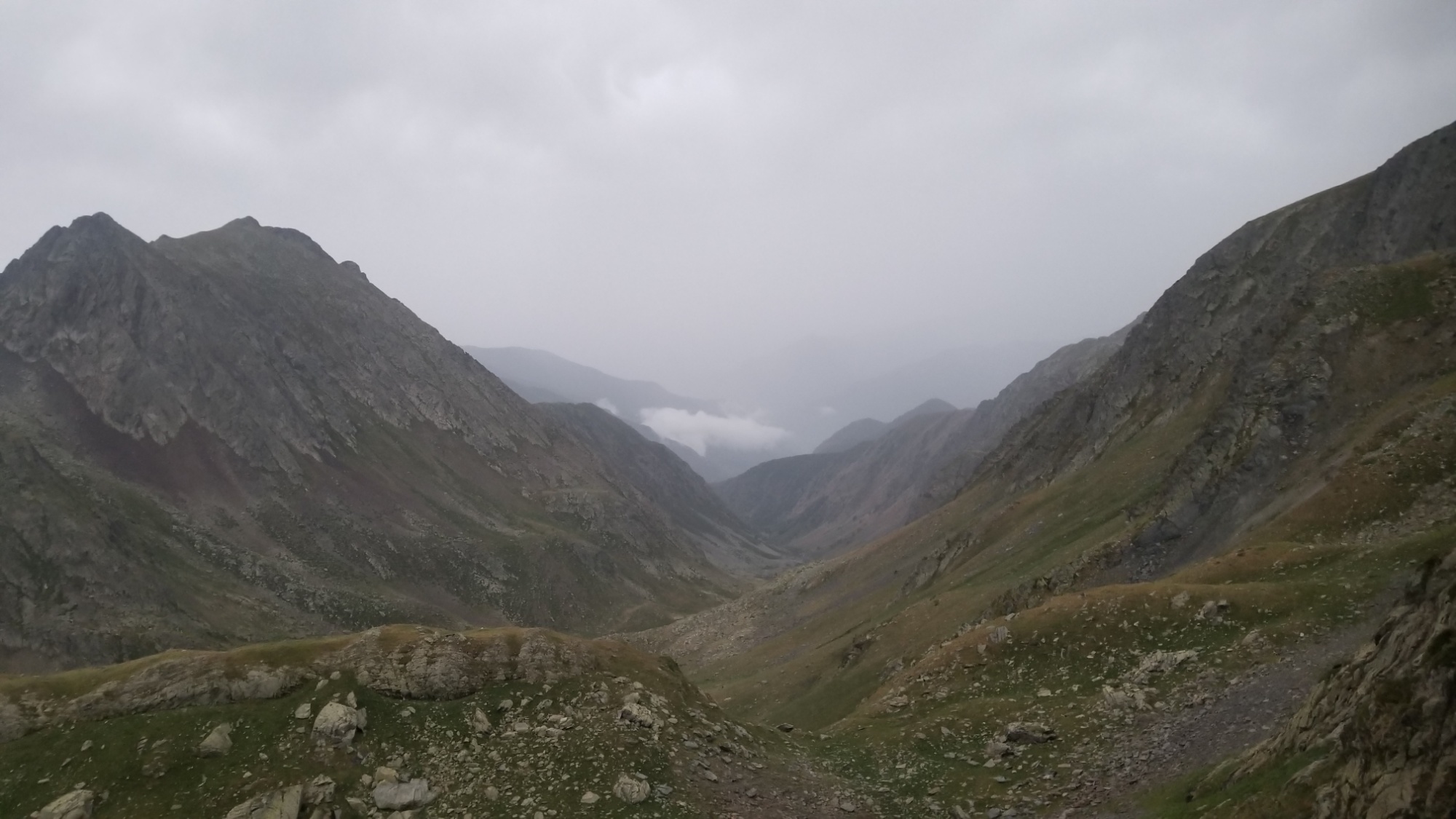
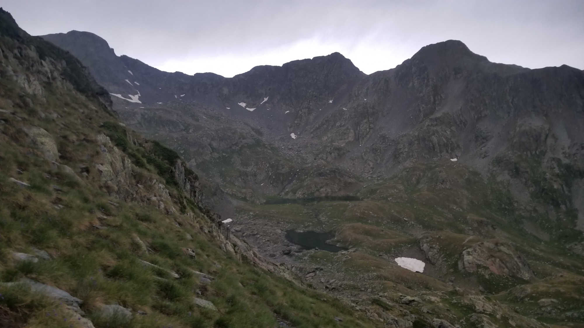
The trail down to the two lakes below is nicely carved into a ridge, and I make it down to a sweet grassy spot next to one of the lakes, where I quickly pitch the tent and hop inside. This sounds like one of those long-lasting drizzle storms. Send warm thoughts.
There was a lone, impressive boom of thunder that resonated throughout the entire mountain range about 10pm. Then, the rain slowed to a drizzle. Finally, all was calm. Silence.
Goodnight!
