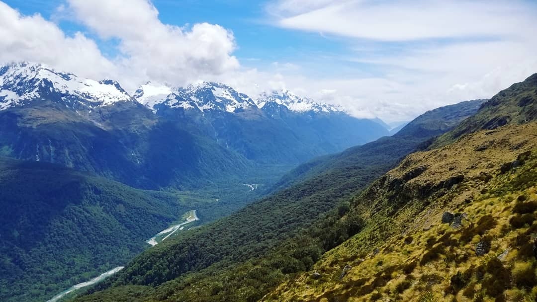
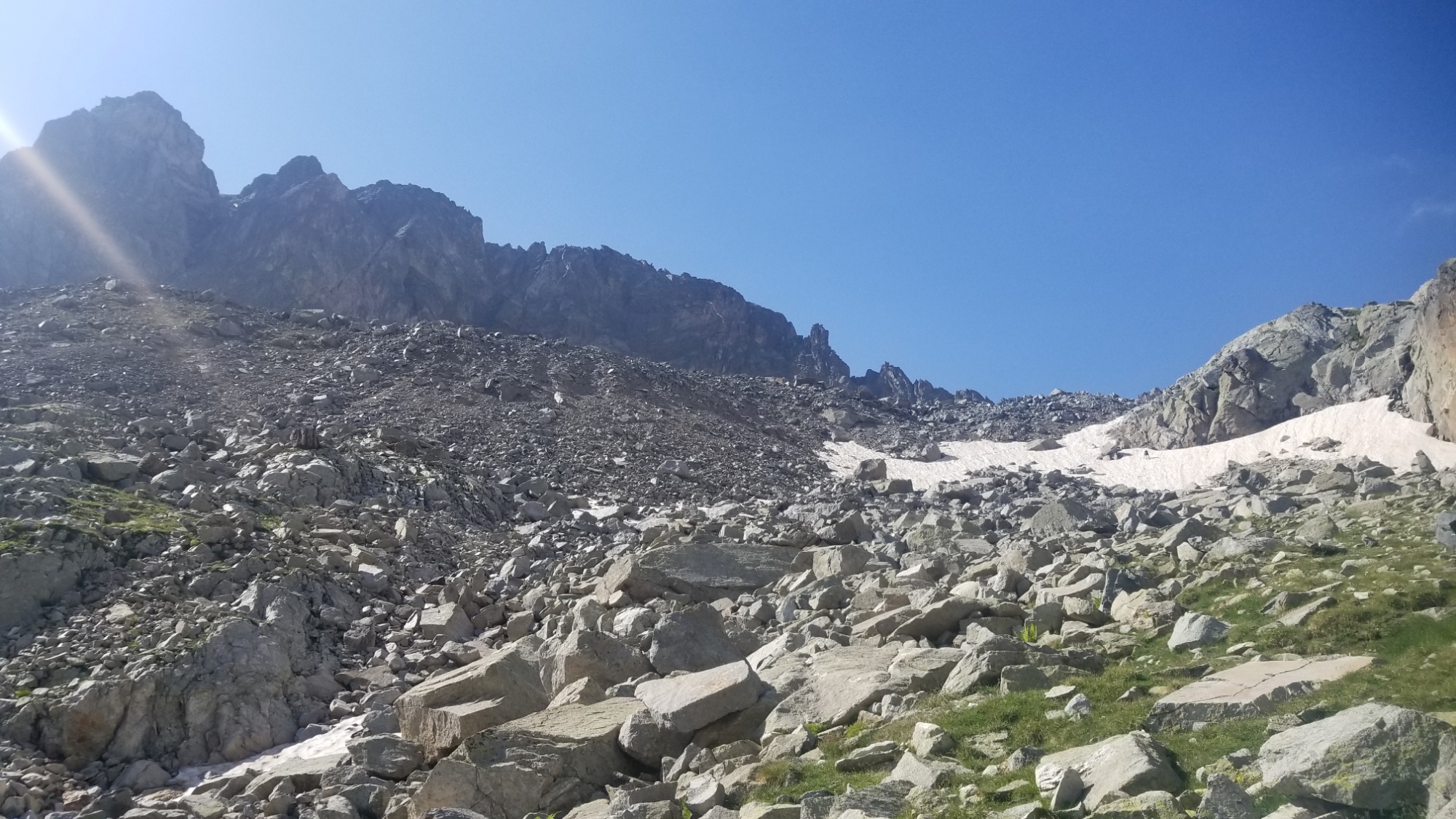
I set off from refuge Jean Arlaud and walked across the barrage for the fourth and last time. After a steep section of loose scree, I came over a ridge and got a good look at the pass I was to surpass. Covered in snow, of course.
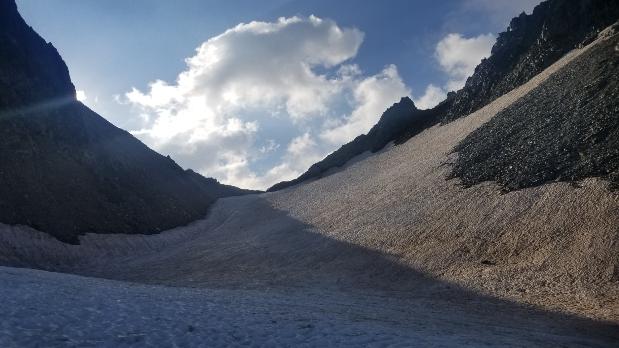
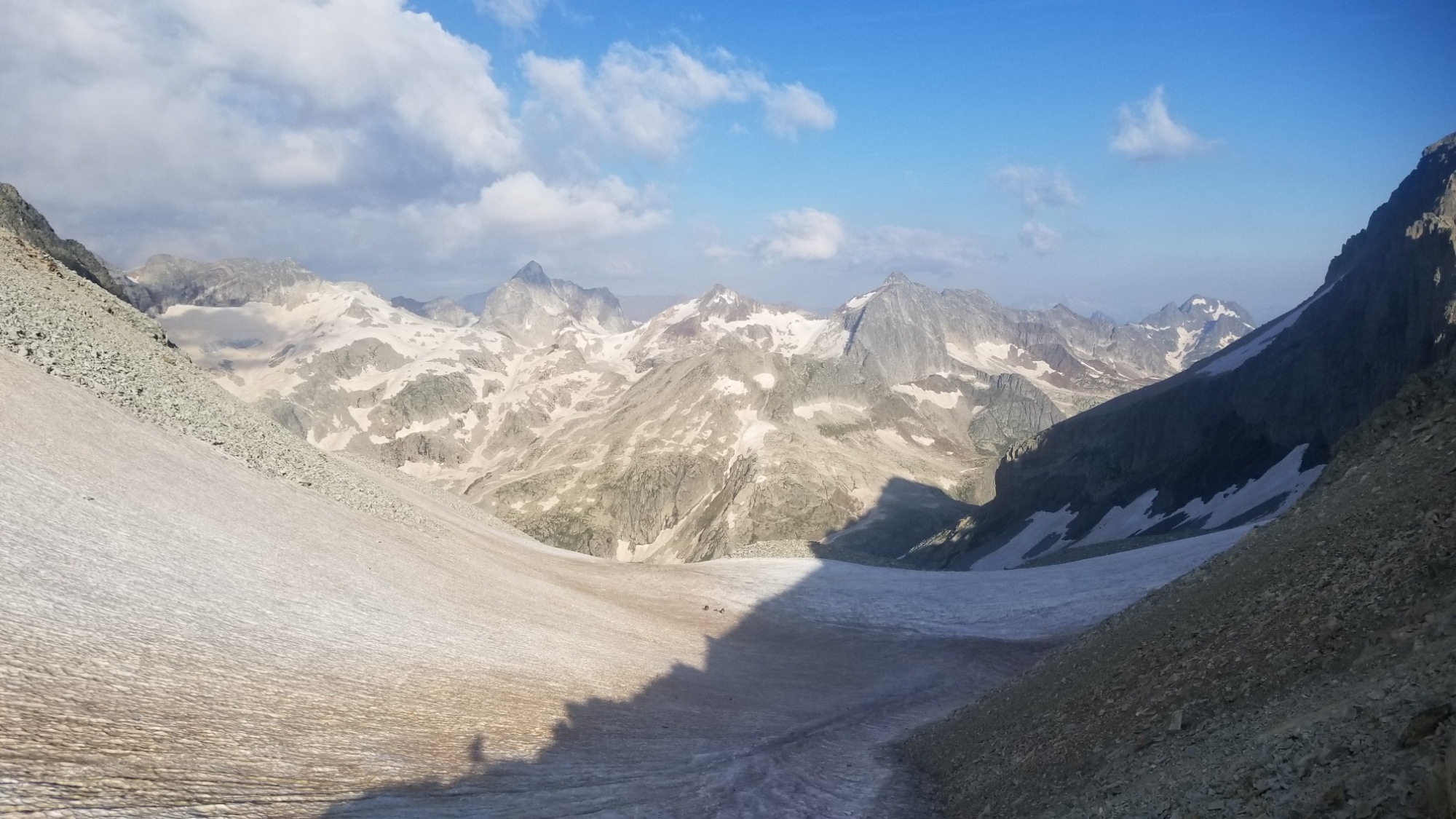
I took my time and made it up and over to the top of the col de Literole Inferieur. And…
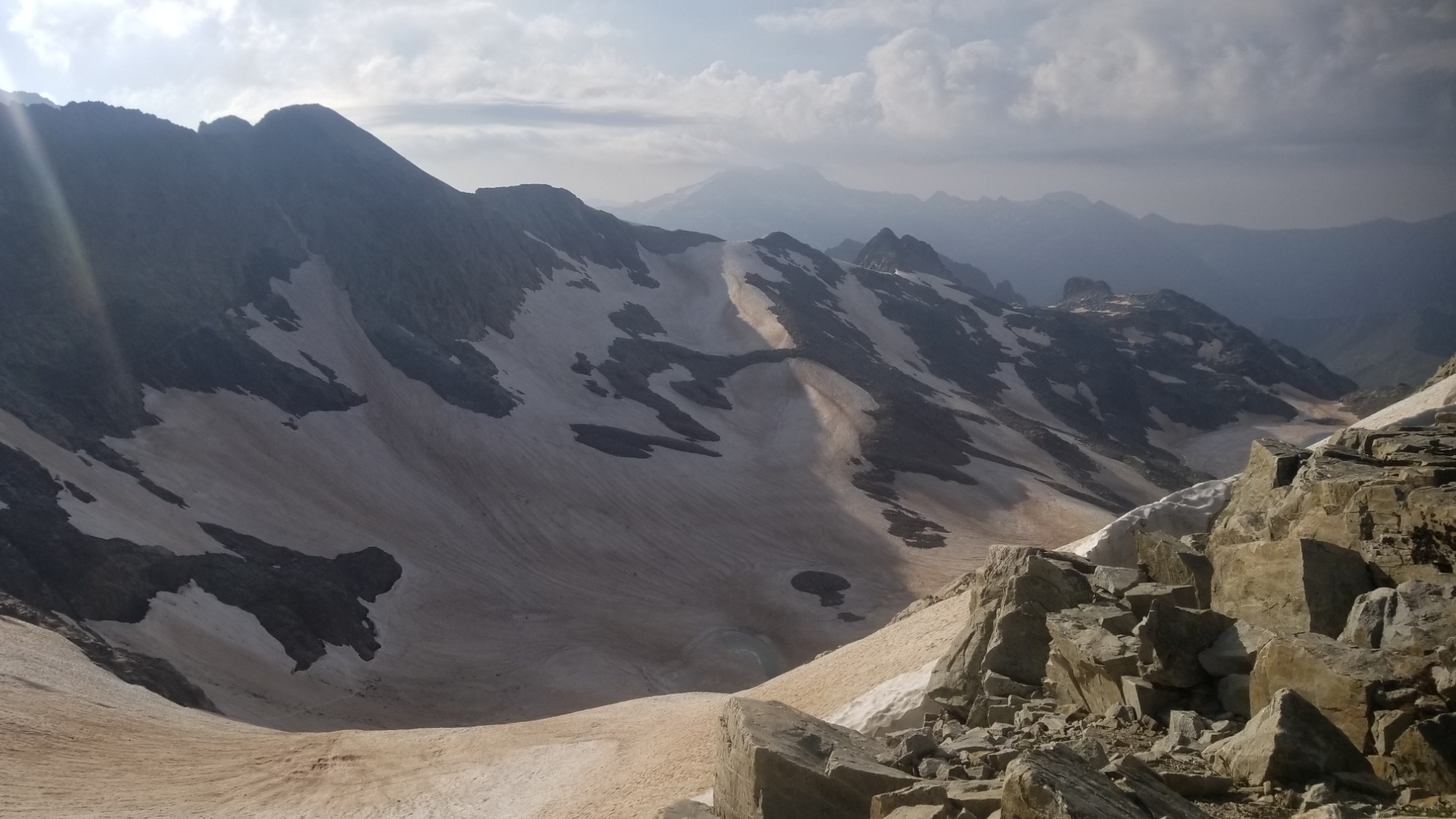
I just about lost it. Look at all that snow! I am supposed to walk down there!? Ugh! This high snow year thing is really hurting my mileage, ha.
I made about a hundred steps down that very precarious icy slope, before deciding to glissade the rest of the way down. I made it down halfway, and luckily there were some icy undulations there to catch me. Had I kept going, I just might have slid right off a cliff and into some boulders.
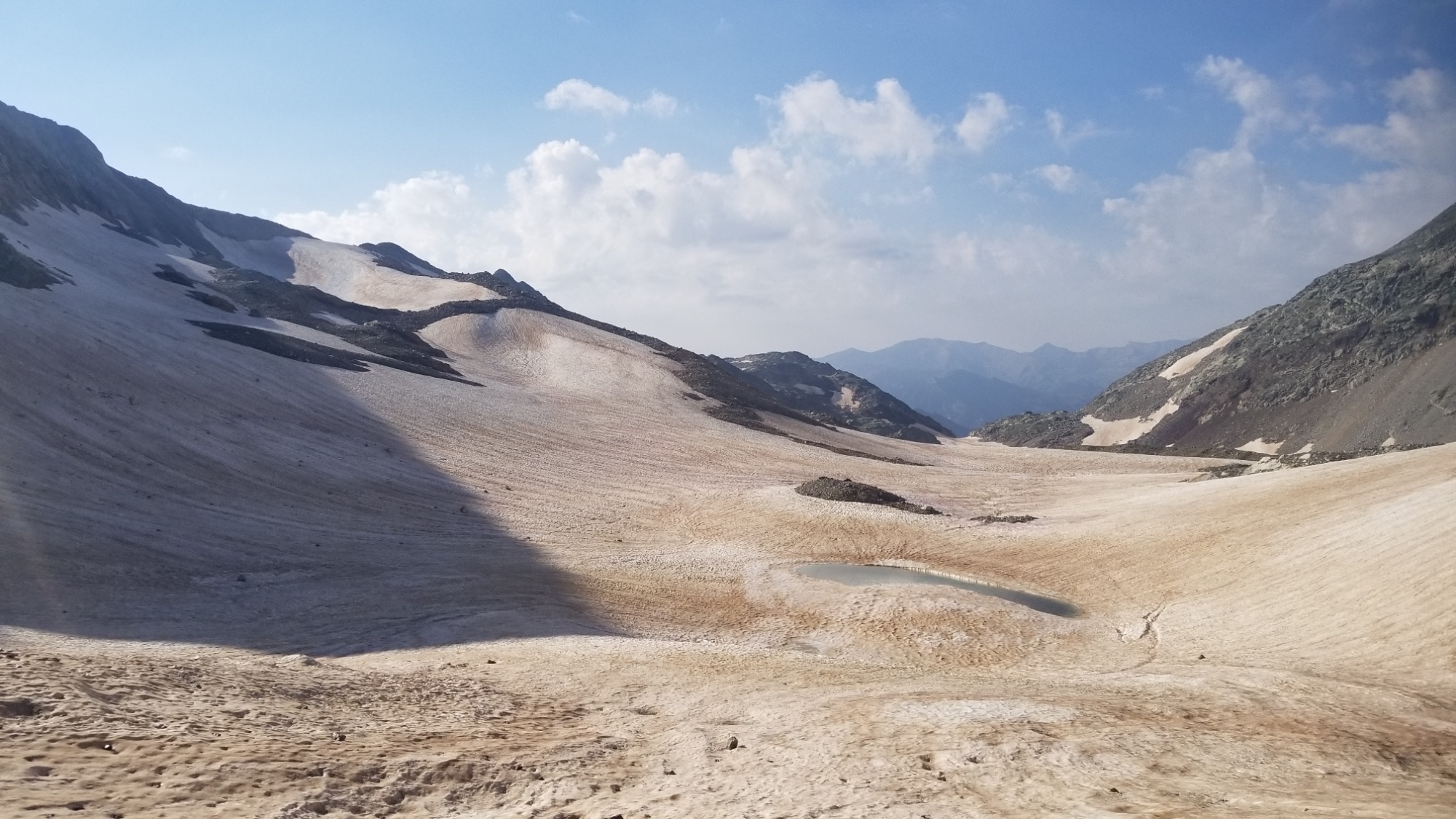
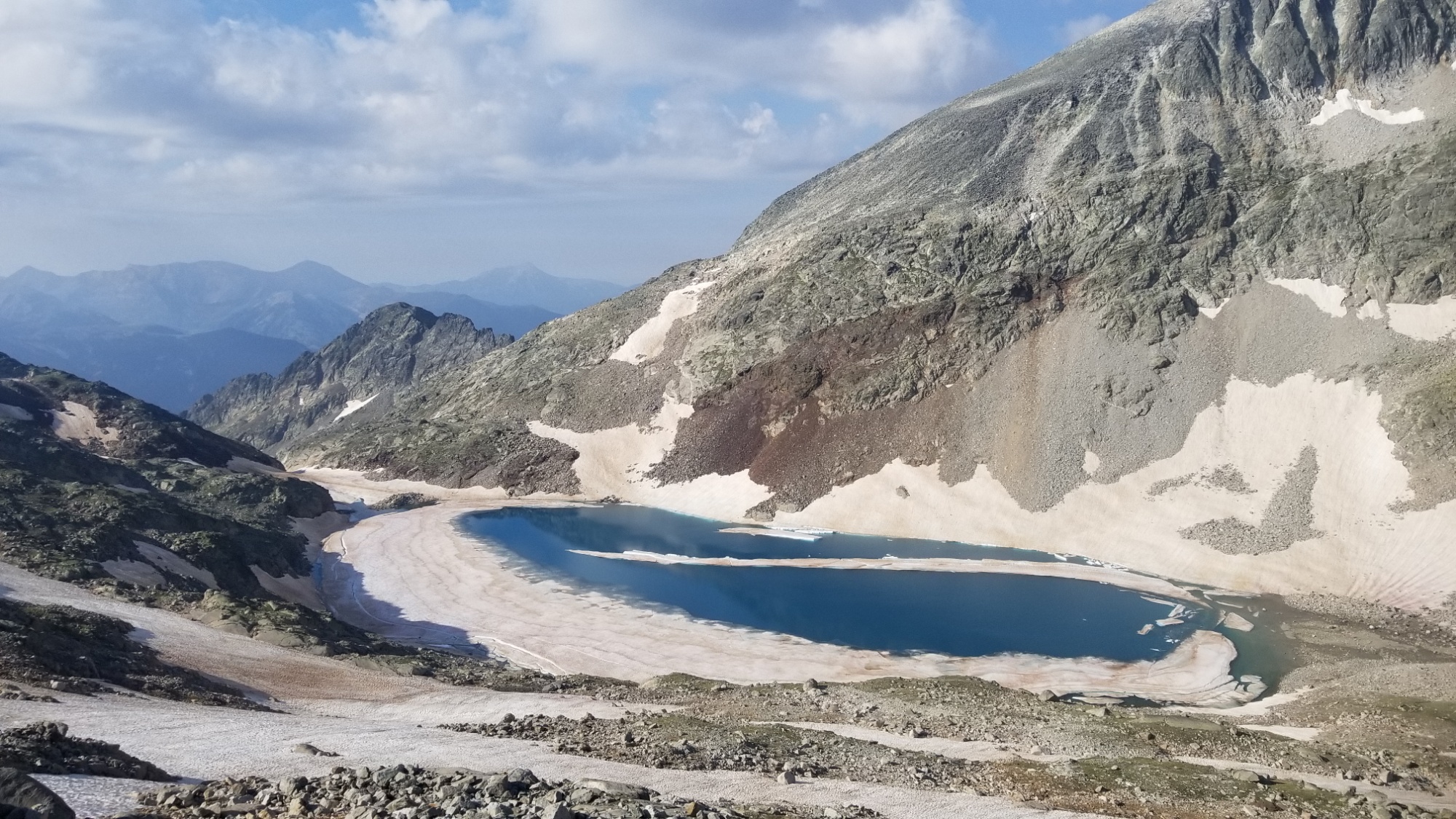
I walked a little to the left of the boulders, and glissaded the rest of the way down to the valley floor, with a nice icy lake in the middle.
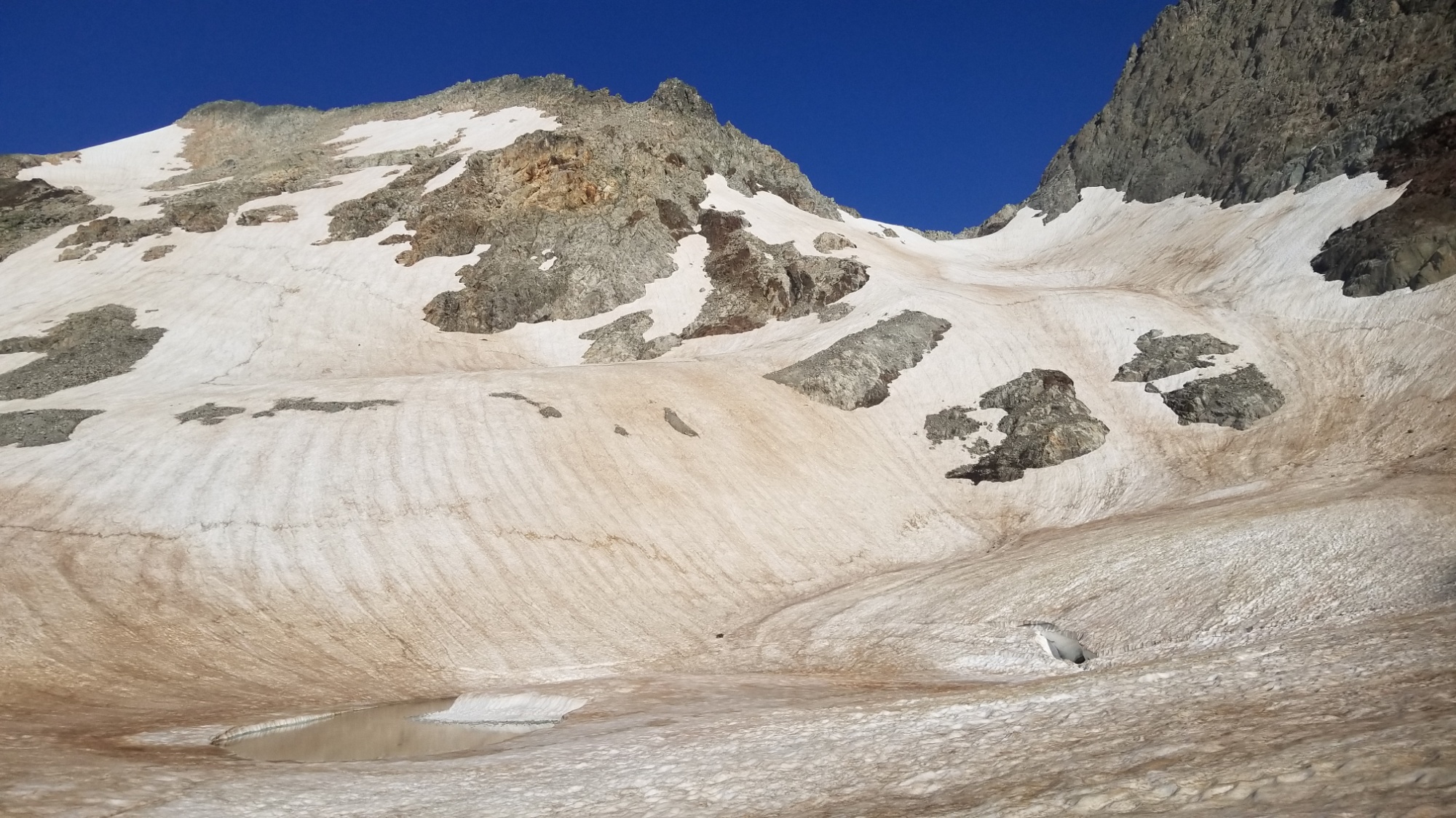
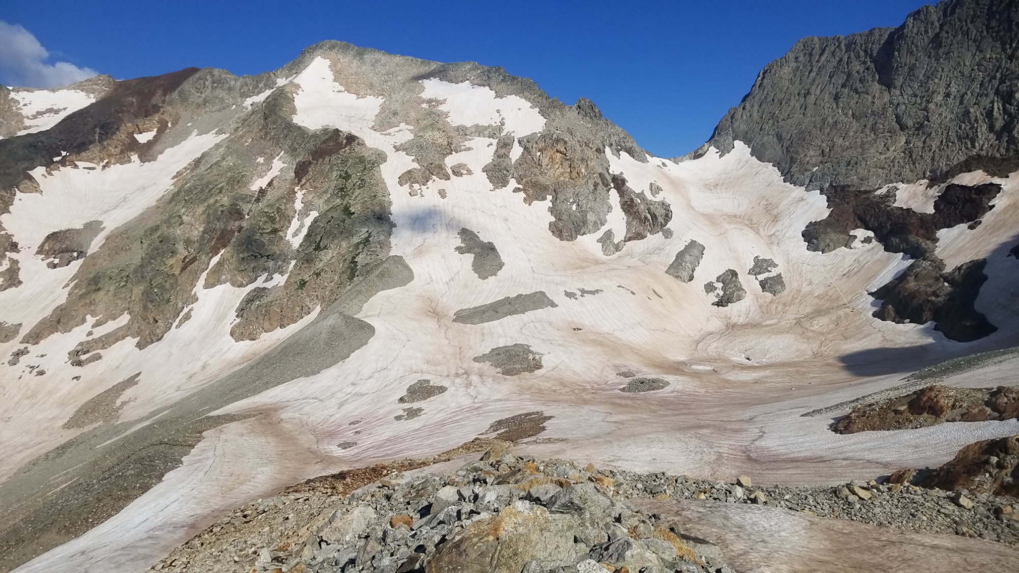
However, there was some kind of issue with my phone. I had to restart it twice to get Gaia GPS to load the tracks, and my maps were nowhere to be found, just the stock gray lattice pattern where my high-res topographic maps were supposed to be.
I checked around a bit and… my storage menu says my SD card is CORRUPTED. I HAD 50 GIGABYTES OF PHOTOS, MUSIC, MAPS, ETC. ON THERE. I just about cried at the thought of not being able to share my HRP photos with you all.

But I had to carry on. I would have to resolve that issue later. I at least could see my GPS marker and the tracks I needed to follow on the app, so I had enough to go off of to carry on in the right direction.
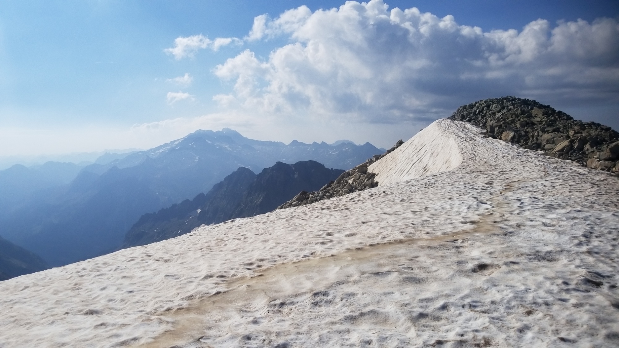
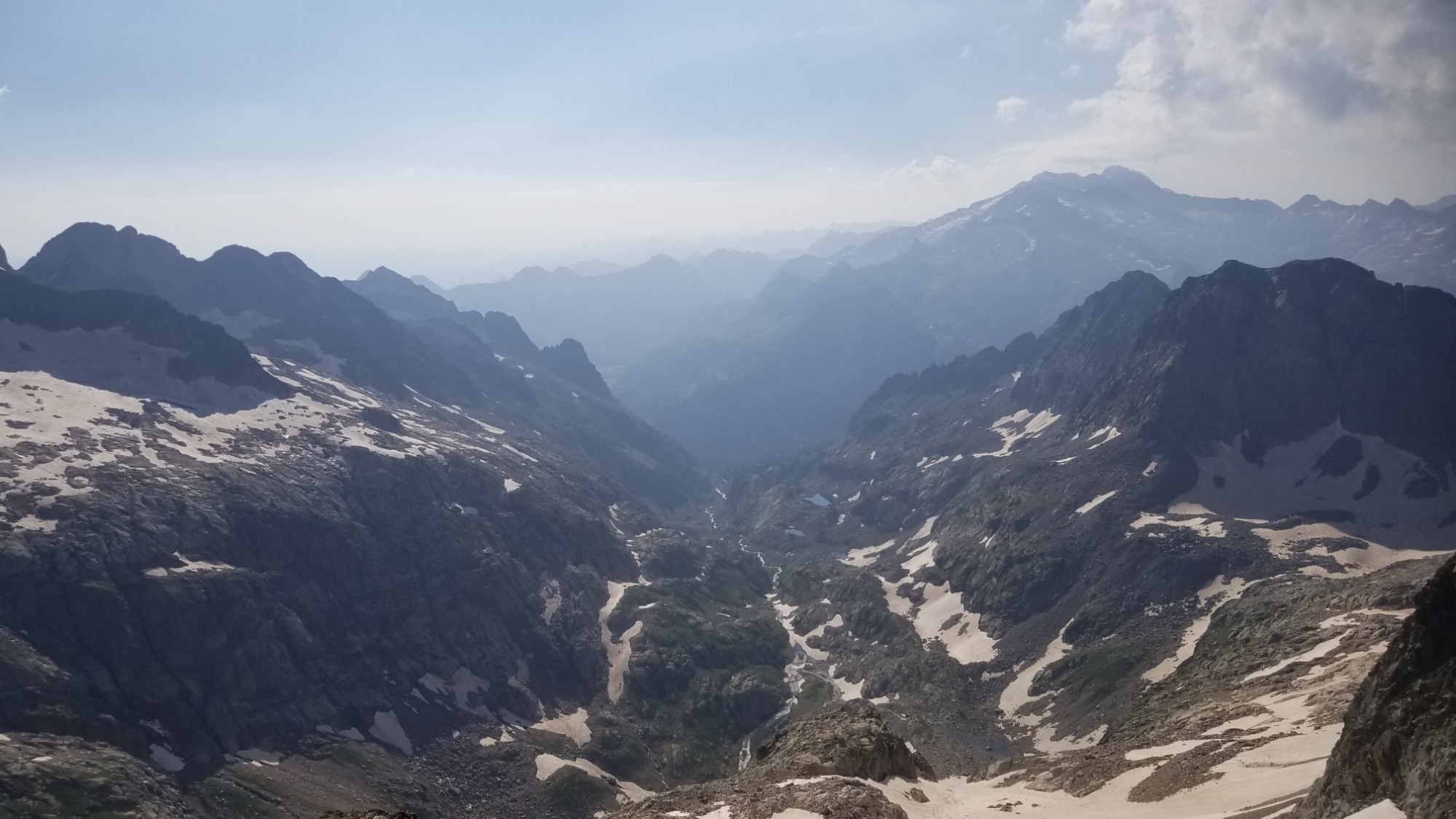
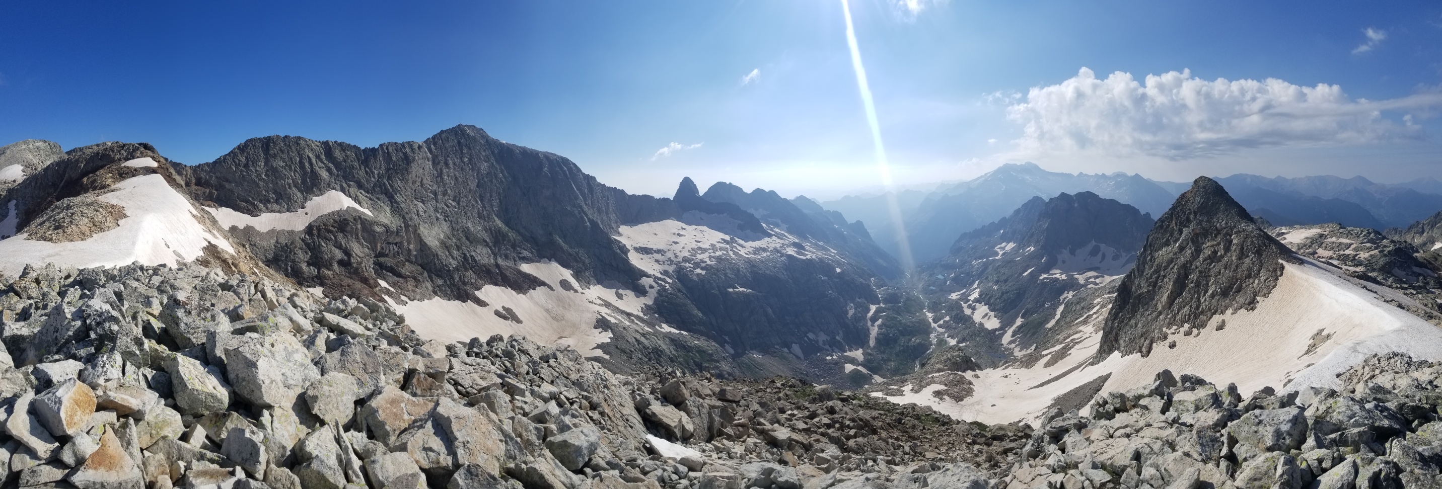
I made it up to a vast snowy ridge, the Portal de Remune, that separates the Literole valley from the Remune valley.

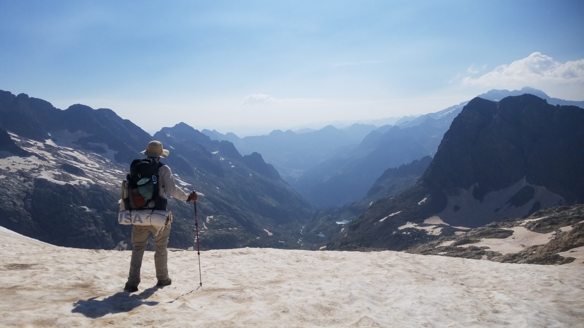
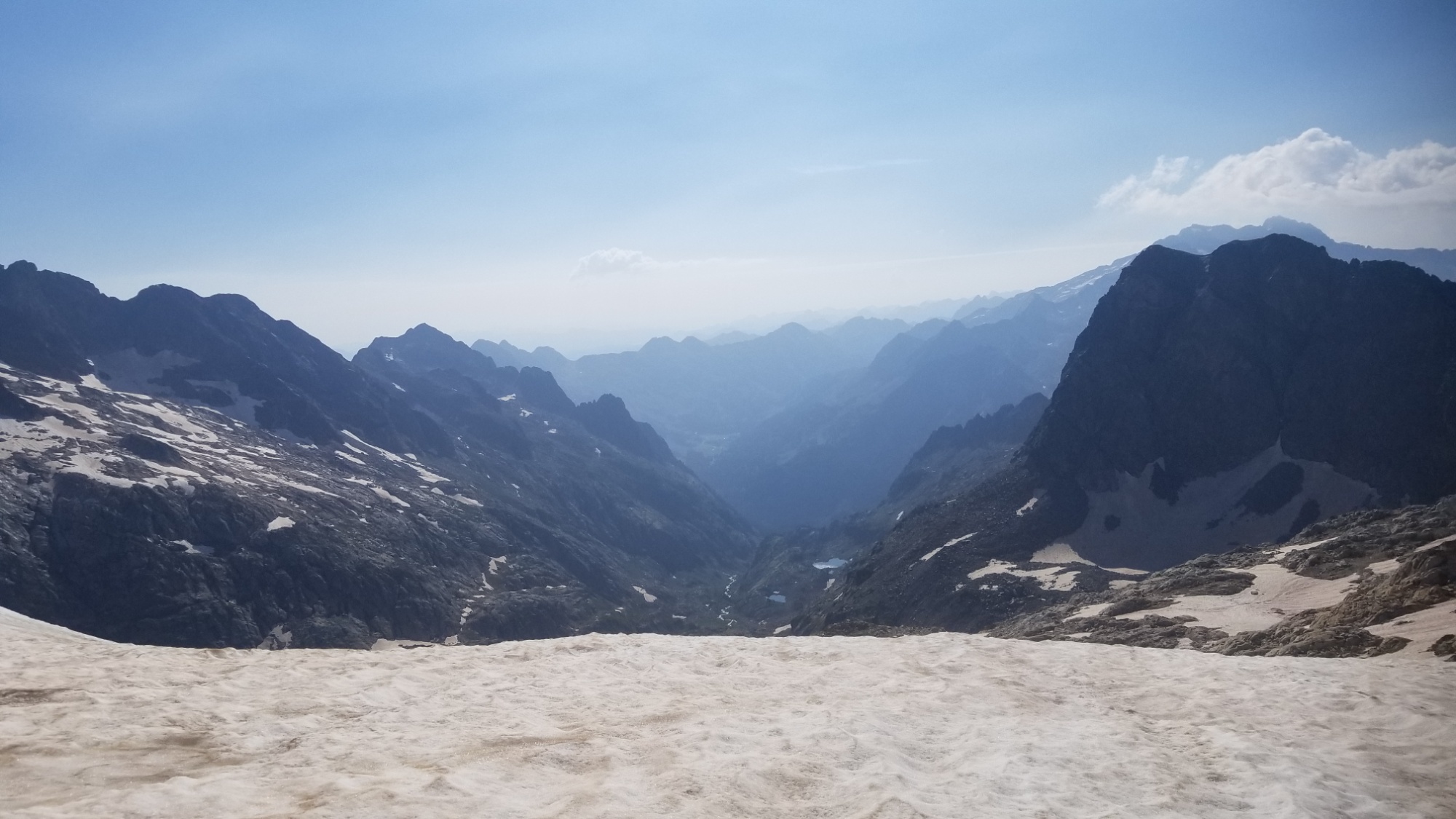
Along the way, I passed some English people who were hiking the week long section to Gavarnie that I just did. We shared some beta on what to watch out for on the trail, and continued on our separate ways.
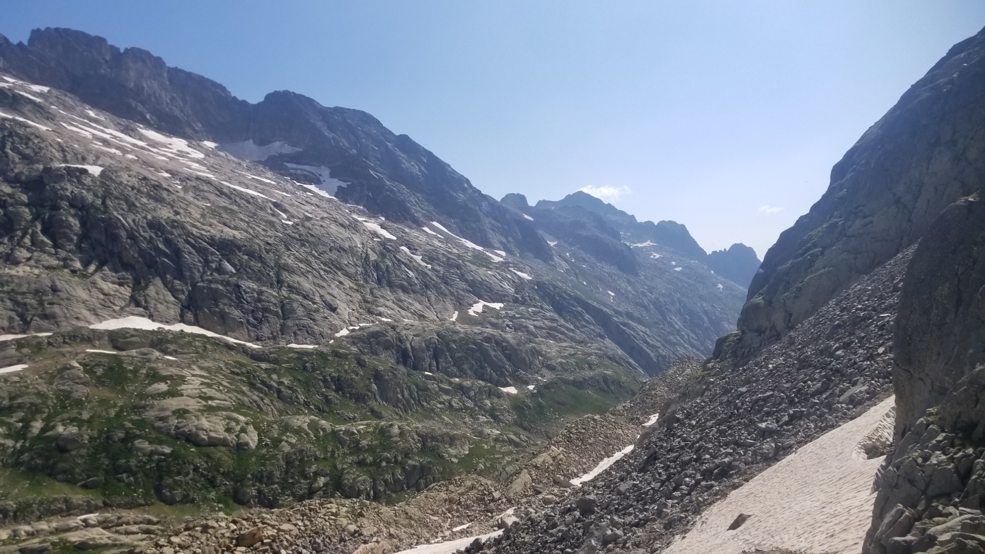
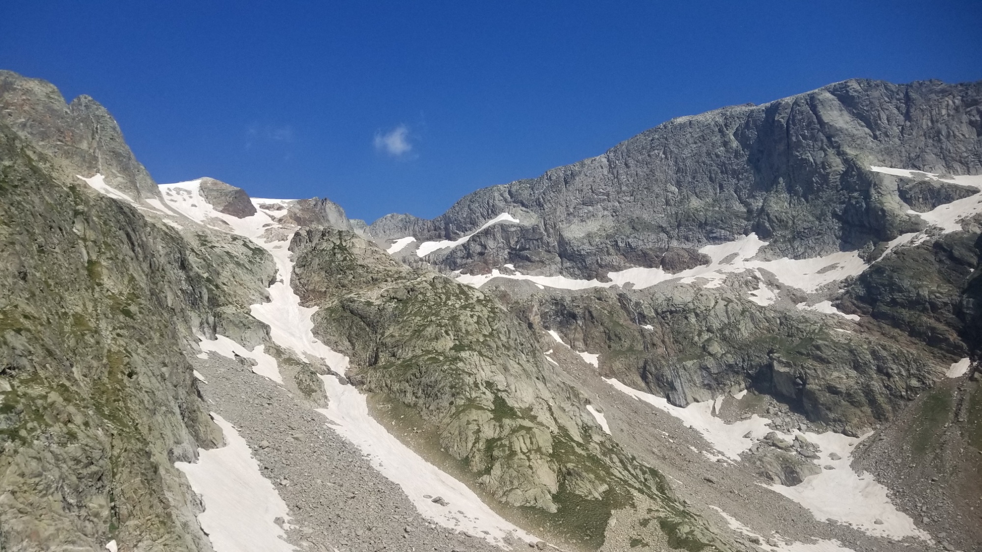
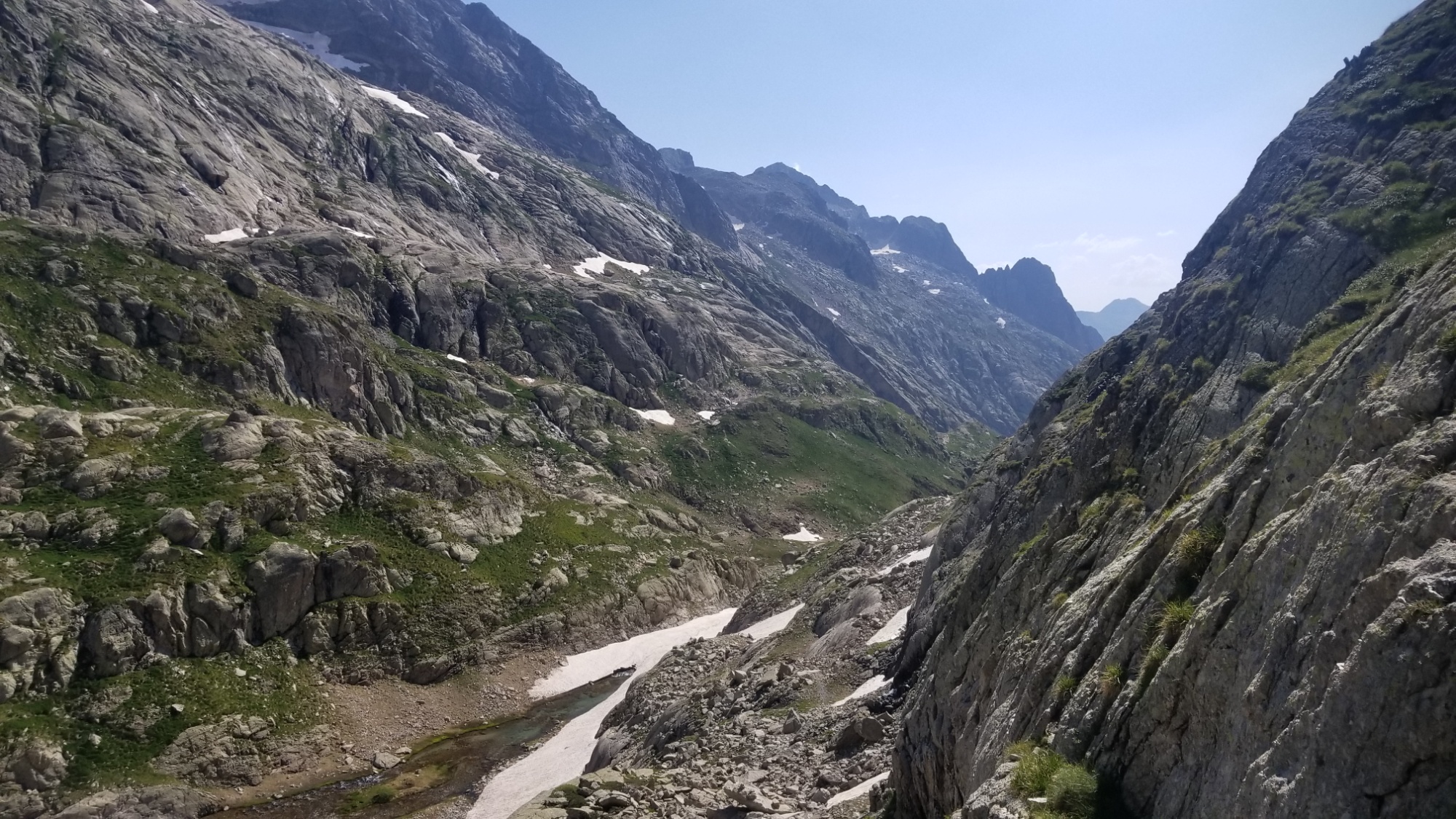
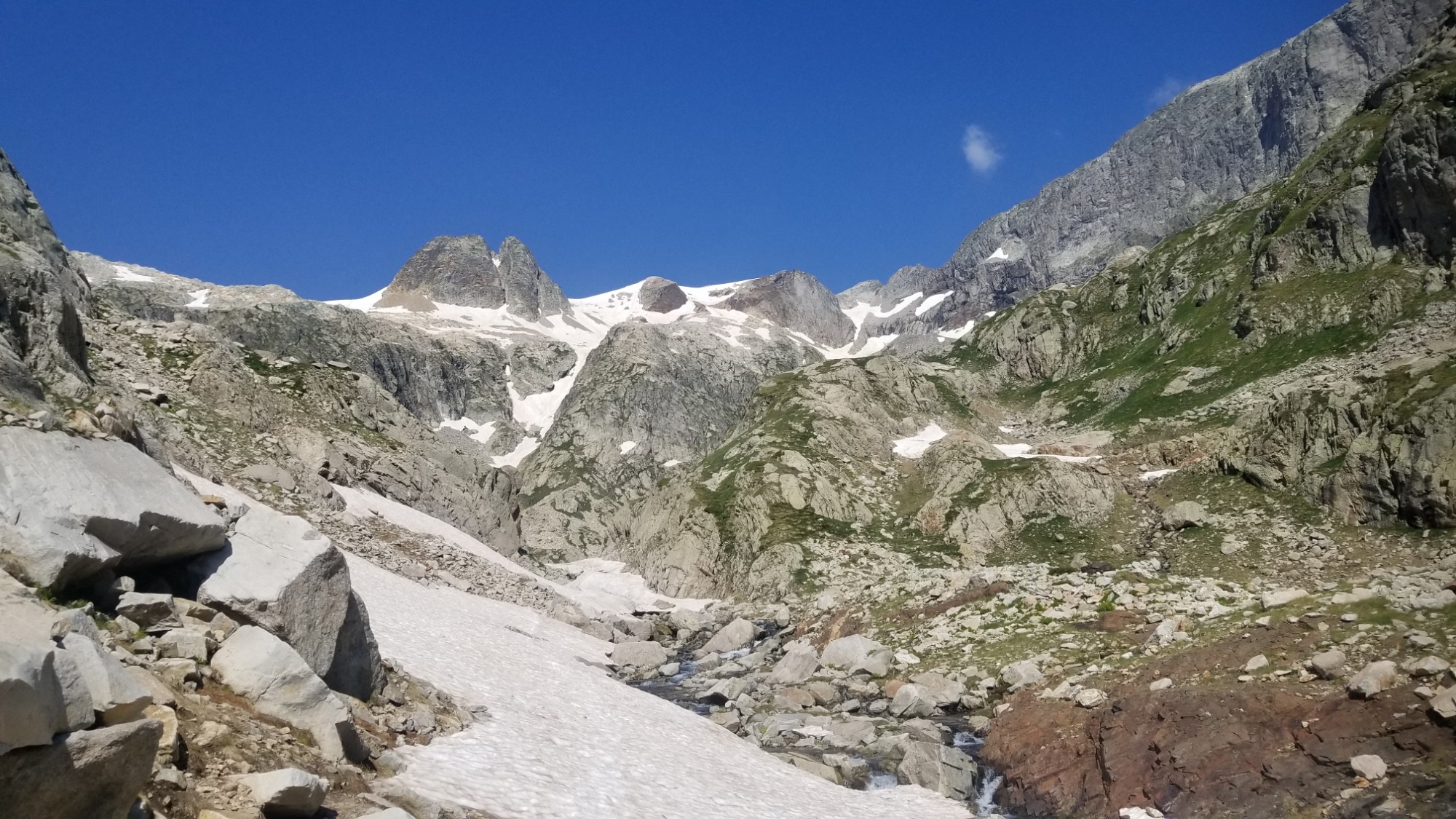
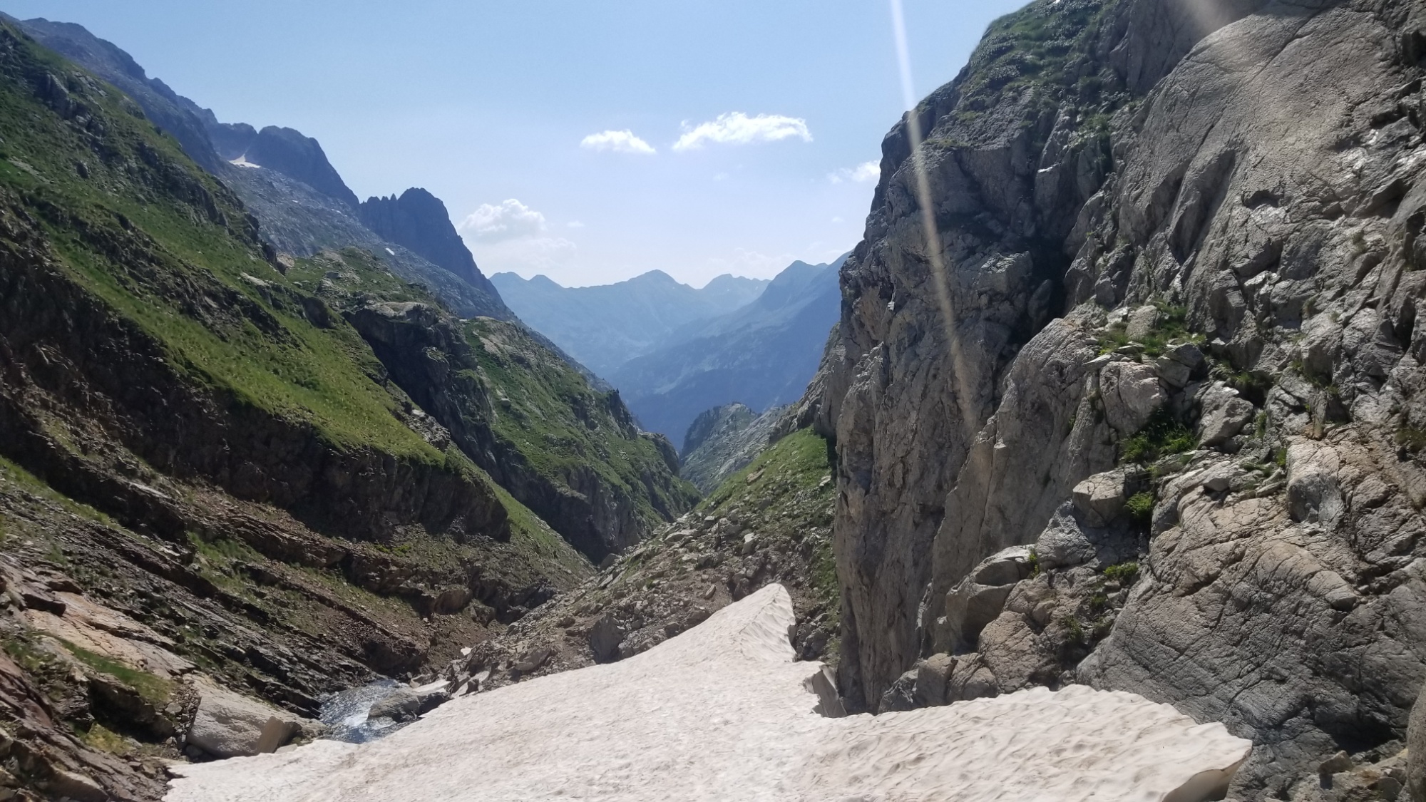
I made my way down to the valley floor of Remune, which the guidebook describes as “a chaotic granite wilderness.” They could not be more right. There’s nothing but cliffs, snow, and boulders here! Ah well. I love it. This is what I came here for.
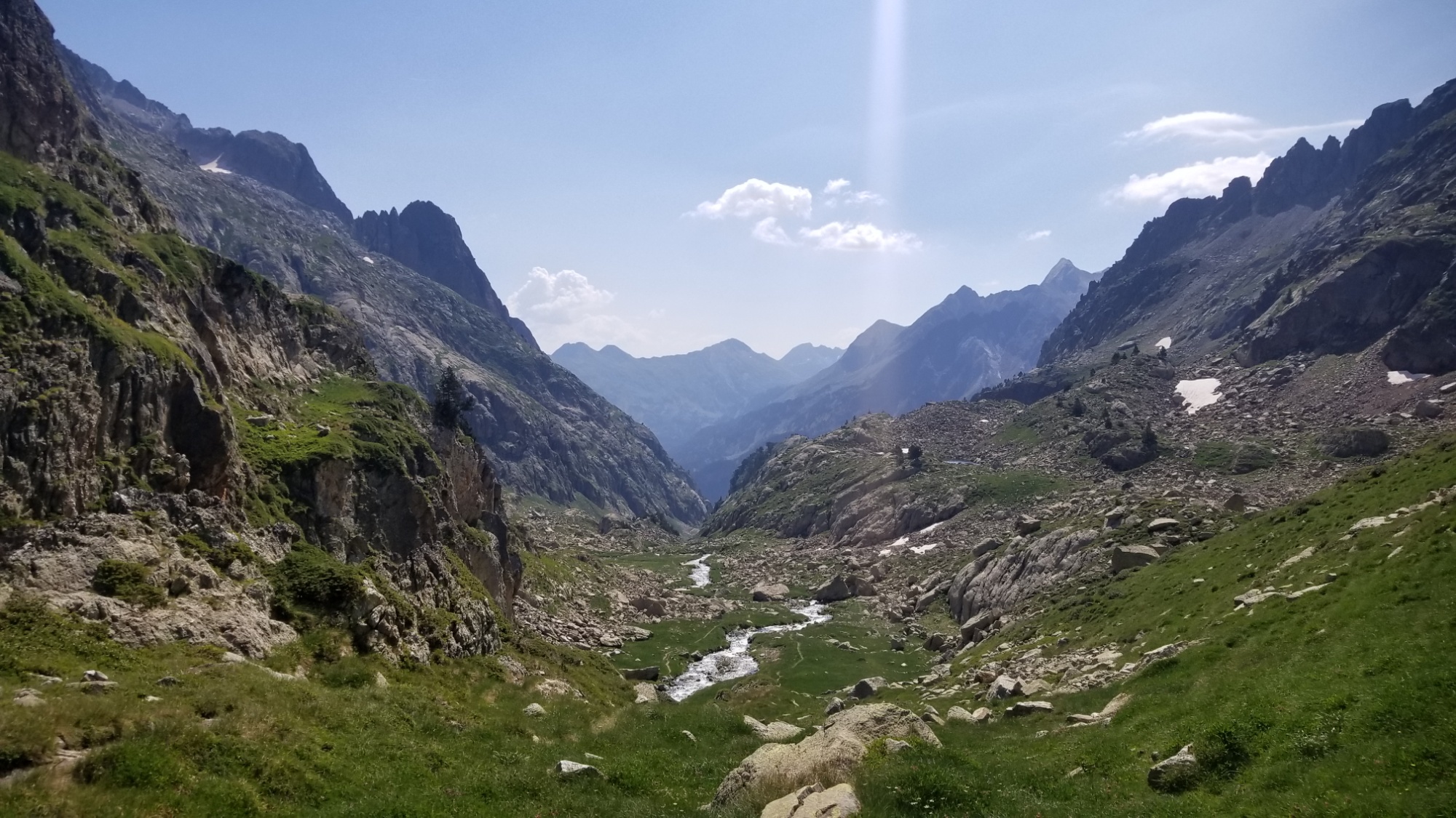
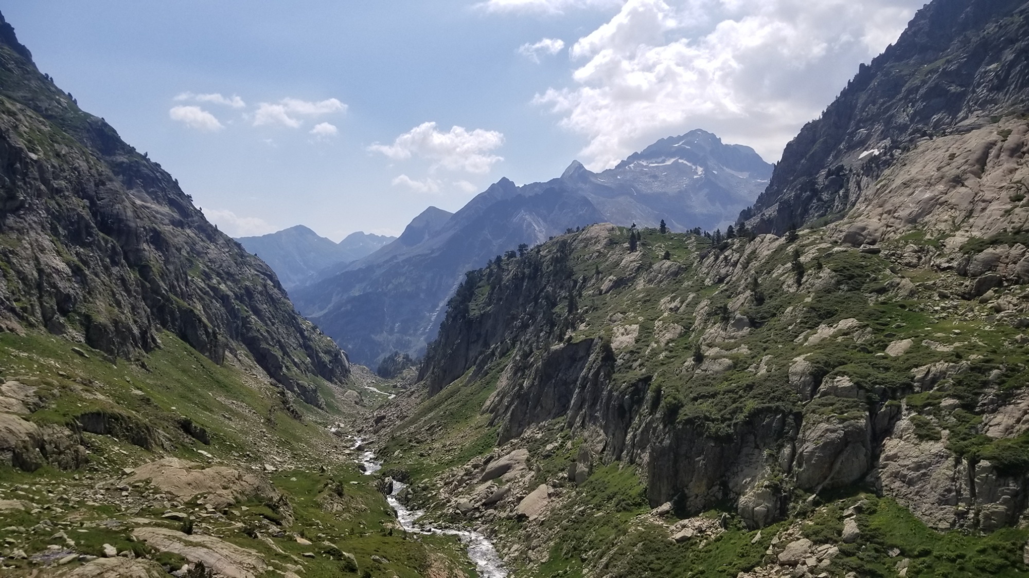
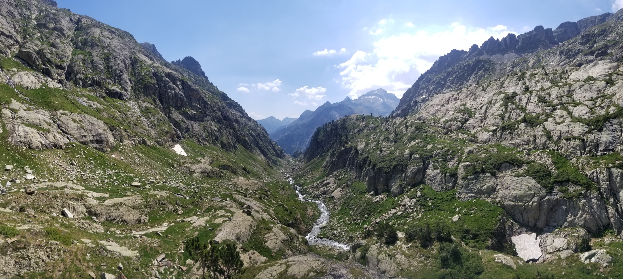
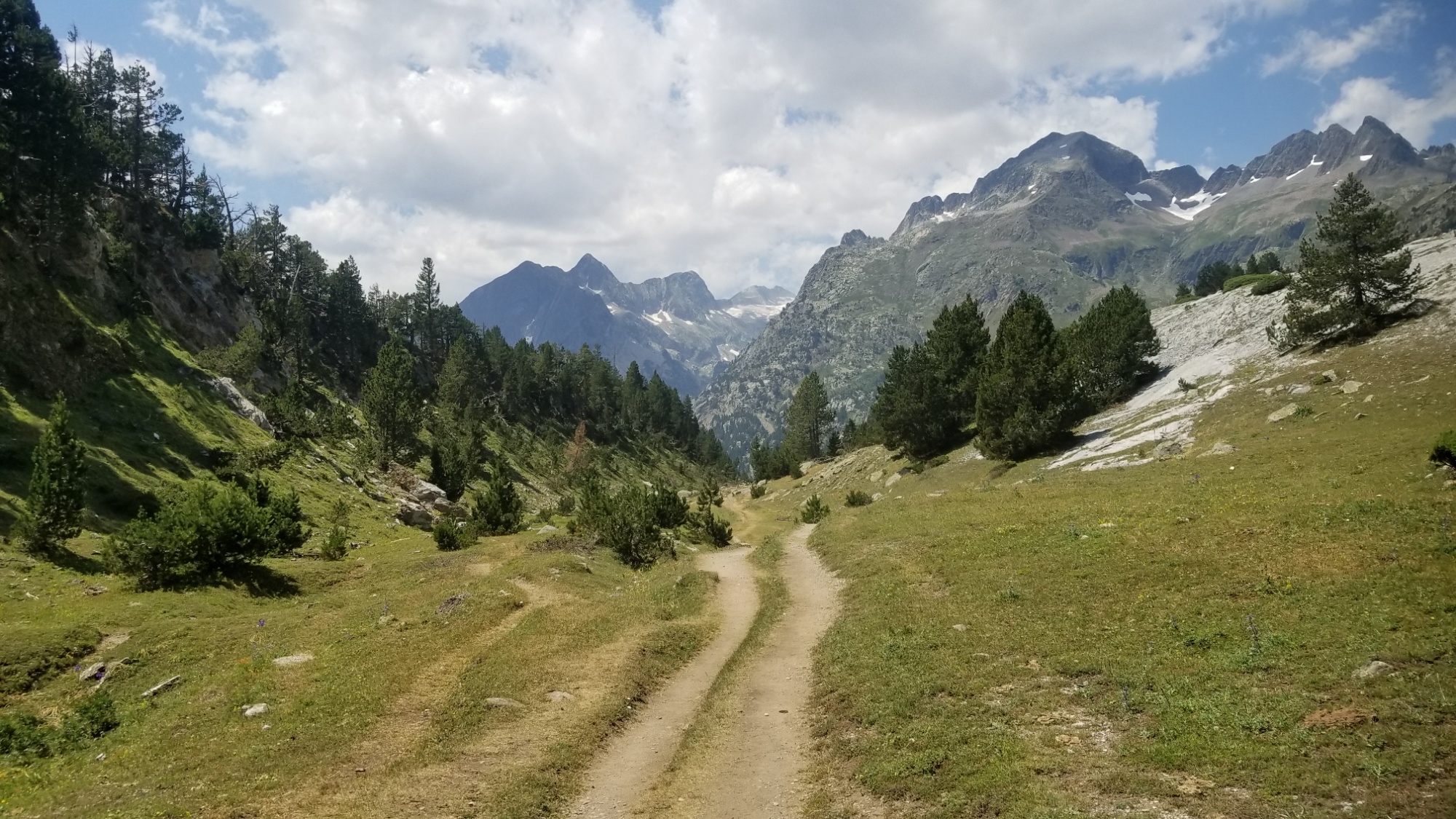
I eventually made it down to a pine forest, after amazing views of Pic Aneto, the highest mountain of the pyrénées at around 3,400m. I stepped into a national park without even knowing! That would explain why everything was so freaking pretty. The parc nacional de Posets-Maladeta, named after the mountain massifs that dominate the area.
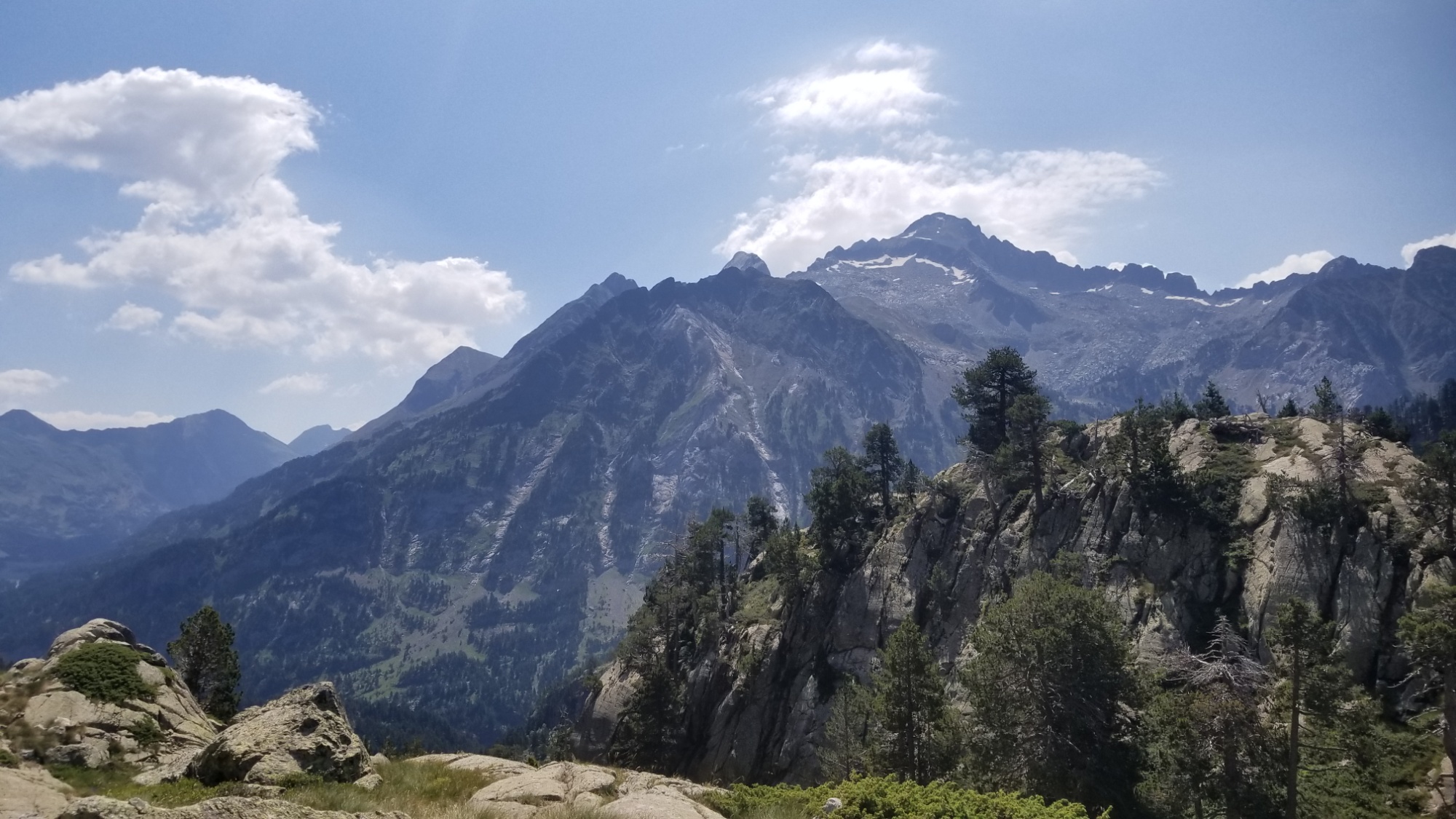
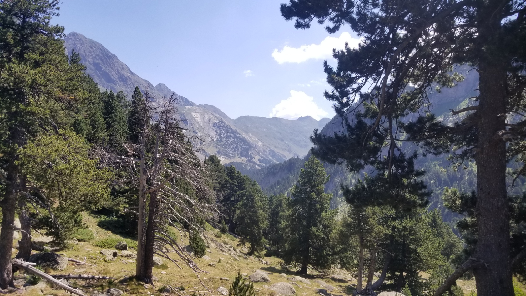
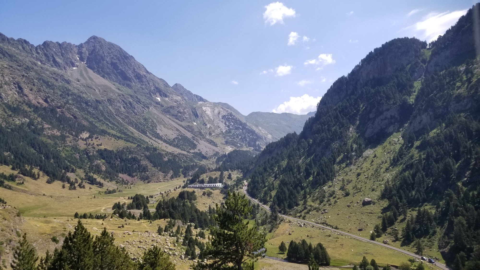
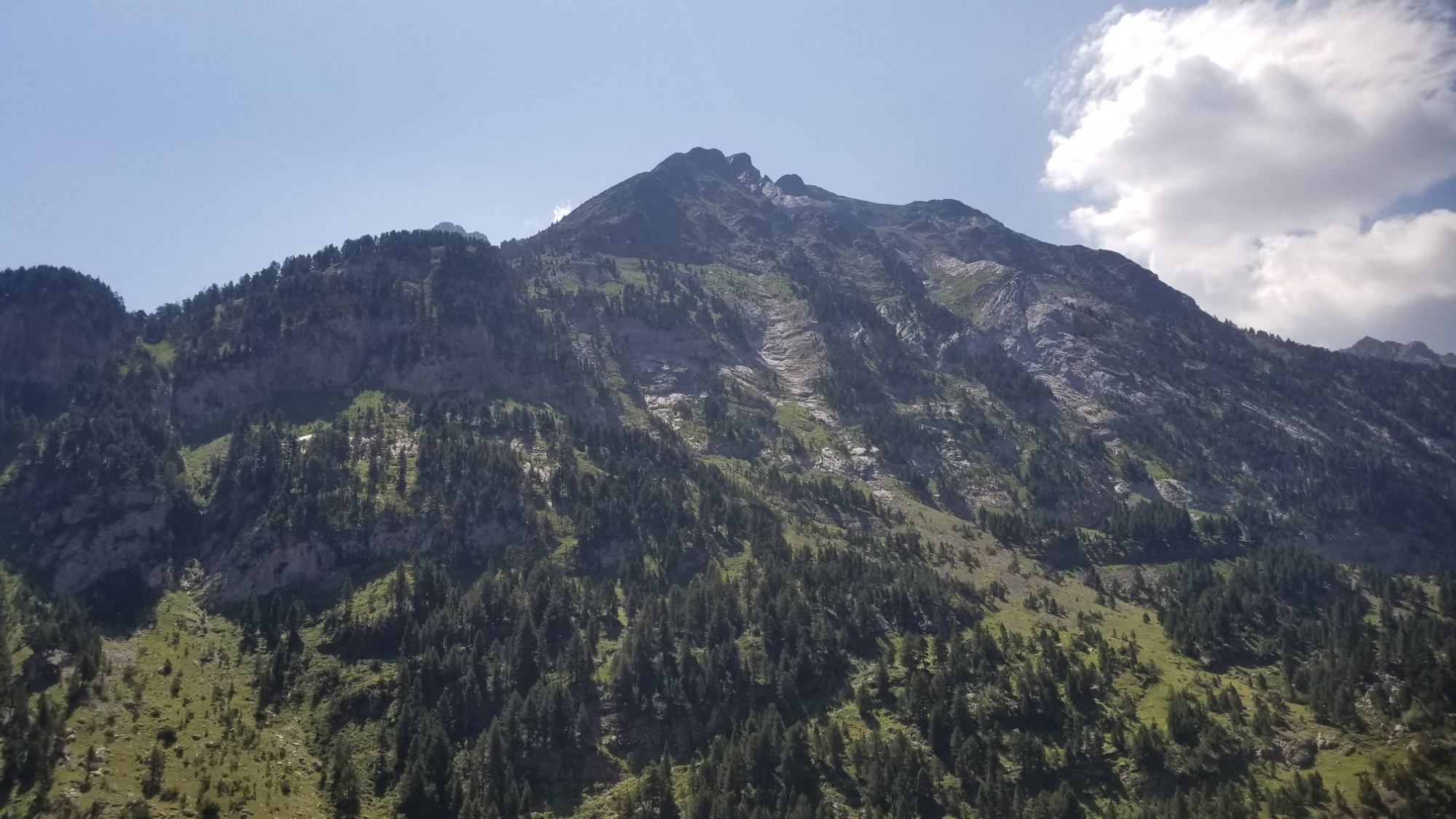
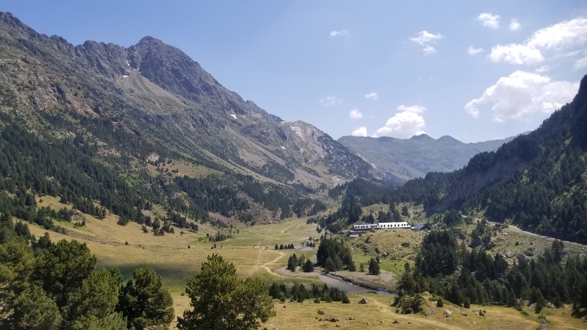
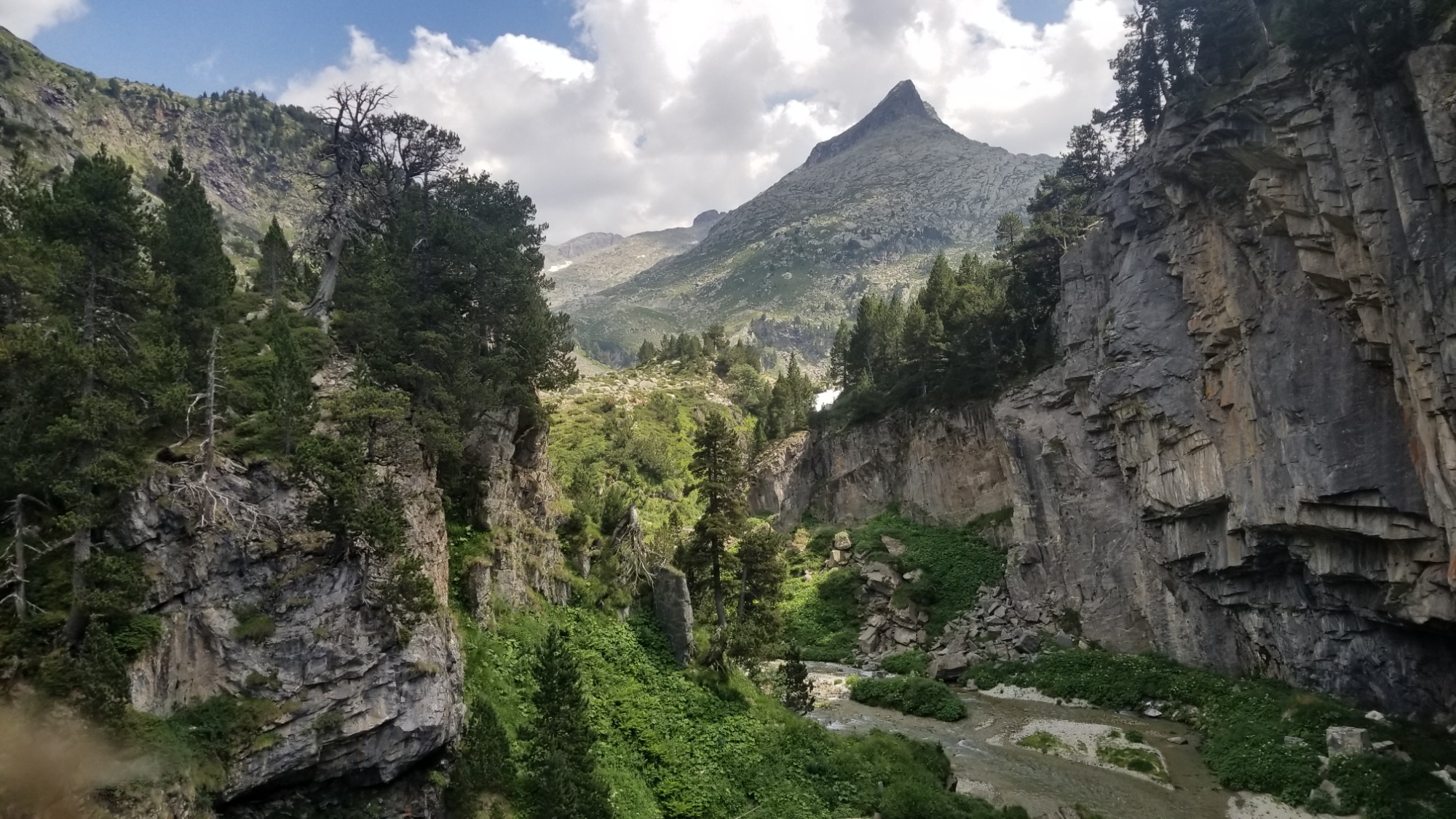
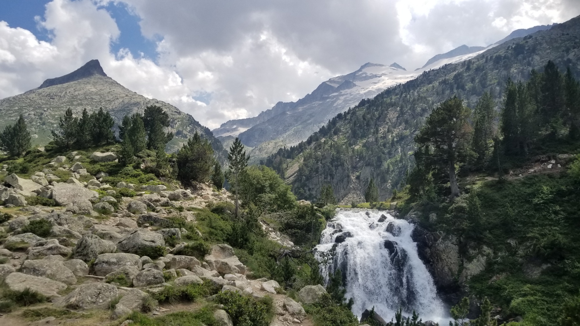
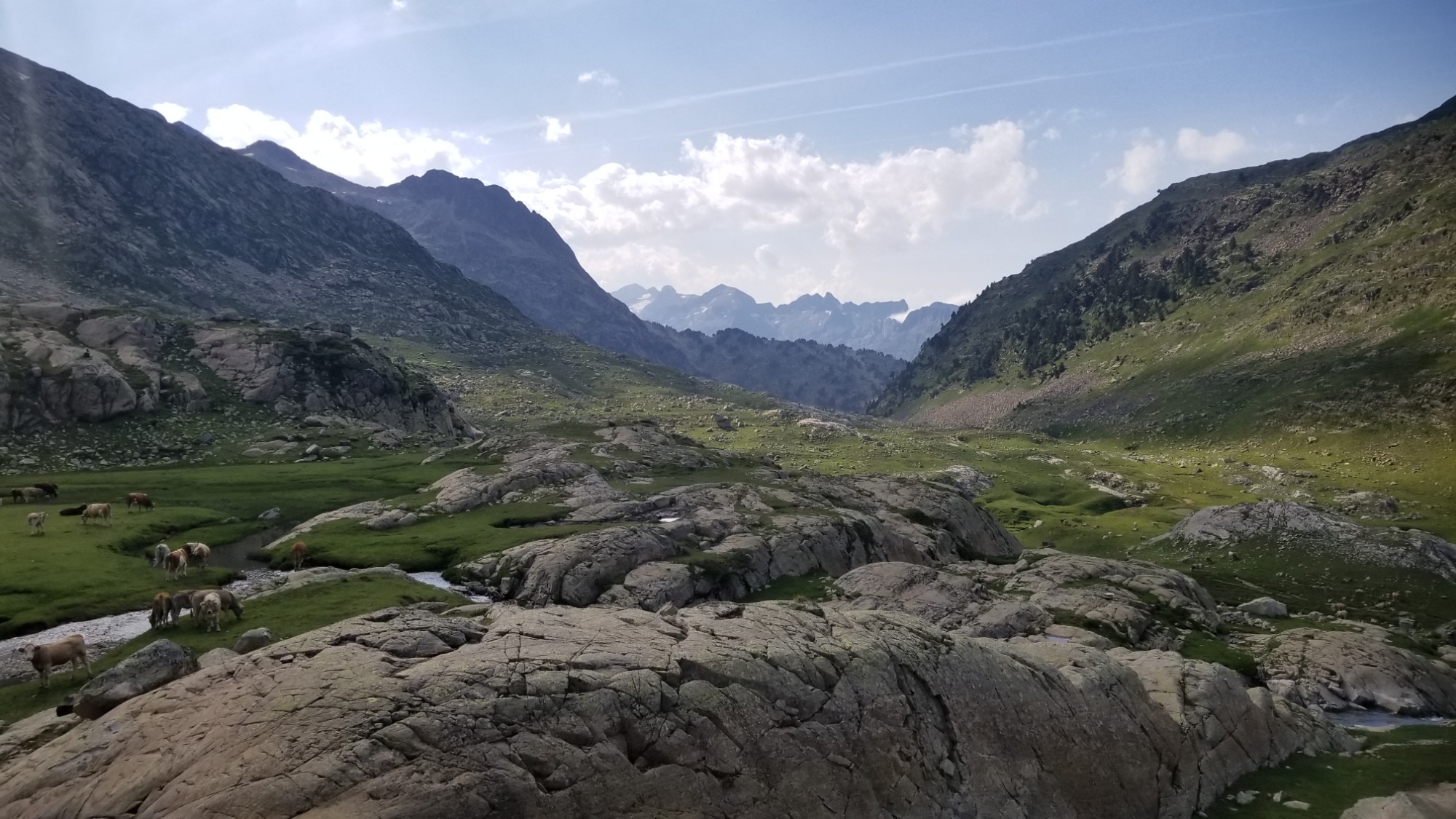
What a stark contrast with the granite wilderness I was in just an hour earlier! Everything is lush, green, covered in trees and grass, and there were people everywhere! I can’t blame them, this was one of the nicest natural areas of the entire Pyrénées so far. It just gets better and better.
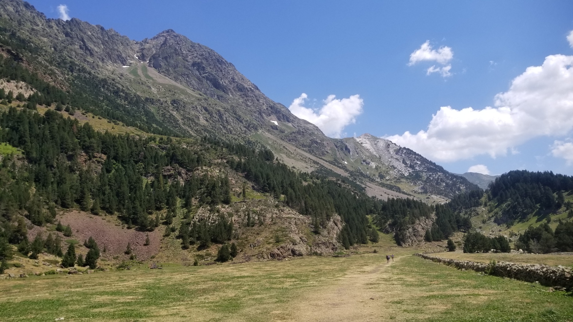
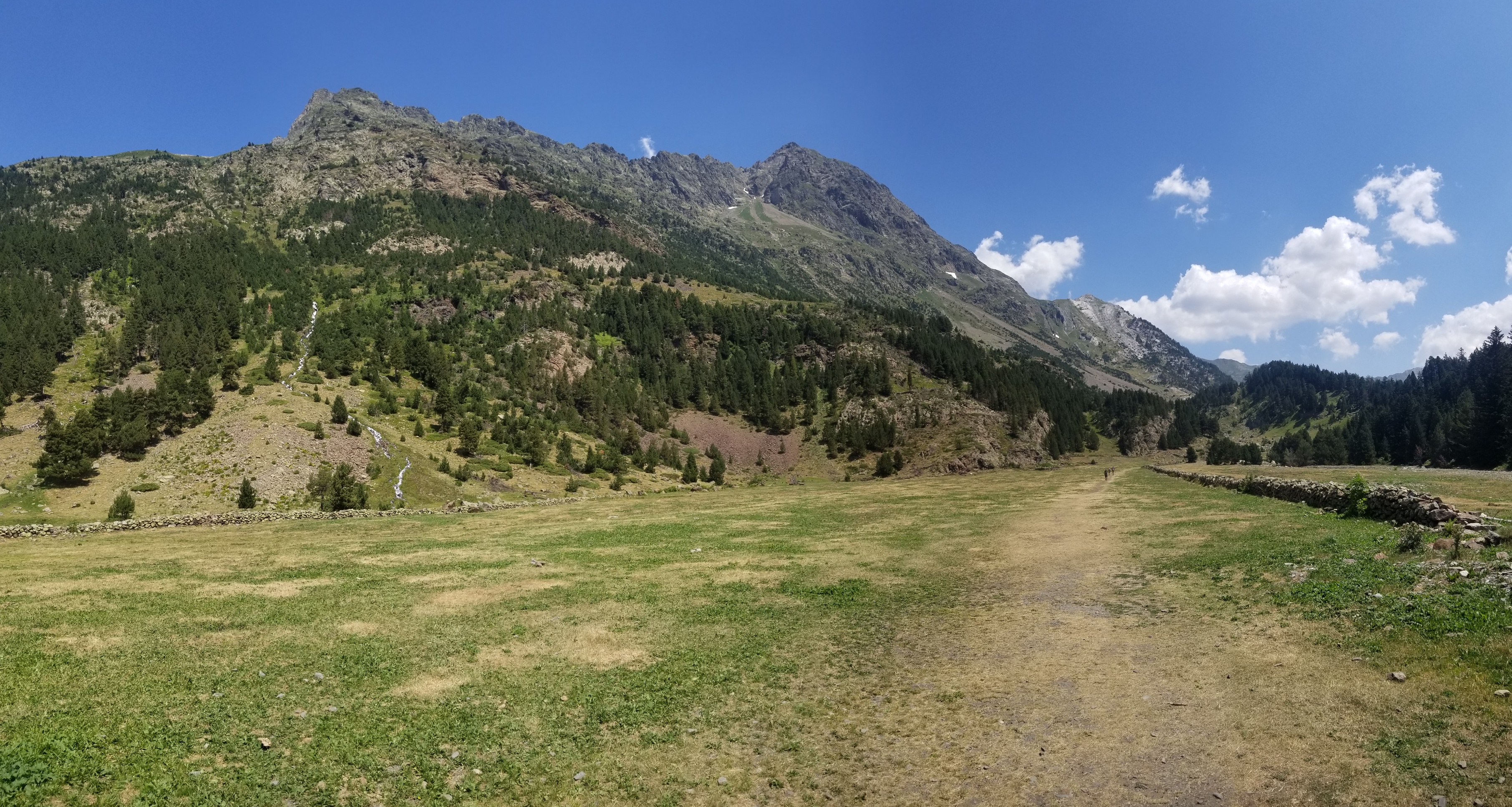
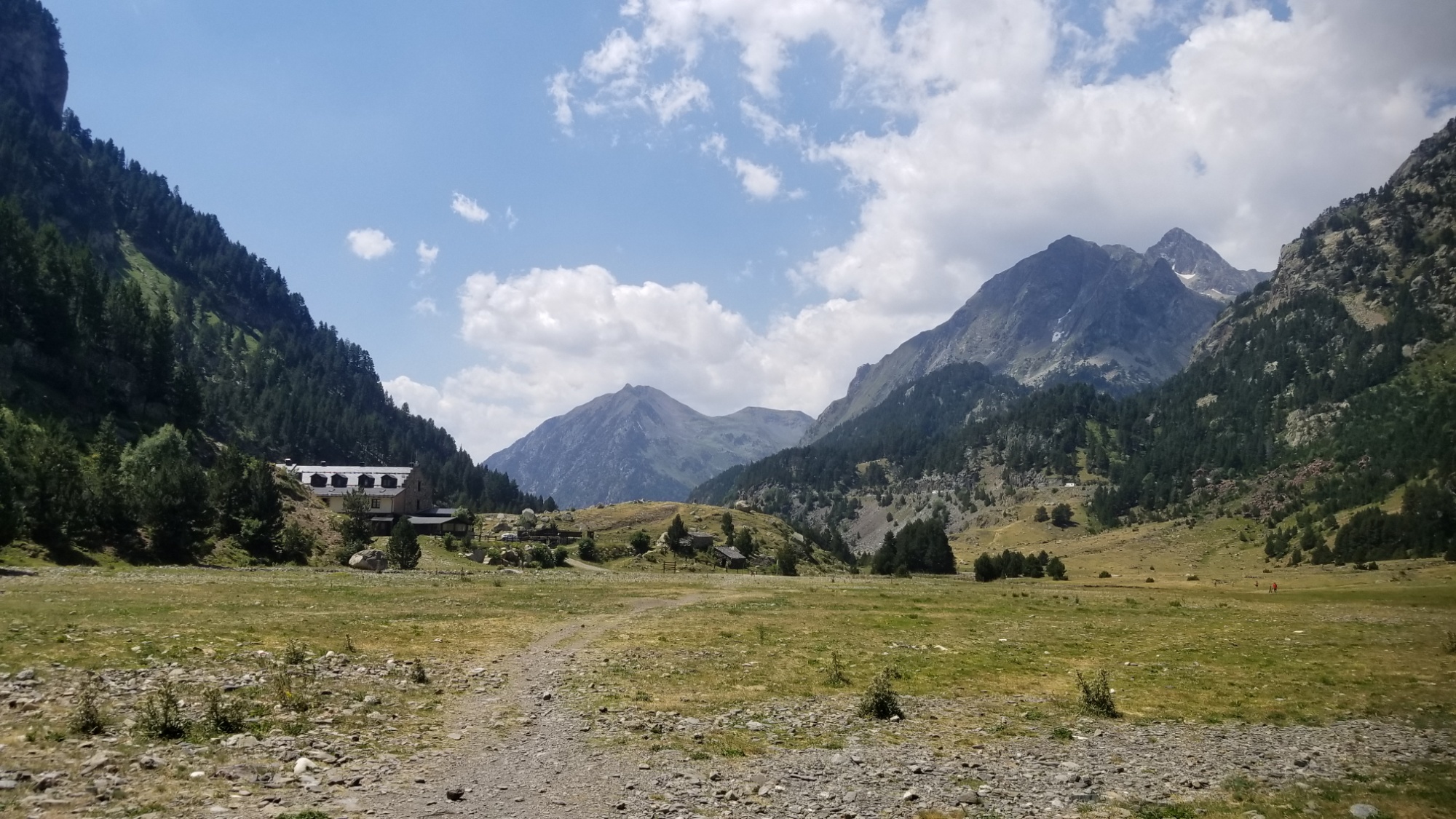
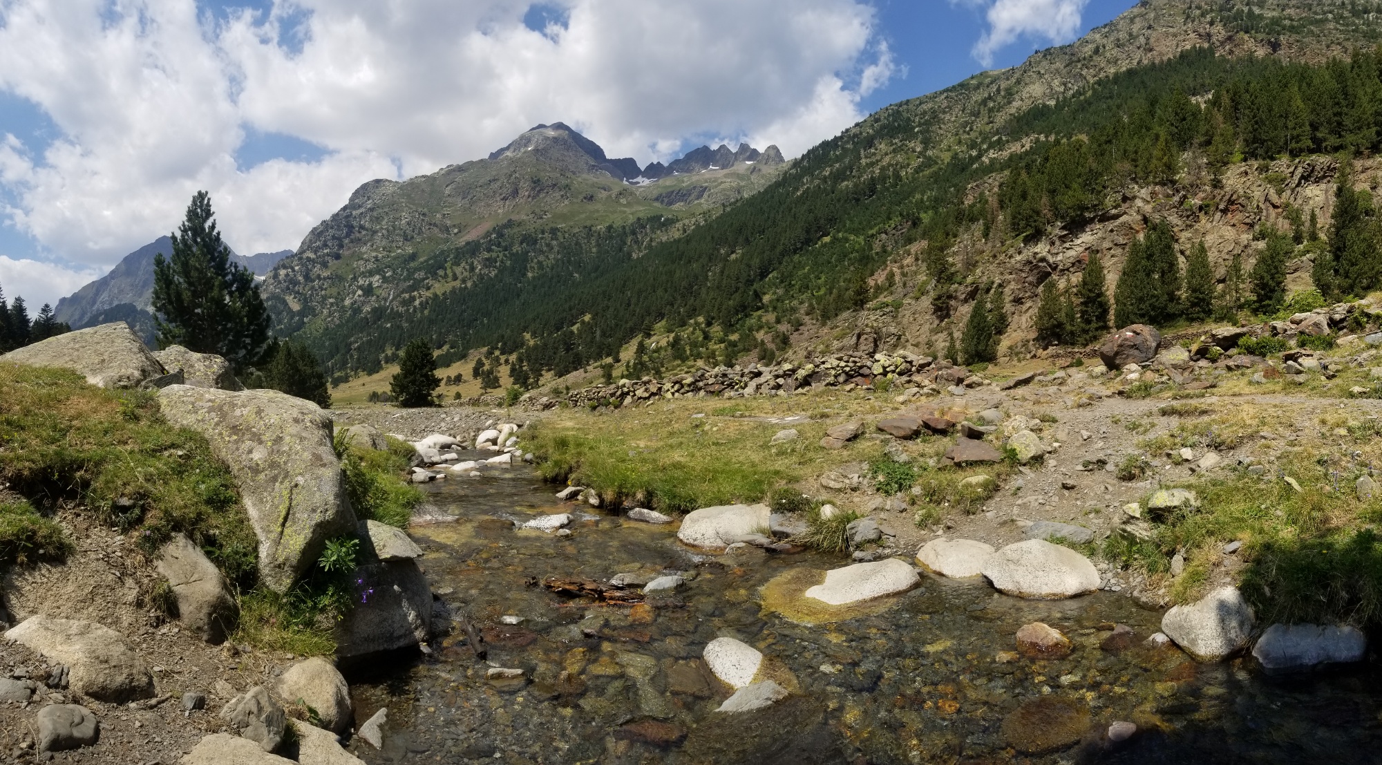
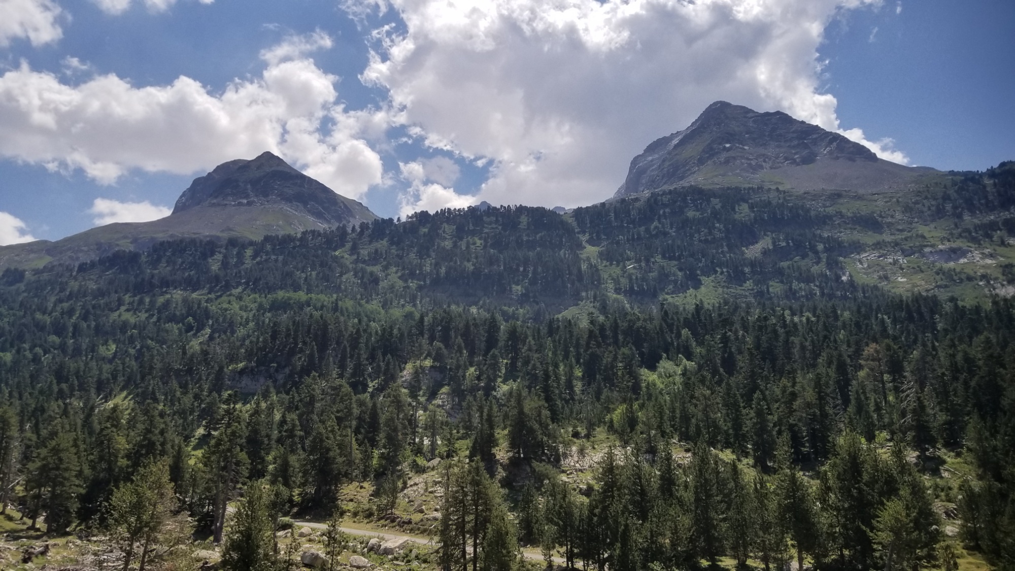
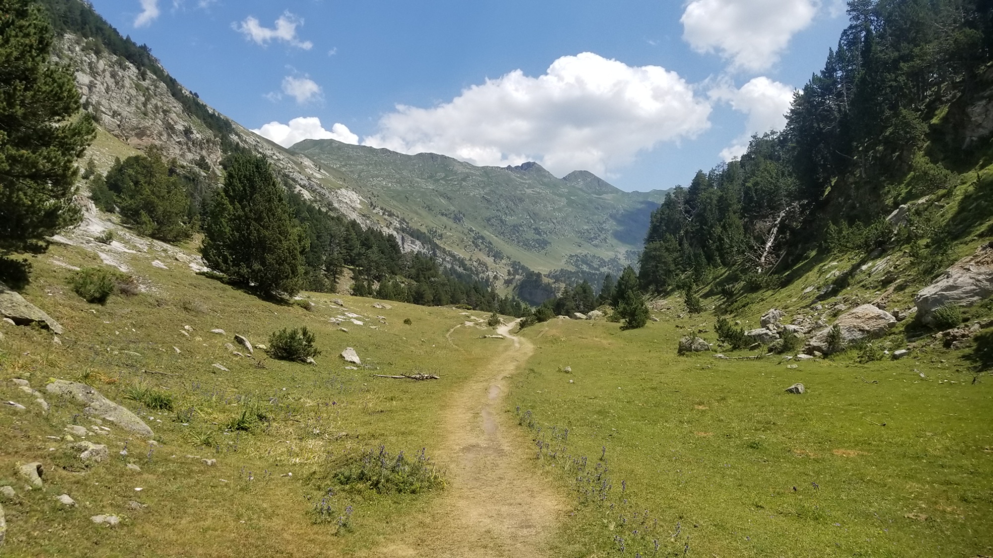
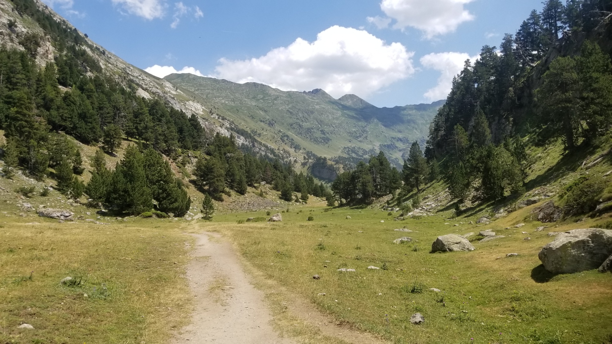
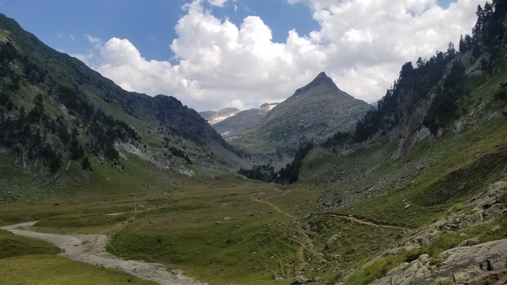
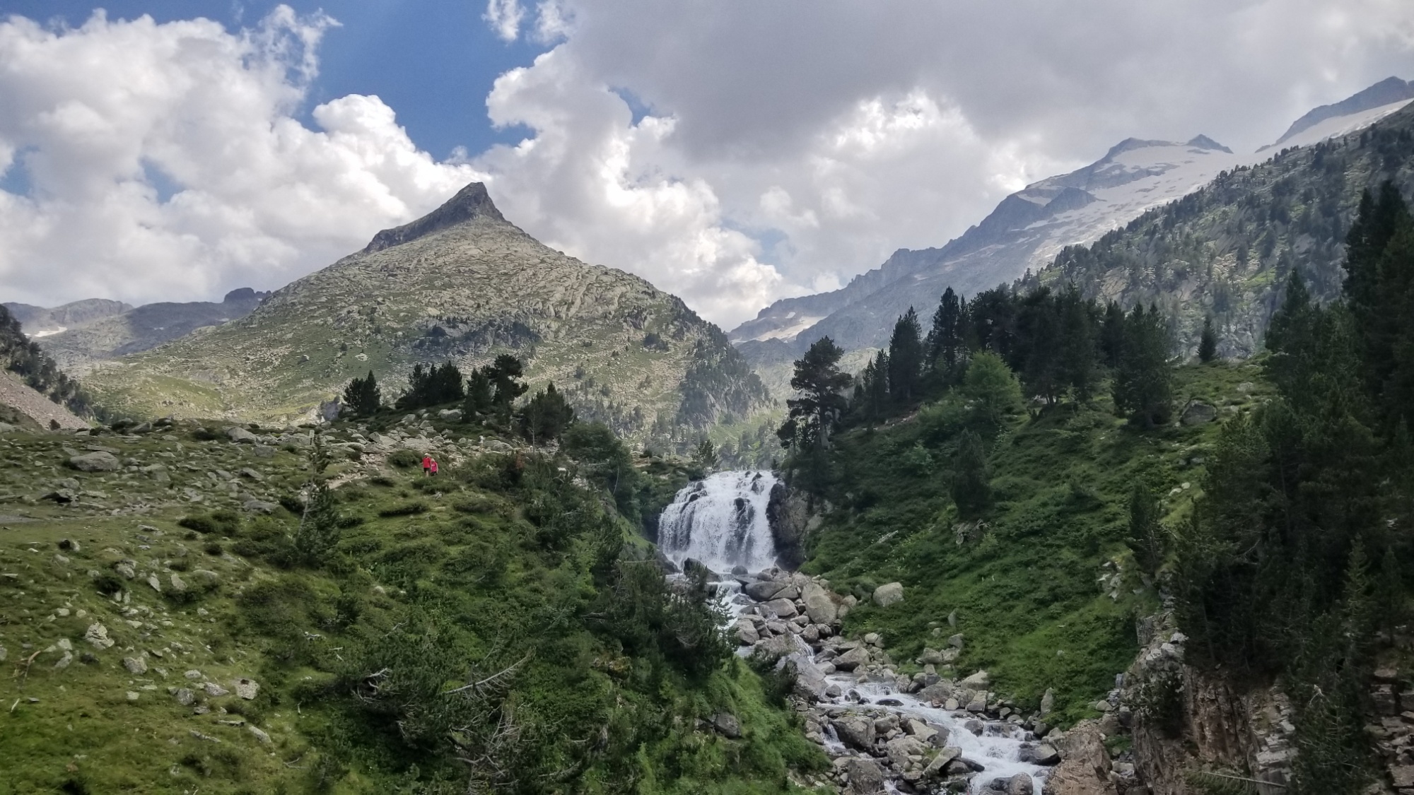
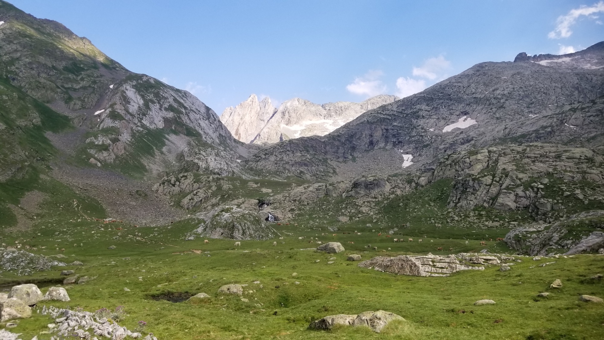
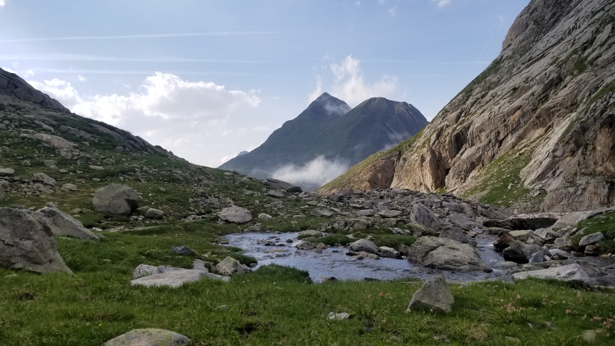
After a beautiful walk through the valley, and lunch under shade of a pine tree, I made it to the Plat de Aiguilettes, a gorgeous grassy plateau with a river running through it. I had already made my miles for the day, so I took the opportunity to rest under my shade umbrella and enjoy the scenery.
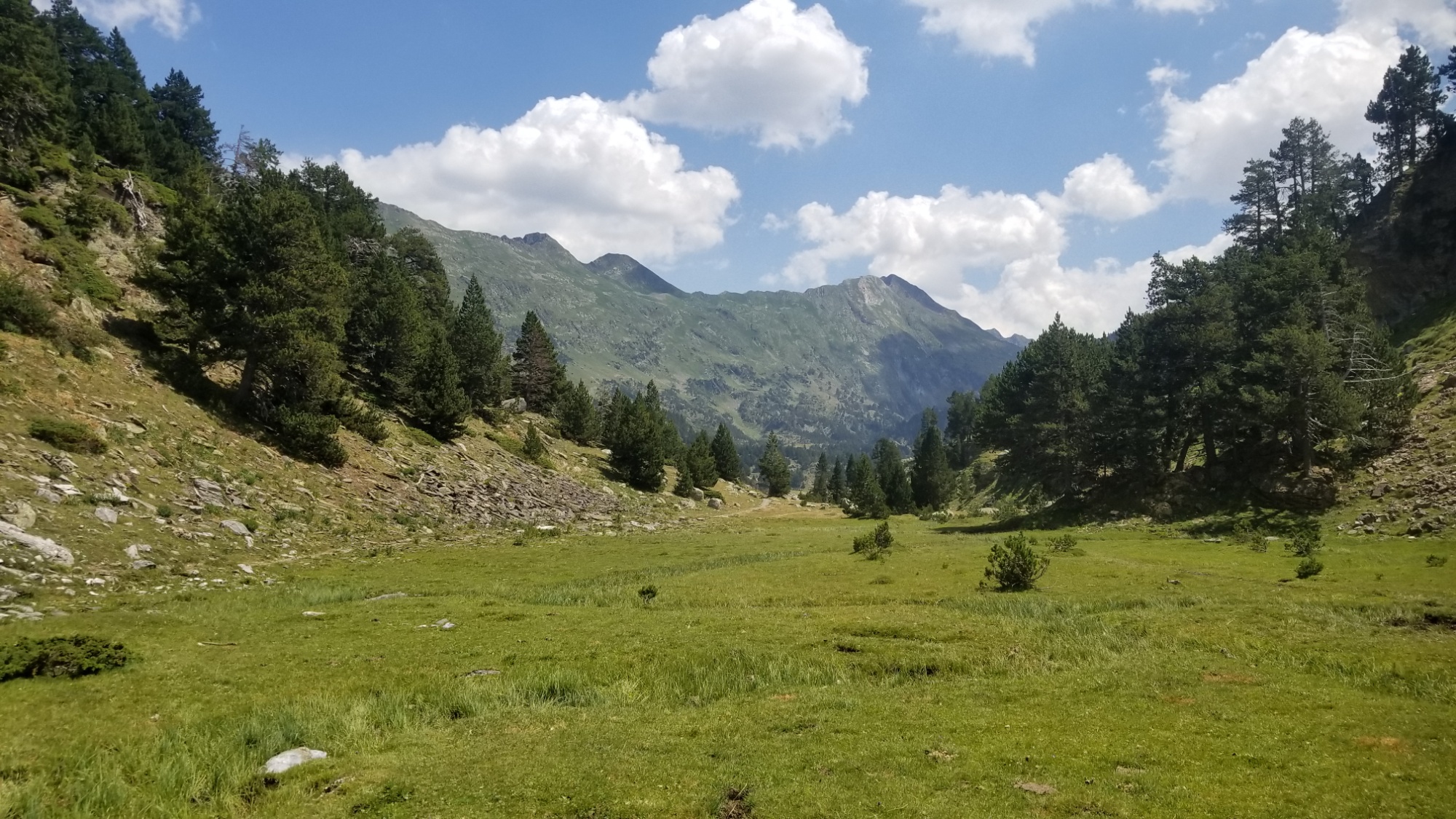
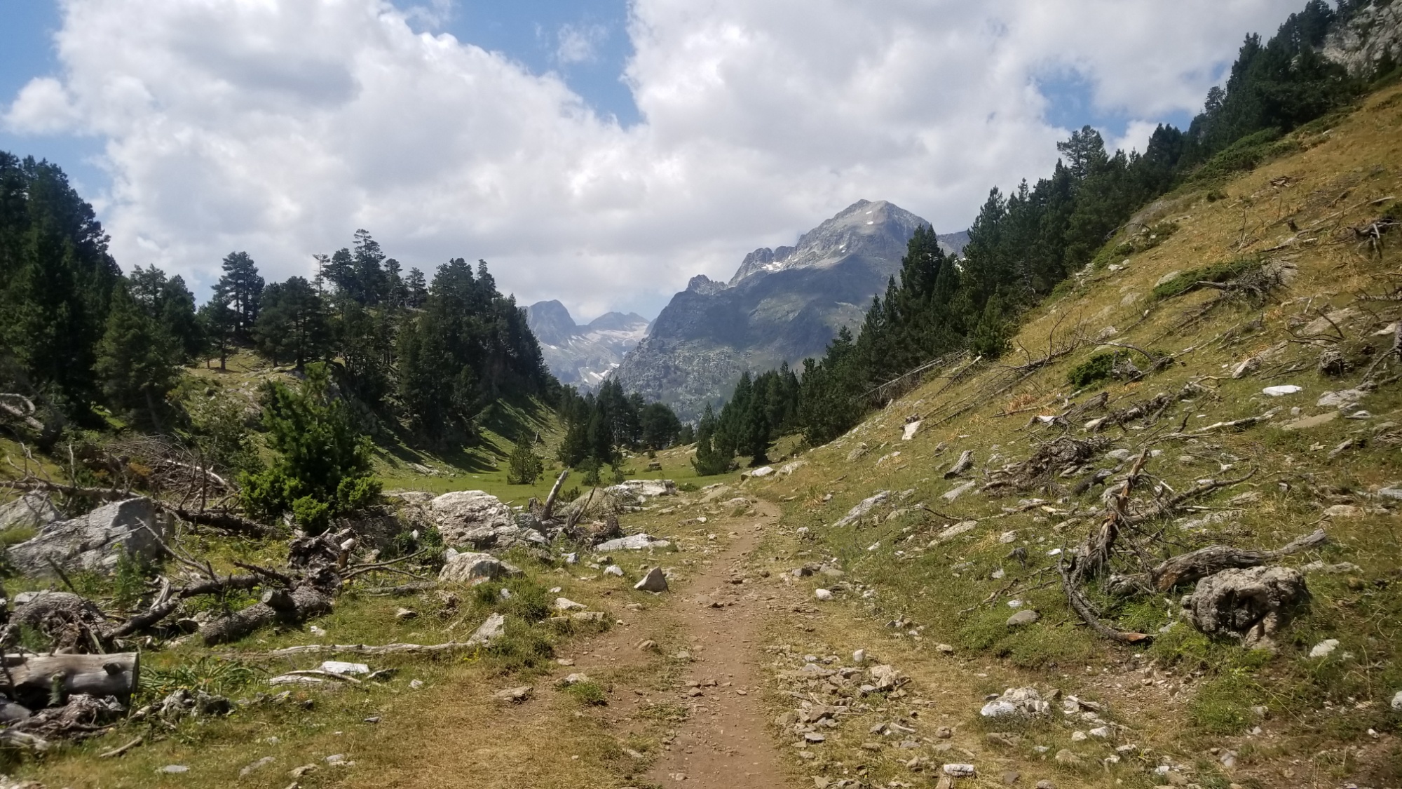
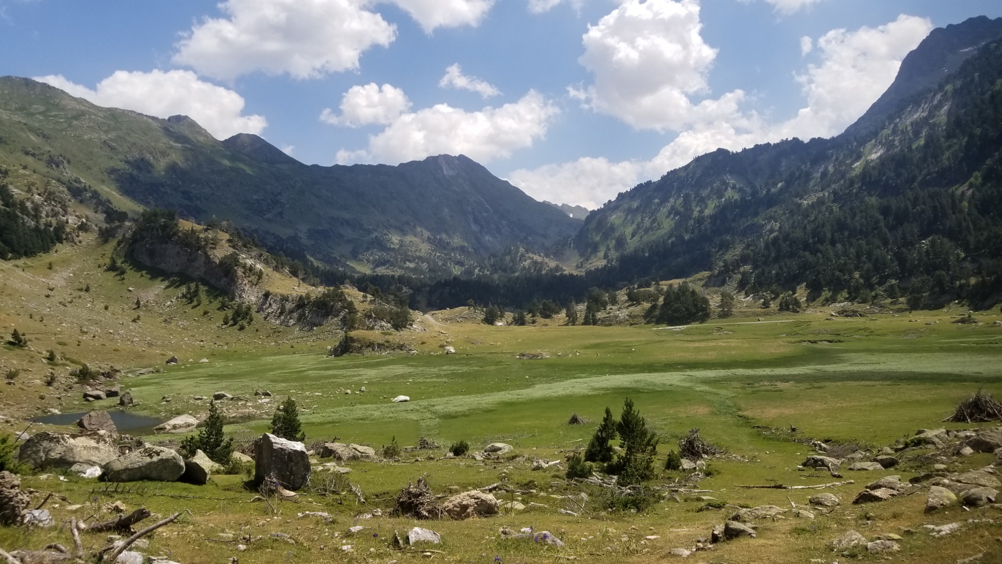
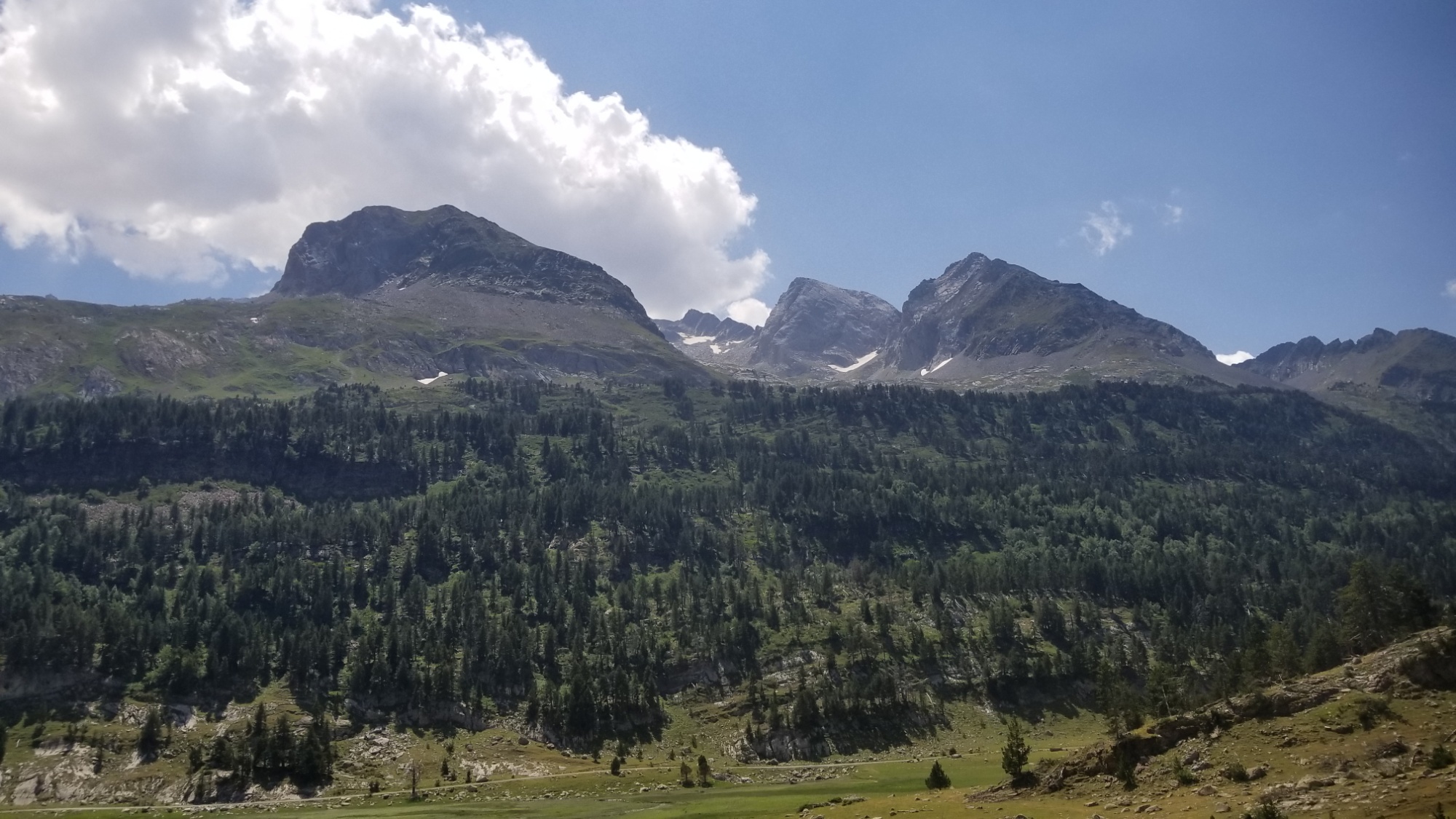
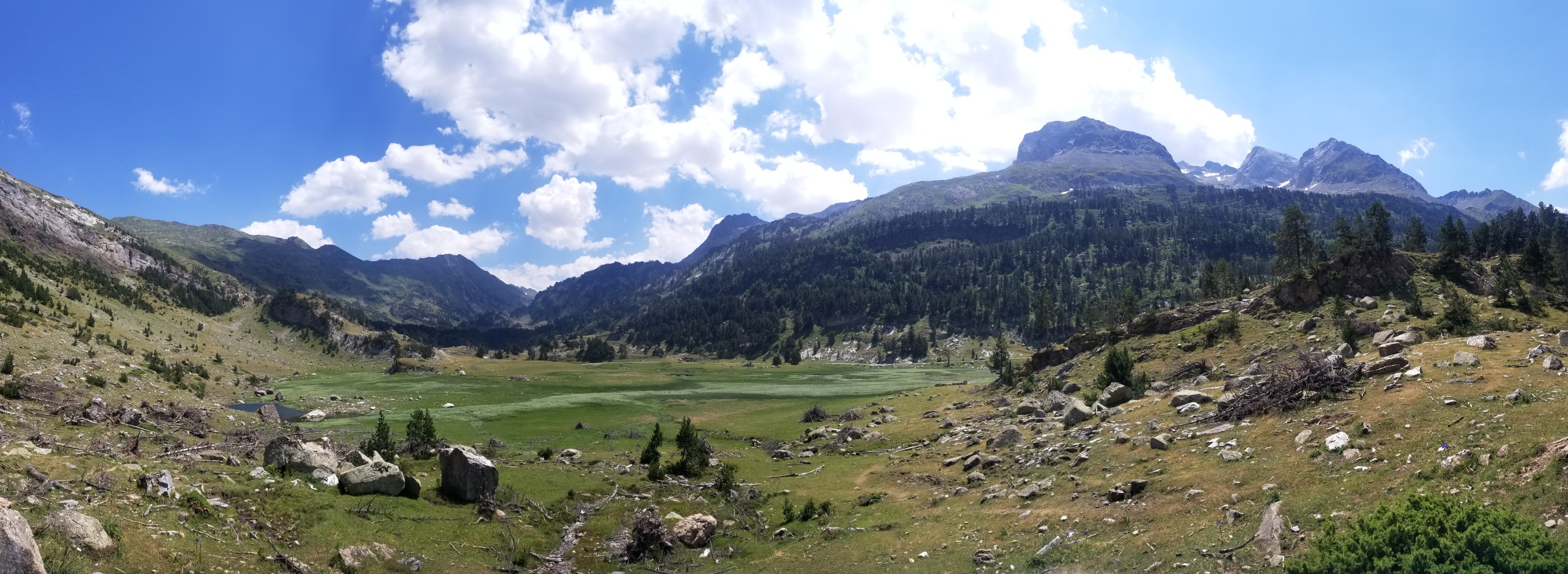
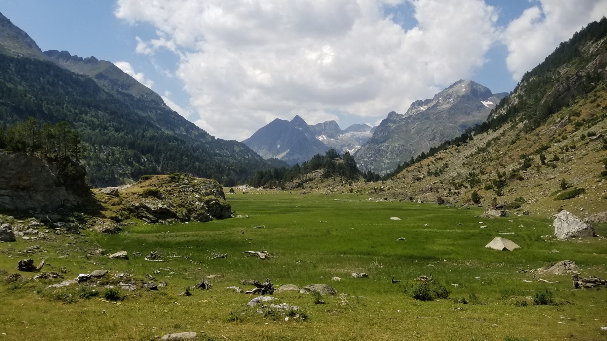
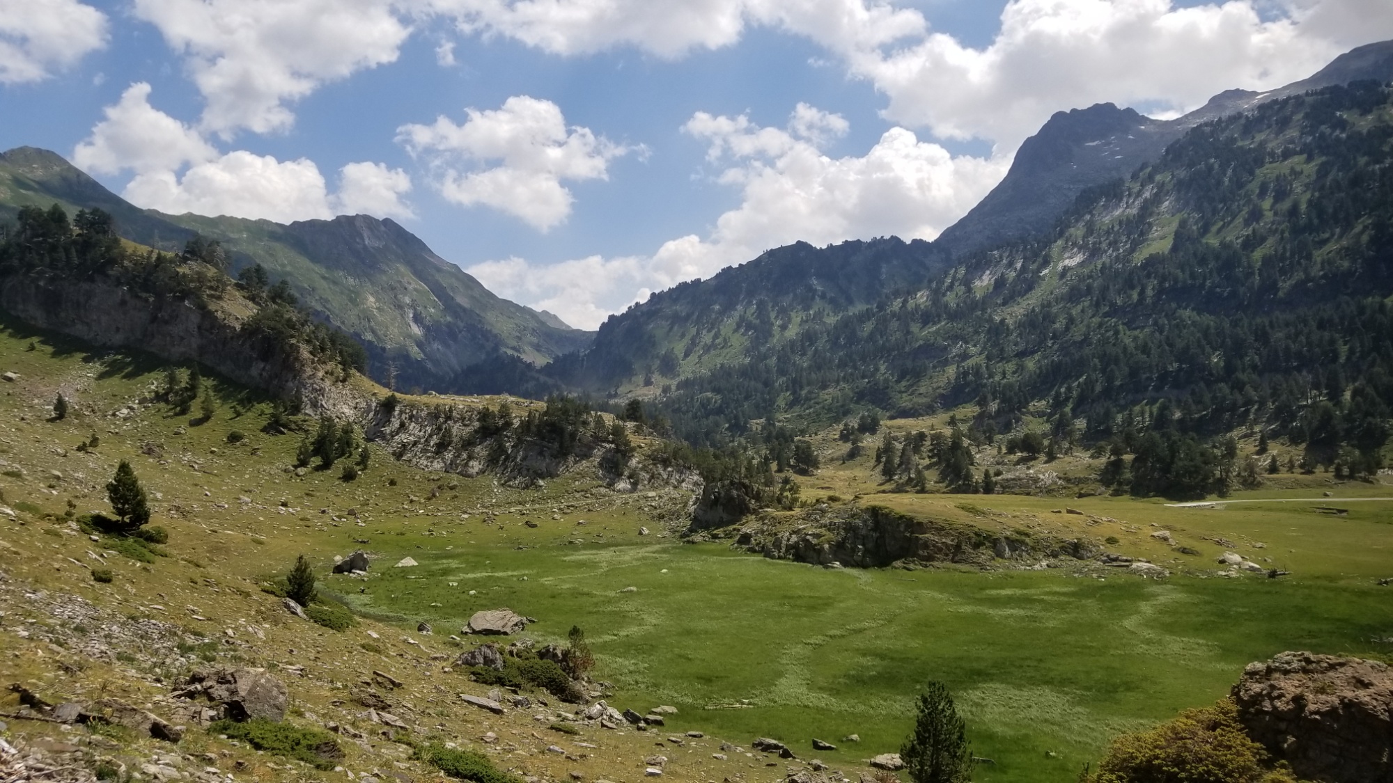
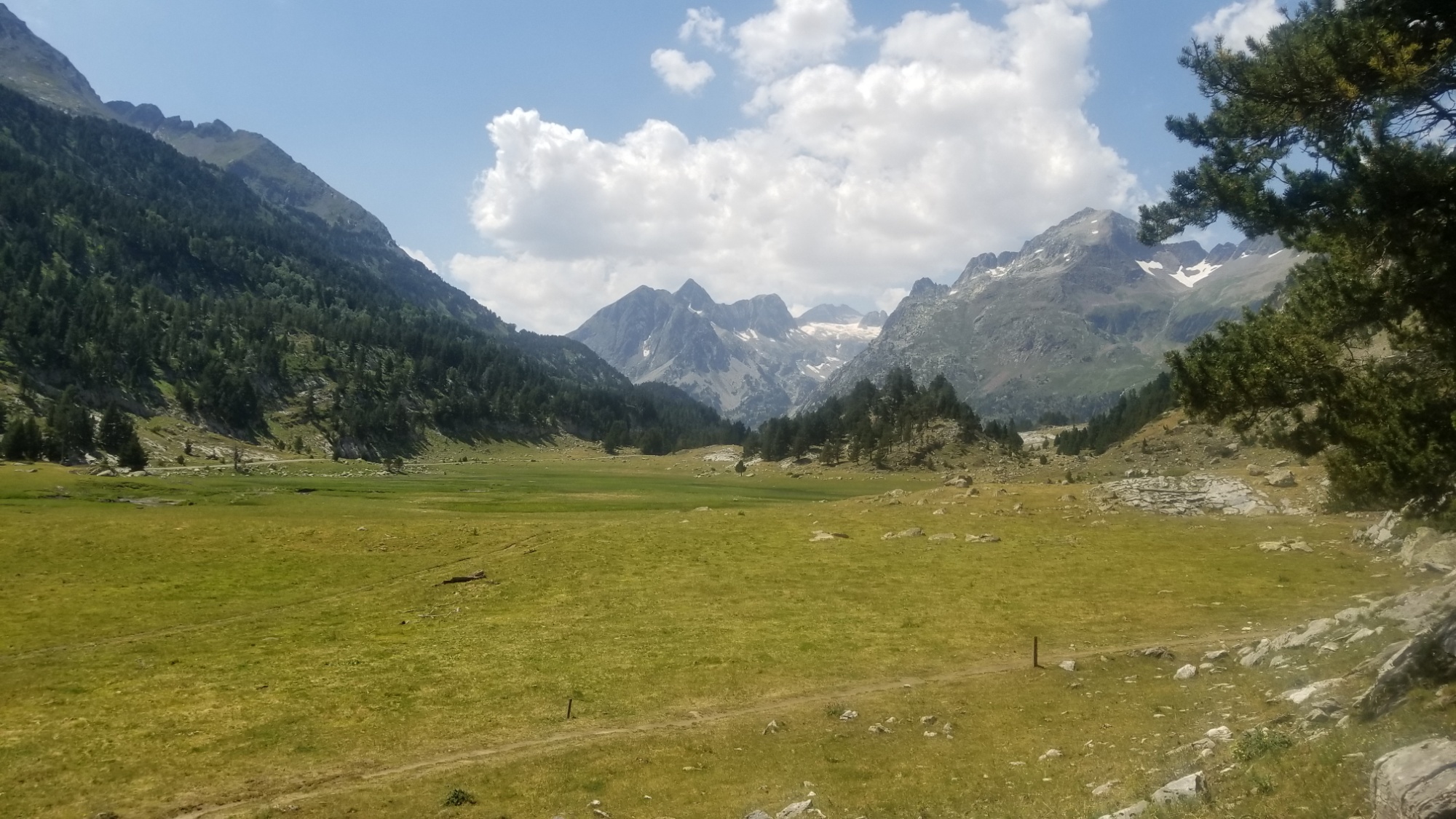
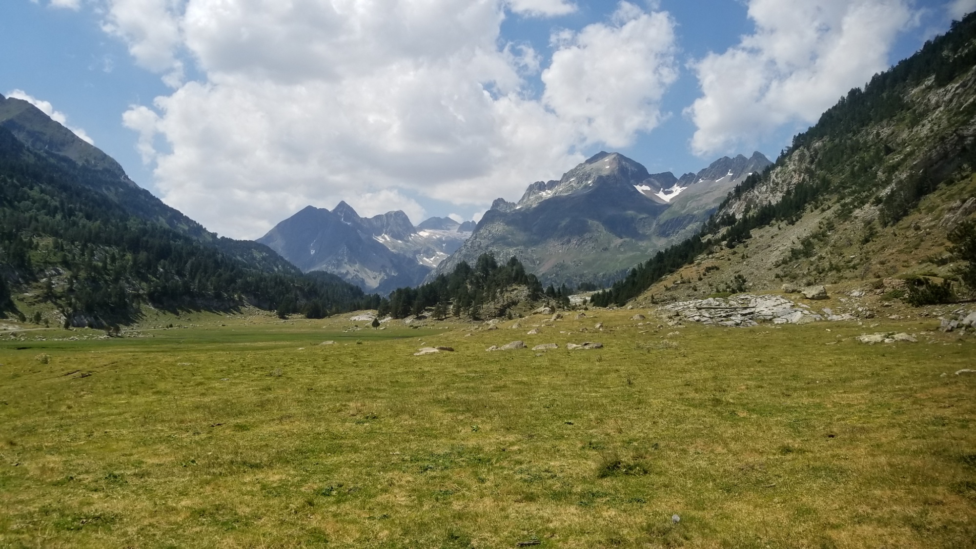
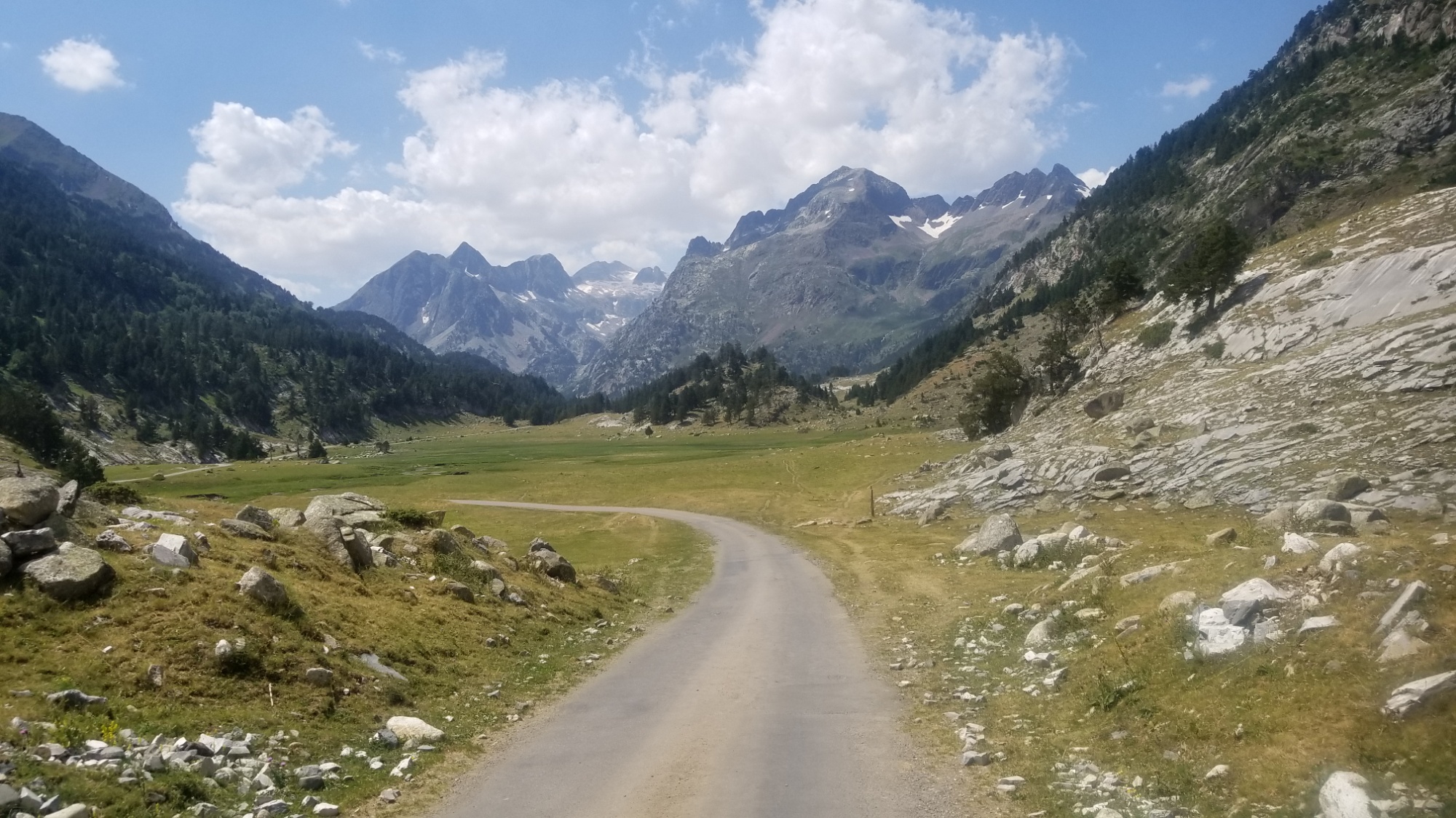
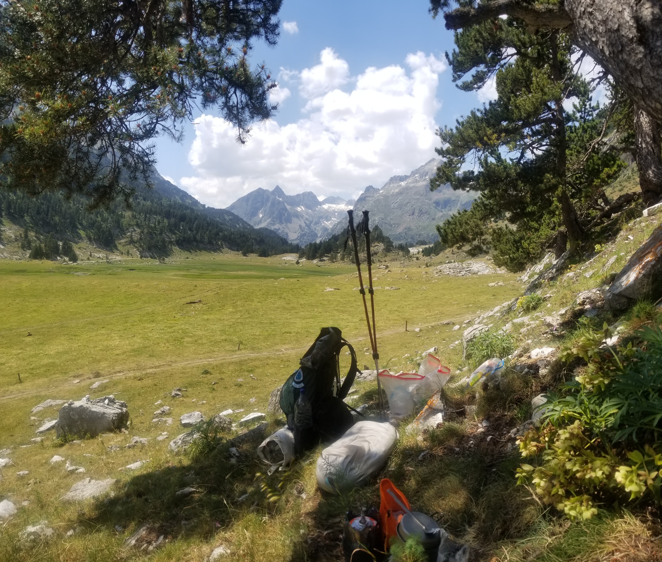
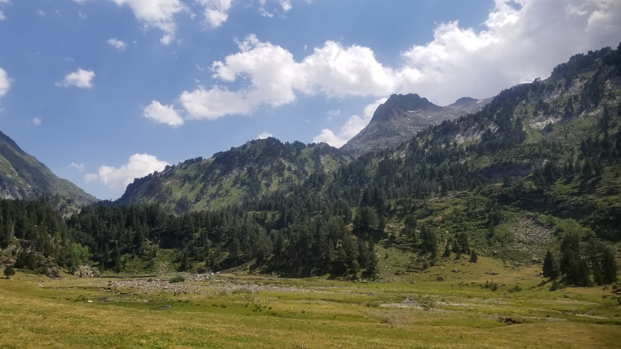
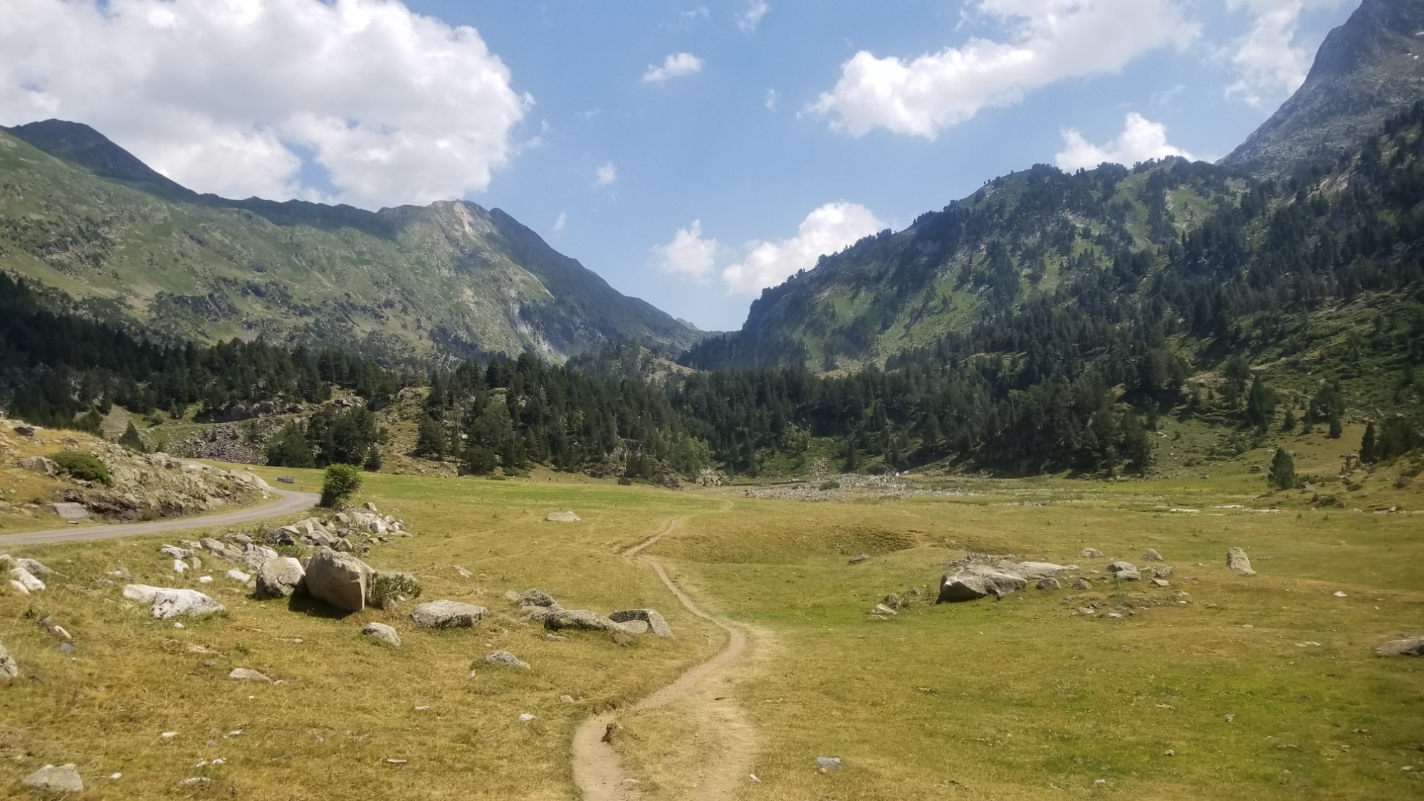
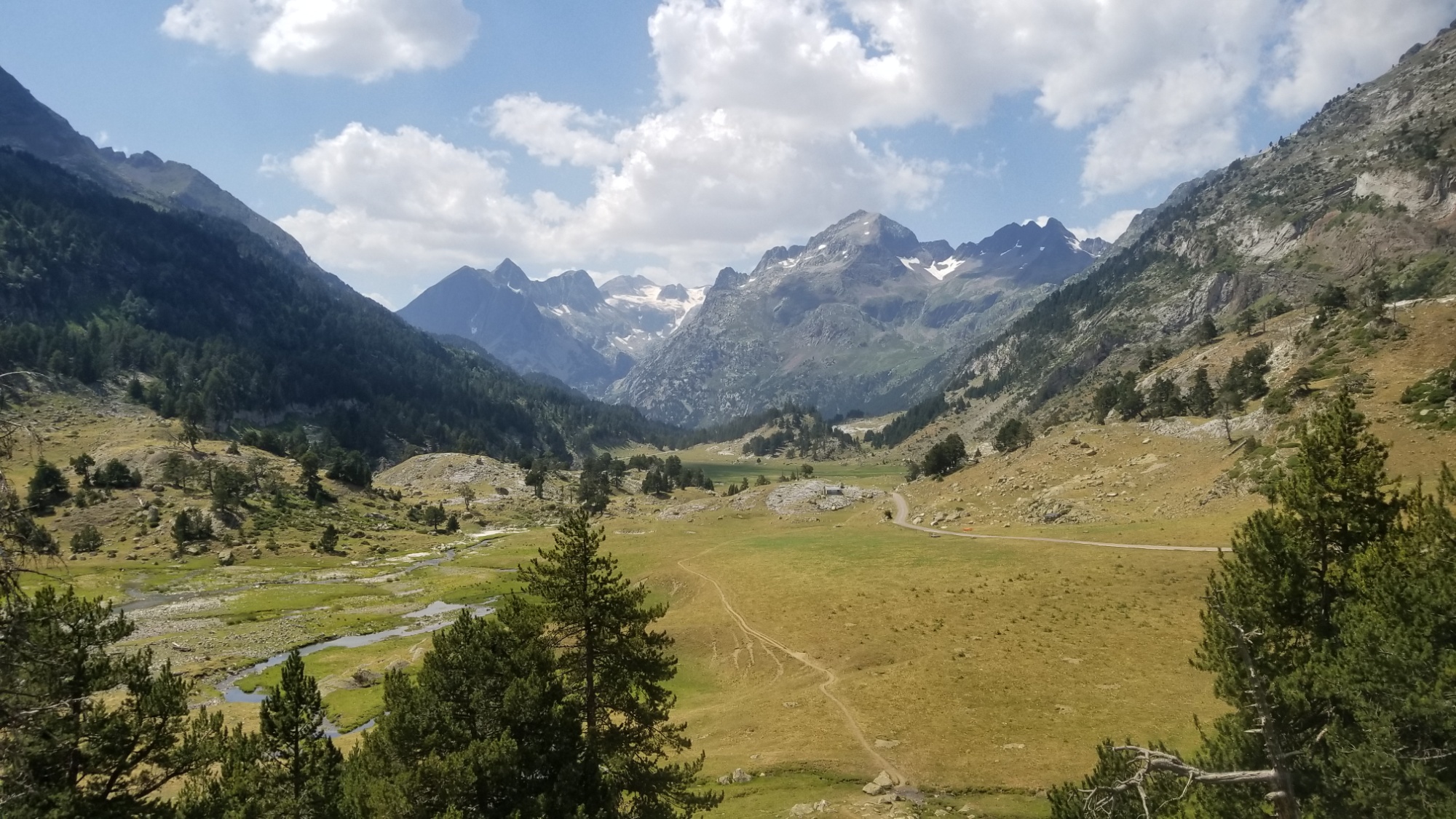
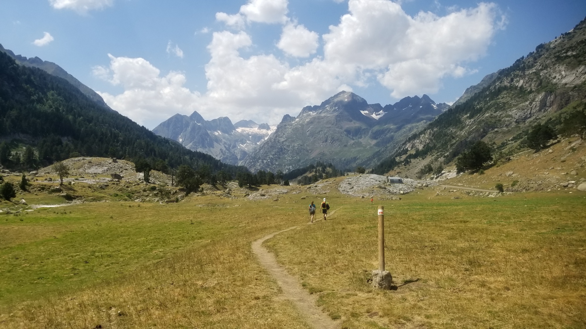
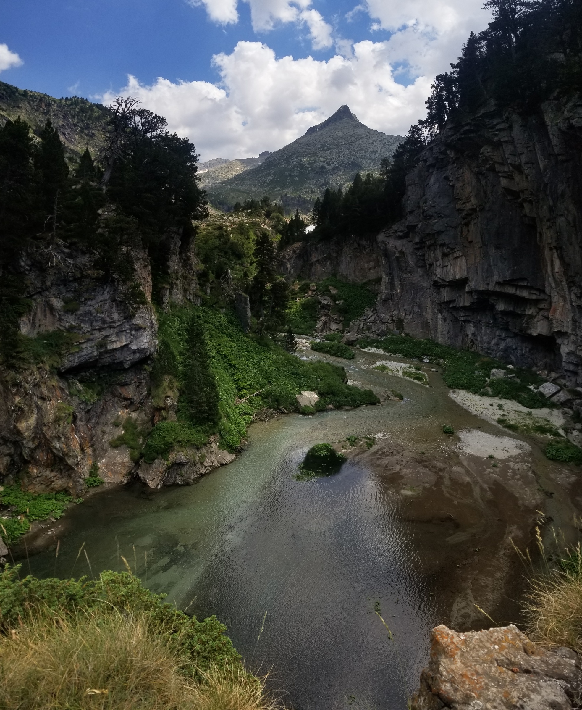
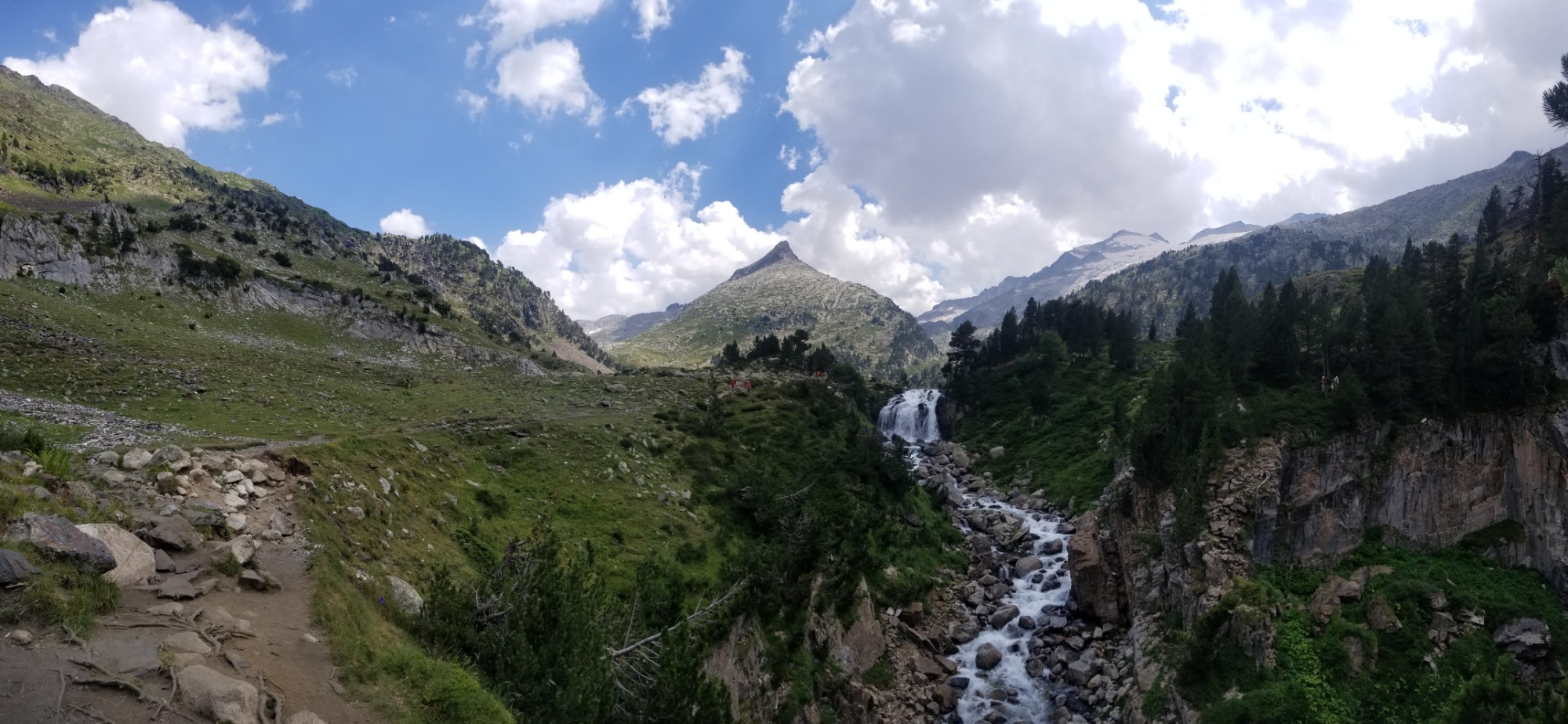
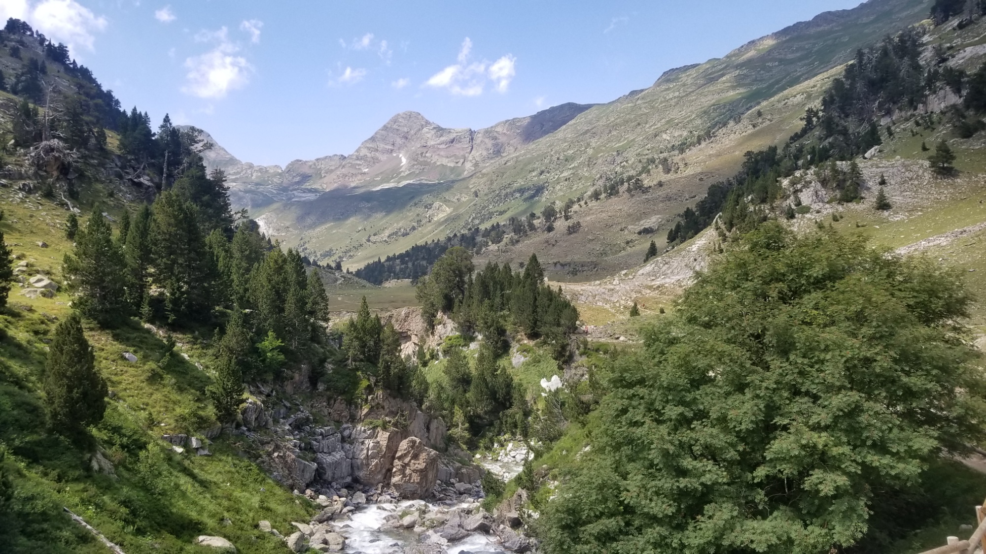
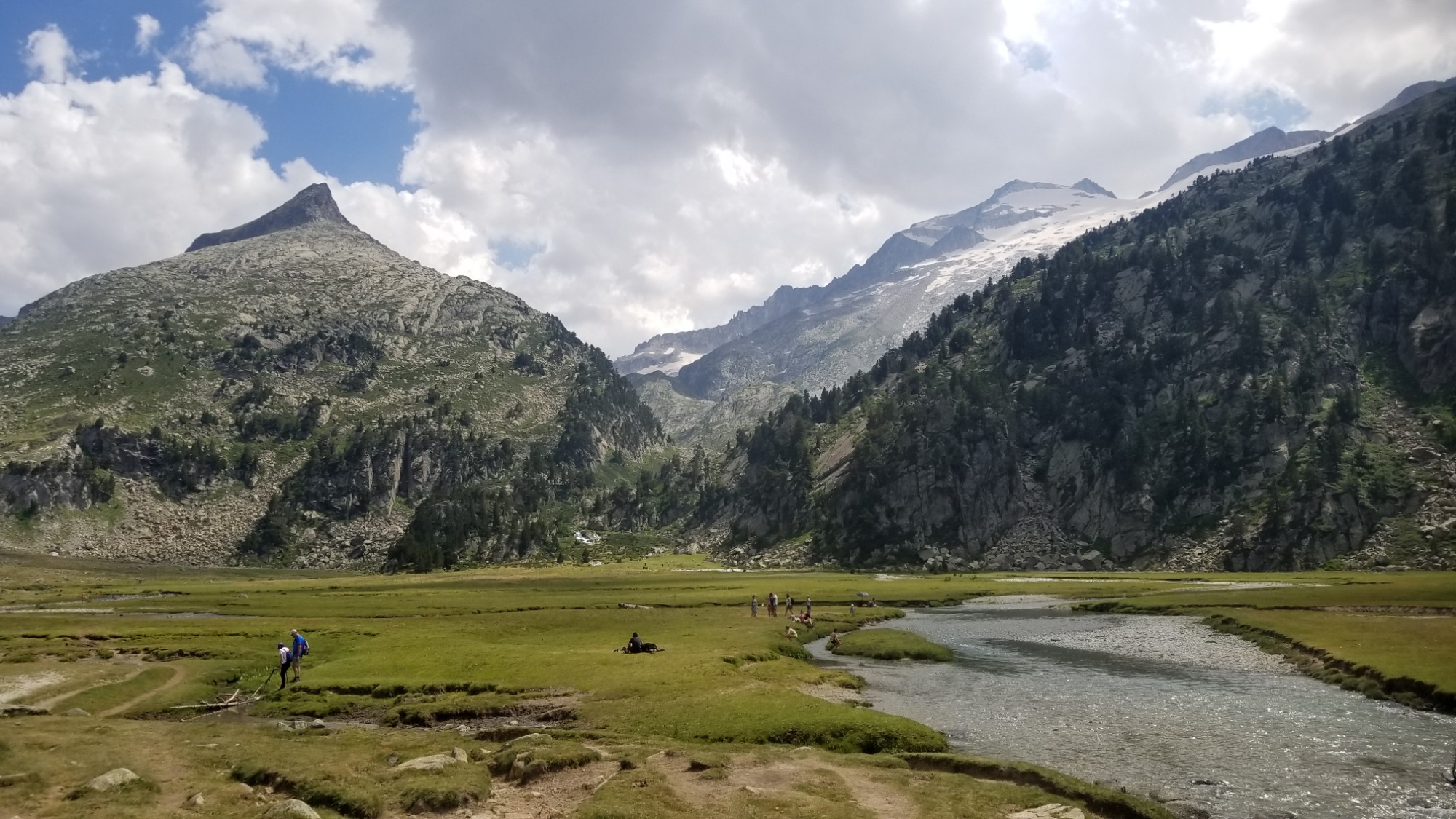
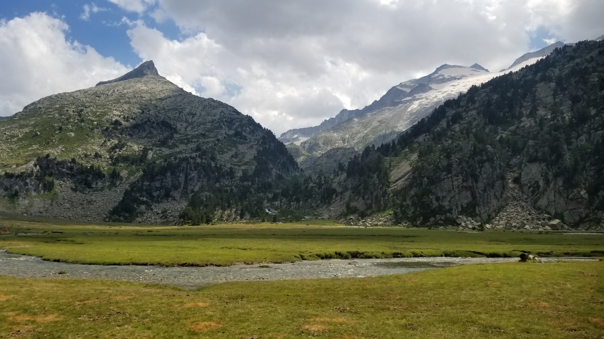

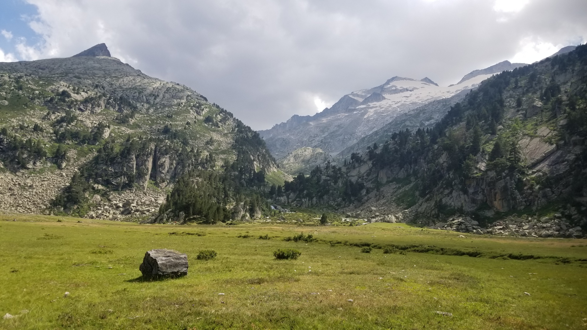
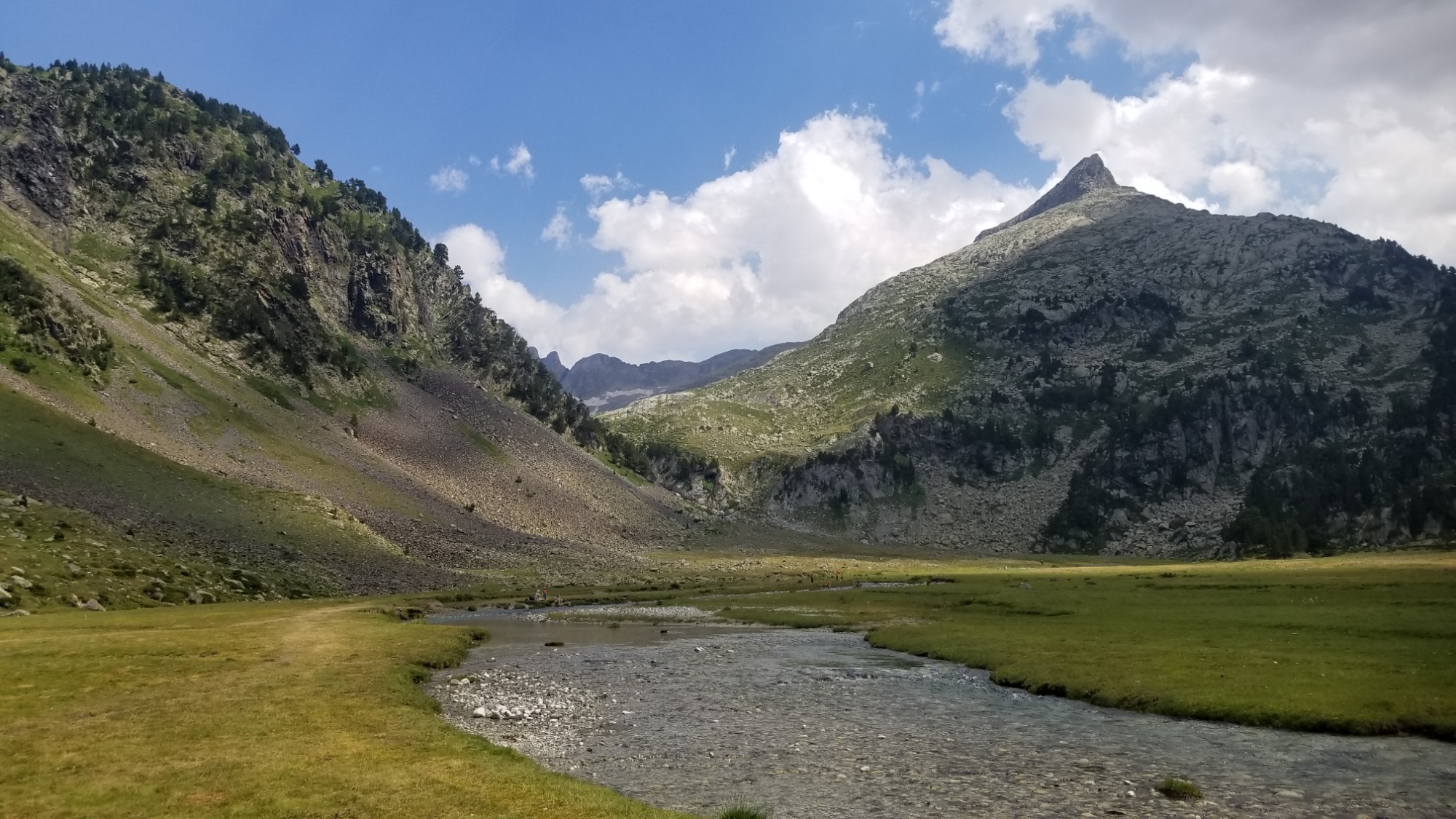
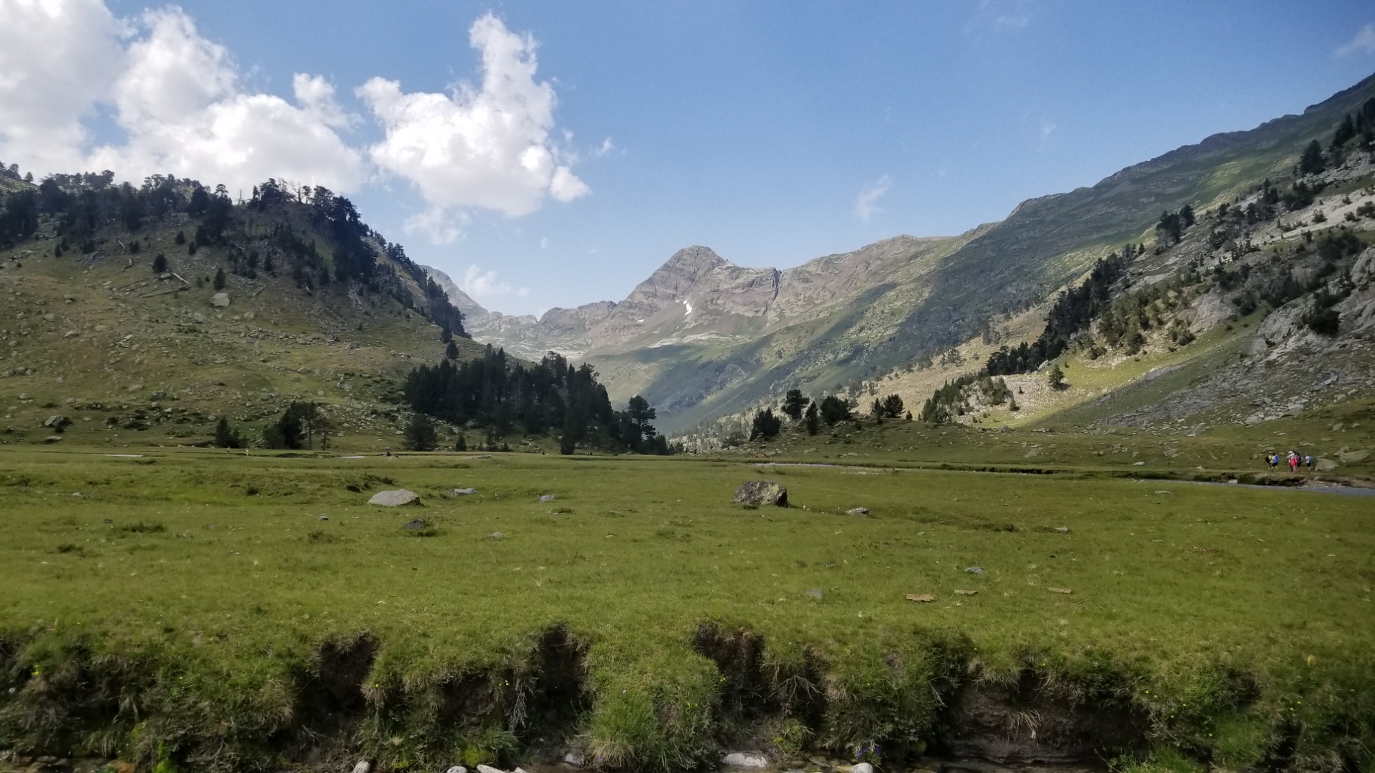
Also, I tried putting my corrupted SD Card in my backup mobile device, and it WORKS!!!!! All the data is still there, thank the Nine. It must be that all the photo/panorama taking I’ve been doing has overloaded the SD card circuitry on my phone. Darn.. well at least I still have my photos!
An hour later, I got bored of being at that plateau and decided to carry on up the trail. It’s funny how the nomadic mindset does that to you. I feel I can’t stay anywhere longer than a few hours or I get bored. Miles to make before I sleep and all that.
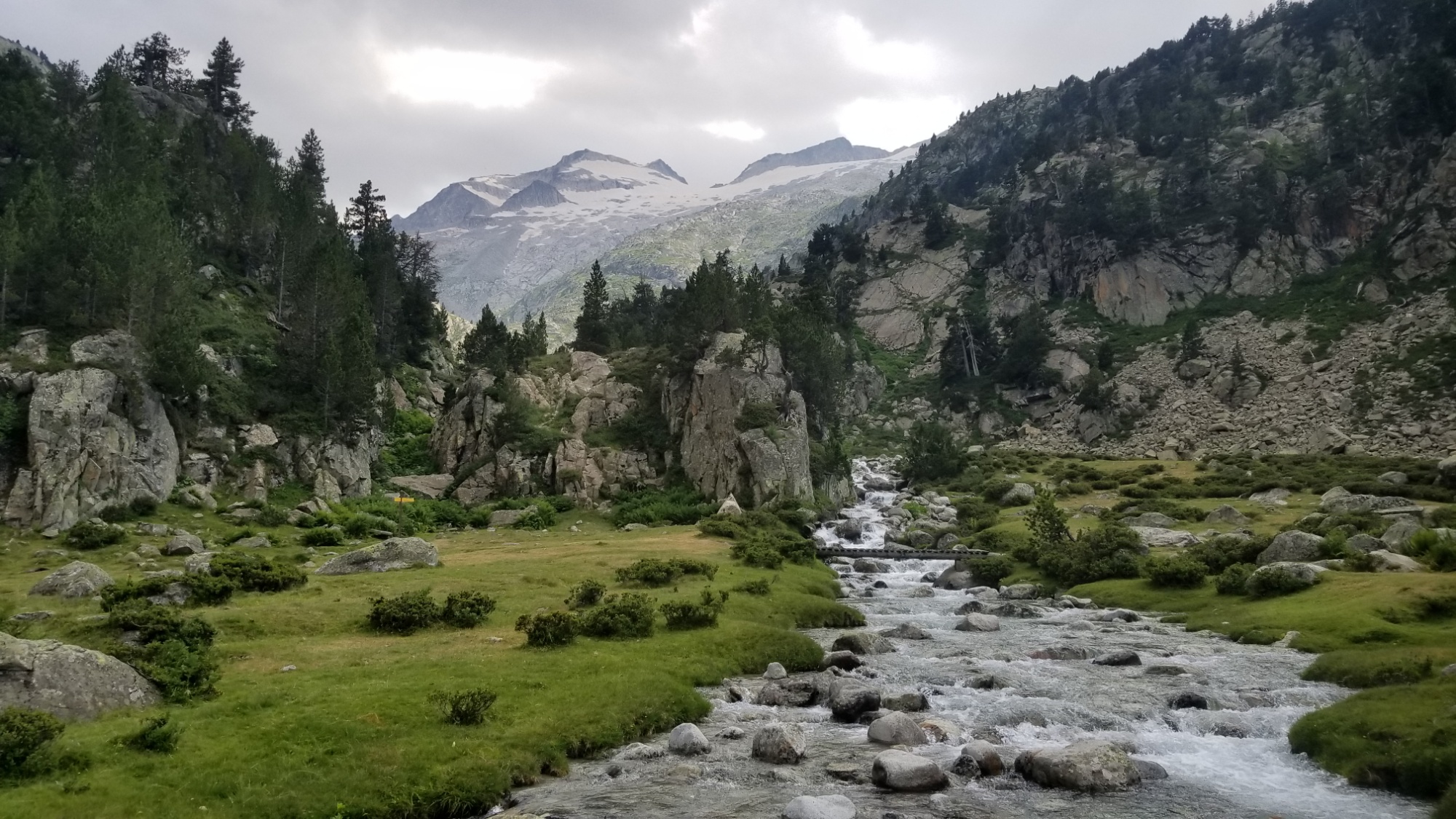
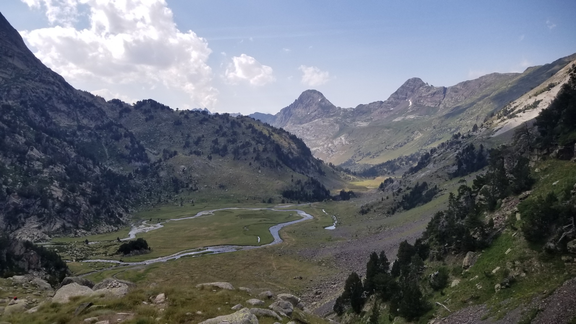
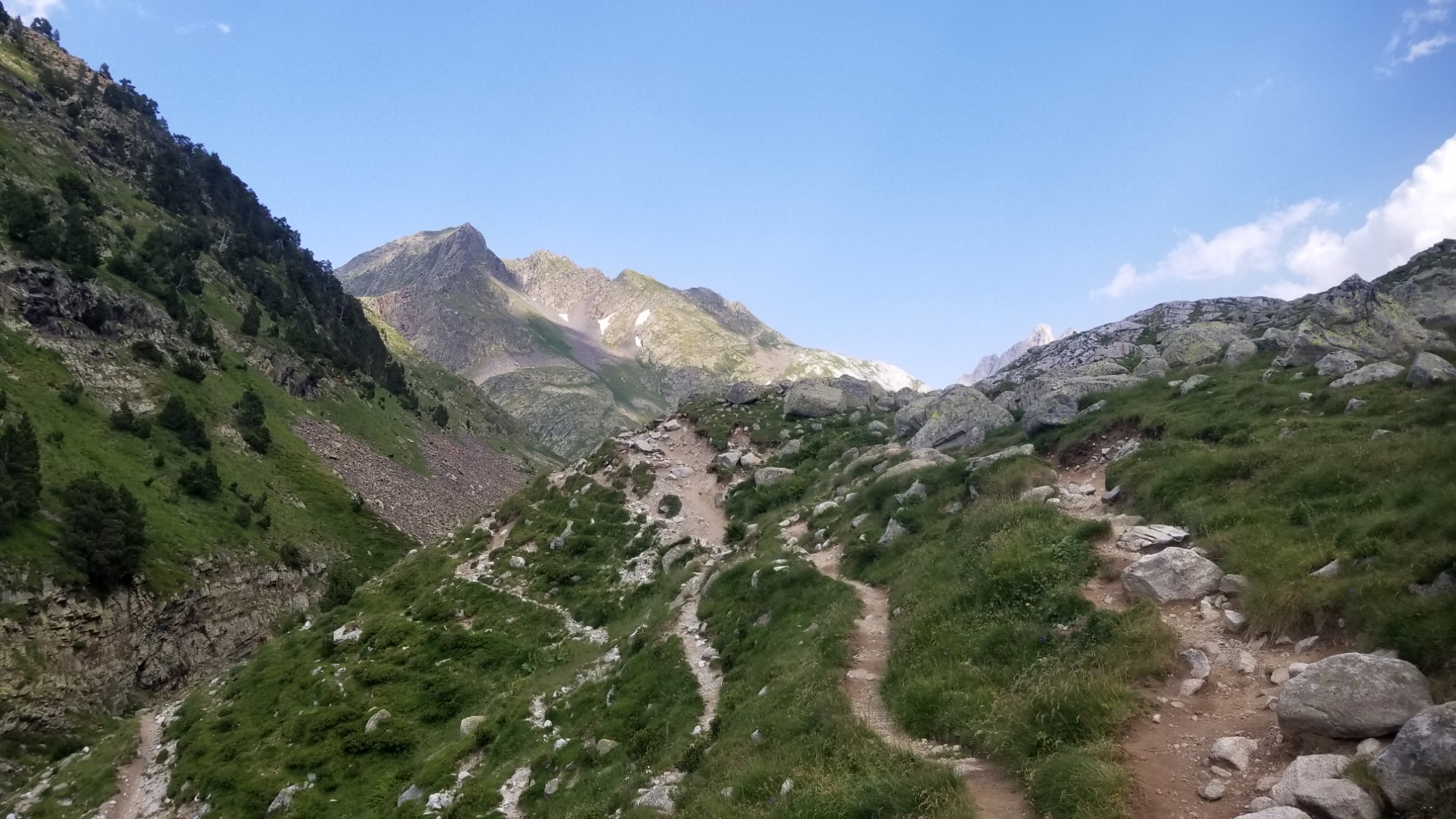
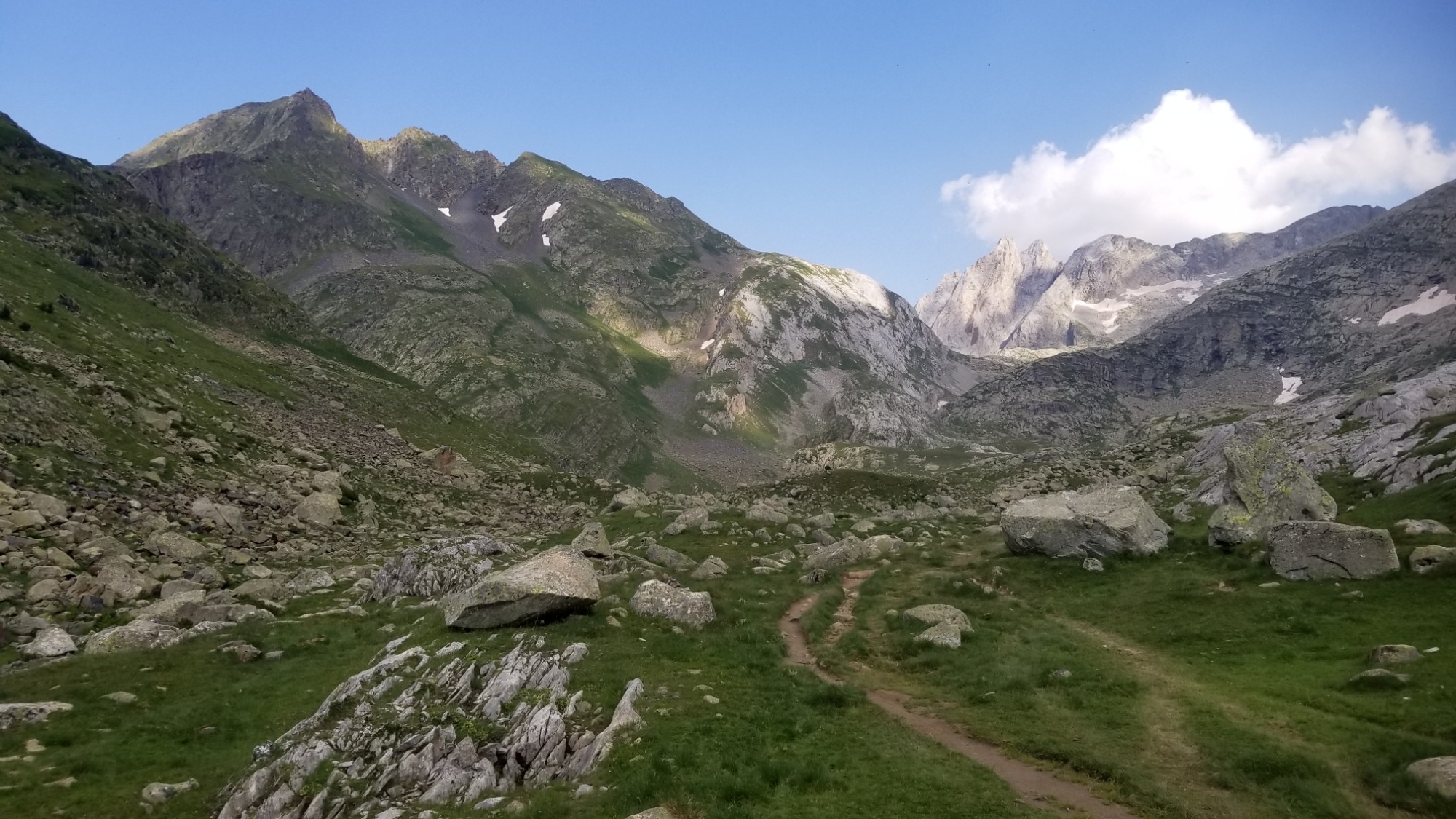
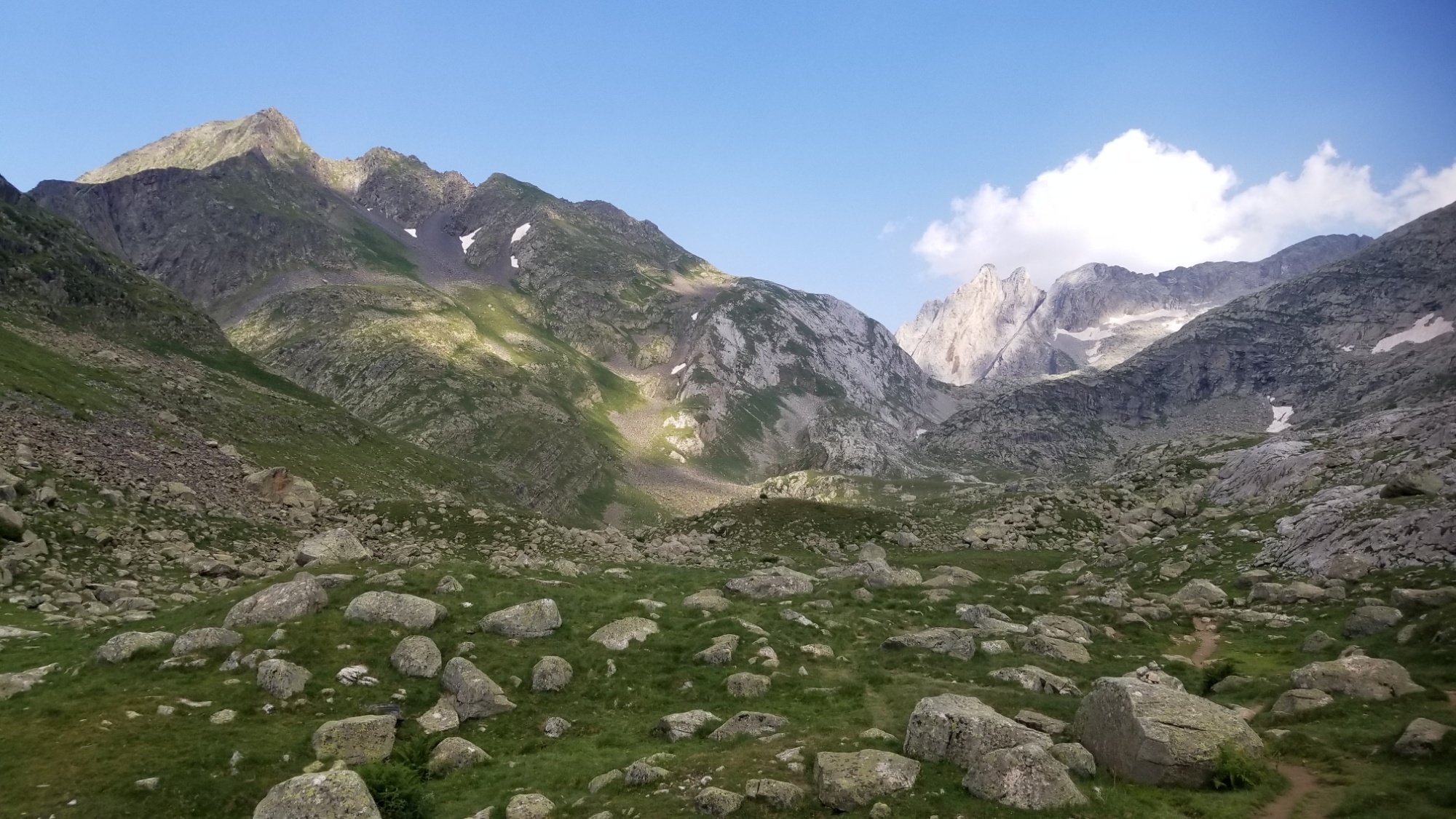
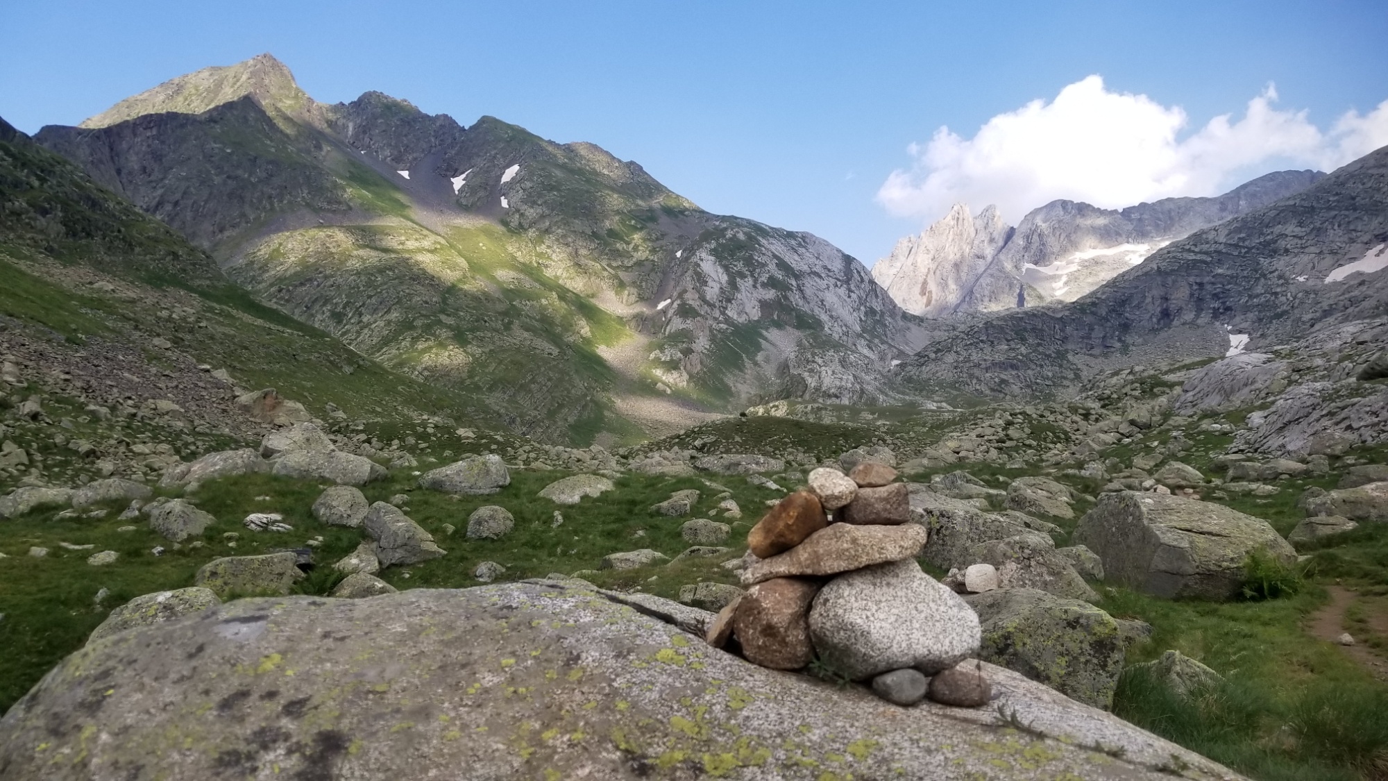
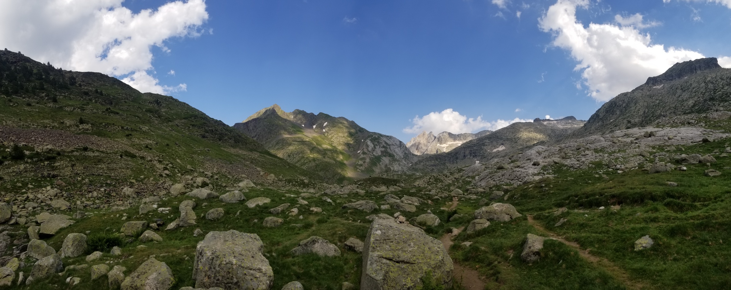
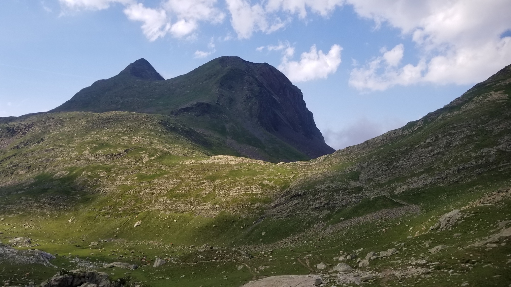
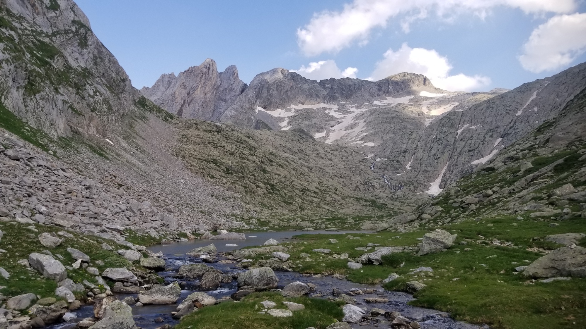
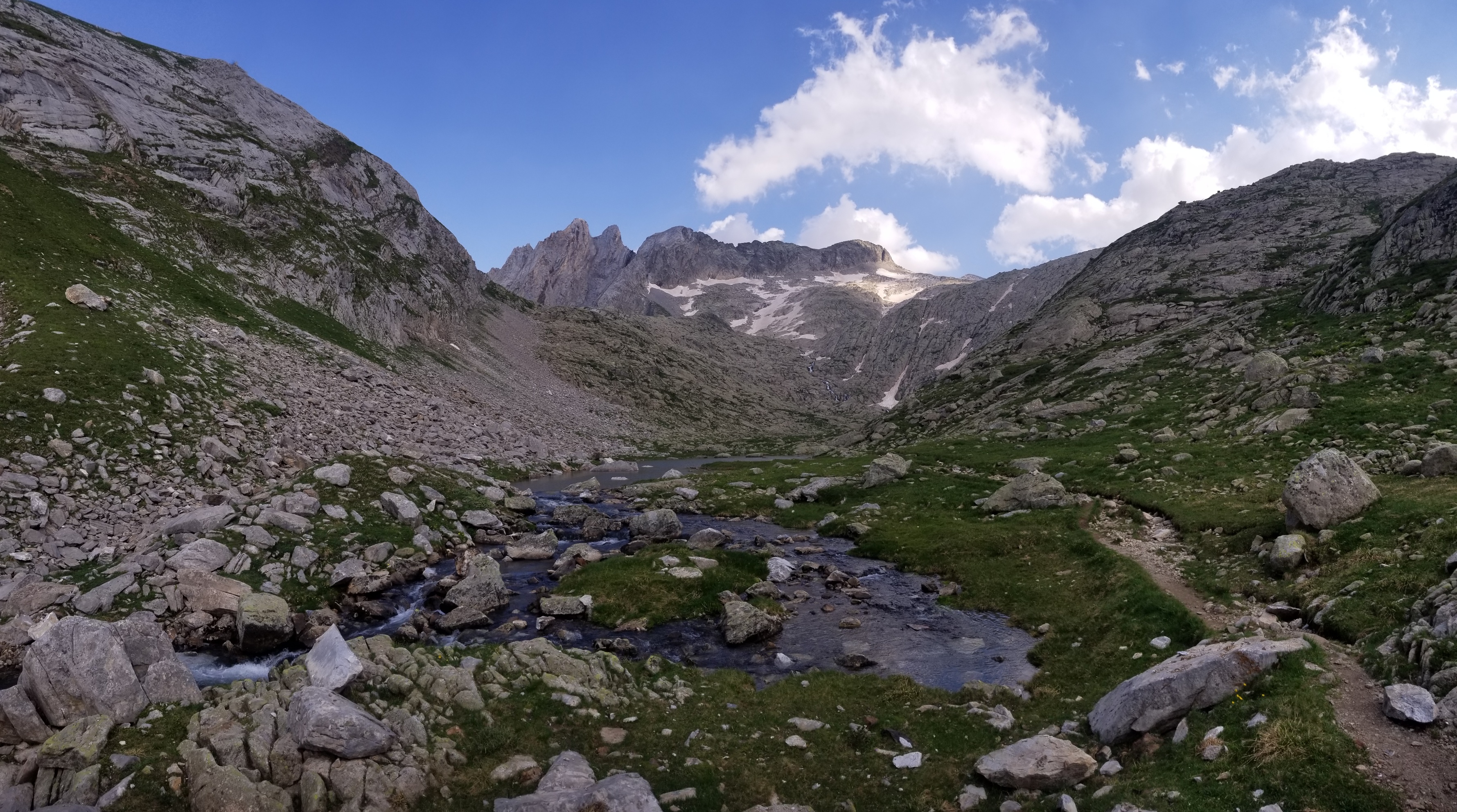
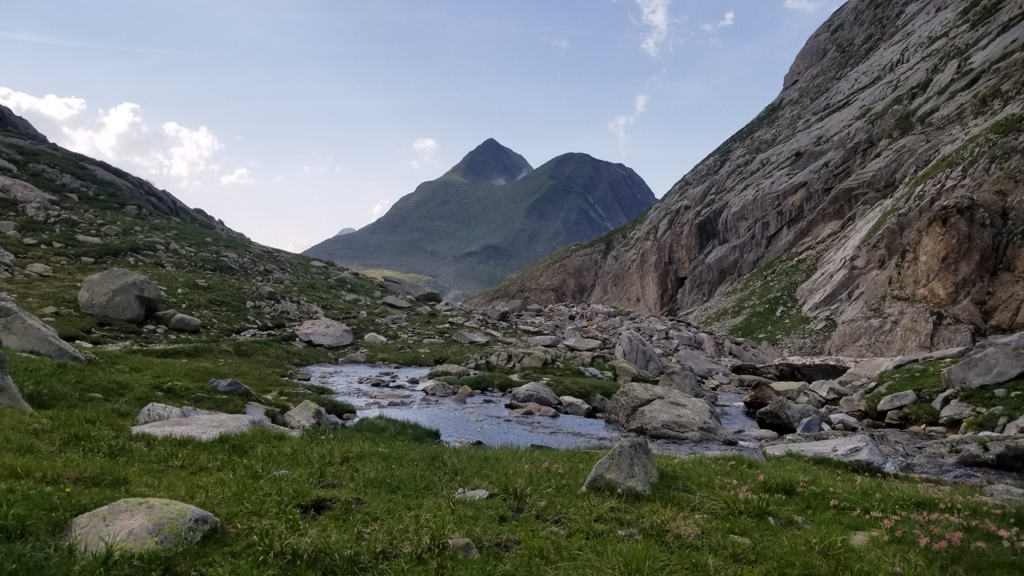
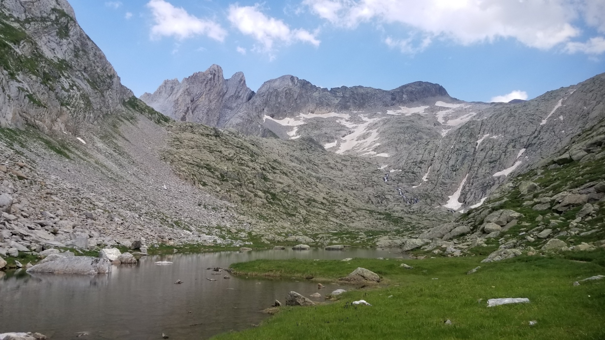
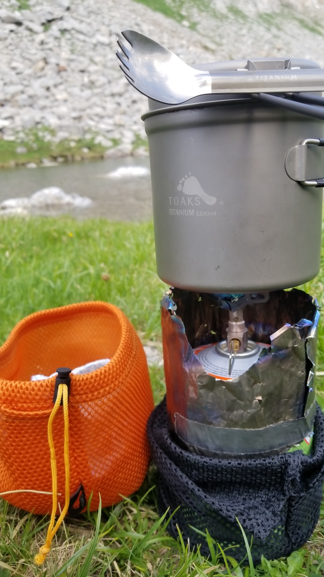
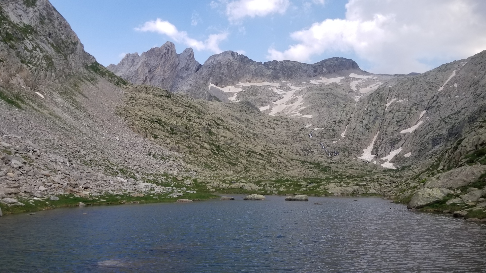
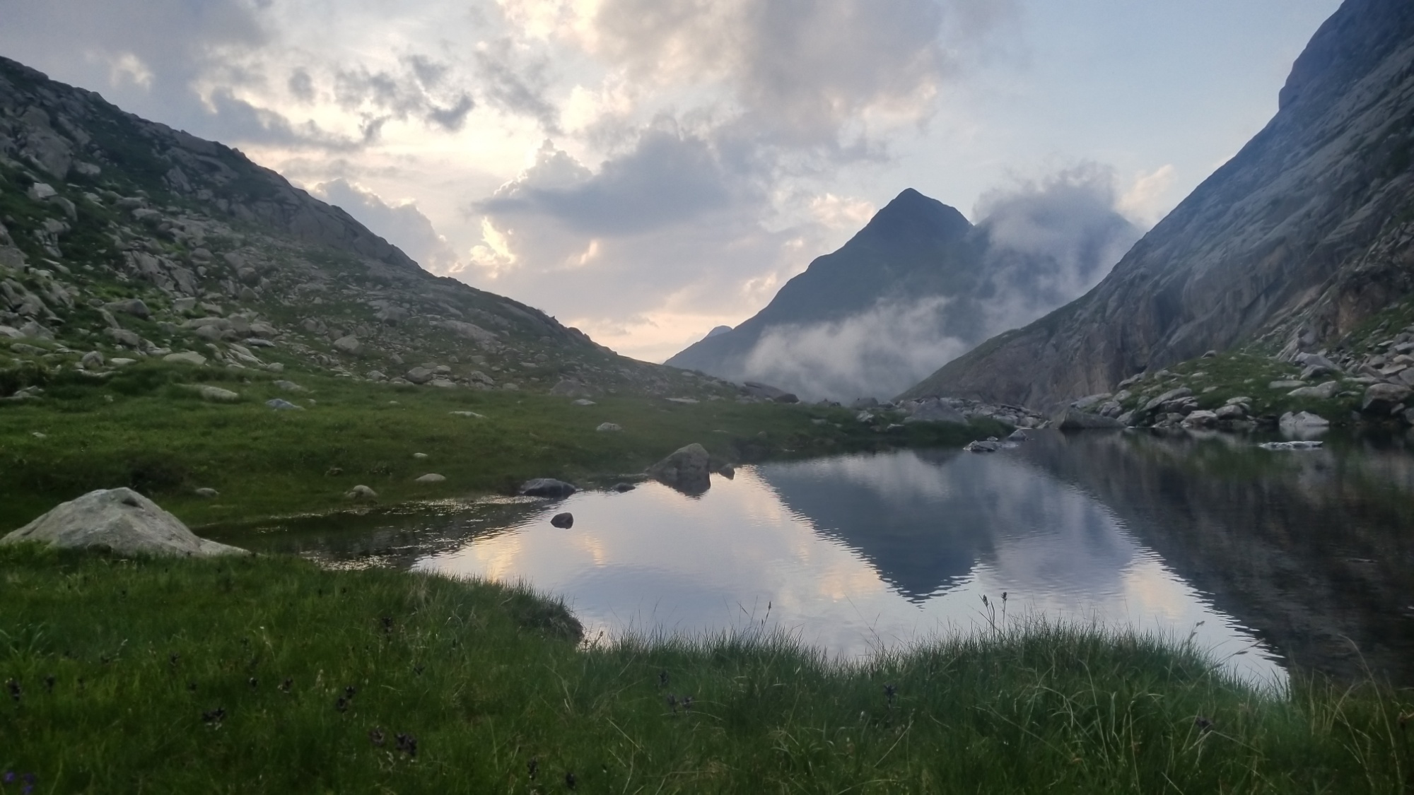
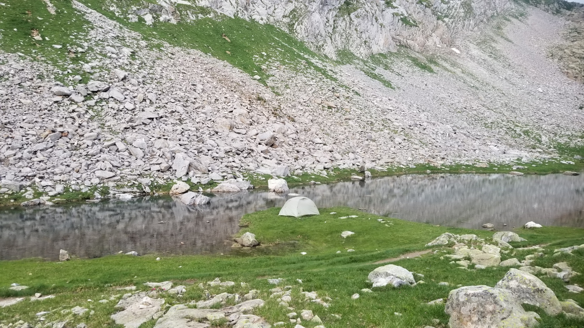
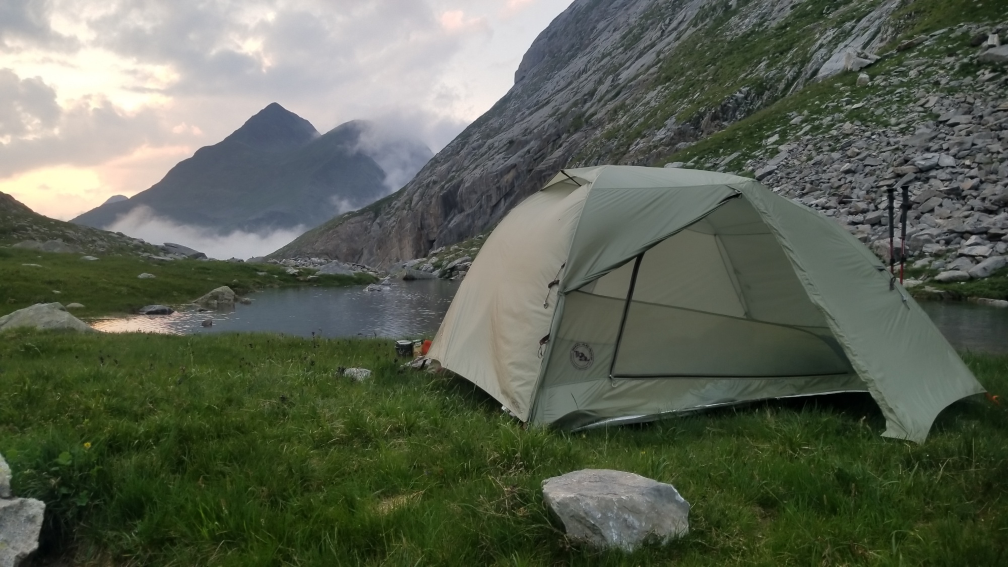
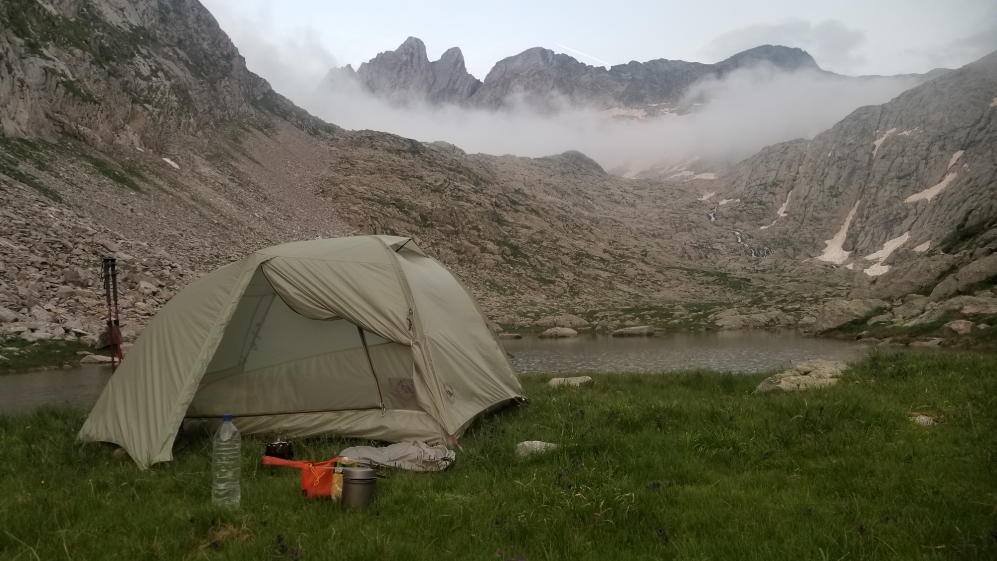
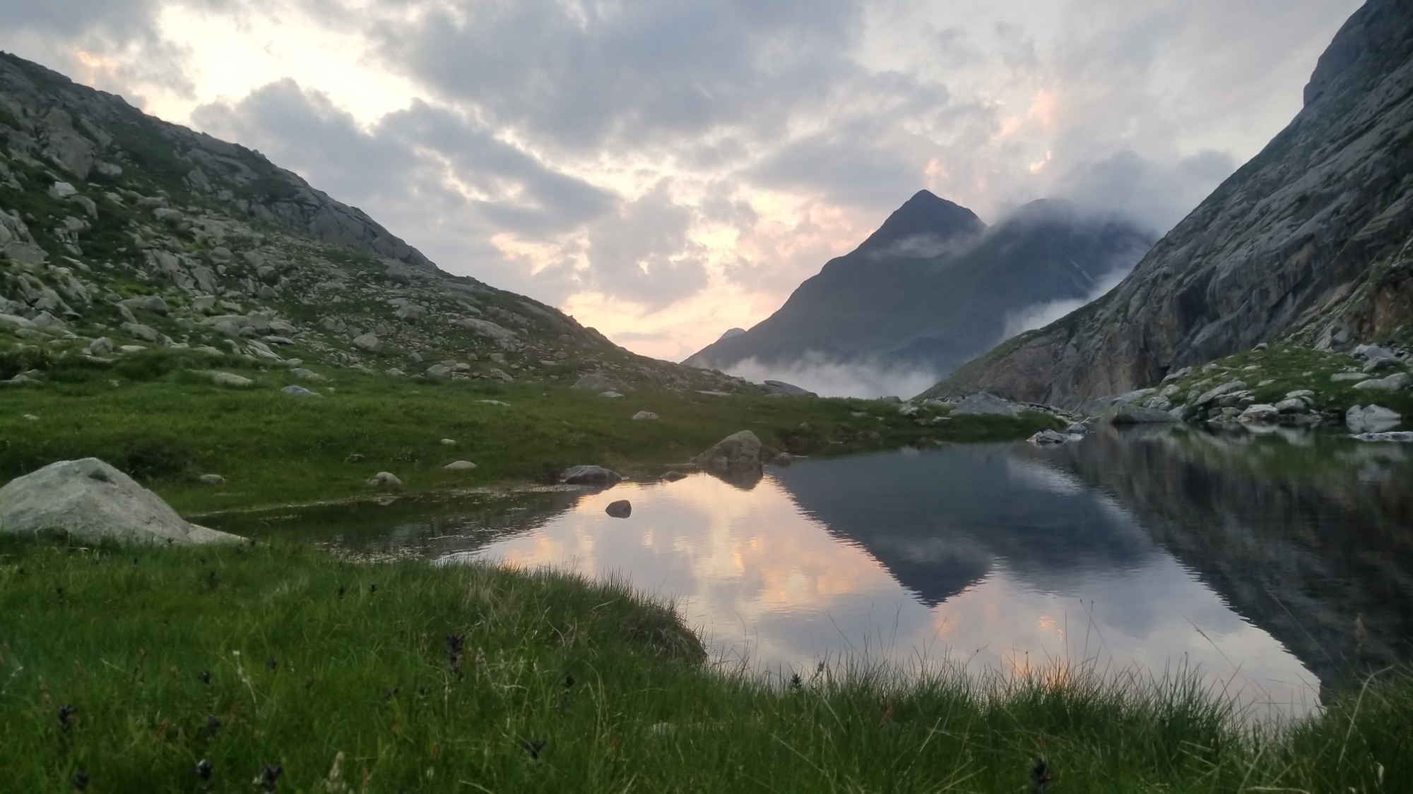
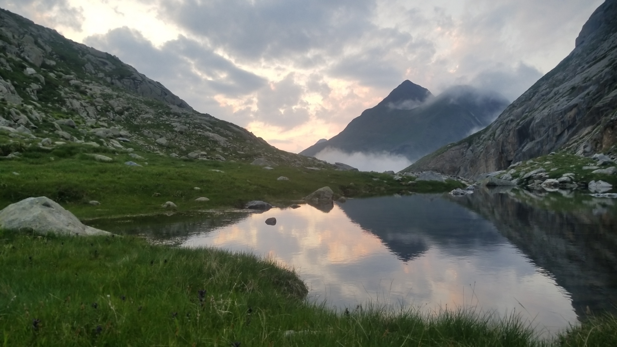
So I carried on up the valley and got some uphill out of the way before the difficult traverse of the Col de Mullieres tomorrow, the last major obstacle of the three hardest days of the Pyrénéan high route. I found a nice grassy spot at around 2,400 meters, just by a little glacial tarn, and decided to make dinner and call it a day. Not a bad place to pitch the tent by any means.
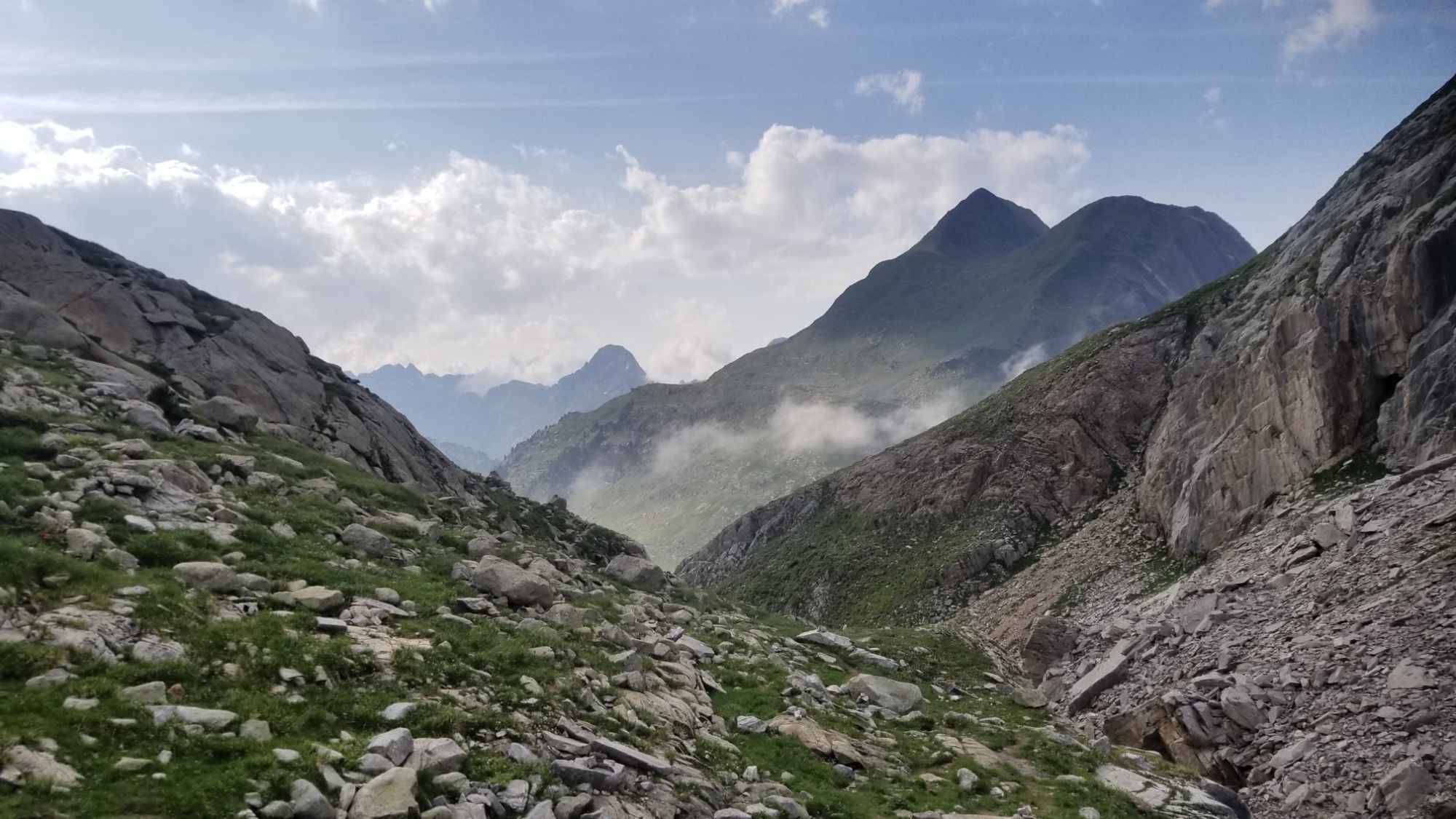
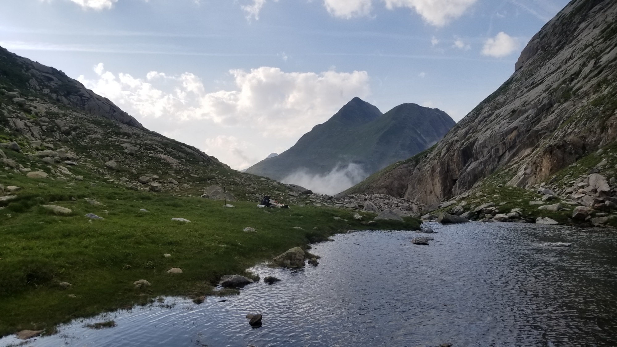
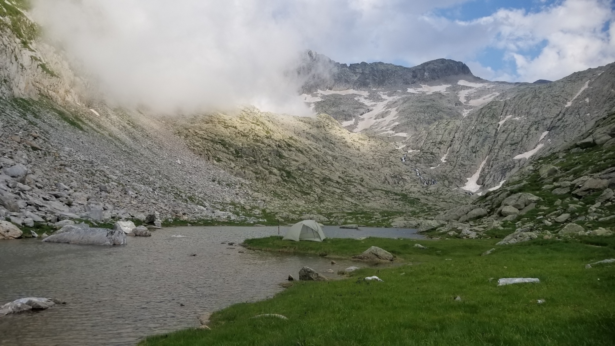
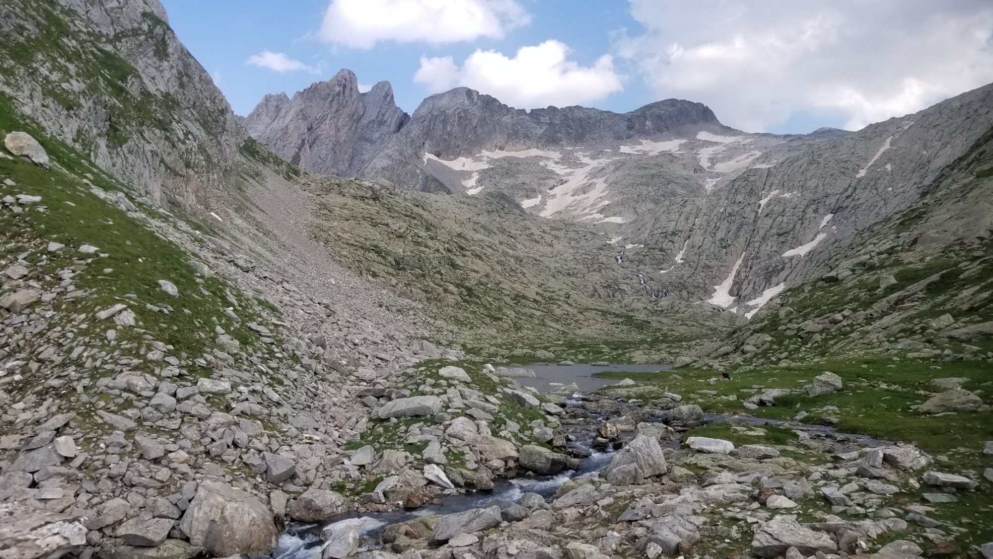
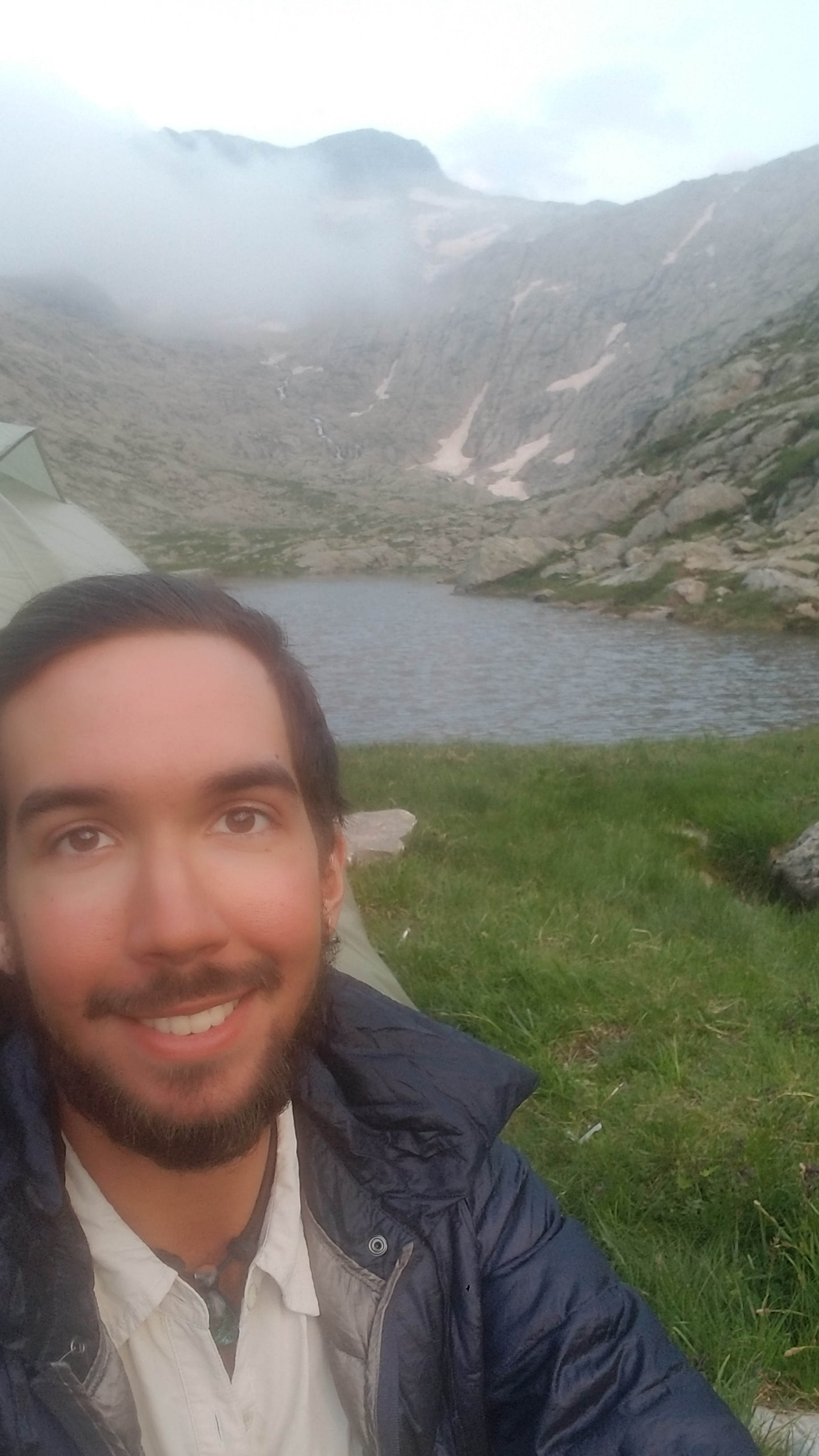
Tomorrow I make it to the highway to Vielha, where my friend Paul, who I chanced to meet while hiking the CDT across Montana (and who introduced me to the HRP that I’m now on) has agreed to host Robin and I for three nights at their lovely residence. What a kind gesture, I will have to make sure to pay it forward one day. I can’t wait for some well deserved R&R.
Good night!
